Trails in Germany
36,852 hiking trails, each with its route, climb, walking time and grade.
All trails, page 303 of 768
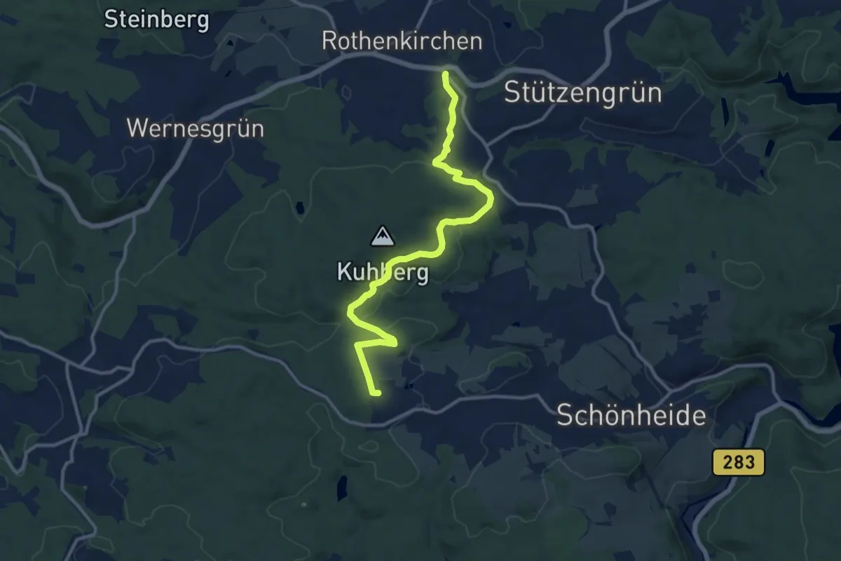
Medium · Trail
Kräuterlehrpfad
11.3 km · ↑ 279 m · 3 h 16 min
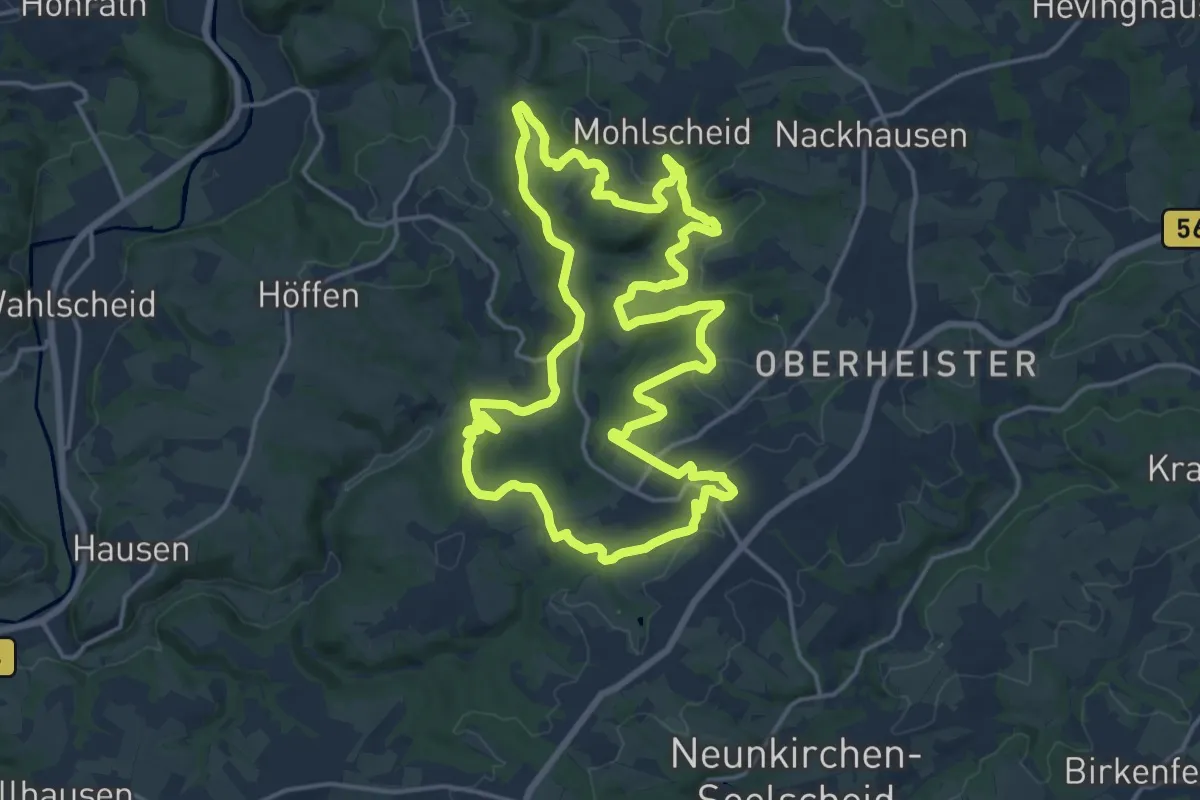
Medium · Trail
Kräuterweg
15.7 km · ↑ 313 m · 4 h 37 min
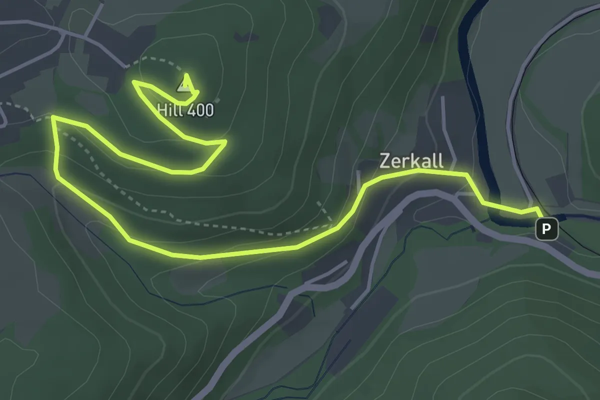
Medium · Summit
Krawutschke Weg
5.2 km · ↑ 208 m · 1 h 41 min
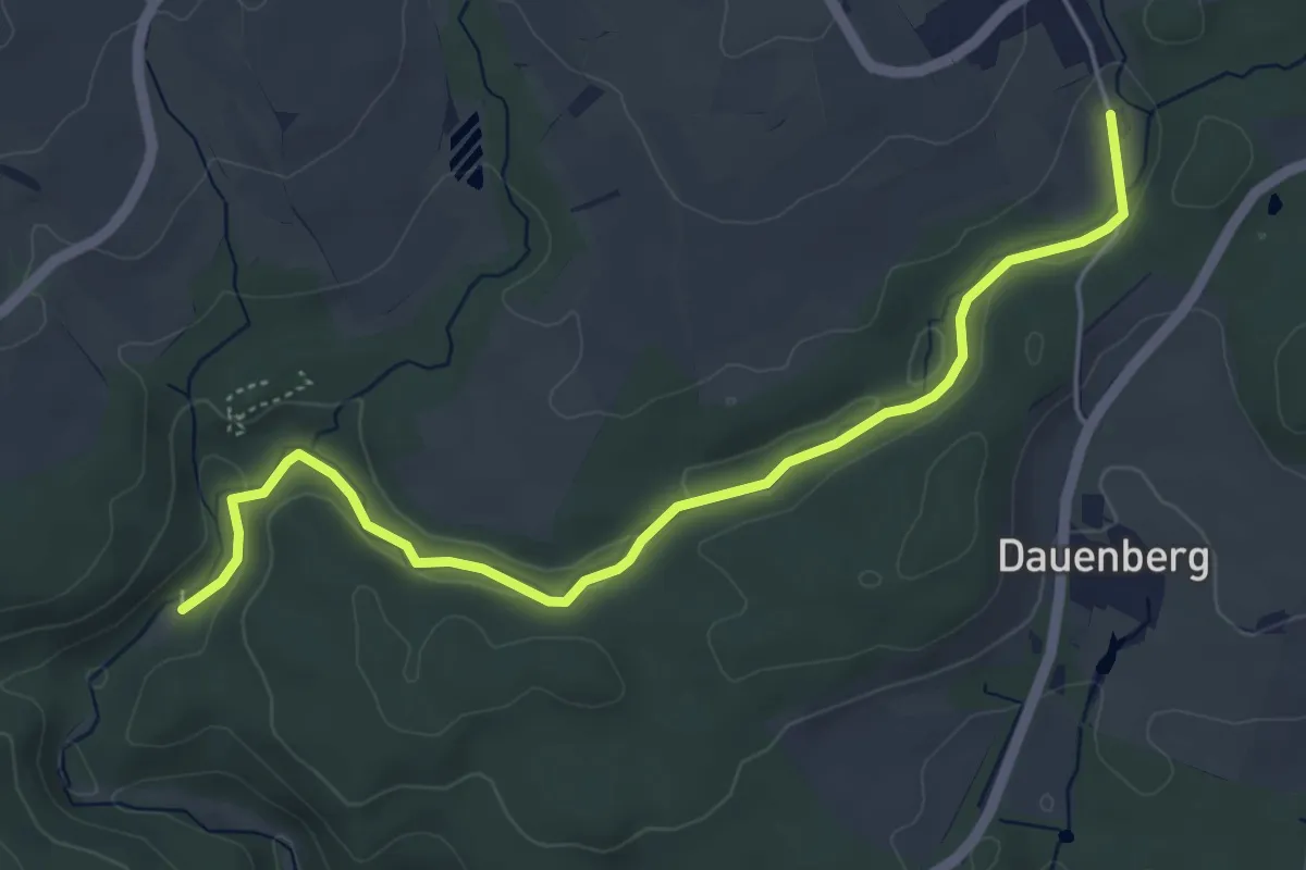
Easy · Trail
Krebsbachtalhütte - Dollenäcker
5.2 km · ↑ 68 m · 1 h 23 min
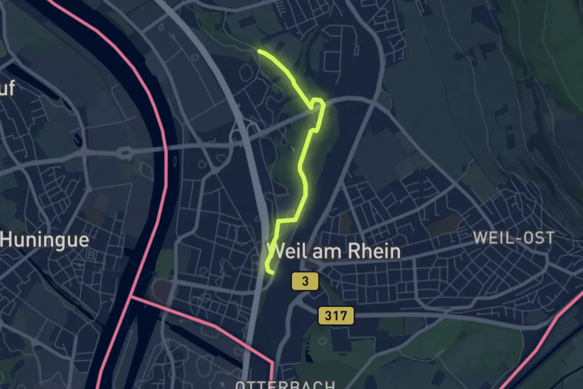
Easy · Trail
Krebsbachtal - Weil am Rhein Friedensbrücke
5.0 km · ↑ 21 m · 1 h 13 min
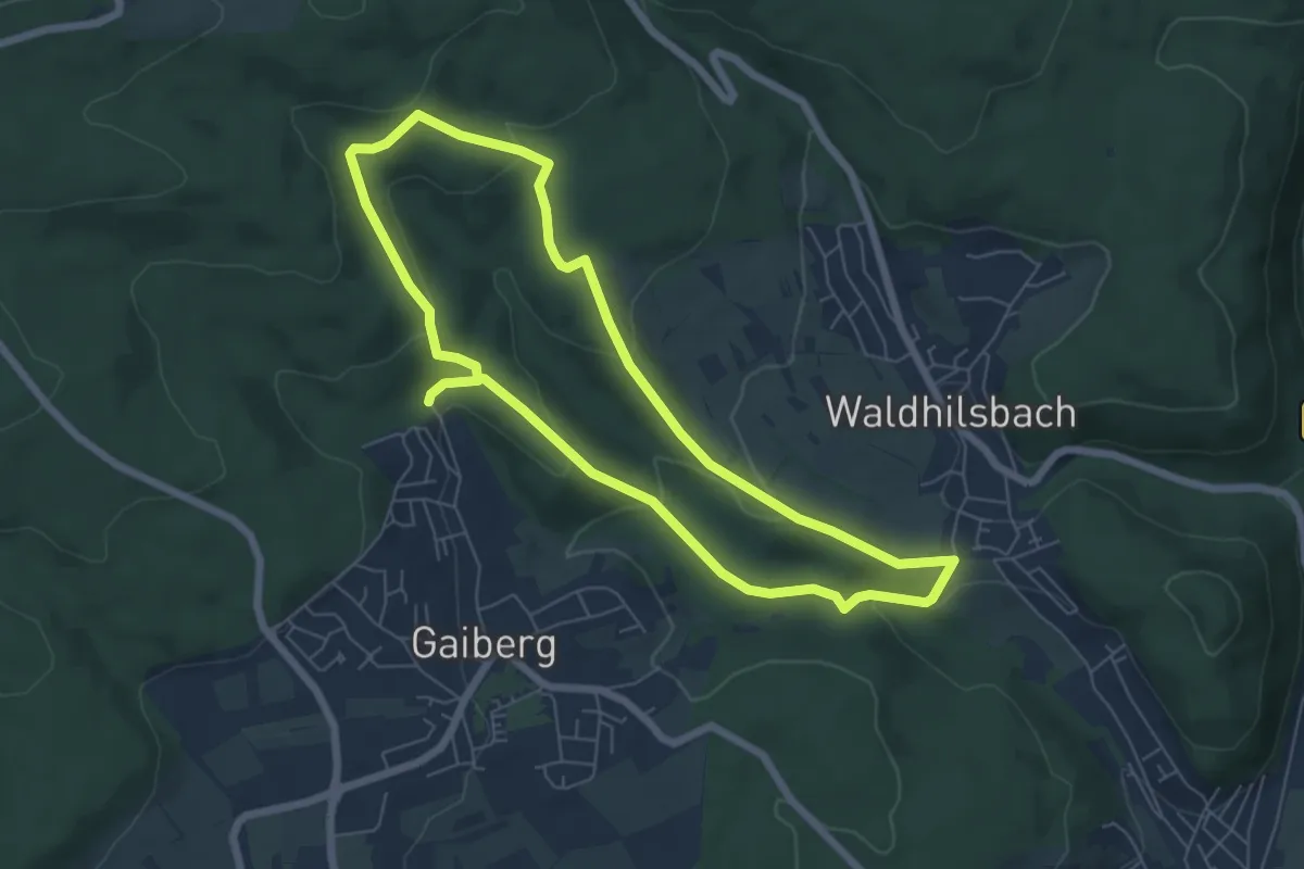
Easy · Trail
Krebsbach-Weg
5.8 km · ↑ 186 m · 1 h 51 min
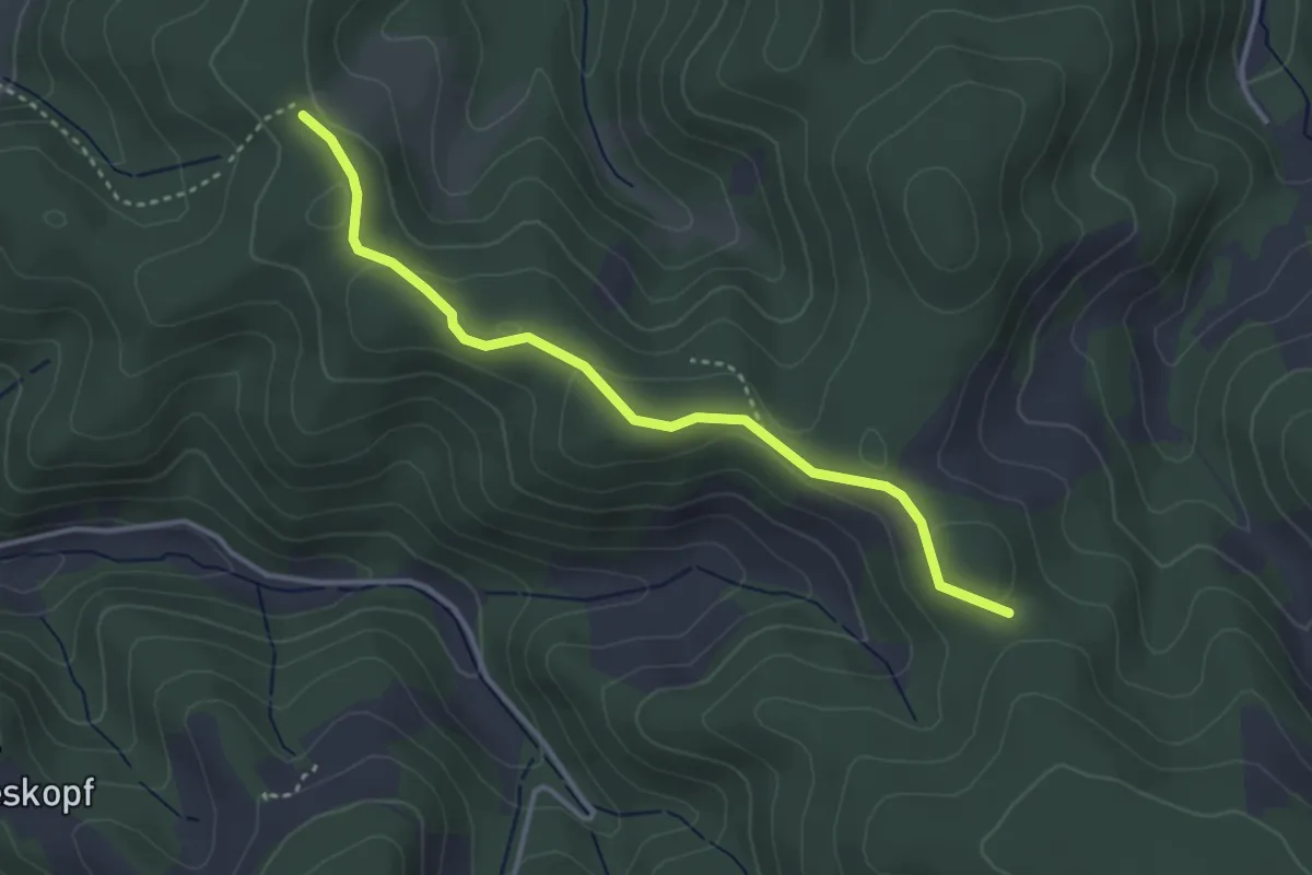
Easy · Trail
Krebsenbacher Höhe - Oberer Herrengrund
3.4 km · ↑ 91 m · 1 h
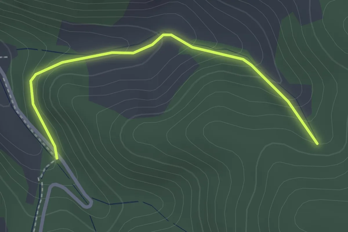
Easy · Trail
Krebsenbach - Krebsenbacher Höhe
2.1 km · ↑ 146 m · 49 min
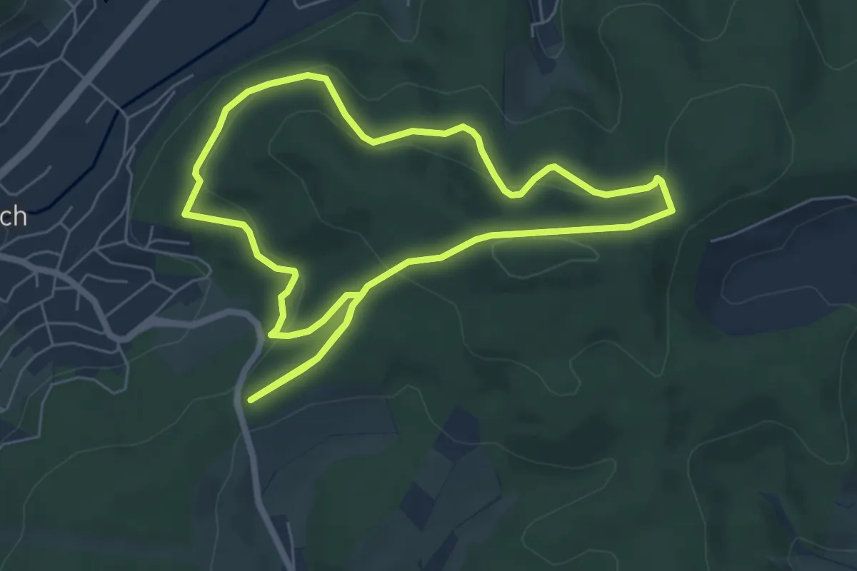
Medium · Summit
Kredenbach Rundweg A4
5.5 km · ↑ 209 m · 1 h 49 min
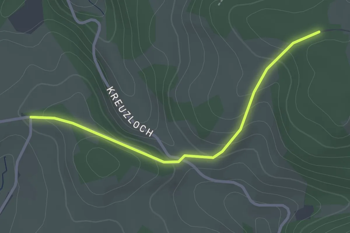
Easy · Trail
Kreisbacher Höhe - Hörnlisberg
2.4 km · ↑ 85 m · 45 min
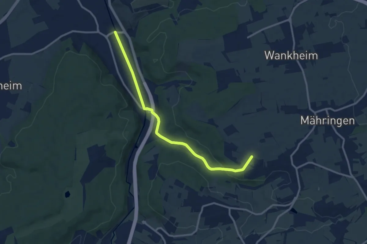
Easy · Trail
Kreissporthalle - Immenhausen HW5
7.9 km · ↑ 112 m · 2 h 7 min
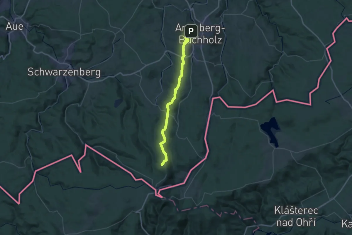
Demanding · Trail
Kreiswanderweg Firstenweg
18.8 km · ↑ 675 m · 5 h 53 min
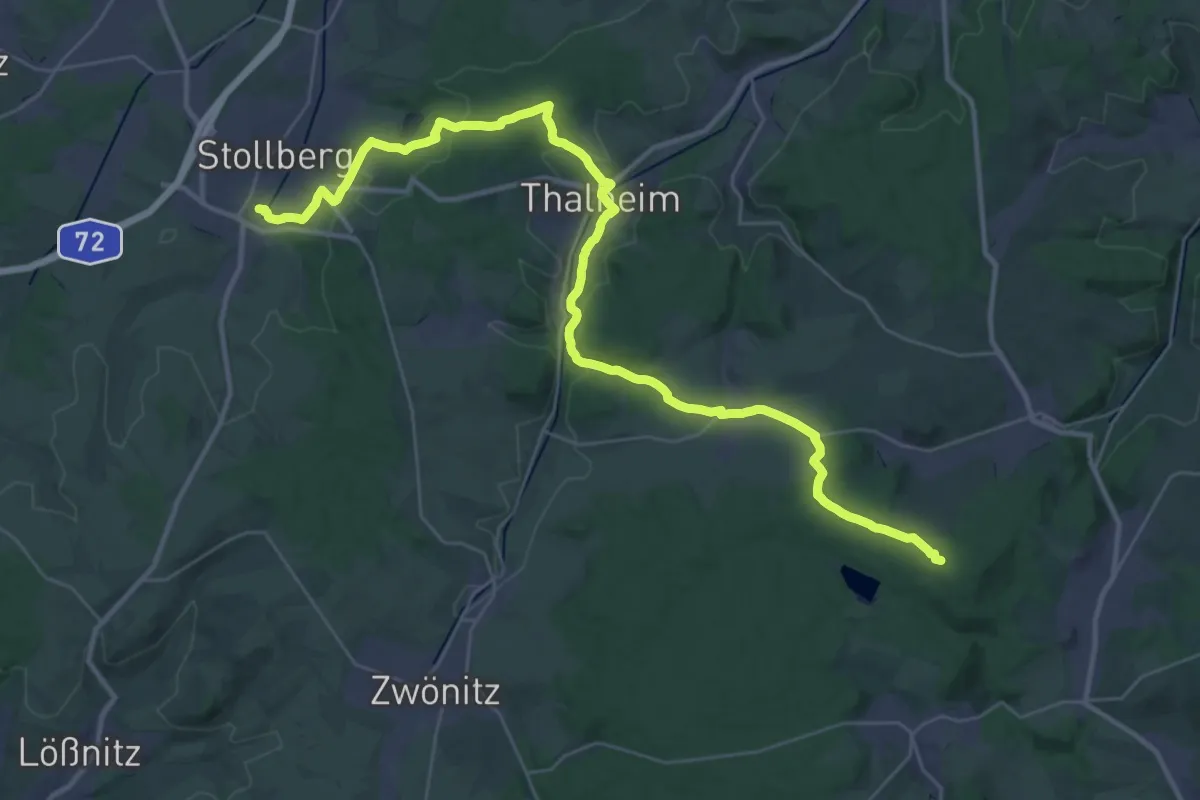
Demanding · Summit
Kreiswanderweg Stollberg
38.5 km · ↑ 812 m · 10 h 50 min
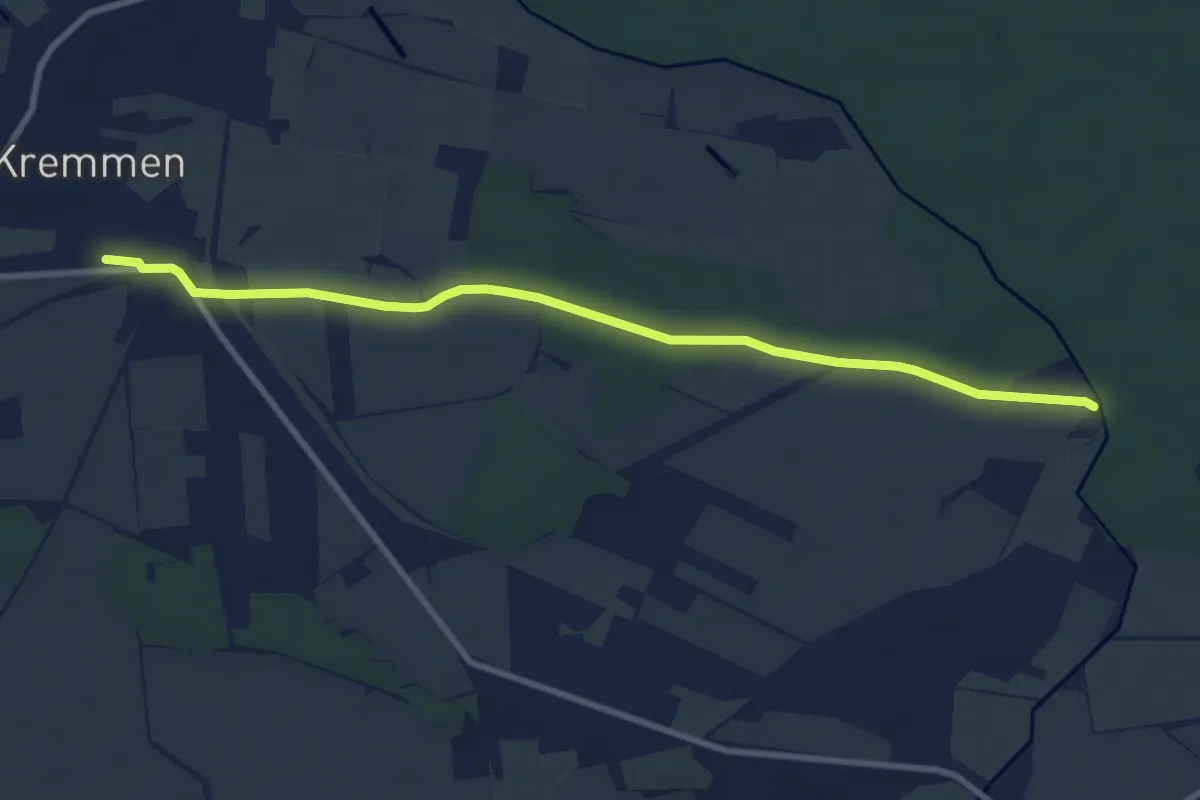
Medium · Trail
Kremmen - Sommerswalde
8.3 km · ↑ 17 m · 2 h
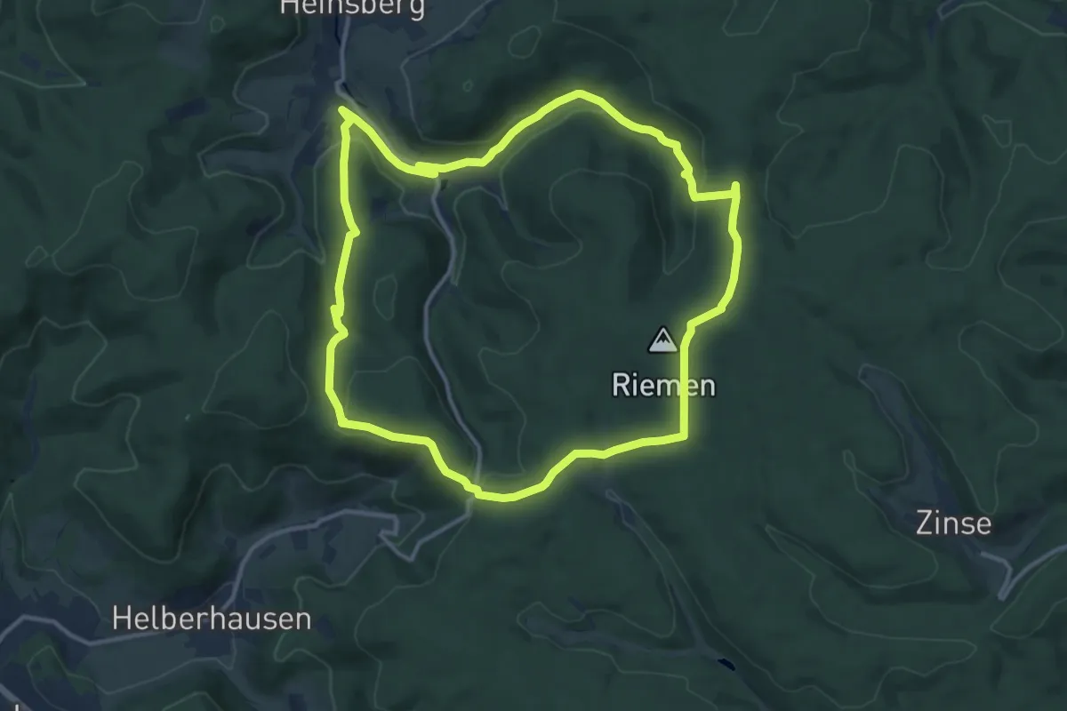
Demanding · Summit
Krenkeltal und Goldener Zapfen
11.2 km · ↑ 297 m · 3 h 27 min
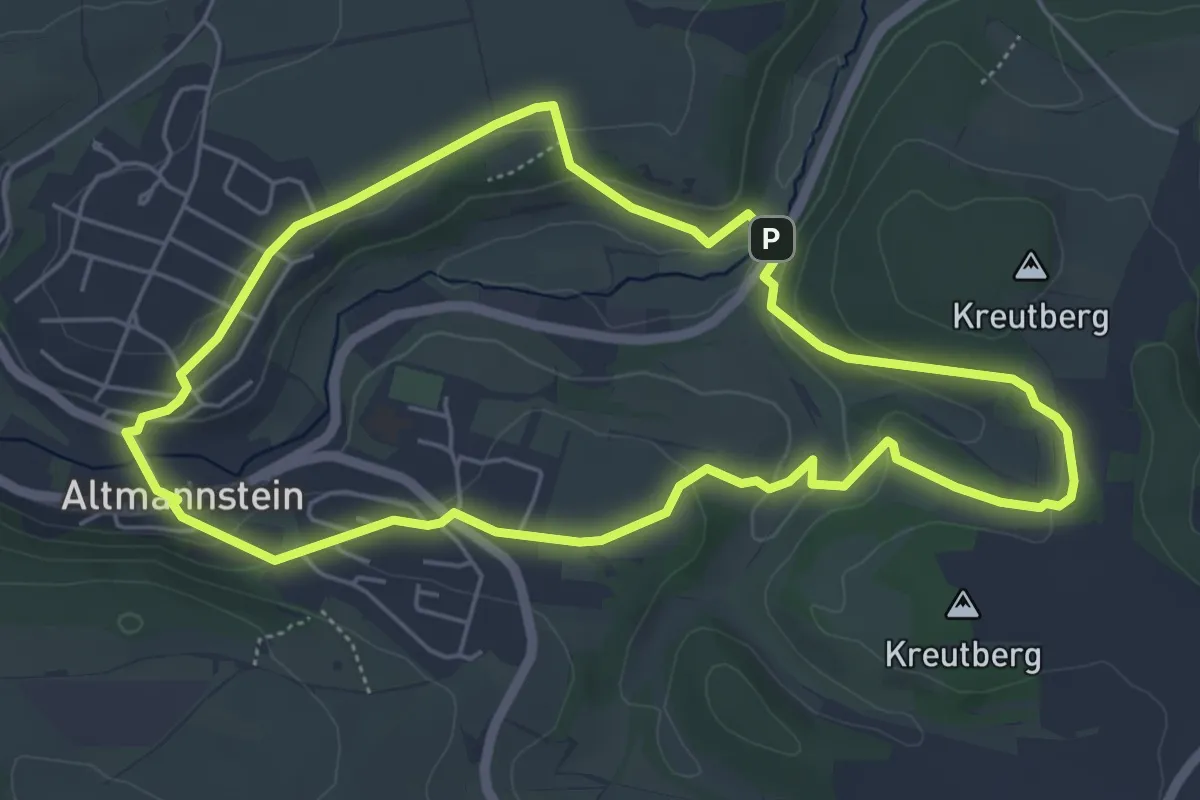
Easy · Trail
Kreutbergweg
5.2 km · ↑ 130 m · 1 h 35 min
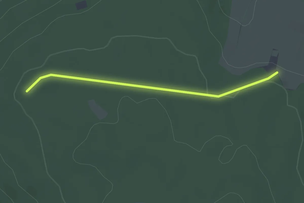
Easy · Trail
Kreuzäcker - Am Höfener Weg
2.6 km · ↑ 41 m · 42 min
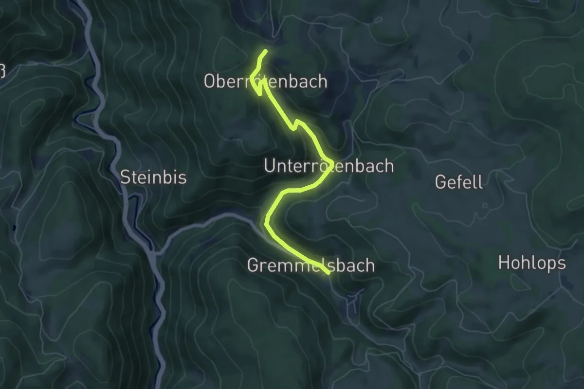
Easy · Trail
Kreuzacker - Gremmelsbach Dorf
5.6 km · ↑ 231 m · 1 h 49 min
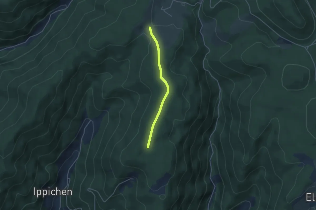
Easy · Trail
Kreuzacker - Rappenloch
2.9 km · ↑ 39 m · 46 min
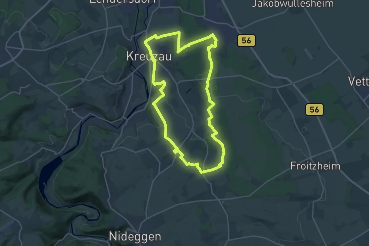
Medium · Trail
Kreuzau 1
16.1 km · ↑ 144 m · 4 h 20 min
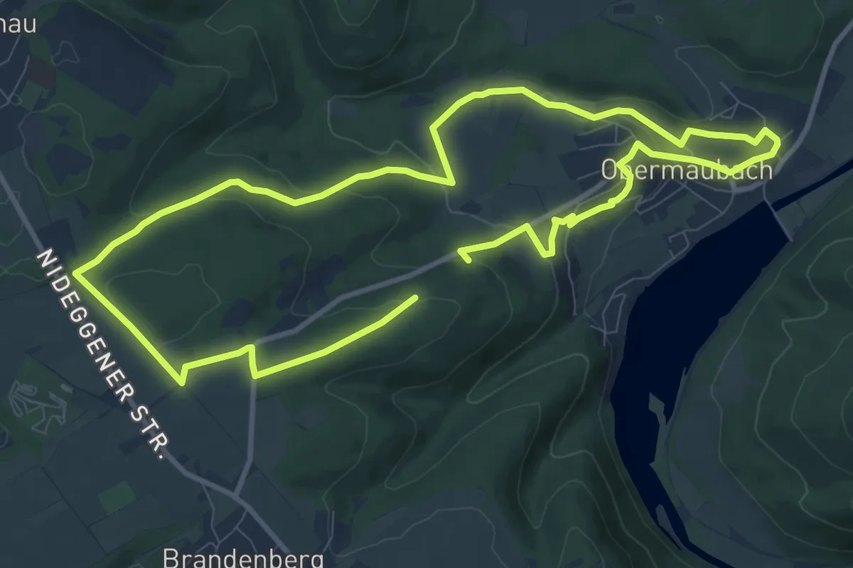
Medium · Trail
Kreuzauer Busch
16.9 km · ↑ 426 m · 4 h 55 min
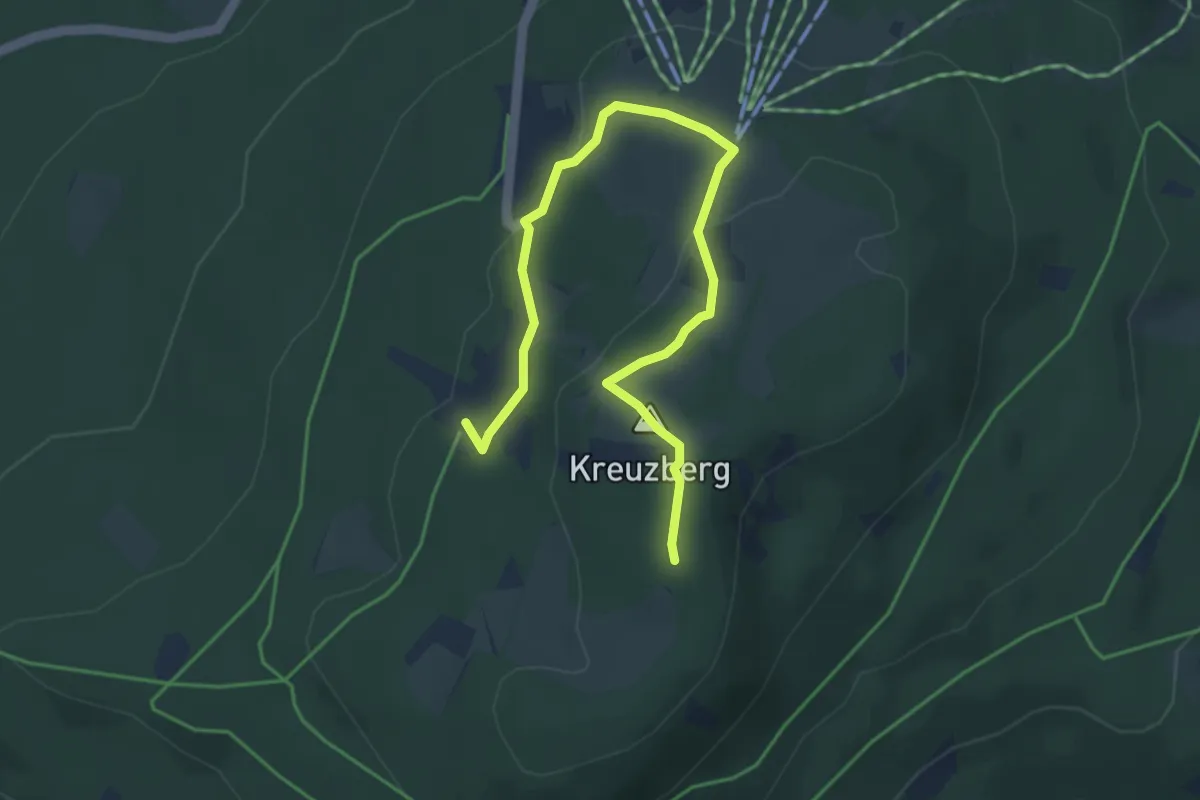
Easy · Summit
Kreuzberg - Kleine Gipfelrunde
2.3 km · ↑ 93 m · 45 min
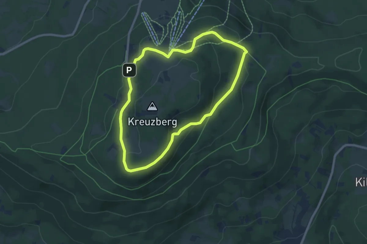
Easy · Trail
Kreuzberg - Rund um den Kreuzberggipfel
5.6 km · ↑ 174 m · 1 h 46 min
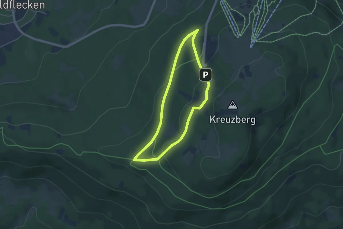
Easy · Trail
Kreuzberg - Rund ums Kloster
3.4 km · ↑ 88 m · 1 h 3 min
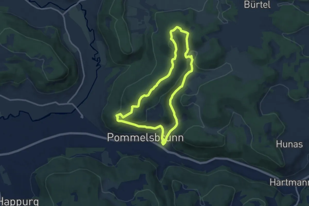
Demanding · Summit
Kreuzbergrundweg
7.2 km · ↑ 298 m · 2 h 27 min
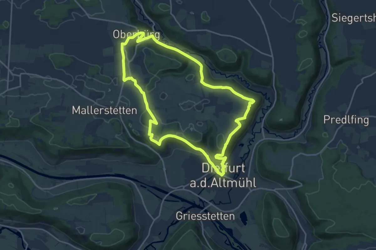
Medium · Trail
Kreuzbergweg
13.3 km · ↑ 329 m · 4 h 2 min
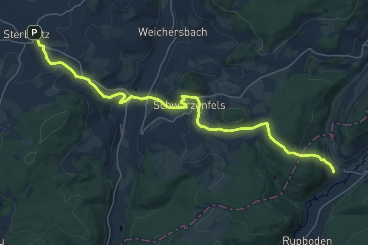
Demanding · Trail
Kreuzbergweg
19.3 km · ↑ 556 m · 5 h 46 min
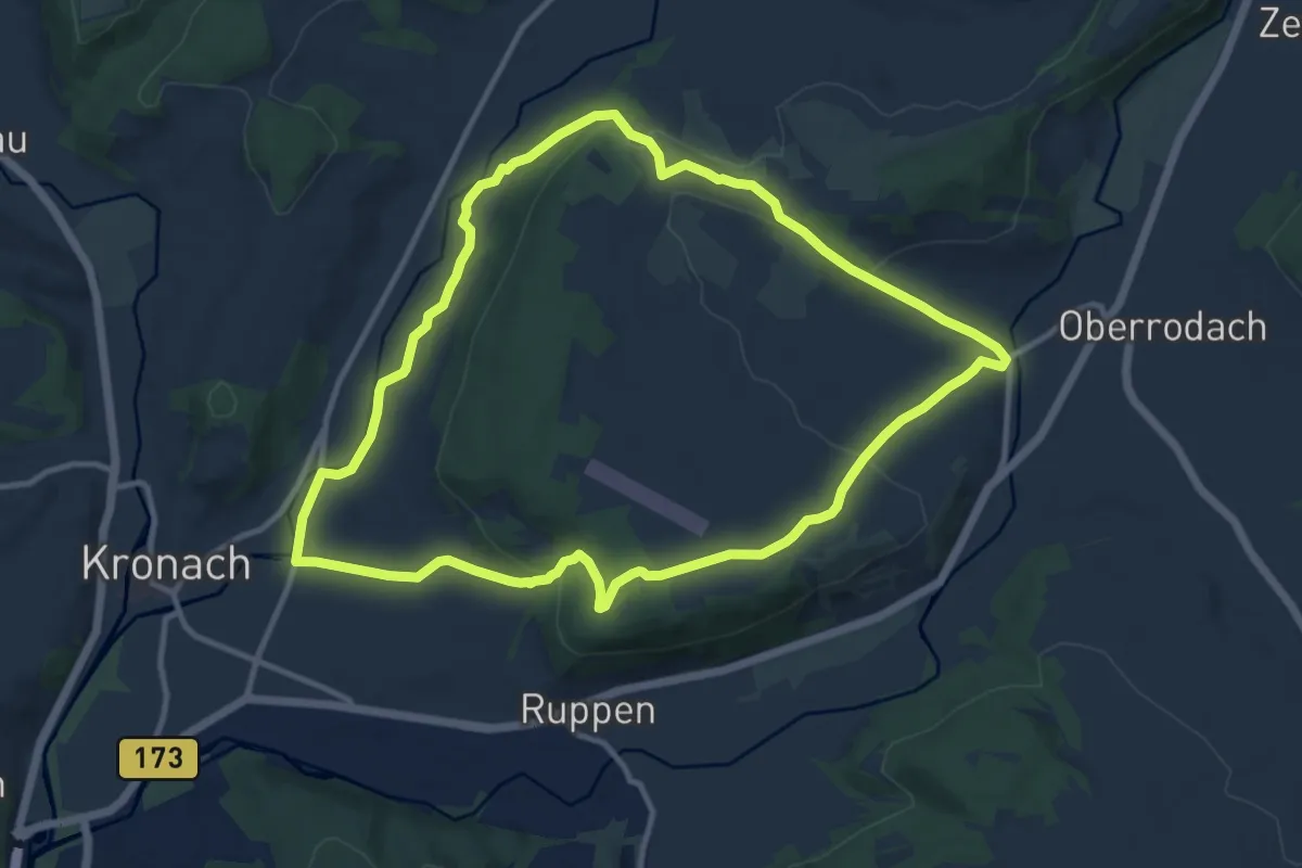
Medium · Trail
Kreuzberg-Weg KC 13
10.3 km · ↑ 233 m · 3 h 4 min
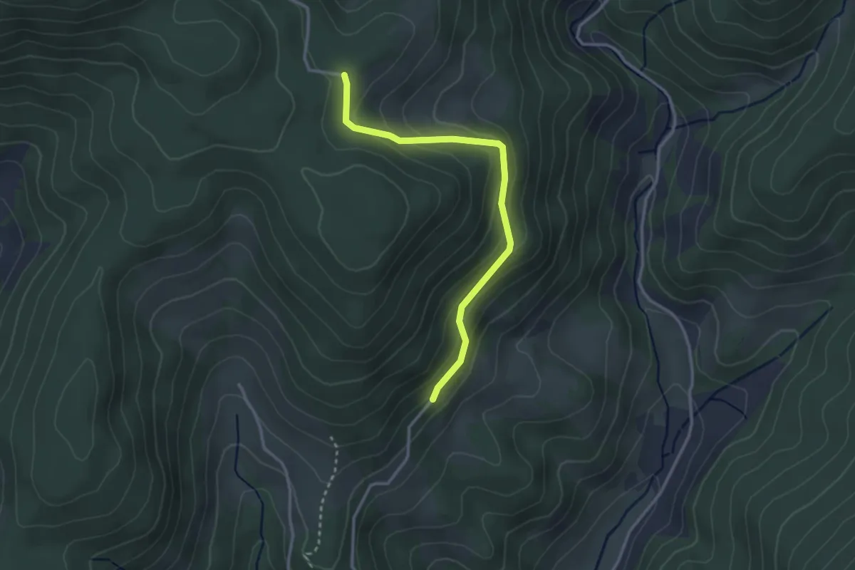
Easy · Trail
Kreuzbühl - Mittlere Rautsch
2.8 km · ↑ 181 m · 1 h 4 min
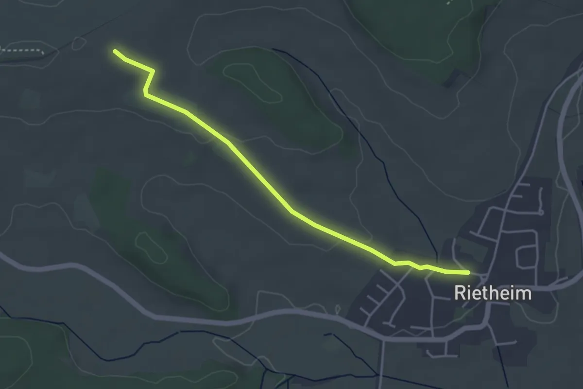
Easy · Trail
Kreuzbühl - Rietheim Milchhäusle
3.7 km · ↑ 53 m · 1 h
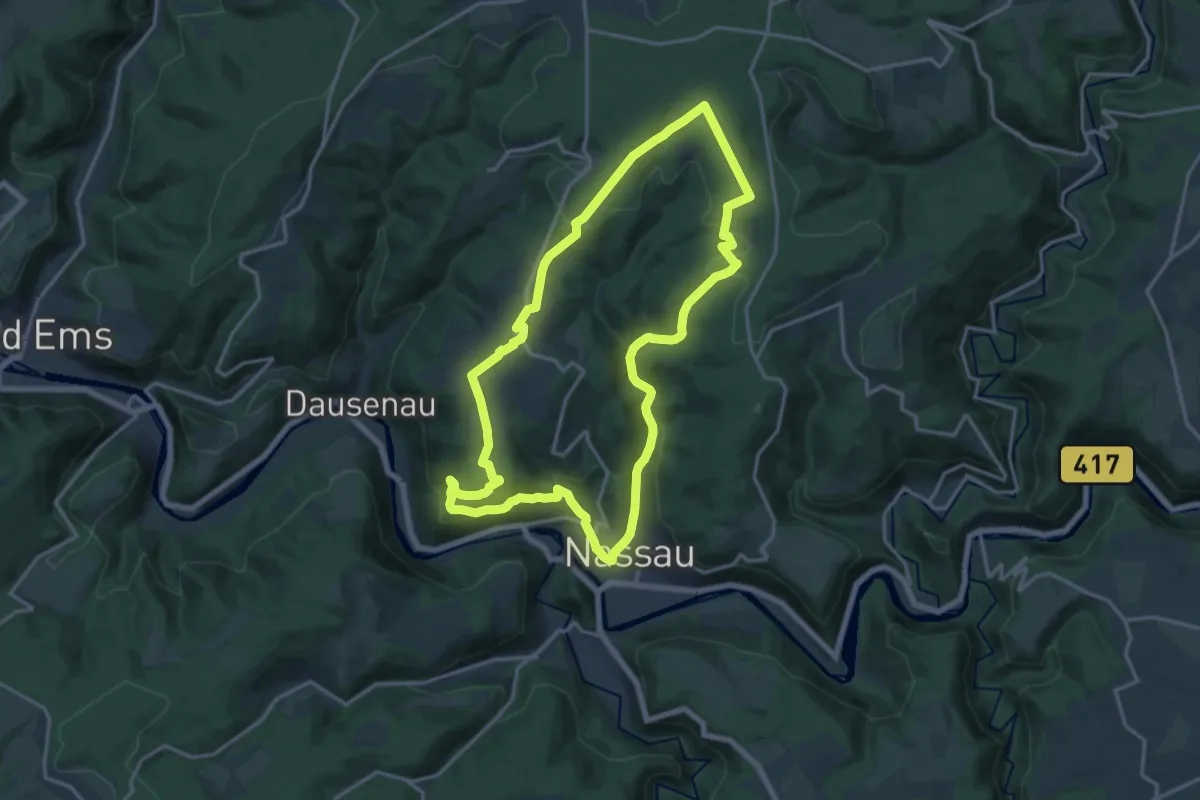
Medium · Summit
Kreuzeichen-Tour (Nassauer Land)
14.7 km · ↑ 444 m · 4 h 38 min
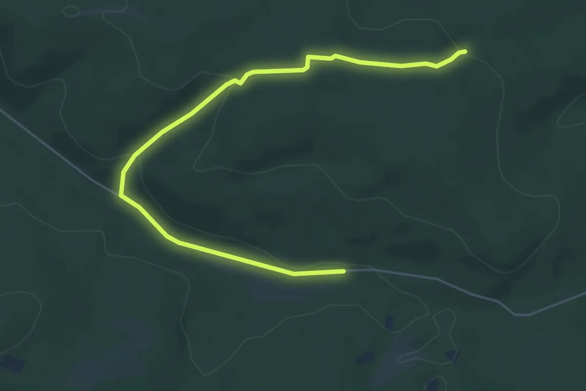
Easy · Trail
Kreuzeiche Rundweg A1
5.5 km · ↑ 137 m · 1 h 36 min
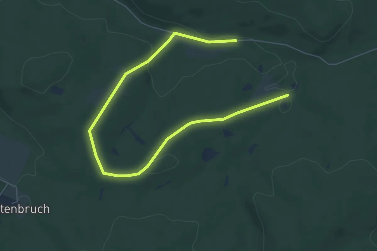
Easy · Trail
Kreuzeiche Rundweg A2
6.9 km · ↑ 132 m · 1 h 55 min
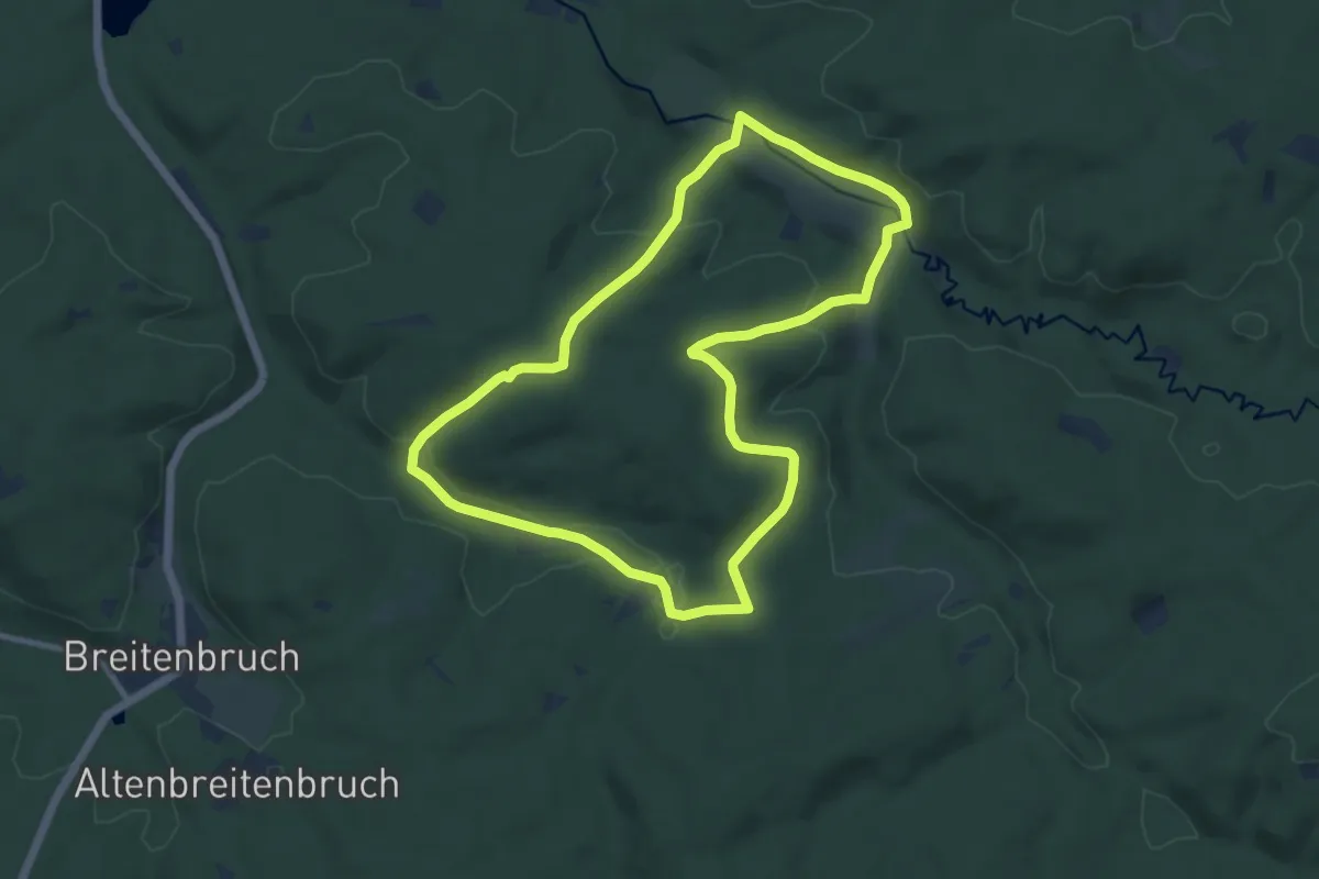
Medium · Trail
Kreuzeiche Rundweg A5
8.9 km · ↑ 243 m · 2 h 46 min
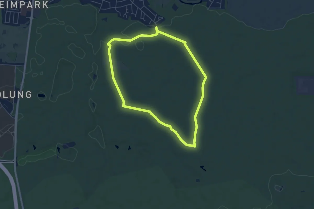
Easy · Trail
Kreuzeiche Trail
5.3 km · ↑ 26 m · 1 h 22 min
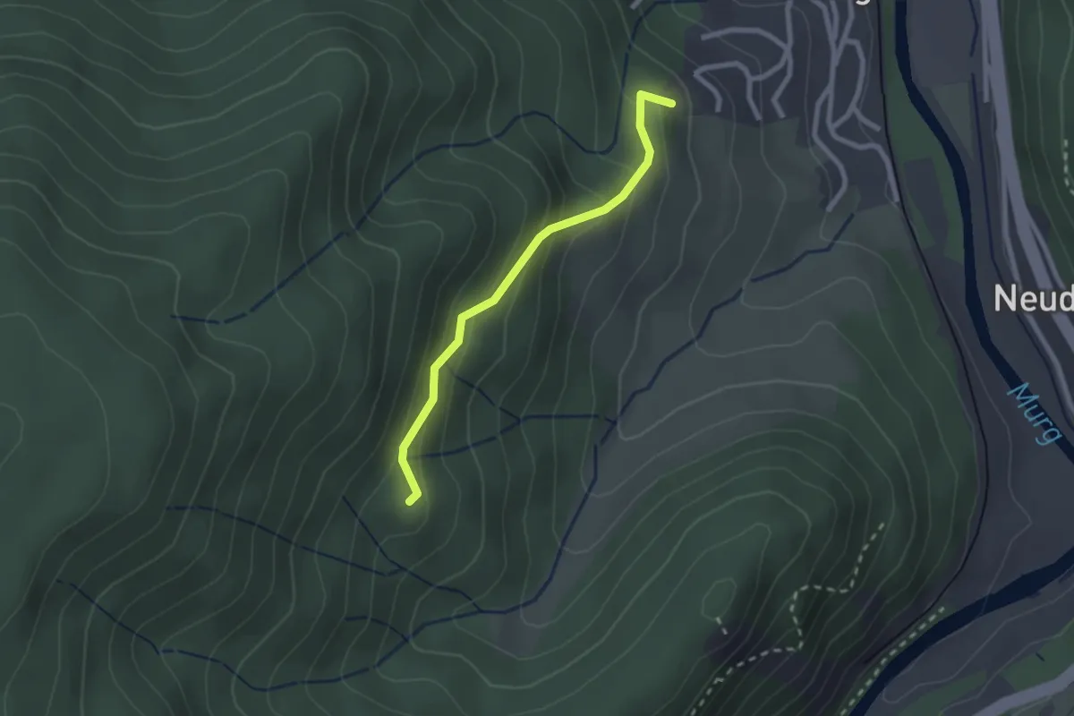
Easy · Trail
Kreuzeich - Lehmannshütte
2.0 km · ↑ 157 m · 49 min
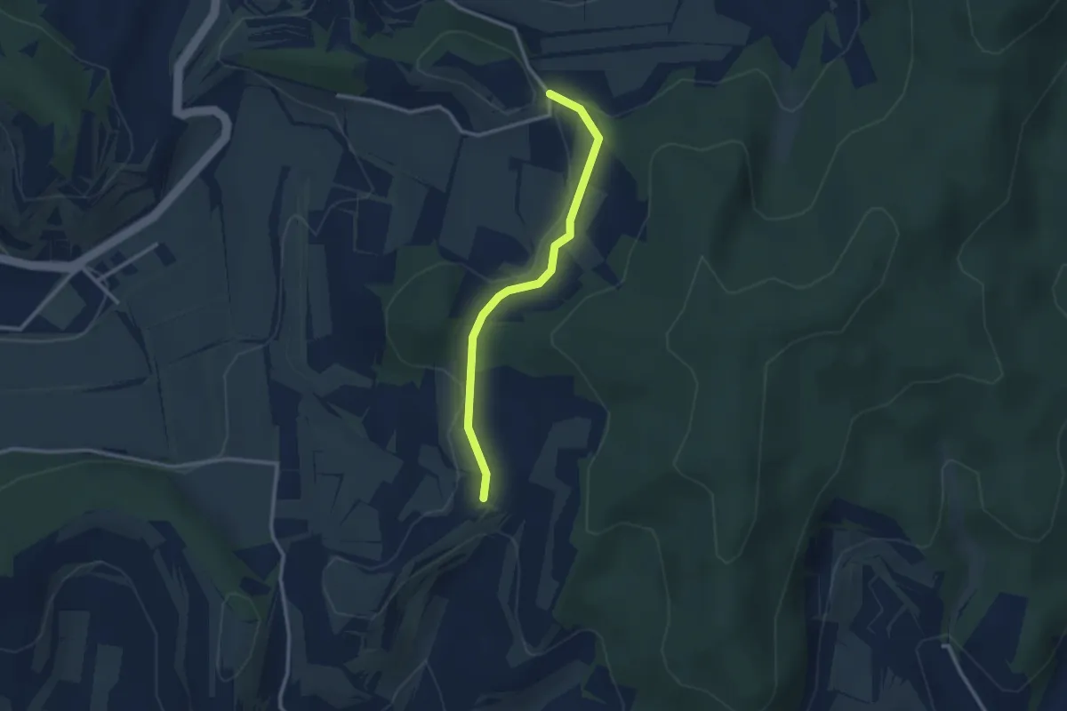
Easy · Trail
Kreuzenbuck Jägerdenkmal - Bachenbückle
2.5 km · ↑ 73 m · 45 min
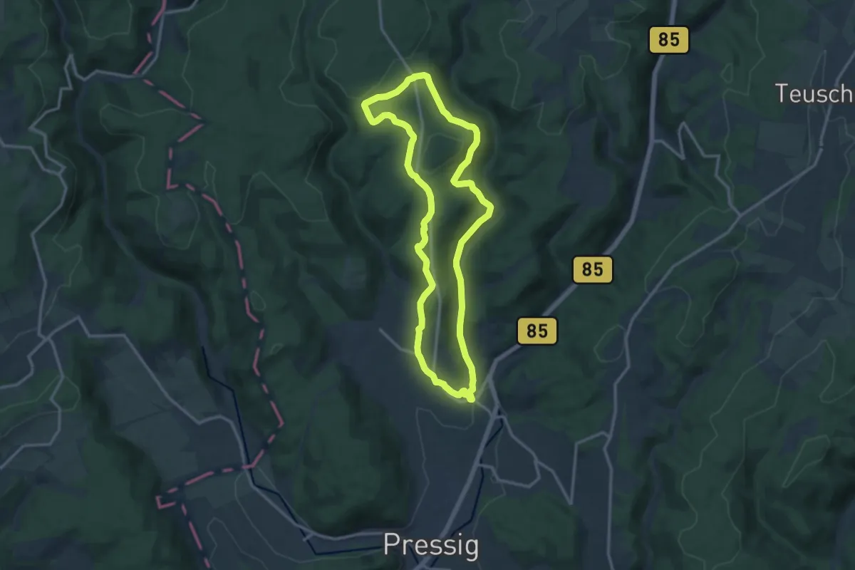
Medium · Trail
Kreuze-Weg R 65
10.8 km · ↑ 252 m · 3 h 15 min
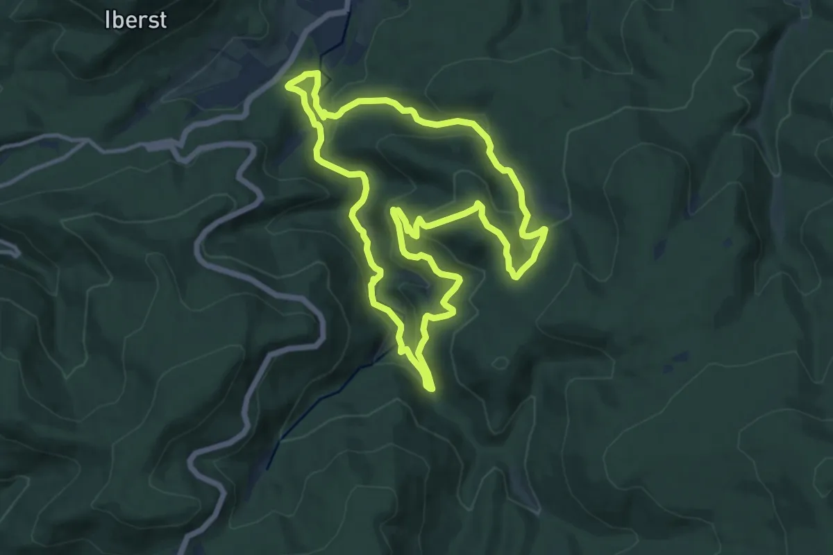
Medium · Trail
Kreuzfelsen-Rundweg
10.2 km · ↑ 430 m · 3 h 30 min
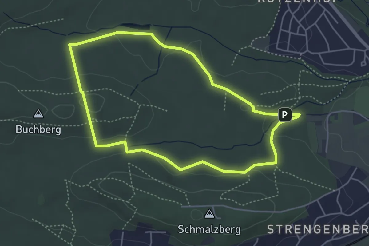
Easy · Trail
Kreuzgraben-Runde
3.8 km · ↑ 53 m · 1 h 4 min
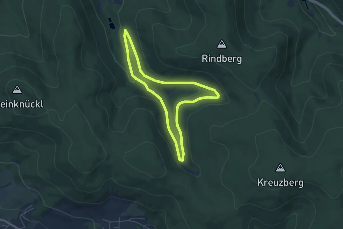
Easy · Trail
Kreuzgrund Rundwanderweg
4.4 km · ↑ 103 m · 1 h 20 min
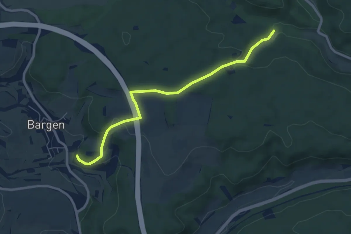
Easy · Trail
Kreuzhalde - Otlengrund
5.8 km · ↑ 175 m · 1 h 45 min
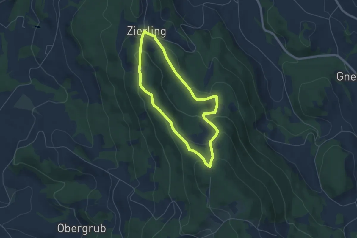
Medium · Trail
Kreuzhaus-Rundweg
4.4 km · ↑ 183 m · 1 h 30 min
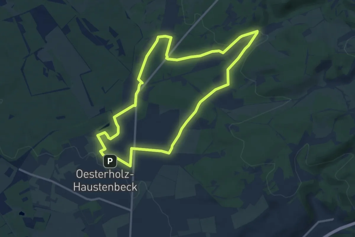
Easy · Trail
Kreuzkrugweg
7.5 km · ↑ 122 m · 2 h 9 min
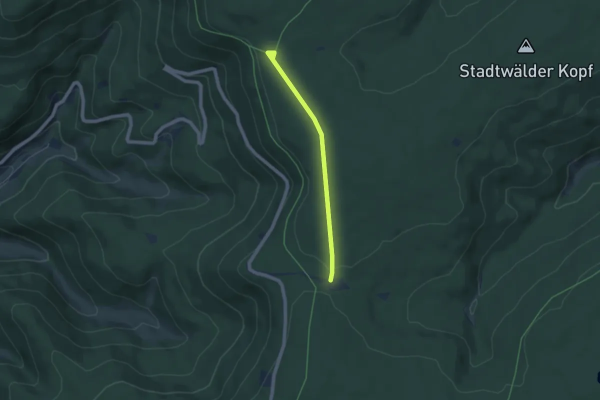
Easy · Trail
Kreuzlehütte - Langmartskopfhütte
3.9 km · ↑ 59 m · 1 h 3 min
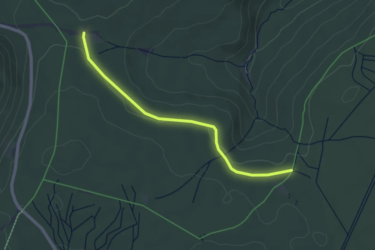
Easy · Trail
Kreuzlehütte - Saatschulhütte
3.7 km · ↑ 52 m · 59 min
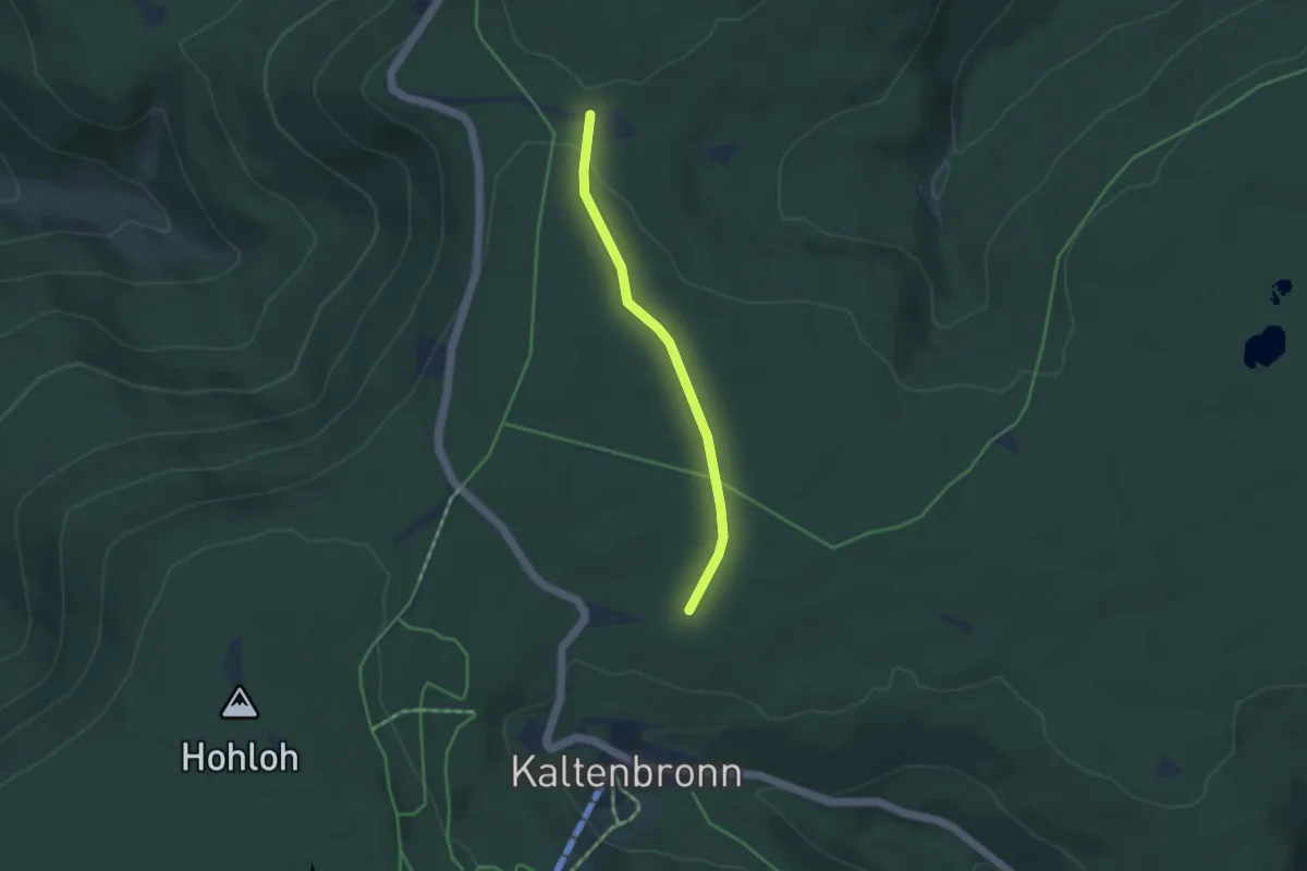
Easy · Trail
Kreuzlehütte - Schlagbaum
3.3 km · ↑ 39 m · 52 min
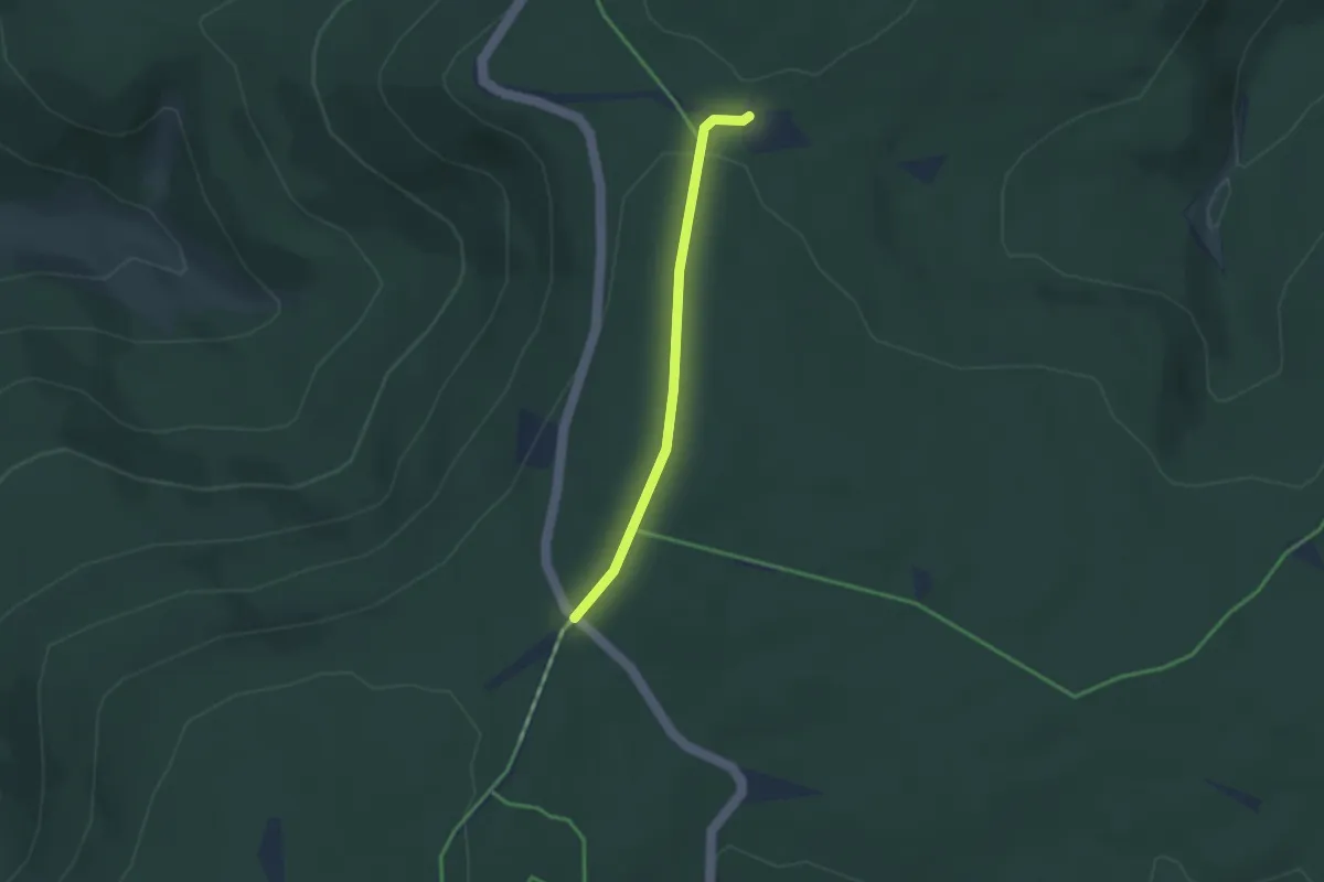
Easy · Trail
Kreuzlehütte - Schwarzmiss
2.6 km · ↑ 47 m · 43 min