Trails in Germany
36,852 hiking trails, each with its route, climb, walking time and grade.
All trails, page 304 of 768
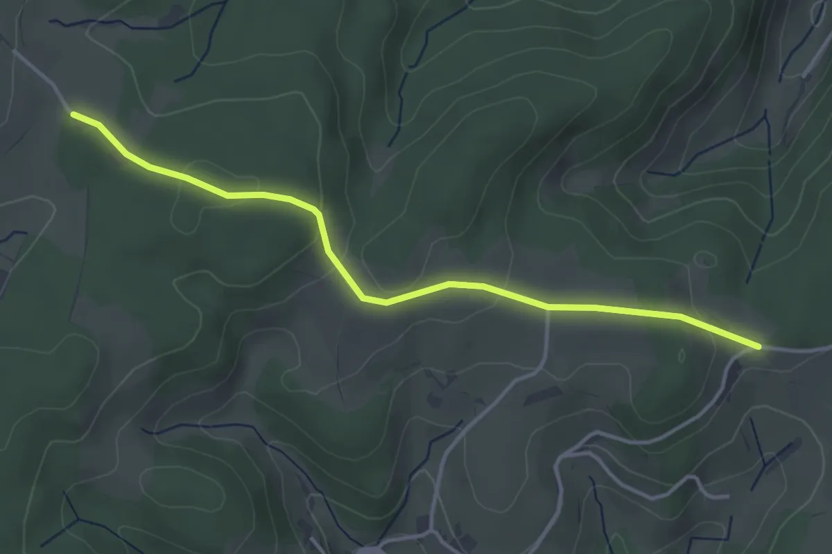
Easy · Trail
Kreuzmoos - Am Bäreneckle
3.8 km · ↑ 100 m · 1 h 7 min
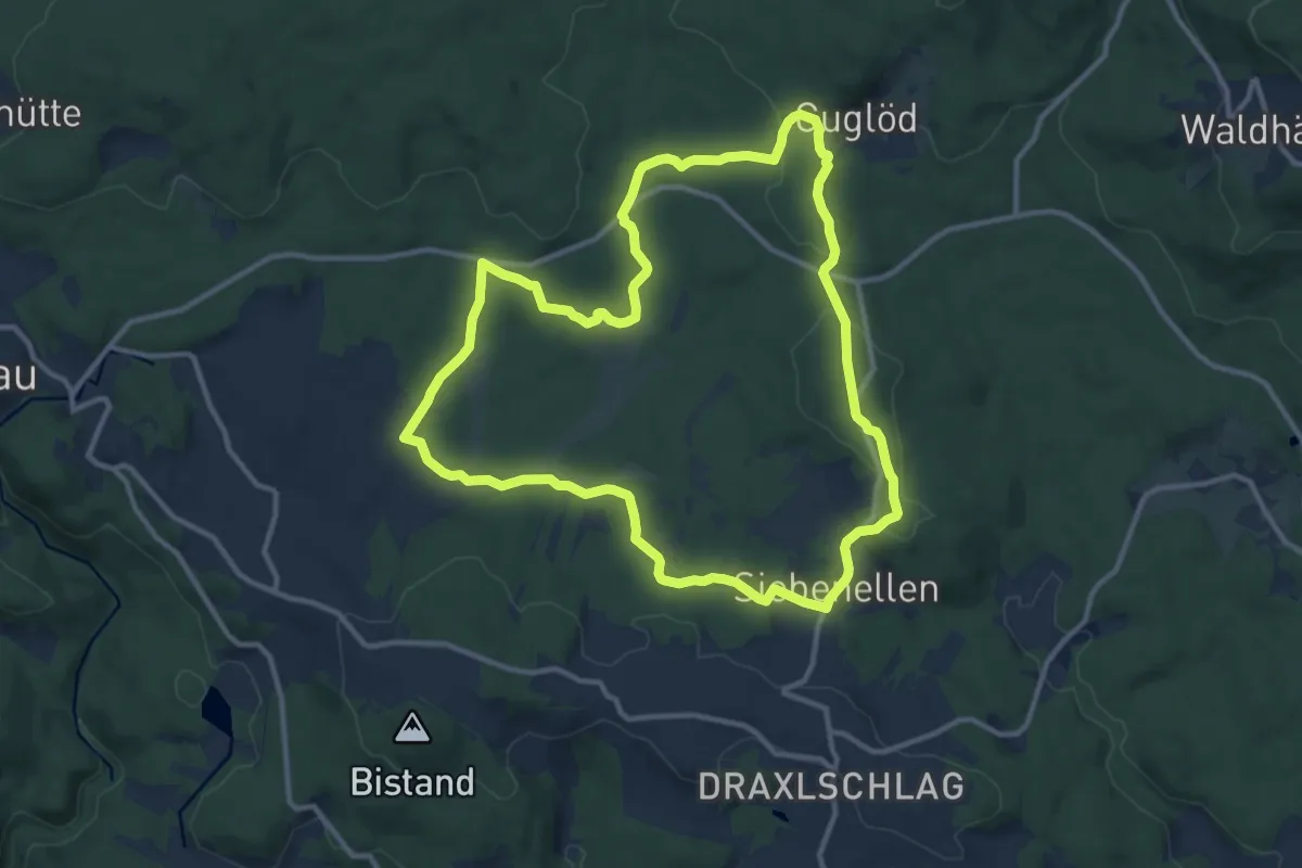
Medium · Trail
Kreuzotter
11.3 km · ↑ 169 m · 3 h 12 min
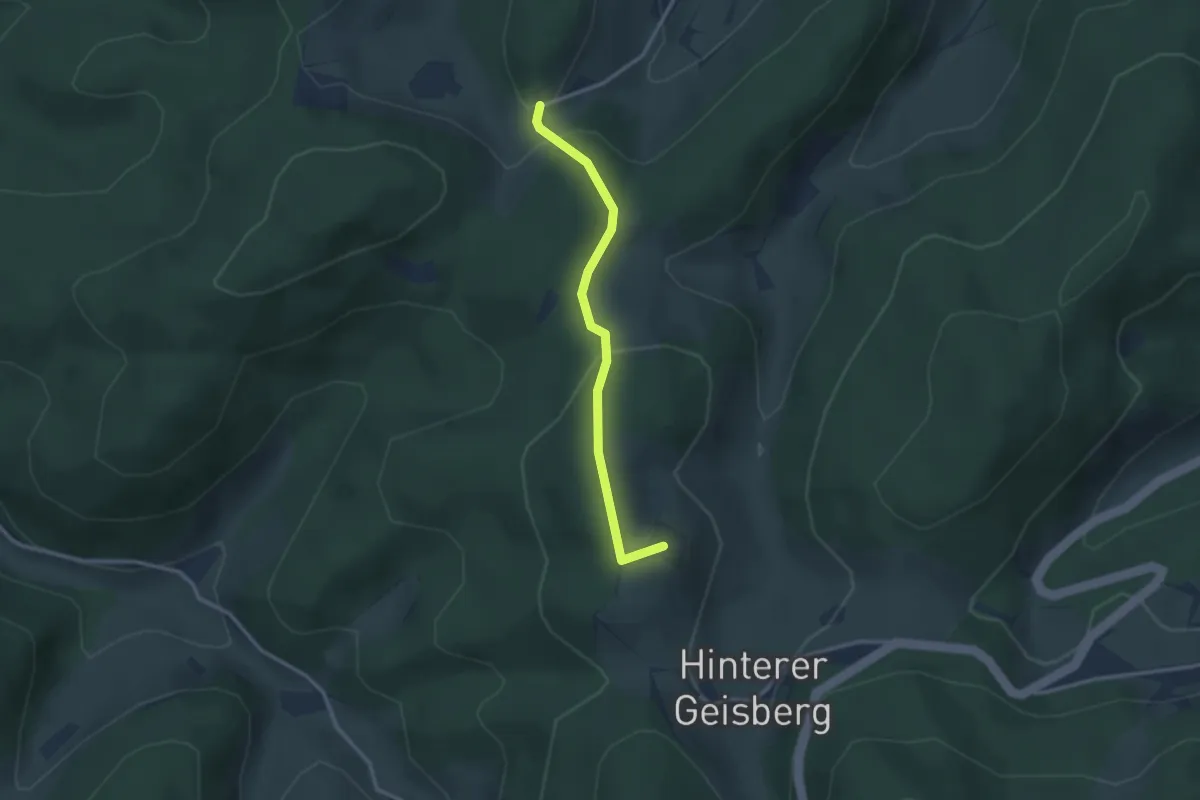
Easy · Summit
Kreuzplatz - Hinterer Geisberg Robertskapelle
2.6 km · ↑ 85 m · 47 min
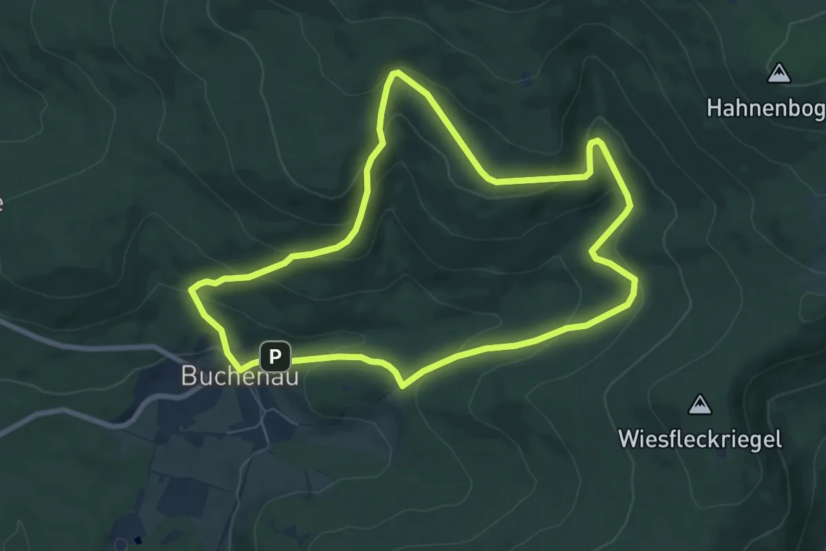
Medium · Summit
Kreuzspinne
6.7 km · ↑ 326 m · 2 h 23 min
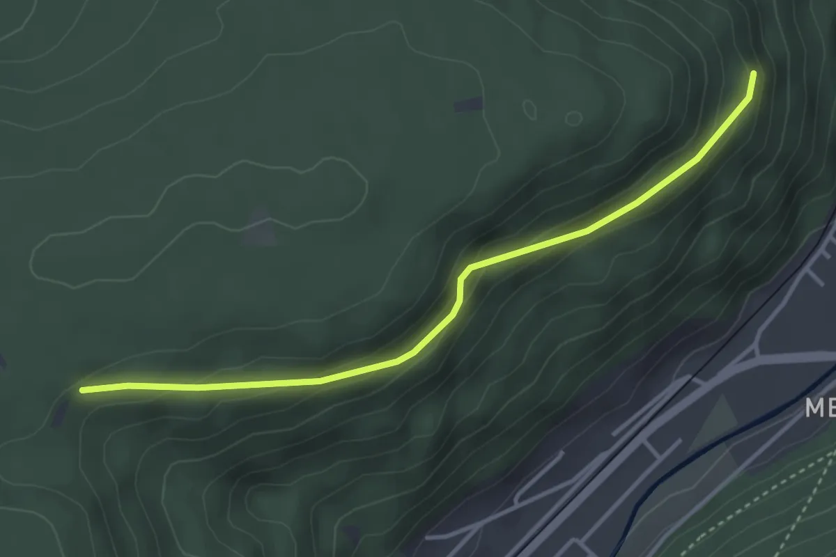
Easy · Trail
Kreuzstein - Brünnele
3.6 km · ↑ 155 m · 1 h 10 min
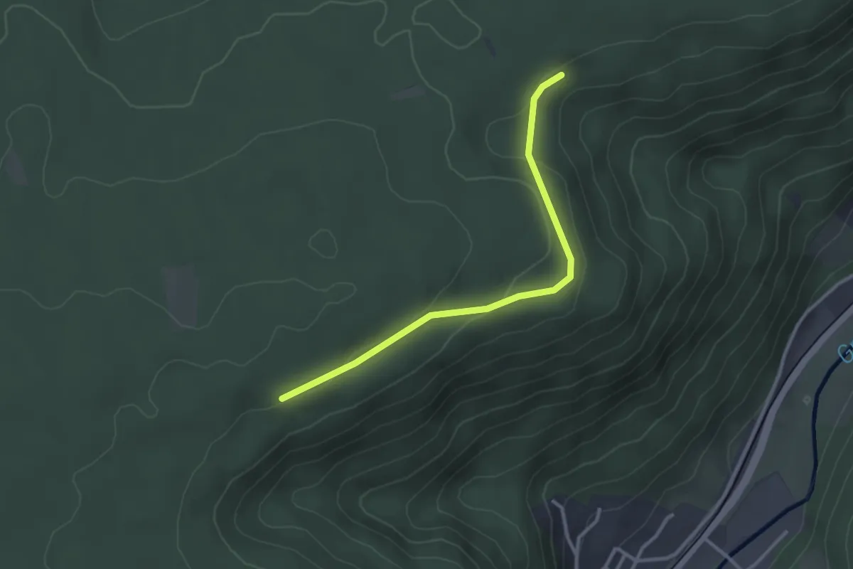
Easy · Trail
Kreuzstein - Posthäusle
2.8 km · ↑ 44 m · 45 min
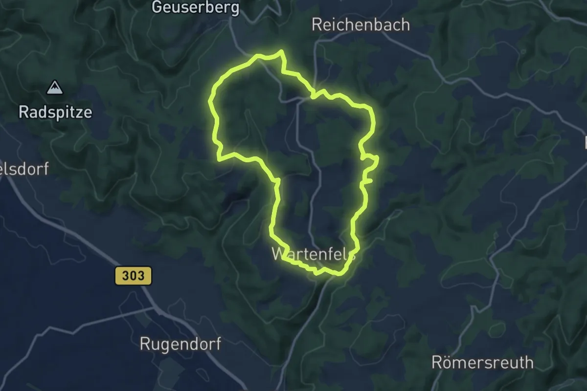
Medium · Trail
Kreuzstein-Weg KU 53
11.1 km · ↑ 279 m · 3 h 23 min
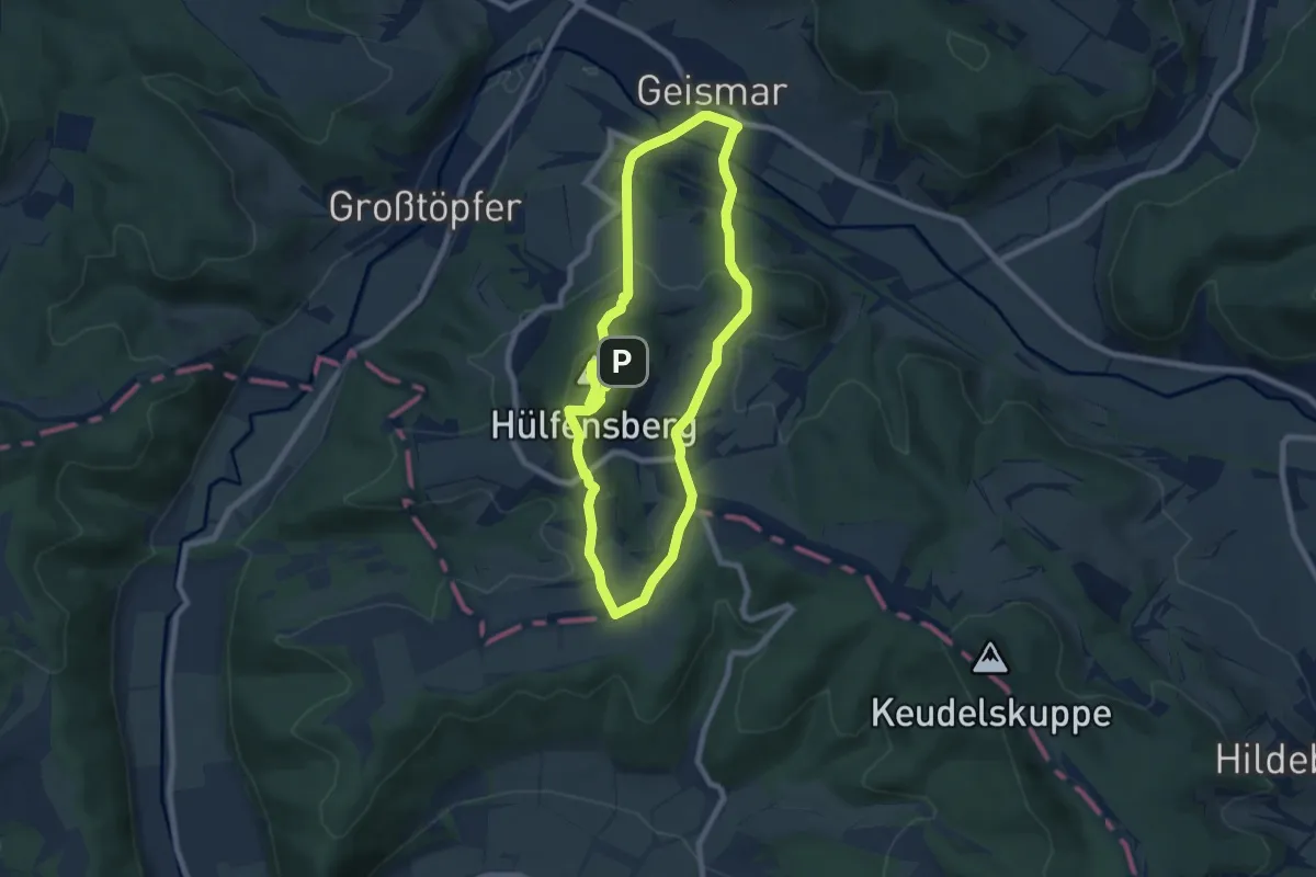
Easy · Summit
Kreuzstieg Hülfensberg
6.6 km · ↑ 285 m · 2 h 16 min
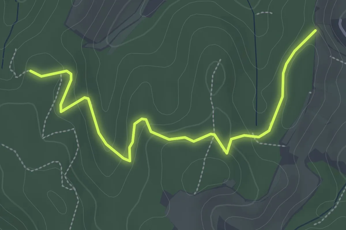
Easy · Trail
Kreuztanne - Pfaffenberg
3.4 km · ↑ 120 m · 1 h 4 min
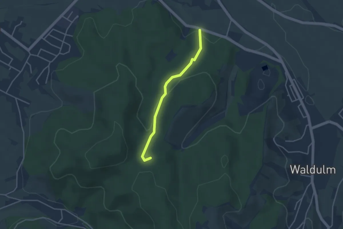
Easy · Trail
Kreuztanne - Waldparkplatz Mösbach
2.6 km · ↑ 95 m · 50 min
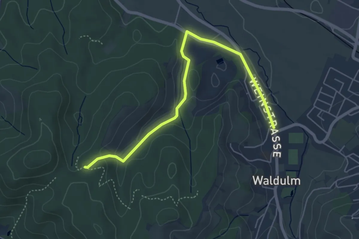
Easy · Trail
Kreuztanne - Waldulm Pfaffenbach
4.8 km · ↑ 99 m · 1 h 21 min
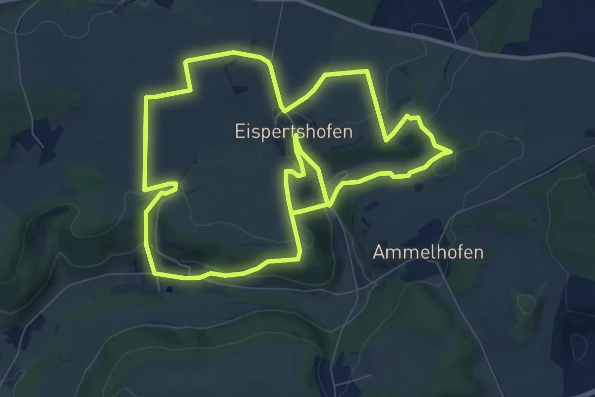
Easy · Trail
Kreuz- und Felsenweg
7.9 km · ↑ 219 m · 2 h 26 min
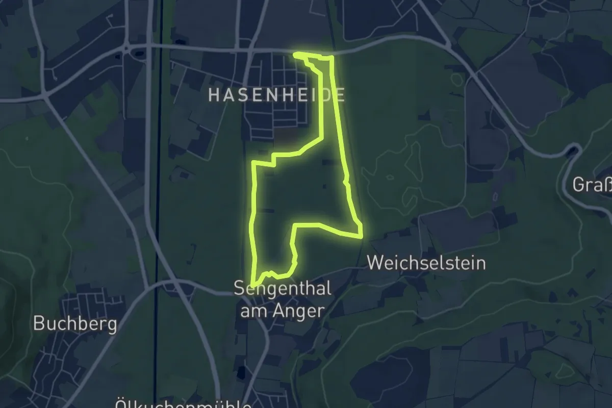
Easy · Trail
Kreuz- und Marterlweg
5.3 km · ↑ 18 m · 1 h 21 min
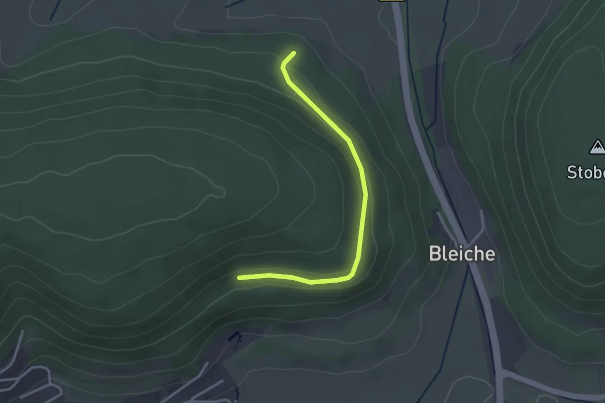
Easy · Trail
Kreuzung Kapellenweg - Ruhebank Bleicheweg
2.7 km · ↑ 58 m · 46 min
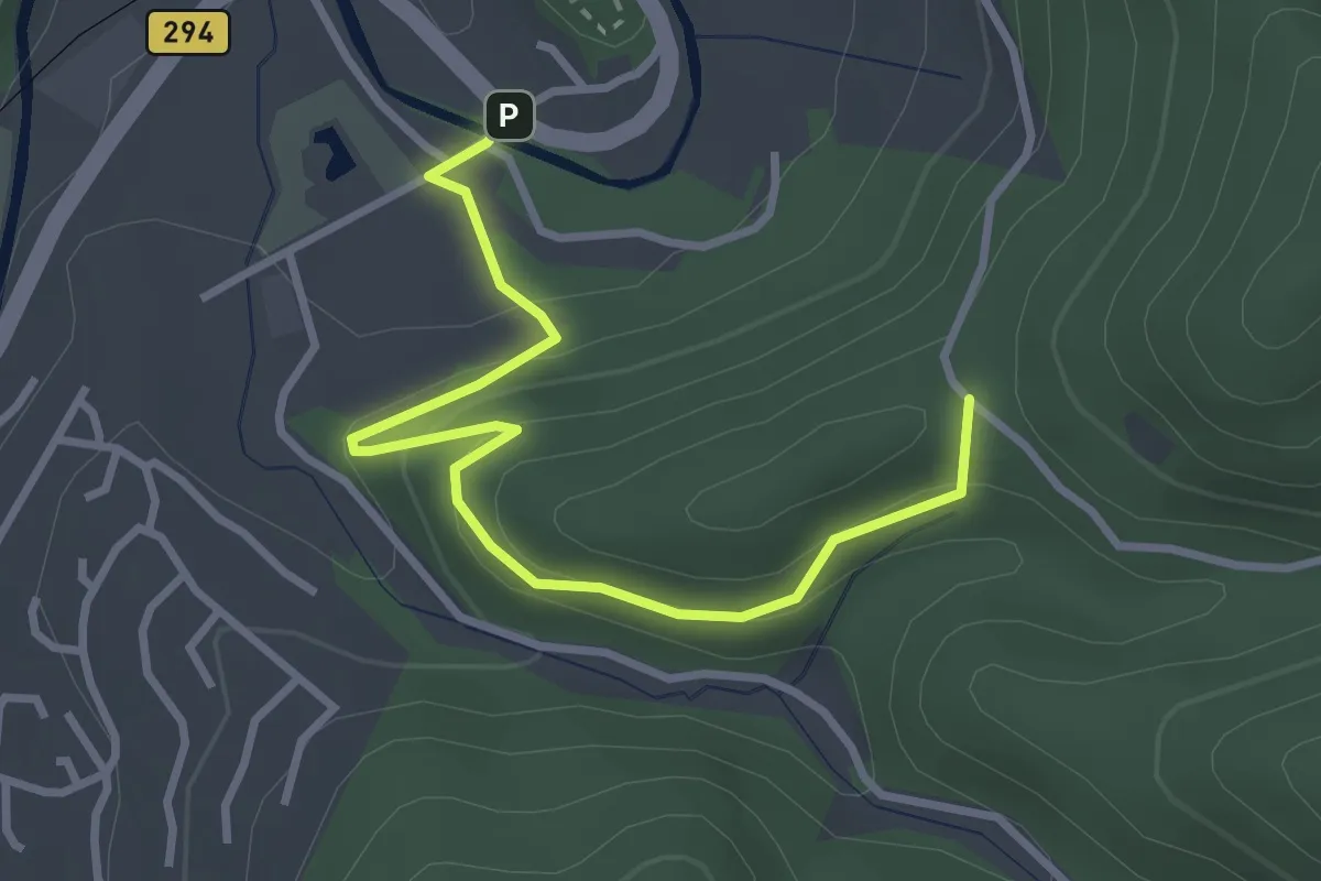
Easy · Trail
Kreuzung Schenkenburg - Ziegelstatt
3.3 km · ↑ 156 m · 1 h 7 min
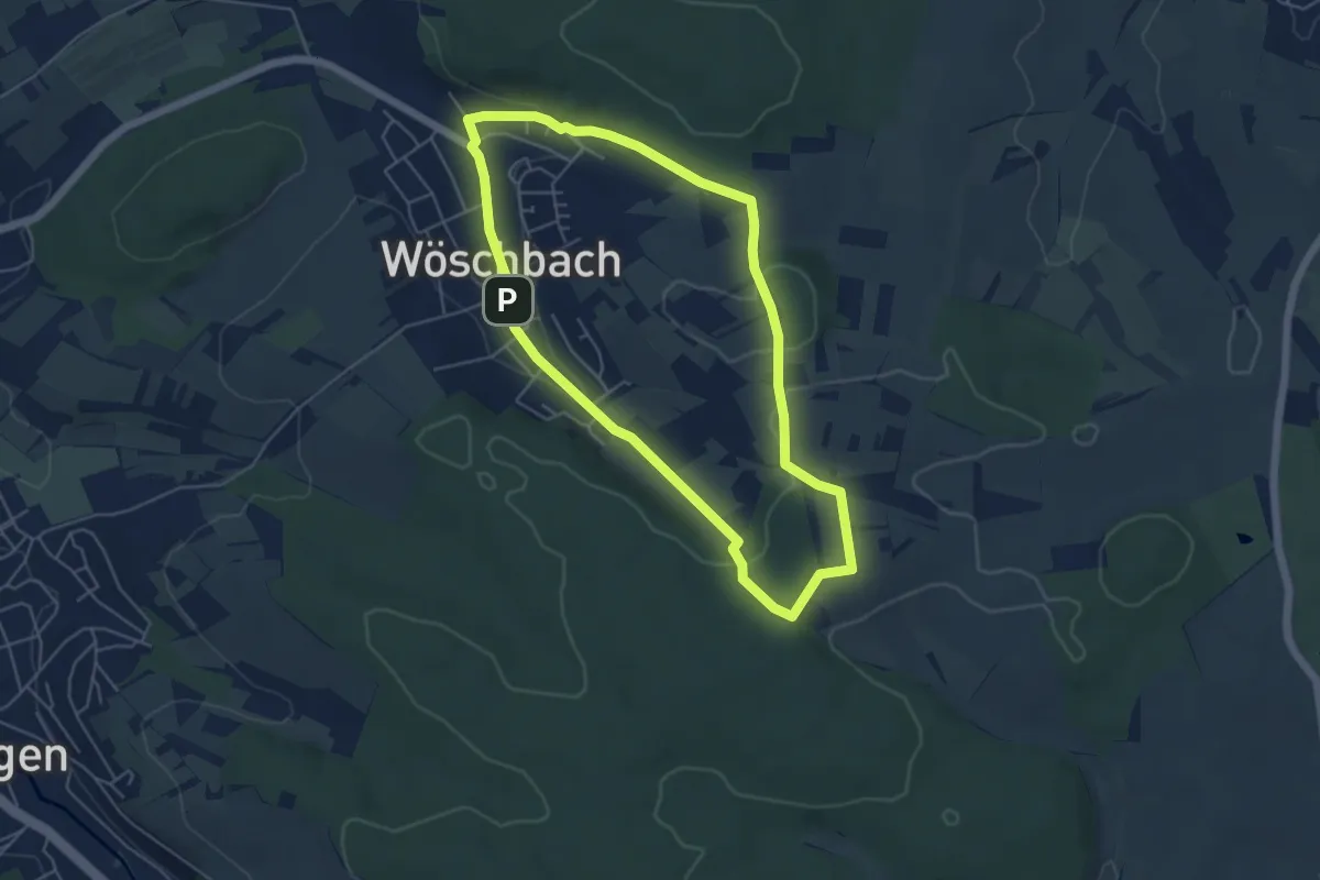
Easy · Trail
Kreuz-Wanderweg Wöschbach
4.7 km · ↑ 93 m · 1 h 23 min
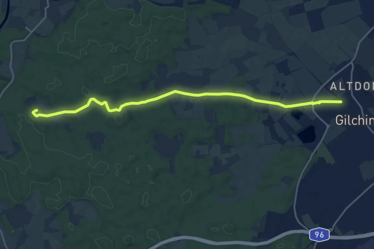
Medium · Trail
Kreuzweg
13.3 km · ↑ 96 m · 3 h 22 min
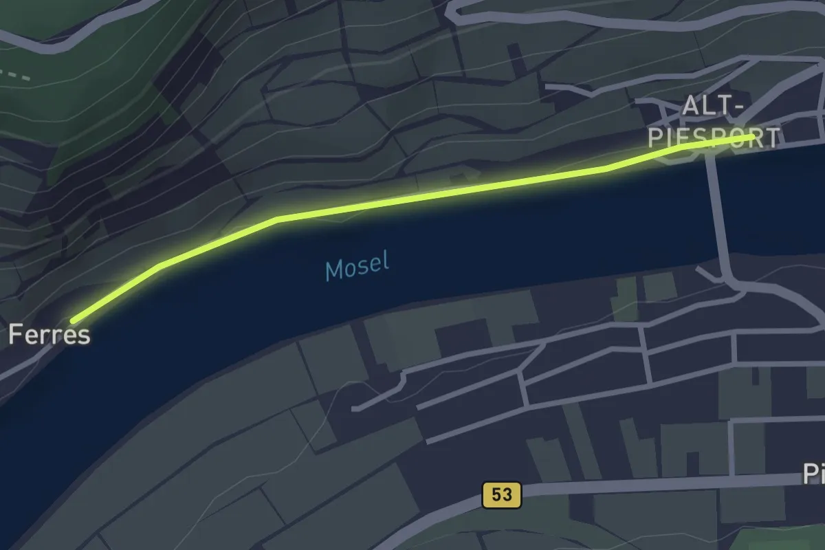
Easy · Trail
Kreuzweg
2.3 km · ↑ 5 m · 34 min
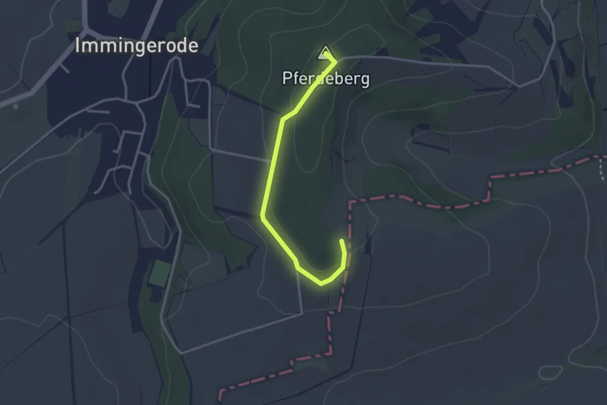
Easy · Summit
Kreuzweg
2.5 km · ↑ 42 m · 41 min
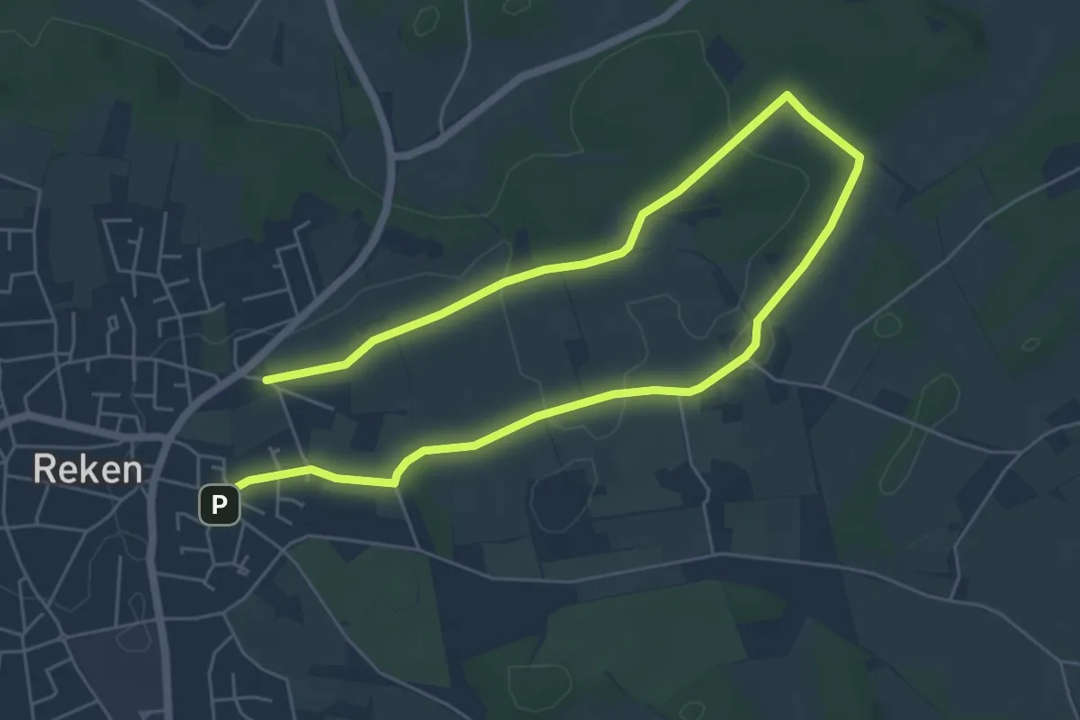
Medium · Trail
Kreuzweg
8.2 km · ↑ 56 m · 2 h 3 min
Easy · Pilgrim path
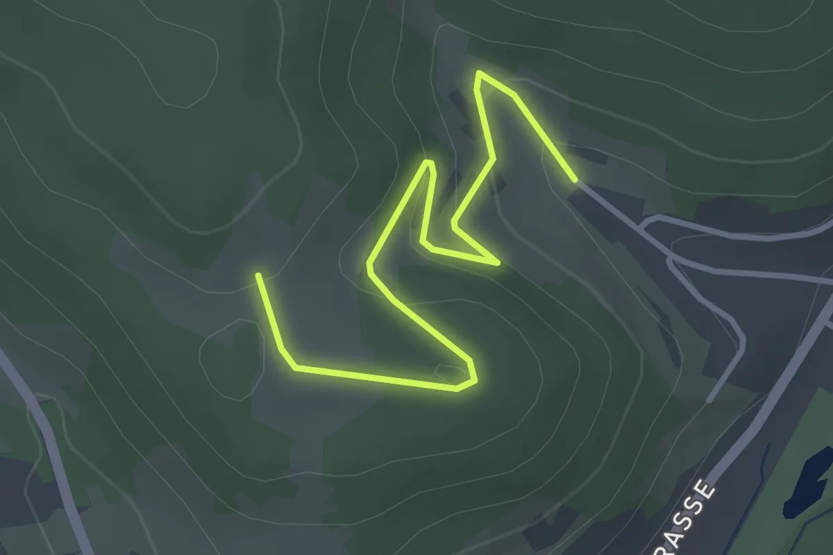
Kreuzweg am Kapellenweg
1.6 km · ↑ 103 m · 35 min
Easy · Trail
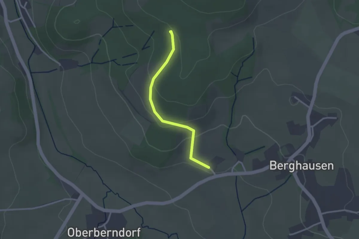
Kreuzweg Berghausen
2.1 km · ↑ 72 m · 39 min
Easy · Trail
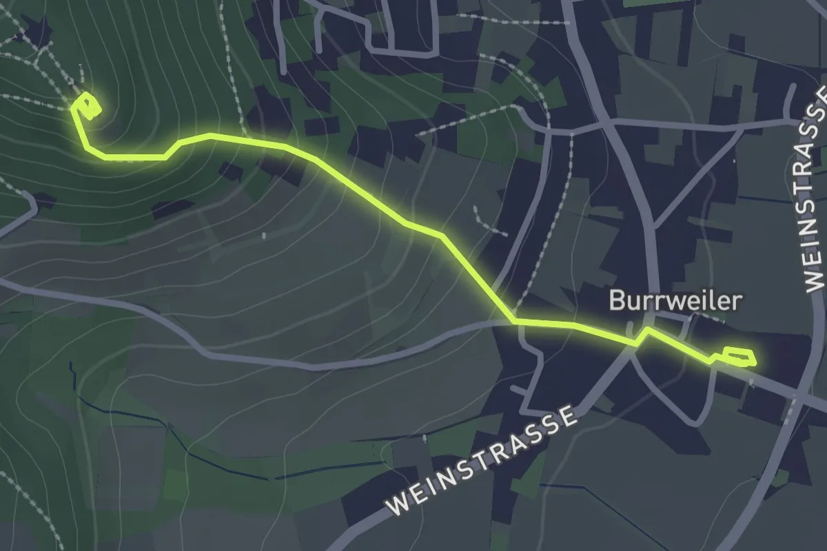
Kreuzweg Burrweiler
2.7 km · ↑ 184 m · 1 h 2 min
Easy · Trail
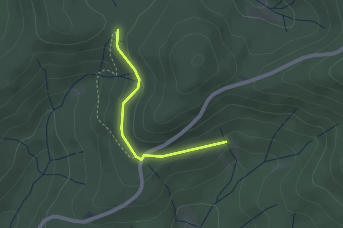
Kreuzweghütte - Tirolerbrunnen
2.2 km · ↑ 50 m · 38 min
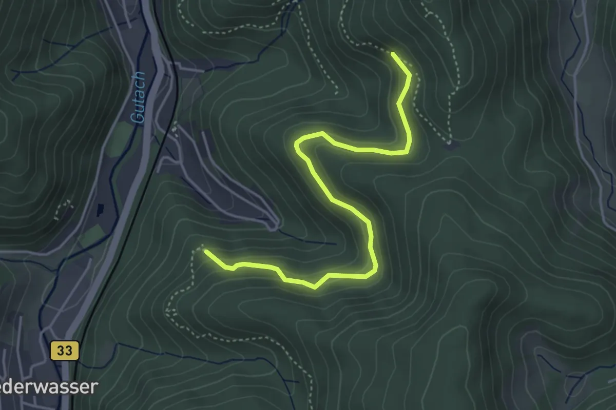
Easy · Trail
Kreuzweg Kanzelweg - Palmdobel
4.2 km · ↑ 256 m · 1 h 33 min
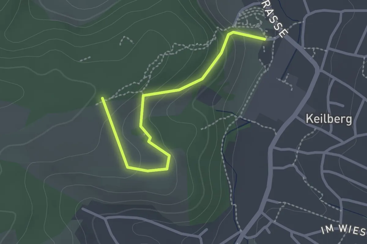
Easy · Pilgrim path
Kreuzweg Keilberg
1.2 km · ↑ 15 m · 22 min
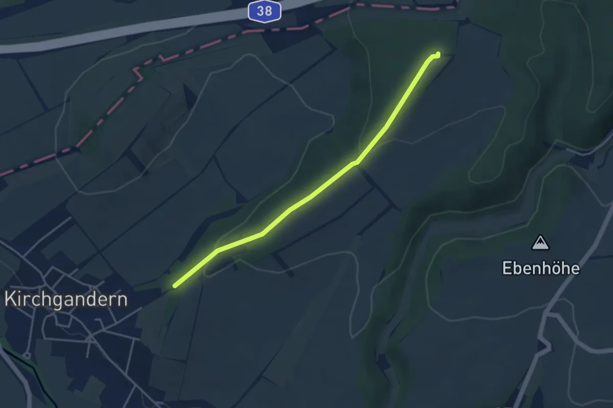
Easy · Trail
Kreuzweg Kirchgandern
3.4 km · ↑ 103 m · 1 h 2 min
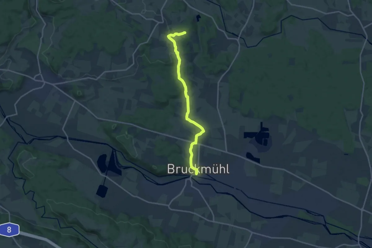
Medium · Trail
Kreuzweg Kleinhöhenrain
12.6 km · ↑ 180 m · 3 h 22 min
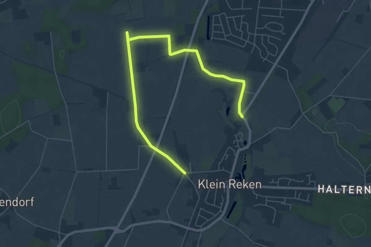
Easy · Trail
Kreuzweg Klein Reken
6.6 km · ↑ 21 m · 1 h 36 min
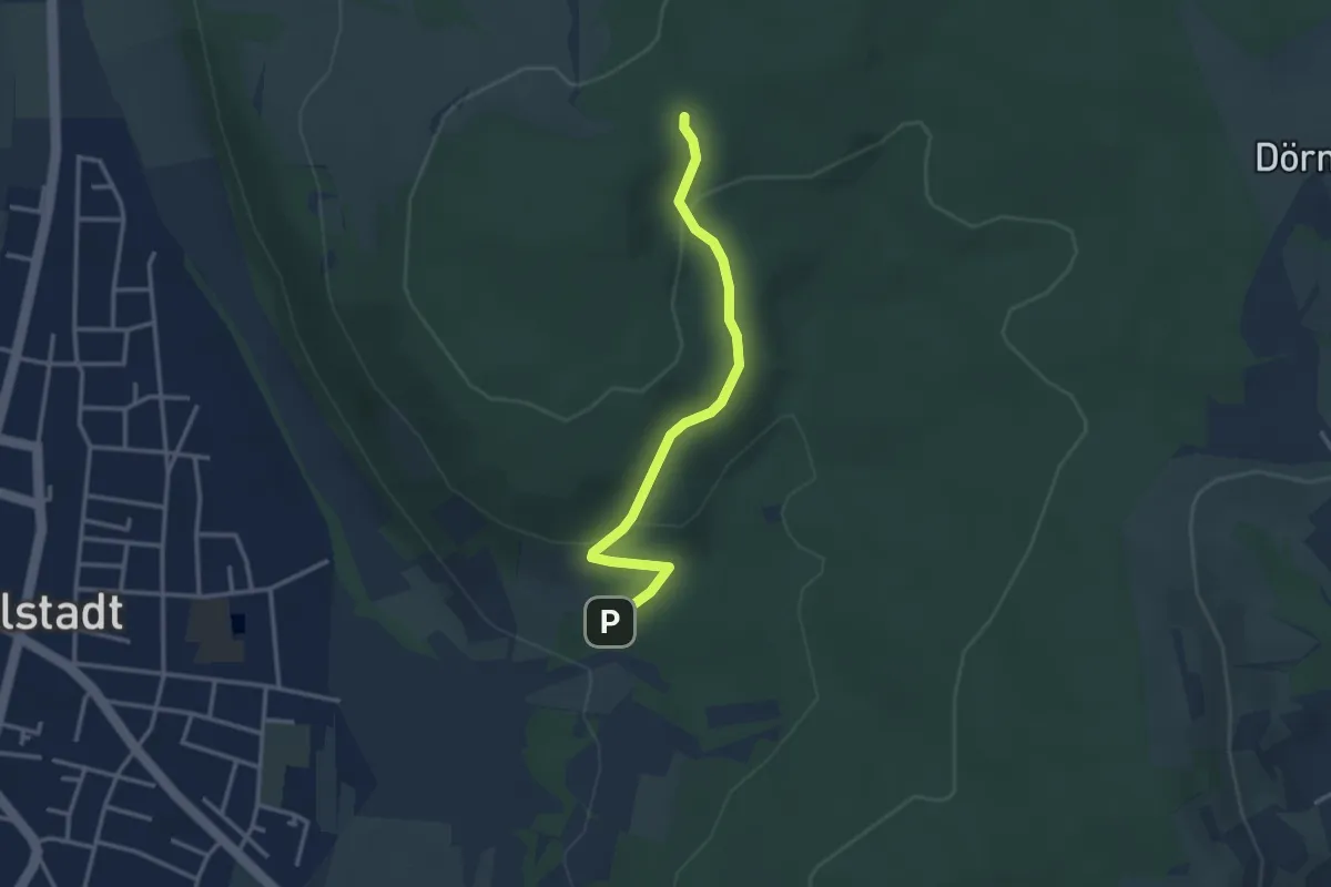
Easy · Pilgrim path
Kreuzweg Kleinwallstadt
1.4 km · ↑ 99 m · 32 min
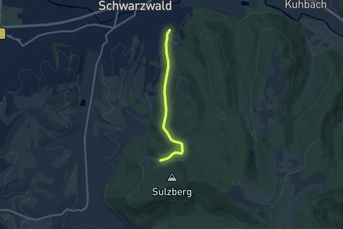
Easy · Trail
Kreuzweg - Lahr Erneteck
5.0 km · ↑ 161 m · 1 h 31 min
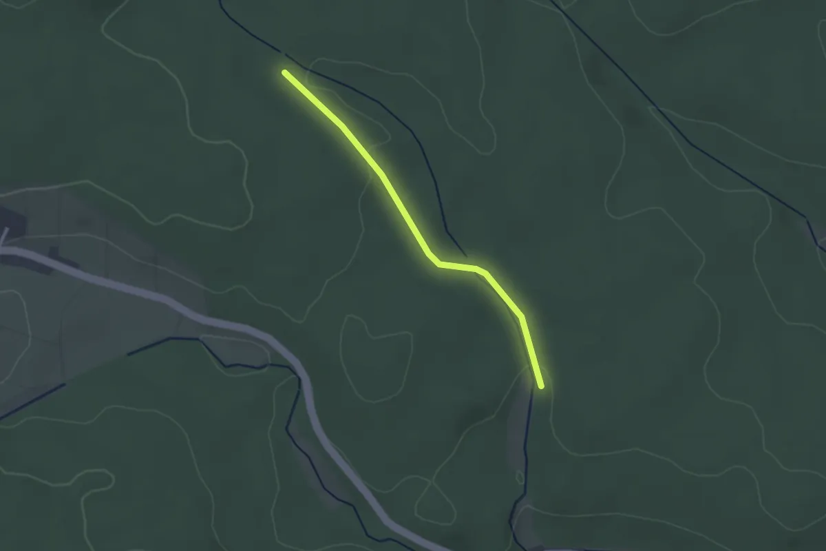
Easy · Trail
Kreuzwegle - Stockwiese
2.2 km · ↑ 33 m · 36 min
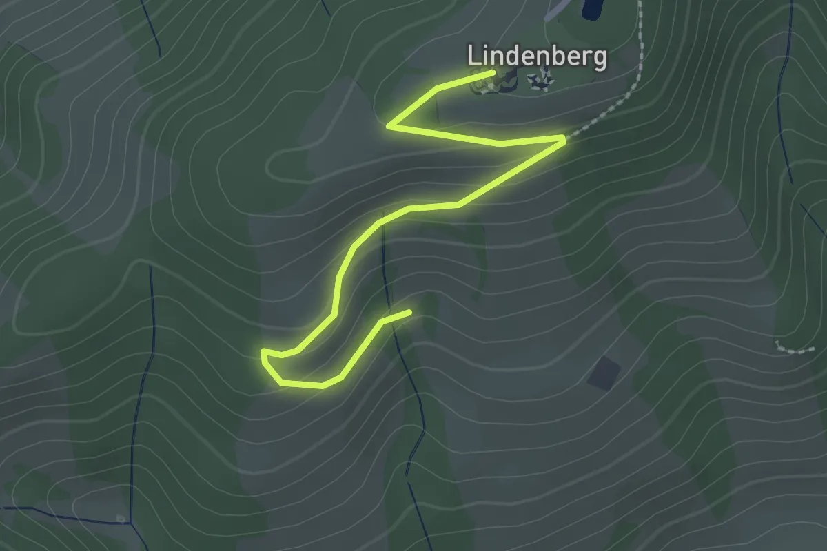
Easy · Trail
Kreuzweg Maria Lindenberg
2.5 km · ↑ 91 m · 47 min
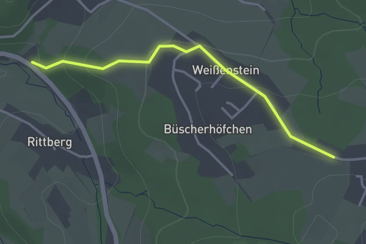
Easy · Pilgrim path
Kreuzweg Overath-Marialinden von 1741
1.2 km · ↑ 93 m · 28 min
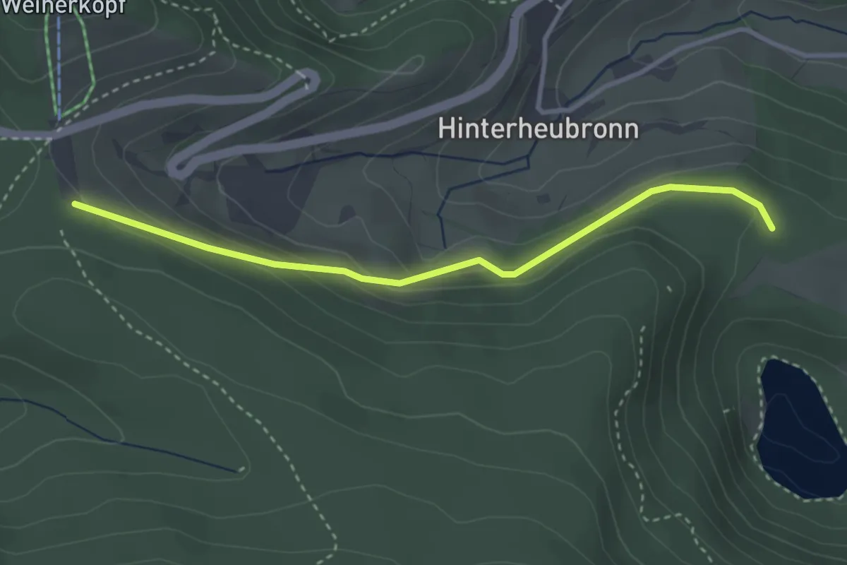
Easy · Trail
Kreuzweg Parkplatz - Althütte
3.2 km · ↑ 138 m · 1 h 3 min
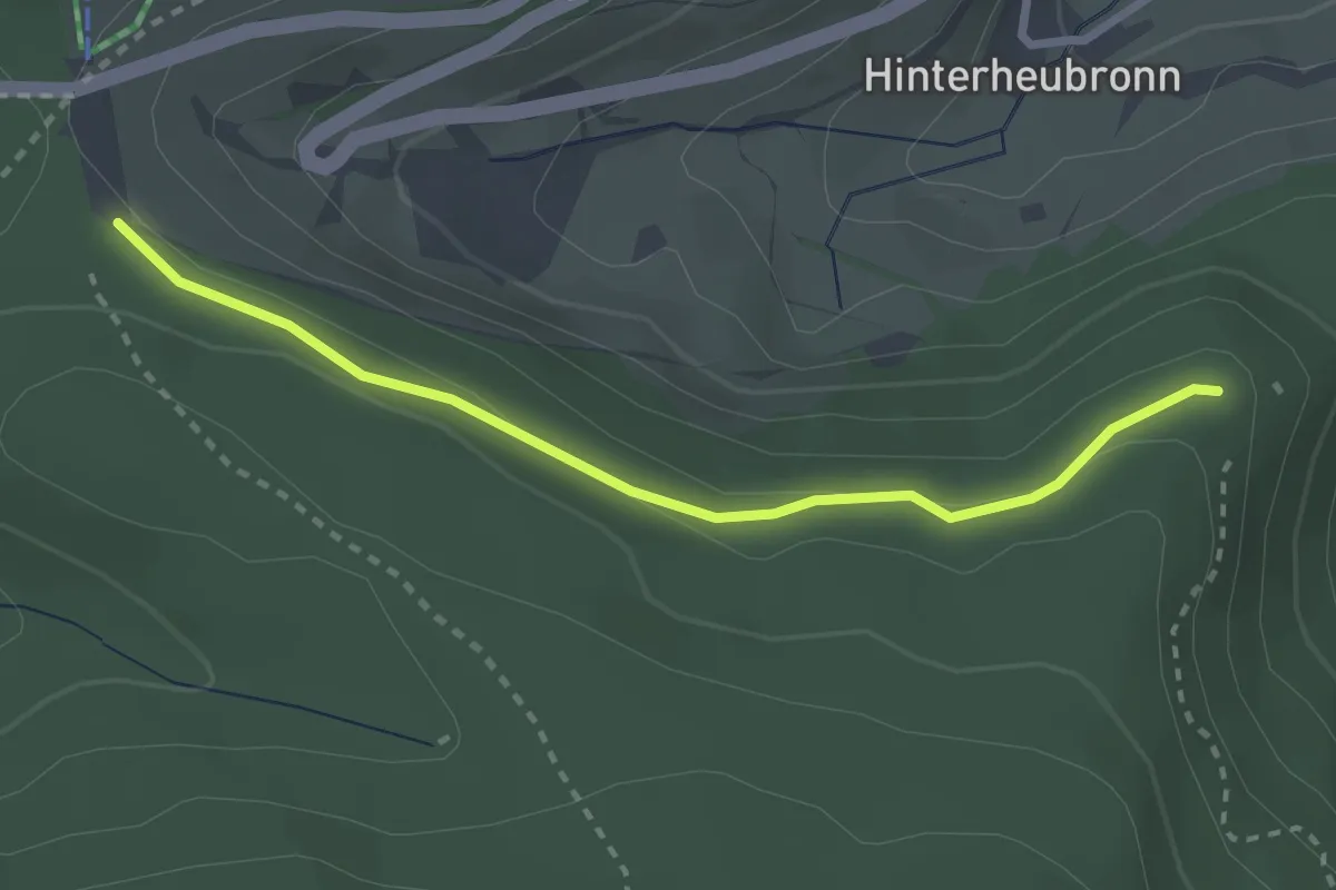
Easy · Trail
Kreuzweg Parkplatz - Rosswaldweg
2.6 km · ↑ 50 m · 44 min
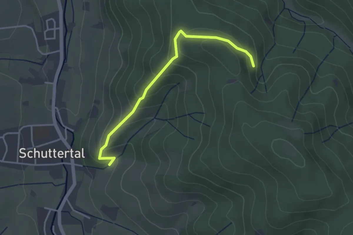
Easy · Trail
Kreuzweg - Schuttereckle
3.2 km · ↑ 184 m · 1 h 9 min
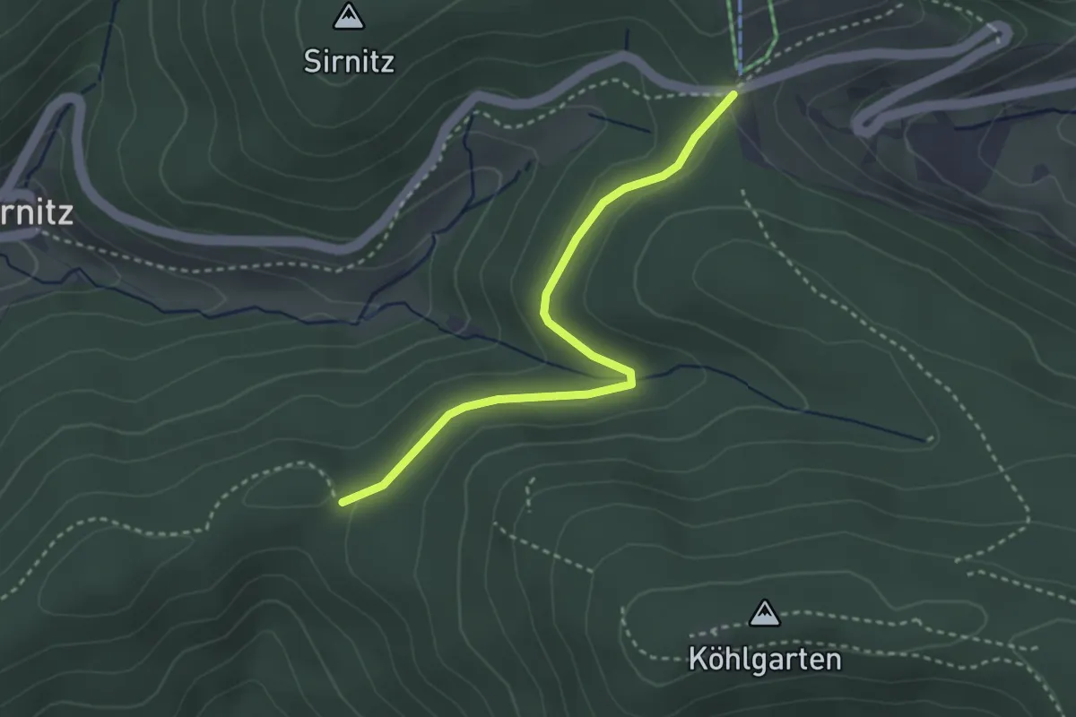
Easy · Trail
Kreuzweg - Spähnplatz
3.0 km · ↑ 79 m · 53 min
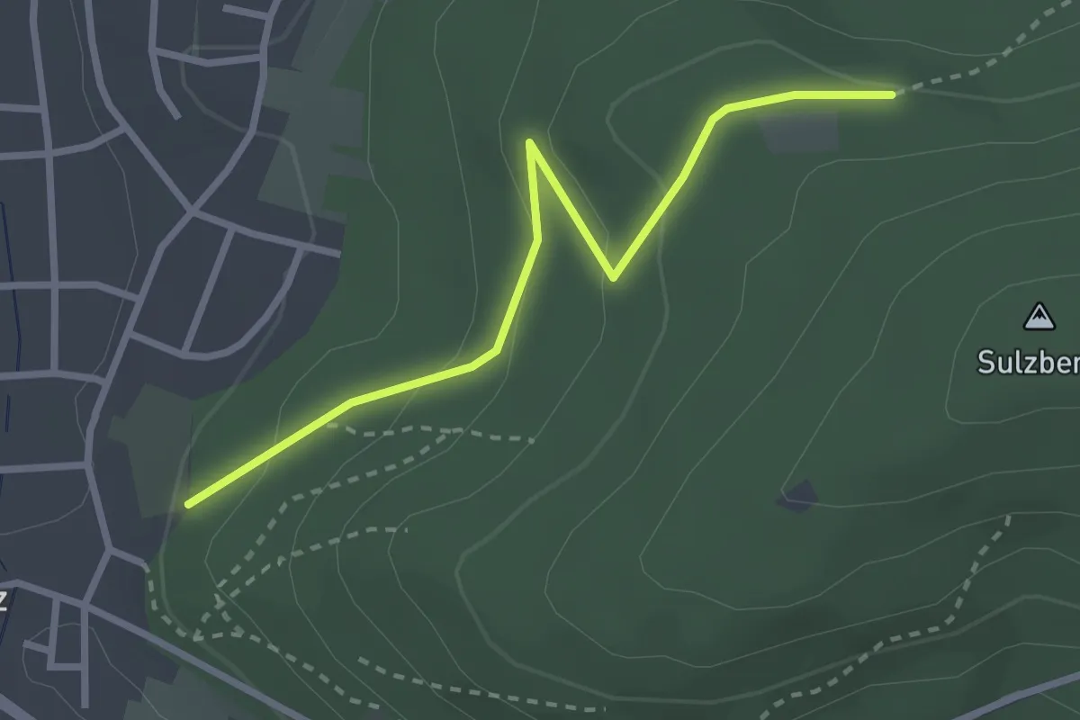
Easy · Trail
Kreuzweg - Sulz Friedhof
2.7 km · ↑ 102 m · 51 min
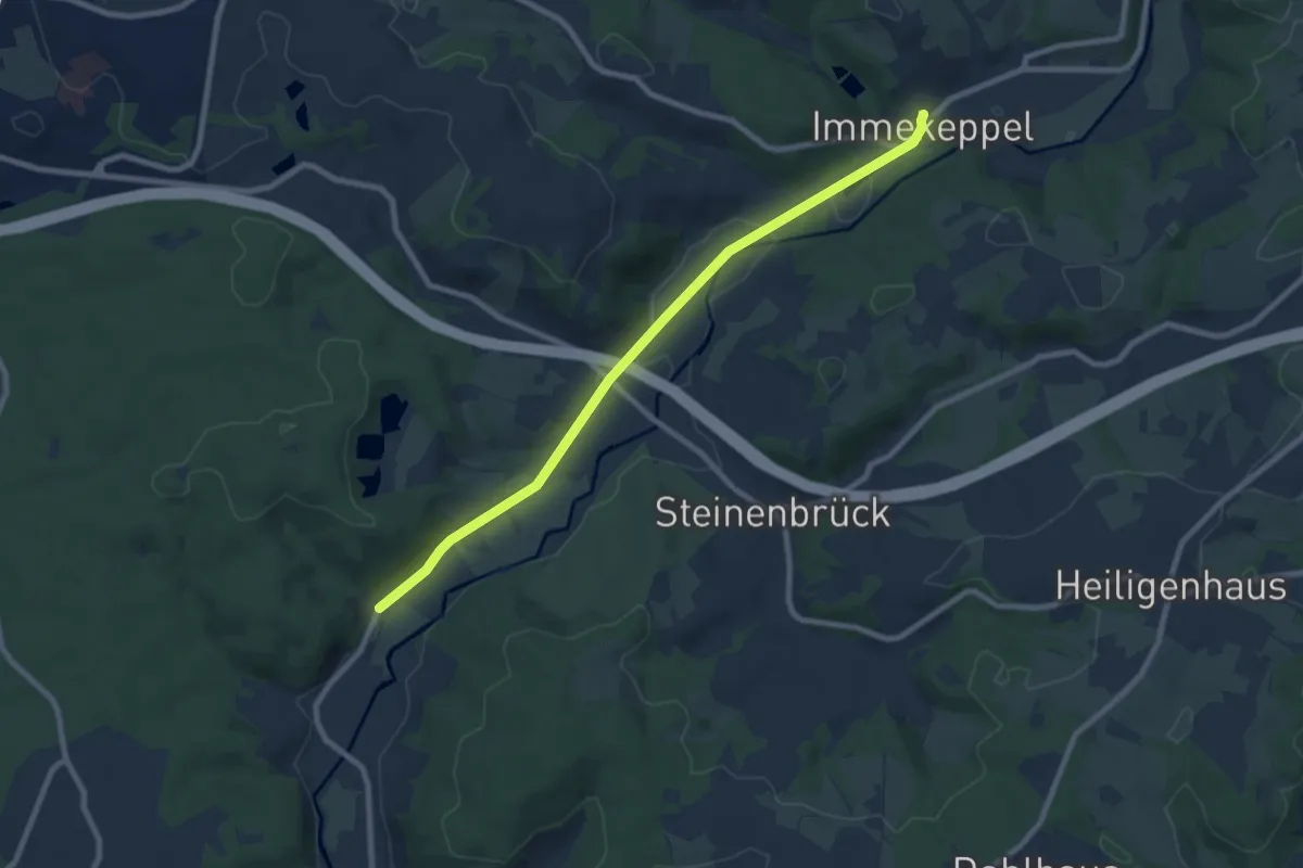
Easy · Pilgrim path
Kreuzweg Sülztal von 1792
3.9 km · ↑ 39 m · 1 h 3 min
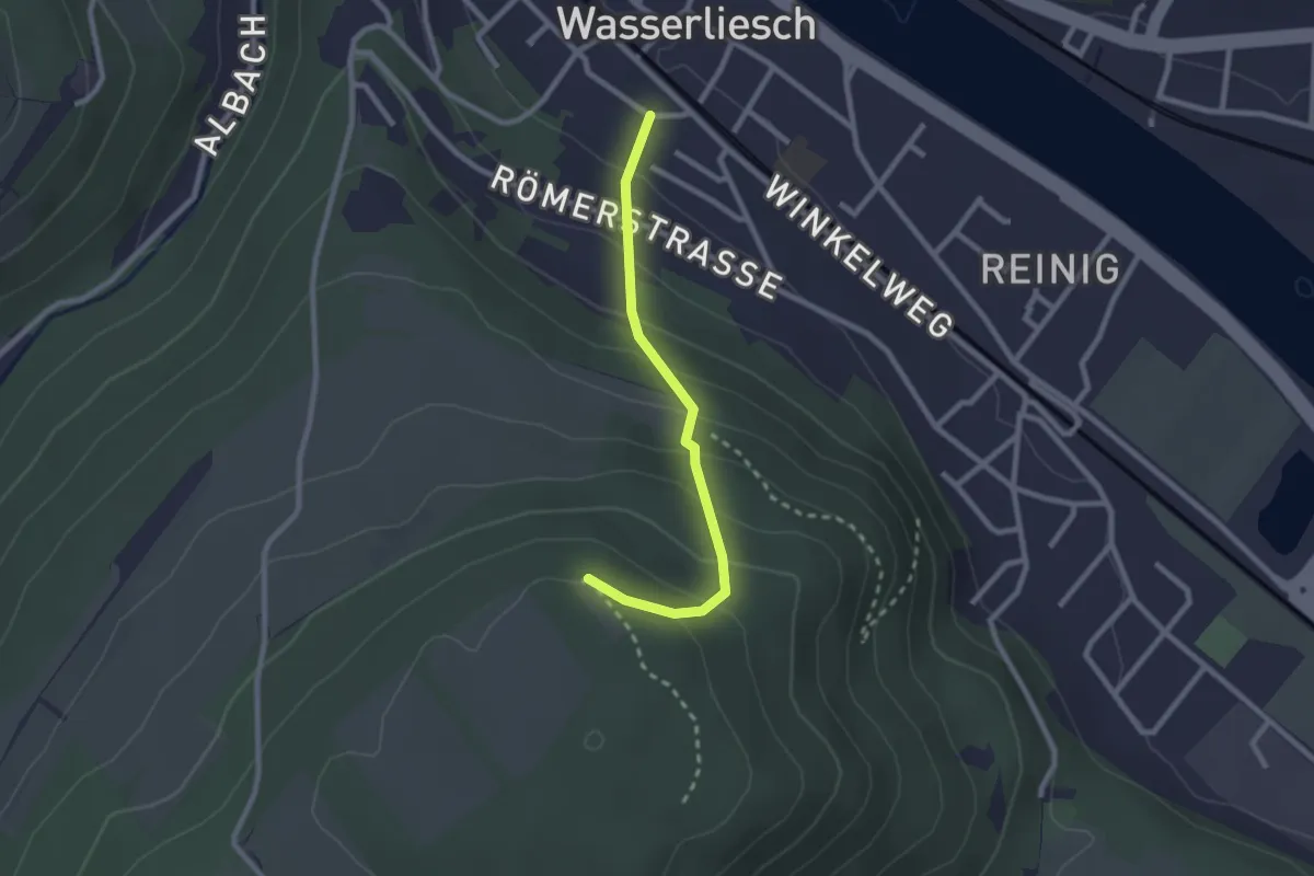
Easy · Trail
Kreuzweg Wasserliesch
2.1 km · ↑ 186 m · 55 min
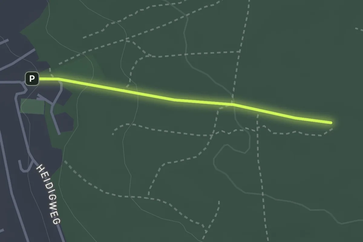
Easy · Pilgrim path
Kreuzweg zur Obernauer Kapelle
1.1 km · ↑ 68 m · 23 min
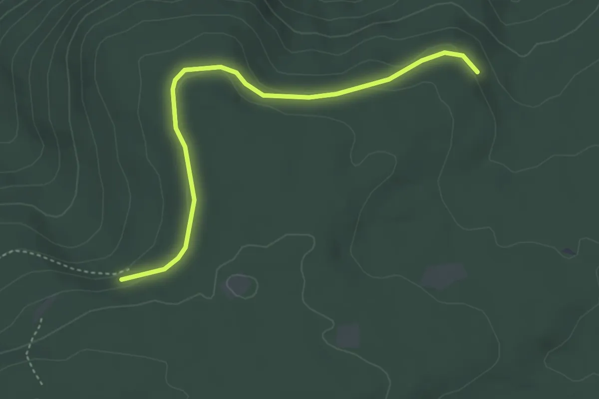
Easy · Trail
Kriegswaldhalde - Wildbader Teich
3.9 km · ↑ 55 m · 1 h 2 min
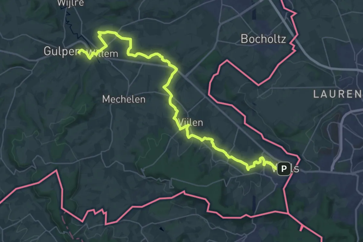
Demanding · Summit
Krijtlandpad - 04
33.0 km · ↑ 460 m · 8 h 48 min
Easy · Trail
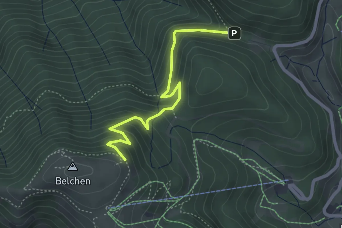
Krinne - Krinnenabgang
4.1 km · ↑ 276 m · 1 h 34 min
Easy · Trail
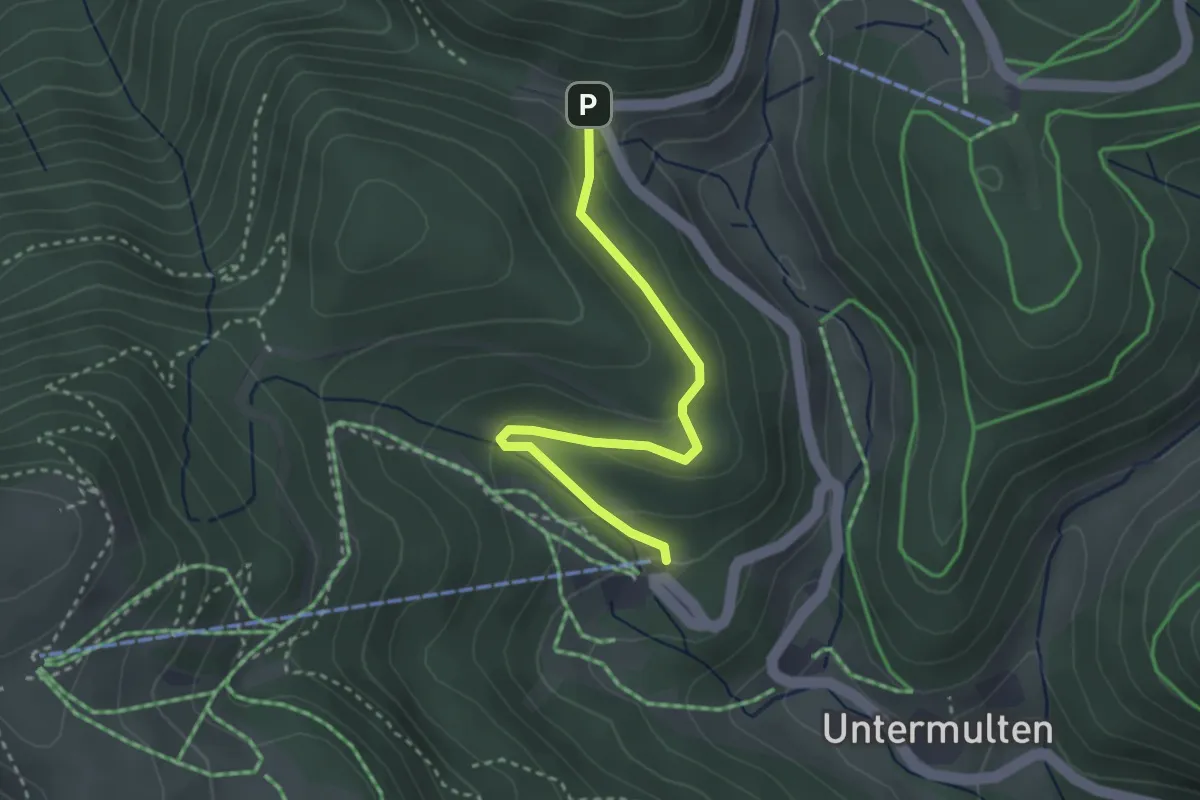
Krinne - Talstation Belchenbahn
2.9 km · ↑ 111 m · 56 min
Easy · Trail
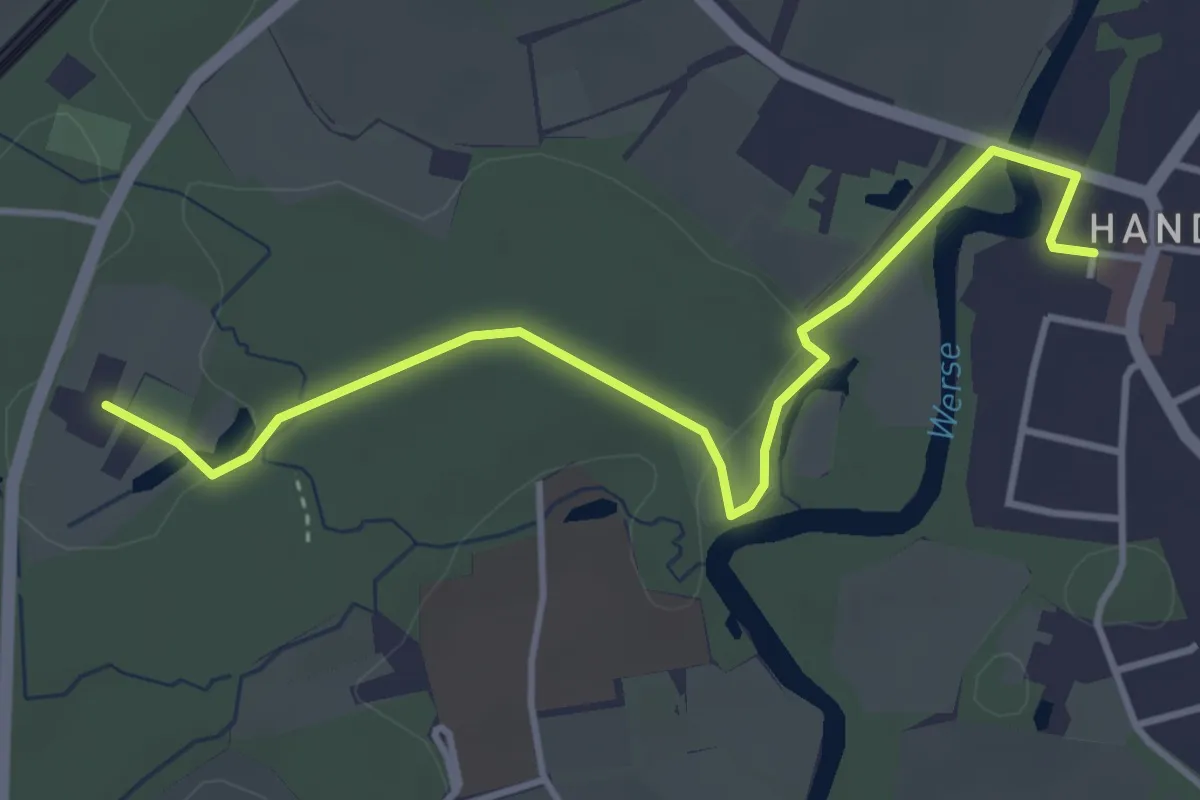
Krippenweg
3.7 km · ↑ 22 m · 55 min
Medium · Trail
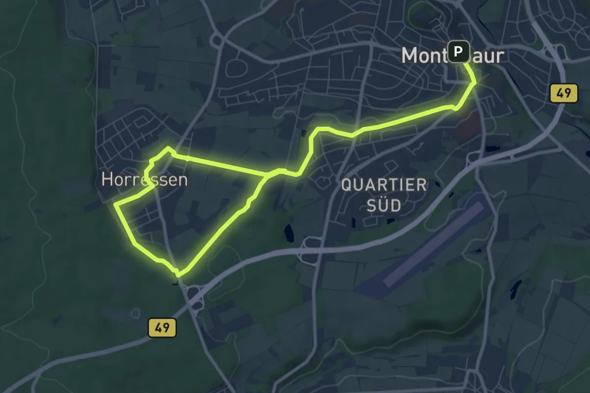
Krippenweg Horressen
11.6 km · ↑ 117 m · 2 h 59 min