Trails in Germany
36,852 hiking trails, each with its route, climb, walking time and grade.
All trails, page 306 of 768
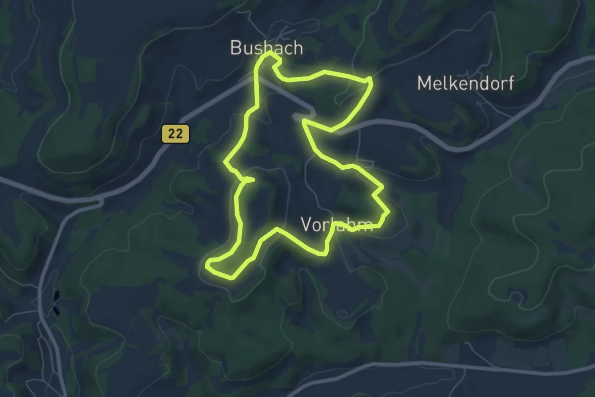
Easy · Summit
Kuckuckswege rund um Busbach Nr. 3
6.2 km · ↑ 159 m · 1 h 53 min
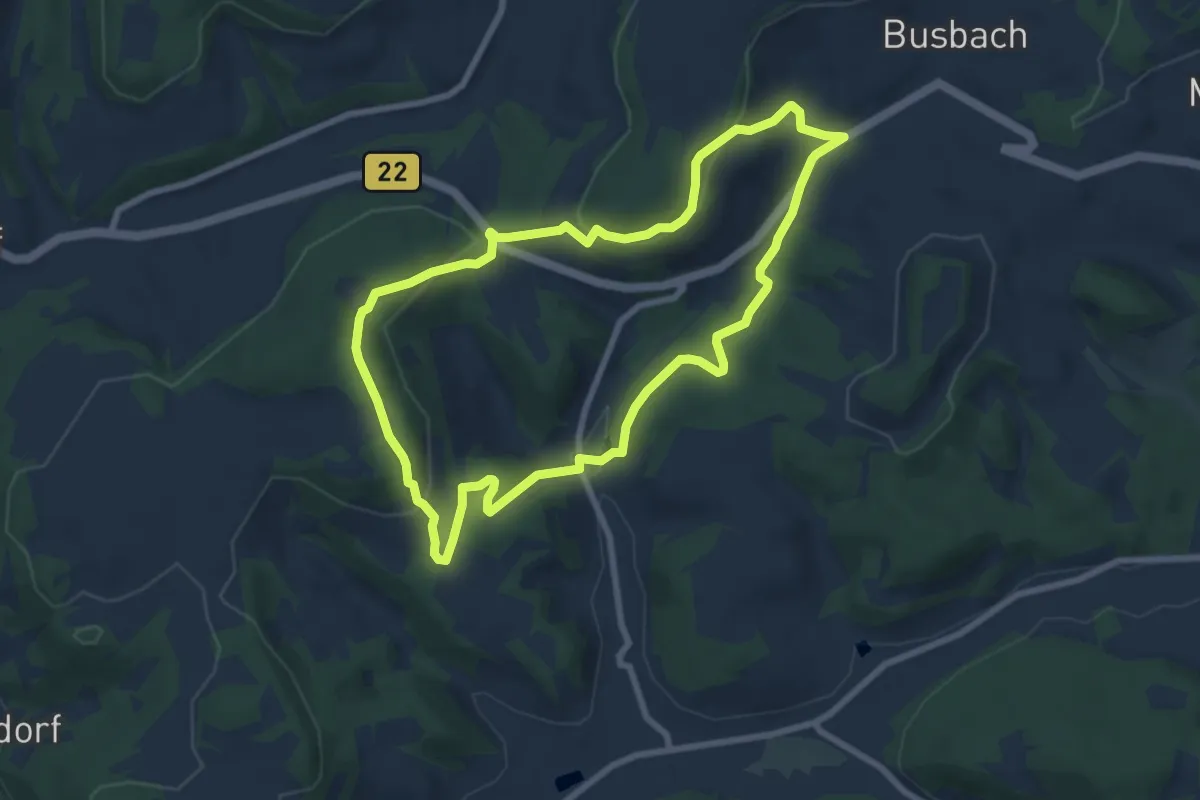
Easy · Trail
Kuckuckswege rund um Busbach Nr. 4
7.0 km · ↑ 226 m · 2 h 14 min
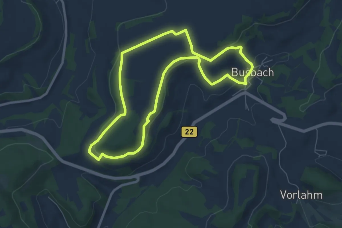
Easy · Trail
Kuckuckswege rund um Busbach Nr. 5
5.6 km · ↑ 130 m · 1 h 41 min
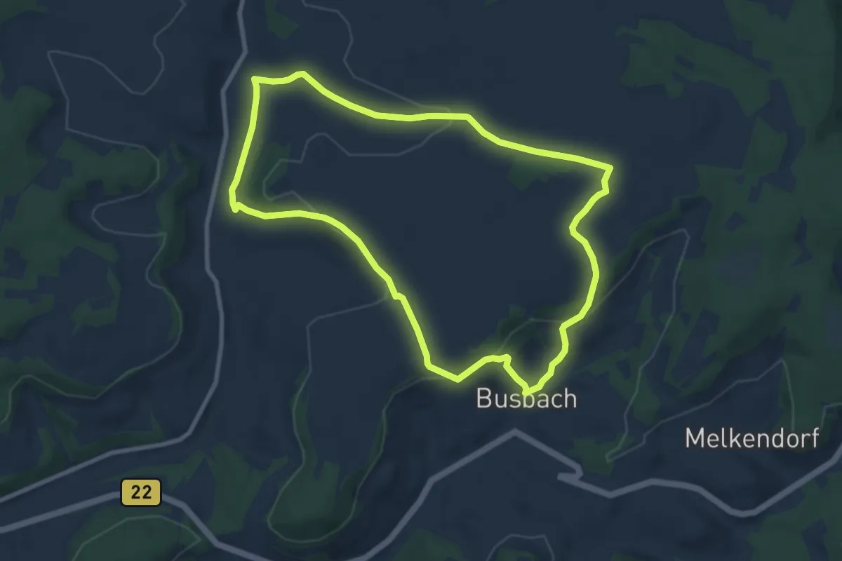
Easy · Trail
Kuckuckswege rund um Busbach Nr. 6
7.4 km · ↑ 172 m · 2 h 13 min
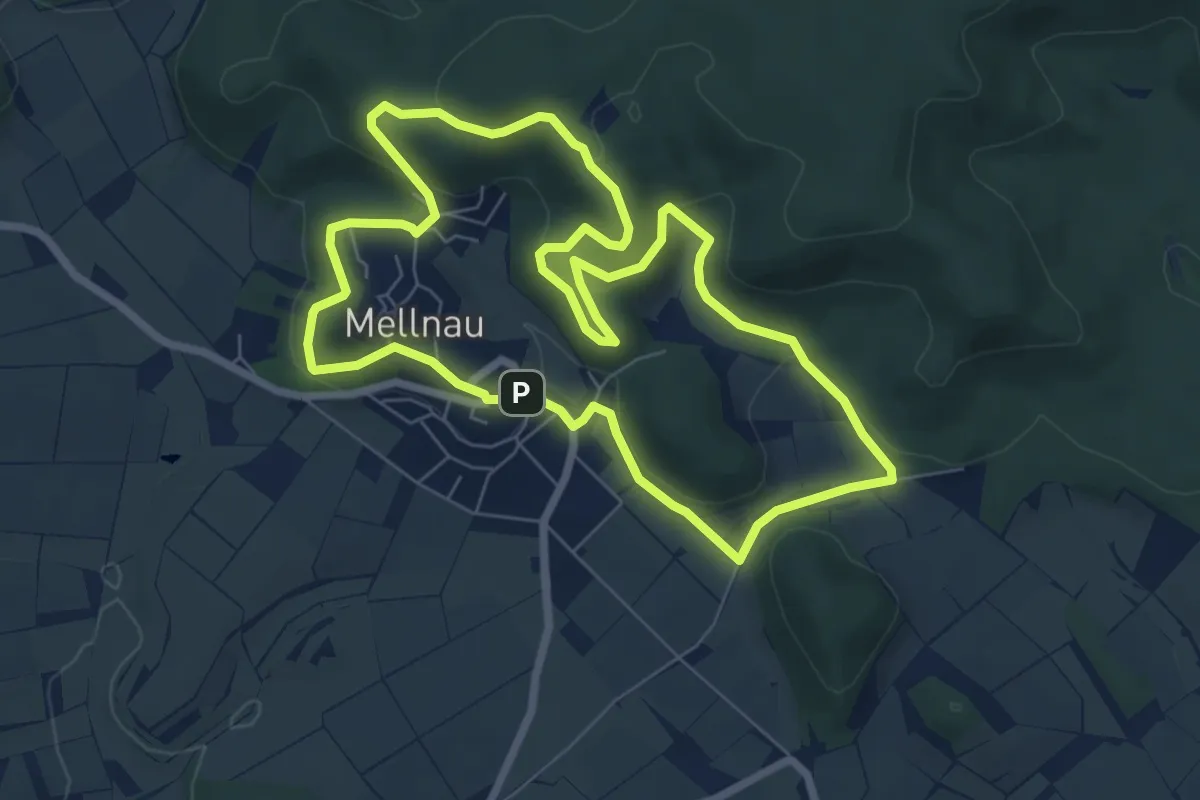
Easy · Trail
Kuckucksweg Mellnau
6.7 km · ↑ 208 m · 2 h 8 min
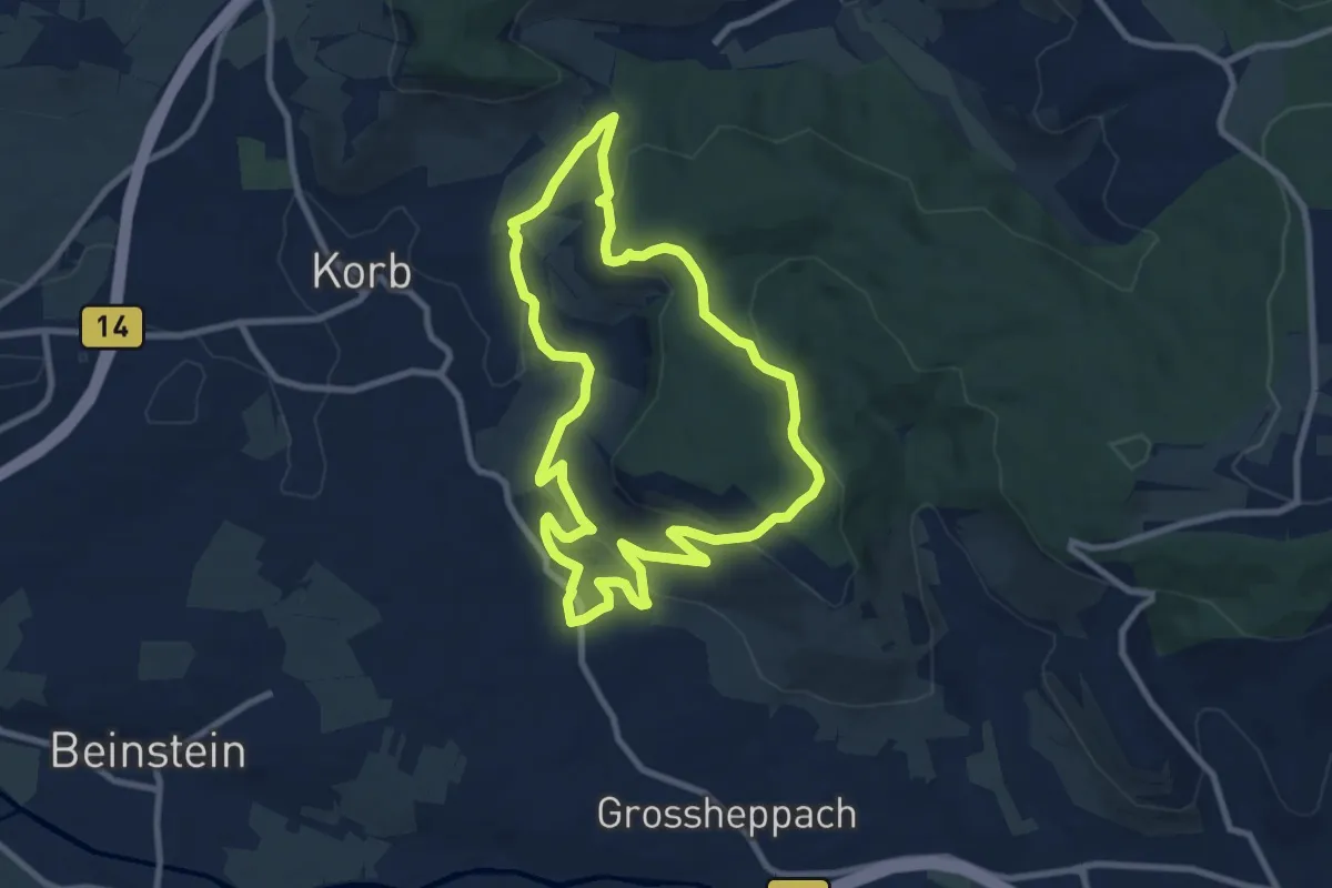
Medium · Summit
Kuckuckweg
8.5 km · ↑ 249 m · 2 h 40 min
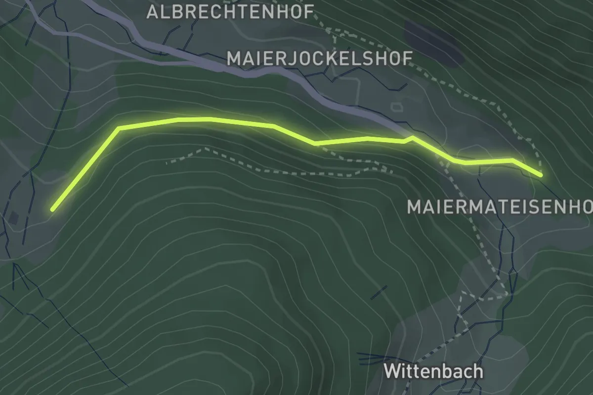
Easy · Trail
Küferhansenhof - Napf
2.9 km · ↑ 122 m · 57 min
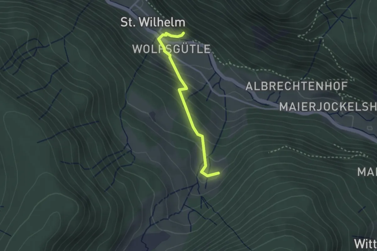
Easy · Trail
Küferhansenhof - St. Wilhelm Schulhaus
2.5 km · ↑ 194 m · 1 h
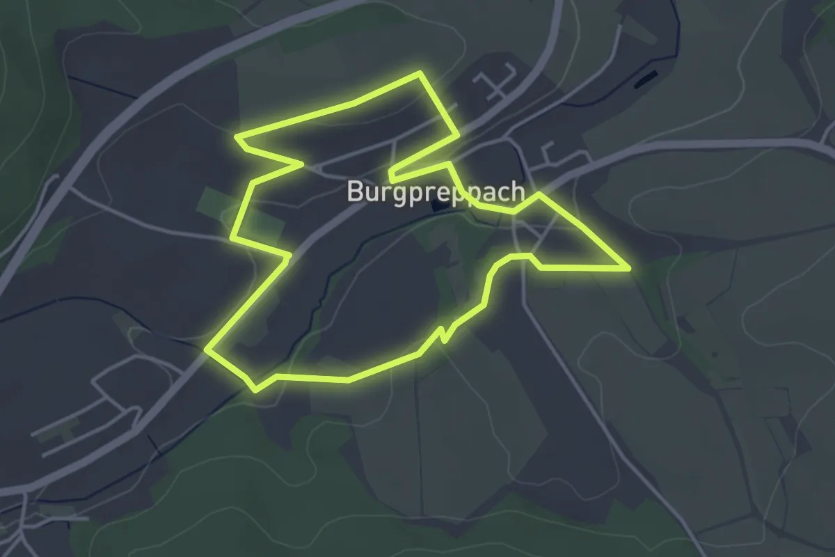
Easy · Trail
Kugelbahnweg Burgpreppach
3.7 km · ↑ 55 m · 1 h 3 min
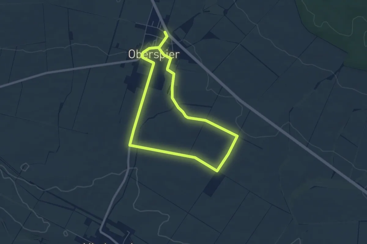
Easy · Trail
Kugelbaumrundweg
5.1 km · ↑ 59 m · 1 h 25 min
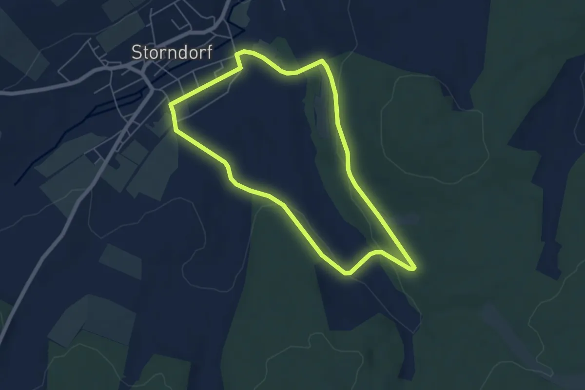
Easy · Trail
Kugelbergtour
4.7 km · ↑ 66 m · 1 h 19 min
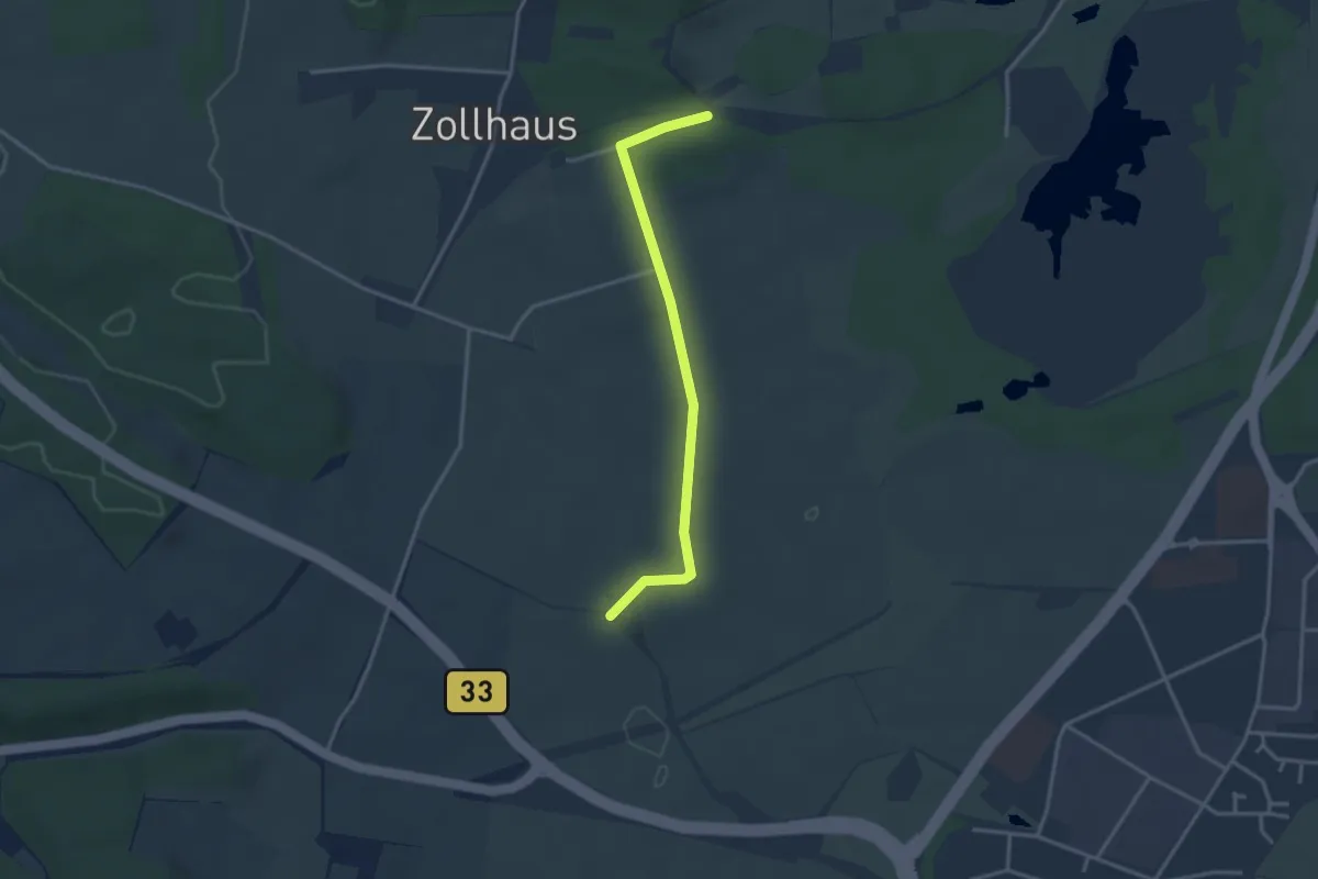
Easy · Trail
Kugelmoos - Elsenberg
3.1 km · ↑ 22 m · 47 min
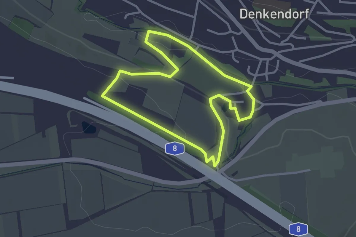
Easy · Trail
Kugelpfad Denkendorf
2.5 km · ↑ 44 m · 43 min
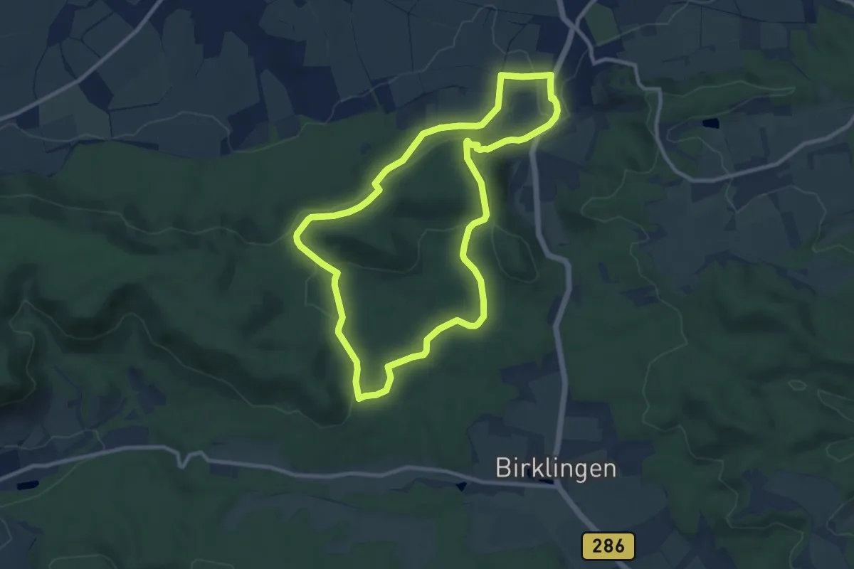
Medium · Trail
Kugelspielweg Castell
8.7 km · ↑ 203 m · 2 h 36 min
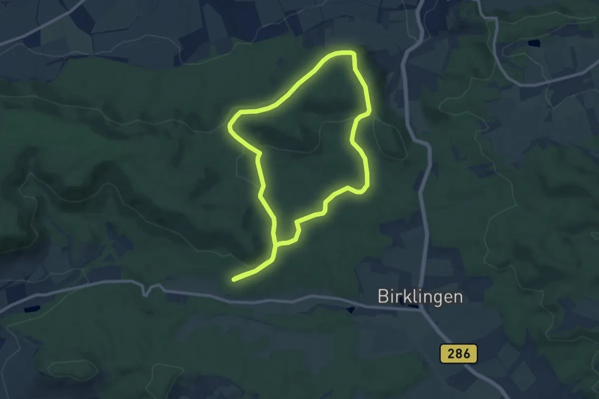
Easy · Trail
Kugelspielweg Iphofen
7.6 km · ↑ 126 m · 2 h 11 min
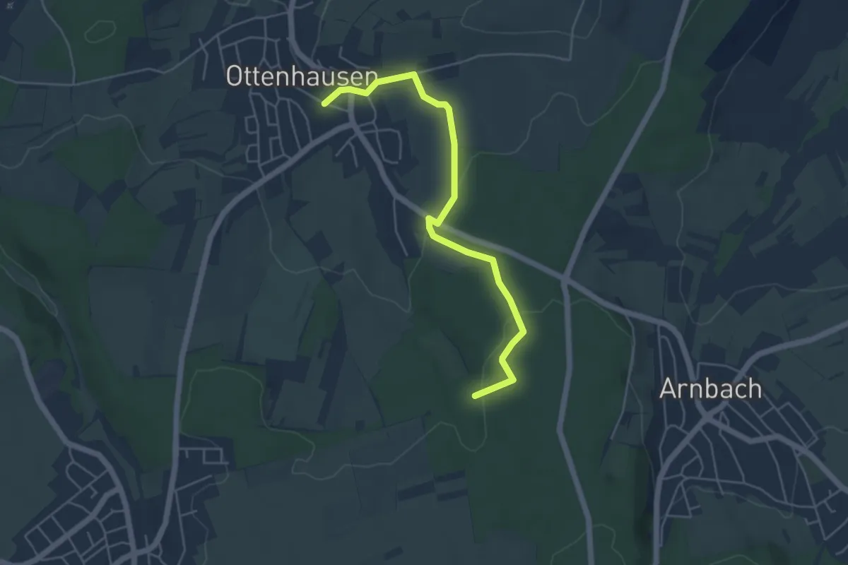
Easy · Trail
Kühbach - Ottenhausen Schule
4.7 km · ↑ 118 m · 1 h 22 min
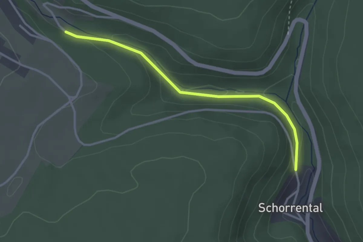
Easy · Trail
Kuhbachweg - Taubental
2.8 km · ↑ 77 m · 49 min
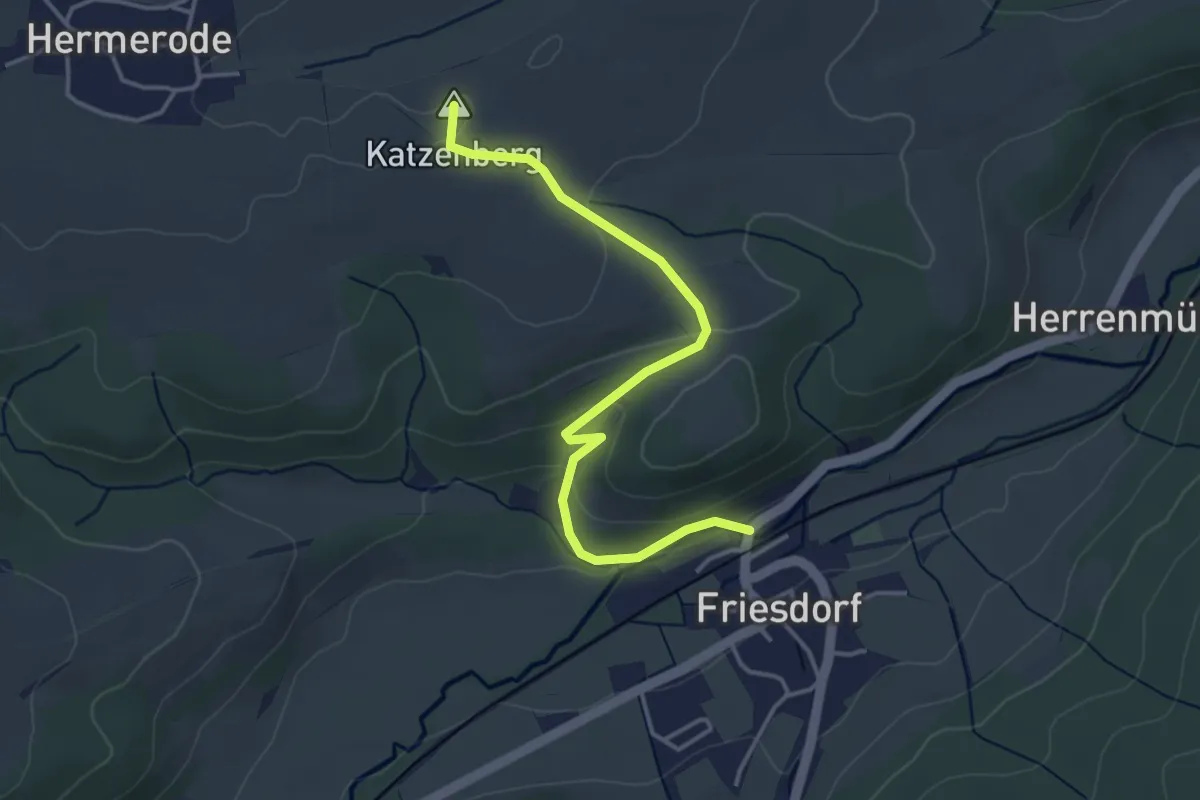
Easy · Summit
Kuhbeek Wanderweg
3.6 km · ↑ 98 m · 1 h 3 min
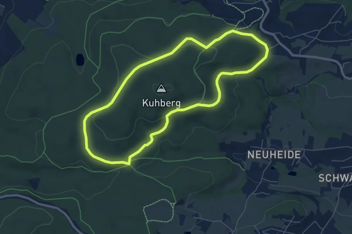
Easy · Trail
Kuhbergrundweg
5.5 km · ↑ 130 m · 1 h 39 min
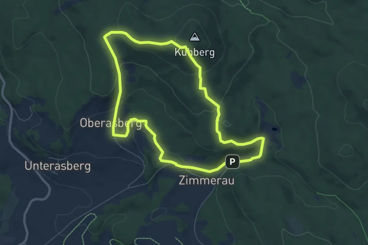
Easy · Summit
Kühbergwanderung (7)
6.1 km · ↑ 230 m · 2 h 2 min
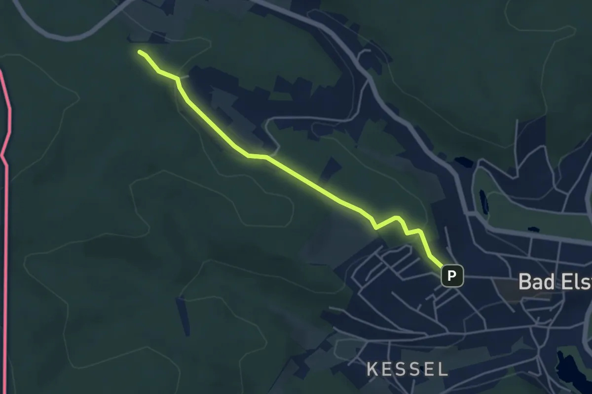
Easy · Trail
Kuhbergwerg
3.7 km · ↑ 106 m · 1 h 6 min
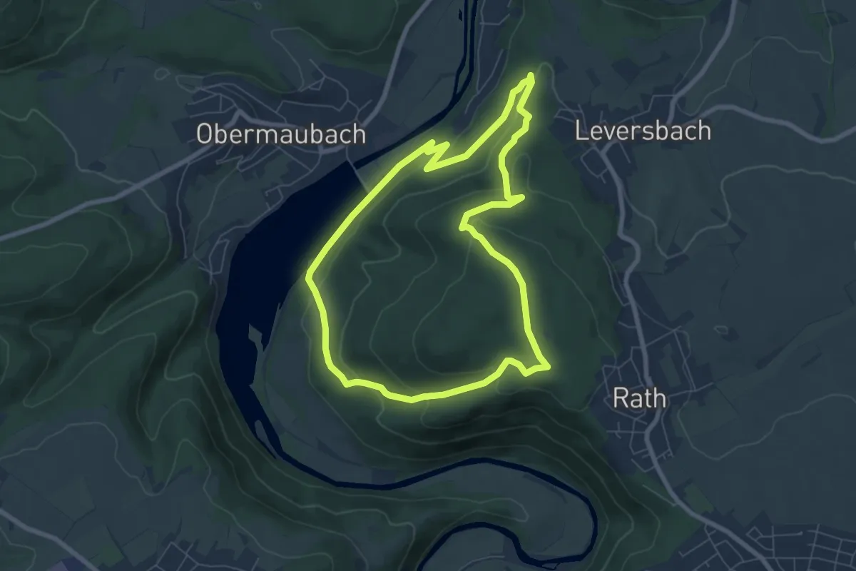
Medium · Summit
Kuhkopfsteig
6.3 km · ↑ 211 m · 2 h 2 min
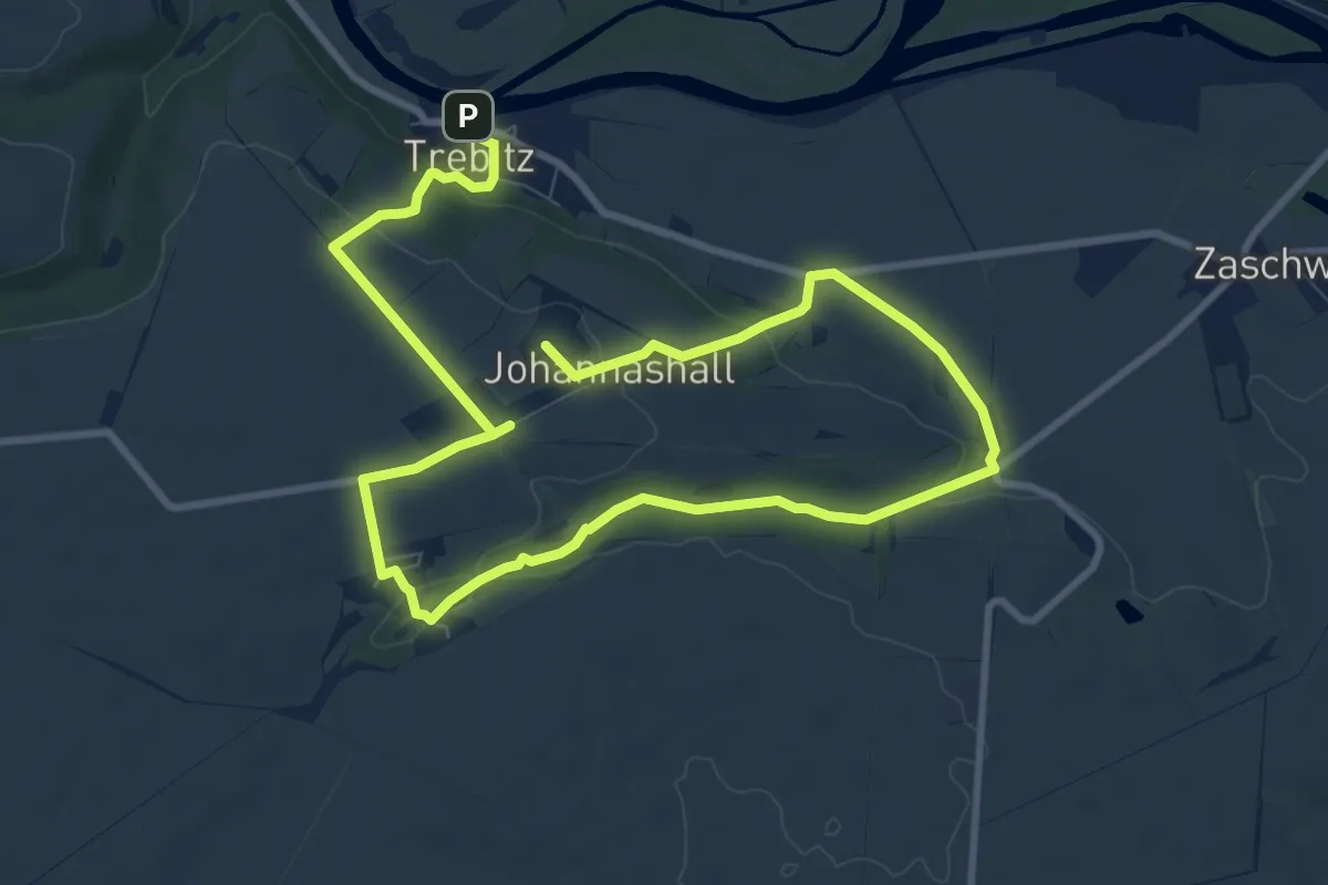
Medium · Summit
Kühlbachtalweg W 5.12
14.1 km · ↑ 285 m · 3 h 57 min
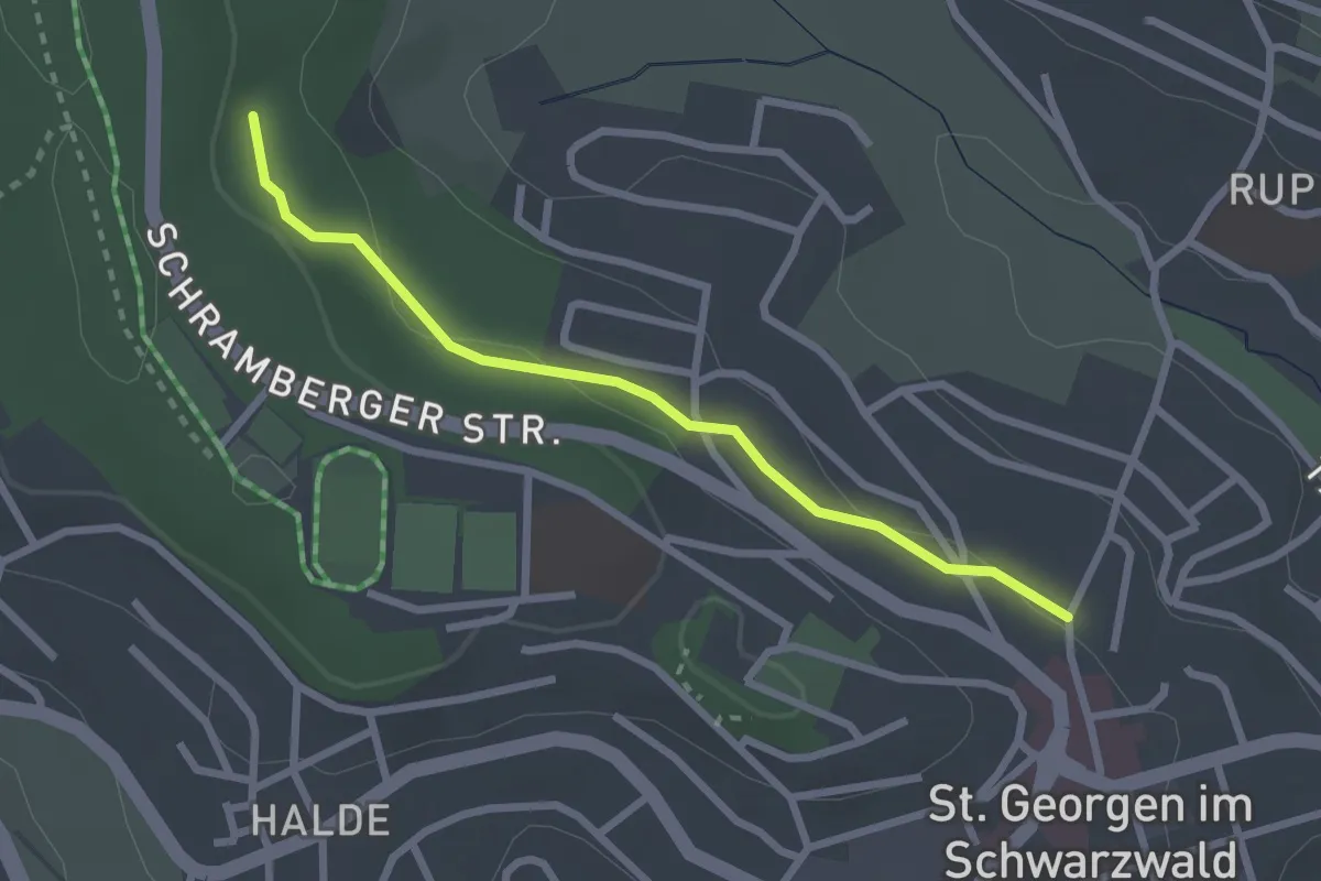
Easy · Trail
Kühlbrunnen - Neuapostolische Kirche
2.4 km · ↑ 47 m · 40 min
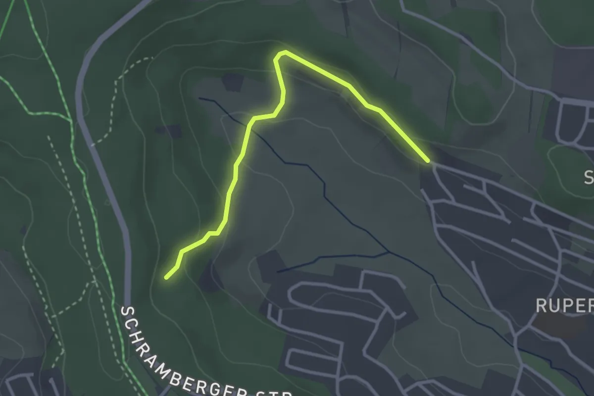
Easy · Trail
Kühlbrunnen - Vohenlohe
2.8 km · ↑ 94 m · 52 min
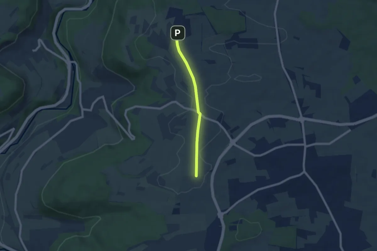
Easy · Trail
Kühlenberg - Neuer Wasserturm
4.0 km · ↑ 19 m · 59 min
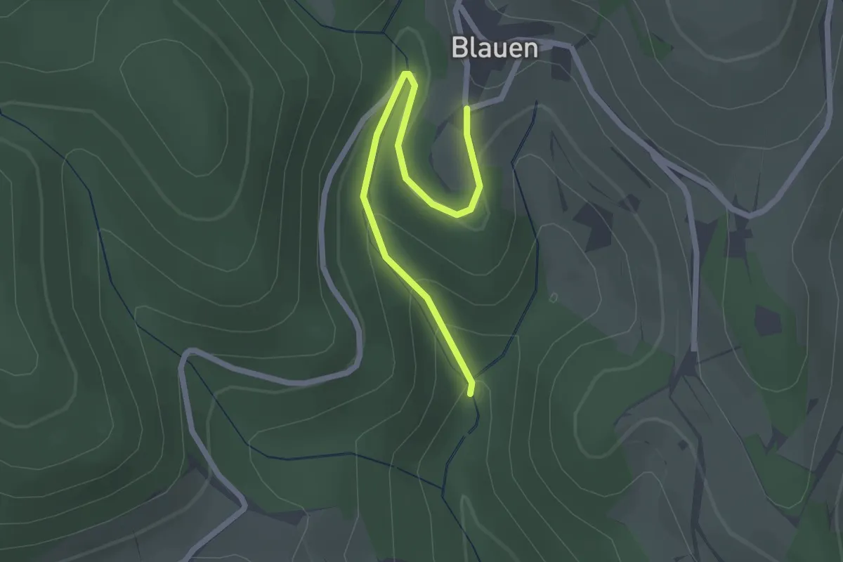
Easy · Trail
Kühlloch-Wildeck - Blauen
2.1 km · ↑ 96 m · 43 min
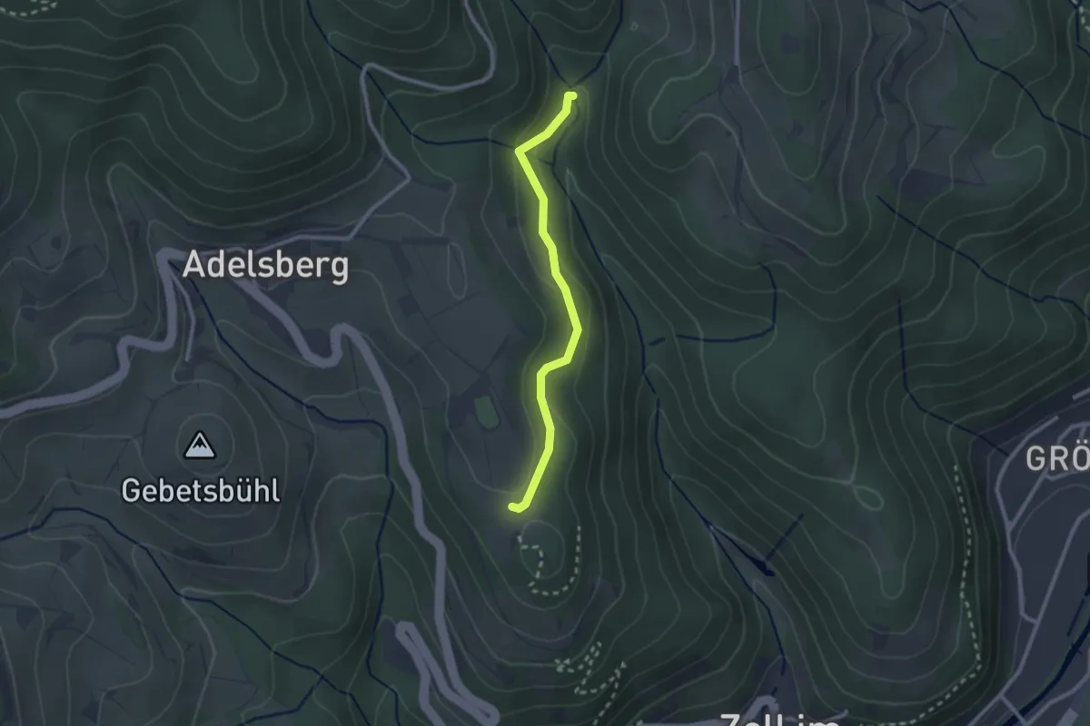
Easy · Trail
Kühlloch-Wildeck - Schänzle
2.2 km · ↑ 58 m · 39 min
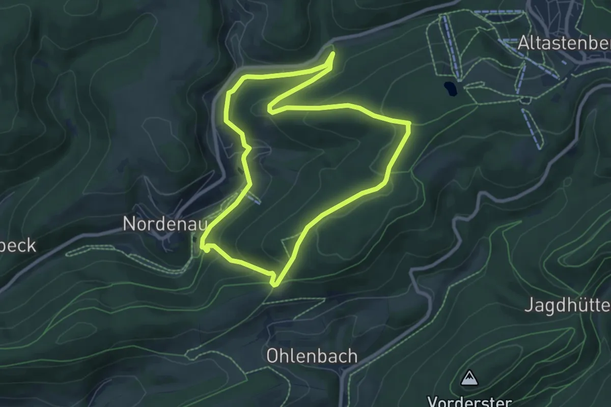
Easy · Trail
Kühlmannssiepen Rundweg A6
6.4 km · ↑ 219 m · 2 h 4 min
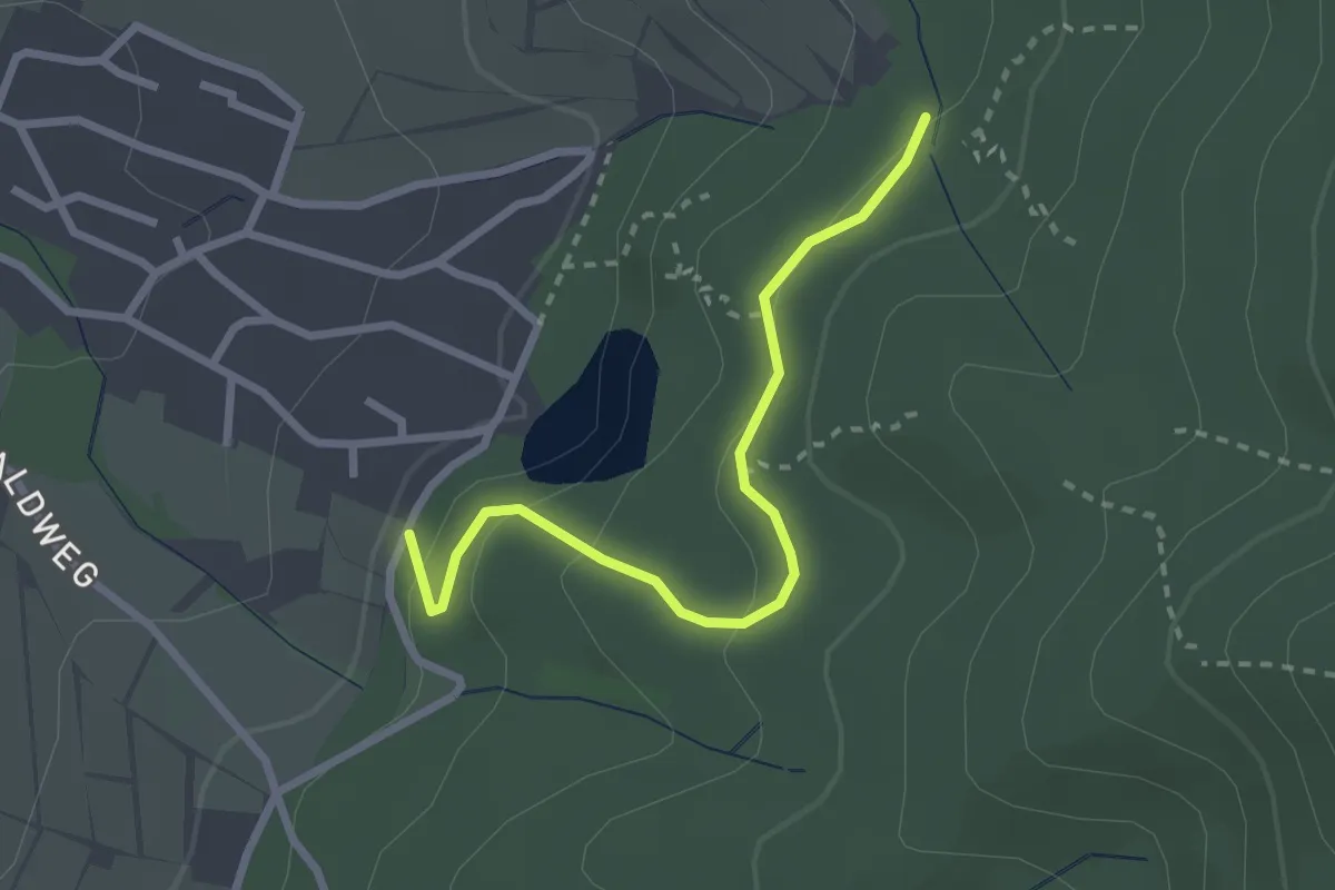
Easy · Trail
Kühlottenweg - Satz
2.5 km · ↑ 108 m · 49 min
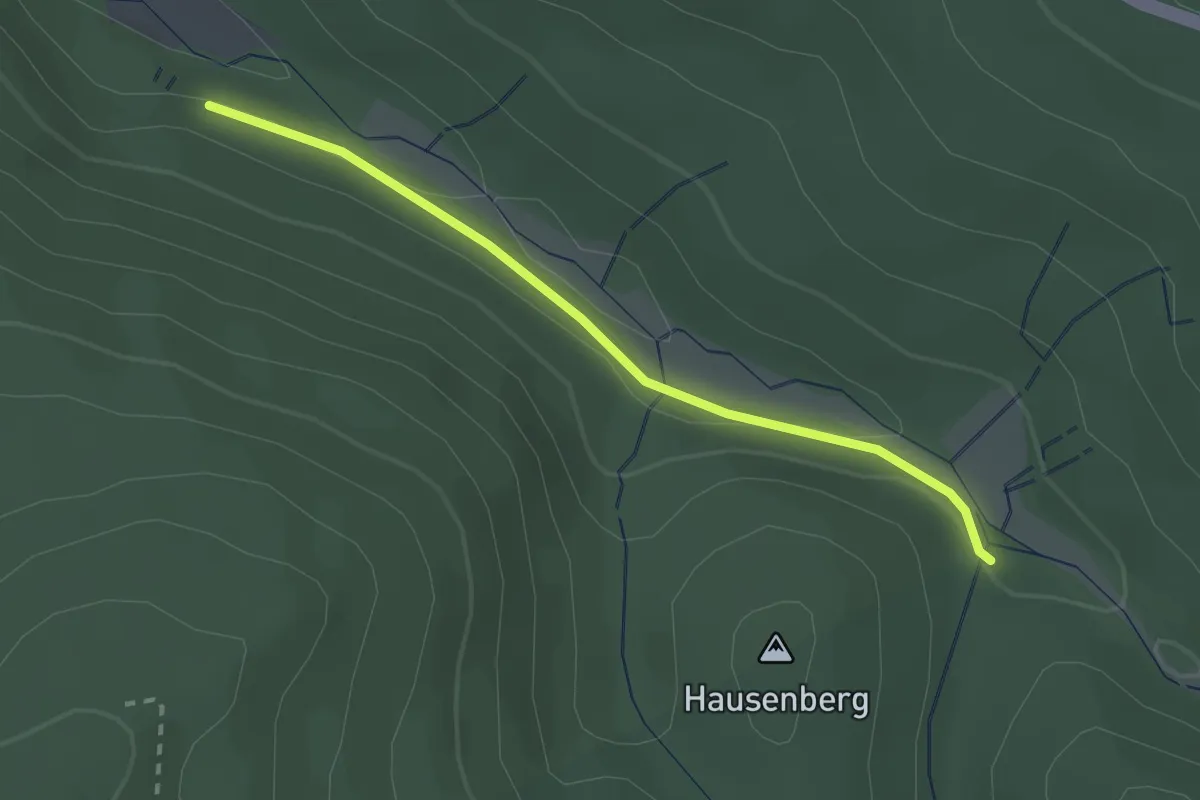
Easy · Trail
Kühlrück - Wallfahrtsbrünnle
2.2 km · ↑ 39 m · 37 min
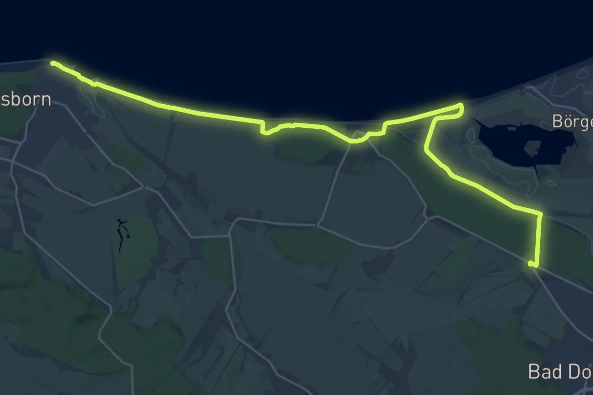
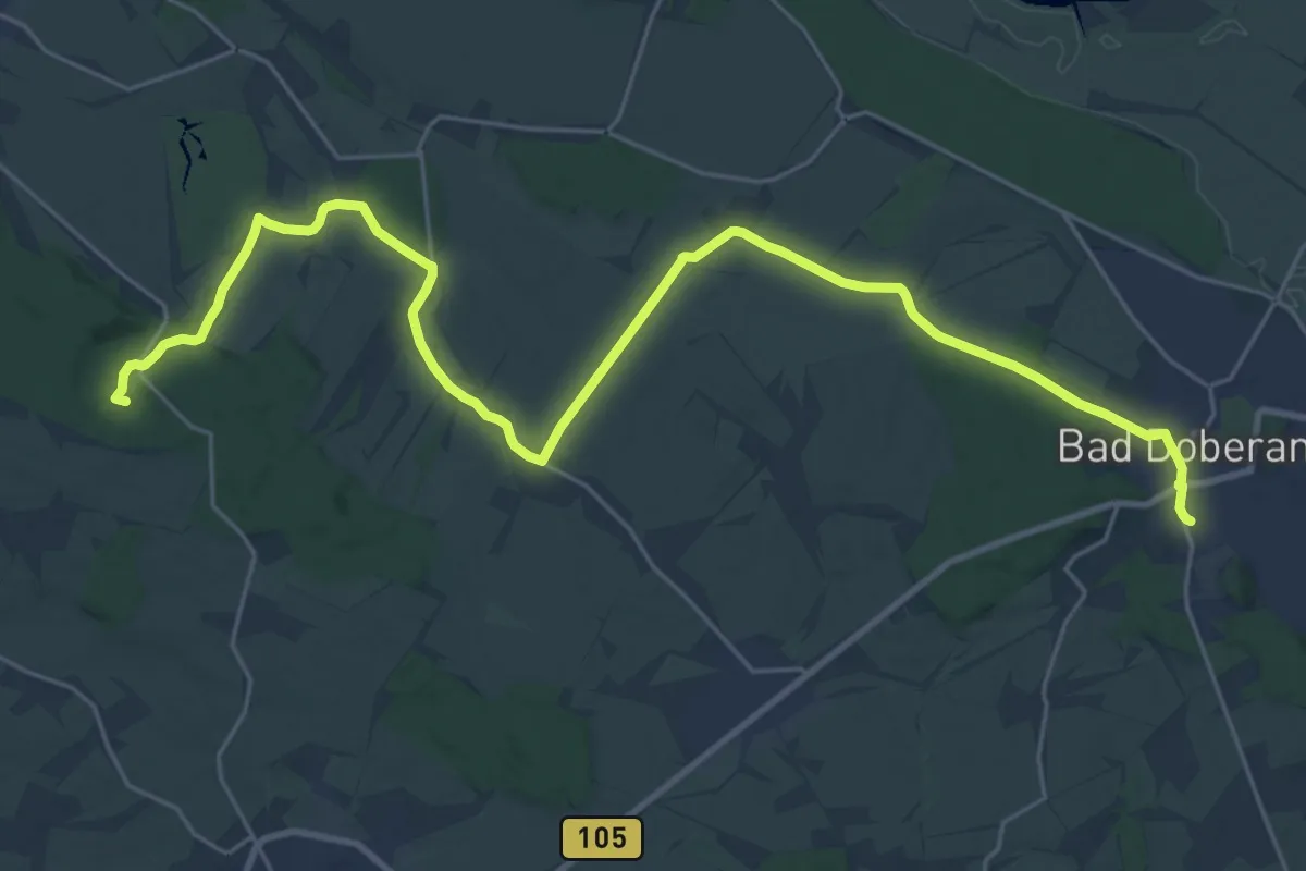
Demanding · Trail
Kühlungsborn-Heiligendamm-Bad Doberan
24.6 km · ↑ 92 m · 6 h 1 min
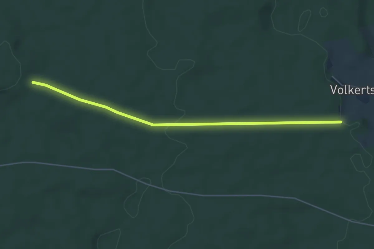
Demanding · Summit
Kühlungsborn-Steffenshagen-Bad Doberan
26.4 km · ↑ 223 m · 6 h 43 min
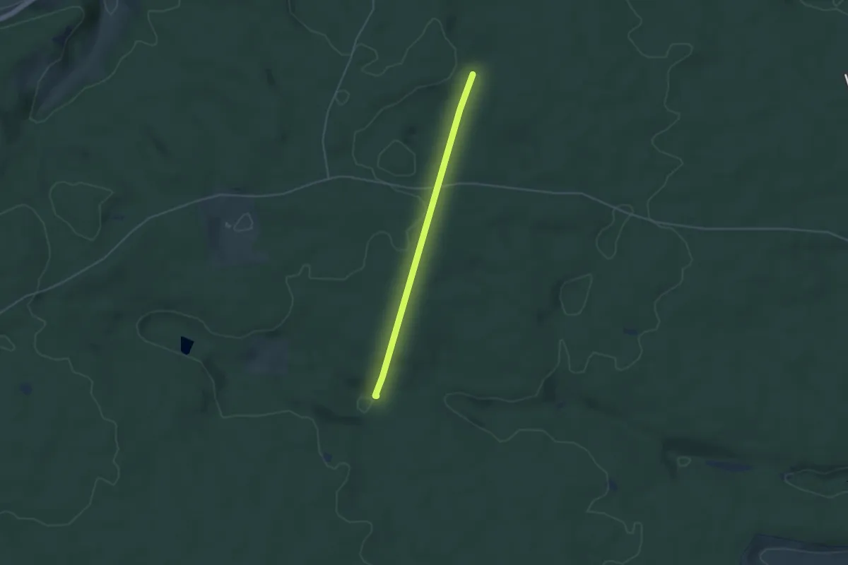
Easy · Trail
Kuhmoos - Muckenloch
4.6 km · ↑ 84 m · 1 h 16 min
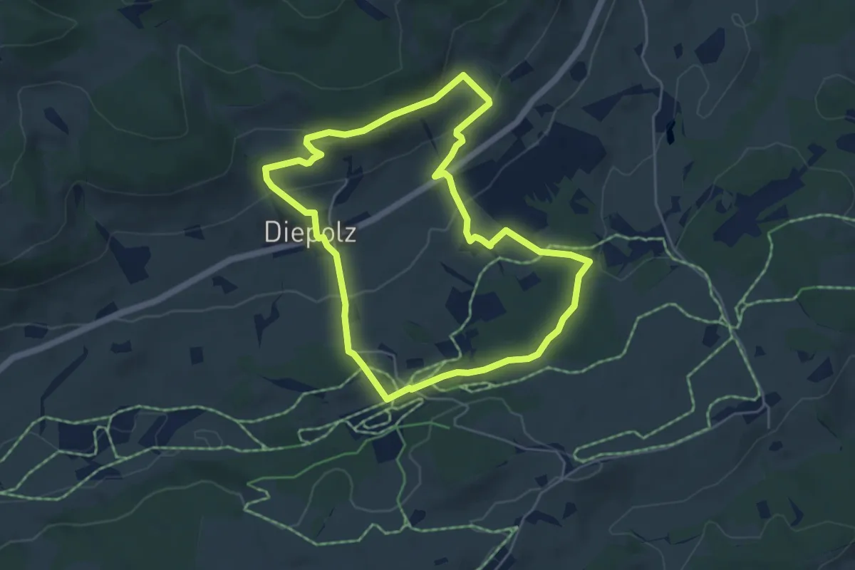
Easy · Trail
Kuhmoos - Wieselsbach
3.6 km · ↑ 62 m · 59 min
Easy · Trail
Kuhnigundenweg
4.7 km · ↑ 161 m · 1 h 32 min
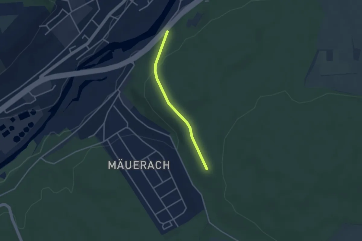
Easy · Trail
Kuhställe - Mäurachklinge
2.3 km · ↑ 79 m · 42 min
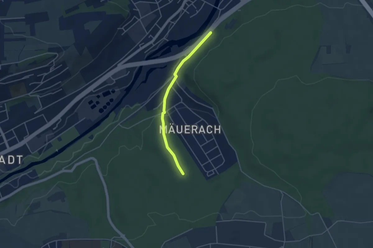
Easy · Trail
Kuhställe - Schindersklamm
3.3 km · ↑ 79 m · 57 min
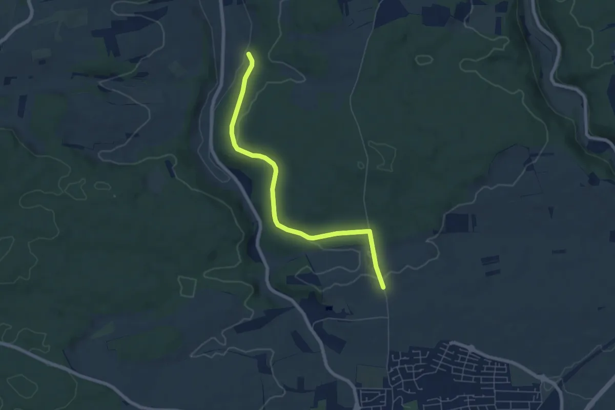
Easy · Trail
Kuhtrieb - Am Hetzer
5.8 km · ↑ 85 m · 1 h 33 min
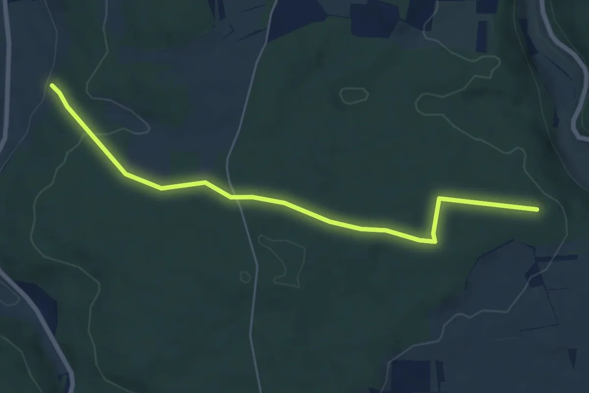
Easy · Trail
Kuhtrieb - Dicke Eiche
5.5 km · ↑ 104 m · 1 h 32 min
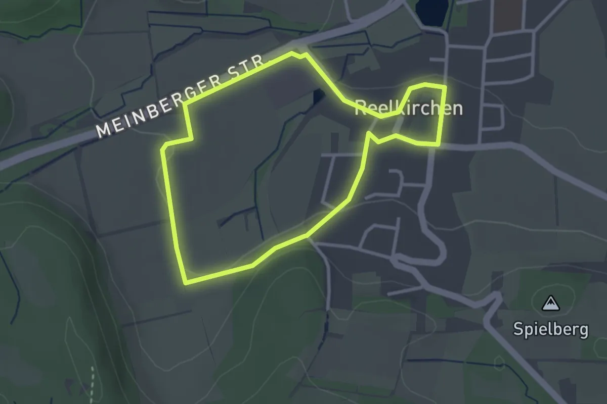
Easy · Trail
Kuhweg
2.5 km · ↑ 23 m · 40 min
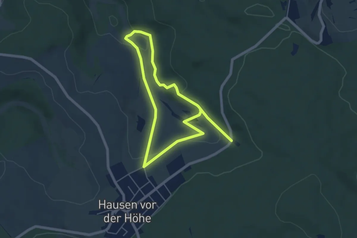
Easy · Trail
KuLa-Pfad
7.4 km · ↑ 190 m · 2 h 9 min
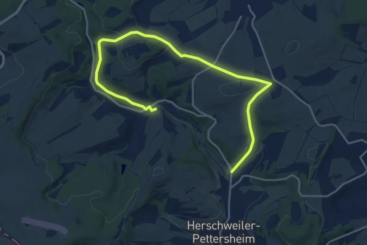
Easy · Trail
Kulinarischer Wanderweg
5.9 km · ↑ 160 m · 1 h 49 min
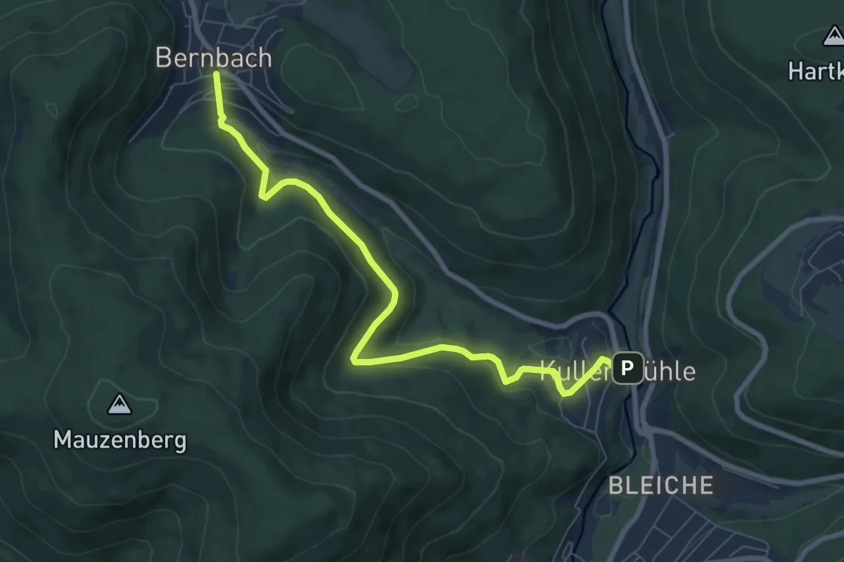
Easy · Trail
Kullenmühle Beim Haltepunkt - Bernbach Hellenwegle
7.4 km · ↑ 286 m · 2 h 22 min
Easy · Trail
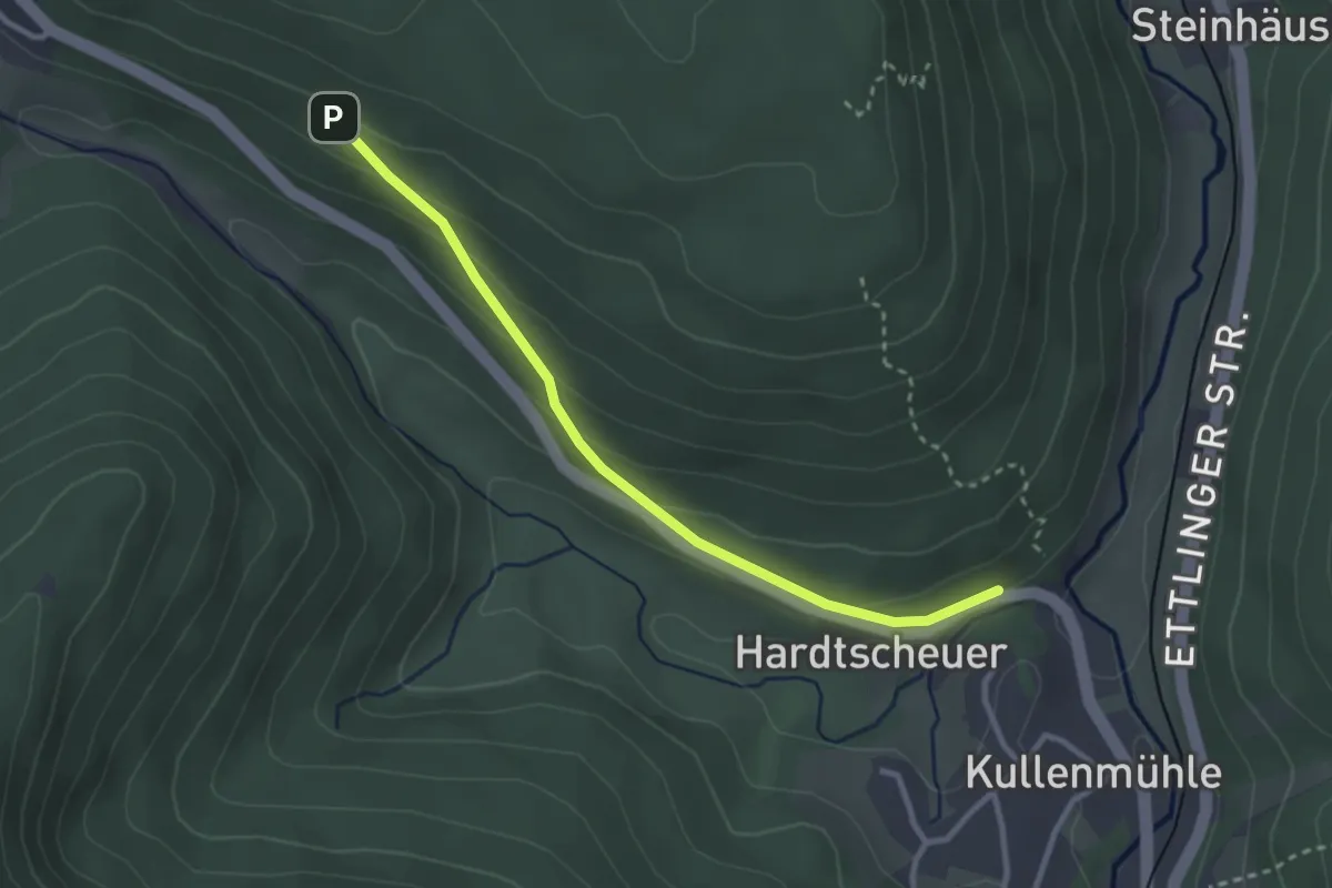
Kullenmühle - Sägberg
2.8 km · ↑ 131 m · 57 min
Easy · Trail
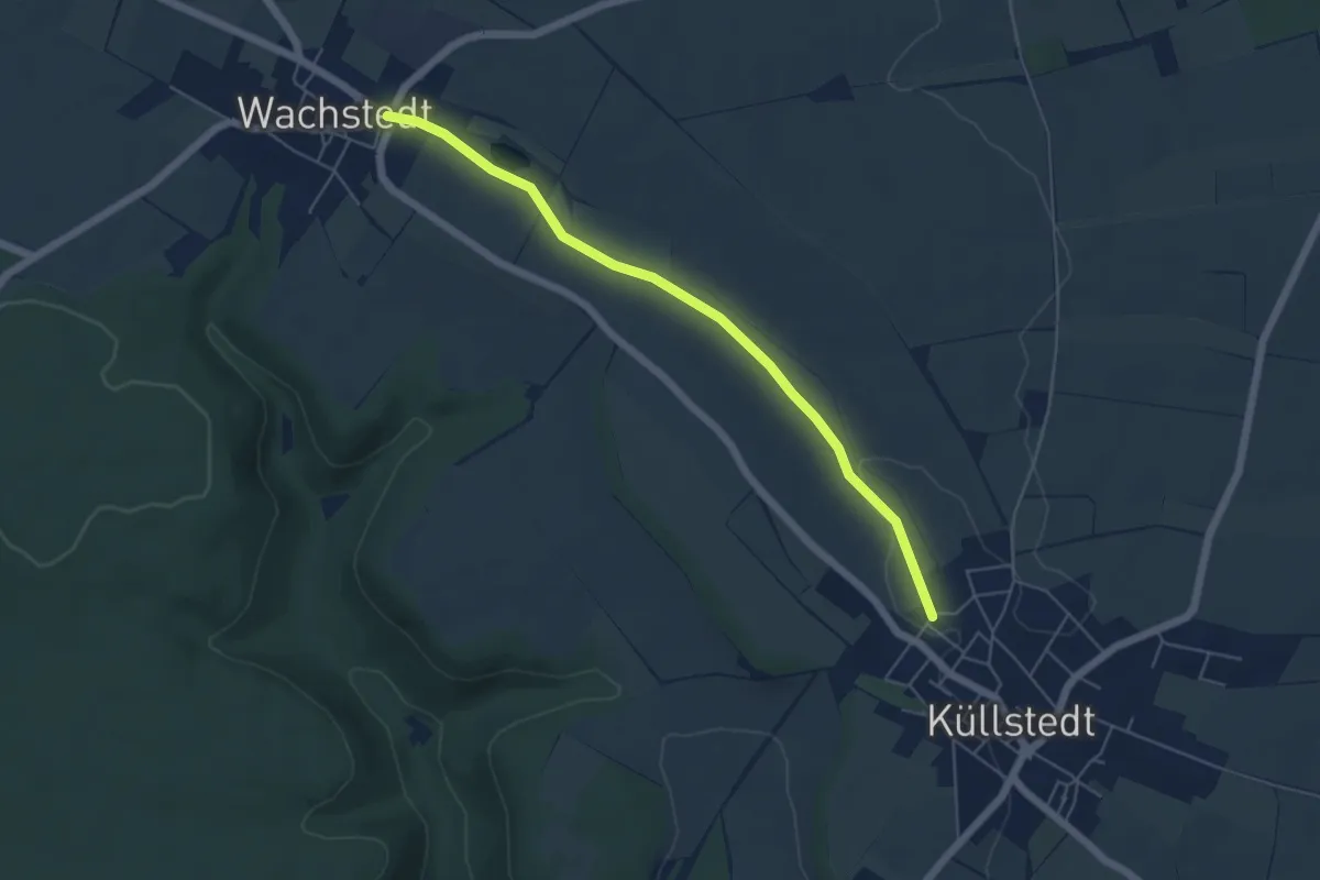
Küllstedt nach Wachstedt
4.9 km · ↑ 35 m · 1 h 14 min
Easy · Trail
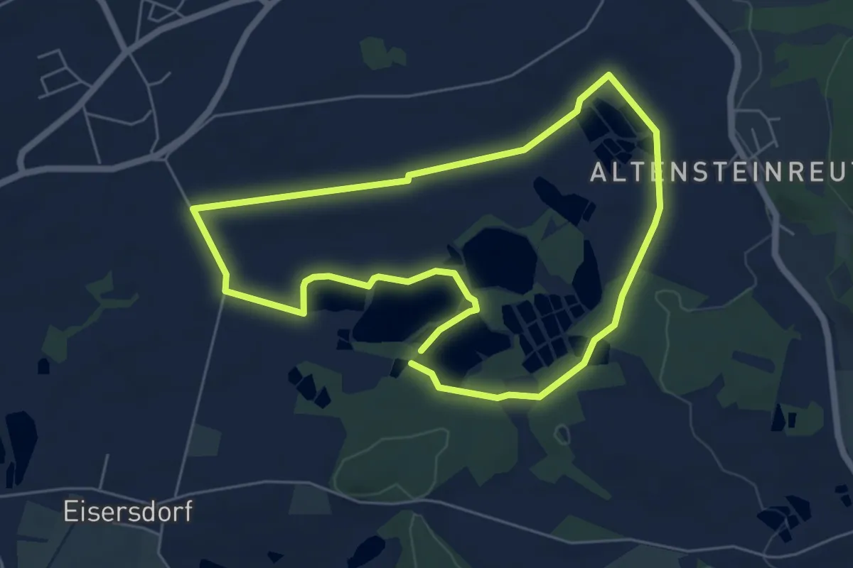
Kulmainer Rundwanderweg Nr. 1
5.1 km · ↑ 23 m · 1 h 19 min
Medium · Trail
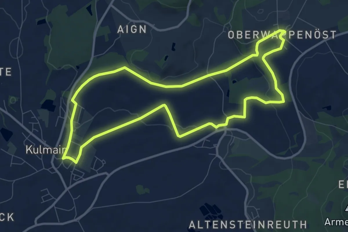
Kulmainer Rundwanderweg Nr. 2 (Höhenweg)
8.3 km · ↑ 128 m · 2 h 21 min