Trails in Germany
36,852 hiking trails, each with its route, climb, walking time and grade.
All trails, page 307 of 768
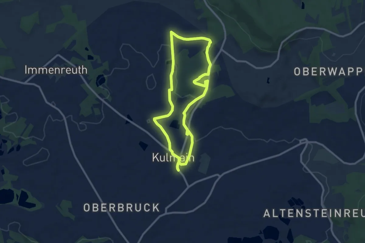
Easy · Trail
Kulmainer Rundwanderweg Nr. 3 (Zum Waldsee)
6.3 km · ↑ 60 m · 1 h 42 min
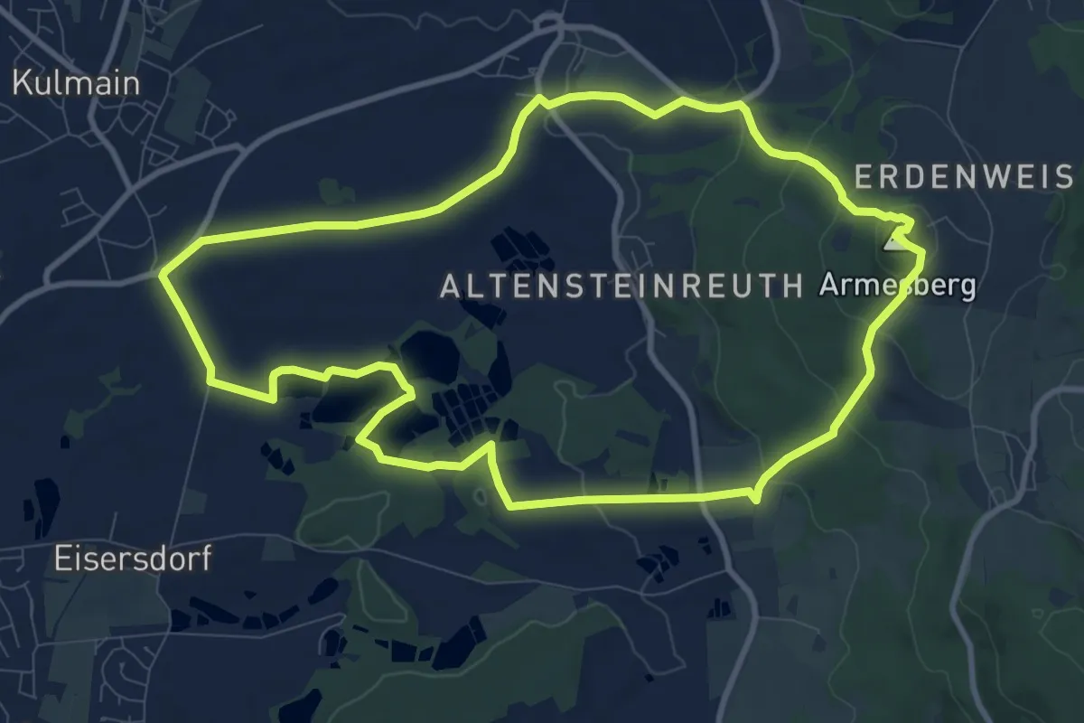
Medium · Summit
Kulmainer Rundwanderweg Nr. 6 (Zum Armesberg
9.5 km · ↑ 257 m · 2 h 55 min
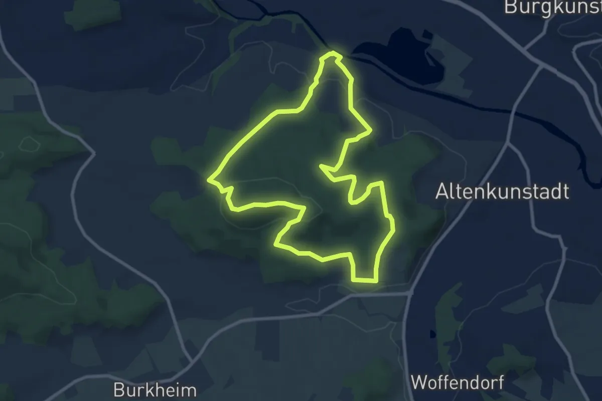
Easy · Summit
Kulmitzberg-Rundweg
7.5 km · ↑ 242 m · 2 h 23 min
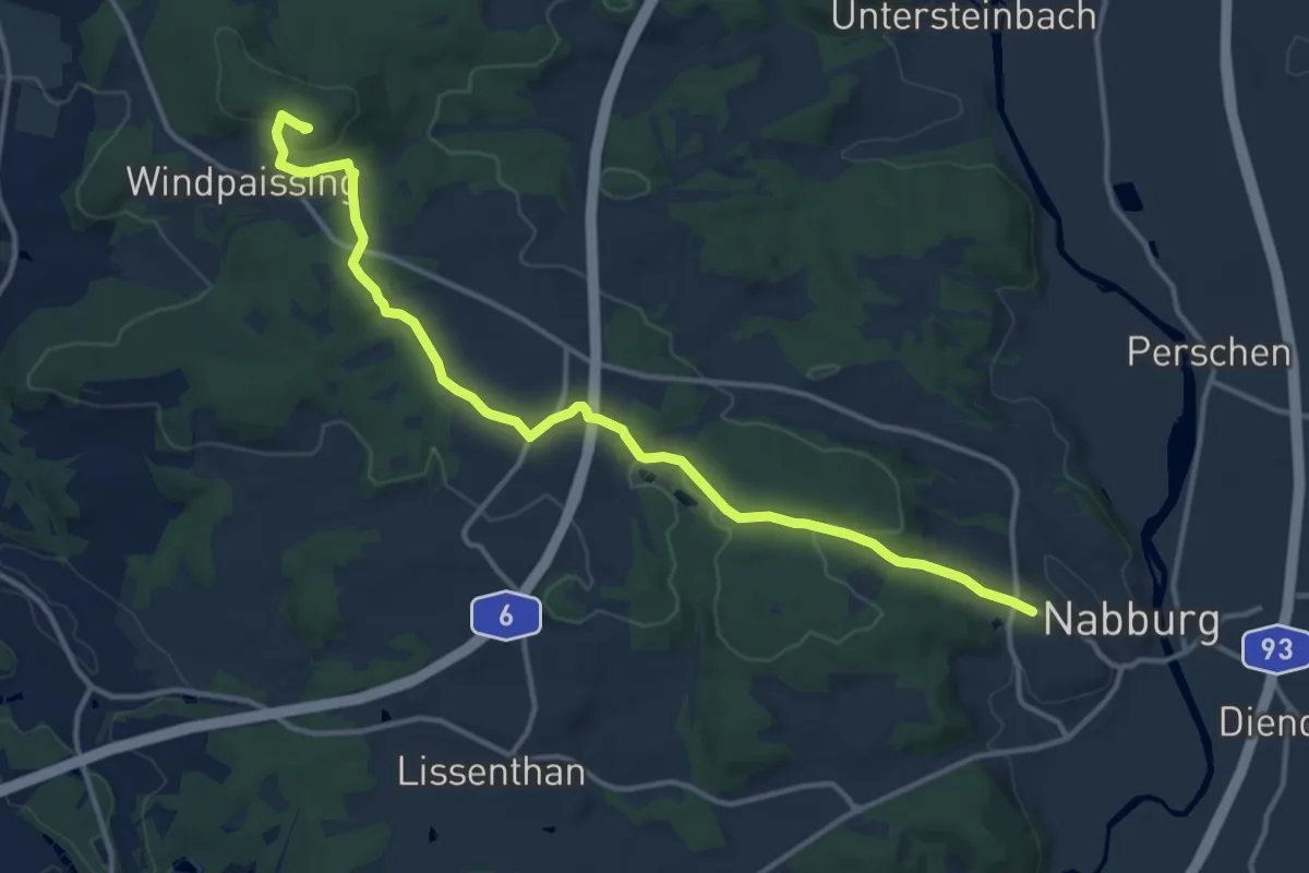
Medium · Summit
Kulmwanderweg
13.6 km · ↑ 289 m · 3 h 50 min
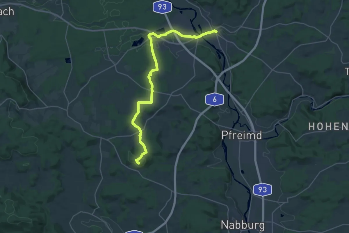
Demanding · Summit
Kulmweg
23.5 km · ↑ 394 m · 6 h 24 min
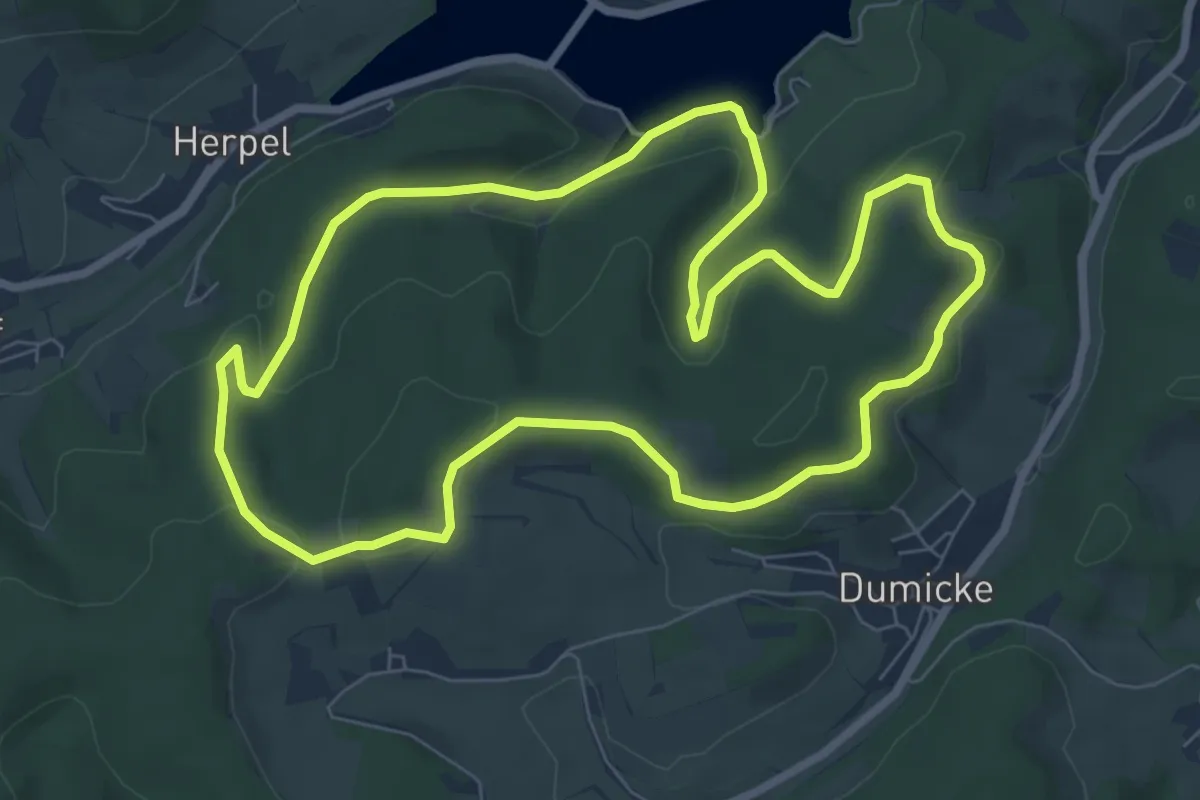
Easy · Trail
KuLTour Kalberschnacke
7.0 km · ↑ 192 m · 2 h 10 min
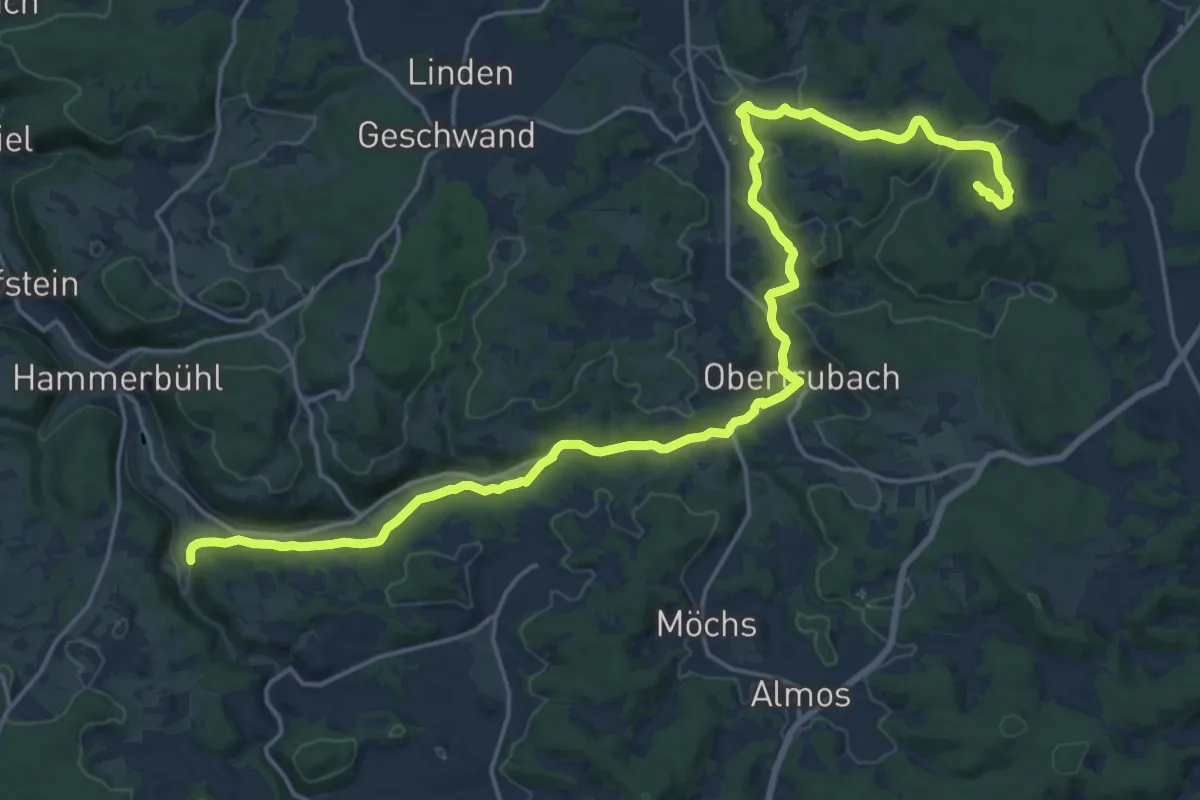
Demanding · Summit
Kulturerlebnis Fränkische Schweiz - Dörnhof - Bärnfels
23.2 km · ↑ 466 m · 6 h 30 min
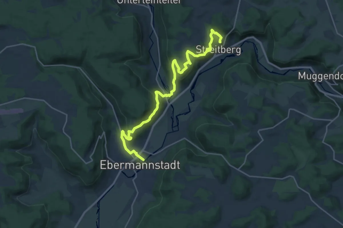
Medium · Summit
Kulturerlebnis Fränkische Schweiz - Ebermannnstadt - Streitberg
17.1 km · ↑ 651 m · 5 h 27 min
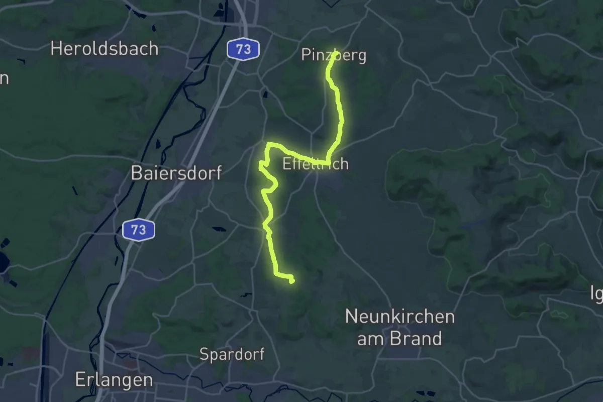
Demanding · Summit
Kulturerlebnis Fränkische Schweiz - Erlangen - Pinzberg
23.6 km · ↑ 281 m · 6 h 11 min
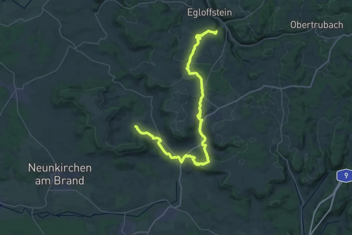
Demanding · Trail
Kulturerlebnis Fränkische Schweiz - Ermreuth - Hammermühle
18.6 km · ↑ 447 m · 5 h 37 min
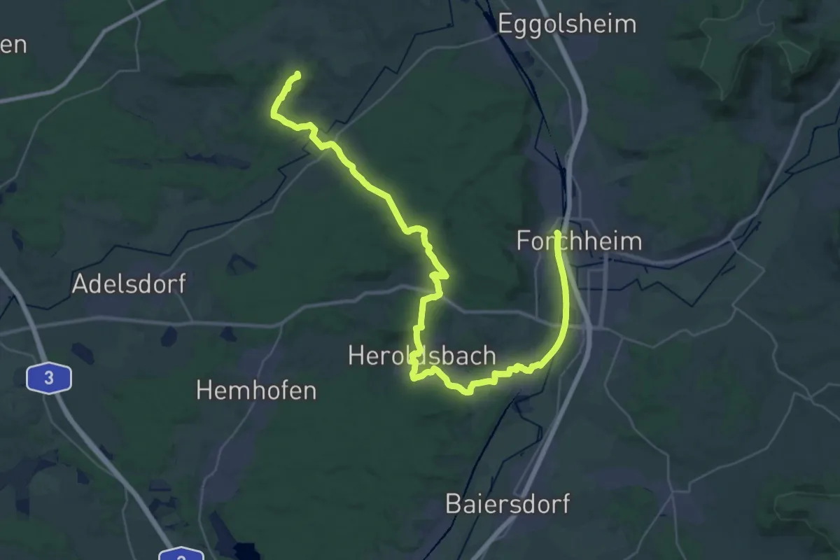
Demanding · Summit
Kulturerlebnis Fränkische Schweiz - Forchheim
41.7 km · ↑ 518 m · 10 h 58 min
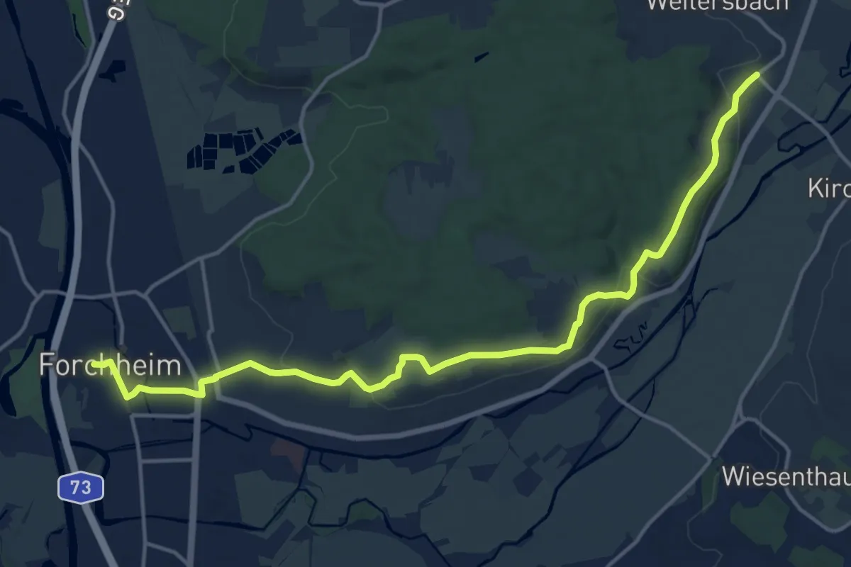
Medium · Trail
Kulturerlebnis Fränkische Schweiz - Forchheim-Weilersbach
15.4 km · ↑ 246 m · 4 h 10 min
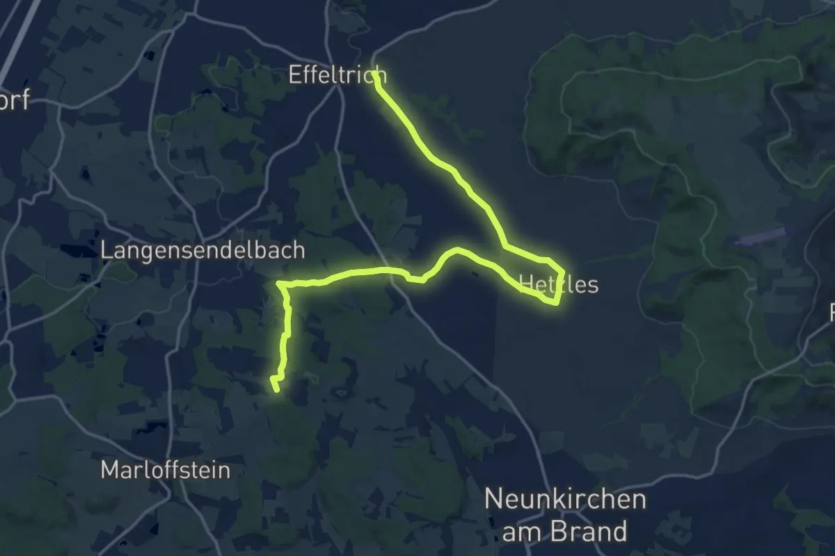
Medium · Summit
Kulturerlebnis Fränkische Schweiz - Langensendlebach - Effeltrich
17.7 km · ↑ 251 m · 4 h 44 min
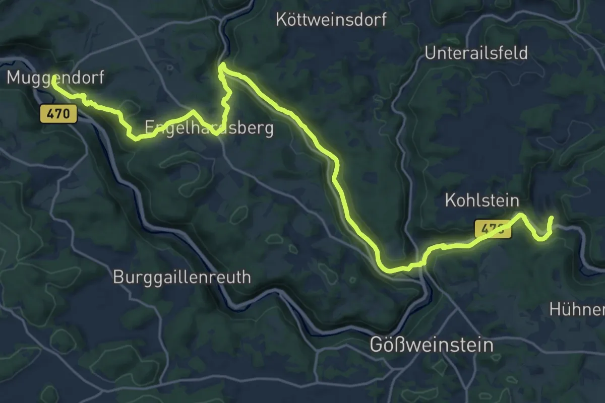
Demanding · Trail
Kulturerlebnis Fränkische Schweiz - Muggendorf - Tüchersfeld
23.2 km · ↑ 617 m · 6 h 49 min
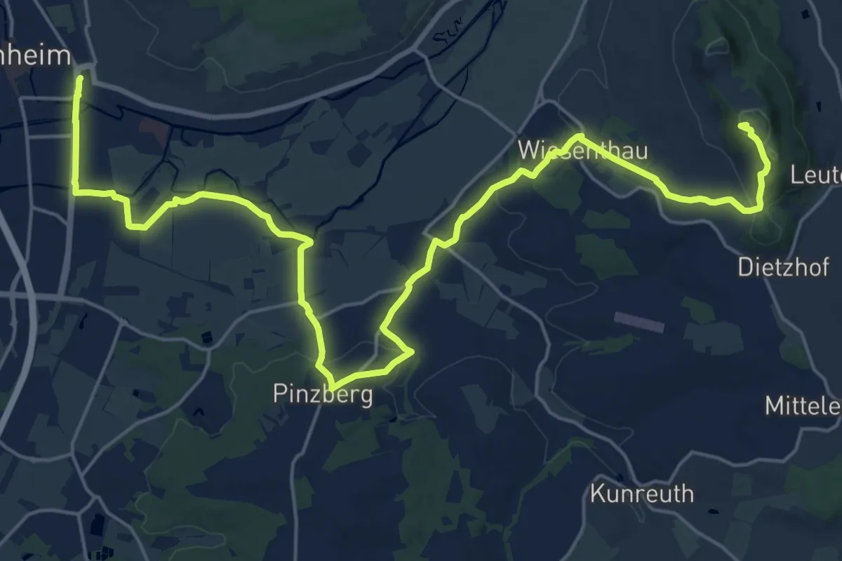
Demanding · Summit
Kulturerlebnis Fränkische Schweiz - Pretzfeld - Forchheim
25.6 km · ↑ 419 m · 6 h 57 min
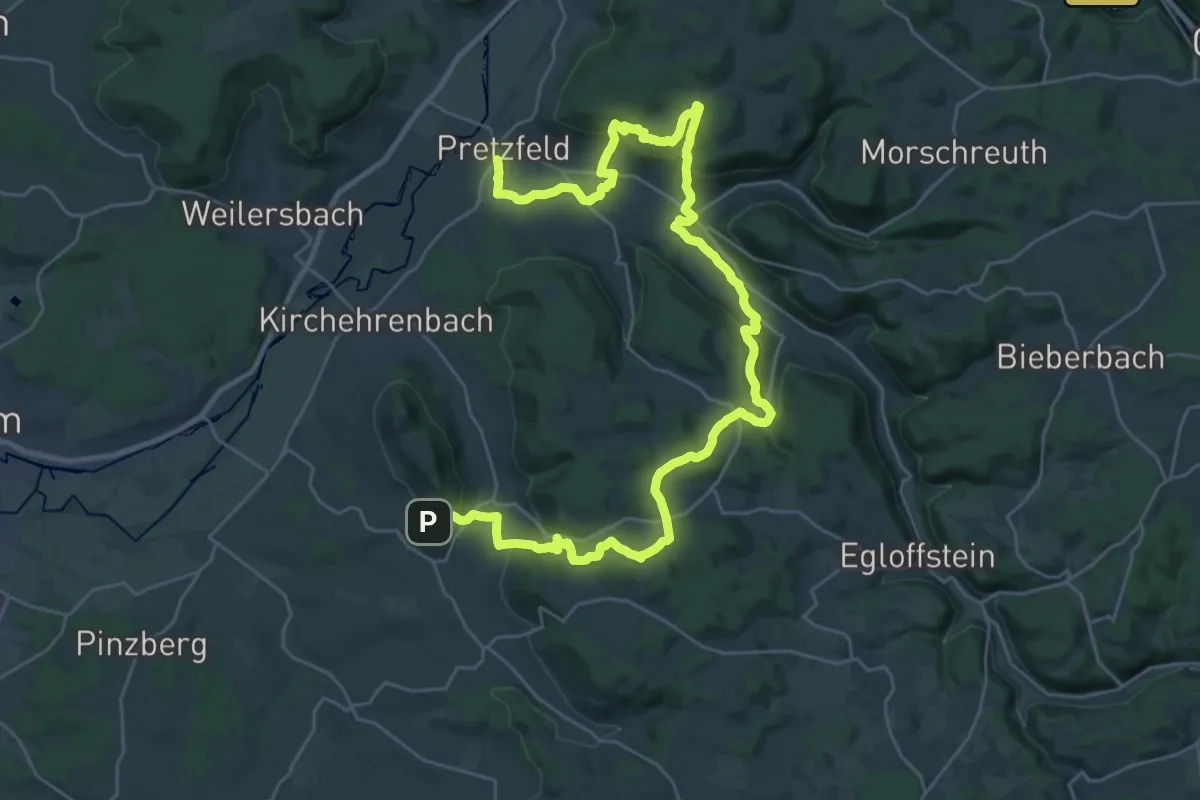
Demanding · Trail
Kulturerlebnis Fränkische Schweiz - Pretzfeld - Schaifhausen
19.2 km · ↑ 472 m · 5 h 53 min
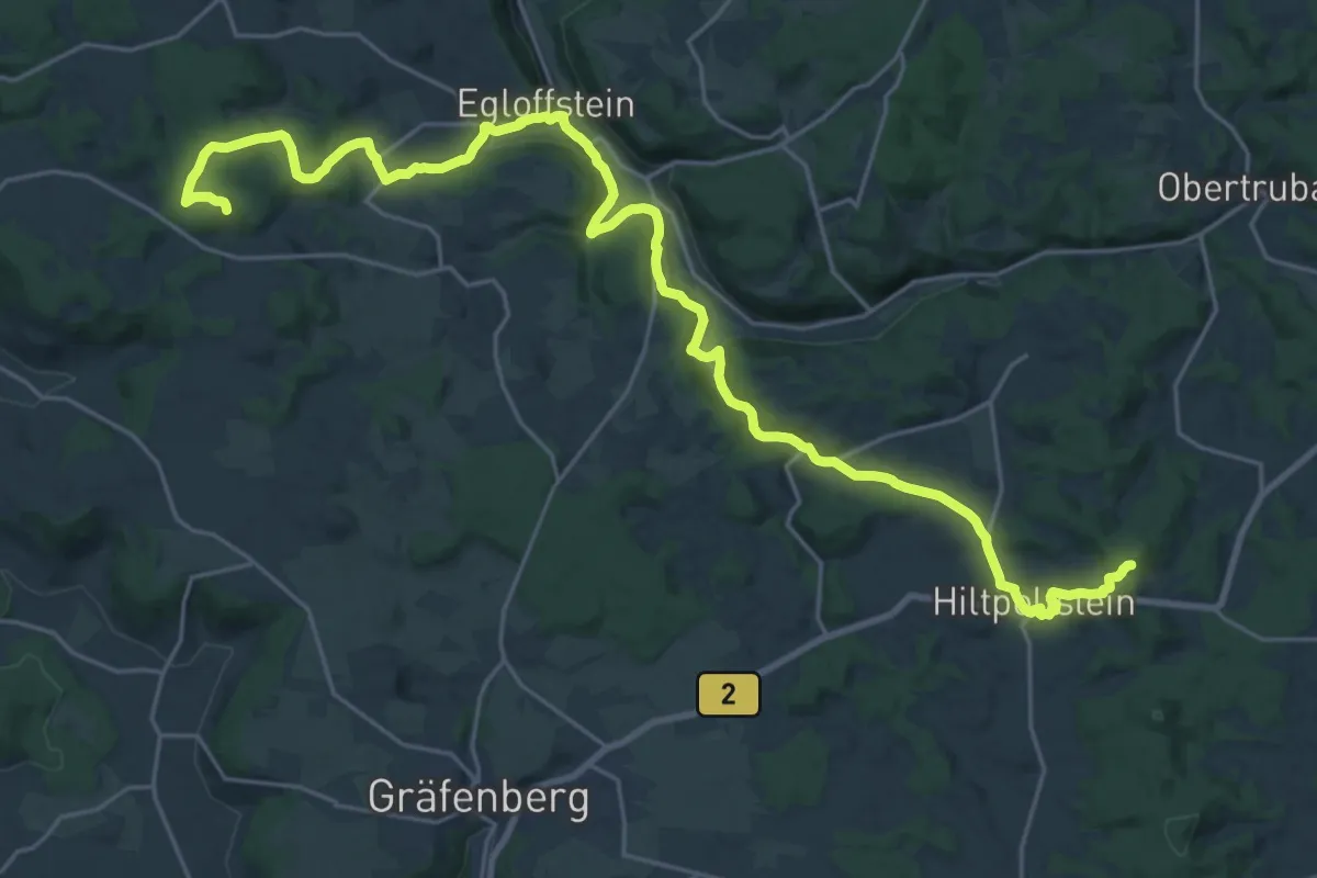
Demanding · Summit
Kulturerlebnis Fränkische Schweiz - Seidmar - Trubachtal
29.5 km · ↑ 749 m · 8 h 35 min
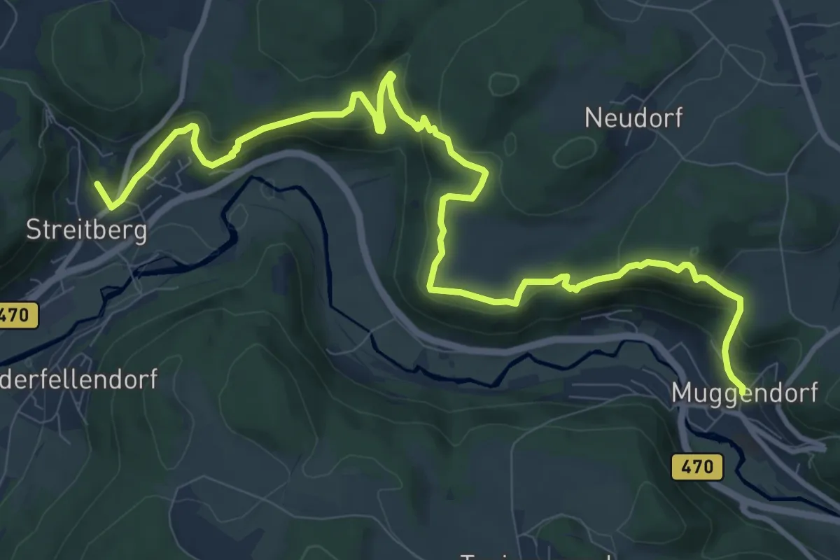
Medium · Summit
Kulturerlebnis Fränkische Schweiz - Streitberg - Muggendorf
12.1 km · ↑ 652 m · 4 h 16 min
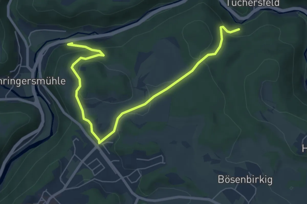
Easy · Trail
Kulturerlebnis Fränkische Schweiz - Tüchersfeld - Behringersmühle - Gößweinstein
6.1 km · ↑ 270 m · 2 h 1 min
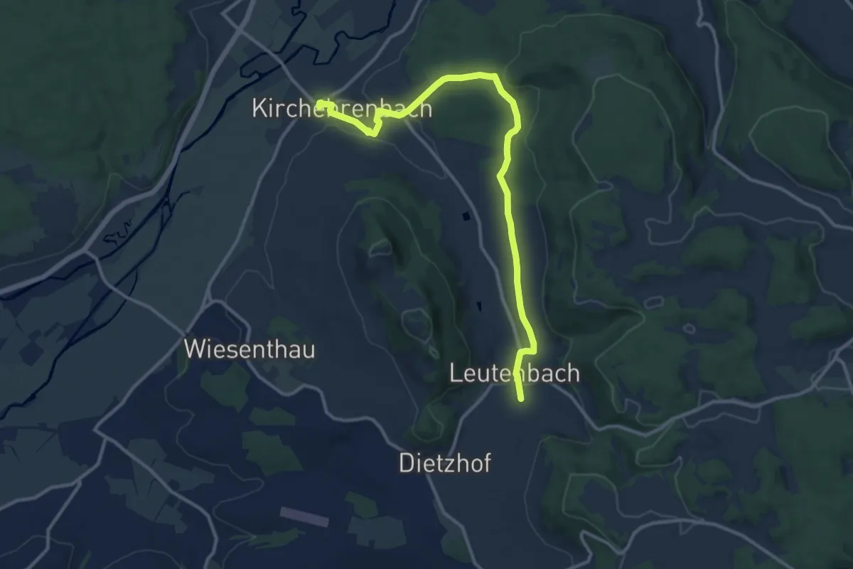
Medium · Trail
Kulturerlebnis Fränkische Schweiz - Unterweilersbach - Leutenbach
11.7 km · ↑ 175 m · 3 h 8 min
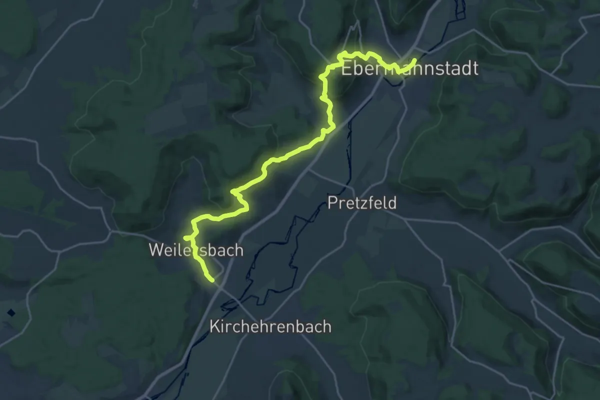
Demanding · Trail
Kulturerlebnis Fränkische Schweiz - Weilersbach - Ebermannstadt
20.3 km · ↑ 701 m · 6 h 19 min
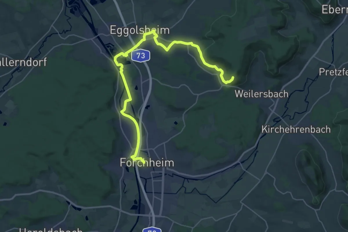
Demanding · Summit
Kulturerlebnis Fränkische Schweiz - Weilersbach - Forchheim
28.0 km · ↑ 270 m · 7 h 11 min
Easy · Trail
KulturFlecken-Weg F2
6.2 km · ↑ 145 m · 1 h 53 min
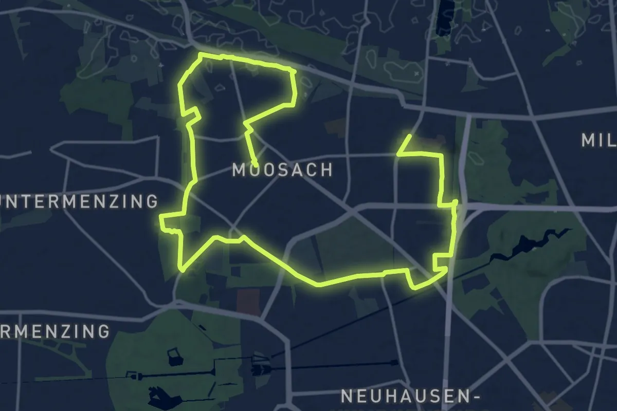
Demanding · Trail
KulturGeschichtsPfad 10 Moosach - großer Pfad
21.3 km · ↑ 38 m · 5 h 6 min
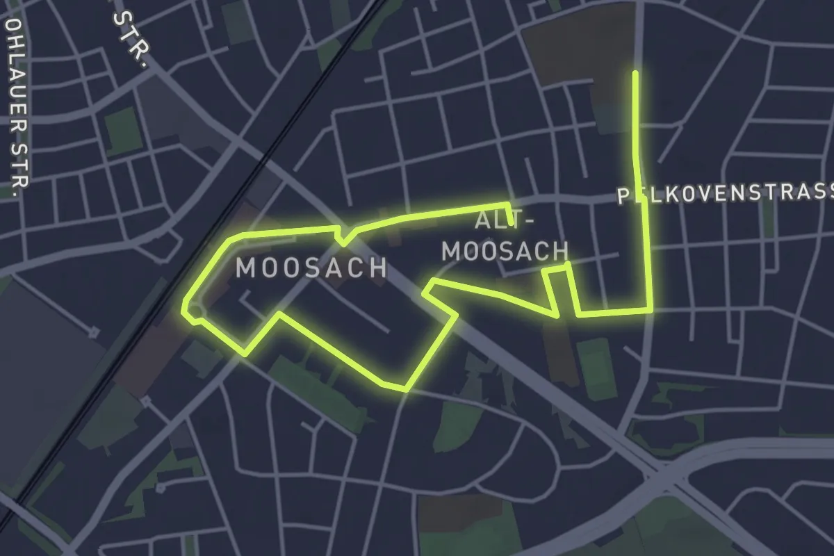
Easy · Trail
KulturGeschichtsPfad 10 Moosach - kleiner Pfad
6.8 km · ↑ 8 m · 1 h 37 min
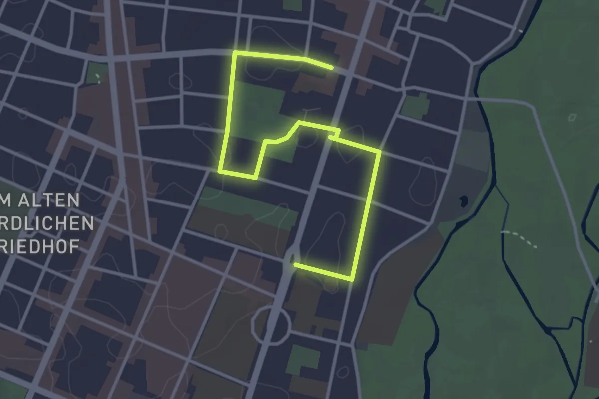
Easy · Trail
KulturGeschichtsPfad 12 Schwabing-Freimann - Erster Spaziergang
3.7 km · ↑ 4 m · 53 min
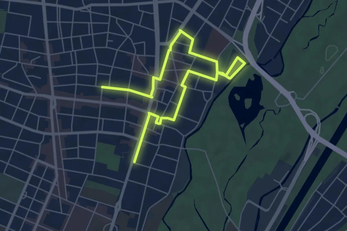
Easy · Trail
KulturGeschichtsPfad 12 Schwabing-Freimann - Zweiter Spaziergang
7.5 km · ↑ 16 m · 1 h 49 min
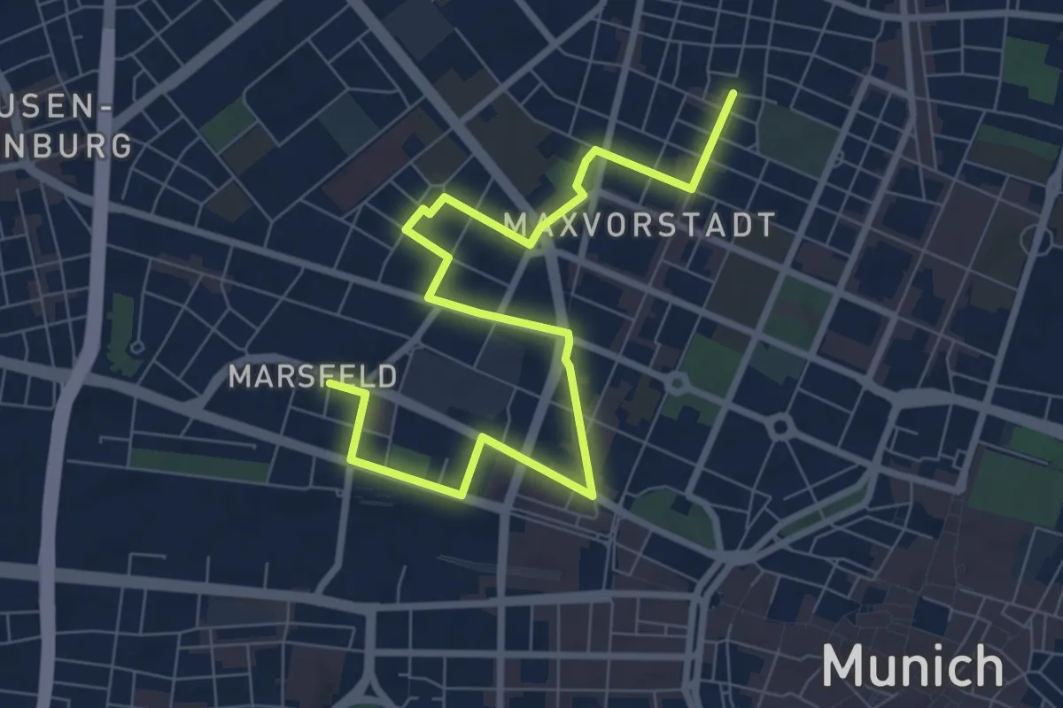
Medium · Trail
KulturGeschichtsPfad 3 Maxvorstadt - Dritter Spaziergang
9.2 km · ↑ 45 m · 2 h 16 min
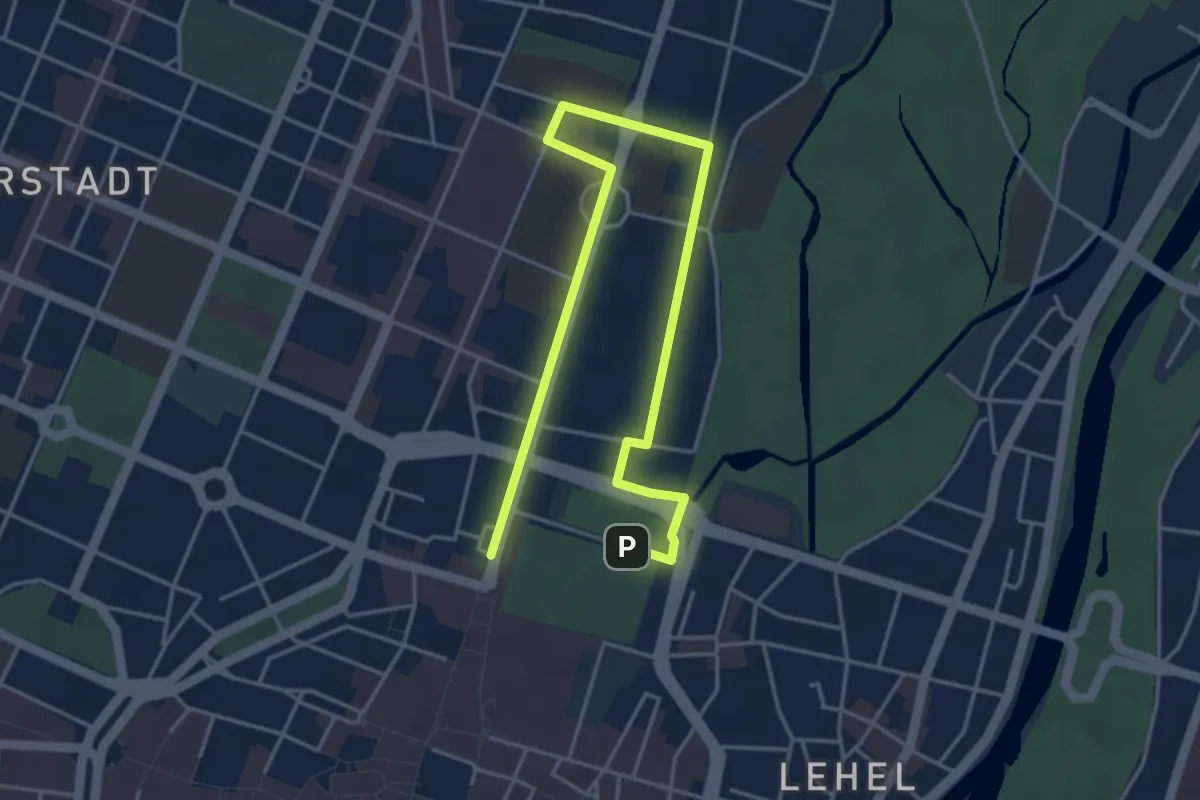
Easy · Trail
KulturGeschichtsPfad 3 Maxvorstadt - Erster Spaziergang
5.6 km · ↑ 22 m · 1 h 22 min
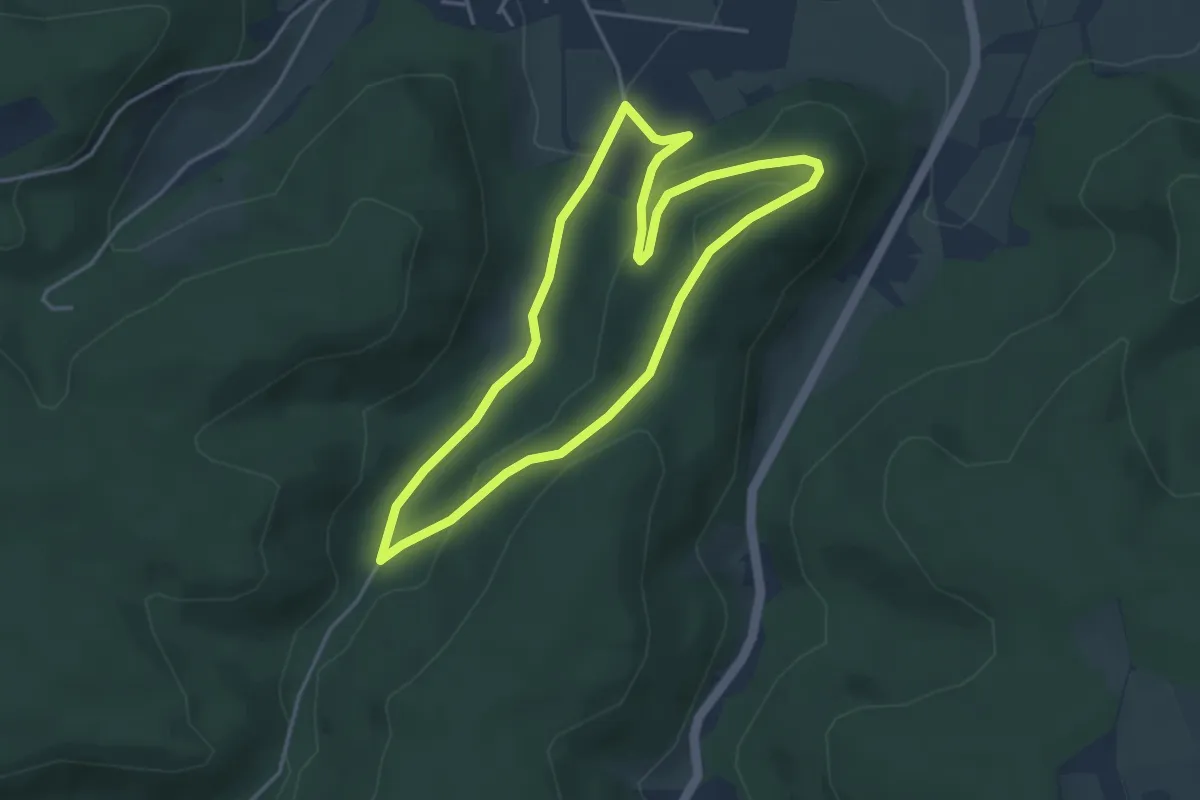
Easy · Trail
Kulturhistorischer Erlebnispfad
3.7 km · ↑ 110 m · 1 h 10 min
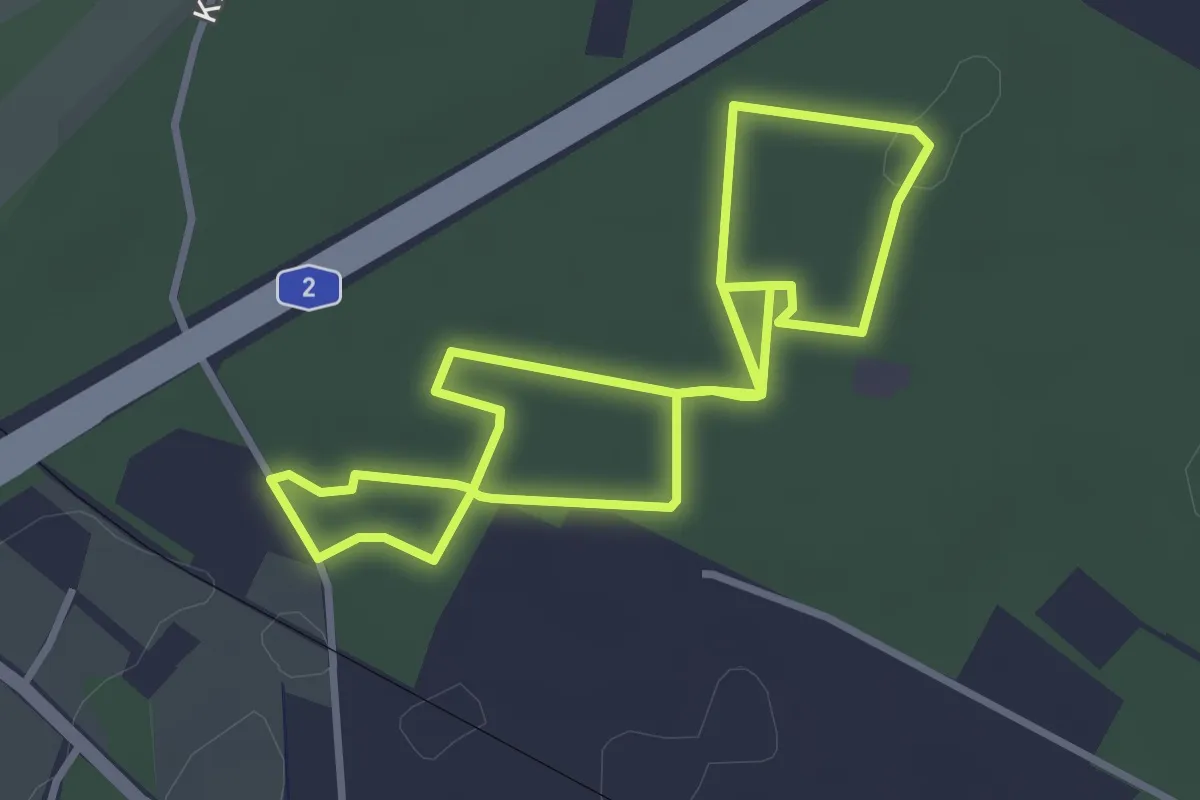
Easy · Trail
Kulturhistorischer Landschaftsweg Senne
2.9 km · ↑ 13 m · 45 min
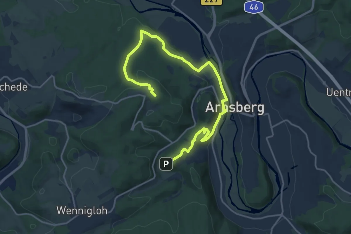
Medium · Summit
Kulturhistorische Route
13.1 km · ↑ 336 m · 3 h 49 min
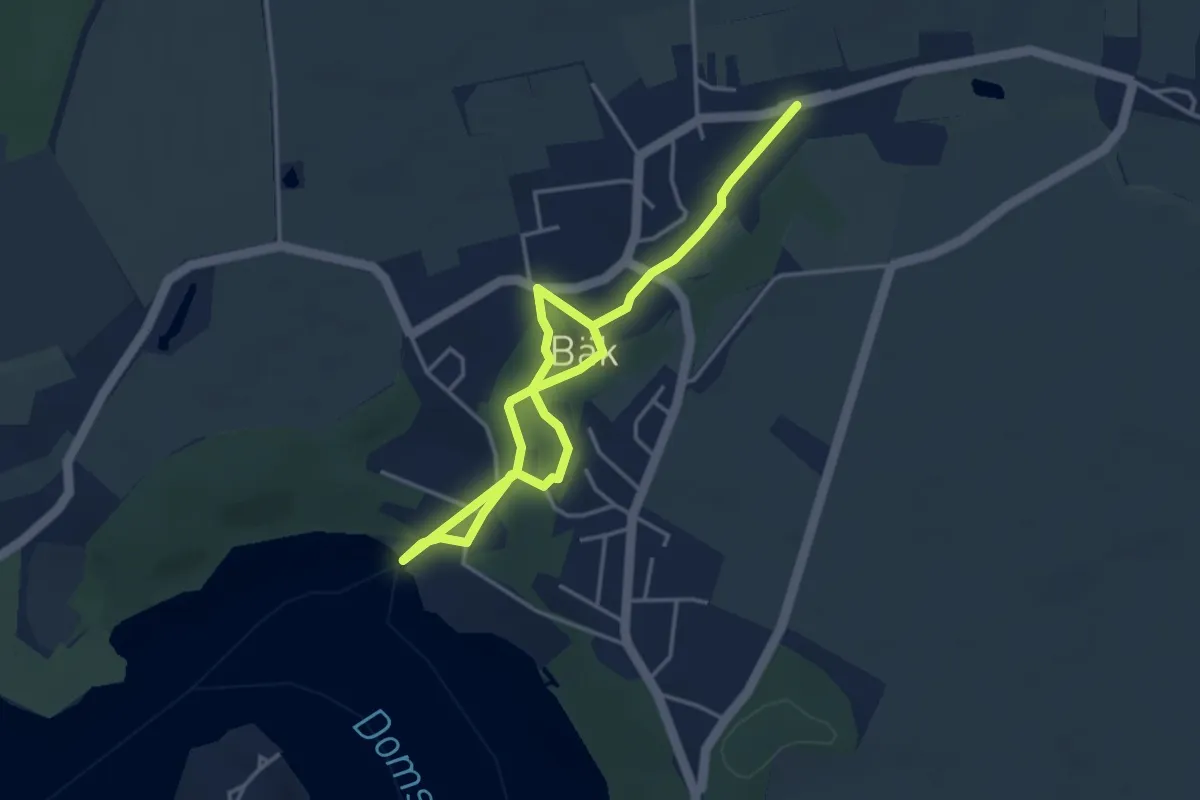
Easy · Trail
Kulturhistorischer Pfad Bäk
4.7 km · ↑ 61 m · 1 h 15 min
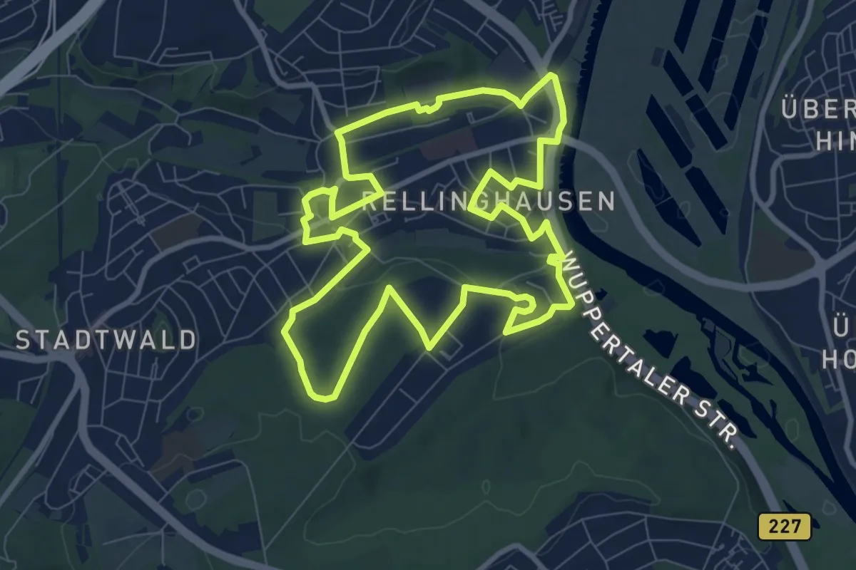
Easy · Trail
Kulturhistorischer Rundweg Rellinghausen
7.8 km · ↑ 108 m · 2 h 11 min
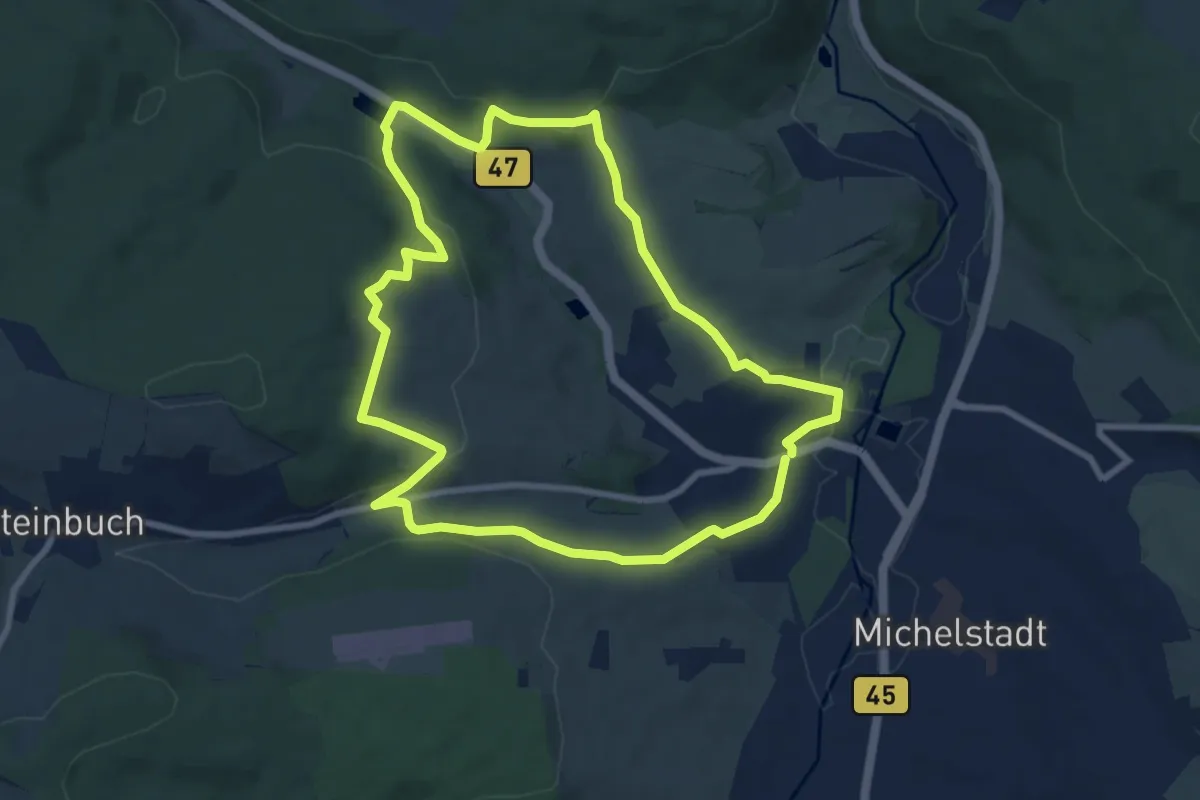
Easy · Trail
Kulturhistorischer Wanderweg Steinbach
7.9 km · ↑ 190 m · 2 h 23 min
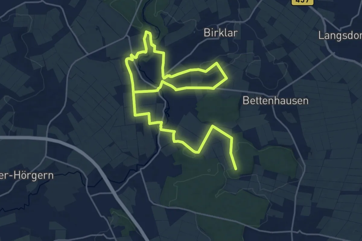
Medium · Trail
Kulturhistorischer Weg Muschenheim
12.1 km · ↑ 165 m · 3 h 22 min
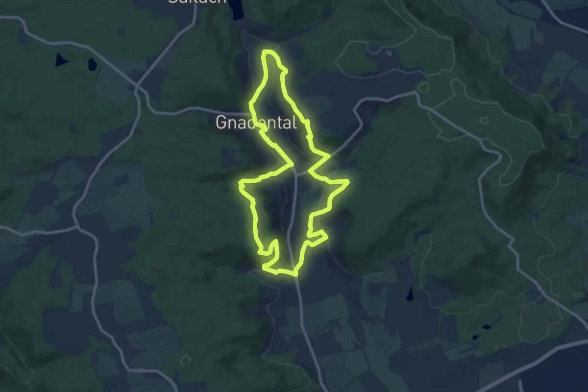
Medium · Trail
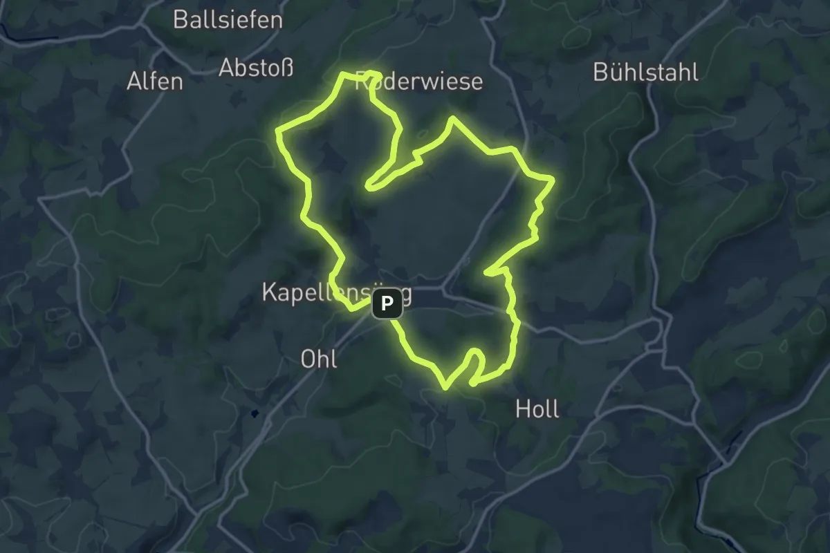
Kulturlandschaftspfad Gnadental
8.0 km · ↑ 263 m · 2 h 35 min
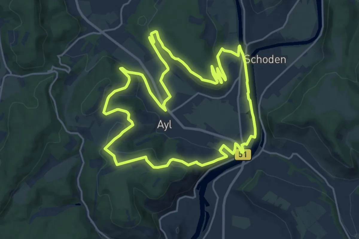
Medium · Summit
Kulturlandschaftsweg
12.5 km · ↑ 326 m · 3 h 50 min
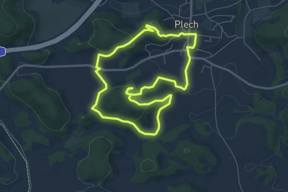
Medium · Summit
KulturLandschaftsWeg
14.6 km · ↑ 330 m · 4 h 22 min
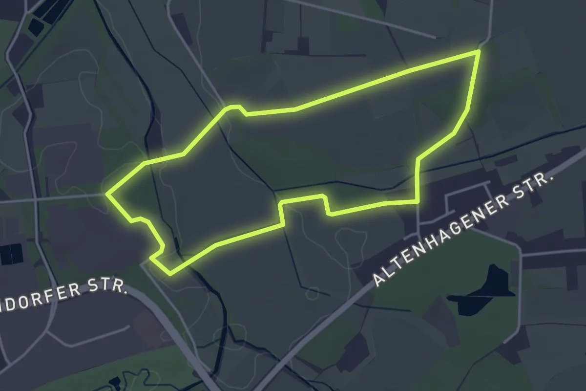
Easy · Summit
Kulturlandschaftsweg Plech
5.2 km · ↑ 192 m · 1 h 42 min
Easy · Trail
KulturLand Schelphof - Erlebsnispfad Land[wirt]schaft
3.4 km · ↑ 21 m · 54 min
Medium · Summit
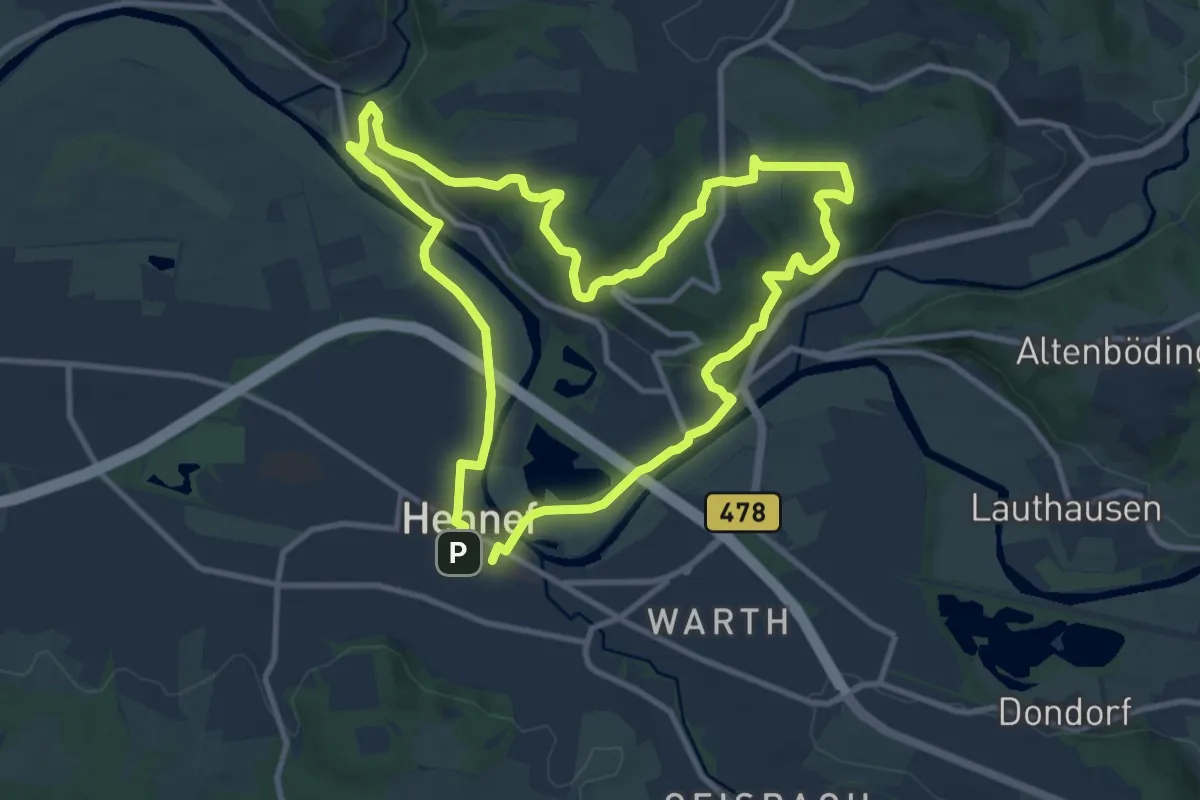
Kulturlandweg Erlebnisweg Sieg Nr. 4
9.8 km · ↑ 238 m · 2 h 58 min
Medium · Trail
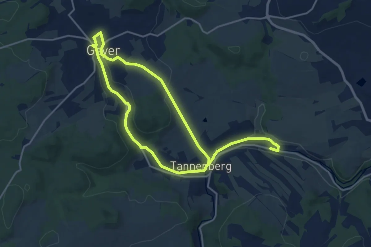
Kulturmeile Geyer-Tannenberg
16.7 km · ↑ 261 m · 4 h 30 min
Easy · Trail
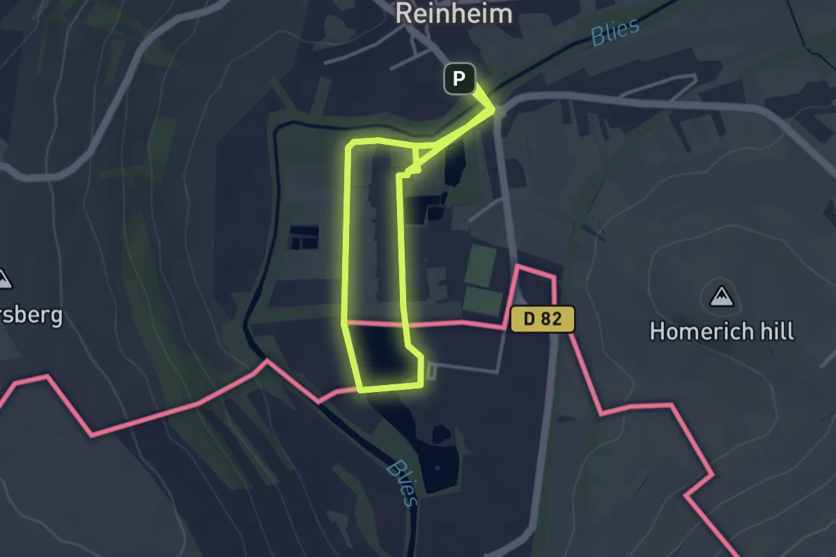
Kulturpark Spazierweg
3.1 km · ↑ 9 m · 48 min
Easy · Summit
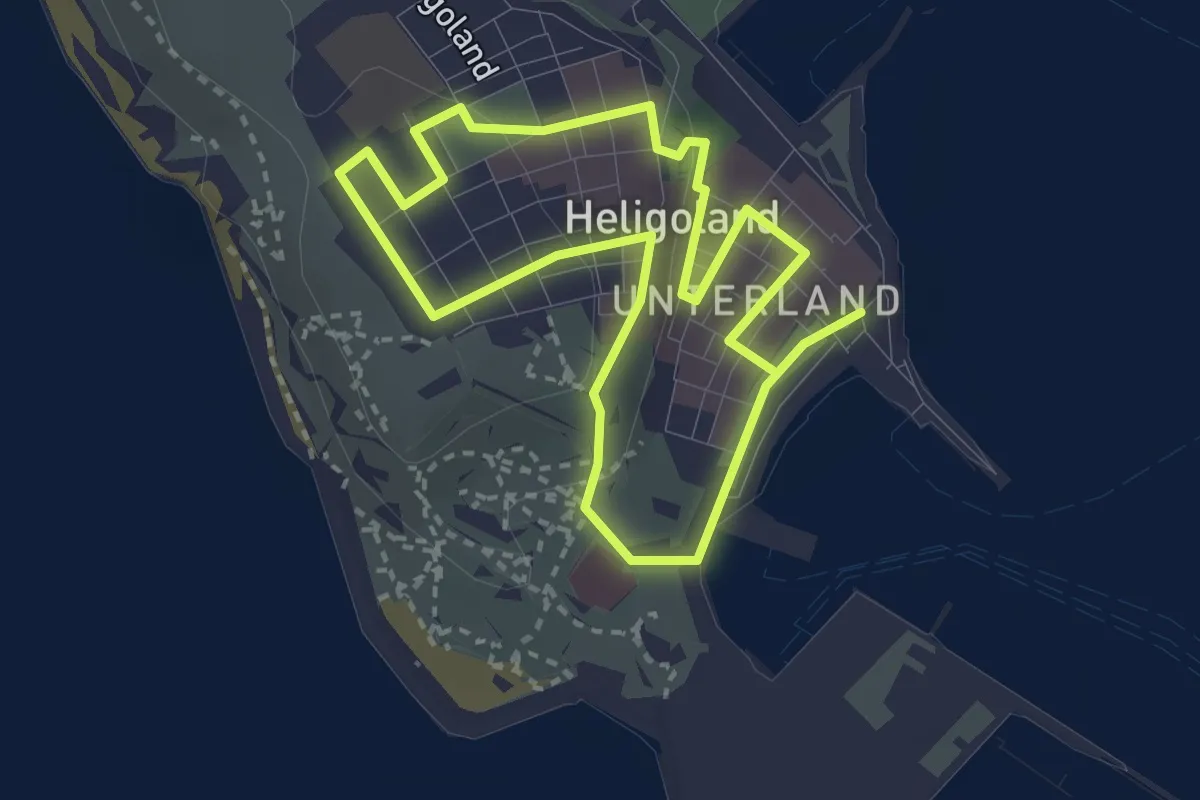
Kulturpfad
2.4 km · ↑ 41 m · 41 min
Easy · Trail
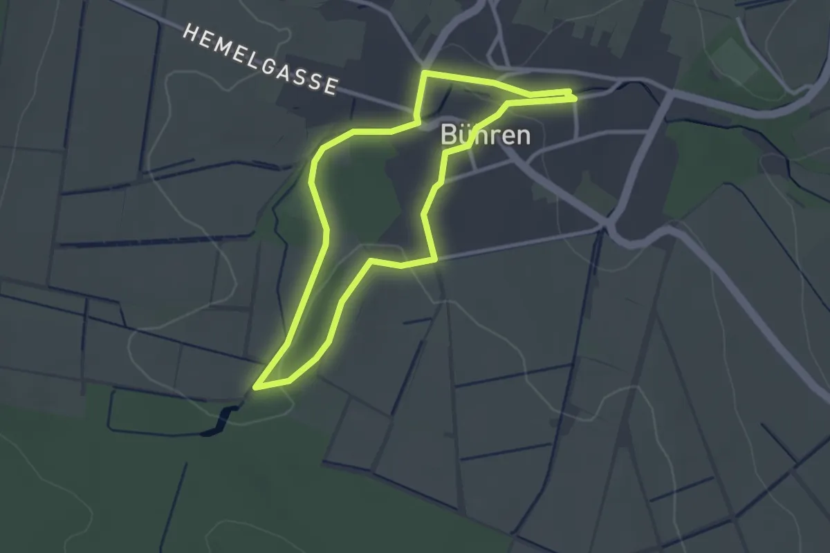
Kulturpfad Bühren
2.4 km · ↑ 27 m · 40 min
Easy · Trail
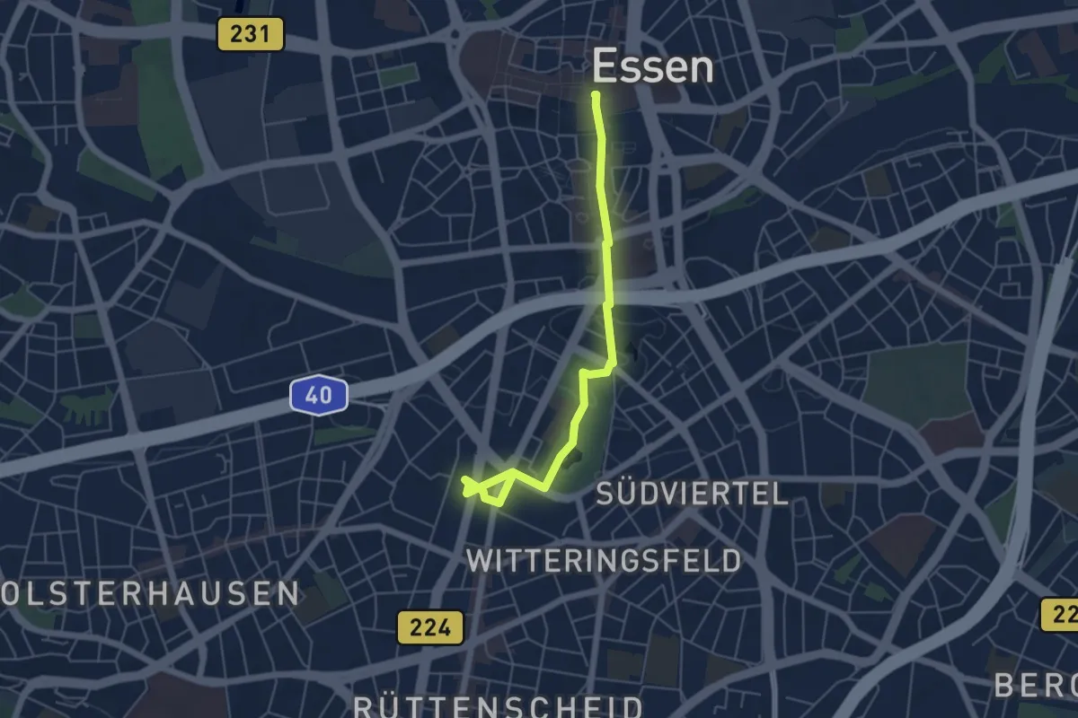
Kulturpfad Essen
4.9 km · ↑ 30 m · 1 h 13 min
Medium · Summit
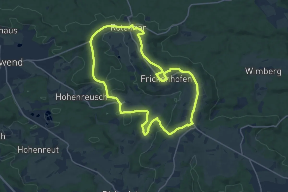
Kultur- und Landschaftspfad Frickenhofer Höhe
10.5 km · ↑ 173 m · 3 h