Trails in Germany
36,852 hiking trails, each with its route, climb, walking time and grade.
All trails, page 311 of 768
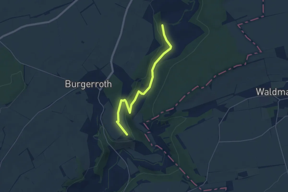
Easy · Trail
Kunigundenweg Aub - Bamberg
4.4 km · ↑ 77 m · 1 h 13 min
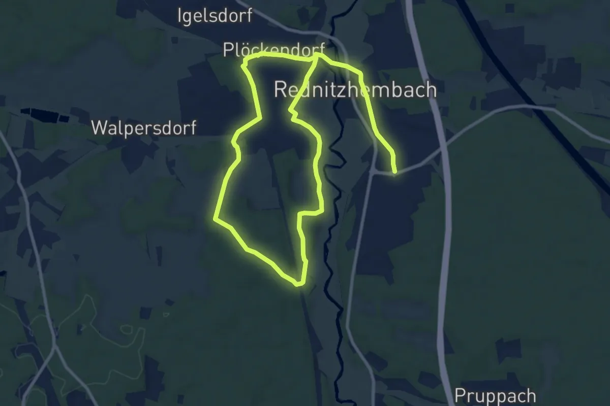
Medium · Trail
Kunst im Rednitztal
14.9 km · ↑ 199 m · 3 h 57 min
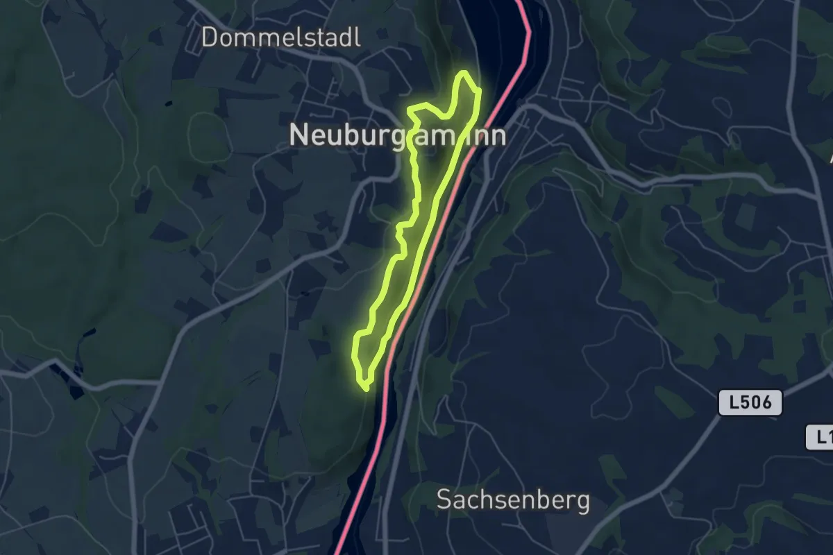
Easy · Trail
Künstlersteig
4.2 km · ↑ 127 m · 1 h 20 min
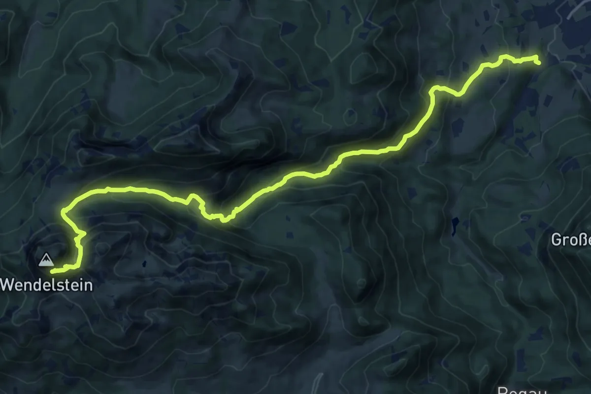
Demanding · Trail
Künstlerweg
17.7 km · ↑ 1237 m · 6 h 52 min
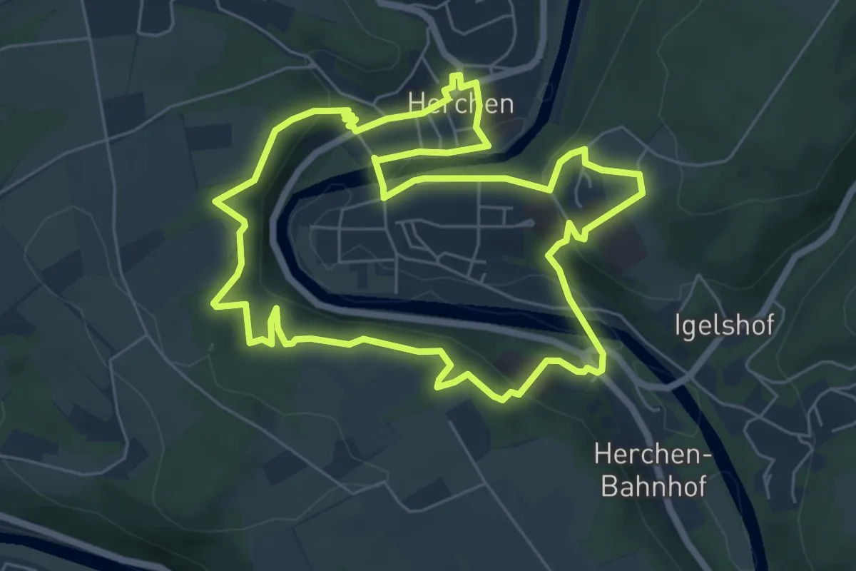
Easy · Trail
Künstlerweg (Erlebnisweg Sieg)
5.8 km · ↑ 255 m · 2 h
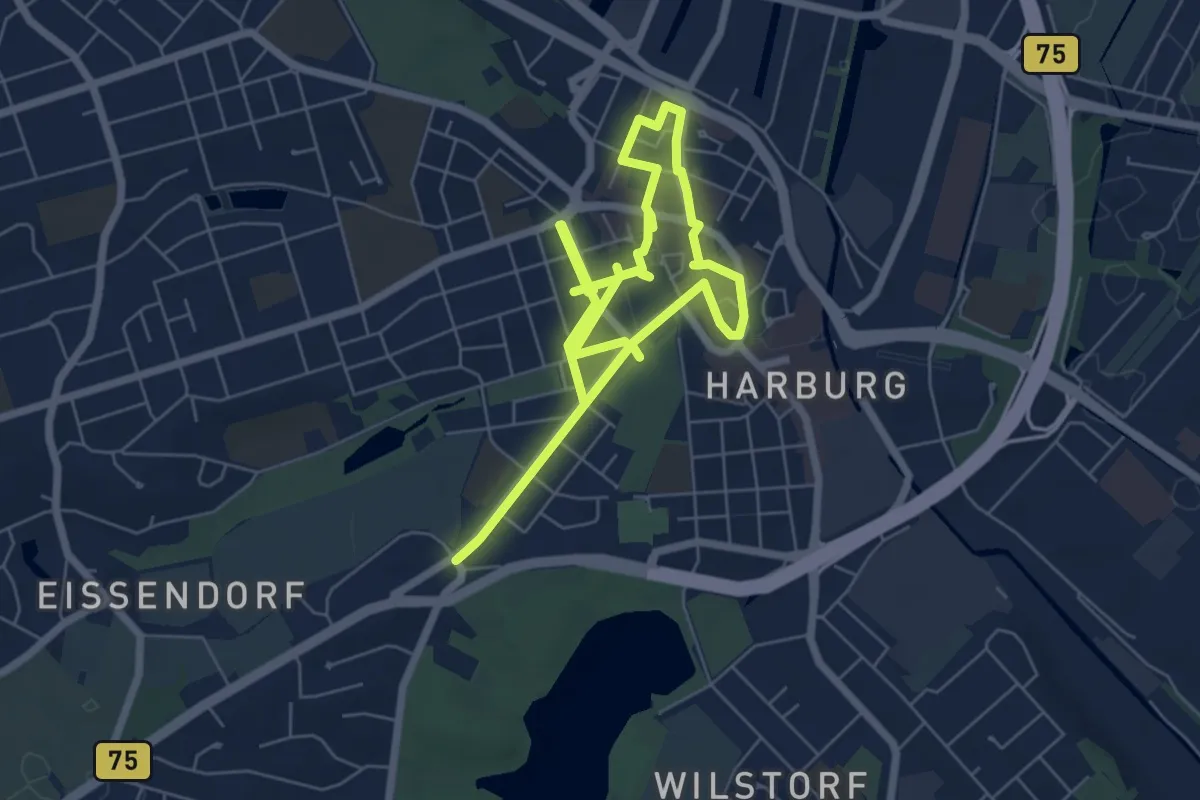
Medium · Trail
Kunstpfad
10.1 km · ↑ 26 m · 2 h 27 min
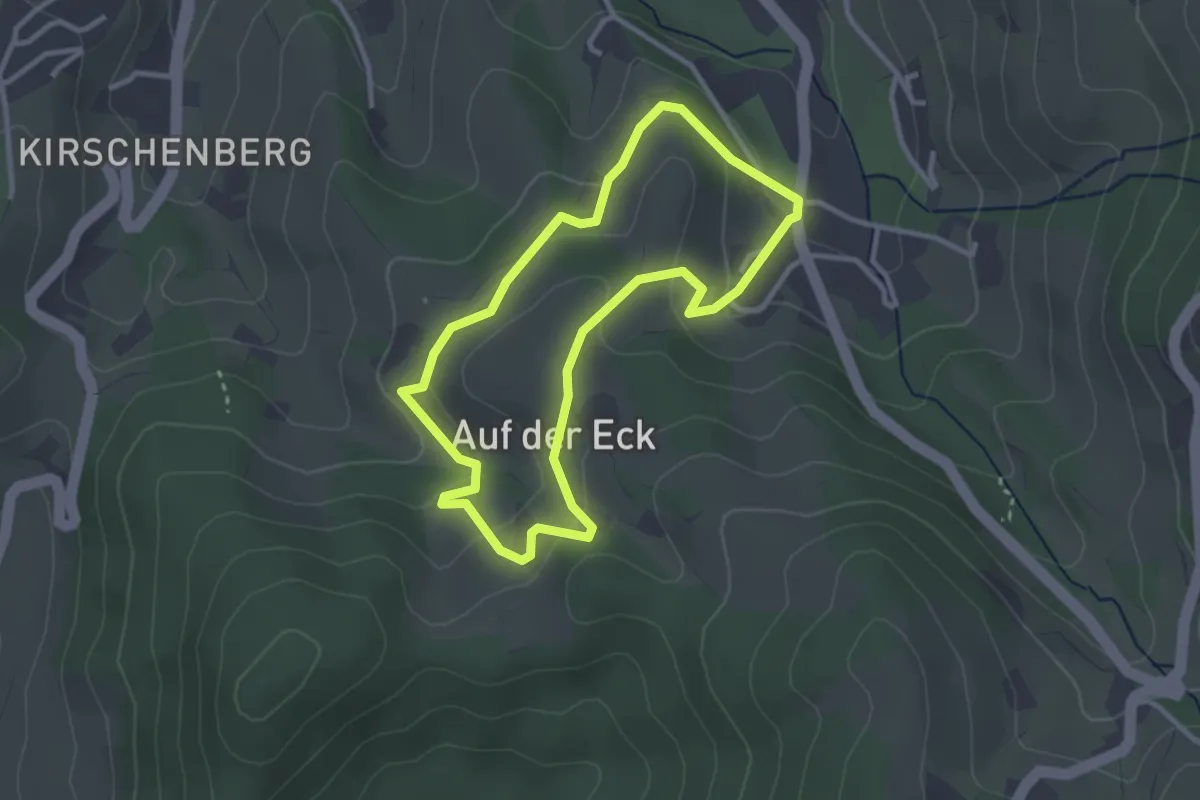
Easy · Trail
Kunstpfad Weinsüden
2.7 km · ↑ 126 m · 56 min
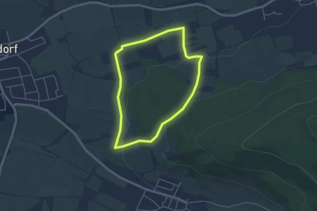
Easy · Trail
Kunst- und Besinnungsweg - Fränkische Toskana
3.1 km · ↑ 80 m · 57 min
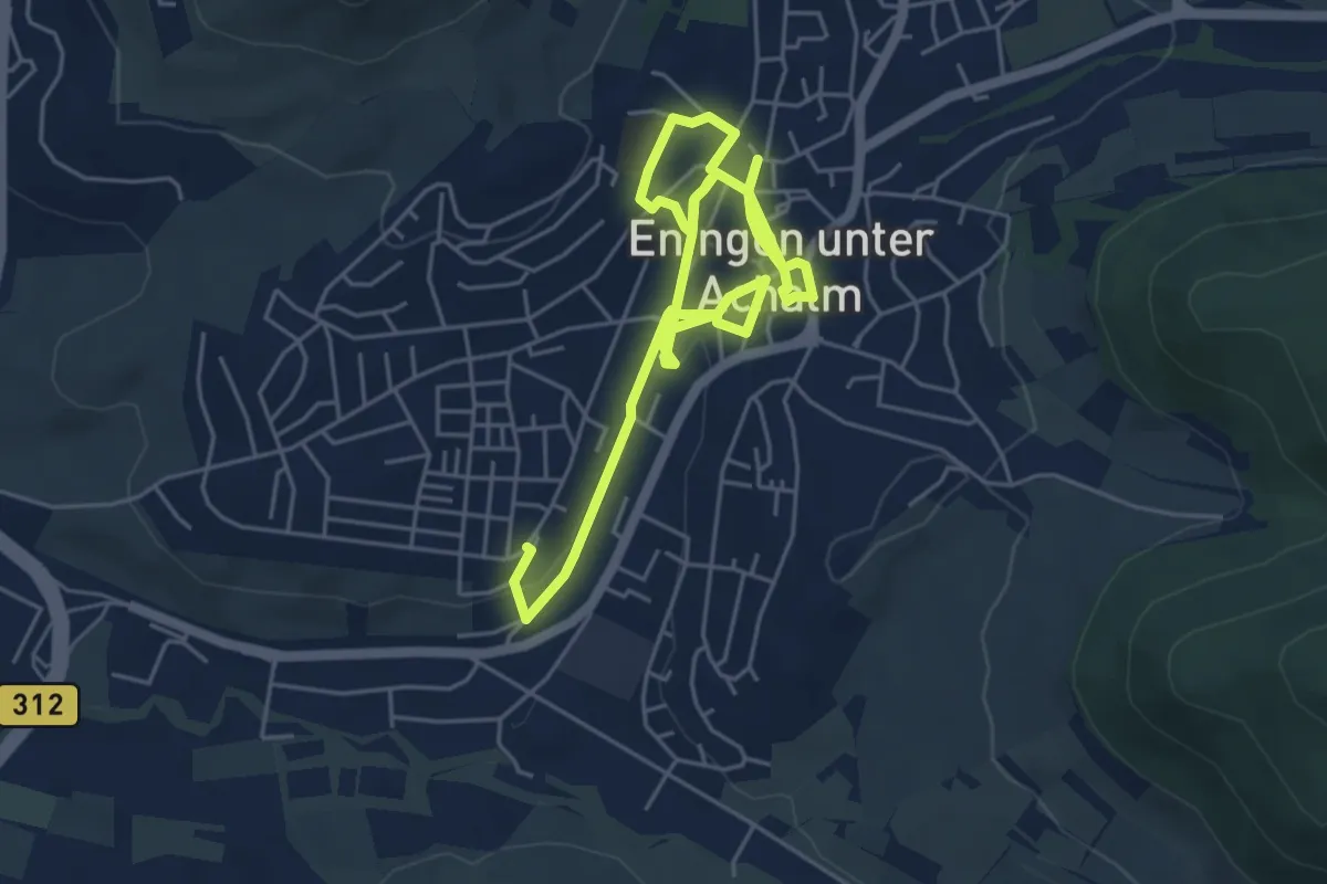
Easy · Trail
Kunst und Sinnespfad Eningen
7.6 km · ↑ 74 m · 1 h 57 min
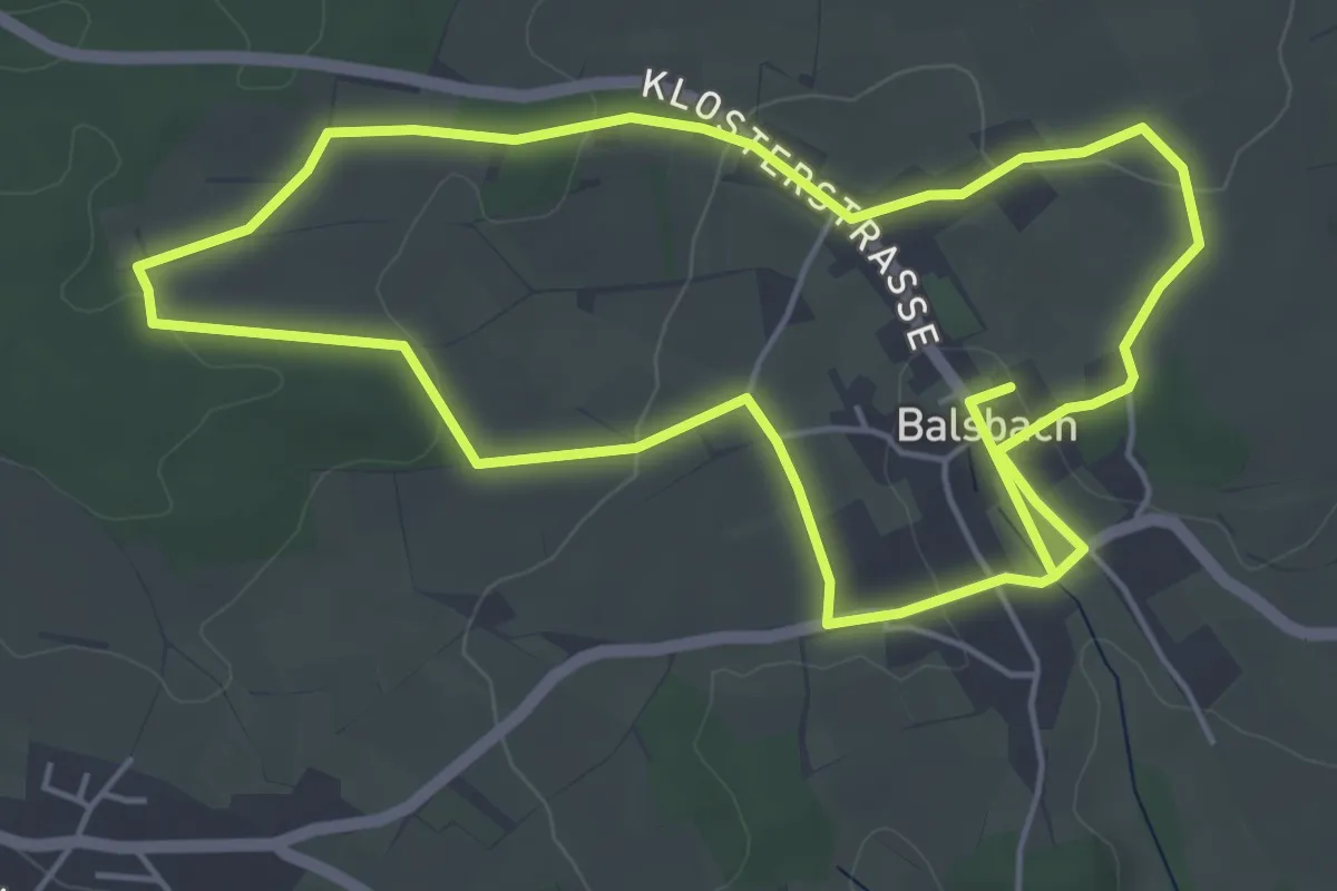
Easy · Trail
Kunstwanderweg Balsbach
4.9 km · ↑ 95 m · 1 h 25 min
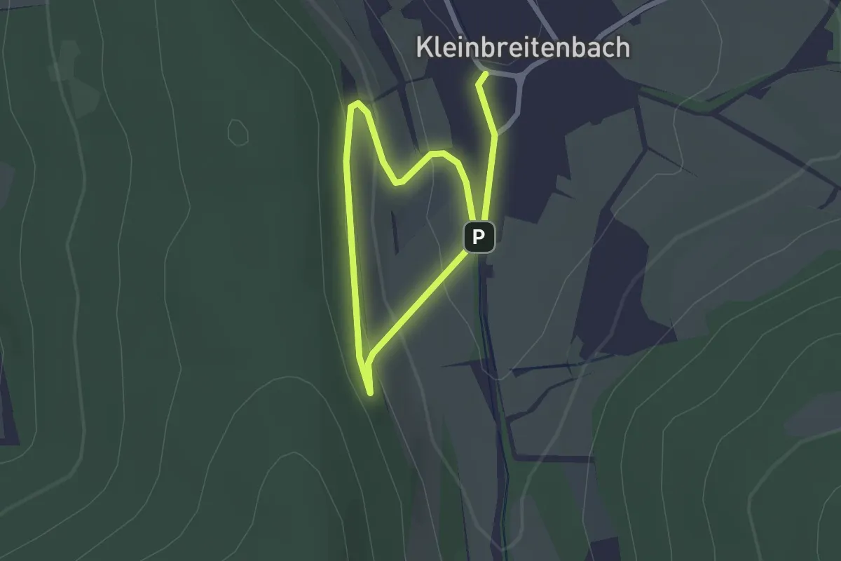
Easy · Trail
Kunstwanderweg Kleinbreitenbach
1.6 km · ↑ 53 m · 31 min
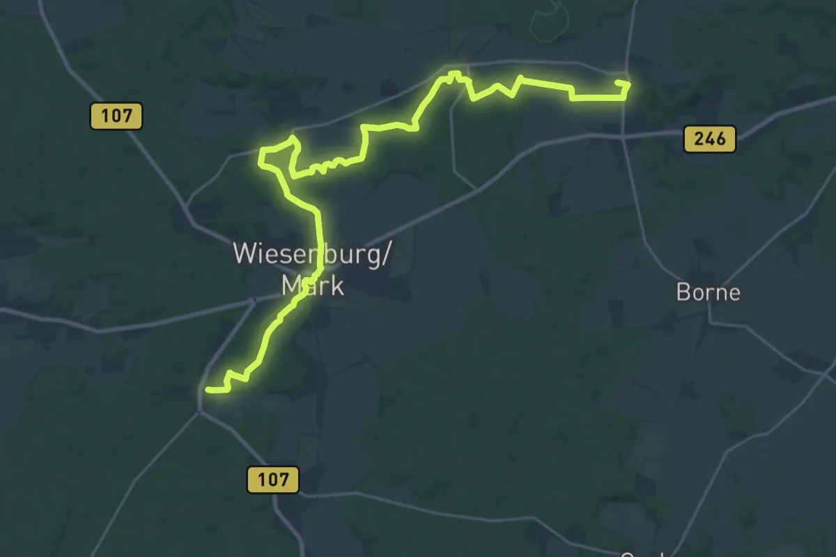
Demanding · Summit
Kunstwanderweg Nordroute
26.2 km · ↑ 240 m · 6 h 42 min
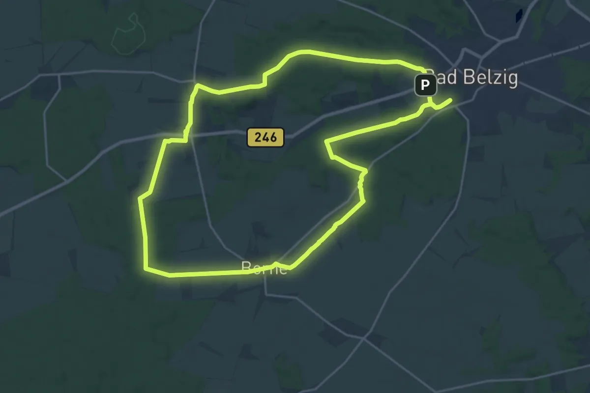
Medium · Summit
Kunstwanderweg Rundwanderweg Ostroute
16.6 km · ↑ 152 m · 4 h 29 min
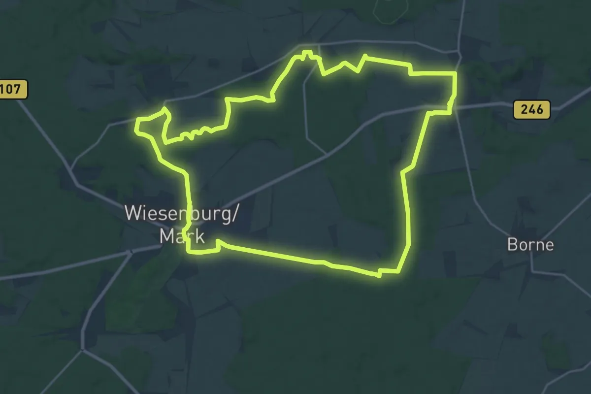
Medium · Trail
Kunstwanderweg Rundwanderweg Westroute
17.9 km · ↑ 140 m · 4 h 46 min
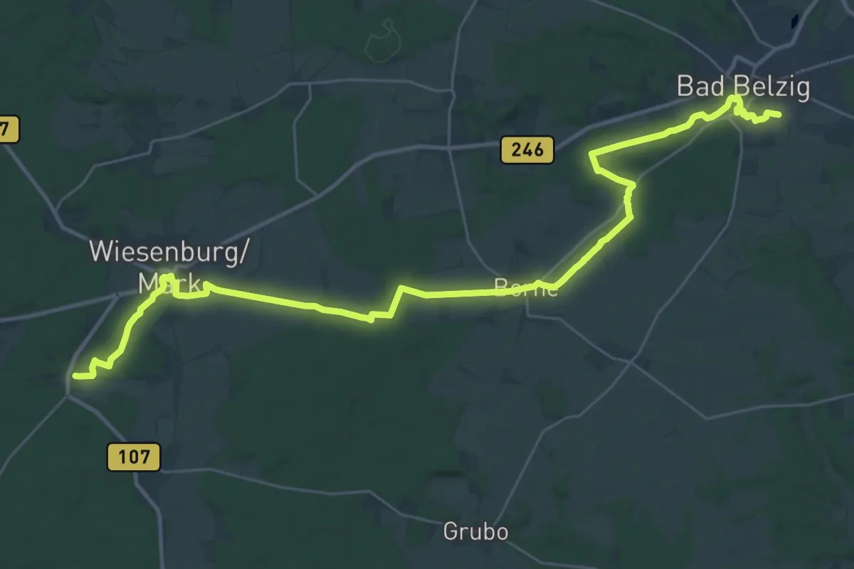
Medium · Trail
Kunstwanderweg Südroute
16.6 km · ↑ 121 m · 4 h 27 min
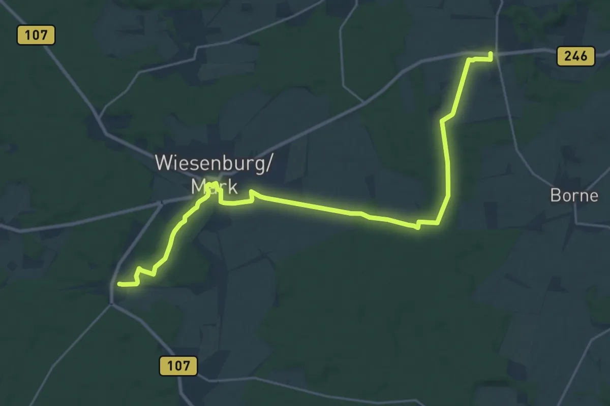
Demanding · Trail
Kunstwanderweg XR
19.9 km · ↑ 108 m · 4 h 55 min
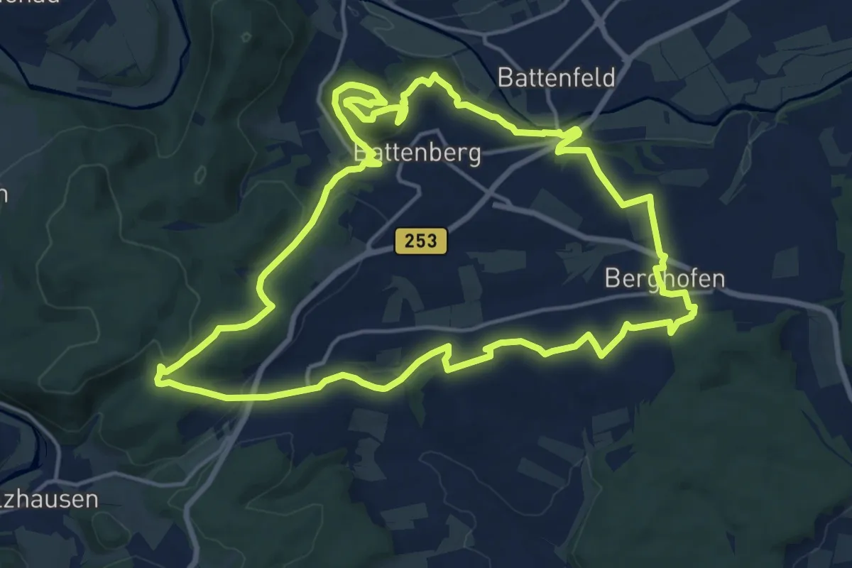
Medium · Trail
Kunstweg-Battenberg
14.9 km · ↑ 437 m · 4 h 41 min
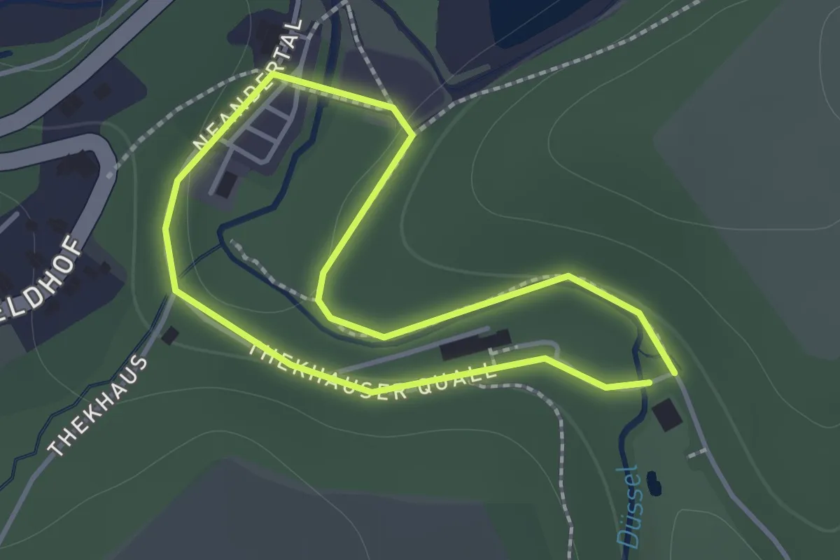
Easy · Trail
Kunstweg "Menschenspuren"
1.1 km · ↑ 9 m · 17 min
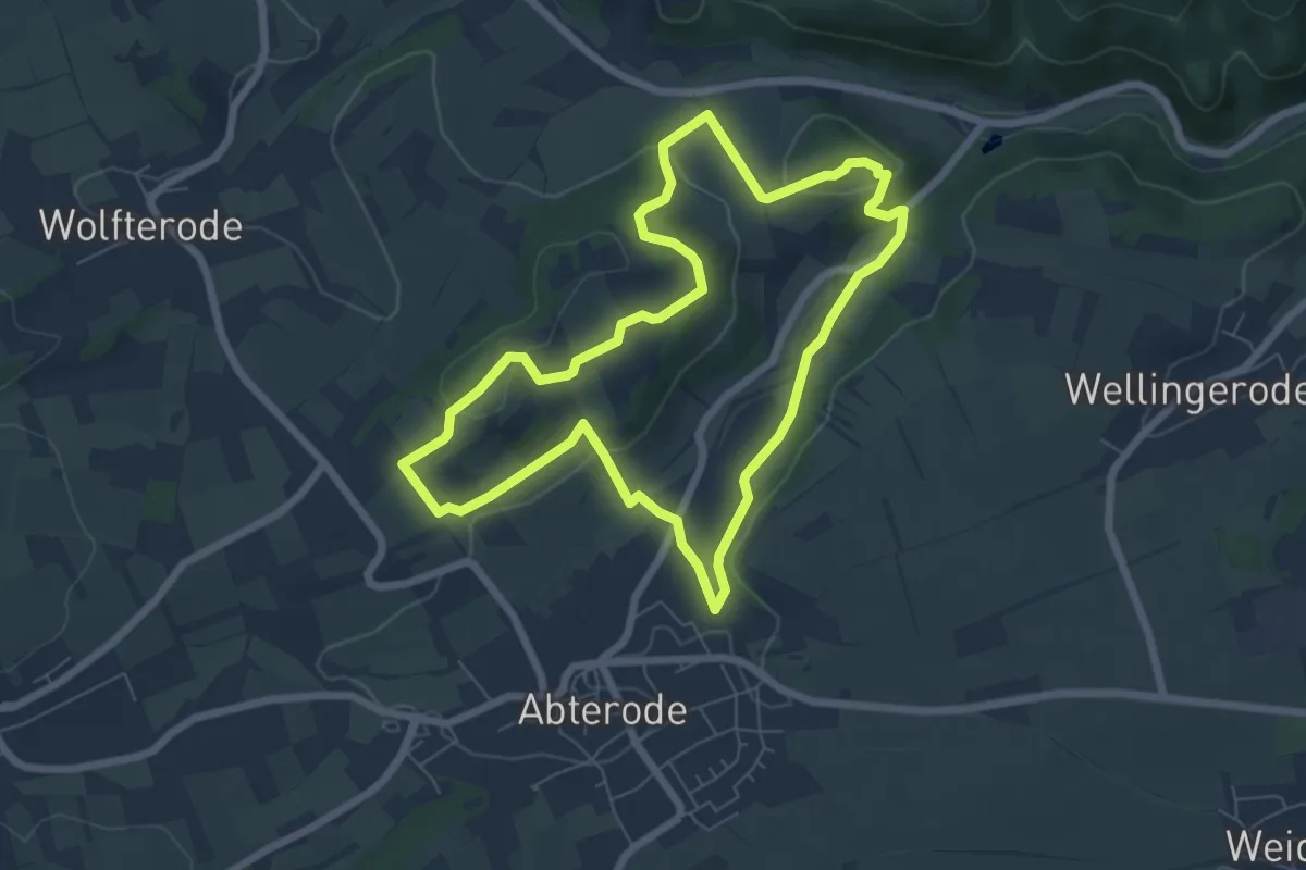
Easy · Trail
Kupferbachtal und Krösselberg
6.1 km · ↑ 164 m · 1 h 52 min
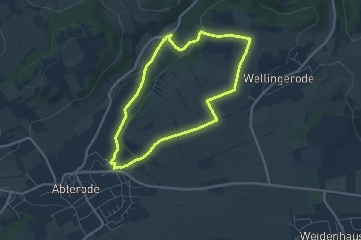
Easy · Trail
Kupferbachtal und Wellingeröder Höhe
4.4 km · ↑ 61 m · 1 h 14 min
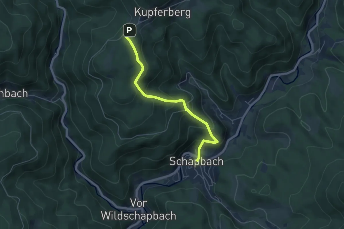
Medium · Trail
Kupferberg Parkplatz - Schapbach Rathaus
4.6 km · ↑ 331 m · 1 h 49 min
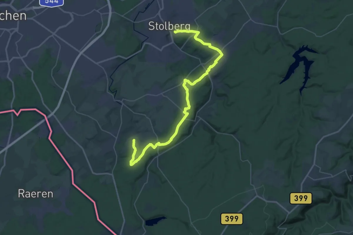
Medium · Trail
Kupferroute
17.3 km · ↑ 298 m · 4 h 55 min
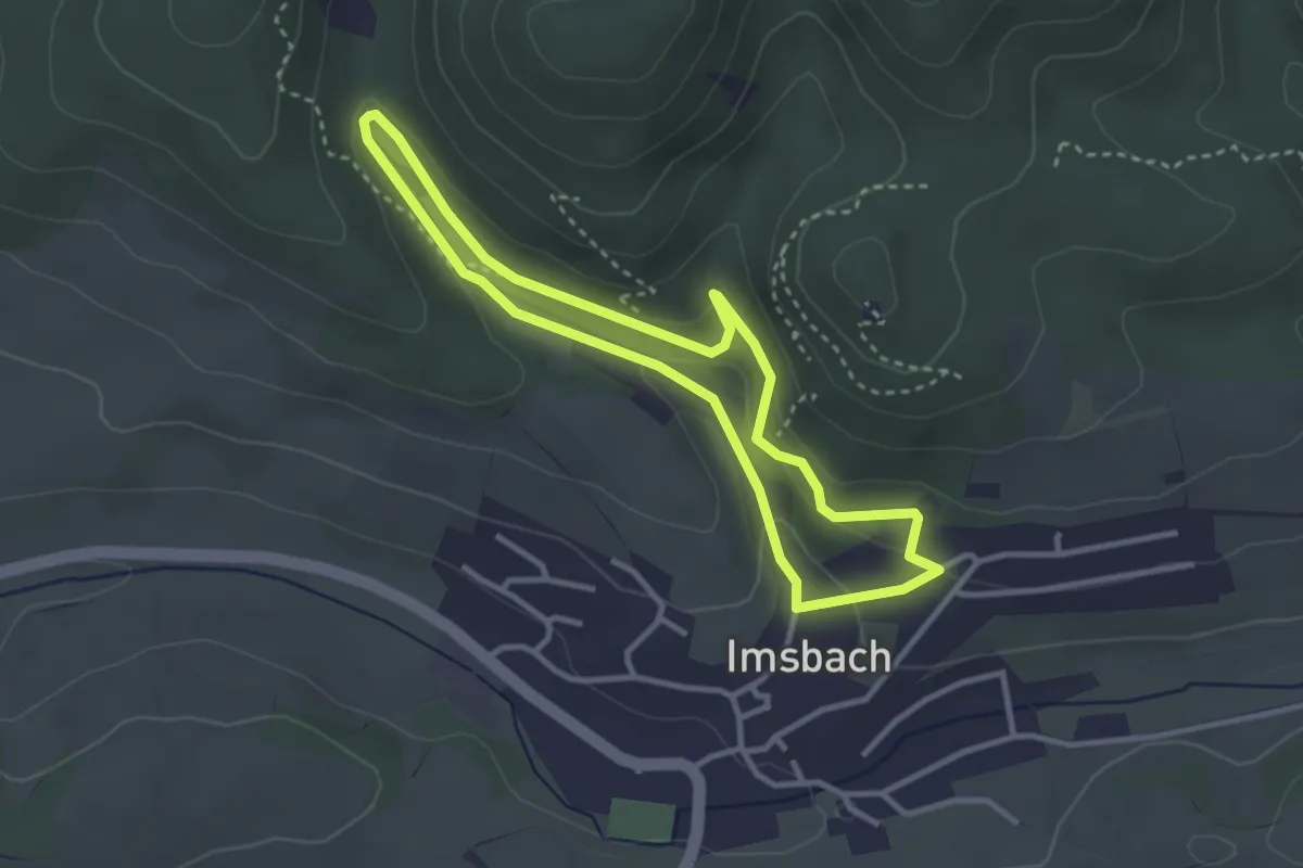
Easy · Trail
Kupferweg 1
2.8 km · ↑ 108 m · 56 min
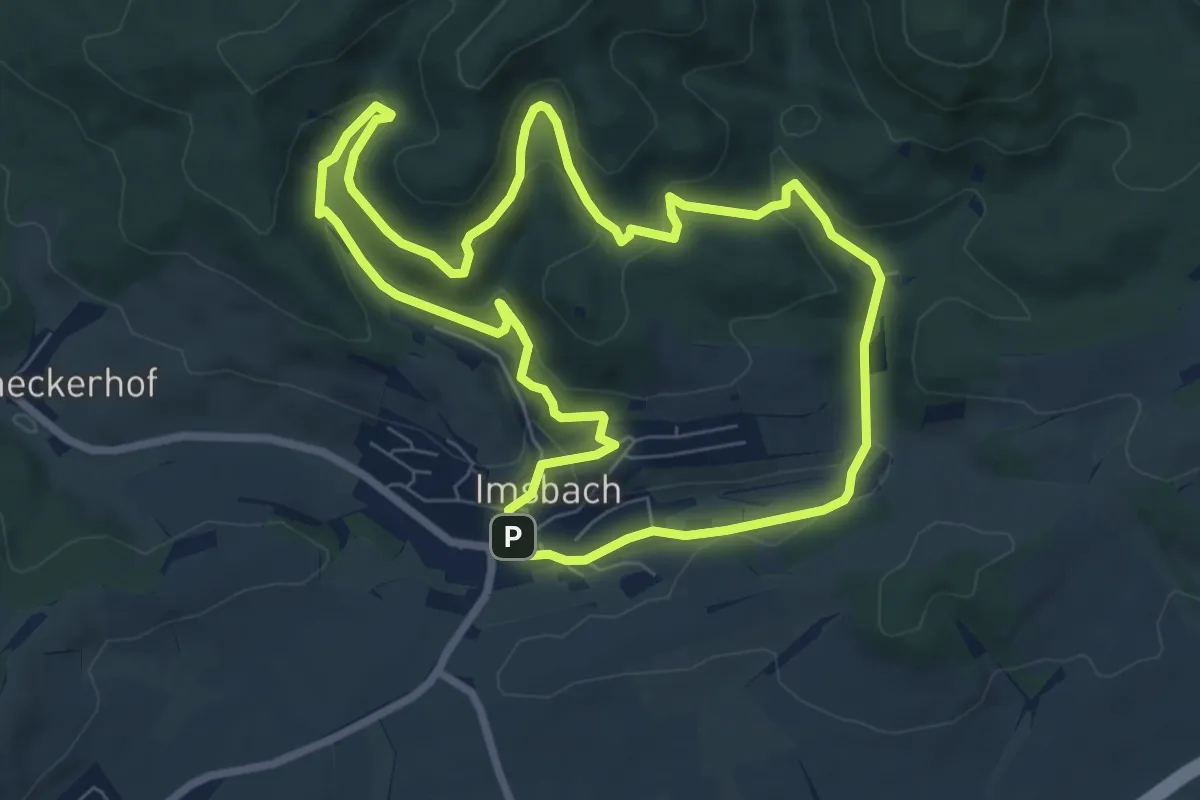
Easy · Trail
Kupferwege 2
7.1 km · ↑ 240 m · 2 h 18 min
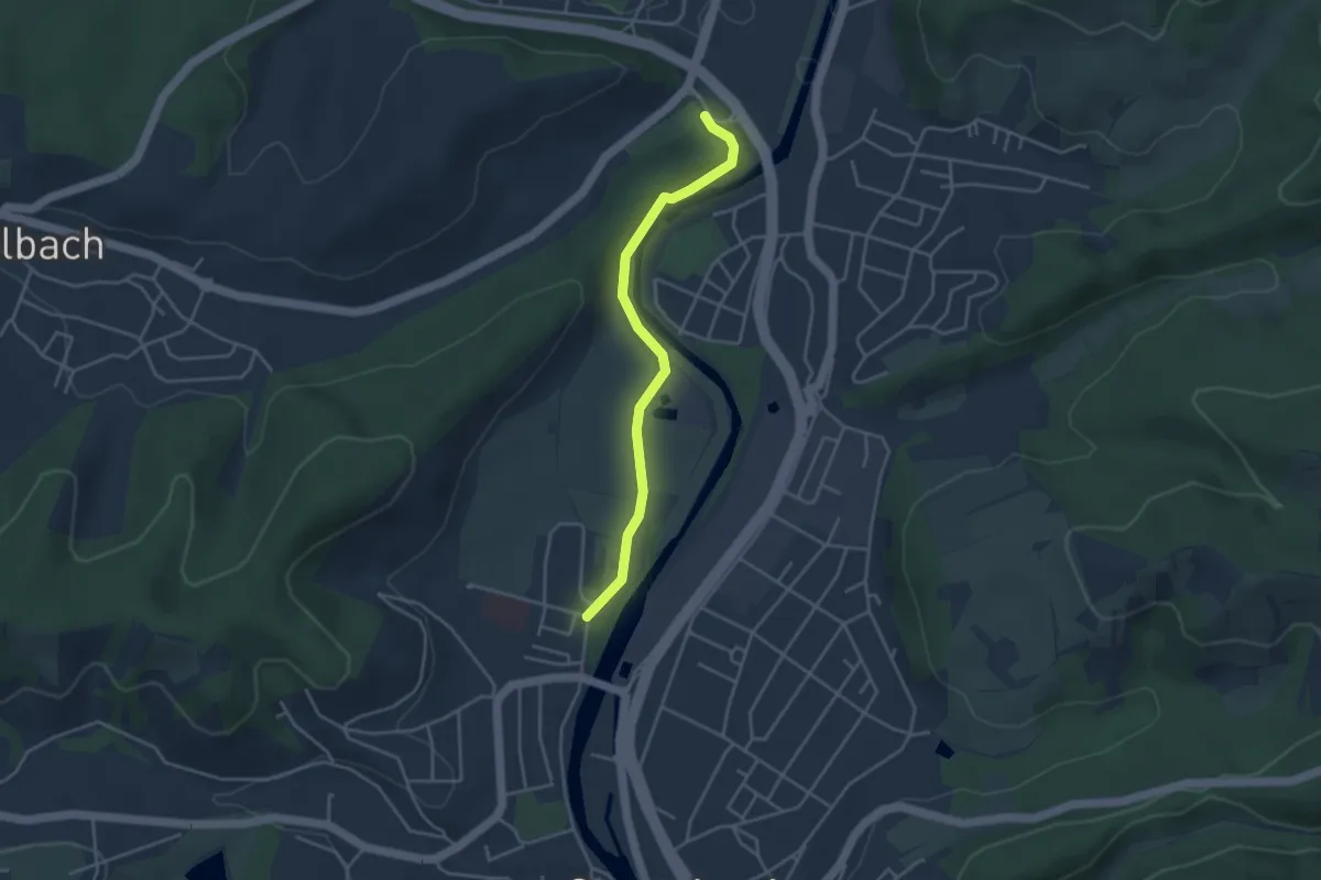
Easy · Trail
Kuppelstein - Rehazentrum
3.5 km · ↑ 43 m · 55 min
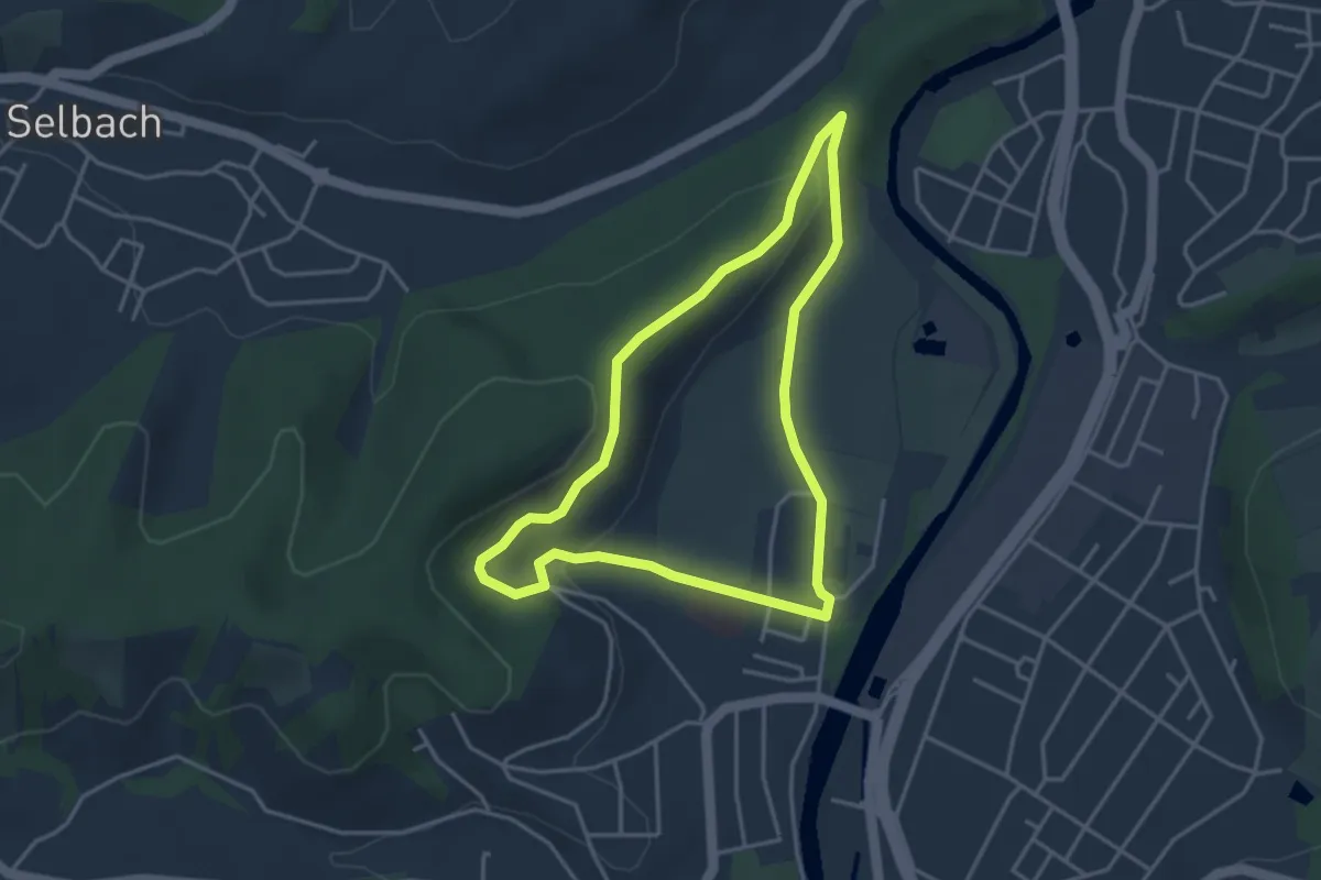
Easy · Trail
Kuppelsteinweg
3.4 km · ↑ 75 m · 1 h
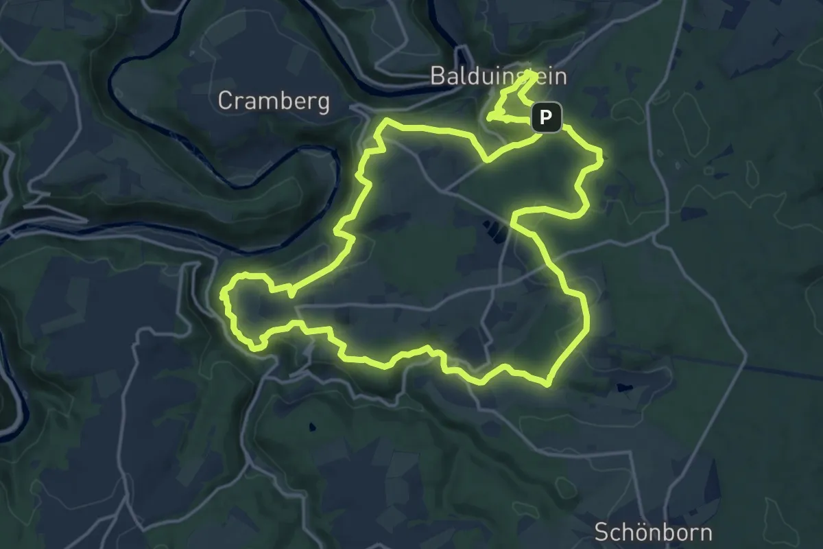
Medium · Summit
Küppeltour
16.3 km · ↑ 503 m · 5 h 9 min
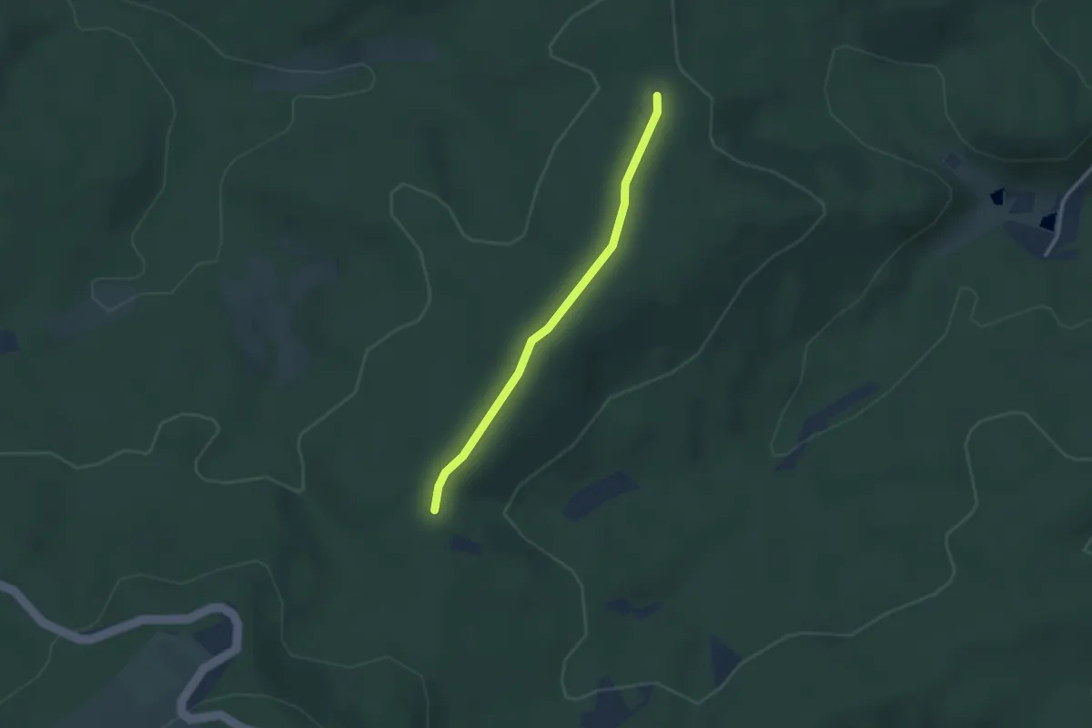
Easy · Trail
Kuppenheimer Zimmerplatz - Schweinlachhütte
2.3 km · ↑ 52 m · 39 min
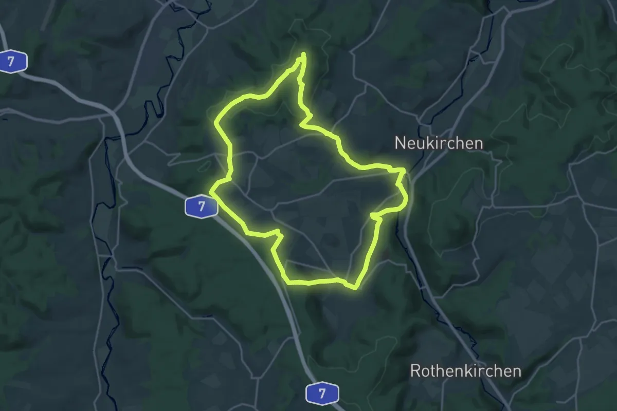
Demanding · Summit
Kuppenpfad
18.7 km · ↑ 310 m · 5 h 20 min
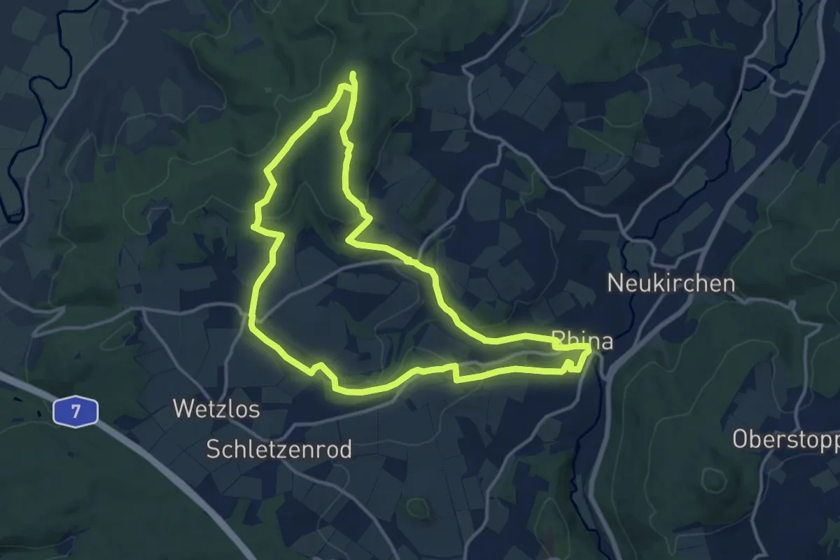
Medium · Summit
Kuppenpfad - Kurzvariante
12.5 km · ↑ 257 m · 3 h 41 min
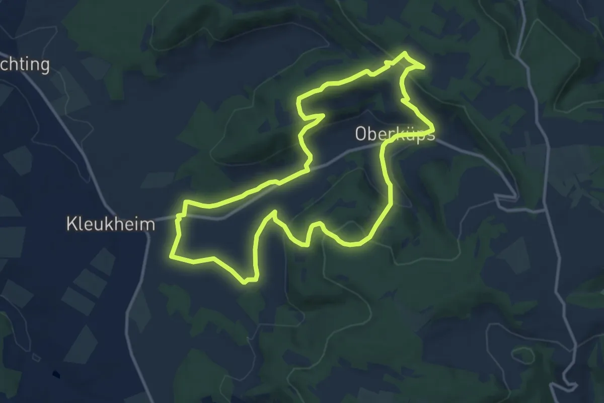
Medium · Summit
Küpser Lindenweg
10.1 km · ↑ 341 m · 3 h 15 min
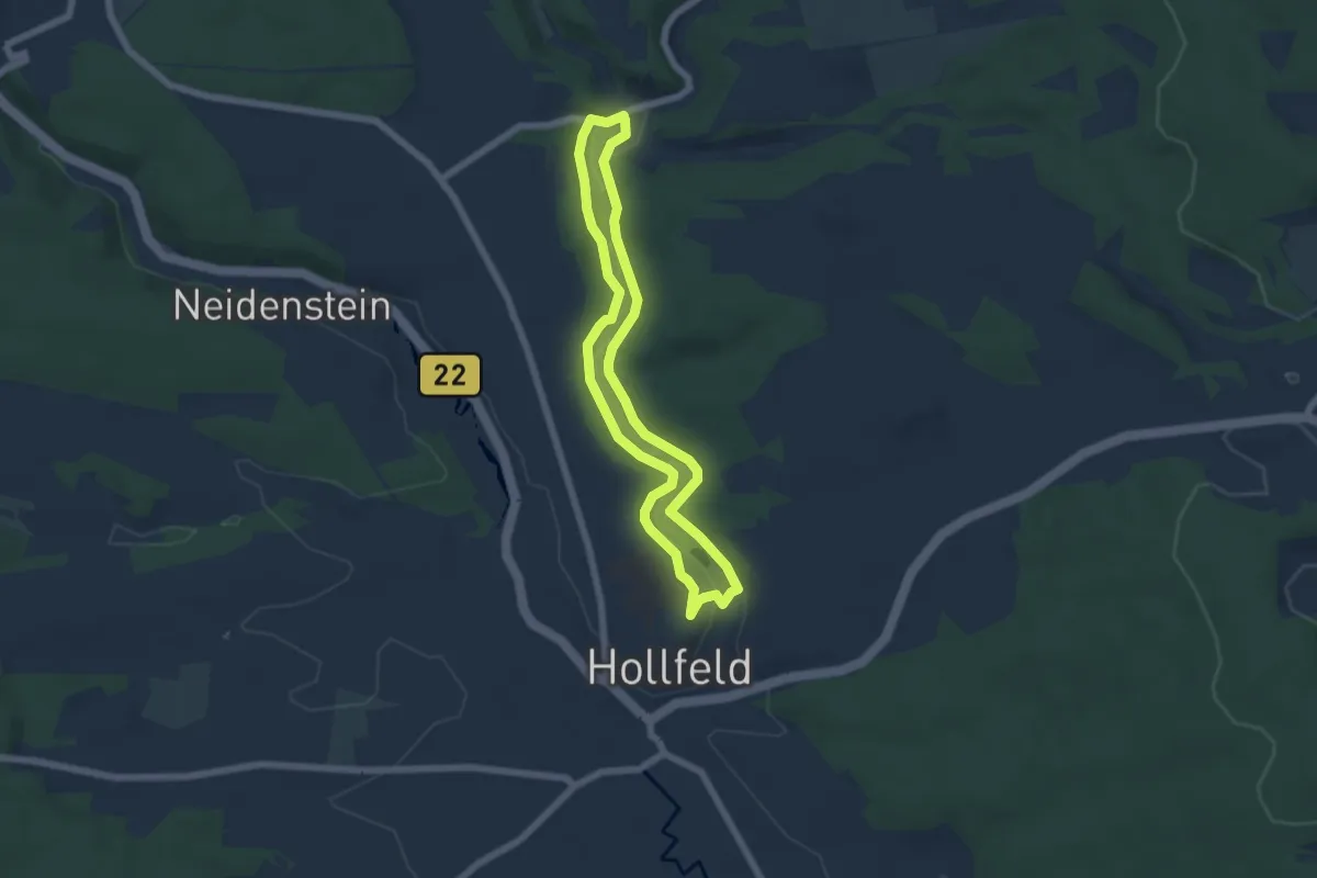
Easy · Trail
Kurat Hollfelder Gedächtnisweg
5.0 km · ↑ 46 m · 1 h 20 min
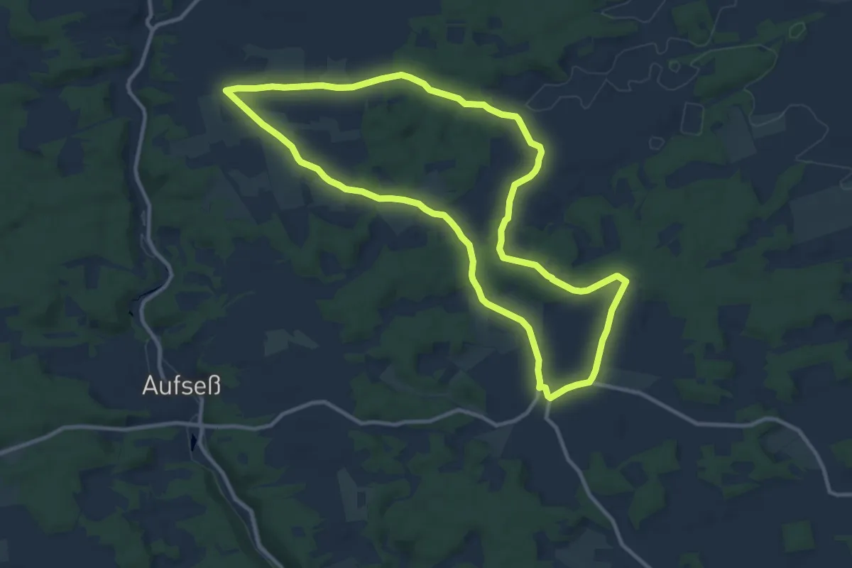
Medium · Trail
Kurat-Hollfelder-Weg
10.1 km · ↑ 119 m · 2 h 46 min
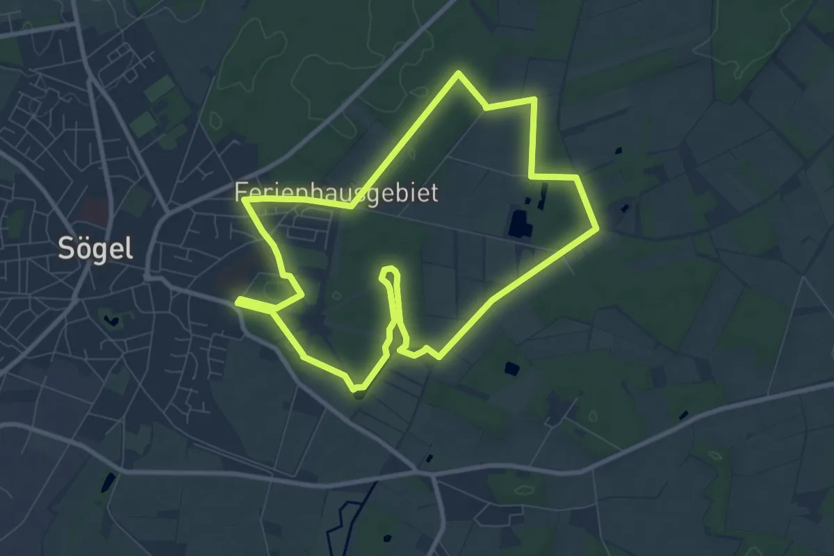
Easy · Trail
Kurfürsten-Runde - Hümmling-Pfade
7.4 km · ↑ 27 m · 1 h 55 min
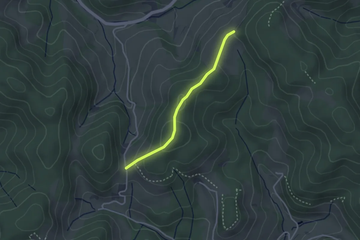
Easy · Trail
Kuriseck Spick - Lindenbühl
2.4 km · ↑ 83 m · 45 min
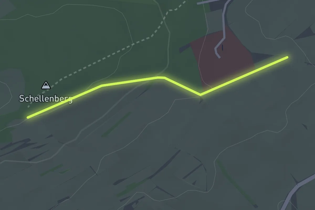
Easy · Trail
Kurklinik Sonnhalde - Amalienhütte
2.5 km · ↑ 62 m · 44 min
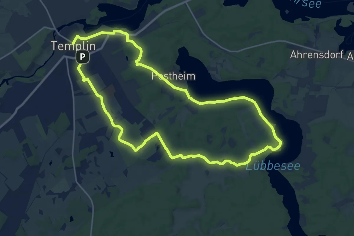
Demanding · Trail
Kurmeilentour
25.7 km · ↑ 132 m · 6 h 21 min
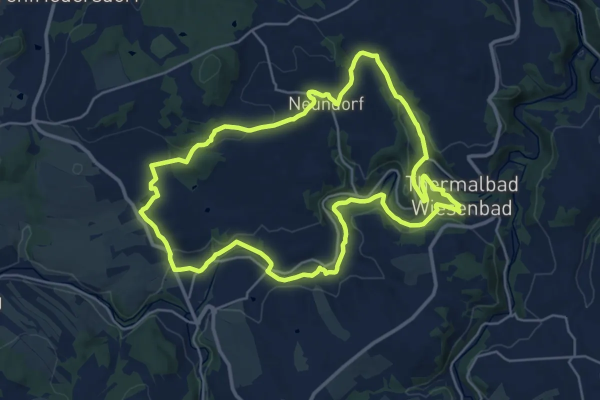
Medium · Trail
Kurortrundweg Thermalbad Wiesenbad
15.6 km · ↑ 289 m · 4 h 31 min
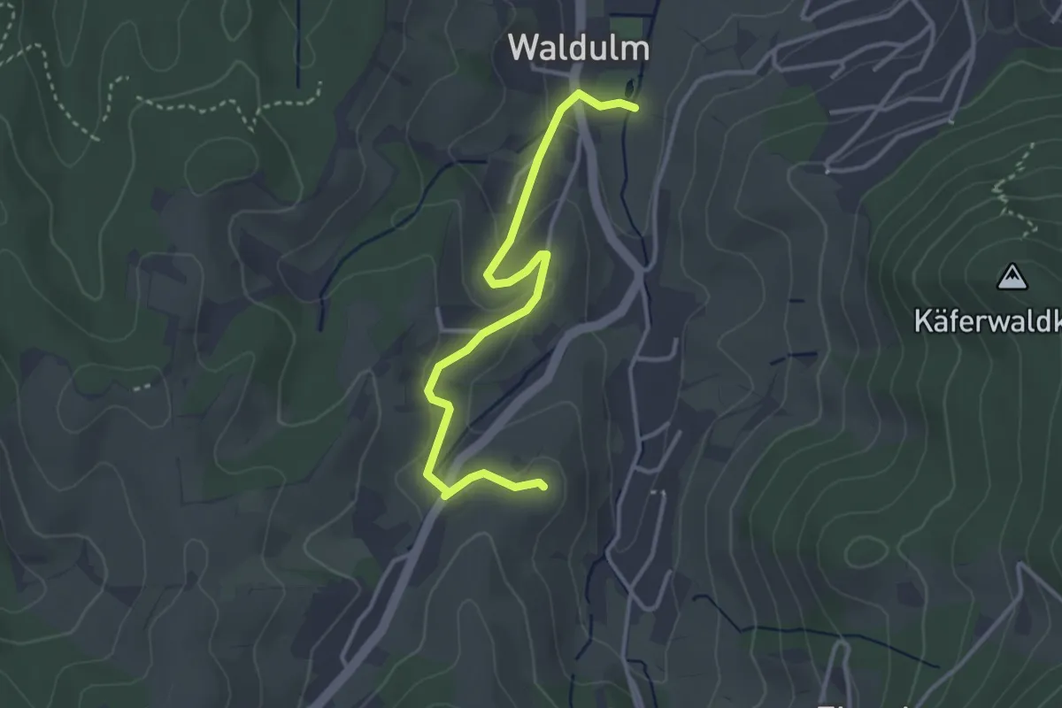
Easy · Trail
Kurpark Waldulm - Sieter
3.3 km · ↑ 105 m · 1 h 1 min
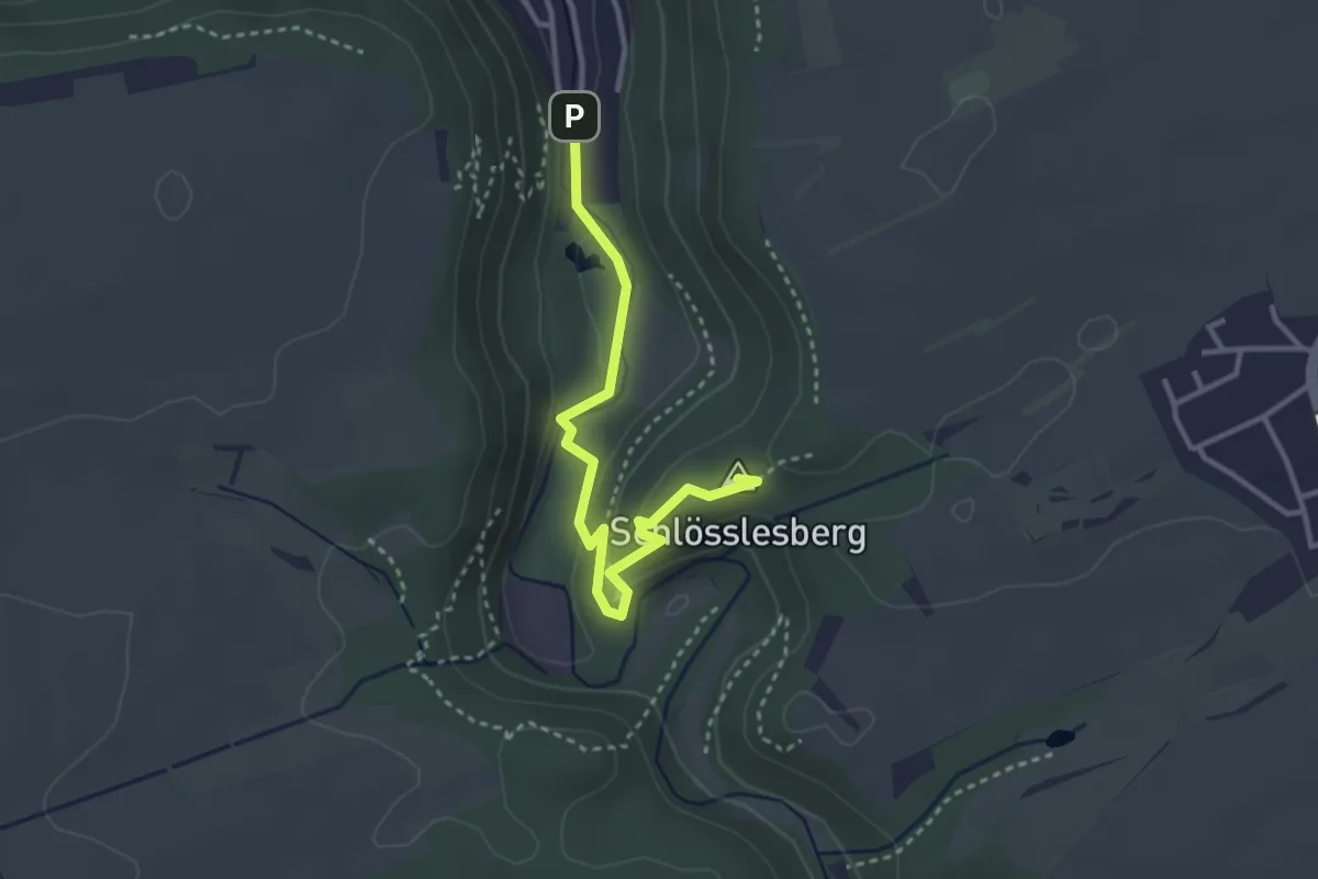
Easy · Summit
Kurpark - Weiler
3.2 km · ↑ 95 m · 57 min
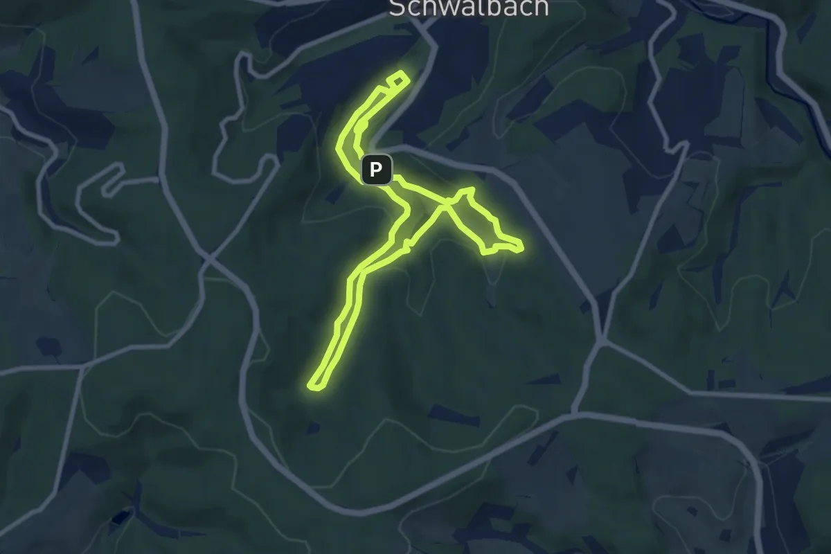
Easy · Trail
Kurschatten
6.8 km · ↑ 189 m · 2 h 7 min
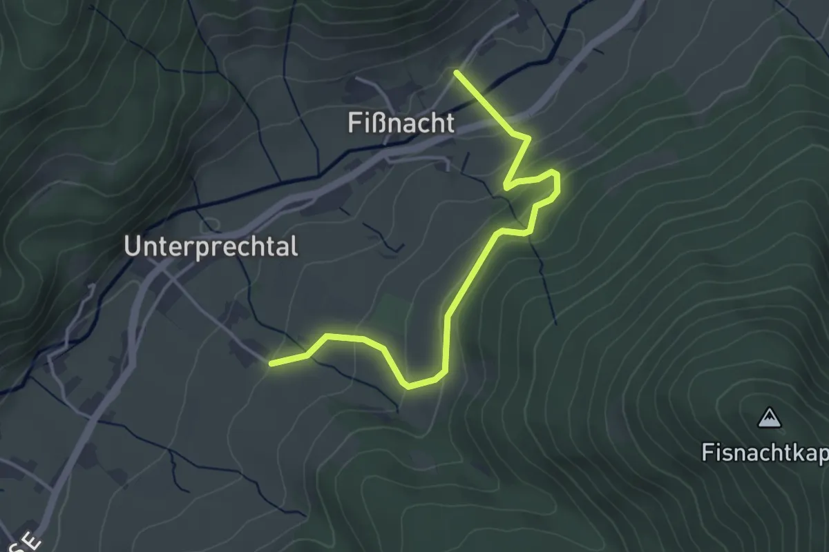
Easy · Trail
Kurtenhof - Am Acker
3.8 km · ↑ 215 m · 1 h 22 min
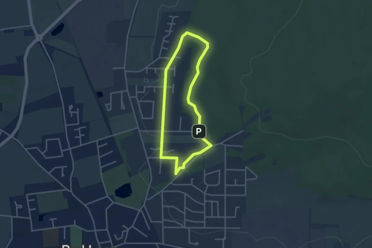
Easy · Trail
Kurterrainweg 1
2.3 km · ↑ 28 m · 38 min
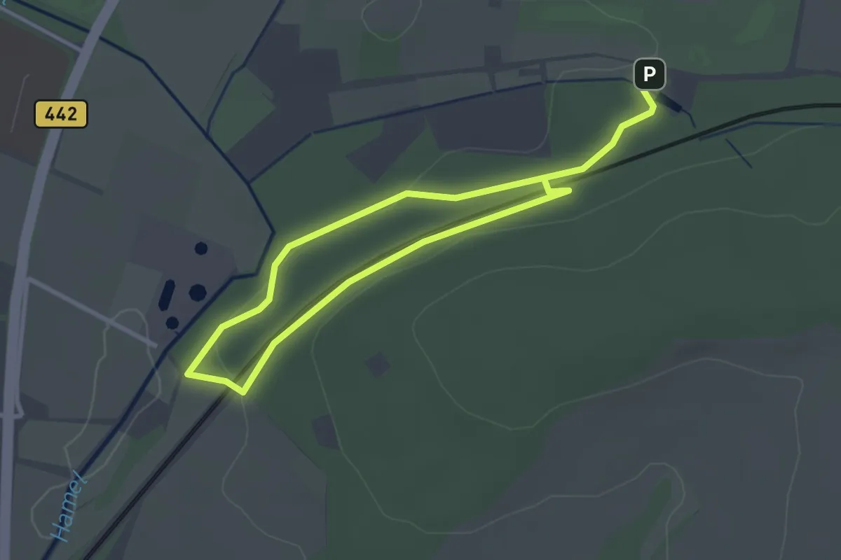
Easy · Trail
Kurterrainweg 1 im Osterberg
2.1 km · ↑ 19 m · 34 min
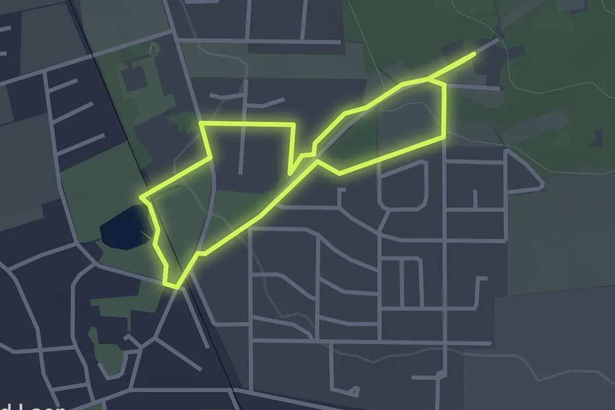
Easy · Trail
Kurterrainweg 2
2.2 km · ↑ 42 m · 38 min
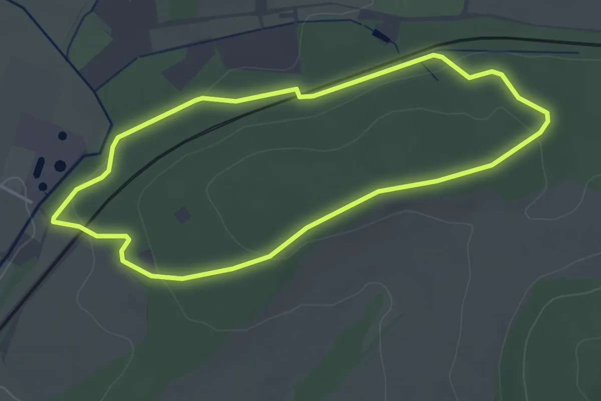
Easy · Trail
Kurterrainweg 2 im Osterberg
3.3 km · ↑ 68 m · 58 min
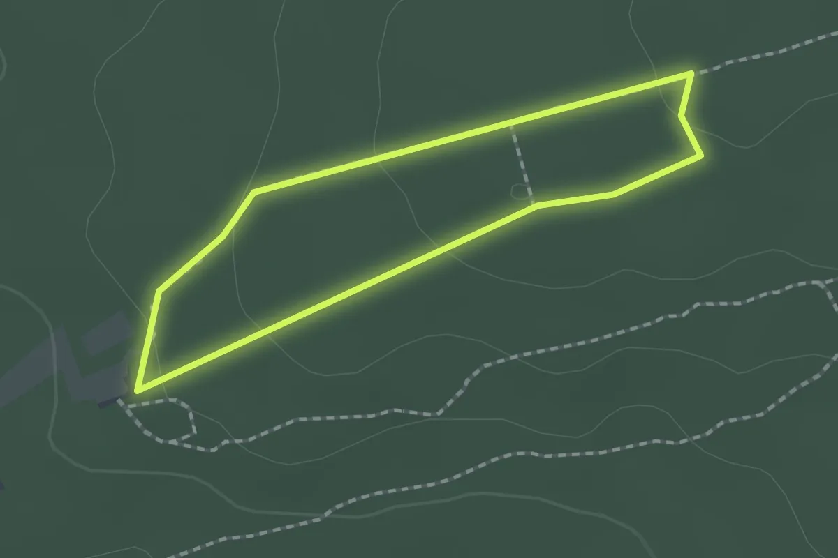
Easy · Trail
Kurterrainweg 3
1.4 km · ↑ 29 m · 25 min
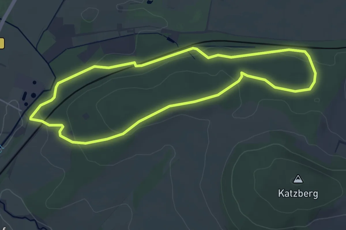
Easy · Trail
Kurterrainweg 3 im Osterberg
4.4 km · ↑ 73 m · 1 h 15 min