Trails in Germany
36,852 hiking trails, each with its route, climb, walking time and grade.
All trails, page 312 of 768
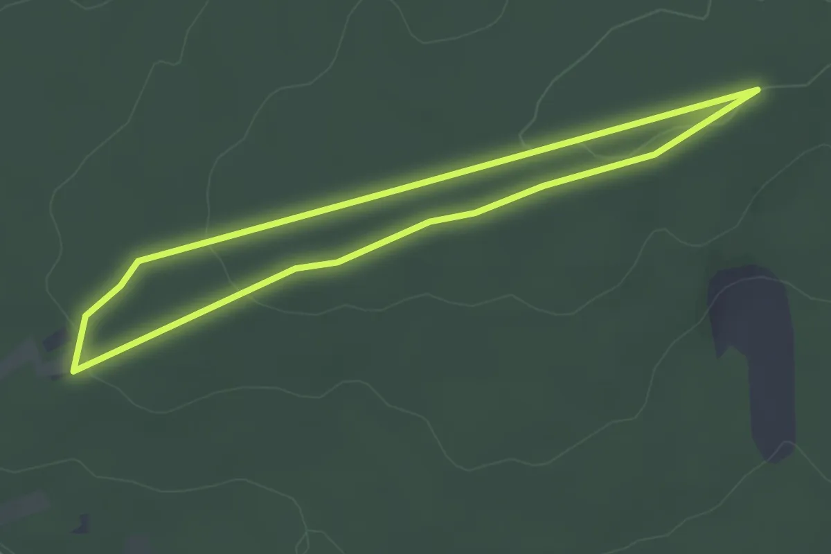
Easy · Trail
Kurterrainweg 4
2.7 km · ↑ 42 m · 47 min
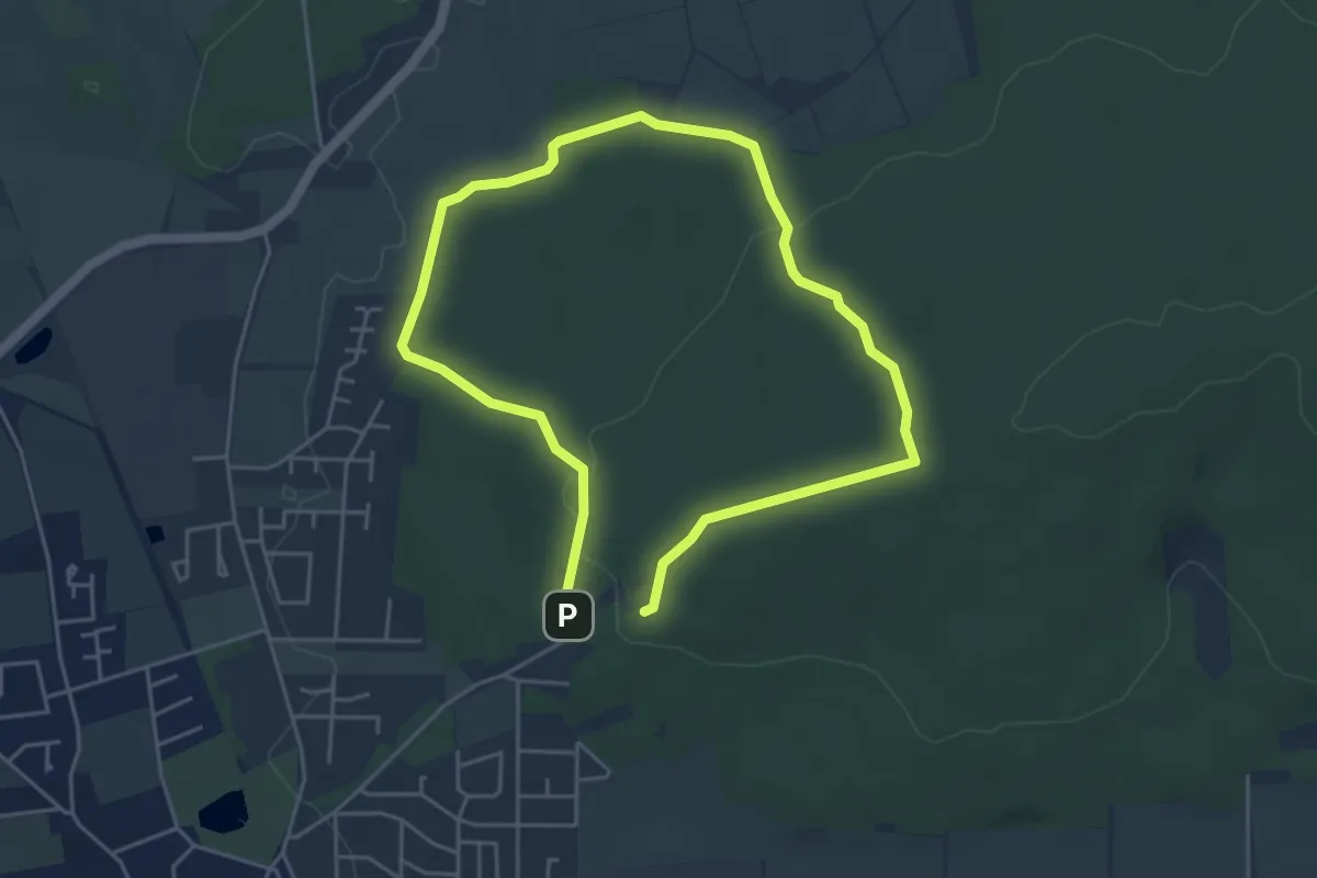
Easy · Trail
Kurterrainweg 5
3.6 km · ↑ 86 m · 1 h 5 min
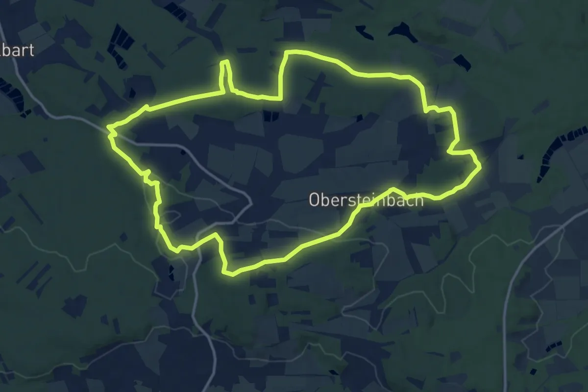
Medium · Trail
Kurt Heinold und Hermann Frieser - Gedächtnisweg
13.2 km · ↑ 240 m · 3 h 50 min
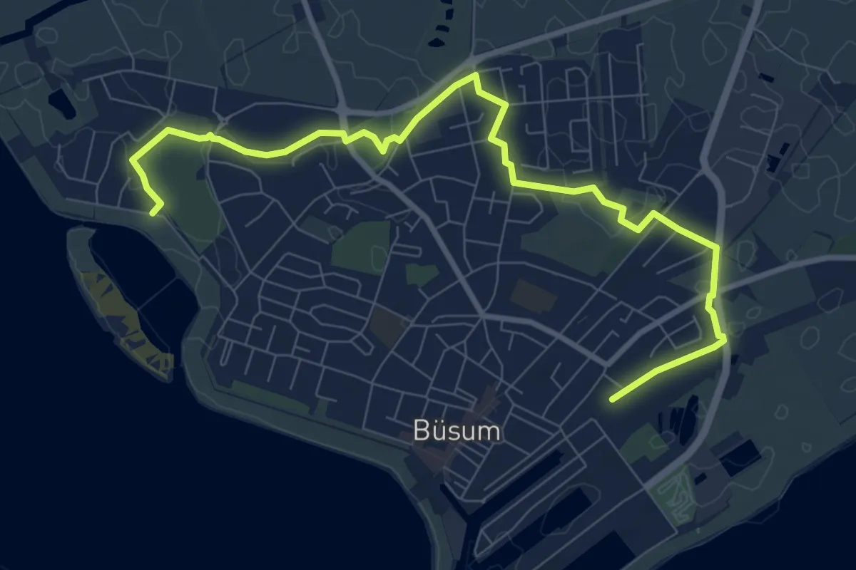
Medium · Trail
Kurt-Schulte-Weg
8.7 km · ↑ 4 m · 2 h 4 min
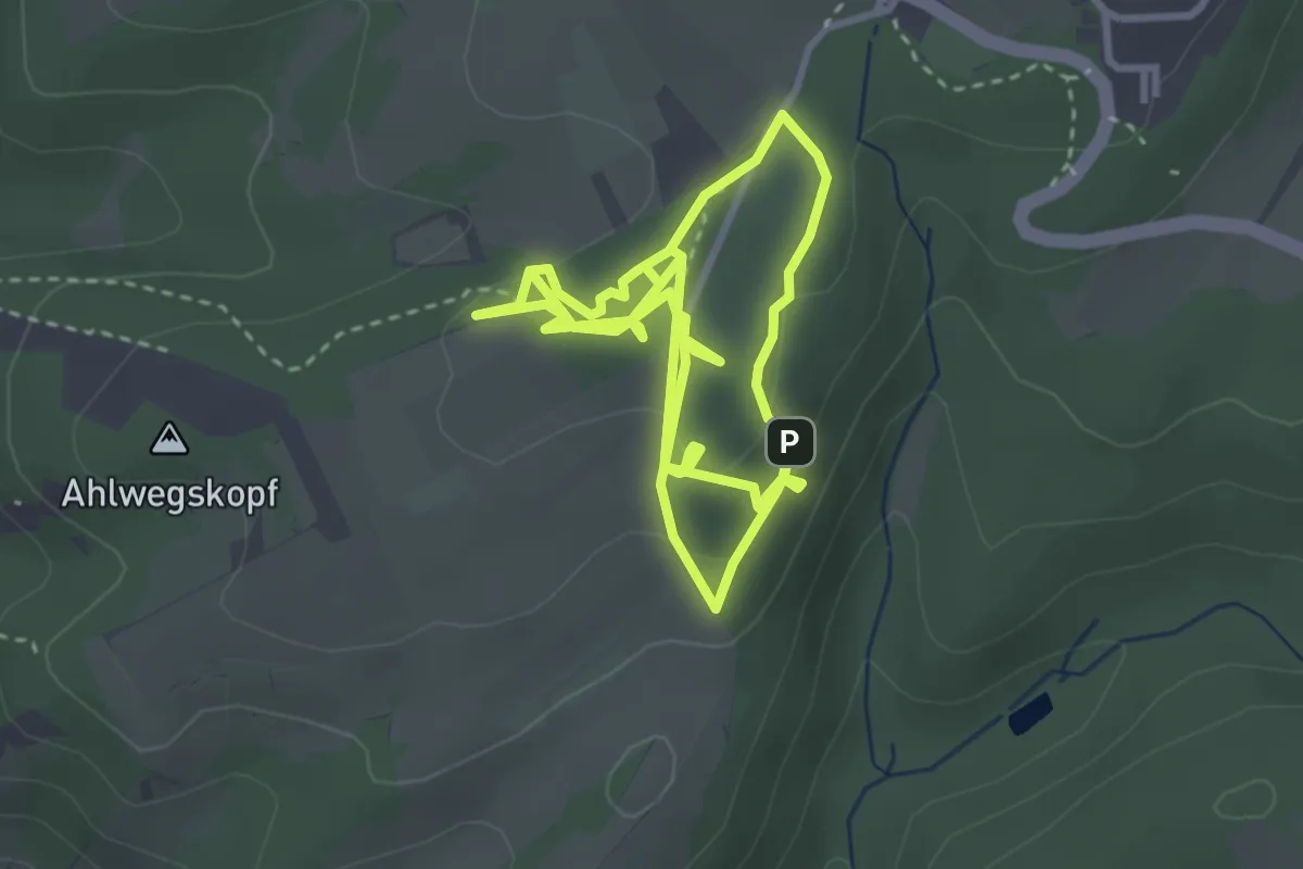
Easy · Trail
Kur- und Heilwald Lahnstein für Kinder
3.2 km · ↑ 109 m · 1 h 2 min
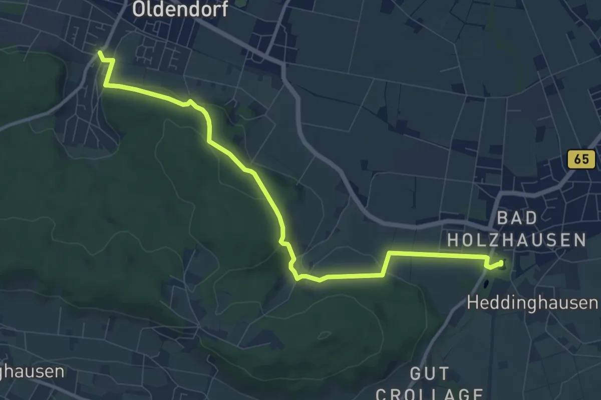
Medium · Trail
Kurwanderweg I
9.1 km · ↑ 298 m · 2 h 47 min
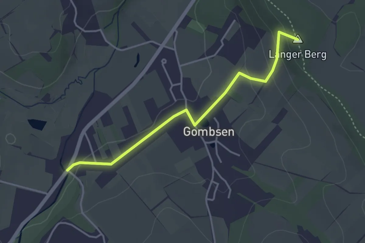
Easy · Summit
Kurweg Kreischa e1
3.3 km · ↑ 88 m · 59 min
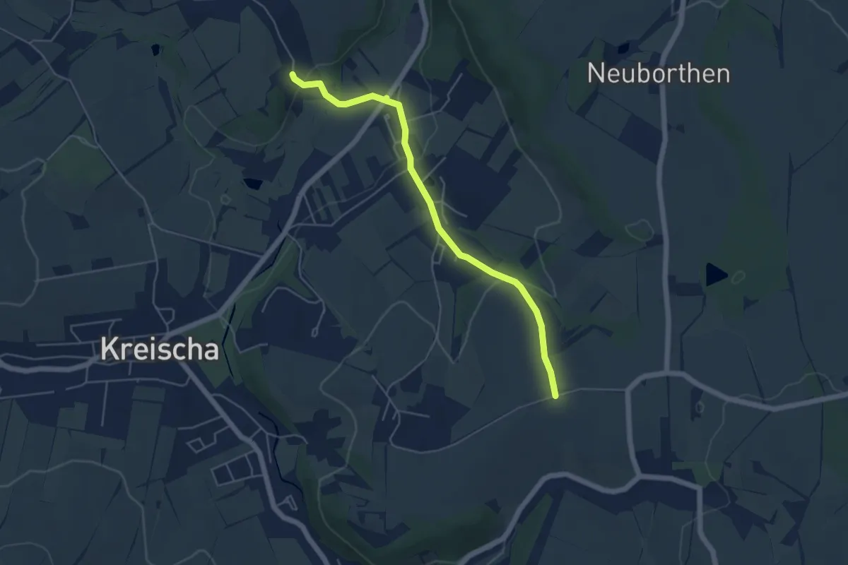
Easy · Trail
Kurweg Kreischa e2
4.6 km · ↑ 127 m · 1 h 22 min
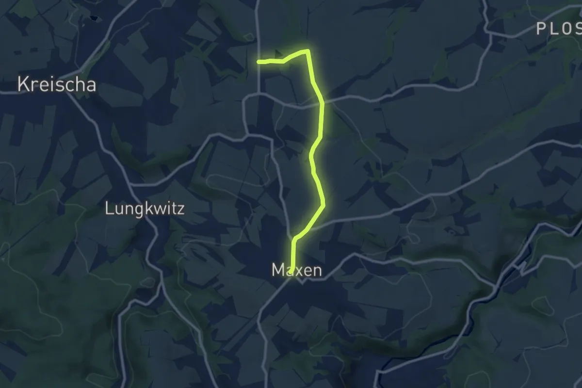
Easy · Trail
Kurweg Kreischa ef
7.0 km · ↑ 87 m · 1 h 51 min
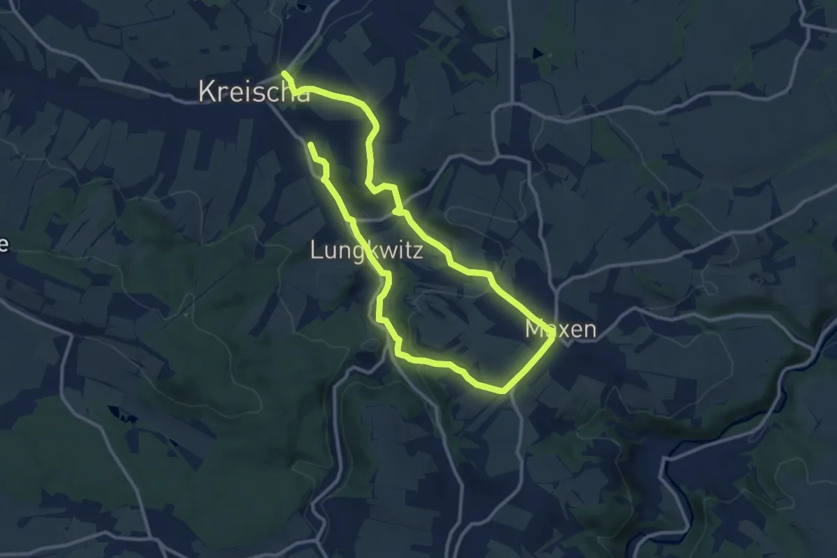
Medium · Trail
Kurweg Kreischa F
8.5 km · ↑ 225 m · 2 h 37 min
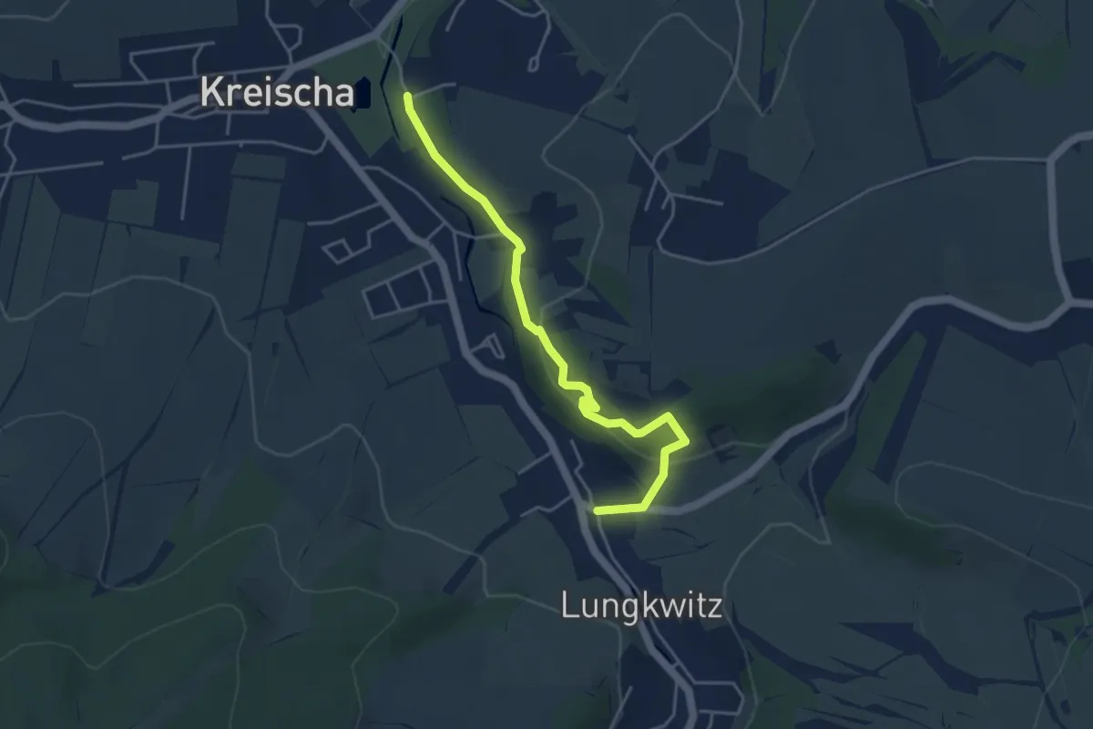
Easy · Trail
Kurweg Kreischa f1
4.0 km · ↑ 155 m · 1 h 16 min
Medium · Trail
Kurze Alleen-Wandertour
14.6 km · ↑ 30 m · 3 h 43 min
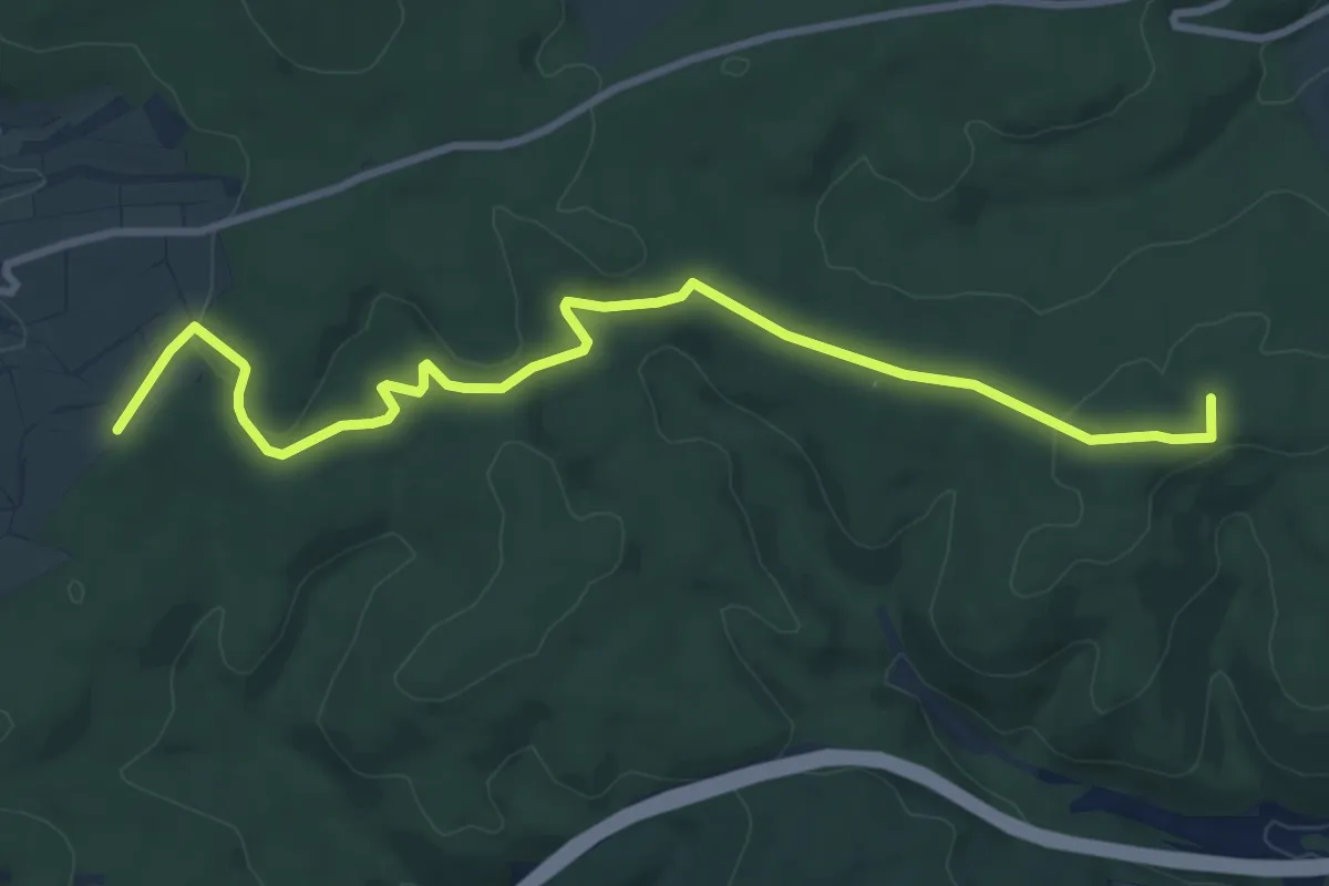
Medium · Summit
Kurze Hessen
9.4 km · ↑ 206 m · 2 h 39 min
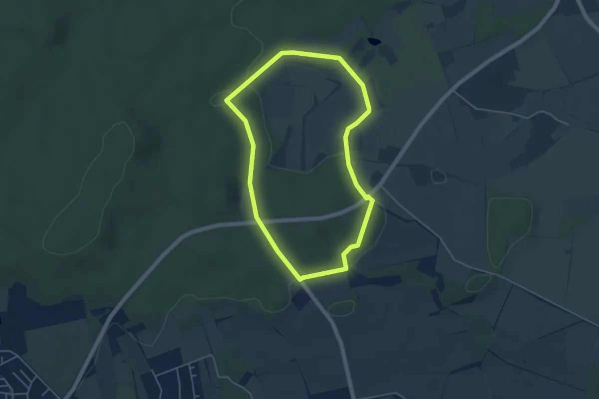
Easy · Trail
Küsberg Rundweg A1
3.5 km · ↑ 35 m · 57 min
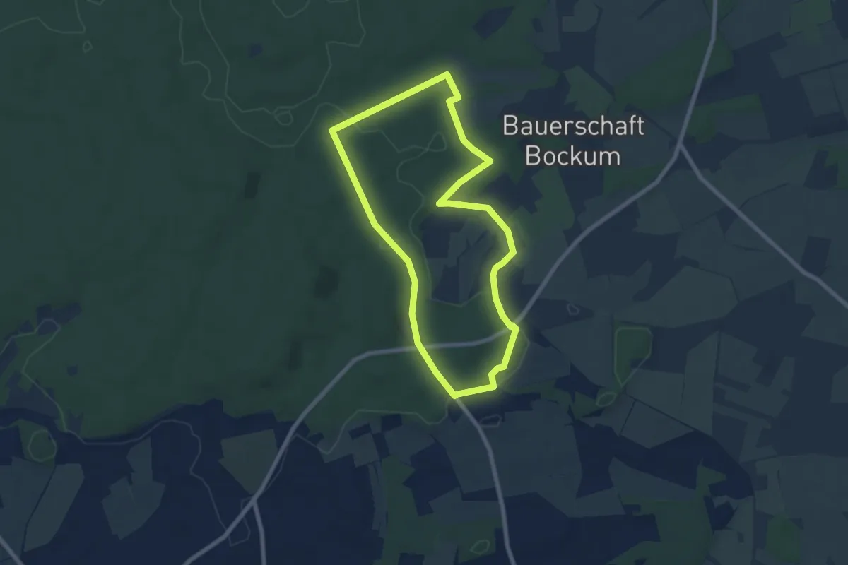
Easy · Trail
Küsberg Rundweg A2
5.9 km · ↑ 61 m · 1 h 37 min
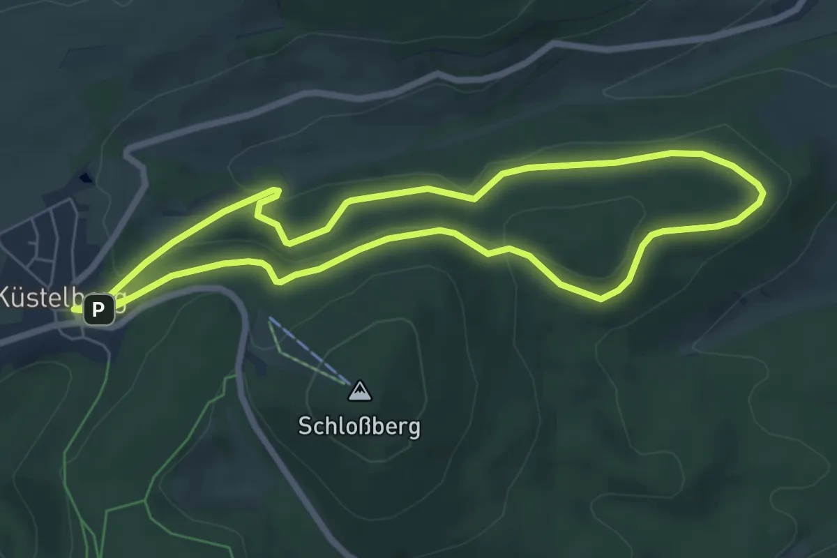
Easy · Summit
Küstelberg Rundweg K2
5.5 km · ↑ 138 m · 1 h 40 min
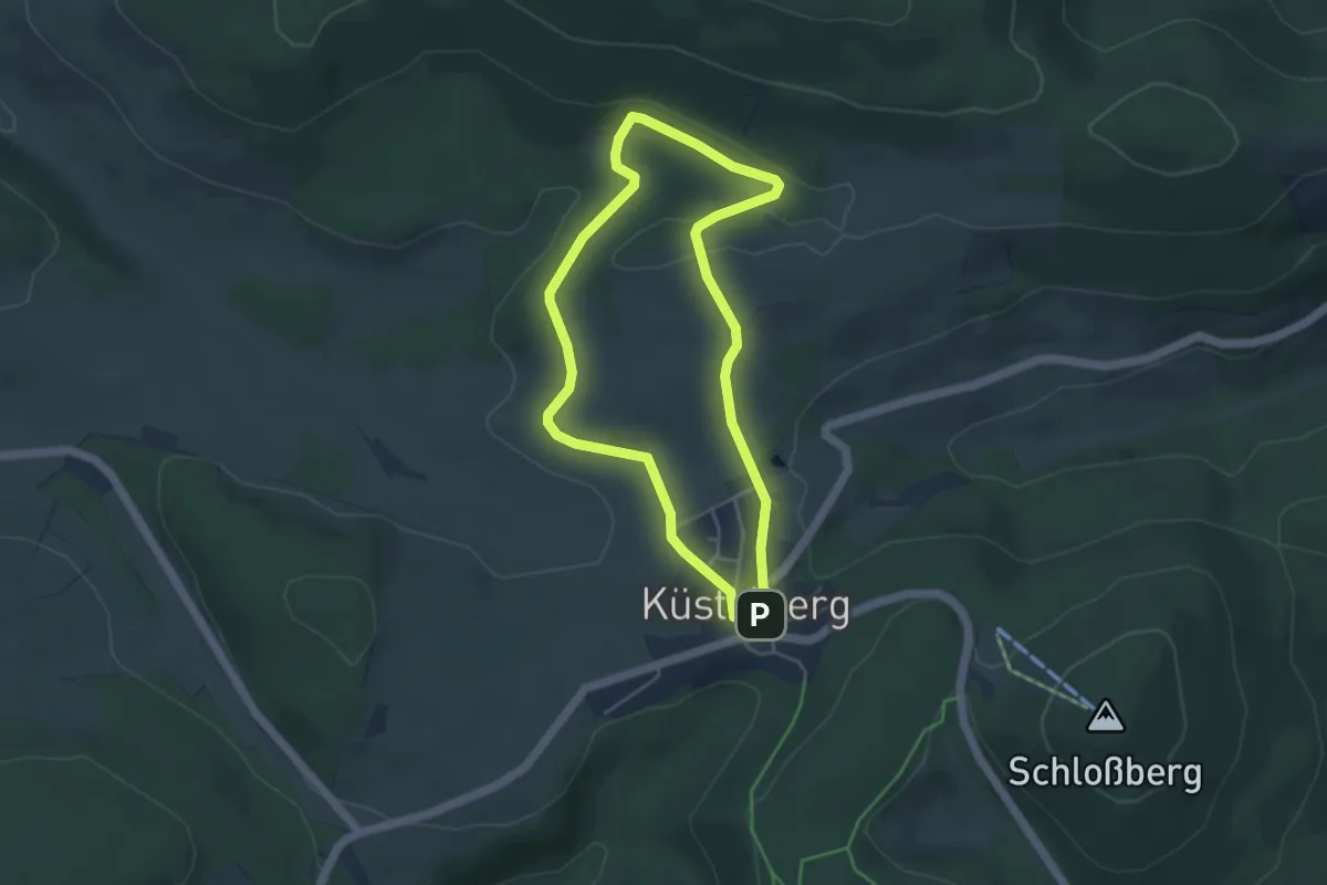
Easy · Trail
Küstelberg Rundweg K3
3.7 km · ↑ 58 m · 1 h 4 min
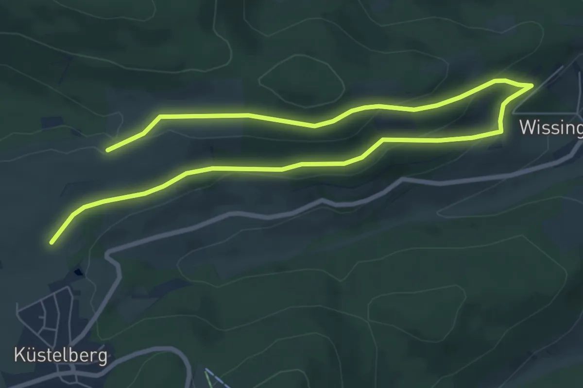
Medium · Trail
Küstelberg Wanderweg K4
9.4 km · ↑ 260 m · 2 h 47 min
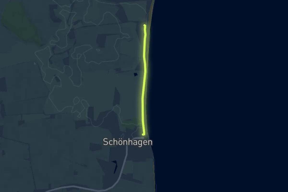
Easy · Trail
Küstenstrecke
3.6 km · ↑ 0 m · 52 min
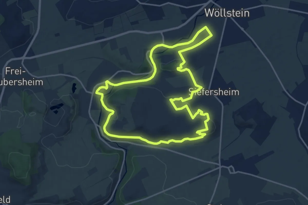
Medium · Summit
Küstenweg 1: Rundweg Siefersheim - Wöllstein - Neubamberg
11.7 km · ↑ 282 m · 3 h 33 min
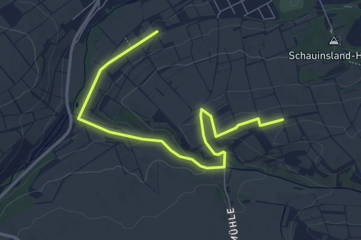
Easy · Trail
Küstenweg 3: Rundweg Flonheim
3.1 km · ↑ 110 m · 58 min
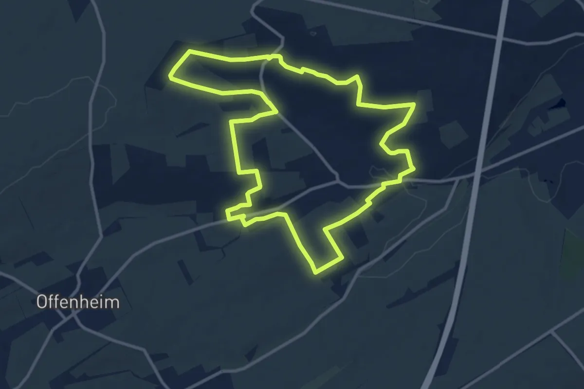
Medium · Trail
Küstenweg - Rundweg Weinheimer Bucht
9.4 km · ↑ 193 m · 2 h 47 min
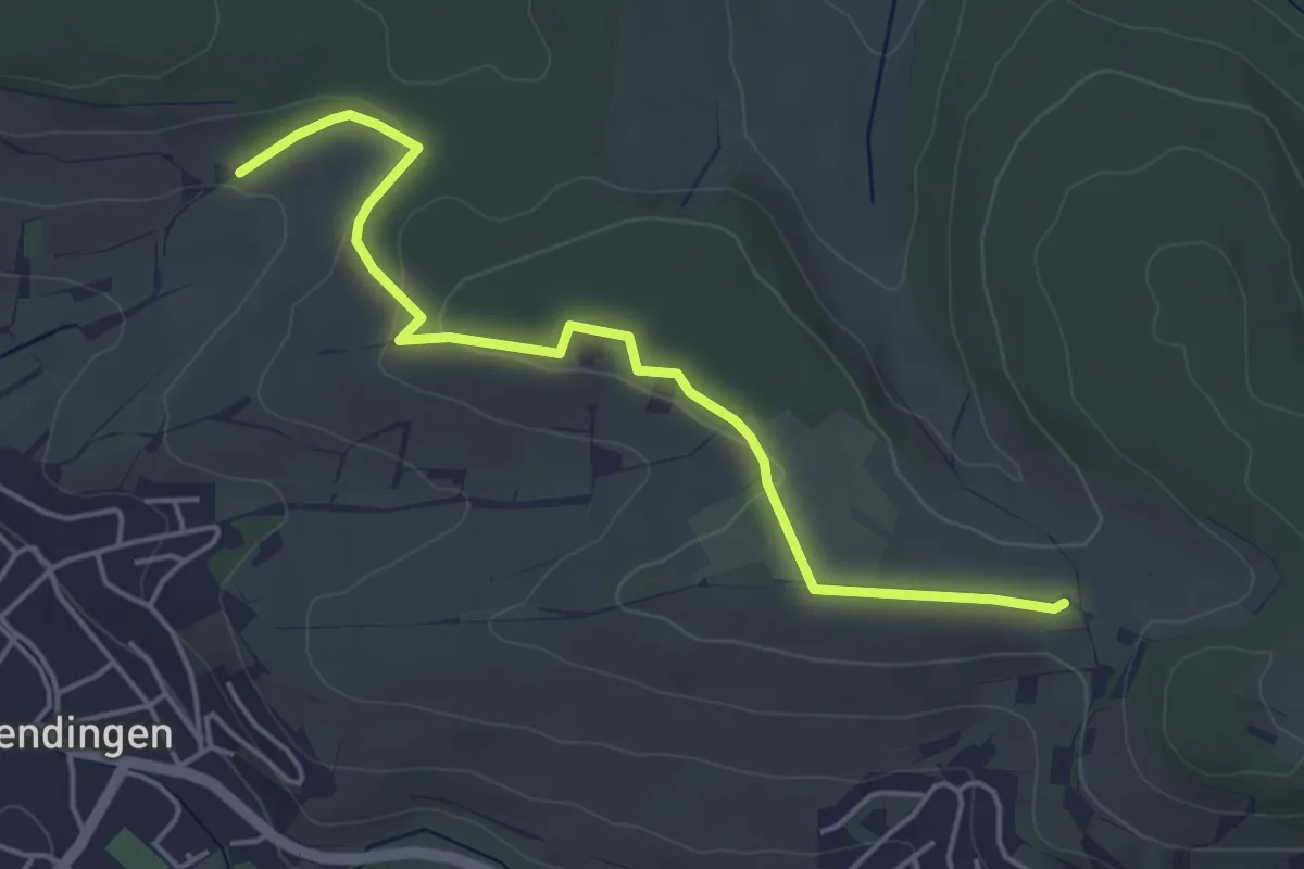
Easy · Trail
KuWi-Weg
4.6 km · ↑ 105 m · 1 h 19 min
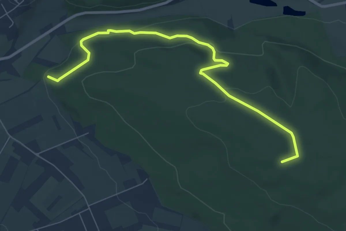
Easy · Summit
Kuxberg Rundweg
6.6 km · ↑ 179 m · 1 h 57 min
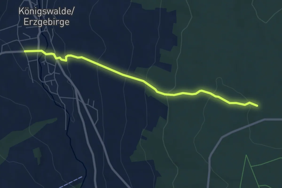
Easy · Trail
KW_Grumbach
5.8 km · ↑ 286 m · 1 h 59 min
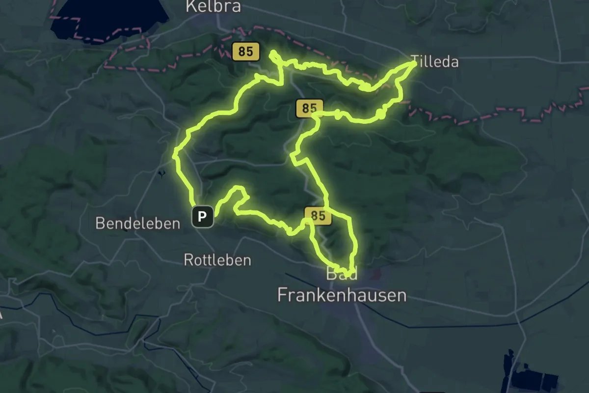
Demanding · Summit
Kyffhäuserweg
36.4 km · ↑ 1152 m · 11 h 36 min
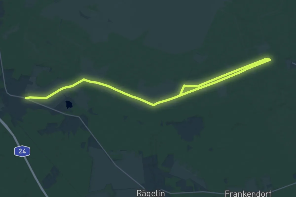
Demanding · Trail
Kyritz-Ruppiner Heide, Südroute
28.9 km · ↑ 50 m · 6 h 56 min
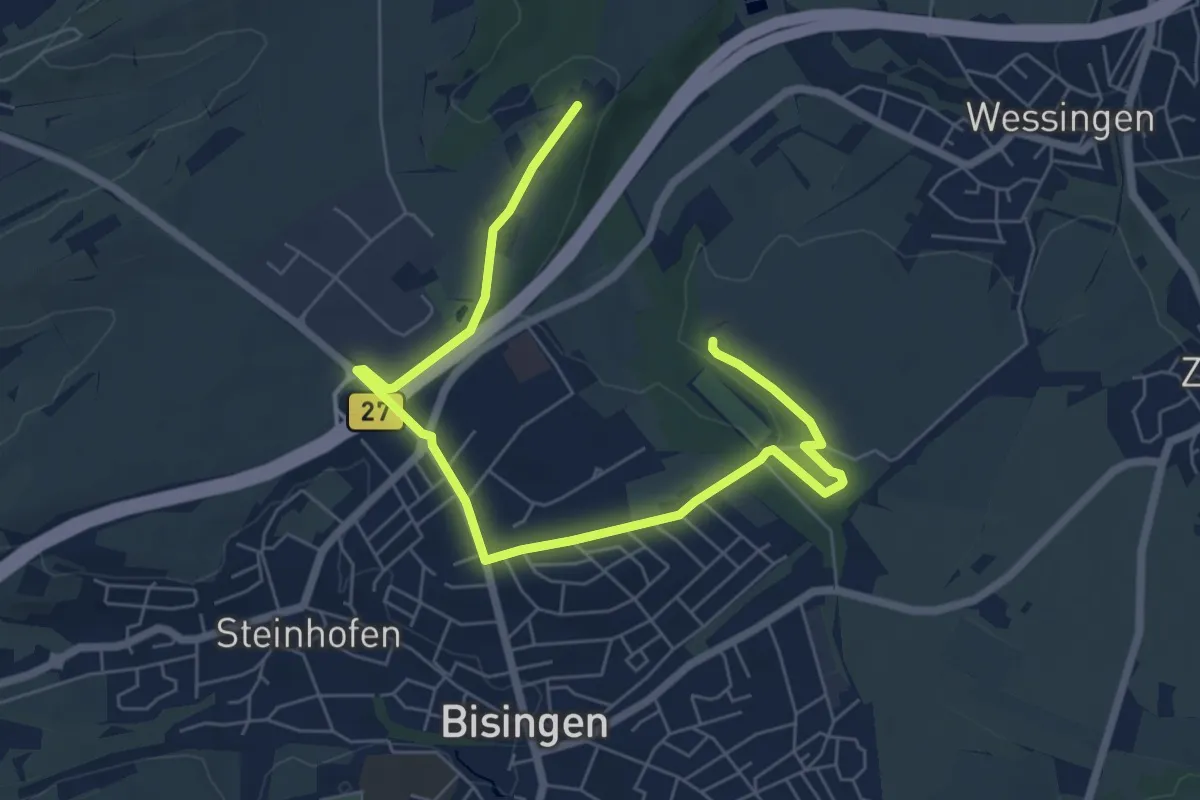
Easy · Trail
KZ-Gedächtnispfad
7.7 km · ↑ 49 m · 1 h 55 min
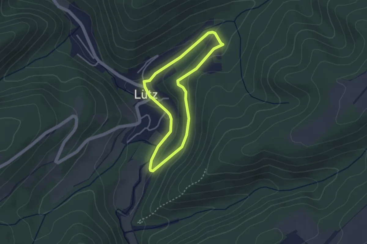
Easy · Trail
L1 Lütz
2.4 km · ↑ 59 m · 44 min
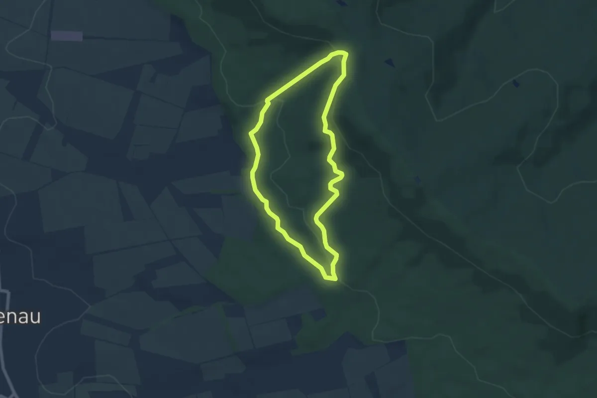
Easy · Trail
L1 Rundwanderweg Lauenau Nr. 1
5.0 km · ↑ 145 m · 1 h 33 min
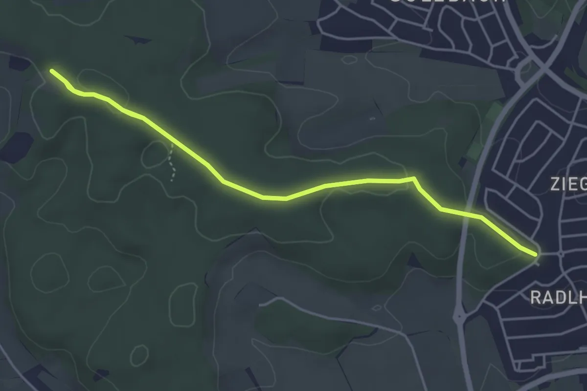
Easy · Trail
L1 (Schleiferholz)
4.9 km · ↑ 75 m · 1 h 20 min
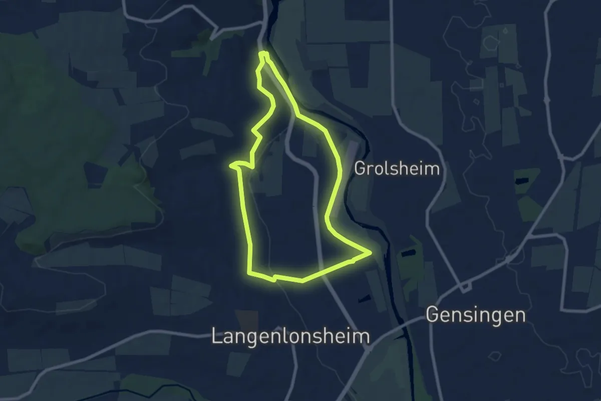
Easy · Trail
L2
6.5 km · ↑ 85 m · 1 h 48 min
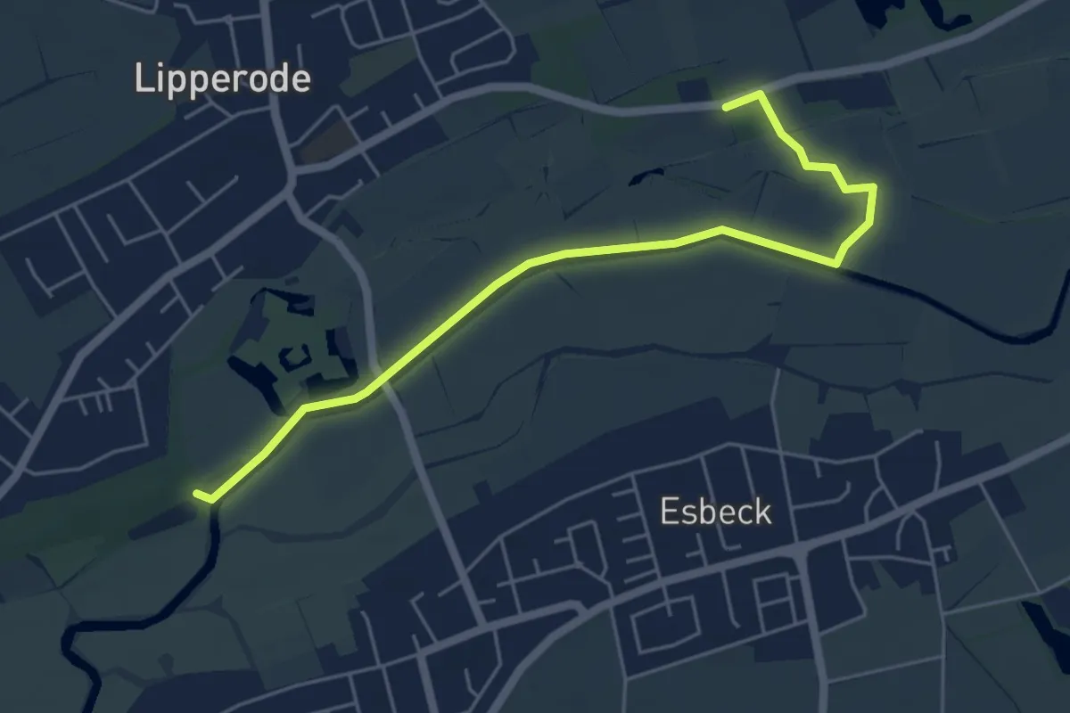
Easy · Trail
L2 Graf-Bernhard Weg
5.0 km · ↑ 9 m · 1 h 12 min
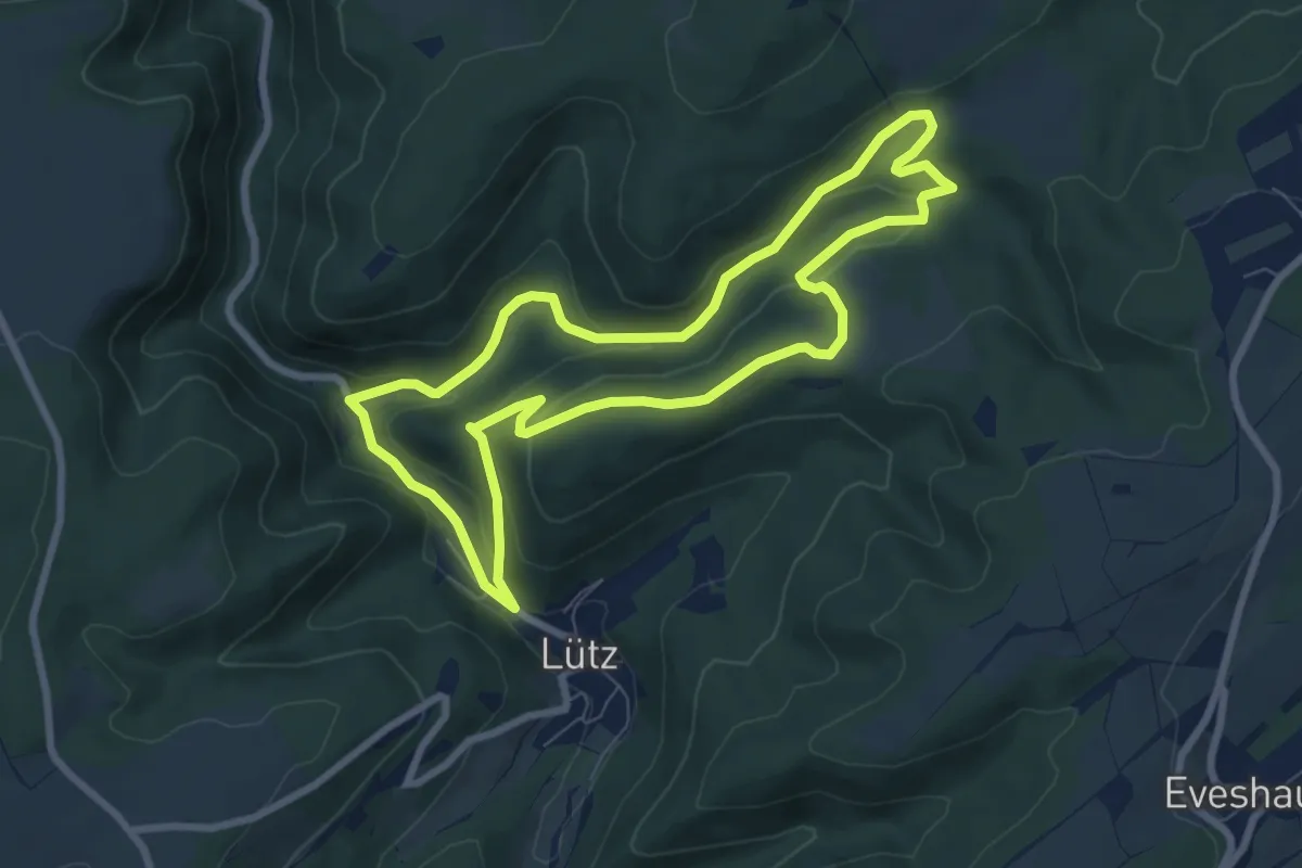
Easy · Trail
L2 Lütz
7.0 km · ↑ 219 m · 2 h 14 min
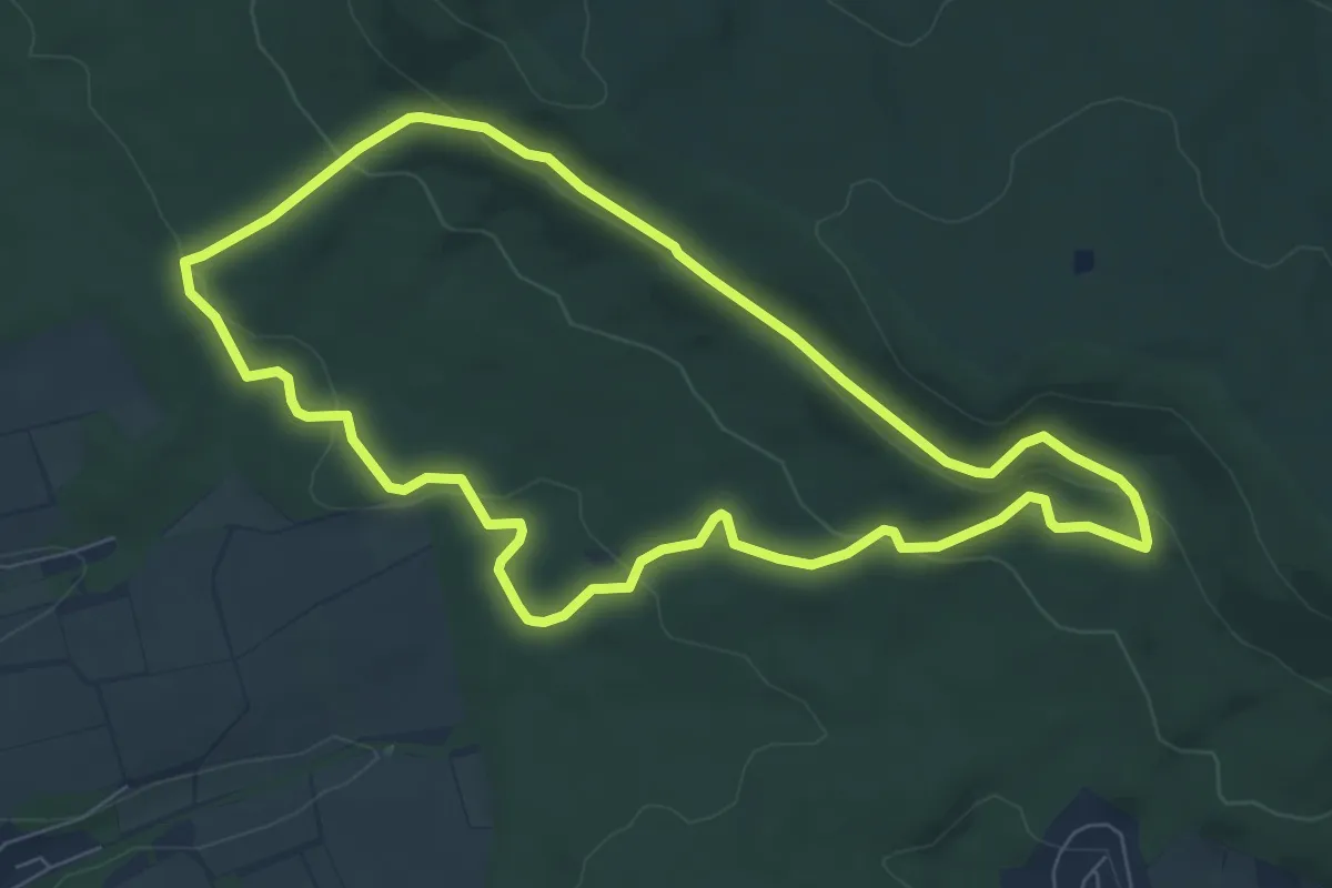
Easy · Trail
L2 Rundwanderweg Lauenau Nr. 2
6.5 km · ↑ 195 m · 2 h 2 min
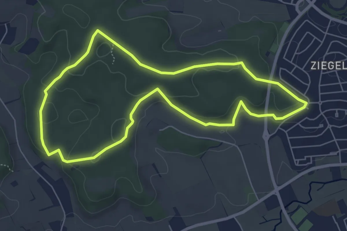
Easy · Trail
L2 (Sonnenweg)
5.2 km · ↑ 115 m · 1 h 32 min
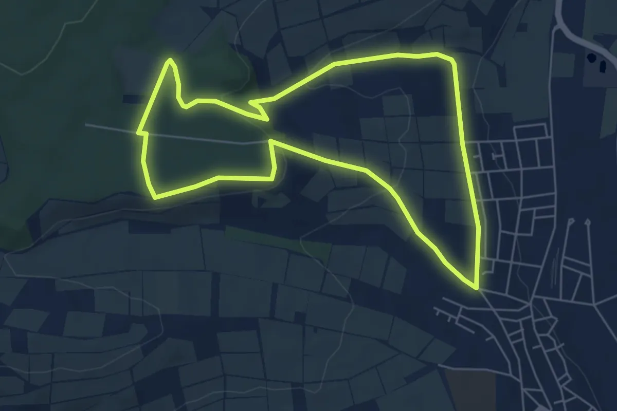
Easy · Trail
L3
5.3 km · ↑ 106 m · 1 h 33 min
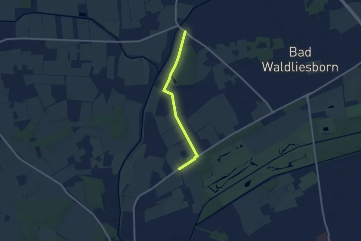
Easy · Trail
L3
5.0 km · ↑ 8 m · 1 h 12 min
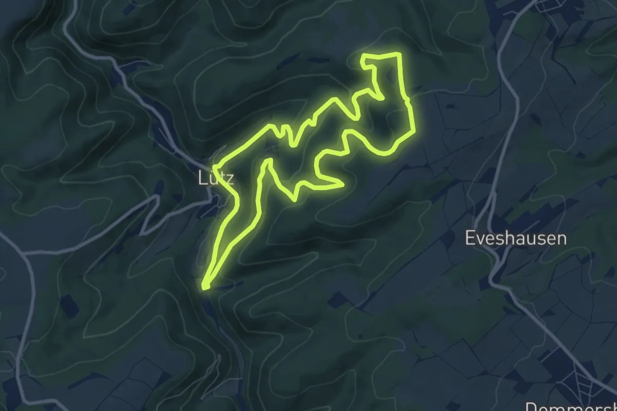
Medium · Trail
L3 Lütz
8.0 km · ↑ 349 m · 2 h 45 min
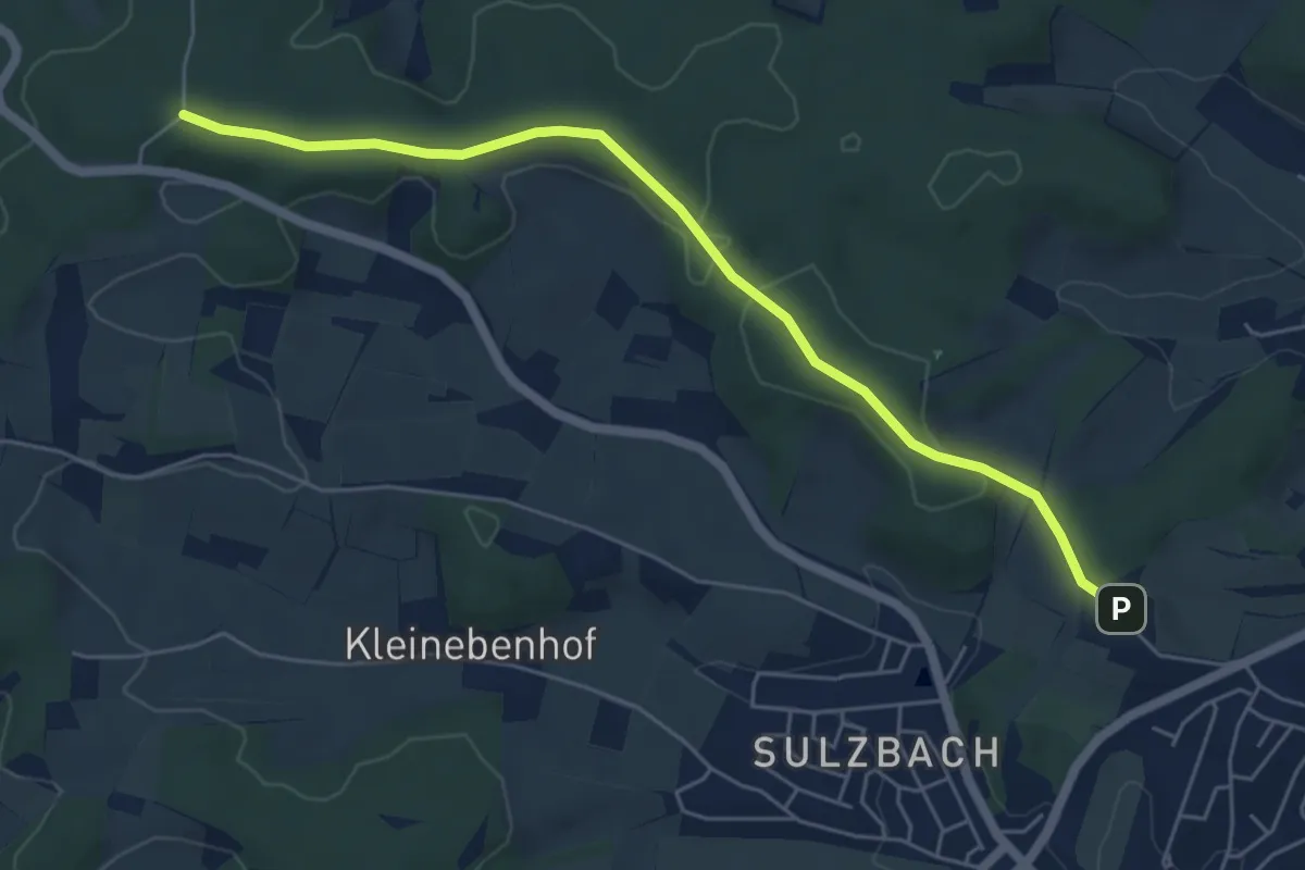
Easy · Trail
L3 (Rennbahn-Strecke)
5.6 km · ↑ 74 m · 1 h 29 min
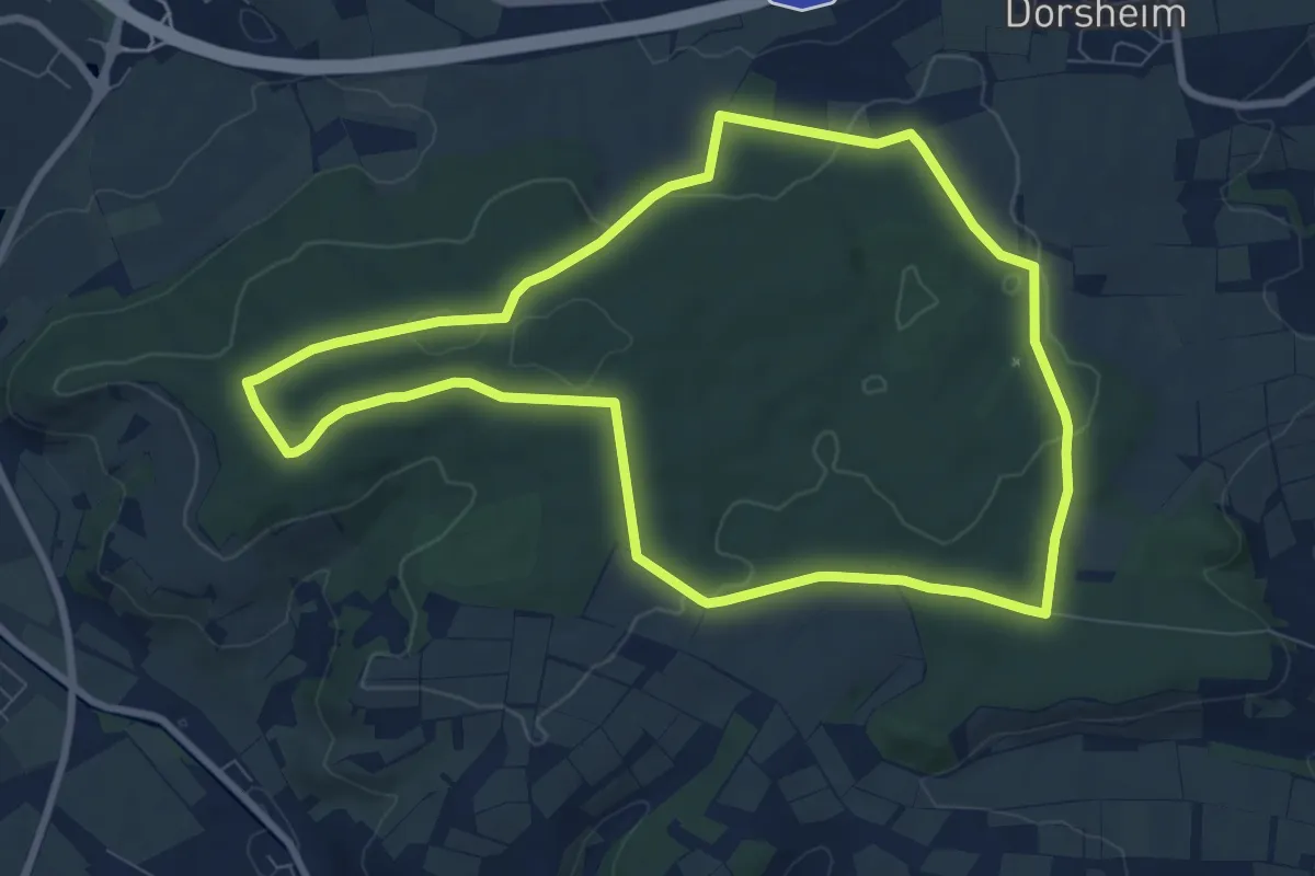
Medium · Summit
L4
8.1 km · ↑ 146 m · 2 h 20 min
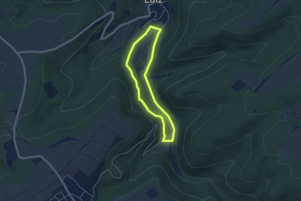
Easy · Trail
L4 Lütz
3.1 km · ↑ 106 m · 1 h
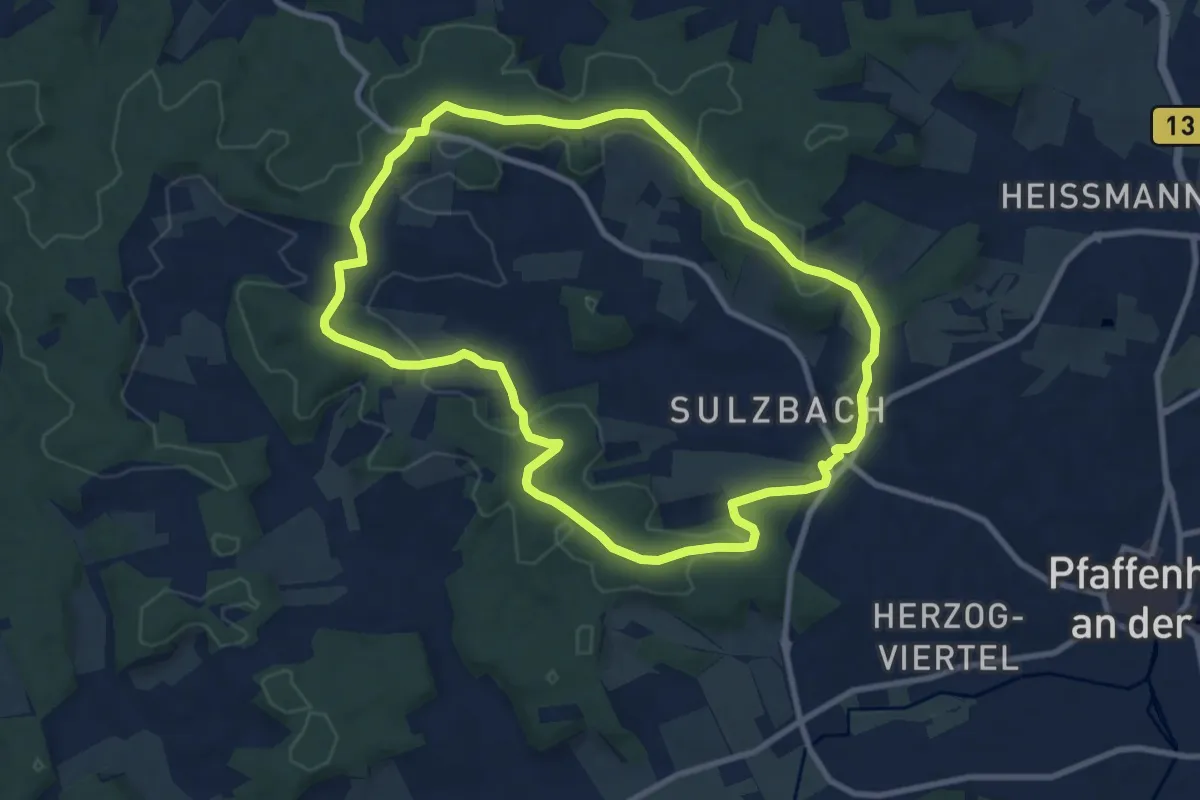
Medium · Trail
L4 (Zentrale Runde)
9.0 km · ↑ 174 m · 2 h 38 min
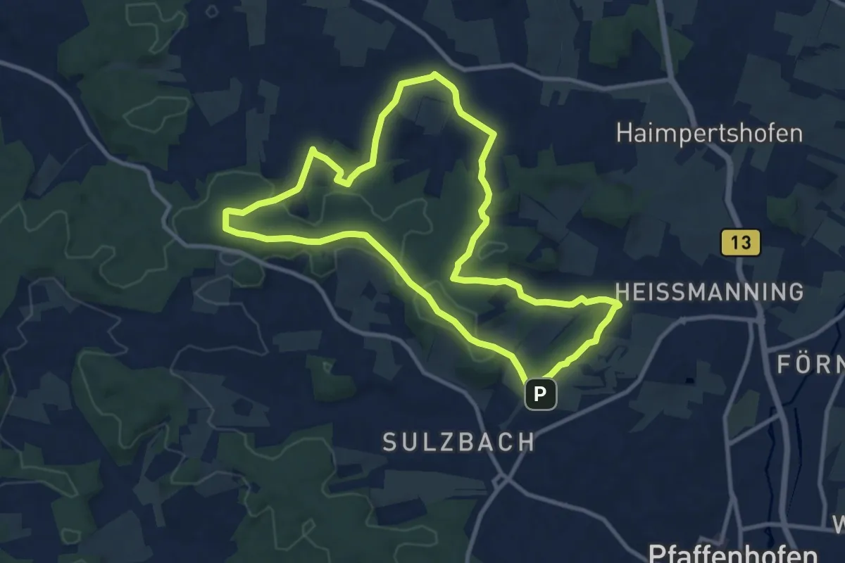
Medium · Trail
L5 (Kapellenrunde)
9.4 km · ↑ 208 m · 2 h 48 min
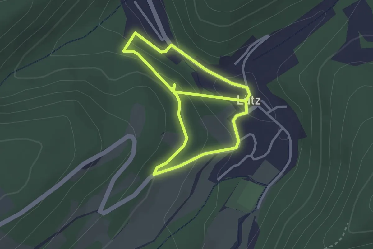
Easy · Trail
L5 Lütz
2.2 km · ↑ 143 m · 50 min
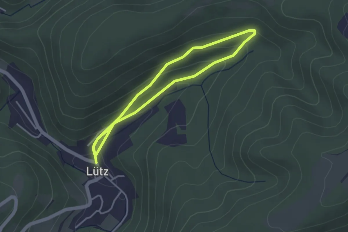
Easy · Trail
L6 Lütz
2.7 km · ↑ 118 m · 55 min
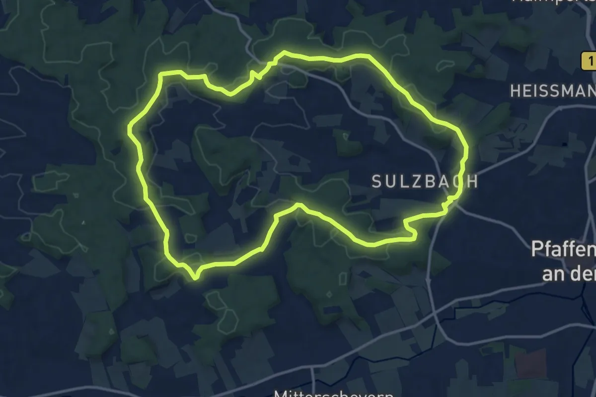
Medium · Summit
L6 (Schabenbergrunde)
12.5 km · ↑ 233 m · 3 h 38 min
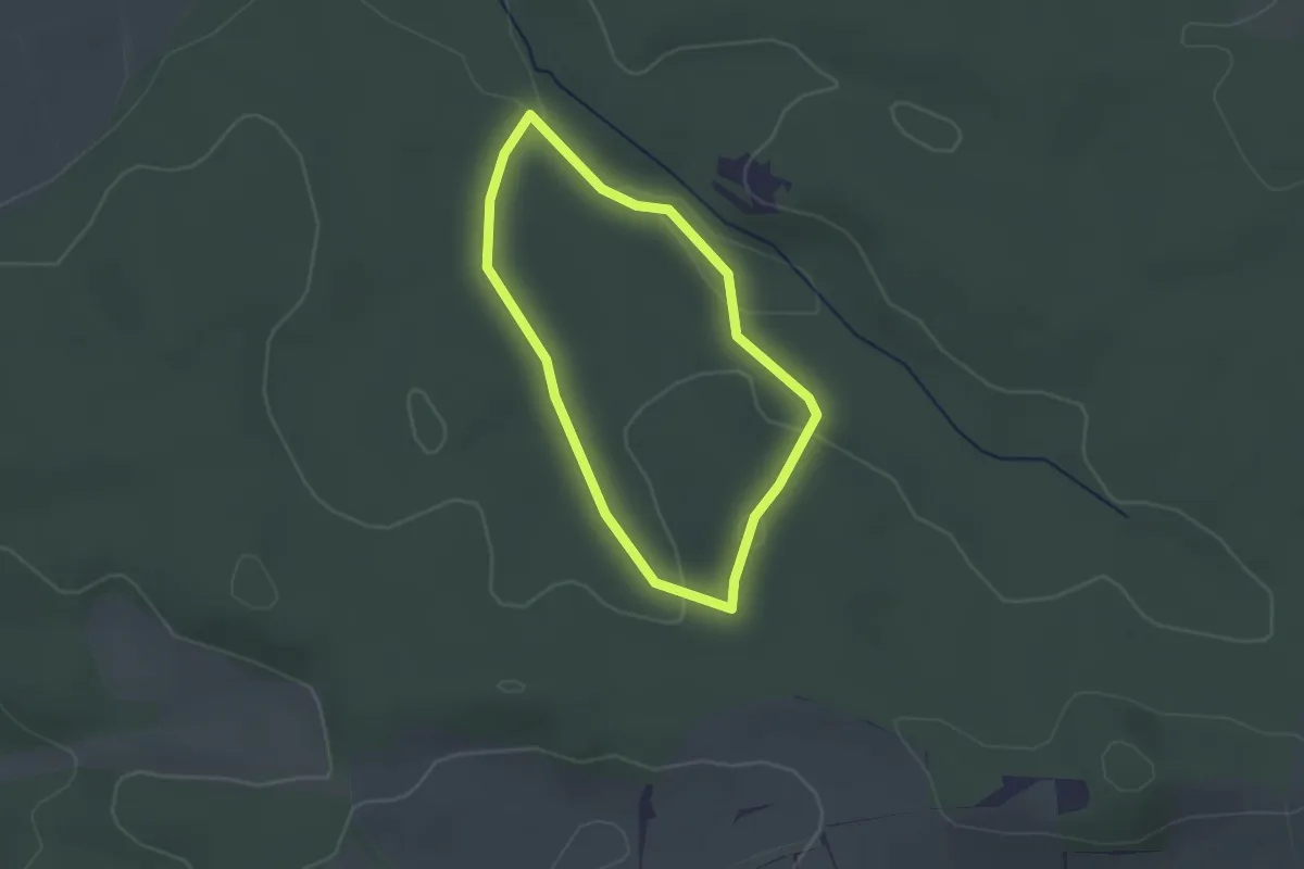
Easy · Trail
L7 (Kurze Runde)
1.8 km · ↑ 29 m · 31 min