Trails in Germany
36,852 hiking trails, each with its route, climb, walking time and grade.
All trails, page 313 of 768
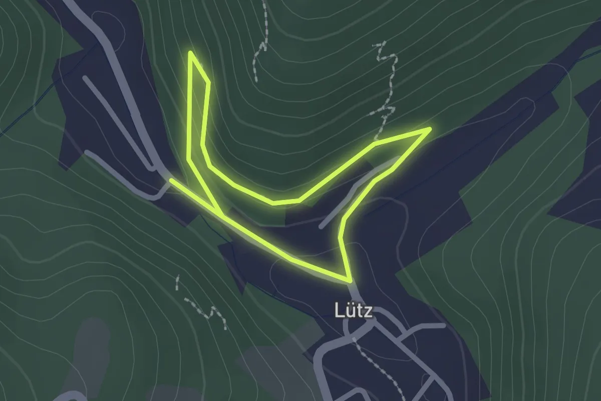
Easy · Trail
L7 Lütz
1.5 km · ↑ 63 m · 32 min
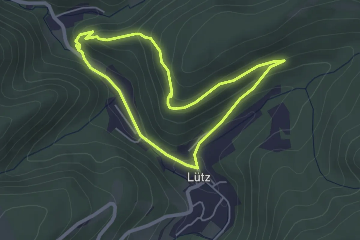
Medium · Trail
L8 Lütz
3.4 km · ↑ 152 m · 1 h 11 min
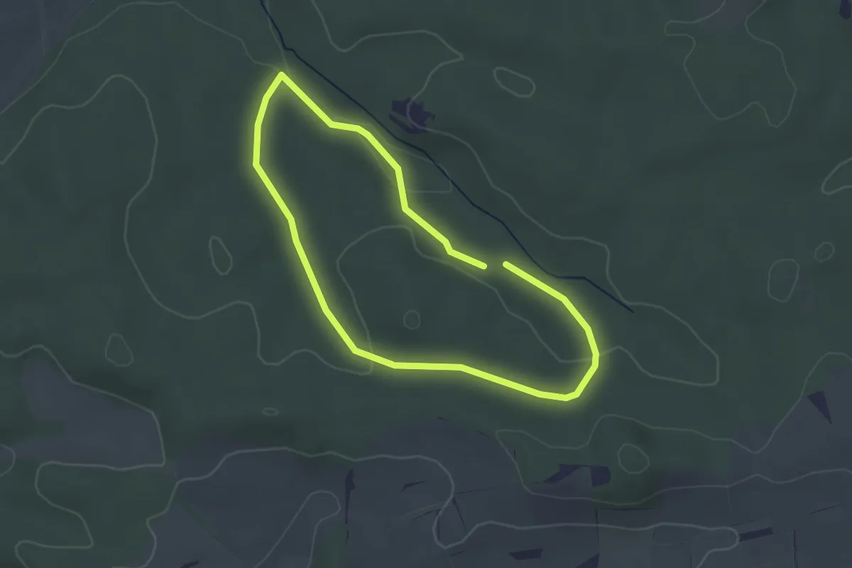
Easy · Trail
L8 (Mittlere Strecke)
2.5 km · ↑ 41 m · 43 min
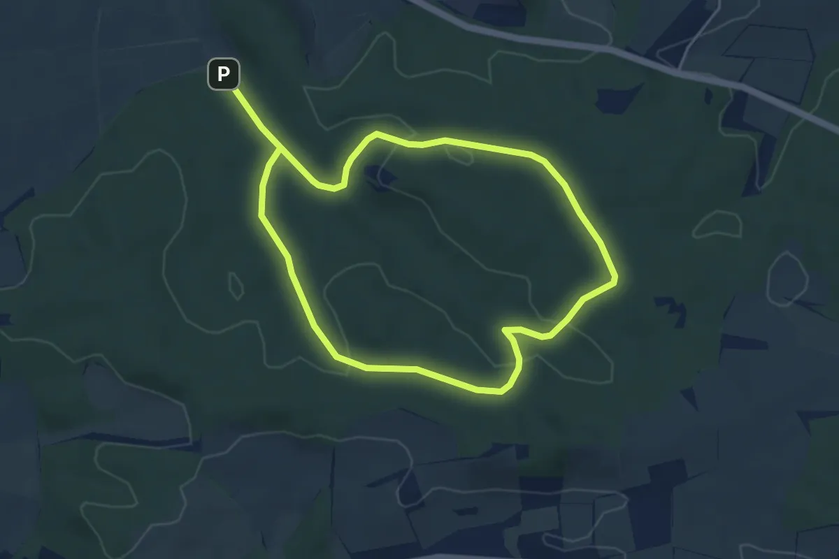
Easy · Trail
L9 (Lange Strecke)
7.5 km · ↑ 126 m · 2 h 3 min
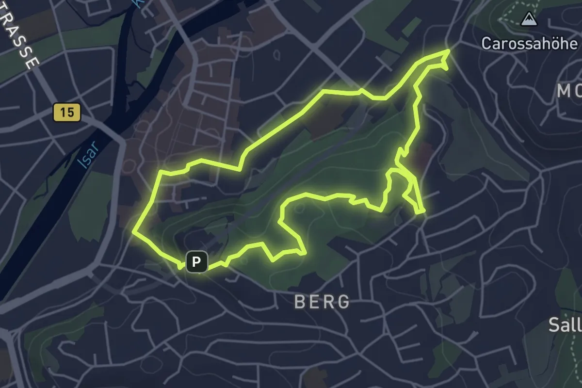
Easy · Trail
LA 2 - Hofgarten
4.6 km · ↑ 100 m · 1 h 22 min
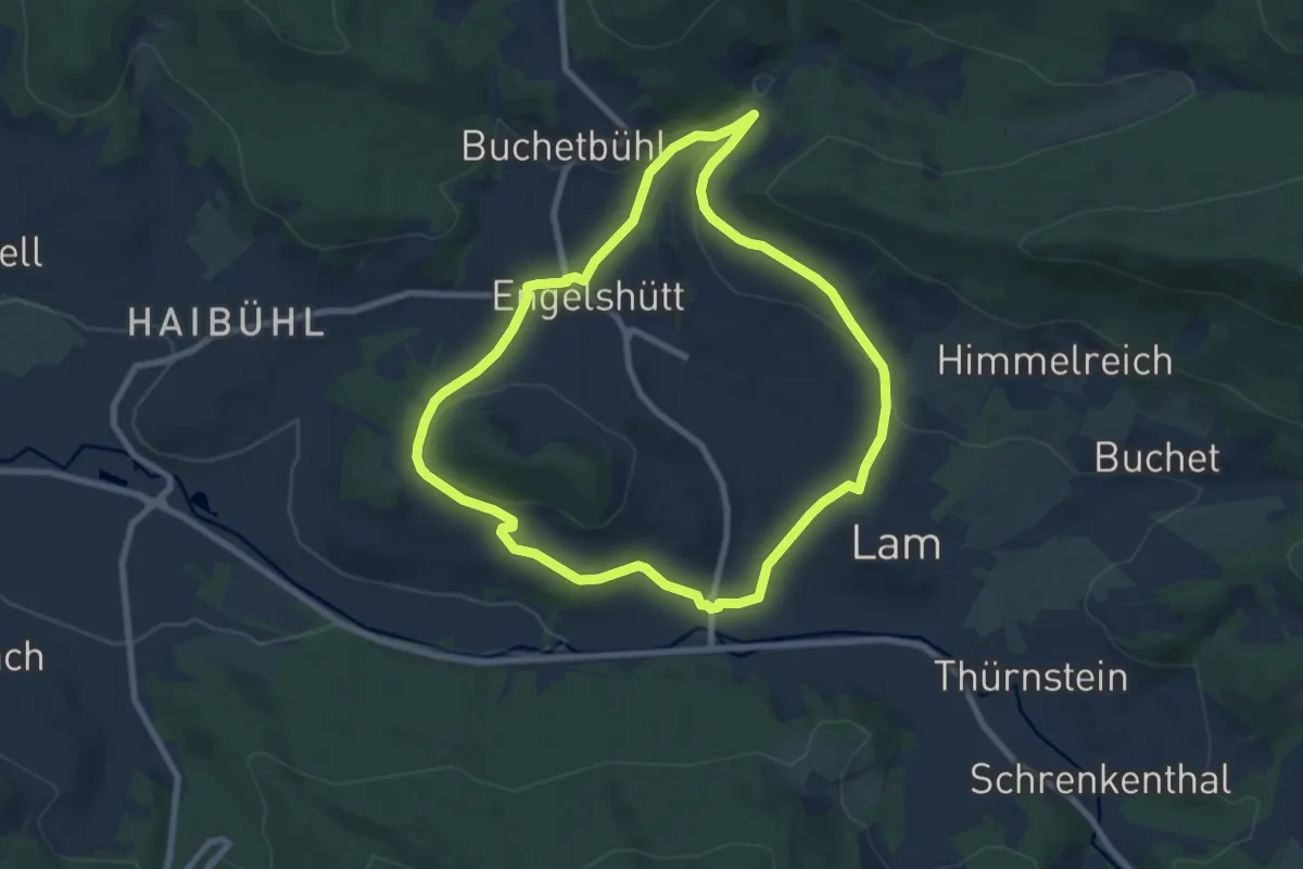
Easy · Trail
La4 Lam - Rund um Lam
7.4 km · ↑ 151 m · 2 h 11 min
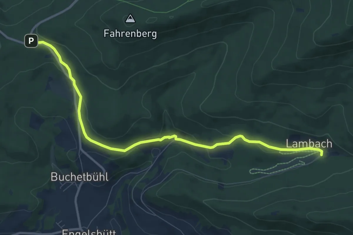
Medium · Trail
La5 Lam - Hoher Riegel - Tanneneck
9.1 km · ↑ 285 m · 2 h 46 min
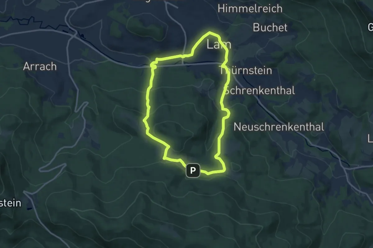
Medium · Trail
La7 Wanderweg Lam 7 "Zu den Einödhofen"
10.0 km · ↑ 391 m · 3 h 21 min
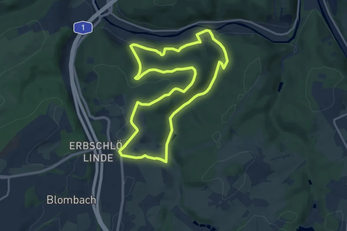
Medium · Trail
Laaken Rundweg A2
8.1 km · ↑ 195 m · 2 h 26 min
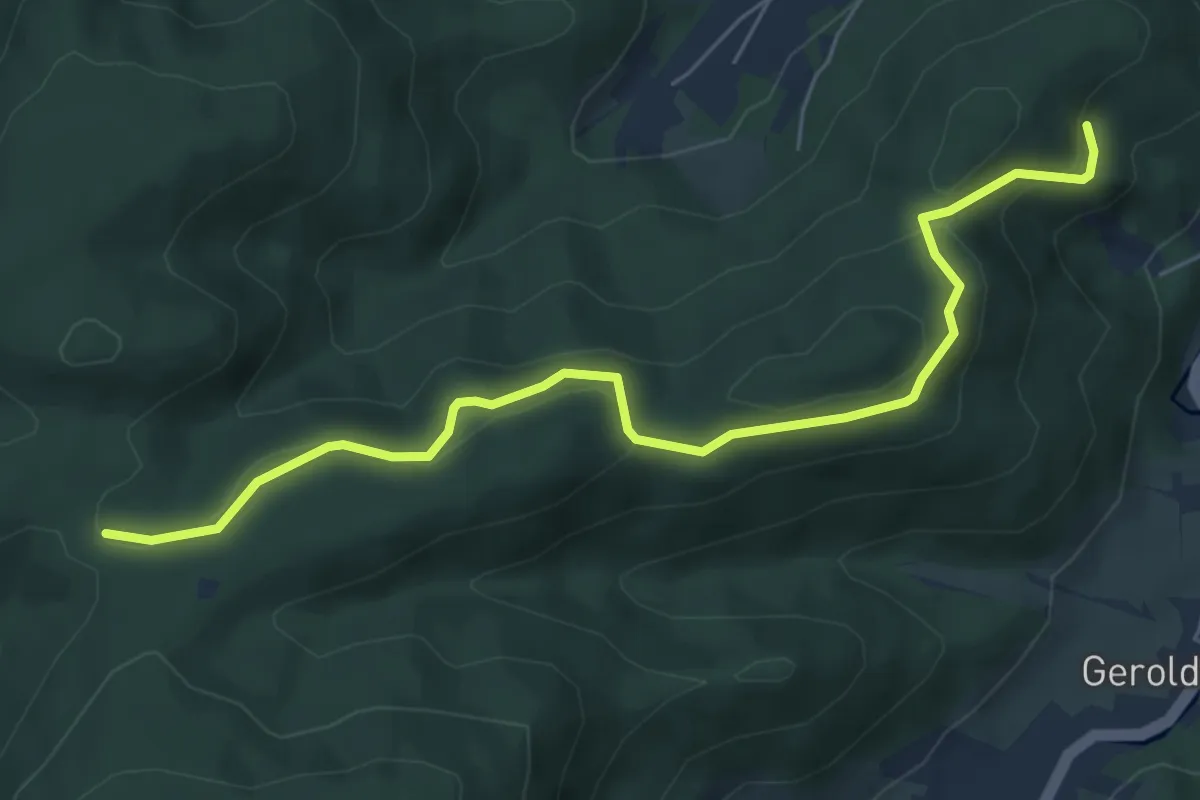
Easy · Trail
Lache Abzw. Prisewitzallee - Unterm Leisberg
6.2 km · ↑ 240 m · 2 h
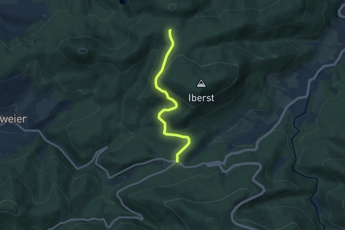
Easy · Trail
Lachehütte - Zimmerplatz
5.6 km · ↑ 225 m · 1 h 48 min
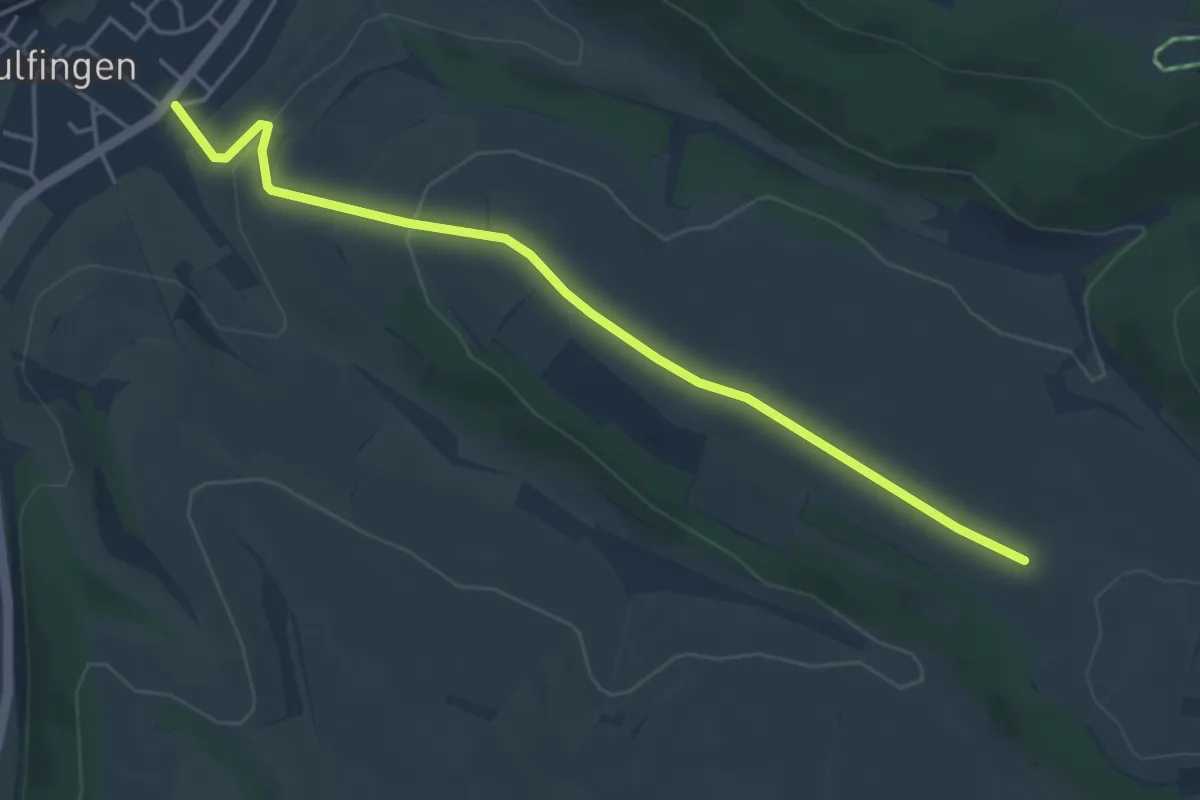
Easy · Trail
Lachen - Aulfingen Friedhofstraße
4.6 km · ↑ 113 m · 1 h 20 min
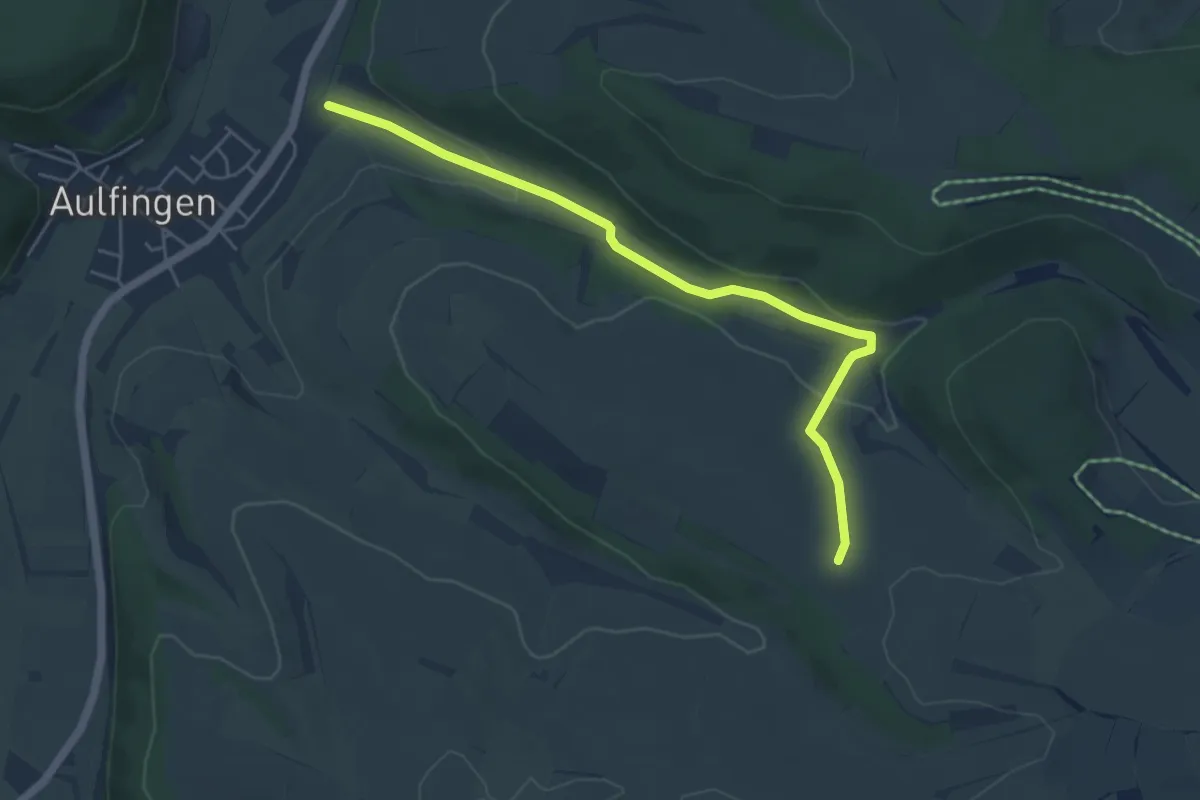
Easy · Trail
Lachen - Dörstel
5.2 km · ↑ 112 m · 1 h 28 min
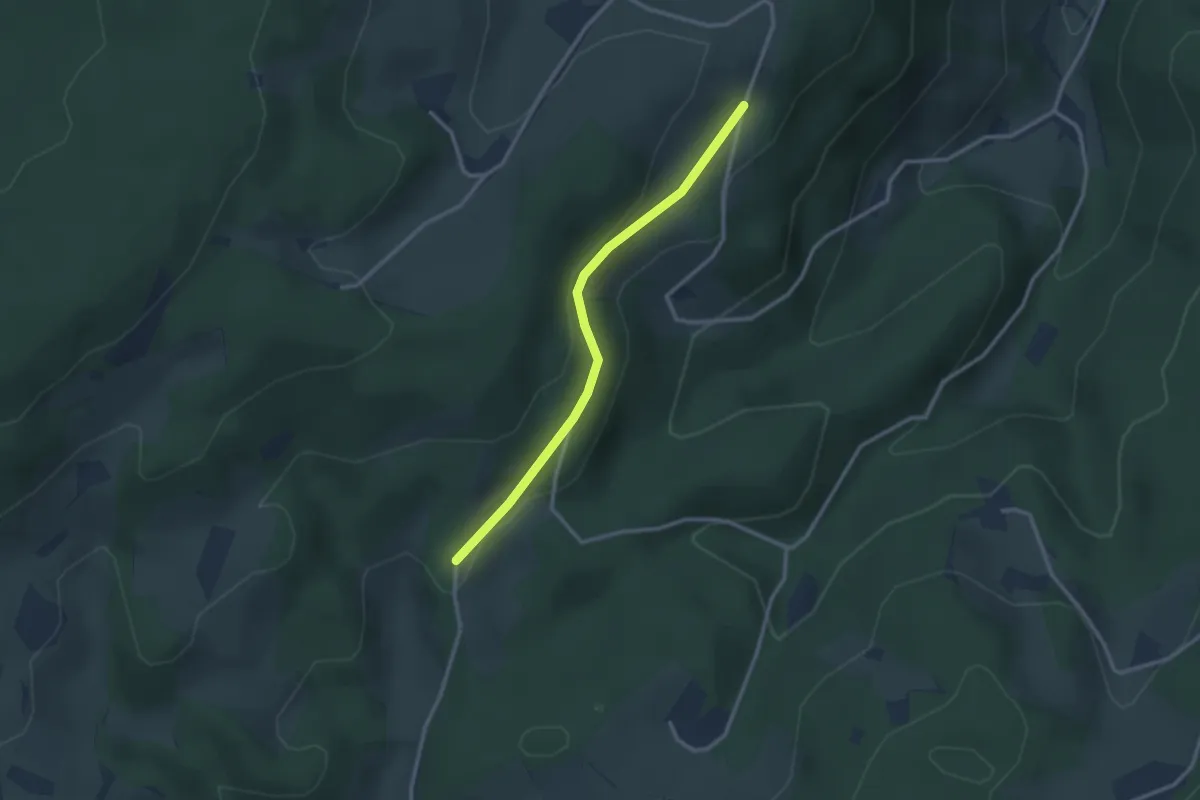
Easy · Trail
Lachen - Oberer Weißer Brunnen
2.6 km · ↑ 80 m · 47 min
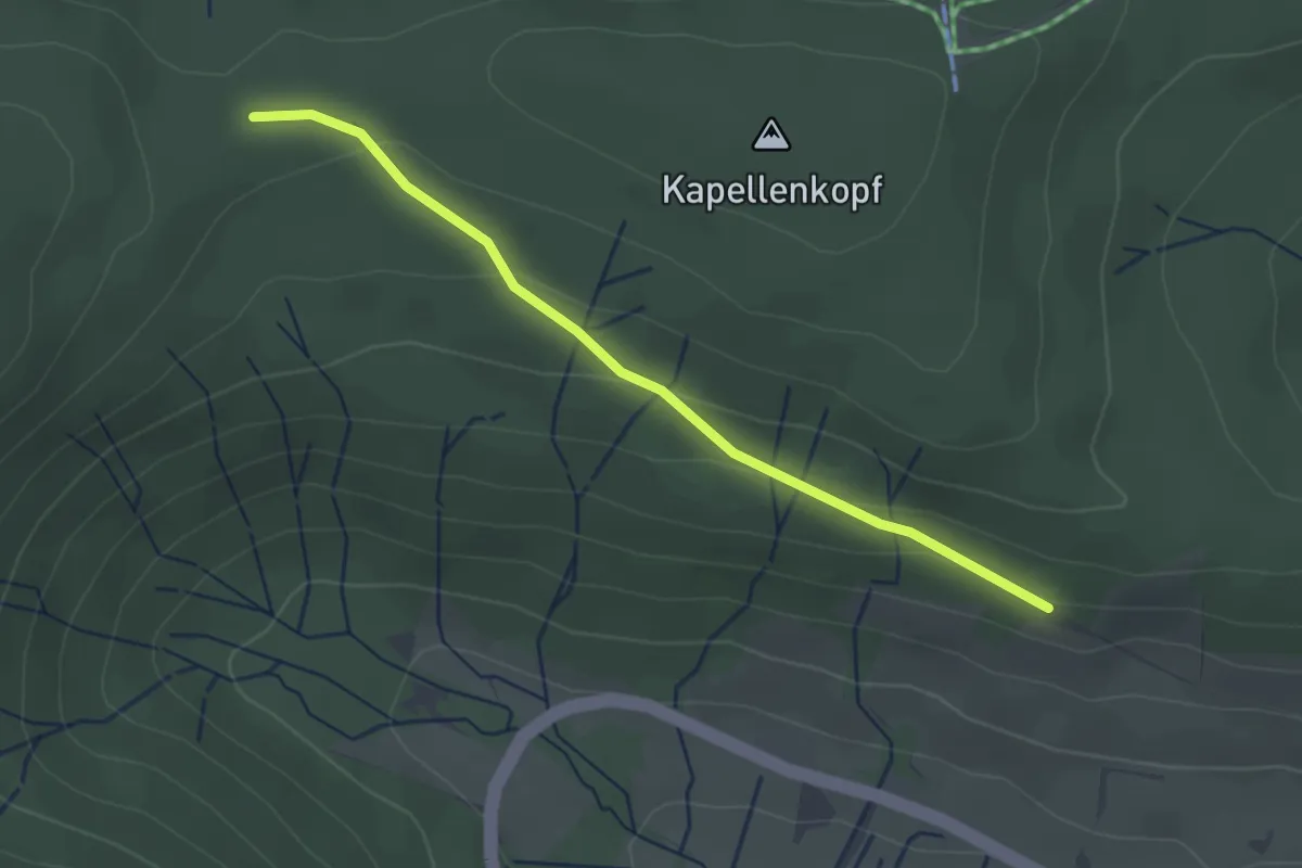
Easy · Trail
Lachenrütte - Lachenrütte
2.6 km · ↑ 90 m · 48 min
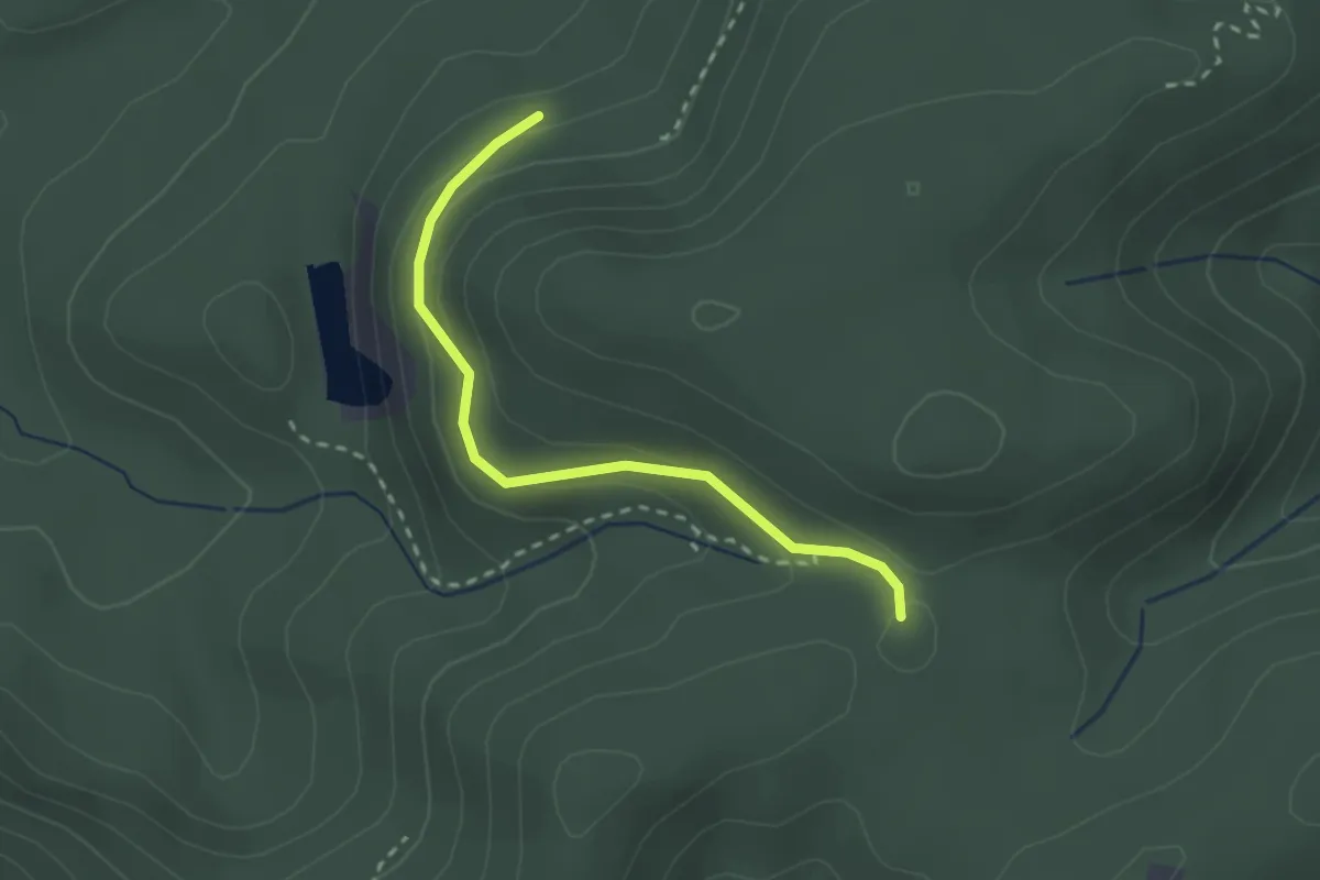
Easy · Trail
Lache Pfeifersfelsweg - Waldeneck
2.3 km · ↑ 112 m · 47 min
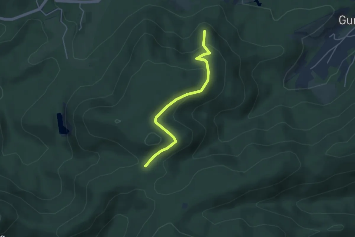
Easy · Trail
Lache Pfeifersfelsweg - Waldhaus Batschari
3.4 km · ↑ 146 m · 1 h 8 min
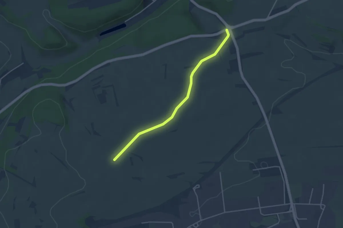
Easy · Trail
Lache - Ziegelhof
3.3 km · ↑ 14 m · 48 min
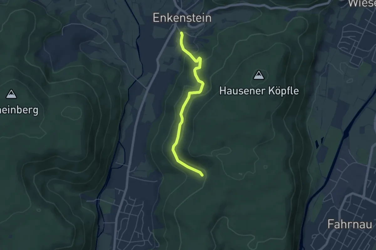
Easy · Trail
Lachsgrabenweg - Dachsgrabenbrünnli
4.6 km · ↑ 168 m · 1 h 27 min
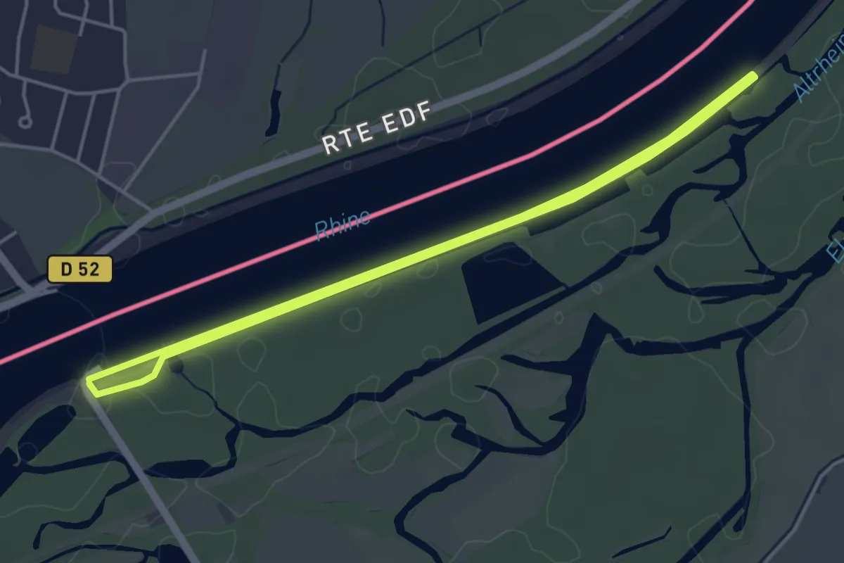
Easy · Trail
Lachsweg
4.0 km · ↑ 4 m · 1 h 1 min
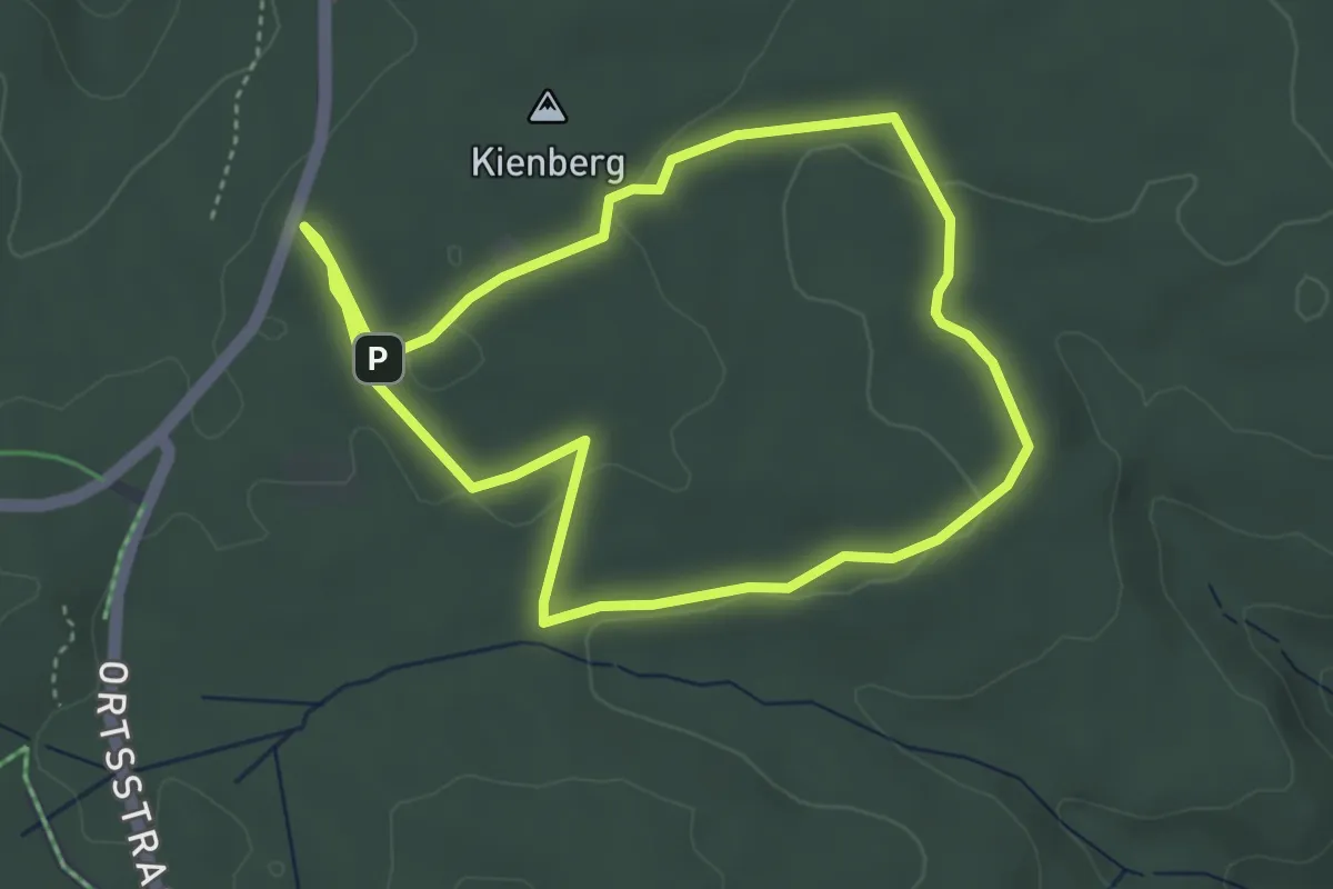
Easy · Trail
Lach-Yoga-Weg
3.7 km · ↑ 58 m · 1 h 4 min
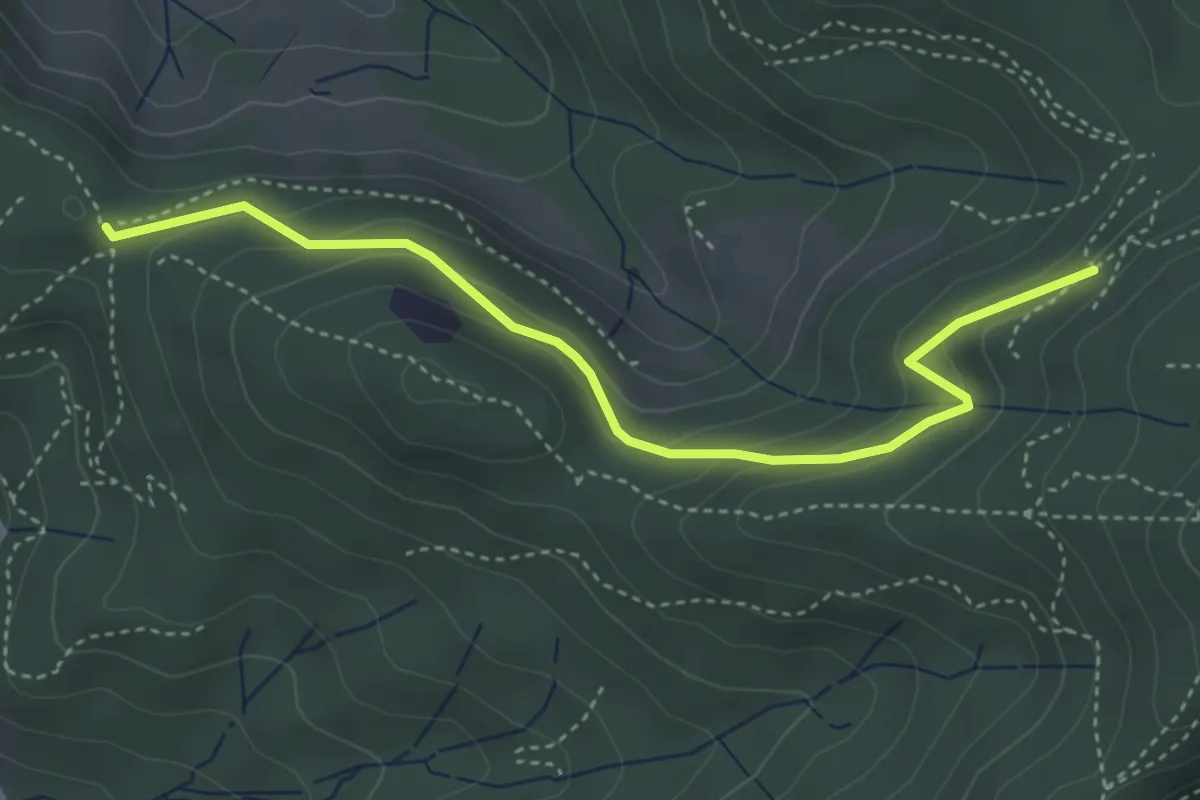
Easy · Trail
Ladstatt - Roßkopfweg
4.0 km · ↑ 211 m · 1 h 24 min
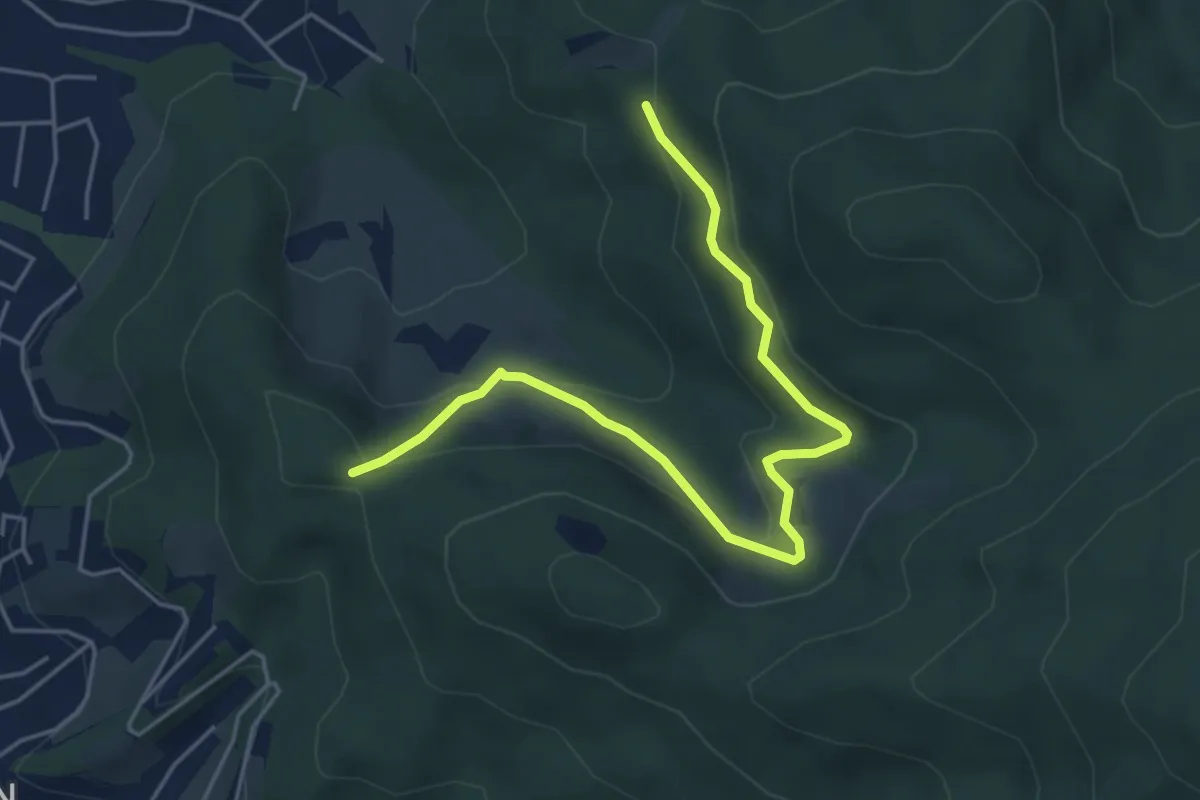
Easy · Trail
Ladstatt - Schlosshäuser Süd
5.1 km · ↑ 223 m · 1 h 41 min
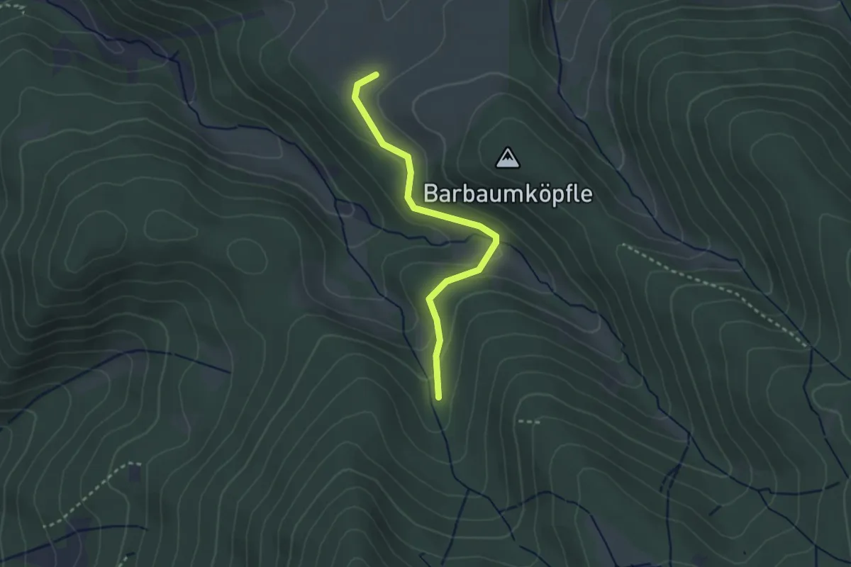
Easy · Trail
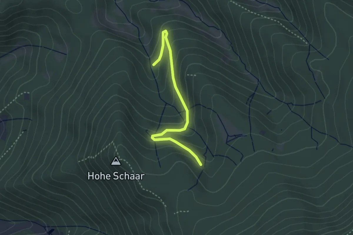
Lägerhütte - Wegkreuz Eben
2.6 km · ↑ 99 m · 49 min
Easy · Trail
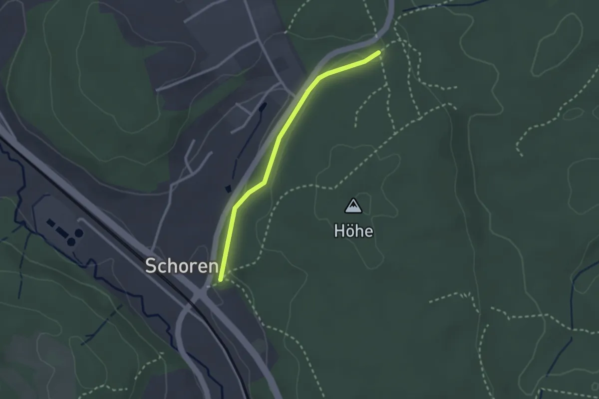
Lägerhütte - Wetzsteinbrunnen
3.2 km · ↑ 189 m · 1 h 10 min
Easy · Trail
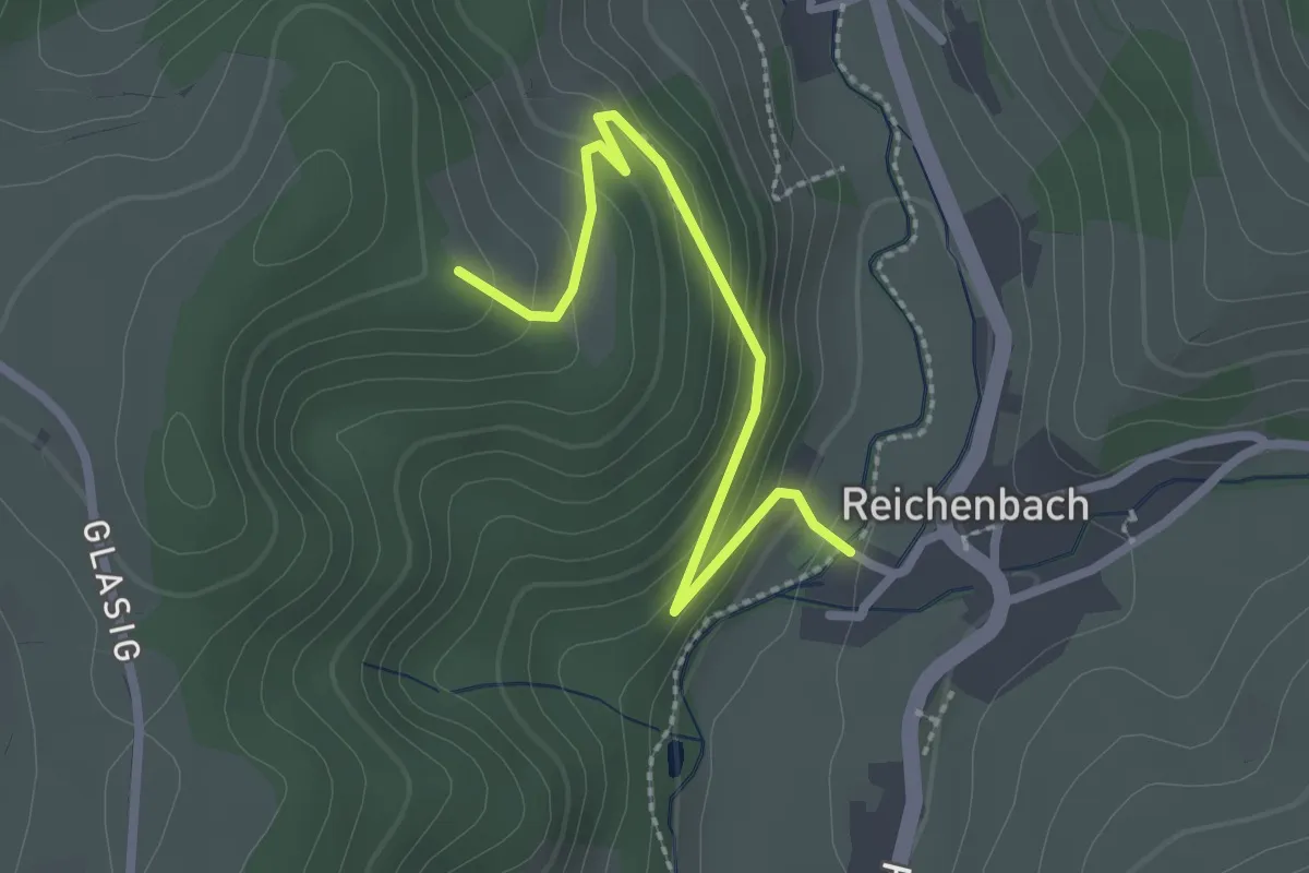
Lagerplatz - Schoren Weggabelung
2.2 km · ↑ 32 m · 35 min
Easy · Trail
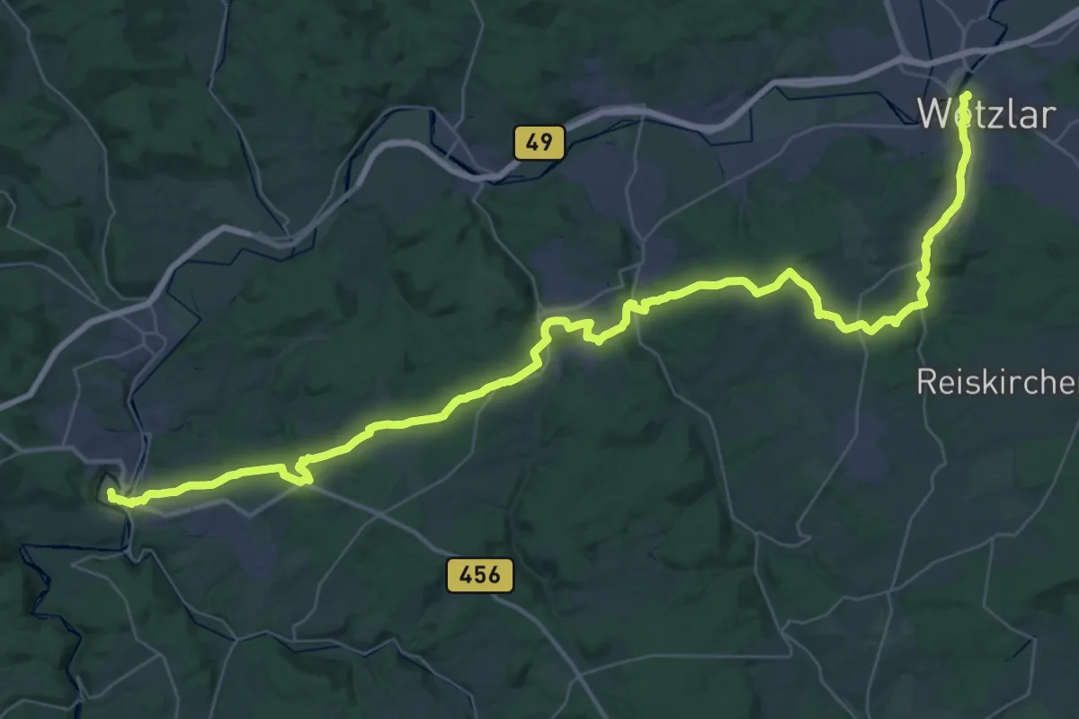
Läger - Reichenbach Insel
2.4 km · ↑ 150 m · 53 min
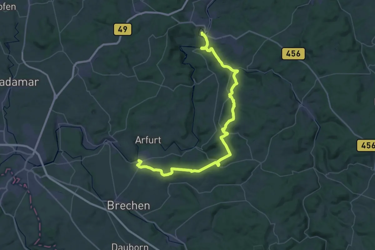
Demanding · Trail
Lahn-Camino - 1. Etappe - Jakobsweg
26.2 km · ↑ 552 m · 7 h 45 min
Demanding · Trail
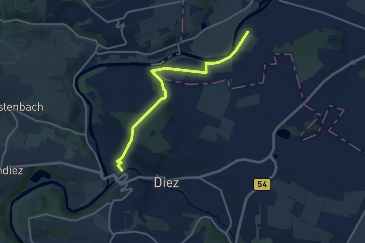
Lahn-Camino - 2. Etappe - Jakobsweg
24.6 km · ↑ 572 m · 7 h 22 min
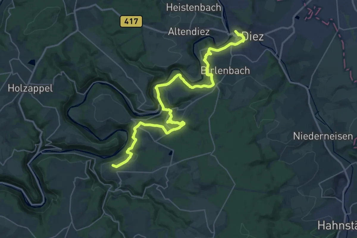
Easy · Trail
Lahn-Camino - 3. Etappe - Jakobsweg
7.3 km · ↑ 147 m · 2 h 2 min
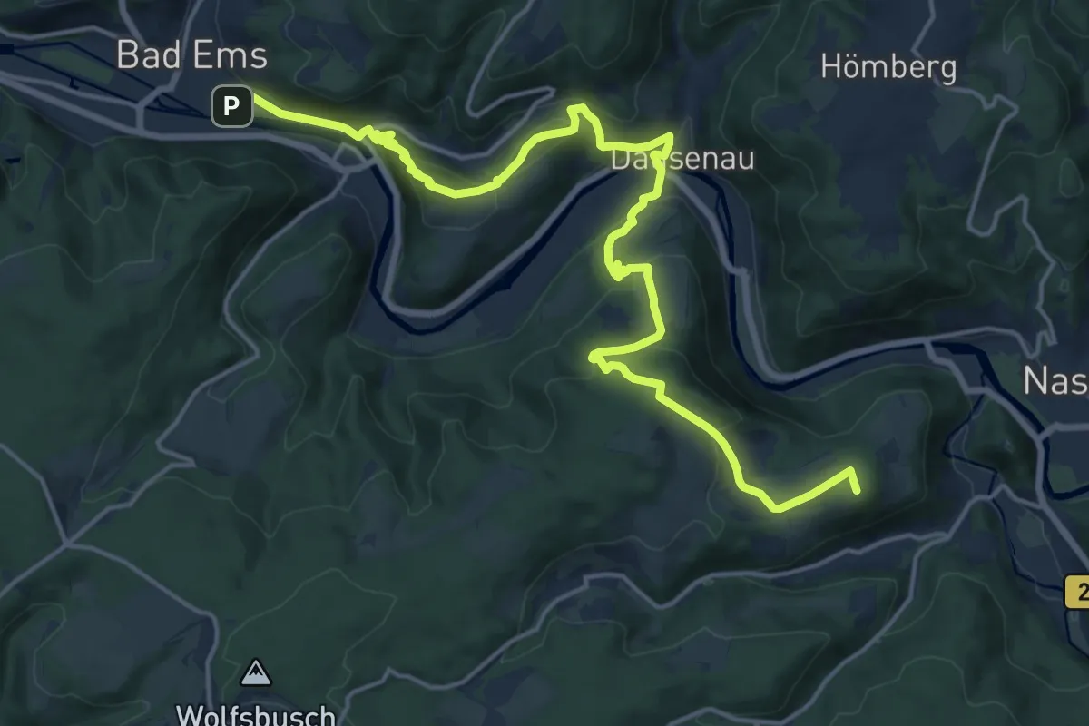
Demanding · Summit
Lahn-Camino - 4. Etappe - Jakobsweg
27.4 km · ↑ 897 m · 8 h 24 min
Demanding · Summit
Lahn-Camino - 5. Etappe - Jakobsweg
19.3 km · ↑ 863 m · 6 h 26 min
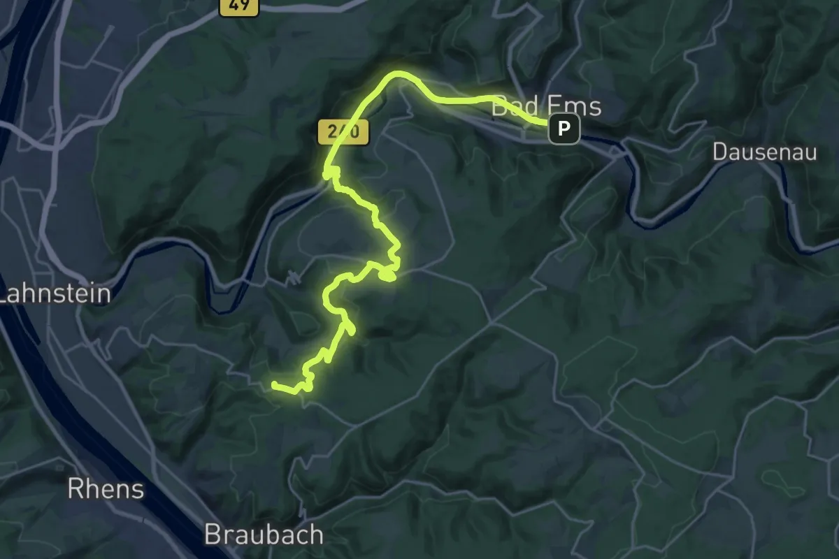
Demanding · Summit
Lahn-Camino - 6. Etappe - Jakobsweg
25.5 km · ↑ 791 m · 7 h 44 min
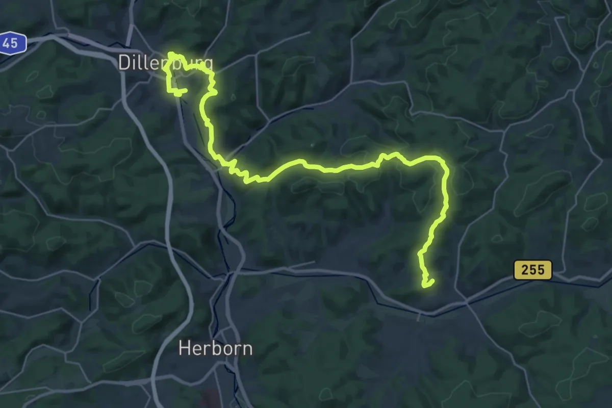
Demanding · Summit
Lahn-Dill-Bergland-Pfad Etappe 1A Dillenburg - Bicken
30.6 km · ↑ 927 m · 9 h 14 min
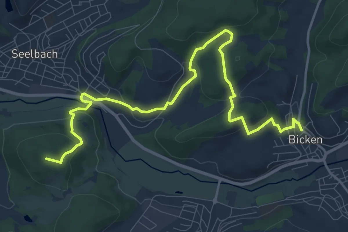
Medium · Summit
Lahn-Dill-Bergland-Pfad Etappe 1B Herborn - Bicken
10.9 km · ↑ 376 m · 3 h 23 min
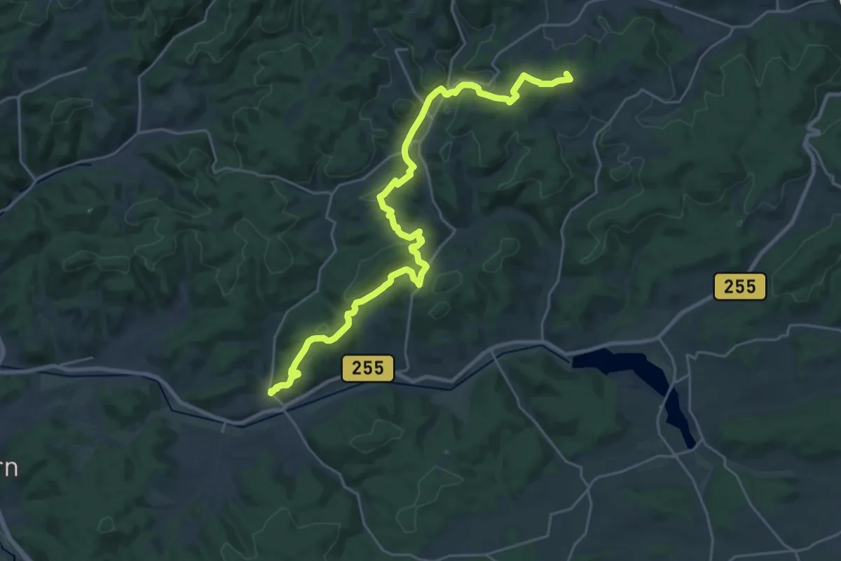
Demanding · Summit
Lahn-Dill-Bergland-Pfad Etappe 2 Bicken - Bad Endbach
24.9 km · ↑ 664 m · 7 h 19 min
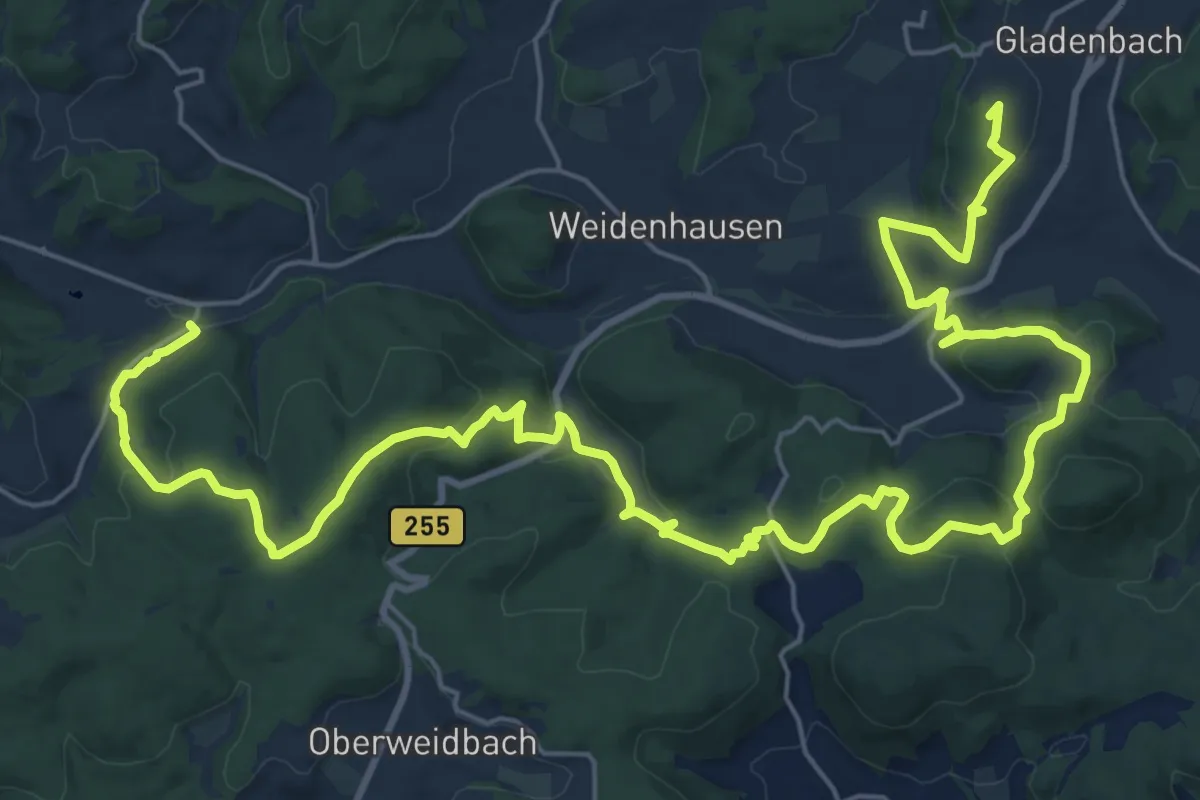
Demanding · Summit
Lahn-Dill-Bergland-Pfad Etappe 3 Bad Endbach - Gladenbach
33.3 km · ↑ 949 m · 9 h 55 min
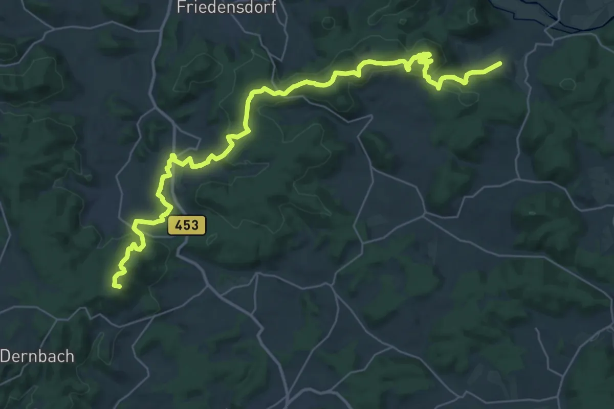
Demanding · Summit
Lahn-Dill-Bergland-Pfad Etappe 4 Gladenbach - Caldern
32.7 km · ↑ 979 m · 9 h 51 min
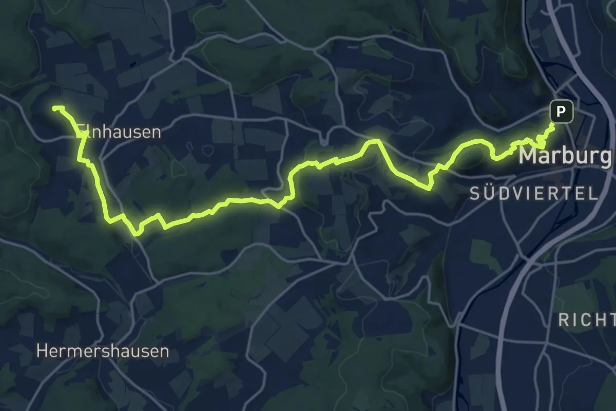
Demanding · Summit
Lahn-Dill-Bergland-Pfad Etappe 5 Caldern - Marburg
20.6 km · ↑ 497 m · 5 h 56 min
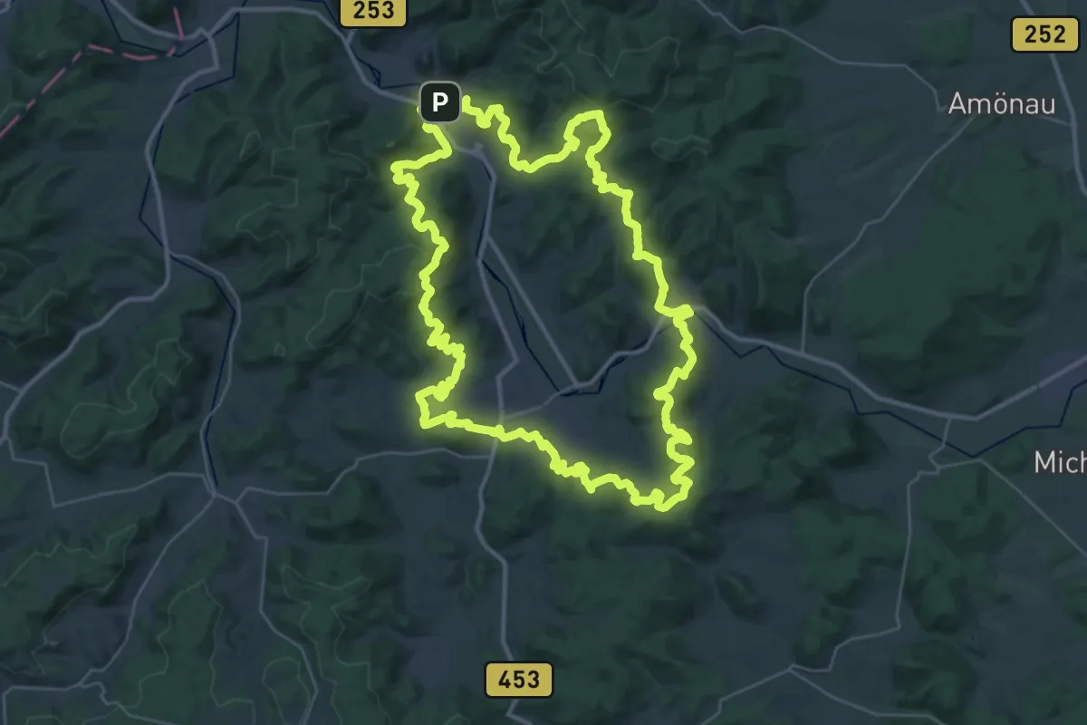
Demanding · Summit
Lahnhöhen-Extratour
38.1 km · ↑ 1205 m · 12 h 8 min
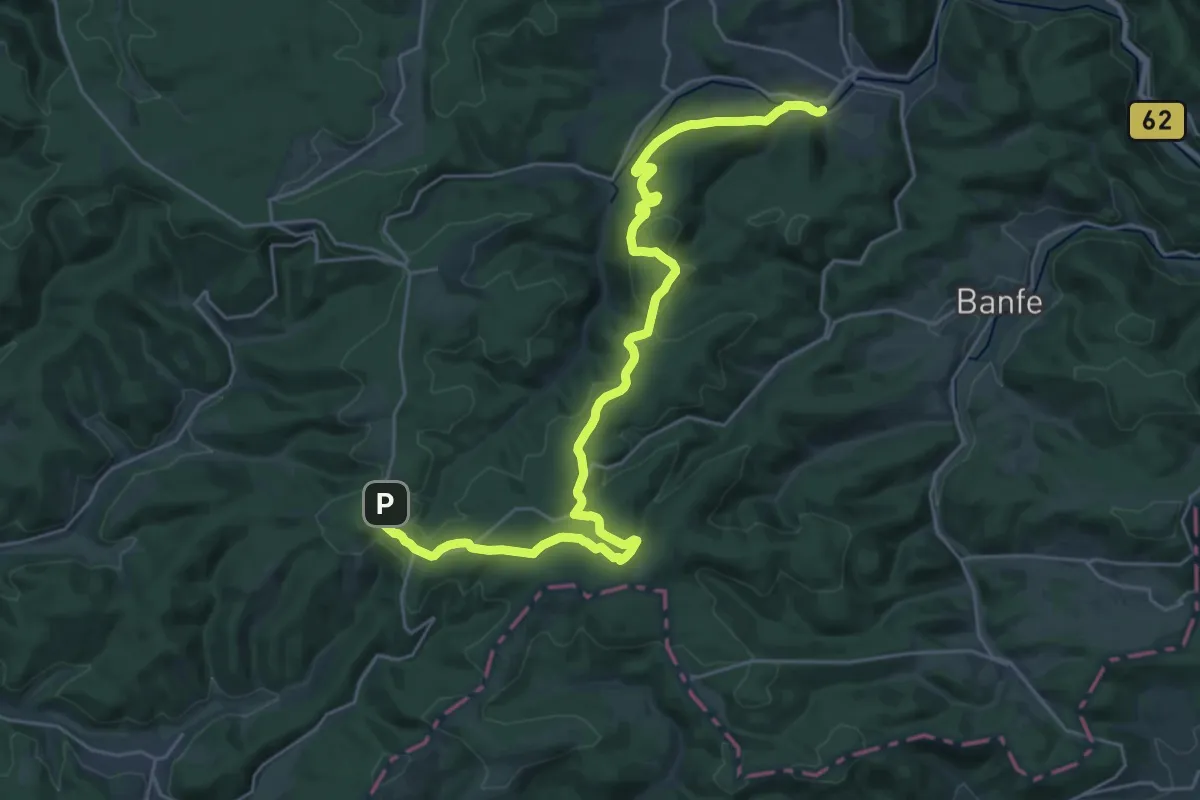
Medium · Trail
Lahnwanderweg - 01
14.1 km · ↑ 254 m · 4 h 10 min
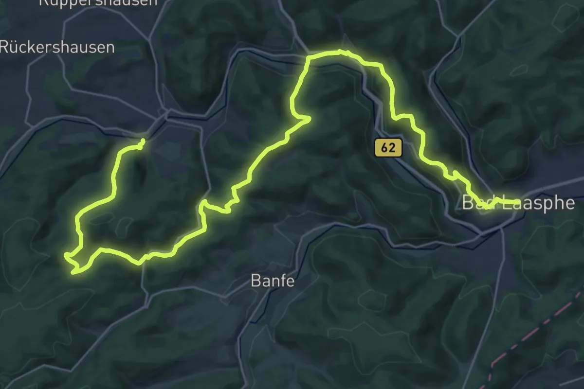
Medium · Trail
Lahnwanderweg - 02. Etappe Feudingen-Bad Laasphe
16.6 km · ↑ 490 m · 5 h 14 min
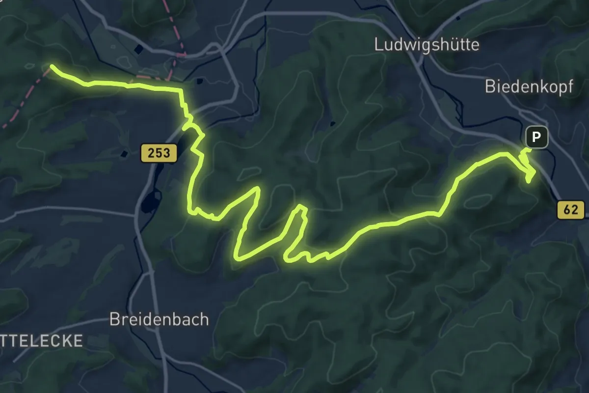
Demanding · Summit
Lahnwanderweg - 03. Etappe Bad Laasphe-Biedenkopf
27.5 km · ↑ 984 m · 8 h 38 min
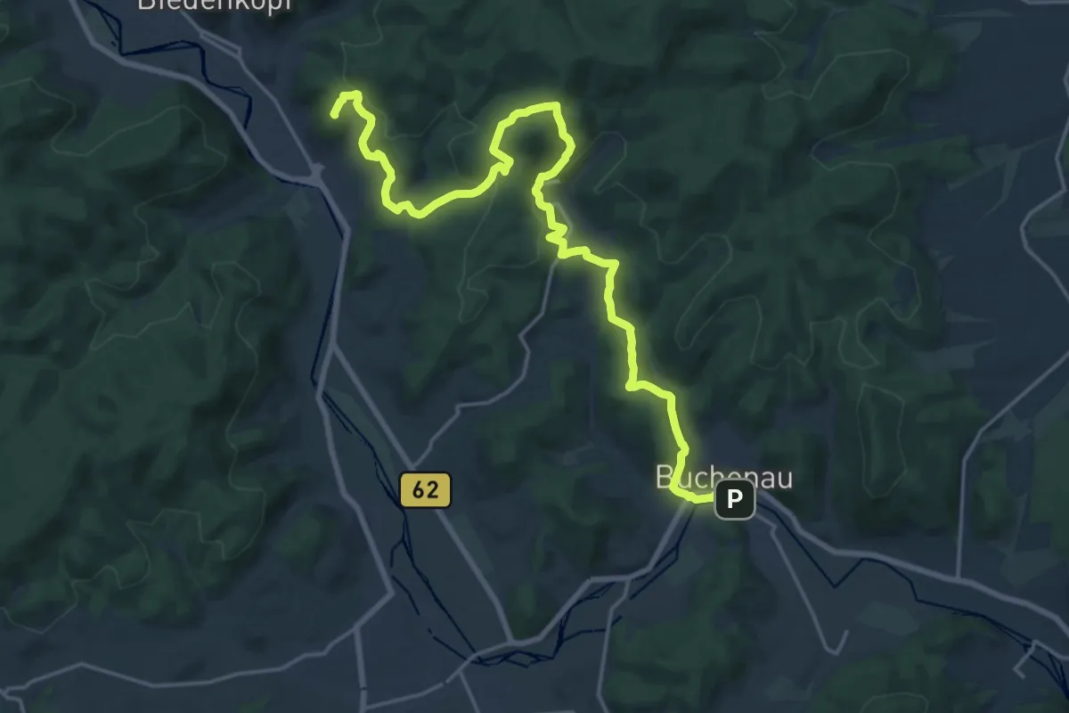
Demanding · Summit
Lahnwanderweg - 04. Etappe Biedenkopf-Buchenau
20.9 km · ↑ 739 m · 6 h 32 min
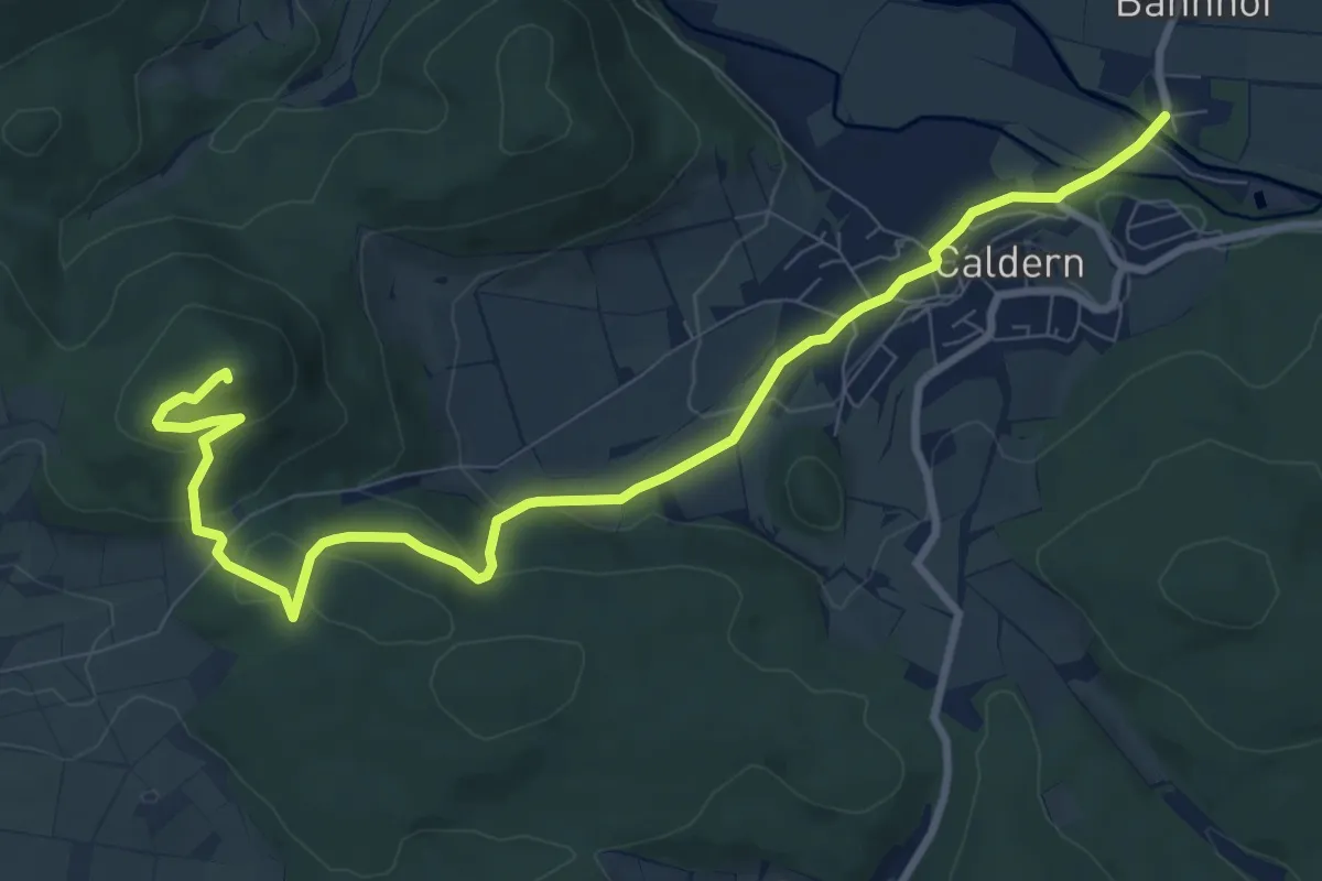
Medium · Summit
Lahnwanderweg - 05. Etappe Buchenau-Caldern
9.9 km · ↑ 287 m · 2 h 58 min
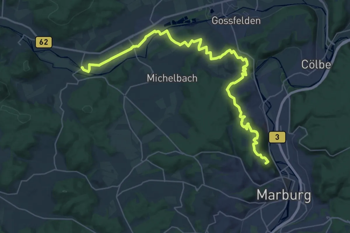
Demanding · Summit
Lahnwanderweg - 06. Etappe Caldern-Marburg
28.5 km · ↑ 711 m · 8 h 17 min
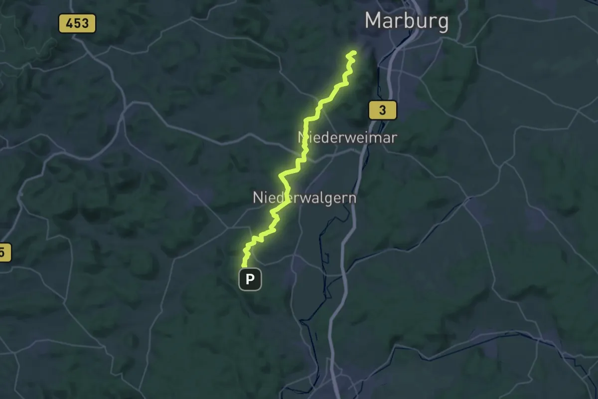
Demanding · Summit
Lahnwanderweg - 07. Etappe Marburg-Fronhausen
31.9 km · ↑ 609 m · 8 h 50 min
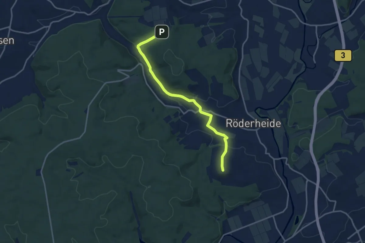
Medium · Summit
Lahnwanderweg - 08. Etappe Fronhausen-Lollar
10.2 km · ↑ 203 m · 2 h 51 min