Trails in Germany
36,852 hiking trails, each with its route, climb, walking time and grade.
All trails, page 314 of 768
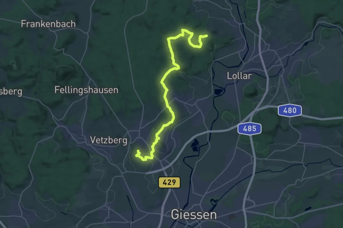
Demanding · Summit
Lahnwanderweg - 09. Etappe Lollar-Rodheim-Bieber
25.4 km · ↑ 620 m · 7 h 21 min
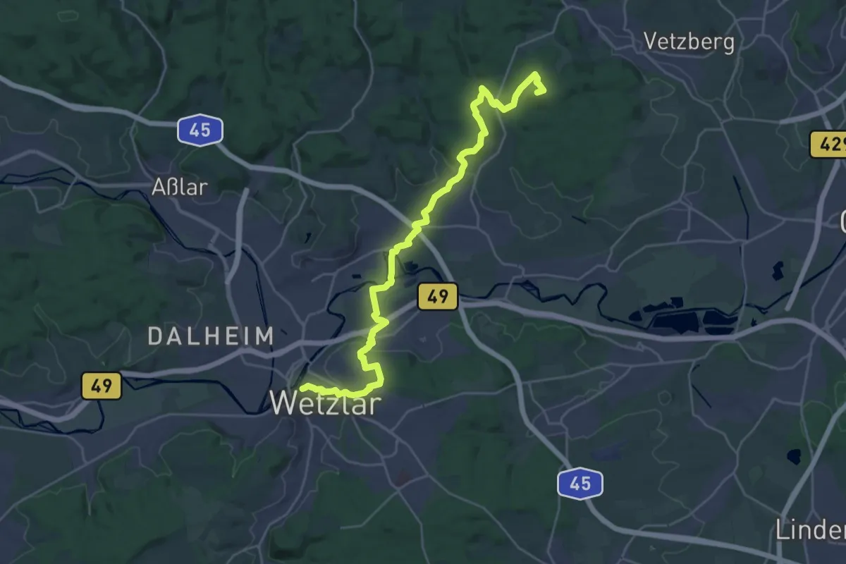
Demanding · Summit
Lahnwanderweg - 10. Etappe Rodheim-Bieber-Wetzlar
26.0 km · ↑ 498 m · 7 h 12 min
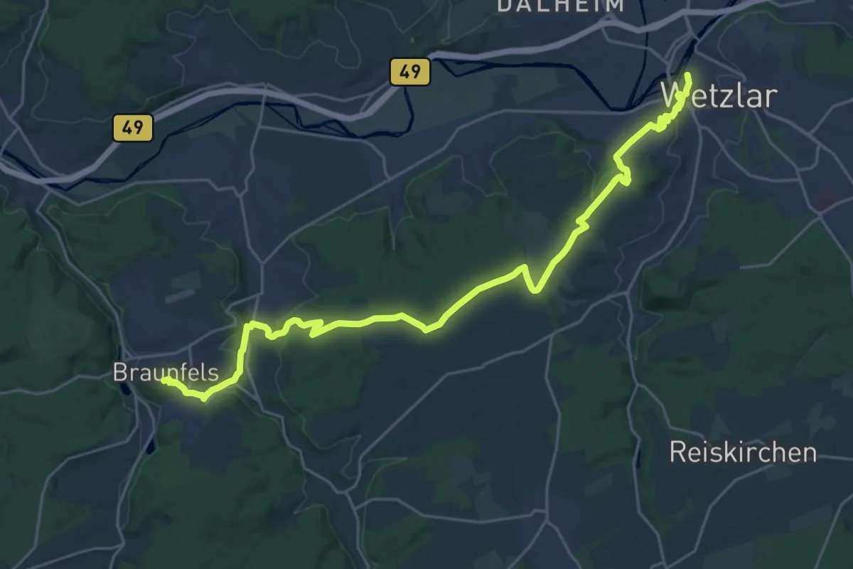
Demanding · Trail
Lahnwanderweg - 11. Etappe Wetzlar-Braunfels
25.9 km · ↑ 570 m · 7 h 21 min
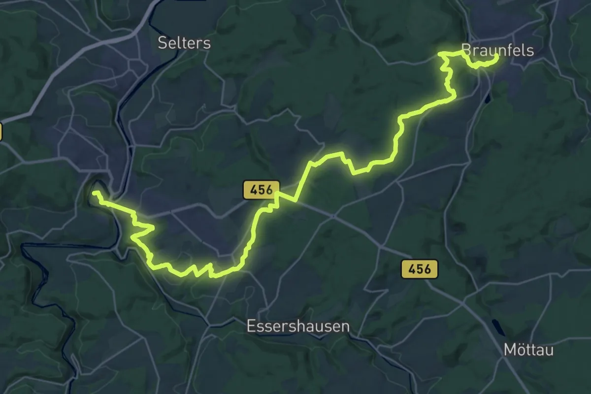
Medium · Trail
Lahnwanderweg - 12. Etappe Braunfels-Weilburg
18.0 km · ↑ 401 m · 5 h 18 min
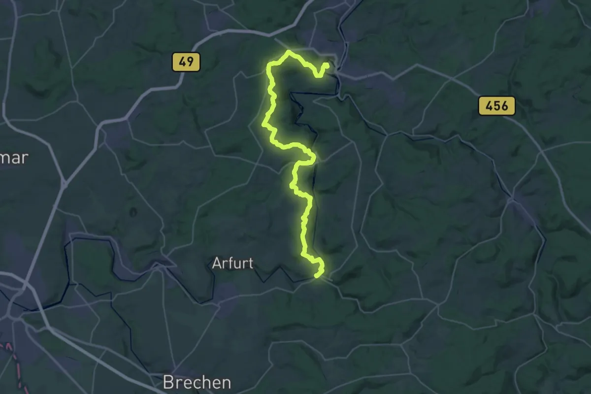
Demanding · Trail
Lahnwanderweg - 13. Etappe Weilburg-Aumenau
18.5 km · ↑ 443 m · 5 h 36 min
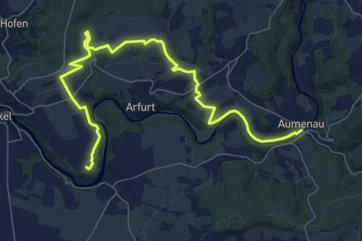
Demanding · Trail
Lahnwanderweg - 14. Etappe Aumenau-Villmar
25.4 km · ↑ 348 m · 6 h 45 min
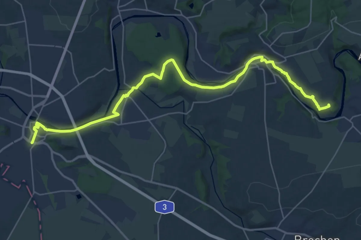
Demanding · Trail
Lahnwanderweg - 15. Etappe Villmar-Limburg
24.7 km · ↑ 270 m · 6 h 25 min
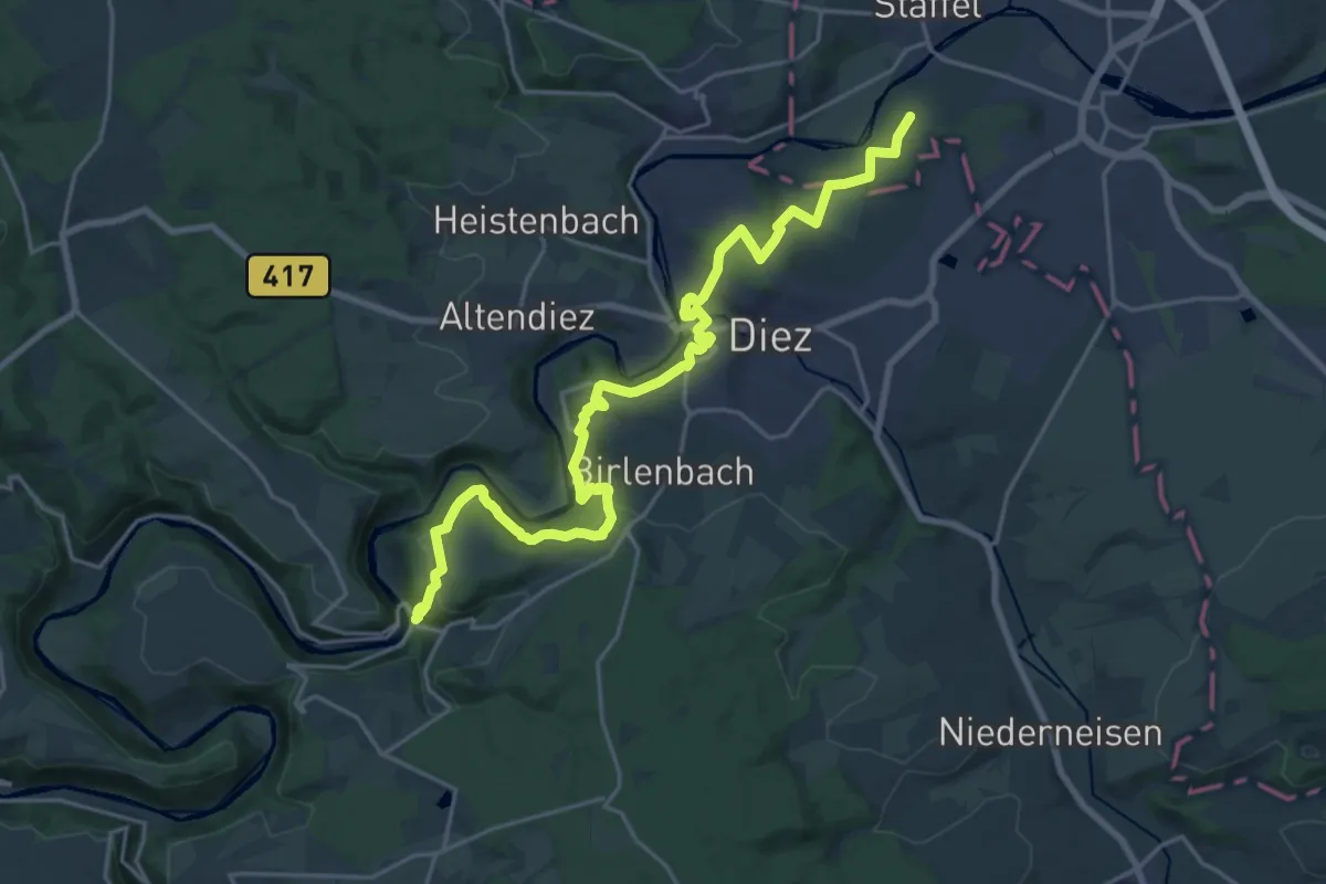
Demanding · Trail
Lahnwanderweg - 16. Etappe Limburg-Balduinstein
22.8 km · ↑ 687 m · 6 h 52 min
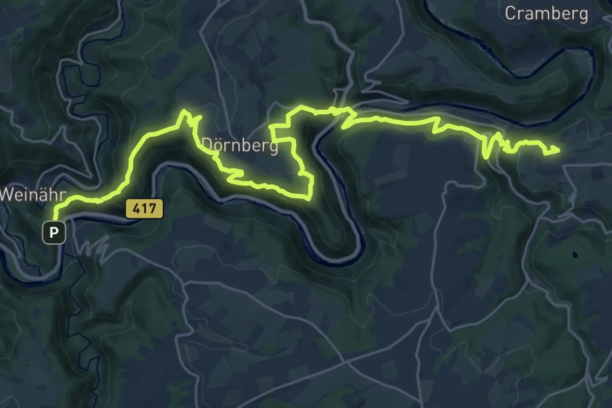
Demanding · Summit
Lahnwanderweg - 17. Etappe Balduinstein-Obernhof
27.1 km · ↑ 1038 m · 8 h 39 min
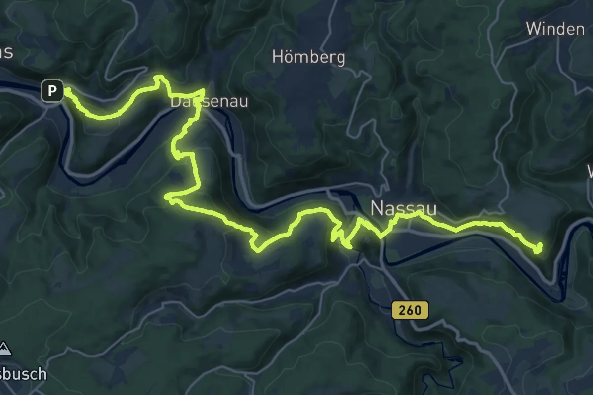
Demanding · Summit
Lahnwanderweg - 18. Etappe Obernhof-Bad Ems
28.6 km · ↑ 1372 m · 9 h 43 min
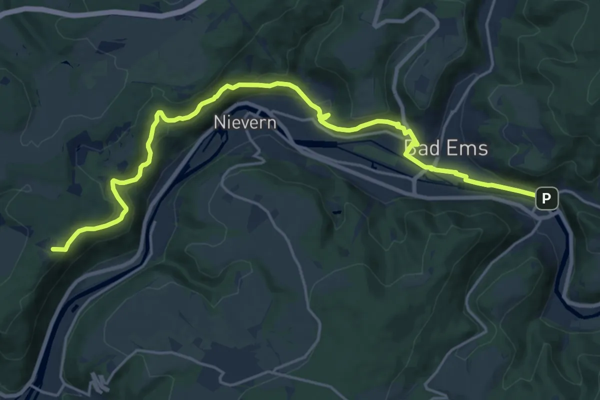
Medium · Summit
Lahnwanderweg - 19. Etappe Bad Ems-Lahnstein
16.6 km · ↑ 728 m · 5 h 30 min
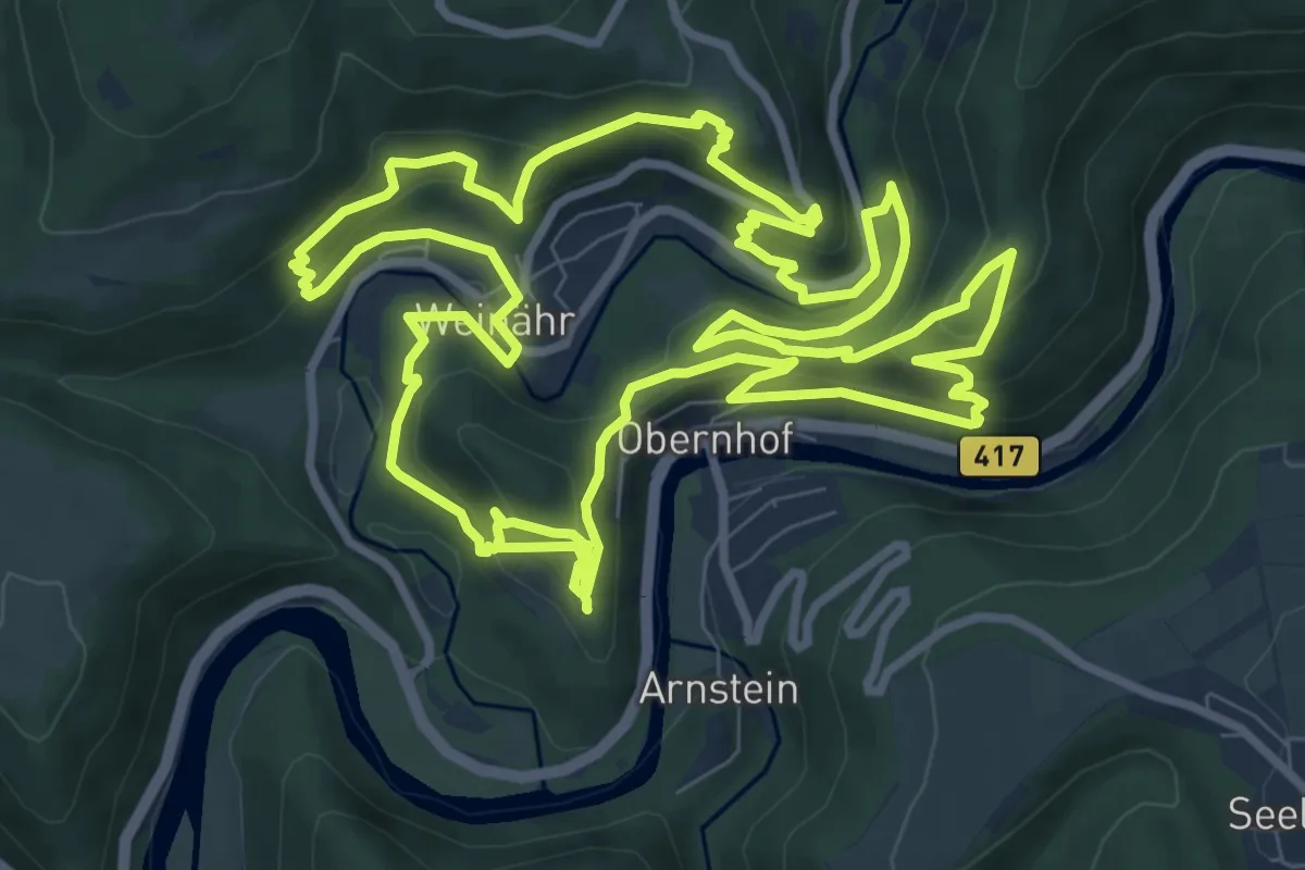
Demanding · Summit
LahnWeinStieg
10.5 km · ↑ 541 m · 3 h 48 min
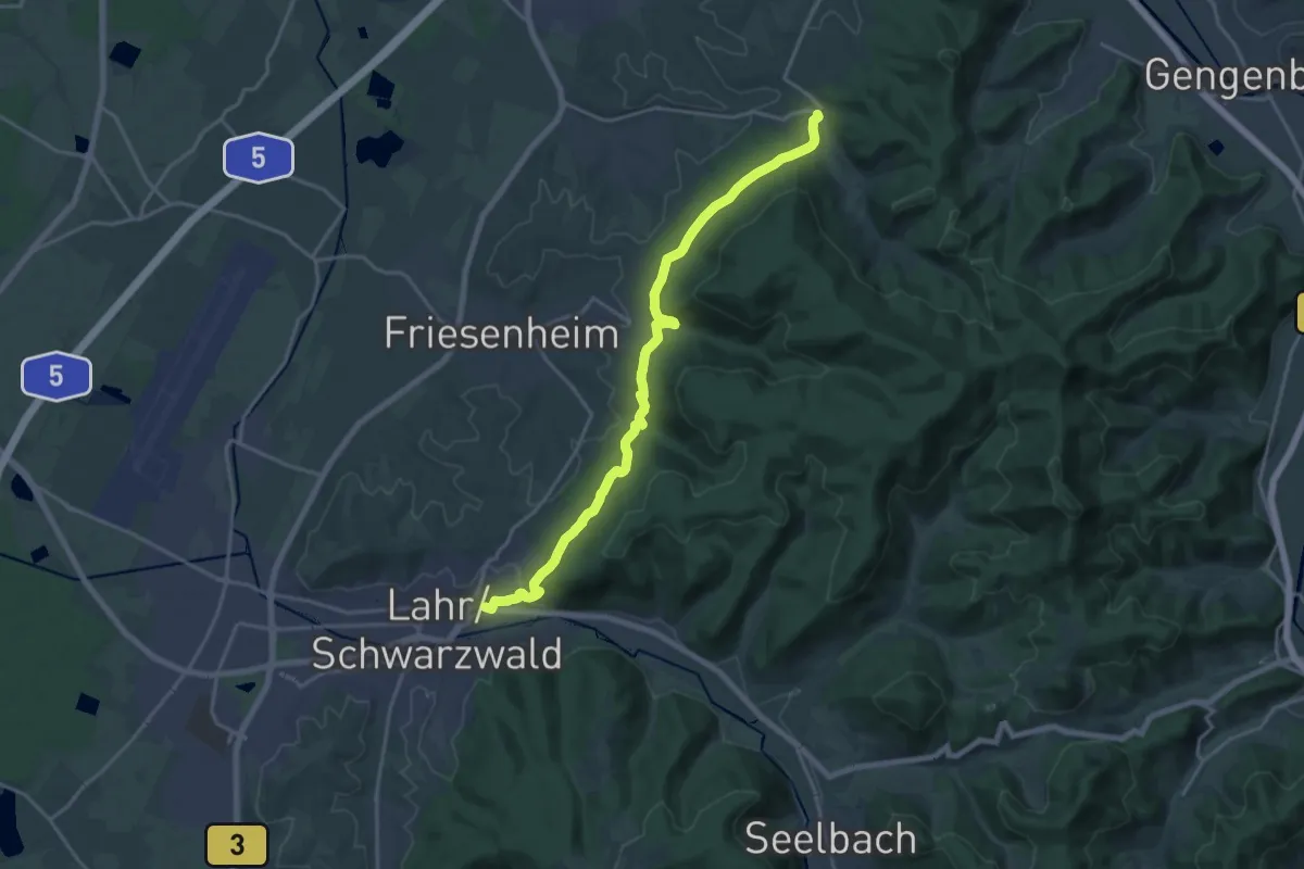
Demanding · Trail
Lahr - Diersburg
18.8 km · ↑ 490 m · 5 h 30 min
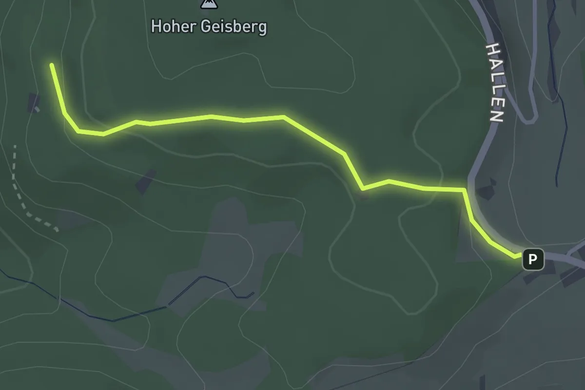
Easy · Cabin
Lahrer Hütte - Höhehäuser
2.8 km · ↑ 97 m · 52 min
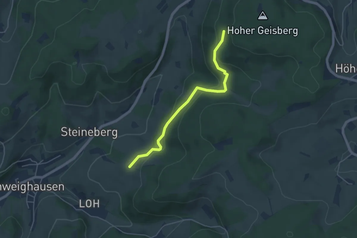
Easy · Cabin
Lahrer Hütte - Schwabenberg
3.9 km · ↑ 145 m · 1 h 15 min
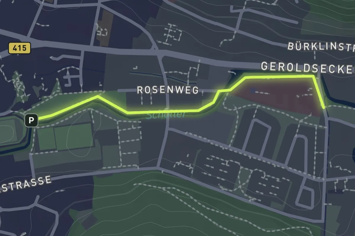
Easy · Trail
Lahr Herzzentrum - Lahr Sancta Maria
2.0 km · ↑ 14 m · 30 min
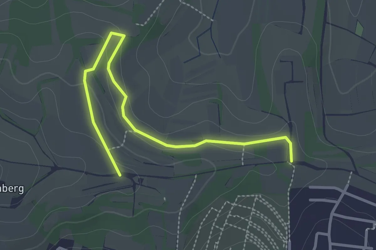
Easy · Trail
Lahr Mauergässchen - Löffelhalde
2.9 km · ↑ 49 m · 48 min
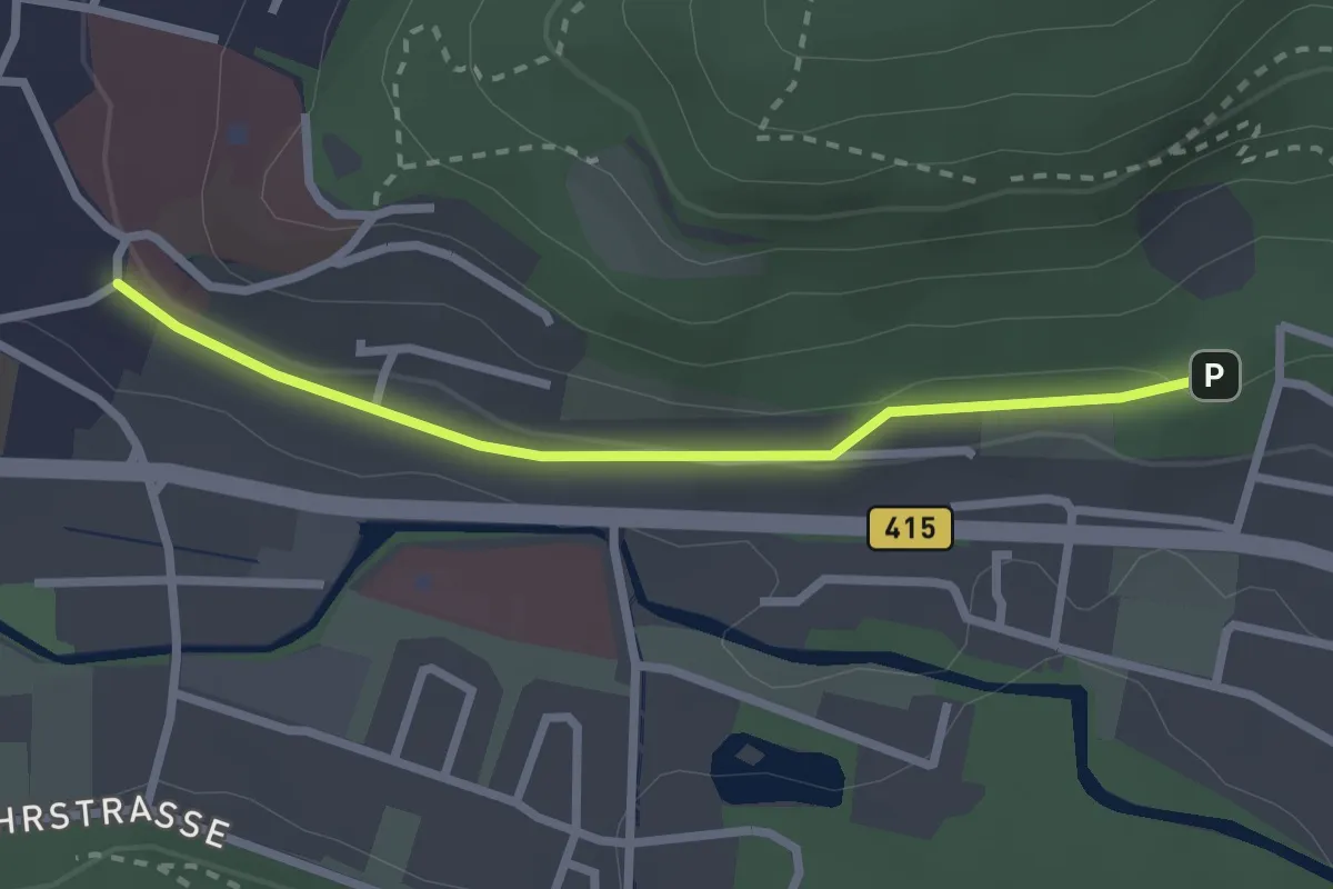
Easy · Trail
Lahr Philosophenweg - Robinsoneck
2.4 km · ↑ 34 m · 38 min
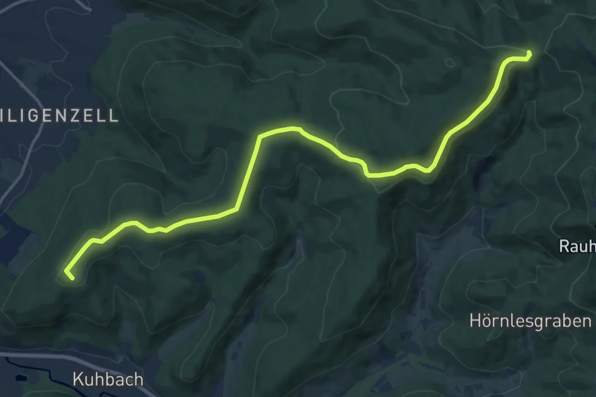
Medium · Summit
Lahr - Pionierstein
14.1 km · ↑ 270 m · 3 h 54 min
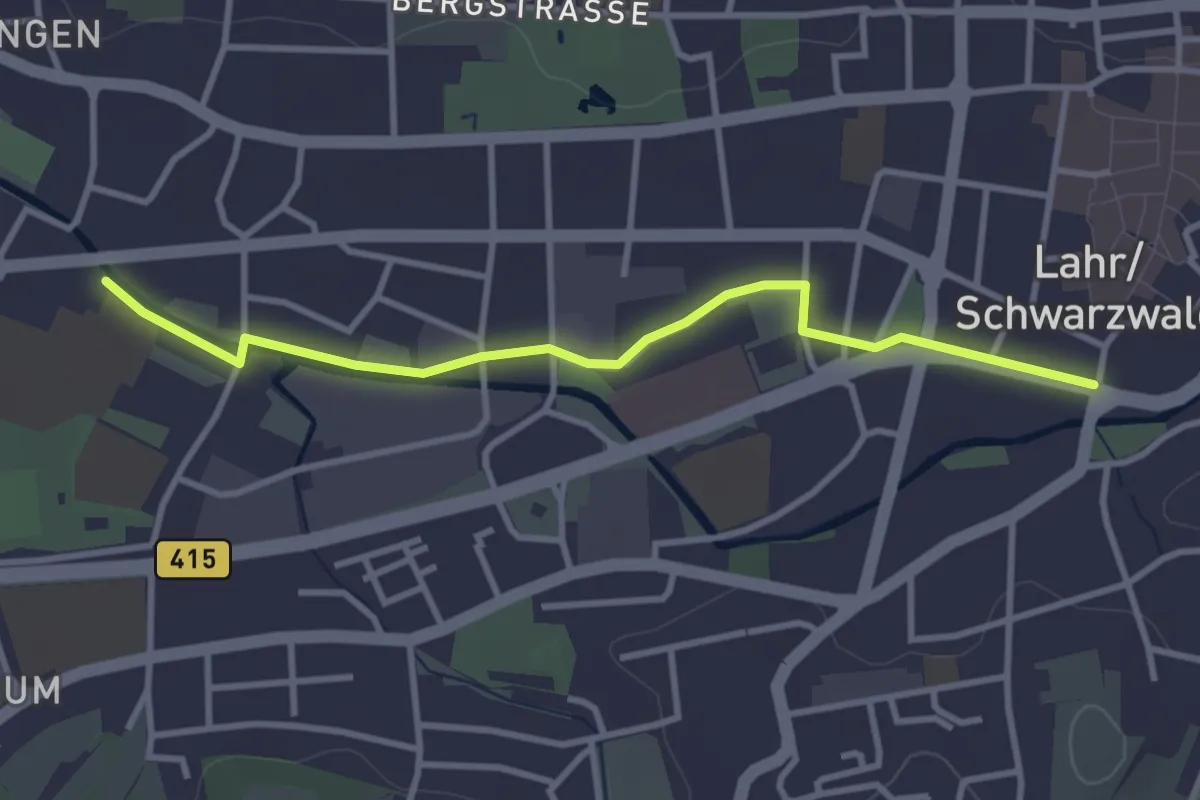
Easy · Trail
Lahr Rathaus - Lahr Realschule
3.3 km · ↑ 8 m · 48 min
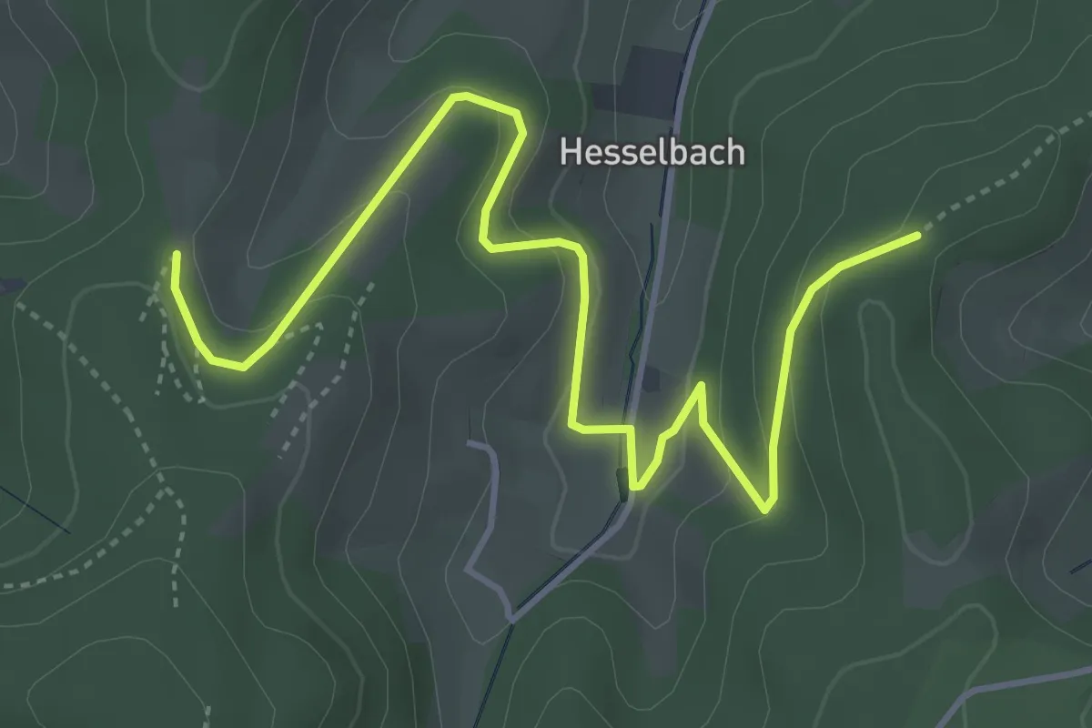
Easy · Trail
Laibacher Eck - Schafhof-Höhe
4.9 km · ↑ 238 m · 1 h 40 min
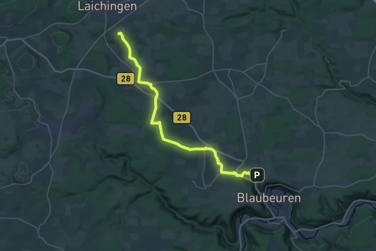
Demanding · Trail
Laichingen - Blaubeuren
23.5 km · ↑ 316 m · 6 h 14 min
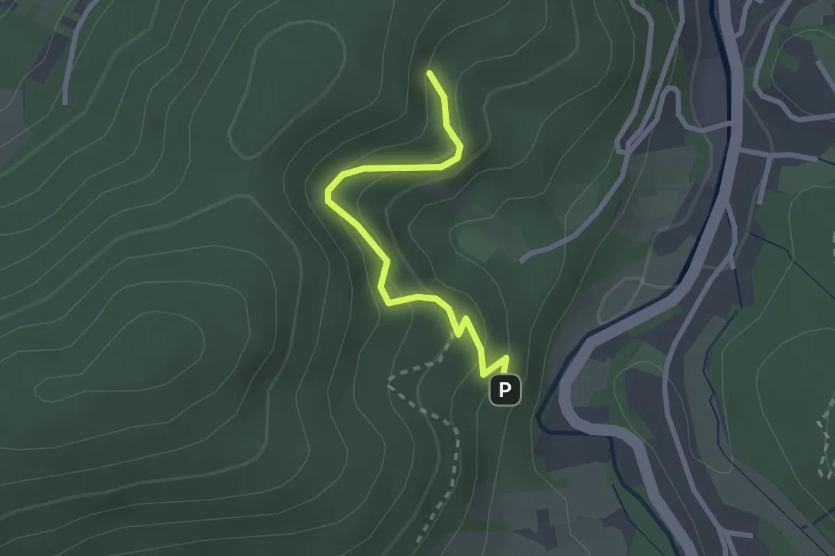
Easy · Trail
Laisenbergweg - Unterm Leisberg
2.2 km · ↑ 181 m · 55 min
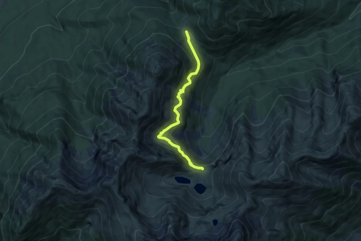
Demanding · Cabin
Lakaiensteig
7.2 km · ↑ 660 m · 3 h 8 min
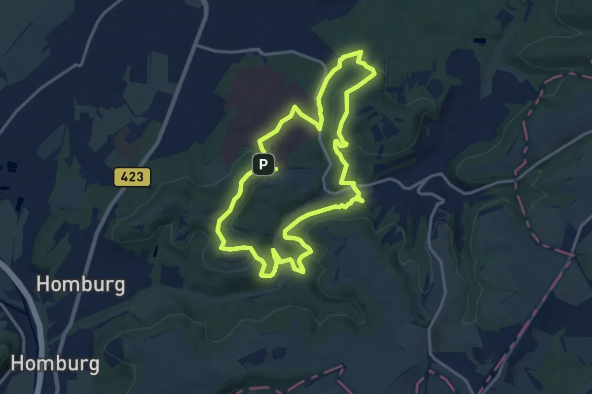
Medium · Summit
Lambsbachtal Runde
8.8 km · ↑ 224 m · 2 h 40 min
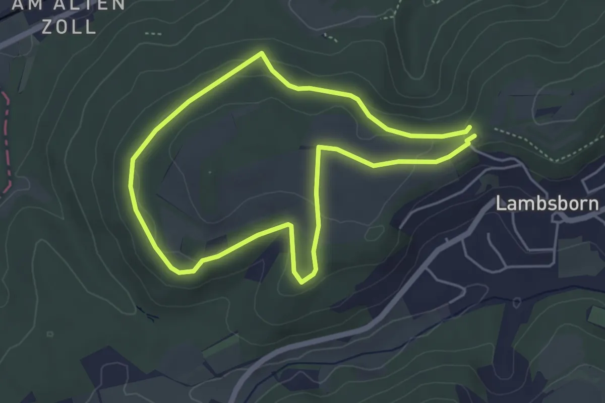
Easy · Trail
Lambsborn Nordic Walking Route "Schwer"
3.8 km · ↑ 65 m · 1 h 6 min
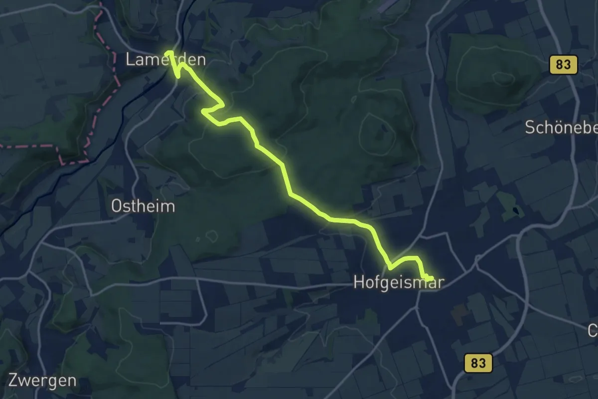
Medium · Trail
Lamerden - Hofgeismar
14.3 km · ↑ 407 m · 4 h 15 min
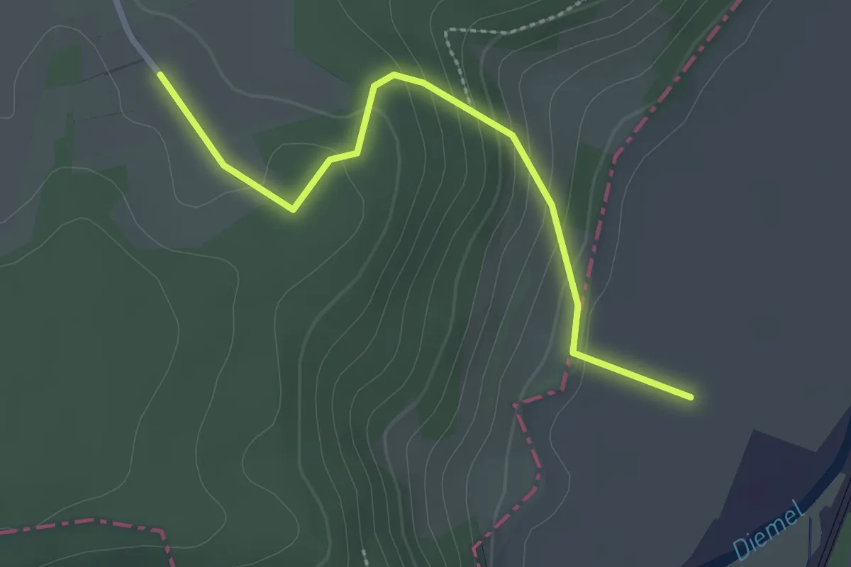
Easy · Trail
Lamerden Rundweg Alternative La1a
2.4 km · ↑ 130 m · 51 min
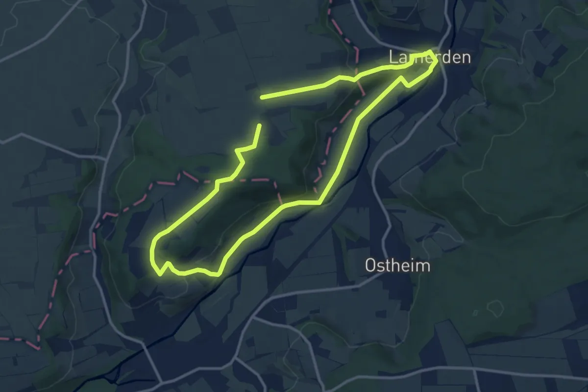
Medium · Trail
Lamerden Rundweg La1
8.9 km · ↑ 188 m · 2 h 38 min
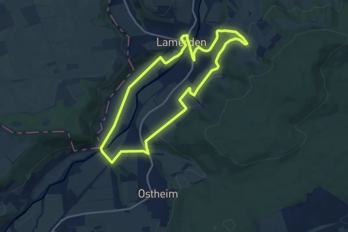
Easy · Trail
Lamerden Rundweg La2
7.9 km · ↑ 151 m · 2 h 17 min
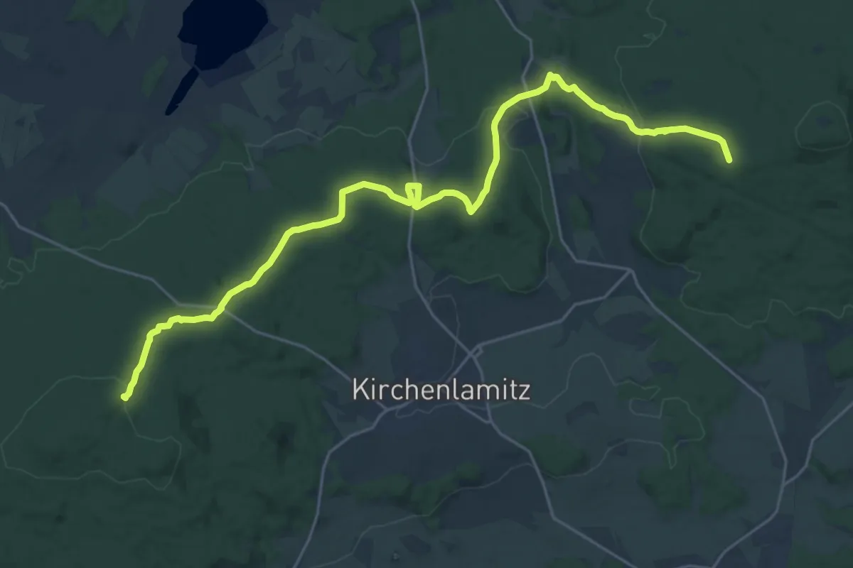
Demanding · Summit
Lamitzquelle - Hirschstein
24.4 km · ↑ 582 m · 7 h 1 min
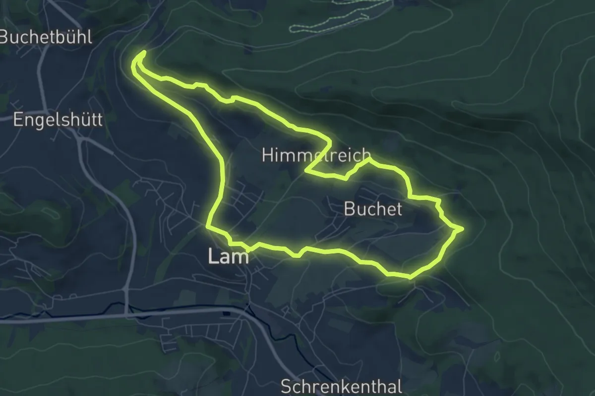
Medium · Summit
Lam La2 - Panoramaweg
8.3 km · ↑ 279 m · 2 h 41 min
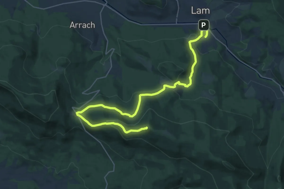
Demanding · Summit
Lam: La6 "Durch den Kloster-Rotter-Wald"
23.2 km · ↑ 912 m · 7 h 27 min
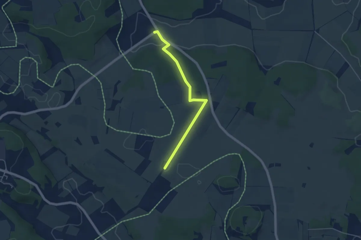
Easy · Trail
Lämmerbuckel Laichingen
3.9 km · ↑ 78 m · 1 h 6 min
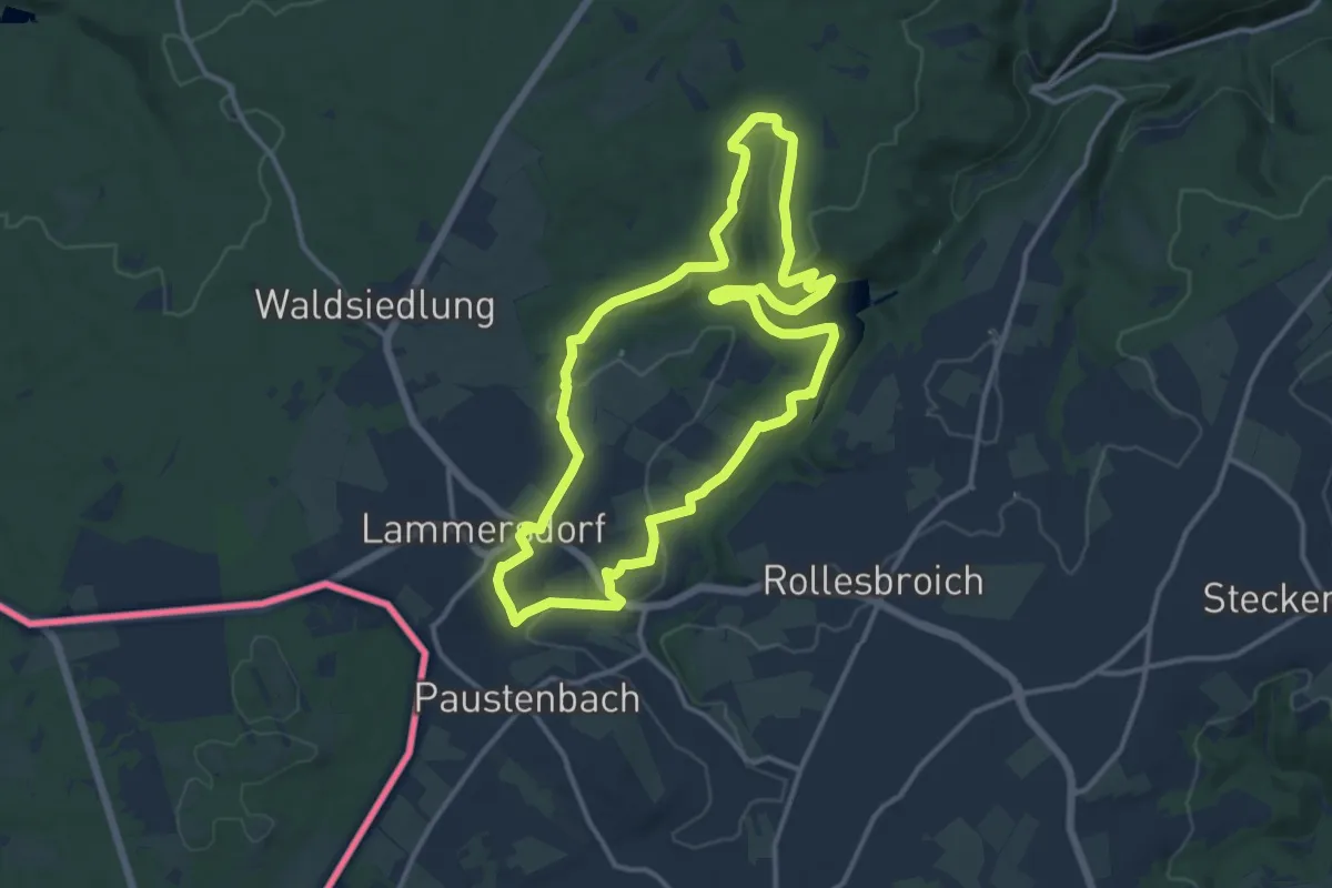
Medium · Trail
Lammersdorf Rundweg 12
11.6 km · ↑ 198 m · 3 h 19 min
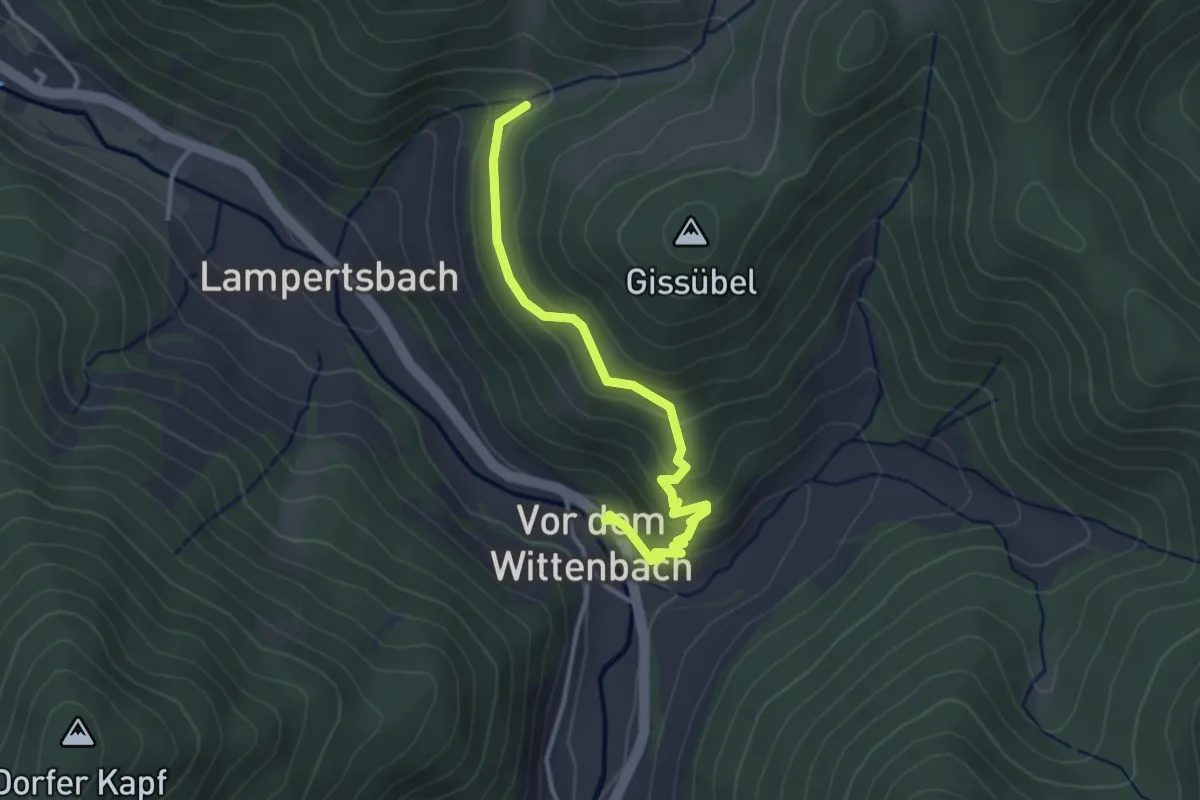
Easy · Trail
Lampertsbach - Vor dem Wittenbach Rössle
3.1 km · ↑ 217 m · 1 h 13 min
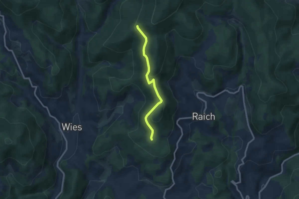
Easy · Trail
Lampertsberg - Hörnleweg
4.9 km · ↑ 191 m · 1 h 34 min
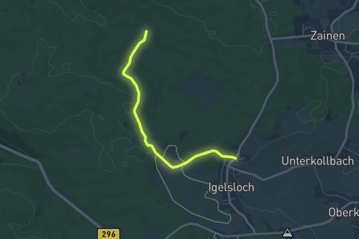
Easy · Trail
Lancaster-Kreuzung - Igelsloch
5.6 km · ↑ 108 m · 1 h 33 min
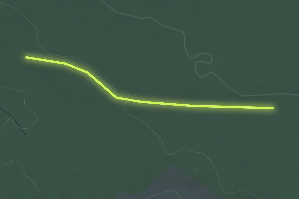
Easy · Trail
Lancaster-Kreuzung - Teuchelwald
2.3 km · ↑ 27 m · 36 min
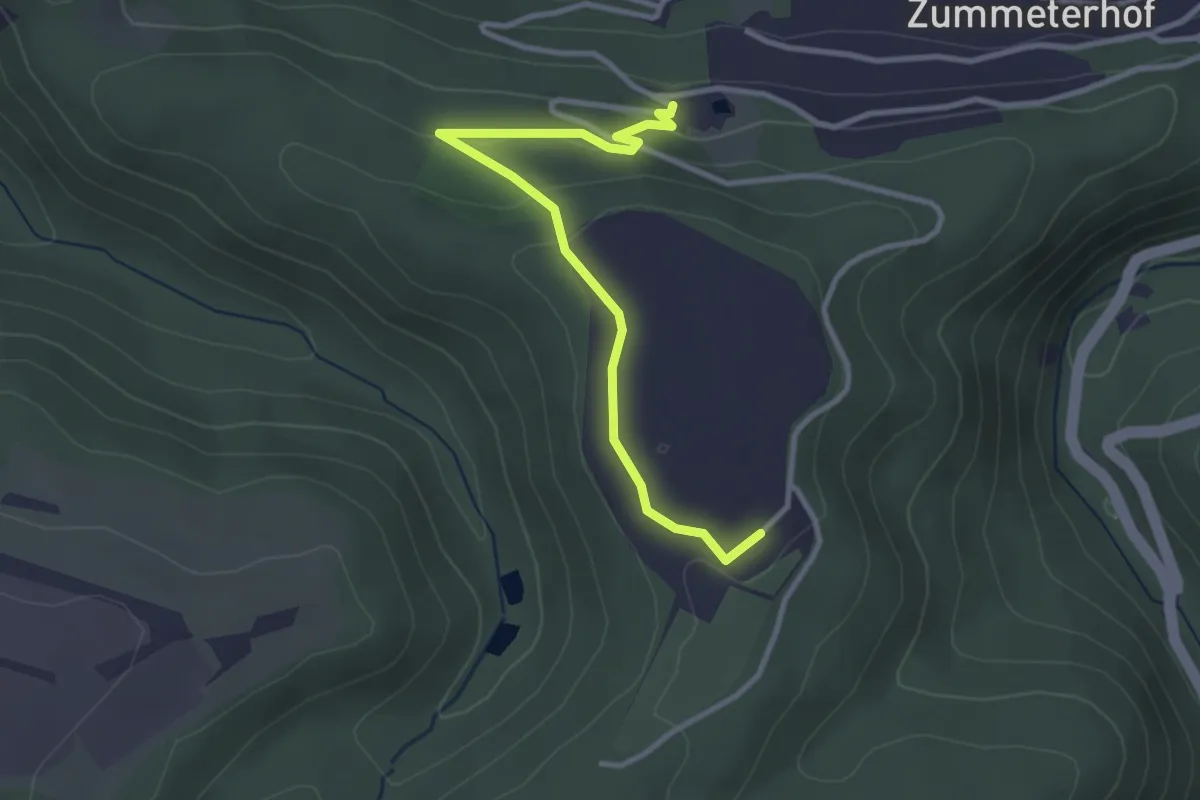
Easy · Trail
Landal - Panoramabad
3.0 km · ↑ 79 m · 53 min
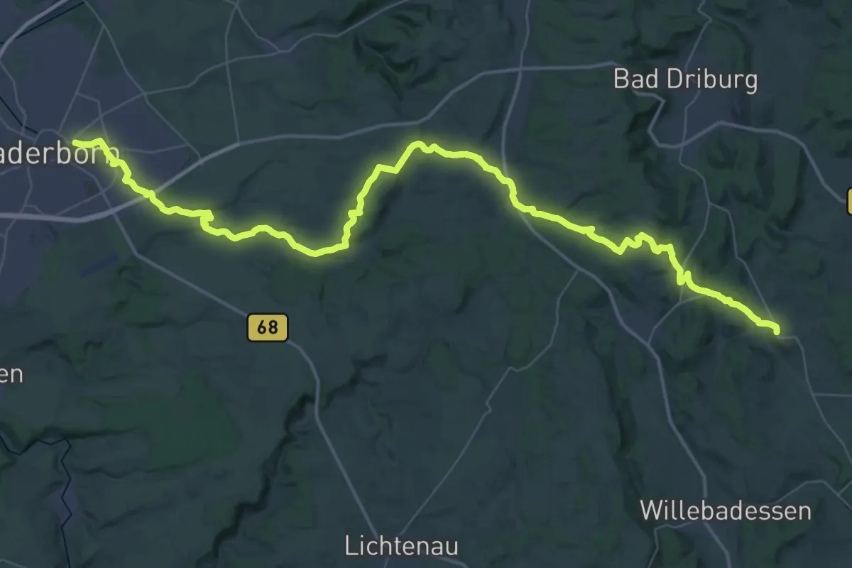
Demanding · Trail
Landdrostenweg
29.3 km · ↑ 376 m · 8 h 13 min
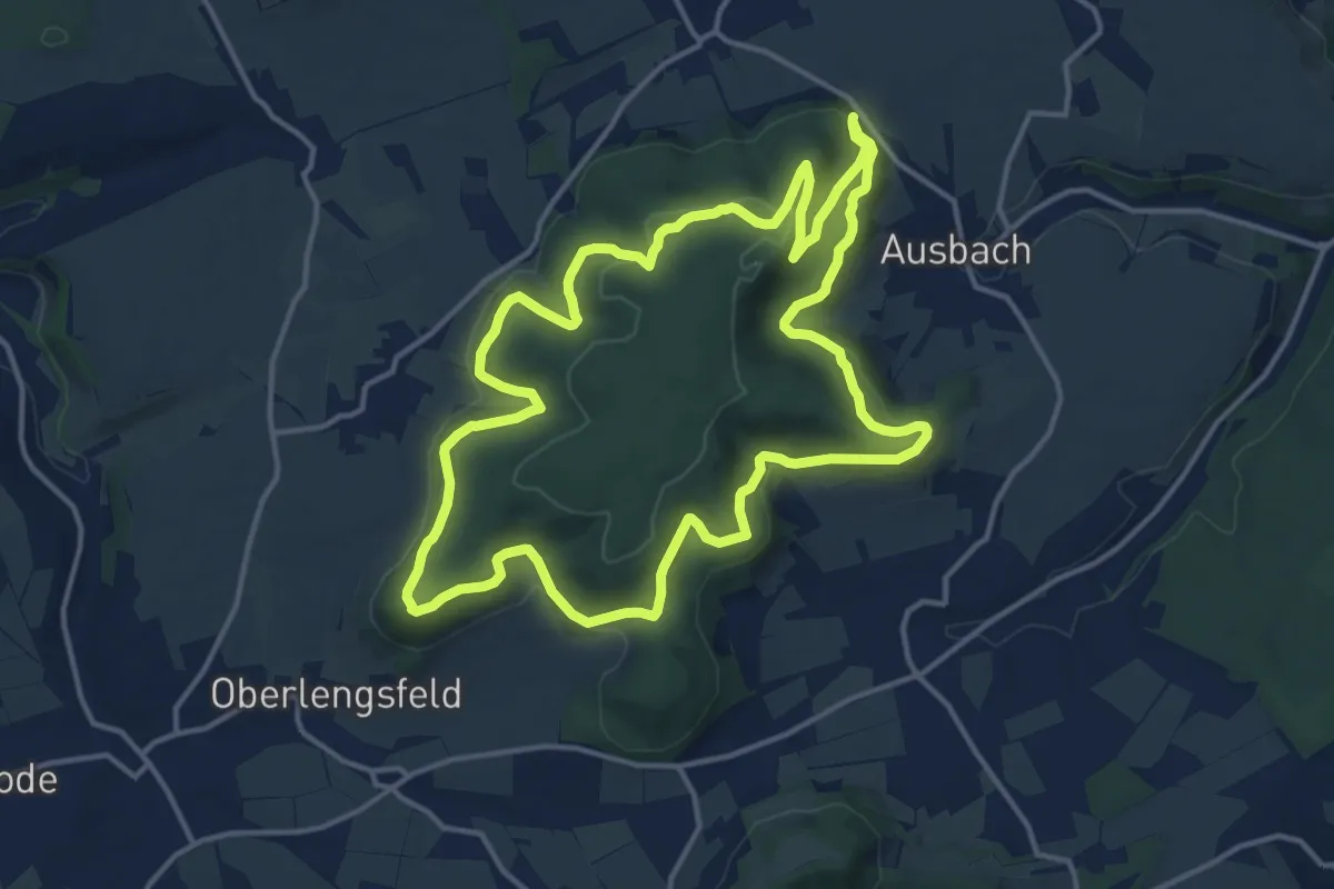
Medium · Trail
Landeckerweg
13.8 km · ↑ 374 m · 4 h 16 min
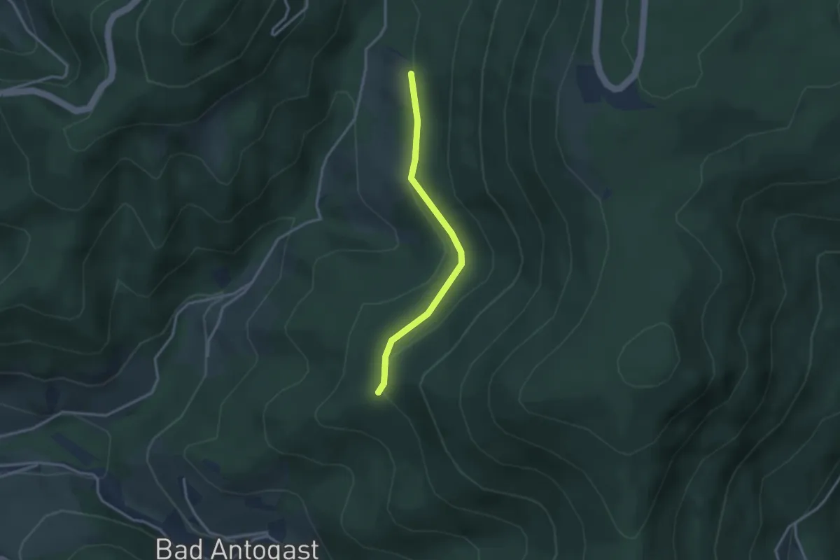
Easy · Trail
Landeplatz - Müllerbauerneck
2.5 km · ↑ 69 m · 44 min
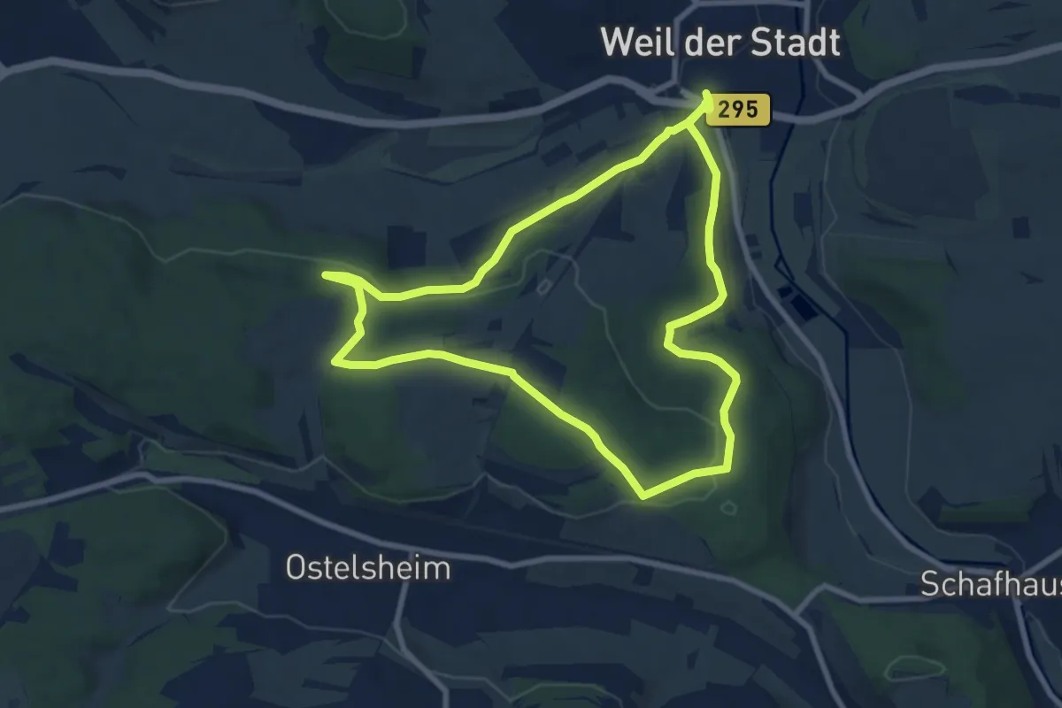
Easy · Trail
Landesvermessungsweg Weil der Stadt
7.8 km · ↑ 154 m · 2 h 17 min
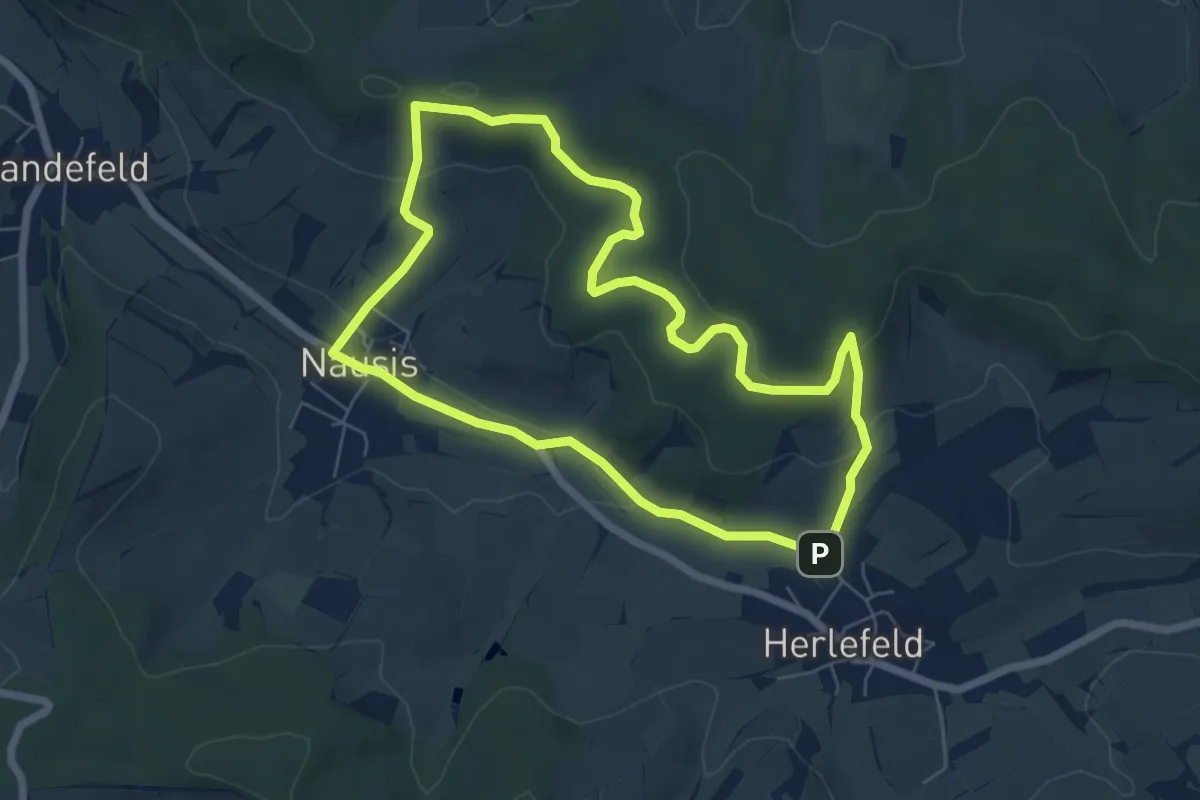
Easy · Trail
Landetal Rundwanderweg L1
5.7 km · ↑ 157 m · 1 h 46 min
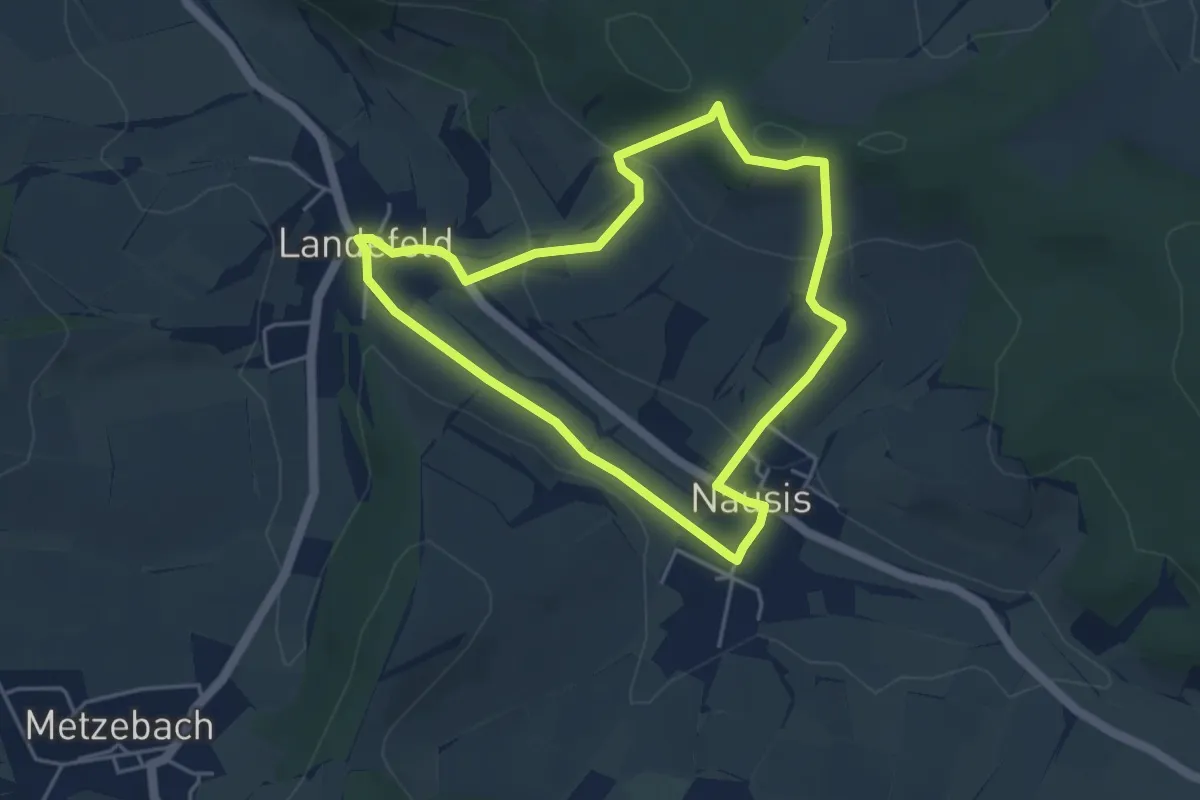
Easy · Trail
Landetal Rundwanderweg L10
3.8 km · ↑ 110 m · 1 h 12 min
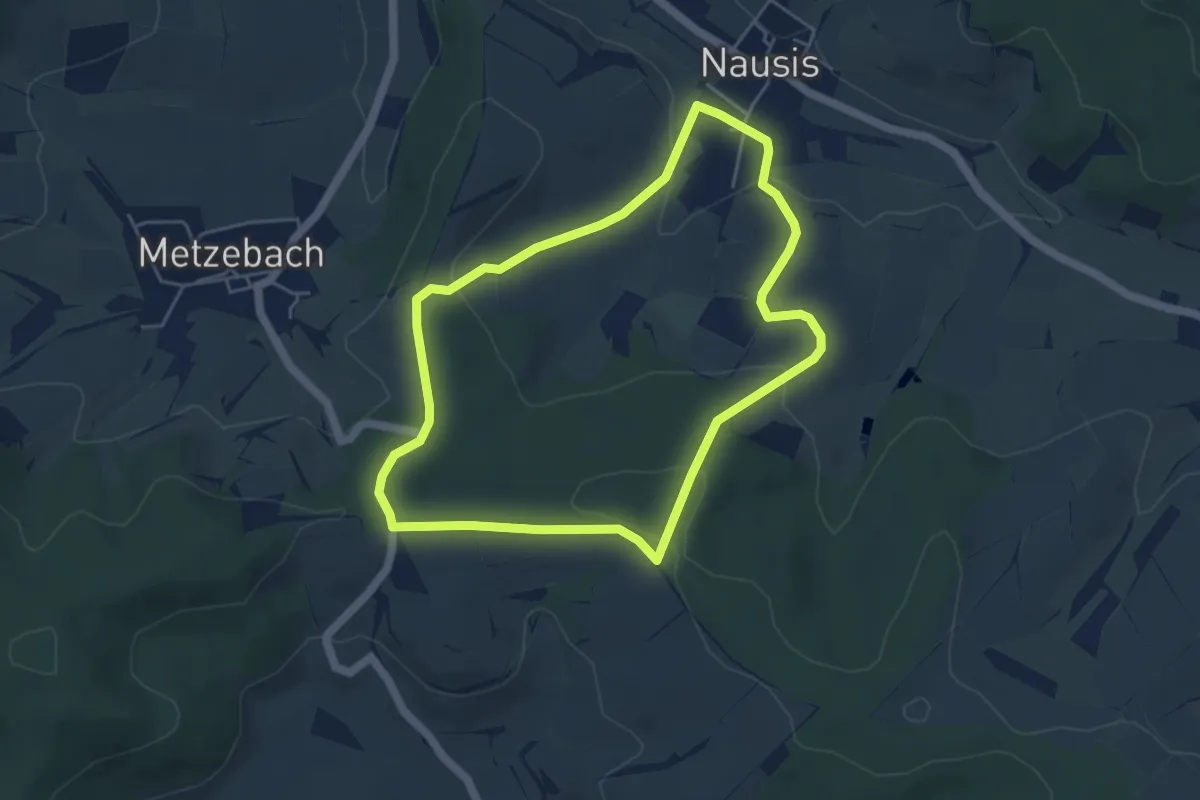
Easy · Trail
Landetal Rundwanderweg L2
4.3 km · ↑ 111 m · 1 h 18 min
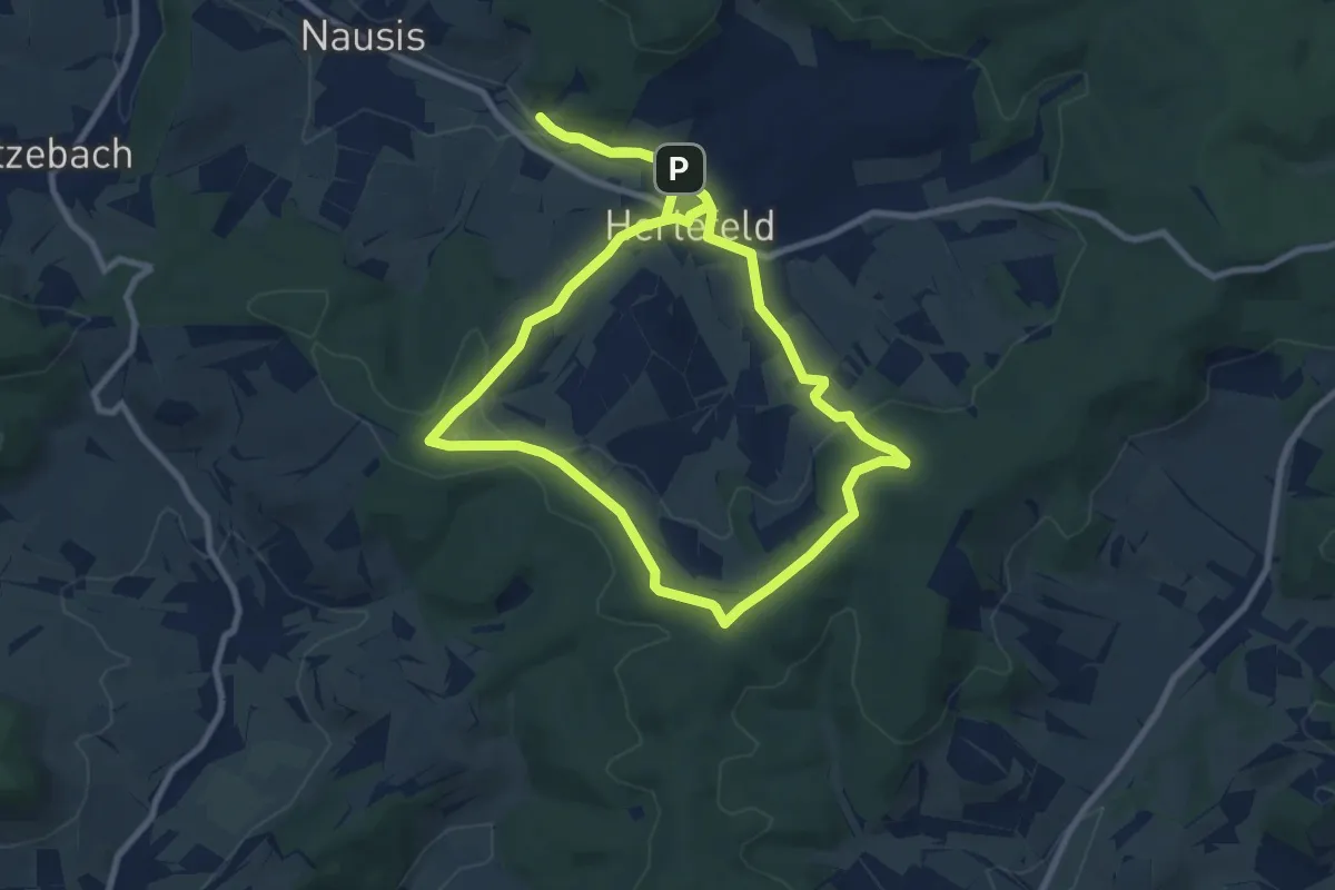
Medium · Summit
Landetal Rundwanderweg L3
8.4 km · ↑ 156 m · 2 h 26 min