Trails in Germany
36,852 hiking trails, each with its route, climb, walking time and grade.
All trails, page 315 of 768
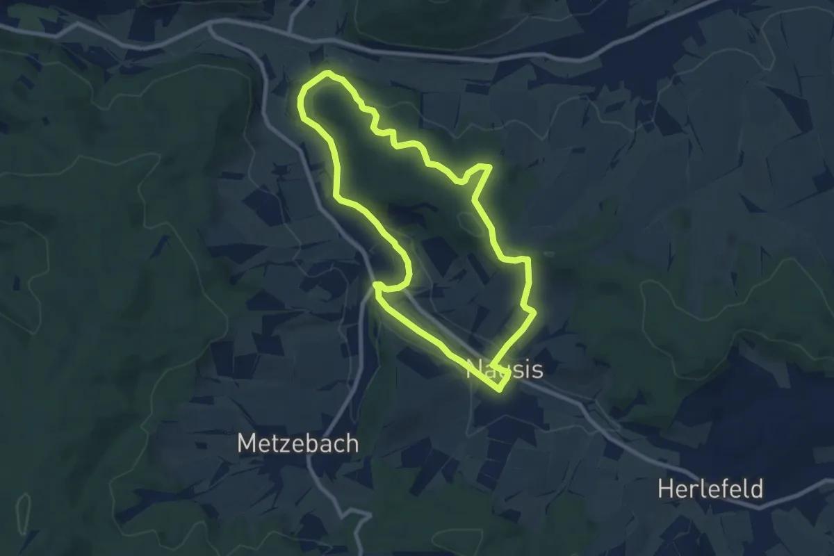
Easy · Trail
Landetal Rundwanderweg L5
7.2 km · ↑ 158 m · 2 h 8 min
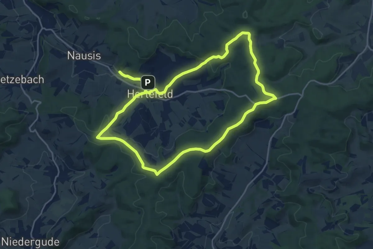
Medium · Summit
Landetal Rundwanderweg L6
13.4 km · ↑ 204 m · 3 h 47 min
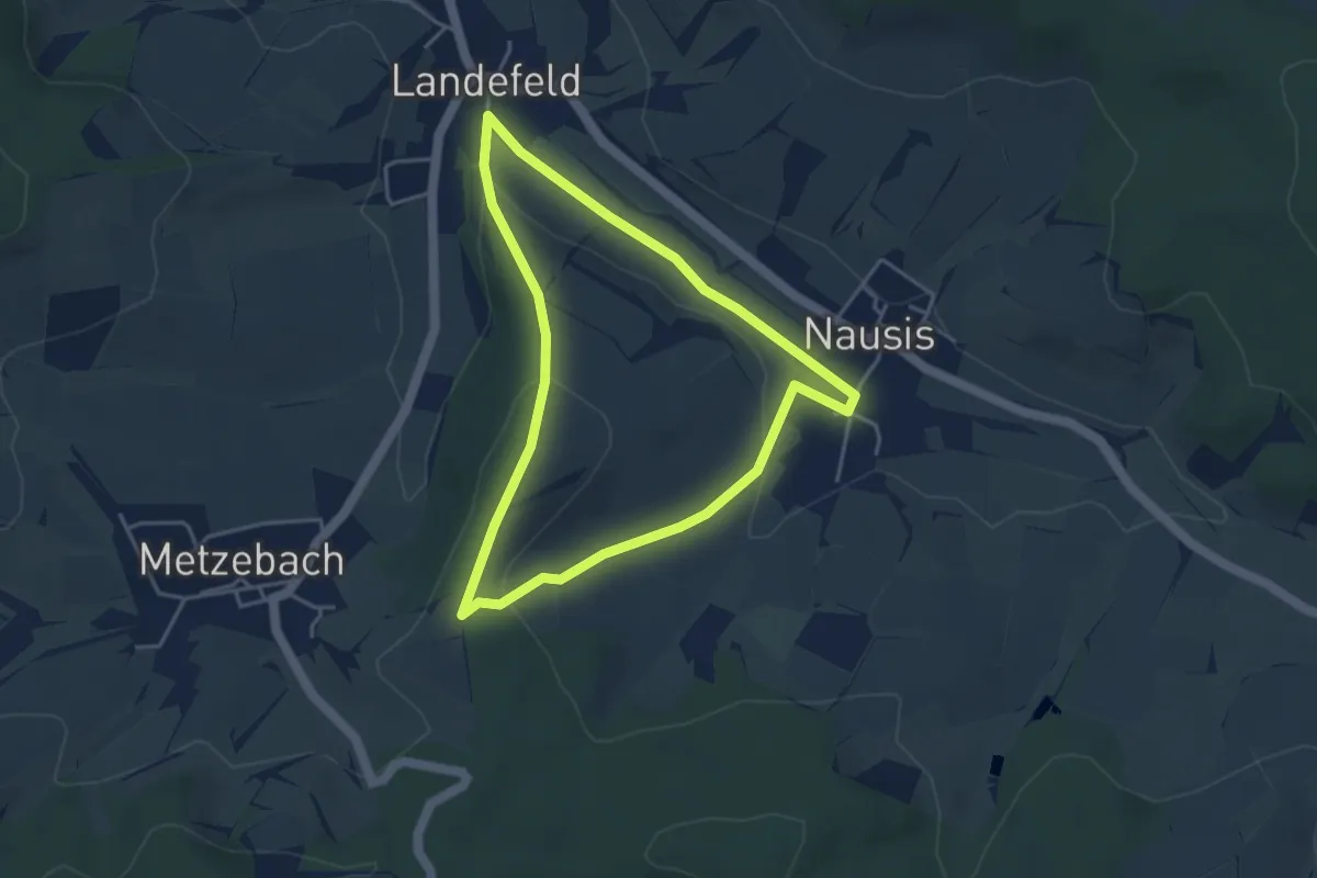
Easy · Trail
Landetal Rundwanderweg L9
3.5 km · ↑ 79 m · 1 h 3 min
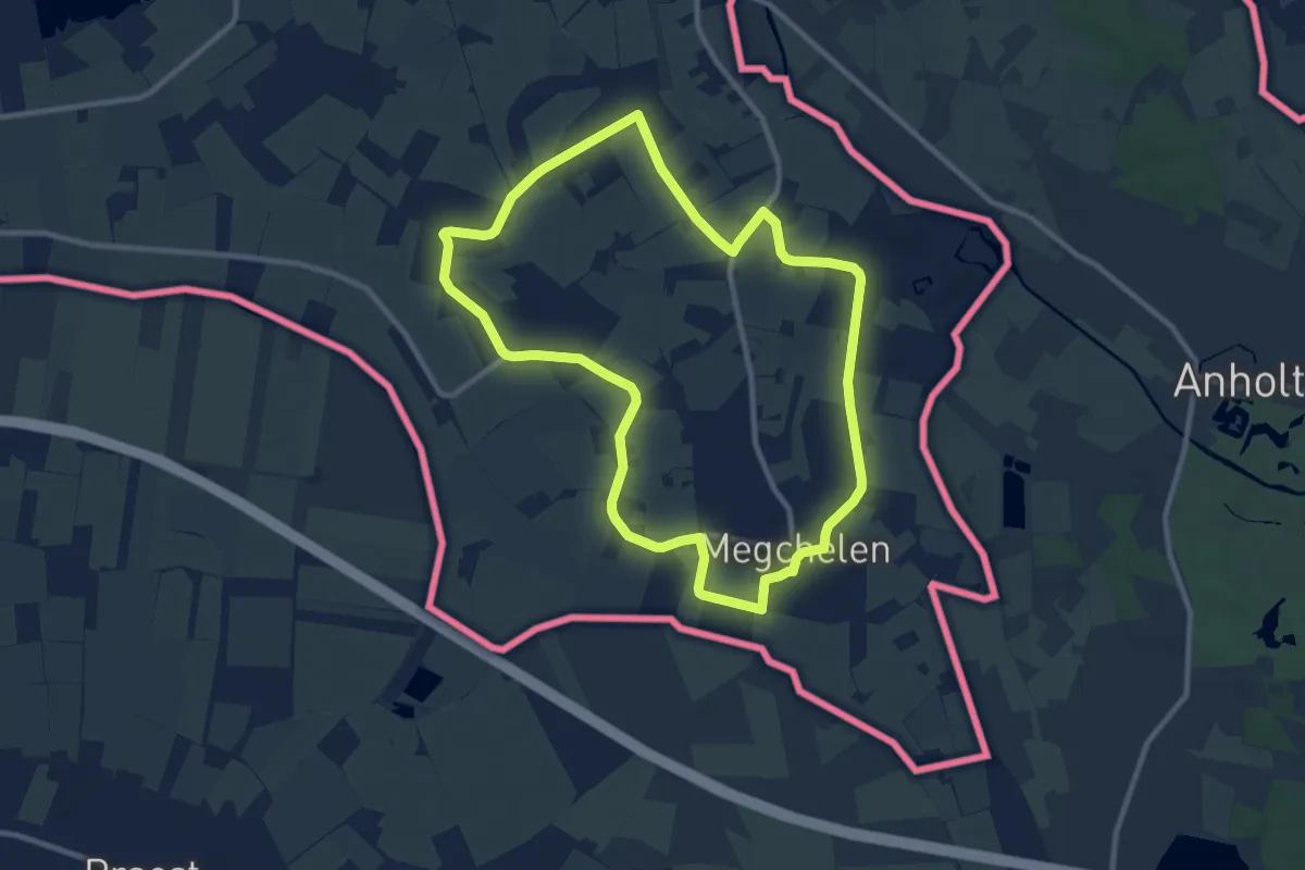
Medium · Trail
Landfortroute
8.9 km · ↑ 9 m · 2 h 15 min
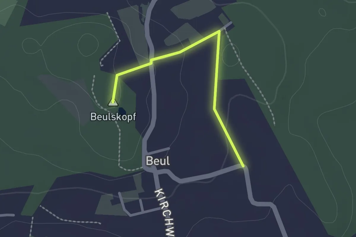
Easy · Summit
Landfrauen-Route
1.9 km · ↑ 34 m · 31 min
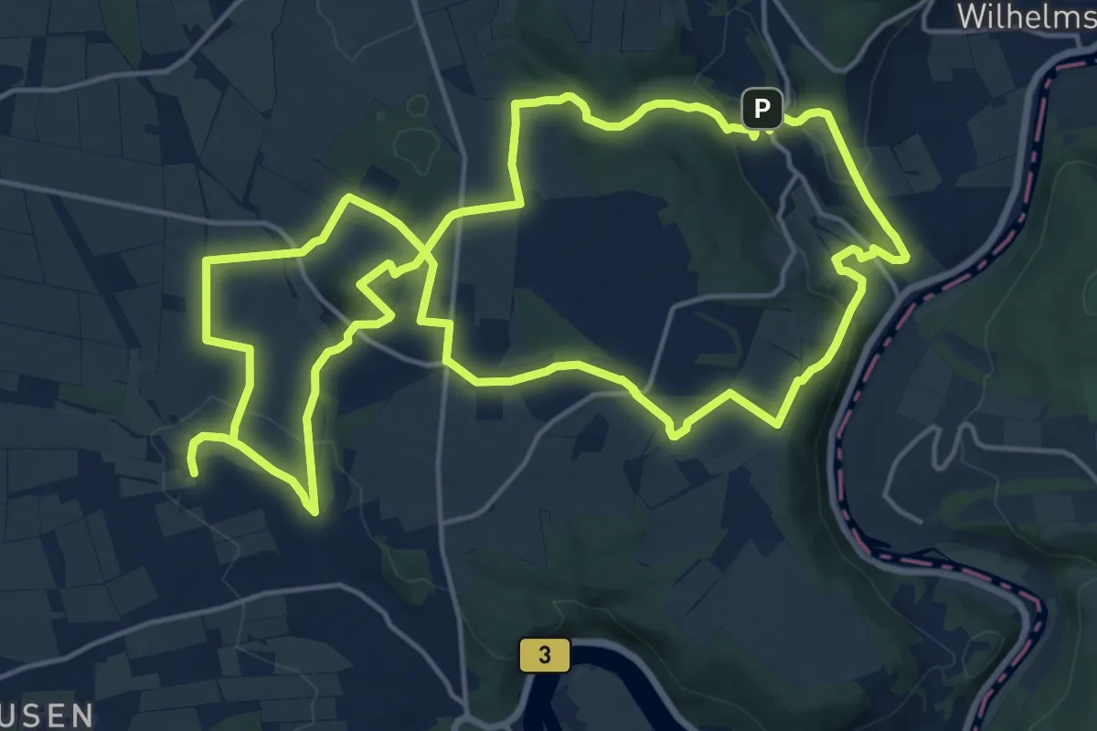
Medium · Summit
Landfrauen-Wanderweg
17.3 km · ↑ 365 m · 5 h 7 min
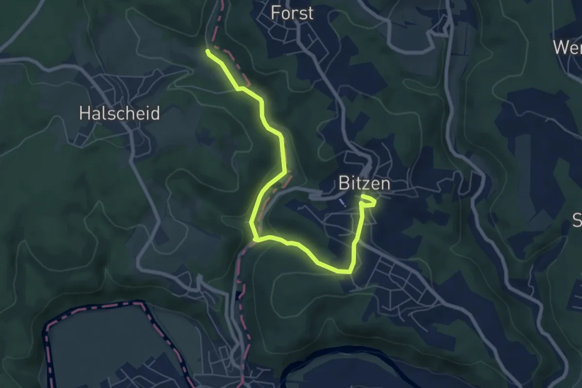
Easy · Trail
Landfrauenweg [Bitzen]
6.1 km · ↑ 137 m · 1 h 44 min
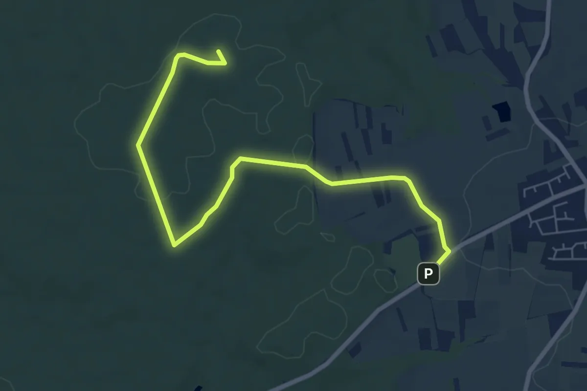
Easy · Summit
Landgasthaus Meisel Strecke
6.6 km · ↑ 27 m · 1 h 38 min
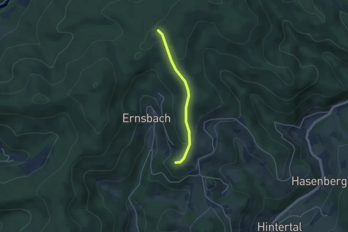
Easy · Trail
Landgrabeneck - Störgeißhütte
2.6 km · ↑ 92 m · 49 min
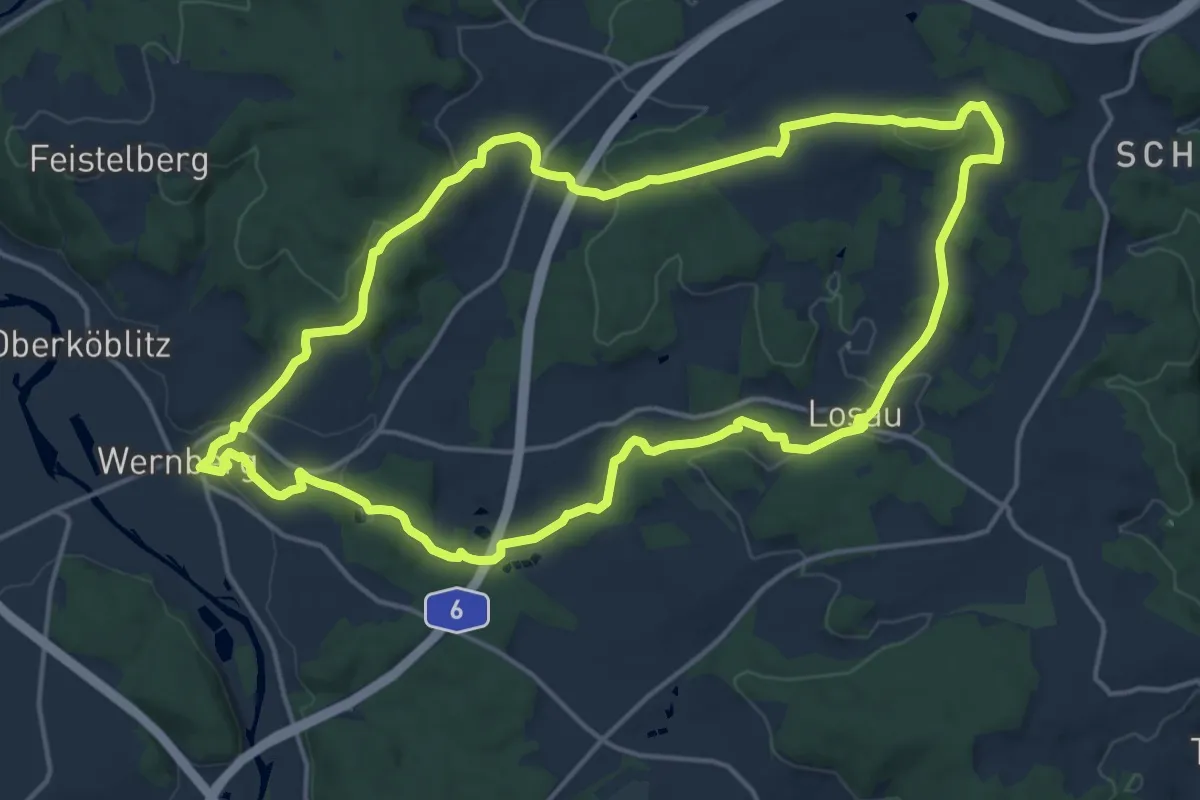
Medium · Trail
Landgrafenweg
16.1 km · ↑ 363 m · 4 h 49 min
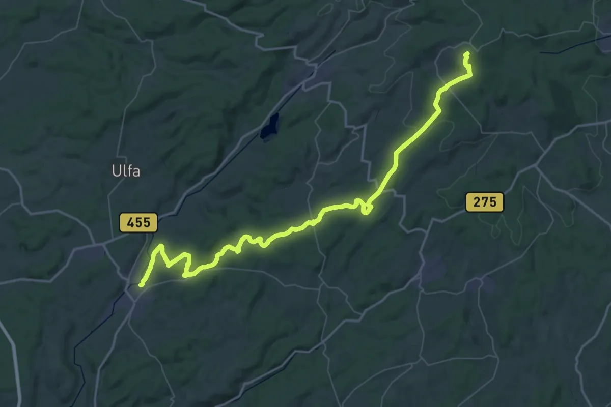
Demanding · Summit
Landgrafenweg
52.8 km · ↑ 1026 m · 14 h 41 min
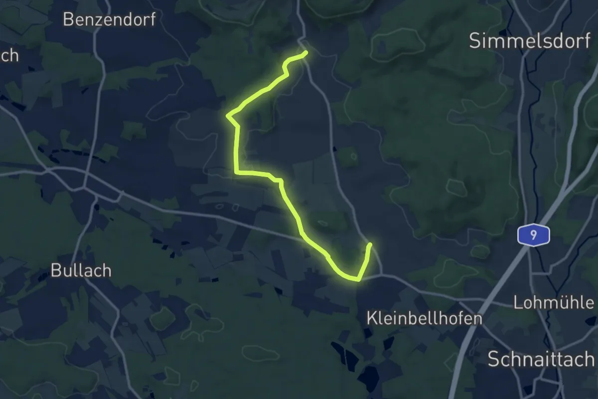
Medium · Trail
Landkreislauf Nürnberger Land 2010 Etappe 10
10.1 km · ↑ 114 m · 2 h 38 min
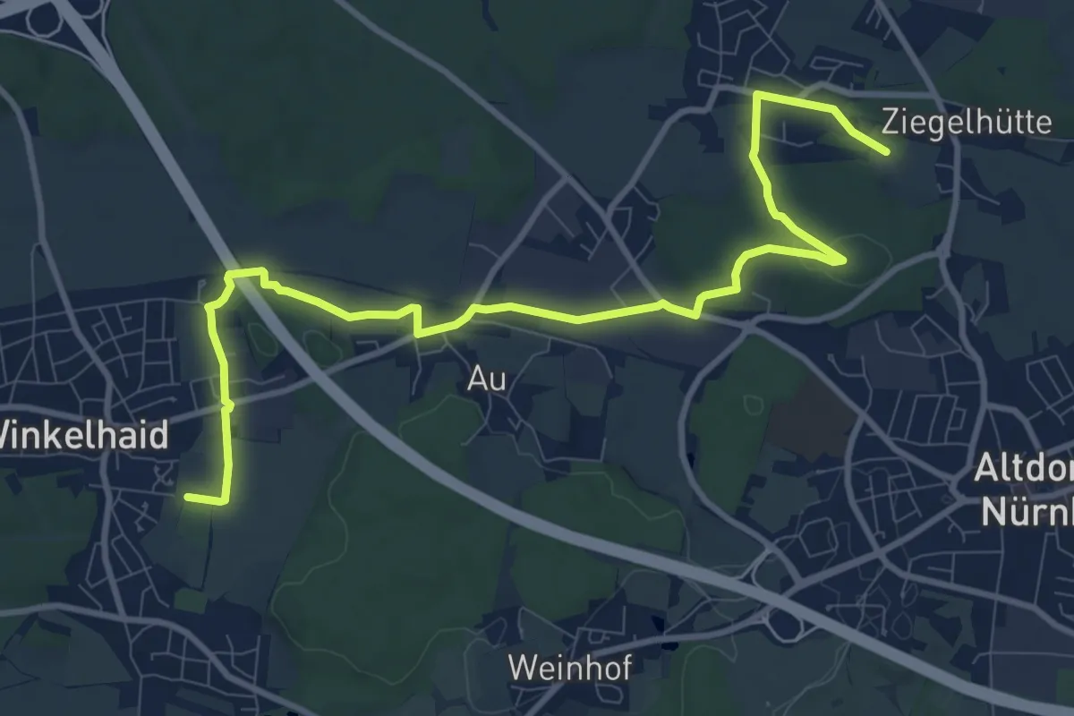
Medium · Trail
Landkreislauf Nürnberger Land 2010 Etappe 2
11.2 km · ↑ 109 m · 2 h 53 min
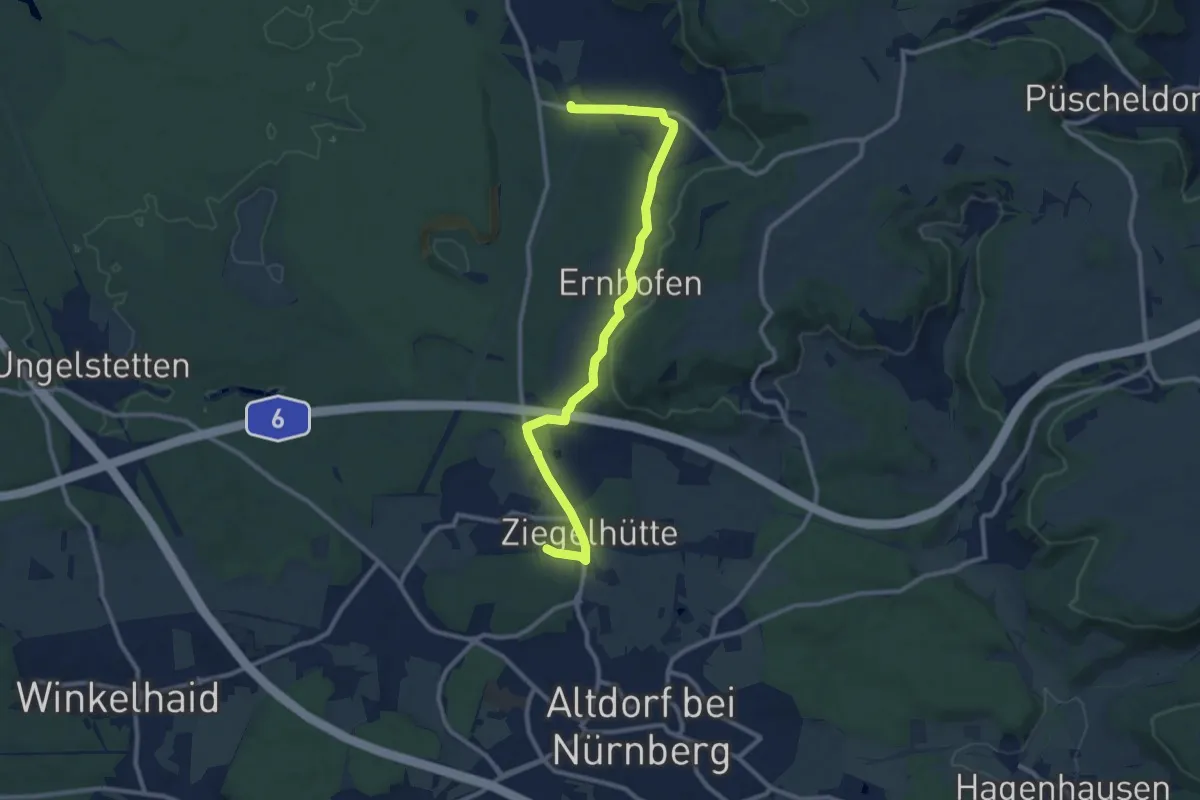
Medium · Trail
Landkreislauf Nürnberger Land 2010 Etappe 3
10.5 km · ↑ 172 m · 2 h 51 min
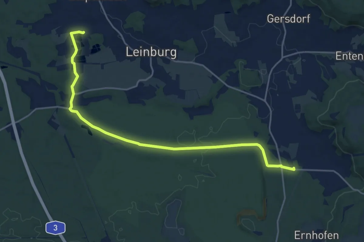
Medium · Trail
Landkreislauf Nürnberger Land 2010 Etappe 4
14.2 km · ↑ 141 m · 3 h 39 min
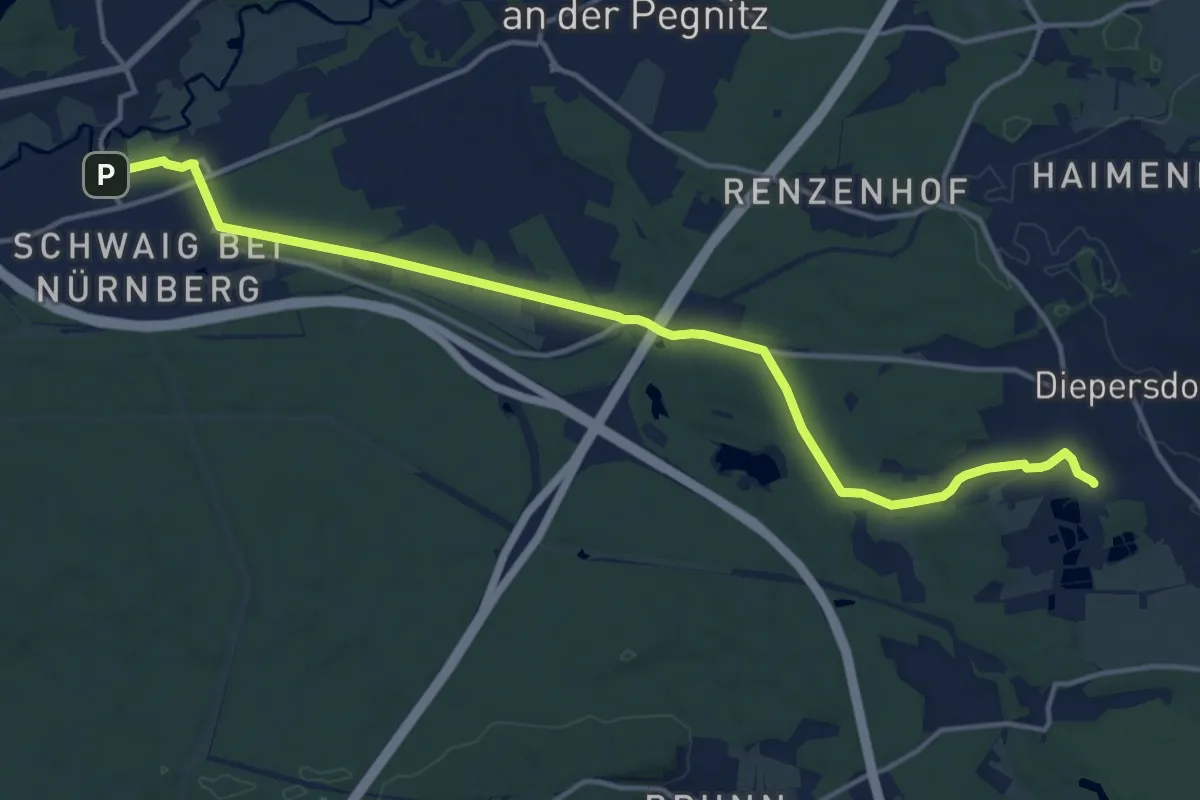
Medium · Trail
Landkreislauf Nürnberger Land 2010 Etappe 5
15.7 km · ↑ 82 m · 3 h 54 min
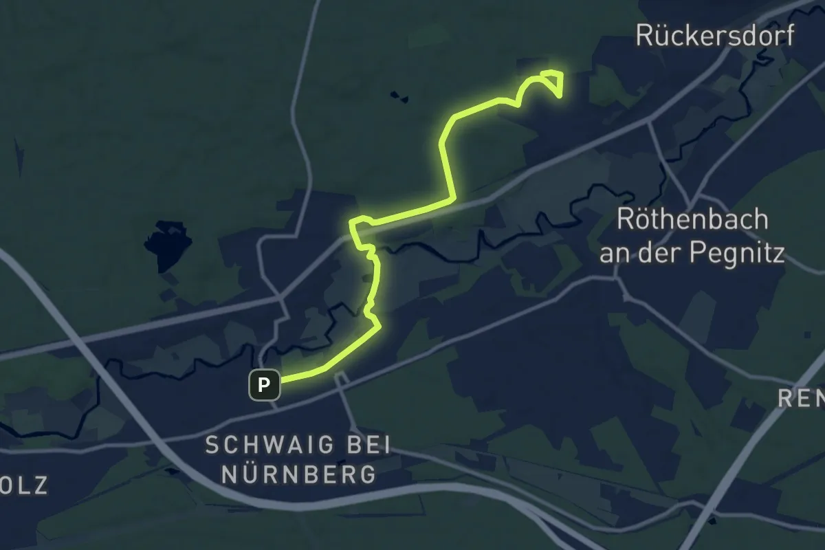
Medium · Trail
Landkreislauf Nürnberger Land 2010 Etappe 6
10.4 km · ↑ 63 m · 2 h 36 min
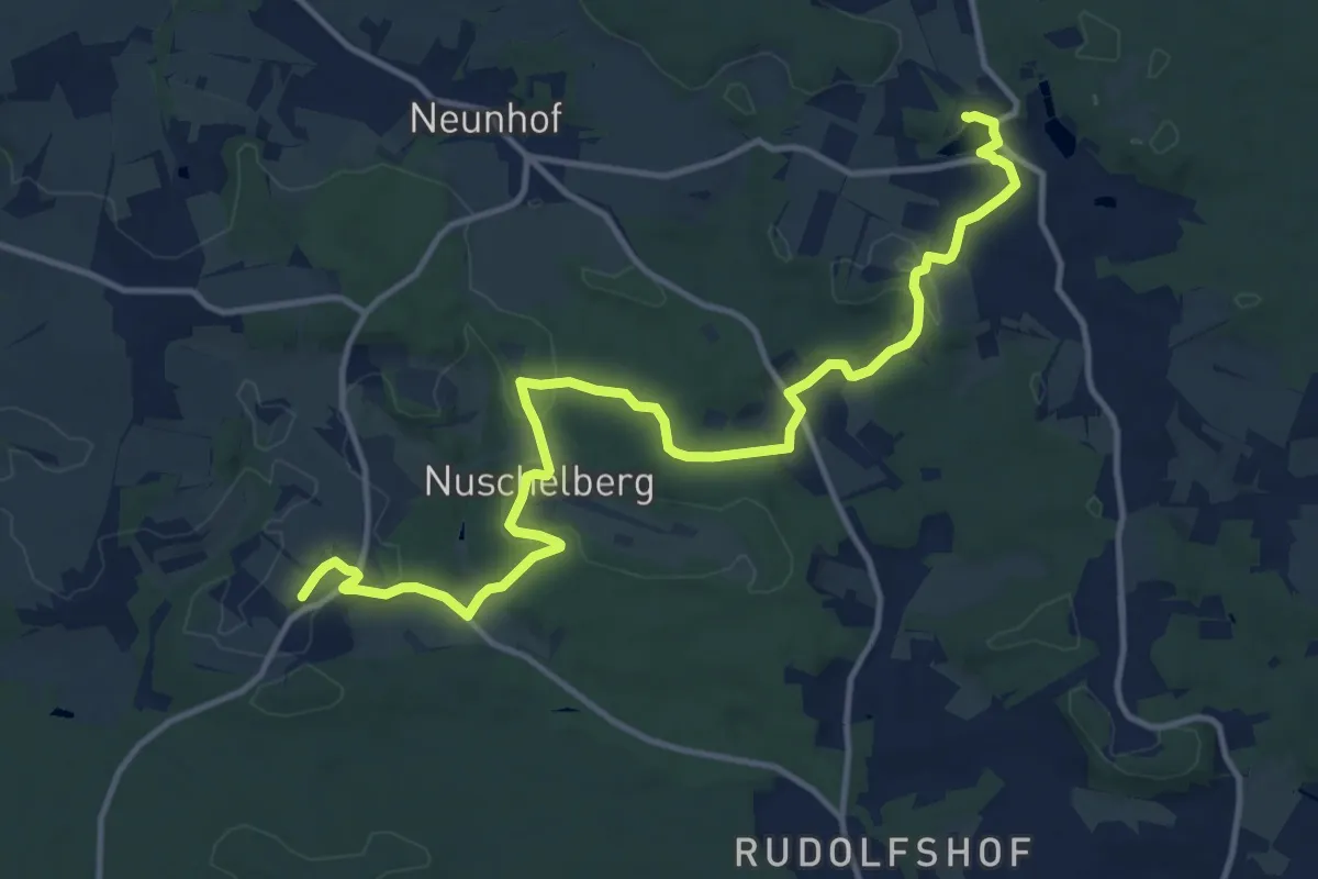
Medium · Trail
Landkreislauf Nürnberger Land 2010 Etappe 8
14.2 km · ↑ 257 m · 3 h 54 min
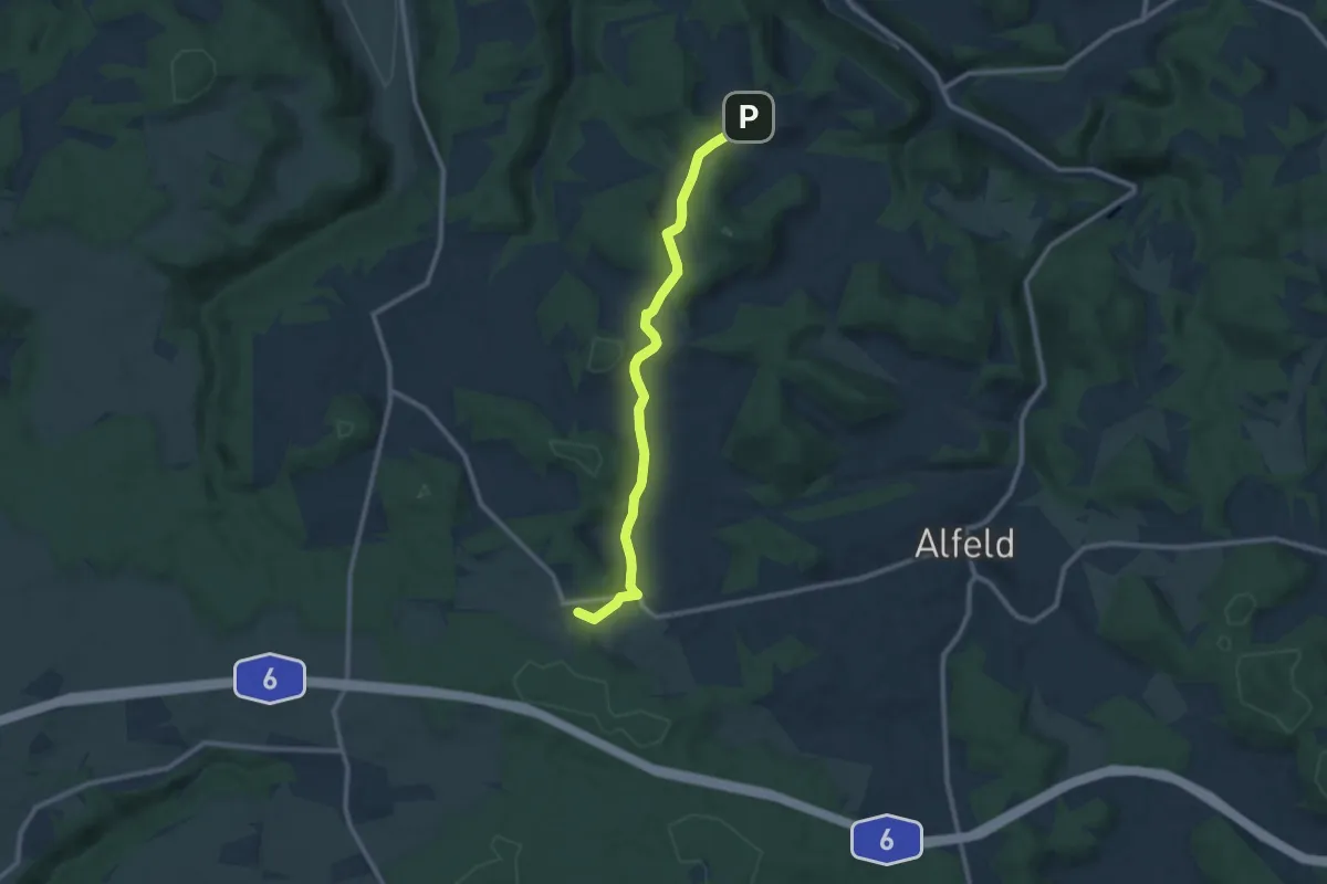
Medium · Trail
Landkreislauf Nürnberger Land 2011 Etappe 1
9.5 km · ↑ 219 m · 2 h 42 min
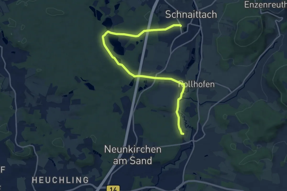
Medium · Trail
Landkreislauf Nürnberger Land 2011 Etappe 10
13.1 km · ↑ 161 m · 3 h 27 min
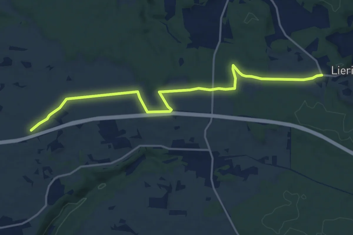
Medium · Trail
Landkreislauf Nürnberger Land 2011 Etappe 2
11.5 km · ↑ 115 m · 2 h 57 min
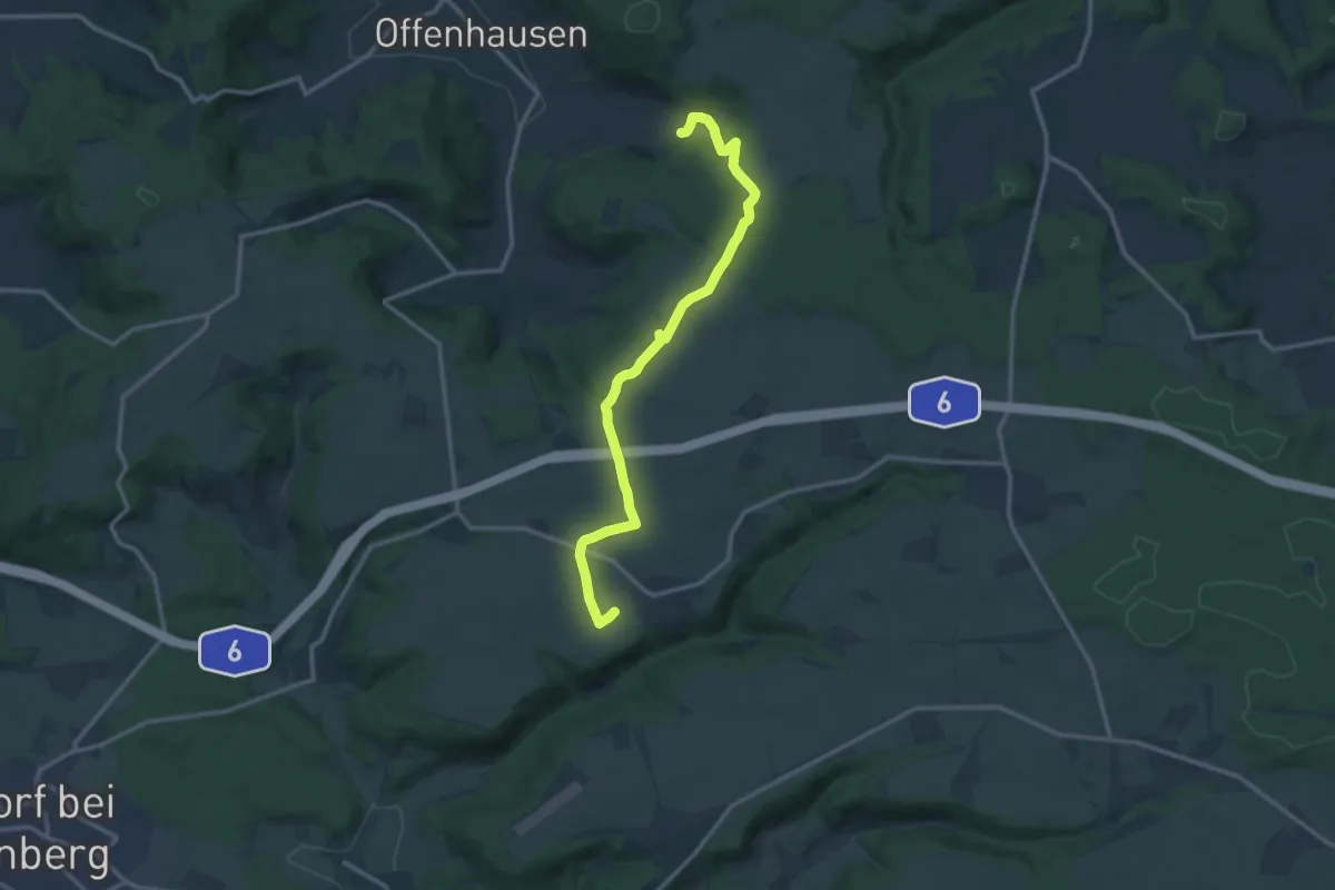
Medium · Trail
Landkreislauf Nürnberger Land 2011 Etappe 3
12.7 km · ↑ 189 m · 3 h 24 min
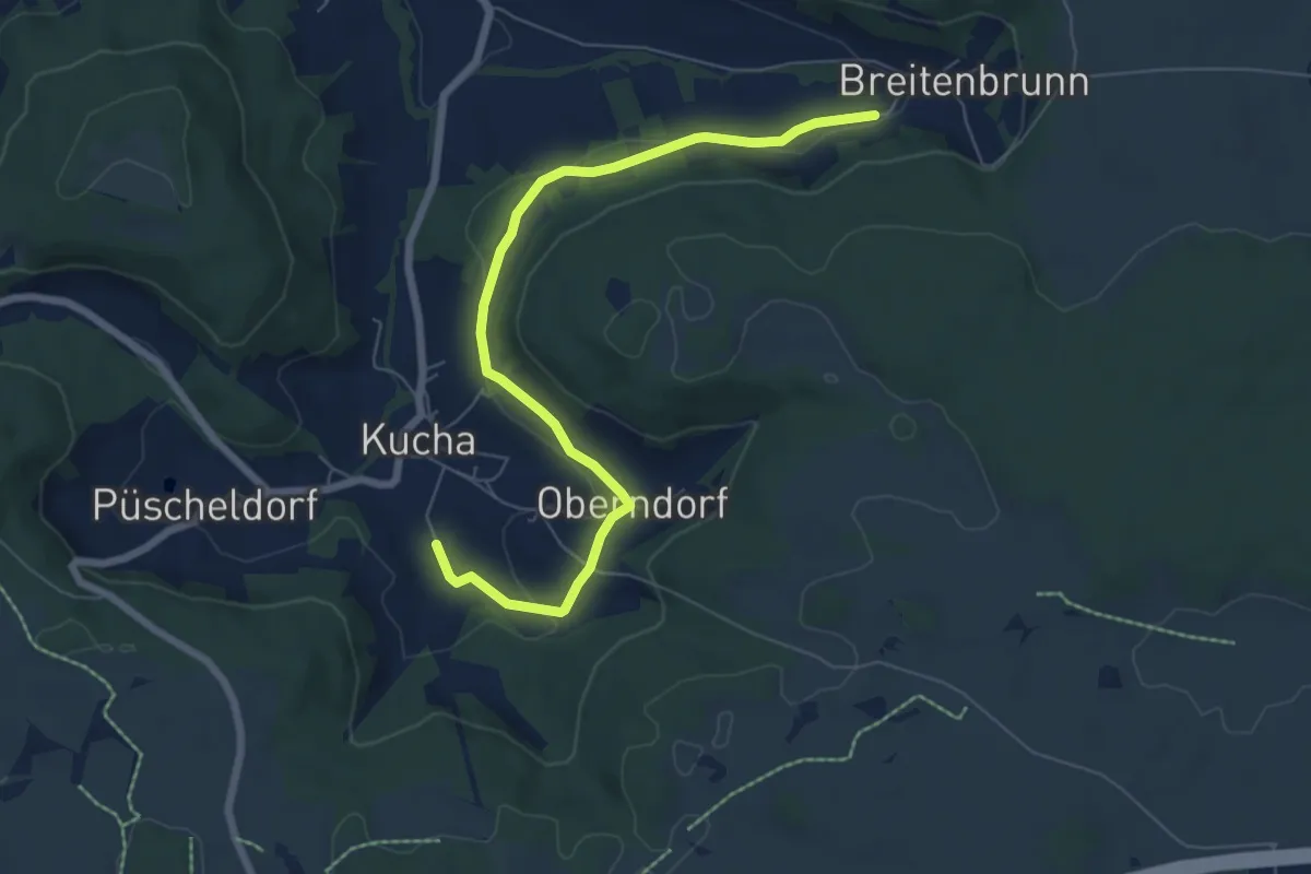
Easy · Trail
Landkreislauf Nürnberger Land 2011 Etappe 4
6.9 km · ↑ 159 m · 1 h 58 min
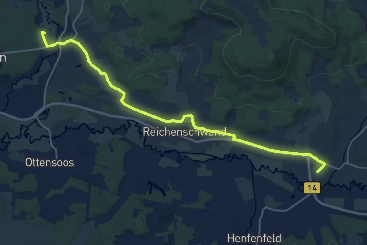
Medium · Trail
Landkreislauf Nürnberger Land 2011 Etappe 9
13.6 km · ↑ 140 m · 3 h 30 min
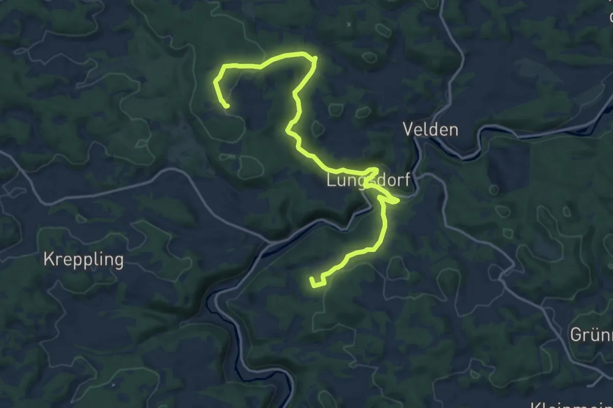
Medium · Summit
Landkreislauf Nürnberger Land 2013 Etappe 1
14.6 km · ↑ 401 m · 4 h 20 min
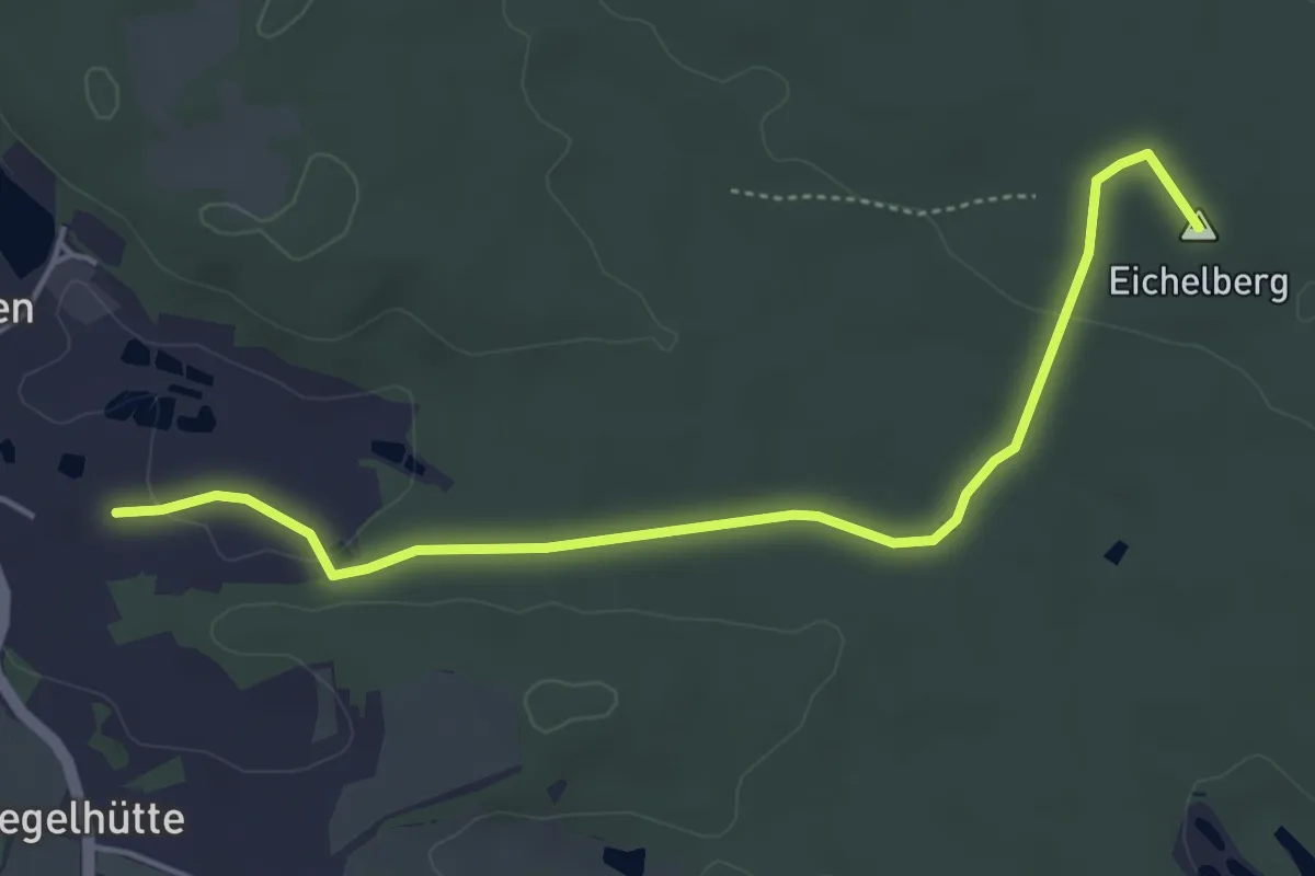
Easy · Summit
Landkreislauf Nürnberger Land 2013 Etappe 10
4.6 km · ↑ 46 m · 1 h 11 min
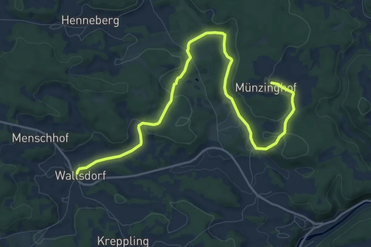
Medium · Trail
Landkreislauf Nürnberger Land 2013 Etappe 2
11.9 km · ↑ 291 m · 3 h 27 min
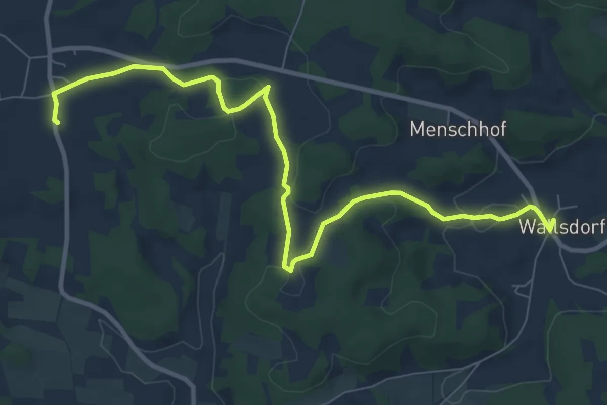
Easy · Trail
Landkreislauf Nürnberger Land 2013 Etappe 3
8.0 km · ↑ 133 m · 2 h 10 min
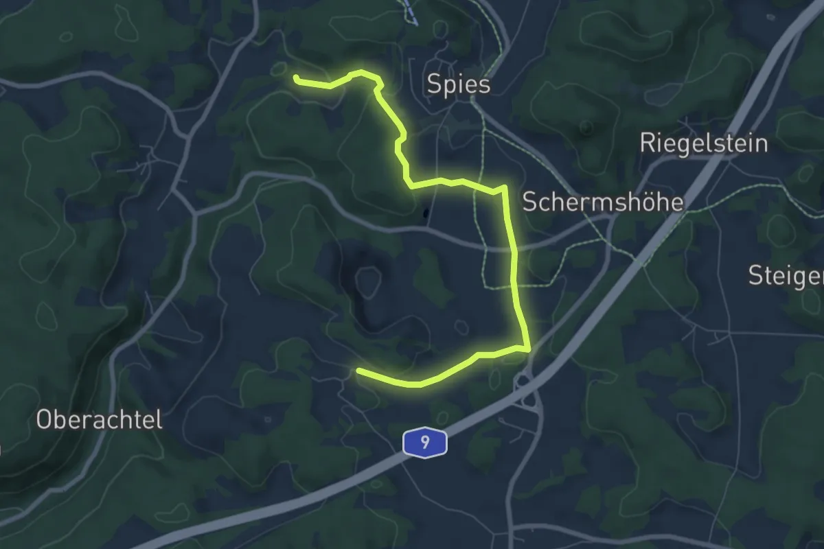
Easy · Trail
Landkreislauf Nürnberger Land 2013 Etappe 4
7.5 km · ↑ 181 m · 2 h 10 min
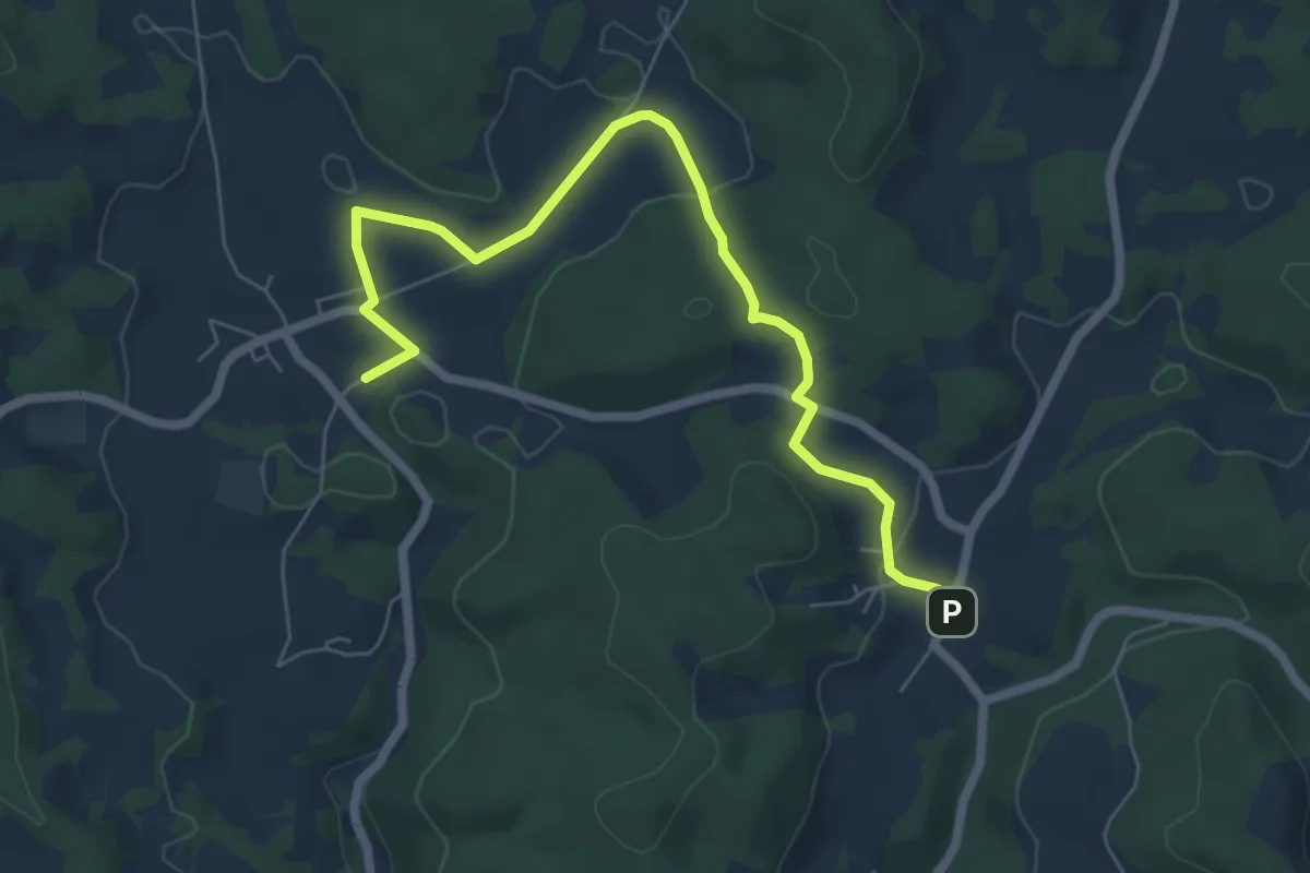
Easy · Trail
Landkreislauf Nürnberger Land 2013 Etappe 5
6.6 km · ↑ 142 m · 1 h 52 min
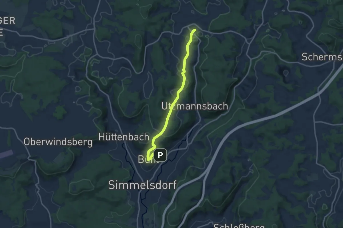
Medium · Trail
Landkreislauf Nürnberger Land 2013 Etappe 6
9.4 km · ↑ 262 m · 2 h 47 min
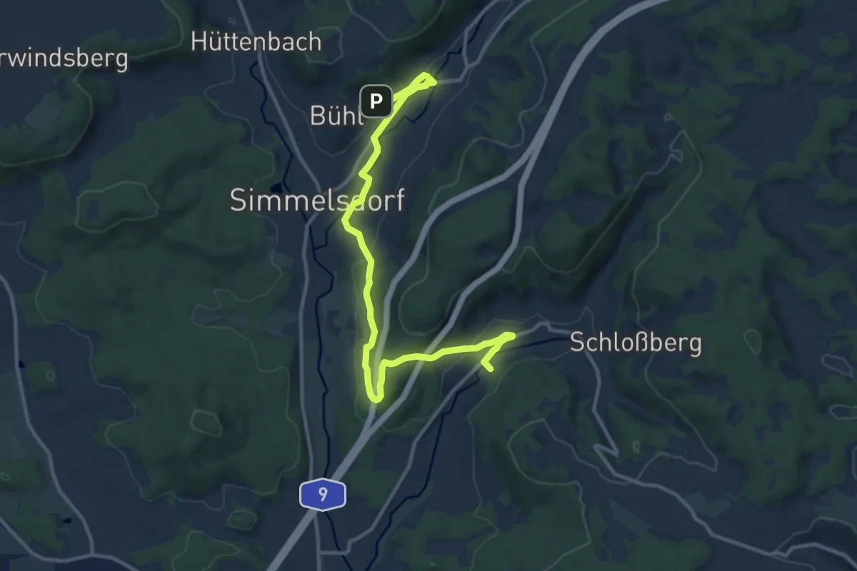
Medium · Trail
Landkreislauf Nürnberger Land 2013 Etappe 7
11.8 km · ↑ 263 m · 3 h 21 min
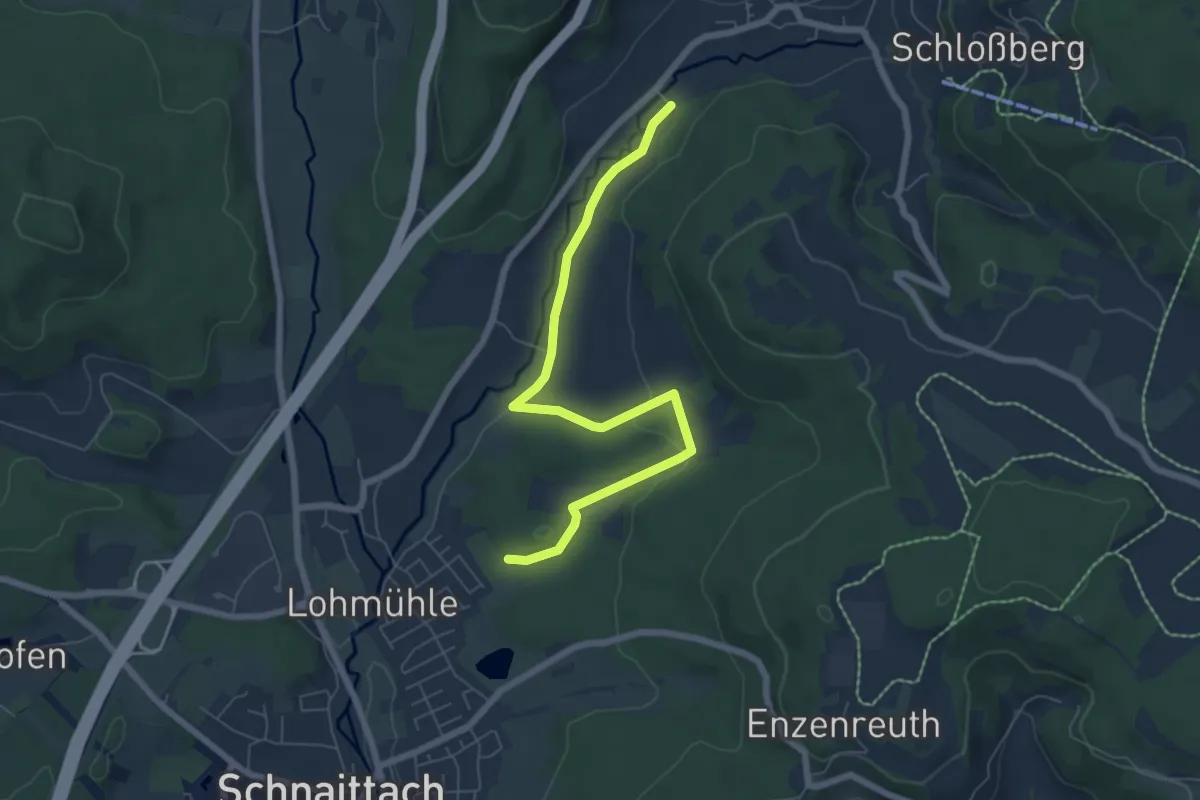
Easy · Trail
Landkreislauf Nürnberger Land 2013 Etappe 8
6.5 km · ↑ 89 m · 1 h 44 min
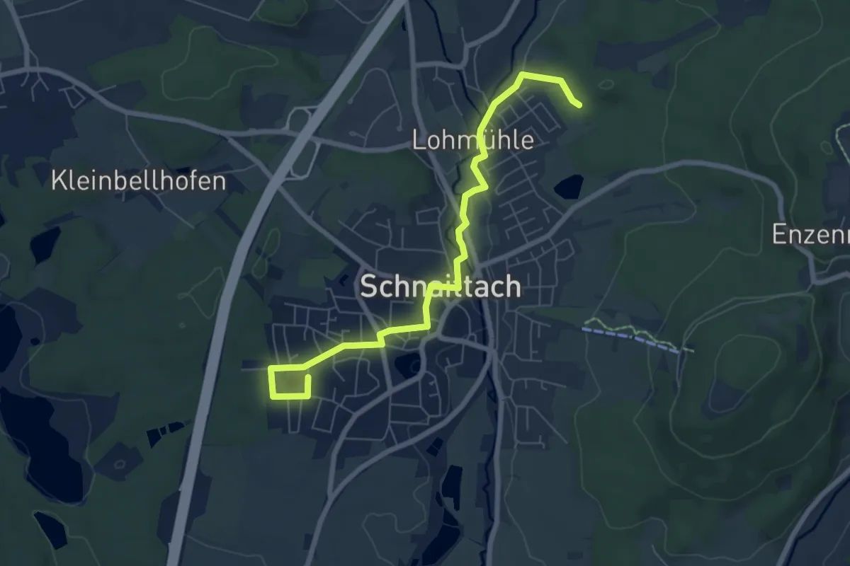
Easy · Trail
Landkreislauf Nürnberger Land 2013 Etappe 9
6.7 km · ↑ 61 m · 1 h 43 min
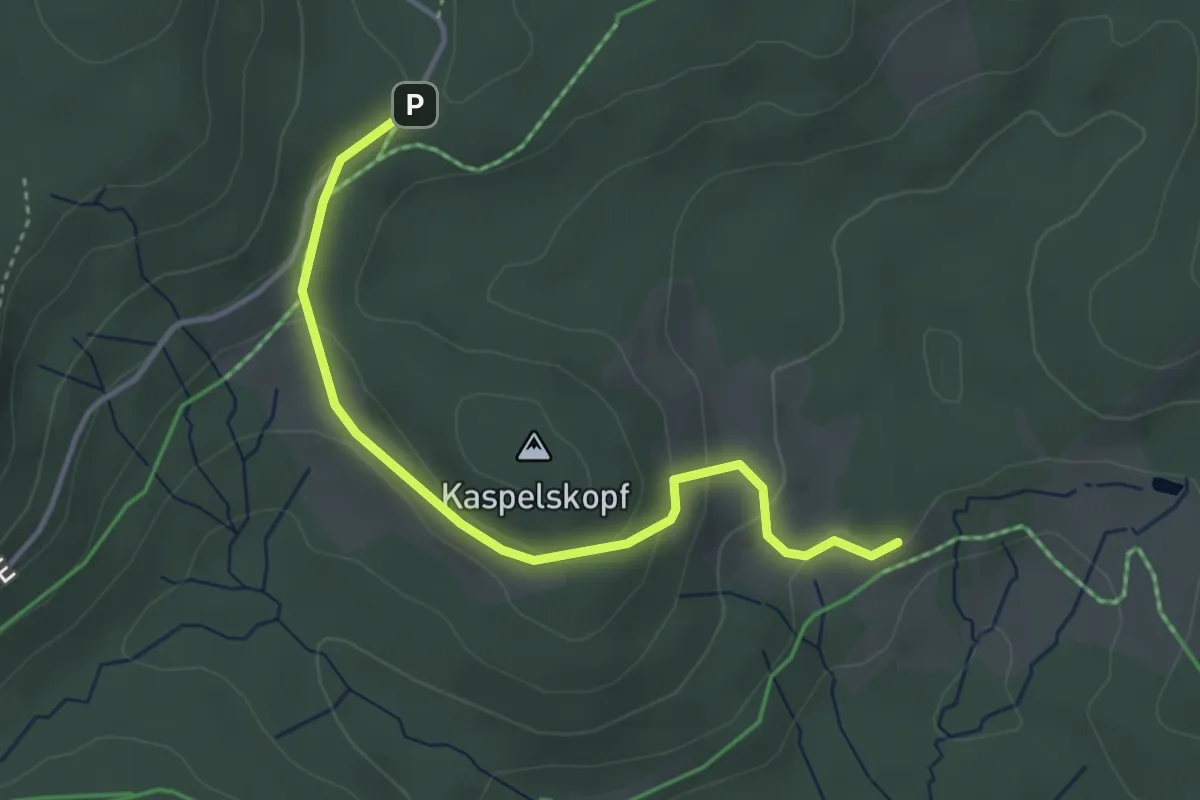
Easy · Trail
Landratshütte - Lochrütte
3.7 km · ↑ 123 m · 1 h 9 min
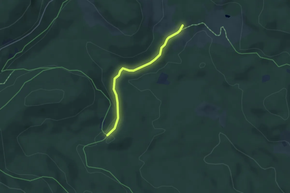
Easy · Trail
Landratshütte - Rufenholzplatz
3.2 km · ↑ 55 m · 53 min
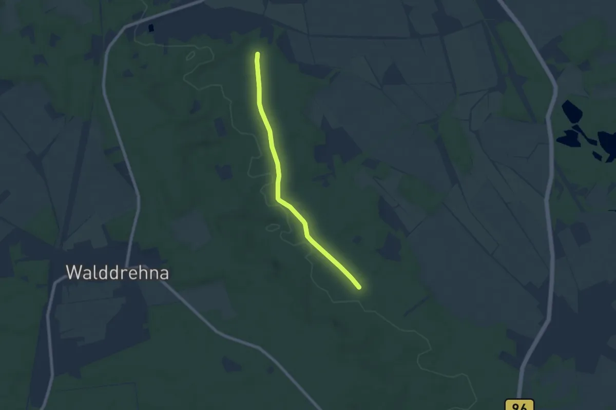
Easy · Trail
Landrückenweg
5.3 km · ↑ 32 m · 1 h 19 min
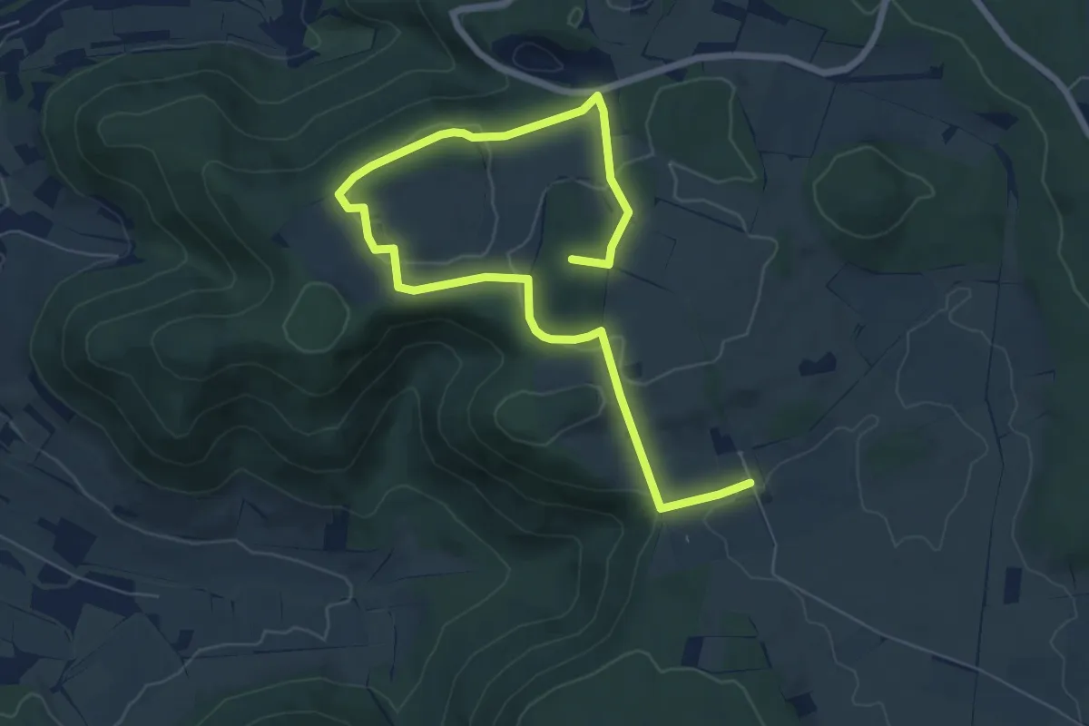
Medium · Summit
Landschaftserlebnis Eninger Weide
9.0 km · ↑ 172 m · 2 h 30 min
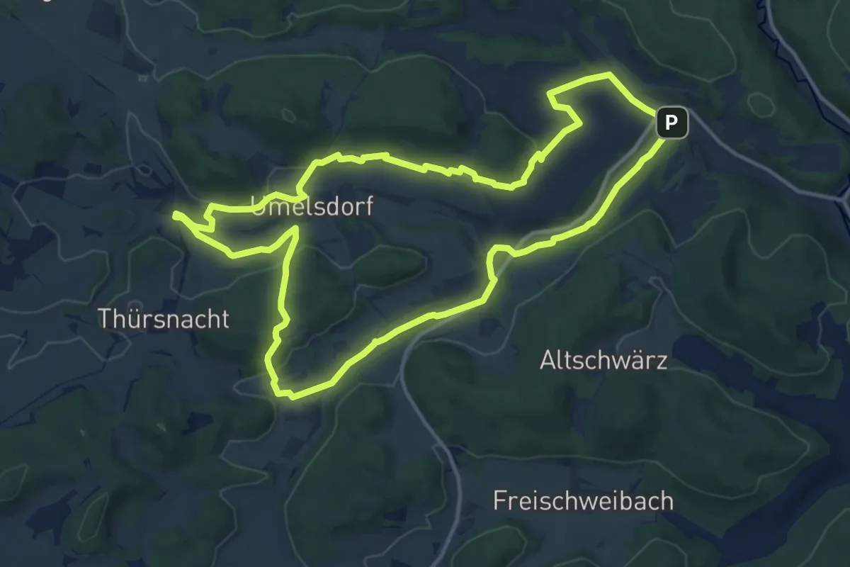
Medium · Trail
Landschaftsgeschichtlicher Wanderweg Utzenhofen
12.2 km · ↑ 225 m · 3 h 32 min
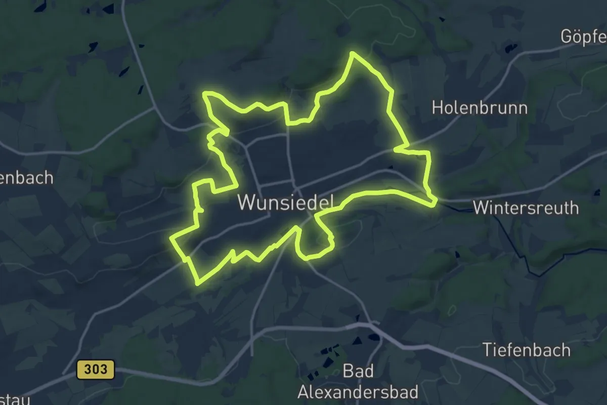
Medium · Trail
Landschaftslehrpfad Wunsiedel
14.6 km · ↑ 352 m · 4 h 25 min
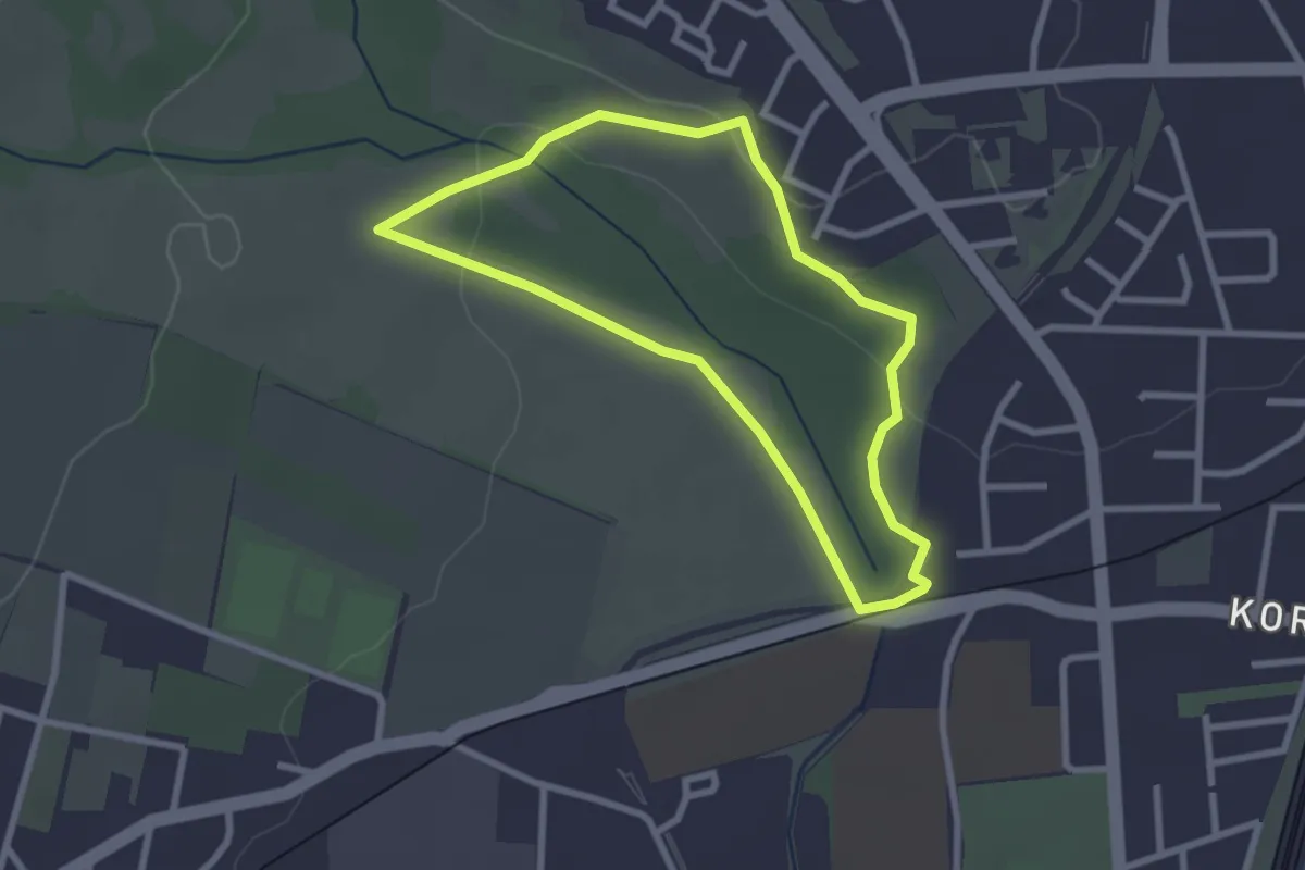
Easy · Trail
Landschaftswandel
2.2 km · ↑ 34 m · 38 min
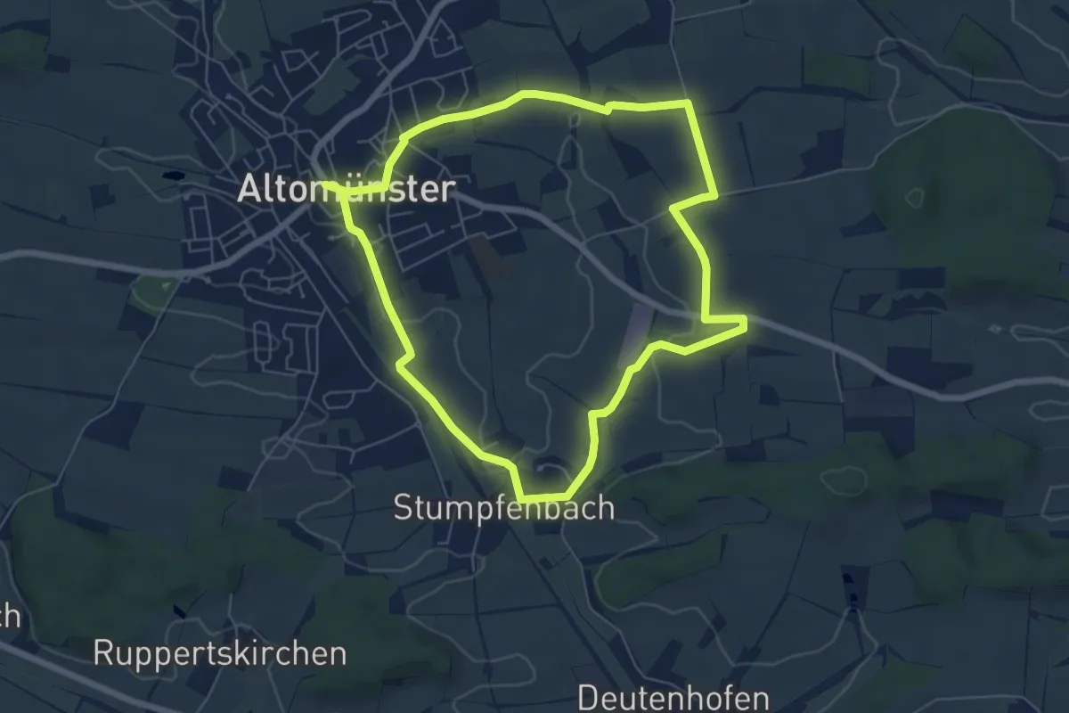
Easy · Trail
Landschaftsweg
5.8 km · ↑ 85 m · 1 h 38 min
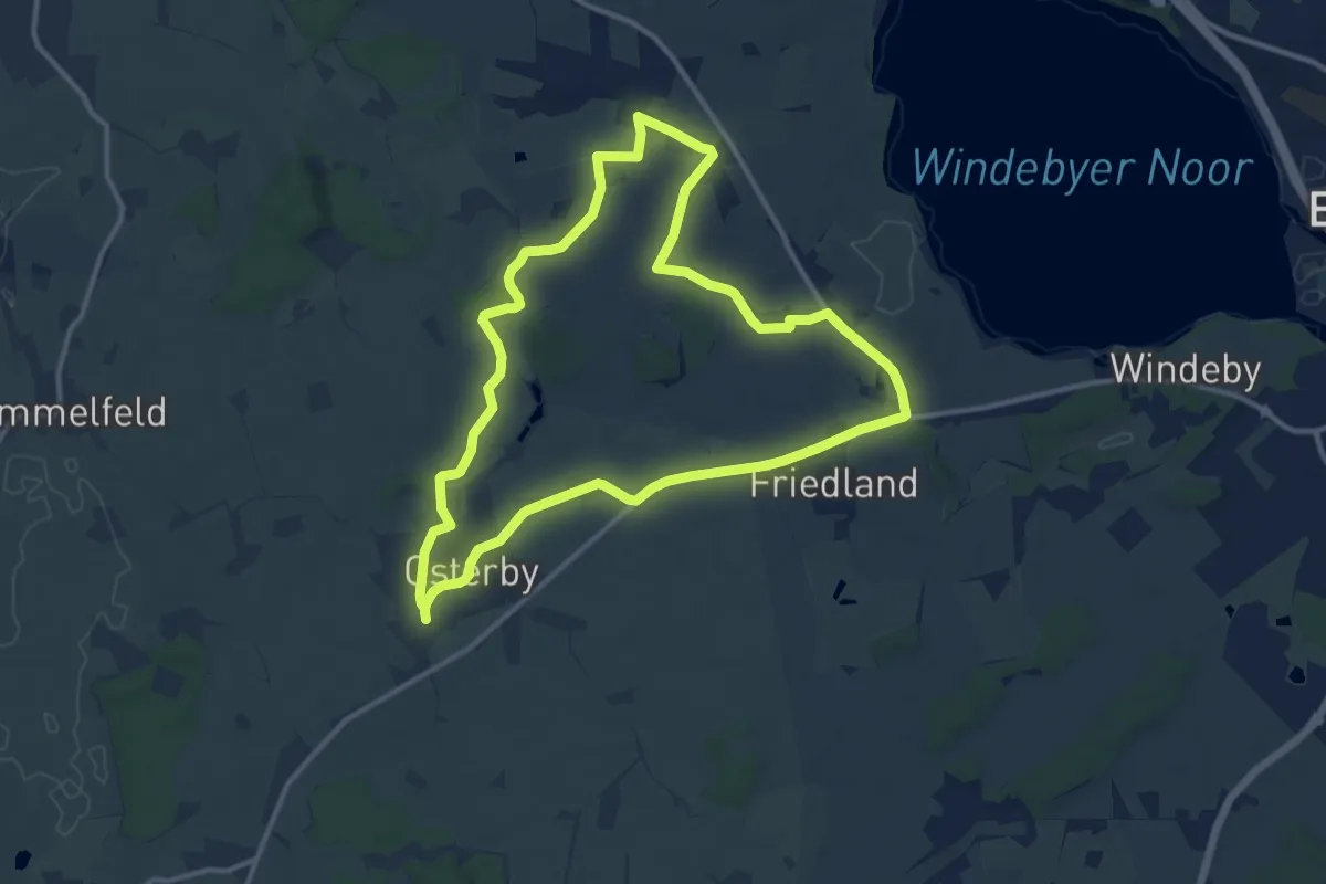
Medium · Trail
Landschaft und Kultur Windebyer Noor: Grabhügel der Bronzezeit
10.0 km · ↑ 44 m · 2 h 36 min
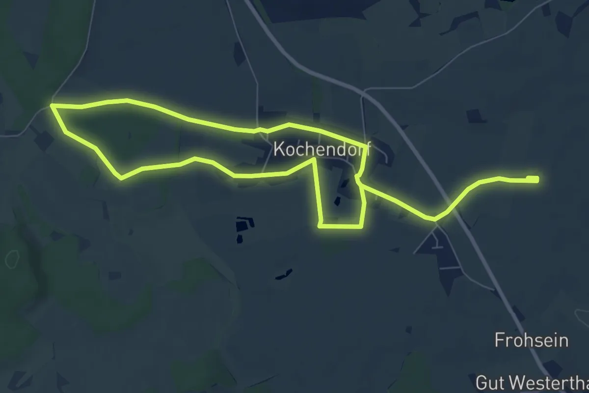
Easy · Trail
Landschaft und Kultur Windebyer Noor: Osterwall
5.7 km · ↑ 13 m · 1 h 27 min
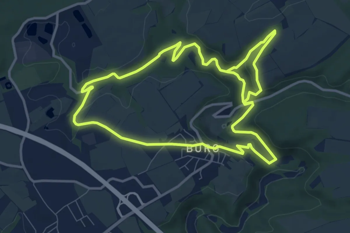
Medium · Trail
Landscheid 5
15.6 km · ↑ 350 m · 4 h 27 min
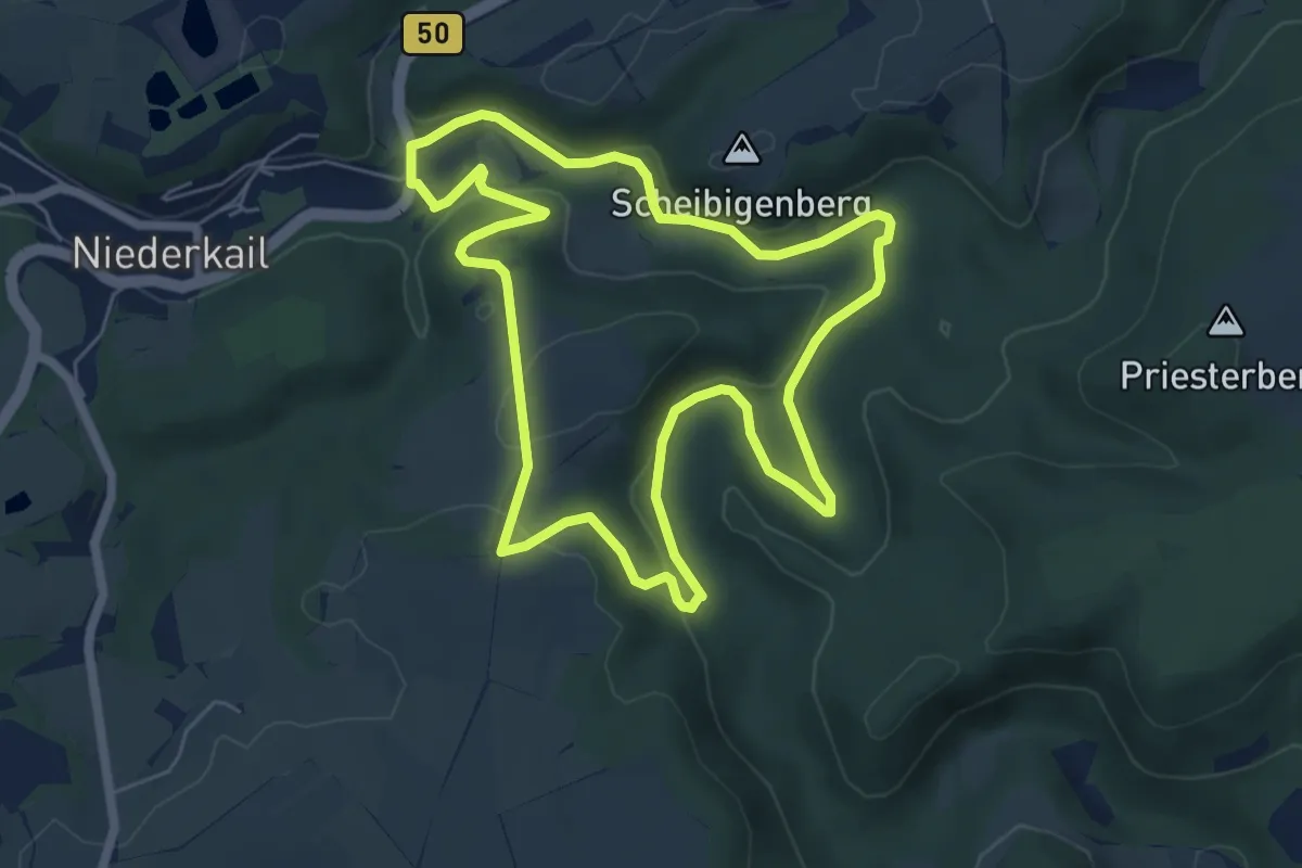
Easy · Trail
Landscheid 6
5.8 km · ↑ 140 m · 1 h 45 min
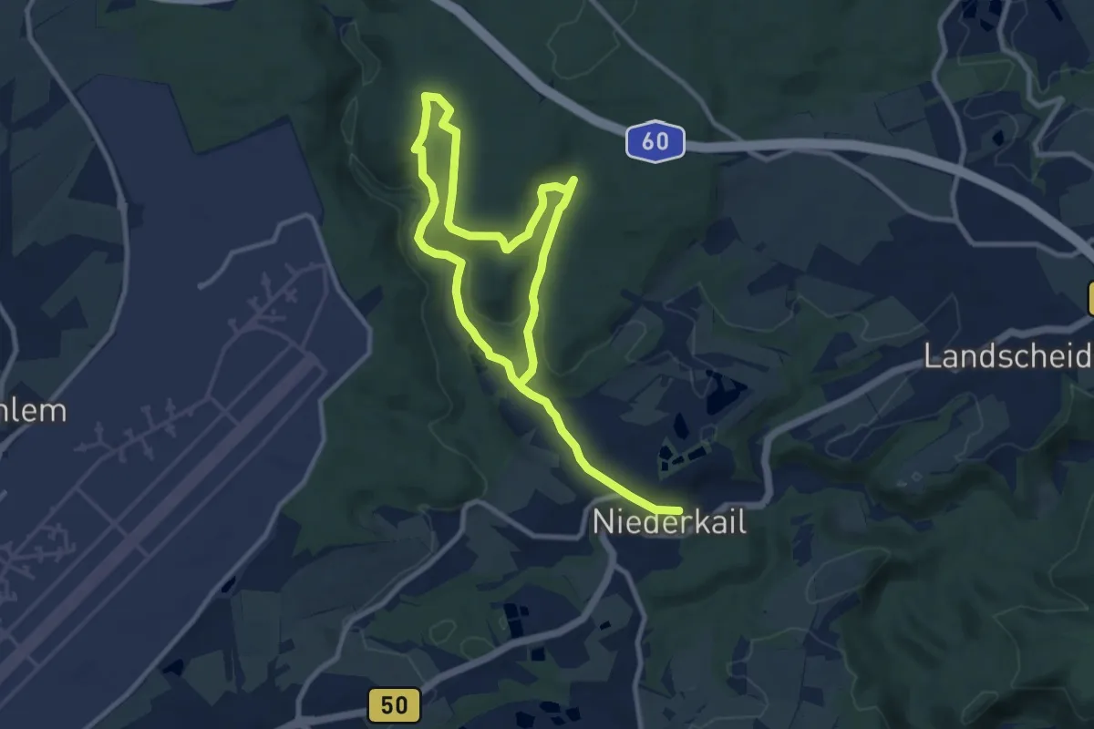
Medium · Trail
Landscheid 9
13.9 km · ↑ 300 m · 3 h 56 min
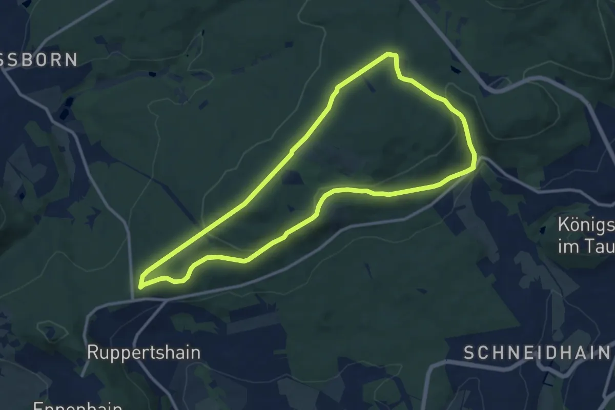
Medium · Summit
Landsgraben: Eichenblatt
8.6 km · ↑ 226 m · 2 h 38 min