Trails in Germany
36,852 hiking trails, each with its route, climb, walking time and grade.
All trails, page 316 of 768
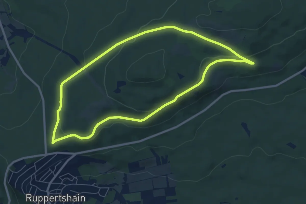
Easy · Trail
Landsgraben: Muffel
5.8 km · ↑ 128 m · 1 h 44 min
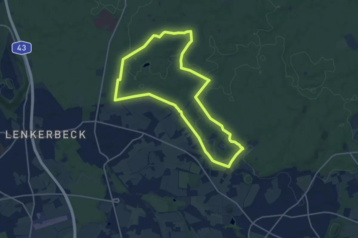
Medium · Summit
Landstreifer (Haard an der Grenze)
11.1 km · ↑ 99 m · 3 h
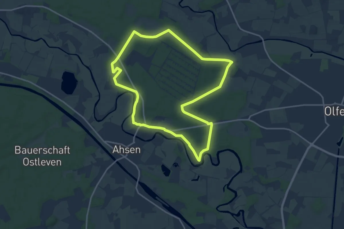
Medium · Trail
Landstreifer "Zwischen Stever und Lippe"
10.7 km · ↑ 53 m · 2 h 47 min
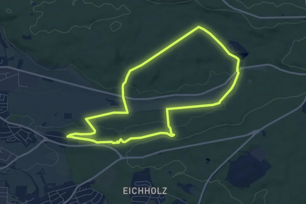
Easy · Trail
Land.Tour Hölzersee
7.5 km · ↑ 134 m · 2 h 10 min
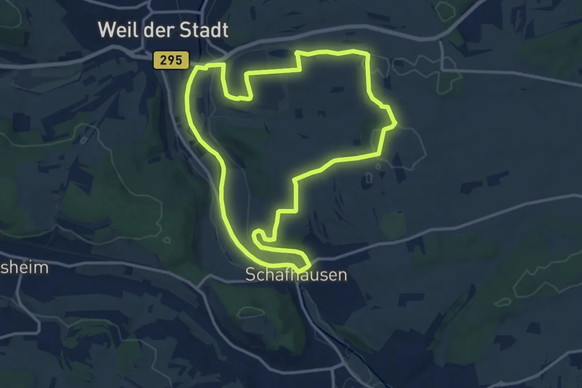
Medium · Trail
Land.Tour.Pfadfinder
10.1 km · ↑ 147 m · 2 h 50 min
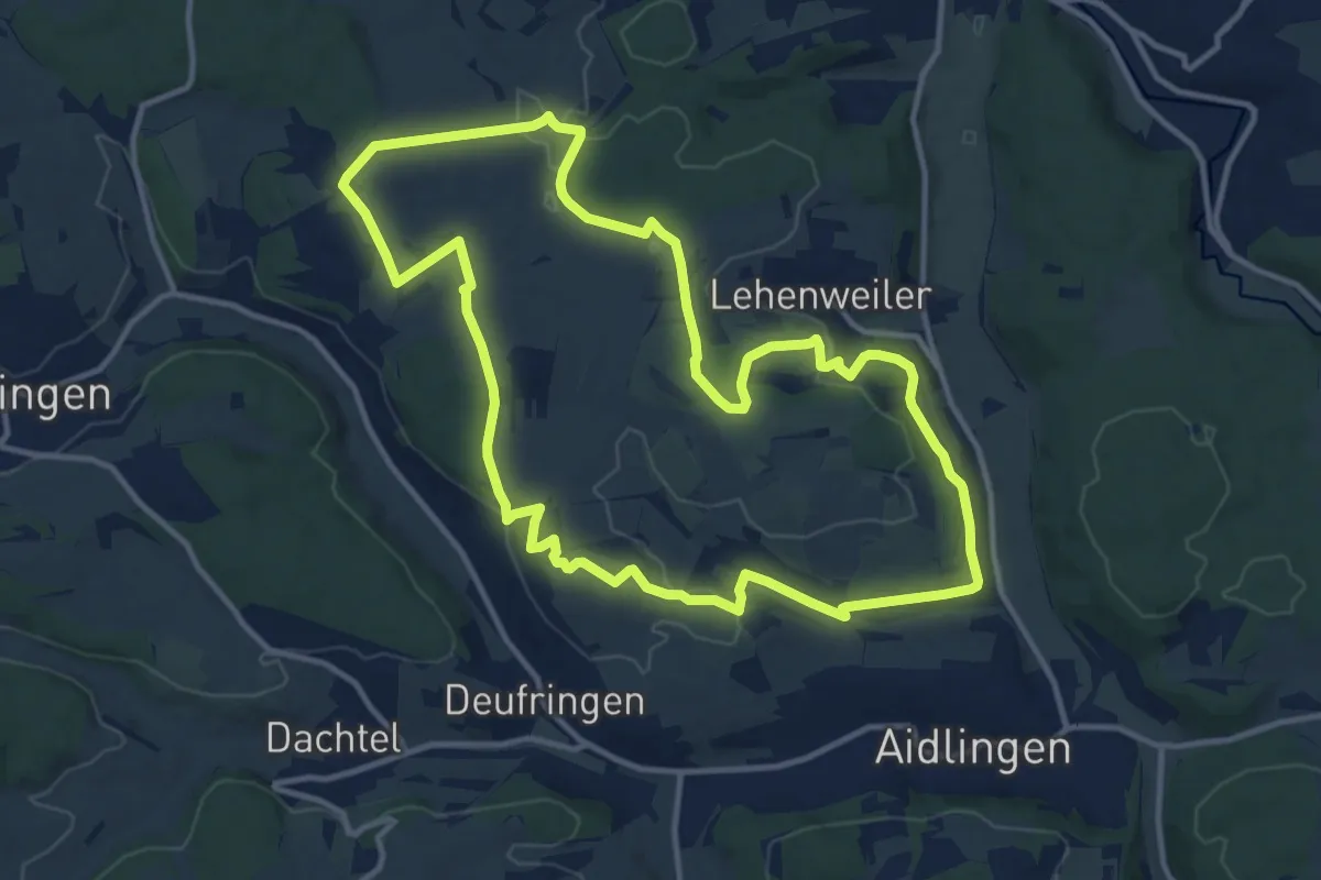
Medium · Trail
Land.Tour Venusberg
12.0 km · ↑ 199 m · 3 h 26 min
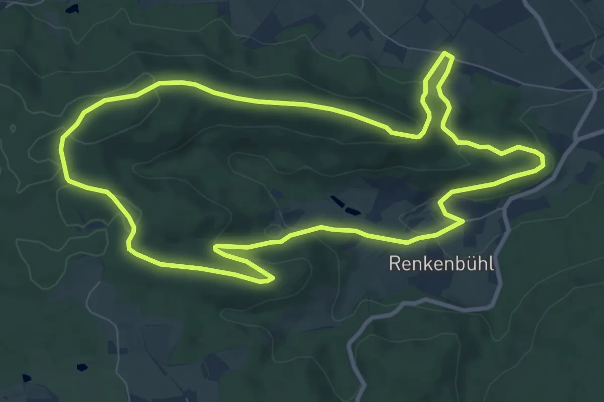
Medium · Trail
Landturmweg
8.0 km · ↑ 234 m · 2 h 31 min
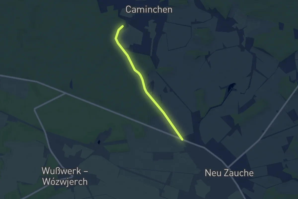
Easy · Trail
Land- und forstwirtschaftlicher Naturlehrpfad
4.8 km · ↑ 31 m · 1 h 12 min
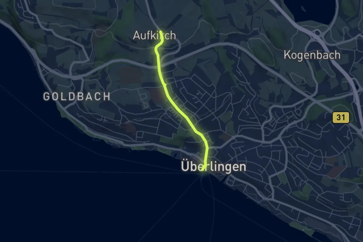
Easy · Trail
Landungsplatz - Aufkirch
4.2 km · ↑ 128 m · 1 h 16 min
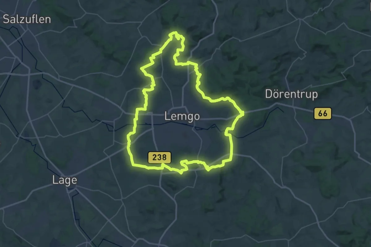
Demanding · Trail
Landwehrweg
36.2 km · ↑ 620 m · 10 h 24 min
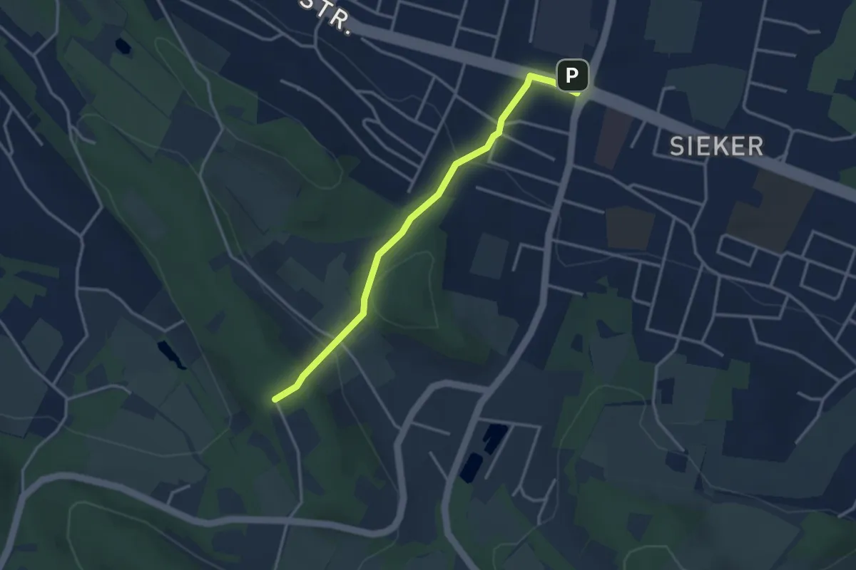
Easy · Trail
Landwehrweg
2.9 km · ↑ 96 m · 54 min
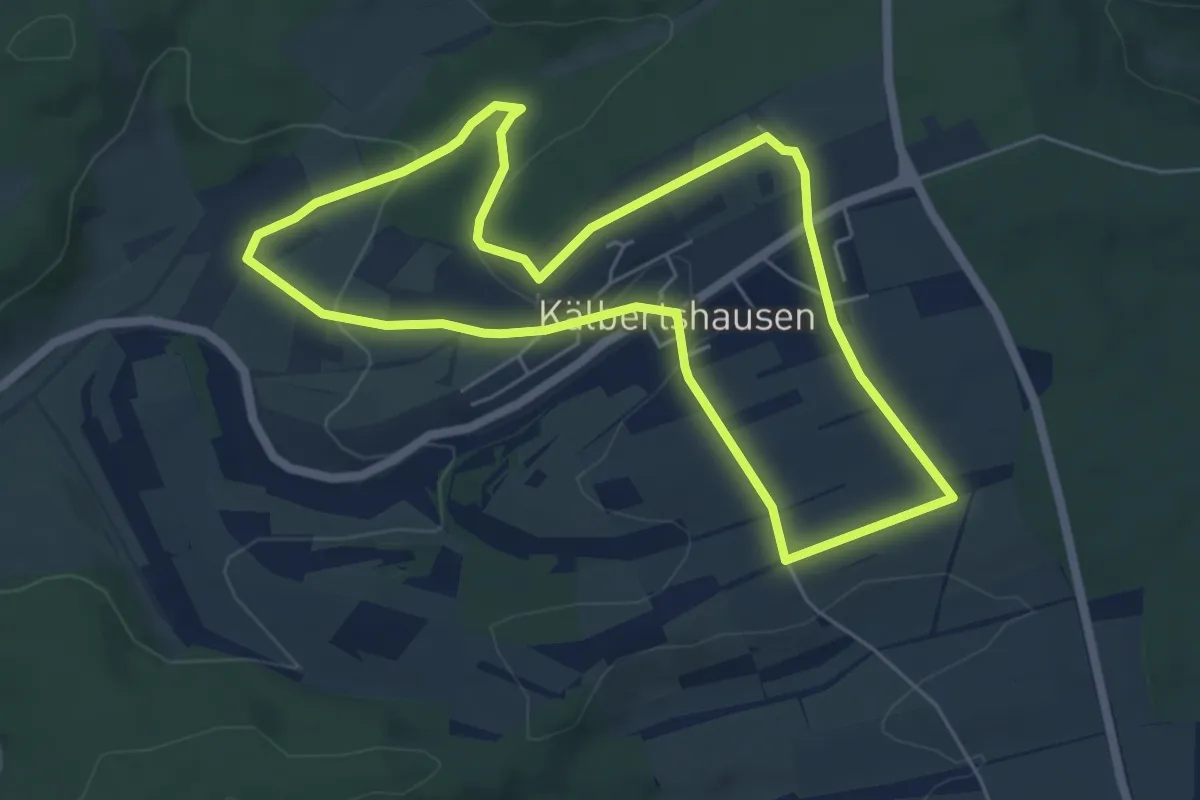
Easy · Trail
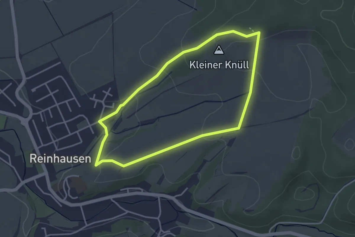
Landwirtschaftlicher Lehrpfad Kälbertshausen
5.4 km · ↑ 124 m · 1 h 37 min
Easy · Summit
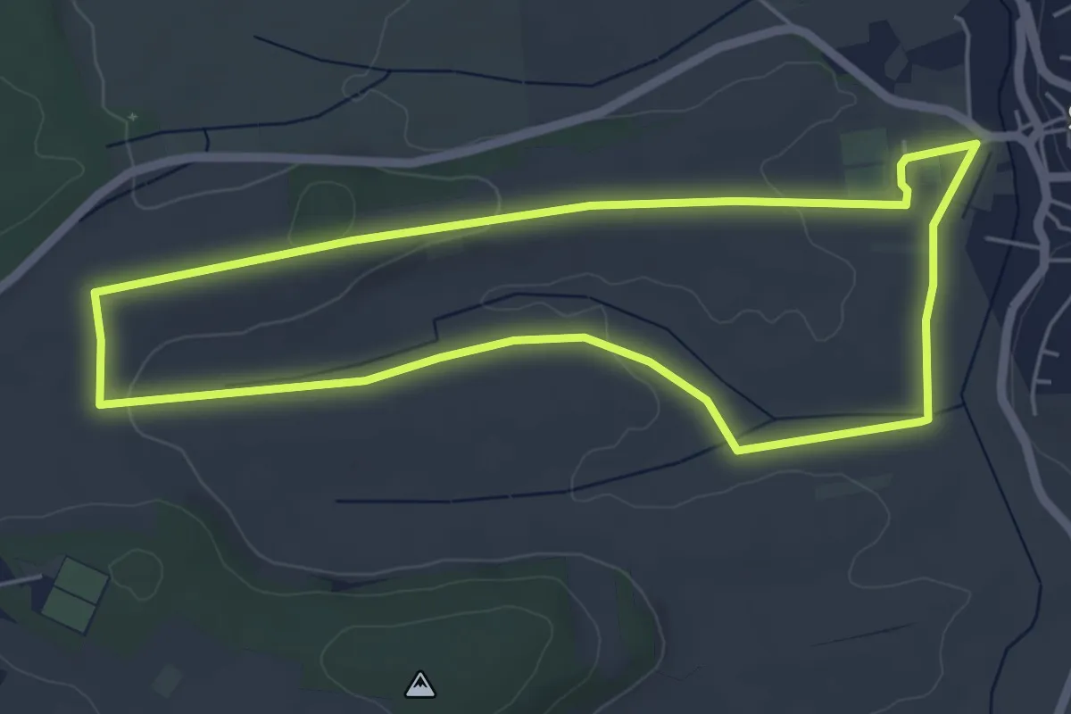
Landwirtschaftlicher Lehrpfad Reinhausen
2.9 km · ↑ 70 m · 52 min
Easy · Trail
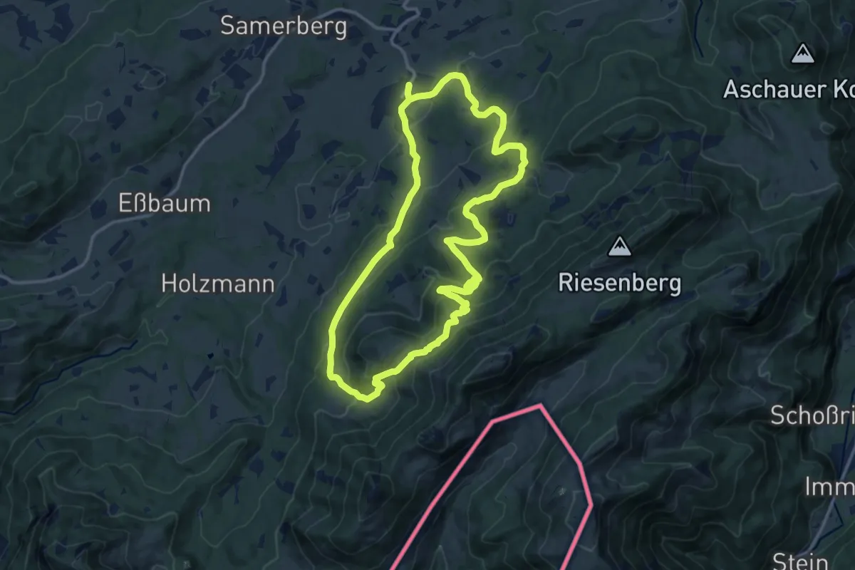
Landwirtschaftlicher Rundweg Steinfeld
5.0 km · ↑ 44 m · 1 h 20 min
Medium · Trail
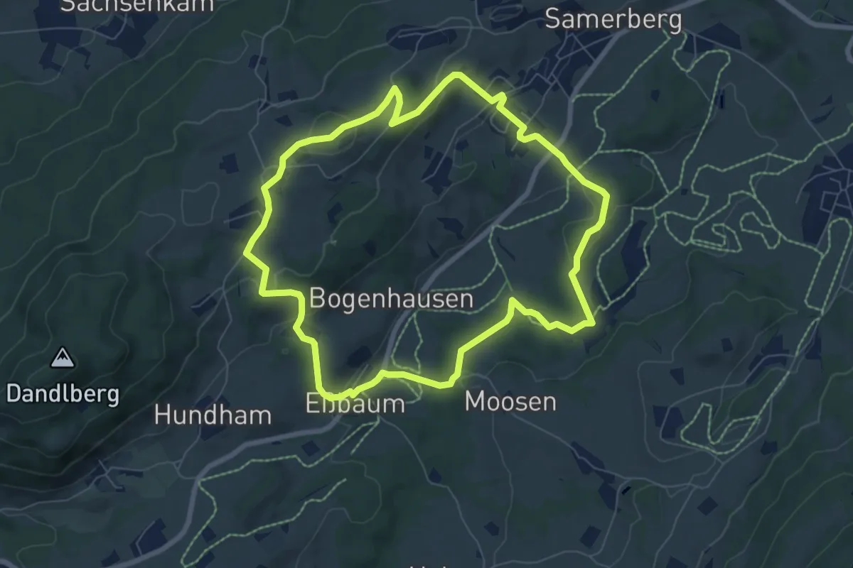
Landwirtschaftsweg-Almrunde
12.9 km · ↑ 552 m · 4 h 25 min
Easy · Trail
Landwirtschaftsweg-Talrunde
7.0 km · ↑ 204 m · 2 h 11 min
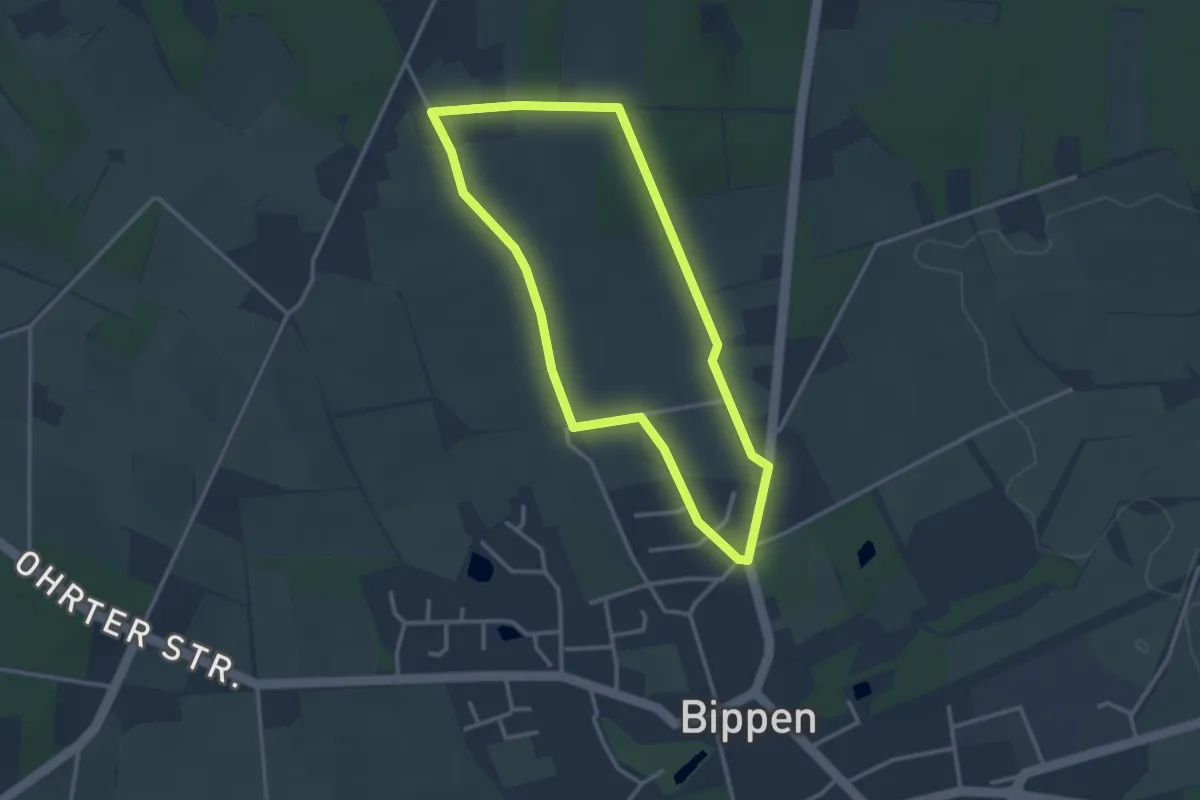
Easy · Trail
Landwirtschaft zum Anfassen
2.6 km · ↑ 20 m · 42 min
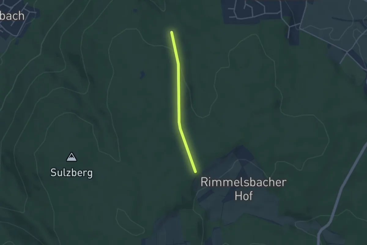
Easy · Trail
Langäcker - Scheuerberg
2.5 km · ↑ 52 m · 42 min
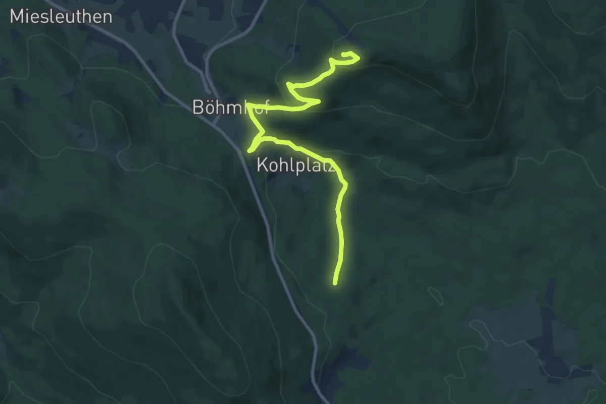
Medium · Summit
Langdorf -> Silberberg
8.6 km · ↑ 381 m · 2 h 51 min
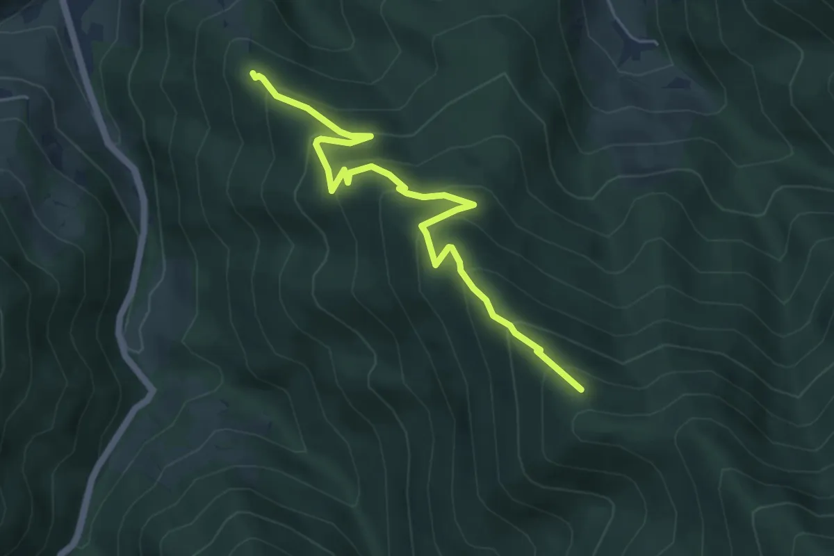
Medium · Trail
Langecker Weide - Feuersteinfelsen
5.2 km · ↑ 436 m · 2 h 10 min
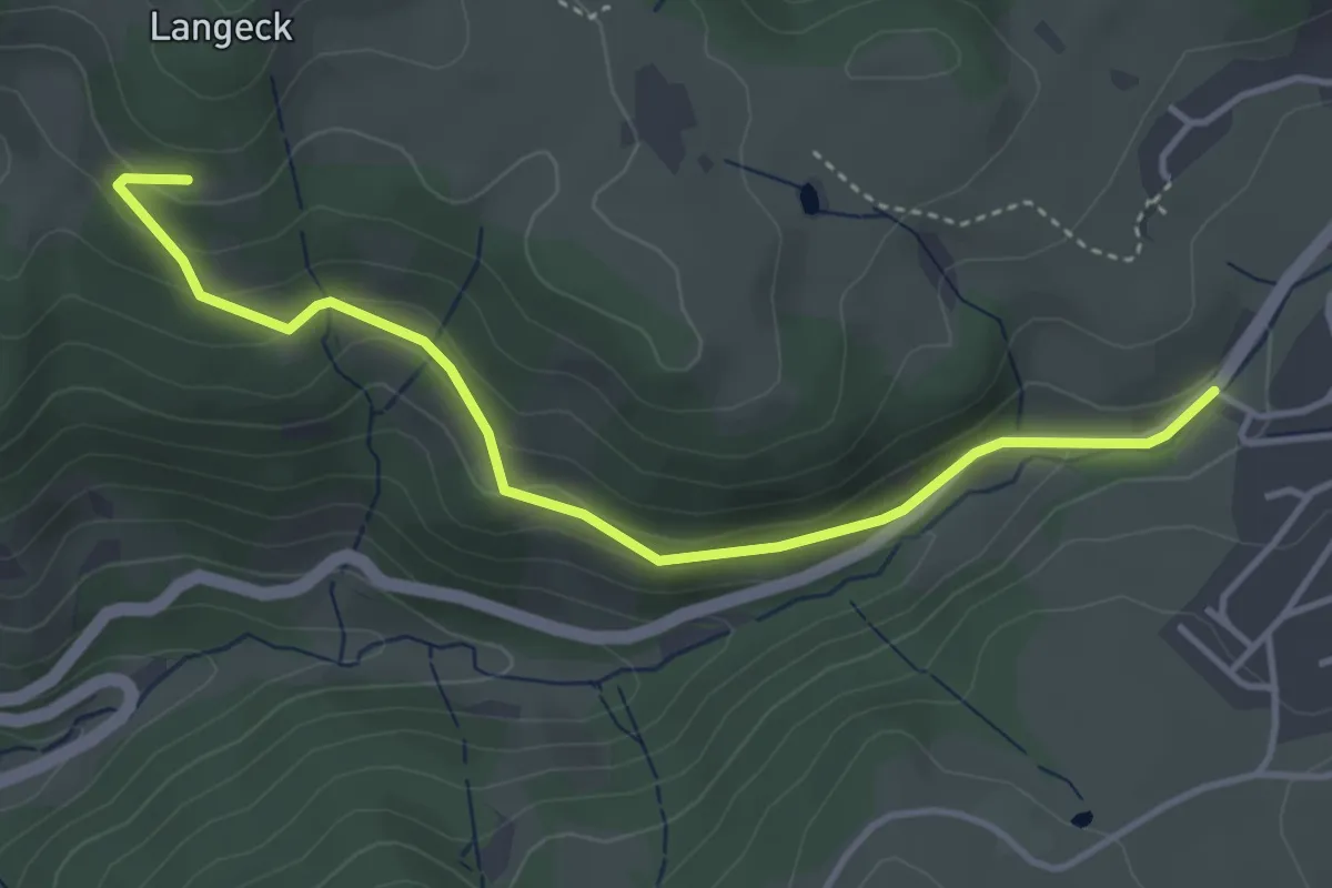
Easy · Trail
Langeckhof - St. Peter Bäckerei Kreutz
4.0 km · ↑ 156 m · 1 h 17 min
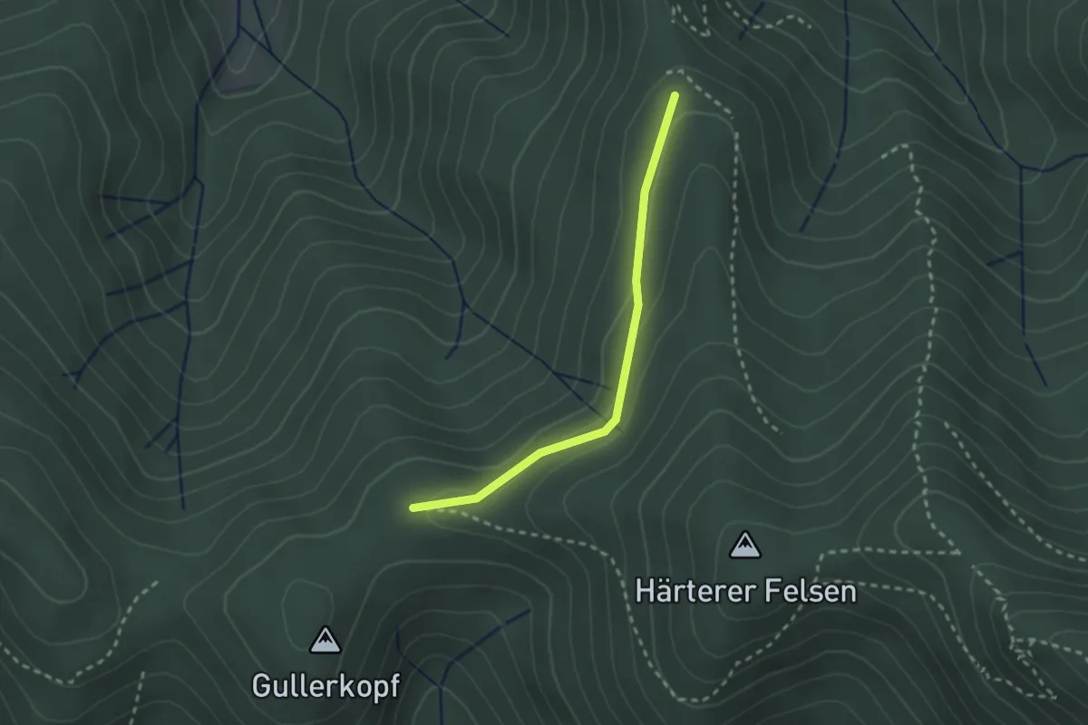
Easy · Trail
Langeckhütte - Moosbühl
2.2 km · ↑ 56 m · 38 min
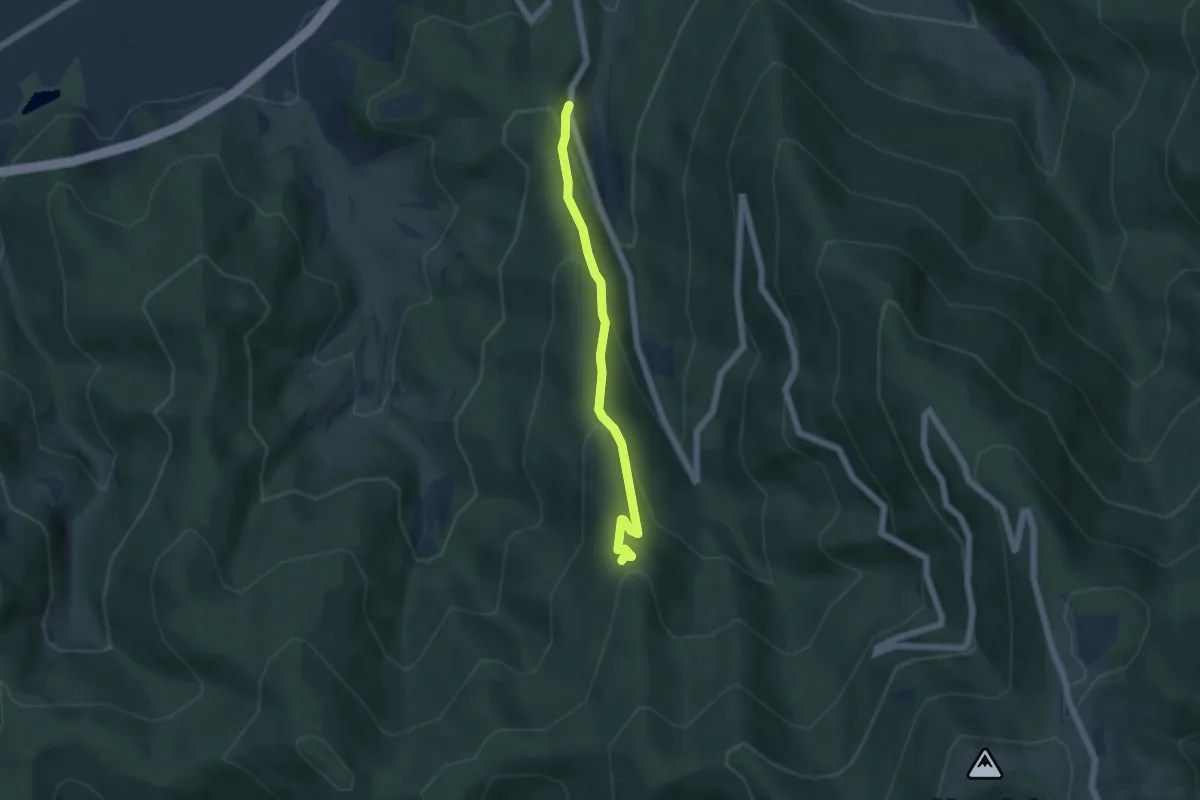
Medium · Trail
Langeckhütte - Vorderer Holzplatz
4.6 km · ↑ 329 m · 1 h 48 min
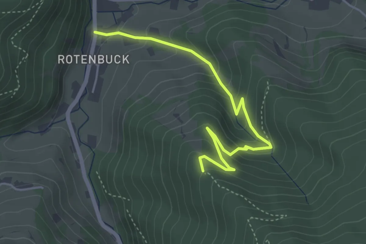
Medium · Trail
Langeck - Langecker Weide
4.2 km · ↑ 340 m · 1 h 44 min
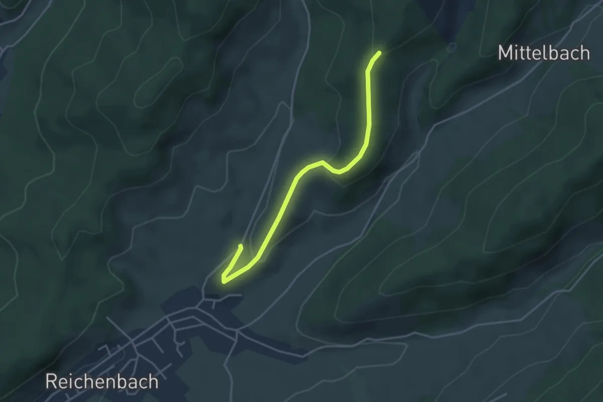
Easy · Trail
Langeck - Schwärzenbach
3.4 km · ↑ 112 m · 1 h 3 min
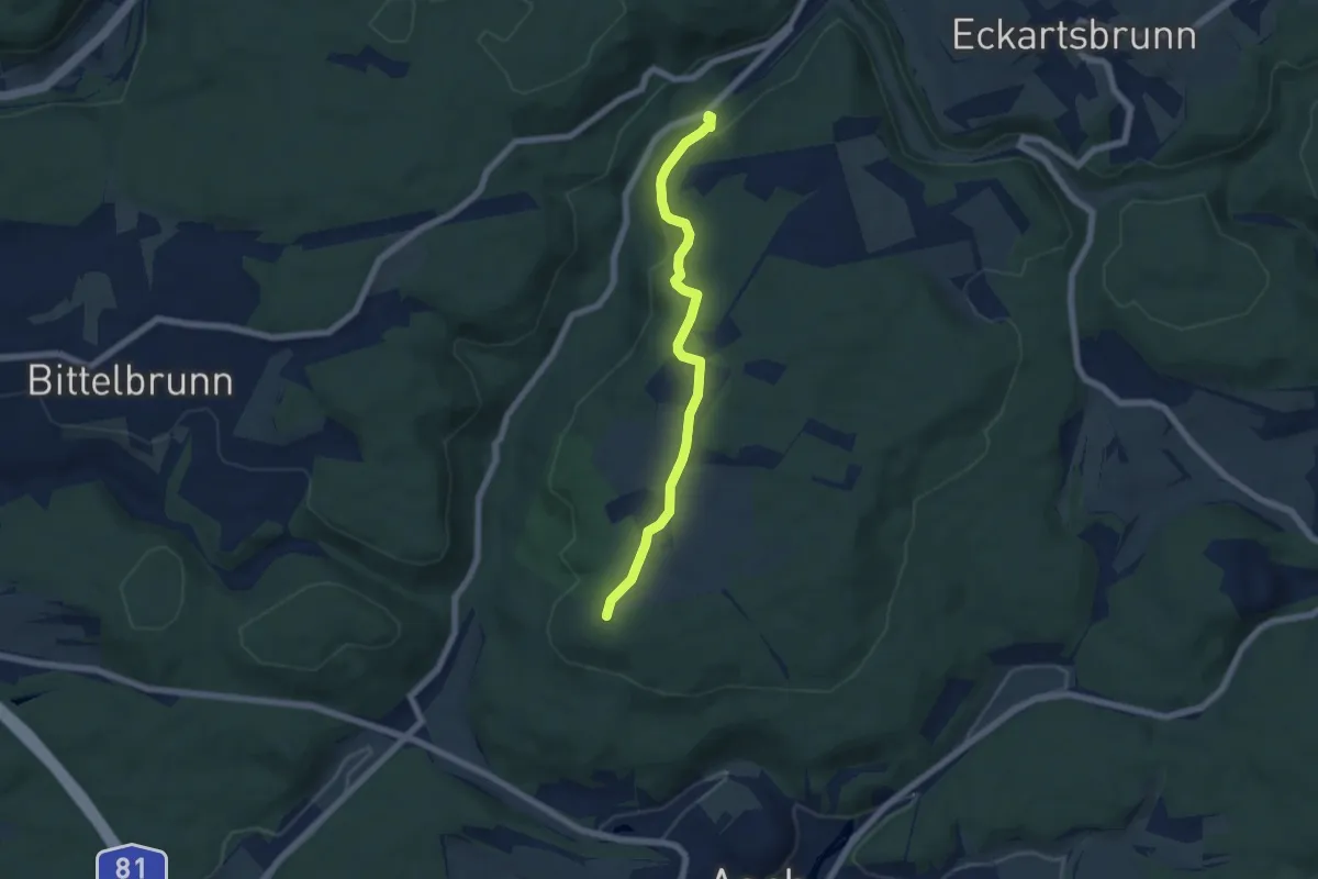
Easy · Trail
Lange Halde - Dornsberg
5.8 km · ↑ 152 m · 1 h 42 min
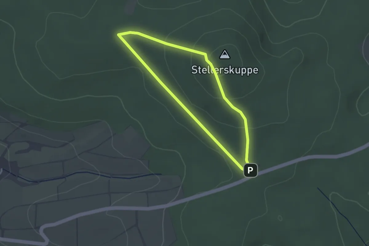
Easy · Summit
Lange Heide 1
2.2 km · ↑ 51 m · 39 min
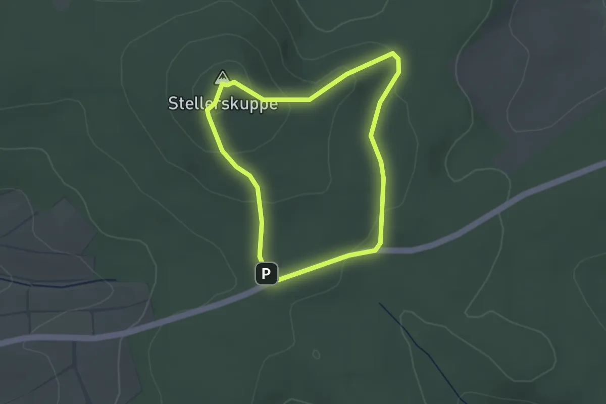
Easy · Summit
Lange Heide 2
2.3 km · ↑ 73 m · 44 min
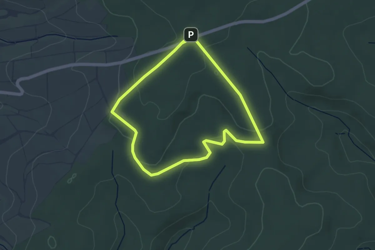
Easy · Trail
Lange Heide 3
3.2 km · ↑ 53 m · 55 min
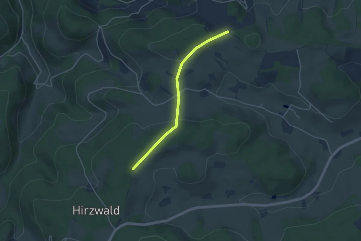
Easy · Trail
Lange Lochen - Lange Gasse
3.2 km · ↑ 85 m · 57 min
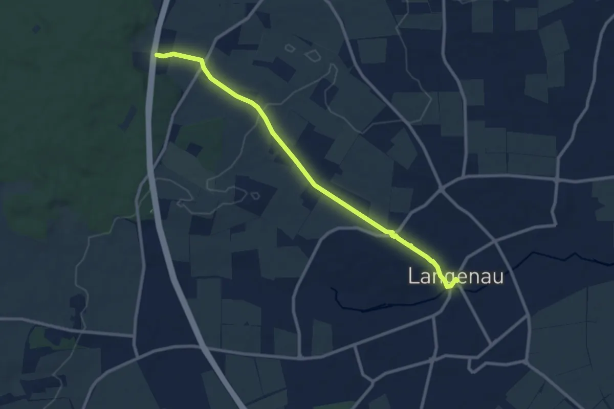
Easy · Trail
Langenau - HW2
7.8 km · ↑ 54 m · 1 h 58 min
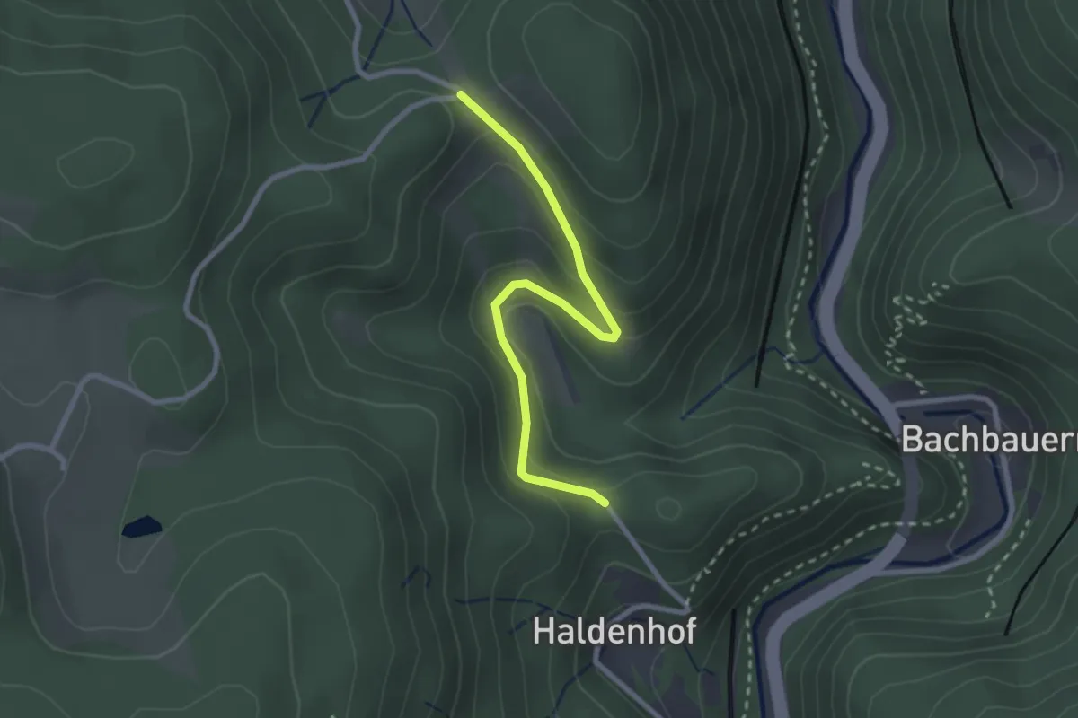
Easy · Trail
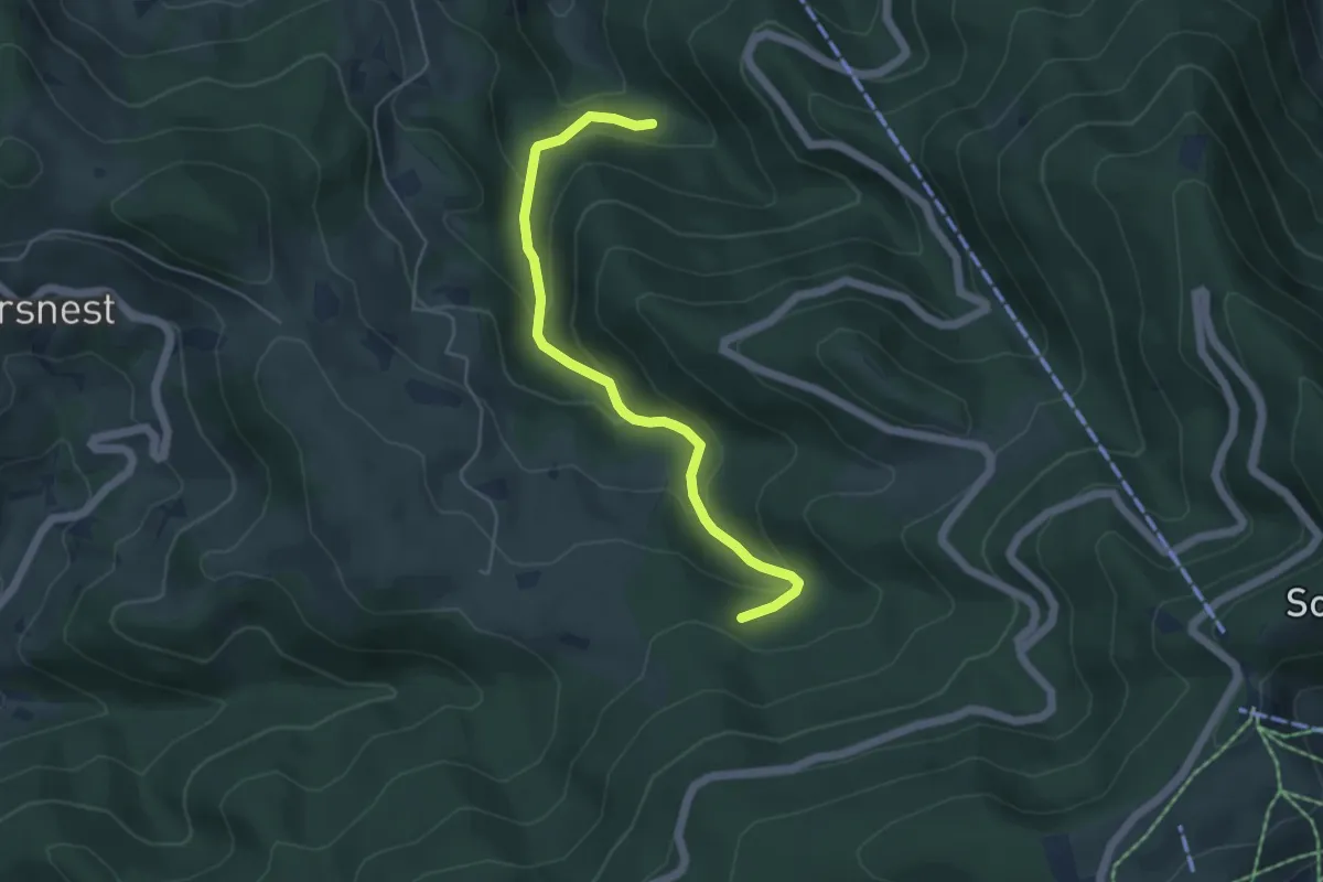
Langenbach - Haldenhof
2.5 km · ↑ 156 m · 56 min
Easy · Trail
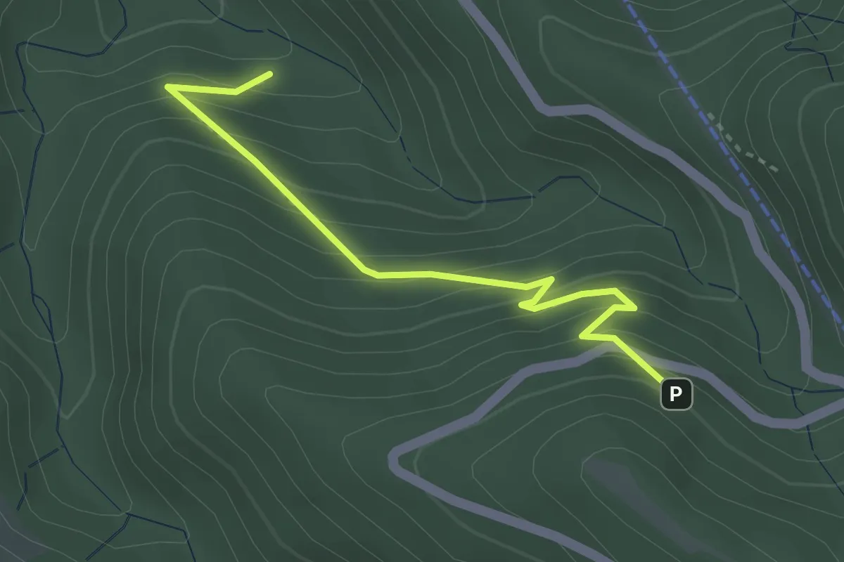
Langenbachhütte - Heuweg
4.8 km · ↑ 265 m · 1 h 42 min
Medium · Trail
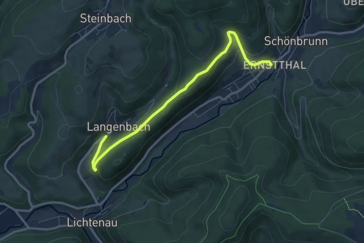
Langenbachhütte - Unter den Windrädern
3.2 km · ↑ 262 m · 1 h 19 min
Easy · Trail
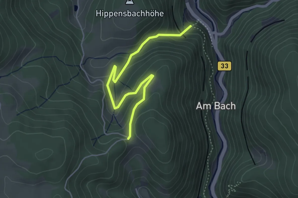
Langenbach-Schönbrunn
6.8 km · ↑ 284 m · 2 h 13 min
Easy · Trail
Langenbach - Steinbis
4.4 km · ↑ 274 m · 1 h 38 min
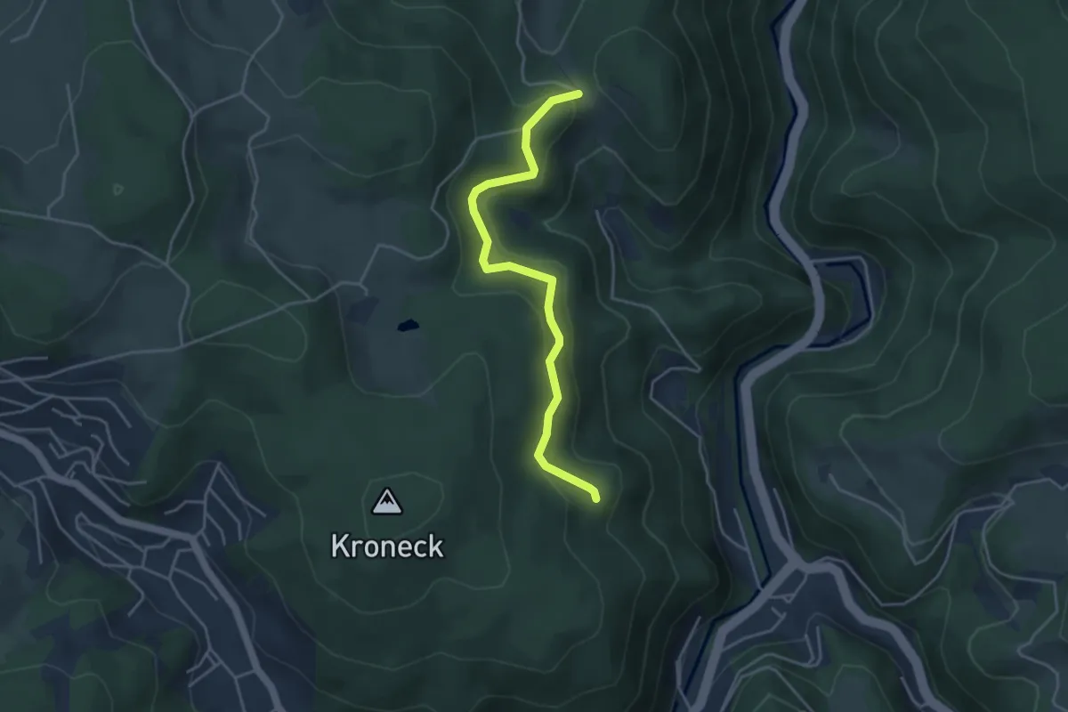
Easy · Trail
Langenbach - TR 040
3.9 km · ↑ 241 m · 1 h 26 min
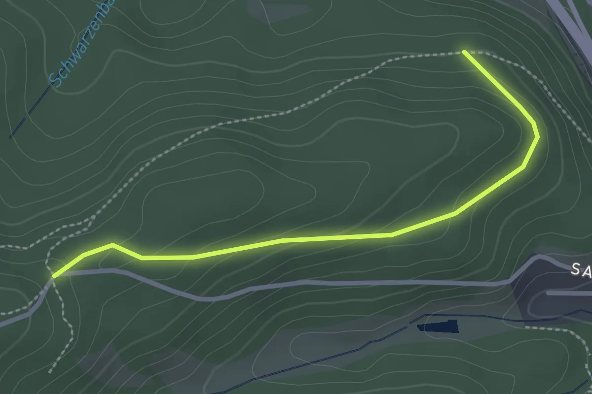
Easy · Trail
Langenbachweg - Saiger Hang
2.6 km · ↑ 79 m · 46 min
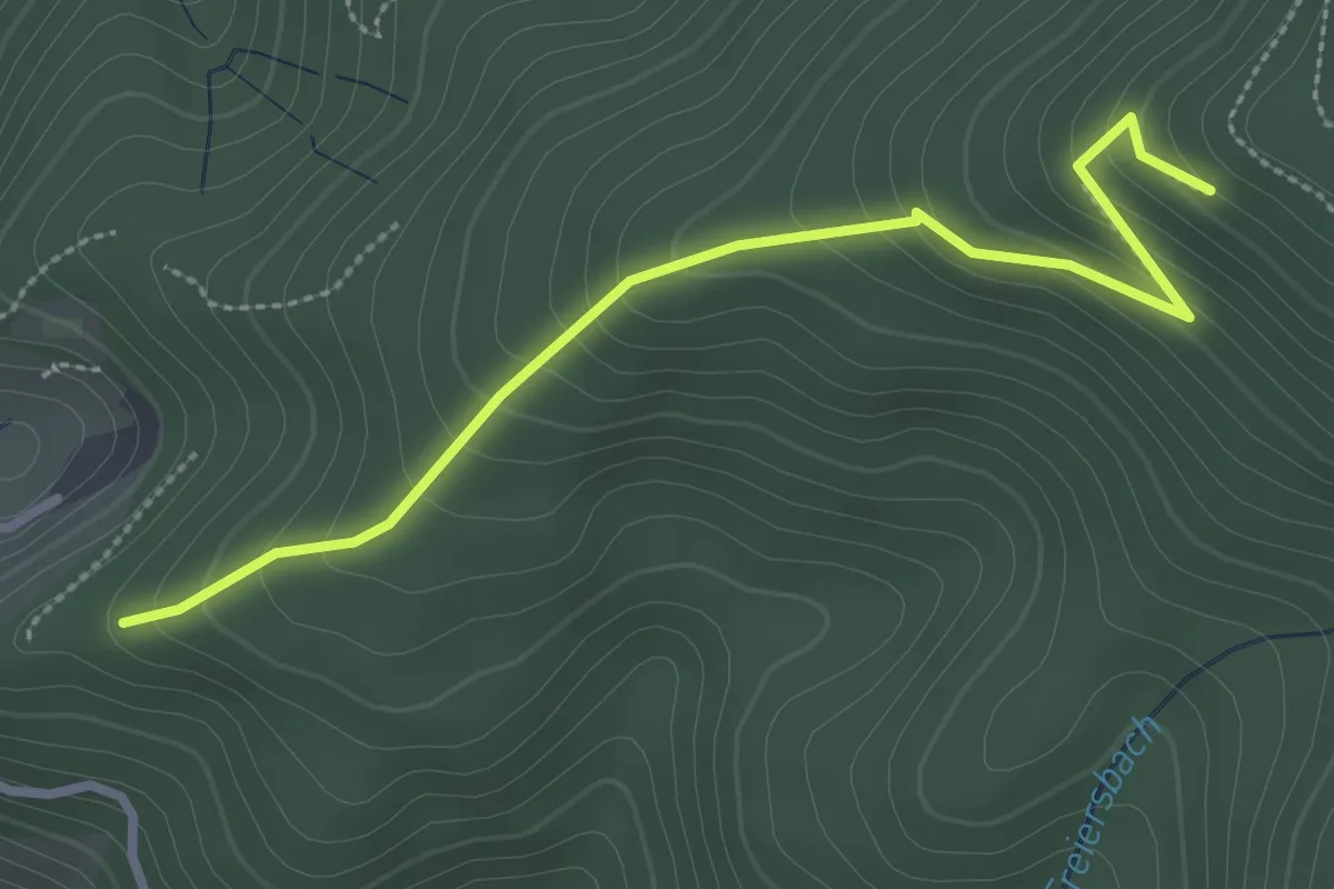
Easy · Trail
Langenberger Ries - Palmspringseck
2.9 km · ↑ 225 m · 1 h 11 min
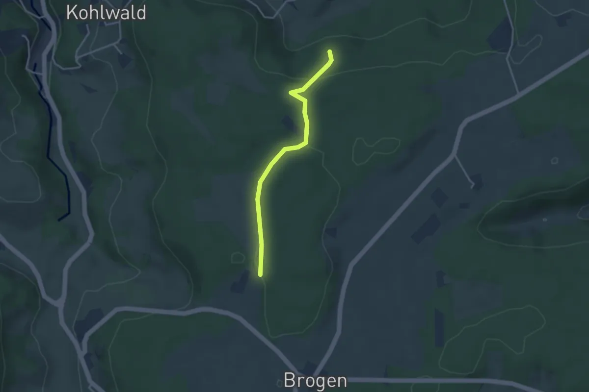
Easy · Trail
Langenberg - Kaltenbronn
2.8 km · ↑ 125 m · 56 min
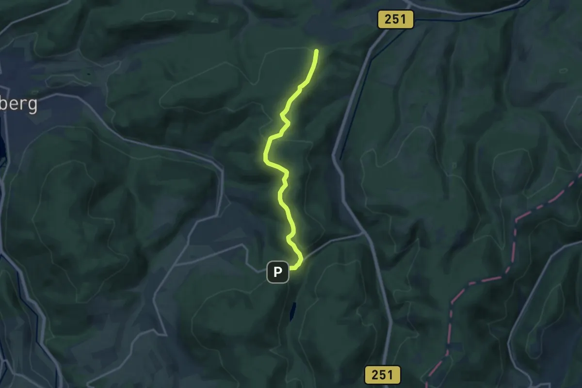
Medium · Trail
Langenbergkammweg
10.2 km · ↑ 207 m · 2 h 52 min
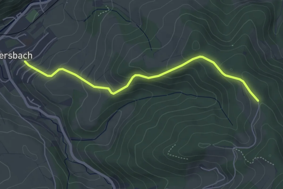
Easy · Trail
Langenberg - Oberharmersbach Elme
4.6 km · ↑ 258 m · 1 h 39 min
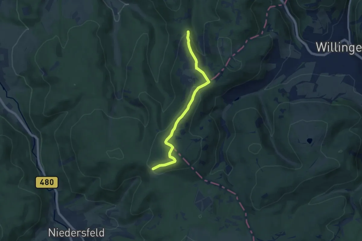
Easy · Summit
Langenberg Rundweg
3.9 km · ↑ 173 m · 1 h 17 min
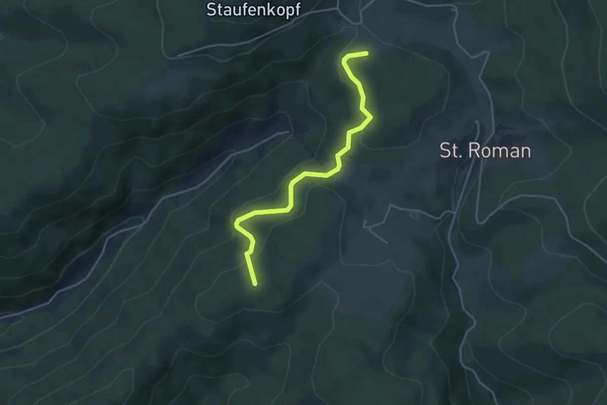
Easy · Summit
Langenberg - Schlegelsbühl
3.5 km · ↑ 167 m · 1 h 12 min
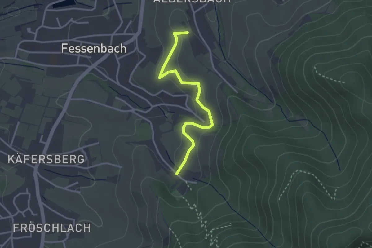
Easy · Trail
Langenberg - Schuckshof
2.8 km · ↑ 100 m · 52 min
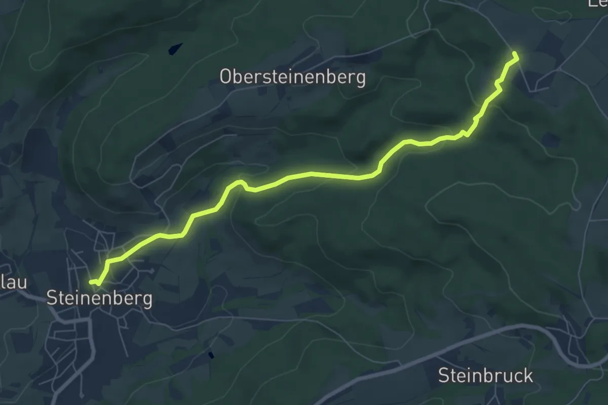
Easy · Trail
Langenberg-Steinenberg
7.1 km · ↑ 277 m · 2 h 17 min
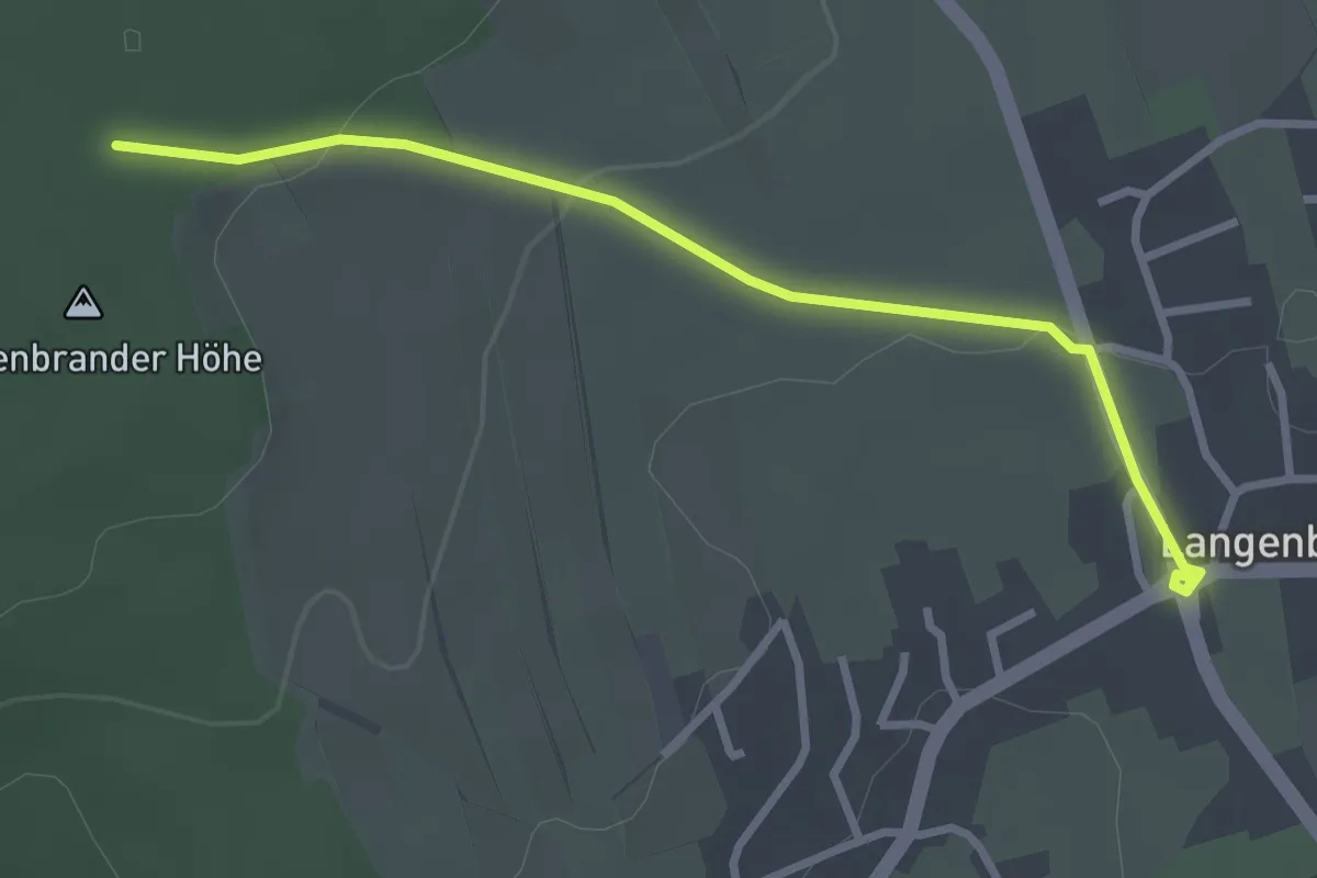
Easy · Trail
Langenbrand Ortsmitte - Langenbrander Höhe
3.0 km · ↑ 65 m · 50 min
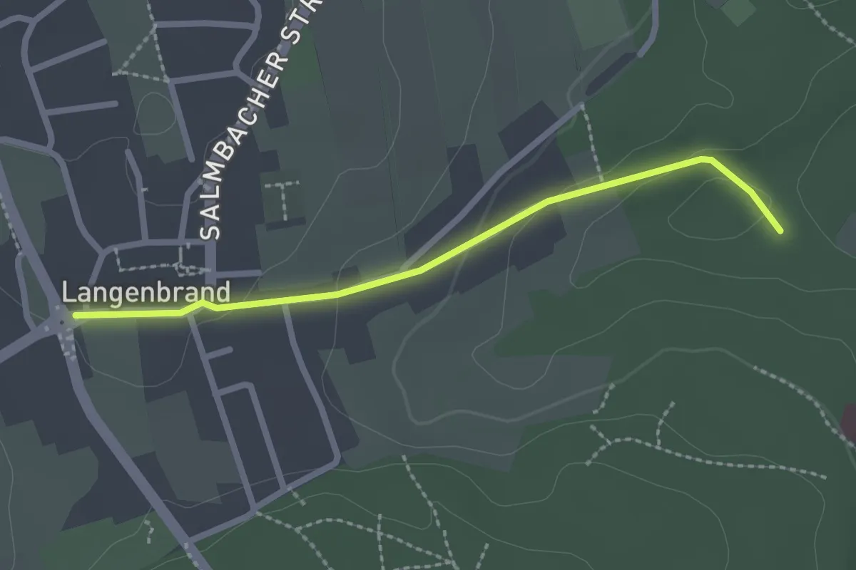
Easy · Trail
Langenbrand Ortsmitte - Skiliftweg
2.1 km · ↑ 49 m · 37 min