Trails in Germany
36,852 hiking trails, each with its route, climb, walking time and grade.
All trails, page 317 of 768
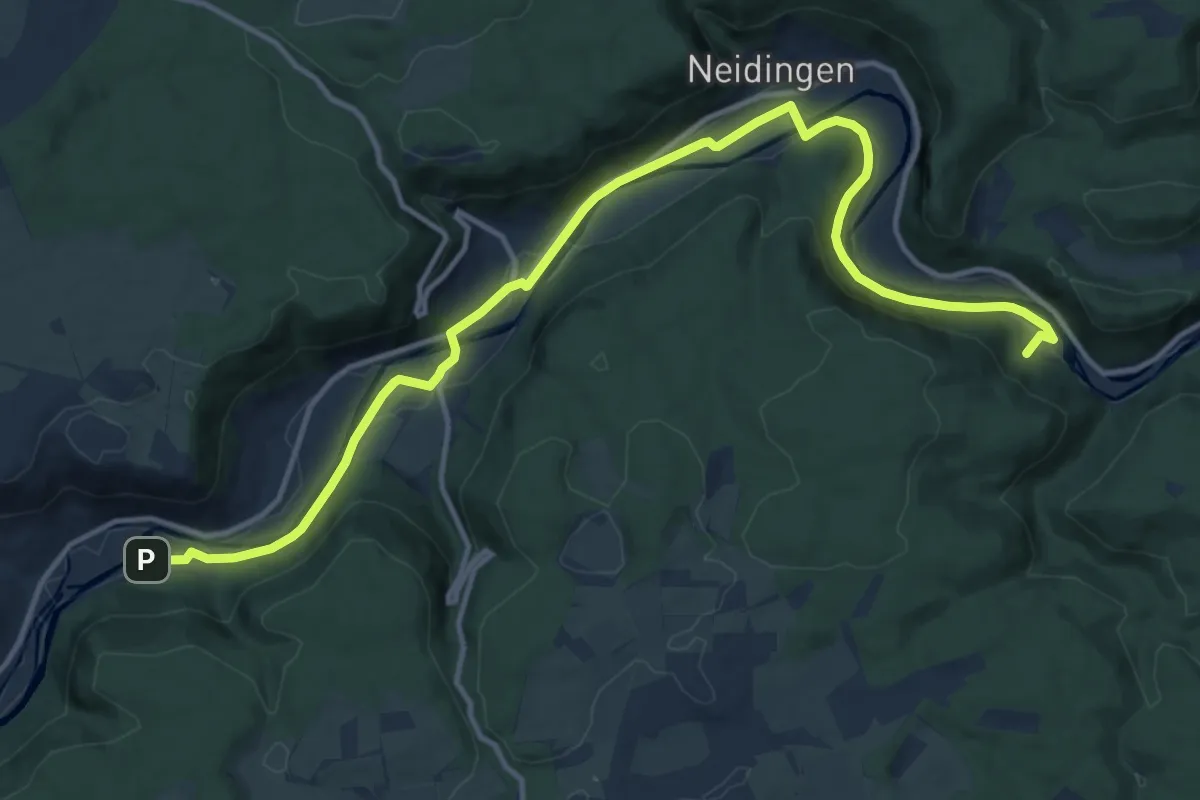
Medium · Trail
Langenbrunn - Neumühle
15.1 km · ↑ 185 m · 3 h 58 min
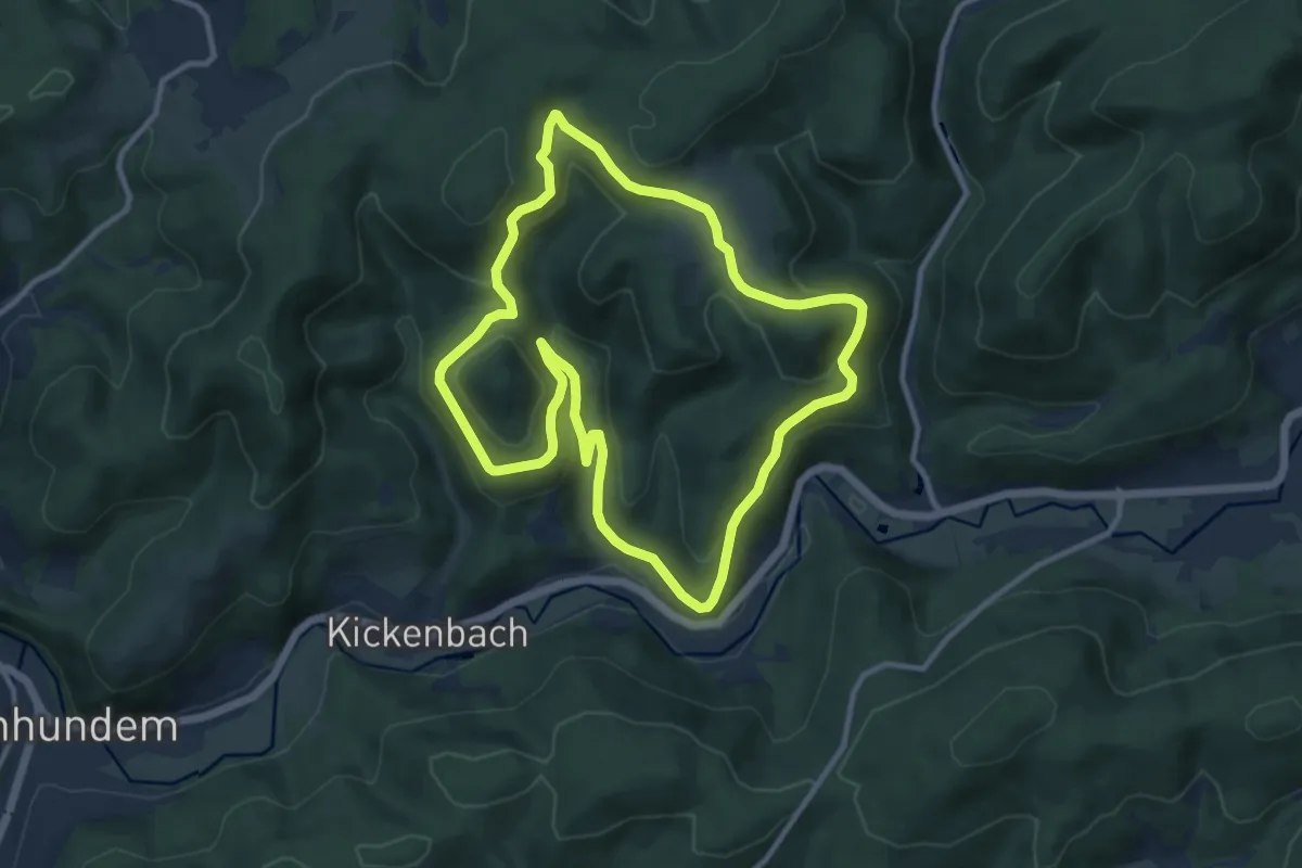
Medium · Cabin
Langenei Rundweg
9.7 km · ↑ 333 m · 3 h 8 min
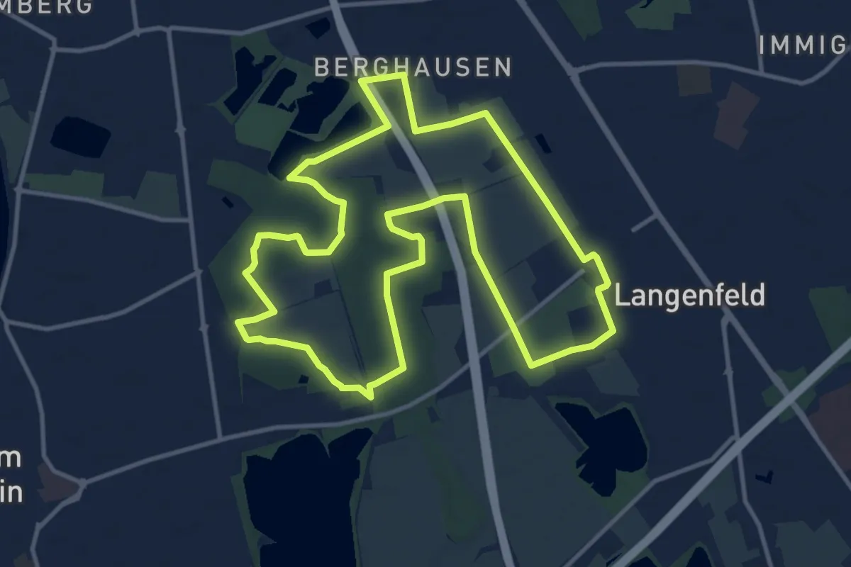
Medium · Trail
Langenfeld-Bahnhof Rundweg A4
10.6 km · ↑ 35 m · 2 h 44 min
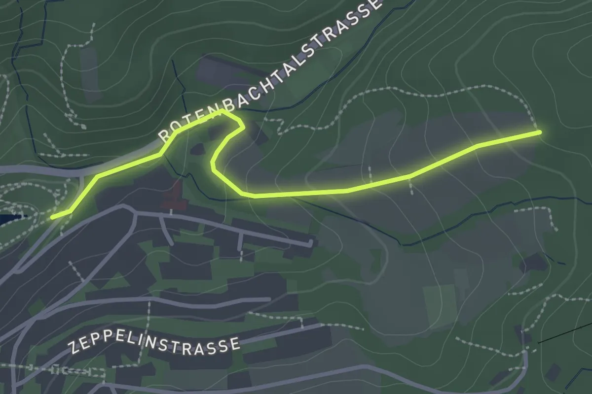
Easy · Trail
Langengehren - Rotenbachsee
2.7 km · ↑ 106 m · 52 min
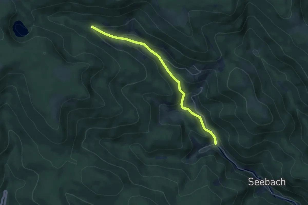
Easy · Trail
Langengrund - Parkplatz Glaswaldsee
4.7 km · ↑ 204 m · 1 h 34 min
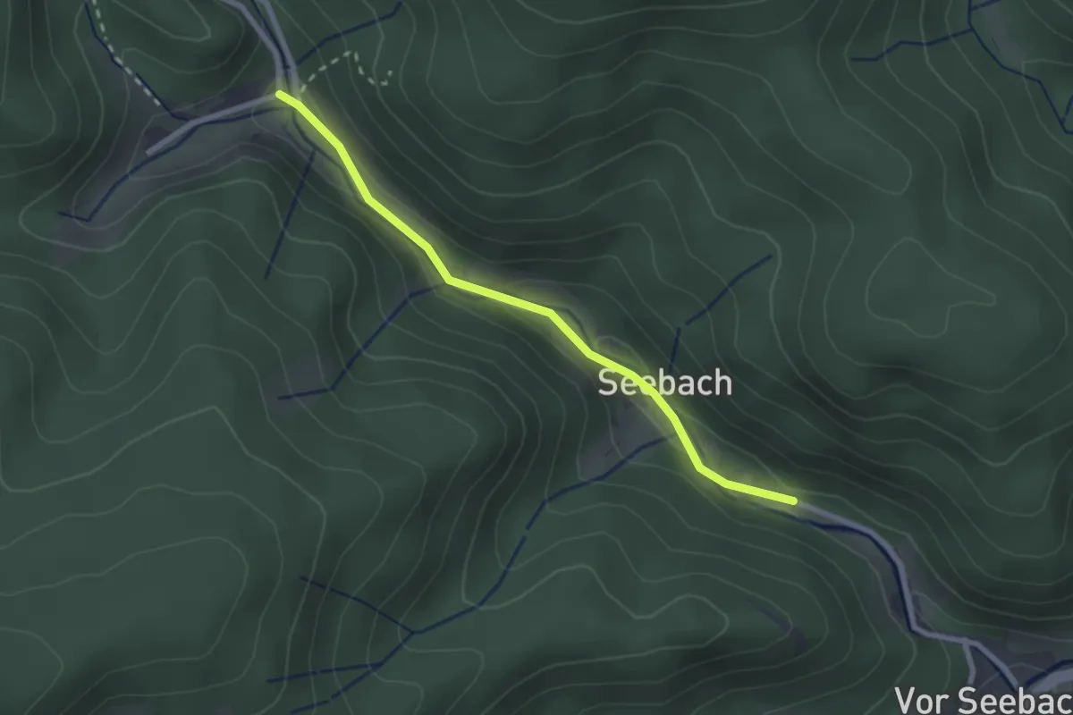
Easy · Trail
Langengrund - Seebach
2.3 km · ↑ 52 m · 39 min
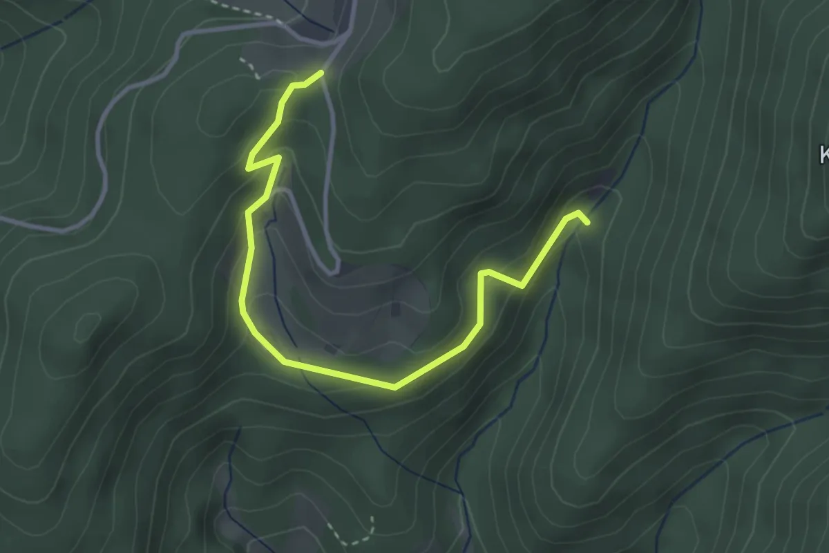
Easy · Trail
Langengrund Sulzbachbrücke - ?
3.4 km · ↑ 219 m · 1 h 17 min
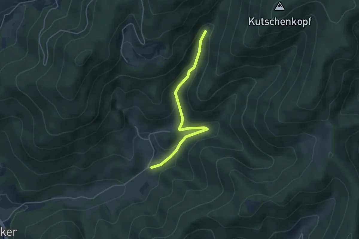
Easy · Trail
Langengrund Sulzbachbrücke - Sulzbach Kapelle
3.6 km · ↑ 218 m · 1 h 19 min
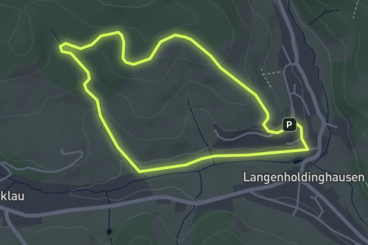
Easy · Trail
Langenholdinghausener Rundweg 1
3.3 km · ↑ 92 m · 1 h 2 min
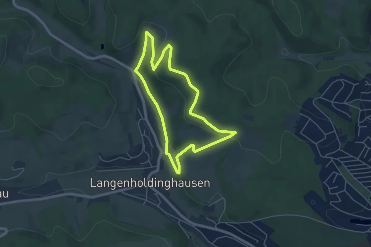
Easy · Trail
Langenholdinghausener Rundweg 2
3.8 km · ↑ 104 m · 1 h 11 min
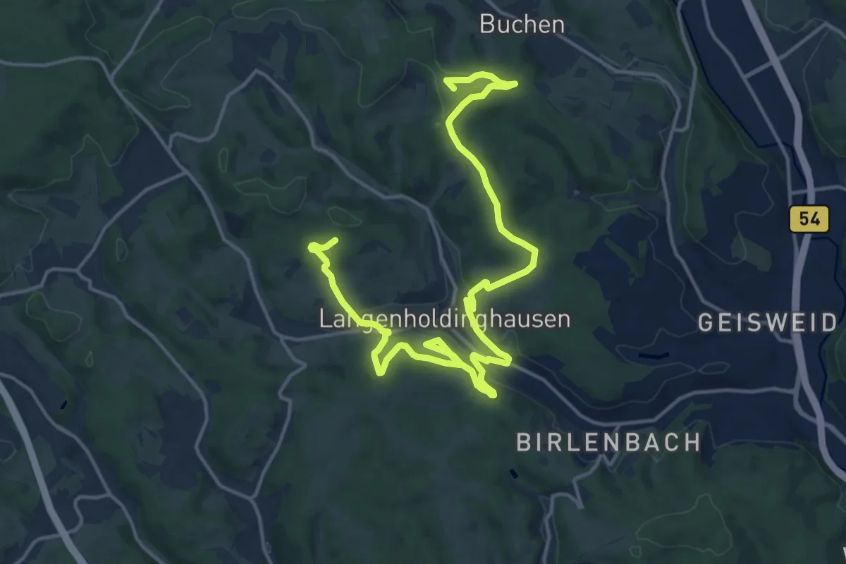
Demanding · Summit
Langenholdinghausener Rundweg 3
18.5 km · ↑ 458 m · 5 h 21 min
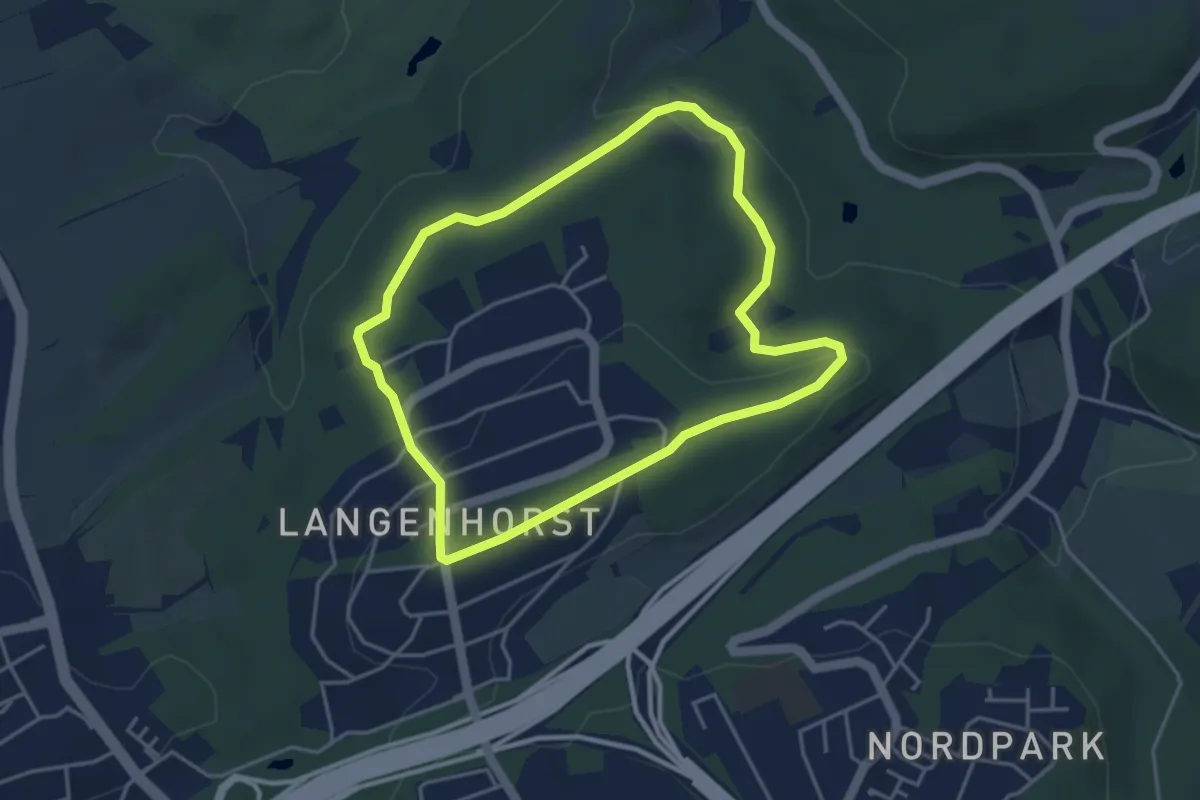
Easy · Trail
Langenhorst Rundweg A1
3.5 km · ↑ 78 m · 1 h 2 min
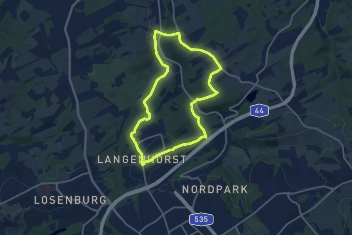
Medium · Trail
Langenhorst Rundweg A2
7.2 km · ↑ 182 m · 2 h 12 min
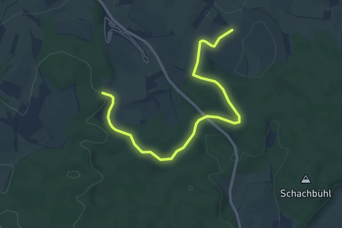
Easy · Trail
Langenkirschbaum - Johannishütte
5.9 km · ↑ 99 m · 1 h 36 min
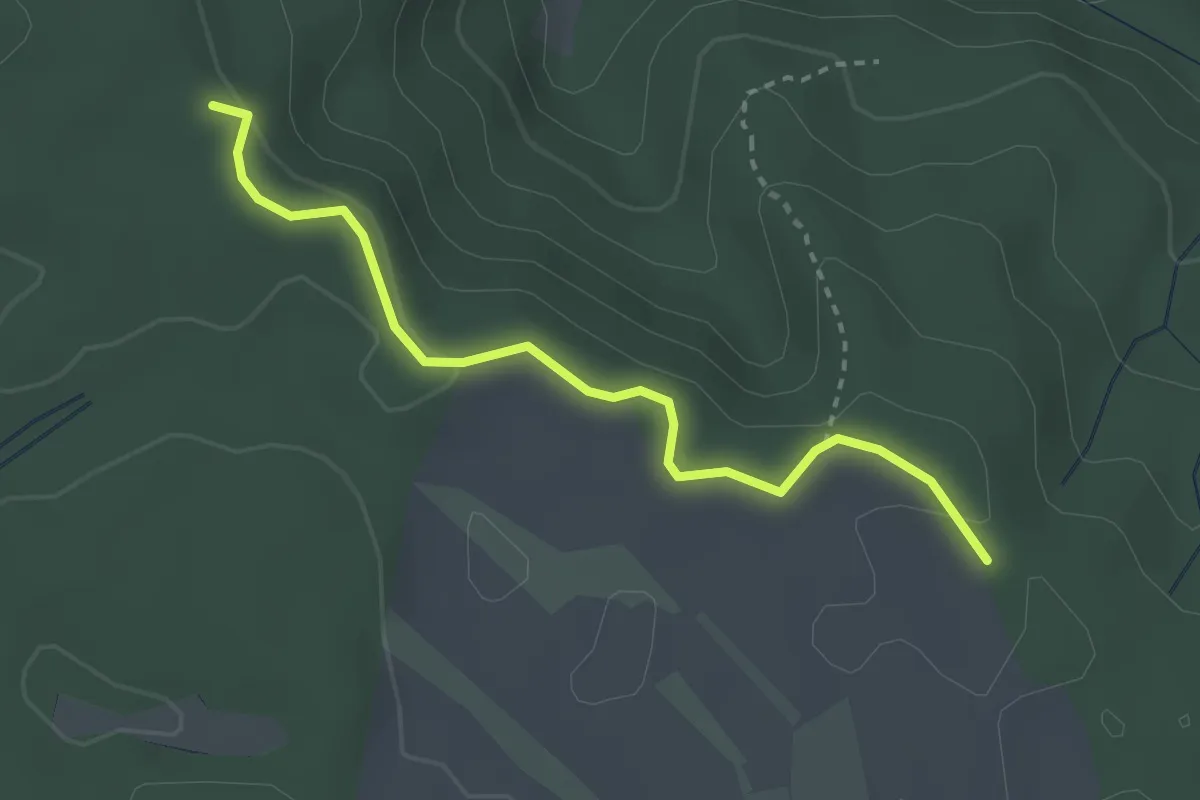
Easy · Trail
Langenmoos Firstweg - Firstweg Ewigkeit
2.9 km · ↑ 36 m · 45 min
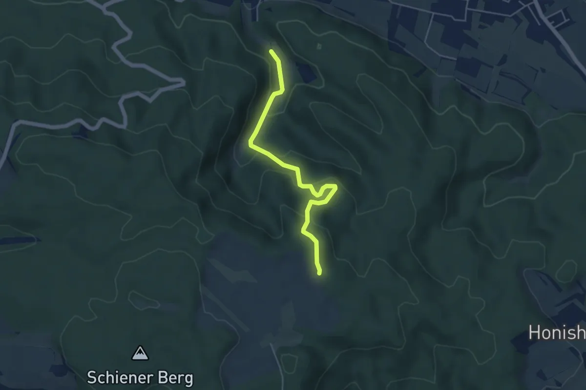
Easy · Trail
Langenmoos Firstweg - Löchle
4.3 km · ↑ 220 m · 1 h 30 min
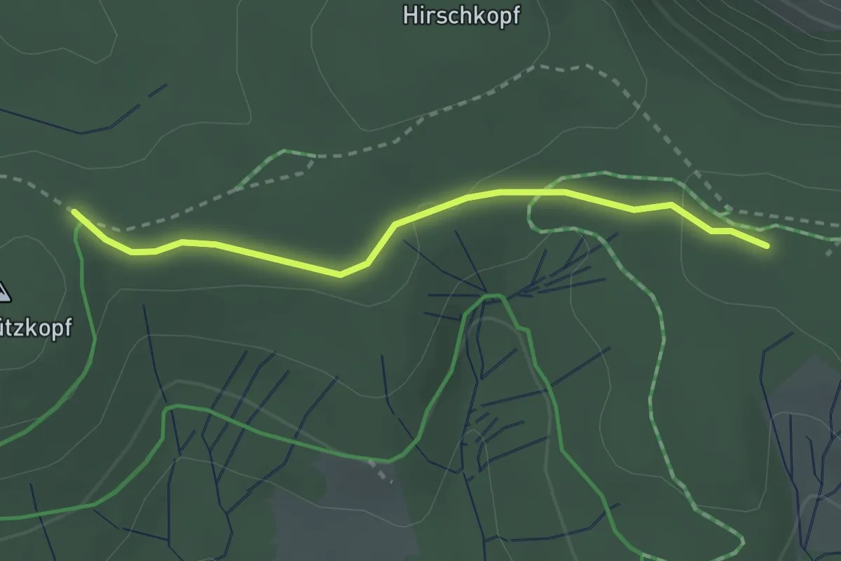
Easy · Trail
Langenmoos - Neustütz
2.4 km · ↑ 46 m · 40 min
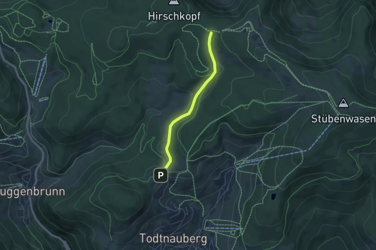
Easy · Trail
Langenmoos - Radschert
4.3 km · ↑ 136 m · 1 h 18 min
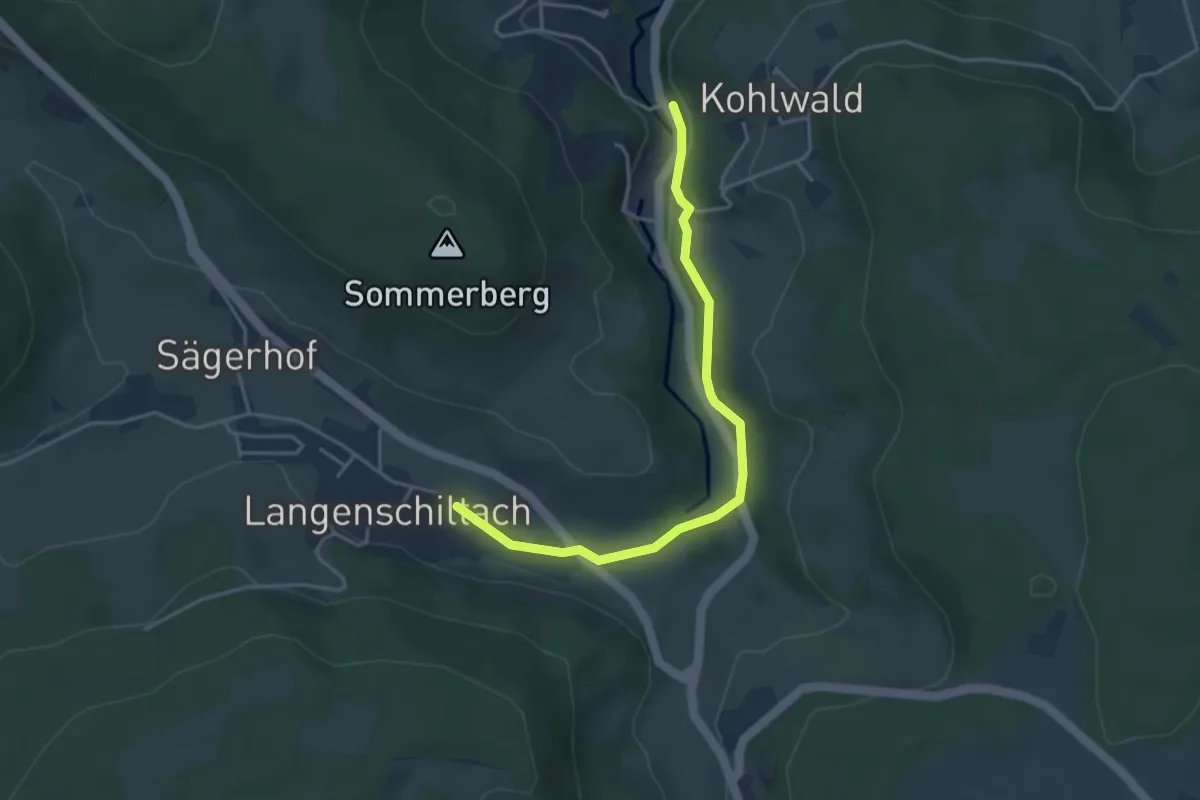
Easy · Trail
Langenschiltach Grüner Baum - Am Felsen
3.8 km · ↑ 64 m · 1 h 2 min
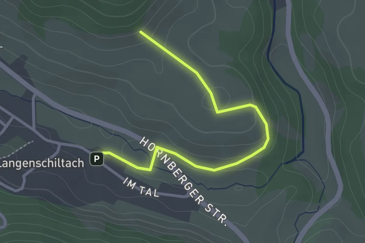
Easy · Trail
Langenschiltach Grüner Baum - Am Sommerberg
2.5 km · ↑ 64 m · 44 min
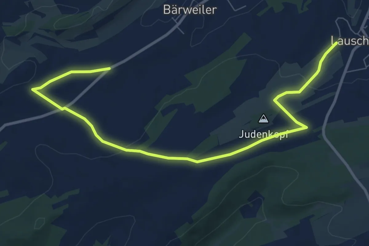
Medium · Trail
Langenstein
8.5 km · ↑ 164 m · 2 h 22 min
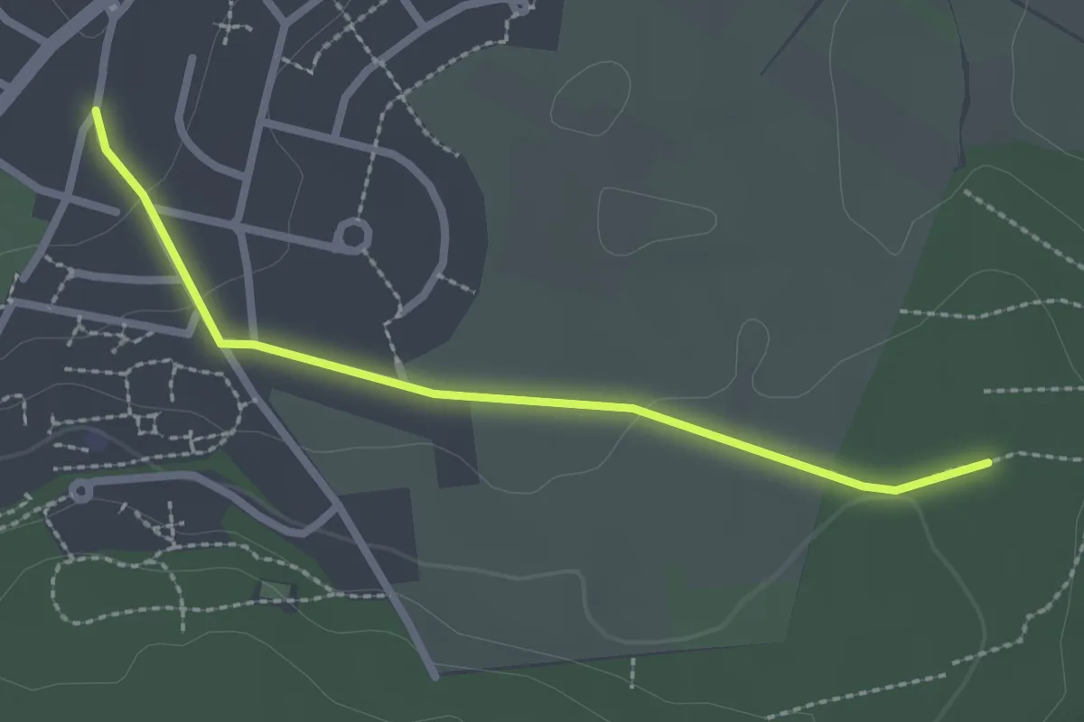
Easy · Trail
Langensteinbach Ittersbacher Straße - Heuweg
2.3 km · ↑ 37 m · 37 min
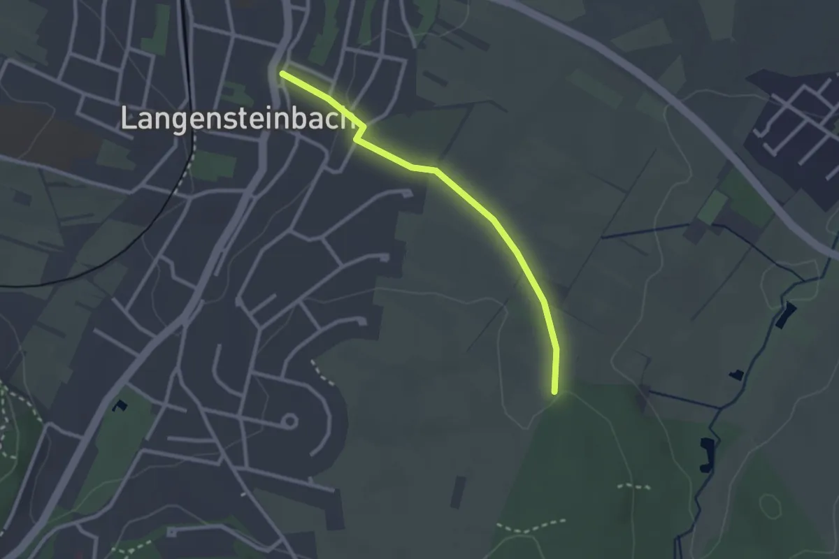
Easy · Trail
Langensteinbach Rathaus - Köpfle
2.3 km · ↑ 27 m · 36 min
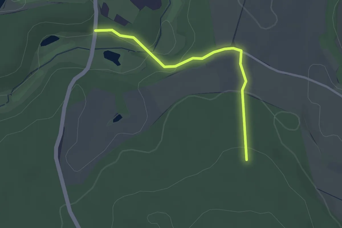
Easy · Trail
Langensteiner Durchbruchstal - Hoher Markt
2.5 km · ↑ 65 m · 43 min
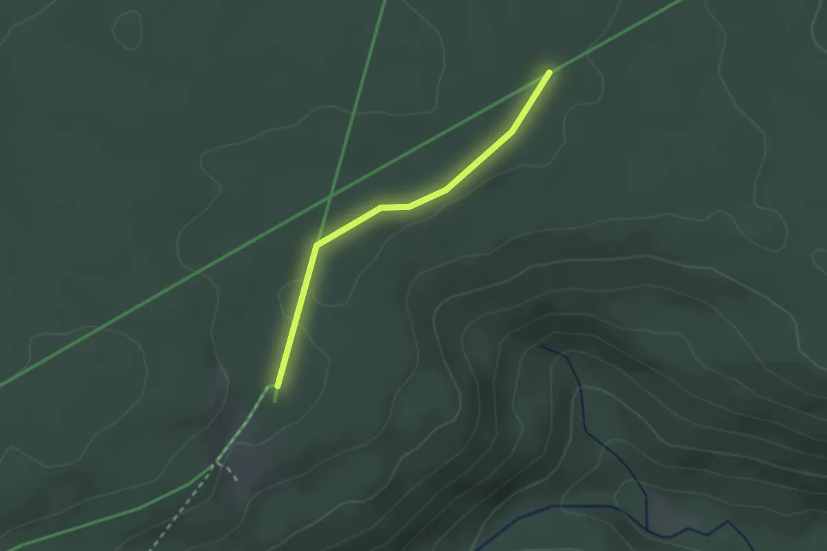
Easy · Trail
Langenwaldebene - Langenwald
2.0 km · ↑ 17 m · 31 min
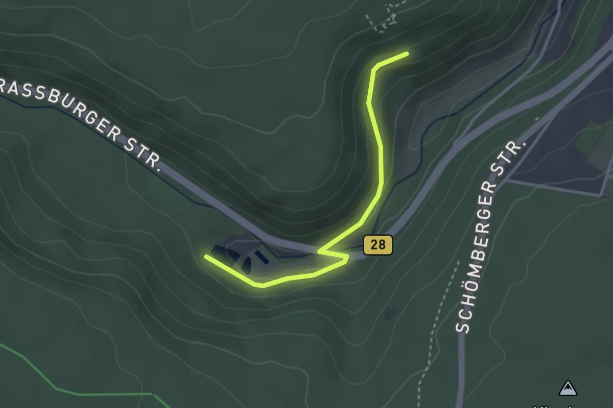
Easy · Trail
Langenwaldsee - Alte Kniebissteige
2.8 km · ↑ 89 m · 51 min
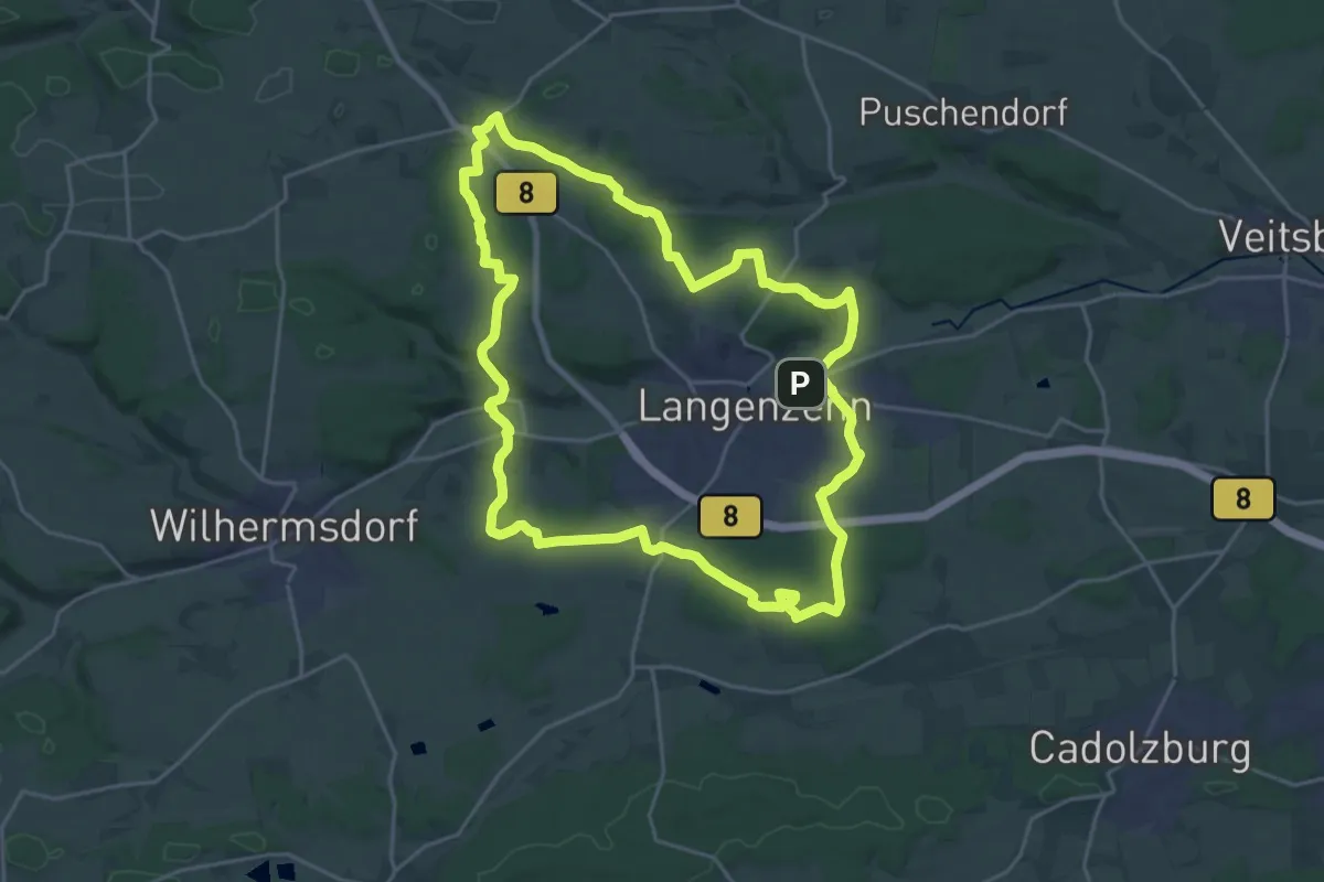
Demanding · Trail
Langenzenner Rundgang
21.5 km · ↑ 274 m · 5 h 58 min
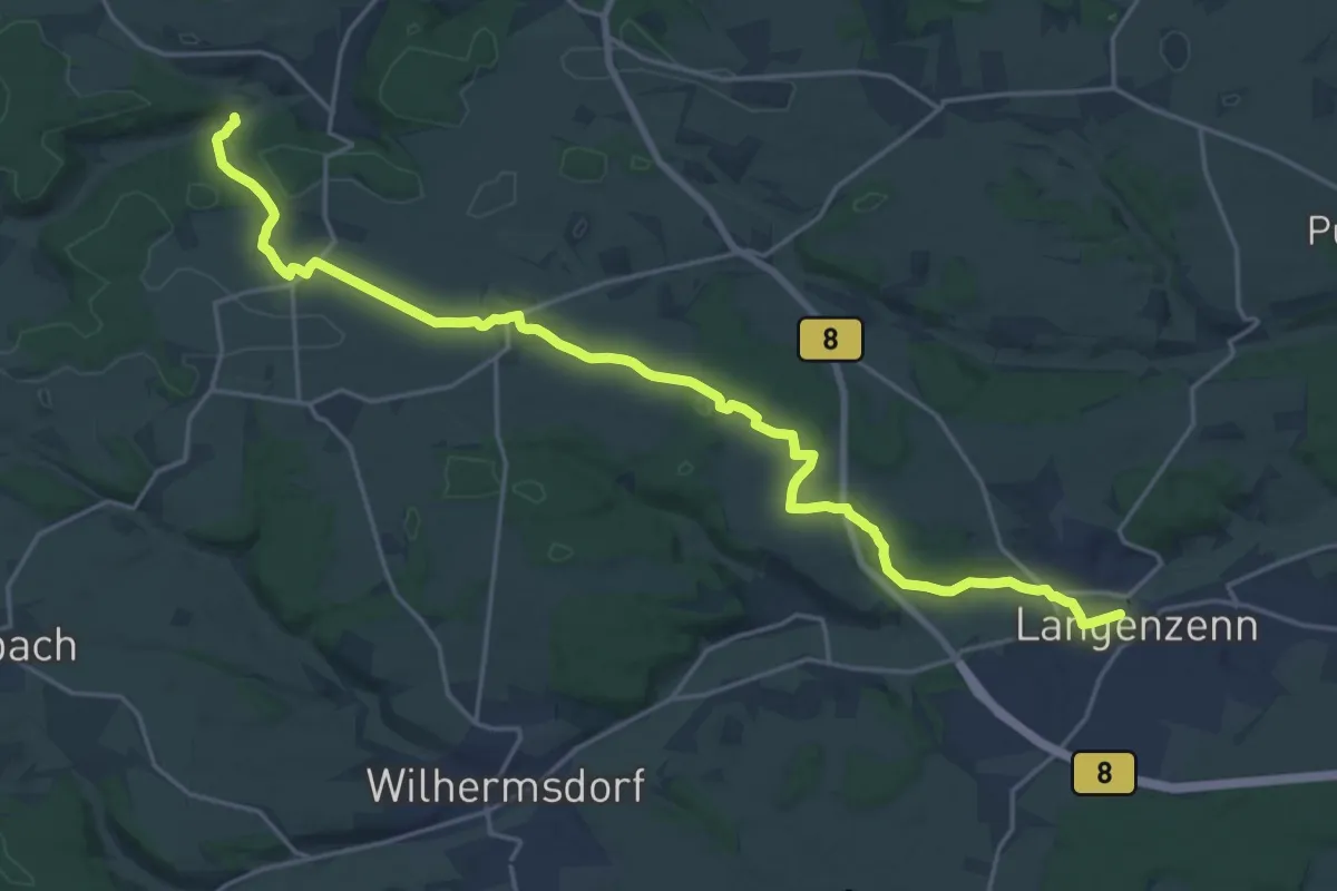
Demanding · Trail
Langenzenn – Finkenmühle
22.1 km · ↑ 194 m · 5 h 38 min
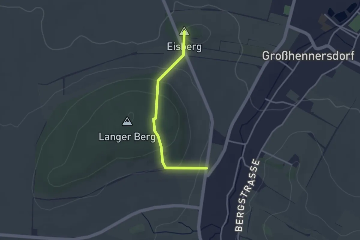
Easy · Summit
Langer Berg
2.3 km · ↑ 116 m · 48 min
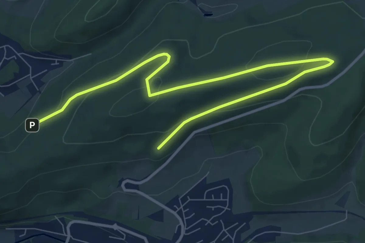
Easy · Summit
Langer Berg Rundweg A2
4.7 km · ↑ 134 m · 1 h 27 min
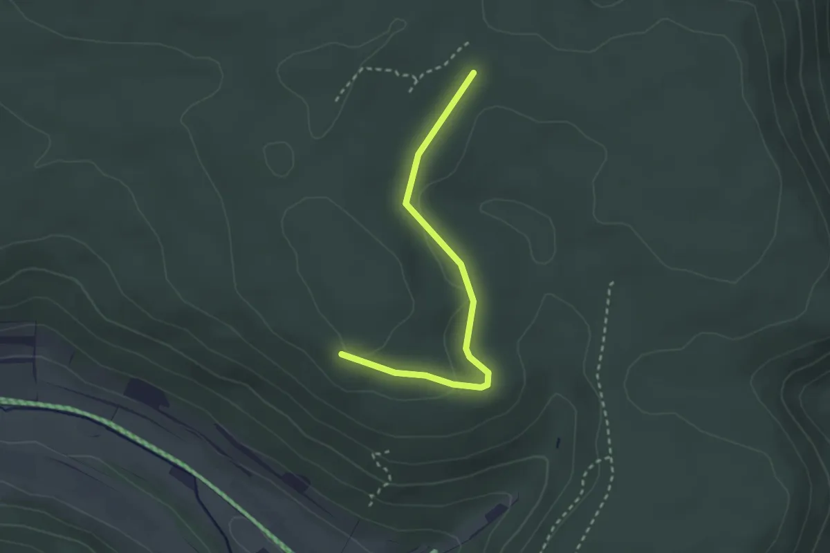
Easy · Trail
Langerstein -
2.6 km · ↑ 24 m · 40 min
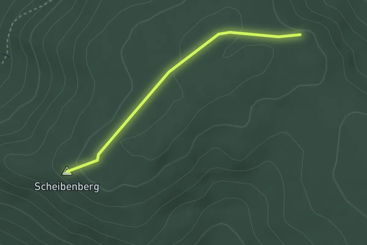
Easy · Summit
Langer Sudel - Lohebene Dreiländereck
2.5 km · ↑ 58 m · 42 min
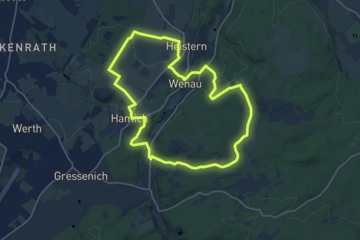
Medium · Trail
Langerwehe Rundwanderweg Nr. 41
12.2 km · ↑ 188 m · 3 h 28 min
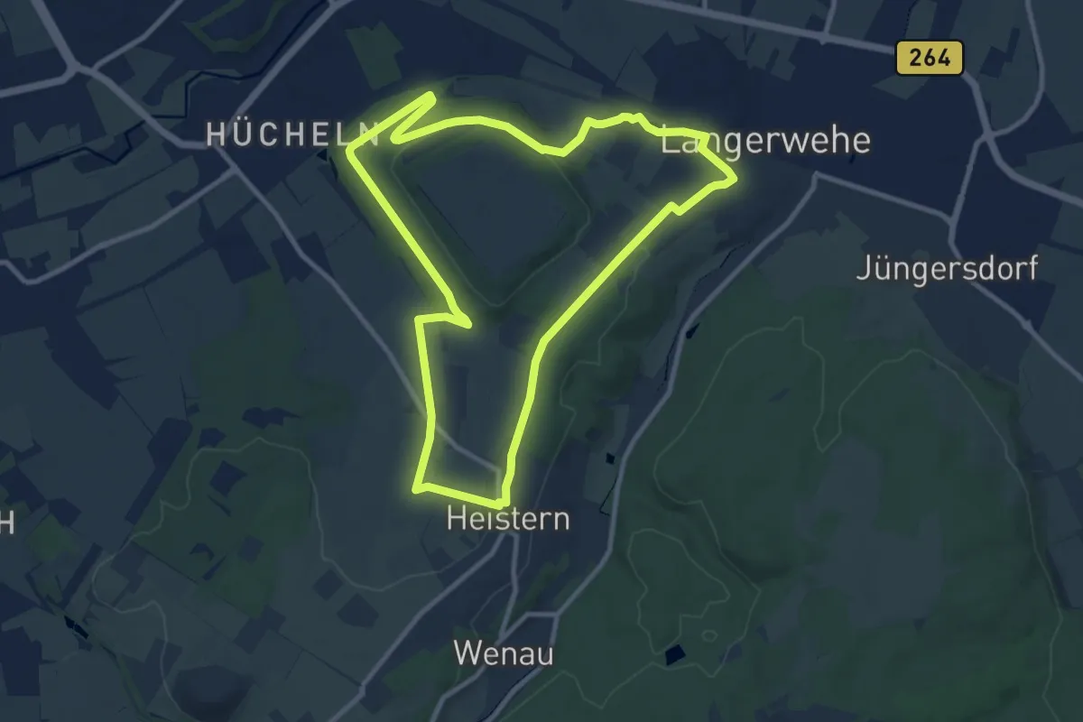
Medium · Summit
Langerwehe Wanderrundweg Nr. 11
9.1 km · ↑ 131 m · 2 h 33 min
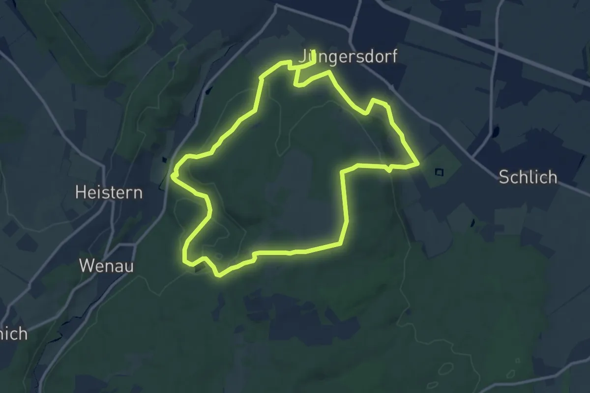
Medium · Trail
Langerwehe Wanderrundweg Nr. 21
9.6 km · ↑ 204 m · 2 h 51 min
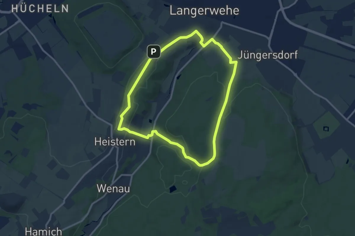
Easy · Summit
Langerwehe Wanderrundweg Nr. 31
7.3 km · ↑ 136 m · 2 h 7 min
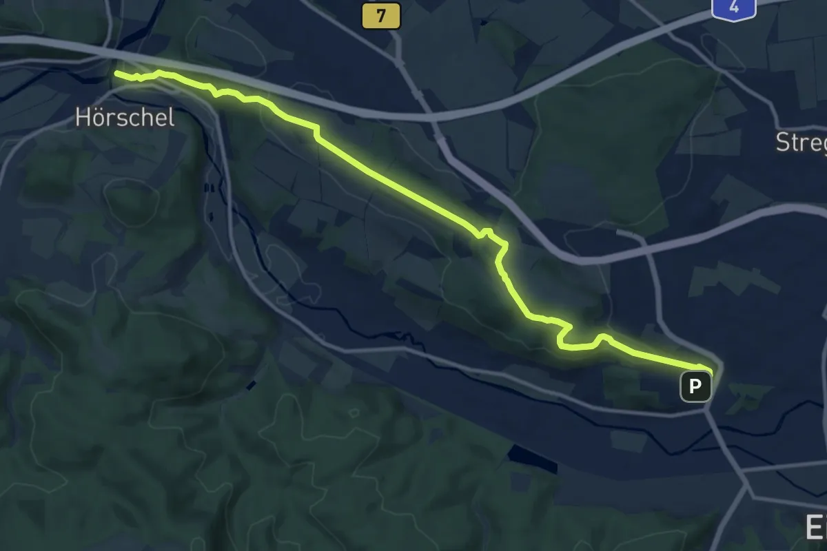
Medium · Trail
Langer Zug
13.1 km · ↑ 322 m · 3 h 47 min
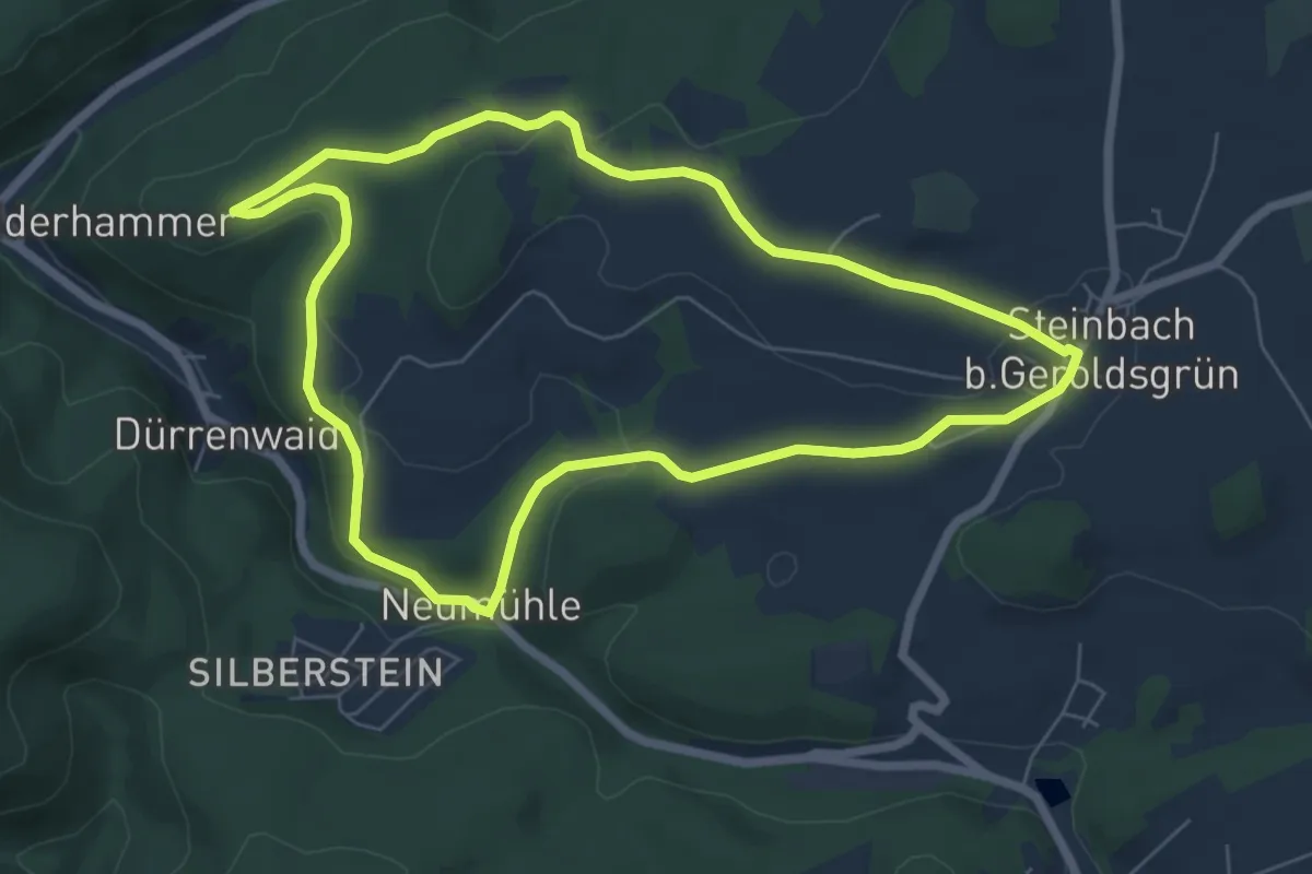
Easy · Summit
Langesbühlweg DÖ 95
6.1 km · ↑ 130 m · 1 h 48 min
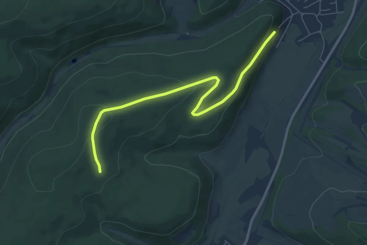
Easy · Trail
Längeweg - Rehlachen
6.4 km · ↑ 170 m · 1 h 53 min
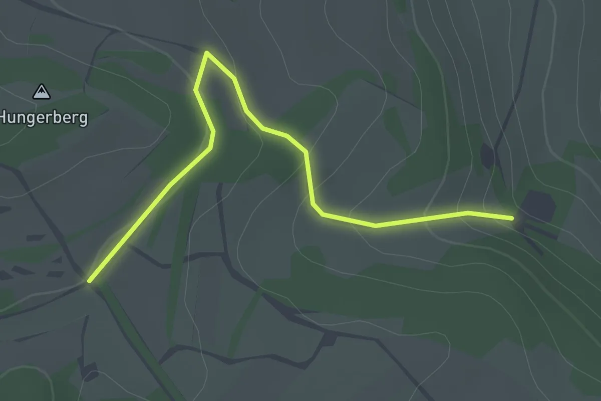
Easy · Trail
Langeziel - Sprünglenbuck
2.0 km · ↑ 68 m · 37 min
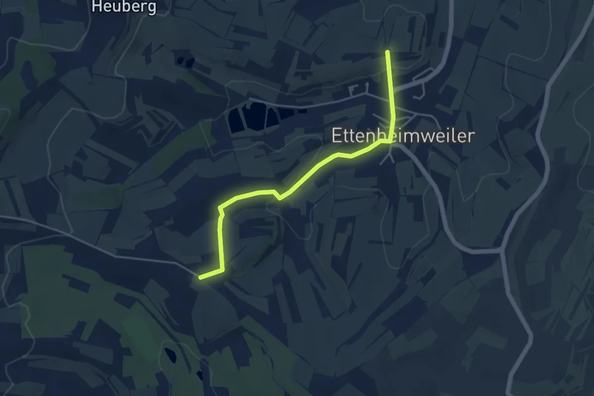
Easy · Trail
Langgrund - Sandhalden
3.9 km · ↑ 64 m · 1 h 3 min
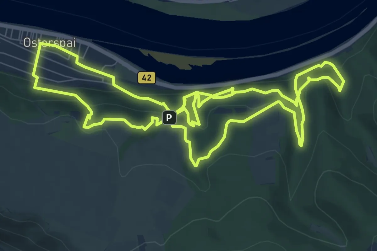
Medium · Summit
Langhalsweg Hauptweg
8.4 km · ↑ 445 m · 3 h 5 min
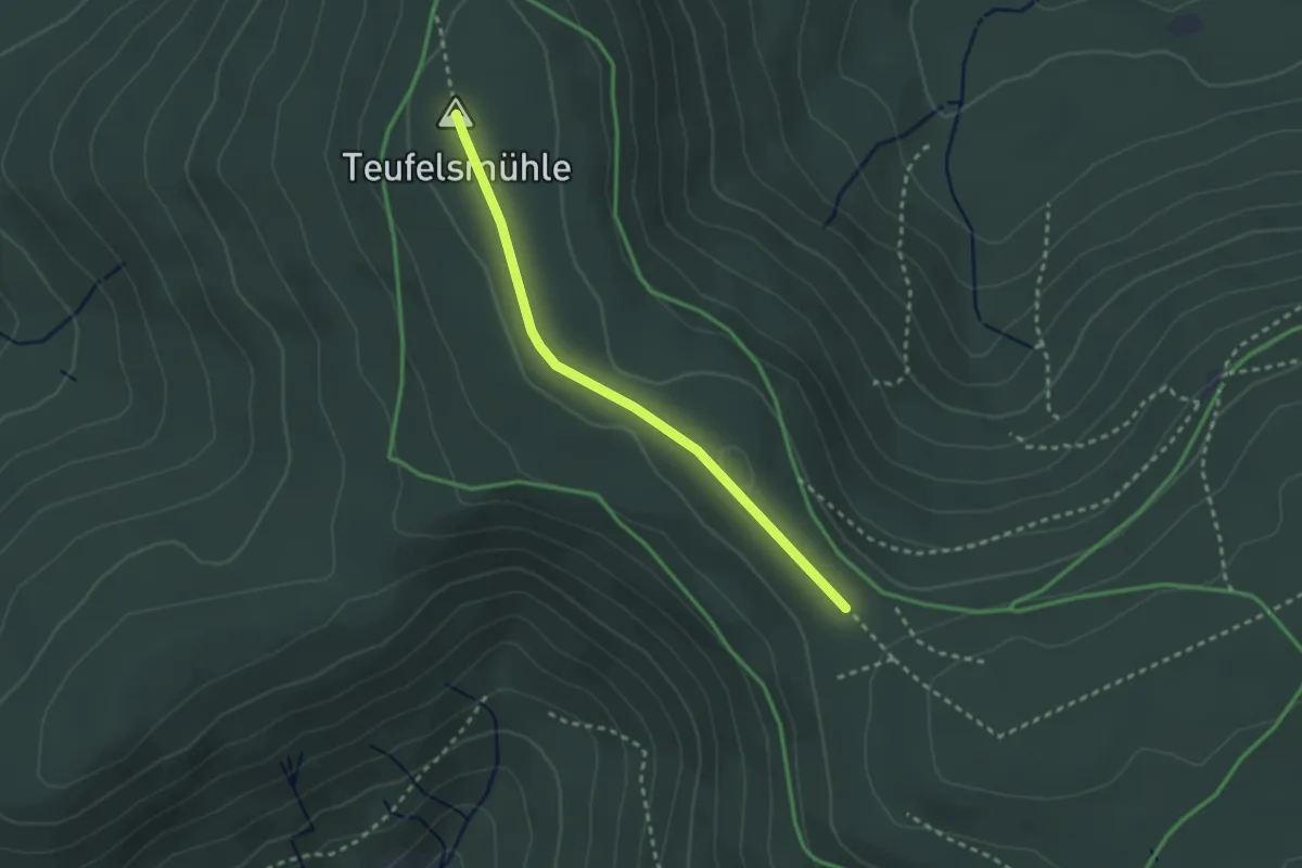
Easy · Summit
Langmartskopf - Felsenweg
2.4 km · ↑ 37 m · 39 min
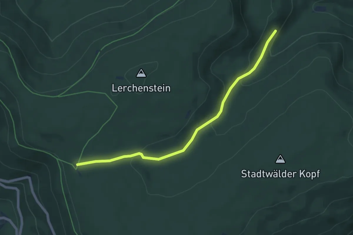
Easy · Trail
Langmartskopfhütte - Köhlerhütte
5.0 km · ↑ 167 m · 1 h 32 min
Easy · Trail
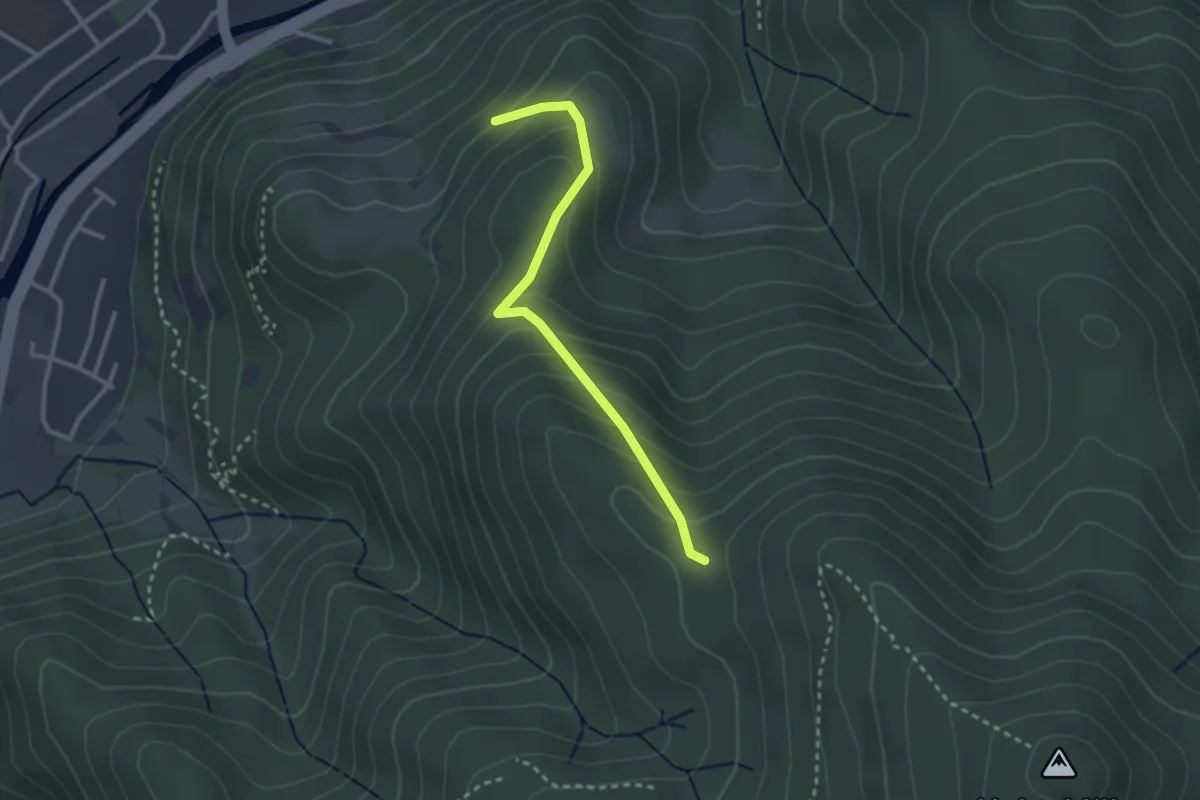
Lang-Rütte - Steinmannshütte
2.6 km · ↑ 213 m · 1 h 5 min
Demanding · Trail
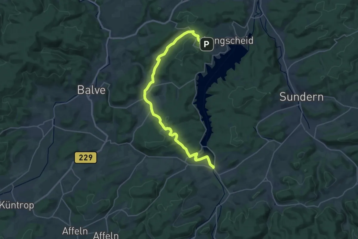
Langscheid-Mellen-Amecke
22.6 km · ↑ 557 m · 6 h 32 min
Medium · Trail
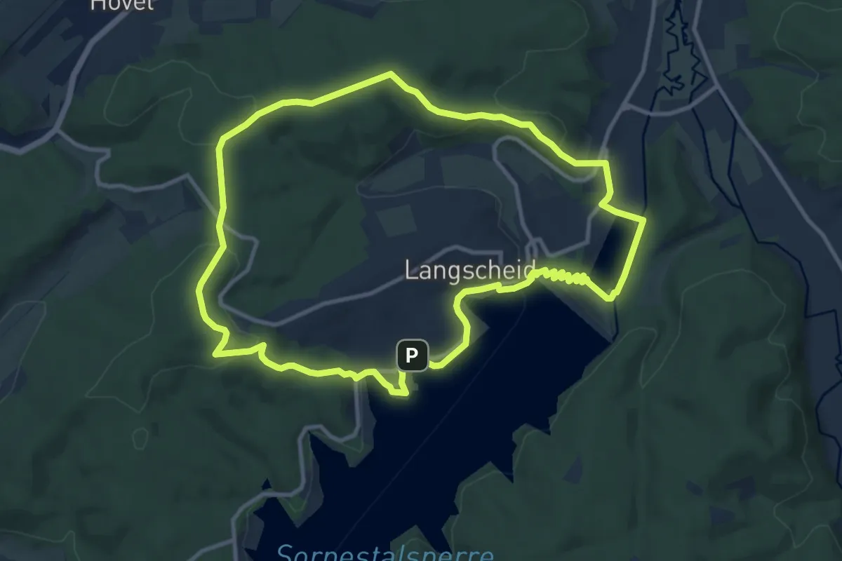
Langscheid Rundweg
9.5 km · ↑ 253 m · 2 h 56 min
Easy · Trail
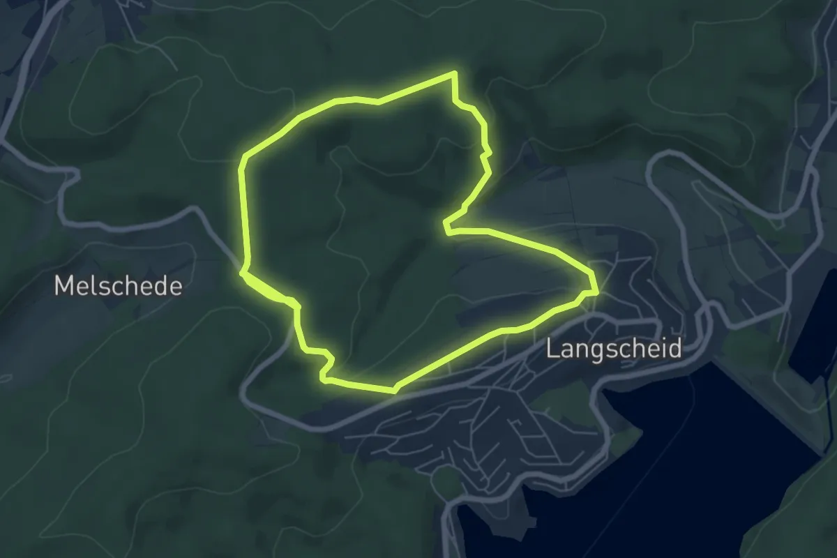
Langscheid Rundweg L2
5.6 km · ↑ 125 m · 1 h 40 min