Trails in Germany
36,852 hiking trails, each with its route, climb, walking time and grade.
All trails, page 318 of 768
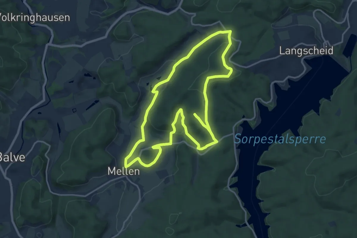
Demanding · Trail
Langscheid Rundweg L4
23.1 km · ↑ 625 m · 6 h 49 min
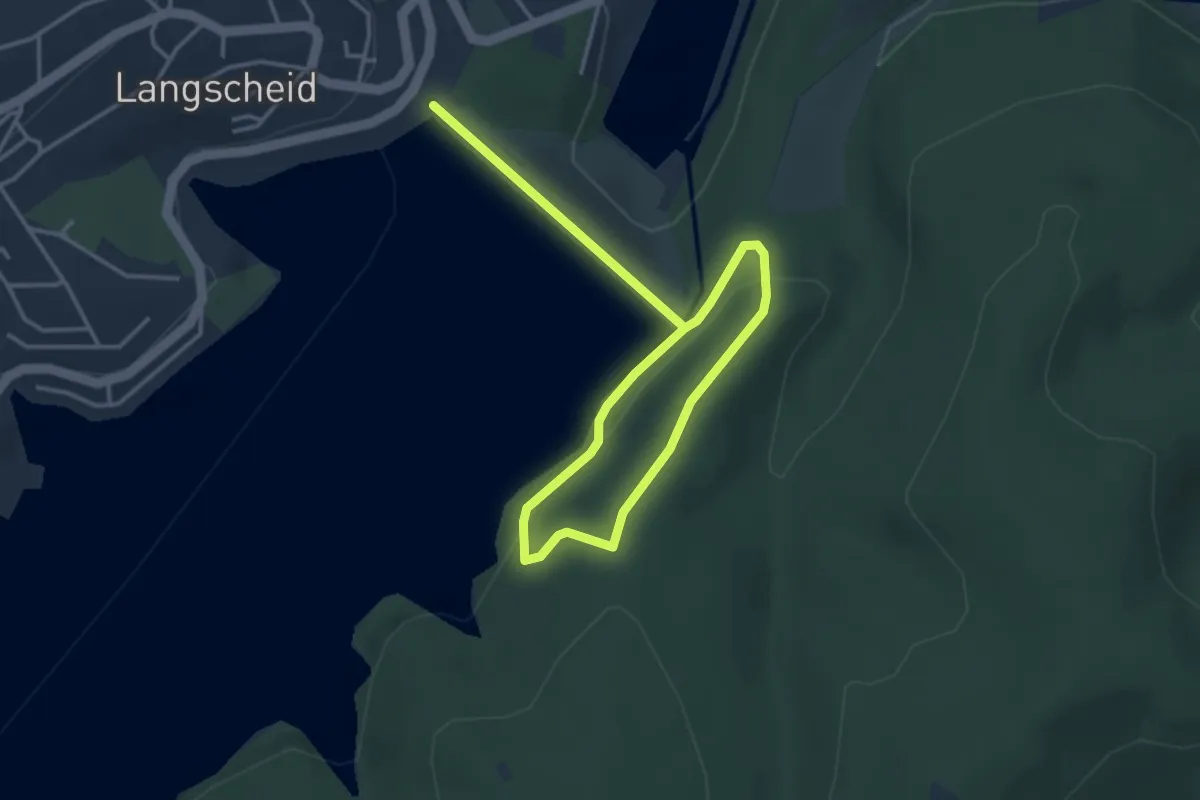
Easy · Trail
Langscheid Rundweg L5
2.4 km · ↑ 62 m · 44 min
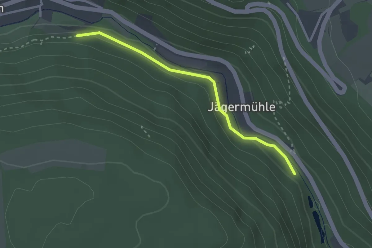
Easy · Trail
Langsches Brückle - Sprungschanze
2.3 km · ↑ 65 m · 41 min
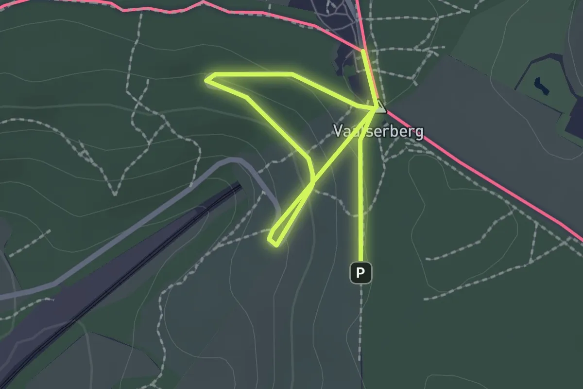
Easy · Summit
Längs der Grenzsteine um Neutral-Moresnet
1.3 km · ↑ 49 m · 25 min
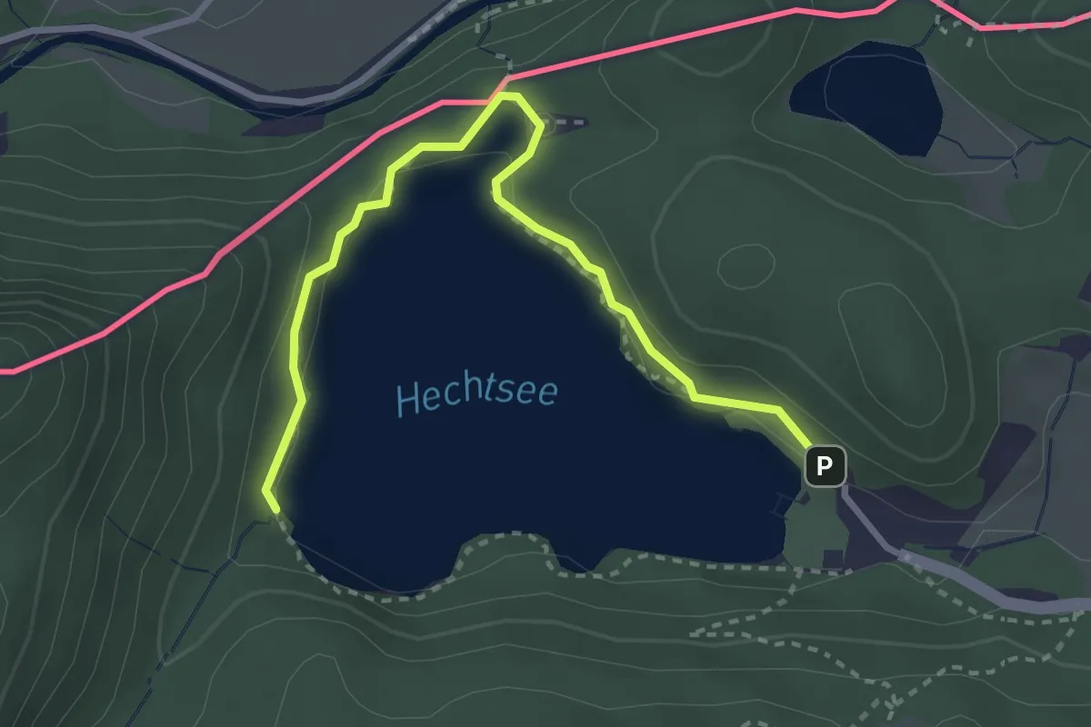
Easy · Trail
Längsee-Runde
1.6 km · ↑ 18 m · 26 min
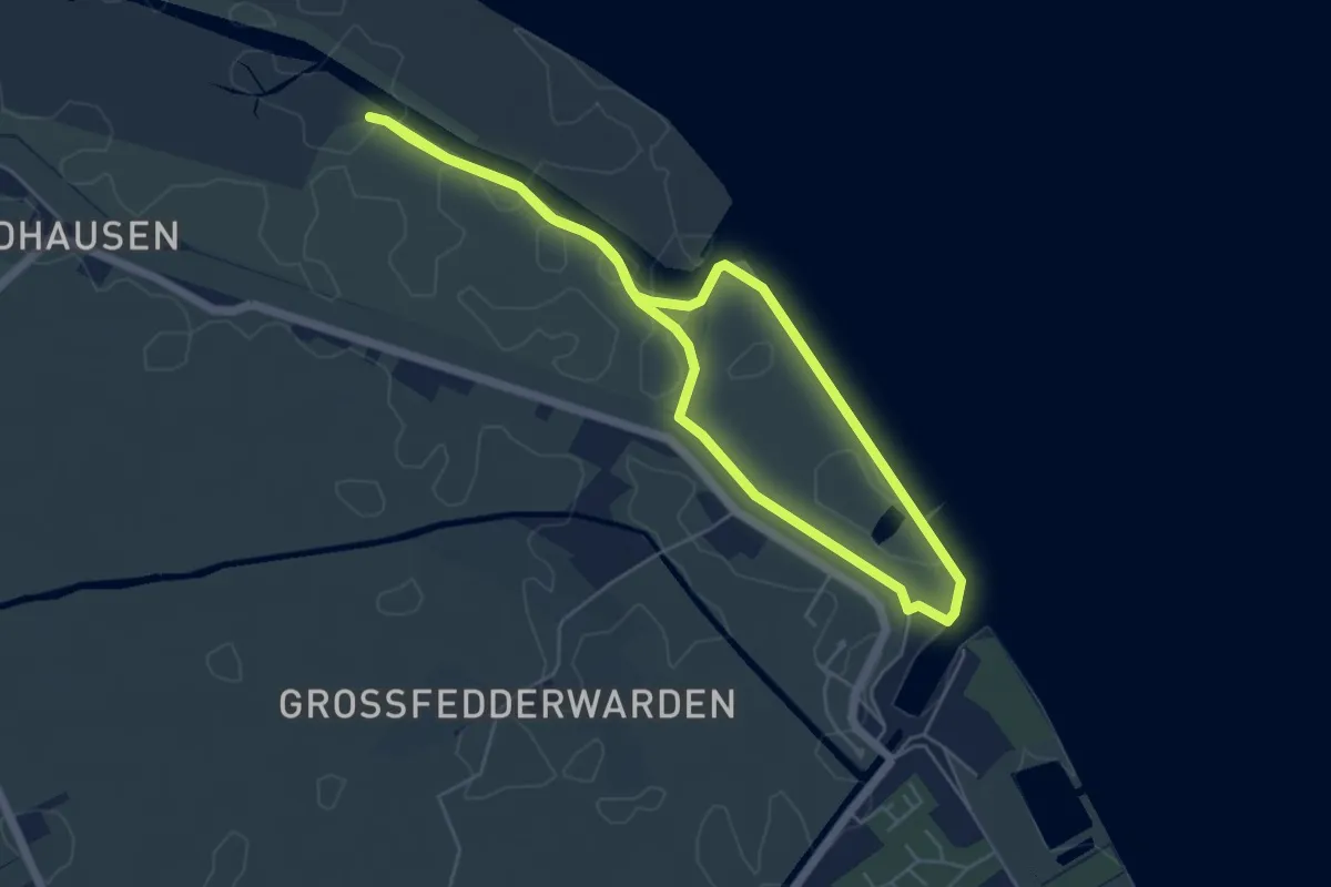
Easy · Trail
Langwarder Groden
4.3 km · ↑ 5 m · 1 h 5 min
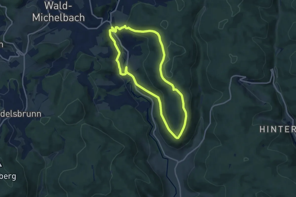
Medium · Summit
Lannertskopf-Weg
8.1 km · ↑ 240 m · 2 h 33 min
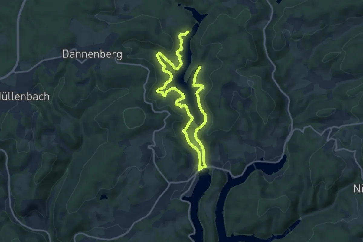
Medium · Trail
Lantenbach Rundweg A4
15.3 km · ↑ 405 m · 4 h 30 min
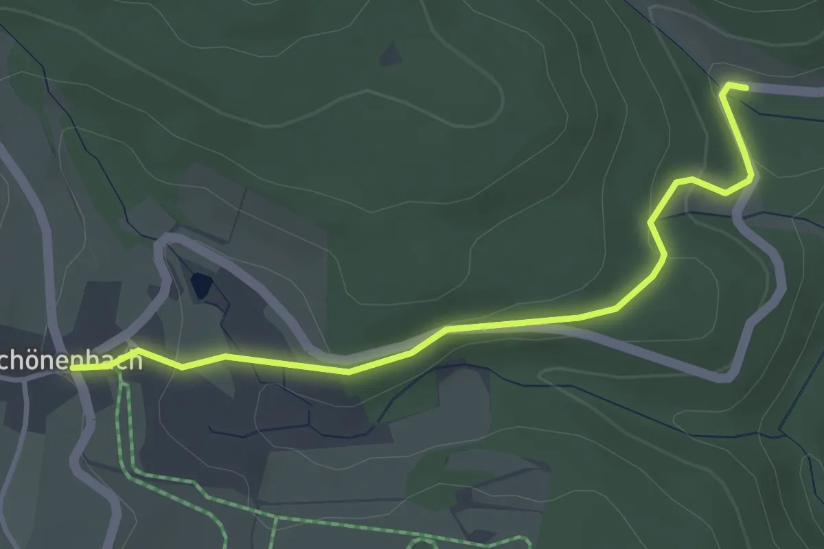
Easy · Trail
Lanzenfurt - Schönenbach
3.4 km · ↑ 109 m · 1 h 3 min
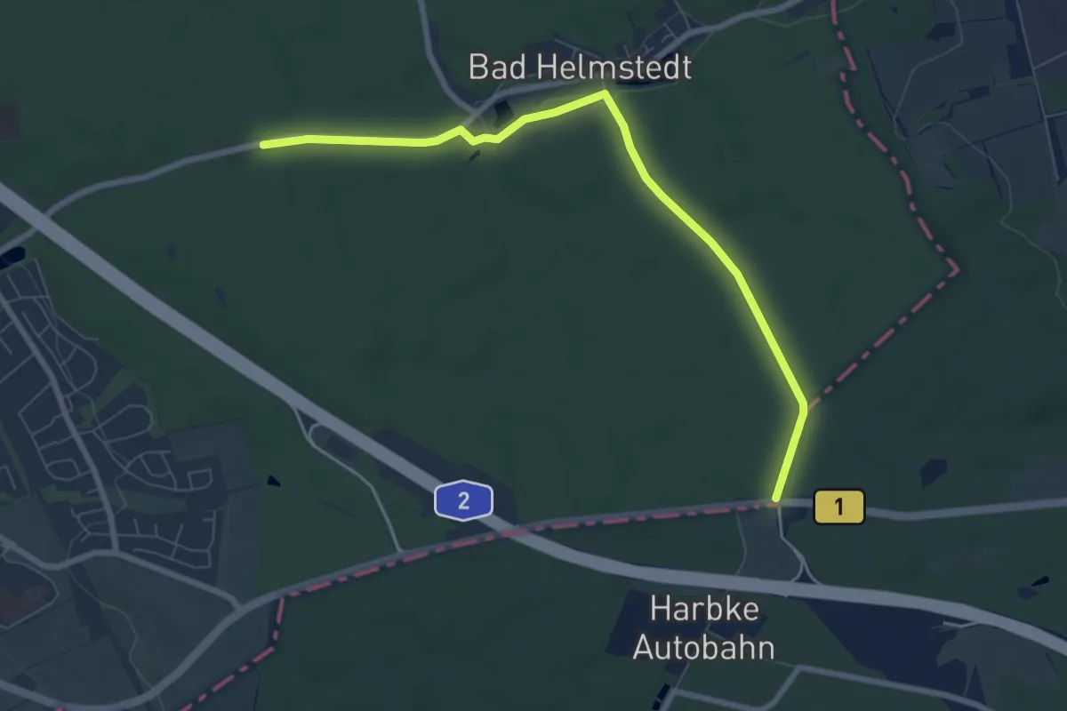
Easy · Trail
Lappwald Rundwanderweg 1
6.9 km · ↑ 81 m · 1 h 48 min
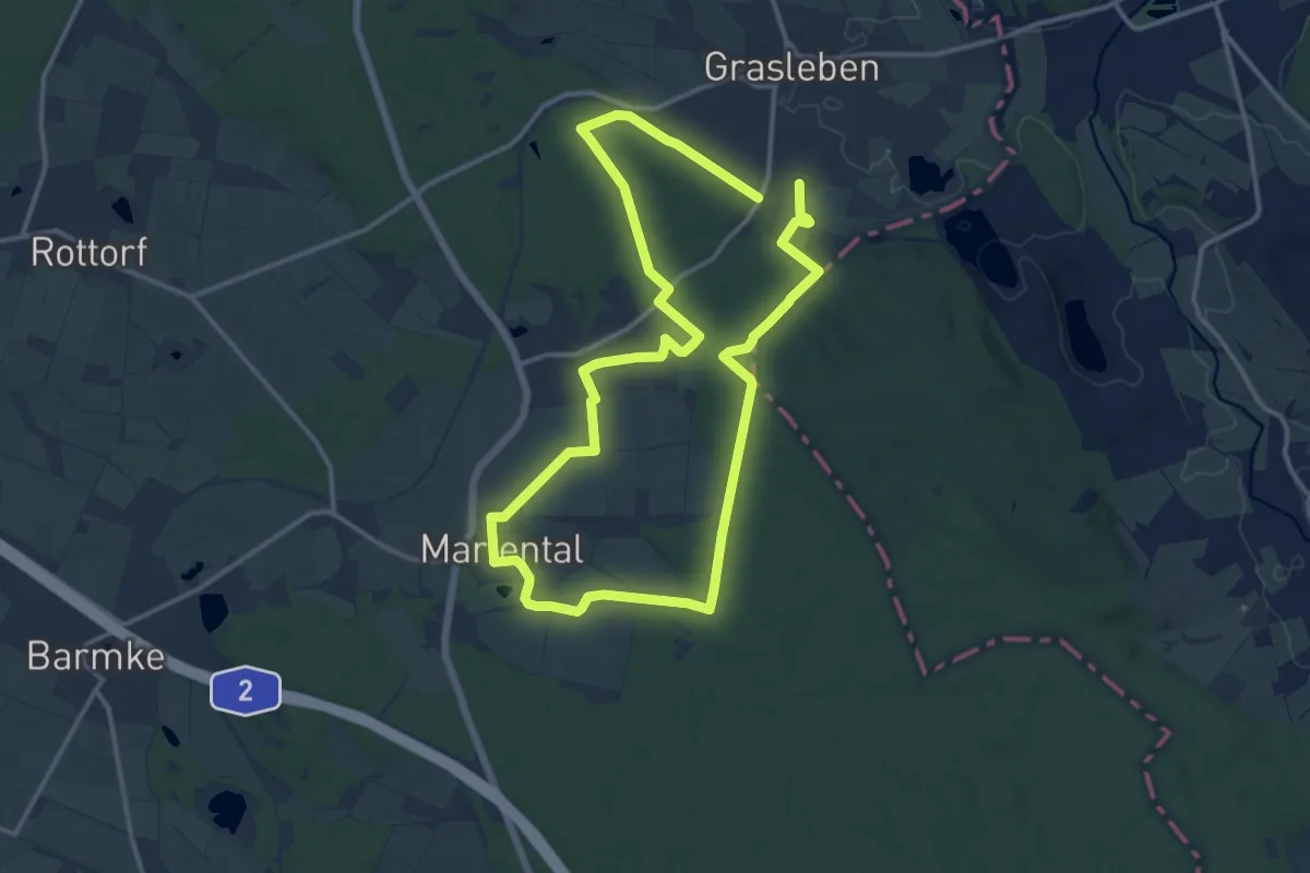
Medium · Trail
Lappwald Rundwanderweg 10
11.3 km · ↑ 117 m · 3 h 5 min
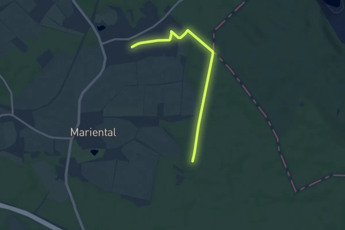
Easy · Trail
Lappwald Rundwanderweg 11
6.1 km · ↑ 55 m · 1 h 33 min
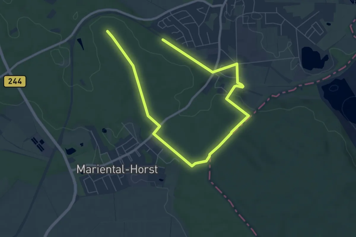
Medium · Trail
Lappwald Rundwanderweg 12
9.4 km · ↑ 139 m · 2 h 32 min
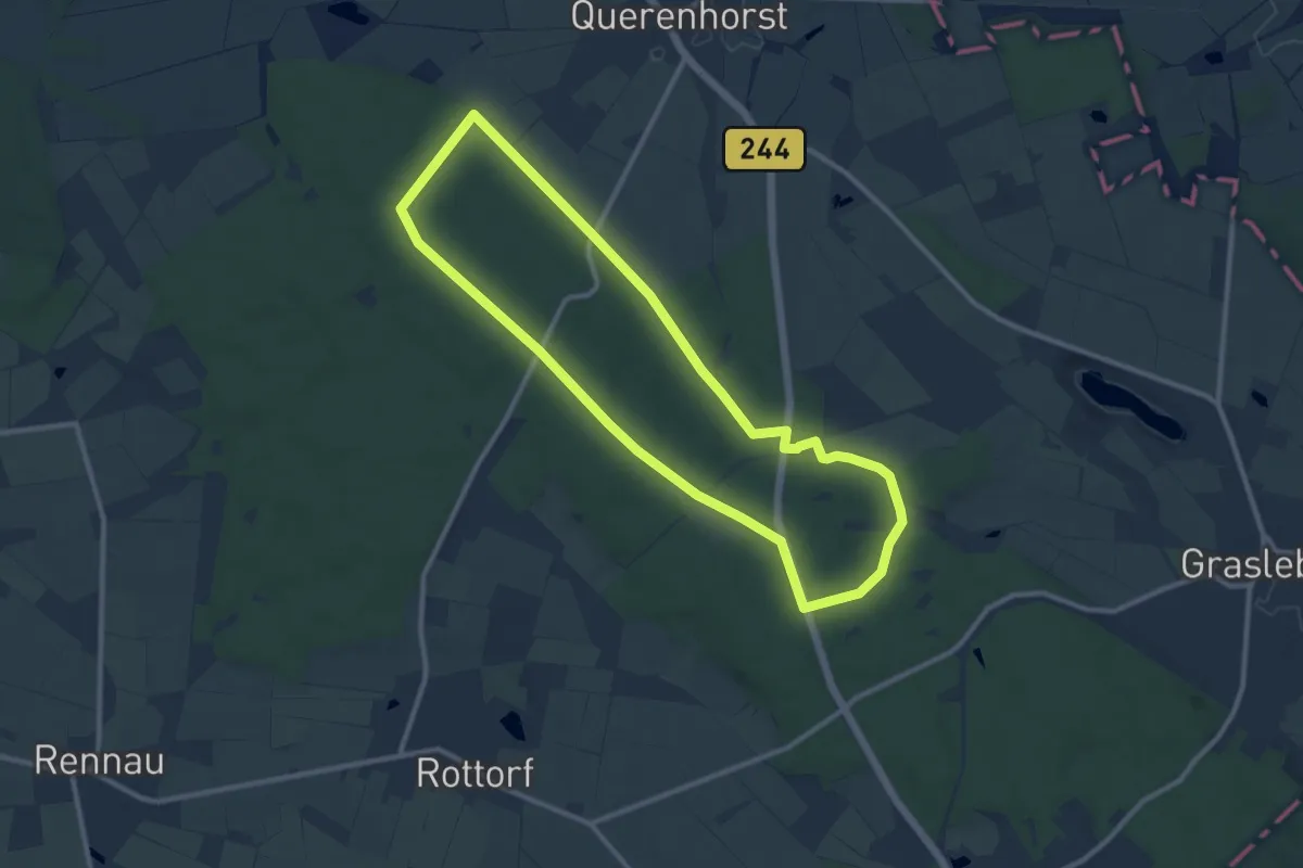
Medium · Trail
Lappwald Rundwanderweg 13
9.0 km · ↑ 57 m · 2 h 22 min
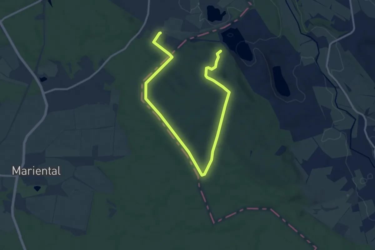
Medium · Trail
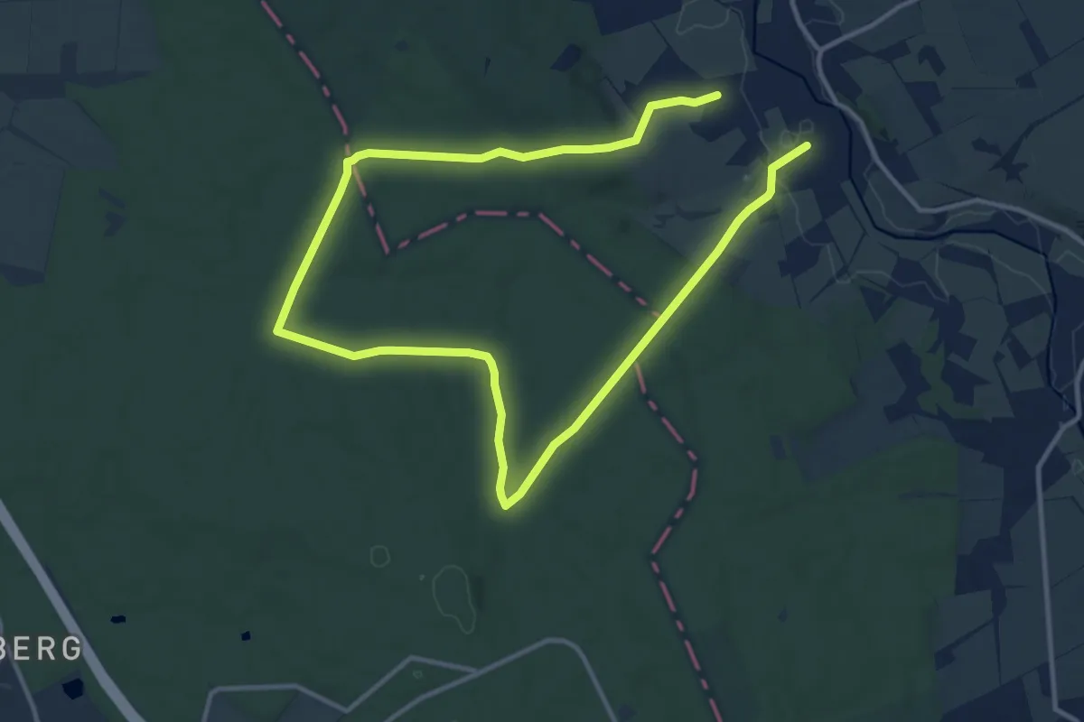
Lappwald Rundwanderweg 14
10.9 km · ↑ 148 m · 2 h 54 min
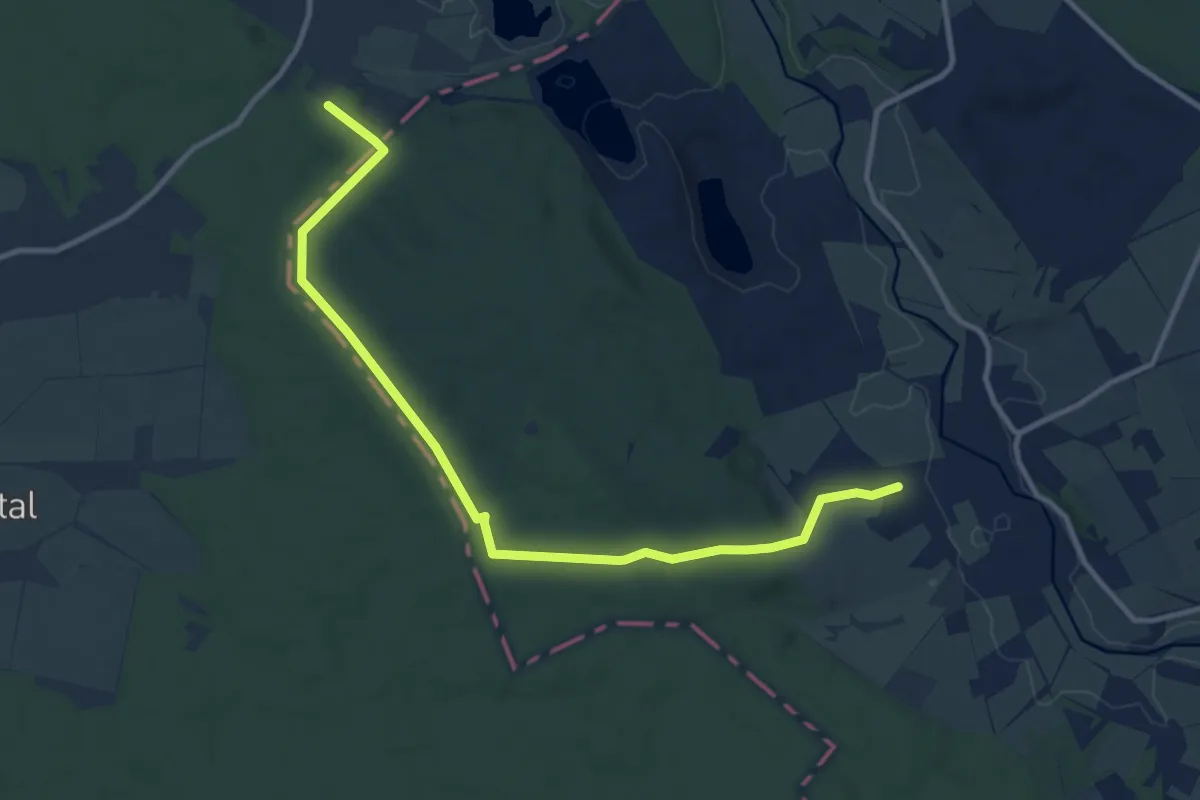
Medium · Trail
Lappwald Rundwanderweg 15
10.6 km · ↑ 158 m · 2 h 50 min
Medium · Trail
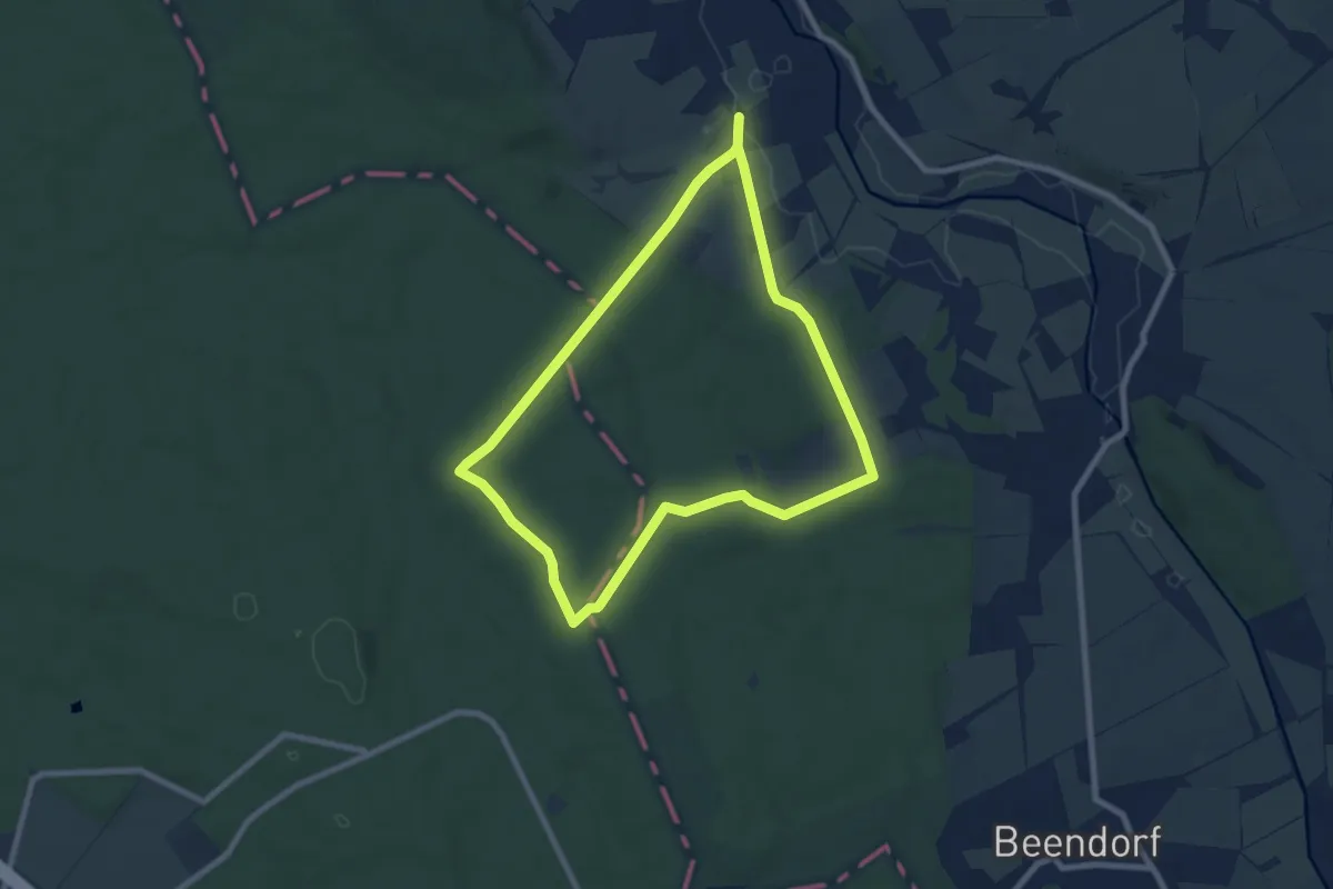
Lappwald Rundwanderweg 16
17.3 km · ↑ 213 m · 4 h 33 min
Easy · Trail
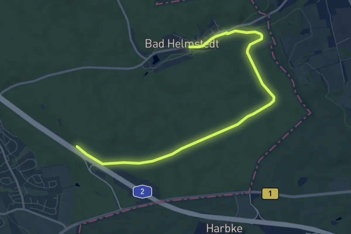
Lappwald Rundwanderweg 17
6.7 km · ↑ 87 m · 1 h 52 min
Medium · Trail
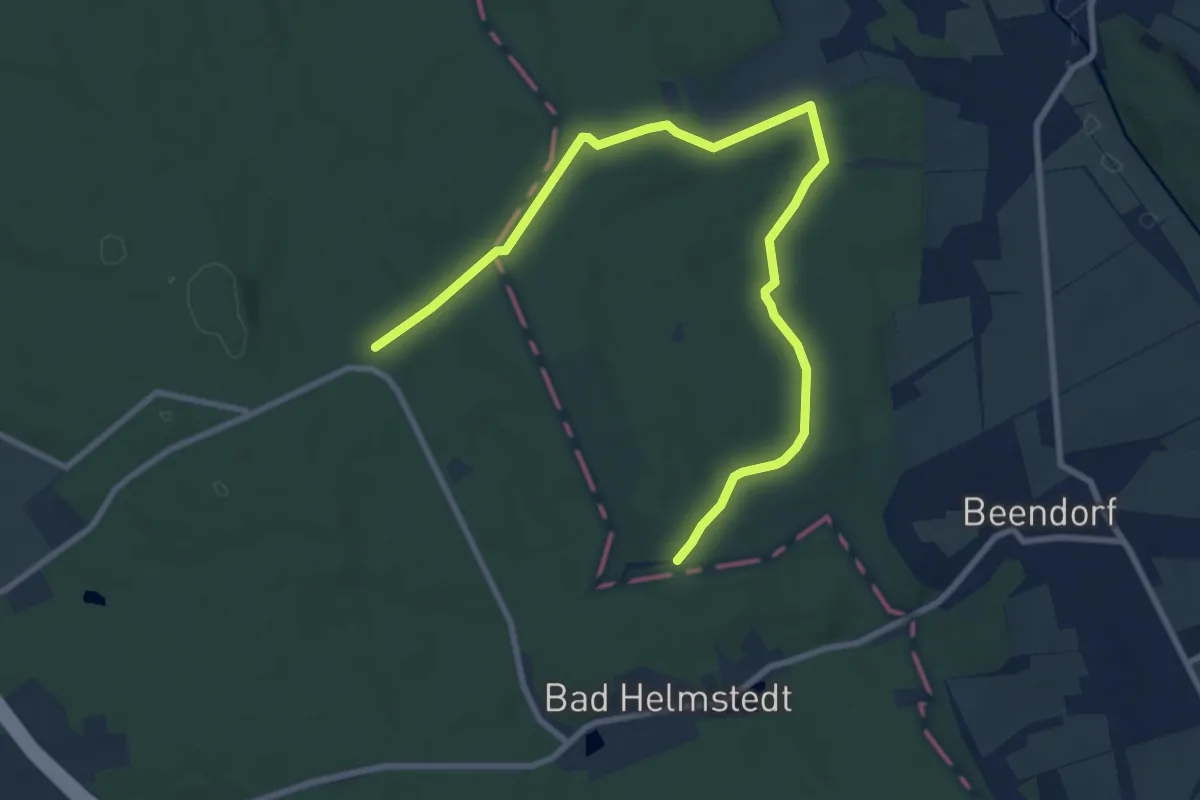
Lappwald Rundwanderweg 2
9.2 km · ↑ 64 m · 2 h 18 min
Medium · Trail
Lappwald Rundwanderweg 20
9.5 km · ↑ 98 m · 2 h 27 min
Medium · Trail
Lappwald Rundwanderweg 24
12.1 km · ↑ 128 m · 3 h 9 min
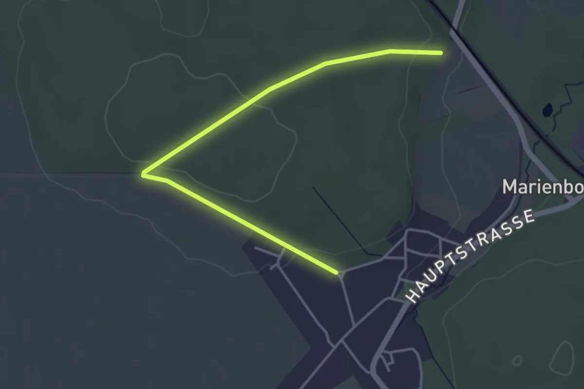
Easy · Trail
Lappwald Rundwanderweg 25
3.7 km · ↑ 57 m · 1 h
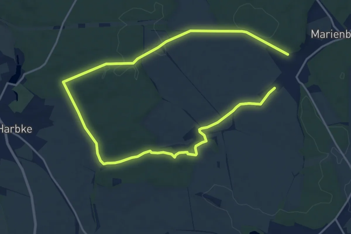
Medium · Trail
Lappwald Rundwanderweg 26
16.1 km · ↑ 165 m · 4 h 9 min
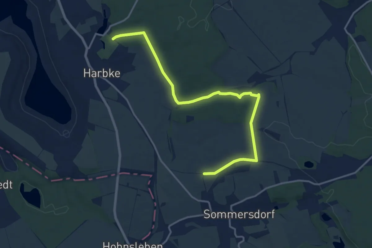
Medium · Trail
Lappwald Rundwanderweg 27
10.8 km · ↑ 156 m · 2 h 53 min
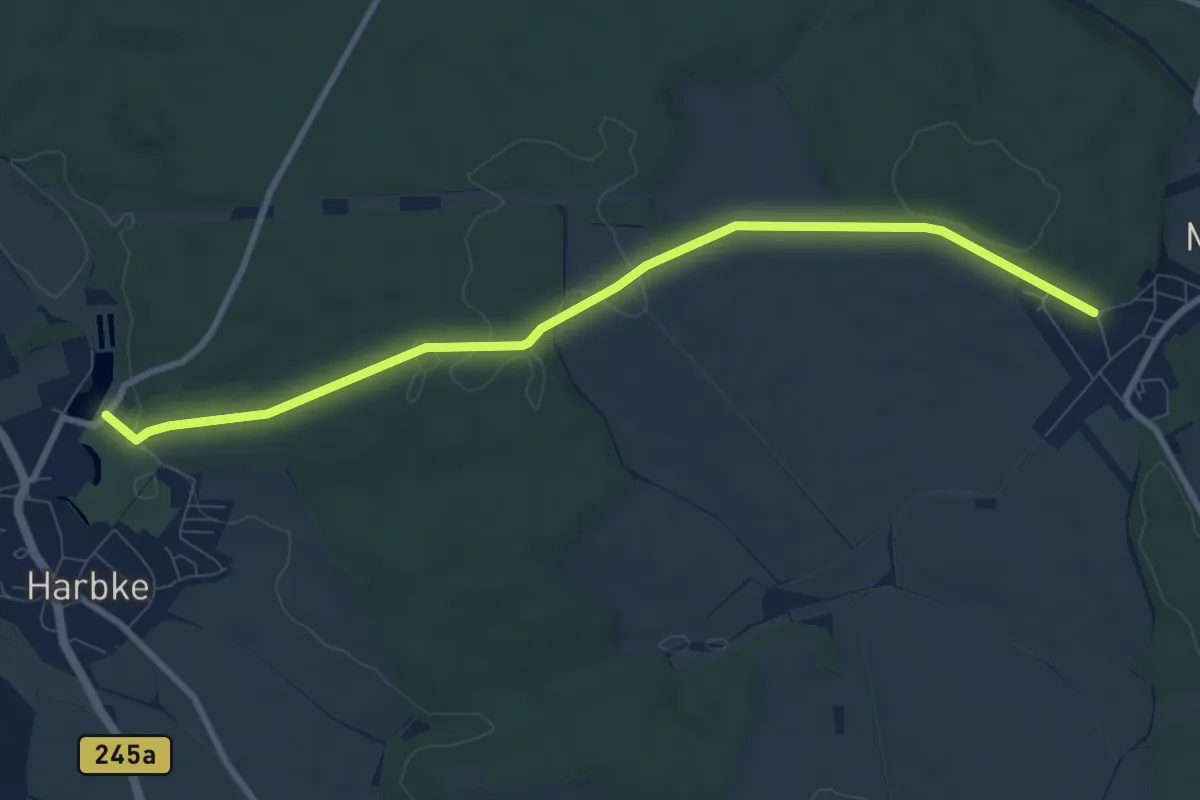
Medium · Trail
Lappwald Rundwanderweg 28
8.3 km · ↑ 123 m · 2 h 14 min
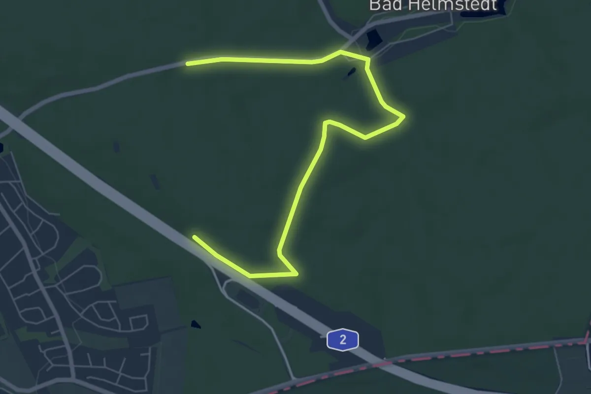
Easy · Trail
Lappwald Rundwanderweg 3
6.7 km · ↑ 61 m · 1 h 43 min
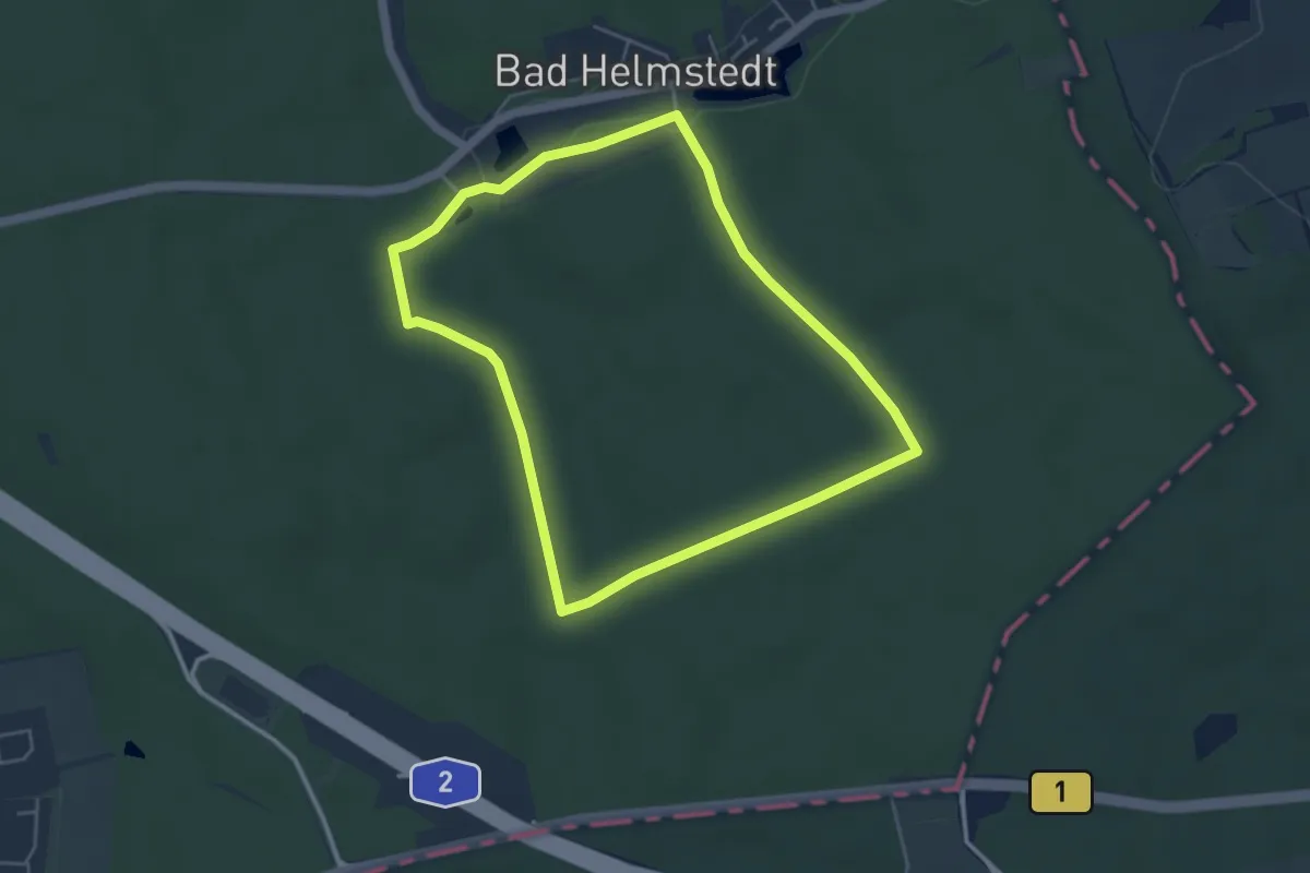
Easy · Trail
Lappwald Rundwanderweg 4
4.0 km · ↑ 31 m · 1 h 4 min
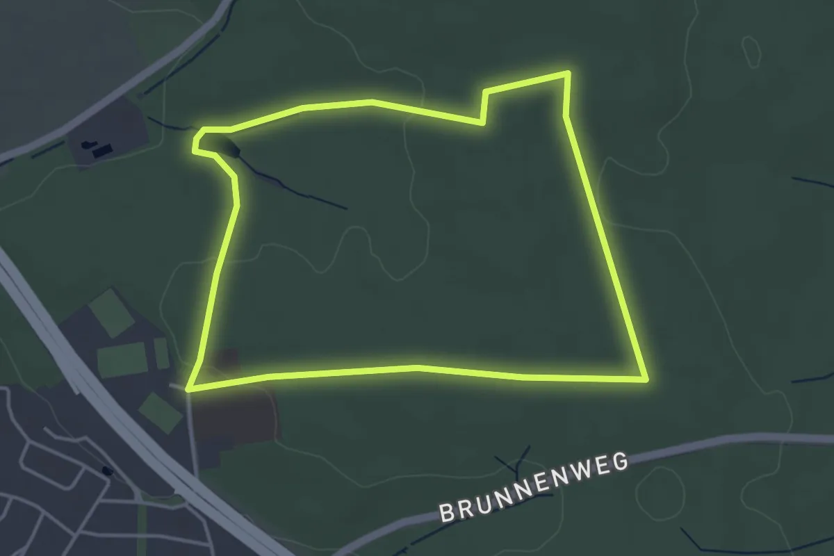
Easy · Trail
Lappwald Rundwanderweg 6
3.6 km · ↑ 36 m · 59 min
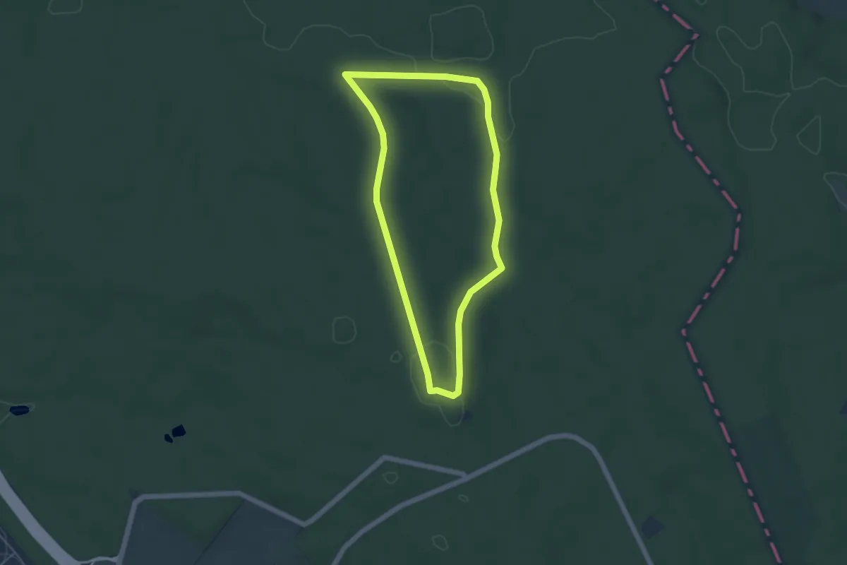
Easy · Trail
Lappwald Rundwanderweg 7
4.0 km · ↑ 49 m · 1 h 7 min
Easy · Trail
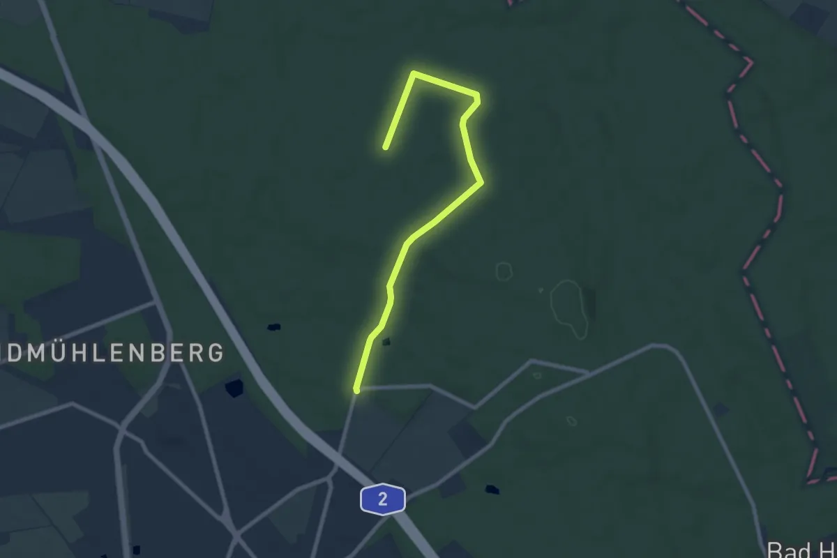
Lappwald Rundwanderweg 8
6.8 km · ↑ 70 m · 1 h 46 min
Medium · Trail
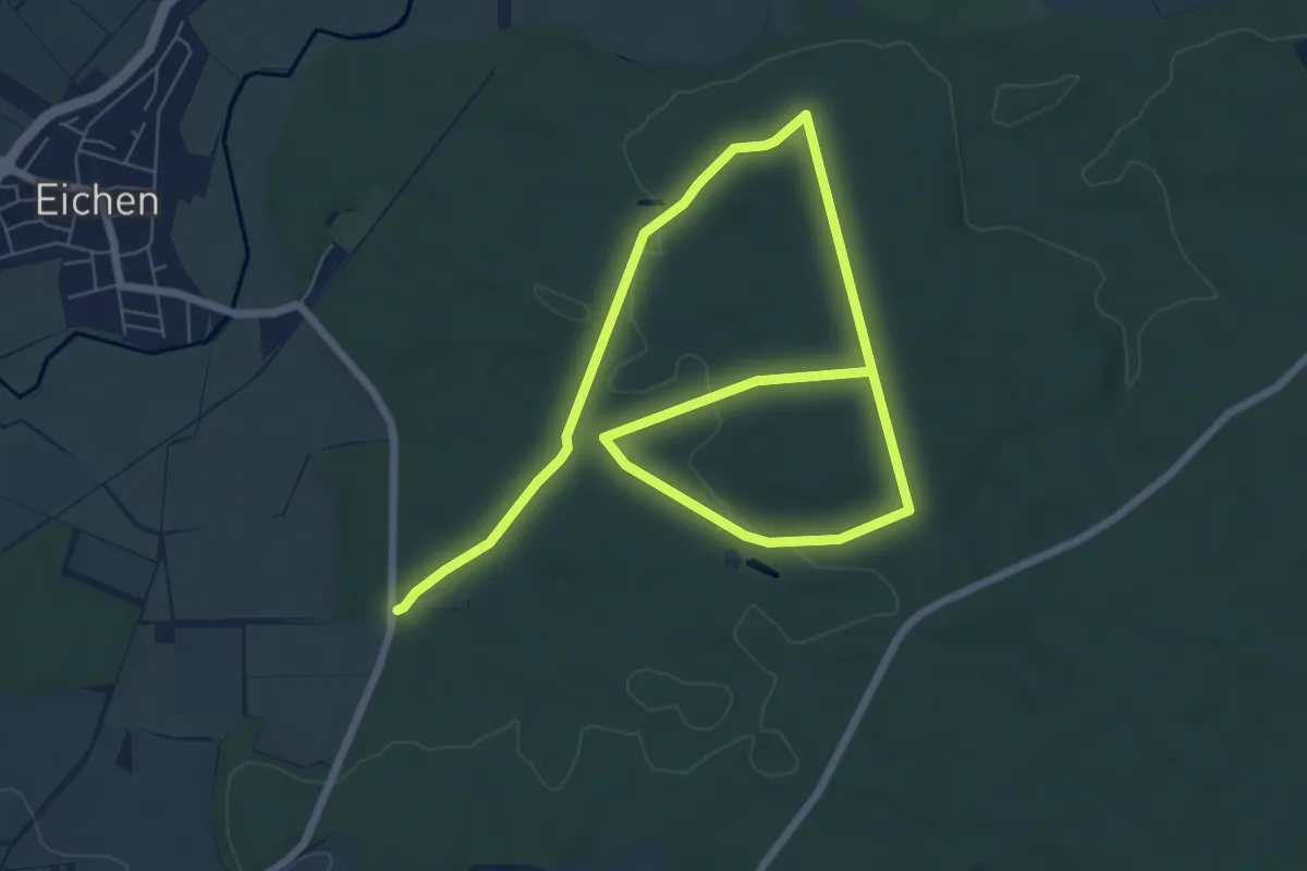
Lärche
10.8 km · ↑ 121 m · 2 h 48 min
Easy · Trail
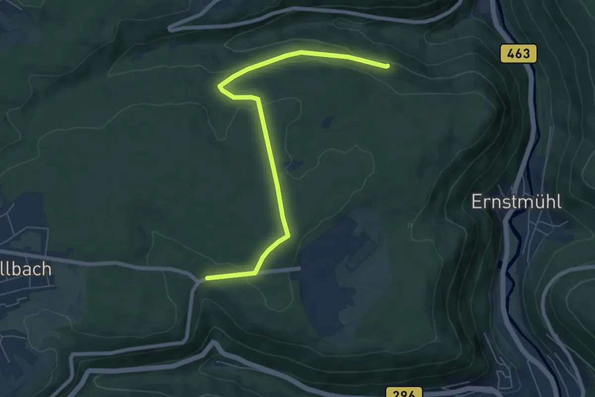
Lärchengarten - Lützenhart
6.2 km · ↑ 143 m · 1 h 47 min
Easy · Trail
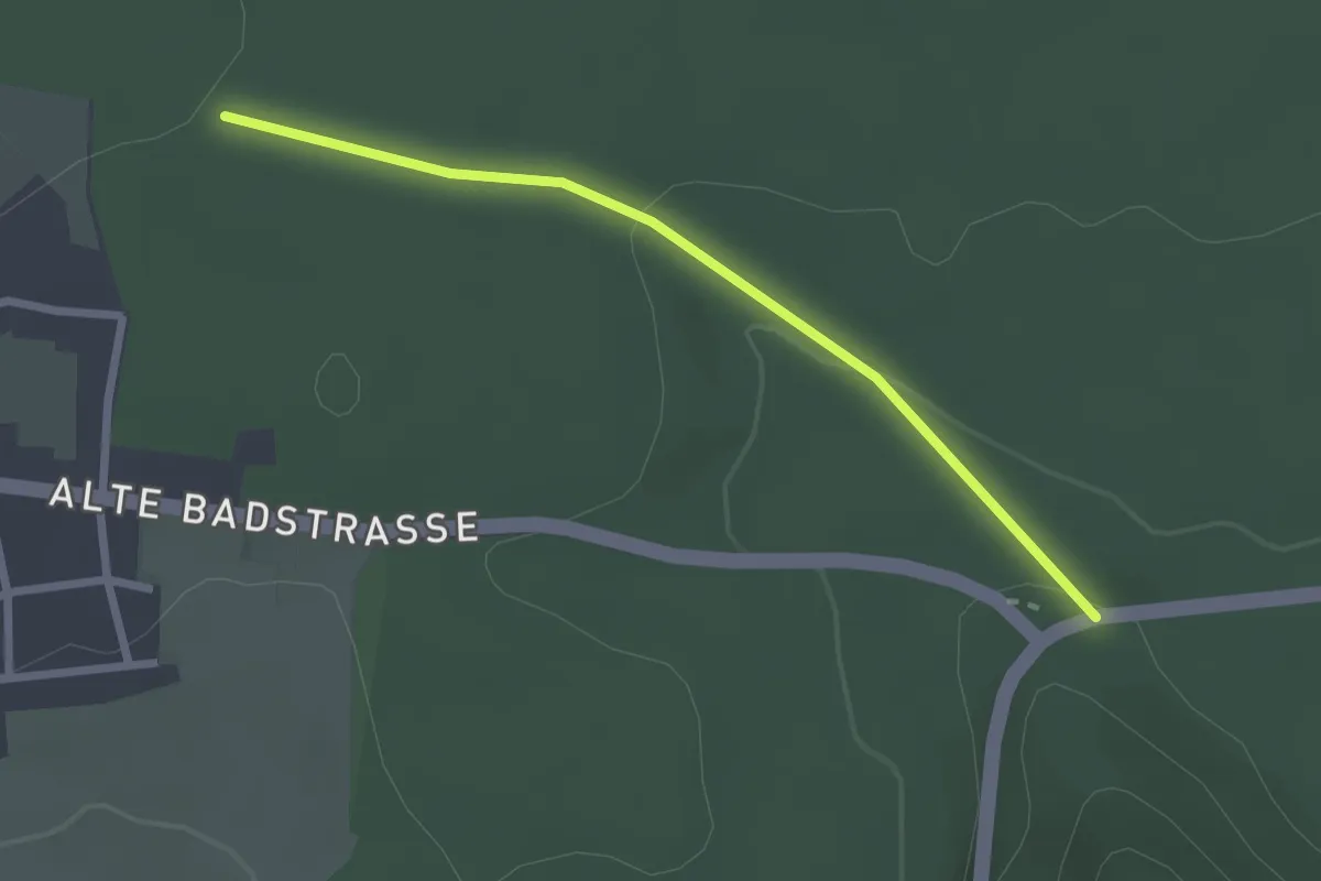
Lärchengarten - Tiroler Wald
2.3 km · ↑ 58 m · 40 min
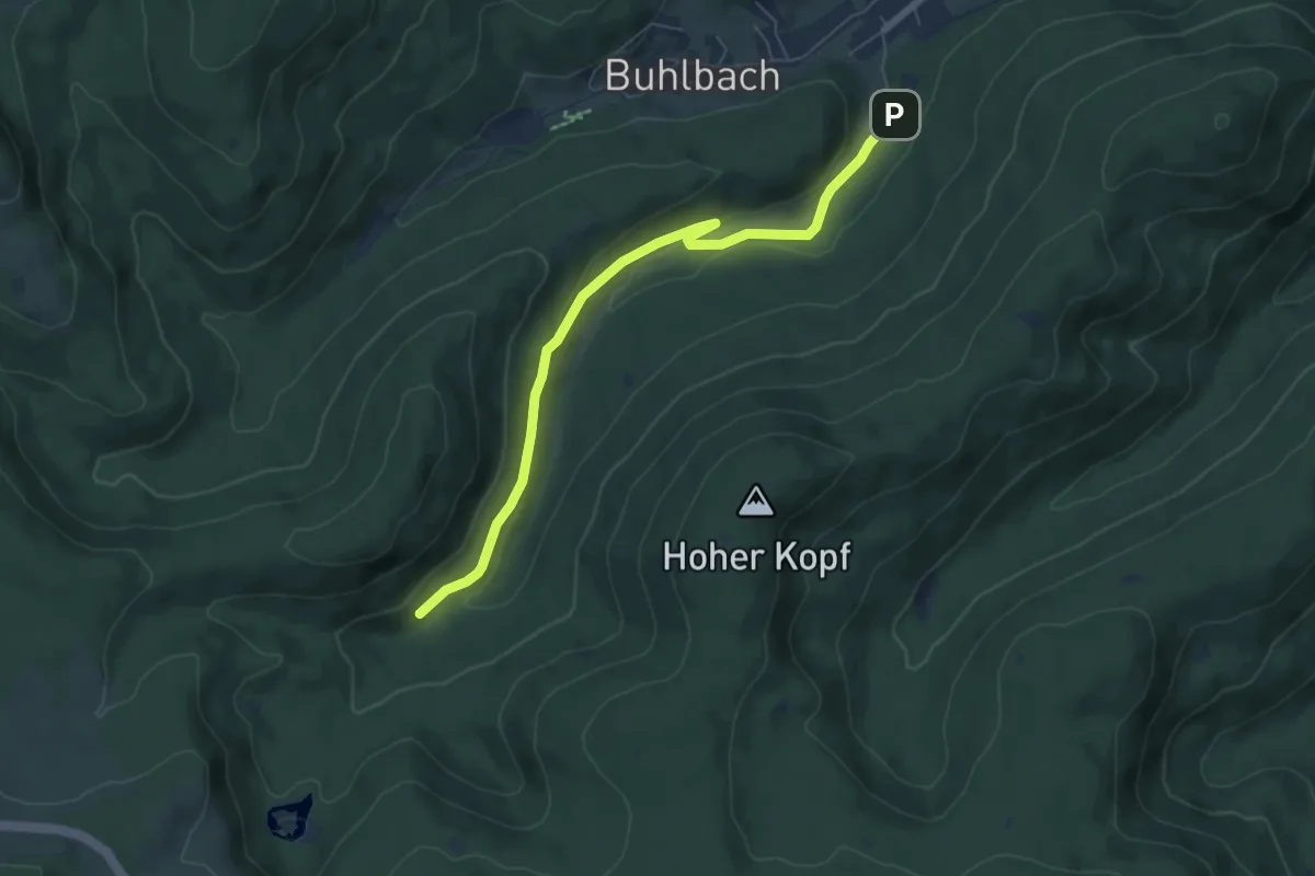
Easy · Trail
Lärchenhütte - Spaltbächle
6.3 km · ↑ 137 m · 1 h 47 min
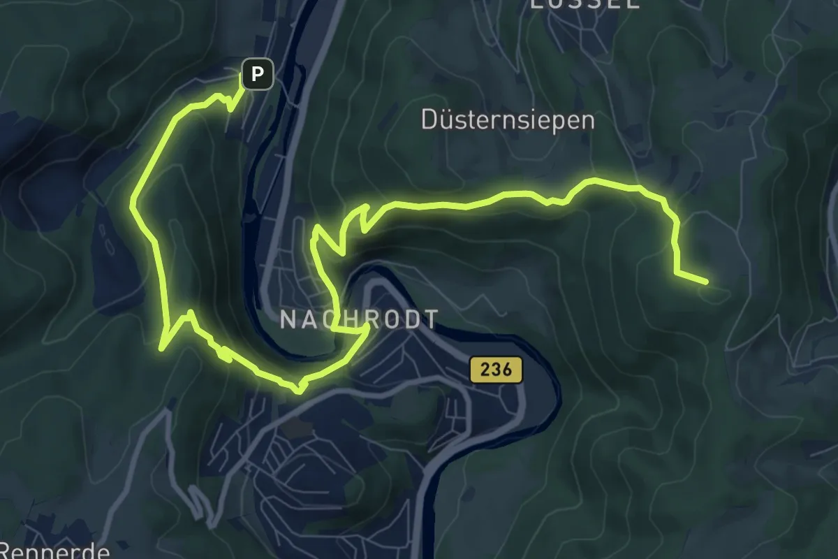
Medium · Summit
Lasbeck-Konner-Nachrodt-Parkplatz Vorm Heu
12.8 km · ↑ 698 m · 4 h 31 min
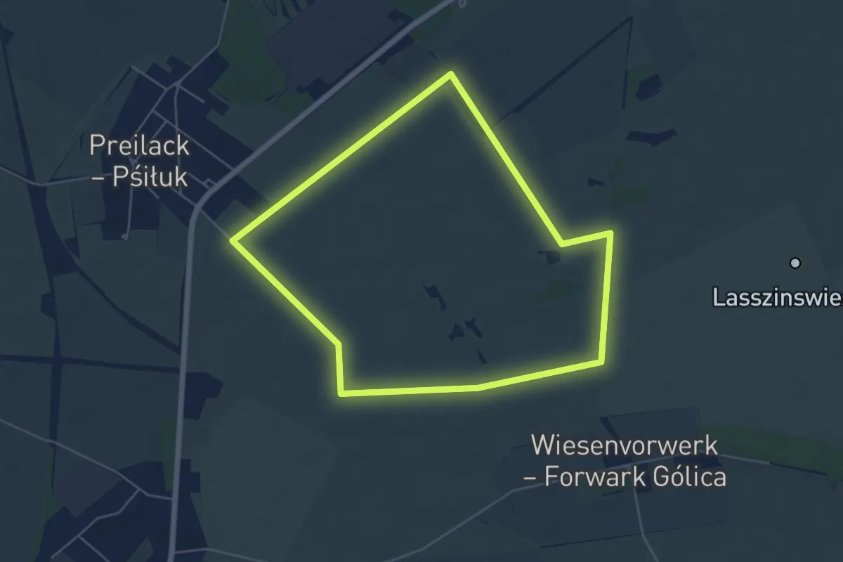
Easy · Trail
Lasszinswiesen Rundweg
4.7 km · ↑ 0 m · 1 h 11 min
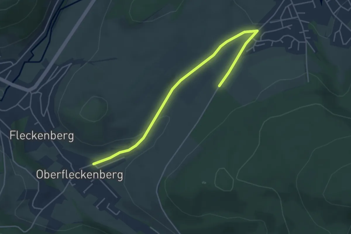
Easy · Trail
Latroptal Rundweg A1
4.3 km · ↑ 46 m · 1 h 7 min
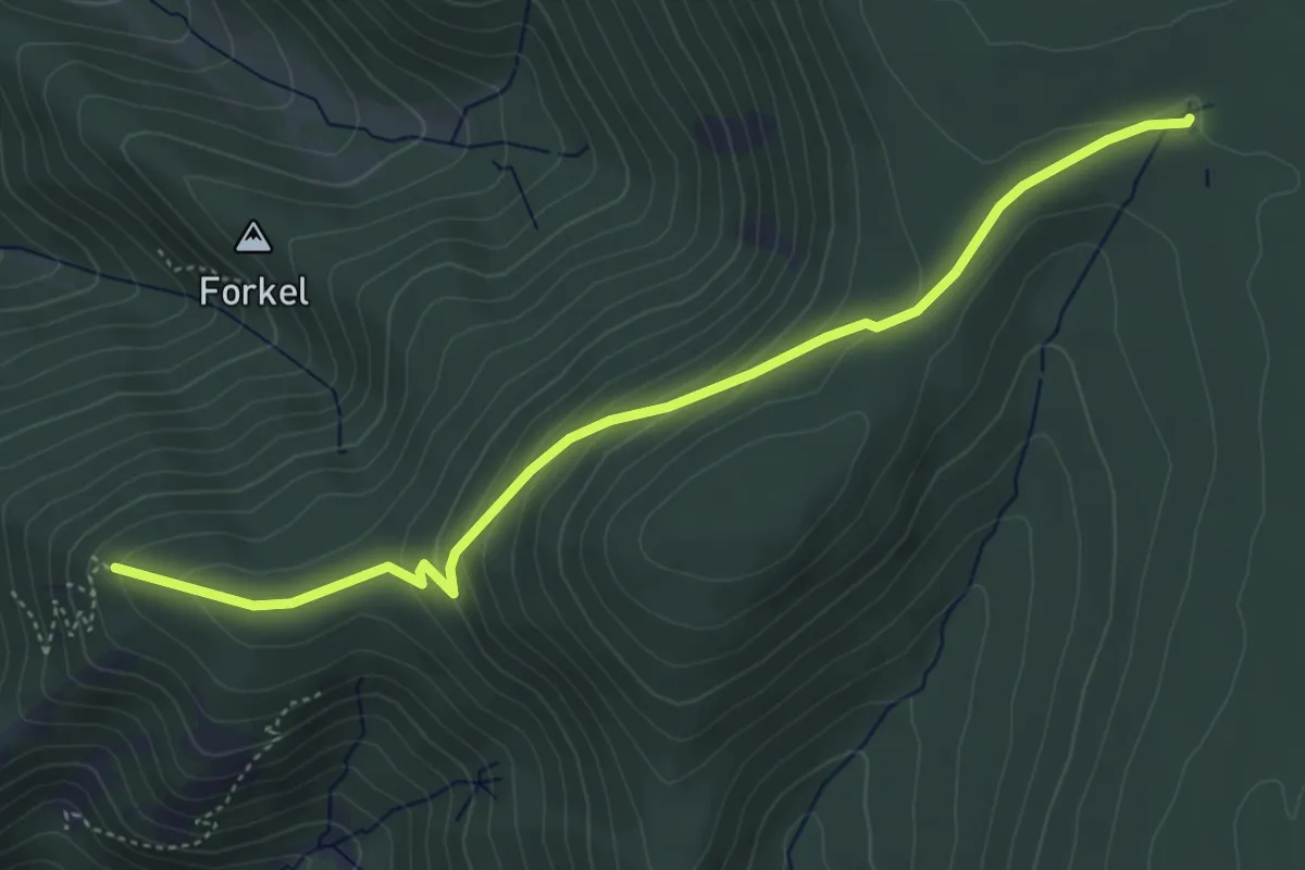
Easy · Trail
Latschigfelsen - Prinzenhütte
4.8 km · ↑ 238 m · 1 h 39 min
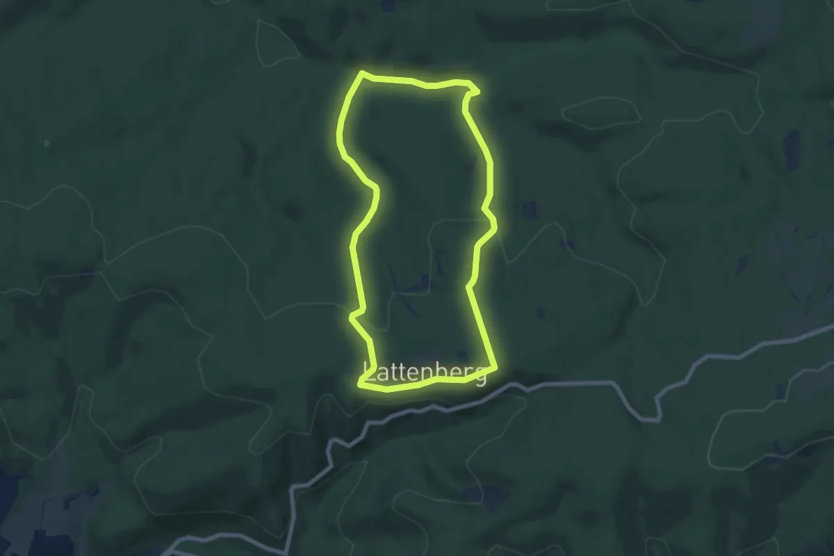
Easy · Trail
Lattenberg Rundweg A2
6.0 km · ↑ 149 m · 1 h 49 min
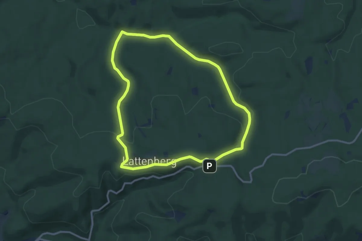
Easy · Summit
Lattenberg Rundweg A3
7.4 km · ↑ 161 m · 2 h 11 min
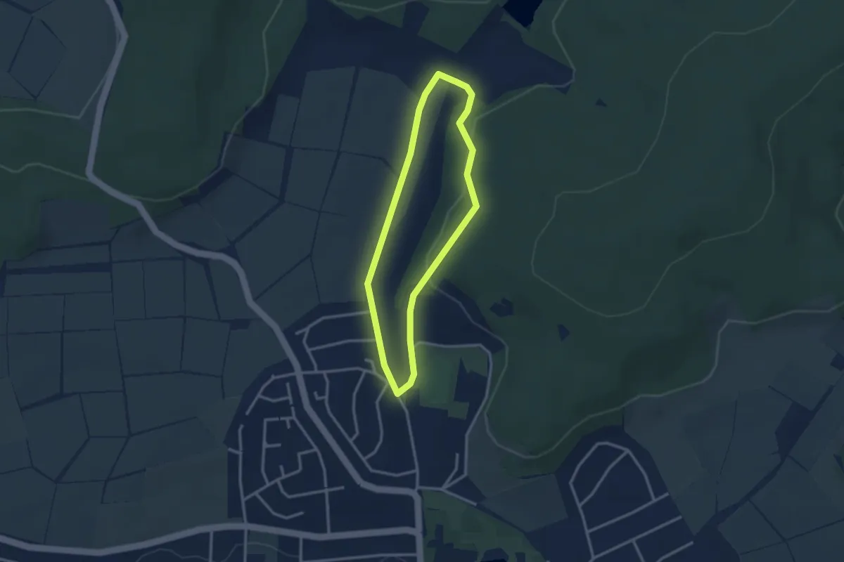
Easy · Trail
Laubach - Nordic 1 Blaue Runde
2.4 km · ↑ 41 m · 41 min
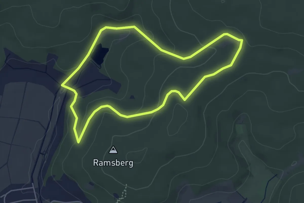
Easy · Trail
Laubach - Nordic 2 Hahnkopf
4.1 km · ↑ 90 m · 1 h 13 min
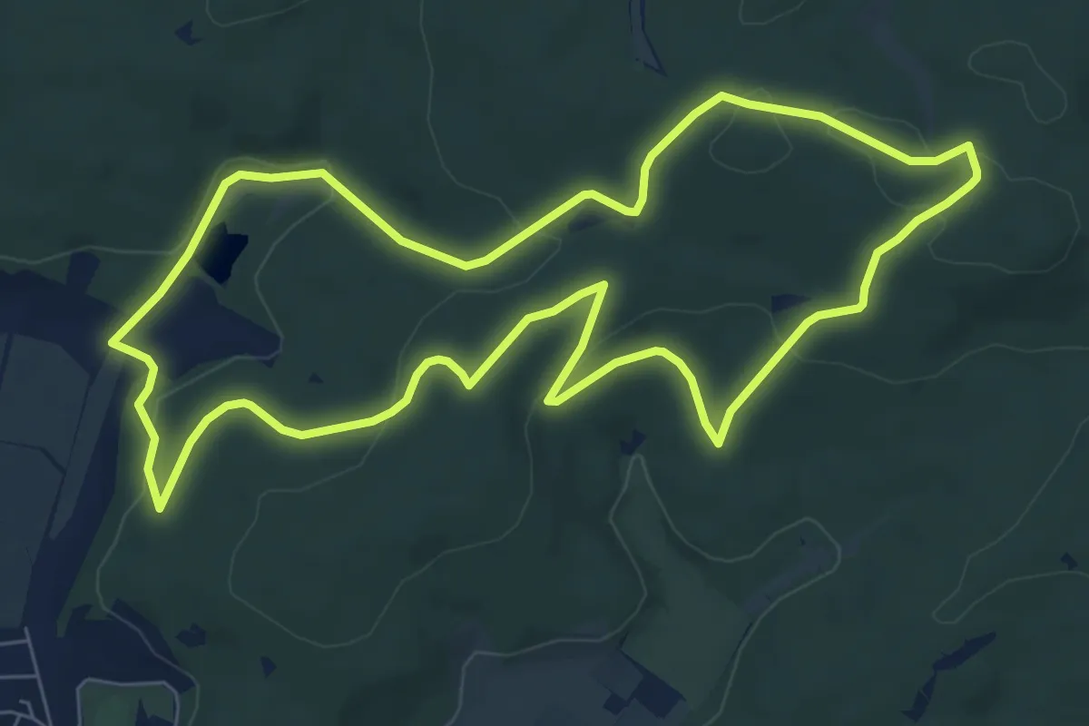
Easy · Trail
Laubach - Nordic 3 Engelsburg
7.0 km · ↑ 163 m · 2 h 7 min
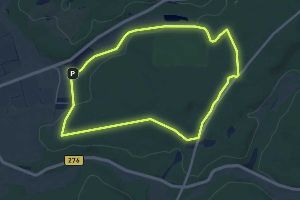
Easy · Summit
Laubach - Nordic 4 Gaulskopf
4.4 km · ↑ 74 m · 1 h 16 min
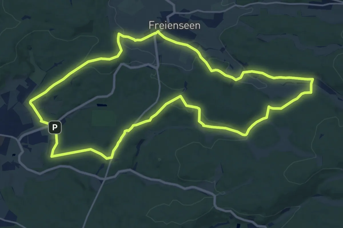
Medium · Summit
Laubach - Nordic 5 Drei Mühlen
14.6 km · ↑ 258 m · 4 h 13 min
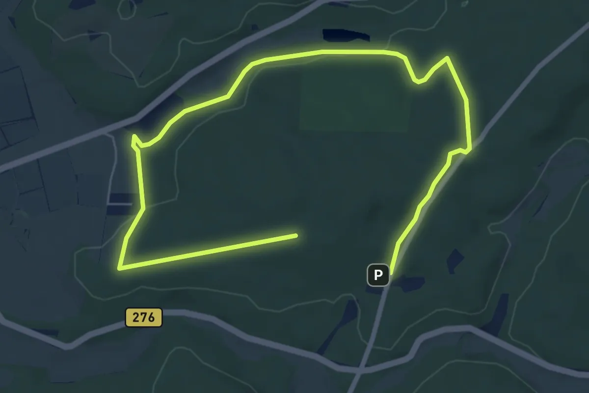
Easy · Summit
Laubach - Nordic 6 Gaulskopf
4.1 km · ↑ 75 m · 1 h 10 min
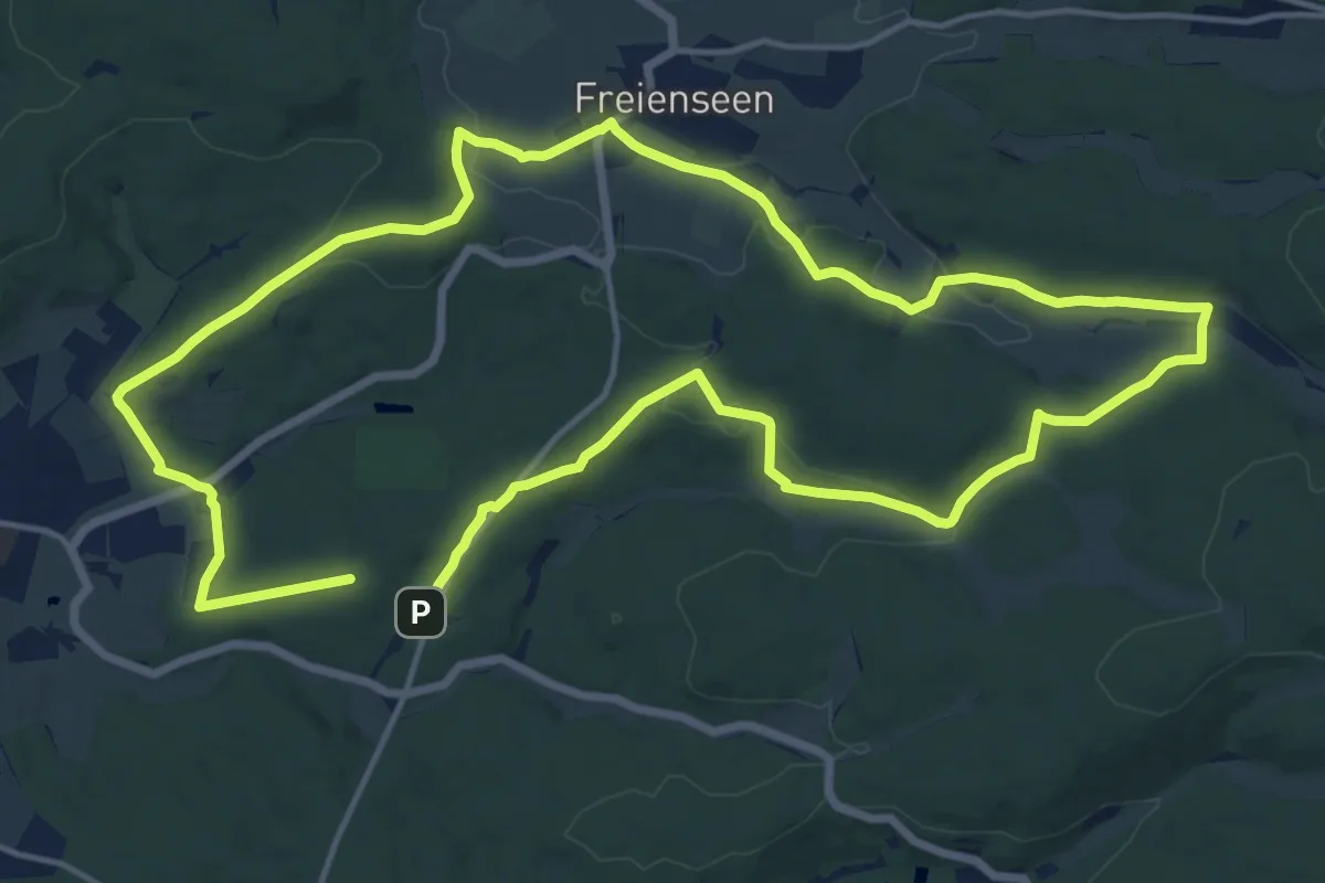
Medium · Summit
Laubach - Nordic 7 Drei Mühlen
14.2 km · ↑ 261 m · 4 h 7 min
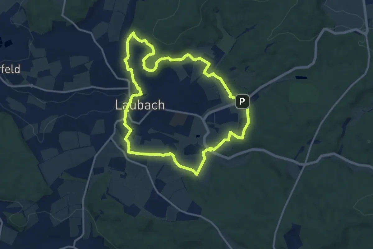
Medium · Summit
Laubach Panoramaweg
8.8 km · ↑ 150 m · 2 h 31 min