Trails in Germany
36,852 hiking trails, each with its route, climb, walking time and grade.
All trails, page 319 of 768
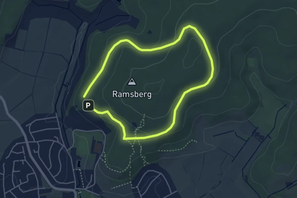
Easy · Trail
Laubach Ramsbergrundweg
3.1 km · ↑ 62 m · 55 min
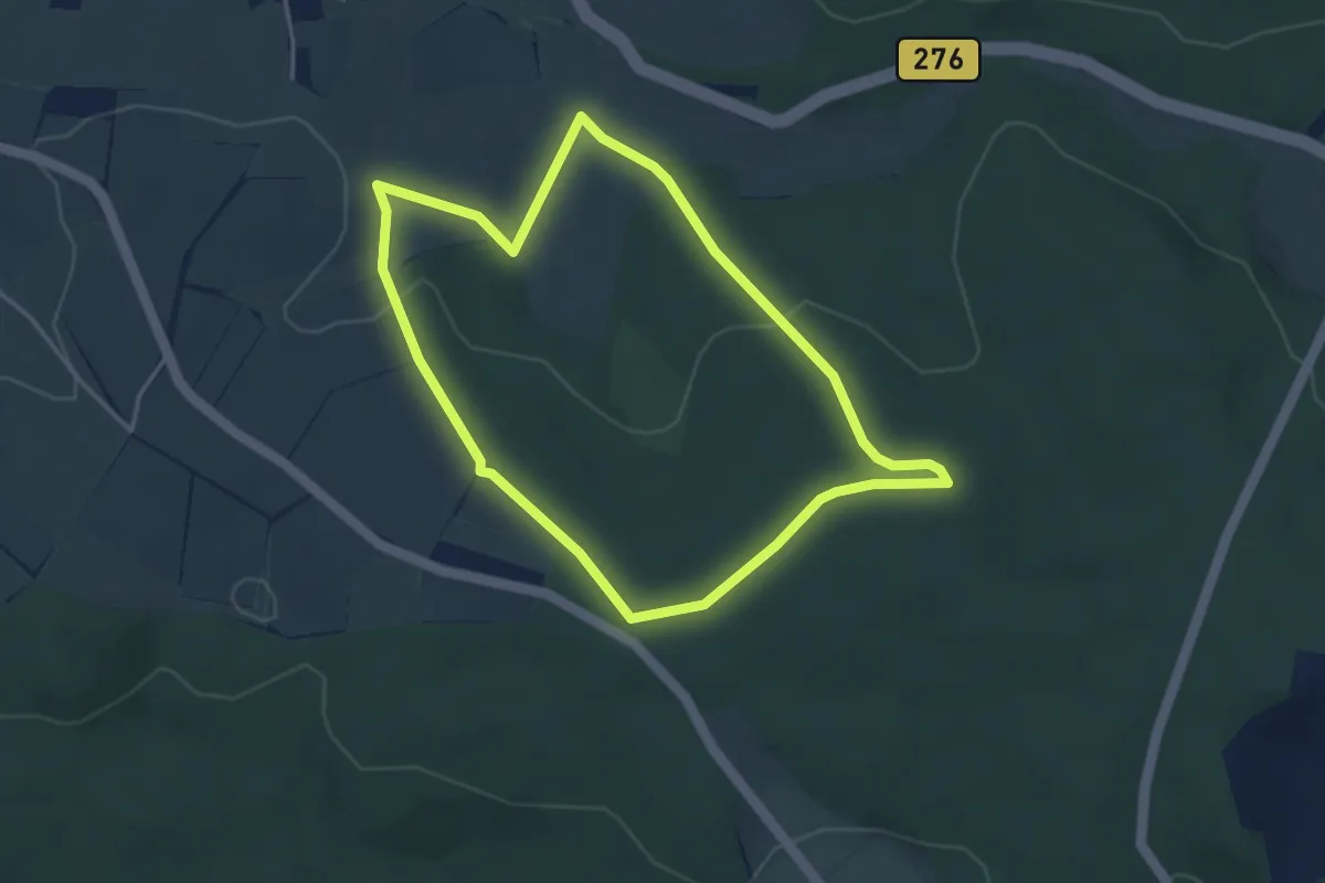
Easy · Summit
Laubach Steinbachweg
3.5 km · ↑ 79 m · 1 h 2 min
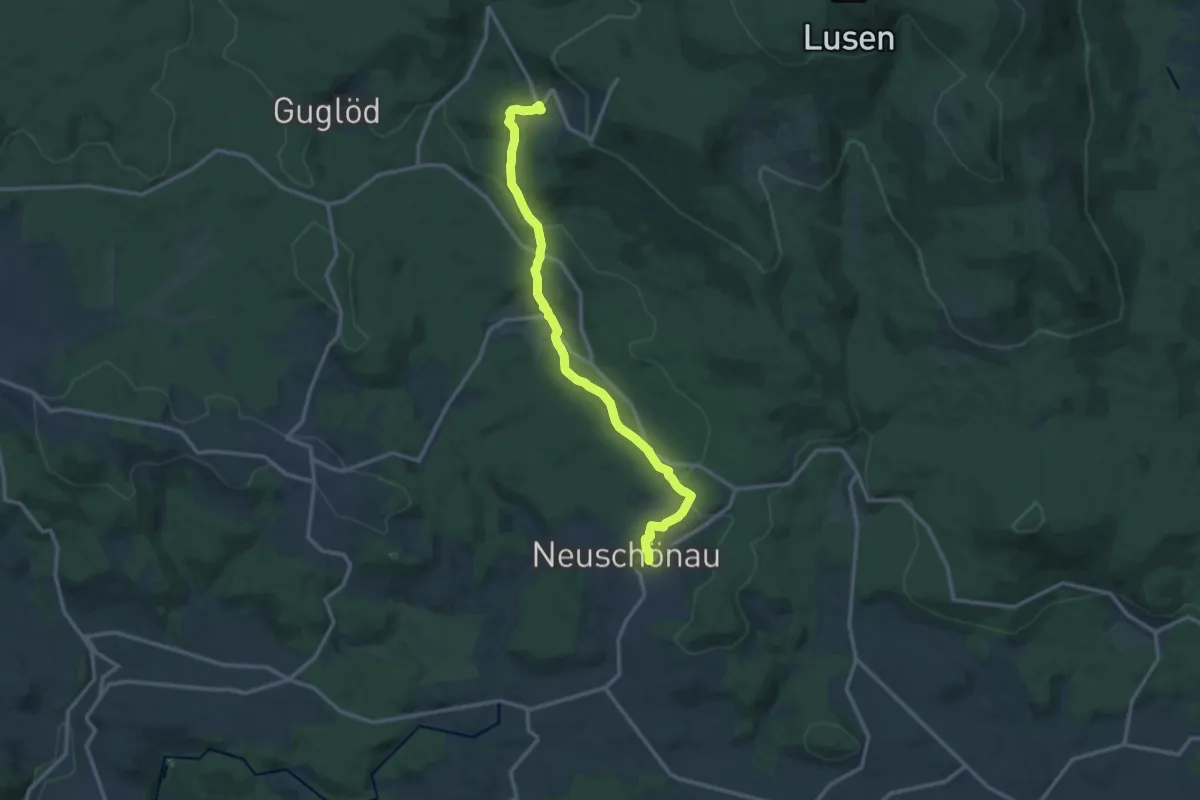
Medium · Trail
Laubbaum
13.0 km · ↑ 393 m · 3 h 56 min
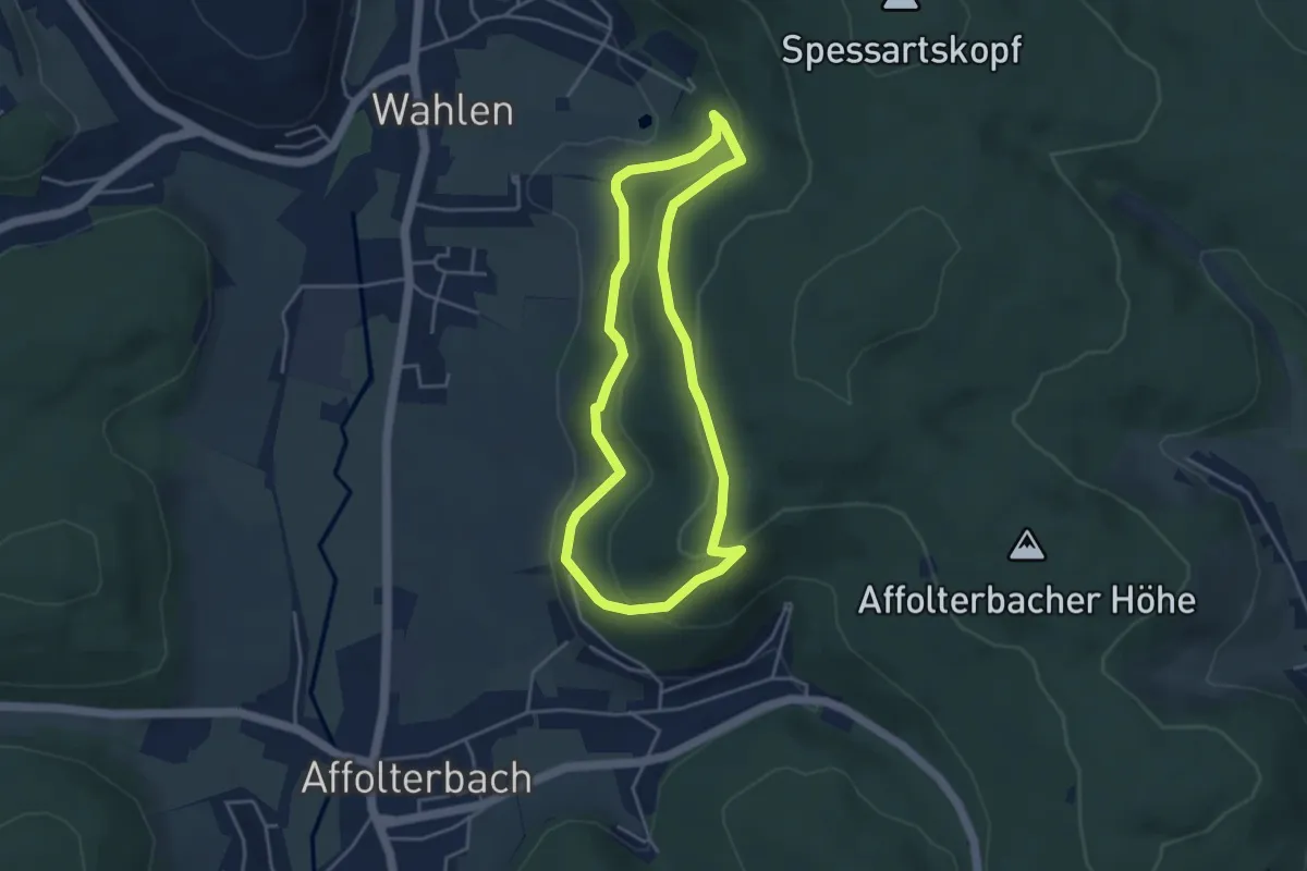
Easy · Trail
Laubdellen-Weg
3.6 km · ↑ 139 m · 1 h 12 min
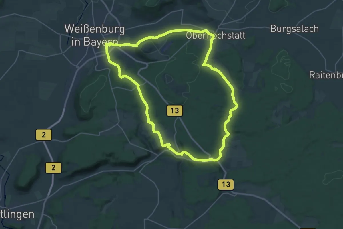
Demanding · Trail
Laubentalweg
22.2 km · ↑ 403 m · 6 h 26 min
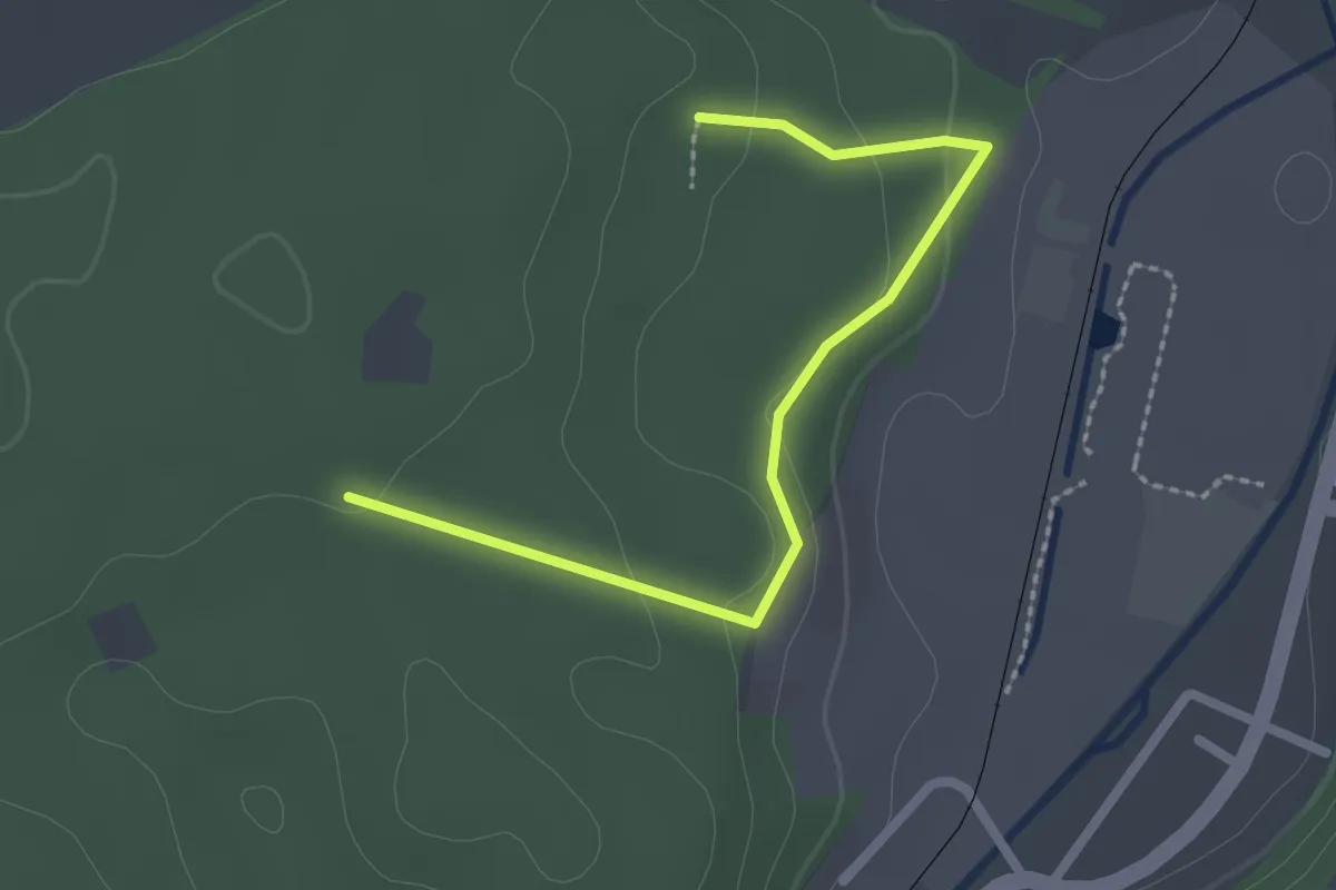
Easy · Trail
Laucherthal - Römischer Gutshof
2.3 km · ↑ 72 m · 42 min
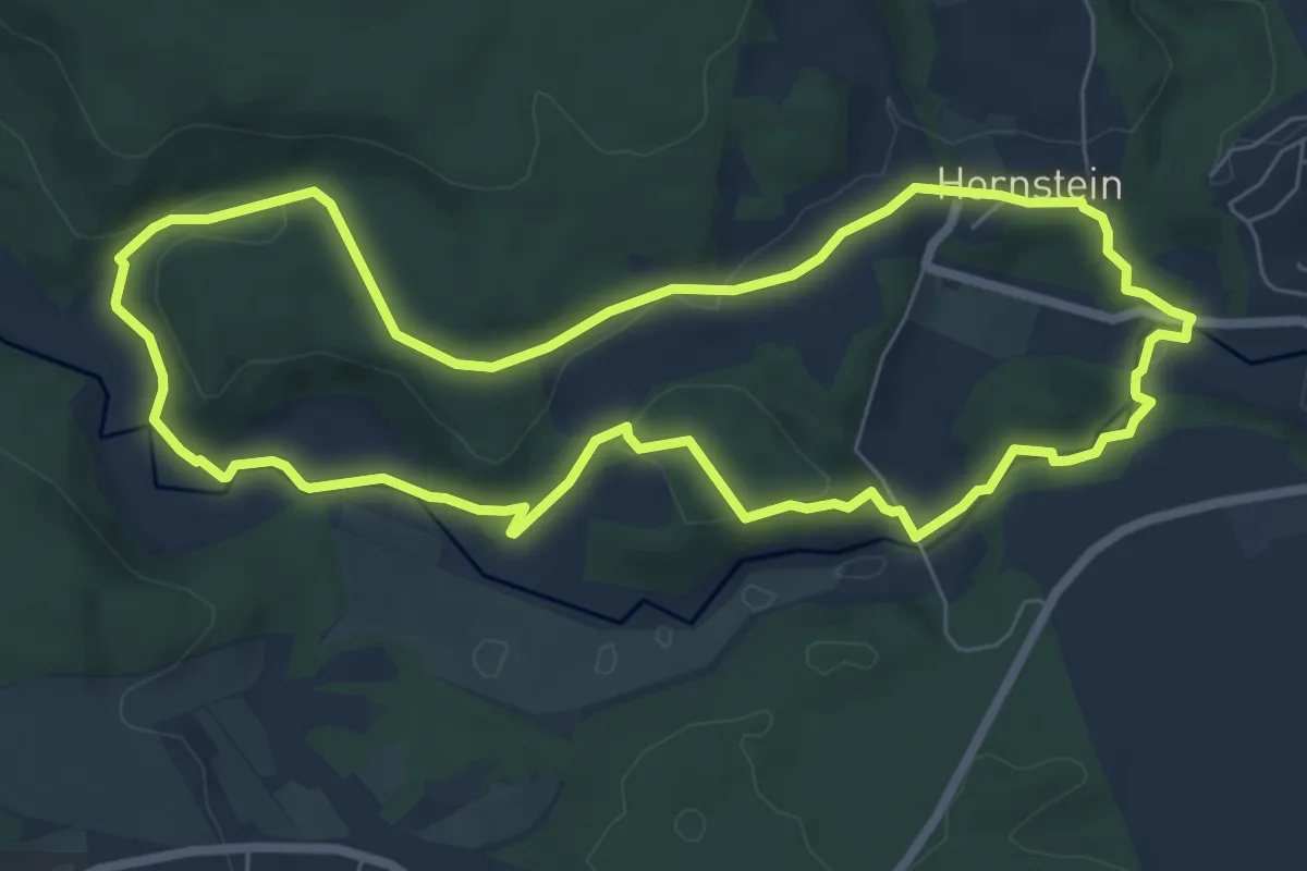
Easy · Trail
Lauchert-Höhlen-Weg
7.0 km · ↑ 175 m · 2 h 8 min
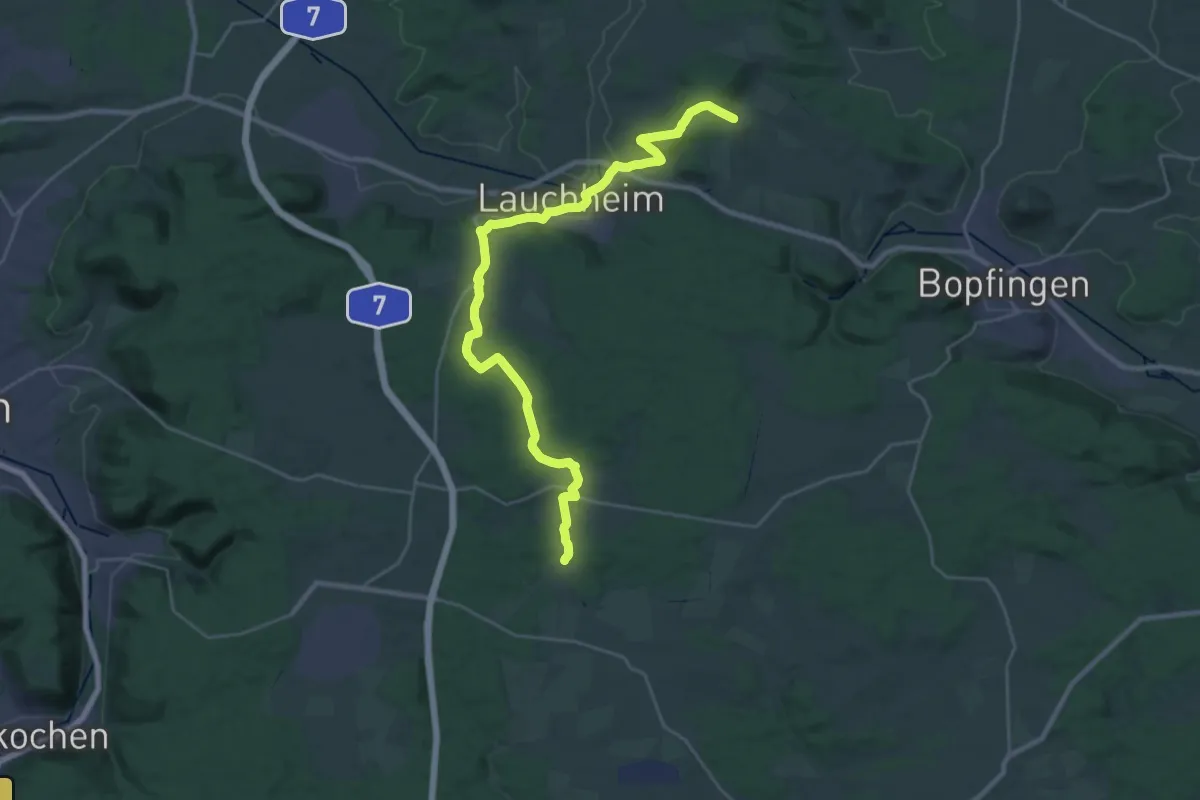
Medium · Trail
Lauchheim - Beuren
14.5 km · ↑ 285 m · 4 h 16 min
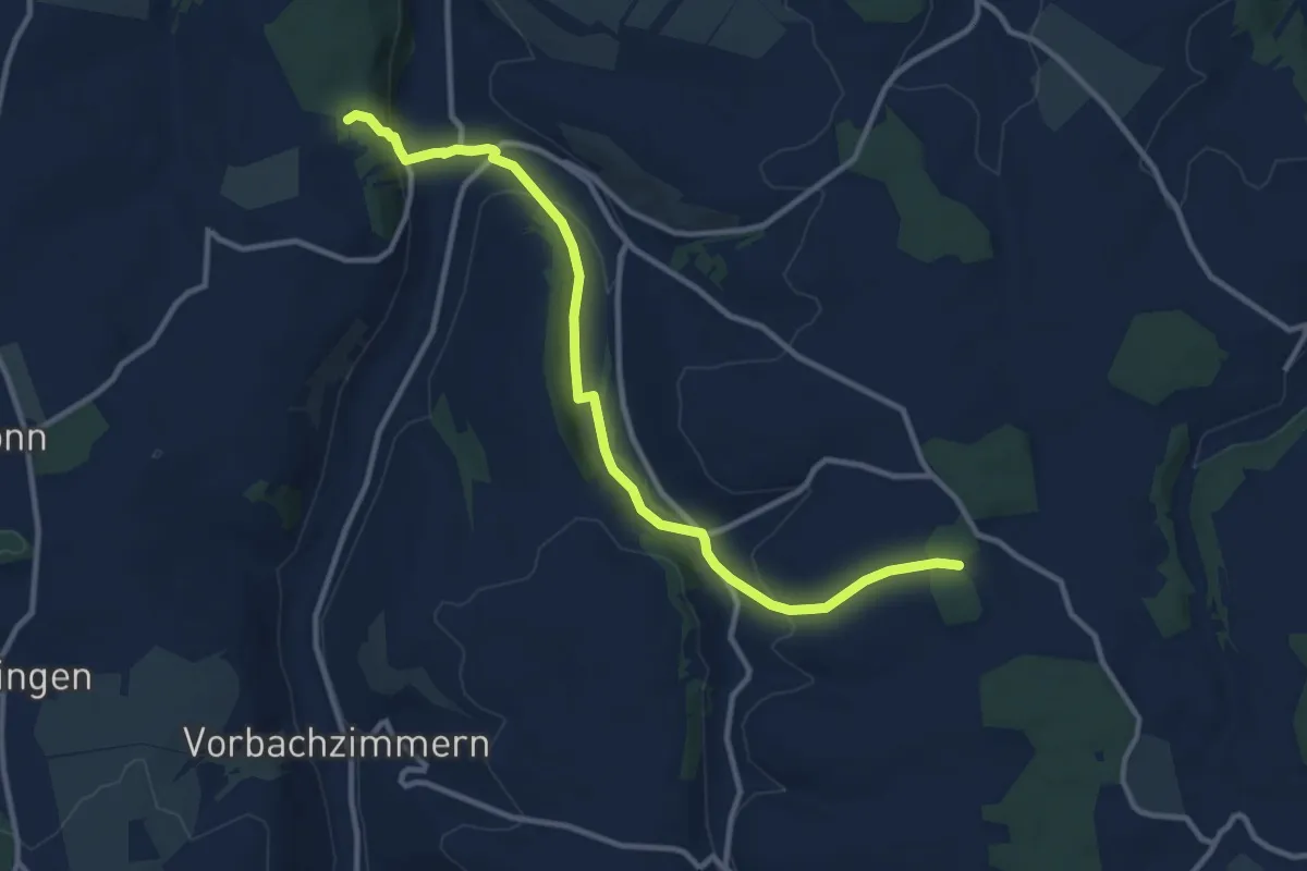
Medium · Trail
Laudenbach - Ebertsbronn
11.1 km · ↑ 316 m · 3 h 19 min
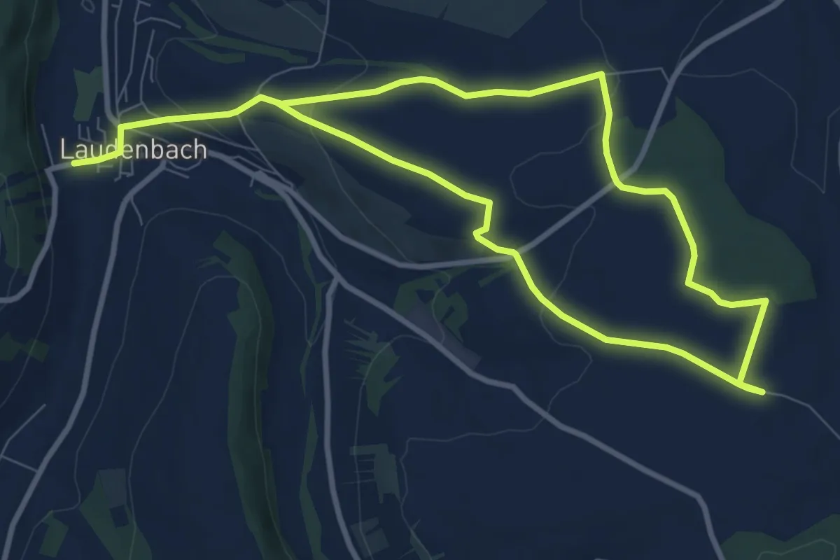
Medium · Trail
Laudenbacher Wartturm
14.4 km · ↑ 279 m · 4 h
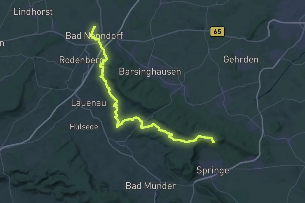
Demanding · Summit
Lauenau-Bennigsen
56.8 km · ↑ 1065 m · 15 h 43 min
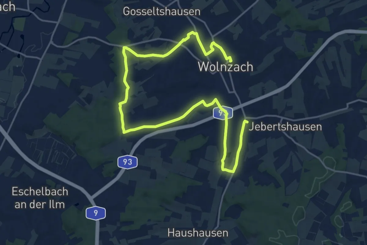
Demanding · Trail
Lauf 10
19.5 km · ↑ 176 m · 4 h 59 min
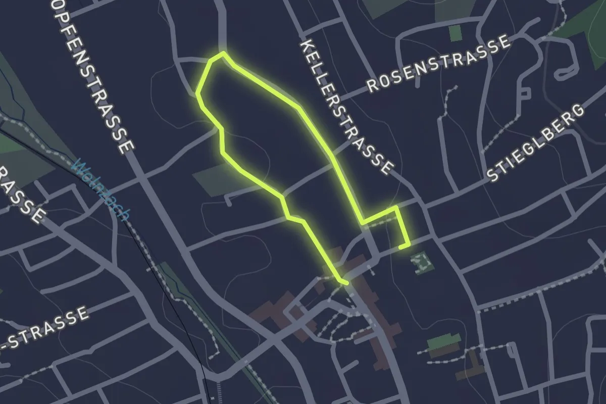
Easy · Trail
Lauf 10 Kids
1.1 km · ↑ 8 m · 18 min
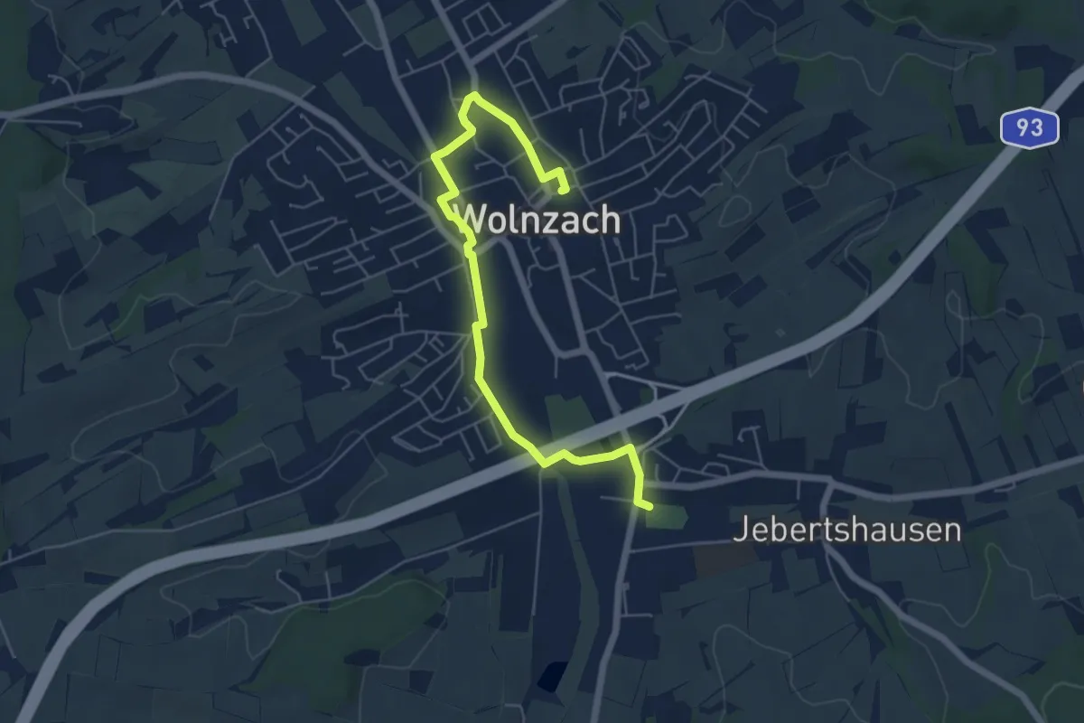
Easy · Trail
Lauf 10 Schüler
5.9 km · ↑ 21 m · 1 h 26 min
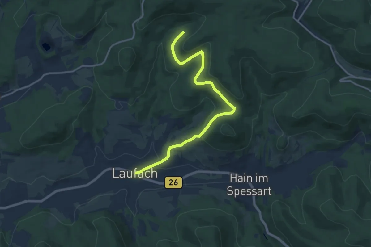
Easy · Trail
Laufach Rundwanderweg L1
4.9 km · ↑ 45 m · 1 h 25 min
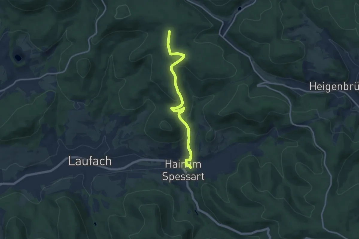
Easy · Trail
Laufach Rundwanderweg L2
4.3 km · ↑ 270 m · 1 h 31 min
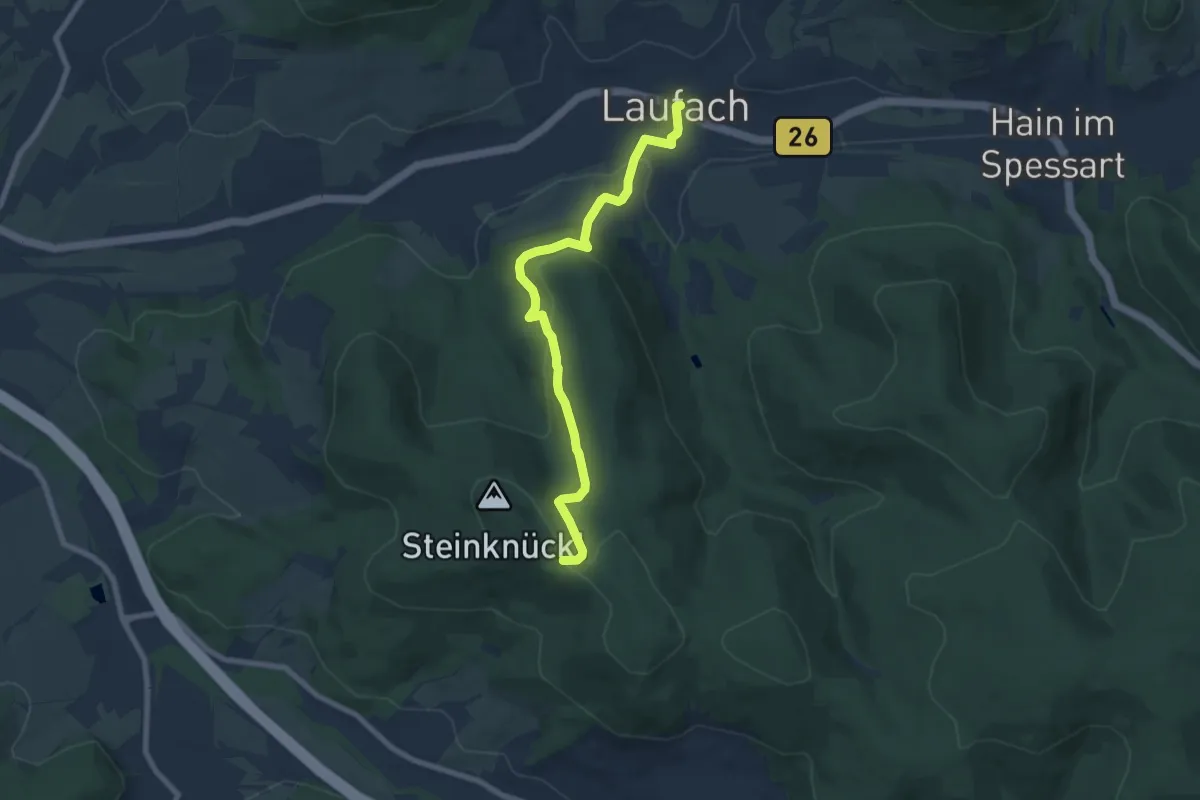
Easy · Trail
Laufach Rundwanderweg L3
3.6 km · ↑ 16 m · 1 h 2 min
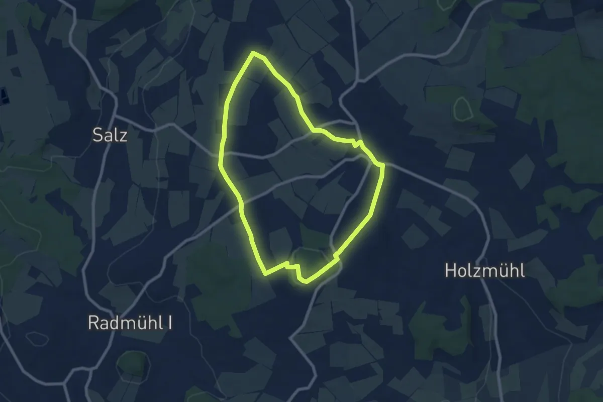
Easy · Summit
Lauf der Geschichte
6.4 km · ↑ 97 m · 1 h 49 min
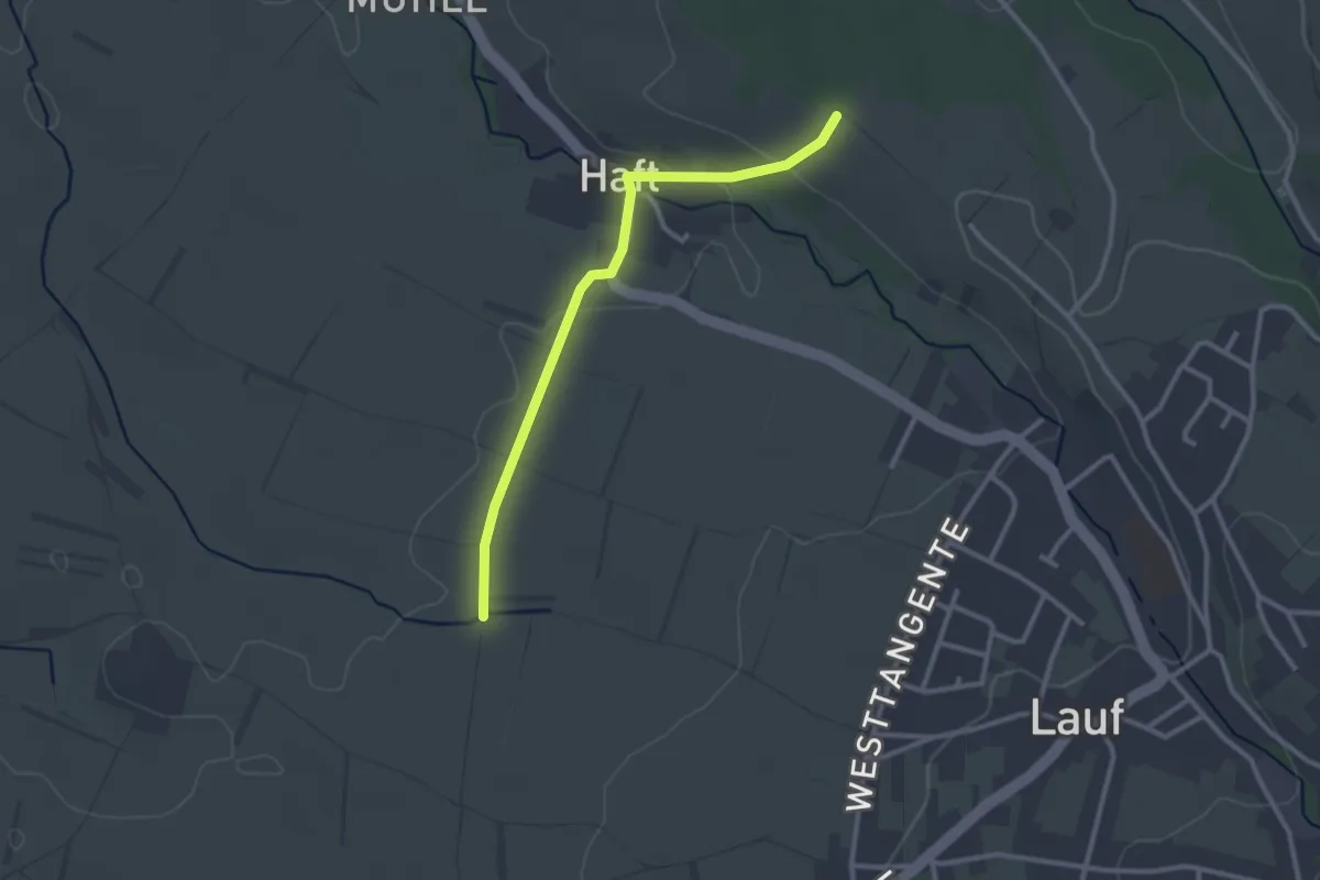
Easy · Trail
Läufelsberg - Münchsgrund
2.6 km · ↑ 47 m · 43 min
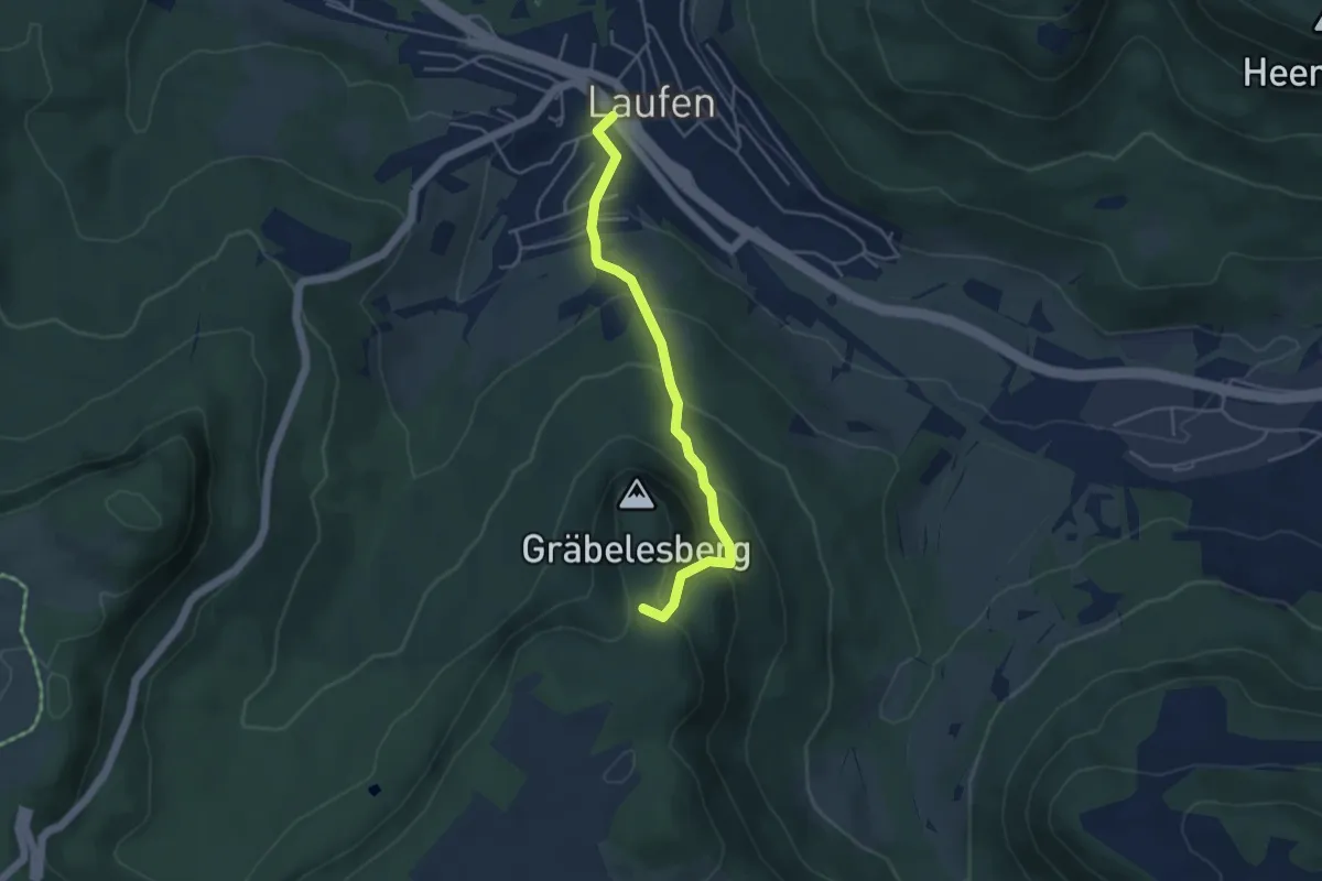
Easy · Trail
Laufen - Gräbelesberg
4.0 km · ↑ 280 m · 1 h 33 min
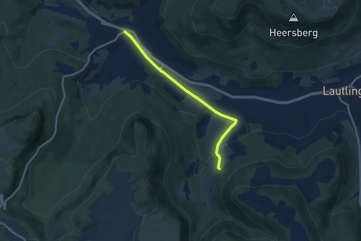
Easy · Trail
Laufen - Hossinger Leiter
5.7 km · ↑ 113 m · 1 h 35 min
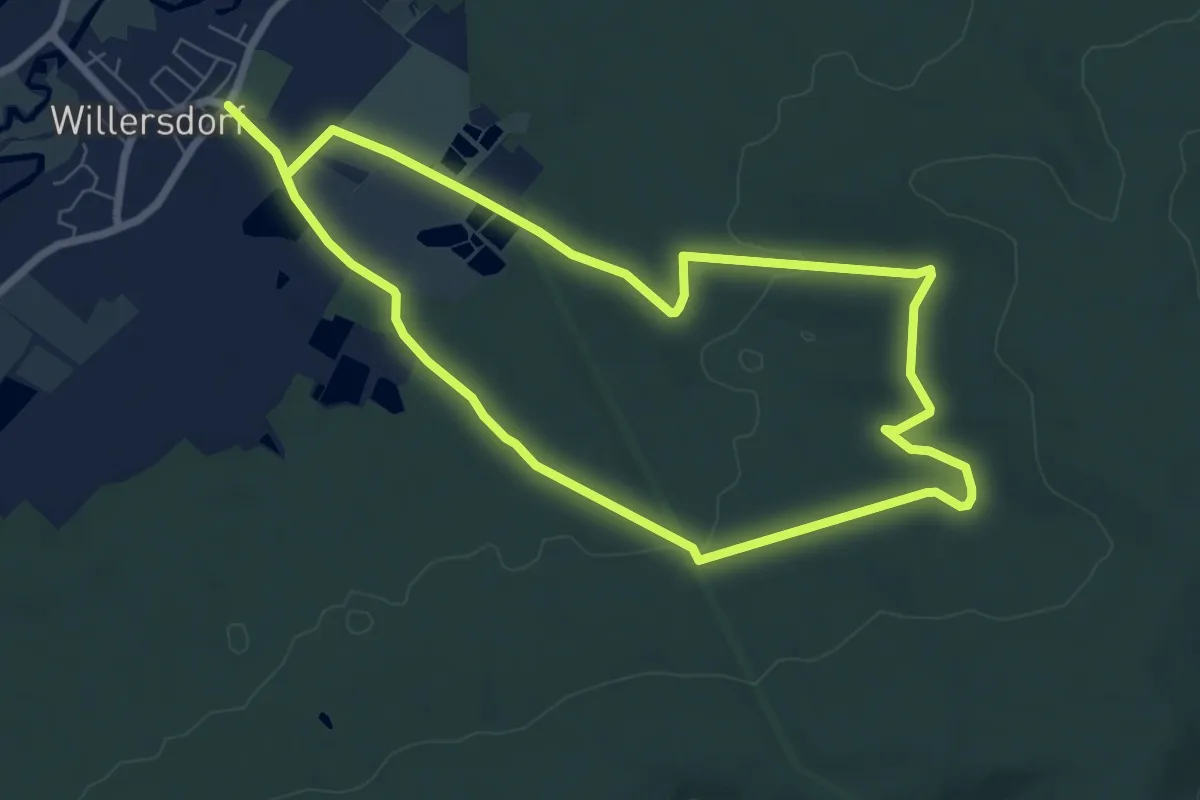
Easy · Trail
Lauferlebnis Fränkische Schweiz
6.8 km · ↑ 75 m · 1 h 51 min
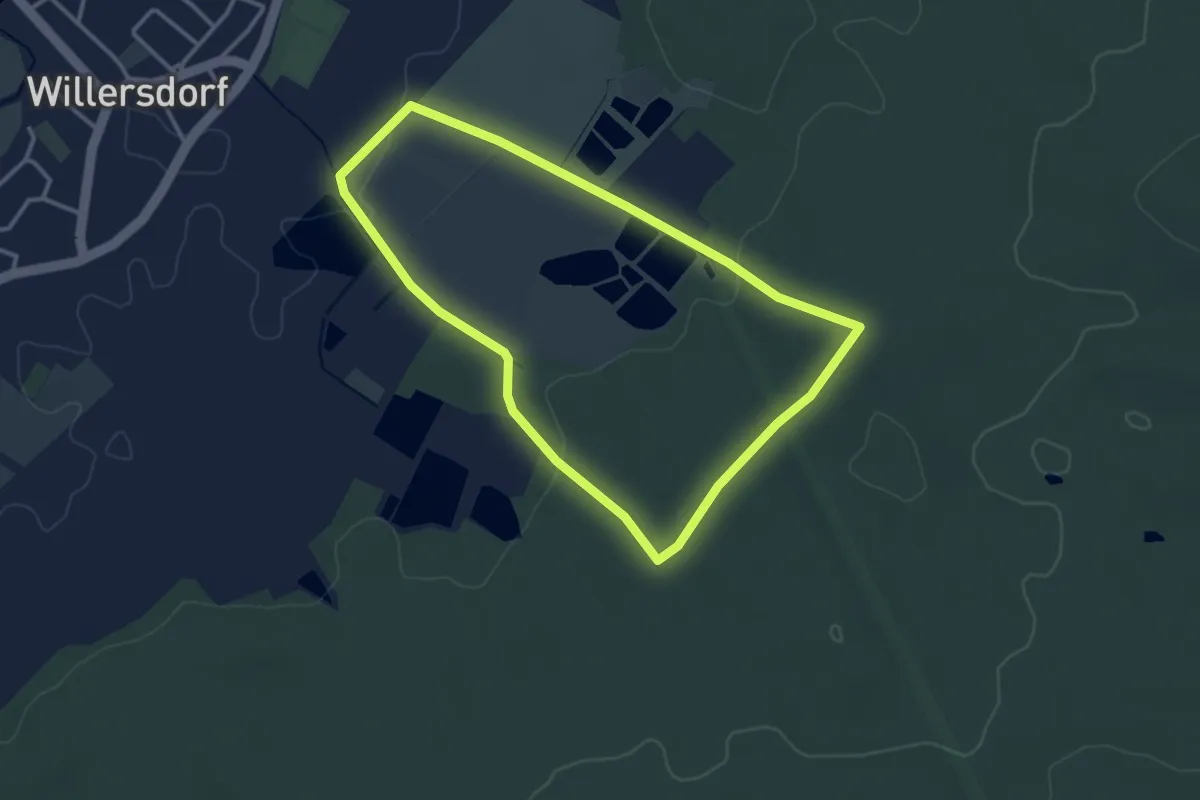
Easy · Trail
Lauferlebnis Fränkische Schweiz
2.9 km · ↑ 38 m · 49 min
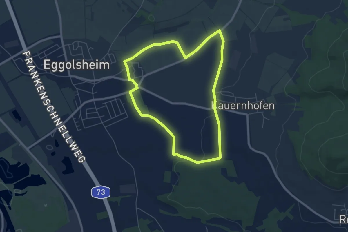
Easy · Trail
Lauferlebnis Fränkische Schweiz E1
5.2 km · ↑ 44 m · 1 h 23 min
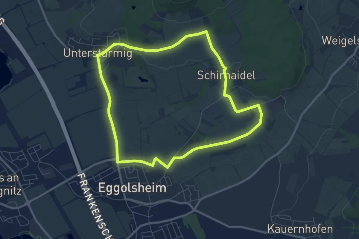
Easy · Trail
Lauferlebnis Fränkische Schweiz E3
6.4 km · ↑ 74 m · 1 h 45 min
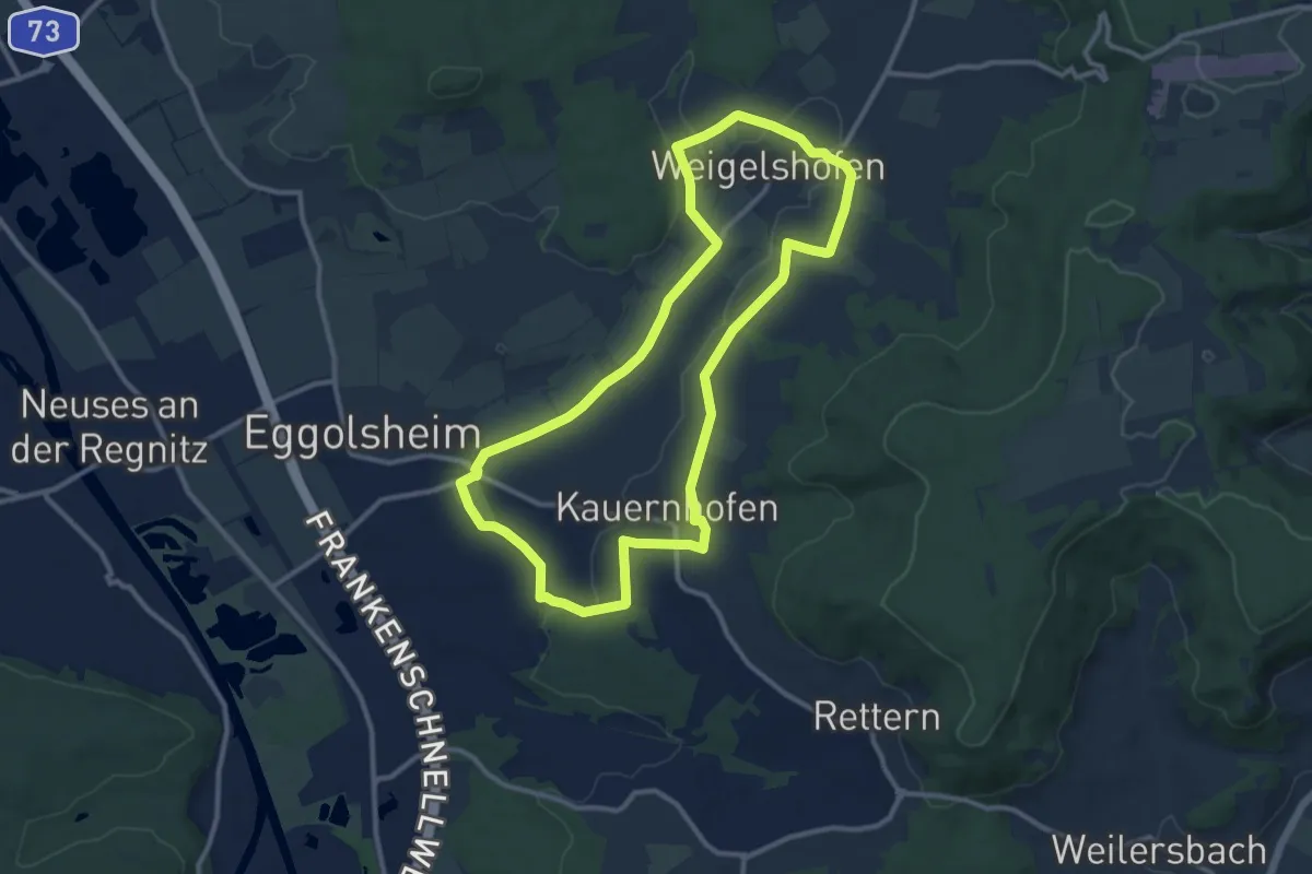
Medium · Trail
Lauferlebnis Fränkische Schweiz E4
10.3 km · ↑ 83 m · 2 h 45 min
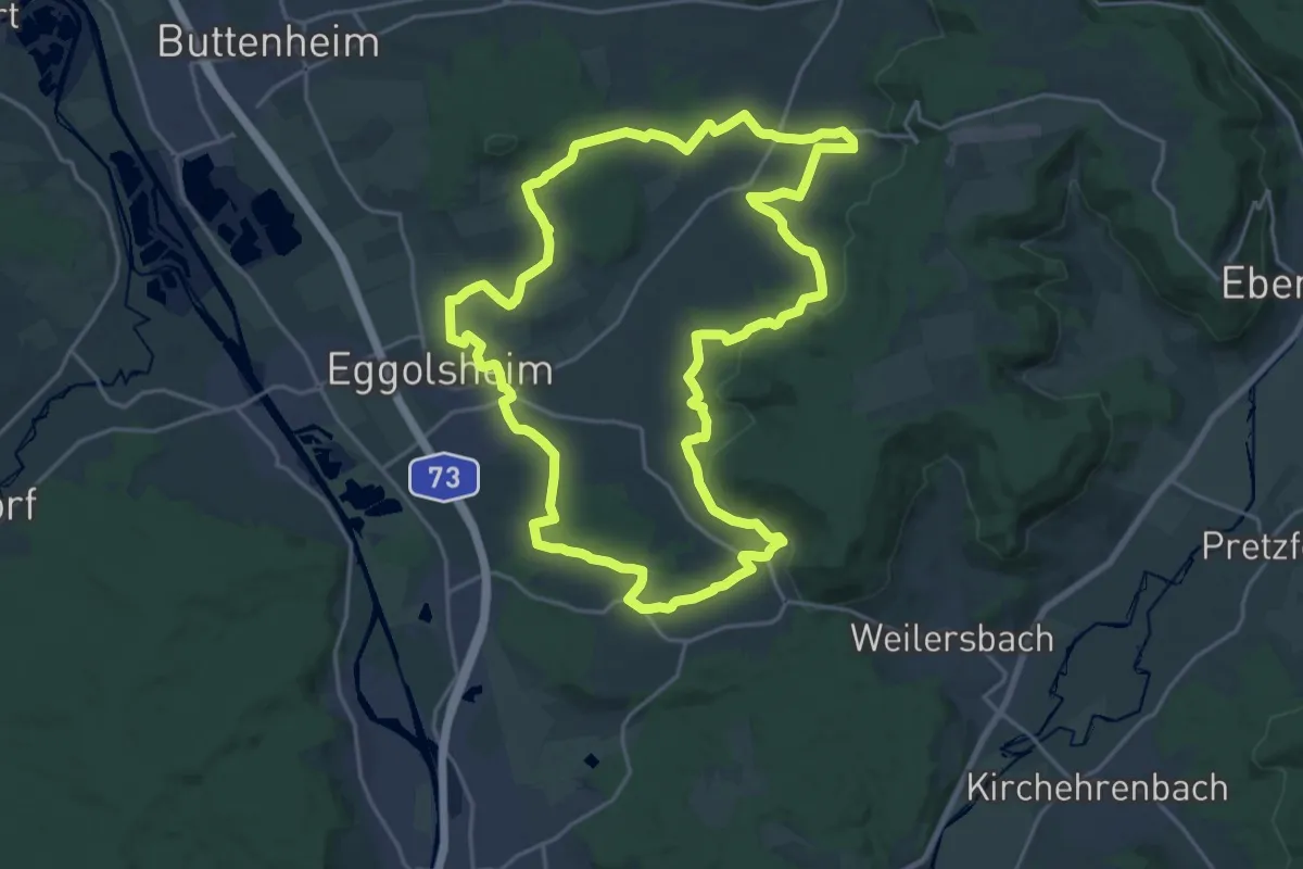
Demanding · Trail
Lauferlebnis Fränkische Schweiz E5
21.0 km · ↑ 344 m · 5 h 59 min
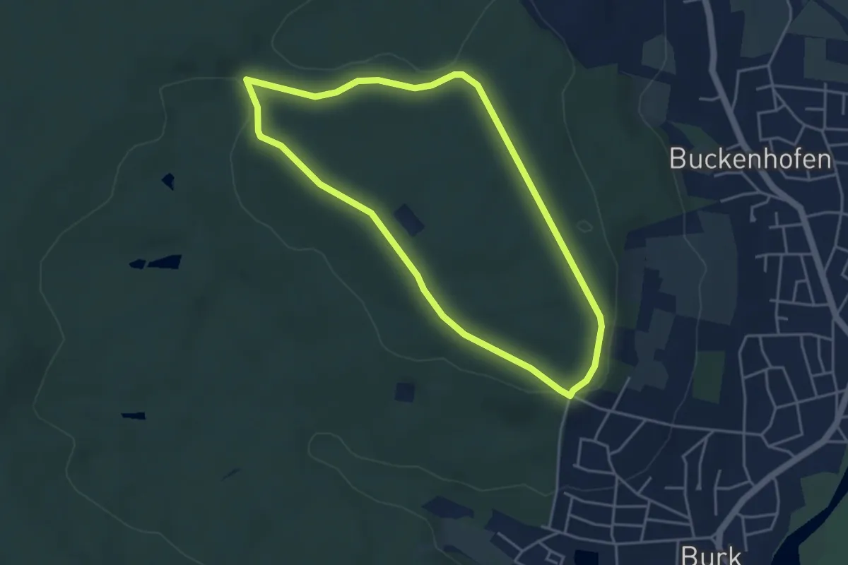
Easy · Trail
Lauferlebnis Fränkische Schweiz F1
3.7 km · ↑ 62 m · 1 h 4 min
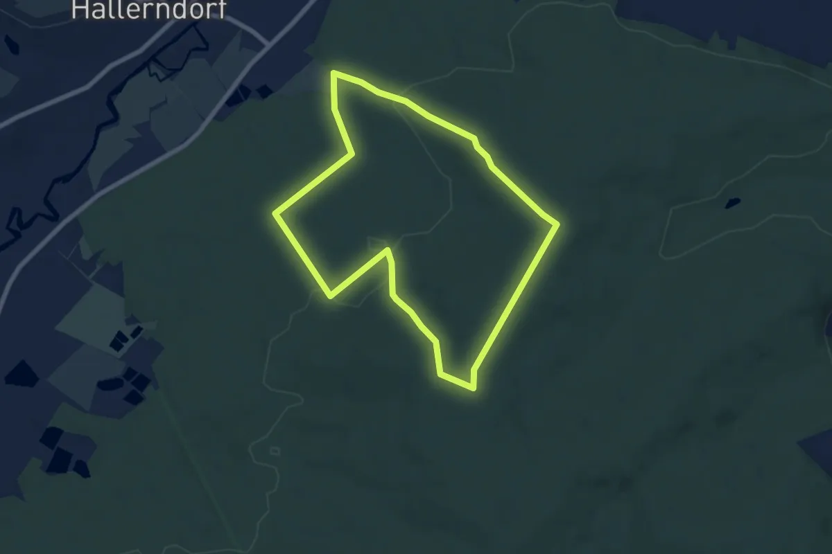
Easy · Trail
Lauferlebnis Fränkische Schweiz F6
5.9 km · ↑ 102 m · 1 h 42 min
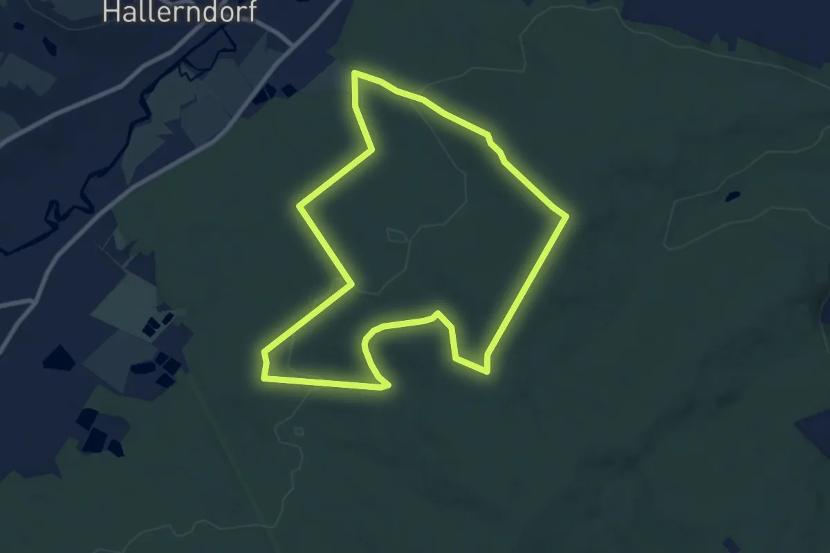
Easy · Trail
Lauferlebnis Fränkische Schweiz F7
7.4 km · ↑ 123 m · 2 h 7 min
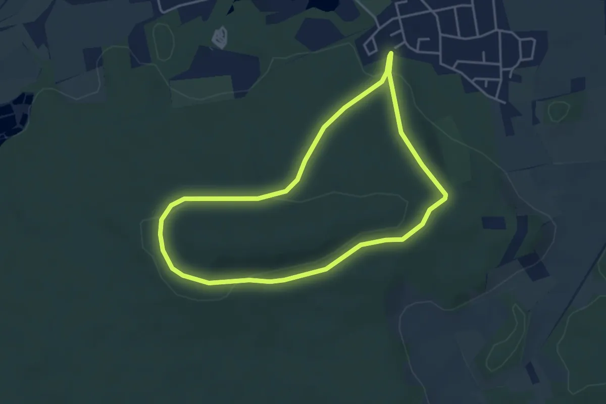
Easy · Trail
Lauferlebnis Fränkische Schweiz H1
3.5 km · ↑ 79 m · 1 h 2 min
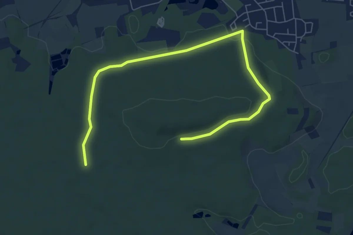
Easy · Trail
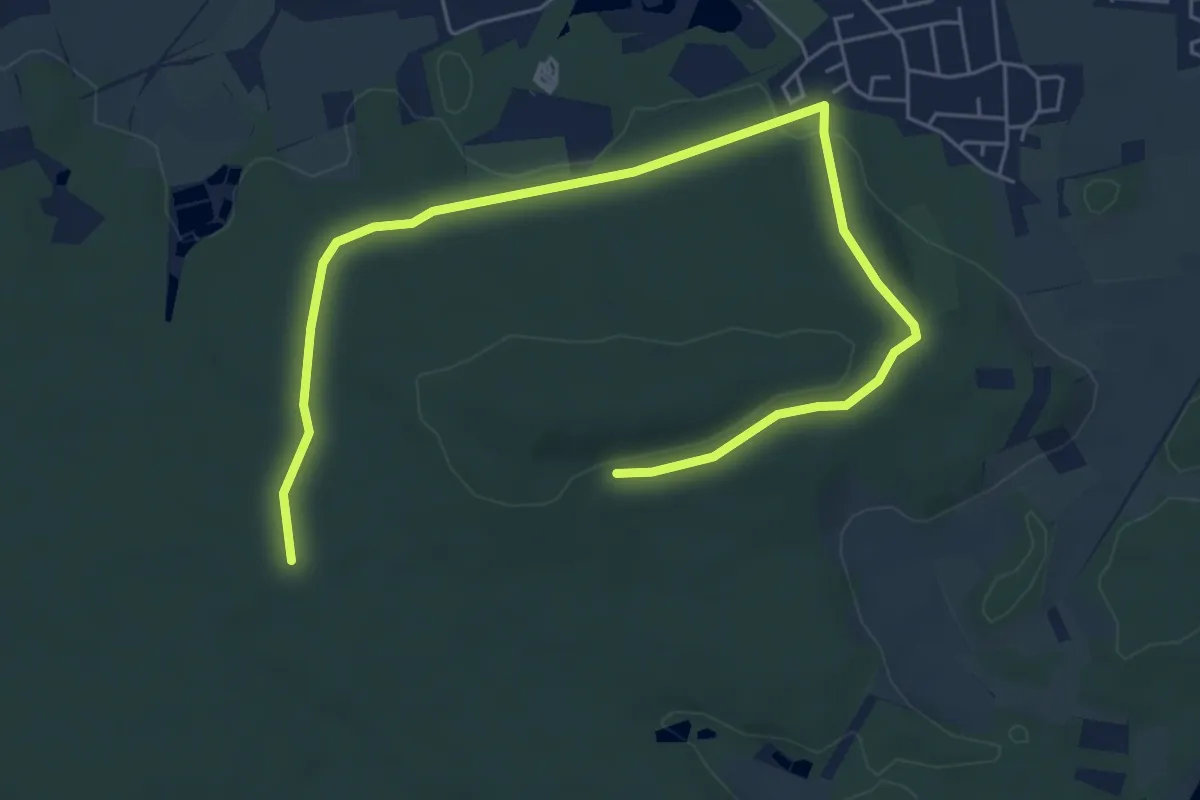
Lauferlebnis Fränkische Schweiz H2
3.6 km · ↑ 54 m · 1 h 2 min
Easy · Trail
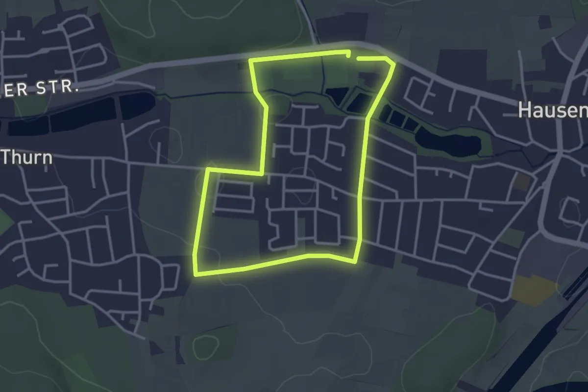
Lauferlebnis Fränkische Schweiz H3
3.6 km · ↑ 54 m · 1 h 2 min
Easy · Trail
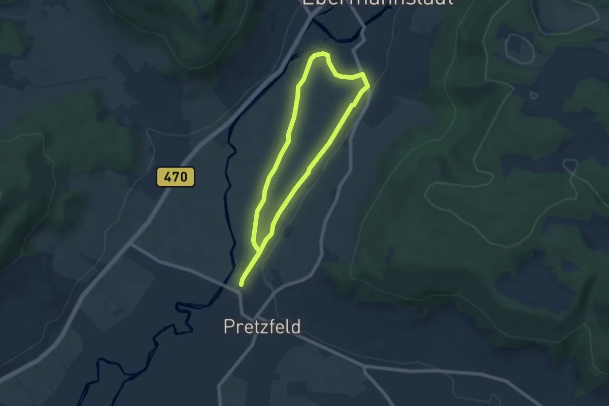
Lauferlebnis Fränkische Schweiz H4
2.8 km · ↑ 9 m · 43 min
Easy · Trail
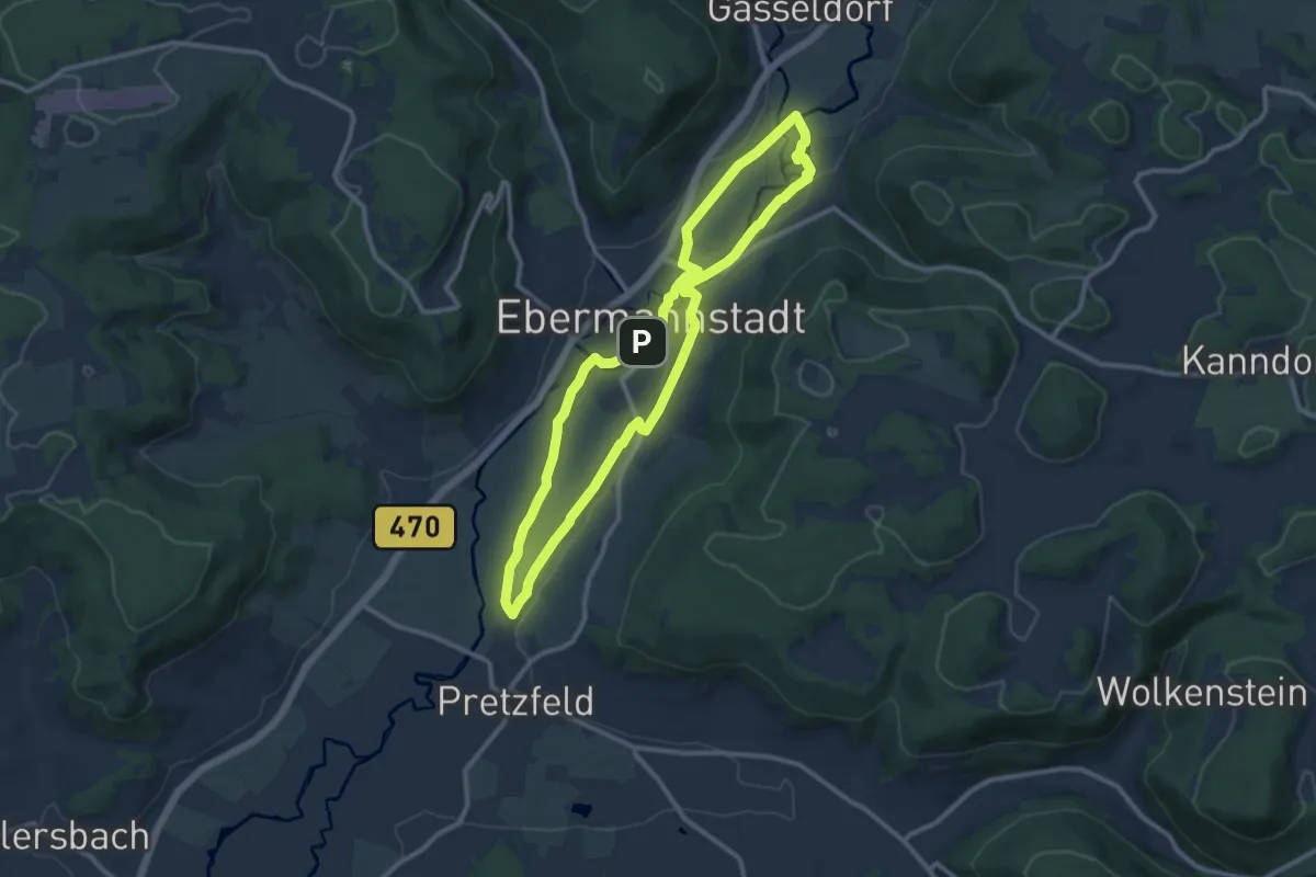
Lauferlebnis Fränkische Schweiz W1
4.9 km · ↑ 9 m · 1 h 14 min
Medium · Trail
Lauferlebnis Fränkische Schweiz W2
9.3 km · ↑ 26 m · 2 h 23 min
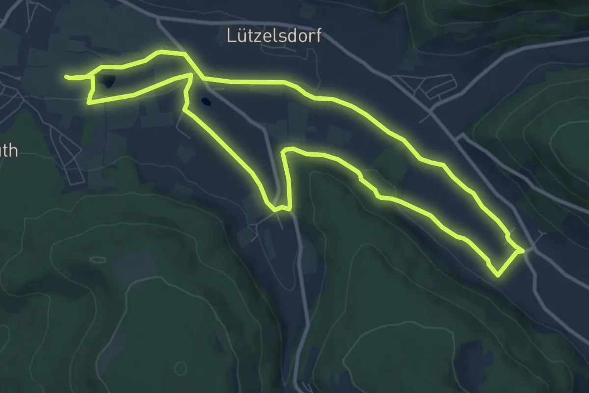
Medium · Trail
Lauferlebnis Fränkische Schweiz W3
8.8 km · ↑ 86 m · 2 h 23 min
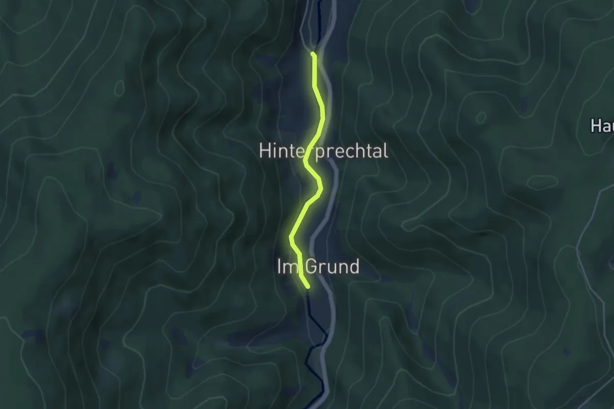
Easy · Trail
Läufersäge - Hänslehof
3.0 km · ↑ 71 m · 51 min
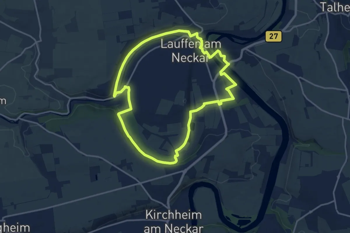
Medium · Trail
Lauffener Katzenbeißer Runde (RRW3)
10.6 km · ↑ 94 m · 2 h 51 min
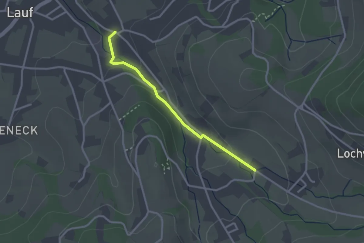
Easy · Trail
Lauf Kopfgartenweg - Laufbachstraße
2.2 km · ↑ 55 m · 39 min
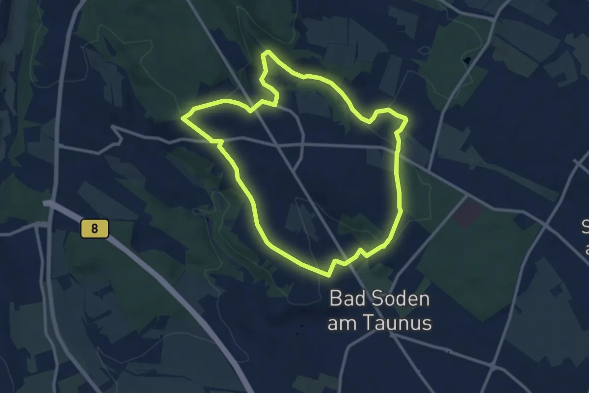
Easy · Trail
Laufpark Taunus NW Bad Soden blau - "Rund um Neuenhain"
7.3 km · ↑ 172 m · 2 h 12 min
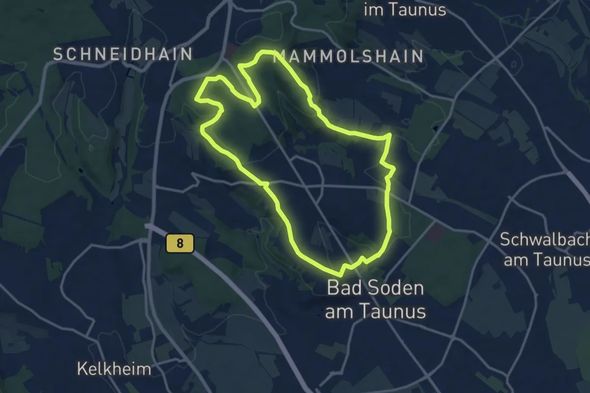
Medium · Trail
Laufpark Taunus NW Bad Soden rot - Judenkopf, Helgenberg, Hardt n
10.8 km · ↑ 273 m · 3 h 17 min
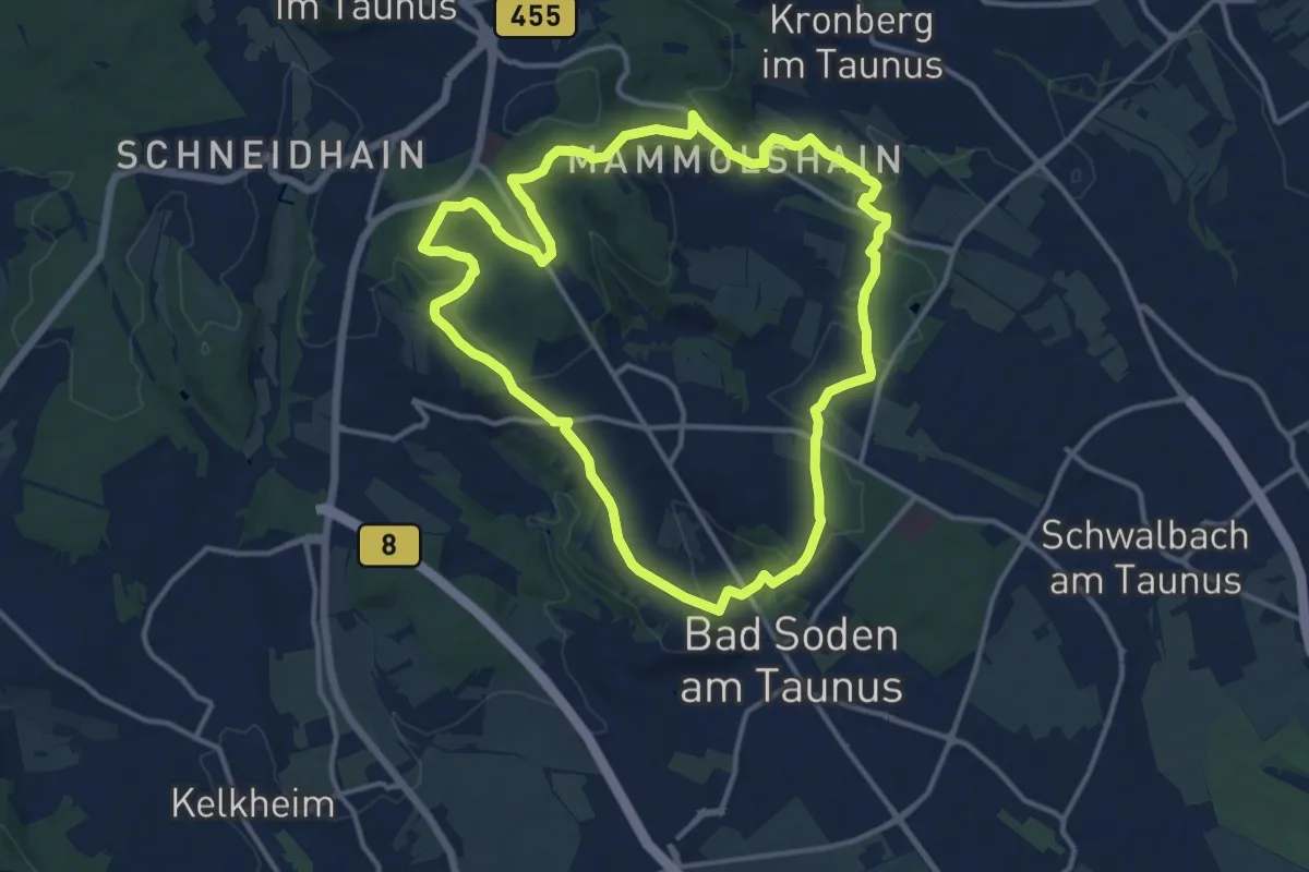
Medium · Trail
Laufpark Taunus NW Bad Soden schwarz / Kronthal , Altenhain
12.3 km · ↑ 297 m · 3 h 44 min
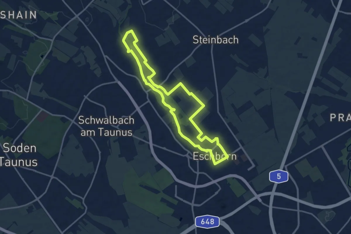
Medium · Trail
Laufstrecke Blau
10.2 km · ↑ 61 m · 2 h 40 min
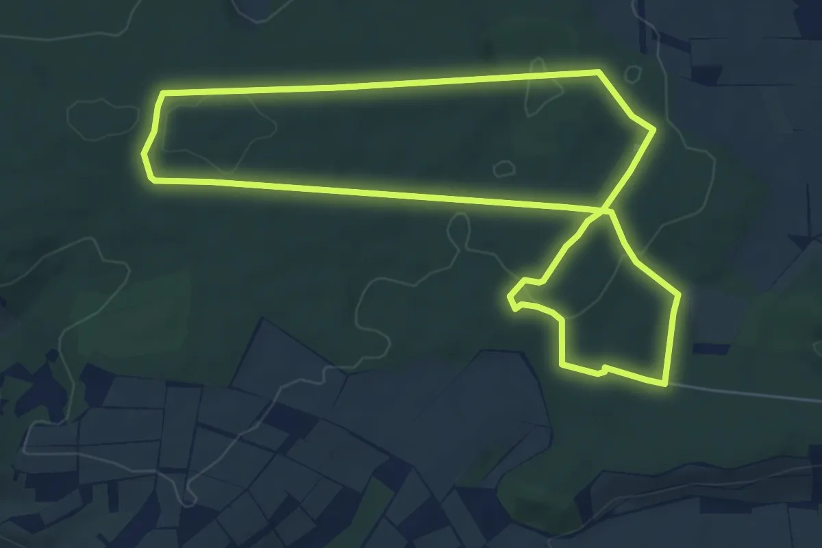
Easy · Summit
Laufstrecke Fuchs
6.3 km · ↑ 84 m · 1 h 45 min
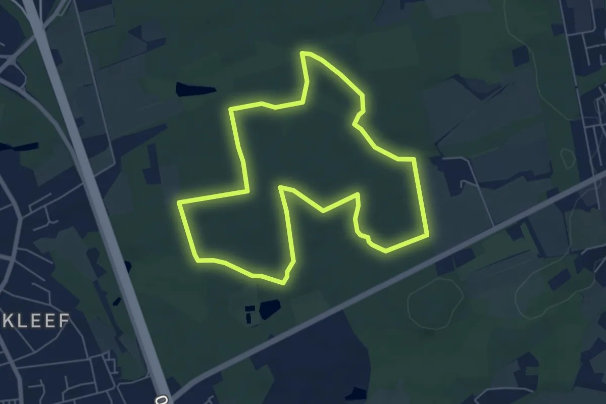
Easy · Summit
Laufstrecke Kaninchen (Hildener Stadtwald)
5.1 km · ↑ 26 m · 1 h 20 min
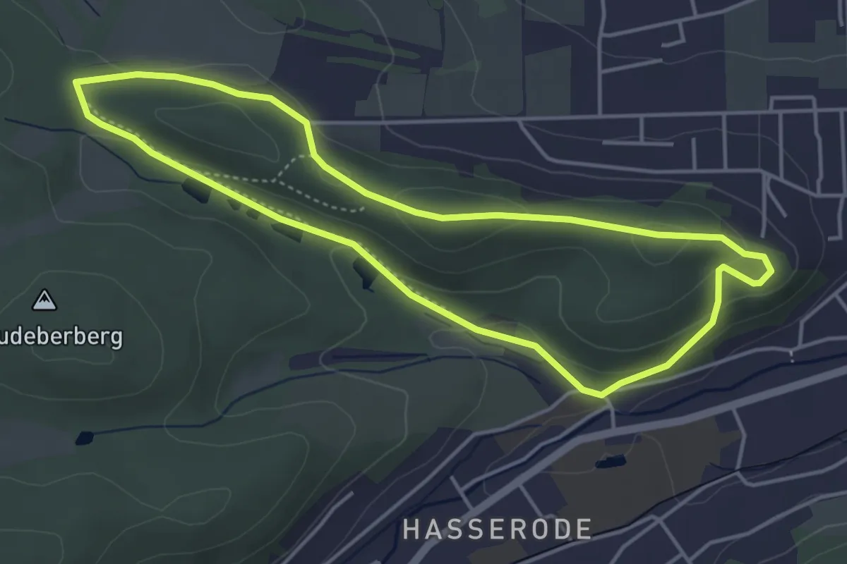
Easy · Summit
Laufstrecke Männer Wernigeröder Fünfkampf
3.8 km · ↑ 91 m · 1 h 9 min
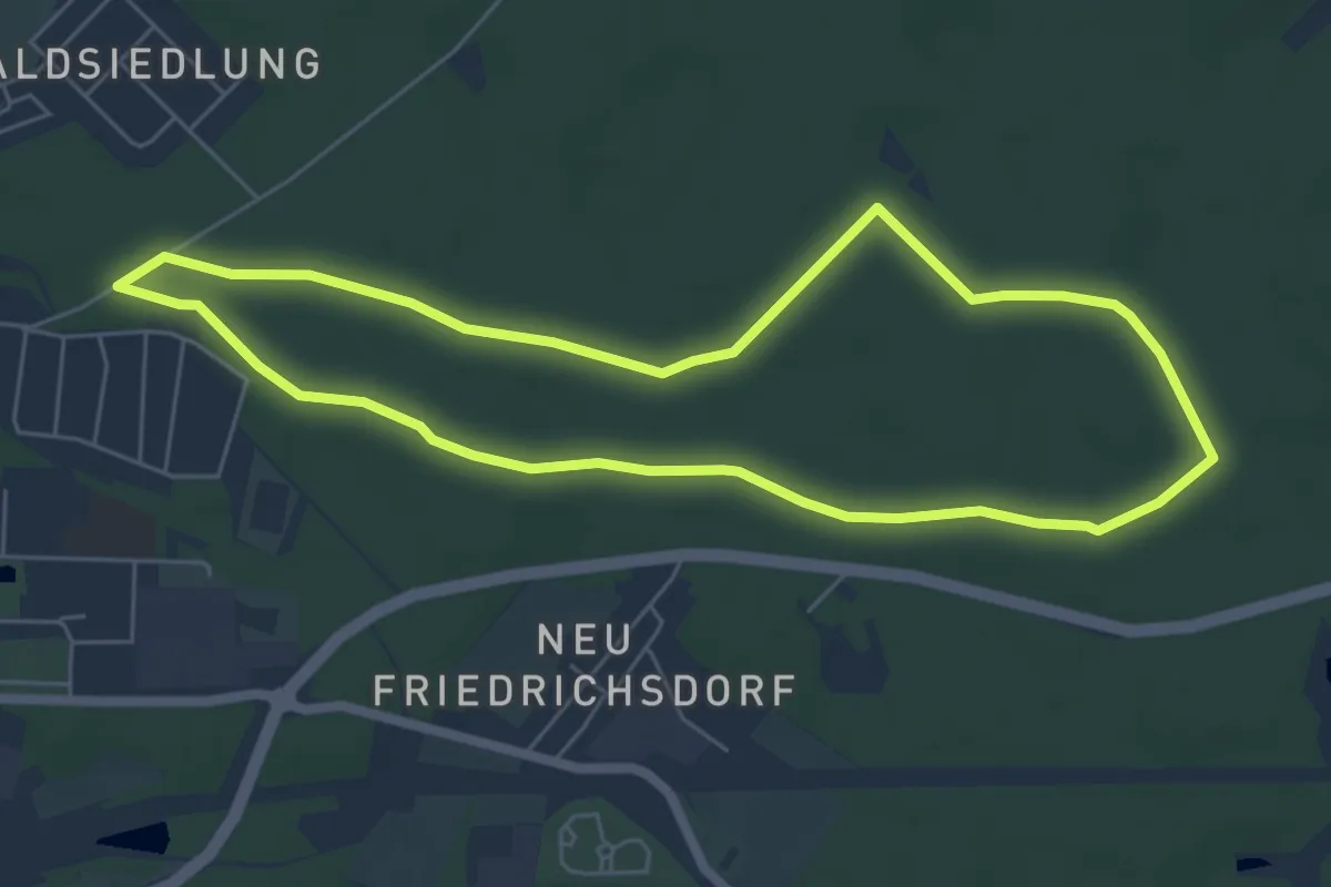
Easy · Summit
Laufstrecken im Rathenower Stadtforst
5.1 km · ↑ 13 m · 1 h 19 min