Trails in Germany
36,852 hiking trails, each with its route, climb, walking time and grade.
All trails, page 320 of 768
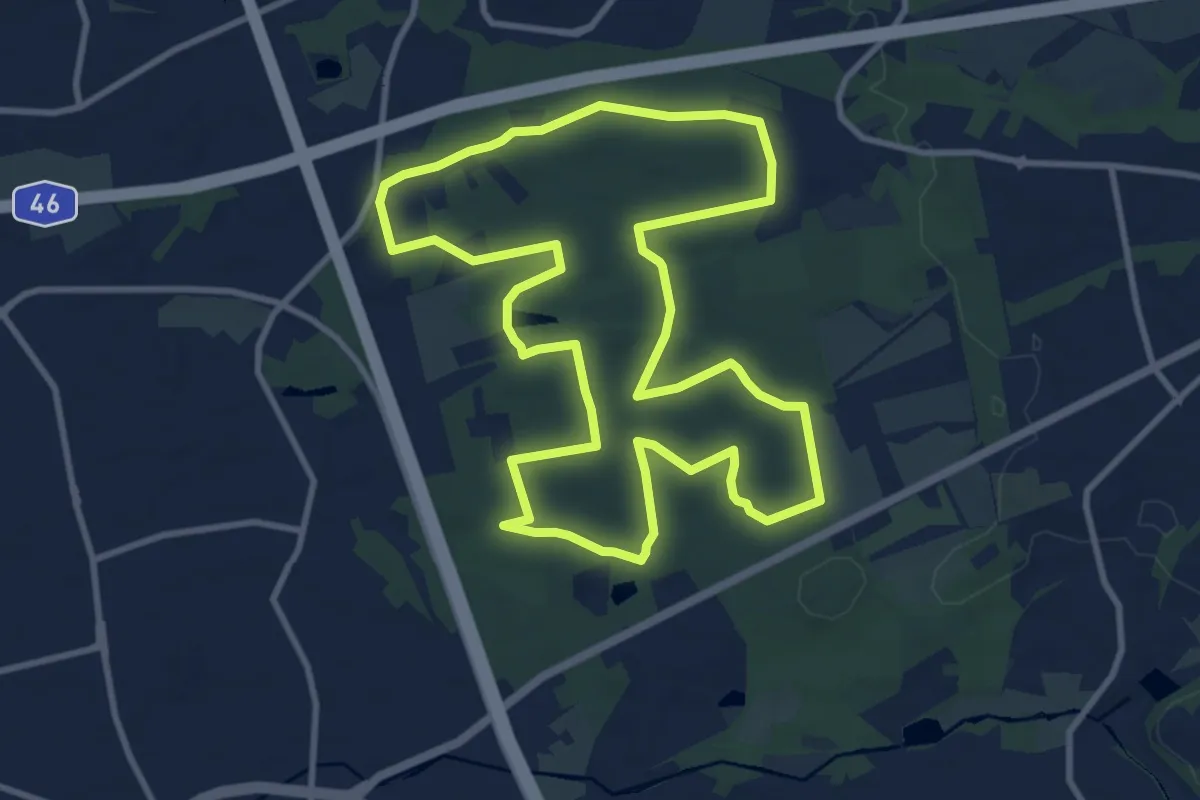
Medium · Summit
Laufstrecke Reh (Hildener Stadtwald)
9.7 km · ↑ 53 m · 2 h 32 min
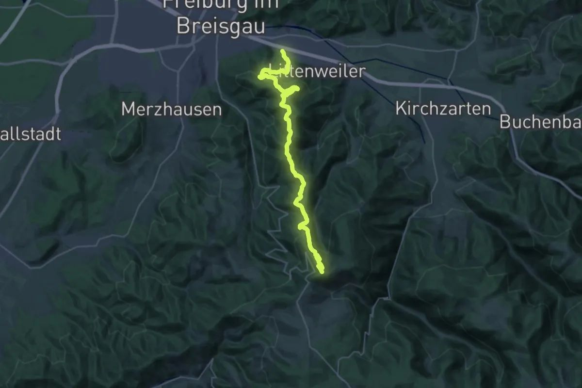
Demanding · Summit
Laufstrecke Schauinsland Berglauf
25.9 km · ↑ 1335 m · 9 h 1 min
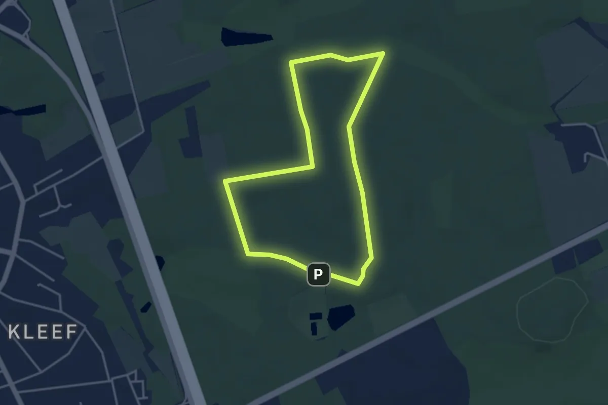
Easy · Summit
Laufstrecke Schnecke (Hildener Stadtwald)
3.0 km · ↑ 23 m · 47 min
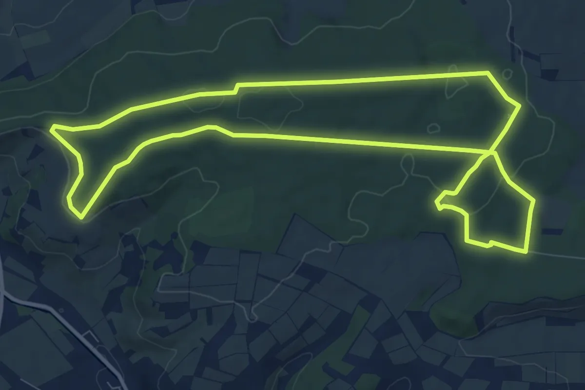
Medium · Summit
Laufstrecke Wildschwein
9.1 km · ↑ 131 m · 2 h 34 min
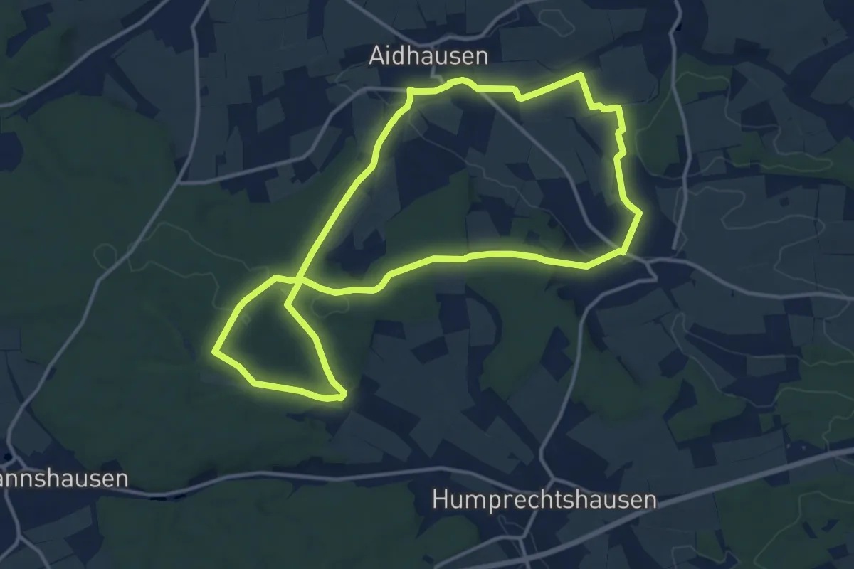
Medium · Trail
Lauftour AID1
12.1 km · ↑ 194 m · 3 h 27 min
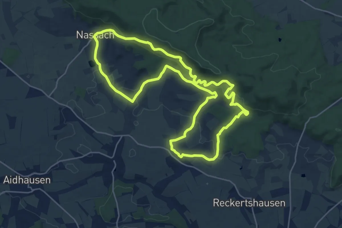
Medium · Trail
Lauftour AID2
15.8 km · ↑ 436 m · 4 h 53 min
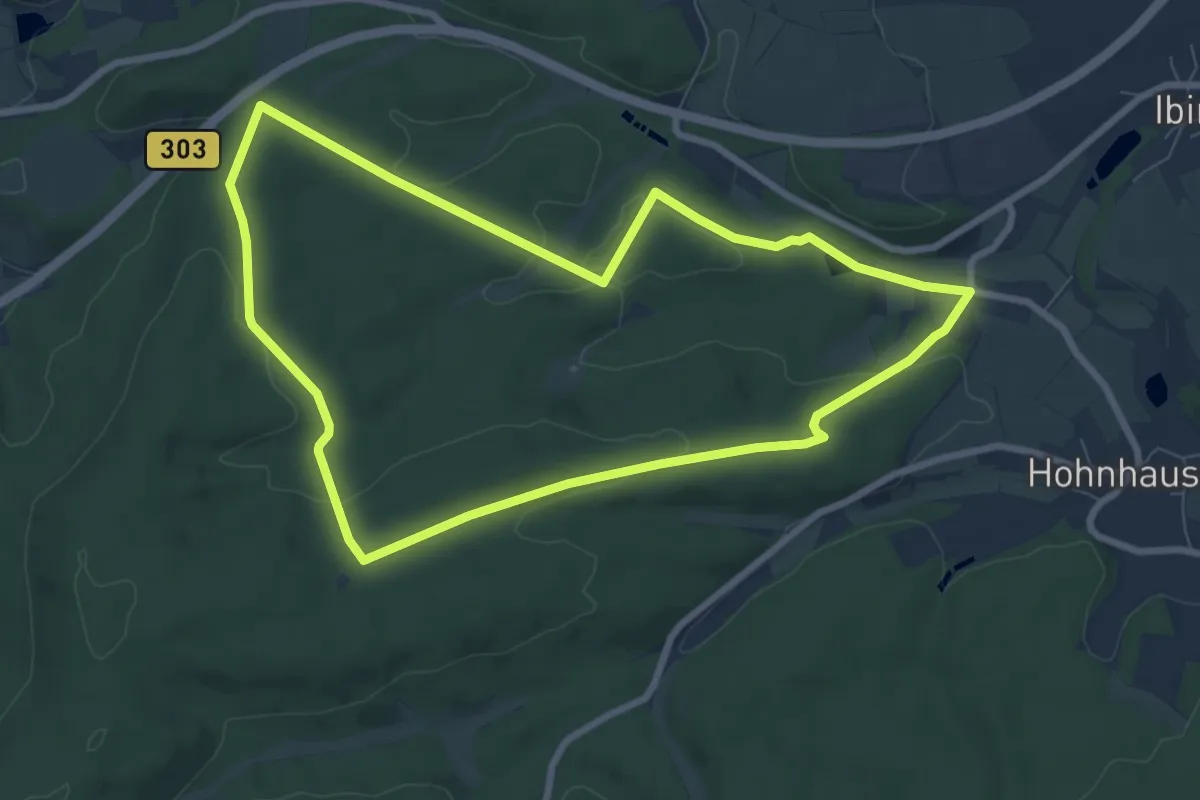
Easy · Trail
Lauftour BGP1
7.4 km · ↑ 123 m · 2 h 7 min
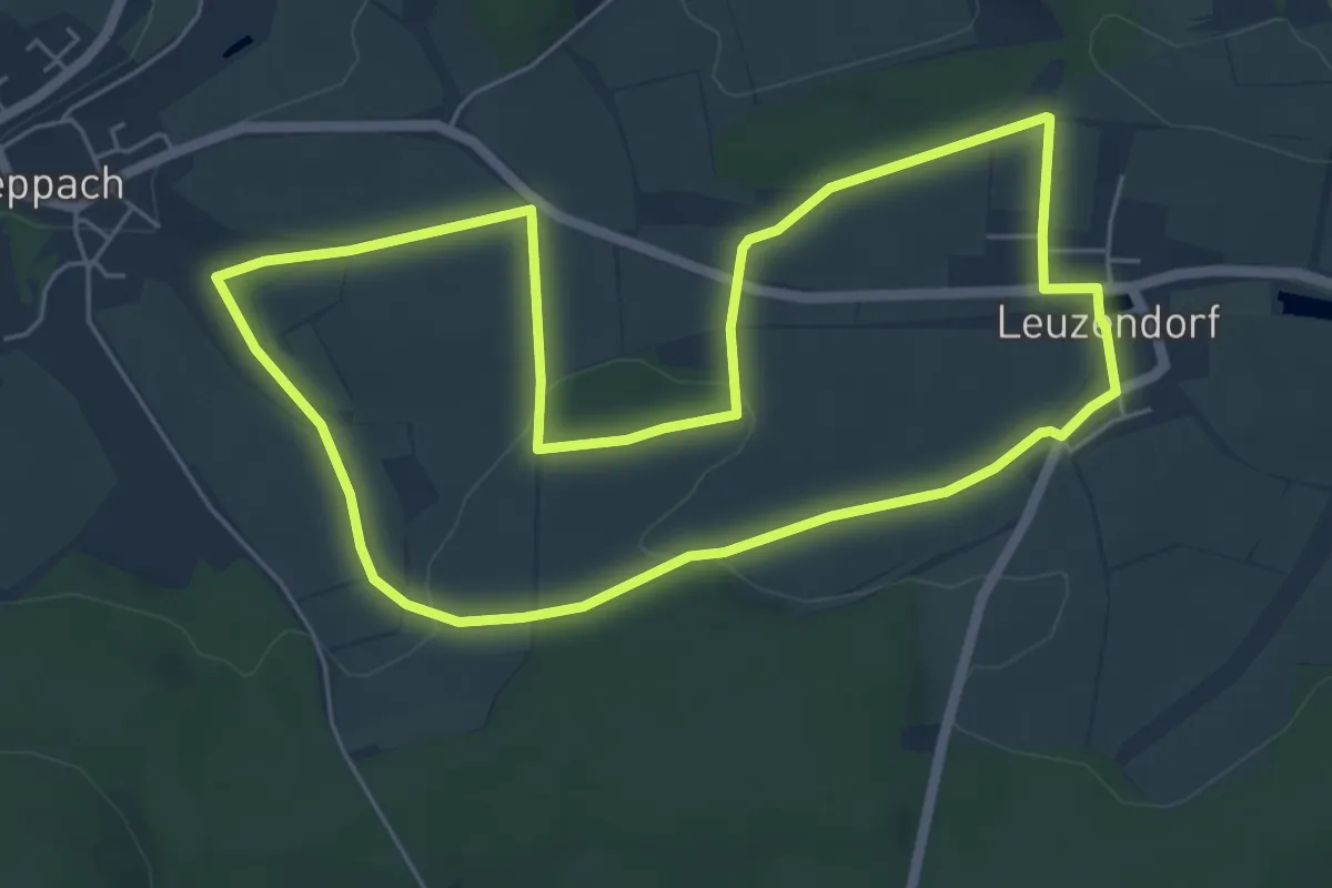
Easy · Trail
Lauftour BGP2
5.5 km · ↑ 89 m · 1 h 35 min
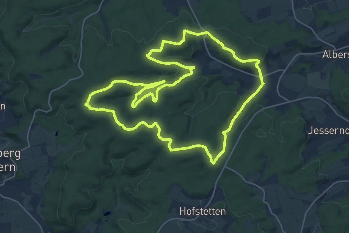
Medium · Summit
Lauftour BGP3
17.6 km · ↑ 393 m · 5 h 15 min
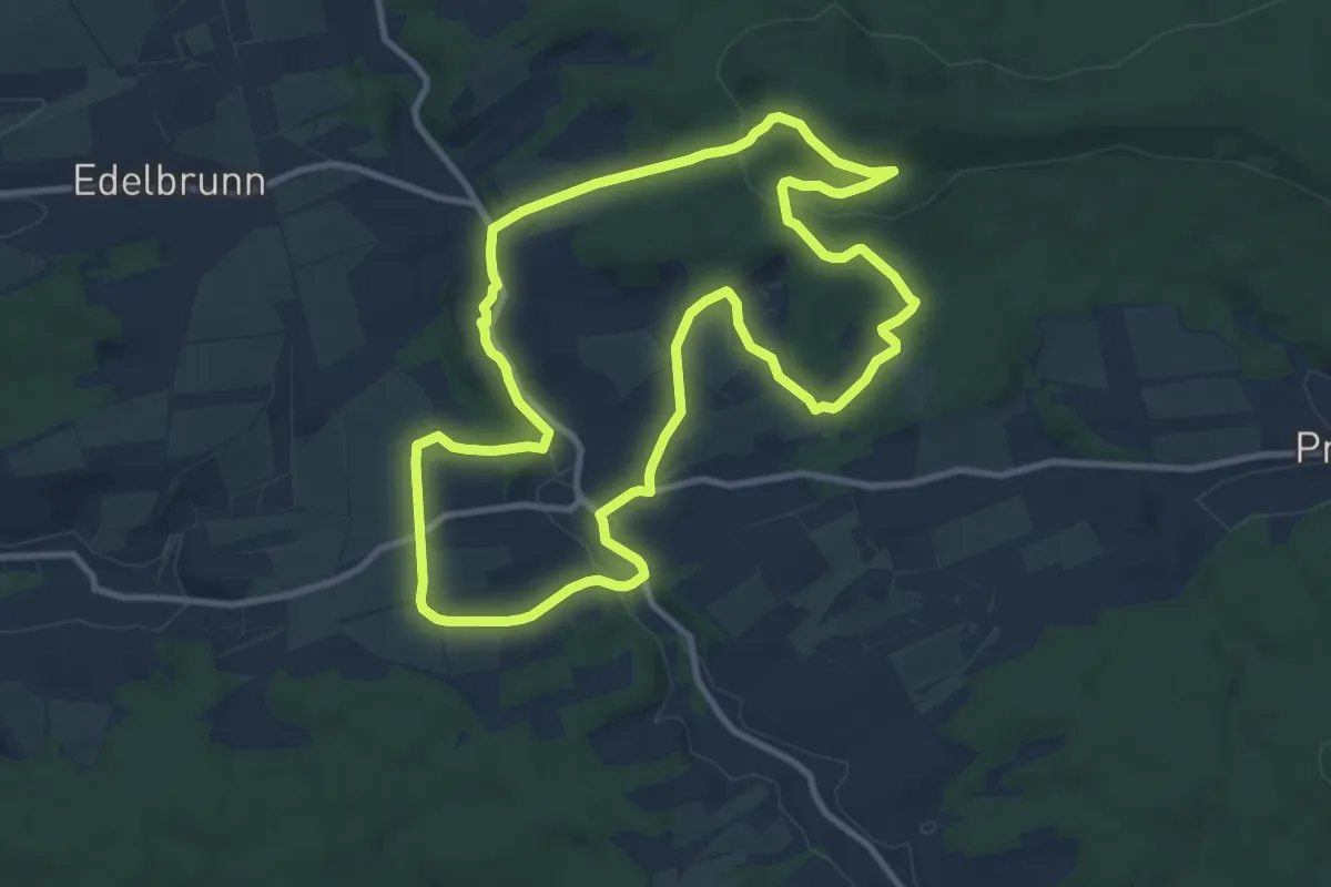
Medium · Trail
Lauftour BRB1
9.7 km · ↑ 224 m · 2 h 55 min
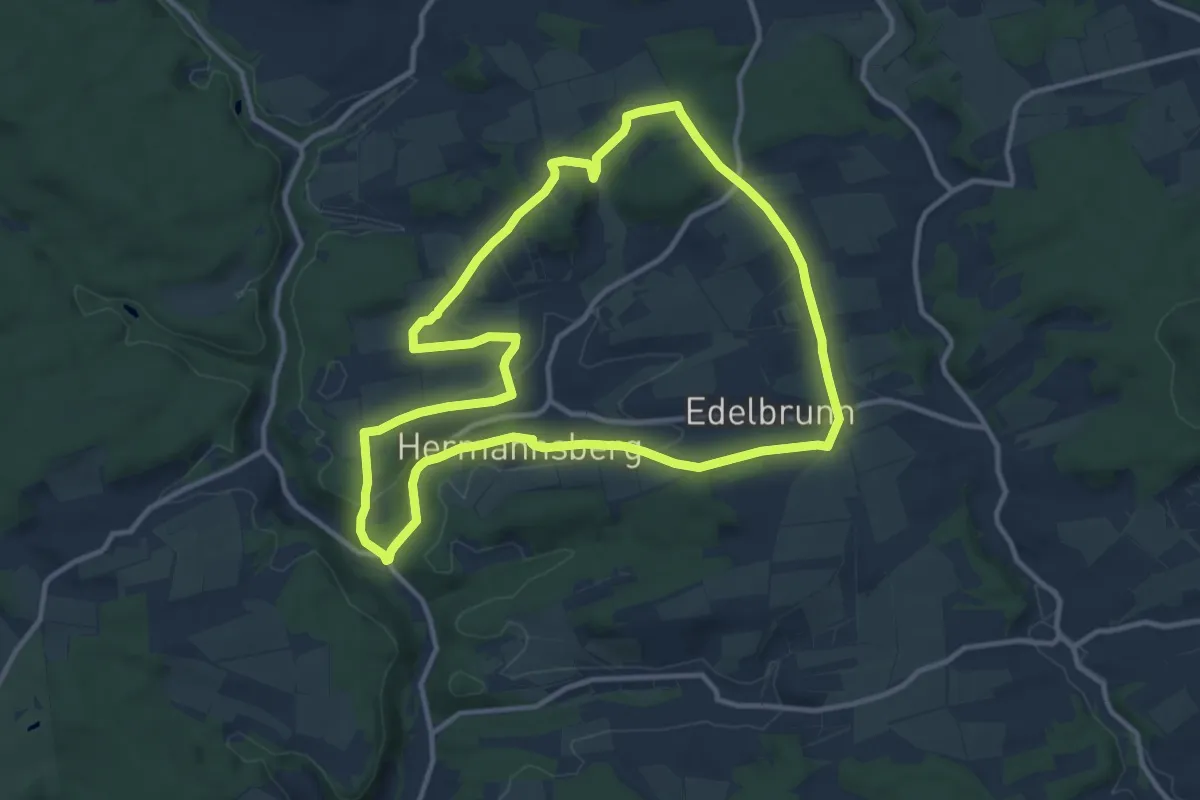
Medium · Summit
Lauftour BRB2
11.0 km · ↑ 174 m · 3 h 8 min
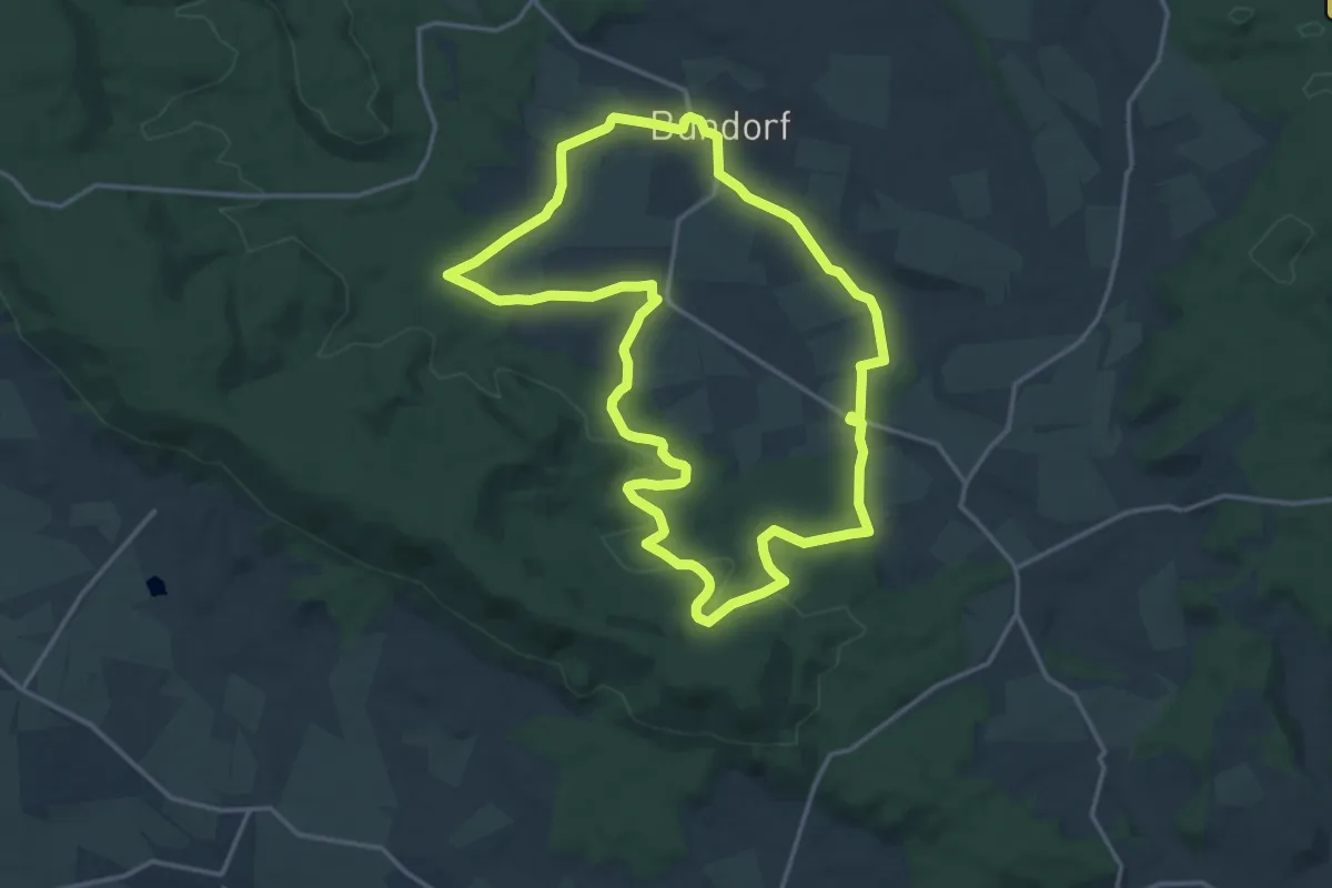
Medium · Trail
Lauftour BUN1
15.2 km · ↑ 183 m · 4 h 11 min
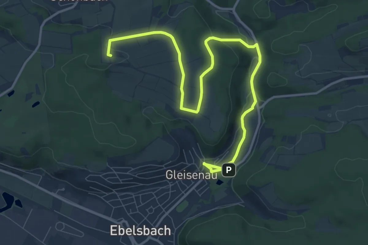
Medium · Summit
Lauftour EBL1
9.1 km · ↑ 168 m · 2 h 37 min
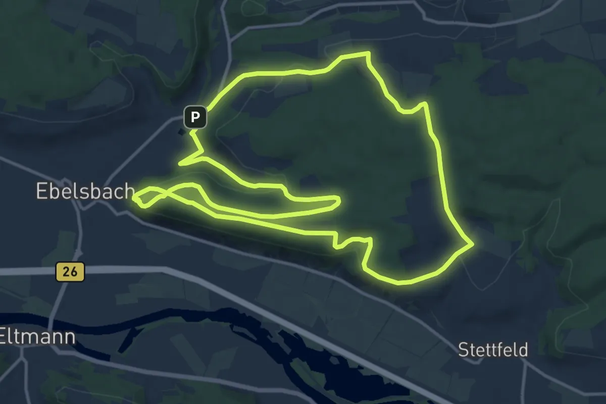
Medium · Summit
Lauftour EBL2
11.9 km · ↑ 286 m · 3 h 36 min
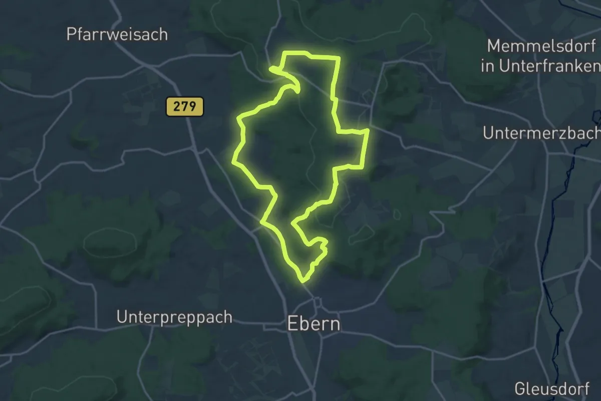
Medium · Trail
Lauftour EBN1
14.8 km · ↑ 276 m · 4 h 17 min
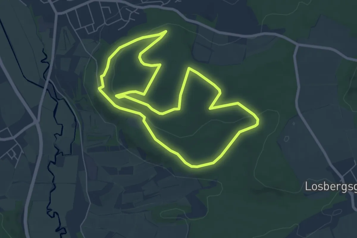
Easy · Trail
Lauftour EBN4
5.9 km · ↑ 138 m · 1 h 47 min
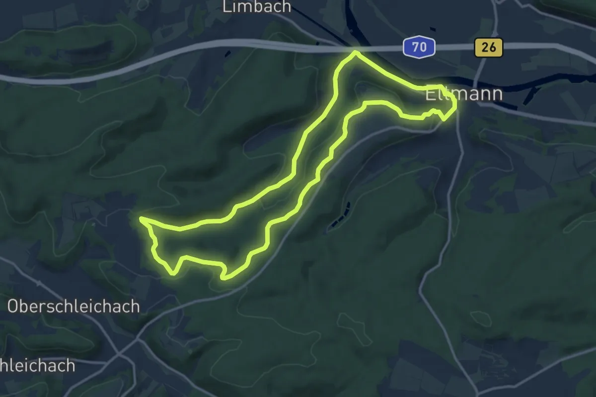
Medium · Trail
Lauftour ELT1
11.8 km · ↑ 227 m · 3 h 27 min
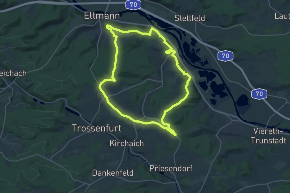
Demanding · Trail
Lauftour ELT2
18.5 km · ↑ 382 m · 5 h 27 min
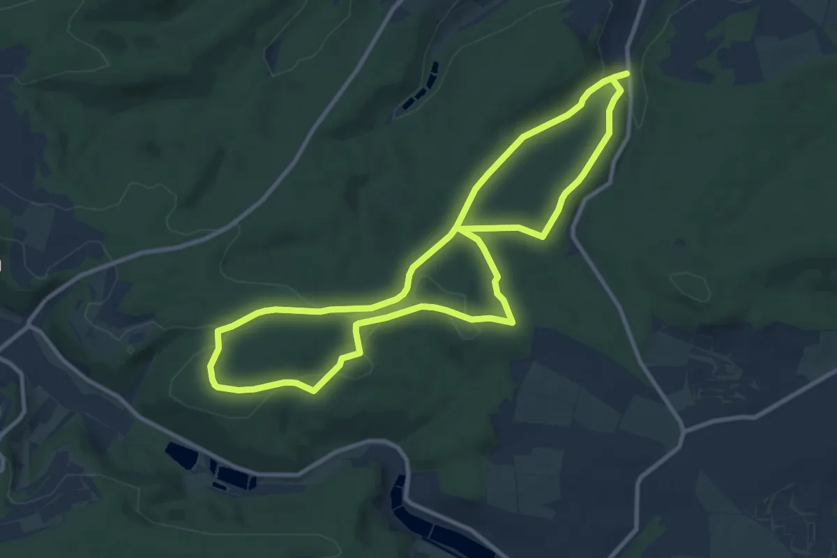
Medium · Trail
Lauftour ELT3
8.7 km · ↑ 155 m · 2 h 31 min
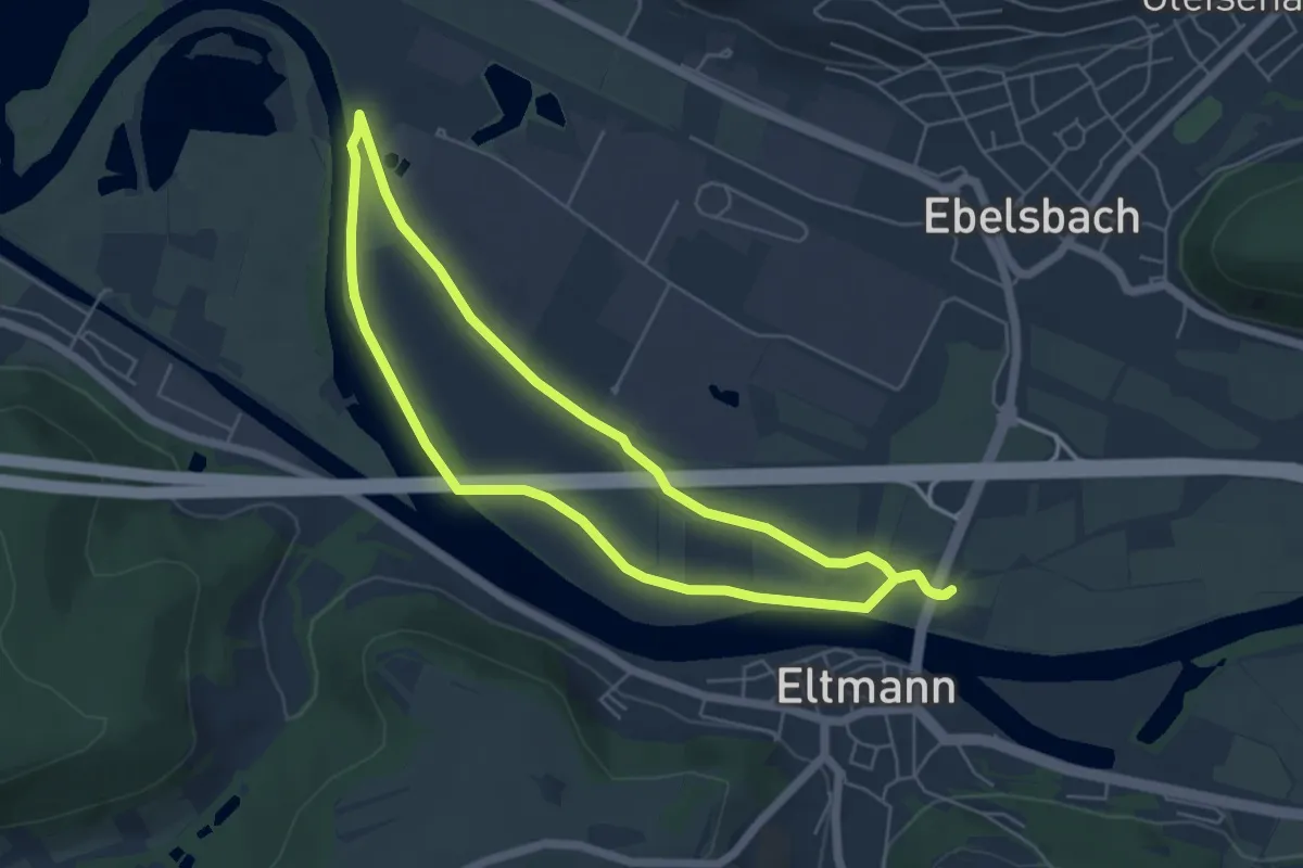
Easy · Trail
Lauftour ELT4
4.9 km · ↑ 4 m · 1 h 14 min
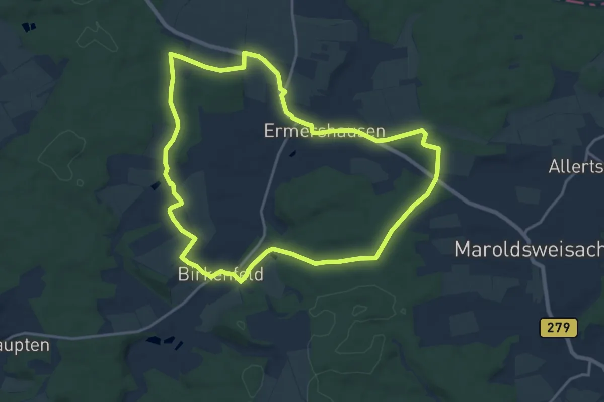
Medium · Summit
Lauftour ERM1
10.6 km · ↑ 179 m · 3 h 2 min
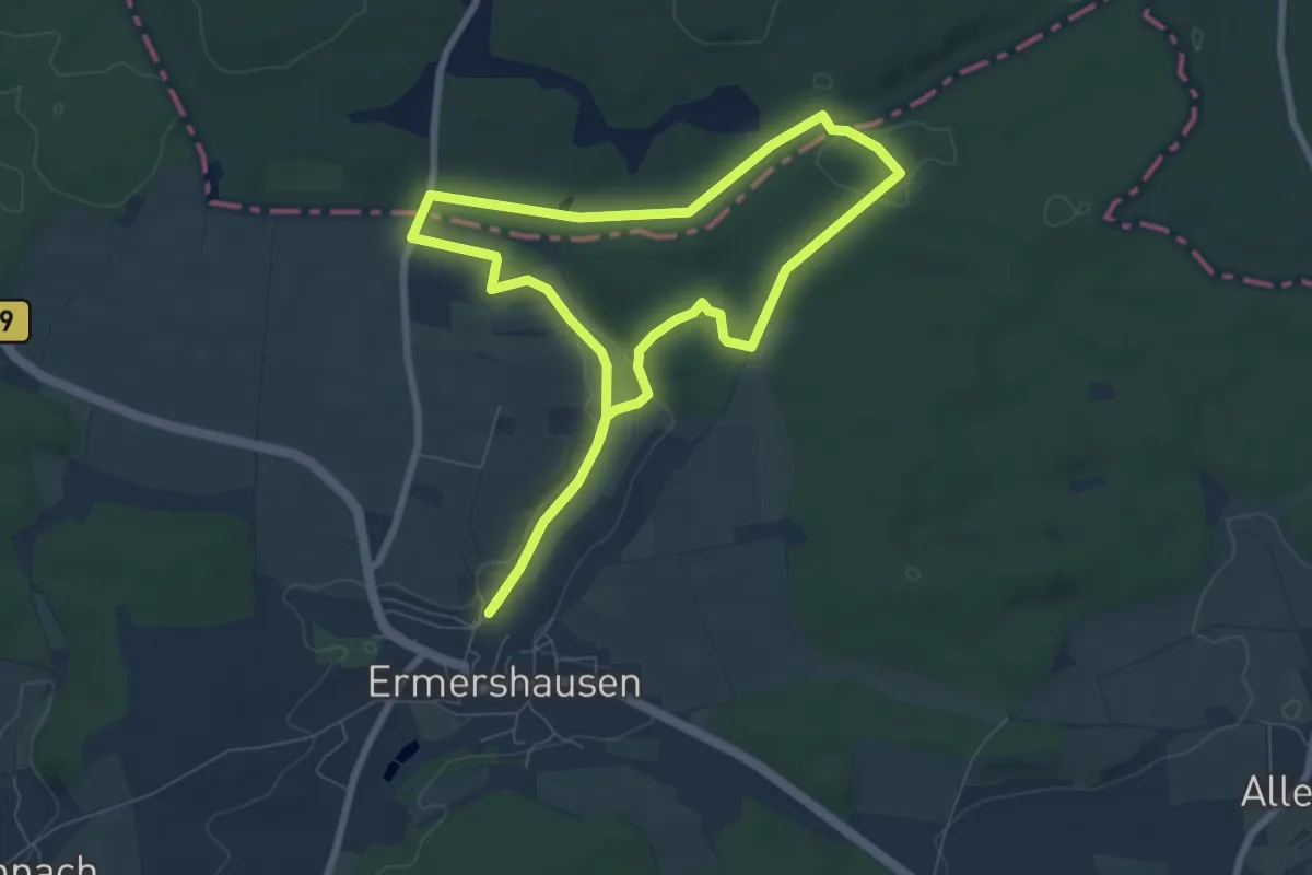
Easy · Trail
Lauftour ERM2
6.7 km · ↑ 117 m · 1 h 56 min
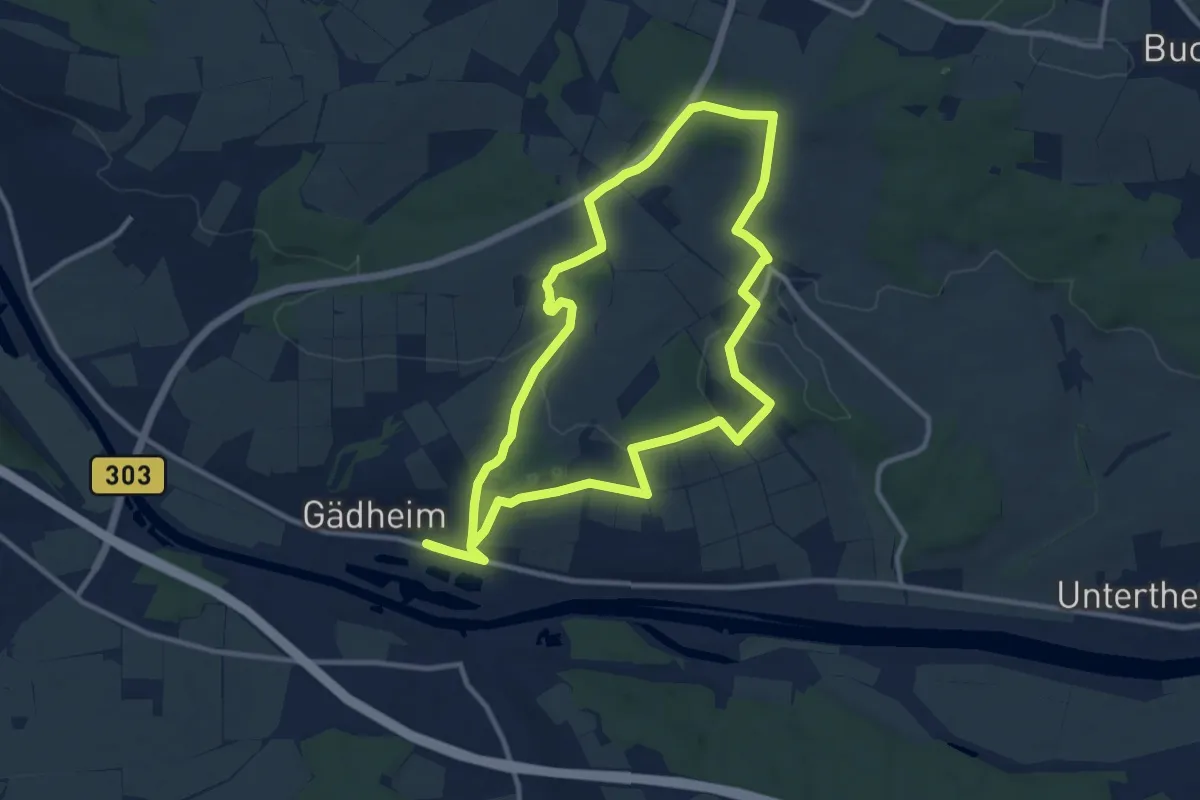
Medium · Trail
Lauftour GÄD1
10.1 km · ↑ 226 m · 3 h
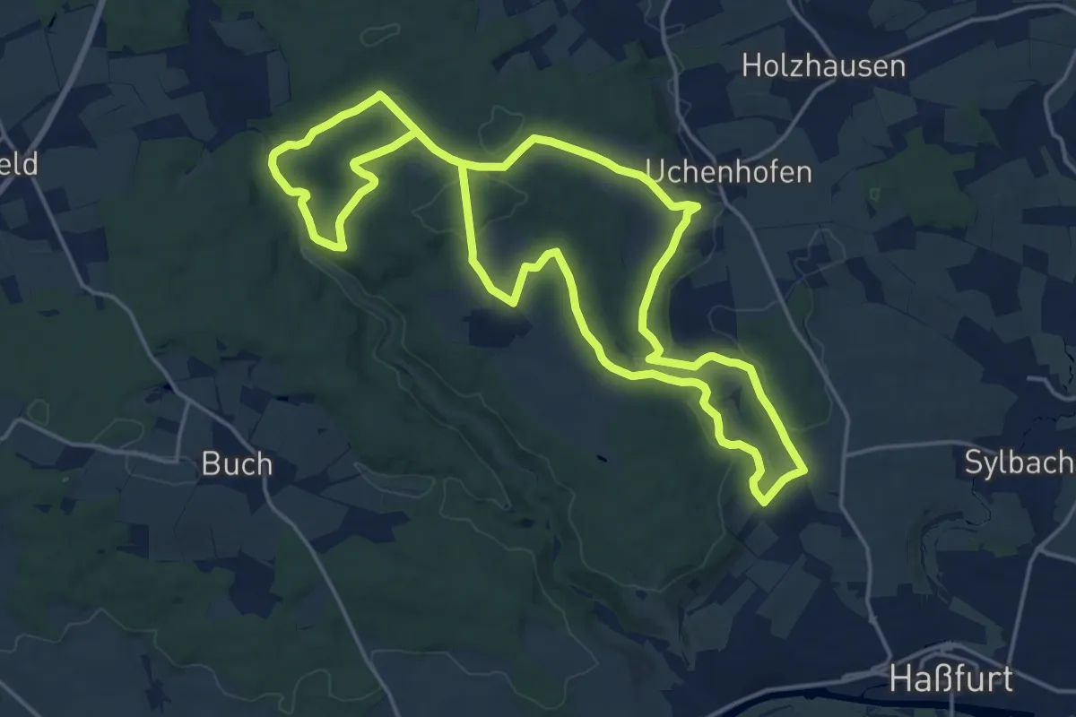
Medium · Trail
Lauftour HAS1
17.0 km · ↑ 319 m · 4 h 56 min
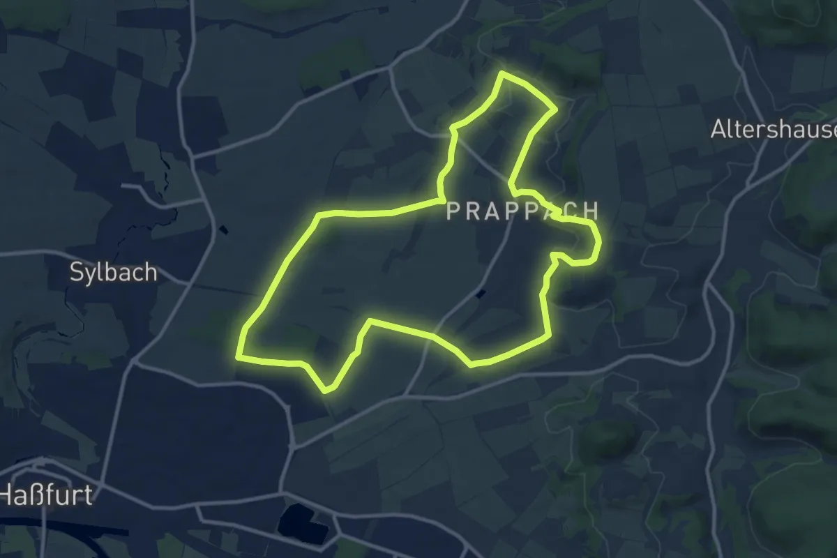
Medium · Trail
Lauftour HAS2
10.6 km · ↑ 177 m · 3 h 3 min
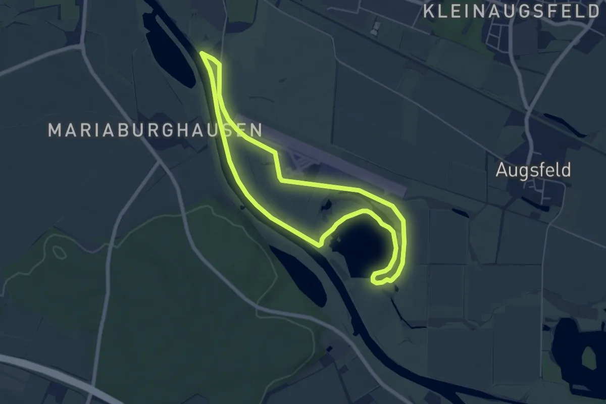
Easy · Trail
Lauftour HAS4
5.4 km · ↑ 0 m · 1 h 21 min
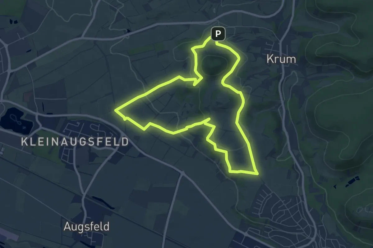
Easy · Trail
Lauftour HAS5
7.3 km · ↑ 191 m · 2 h 14 min
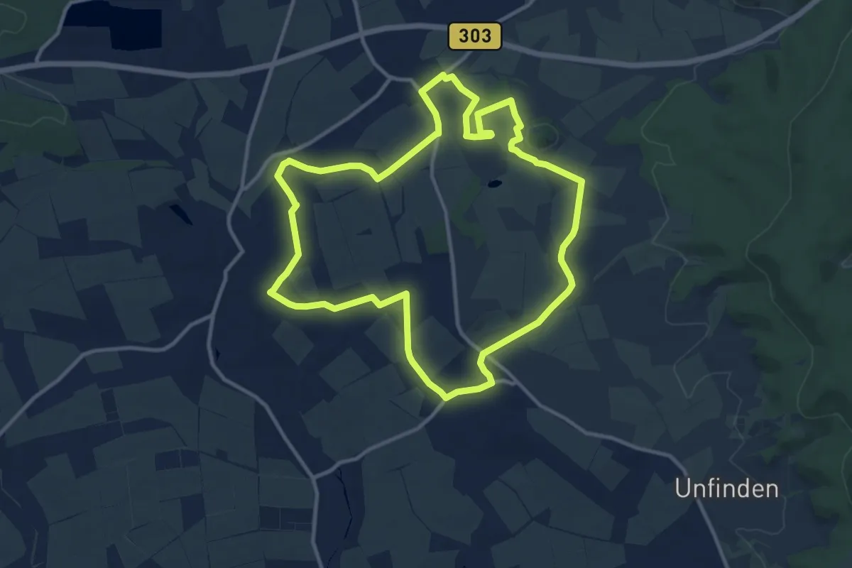
Medium · Trail
Lauftour HOH1
10.4 km · ↑ 81 m · 2 h 47 min
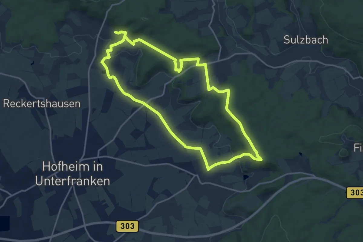
Medium · Trail
Lauftour HOH3
11.7 km · ↑ 215 m · 3 h 23 min
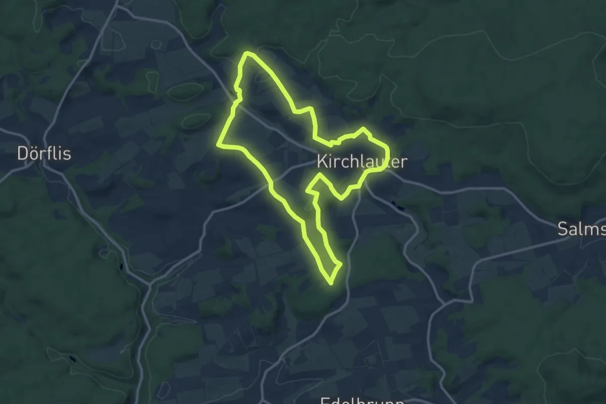
Medium · Summit
Lauftour KIR1
10.0 km · ↑ 158 m · 2 h 51 min
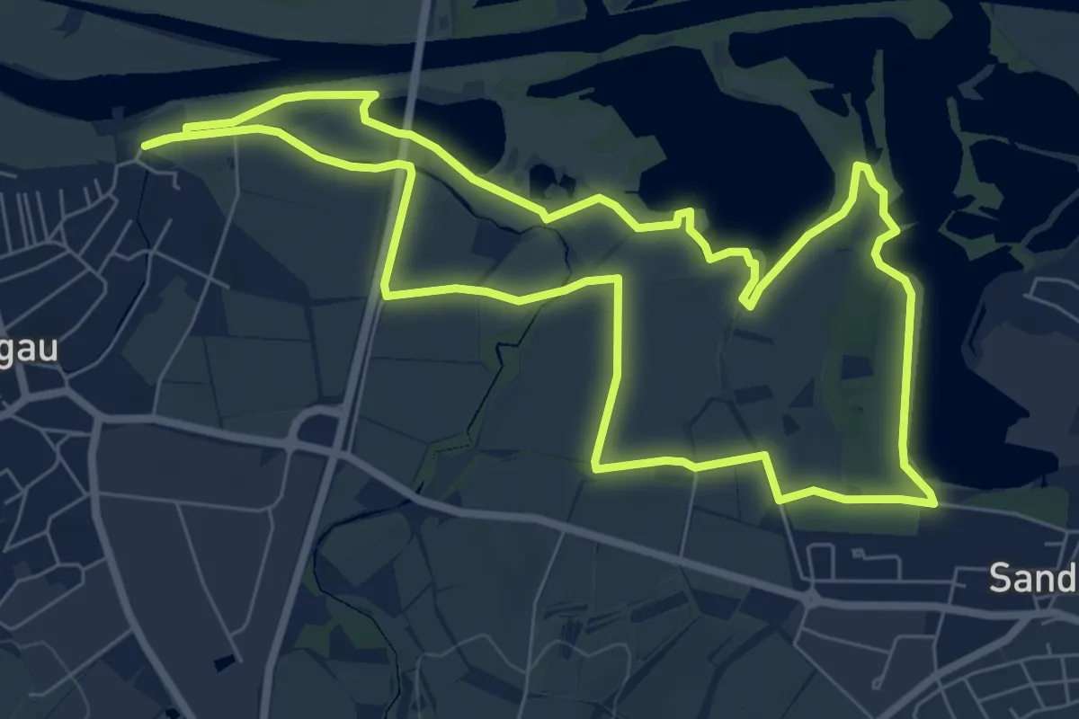
Easy · Trail
Lauftour KNE1
7.0 km · ↑ 13 m · 1 h 47 min
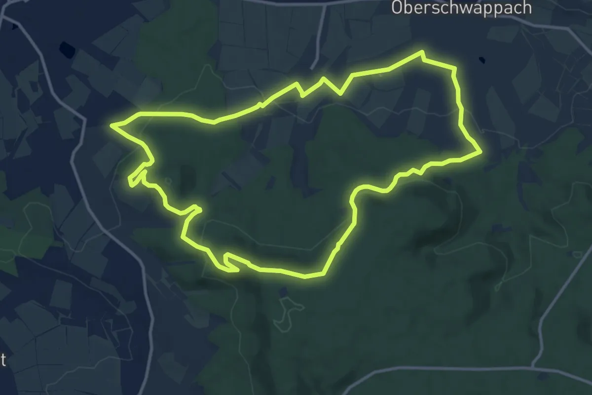
Medium · Trail
Lauftour KNE2
11.0 km · ↑ 299 m · 3 h 23 min
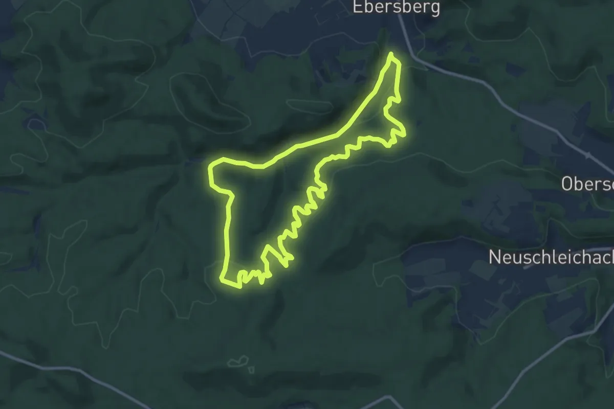
Medium · Summit
Lauftour KNE3
9.8 km · ↑ 368 m · 3 h 14 min
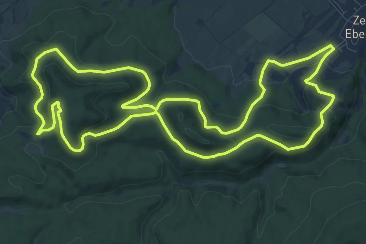
Medium · Summit
Lauftour KNE4
11.6 km · ↑ 338 m · 3 h 38 min
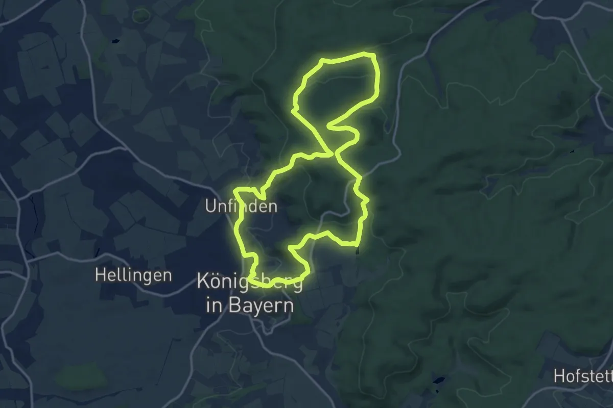
Medium · Trail
Lauftour KÖN1
12.9 km · ↑ 326 m · 3 h 56 min
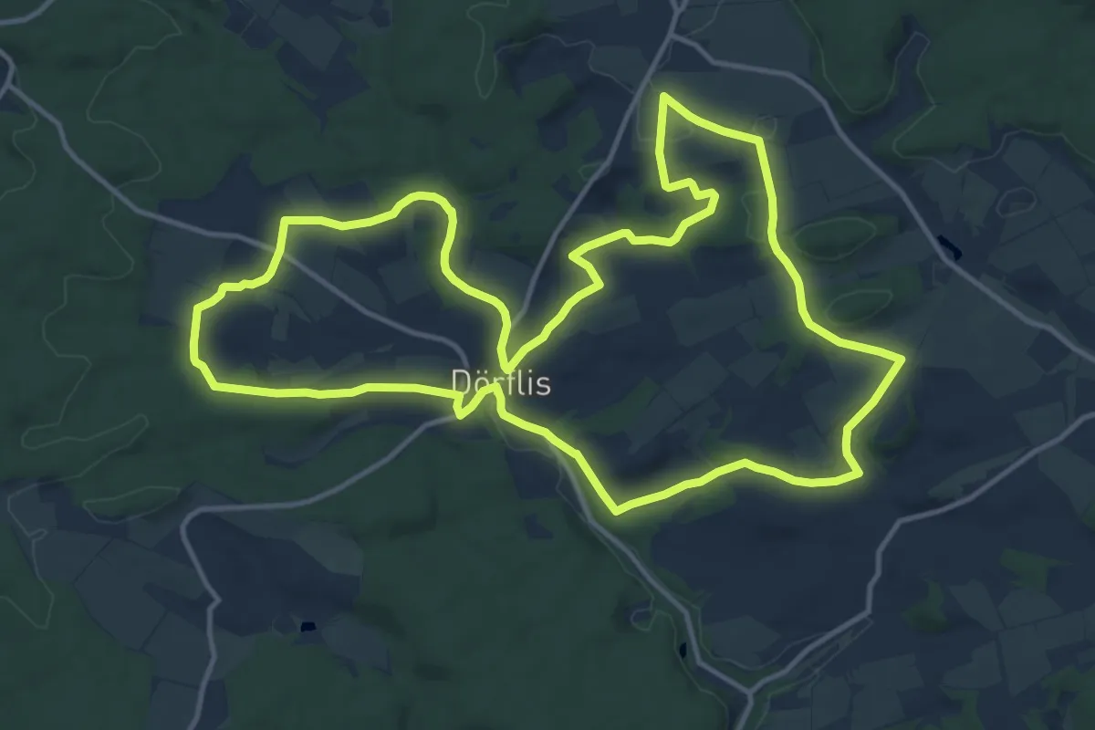
Medium · Trail
Lauftour KÖN2
13.6 km · ↑ 206 m · 3 h 51 min
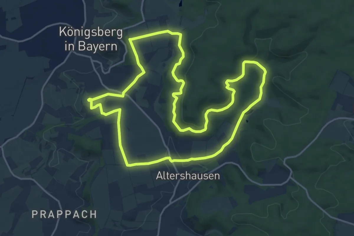
Medium · Trail
Lauftour KÖN3
13.2 km · ↑ 267 m · 3 h 52 min
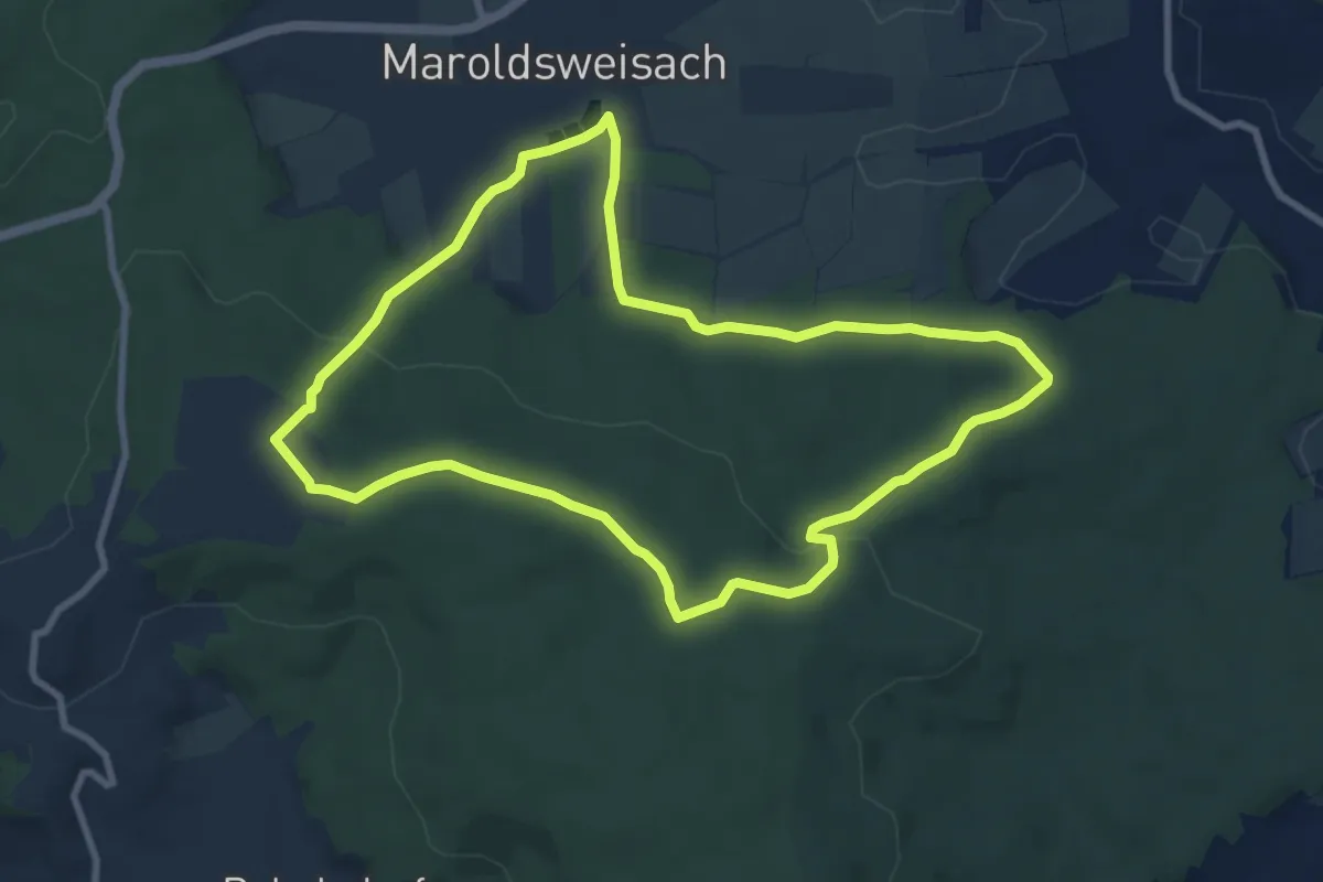
Medium · Trail
Lauftour MAR1
8.1 km · ↑ 175 m · 2 h 24 min
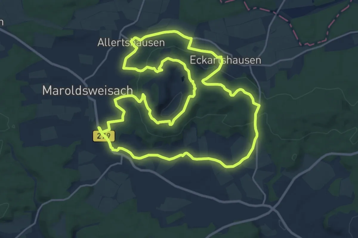
Medium · Trail
Lauftour MAR3
15.1 km · ↑ 339 m · 4 h 31 min
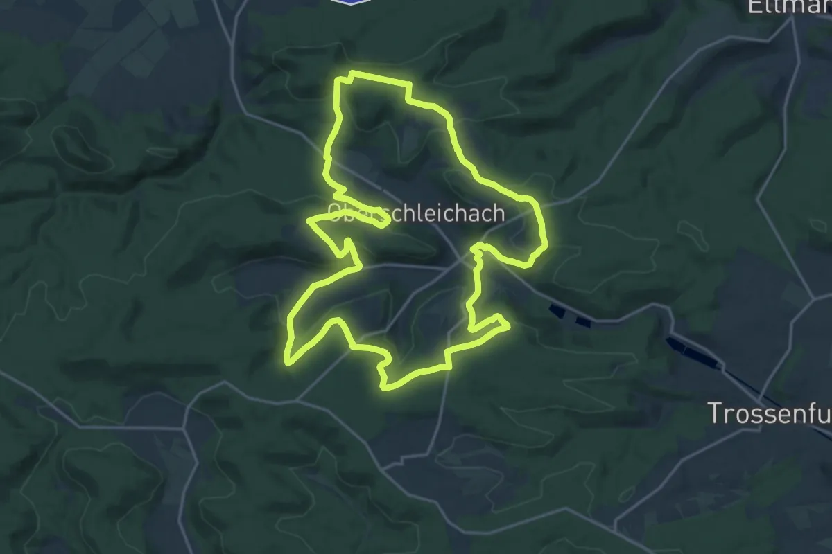
Medium · Trail
Lauftour OBA2
17.8 km · ↑ 403 m · 5 h 19 min
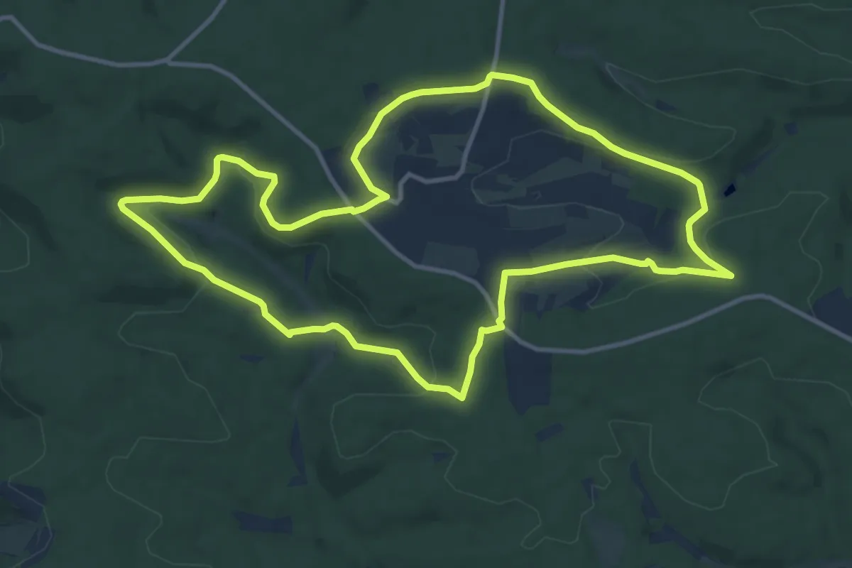
Medium · Trail
Lauftour OBA4
10.2 km · ↑ 198 m · 2 h 59 min
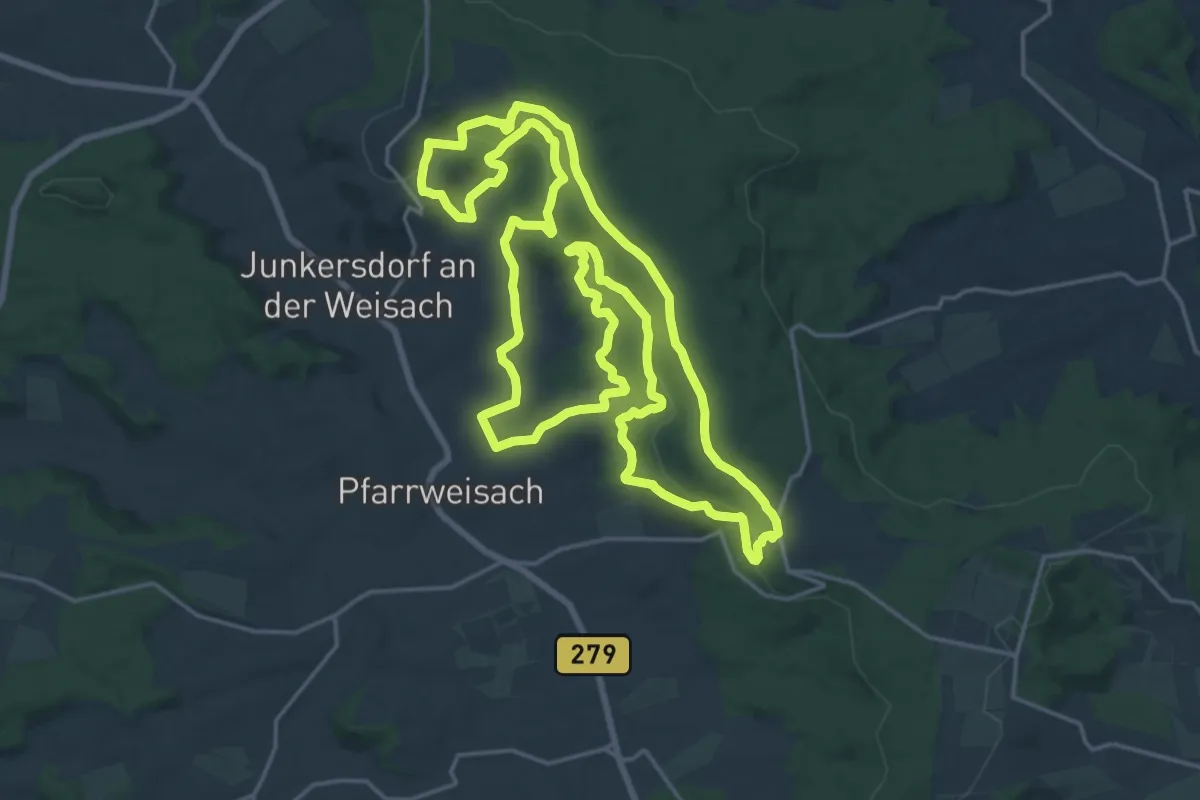
Demanding · Trail
Lauftour PFW1
19.6 km · ↑ 447 m · 5 h 52 min
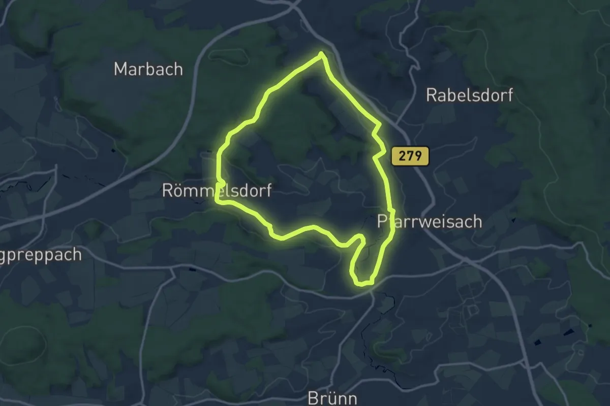
Medium · Trail
Lauftour PFW2
11.3 km · ↑ 156 m · 3 h 10 min
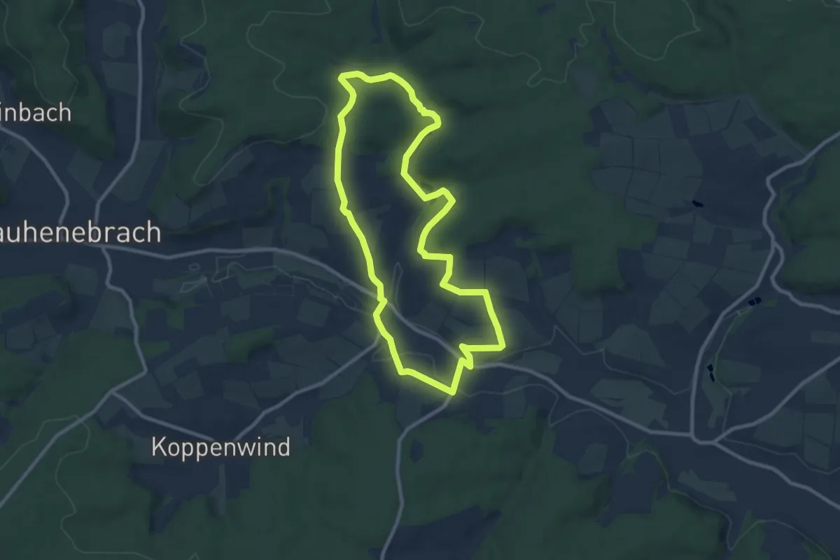
Medium · Trail
Lauftour RAU1
8.4 km · ↑ 164 m · 2 h 27 min
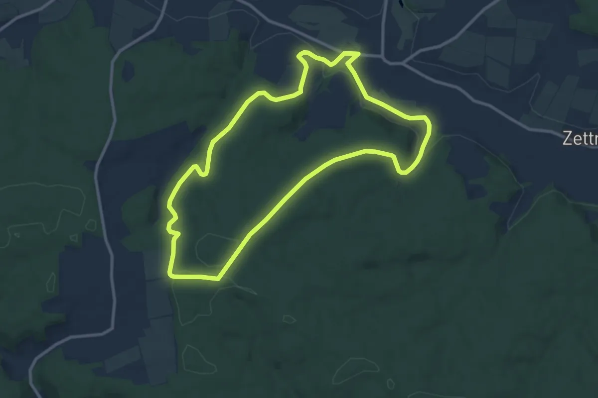
Medium · Trail
Lauftour RAU4
8.2 km · ↑ 156 m · 2 h 24 min
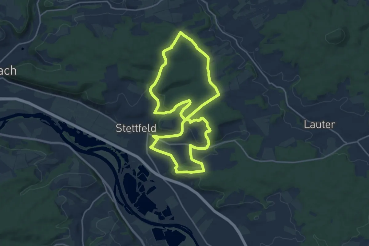
Medium · Summit
Lauftour STE1
12.7 km · ↑ 285 m · 3 h 47 min
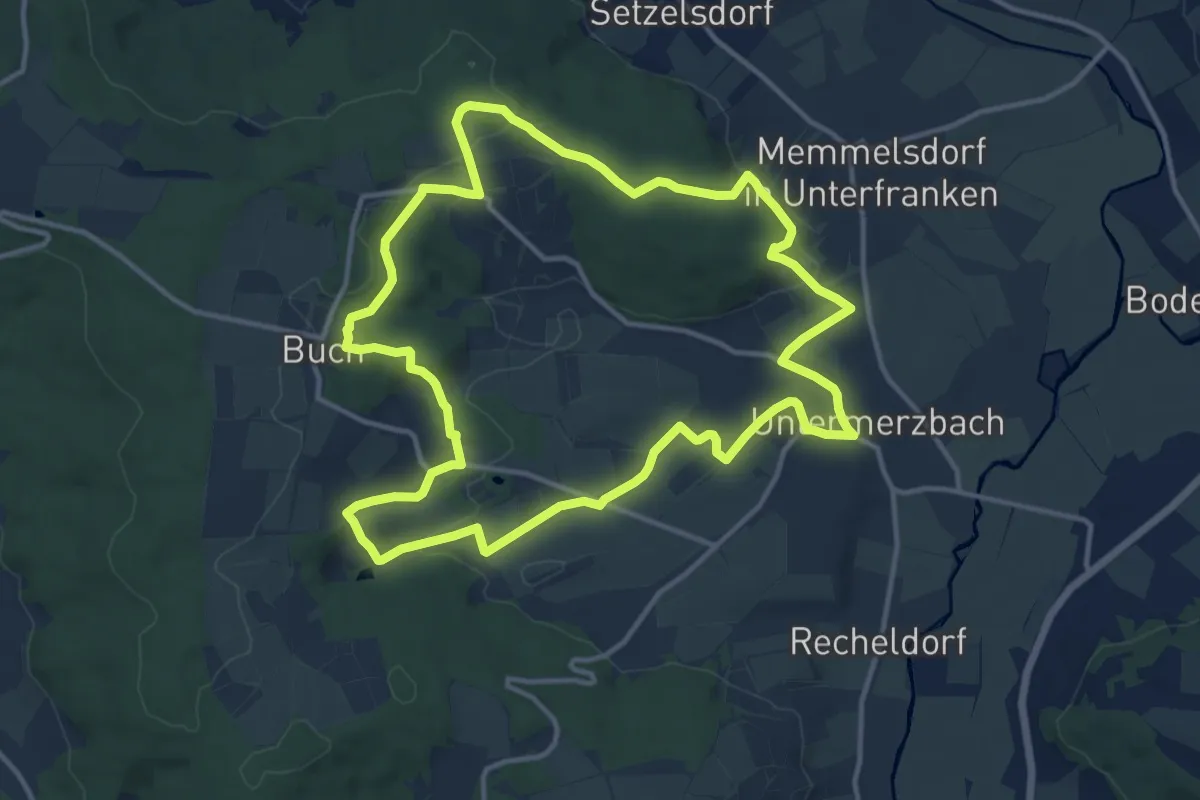
Medium · Trail
Lauftour UMB2
12.6 km · ↑ 268 m · 3 h 44 min
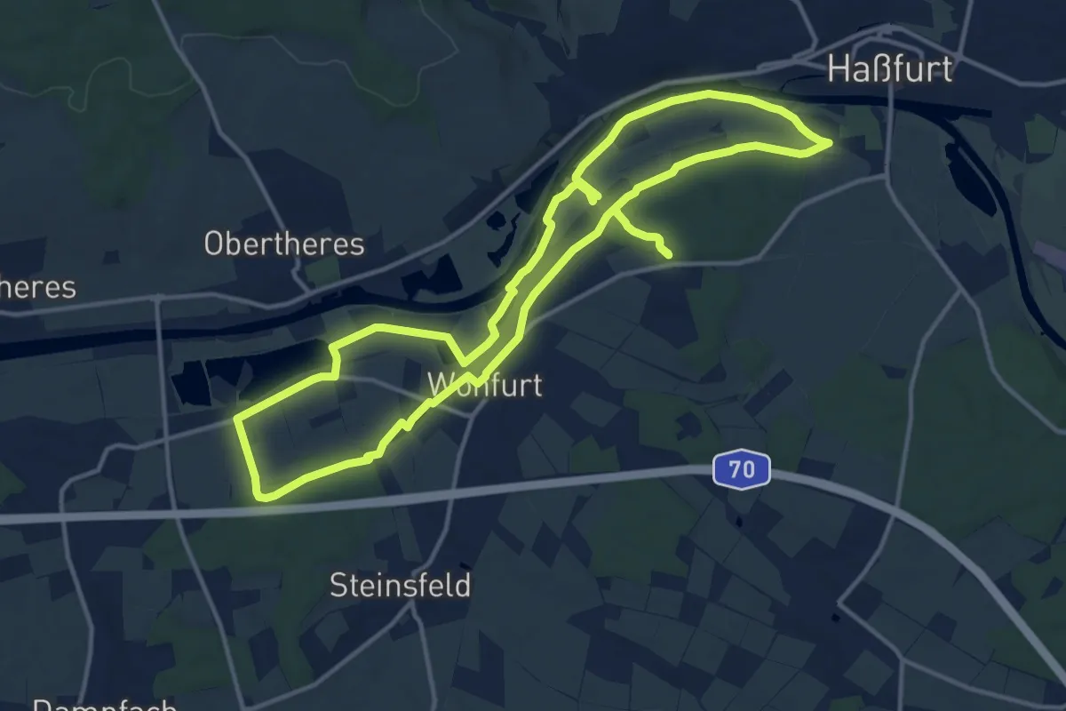
Medium · Trail
Lauftour WON1
13.2 km · ↑ 64 m · 3 h 27 min