Trails in Germany
36,852 hiking trails, each with its route, climb, walking time and grade.
All trails, page 321 of 768
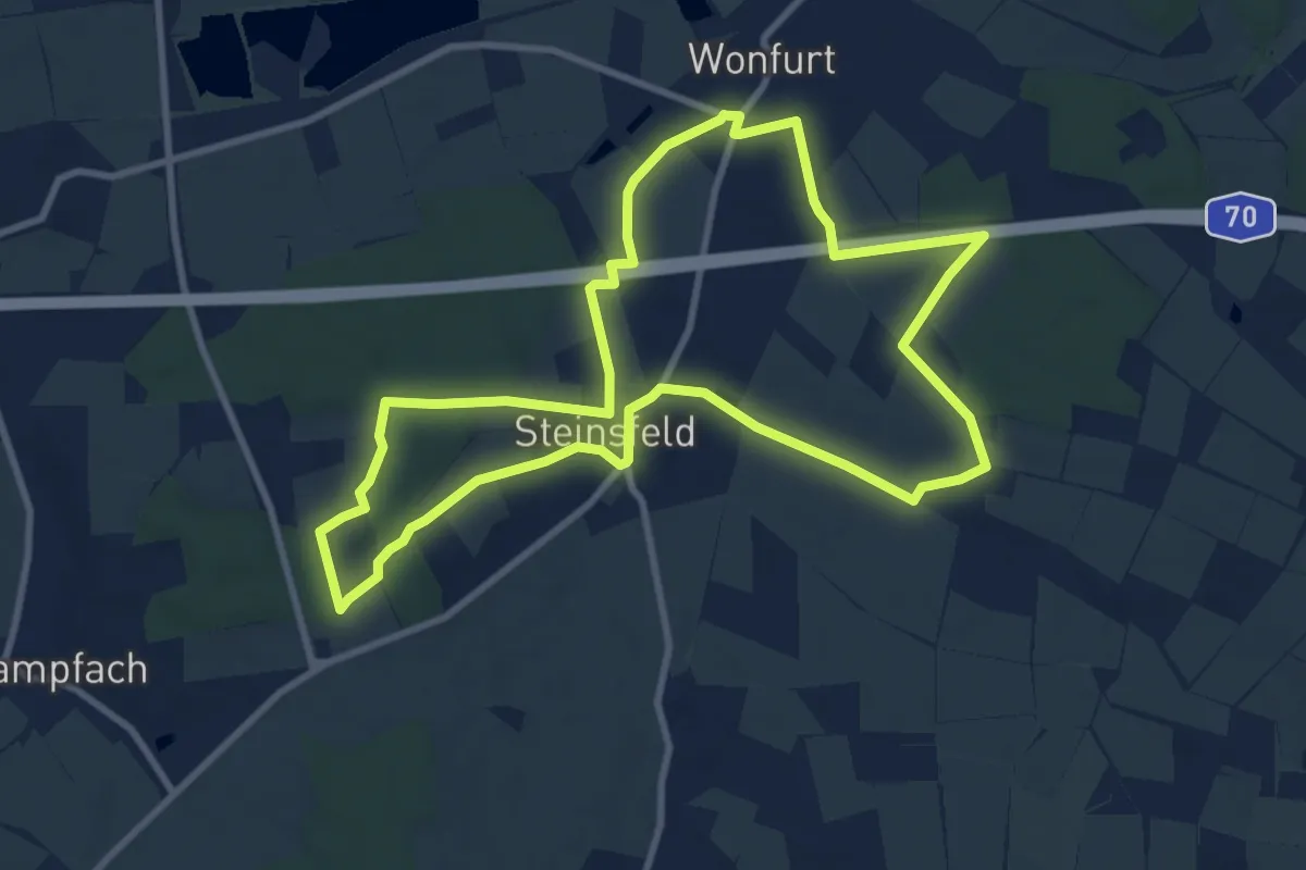
Medium · Trail
Lauftour WON2
9.0 km · ↑ 79 m · 2 h 25 min
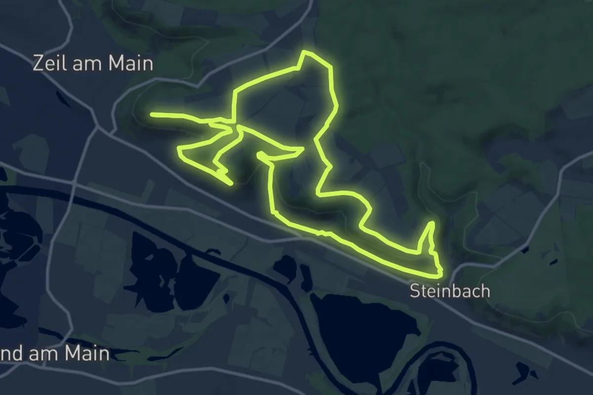
Medium · Summit
Lauftour ZEI1
12.2 km · ↑ 262 m · 3 h 36 min
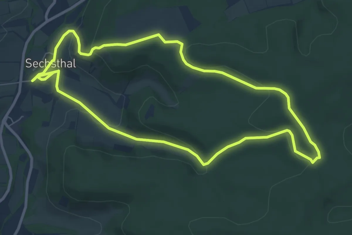
Easy · Trail
Lauftour ZEI3
6.3 km · ↑ 158 m · 1 h 55 min
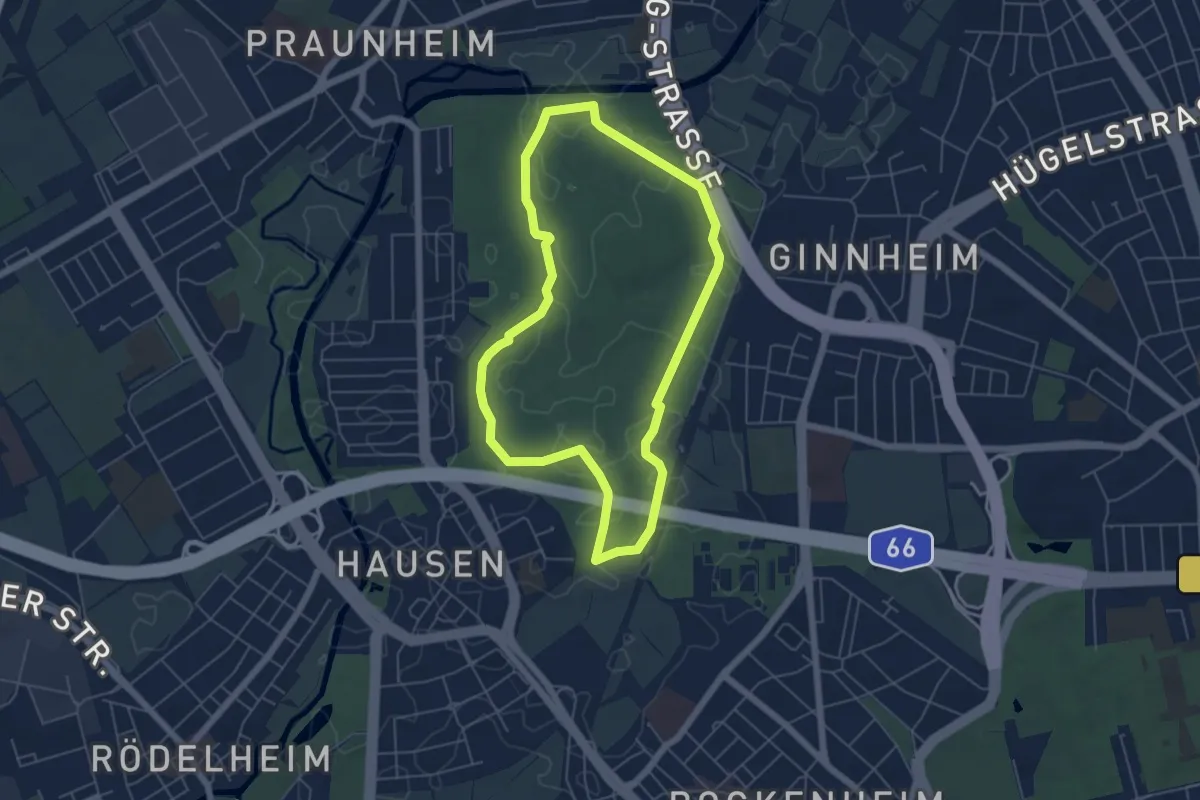
Easy · Trail
Lauftreff Ginnheim
5.0 km · ↑ 8 m · 1 h 16 min
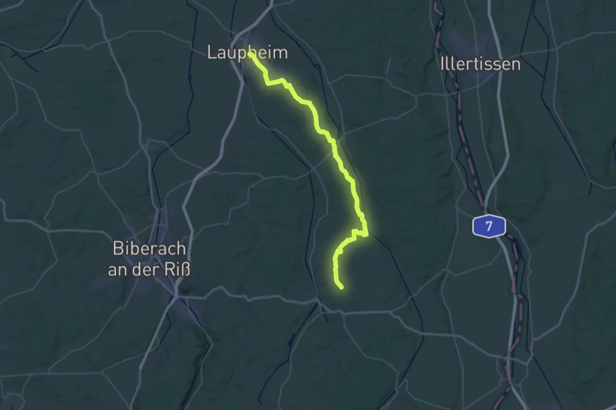
Demanding · Trail
Laupheim - Ochsenhausen
23.9 km · ↑ 324 m · 6 h 37 min
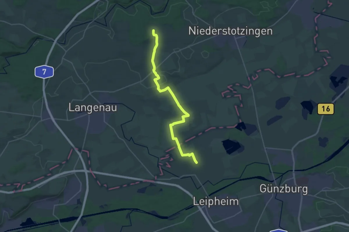
Demanding · Trail
Laupheim - Rammingen
23.3 km · ↑ 132 m · 5 h 47 min
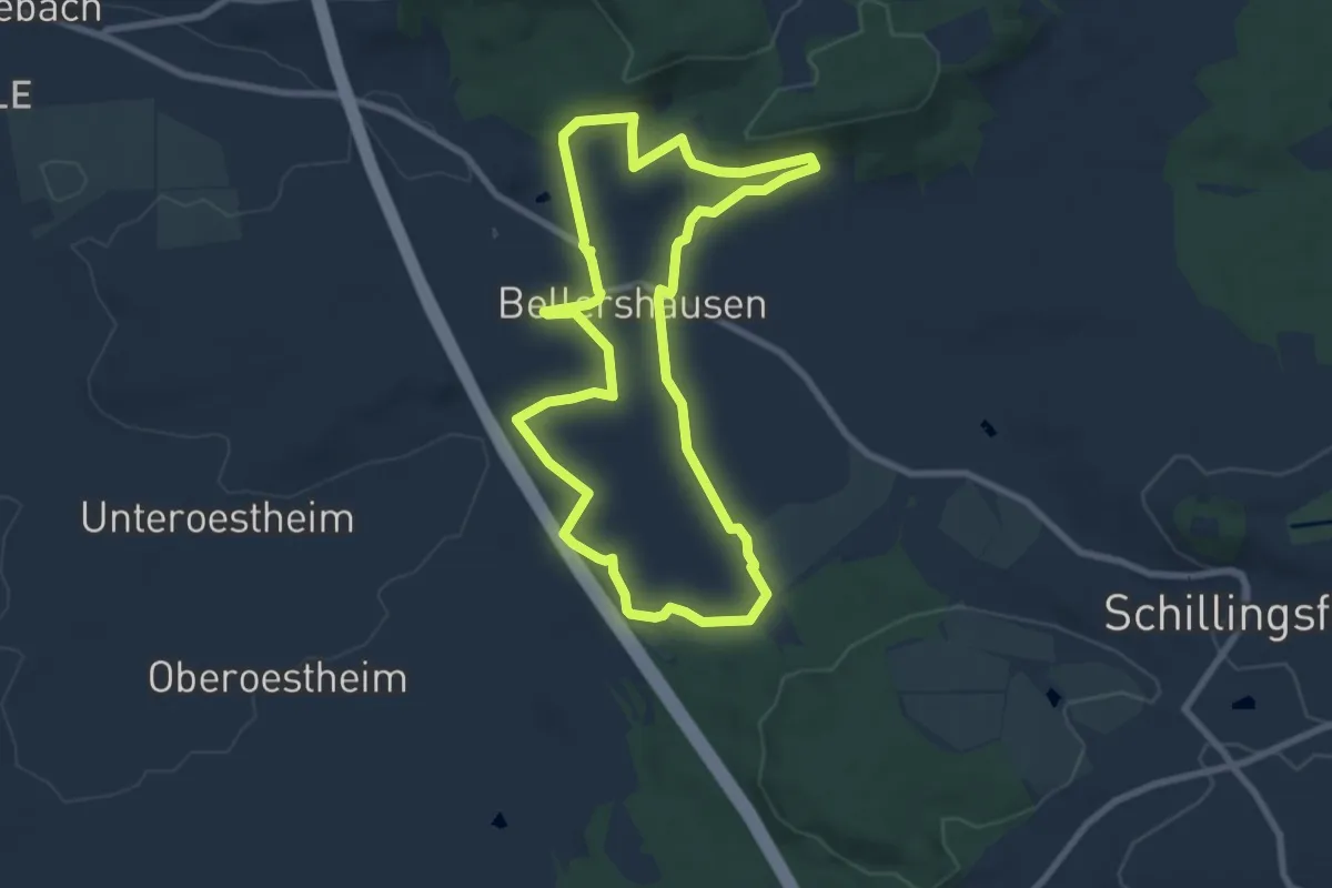
Easy · Trail
Laurentius
7.4 km · ↑ 163 m · 2 h 13 min
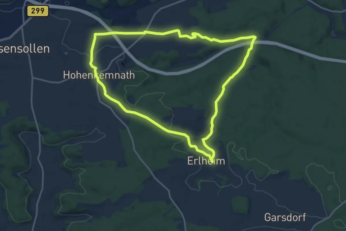
Medium · Trail
Laurentiusweg (U2)
10.0 km · ↑ 154 m · 2 h 49 min
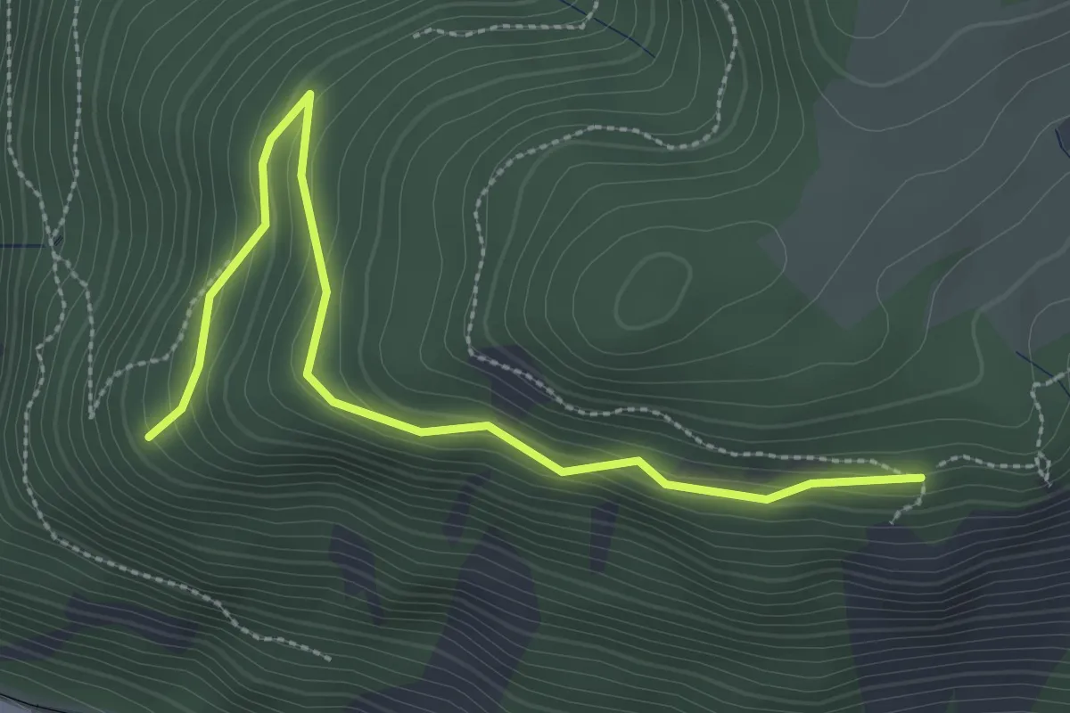
Easy · Trail
Lausbühl - Posthaldefelsen
3.2 km · ↑ 186 m · 1 h 9 min
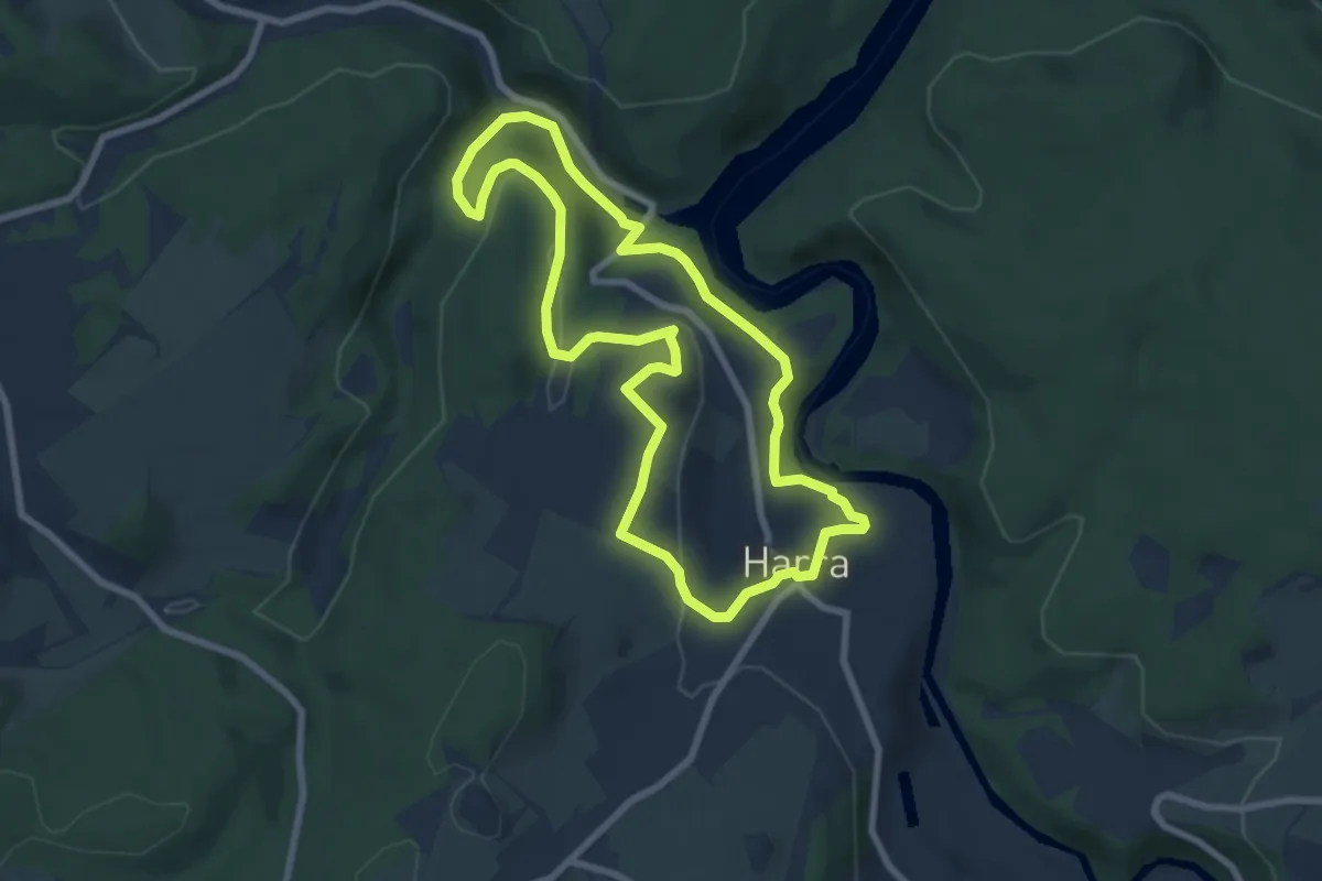
Easy · Summit
Lauschebühlweg
6.9 km · ↑ 189 m · 2 h 8 min
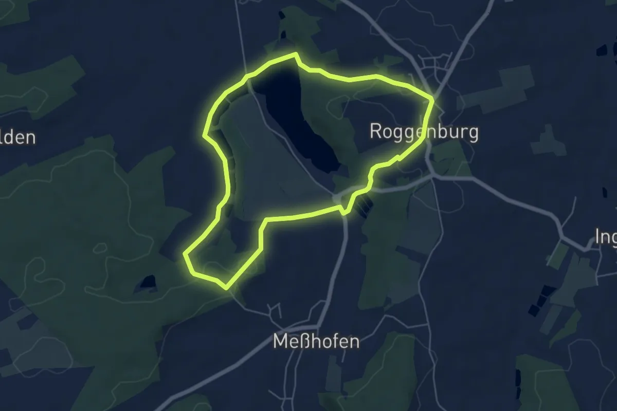
Easy · Trail
Lauschtour
5.1 km · ↑ 92 m · 1 h 29 min
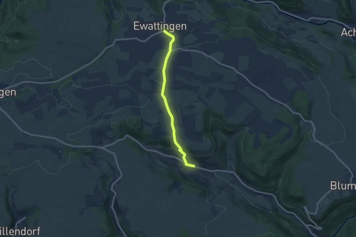
Easy · Trail
Lausheim - Ewattingen
6.7 km · ↑ 193 m · 2 h
Easy · Trail
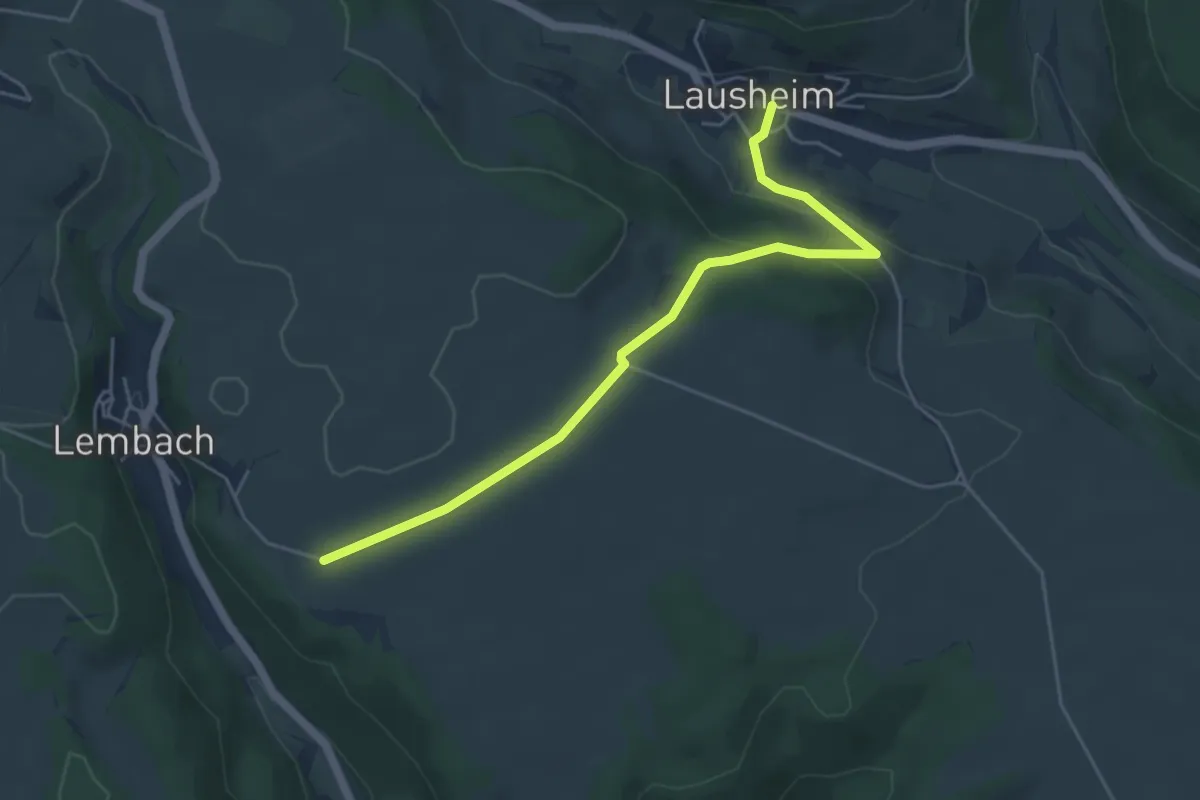
Lausheim - Gründe
4.9 km · ↑ 128 m · 1 h 26 min
Easy · Trail
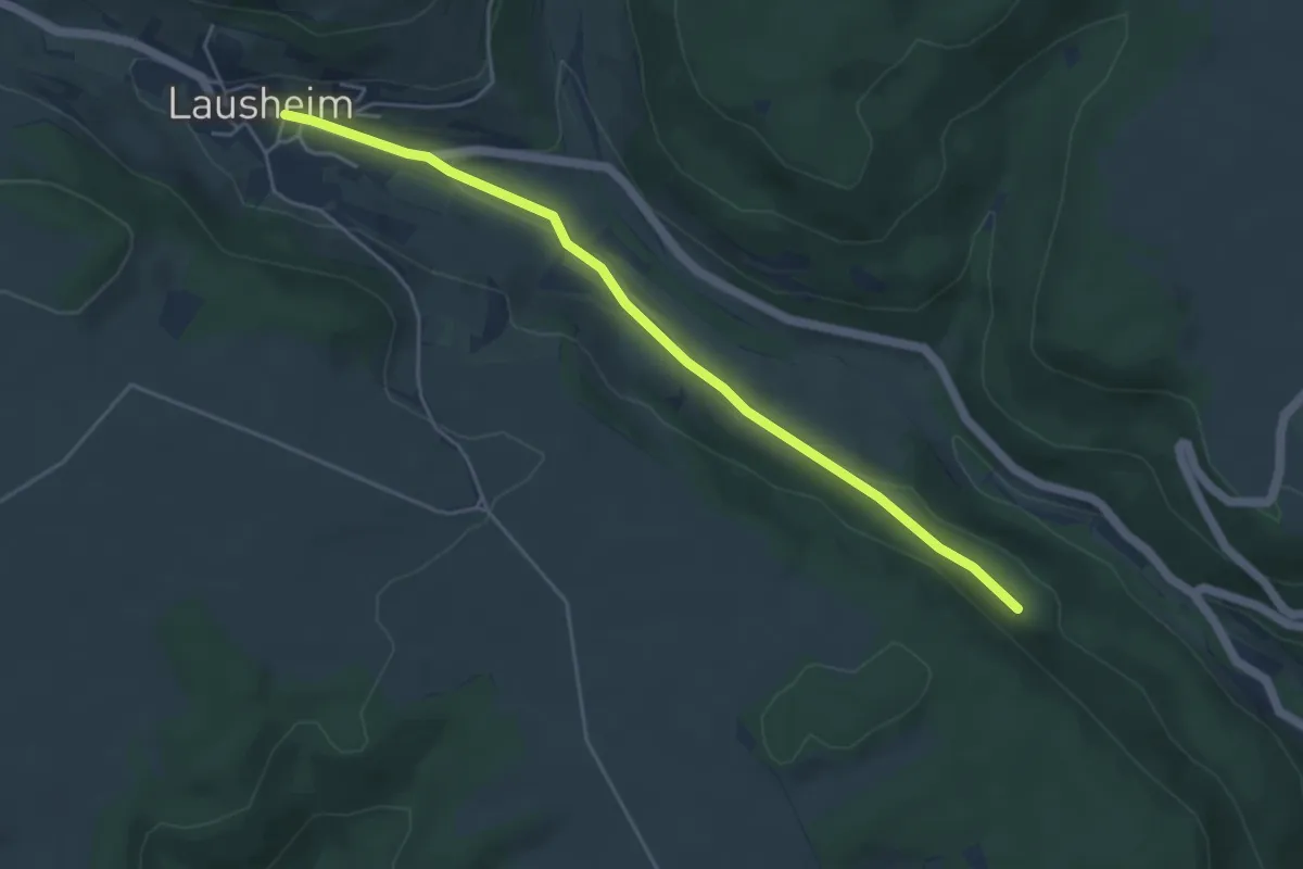
Lausheim - Vor dem Buch
4.7 km · ↑ 82 m · 1 h 18 min
Medium · Summit
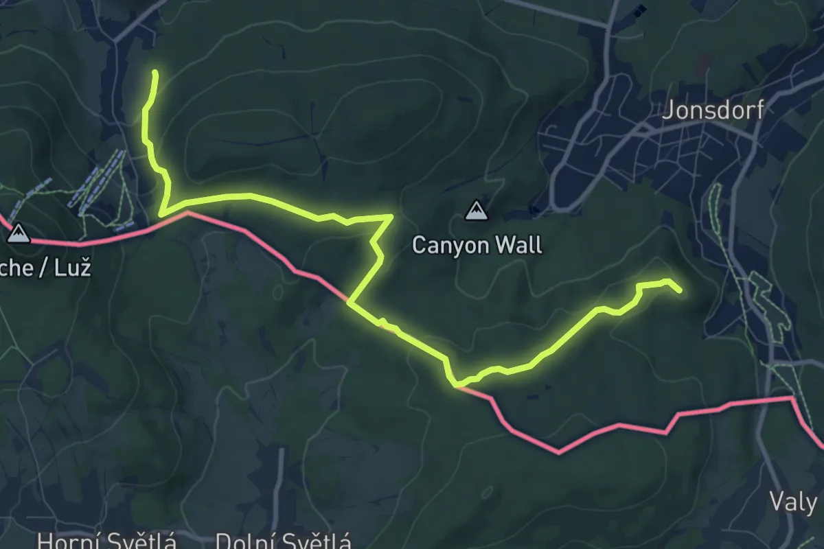
Lausitzer Schlange
10.3 km · ↑ 285 m · 3 h 2 min
Medium · Trail
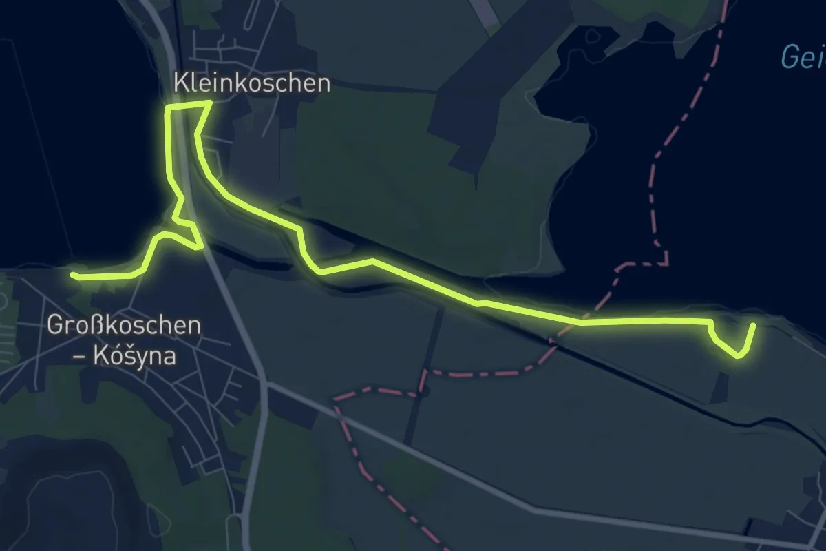
Lausitzer Schlange 5: Niesky – Senftenberger See
10.0 km · ↑ 8 m · 2 h 23 min
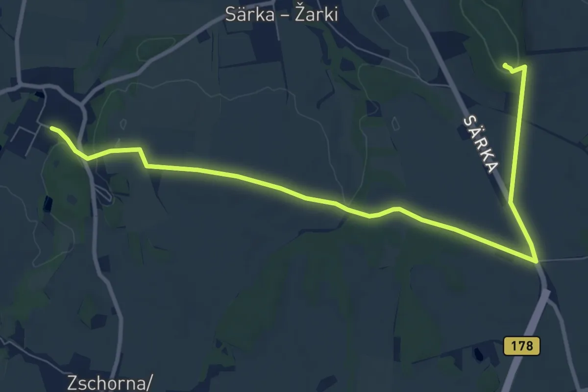
Medium · Summit
Lauske - Strohmberg (Gelber Punkt)
8.6 km · ↑ 100 m · 2 h 15 min
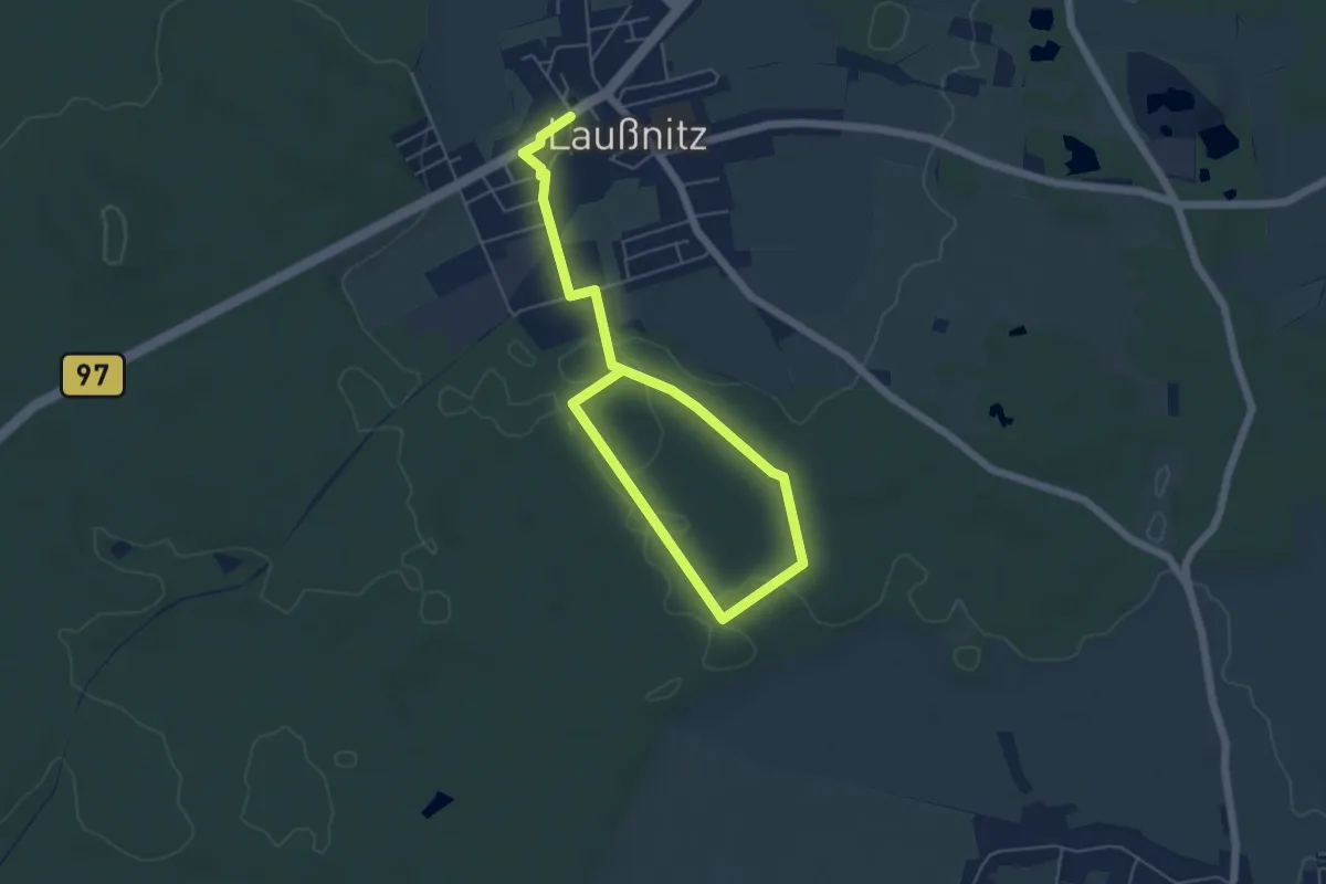
Easy · Trail
Lausnitzer Heide - Grüner Punkt
6.9 km · ↑ 21 m · 1 h 41 min
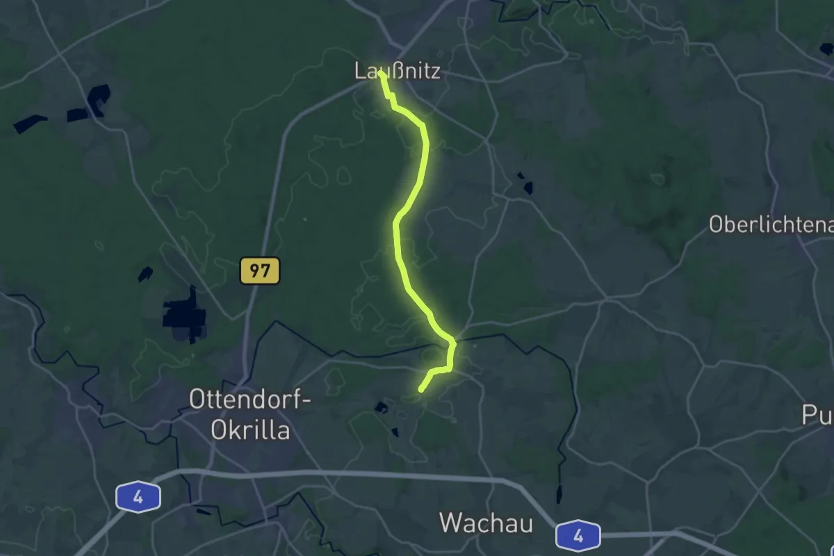
Medium · Trail
Laußnitz – Lomnitz
16.0 km · ↑ 82 m · 3 h 57 min
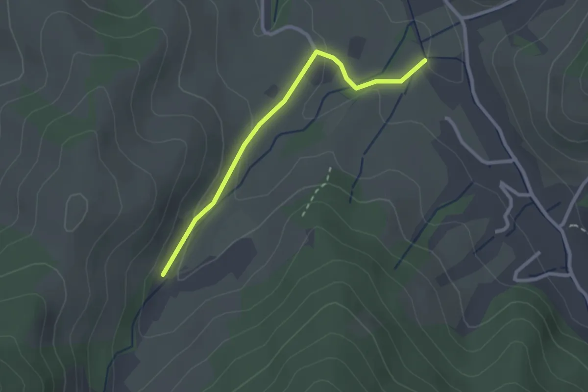
Easy · Trail
Lautenbach - Durbach-Obertal Sägewerk
2.2 km · ↑ 72 m · 41 min
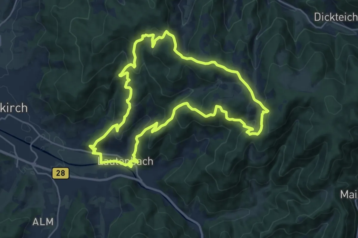
Medium · Summit
Lautenbacher Hexensteig
14.8 km · ↑ 717 m · 5 h 15 min
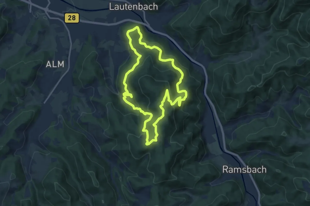
Medium · Summit
Lautenbacher Teufelsteig
9.2 km · ↑ 489 m · 3 h 22 min
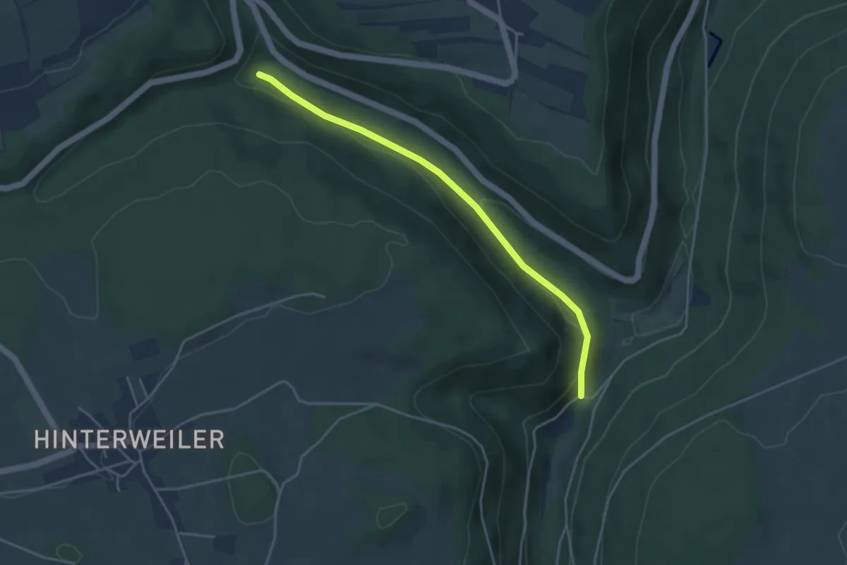
Easy · Trail
Lautenbachhof - Oberkollwanger Säge
3.7 km · ↑ 98 m · 1 h 6 min
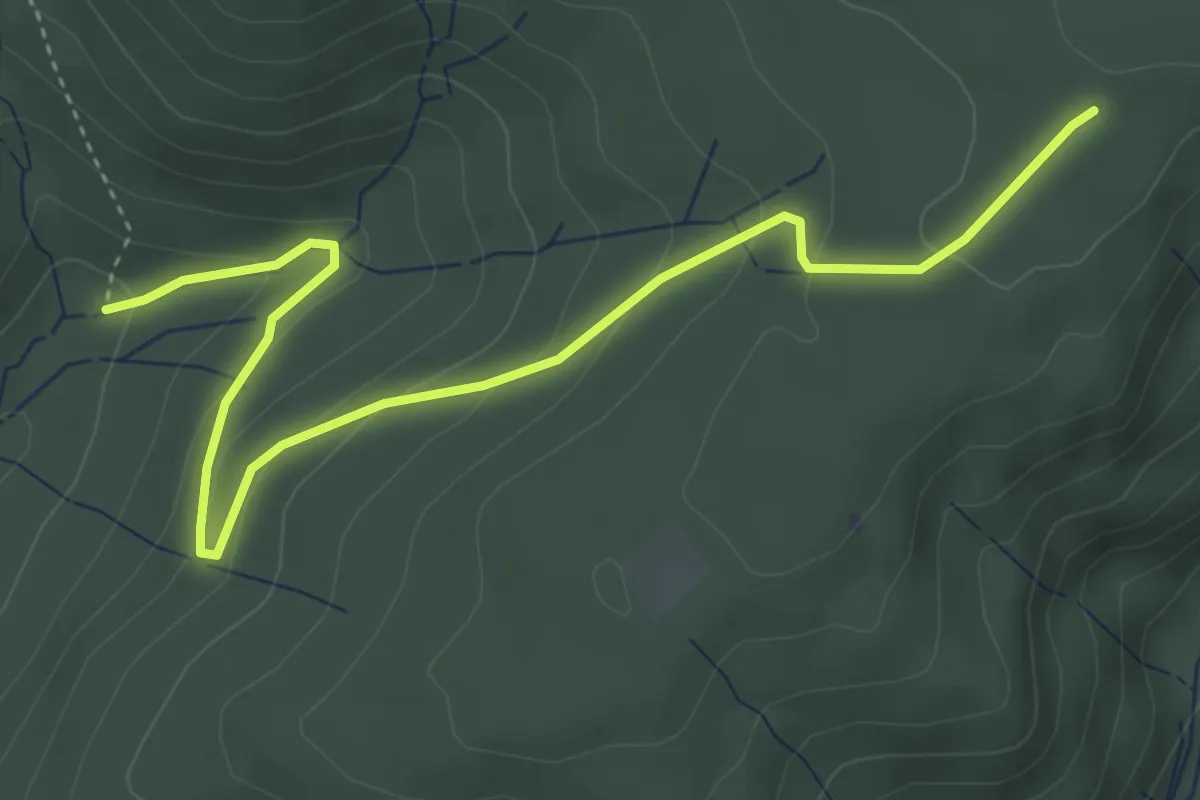
Easy · Trail
Lautenbach - Schmalzgrüble Bühl
4.7 km · ↑ 230 m · 1 h 36 min
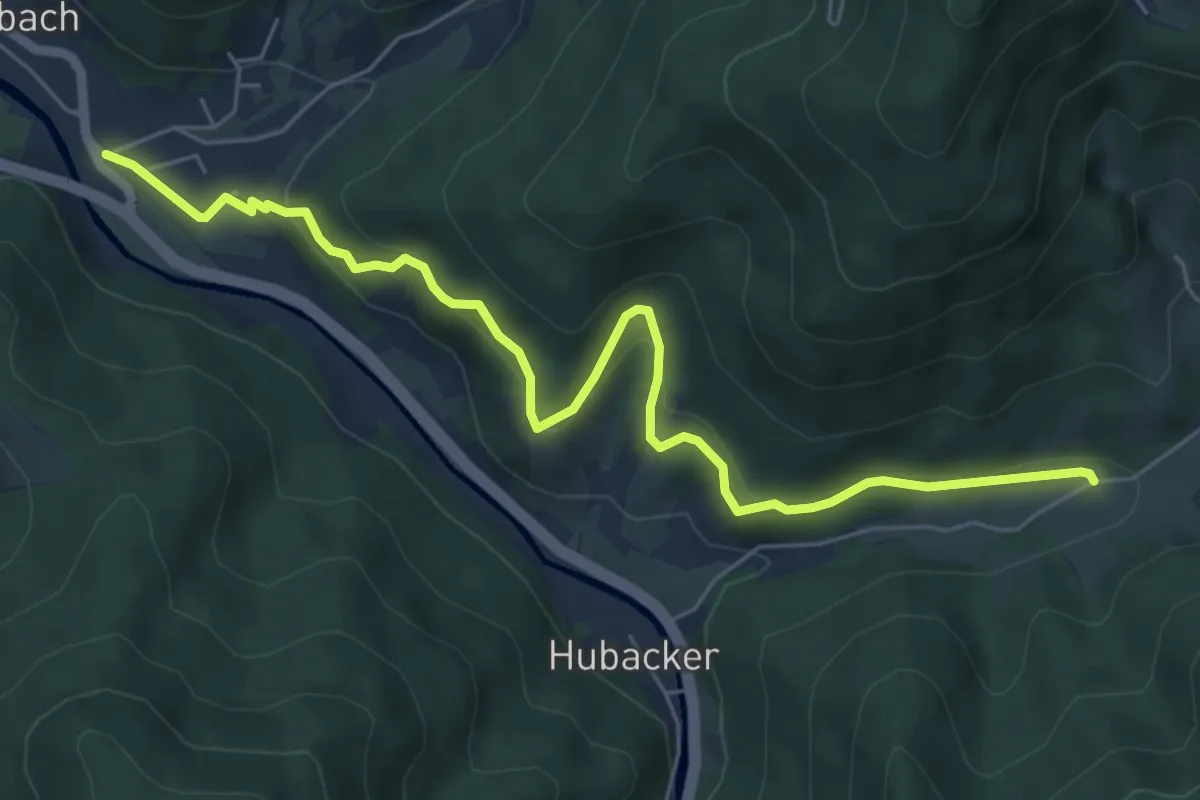
Easy · Trail
Lautenbach Spielplatz Oberdorf - Sulzbach Busamhof
6.5 km · ↑ 314 m · 2 h 13 min
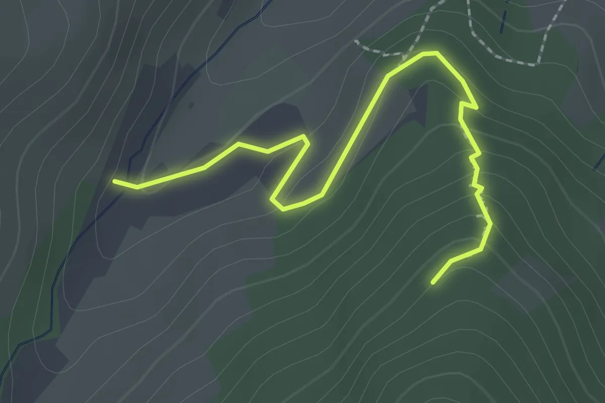
Easy · Trail
Lautenbach - Überm Lautenbach
2.2 km · ↑ 129 m · 48 min
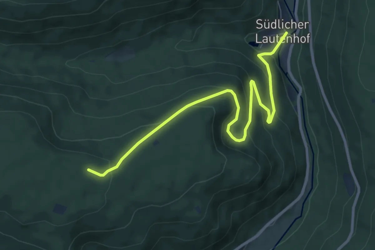
Medium · Trail
Lautenhof - Tiefengrund
7.6 km · ↑ 356 m · 2 h 34 min
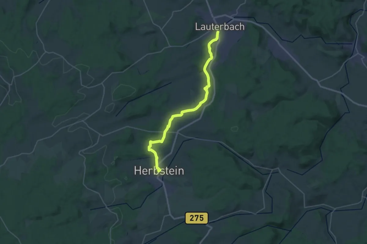
Demanding · Trail
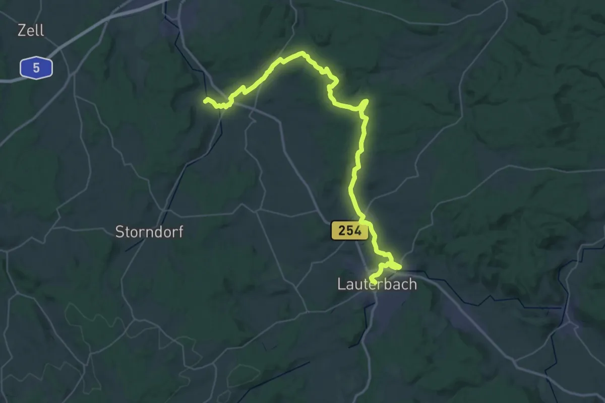
Lauterbach - Herbstein
22.7 km · ↑ 399 m · 6 h 14 min
Demanding · Trail
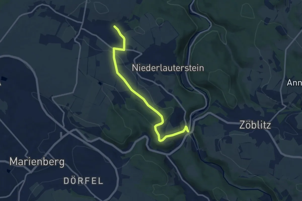
Lauterbach - Hopfgarten
20.8 km · ↑ 273 m · 5 h 47 min
Medium · Trail
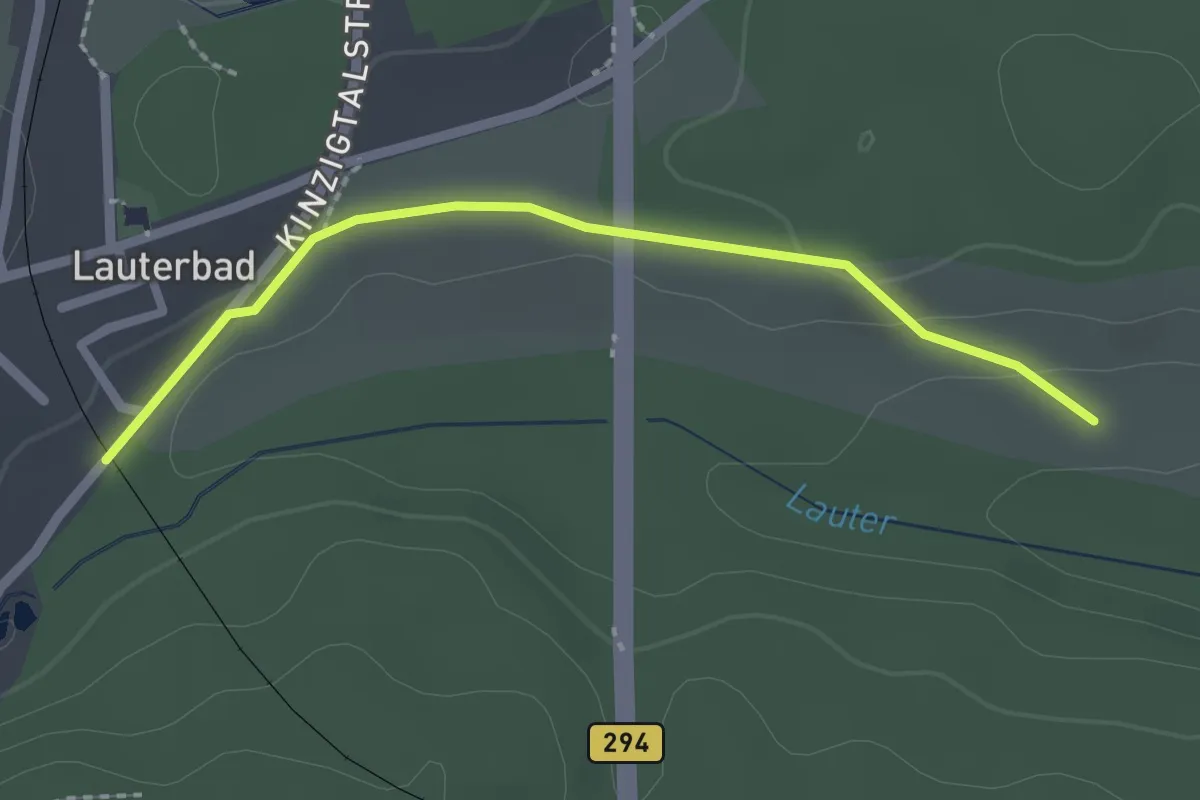
Lauterbach-Rittersberg
8.4 km · ↑ 195 m · 2 h 25 min
Easy · Trail
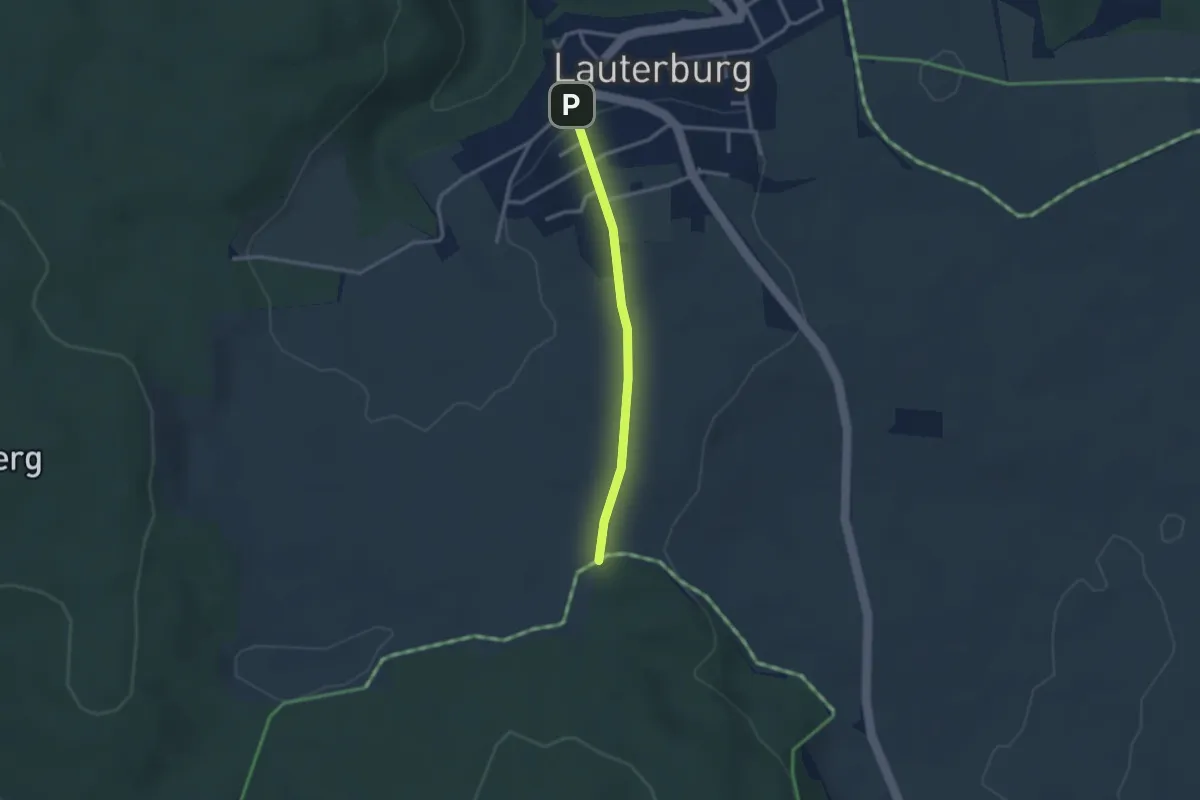
Lauterbad Viadukt - Schafweide
2.0 km · ↑ 32 m · 33 min
Easy · Trail
Lauterburg - Bärenberg
2.4 km · ↑ 30 m · 37 min
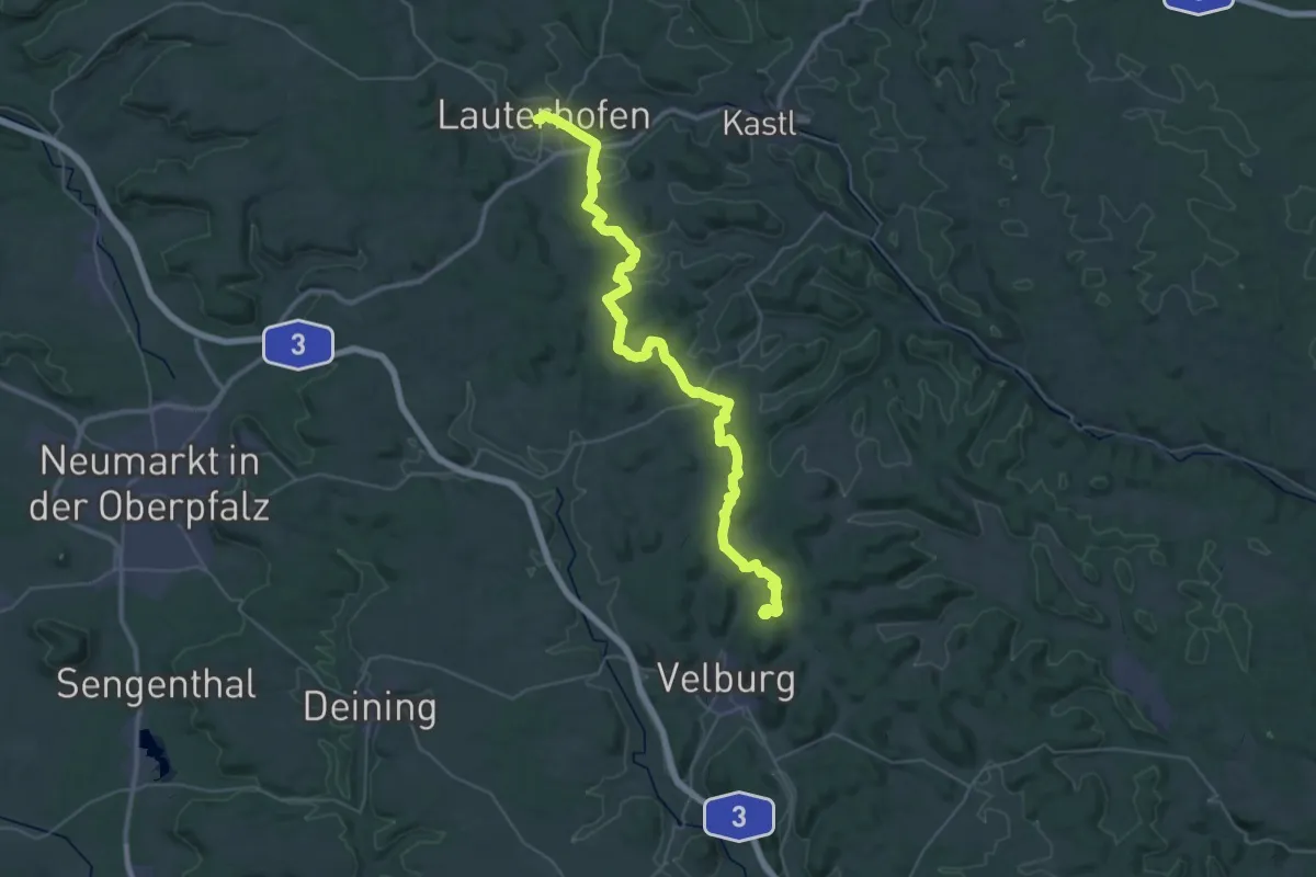
Demanding · Summit
Lauterhofen - Velburg
44.3 km · ↑ 1063 m · 12 h 46 min
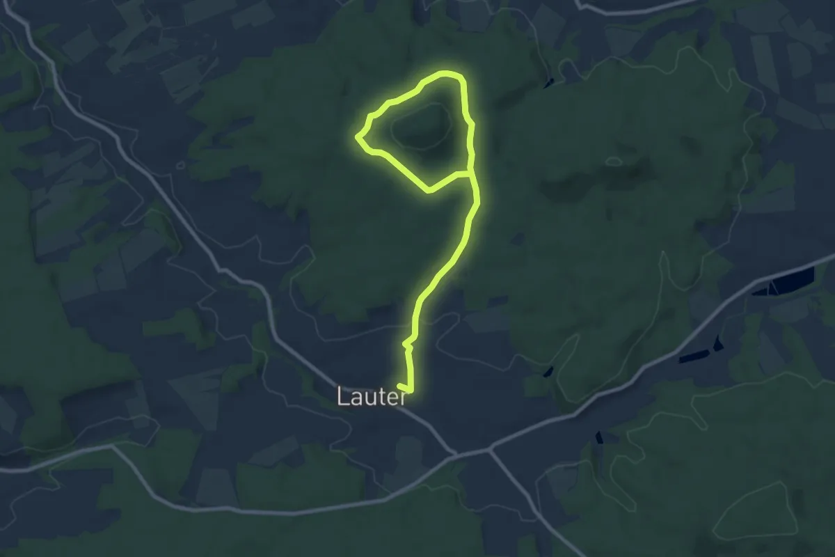
Medium · Trail
Lauter Kleine Kufe
9.9 km · ↑ 140 m · 2 h 39 min
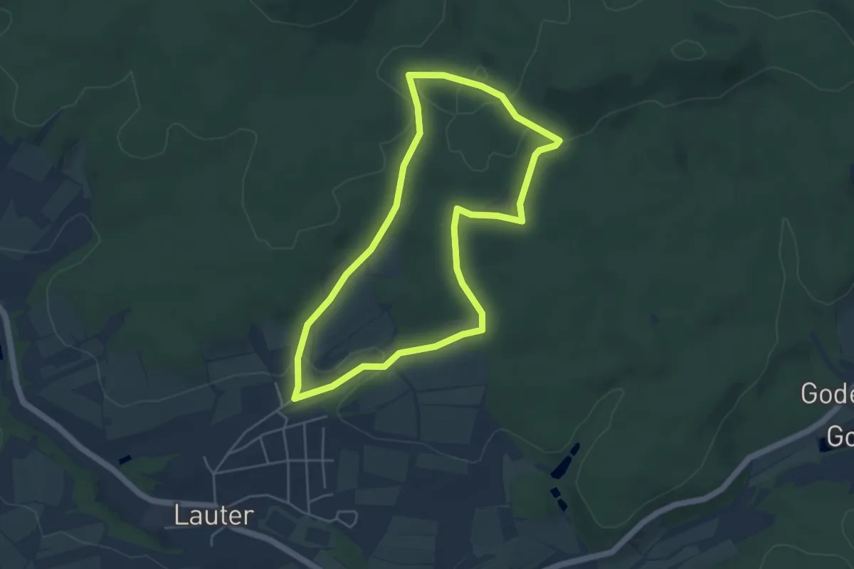
Easy · Trail
Lauter Laurenzimarter (L 3)
4.2 km · ↑ 66 m · 1 h 11 min
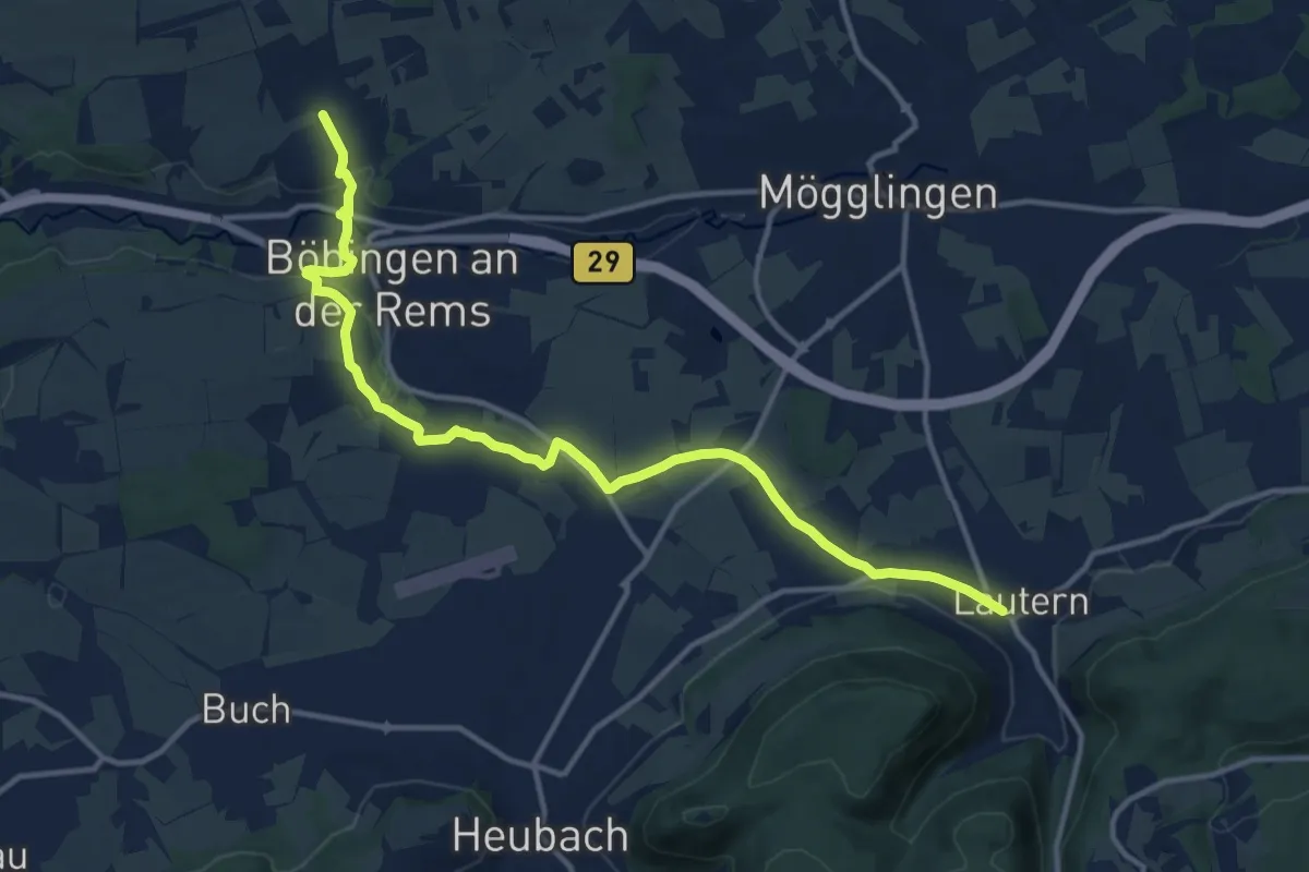
Medium · Trail
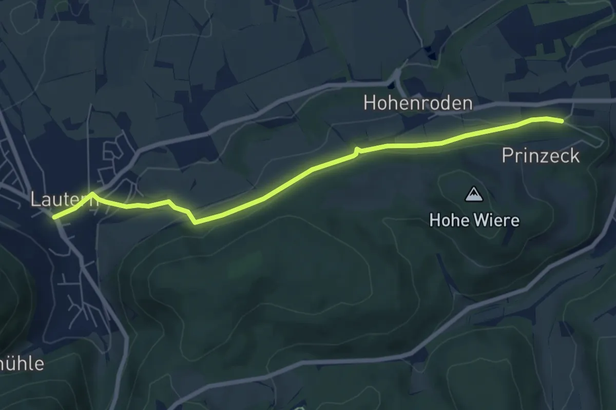
Lautern - Böbingen
13.8 km · ↑ 206 m · 3 h 42 min
Easy · Trail
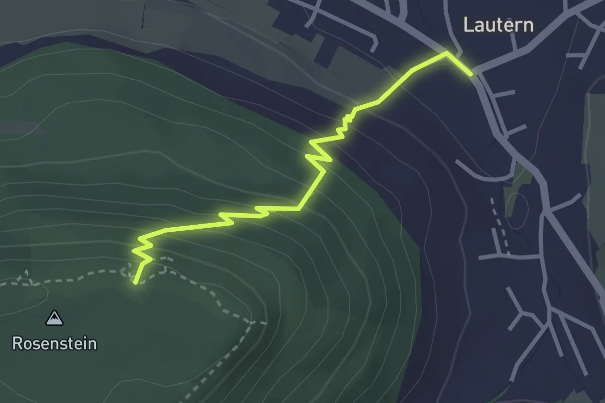
Lautern - Essingen
6.4 km · ↑ 180 m · 1 h 54 min
Medium · Trail
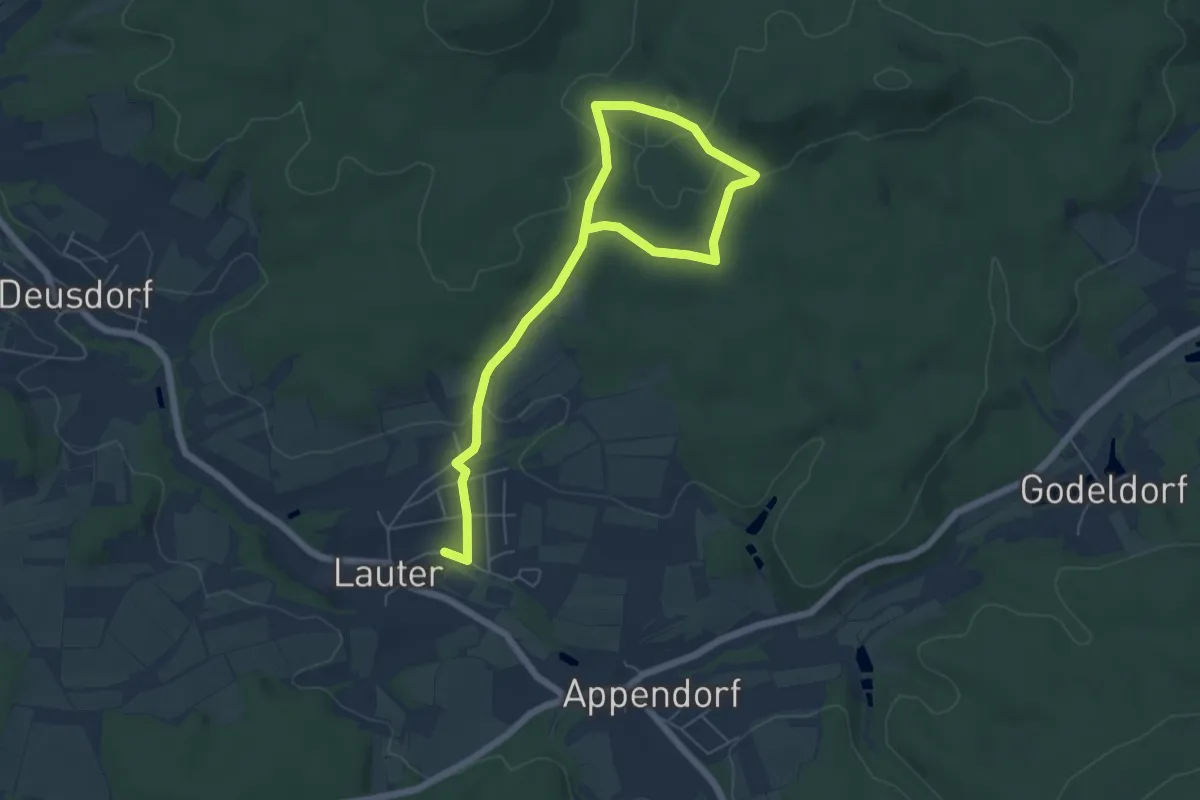
Lautern - Rosenstein
2.6 km · ↑ 255 m · 1 h 10 min
Easy · Trail
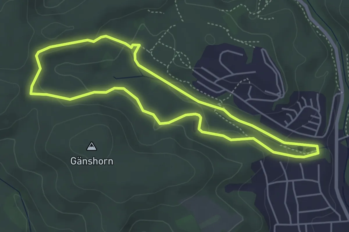
Lauter Raidelhütte (L 2)
7.3 km · ↑ 108 m · 1 h 57 min
Easy · Trail
Lautzkircher NAhToUR
4.1 km · ↑ 94 m · 1 h 13 min
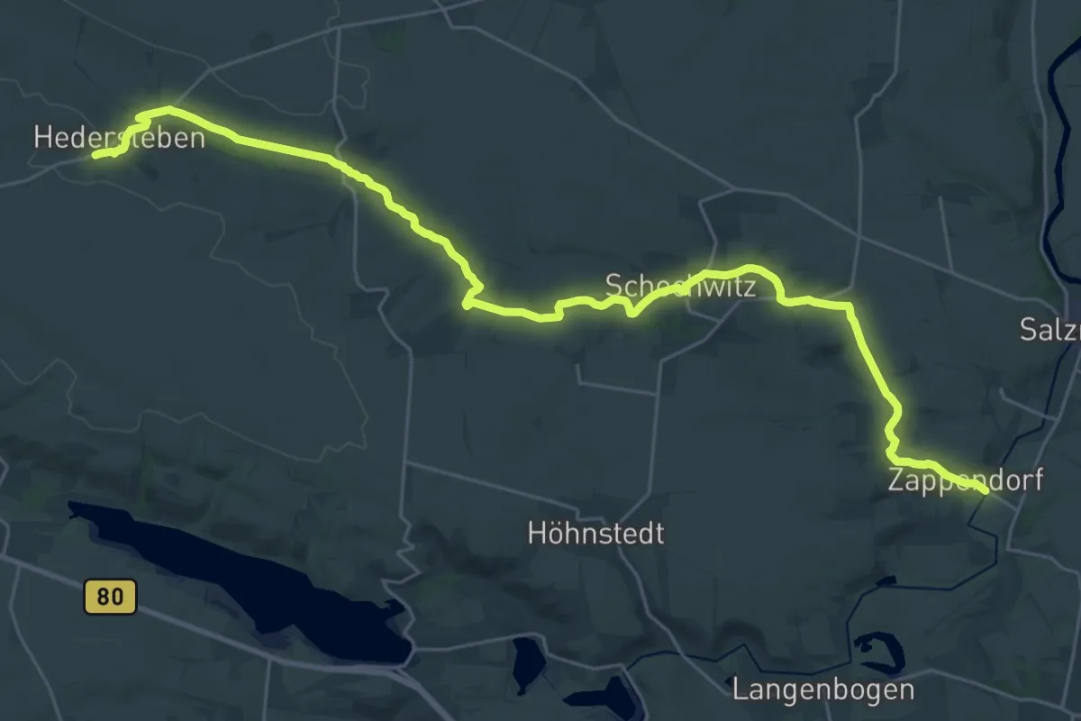
Medium · Trail
Lawekeweg
16.0 km · ↑ 181 m · 4 h 20 min
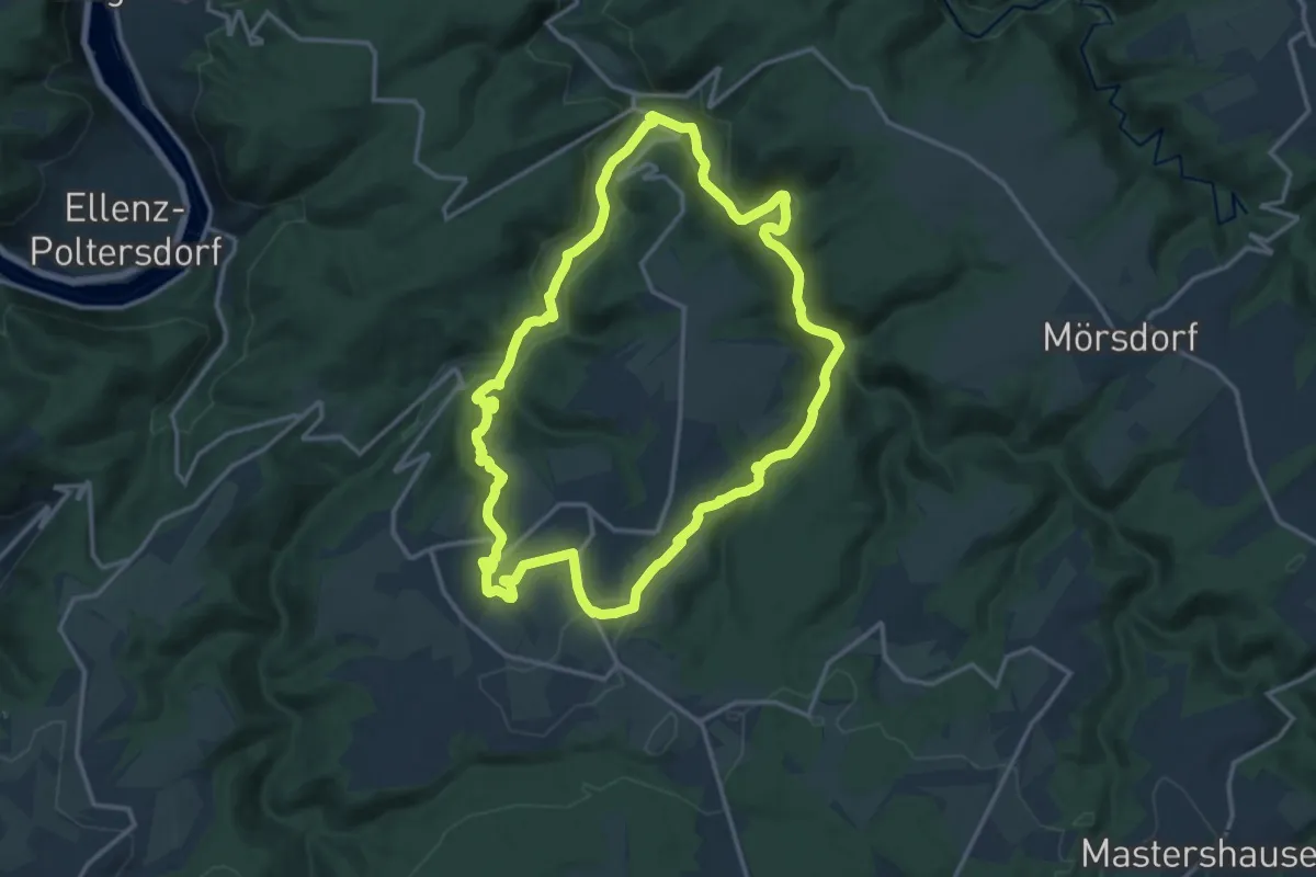
Expert · Trail
Layensteig
13.9 km · ↑ 395 m · 4 h 20 min
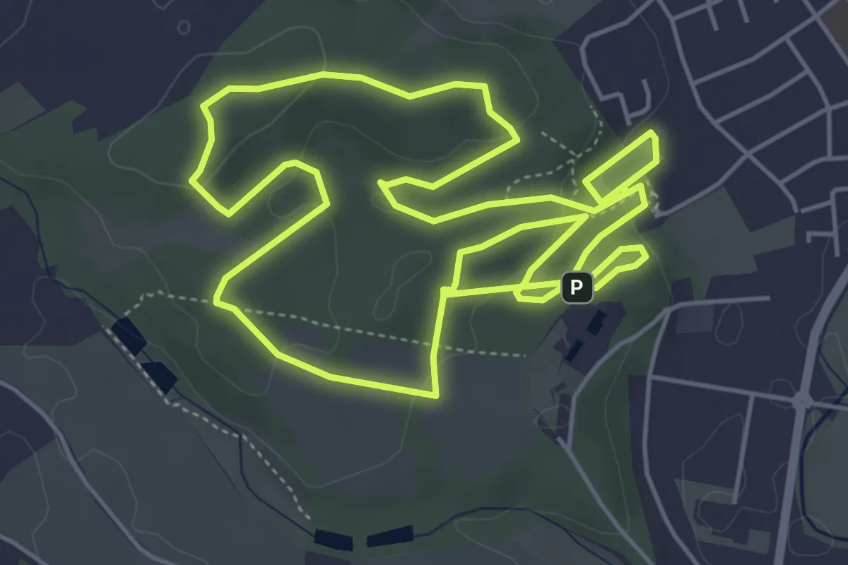
Easy · Trail
LC Schmelz Brauhauslauf
5.3 km · ↑ 159 m · 1 h 40 min
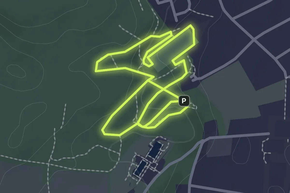
Easy · Trail
LC Schmelz Crosslauf
2.2 km · ↑ 75 m · 42 min
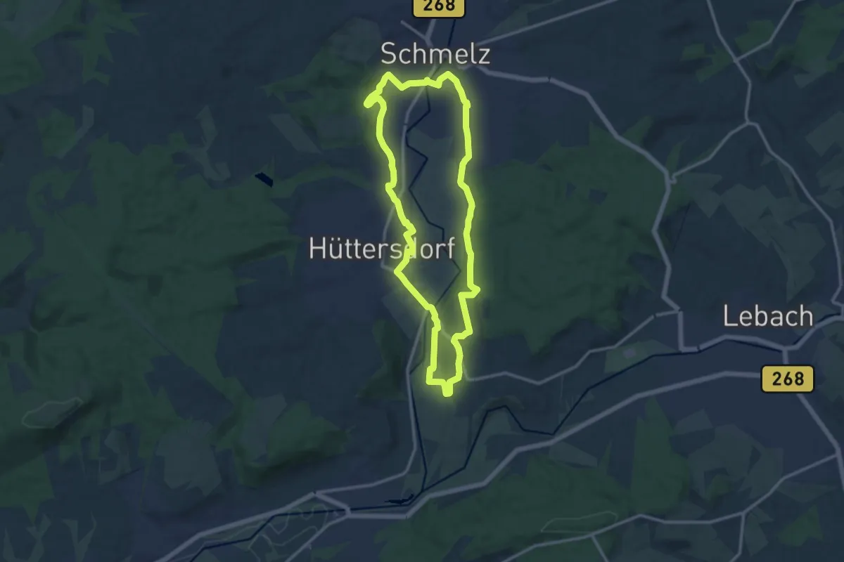
Medium · Trail
LC Schmelz Laufstrecke 1
10.7 km · ↑ 90 m · 2 h 52 min
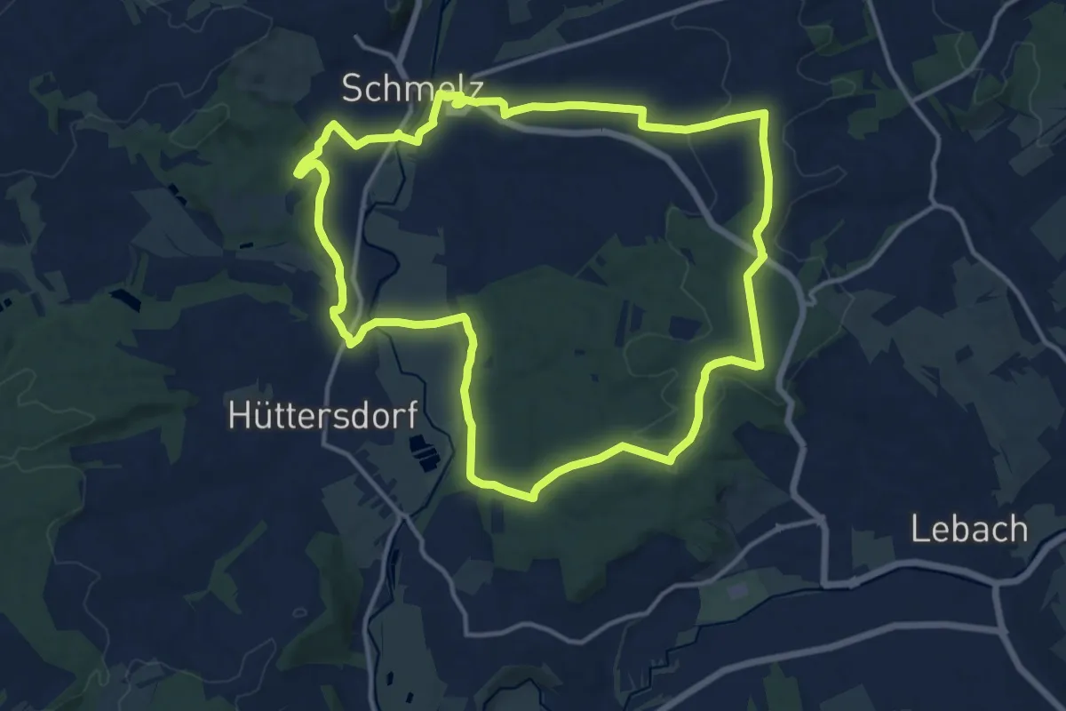
Medium · Trail
LC Schmelz Laufstrecke 2
13.0 km · ↑ 164 m · 3 h 36 min
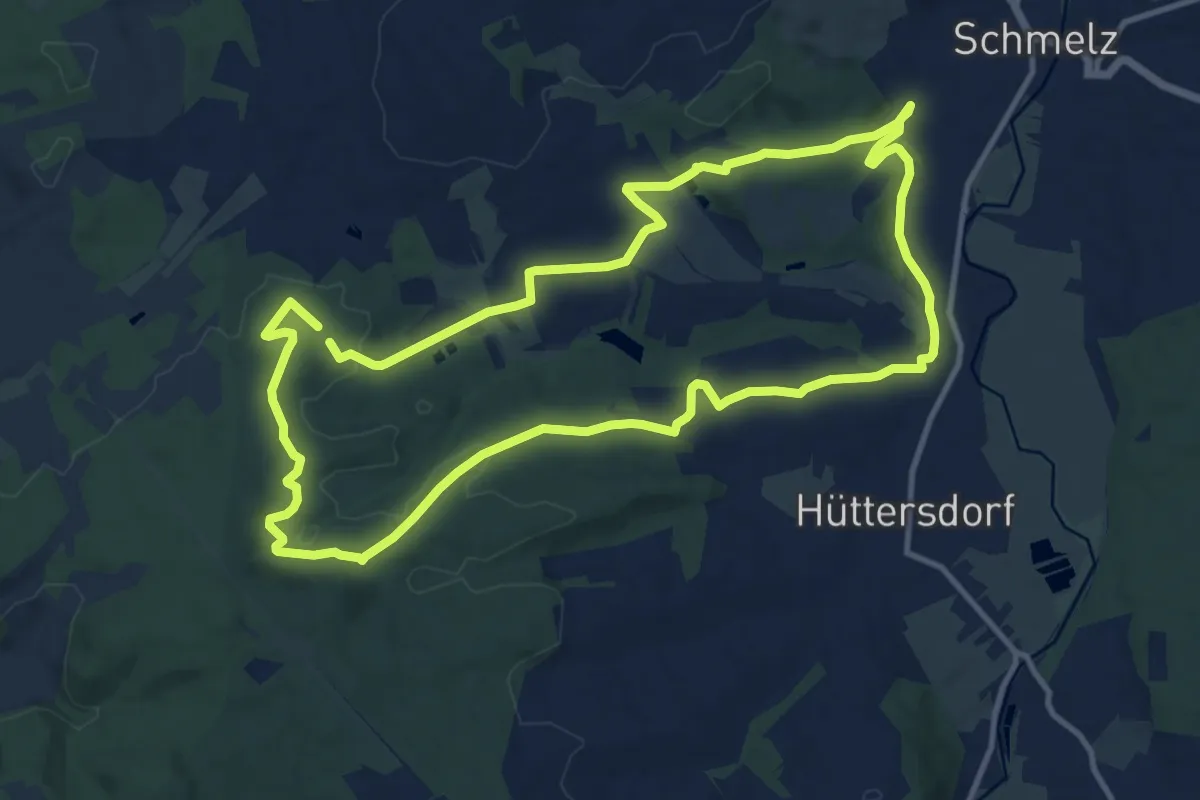
Medium · Trail
LC Schmelz Laufstrecke 3
11.5 km · ↑ 211 m · 3 h 20 min
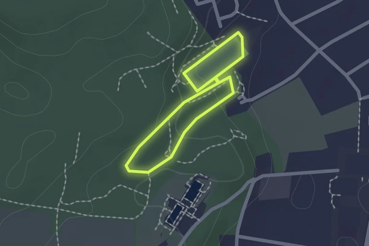
Easy · Trail
LC Schmelz Schülerlauf
1.2 km · ↑ 42 m · 23 min