Trails in Germany
36,852 hiking trails, each with its route, climb, walking time and grade.
All trails, page 322 of 768
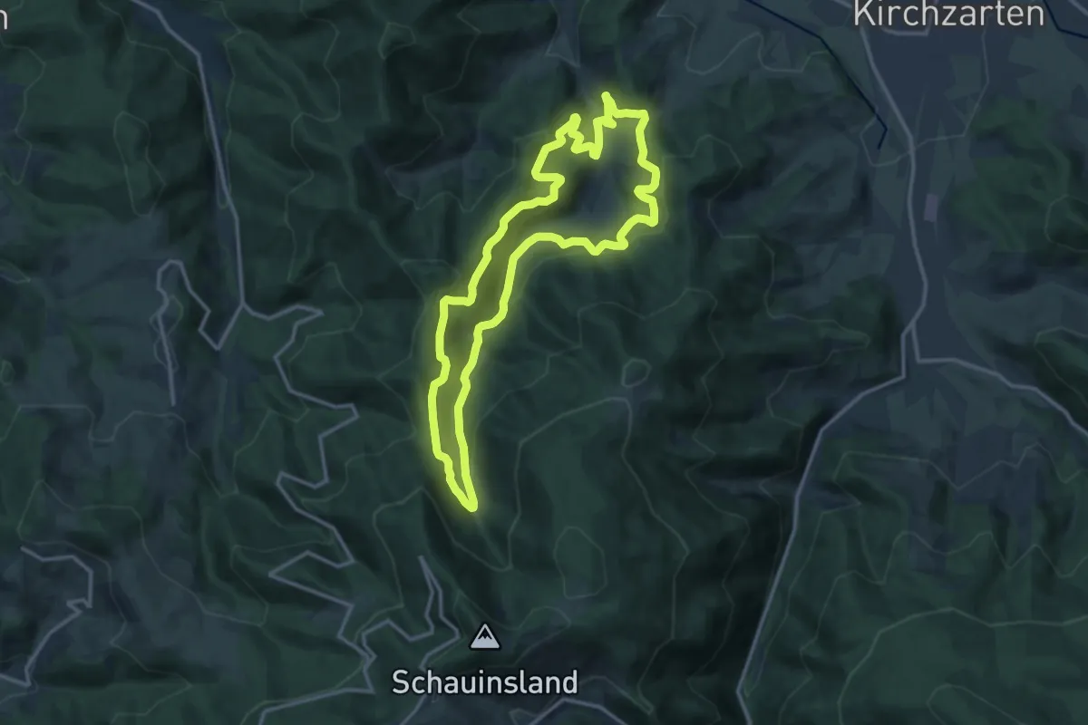
Medium · Summit
Lebensraum Freiburg-Kappel - Großer Rundweg
12.5 km · ↑ 717 m · 4 h 41 min
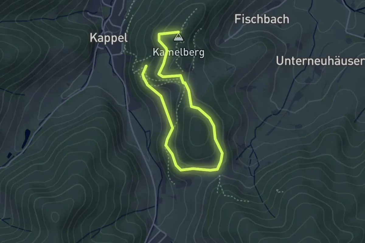
Easy · Summit
Lebensraum Freiburg-Kappel - Kleiner Rundweg
6.4 km · ↑ 255 m · 2 h 12 min
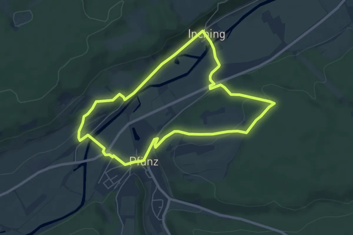
Easy · Trail
Lebens-Weg
5.5 km · ↑ 146 m · 1 h 42 min
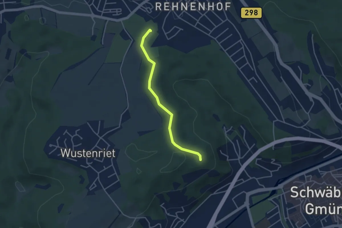
Easy · Trail
LebensWeg
3.0 km · ↑ 26 m · 46 min
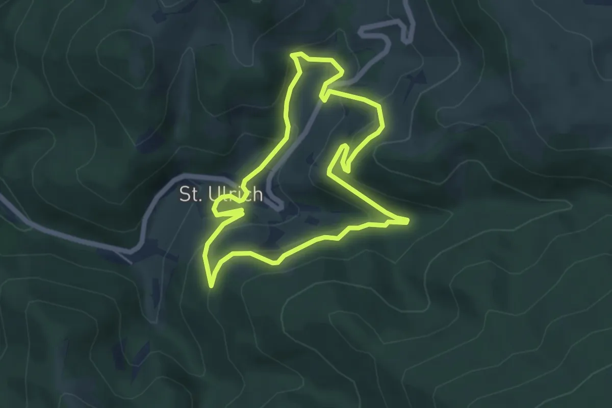
Easy · Trail
Lebensweg St. Ulrich
4.2 km · ↑ 218 m · 1 h 32 min
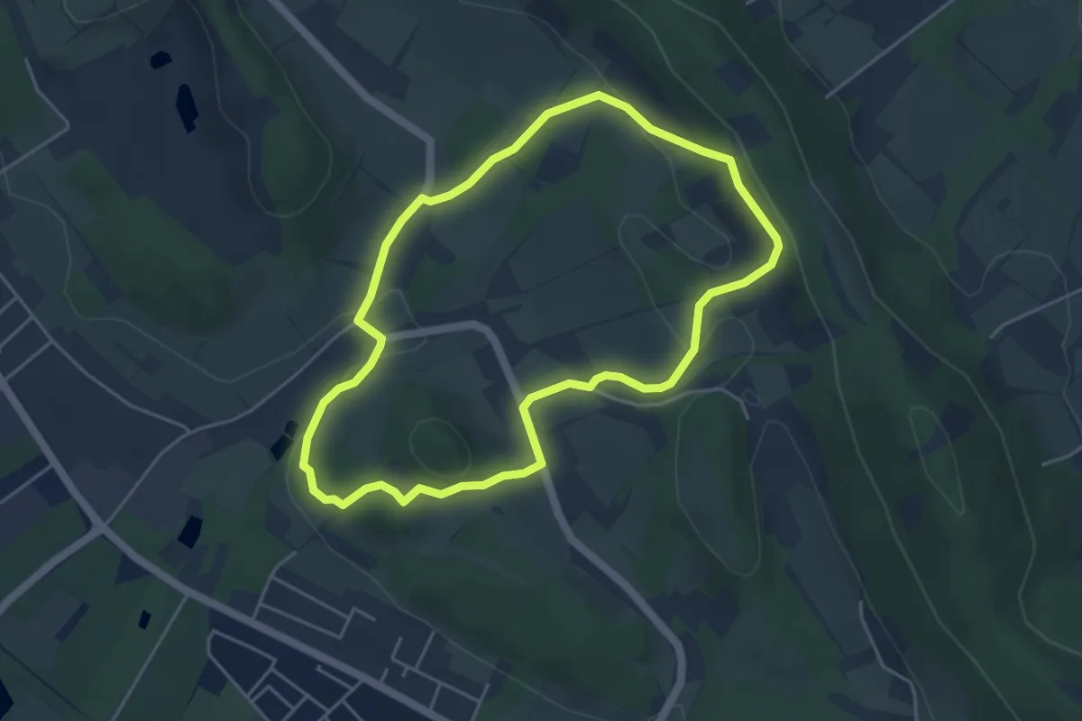
Easy · Summit
Leberblümchenweg
3.9 km · ↑ 106 m · 1 h 12 min
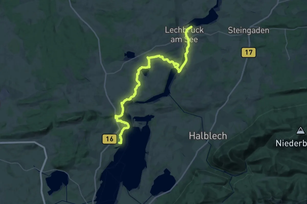
Demanding · Summit
LechErlebnisWeg
35.4 km · ↑ 424 m · 9 h 16 min
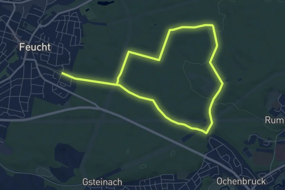
Easy · Trail
Lechle Bienenweg No.11
5.9 km · ↑ 63 m · 1 h 37 min
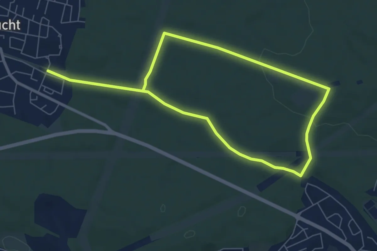
Easy · Trail
Lechle Honigpfad No.10
4.9 km · ↑ 63 m · 1 h 22 min
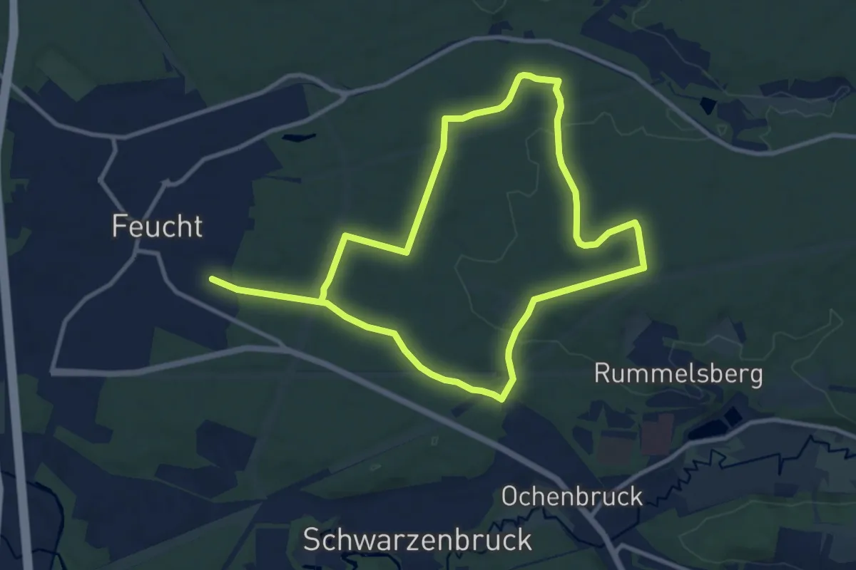
Medium · Trail
Lechle Imkerrunde No.12
8.7 km · ↑ 77 m · 2 h 20 min
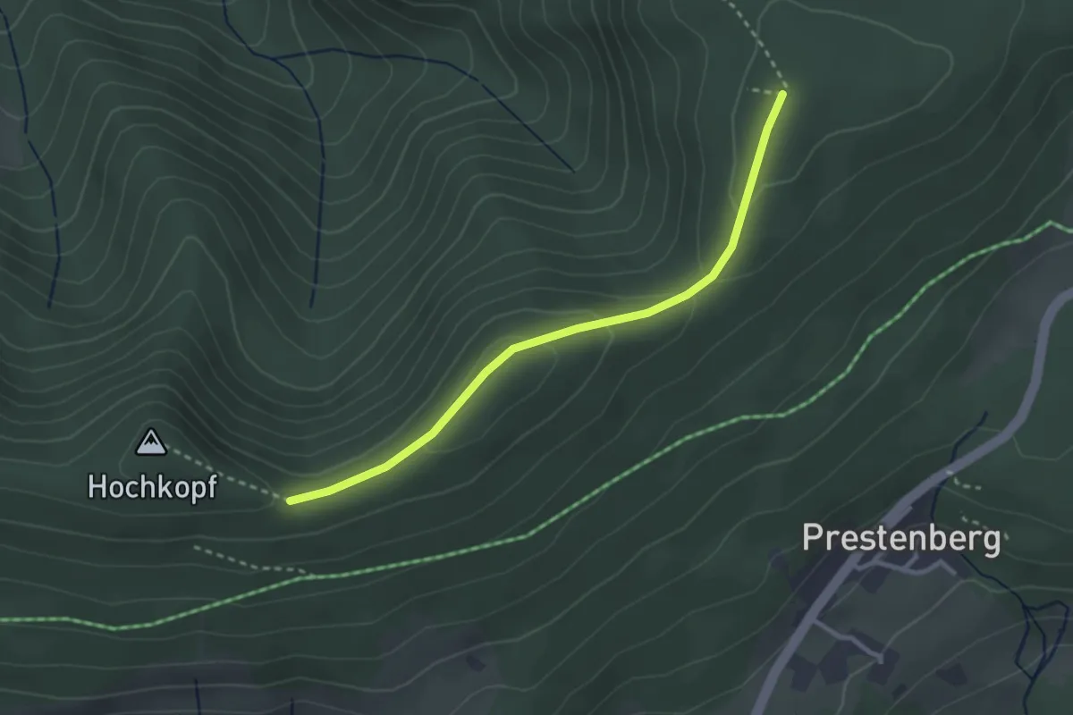
Easy · Trail
Ledertschobenstein - Am Hochkopf
2.8 km · ↑ 76 m · 49 min
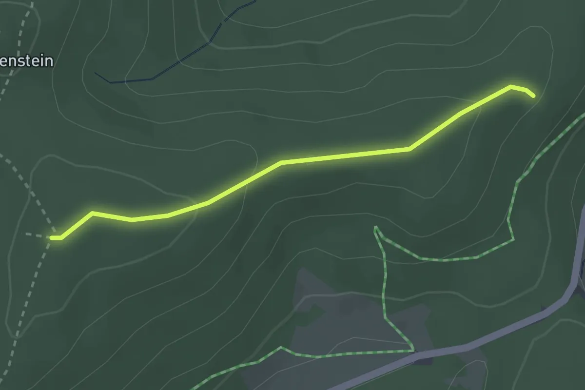
Easy · Trail
Ledertschobenstein - Neuschweine
2.5 km · ↑ 70 m · 44 min
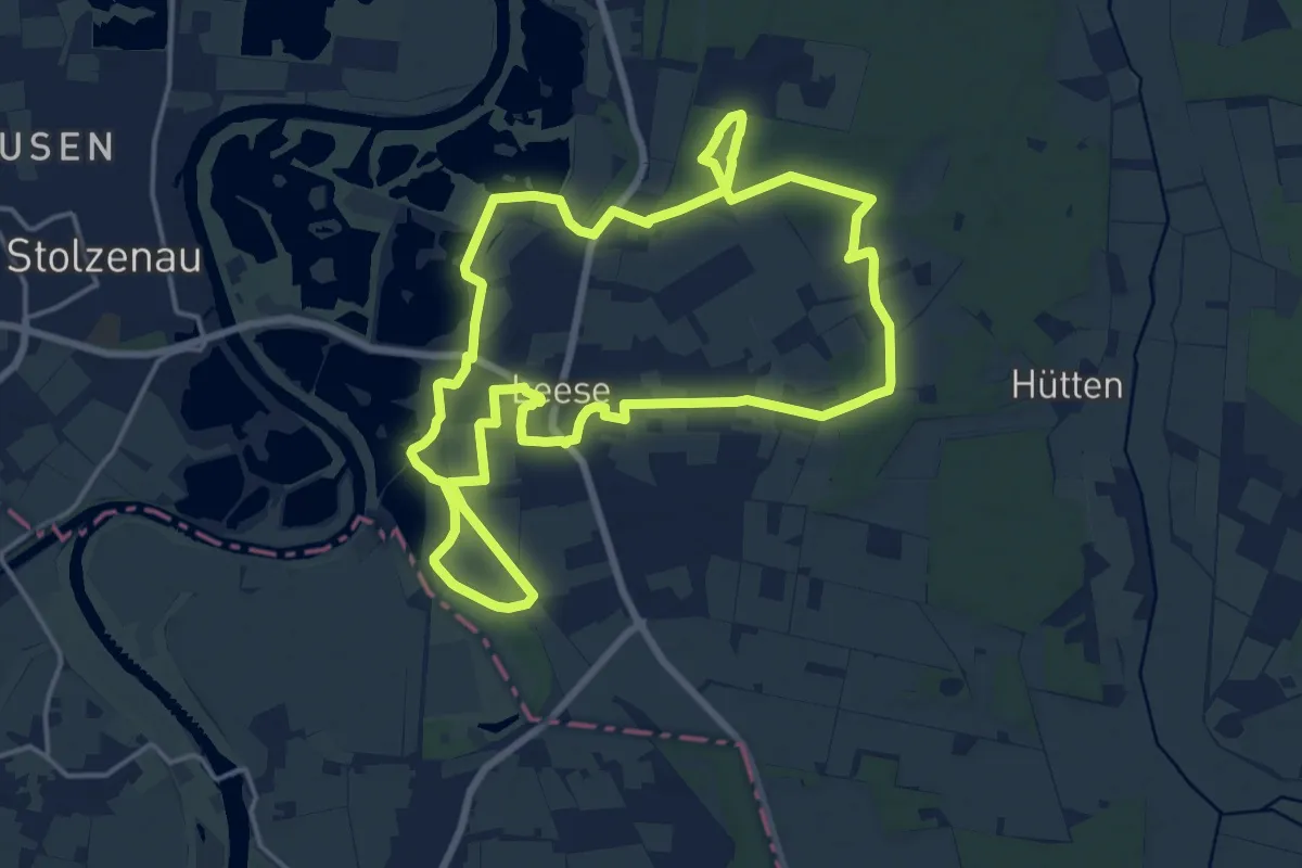
Medium · Trail
Leeser Runde
15.1 km · ↑ 31 m · 3 h 51 min
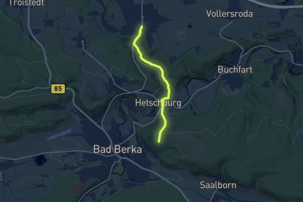
Medium · Summit
Legefeld - Blankenhain (Gelber Strich)
8.3 km · ↑ 259 m · 2 h 31 min
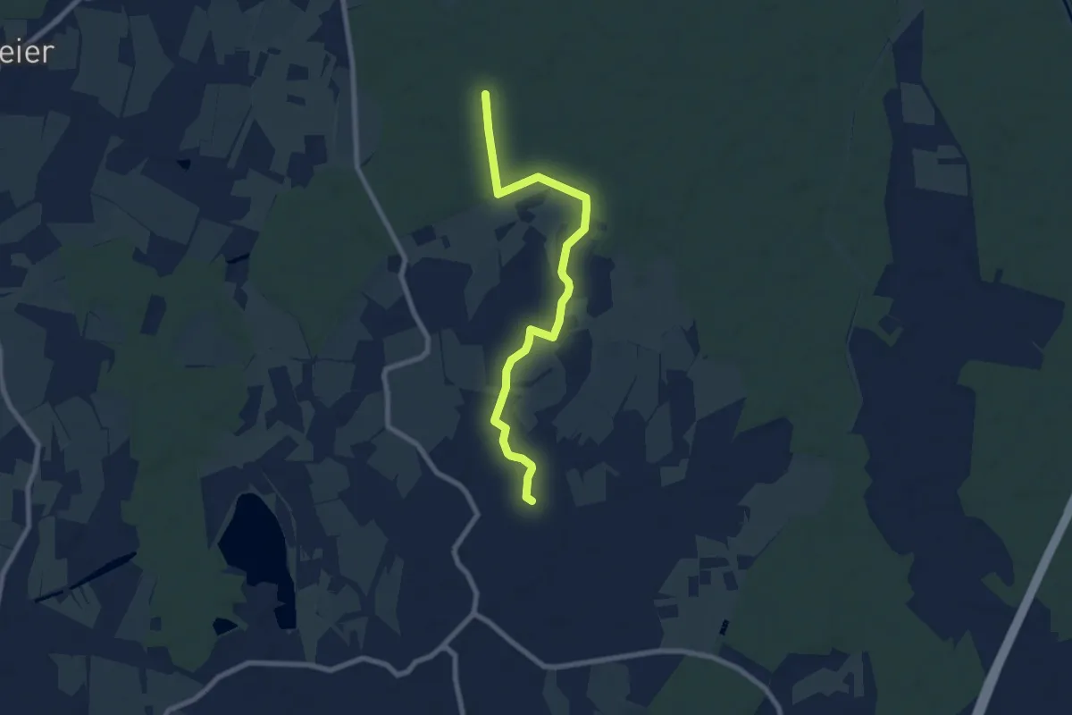
Easy · Trail
Legelshurst Eschenweg - Mührel
7.3 km · ↑ 26 m · 1 h 47 min
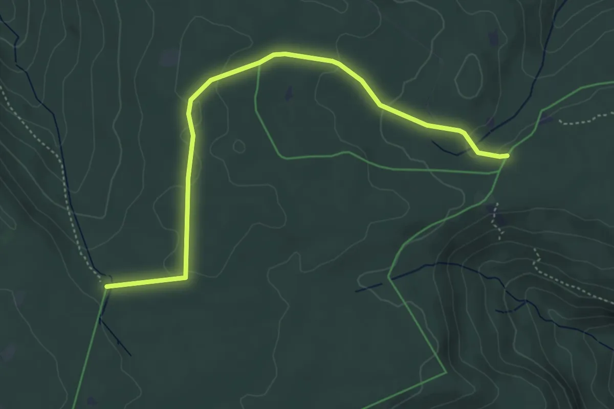
Easy · Trail
Lehenbrückle - Bächlesweg
5.0 km · ↑ 85 m · 1 h 21 min
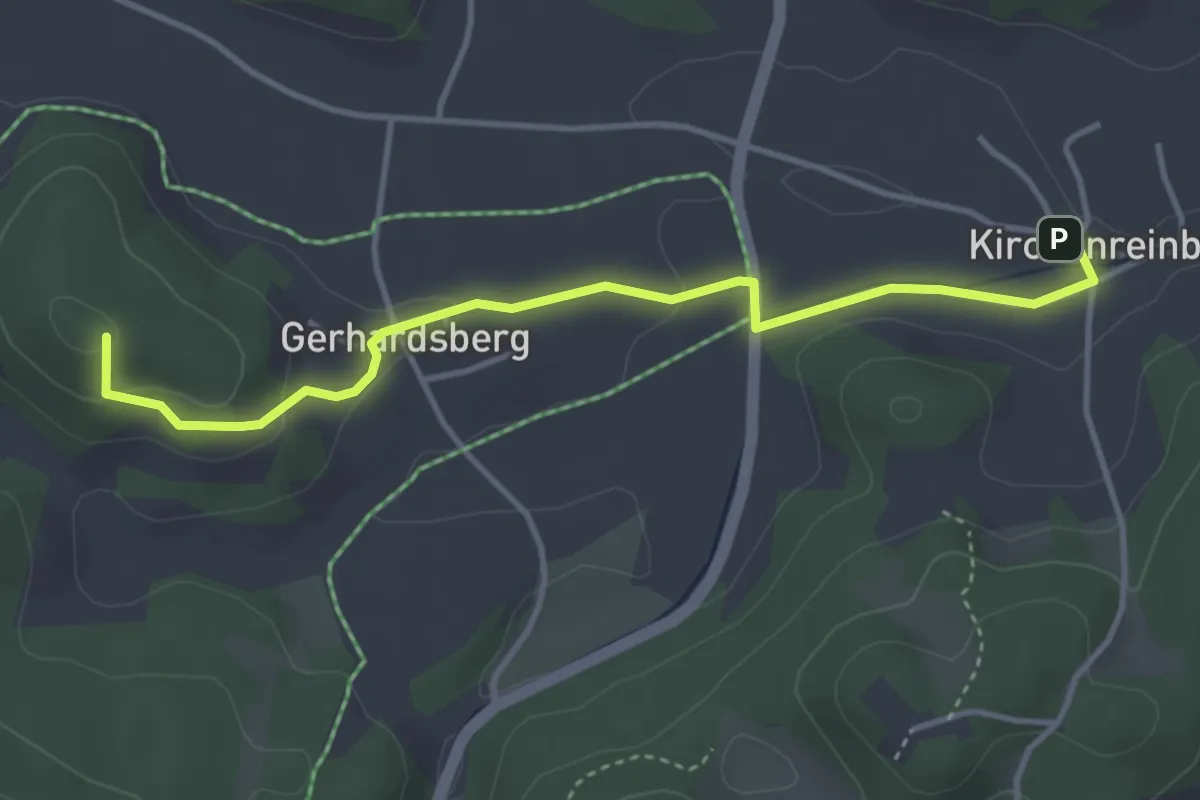
Easy · Summit
Lehendorf-Schmidtstadt
3.8 km · ↑ 86 m · 1 h 5 min
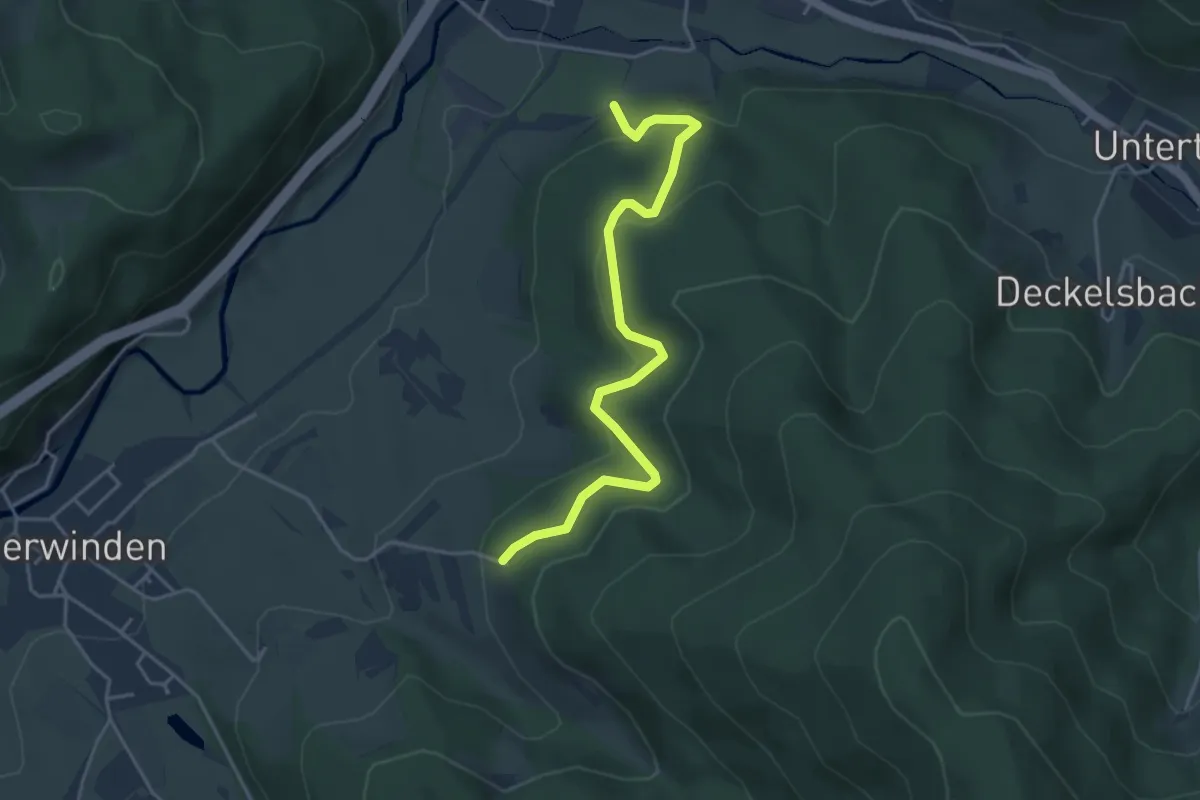
Easy · Trail
Lehen - Kalmerhütte
4.2 km · ↑ 250 m · 1 h 33 min
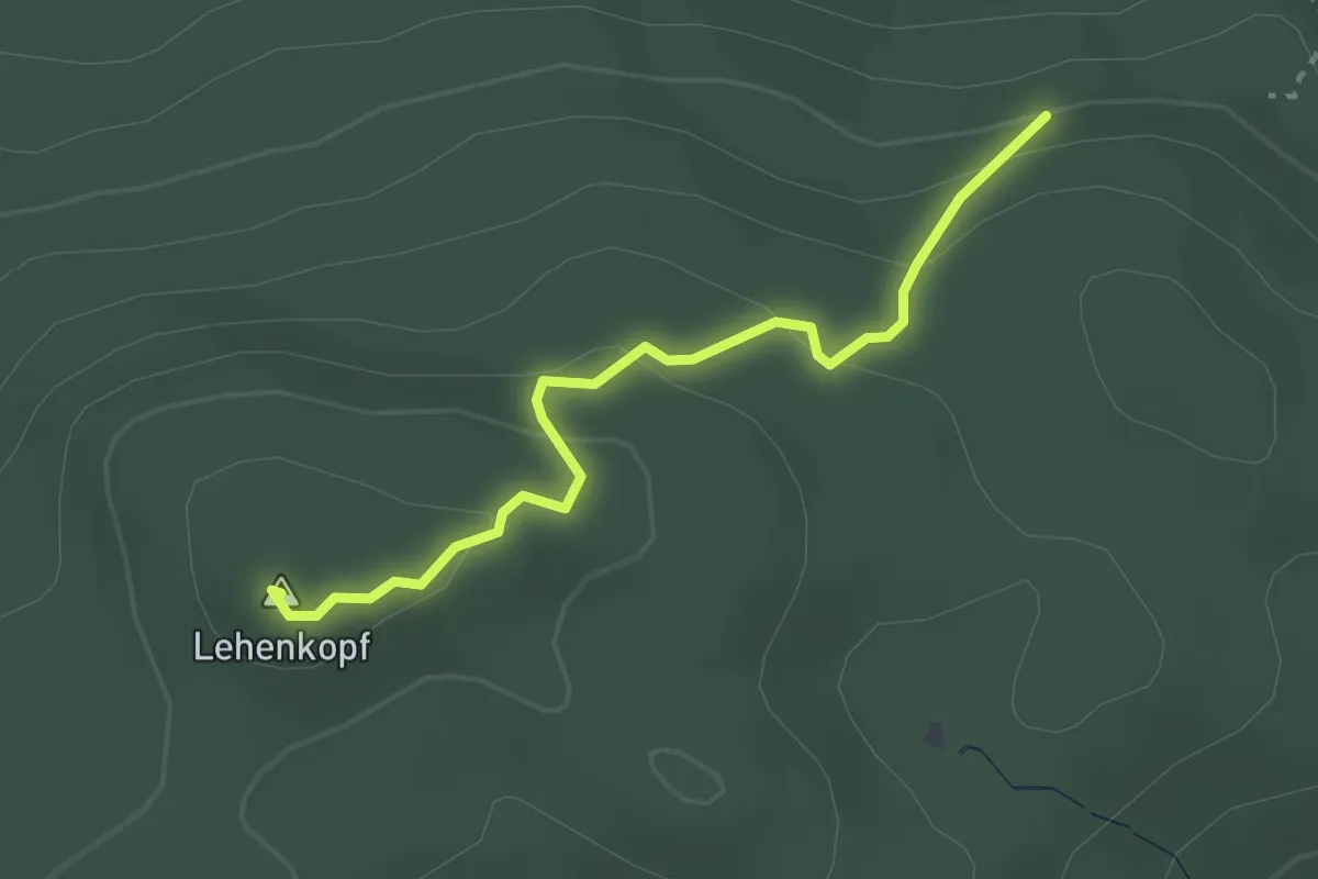
Easy · Summit
Lehenkopfturm - Schwandbrünnele
2.5 km · ↑ 130 m · 52 min
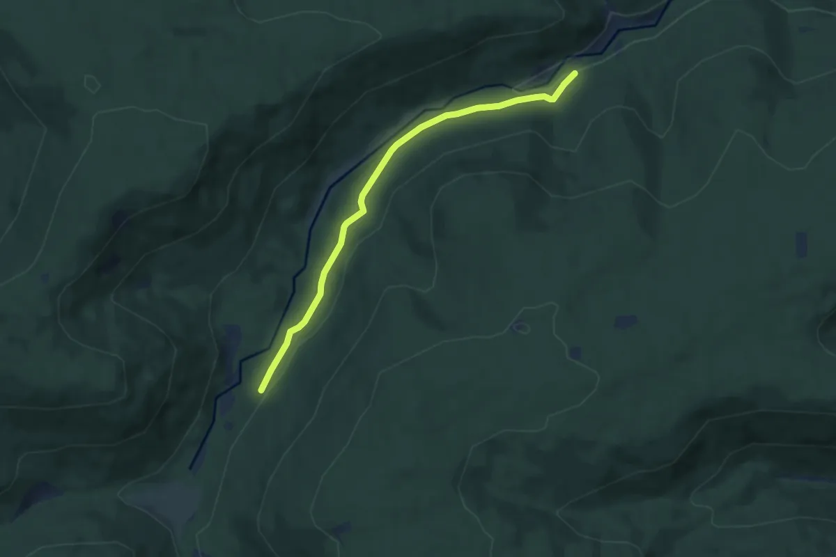
Easy · Trail
Lehensägemühle - Eyachtalweg
6.3 km · ↑ 135 m · 1 h 46 min
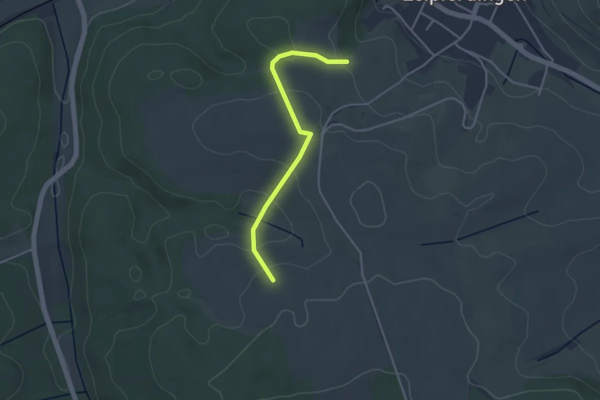
Easy · Trail
Lehle - Naglers Halde
2.8 km · ↑ 94 m · 52 min
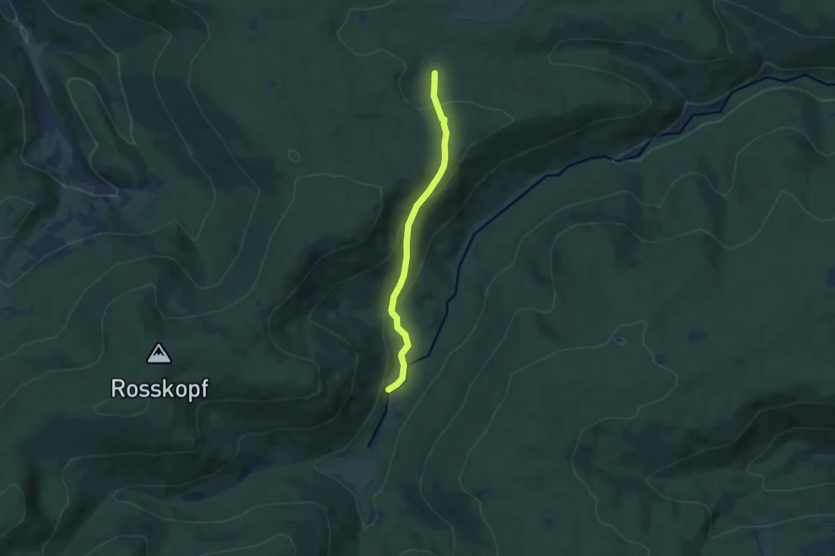
Easy · Trail
Lehmannshof Brücke - Mannenbachquelle
5.9 km · ↑ 242 m · 1 h 55 min
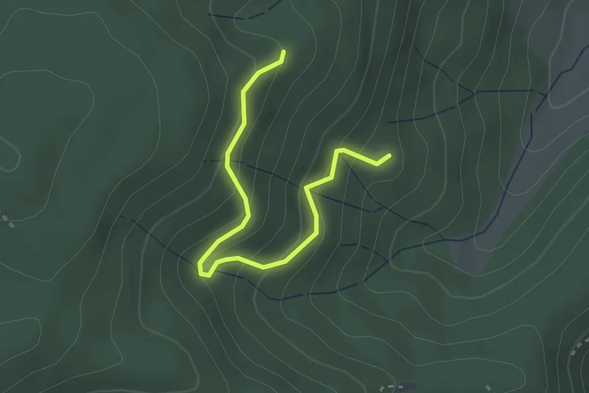
Easy · Trail
Lehmannshütte - Auer Rank
2.7 km · ↑ 208 m · 1 h 6 min
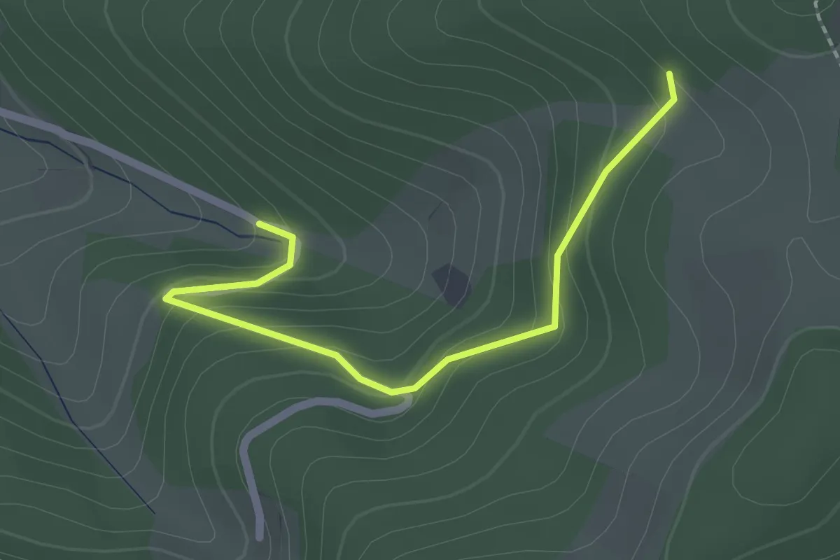
Easy · Trail
Lehmannshütte - Oberm Weier
2.0 km · ↑ 148 m · 47 min
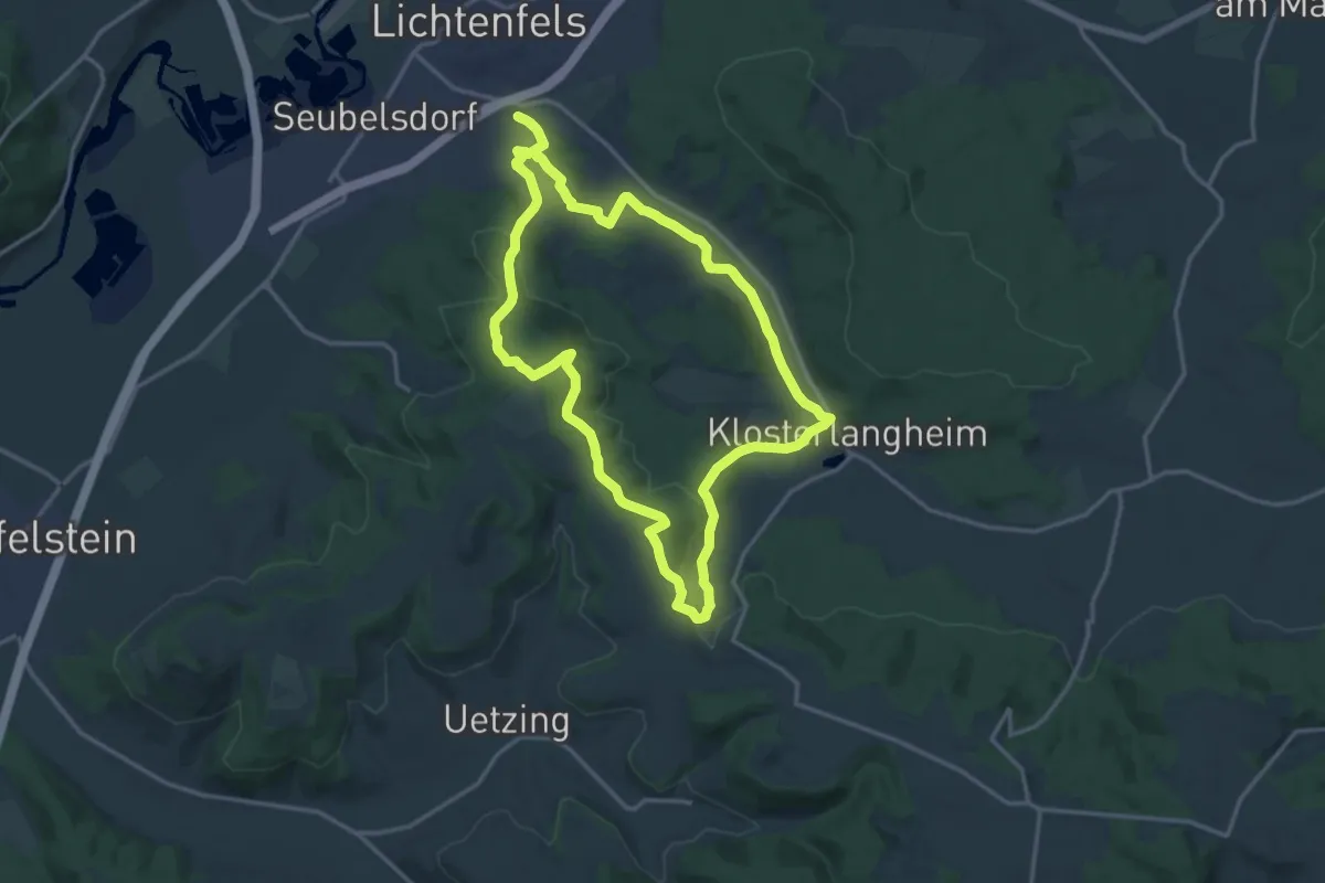
Medium · Trail
Lehmenbrunnen Rundweg
14.6 km · ↑ 347 m · 4 h 25 min
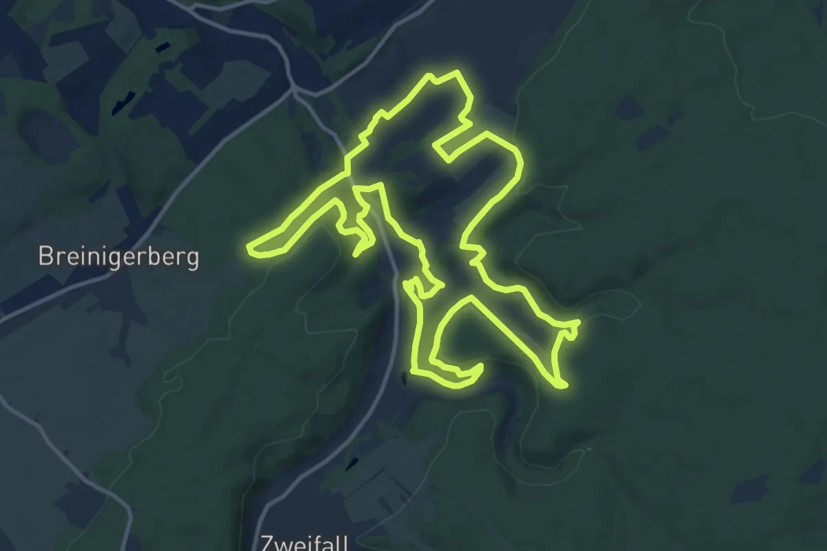
Medium · Trail
Lehmjöres-Weg
12.8 km · ↑ 287 m · 3 h 49 min
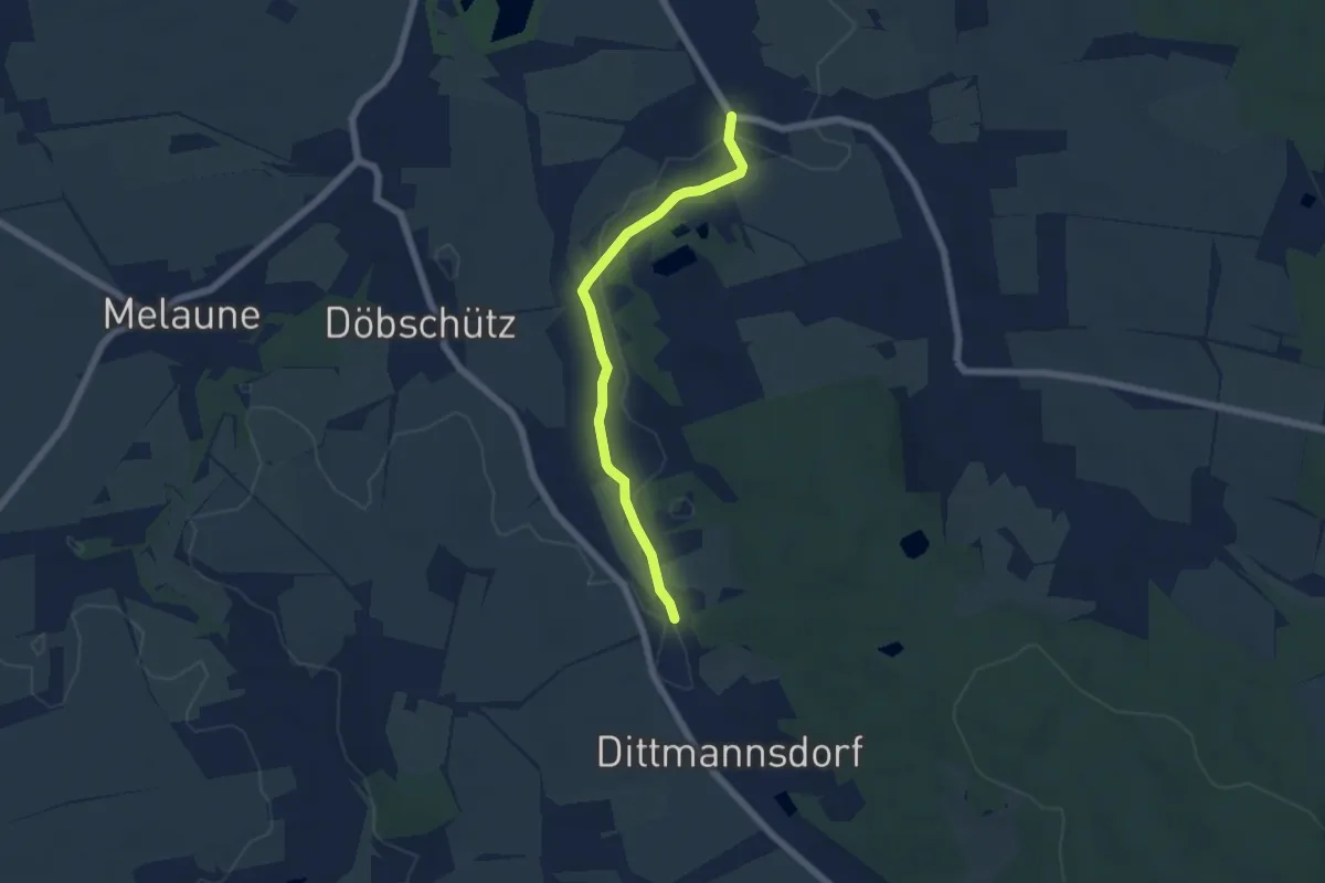
Easy · Trail
Lehnhäuser - Orangerie Arnsdorf
4.9 km · ↑ 30 m · 1 h 13 min
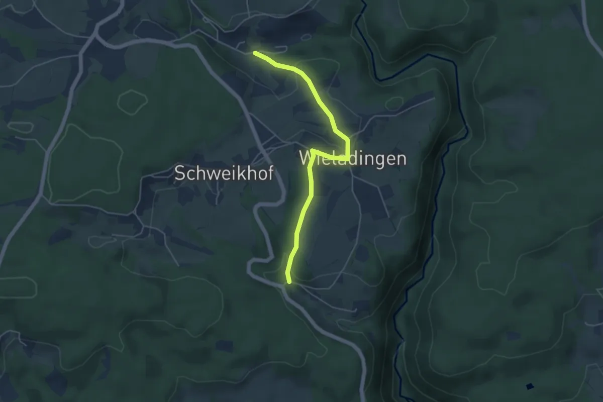
Easy · Trail
Lehnhof - Beim Steinbruch
4.3 km · ↑ 102 m · 1 h 15 min
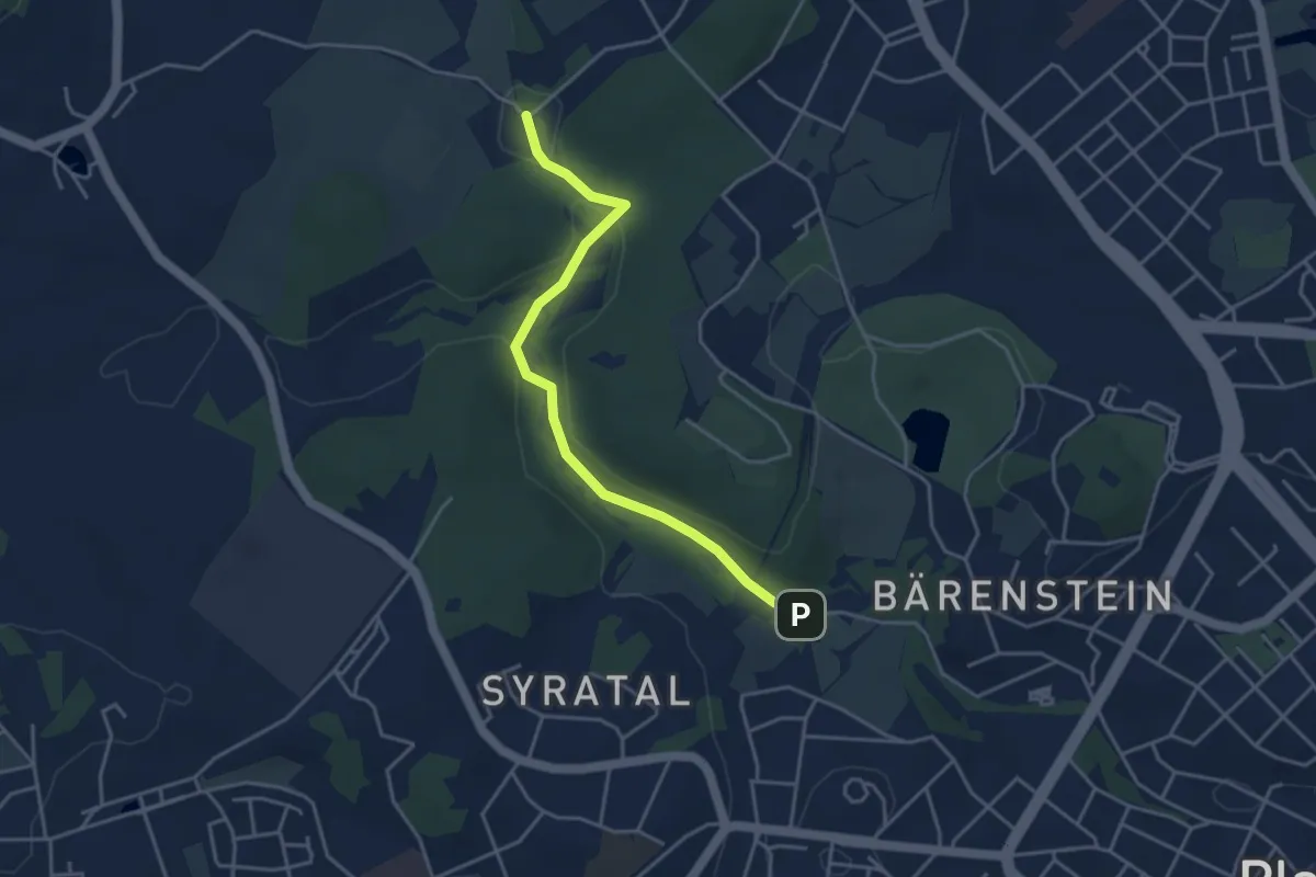
Easy · Trail
Lehrpfad
3.7 km · ↑ 46 m · 58 min
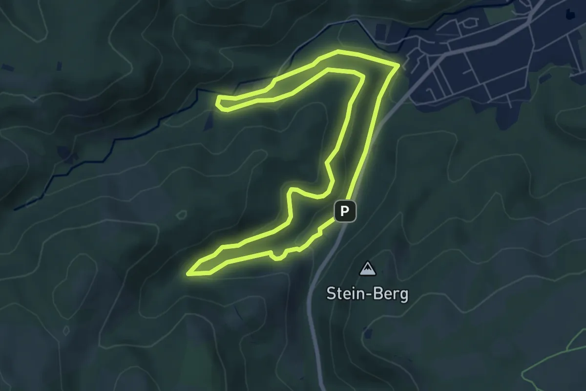
Easy · Trail
Lehrpfad
5.9 km · ↑ 166 m · 1 h 50 min
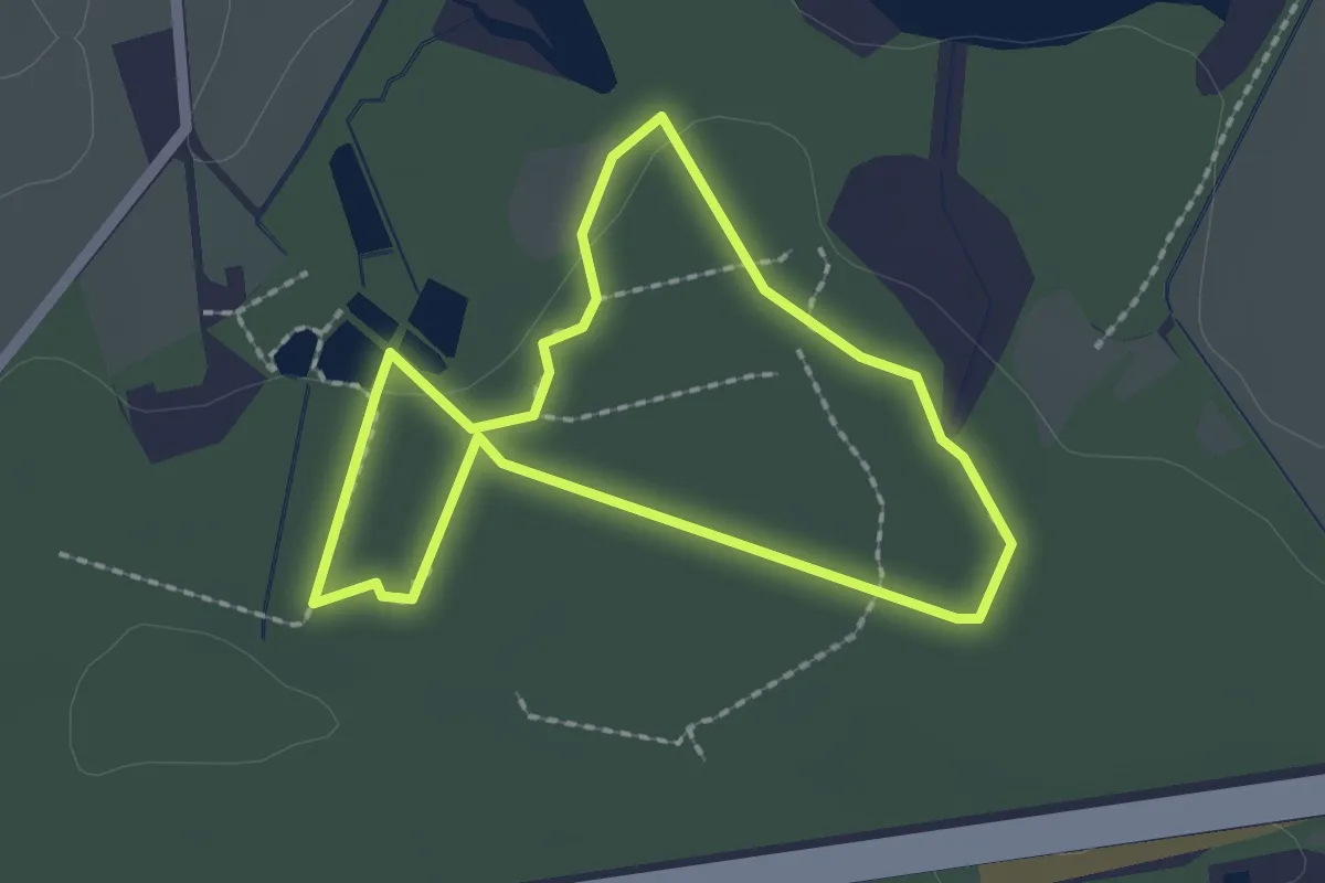
Easy · Trail
Lehrpfad
1.7 km · ↑ 13 m · 27 min
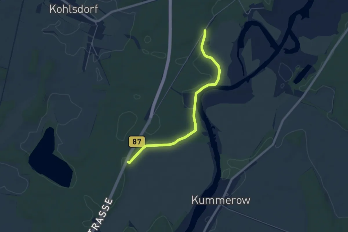
Easy · Trail
Lehrpfad
4.5 km · ↑ 17 m · 1 h 6 min
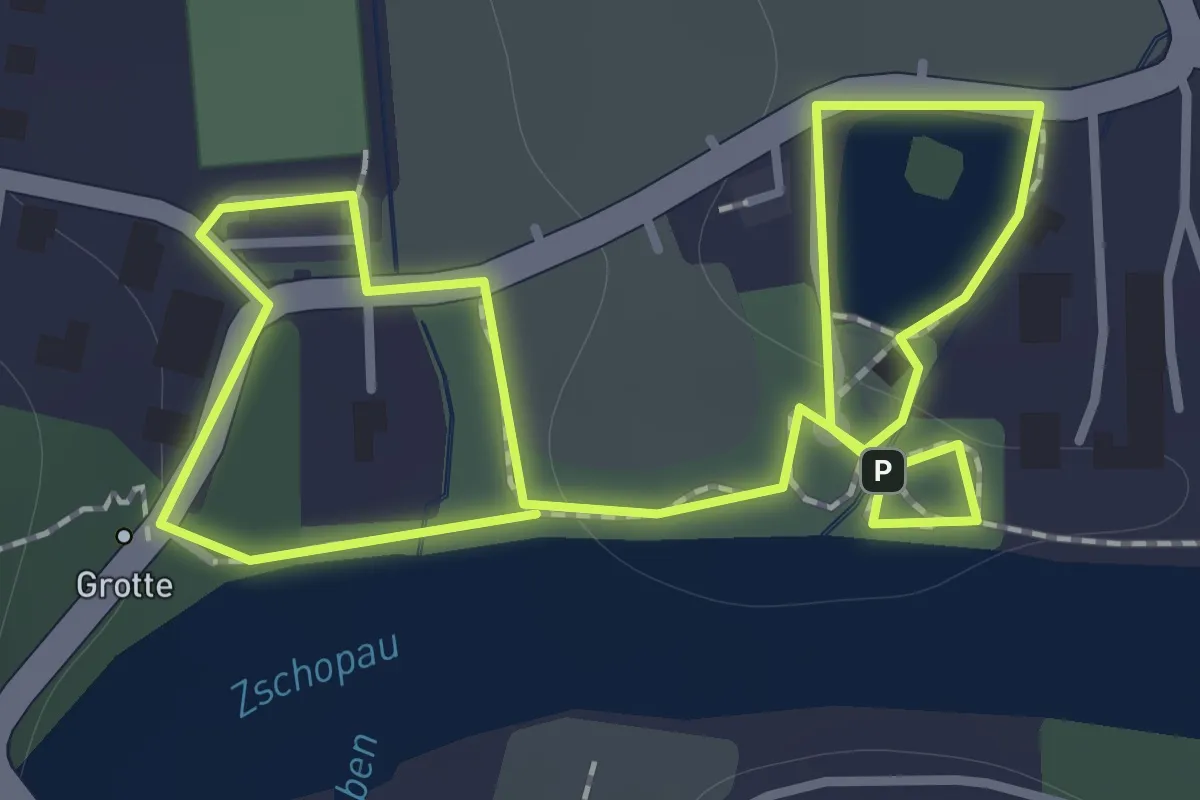
Easy · Trail
Lehrpfad Baumpark Ringethal
1.0 km · ↑ 8 m · 17 min
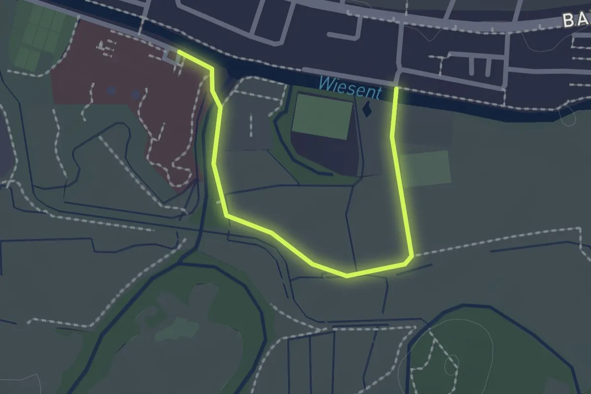
Easy · Trail
Lehrpfad Erlebniswässerung Forchheim
2.0 km · ↑ 4 m · 29 min
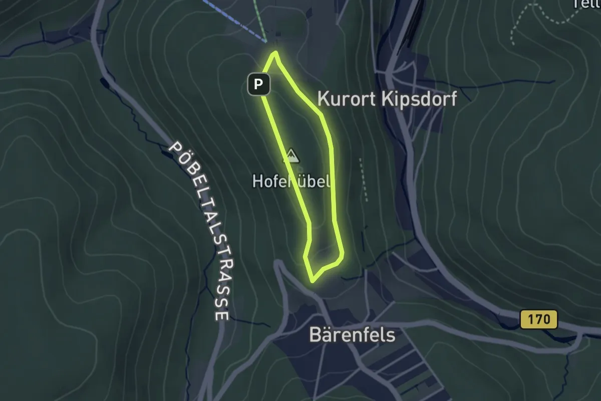
Easy · Trail
Lehrpfad Forst Oberbärenburg
2.0 km · ↑ 40 m · 35 min
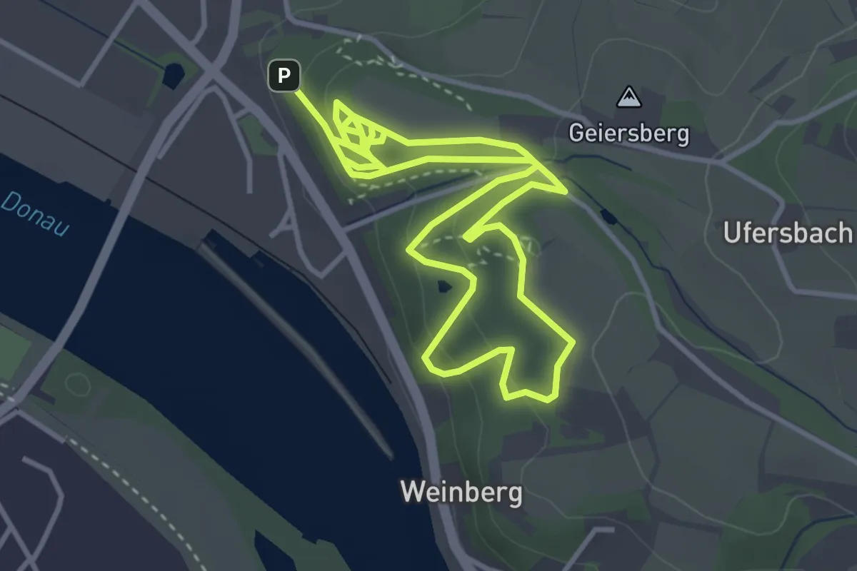
Easy · Trail
Lehrpfad Geiersberg
3.3 km · ↑ 143 m · 1 h 7 min
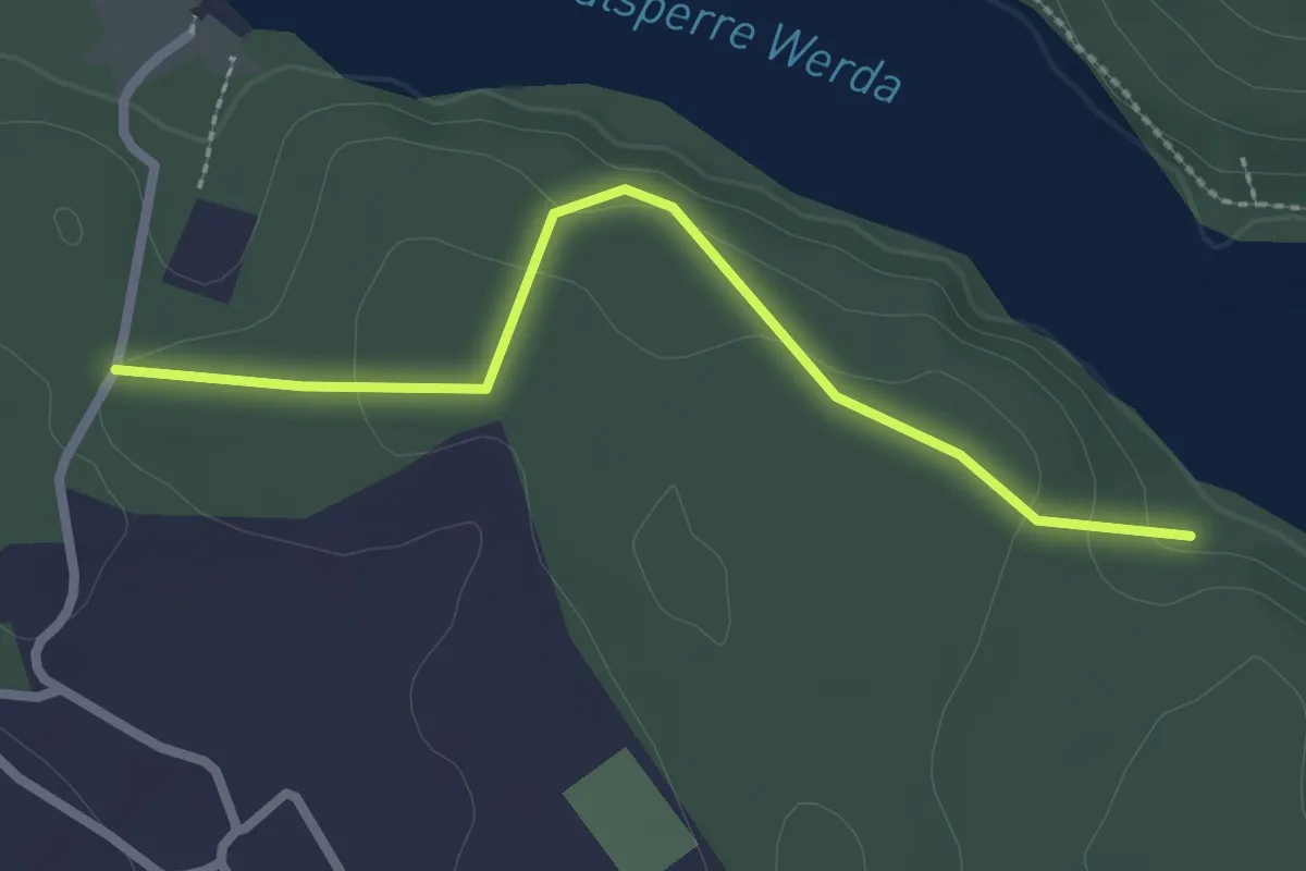
Easy · Trail
Lehrpfad Geigenbachtalsperre
2.3 km · ↑ 51 m · 39 min
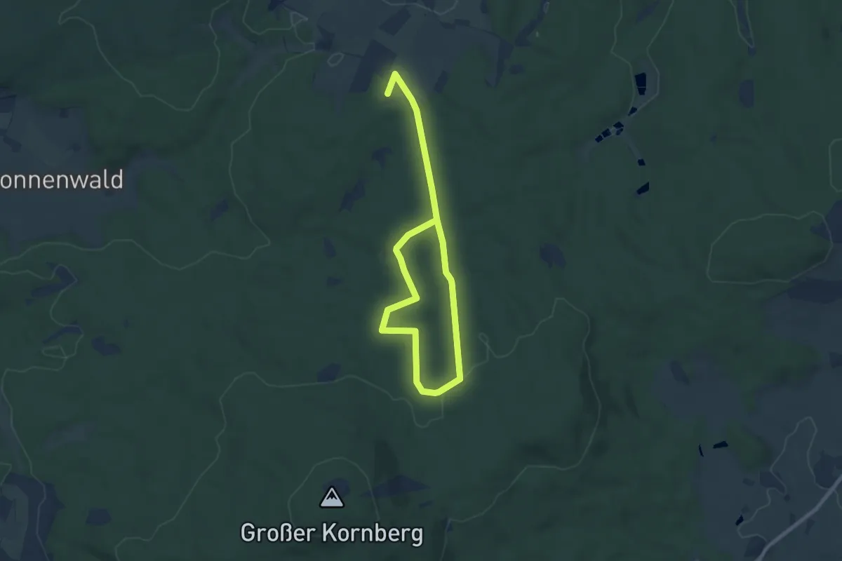
Medium · Trail
Lehrpfad große Runde
10.4 km · ↑ 182 m · 2 h 50 min
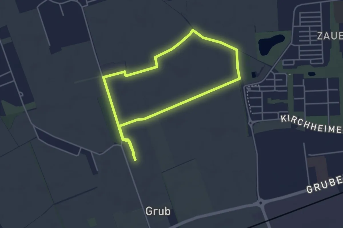
Easy · Trail
Lehrpfad Grub
3.5 km · ↑ 4 m · 53 min
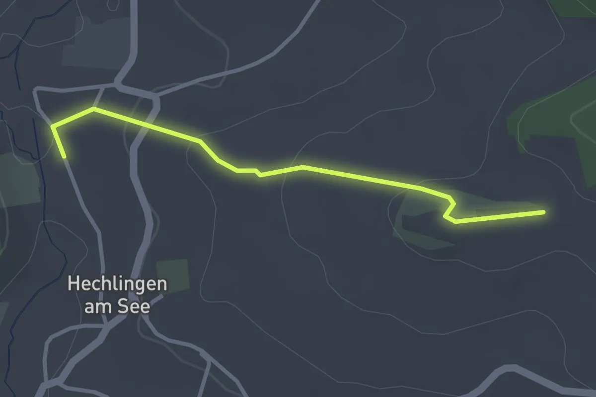
Easy · Trail
Lehrpfad (Hechlinger Hohlweg)
2.6 km · ↑ 90 m · 48 min
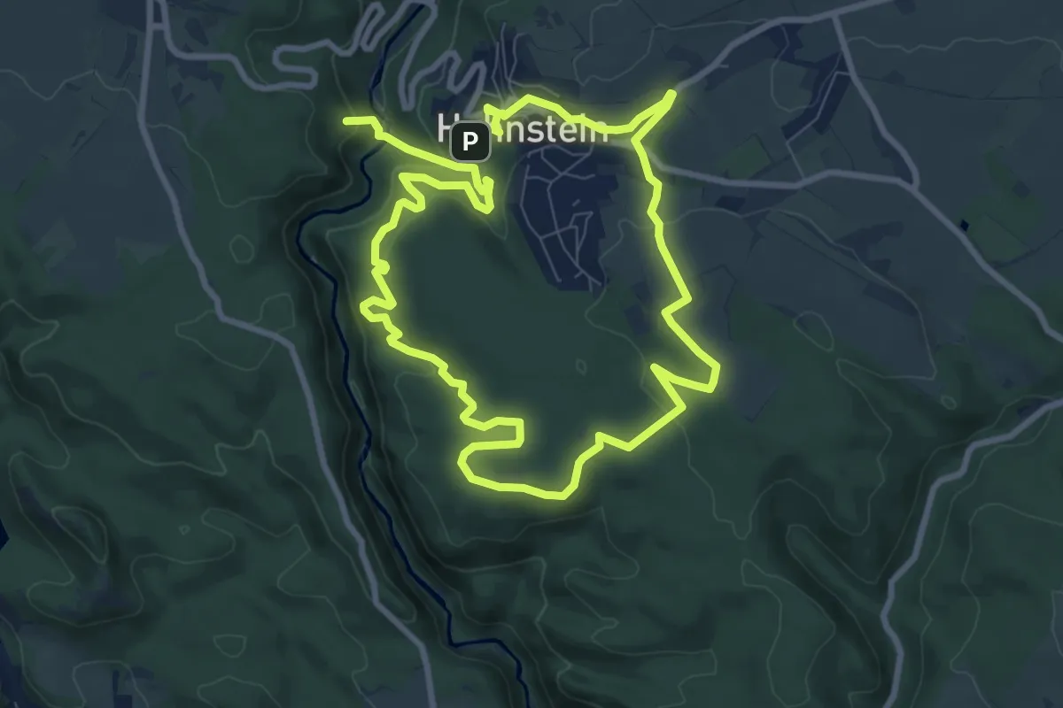
Medium · Summit
Lehrpfad Hohnstein
9.2 km · ↑ 321 m · 3 h 1 min
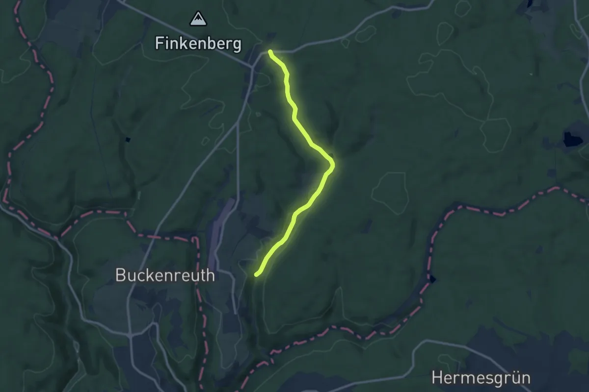
Medium · Trail
Lehrpfad Jägersruh
8.1 km · ↑ 139 m · 2 h 13 min
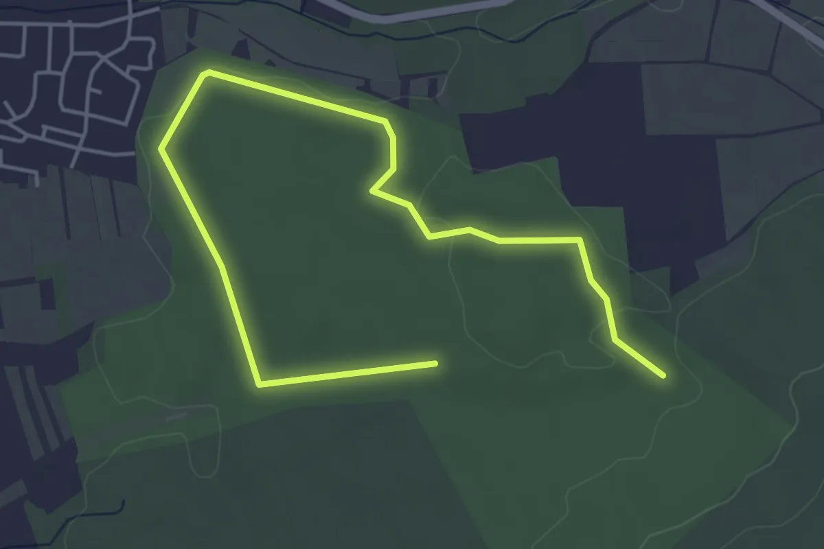
Easy · Trail
Lehrpfad Käfer und Co Breitengüßbach
5.8 km · ↑ 49 m · 1 h 28 min
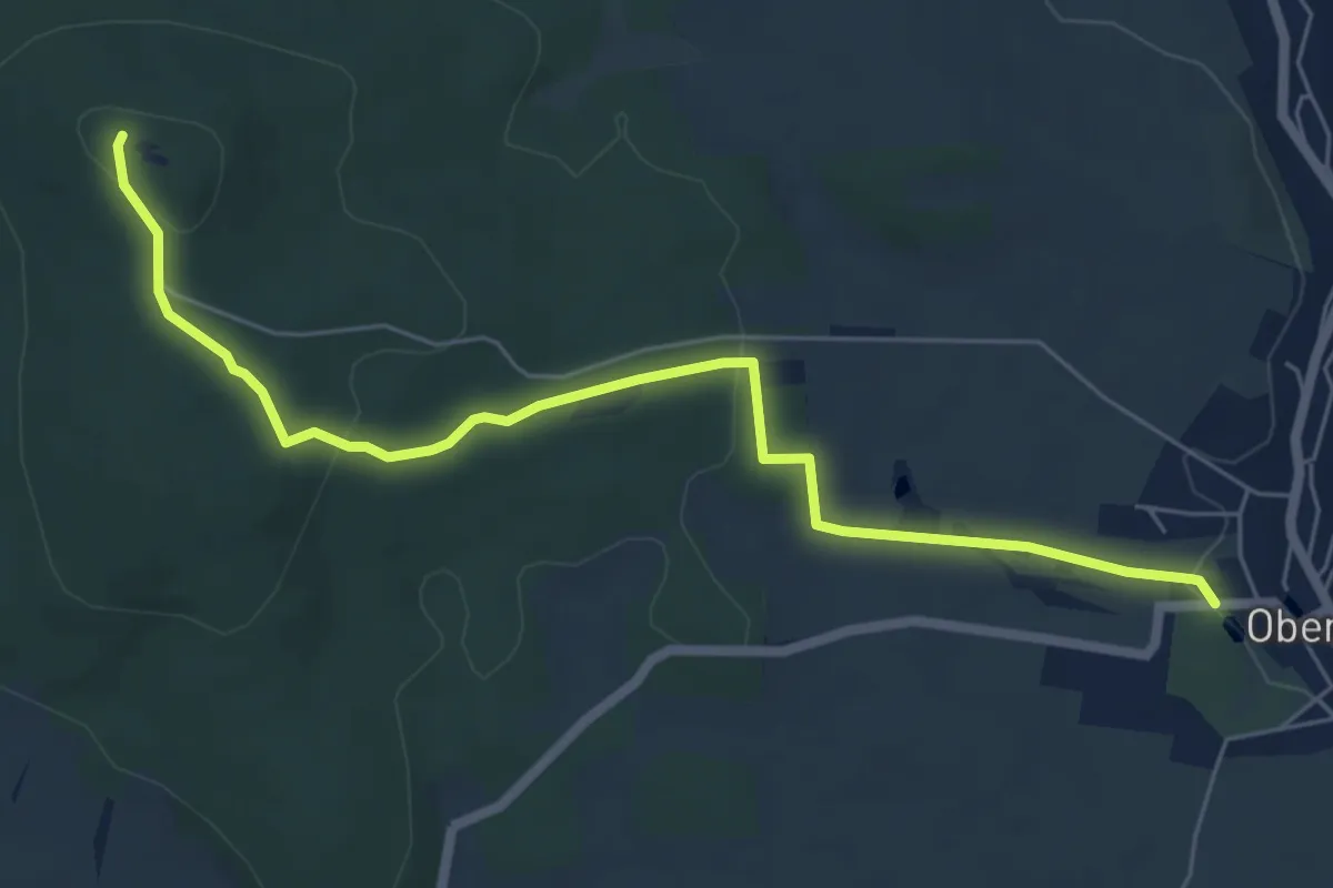
Easy · Summit
Lehrpfad Keulenberg
6.2 km · ↑ 147 m · 1 h 47 min
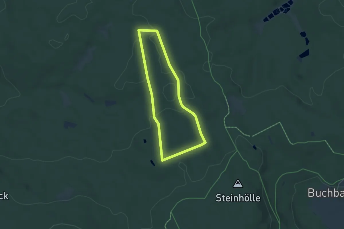
Easy · Trail
Lehrpfad kleine Runde
3.5 km · ↑ 46 m · 58 min
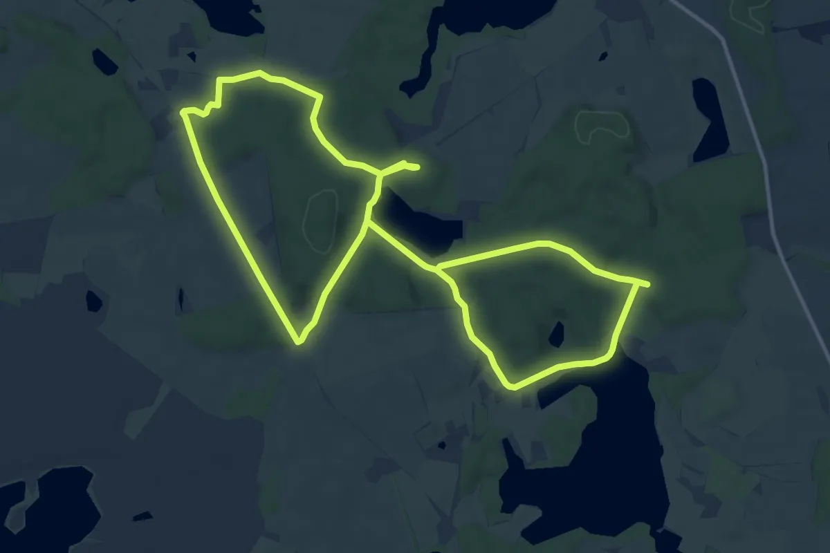
Medium · Trail
Lehrpfad Lähnwitz
10.6 km · ↑ 118 m · 2 h 55 min
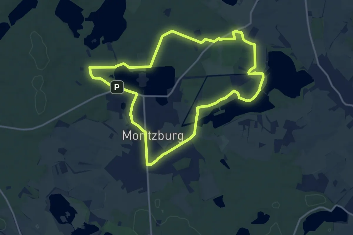
Medium · Summit
Lehrpfad Moritzburg
9.5 km · ↑ 63 m · 2 h 31 min
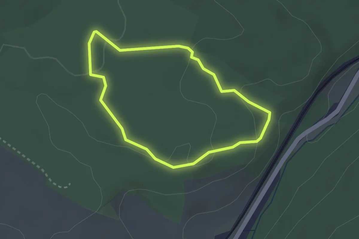
Easy · Trail
Lehrpfad Naturwaldreservat Waldkugel
2.0 km · ↑ 50 m · 37 min