Trails in Germany
36,852 hiking trails, each with its route, climb, walking time and grade.
All trails, page 323 of 768
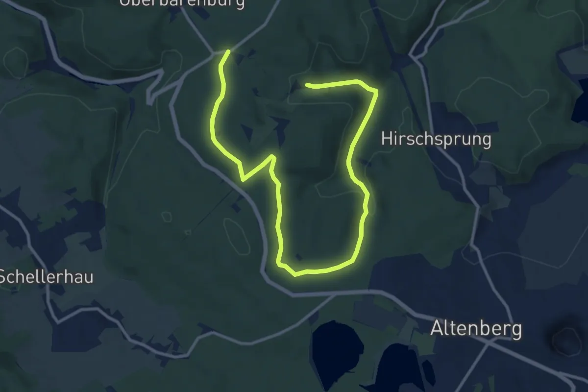
Medium · Trail
Lehrpfad Nr. 6
11.9 km · ↑ 271 m · 3 h 24 min
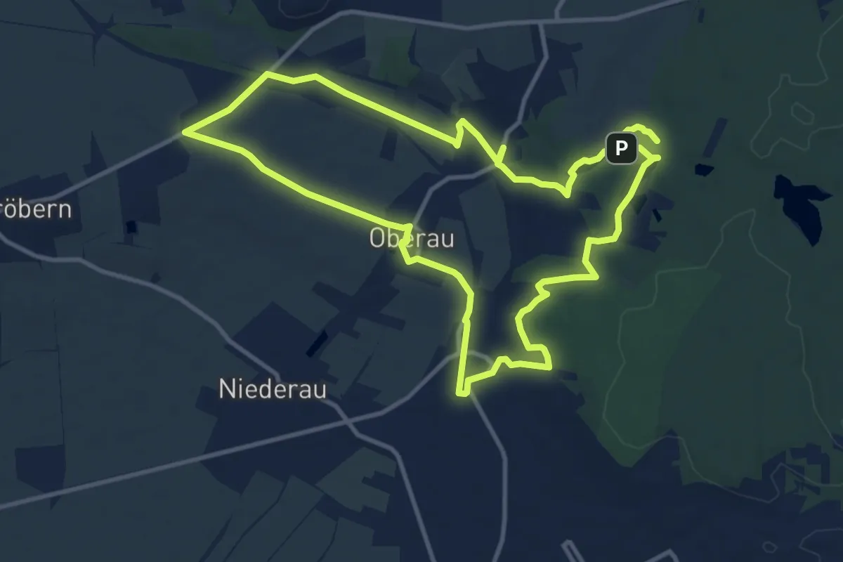
Medium · Summit
Lehrpfad "Obere Aue"
9.8 km · ↑ 90 m · 2 h 38 min
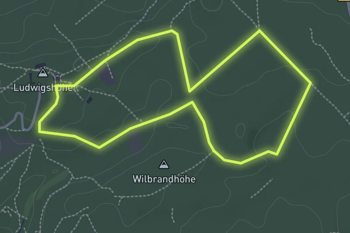
Easy · Summit
Lehrpfad: Planetenweg
2.7 km · ↑ 33 m · 45 min
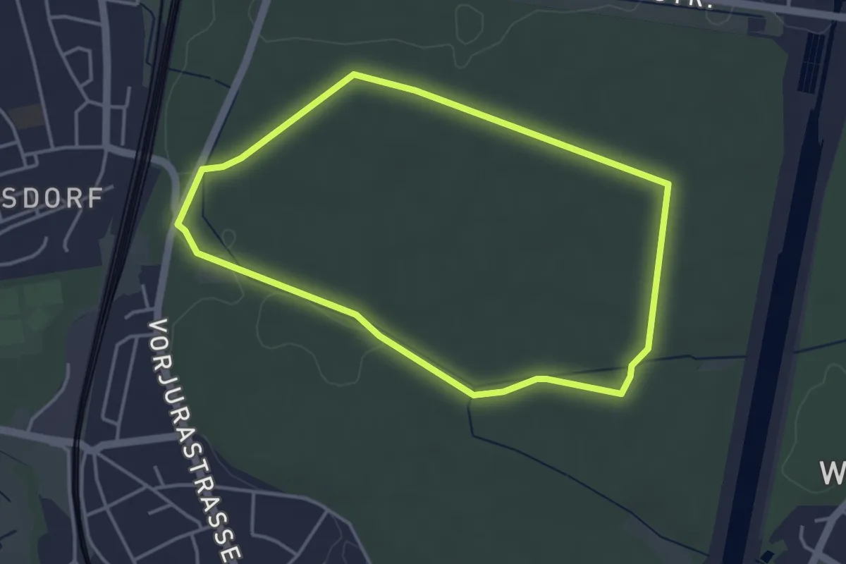
Easy · Trail
Lehrpfad Reichelsdorf
3.5 km · ↑ 13 m · 54 min
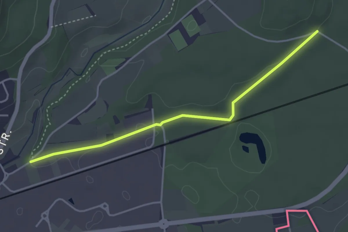
Easy · Trail
Lehrpfad Riederbach - Dellenhau
3.6 km · ↑ 55 m · 58 min
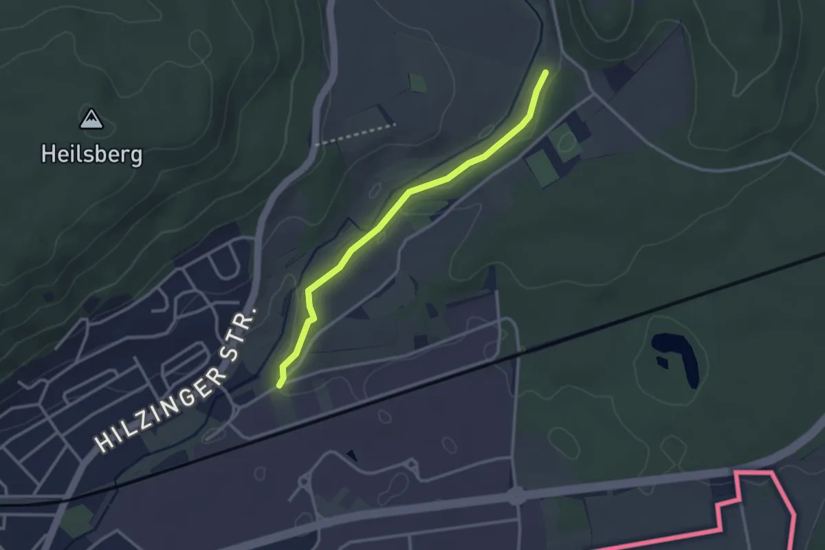
Easy · Trail
Lehrpfad Riederbach - Riederbach
2.6 km · ↑ 25 m · 41 min
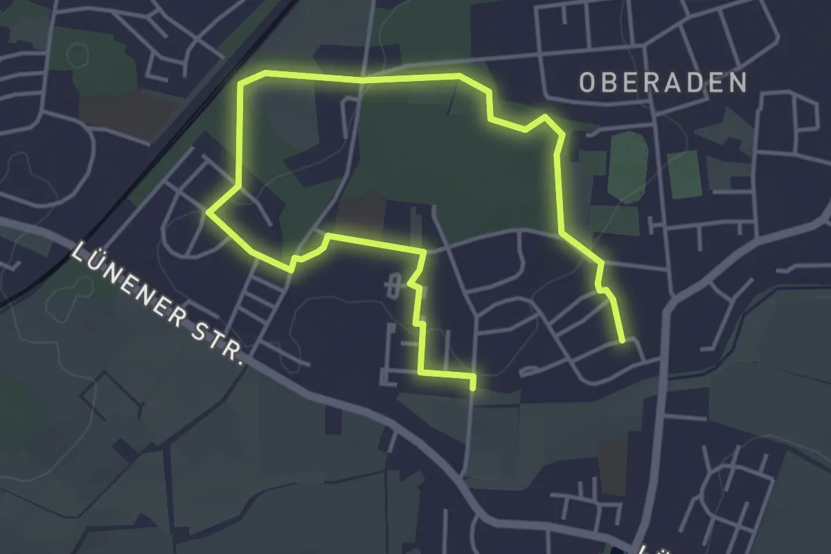
Easy · Trail
Lehrpfad Römerlager Oberaden
2.7 km · ↑ 31 m · 45 min
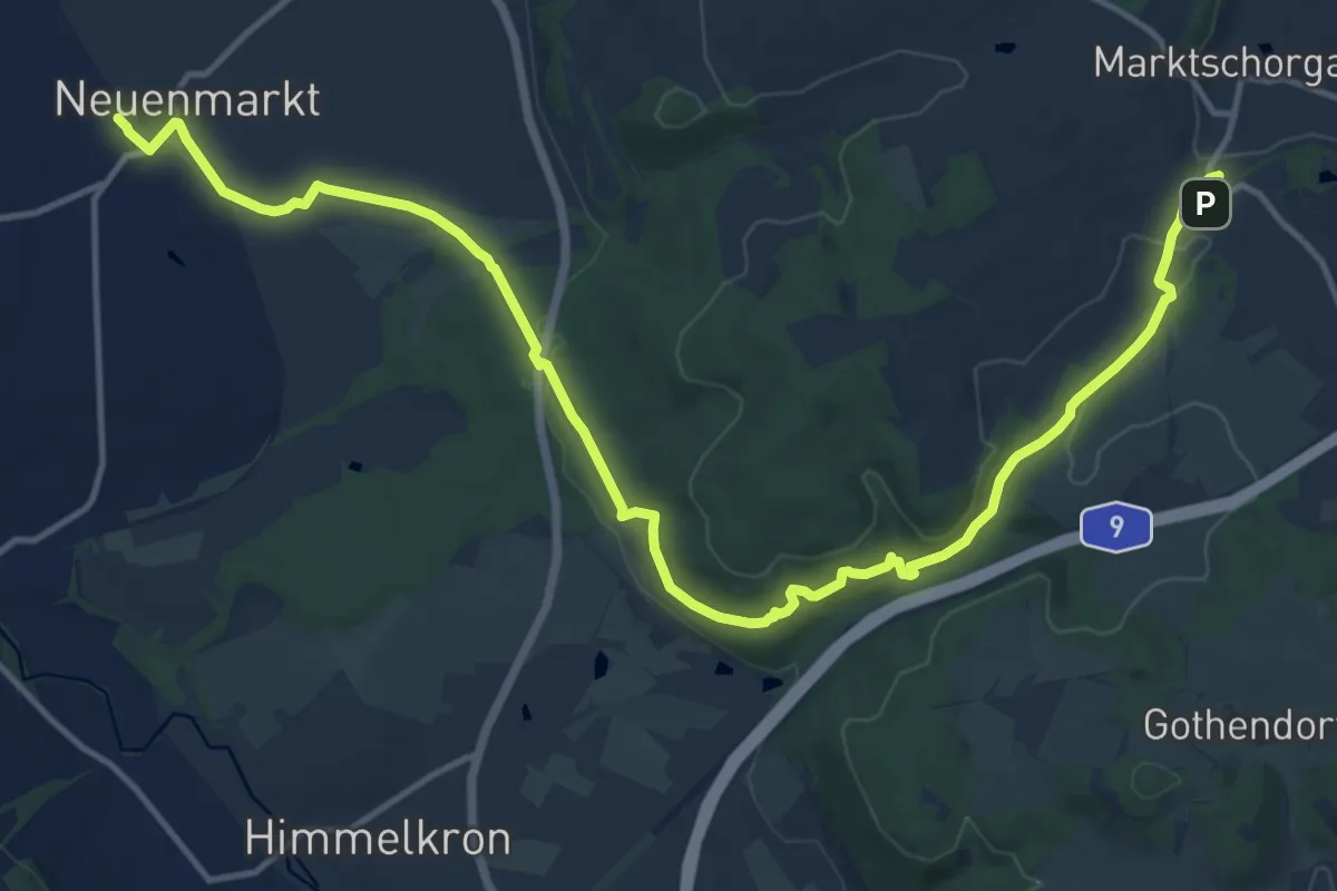
Medium · Trail
Lehrpfad "Schiefe Ebene"
17.2 km · ↑ 295 m · 4 h 41 min
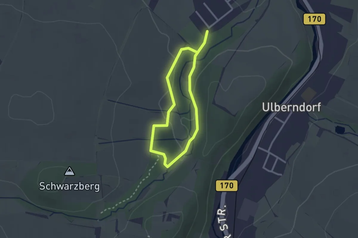
Easy · Trail
Lehrpfad Schwarzbachtal
1.7 km · ↑ 22 m · 28 min
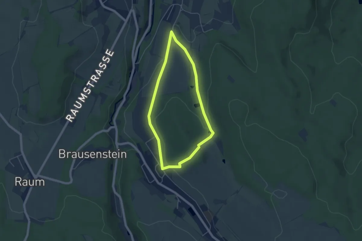
Easy · Summit
Lehrpfad "Sieben Teiche"
3.7 km · ↑ 89 m · 1 h 6 min
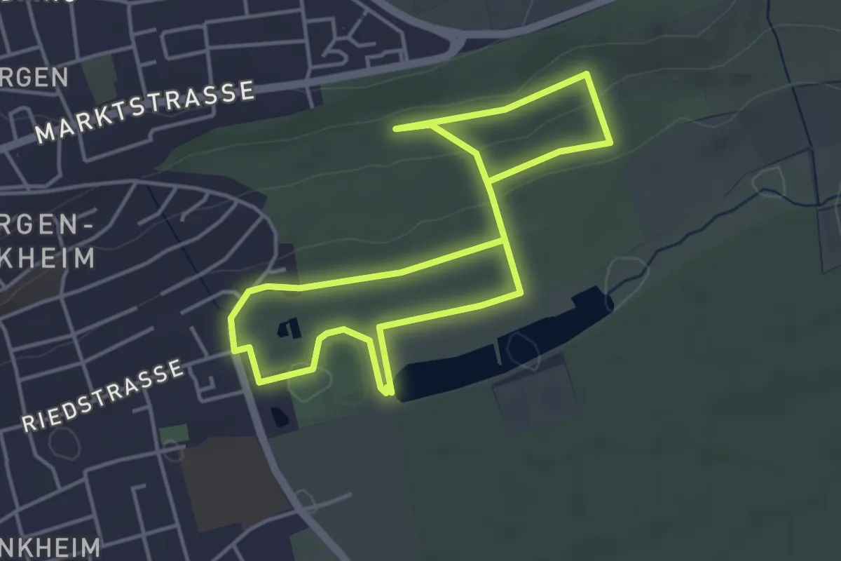
Easy · Trail
Lehrpfad Streuobstwiese Berger Hang
3.5 km · ↑ 59 m · 59 min
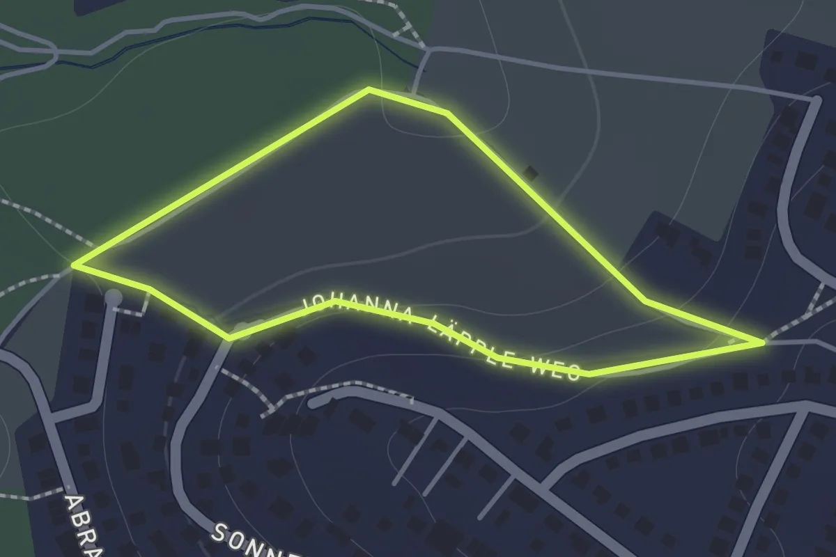
Easy · Trail
Lehrpfad Streuobstwiesen Kressart
1.2 km · ↑ 32 m · 22 min
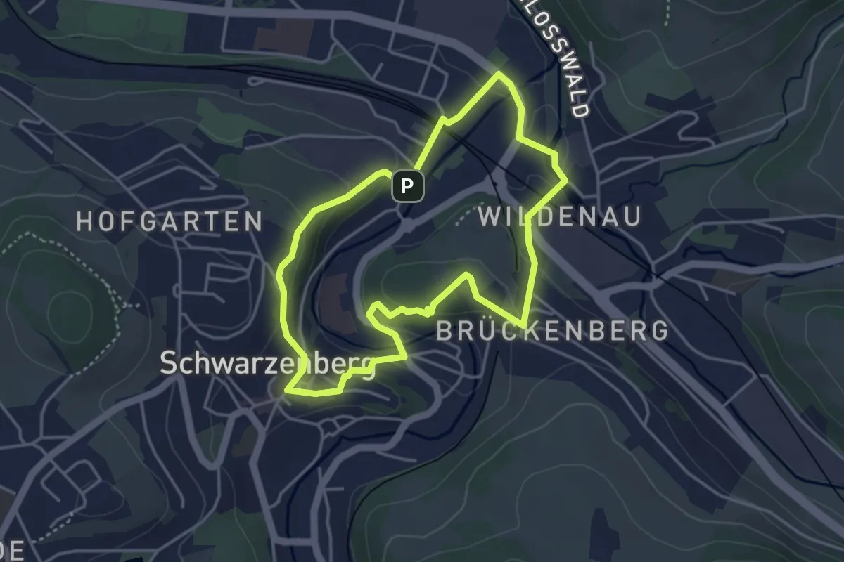
Easy · Trail
Lehrpfad Unbesetzt
3.3 km · ↑ 94 m · 1 h 2 min
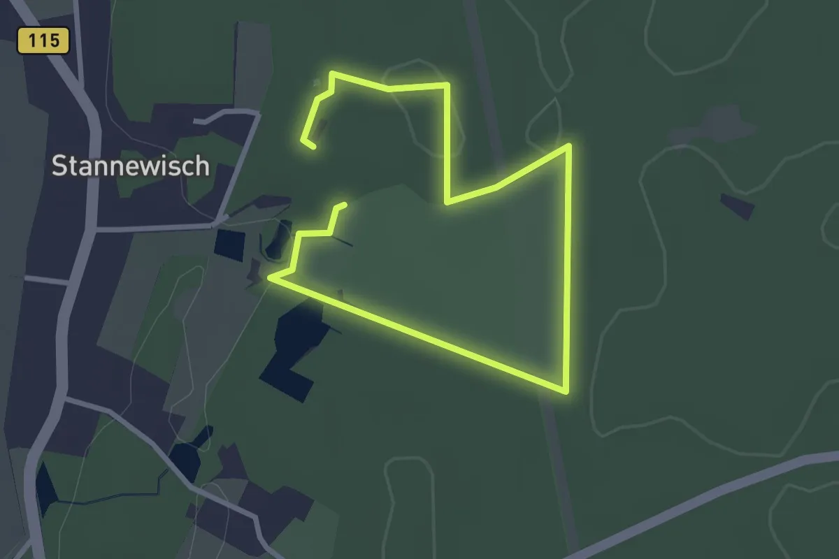
Easy · Trail
Lehrpfad - Waldschulheim Stannewisch
1.9 km · ↑ 10 m · 30 min
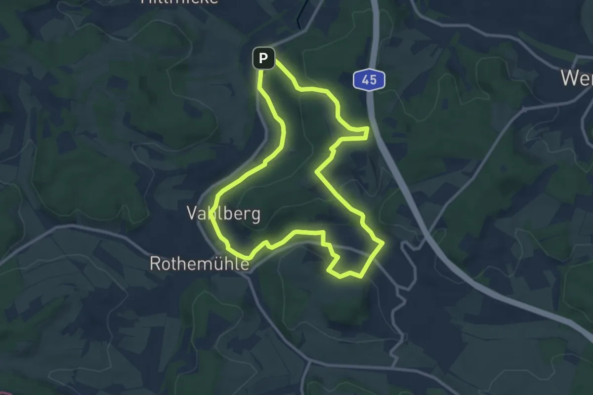
Easy · Trail
Lehrpfad Wendener Hütte
7.5 km · ↑ 183 m · 2 h 17 min
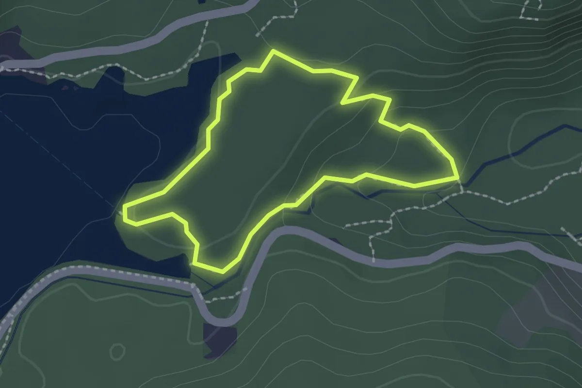
Easy · Trail
Lehrpfad-Zauberwald
1.8 km · ↑ 59 m · 34 min
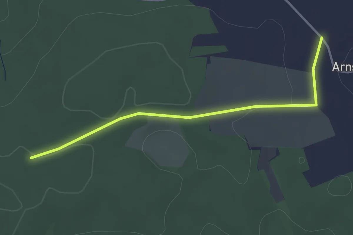
Easy · Trail
Lehrpfad Zeidelweide
2.9 km · ↑ 28 m · 45 min
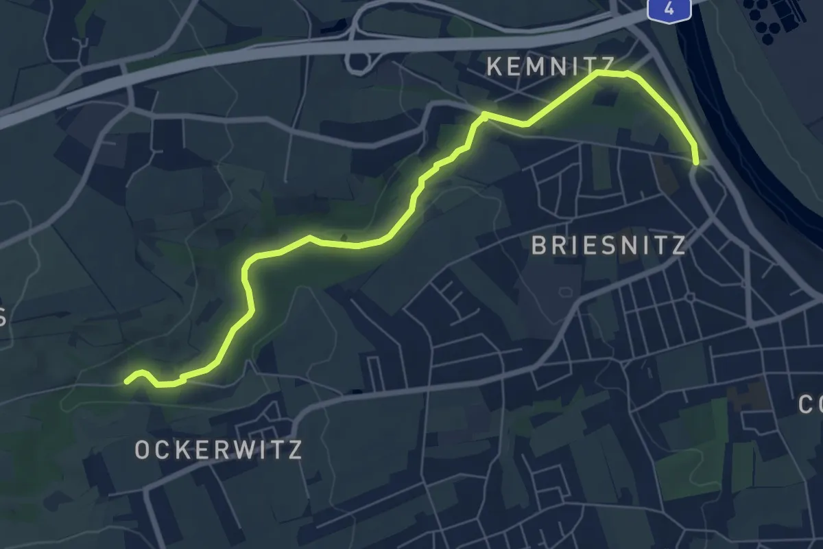
Easy · Trail
Lehrpfad Zschonergrund
7.0 km · ↑ 85 m · 1 h 51 min
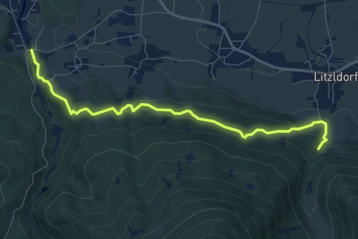
Medium · Trail
Leiblweg
7.3 km · ↑ 407 m · 2 h 36 min
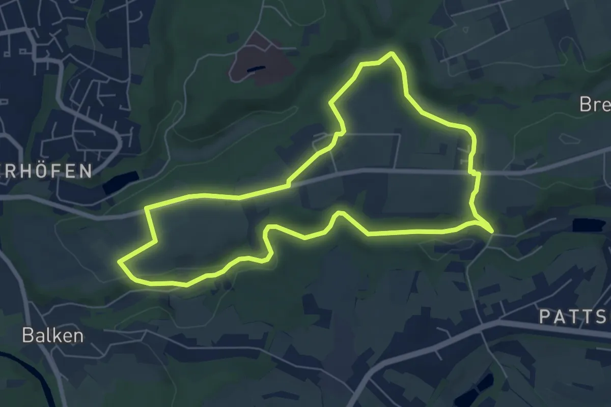
Easy · Trail
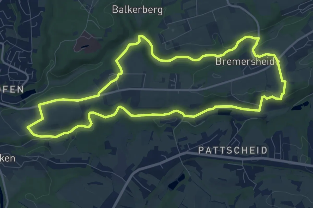
Leichlingen Sonne Rundweg A3
5.8 km · ↑ 111 m · 1 h 41 min
Medium · Trail
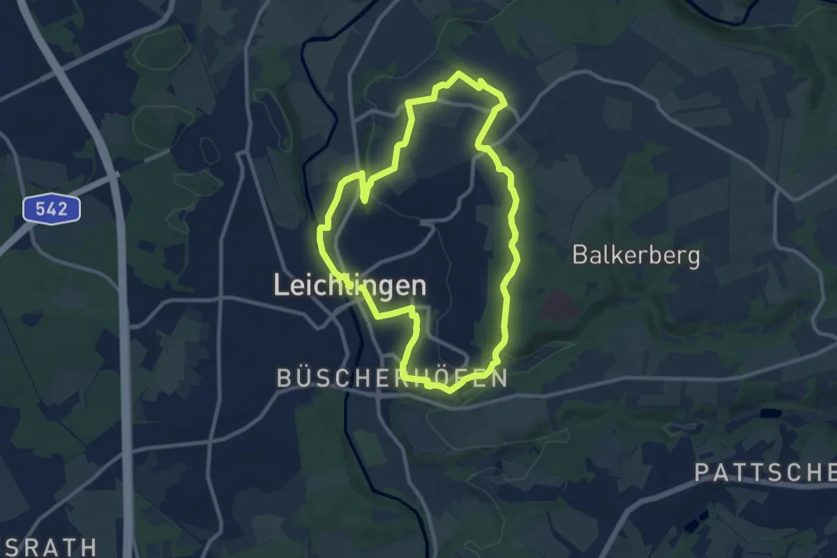
Leichlingen Sonne Rundweg A4
8.9 km · ↑ 132 m · 2 h 30 min
Medium · Trail
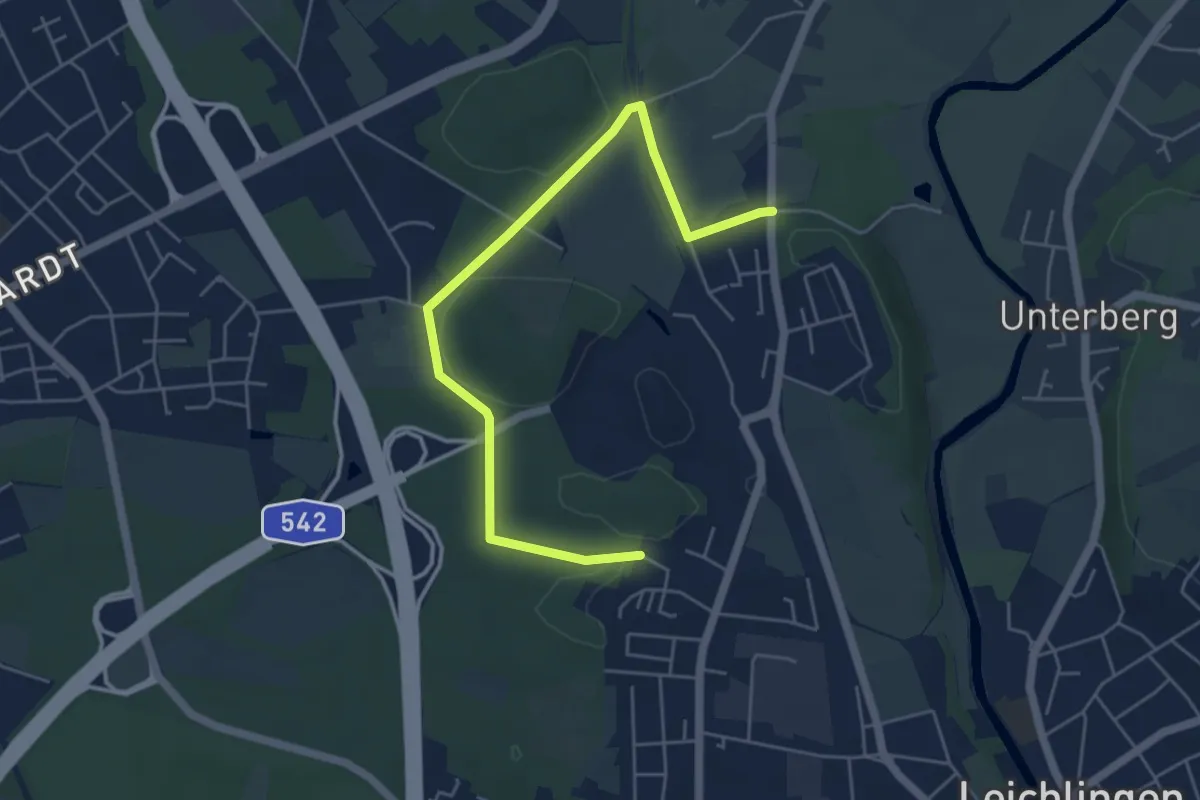
Leichlingen Stadtpark Rundweg A1
8.1 km · ↑ 88 m · 2 h 13 min
Easy · Trail
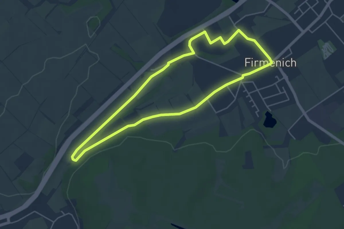
Leichlingen Stadtpark Rundweg A2
2.6 km · ↑ 46 m · 44 min
Easy · Trail
Leichte Zikkurat - Runde
3.9 km · ↑ 18 m · 1 h 1 min
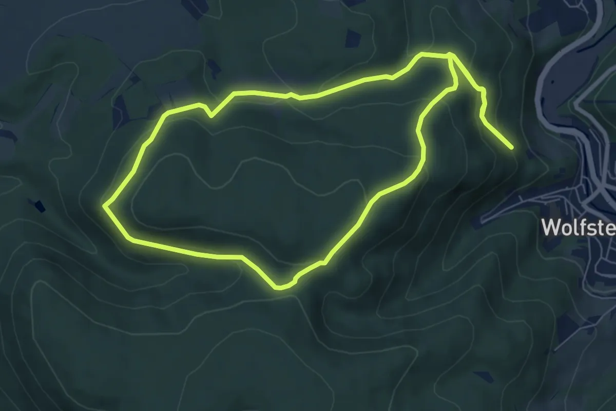
Easy · Trail
Leienbergweg
6.6 km · ↑ 295 m · 2 h 18 min
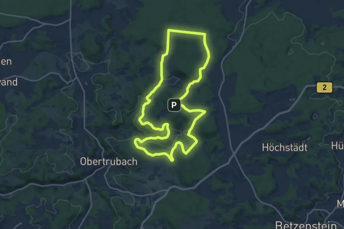
Medium · Trail
Leienfels Rundweg Schwarzer Ring
12.1 km · ↑ 315 m · 3 h 43 min
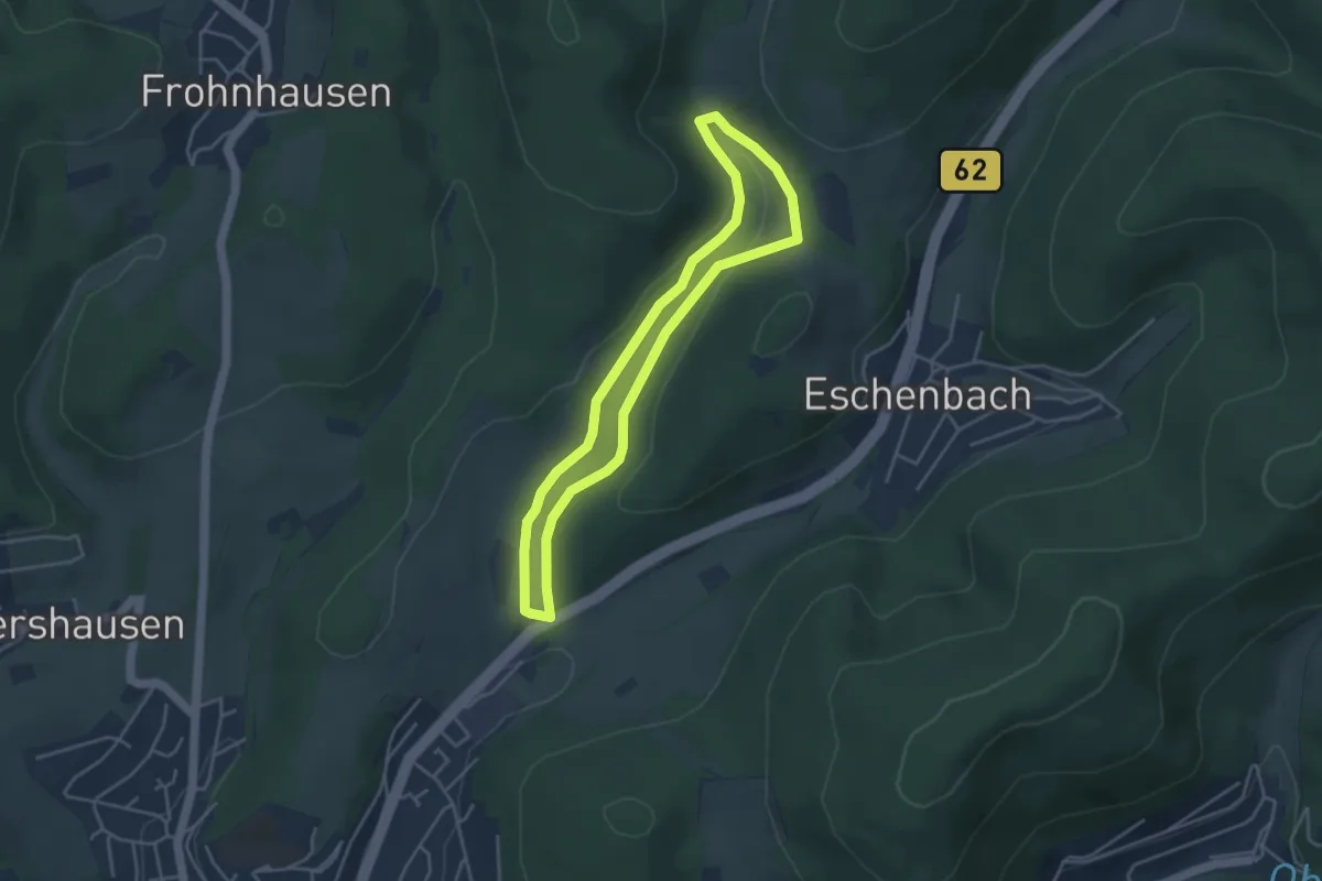
Easy · Trail
Leimbachtal Rundweg A1
3.4 km · ↑ 93 m · 1 h 4 min
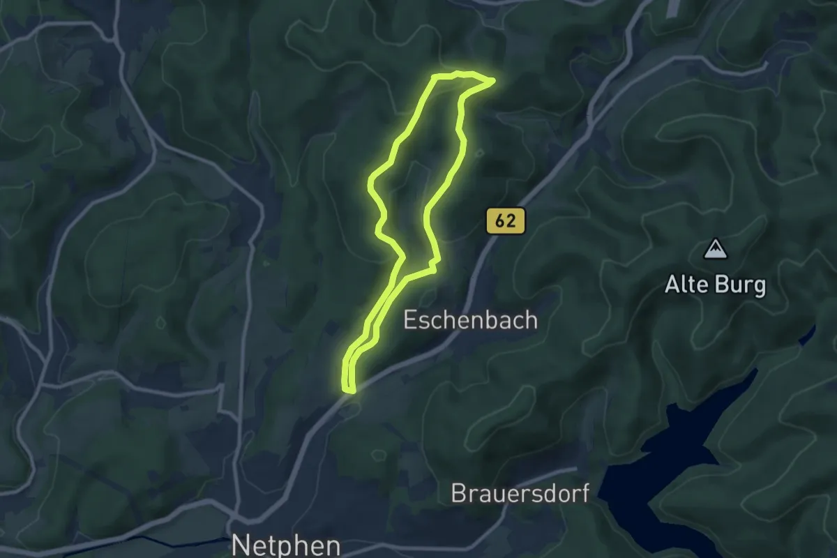
Easy · Summit
Leimbachtal Rundweg A2
7.0 km · ↑ 247 m · 2 h 17 min
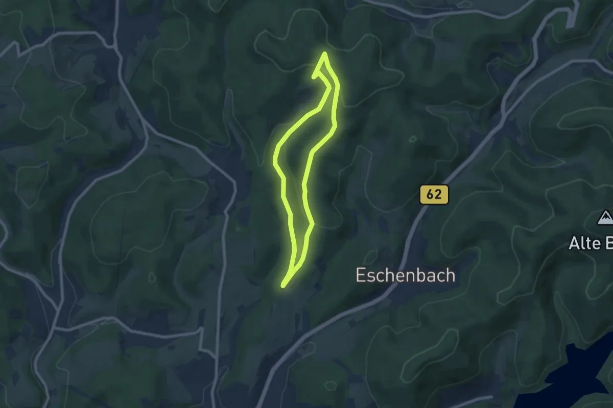
Easy · Summit
Leimbachtal Rundweg A3
5.5 km · ↑ 166 m · 1 h 44 min
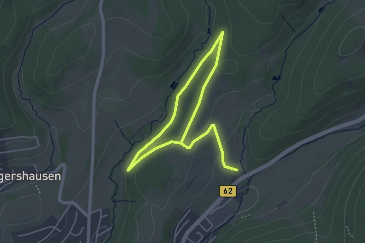
Easy · Trail
Leimbachtal Rundweg A4
2.7 km · ↑ 27 m · 46 min
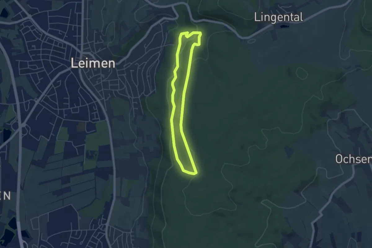
Easy · Trail
Leimener Wichtelpfad
4.2 km · ↑ 99 m · 1 h 15 min
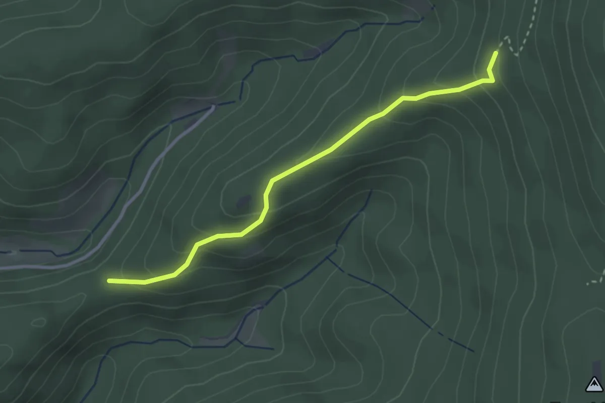
Medium · Trail
Leimenlöcher - Diebshalde
2.8 km · ↑ 208 m · 1 h 7 min
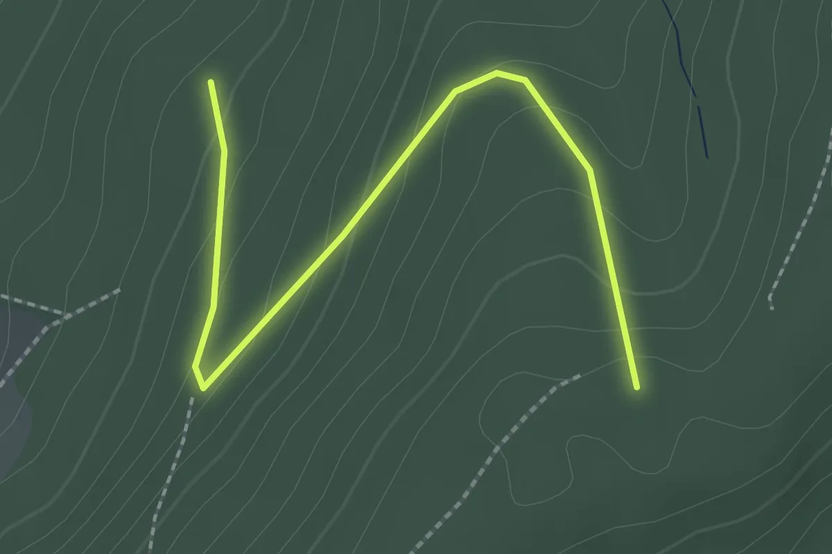
Easy · Trail
Leimrot - Mohlbuck
2.4 km · ↑ 128 m · 51 min
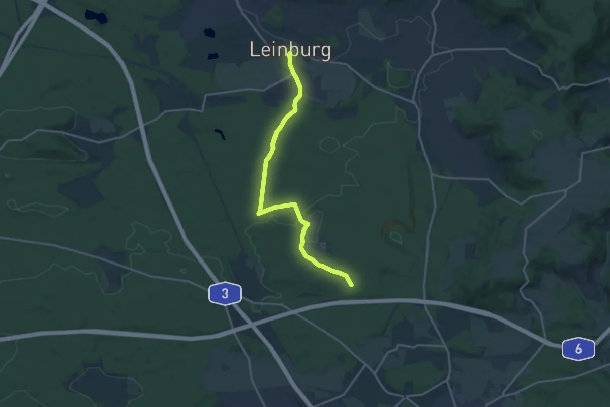
Medium · Trail
Leinburg-Verbindung Dünenweg
12.4 km · ↑ 93 m · 3 h 8 min
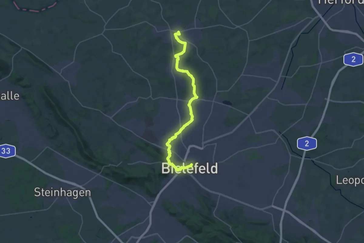
Demanding · Trail
Leineweberweg
28.0 km · ↑ 287 m · 7 h 14 min
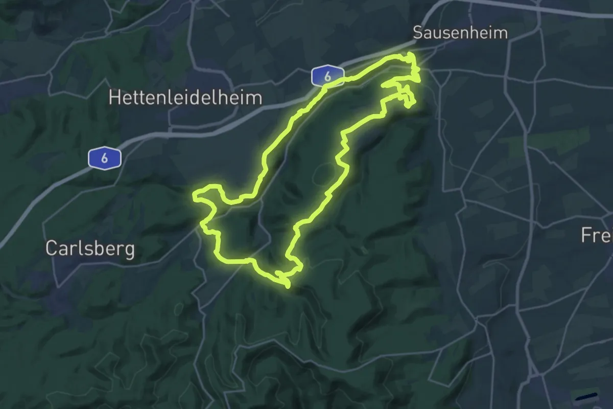
Demanding · Trail
Leininger Burgenweg
21.9 km · ↑ 537 m · 6 h 38 min
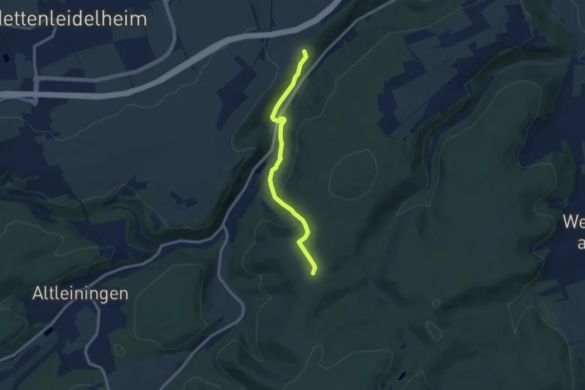
Easy · Trail
Leininger Burgenweg (Zugang)
6.0 km · ↑ 249 m · 1 h 57 min
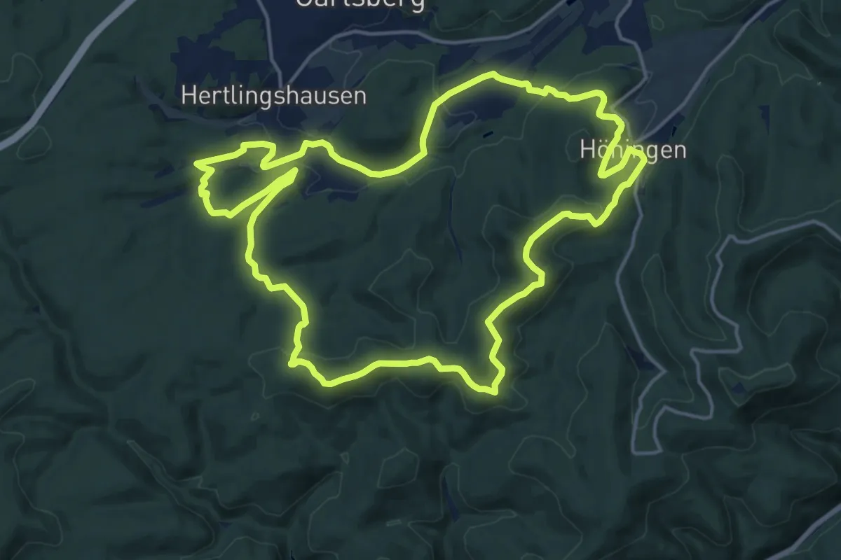
Medium · Summit
Leininger Klosterweg
15.7 km · ↑ 470 m · 4 h 57 min
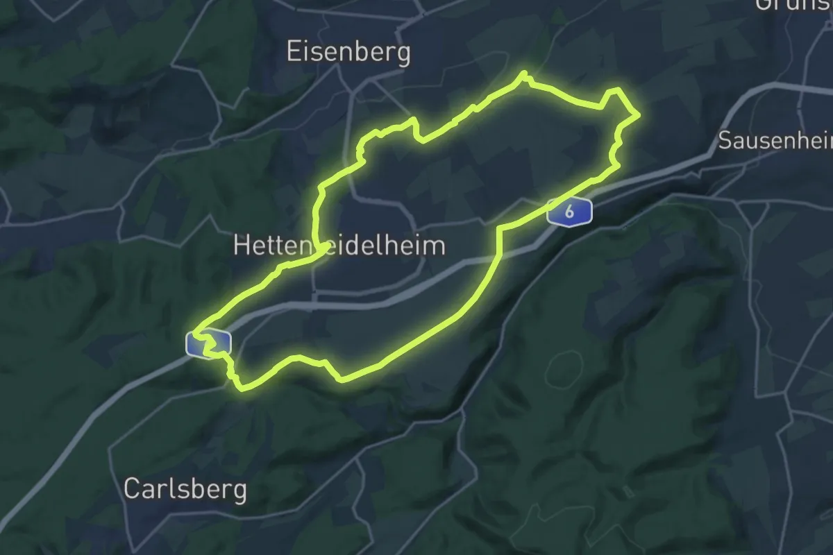
Demanding · Summit
Leininger Panoramaweg
18.5 km · ↑ 288 m · 5 h 15 min
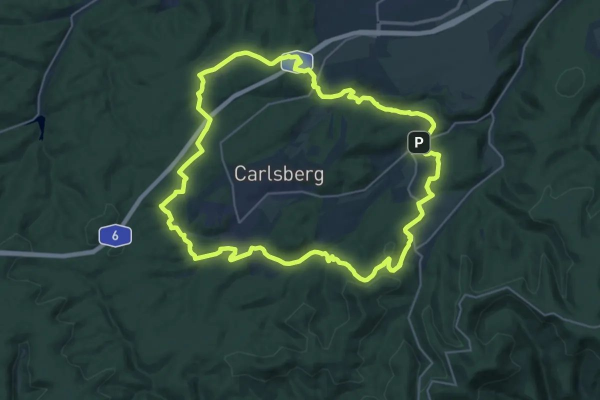
Demanding · Trail
Leininger Wanderweg
19.3 km · ↑ 425 m · 5 h 44 min
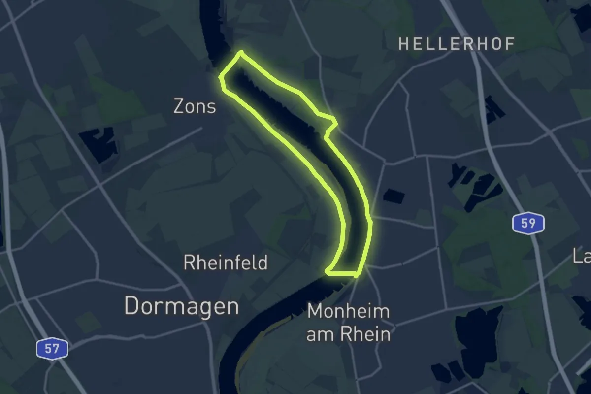
Medium · Trail
Leinpfad
10.1 km · ↑ 31 m · 2 h 35 min
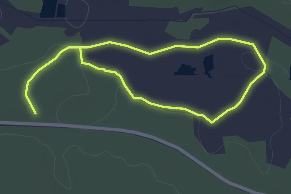
Easy · Trail
Leinschlag - Biberweg
5.8 km · ↑ 76 m · 1 h 32 min
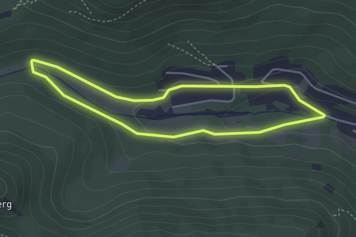
Easy · Trail
Leinsweiler Nordic-Walking leichte Tour
3.0 km · ↑ 86 m · 56 min
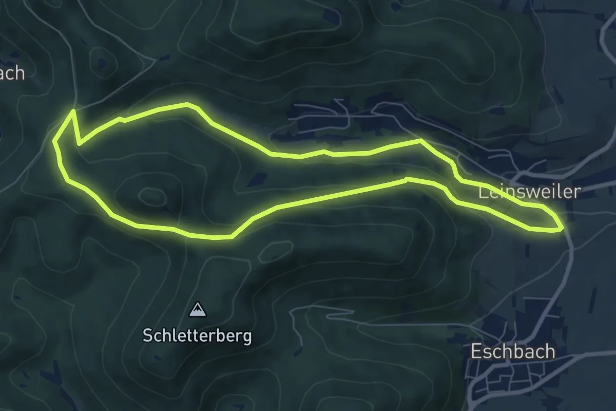
Easy · Trail
Leinsweiler Nordic-Walking mittelschwere Tour
6.9 km · ↑ 226 m · 2 h 13 min
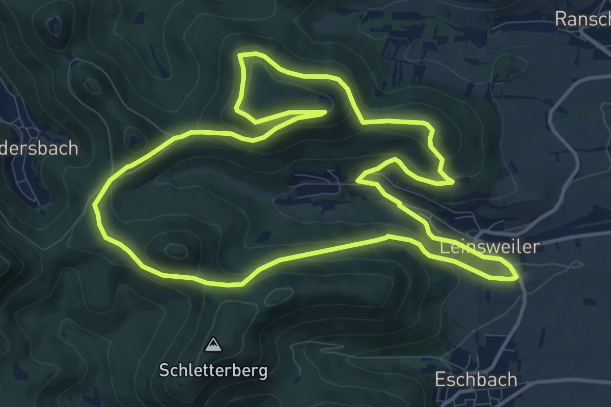
Medium · Trail
Leinsweiler Nordic-Walking schwierige Tour
10.5 km · ↑ 413 m · 3 h 31 min
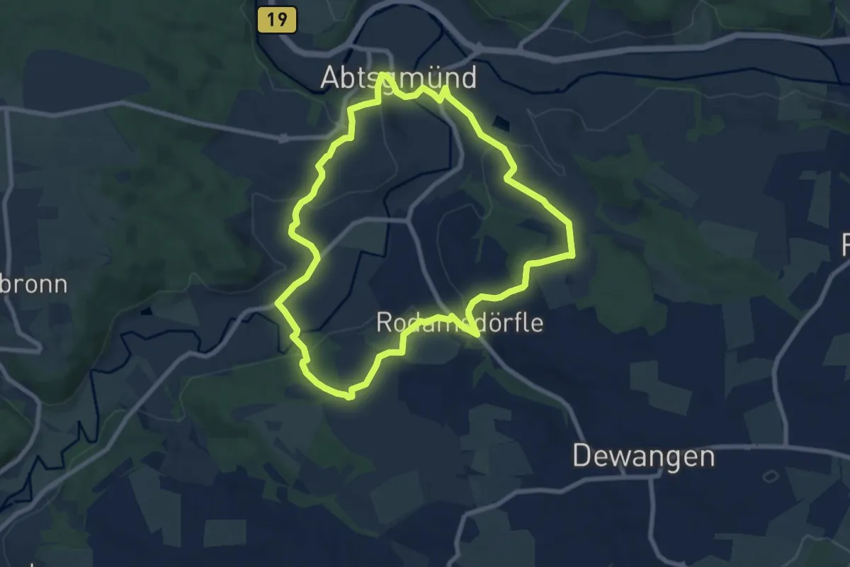
Easy · Trail
Leintalblick
7.1 km · ↑ 180 m · 2 h 9 min
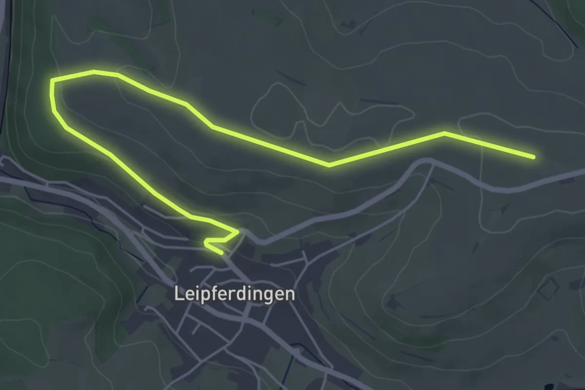
Easy · Trail
Leipferdingen Kirche - Nachtweide
6.2 km · ↑ 92 m · 1 h 40 min
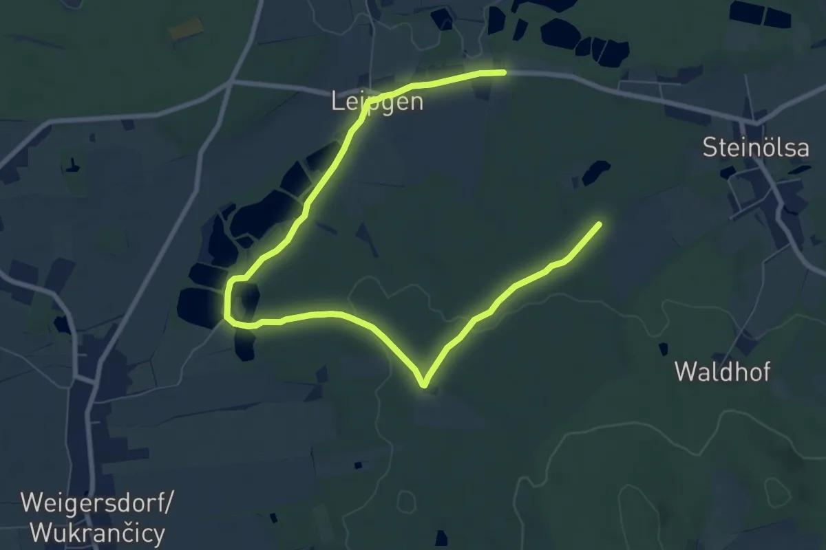
Medium · Trail
Leipgen - Altteich (grüner Punkt)
9.4 km · ↑ 103 m · 2 h 27 min