Trails in Germany
36,852 hiking trails, each with its route, climb, walking time and grade.
All trails, page 324 of 768
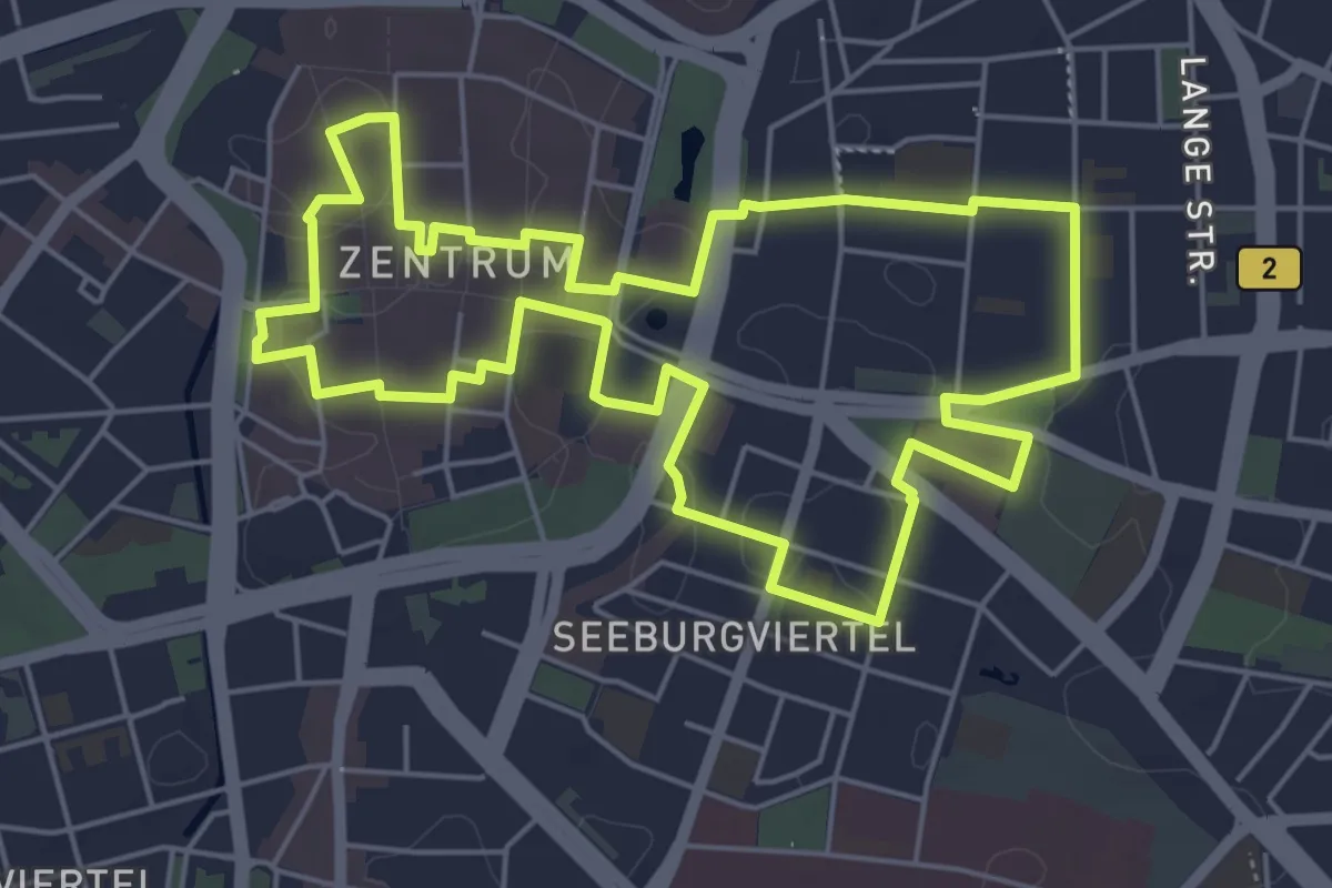
Easy · Trail
Leipziger Notenspur
5.3 km · ↑ 17 m · 1 h 22 min
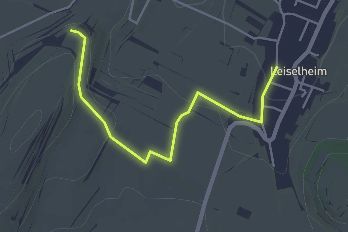
Easy · Trail
Leiselheim Brunnen - Hochberg
3.2 km · ↑ 76 m · 55 min
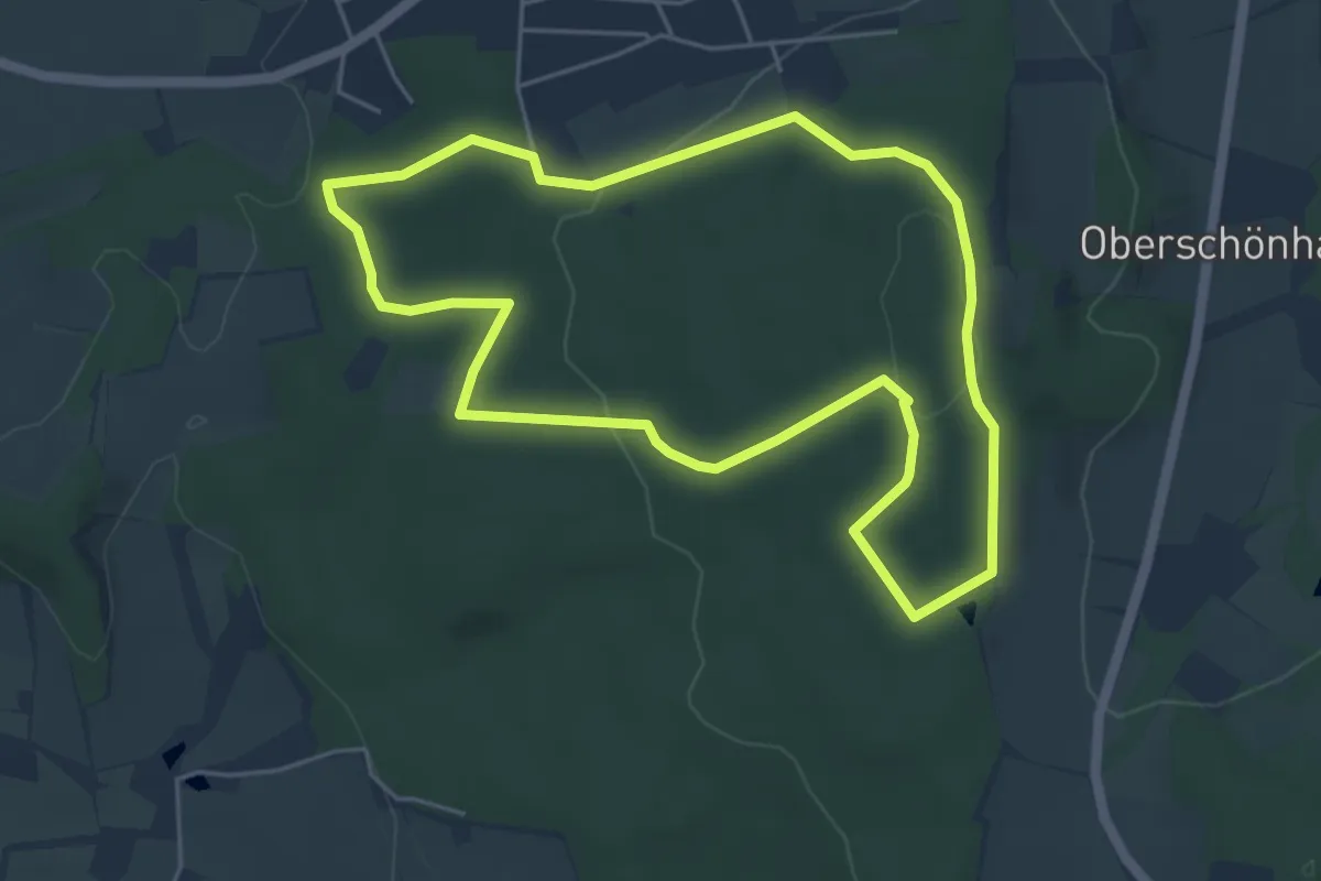
Easy · Trail
Leistruper-Wald-Route
4.5 km · ↑ 112 m · 1 h 22 min
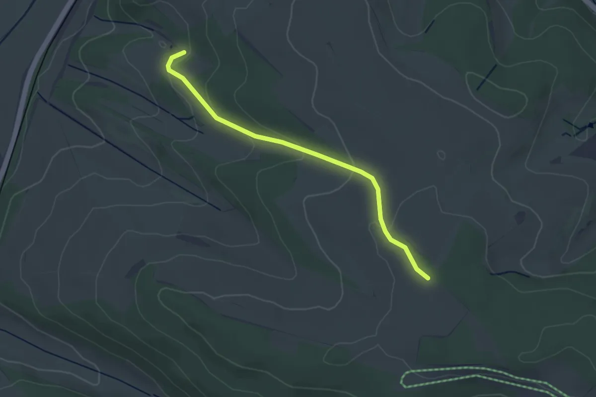
Easy · Trail
Leitelsteighütte - Am Altenhau
3.2 km · ↑ 97 m · 58 min
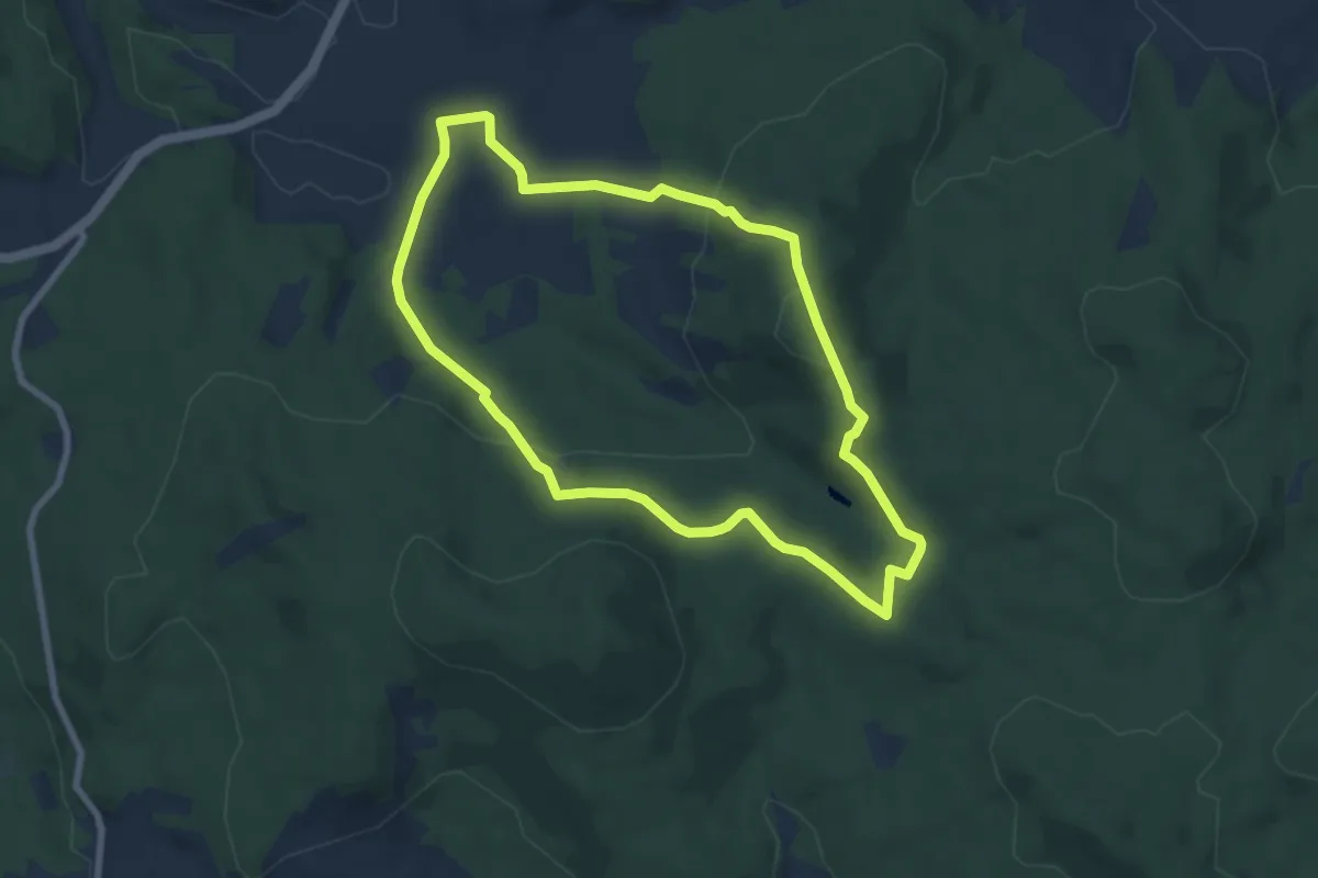
Easy · Summit
Leitenwaldrunde (23)
6.8 km · ↑ 246 m · 2 h 15 min
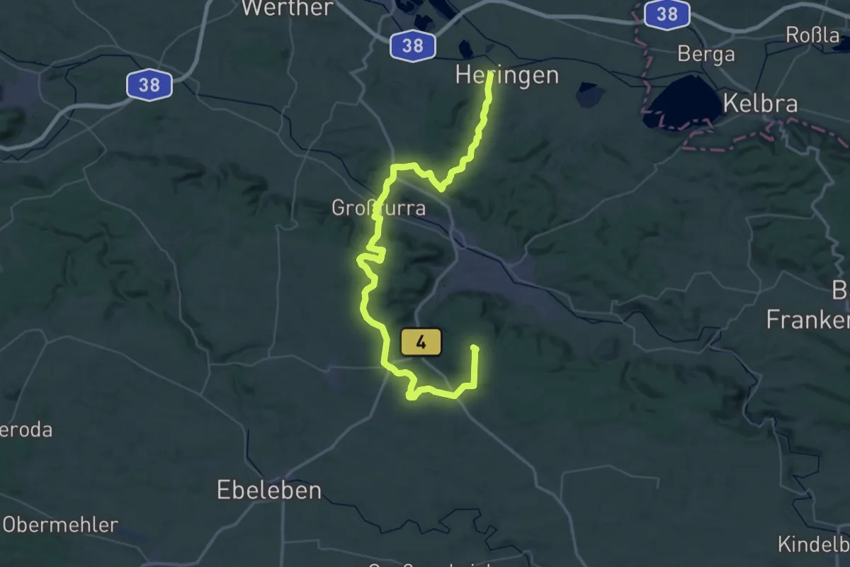
Demanding · Summit
Leiten-Wanderweg
56.2 km · ↑ 1054 m · 15 h 34 min
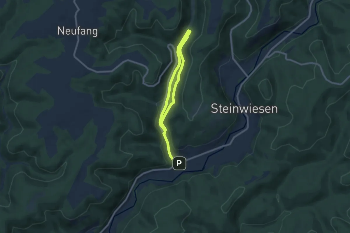
Medium · Trail
Leitschgrund-Weg RT 22
8.5 km · ↑ 184 m · 2 h 24 min
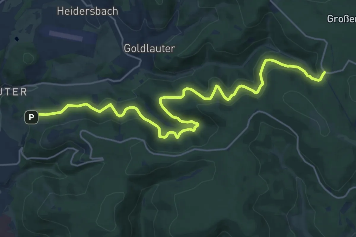
Medium · Trail
Leitweg
17.1 km · ↑ 749 m · 5 h 39 min
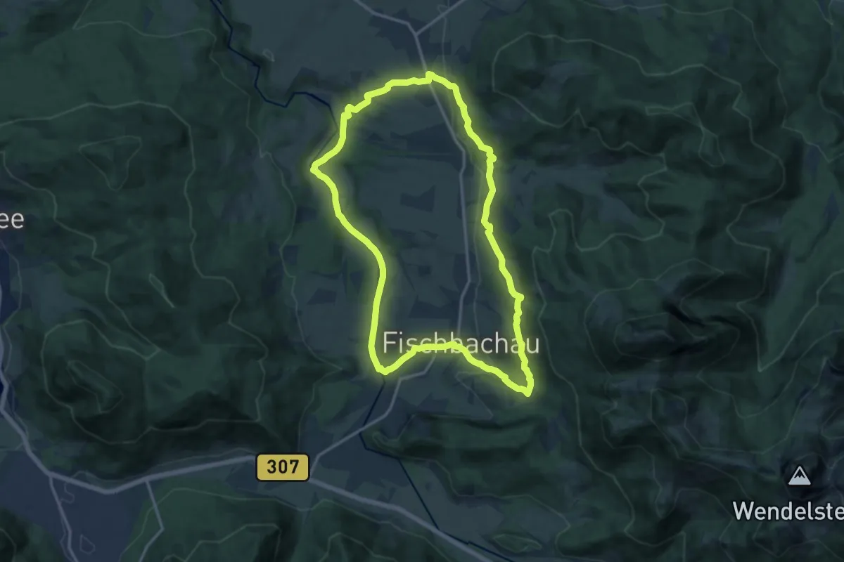
Medium · Trail
Leitzachtaler Bergblicke (Premiumwanderweg)
13.0 km · ↑ 258 m · 3 h 49 min
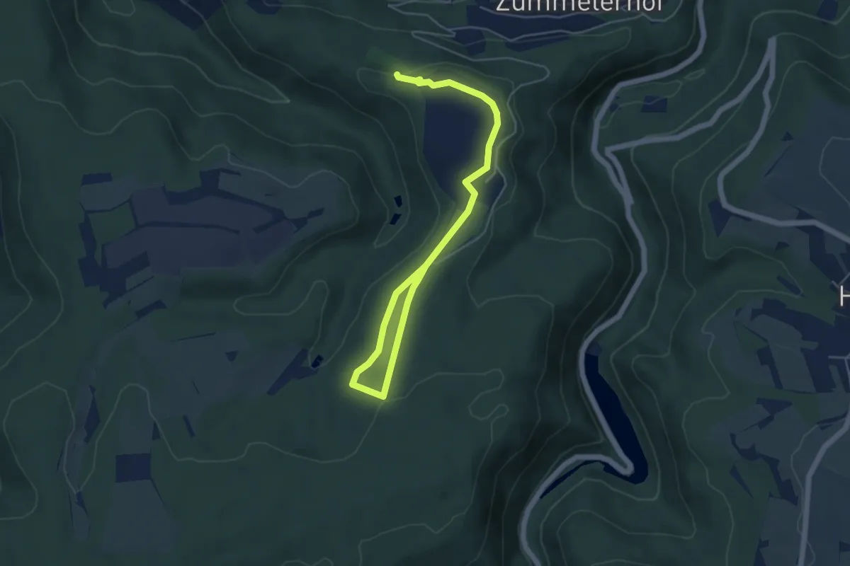
Easy · Trail
Leiwener Naturforscherpfad
5.9 km · ↑ 94 m · 1 h 36 min
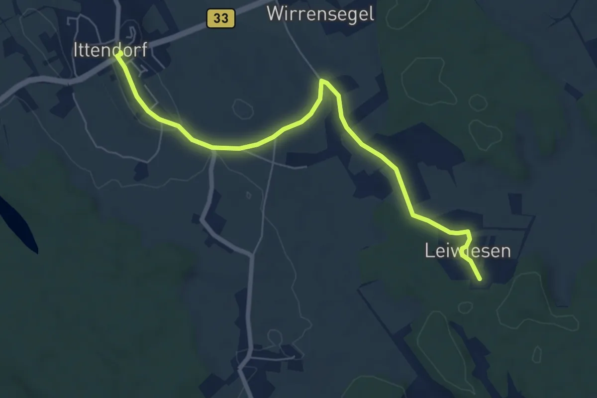
Easy · Trail
Leiwiesen - Ittendorf
6.4 km · ↑ 34 m · 1 h 34 min
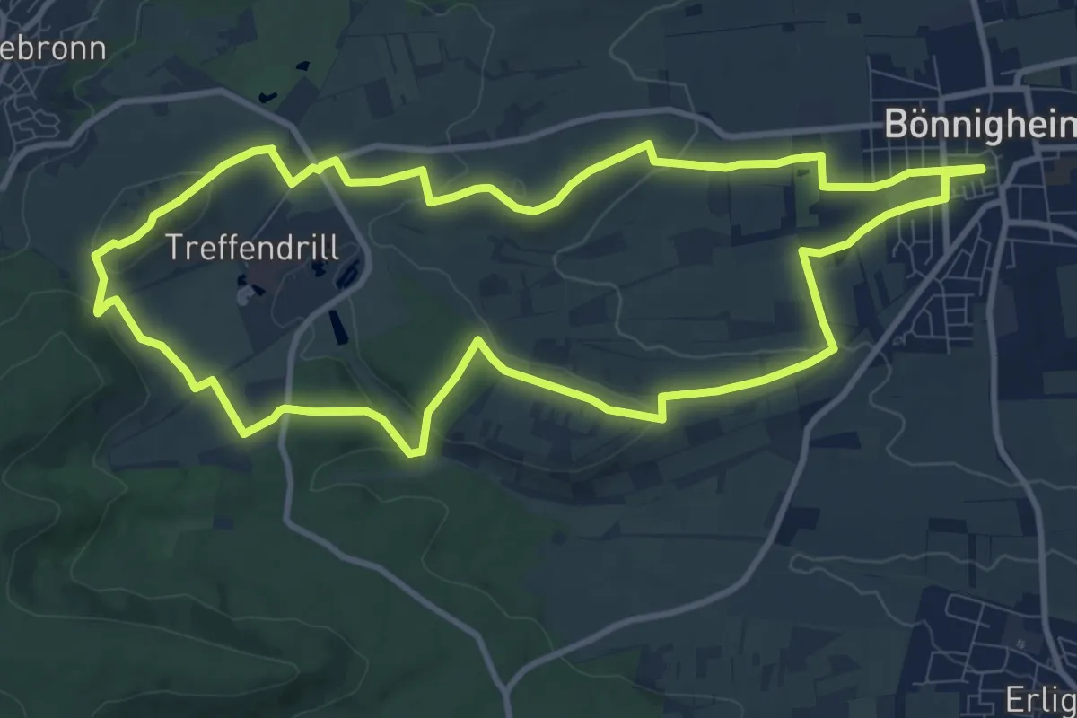
Medium · Summit
Lemberger
10.2 km · ↑ 194 m · 2 h 58 min
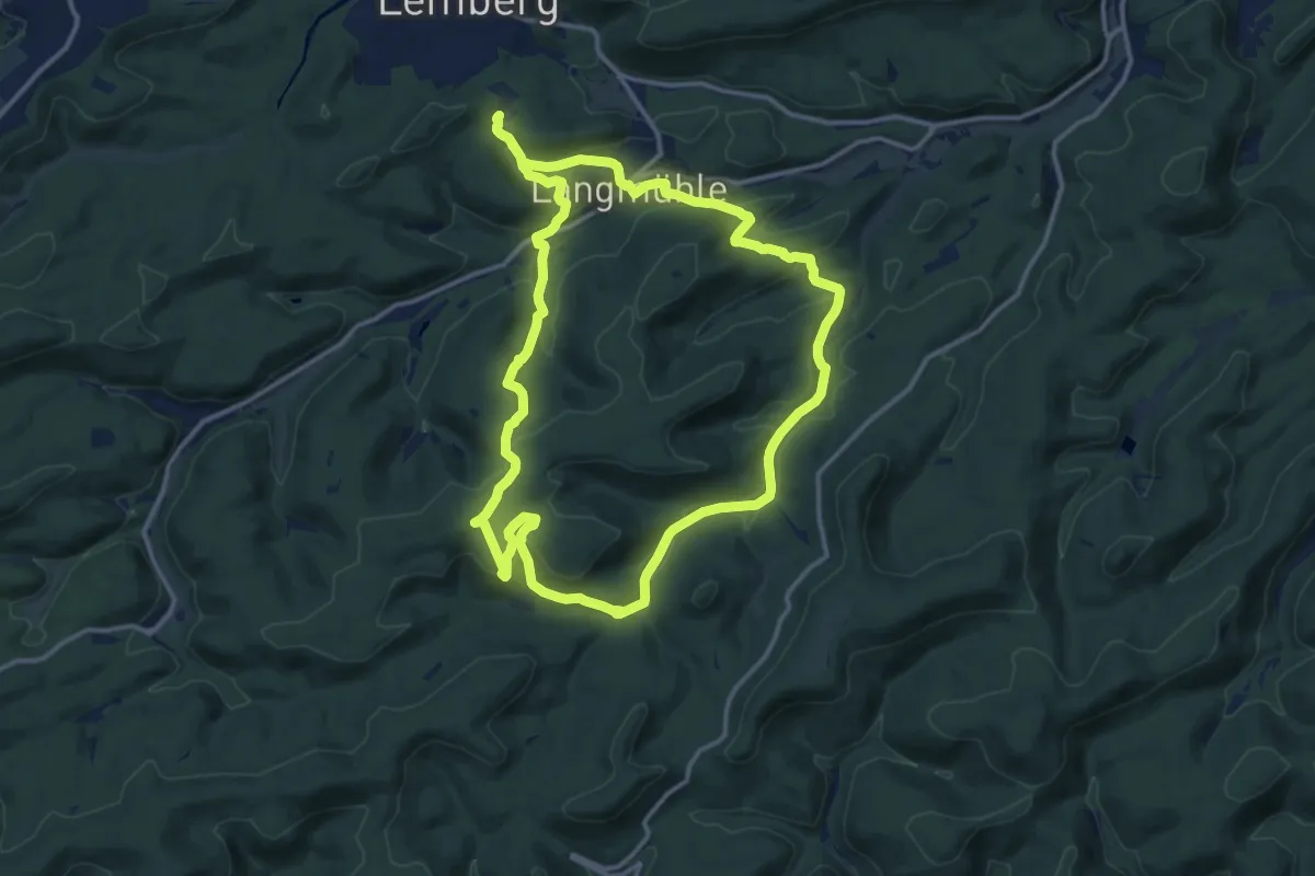
Medium · Trail
Lemberger Flößertour
12.9 km · ↑ 476 m · 4 h 15 min
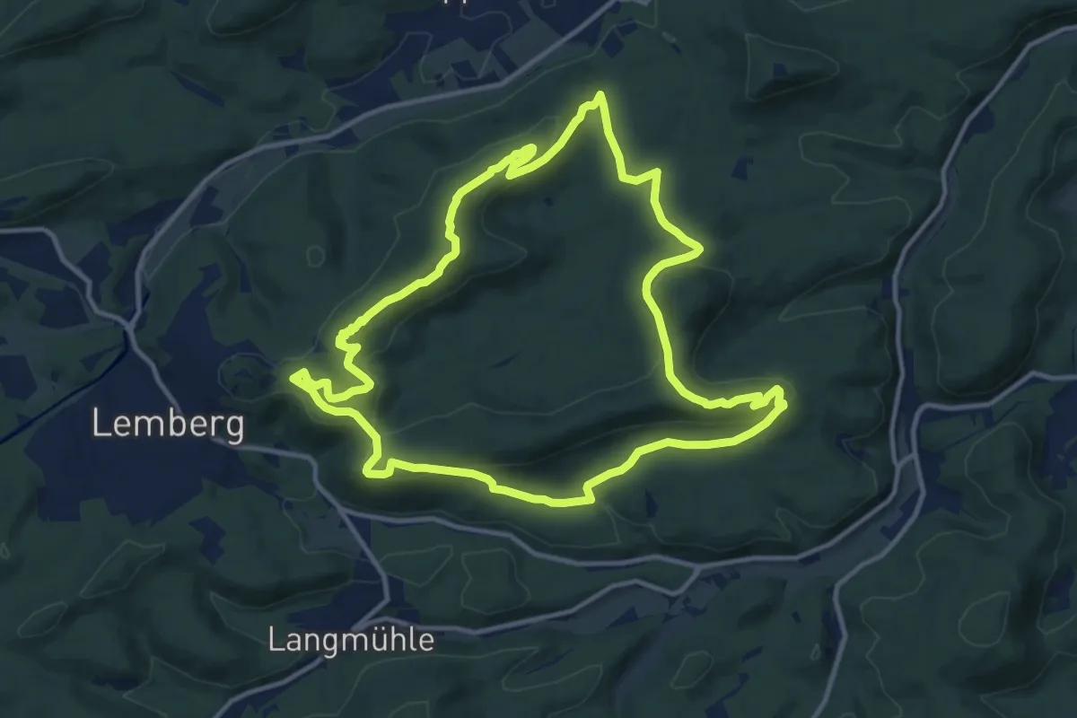
Medium · Summit
Lemberger Graf-Heinrich-Weg
11.7 km · ↑ 396 m · 3 h 47 min
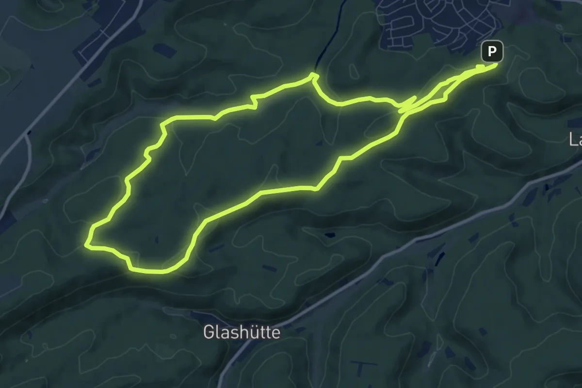
Medium · Summit
Lemberger Rothenberg-Weg
9.4 km · ↑ 221 m · 2 h 49 min
Easy · Trail
Lemberger Waldgeister
3.9 km · ↑ 211 m · 1 h 23 min
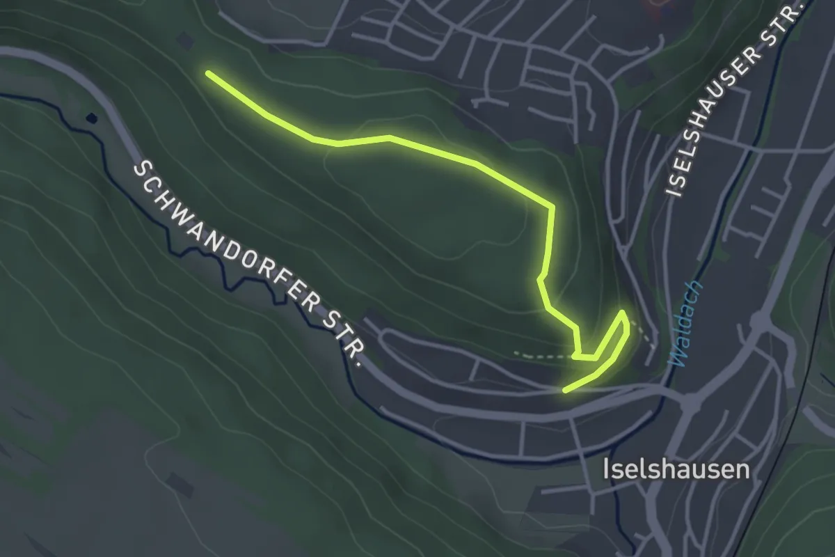
Easy · Trail
Lembergsenke - Sommerhalde
3.5 km · ↑ 88 m · 1 h 1 min
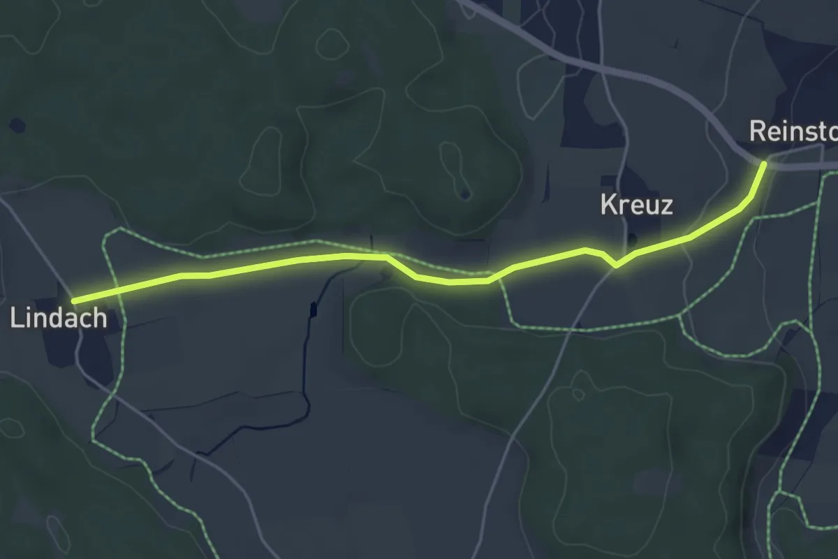
Easy · Trail
Lena Christ Wanderweg
4.4 km · ↑ 37 m · 1 h 8 min
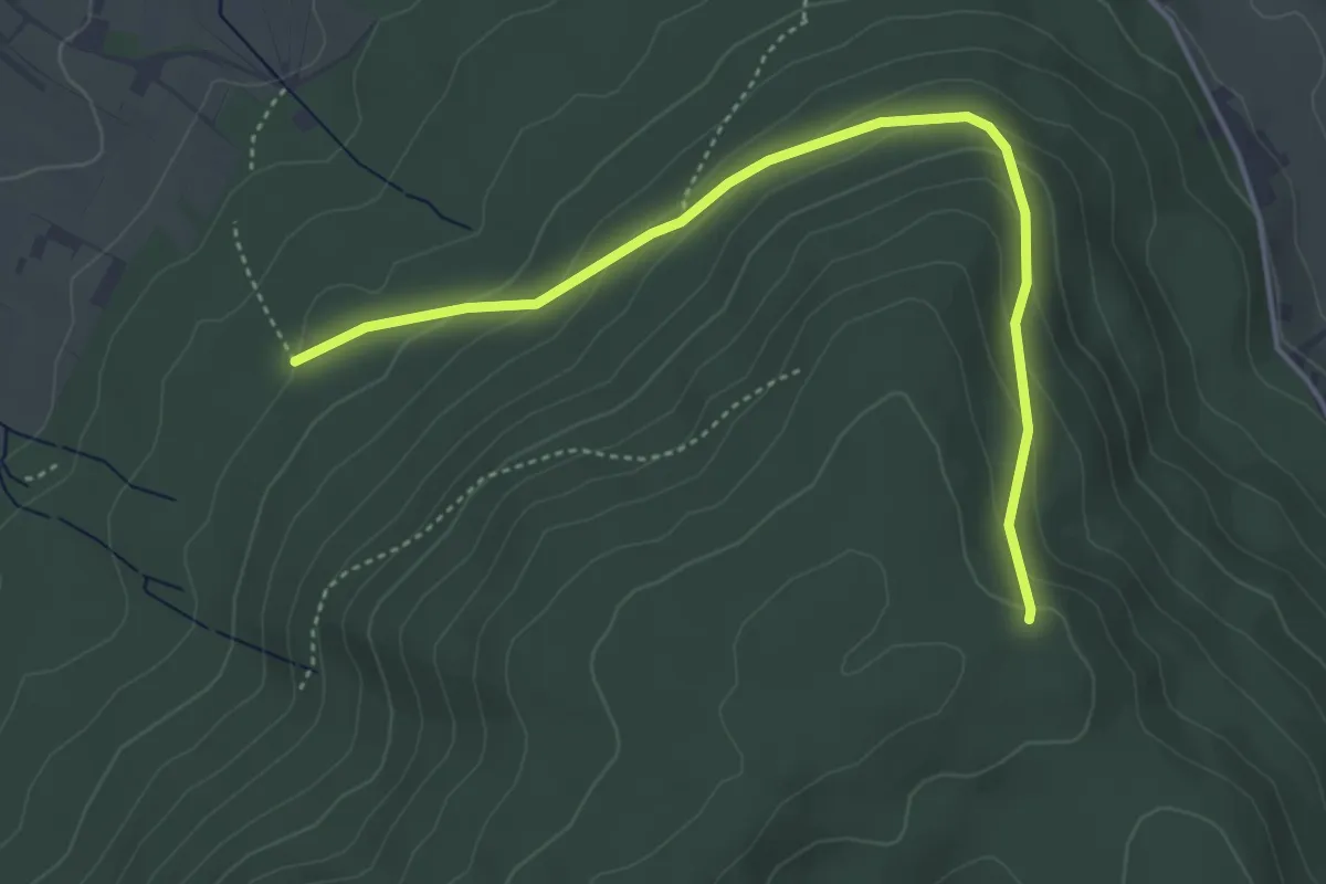
Easy · Trail
Lendersbachhütte - Lohebene Dreiländereck
4.3 km · ↑ 223 m · 1 h 31 min
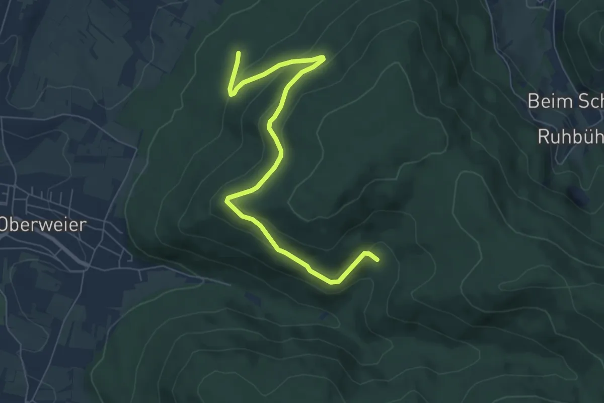
Medium · Trail
Lendersbachhütte - Mittlerer Mörderdobel
7.1 km · ↑ 332 m · 2 h 24 min
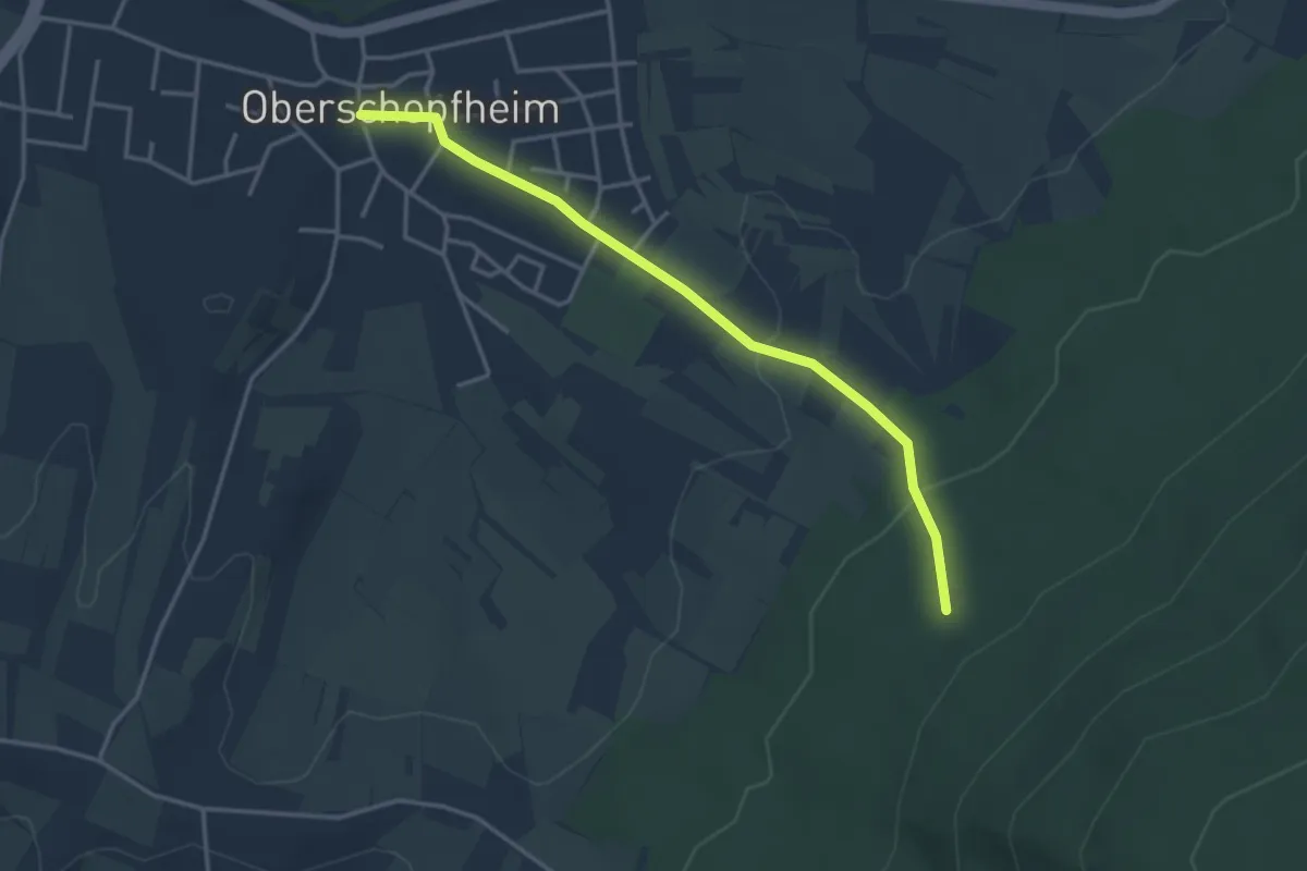
Easy · Trail
Lendersbachhütte - Oberschopfheim Dreiangel
3.5 km · ↑ 111 m · 1 h 4 min
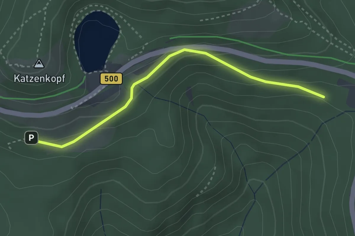
Easy · Trail
Lenderswald - Oberer Lenderswald
3.0 km · ↑ 141 m · 1 h
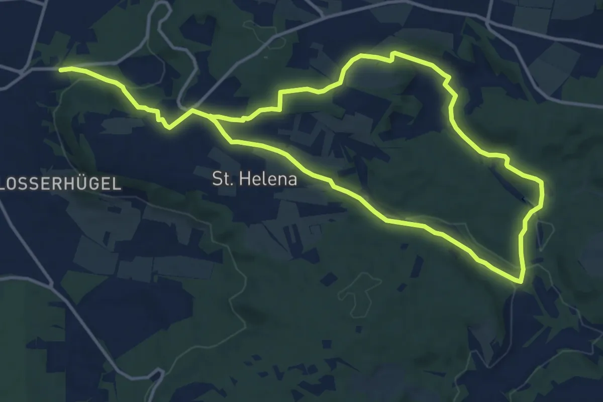
Demanding · Trail
Lengenbachtalweg
19.8 km · ↑ 370 m · 5 h 29 min
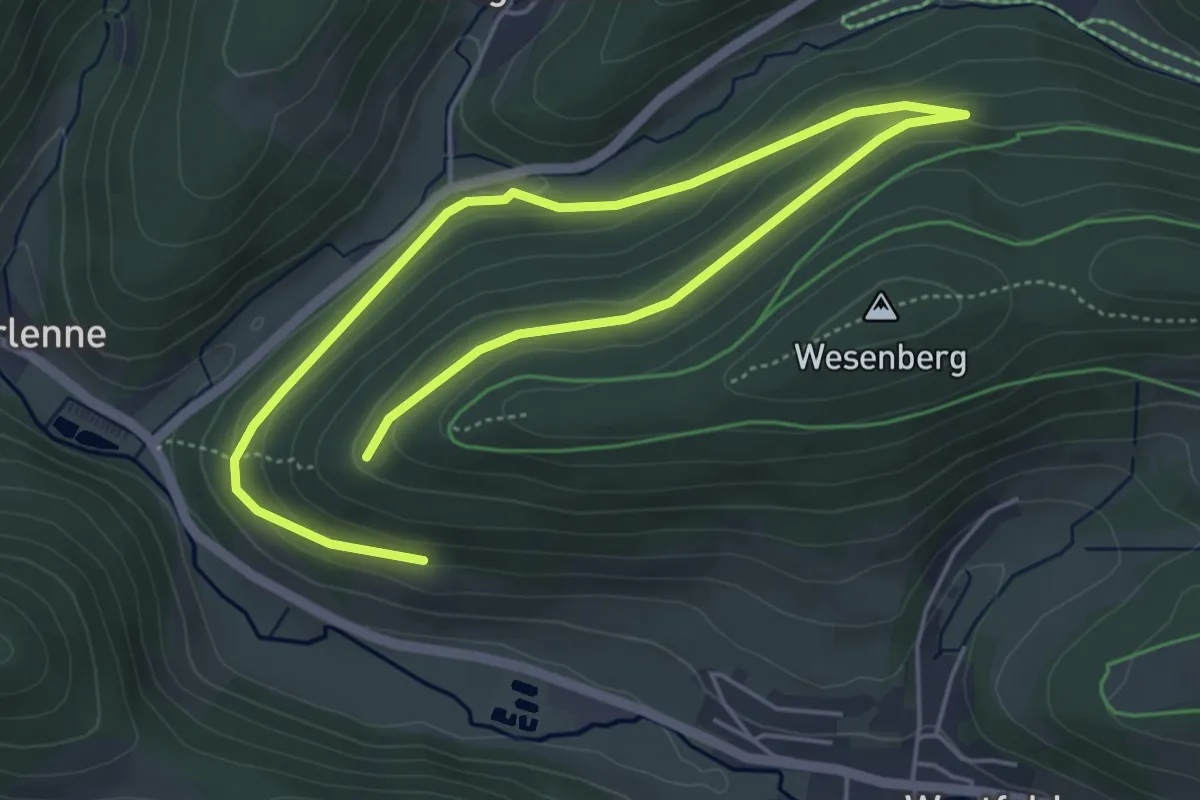
Easy · Trail
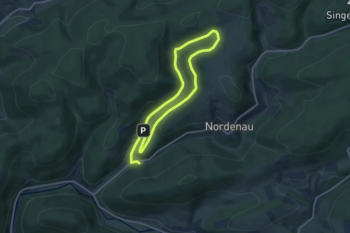
Lengenbeck Rundweg A7
3.5 km · ↑ 84 m · 1 h 5 min
Medium · Trail
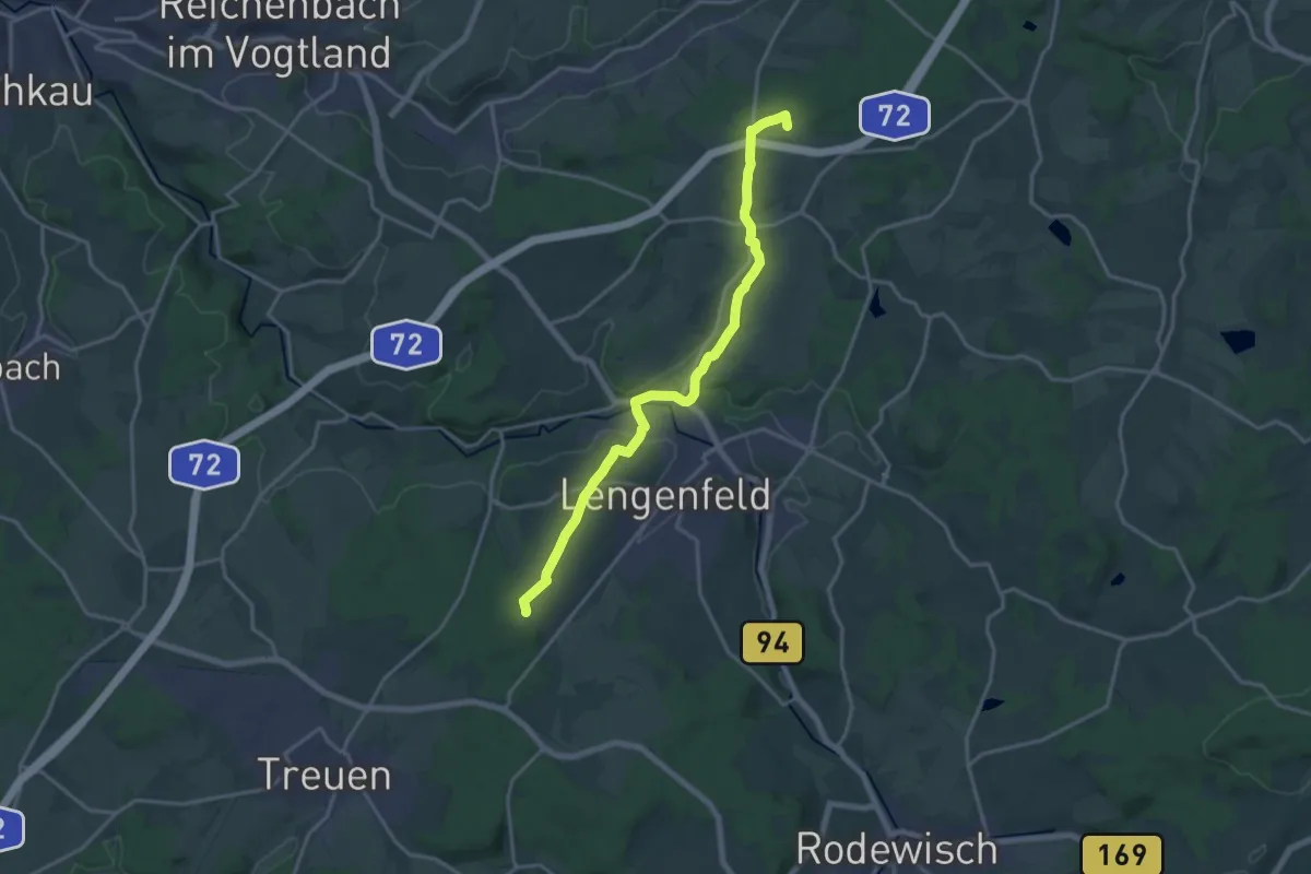
Lengenbeck Rundweg A9
11.7 km · ↑ 335 m · 3 h 29 min
Medium · Summit
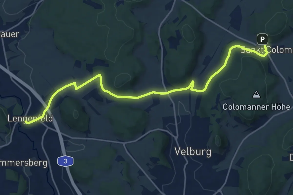
Lengenfeld - Hauptmannsgrün
16.2 km · ↑ 238 m · 4 h 21 min
Medium · Trail
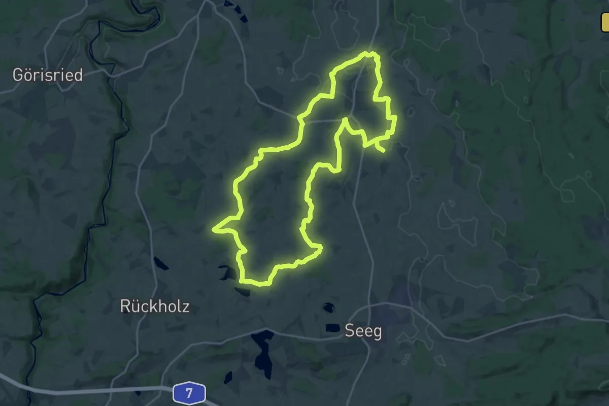
Lengenfeld - Tropfsteinhöhle
12.7 km · ↑ 290 m · 3 h 38 min
Demanding · Trail
Lengenwanger Kapellenweg
19.9 km · ↑ 140 m · 5 h 16 min
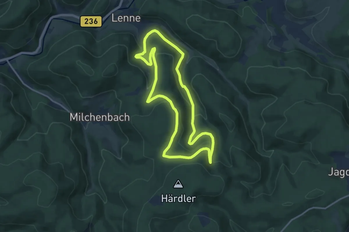
Medium · Trail
Lenne Rundweg LE2
8.6 km · ↑ 363 m · 2 h 57 min
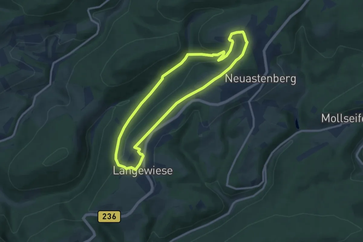
Easy · Summit
Lennetalweg, L2
6.3 km · ↑ 148 m · 1 h 54 min
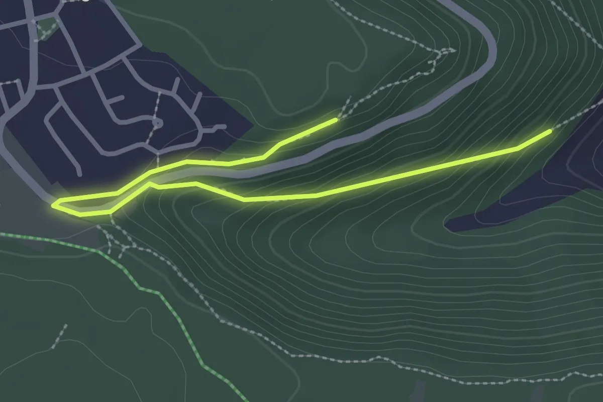
Easy · Trail
Lenninger Talblickrunde
3.1 km · ↑ 174 m · 1 h 6 min
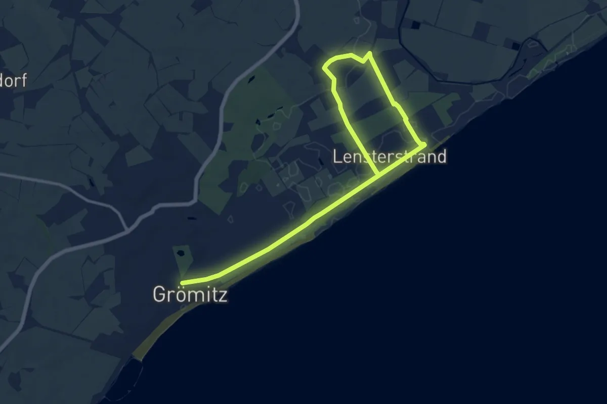
Medium · Trail
Lenster-Route, Grömitz
12.8 km · ↑ 25 m · 3 h 5 min
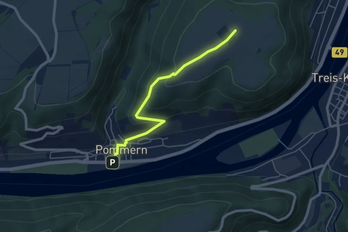
Medium · Summit
Lenus-Mars-Weg
4.1 km · ↑ 182 m · 1 h 22 min
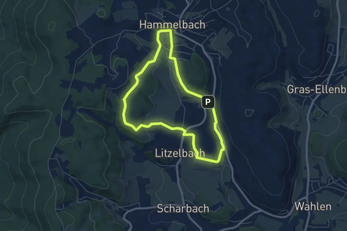
Easy · Summit
Lenzenbuckel-Weg
5.4 km · ↑ 120 m · 1 h 36 min
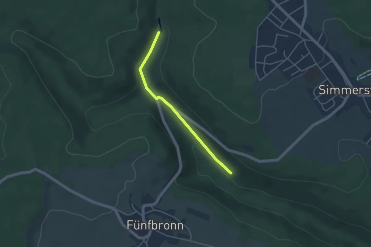
Easy · Trail
Lenzenmühle - Wasserrad
2.8 km · ↑ 110 m · 54 min
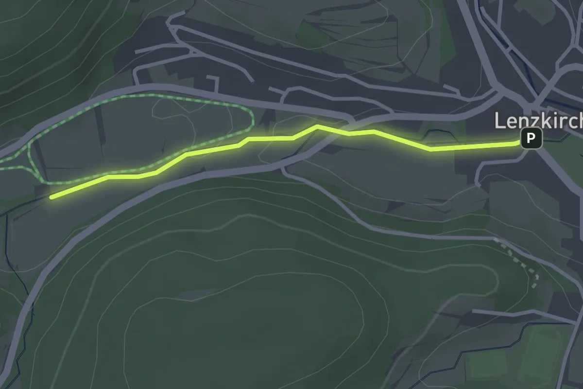
Easy · Trail
Lenzkirch Bühl - Urseebachbrücke
2.6 km · ↑ 22 m · 39 min
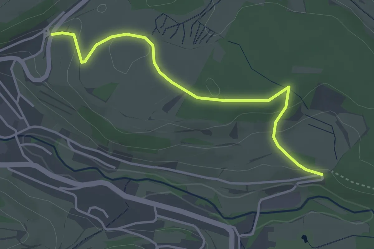
Easy · Trail
Lenzkirch Kappeler Straße - Lochmühle
3.6 km · ↑ 70 m · 1 h
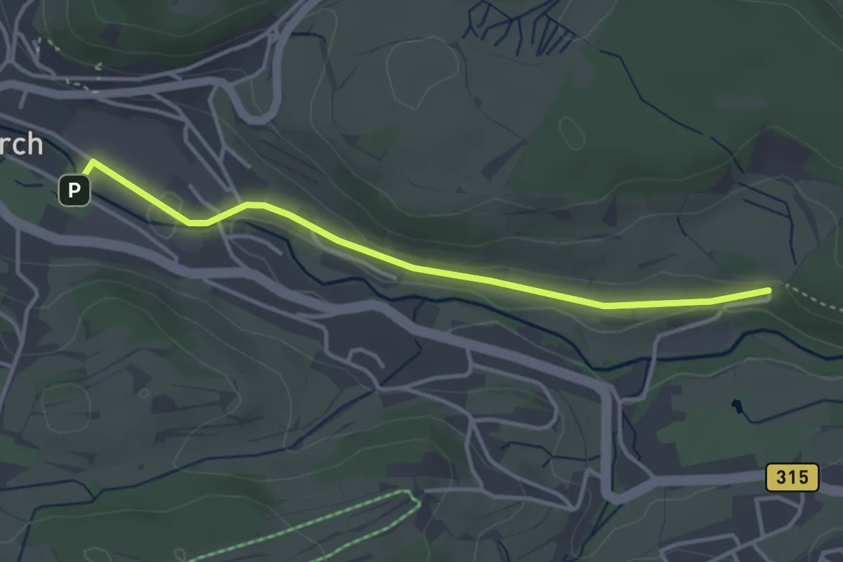
Easy · Trail
Lenzkirch Kurpark - Lochmühle
3.5 km · ↑ 40 m · 55 min
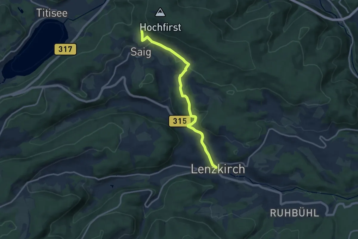
Medium · Trail
Lenzkirch - Saig
9.3 km · ↑ 264 m · 2 h 46 min
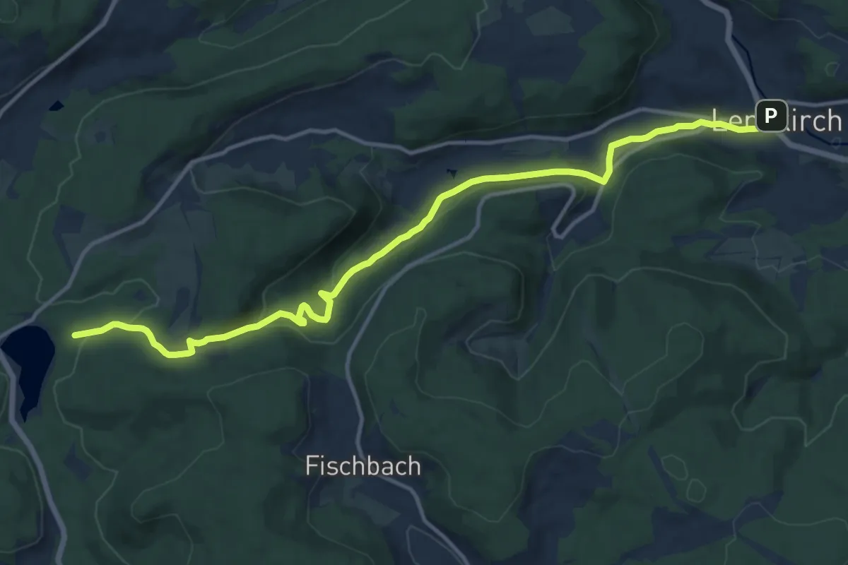
Medium · Trail
Lenzkirch - Windgfällweiher
13.7 km · ↑ 373 m · 4 h 3 min
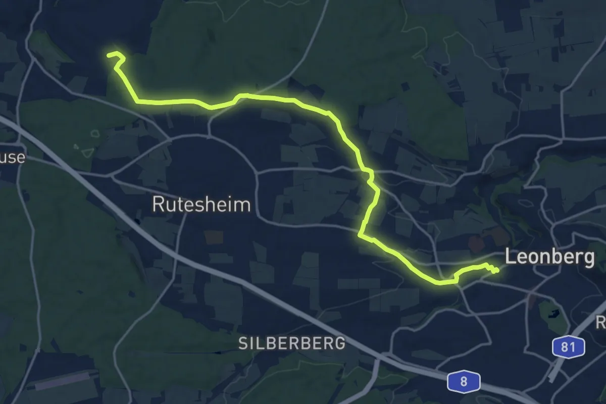
Medium · Summit
Leonberg Bahnhof - Anschluß Gäurandweg (Friolzheim)
17.2 km · ↑ 225 m · 4 h 32 min
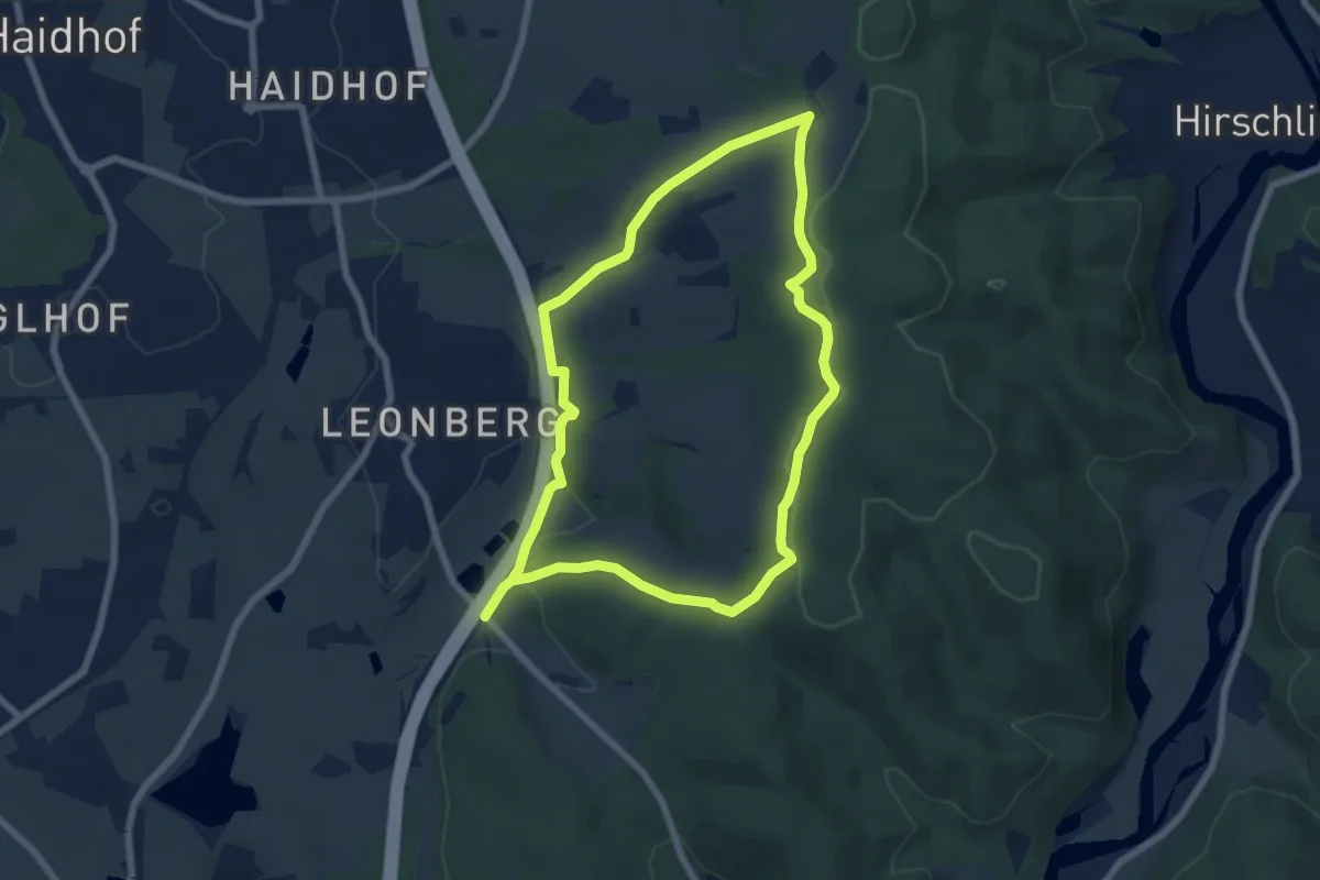
Easy · Trail
Leonberger Panoramaweg (Graue 11)
6.2 km · ↑ 127 m · 1 h 50 min
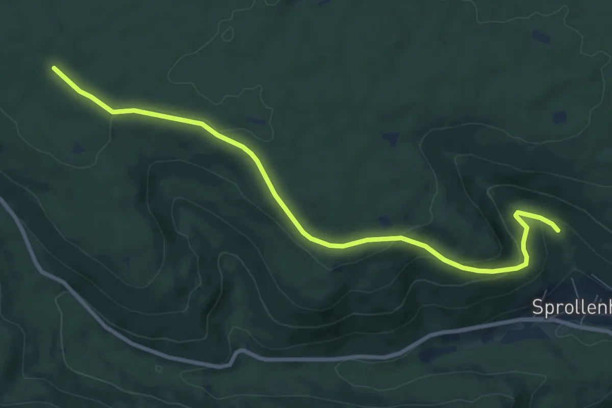
Medium · Trail
Leonhardhütte - Mühlgrund
8.3 km · ↑ 246 m · 2 h 29 min
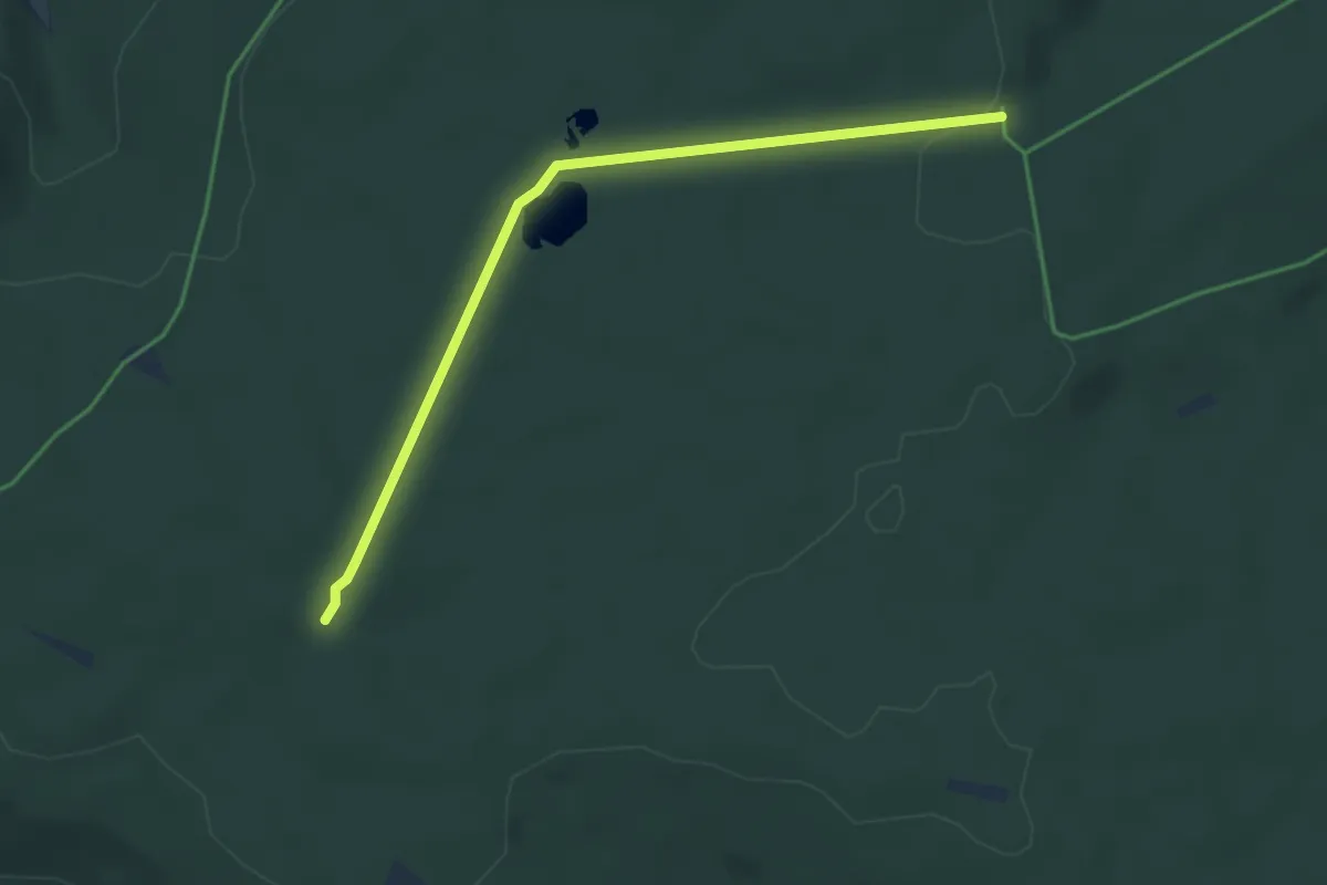
Easy · Trail
Leonhardhütte - Weißensteinhütte
3.8 km · ↑ 22 m · 56 min
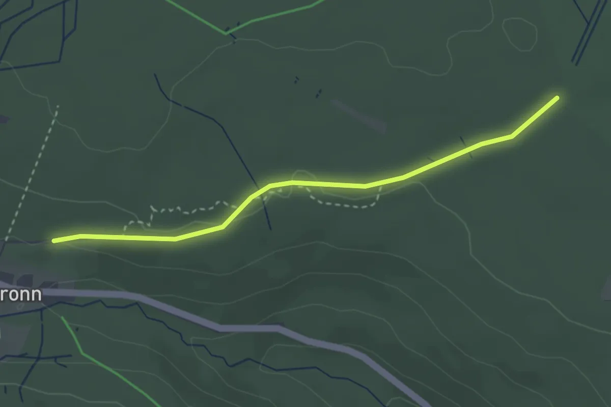
Easy · Trail
Leonhardhütte - Wildgehege
2.9 km · ↑ 42 m · 46 min
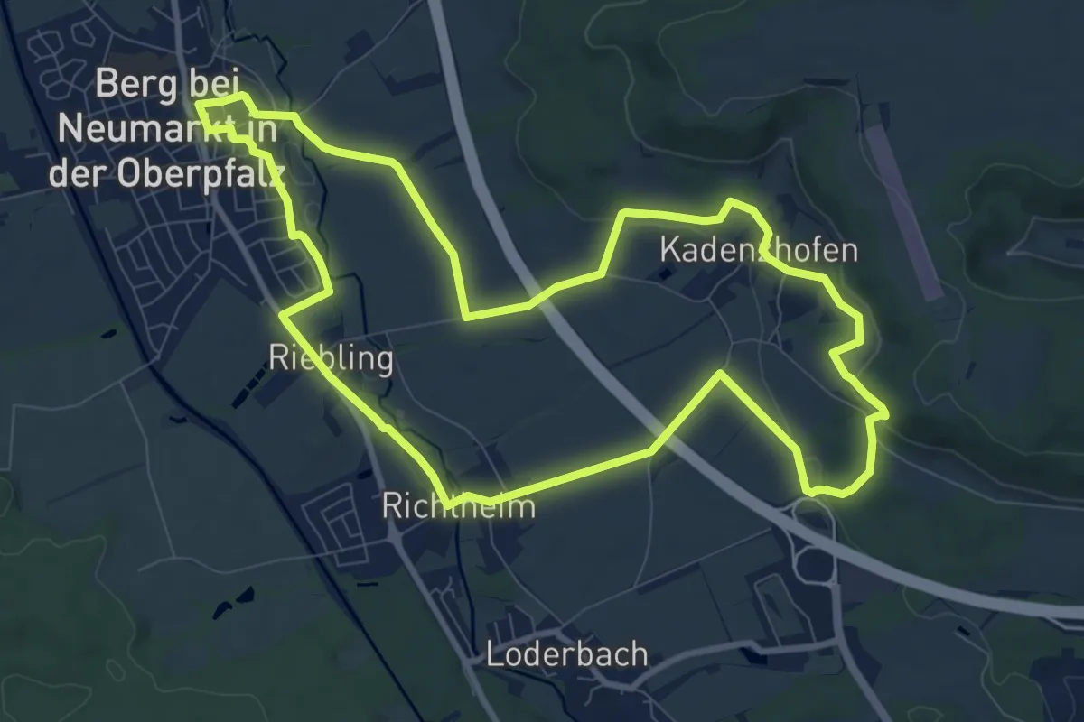
Medium · Trail
Leonhardsweg
9.2 km · ↑ 135 m · 2 h 35 min
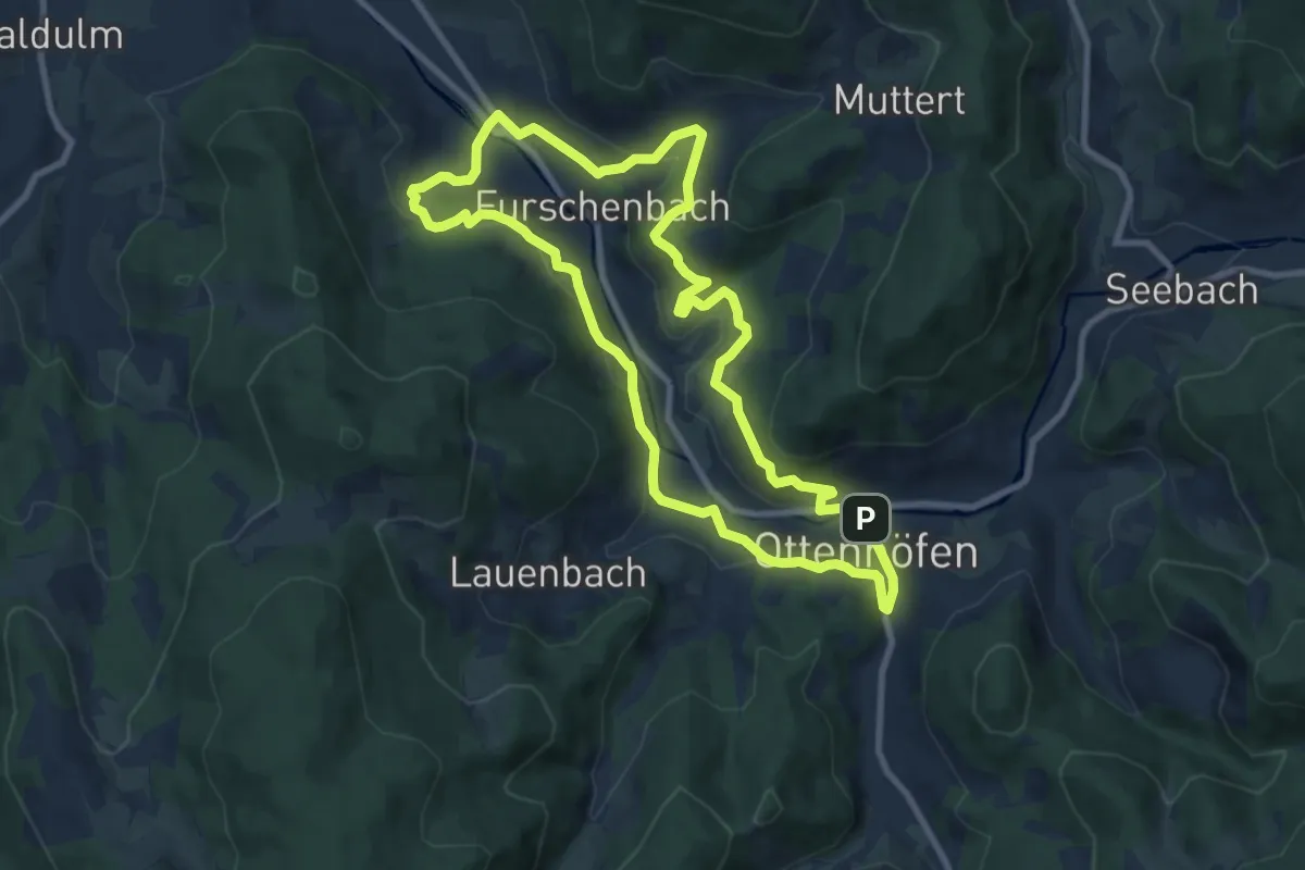
Medium · Trail
LEPO-Pfad
8.5 km · ↑ 318 m · 2 h 49 min
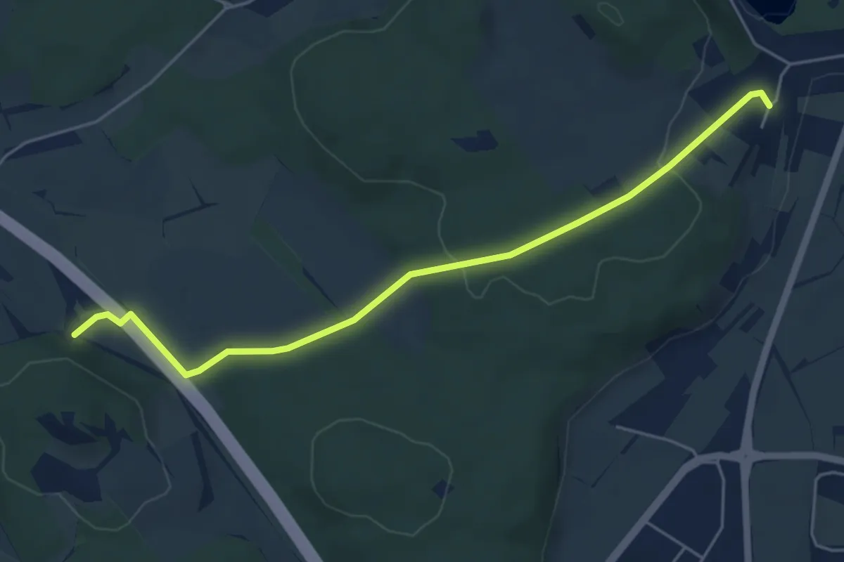
Easy · Trail
Leprosenhaus - Steißlingen Postweg
5.1 km · ↑ 94 m · 1 h 25 min