Trails in Germany
36,852 hiking trails, each with its route, climb, walking time and grade.
All trails, page 325 of 768
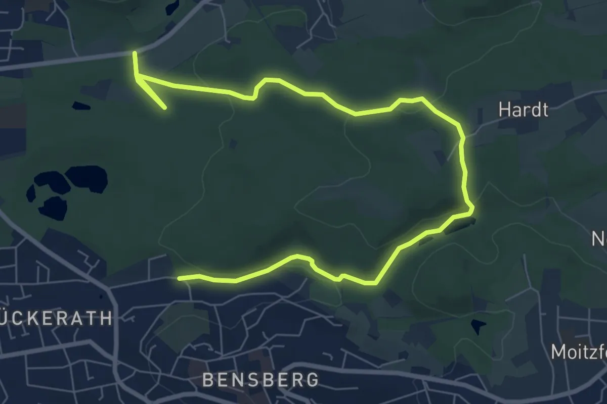
Easy · Trail
Lerbach Rundweg A1
4.4 km · ↑ 111 m · 1 h 20 min
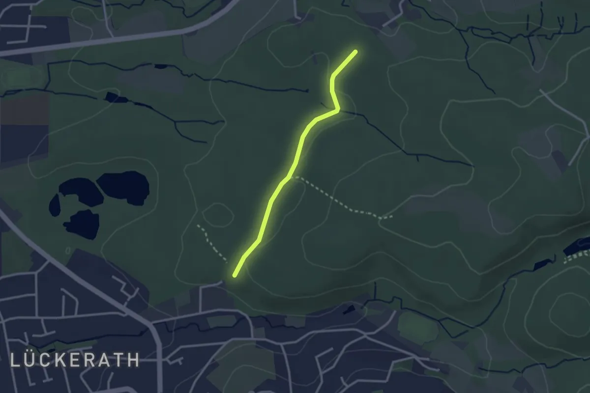
Easy · Trail
Lerbach Rundweg A2
1.1 km · ↑ 0 m · 16 min
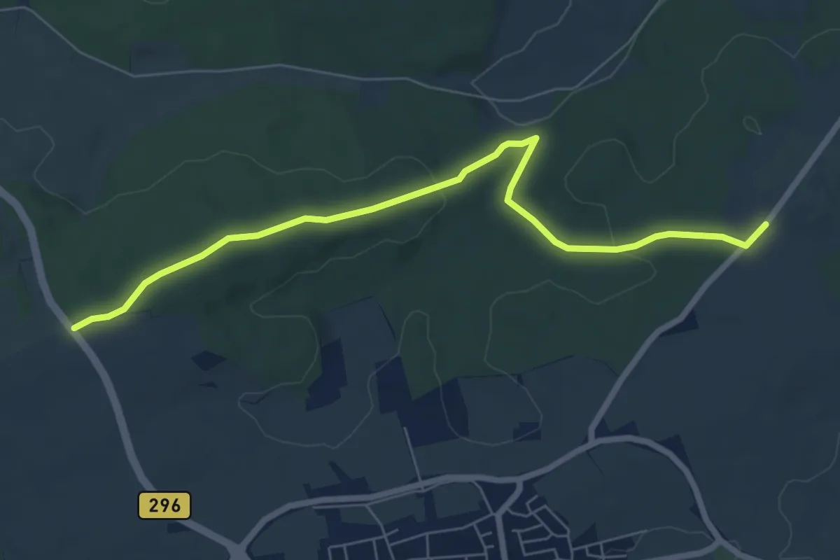
Easy · Trail
Lerchenberg - Dachteler Linde
6.7 km · ↑ 126 m · 1 h 52 min
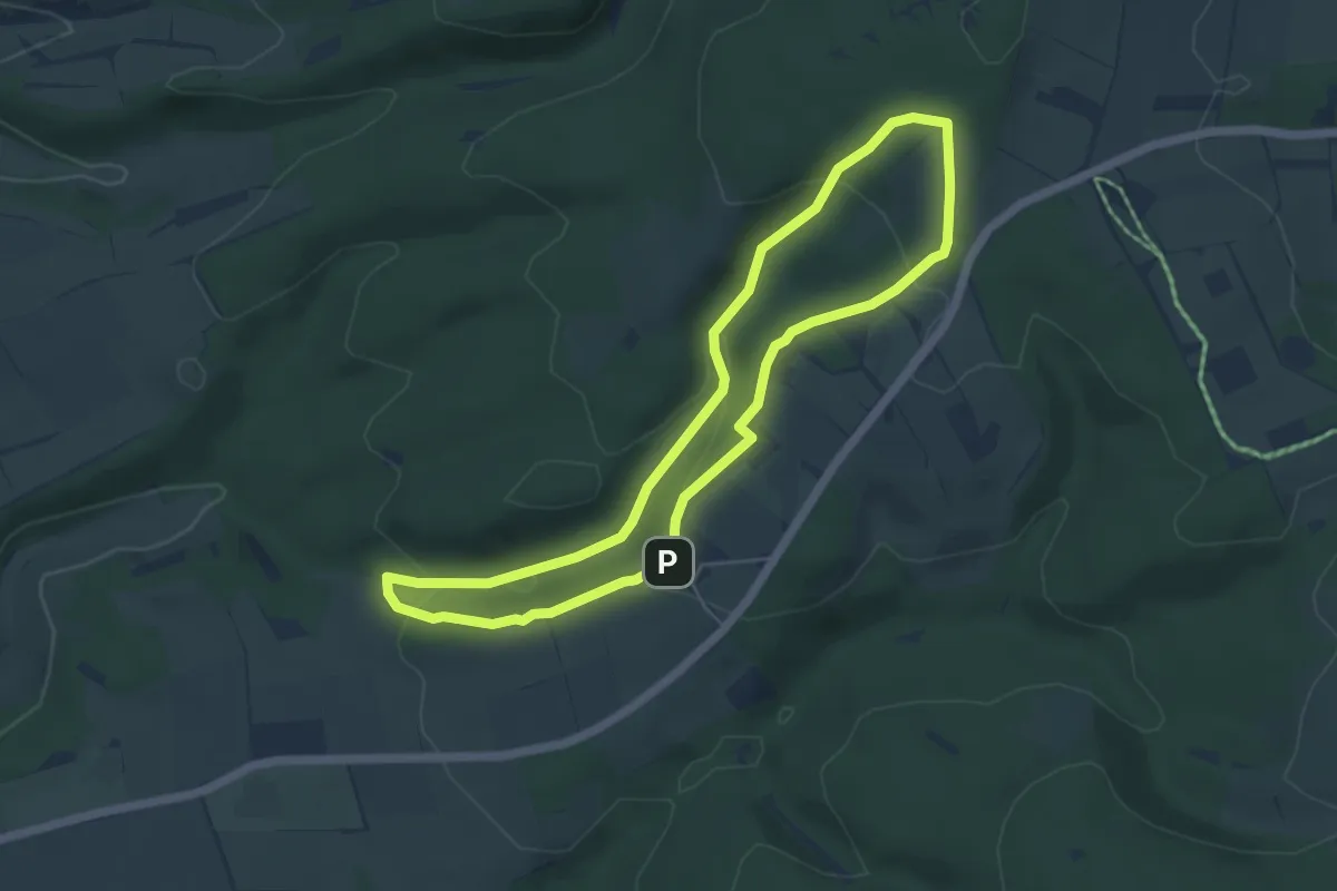
Easy · Trail
Lerchenspornweg
4.5 km · ↑ 143 m · 1 h 26 min
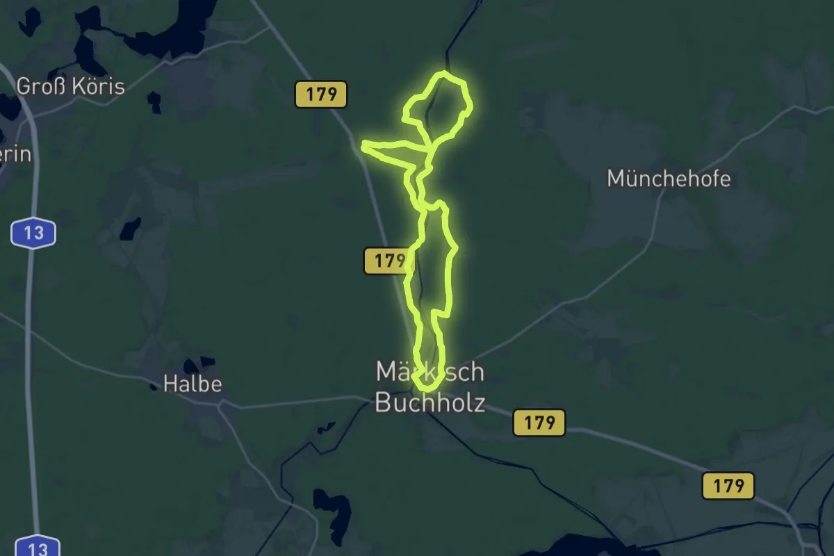
Medium · Trail
Lesefährte Waldweisen
17.9 km · ↑ 48 m · 4 h 35 min
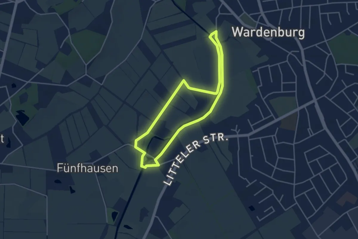
Easy · Trail
Lethe-Naturlehrpfad Wardenburg
3.1 km · ↑ 0 m · 46 min
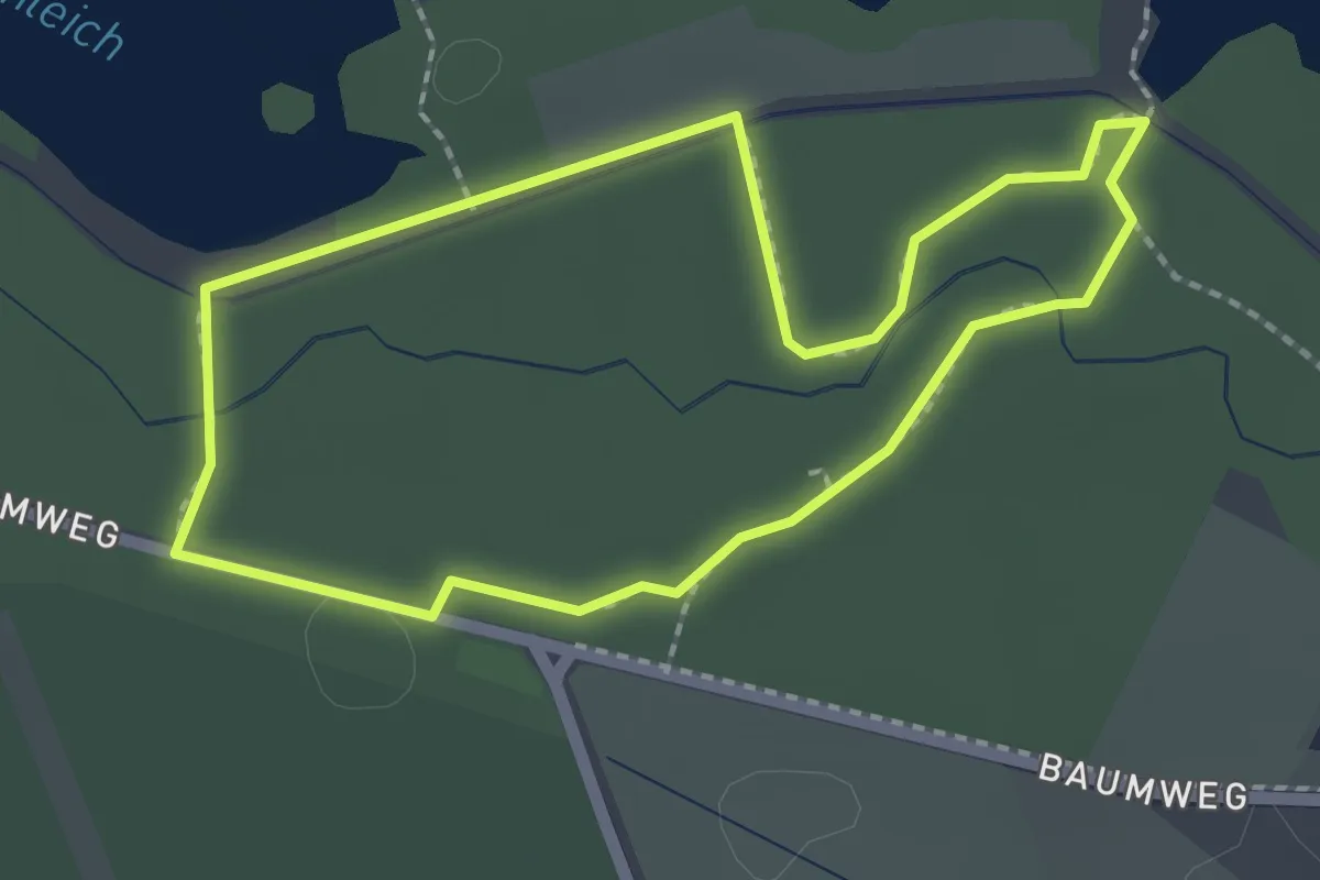
Easy · Trail
Lethe-Weg
1.8 km · ↑ 0 m · 26 min
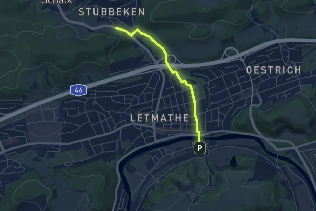
Easy · Cabin
Letmathe Bahnhof - SGV-Heim
4.5 km · ↑ 81 m · 1 h 14 min
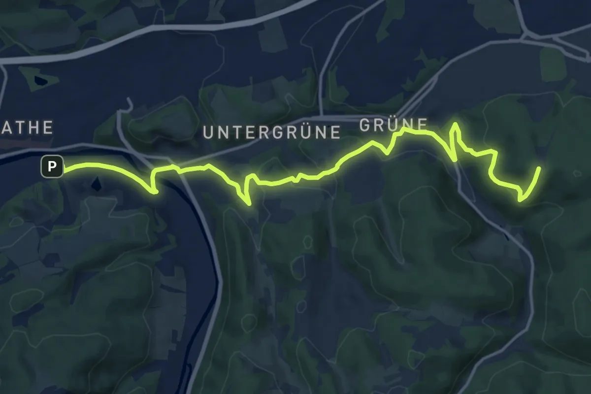
Medium · Trail
Letmathe Bf - Iserlohn Danzturm
14.5 km · ↑ 432 m · 4 h 21 min
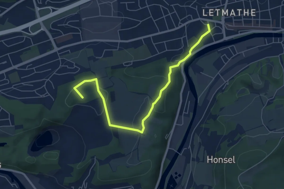
Easy · Summit
Letmathe Kirche - Hohenlimburg Rathaus
5.8 km · ↑ 184 m · 1 h 46 min
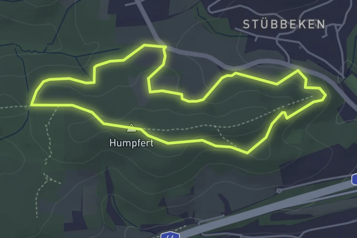
Easy · Summit
Letmathe Rundweg 1
3.6 km · ↑ 96 m · 1 h 7 min
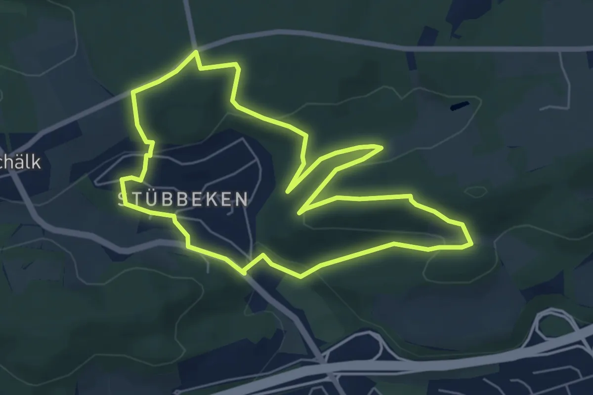
Easy · Trail
Letmathe Rundweg 2
5.1 km · ↑ 155 m · 1 h 37 min
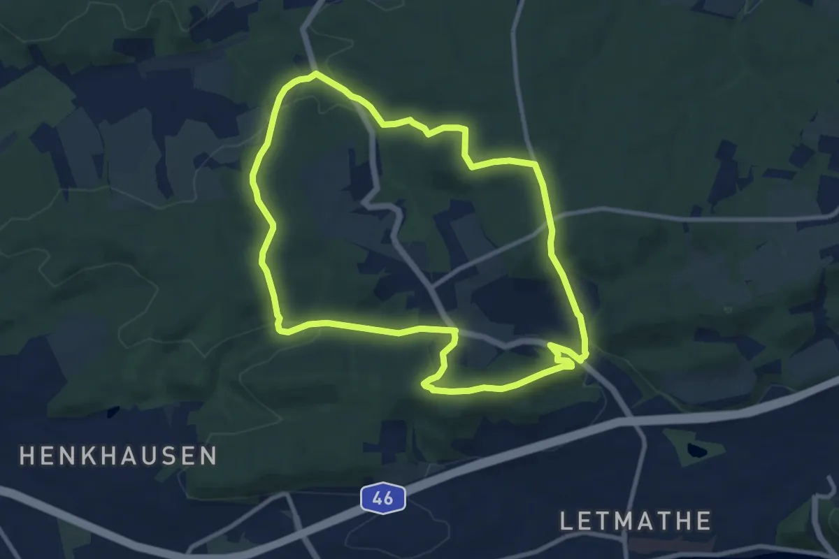
Medium · Summit
Letmathe Rundweg 3
8.1 km · ↑ 254 m · 2 h 34 min
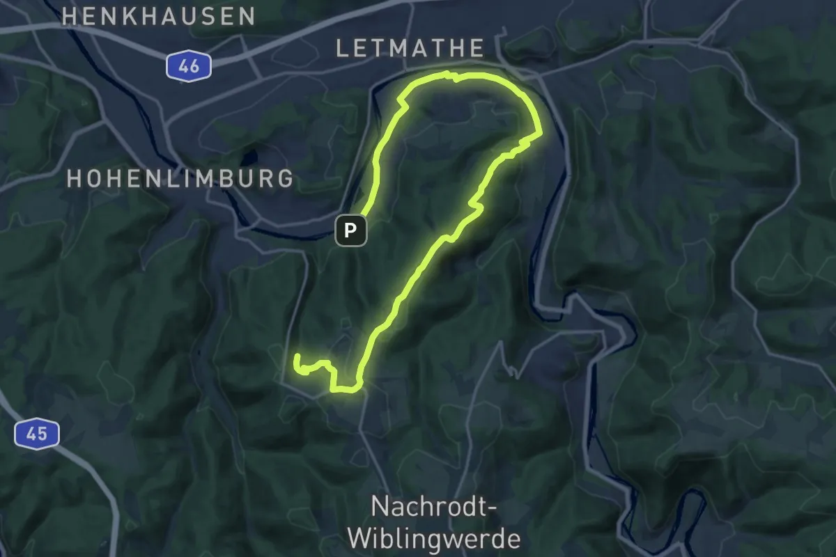
Medium · Trail
Letmathe Rundweg 4
10.6 km · ↑ 297 m · 3 h 12 min
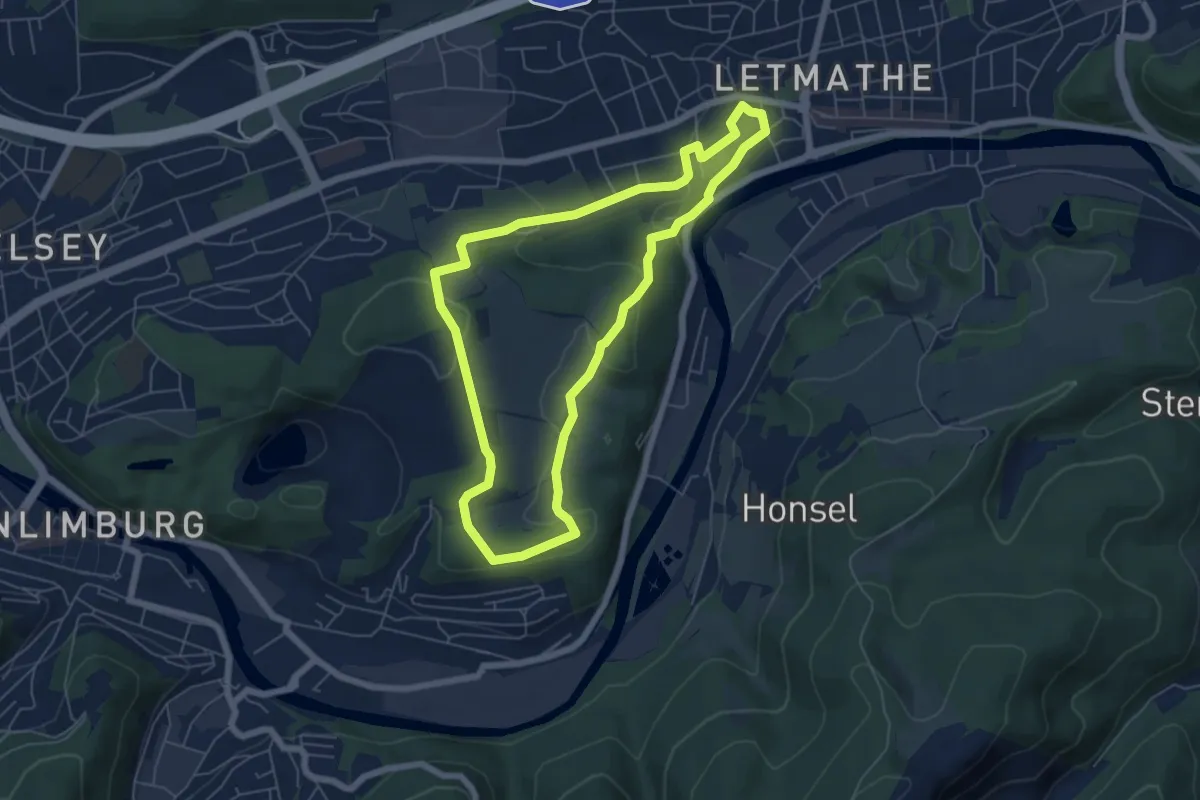
Easy · Trail
Letmathe Rundweg 5
5.3 km · ↑ 133 m · 1 h 37 min
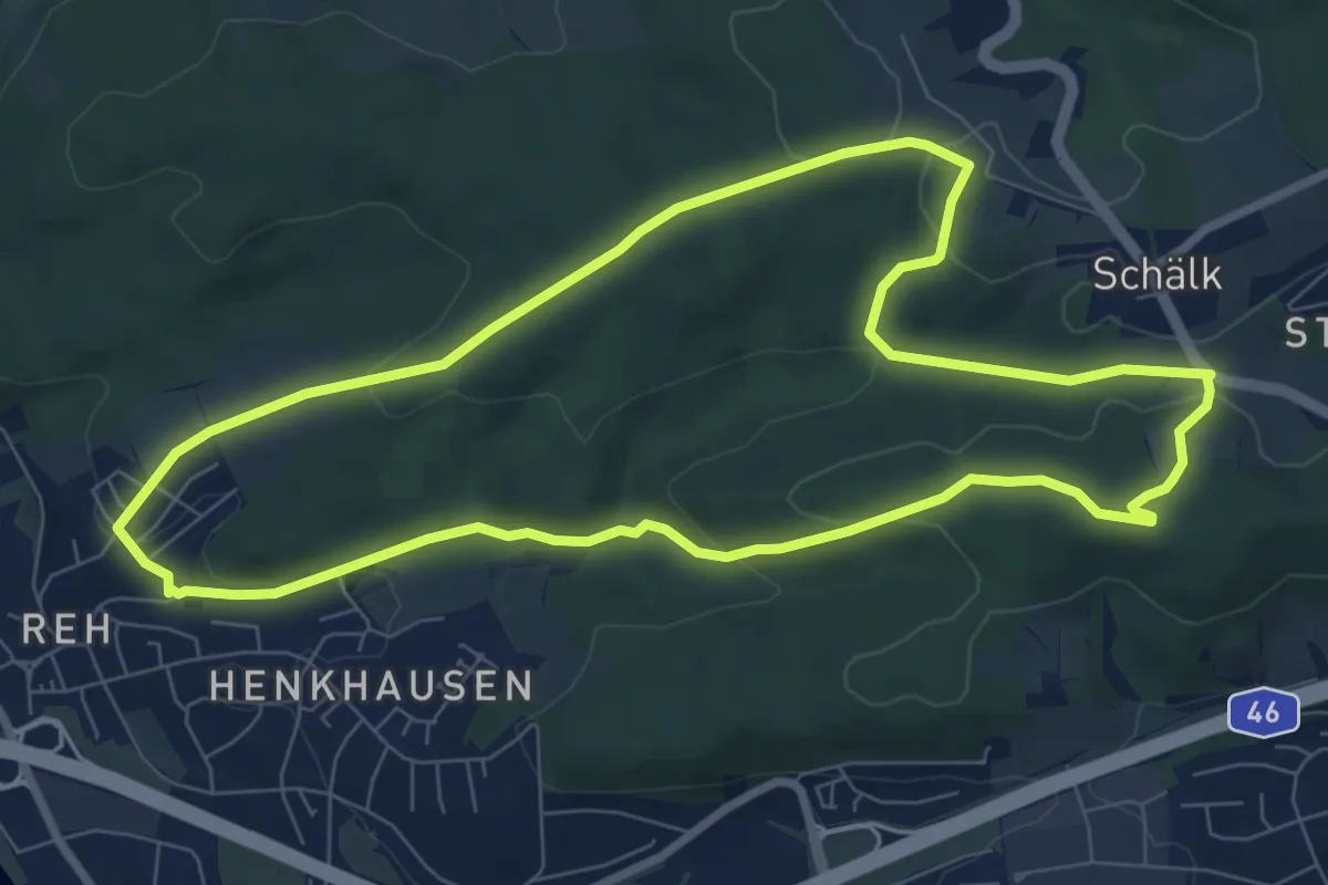
Easy · Summit
Letmathe Rundweg 7
7.4 km · ↑ 180 m · 2 h 15 min
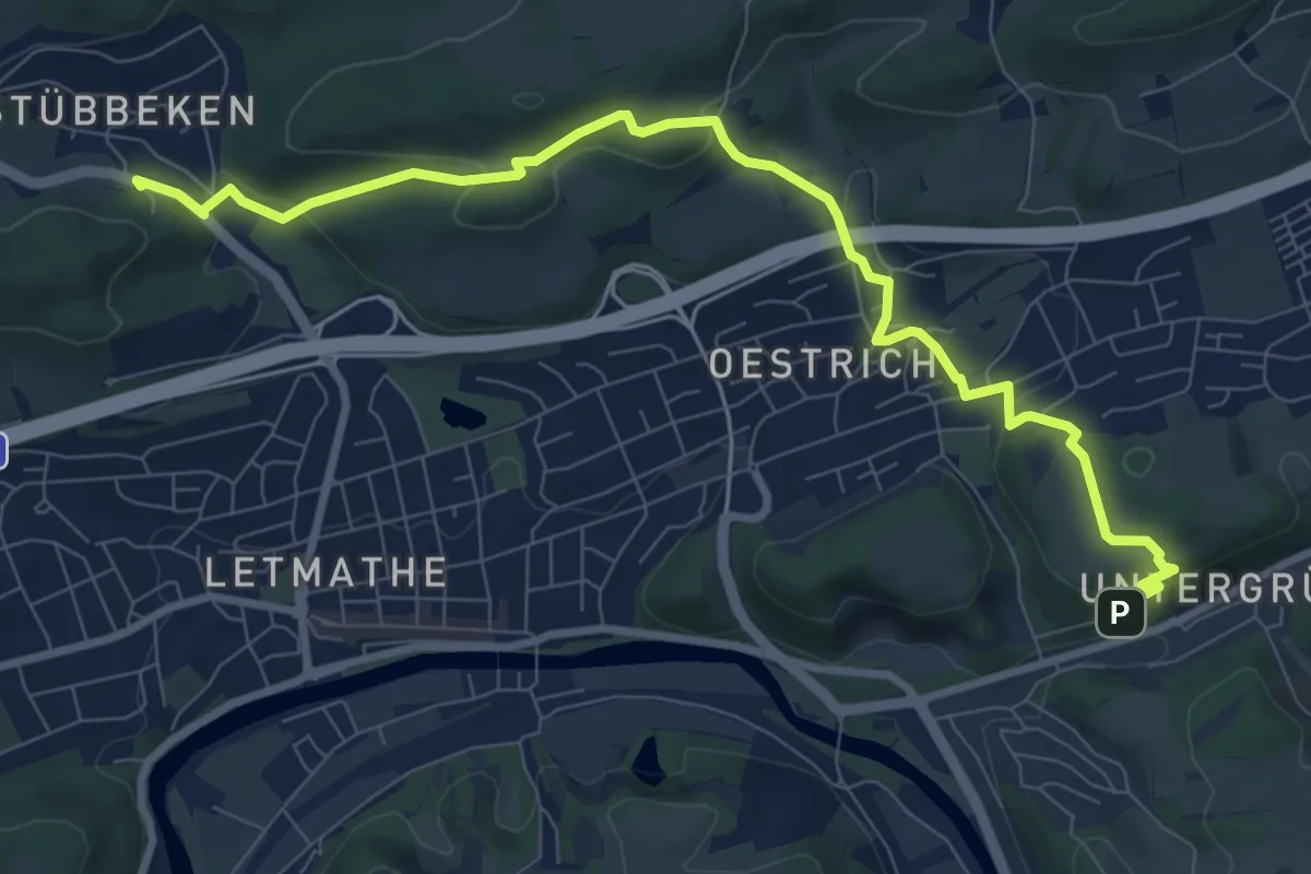
Medium · Cabin
Letmathe SGV-Heim - Dechenhöhle
9.2 km · ↑ 310 m · 2 h 50 min
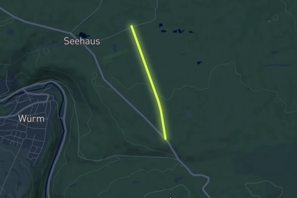
Easy · Trail
Lettenbrunnen - Spieleiche
3.4 km · ↑ 48 m · 54 min
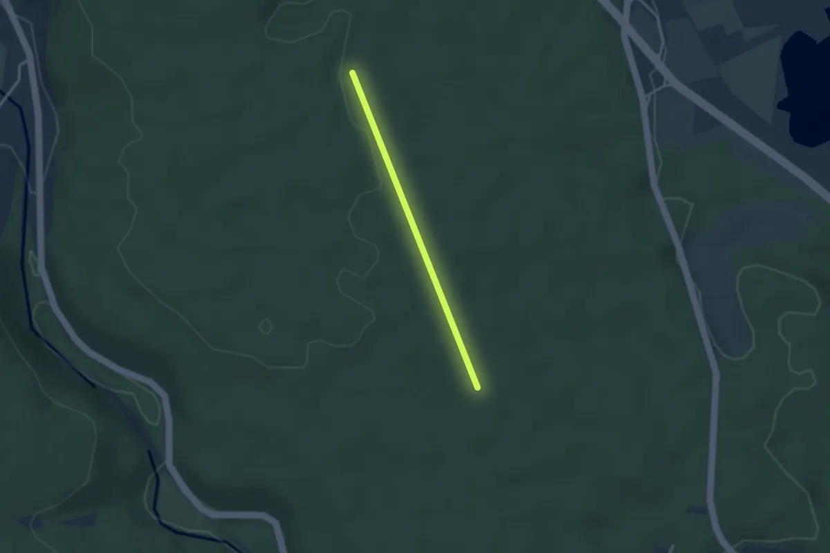
Easy · Trail
Lettenbrunnenweg - Oberhausweg Kohlplatzweg
2.2 km · ↑ 13 m · 33 min
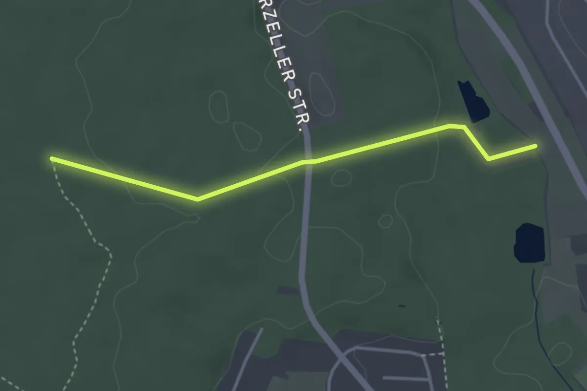
Easy · Trail
Lettenbrunnenweg - Weiherweg
3.1 km · ↑ 57 m · 51 min
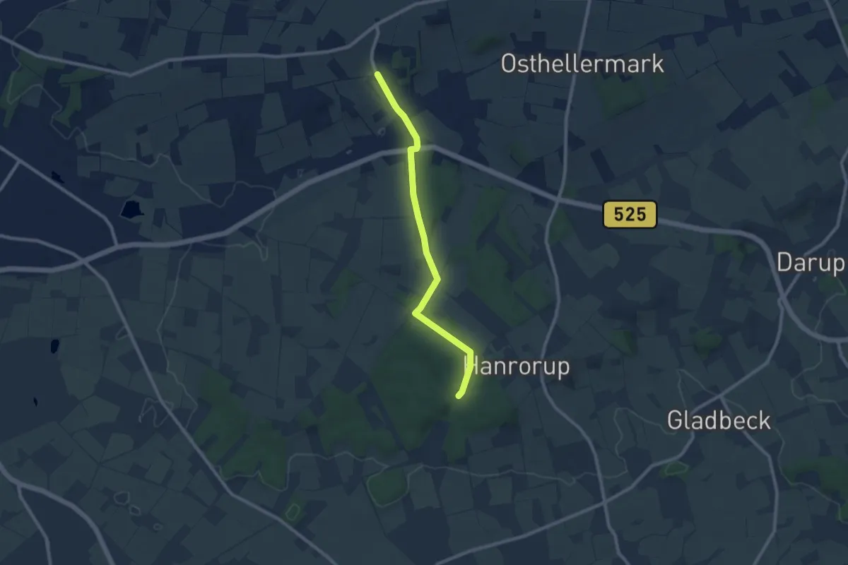
Easy · Trail
Lette Rundweg L4
3.7 km · ↑ 60 m · 1 h 3 min
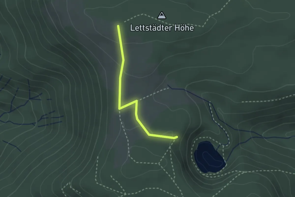
Medium · Trail
Lettstädter Höhe Stein 77 - Seeblick
2.2 km · ↑ 74 m · 40 min
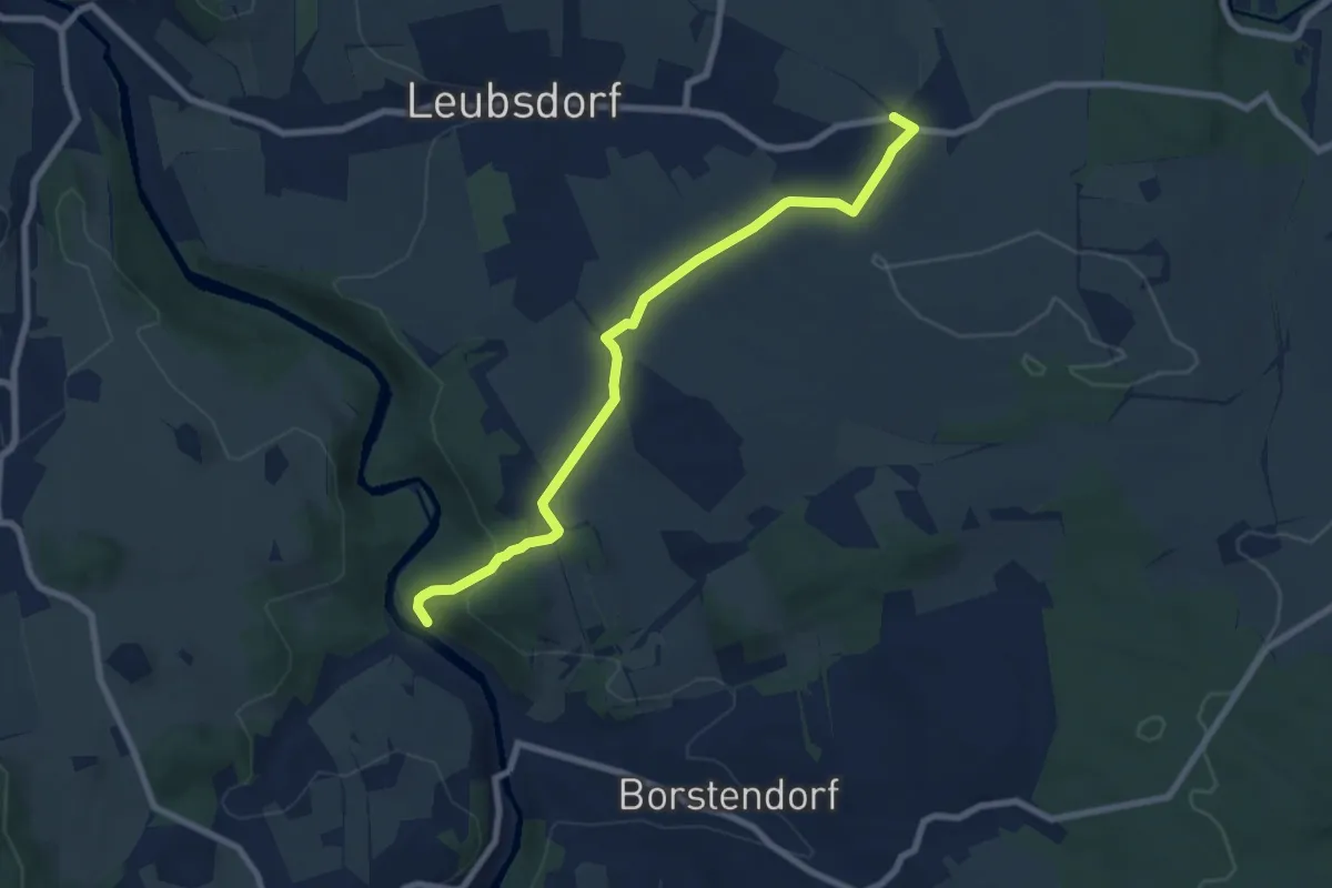
Easy · Trail
Leubsdorf, Oberschaar - Borstendorf, Unterdorf
7.3 km · ↑ 167 m · 2 h 5 min
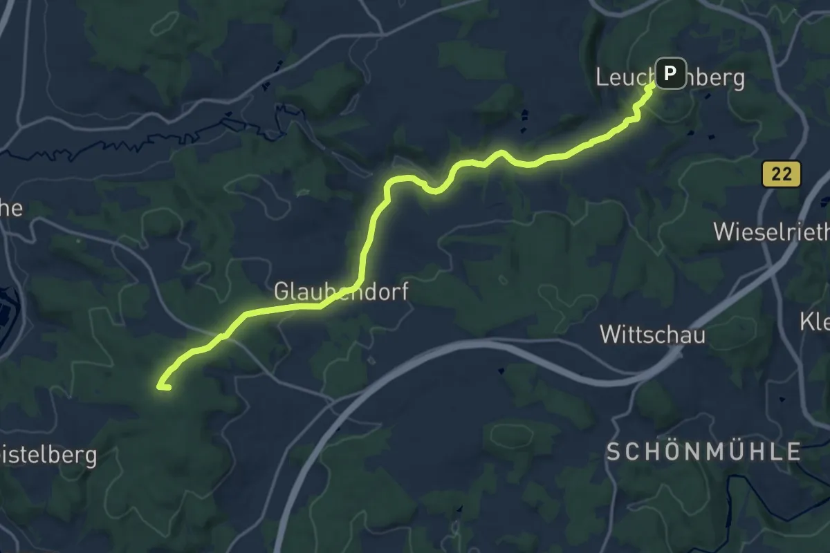
Medium · Summit
Leuchtenbergweg
16.5 km · ↑ 371 m · 4 h 42 min
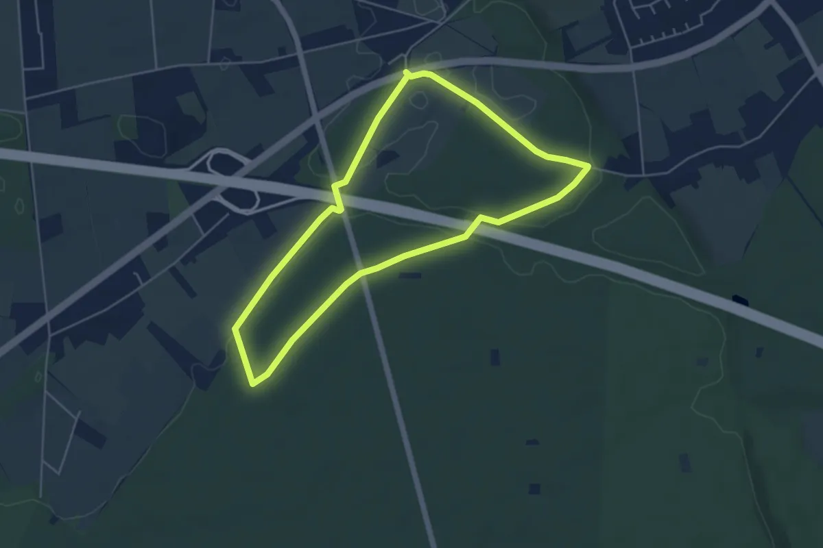
Easy · Trail
Leucht Nord Rundweg A7
4.2 km · ↑ 18 m · 1 h 5 min
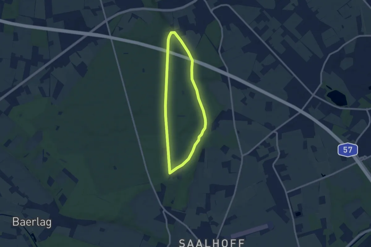
Easy · Trail
Leucht Ost Rundweg A6
6.1 km · ↑ 38 m · 1 h 37 min
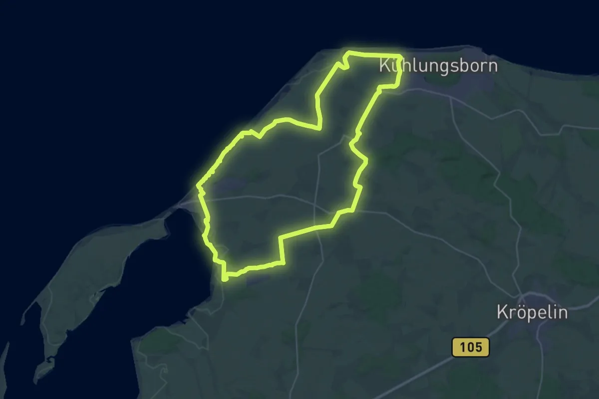
Demanding · Trail
Leuchtturmroute
27.5 km · ↑ 170 m · 7 h 14 min
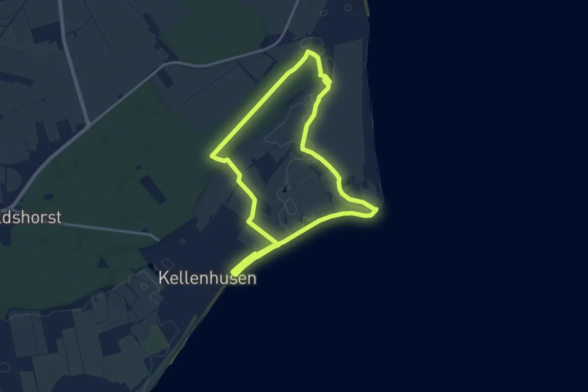
Medium · Trail
Leuchtturm-Route, Kellenhusen
8.6 km · ↑ 13 m · 2 h 10 min
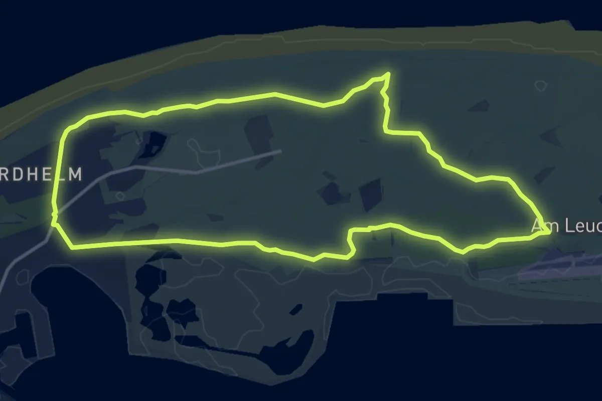
Medium · Trail
Leuchtturmrundweg
9.5 km · ↑ 0 m · 2 h 22 min
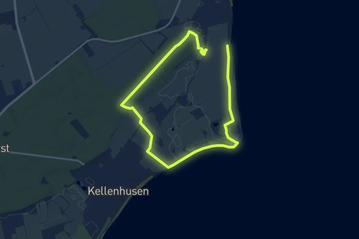
Medium · Trail
Leuchtturm-Wald-Route
14.2 km · ↑ 30 m · 3 h 25 min
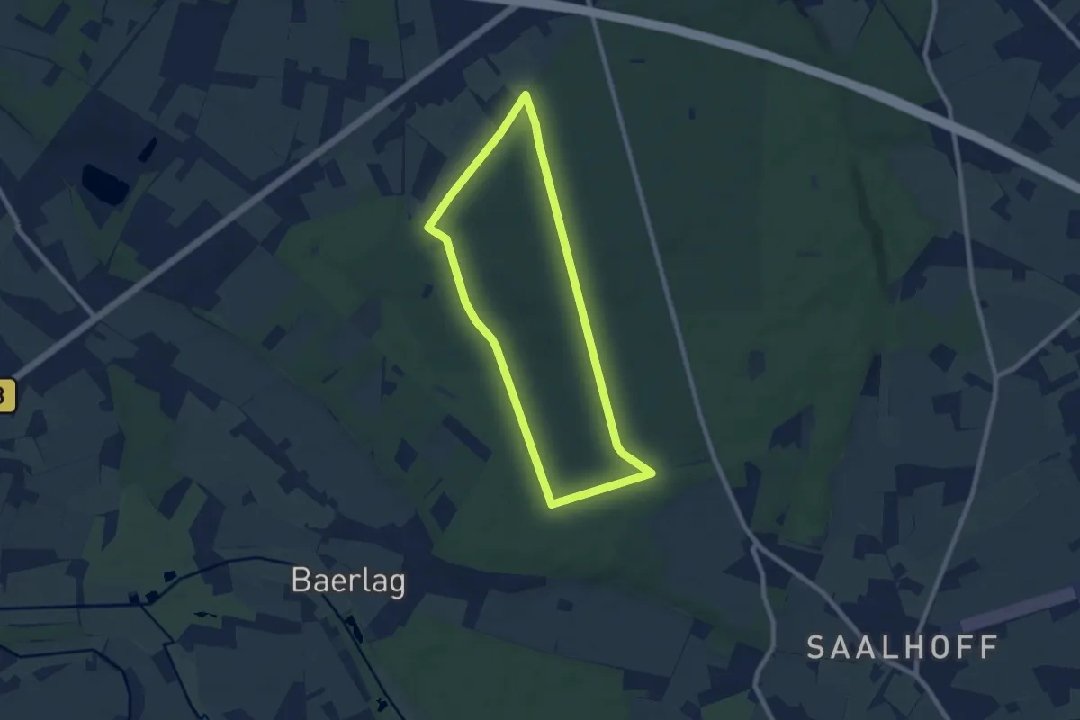
Easy · Trail
Leucht West Rundweg A8
6.4 km · ↑ 17 m · 1 h 38 min
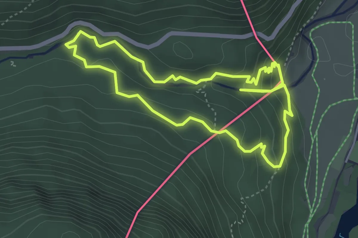
Medium · Trail
Leutascher Geisterklamm
3.6 km · ↑ 233 m · 1 h 24 min
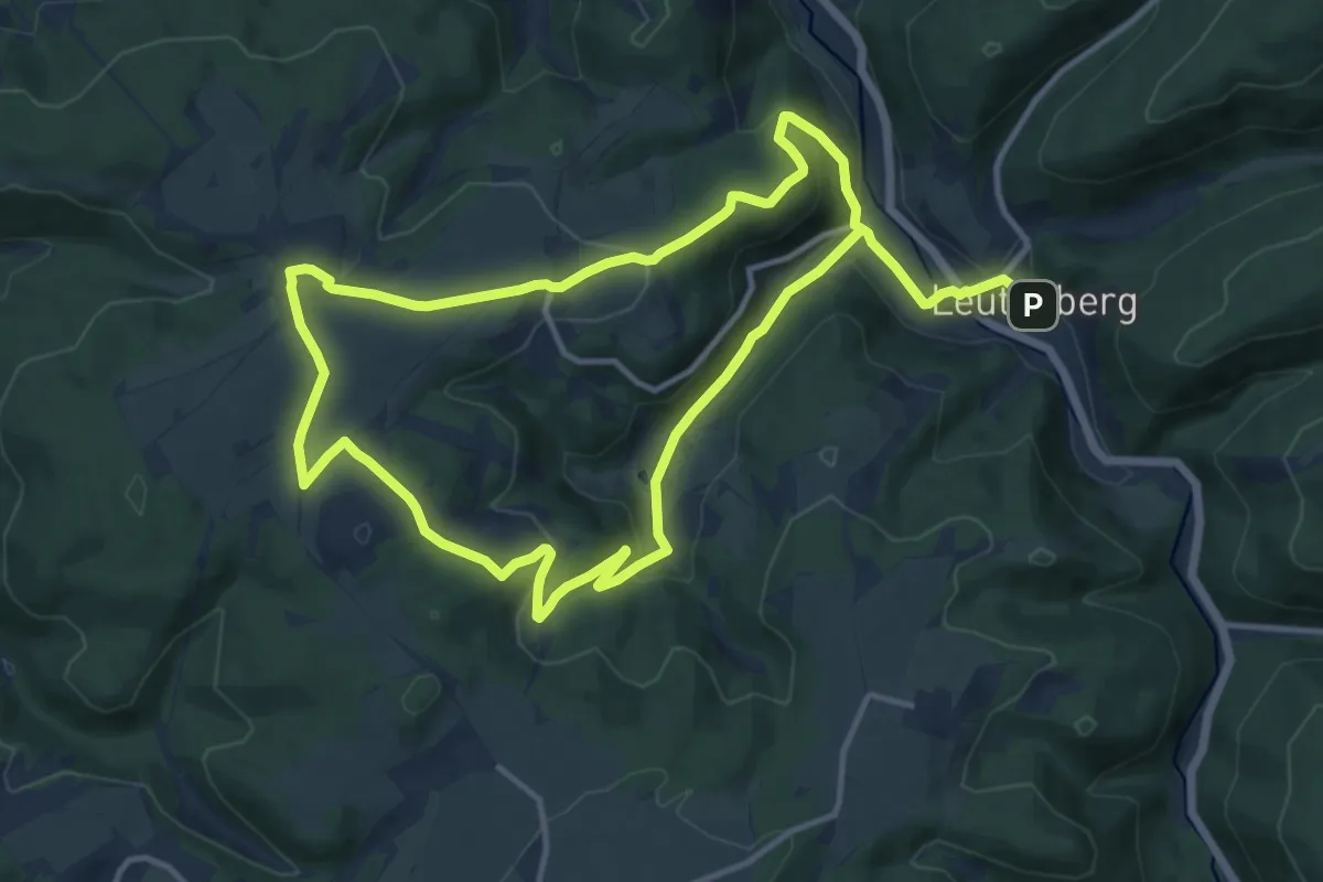
Medium · Summit
Leutenberg Rundweg 2
10.8 km · ↑ 346 m · 3 h 28 min
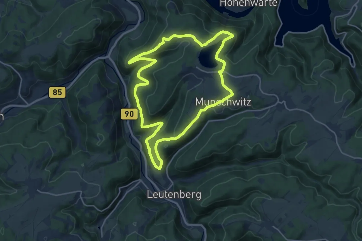
Medium · Summit
Leutenberg: Rundweg 3
13.0 km · ↑ 415 m · 4 h 8 min
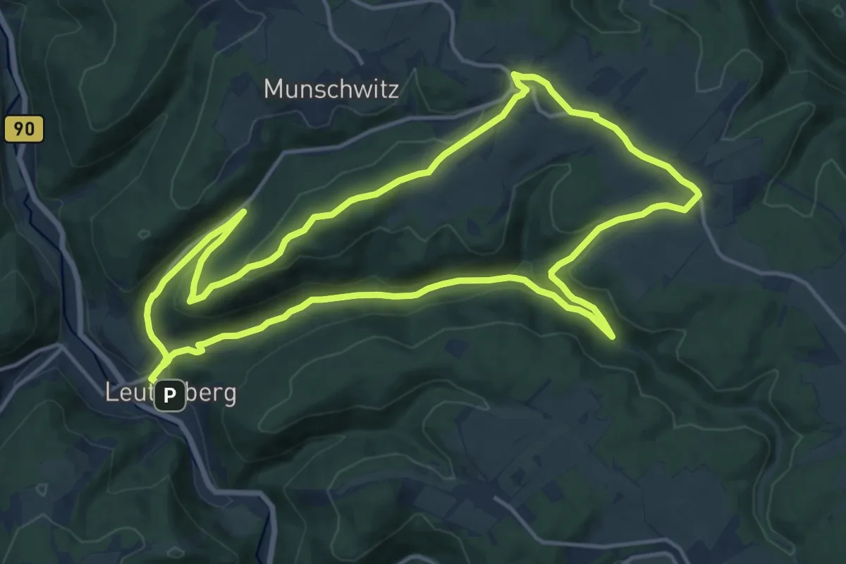
Medium · Summit
Leutenberg: Rundweg 4
13.5 km · ↑ 330 m · 4 h 5 min
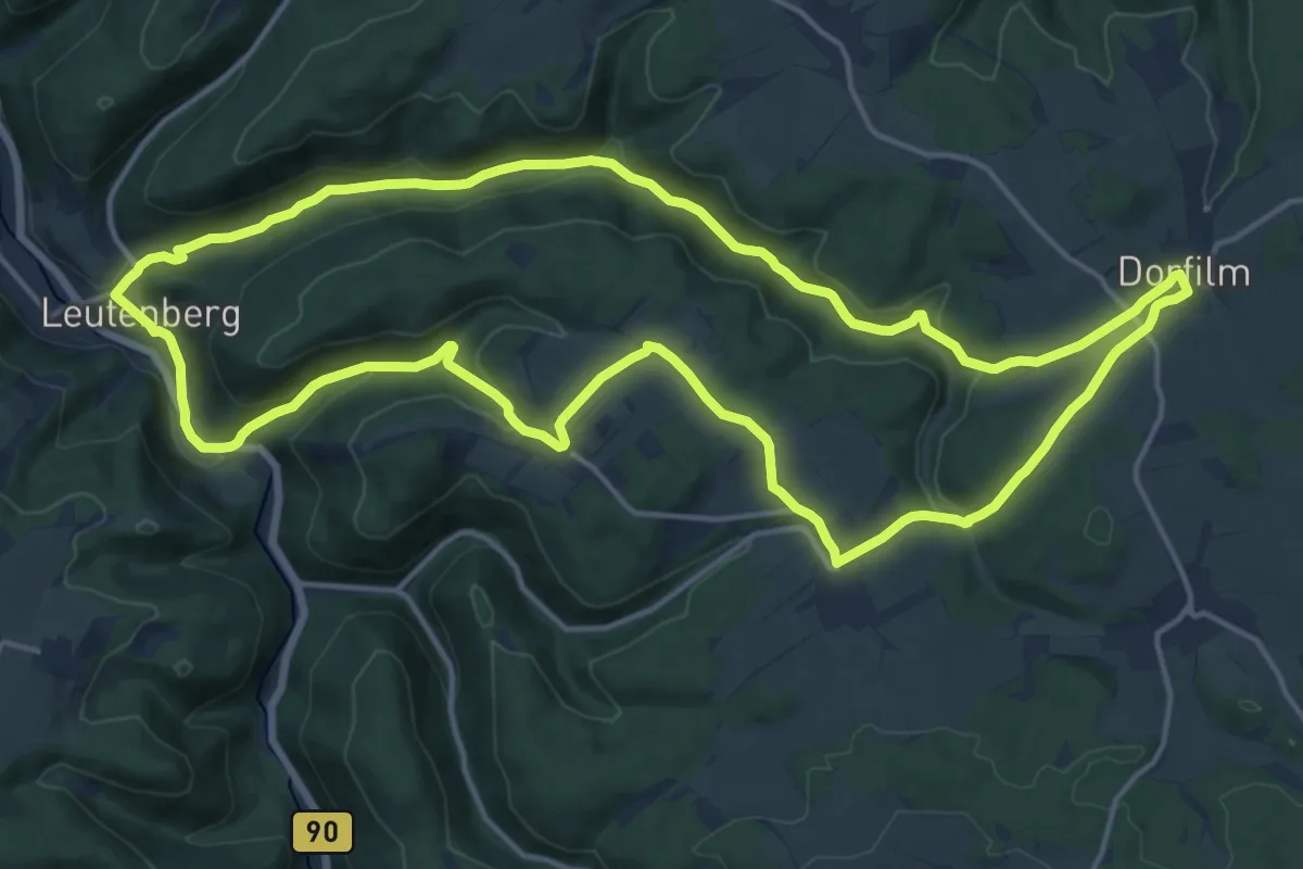
Medium · Trail
Leutenberg Rundweg 5
16.0 km · ↑ 435 m · 4 h 57 min
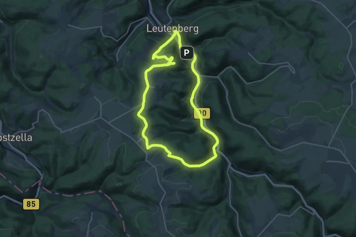
Medium · Summit
Leutenberg Rundweg 6
13.8 km · ↑ 417 m · 4 h 21 min
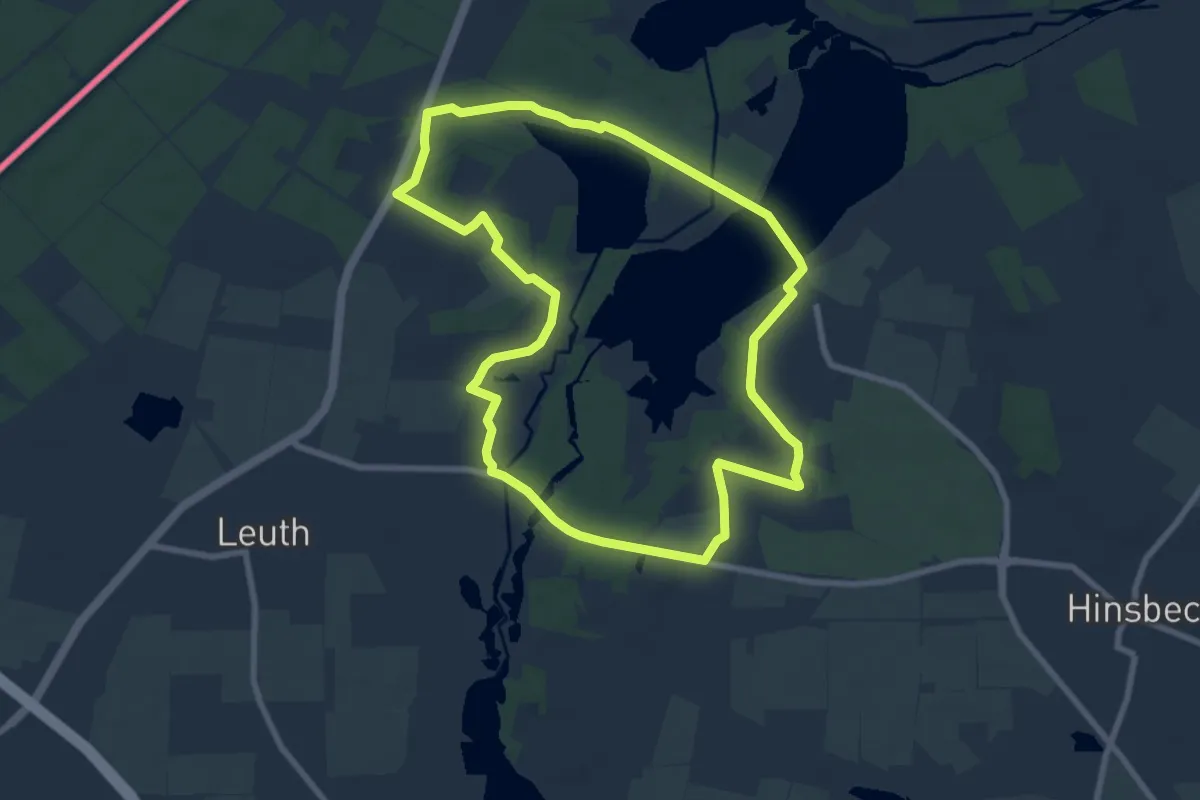
Easy · Trail
Leuther Mühlen-Pfad
7.3 km · ↑ 22 m · 1 h 53 min
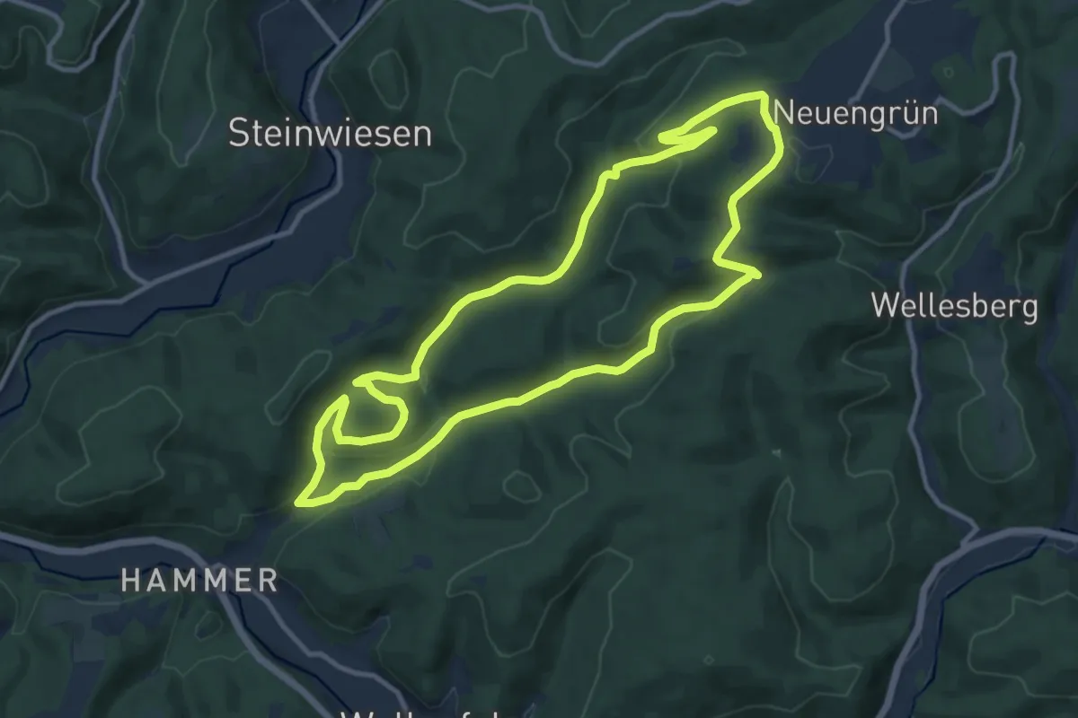
Medium · Trail
Leutnitztal-Weg RT 12
10.2 km · ↑ 310 m · 3 h 14 min
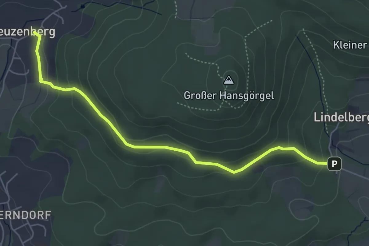
Easy · Trail
Leuzenberg – Wasserwerk Altensittenbach
4.9 km · ↑ 167 m · 1 h 31 min
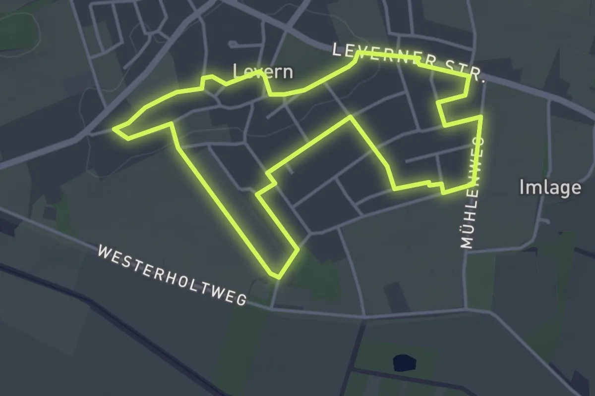
Easy · Trail
Leverner Südhang
3.5 km · ↑ 22 m · 55 min
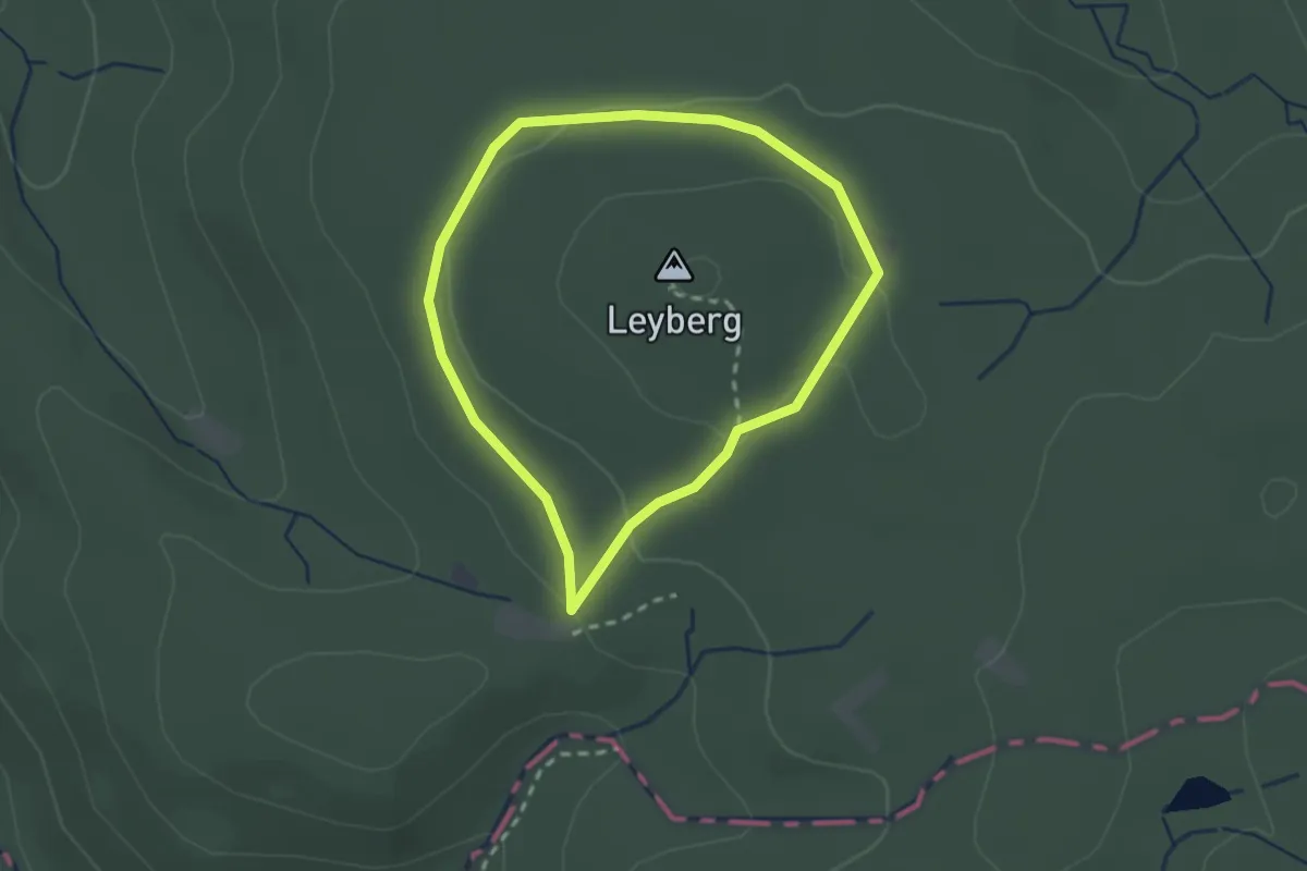
Easy · Trail
Leyberg-Rundweg
1.9 km · ↑ 38 m · 33 min
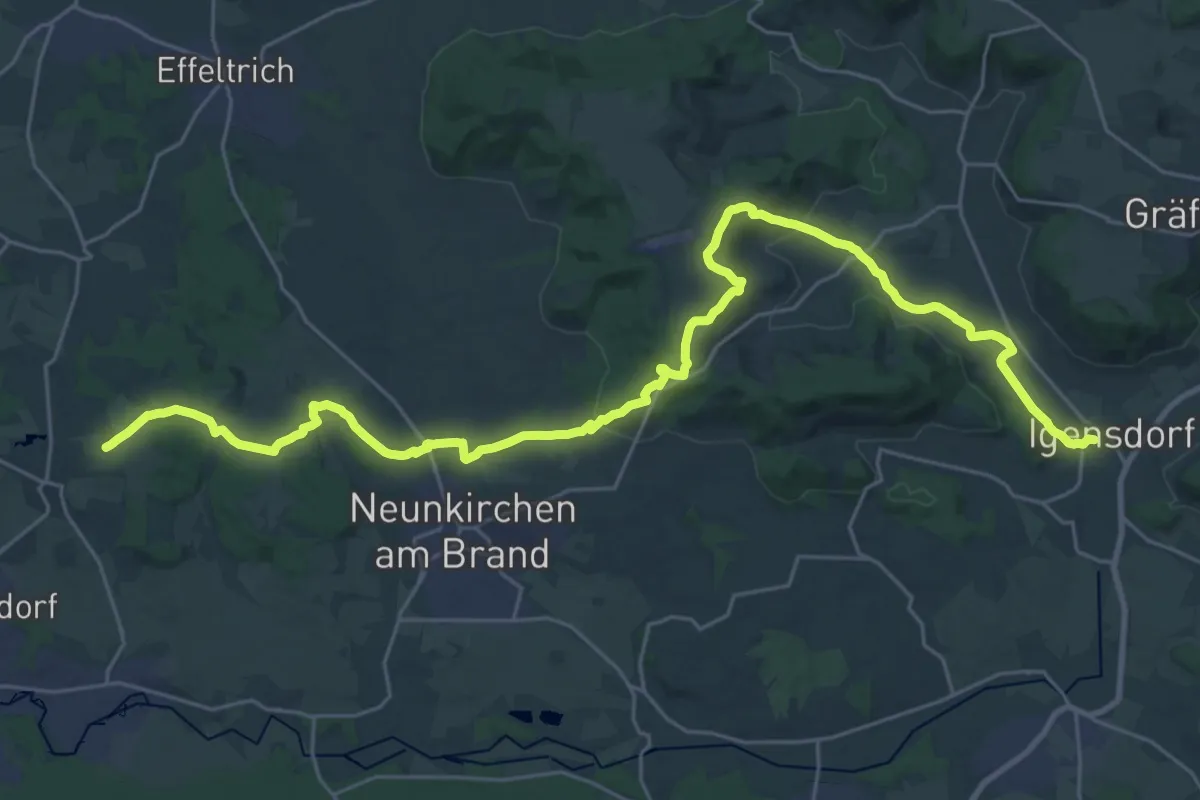
Medium · Trail
Leyerbergweg
16.6 km · ↑ 317 m · 4 h 52 min
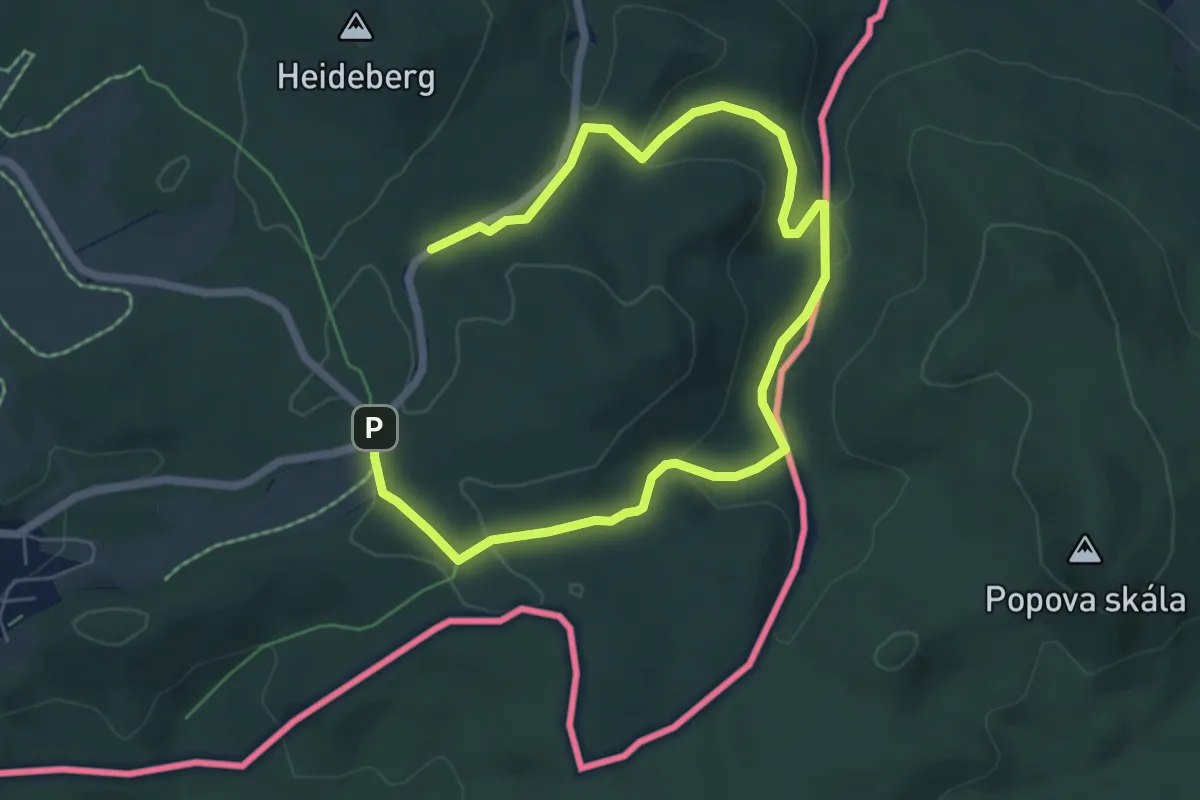
Medium · Trail
LG-Gelber Punkt
8.0 km · ↑ 206 m · 2 h 21 min
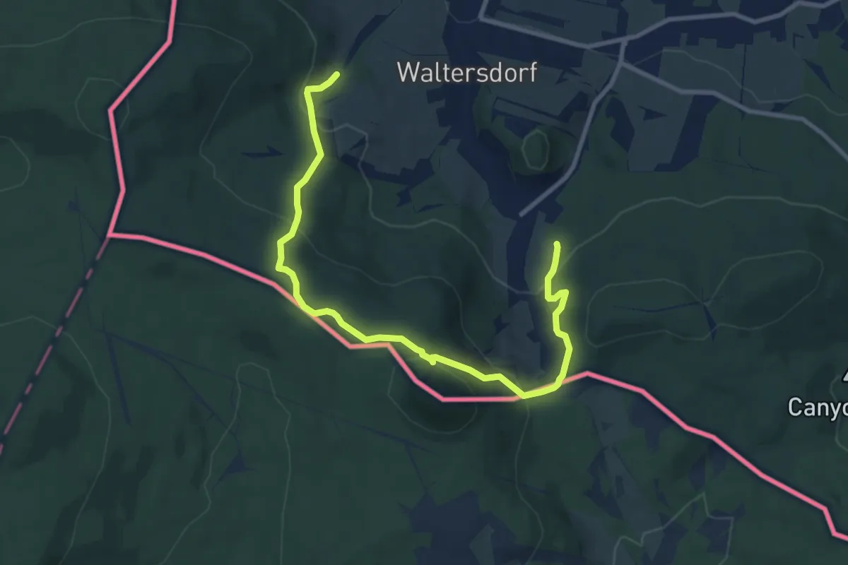
Medium · Trail
LG-Grüner Gegenschrägstrich - Naturlehrpfad Waltersdorf
9.2 km · ↑ 472 m · 3 h 11 min
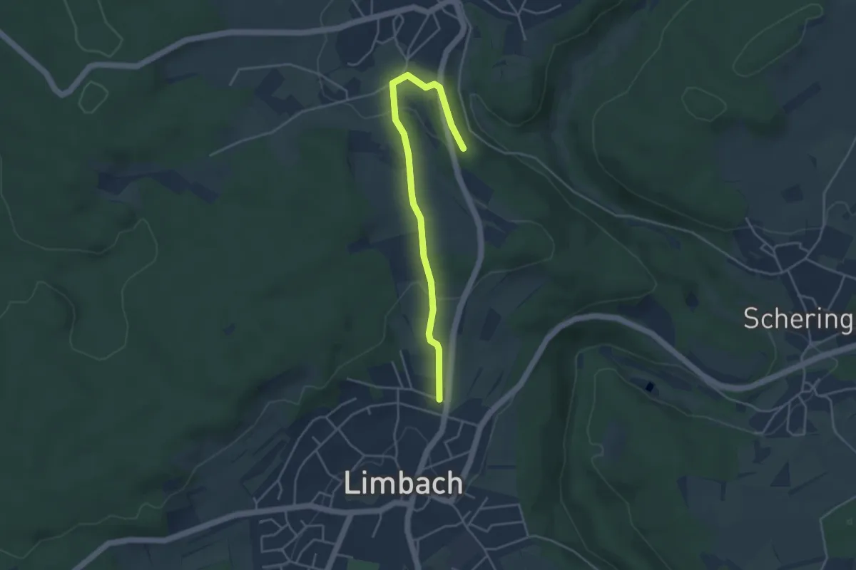
Easy · Trail
Li2 - Laudenberger Weg
3.8 km · ↑ 110 m · 1 h 8 min
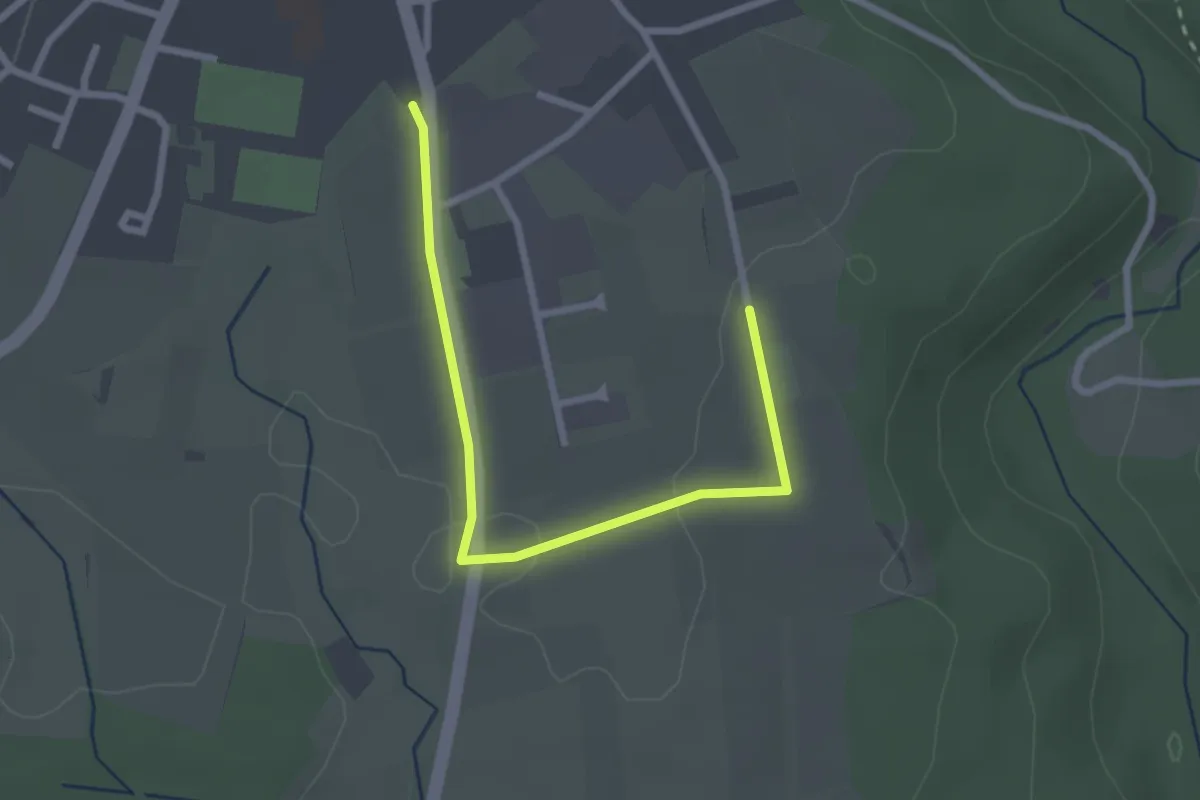
Easy · Trail
Li4 - Hilbertsfeldweg
2.6 km · ↑ 26 m · 40 min
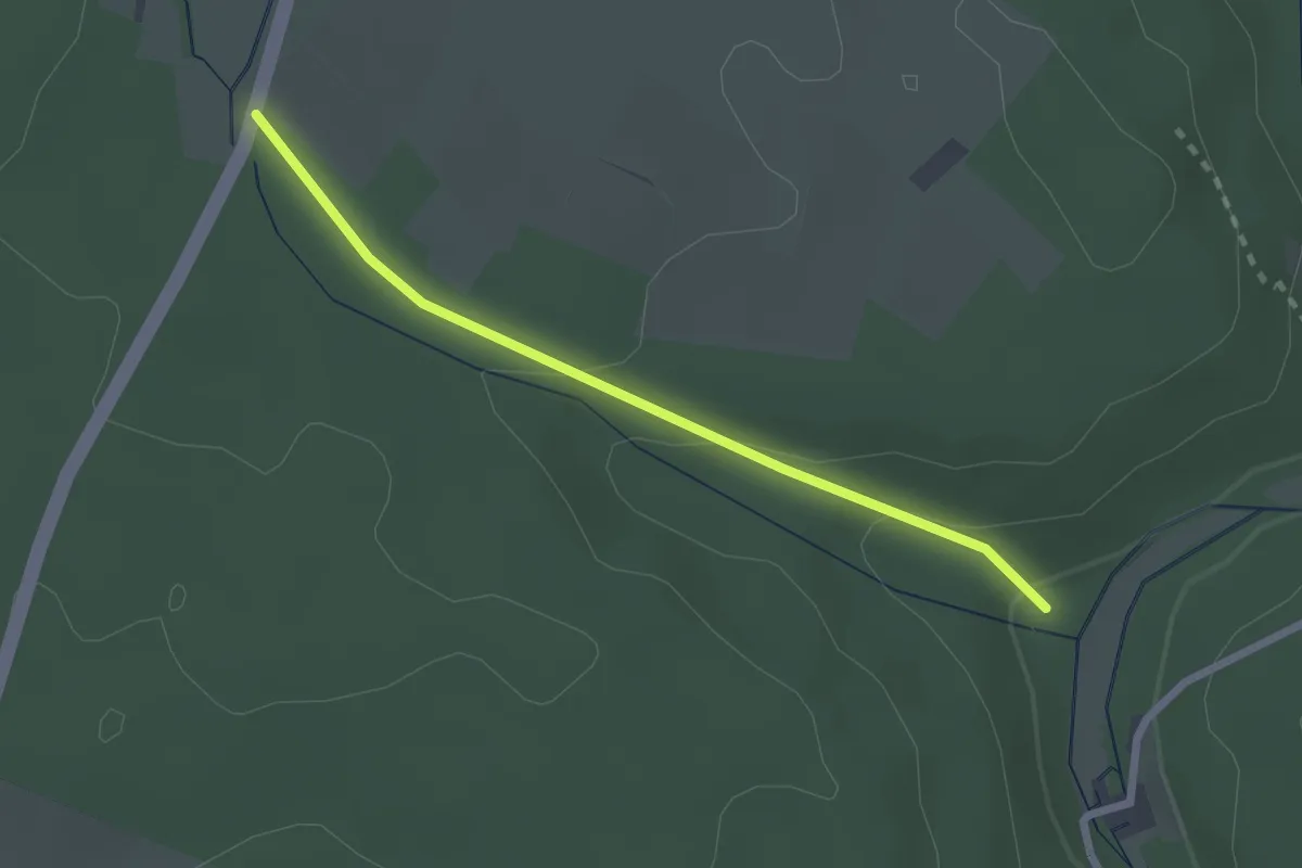
Easy · Trail
Li5 - Lautzenklingenweg
2.1 km · ↑ 68 m · 39 min