Trails in Germany
36,852 hiking trails, each with its route, climb, walking time and grade.
All trails, page 327 of 768
Easy · Trail
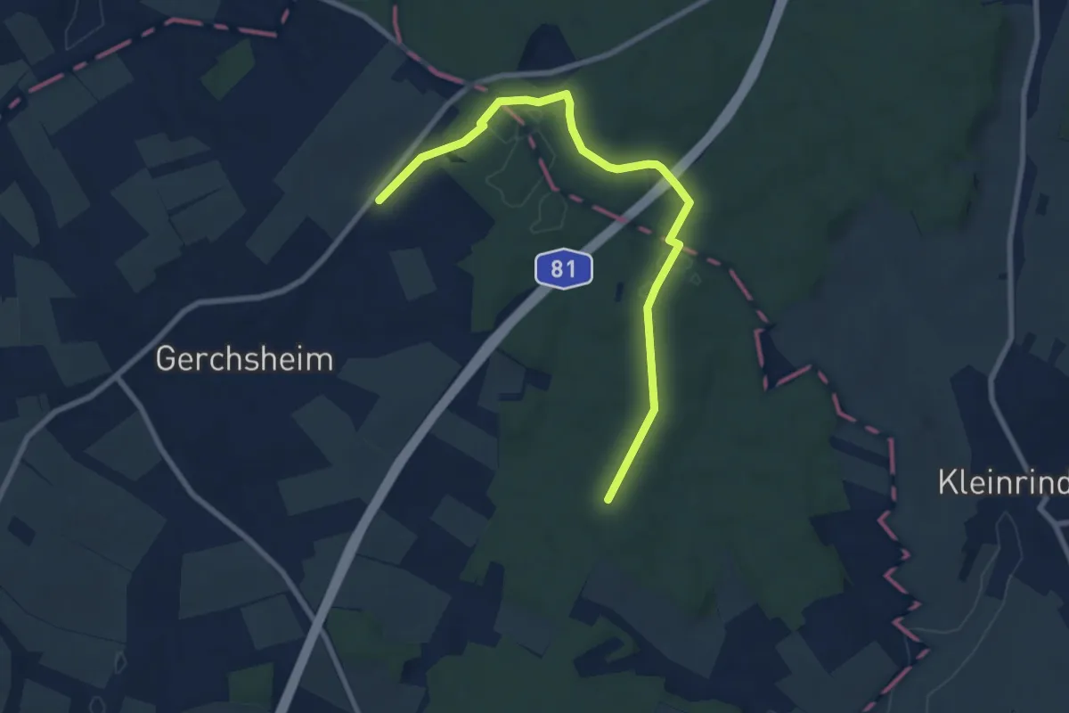
Liebliches Taubertal – Rundwanderweg 12 – Bildstöcke und Wegkreuze
4.0 km · ↑ 68 m · 1 h 9 min
Easy · Trail
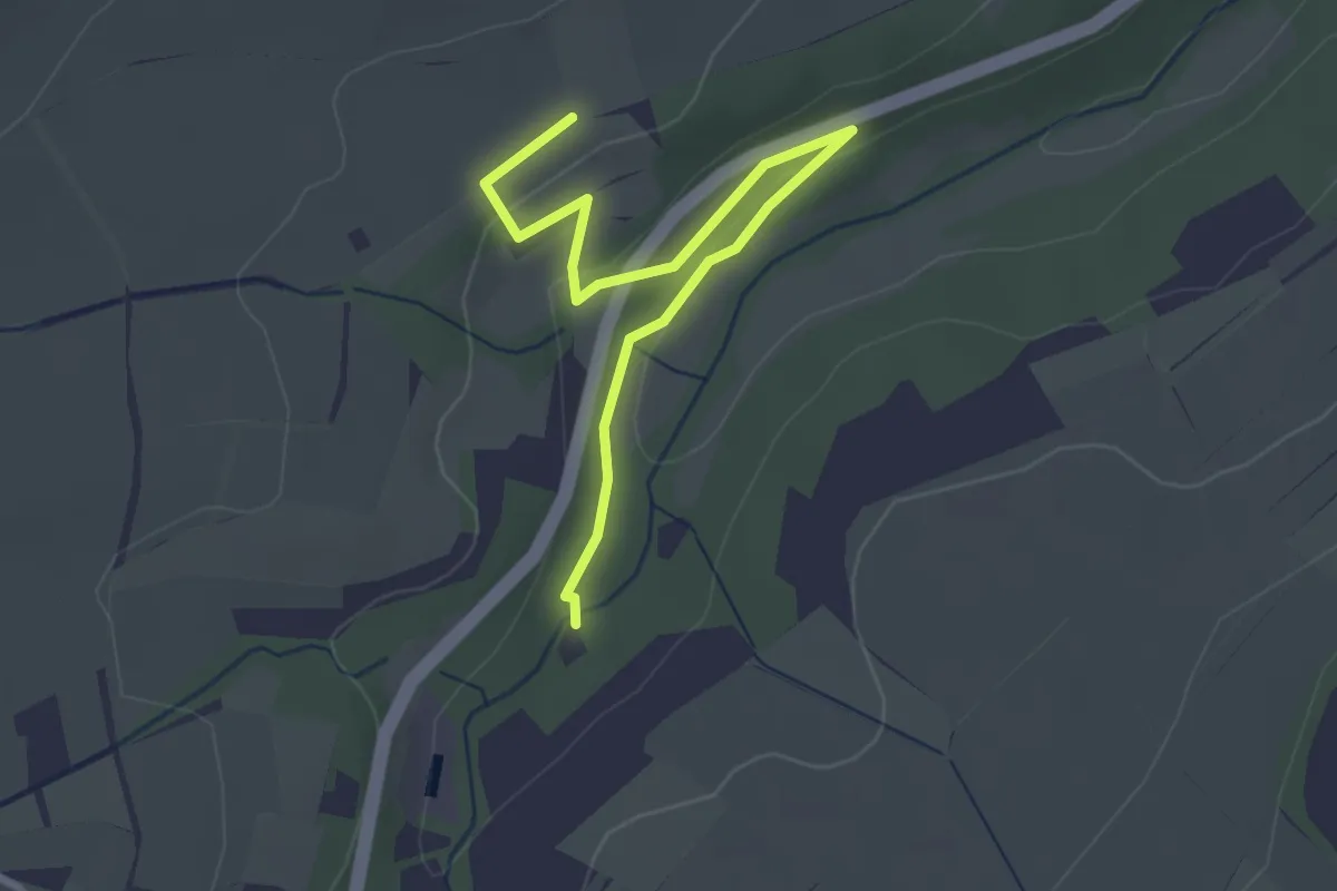
Liebliches Taubertal – Rundwanderweg 6 – *Unkekannt*
1.6 km · ↑ 10 m · 26 min
Easy · Trail
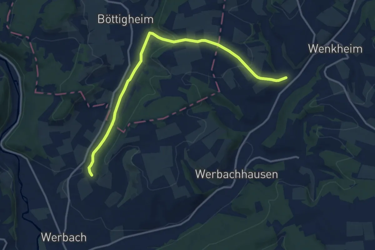
Liebliches Taubertal – Rundwanderweg 7 – Muschelkalk und Orchideen
5.3 km · ↑ 108 m · 1 h 34 min
Medium · Trail
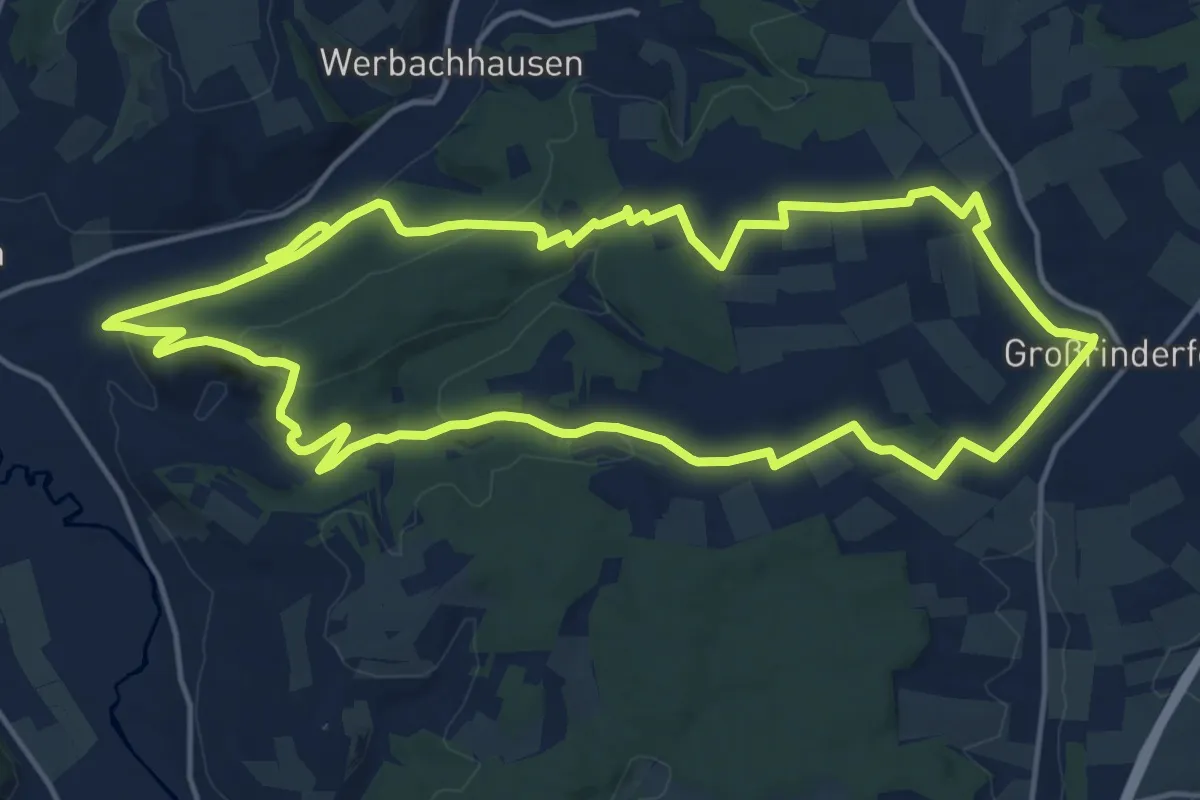
Liebliches Taubertal – Rundwanderweg 8 – Ins Welzbachtal
16.0 km · ↑ 358 m · 4 h 47 min
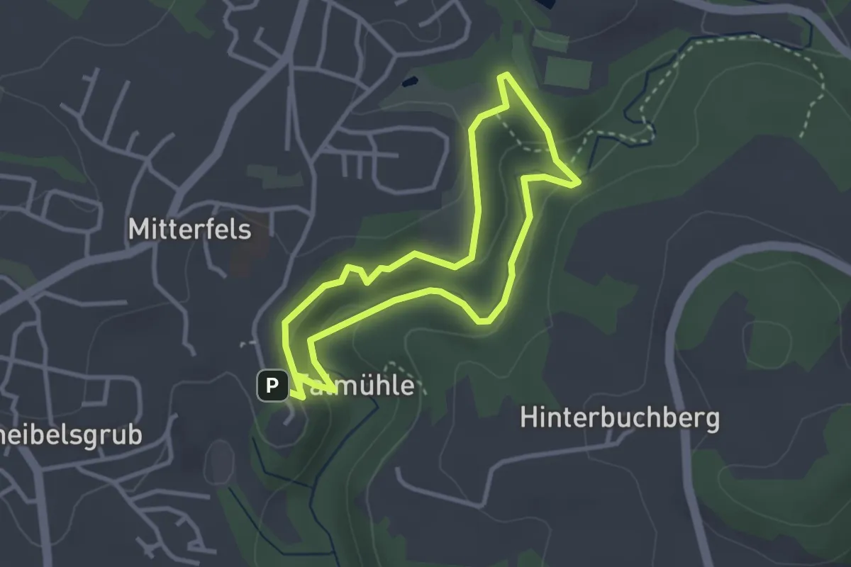
Easy · Summit
Liebsehainweg
2.6 km · ↑ 84 m · 52 min
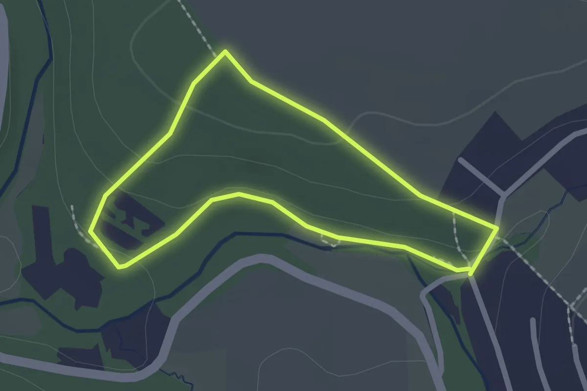
Easy · Trail
Liederweg
1.6 km · ↑ 37 m · 28 min
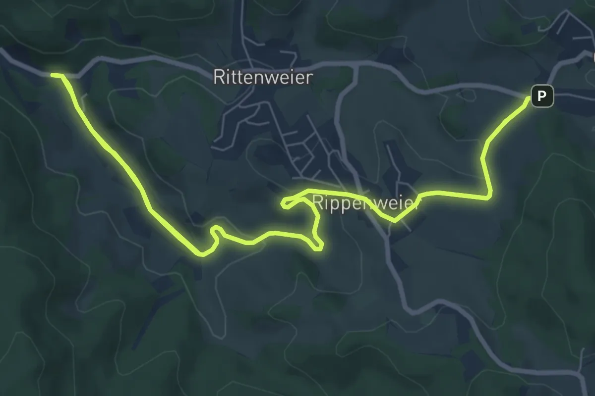
Medium · Trail
Liederweg I
11.0 km · ↑ 179 m · 2 h 59 min
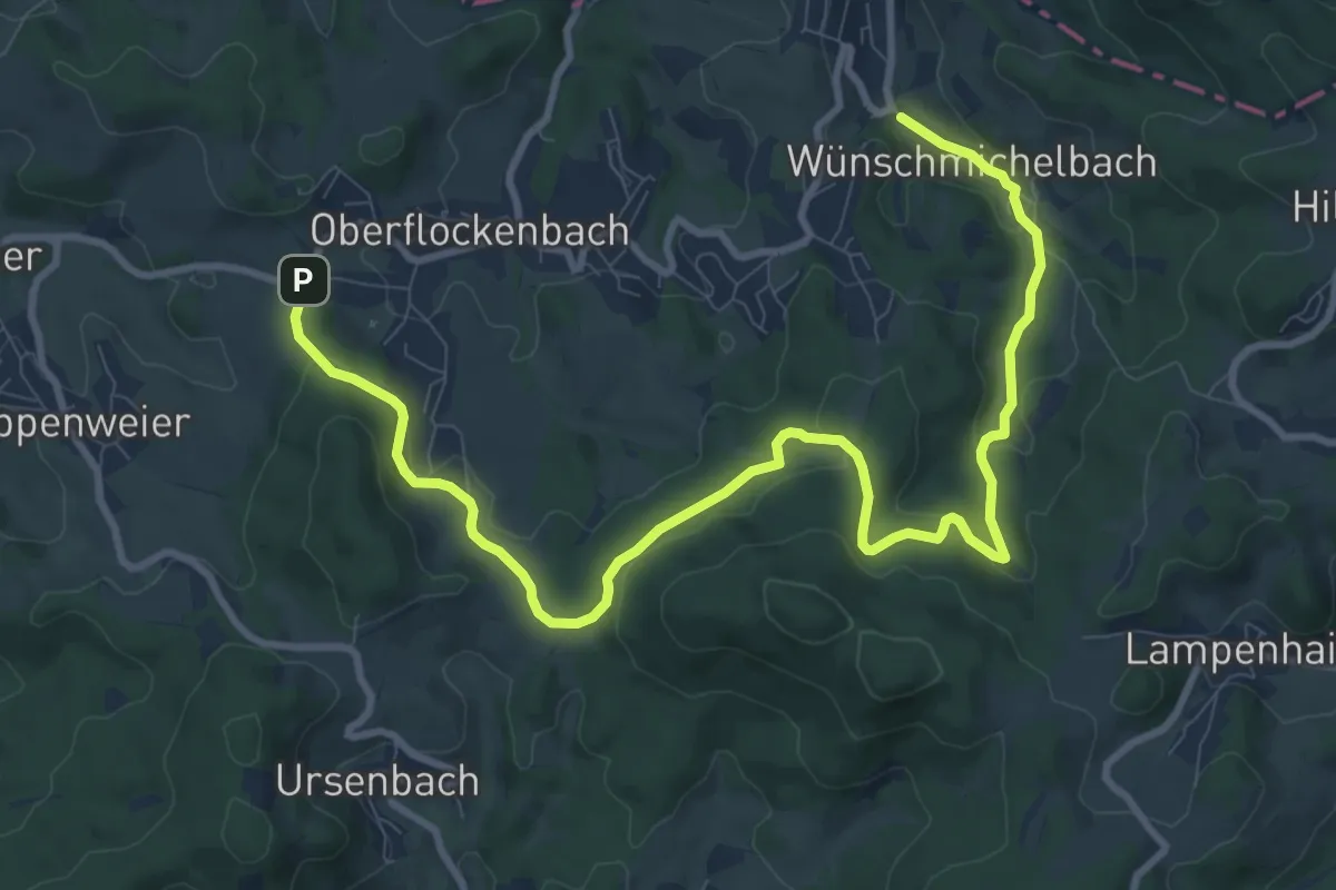
Medium · Trail
Liederweg Teil II
11.7 km · ↑ 343 m · 3 h 31 min
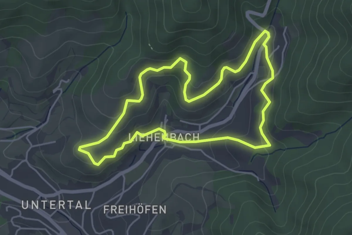
Easy · Trail
Liehenbach-Rundweg
3.9 km · ↑ 203 m · 1 h 25 min
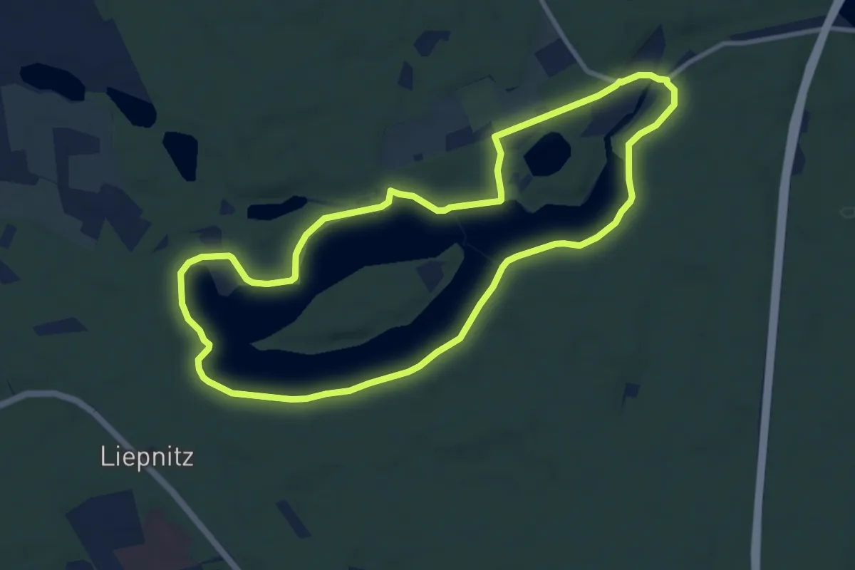
Easy · Trail
Liepnitzsee-Rundweg
8.0 km · ↑ 46 m · 2 h 6 min
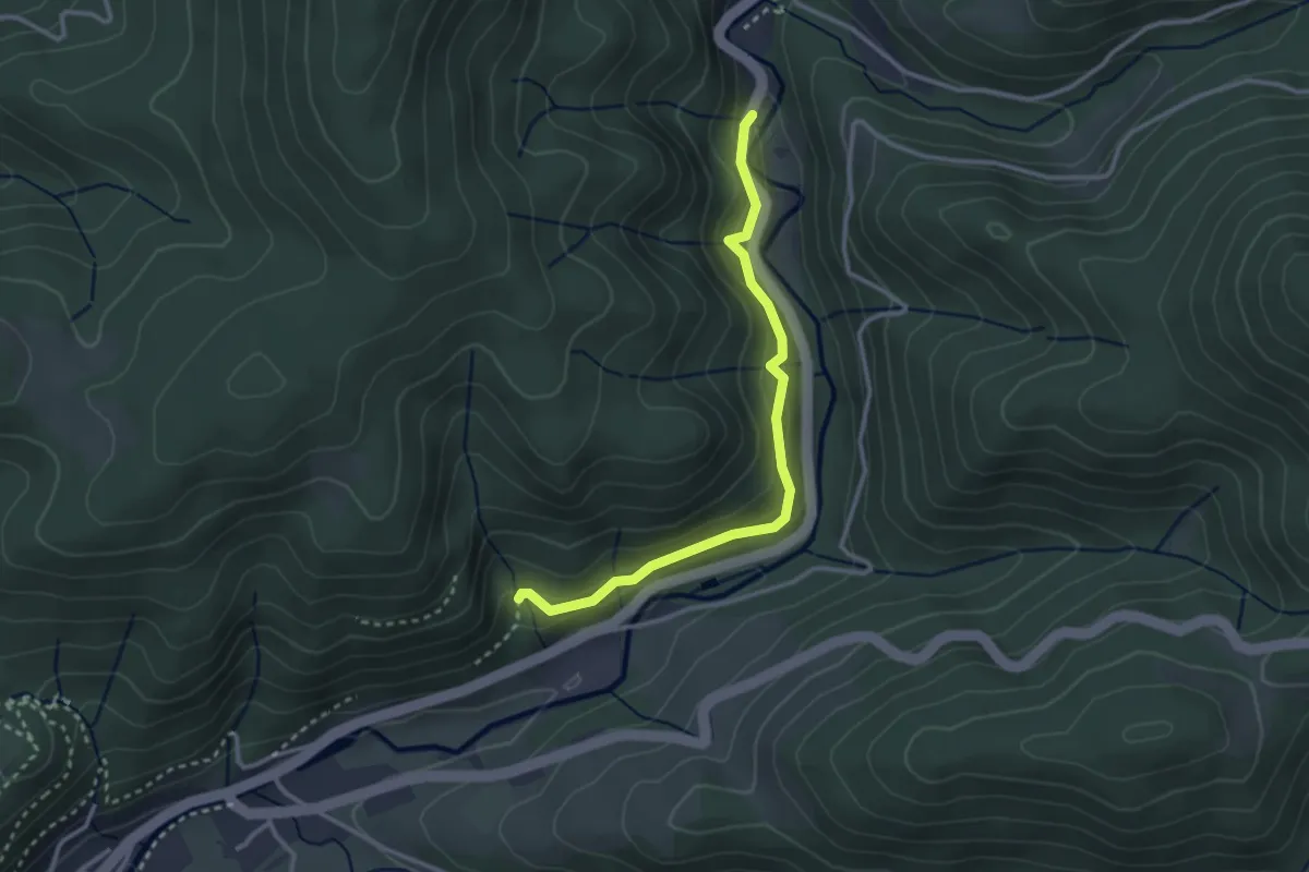
Easy · Trail
Lierbach Freizeitheim Taube - Nordwasser
2.8 km · ↑ 168 m · 1 h 2 min
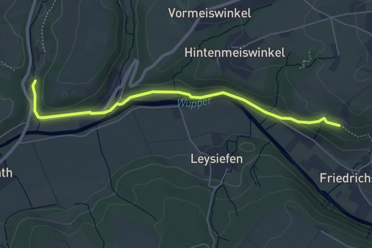
Easy · Trail
Liewerfrauenweg [25]
2.3 km · ↑ 19 m · 38 min
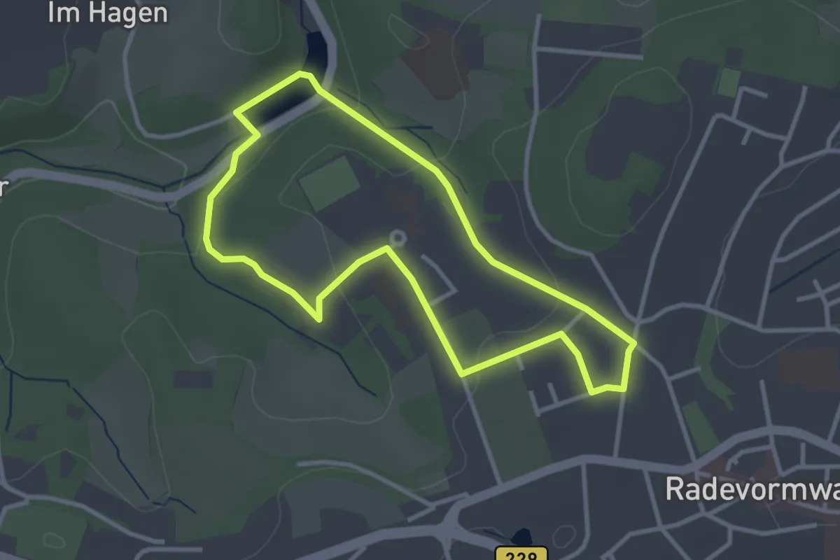
Easy · Trail
life-ness Rundweg A1
2.7 km · ↑ 59 m · 48 min
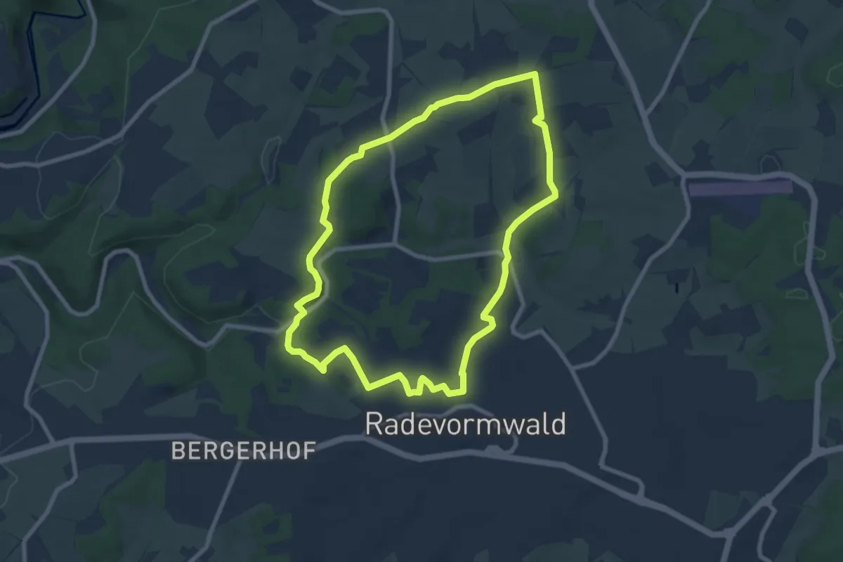
Easy · Trail
life-ness Rundweg A2
6.9 km · ↑ 127 m · 1 h 59 min
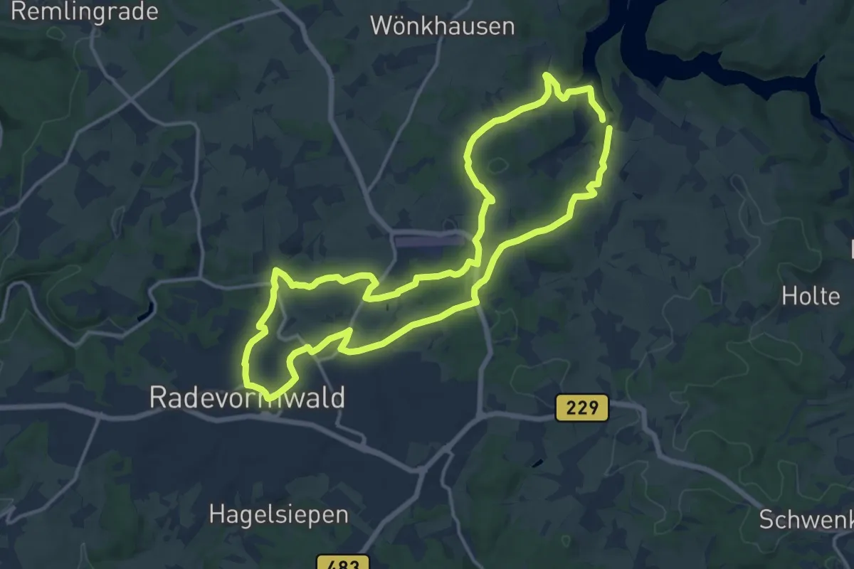
Medium · Trail
life-ness Rundweg A3
12.8 km · ↑ 230 m · 3 h 41 min
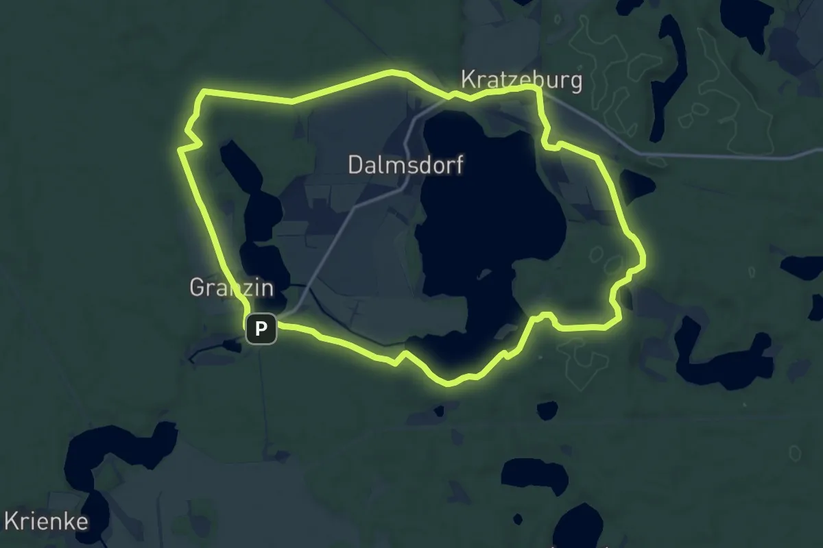
Medium · Trail
Lila Falke Kratzeburg
13.5 km · ↑ 92 m · 3 h 34 min
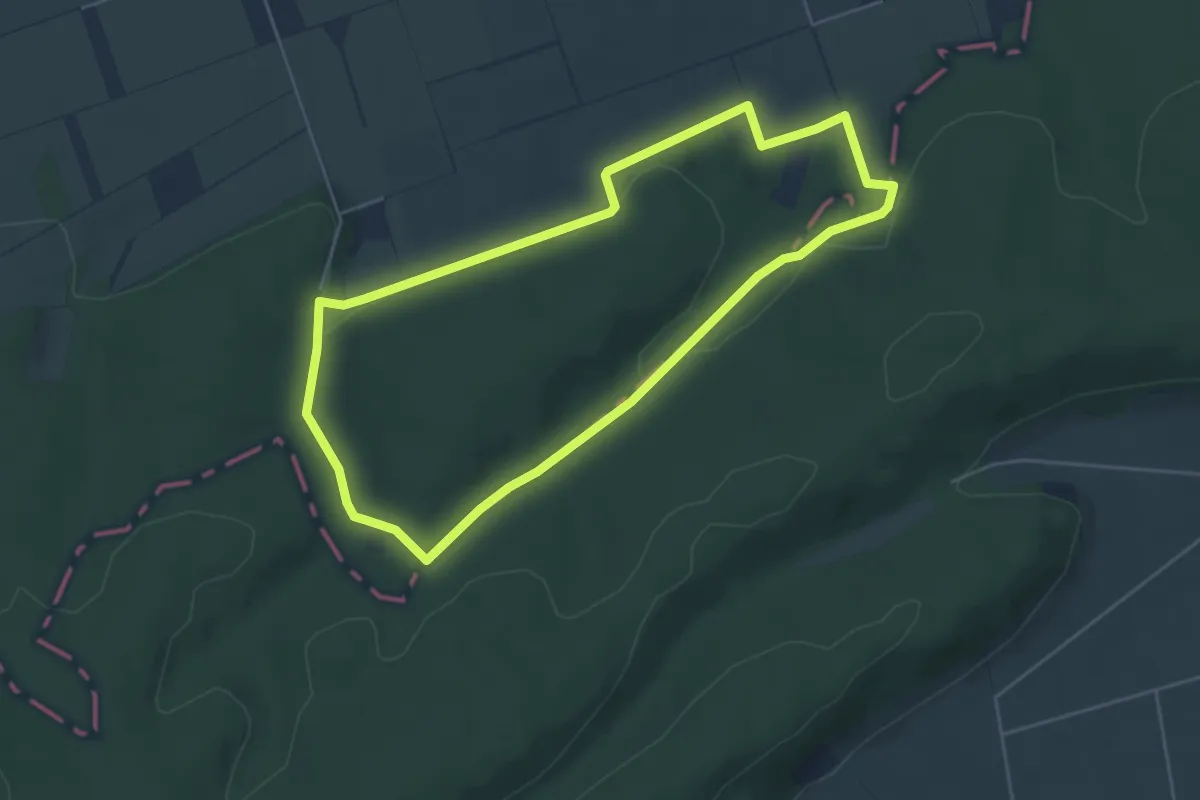
Easy · Trail
Lila gestrichelte Route - Stemweder Berg
4.4 km · ↑ 93 m · 1 h 18 min
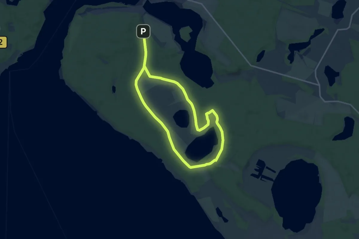
Medium · Trail
Lila Glockenblume Waren
9.7 km · ↑ 52 m · 2 h 33 min
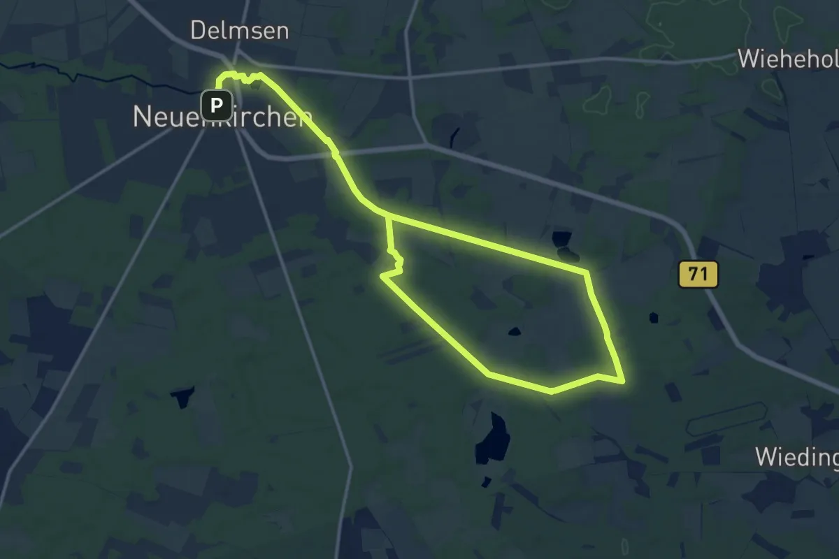
Demanding · Trail
Lila Nordic-Walking-Strecke Neuenkirchen
18.3 km · ↑ 92 m · 4 h 31 min
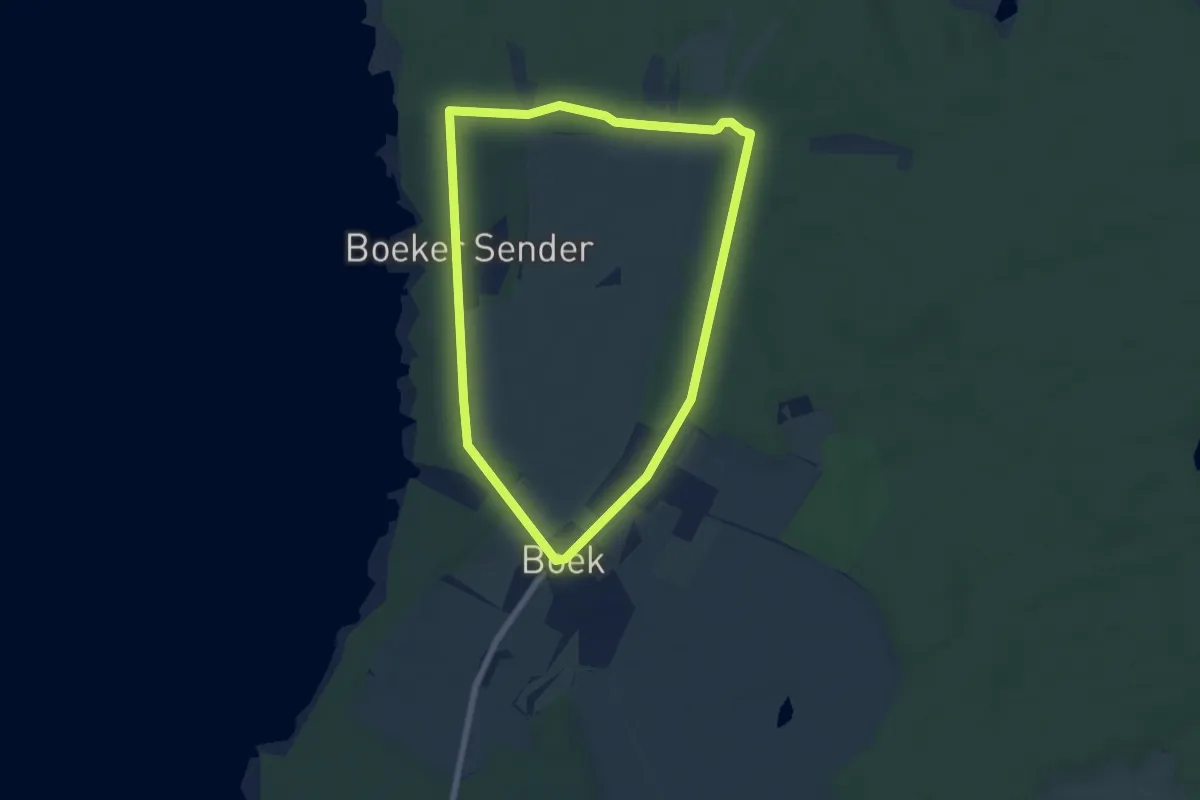
Easy · Trail
Lila Pilz Boek
5.5 km · ↑ 22 m · 1 h 25 min
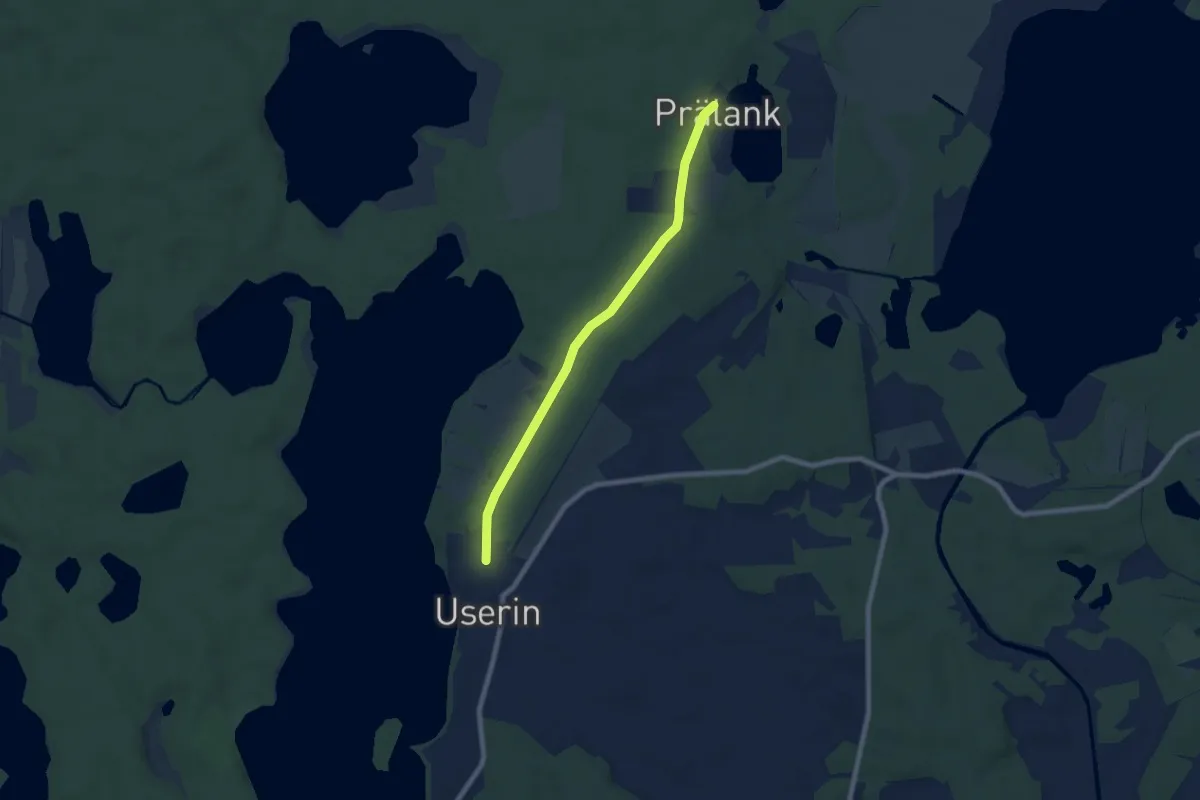
Easy · Trail
Lila Pilz Userin
6.3 km · ↑ 28 m · 1 h 33 min
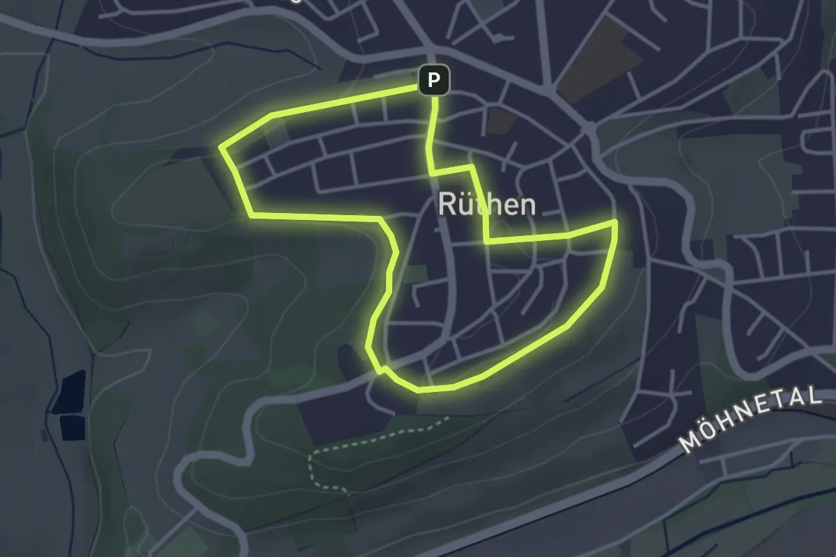
Easy · Trail
Lila Route
3.0 km · ↑ 29 m · 48 min
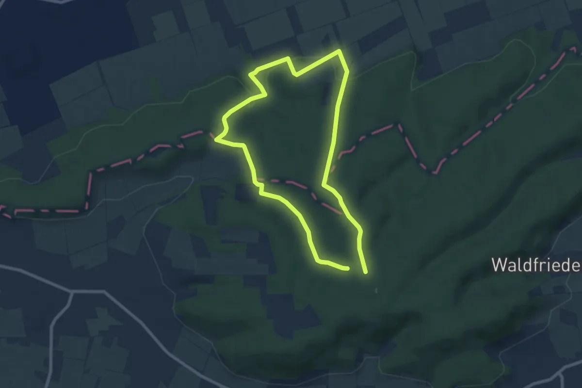
Easy · Trail
Lila Route - Stemweder Berg
5.6 km · ↑ 134 m · 1 h 42 min
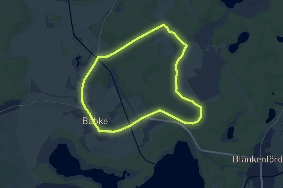
Easy · Trail
Lila Tanne Babke
5.1 km · ↑ 36 m · 1 h 21 min
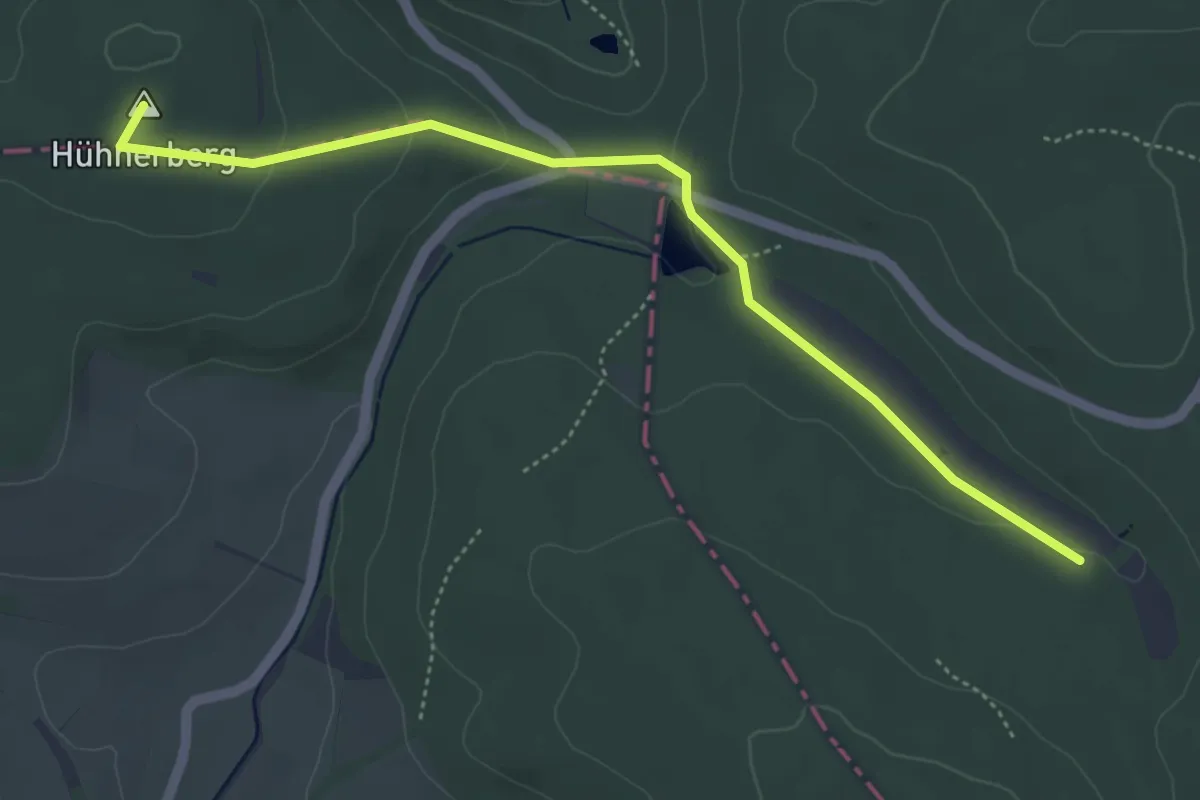
Easy · Summit
Lilie
4.7 km · ↑ 89 m · 1 h 19 min
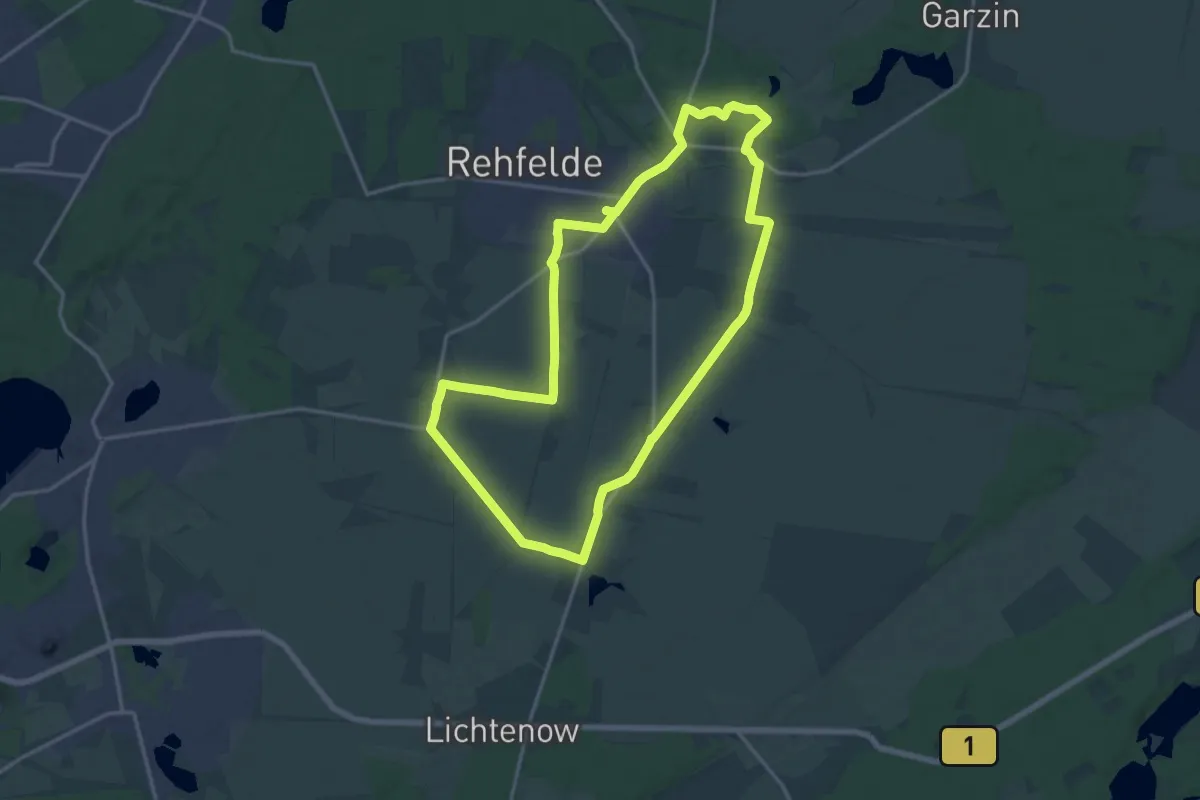
Medium · Summit
Lilien-Rundwanderweg
14.4 km · ↑ 17 m · 3 h 39 min
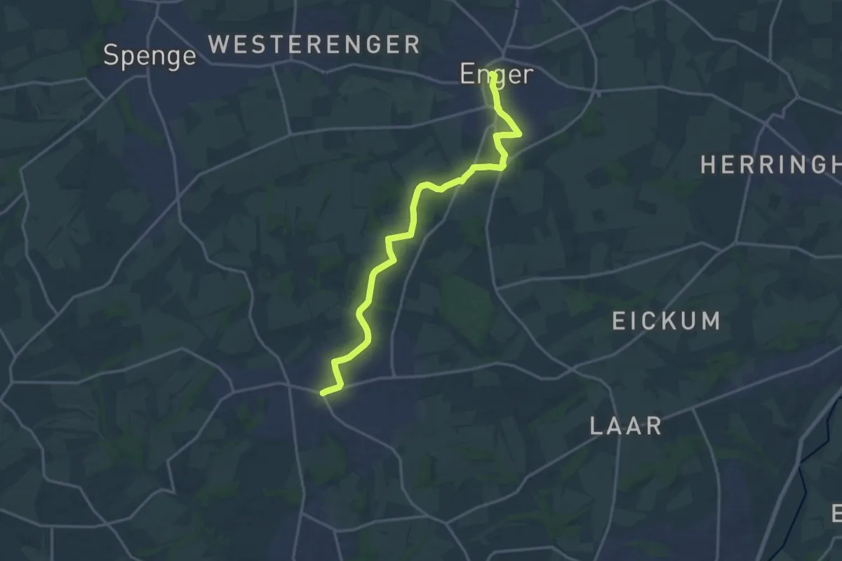
Medium · Trail
Lilienweg
14.9 km · ↑ 107 m · 3 h 45 min
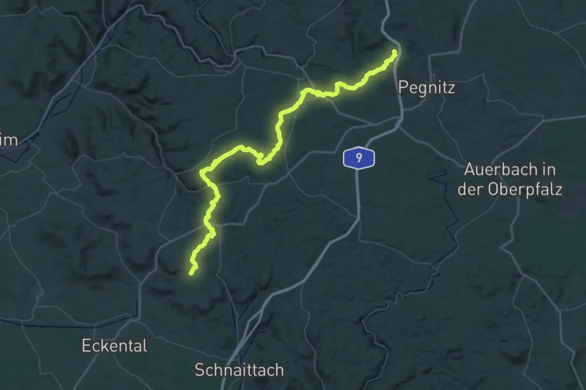
Demanding · Summit
Lillachquelle-Kleiner Kulm
73.0 km · ↑ 1533 m · 20 h 33 min
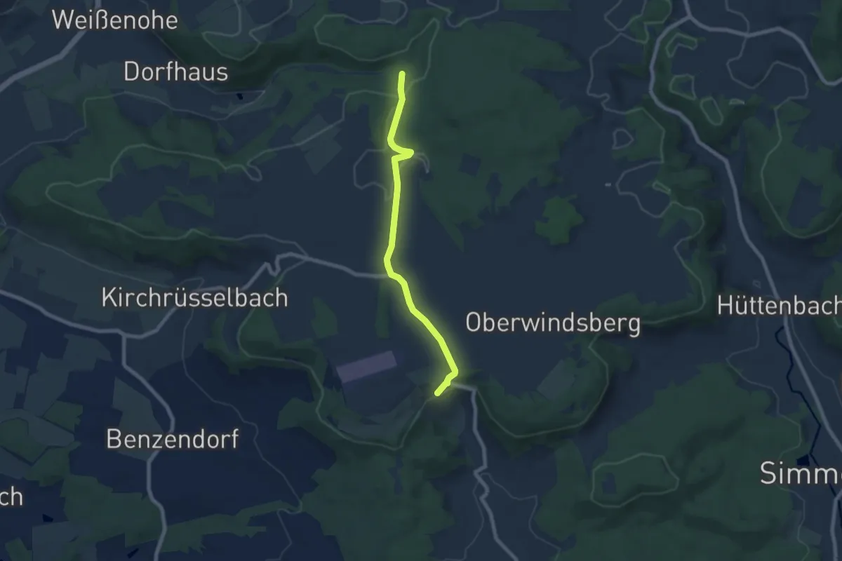
Easy · Trail
Lilllinghof - Pegnitz
6.2 km · ↑ 78 m · 1 h 38 min
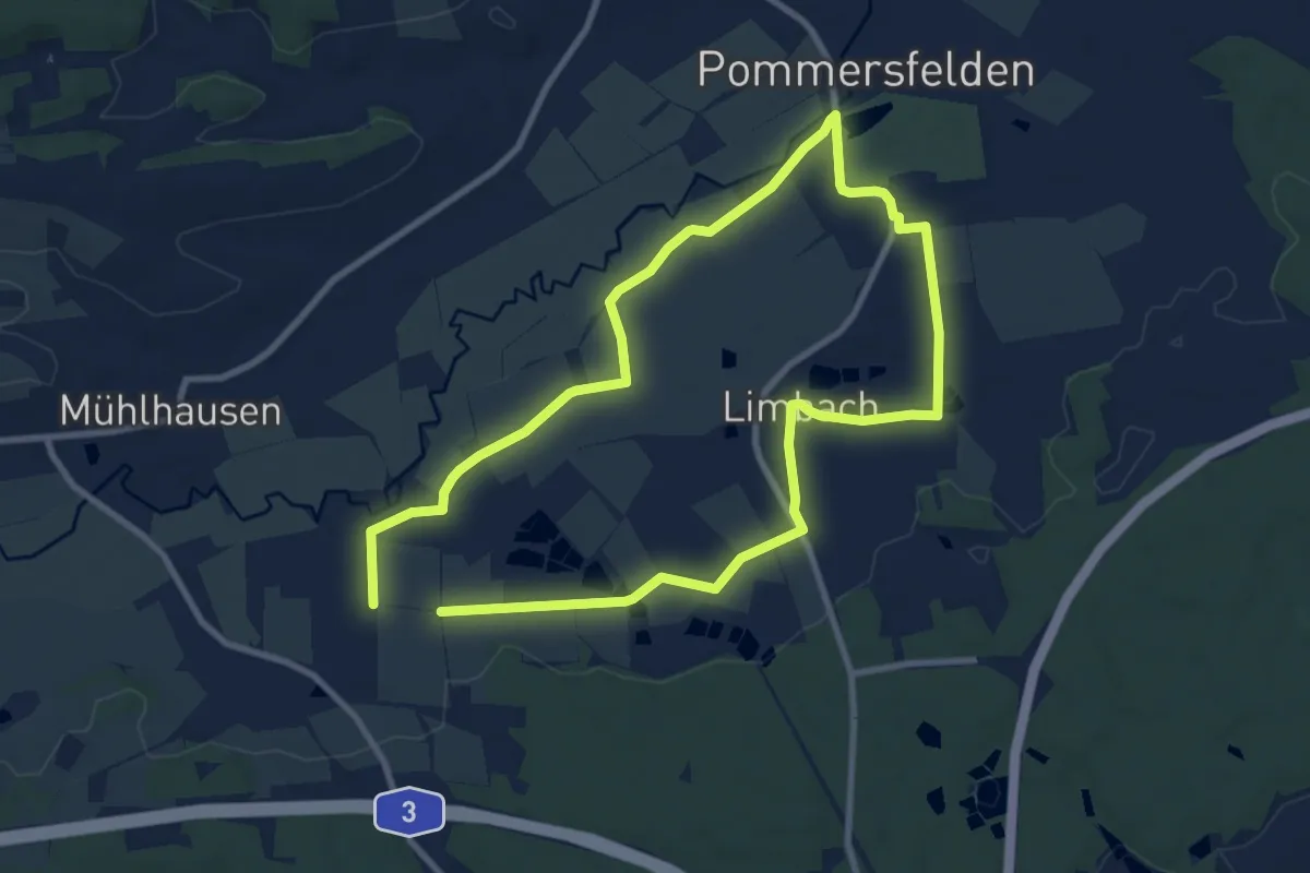
Easy · Trail
Limbacher Weg Pommersfelden
7.9 km · ↑ 35 m · 2 h 4 min
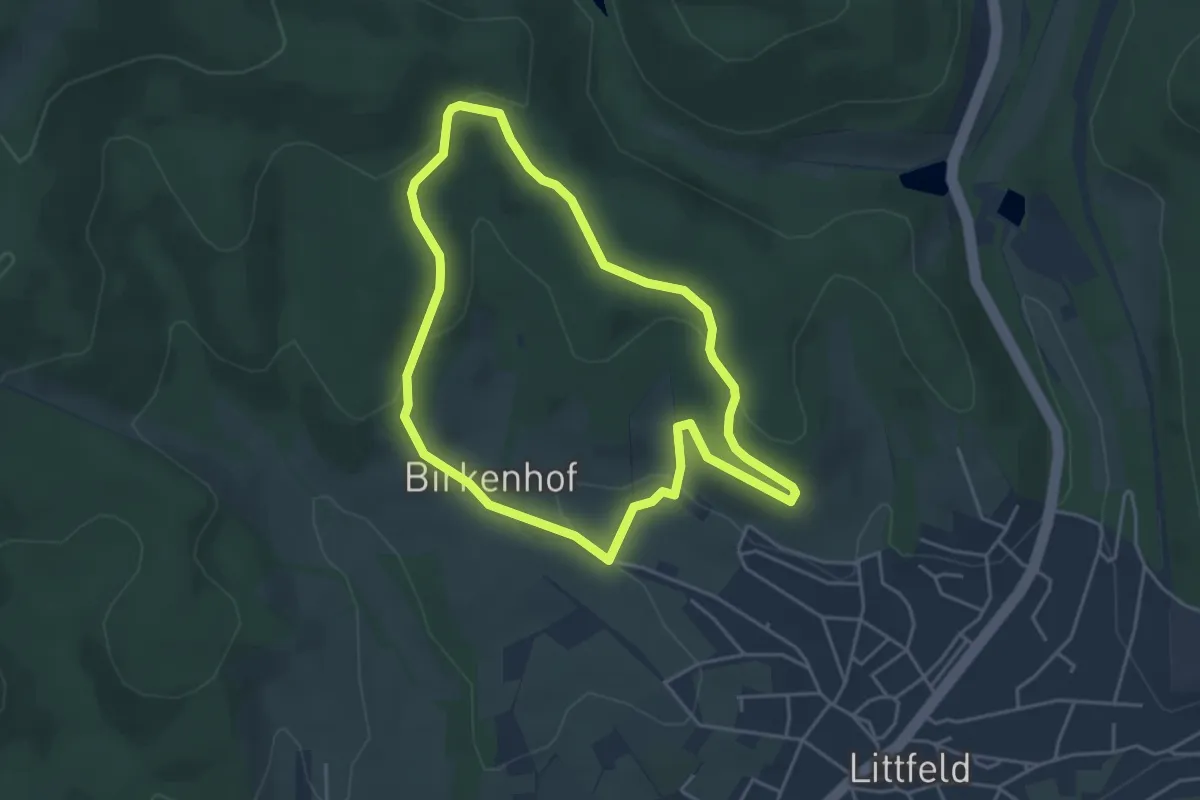
Easy · Trail
Limbach Rundwanderweg A1
3.8 km · ↑ 105 m · 1 h 11 min
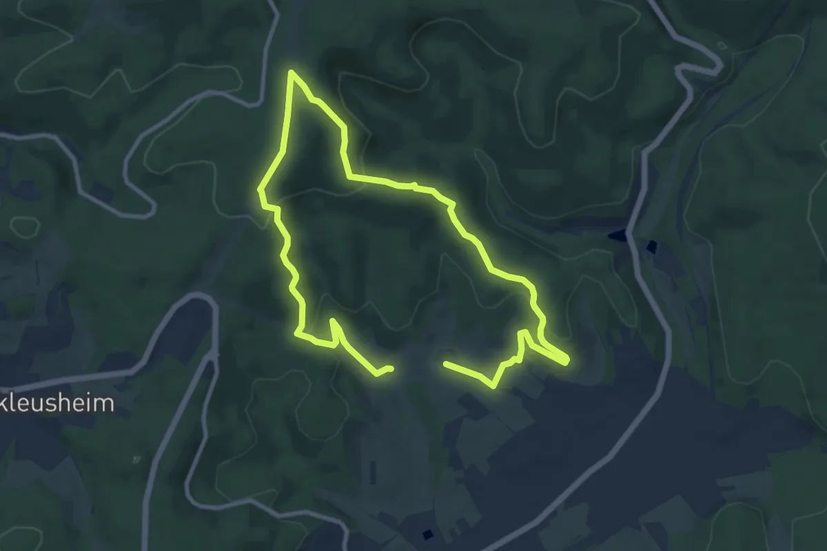
Easy · Summit
Limbach Rundwanderweg A2
6.9 km · ↑ 220 m · 2 h 13 min
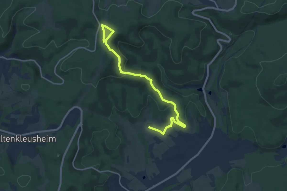
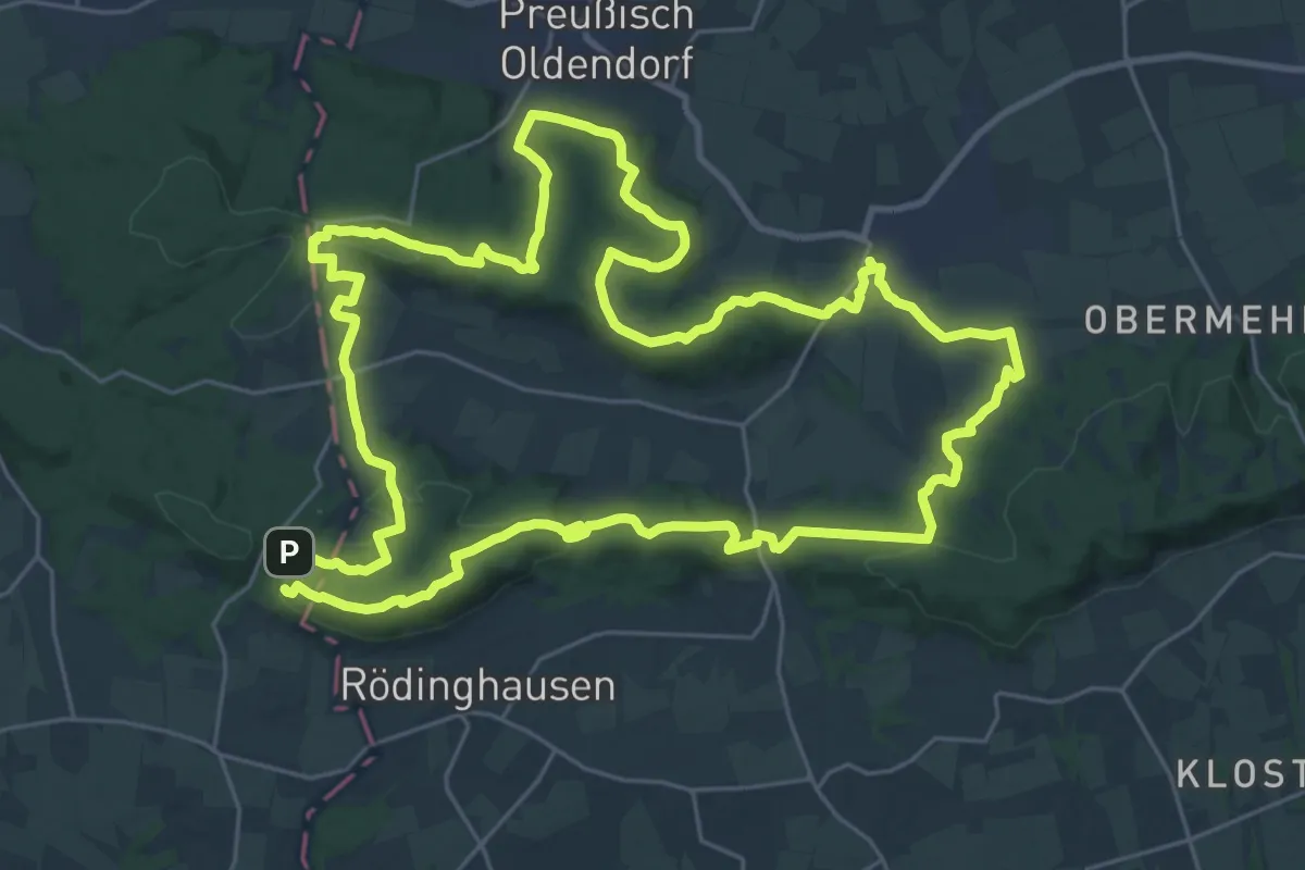
Easy · Summit
Limbach Rundwanderweg A3
5.0 km · ↑ 63 m · 1 h 29 min
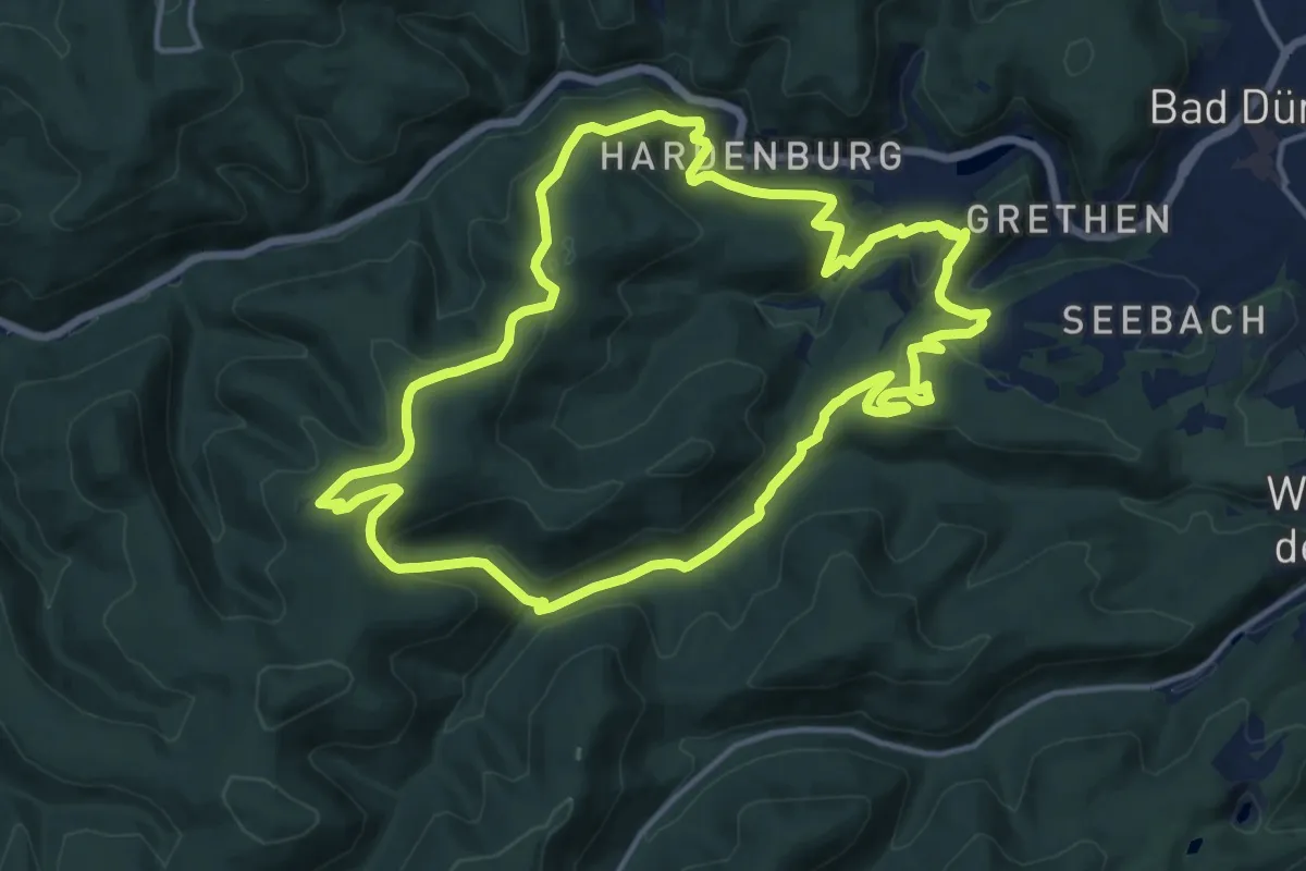
Demanding · Summit
Limberg-Nonnenstein-Weg
26.8 km · ↑ 682 m · 8 h 9 min
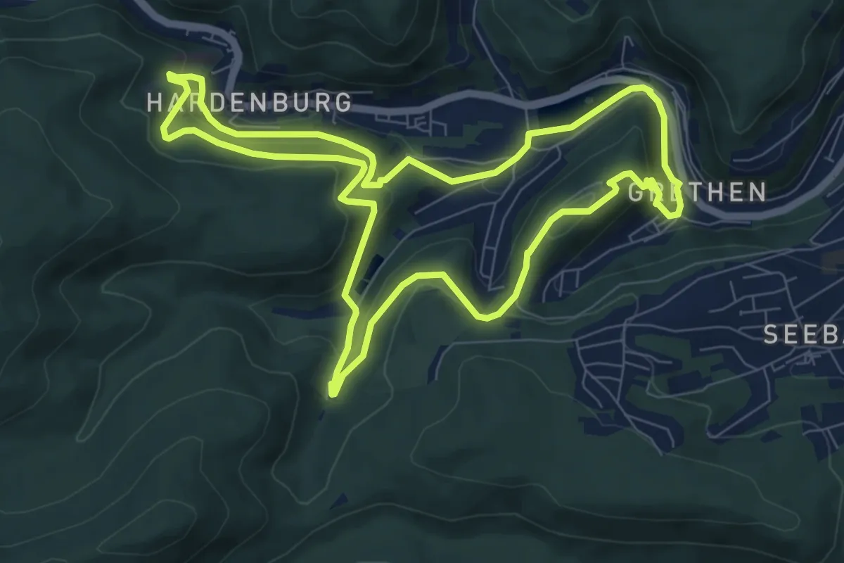
Medium · Summit
Limburg-Hammelstal-Hardenburg
14.9 km · ↑ 589 m · 4 h 59 min
Medium · Trail
Limburg-Hardenburg
8.0 km · ↑ 353 m · 2 h 46 min
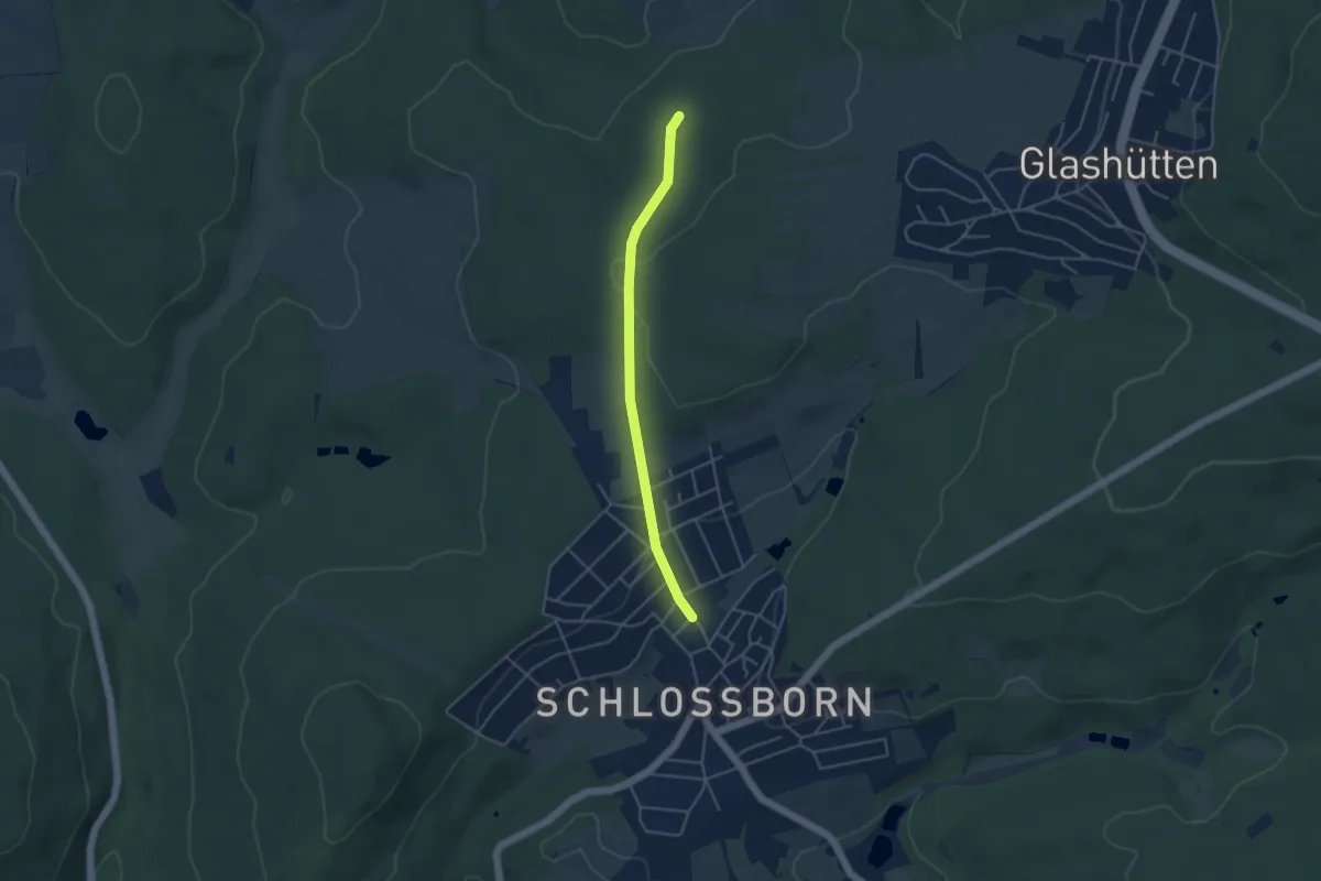
Easy · Trail
Limeserlebnispfad Zuführung Schloßborn
3.7 km · ↑ 105 m · 1 h 6 min
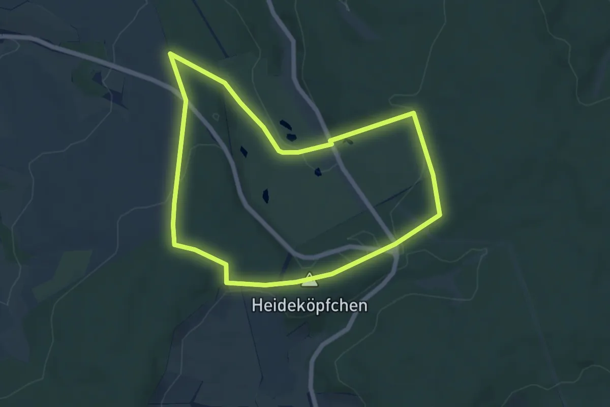
Easy · Summit
Limesrundweg Georgenthal
4.6 km · ↑ 121 m · 1 h 25 min
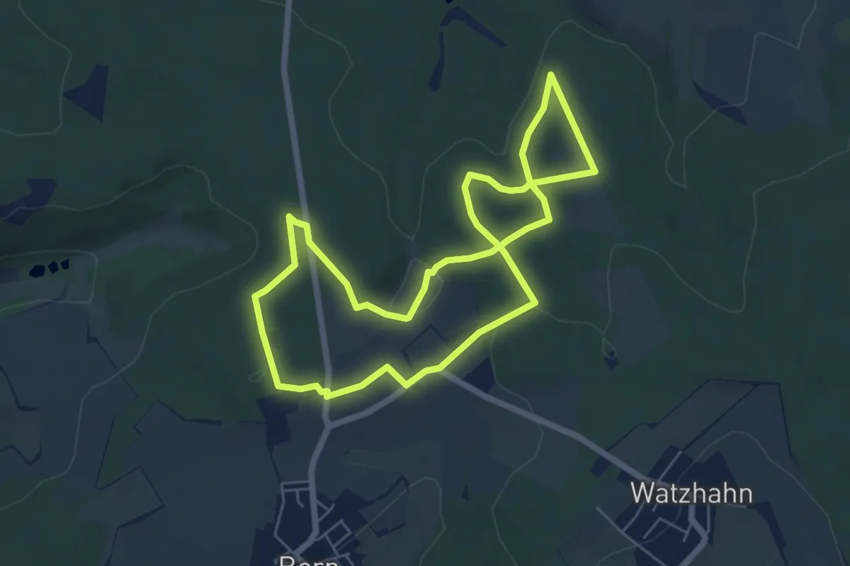
Medium · Trail
Limesrundweg Hohenstein
5.2 km · ↑ 123 m · 1 h 34 min
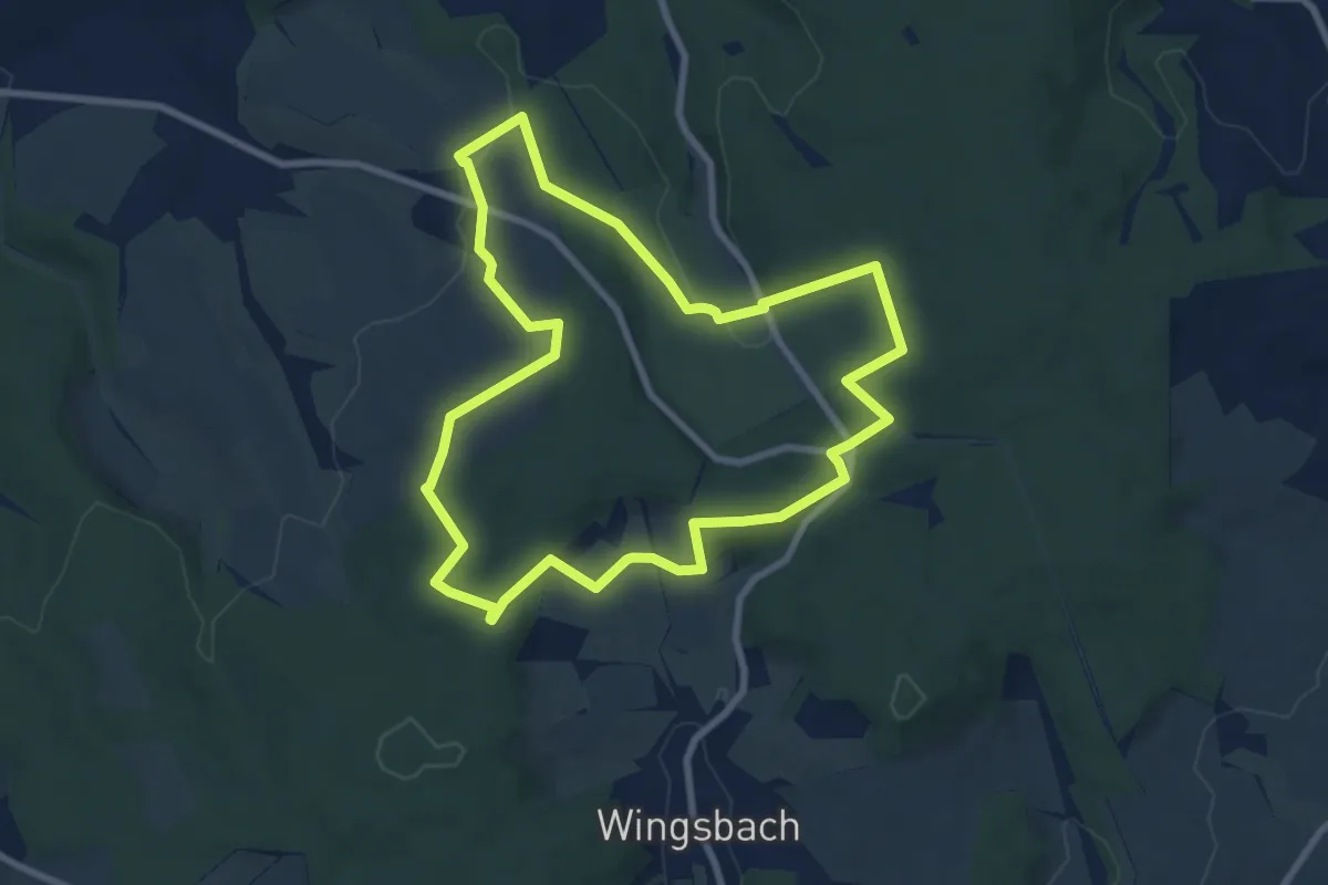
Easy · Summit
Limesspur Villa Rustica
7.5 km · ↑ 179 m · 2 h 16 min
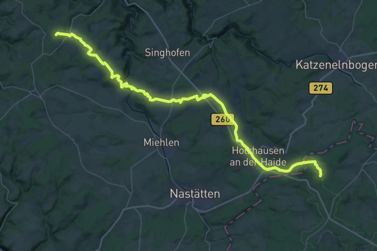
Demanding · Summit
Limeswanderweg [Taunus]
47.5 km · ↑ 911 m · 13 h 12 min
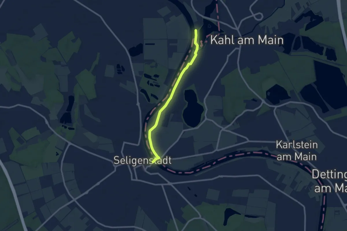
Easy · Trail
Limeswanderweg [Wetterau - Main]
6.8 km · ↑ 0 m · 1 h 37 min
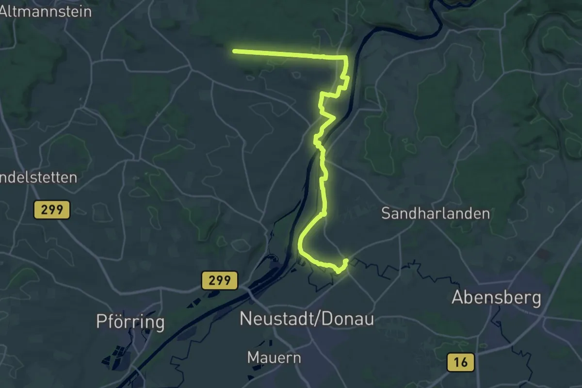
Demanding · Trail
Limesweg
27.9 km · ↑ 170 m · 6 h 57 min
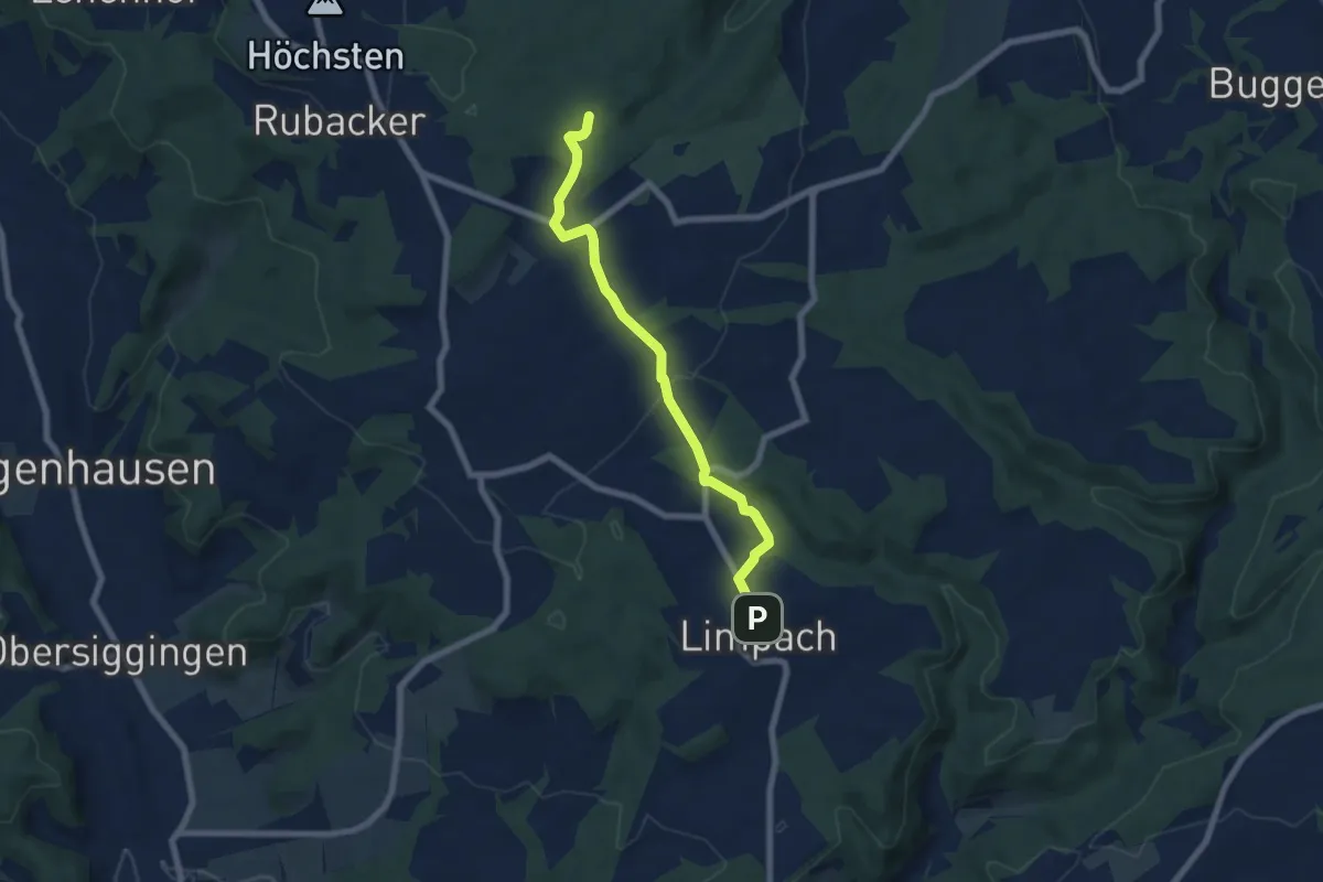
Easy · Trail
Limpach - Oberhomberg
6.4 km · ↑ 121 m · 1 h 47 min
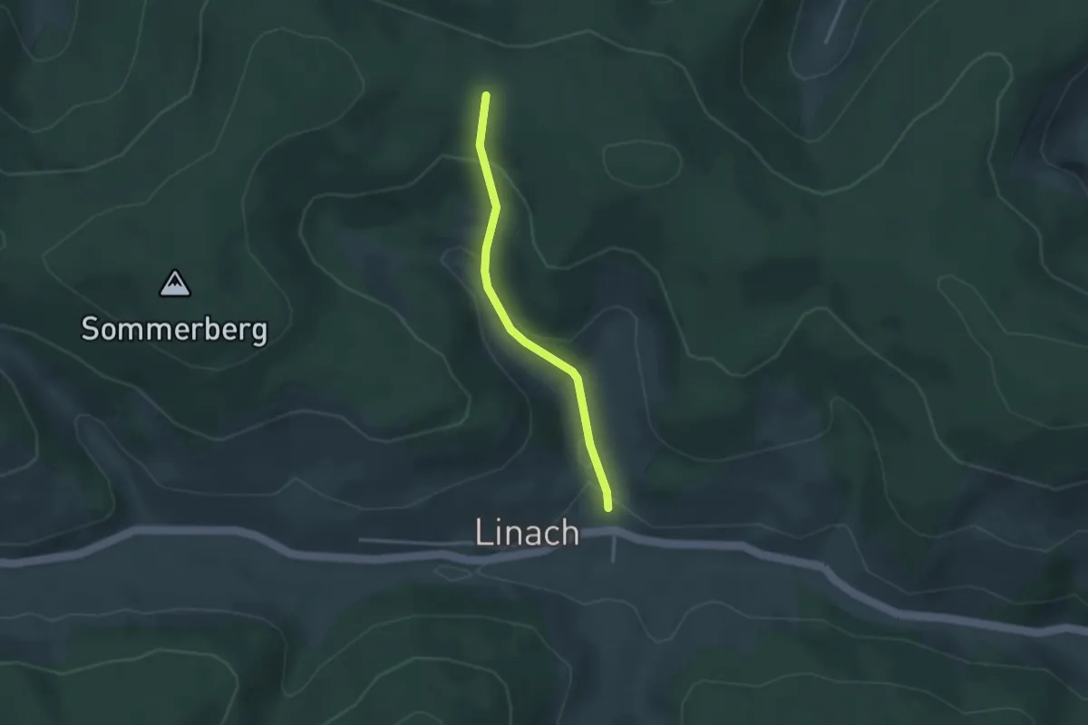
Easy · Trail
Linach Linacher Mühle - FU 078
2.6 km · ↑ 134 m · 54 min
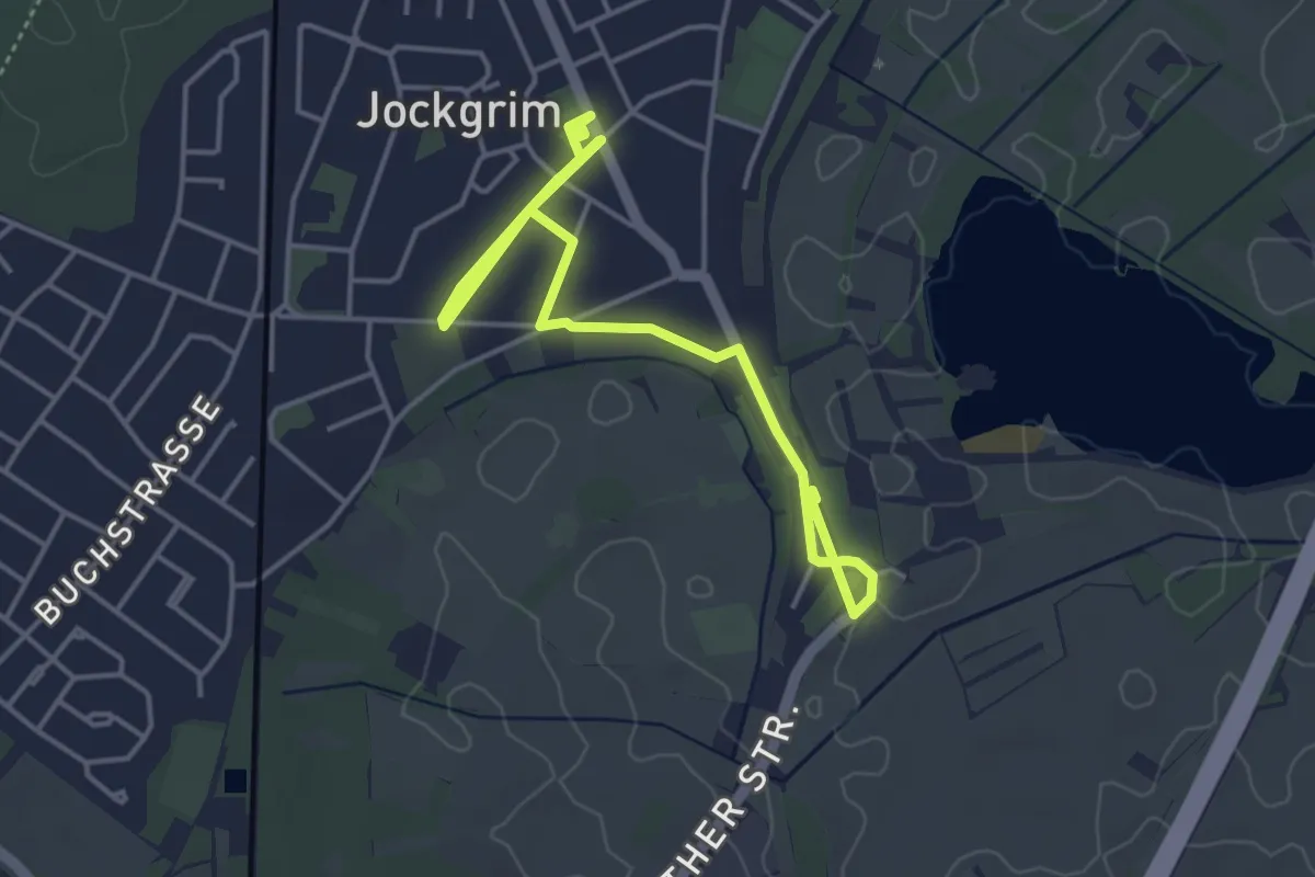
Easy · Trail
Lina-Sommer-Weg
5.5 km · ↑ 13 m · 1 h 19 min
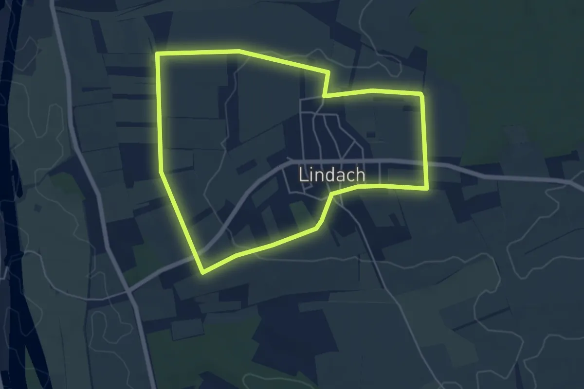
Easy · Trail
Lindacher Kreuzpfad
4.6 km · ↑ 37 m · 1 h 14 min
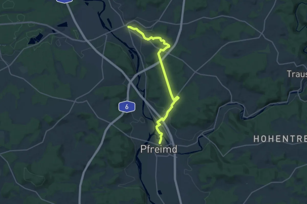
Medium · Trail
Lindacher Weg
15.1 km · ↑ 315 m · 4 h 15 min