Trails in Germany
36,852 hiking trails, each with its route, climb, walking time and grade.
All trails, page 328 of 768
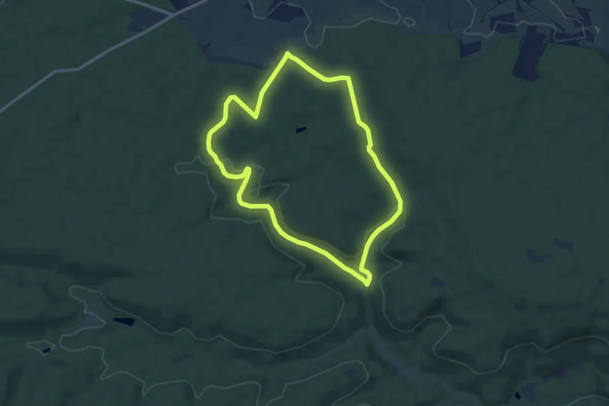
Easy · Trail
Lindach-Runde
7.1 km · ↑ 96 m · 1 h 59 min
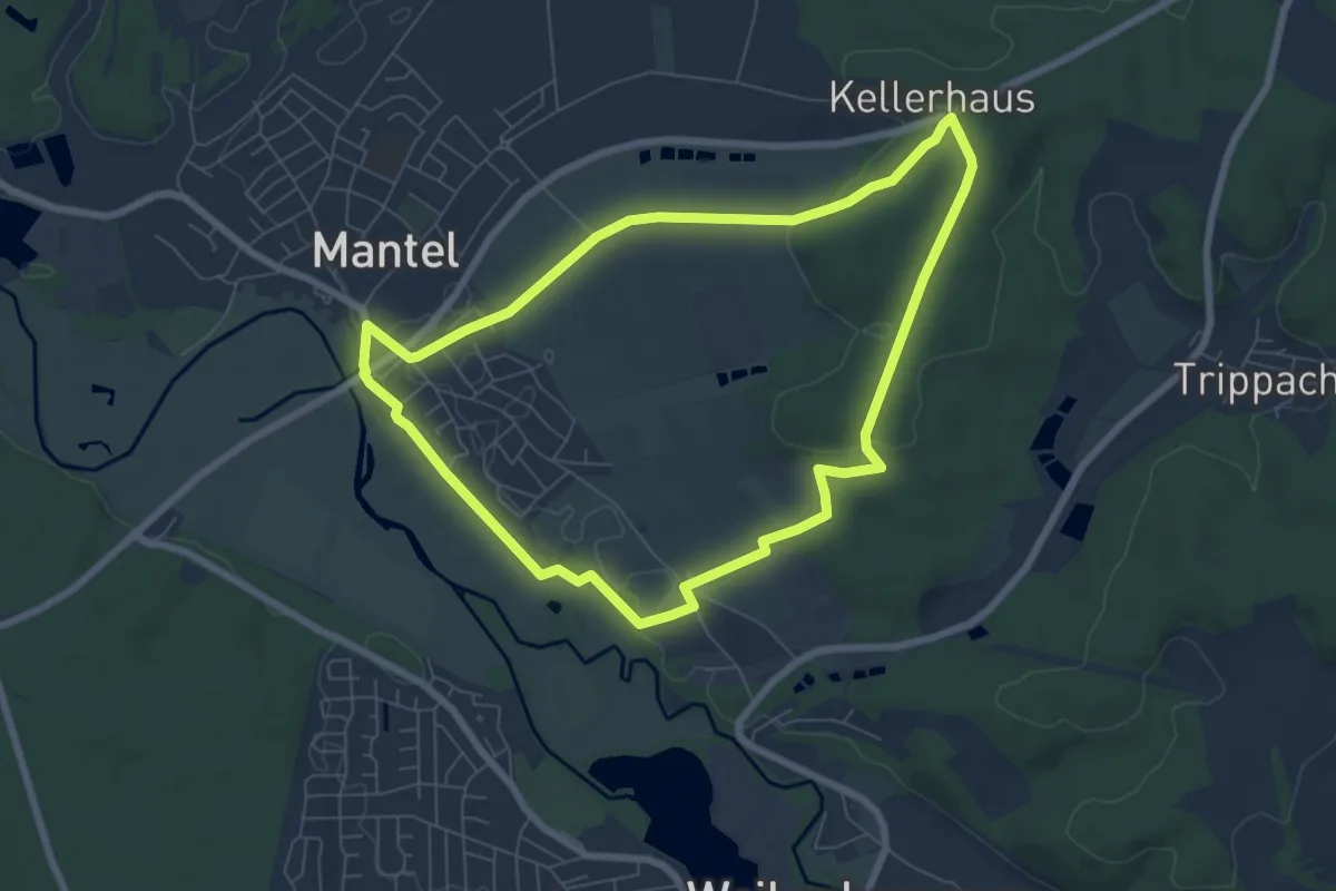
Easy · Summit
Lindachrundweg
6.5 km · ↑ 87 m · 1 h 49 min
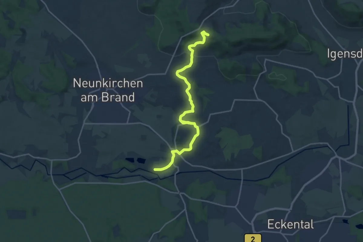
Medium · Summit
Lindelbergweg
15.4 km · ↑ 350 m · 4 h 23 min
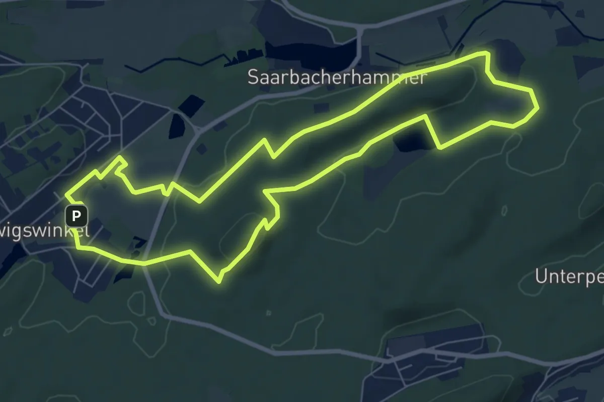
Easy · Summit
Lindelskopf-Tour
7.0 km · ↑ 184 m · 2 h 9 min
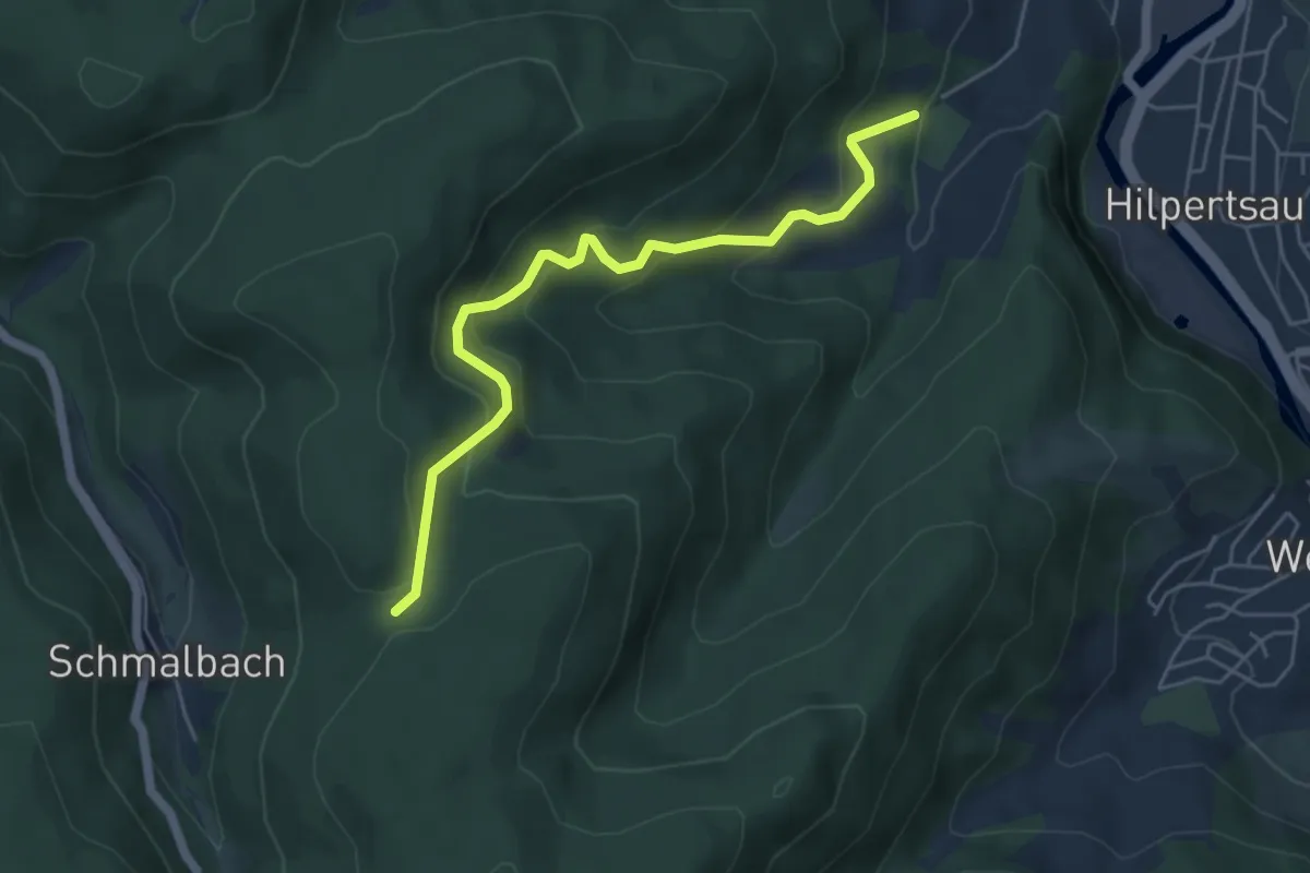
Medium · Trail
Lindel - Sportplatz Obertsrot
4.9 km · ↑ 377 m · 1 h 59 min
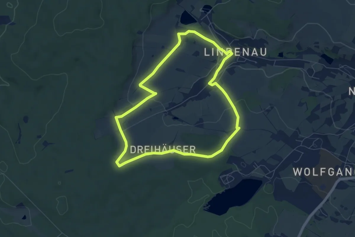
Easy · Trail
Lindenauer Acht Südschleife
6.6 km · ↑ 111 m · 1 h 54 min
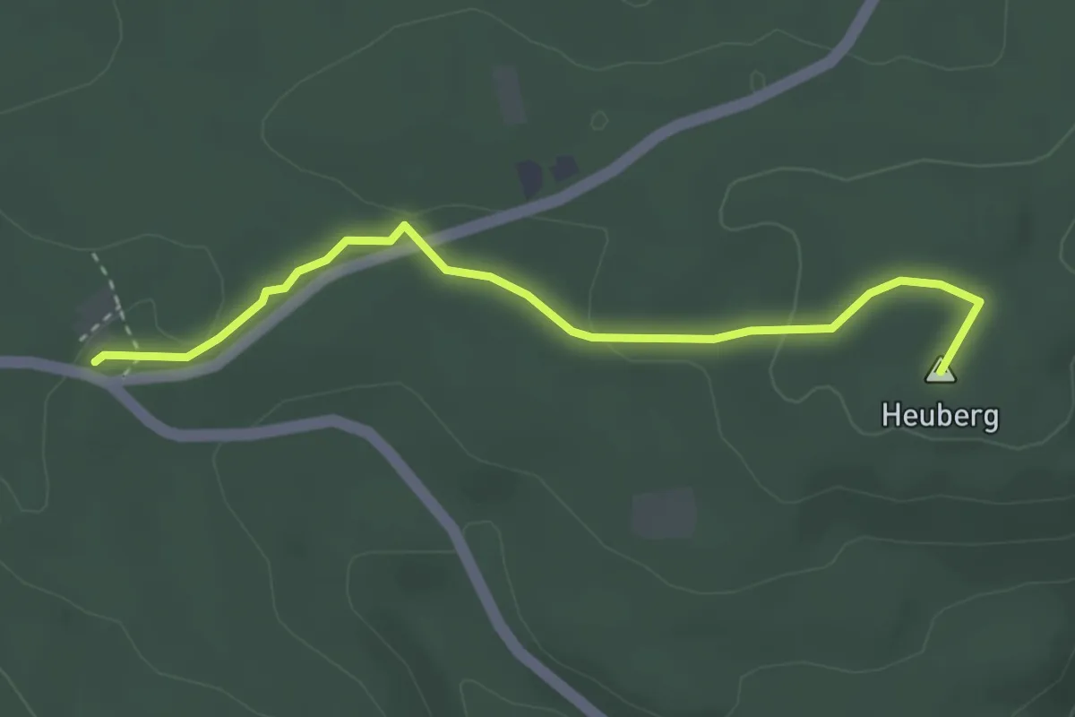
Easy · Summit
Lindenberg - Dreimarkstein
3.2 km · ↑ 40 m · 50 min
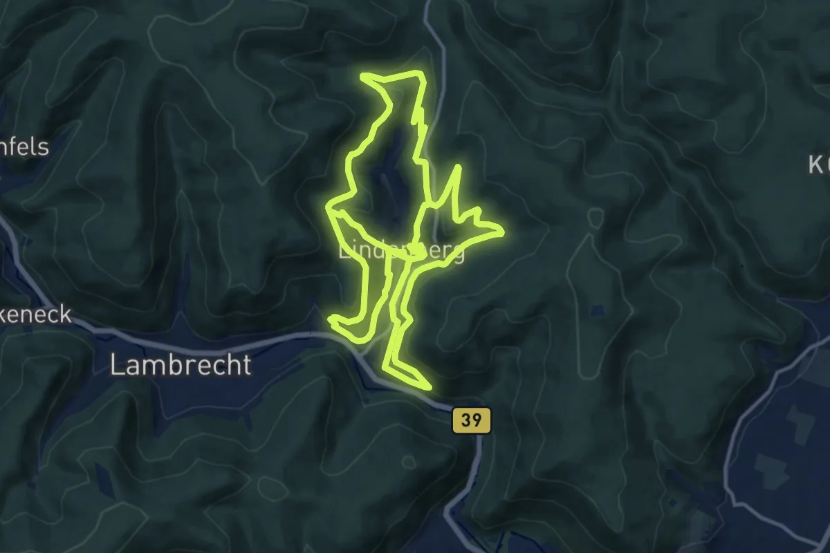
Medium · Trail
Lindenberger Heimatpfad
13.7 km · ↑ 559 m · 4 h 38 min
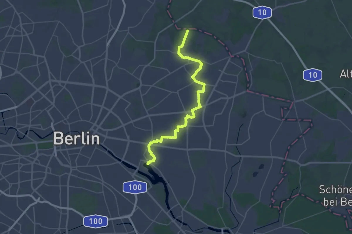
Medium · Trail
Lindenberger Korridor
17.7 km · ↑ 18 m · 4 h 29 min
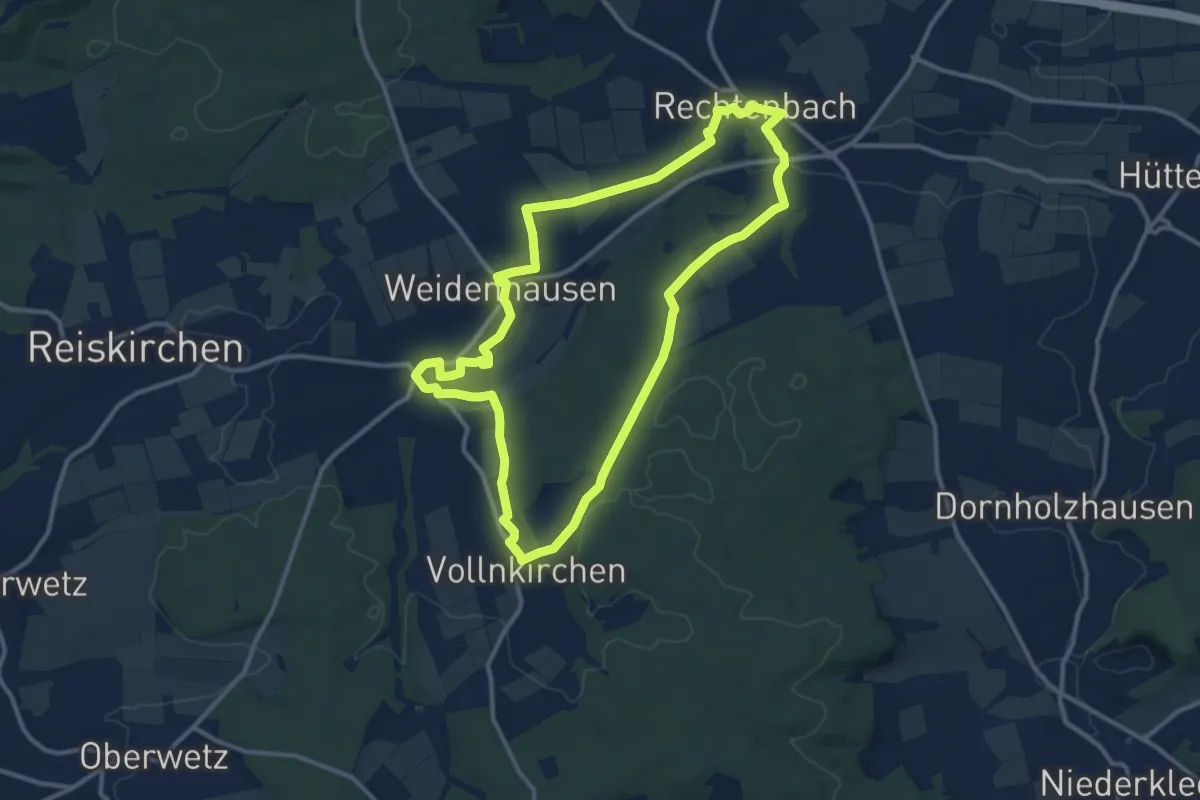
Medium · Trail
Lindenblatt Rechtenbach
10.9 km · ↑ 123 m · 3 h
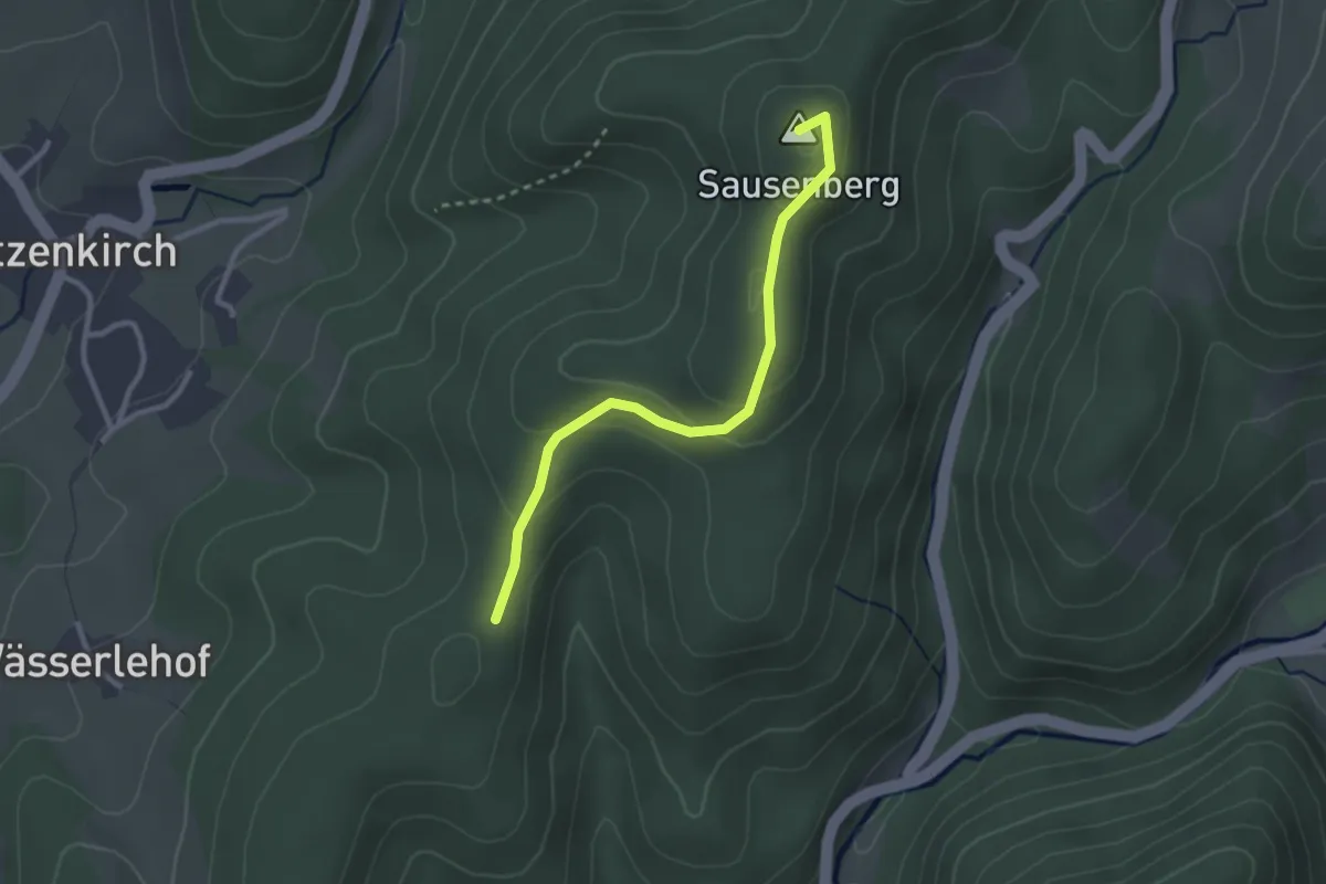
Easy · Summit
Lindenbückle - Langenebene
2.6 km · ↑ 112 m · 52 min
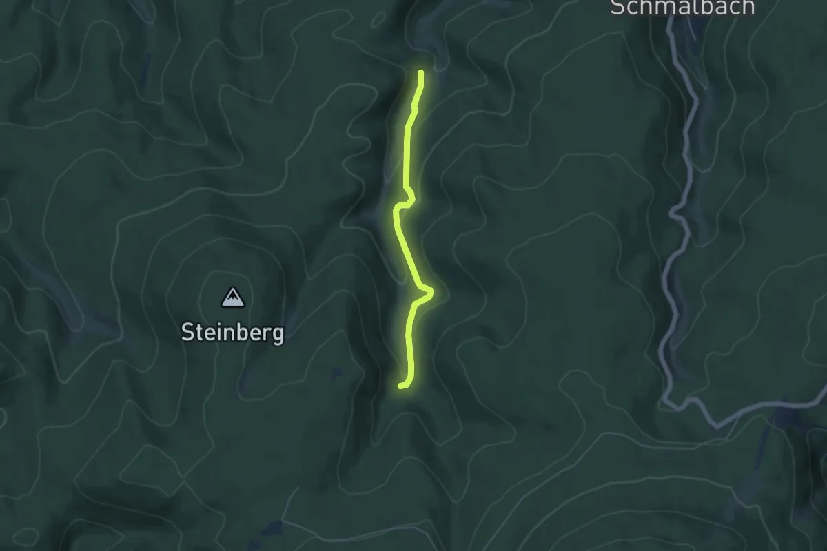
Easy · Trail
Lindengehren - Zwiesel
4.0 km · ↑ 203 m · 1 h 22 min
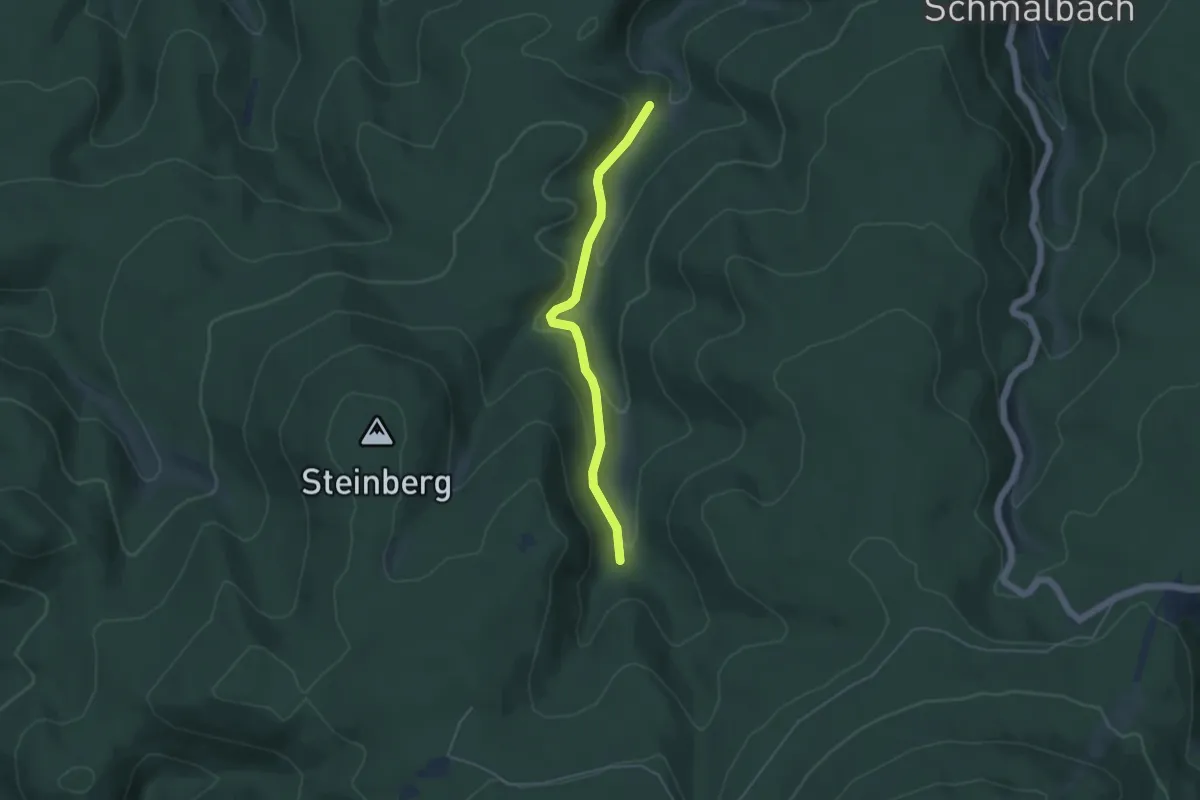
Easy · Trail
Lindengehren - Zwiesel
4.0 km · ↑ 200 m · 1 h 22 min
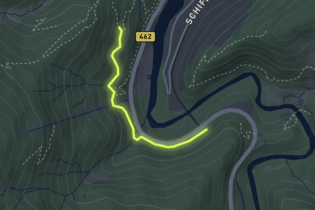
Easy · Trail
Lindenhalde - Haulertunnel
2.3 km · ↑ 122 m · 49 min
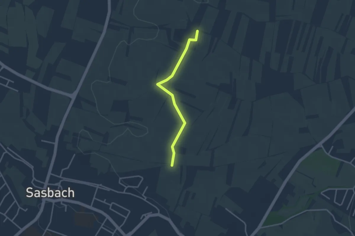
Easy · Trail
Lindenhaus - Zehntfrei
2.4 km · ↑ 6 m · 35 min
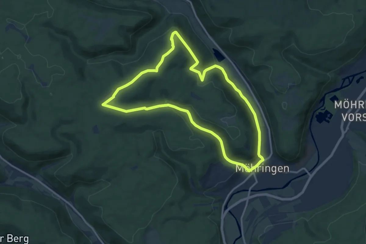
Medium · Trail
Lindenhof - Känzele
9.2 km · ↑ 290 m · 2 h 55 min
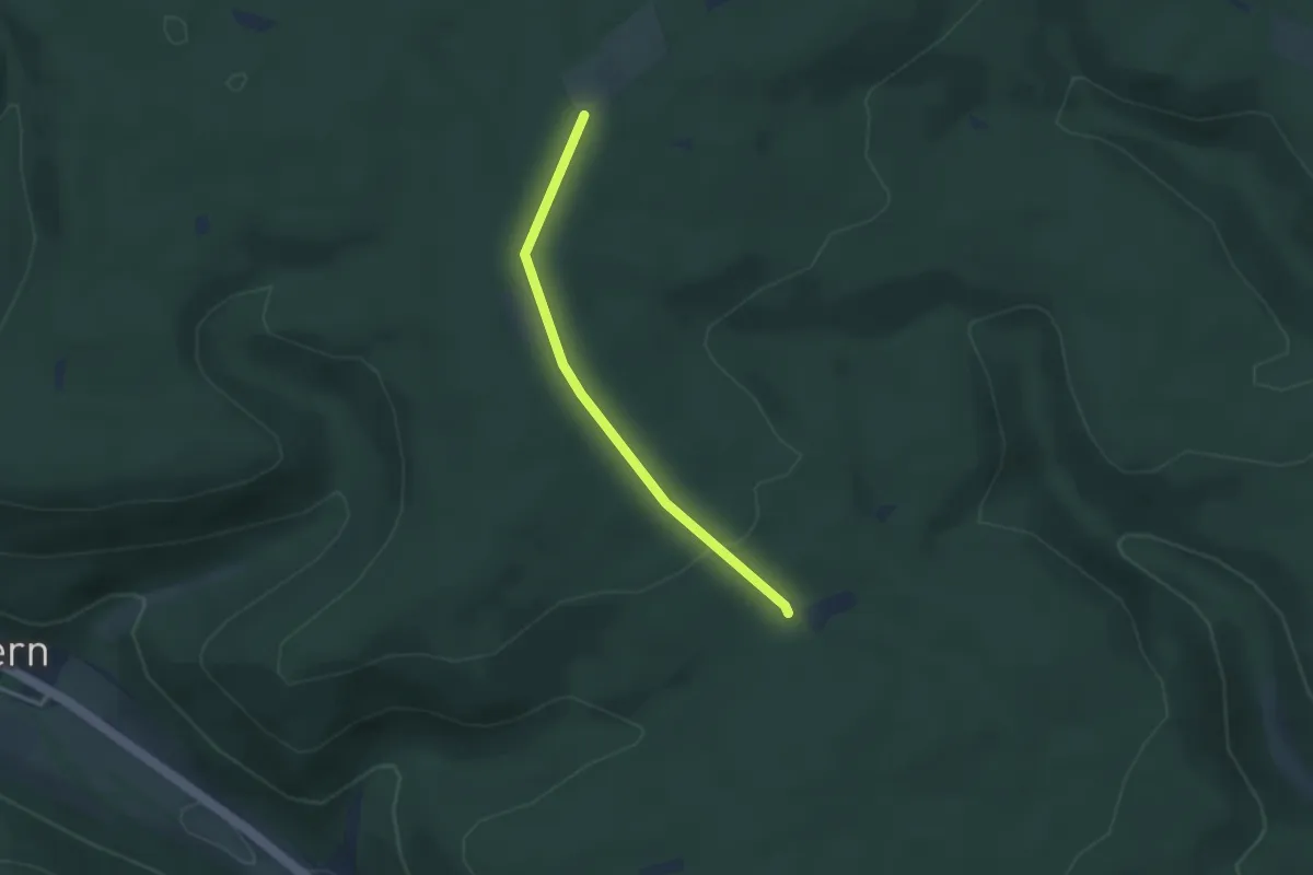
Easy · Trail
Lindenhof - Stern
2.8 km · ↑ 60 m · 47 min
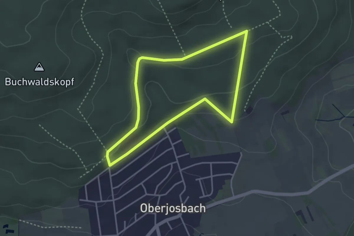
Easy · Trail
Lindenkopf: Eichenblatt
2.9 km · ↑ 71 m · 53 min
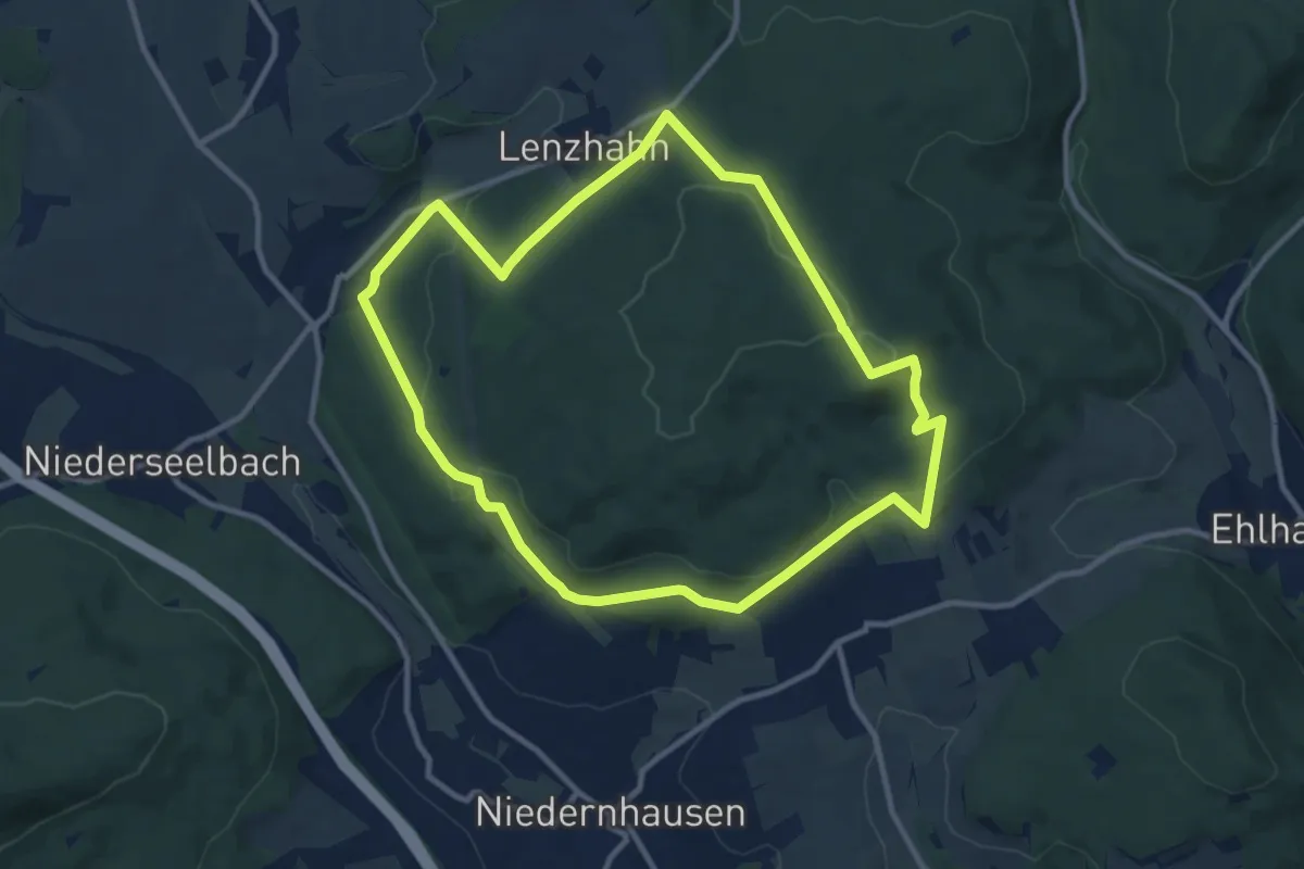
Medium · Summit
Lindenkopf: Eichhorn
9.7 km · ↑ 218 m · 2 h 54 min
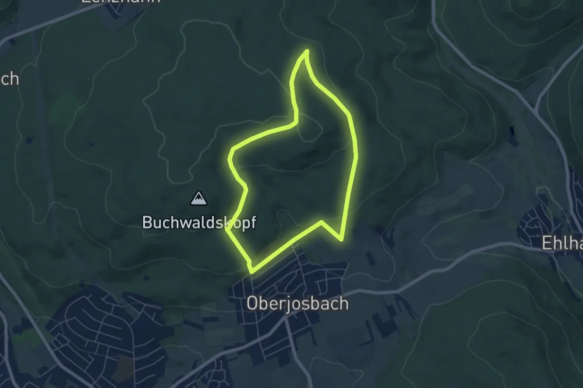
Easy · Summit
Lindenkopf: Fichte
4.9 km · ↑ 137 m · 1 h 32 min
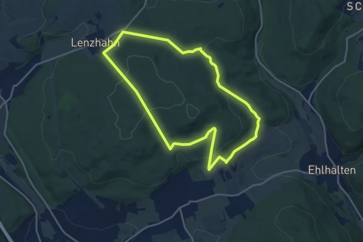
Medium · Trail
Lindenkopf: Geweih
8.1 km · ↑ 214 m · 2 h 29 min
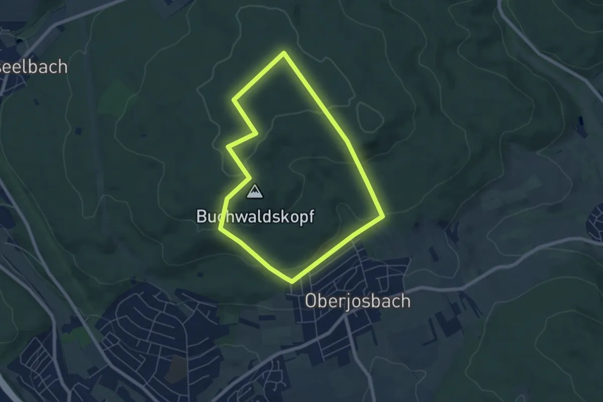
Easy · Summit
Lindenkopf: Rehbock
5.0 km · ↑ 139 m · 1 h 32 min
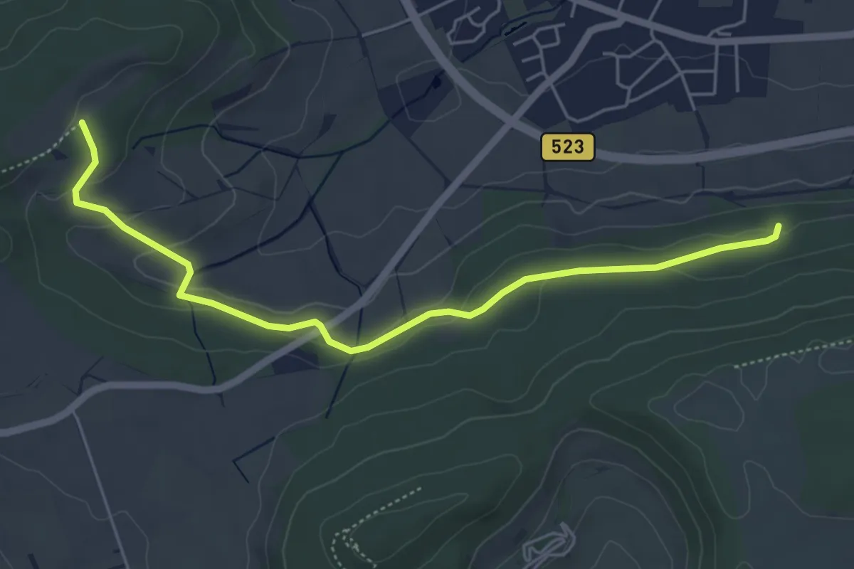
Easy · Trail
Lindensteige - Röhrenbrunnen
5.3 km · ↑ 145 m · 1 h 34 min
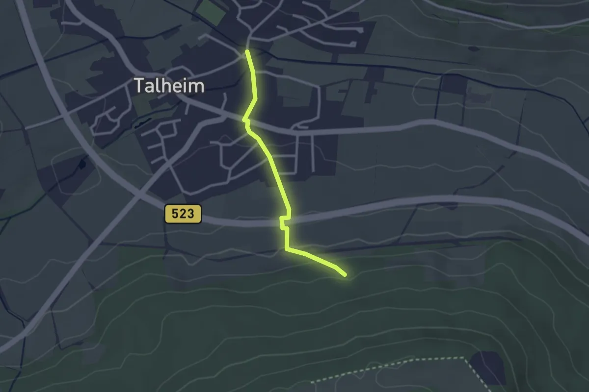
Easy · Trail
Lindensteige - Talheim
2.2 km · ↑ 82 m · 42 min
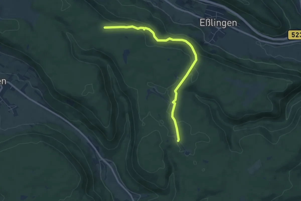
Easy · Trail
Lindentälehütte
6.9 km · ↑ 207 m · 2 h 4 min
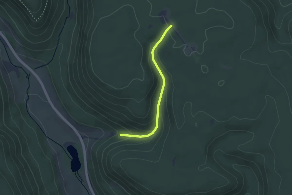
Easy · Trail
Lindentälehütte - Am Lindentäle
2.6 km · ↑ 111 m · 51 min
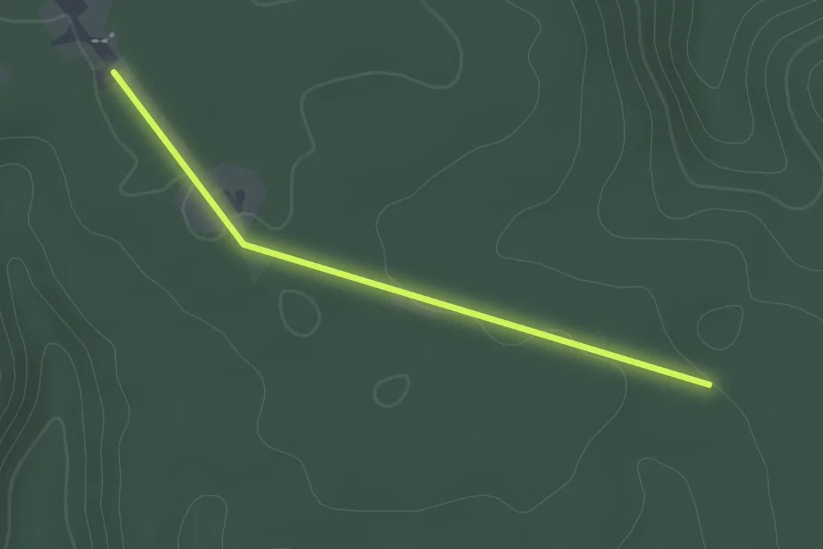
Easy · Trail
Lindentälehütte - Kälbertäle-Kreuzung
2.2 km · ↑ 20 m · 33 min
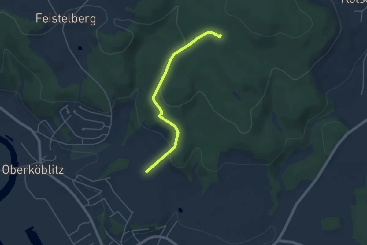
Easy · Trail
Linde-Rote Marter
3.4 km · ↑ 110 m · 1 h 2 min
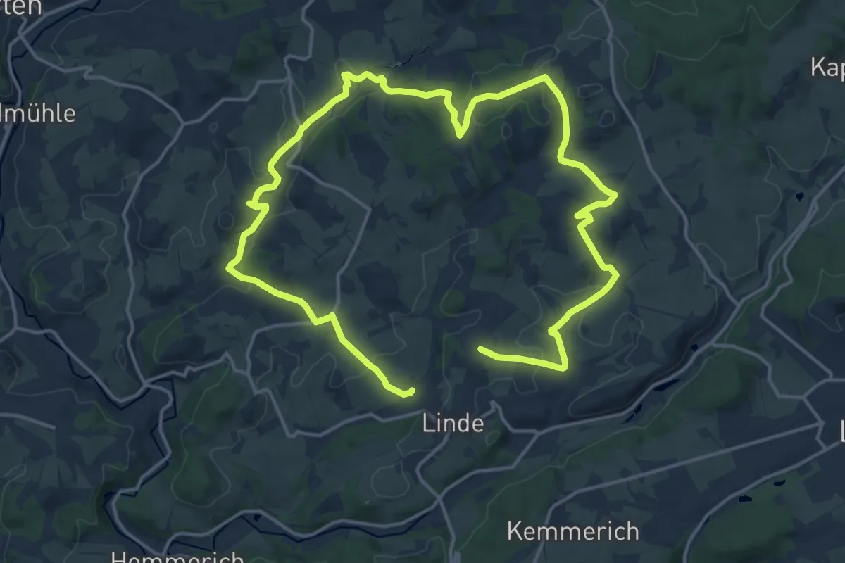
Medium · Trail
Linde Rundweg A3
12.0 km · ↑ 256 m · 3 h 36 min
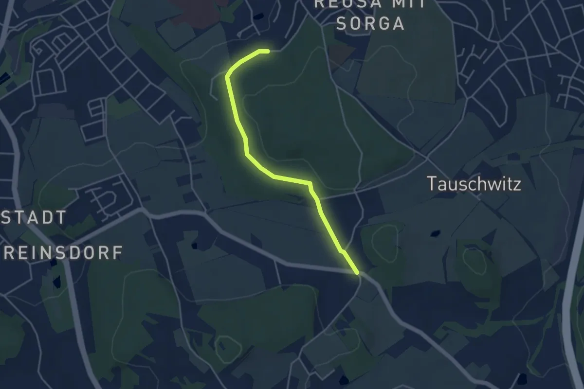
Easy · Trail
Linde - Waldhaus
3.4 km · ↑ 45 m · 54 min
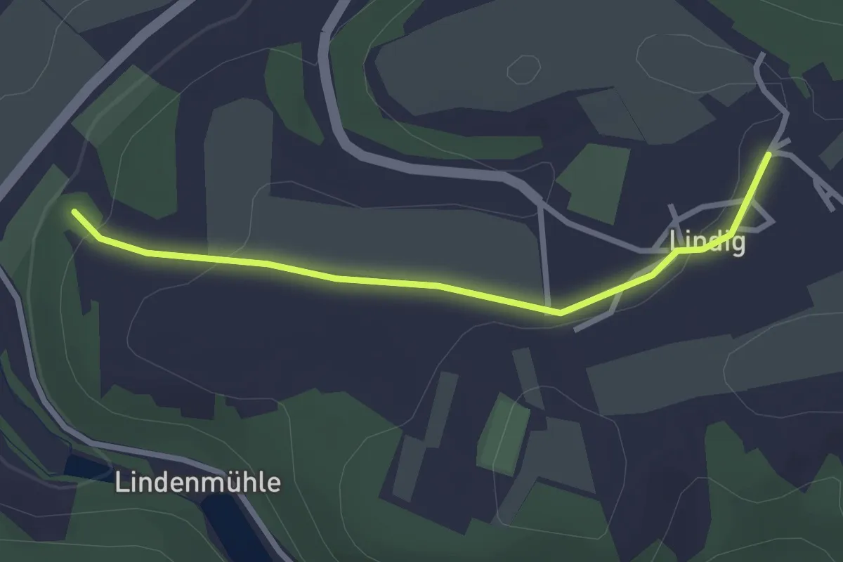
Easy · Trail
Lindig - Kleineutersdorf
2.4 km · ↑ 54 m · 41 min
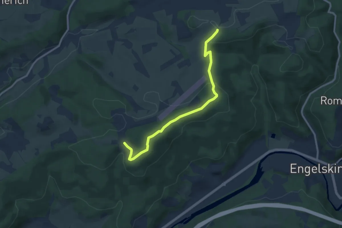
Easy · Summit
Lindlar Rundweg A3
3.3 km · ↑ 97 m · 1 h 2 min
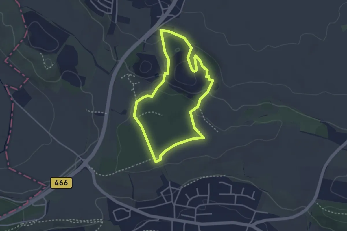
Easy · Trail
Lindle
2.7 km · ↑ 67 m · 50 min
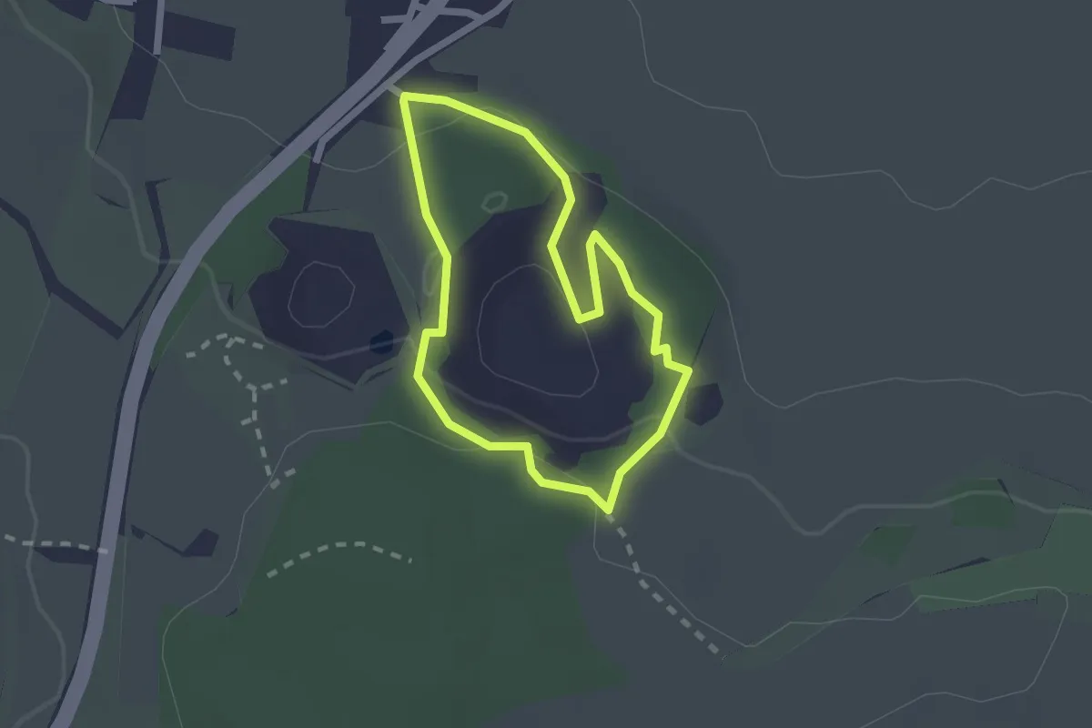
Easy · Trail
Lindle
1.7 km · ↑ 41 m · 31 min
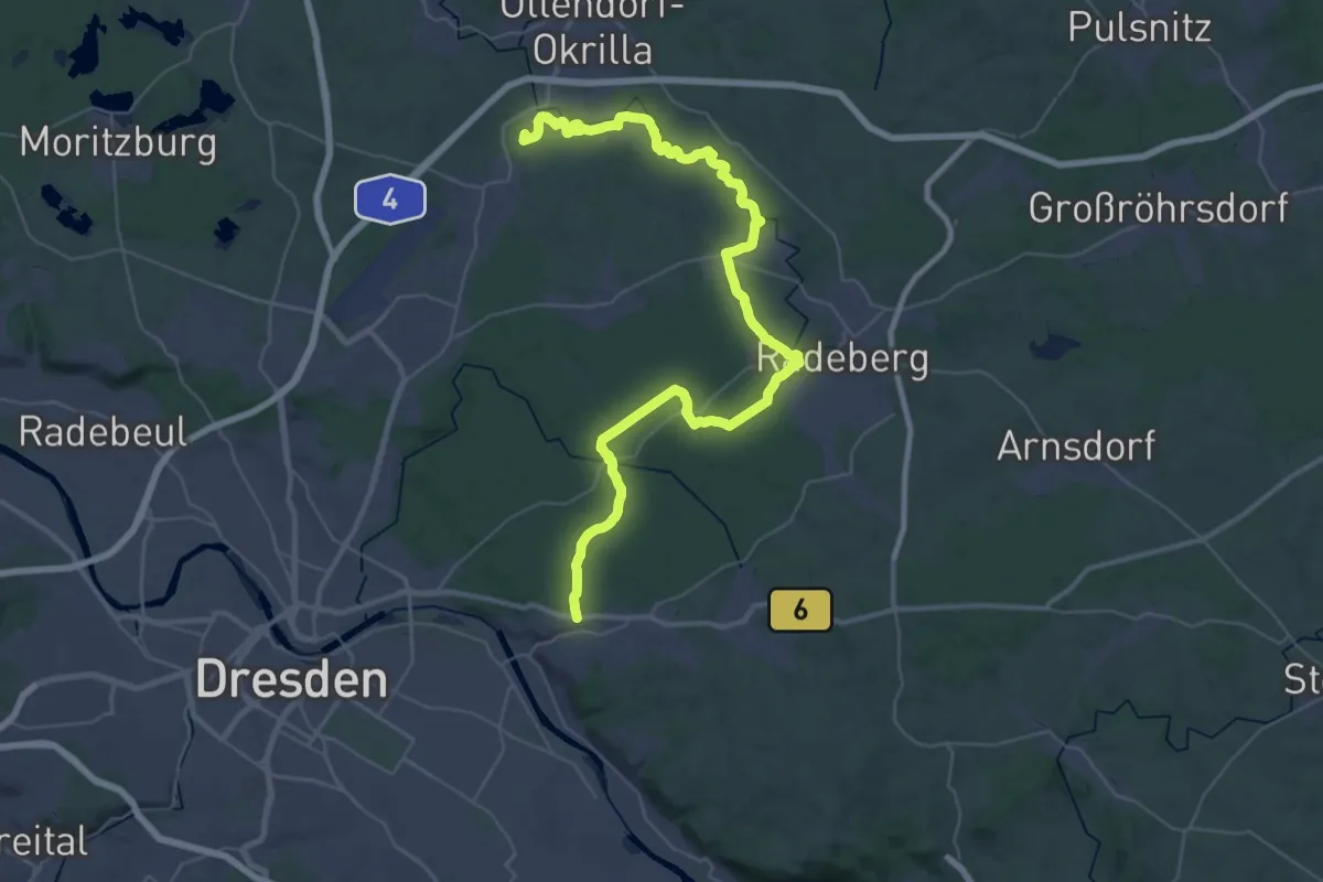
Demanding · Summit
Linie 7-Linie 11-Tour
48.7 km · ↑ 455 m · 12 h 29 min
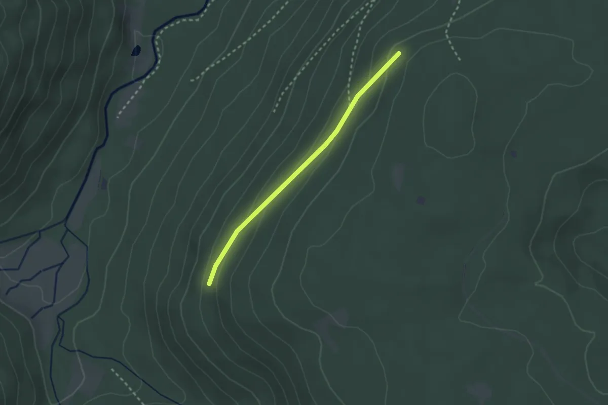
Easy · Trail
Linienhang - Oberer Pfeifferweg
2.2 km · ↑ 81 m · 42 min
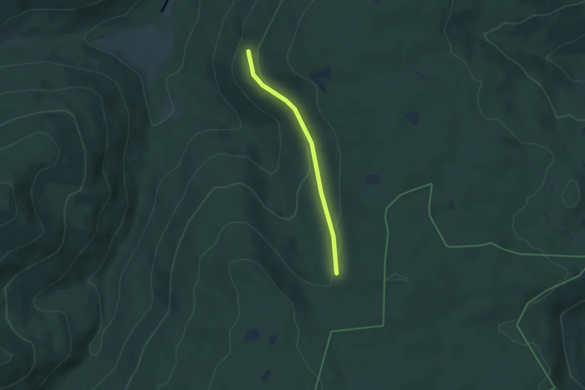
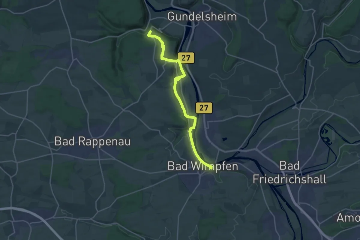
Easy · Trail
Linienhang - Schaiblesweg
3.0 km · ↑ 99 m · 55 min
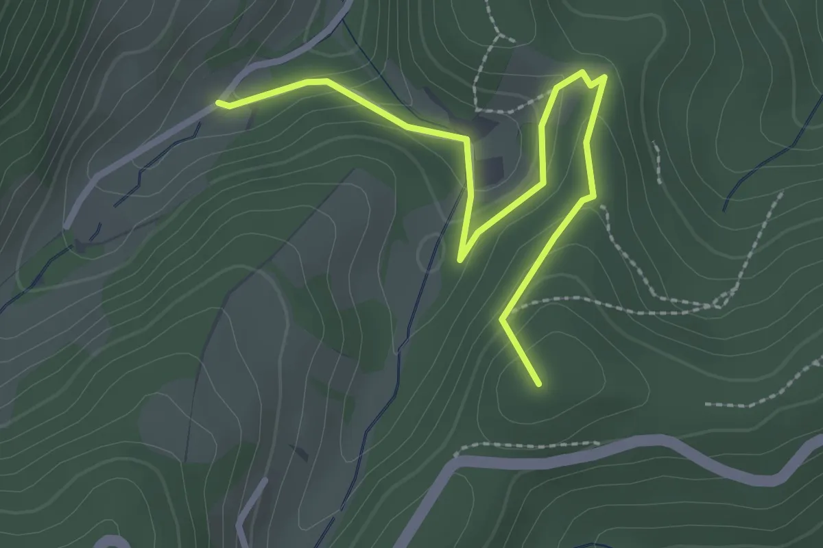
Medium · Trail
Linker Neckarrandweg
16.0 km · ↑ 421 m · 4 h 41 min
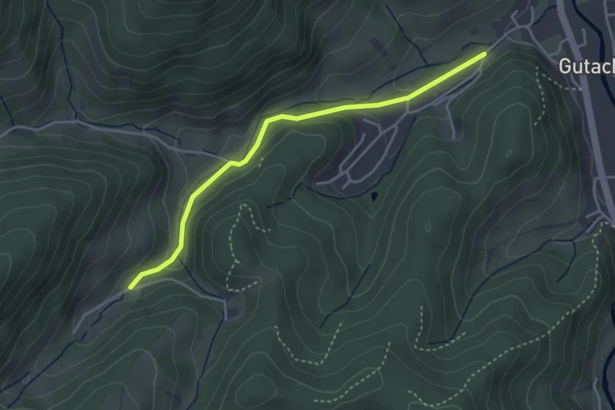
Easy · Summit
Linker Sulzbach - Heidbühl
2.7 km · ↑ 108 m · 53 min
Easy · Trail
Linker Sulzbach - Vordersulzbach
3.3 km · ↑ 101 m · 1 h
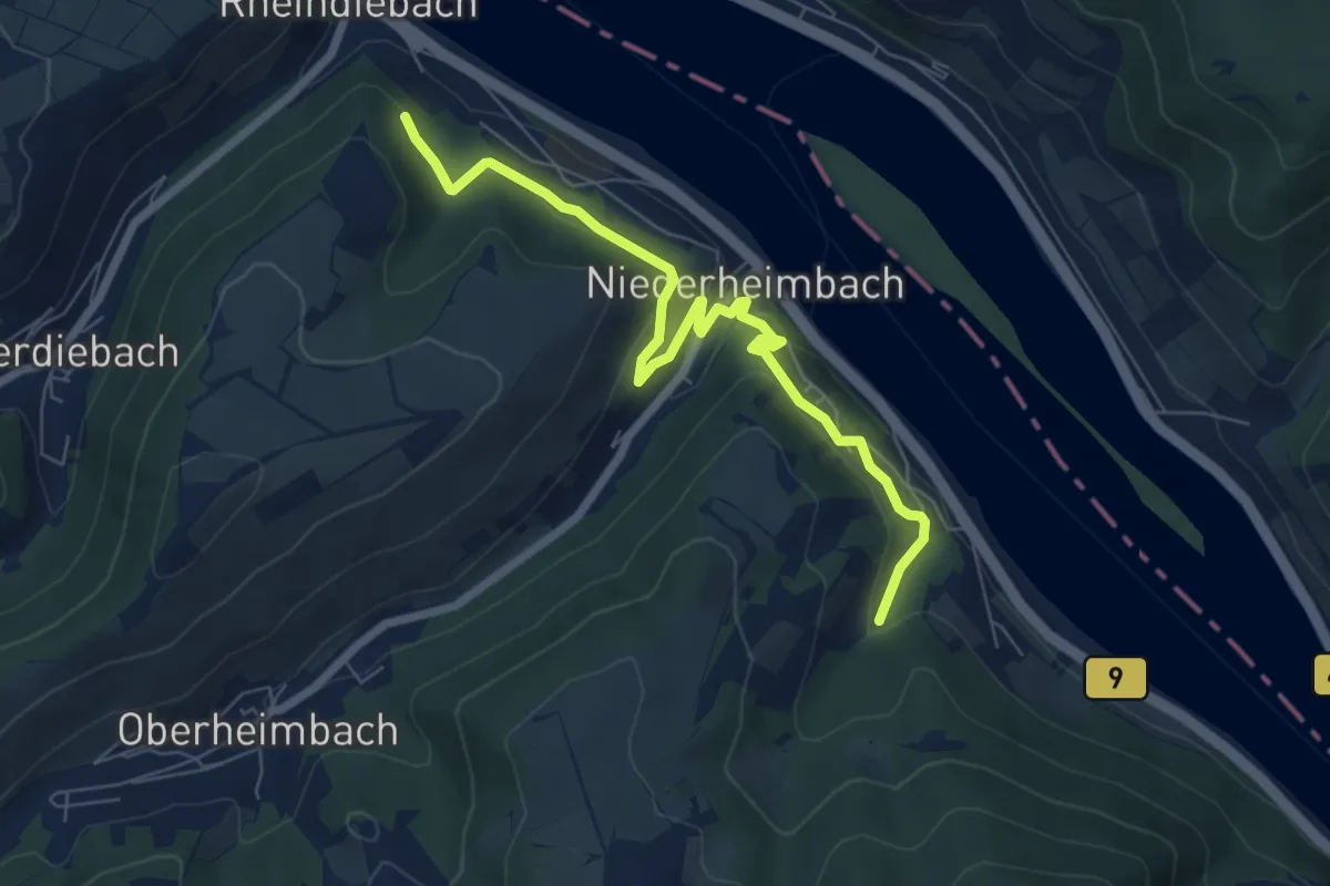
Easy · Pilgrim path
Linksrheinischer Jakobsweg
3.4 km · ↑ 95 m · 1 h 4 min
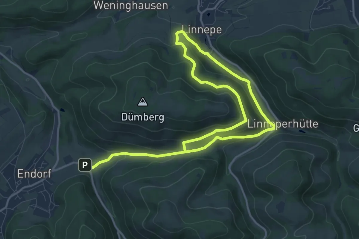
Easy · Trail
Linnepe Rundweg A4
7.3 km · ↑ 311 m · 2 h 27 min
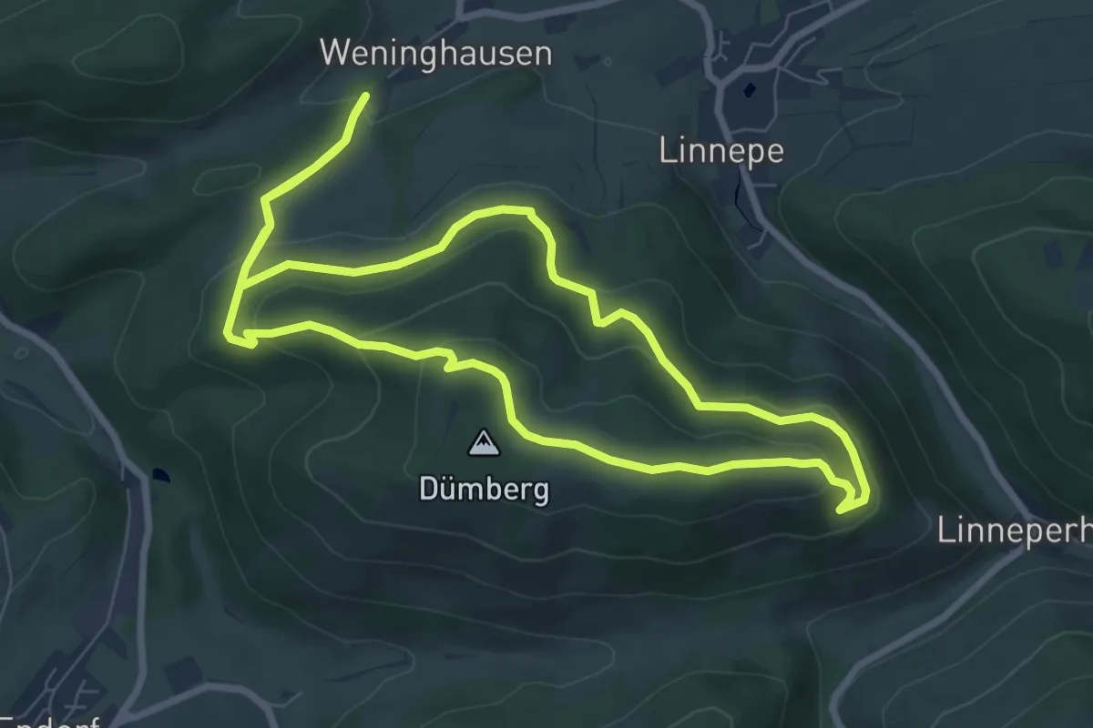
Easy · Summit
Linnepe Rundweg L1
7.1 km · ↑ 272 m · 2 h 21 min
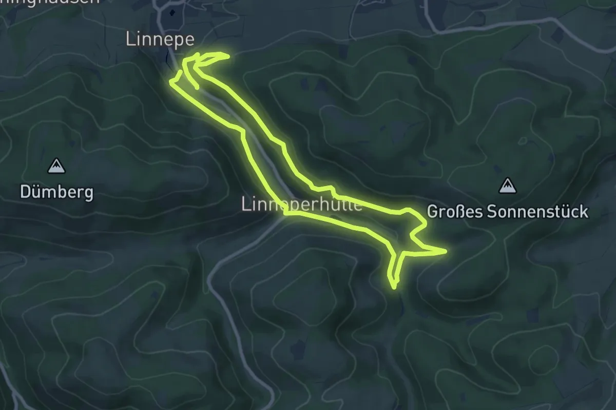
Easy · Trail
Linnepe Rundweg L2
6.8 km · ↑ 216 m · 2 h 10 min
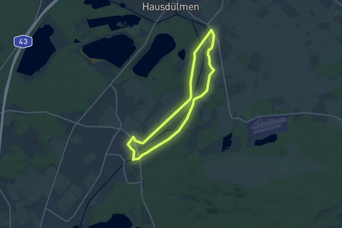
Medium · Trail
Linnert Rundweg A1
10.1 km · ↑ 34 m · 2 h 36 min
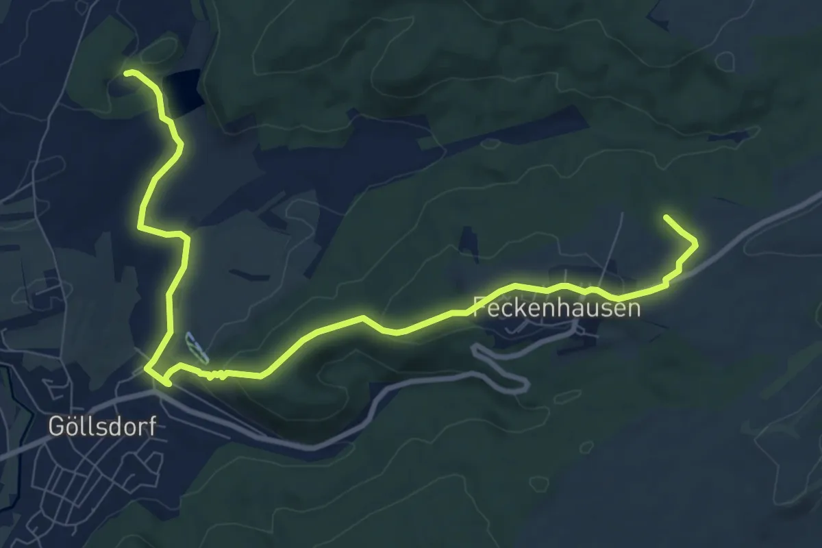
Medium · Trail
Linsenberg-Rundweg
10.5 km · ↑ 251 m · 3 h 2 min
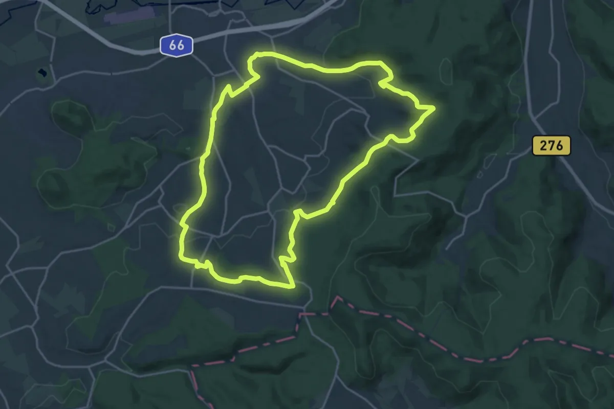
Medium · Trail
Linsengerichter Rundwanderweg Nr.1
17.2 km · ↑ 388 m · 5 h 9 min
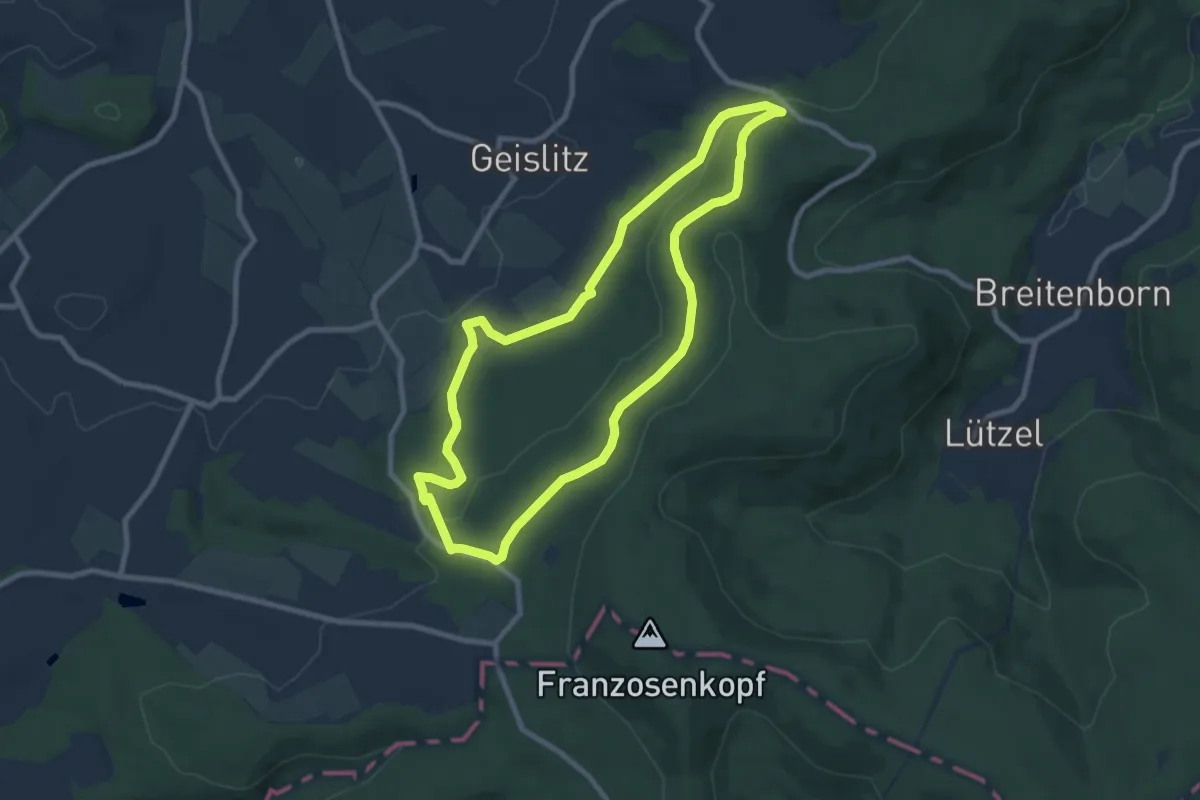
Easy · Trail
Linsengerichter Rundwanderweg Nr.3
7.8 km · ↑ 169 m · 2 h 19 min