Trails in Germany
36,852 hiking trails, each with its route, climb, walking time and grade.
All trails, page 329 of 768
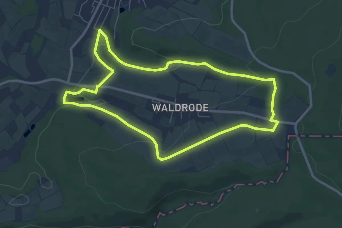
Easy · Trail
Linsengerichter Rundwanderweg Nr.4
5.7 km · ↑ 116 m · 1 h 41 min
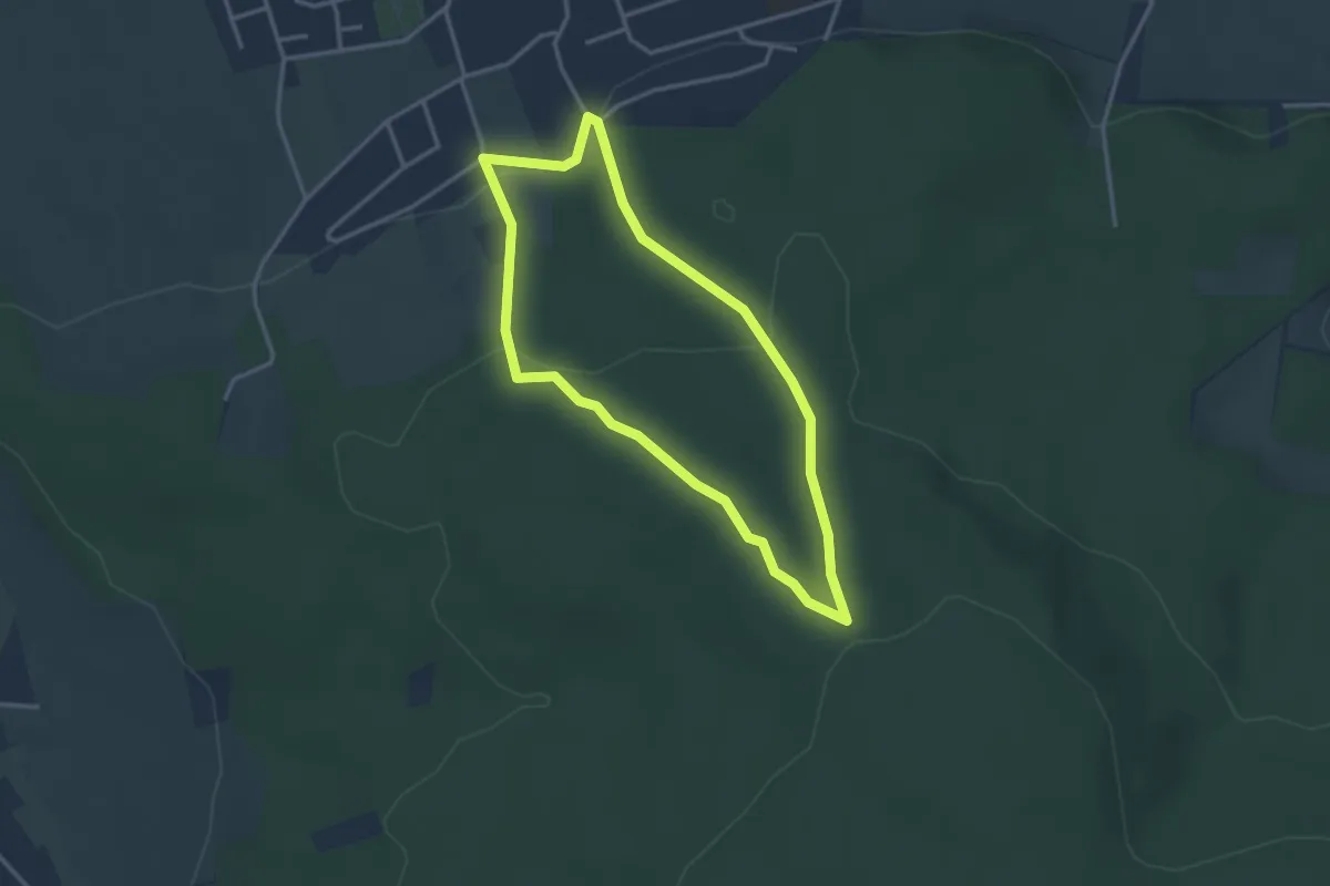
Easy · Summit
Lintorf Rundweg 1
2.7 km · ↑ 97 m · 53 min
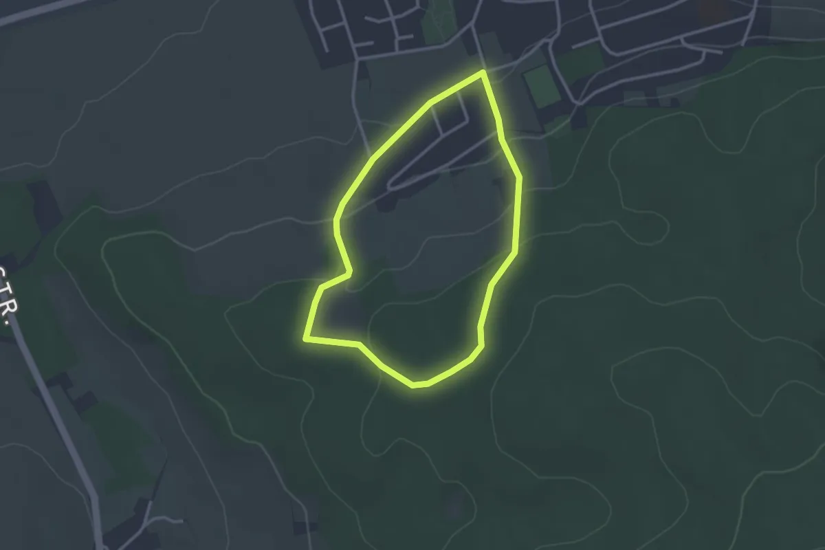
Easy · Trail
Lintorf Rundweg 2
2.3 km · ↑ 75 m · 44 min
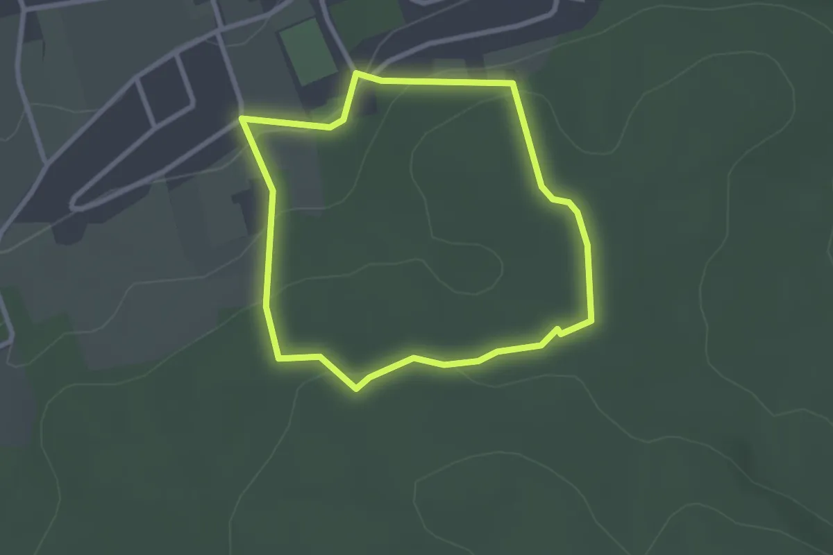
Easy · Summit
Lintorf Rundweg 3
2.1 km · ↑ 67 m · 40 min
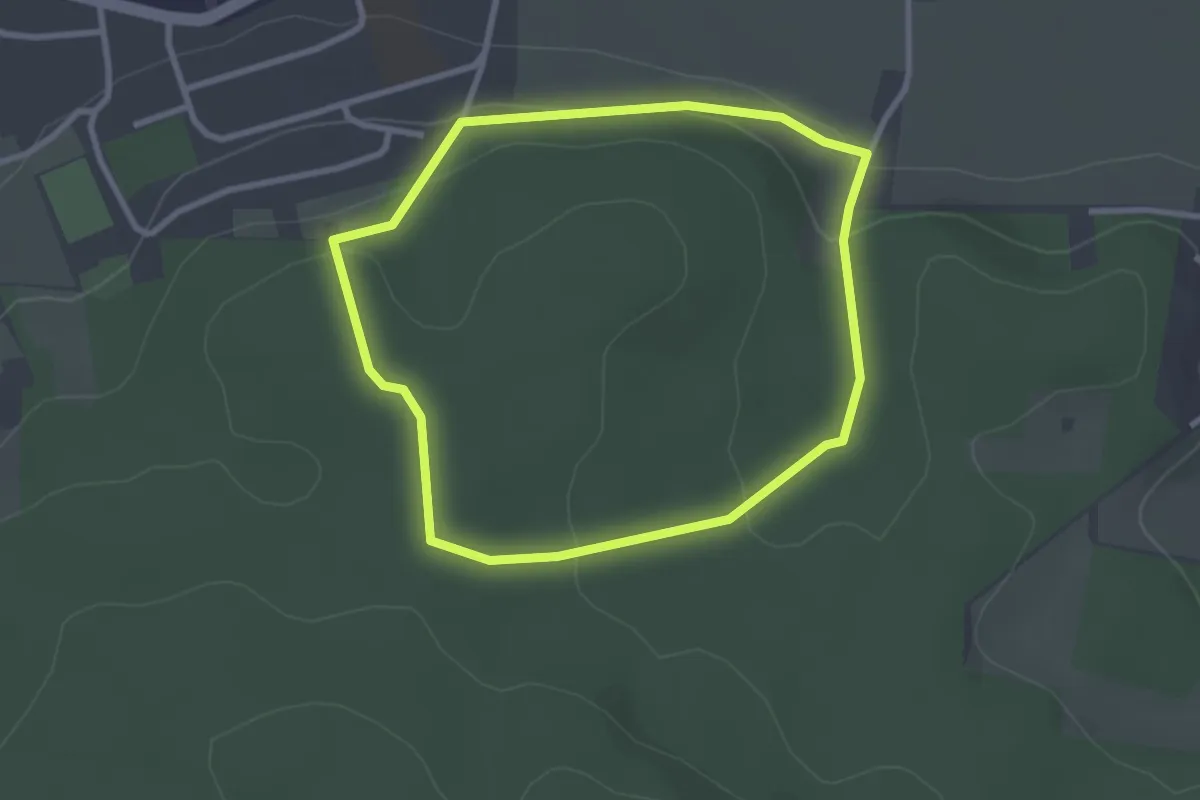
Easy · Summit
Lintorf Rundweg 4
2.4 km · ↑ 65 m · 44 min
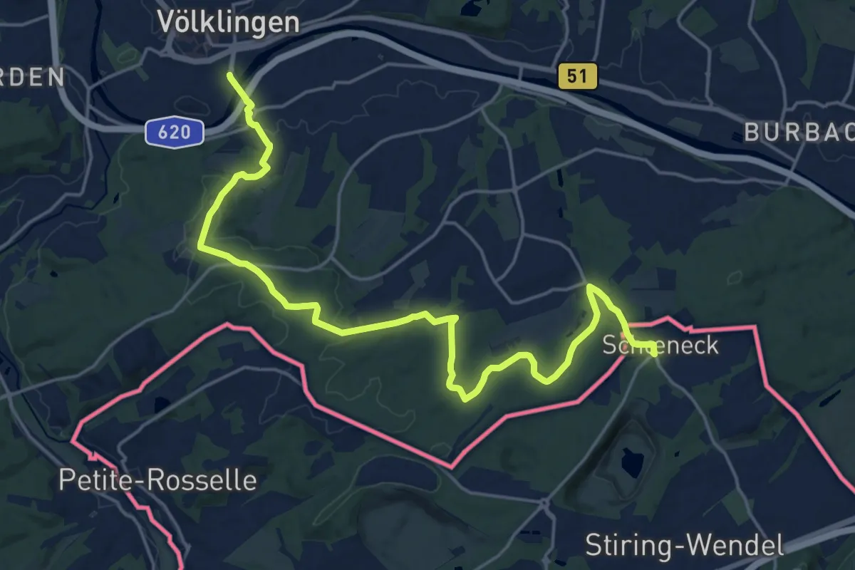
Demanding · Trail
Lionsweg
21.0 km · ↑ 355 m · 5 h 44 min
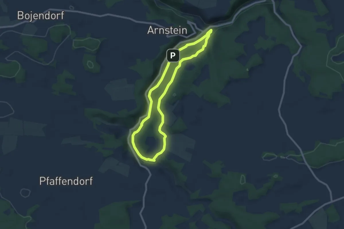
Medium · Trail
Lions-Weg (Weismain)
5.8 km · ↑ 115 m · 1 h 41 min
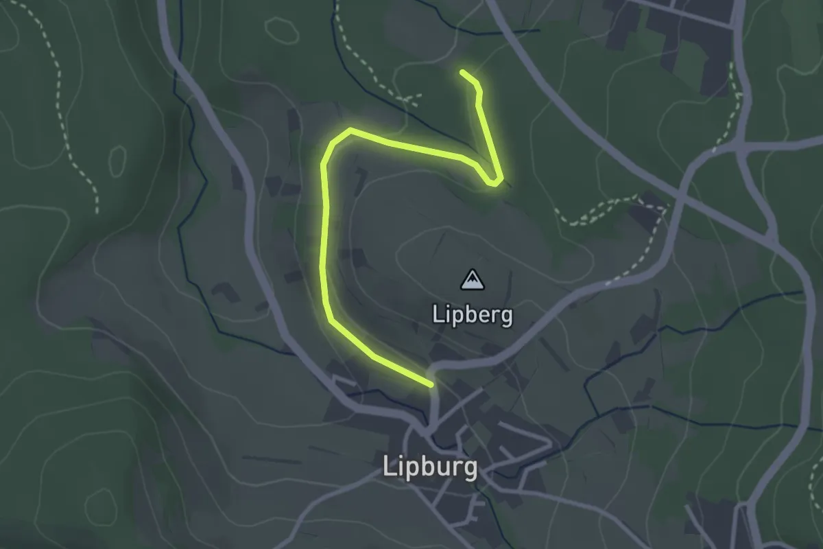
Easy · Trail
Lipburg R.-Schickele-Weg - Unterer Auwald
2.8 km · ↑ 62 m · 48 min
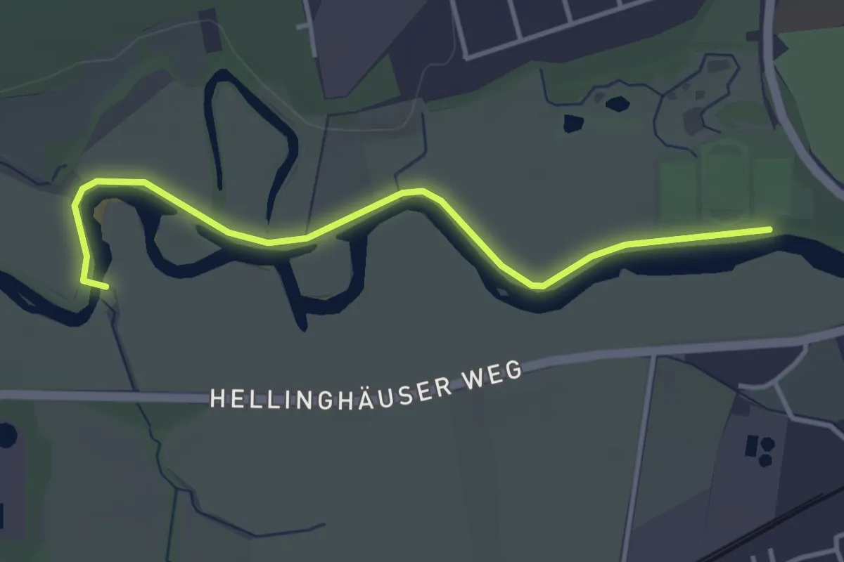
Easy · Trail
Lippeauenweg
3.4 km · ↑ 0 m · 48 min
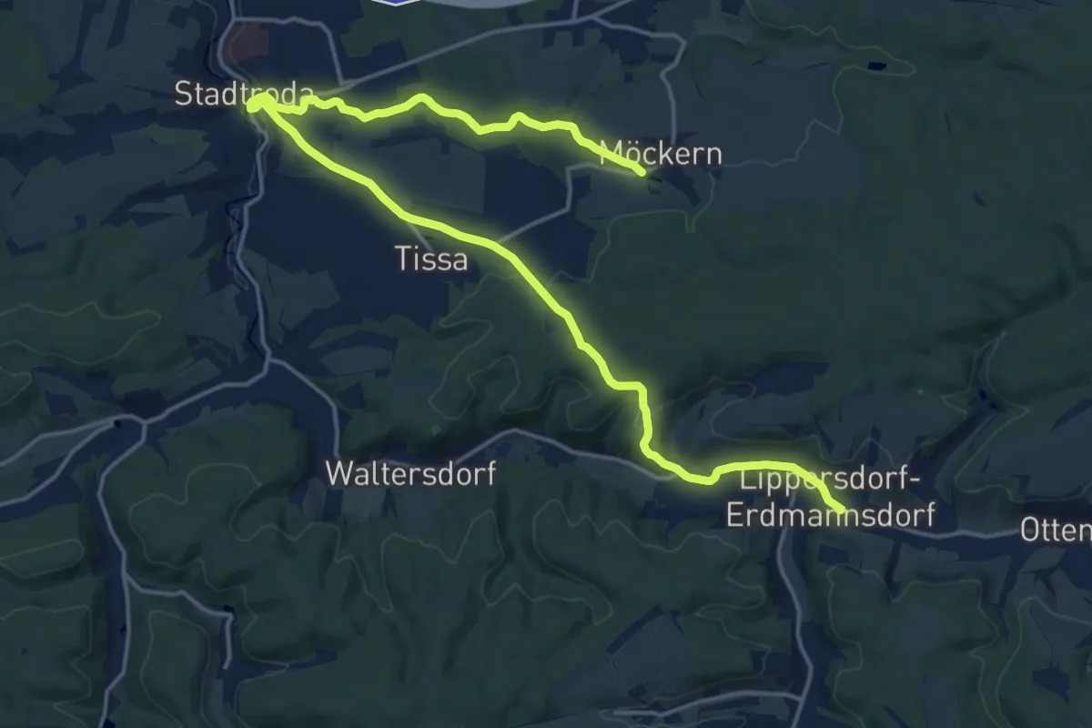
Demanding · Trail
Lippersdorf - Stadtroda - Hermsdorfer Kreuz
20.2 km · ↑ 369 m · 5 h 34 min
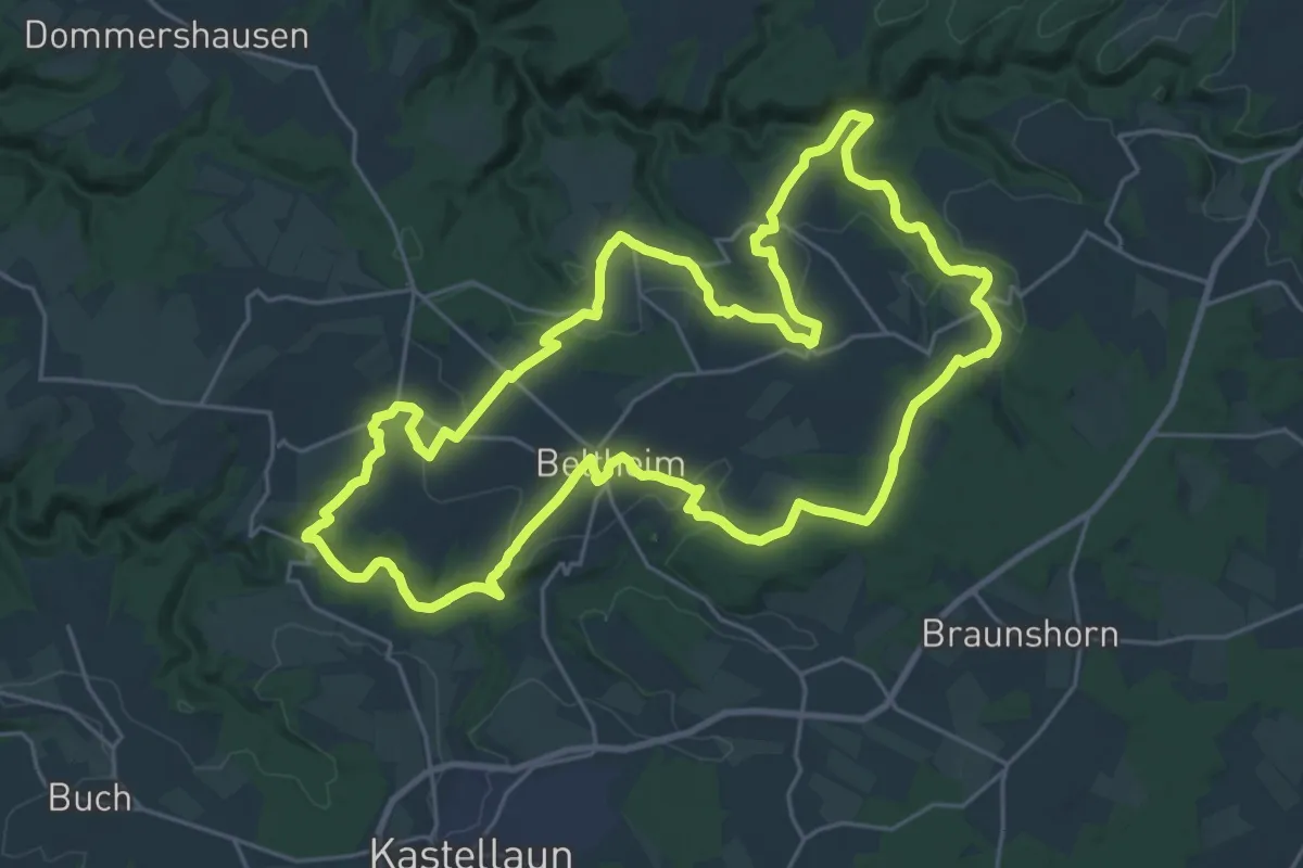
Demanding · Trail
Lippertsweg
25.4 km · ↑ 543 m · 7 h 31 min
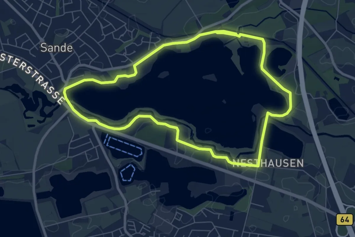
Easy · Trail
Lippe-See Rundweg
6.0 km · ↑ 9 m · 1 h 32 min
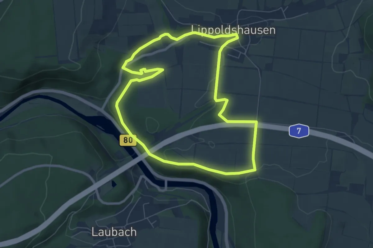
Easy · Trail
Lippoldshausen L3 Werratalblick
6.1 km · ↑ 72 m · 1 h 40 min
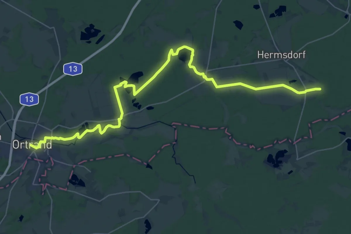
Medium · Trail
Lipsa – Ortrand
17.0 km · ↑ 55 m · 4 h 23 min
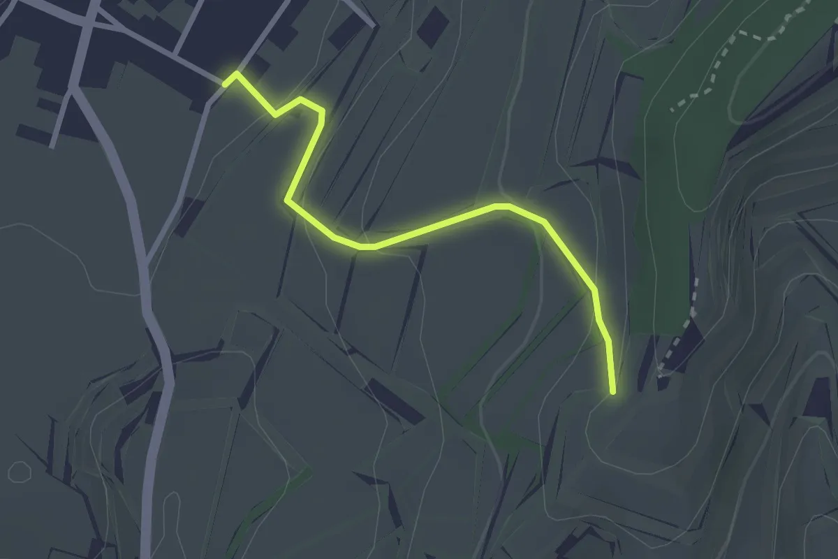
Easy · Trail
Lißacker - Mittelberg
2.3 km · ↑ 110 m · 47 min
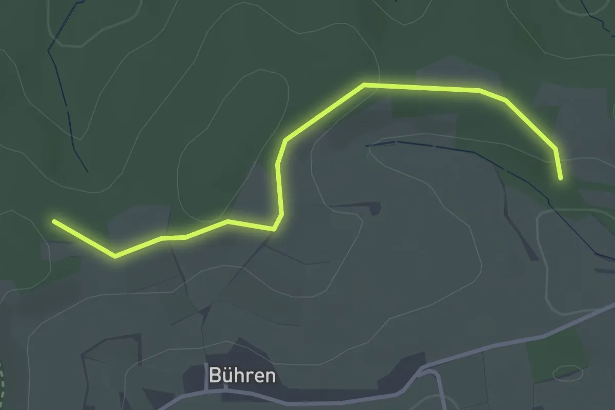
Easy · Trail
Listerseeweg
2.9 km · ↑ 49 m · 47 min
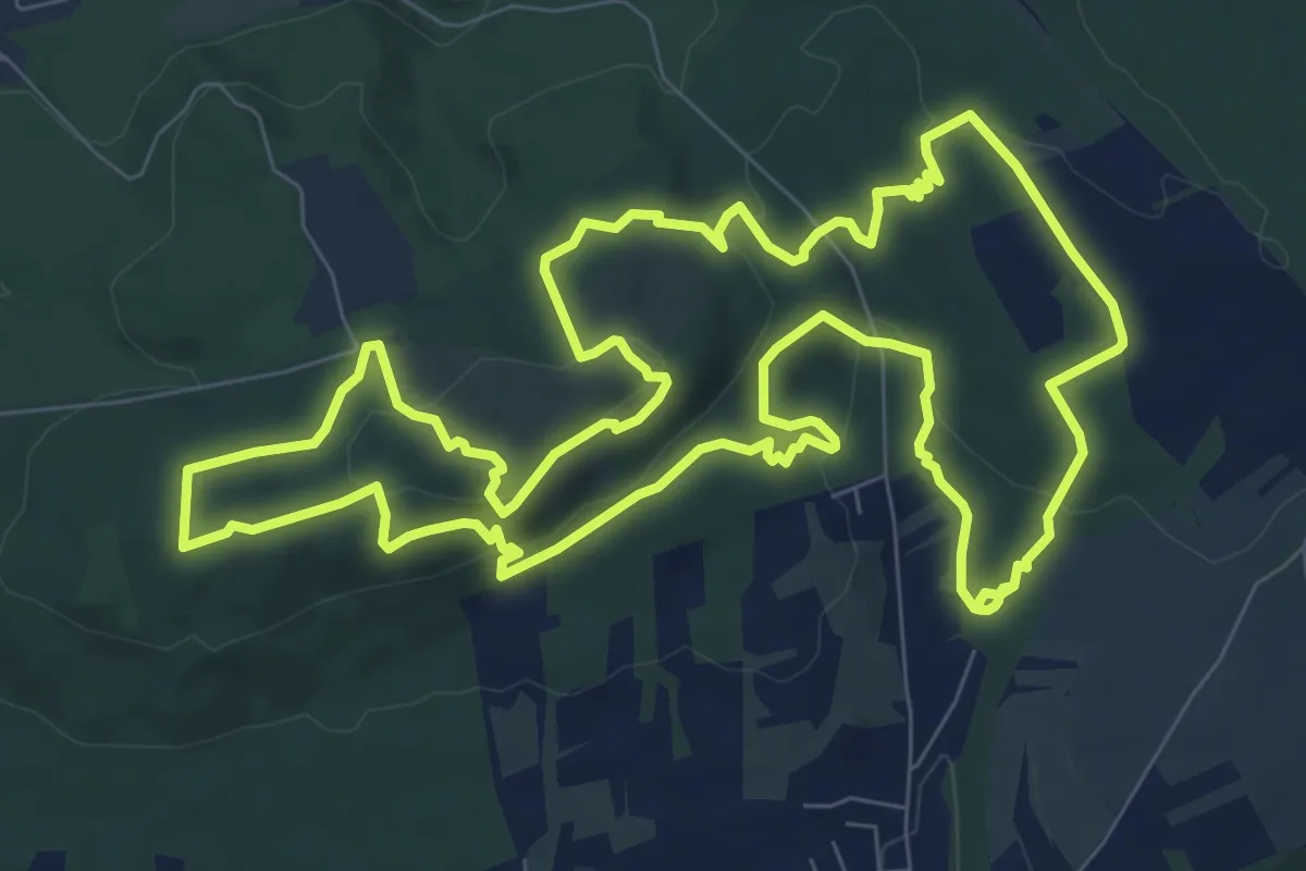
Demanding · Summit
Litermont-Gipfeltour
9.6 km · ↑ 281 m · 3 h 1 min
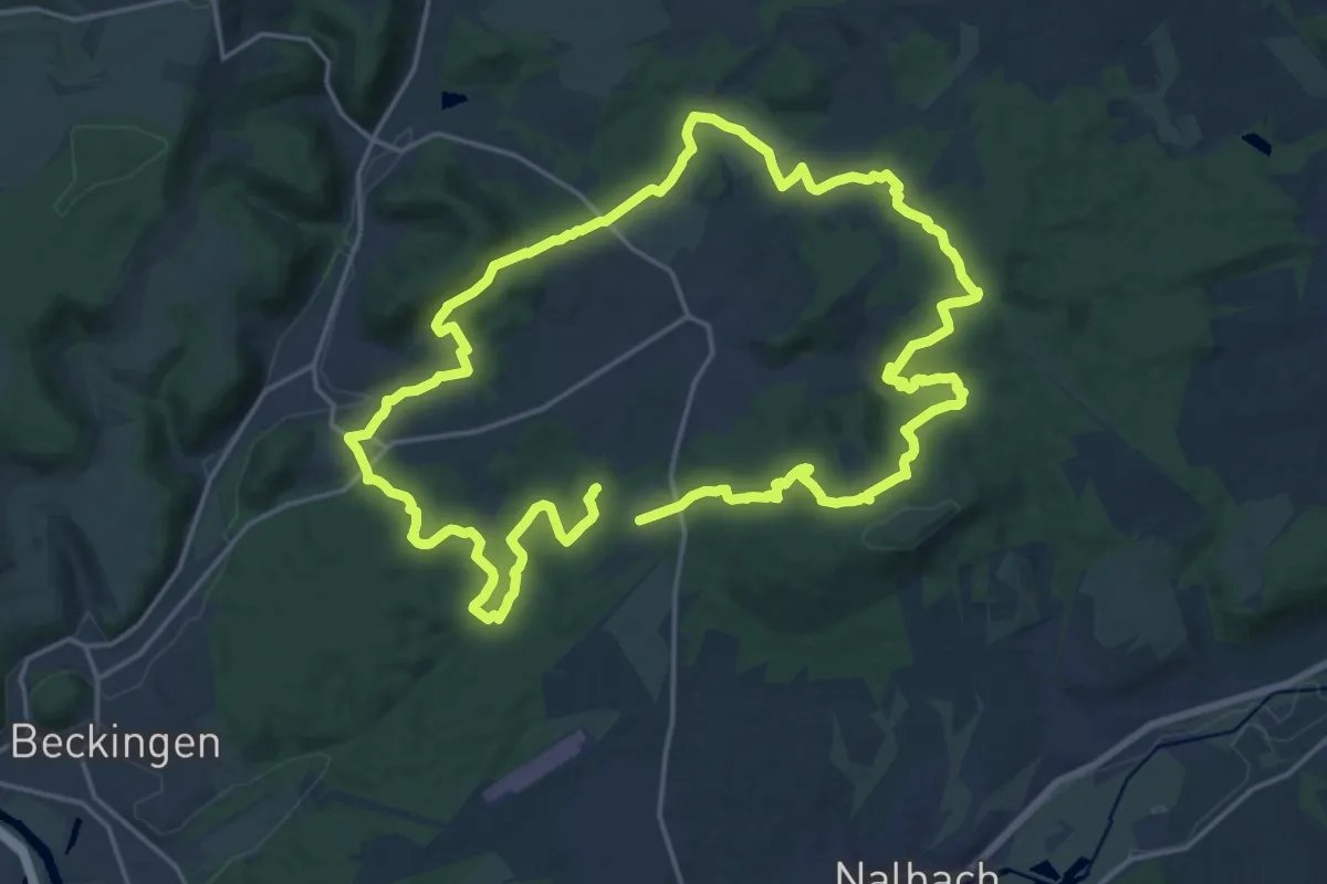
Expert · Summit
Litermont-Sagenweg
18.6 km · ↑ 459 m · 5 h 38 min
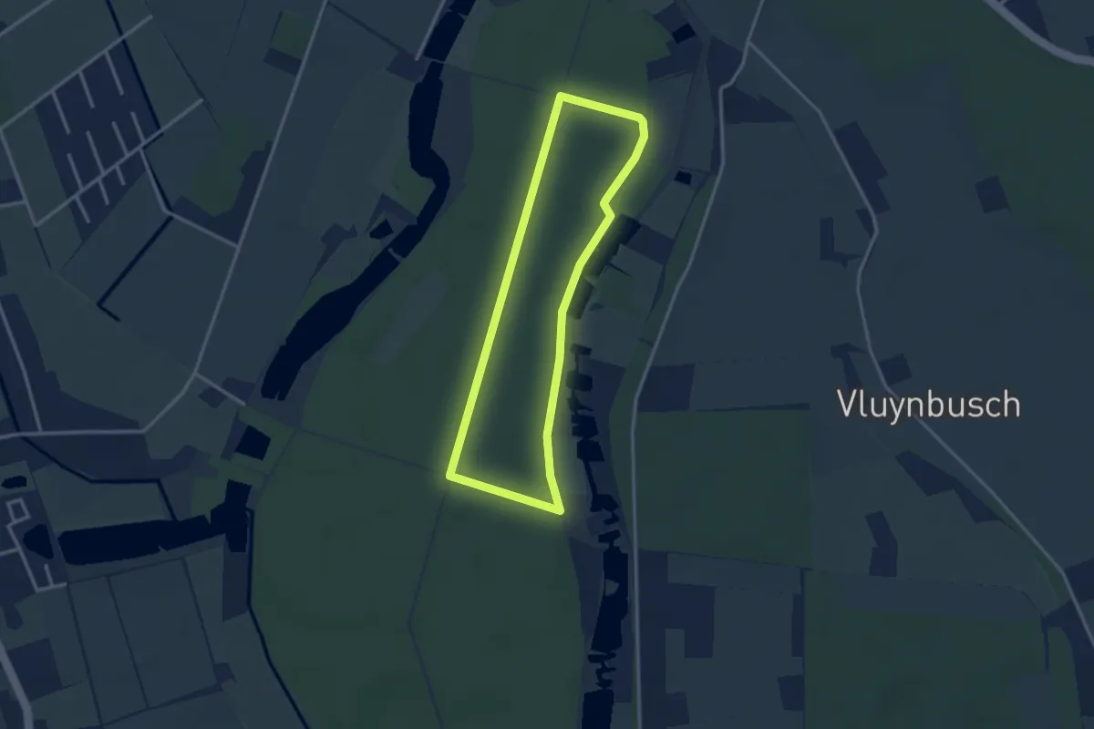
Easy · Trail
Littard Rundweg A1
2.6 km · ↑ 4 m · 39 min
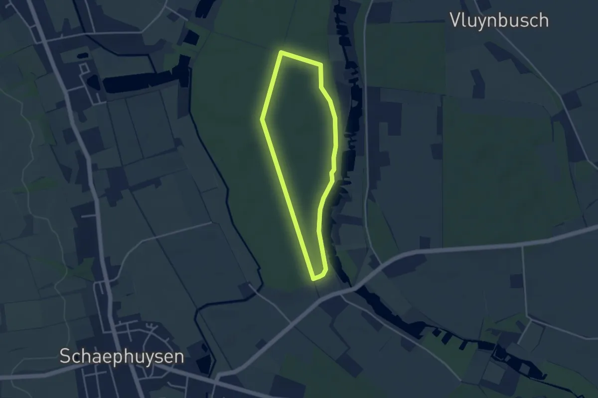
Easy · Trail
Littard Rundweg A2
2.8 km · ↑ 4 m · 43 min
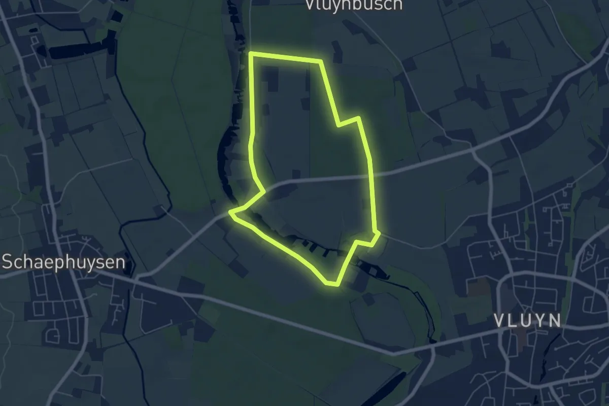
Easy · Trail
Littard Rundweg A3
4.8 km · ↑ 5 m · 1 h 12 min
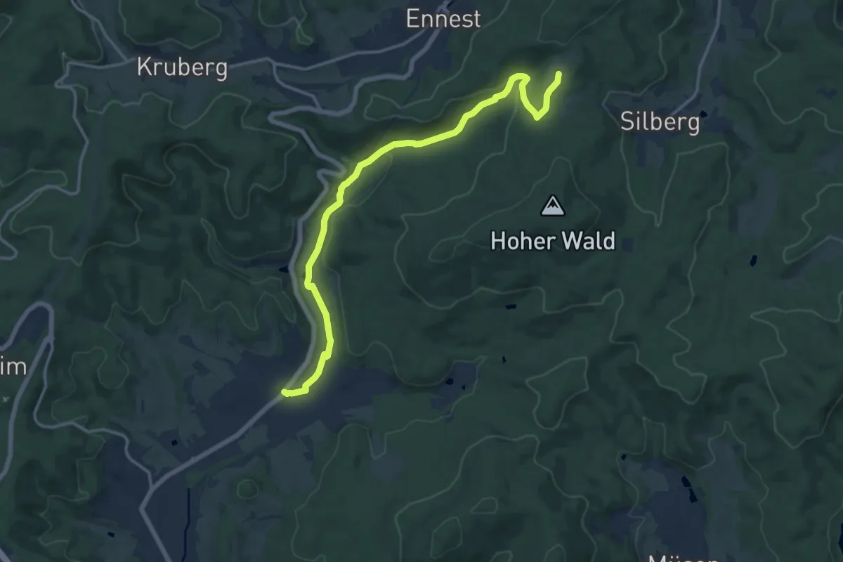
Medium · Trail
Littfeld - Littfequelle
13.0 km · ↑ 303 m · 3 h 43 min
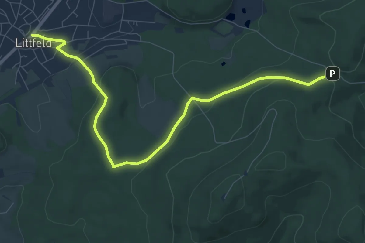
Medium · Trail
Littfeld über Kreuzbank zum Altenberg
8.7 km · ↑ 220 m · 2 h 31 min
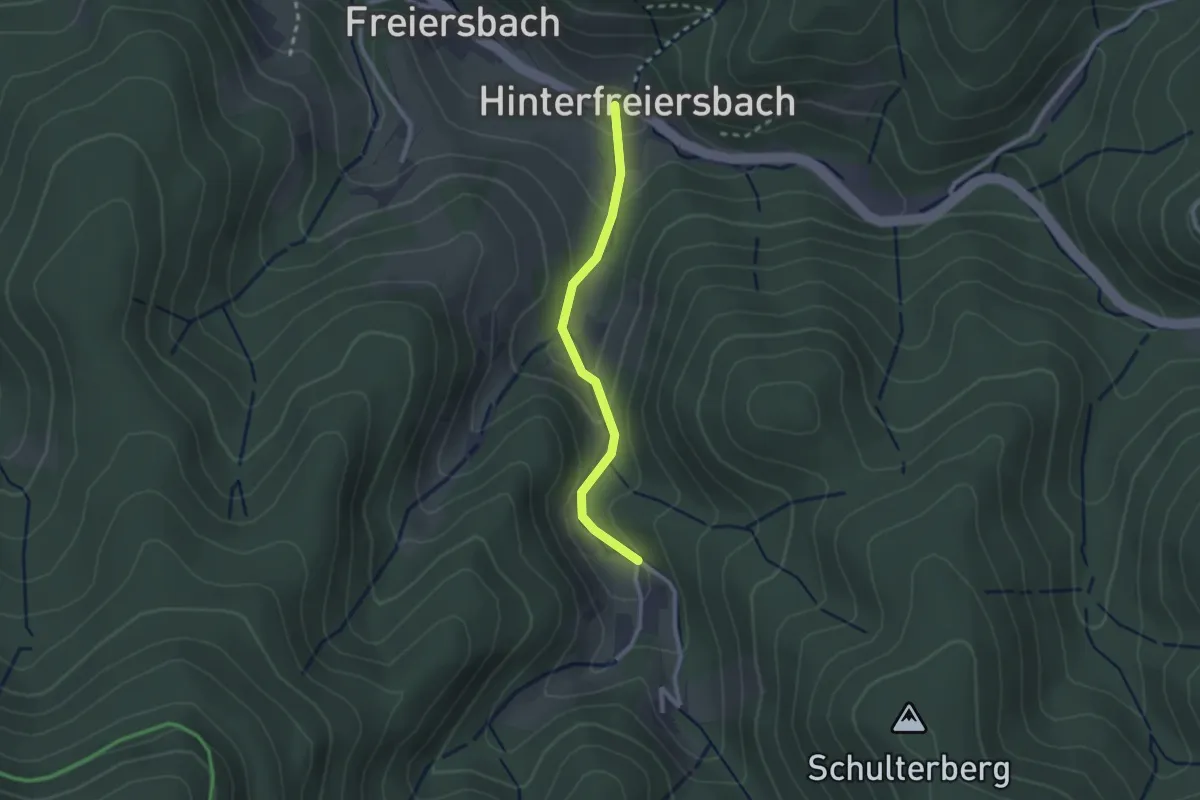
Easy · Trail
Littweg - Gieringerloch
2.1 km · ↑ 94 m · 41 min
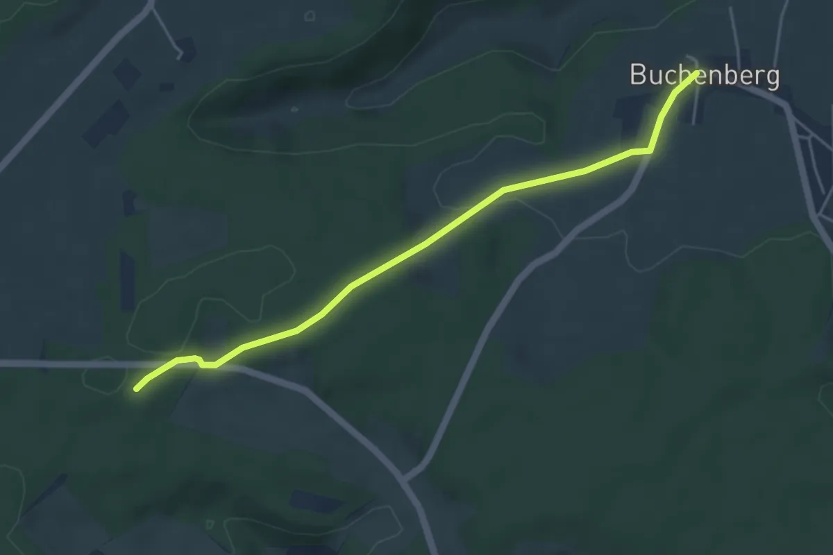
Easy · Trail
Litzelbronn - Buchenberg
4.4 km · ↑ 89 m · 1 h 13 min
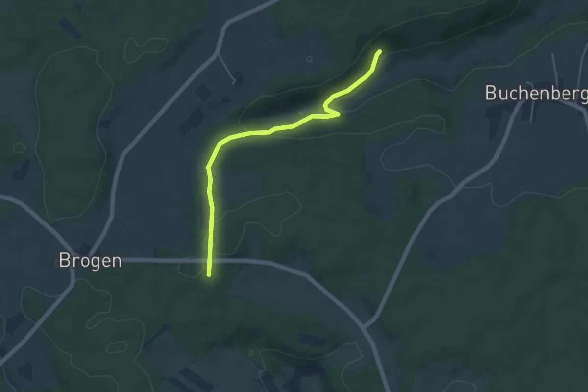
Easy · Trail
Litzelbronn - Glasbachtal Grillplatz
3.9 km · ↑ 103 m · 1 h 9 min
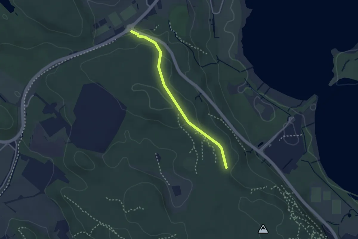
Easy · Trail
Litzelstetten Sportzentrum - Mainauwald
2.5 km · ↑ 51 m · 43 min
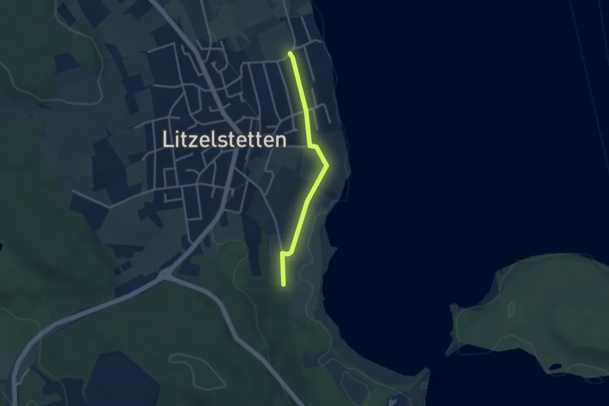
Easy · Trail
Litzelstetten Strandbad - Mainaublick
2.6 km · ↑ 63 m · 45 min
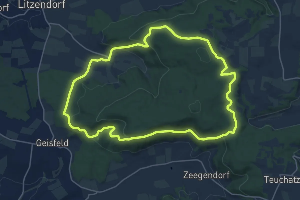
Medium · Trail
Litzendorf Große Geisbergrunde
13.6 km · ↑ 333 m · 4 h 8 min
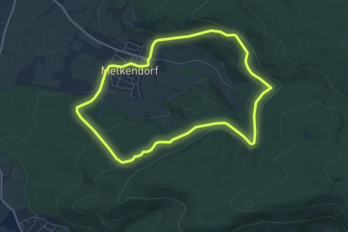
Easy · Trail
Litzendorf Kleine Geisbergrunde
6.2 km · ↑ 192 m · 1 h 58 min
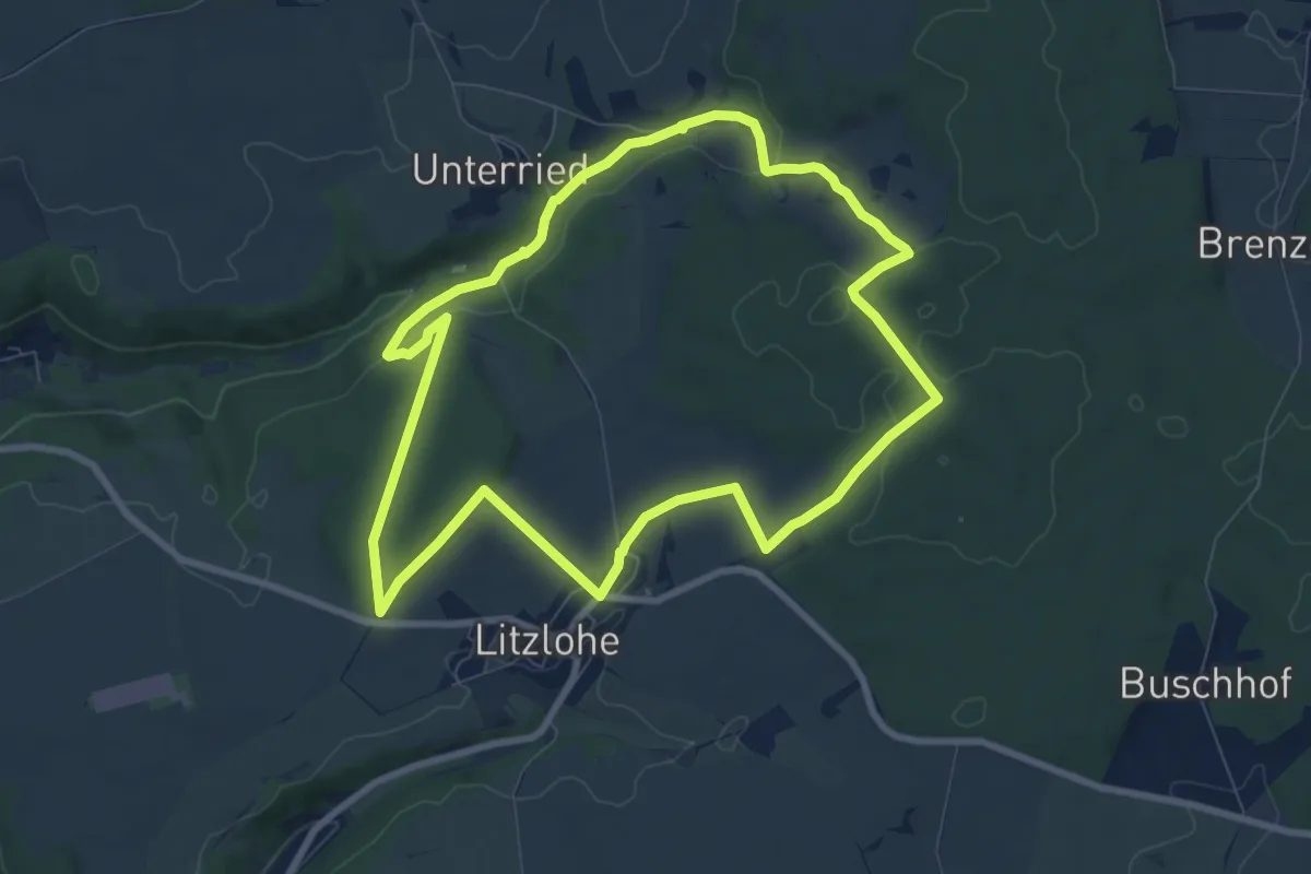
Easy · Trail
Litzloher Marterlweg
7.8 km · ↑ 164 m · 2 h 19 min
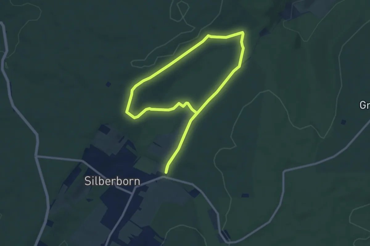
Easy · Trail
LLR - Hochmoor
6.1 km · ↑ 82 m · 1 h 42 min
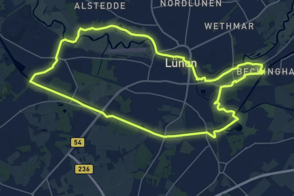
Demanding · Trail
(L) Lüner Rundweg
18.4 km · ↑ 48 m · 4 h 42 min
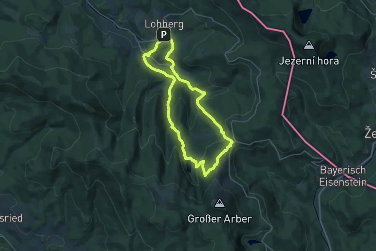
Medium · Trail
Lo 3 Lohberg - Erlebnispfad Brennes - kleiner Arbersee
16.4 km · ↑ 666 m · 5 h 32 min
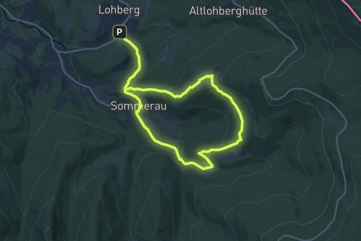
Medium · Trail
Lo 4 Postbotensteig (Lohberg)
15.3 km · ↑ 517 m · 4 h 44 min
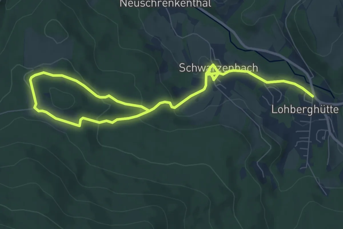
Medium · Trail
Lo 6 Waldecker Rundweg (Lohberg)
10.4 km · ↑ 347 m · 3 h 13 min
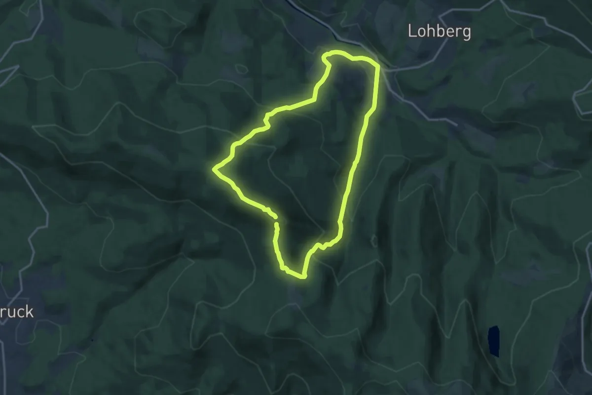
Medium · Summit
Lo 7 Schwarzecker Rundweg (Lohberg)
11.5 km · ↑ 650 m · 4 h 16 min
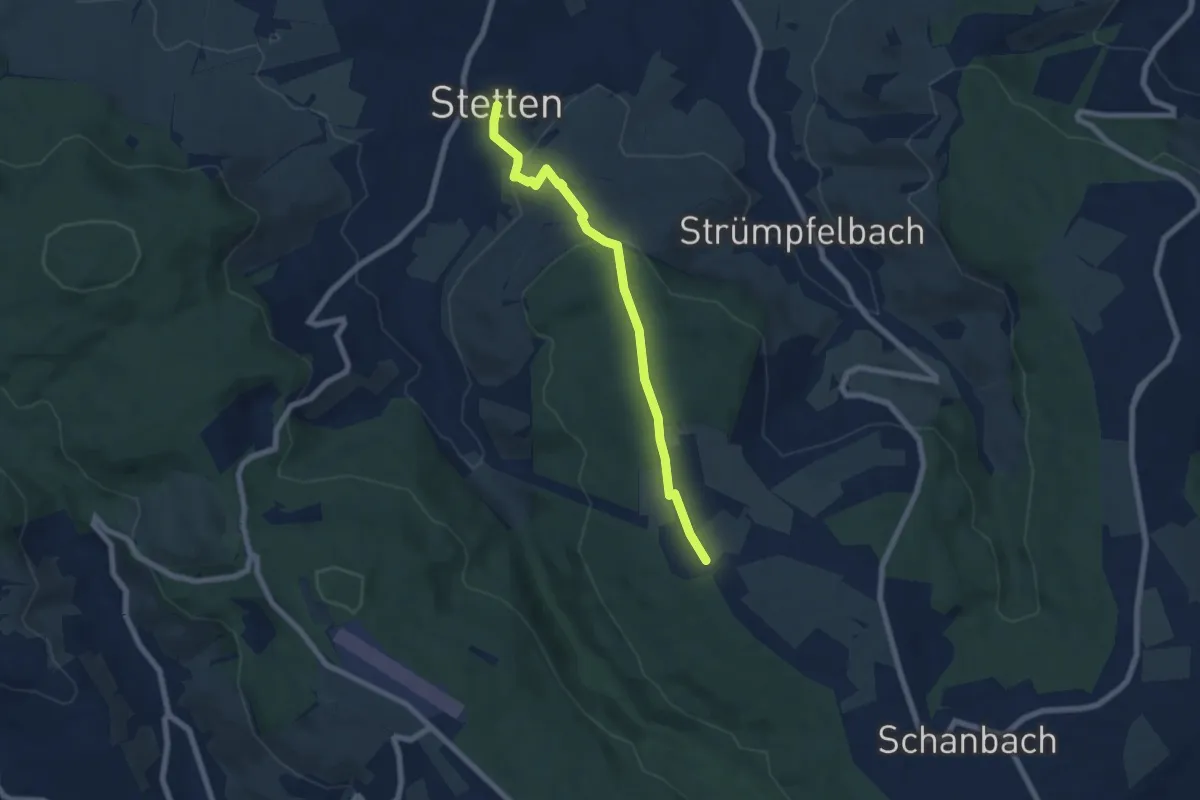
Easy · Trail
Lobenrot - Stetten
6.3 km · ↑ 243 m · 2 h 1 min
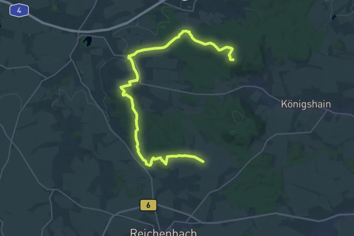
Demanding · Summit
Löbensmüh - Niederrengersdorf
23.9 km · ↑ 492 m · 6 h 43 min
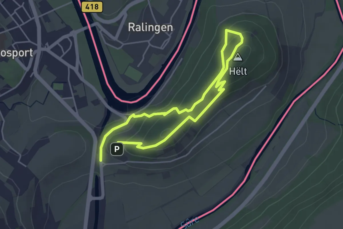
Easy · Summit
Local Hiking Trail R7
3.0 km · ↑ 133 m · 1 h 3 min
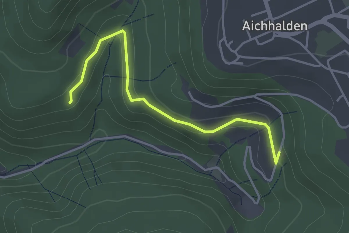
Easy · Trail
? - Loch 8
3.2 km · ↑ 87 m · 56 min
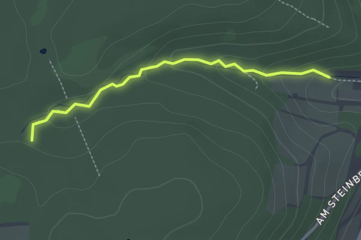
Medium · Trail
Lochbachklamm
2.1 km · ↑ 62 m · 37 min
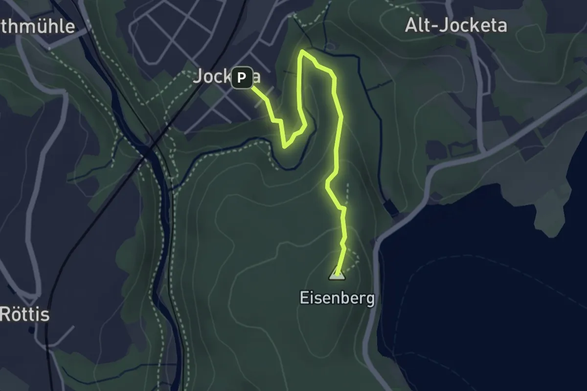
Easy · Summit
Lochbauer-Eisenbergrundweg
3.4 km · ↑ 119 m · 1 h 4 min
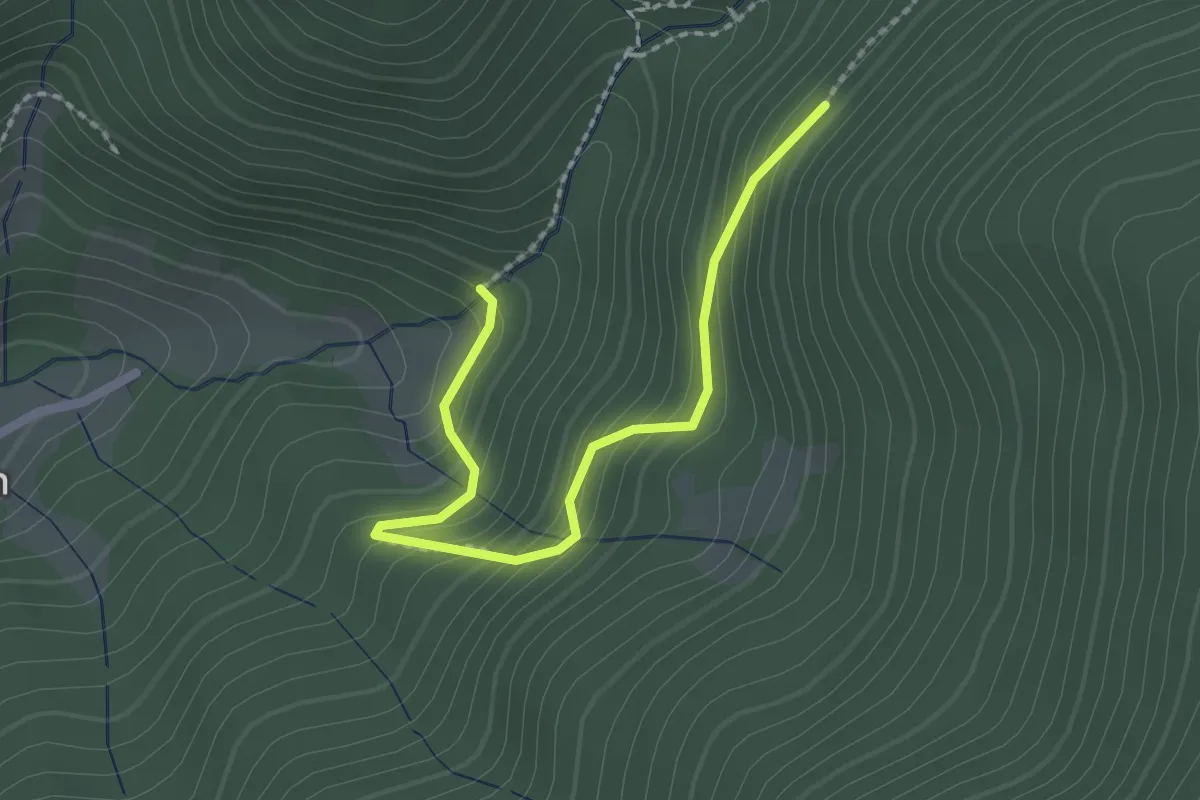
Easy · Trail
Lochbauernhof - Alter Gefällweg
2.1 km · ↑ 232 m · 1 h
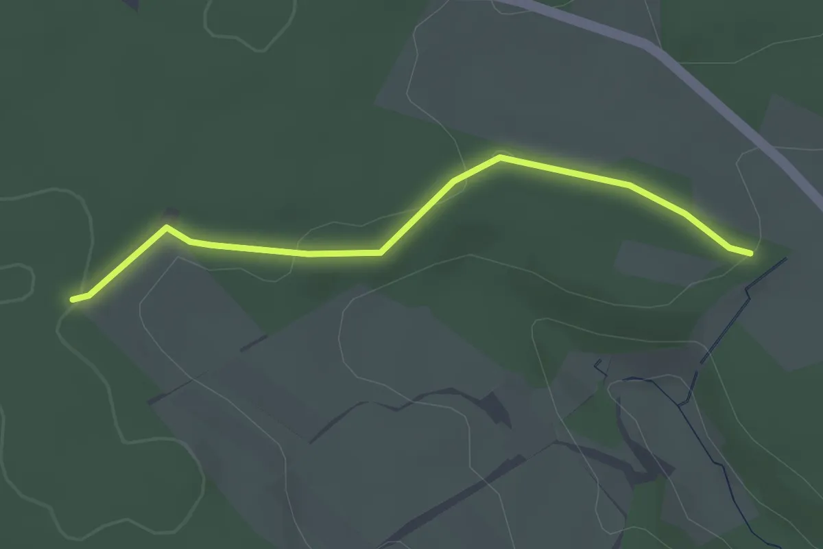
Easy · Trail
Lochbronn - Hinterlehen Ost
2.5 km · ↑ 58 m · 43 min
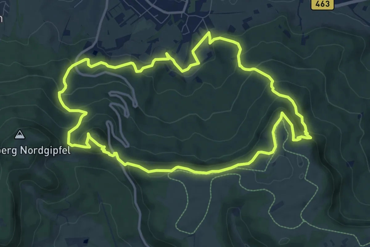
Medium · Summit
Lochenstein-Hörnle-Rundweg
9.8 km · ↑ 497 m · 3 h 31 min
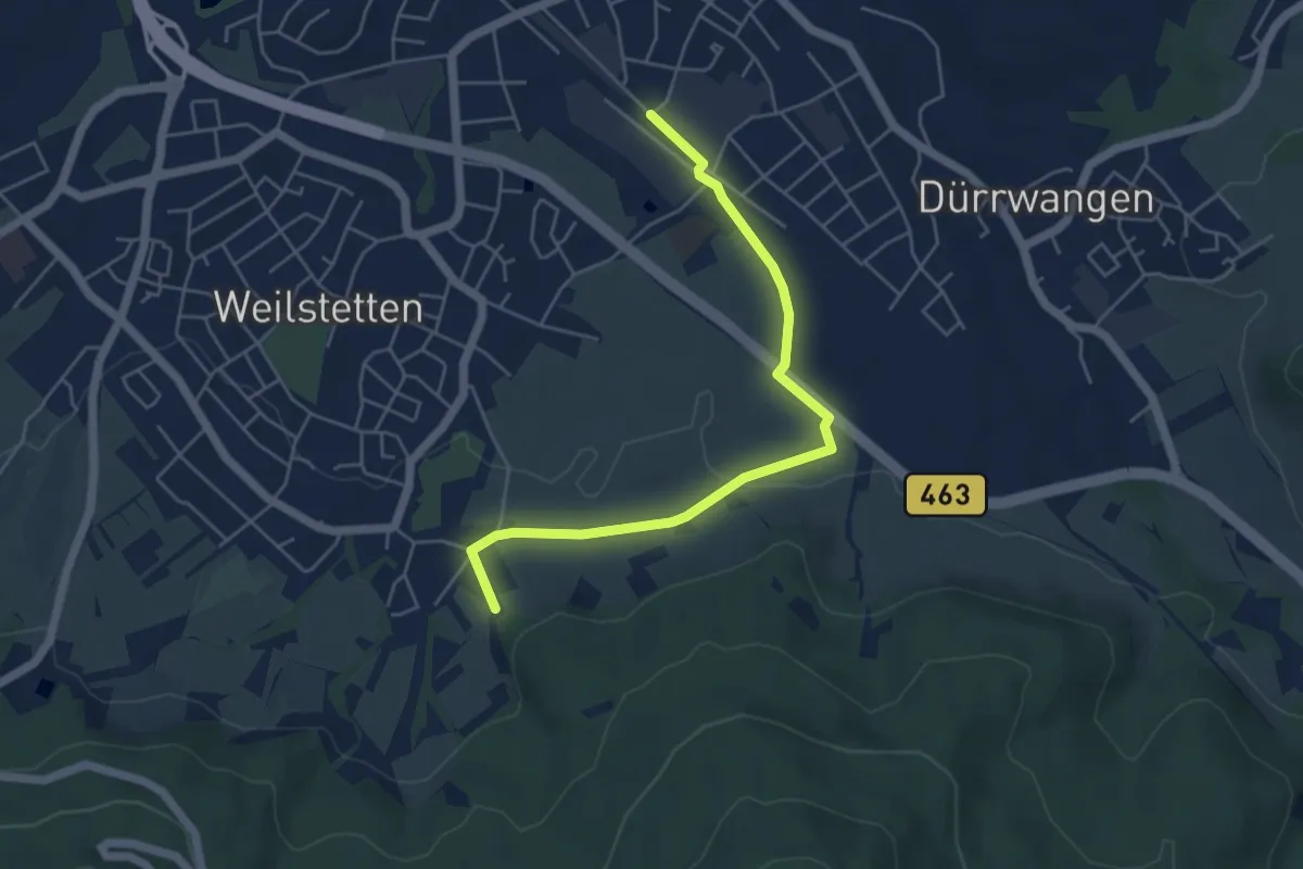
Easy · Trail
Lochenstein-Hörnle-Rundweg - Zugangsweg
5.0 km · ↑ 51 m · 1 h 18 min
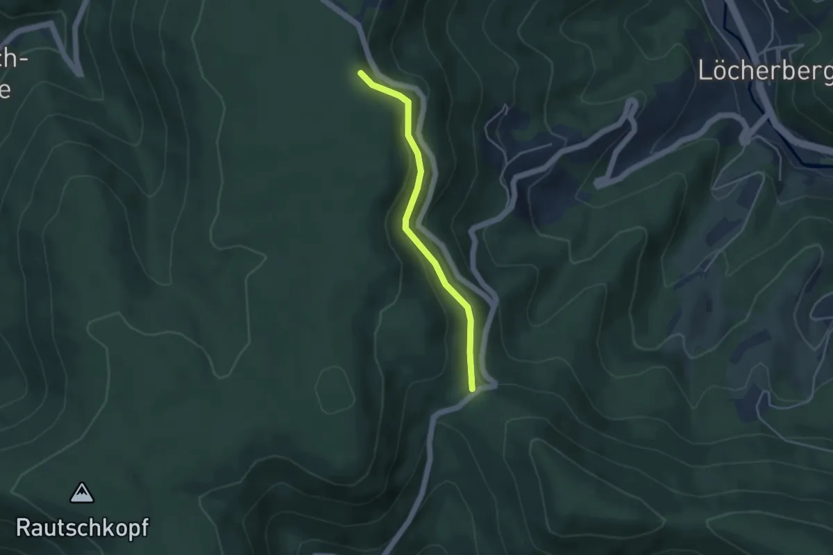
Easy · Trail
Löcherbergwasen - Parallelweg
3.3 km · ↑ 192 m · 1 h 12 min