Trails in Germany
36,852 hiking trails, each with its route, climb, walking time and grade.
All trails, page 330 of 768
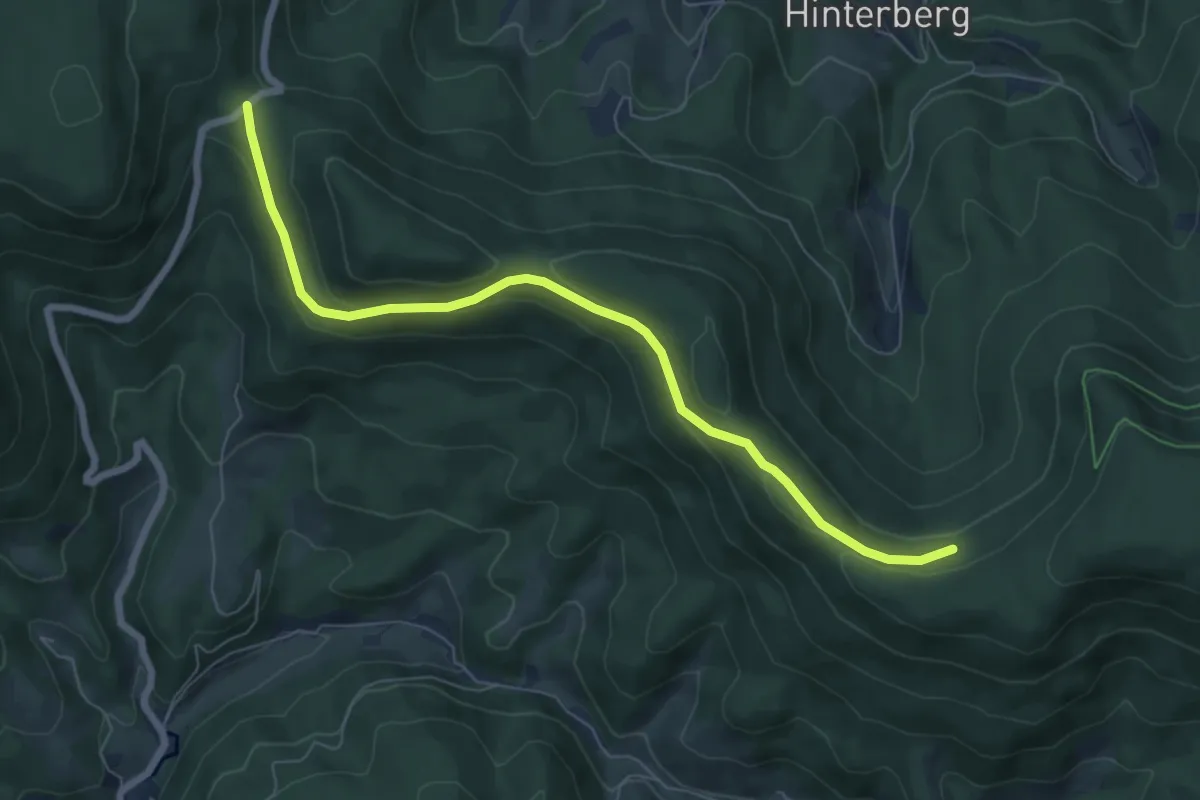
Easy · Trail
Löcherbergwasen - Täfele
6.9 km · ↑ 213 m · 2 h 5 min
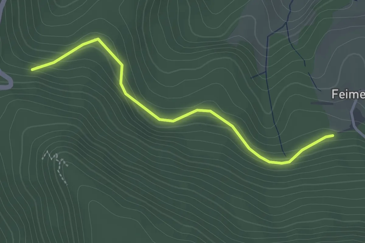
Easy · Trail
Löcherhansenhof - Obere Feimeck
2.7 km · ↑ 131 m · 55 min
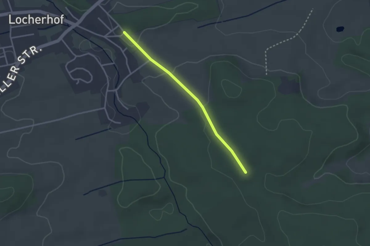
Easy · Trail
Locherhof Friedhof - Frauenholz
2.5 km · ↑ 41 m · 40 min
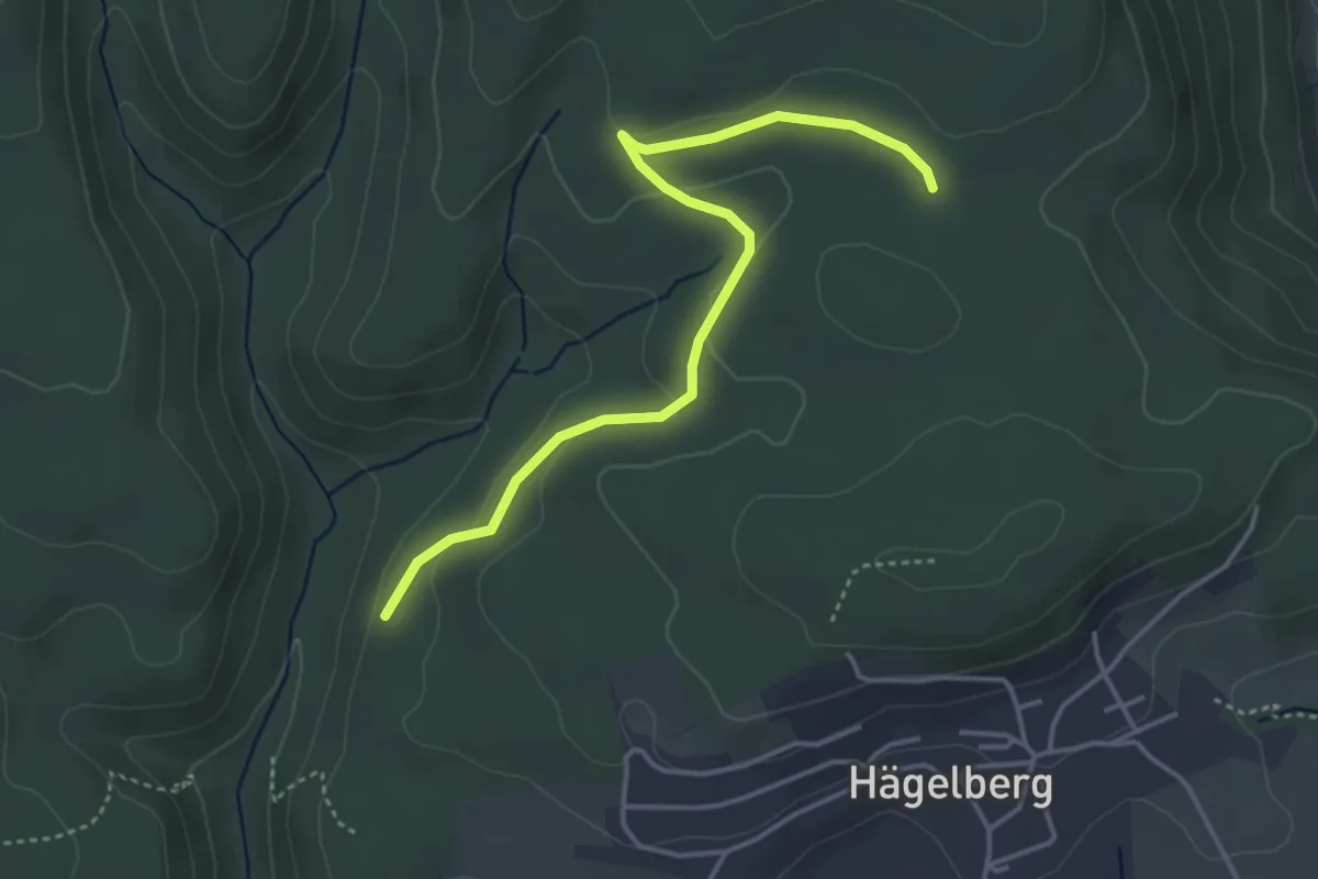
Easy · Trail
Lochhalde - Saatschulhütte
4.1 km · ↑ 78 m · 1 h 8 min
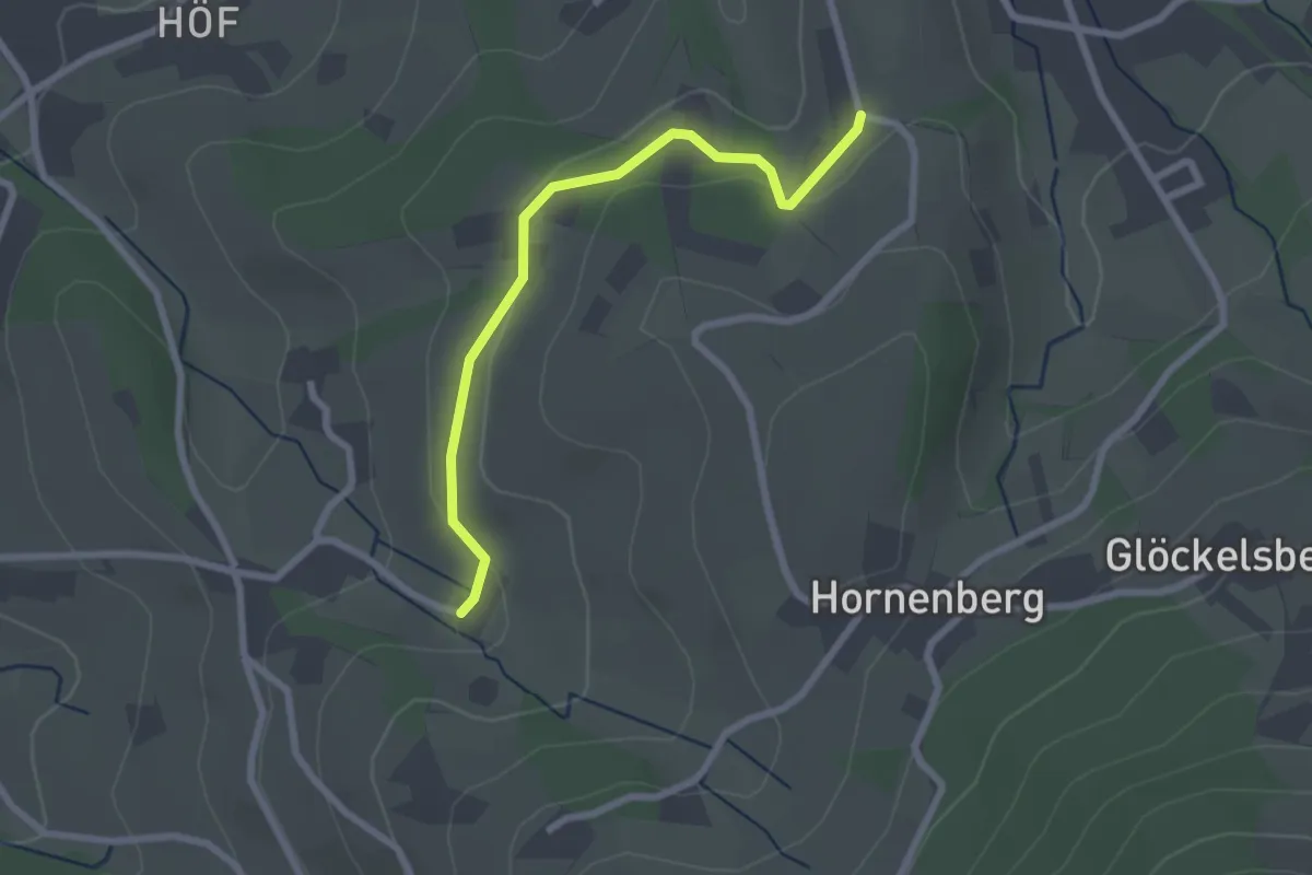
Easy · Trail
Lochhof - Kammerhof
2.3 km · ↑ 45 m · 38 min
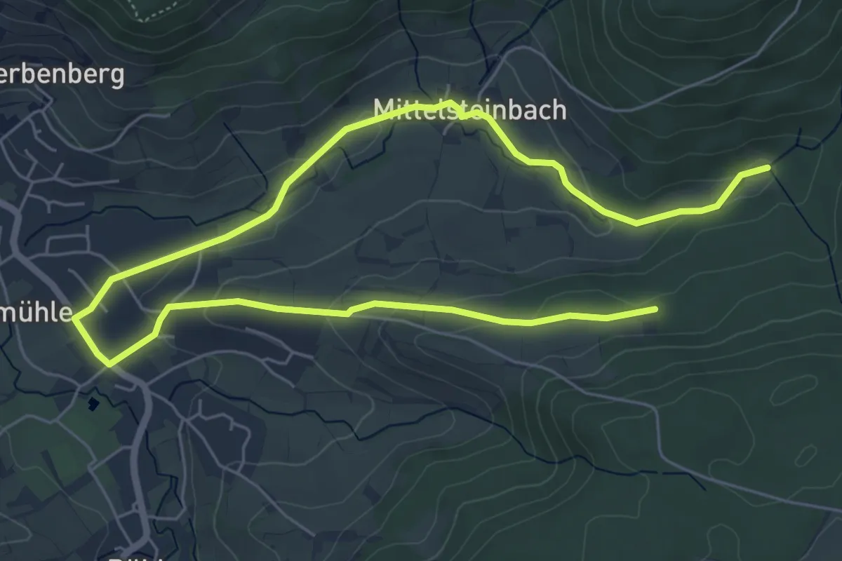
Medium · Trail
Lochklingen Runde
8.7 km · ↑ 153 m · 2 h 24 min
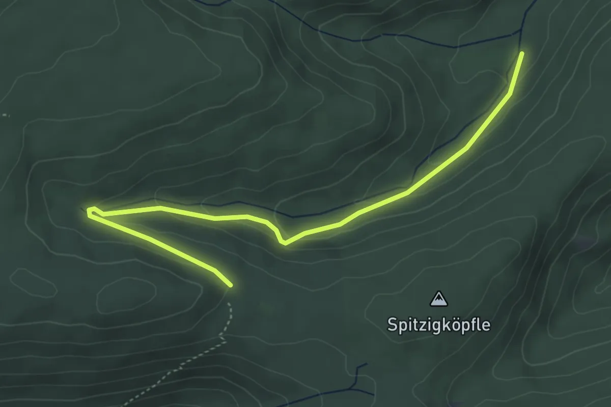
Easy · Trail
Löchleshütte - Neuberg
5.0 km · ↑ 171 m · 1 h 33 min
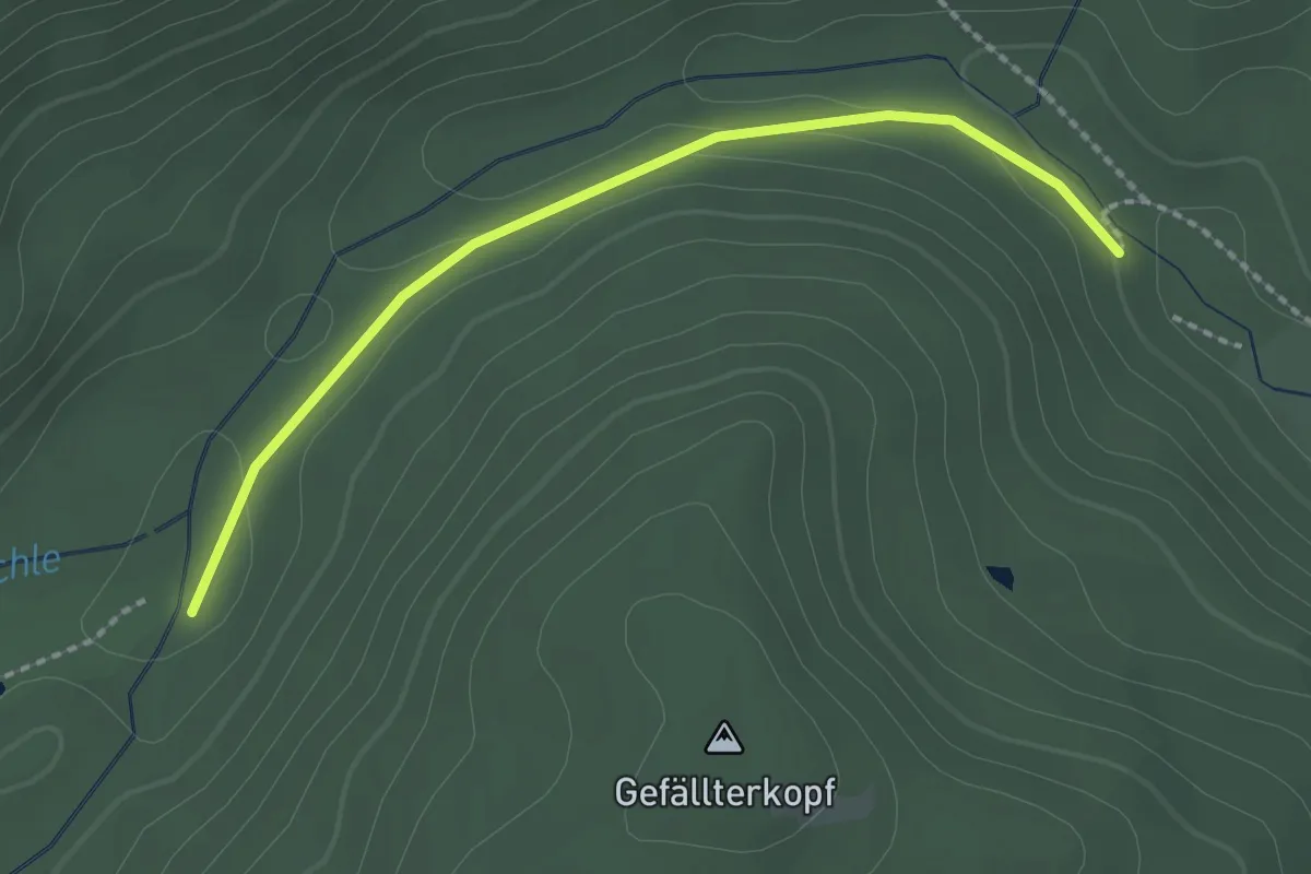
Easy · Trail
Löchleshütte - Pflanzgarten
2.1 km · ↑ 81 m · 40 min
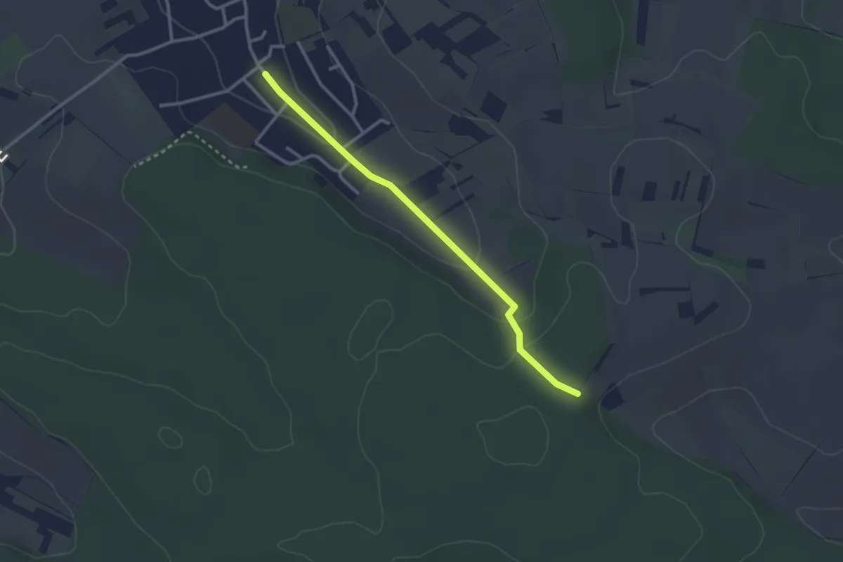
Easy · Trail
Löchlewald Kreuz - Wöschbach Kirche
2.6 km · ↑ 76 m · 47 min
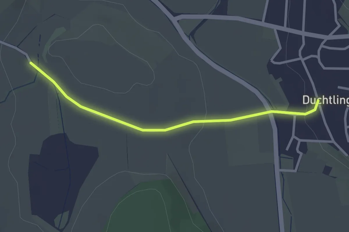
Easy · Trail
Lochmühle - Duchtlingen Hegaustraße
2.4 km · ↑ 28 m · 38 min
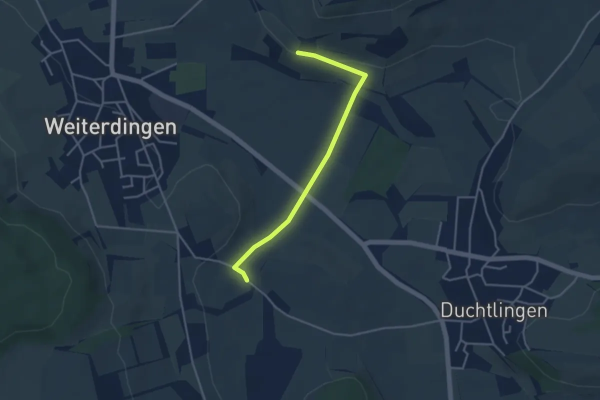
Easy · Trail
Lochmühle - Halden
3.0 km · ↑ 56 m · 50 min
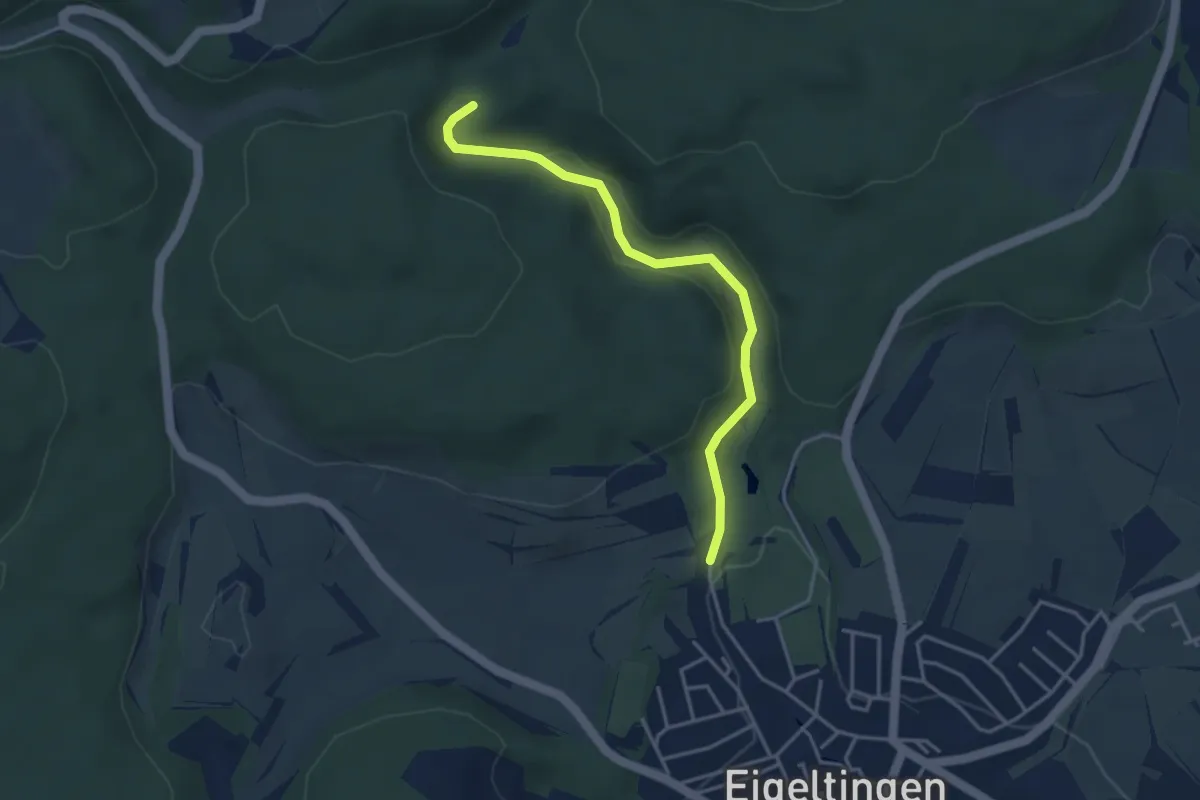
Easy · Trail
Lochmühle - Krebsbachtalbrücke
3.7 km · ↑ 55 m · 59 min
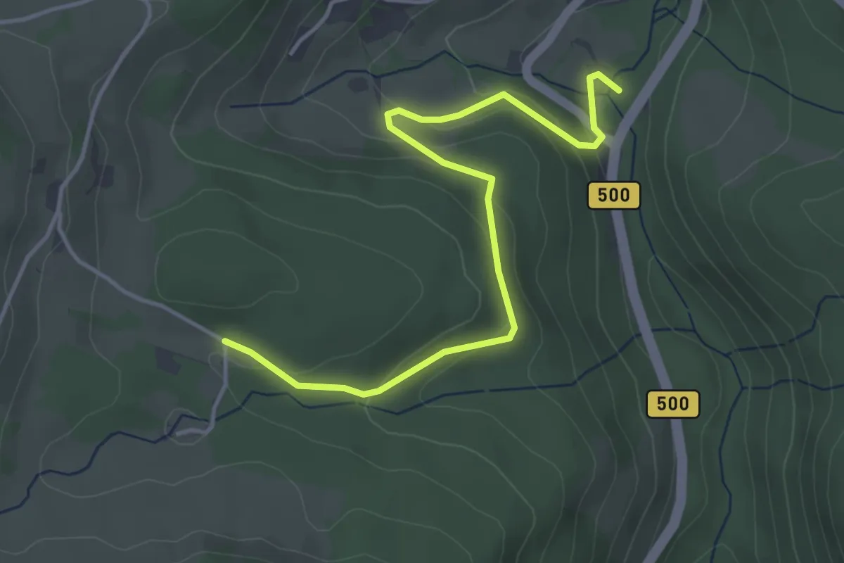
Easy · Trail
Lochmühle - Lochwald
4.3 km · ↑ 160 m · 1 h 22 min
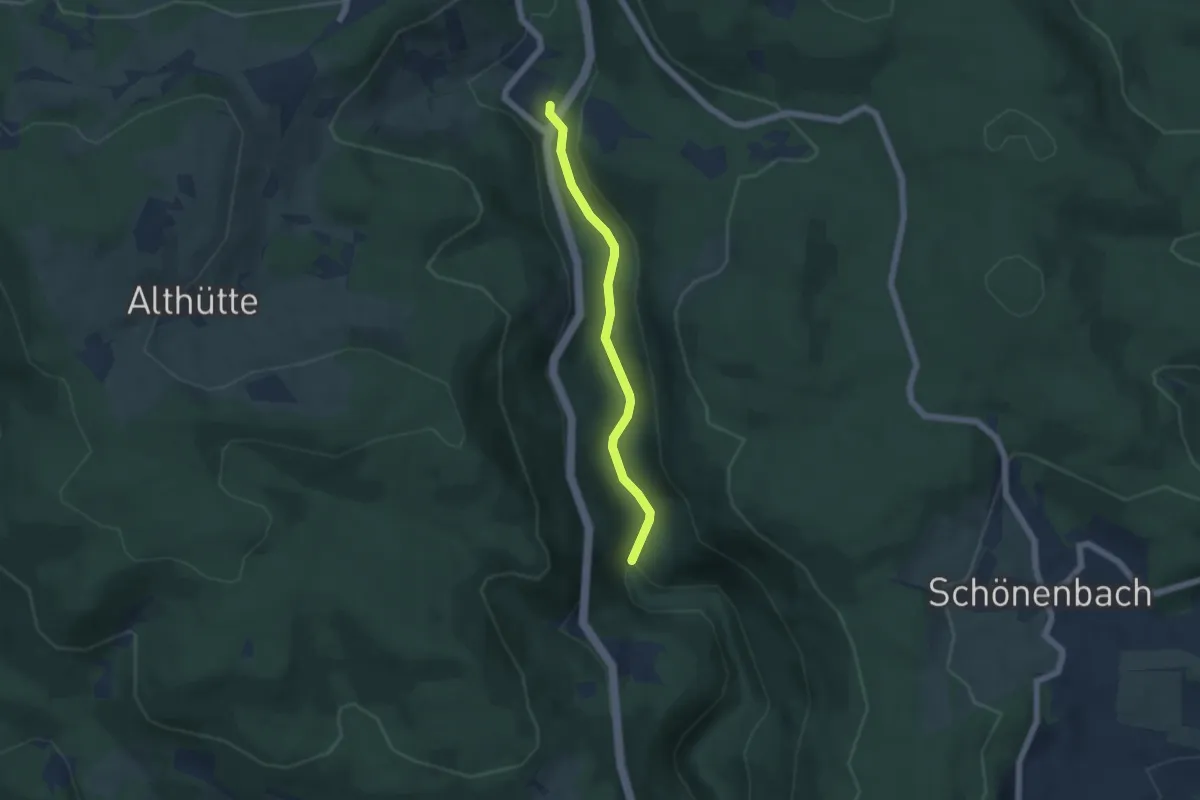
Easy · Trail
Lochmühle - Mahlerhöfle
4.6 km · ↑ 123 m · 1 h 21 min
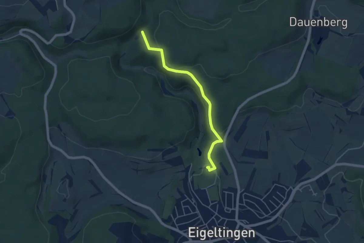
Easy · Trail
Lochmühle Portal - Krebsbachtalhütte
3.9 km · ↑ 148 m · 1 h 15 min
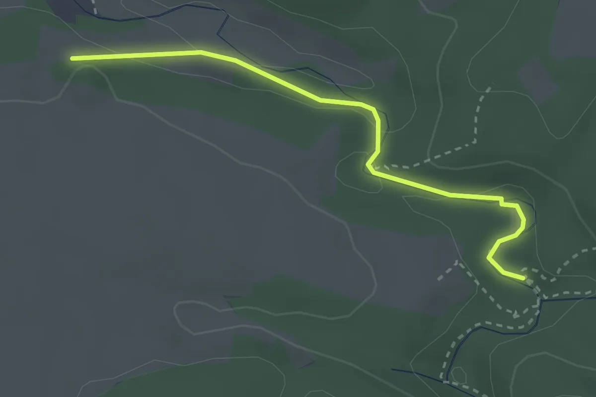
Easy · Trail
Lochmühle - Rüsteig
2.8 km · ↑ 34 m · 44 min
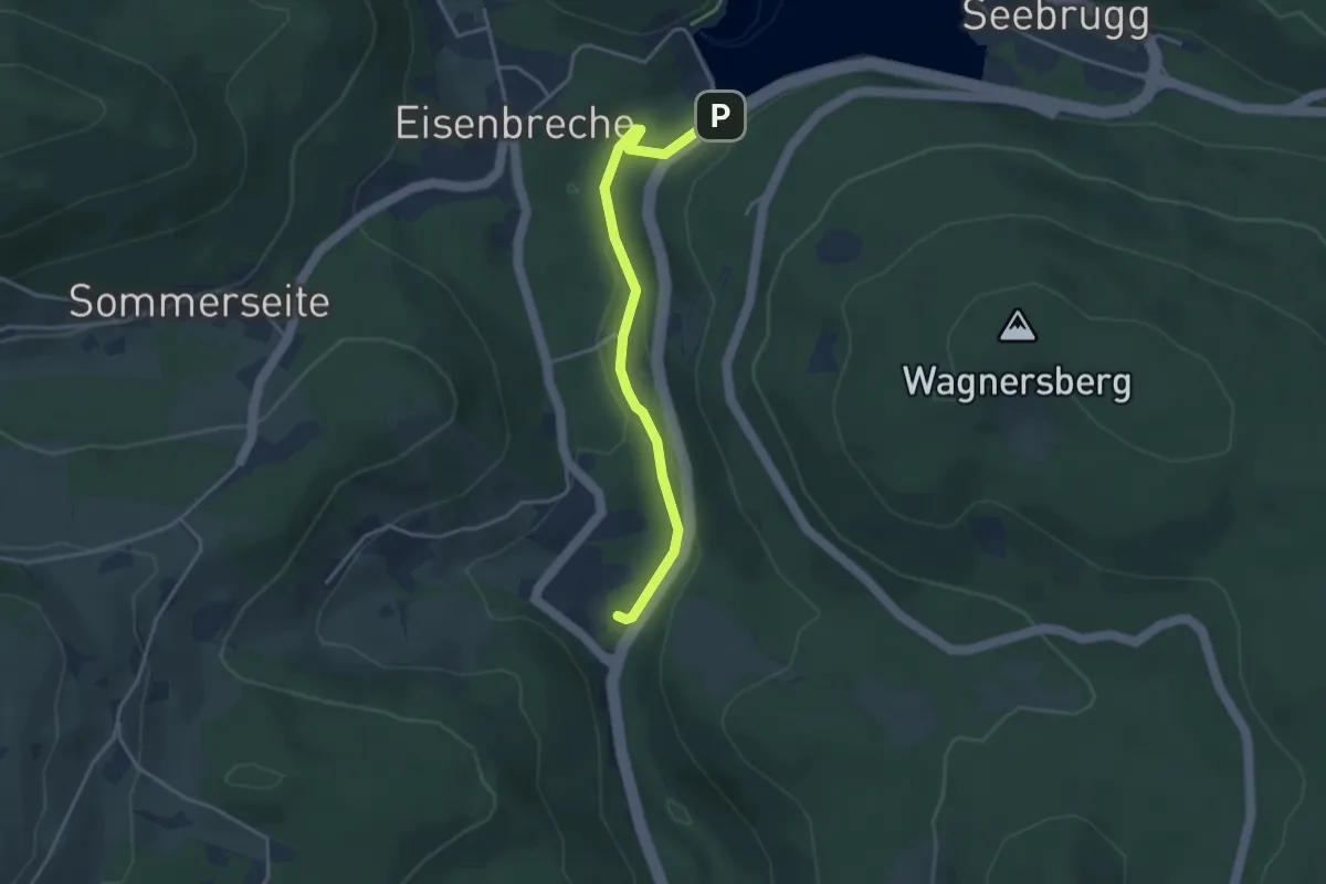
Easy · Trail
Lochmühle - Schluchsee Staumauer
3.5 km · ↑ 115 m · 1 h 4 min
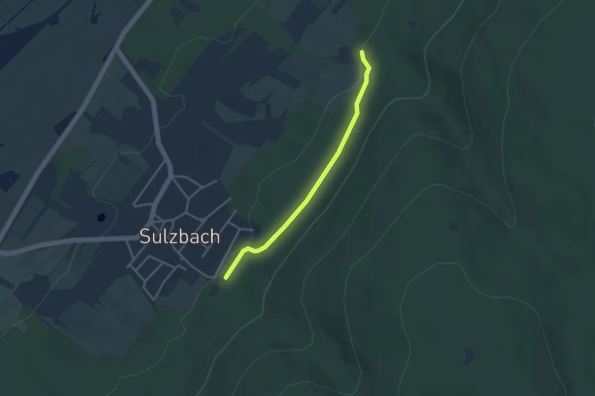
Easy · Trail
Lochmühle - Sulzbach Festplatz
2.5 km · ↑ 59 m · 42 min
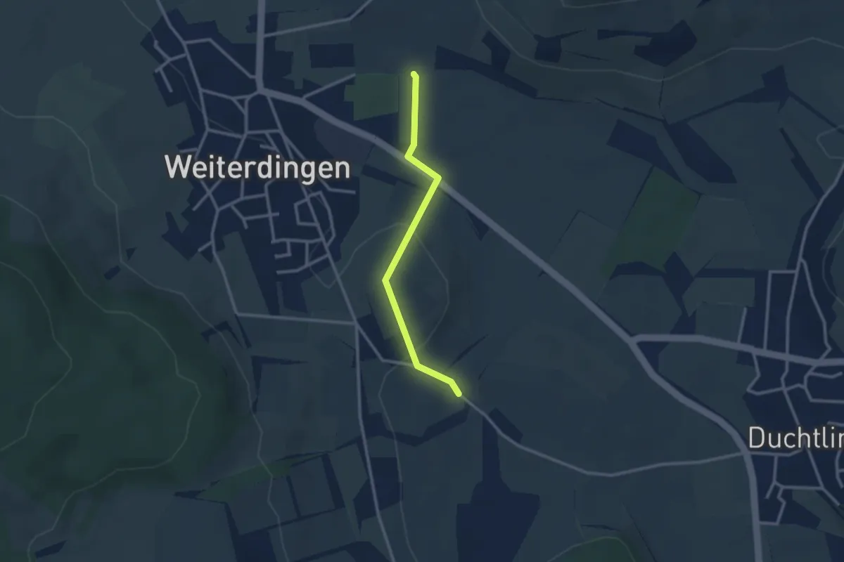
Easy · Trail
Lochmühle - Wiesental
2.4 km · ↑ 79 m · 44 min
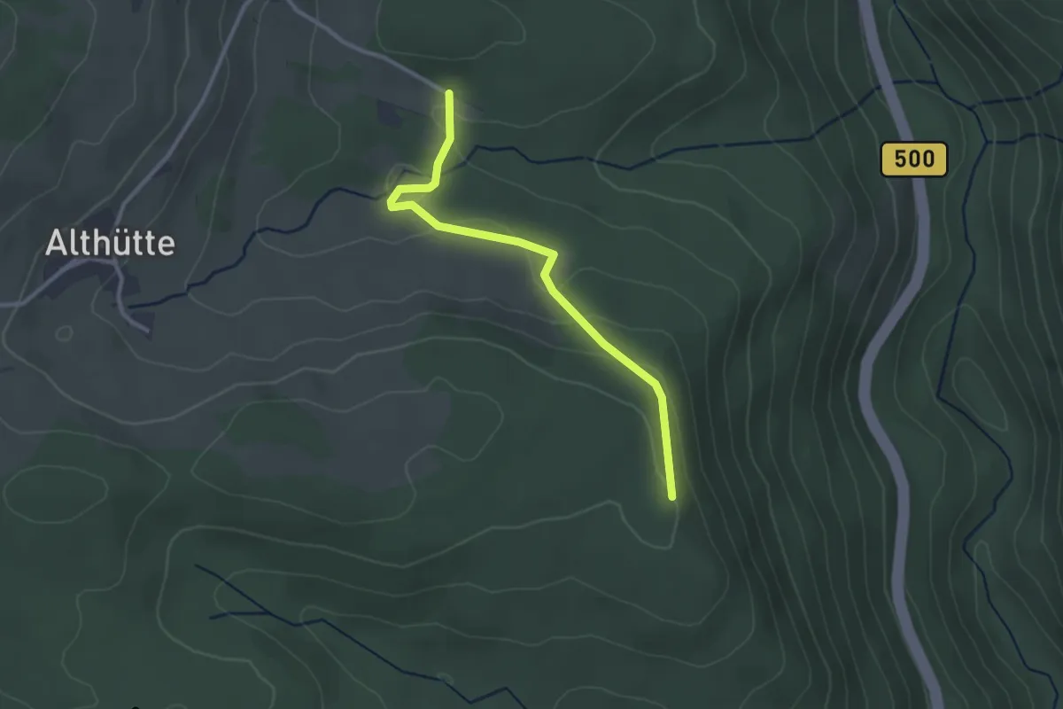
Easy · Trail
Lochwald - Schmalzberg
2.7 km · ↑ 96 m · 51 min
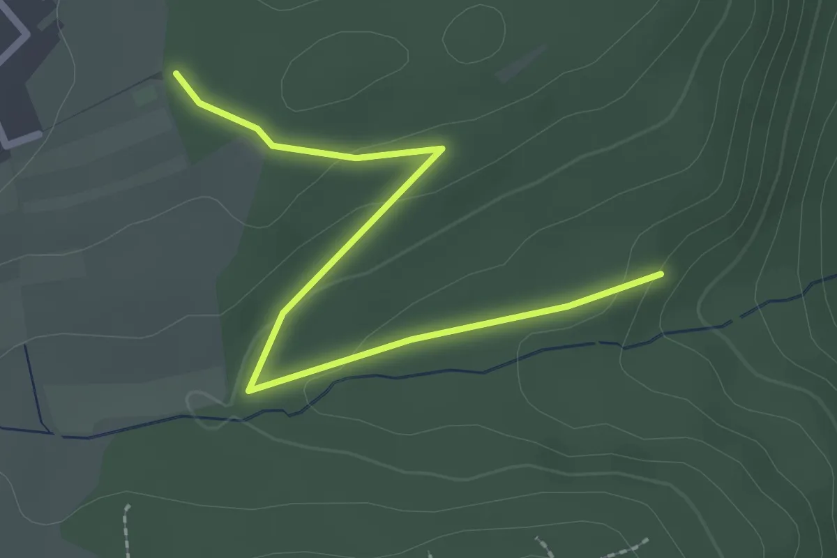
Easy · Trail
Lochwiese - Oberer Lohwald
2.4 km · ↑ 51 m · 41 min
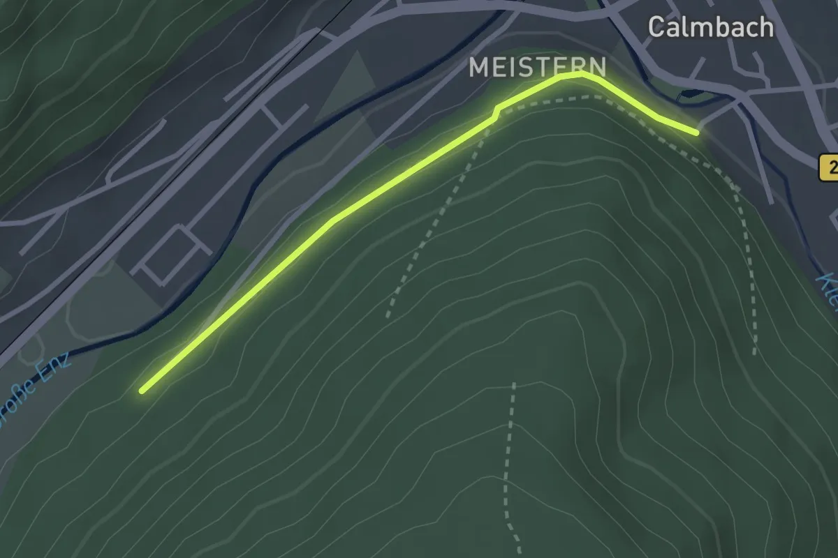
Easy · Trail
Löffelbusch - Konradsrain
2.5 km · ↑ 78 m · 45 min
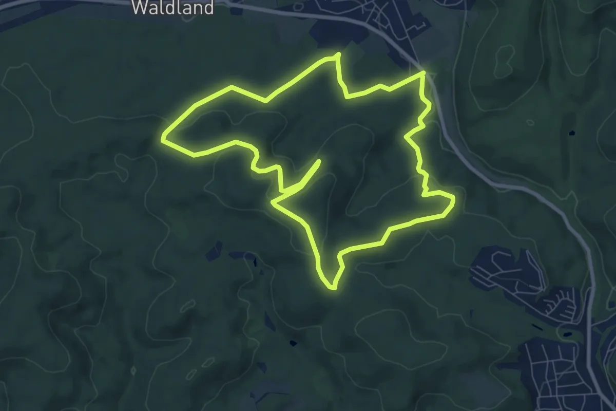
Easy · Summit
Löffelsberg Runde
7.5 km · ↑ 226 m · 2 h 22 min
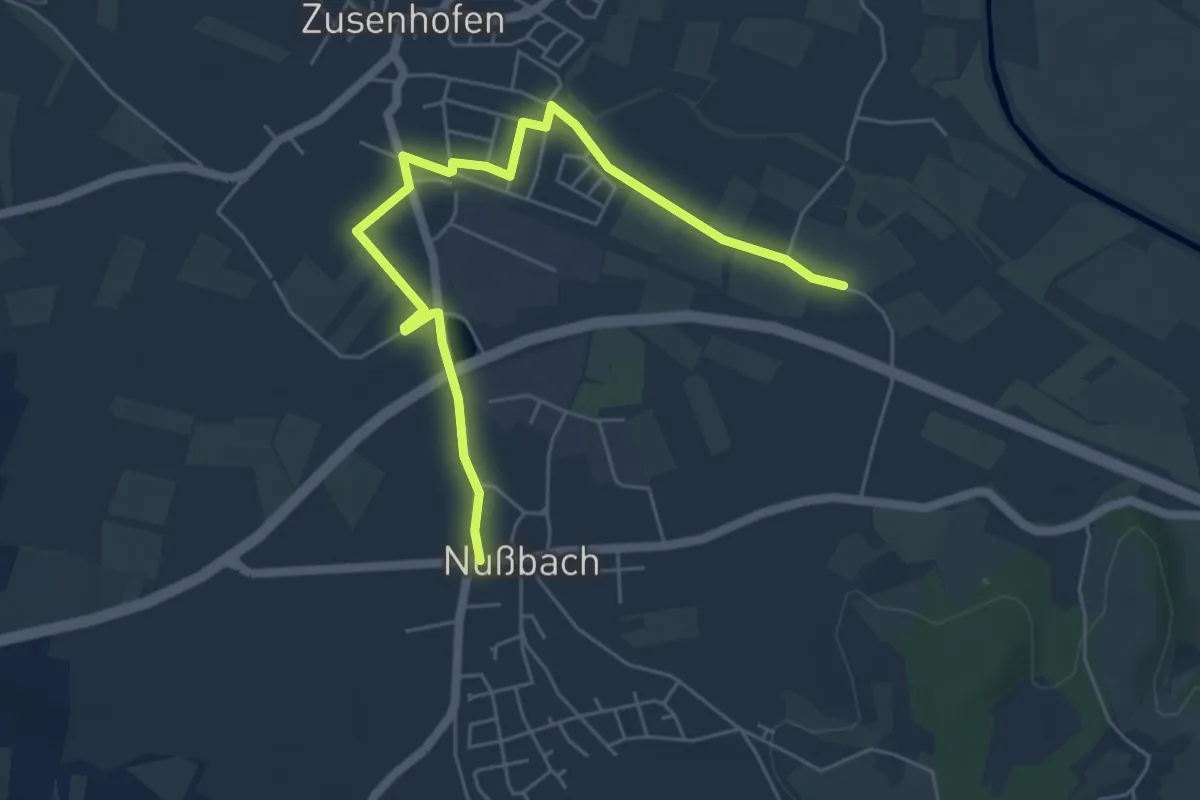
Easy · Trail
Löffelsmatt Gärtnerei Bock - Nußbach Kirche
5.9 km · ↑ 17 m · 1 h 26 min
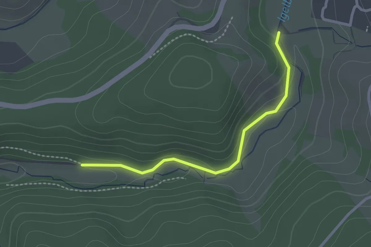
Easy · Trail
Loffenau Igelbachtal - Heuweg
2.0 km · ↑ 50 m · 35 min
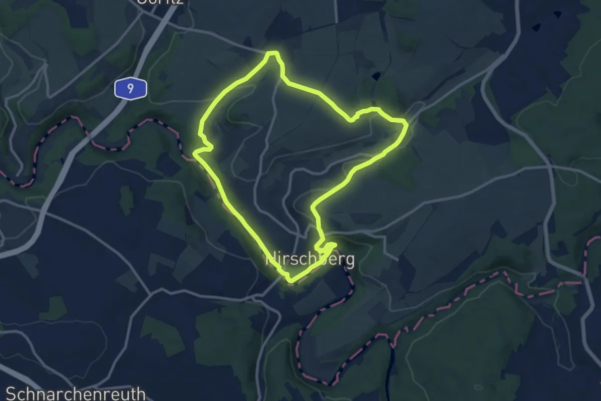
Medium · Trail
Lohbachgrund-Weg US 92
9.0 km · ↑ 142 m · 2 h 34 min
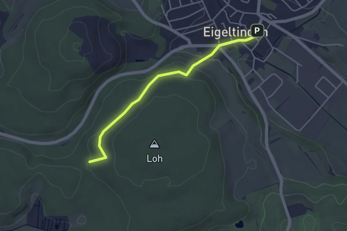
Easy · Trail
Loh - Eigeltingen Rathaus
3.3 km · ↑ 75 m · 56 min
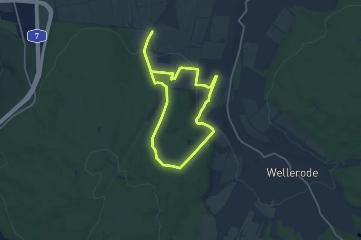
Easy · Trail
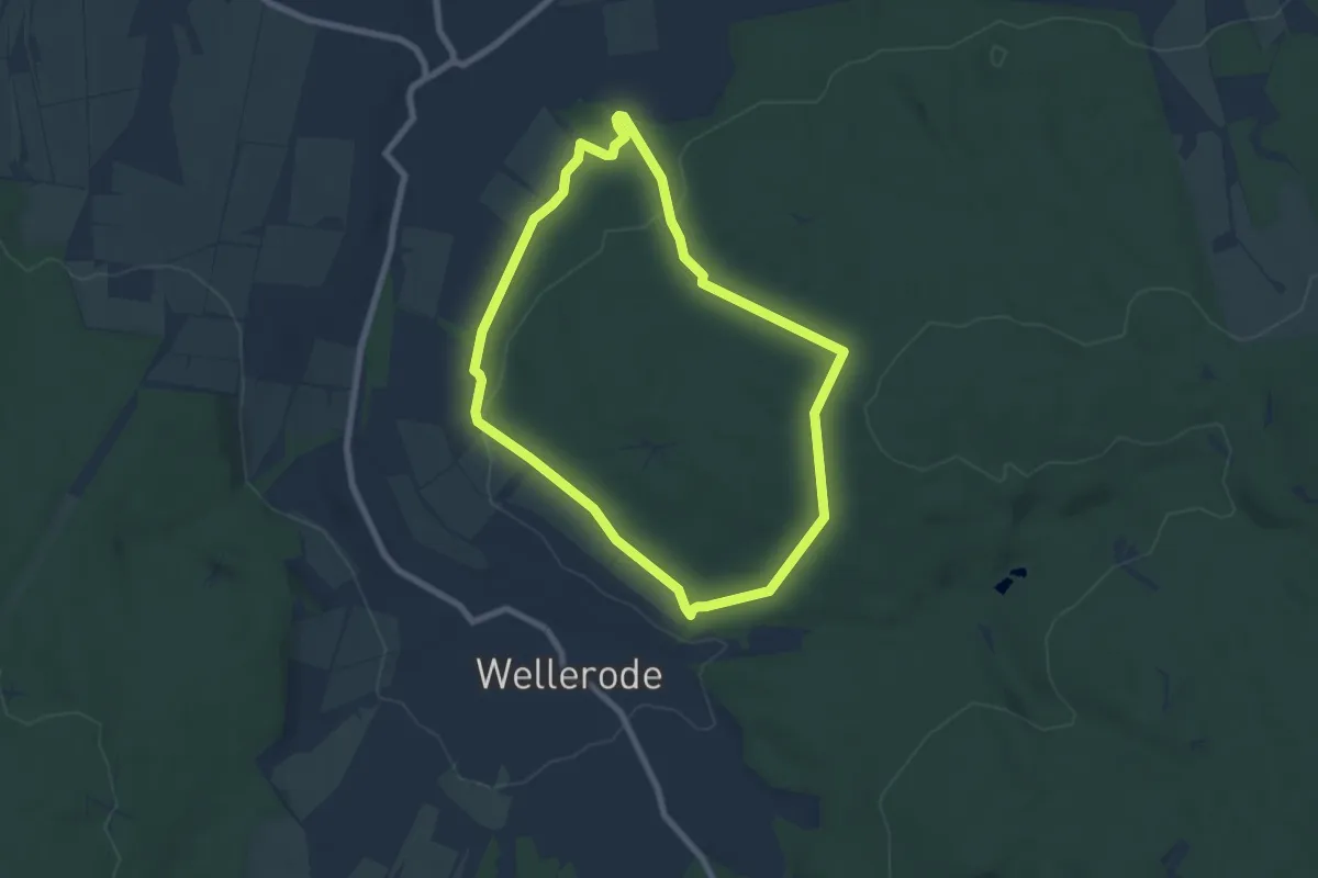
Lohfelden-Crumbach, Rundweg 6
6.7 km · ↑ 168 m · 2 h 2 min
Easy · Trail
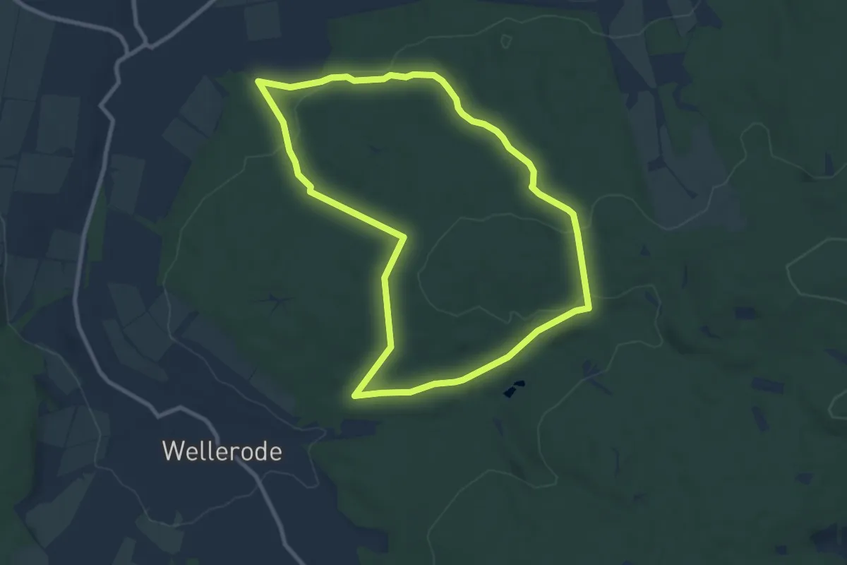
Lohfelden-Vollmarshausen, Rundweg 18
6.1 km · ↑ 161 m · 1 h 53 min
Easy · Trail
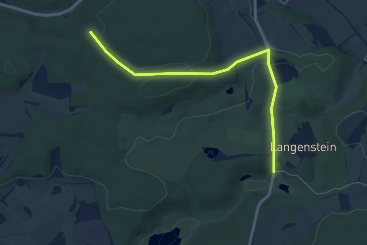
Lohfelden-Vollmarshausen, Rundweg 20
7.7 km · ↑ 198 m · 2 h 21 min
Easy · Trail
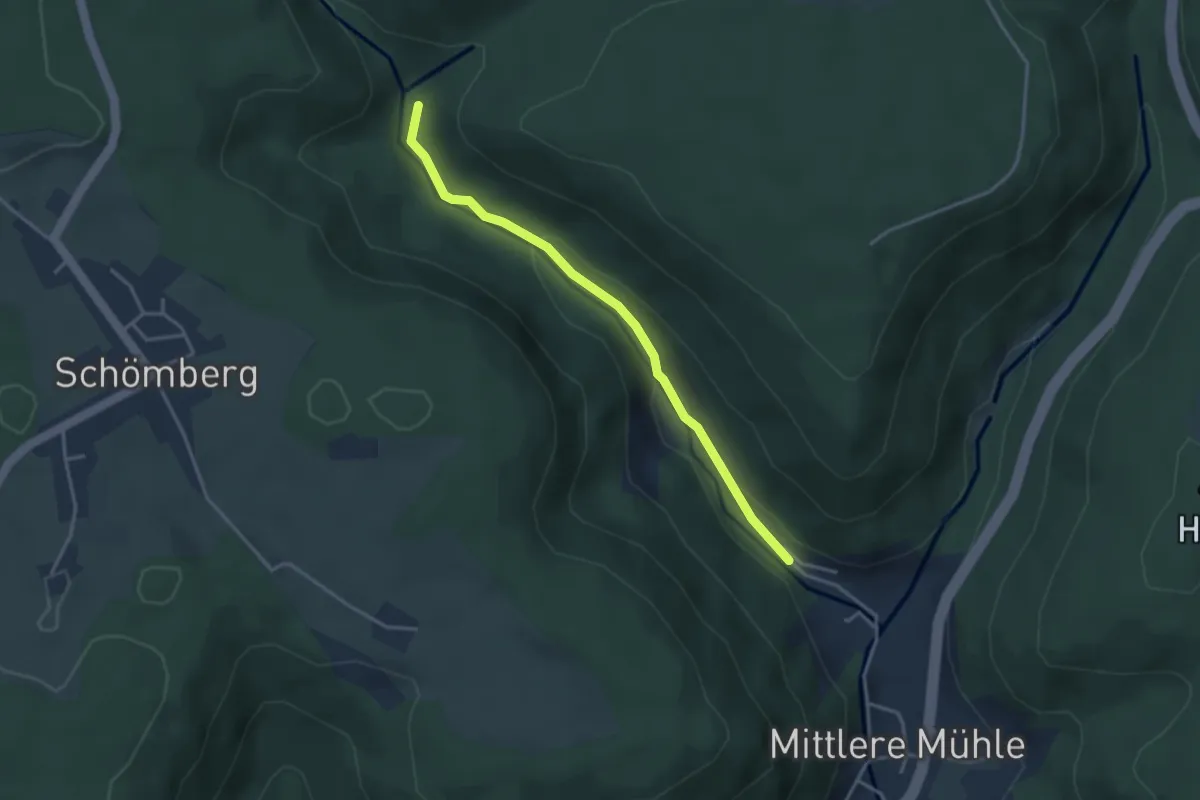
Loh - Langensteiner Durchbruchstal
4.7 km · ↑ 90 m · 1 h 18 min
Easy · Trail
Lohmühlenbach - Lohmühletal
3.3 km · ↑ 80 m · 56 min
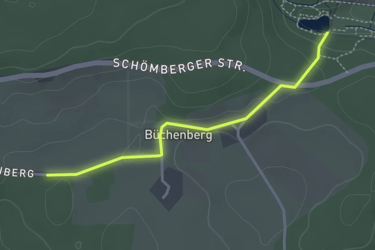
Easy · Trail
Lohmühlensteig - Kinzigsee
2.2 km · ↑ 22 m · 35 min
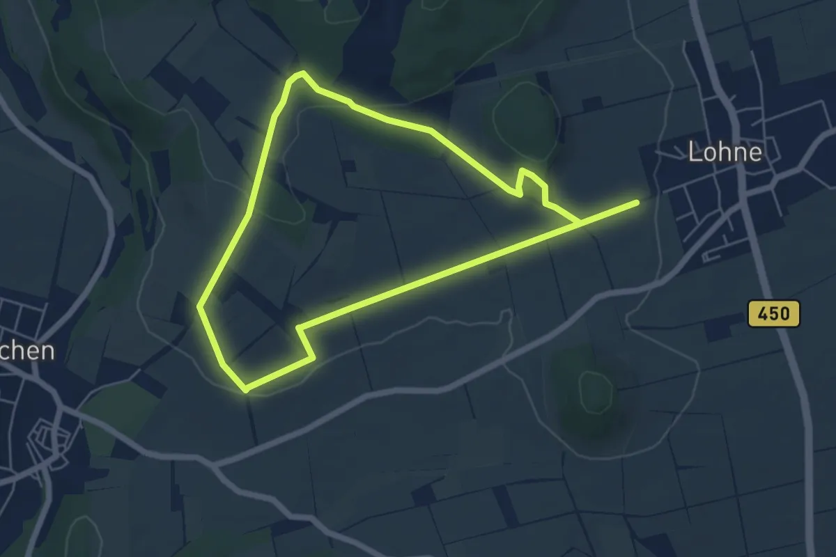
Easy · Trail
Lohne, L1 - Zum Steinkistengrab
4.8 km · ↑ 97 m · 1 h 25 min
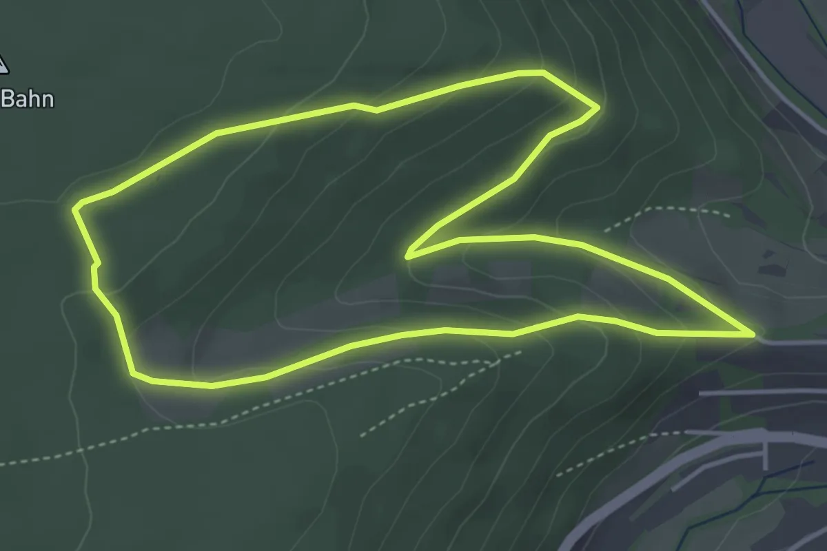
Easy · Trail
Lohrer Waldlehrpfad
4.0 km · ↑ 188 m · 1 h 25 min
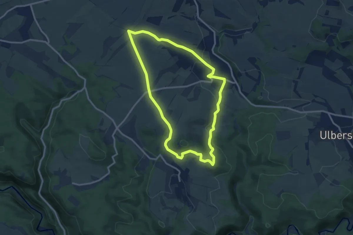
Easy · Trail
Lohsdorfer Rundweg
7.3 km · ↑ 138 m · 2 h 7 min
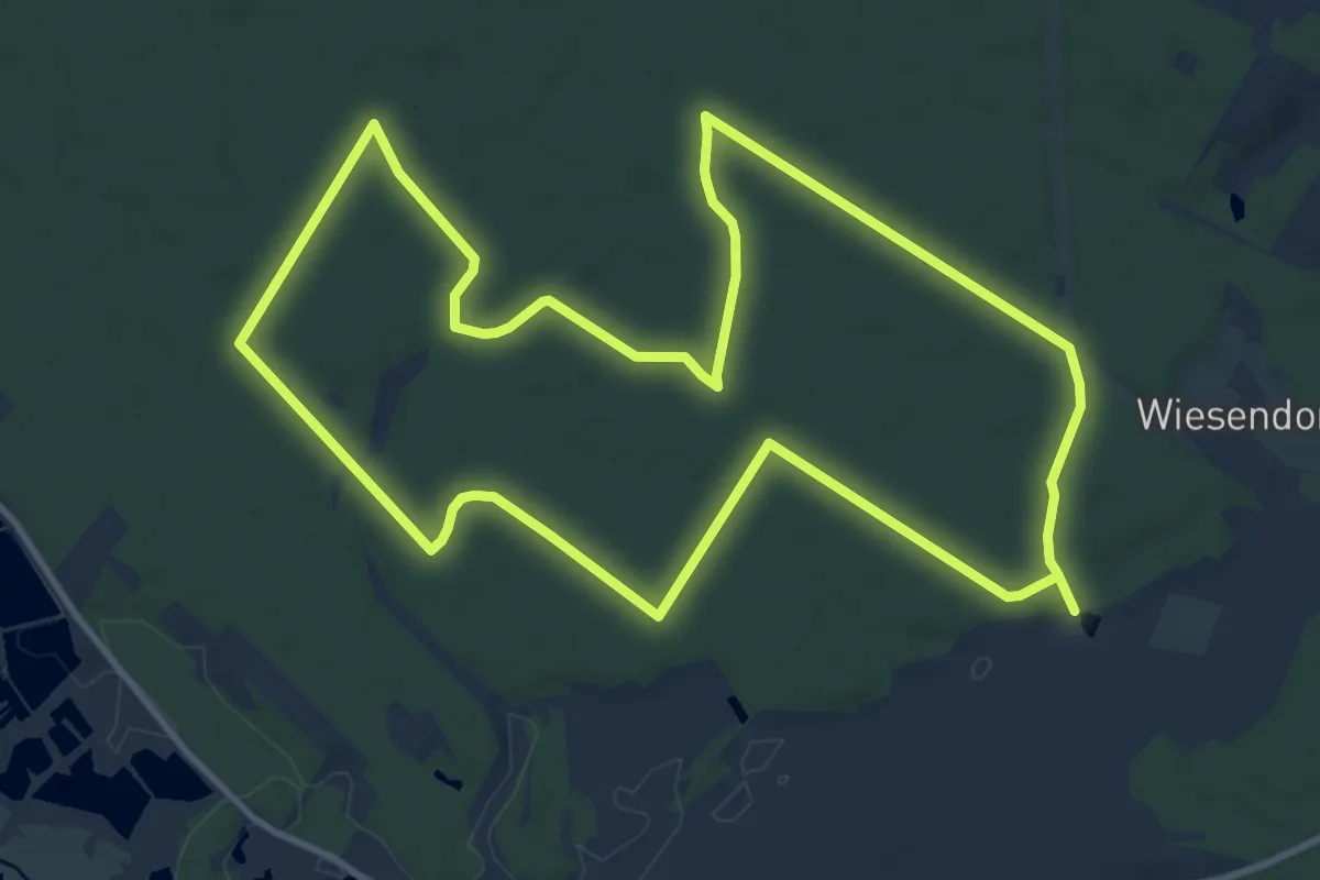
Medium · Trail
Lohweg
11.7 km · ↑ 31 m · 3 h
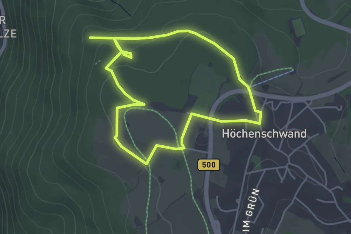
Easy · Trail
Loipenhäusle-Runde
3.5 km · ↑ 59 m · 1 h 1 min
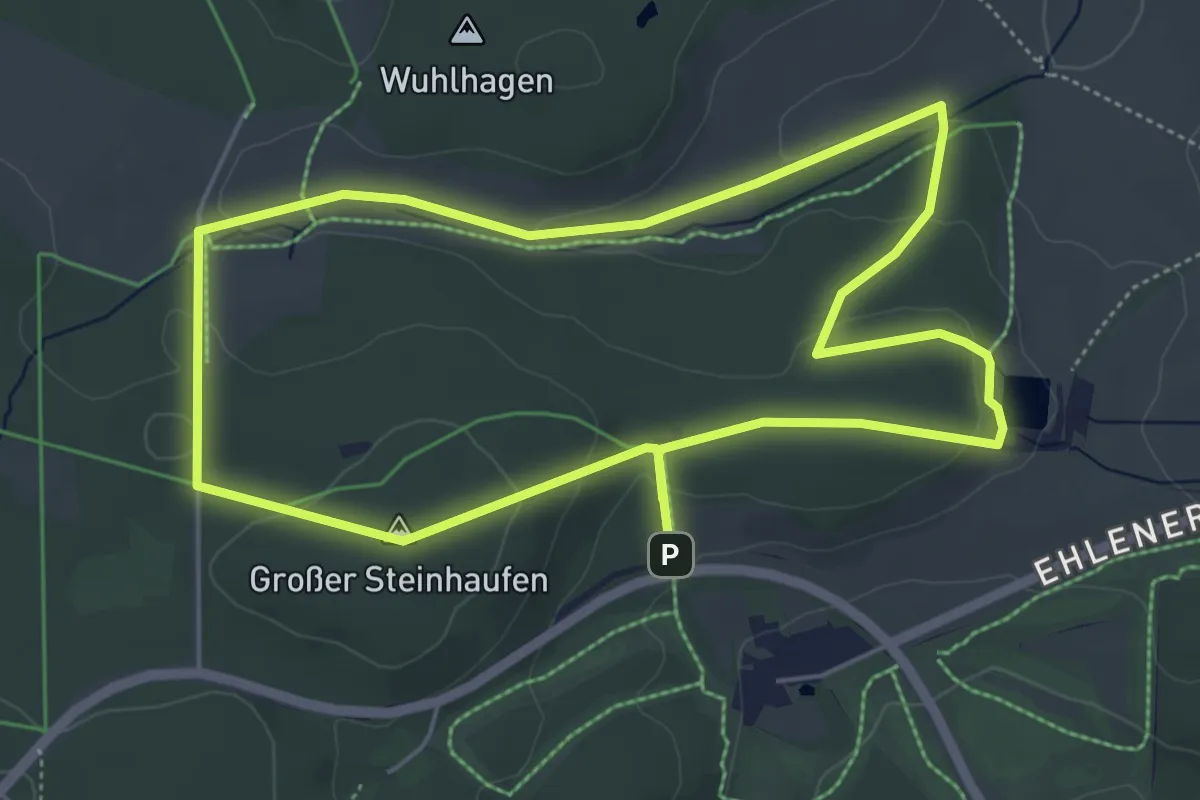
Easy · Summit
Loipenhaus, Naturparkweg 7
5.0 km · ↑ 129 m · 1 h 32 min
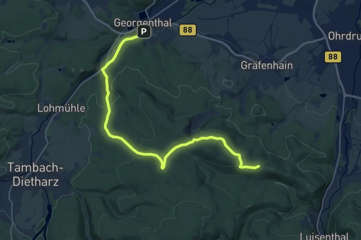
Medium · Trail
Lokaler Wanderweg Georgenthal - Luisenthal
17.1 km · ↑ 376 m · 4 h 51 min
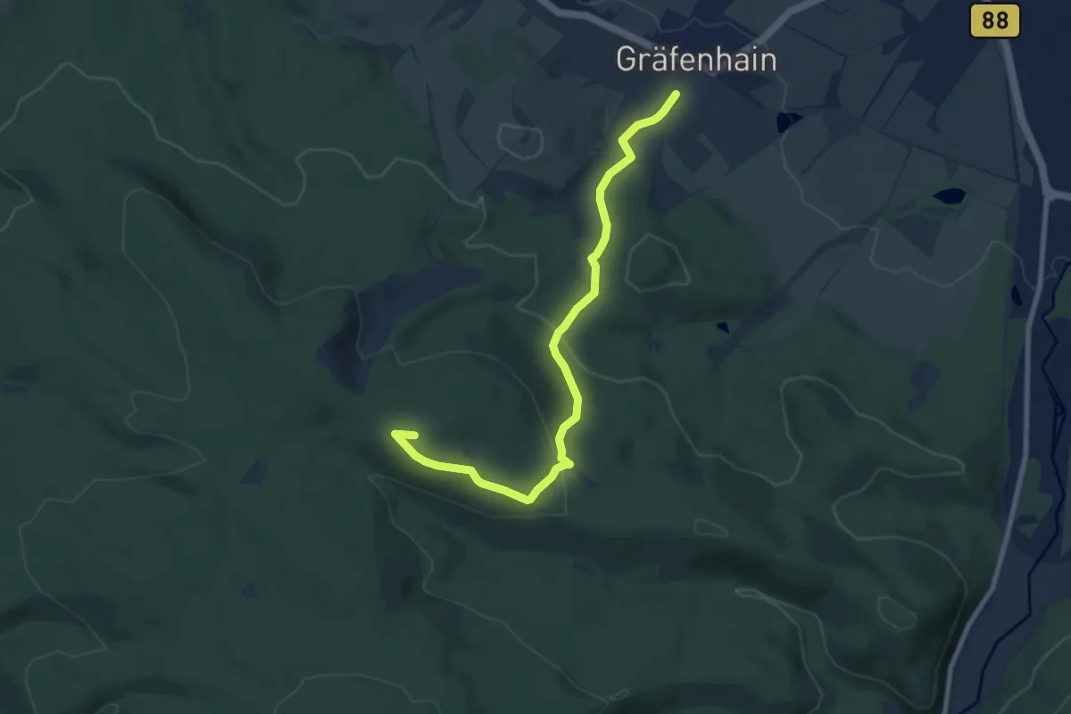
Easy · Summit
Lokaler Wanderweg Gräfenhain - Steigerhaus
7.9 km · ↑ 257 m · 2 h 25 min
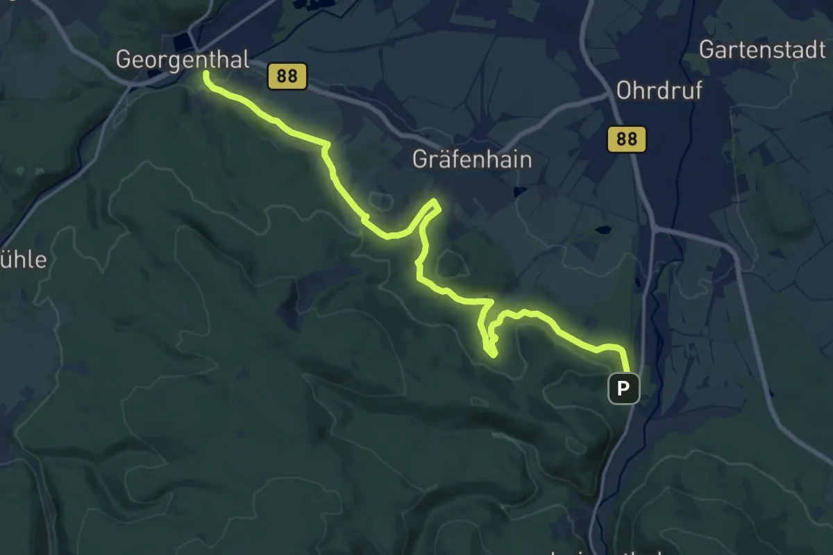
Medium · Trail
Lokaler Wanderweg Luisenthal - Georgenthal
17.4 km · ↑ 391 m · 4 h 58 min
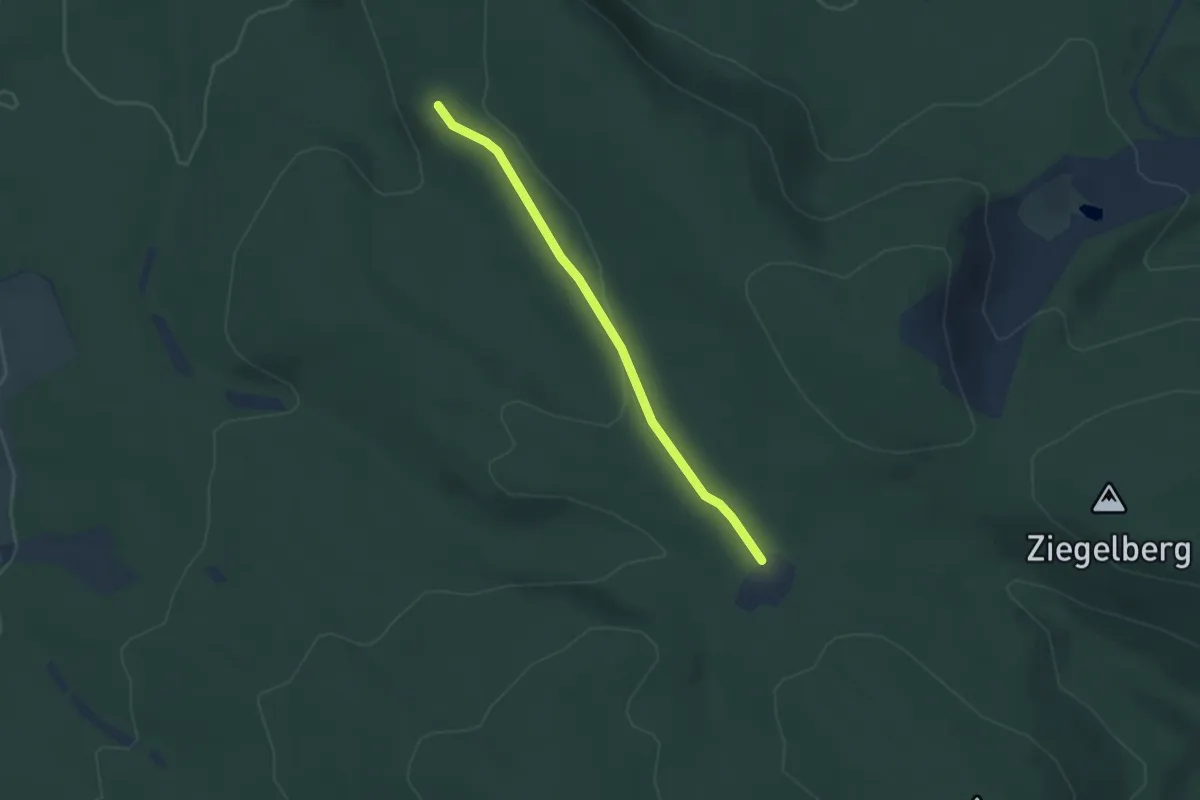
Easy · Trail
Lokaler Wanderweg Steigerhaus - Georgenthal
3.1 km · ↑ 52 m · 50 min
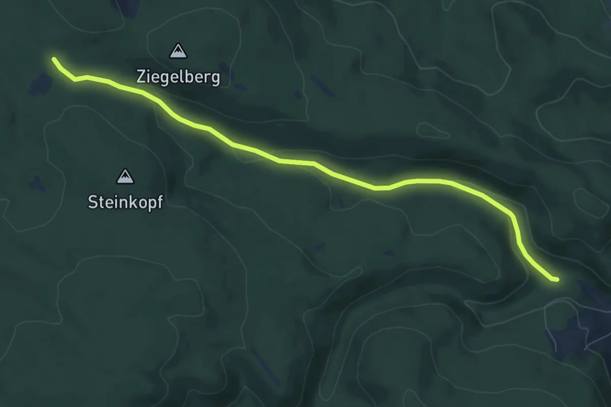
Easy · Trail
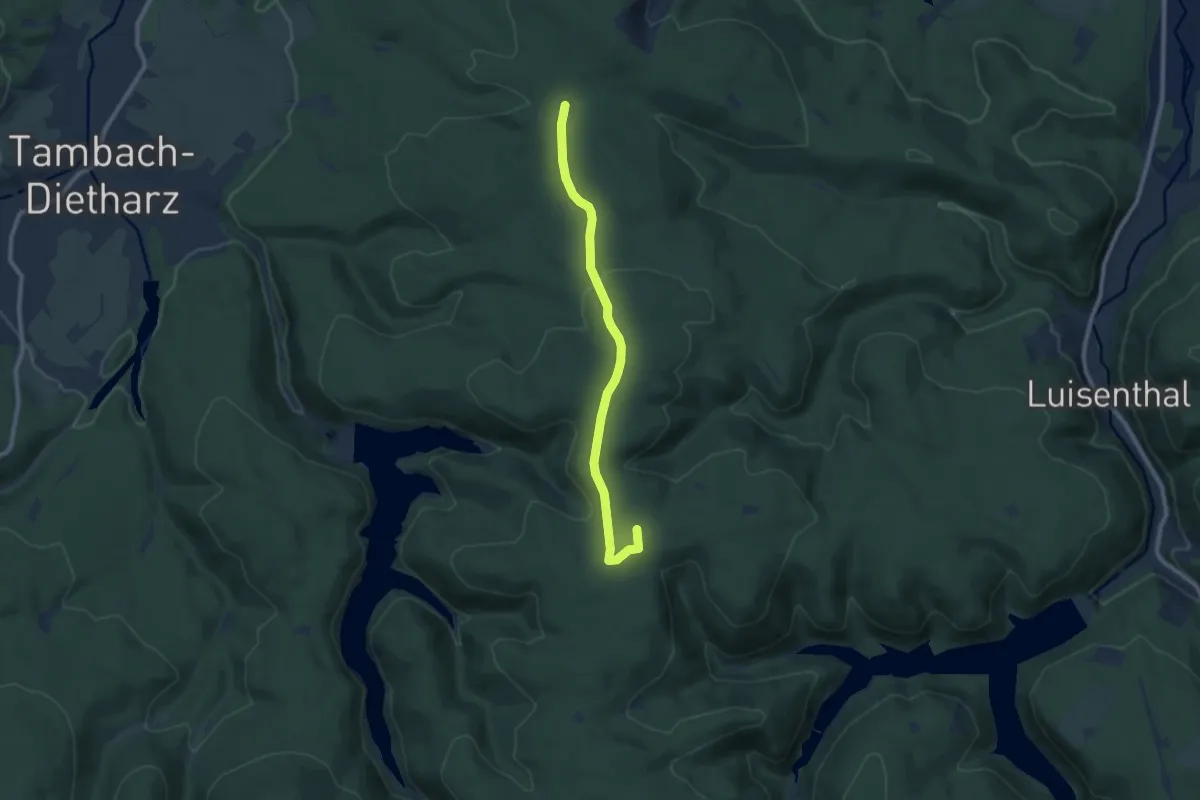
Lokaler Wanderweg - Steigerhaus - Luisenthal
7.9 km · ↑ 198 m · 2 h 17 min
Easy · Summit
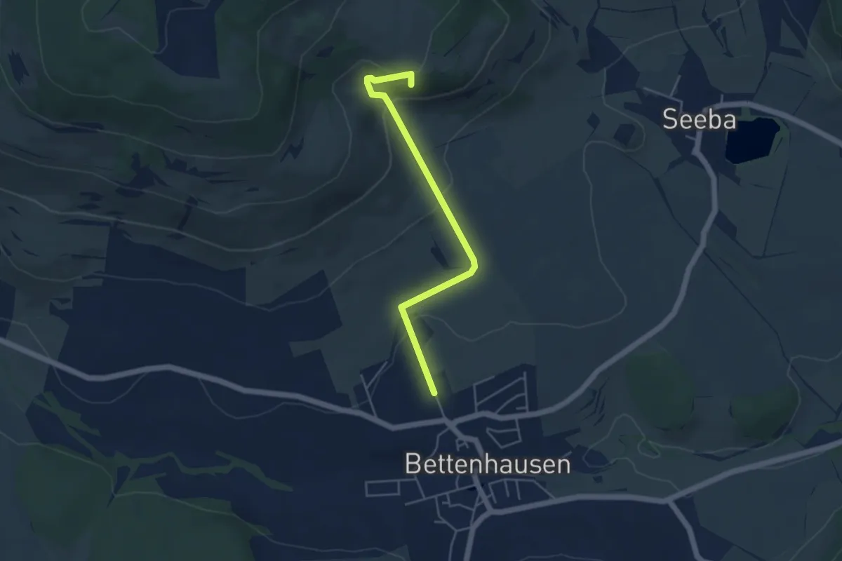
Lokaler Wanderweg Steigerhaus - Schmalwassertalsperre
7.9 km · ↑ 166 m · 2 h 14 min
Easy · Summit
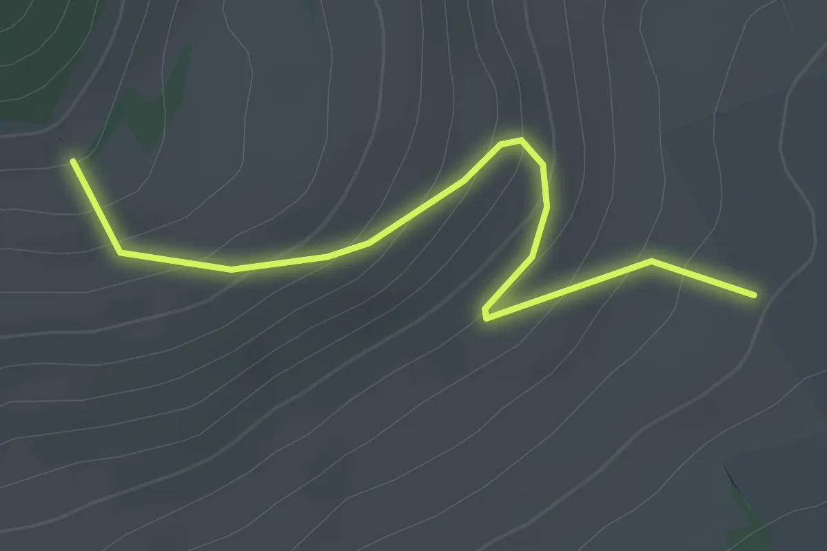
Lokaler Wanderweg - Träbes - Bettenhausen
4.1 km · ↑ 174 m · 1 h 21 min
Easy · Trail
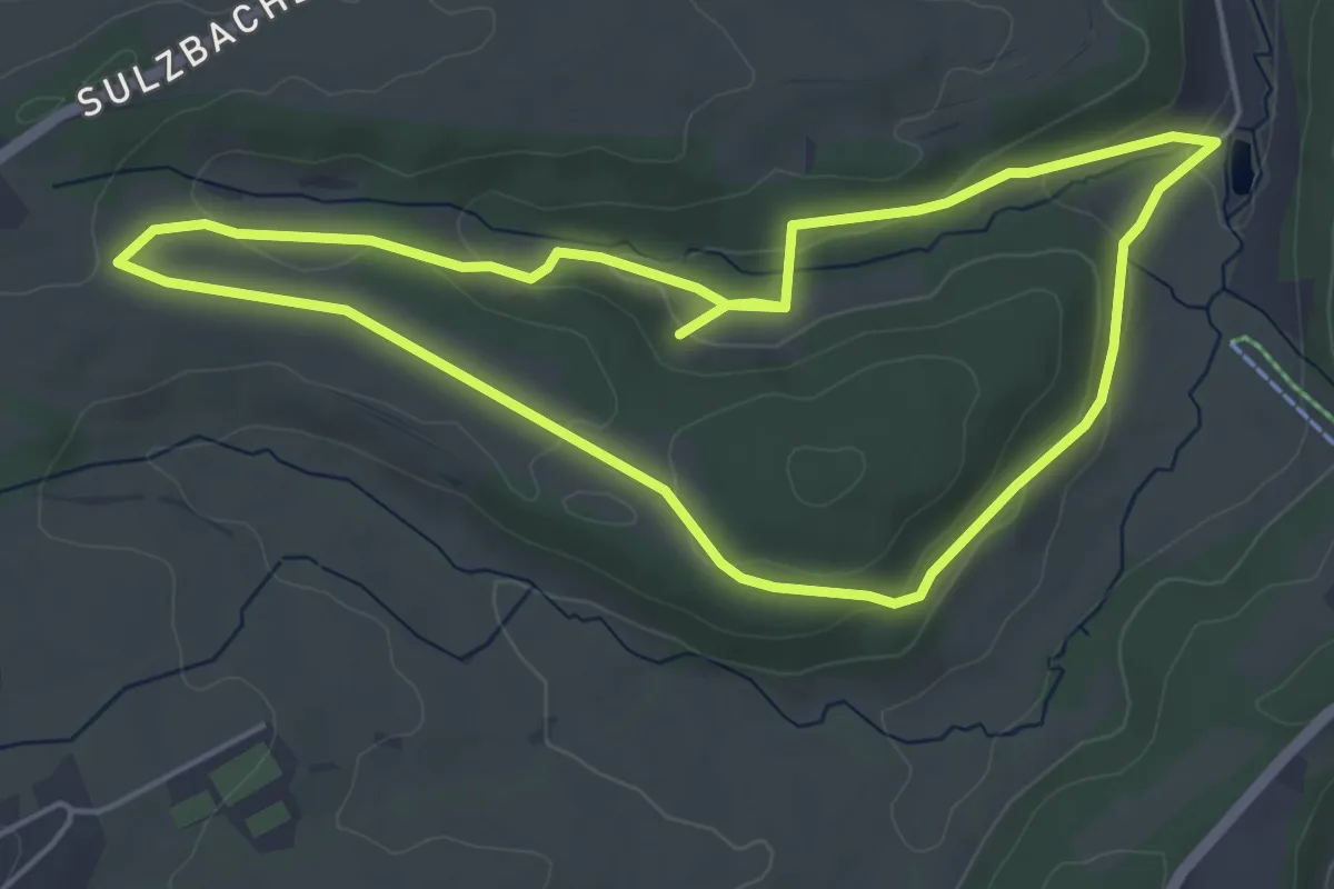
Lokaler Wanderweg zur Geba
2.2 km · ↑ 137 m · 48 min
Easy · Trail
Lombacher Schnapswanderweg
4.8 km · ↑ 109 m · 1 h 26 min