Trails in Germany
36,852 hiking trails, each with its route, climb, walking time and grade.
All trails, page 331 of 768
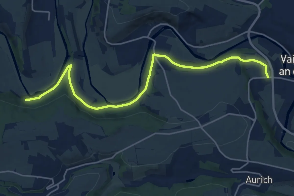
Medium · Trail
Lomersheim - Mühlhausen
12.3 km · ↑ 245 m · 3 h 27 min
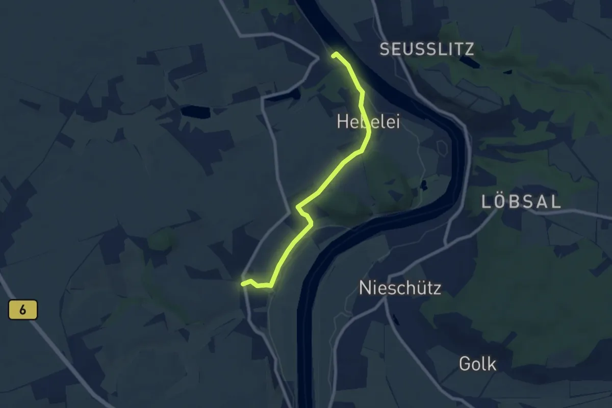
Easy · Trail
Lommatzscher Weg
3.0 km · ↑ 28 m · 49 min
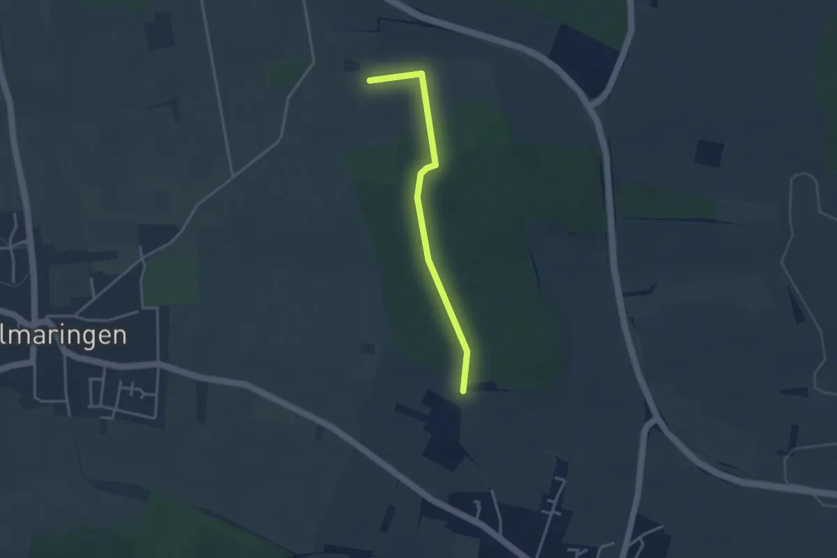
Easy · Trail
Londorfer Kapelle - Jüdischer Friedhof
2.8 km · ↑ 24 m · 43 min
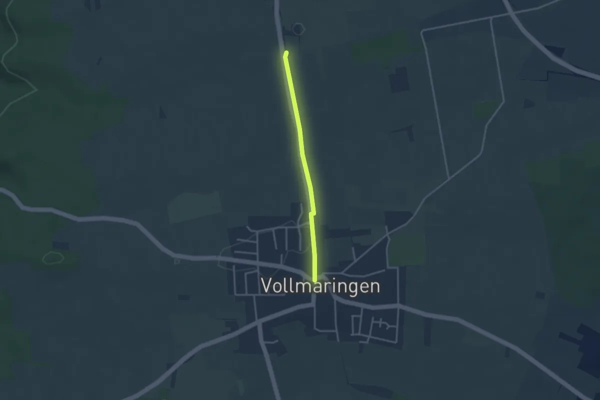
Easy · Trail
Londorfer Kapelle - Vollmaringen
2.5 km · ↑ 13 m · 37 min
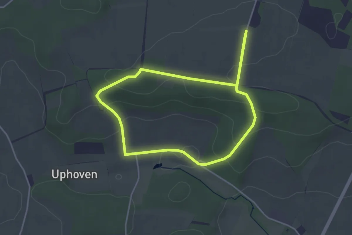
Easy · Summit
Longinusturm Rundweg A1
2.9 km · ↑ 58 m · 52 min
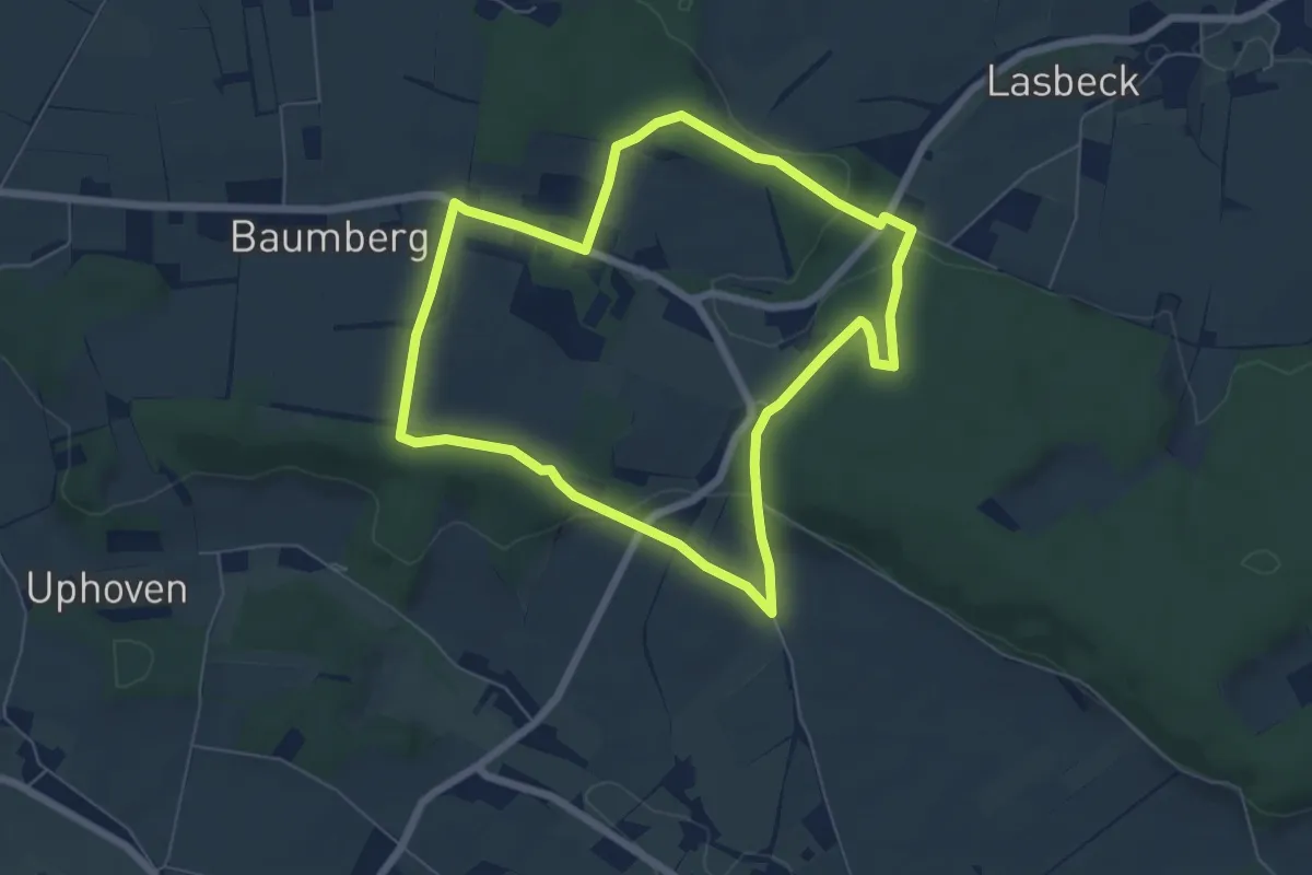
Easy · Summit
Longinusturm Rundweg A2
5.5 km · ↑ 112 m · 1 h 37 min
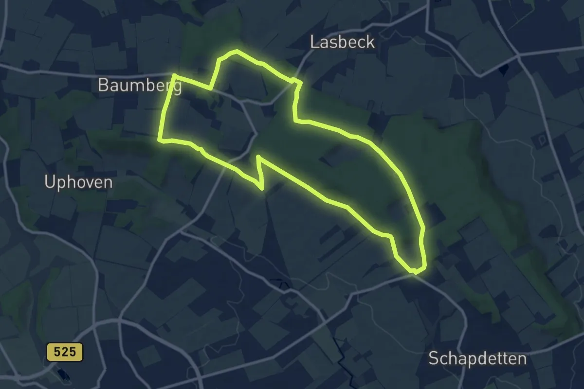
Medium · Summit
Longinusturm Rundweg A3
9.5 km · ↑ 215 m · 2 h 50 min
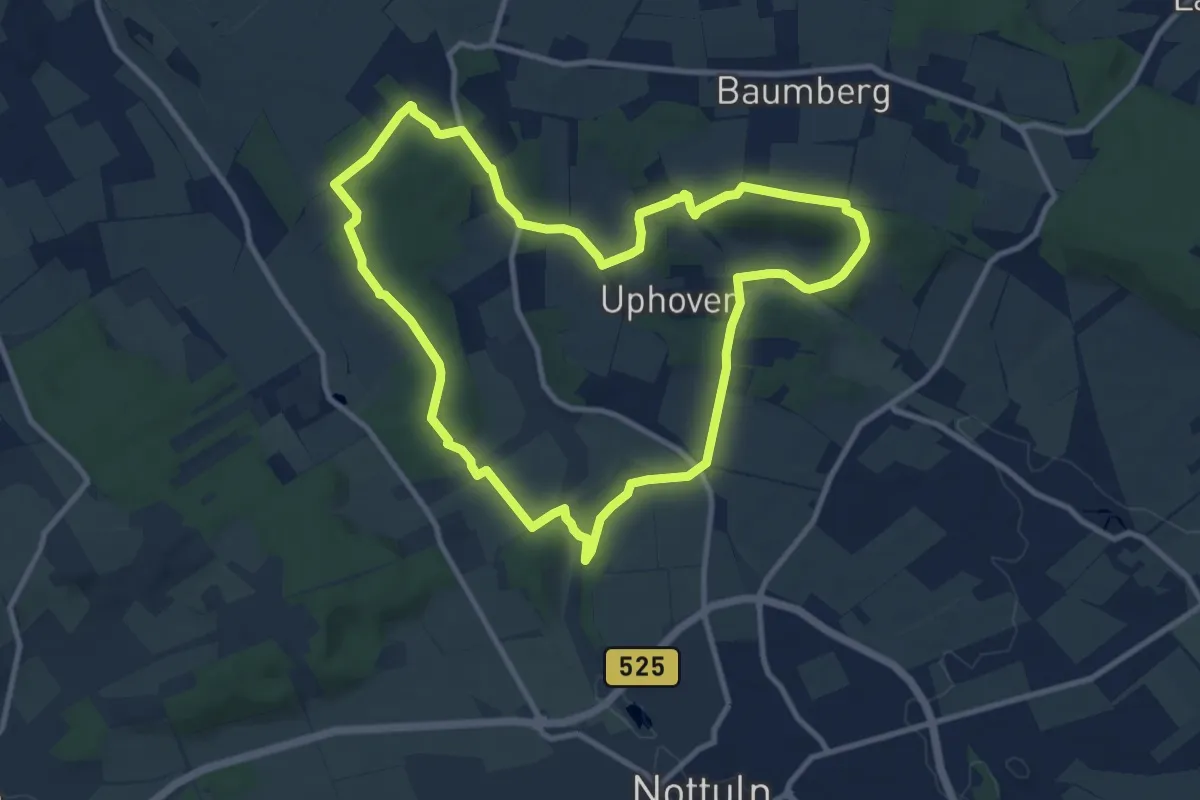
Medium · Trail
Longinusturm Rundweg A4
9.3 km · ↑ 148 m · 2 h 39 min
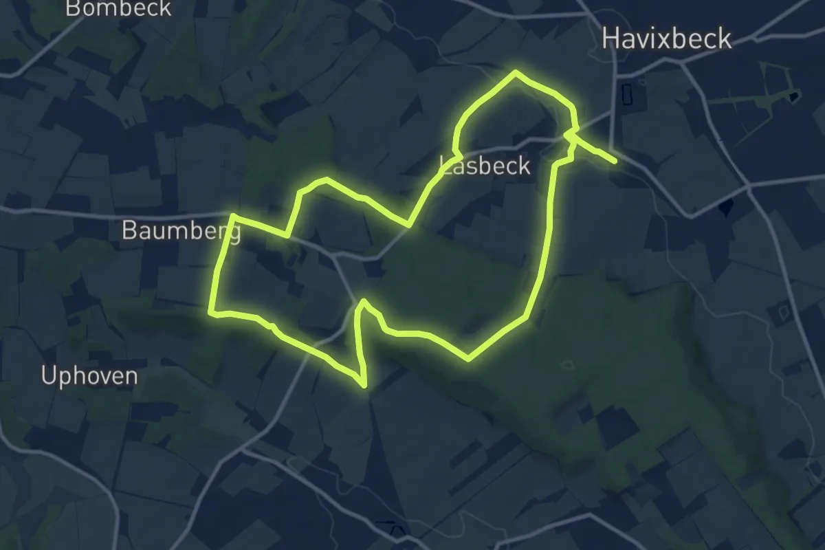
Medium · Summit
Longinusturm Rundweg A5
10.0 km · ↑ 171 m · 2 h 52 min
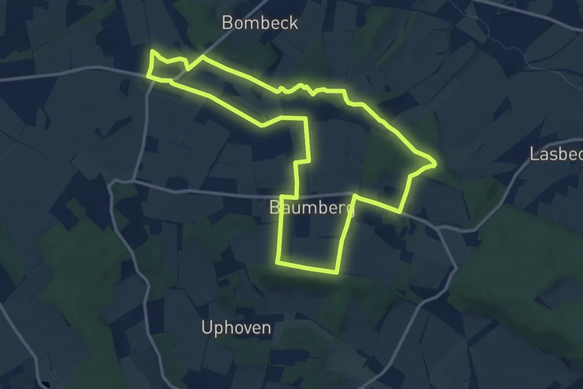
Medium · Summit
Longinusturm Rundweg A6
8.7 km · ↑ 56 m · 2 h 18 min
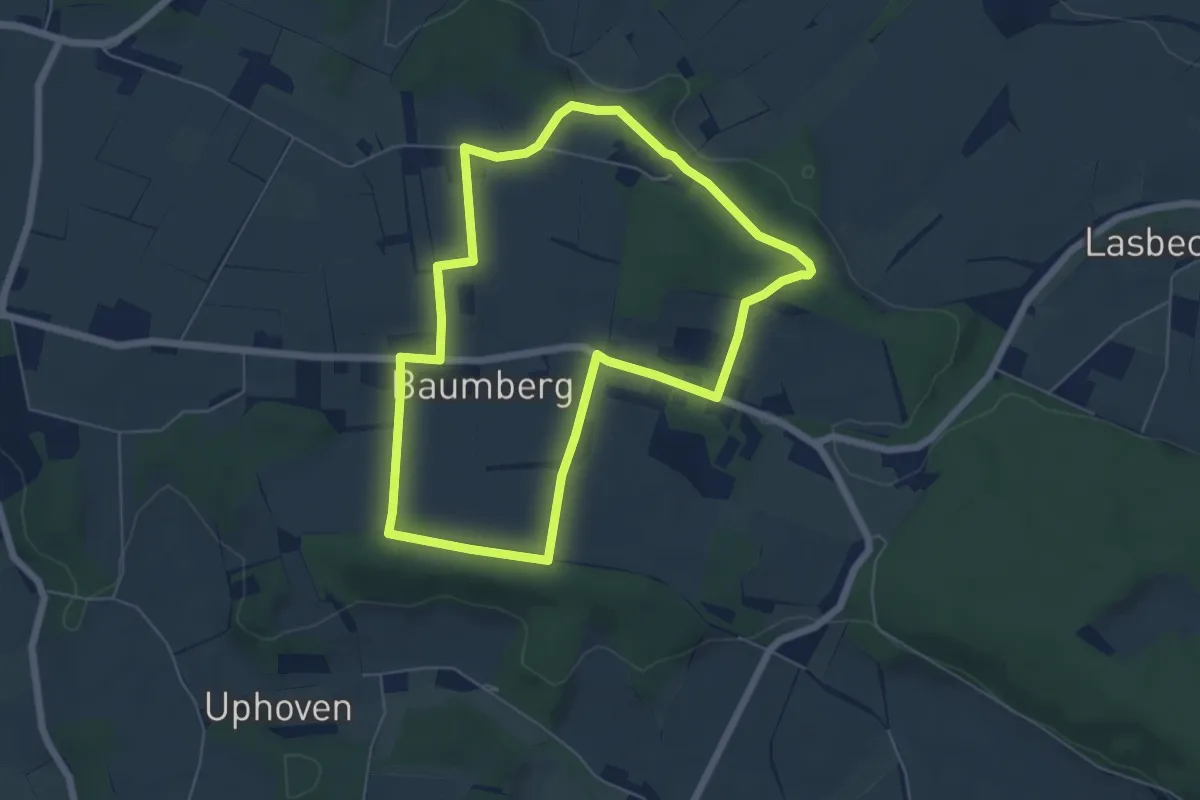
Easy · Summit
Longinusturm Rundweg A7
5.3 km · ↑ 45 m · 1 h 25 min
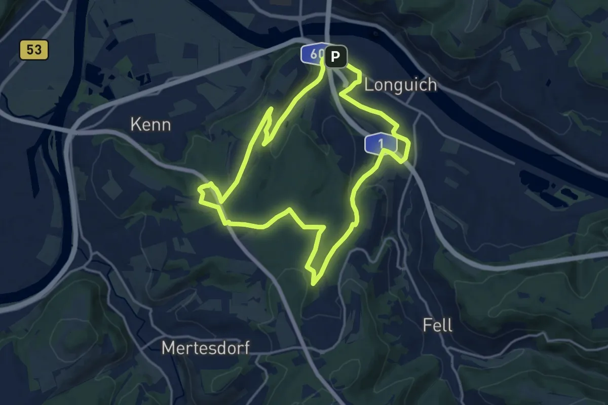
Medium · Trail
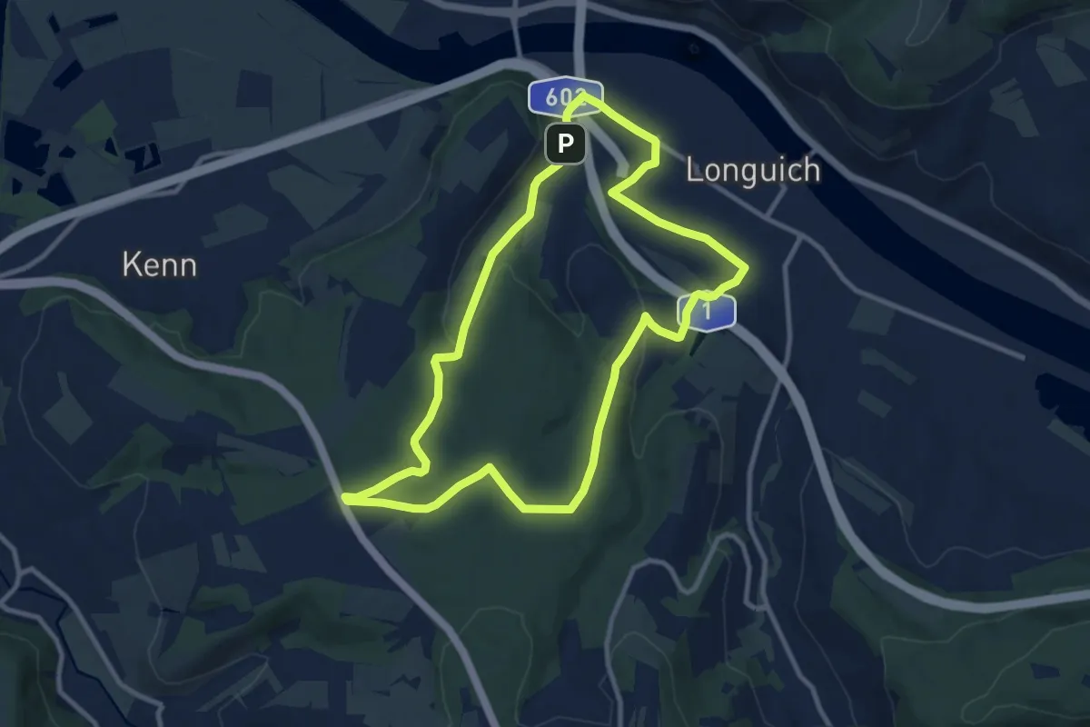
Longuich - Große Waldschleife
13.1 km · ↑ 220 m · 3 h 45 min
Medium · Trail
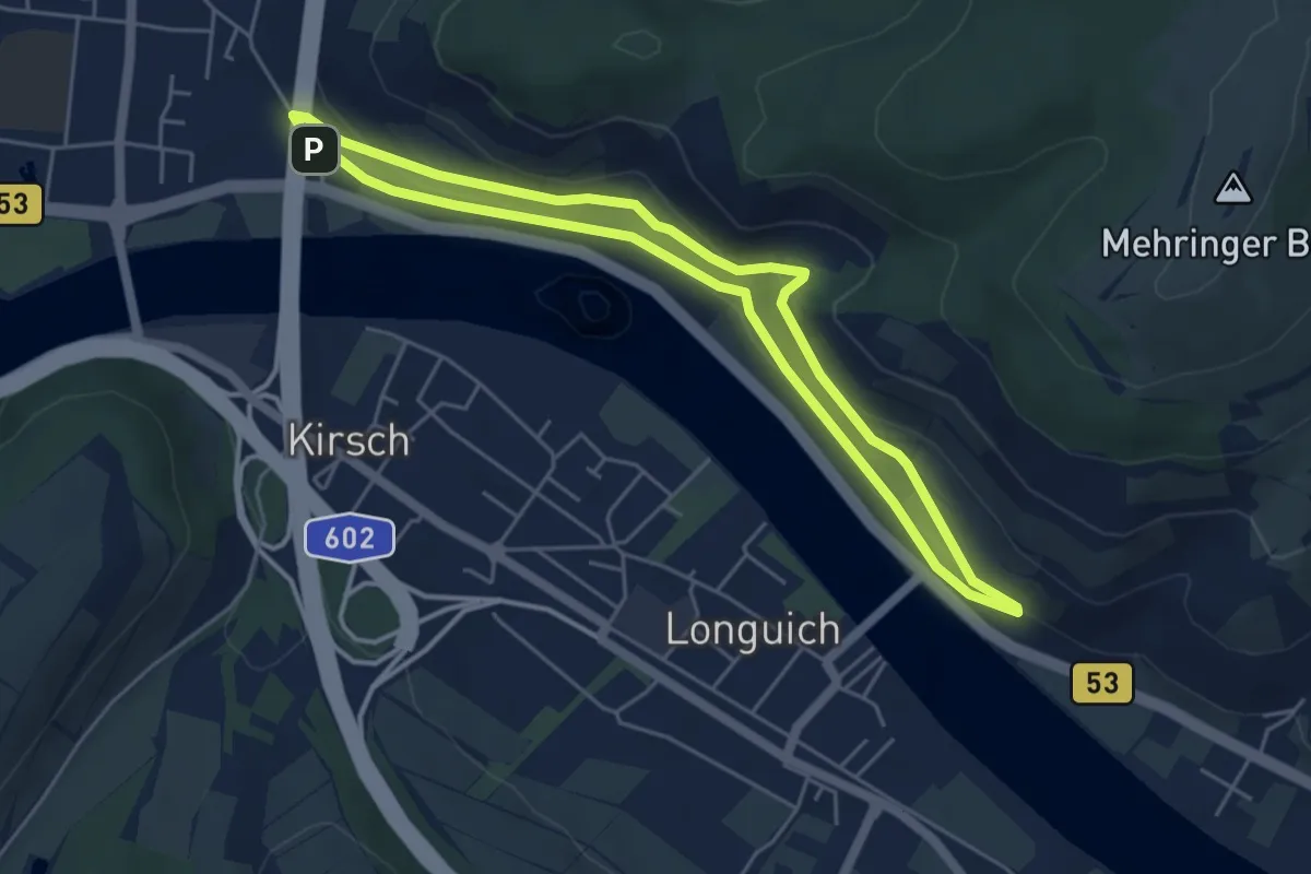
Longuich - Kleine Waldschleife
9.1 km · ↑ 183 m · 2 h 40 min
Easy · Trail
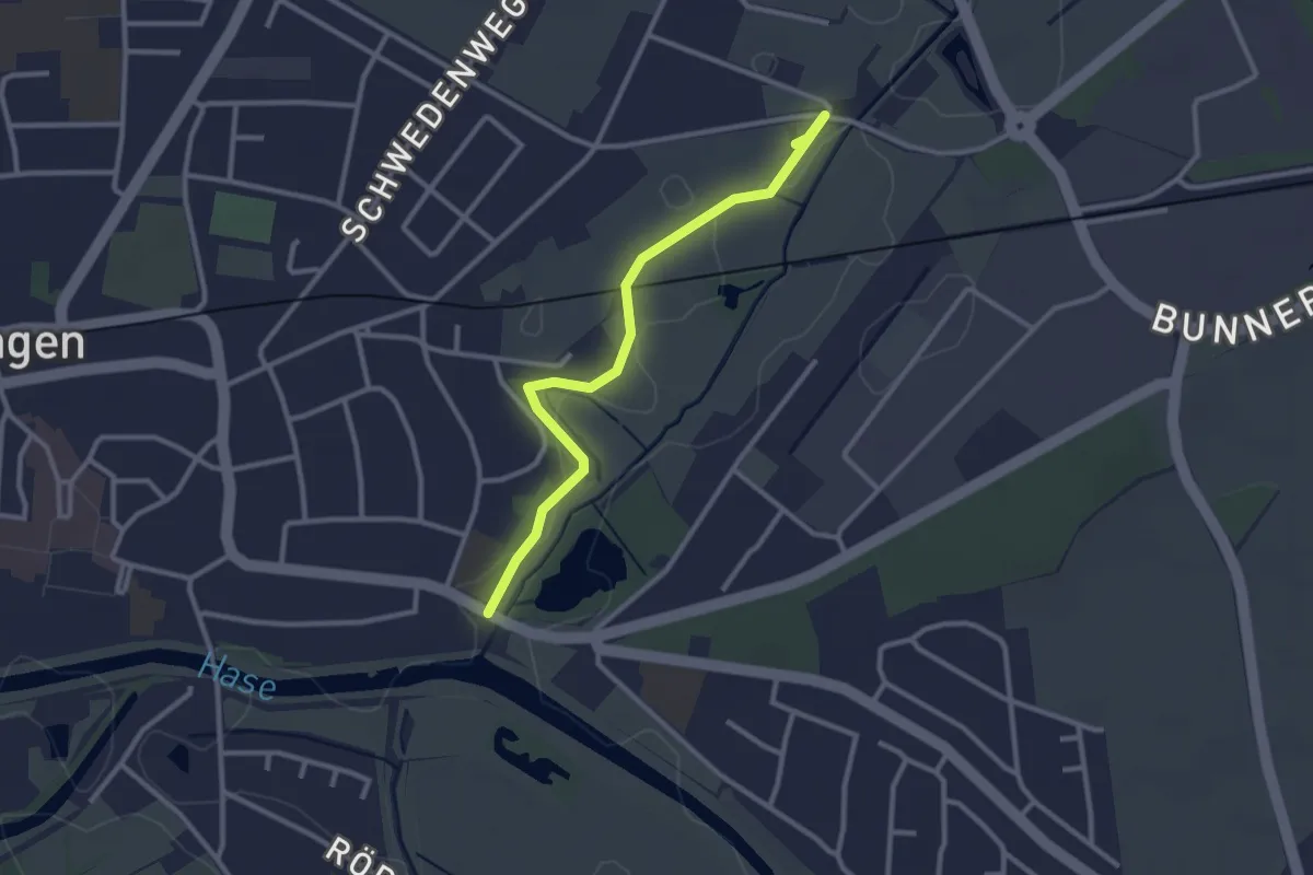
Longuich - Weinbergschleife
4.5 km · ↑ 129 m · 1 h 24 min
Easy · Trail
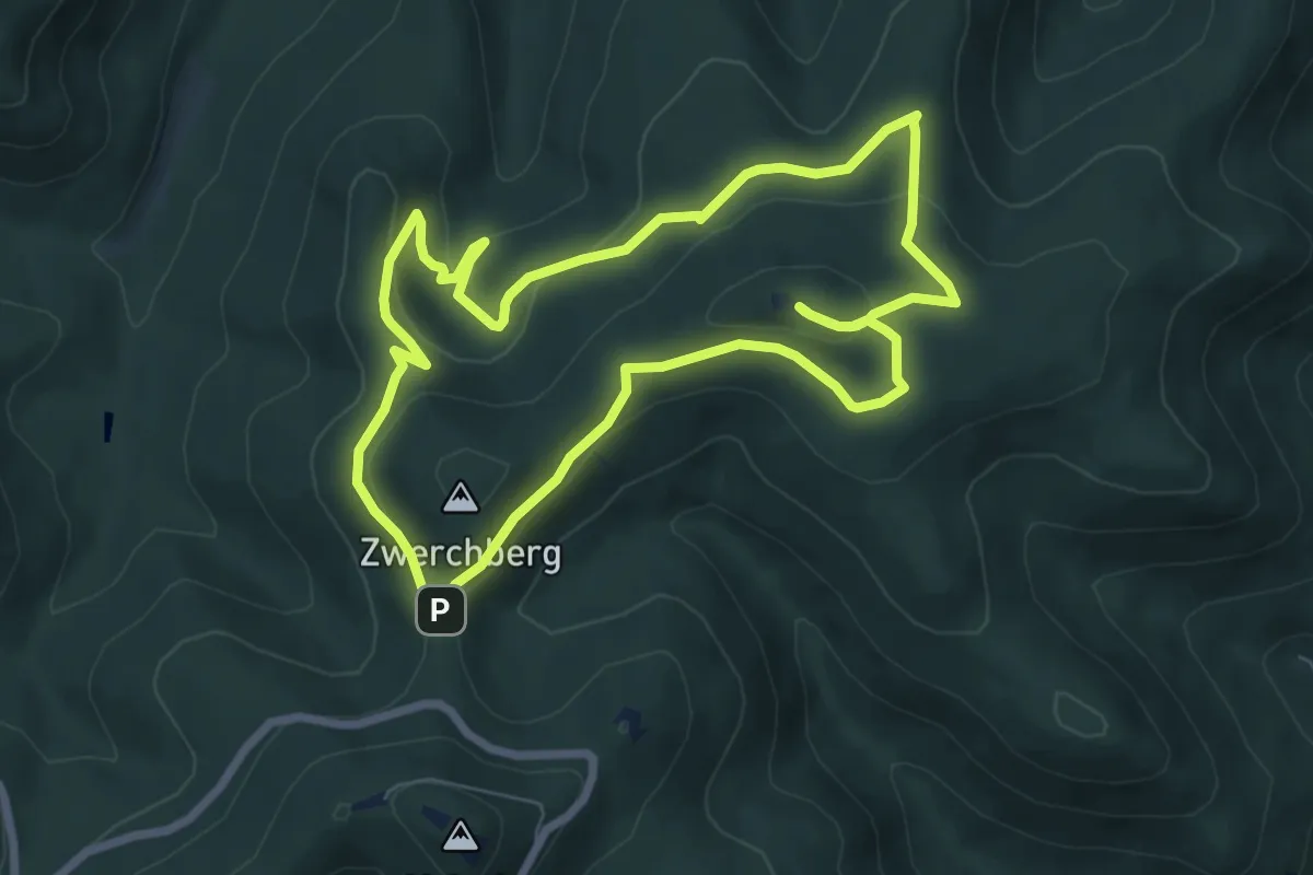
Löninger Mühlenbach
2.6 km · ↑ 0 m · 36 min
Easy · Summit
Loog-Loop 1
6.8 km · ↑ 227 m · 2 h 11 min
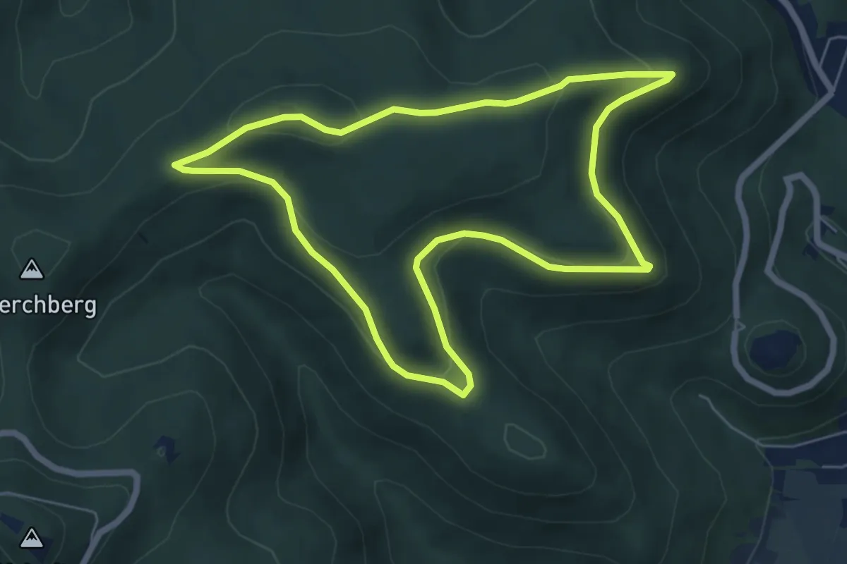
Easy · Summit
Loog-Loop 2
5.5 km · ↑ 183 m · 1 h 46 min
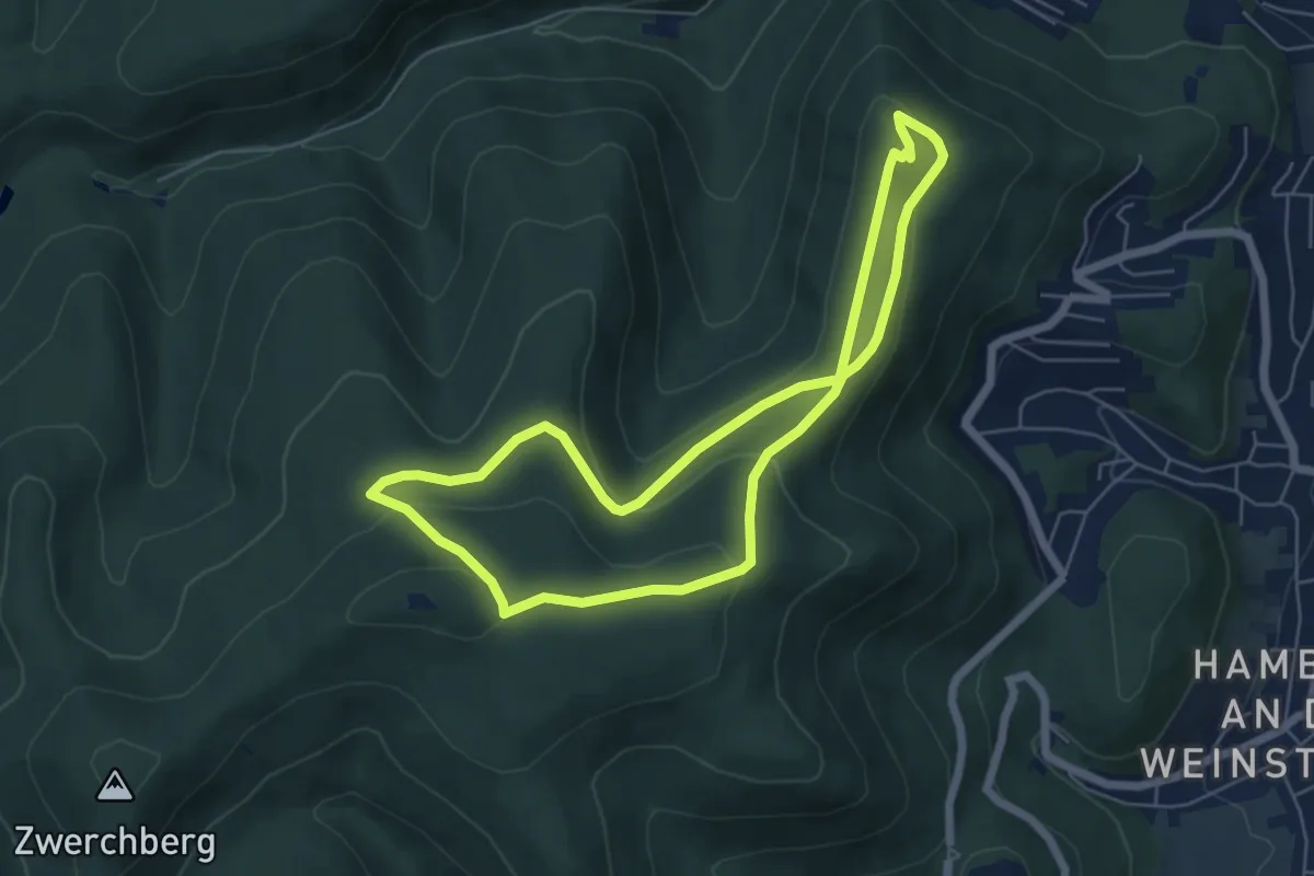
Easy · Summit
Loog-Loop 3
5.4 km · ↑ 183 m · 1 h 46 min
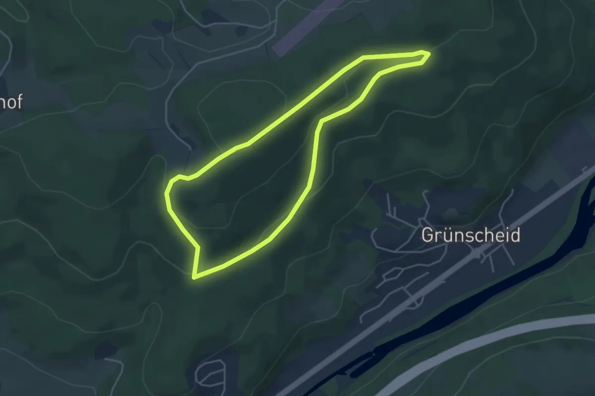
Easy · Trail
Loope Rundweg A2
3.7 km · ↑ 121 m · 1 h 12 min
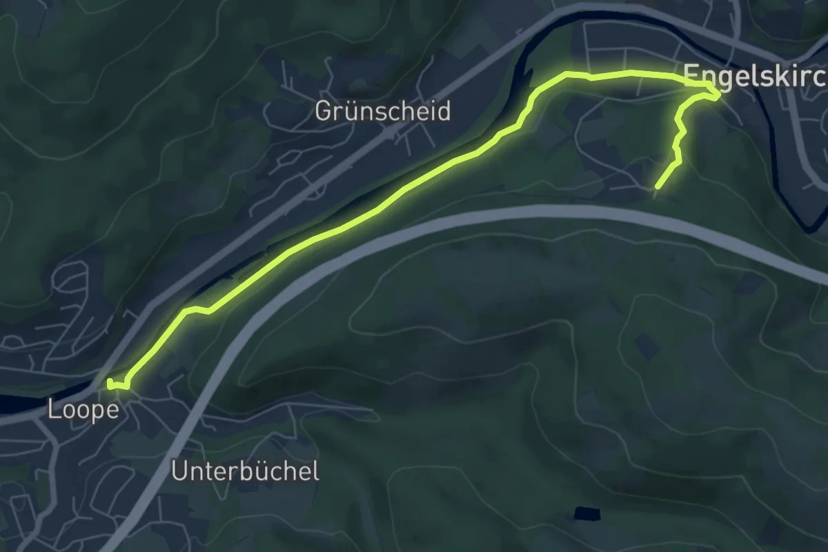
Demanding · Trail
Loope Rundweg A3
3.6 km · ↑ 32 m · 1 h 1 min
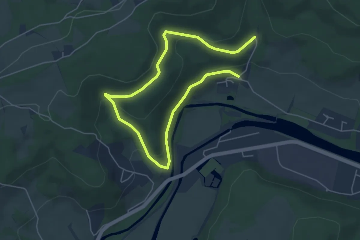
Easy · Trail
Loope Rundweg A5
3.2 km · ↑ 152 m · 1 h 7 min
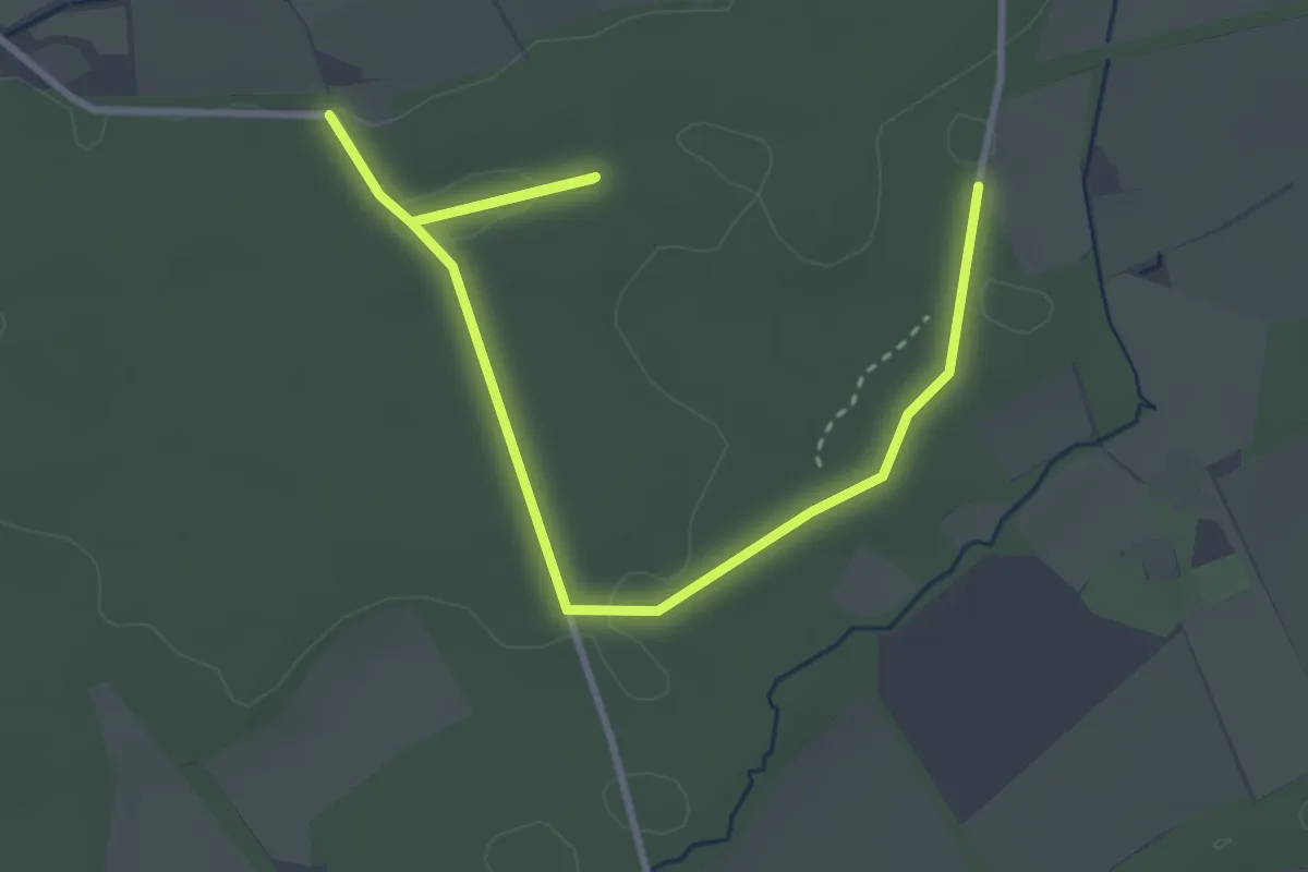
Easy · Trail
Loosenberge Rundweg A1
1.9 km · ↑ 4 m · 29 min
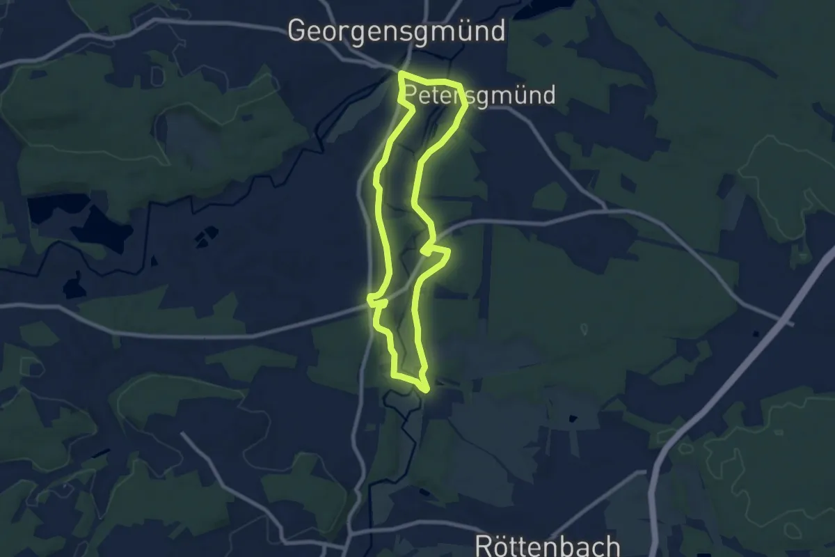
Easy · Trail
Loreleiweg Georgensgmünd
6.9 km · ↑ 60 m · 1 h 51 min
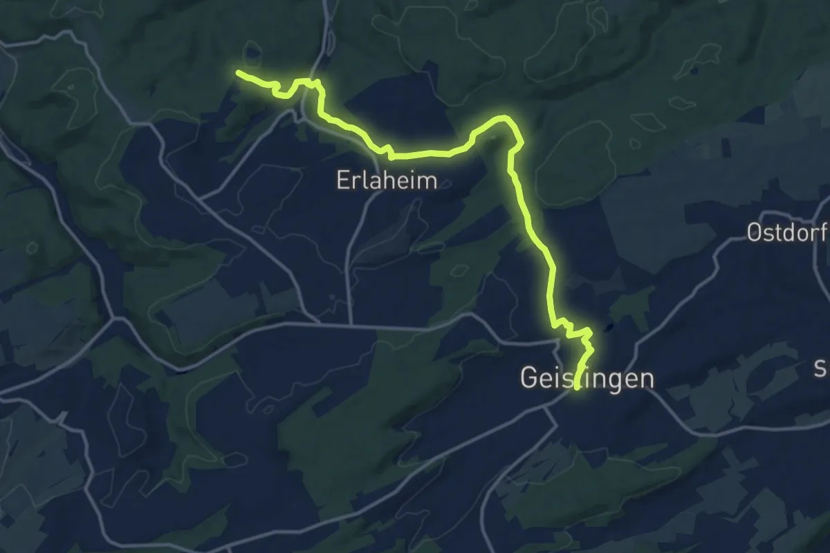
Medium · Trail
Loreto-Kapelle Binsdorf - Balingen
14.4 km · ↑ 280 m · 4 h
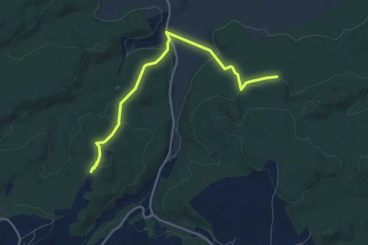
Easy · Trail
Loreto-Kapelle - Stockwald
7.0 km · ↑ 239 m · 2 h 10 min
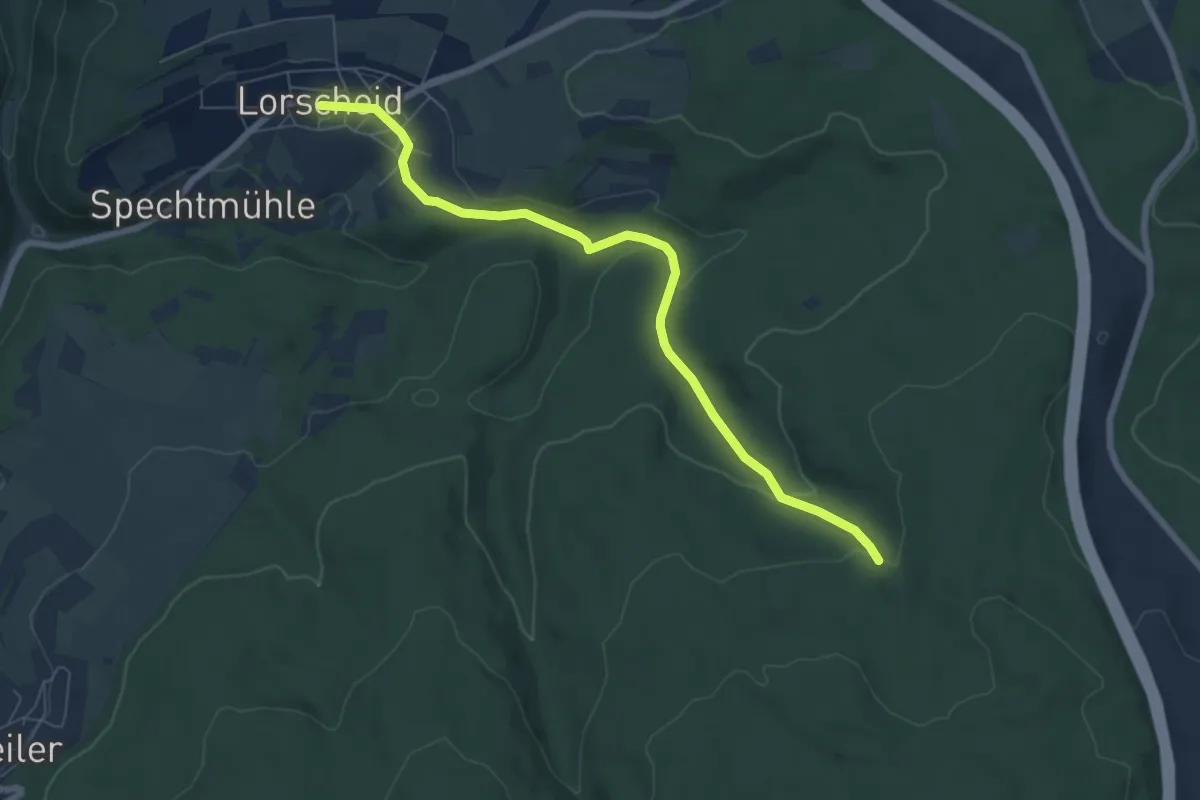
Easy · Trail
Lorscheid 1
6.6 km · ↑ 182 m · 1 h 58 min
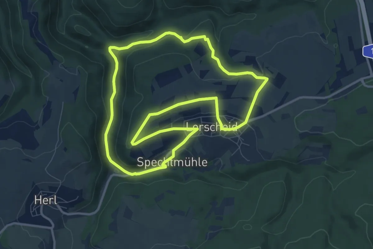
Medium · Trail
Lorscheid 2
8.2 km · ↑ 203 m · 2 h 30 min
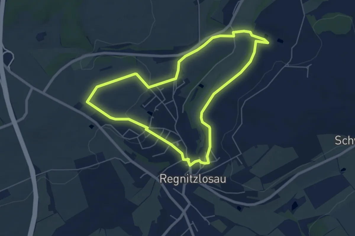
Easy · Trail
Losauer Rundweg
4.9 km · ↑ 78 m · 1 h 24 min
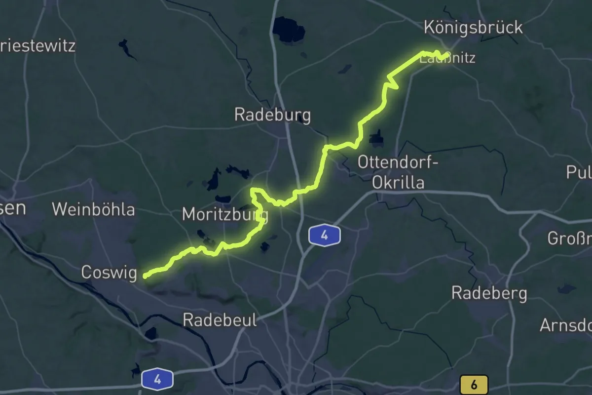
Demanding · Summit
Lößnitz - Laußnitz (roter Strich)
66.5 km · ↑ 481 m · 16 h 45 min
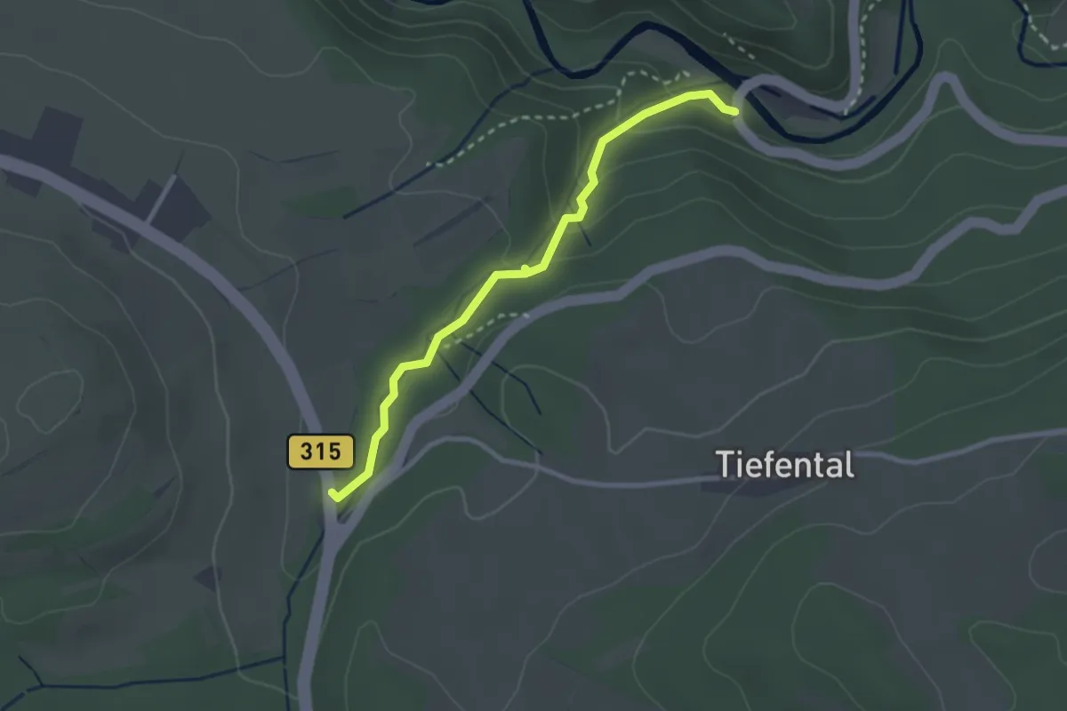
Medium · Trail
Lotenbrücke - Schattenmühle
2.5 km · ↑ 94 m · 48 min
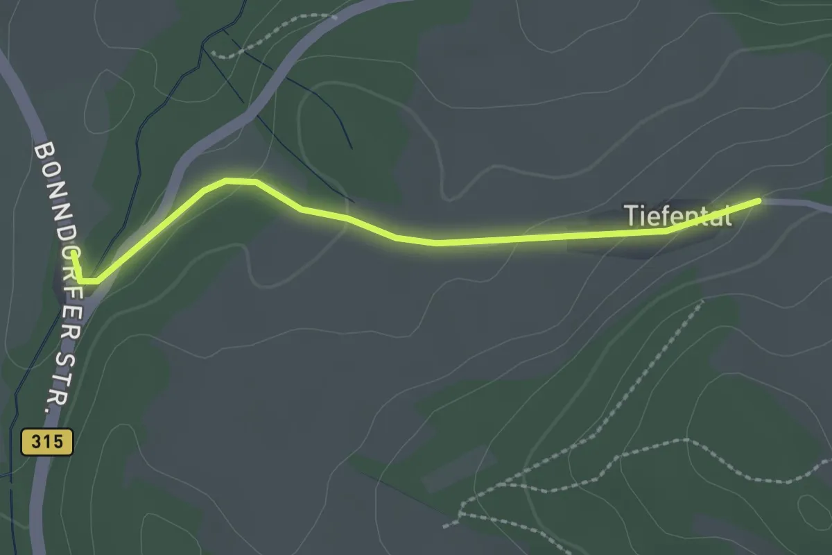
Easy · Trail
Lotenbrücke - Tiefental
2.2 km · ↑ 54 m · 38 min
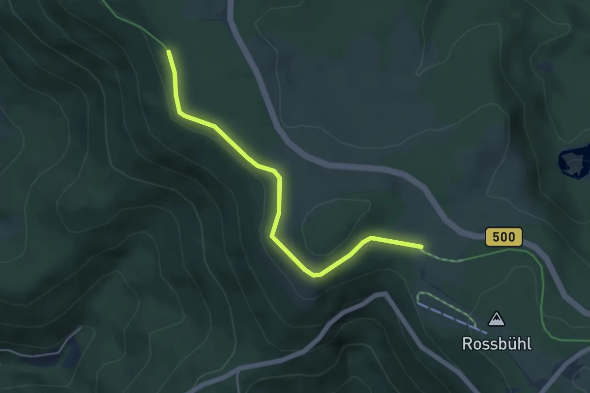
Easy · Trail
Lotharpfad - Schwarze Lache
3.8 km · ↑ 101 m · 1 h 7 min
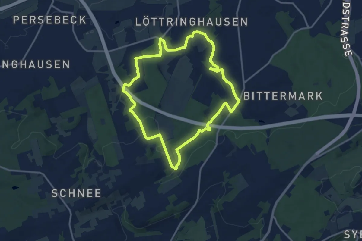
Medium · Trail
Löttringhausen Rundweg A4
8.4 km · ↑ 146 m · 2 h 25 min
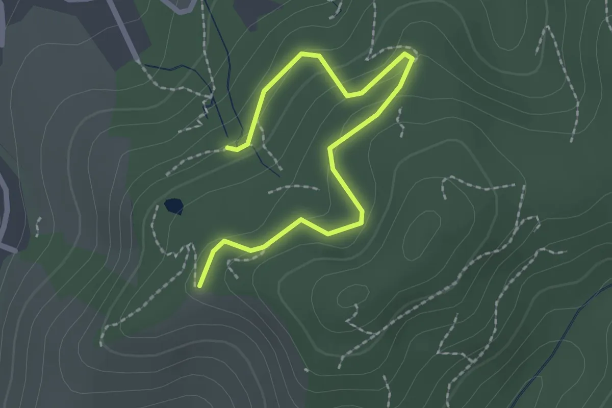
Easy · Trail
Lourdes-Grotte - Bienenbuckel Jockele Guck
2.2 km · ↑ 108 m · 46 min
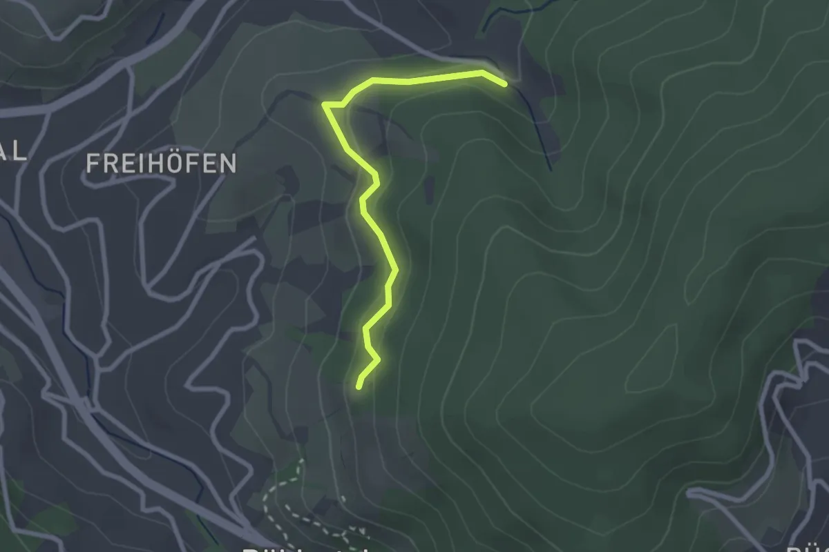
Easy · Trail
Lourdesgrotte - Meierhalt
2.2 km · ↑ 73 m · 40 min
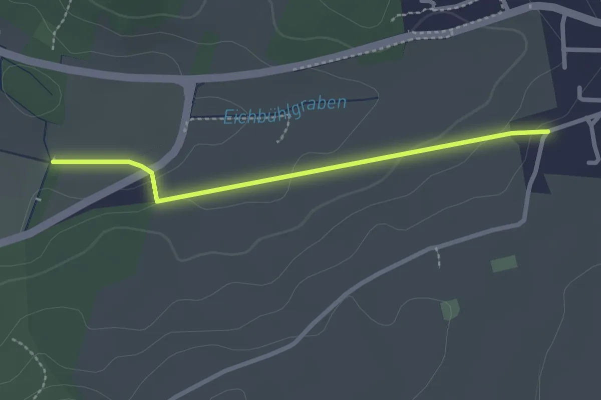
Easy · Trail
Lourdeskapelle - Hochemmingen Reutestraße
2.1 km · ↑ 38 m · 35 min
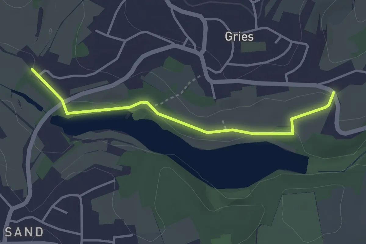
Easy · Trail
Löwenberg Tour
2.9 km · ↑ 48 m · 48 min
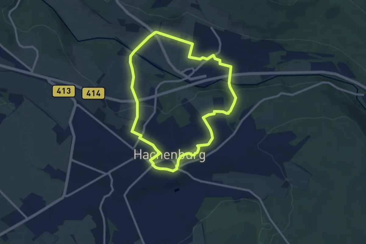
Easy · Trail
Löwenpfad 1
6.2 km · ↑ 158 m · 1 h 53 min
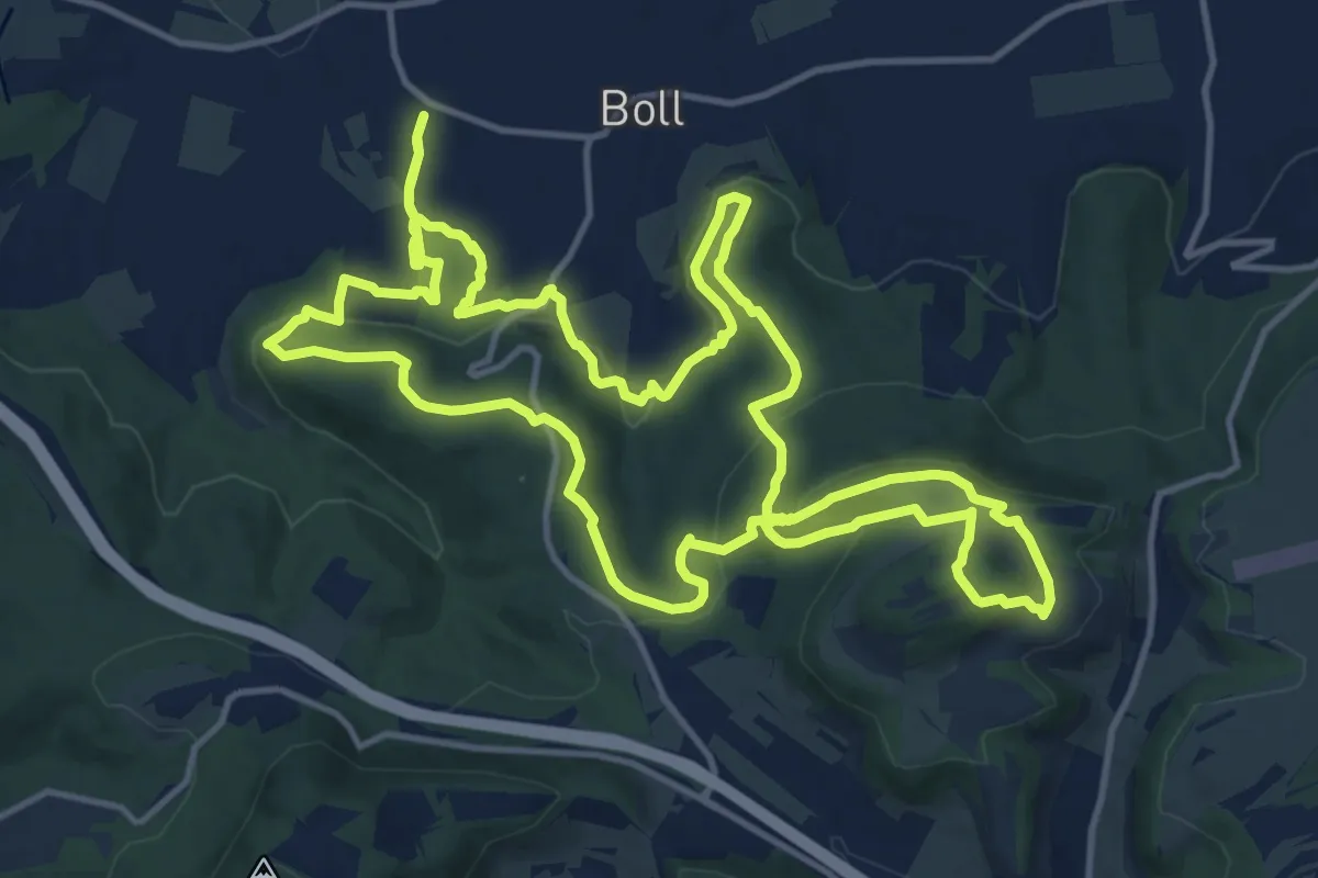
Demanding · Trail
Löwenpfade: Berta-Hörnle-Tour
14.8 km · ↑ 532 m · 4 h 50 min
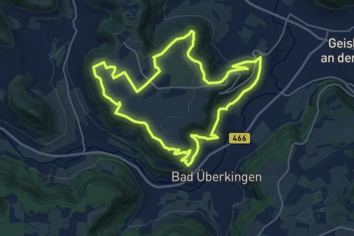
Medium · Trail
Löwenpfade: Felsenrunde
13.3 km · ↑ 499 m · 4 h 24 min
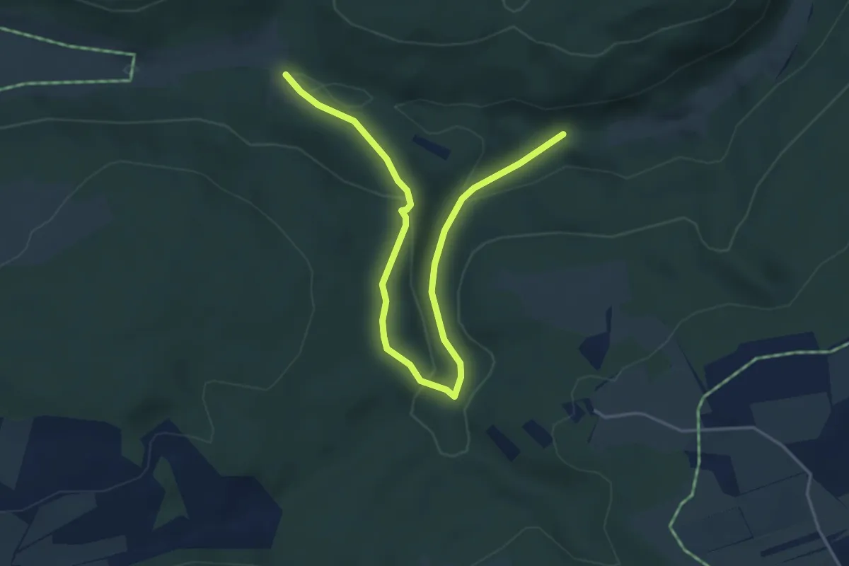
Easy · Trail
Löwenpfade: Filsursprung-Runde
2.4 km · ↑ 71 m · 46 min
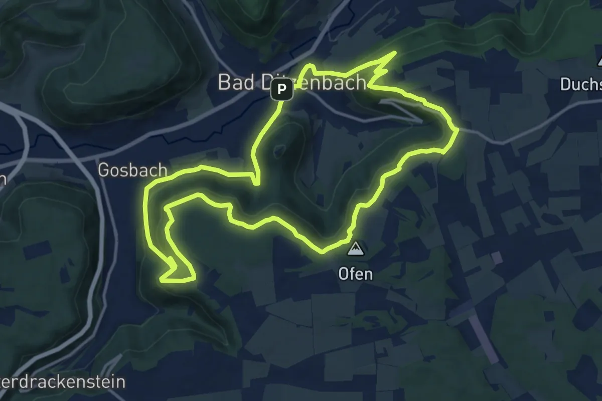
Medium · Summit
Löwenpfade: Höhenrunde
12.1 km · ↑ 498 m · 4 h 6 min
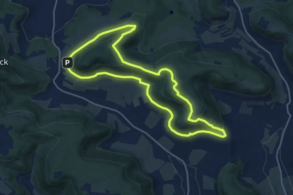
Medium · Summit
Löwenpfade: Orchideenpfad
9.3 km · ↑ 284 m · 2 h 56 min
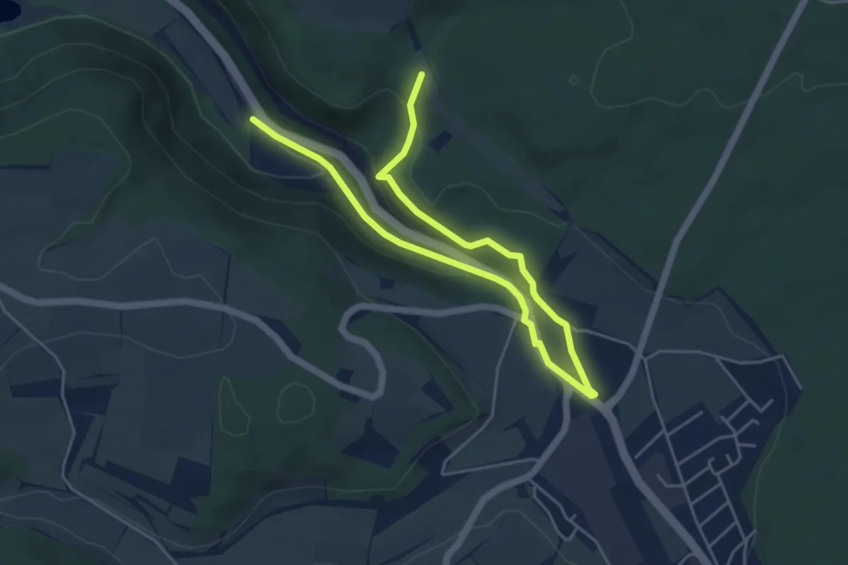
Easy · Trail
Löwenpfade: Steigen-Tour
3.0 km · ↑ 151 m · 1 h 1 min
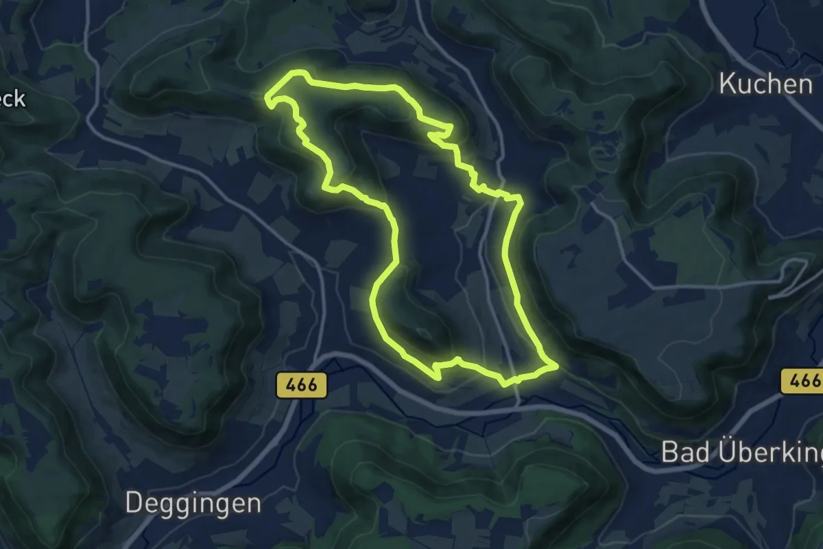
Medium · Summit
Löwenpfade: Wasserberg-Tour
11.9 km · ↑ 443 m · 3 h 57 min
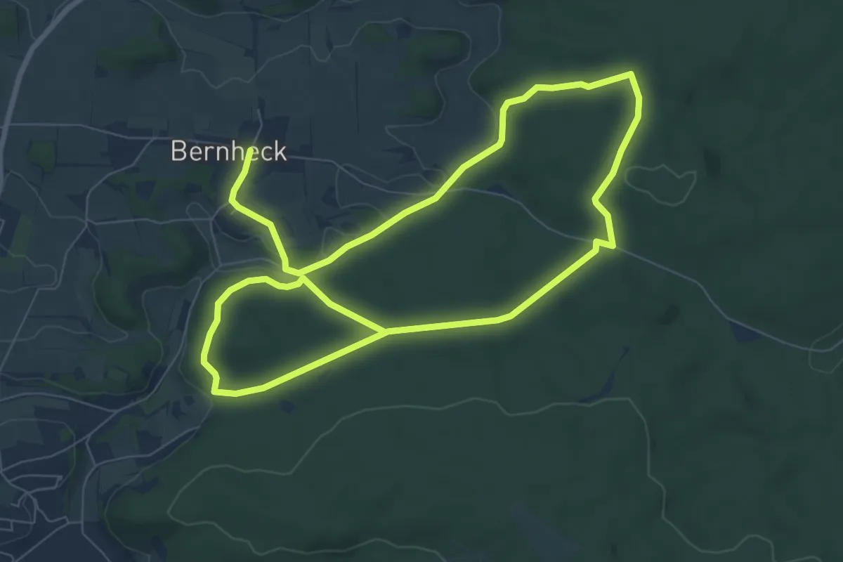
Easy · Trail
Löwen-Runde
7.0 km · ↑ 120 m · 2 h 1 min
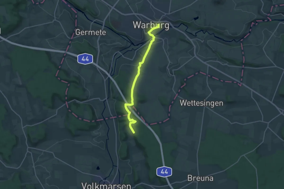
Medium · Trail
Löwenweg (HWGHV)
14.9 km · ↑ 336 m · 4 h 15 min
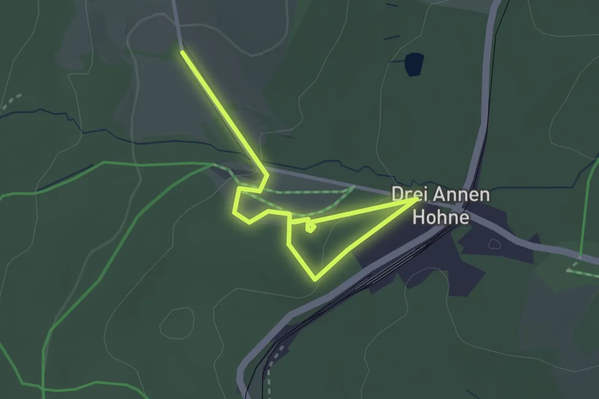
Easy · Trail
Löwenzahn-Entdeckerpfad
3.1 km · ↑ 49 m · 50 min