Trails in Germany
36,852 hiking trails, each with its route, climb, walking time and grade.
All trails, page 332 of 768
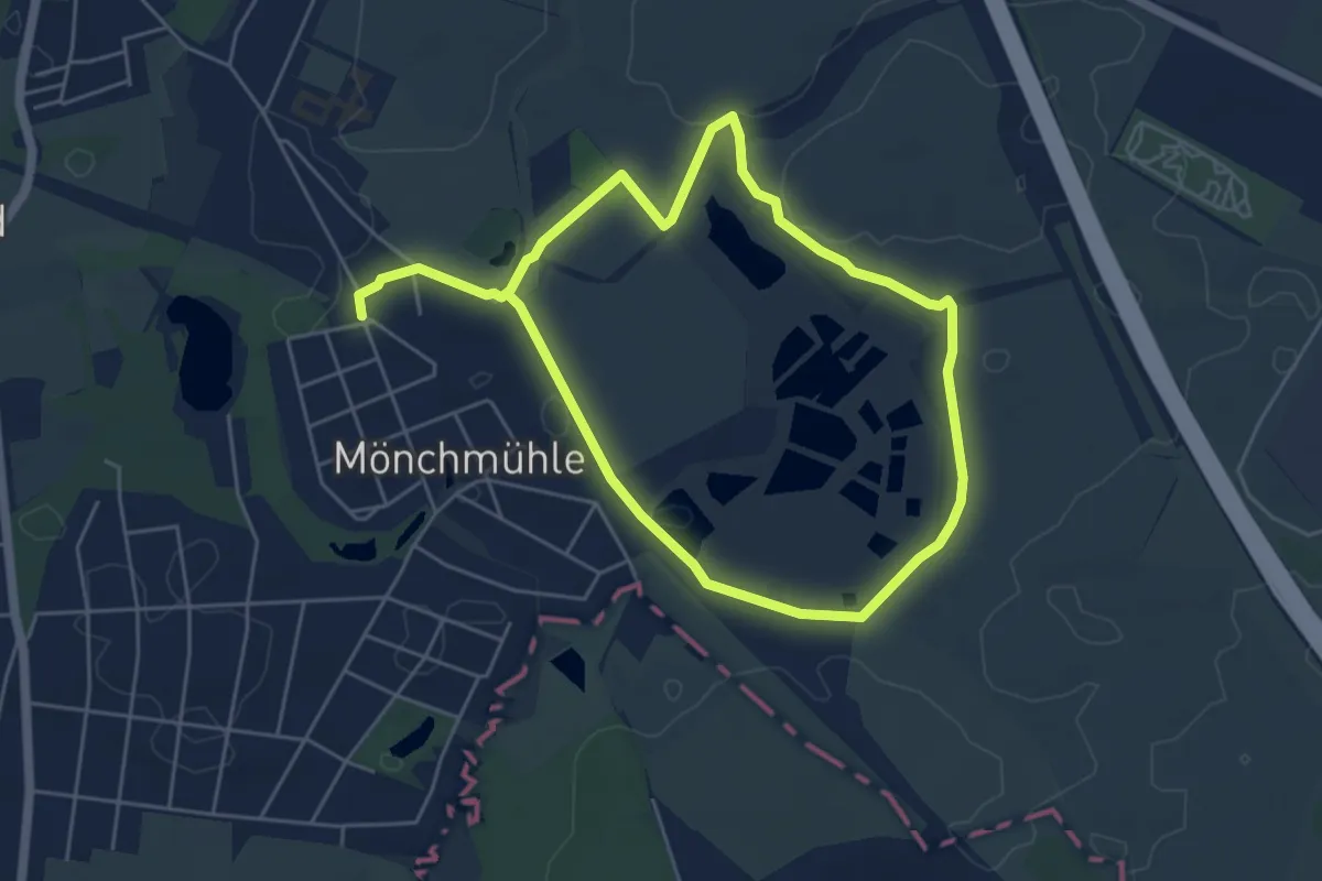
Medium · Trail
Löwenzahnpfad
8.2 km · ↑ 9 m · 1 h 57 min
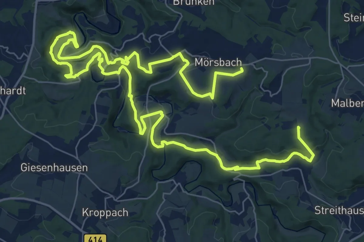
Demanding · Summit
LR50- Kroppacher Schweiz - Highlights -
43.2 km · ↑ 1048 m · 12 h 28 min
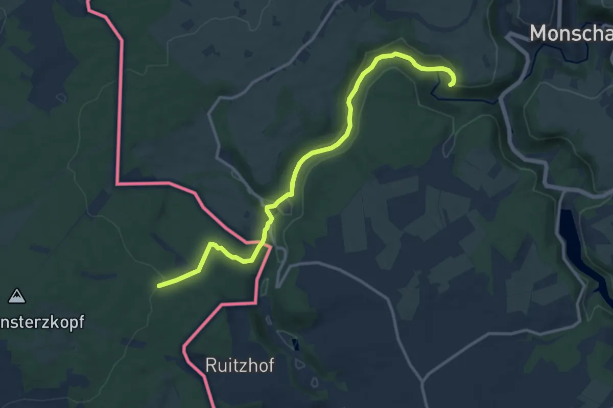
Medium · Summit
LRE Liberation Route Europe Bastogne - Monschau
9.2 km · ↑ 182 m · 2 h 35 min
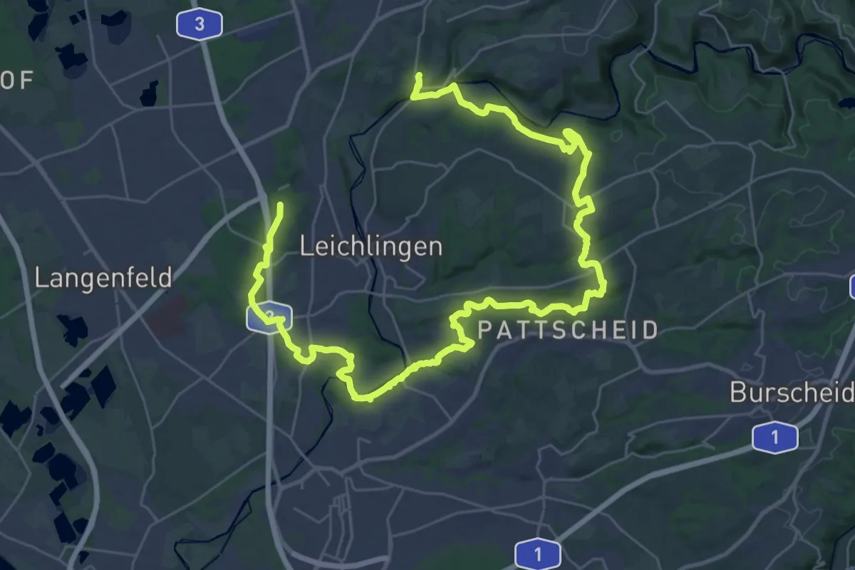
Demanding · Summit
(L) Rund um Leichlingen
21.3 km · ↑ 336 m · 6 h 3 min
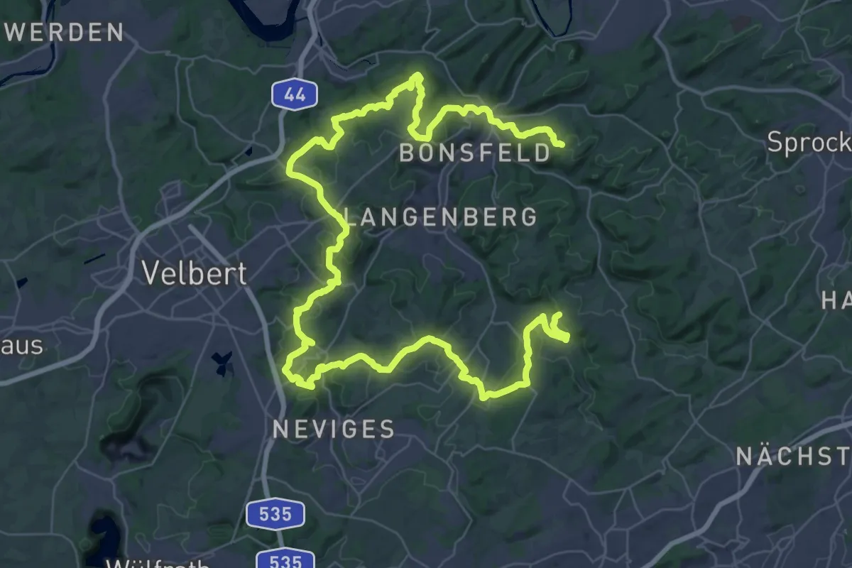
Demanding · Summit
(L) Rundweg um Langenberg
28.3 km · ↑ 755 m · 8 h 43 min
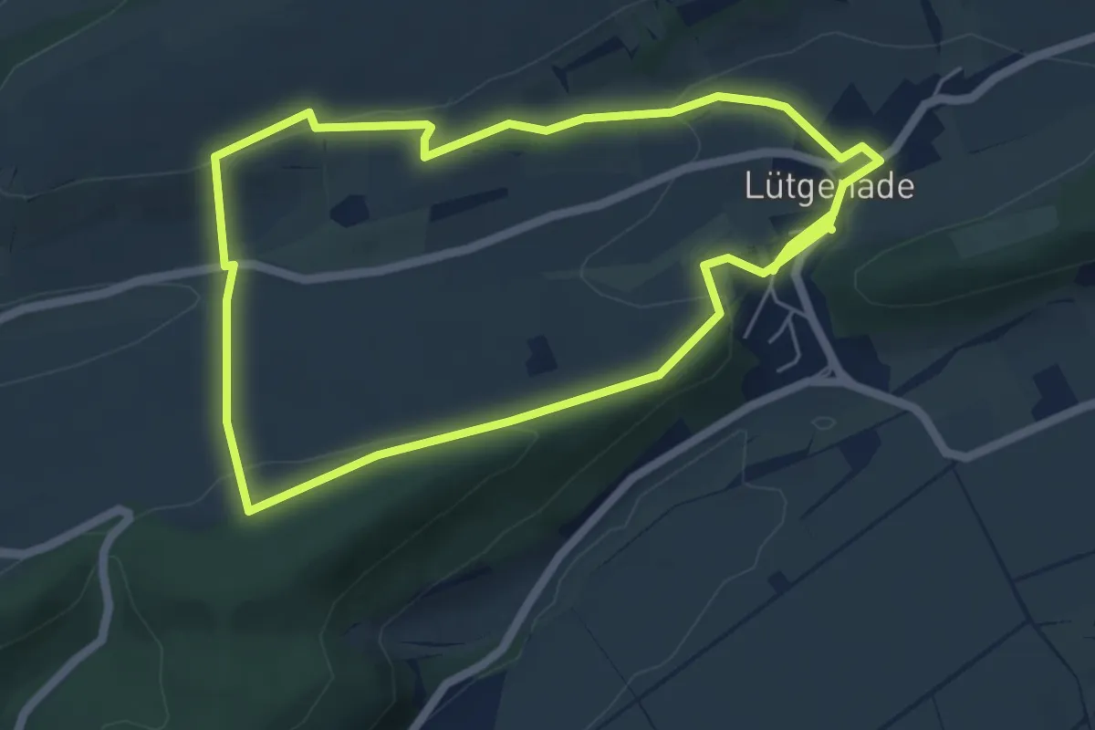
Easy · Trail
Lü 3
4.8 km · ↑ 127 m · 1 h 29 min
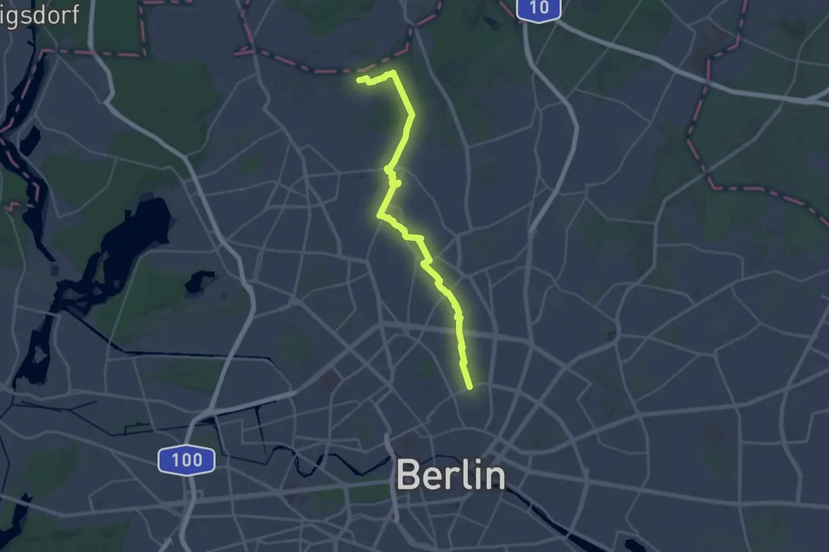
Demanding · Trail
Lübarser Weg
26.7 km · ↑ 64 m · 6 h 27 min
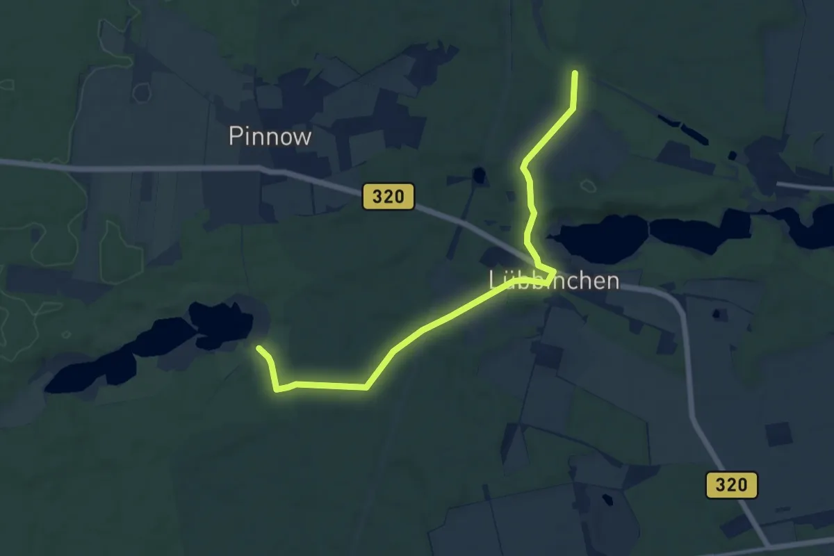
Medium · Trail
Lübbinchen
9.9 km · ↑ 77 m · 2 h 30 min
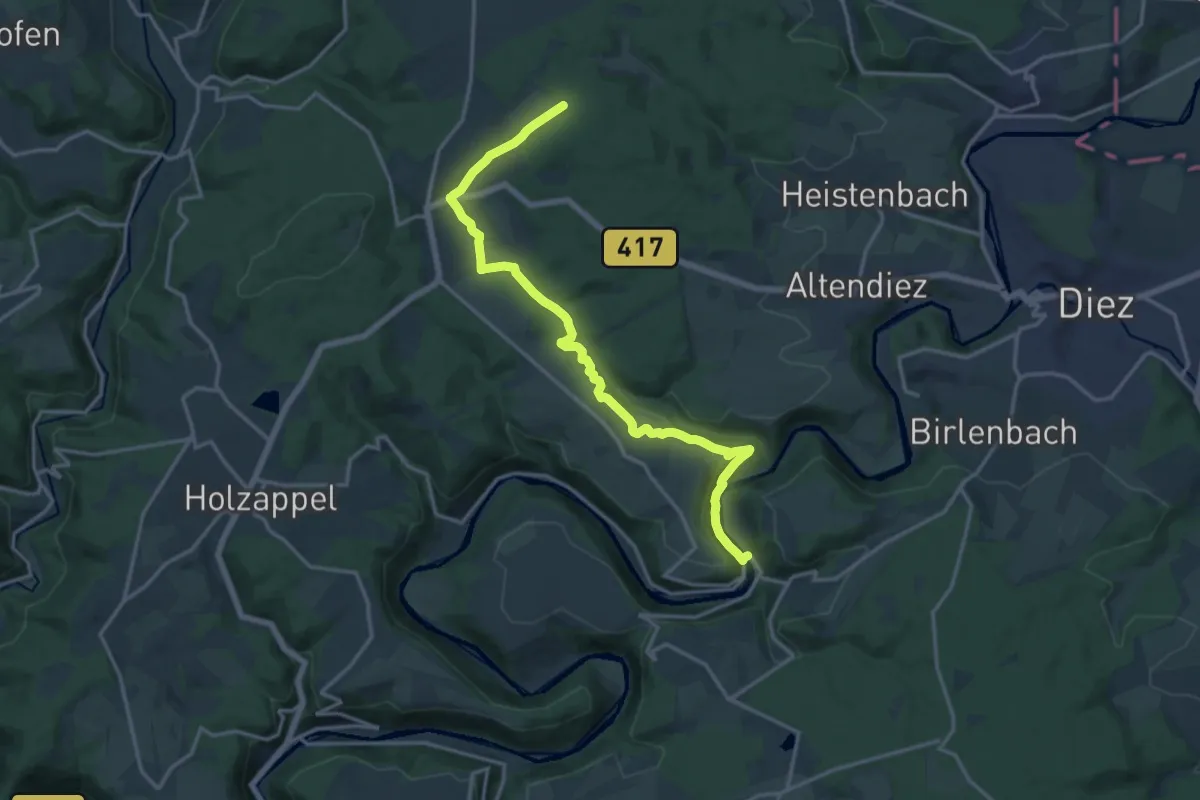
Medium · Trail
Lubentiusweg
15.8 km · ↑ 365 m · 4 h 31 min
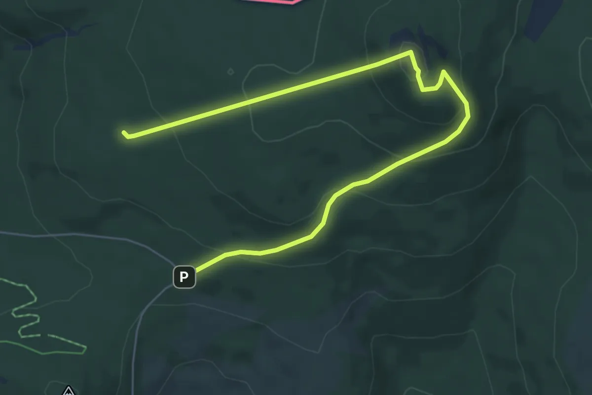
Medium · Summit
Luchs
3.6 km · ↑ 228 m · 1 h 22 min
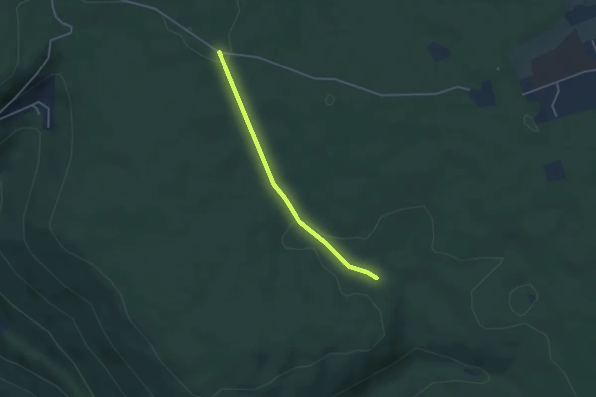
Easy · Trail
Luchsbrunnen - Große Saumiss
2.7 km · ↑ 64 m · 47 min
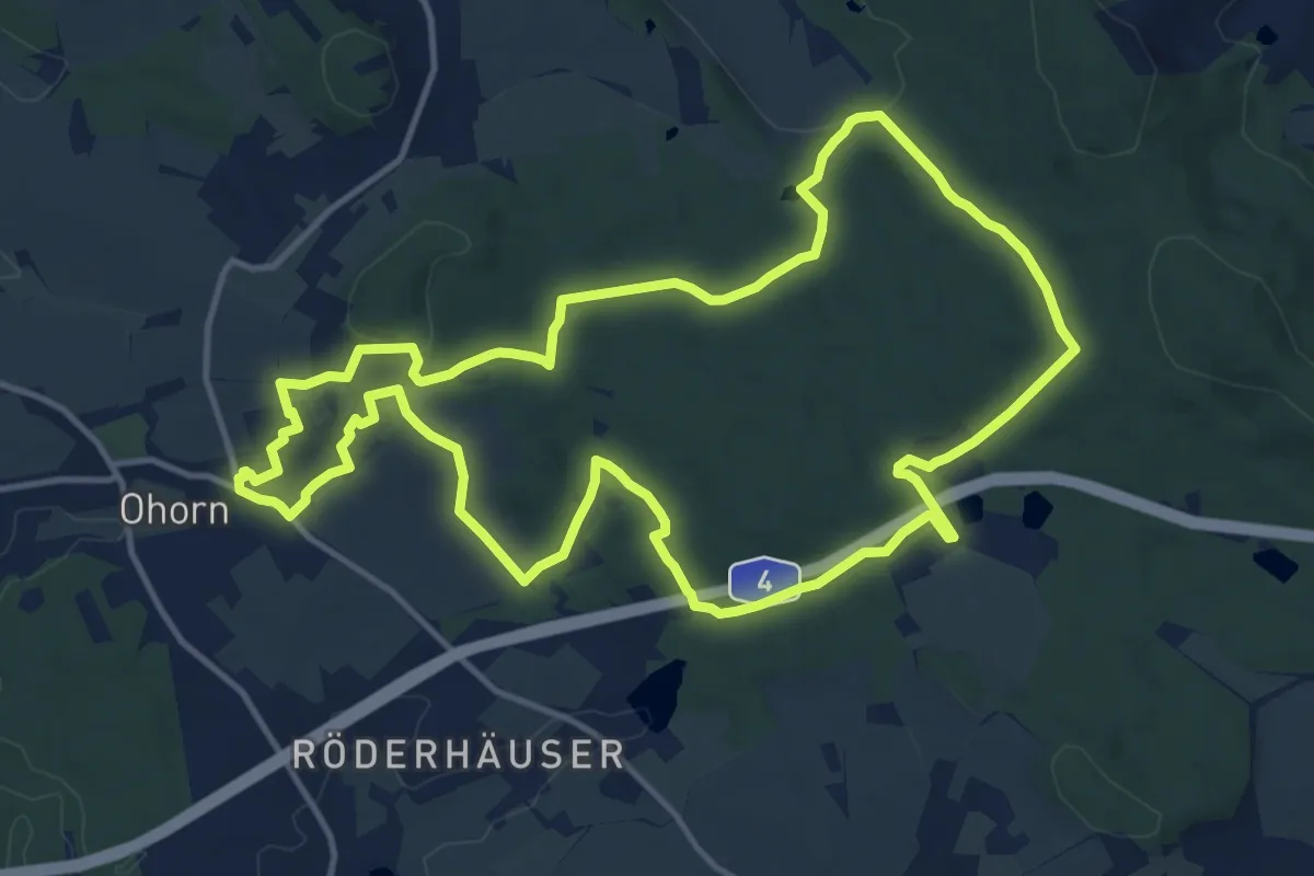
Medium · Summit
Luchsenburgweg
12.8 km · ↑ 225 m · 3 h 41 min
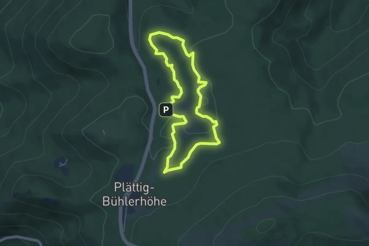
Easy · Trail
Luchspfad
3.5 km · ↑ 71 m · 1 h 2 min
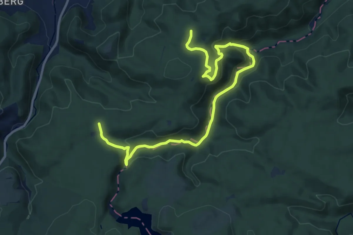
Medium · Summit
Luchstour
8.2 km · ↑ 253 m · 2 h 35 min
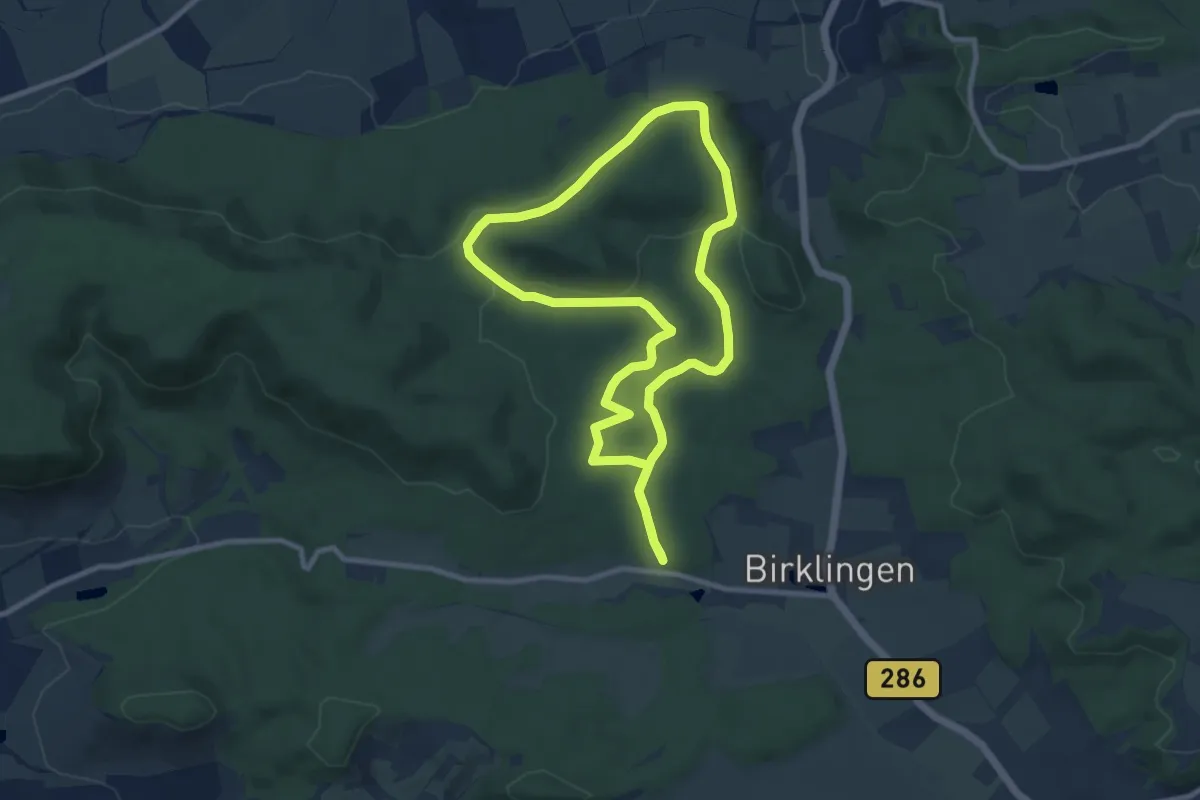
Medium · Trail
Lucie-Knauf-Weg
8.5 km · ↑ 148 m · 2 h 27 min
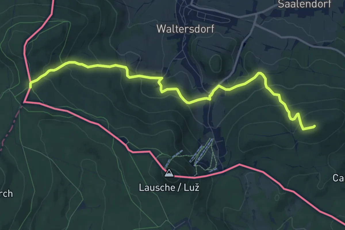
Demanding · Summit
Lückendorf - Dreiecker (gelber Strich)
10.4 km · ↑ 457 m · 3 h 27 min
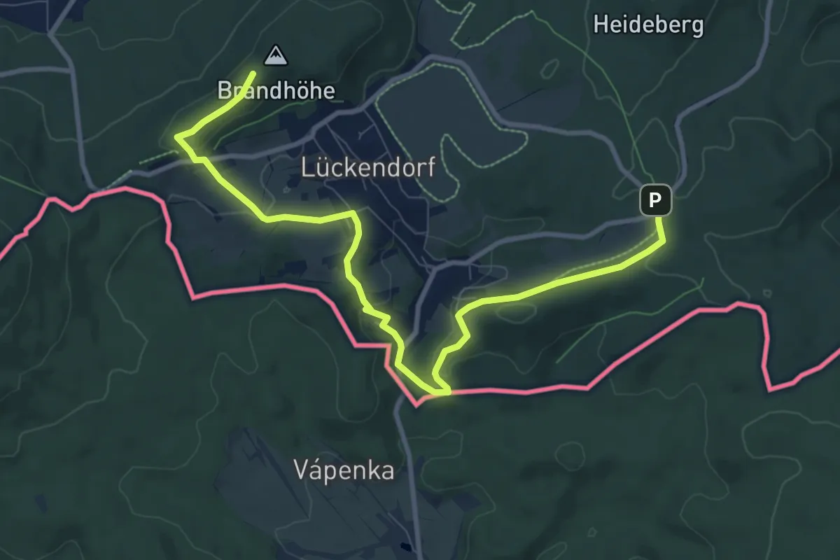
Medium · Summit
Lückendorf-Rundweg (grüner Punkt)
9.8 km · ↑ 267 m · 2 h 53 min
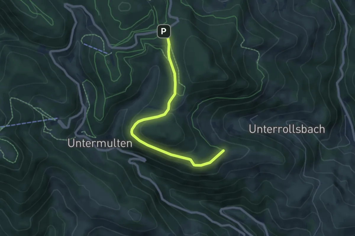
Easy · Trail
Lückle - Kälberweid
5.7 km · ↑ 180 m · 1 h 44 min
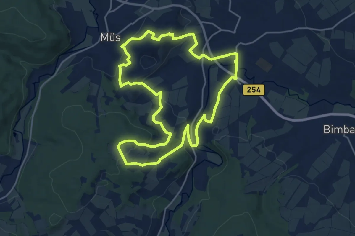
Medium · Summit
Lüdertal–Wanderweg
12.7 km · ↑ 301 m · 3 h 50 min
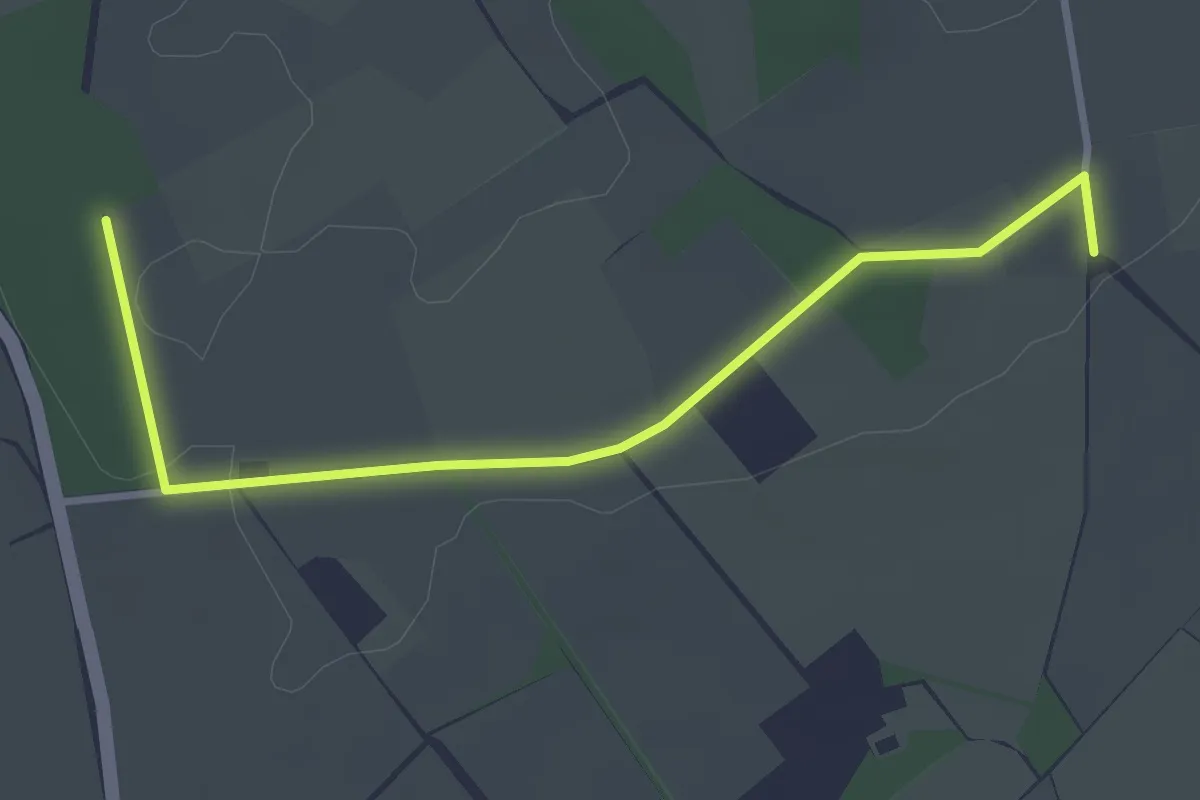
Easy · Trail
Ludgerusweg Zuweg Darfeld Ost
3.1 km · ↑ 8 m · 45 min
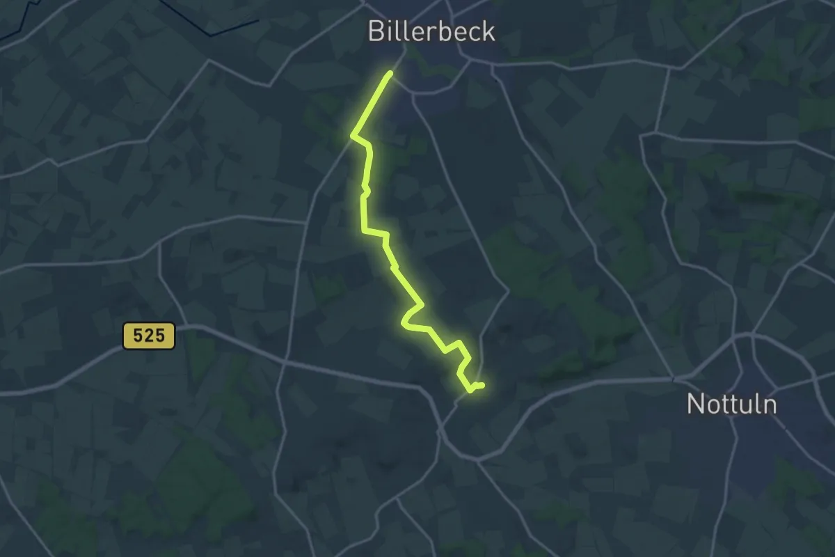
Medium · Trail
Ludgerusweg Zuweg Darup ost
12.8 km · ↑ 146 m · 3 h 20 min
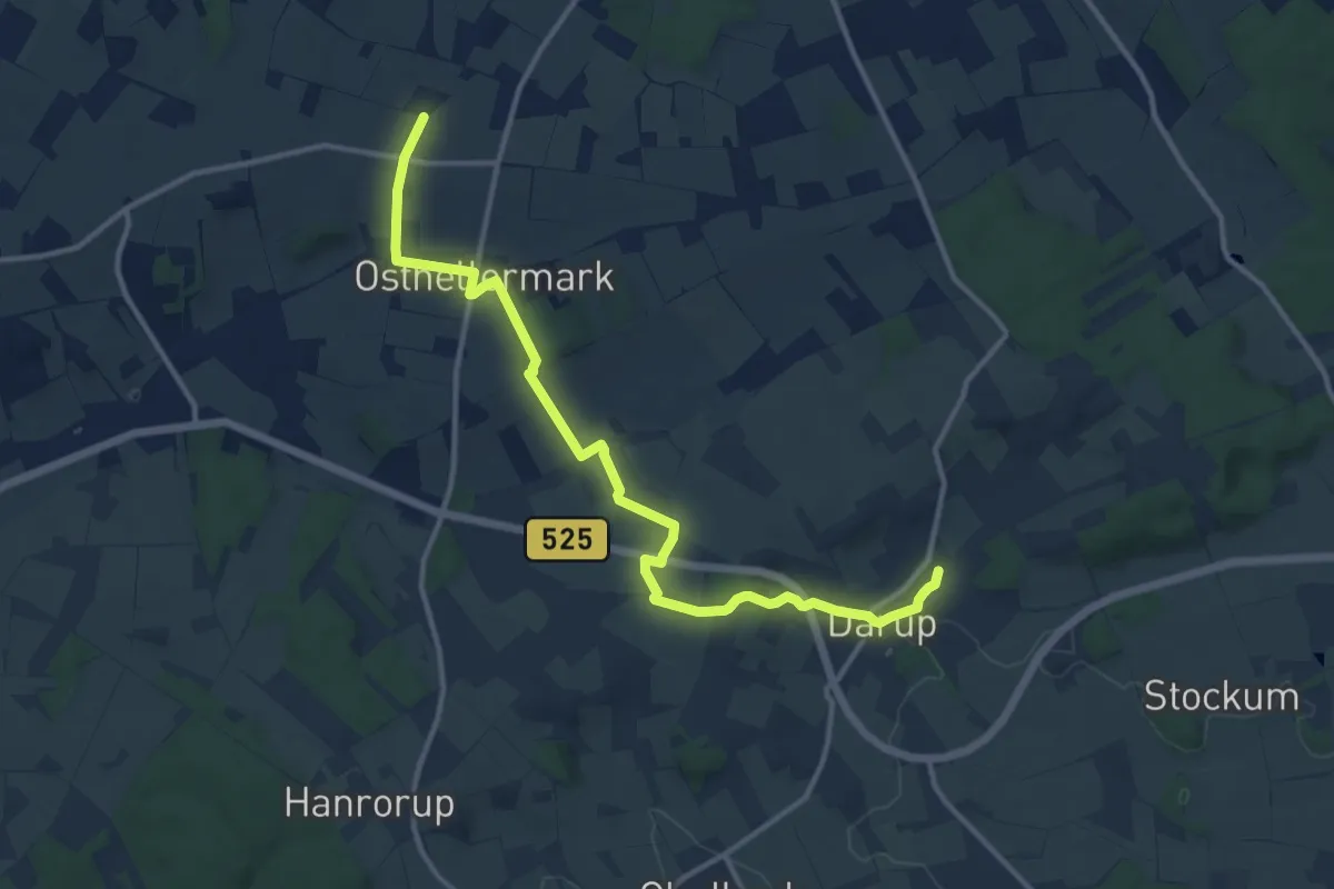
Medium · Trail
Ludgerusweg Zuweg Darup west
12.0 km · ↑ 192 m · 3 h 14 min
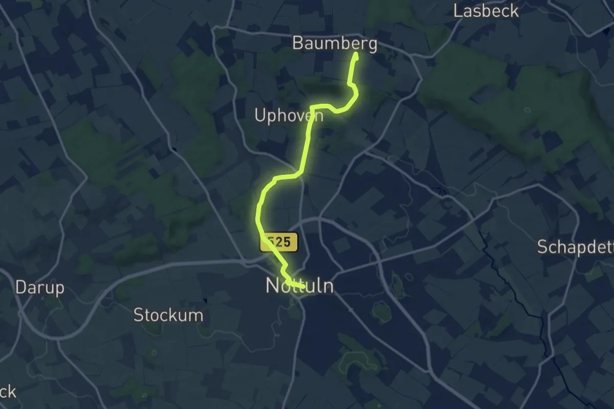
Medium · Summit
Ludgerusweg Zuweg Nottuln
10.0 km · ↑ 120 m · 2 h 38 min
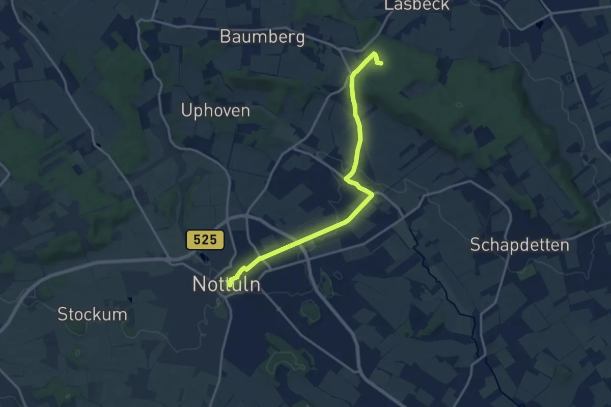
Medium · Trail
Ludgerusweg Zuweg Nottuln
10.5 km · ↑ 91 m · 2 h 41 min
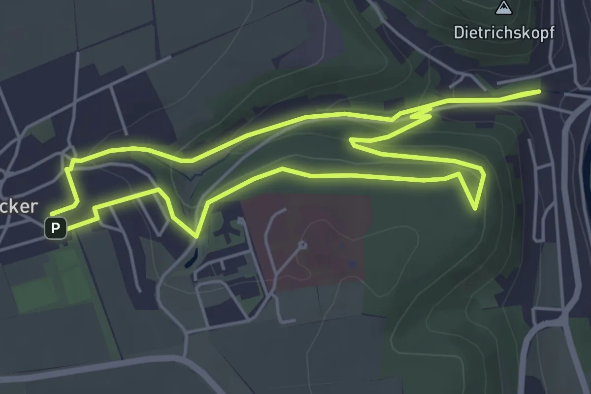
Easy · Trail
Ludwig-Bechstein-Weg
4.4 km · ↑ 126 m · 1 h 22 min
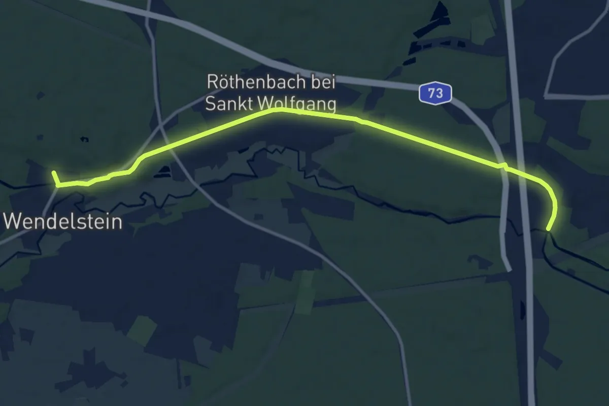
Medium · Trail
Ludwig-Donau-Main-Kanal
10.9 km · ↑ 64 m · 2 h 43 min
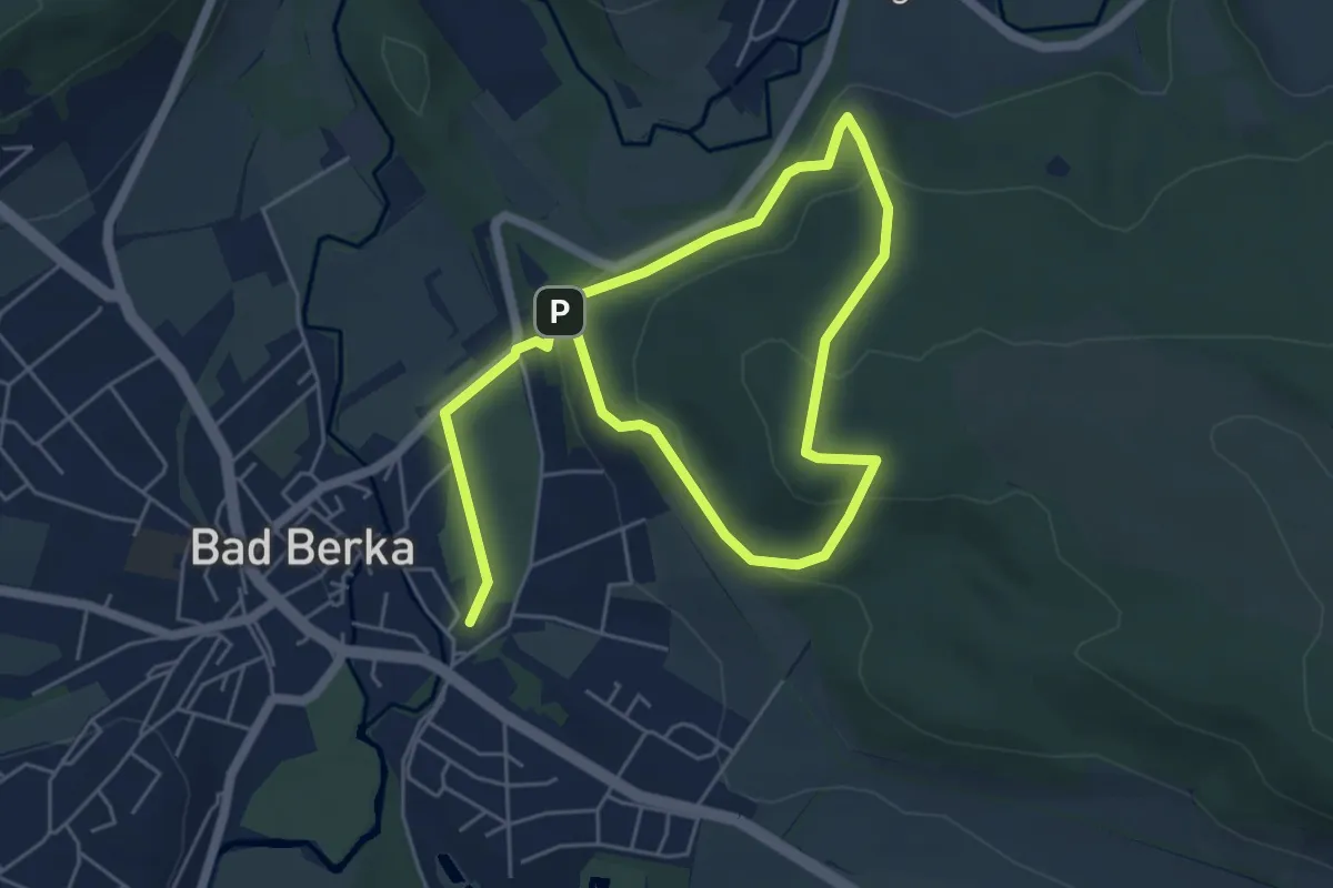
Medium · Summit
Ludwig-Geist-Weg
4.1 km · ↑ 133 m · 1 h 20 min
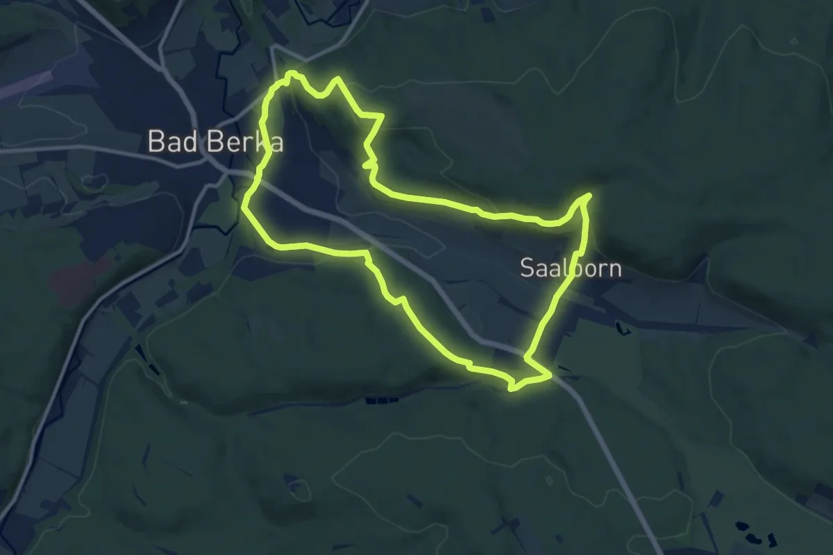
Medium · Summit
Ludwig-Häfner-Weg
10.1 km · ↑ 296 m · 3 h 11 min
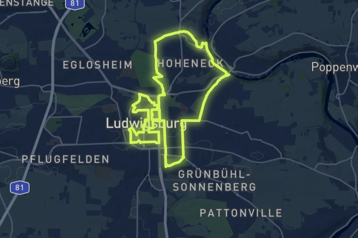
Medium · Trail
Ludwigsburger 300-Minuten-Weg
17.0 km · ↑ 216 m · 4 h 43 min
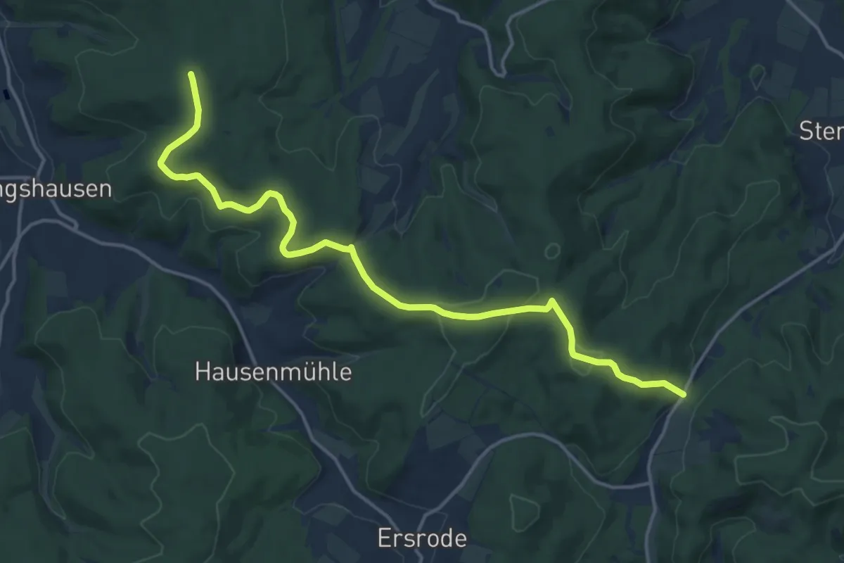
Medium · Summit
Ludwigseckweg
14.8 km · ↑ 326 m · 4 h 13 min
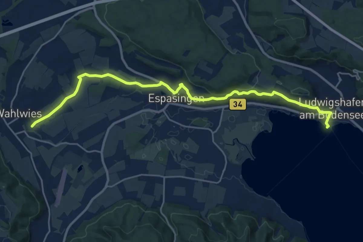
Medium · Trail
Ludwigshafen - Wahlwies
16.0 km · ↑ 246 m · 4 h 19 min
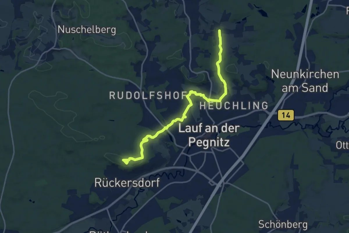
Medium · Summit
Ludwigshöhe - Dehnberg
13.9 km · ↑ 255 m · 3 h 50 min
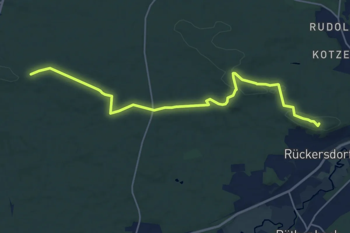
Medium · Summit
Ludwigshöhe - Haidberg
14.5 km · ↑ 202 m · 3 h 52 min
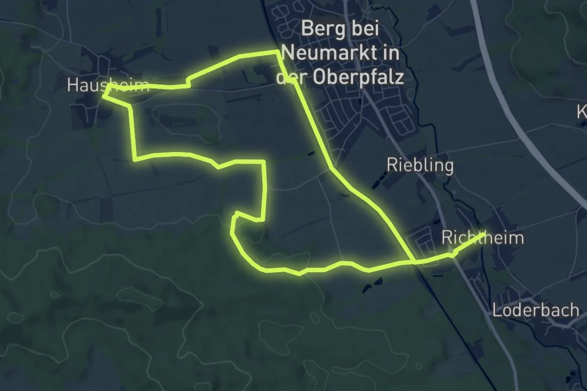
Medium · Trail
Ludwigsweg
17.7 km · ↑ 149 m · 4 h 30 min
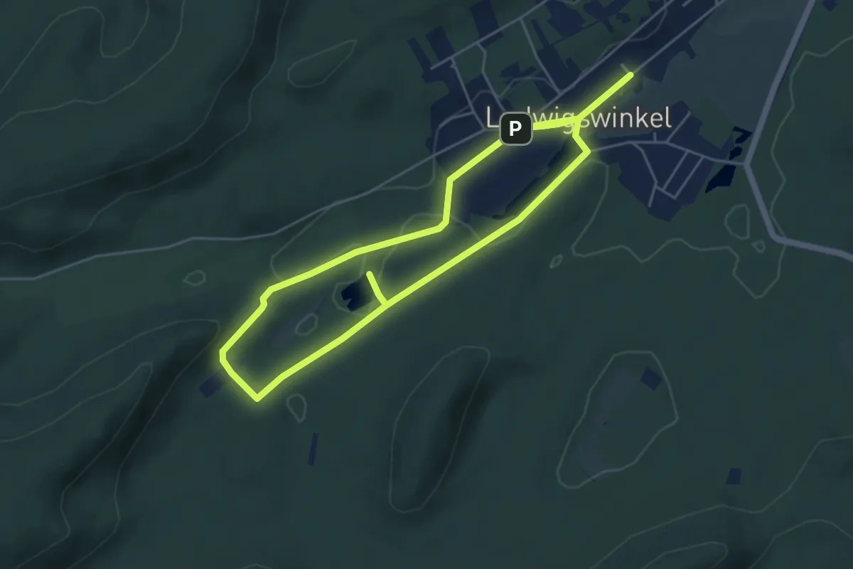
Easy · Trail
Ludwigswinkel Rundweg 2
4.4 km · ↑ 51 m · 1 h 13 min
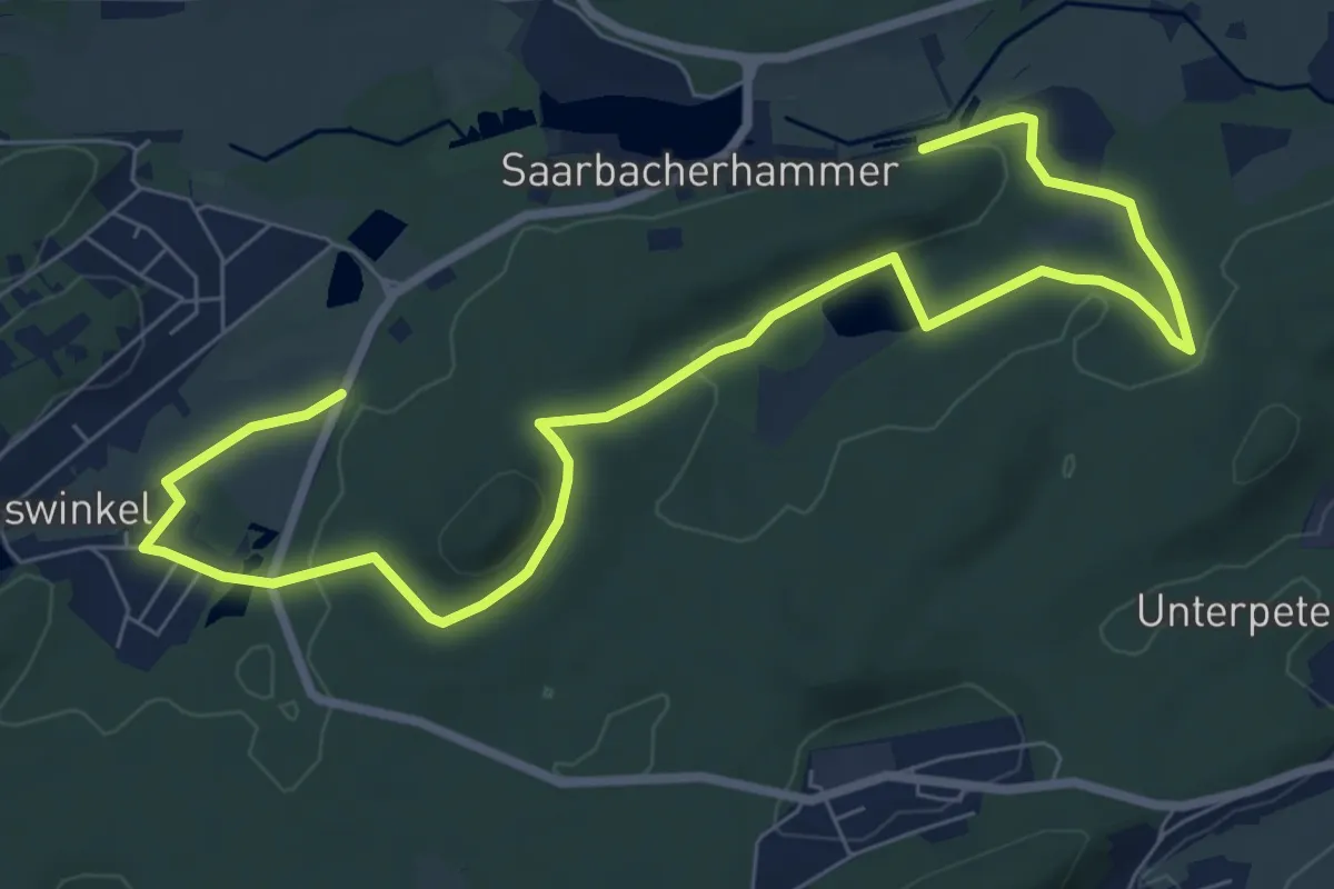
Easy · Summit
Ludwigswinkel Rundweg 3
5.0 km · ↑ 105 m · 1 h 28 min
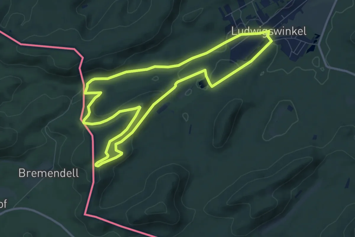
Medium · Summit
Ludwigswinkel Rundweg 4
8.3 km · ↑ 218 m · 2 h 33 min
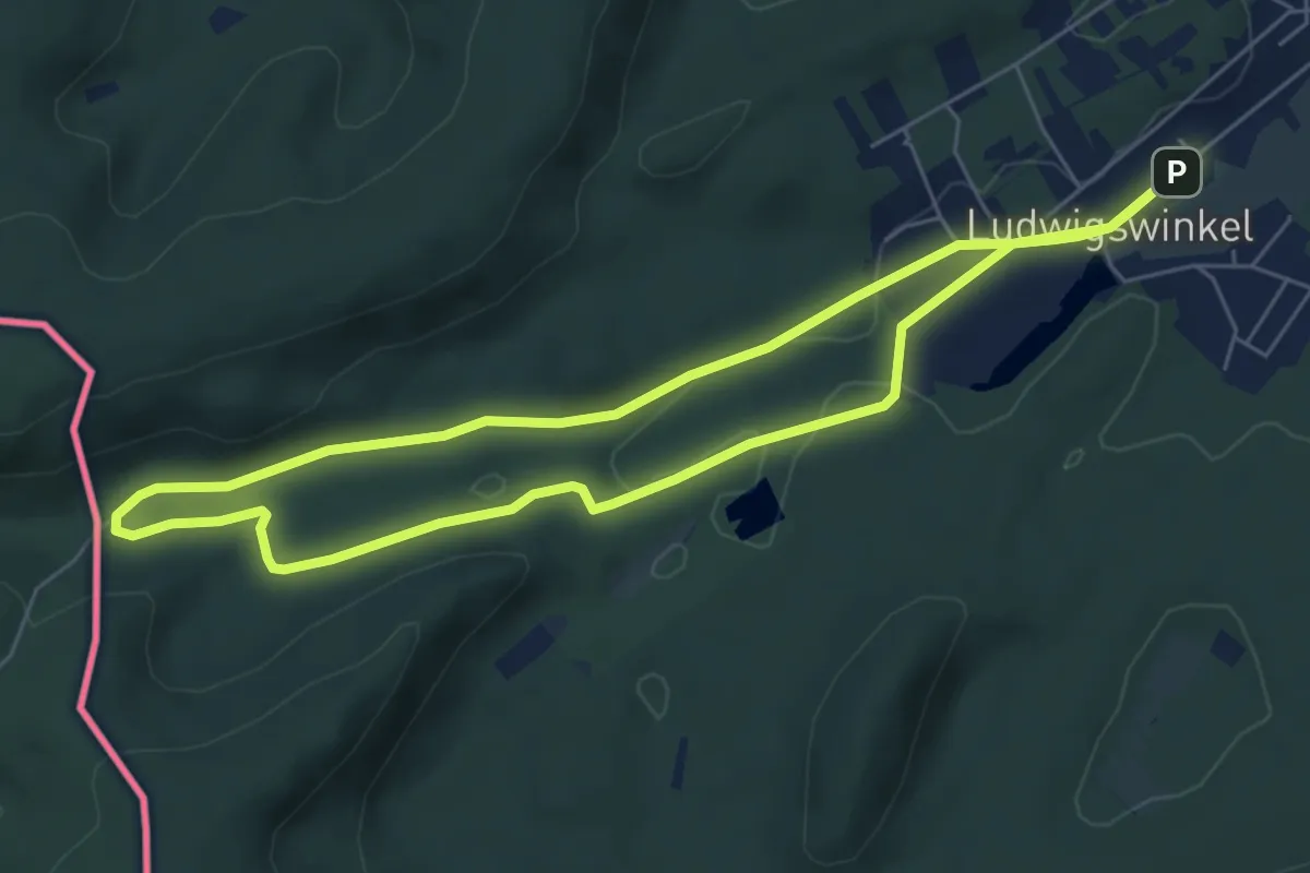
Easy · Trail
Ludwigswinkel Rundweg 5
6.1 km · ↑ 70 m · 1 h 41 min
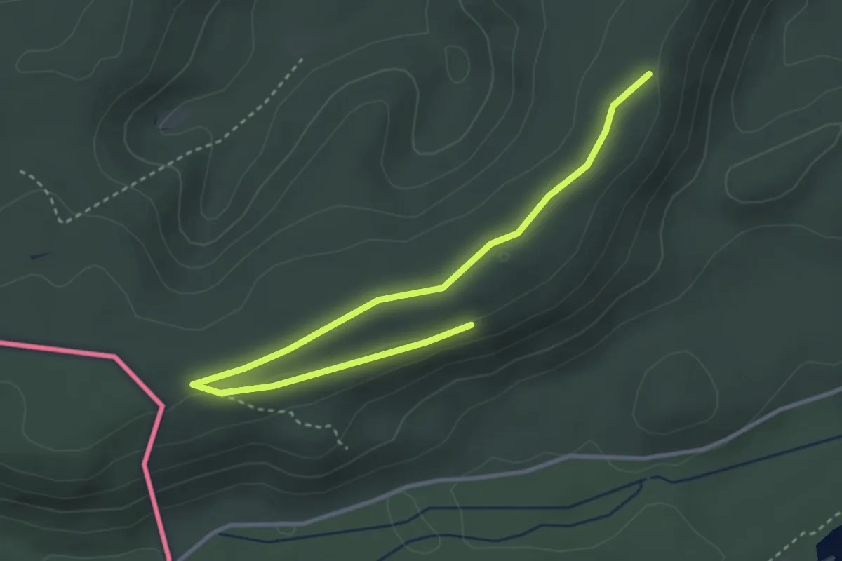
Easy · Trail
Ludwigswinkel Rundweg 6
1.9 km · ↑ 18 m · 31 min
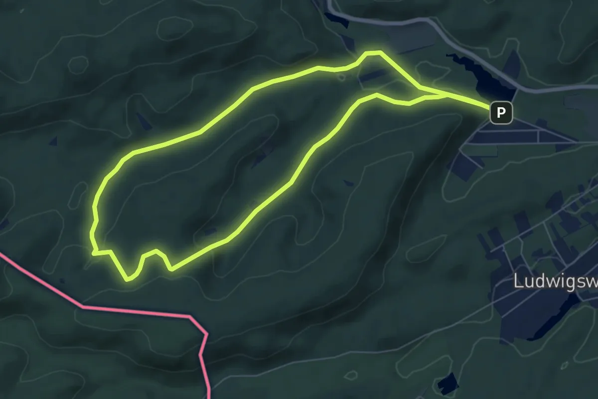
Easy · Trail
Ludwigswinkel Rundweg 7
7.0 km · ↑ 157 m · 2 h 5 min
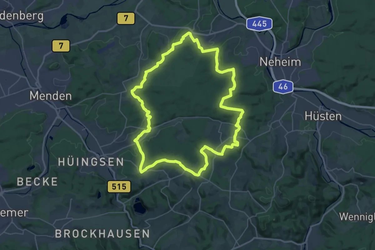
Demanding · Summit
Luerwaldrunde
27.0 km · ↑ 508 m · 7 h 51 min
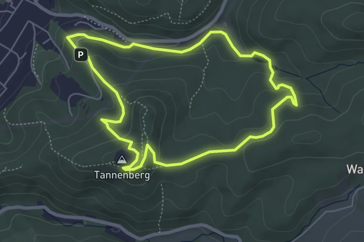
Easy · Summit
Lufthansa Wanderweg 1
4.3 km · ↑ 181 m · 1 h 28 min
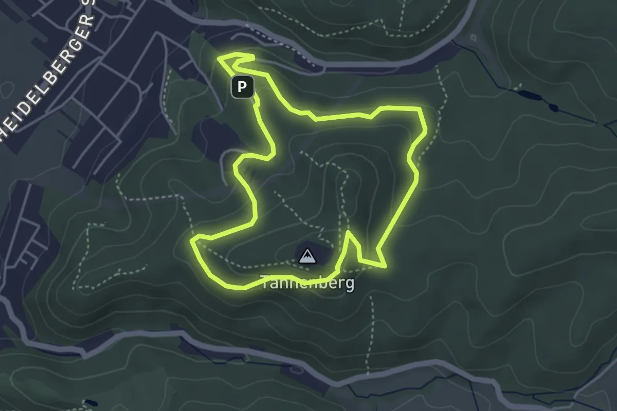
Easy · Summit
Lufthansa Wanderweg 2
3.6 km · ↑ 144 m · 1 h 13 min
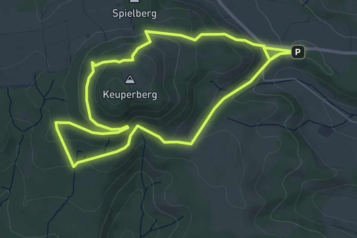
Easy · Summit
Lügder Mythenweg
5.2 km · ↑ 207 m · 1 h 44 min
Easy · Trail
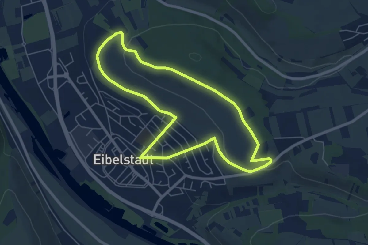
Lügensteinweg
4.7 km · ↑ 98 m · 1 h 23 min
Easy · Trail
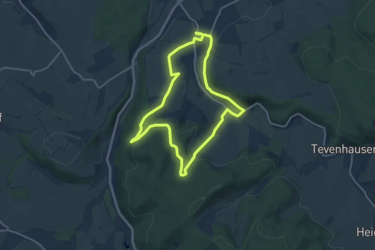
Luhbachweg
7.0 km · ↑ 155 m · 2 h 5 min
Easy · Trail
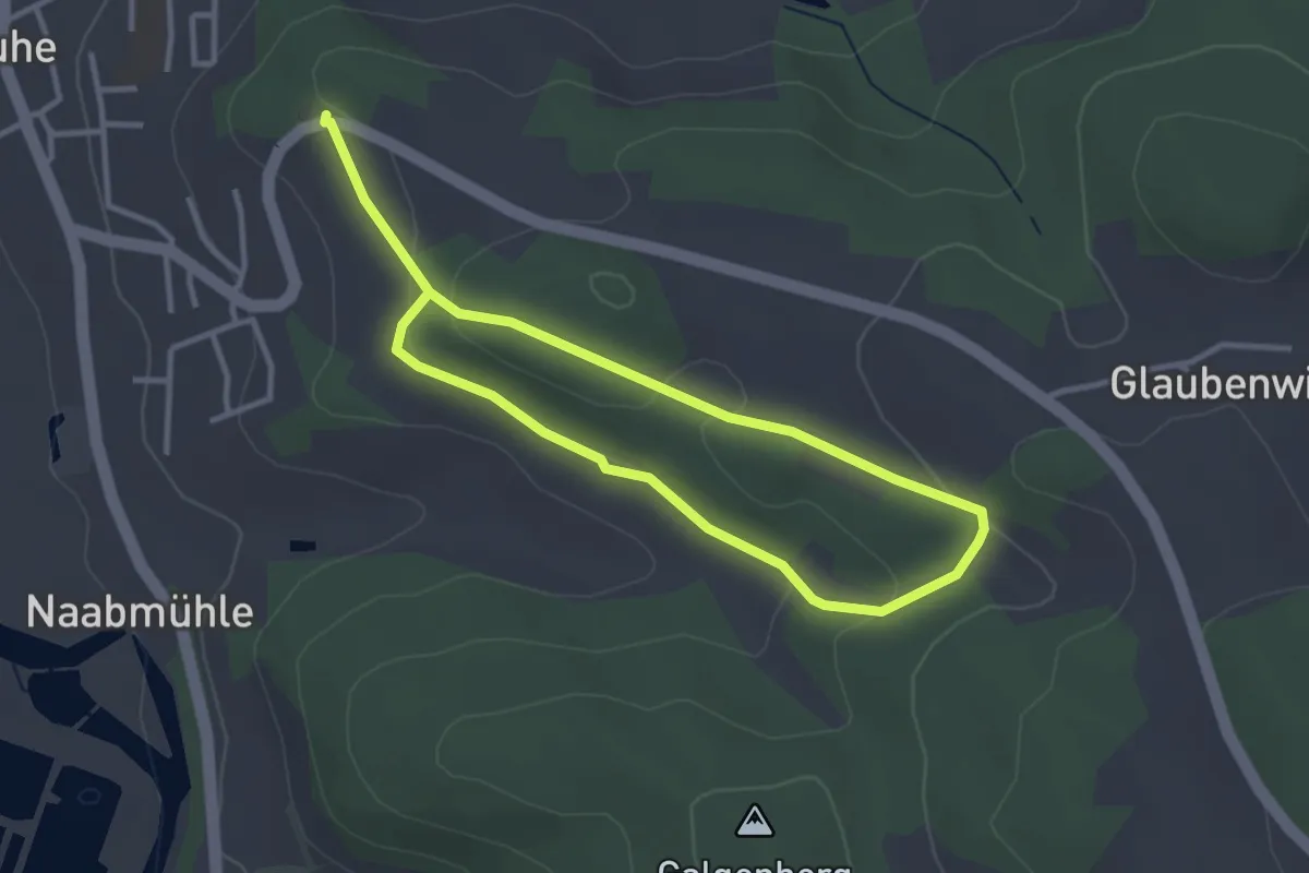
Luhe Rundwanderweg Nr. 2
2.5 km · ↑ 55 m · 44 min
Easy · Summit
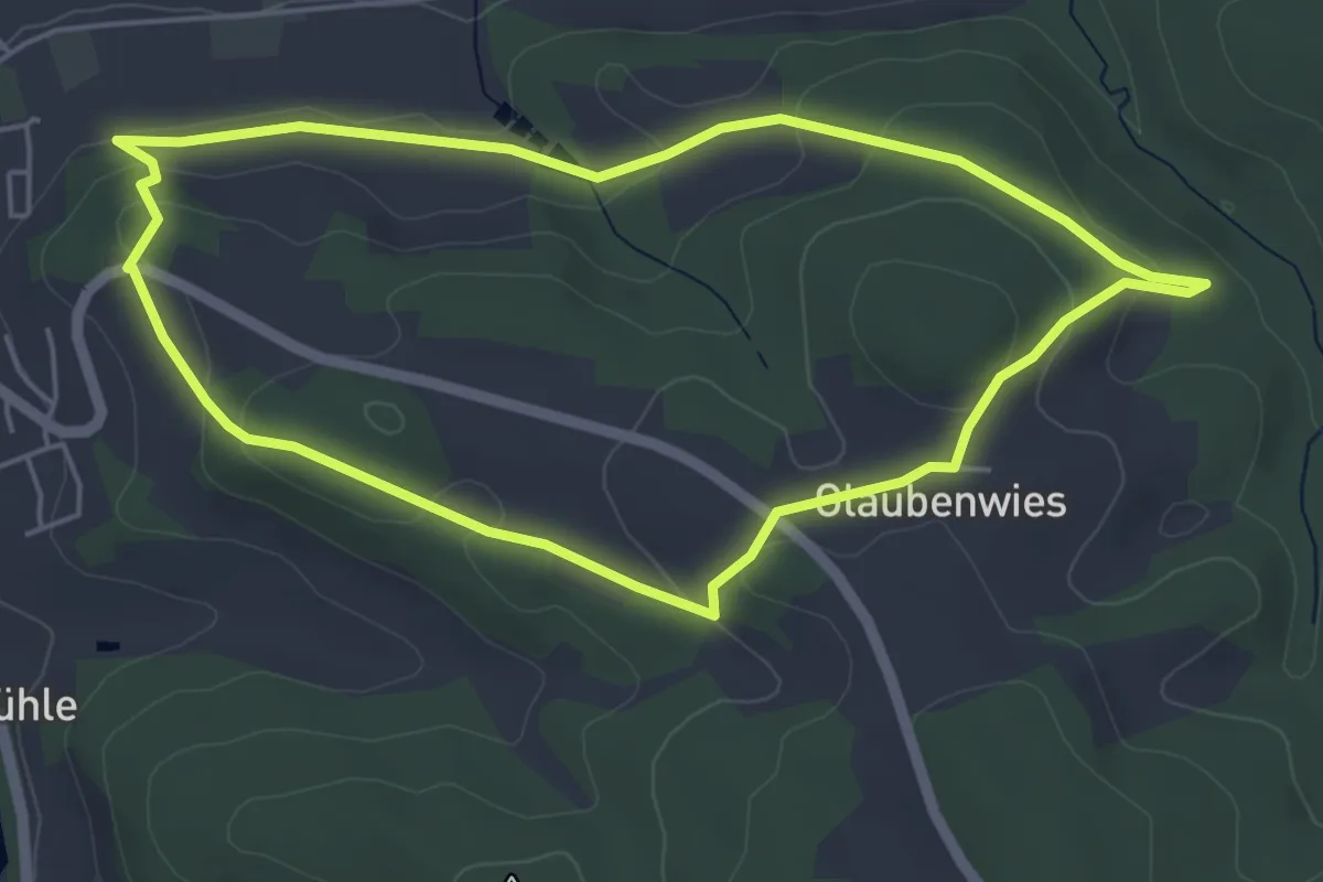
Luhe Rundwanderweg Nr. 3
4.7 km · ↑ 138 m · 1 h 29 min