Trails in Germany
36,852 hiking trails, each with its route, climb, walking time and grade.
All trails, page 333 of 768
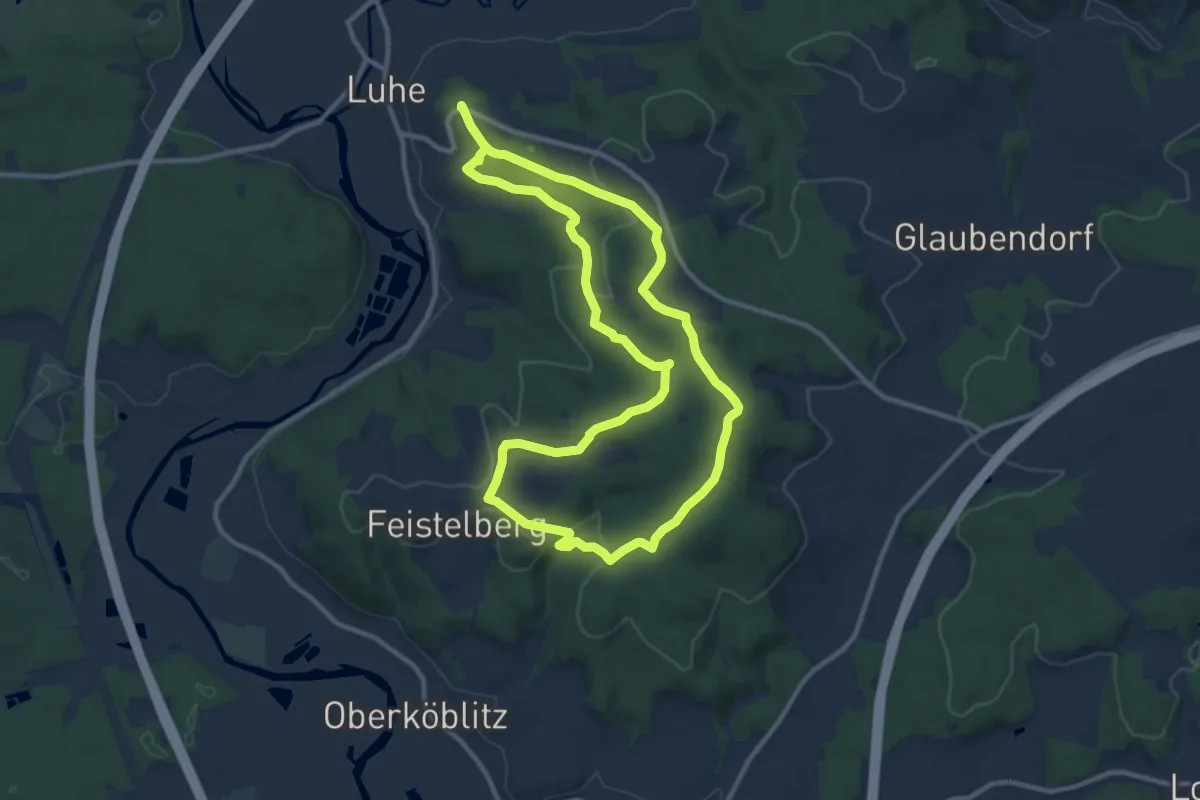
Medium · Summit
Luhe Rundwanderweg Nr. 4
9.8 km · ↑ 241 m · 2 h 58 min
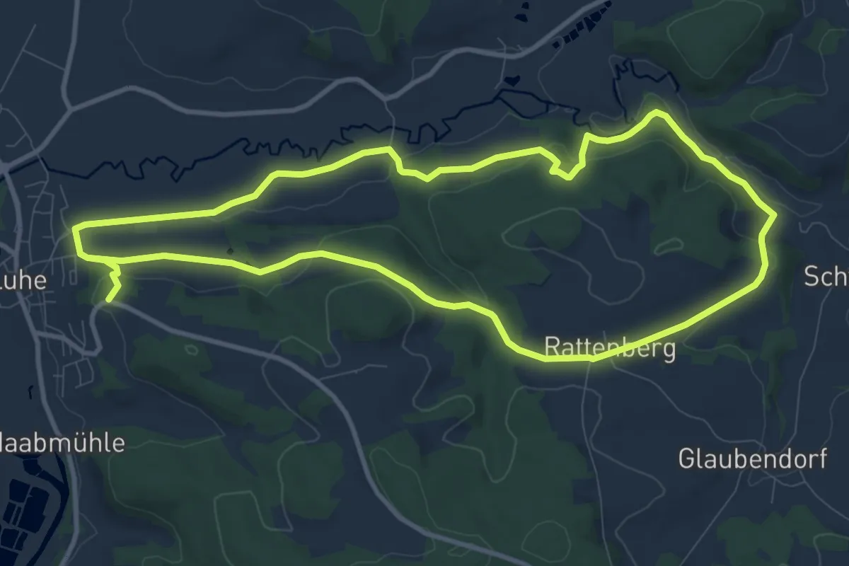
Medium · Trail
Luhe Rundwanderweg Nr. 5
9.5 km · ↑ 263 m · 2 h 55 min
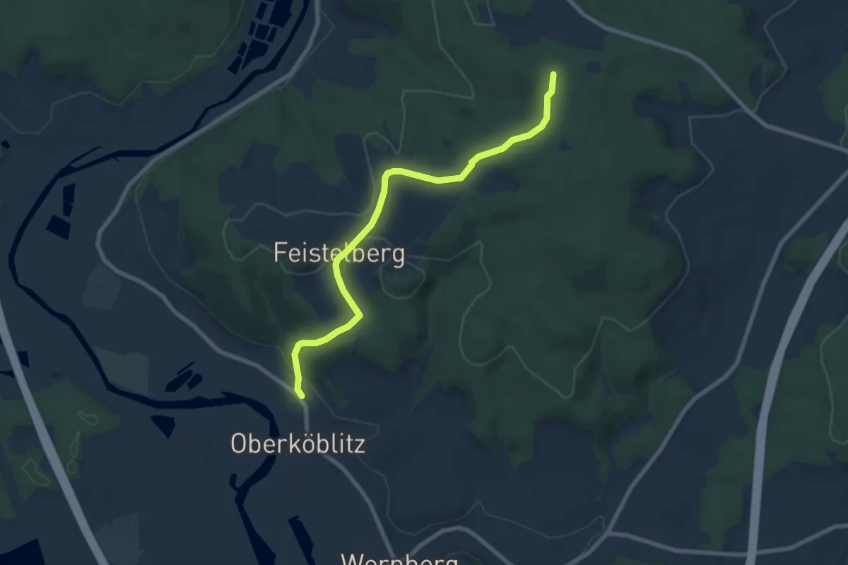
Easy · Summit
Luhe Rundwanderweg Nr. 6
6.8 km · ↑ 186 m · 2 h 1 min
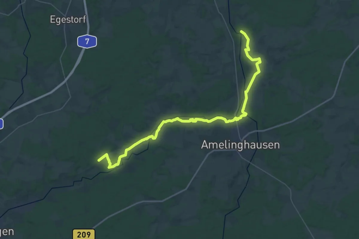
Demanding · Trail
Luhe Wanderweg
18.3 km · ↑ 70 m · 4 h 43 min
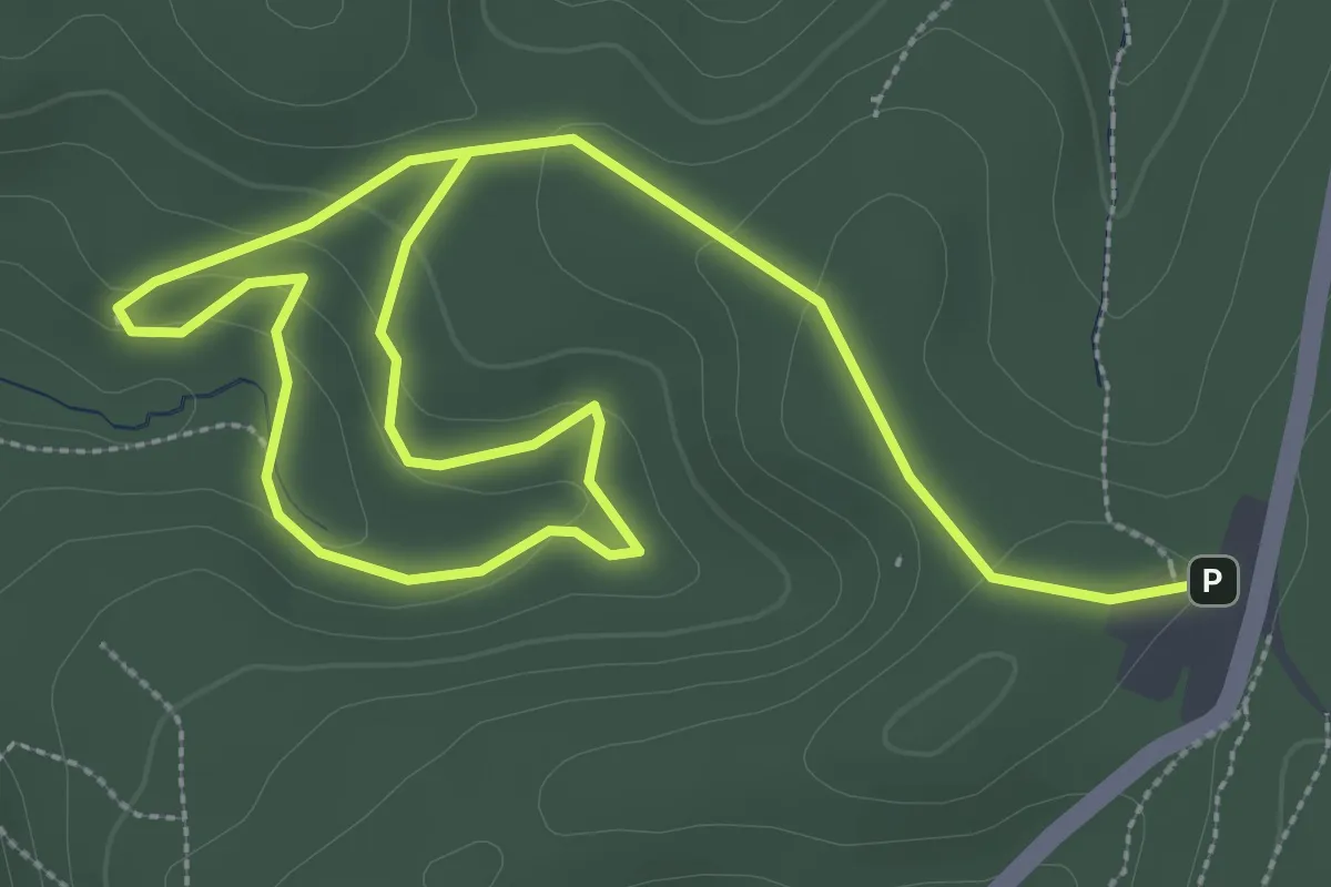
Easy · Summit
Luisengrotte
2.5 km · ↑ 77 m · 48 min
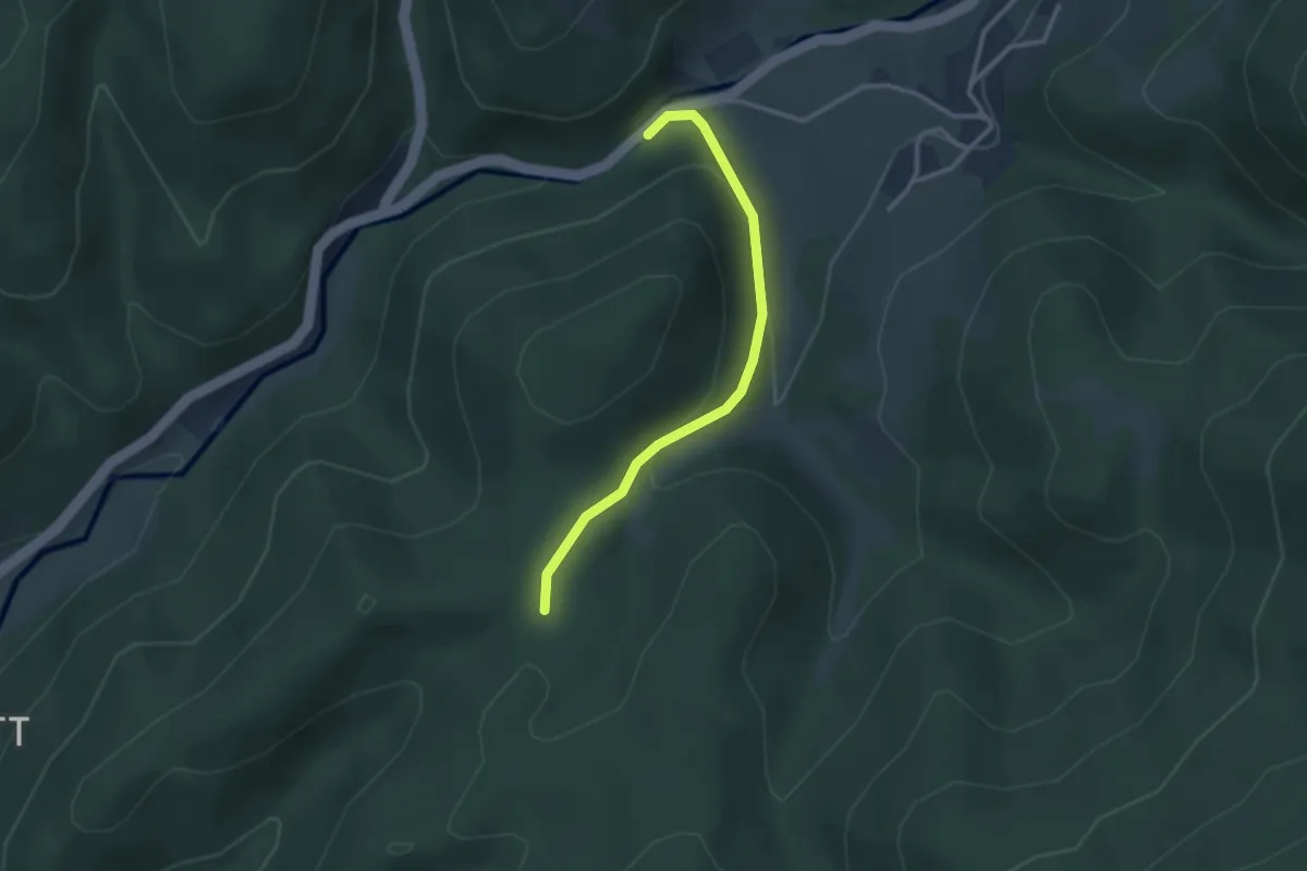
Easy · Trail
Luisenhütte - Malsburger Brücke
2.7 km · ↑ 140 m · 56 min
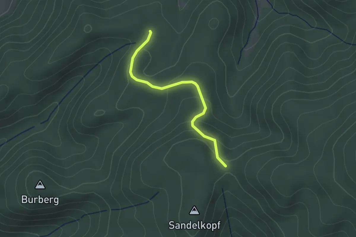
Easy · Trail
Luisenhütte - Rehhütte
2.6 km · ↑ 118 m · 53 min
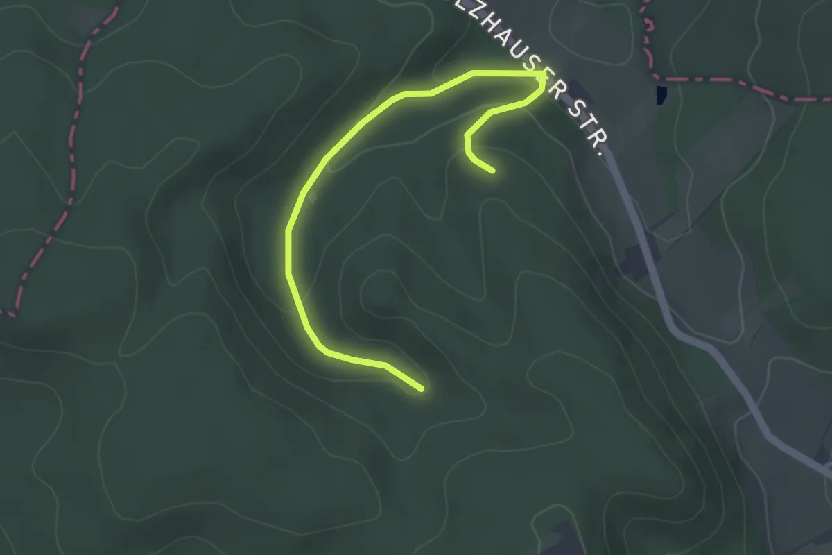
Easy · Trail
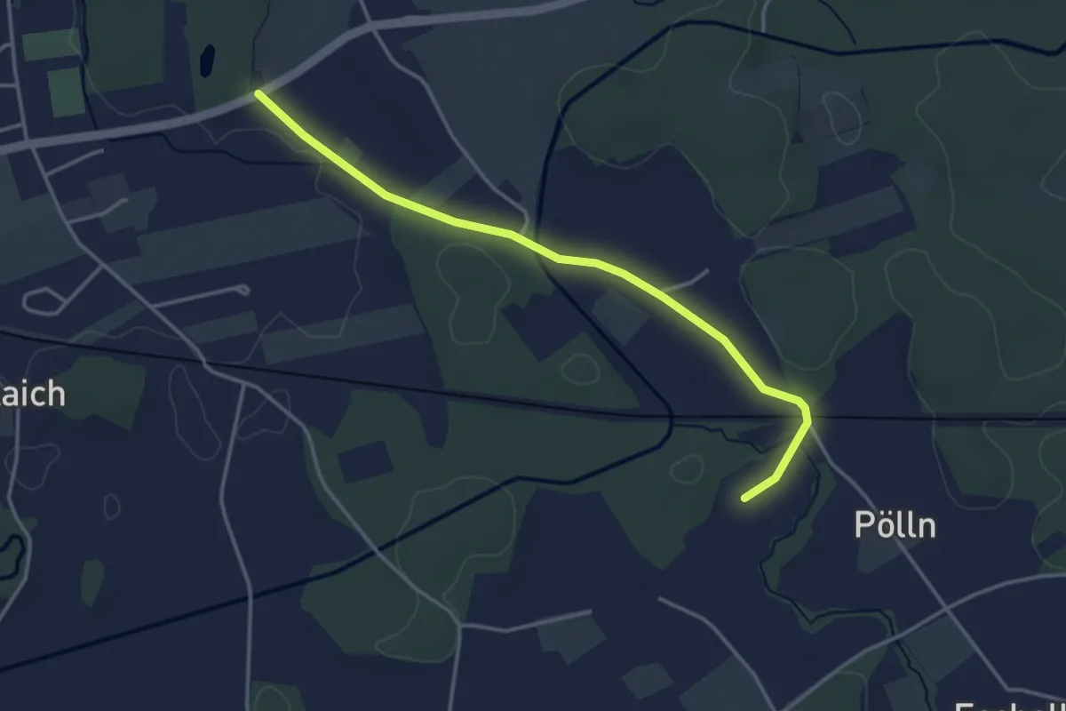
Luisenturmweg
1.7 km · ↑ 80 m · 36 min
Easy · Trail
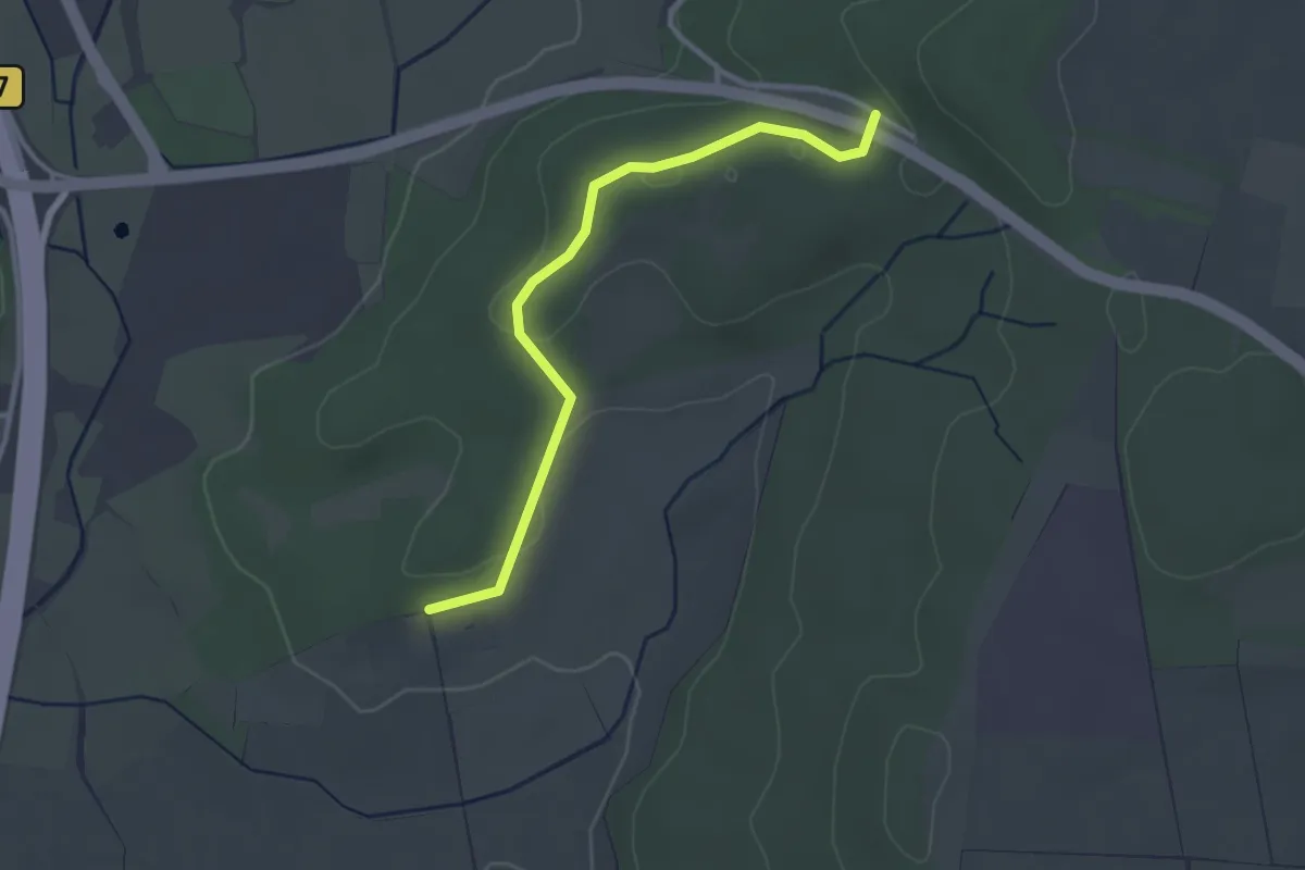
Luise-Rinser-Rundweg
3.6 km · ↑ 18 m · 54 min
Easy · Trail
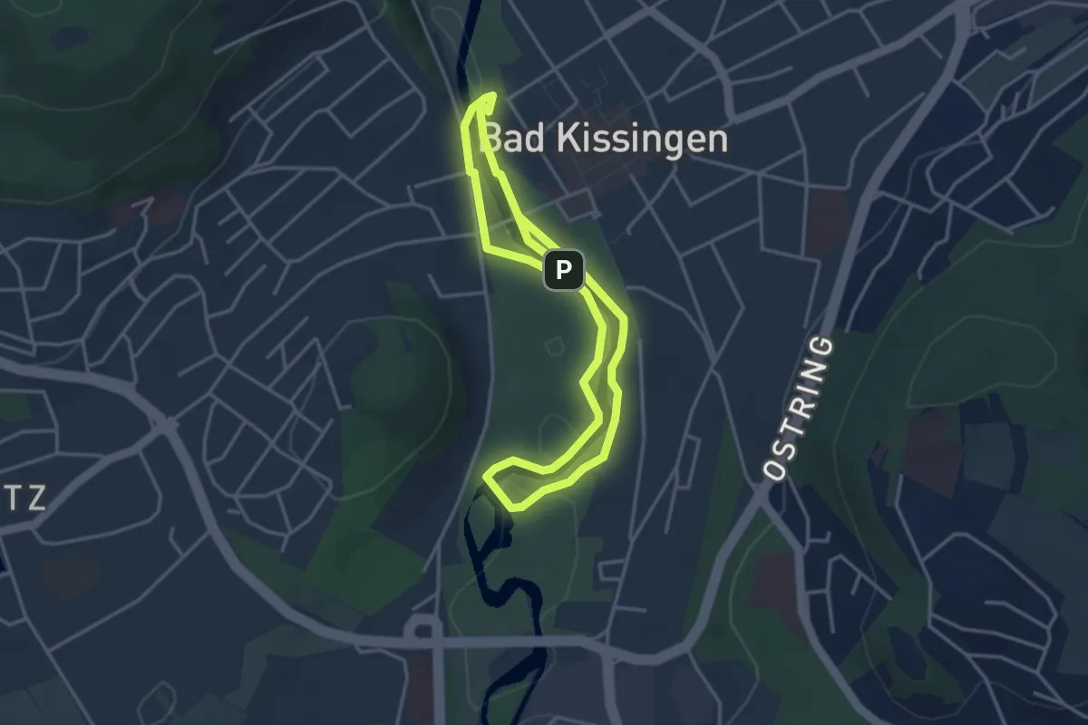
Luise Sturm Brücke - Aasener Höll
2.9 km · ↑ 43 m · 46 min
Easy · Trail
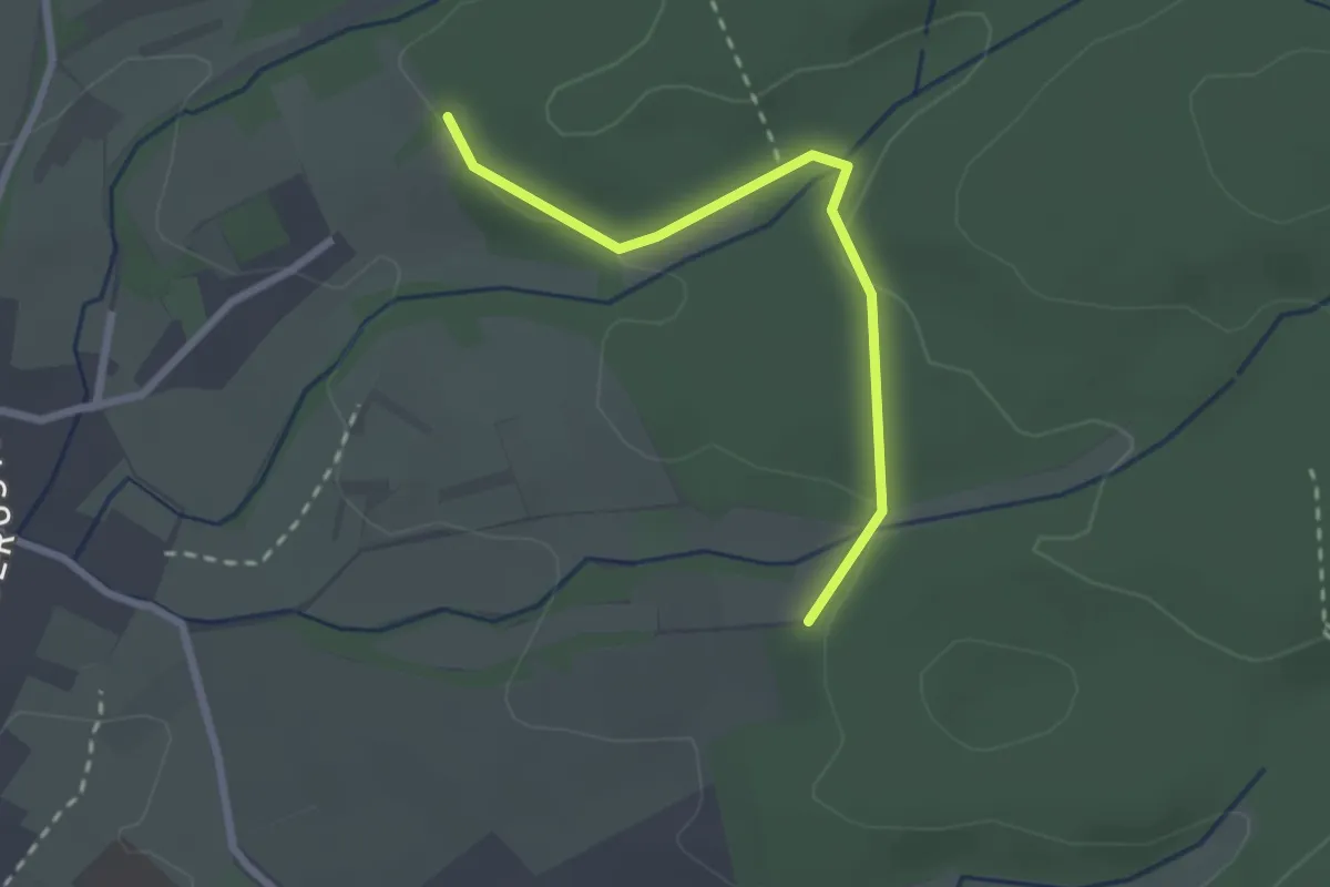
Luitpoldpark-Tour
3.1 km · ↑ 9 m · 47 min
Easy · Trail
Lukasplatz - Sauwald
2.3 km · ↑ 48 m · 38 min
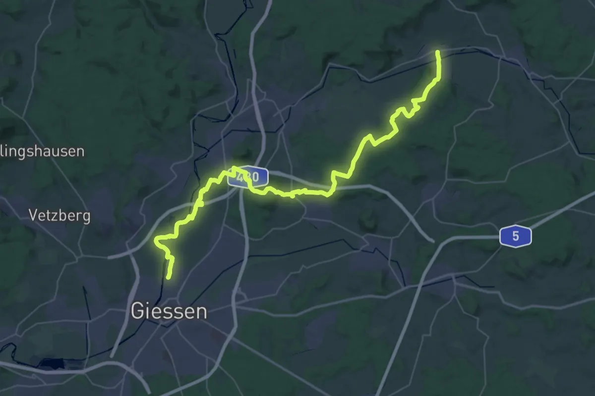
Demanding · Trail
Lumdatal-Bergweg
22.2 km · ↑ 397 m · 6 h 25 min
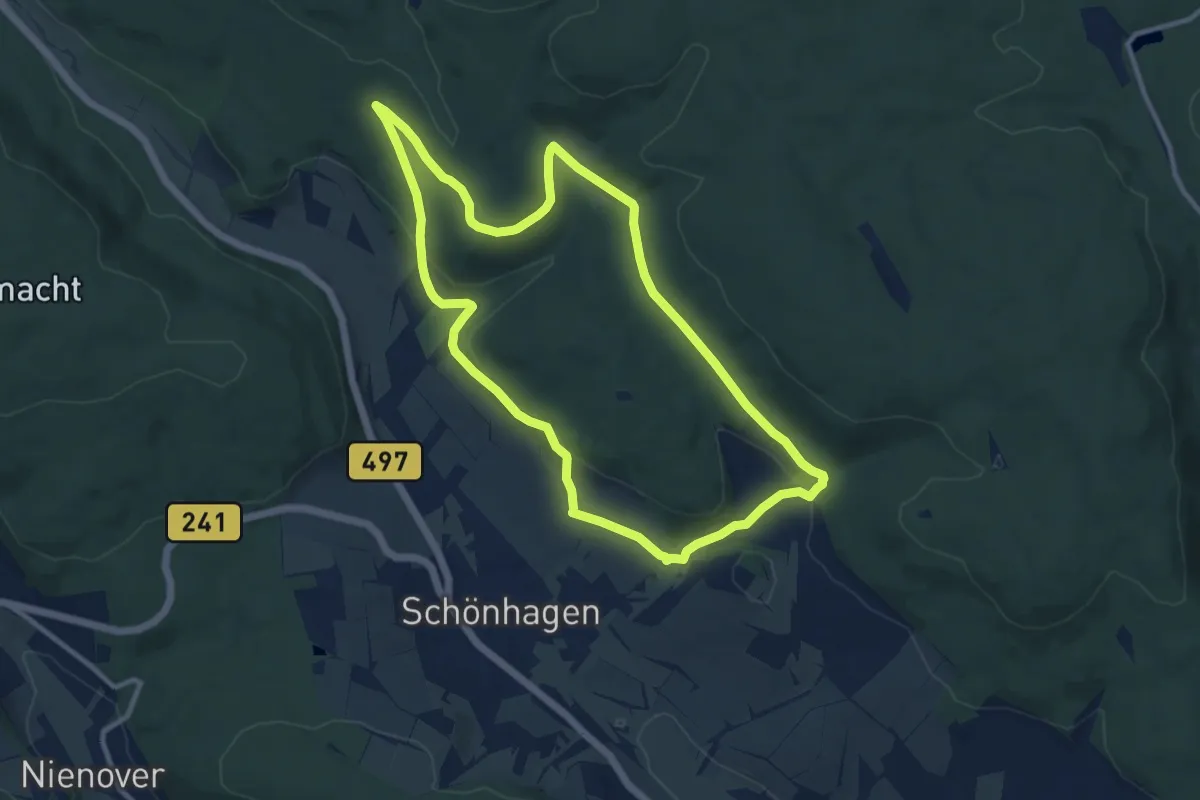
Medium · Trail
Lunauborn
9.3 km · ↑ 207 m · 2 h 46 min
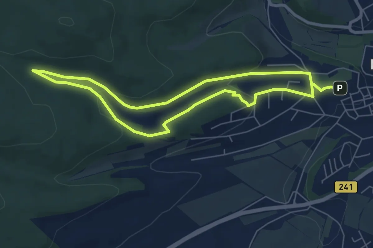
Easy · Trail
Lunau-Runde
4.5 km · ↑ 125 m · 1 h 24 min
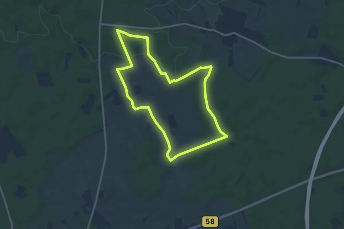
Easy · Trail
Lünzumer Mark Rundweg A9
6.2 km · ↑ 59 m · 1 h 41 min
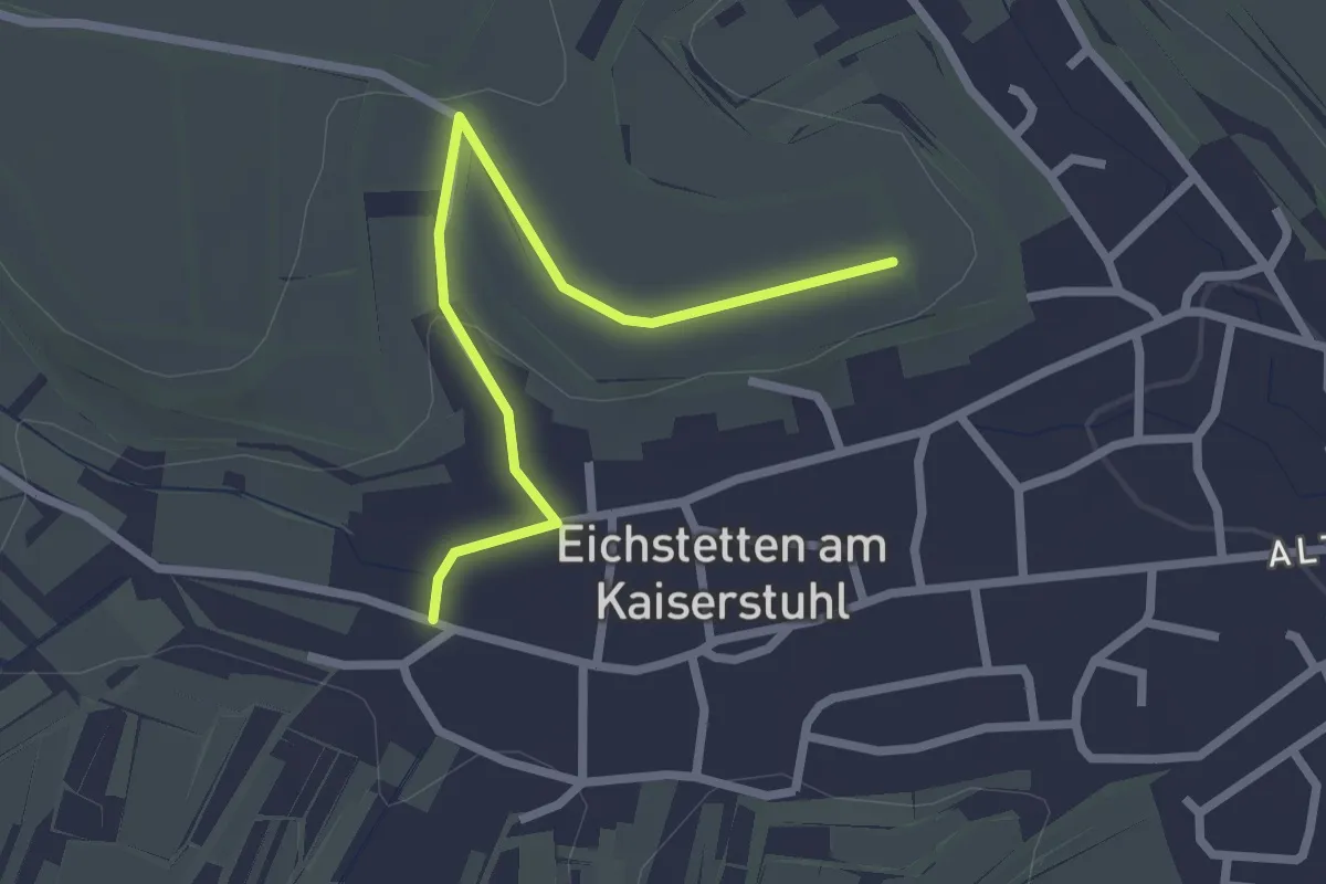
Easy · Trail
Lupberg - Eichstetten Krutenau
2.4 km · ↑ 42 m · 39 min
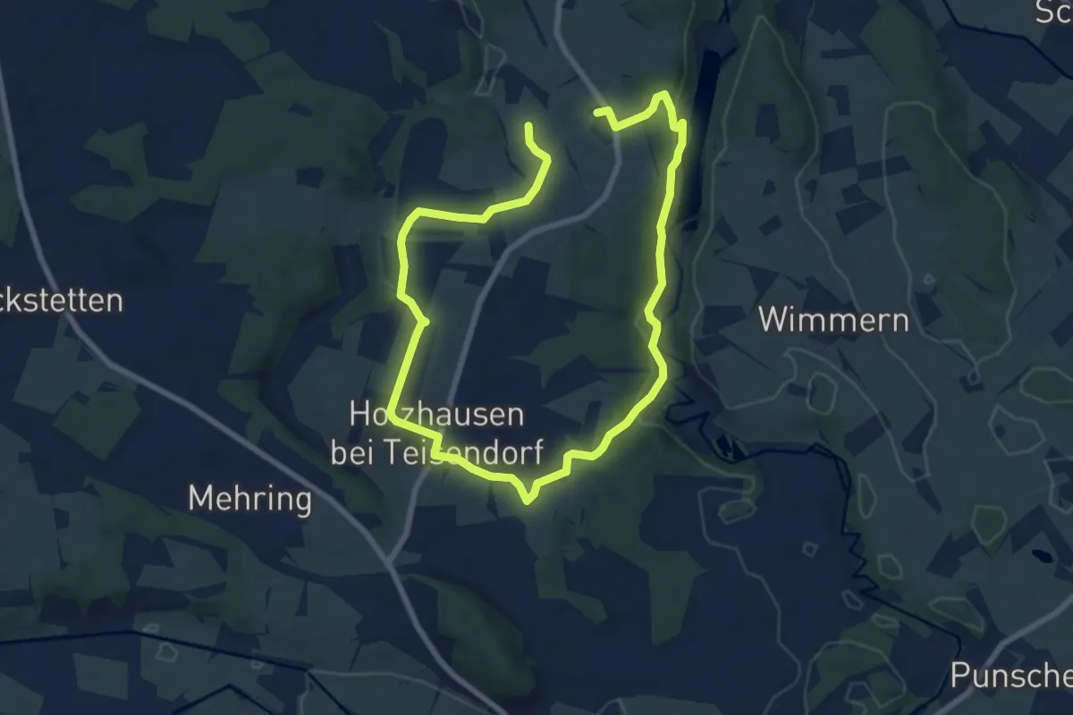
Medium · Trail
Lußer Stausee-Weg Nr. 13
11.8 km · ↑ 196 m · 3 h 12 min
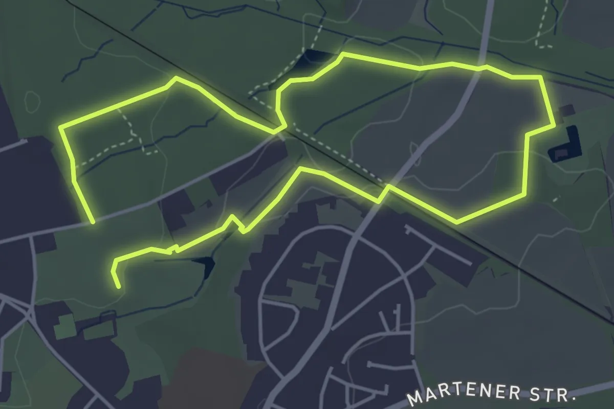
Easy · Trail
Lütgendortmund Rundweg A2
3.4 km · ↑ 53 m · 58 min
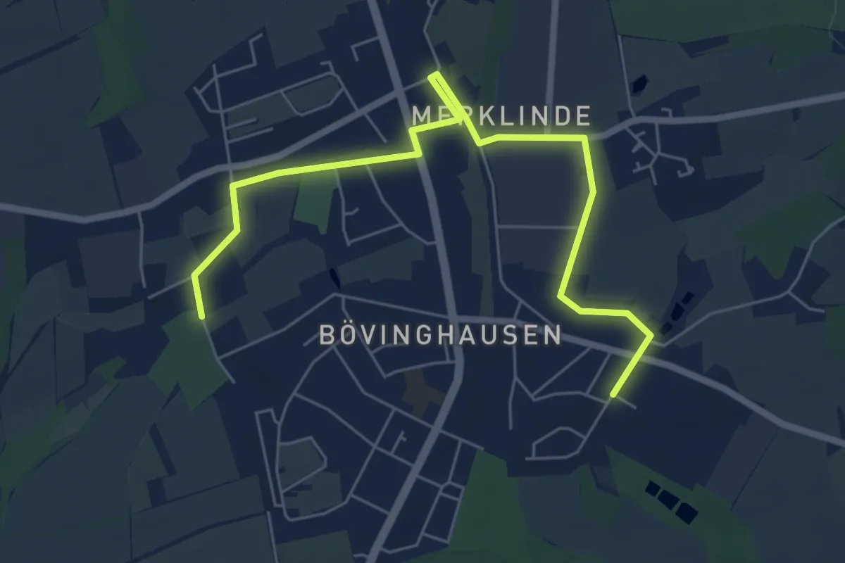
Easy · Trail
Lütgendortmund Rundweg A3
3.1 km · ↑ 4 m · 47 min
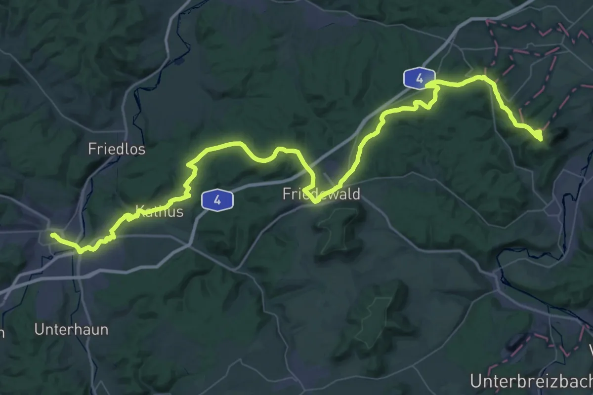
Demanding · Summit
Lutherweg 1521 (Teilstück Eisenach-Bad Hersfeld)
31.2 km · ↑ 609 m · 9 h
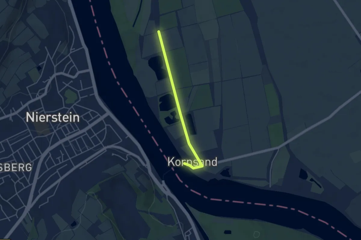
Easy · Pilgrim path
Lutherweg 1521 (Teilstück Neu Isenburg - Nierstein)
1.6 km · ↑ 0 m · 24 min
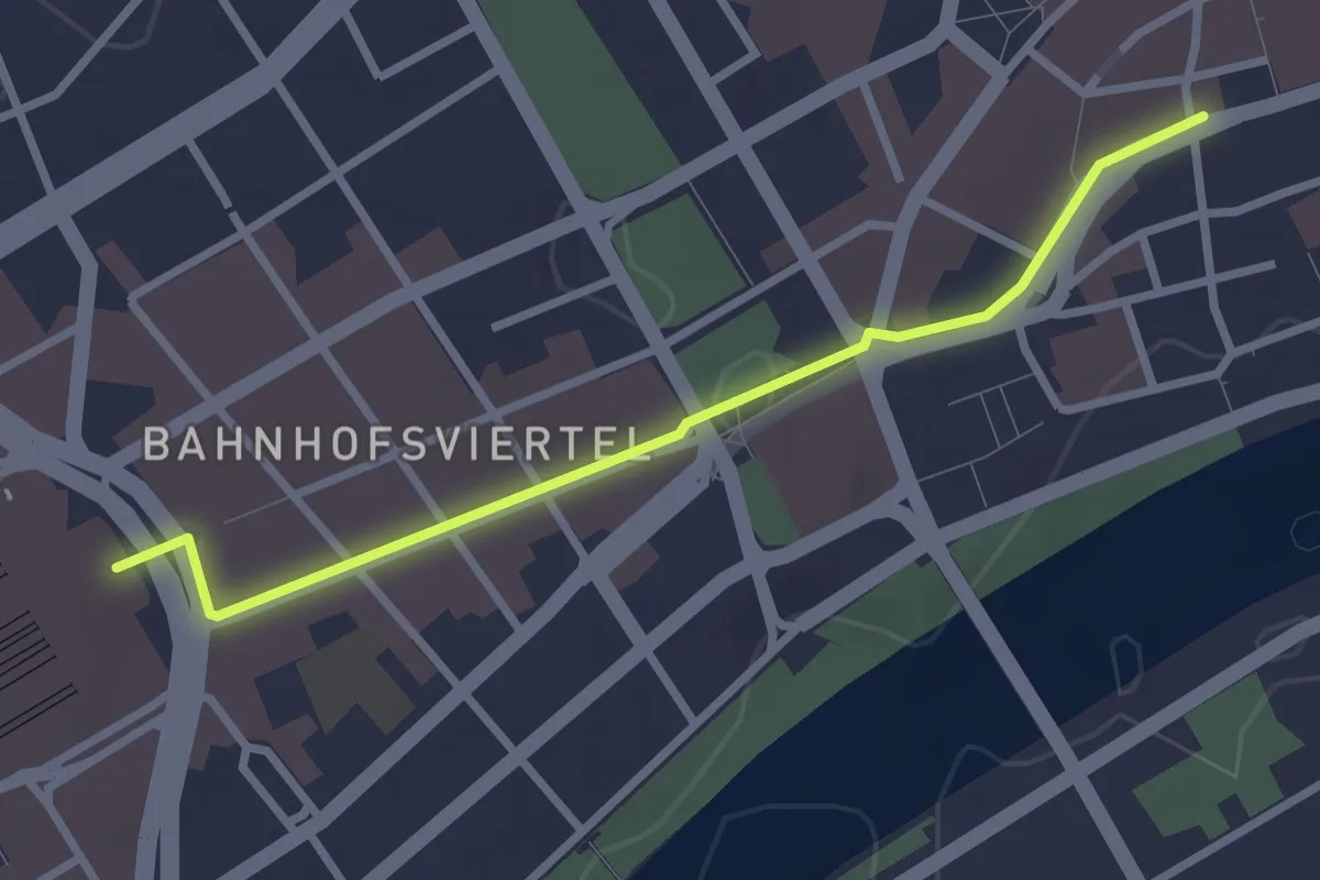
Easy · Trail
Lutherweg 1521 (Zuweg Frankfurt Hauptbahnhof)
2.6 km · ↑ 9 m · 38 min
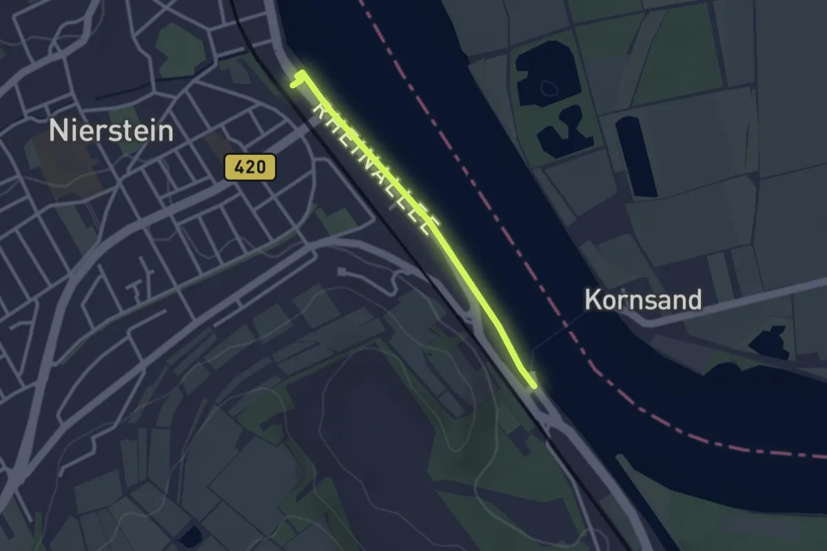
Easy · Trail
Lutherweg 1521 (Zuweg Nierstein Bahnhof)
2.2 km · ↑ 0 m · 31 min
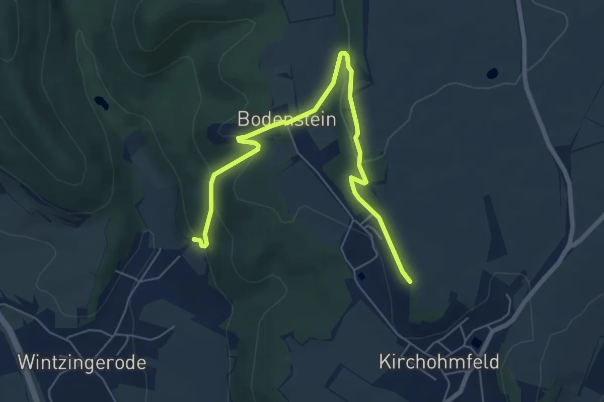
Easy · Trail
Lutherweg Leinefelde-Worbis
2.8 km · ↑ 160 m · 1 h
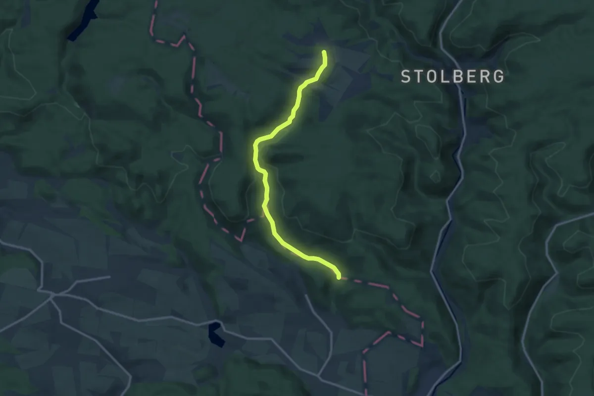
Medium · Trail
Lutherweg LK MSH
10.0 km · ↑ 224 m · 2 h 51 min
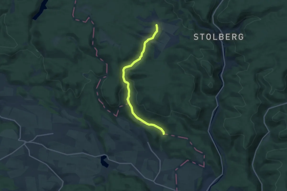
Medium · Trail
Lutherweg Sachsen-Anhalt
10.0 km · ↑ 229 m · 2 h 51 min
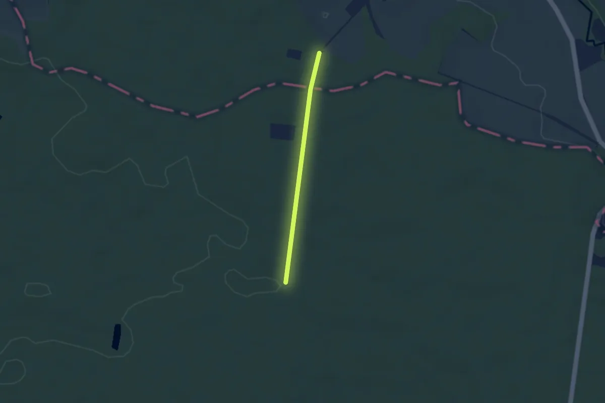
Easy · Pilgrim path
Lutherweg Thüringen - Ostroute
1.1 km · ↑ 9 m · 17 min
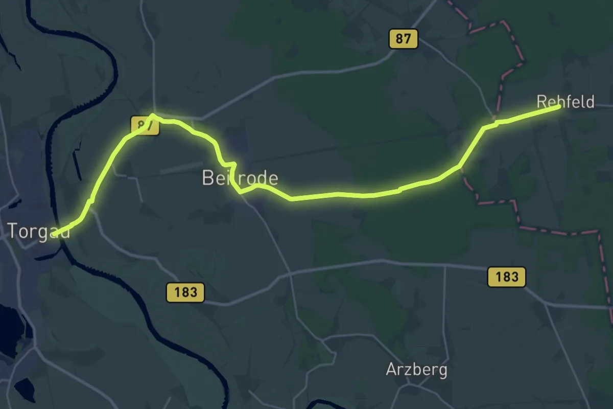
Demanding · Trail
Lutherweg von Torgau nach Herzberg.
29.2 km · ↑ 44 m · 6 h 59 min
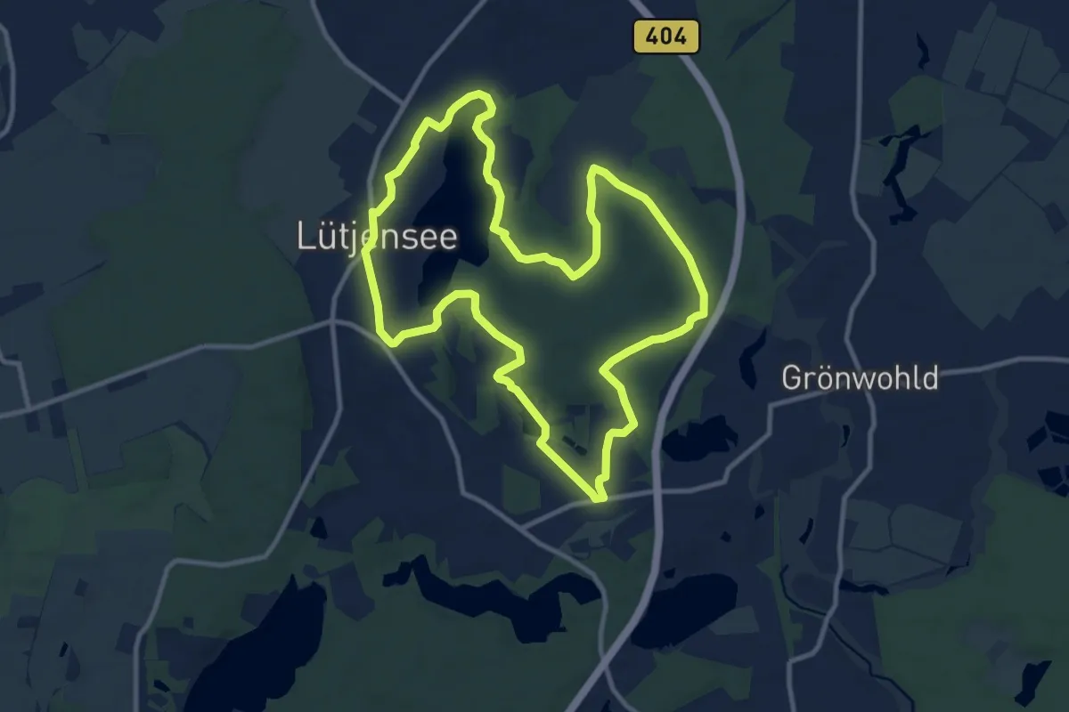
Medium · Trail
Lütjensee-Rundweg
9.4 km · ↑ 69 m · 2 h 29 min
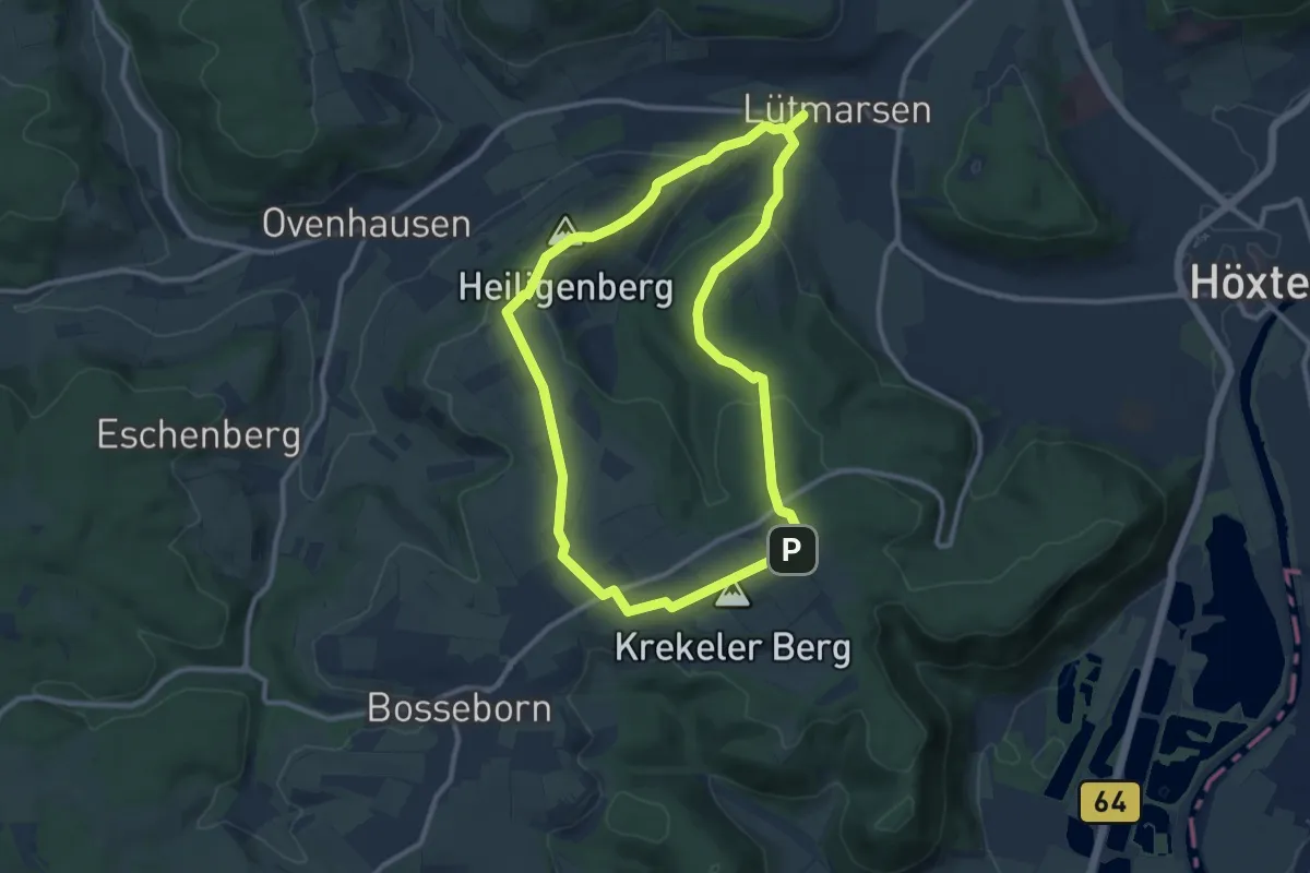
Medium · Summit
Lütmarsen Rundweg LM6
9.3 km · ↑ 222 m · 2 h 48 min
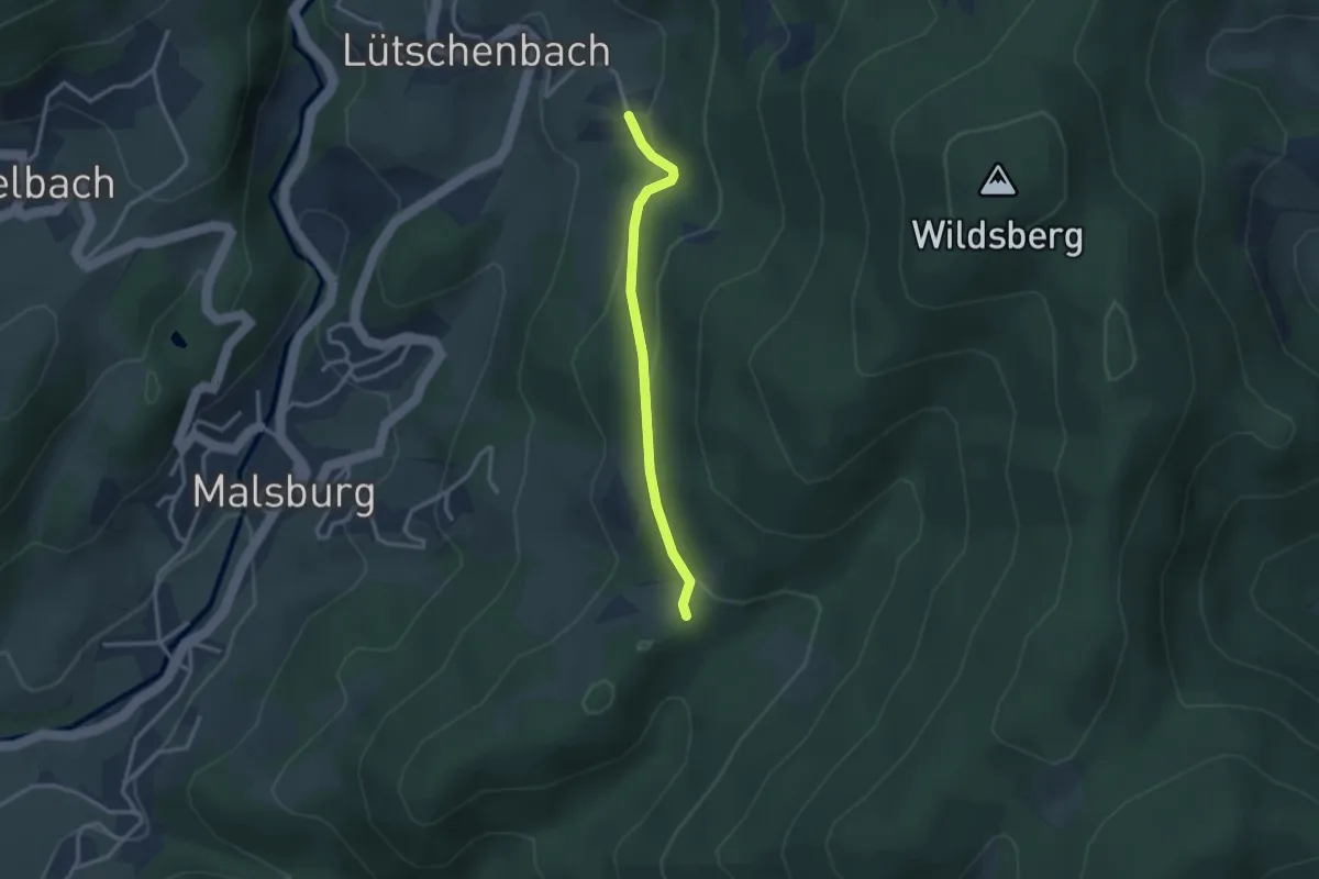
Easy · Trail
Lütschenbach Bühl - Stelli
2.6 km · ↑ 118 m · 52 min
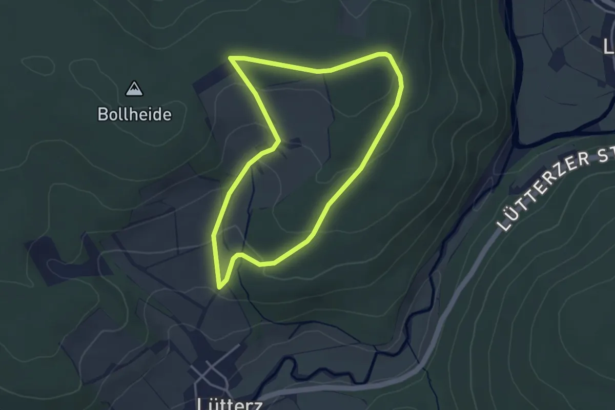
Easy · Trail
Lütterz Rhön 1
3.0 km · ↑ 87 m · 56 min
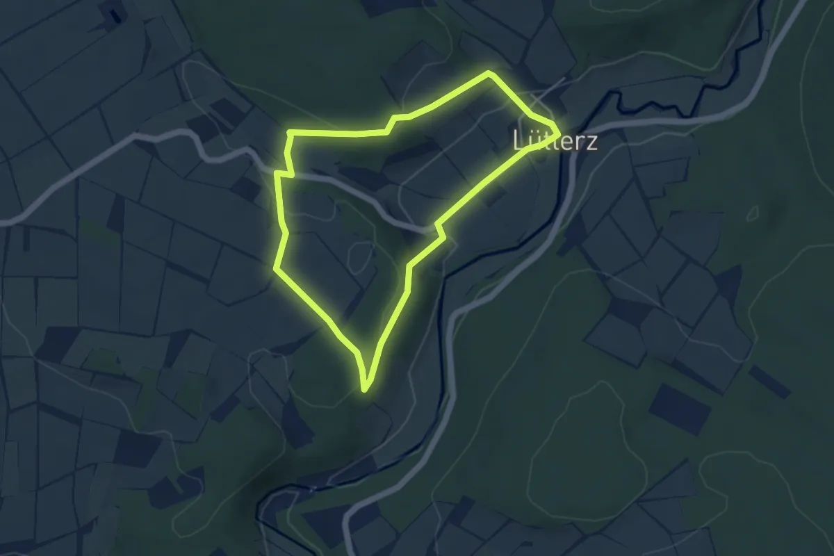
Easy · Trail
Lütterz Rhön 2
3.7 km · ↑ 105 m · 1 h 9 min
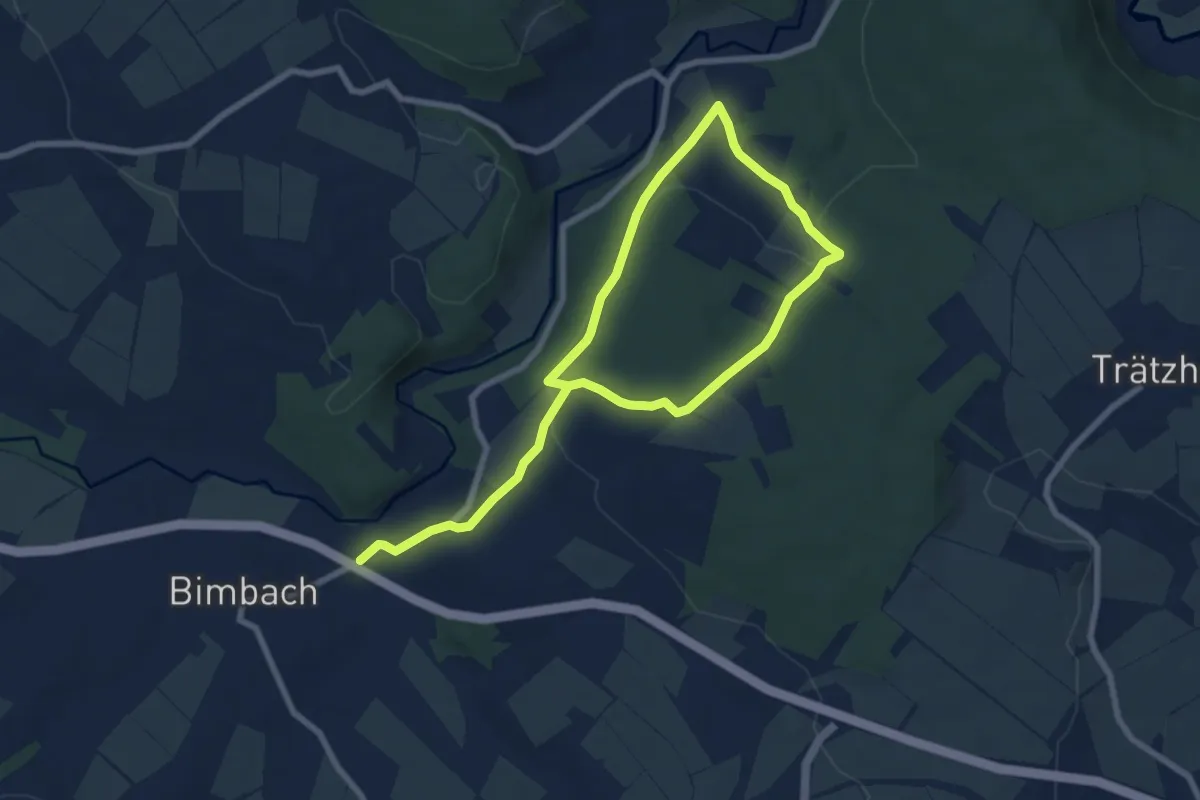
Easy · Trail
Lütterz Rhön 3
5.3 km · ↑ 105 m · 1 h 36 min
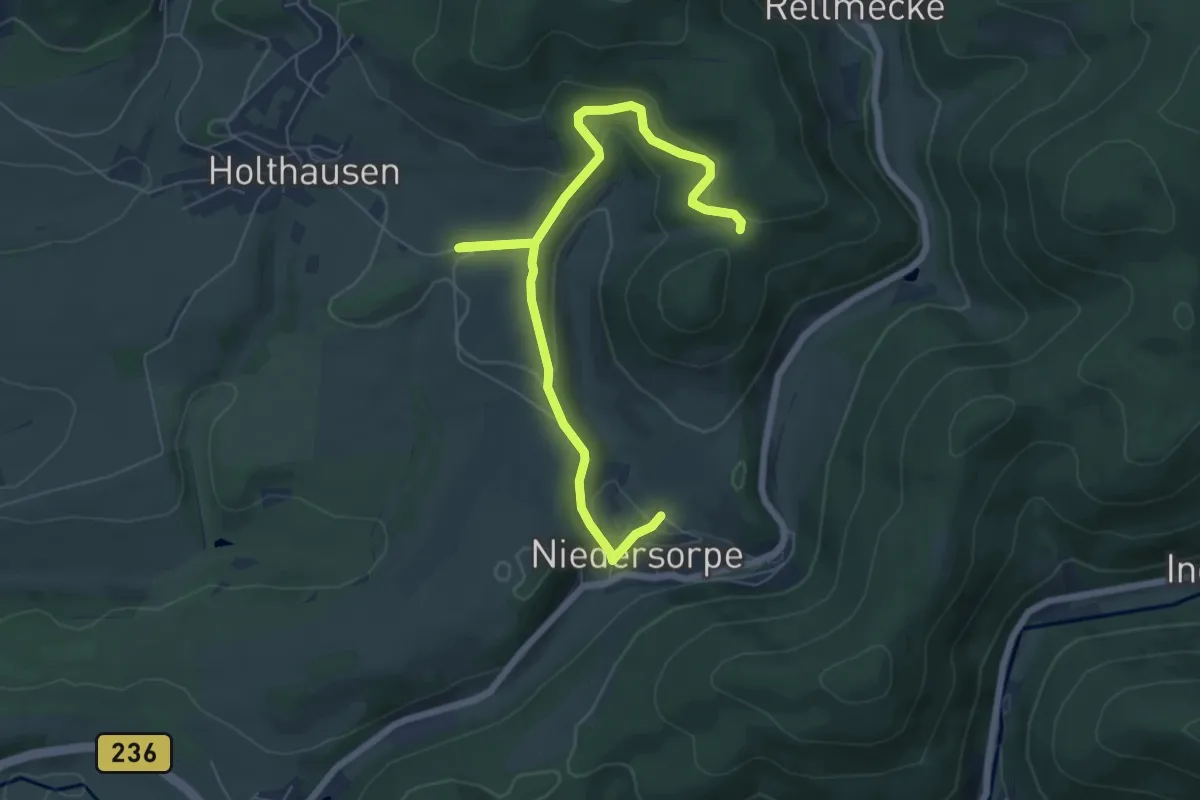
Easy · Trail
Lüttmecke Rundweg A5
7.2 km · ↑ 254 m · 2 h 15 min
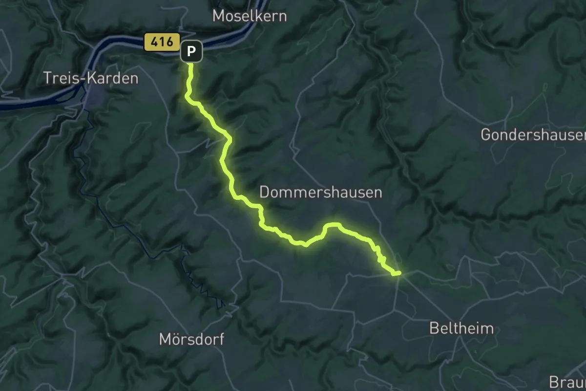
Demanding · Trail
Lützbach-Weg
25.8 km · ↑ 600 m · 7 h 23 min
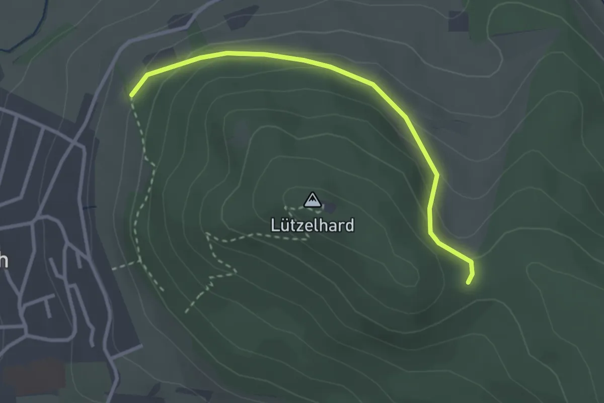
Easy · Trail
Lützelhardtsattel - Sandweg
2.7 km · ↑ 132 m · 55 min
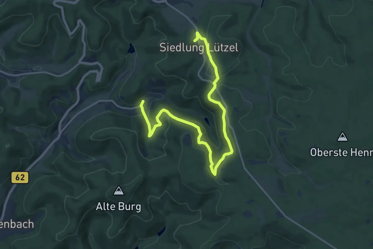
Medium · Trail
Lützel Rundweg A2
12.6 km · ↑ 434 m · 3 h 55 min
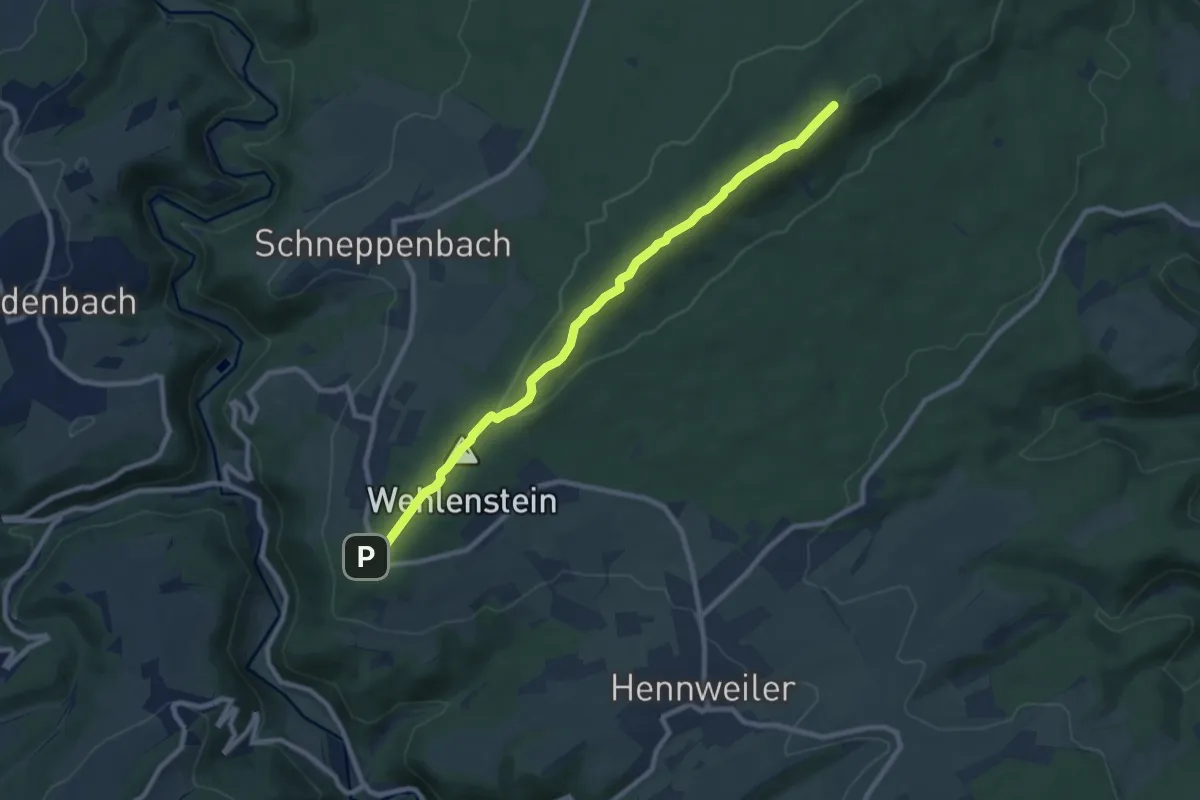
Medium · Summit
Lützelsoon Höhenweg
8.7 km · ↑ 182 m · 2 h 26 min
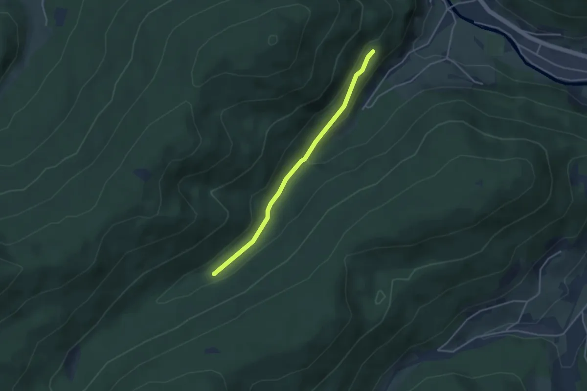
Easy · Trail
Luxemburger Eck - Spinnenbrunnen
3.1 km · ↑ 93 m · 56 min
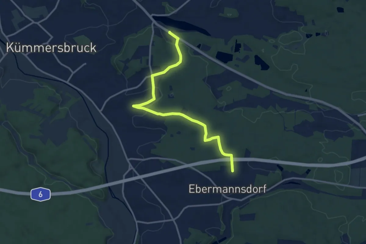
Medium · Trail
Luxemburger Weg
10.4 km · ↑ 175 m · 2 h 49 min
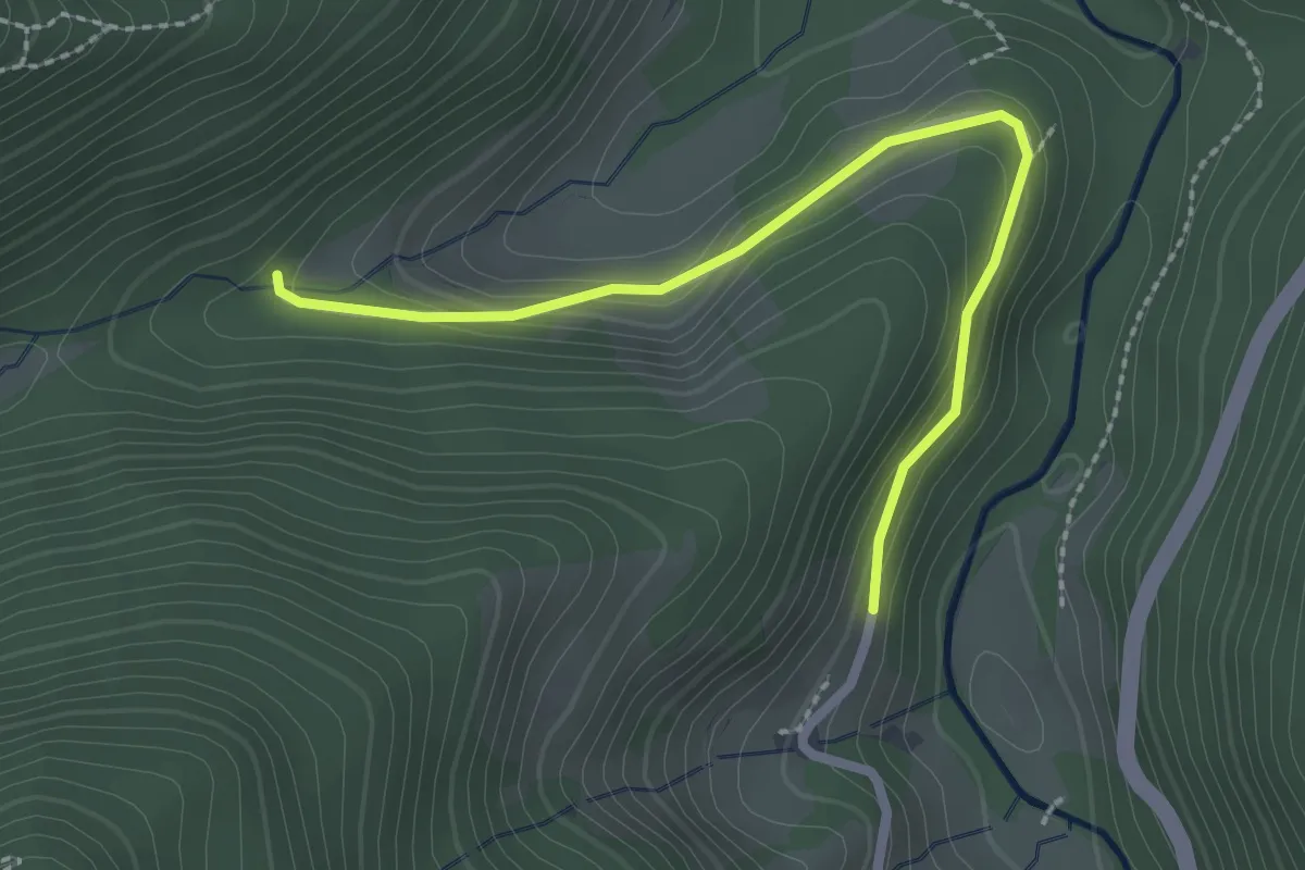
Easy · Trail
Luxenhof - Haldenschwarzhof
2.4 km · ↑ 131 m · 51 min
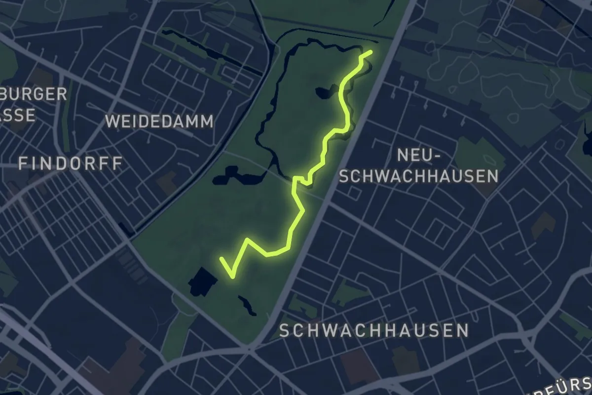
Easy · Trail
Lyrischer Pfad "bwandert"
4.5 km · ↑ 9 m · 1 h 6 min
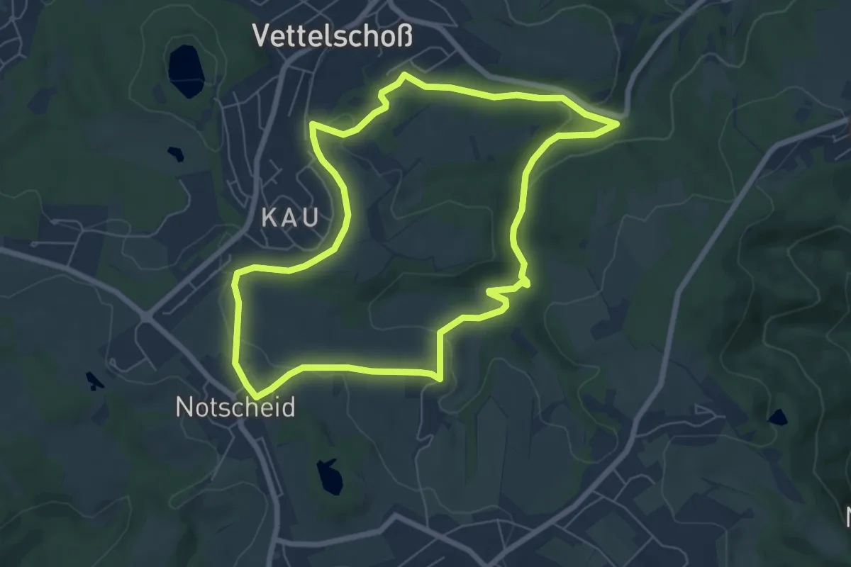
Easy · Trail
LZ10 - Rundwanderweg Homscheid
6.0 km · ↑ 126 m · 1 h 47 min
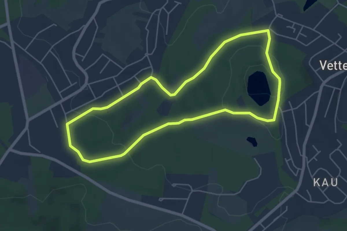
Easy · Trail
LZ11 - Rundwanderweg Kalenborn
4.1 km · ↑ 73 m · 1 h 12 min
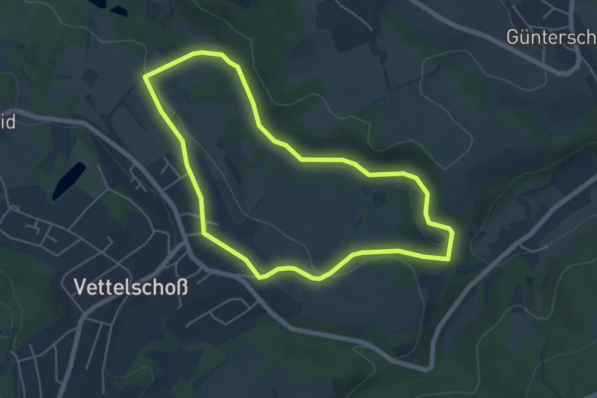
Easy · Trail
LZ12 - Rundwanderweg Vettelschoß
3.9 km · ↑ 96 m · 1 h 11 min
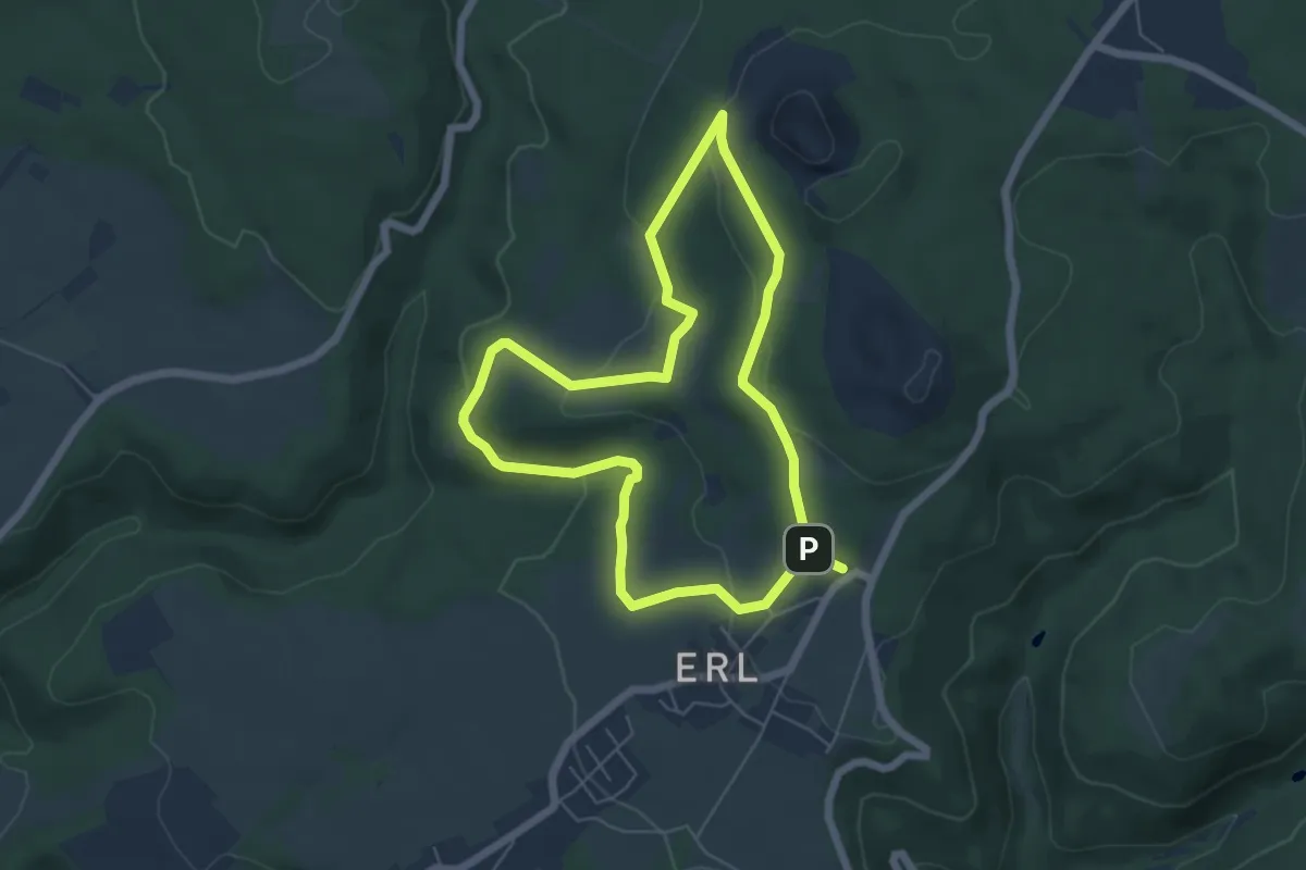
Easy · Trail
LZ13 - Rundwanderweg Minderberg
5.1 km · ↑ 145 m · 1 h 35 min