Trails in Germany
36,852 hiking trails, each with its route, climb, walking time and grade.
All trails, page 334 of 768
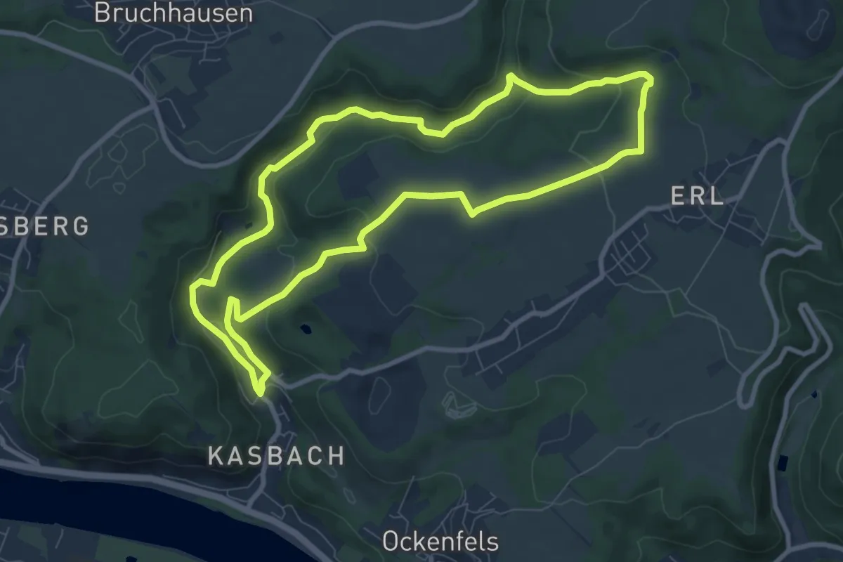
Easy · Trail
LZ14 - Rundwanderweg Unteres Kasbachtal
7.7 km · ↑ 195 m · 2 h 20 min
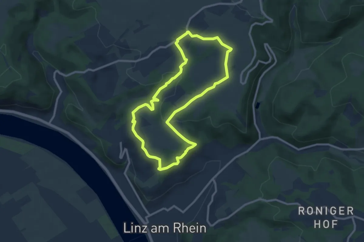
Easy · Trail
LZ15 - Rundwanderweg Ockenfels
6.2 km · ↑ 144 m · 1 h 51 min
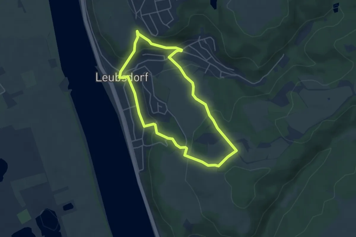
Easy · Trail
LZ1 - Rundwanderweg Leubsdorf
3.8 km · ↑ 175 m · 1 h 20 min
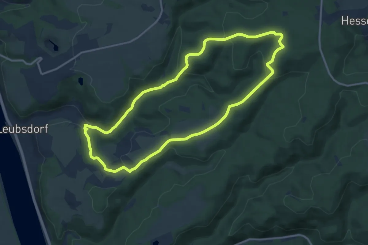
Easy · Trail
LZ2 - Rundwanderweg Leubsdorfer Bach
8.0 km · ↑ 280 m · 2 h 36 min
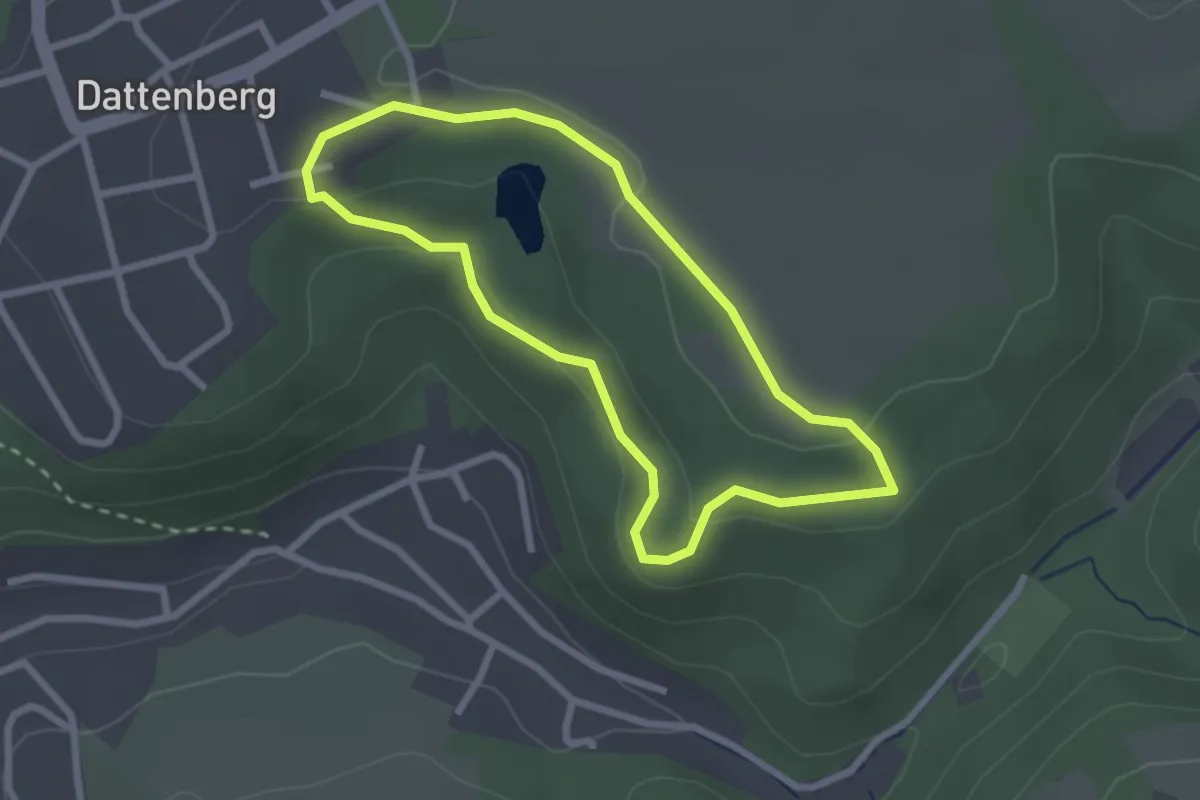
Easy · Trail
LZ3 - Rundwanderweg Dattenberg
2.1 km · ↑ 50 m · 38 min
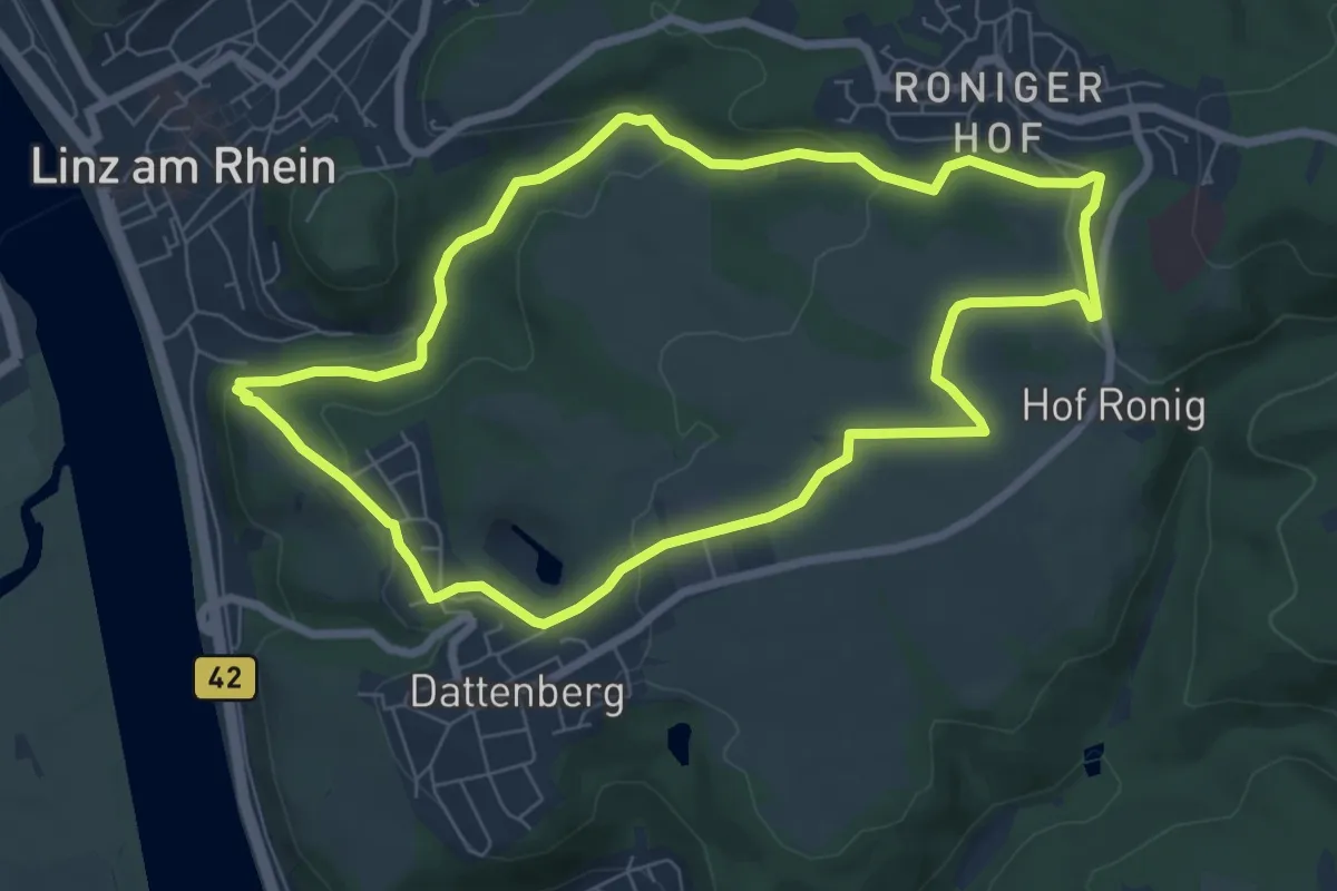
Easy · Trail
LZ4 - Rundwanderweg Dattenberg - Verschönerung
6.5 km · ↑ 191 m · 2 h 3 min
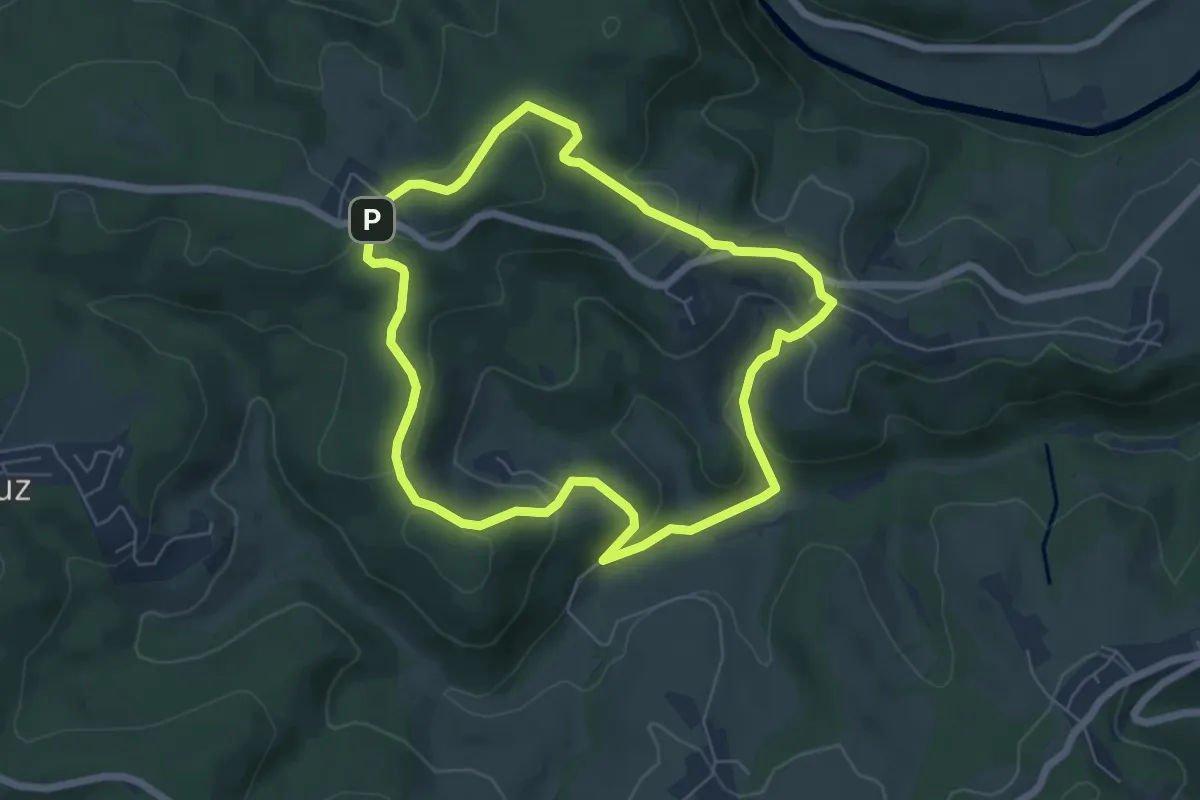
Easy · Trail
LZ5 - Rundwanderweg
5.3 km · ↑ 188 m · 1 h 44 min
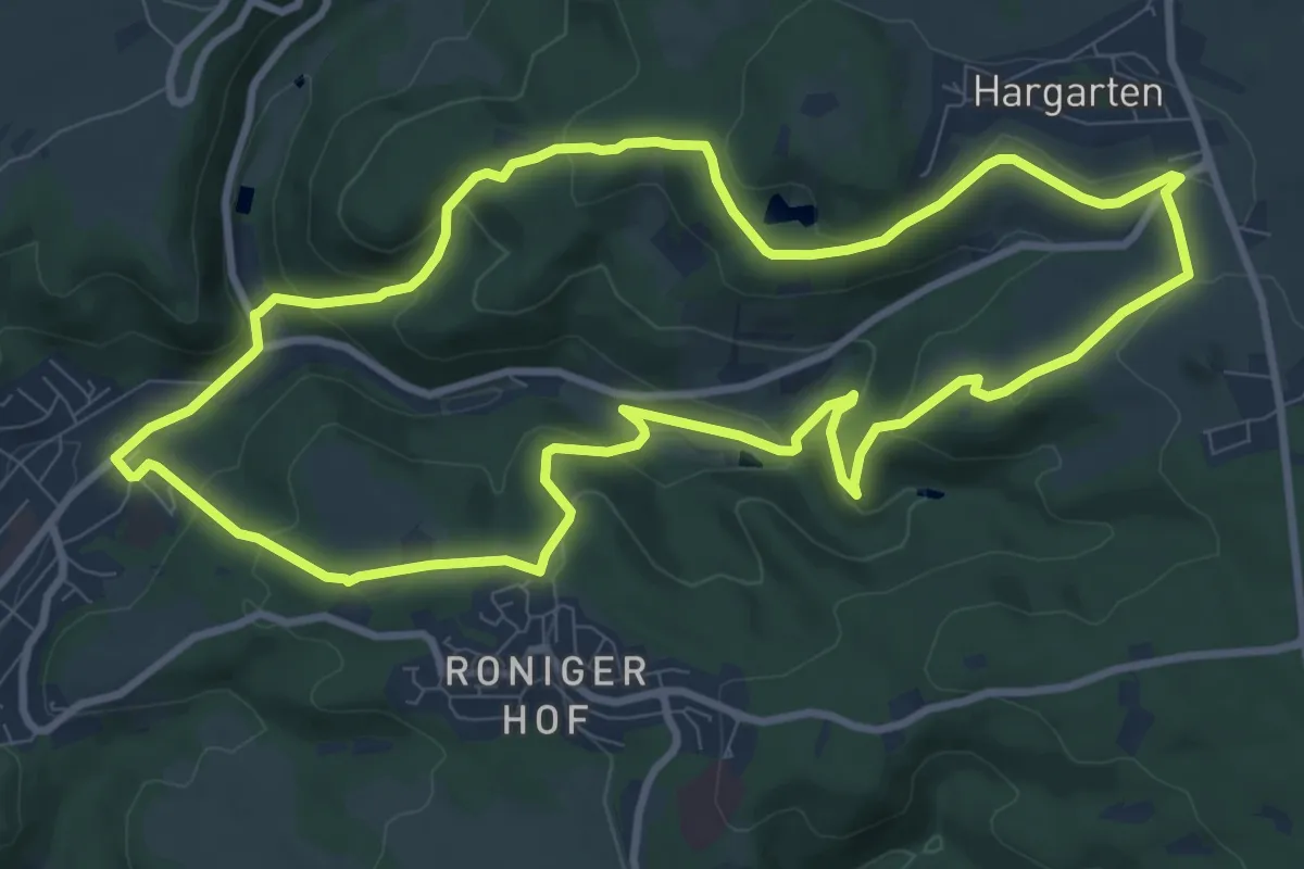
Medium · Trail
LZ6 - Rundwanderweg Sterner Hütte
9.3 km · ↑ 363 m · 3 h 6 min
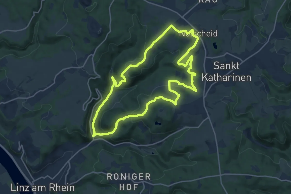
Medium · Summit
LZ7 - Rundwanderweg Rennenberger Bachtal
11.9 km · ↑ 370 m · 3 h 47 min
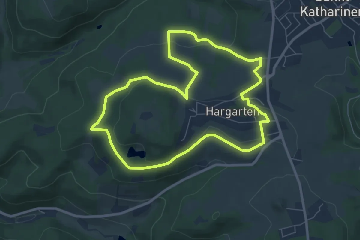
Easy · Trail
LZ8 - Rundwanderweg Hummelsberg
5.7 km · ↑ 137 m · 1 h 44 min
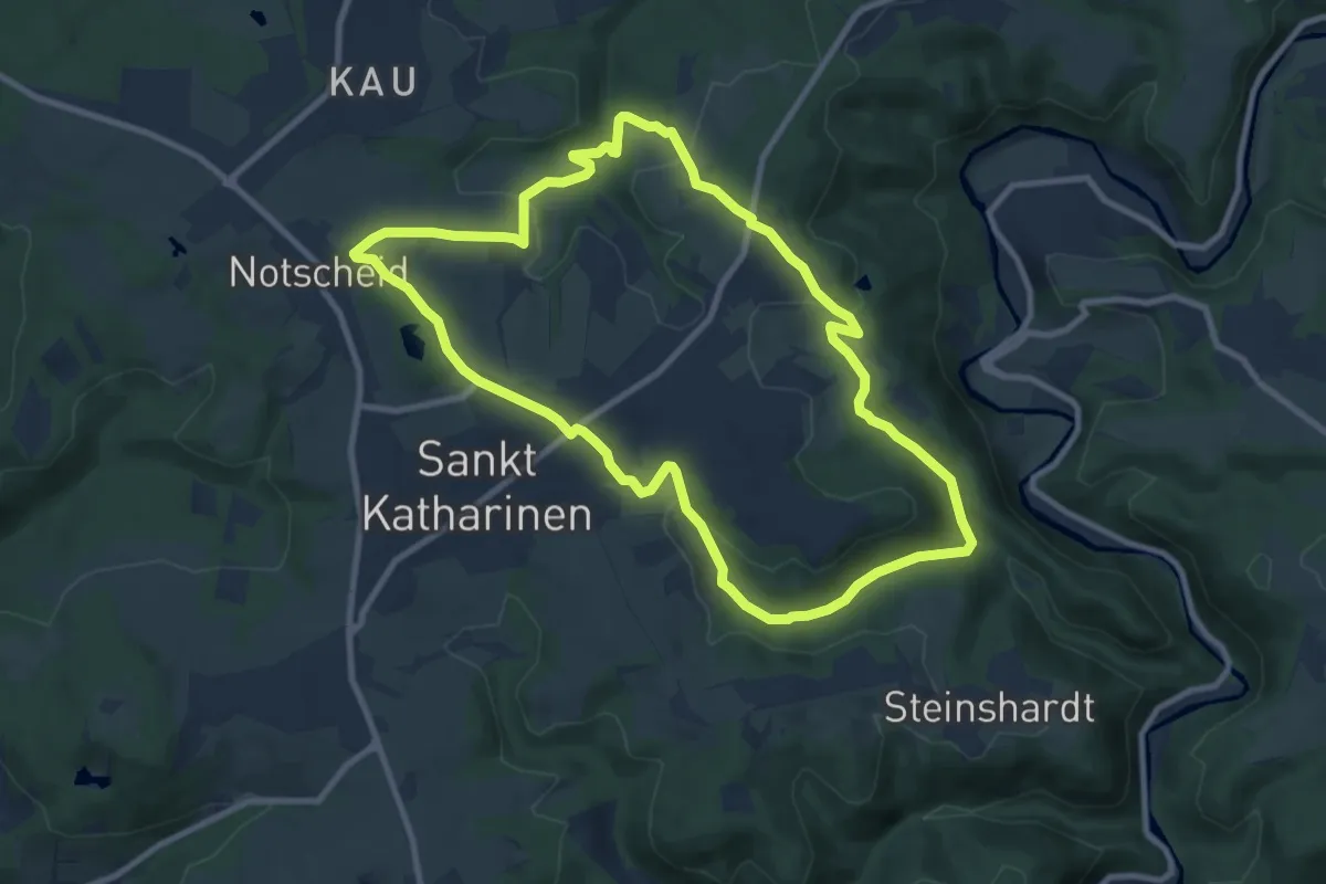
Medium · Summit
LZ9 - Rundwanderweg Lorscheid - Strödt
8.6 km · ↑ 209 m · 2 h 36 min
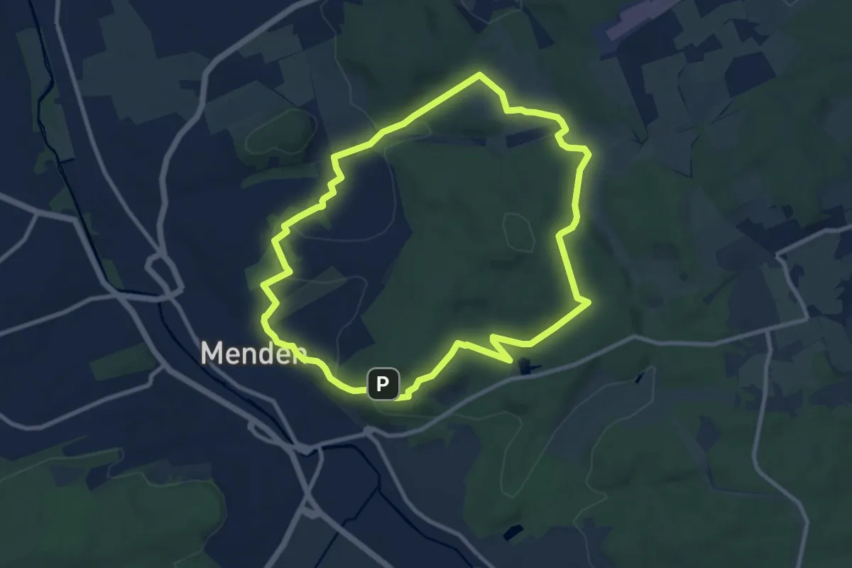
Medium · Trail
[M2] Rundwanderweg über Lahr
8.2 km · ↑ 211 m · 2 h 31 min
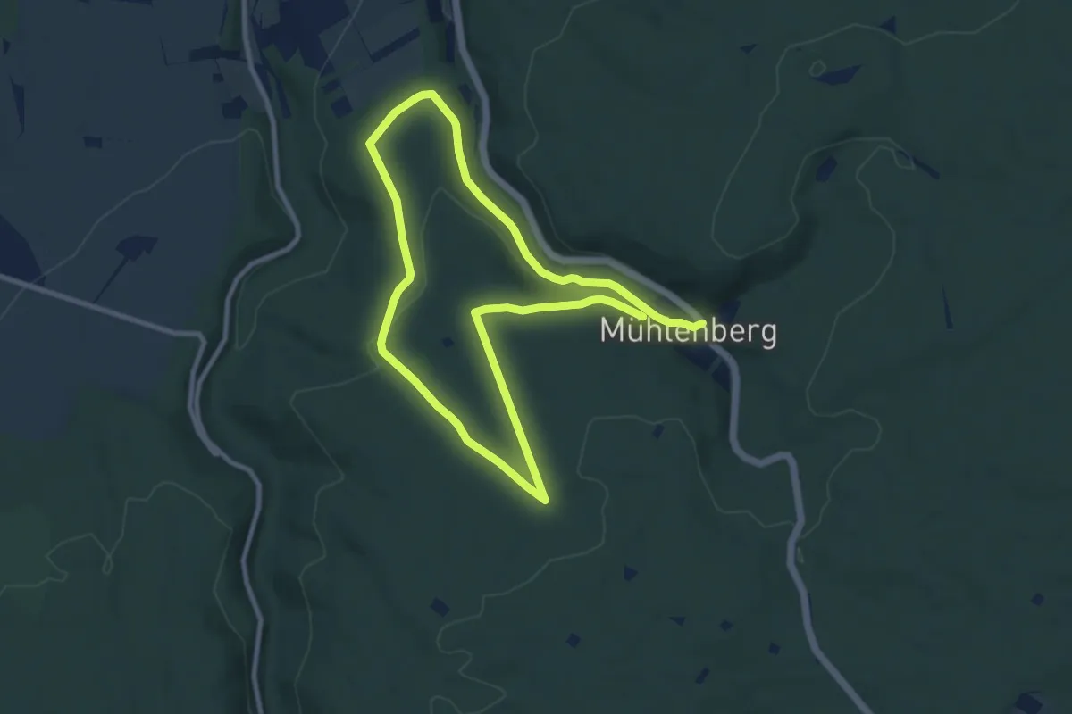
Easy · Trail
M2 - Rundweg Horstberg
7.2 km · ↑ 193 m · 2 h 12 min
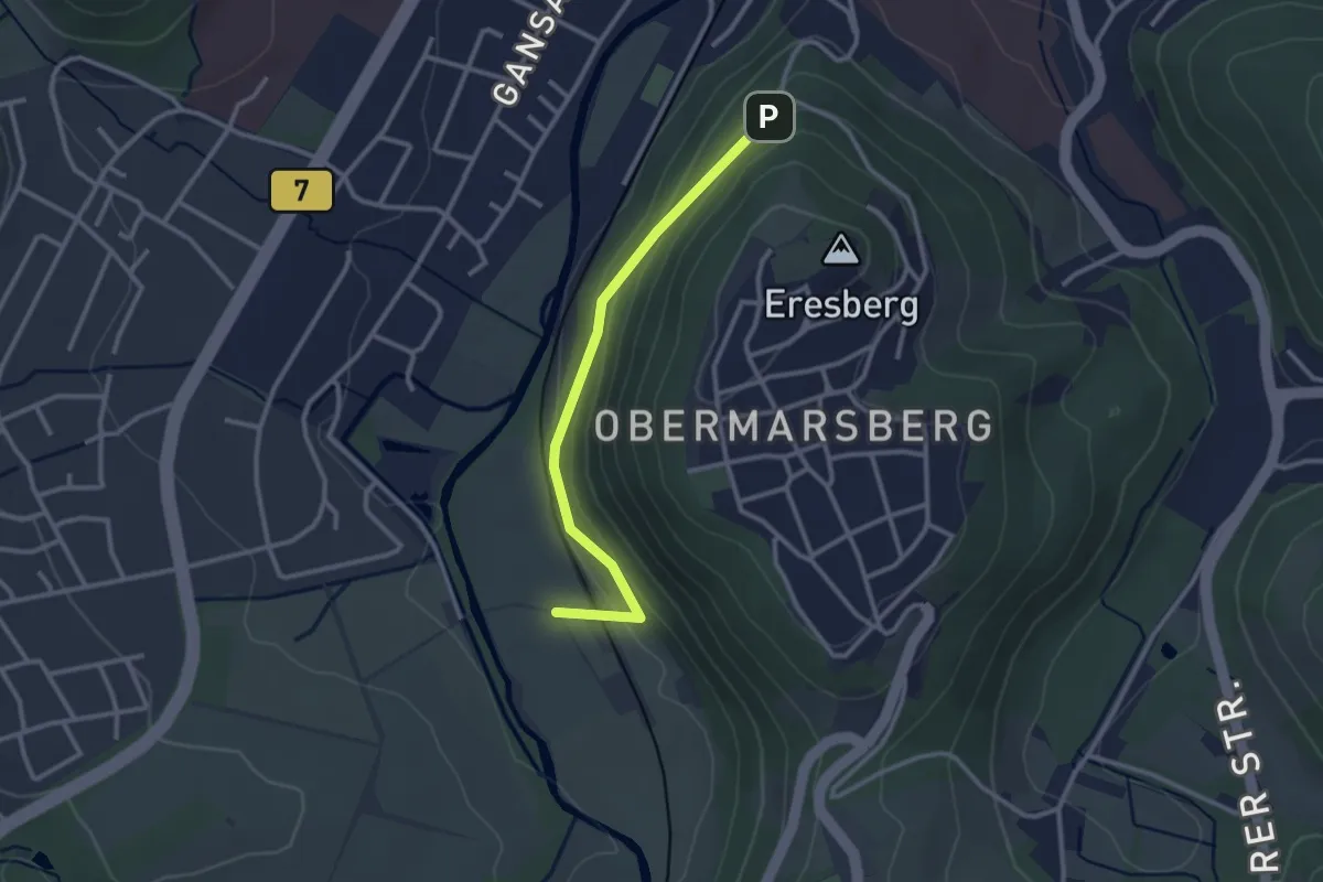
Easy · Trail
M3
1.2 km · ↑ 12 m · 22 min
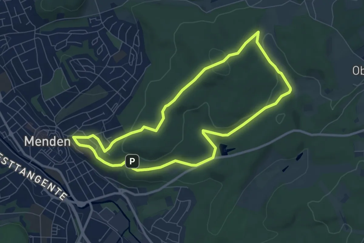
Easy · Summit
[M3] Rundweg zum Lahrberg
6.5 km · ↑ 180 m · 2 h 1 min
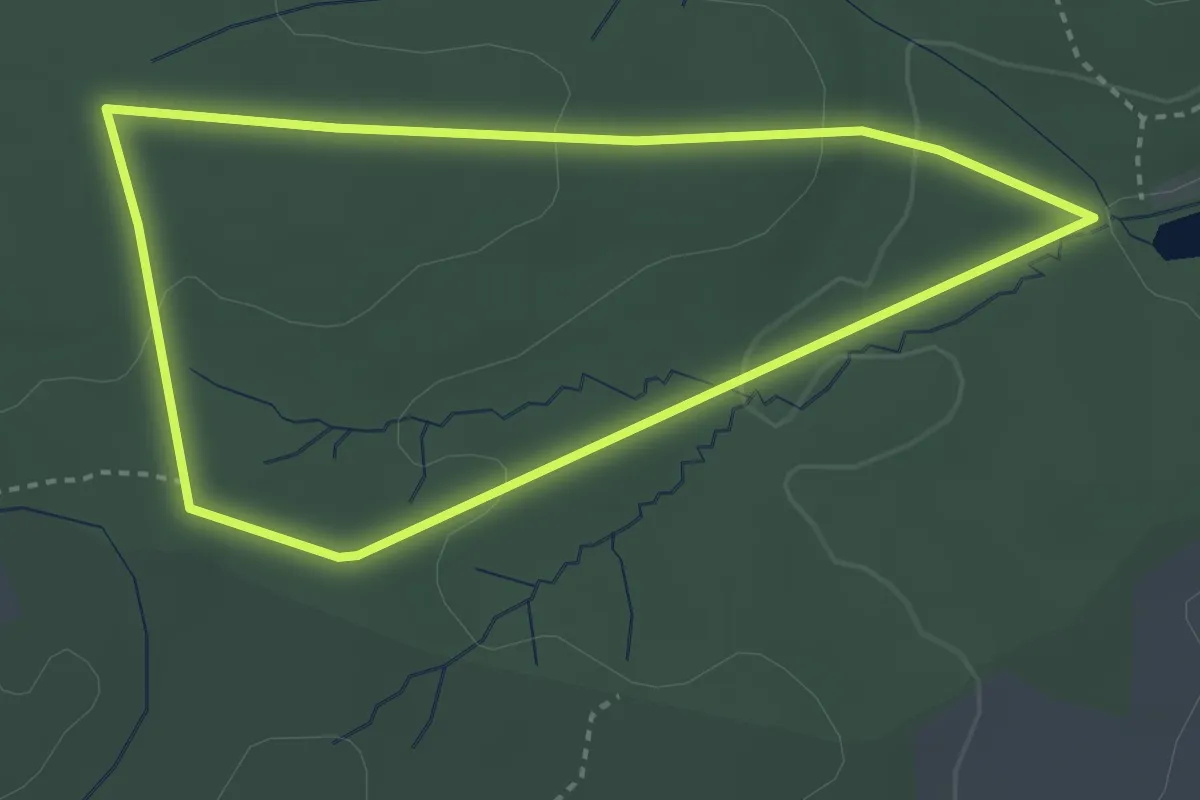
Easy · Trail
[M4] Rundweg Hassenbruch
2.9 km · ↑ 60 m · 51 min
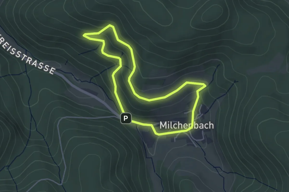
Easy · Trail
[M5] Rundweg Haardt (Milchenbach)
3.3 km · ↑ 160 m · 1 h 11 min
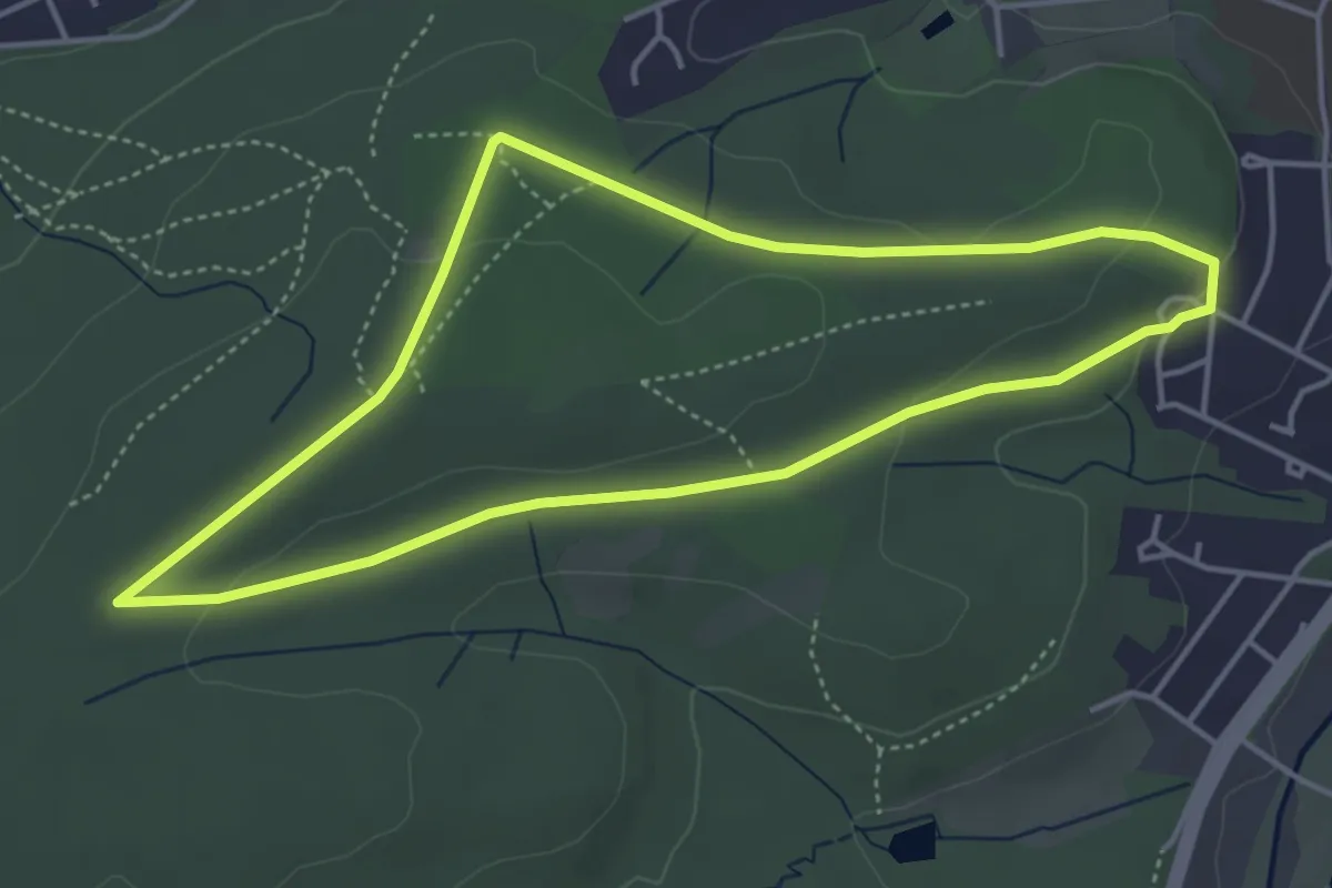
Easy · Trail
[M5] Rundweg Waldemei
3.8 km · ↑ 51 m · 1 h 4 min
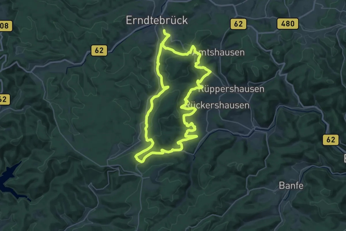
Demanding · Trail
Mäanderweg
25.0 km · ↑ 554 m · 7 h 27 min
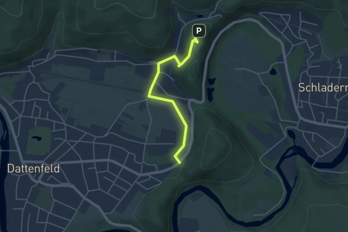
Easy · Trail
Mäanderweg (Erlebnisweg Sieg Nr. 16)
3.4 km · ↑ 75 m · 58 min
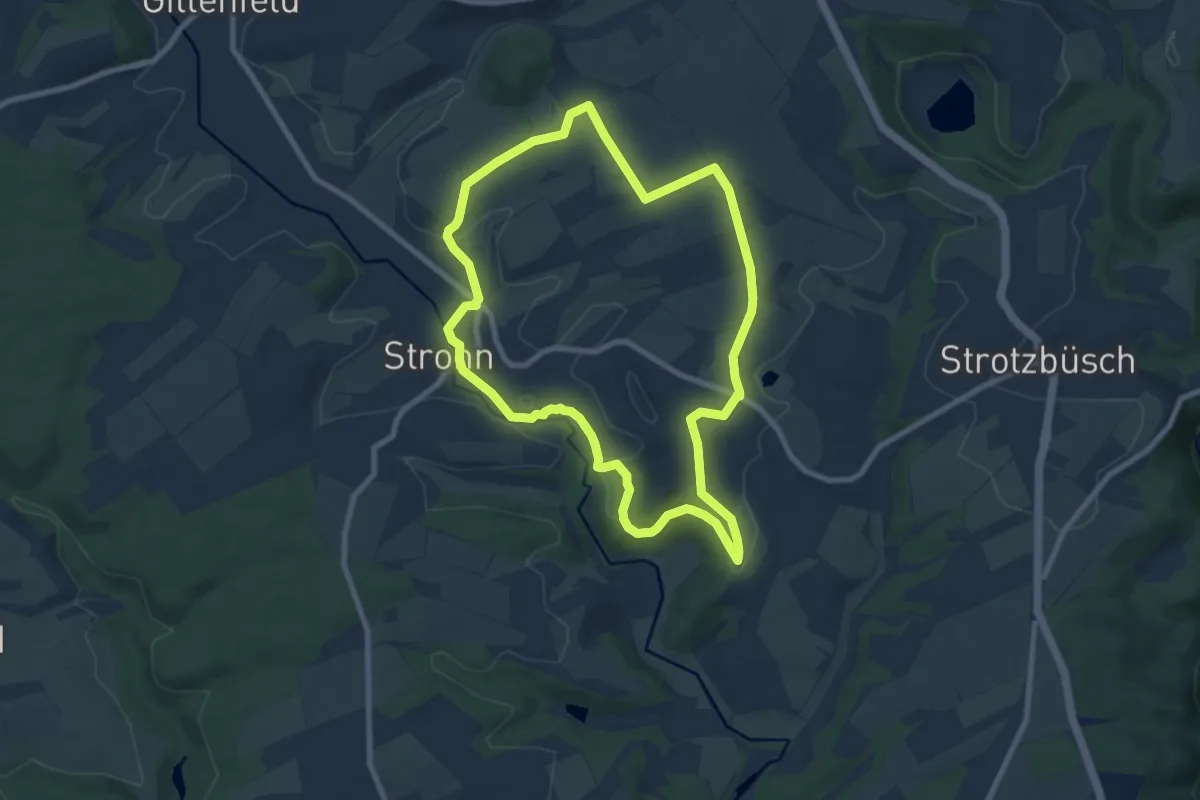
Easy · Trail
Määrchenweg
7.6 km · ↑ 119 m · 2 h 10 min
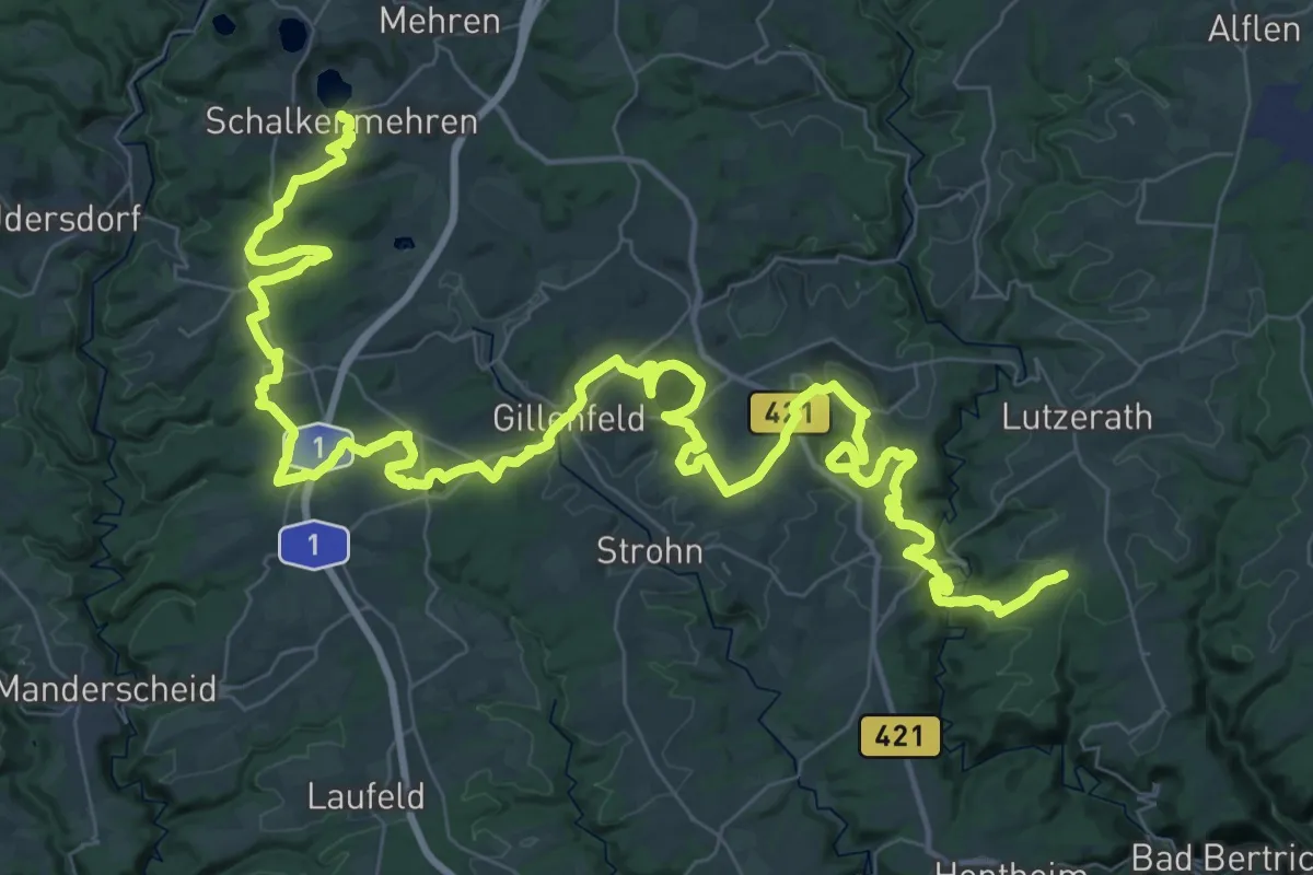
Demanding · Trail
Maare-Pfad
34.5 km · ↑ 743 m · 10 h 13 min
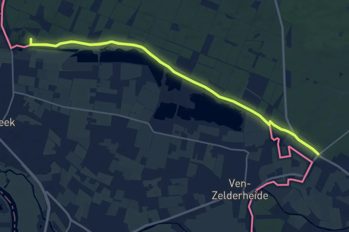
Medium · Summit
Maas-Niederrheinpad etappe 07
13.6 km · ↑ 66 m · 3 h 22 min
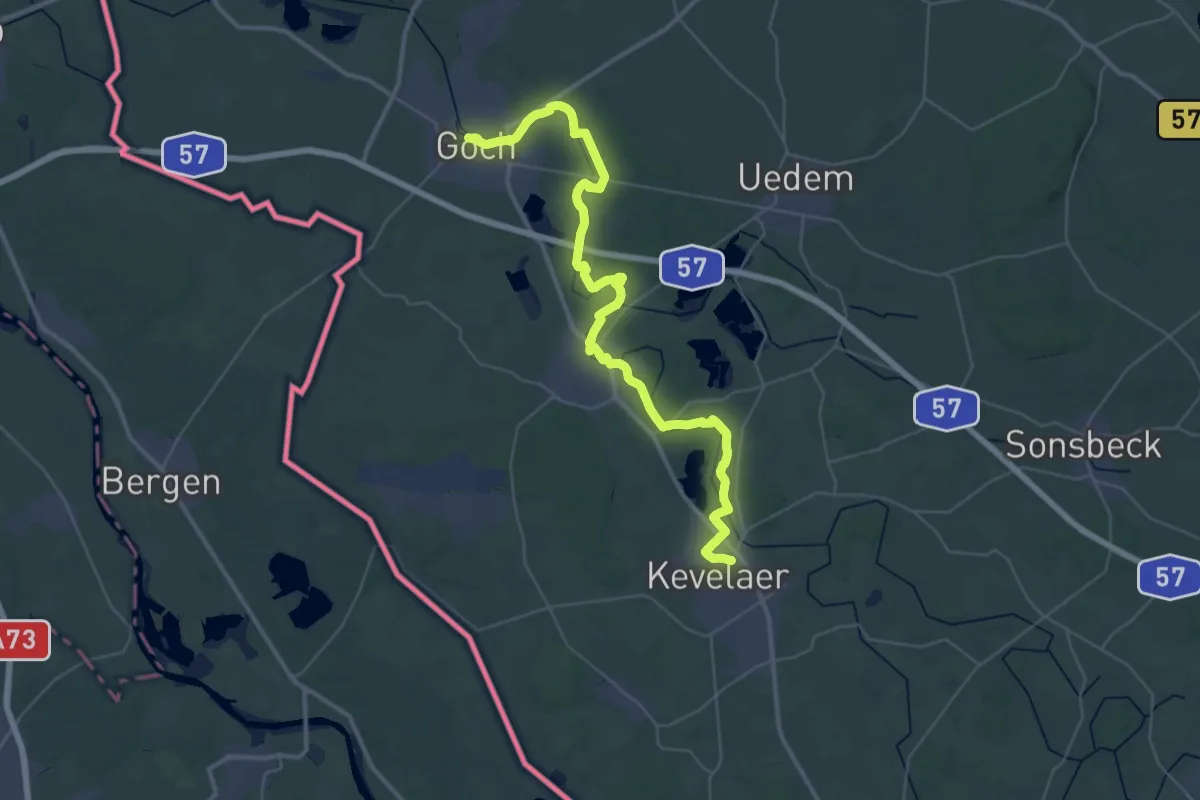
Demanding · Trail
Maas-Niederrheinpad etappe 08
21.2 km · ↑ 39 m · 5 h 23 min
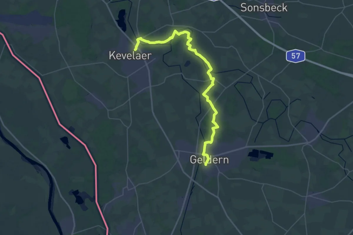
Medium · Trail
Maas-Niederrheinpad etappe 09
17.3 km · ↑ 37 m · 4 h 24 min
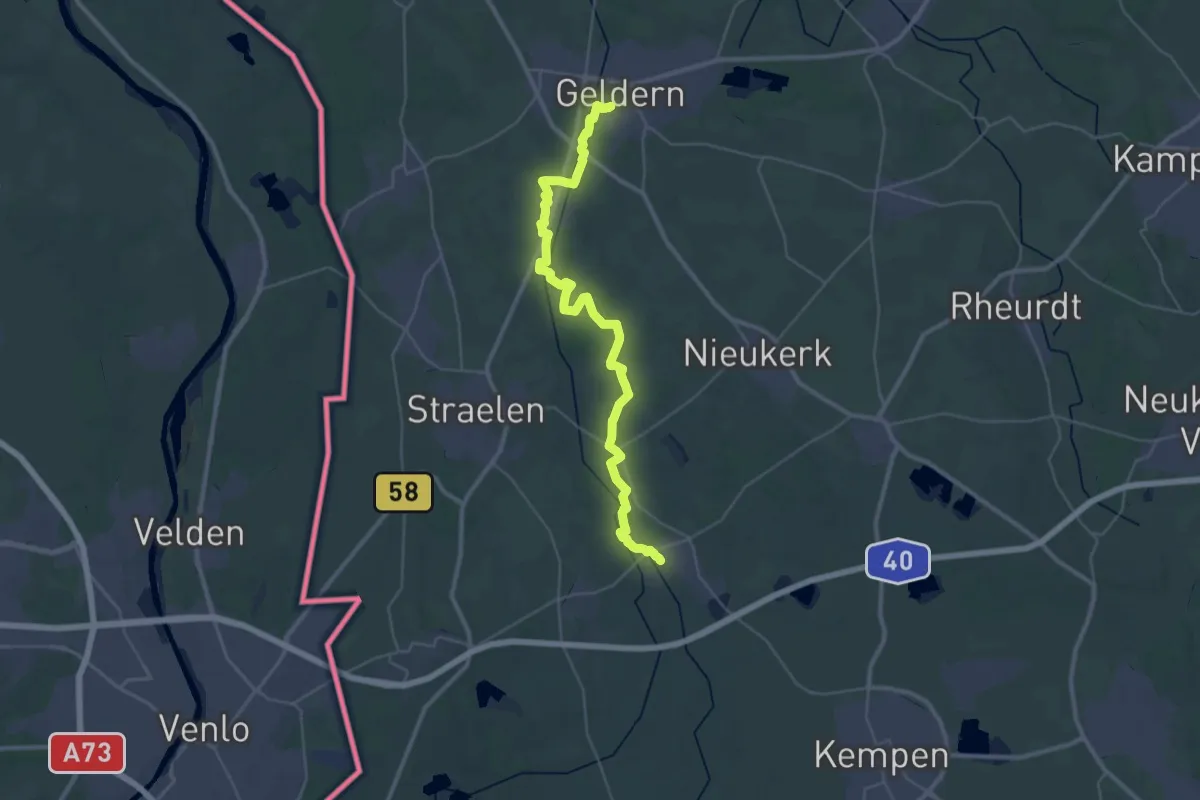
Demanding · Trail
Maas-Niederrheinpad etappe 10
18.0 km · ↑ 40 m · 4 h 35 min
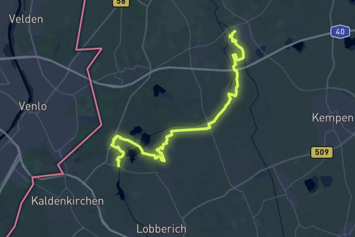
Demanding · Trail
Maas-Niederrheinpad etappe 11
20.1 km · ↑ 92 m · 5 h 13 min
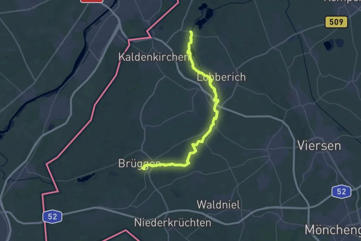
Demanding · Trail
Maas-Niederrheinpad etappe 12
19.1 km · ↑ 59 m · 4 h 54 min
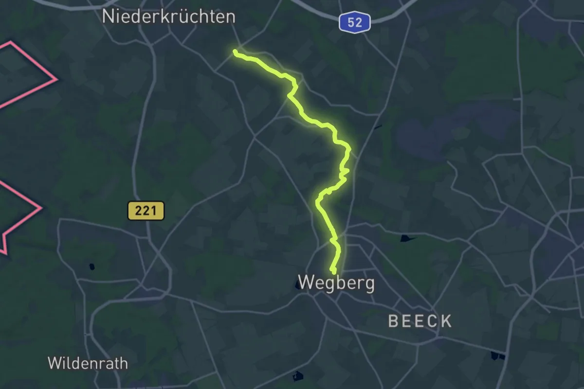
Medium · Trail
Maas-Niederrheinpad etappe 13
16.6 km · ↑ 35 m · 4 h
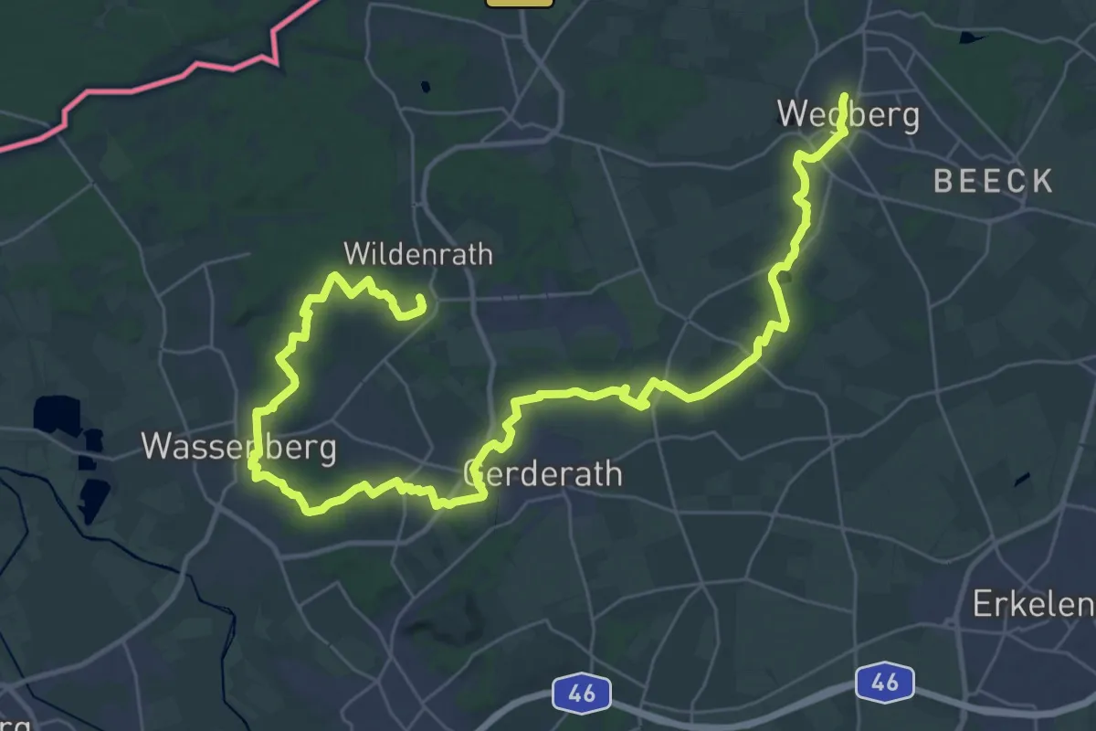
Demanding · Trail
Maas-Niederrheinpad etappe 14
21.1 km · ↑ 131 m · 5 h 33 min
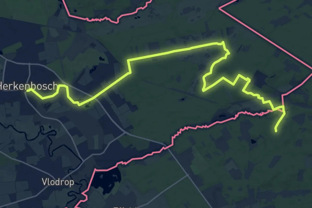
Demanding · Trail
Maas-Niederrheinpad etappe 15
24.6 km · ↑ 139 m · 6 h 7 min
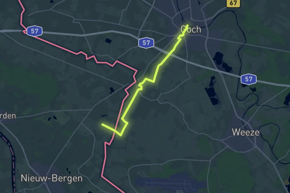
Demanding · Trail
Maas-Niederrheinpad etappe 20
18.4 km · ↑ 20 m · 4 h 23 min
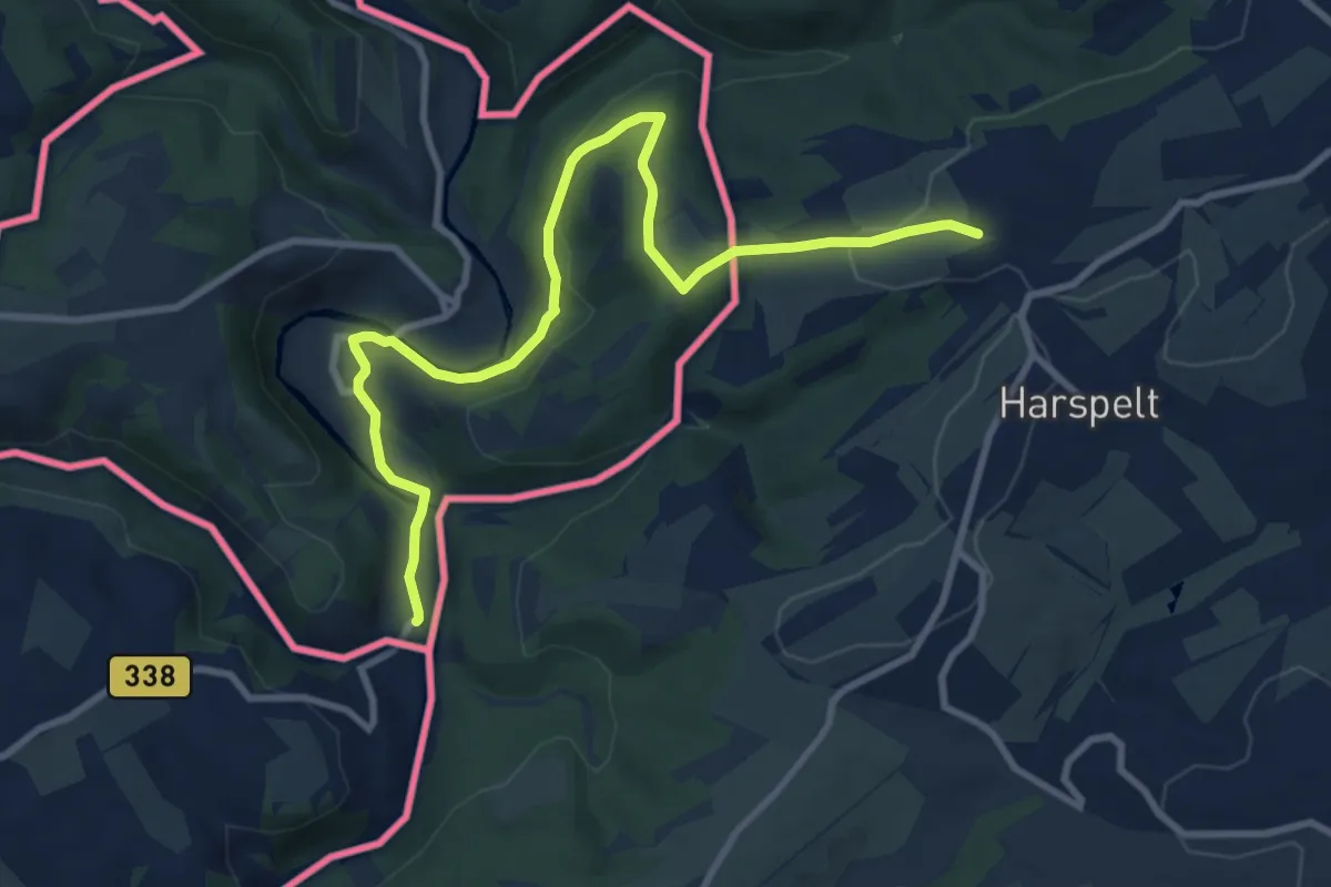
Medium · Trail
Maas-Rhein-Weg
10.0 km · ↑ 206 m · 2 h 49 min
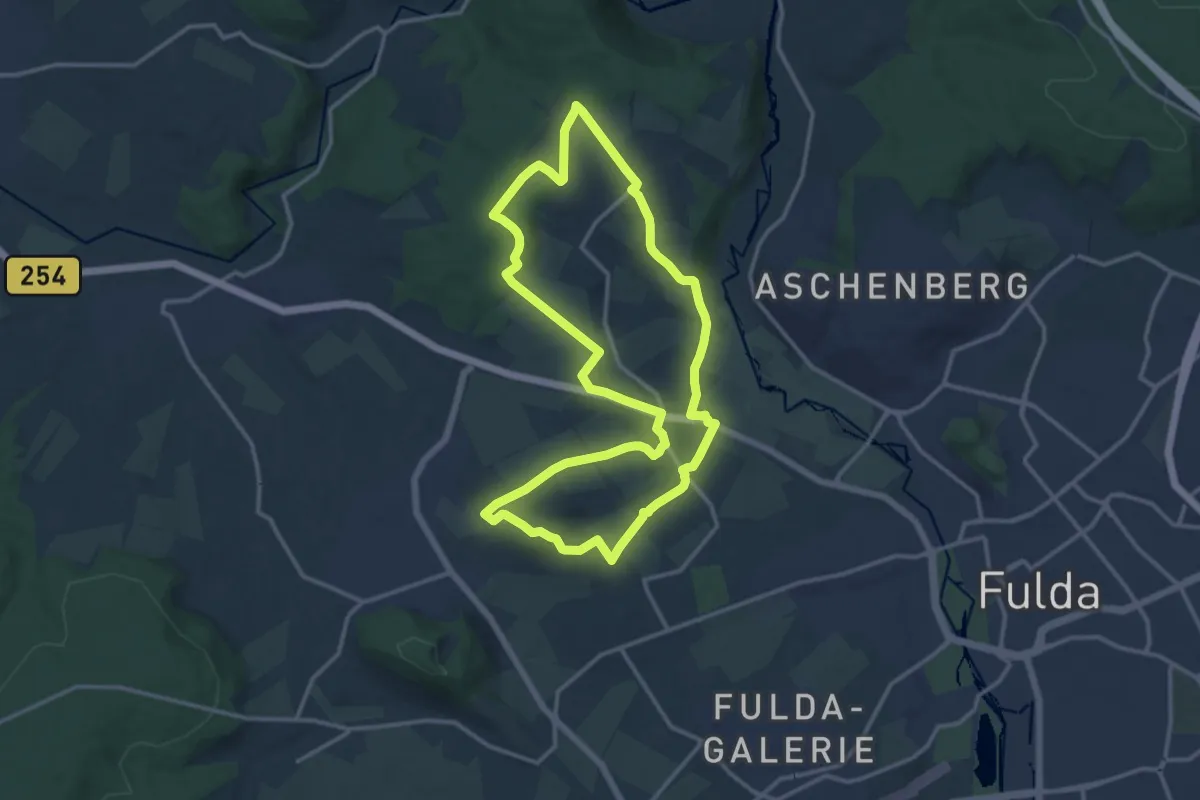
Medium · Summit
Maberzell - Schulzenberg
12.7 km · ↑ 219 m · 3 h 39 min
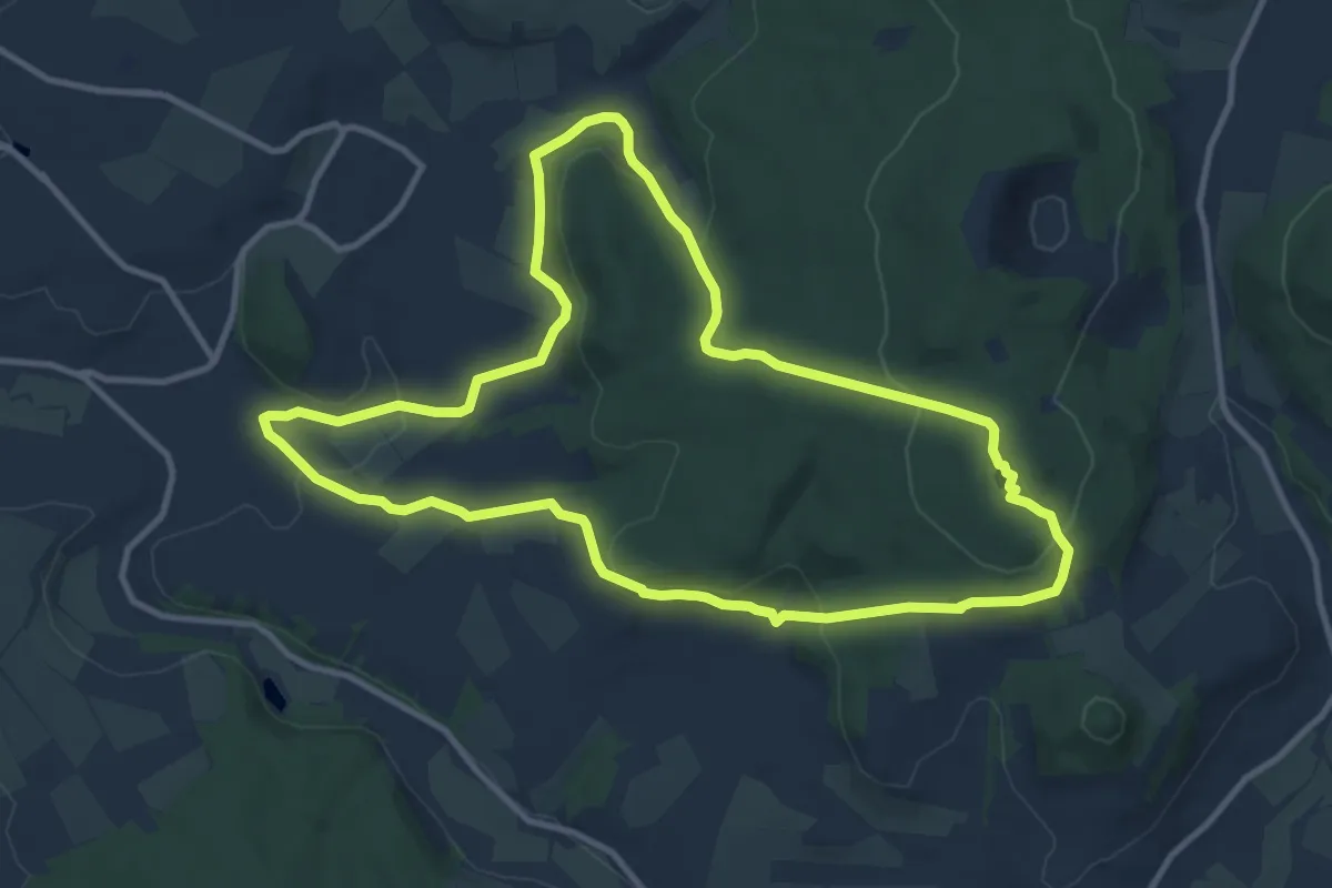
Medium · Summit
Mackenzell Rundweg Nr. 9
10.1 km · ↑ 312 m · 3 h 12 min
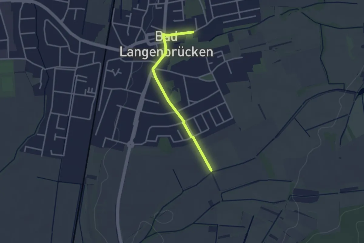
Easy · Trail
Madonnen und Flurkreuzeweg
1.2 km · ↑ 4 m · 19 min
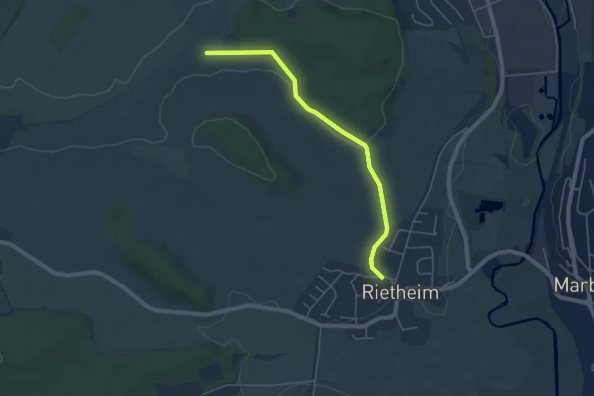
Easy · Trail
Magdalenenberg Kelt. Fürstengrab - Rietheim Milchhäusle
4.0 km · ↑ 64 m · 1 h 5 min
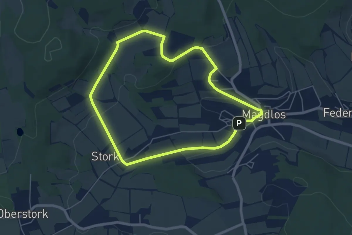
Easy · Trail
Magdlos 1
4.3 km · ↑ 98 m · 1 h 17 min
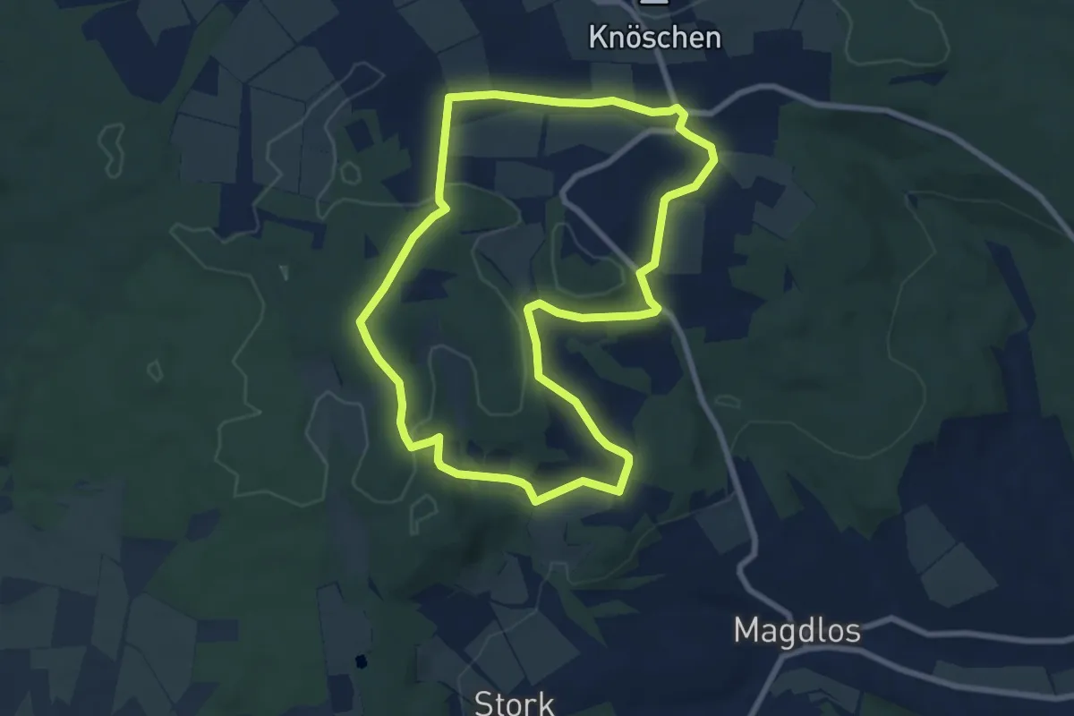
Easy · Trail
Magdlos 2
7.1 km · ↑ 150 m · 2 h 6 min
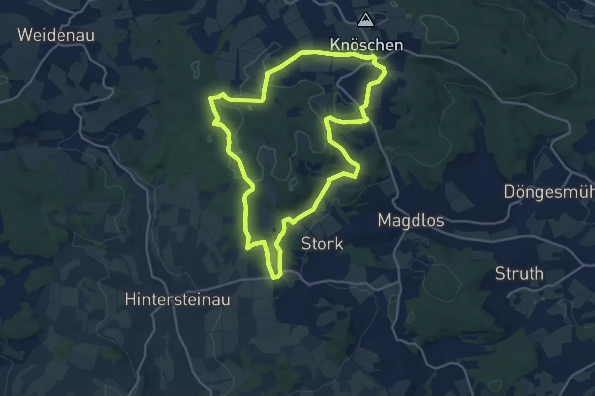
Medium · Trail
Magdlos 3
11.8 km · ↑ 177 m · 3 h 19 min
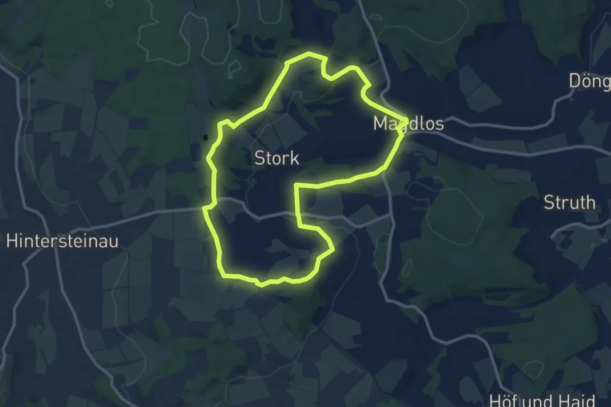
Medium · Summit
Magdlos 4
8.2 km · ↑ 175 m · 2 h 26 min
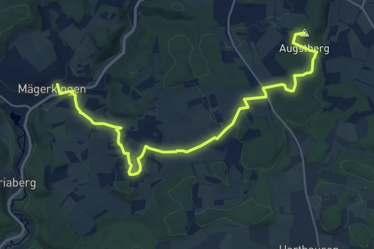
Medium · Summit
Mägerkingen - Steinhilben
15.4 km · ↑ 292 m · 4 h 16 min
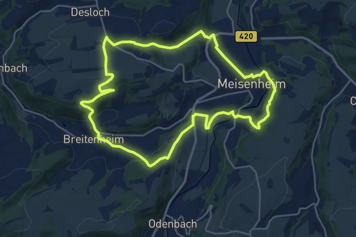
Medium · Trail
Magische Heimbach
11.8 km · ↑ 365 m · 3 h 45 min
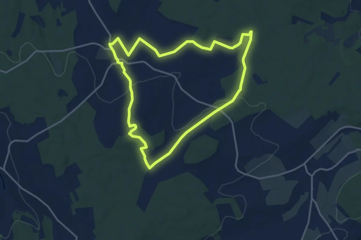
Medium · Summit
Magister-Tour
9.2 km · ↑ 135 m · 2 h 35 min
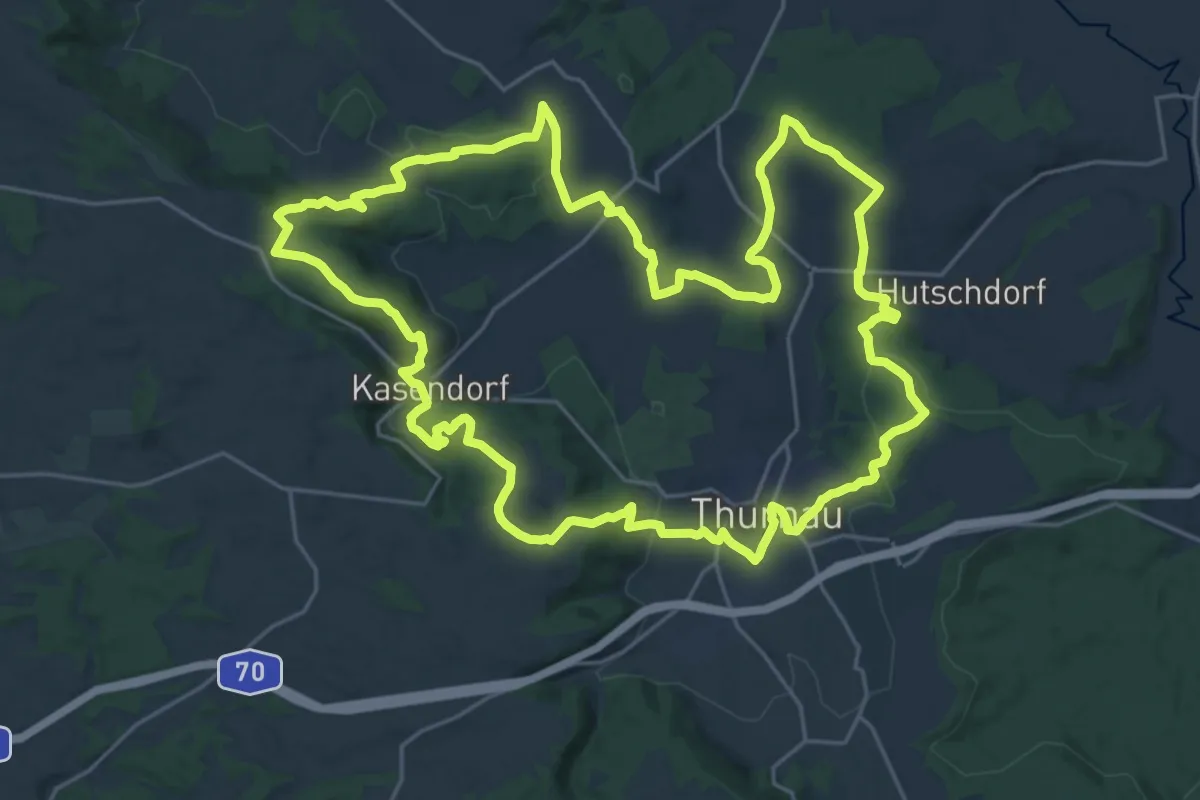
Demanding · Summit
Magnusweg RWF 64
24.8 km · ↑ 550 m · 7 h 24 min
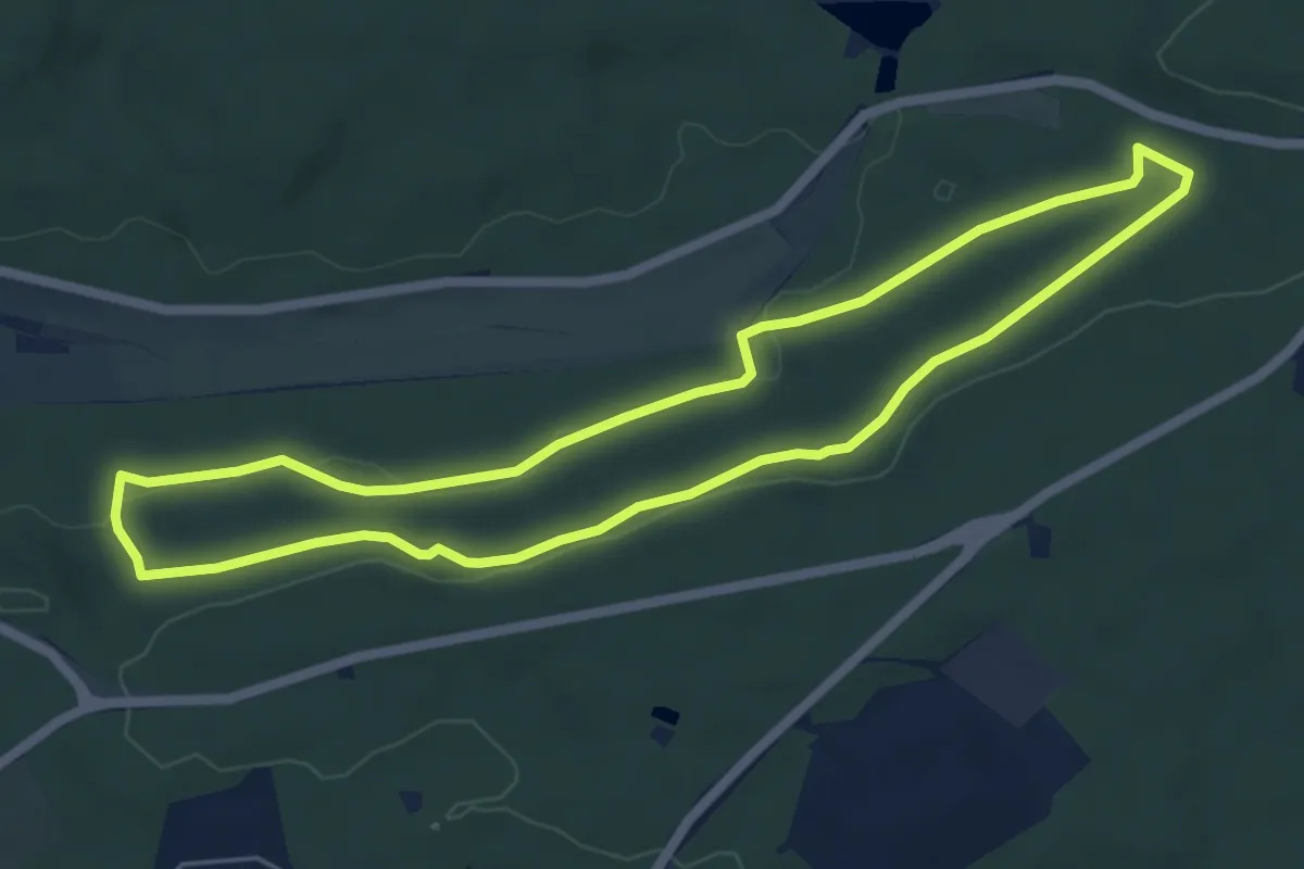
Easy · Trail
Magstadt Nordic Walking Runde
5.5 km · ↑ 74 m · 1 h 32 min
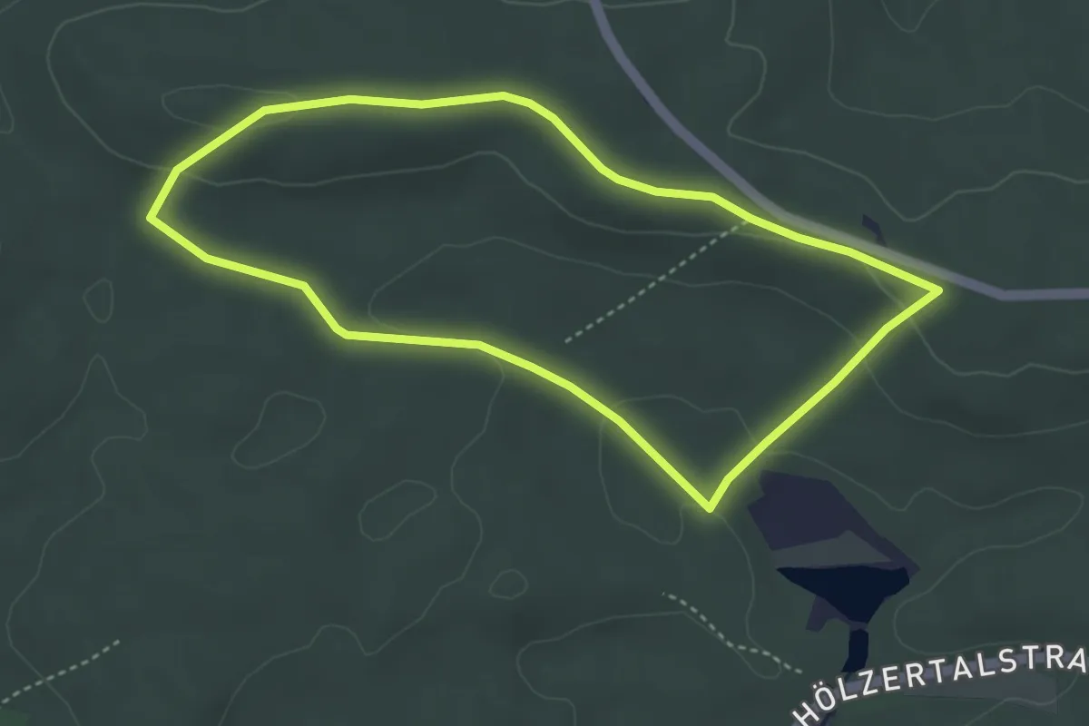
Easy · Summit
Magstadt Rundwanderweg 1a
3.5 km · ↑ 58 m · 1 h 1 min
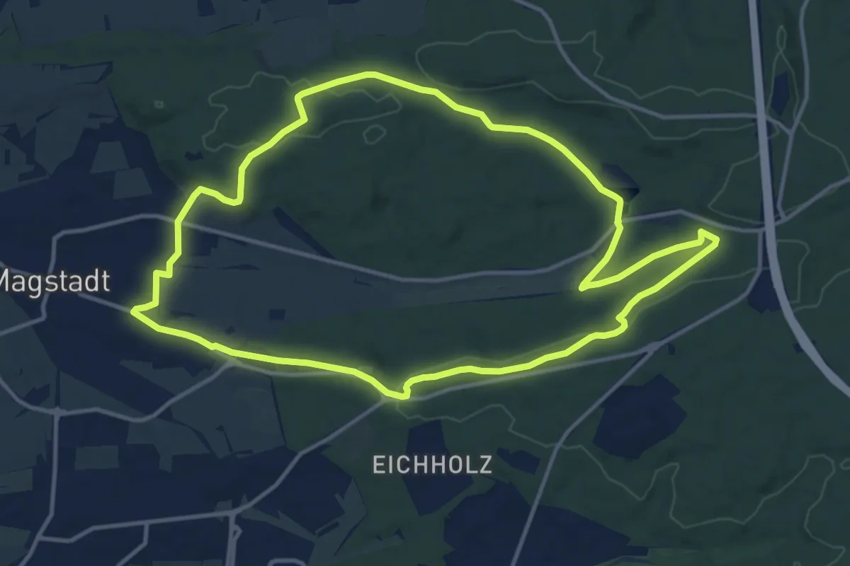
Medium · Summit
Magstadt Rundwanderweg 1 - Christian-Metzger-Weg
12.0 km · ↑ 170 m · 3 h 22 min