Trails in Germany
36,852 hiking trails, each with its route, climb, walking time and grade.
All trails, page 339 of 768
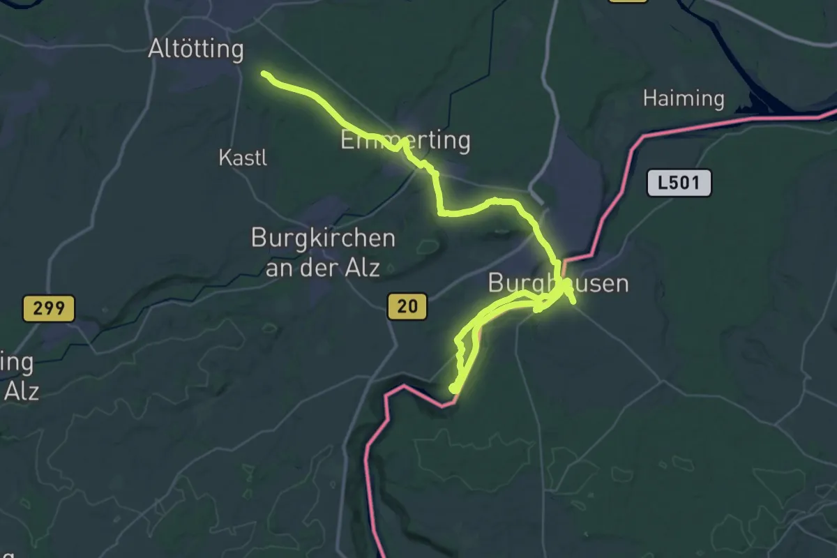
Demanding · Trail
Marien-Wanderweg
28.2 km · ↑ 319 m · 7 h 43 min
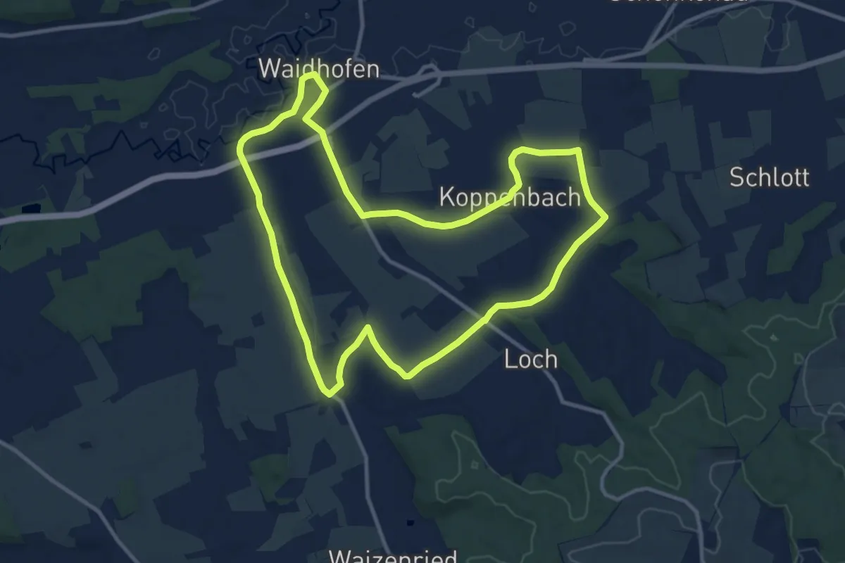
Medium · Trail
Marienweg
10.5 km · ↑ 110 m · 2 h 51 min
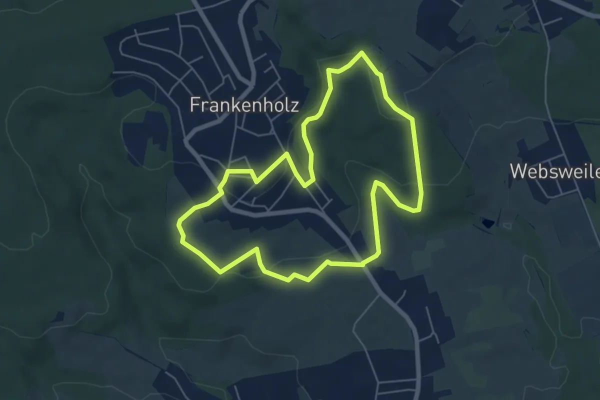
Easy · Trail
Marienweg
4.8 km · ↑ 150 m · 1 h 32 min
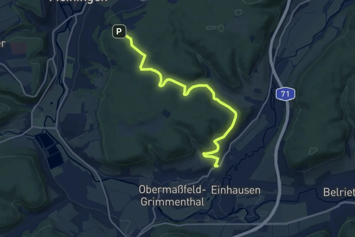
Medium · Trail
Marienweg
12.0 km · ↑ 333 m · 3 h 34 min
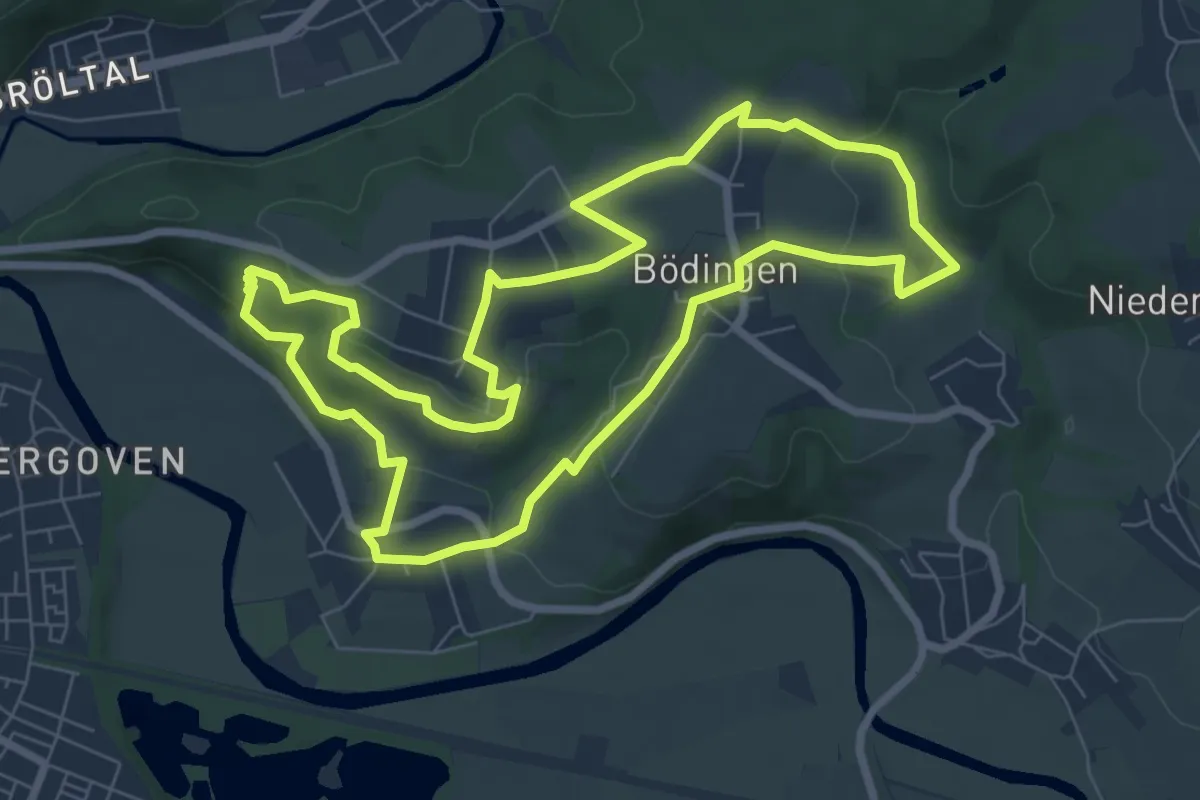
Easy · Trail
Marienweg (Erlebniswege Sieg Nr. 5)
7.3 km · ↑ 196 m · 2 h 14 min
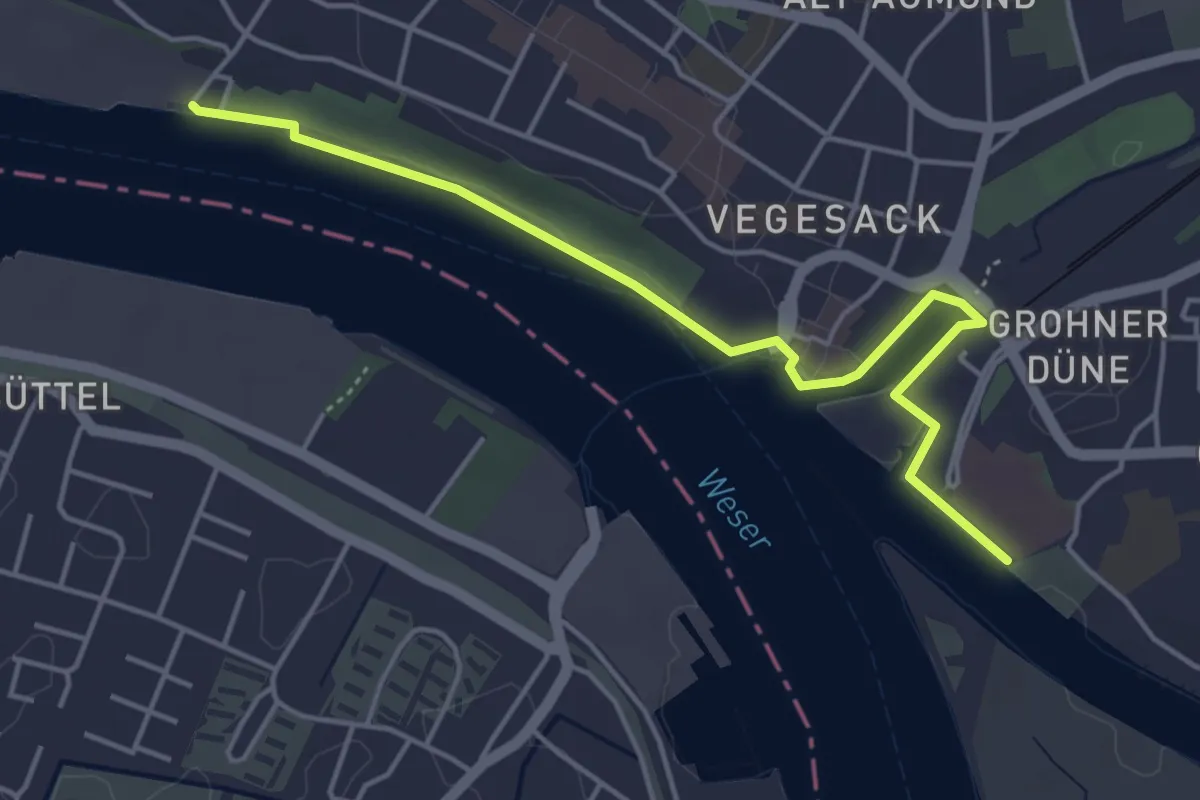
Easy · Trail
Maritime Meile Vegesack
4.2 km · ↑ 8 m · 1 h 1 min
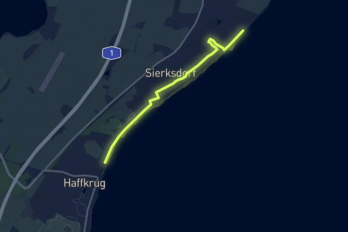
Easy · Trail
Maritimer Infopfad Sierksdorf
6.9 km · ↑ 32 m · 1 h 42 min
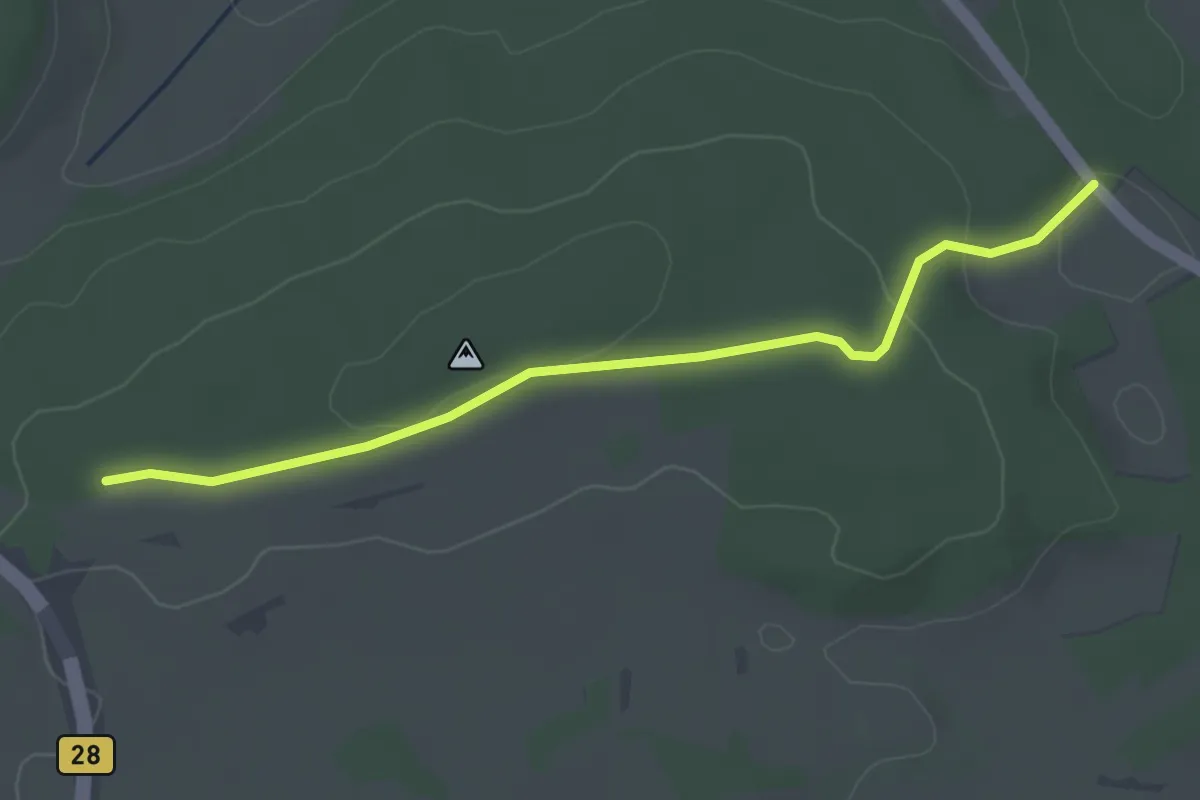
Easy · Trail
Markental - Obere Riedhalde
3.3 km · ↑ 61 m · 54 min
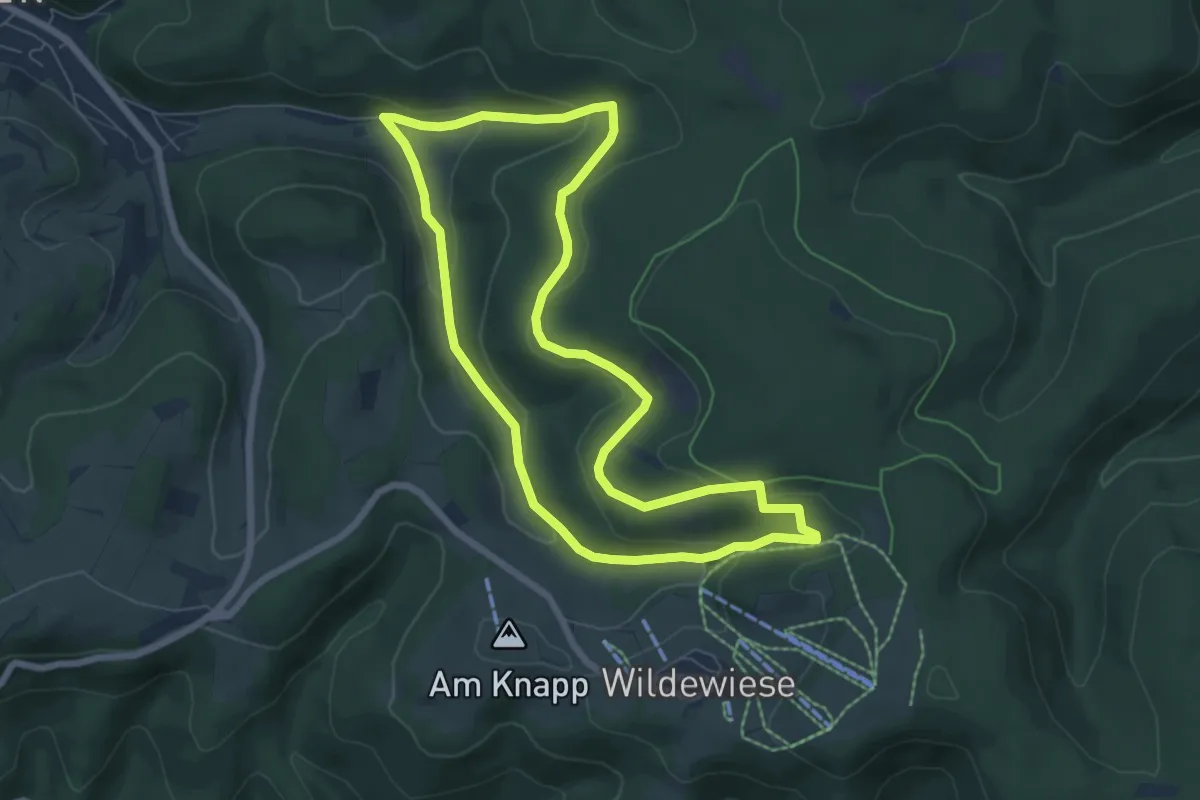
Easy · Trail
Märkessipen Rundweg A9
6.1 km · ↑ 197 m · 1 h 57 min
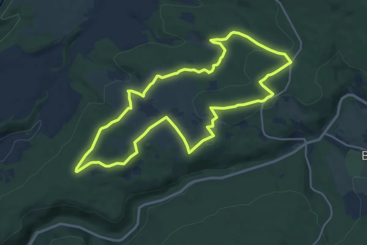
Medium · Trail
Markgrafenrunde
10.4 km · ↑ 204 m · 3 h 2 min
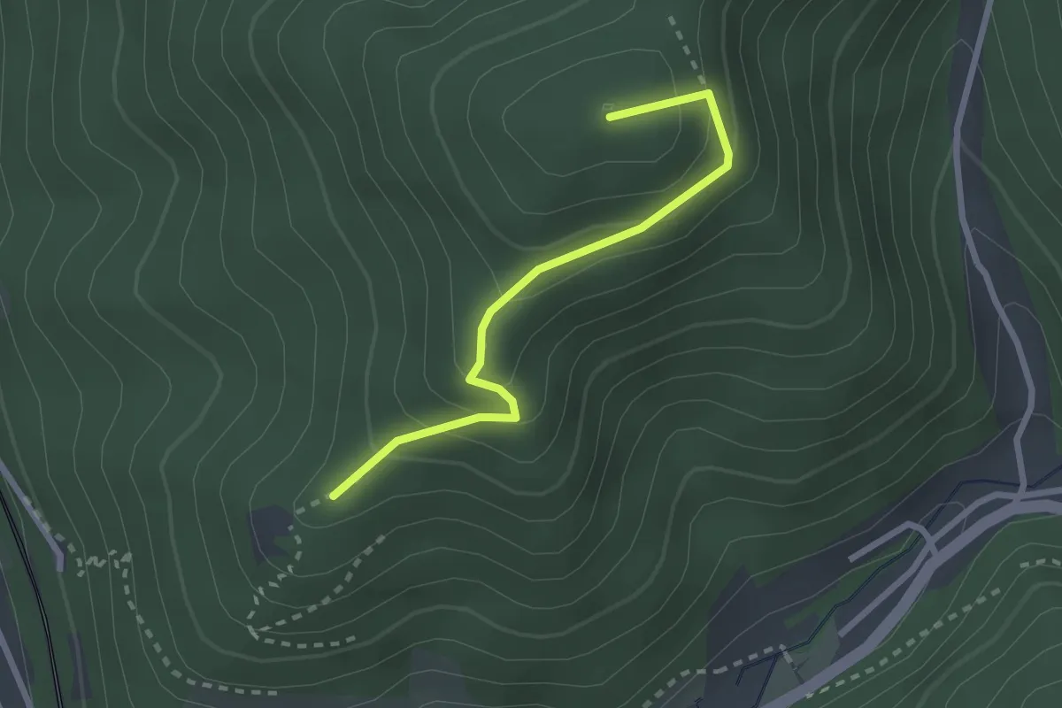
Easy · Summit
Markgrafenschanze - Riesenbauernhöhe
2.3 km · ↑ 192 m · 58 min
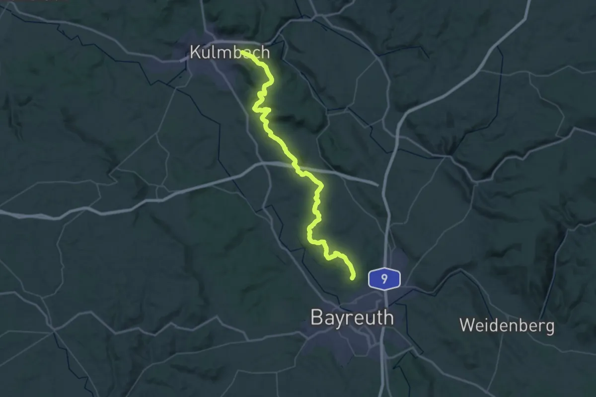
Demanding · Summit
Markgrafenweg Bayreuth-Kulmbach
49.5 km · ↑ 1057 m · 13 h 58 min
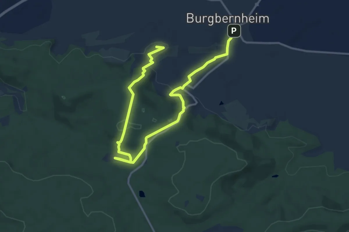
Easy · Summit
Markgrafenweg Burgbernheim
7.0 km · ↑ 225 m · 2 h 14 min
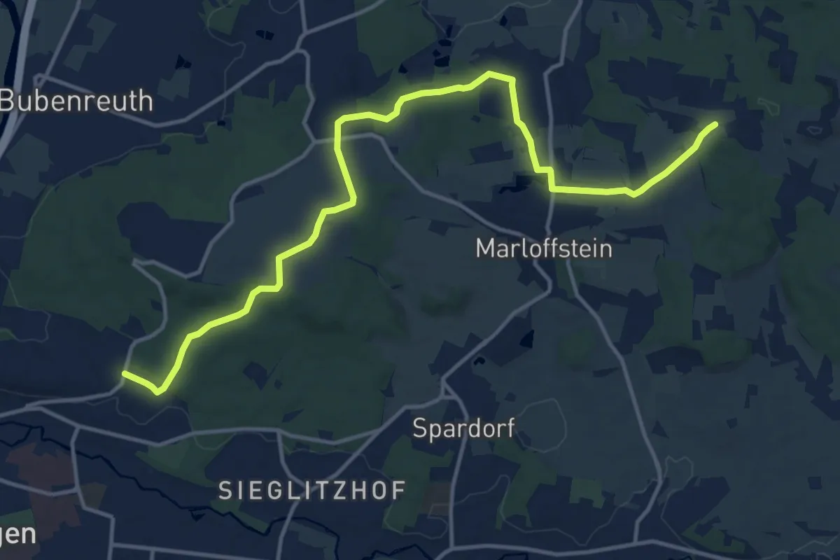
Medium · Summit
Markgrafenweg Erlangen-Bayreuth
14.4 km · ↑ 207 m · 3 h 51 min
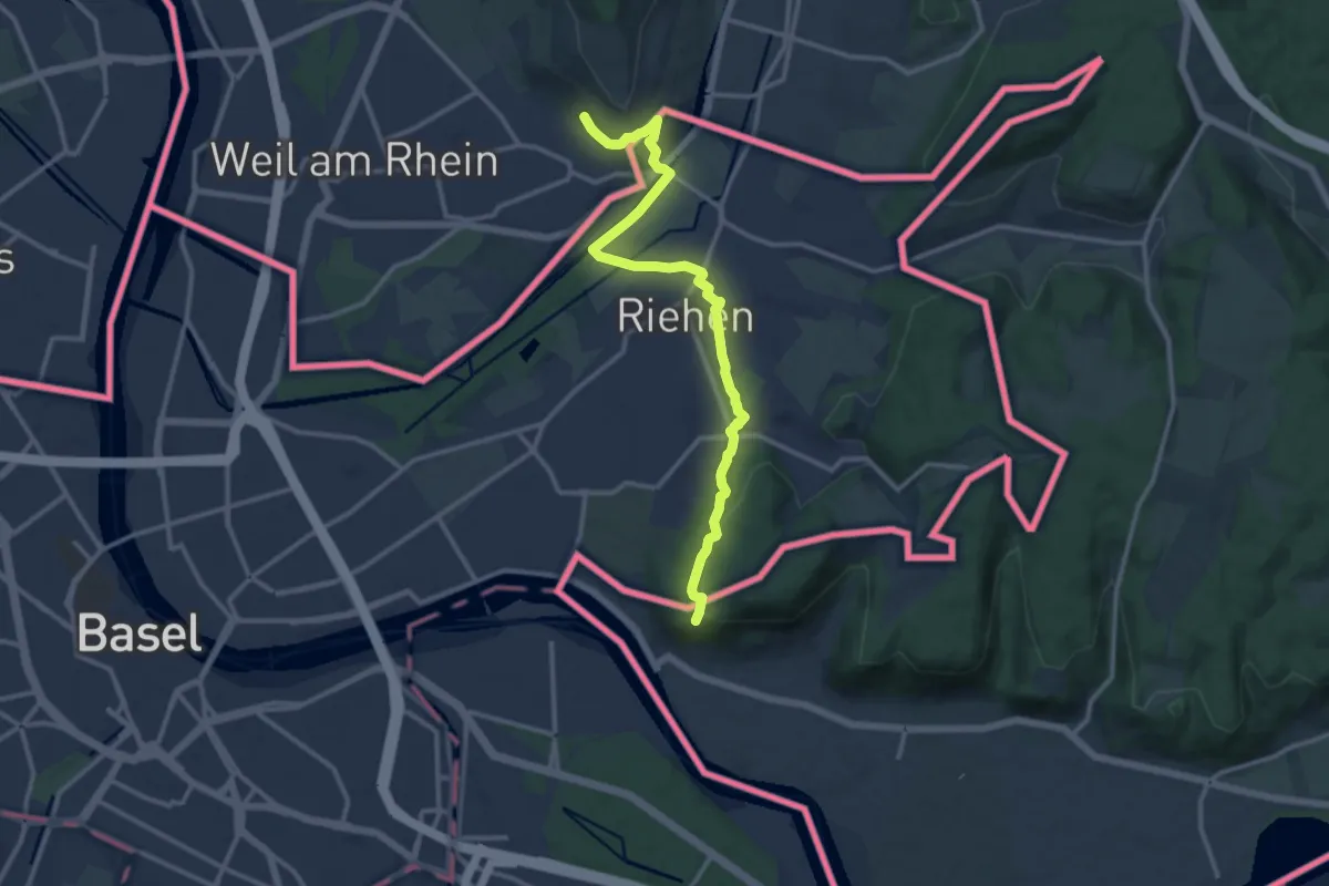
Medium · Trail
Markgräfler Wiiwegli
13.1 km · ↑ 286 m · 3 h 43 min
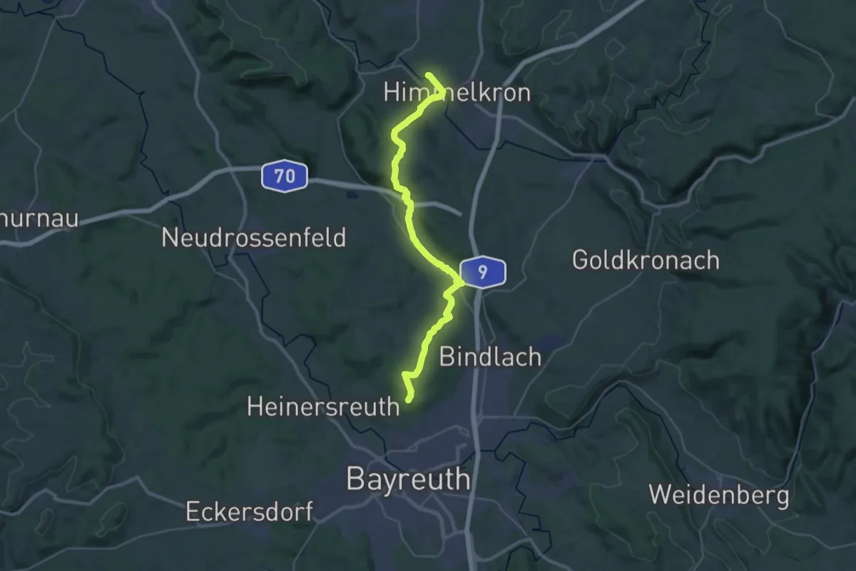
Demanding · Summit
Markgräflicher Klosterweg
30.6 km · ↑ 547 m · 8 h 24 min
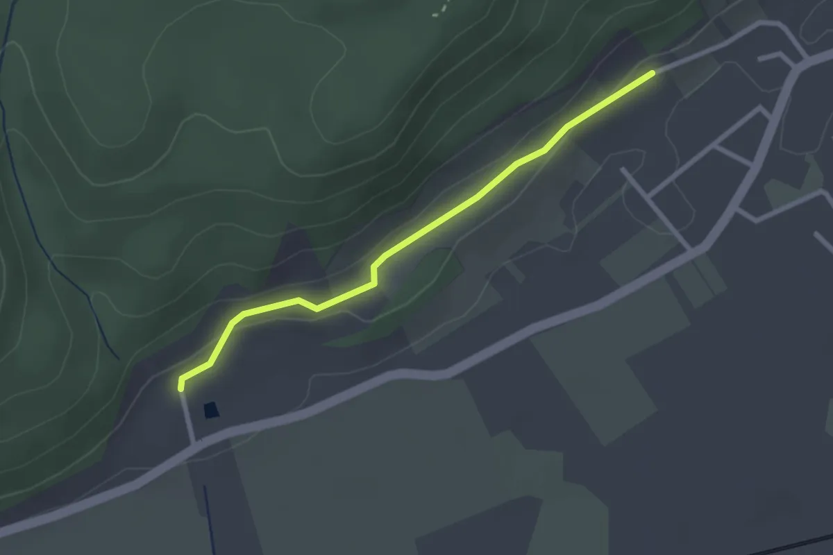
Easy · Trail
Markhof - Rebberg Herten
2.3 km · ↑ 43 m · 39 min
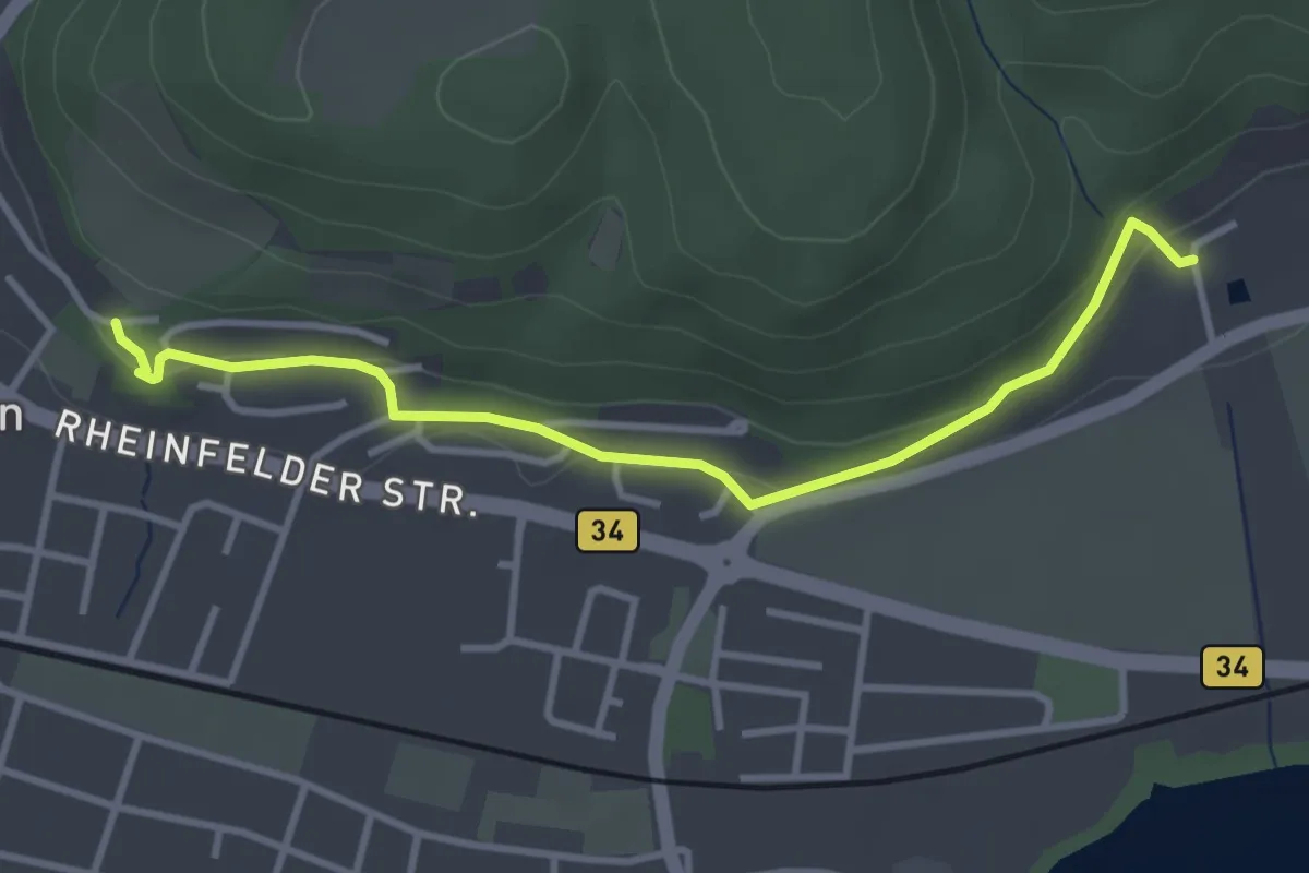
Easy · Trail
Markhof - Wyhlen Hohligass
3.5 km · ↑ 106 m · 1 h 4 min
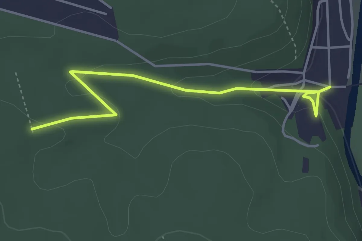
Easy · Trail
markierter Wanderweg (green_backslash)
3.5 km · ↑ 86 m · 1 h 1 min
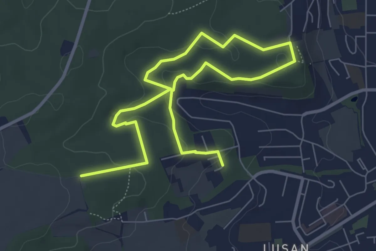
Medium · Trail
markierter Wanderweg (red_triangle)
8.6 km · ↑ 184 m · 2 h 26 min
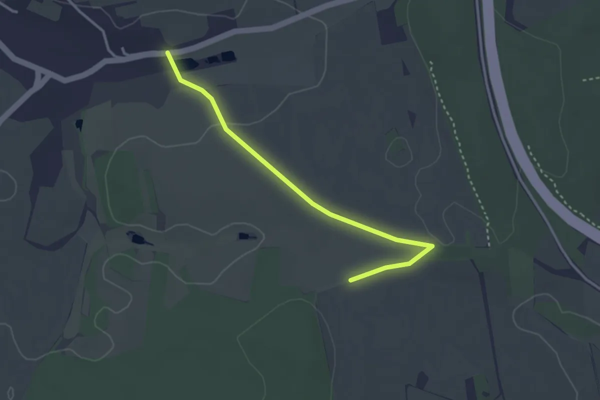
Easy · Trail
Markierter Wanderweg, roter Balken
2.9 km · ↑ 30 m · 45 min
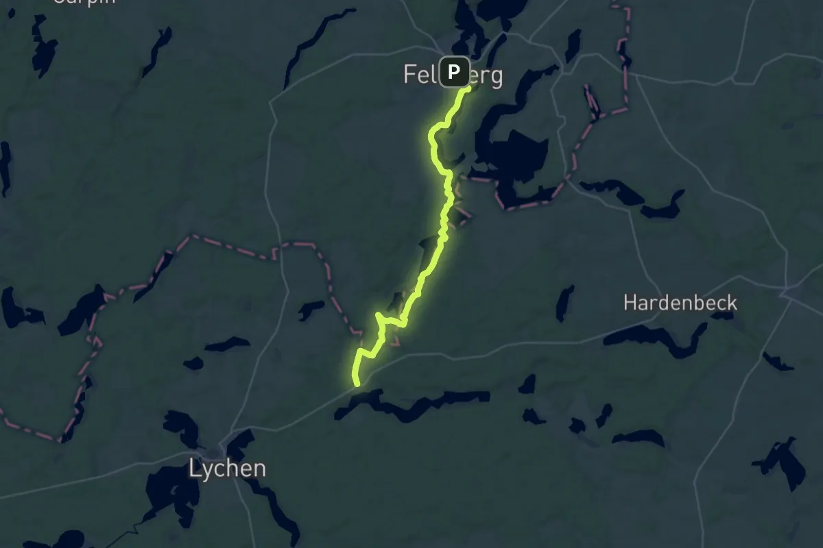
Demanding · Trail
Märkischer Landweg
30.5 km · ↑ 283 m · 7 h 49 min
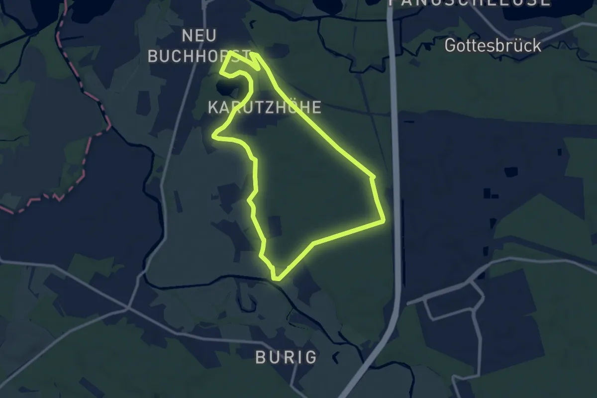
Medium · Trail
Märkische Runde
8.0 km · ↑ 28 m · 2 h 4 min
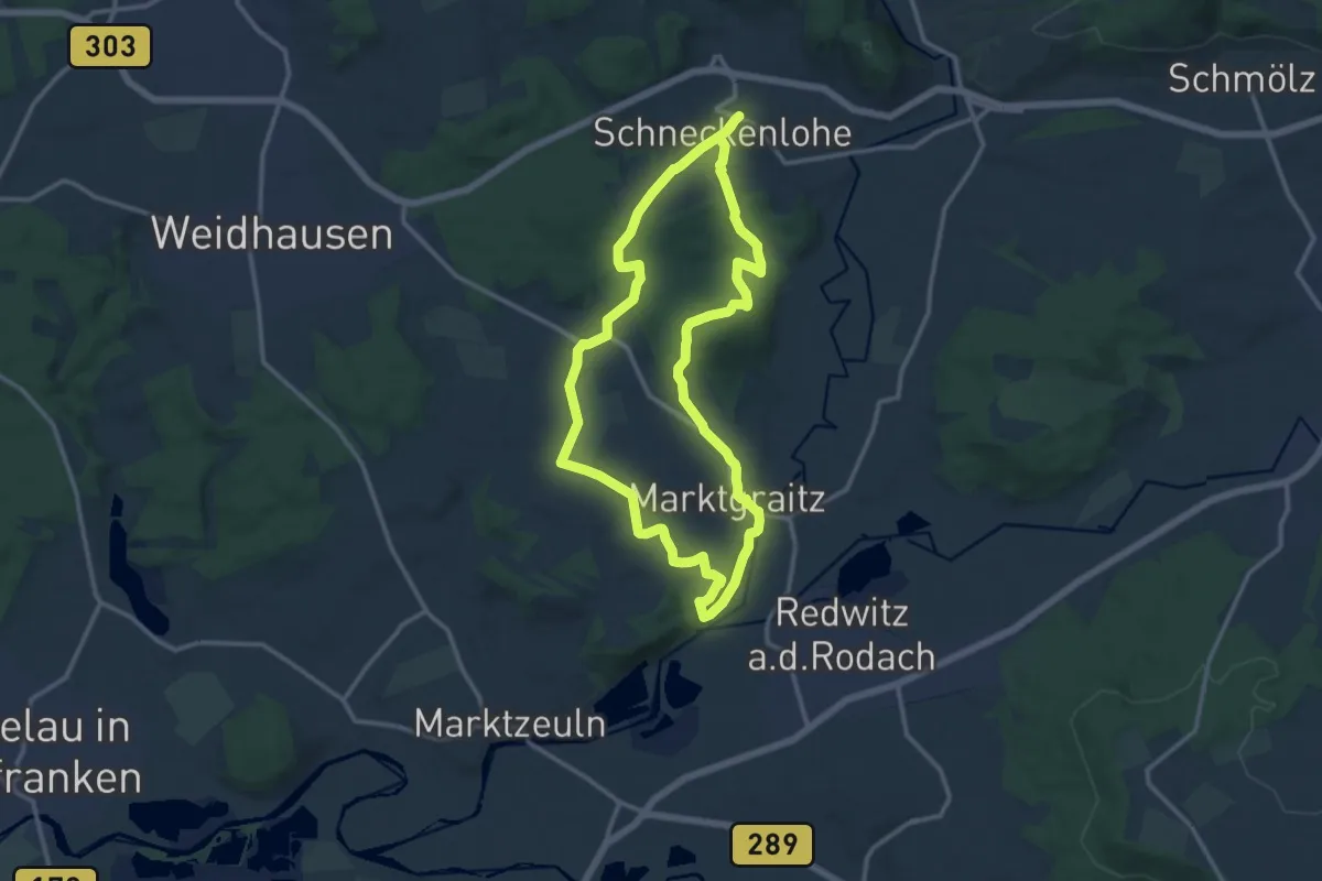
Medium · Trail
Marktgraitzer Rundweg
11.7 km · ↑ 221 m · 3 h 24 min
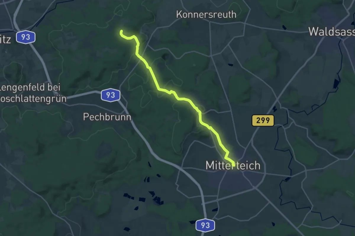
Medium · Trail
Marktleuthen- Johanneszeche - Korbersdorf - Brand(MAK) -Großbüchelberg-Mitterteich
17.9 km · ↑ 307 m · 4 h 54 min
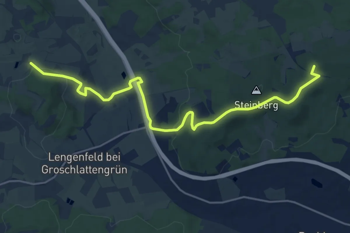
Medium · Summit
Marktredwitz-Kappl
12.6 km · ↑ 285 m · 3 h 35 min
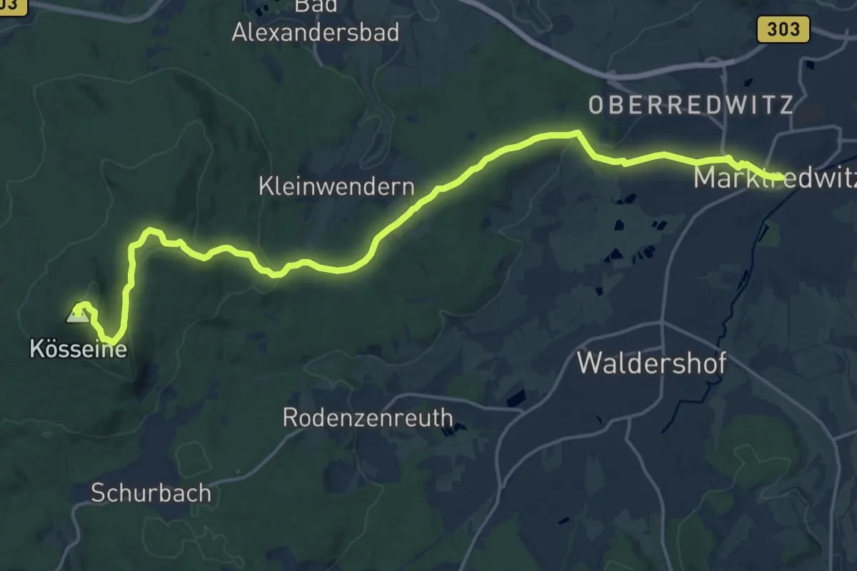
Demanding · Summit
Marktredwitz-Kösseine
20.5 km · ↑ 503 m · 5 h 55 min
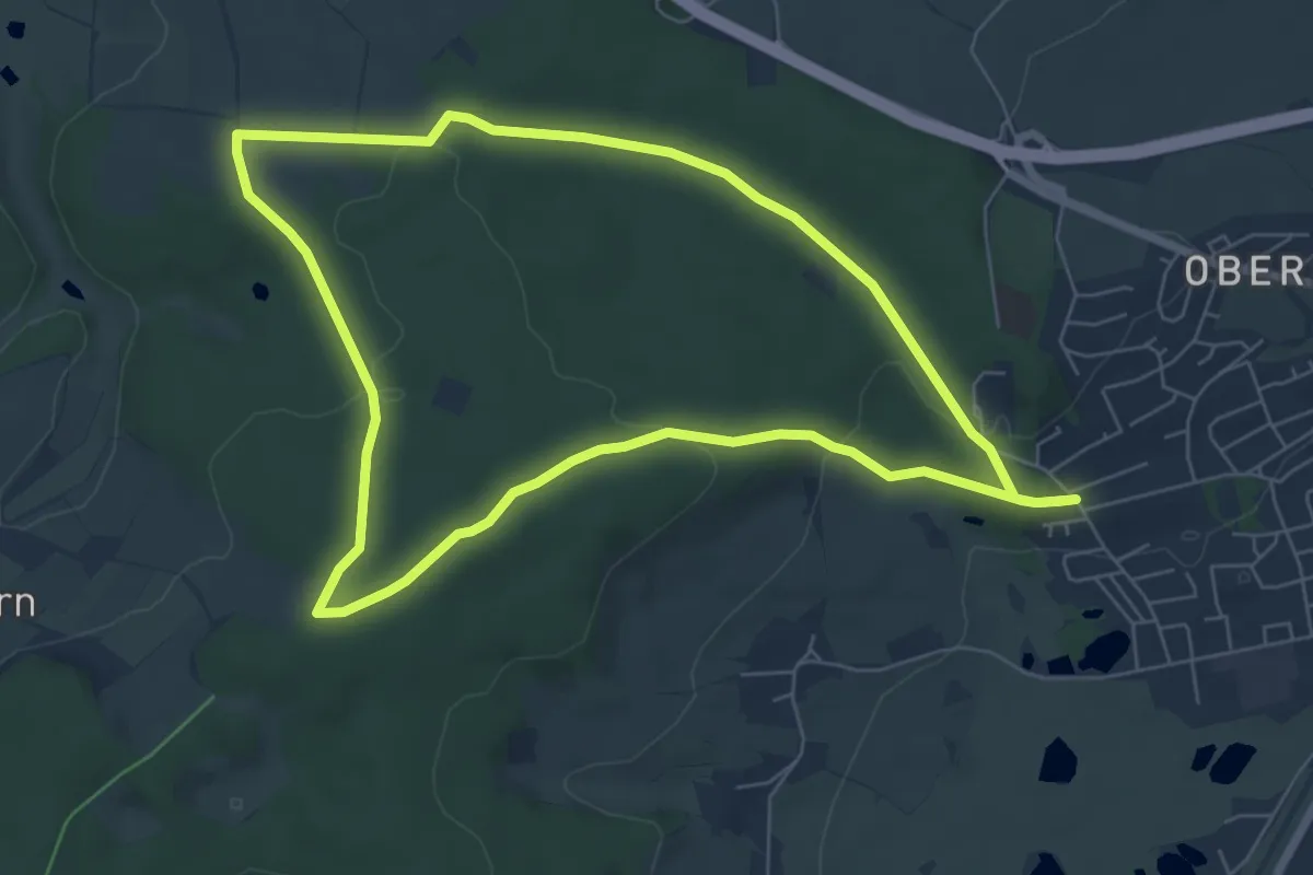
Easy · Trail
Marktredwitz - Rundwanderweg Nr. 1 - Stadtwald und Wenderner Stein
6.3 km · ↑ 136 m · 1 h 52 min
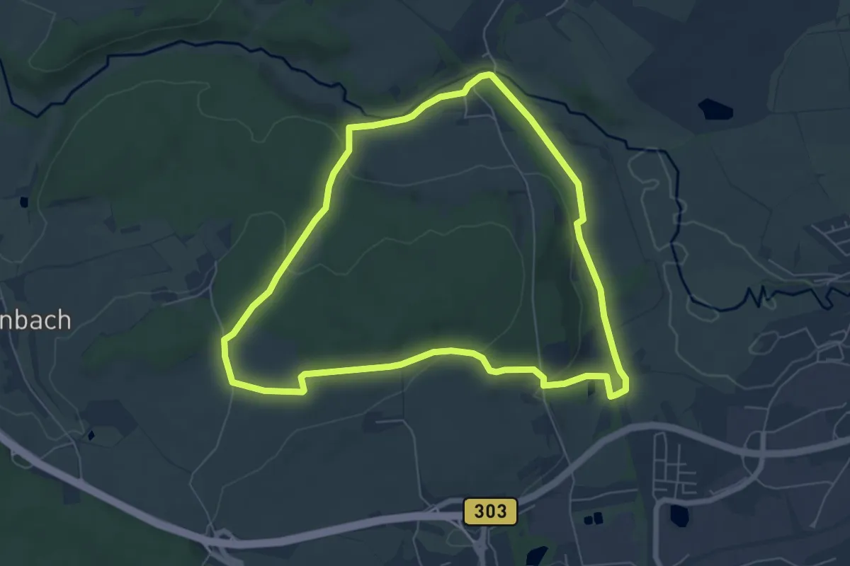
Easy · Trail
Marktredwitz Rundwanderweg Nr. 3
5.9 km · ↑ 139 m · 1 h 47 min
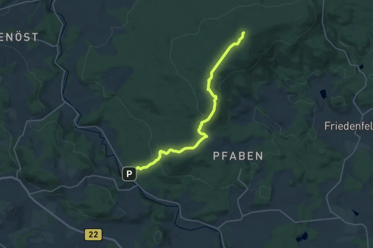
Medium · Summit
Marktredwitz - Saubadfelsen
15.2 km · ↑ 512 m · 4 h 42 min
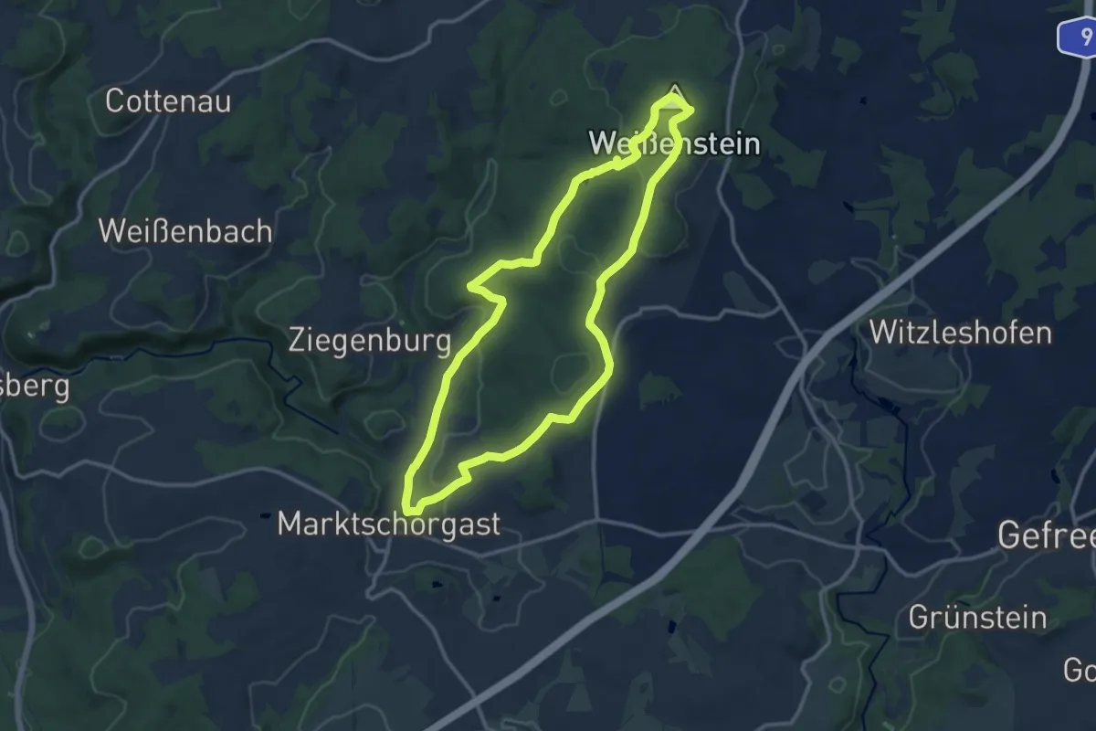
Medium · Summit
Marktschorgast Rundwanderweg Nr.1
10.7 km · ↑ 280 m · 3 h 17 min
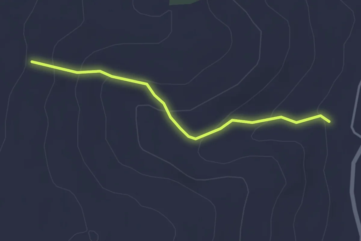
Easy · Trail
Marktsteig_KW
2.8 km · ↑ 132 m · 57 min
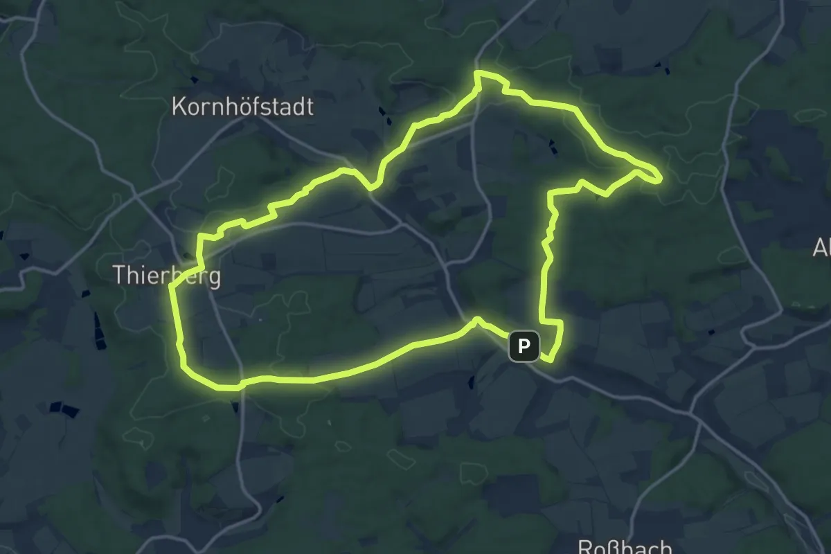
Medium · Summit
Markt Taschendorf Rundweg MT2
15.1 km · ↑ 227 m · 4 h 15 min
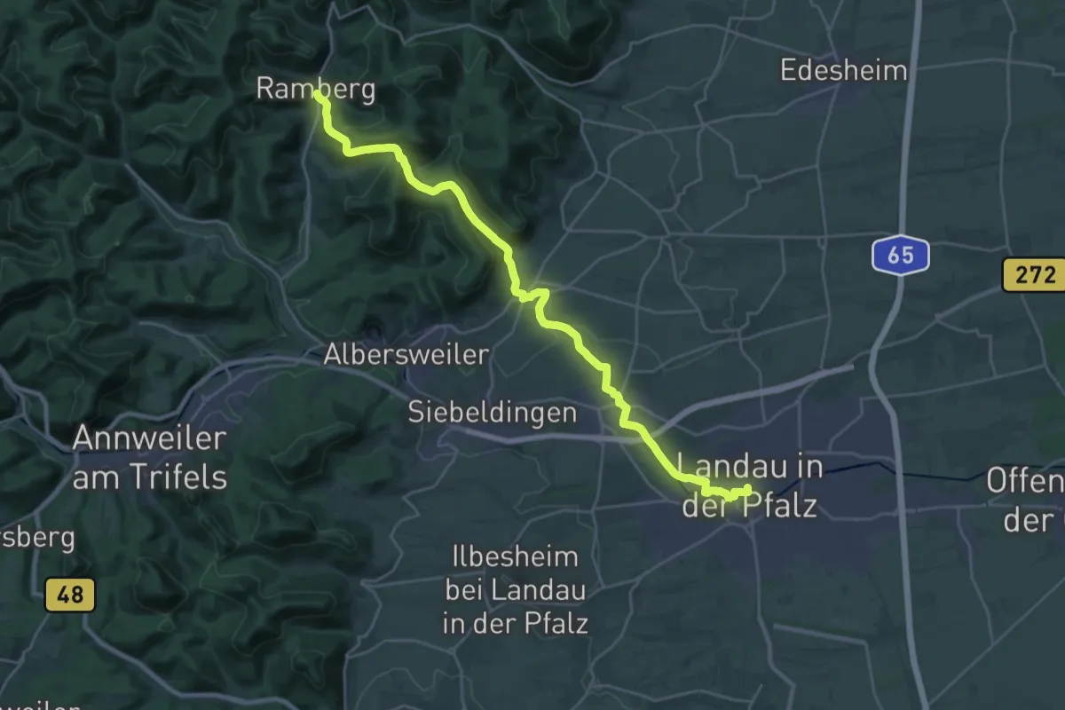
Demanding · Trail
Marktweg Ramberg - Landau/Pfalz
25.5 km · ↑ 580 m · 7 h 17 min
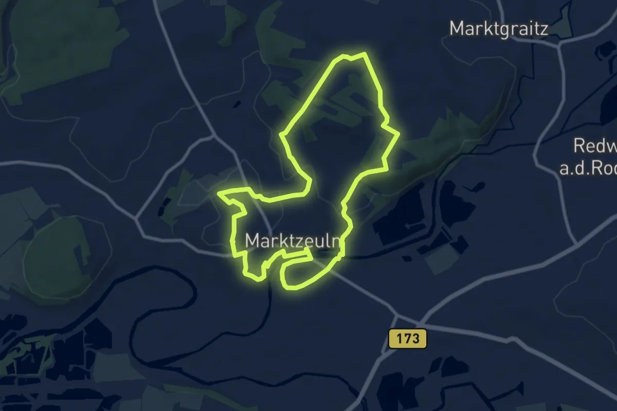
Easy · Trail
Marktzeulner Bergleitenrunde
7.7 km · ↑ 114 m · 2 h 10 min
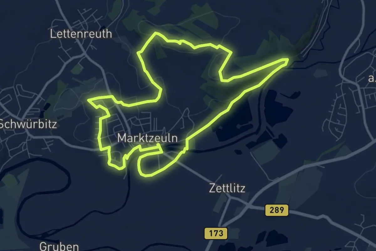
Medium · Summit
Marktzeulner Spitzbergrunde
8.3 km · ↑ 98 m · 2 h 17 min
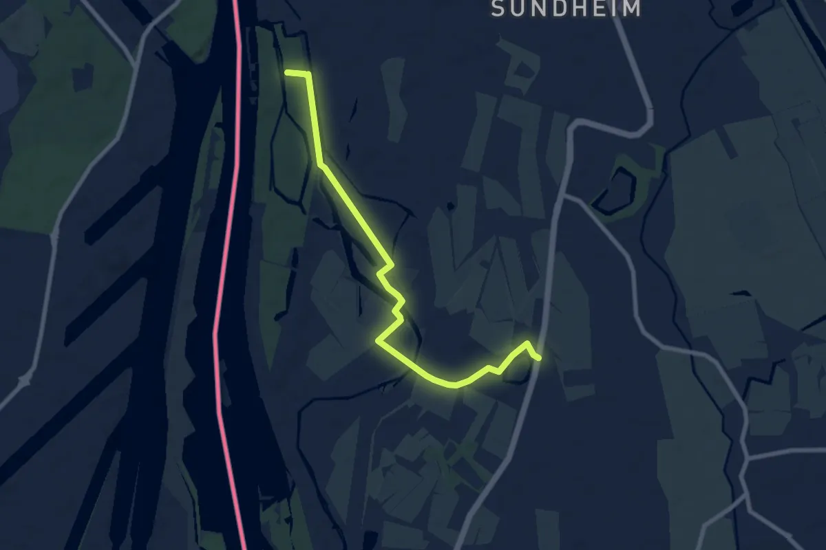
Easy · Trail
Marlen Siedlung - Schlossjockelskopf
7.3 km · ↑ 4 m · 1 h 44 min
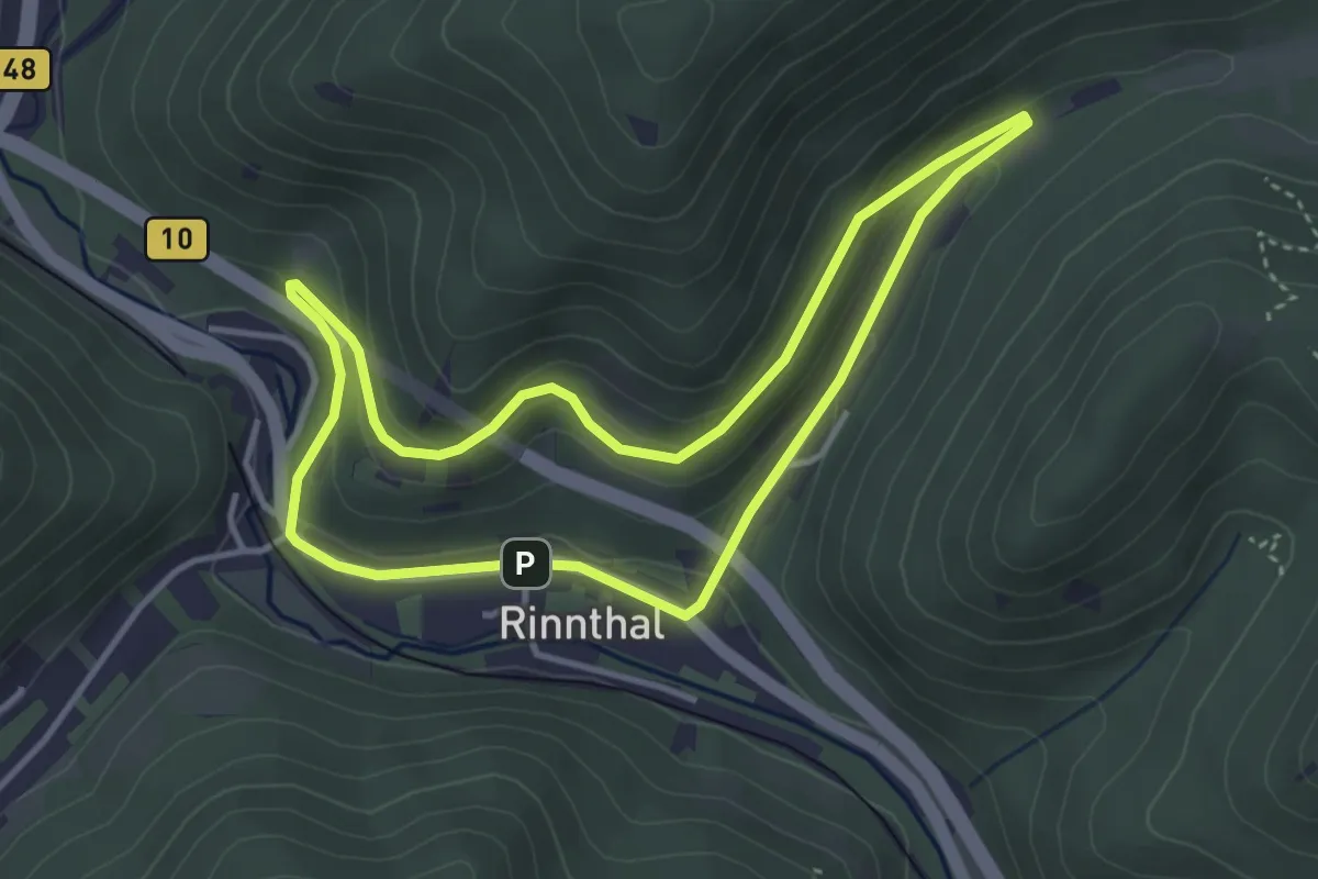
Easy · Trail
Maronenweg Rinnthal
3.4 km · ↑ 122 m · 1 h 7 min
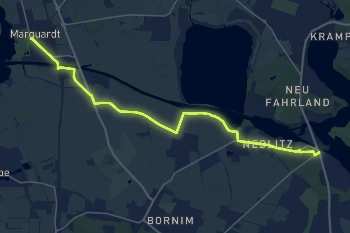
Medium · Trail
Marquardt - Nedlitz
15.0 km · ↑ 45 m · 3 h 39 min
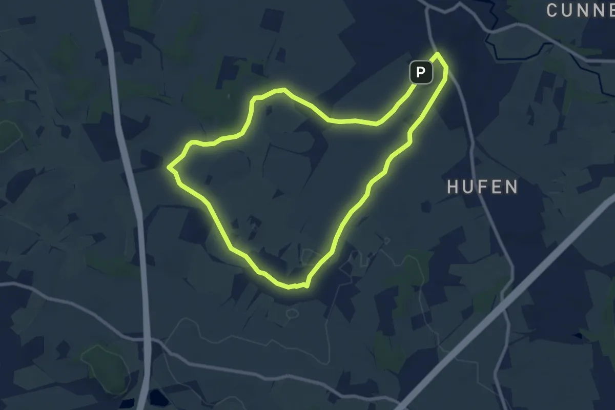
Easy · Summit
Marsdorfer Rundweg
7.0 km · ↑ 35 m · 1 h 49 min
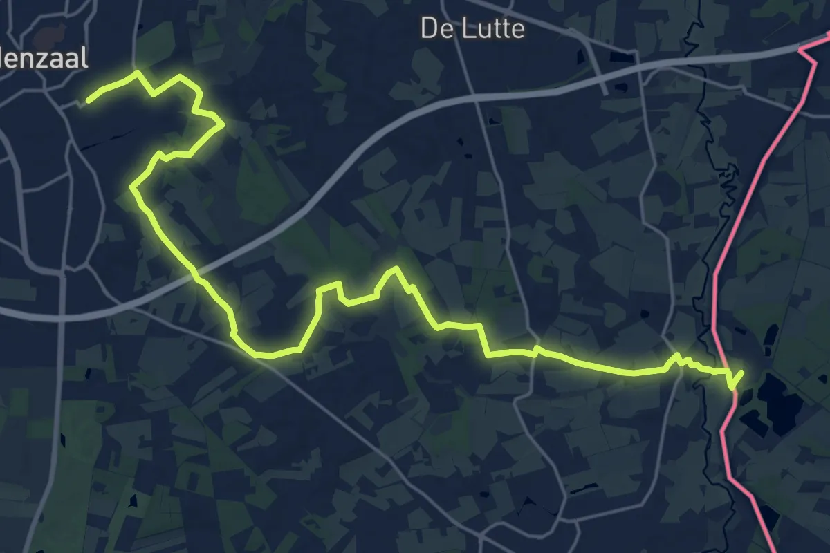
Demanding · Trail
Marskramerpad - 01
24.2 km · ↑ 100 m · 5 h 56 min
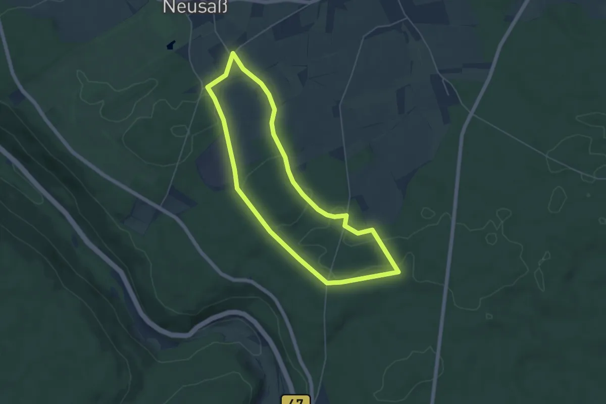
Easy · Trail
Marspfad Glashofen
4.7 km · ↑ 53 m · 1 h 17 min
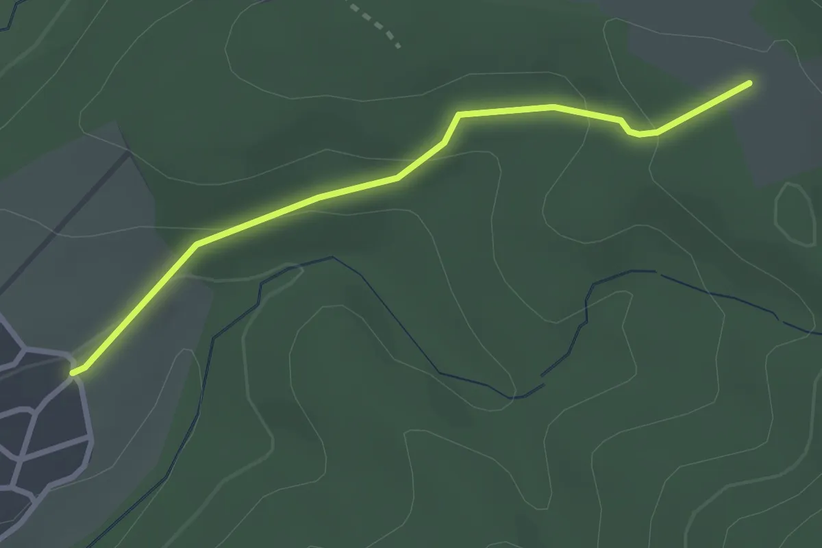
Easy · Trail
Martelskammer - Ottenau Am Neufeld
2.5 km · ↑ 98 m · 48 min
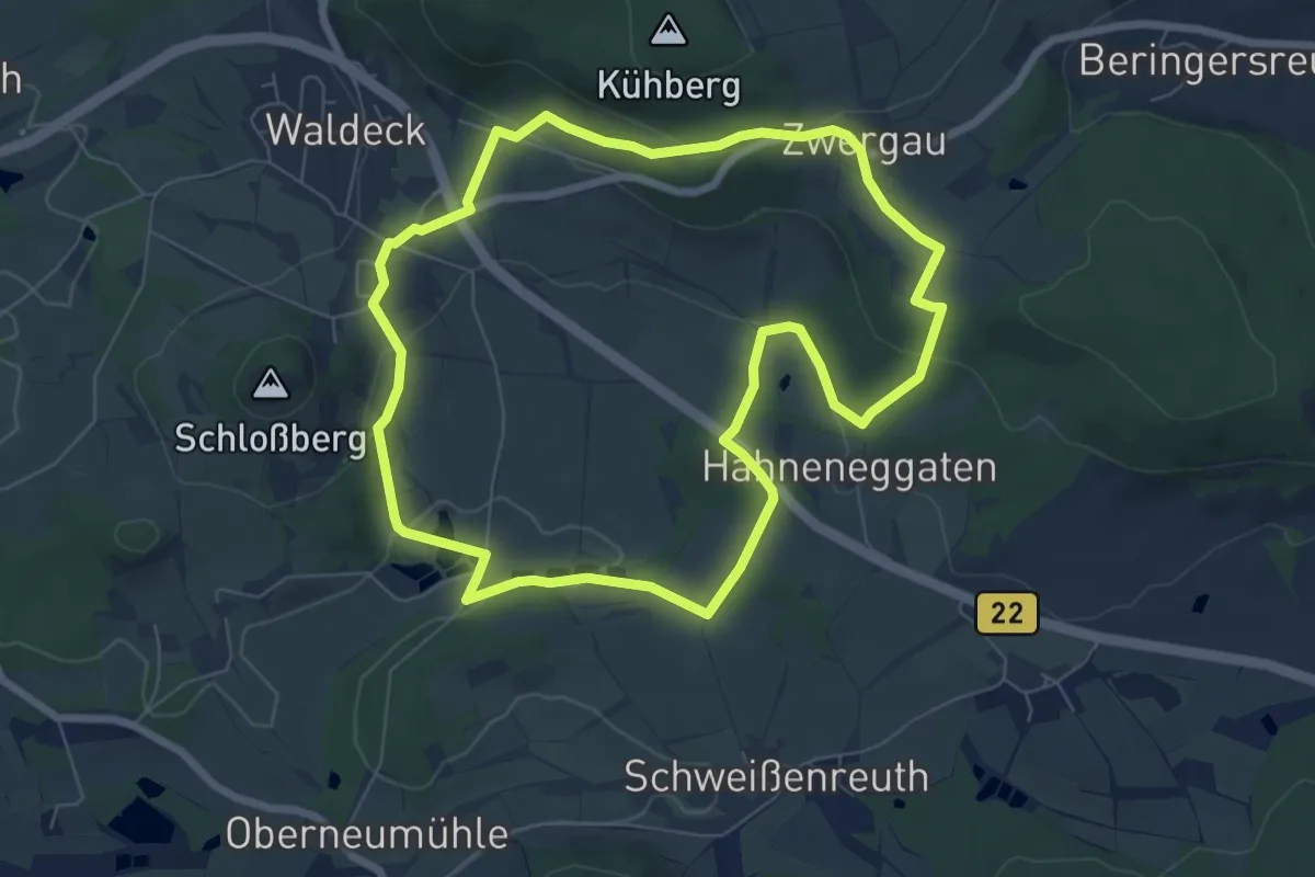
Easy · Summit
Marterlweg
6.6 km · ↑ 171 m · 2 h 1 min
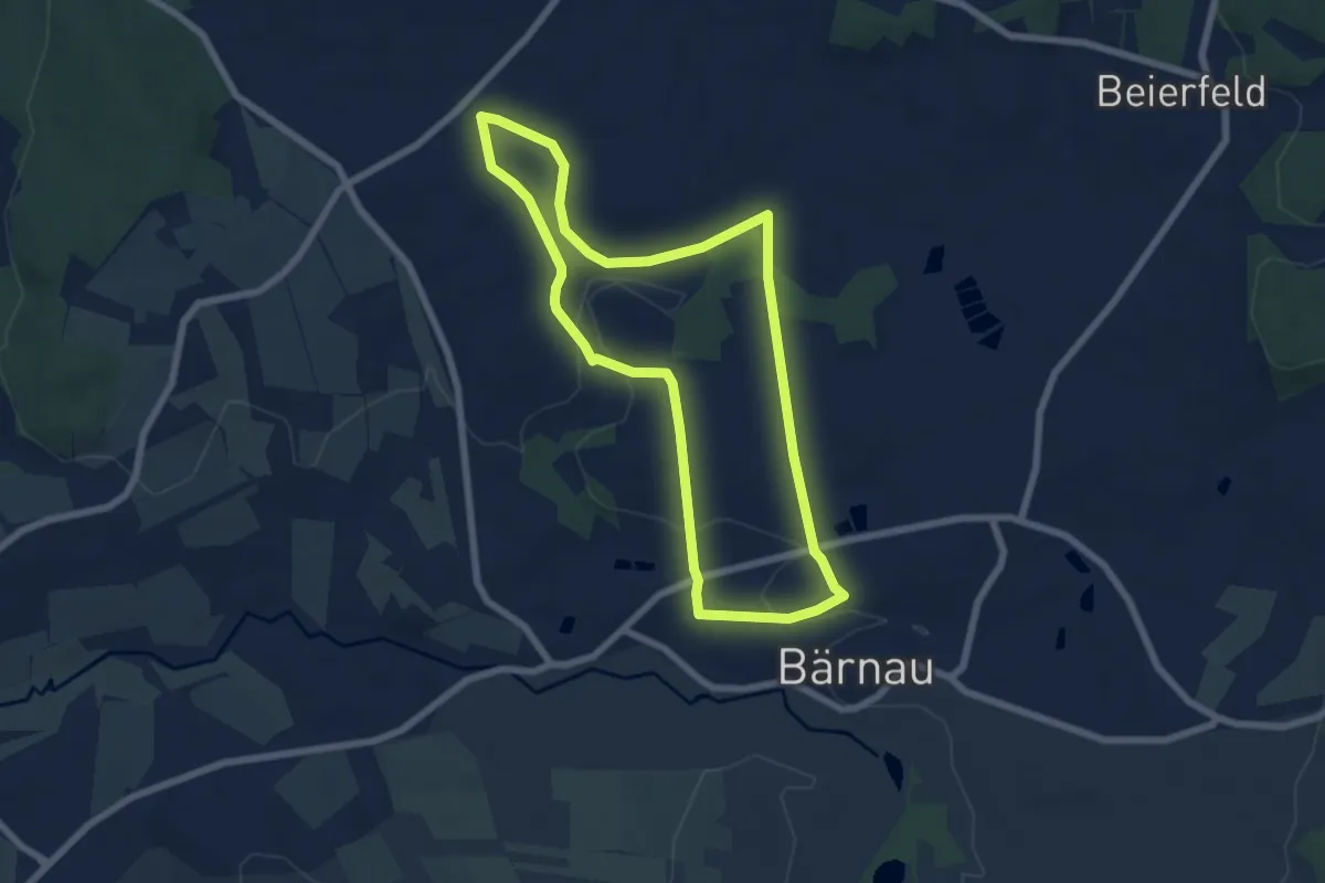
Easy · Trail
Marterlweg Bärnau
6.0 km · ↑ 73 m · 1 h 40 min
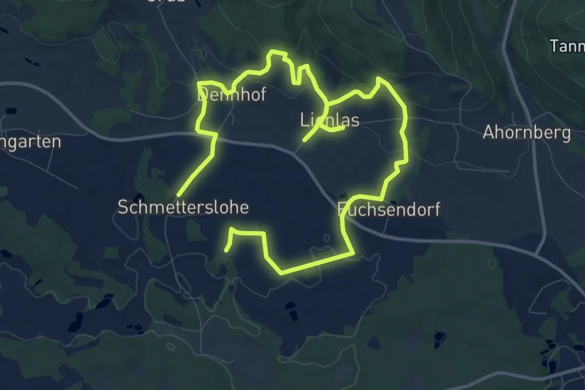
Easy · Trail
Marterlweg Kirchenpingarten Nr. 1
7.8 km · ↑ 211 m · 2 h 24 min
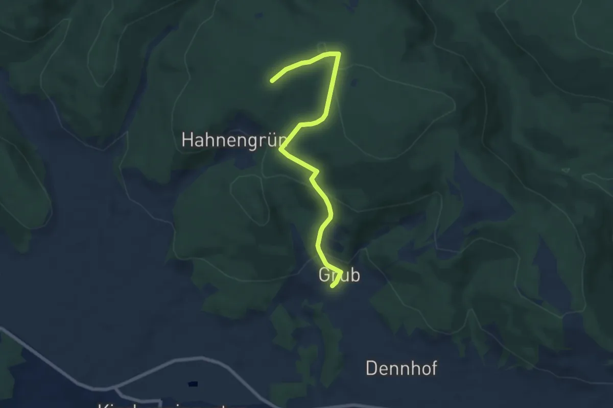
Easy · Trail
Marterlweg Kirchenpingarten Nr. 2 "Zum Himmelmutterl"
3.1 km · ↑ 18 m · 55 min
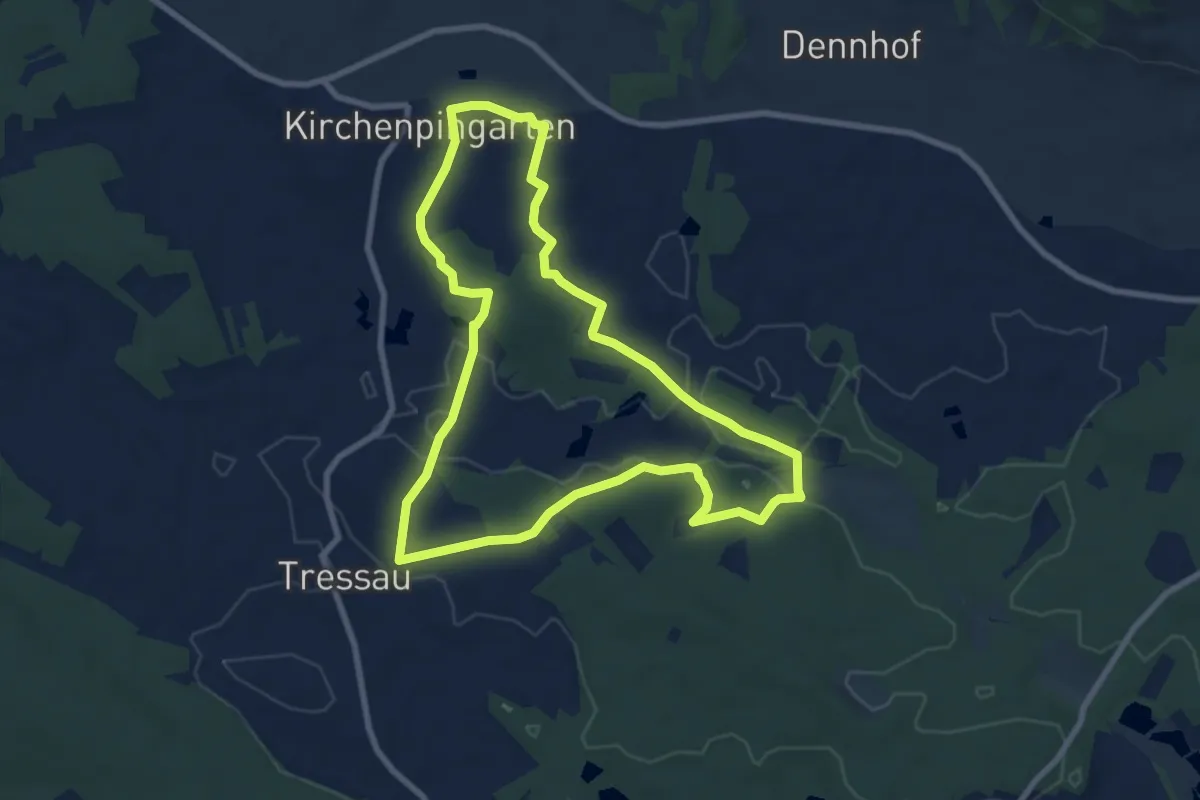
Easy · Trail
Marterlweg Kirchenpingarten Nr. 3 "Rund um die alten Biengärten"
7.6 km · ↑ 97 m · 2 h 7 min