Trails in Germany
36,852 hiking trails, each with its route, climb, walking time and grade.
All trails, page 340 of 768
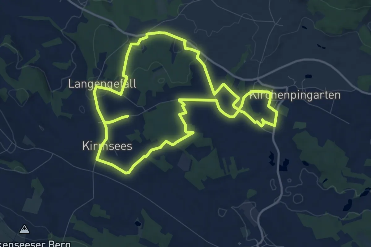
Medium · Trail
Marterlweg Kirchenpingarten Nr. 4
9.8 km · ↑ 113 m · 2 h 41 min
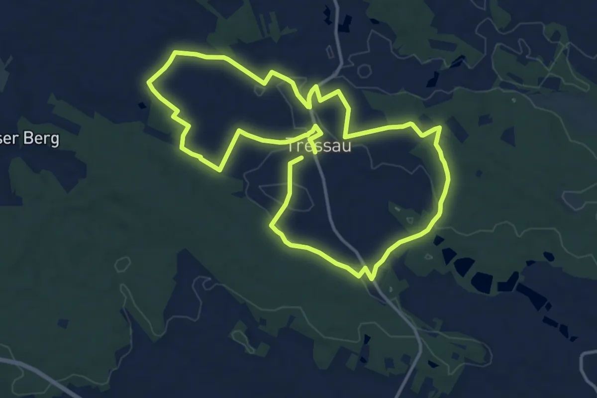
Medium · Trail
Marterlweg Kirchenpingarten Nr. 5 "Rund um Tressau"
10.3 km · ↑ 91 m · 2 h 47 min
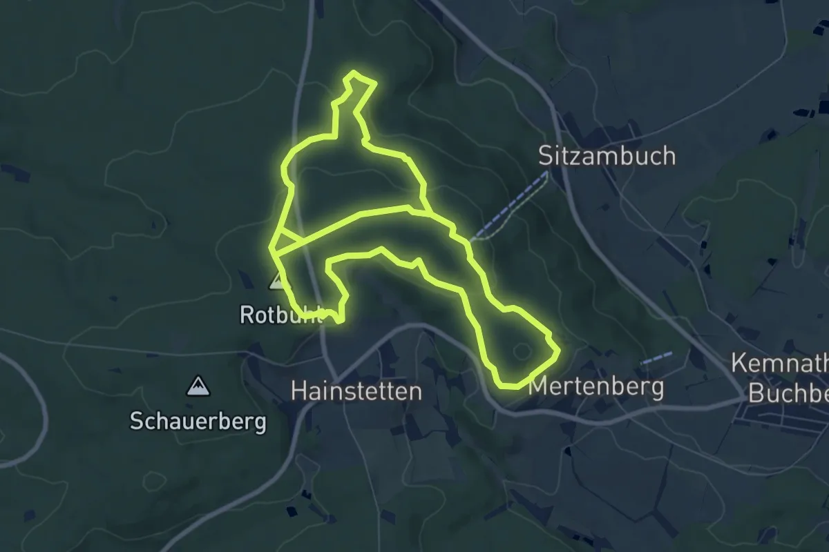
Easy · Summit
Martin-Rumpler-Weg
7.9 km · ↑ 204 m · 2 h 24 min
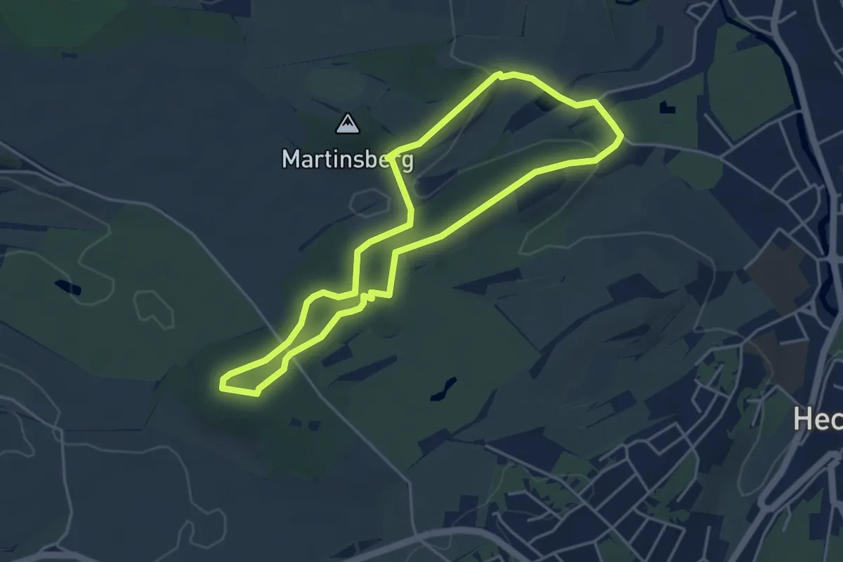
Easy · Trail
martinsberg tour
3.8 km · ↑ 89 m · 1 h 9 min
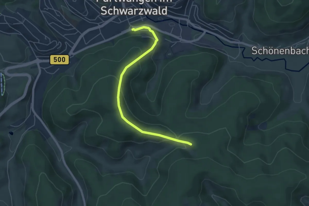
Easy · Trail
Martin-Schmitt-Straße - Schnabelskreuz
4.9 km · ↑ 217 m · 1 h 38 min
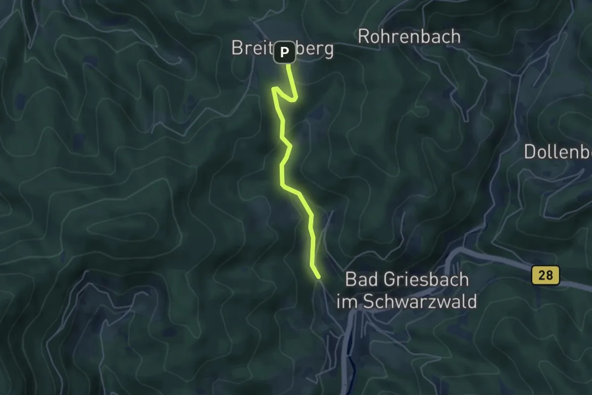
Easy · Trail
Martinshof - Schafsberg
3.6 km · ↑ 135 m · 1 h 9 min
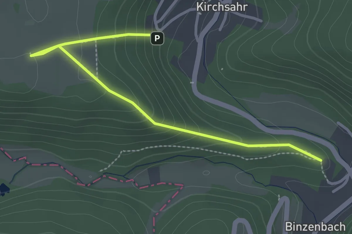
Easy · Trail
Martinssteig
2.8 km · ↑ 168 m · 1 h 2 min
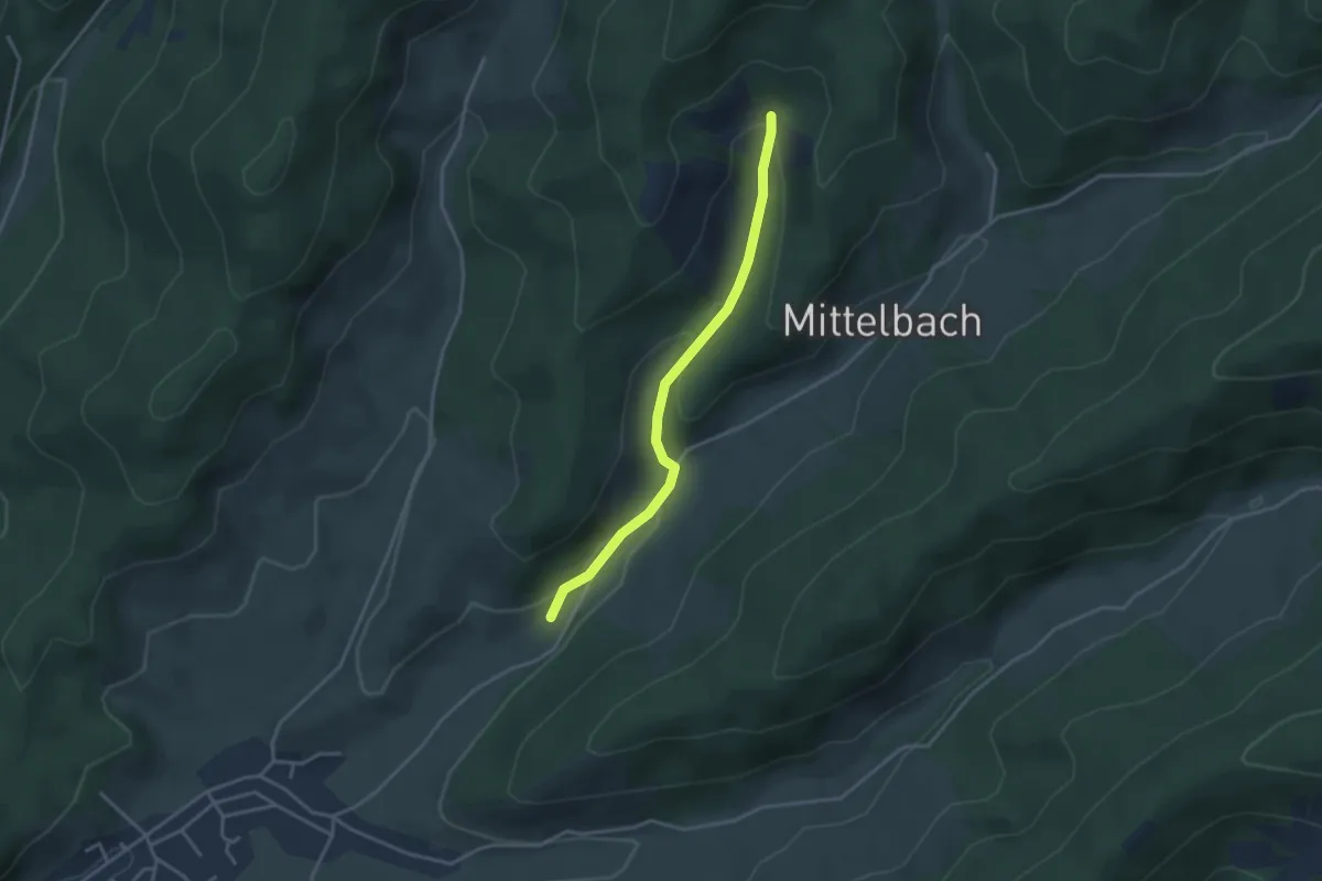
Easy · Trail
Martinsteinhiesli - Mittelbach
3.1 km · ↑ 118 m · 1 h
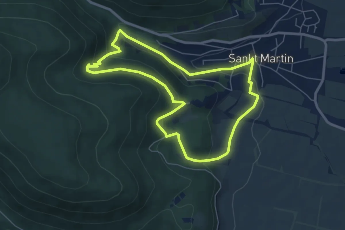
Medium · Summit
Martinusweg
5.0 km · ↑ 234 m · 1 h 45 min
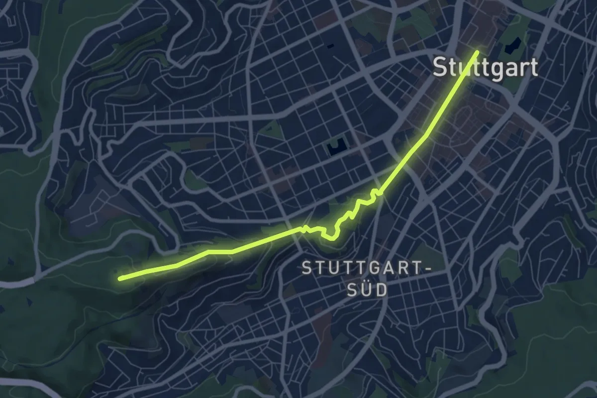
Easy · Summit
Martinusweg HW 12c+d (Teilstück)
7.5 km · ↑ 247 m · 2 h 18 min
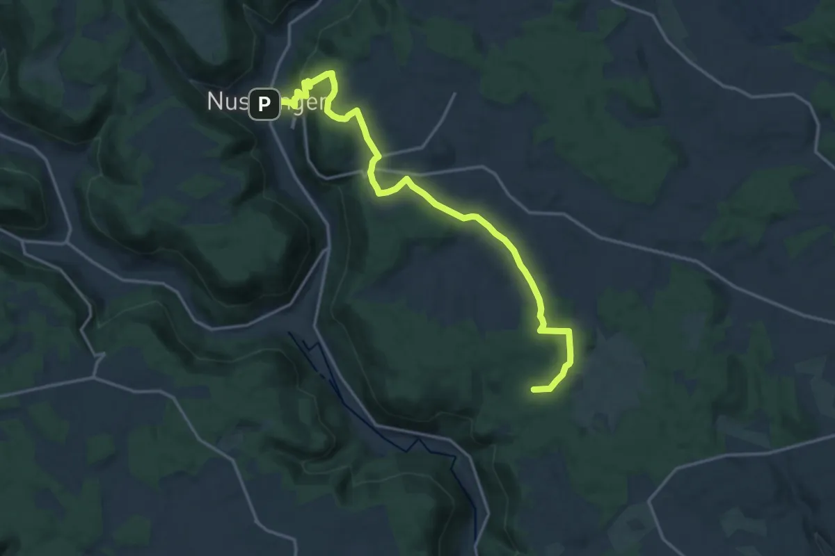
Medium · Trail
Martinusweg MWD 3a
16.0 km · ↑ 405 m · 4 h 39 min
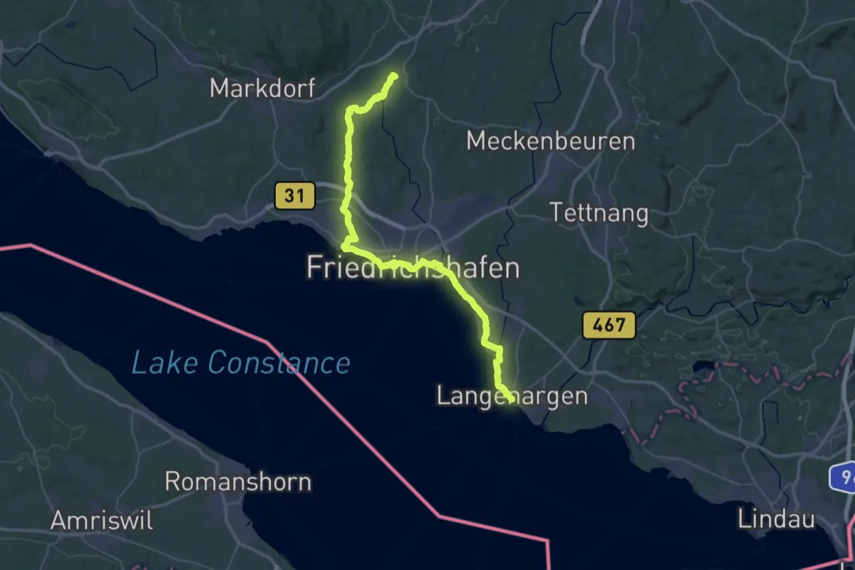
Demanding · Pilgrim path
Martinusweg RWB 1
23.3 km · ↑ 124 m · 6 h 7 min
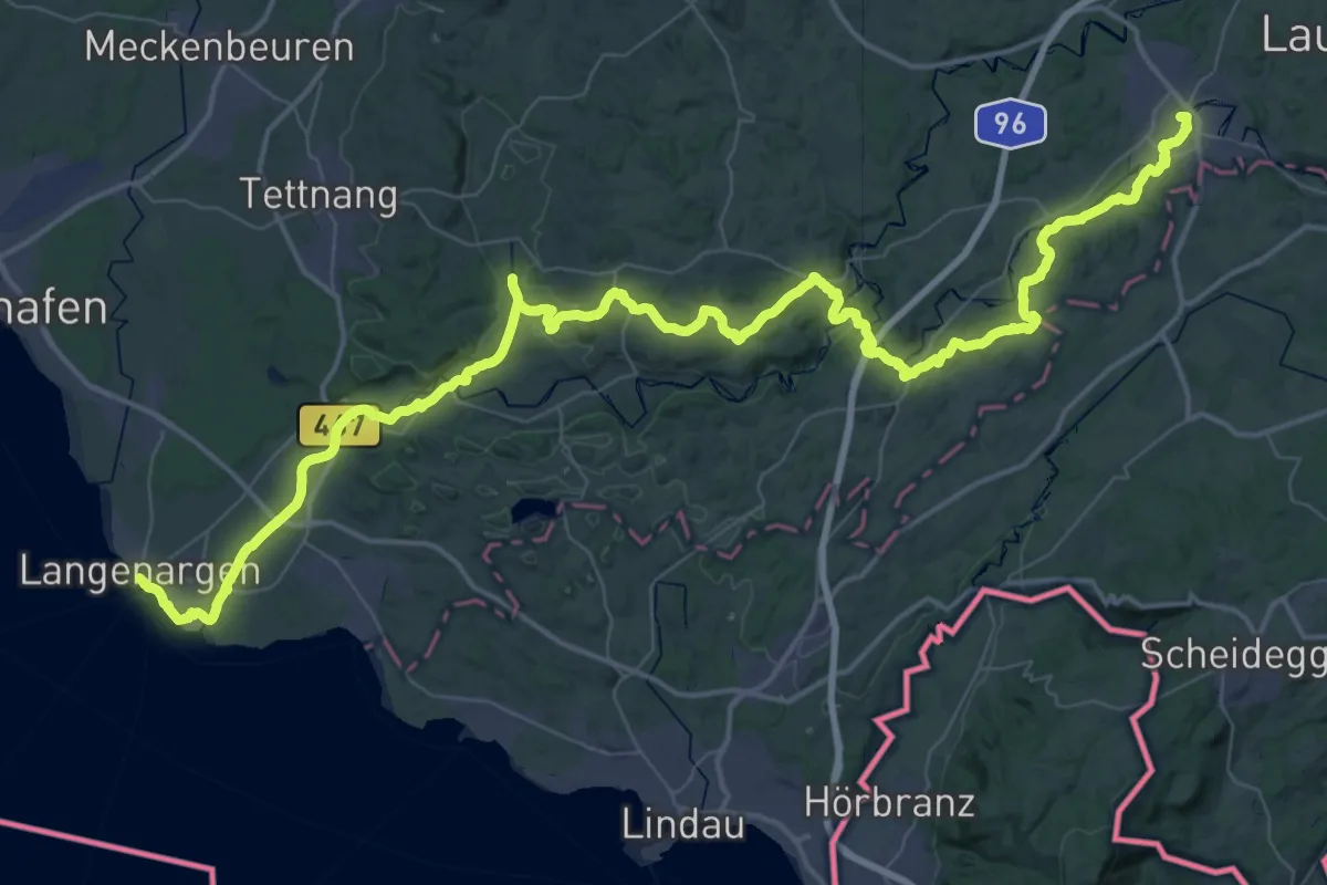
Demanding · Pilgrim path
Martinusweg RWB 2
38.0 km · ↑ 500 m · 10 h 30 min
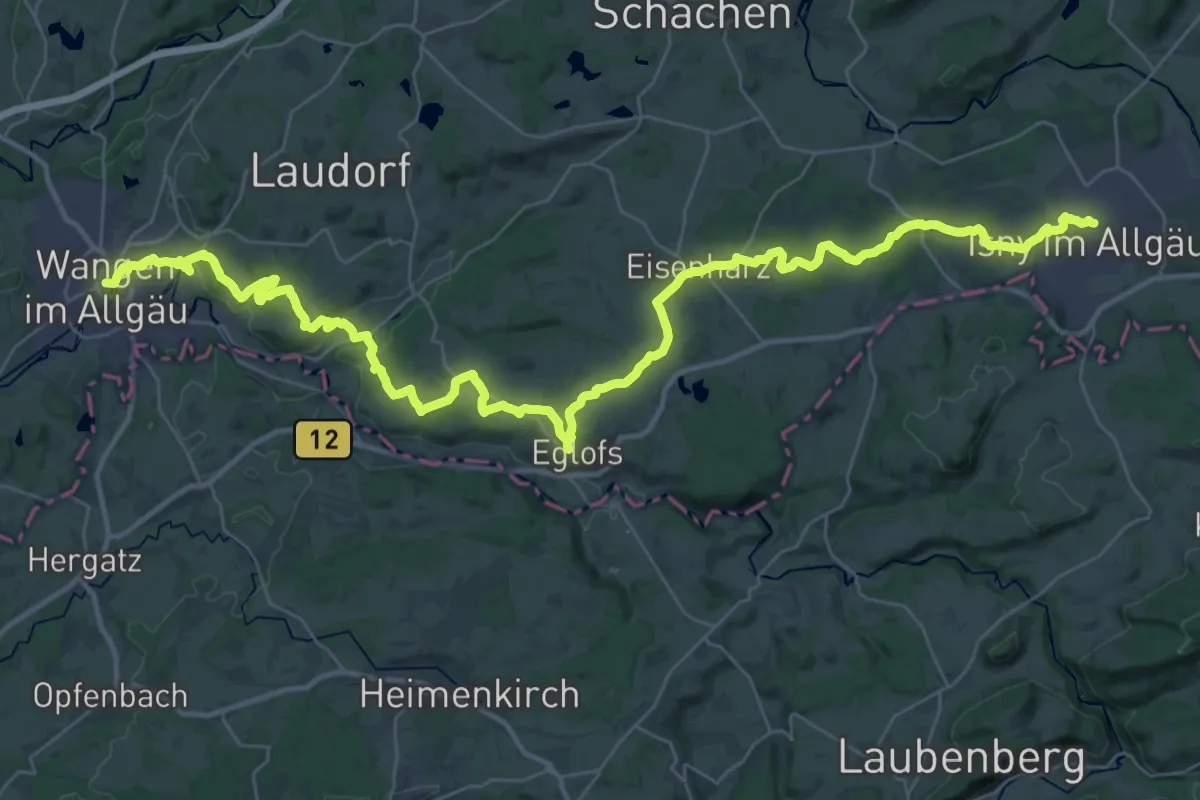
Demanding · Pilgrim path
Martinusweg RWB 3
24.3 km · ↑ 374 m · 6 h 50 min
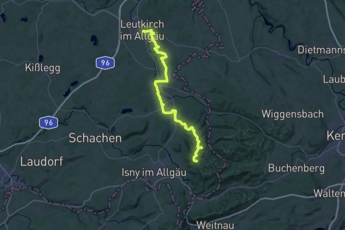
Demanding · Summit
Martinusweg RWB 4
24.1 km · ↑ 622 m · 7 h 11 min
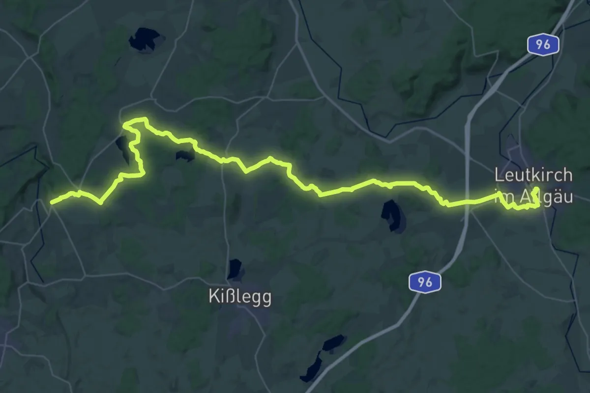
Demanding · Pilgrim path
Martinusweg RWB 5
25.4 km · ↑ 249 m · 6 h 54 min
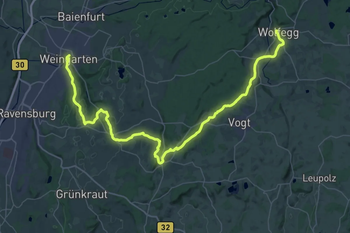
Demanding · Pilgrim path
Martinusweg RWB 6
23.2 km · ↑ 355 m · 6 h 40 min
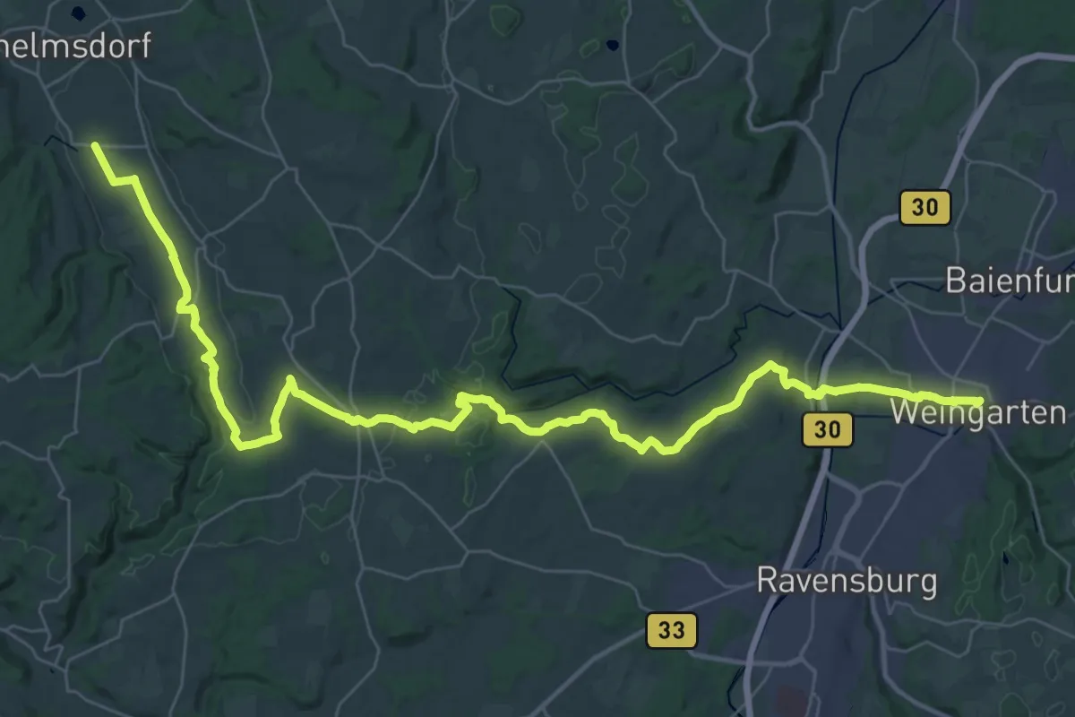
Demanding · Pilgrim path
Martinusweg RWB 7
24.0 km · ↑ 358 m · 6 h 44 min
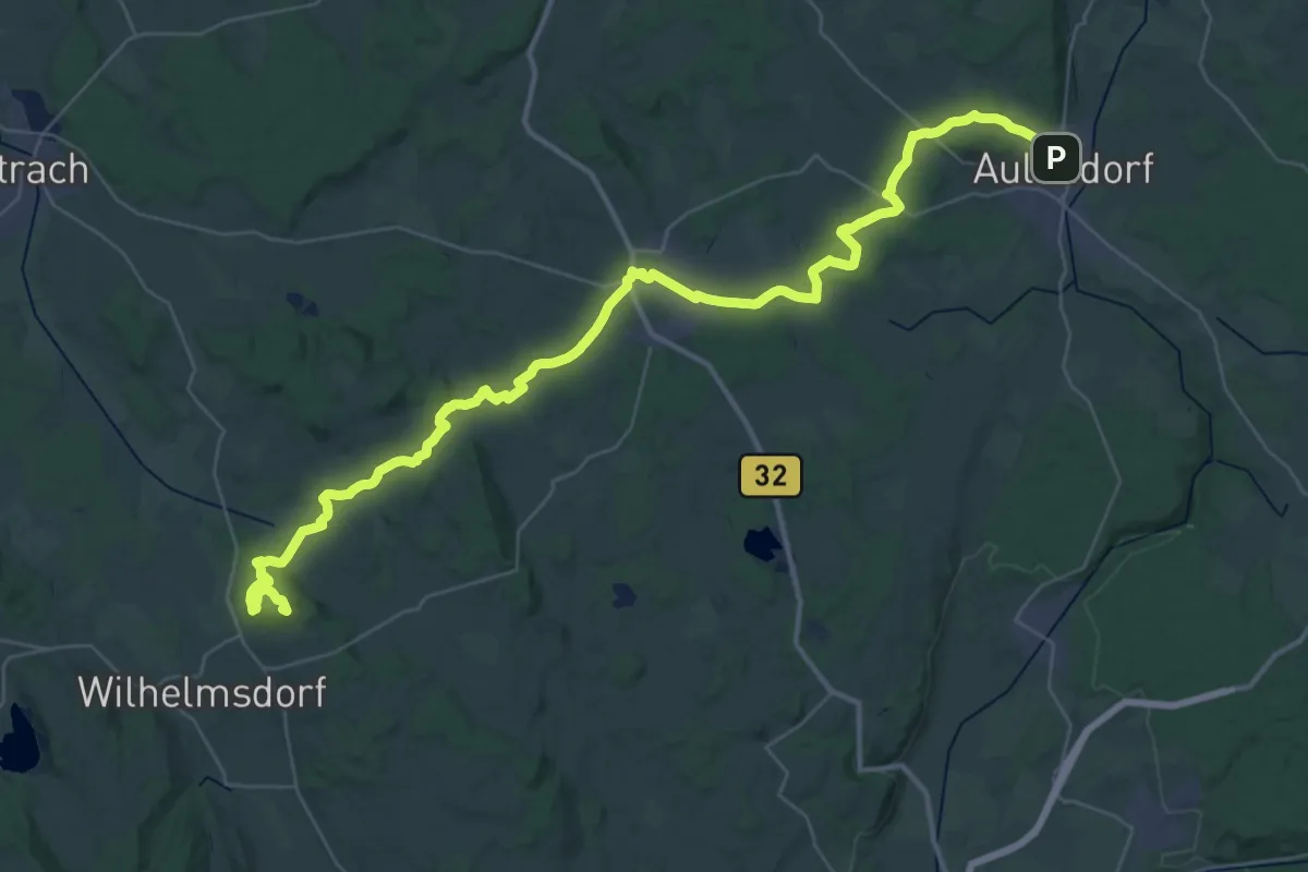
Demanding · Summit
Martinusweg RWB 8
25.1 km · ↑ 446 m · 7 h 9 min
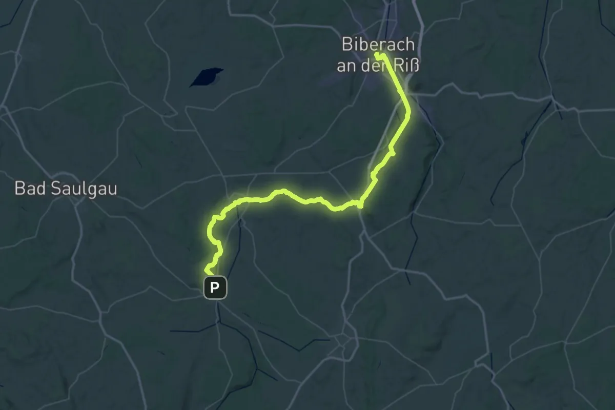
Demanding · Pilgrim path
Martinusweg RWB 9
32.0 km · ↑ 350 m · 8 h 47 min
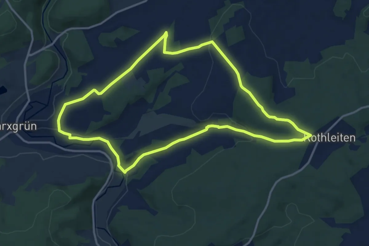
Medium · Trail
Marxgrüner Panoramaweg US 46
9.1 km · ↑ 167 m · 2 h 38 min
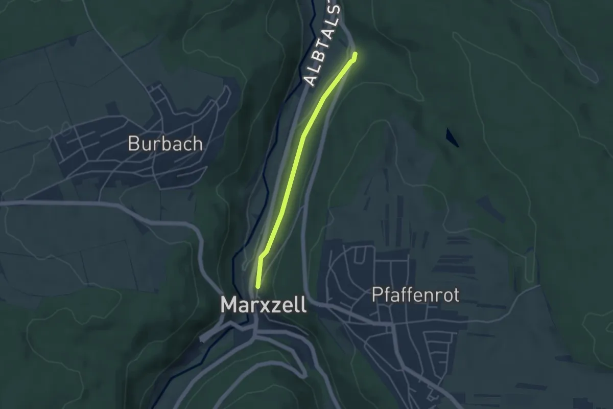
Easy · Trail
Marxzell Postwegle - Maretwiesen
3.2 km · ↑ 49 m · 51 min
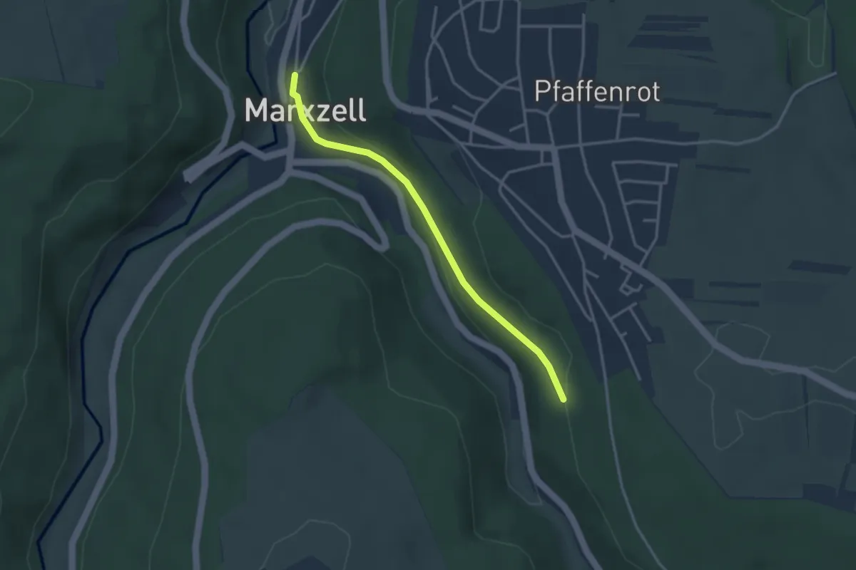
Easy · Trail
Marxzell Postwegle - Vorderer Brückenschlag
2.9 km · ↑ 75 m · 50 min
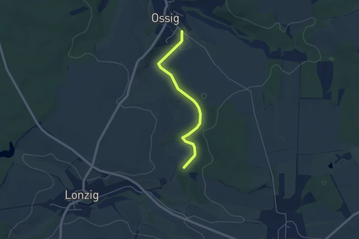
Easy · Trail
Märzenbecher Ossig
3.7 km · ↑ 46 m · 58 min
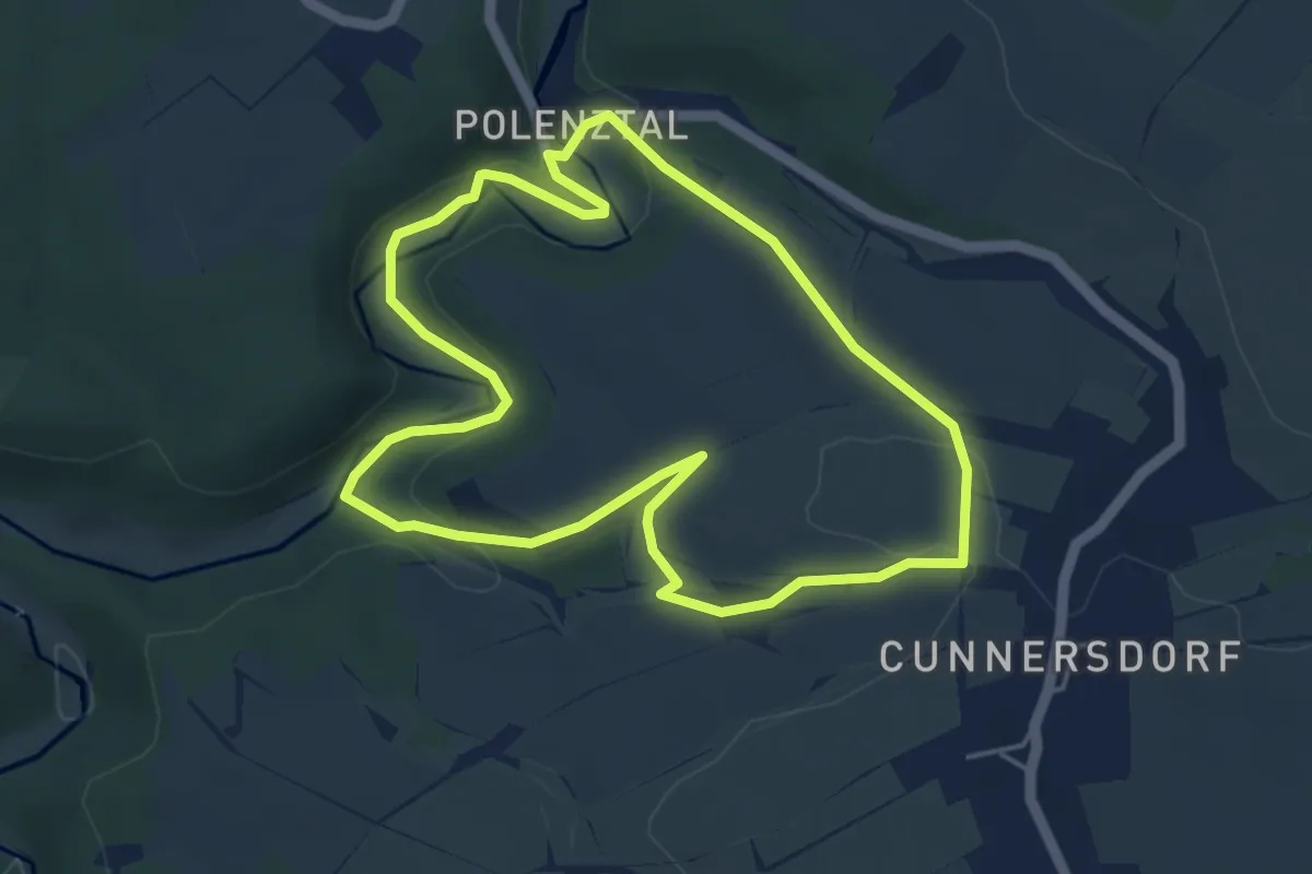
Easy · Trail
Märzenbecherrundweg 1
4.3 km · ↑ 98 m · 1 h 17 min
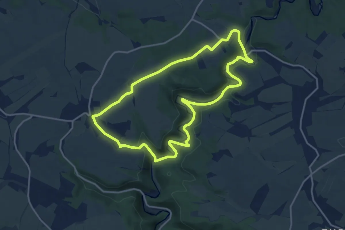
Medium · Trail
Märzenbecher-Rundweg Heeselicht
8.8 km · ↑ 153 m · 2 h 32 min
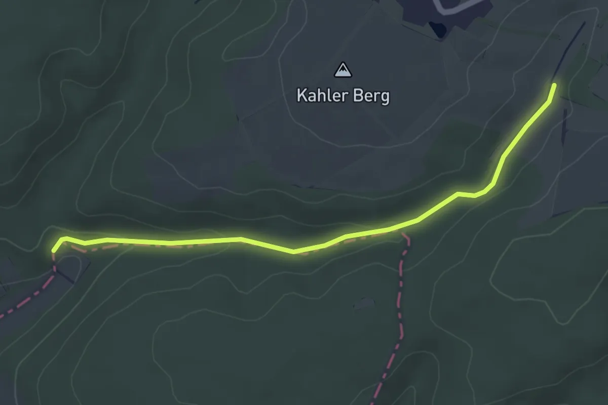
Easy · Trail
Märzenbechertal Verbindungsweg
3.9 km · ↑ 78 m · 1 h 5 min
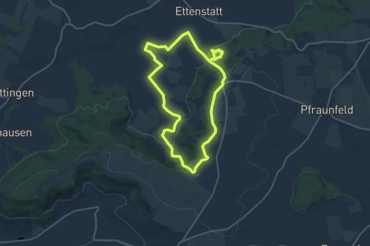
Medium · Trail
Märzenbecherwald
9.5 km · ↑ 225 m · 2 h 51 min
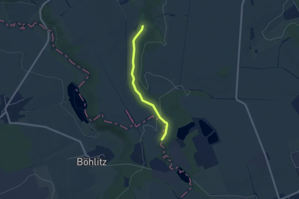
Easy · Trail
Märzenbecherwiese Goldschau Leinewehtal
3.4 km · ↑ 46 m · 54 min
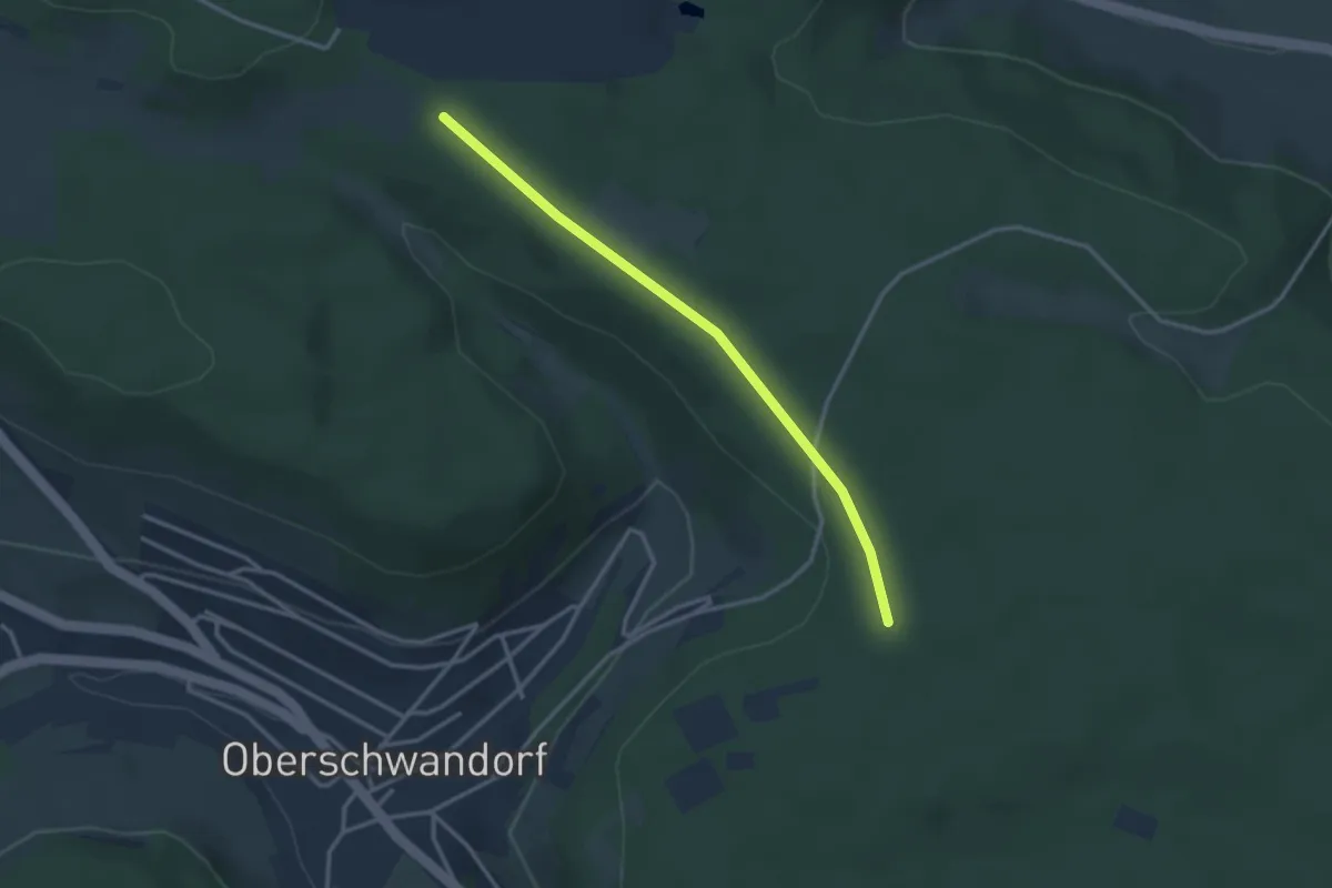
Easy · Trail
Märzenhalde - Kirchberg
2.9 km · ↑ 25 m · 44 min
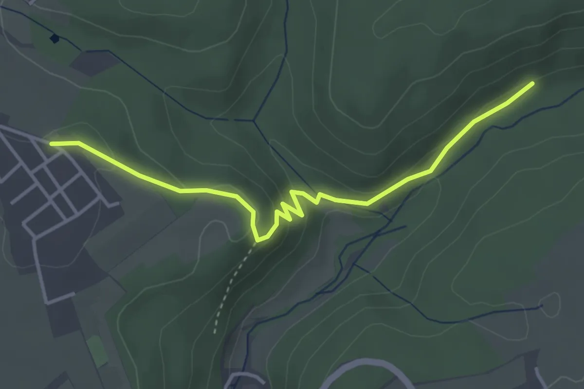
Easy · Trail
Maschenpfad
3.6 km · ↑ 137 m · 1 h 9 min
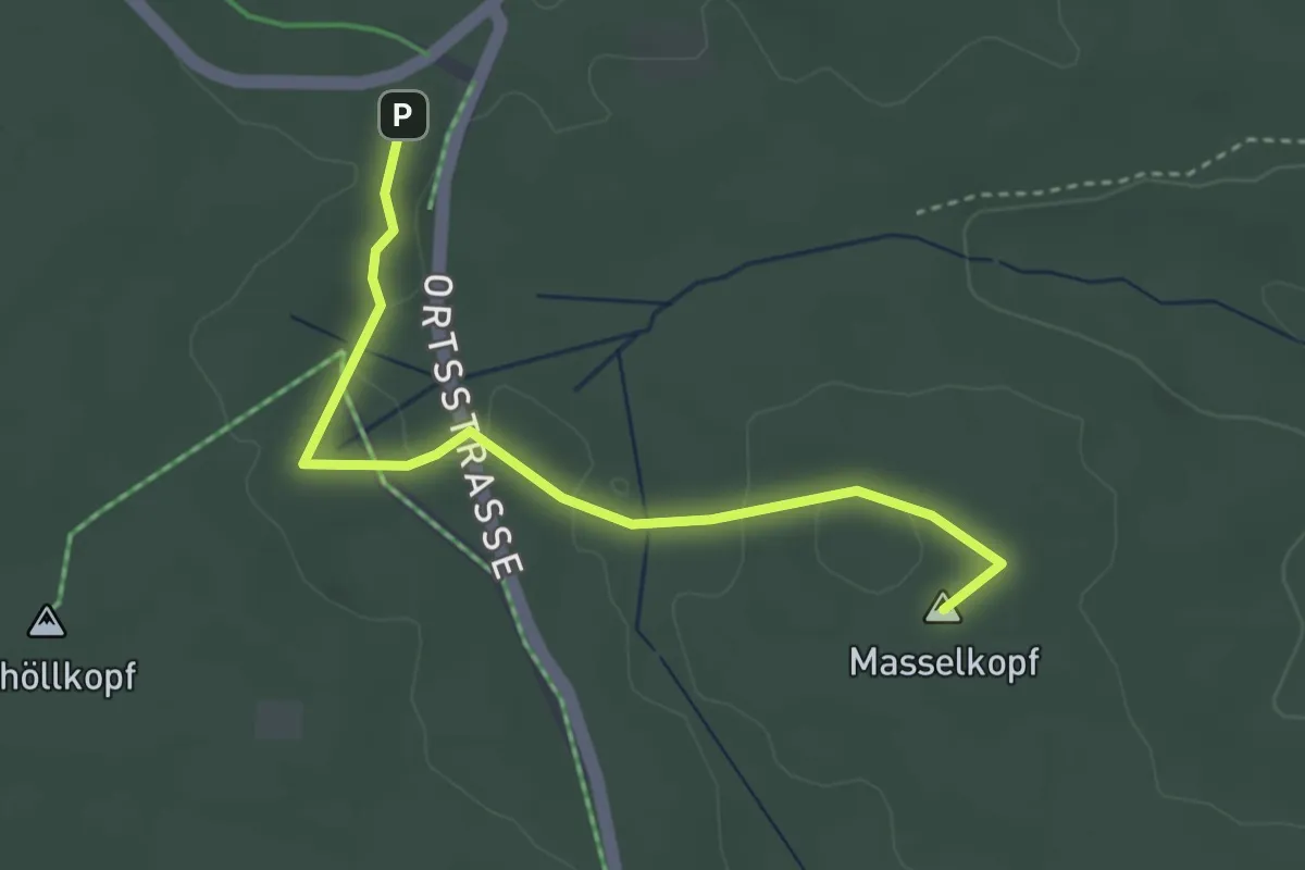
Easy · Summit
Masselkopf - Schöllkopf
3.4 km · ↑ 29 m · 51 min
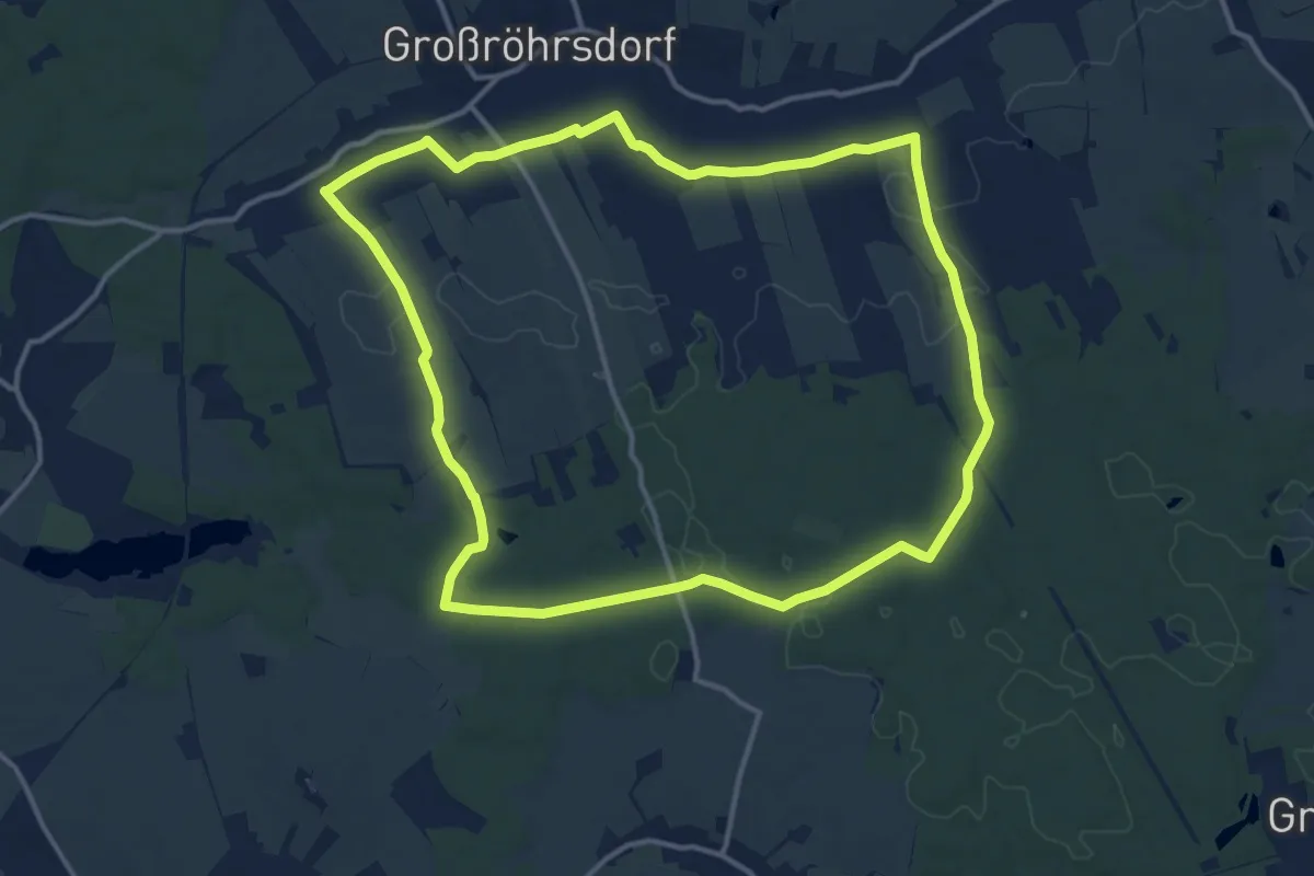
Medium · Trail
Masseneirundweg
12.7 km · ↑ 87 m · 3 h 22 min
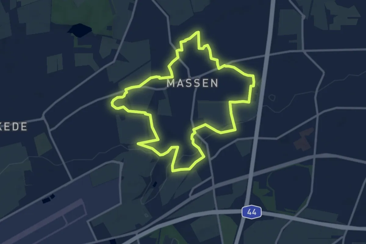
Easy · Summit
Massener Rundweg
7.7 km · ↑ 39 m · 2 h 1 min
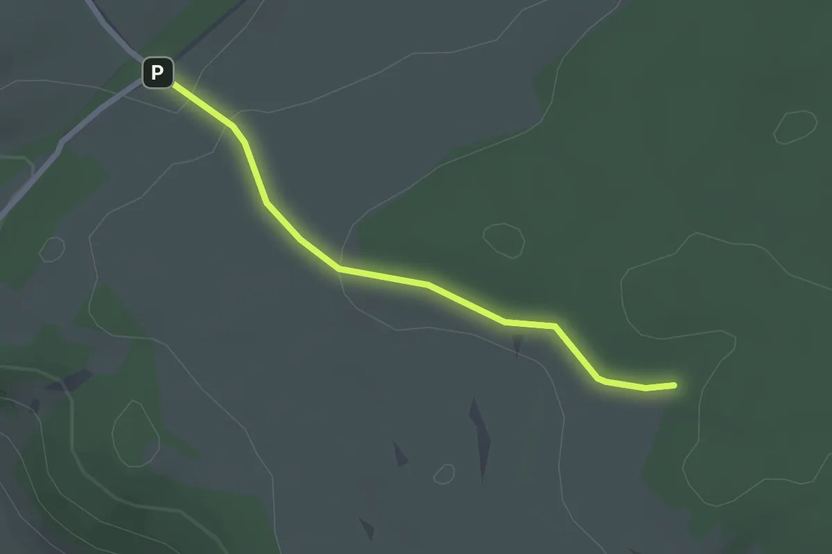
Easy · Trail
Maßholder - Oberer Hau
2.0 km · ↑ 28 m · 33 min
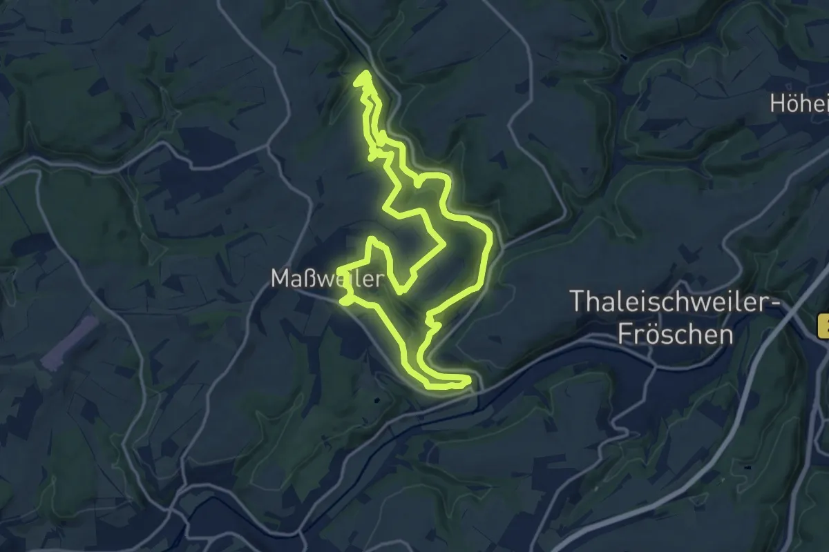
Medium · Trail
Maßweilerer Keltenpfad
14.1 km · ↑ 463 m · 4 h 31 min
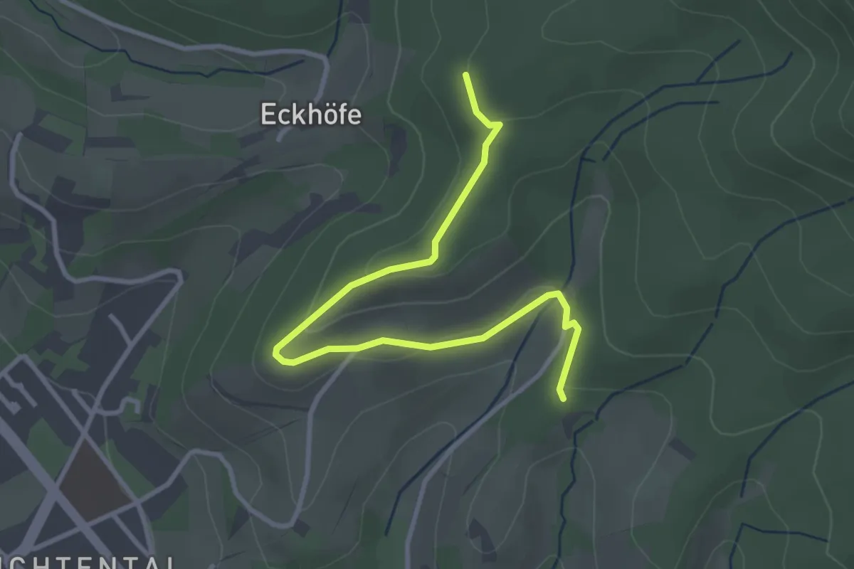
Easy · Trail
Mastbergle - Roter Rain
3.3 km · ↑ 89 m · 58 min
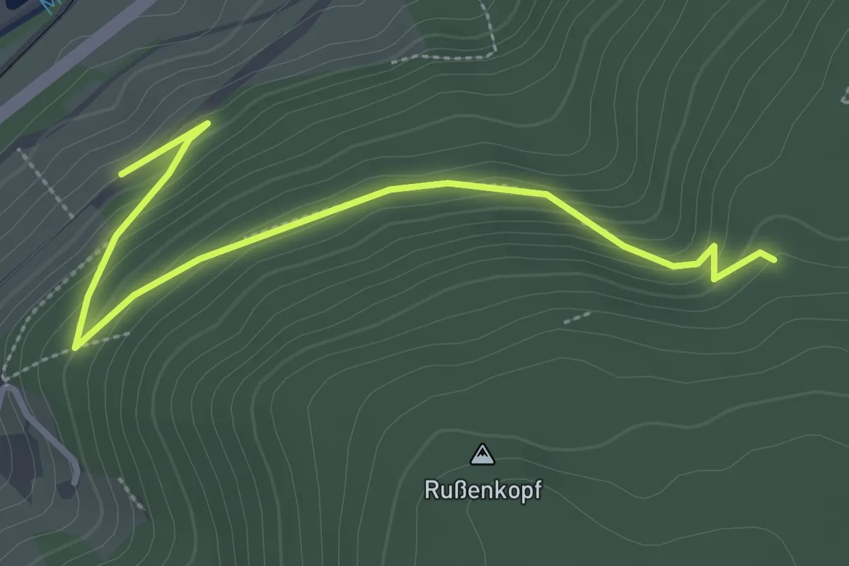
Medium · Trail
Masthütte - Zimmerplatz
3.2 km · ↑ 170 m · 1 h 8 min
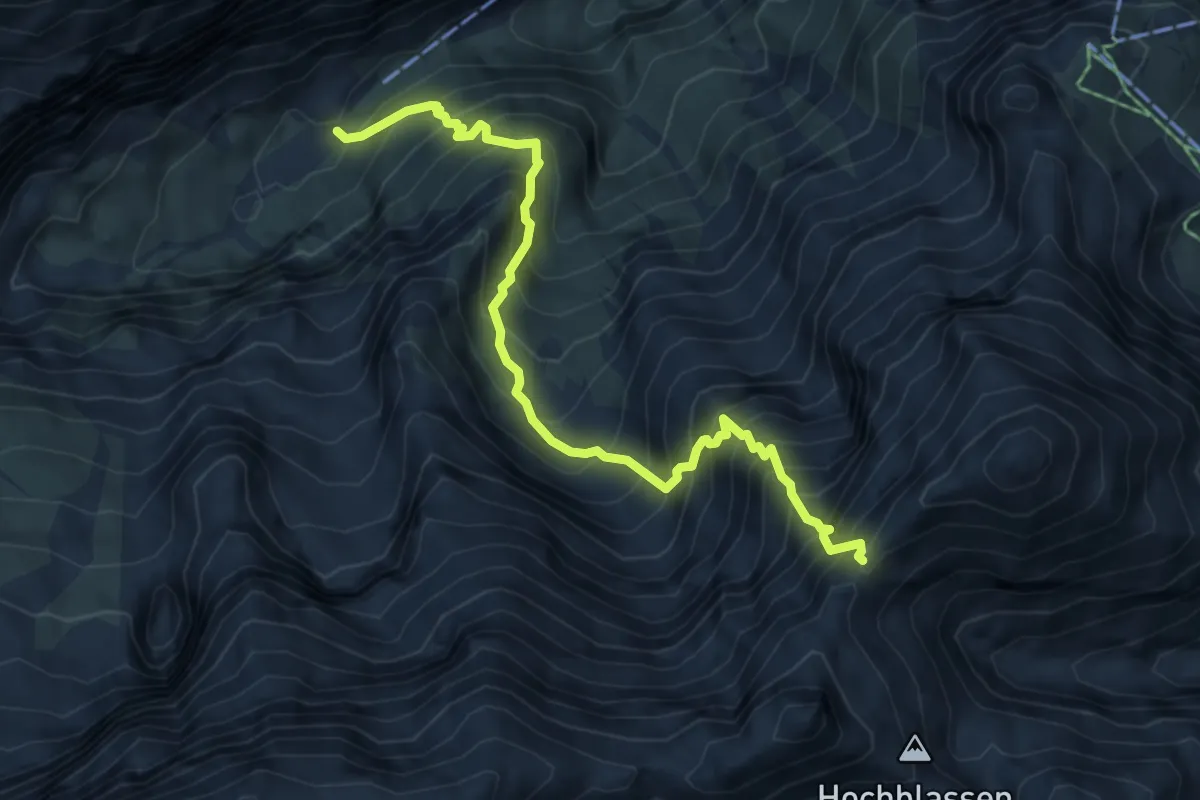
Expert · Cabin
Matheisenkar
5.9 km · ↑ 1117 m · 3 h 48 min
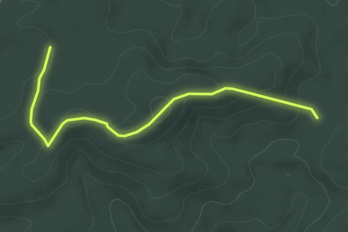
Easy · Trail
Mathias Enzweiler Weg
4.6 km · ↑ 151 m · 1 h 25 min
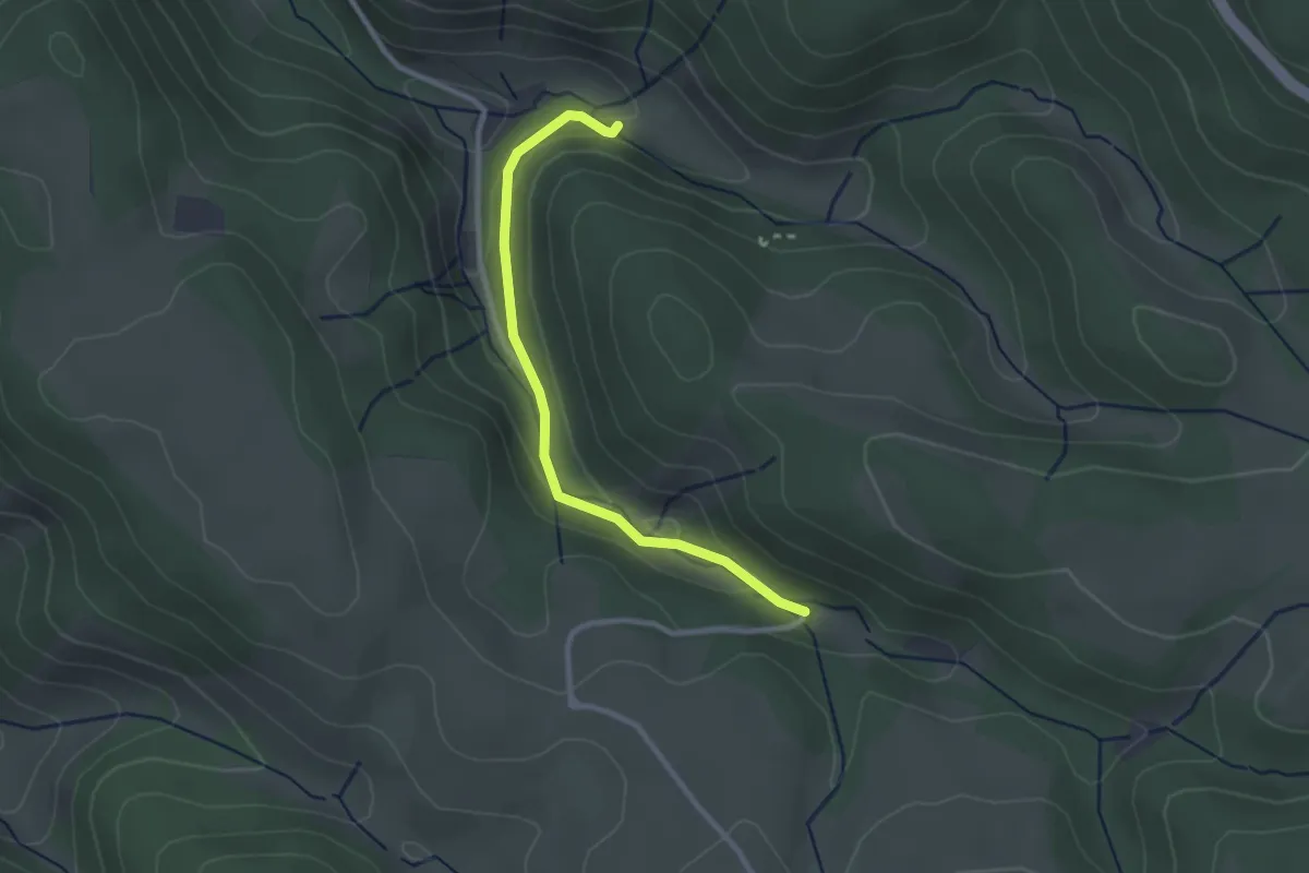
Easy · Trail
Mathisenmühle - Mitteleckle
2.5 km · ↑ 68 m · 45 min
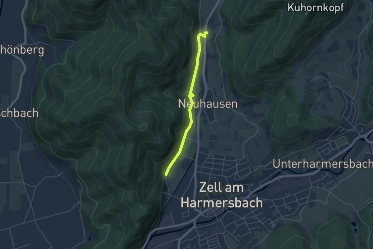
Easy · Trail
Mattacker - Villa Anna
4.0 km · ↑ 100 m · 1 h 10 min
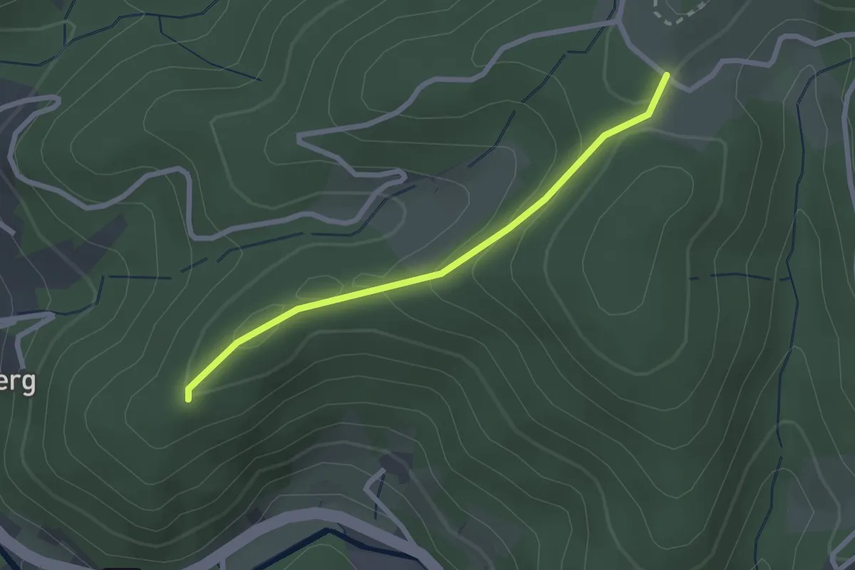
Easy · Trail
Mattenhöfle - Schirmkopf
2.2 km · ↑ 99 m · 43 min
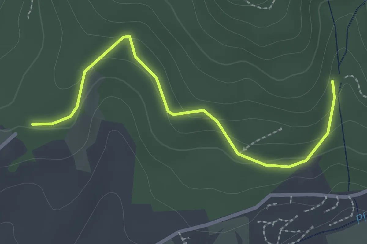
Easy · Trail
Mattenhof - Wolfslache
2.3 km · ↑ 106 m · 47 min
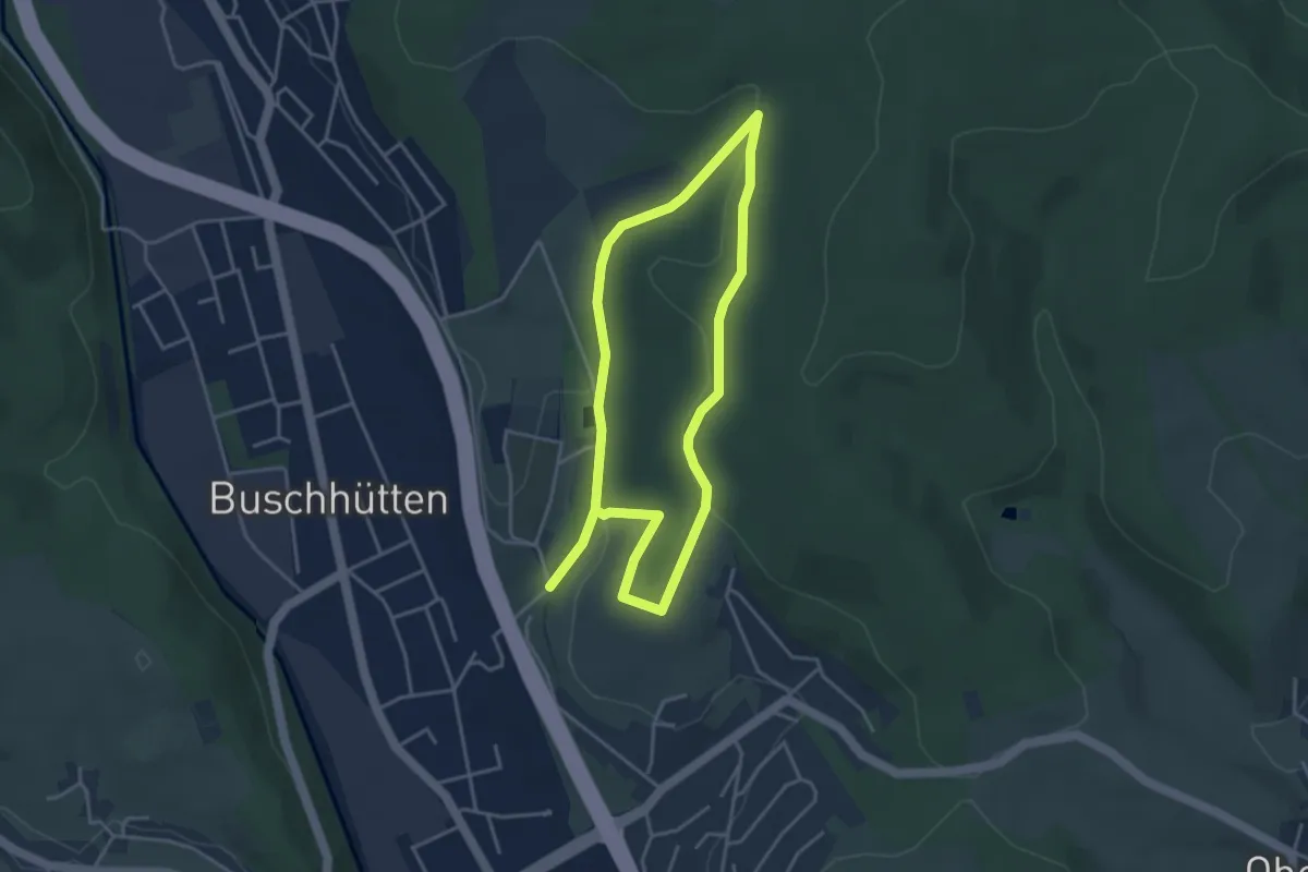
Easy · Trail
Mattental Rundwanderweg A1
3.2 km · ↑ 82 m · 59 min
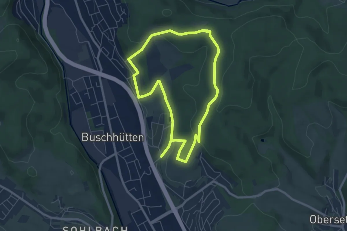
Easy · Trail
Mattental Rundwanderweg A2
5.1 km · ↑ 143 m · 1 h 34 min
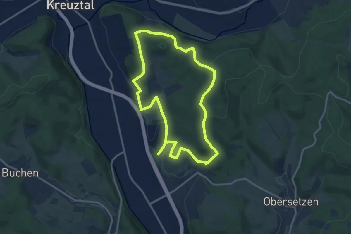
Easy · Trail
Mattental Rundwanderweg A3
6.8 km · ↑ 252 m · 2 h 15 min
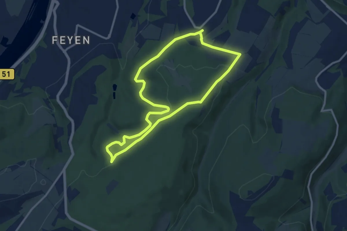
Easy · Trail
Mattheiser Wald Rundweg I
6.8 km · ↑ 164 m · 2 h 3 min