Trails in Germany
36,852 hiking trails, each with its route, climb, walking time and grade.
All trails, page 341 of 768
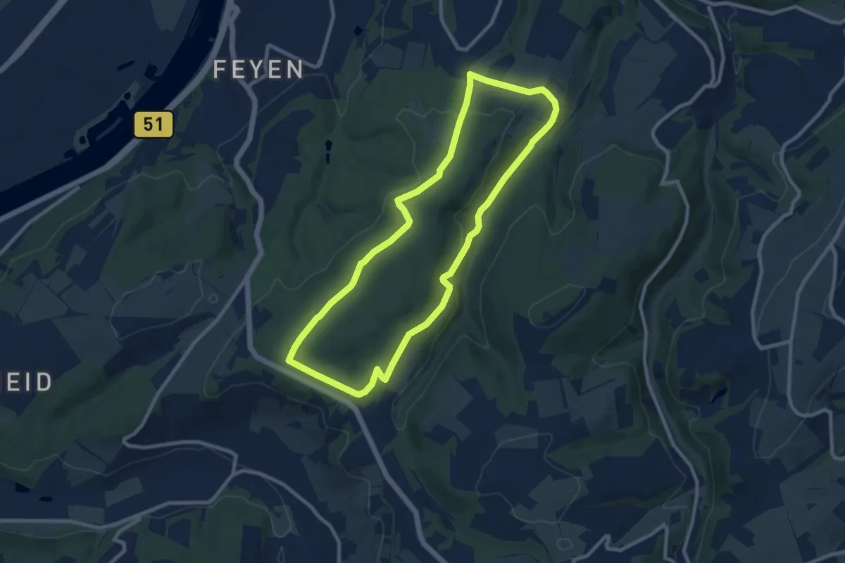
Medium · Trail
Mattheiser Wald Rundweg II
8.2 km · ↑ 205 m · 2 h 30 min
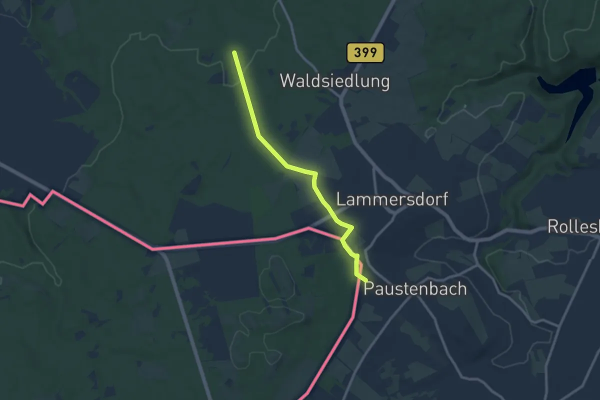
Easy · Trail
Matthiasweg
7.2 km · ↑ 108 m · 1 h 56 min
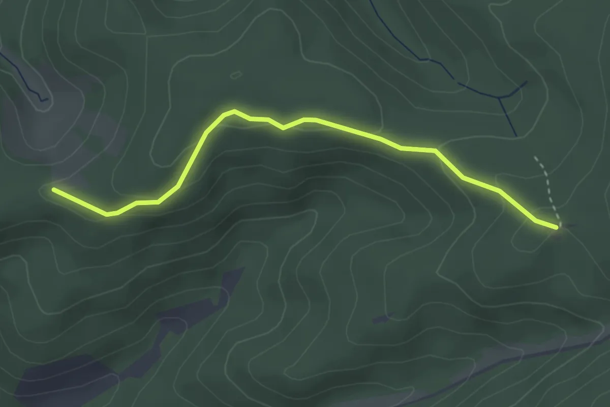
Easy · Trail
Matzebene - Späneplatz
3.2 km · ↑ 111 m · 59 min
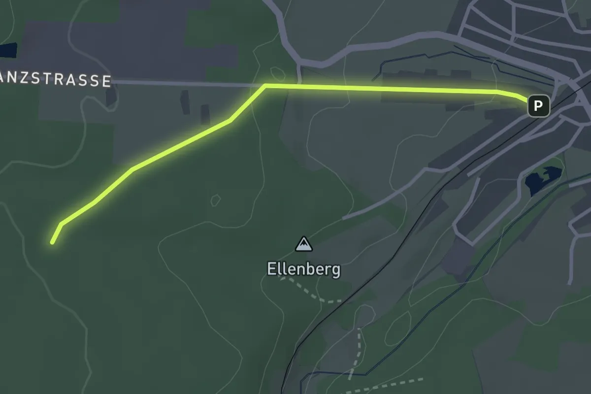
Easy · Trail
Matzenmoos - Rötenbach Bahnhof
2.9 km · ↑ 60 m · 49 min
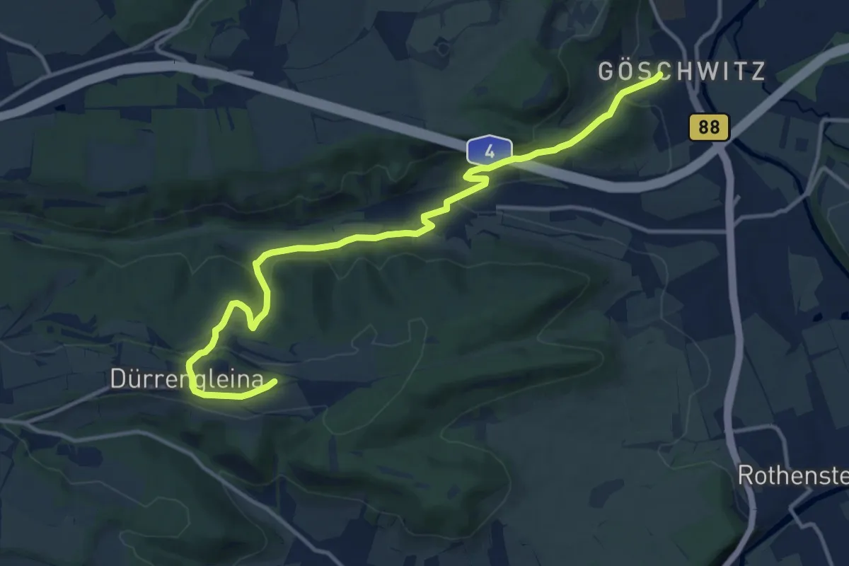
Medium · Summit
Maua-Dürrengleina-Göschwitz
12.7 km · ↑ 382 m · 3 h 50 min
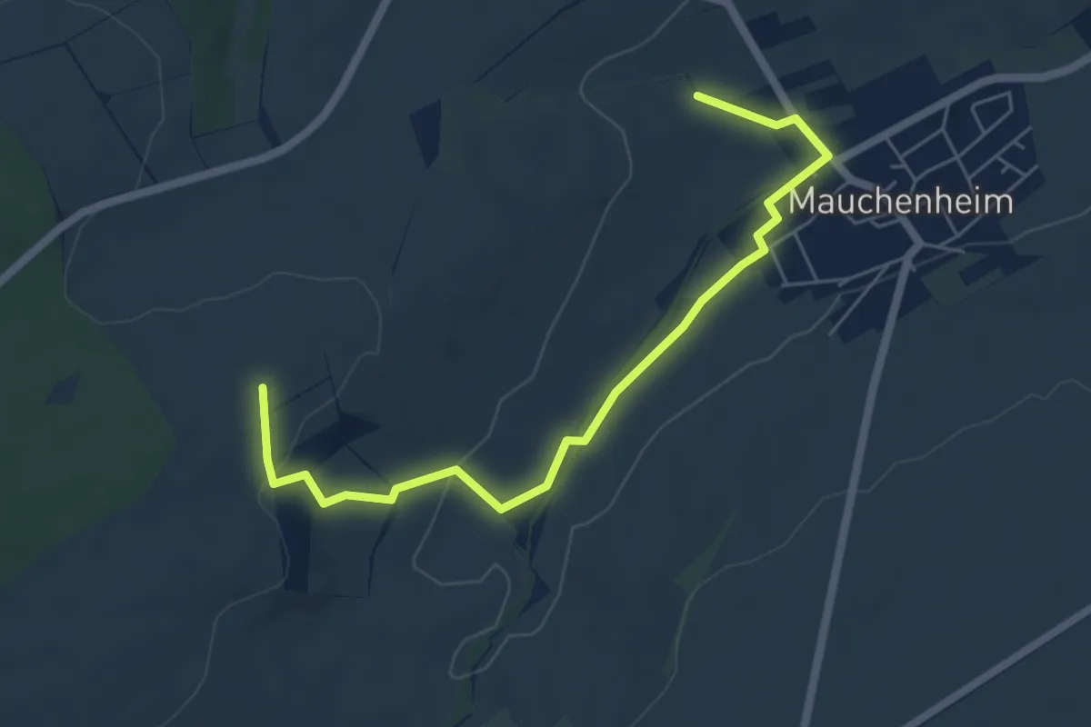
Easy · Trail
Mauchenheim
2.8 km · ↑ 5 m · 46 min
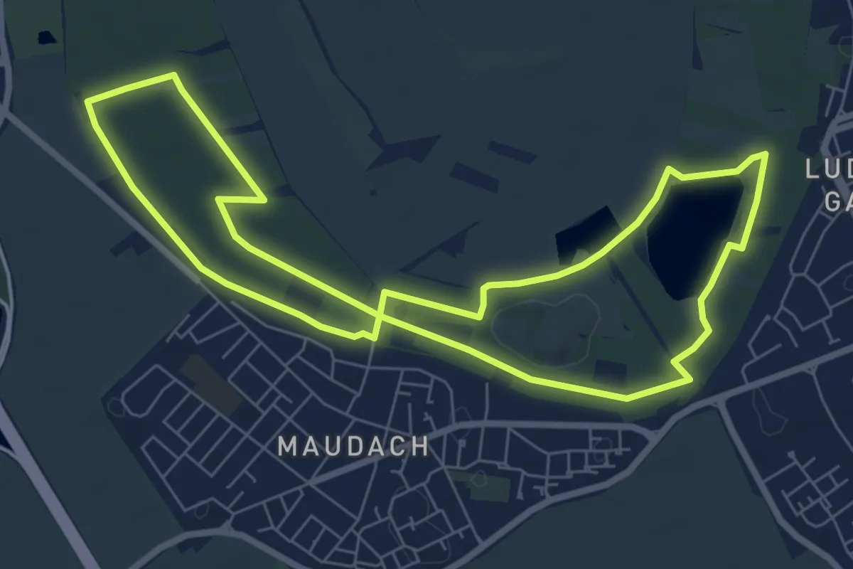
Easy · Trail
Maudacher Rundweg
6.6 km · ↑ 9 m · 1 h 41 min
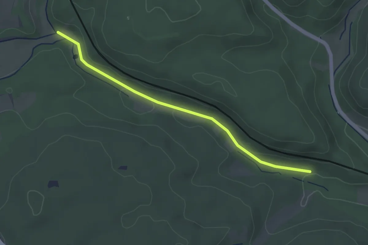
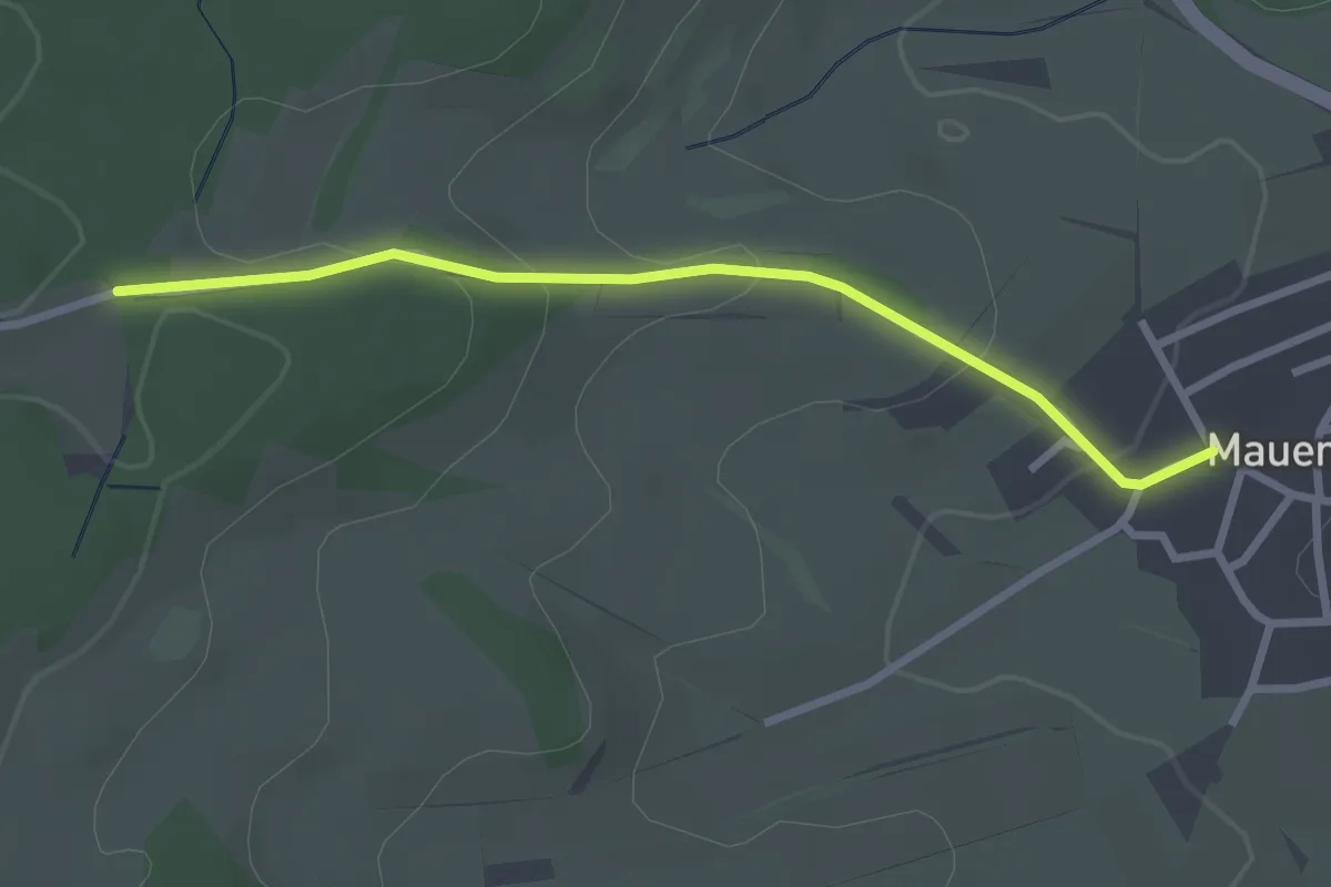
Easy · Trail
Mauenheimer Tal - Ottengrund
3.3 km · ↑ 41 m · 52 min
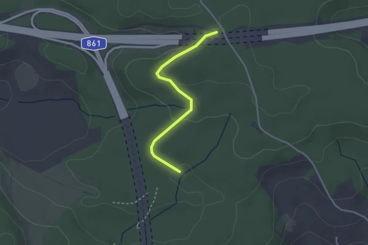
Easy · Trail
Mauenheim - Kleine Reute
2.6 km · ↑ 103 m · 51 min
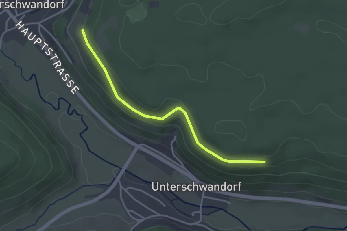
Easy · Trail
Mauerhau - Mauerhau
2.4 km · ↑ 50 m · 40 min
Easy · Trail
Mäuerlesäcker - Buttenmühle
2.9 km · ↑ 62 m · 49 min
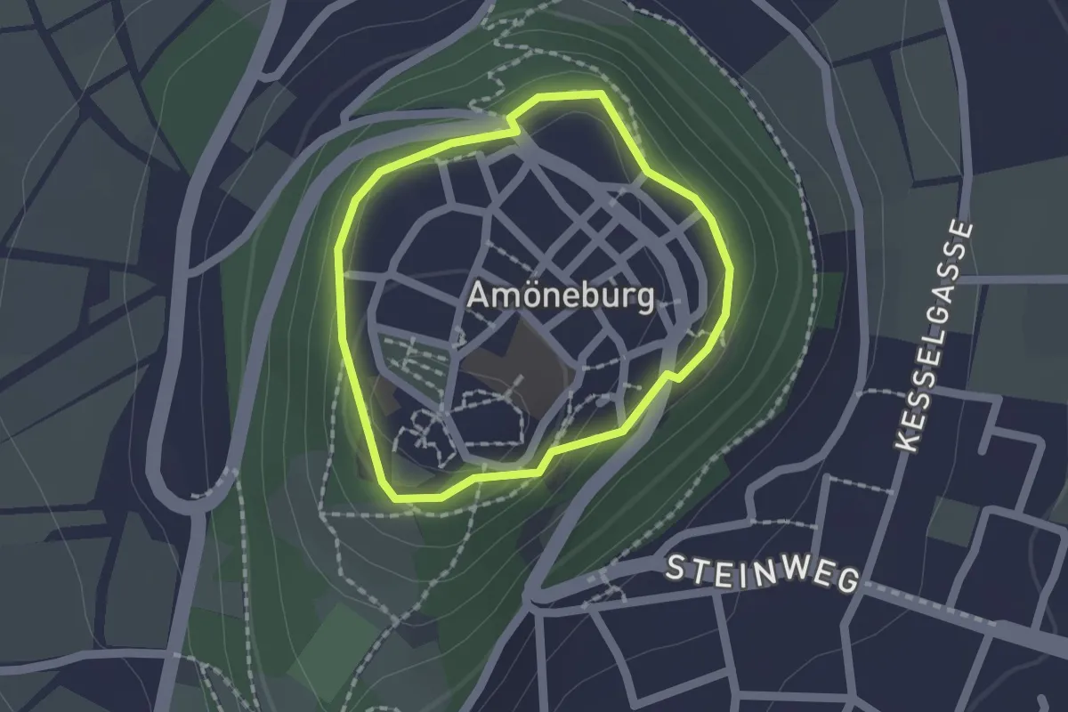
Easy · Trail
Mauerrundweg Amöneburg
1.3 km · ↑ 43 m · 24 min
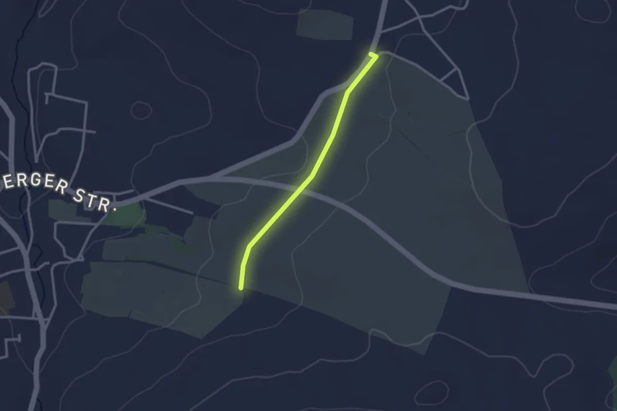
Easy · Trail
Mauersberg-Mildenau
2.1 km · ↑ 4 m · 30 min
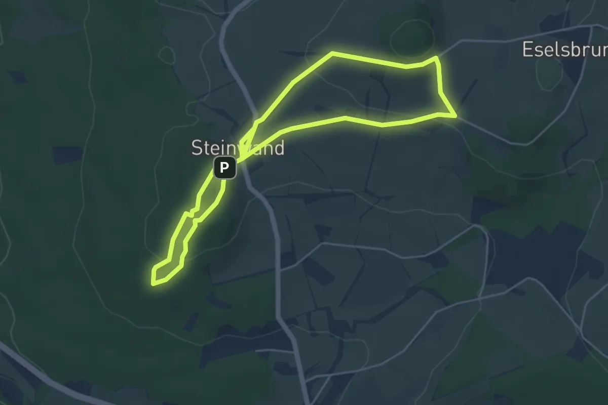
Easy · Summit
Maulkuppe - Rhönrundweg 14
3.9 km · ↑ 116 m · 1 h 14 min
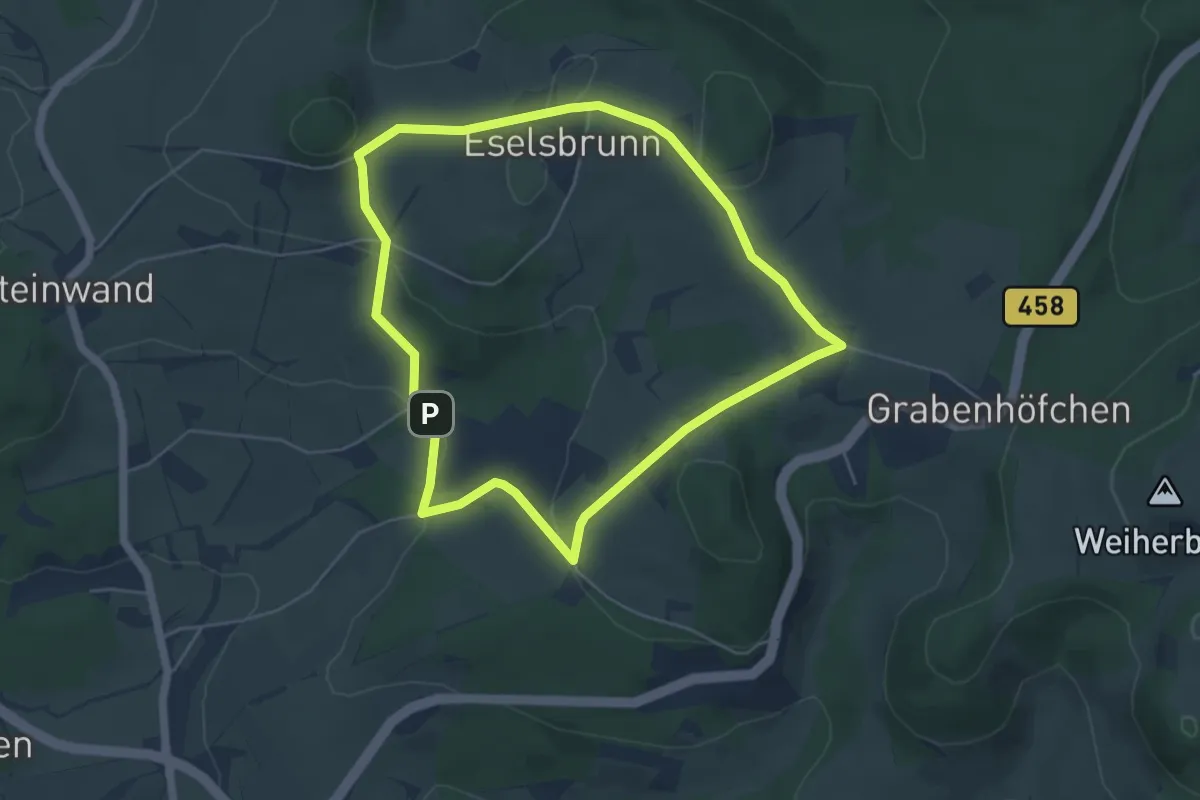
Easy · Trail
Maulkuppe - Rhönrundweg 15
4.6 km · ↑ 110 m · 1 h 23 min
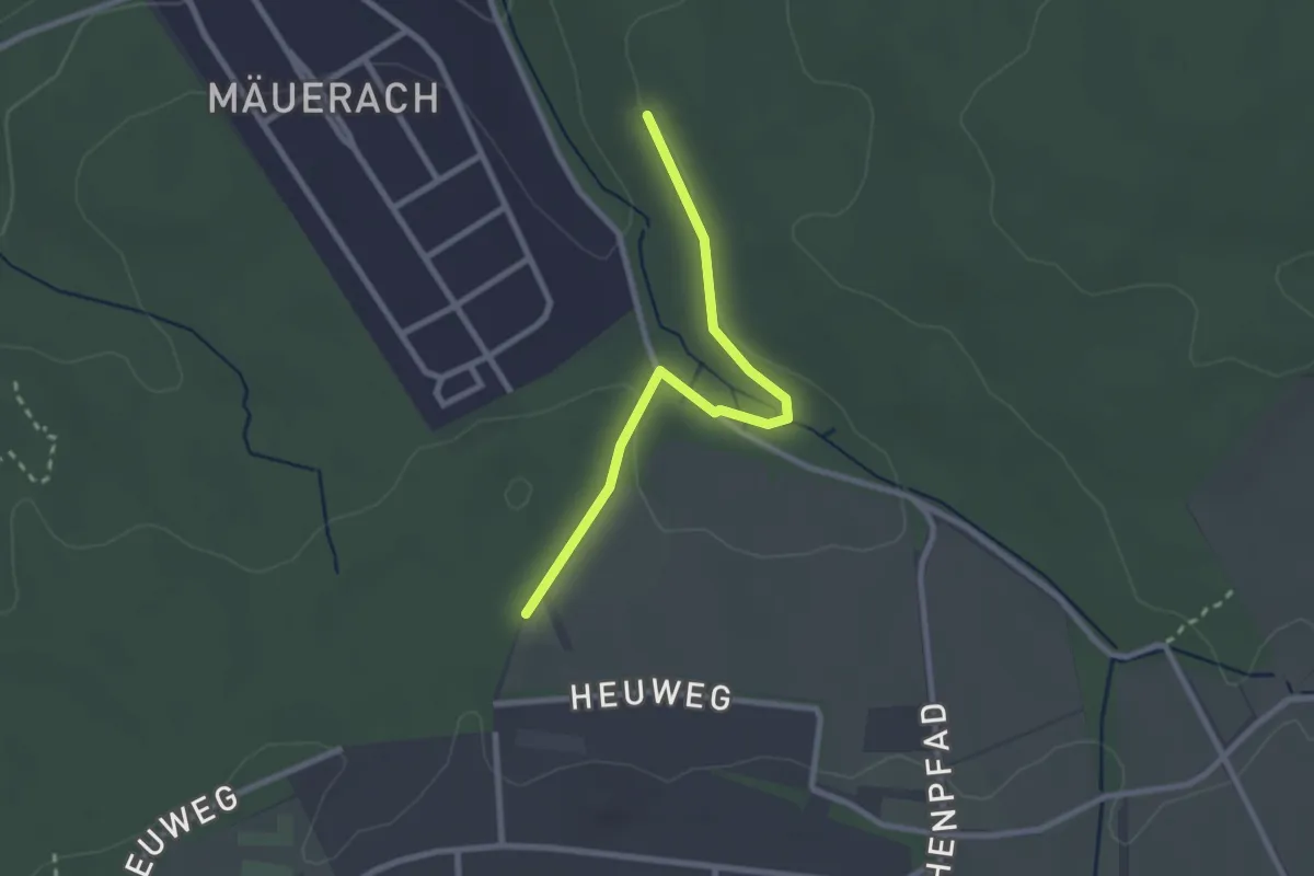
Easy · Trail
Mäurachklinge - Rückhaltebecken
2.4 km · ↑ 25 m · 37 min
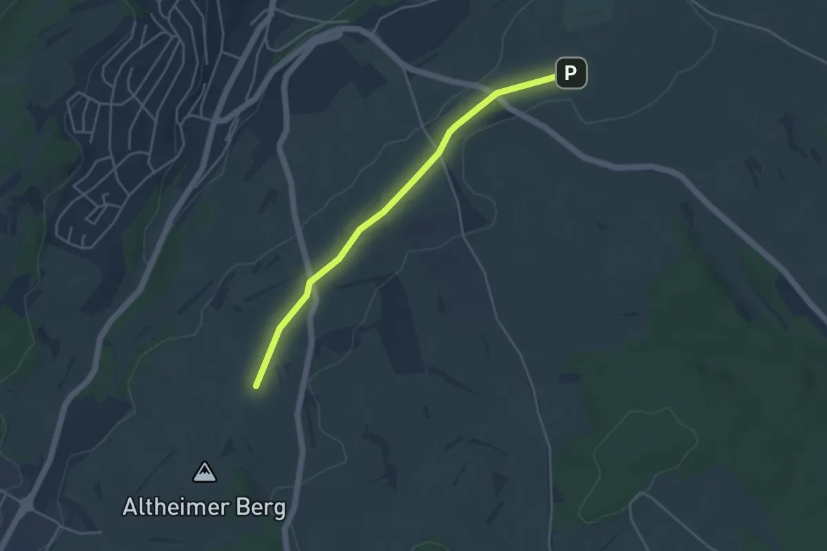
Easy · Trail
Mauren - Heerstraße
3.7 km · ↑ 5 m · 54 min
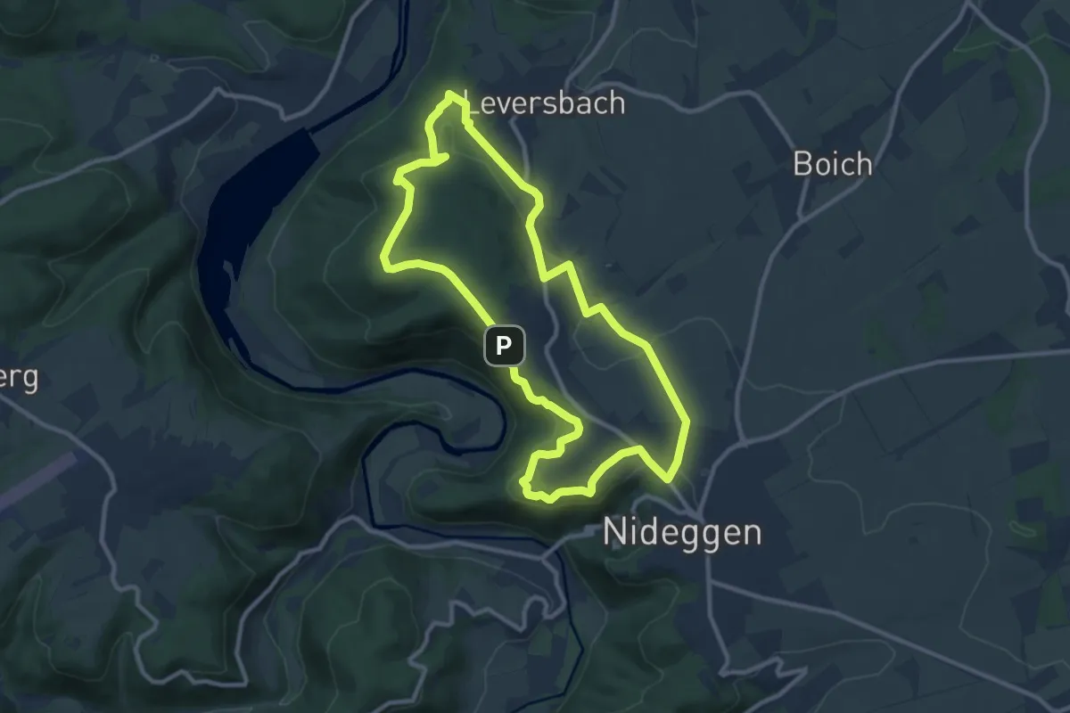
Medium · Trail
Mausauel
9.2 km · ↑ 228 m · 2 h 48 min
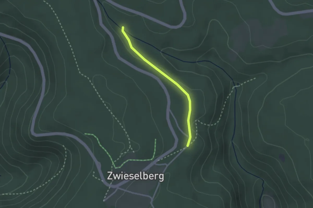
Easy · Trail
Maushütte - Pfaffenwald
2.0 km · ↑ 25 m · 32 min
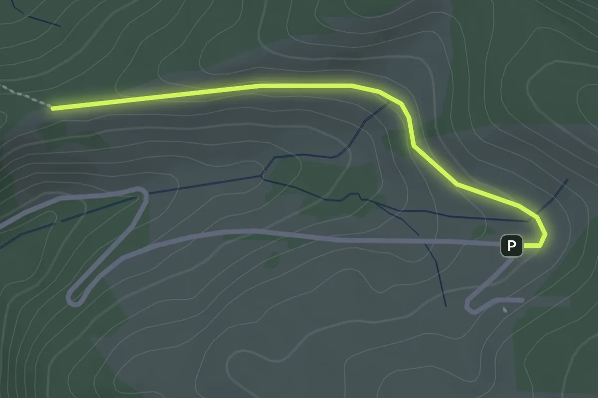
Easy · Trail
Mausköpfle - Mauswinkel
2.2 km · ↑ 63 m · 40 min
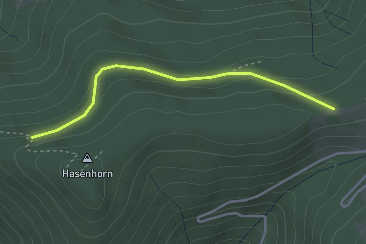
Easy · Trail
Mauswald - Mausköpfle
2.6 km · ↑ 91 m · 49 min
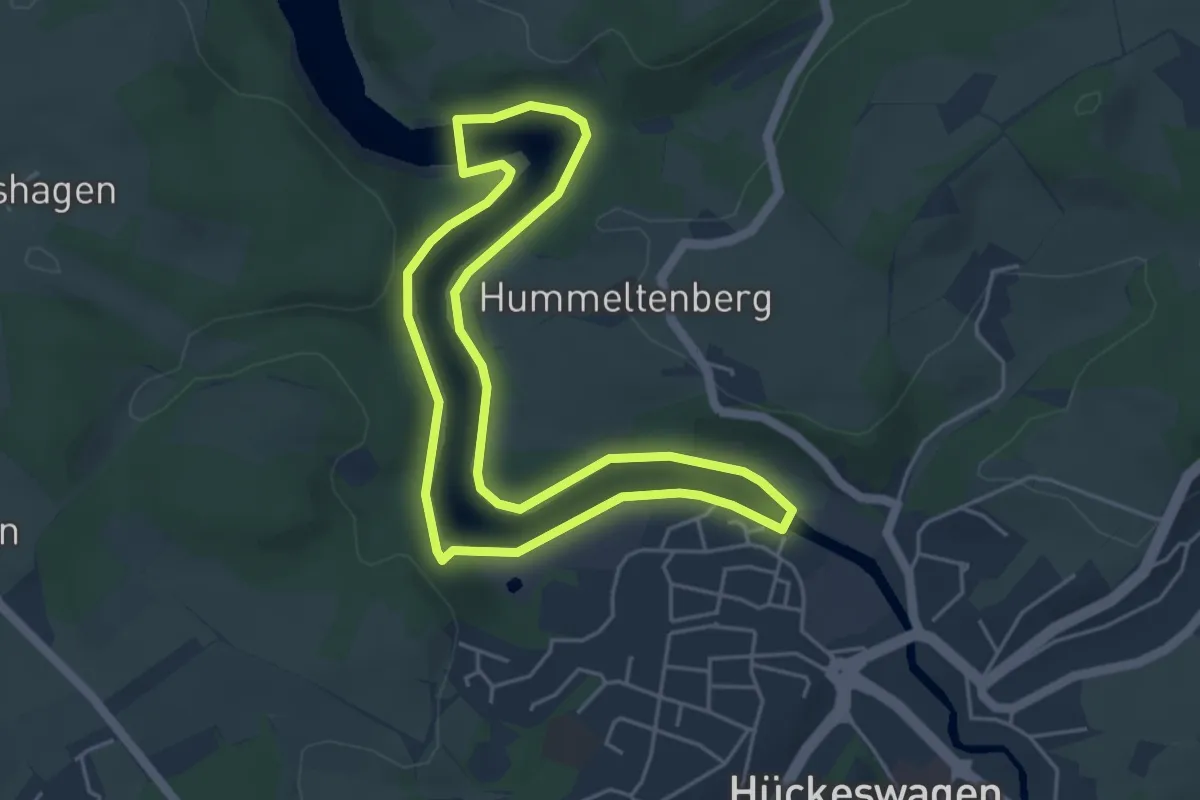
Easy · Trail
Mauswanderpfad
4.1 km · ↑ 50 m · 1 h 8 min
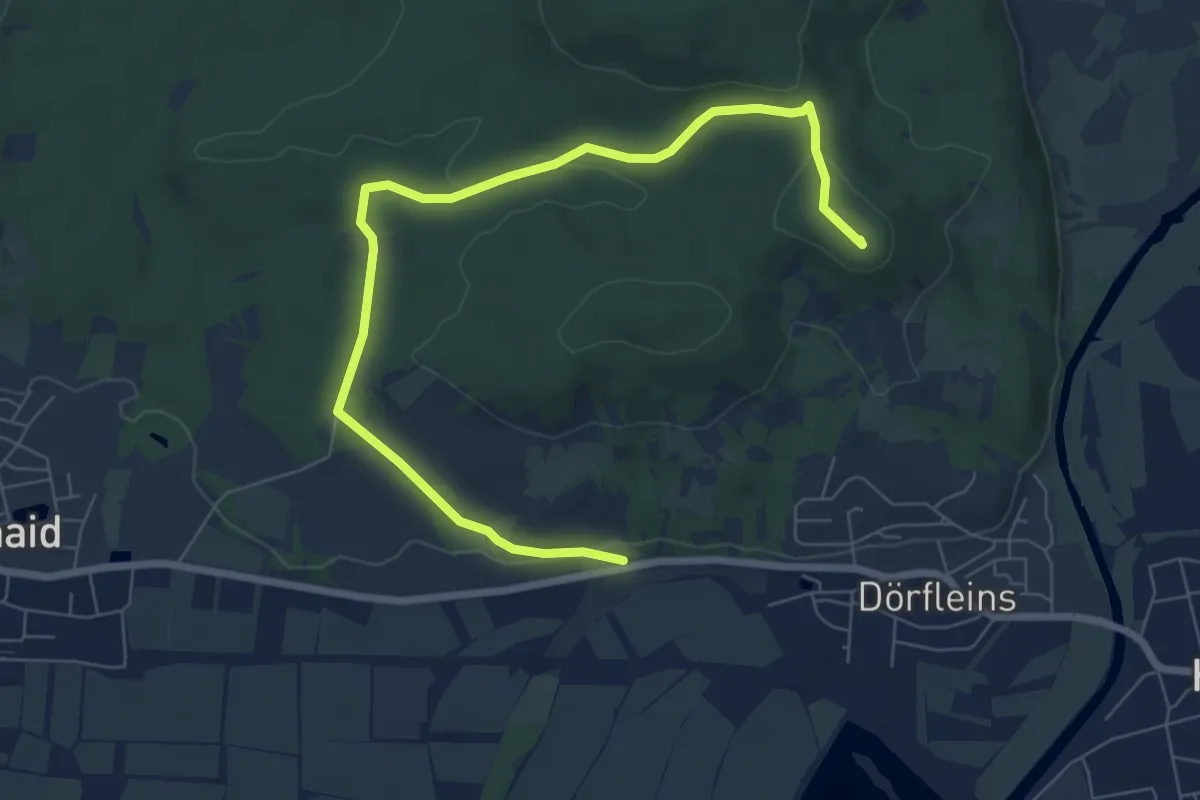
Easy · Summit
Maus-Wanderweg
7.8 km · ↑ 135 m · 2 h 8 min
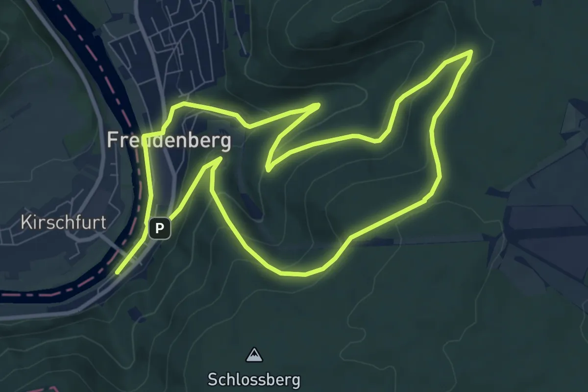
Medium · Trail
Mautersbrunnen-Weg
7.7 km · ↑ 329 m · 2 h 39 min
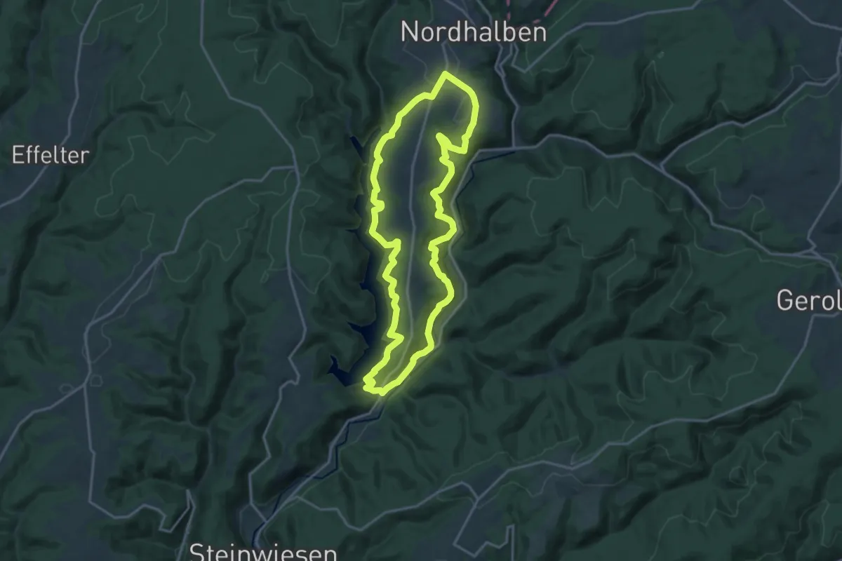
Medium · Trail
Maut-Weg RT 33
14.6 km · ↑ 549 m · 4 h 51 min
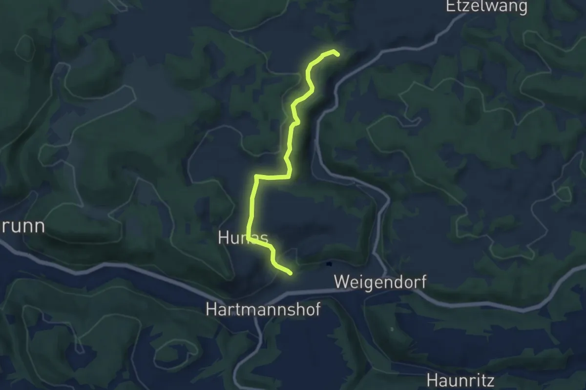
Easy · Cabin
Max-Ettl-Weg
7.0 km · ↑ 154 m · 1 h 59 min
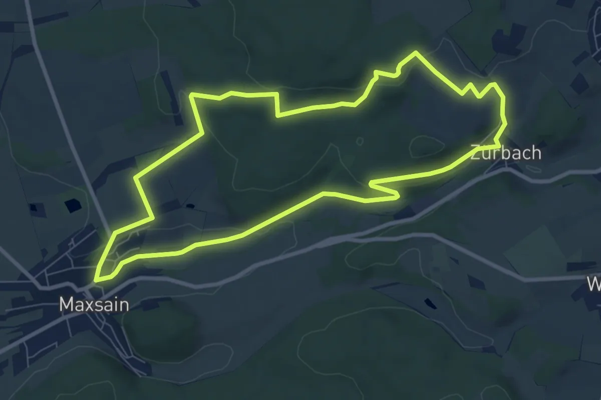
Easy · Trail
Maxsain, Zürbach und zurück
7.4 km · ↑ 157 m · 2 h 11 min
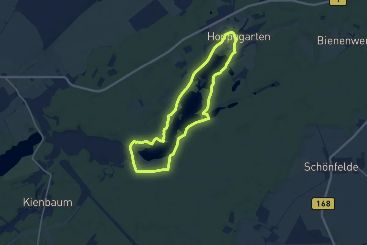
Medium · Trail
Maxseerundweg
9.0 km · ↑ 80 m · 2 h 26 min
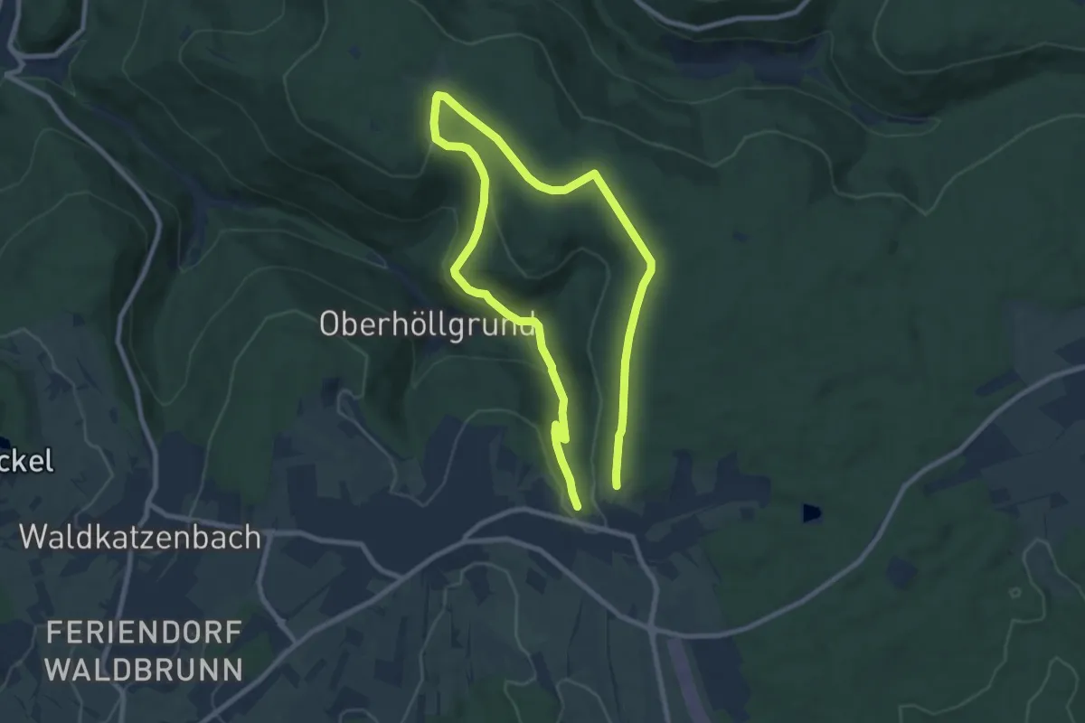
Easy · Trail
Max-Wilhelmshöhe-Weg
6.7 km · ↑ 187 m · 2 h 4 min
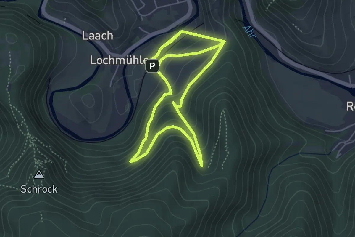
Easy · Trail
Mayschoß - Rundweg 1
4.4 km · ↑ 244 m · 1 h 36 min
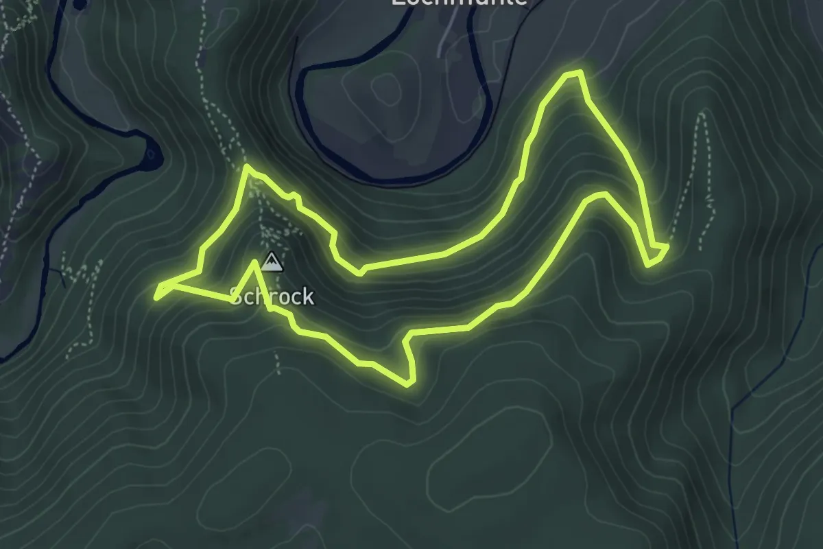
Medium · Summit
Mayschoß - Rundweg 2
4.7 km · ↑ 346 m · 1 h 55 min
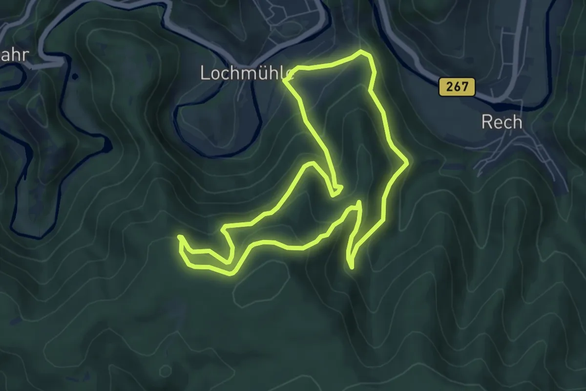
Medium · Trail
Mayschoß - Rundweg 3
6.5 km · ↑ 408 m · 2 h 31 min
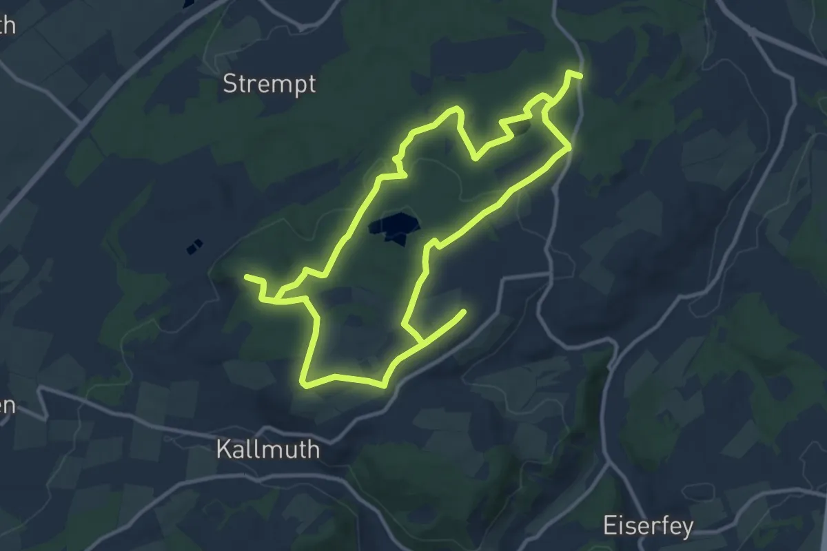
Medium · Trail
Mechernich Rundweg A2
10.5 km · ↑ 148 m · 2 h 56 min
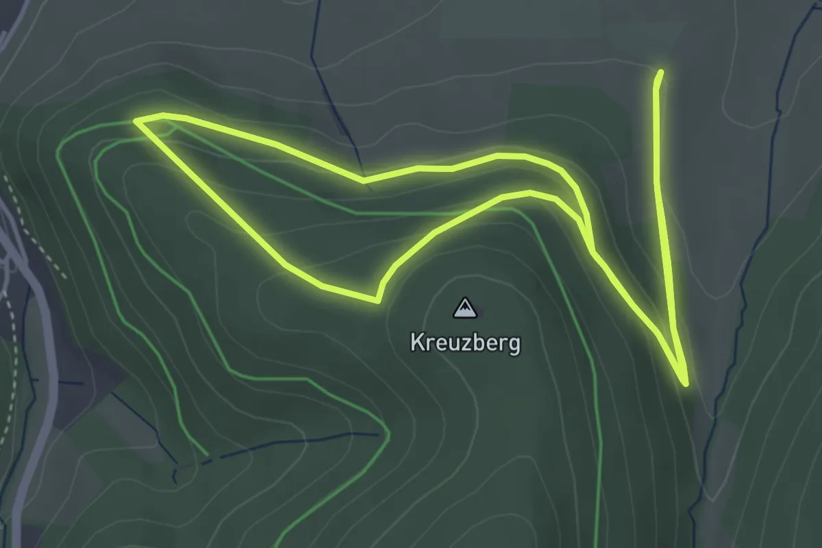
Easy · Trail
Mechterkuse Rundweg A1
4.1 km · ↑ 157 m · 1 h 21 min
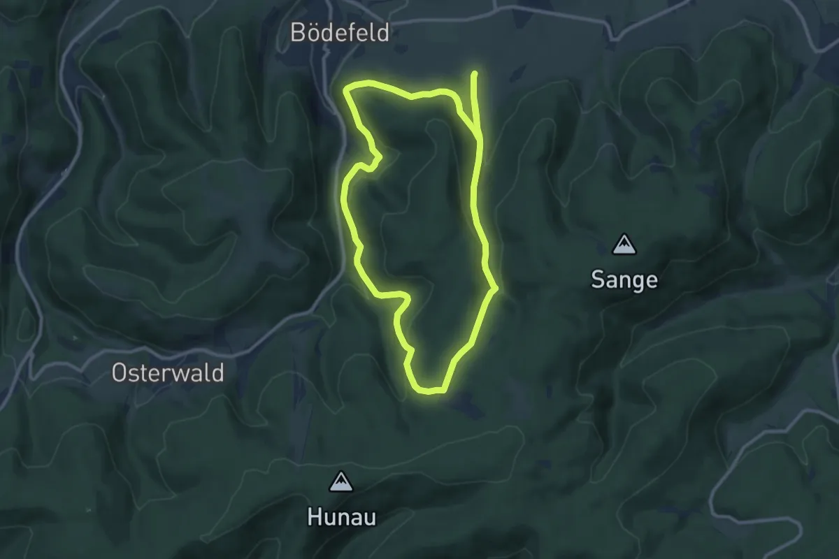
Medium · Trail
Mechterkuse Rundweg A2
9.0 km · ↑ 328 m · 2 h 58 min
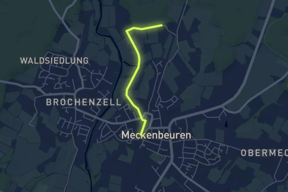
Easy · Trail
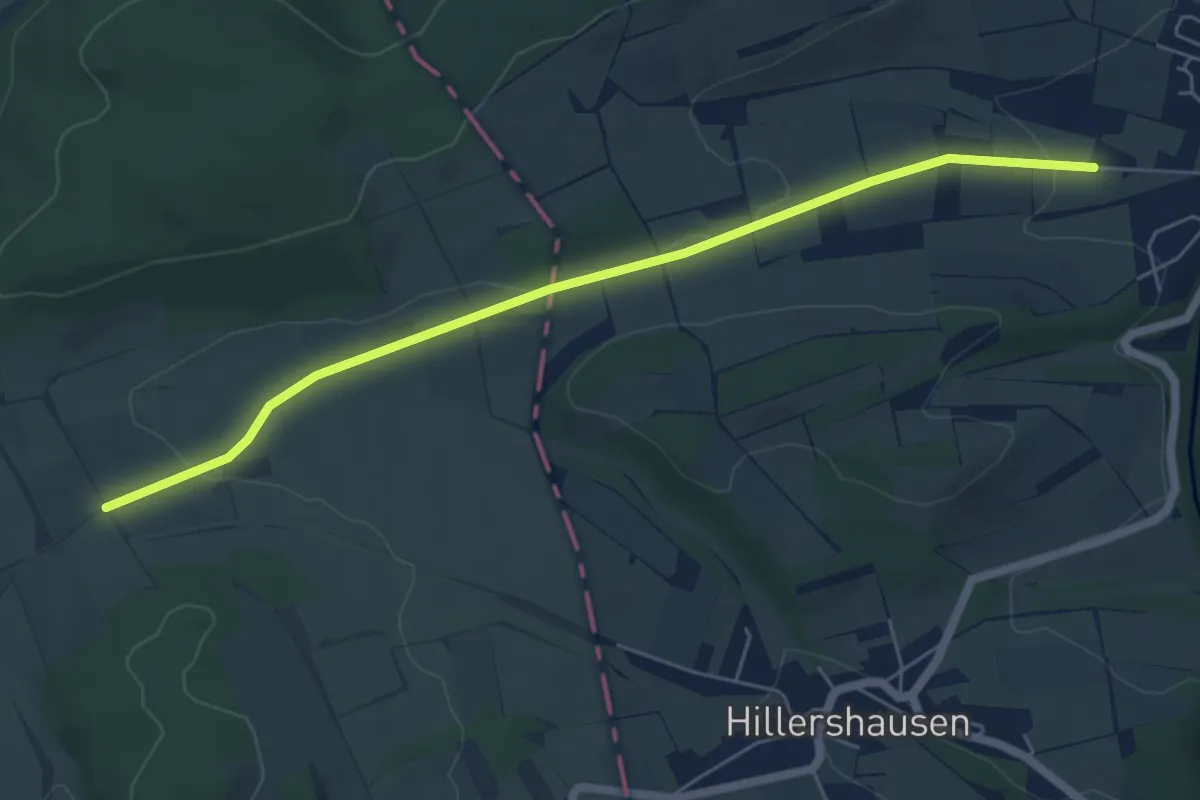
Meckenbeuren - Brugg
3.5 km · ↑ 30 m · 53 min
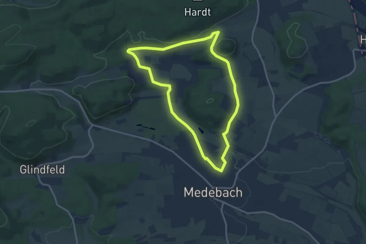
Easy · Trail
Medebacher Bucht
5.5 km · ↑ 84 m · 1 h 29 min
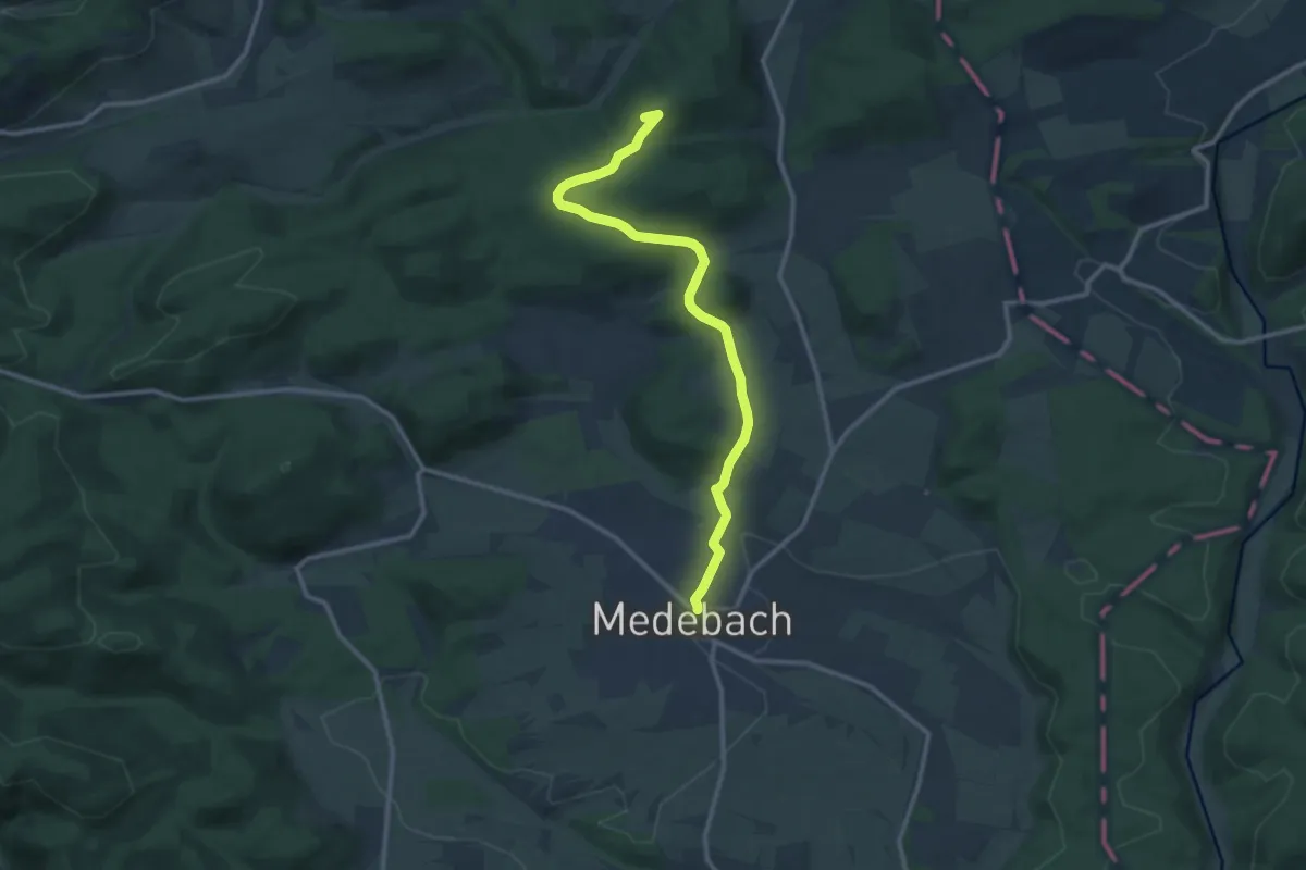
Easy · Trail
Medebach M3
7.2 km · ↑ 87 m · 1 h 59 min
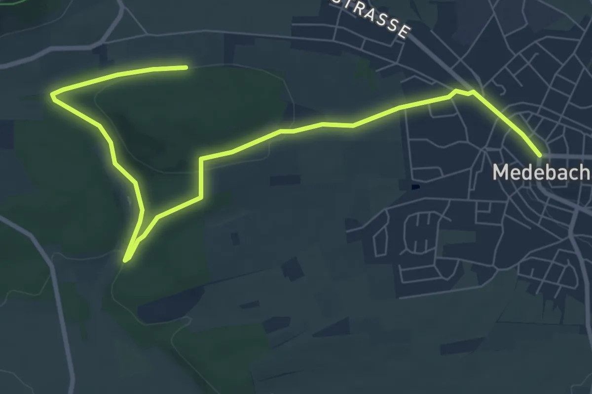
Medium · Summit
Medebach - Oberschledorn V
11.0 km · ↑ 222 m · 3 h 5 min
Easy · Trail
Medebach Rundweg M1 Kahlenweg
4.2 km · ↑ 67 m · 1 h 13 min
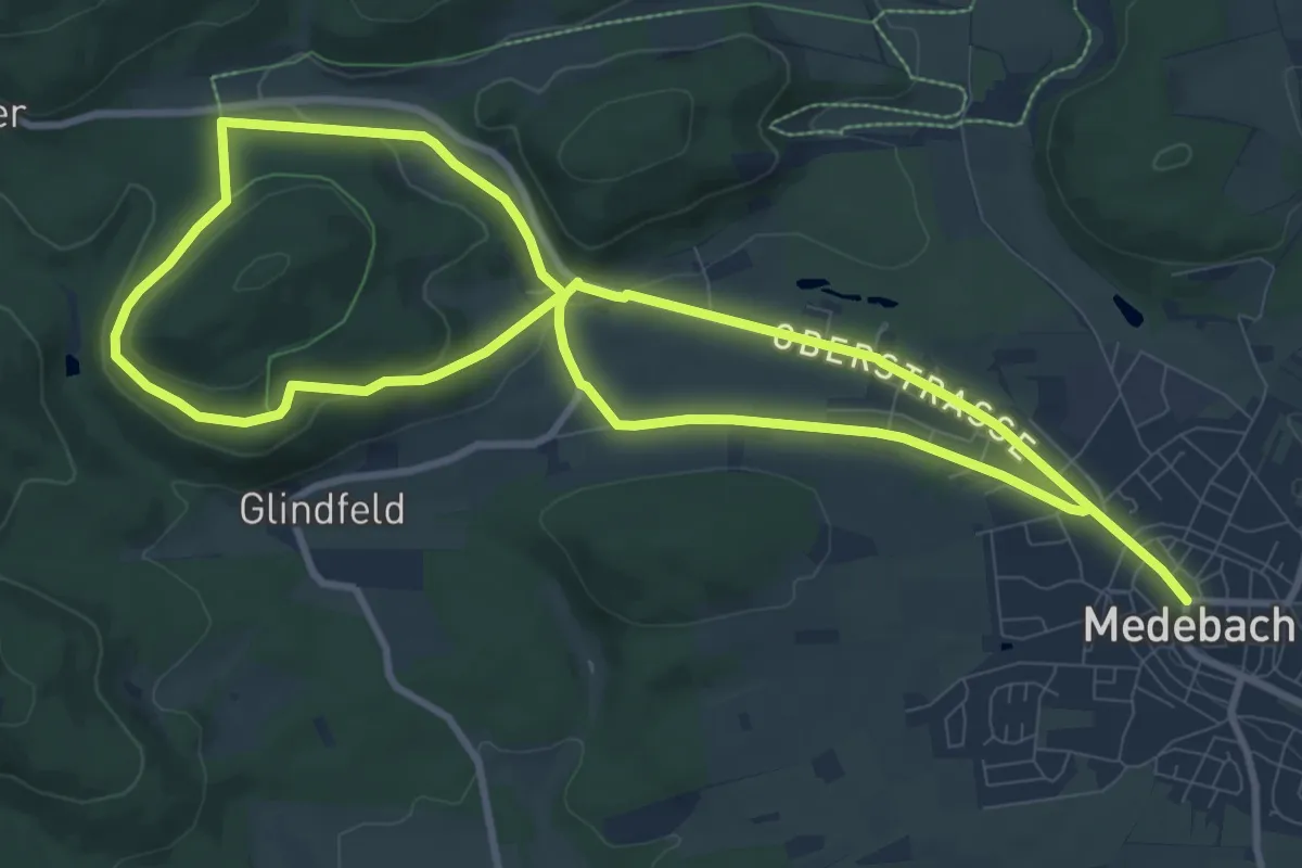
Medium · Trail
Medebach Rundweg M2 Hessebergweg
9.6 km · ↑ 169 m · 2 h 45 min
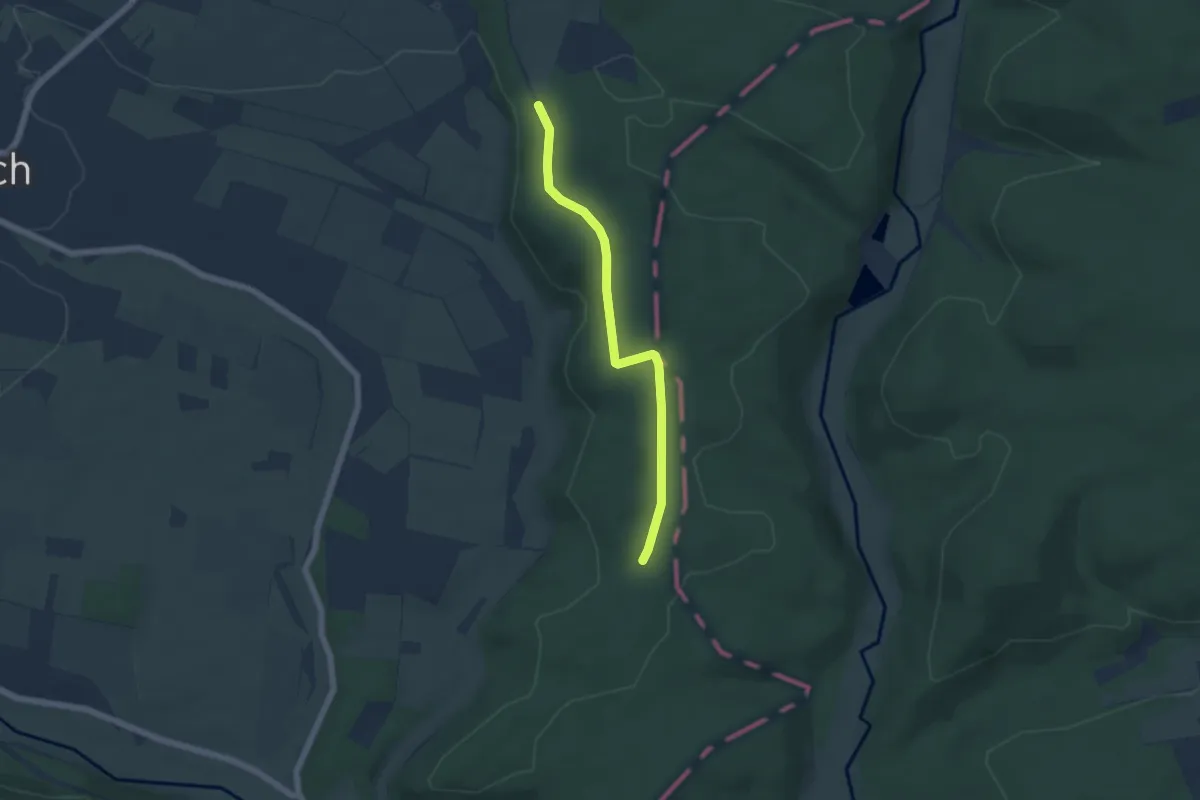
Easy · Trail
Medebach Rundweg M4
4.6 km · ↑ 57 m · 1 h 12 min
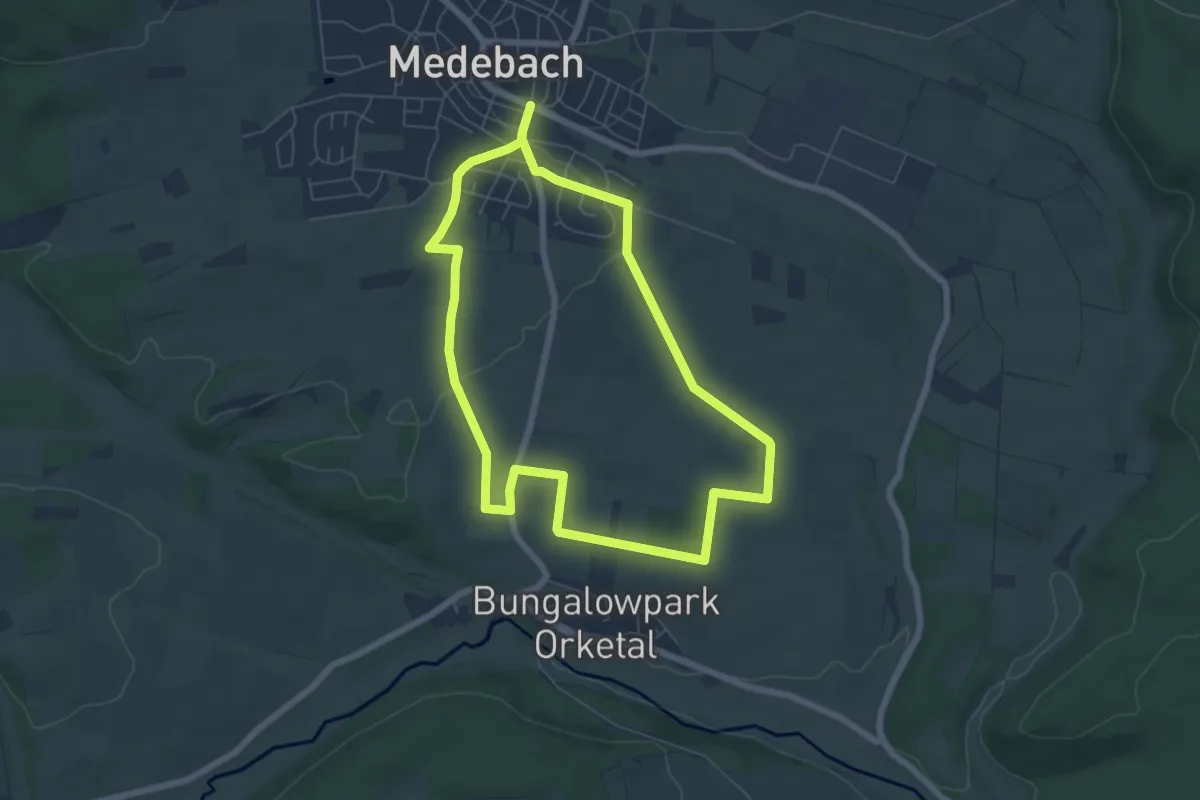
Easy · Trail
Medebach Rundweg M5
5.7 km · ↑ 56 m · 1 h 33 min
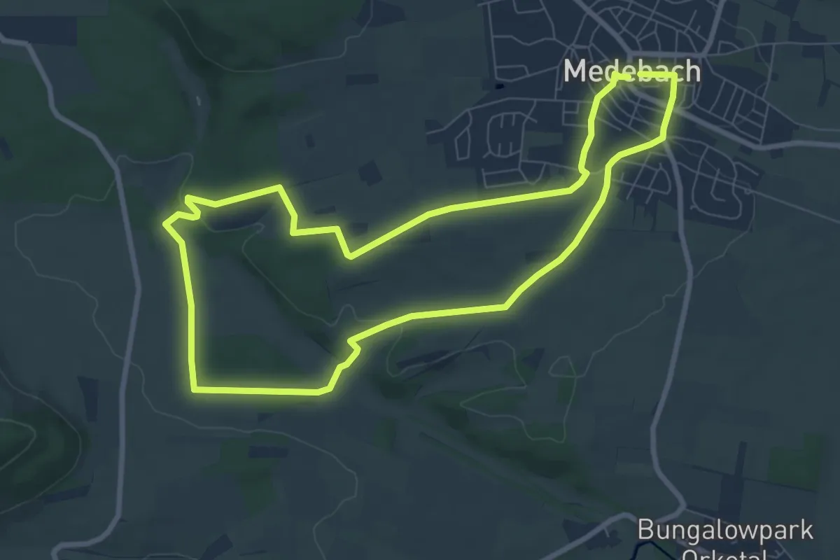
Easy · Trail
Medebach Rundweg M6
7.1 km · ↑ 83 m · 1 h 58 min
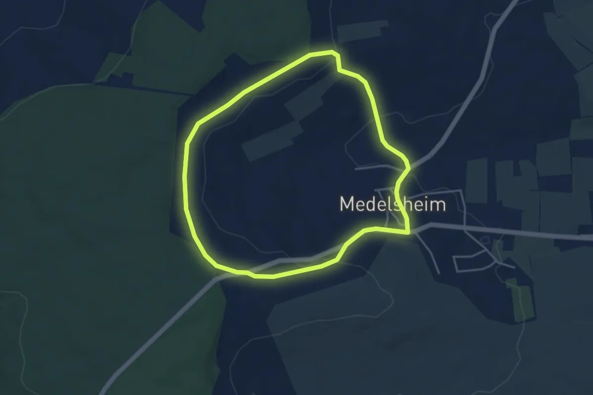
Easy · Trail
Medelsheimer Kreuzweg
3.6 km · ↑ 95 m · 1 h 7 min
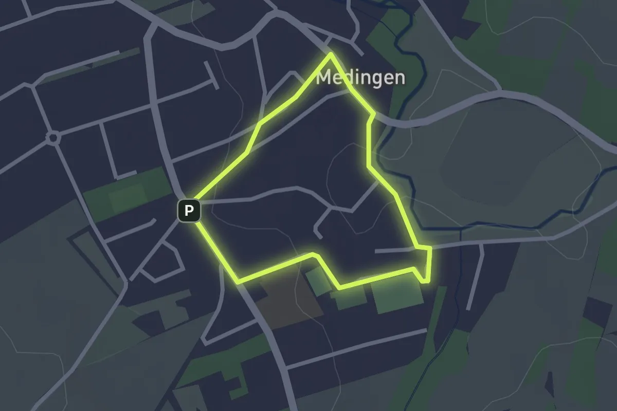
Easy · Trail
Medinger Schul-Rundweg
1.7 km · ↑ 18 m · 28 min
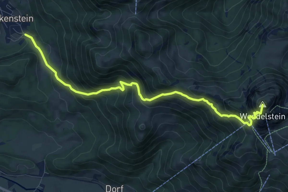
Demanding · Summit
Meditationsbergweg
10.2 km · ↑ 984 m · 4 h 33 min
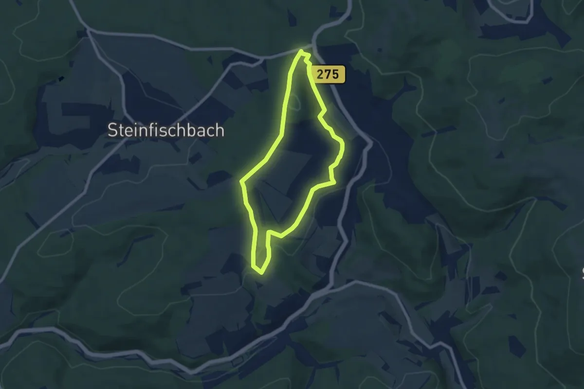
Easy · Trail
Meditationsweg
5.5 km · ↑ 126 m · 1 h 39 min