Trails in Germany
36,852 hiking trails, each with its route, climb, walking time and grade.
All trails, page 342 of 768
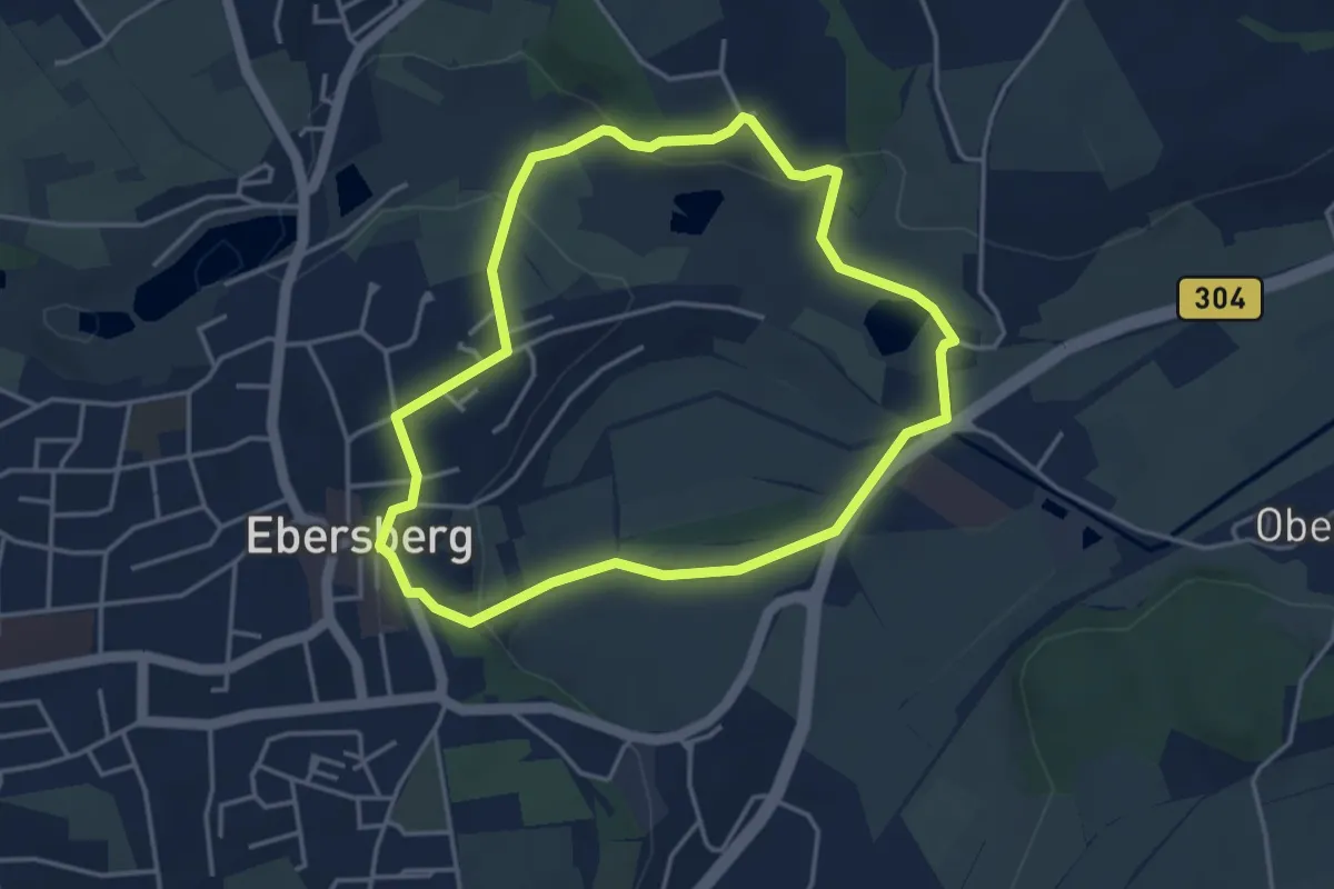
Easy · Trail
Meditationsweg beWEGgründe
3.7 km · ↑ 72 m · 1 h 5 min
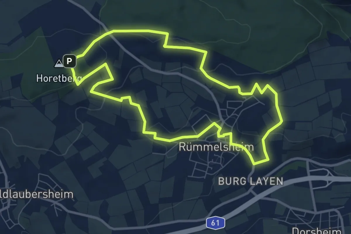
Easy · Summit
Mee(h)r Sehen Tour
7.1 km · ↑ 183 m · 2 h 11 min
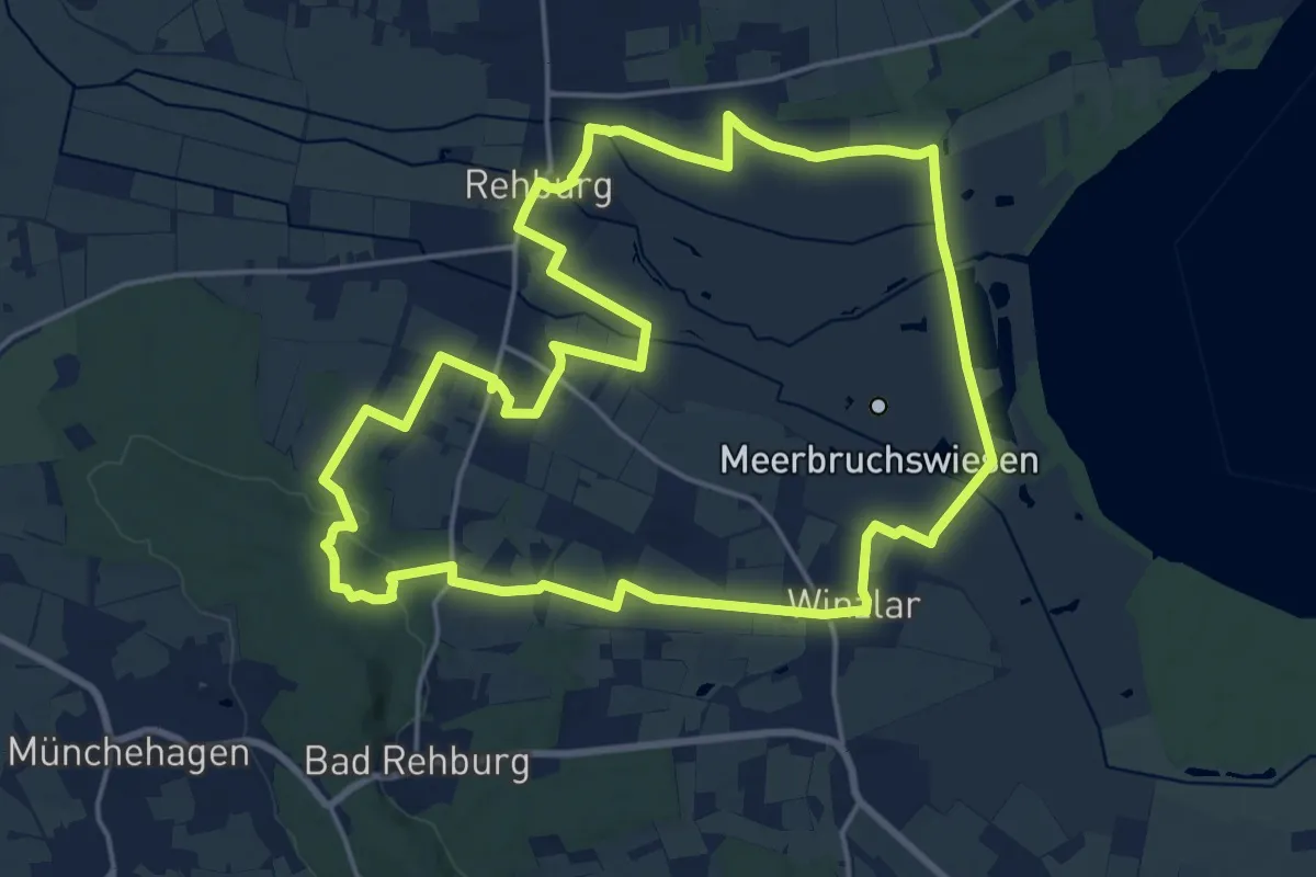
Medium · Trail
Meeresblicke
17.6 km · ↑ 127 m · 4 h 41 min
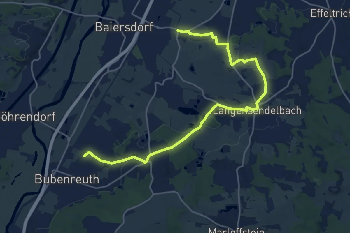
Easy · Summit
Meerrettichweg
8.0 km · ↑ 77 m · 2 h 9 min
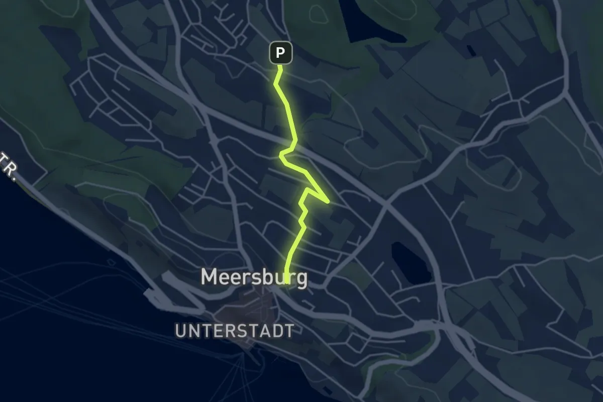
Easy · Trail
Meersburg - Daisensorf
3.2 km · ↑ 68 m · 54 min
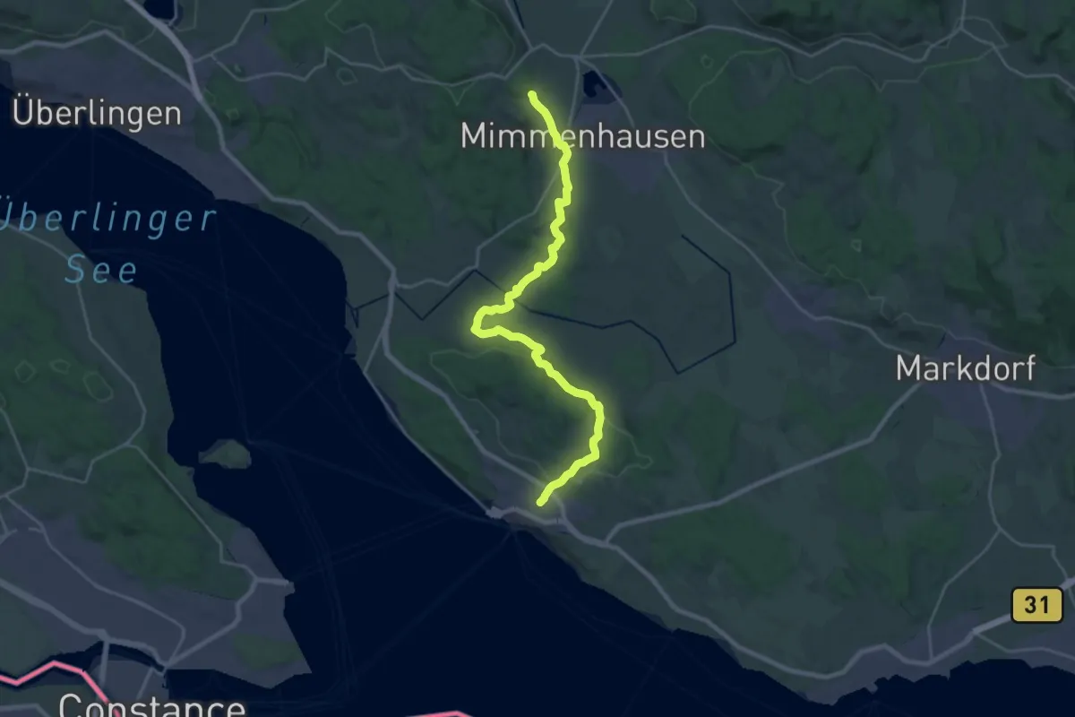
Demanding · Trail
Meersburg - Salem
24.9 km · ↑ 520 m · 7 h
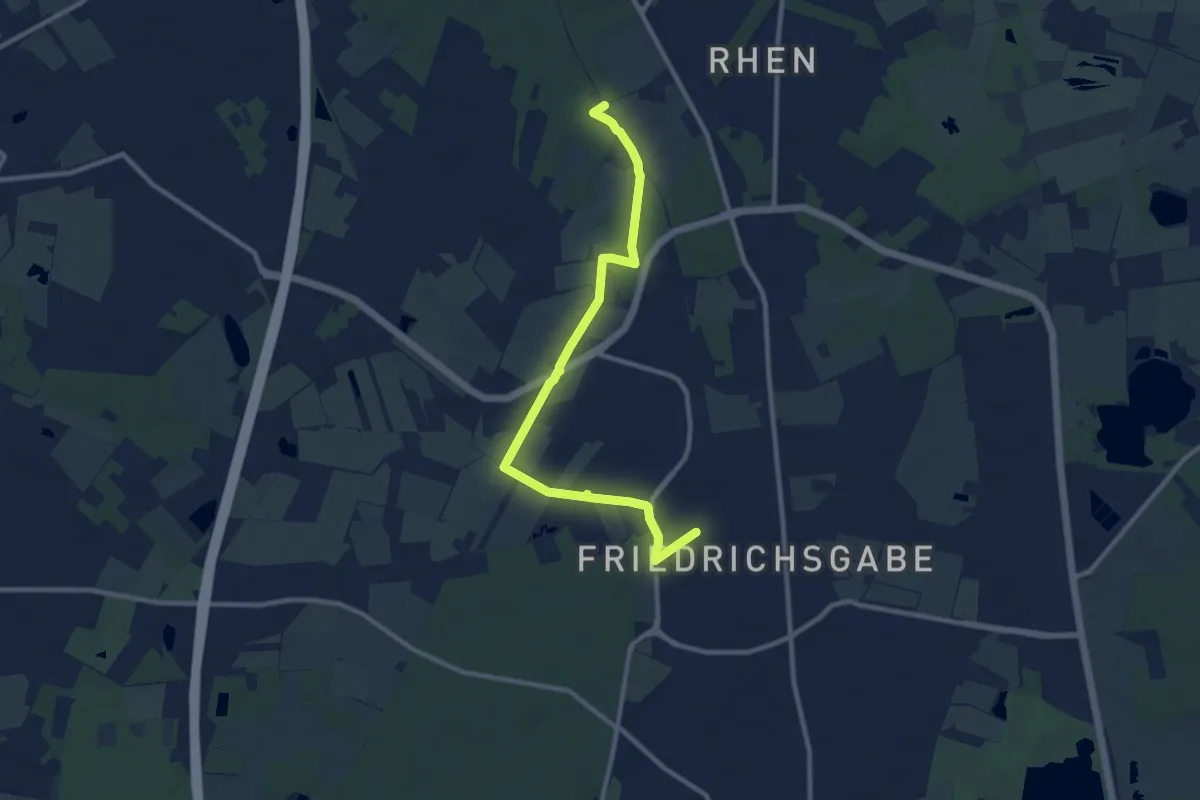
Medium · Trail
Meeschensee - Friedrichsgabe (ME-FR)
9.3 km · ↑ 18 m · 2 h 14 min
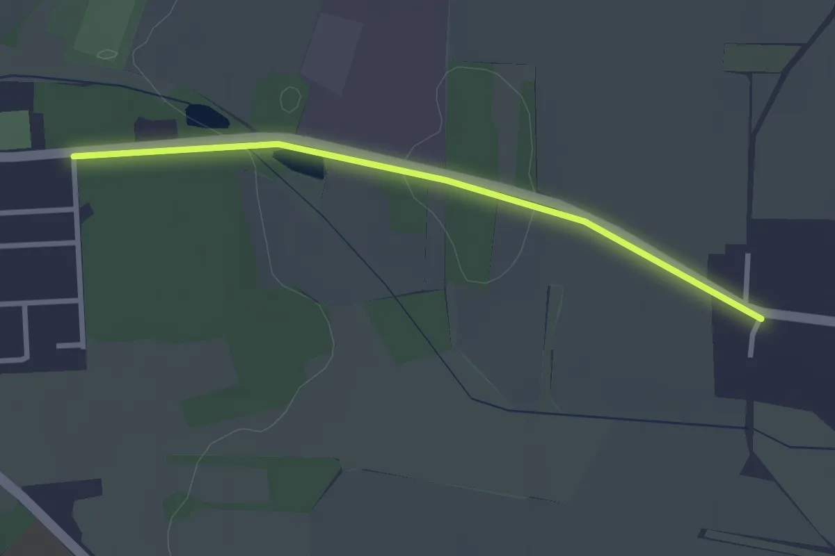
Easy · Trail
Megalith Route Altmark
1.2 km · ↑ 4 m · 18 min
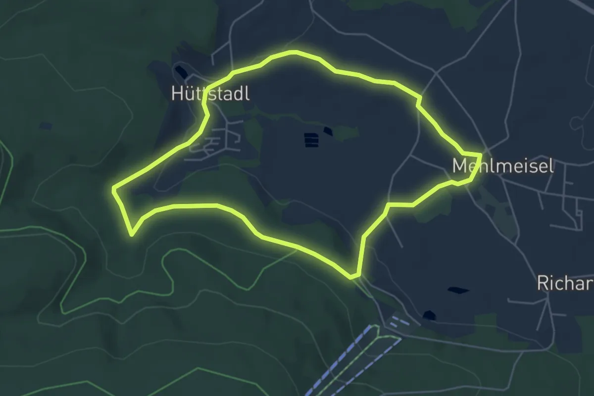
Easy · Trail
Mehlmeisel Rundwanderweg "Echowaldweg"
4.9 km · ↑ 82 m · 1 h 24 min
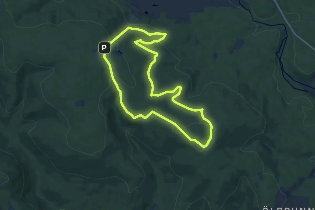
Medium · Trail
Mehlmeisel Rundwanderweg Marterlweg
8.1 km · ↑ 218 m · 2 h 30 min
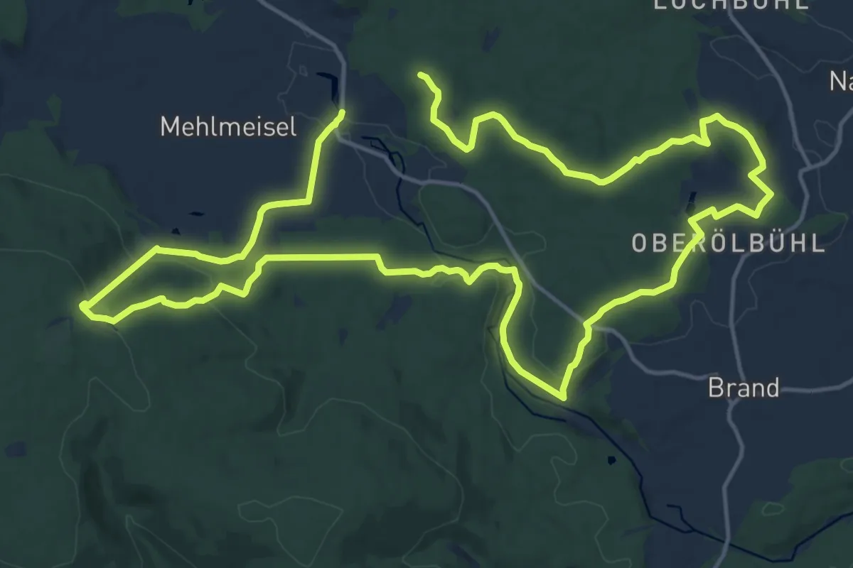
Medium · Trail
Mehlmeisel Rundwanderweg Naabweg
13.9 km · ↑ 308 m · 4 h 10 min
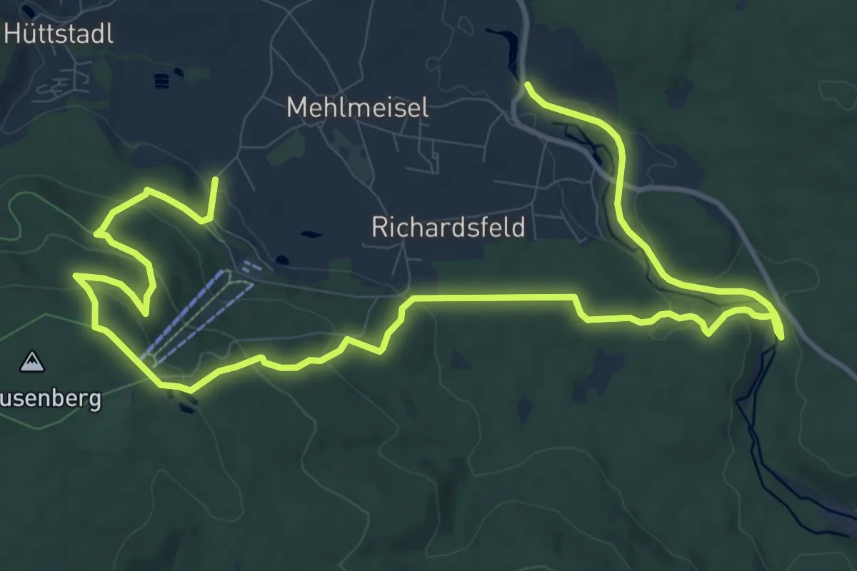
Medium · Trail
Mehlmeisel Rundwanderweg Naturerlebnisweg
8.1 km · ↑ 202 m · 2 h 29 min
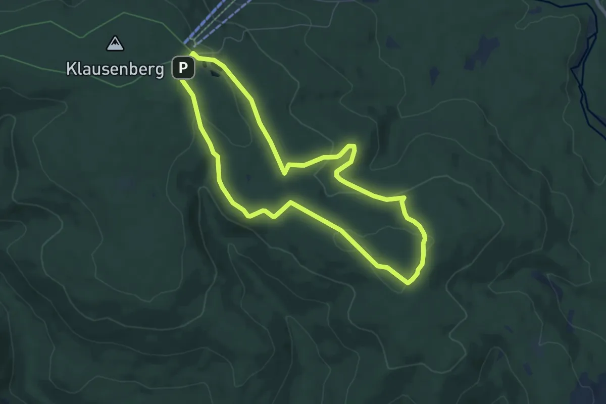
Easy · Trail
Mehlmeisel Rundwanderweg Wolfssäulenweg
6.3 km · ↑ 125 m · 1 h 50 min
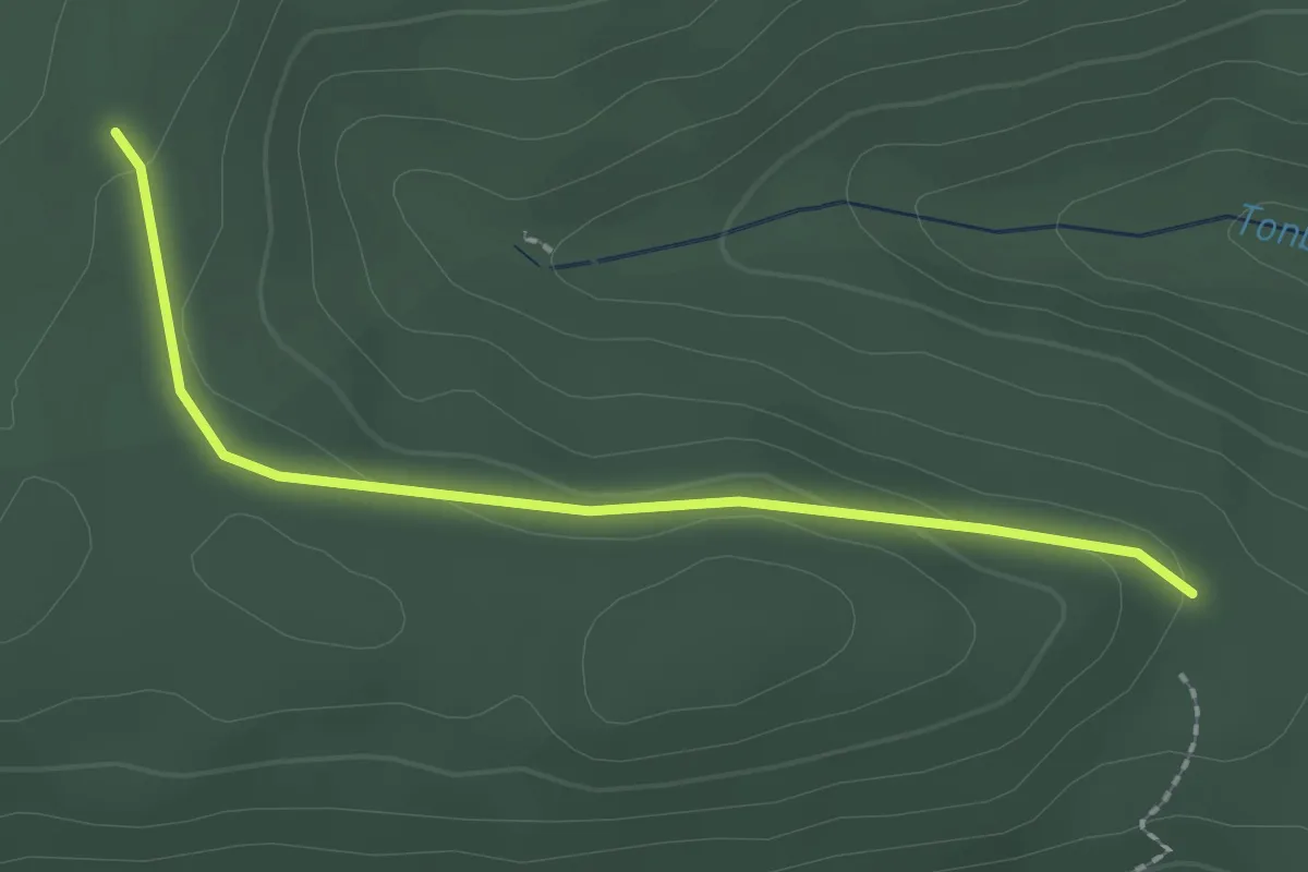
Easy · Trail
Mehlplätzle - Neuberg
2.1 km · ↑ 60 m · 38 min
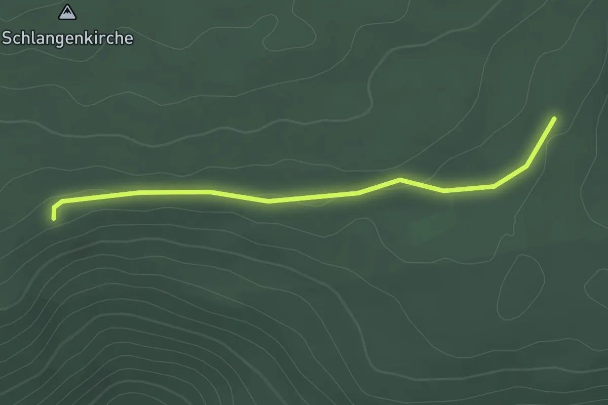
Easy · Trail
Mehlplätzle - Rotrainsberg
2.2 km · ↑ 29 m · 35 min
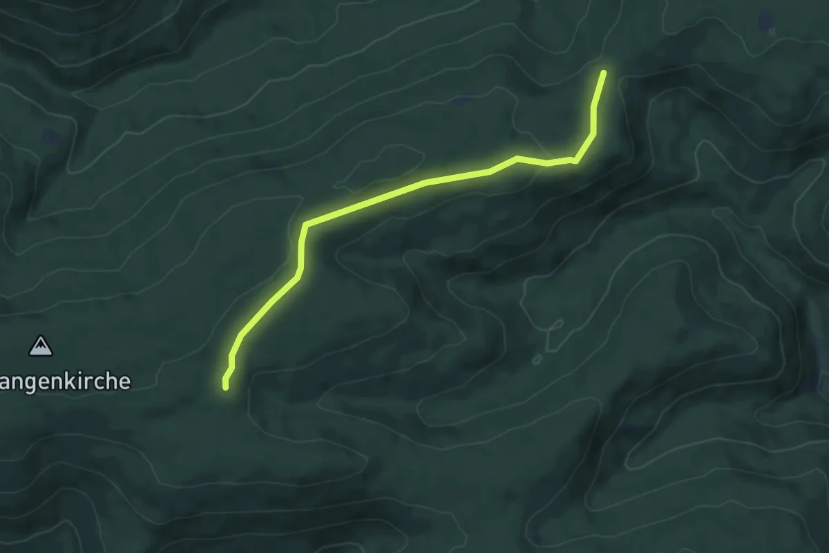
Easy · Trail
Mehlplätzle - Überzwercher Berg
6.0 km · ↑ 122 m · 1 h 41 min
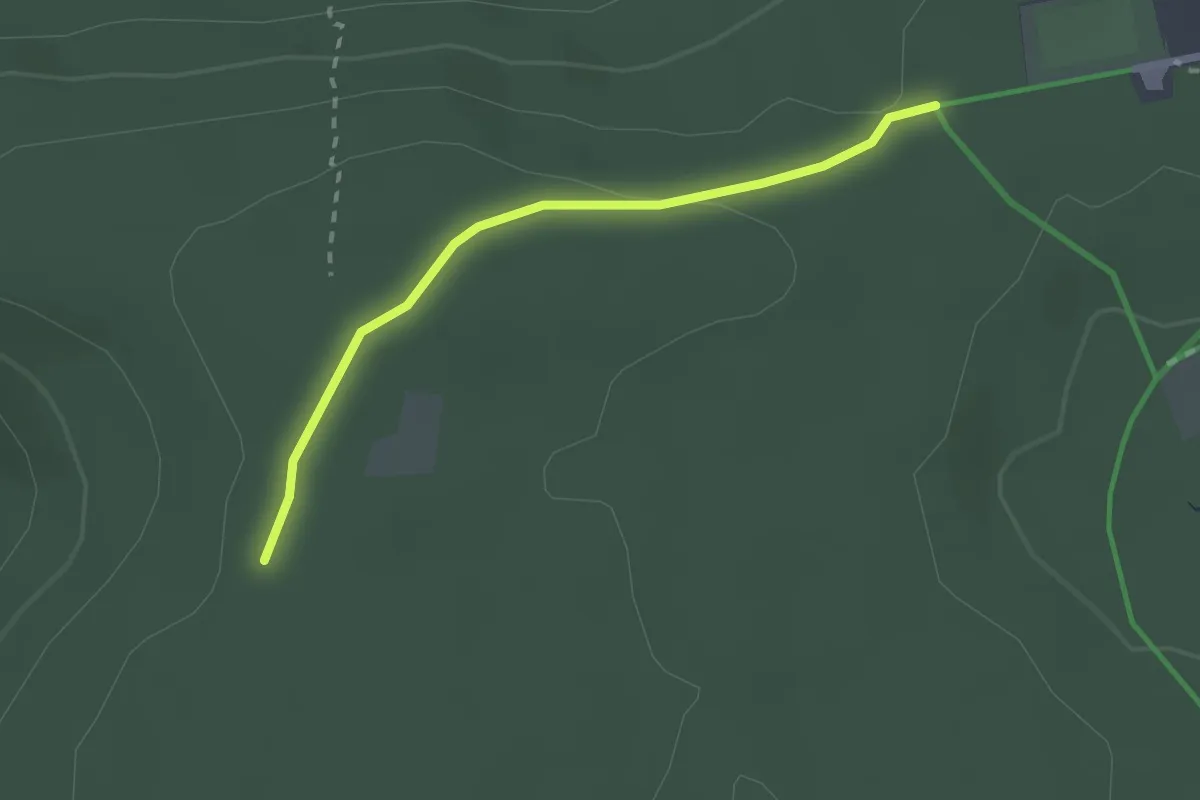
Easy · Trail
Mehlwegle - Pfützenhäusle
2.1 km · ↑ 41 m · 35 min
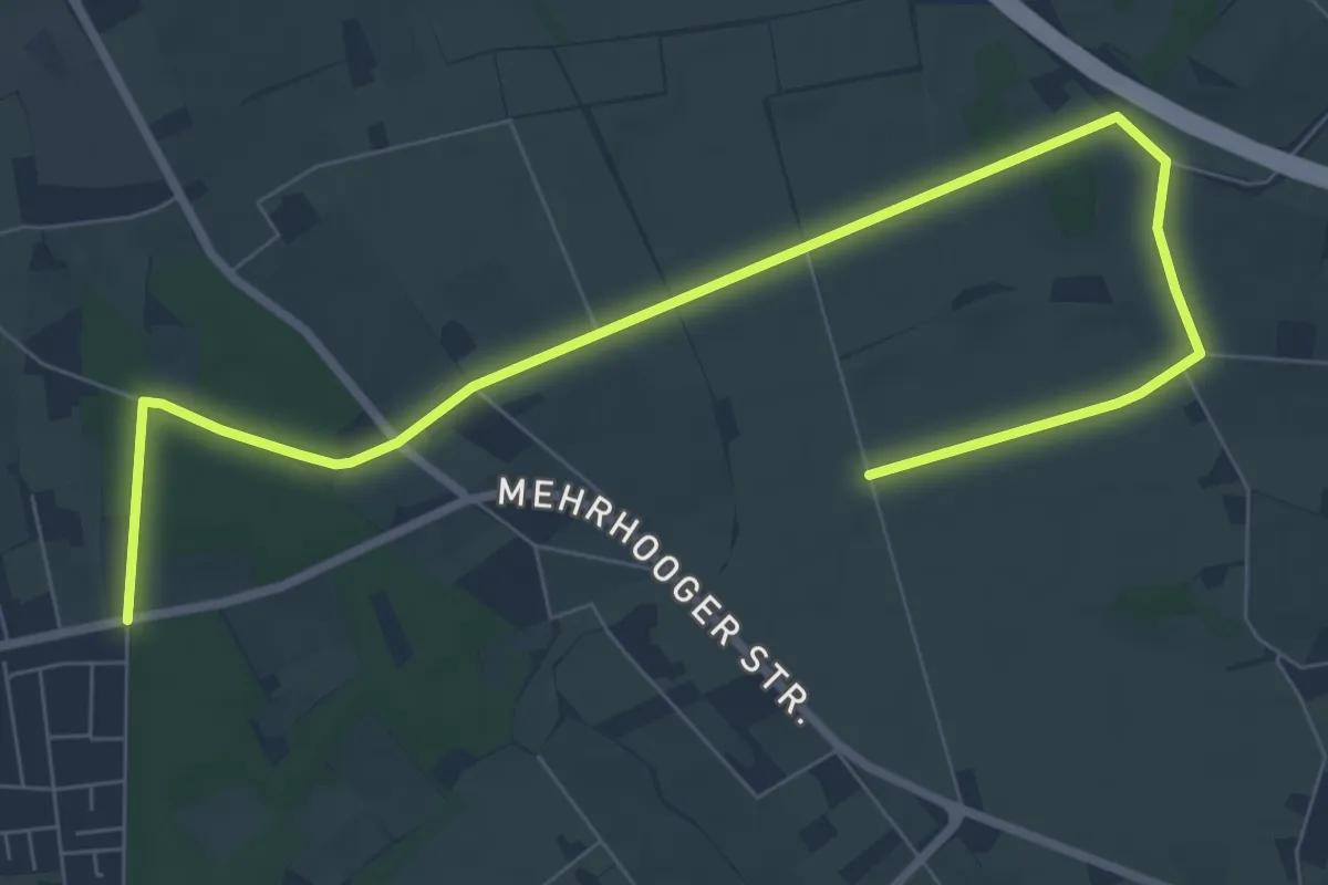
Easy · Trail
Mehrhoog Rundweg A1
4.5 km · ↑ 9 m · 1 h 8 min
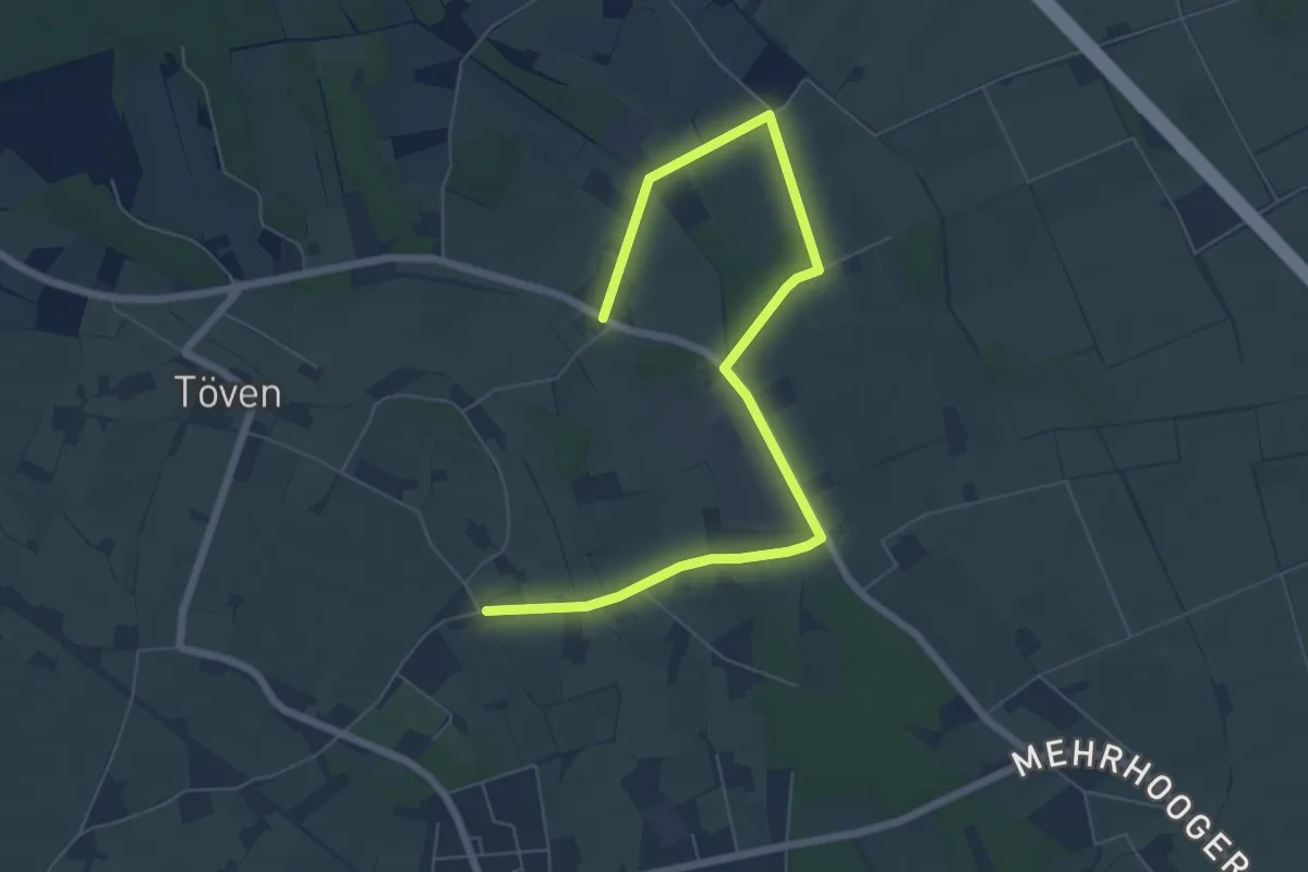
Easy · Trail
Mehrhoog Rundweg A4
3.6 km · ↑ 5 m · 55 min
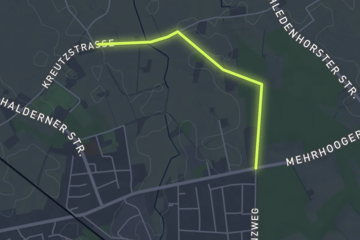
Easy · Trail
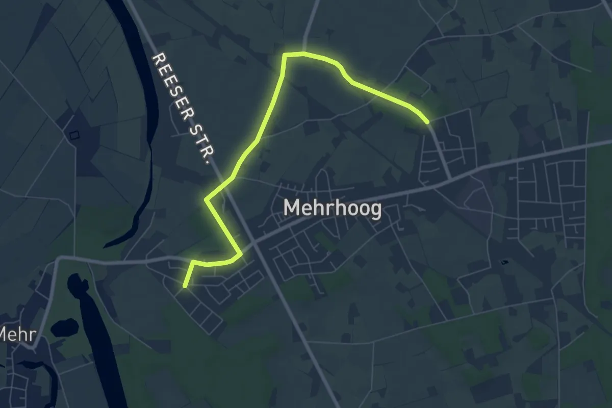
Mehrhoog Rundweg A5
1.6 km · ↑ 9 m · 25 min
Easy · Trail
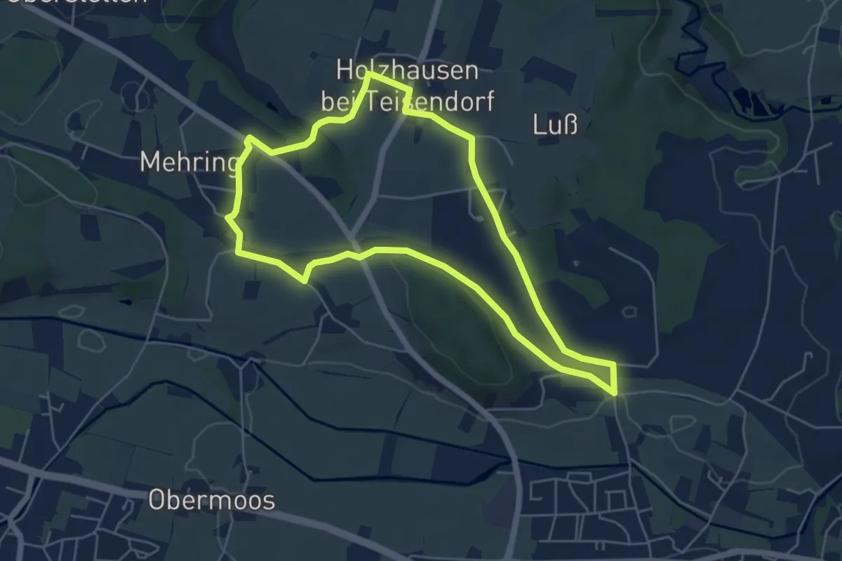
Mehrhoog Rundweg A6
3.3 km · ↑ 5 m · 50 min
Easy · Trail
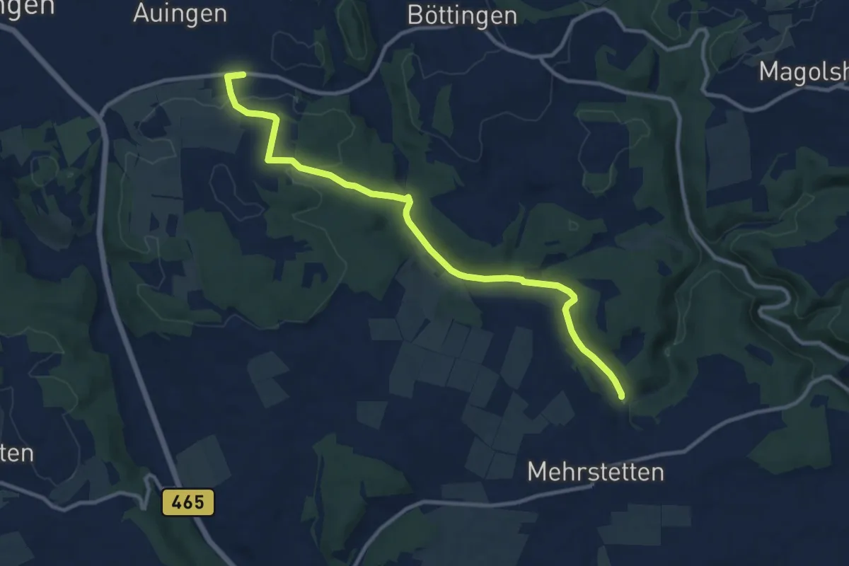
Mehringer Schleife Nr. 11
4.9 km · ↑ 69 m · 1 h 23 min
Medium · Trail
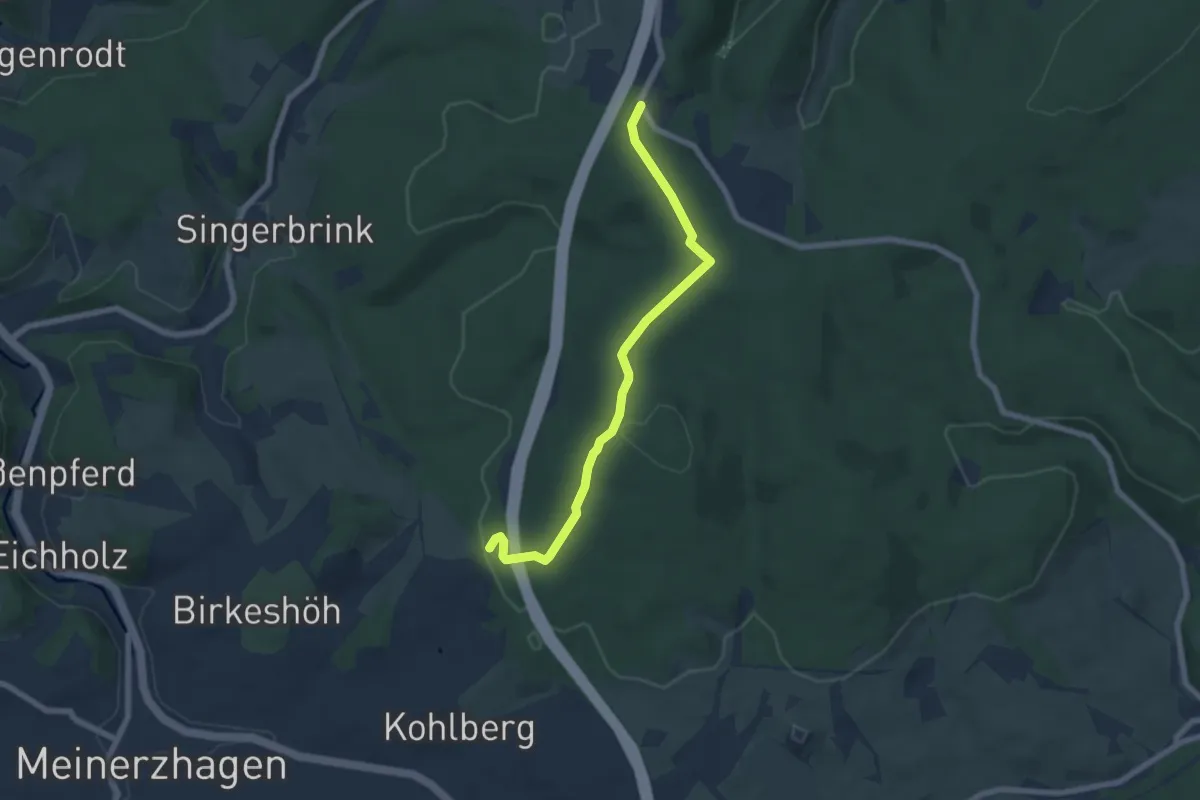
Mehrstetten - Auingen
10.7 km · ↑ 192 m · 2 h 57 min
Easy · Trail
Meinerzhagen Rundweg Doppelbalken
6.0 km · ↑ 147 m · 1 h 44 min
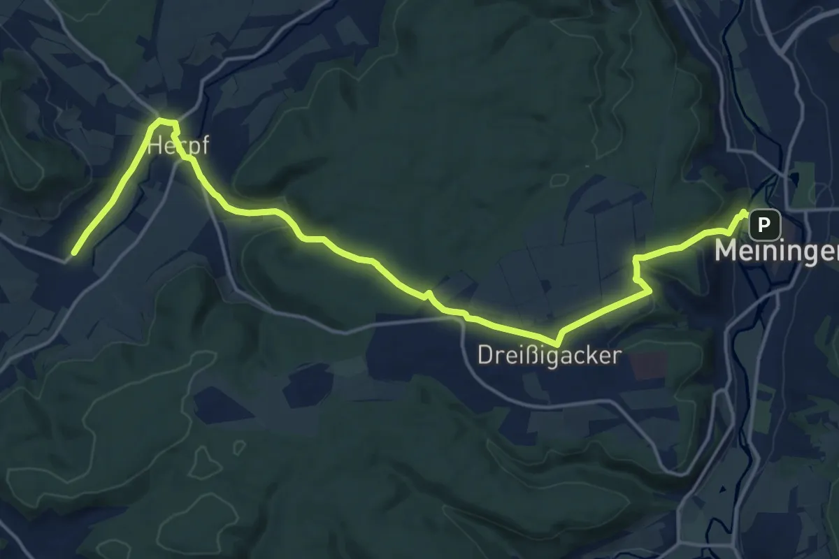
Demanding · Trail
Meiningen - Amönenhof
18.4 km · ↑ 428 m · 5 h 17 min
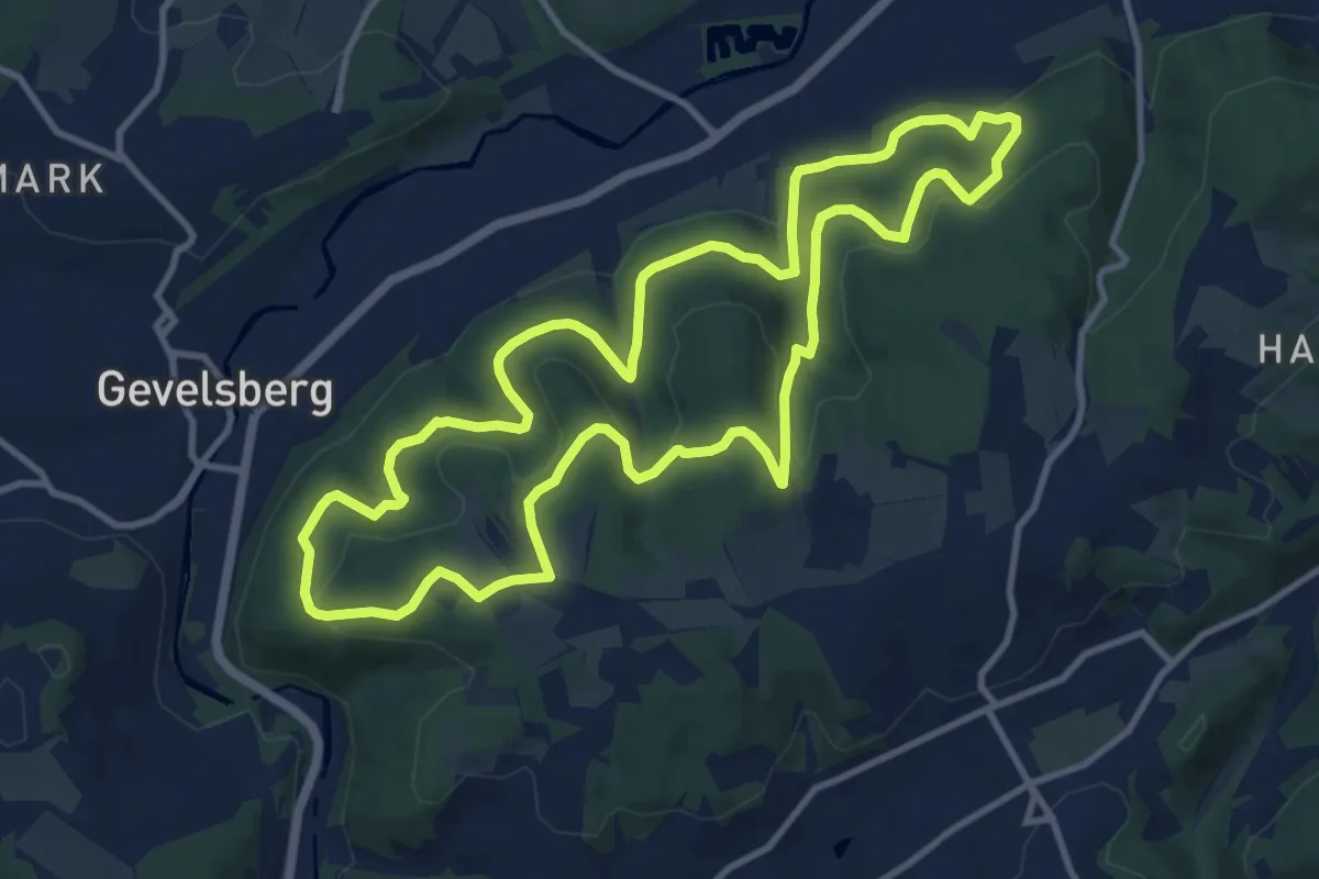
Medium · Summit
Meininghausen Rundweg [O]
10.6 km · ↑ 351 m · 3 h 24 min
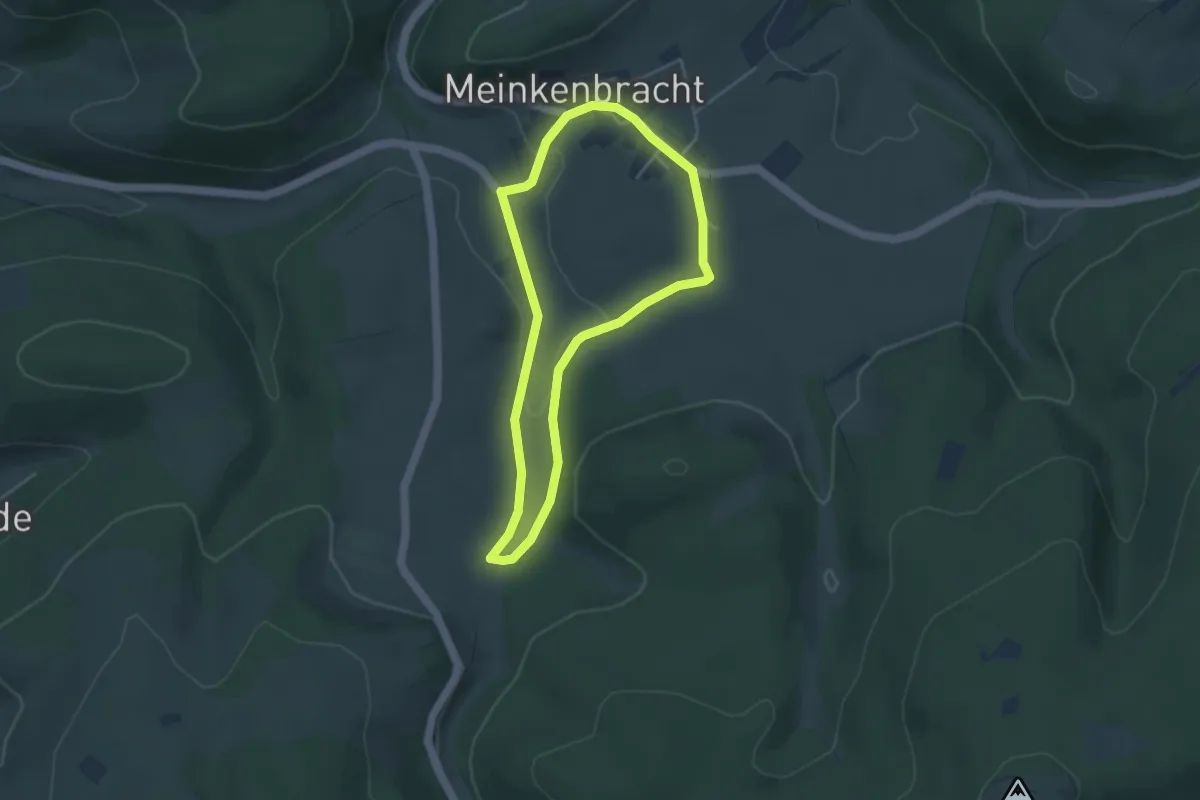
Easy · Trail
Meinkenbracht Rundweg A1
3.3 km · ↑ 48 m · 56 min
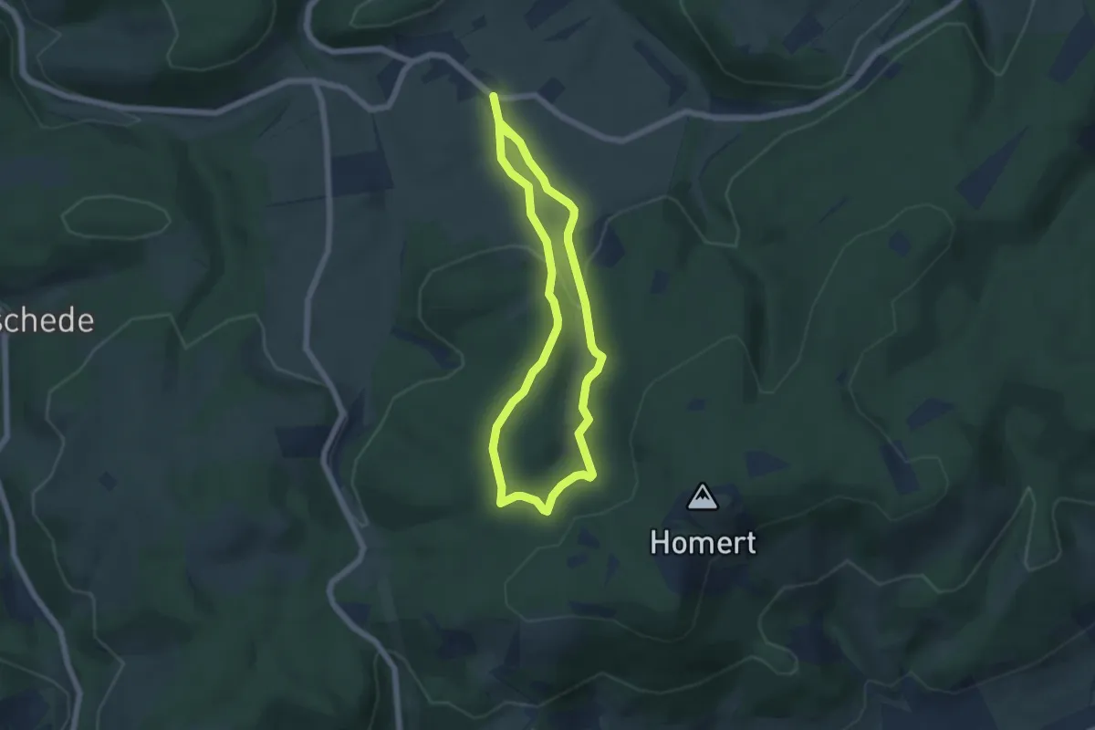
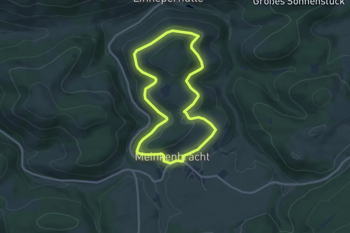
Easy · Summit
Meinkenbracht Rundweg A2
4.4 km · ↑ 138 m · 1 h 24 min
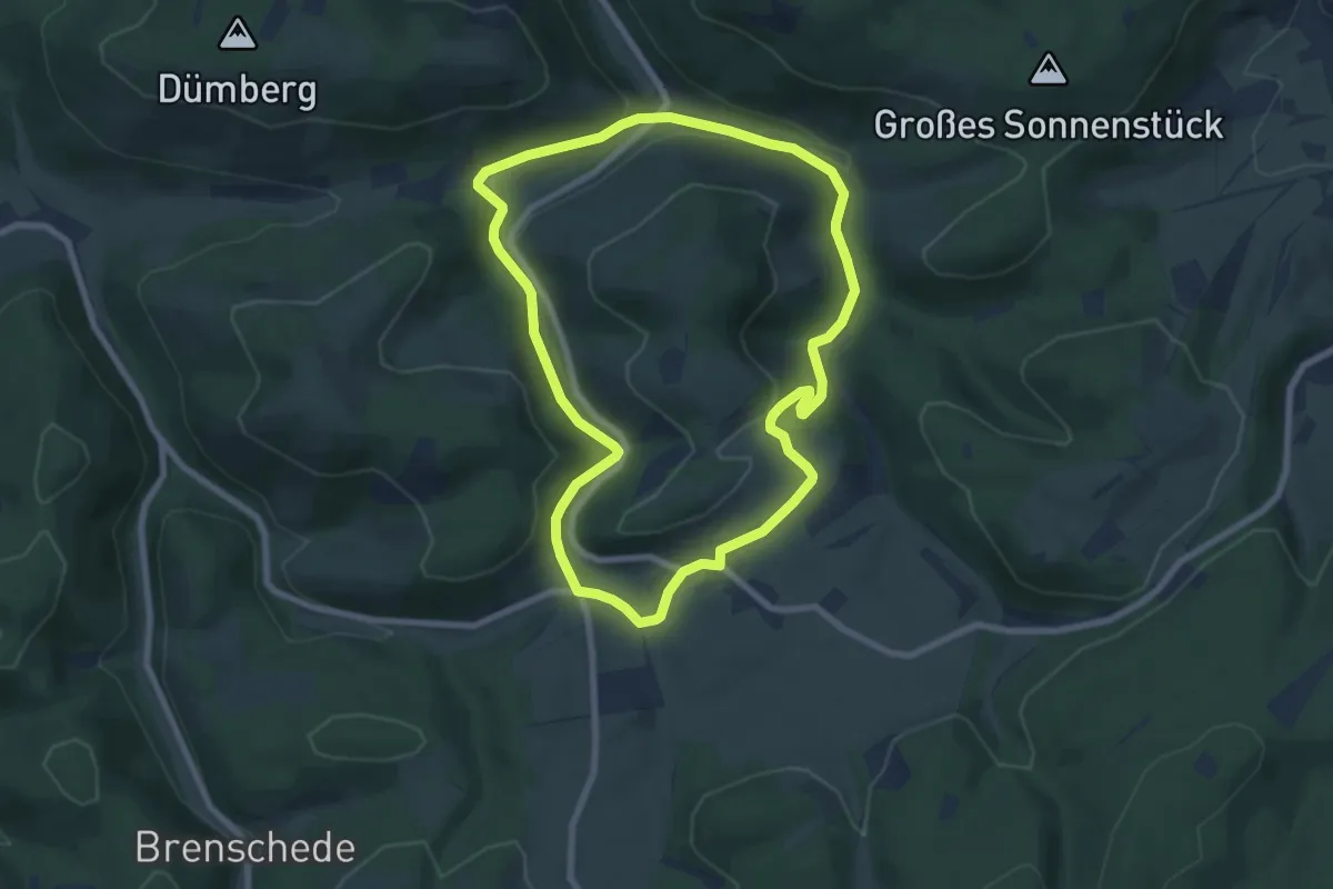
Easy · Trail
Meinkenbracht Rundweg M1
5.3 km · ↑ 160 m · 1 h 41 min
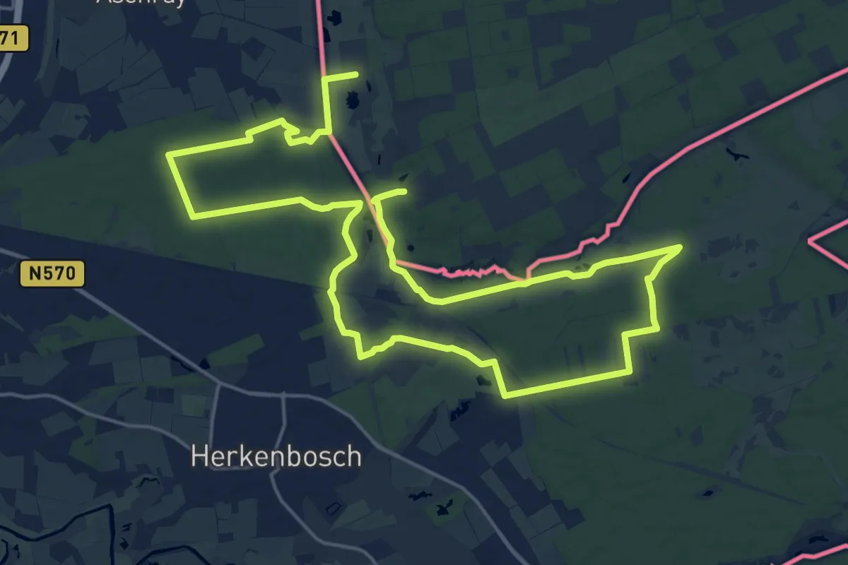
Easy · Trail
Meinkenbracht Rundweg M2
6.8 km · ↑ 242 m · 2 h 13 min
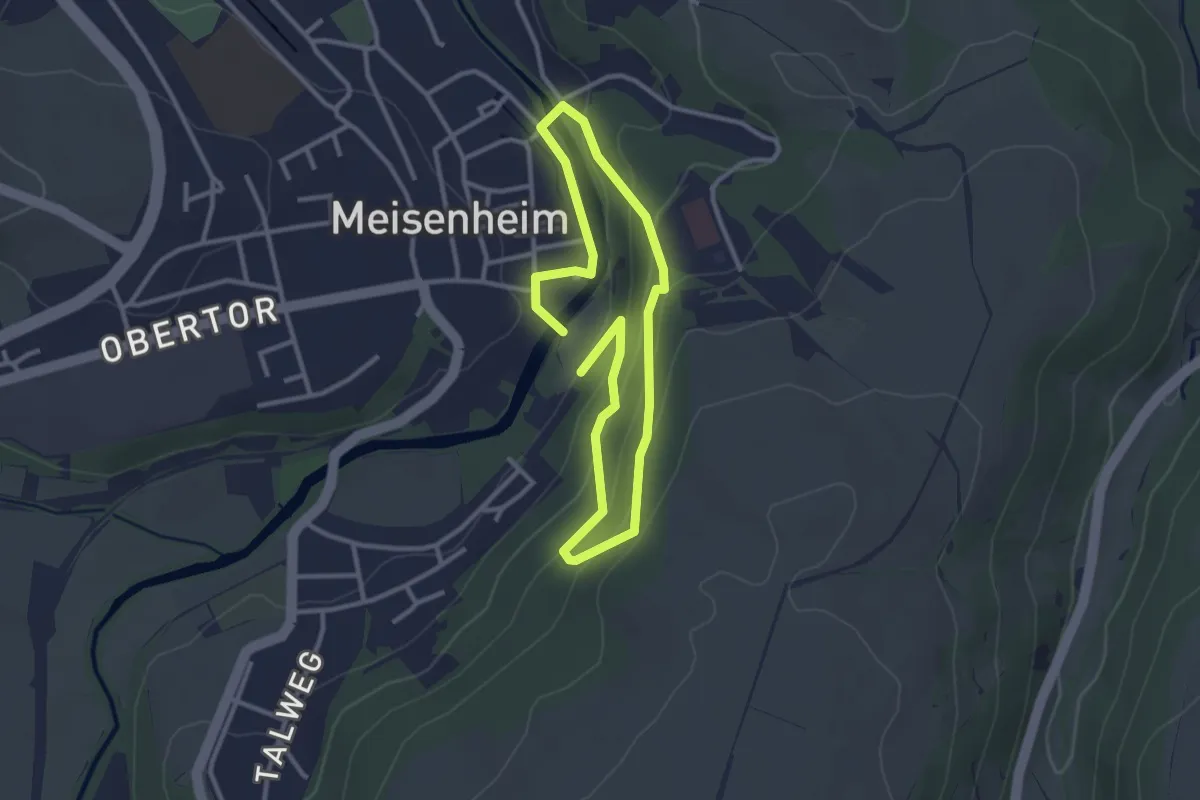
Medium · Trail
Meinvennen
15.4 km · ↑ 75 m · 4 h 1 min
Easy · Trail
Meisenheimer Bürgersteig
2.3 km · ↑ 113 m · 49 min
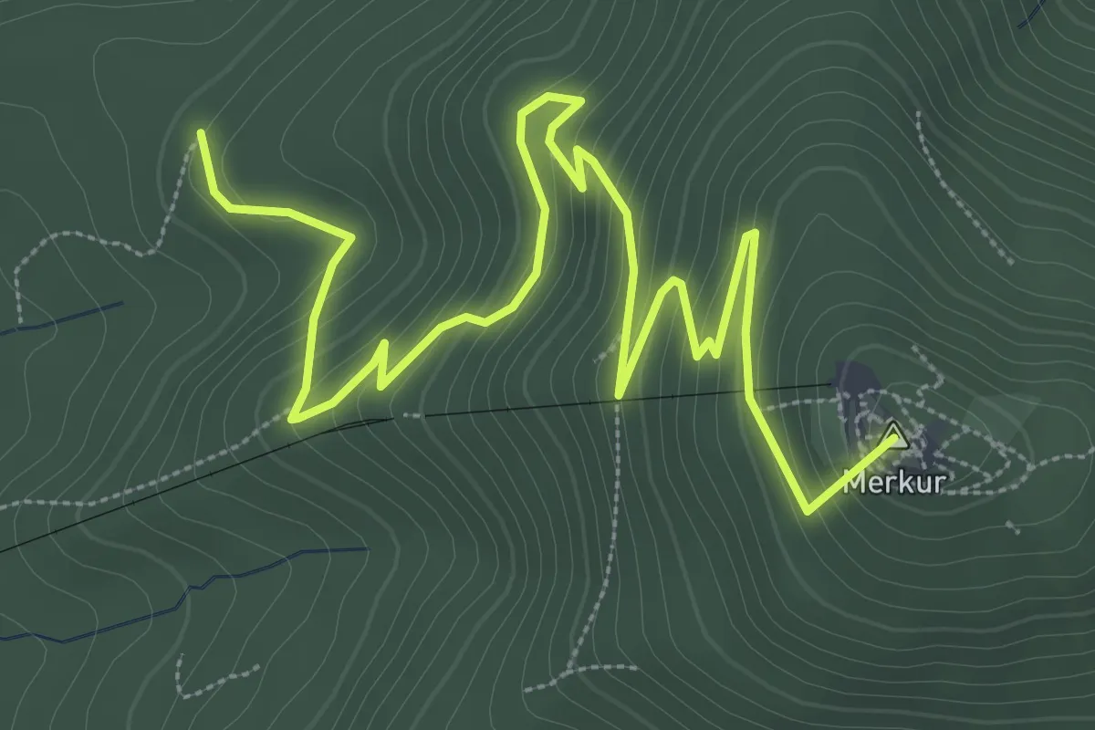
Medium · Summit
Meisenköpfle - Unter dem Merkur
5.1 km · ↑ 323 m · 1 h 54 min
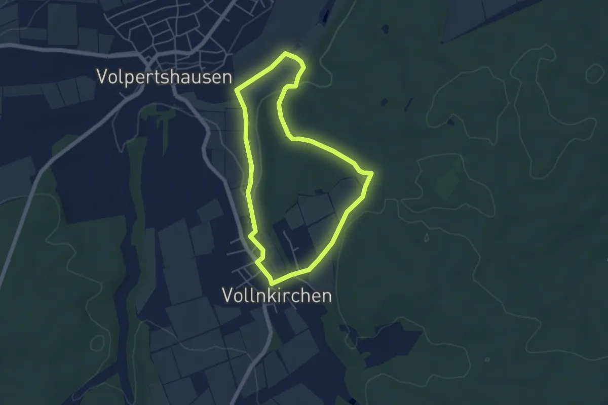
Easy · Trail
Meise Vollnkirchen
4.0 km · ↑ 60 m · 1 h 7 min
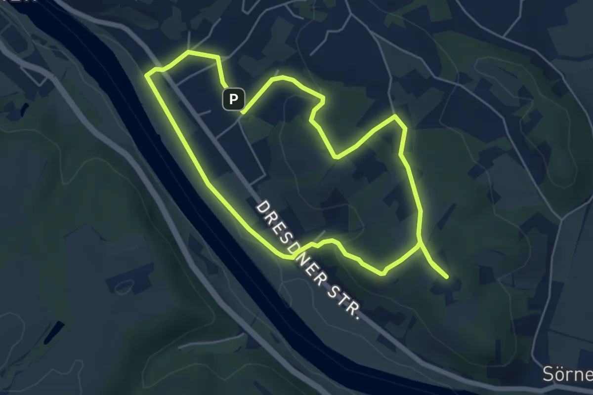
Easy · Summit
Meißner Weinwanderweg
4.5 km · ↑ 95 m · 1 h 19 min
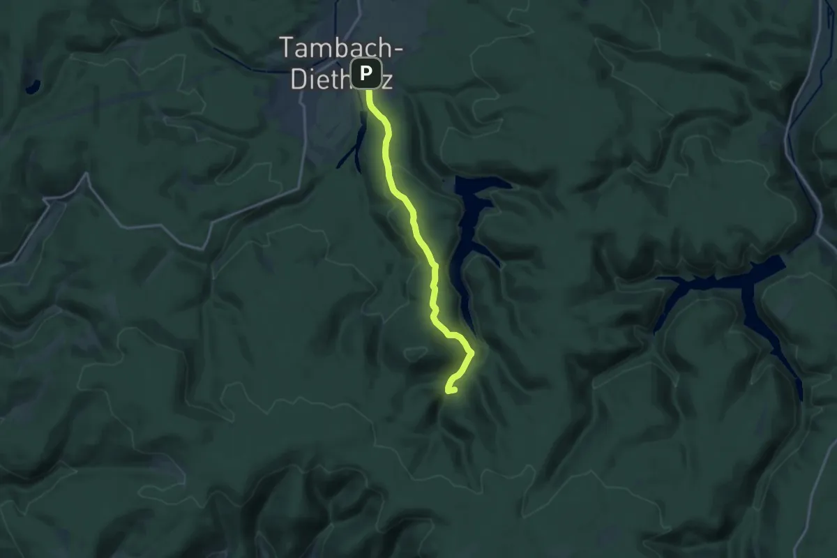
Medium · Summit
Meister-Eckhart-Weg
12.5 km · ↑ 367 m · 3 h 45 min
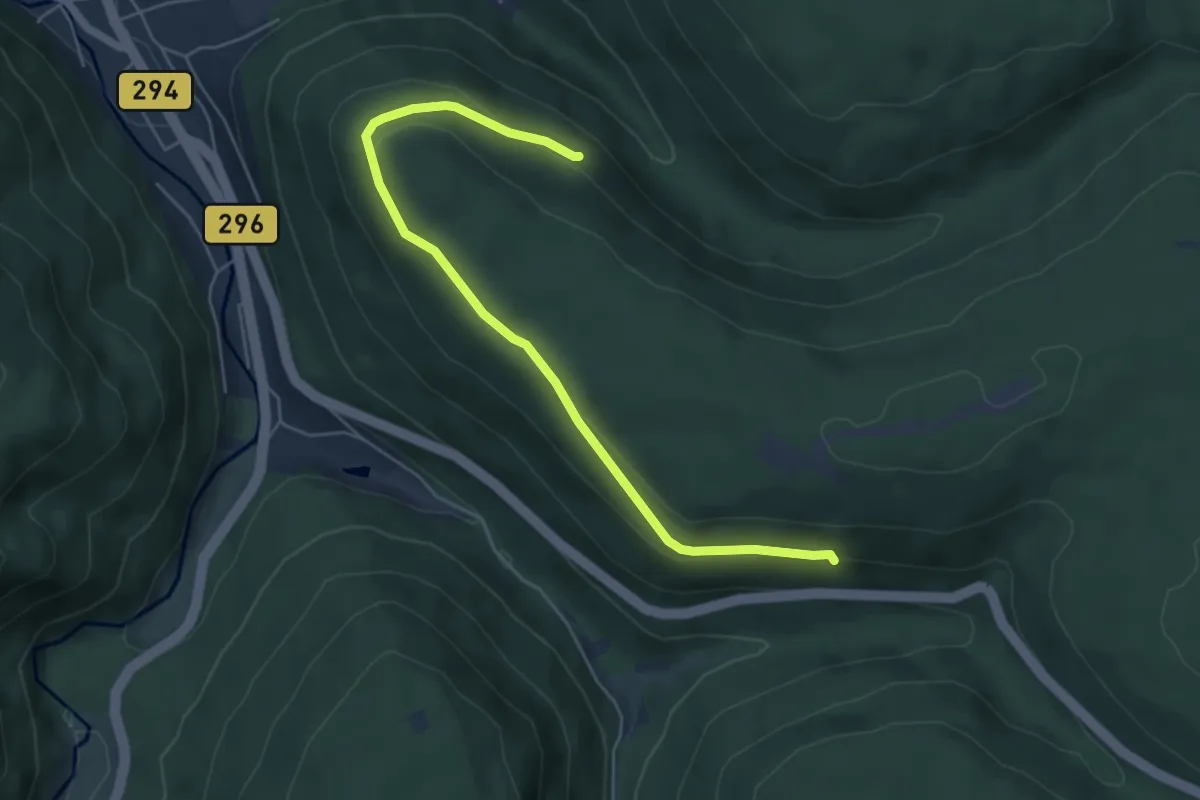
Easy · Trail
Meisternblick - Tannhalde
5.6 km · ↑ 132 m · 1 h 36 min
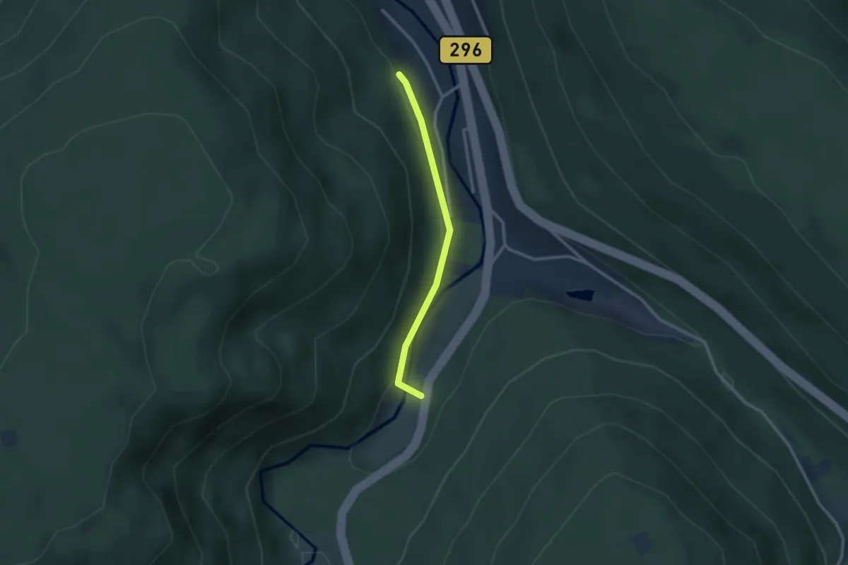
Easy · Trail
Meisternsiedlung - Scheurengrund
2.2 km · ↑ 79 m · 41 min
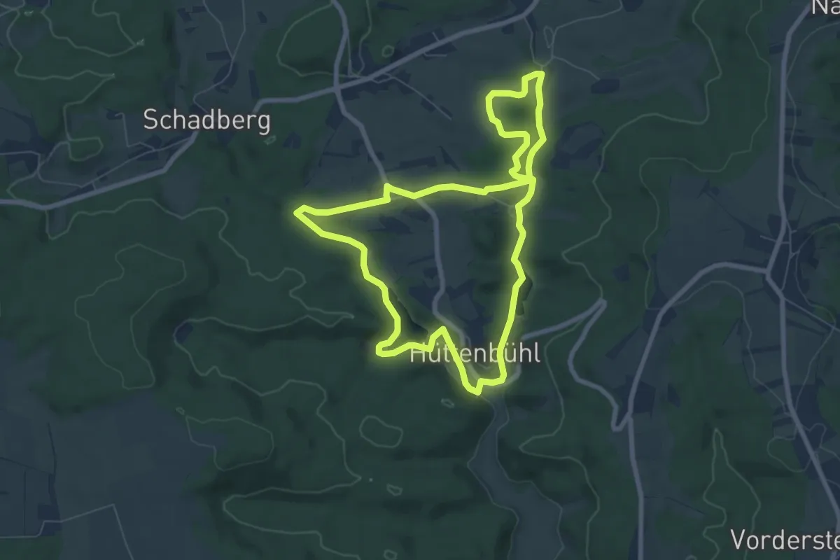
Easy · Trail
Melchiors Abenteuertour
6.6 km · ↑ 108 m · 1 h 53 min
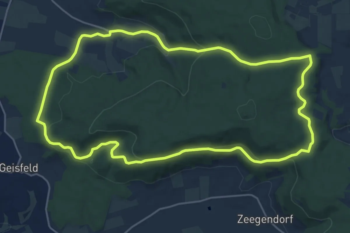
Medium · Trail
Melkendorfer Rundwanderweg
12.4 km · ↑ 316 m · 3 h 47 min
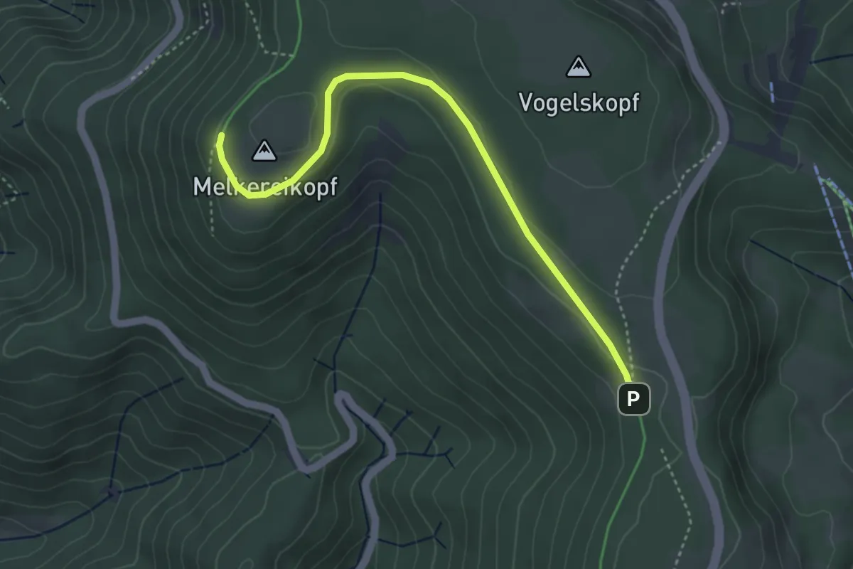
Easy · Trail
Melkereikopf Ettlinger Hütte - Schweinkopf
4.0 km · ↑ 44 m · 1 h 2 min
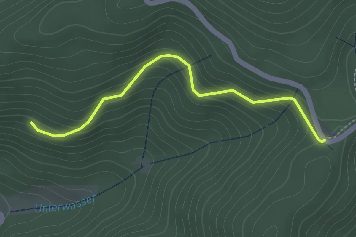
Easy · Trail
Melkerei - Strittwald
2.3 km · ↑ 159 m · 53 min
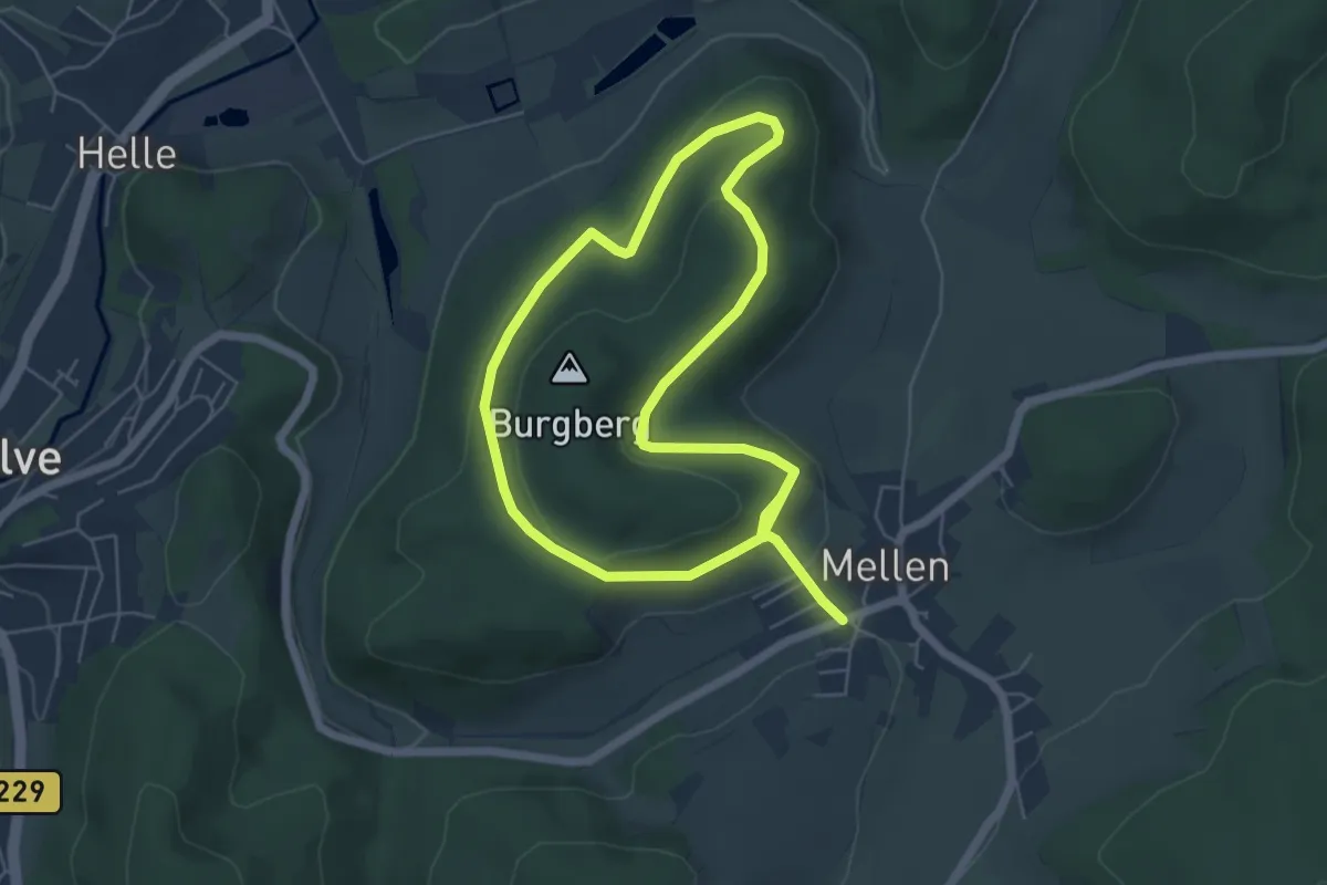
Medium · Trail
Mellen Rundweg A1
9.3 km · ↑ 304 m · 2 h 52 min
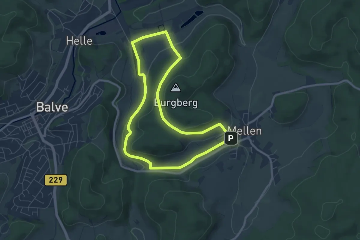
Easy · Trail
Mellen Rundweg A2
5.9 km · ↑ 167 m · 1 h 50 min
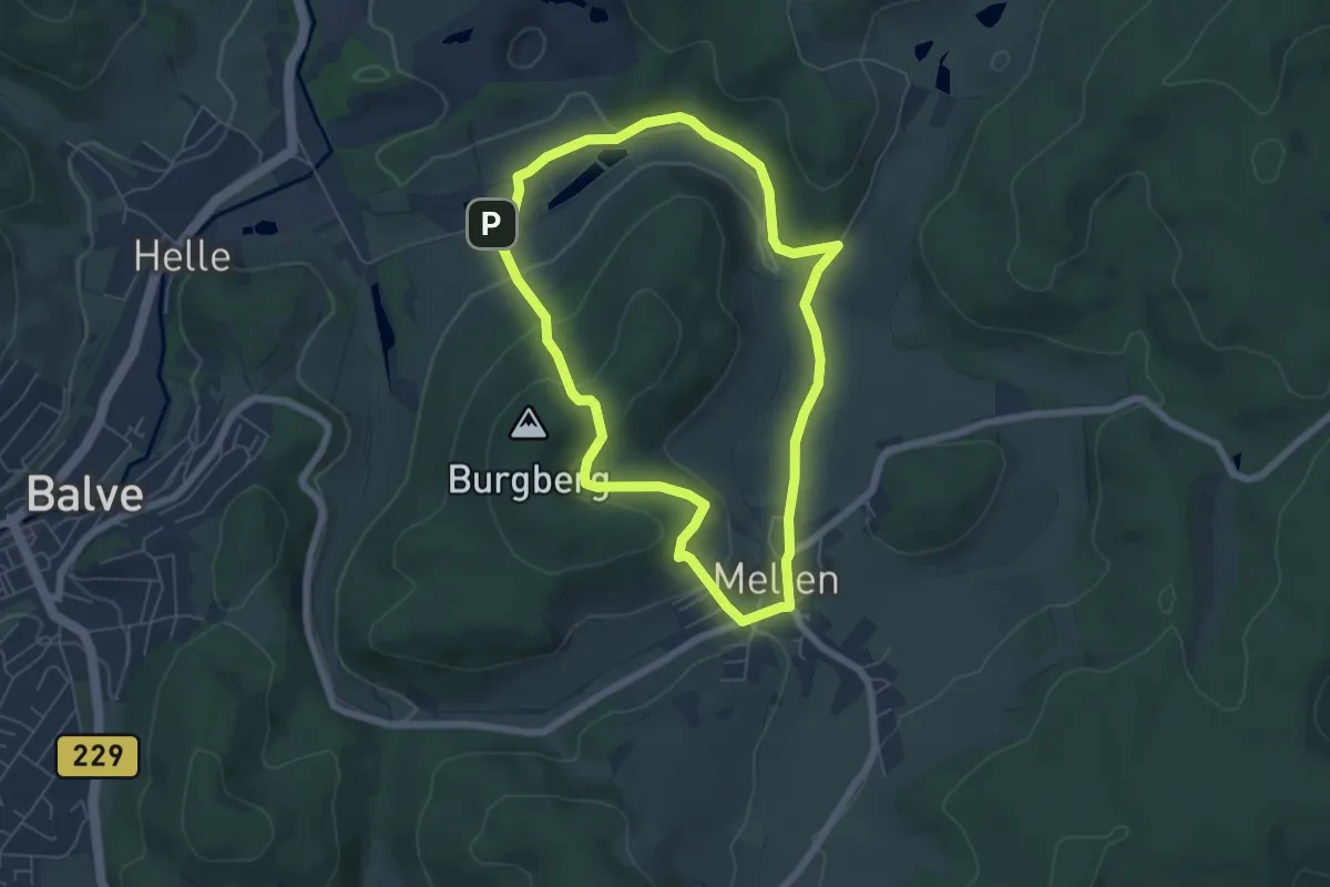
Easy · Trail
Mellen Rundweg A3
5.2 km · ↑ 187 m · 1 h 43 min
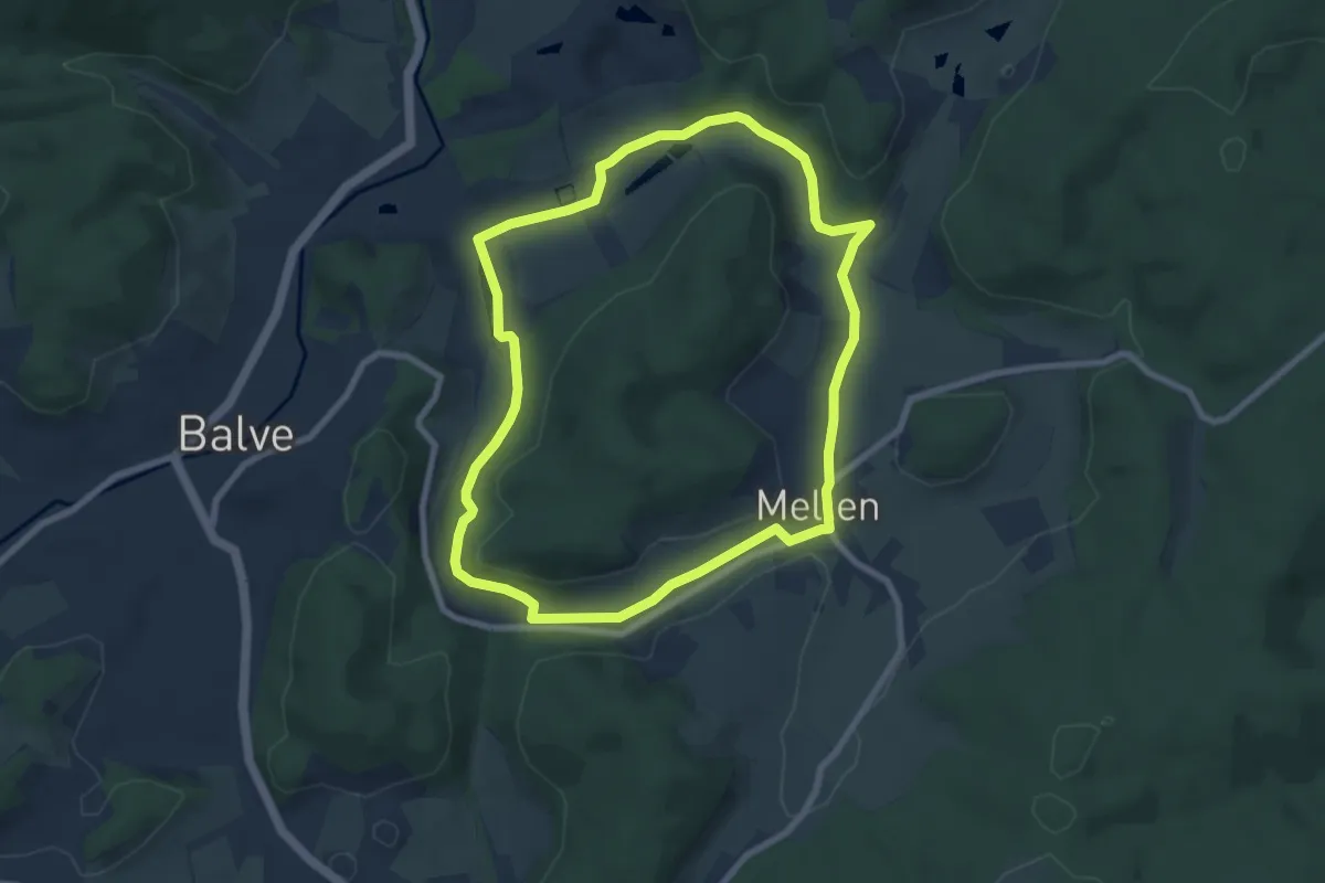
Easy · Trail
Mellen Rundweg A4
6.8 km · ↑ 110 m · 1 h 57 min
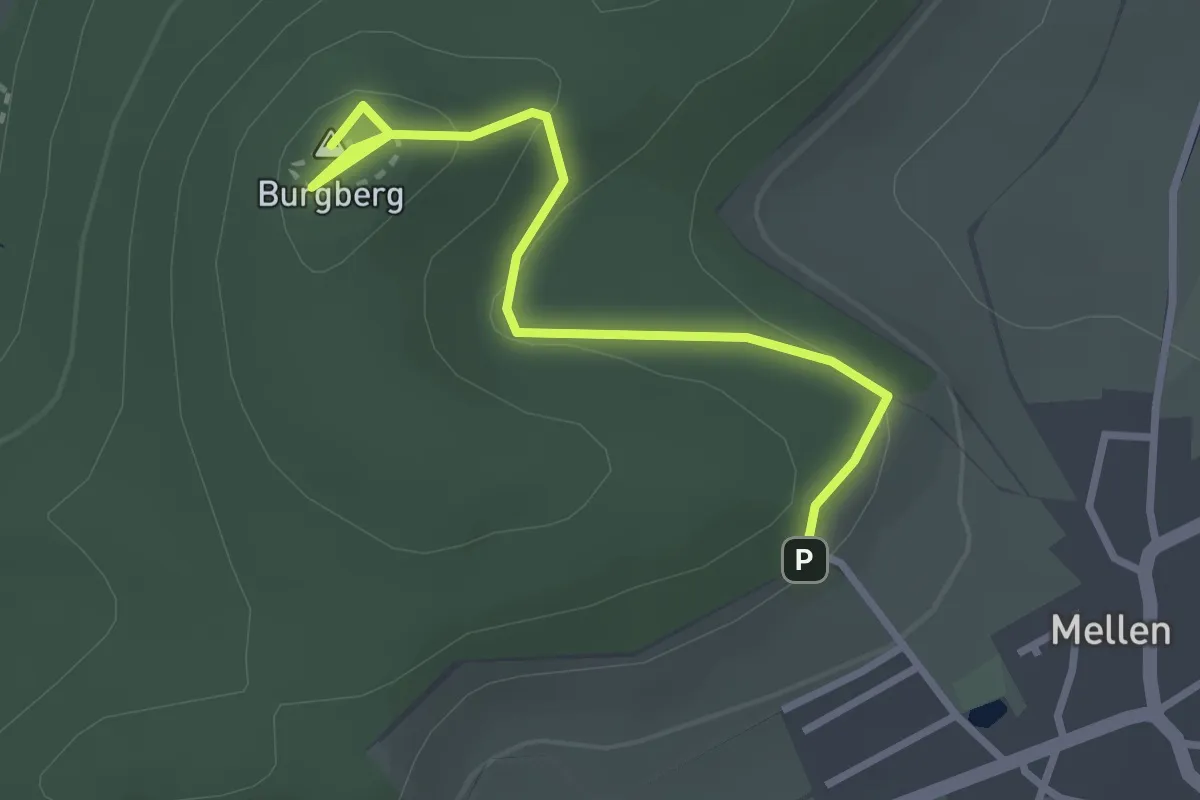
Easy · Summit
Mellen Rundweg A5
2.8 km · ↑ 105 m · 53 min
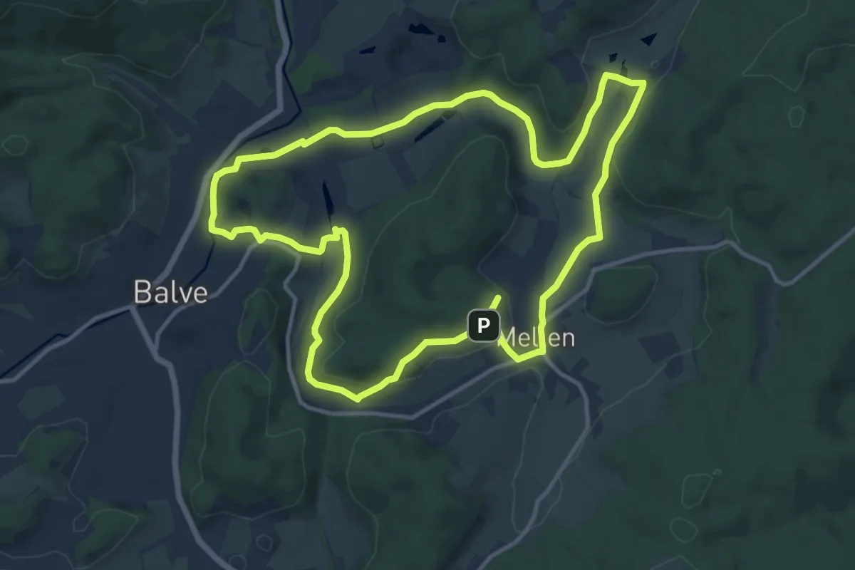
Medium · Trail
Mellen Rundweg L
10.4 km · ↑ 239 m · 3 h 8 min