Trails in Germany
36,852 hiking trails, each with its route, climb, walking time and grade.
All trails, page 353 of 768
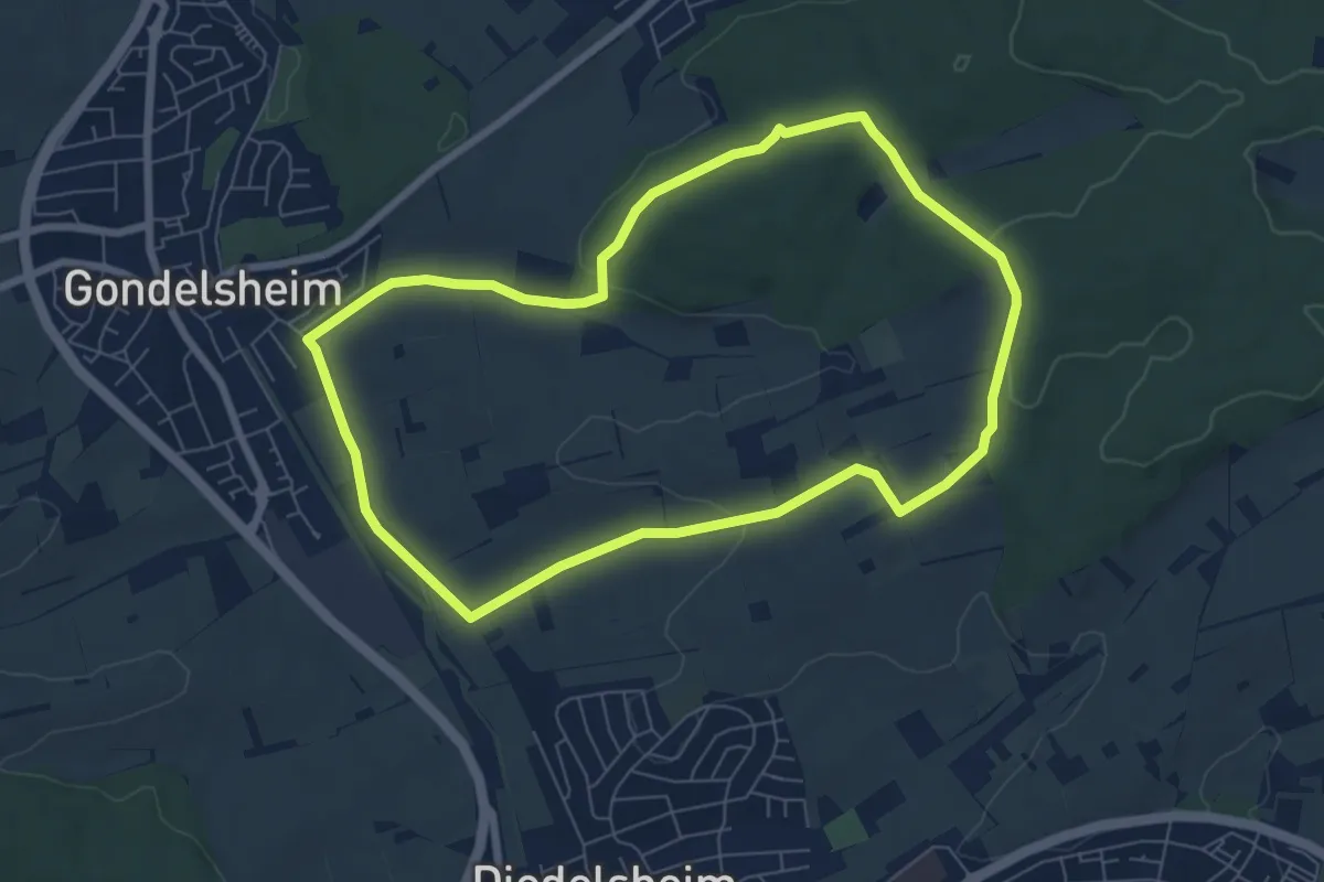
Easy · Trail
Mühlenweg
6.6 km · ↑ 117 m · 1 h 55 min
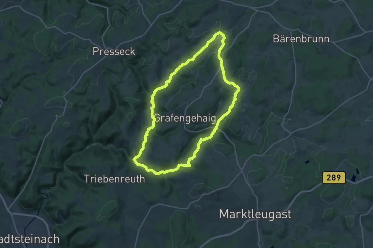
Medium · Trail
Mühlenweg
16.2 km · ↑ 306 m · 4 h 42 min
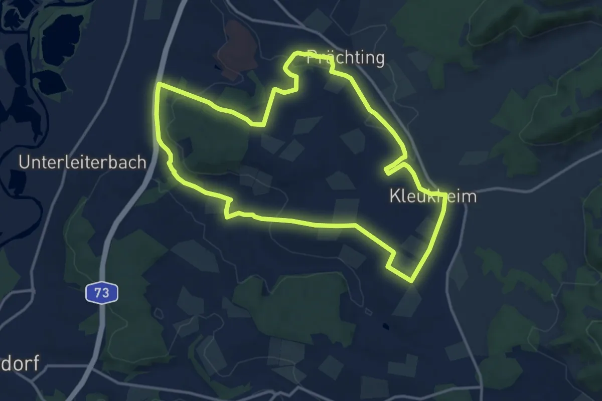
Medium · Trail
Mühlenweg
11.3 km · ↑ 145 m · 3 h 9 min
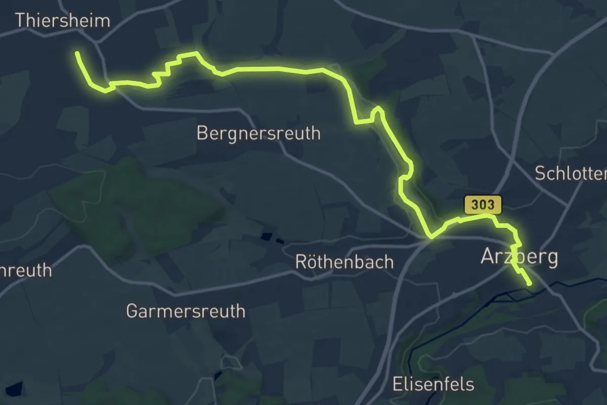
Medium · Trail
Mühlenweg
13.9 km · ↑ 150 m · 3 h 36 min
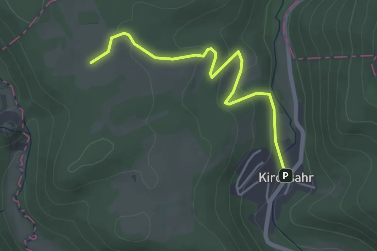
Easy · Trail
Mühlenweg
3.3 km · ↑ 119 m · 1 h 3 min
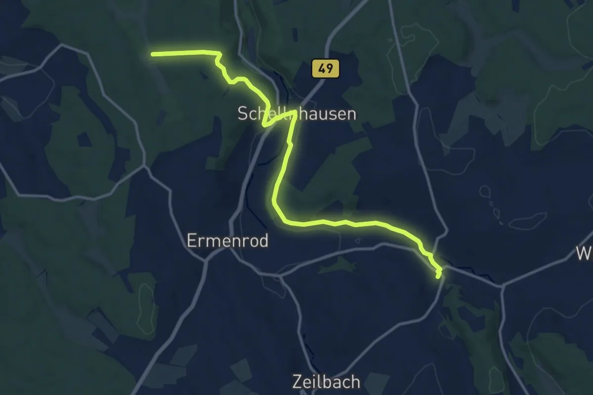
Medium · Trail
Mühlenweg
11.4 km · ↑ 143 m · 3 h
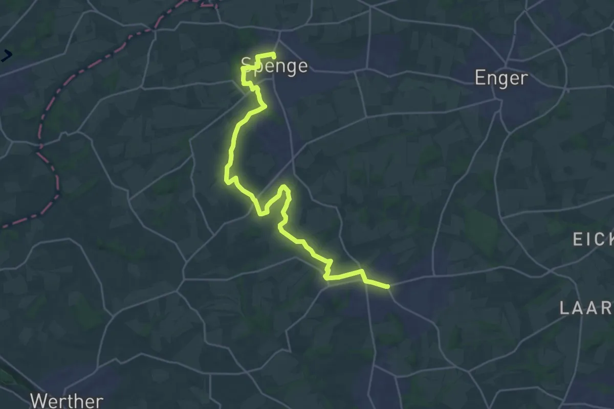
Demanding · Trail
Mühlenweg
22.5 km · ↑ 166 m · 5 h 40 min
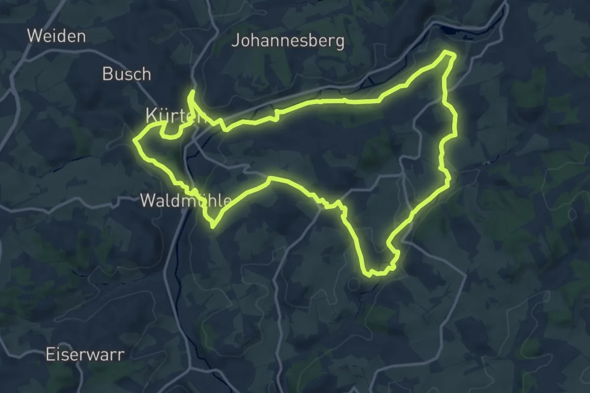
Medium · Summit
Mühlenweg [7]
13.3 km · ↑ 297 m · 3 h 59 min
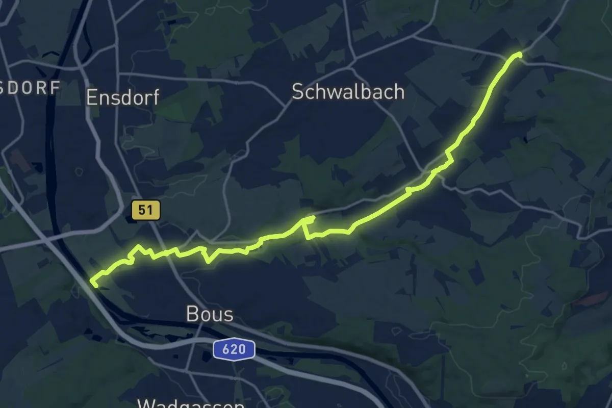
Medium · Trail
Mühlenweg - durch das Sprenger Bachtal
17.7 km · ↑ 117 m · 4 h 26 min
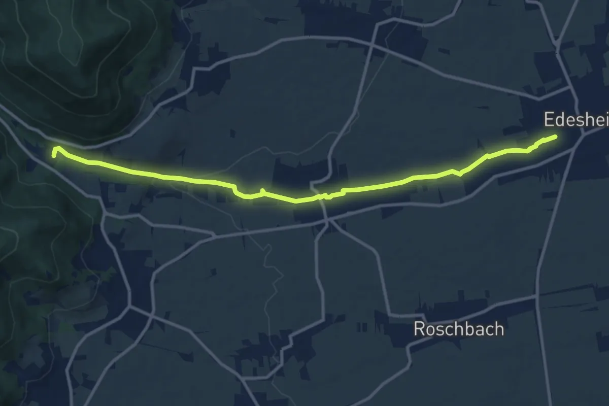
Medium · Trail
Mühlenweg Edesheim
10.4 km · ↑ 84 m · 2 h 38 min
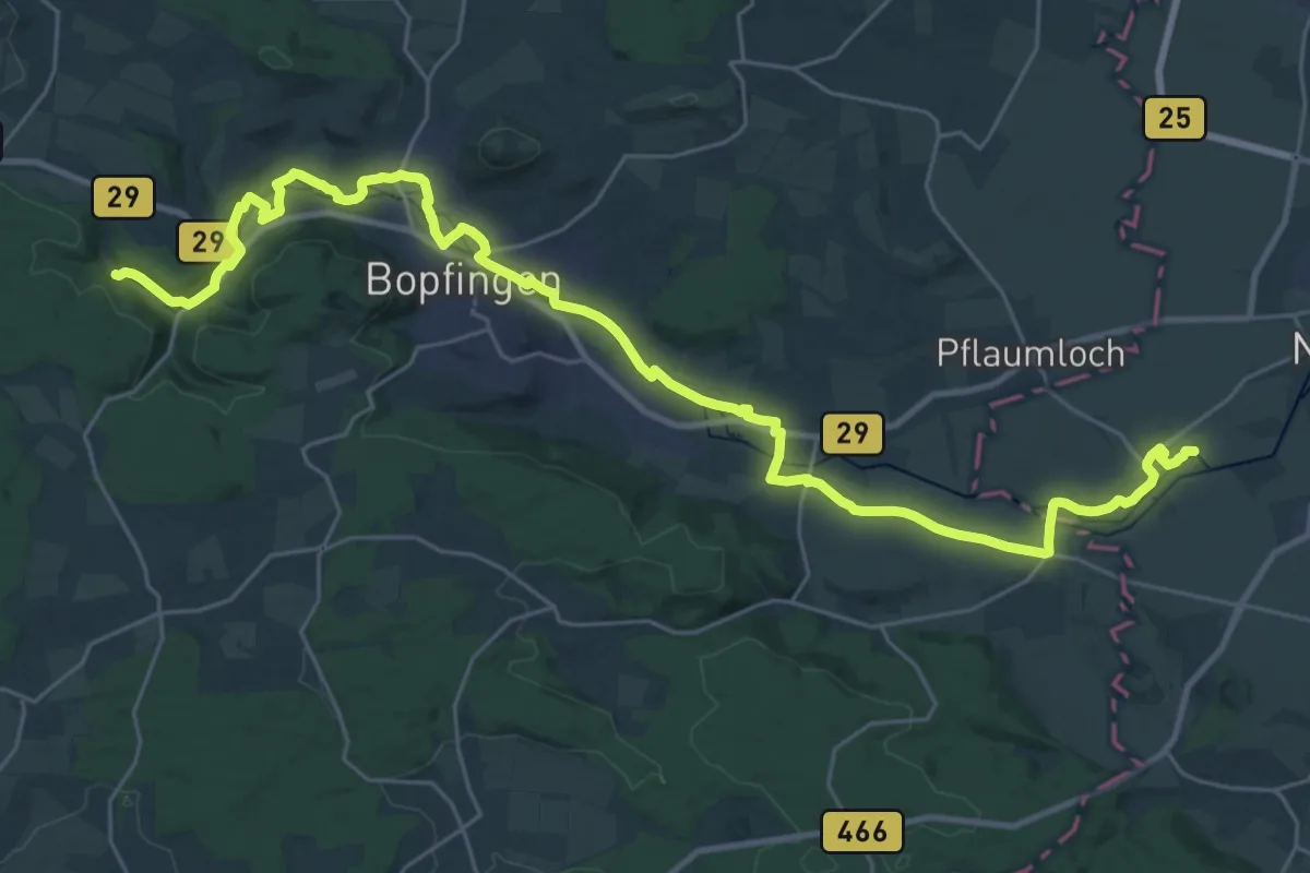
Medium · Trail
Mühlenweg Eger
17.4 km · ↑ 53 m · 4 h 30 min
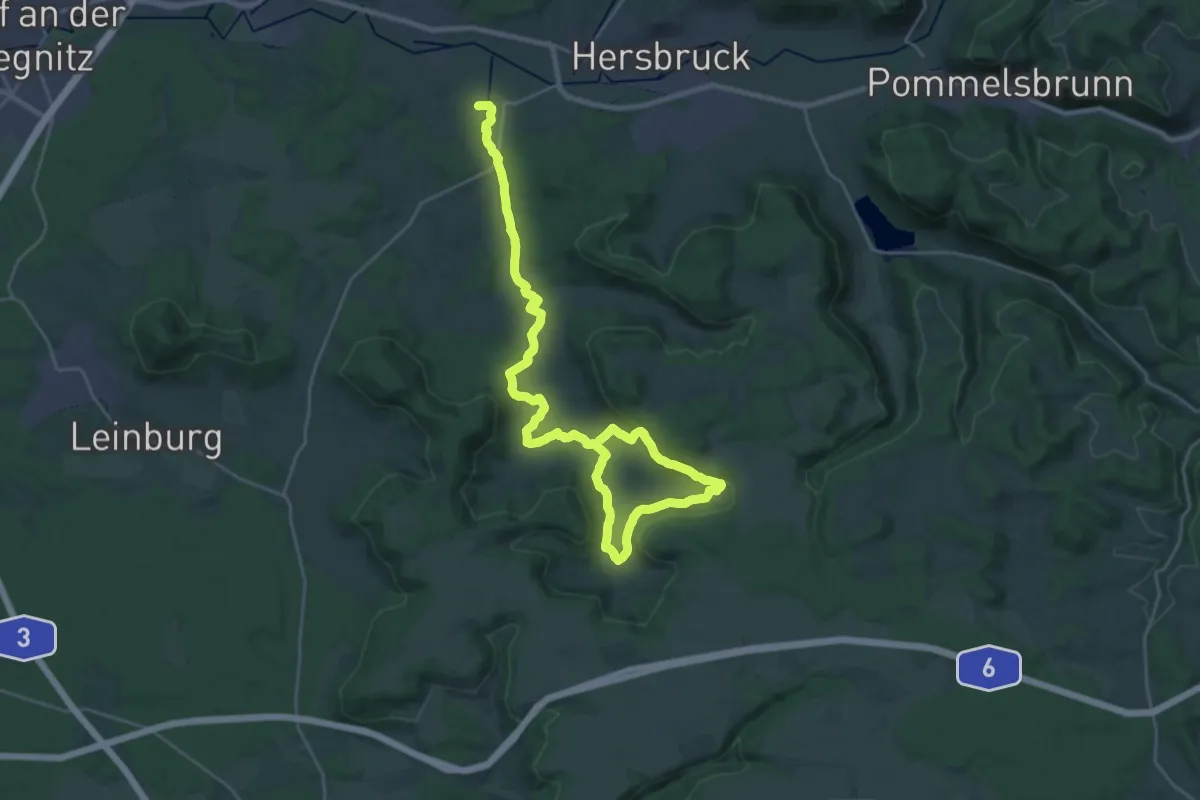
Medium · Trail
Mühlenweg Hammerbachtal
16.3 km · ↑ 318 m · 4 h 45 min
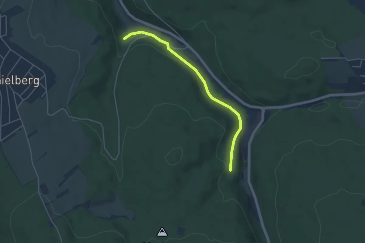
Easy · Trail
Mühlenweg - Oberes Maisenbachtal
3.6 km · ↑ 95 m · 1 h 3 min
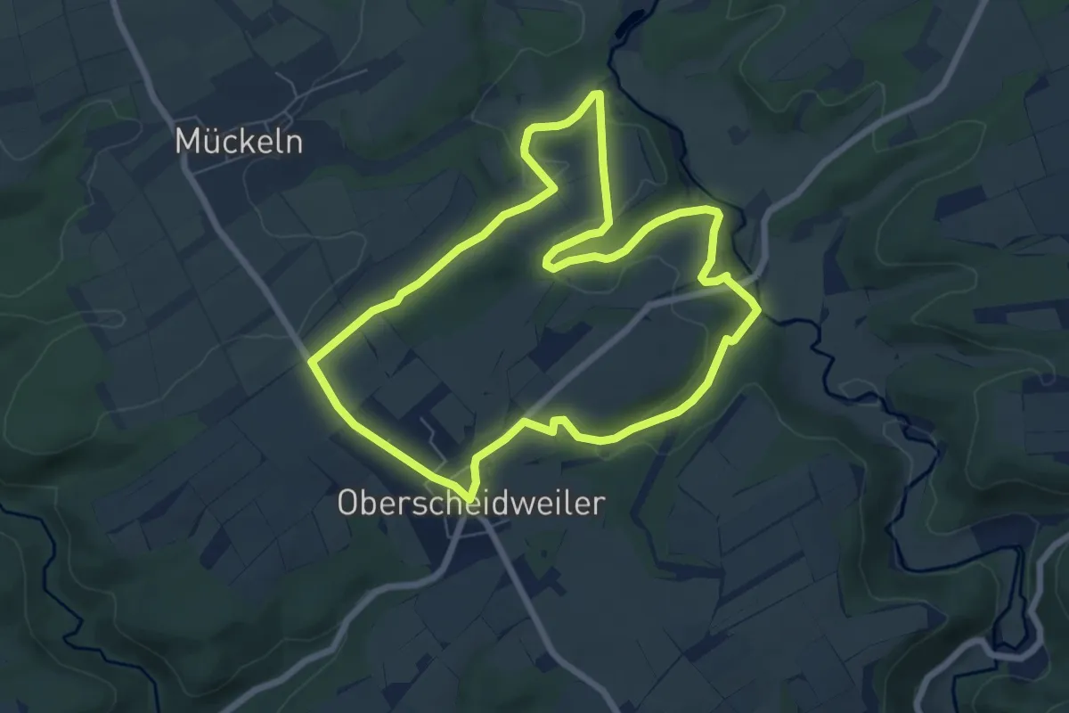
Easy · Trail
Mühlenweg Oberscheidweiler
6.3 km · ↑ 124 m · 1 h 50 min
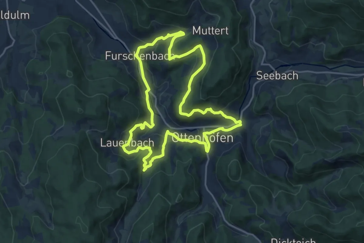
Medium · Trail
Mühlenweg Ottenhöfen
11.7 km · ↑ 535 m · 4 h 6 min
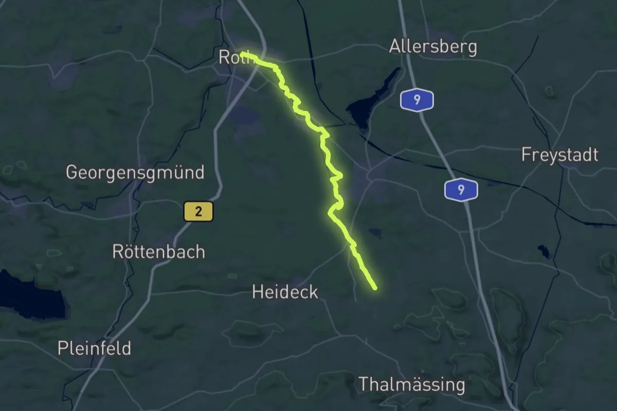
Demanding · Trail
Mühlenweg (Roth)
18.9 km · ↑ 162 m · 5 h 6 min
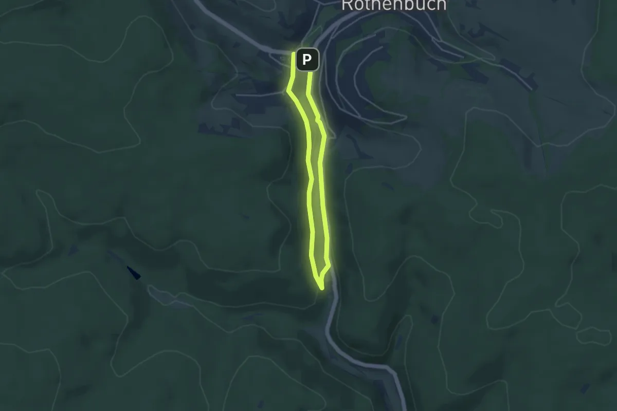
Easy · Trail
Mühlenweg Rothenbuch
3.0 km · ↑ 39 m · 50 min
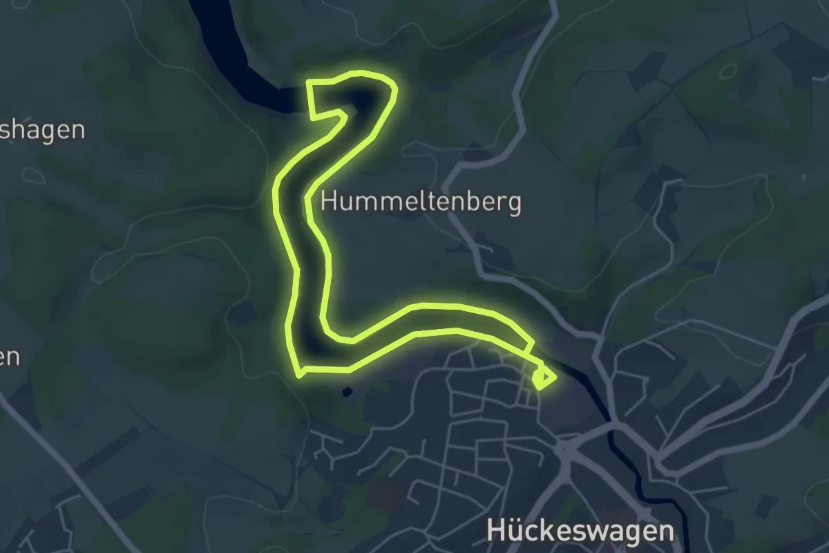
Easy · Trail
Mühlenweg Rundweg A9
4.5 km · ↑ 60 m · 1 h 15 min
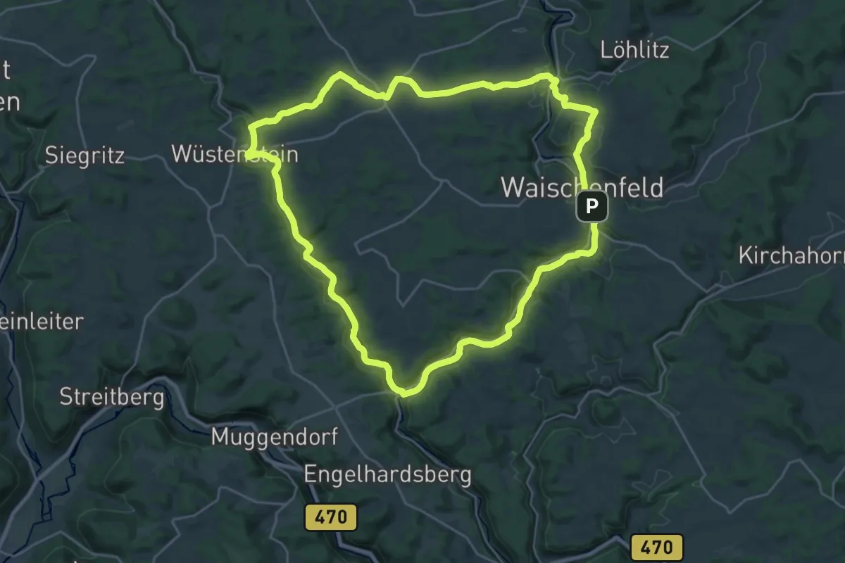
Demanding · Summit
Mühlenweg um Aufseß- und Wiesental
23.3 km · ↑ 277 m · 6 h 25 min
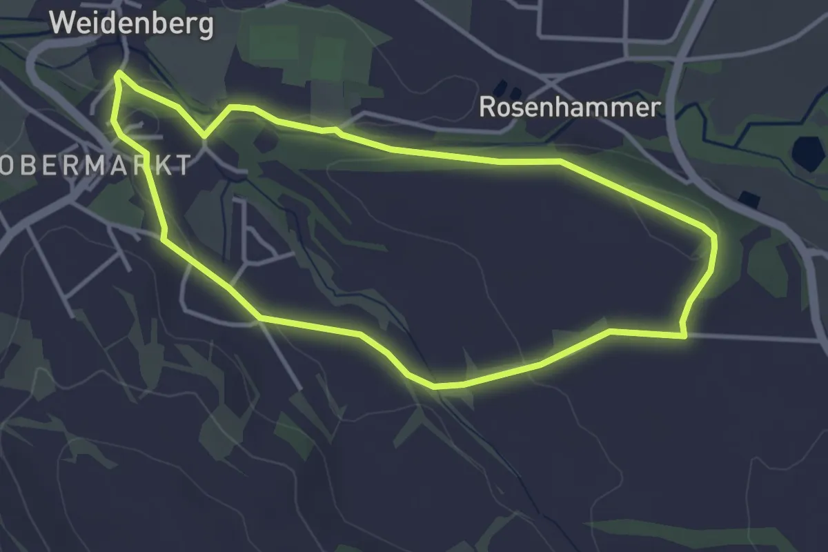
Easy · Trail
Mühlenweg Weidenberg
3.3 km · ↑ 43 m · 54 min
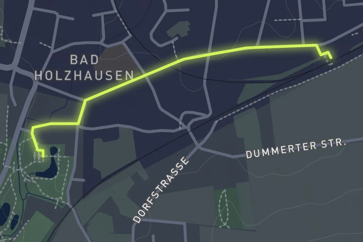
Easy · Trail
Mühlenweg ZUWEG
2.1 km · ↑ 4 m · 31 min
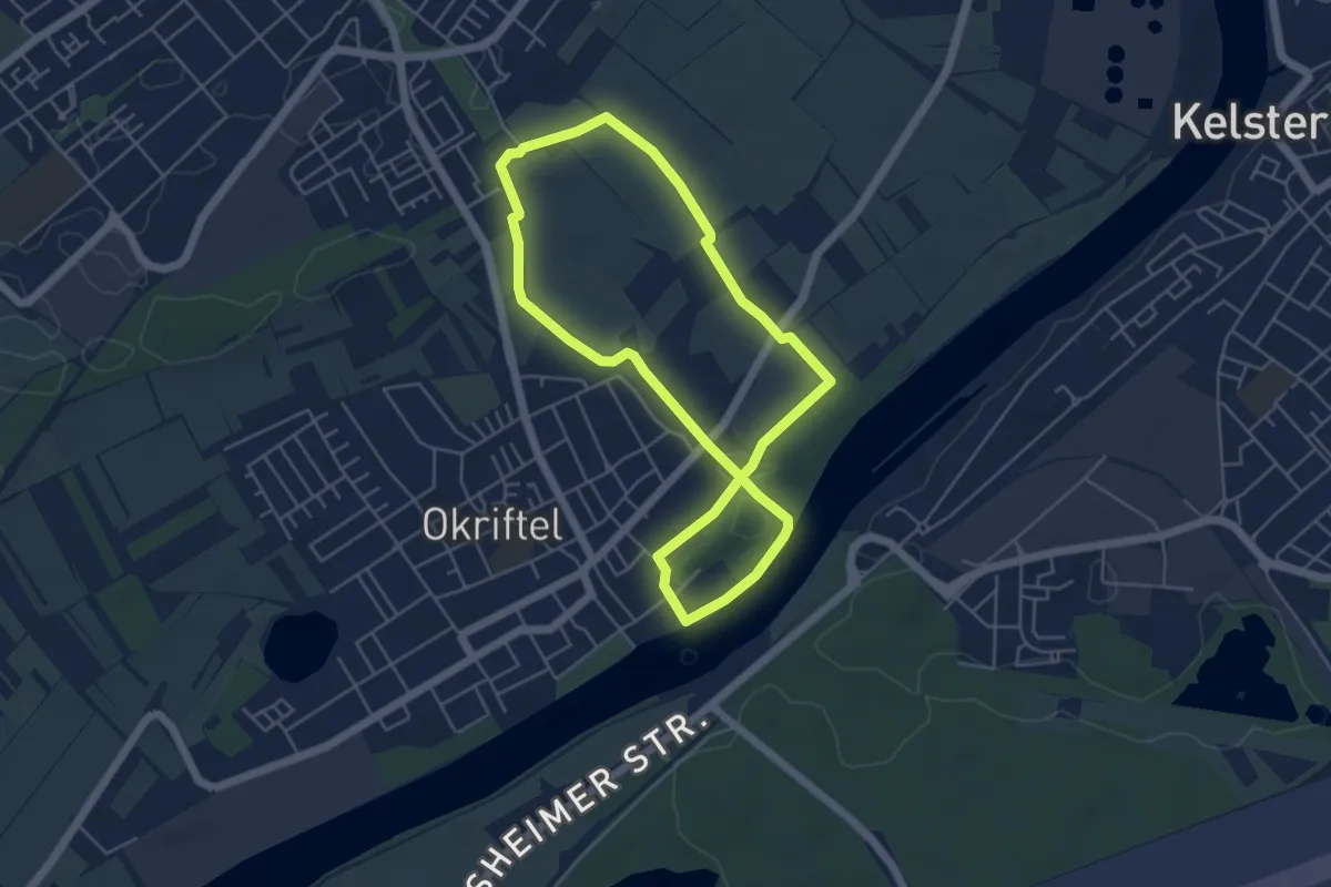
Easy · Trail
Mühlenwehr-Parcour Midi
4.4 km · ↑ 25 m · 1 h 9 min
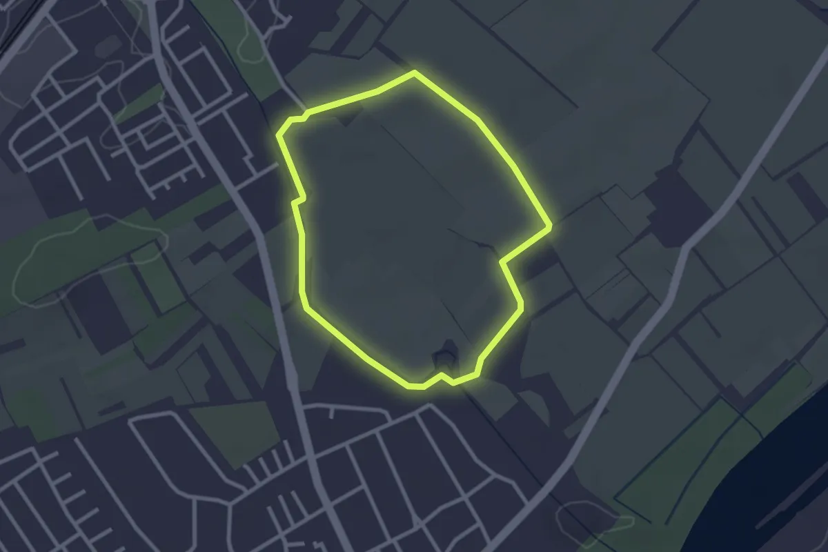
Easy · Trail
Mühlenwehr-Parcour Mini
2.2 km · ↑ 4 m · 33 min
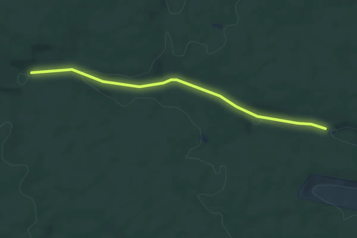
Easy · Trail
Mühlesteinbruch - Wieselsbach
4.5 km · ↑ 62 m · 1 h 11 min
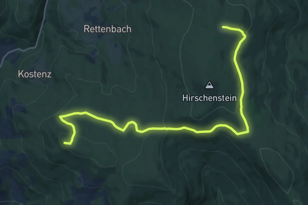
Medium · Summit
Mühlgrabenweg
14.2 km · ↑ 323 m · 4 h 2 min
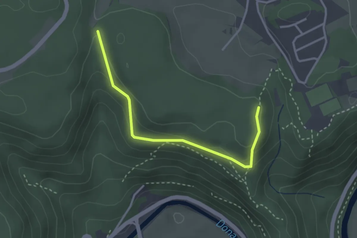
Easy · Trail
Mühlhalde - Irndorf
2.8 km · ↑ 114 m · 54 min
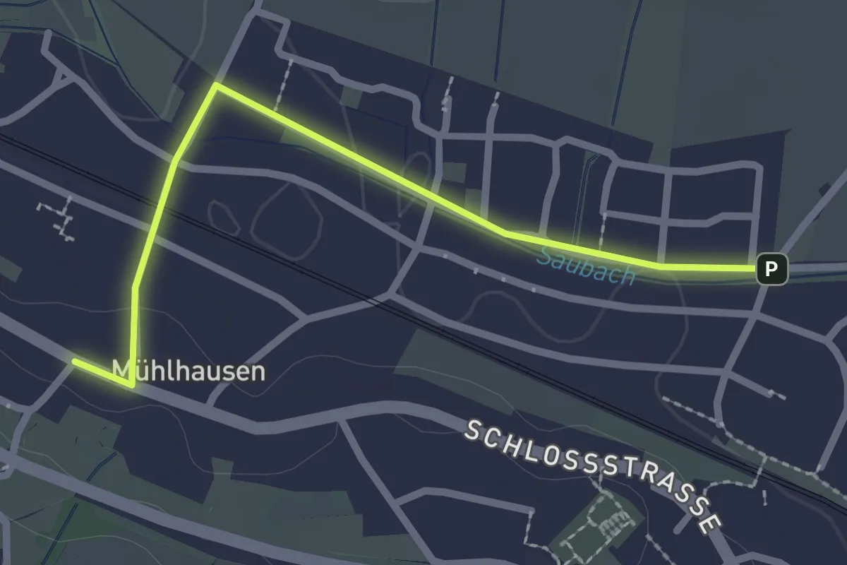
Easy · Trail
Mühlhausen Duchtlinger Steige - Mühlhausen Johannisbrücke
2.3 km · ↑ 18 m · 35 min
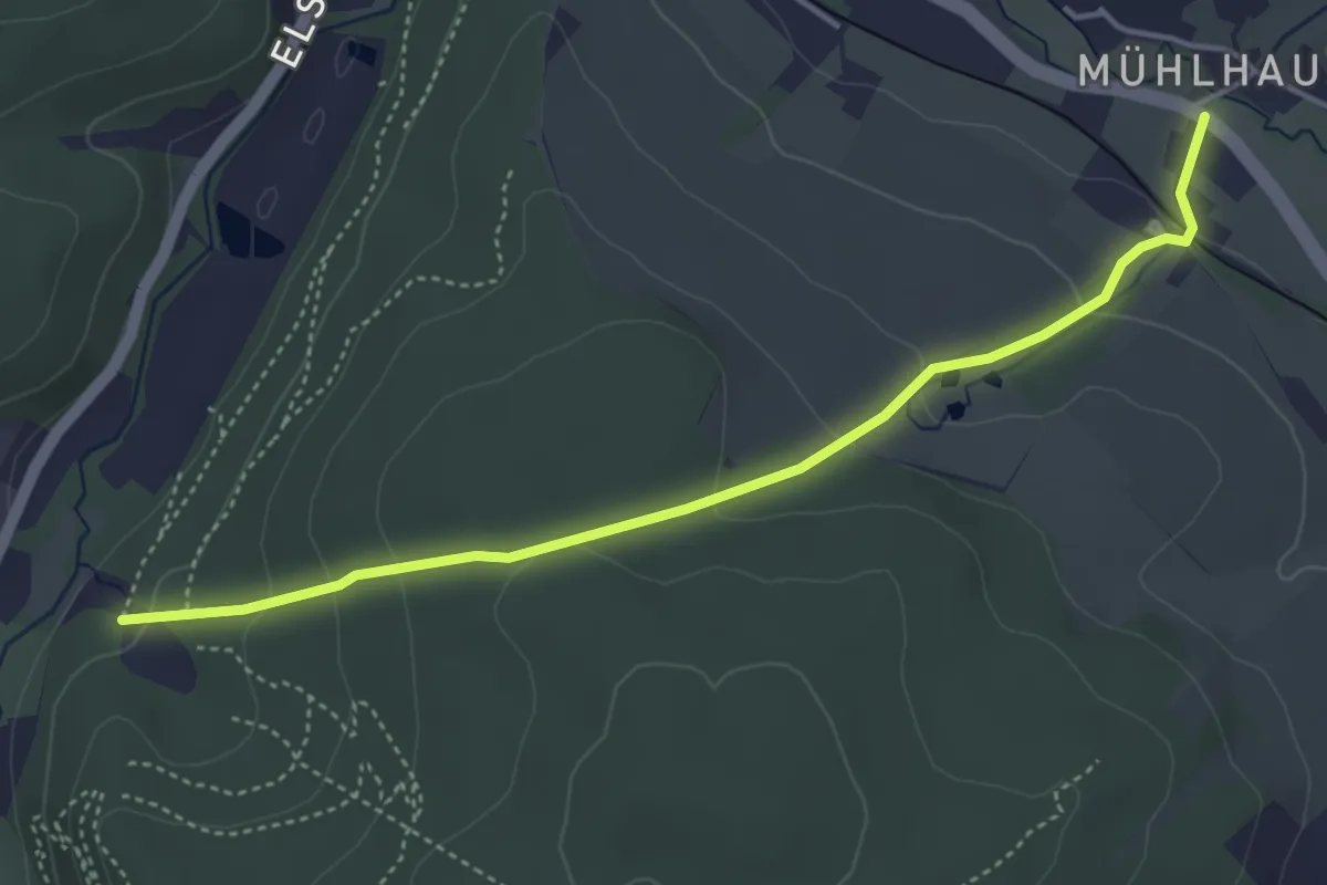
Easy · Trail
Mühlhausener Kirchsteig
4.1 km · ↑ 196 m · 1 h 24 min
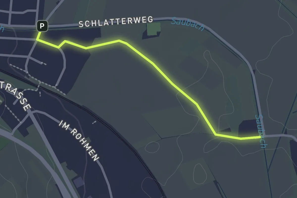
Easy · Trail
Mühlhausen Johannisbrücke - Schlatter Weg
2.2 km · ↑ 4 m · 32 min
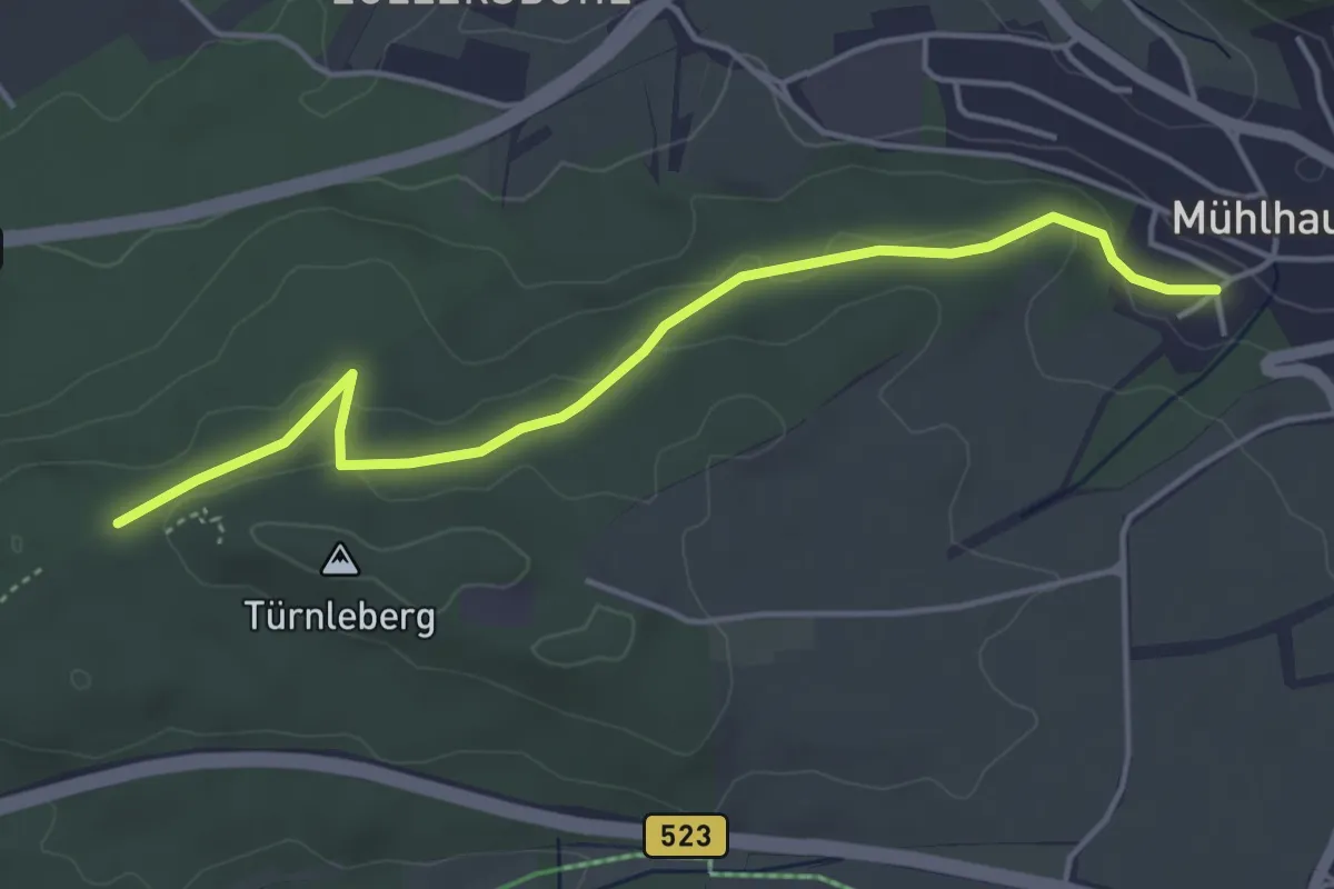
Easy · Trail
Mühlhausen Ortholzweg - Am Türnleberg
4.4 km · ↑ 115 m · 1 h 17 min
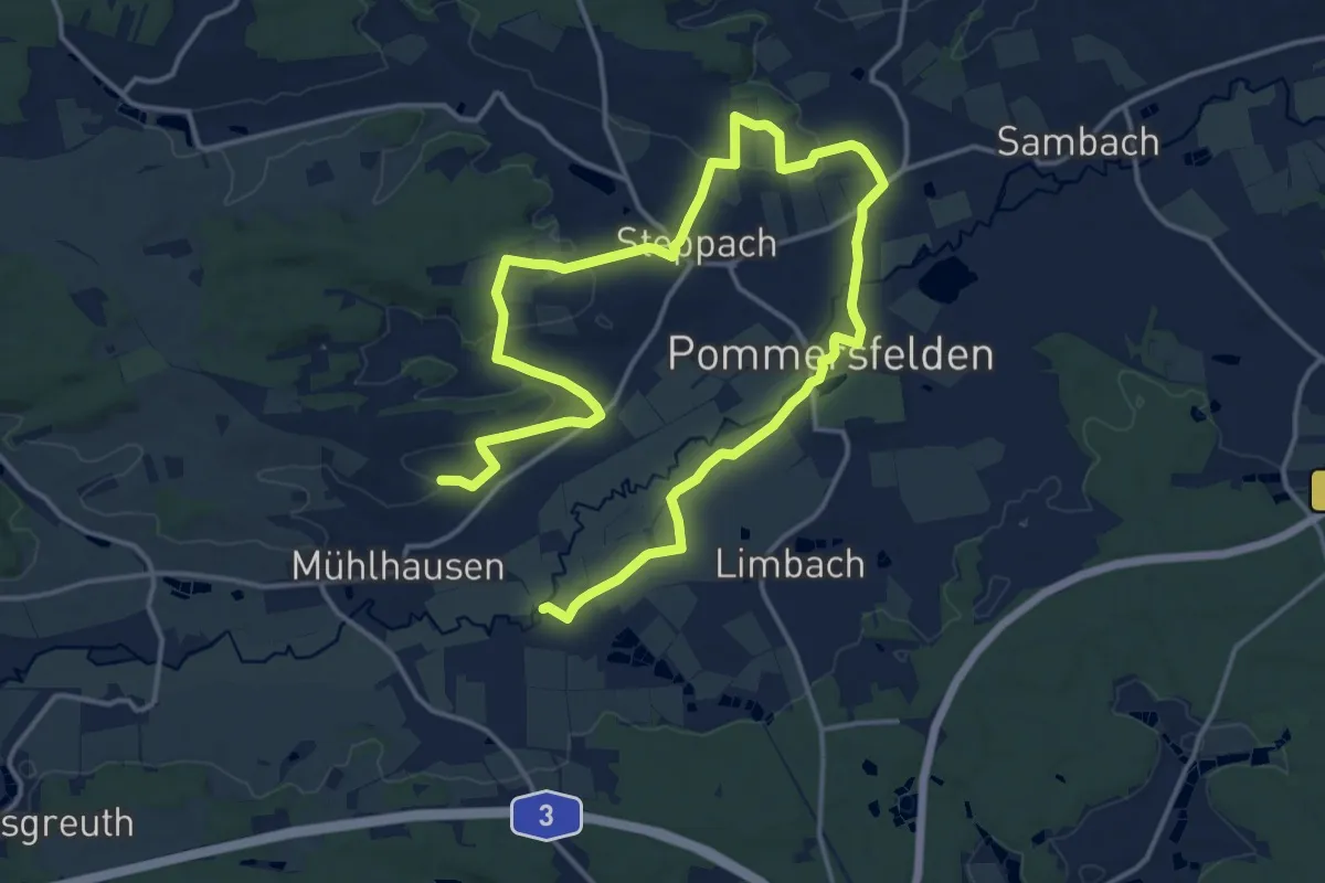
Medium · Trail
Mühlhauser Weg Weg Pommersfelden
11.7 km · ↑ 148 m · 3 h 14 min
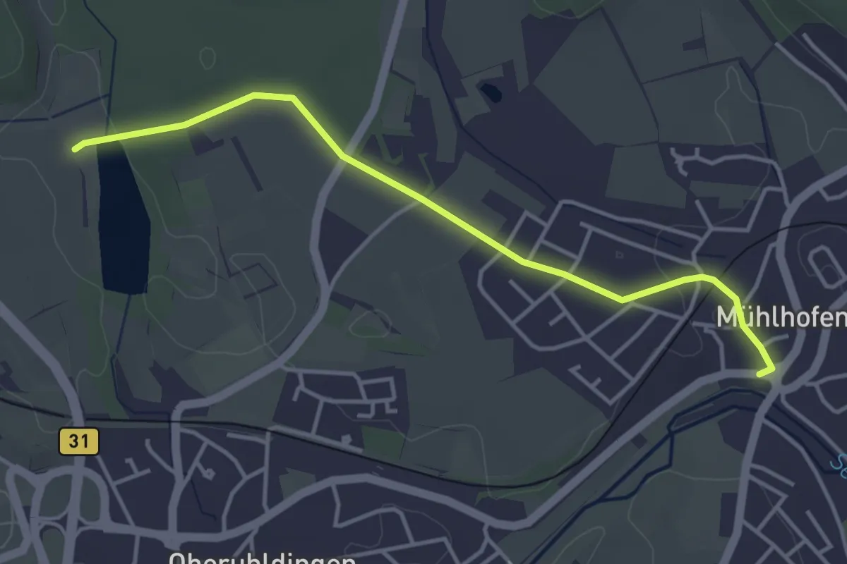
Easy · Trail
Mühlhofen - Birnau
3.9 km · ↑ 40 m · 1 h 1 min
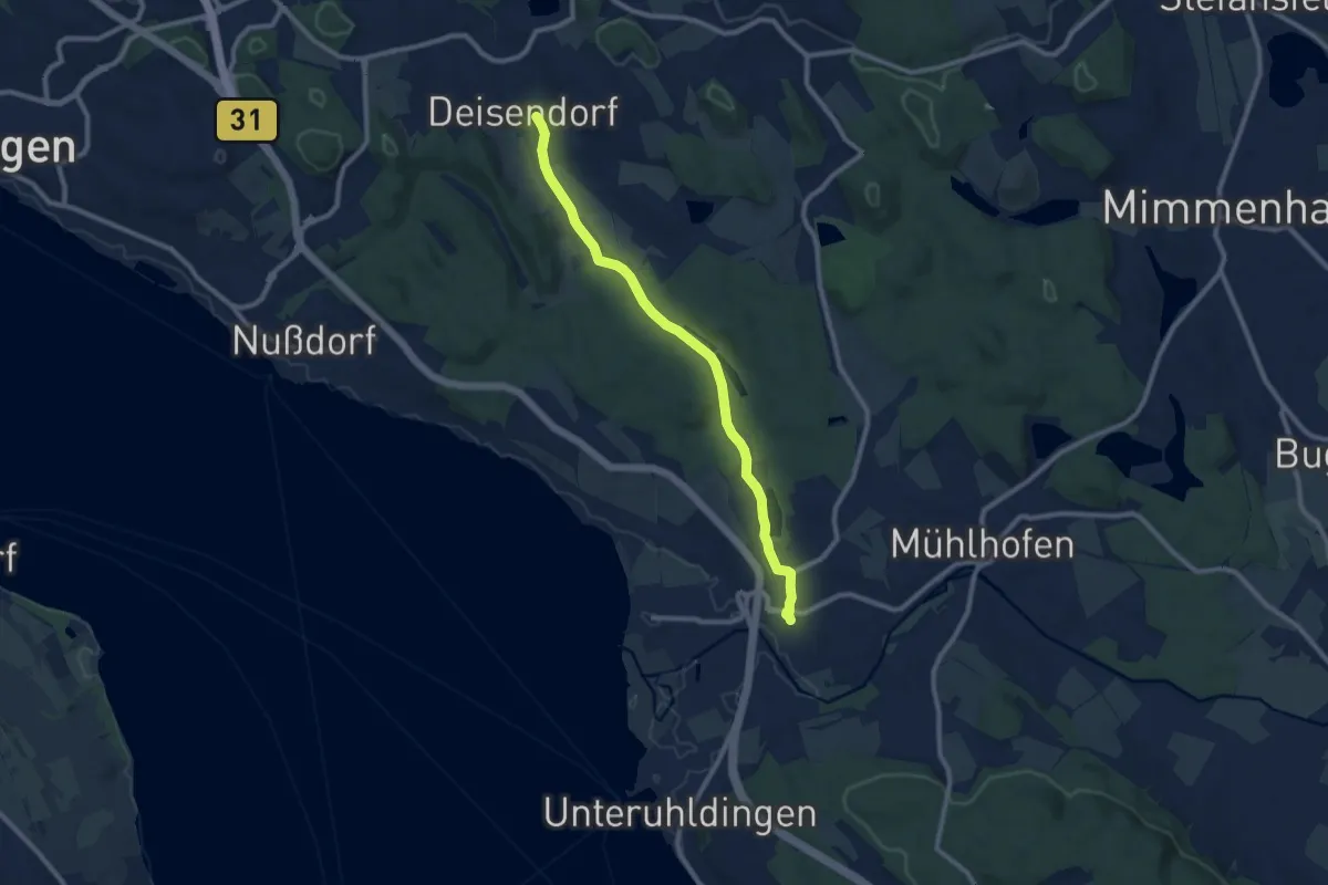
Medium · Trail
Mühlhofen - Deisendorf
9.0 km · ↑ 105 m · 2 h 21 min
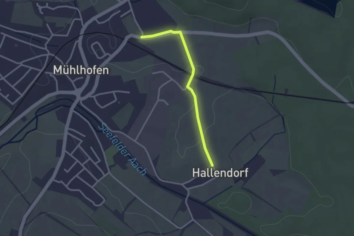
Easy · Trail
Mühlhofen - Hallendorf
2.2 km · ↑ 22 m · 33 min
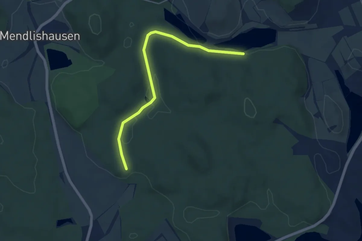
Easy · Trail
Mühlhofen - Martinsweiher
4.3 km · ↑ 75 m · 1 h 10 min
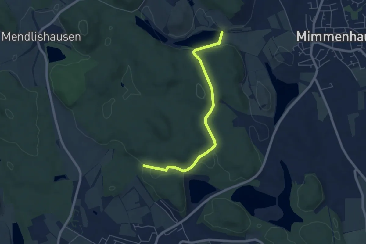
Easy · Trail
Mühlhofen - Martinsweiher
5.0 km · ↑ 87 m · 1 h 23 min
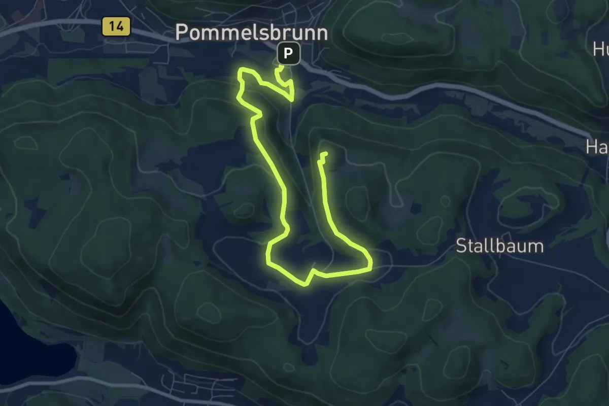
Medium · Summit
Mühlkoppe-Rundweg
9.9 km · ↑ 241 m · 2 h 52 min
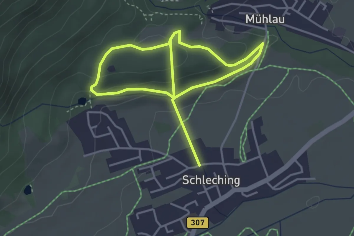
Medium · Trail
Mühlradlweg
5.5 km · ↑ 195 m · 1 h 43 min
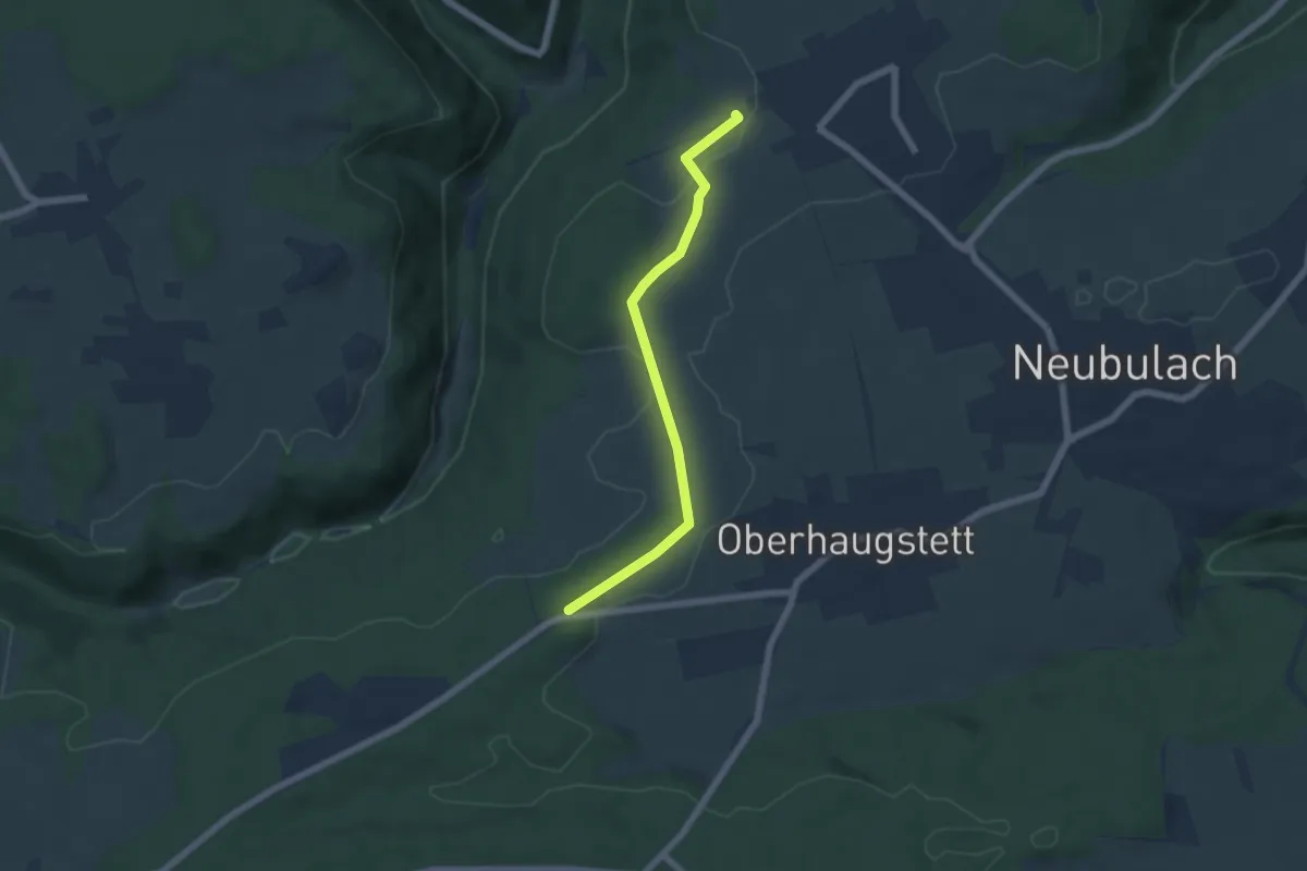
Easy · Trail
Mühlrain - Hummelberg
5.3 km · ↑ 68 m · 1 h 24 min
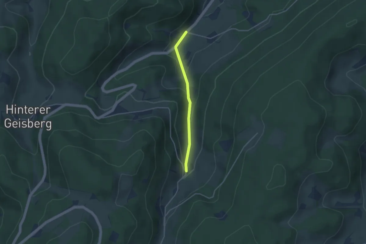
Easy · Trail
Mühlsbach-Fixenhof - Harmersbach
2.6 km · ↑ 112 m · 51 min
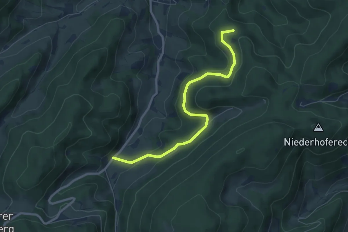
Easy · Summit
Mühlsbach-Fixenhof - Lachen
6.3 km · ↑ 238 m · 2 h
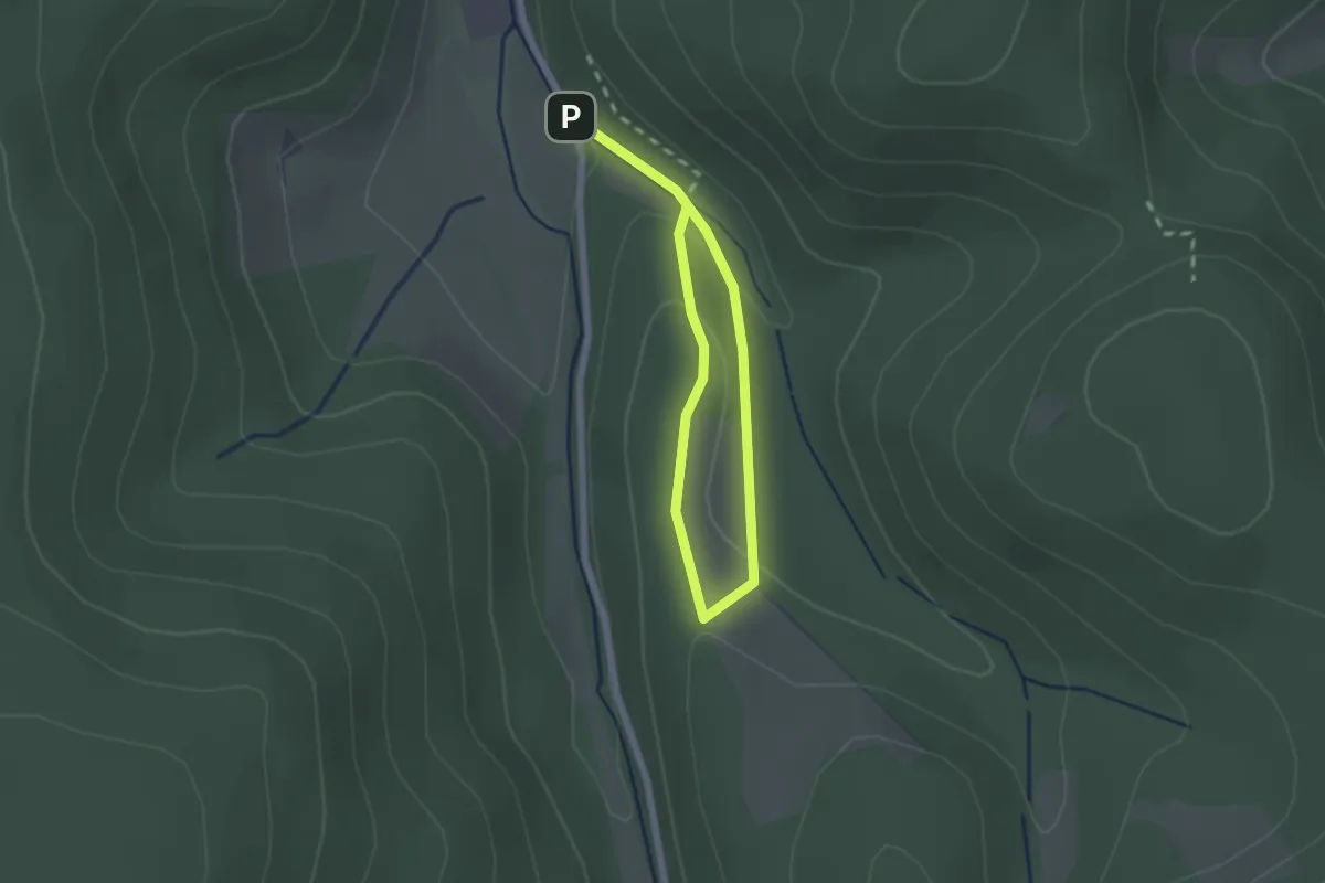
Easy · Trail
Mühlscheider Bach Rundweg A1
2.6 km · ↑ 83 m · 47 min
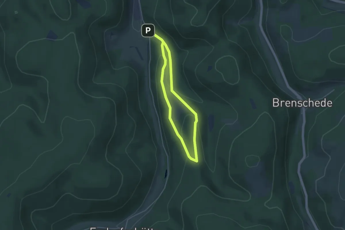
Easy · Trail
Mühlscheider Bach Rundweg A2
2.7 km · ↑ 98 m · 53 min
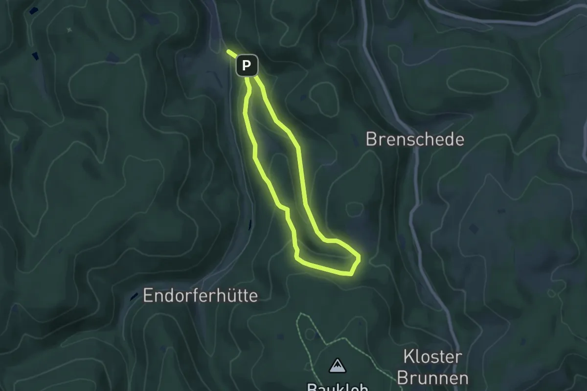
Easy · Trail
Mühlscheider Bach Rundweg A3
4.4 km · ↑ 152 m · 1 h 26 min
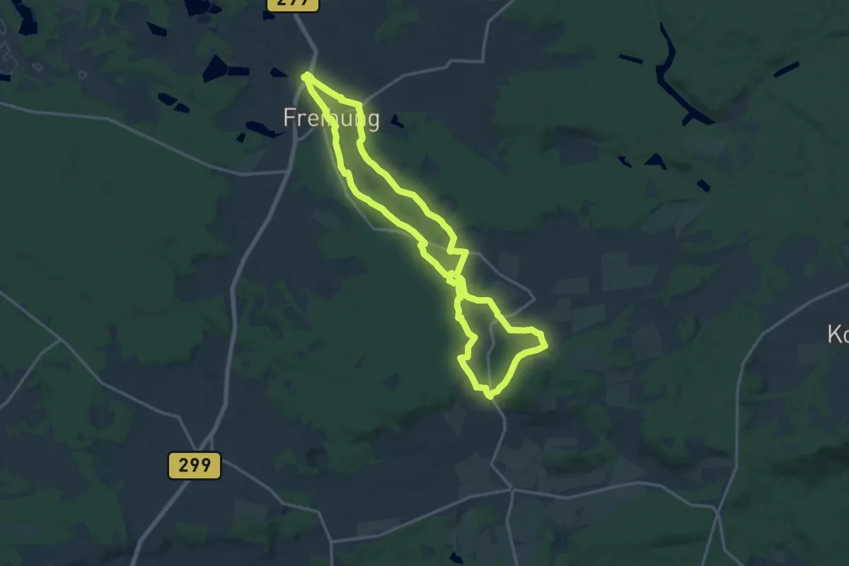
Medium · Trail
Mühlstein - Bleierzweg
13.9 km · ↑ 243 m · 4 h
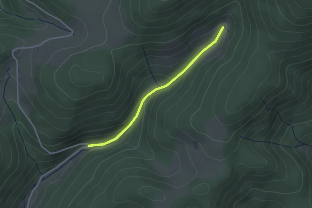
Easy · Trail
Mühlsteiner Rank - Schottenhöfen Herrmes
2.3 km · ↑ 114 m · 47 min
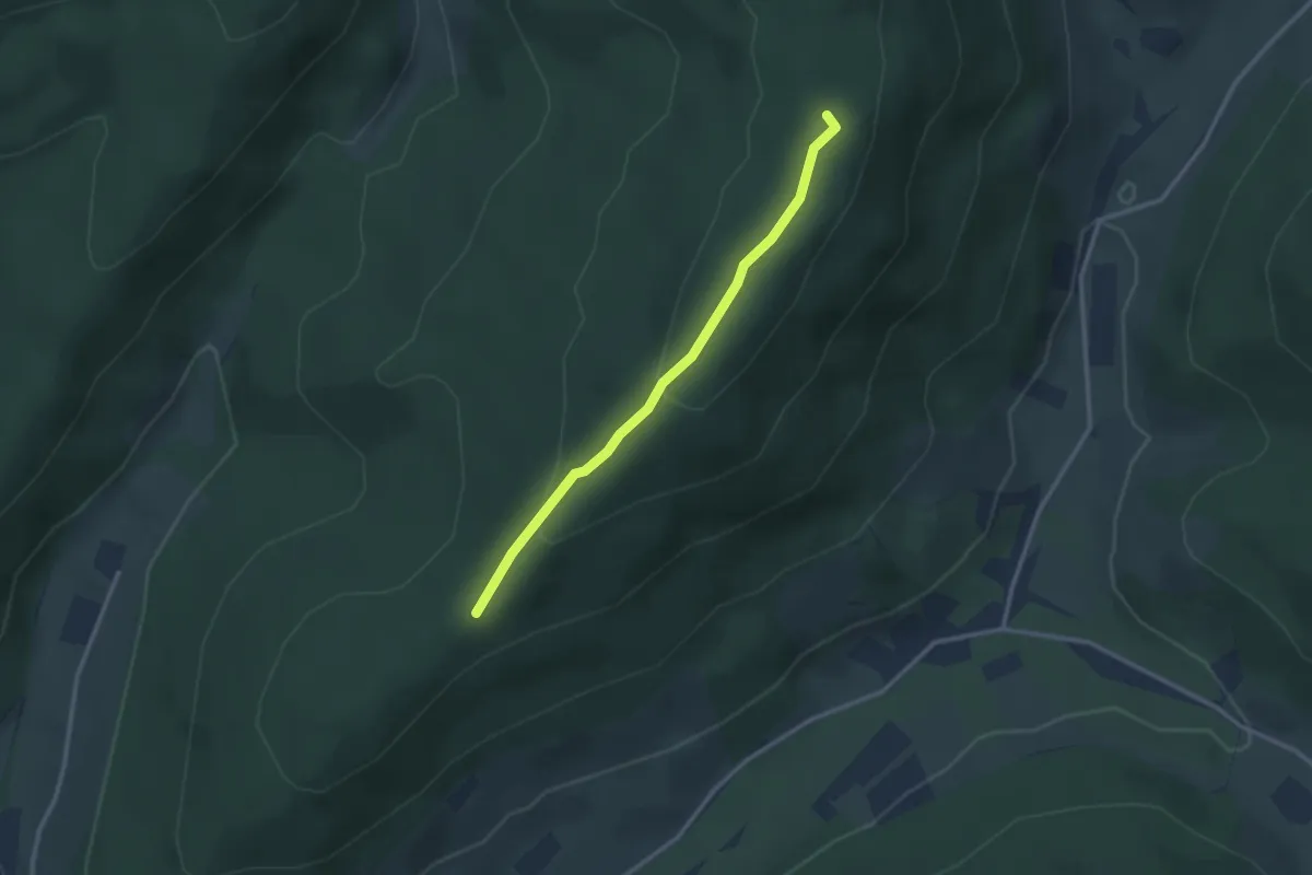
Easy · Trail
Mühlsteinplatz - Schwarzlach Langeck
2.6 km · ↑ 95 m · 49 min
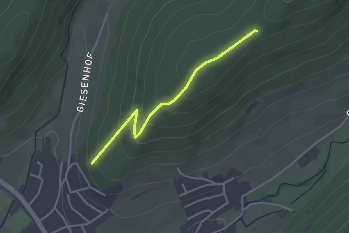
Easy · Trail
Mühlsteinplatz - Steinbruch Langeck
2.6 km · ↑ 131 m · 53 min