Trails in Germany
36,852 hiking trails, each with its route, climb, walking time and grade.
All trails, page 354 of 768
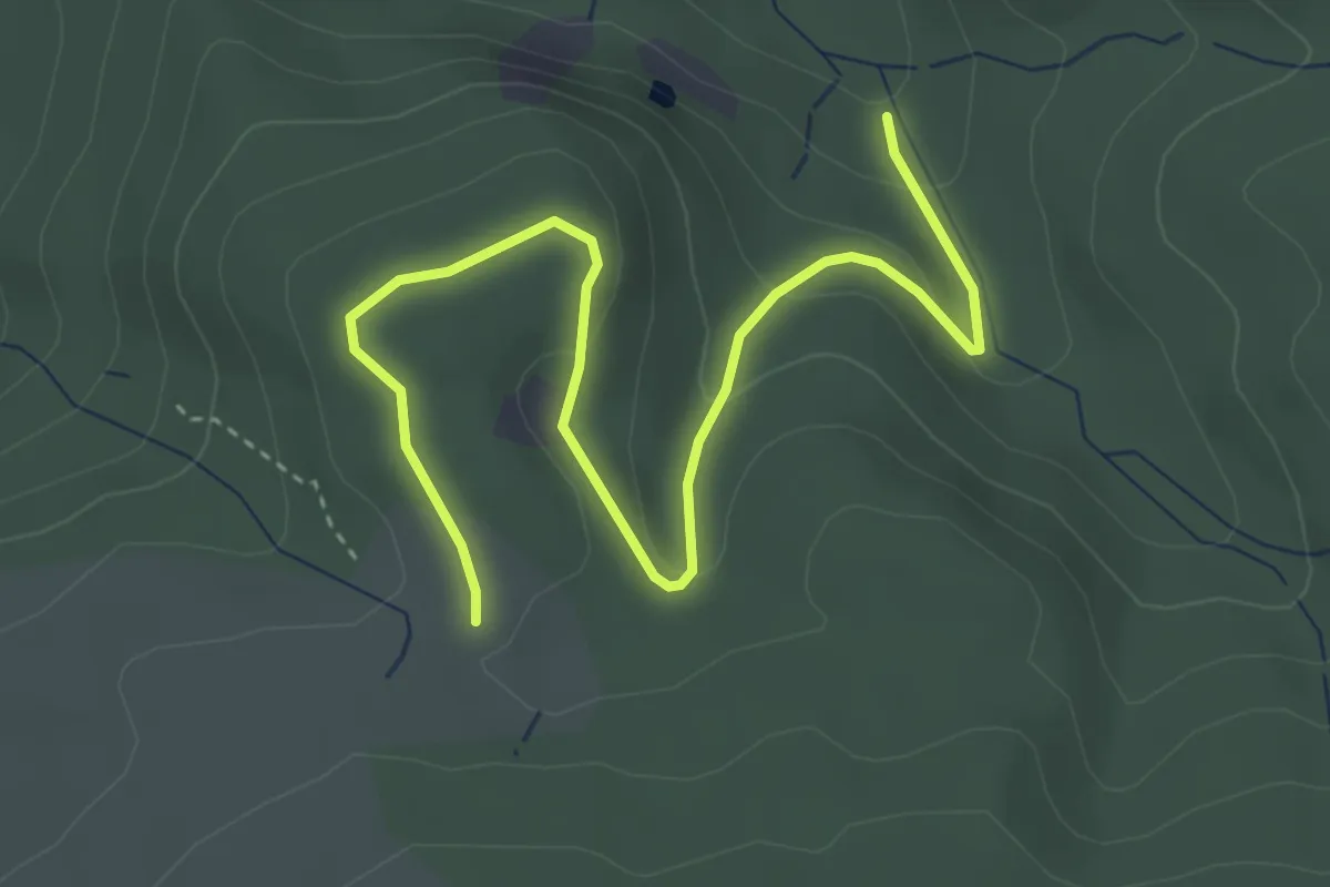
Easy · Trail
Mühlstein - Schwellmannsbrücke
4.4 km · ↑ 127 m · 1 h 18 min
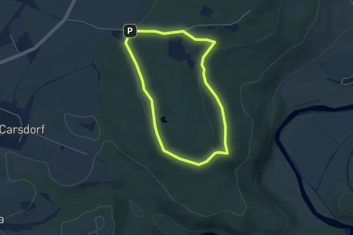
Easy · Trail
Mühlsteinweg Rochlitzer Berg
3.3 km · ↑ 48 m · 55 min
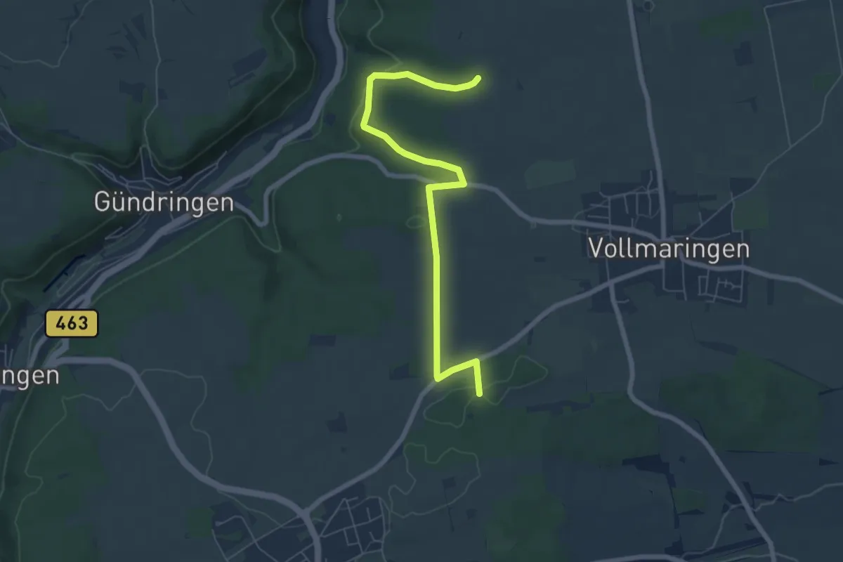
Easy · Trail
Mühltäle - Im Hau
6.7 km · ↑ 153 m · 1 h 55 min
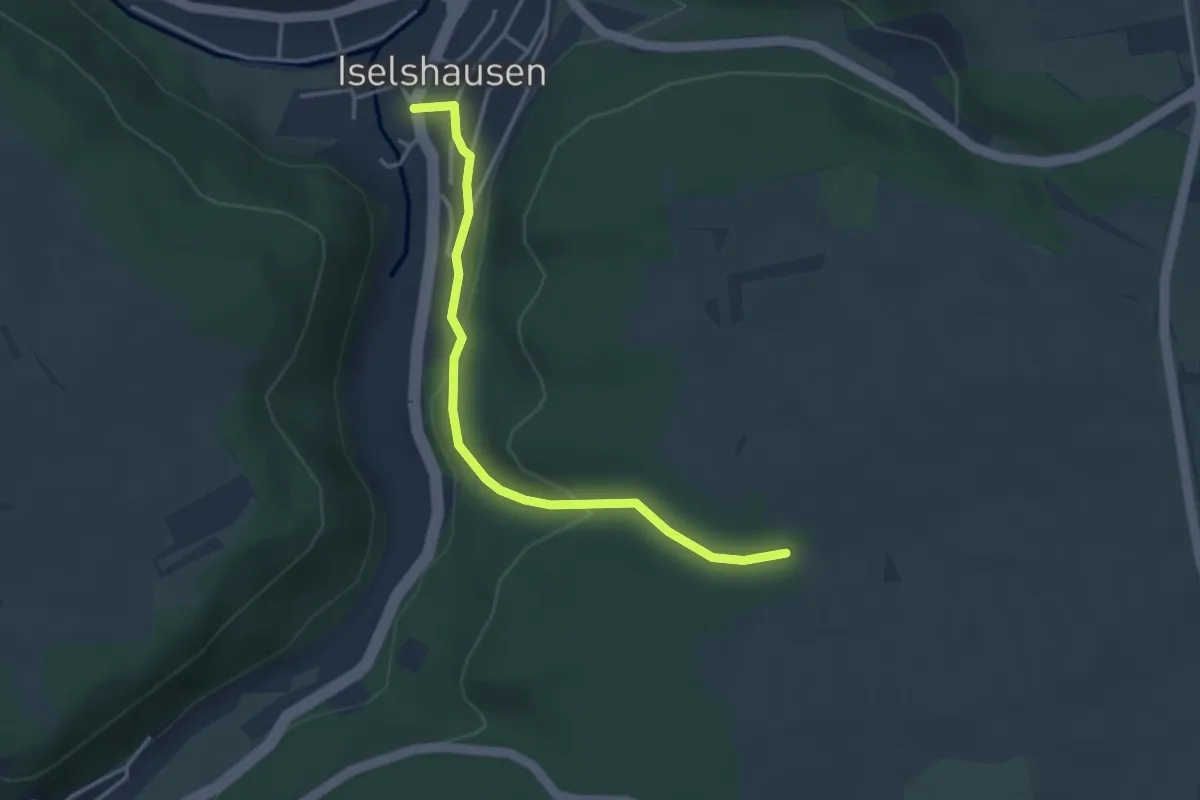
Easy · Trail
Mühltäle - Iselshausen
3.4 km · ↑ 118 m · 1 h 4 min
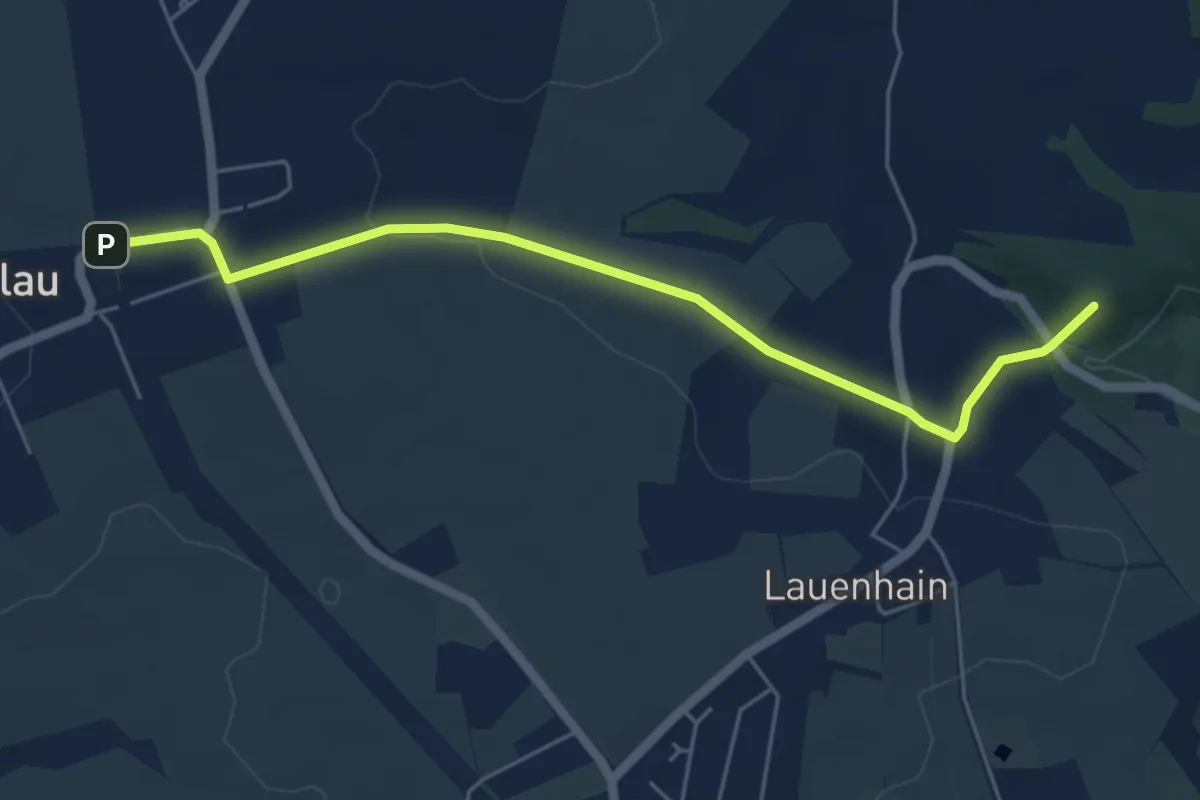
Easy · Summit
Mühlweg Erlau – Lauenhain
5.1 km · ↑ 66 m · 1 h 20 min
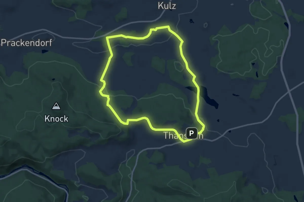
Medium · Trail
Mühlweiherweg "T 8"
9.0 km · ↑ 180 m · 2 h 38 min
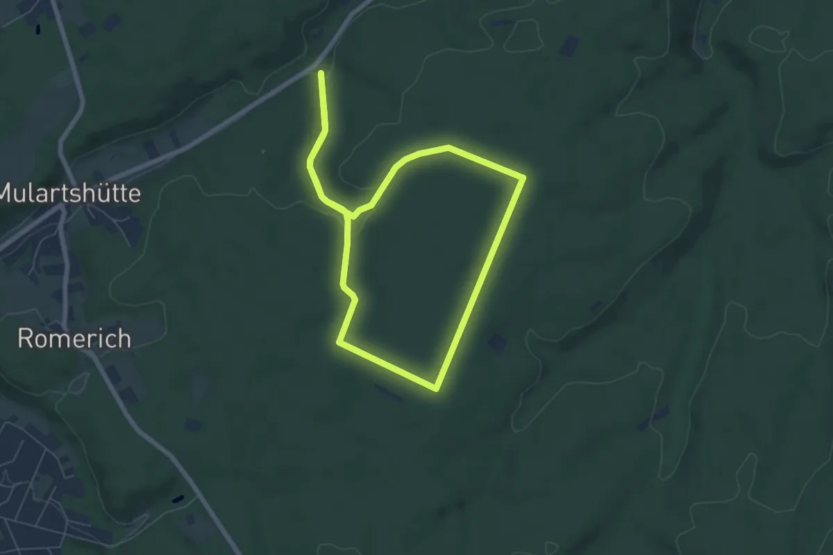
Easy · Trail
Mulartshütte A1
5.5 km · ↑ 86 m · 1 h 34 min
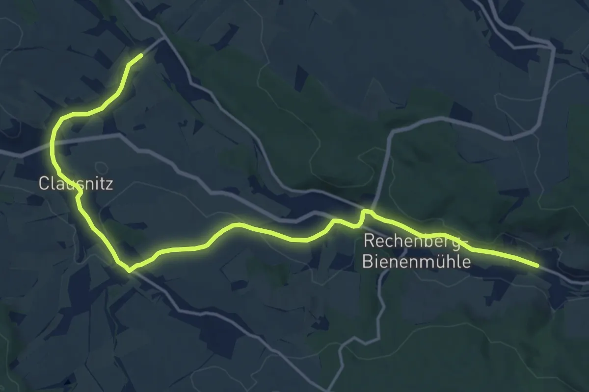
Medium · Trail
Muldental-Wanderweg (Freiberger Mulde)
15.0 km · ↑ 301 m · 4 h 12 min
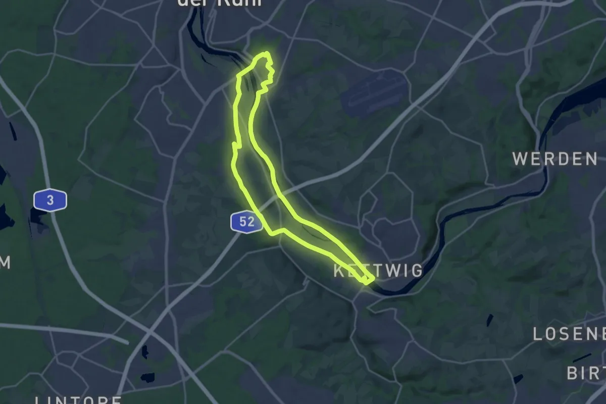
Medium · Trail
Mülheimer Bodenschätze
16.0 km · ↑ 98 m · 4 h 12 min
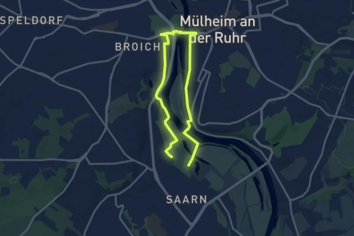
Easy · Trail
Mülheimer Bodenschätze - Bodenroute "Auf alten Wegen"
5.3 km · ↑ 30 m · 1 h 24 min
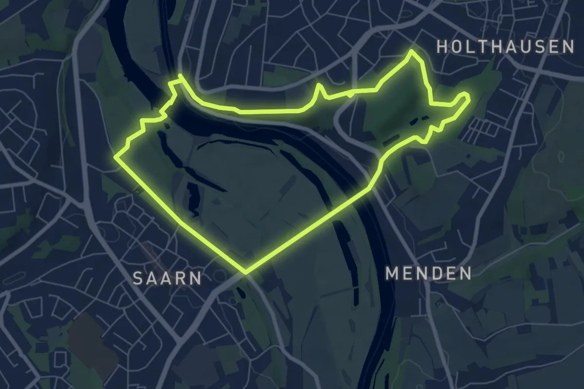
Easy · Trail
Mülheimer Bodenschätze - Bodenroute "Berg und Tal"
6.1 km · ↑ 73 m · 1 h 41 min
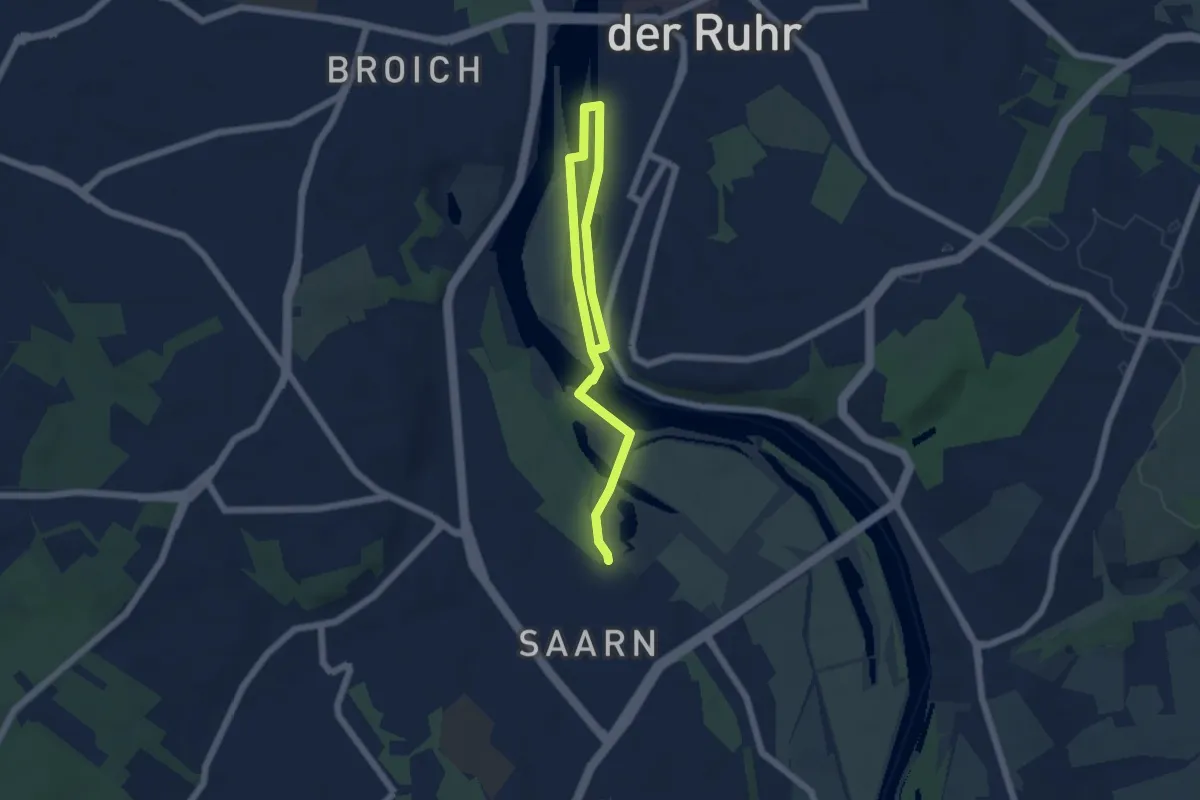
Easy · Trail
Mülheim Wasserbf Rundweg A8
3.2 km · ↑ 0 m · 48 min
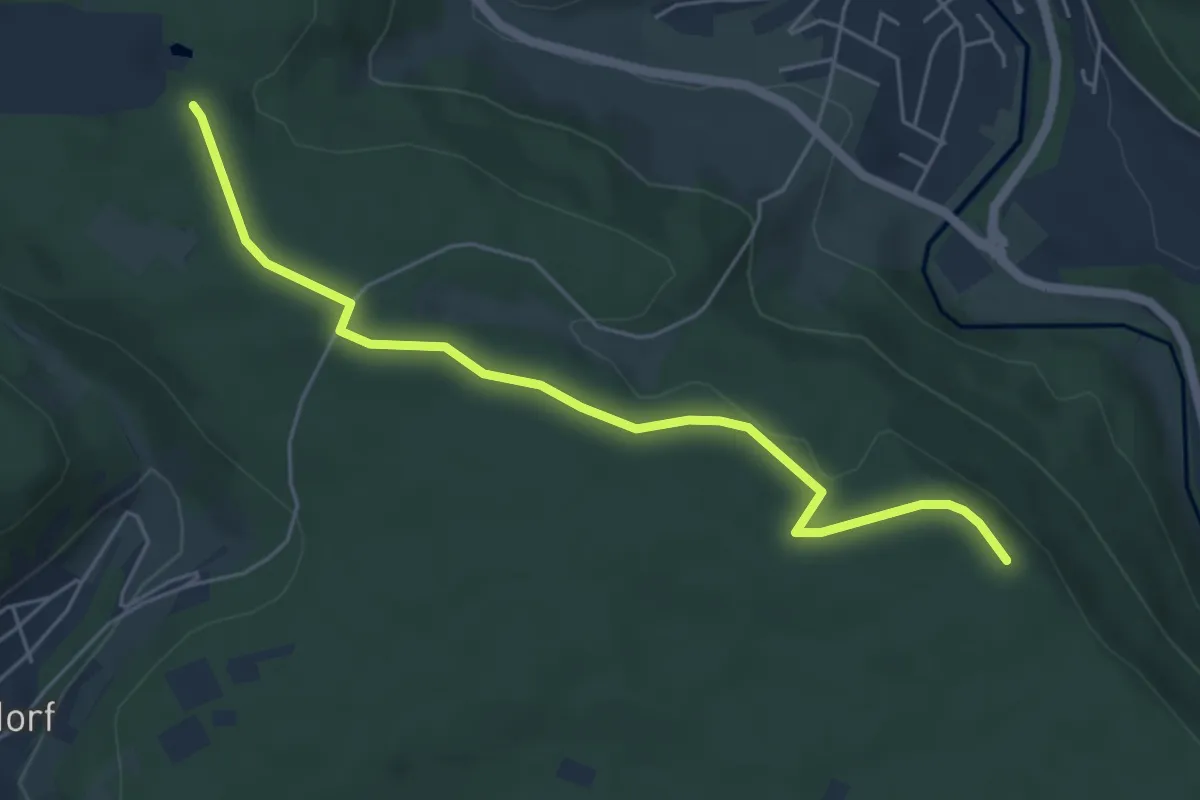
Easy · Trail
Mülldeponie - Stottele Hütte
5.3 km · ↑ 68 m · 1 h 24 min
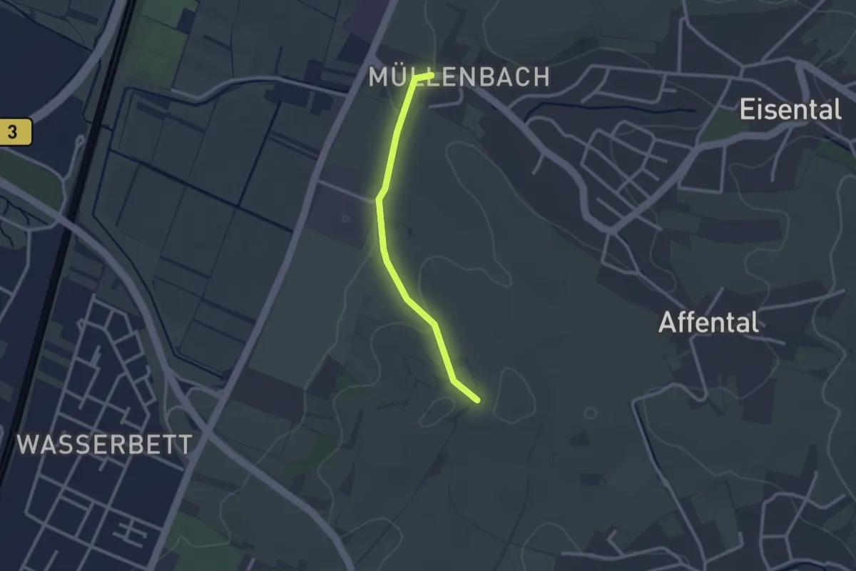
Easy · Trail
Müllenbach - Flurkreuz Schützenberg
2.1 km · ↑ 35 m · 35 min
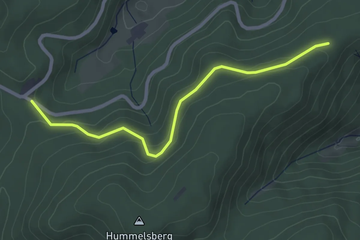
Easy · Trail
Müllenbild (Nachtigall) - Saulachkopfhütte
4.3 km · ↑ 144 m · 1 h 20 min
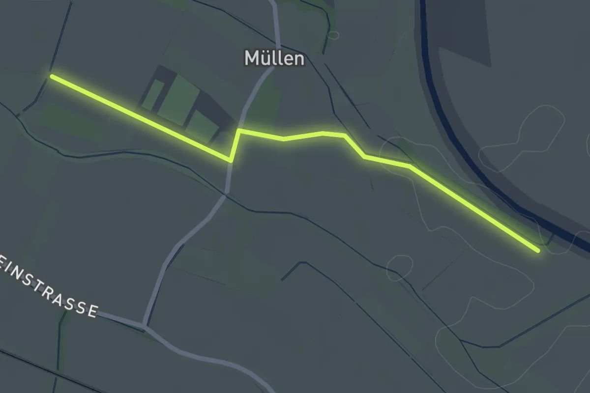
Easy · Trail
Müllen - Müllen Wehr
2.2 km · ↑ 8 m · 32 min
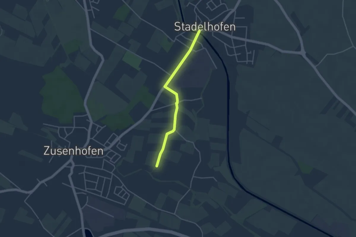
Easy · Trail
Müllen - Stadelhofen Renchbrücke
3.2 km · ↑ 0 m · 45 min
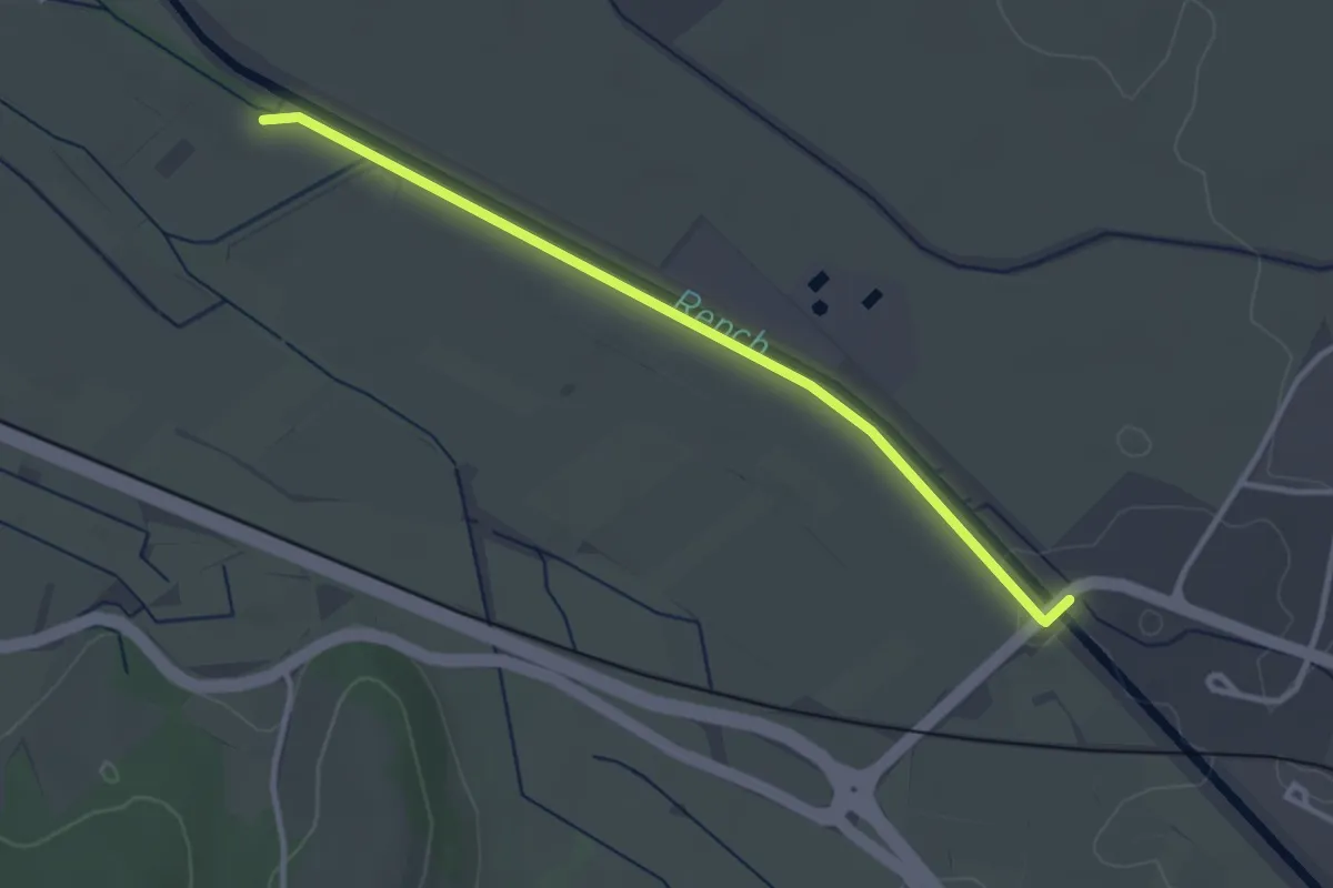
Easy · Trail
Müllen Wehr - Oberkirch Schlüsselbrücke
3.0 km · ↑ 9 m · 44 min
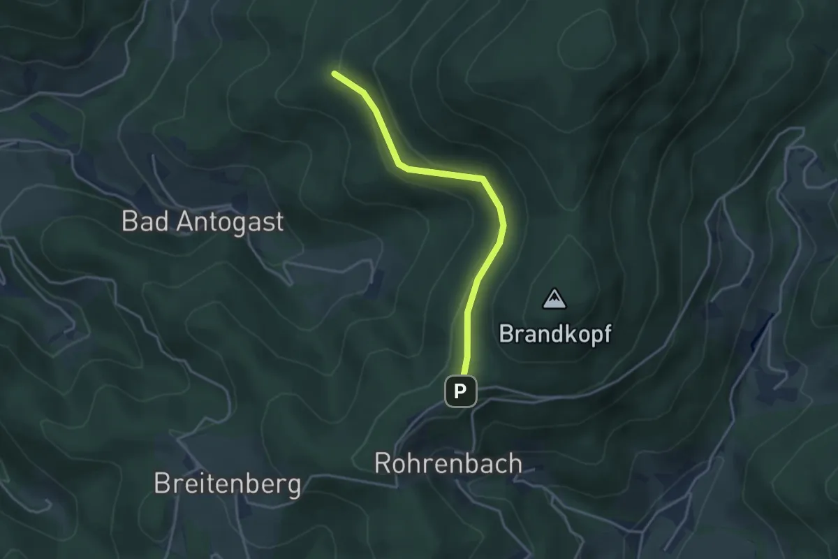
Easy · Trail
Müllerbauerneck - Renchtalhütte
3.1 km · ↑ 108 m · 58 min
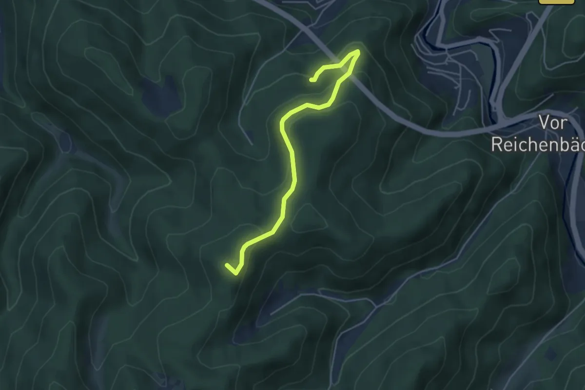
Easy · Summit
Müllers Rank - Schöngrund
4.1 km · ↑ 224 m · 1 h 28 min
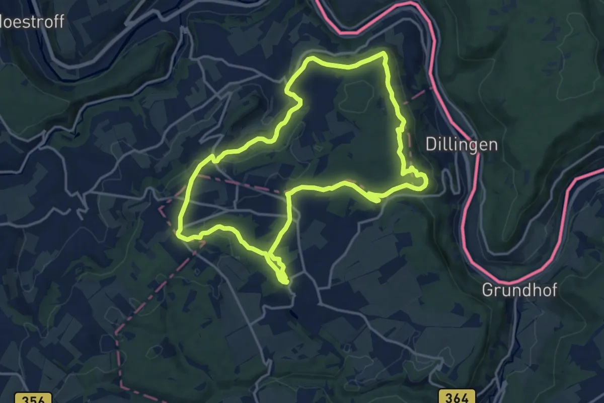
Medium · Trail
Mullerthal Trail Extra Tour B
12.8 km · ↑ 319 m · 3 h 54 min
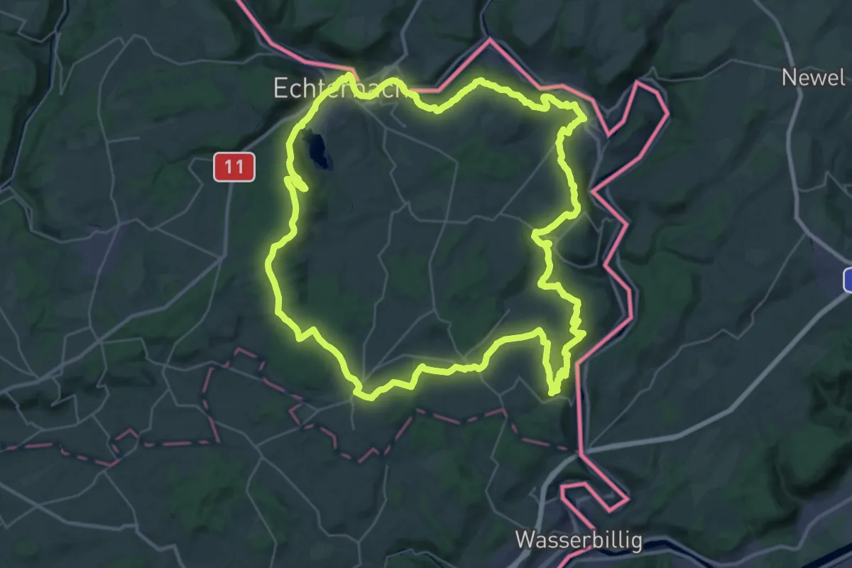
Demanding · Summit
Mullerthal Trail Route 1
36.4 km · ↑ 889 m · 11 h 1 min
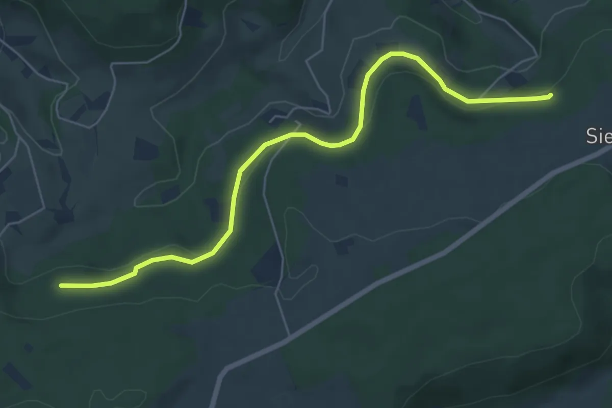
Easy · Trail
Mulpenbühl - Langenberg
5.5 km · ↑ 141 m · 1 h 37 min
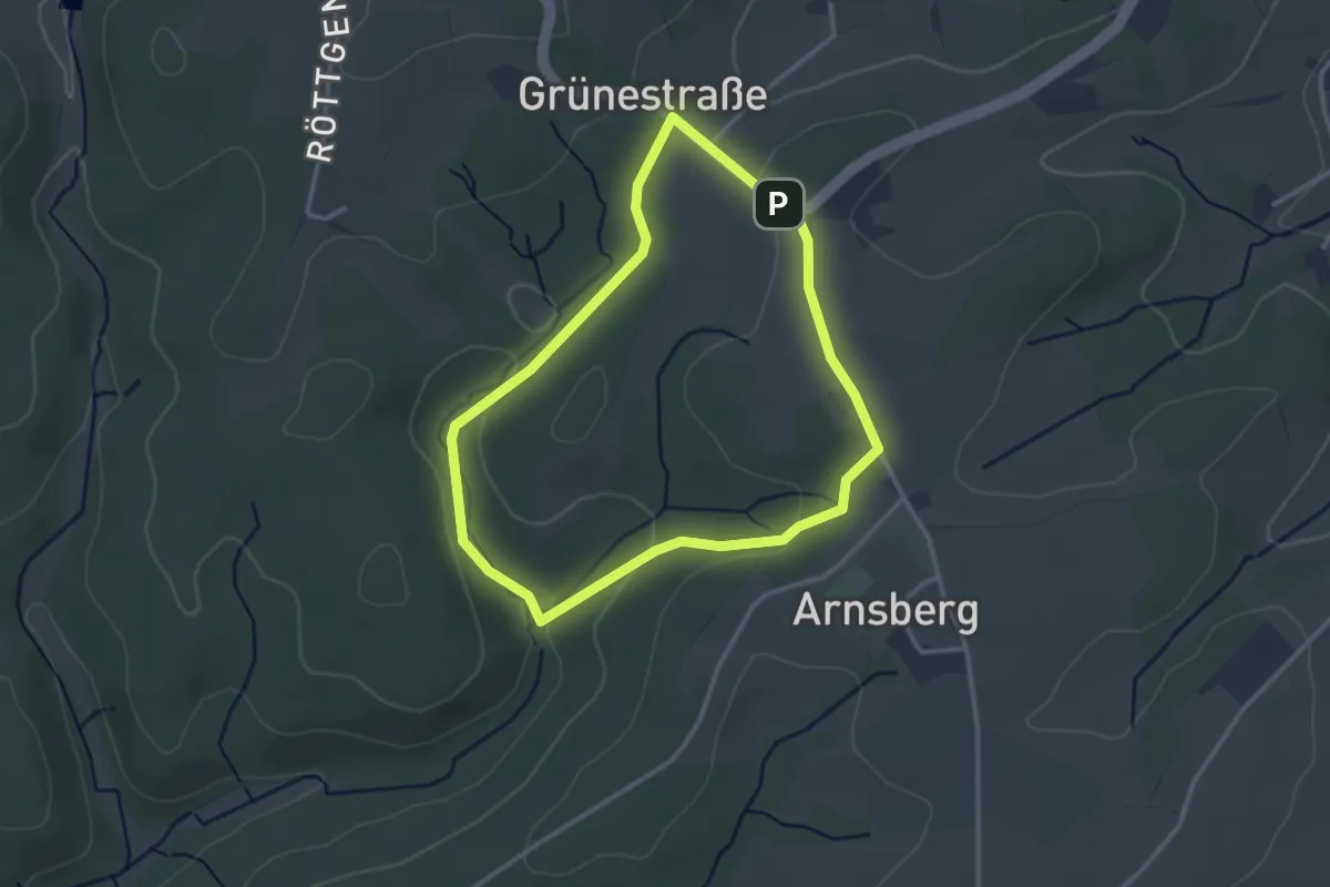
Easy · Trail
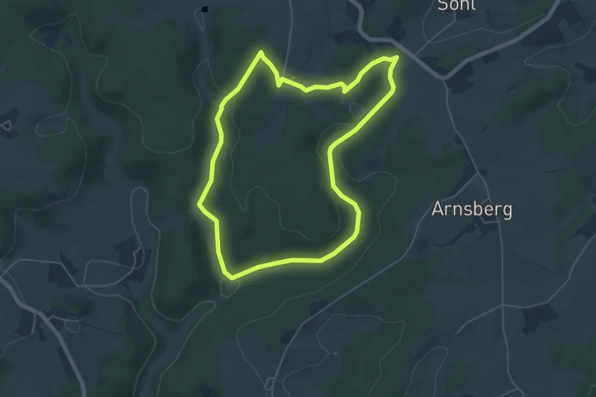
Mul Rundweg A1
2.6 km · ↑ 47 m · 44 min
Easy · Trail
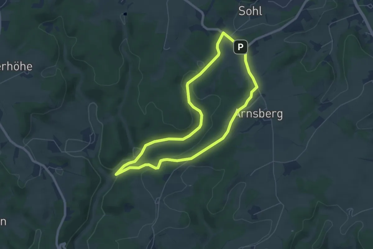
Mul Rundweg A2
4.3 km · ↑ 94 m · 1 h 16 min
Easy · Trail
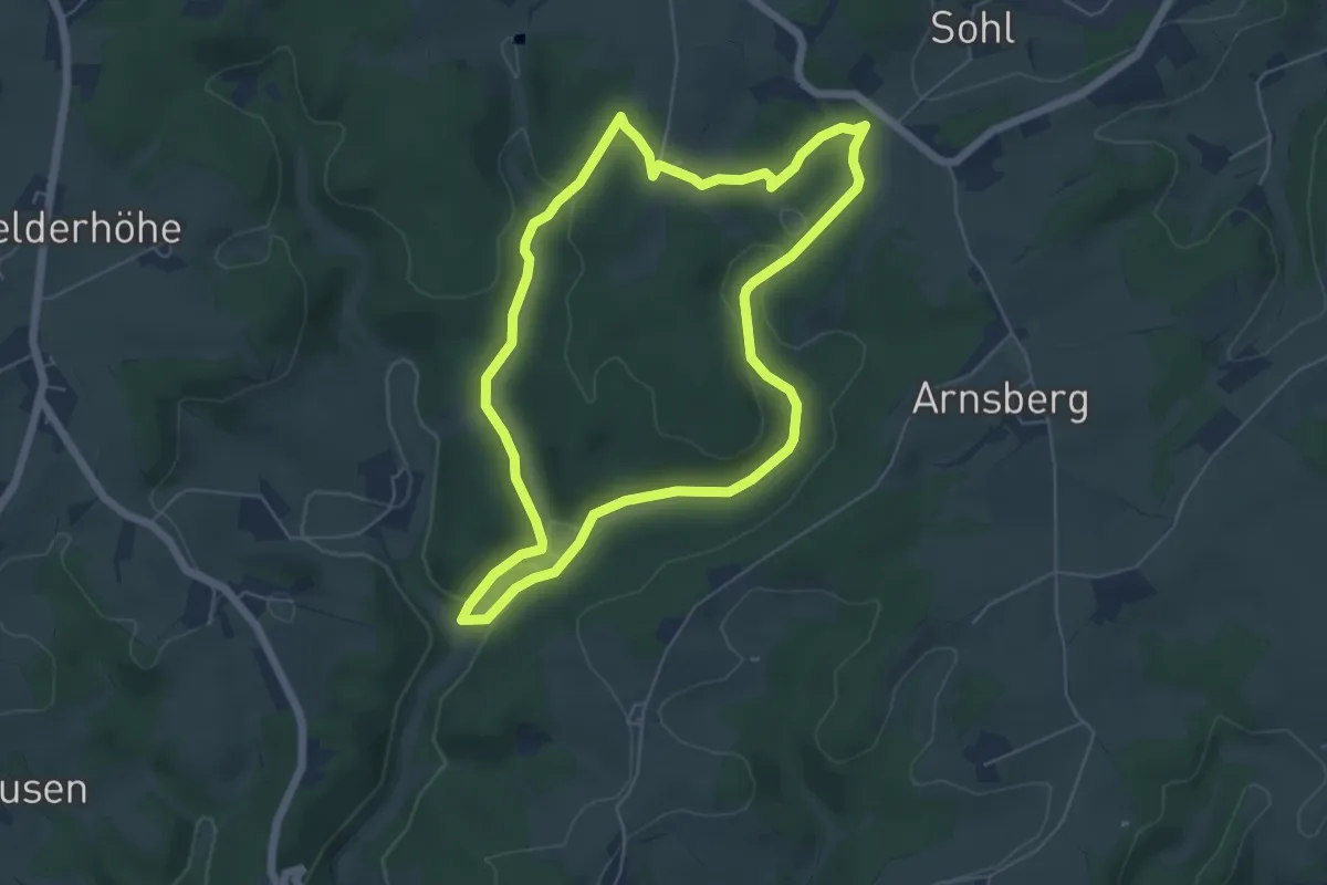
Mul Rundweg A4
5.1 km · ↑ 80 m · 1 h 26 min
Easy · Trail
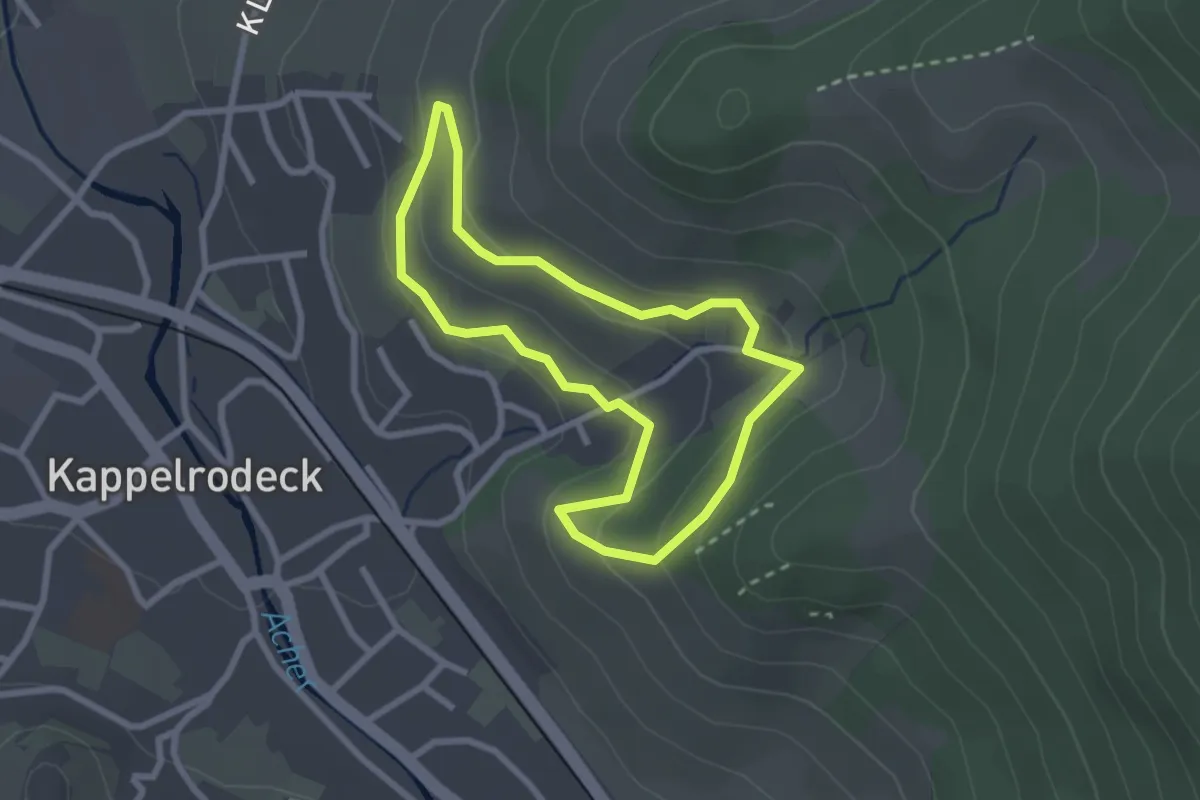
Mul Rundweg A6
5.2 km · ↑ 107 m · 1 h 31 min
Easy · Trail
Multimedia-Sagenwanderung "Die Hex vom Dasenstein"
2.2 km · ↑ 98 m · 46 min
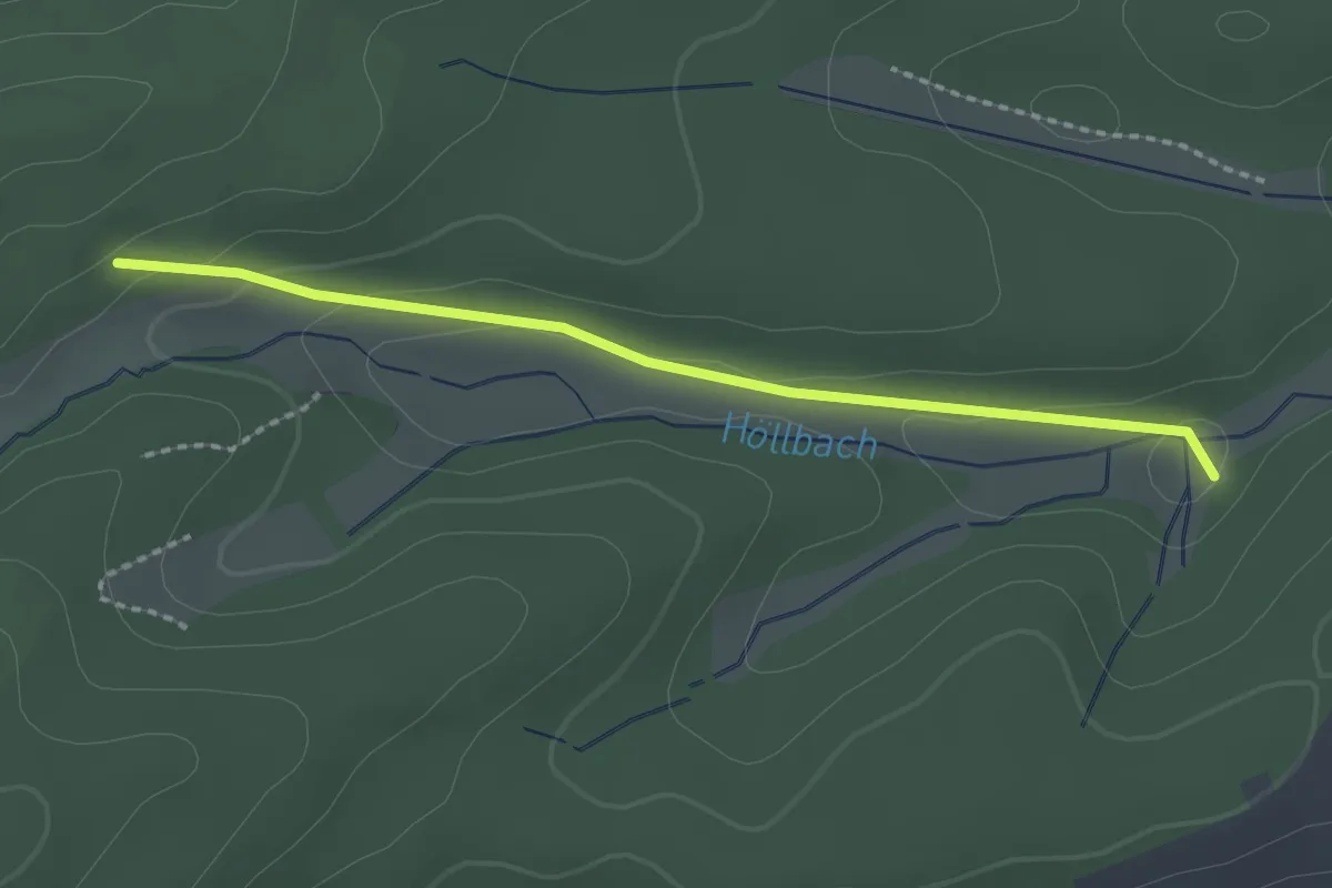
Easy · Trail
Mümmelmannhütte - Obere Salzwiese
2.0 km · ↑ 55 m · 35 min
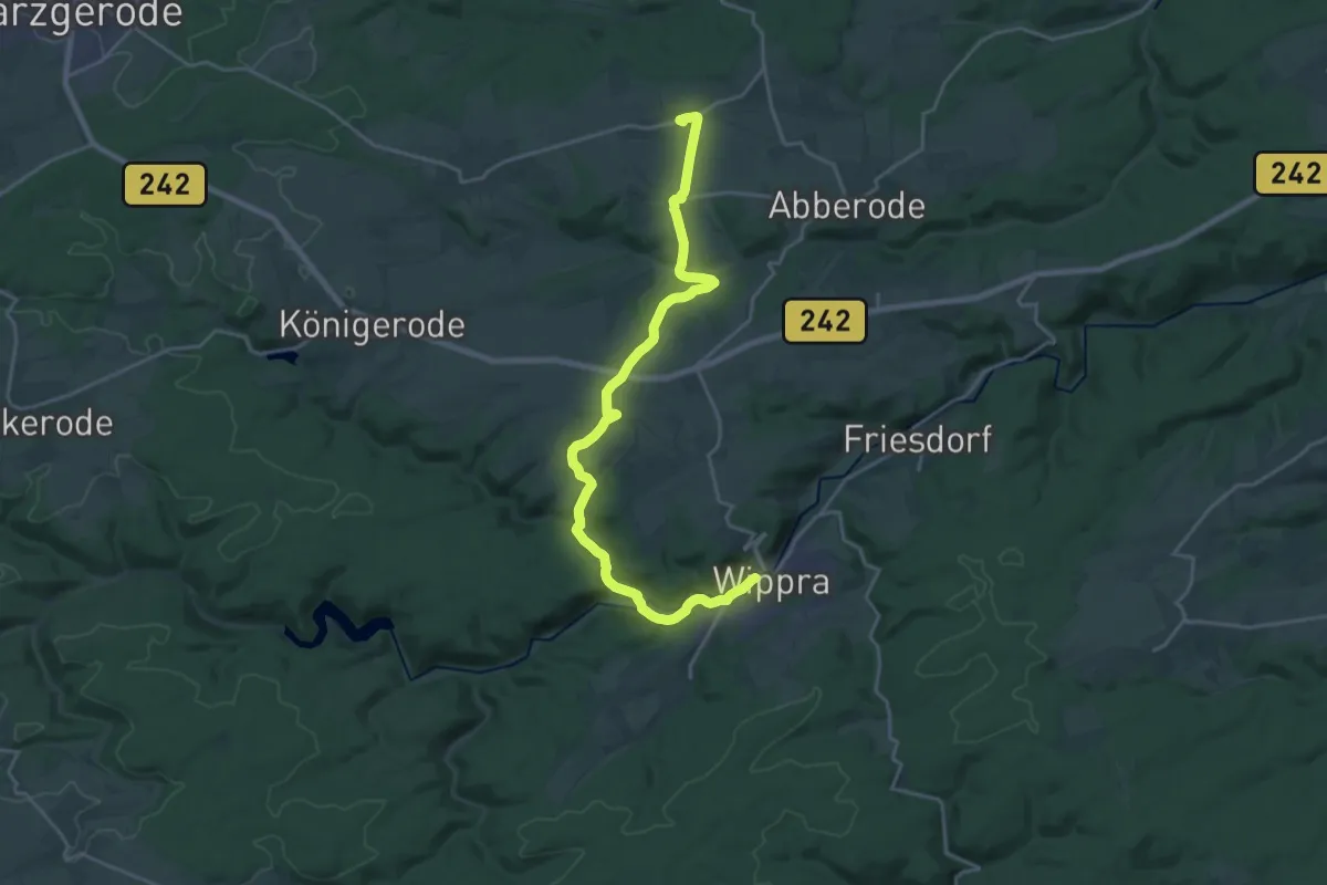
Demanding · Trail
Münchhausenweg Wippra - Molmerswende
21.0 km · ↑ 325 m · 5 h 39 min
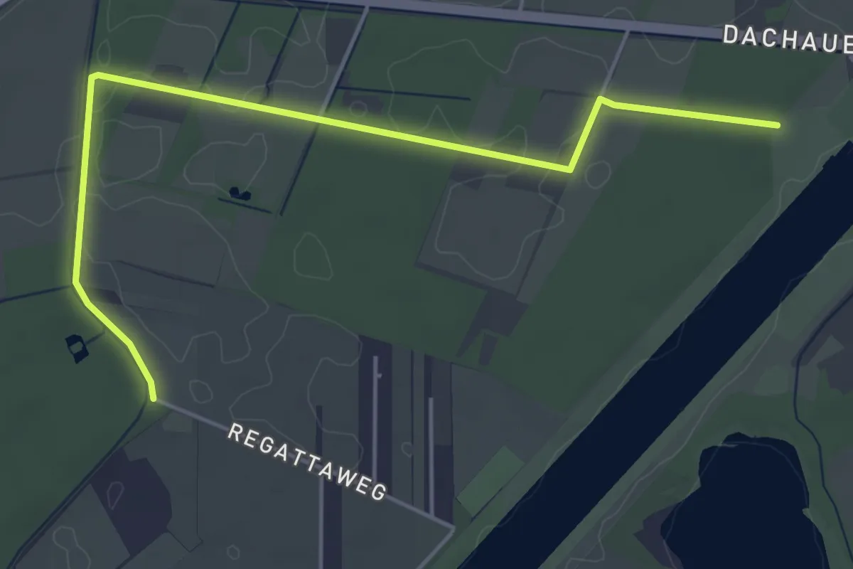
Easy · Trail
Münchner Jakobskirchenweg - Alternative
5.2 km · ↑ 4 m · 1 h 14 min
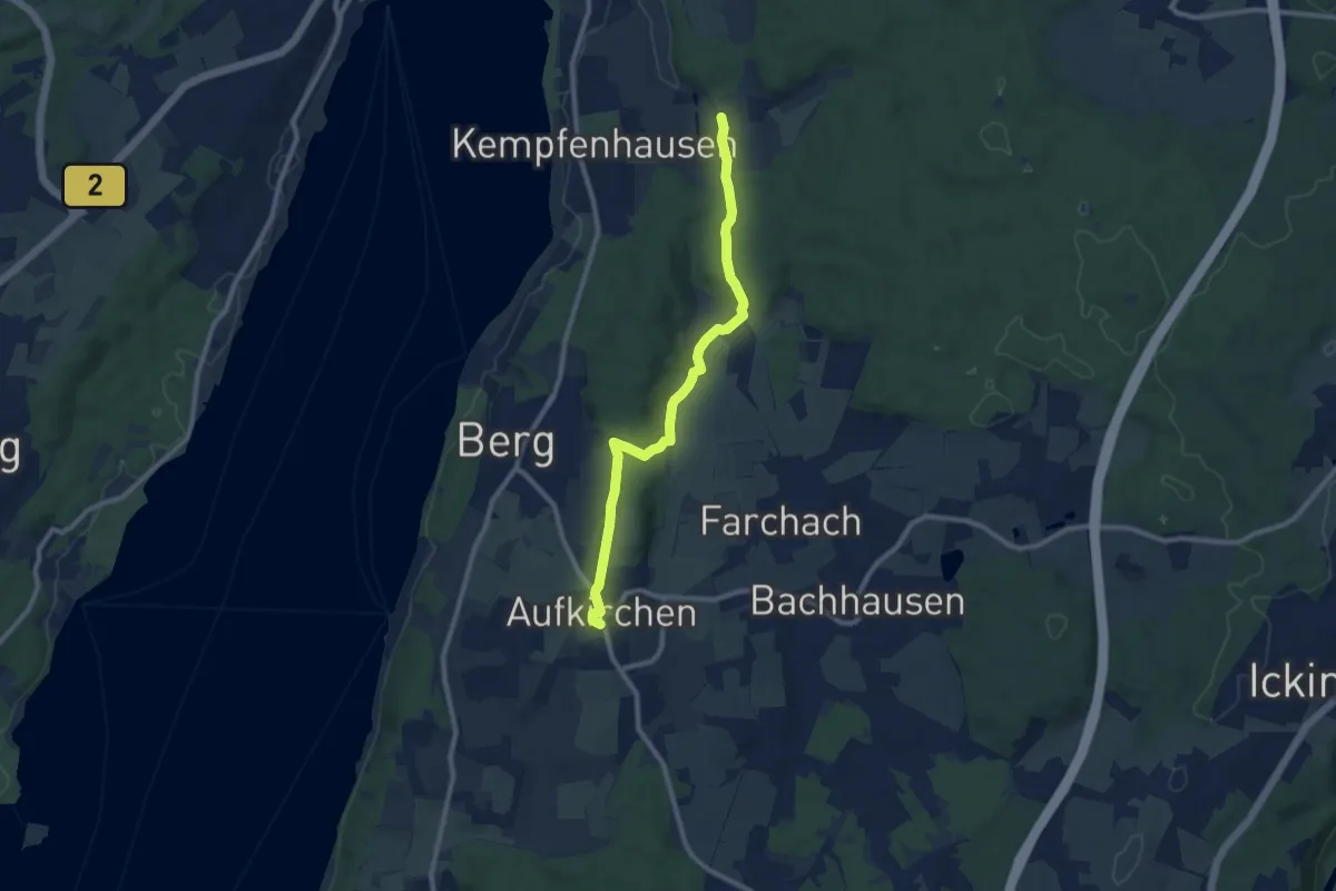
Easy · Summit
Münchner Jakobsweg - Variante Leoni
4.5 km · ↑ 131 m · 1 h 23 min
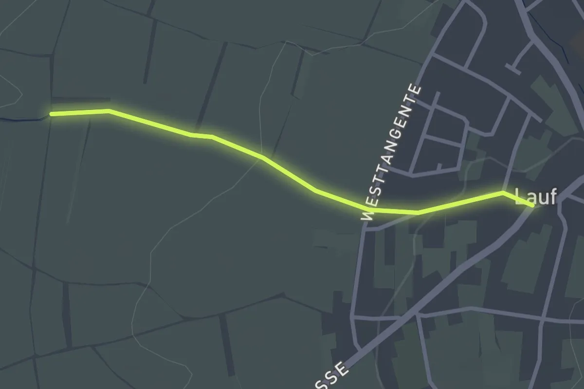
Easy · Trail
Münchsgrund - Lauf Alte Schule
2.3 km · ↑ 42 m · 37 min
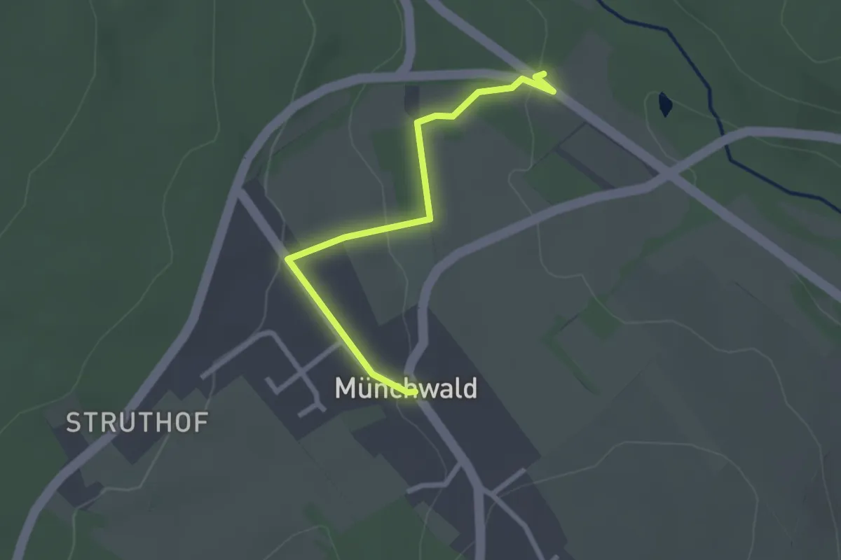
Easy · Trail
Münchwald - Haus Gräfenbach
2.3 km · ↑ 55 m · 39 min
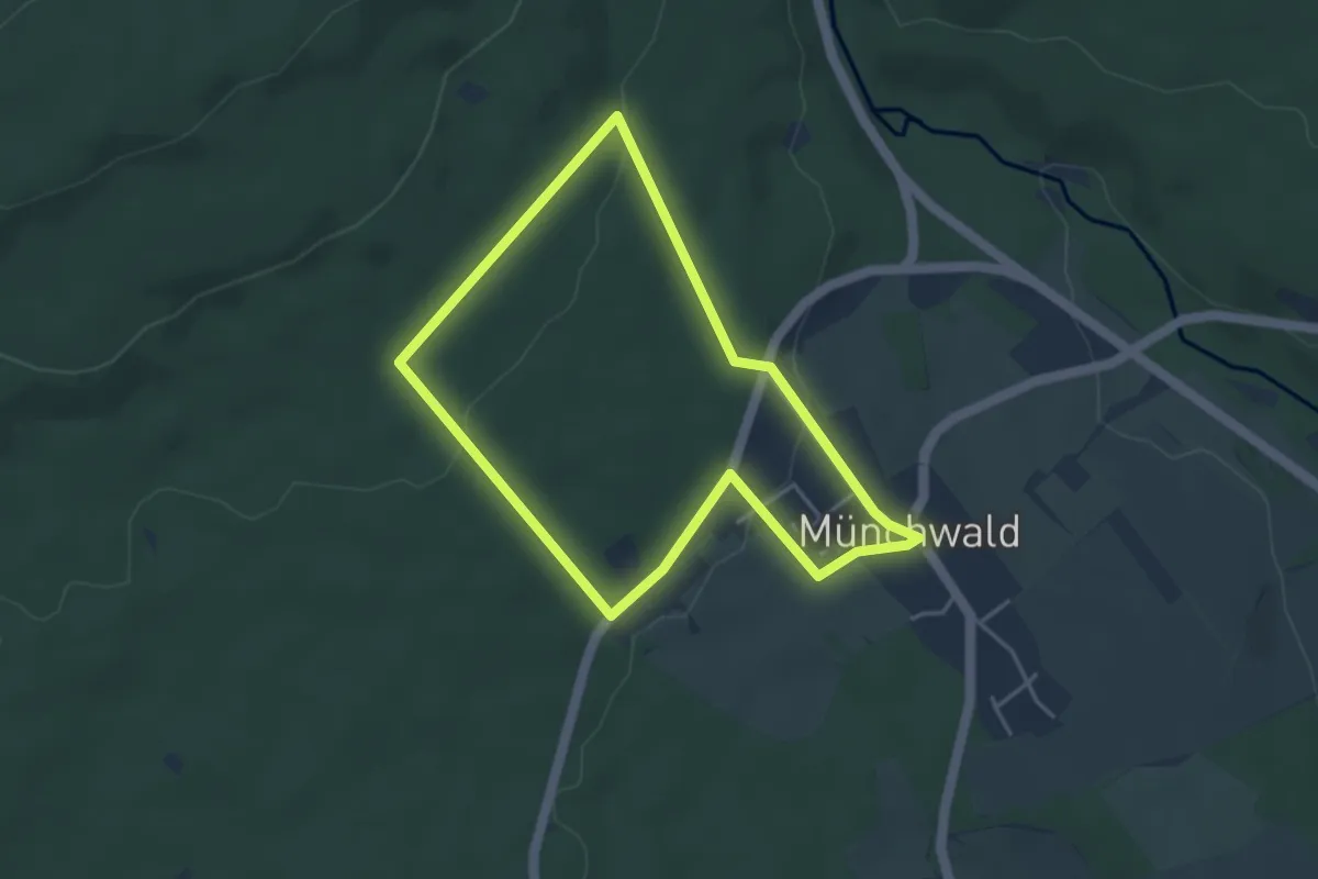
Easy · Trail
Münchwald Rundwanderweg Grün
3.5 km · ↑ 86 m · 1 h 4 min
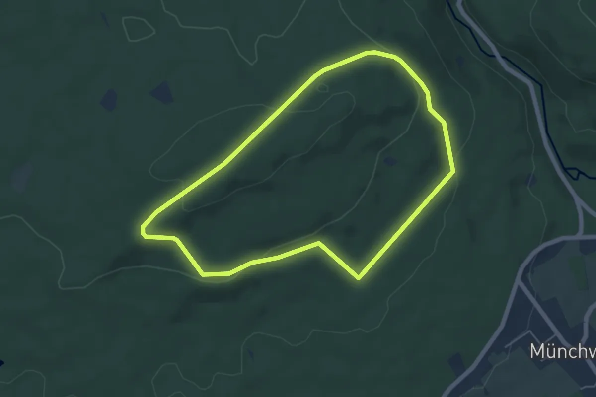
Easy · Trail
Münchwald Rundwanderweg Weiß
4.3 km · ↑ 106 m · 1 h 18 min
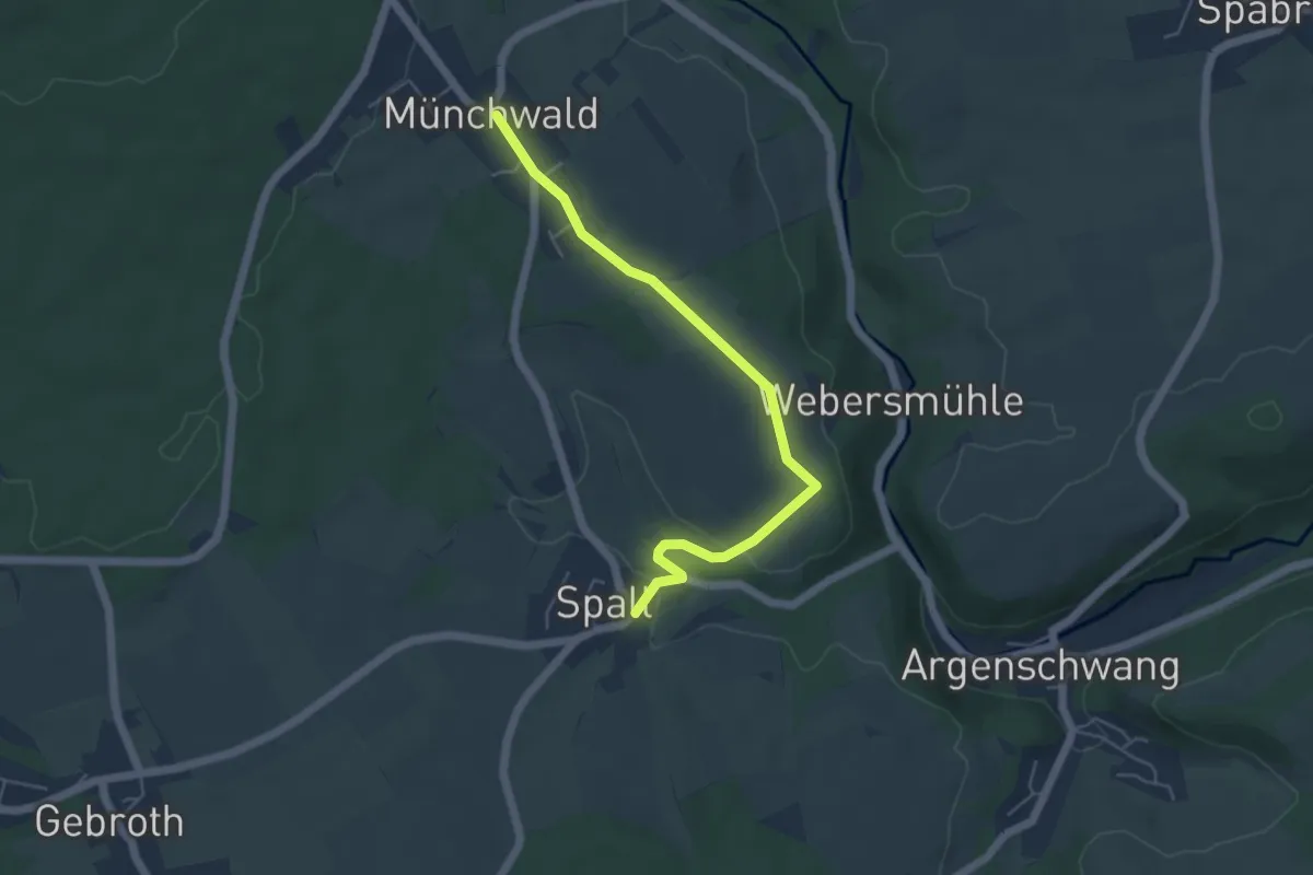
Easy · Trail
Münchwald - Spall
4.9 km · ↑ 69 m · 1 h 18 min
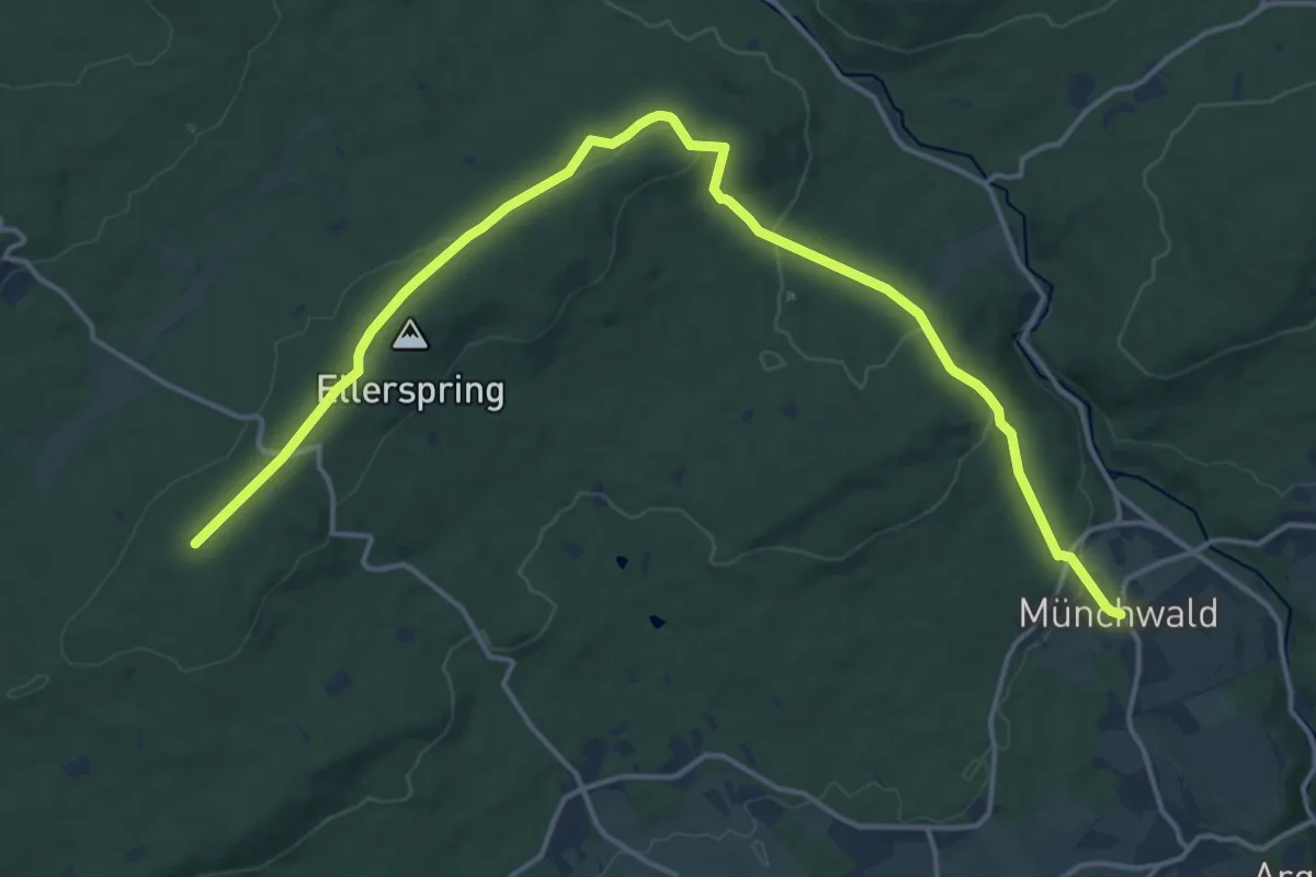
Medium · Trail
Münchwald-Trifthütte
17.8 km · ↑ 396 m · 5 h 4 min
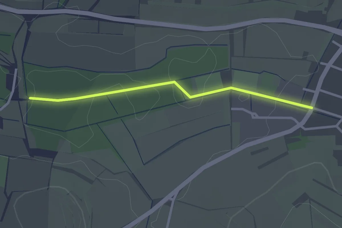
Easy · Trail
Münchweier Bettmatt - Rückhaltebecken
2.2 km · ↑ 8 m · 32 min
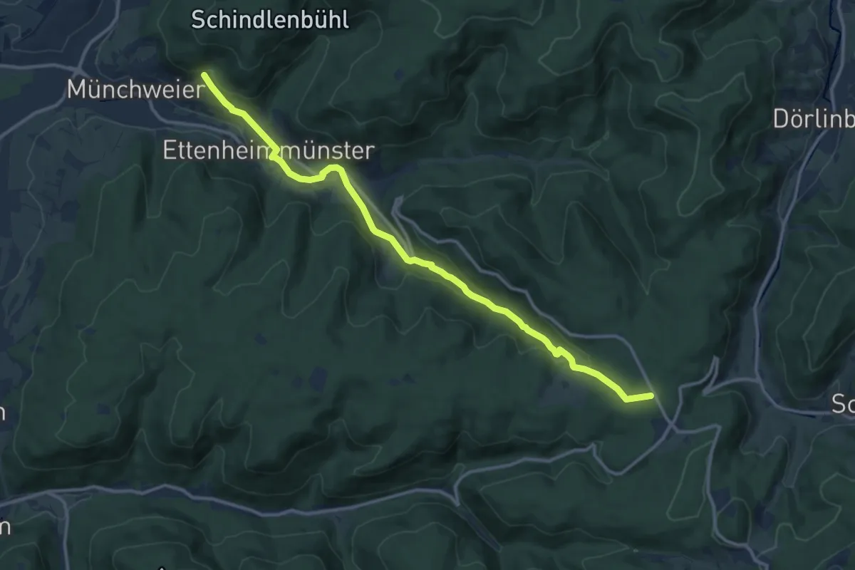
Medium · Trail
Münchweier - Streitberg
12.7 km · ↑ 381 m · 3 h 50 min
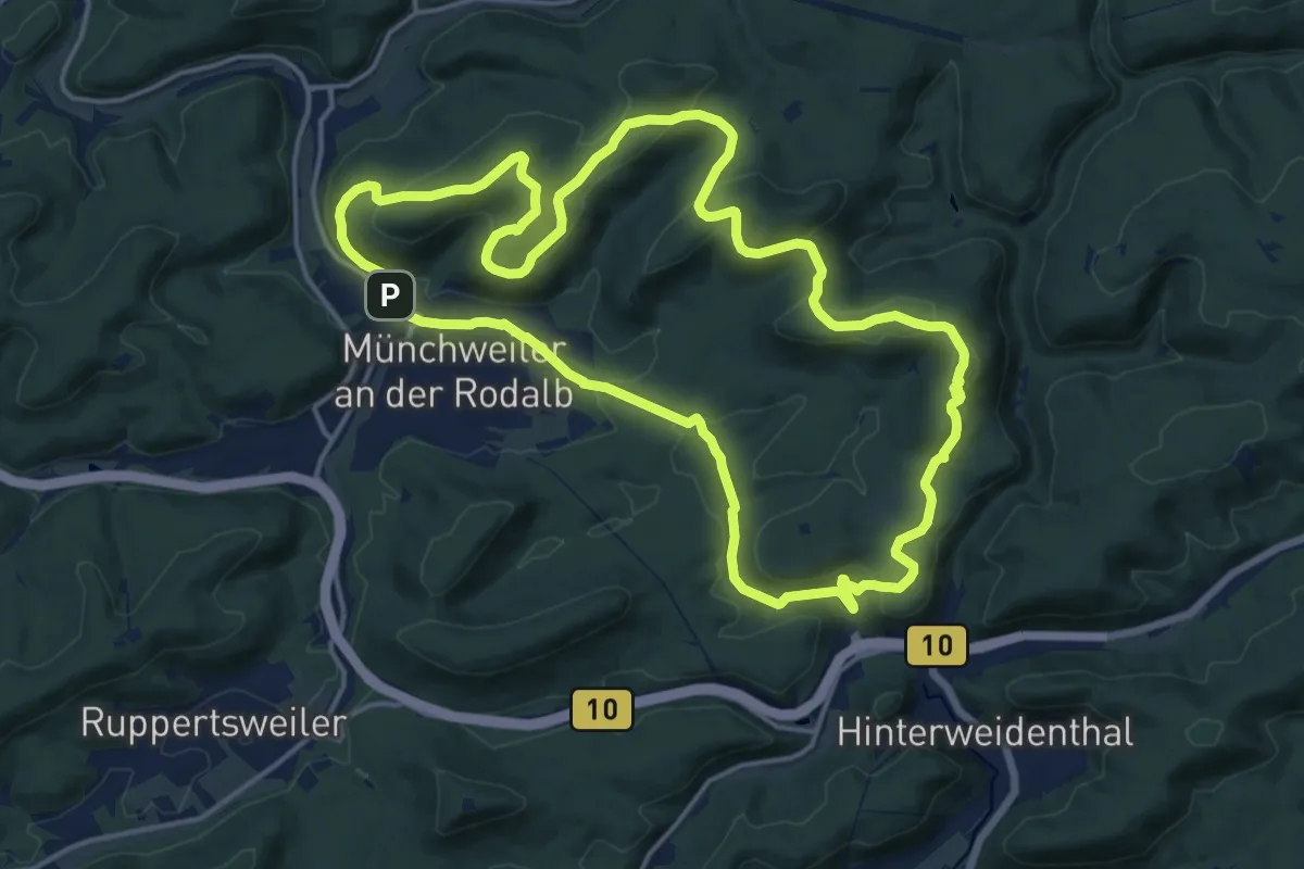
Medium · Summit
Münchweiler Höhenwanderweg
15.6 km · ↑ 474 m · 4 h 56 min
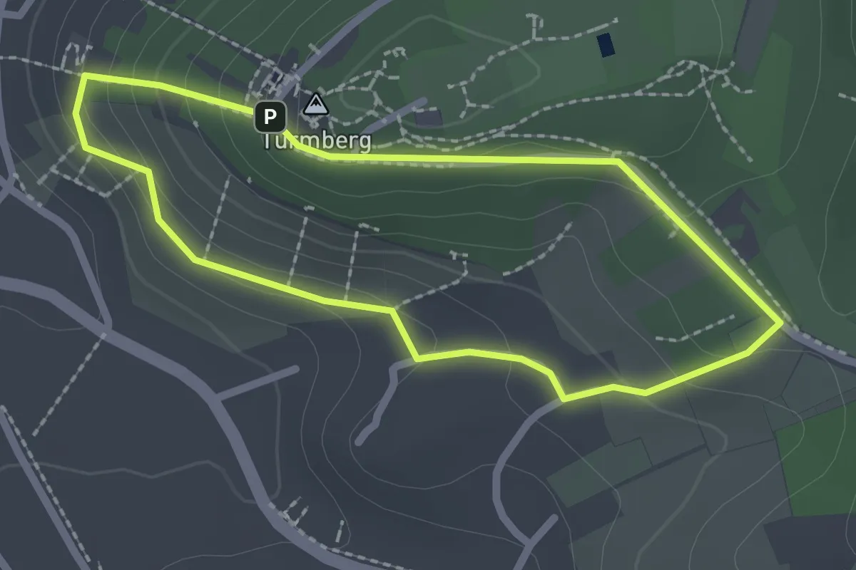
Easy · Summit
Mundart-Dichter-Weg
1.9 km · ↑ 83 m · 39 min
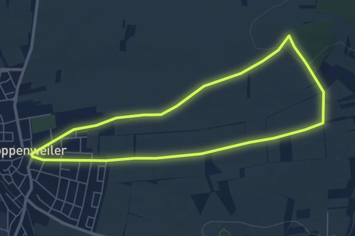
Easy · Trail
Mundartweg Poppenweiler
4.9 km · ↑ 34 m · 1 h 18 min
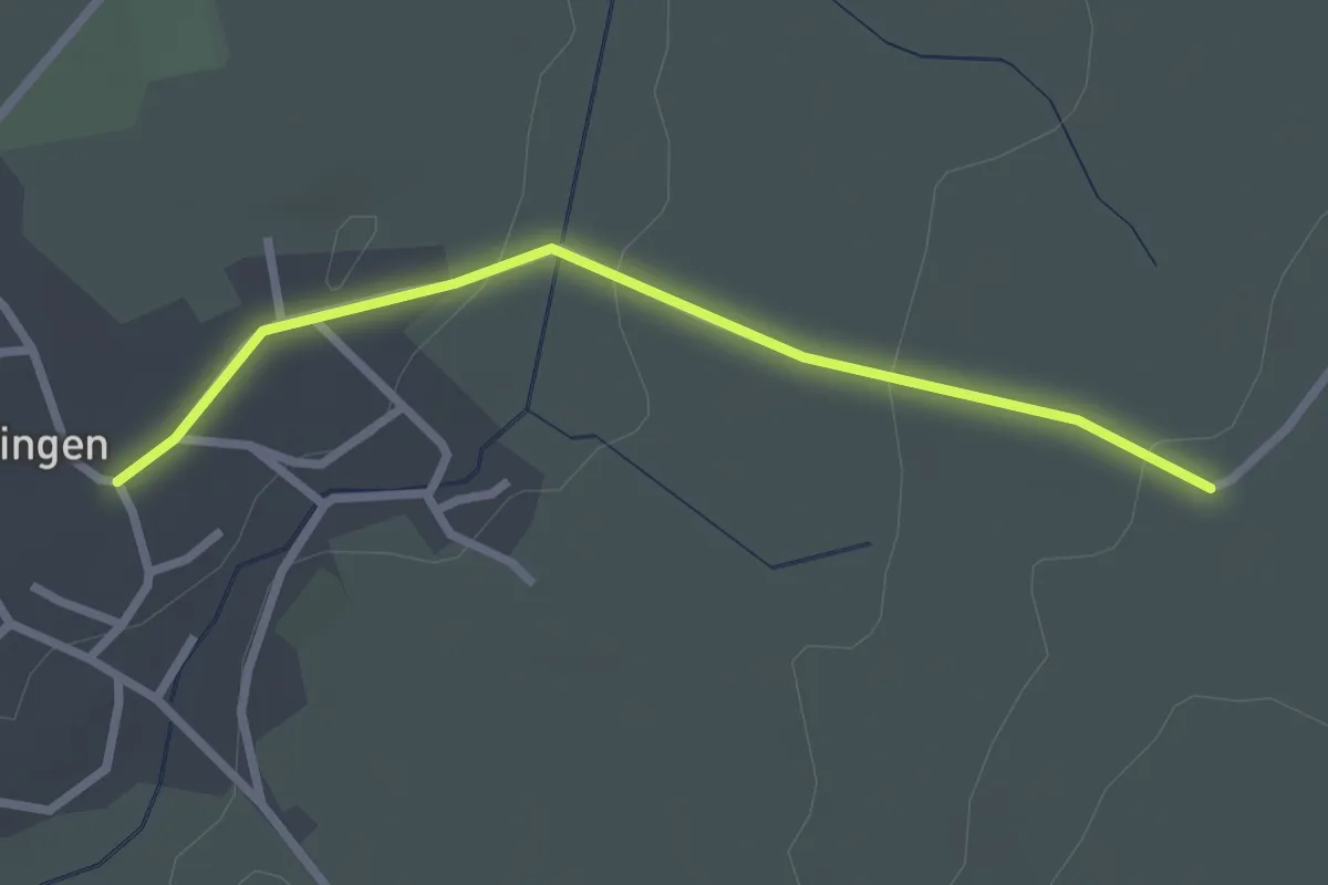
Easy · Trail
Mundelfingen Kirche - Randen
2.5 km · ↑ 50 m · 41 min
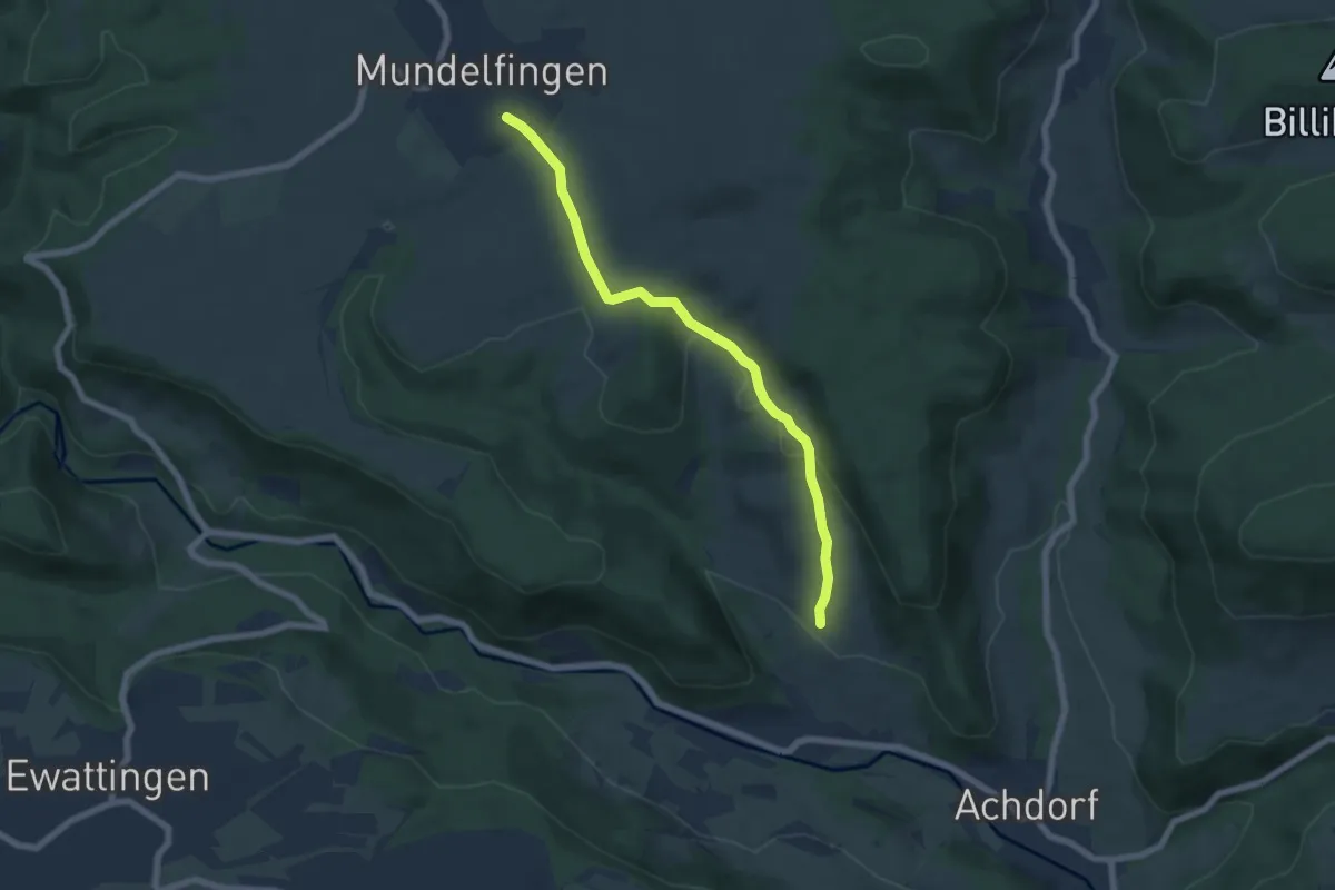
Easy · Trail
Mundelfingen Kläranlage - Am Jungviehweidenweg
6.2 km · ↑ 192 m · 1 h 53 min
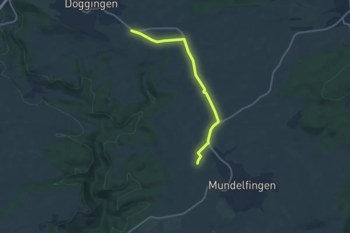
Easy · Trail
Mundelfinger Straße - Talkreuz
6.0 km · ↑ 35 m · 1 h 30 min
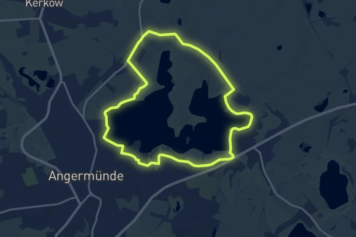
Easy · Trail
Mündesee-Rundweg
7.4 km · ↑ 17 m · 1 h 53 min
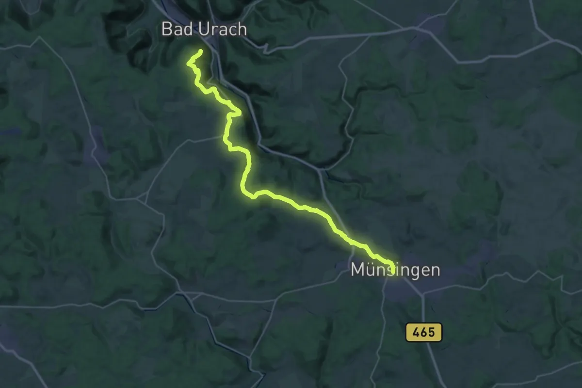
Medium · Trail
Münsingen - Bad Urach
15.3 km · ↑ 356 m · 4 h 37 min