Trails in Germany
36,852 hiking trails, each with its route, climb, walking time and grade.
All trails, page 355 of 768
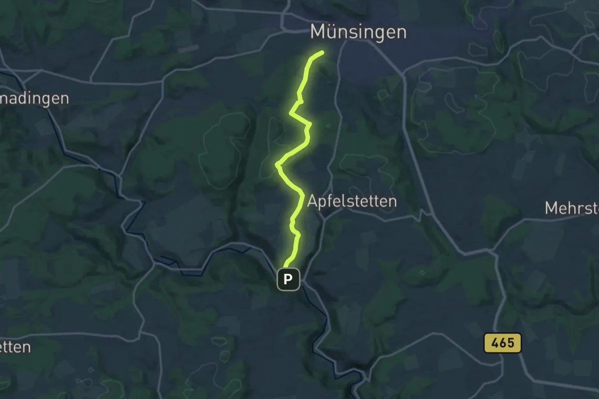
Medium · Trail
Münsingen - Buttenhausen
13.1 km · ↑ 380 m · 3 h 56 min
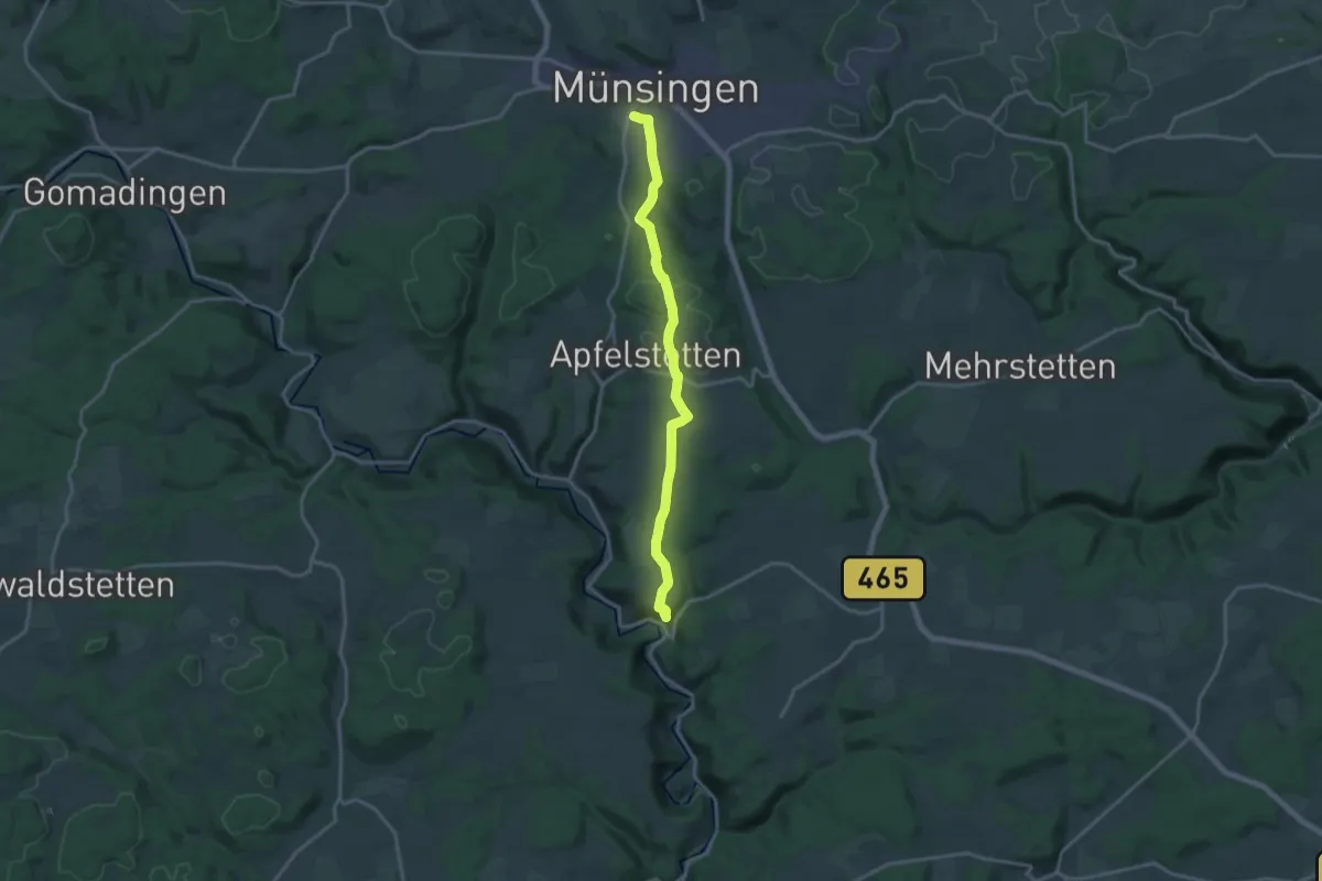
Medium · Trail
Münsingen Hohenhundersingen
16.2 km · ↑ 266 m · 4 h 25 min
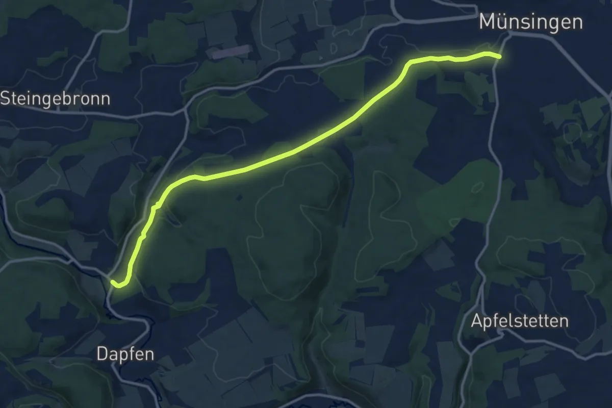
Medium · Trail
Münsingen - Marbach
12.8 km · ↑ 268 m · 3 h 36 min
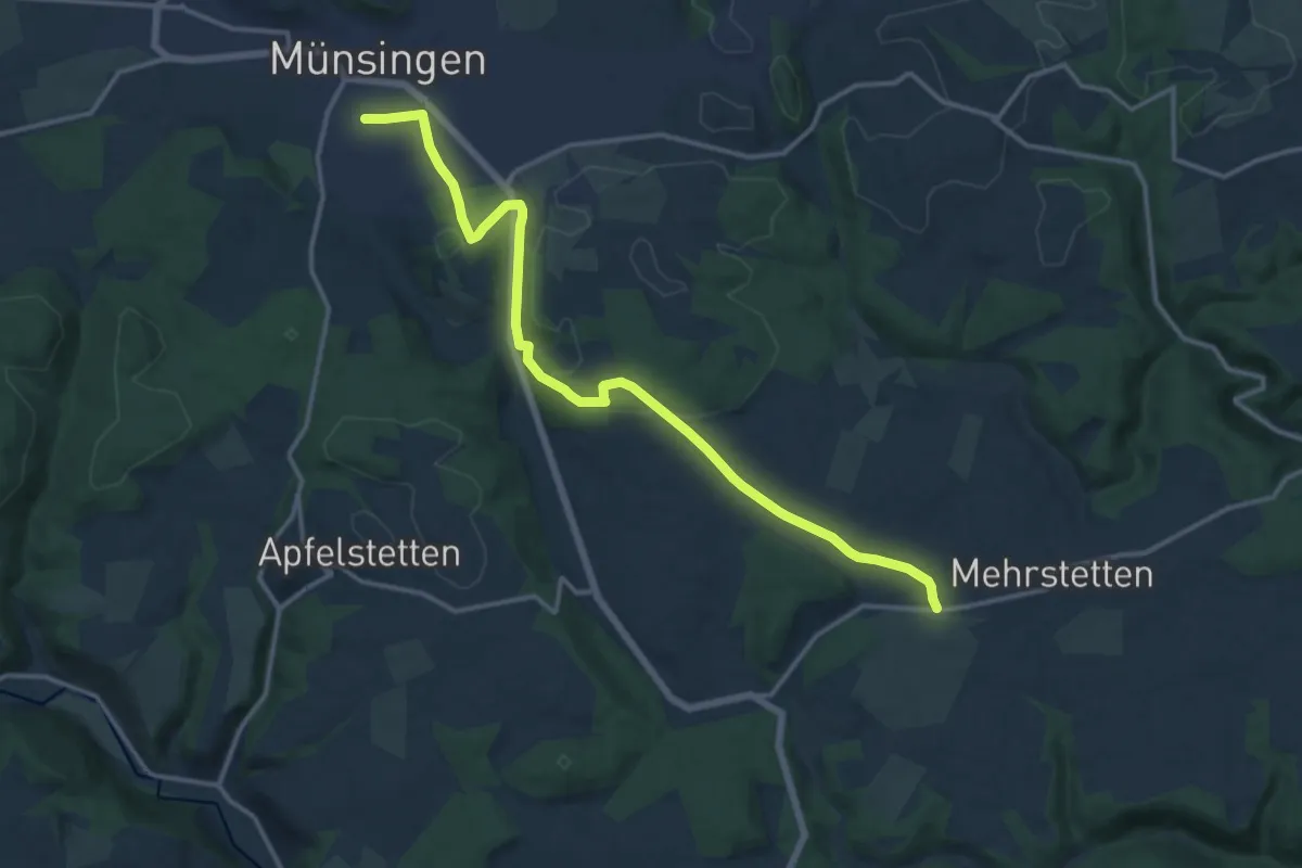
Medium · Trail
Münsingen - Mehrstetten
14.9 km · ↑ 310 m · 4 h 11 min
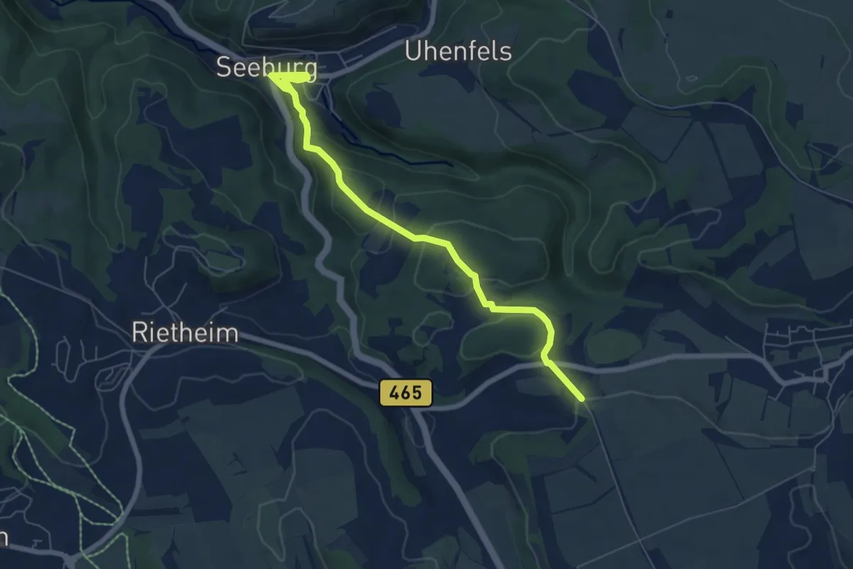
Easy · Trail
Münsingen Seeburg
6.4 km · ↑ 235 m · 2 h 1 min
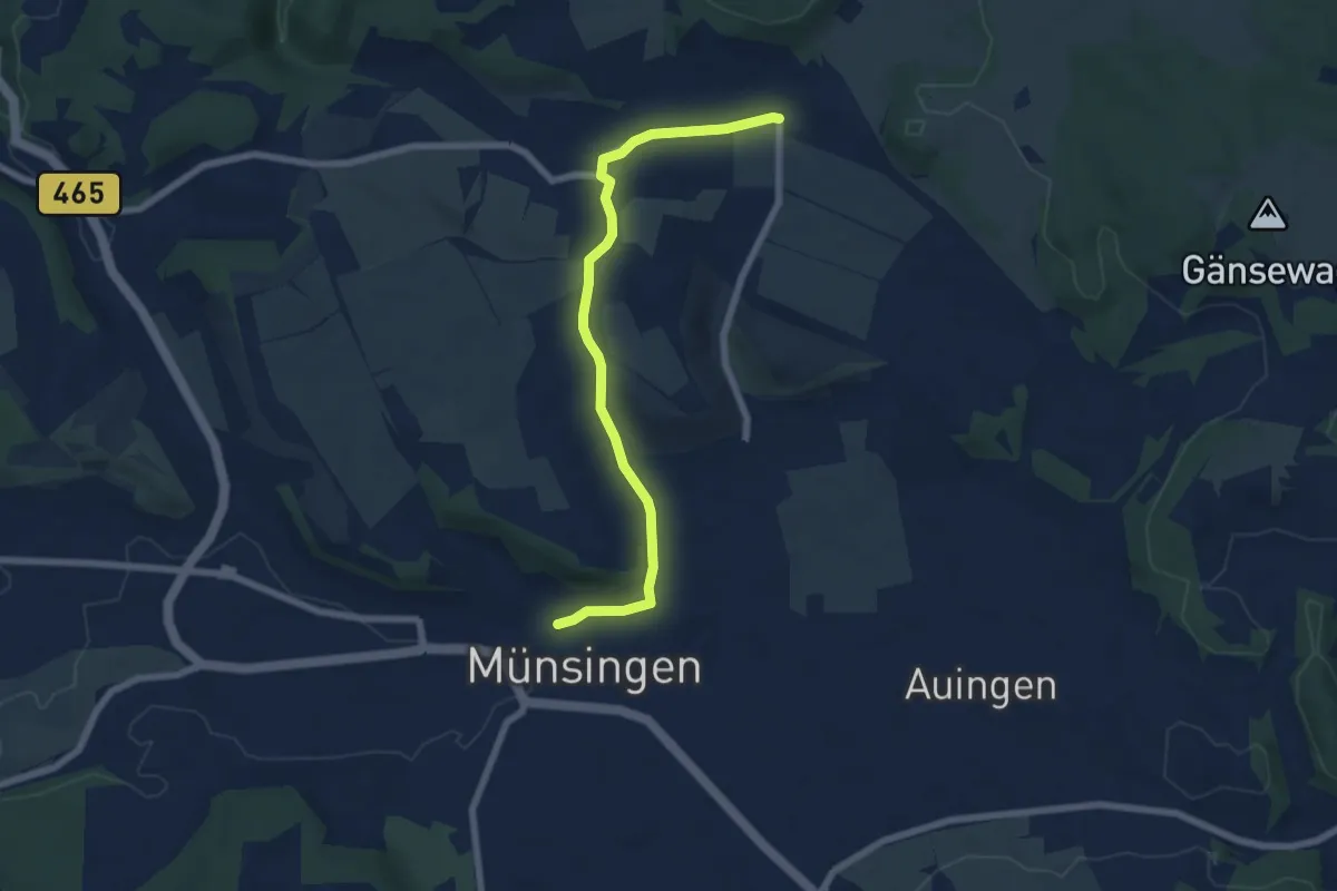
Easy · Trail
Münsingen - Trailfingen
6.5 km · ↑ 131 m · 1 h 49 min
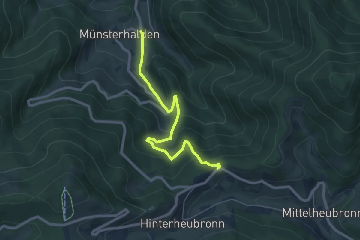
Medium · Trail
Münsterhalden Alte Gass - Im Mond
5.0 km · ↑ 377 m · 1 h 59 min
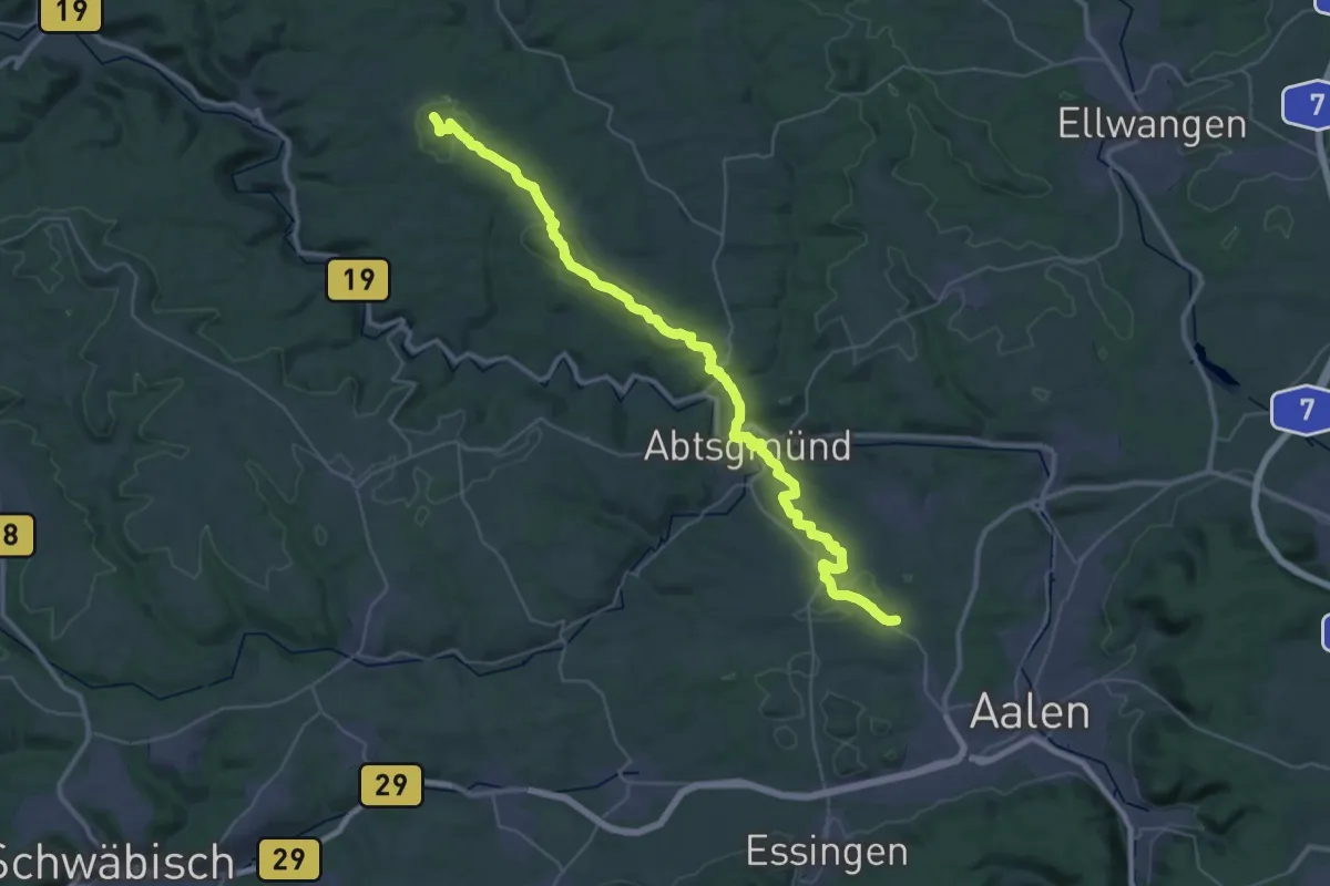
Demanding · Summit
Münster - Hammerstatt HW6
41.2 km · ↑ 703 m · 11 h 15 min
Demanding · Summit
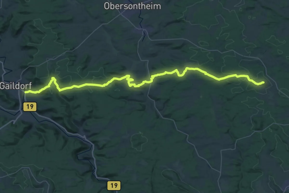
Münster - Hohenberg HW 4
49.7 km · ↑ 972 m · 13 h 51 min
Medium · Trail
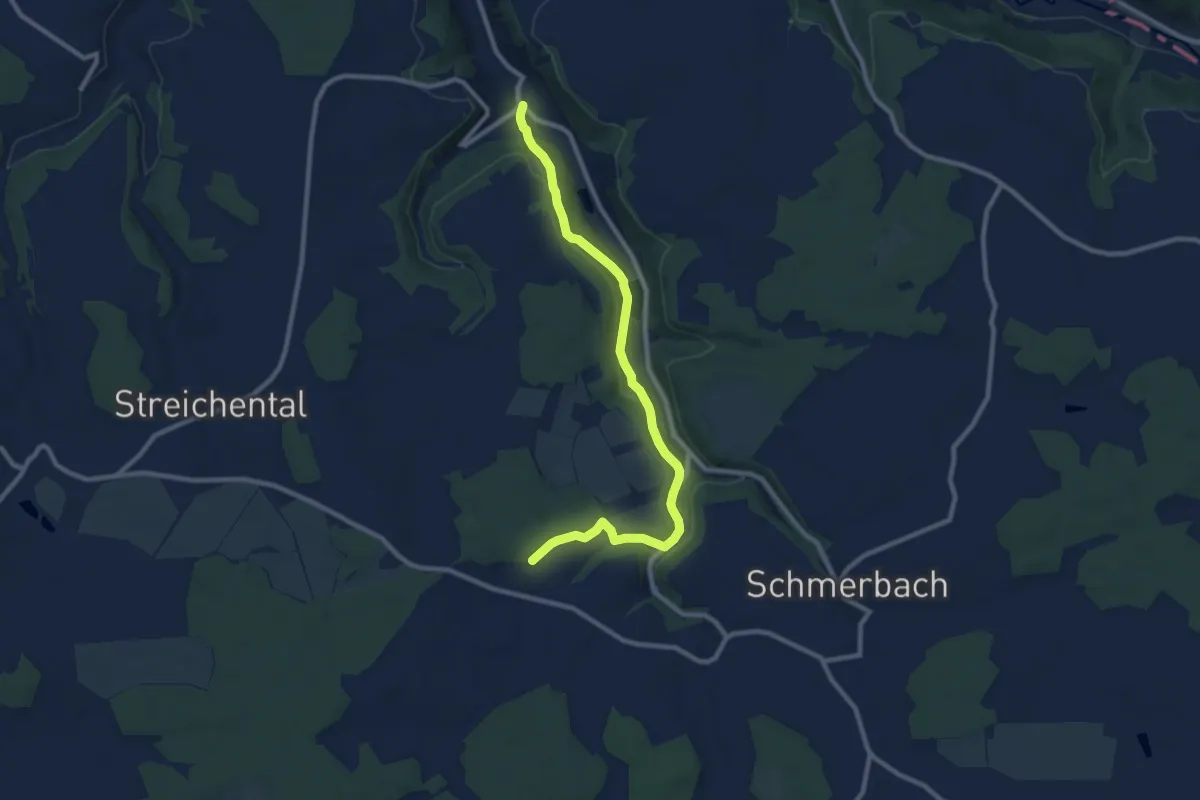
Münster - Landturm Lichtel
9.6 km · ↑ 303 m · 2 h 55 min
Medium · Summit
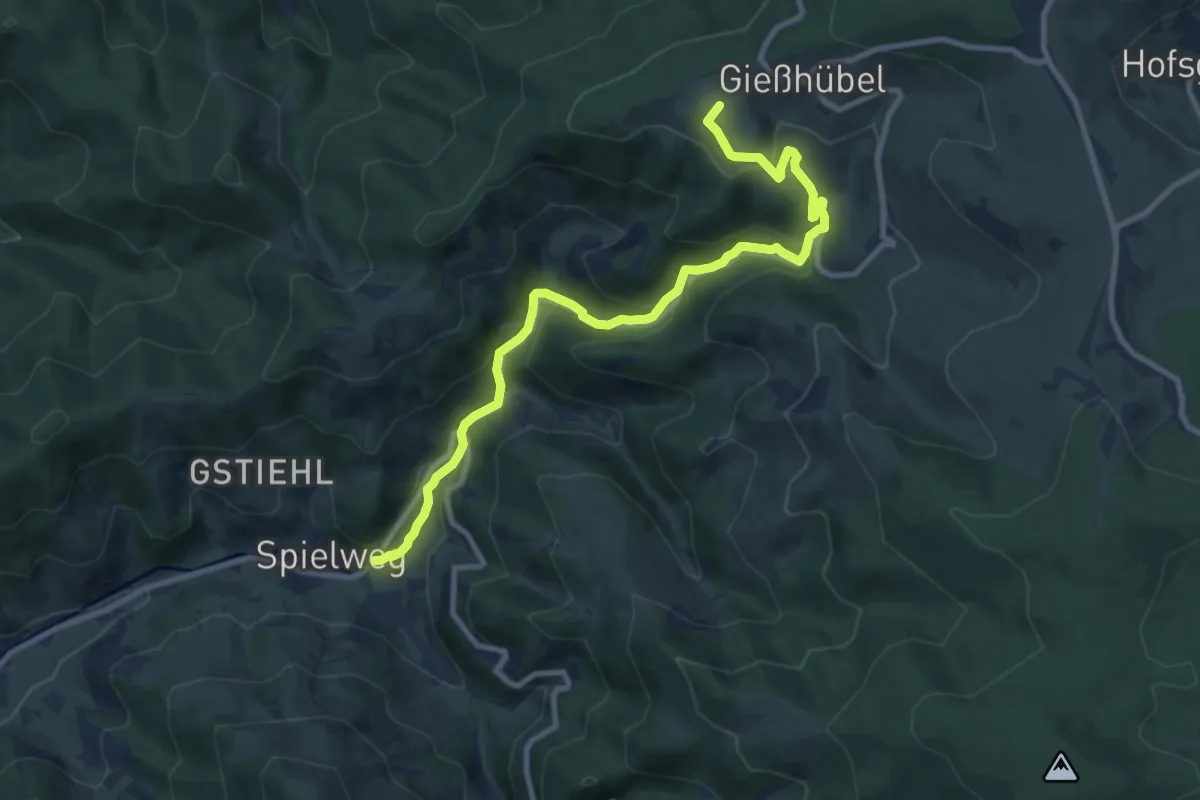
- Münstertal - Spielweg - Schau-Ins-Land -
10.3 km · ↑ 500 m · 3 h 31 min
Easy · Trail
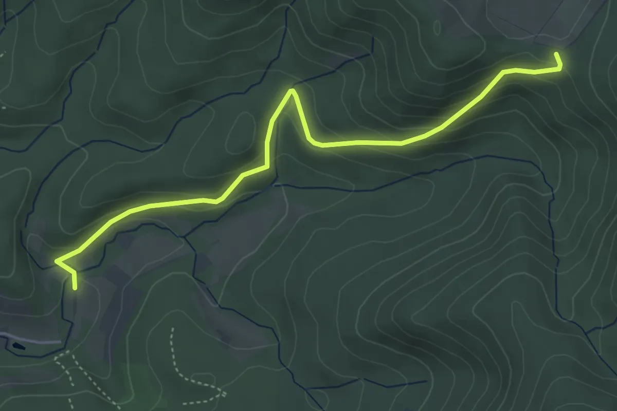
Münzberg - Wasenhütte
4.9 km · ↑ 250 m · 1 h 42 min
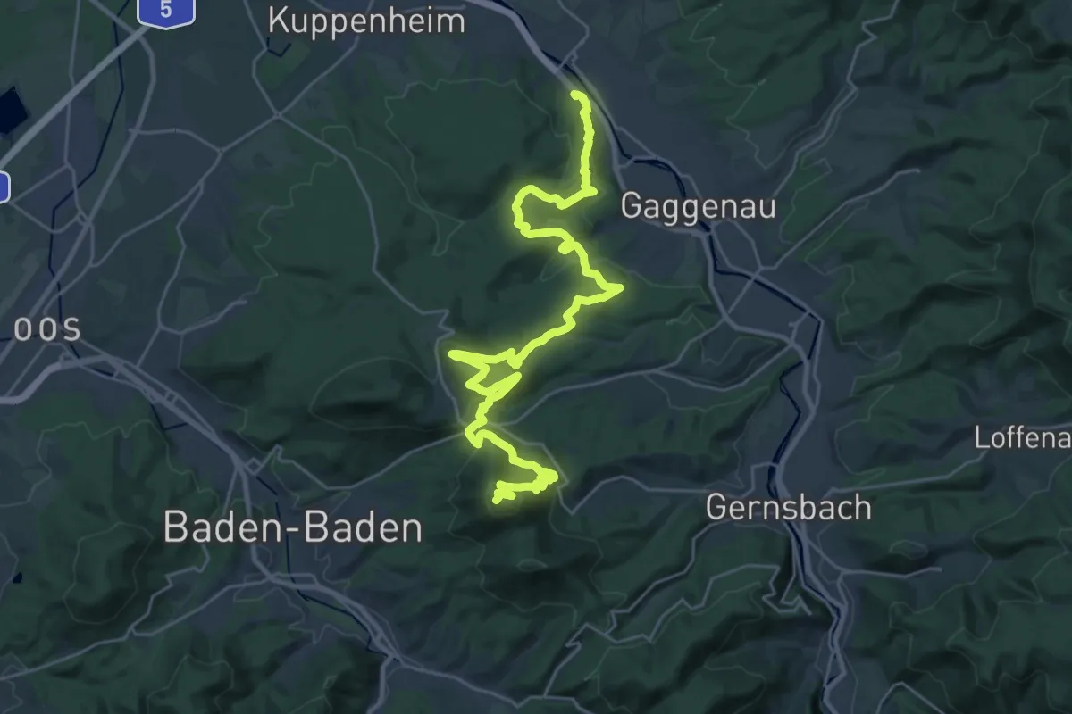
Demanding · Summit
Murgleiter, Etappe 1
31.6 km · ↑ 1193 m · 10 h 2 min
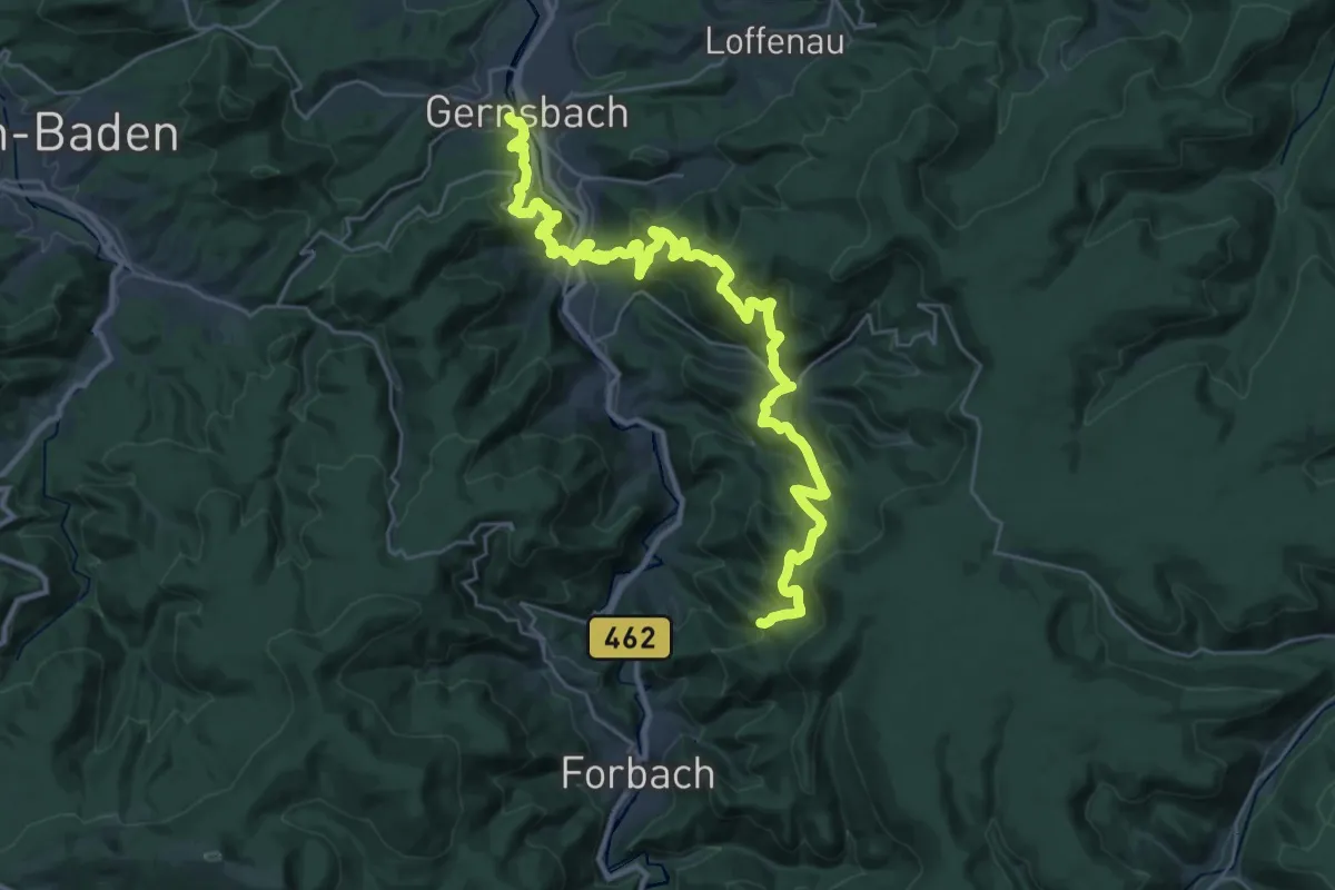
Demanding · Summit
Murgleiter, Etappe 2
35.5 km · ↑ 1922 m · 12 h 33 min
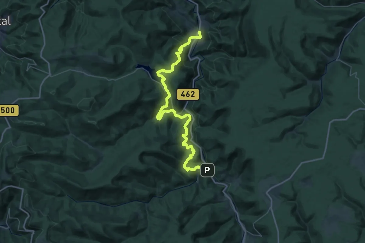
Medium · Trail
Murgleiter, Etappe 3
17.8 km · ↑ 733 m · 6 h 7 min
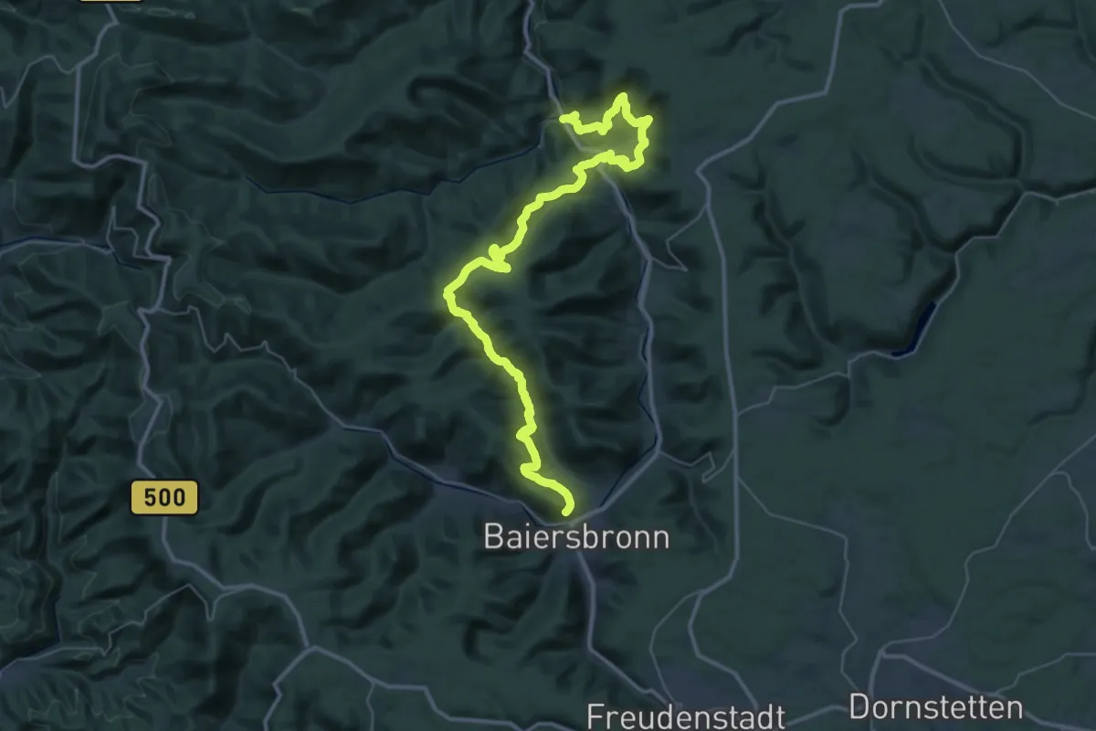
Demanding · Trail
Murgleiter, Etappe 4
23.5 km · ↑ 1157 m · 8 h 18 min
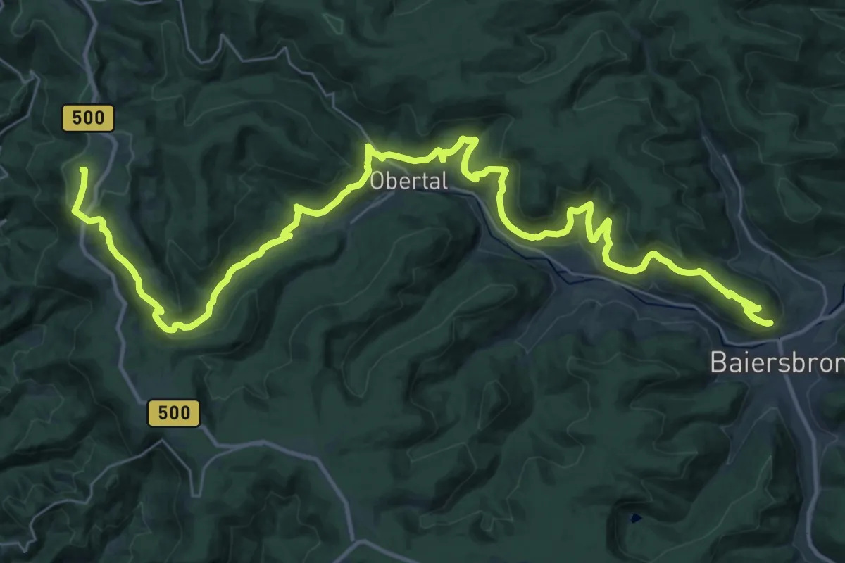
Demanding · Summit
Murgleiter, Etappe 5
42.3 km · ↑ 1712 m · 13 h 42 min
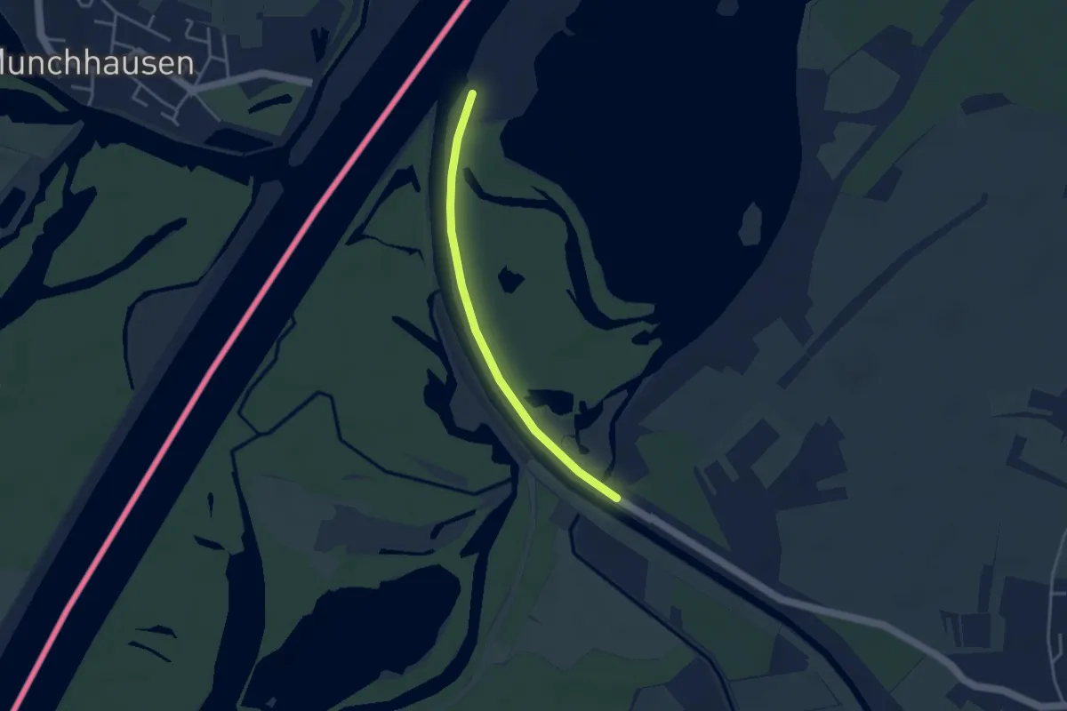
Easy · Trail
Murgtal-Wanderweg
3.1 km · ↑ 0 m · 43 min
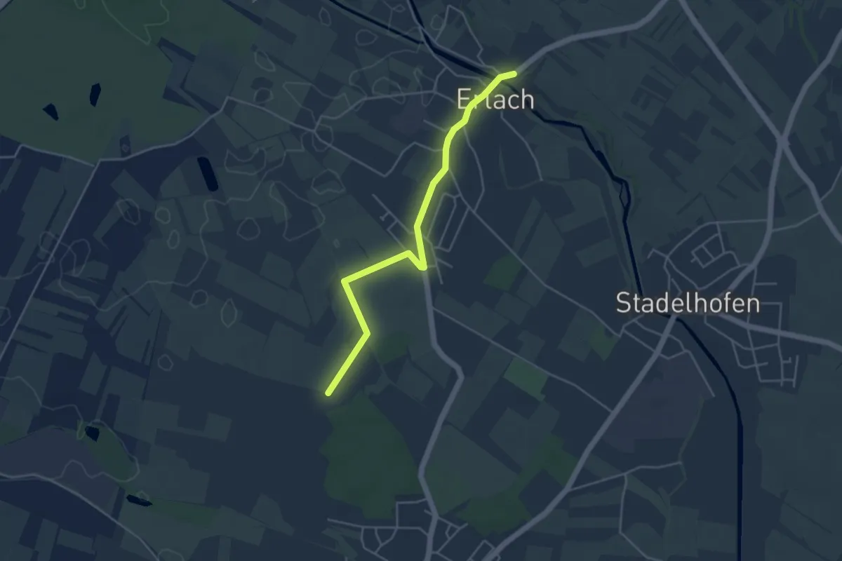
Easy · Trail
Mürigwald - Erlach Schule
4.1 km · ↑ 11 m · 1 h
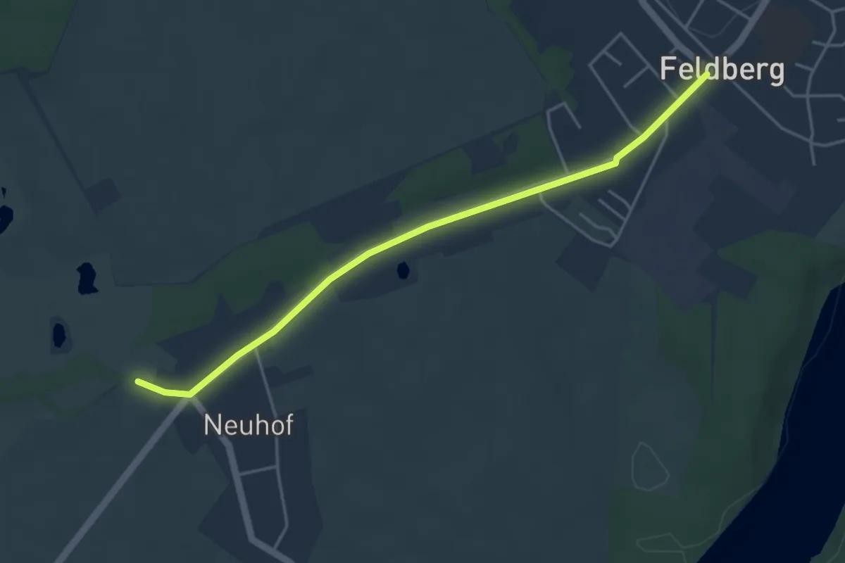
Easy · Trail
Müritz-Nationalpark-Wanderweg (Zuwegung Feldberg)
3.7 km · ↑ 36 m · 57 min
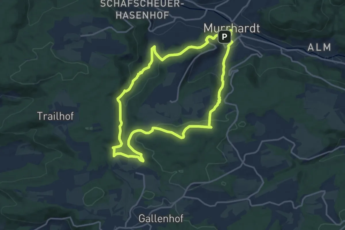
Medium · Trail
Murrhardt - Rundwanderweg 1
10.9 km · ↑ 347 m · 3 h 28 min
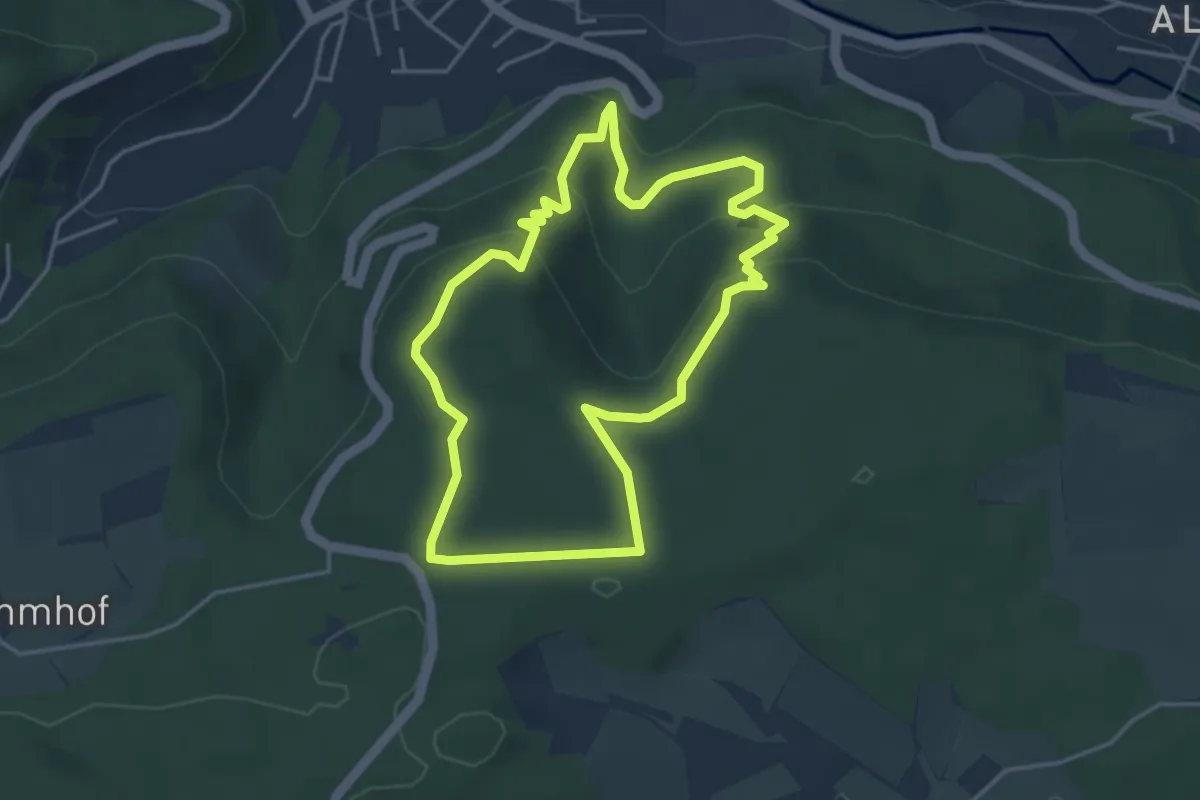
Medium · Trail
Murrhardt - Rundwanderweg 2
3.8 km · ↑ 149 m · 1 h 17 min
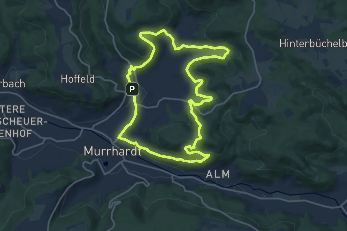
Medium · Summit
Murrhardt - Rundwanderweg 3
9.7 km · ↑ 325 m · 3 h 8 min
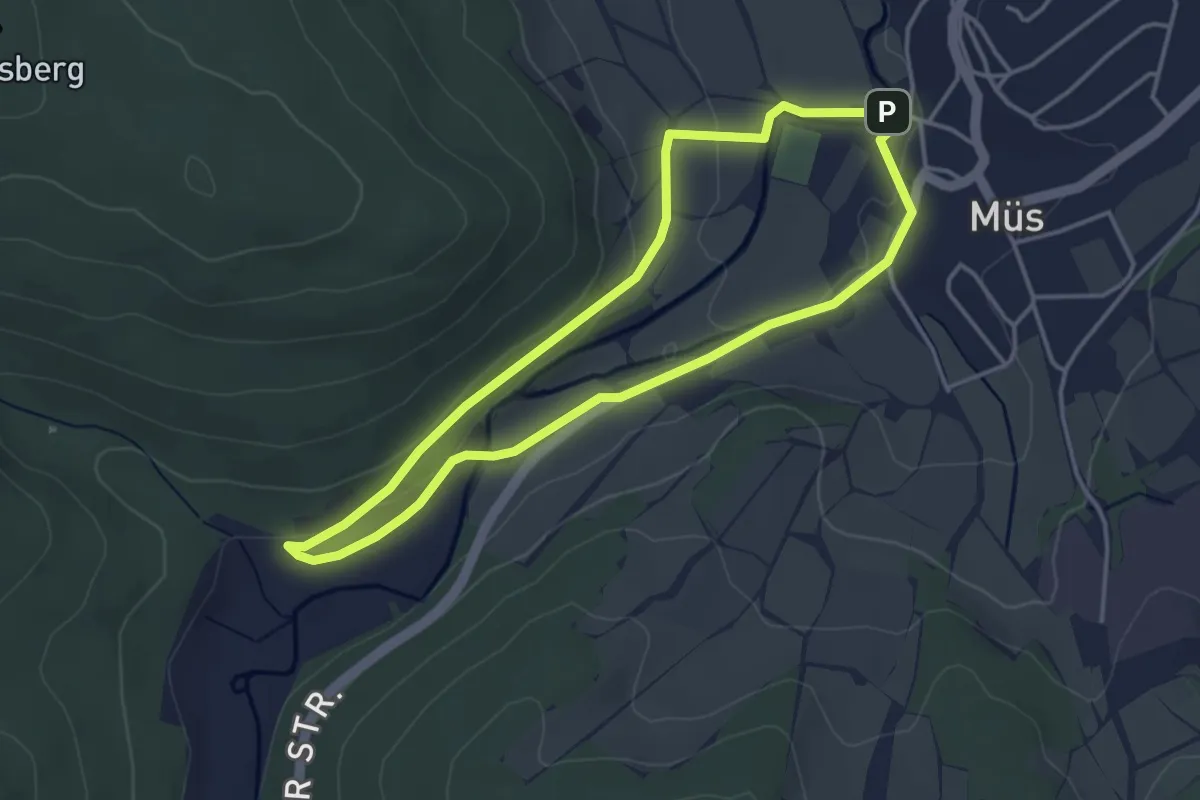
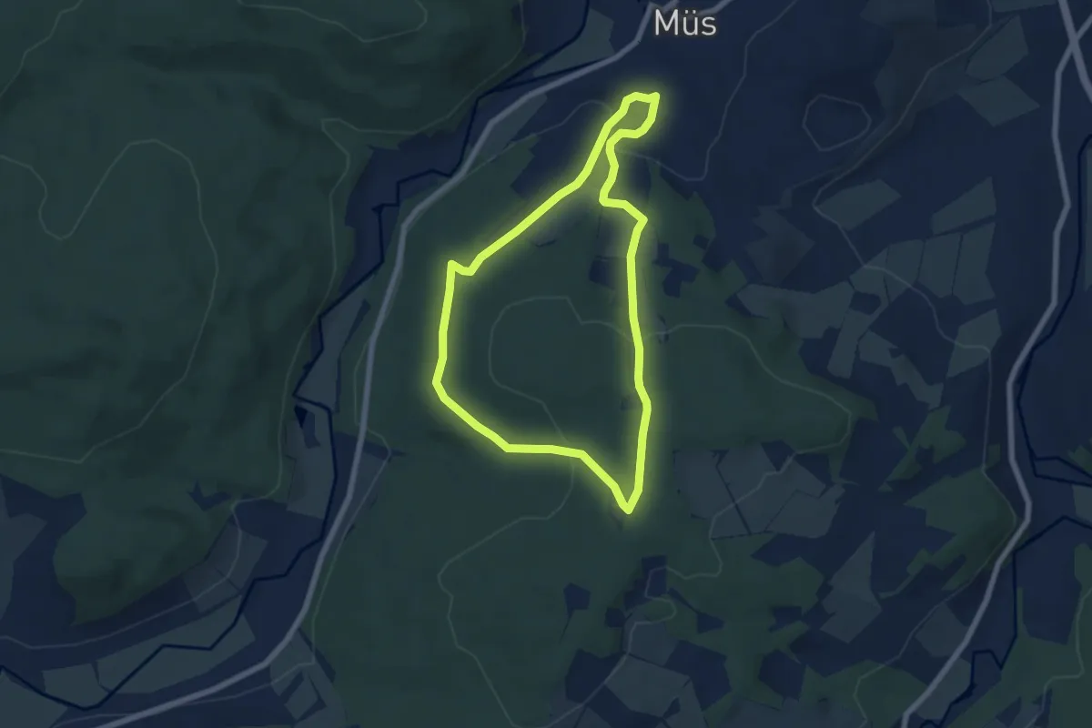
Easy · Trail
Müs 1
3.4 km · ↑ 39 m · 56 min
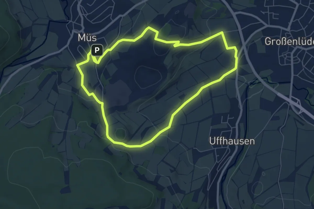
Easy · Summit
Müs 2
5.5 km · ↑ 175 m · 1 h 46 min
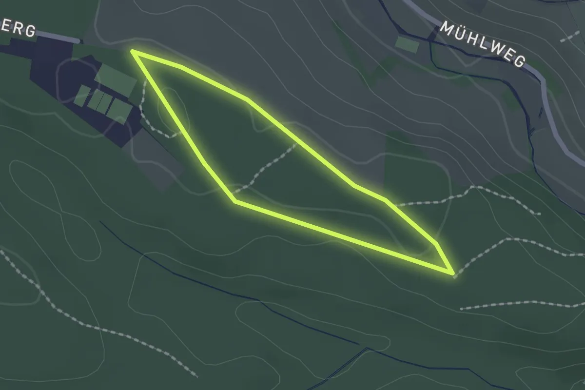
Easy · Summit
Müs 4
6.2 km · ↑ 176 m · 1 h 56 min
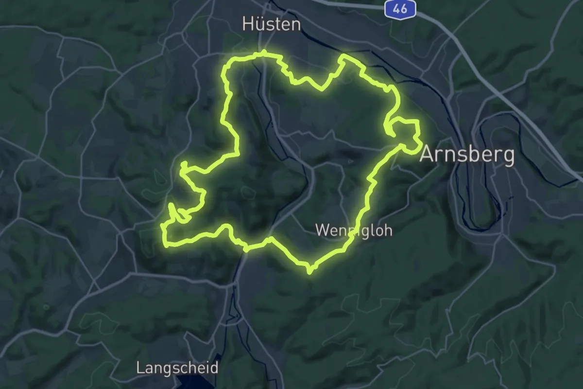
Easy · Trail
Musberger Aktivrunde
1.4 km · ↑ 6 m · 22 min
Demanding · Summit
Müscheder Rundweg
27.7 km · ↑ 741 m · 8 h 32 min
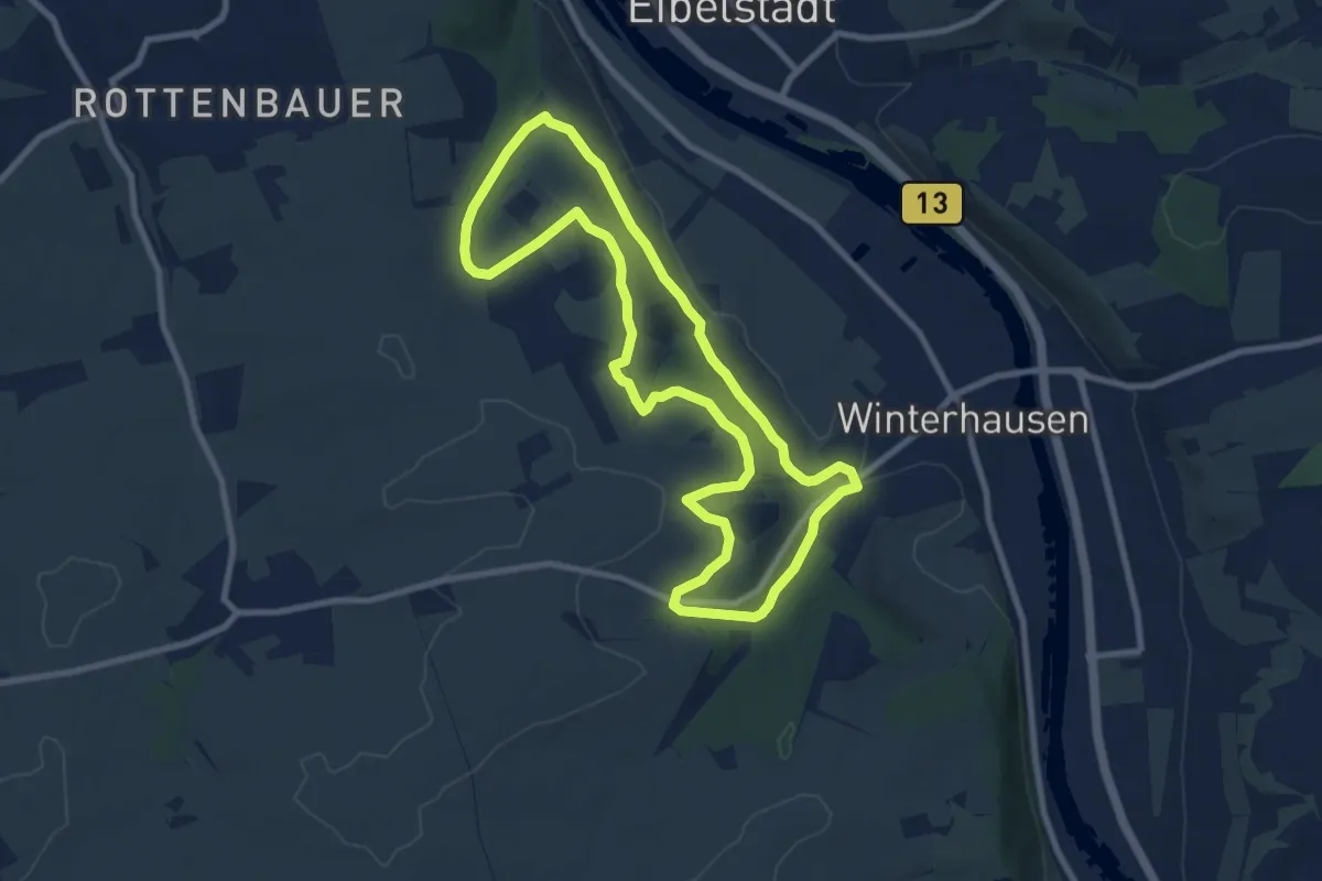
Medium · Trail
Muschelkalkweg Winterhausen
8.1 km · ↑ 150 m · 2 h 21 min
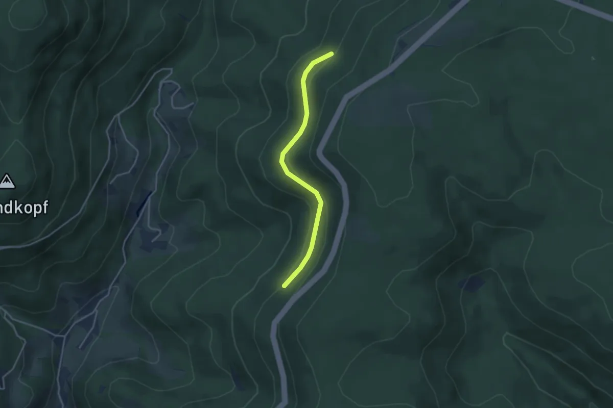
Easy · Trail
Müselgrund - Oberer Leitweg
3.1 km · ↑ 100 m · 57 min
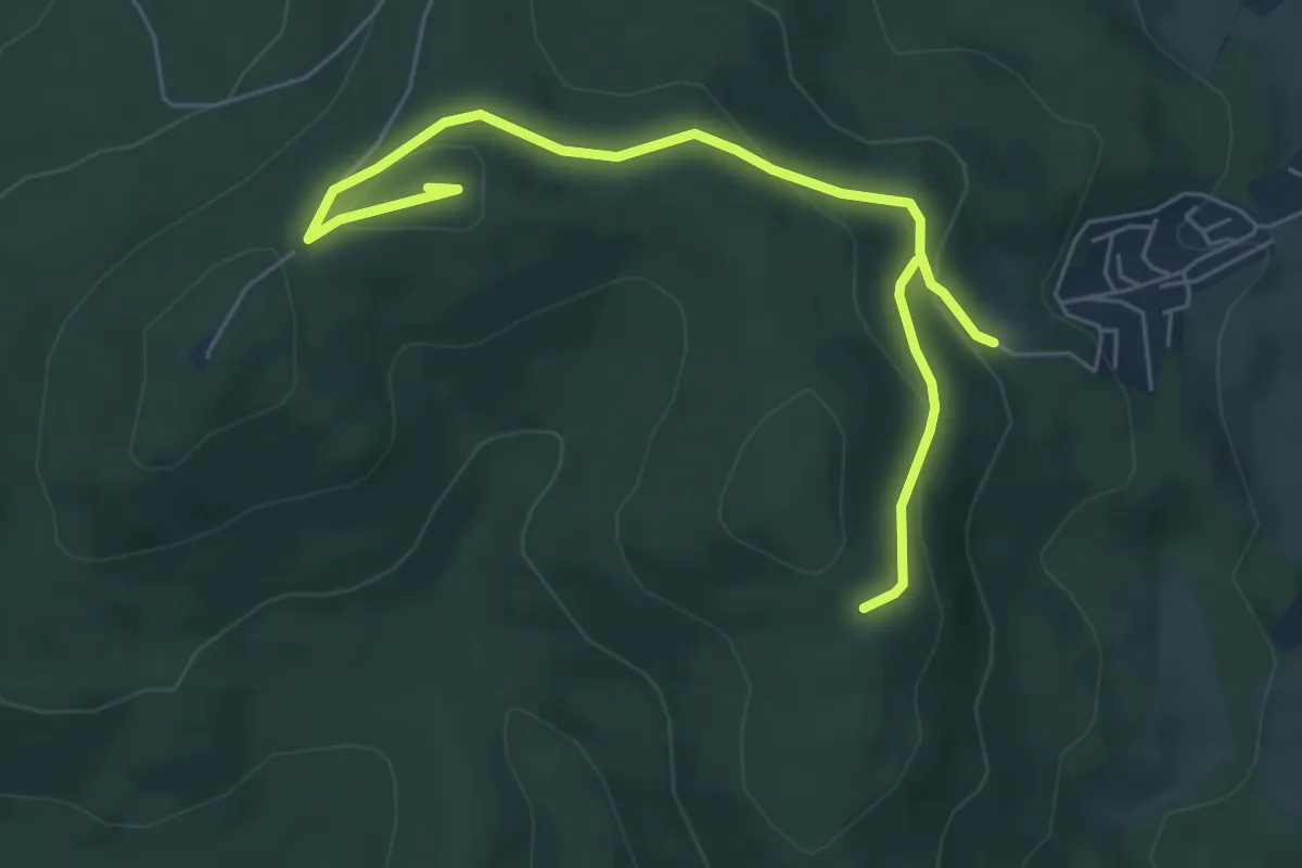
Easy · Summit
Müsen Rundweg A1
6.5 km · ↑ 228 m · 2 h 1 min
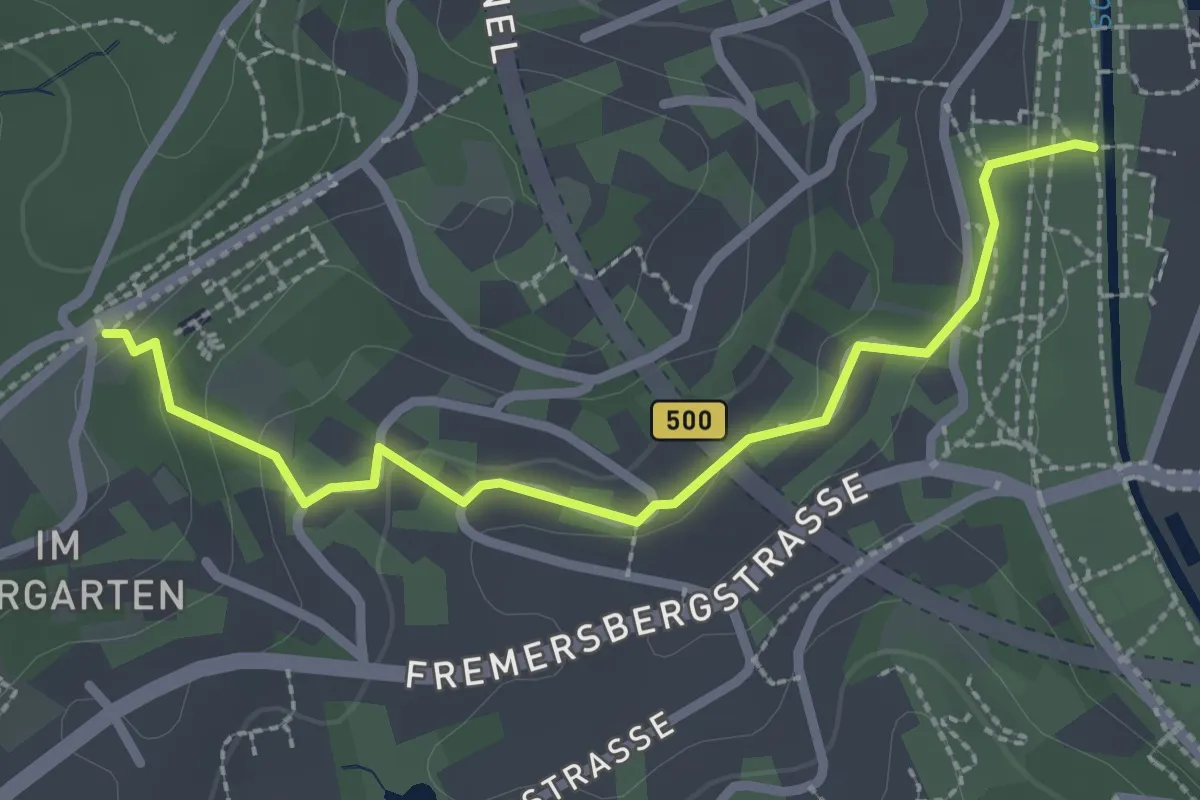
Easy · Trail
Museum Frieder Burda - Oberer Salzgrabenweg
2.5 km · ↑ 78 m · 46 min
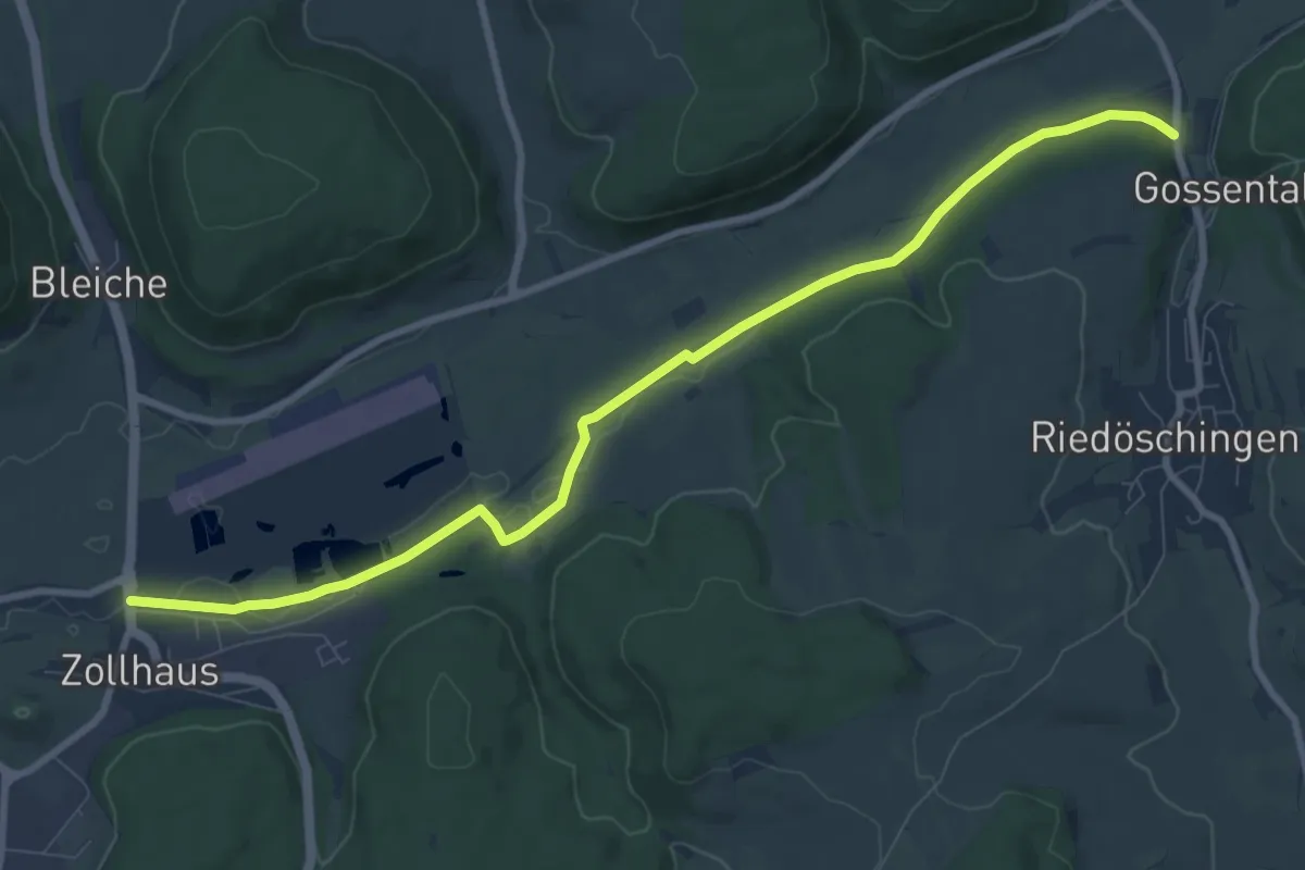
Medium · Trail
Museumsbahnhof Blumberg Zollhaus - Ziegelhalde Aitrachtal
9.6 km · ↑ 55 m · 2 h 23 min
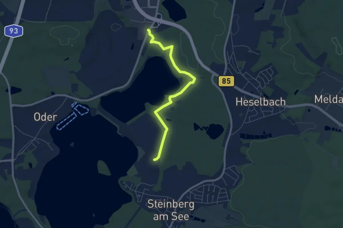
Easy · Trail
Museumslehrpfad Braunkohle in der Oberpfalz
5.6 km · ↑ 63 m · 1 h 28 min
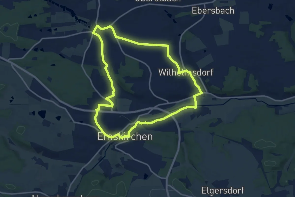
Medium · Trail
Museumsrundwanderweg Emskirchen
9.7 km · ↑ 80 m · 2 h 36 min
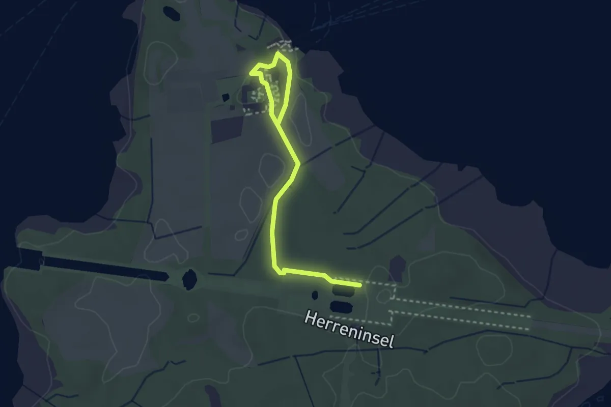
Easy · Trail
Museumsrundweg
3.2 km · ↑ 43 m · 50 min
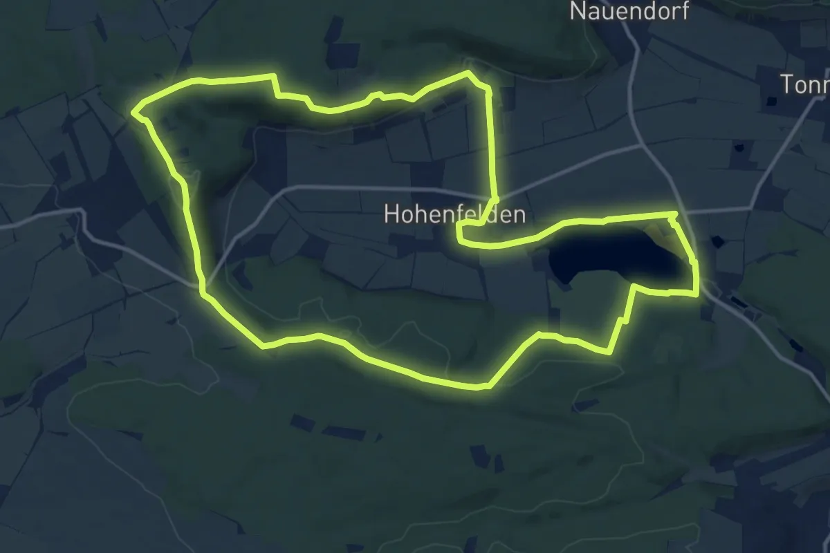
Medium · Summit
Museums-Rundweg
13.6 km · ↑ 275 m · 4 h
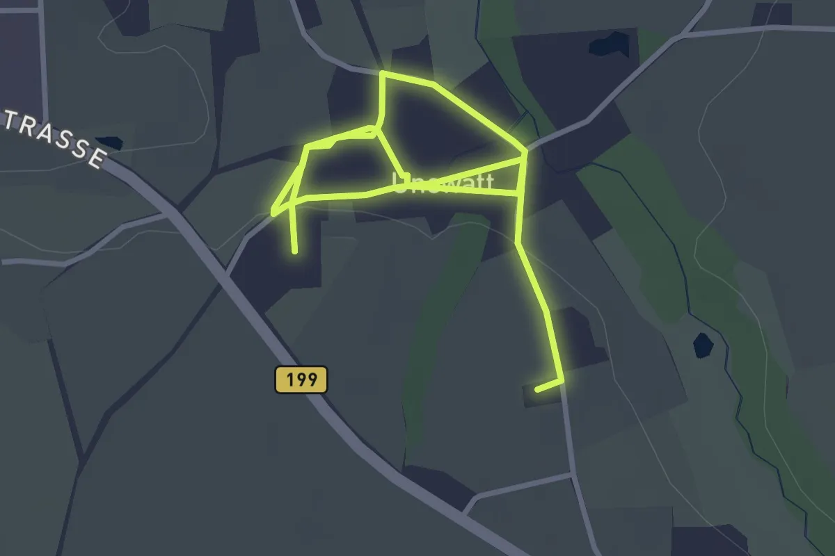
Easy · Trail
Museumsrundweg Unewatt
3.8 km · ↑ 23 m · 57 min
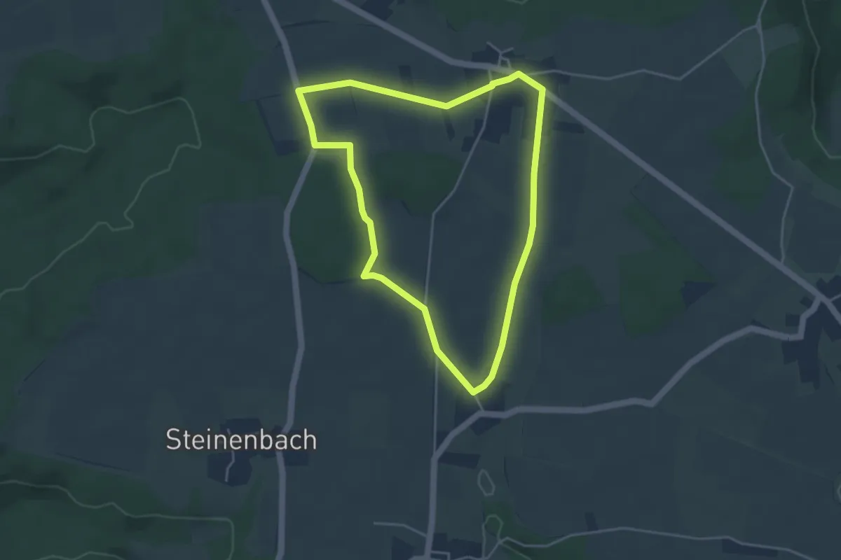
Easy · Trail
Museumsweg
3.7 km · ↑ 26 m · 59 min
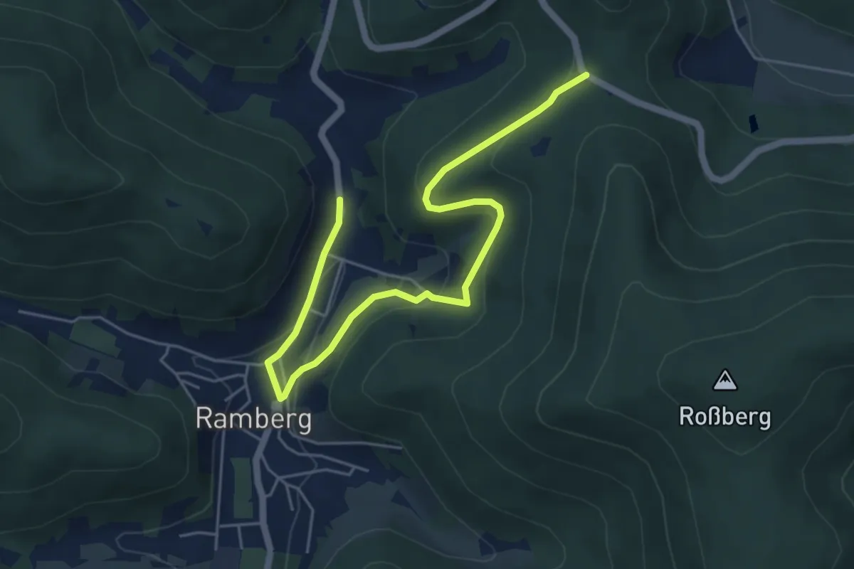
Easy · Trail
Museumsweg
5.6 km · ↑ 242 m · 1 h 51 min
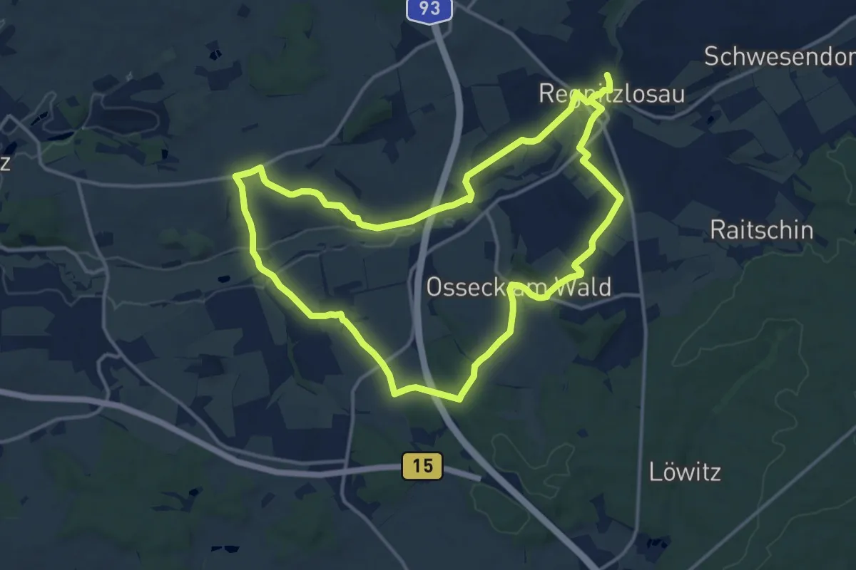
Medium · Trail
Museumsweg
12.3 km · ↑ 179 m · 3 h 28 min
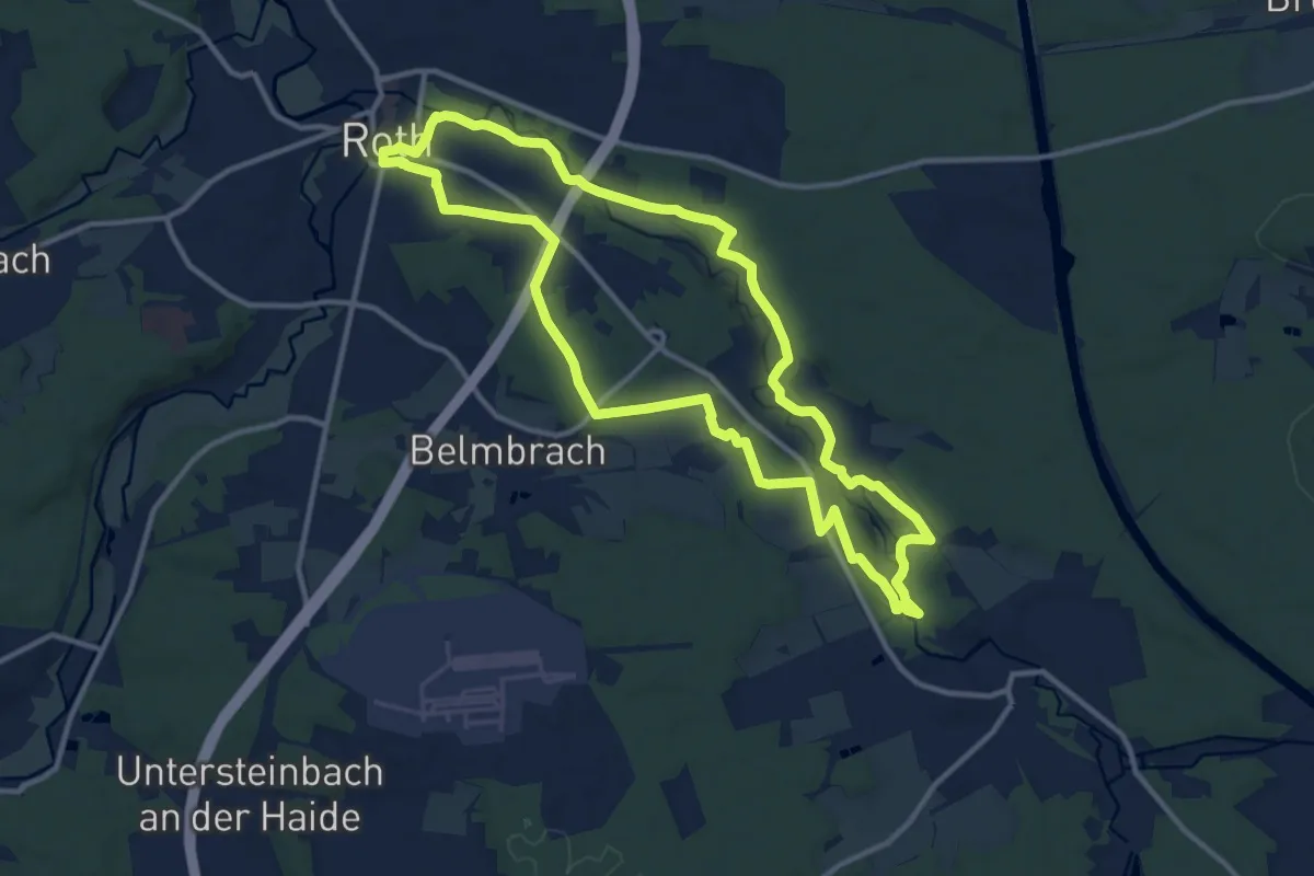
Medium · Trail
Museumsweg (Roth)
11.5 km · ↑ 116 m · 3 h 8 min
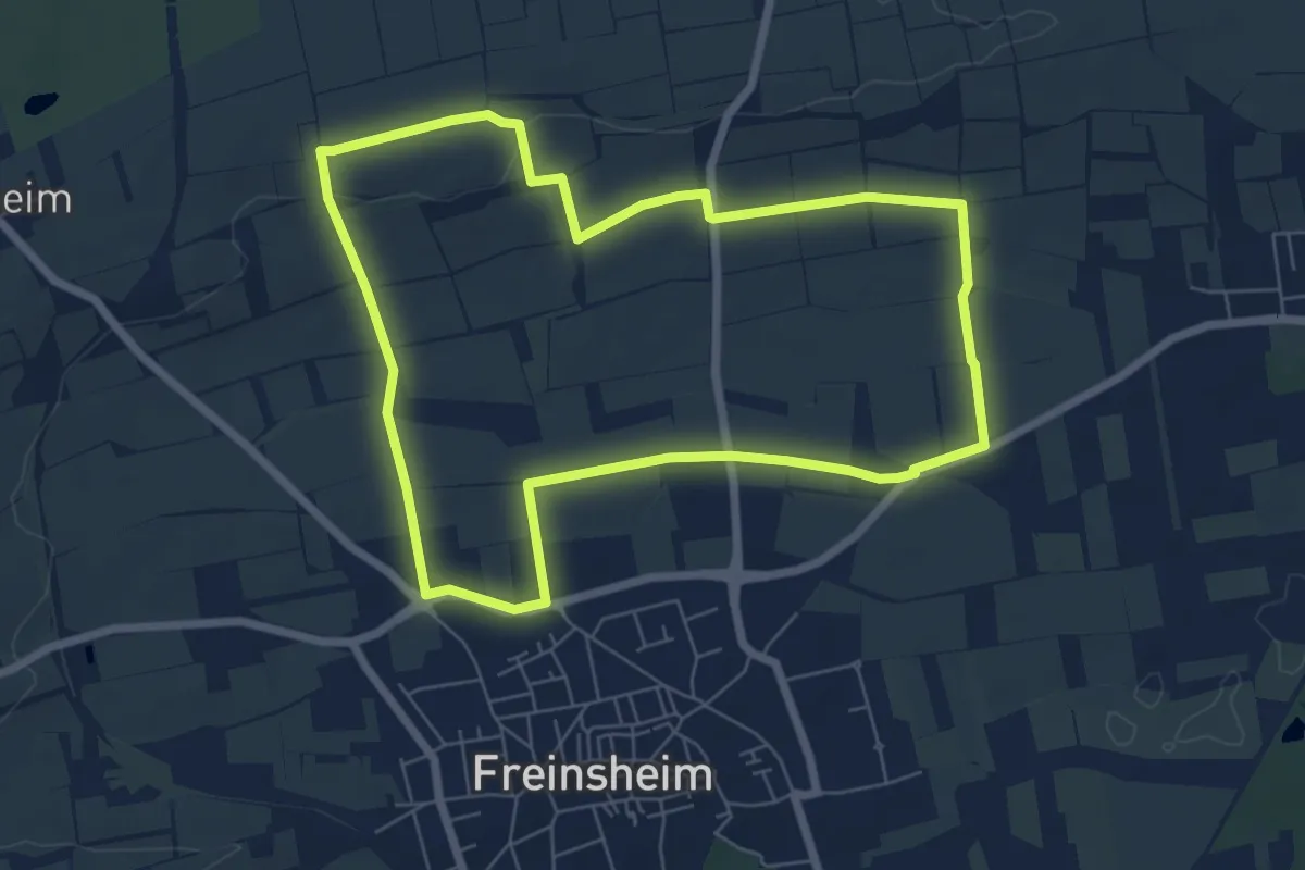
Easy · Trail
Musikantenbuckelweg
6.3 km · ↑ 54 m · 1 h 41 min
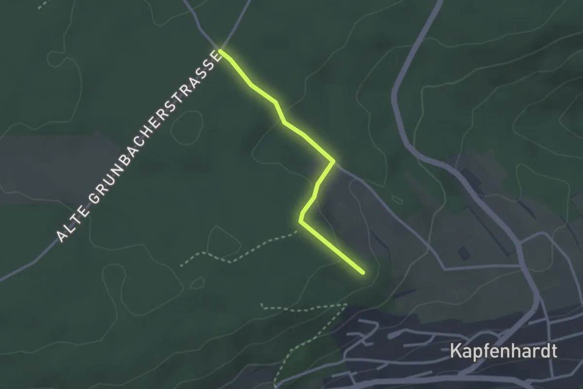
Easy · Trail
Müsse - Ameisenwald-Hütte
2.2 km · ↑ 58 m · 39 min
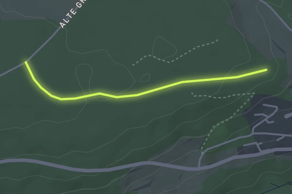
Easy · Trail
Müsse - Beim Herrschaftsbrunnen
2.5 km · ↑ 49 m · 42 min
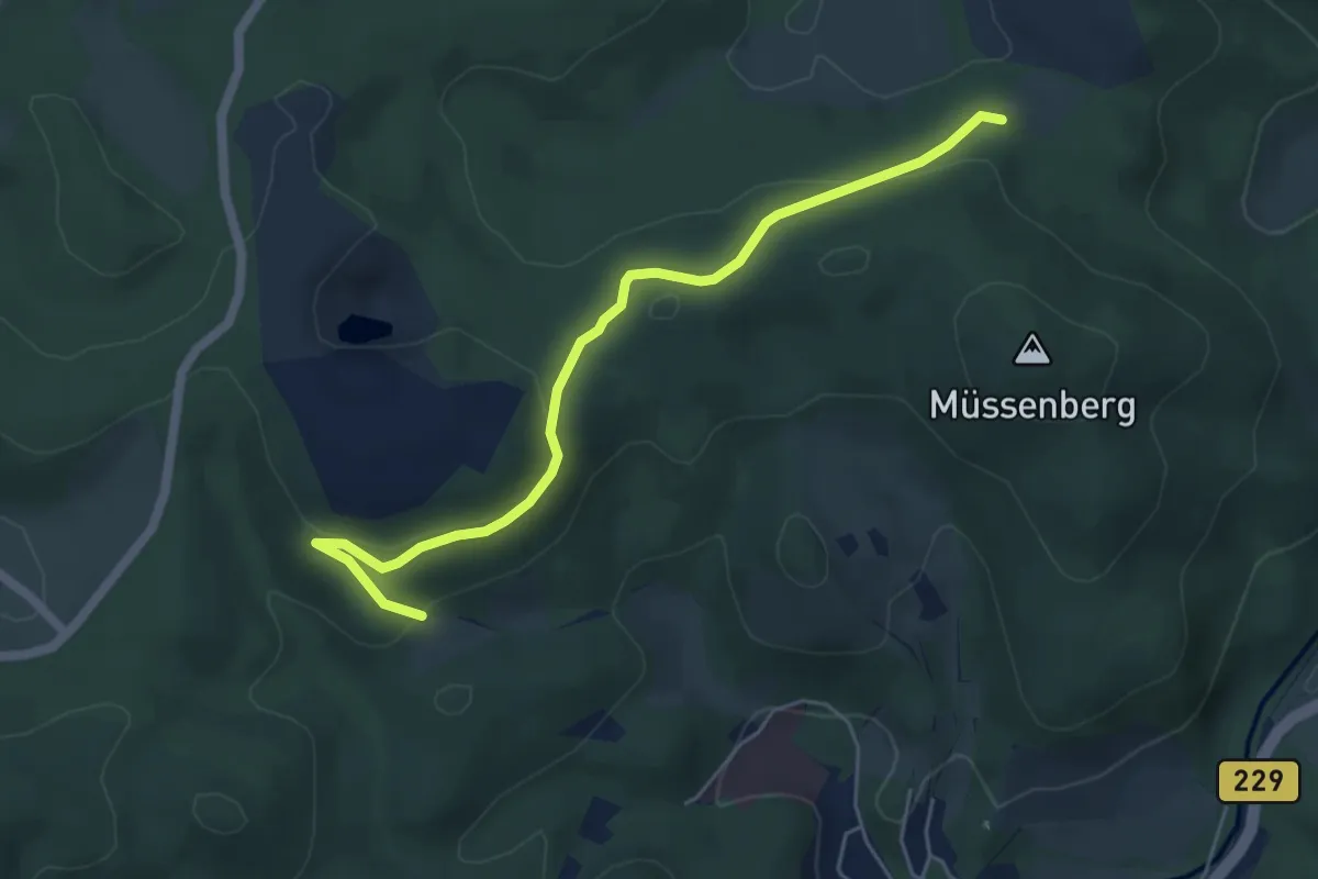
Easy · Trail
Mussenberg (1)
4.9 km · ↑ 178 m · 1 h 33 min
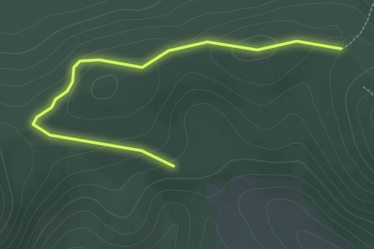
Easy · Trail
Musserberg (2)
2.8 km · ↑ 59 m · 47 min
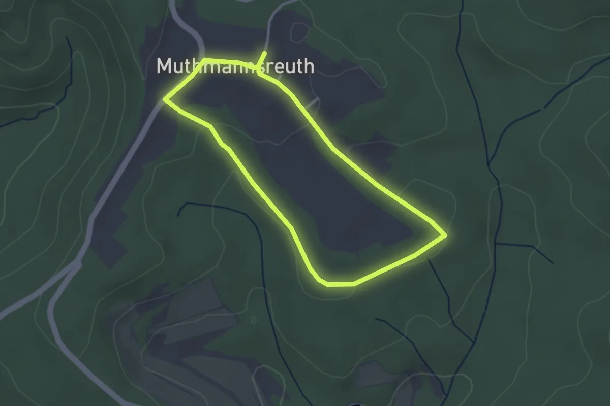
Easy · Trail
Muthmannsreuth Rundwanderweg Nr. 4
2.6 km · ↑ 35 m · 44 min