Trails in Germany
36,852 hiking trails, each with its route, climb, walking time and grade.
All trails, page 356 of 768
Medium · Trail
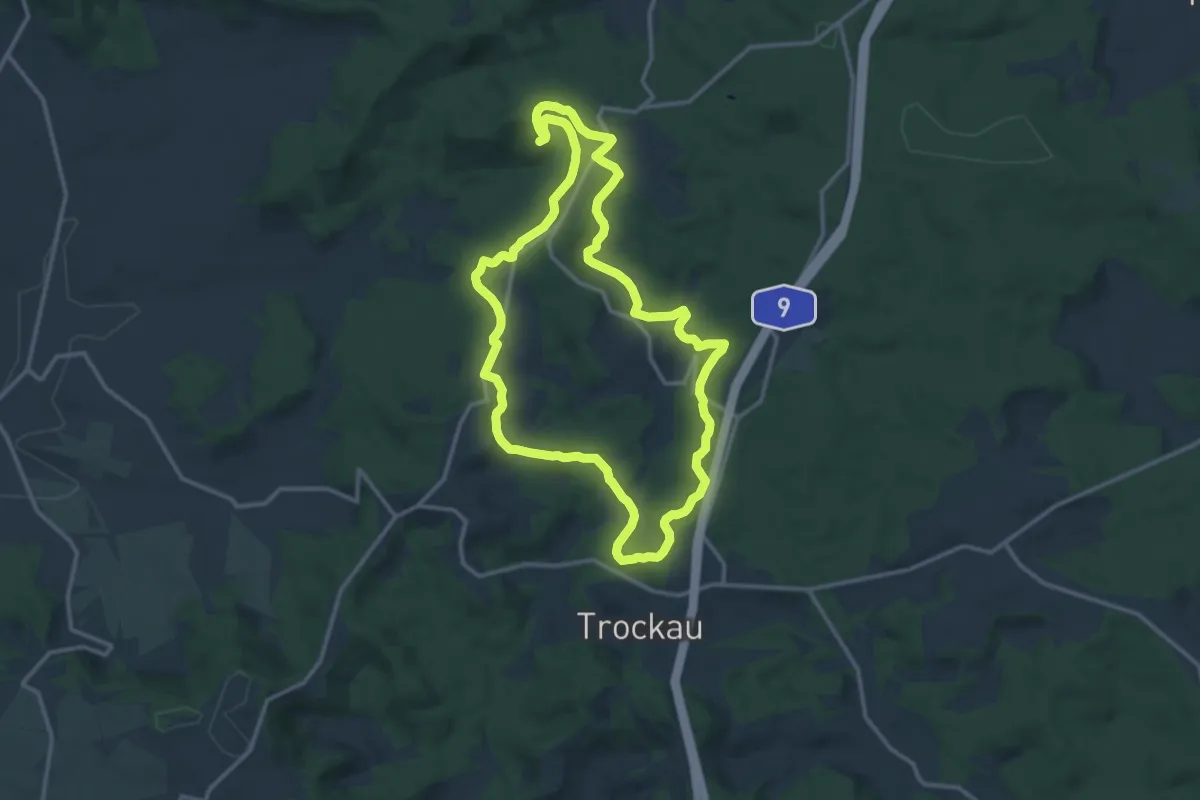
Muthmannsreuth Rundwanderweg Nr. 5
12.1 km · ↑ 213 m · 3 h 29 min
Medium · Trail
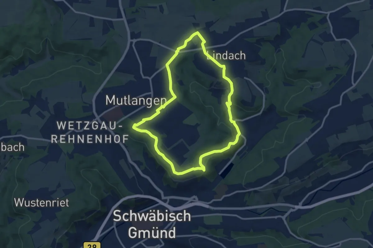
Mutlangen Rundwanderweg 4
8.6 km · ↑ 146 m · 2 h 27 min
Easy · Trail
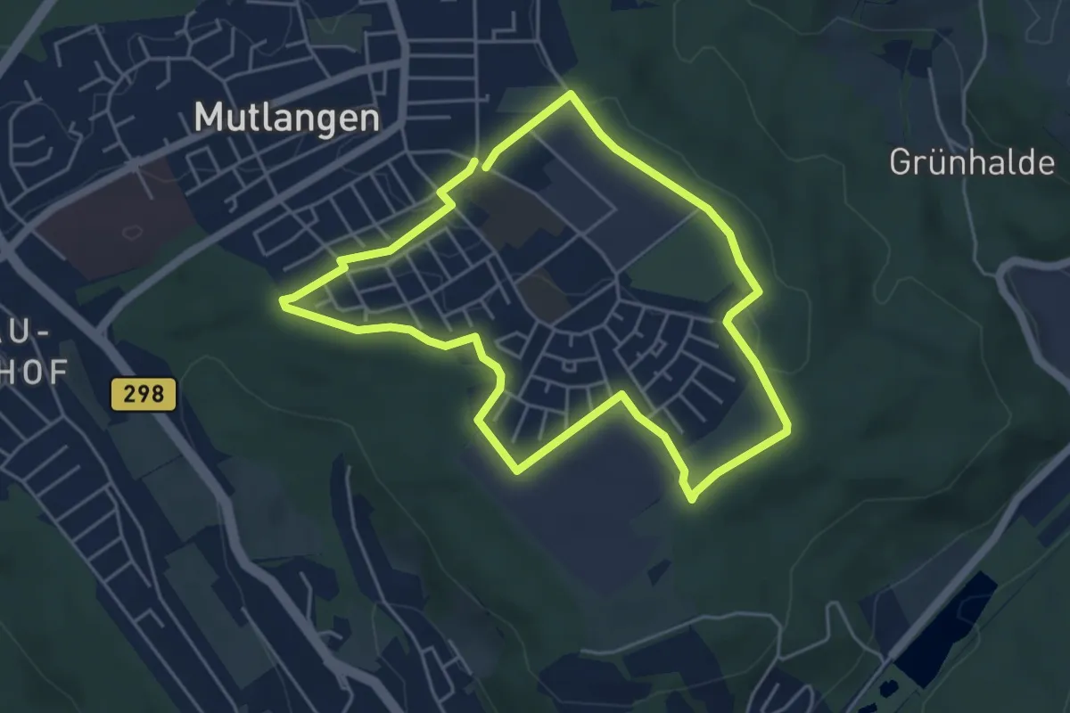
Mutlangen Rundwanderweg 4a
4.3 km · ↑ 17 m · 1 h 7 min
Easy · Trail
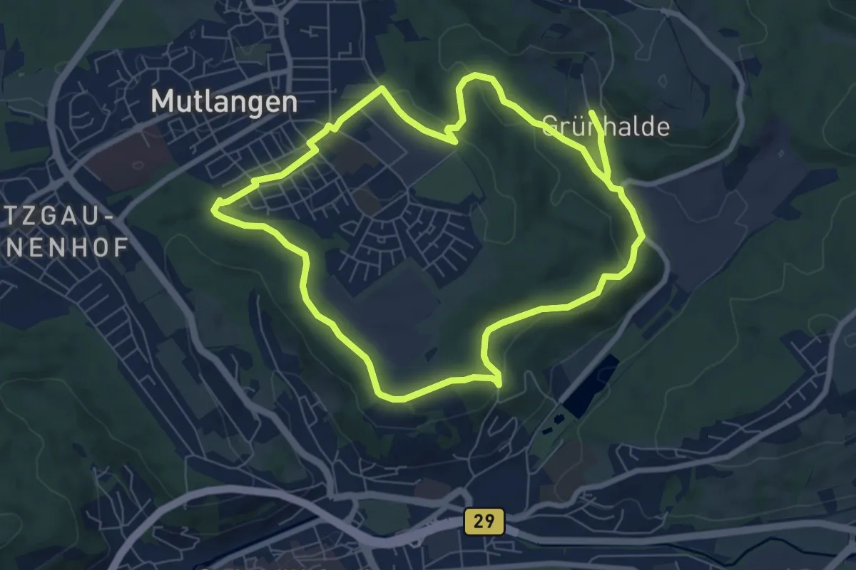
Mutlangen Rundwanderweg 4b
6.8 km · ↑ 146 m · 2 h 2 min
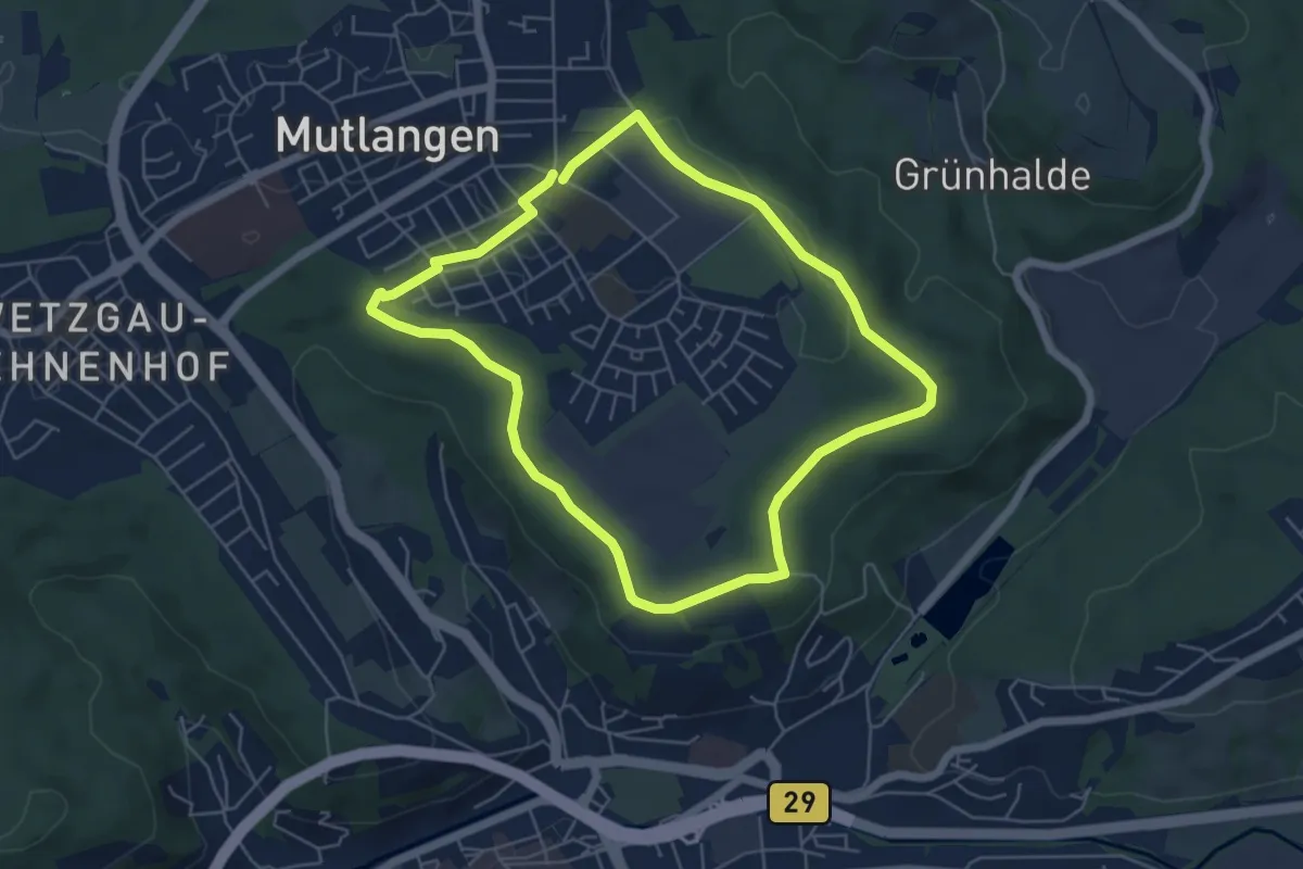
Easy · Trail
Mutlangen Rundwanderweg 4c
5.1 km · ↑ 67 m · 1 h 25 min
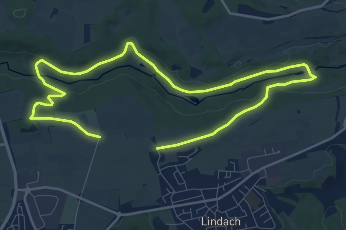
Medium · Trail
Mutlanger Rundwanderweg 1
12.9 km · ↑ 172 m · 3 h 25 min
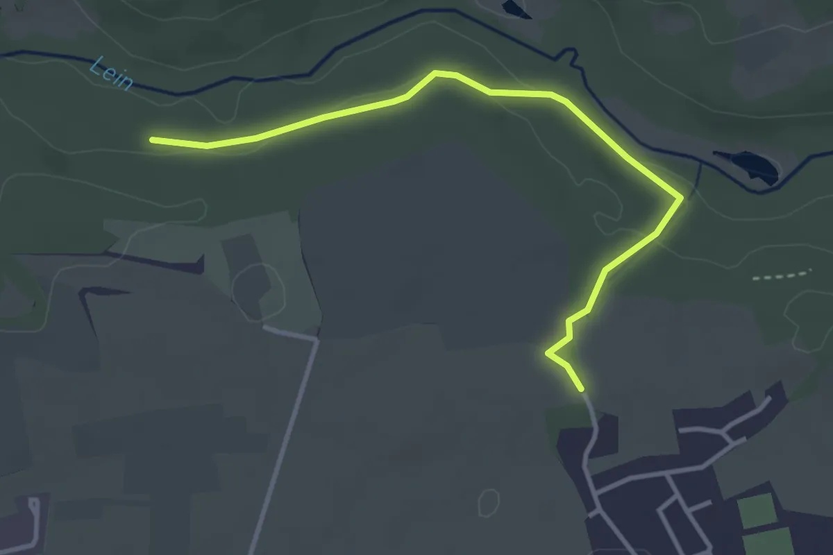
Easy · Trail
Mutlanger Rundwanderweg 1b
3.4 km · ↑ 86 m · 1 h
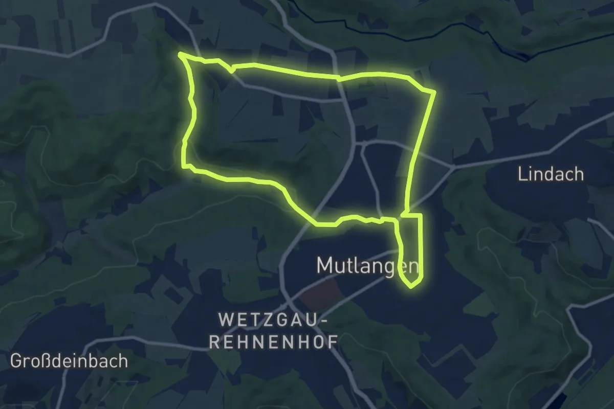
Medium · Trail
Mutlanger Rundwanderweg 2
9.0 km · ↑ 119 m · 2 h 30 min
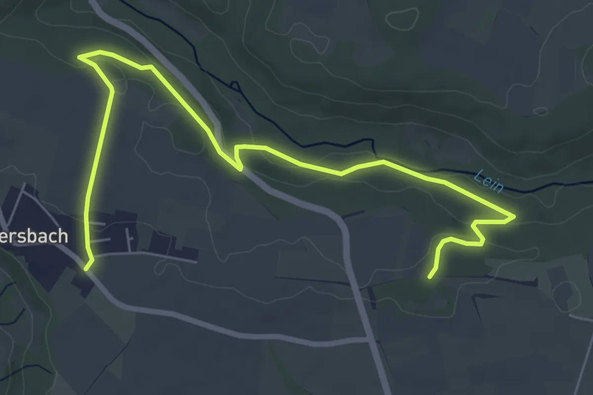
Easy · Trail
Mutlanger Rundwanderweg 2a
7.0 km · ↑ 155 m · 1 h 59 min
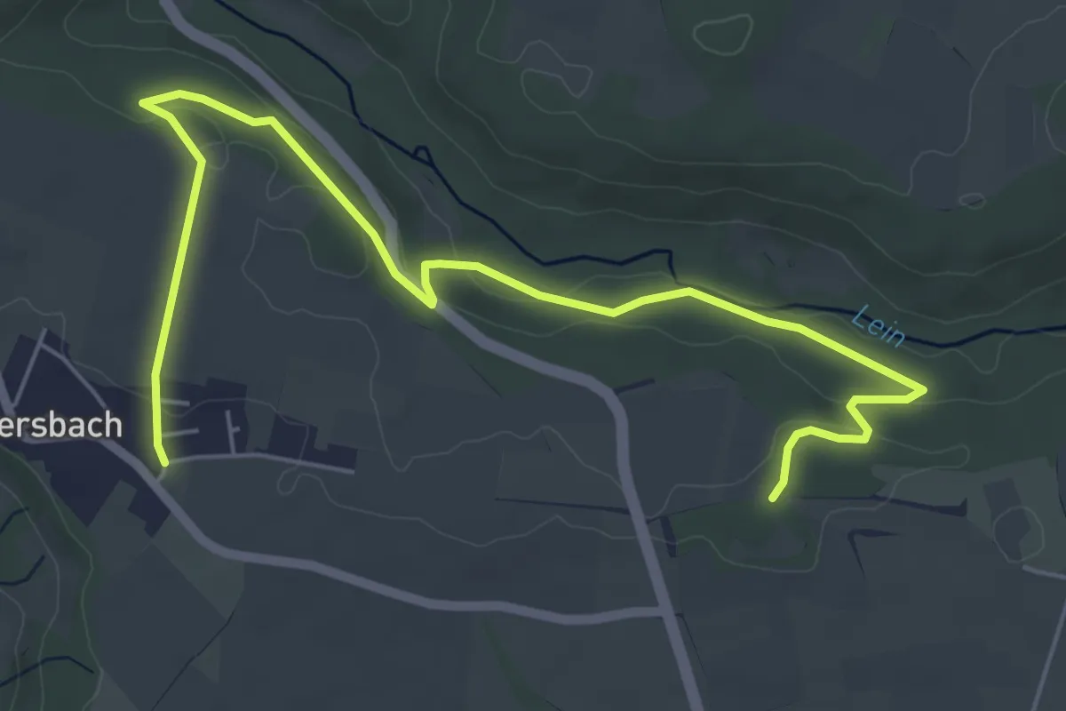
Easy · Trail
Mutlanger Rundwanderweg 2a
6.9 km · ↑ 151 m · 1 h 57 min
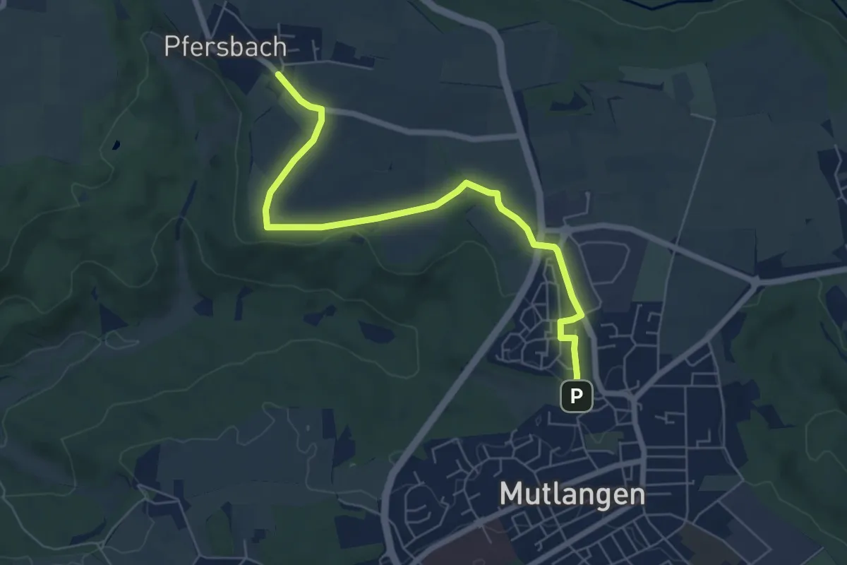
Easy · Trail
Mutlanger Rundwanderweg 2b
6.4 km · ↑ 30 m · 1 h 34 min
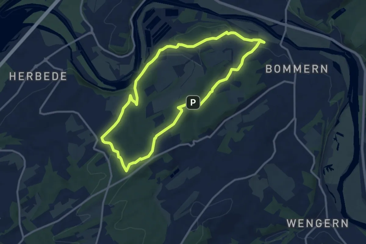
Easy · Trail
Muttental Rundweg M1
7.9 km · ↑ 158 m · 2 h 19 min
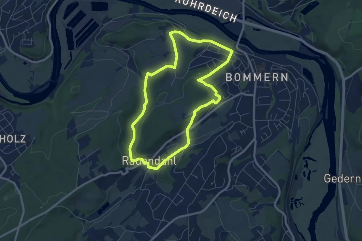
Easy · Trail
Muttental Rundweg M2
5.5 km · ↑ 120 m · 1 h 38 min
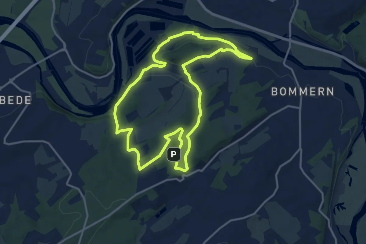
Medium · Trail
Muttental Rundweg M3
8.4 km · ↑ 165 m · 2 h 27 min
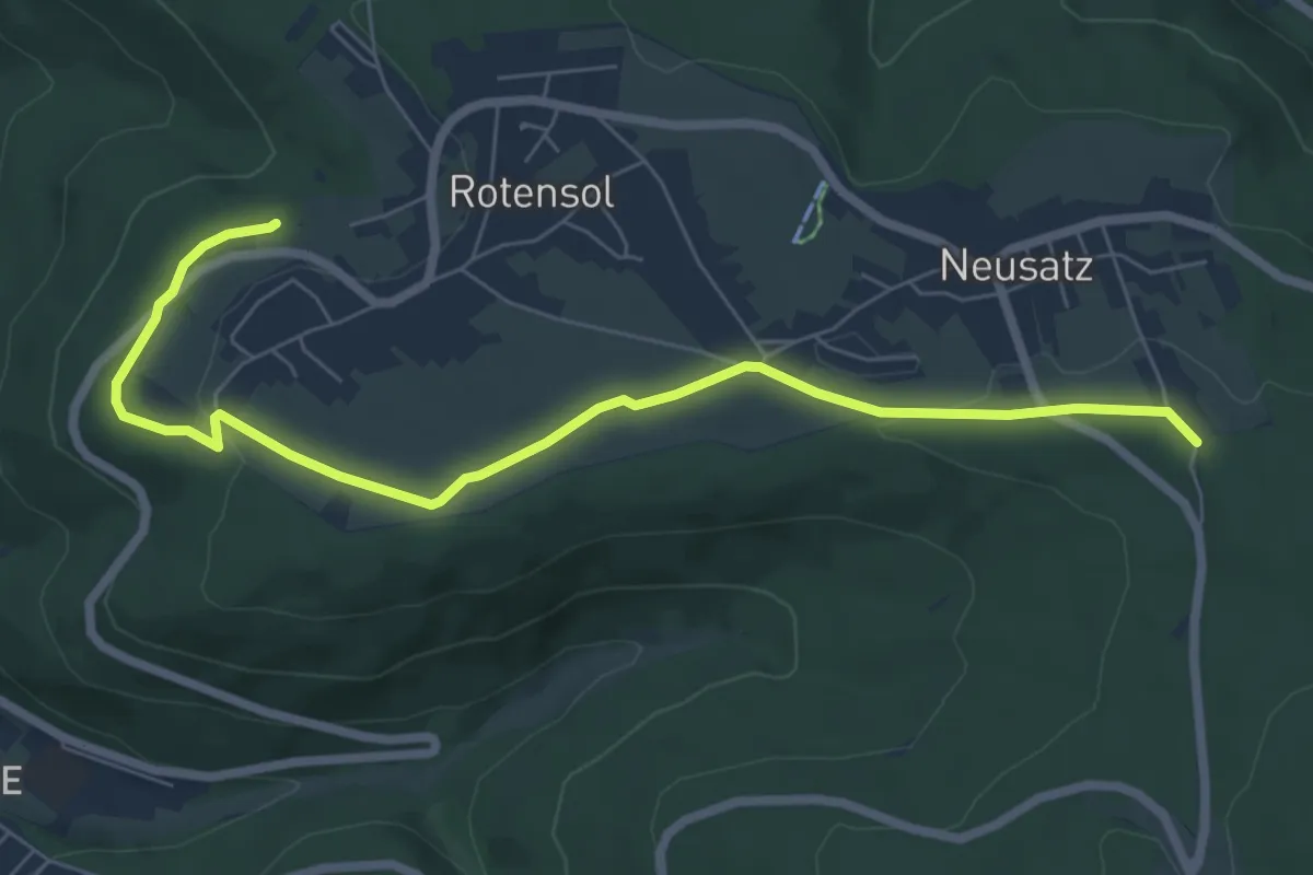
Easy · Trail
Muttertal - Neusatzer Pfütze
7.3 km · ↑ 83 m · 1 h 54 min
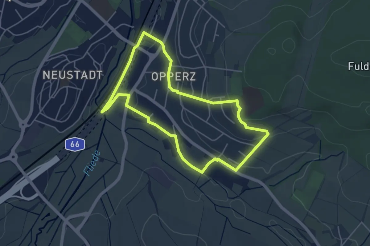
Easy · Trail
Mutter-Teresa-Weg
3.5 km · ↑ 66 m · 1 h 1 min
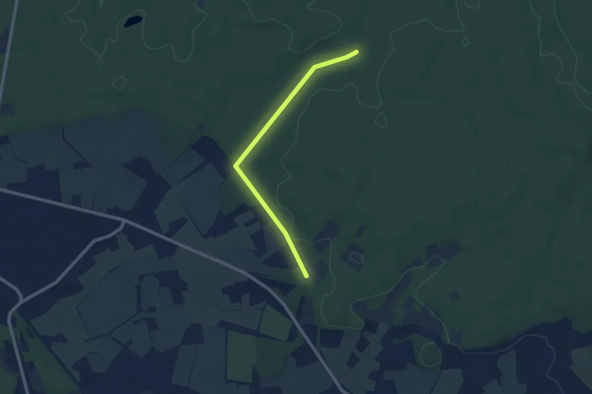
Easy · Trail
Mutter Wehner Rundweg A1
2.5 km · ↑ 22 m · 40 min
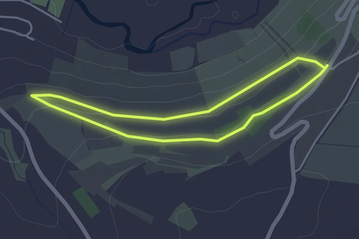
Easy · Trail
Mutzenhorn bei Weikersheim
2.7 km · ↑ 42 m · 46 min
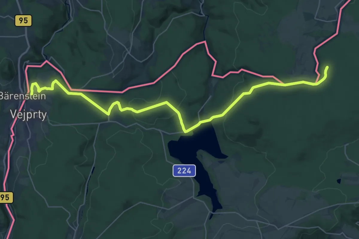
Demanding · Summit
[M] Vejprty - Pohraničí (CZ/D)
31.5 km · ↑ 731 m · 9 h 1 min
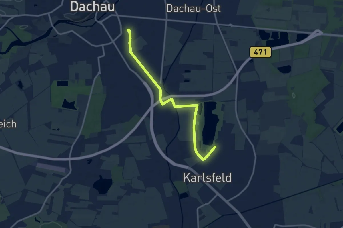
Medium · Trail
MVV Wanderweg Dachau Karlsfelder See
8.7 km · ↑ 17 m · 2 h 5 min
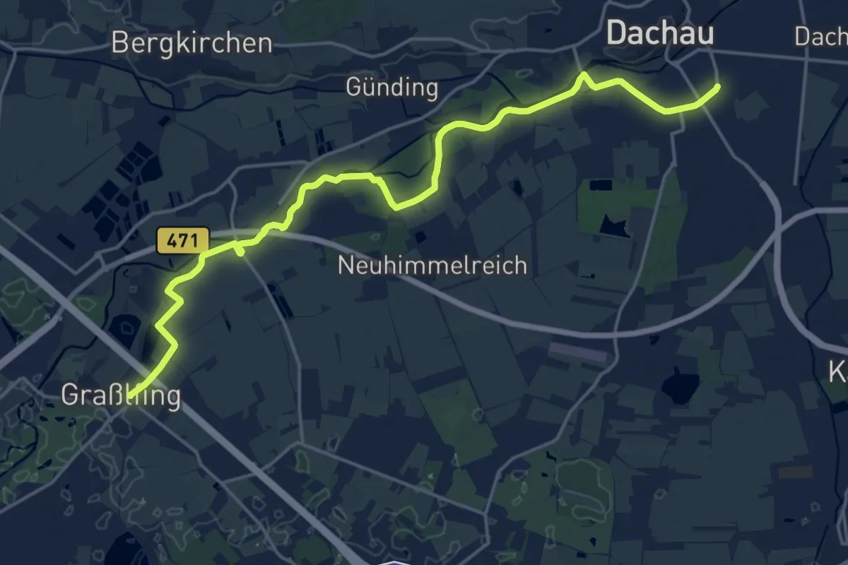
Demanding · Trail
MVV Wanderweg Dreieck Dachau Olching
19.3 km · ↑ 25 m · 4 h 36 min
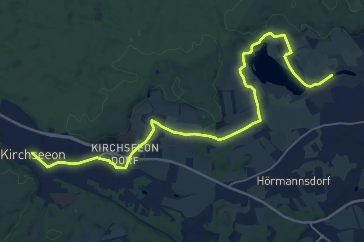
Medium · Trail
MVV Wanderweg Dreieck (Kirchseeon - Ebersberg)
16.6 km · ↑ 178 m · 4 h 19 min
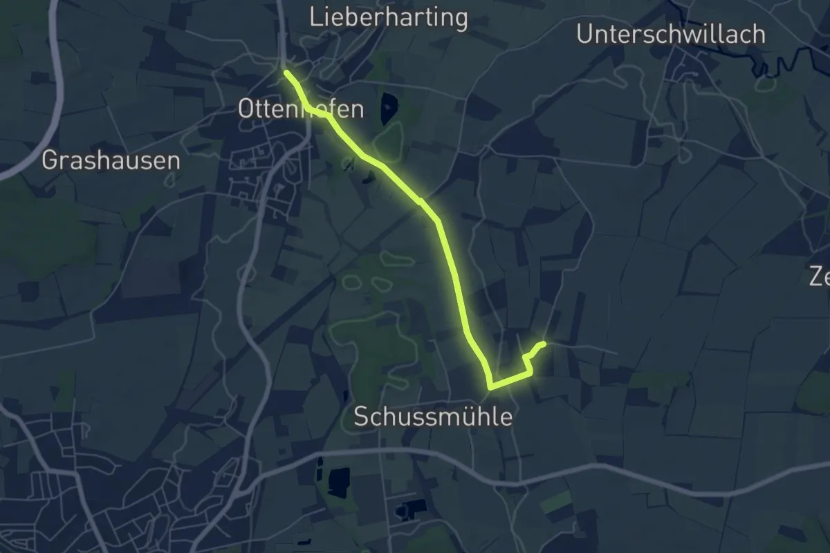
Easy · Trail
MVV Wanderweg Dreieck Ottenhofen
5.6 km · ↑ 31 m · 1 h 23 min
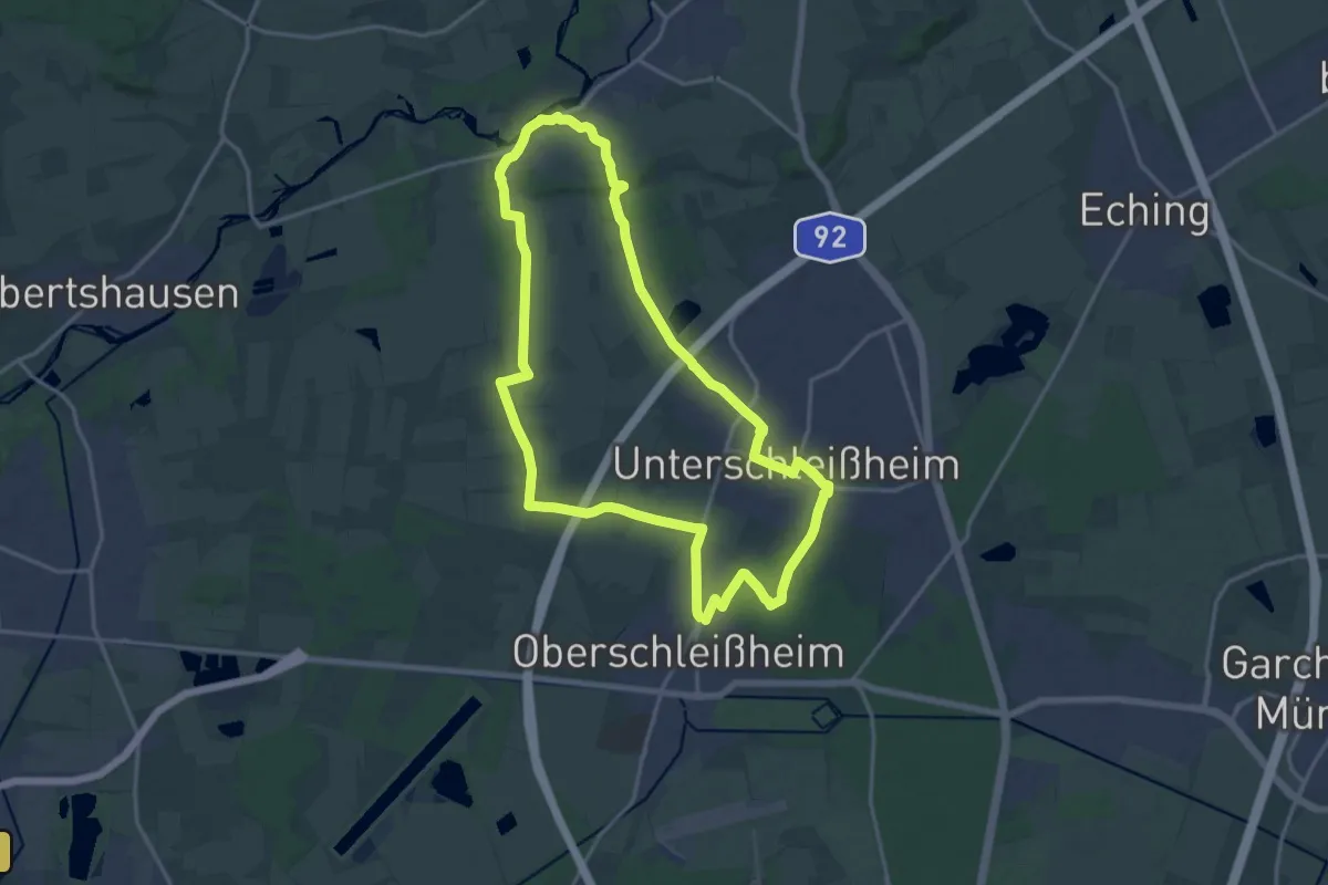
Medium · Trail
MVV Wanderweg Dreieck Schleißheim
16.5 km · ↑ 58 m · 4 h 14 min
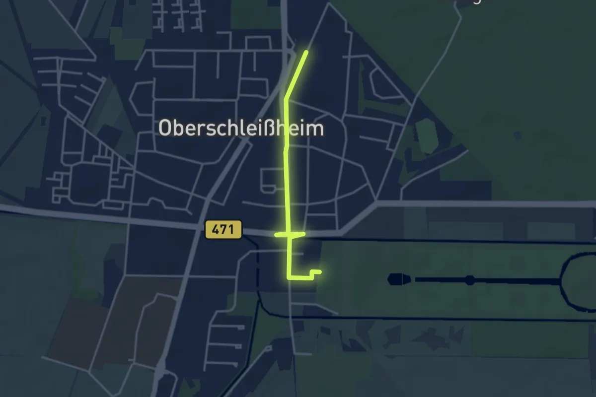
Easy · Trail
MVV Wanderweg Kreis Oberschleißheim
2.8 km · ↑ 4 m · 41 min
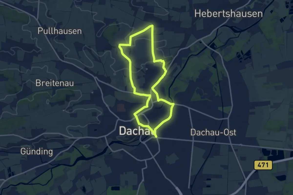
Medium · Summit
MVV Wanderweg Punkt
9.2 km · ↑ 94 m · 2 h 31 min
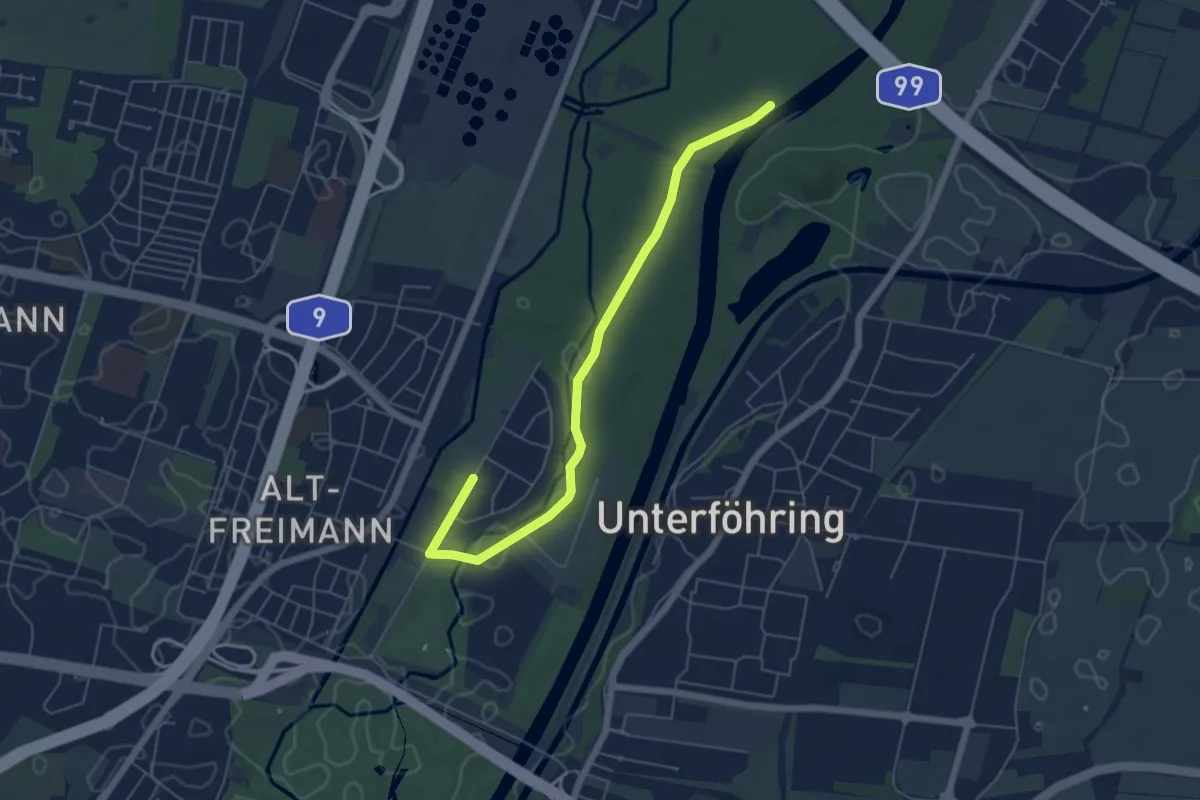
Easy · Trail
MVV Wanderweg Quadrat
5.8 km · ↑ 9 m · 1 h 23 min
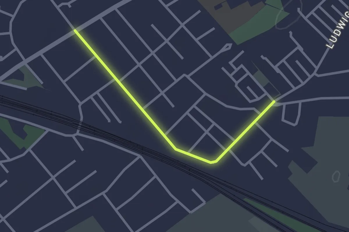
Easy · Trail
MVV Wanderweg Quadrat Olching
2.1 km · ↑ 0 m · 30 min
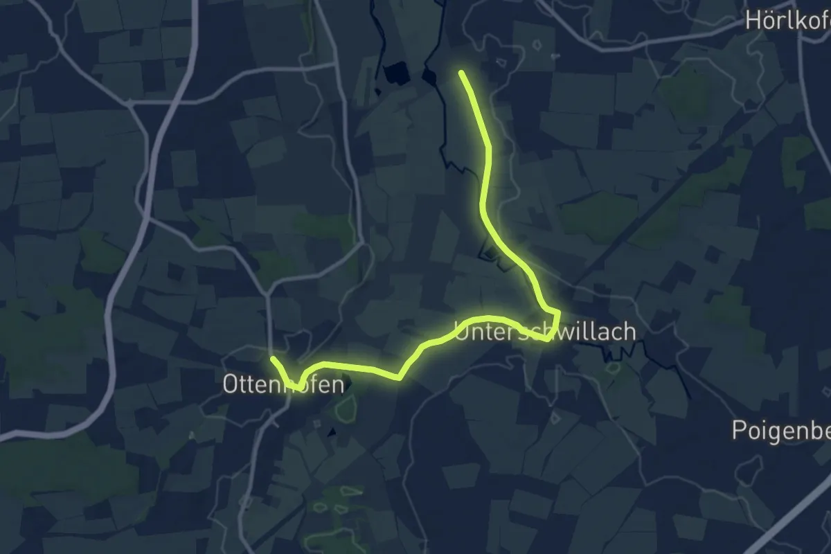
Medium · Trail
MVV Wanderweg Quadrat Ottenhofen
10.5 km · ↑ 55 m · 2 h 36 min
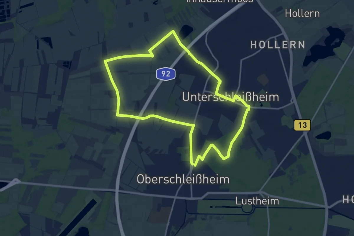
Medium · Trail
MVV Wanderweg Raute Oberschleißheim
12.2 km · ↑ 18 m · 3 h 6 min
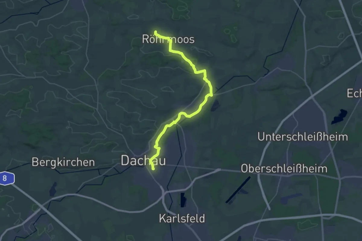
Demanding · Trail
MVV Wanderweg Ring
28.2 km · ↑ 189 m · 7 h 5 min
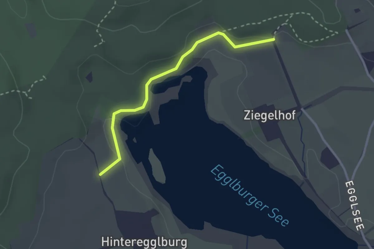
Easy · Trail
MVV Wanderweg Ring
2.4 km · ↑ 48 m · 40 min
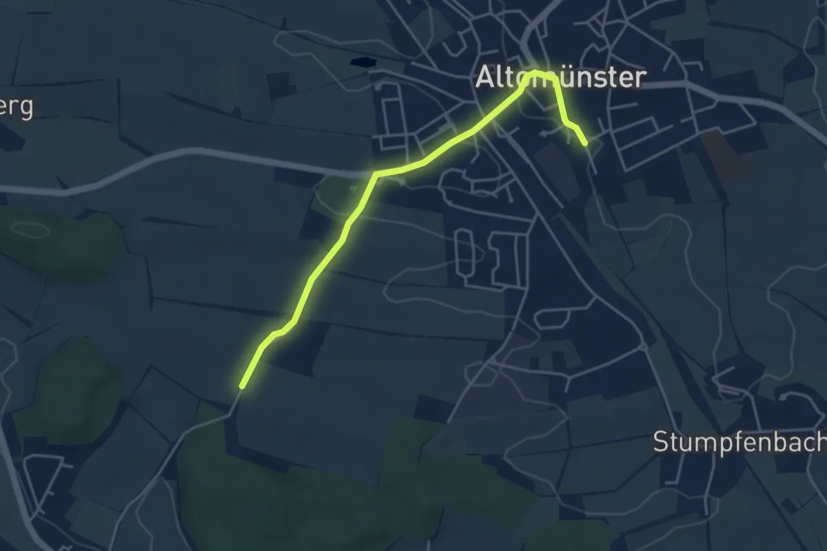
Easy · Trail
MVV Wanderweg Roter Punkt
3.8 km · ↑ 75 m · 1 h 4 min
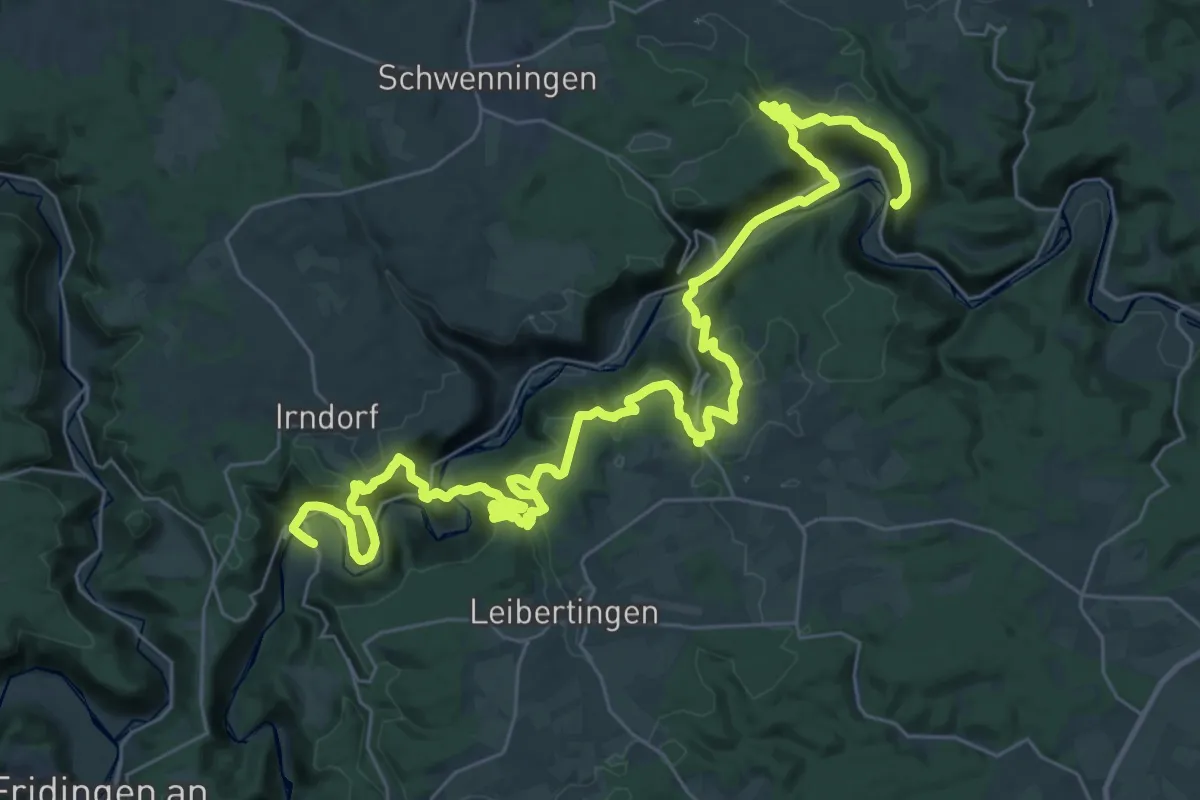
Demanding · Summit
MWD 2b
45.7 km · ↑ 1793 m · 14 h 40 min
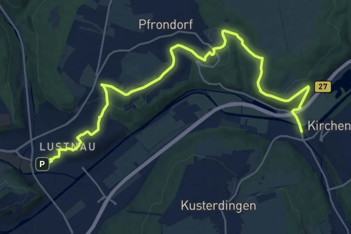
Medium · Trail
MWZ 3 Kirchentellinsfurt - Rottenburg
17.1 km · ↑ 347 m · 4 h 47 min
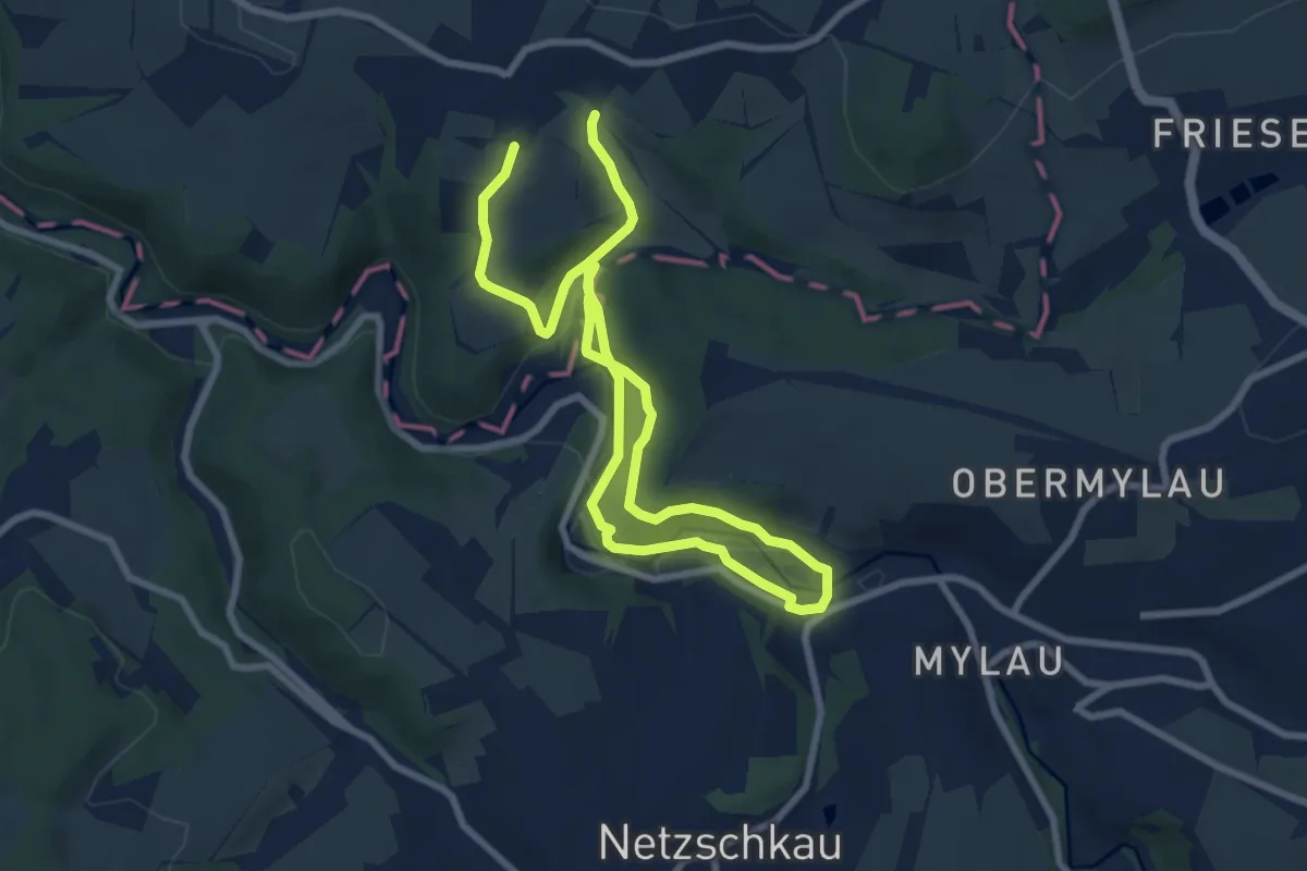
Medium · Trail
Mylau Göltzschtalbrücke - Reinsdorf Gasthof
12.0 km · ↑ 313 m · 3 h 31 min
Easy · Trail
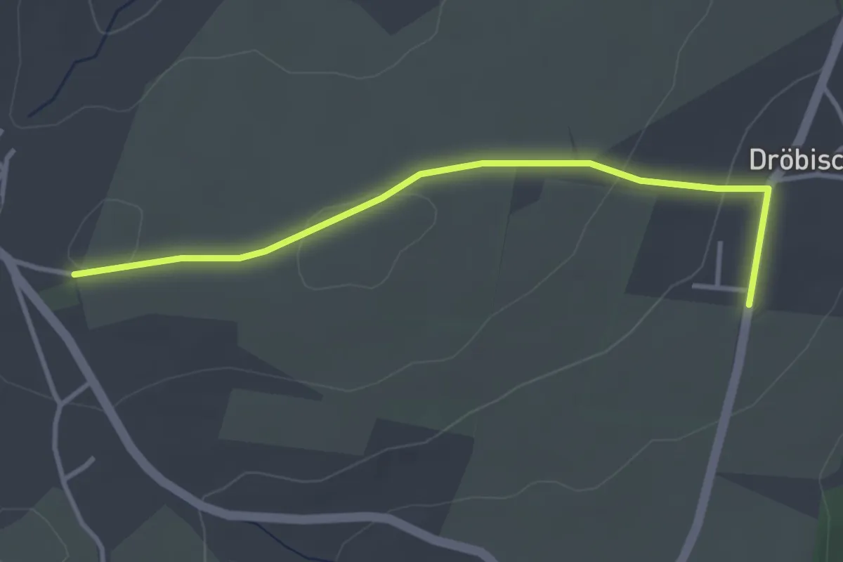
Myliusweg
3.2 km · ↑ 44 m · 51 min
Easy · Trail
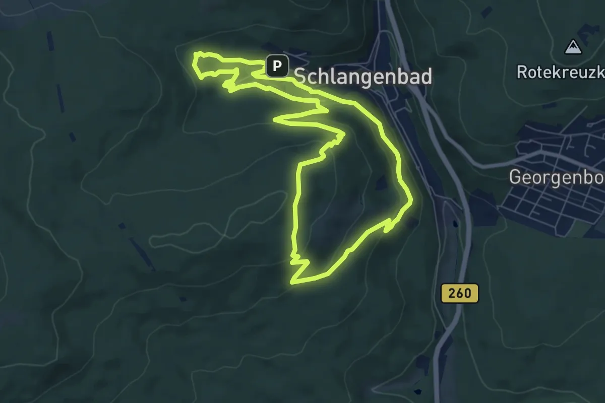
Mystischer Weg
6.9 km · ↑ 242 m · 2 h 14 min
Medium · Trail
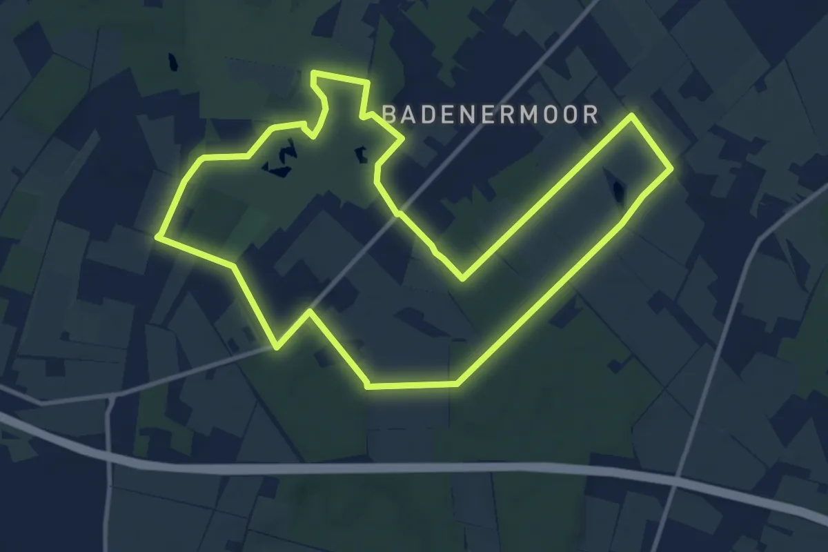
Mythos Moor
9.1 km · ↑ 31 m · 2 h 21 min
Medium · Trail
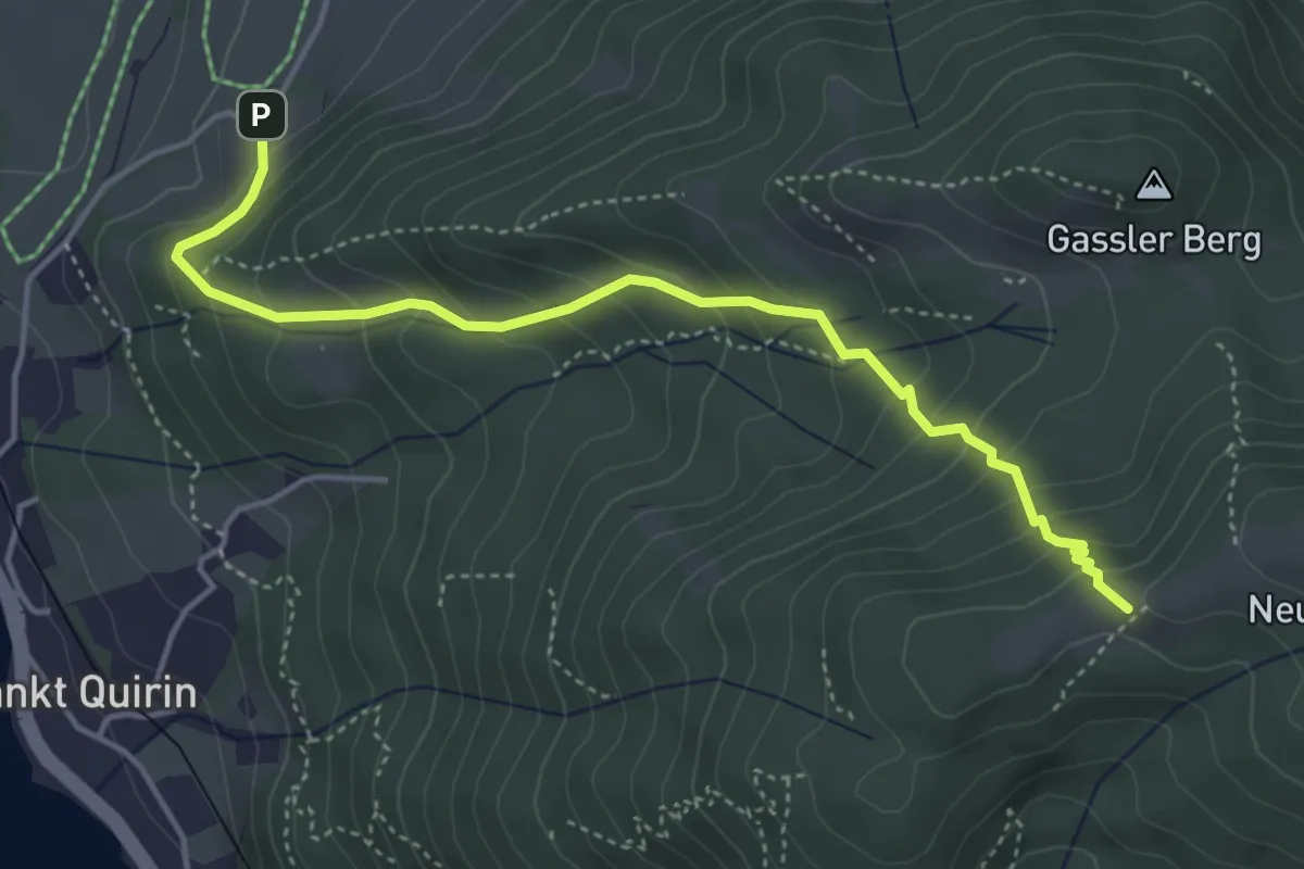
N1
4.5 km · ↑ 406 m · 1 h 57 min
Medium · Trail
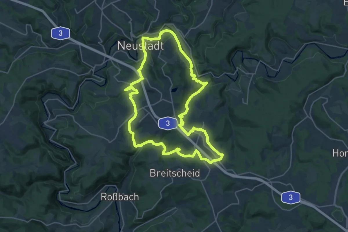
[N1] Bertenauer Weg
17.5 km · ↑ 506 m · 5 h 29 min
Medium · Summit
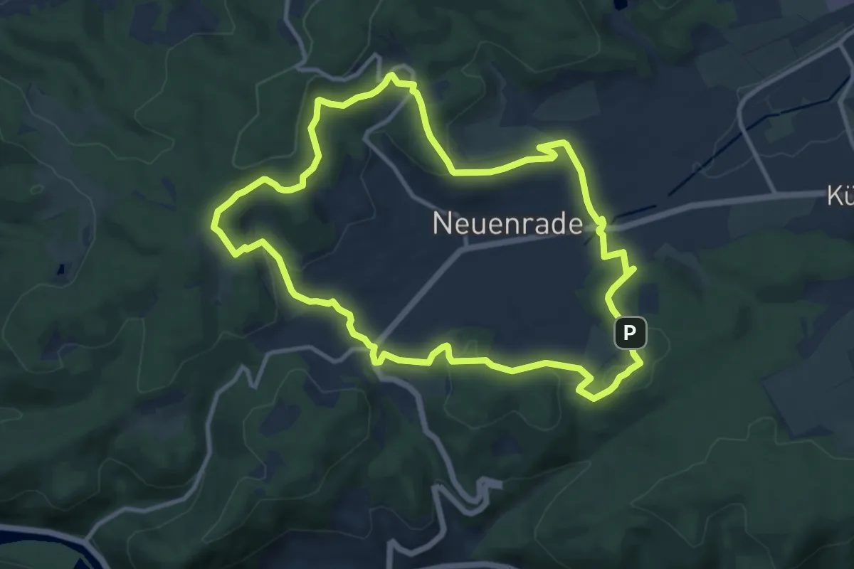
[N1] Roden-Hennes-Weg
9.5 km · ↑ 277 m · 2 h 59 min
Medium · Summit
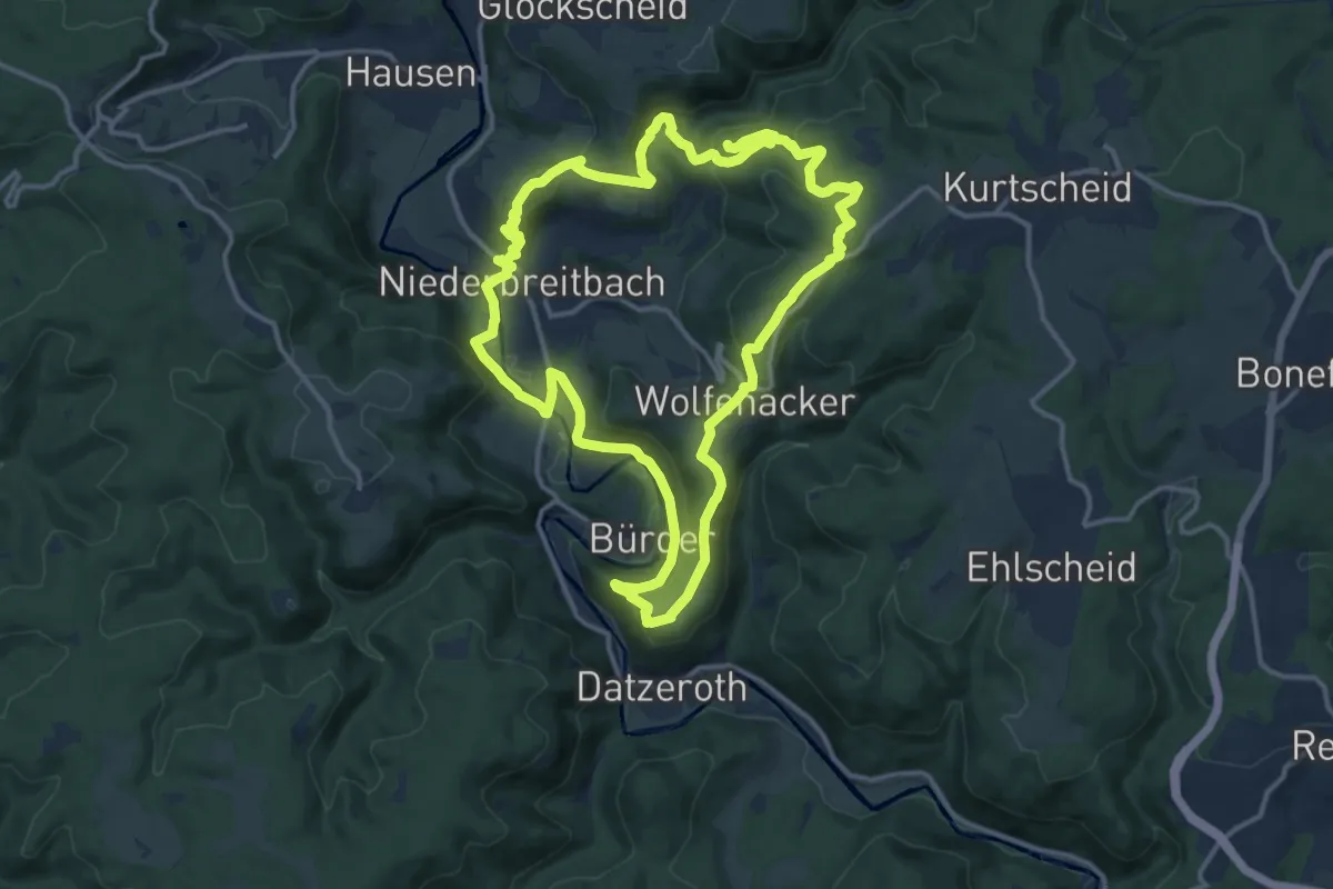
N1 Rund um Niederbreitbach
12.8 km · ↑ 480 m · 4 h 15 min
Easy · Trail
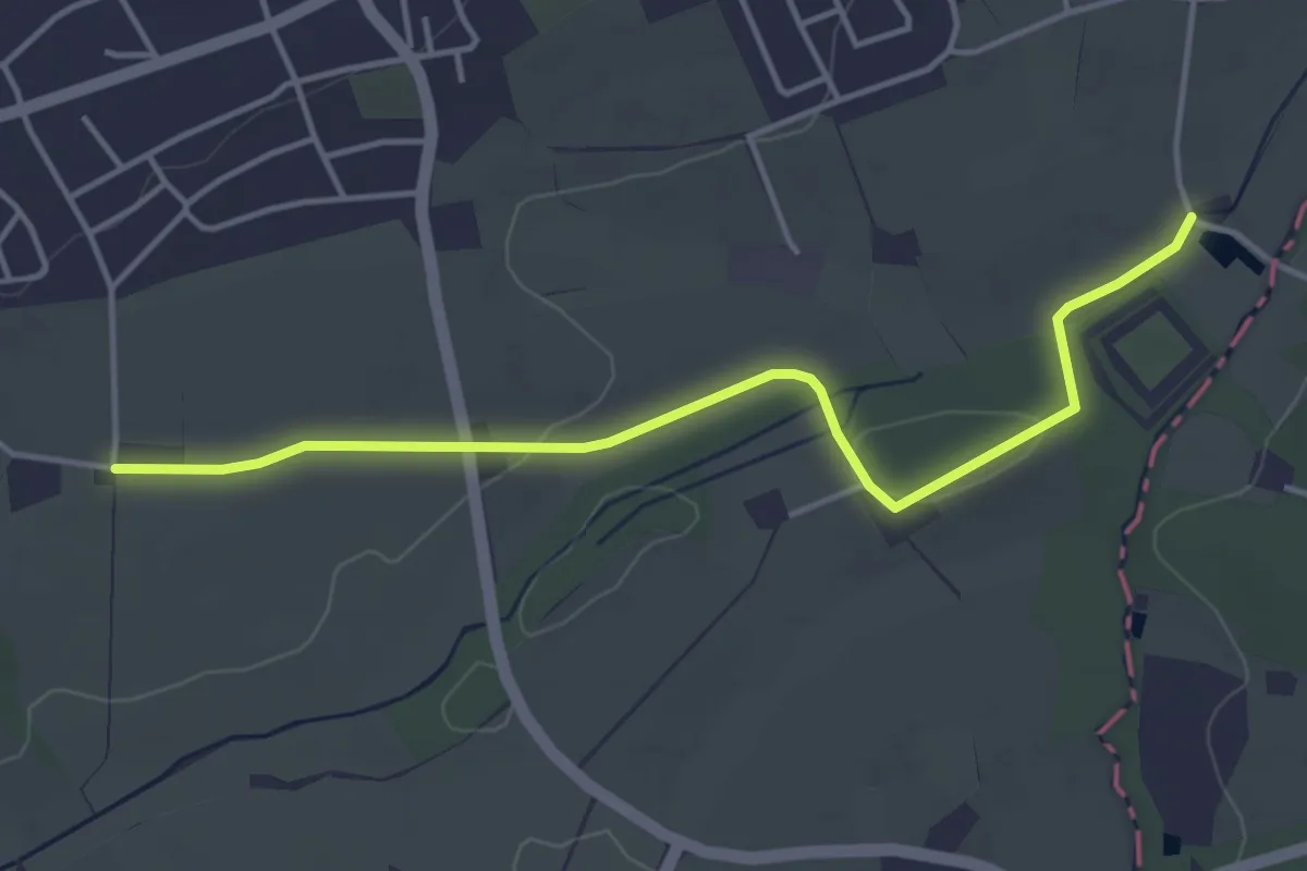
N2
3.9 km · ↑ 35 m · 59 min
Medium · Trail
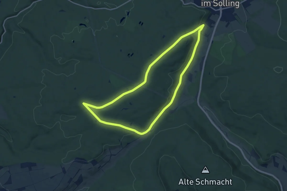
N2 - Dreihütten-Weg
10.2 km · ↑ 186 m · 2 h 57 min
Demanding · Summit
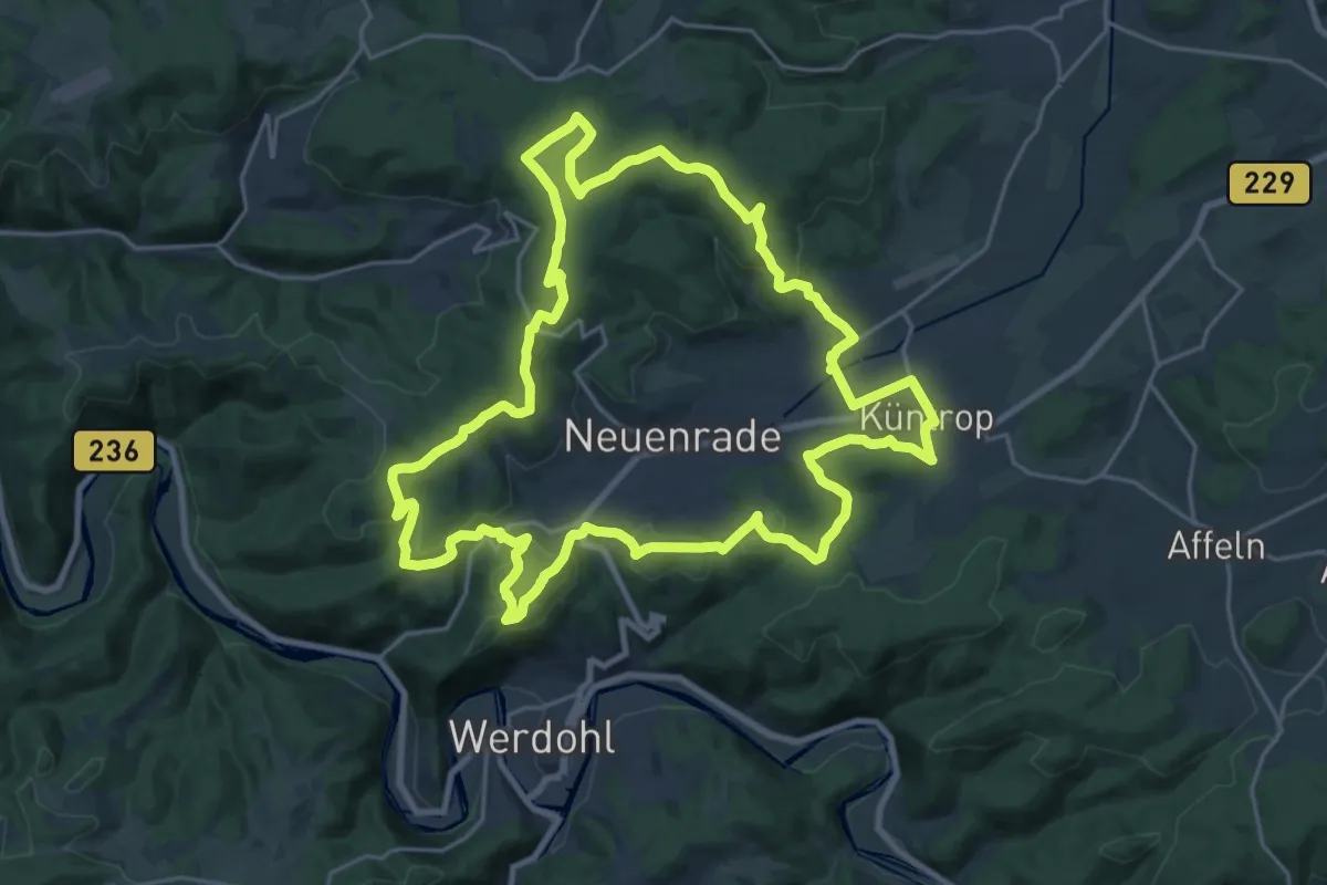
[N2] Neuenrader Weg
22.3 km · ↑ 625 m · 6 h 55 min
Medium · Trail
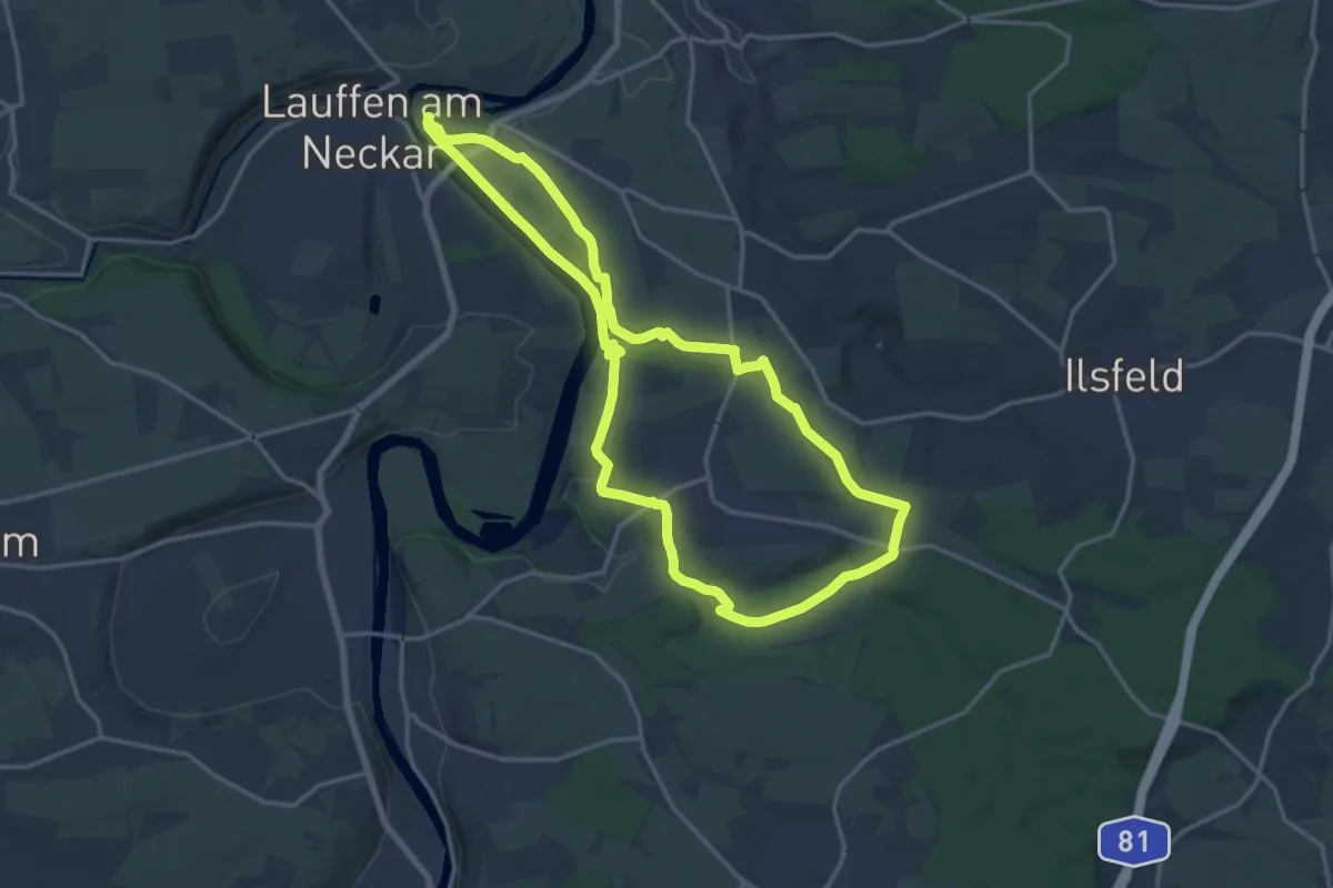
N2 Von der Neckarburg zum Liebensteiner Schlossberg
15.3 km · ↑ 199 m · 4 h 16 min
Medium · Trail
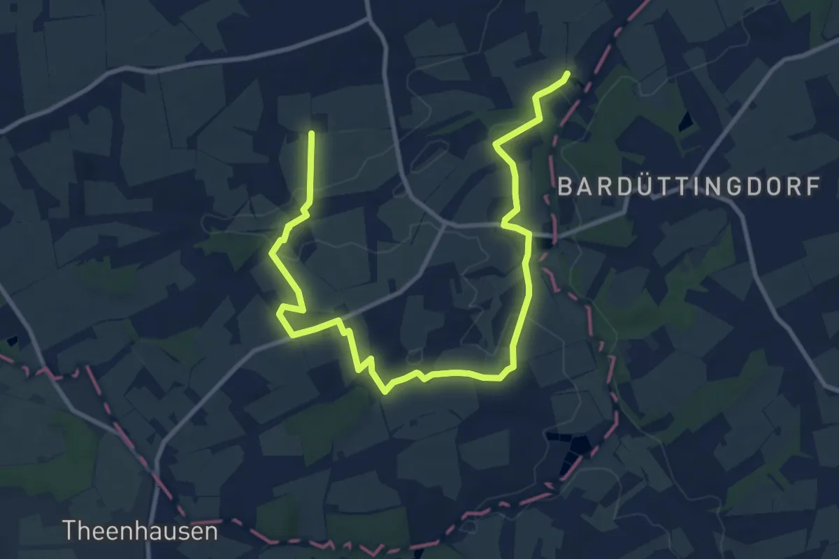
N3
11.4 km · ↑ 111 m · 2 h 56 min