Trails in Germany
36,852 hiking trails, each with its route, climb, walking time and grade.
All trails, page 357 of 768
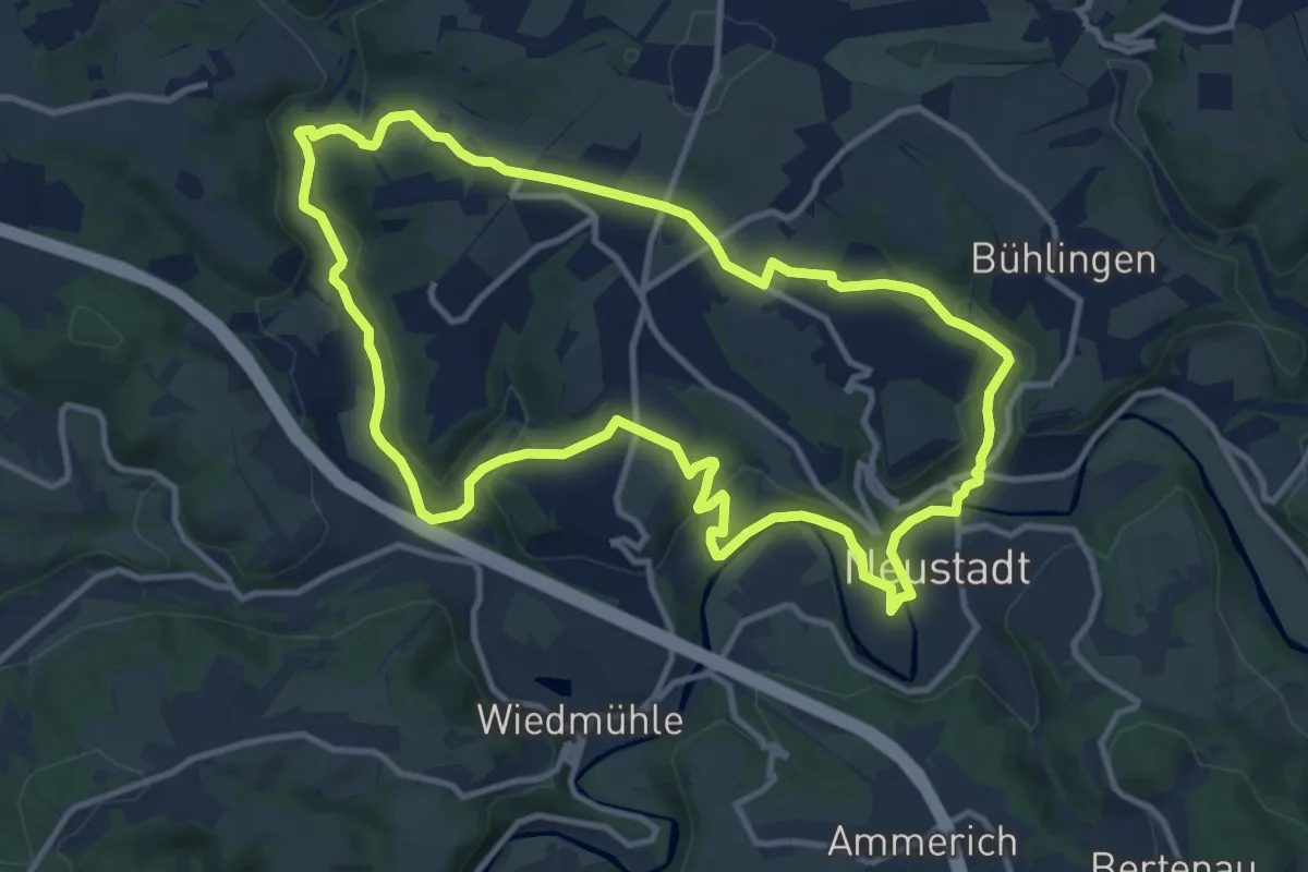
Medium · Trail
N3 Neustädter Wanderweg 3
10.6 km · ↑ 242 m · 3 h 11 min
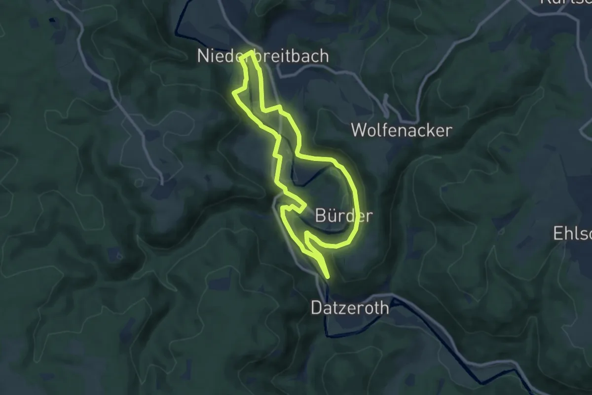
Medium · Trail
N4 Niederbreitbach
15.1 km · ↑ 405 m · 4 h 27 min
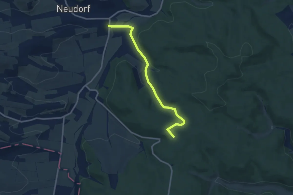
Easy · Trail
N5
6.0 km · ↑ 135 m · 1 h 42 min
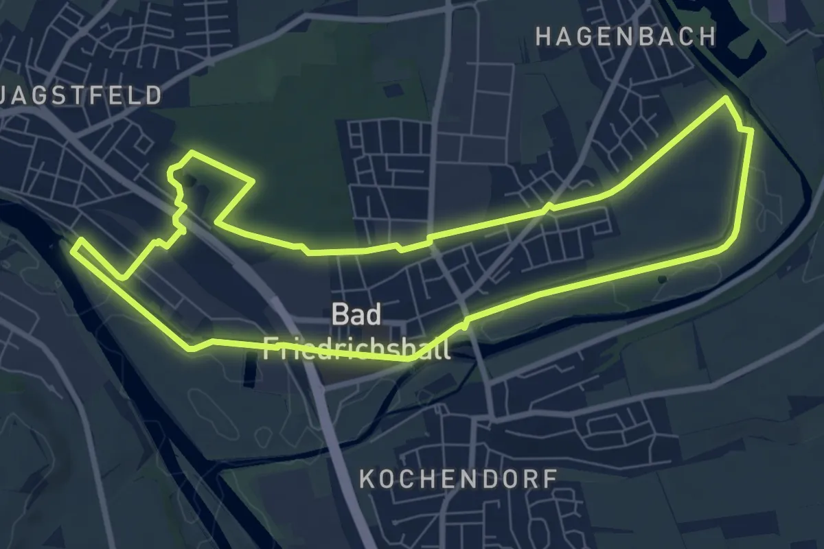
Easy · Trail
N5a Salzwanderweg - Wandern auf den Spuren des weißen Goldes
7.7 km · ↑ 23 m · 1 h 59 min
Easy · Trail
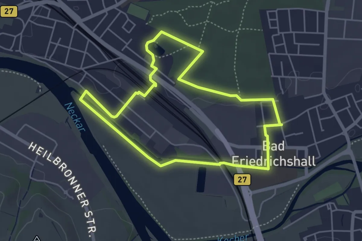
N5b Salzwanderweg - Wandern auf den Spuren des weißen Goldes
4.1 km · ↑ 23 m · 1 h 4 min
Easy · Summit
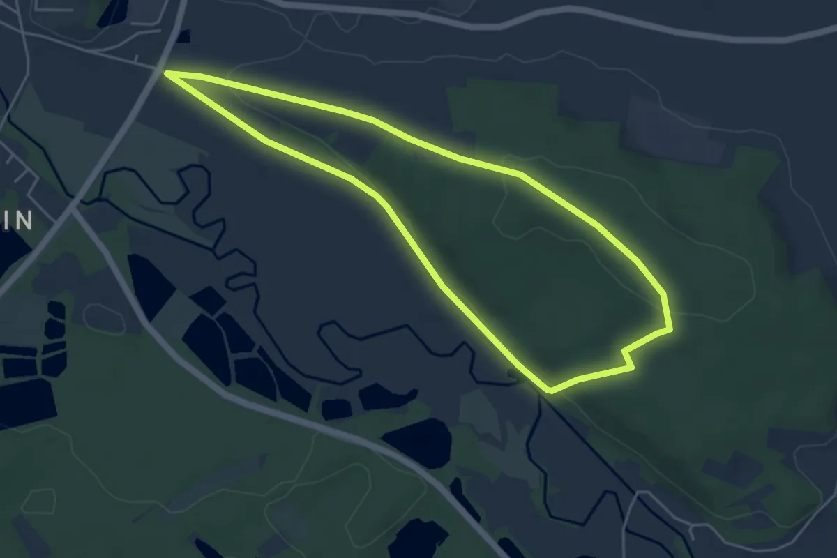
Naabbergweg
4.5 km · ↑ 85 m · 1 h 18 min
Easy · Trail
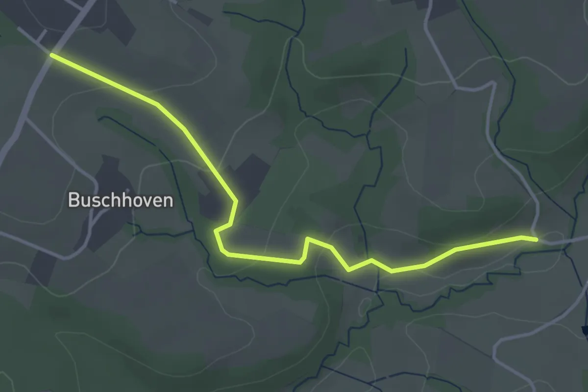
Naafbachtal Rundweg A7
1.8 km · ↑ 10 m · 30 min
Easy · Summit
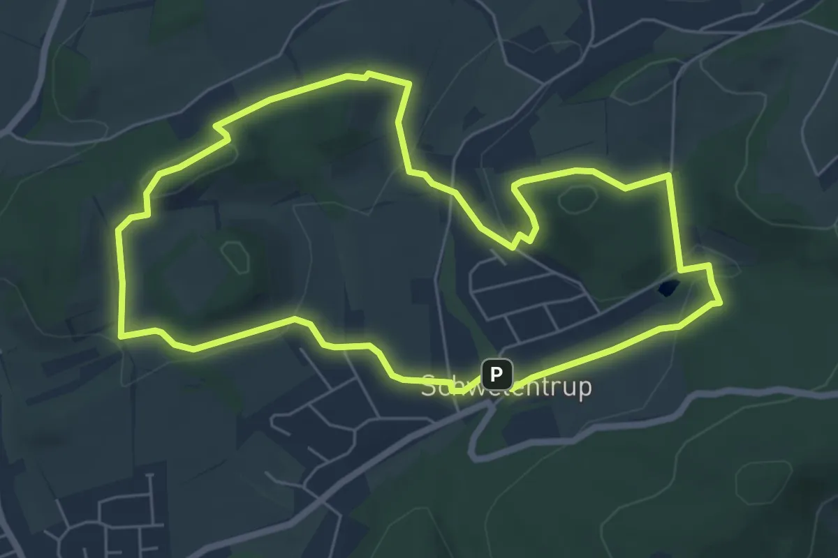
NABU Naturlehrpfad
5.5 km · ↑ 138 m · 1 h 40 min
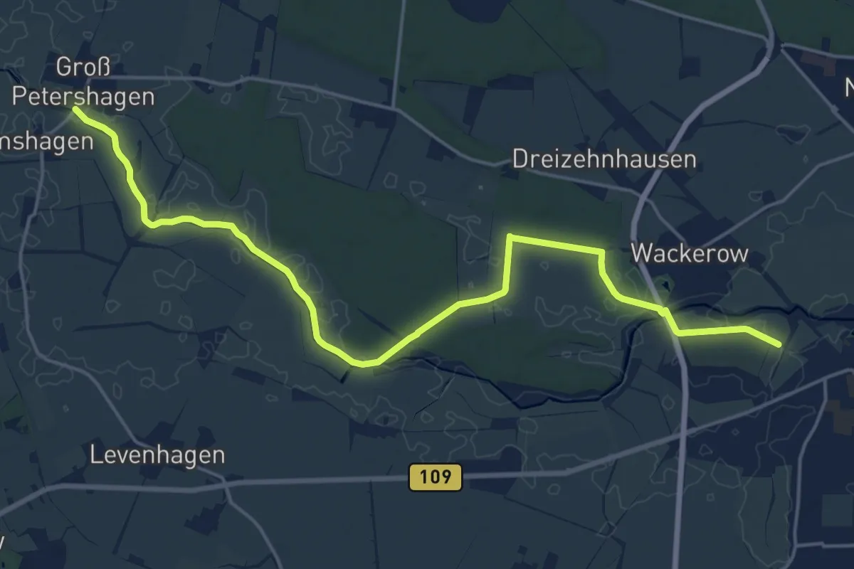
Medium · Trail
NABU-Naturlehrpfad am Ryck
17.5 km · ↑ 35 m · 4 h 12 min
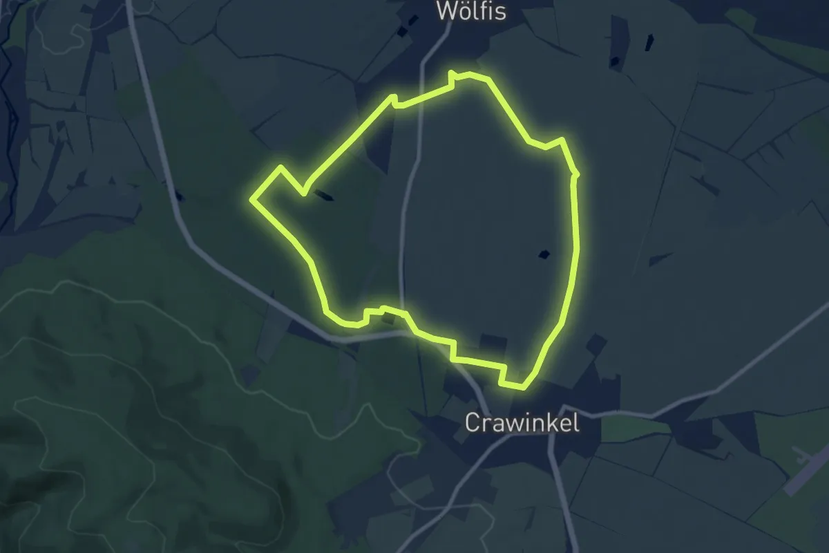
Medium · Trail
NABU-Naturlehrpfad "Wilde Weiden"
8.3 km · ↑ 49 m · 2 h 10 min
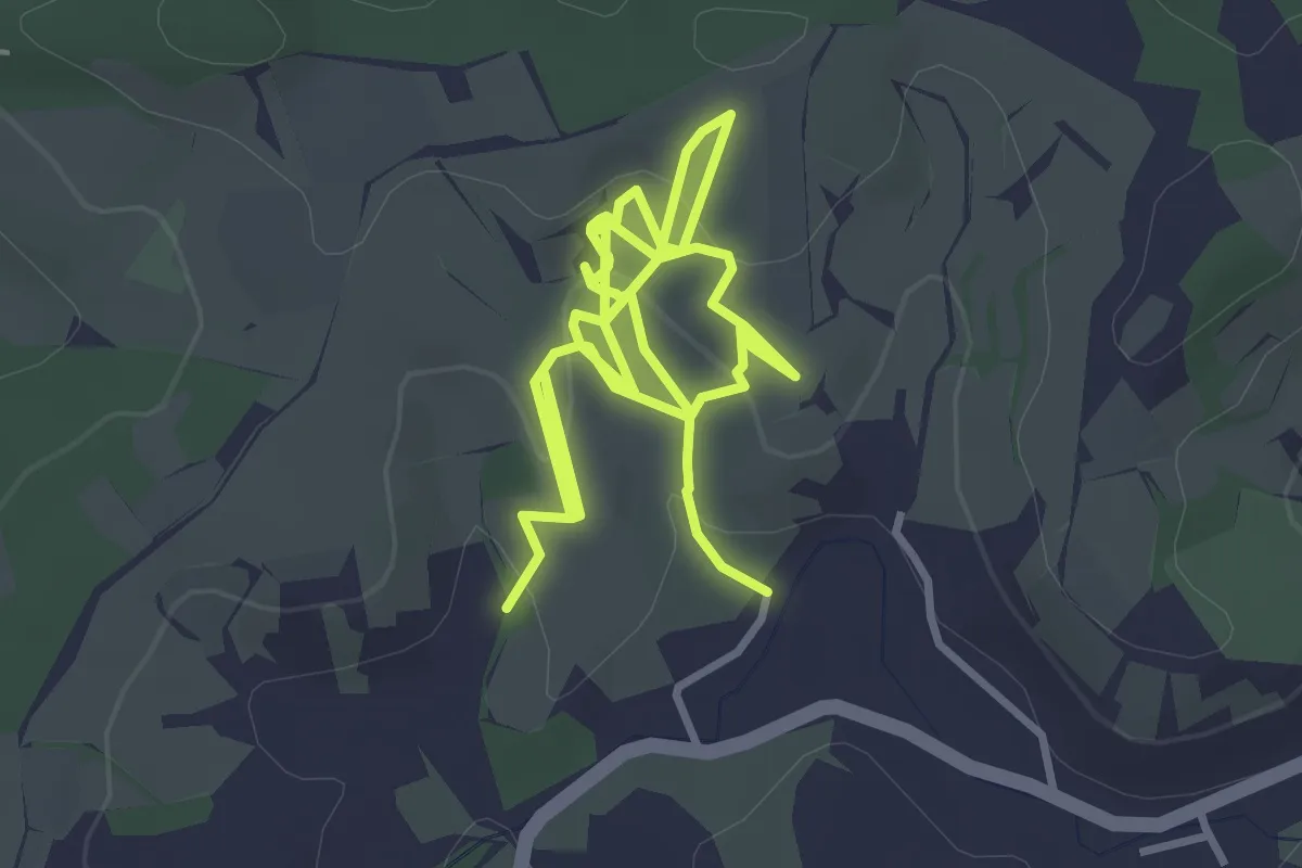
Easy · Trail
NABU-Wanderweg Hartmannsrech
3.0 km · ↑ 106 m · 59 min
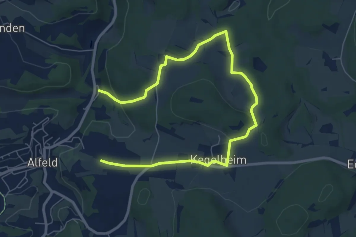
Easy · Summit
Nach Otzenberg und Kegelheim (8)
3.9 km · ↑ 59 m · 1 h 8 min
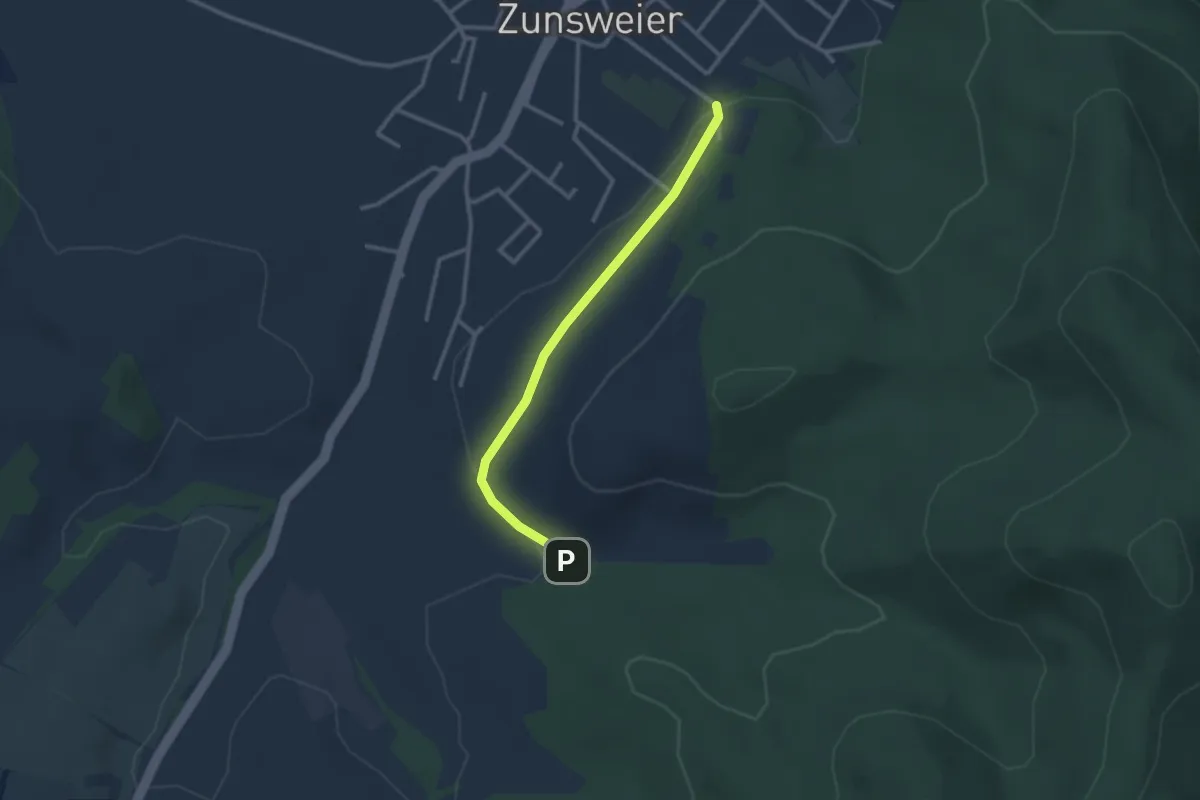
Easy · Trail
Nächstenbach-Brunnen - Zunsweier Wolfsbrunnen
2.5 km · ↑ 34 m · 40 min
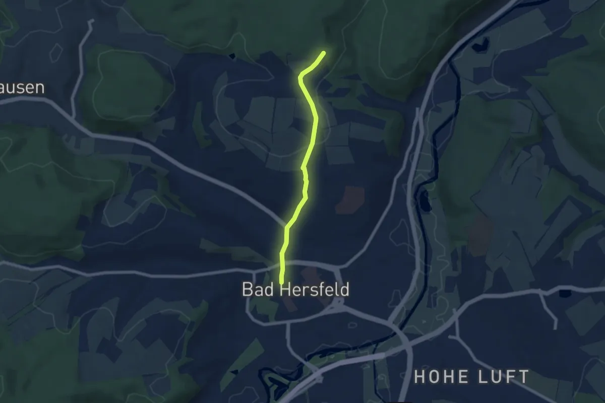
Easy · Trail
Nadelöhrweg
5.1 km · ↑ 122 m · 1 h 28 min
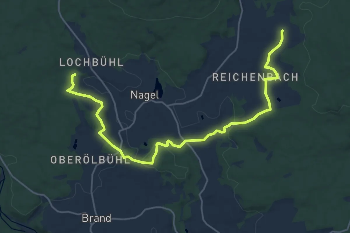
Easy · Trail
Nageler Rundwanderweg "Das Teutsche Paradeiss"
7.4 km · ↑ 129 m · 2 h 10 min
Easy · Trail
Naglers Halde - Berlisdobel
3.6 km · ↑ 91 m · 1 h 3 min
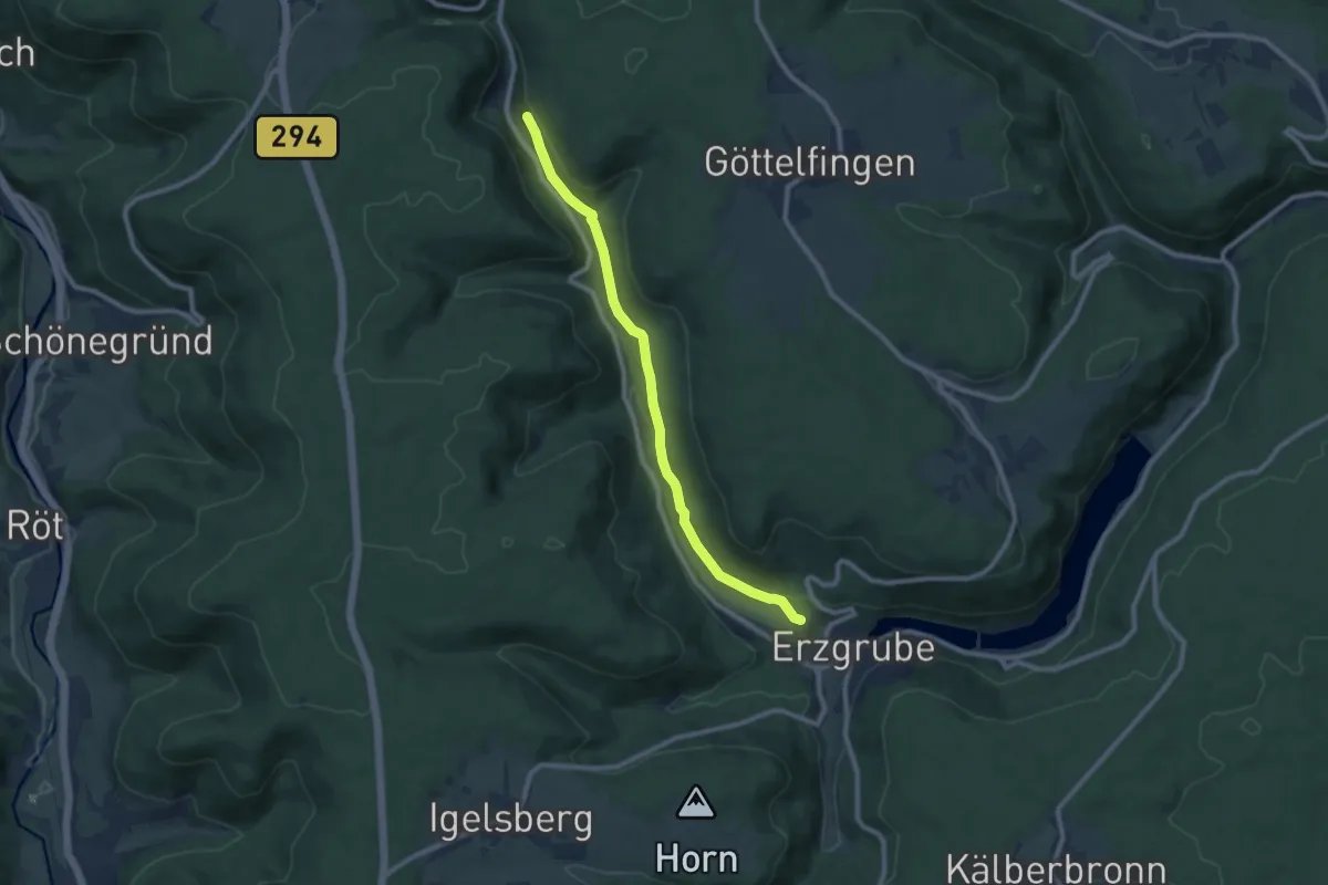
Medium · Trail
Nagoldaue - Schorrensteige
8.5 km · ↑ 177 m · 2 h 24 min
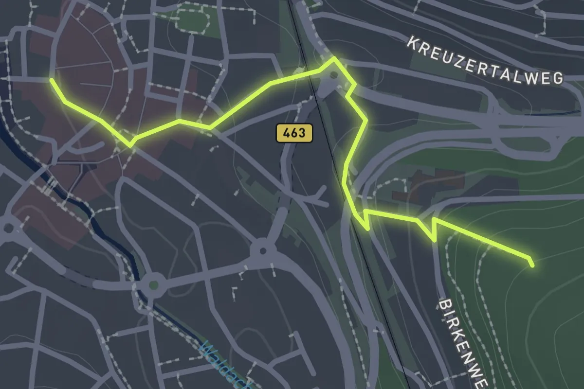
Easy · Trail
Nagold Rathaus - Nagold Textilschule
2.5 km · ↑ 83 m · 46 min
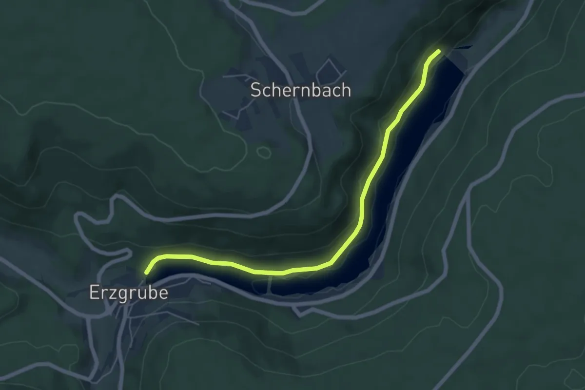
Easy · Trail
Nagoldstausee Nagoldmündung - Heidenbergweg
5.4 km · ↑ 95 m · 1 h 29 min
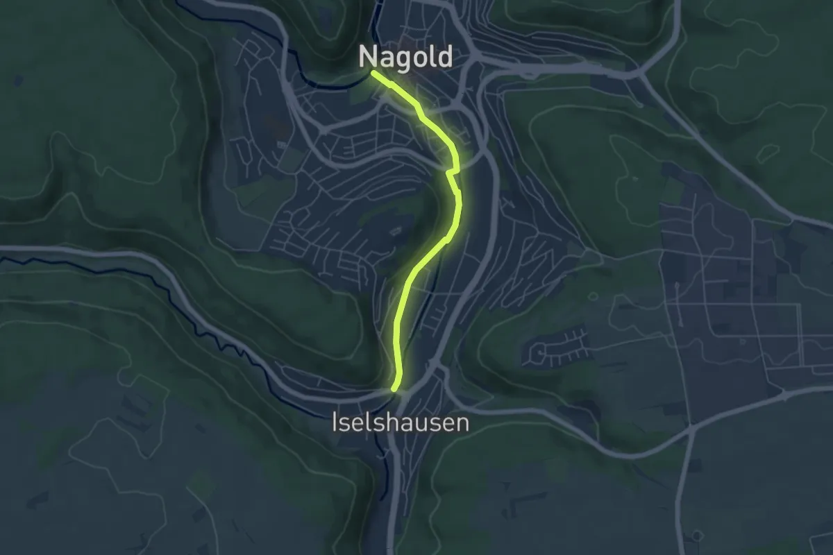
Easy · Trail
Nagold Wachsende Kirche - Iselshausen Waldachbrücke
4.5 km · ↑ 54 m · 1 h 11 min
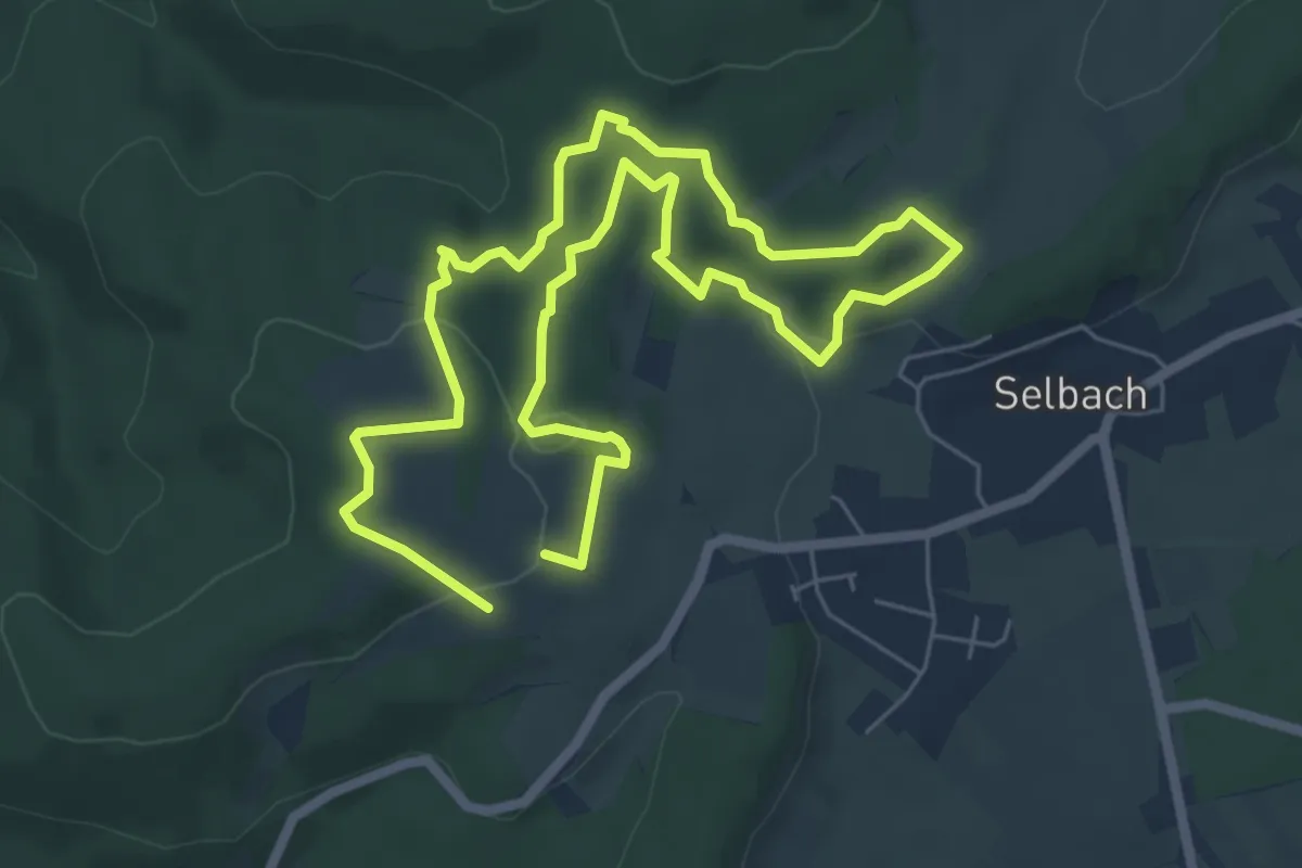
Easy · Trail
Nahequelle-Pfad
5.3 km · ↑ 128 m · 1 h 36 min
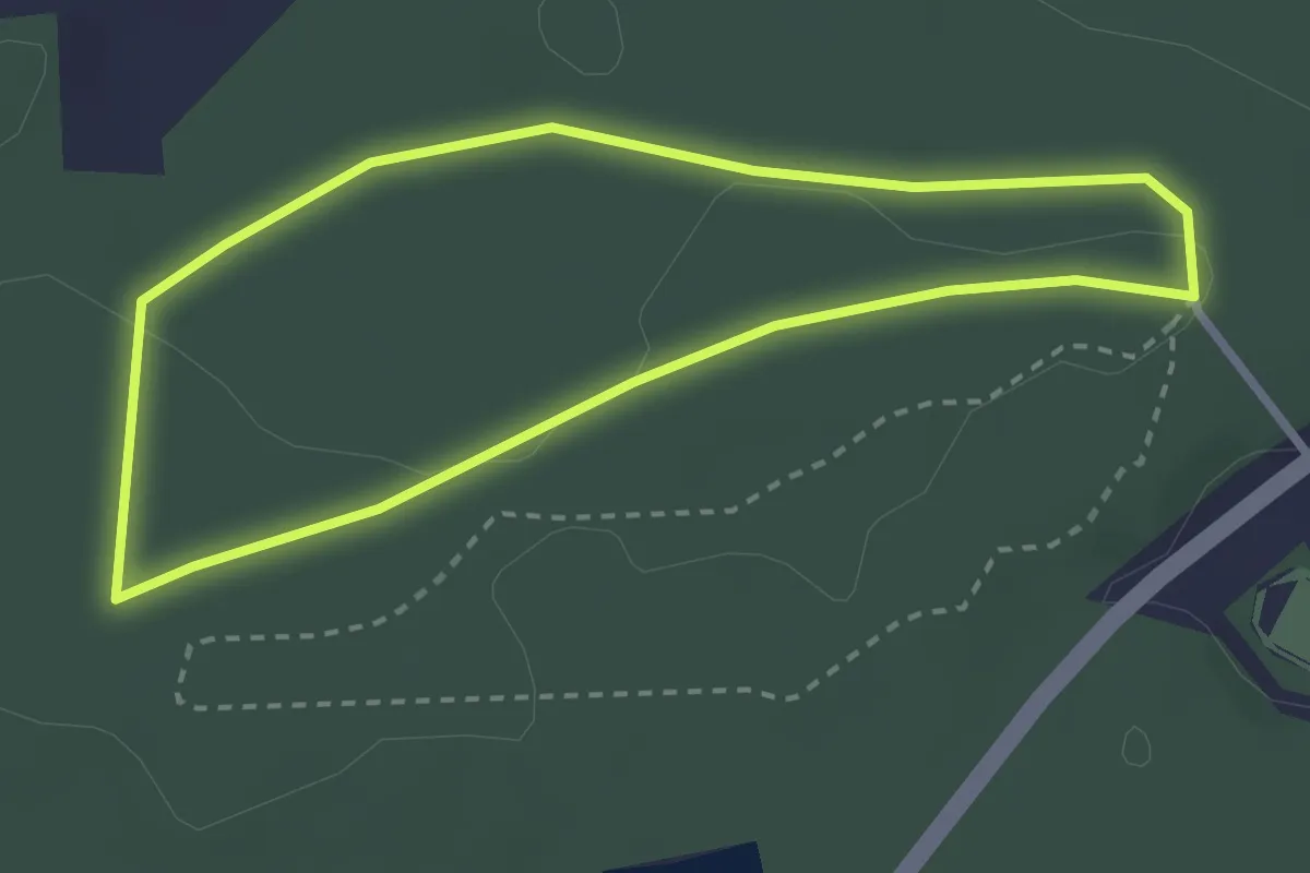
Easy · Trail
Naherholungsgebiet Obere Wagensass 1
2.5 km · ↑ 17 m · 39 min
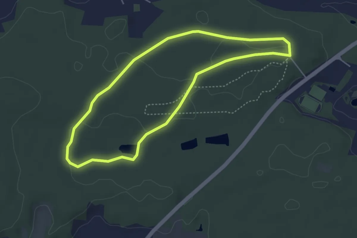
Easy · Trail
Naherholungsgebiet Obere Wagensass 2
3.8 km · ↑ 30 m · 1 h 2 min
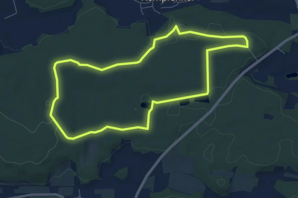
Easy · Summit
Naherholungsgebiet Obere Wagensass 3
6.0 km · ↑ 72 m · 1 h 39 min
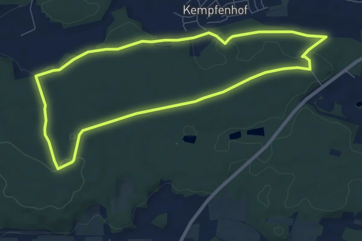
Easy · Trail
Naherholungsgebiet Obere Wagensass 4
6.6 km · ↑ 106 m · 1 h 52 min
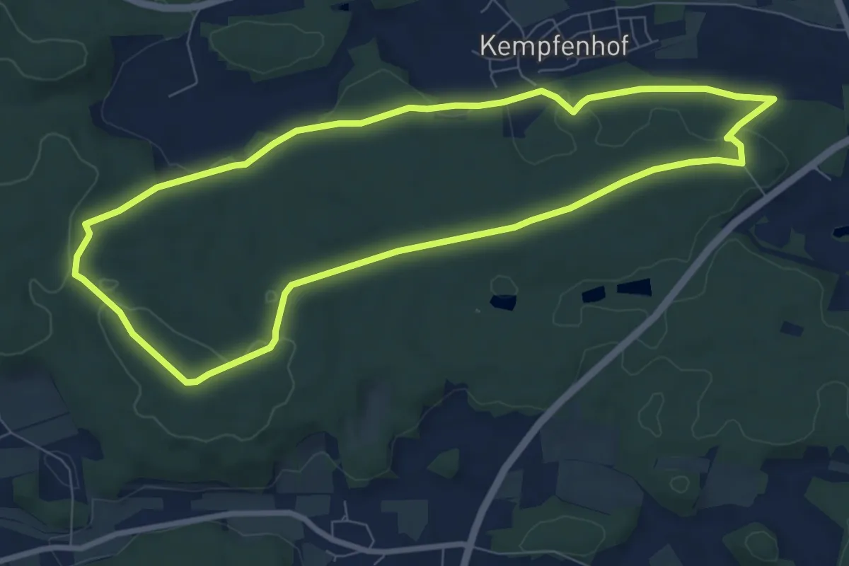
Easy · Summit
Naherholungsgebiet Obere Wagensass 5
7.5 km · ↑ 108 m · 2 h 7 min
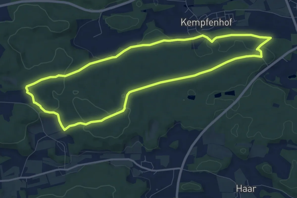
Medium · Summit
Naherholungsgebiet Obere Wagensass 6
8.8 km · ↑ 174 m · 2 h 34 min
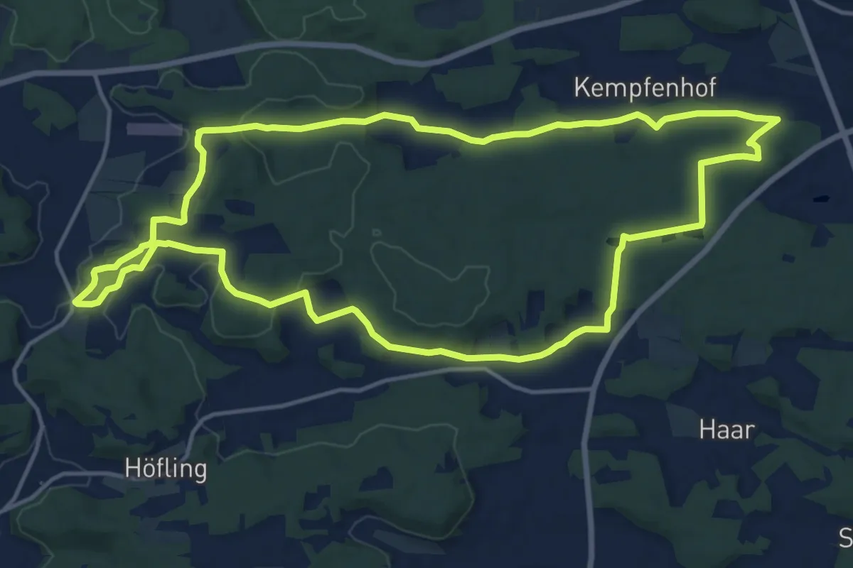
Medium · Summit
Naherholungsgebiet Obere Wagensass 7
13.9 km · ↑ 219 m · 3 h 56 min
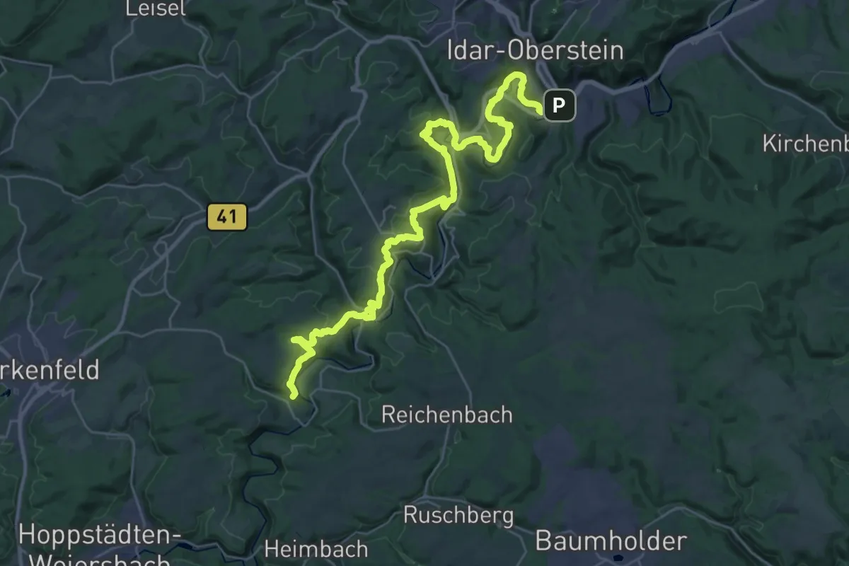
Demanding · Summit
Nahesteig
35.4 km · ↑ 1435 m · 11 h 28 min
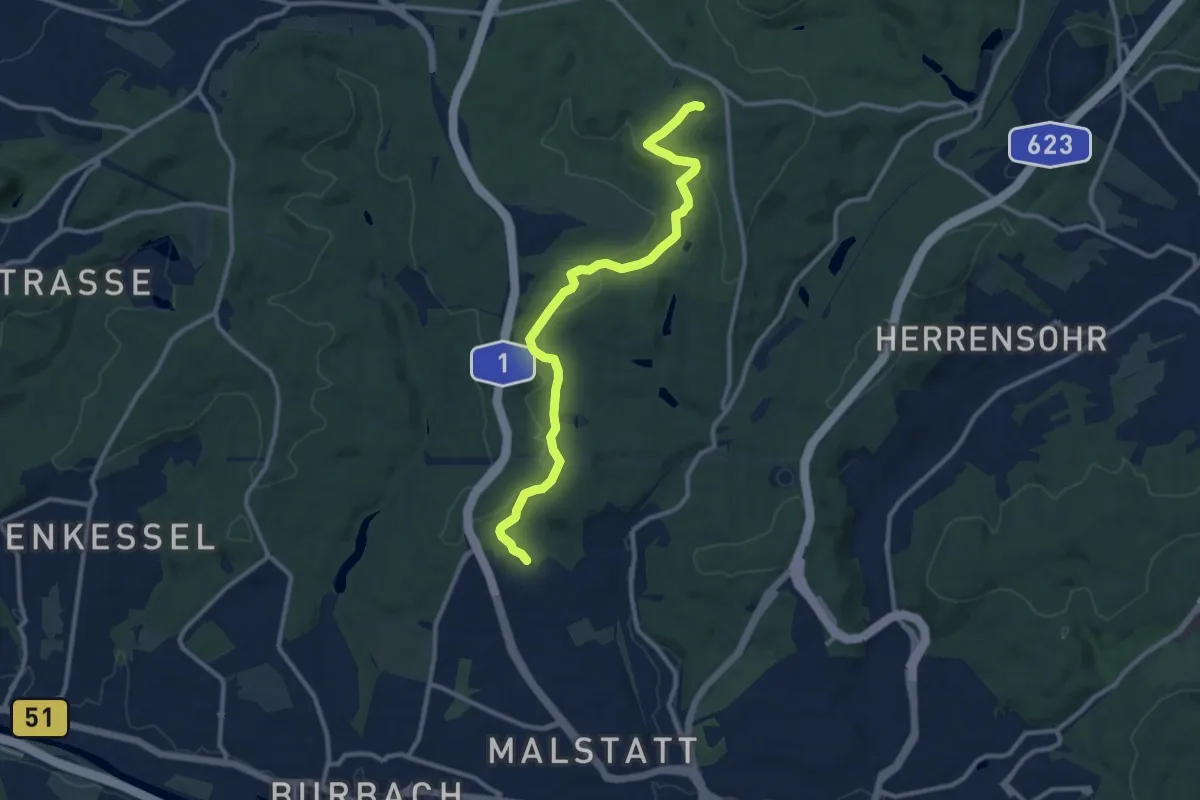
Medium · Summit
Naheweg
10.8 km · ↑ 250 m · 3 h 5 min
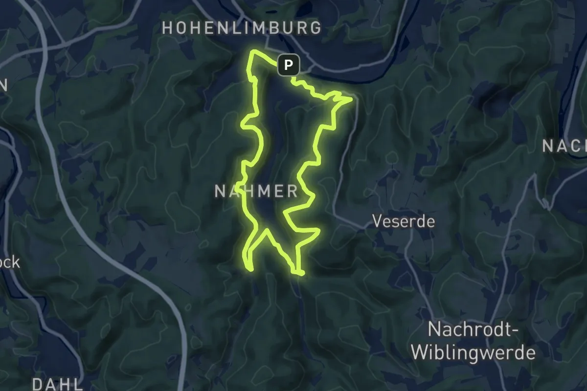
Medium · Trail
Nahmer Rundweg
11.7 km · ↑ 515 m · 4 h 3 min
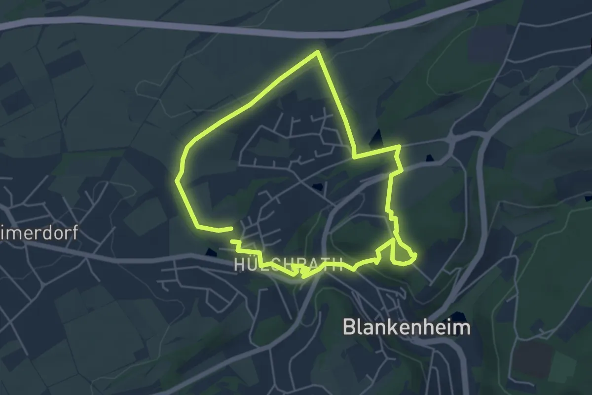
Easy · Trail
Nahrturerlebnispfad Blankenheim
3.9 km · ↑ 93 m · 1 h 10 min
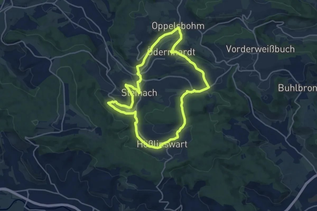
Medium · Trail
NahTour
12.5 km · ↑ 261 m · 3 h 41 min
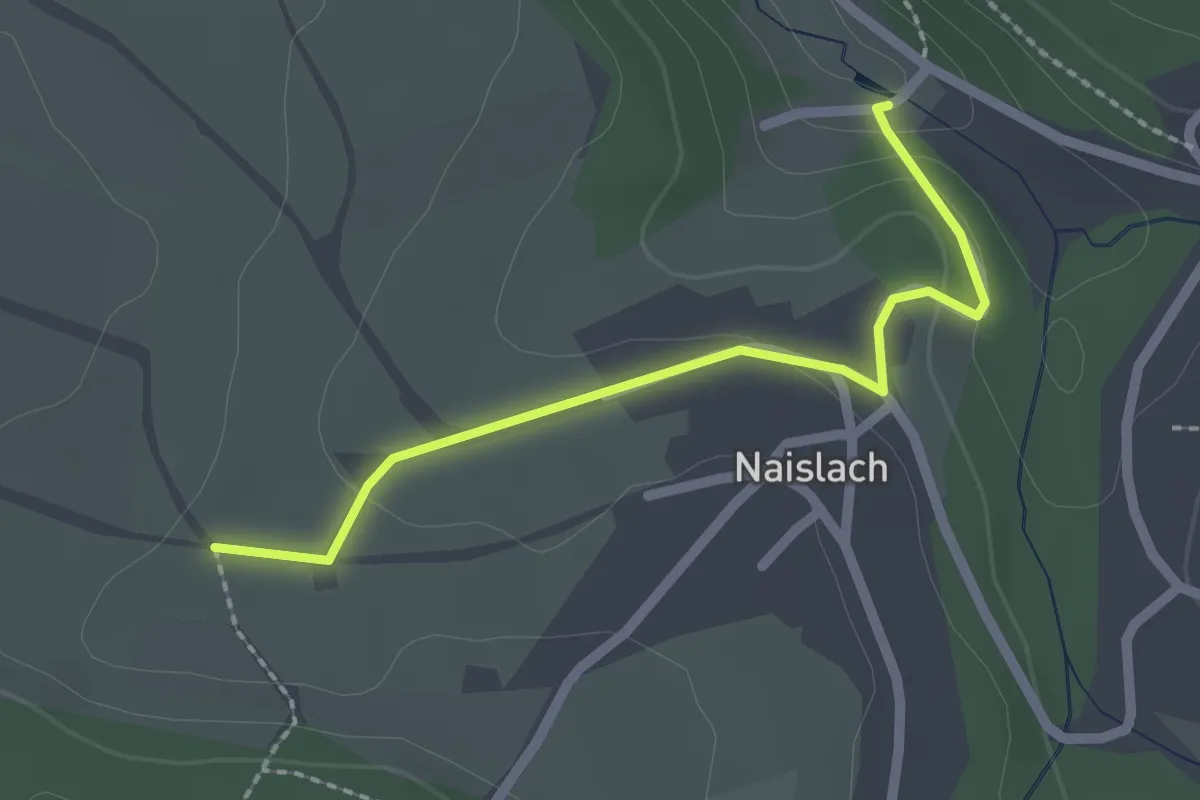
Easy · Trail
Naislacher Mühlen - Naislach
2.0 km · ↑ 57 m · 36 min
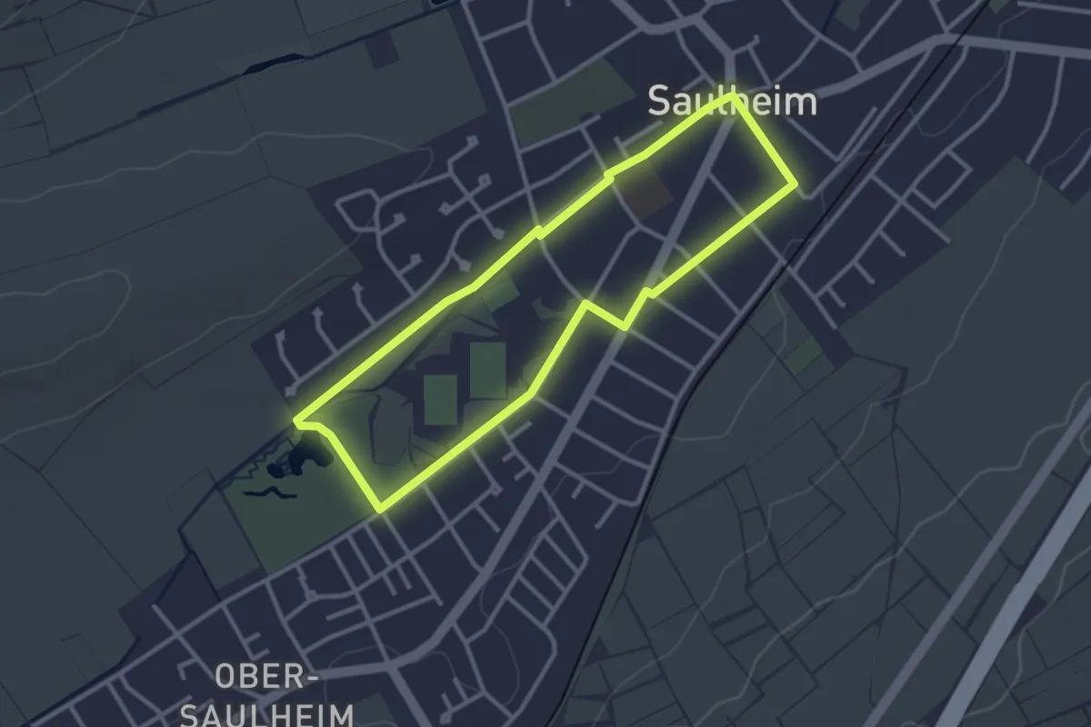
Easy · Trail
NaKu – Natur und Kultur
2.7 km · ↑ 9 m · 42 min
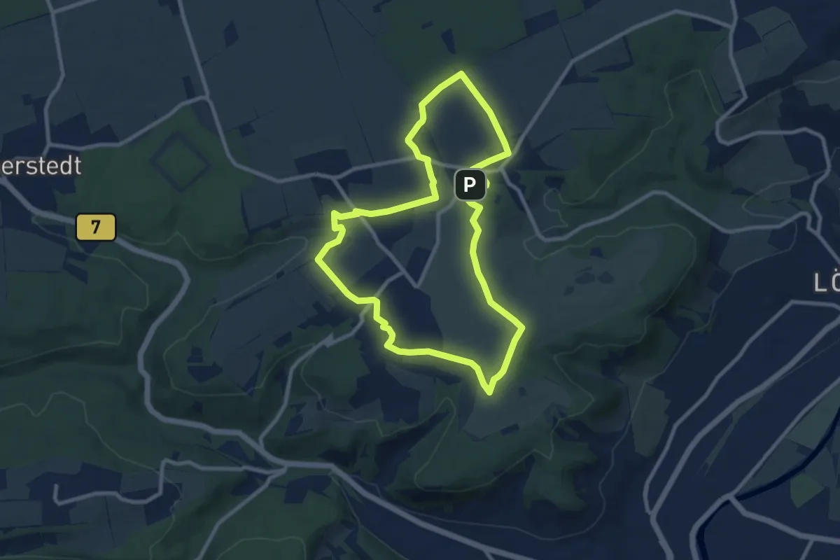
Easy · Summit
Napoleon Pfad
7.9 km · ↑ 83 m · 2 h 9 min
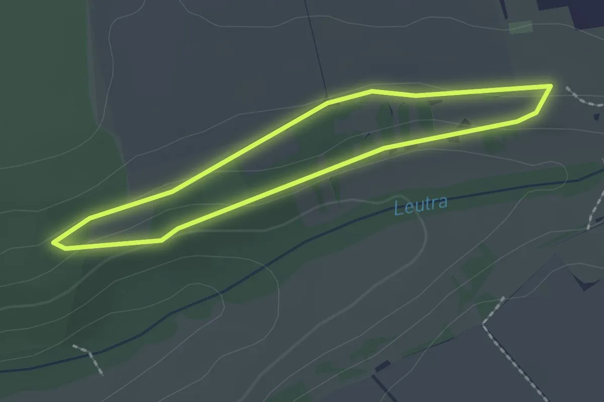
Easy · Trail
Napoleon Pfad Bonusrunde
1.6 km · ↑ 18 m · 26 min
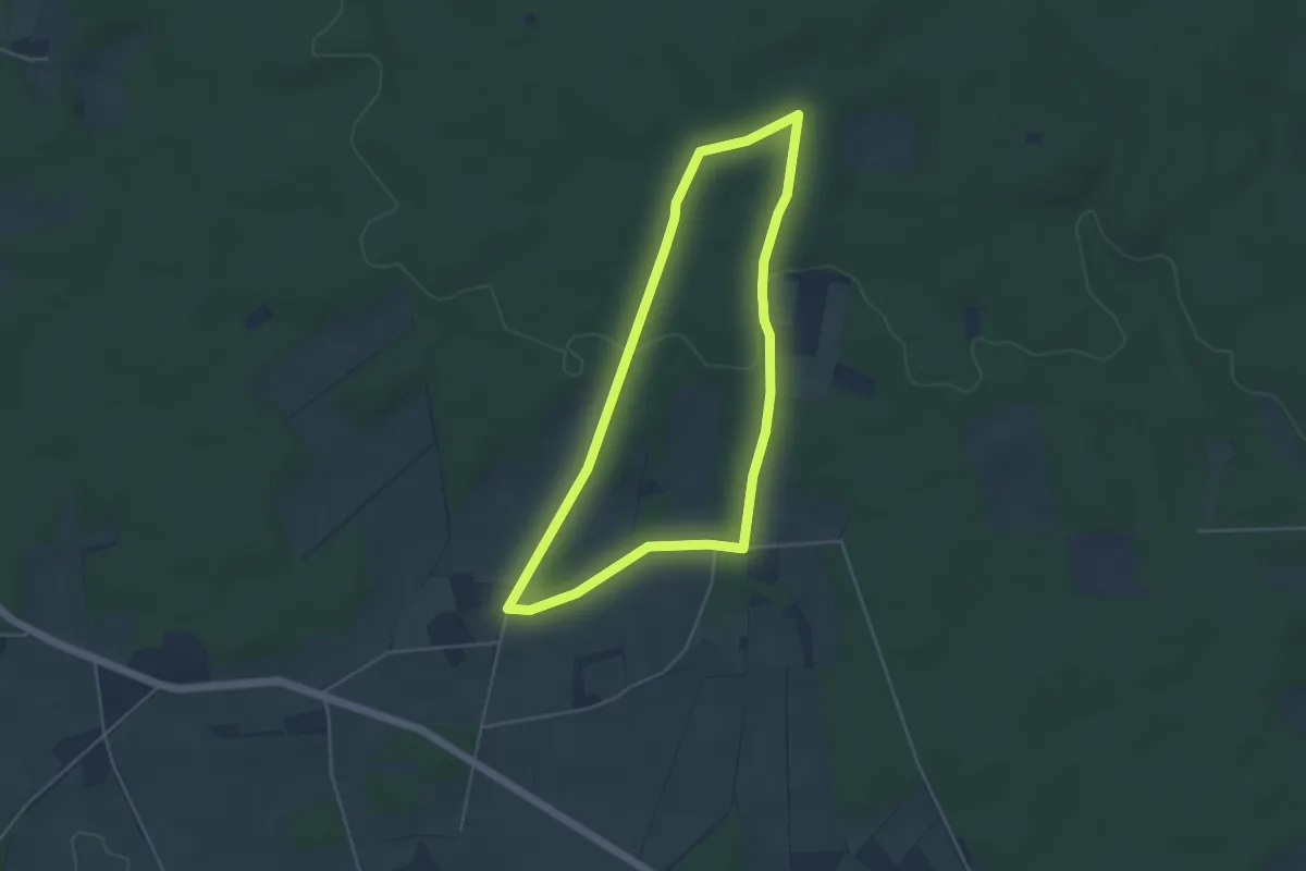
Easy · Trail
Napoleonsbuche Rundweg A1
3.8 km · ↑ 48 m · 1 h 4 min
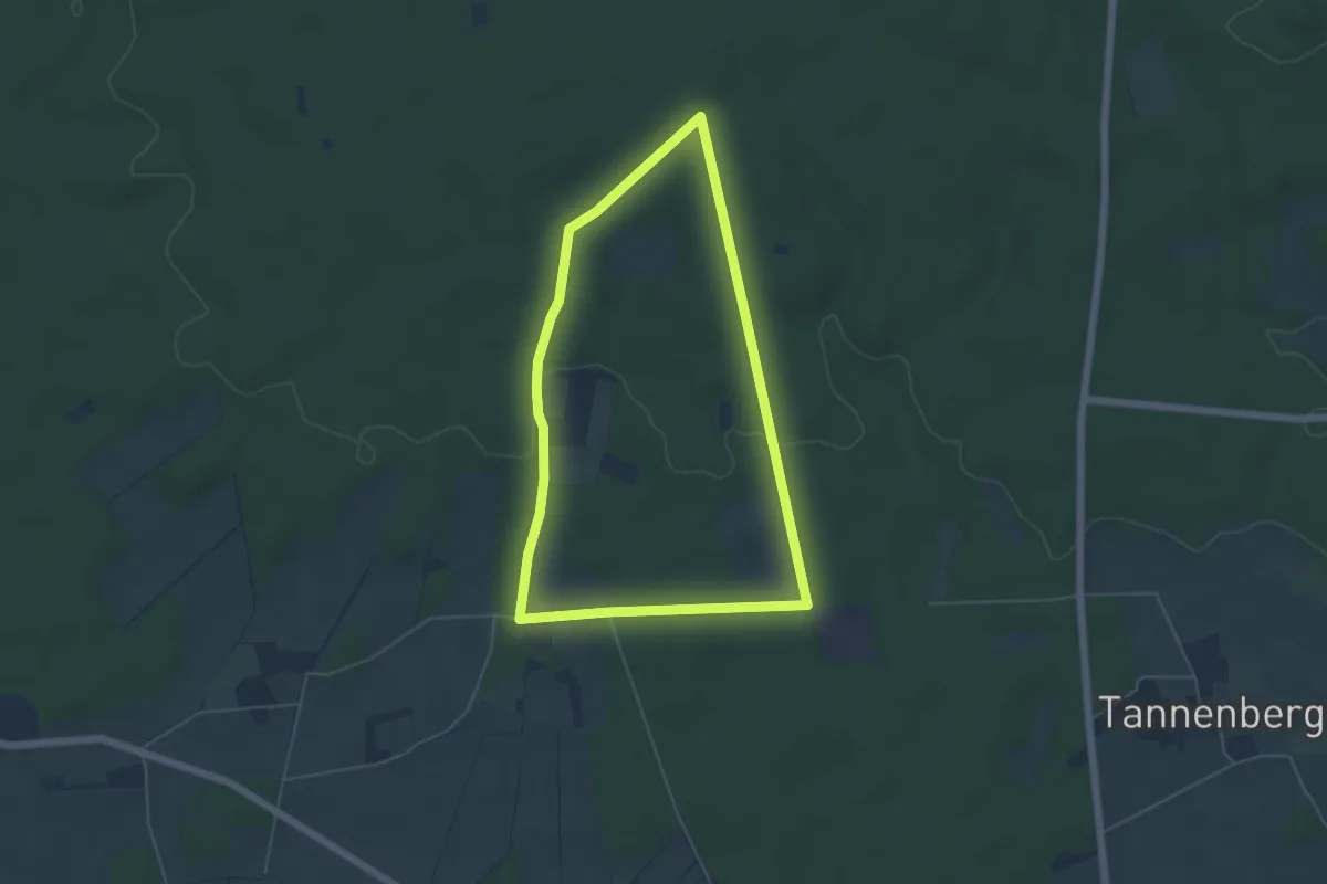
Easy · Trail
Napoleonsbuche Rundweg A2
4.5 km · ↑ 70 m · 1 h 16 min
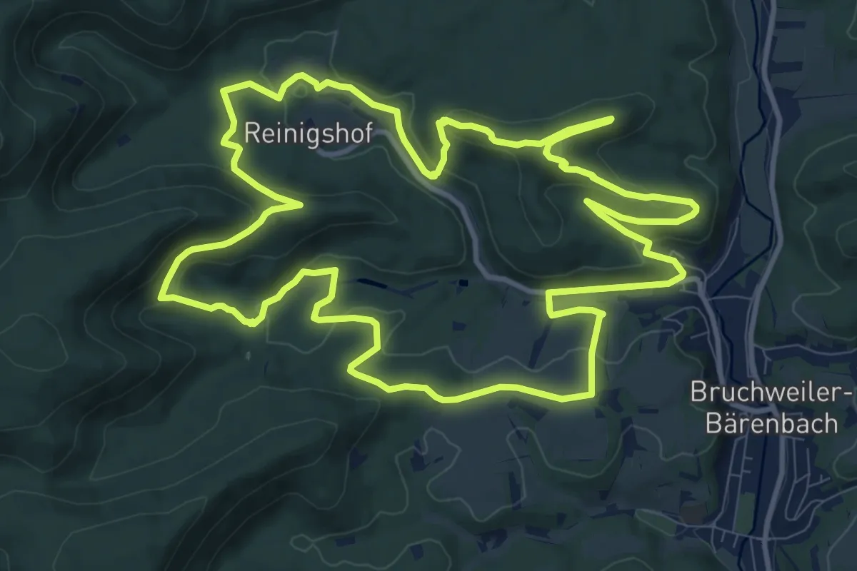
Medium · Summit
Napoleon-Steig
11.3 km · ↑ 363 m · 3 h 37 min
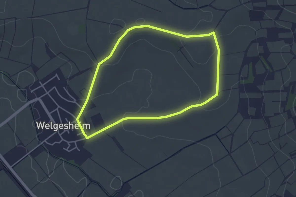
Easy · Trail
Napoleonsweg
3.0 km · ↑ 52 m · 52 min
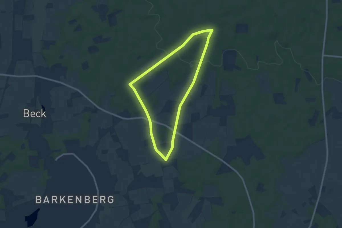
Easy · Trail
Napoleonsweg Rundweg A5
5.8 km · ↑ 63 m · 1 h 35 min
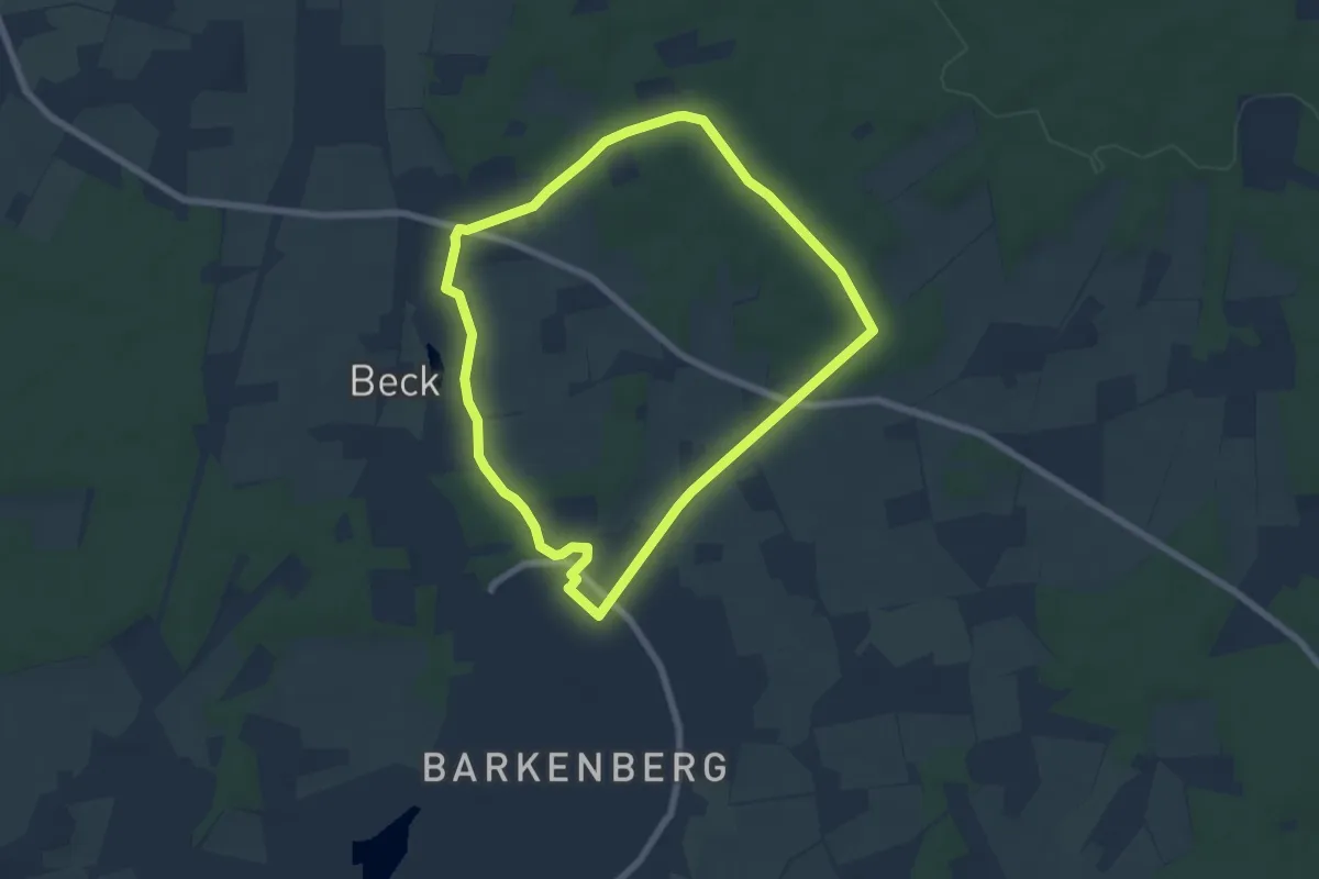
Easy · Trail
Napoleonsweg Rundweg A7
5.8 km · ↑ 27 m · 1 h 30 min
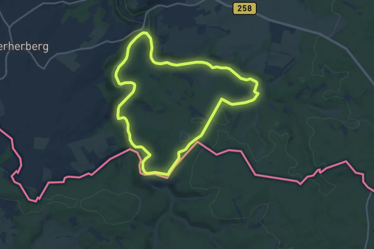
Medium · Trail
Narzissenroute
9.8 km · ↑ 128 m · 2 h 43 min
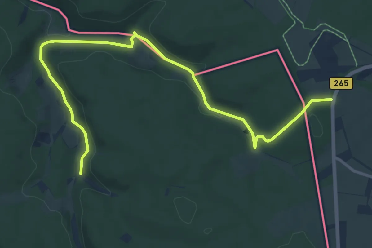
Medium · Trail
Narzissenroute Gelb / Hollerath (Eifel)
8.1 km · ↑ 114 m · 2 h 9 min
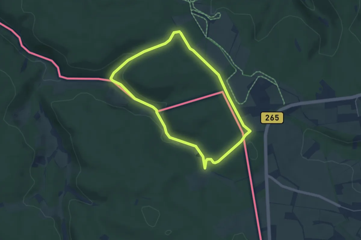
Easy · Trail
Narzissenroute Rot / Hollerath (Eifel)
4.0 km · ↑ 68 m · 1 h 9 min
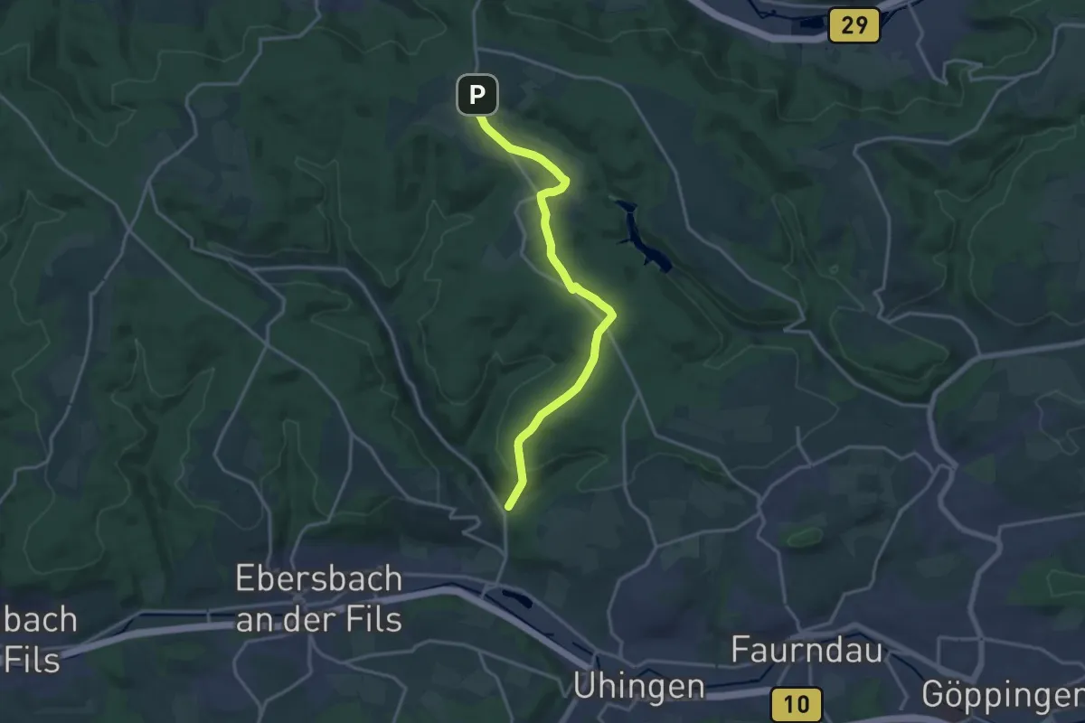
Medium · Trail
Nassachmühle - Oberberken
15.2 km · ↑ 303 m · 4 h 14 min
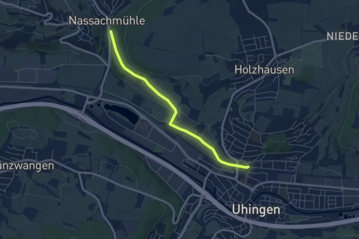
Easy · Trail
Nassachmühle - Uhingen
5.3 km · ↑ 81 m · 1 h 26 min