Trails in Germany
36,852 hiking trails, each with its route, climb, walking time and grade.
All trails, page 358 of 768
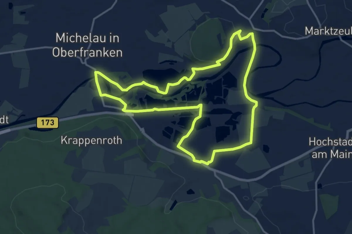
Medium · Trail
Naßangerrundweg
10.3 km · ↑ 51 m · 2 h 41 min
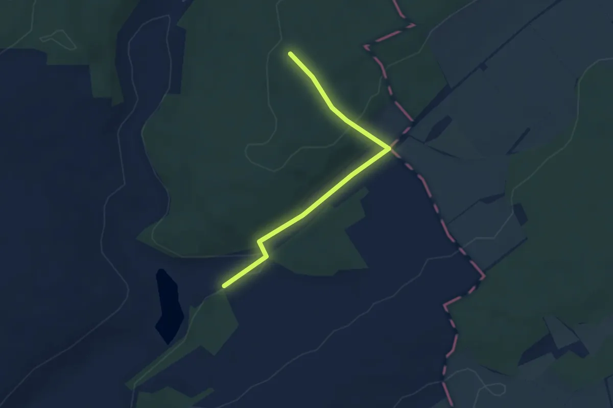
Easy · Trail
Nassauer See
1.6 km · ↑ 5 m · 26 min
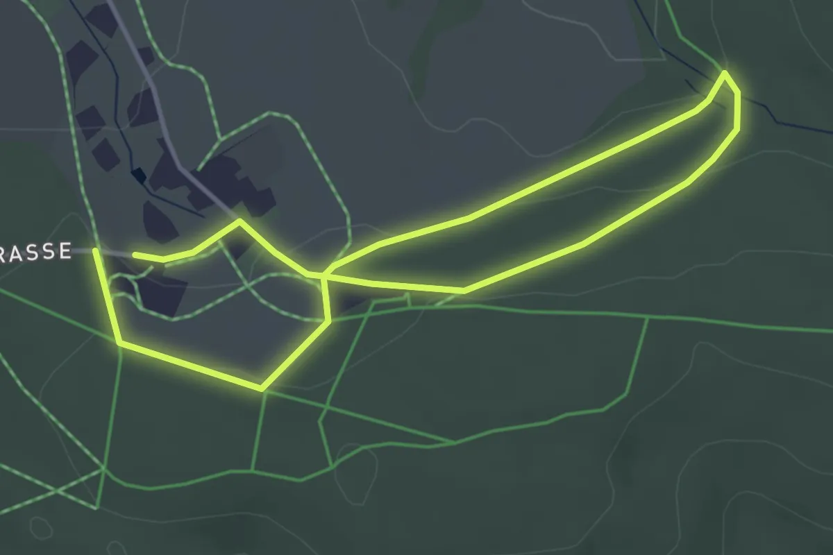
Easy · Trail
Nassauer Trimm-Dich-Pfad
3.0 km · ↑ 65 m · 53 min
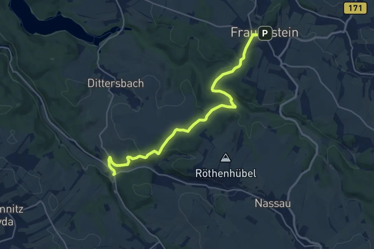
Medium · Trail
Nassau Ölmühle - Gimmlitztal - Frauenstein
14.7 km · ↑ 398 m · 4 h 20 min
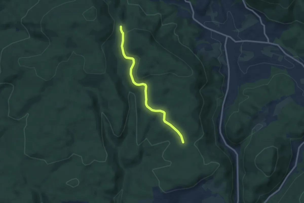
Easy · Trail
Nasse Küche - Saatschulhütte
6.1 km · ↑ 124 m · 1 h 43 min
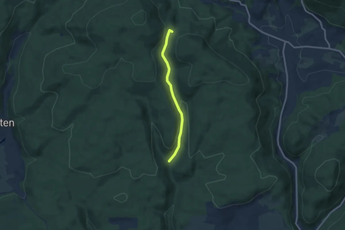
Easy · Trail
Nasse Küche - Siegenbachmündung
5.3 km · ↑ 176 m · 1 h 38 min
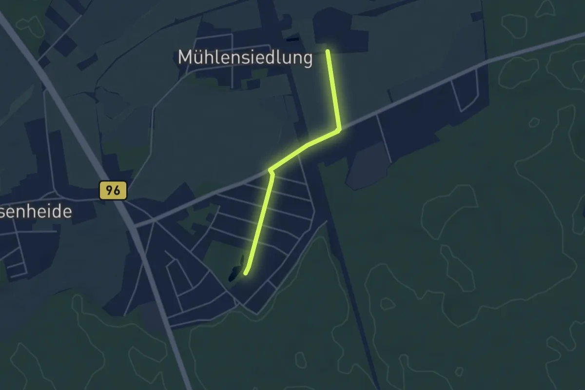
Easy · Trail
Nassenheide-Rundweg
3.3 km · ↑ 5 m · 47 min
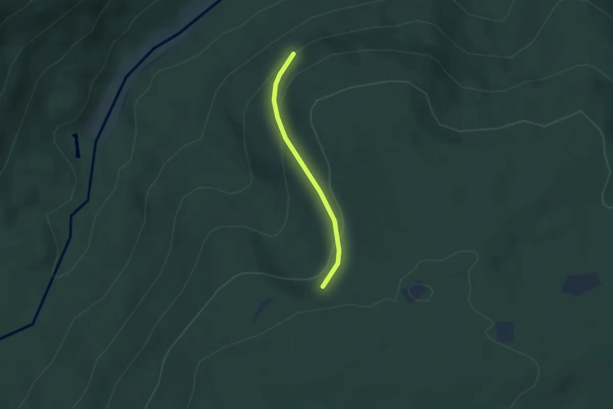
Easy · Trail
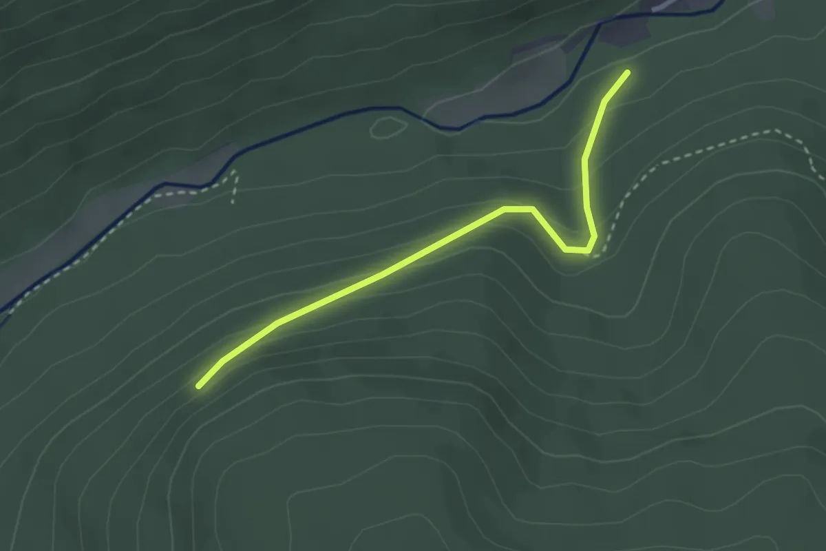
Naßkittel - Kriegswaldhalde
2.1 km · ↑ 117 m · 45 min
Easy · Trail
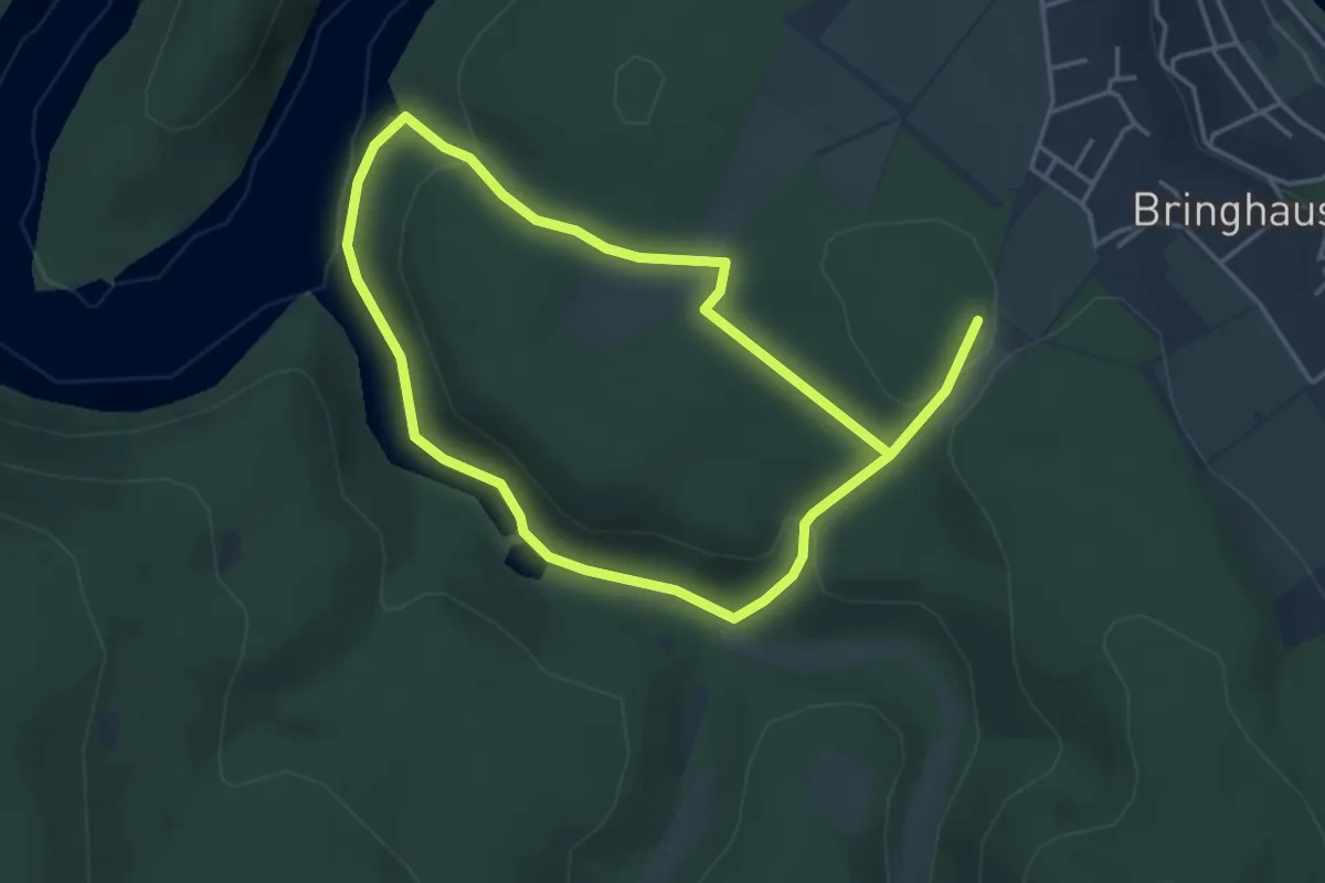
Naßkittel - Lehensägemühle
2.6 km · ↑ 165 m · 59 min
Easy · Trail
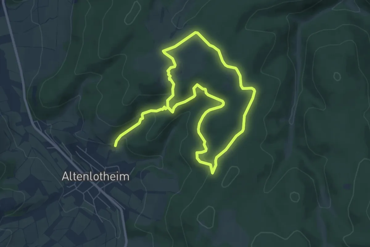
Nationalparkrundweg Bloßenberg-Route
3.4 km · ↑ 101 m · 1 h 3 min
Medium · Trail
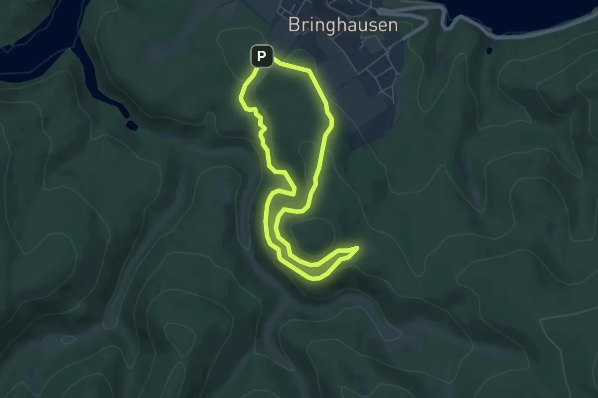
Nationalparkrundweg Bösenberg-Route
11.7 km · ↑ 397 m · 3 h 37 min
Easy · Trail
Nationalparkrundweg "Daudenberg-Route"
4.7 km · ↑ 193 m · 1 h 36 min
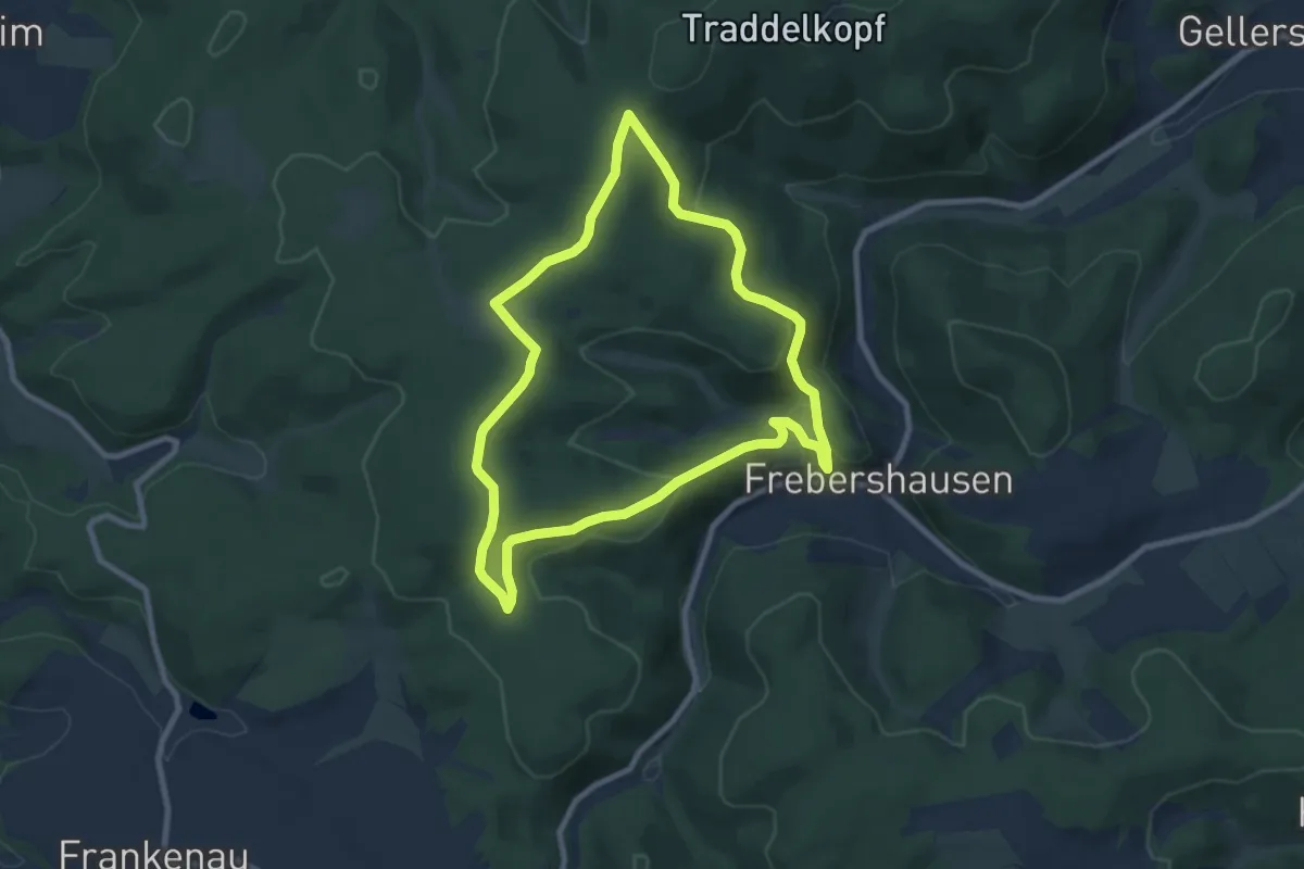
Easy · Summit
Nationalparkrundweg Dreiherrenstein-Route
7.4 km · ↑ 297 m · 2 h 29 min
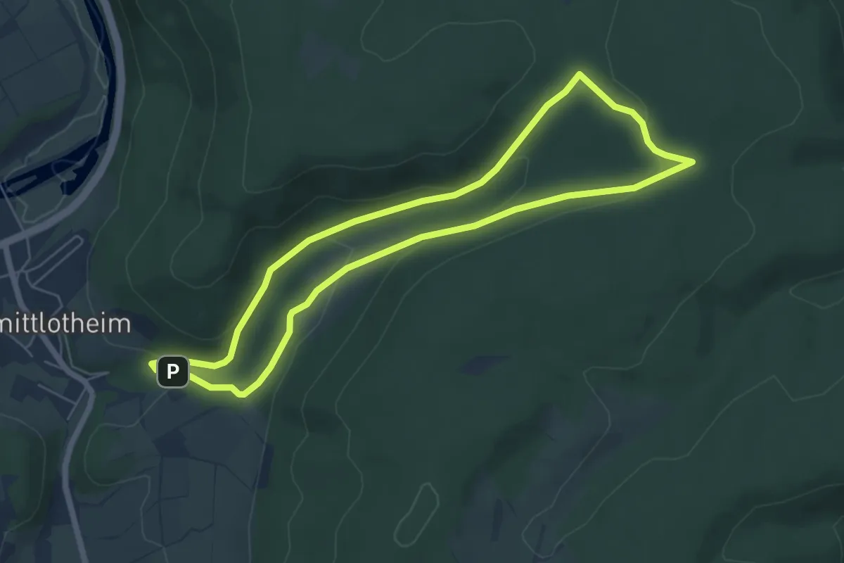
Easy · Trail
Nationalparkrundweg Elsebach-Route
5.2 km · ↑ 156 m · 1 h 38 min
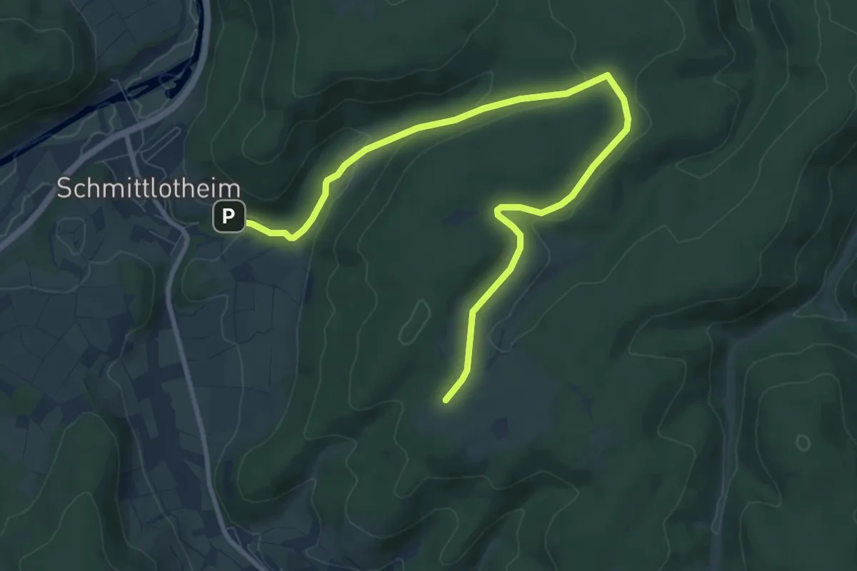
Medium · Trail
Nationalparkrundweg Fahrentriesch-Route
9.9 km · ↑ 195 m · 2 h 46 min
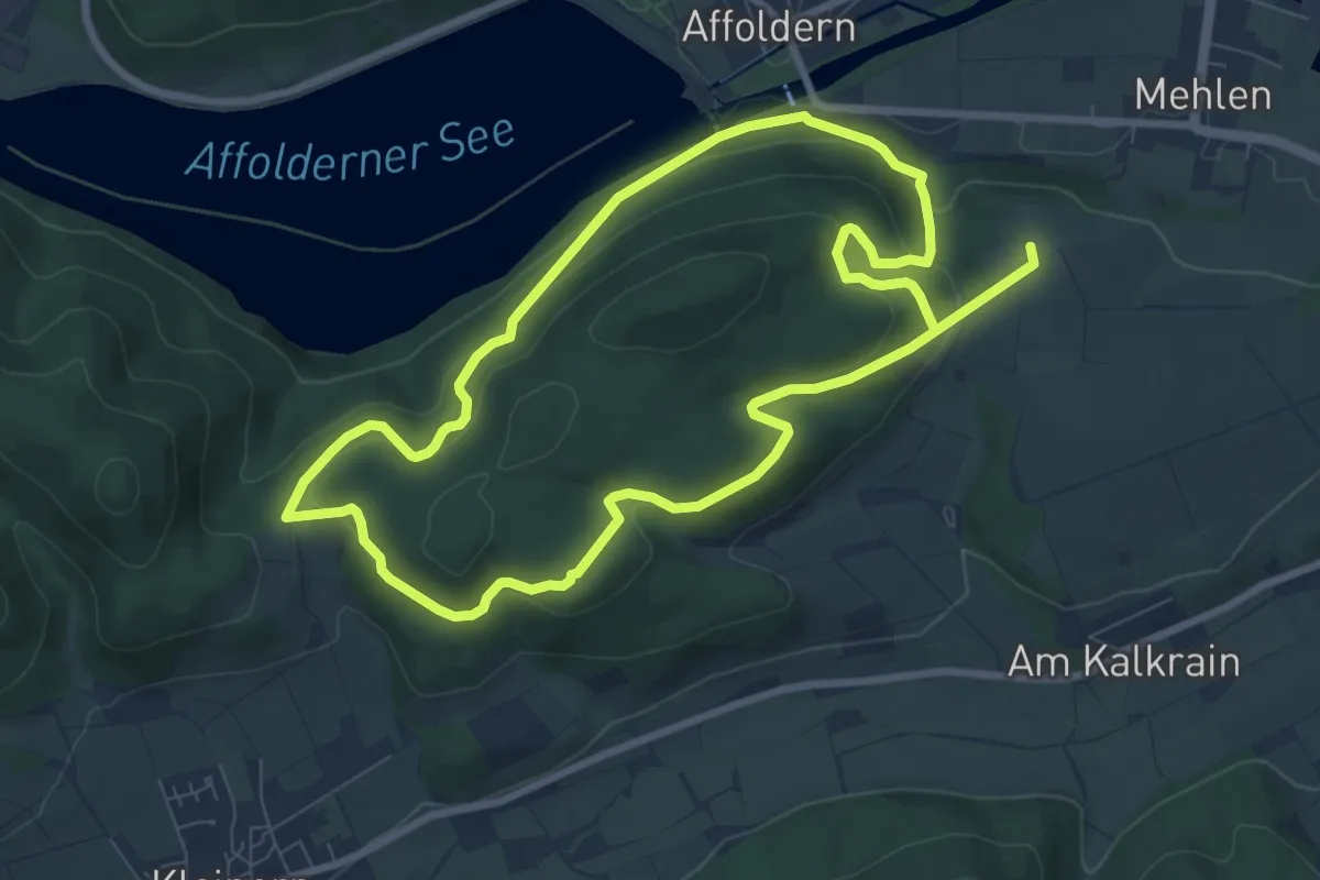
Medium · Trail
Nationalparkrundweg Goldgräberpfad
14.8 km · ↑ 622 m · 4 h 51 min
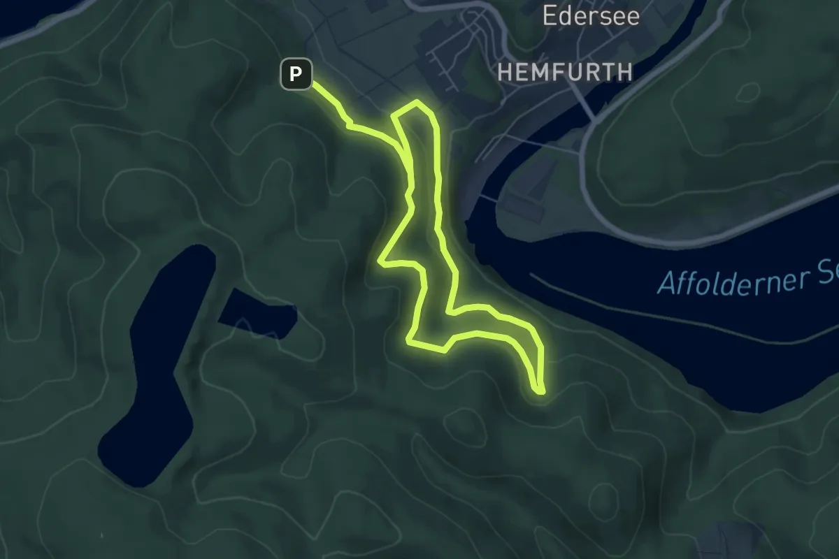
Medium · Trail
Nationalparkrundweg Hegekopf-Route
9.7 km · ↑ 360 m · 3 h 4 min
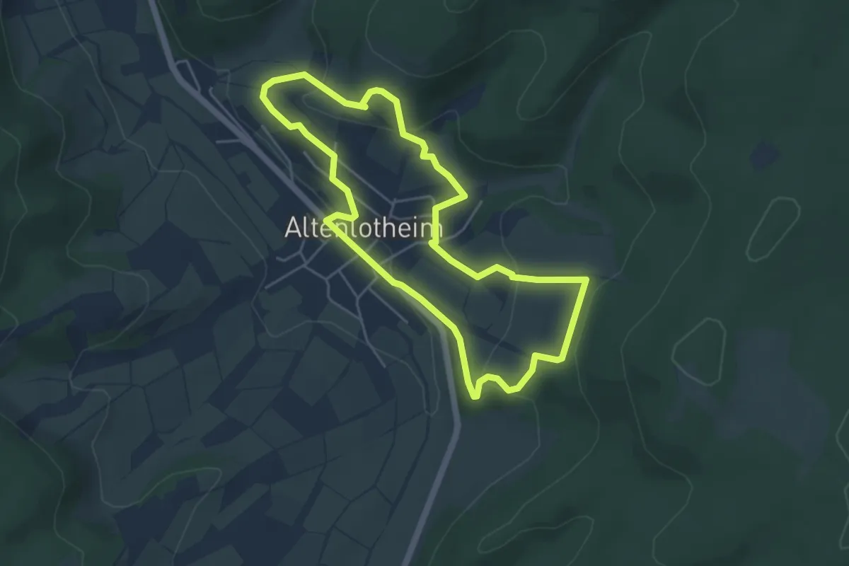
Easy · Trail
Nationalparkrundweg Heide-Erlebnispfad
4.1 km · ↑ 172 m · 1 h 24 min
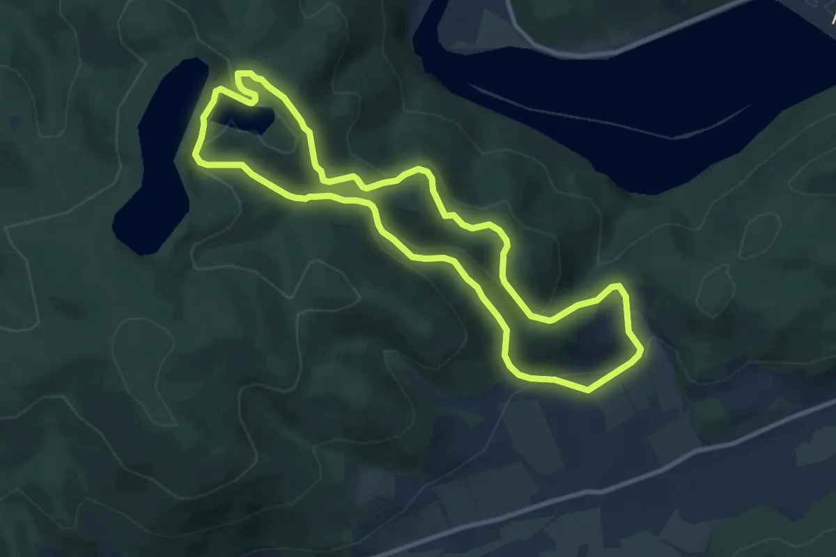
Easy · Summit
Nationalparkrundweg Heimbach-Route
8.0 km · ↑ 277 m · 2 h 35 min
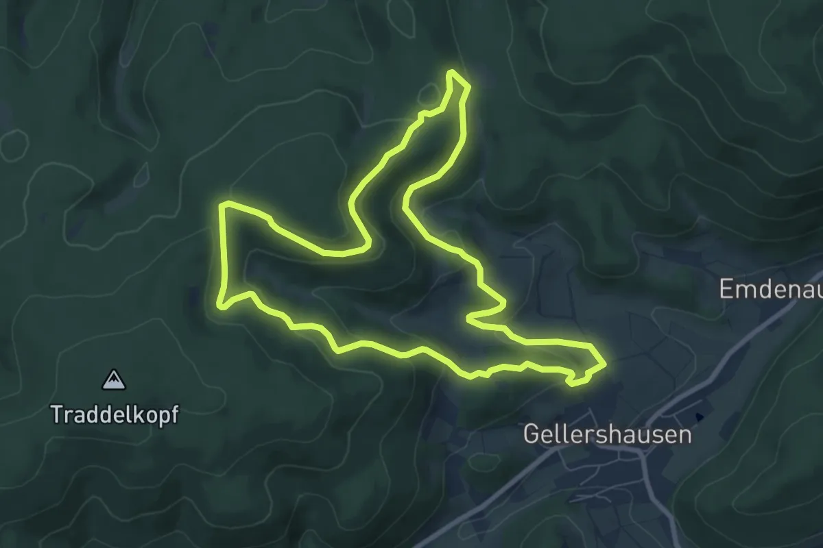
Easy · Trail
Nationalparkrundweg Locheichen-Route
7.4 km · ↑ 257 m · 2 h 25 min
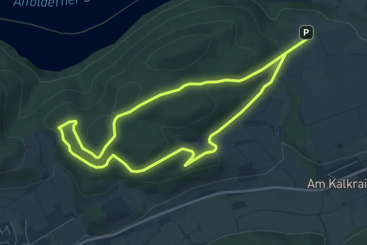
Easy · Trail
Nationalparkrundweg Mehler-Holz-Route
6.1 km · ↑ 165 m · 1 h 52 min
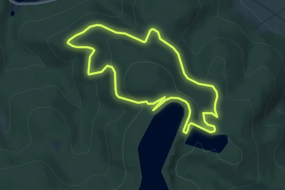
Easy · Summit
Nationalparkrundweg Ochsenwurzelskopf-Route
4.9 km · ↑ 165 m · 1 h 35 min
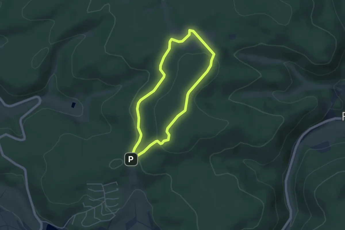
Easy · Summit
Nationalparkrundweg Quernstweg
3.5 km · ↑ 84 m · 1 h 3 min
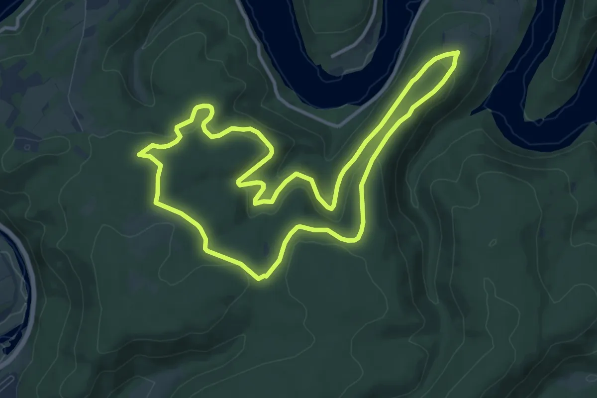
Medium · Trail
Nationalparkrundweg Ringelsberg-Route
8.8 km · ↑ 237 m · 2 h 43 min
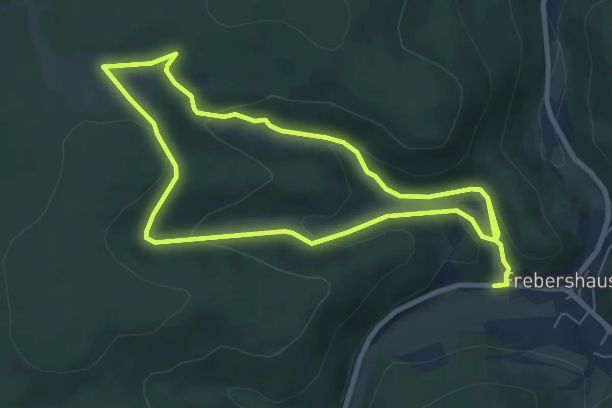
Medium · Trail
Nationalparkrundweg Talgang
9.5 km · ↑ 327 m · 2 h 57 min
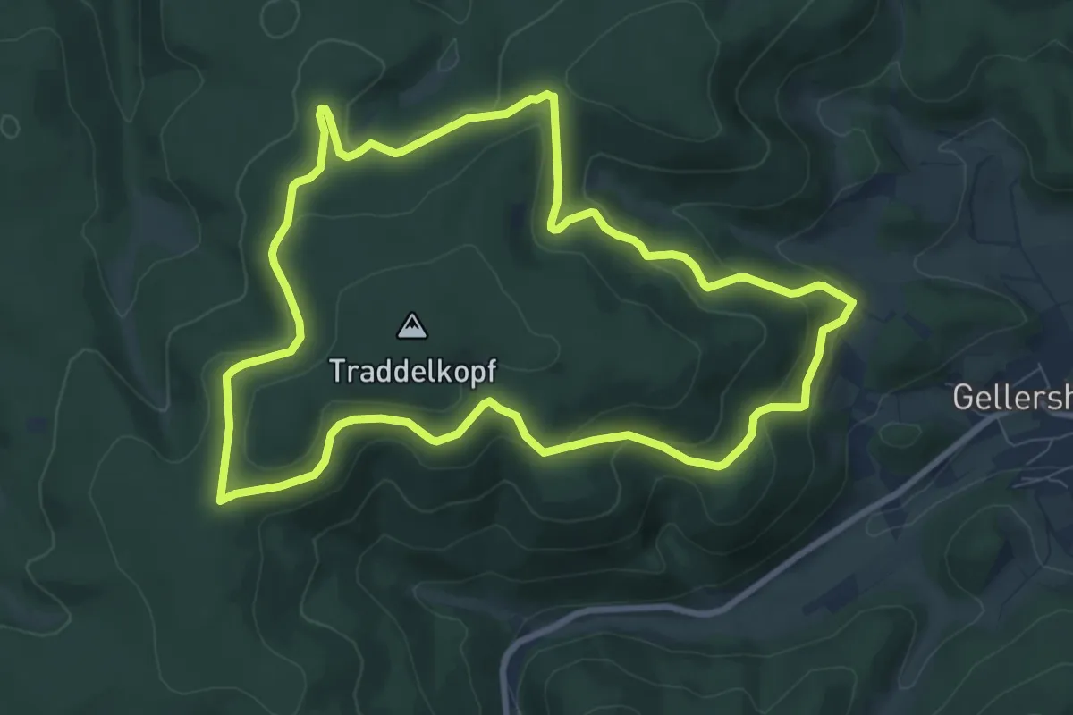
Medium · Trail
Nationalparkrundweg Traddelkopf-Route
8.0 km · ↑ 282 m · 2 h 37 min
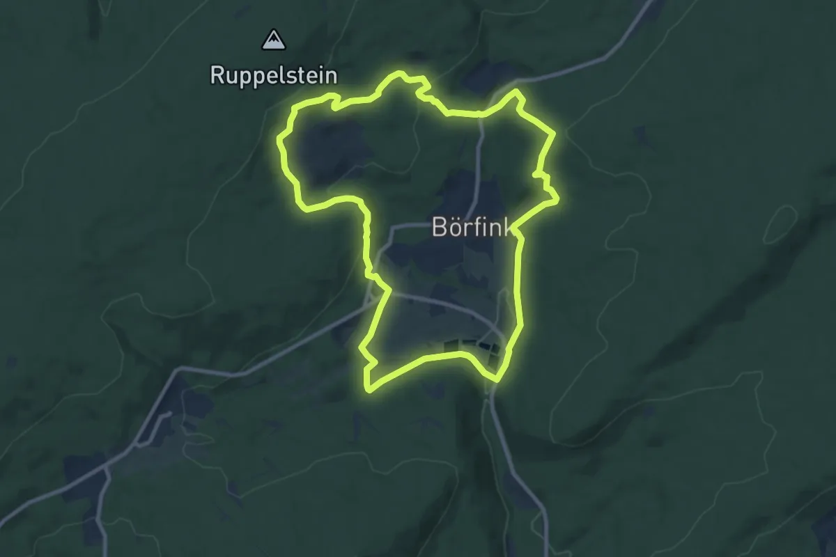
Medium · Trail
Nationalpark-Traumschleife Börfinker Ochsentour
8.9 km · ↑ 244 m · 2 h 46 min
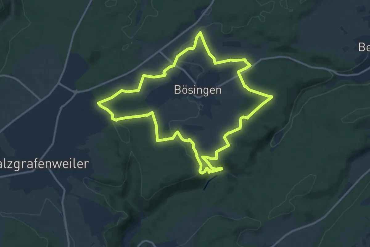
Medium · Trail
NaTour
9.5 km · ↑ 203 m · 2 h 49 min
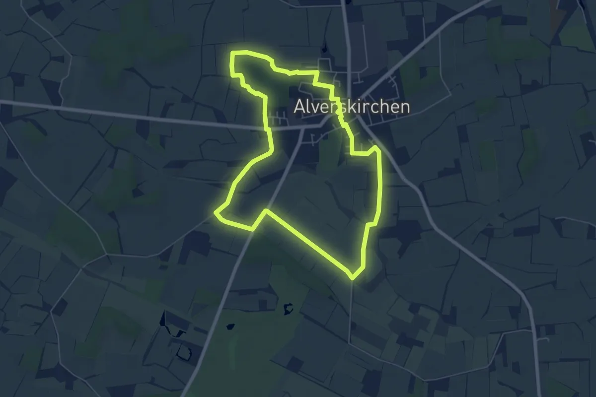
Easy · Trail
Natournah Alverskirchen
5.4 km · ↑ 18 m · 1 h 23 min
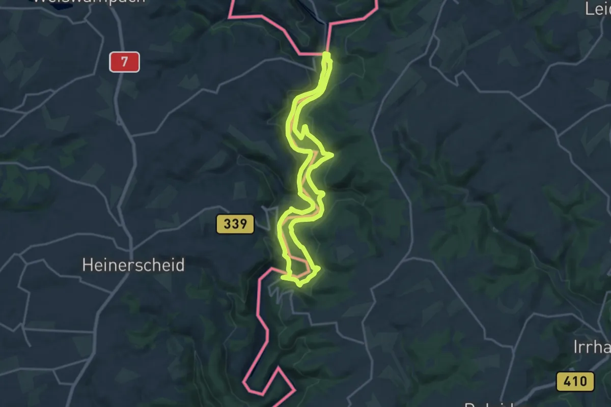
Medium · Summit
Nat'Our Route 1 Mittleres Ourtal
12.7 km · ↑ 349 m · 3 h 56 min
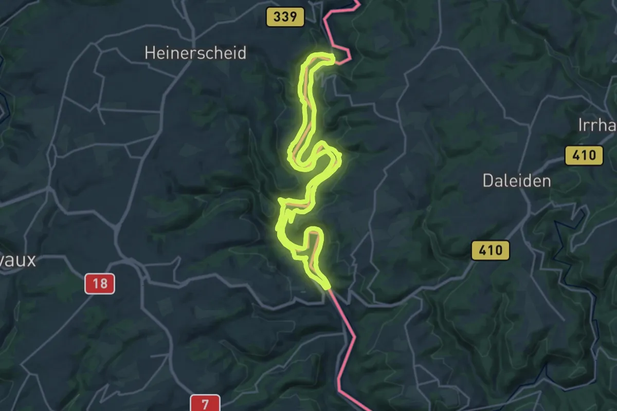
Medium · Summit
Nat'Our Route 2 Mittleres Ourtal
17.9 km · ↑ 411 m · 5 h 22 min
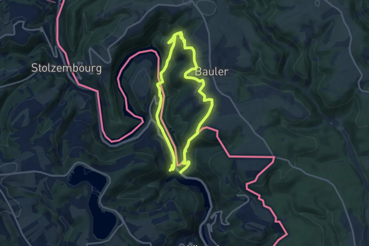
Medium · Trail
Nat'Our Route 5: Vianden - Falkenstein
7.7 km · ↑ 365 m · 2 h 42 min
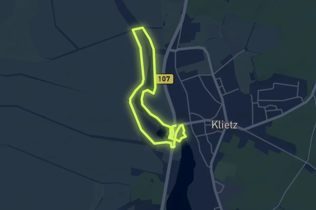
Easy · Trail
Natrulehrpfad kleiner Klietzer See
3.0 km · ↑ 0 m · 45 min
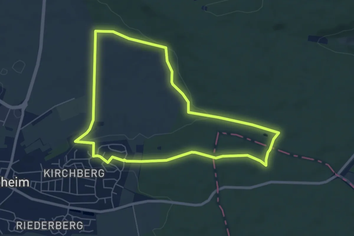
Easy · Trail
Nattheimer Jubiläumsweg blau
5.5 km · ↑ 91 m · 1 h 35 min
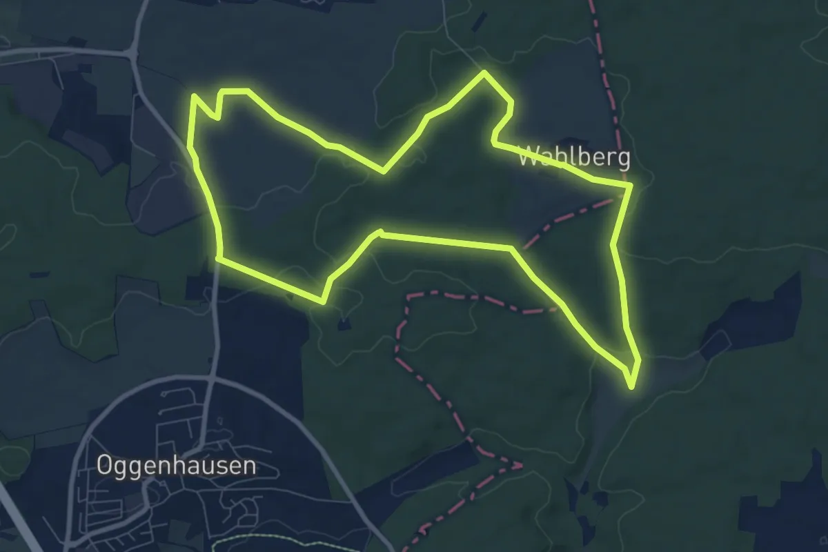
Medium · Trail
Nattheimer Jubiläumsweg grün
8.5 km · ↑ 126 m · 2 h 23 min
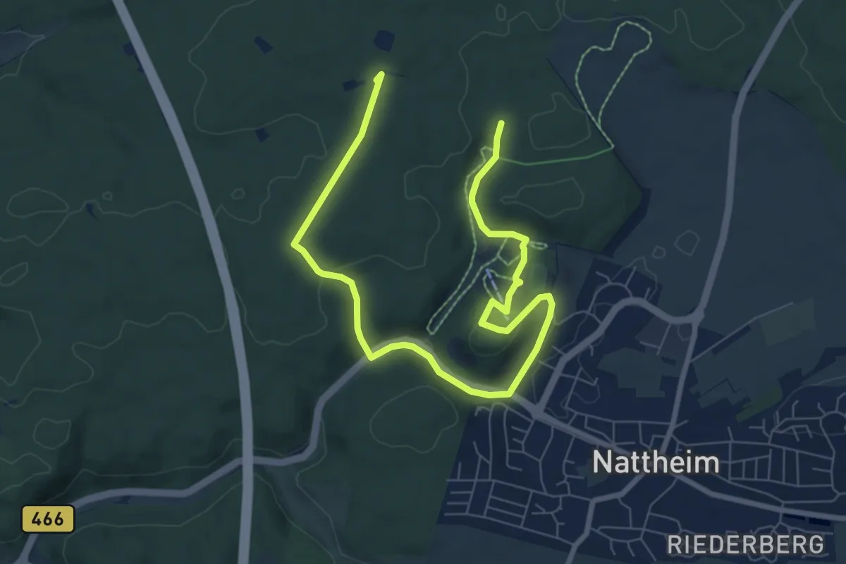
Easy · Summit
Nattheimer Jubiläumsweg orange
4.8 km · ↑ 120 m · 1 h 28 min
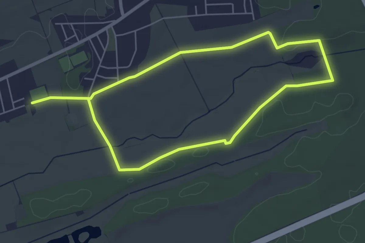
Easy · Trail
Natura 2000 Weg Kranichwoog
4.3 km · ↑ 24 m · 1 h 7 min
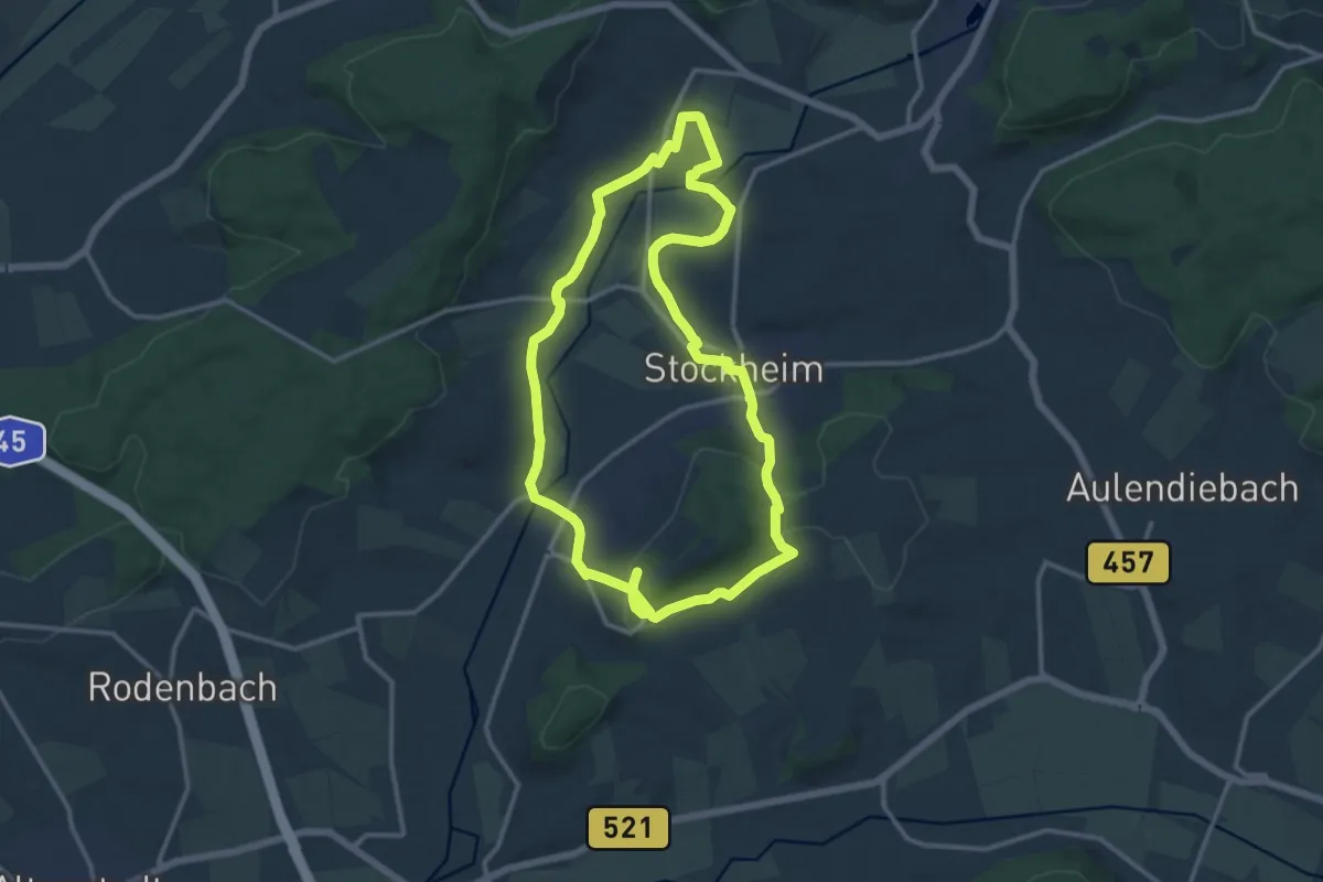
Medium · Trail
Natura Trail
12.1 km · ↑ 158 m · 3 h 21 min
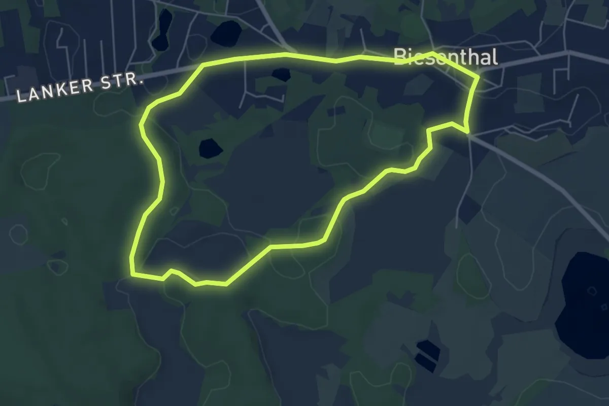
Easy · Trail
Natura Trail Biesenthal Route 1
4.9 km · ↑ 40 m · 1 h 19 min
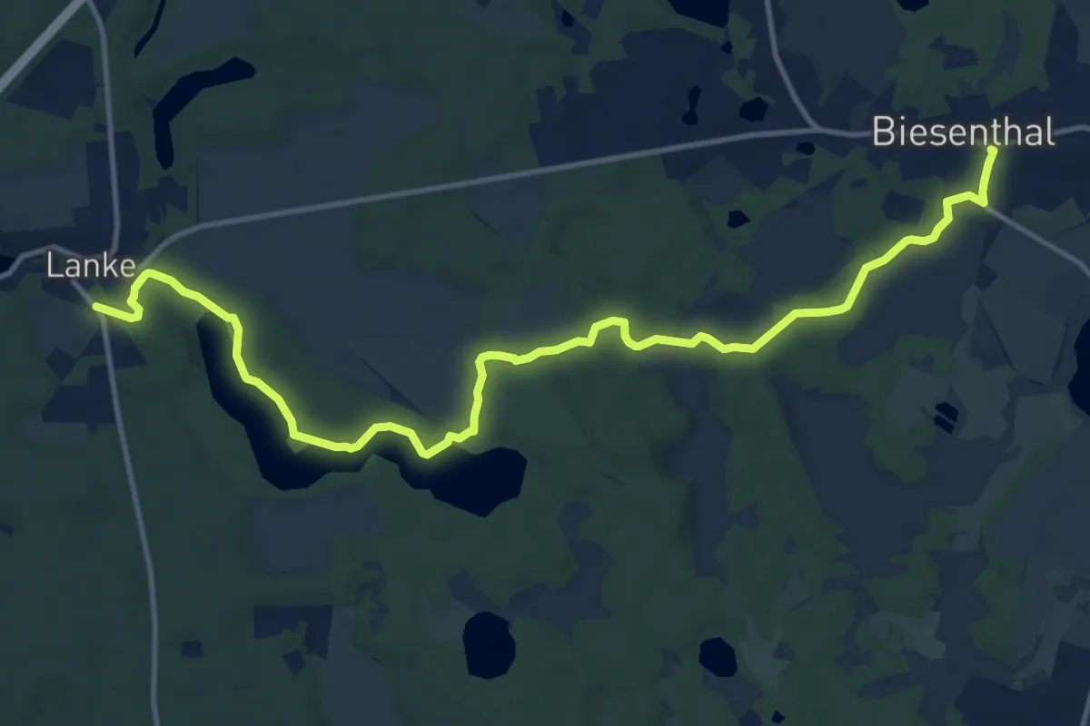
Easy · Trail
Natura Trail Biesenthal Route 2
6.6 km · ↑ 46 m · 1 h 45 min
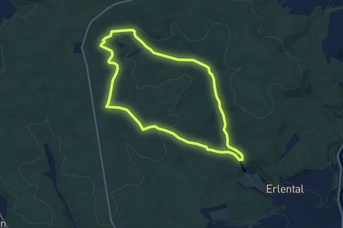
Easy · Trail
Natura Trail „Krofdorfer Forst - Im Reich der Wildkatze“
8.0 km · ↑ 122 m · 2 h 15 min
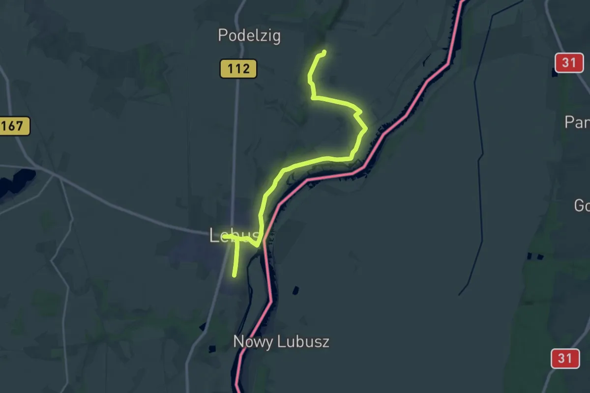
Medium · Summit
Natura Trail Lebus
10.1 km · ↑ 70 m · 2 h 39 min
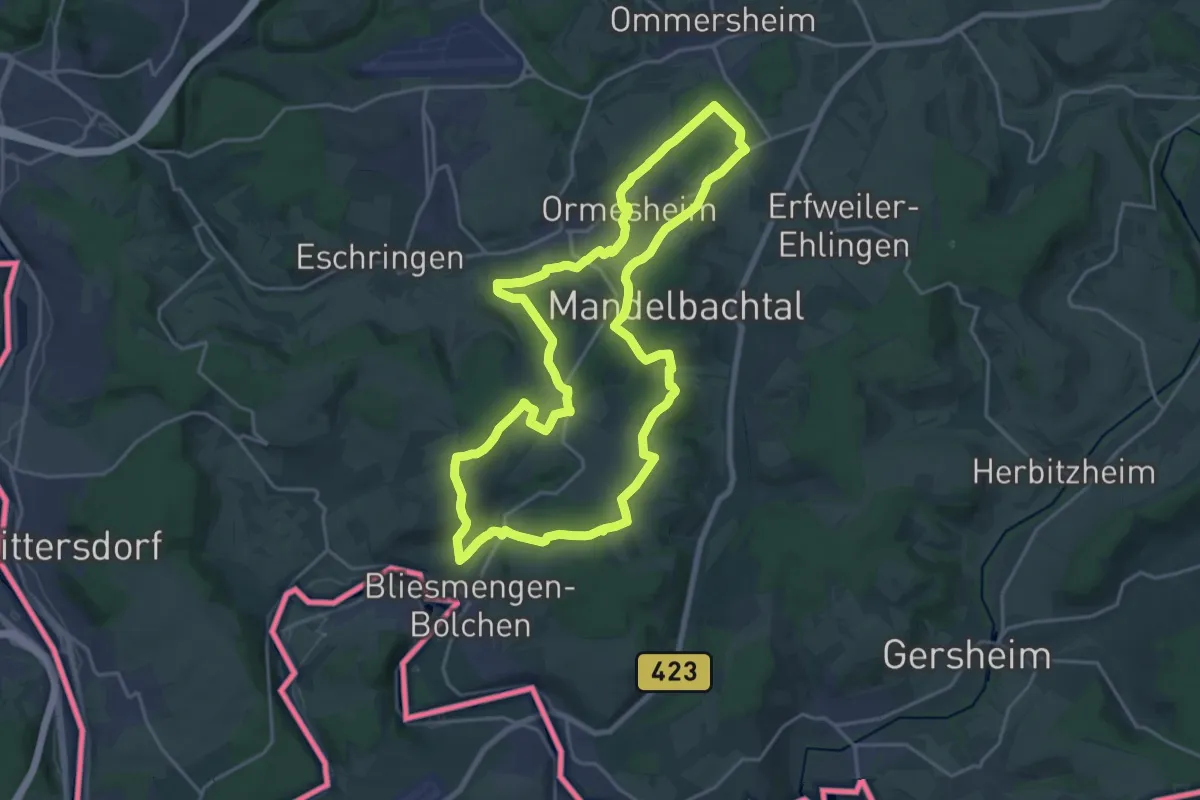
Demanding · Summit
Natura Trail Mandelbachtal
19.9 km · ↑ 468 m · 6 h
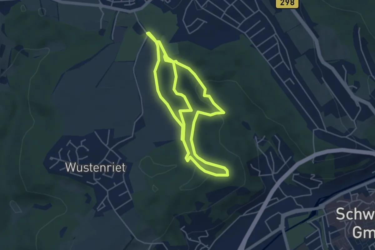
Medium · Trail
Naturatum (große Runde)
8.3 km · ↑ 147 m · 2 h 17 min
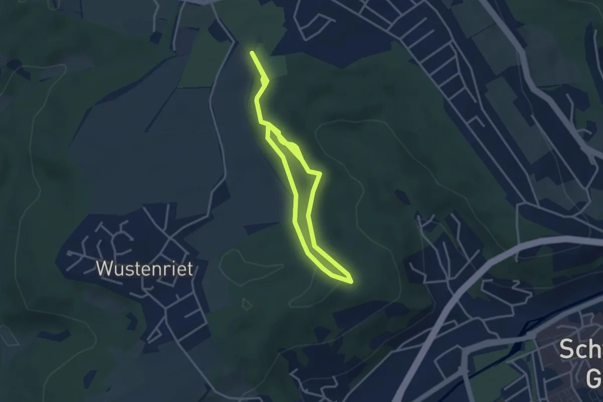
Easy · Trail
Naturatum (kleine Runde)
5.1 km · ↑ 64 m · 1 h 21 min
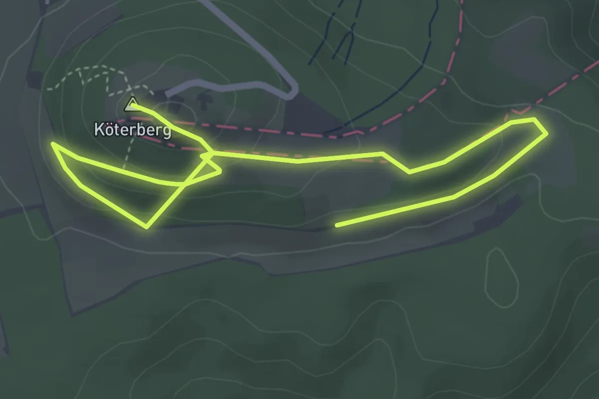
Easy · Summit
Natur auf der Spur
5.6 km · ↑ 214 m · 1 h 47 min
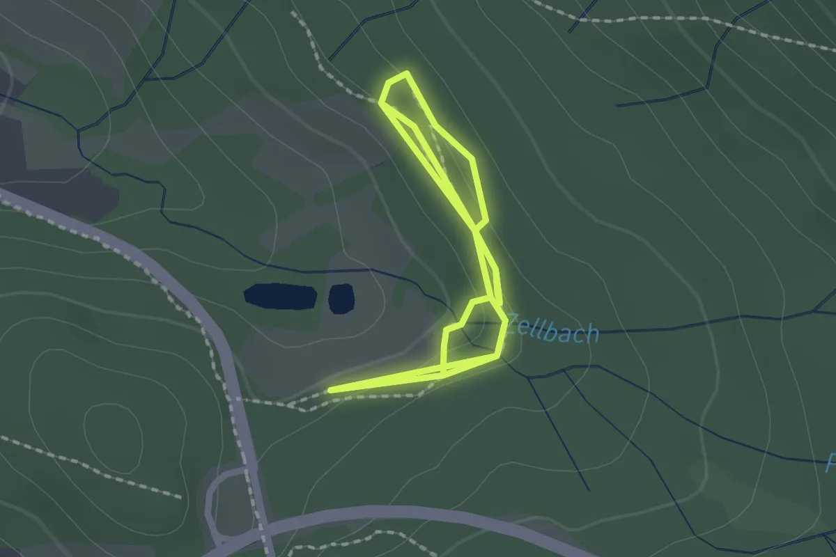
Easy · Trail
Natur-Entdecker-Pfad
3.2 km · ↑ 70 m · 55 min
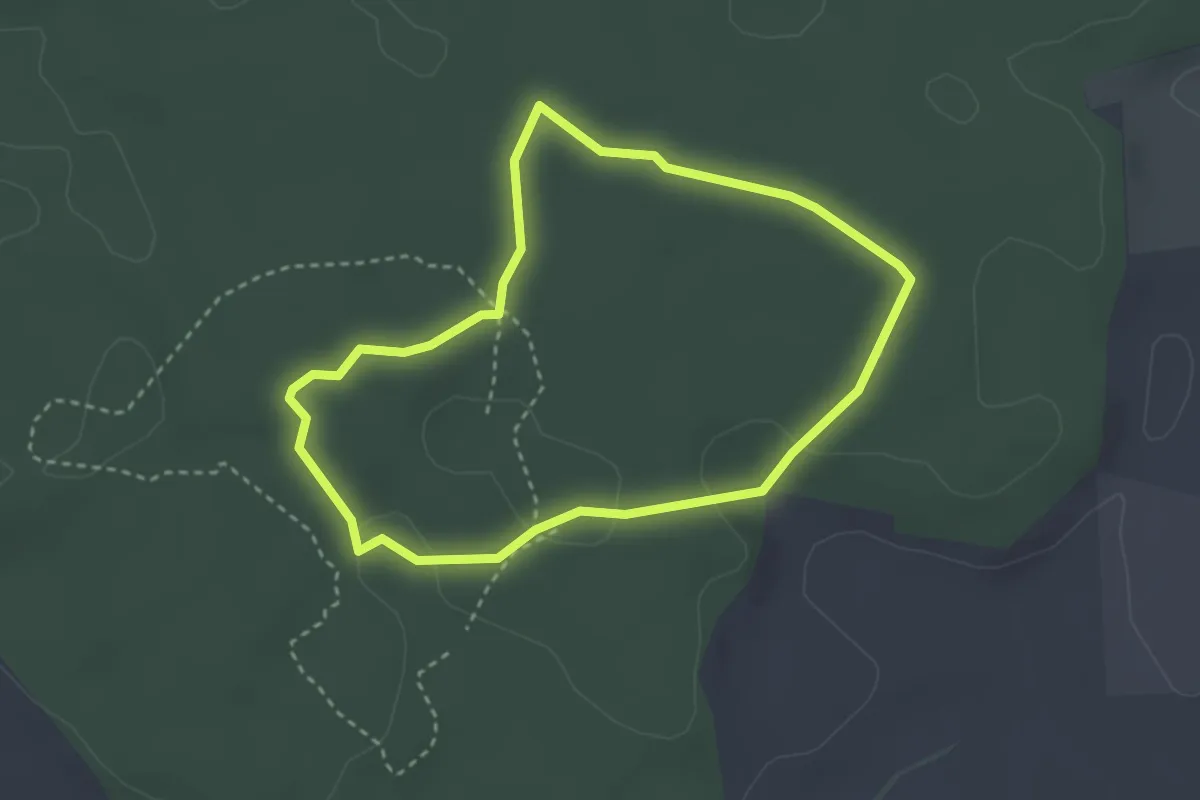
Easy · Trail
Naturentdeckungsreise Walderlebniszentrum Schernfeld
2.8 km · ↑ 25 m · 45 min