Trails in Germany
36,852 hiking trails, each with its route, climb, walking time and grade.
All trails, page 359 of 768
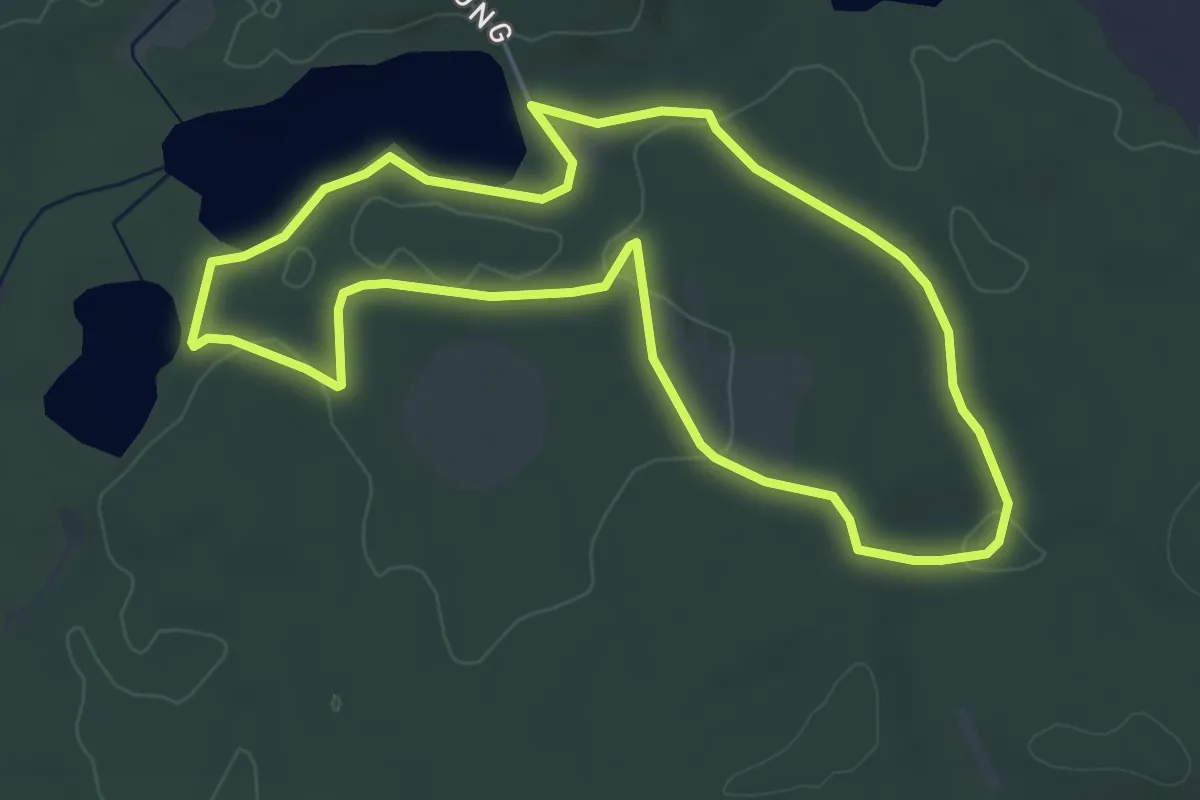
Easy · Trail
Naturerbe-Erlebnisweg Zerweliner Heide
4.6 km · ↑ 34 m · 1 h 13 min
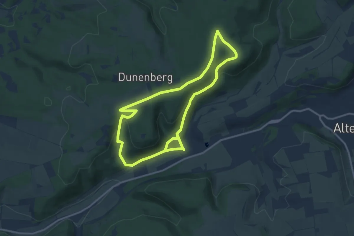
Easy · Summit
Naturerbe-Pfad (Naturerbe Wanderwelt Altenbeken)
7.2 km · ↑ 190 m · 2 h 13 min
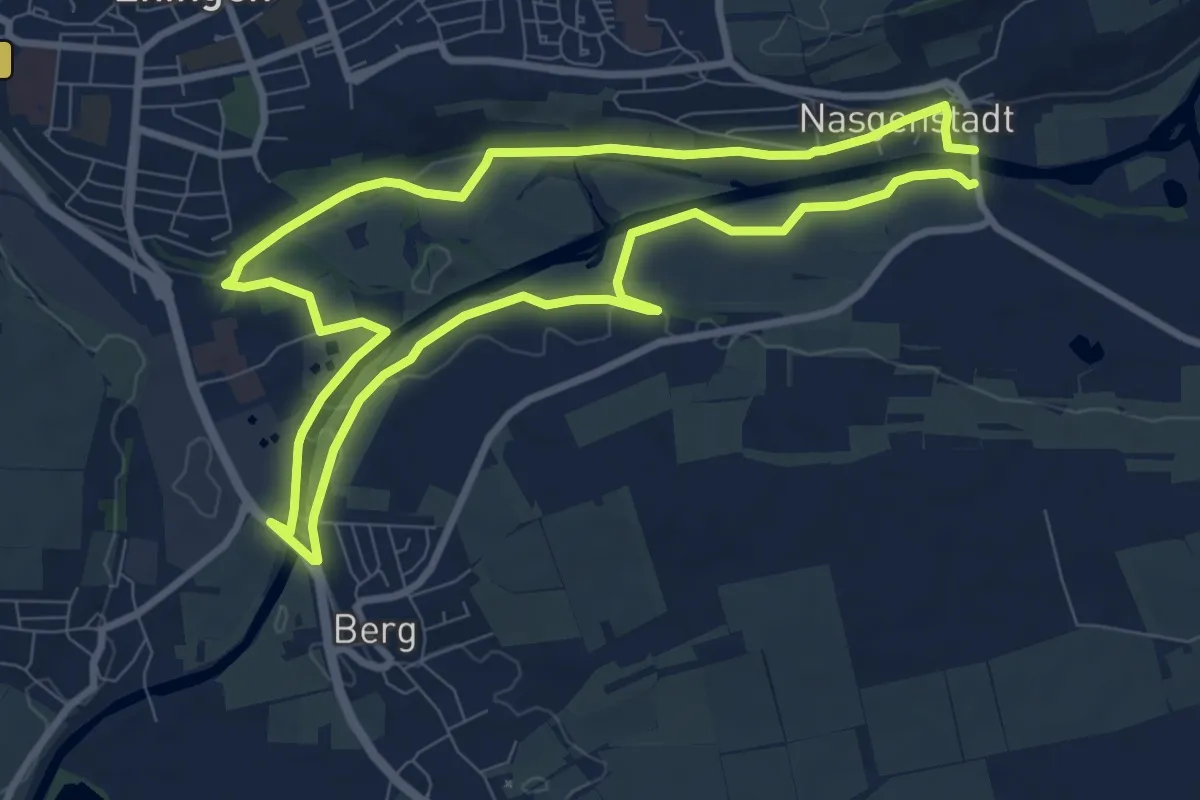
Medium · Trail
Naturerfahrungspfad
8.1 km · ↑ 48 m · 2 h 8 min
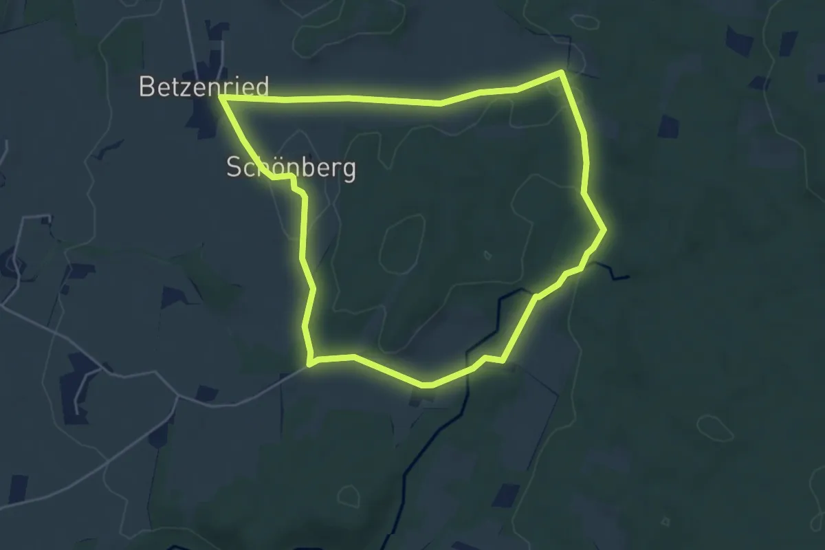
Easy · Trail
Naturerlebnis Durach: Mythenweg
4.7 km · ↑ 55 m · 1 h 18 min
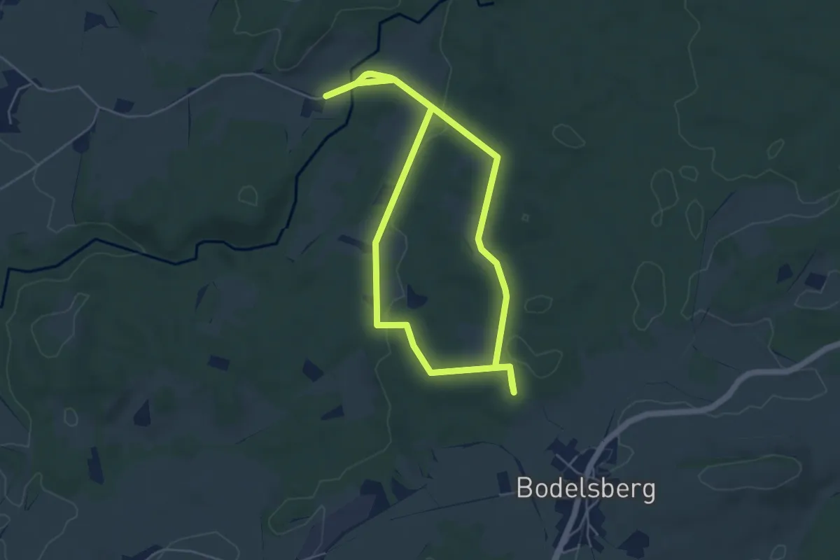
Easy · Trail
Naturerlebnis Durach: Waldweg
4.9 km · ↑ 80 m · 1 h 25 min
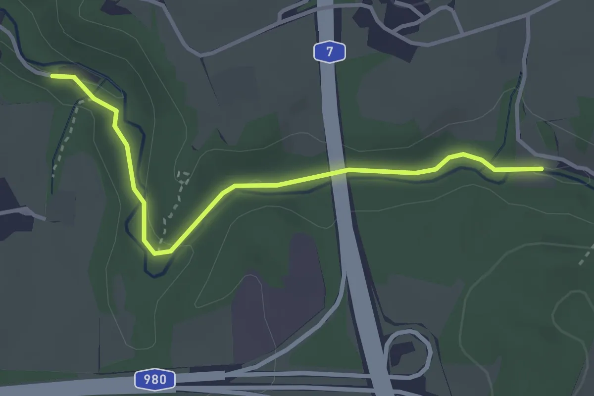
Easy · Trail
Naturerlebnis Durach: Wasserweg
3.1 km · ↑ 36 m · 49 min
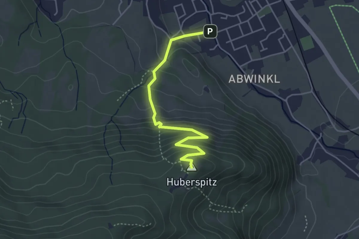
Easy · Summit
Naturerlebnis Huberspitz
4.0 km · ↑ 289 m · 1 h 34 min
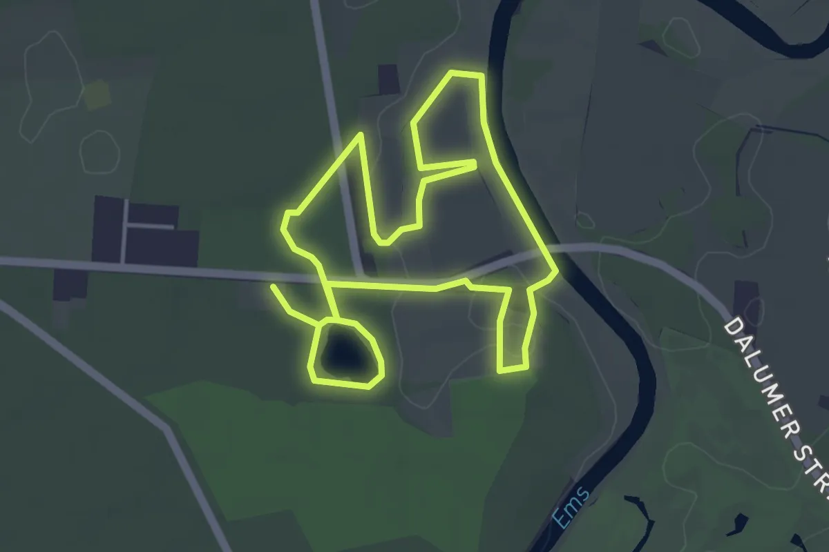
Easy · Trail
Naturerlebnis-Lehrpfad Wachendorf
3.6 km · ↑ 13 m · 55 min
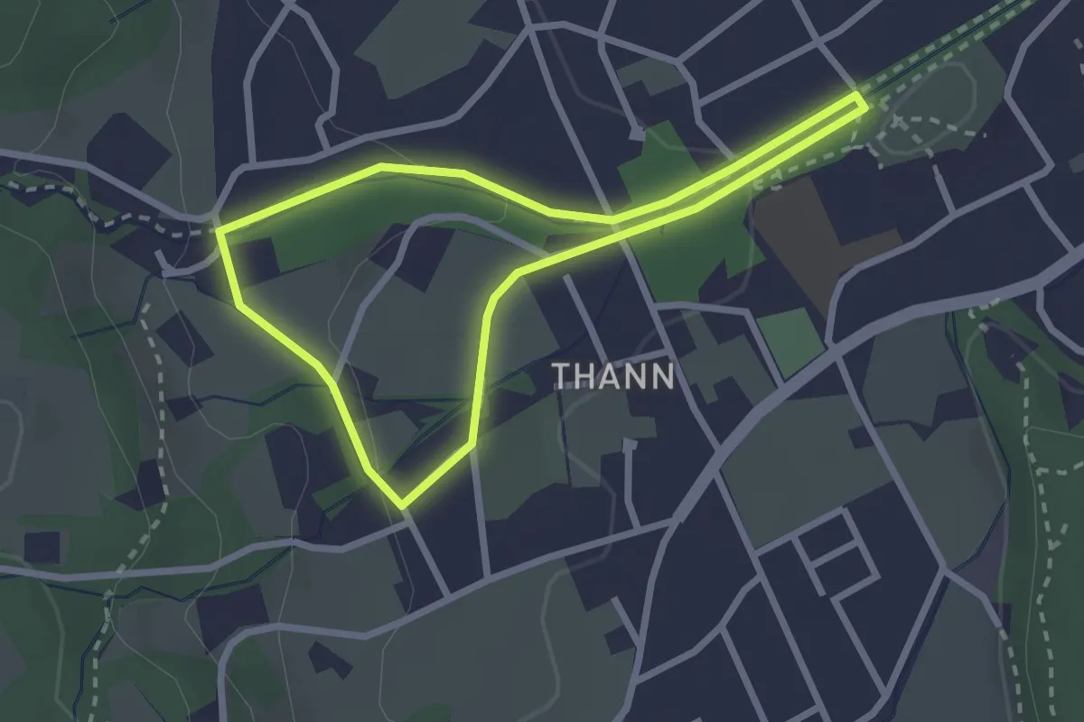
Easy · Trail
Naturerlebnispfad
2.2 km · ↑ 39 m · 38 min
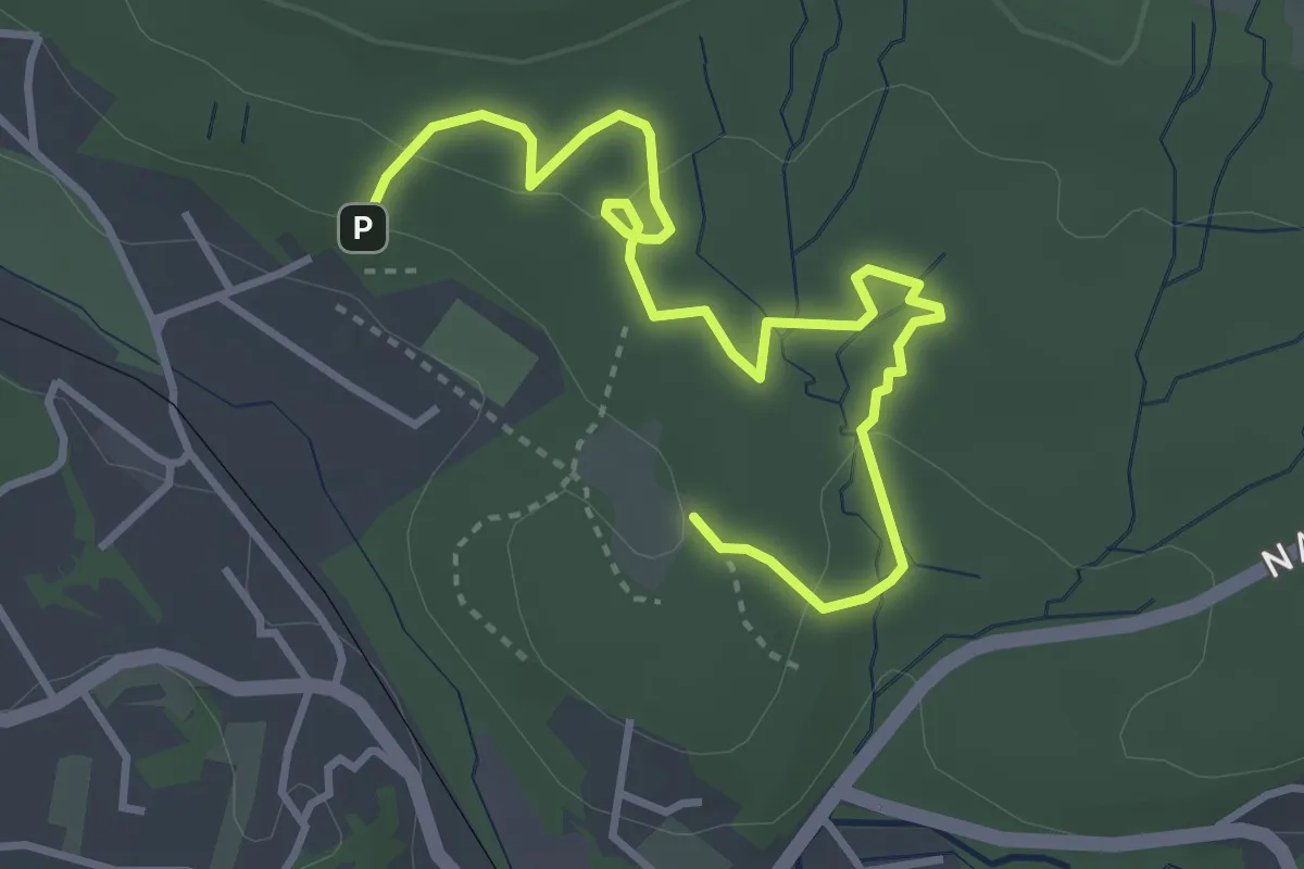
Easy · Trail
Naturerlebnispfad
4.1 km · ↑ 102 m · 1 h 12 min
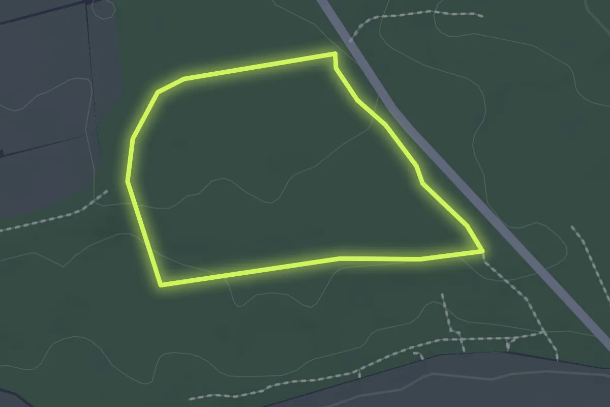
Easy · Trail
Naturerlebnispfad
1.6 km · ↑ 16 m · 26 min
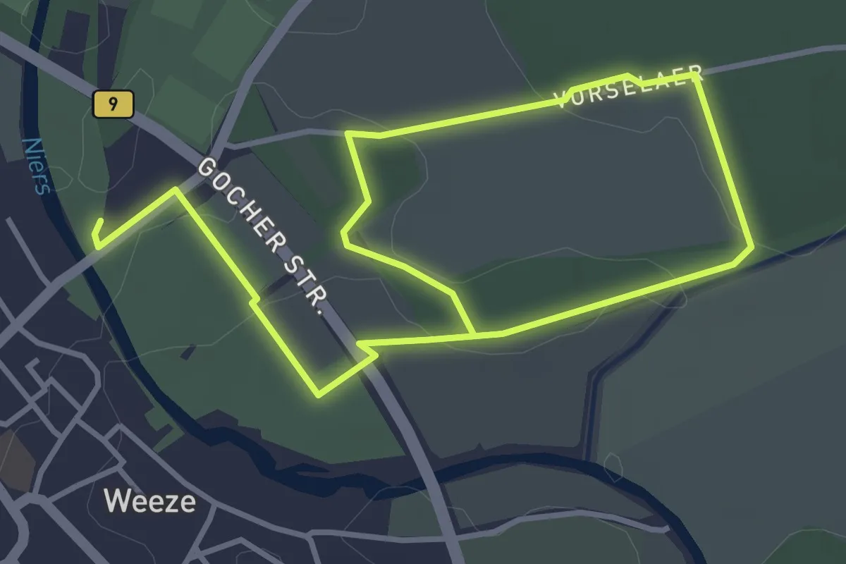
Easy · Trail
Naturerlebnispfad
2.5 km · ↑ 8 m · 39 min
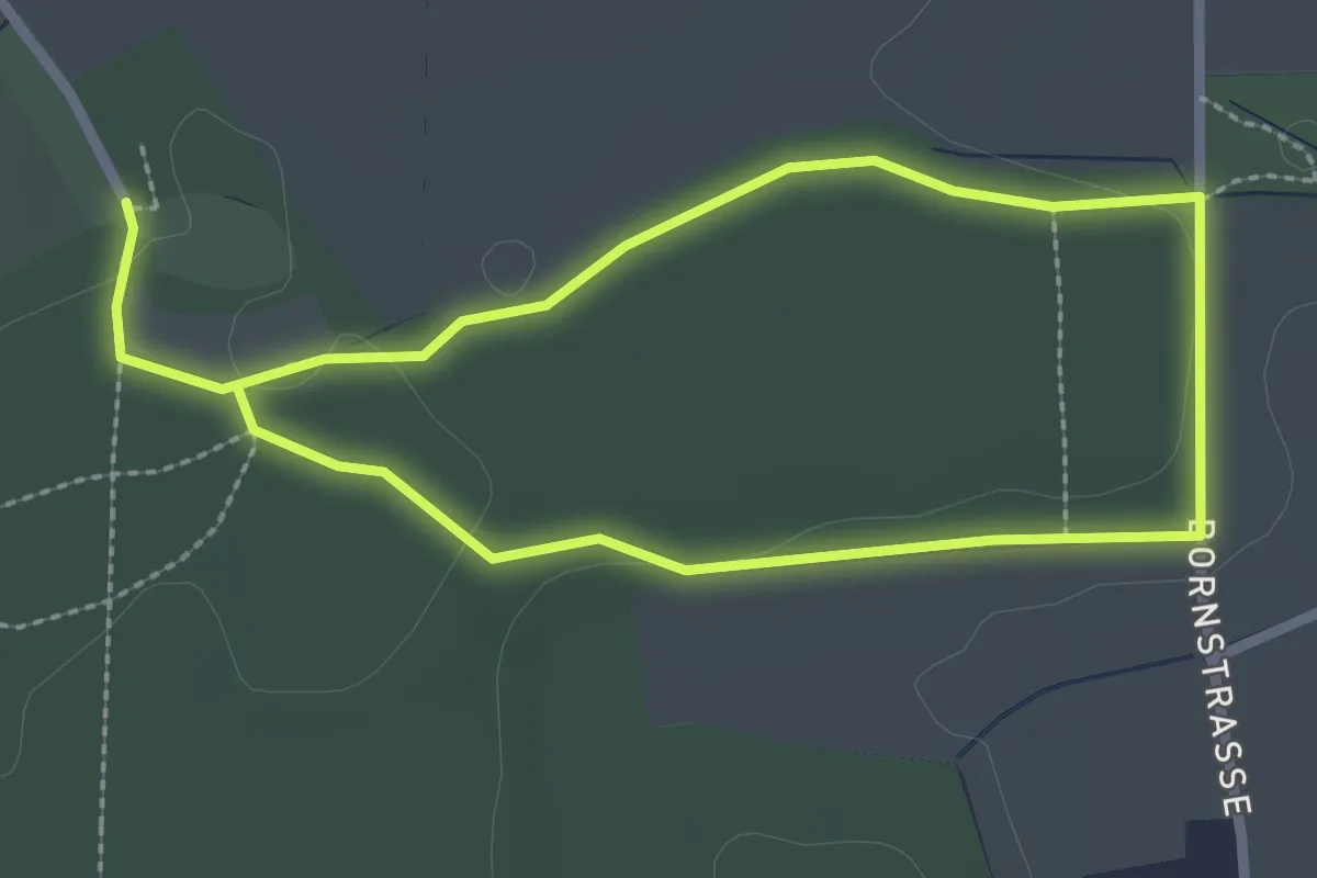
Easy · Trail
Naturerlebnispfad
2.1 km · ↑ 20 m · 34 min
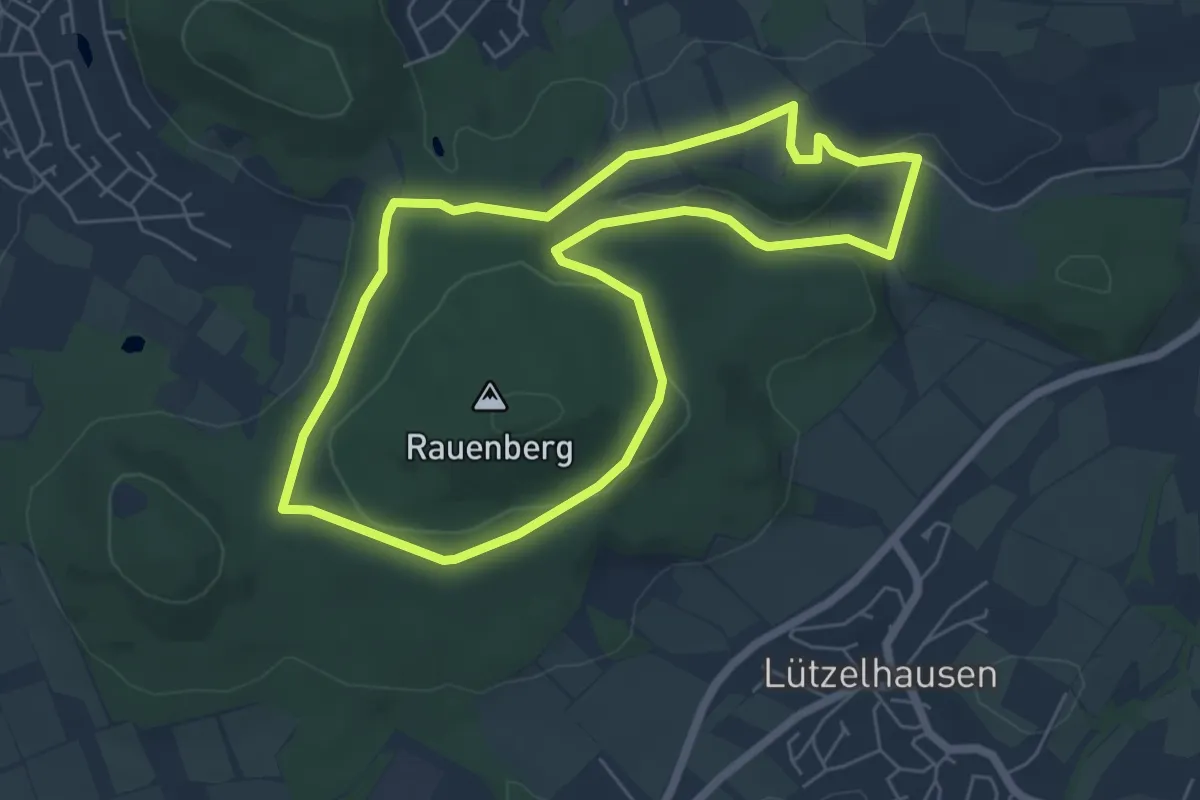
Easy · Trail
Natur-Erlebnispfad
5.6 km · ↑ 96 m · 1 h 36 min
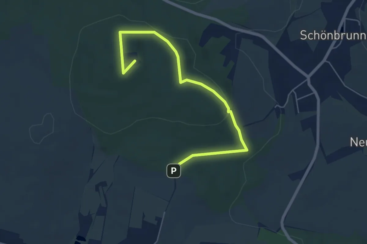
Easy · Summit
Natur-Erlebnis-Pfad
4.0 km · ↑ 85 m · 1 h 11 min
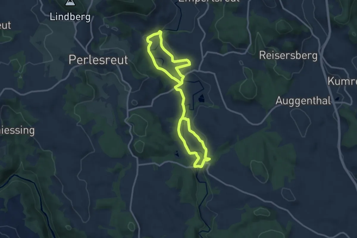
Medium · Trail
Naturerlebnispfad (3)
14.1 km · ↑ 225 m · 3 h 49 min
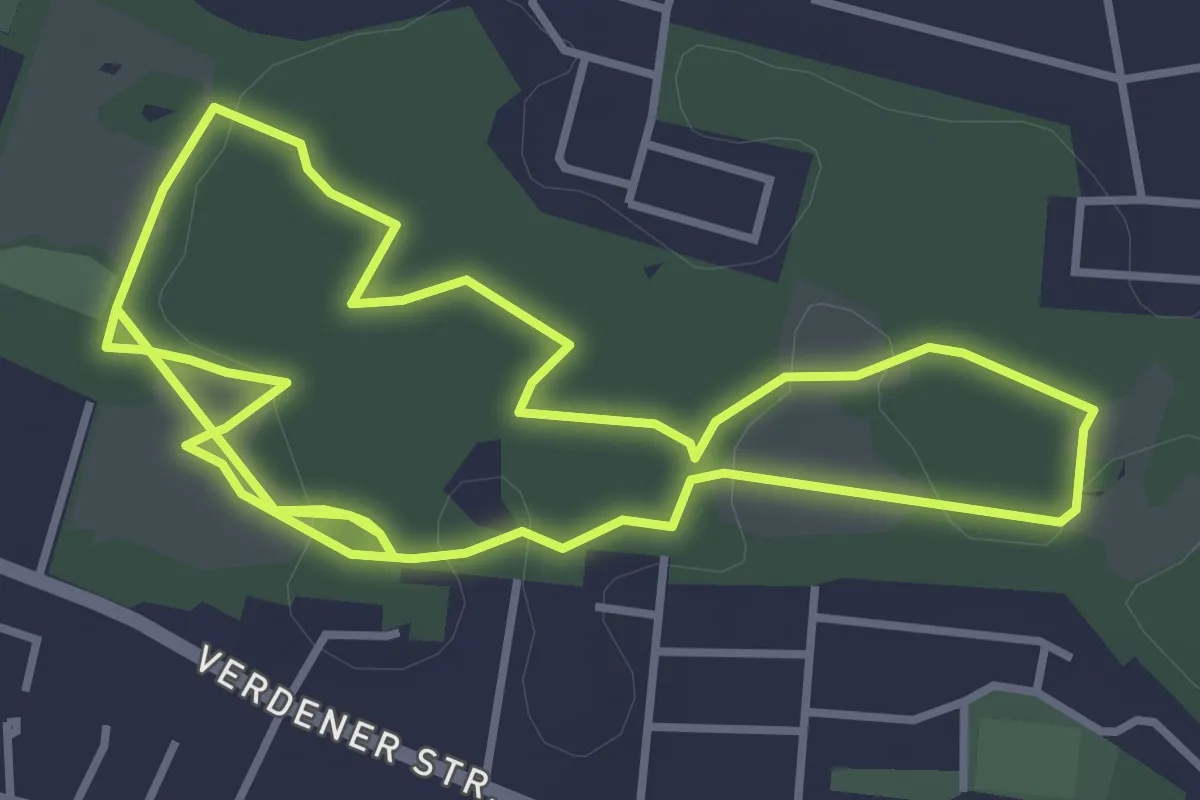
Easy · Trail
Naturerlebnispfad Achimer Stadtwald
3.4 km · ↑ 8 m · 52 min
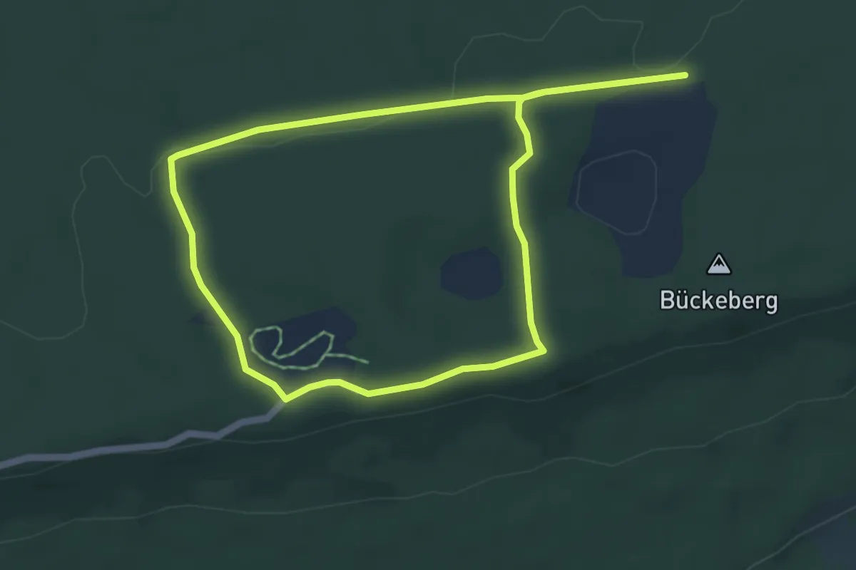
Easy · Trail
Naturerlebnispfad Dinosaurierfährten Schaumburger Land
4.3 km · ↑ 36 m · 1 h 9 min
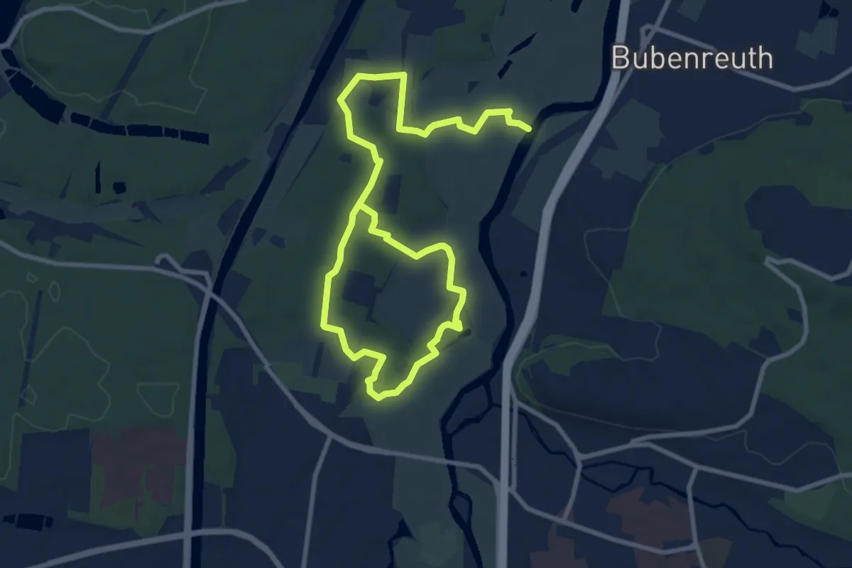
Medium · Trail
Naturerlebnispfad Erlangen
12.7 km · ↑ 64 m · 3 h 8 min
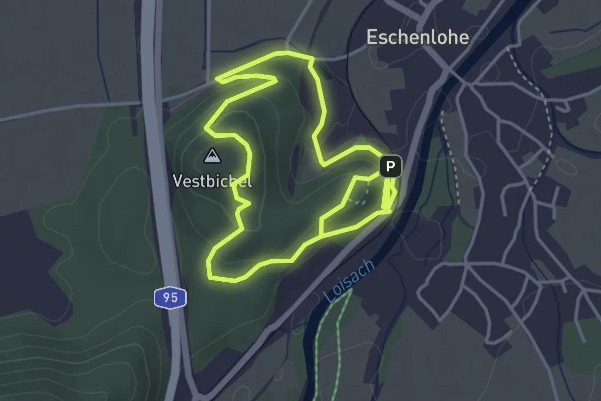
Easy · Summit
Natur-Erlebnis-Pfad Eschenlohe
3.3 km · ↑ 120 m · 1 h 4 min
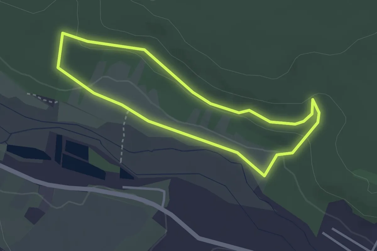
Easy · Trail
Naturerlebnispfad Eulenmühle
2.7 km · ↑ 49 m · 47 min
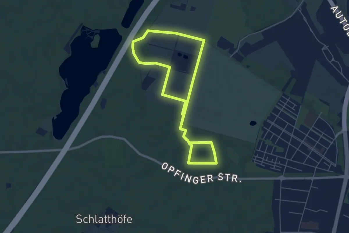
Easy · Trail
Naturerlebnispfad Freiburger Rieselfeld
5.3 km · ↑ 18 m · 1 h 21 min
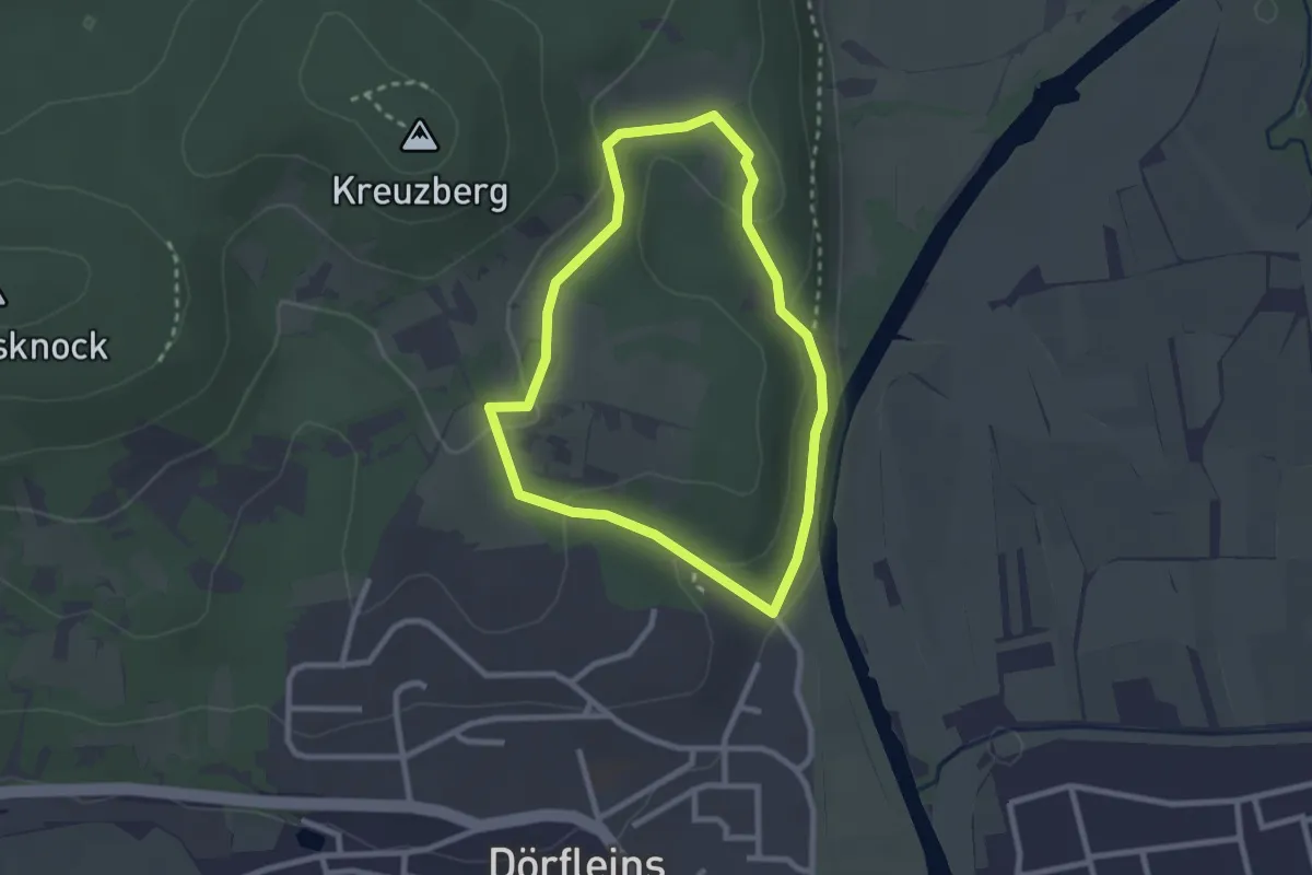
Easy · Trail
Naturerlebnispfad "Fritzi" Hallstadt
2.2 km · ↑ 55 m · 39 min
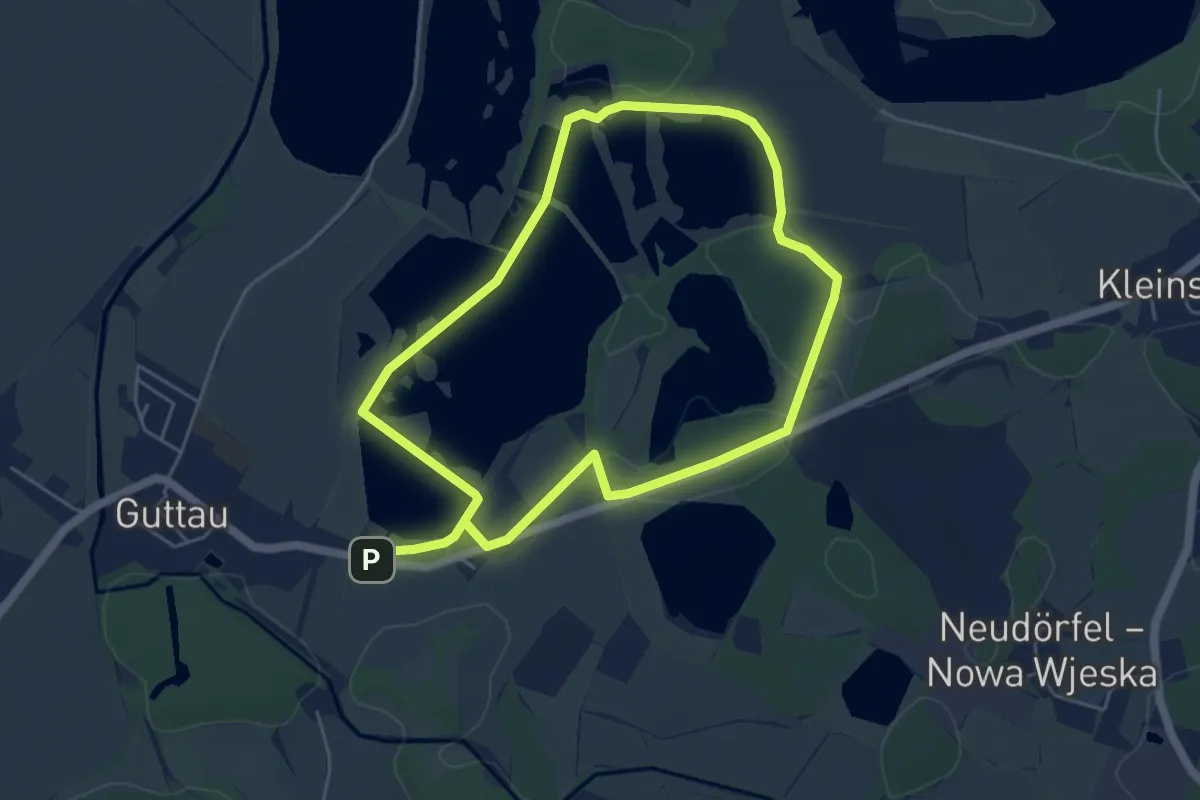
Easy · Trail
Naturerlebnispfad "Guttauer Teiche & Olbasee"
4.4 km · ↑ 5 m · 1 h 6 min
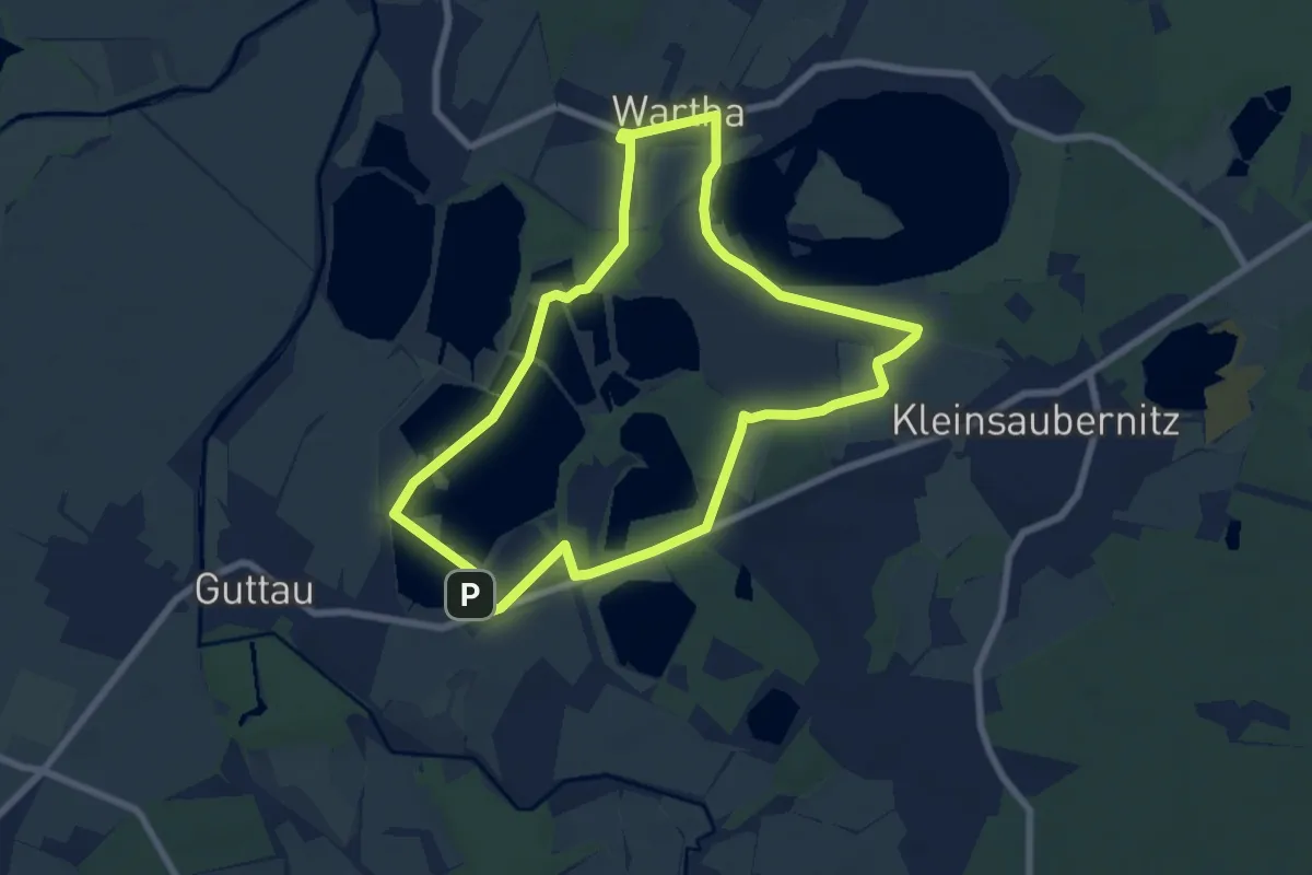
Easy · Trail
Naturerlebnispfad "Guttauer Teiche & Olbasee"
6.4 km · ↑ 17 m · 1 h 38 min
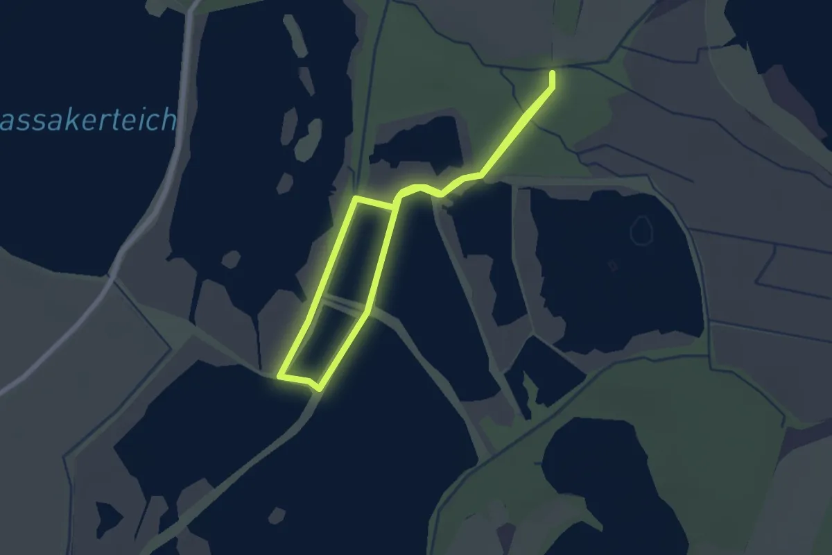
Easy · Trail
Naturerlebnispfad „Guttauer Teiche & Olbasee“ für Rollstuhlfahrer geeignet
1.8 km · ↑ 8 m · 28 min
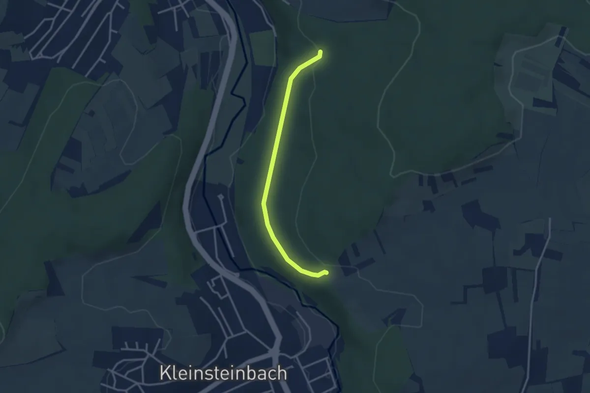
Easy · Trail
Naturerlebnispfad - Haagswäldle
2.8 km · ↑ 63 m · 47 min
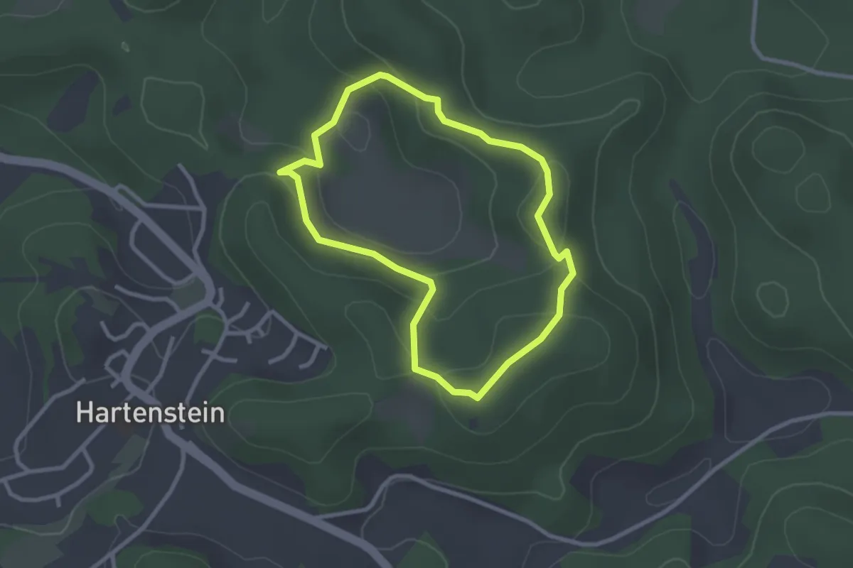
Easy · Summit
Naturerlebnispfad Hartensteiner Oberberge
2.3 km · ↑ 85 m · 45 min
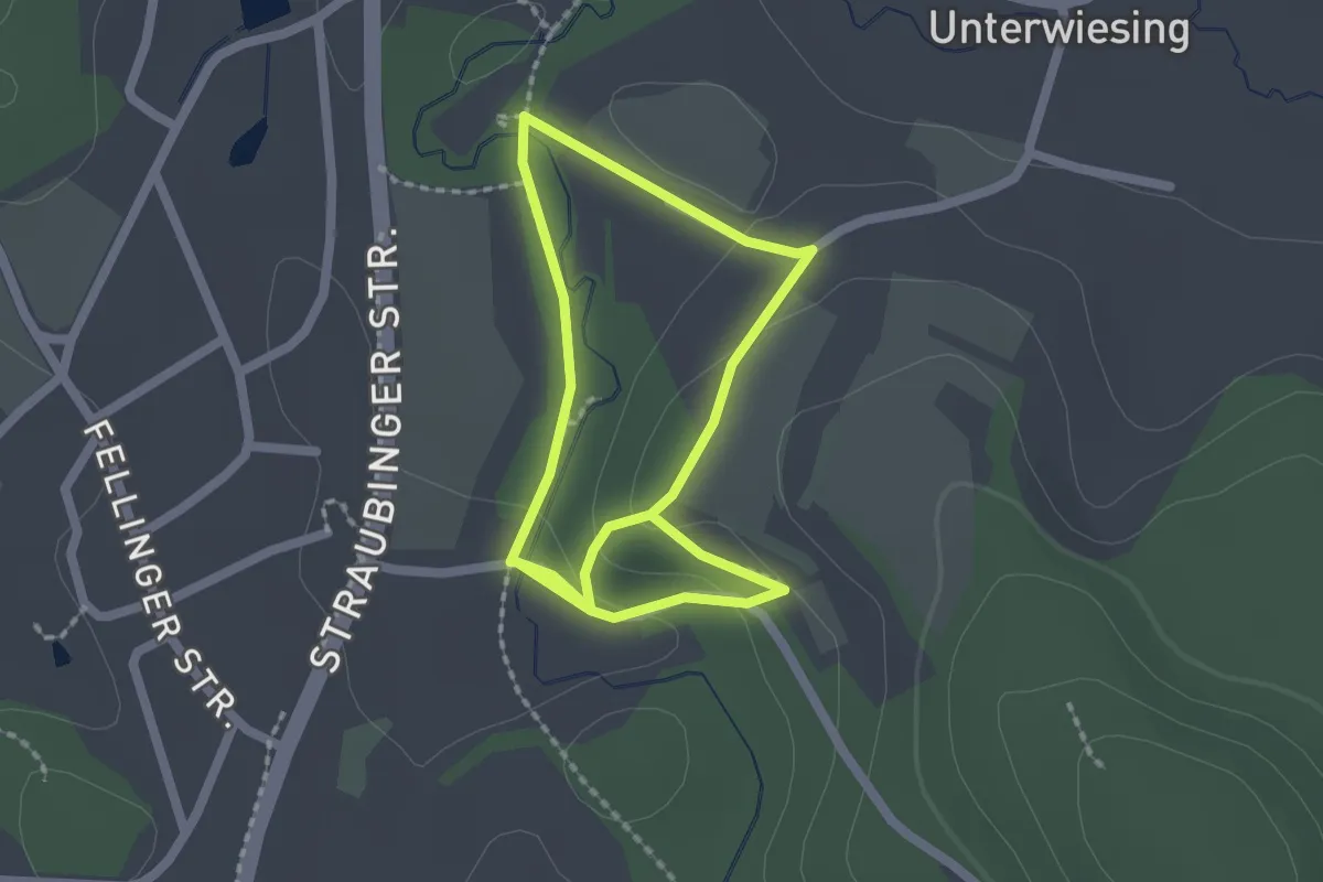
Easy · Trail
Naturerlebnispfad Haselbach
1.6 km · ↑ 23 m · 28 min
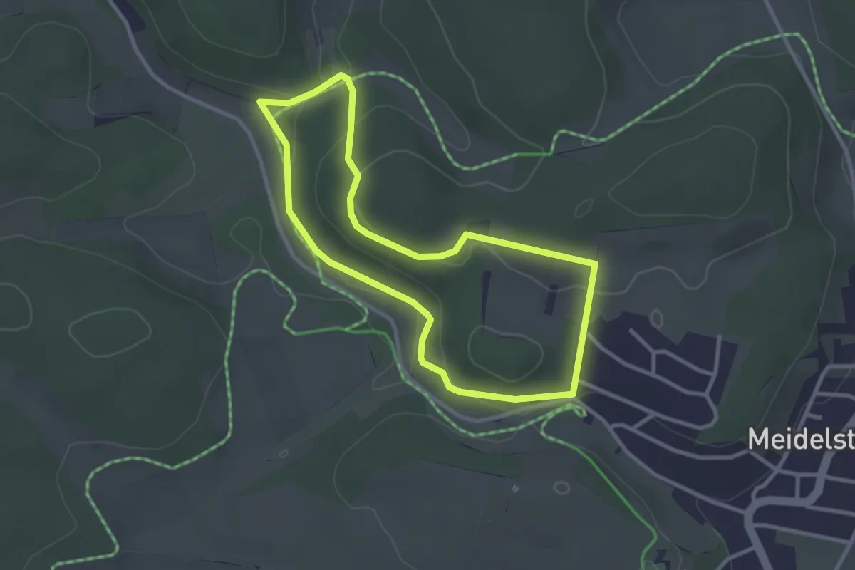
Easy · Trail
Naturerlebnispfad Häulesrain
2.7 km · ↑ 68 m · 49 min
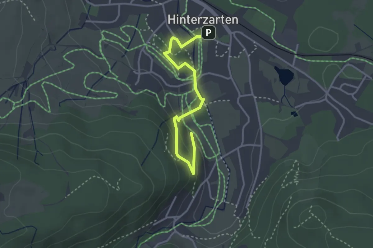
Easy · Trail
Naturerlebnispfad Hinterzarten
3.0 km · ↑ 124 m · 59 min
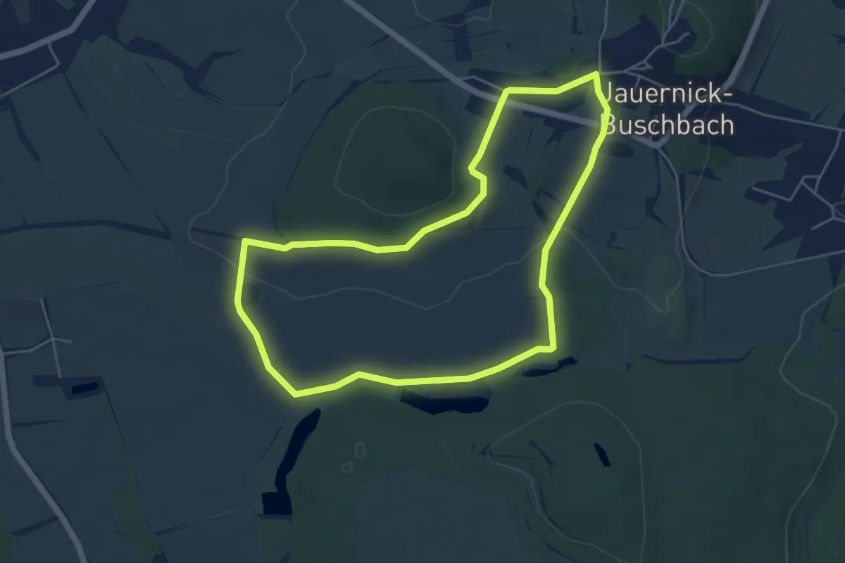
Easy · Trail
Naturerlebnispfad Jauernick-Buschbach
4.5 km · ↑ 65 m · 1 h 17 min
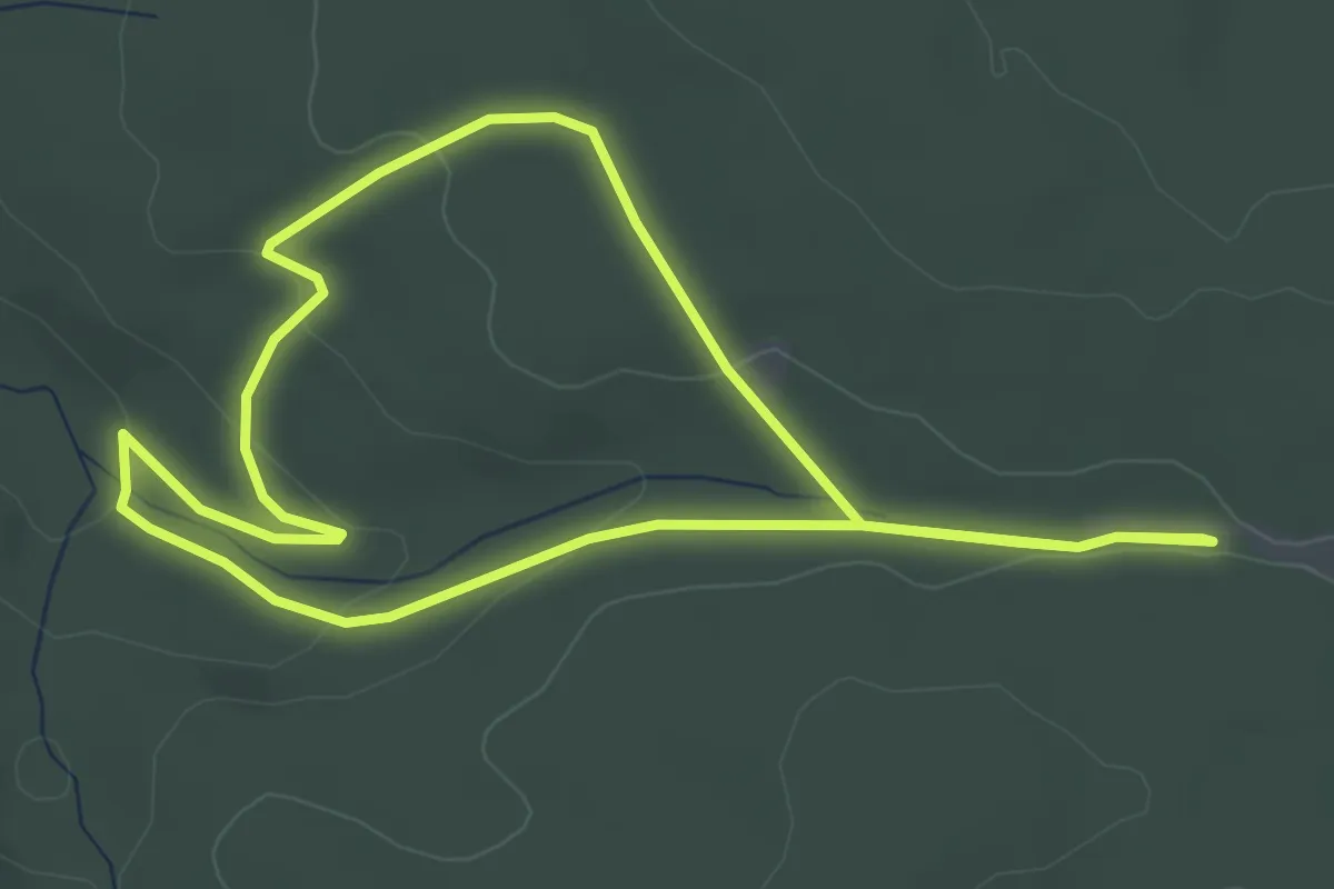
Easy · Trail
Natur-Erlebnis-Pfad Künzelsau
3.6 km · ↑ 71 m · 1 h 3 min
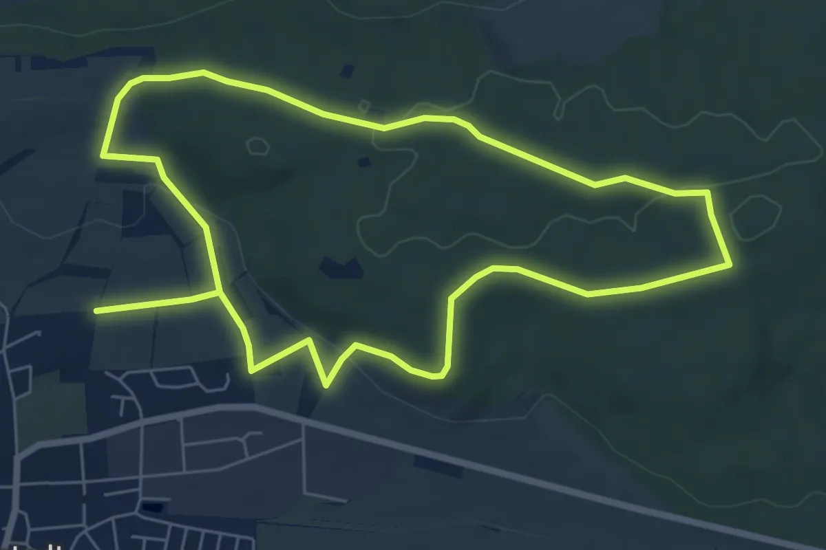
Easy · Trail
Naturerlebnispfad Magstadt
6.1 km · ↑ 85 m · 1 h 43 min
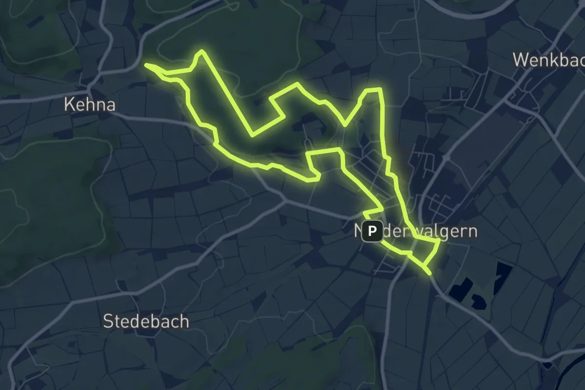
Medium · Trail
Naturerlebnispfad Niederwalgern
8.3 km · ↑ 125 m · 2 h 21 min
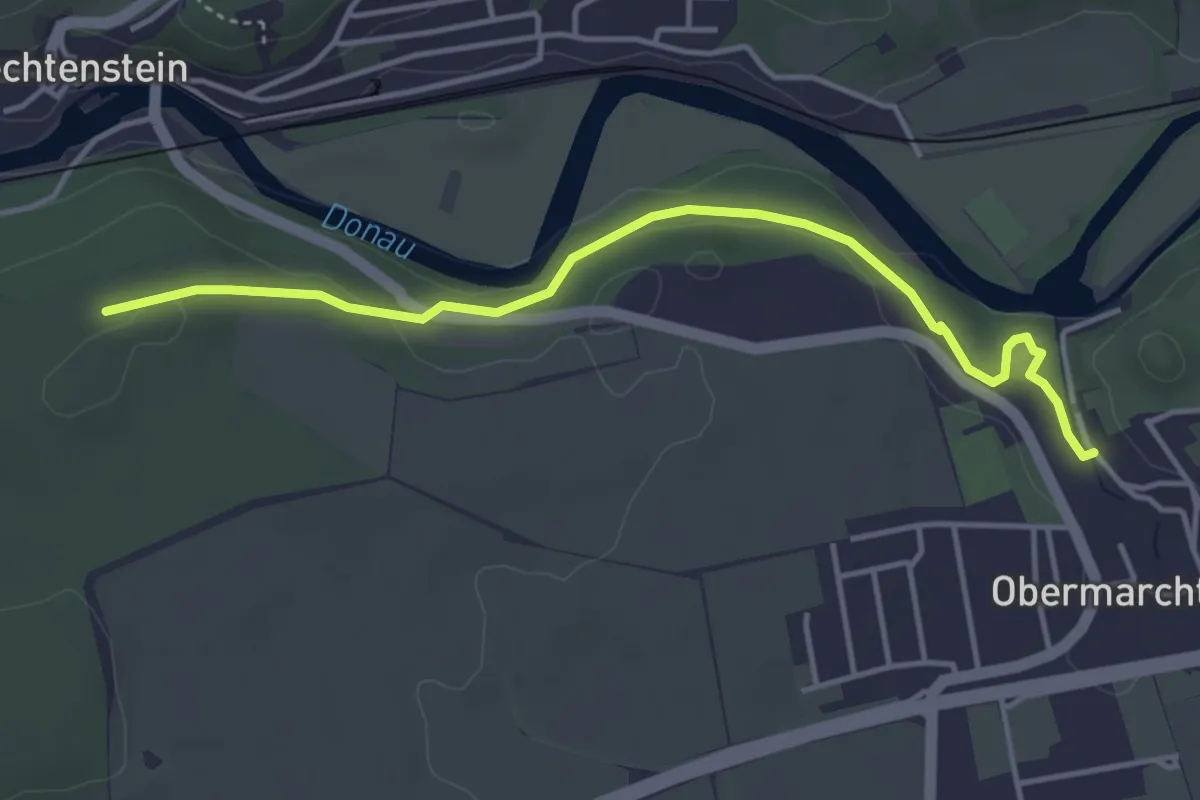
Easy · Trail
NaturErlebnisPfad Obermarchtal
4.2 km · ↑ 81 m · 1 h 10 min
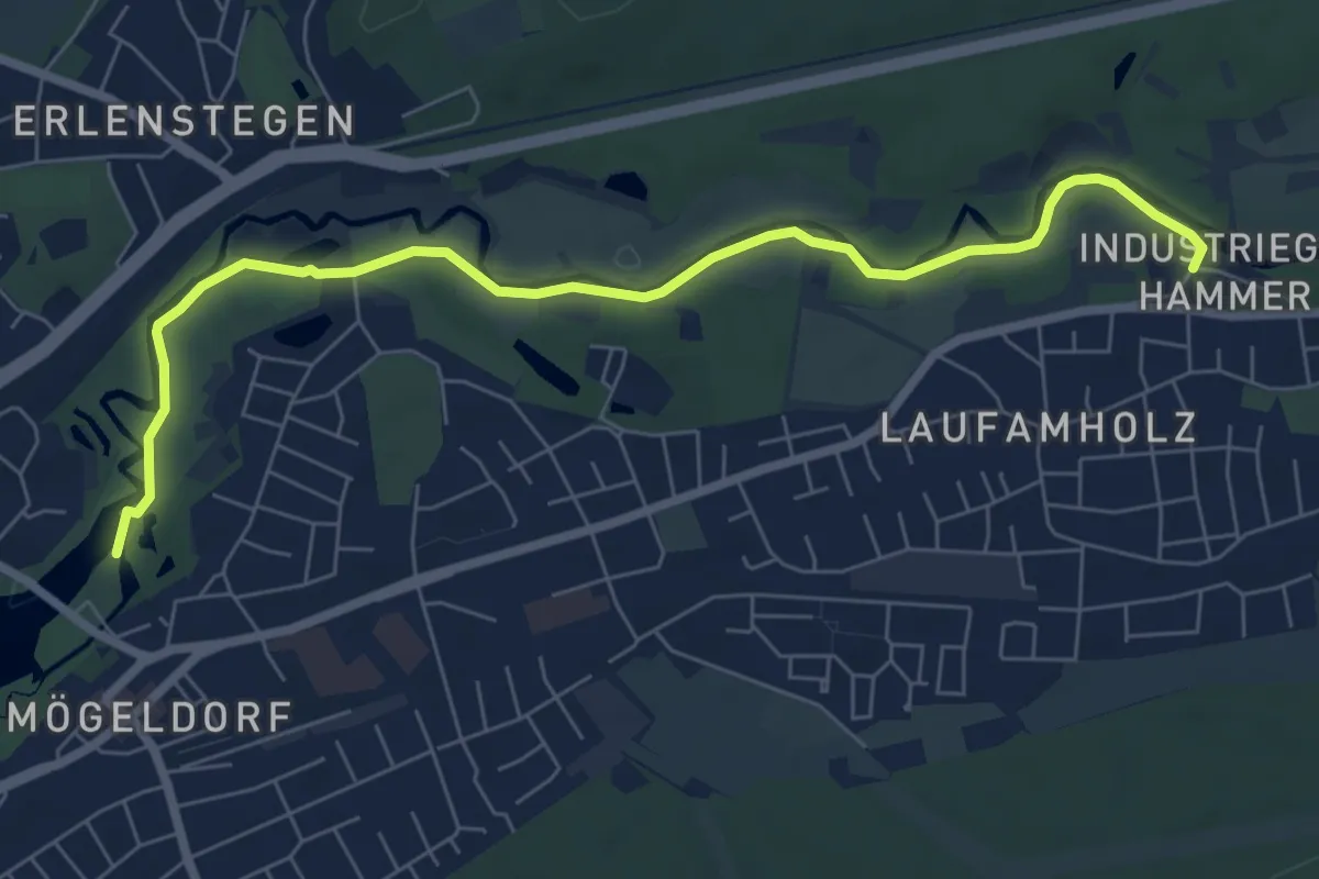
Easy · Trail
Naturerlebnispfad Pegnitztal-Ost
7.3 km · ↑ 17 m · 1 h 45 min
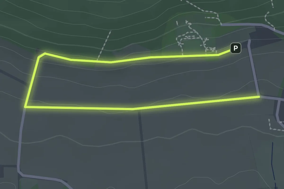
Easy · Trail
Naturerlebnispfad Rödinghausen, Schleife Perspektivenwechsel
1.5 km · ↑ 4 m · 24 min
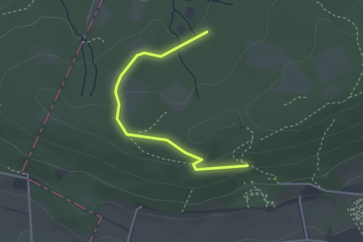
Easy · Trail
Naturerlebnispfad Rödinghausen, Schleife Wald-Welten
1.3 km · ↑ 26 m · 22 min
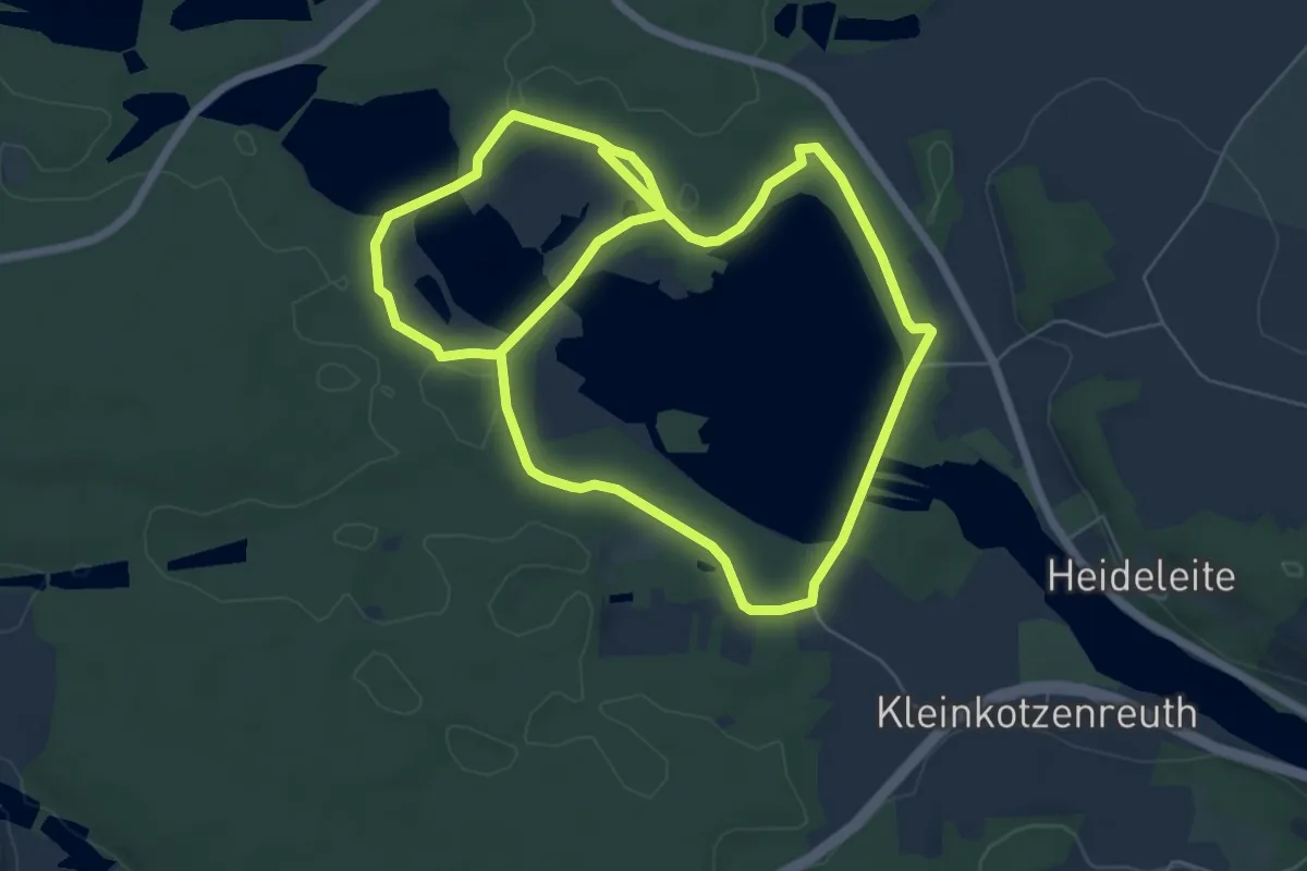
Easy · Trail
Naturerlebnispfad Rußweiher
6.1 km · ↑ 70 m · 1 h 41 min
Easy · Trail
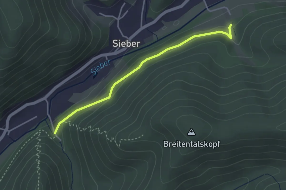
Naturerlebnispfad Sieber
2.8 km · ↑ 102 m · 53 min
Easy · Trail
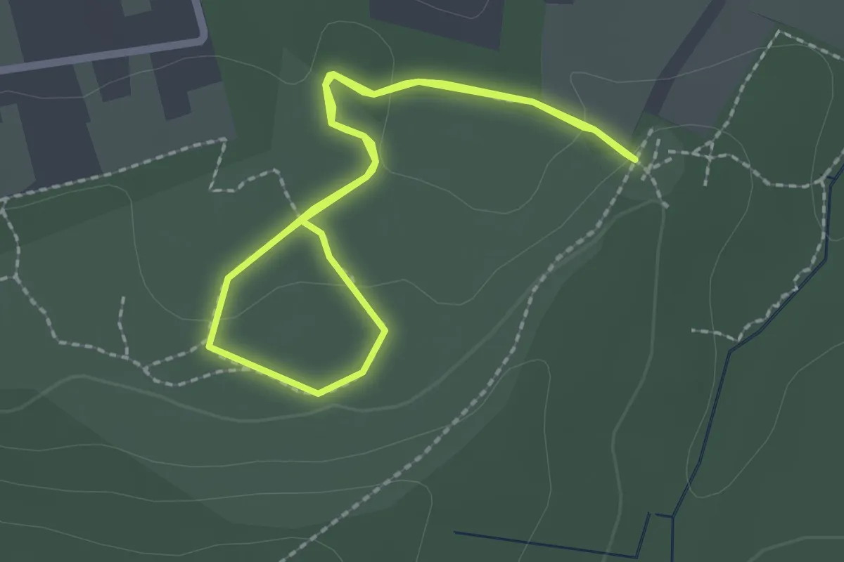
Naturerlebnispfad Steinbruch Liekwegen 1,7km
1.7 km · ↑ 30 m · 29 min
Easy · Trail
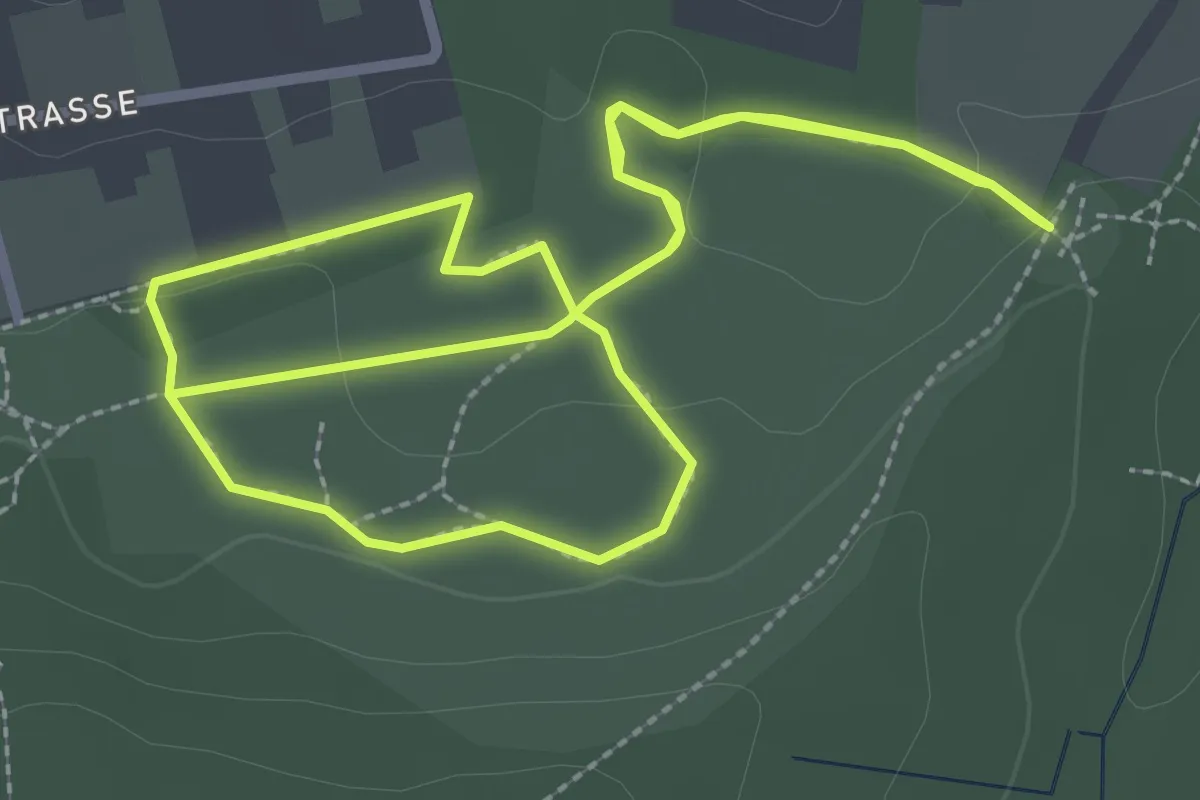
Naturerlebnispfad Steinbruch Liekwegen 2,3 km
2.6 km · ↑ 28 m · 43 min
Easy · Trail
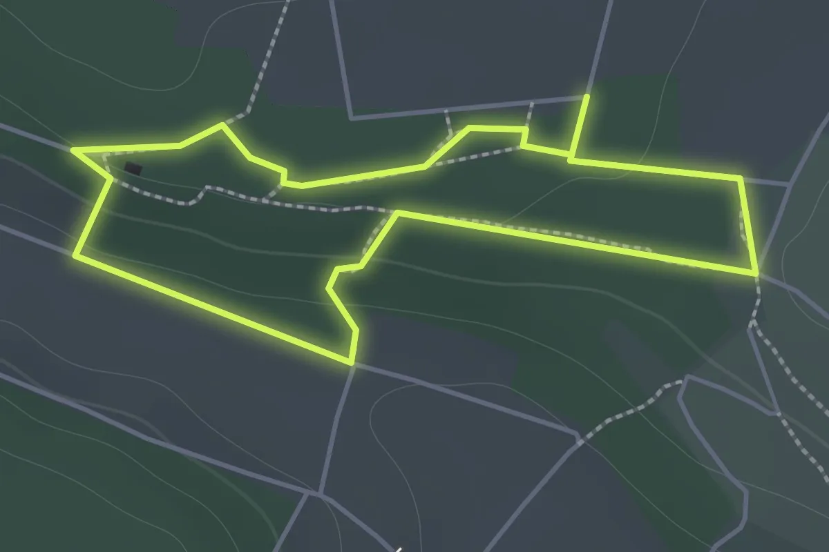
NaturErlebnisraum des Schwarzwaldvereins Gechingen e.V.
1.4 km · ↑ 33 m · 25 min
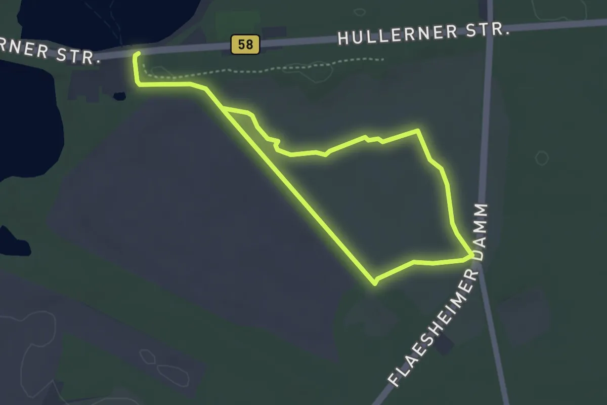
Easy · Trail
Naturerlebnisroute (Haltern Westruper Heide)
3.0 km · ↑ 14 m · 47 min
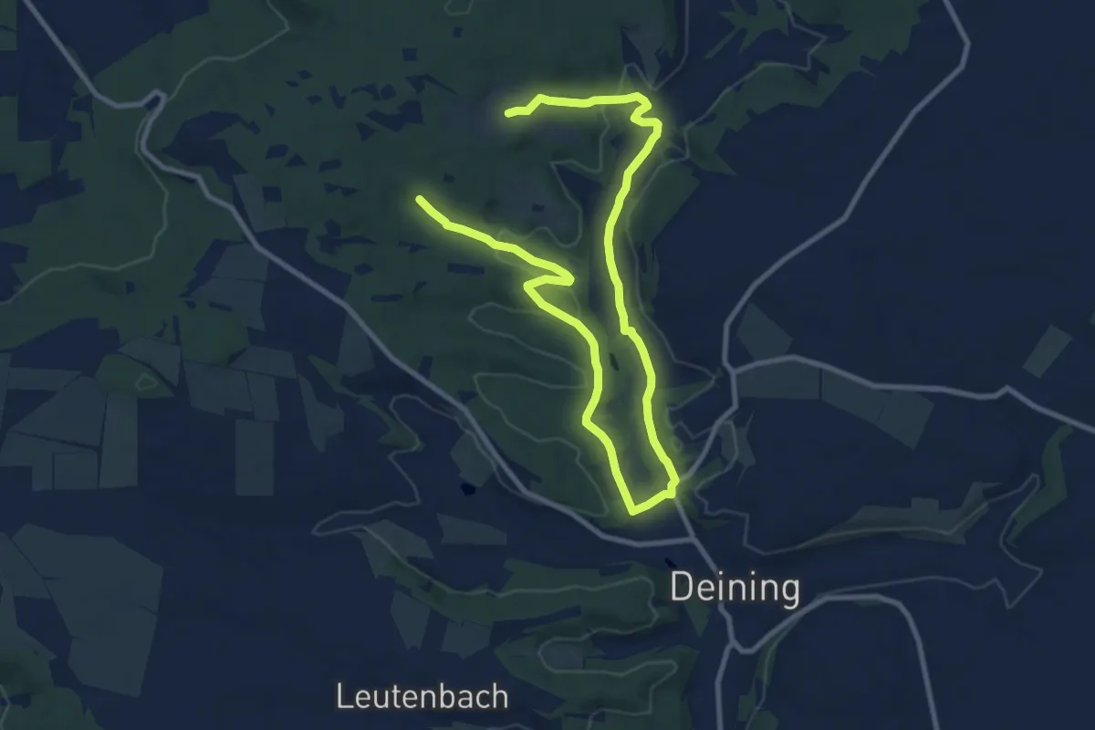
Easy · Trail
Naturerlebnisrunde
6.8 km · ↑ 142 m · 2 h
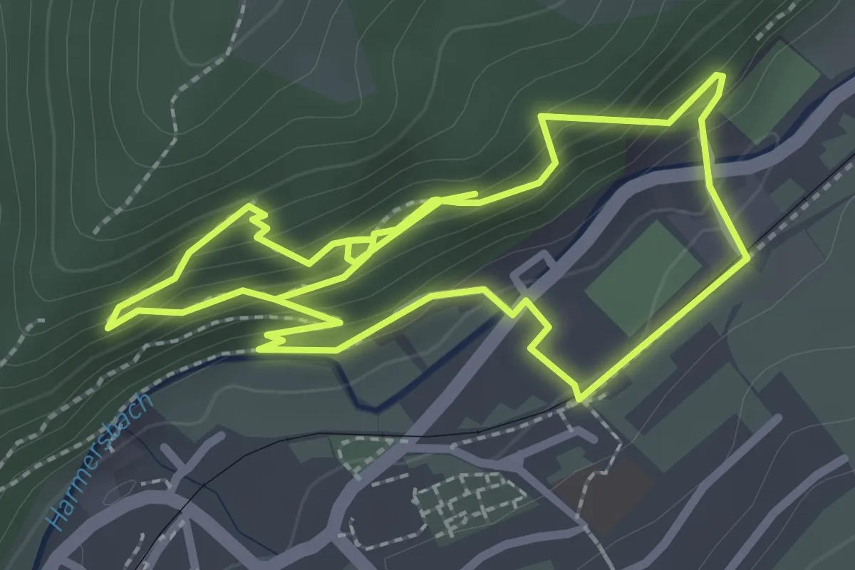
Easy · Trail
Naturerlebnisspfad Oberharmersbach
2.4 km · ↑ 155 m · 56 min
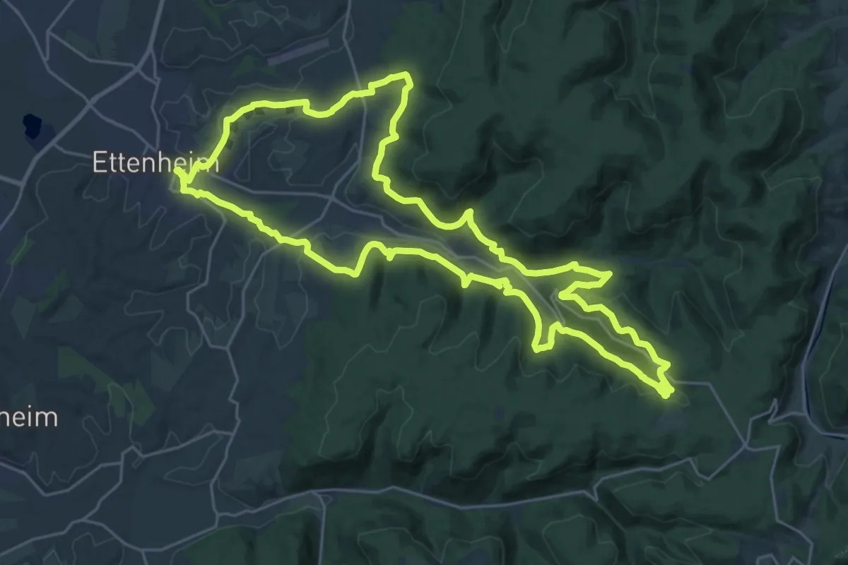
Demanding · Trail
Naturerlebnisweg
25.4 km · ↑ 736 m · 7 h 56 min