Trails in Germany
36,852 hiking trails, each with its route, climb, walking time and grade.
All trails, page 360 of 768
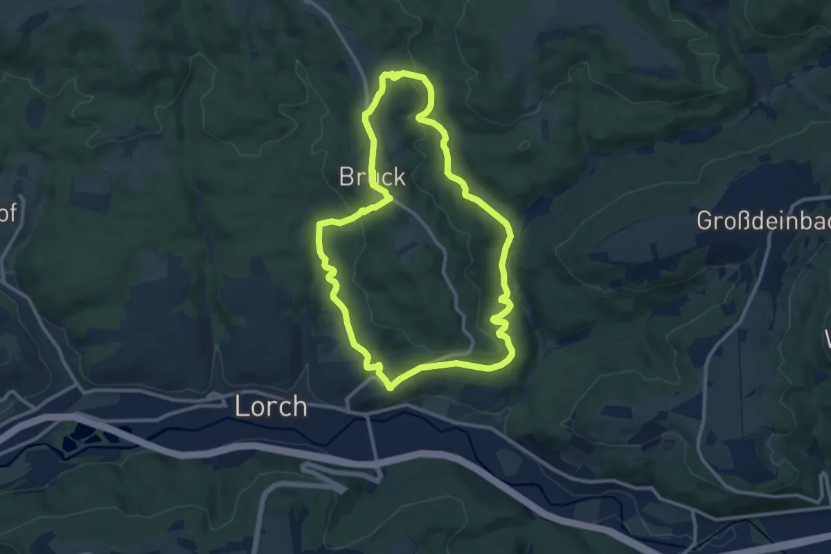
Medium · Trail
Naturerlebnisweg
9.2 km · ↑ 278 m · 2 h 54 min
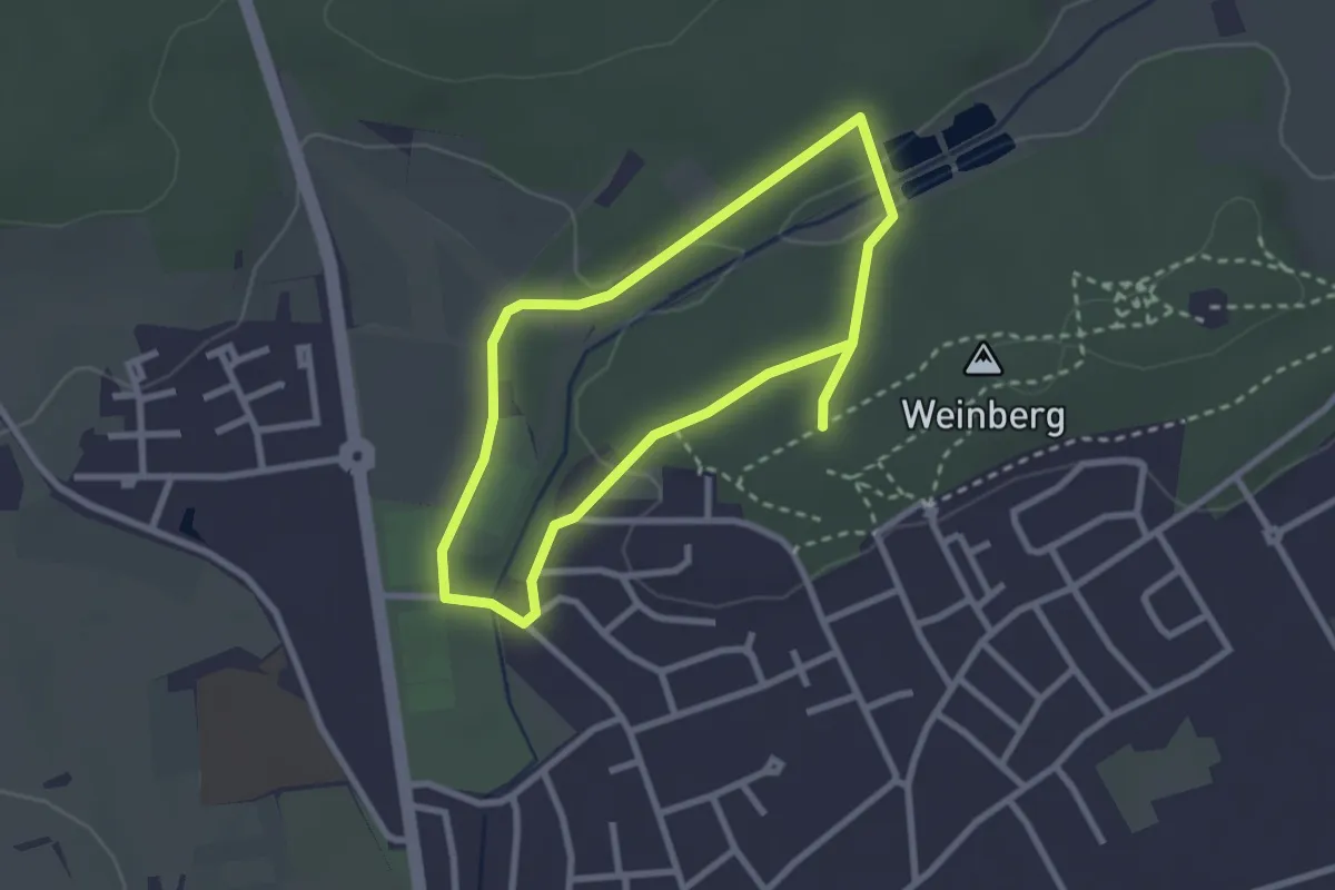
Easy · Trail
Naturerlebnisweg An der kleinen Roth
2.2 km · ↑ 22 m · 36 min
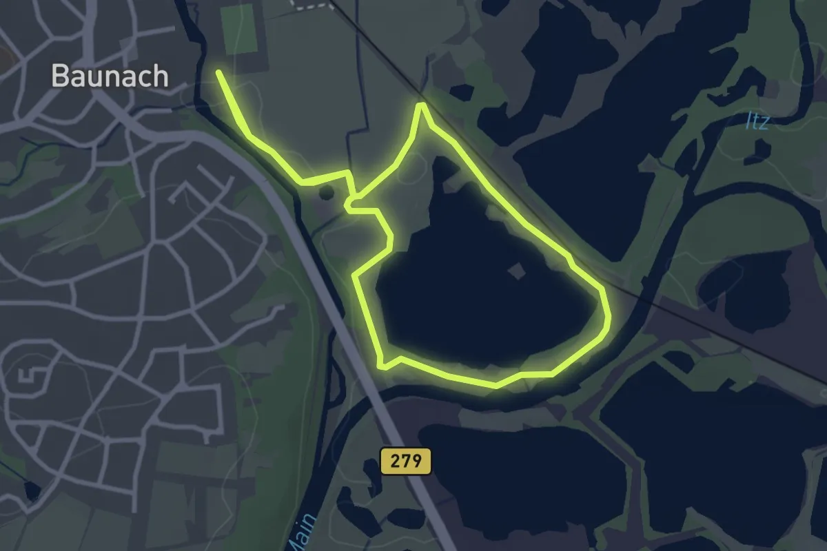
Easy · Trail
Naturerlebnisweg Baunach
2.8 km · ↑ 9 m · 43 min
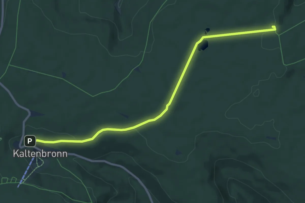
Easy · Trail
Naturerlebnisweg Kaltenbronn
7.4 km · ↑ 64 m · 1 h 53 min
Easy · Trail
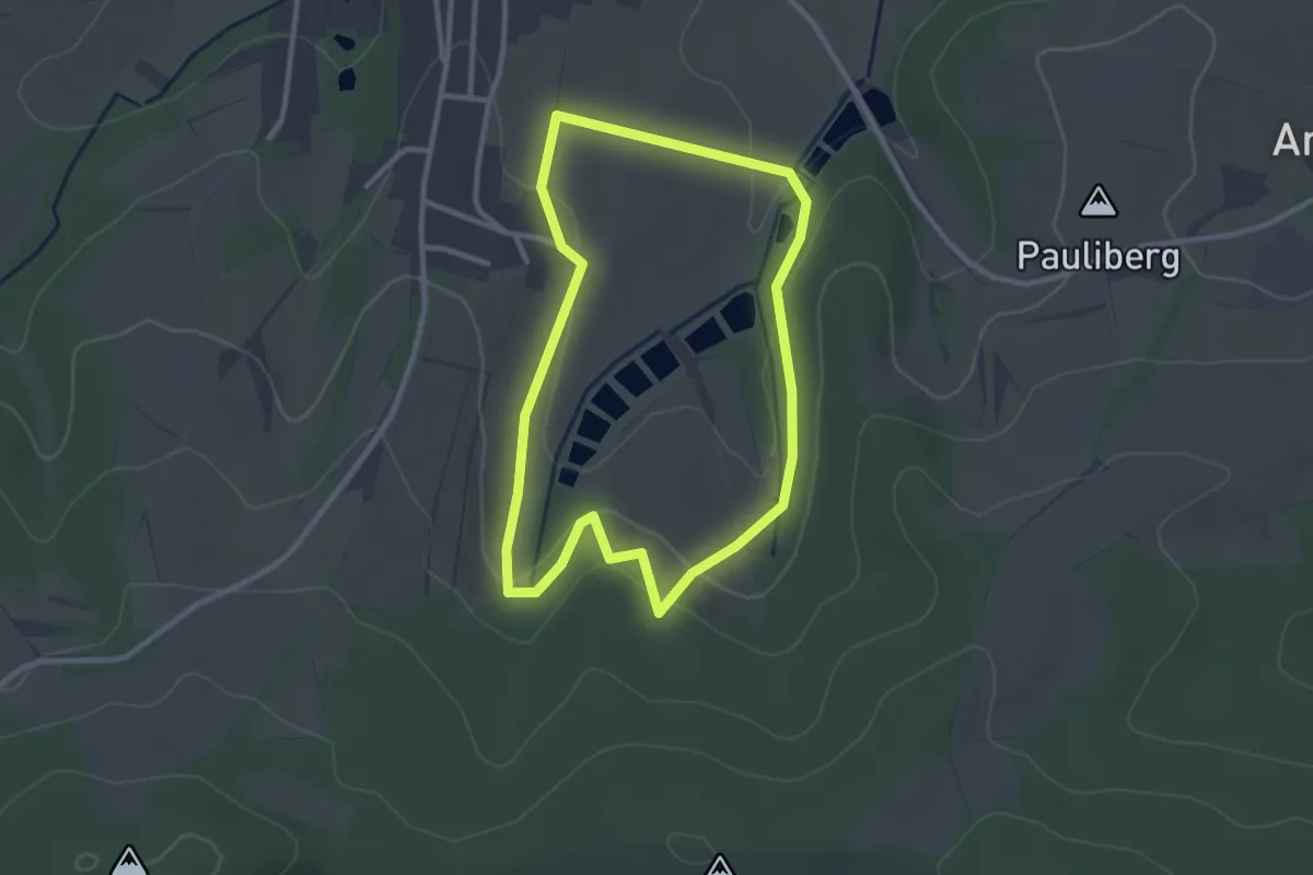
Naturerlebnisweg Klingenbachtal
2.6 km · ↑ 73 m · 48 min
Easy · Trail
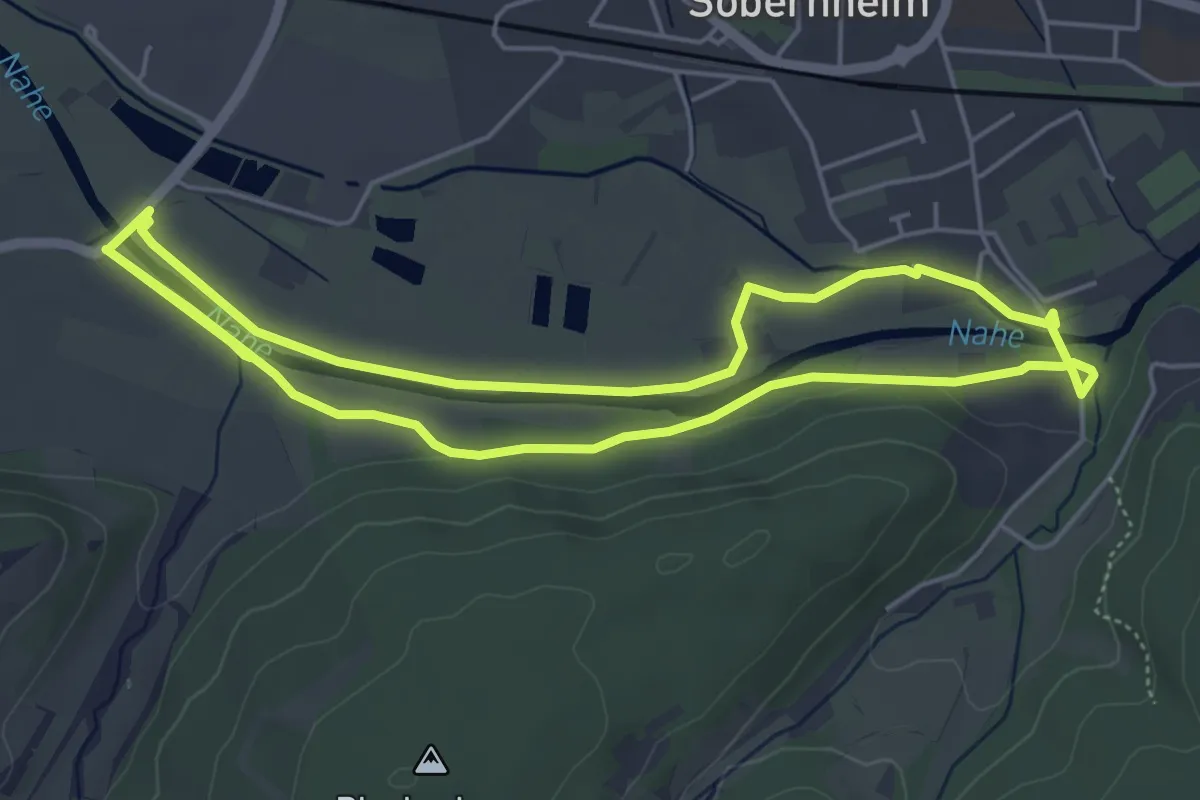
Natur-Erlebnis-Weg >Lebendige Nahe<
4.8 km · ↑ 13 m · 1 h 14 min
Easy · Trail
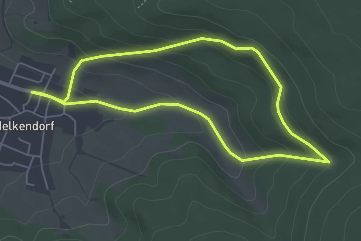
Naturerlebnisweg Melkendorf
3.8 km · ↑ 141 m · 1 h 15 min
Demanding · Summit
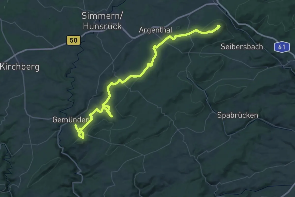
Natur-Erlebnisweg Schinderhannes
55.7 km · ↑ 1075 m · 15 h 29 min
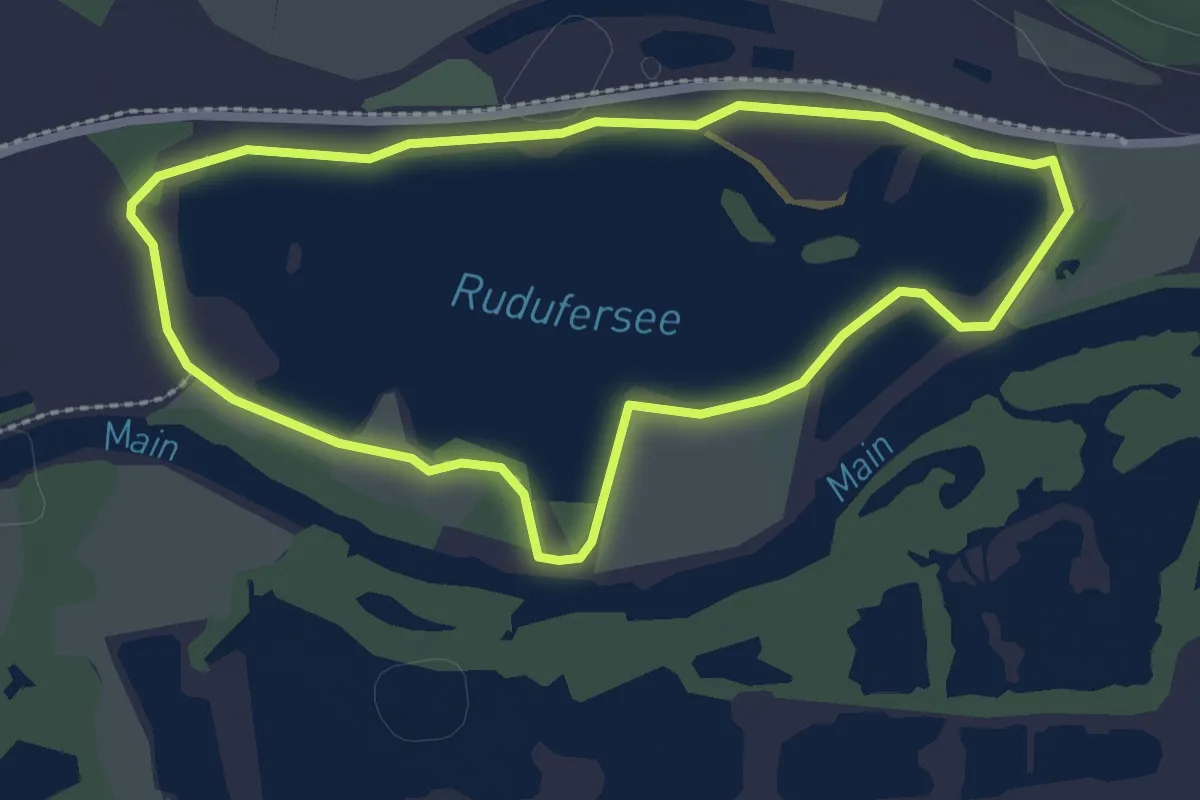
Easy · Trail
Naturerlebsnisweg Michelau
2.3 km · ↑ 0 m · 34 min
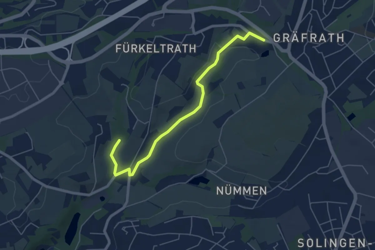
Easy · Trail
Naturfrendeweg Gräfrath-Holzerbachtal
4.7 km · ↑ 66 m · 1 h 16 min
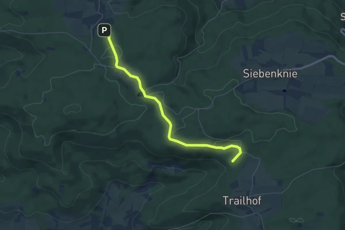
Easy · Summit
Naturfreunde
5.7 km · ↑ 111 m · 1 h 36 min
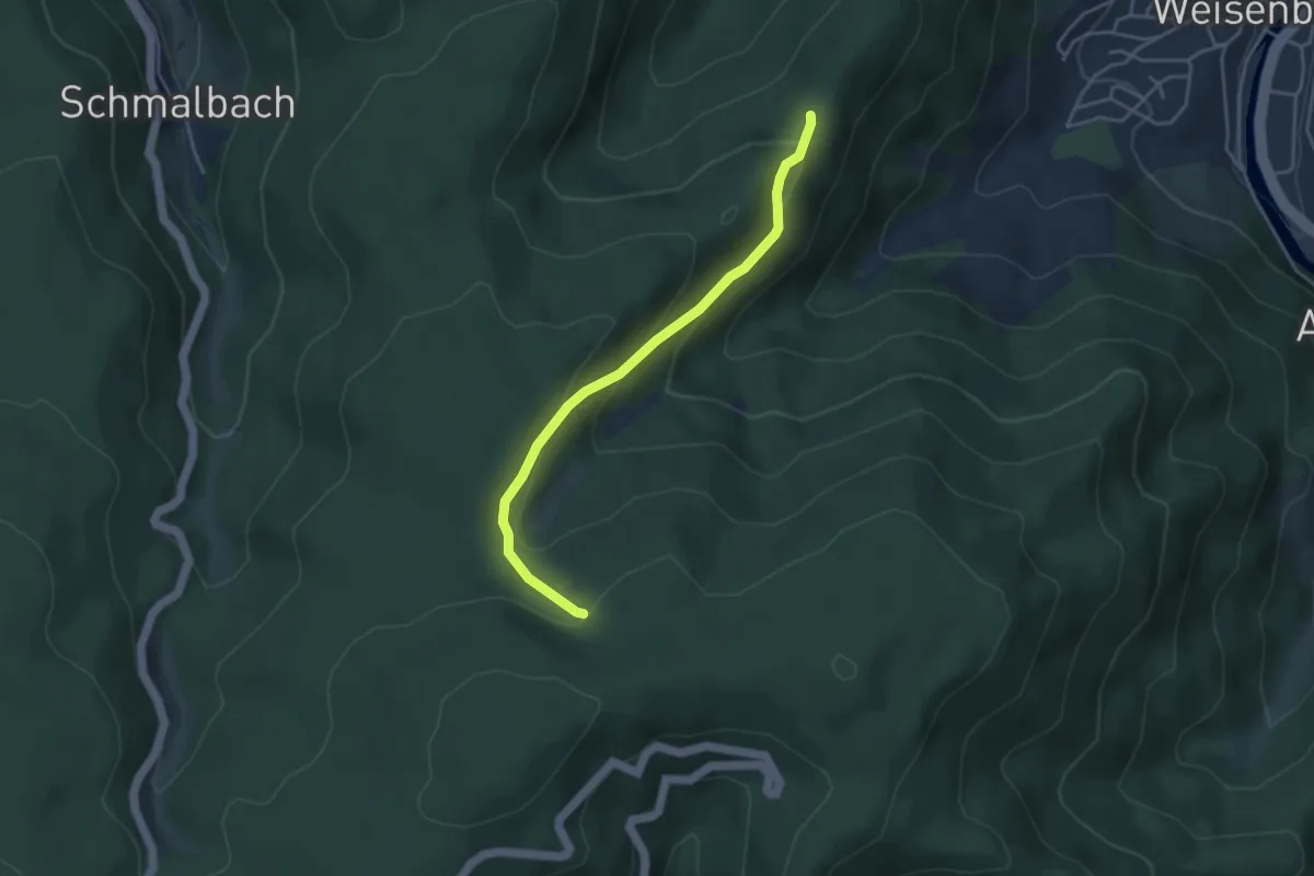
Easy · Trail
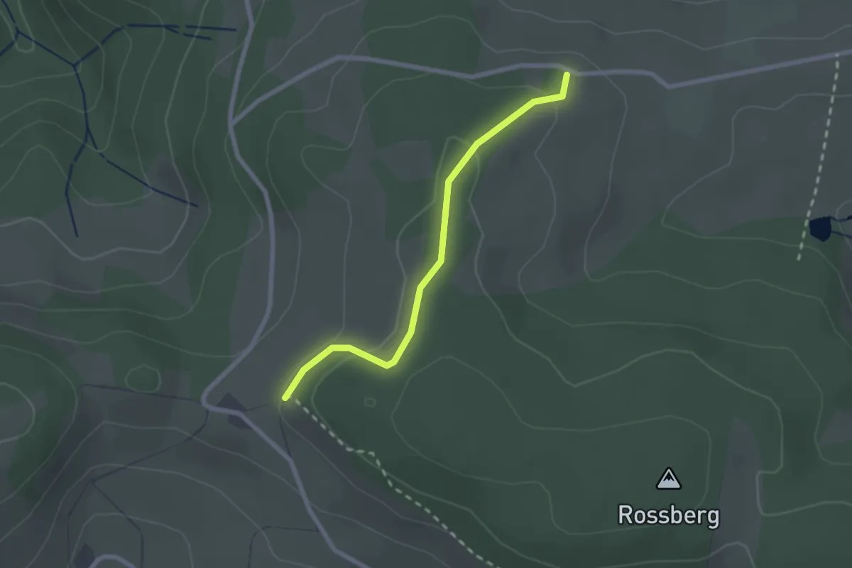
Naturfreundehaus "Bonora" - Steinedeck
3.7 km · ↑ 218 m · 1 h 21 min
Easy · Cabin
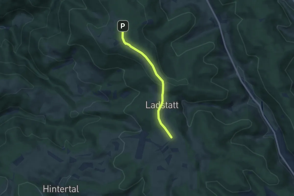
Naturfreundehaus Breitnau - Schanz Waldeck
2.1 km · ↑ 70 m · 38 min
Easy · Trail
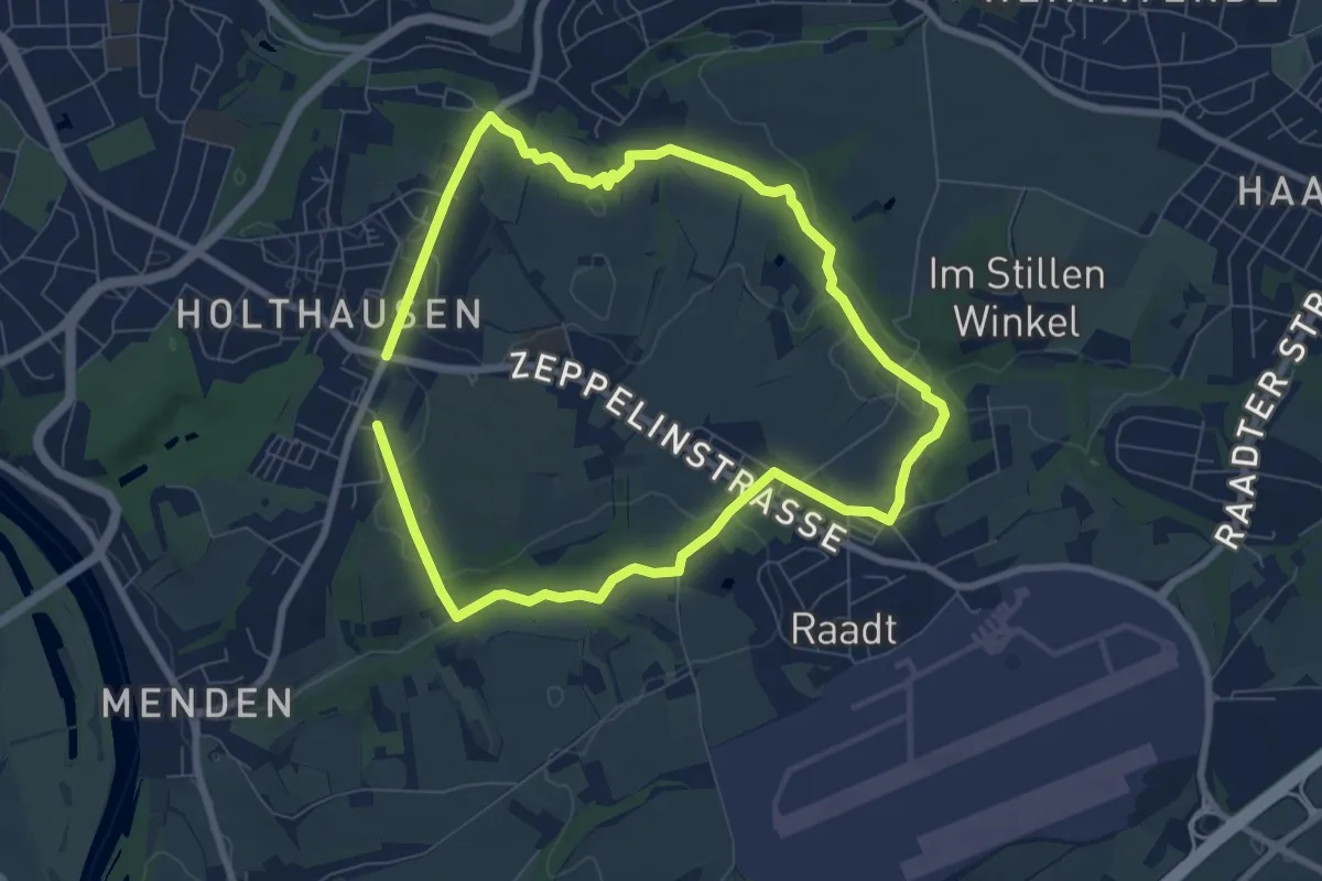
Naturfreundehaus Brend - Alte Eck
4.7 km · ↑ 116 m · 1 h 22 min
Easy · Trail
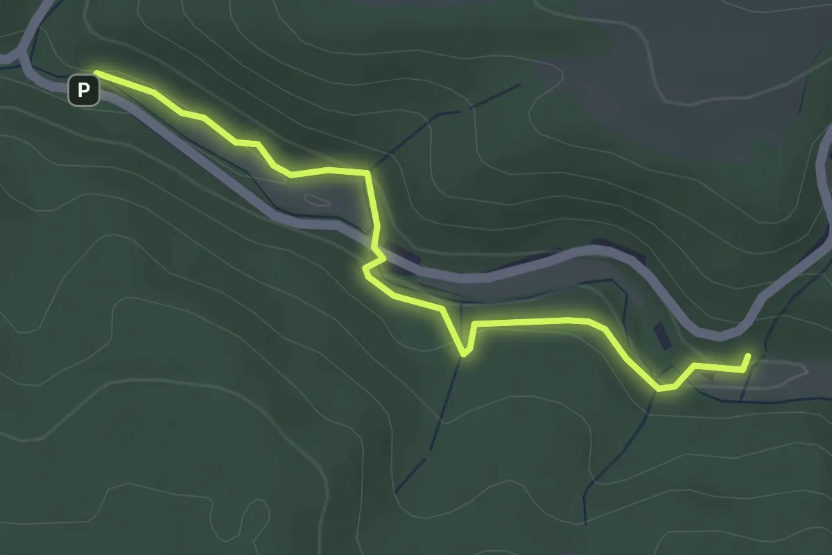
Naturfreundehaus Rundweg (N)
6.3 km · ↑ 68 m · 1 h 43 min
Easy · Trail
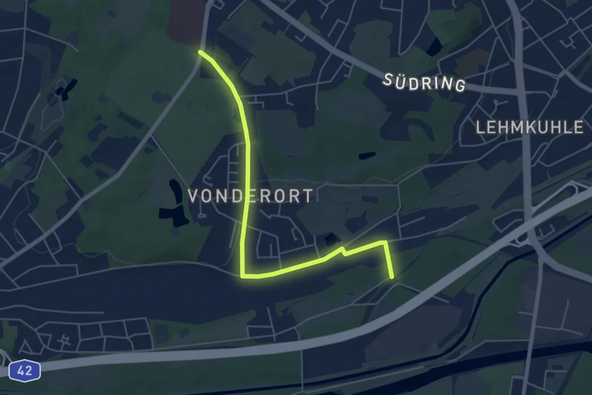
Naturfreundeweg
3.3 km · ↑ 85 m · 58 min
Easy · Trail
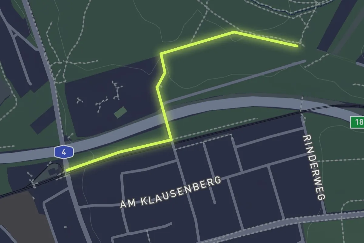
Naturfreundeweg Bottrop - Ruhrtalhaus
4.9 km · ↑ 35 m · 1 h 14 min
Easy · Trail
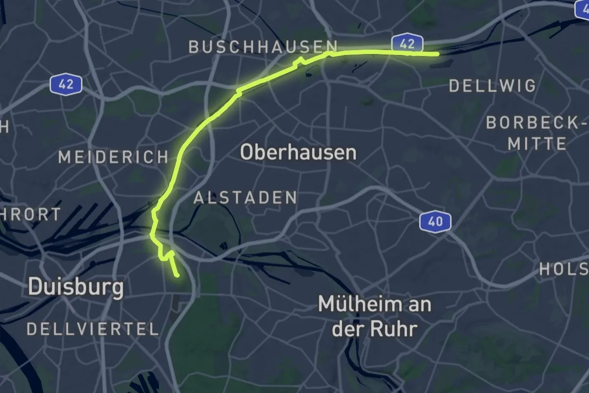
Naturfreundeweg Brück - Hardt
2.2 km · ↑ 13 m · 32 min
Demanding · Summit
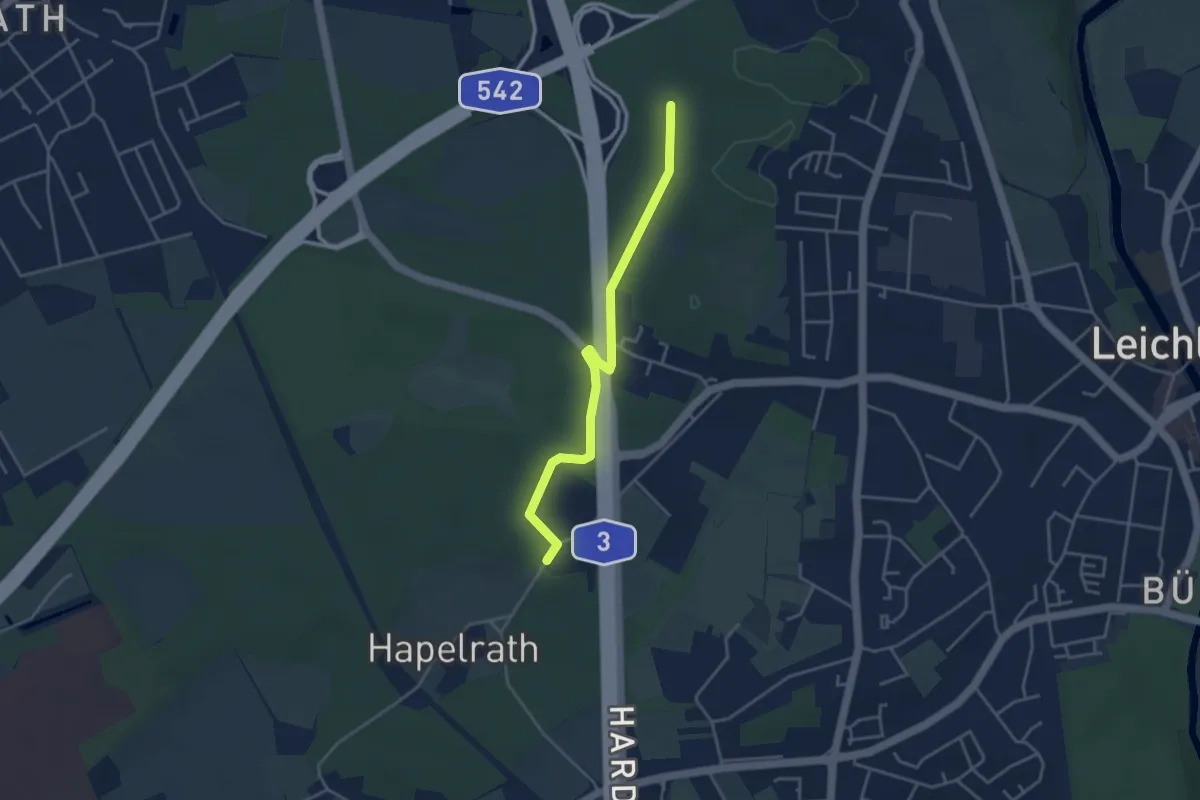
Naturfreundeweg Duisburg - Bottrop
26.6 km · ↑ 66 m · 6 h 25 min
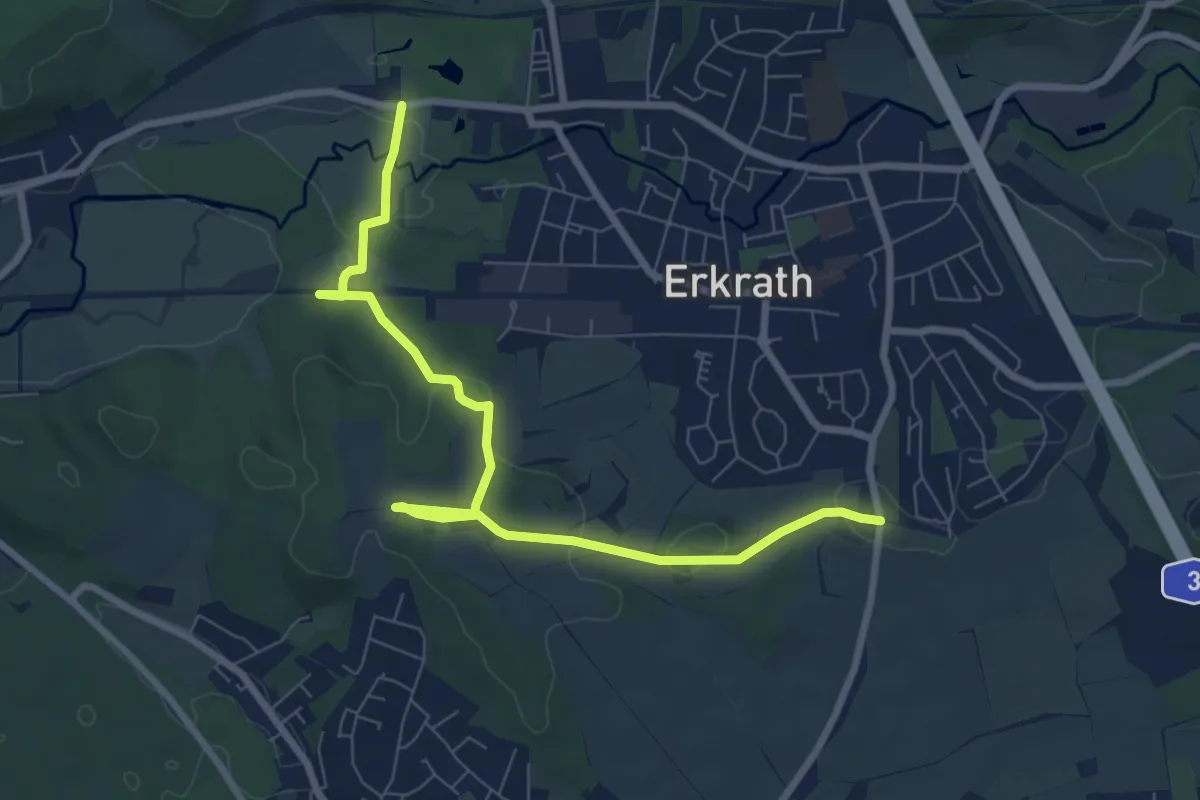
Easy · Trail
Naturfreundeweg Gerresheim-Leichlingen
3.5 km · ↑ 17 m · 52 min
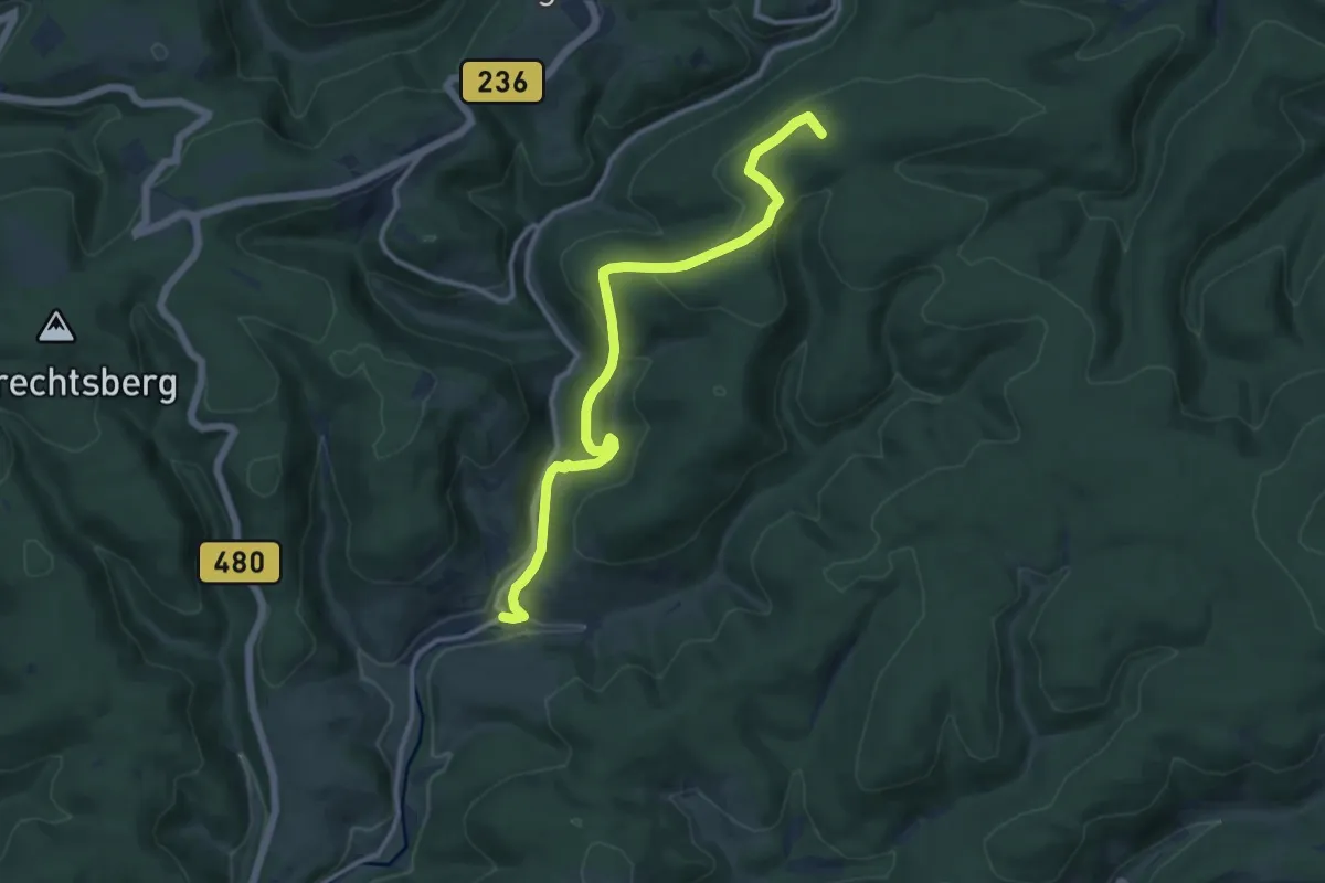
Easy · Trail
Naturfreundeweg Gerresheim-Leichlingen
8.0 km · ↑ 115 m · 2 h 8 min
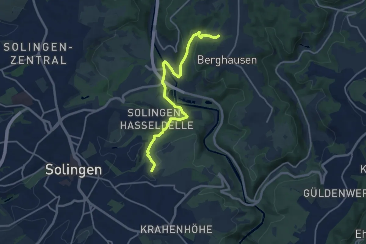
Medium · Summit
Naturfreundeweg Girkhausen - Mollseifen
10.8 km · ↑ 275 m · 3 h 9 min
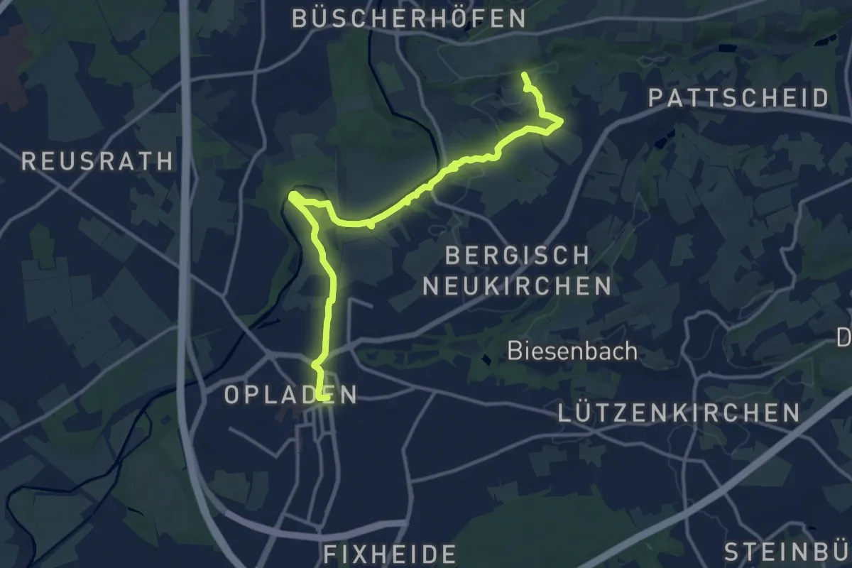
Medium · Trail
Naturfreundeweg Hülsberg-Theegarten
10.0 km · ↑ 314 m · 3 h 3 min
Medium · Trail
Naturfreundeweg Leverkusen
12.6 km · ↑ 133 m · 3 h 16 min
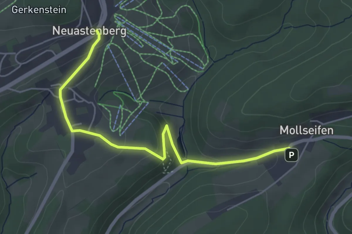
Easy · Trail
Naturfreundeweg Neuastenberg - Mollseifen
4.6 km · ↑ 160 m · 1 h 25 min
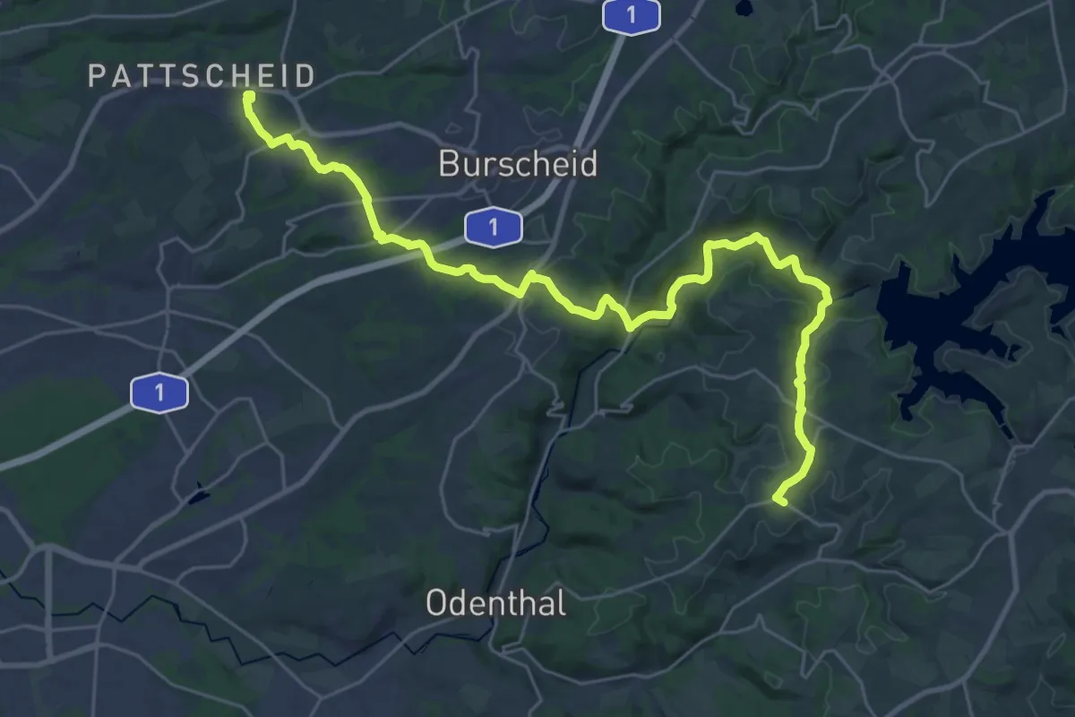
Demanding · Trail
Naturfreundeweg Neuenkamp - Rath/Heumar
28.8 km · ↑ 444 m · 7 h 46 min
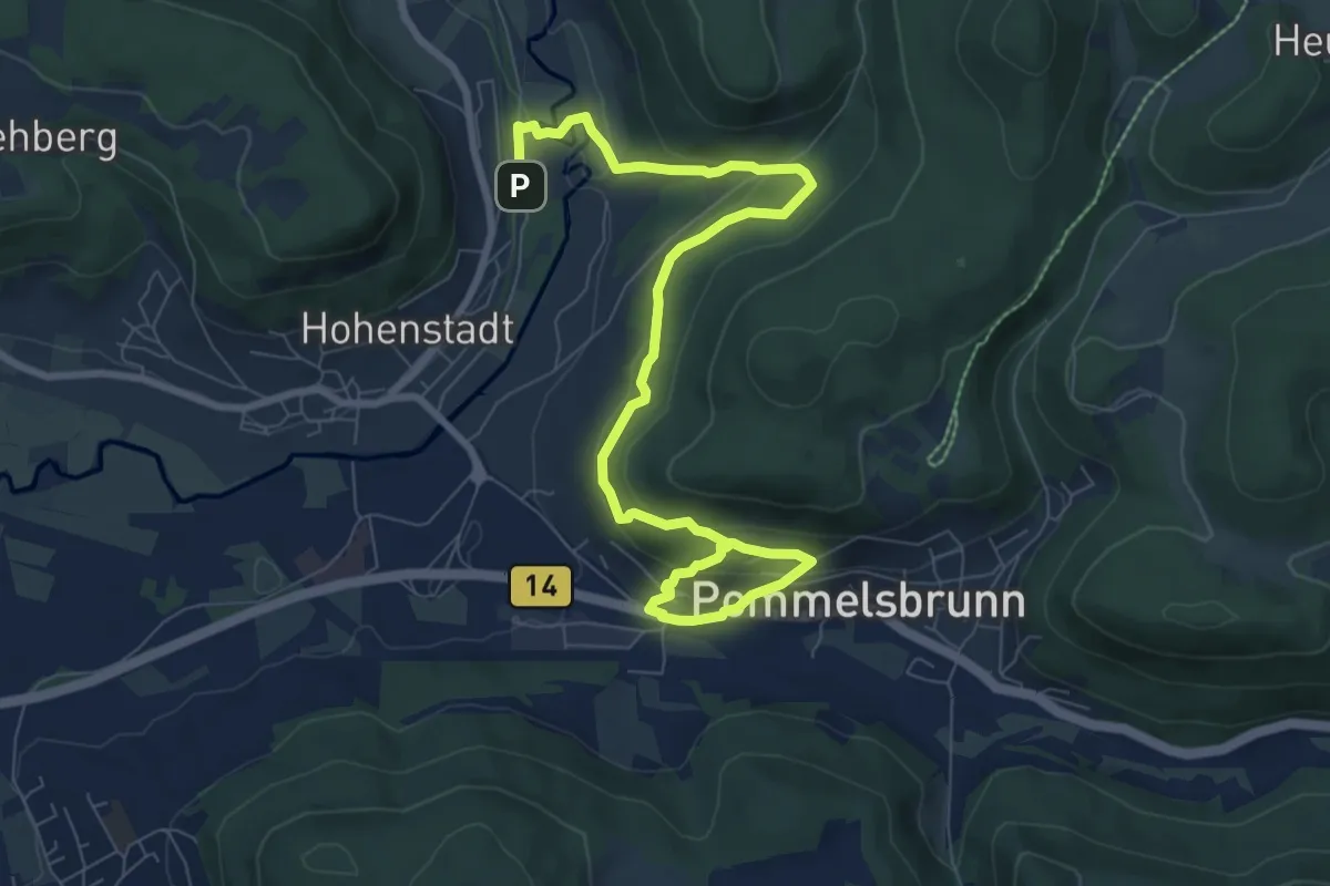
Medium · Trail
Naturfreundeweg Pommelsbrunn
9.5 km · ↑ 411 m · 3 h 8 min
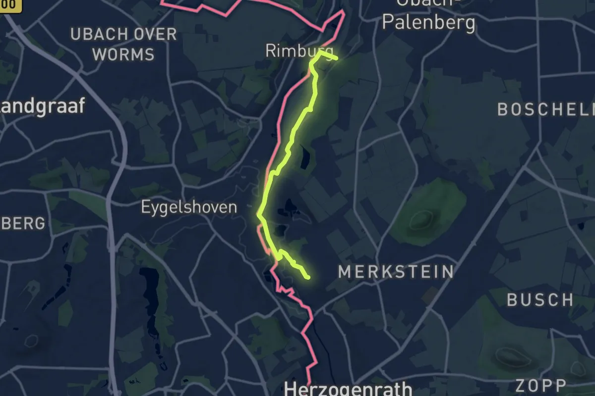
Easy · Trail
NaturFreundeWeg Rund um Merkstein
4.7 km · ↑ 14 m · 1 h 14 min
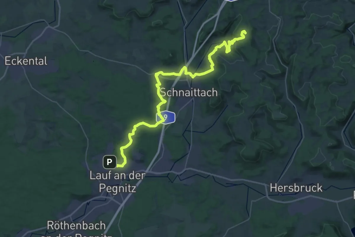
Demanding · Summit
Naturfreundeweg Schnaittachtal
39.0 km · ↑ 749 m · 10 h 50 min
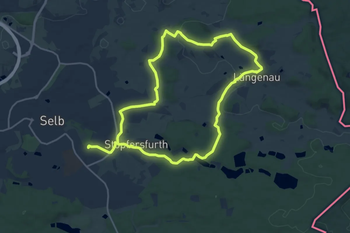
Medium · Trail
Naturfreundeweg Selb
10.4 km · ↑ 139 m · 2 h 55 min
Easy · Trail
Naturfreundeweg Stuttgart-Süd
6.2 km · ↑ 222 m · 2 h 2 min
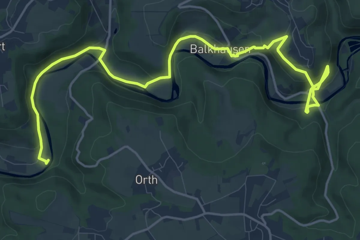
Medium · Trail
Naturfreundeweg Theegarten - Leichlingen
13.8 km · ↑ 519 m · 4 h 22 min
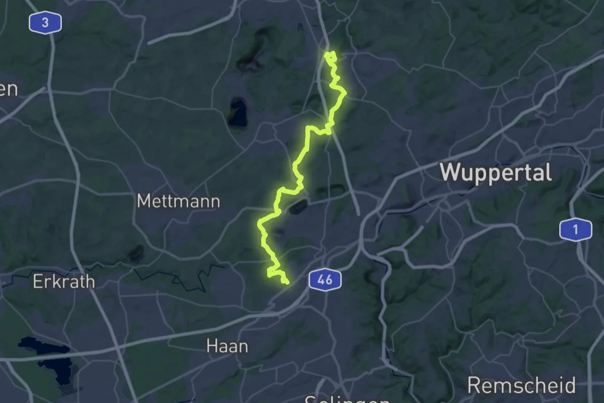
Medium · Trail
Naturfreundeweg Tönisheide - Holzerbachtal
17.1 km · ↑ 349 m · 4 h 59 min
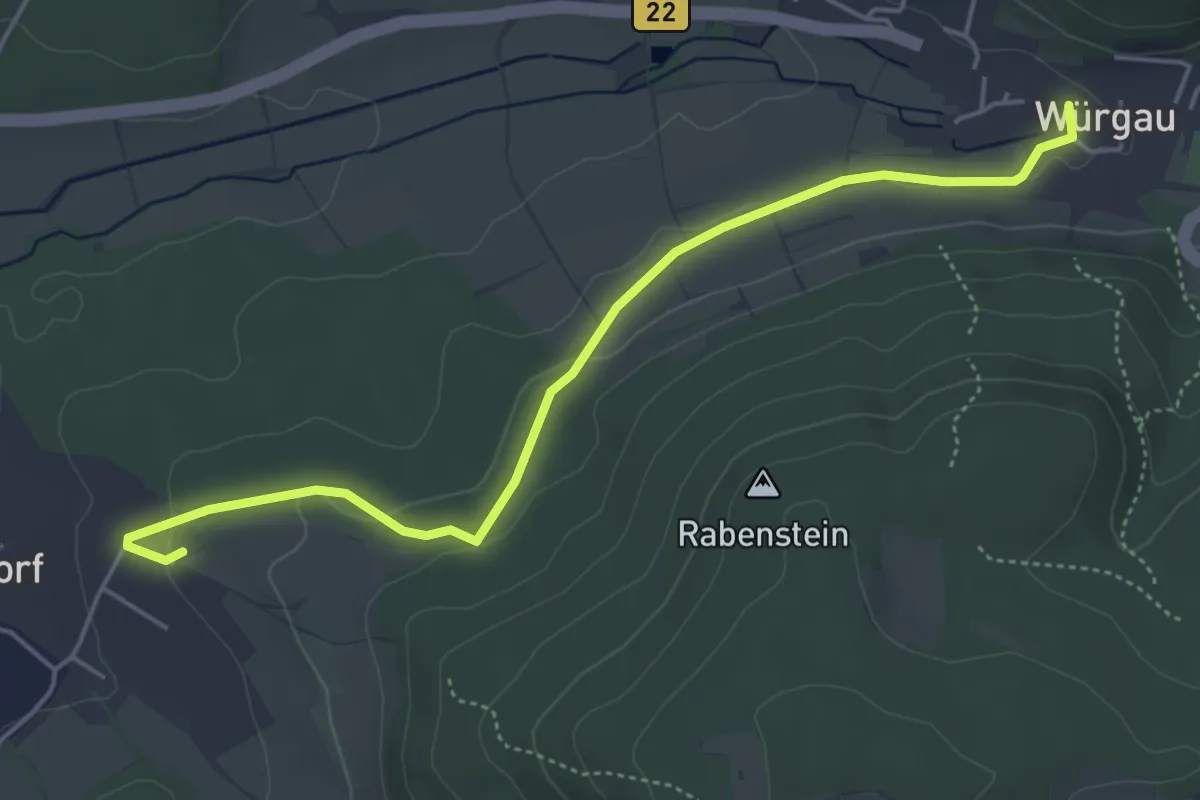
Easy · Trail
Naturfreundeweg: Würgau - Demmelsdorf
4.8 km · ↑ 92 m · 1 h 21 min
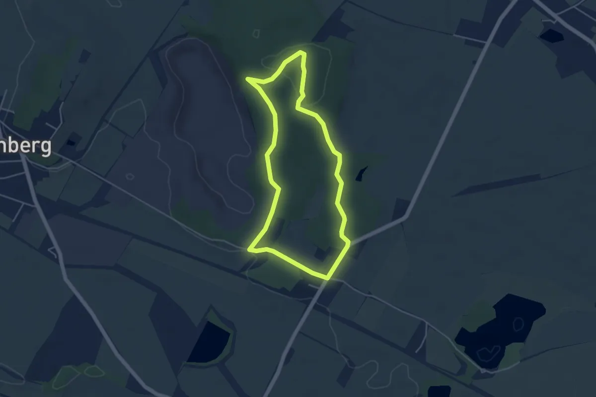
Easy · Summit
Naturfreundeweg zur Roten Bank
3.7 km · ↑ 57 m · 1 h 3 min
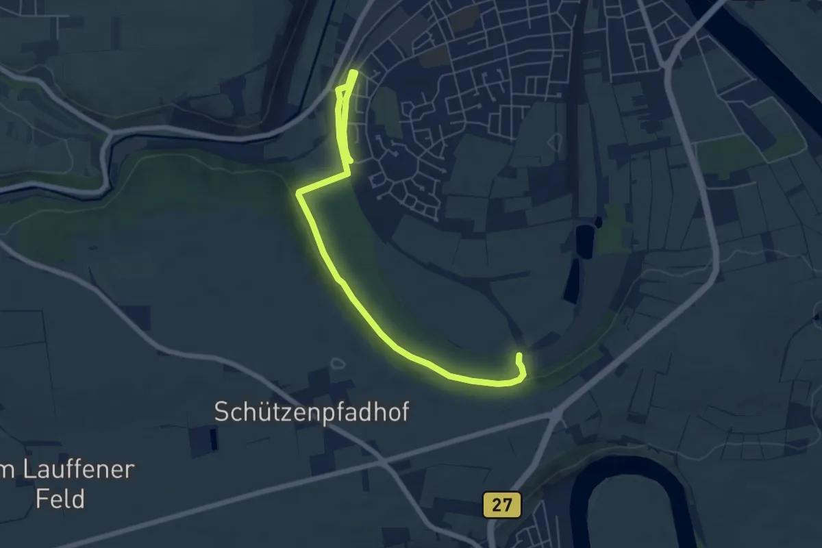
Easy · Trail
Naturgenießer-Tour (RWW2)
3.3 km · ↑ 41 m · 55 min
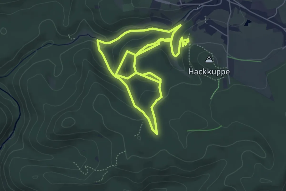
Easy · Summit
Naturgenussweg
4.6 km · ↑ 191 m · 1 h 34 min
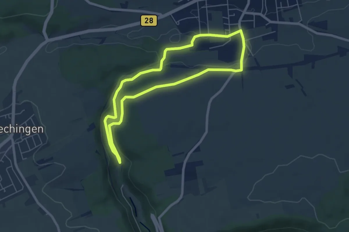
Easy · Trail
Natur-historischer Wanderweg Eutinger Tal
4.9 km · ↑ 71 m · 1 h 23 min
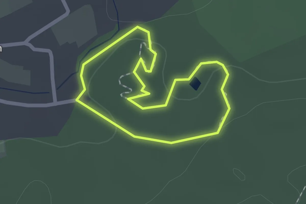
Medium · Trail
NaturInfoPark Keßlingen
1.3 km · ↑ 15 m · 21 min
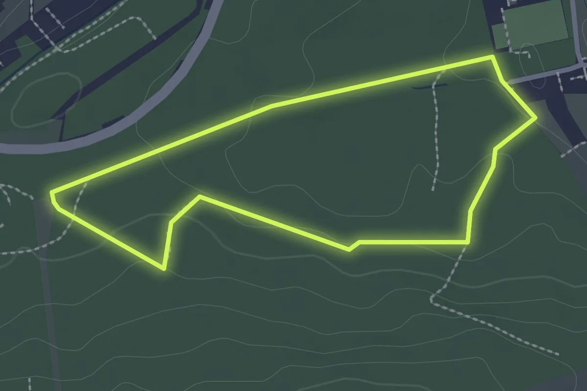
Easy · Trail
Natur-Info-Pfad
2.1 km · ↑ 42 m · 38 min
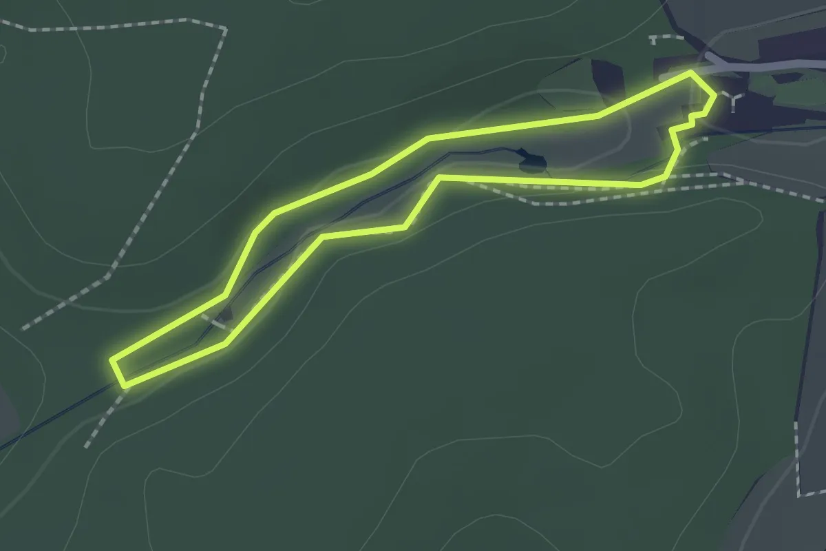
Easy · Trail
Naturinformationspfad Dammühle
1.5 km · ↑ 19 m · 25 min
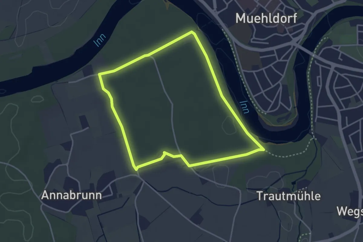
Easy · Trail
Natur INN Bewegung
3.3 km · ↑ 9 m · 50 min
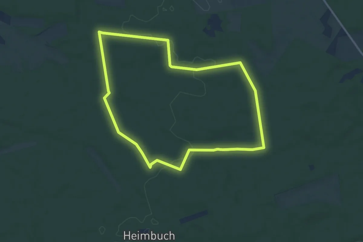
Easy · Trail
Naturistenweg Undeloh
7.2 km · ↑ 44 m · 1 h 54 min
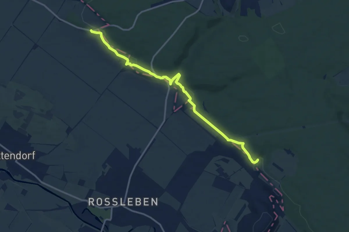
Medium · Trail
Natur-, Kali- und Geschichtslehrpfad
9.6 km · ↑ 221 m · 2 h 45 min
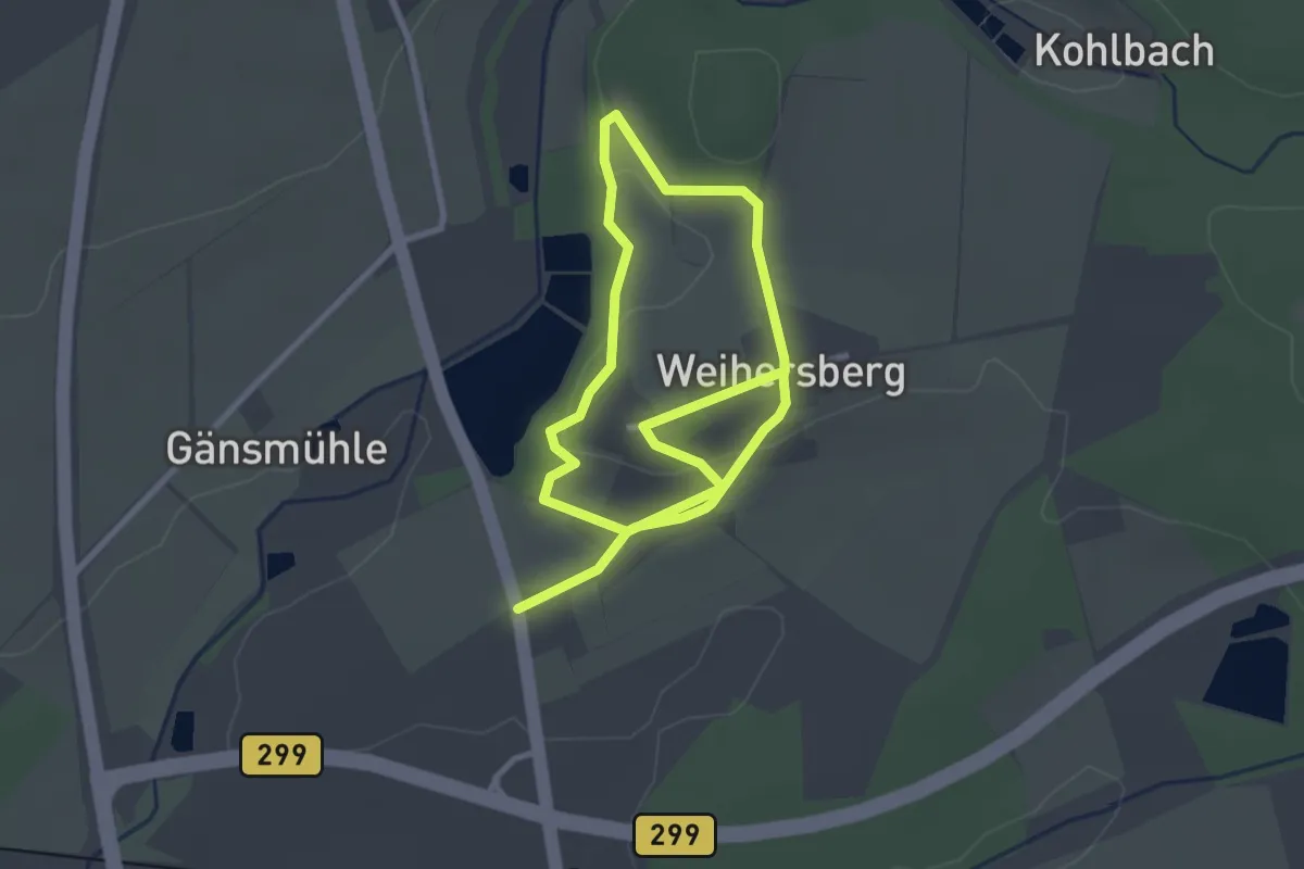
Easy · Trail
Natur-Kultur-Landschaftspfad Weihersberg
4.6 km · ↑ 89 m · 1 h 16 min
Easy · Trail
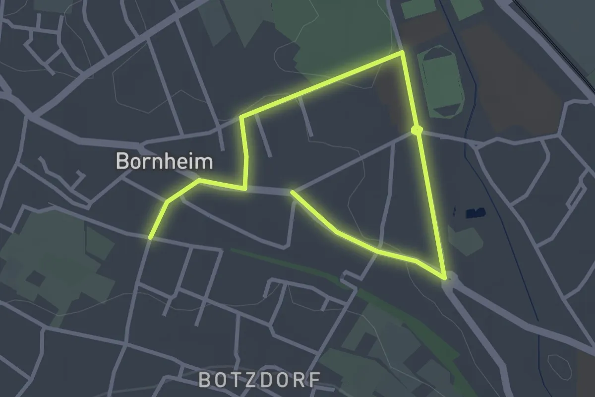
Natur-Kultur-Pfad Bornheim-Brenig-Roisdorf - Tour blau
1.8 km · ↑ 4 m · 28 min
Easy · Trail
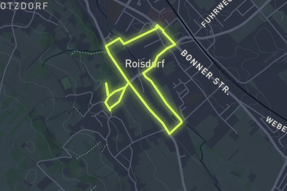
Natur-Kultur-Pfad Bornheim-Brenig-Roisdorf - Tour gelb
3.4 km · ↑ 44 m · 57 min
Easy · Trail
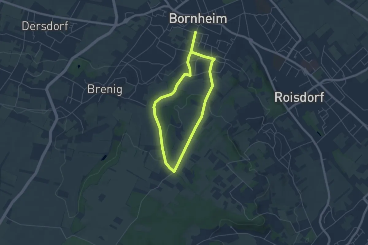
Natur-Kultur-Pfad Bornheim-Brenig-Roisdorf - Tour grün
3.8 km · ↑ 76 m · 1 h 7 min