Trails in Germany
36,852 hiking trails, each with its route, climb, walking time and grade.
All trails, page 361 of 768
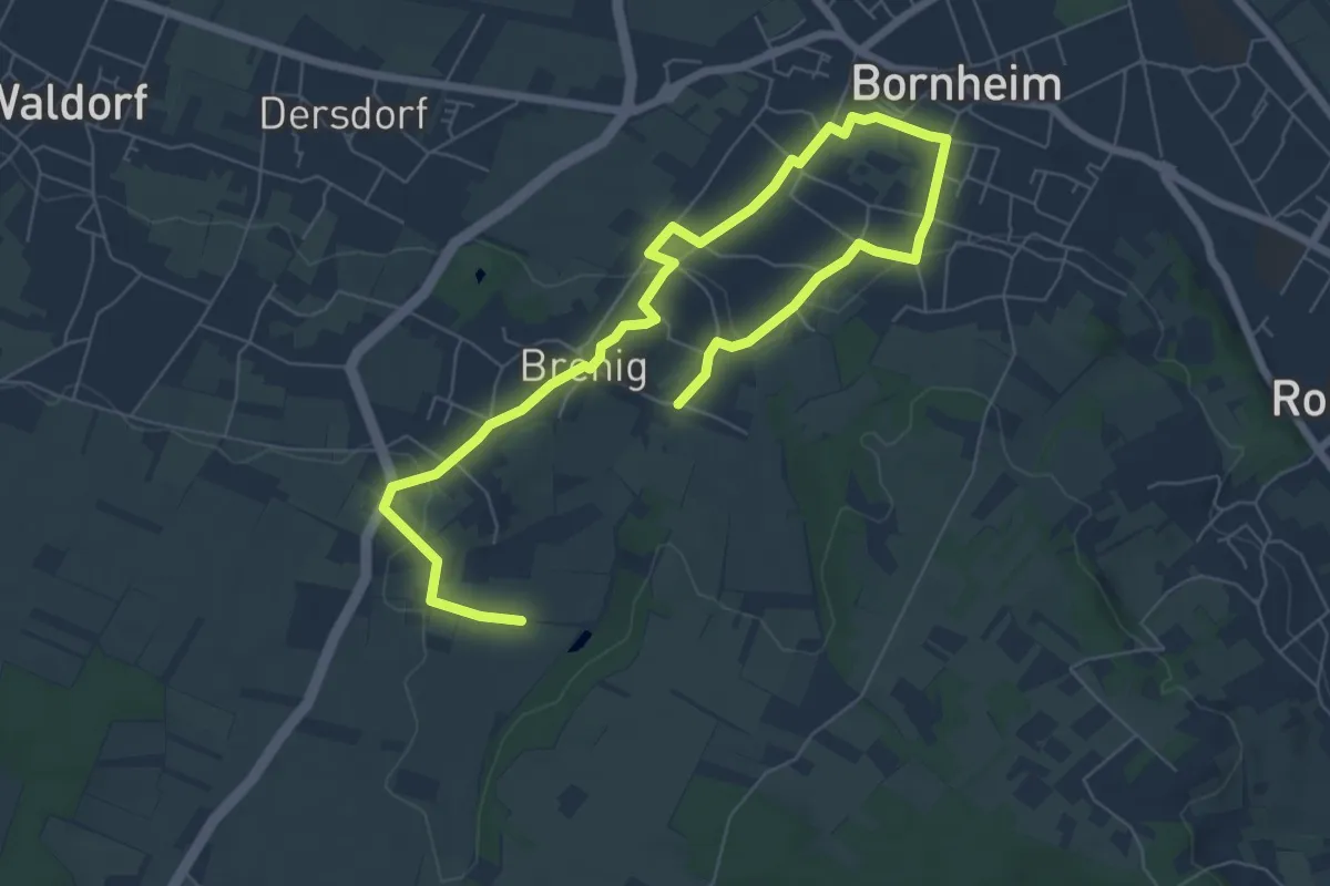
Easy · Trail
Natur-Kultur-Pfad Bornheim-Brenig-Roisdorf - Tour rot
4.5 km · ↑ 63 m · 1 h 16 min
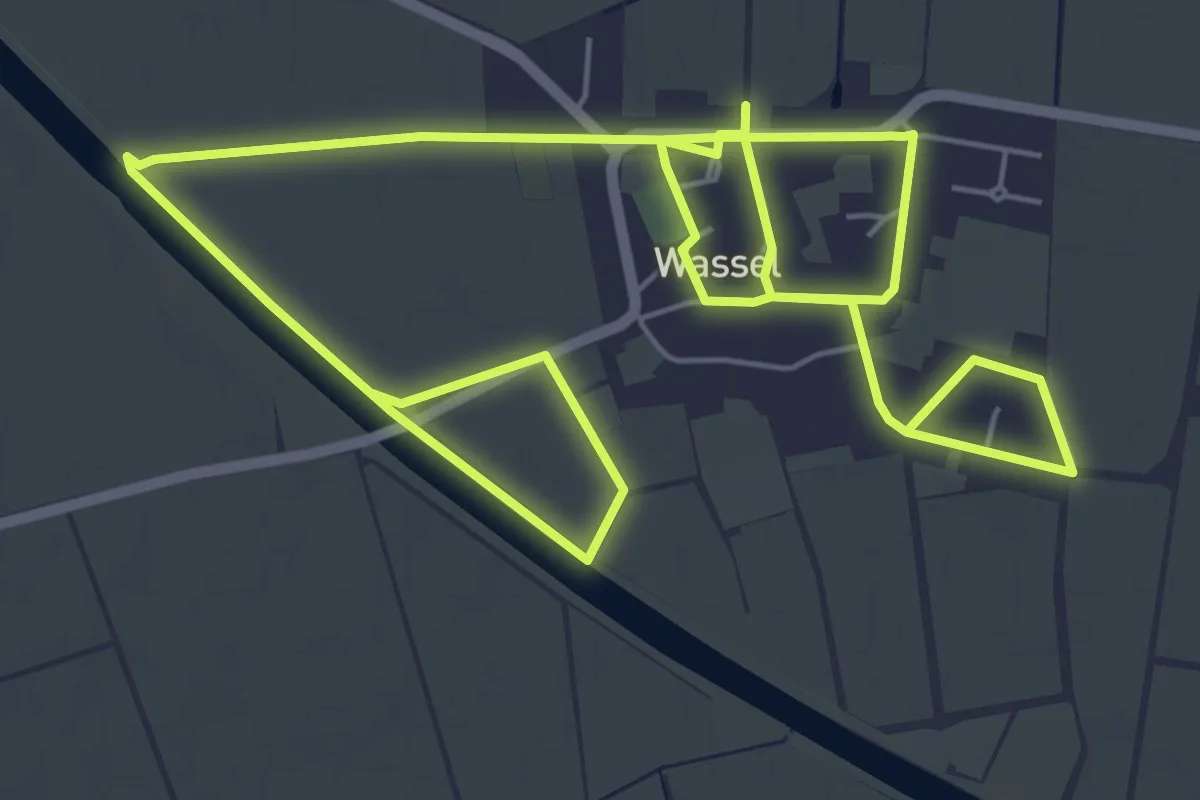
Medium · Trail
Natur-Kultur-Pfad Wassel
10.8 km · ↑ 0 m · 2 h 33 min
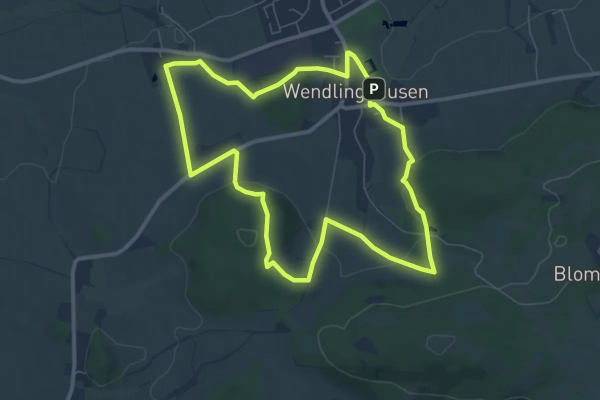
Easy · Summit
Natur & Kultur um Wendlinghausen
5.9 km · ↑ 152 m · 1 h 48 min
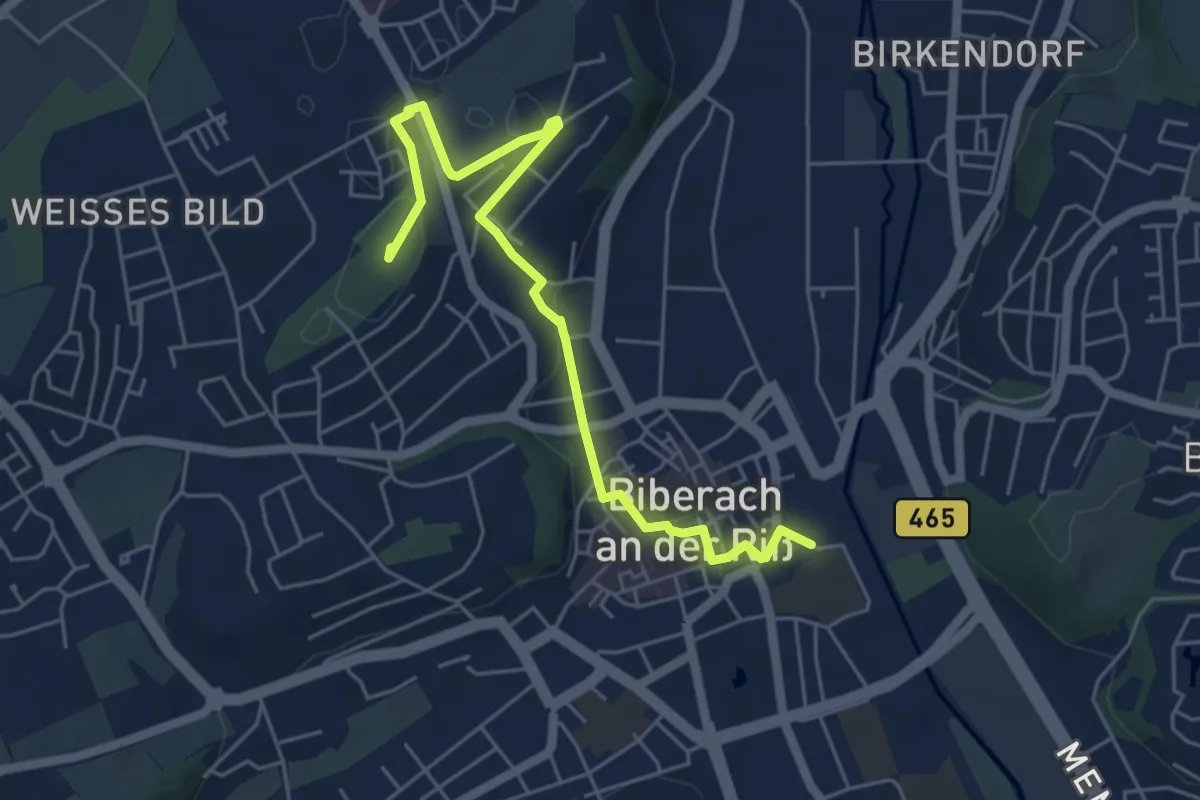
Easy · Summit
Naturkundepfad Biberach
5.7 km · ↑ 97 m · 1 h 37 min
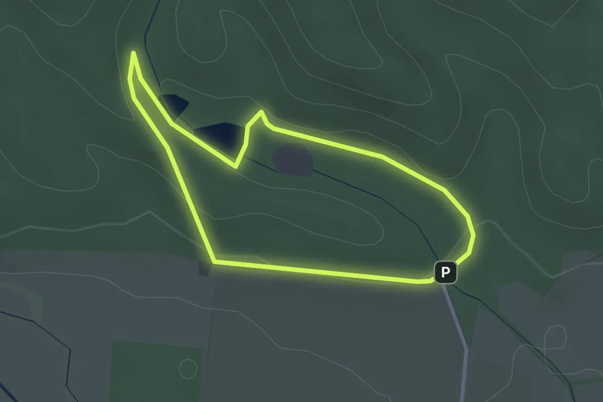
Easy · Summit
Naturkundlicher Lehrpfad "Ellricher Stadtwald"
2.4 km · ↑ 38 m · 40 min
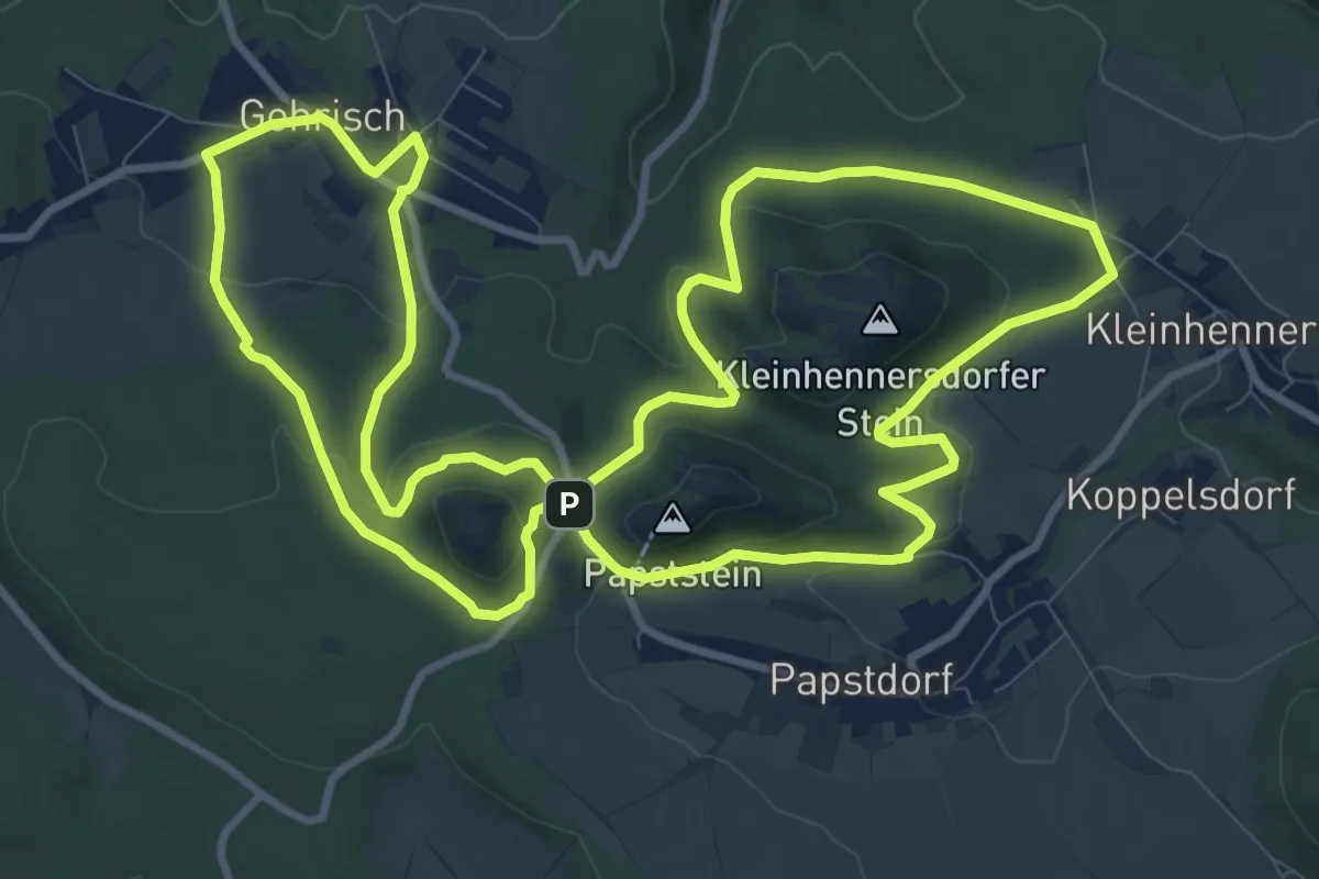
Medium · Trail
Naturkundlicher Lehrpfad Gohrisch
10.9 km · ↑ 314 m · 3 h 24 min
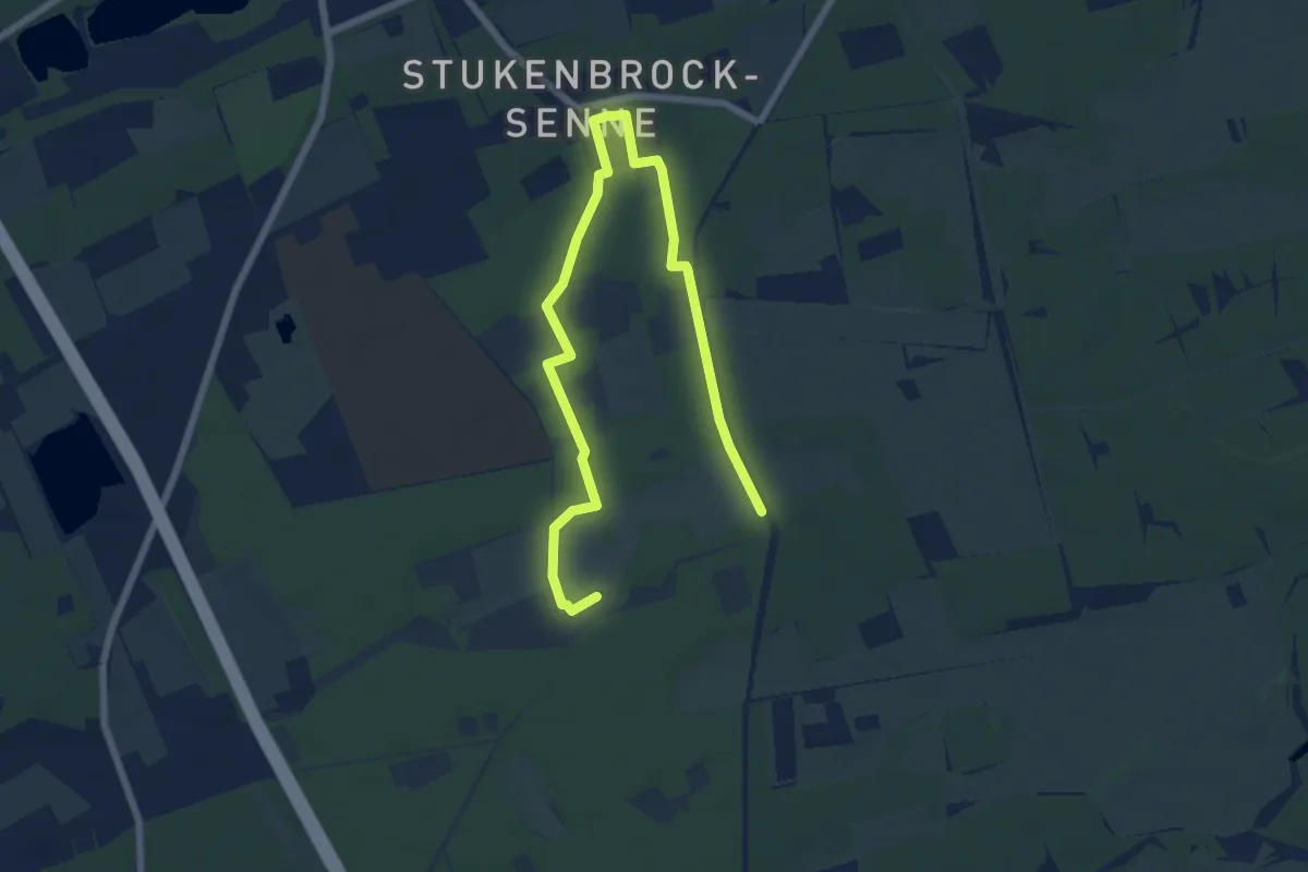
Easy · Trail
Naturkundlicher Lehrpfad Moosheide
4.0 km · ↑ 8 m · 1 h 1 min
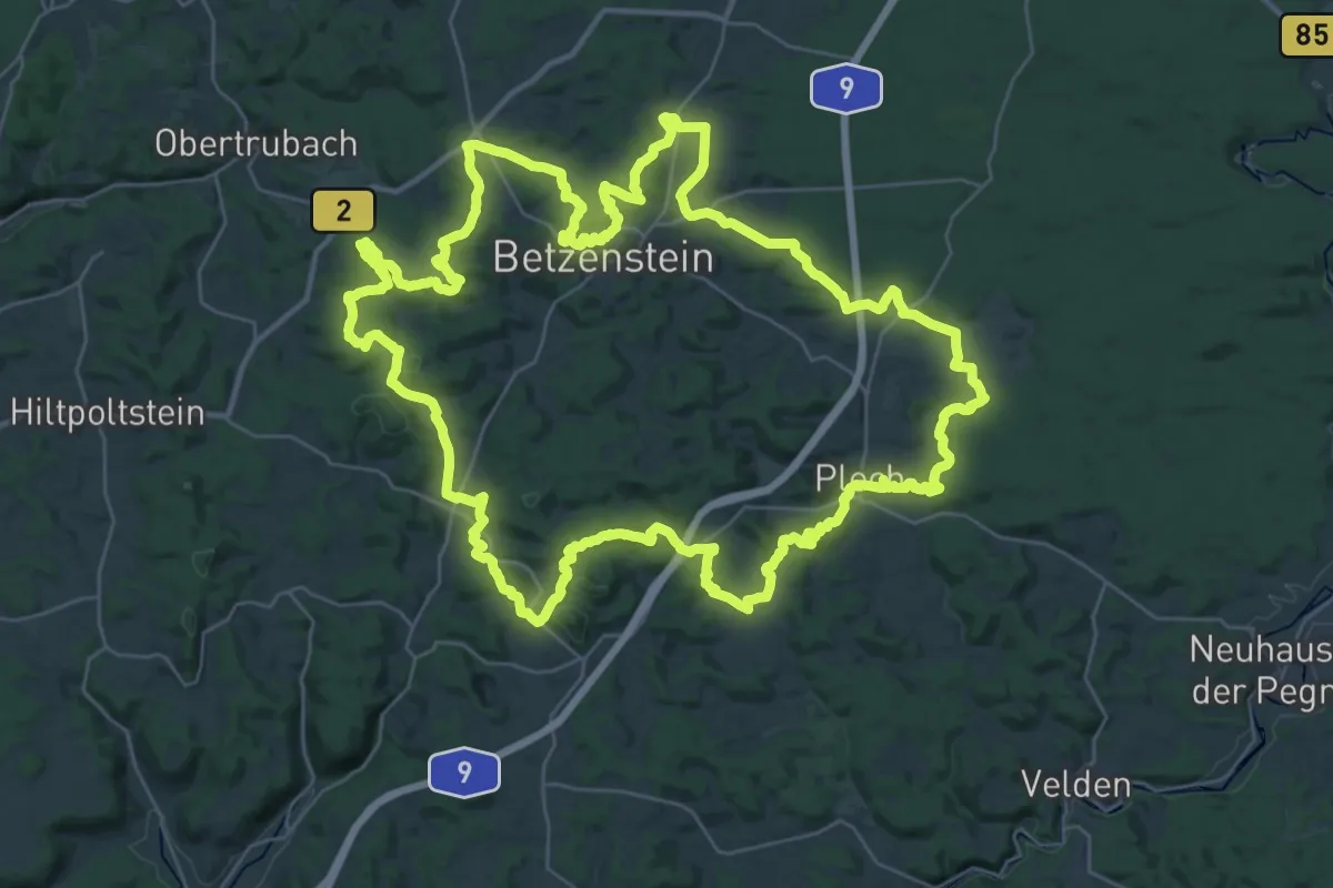
Demanding · Summit
Naturkundlicher Rundwanderweg Plech
39.8 km · ↑ 983 m · 12 h 5 min
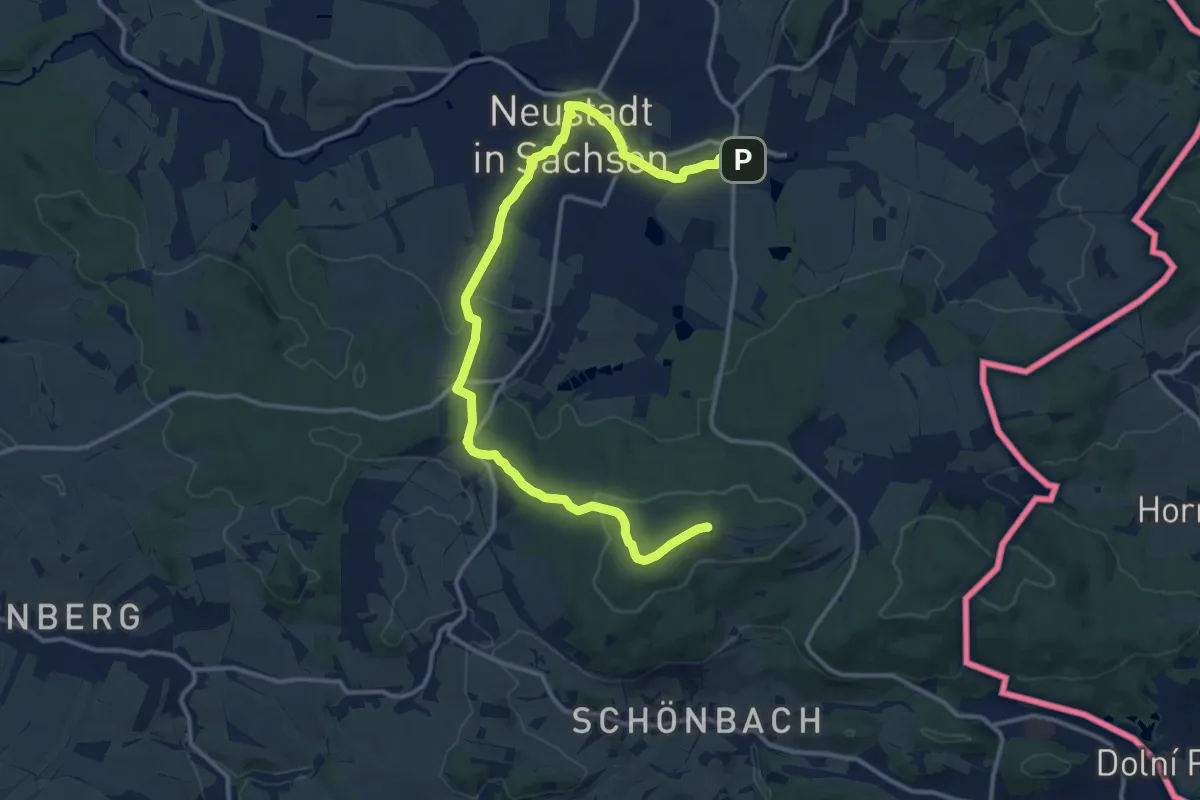
Medium · Summit
Naturkundlicher Wanderweg (Lehrpfad)
14.8 km · ↑ 232 m · 4 h
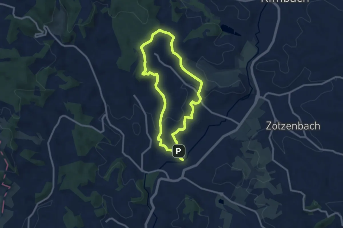
Easy · Summit
Naturkundlicher Wanderweg Mörlenbach
5.7 km · ↑ 142 m · 1 h 45 min
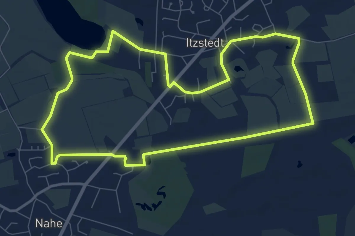
Easy · Trail
Naturlandschaft pur: Wiesen, Knicks und Moore, Itzstedt
6.6 km · ↑ 13 m · 1 h 41 min
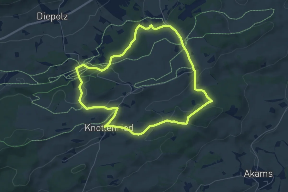
Easy · Trail
Naturlehrpfad
5.8 km · ↑ 121 m · 1 h 42 min
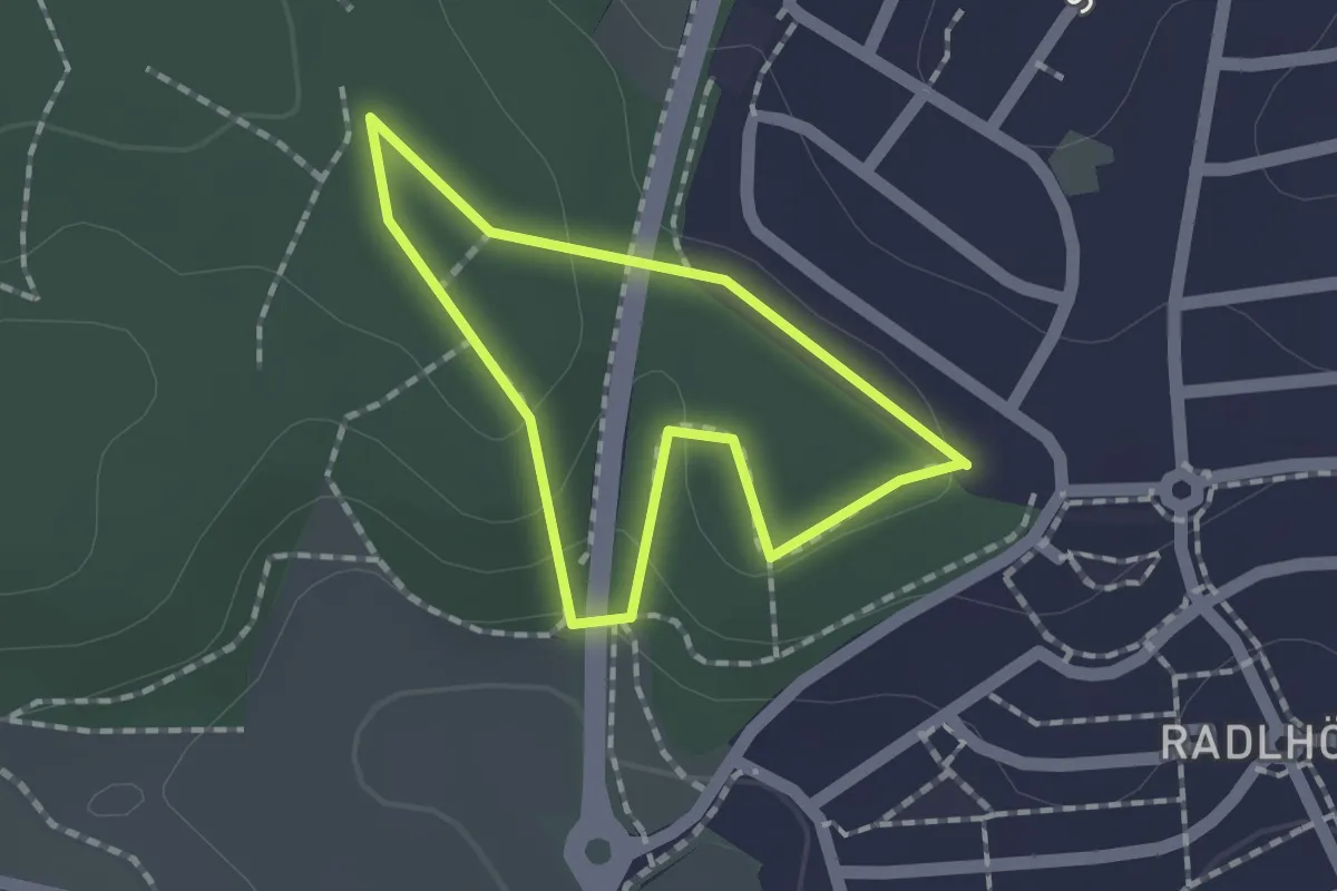
Easy · Trail
Naturlehrpfad
1.2 km · ↑ 33 m · 23 min
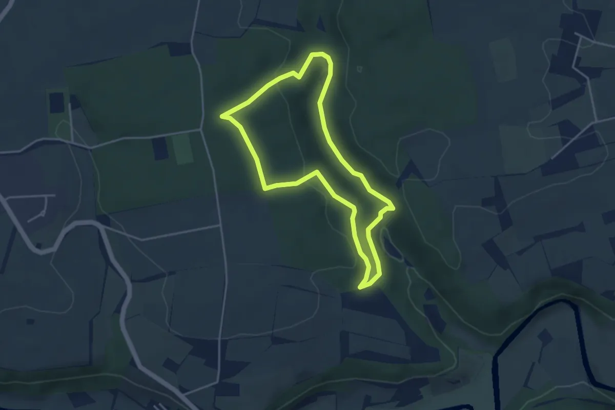
Easy · Trail
Naturlehrpfad
3.3 km · ↑ 70 m · 59 min
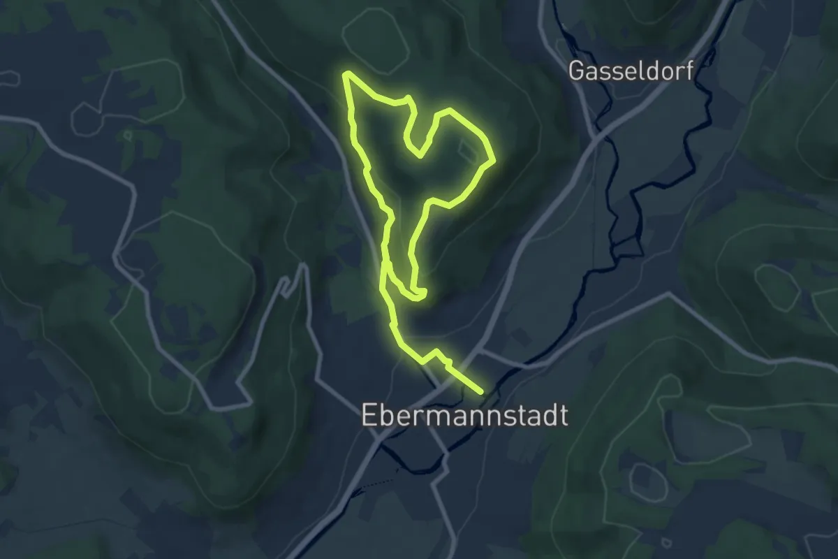
Easy · Trail
Naturlehrpfad
6.0 km · ↑ 193 m · 1 h 56 min
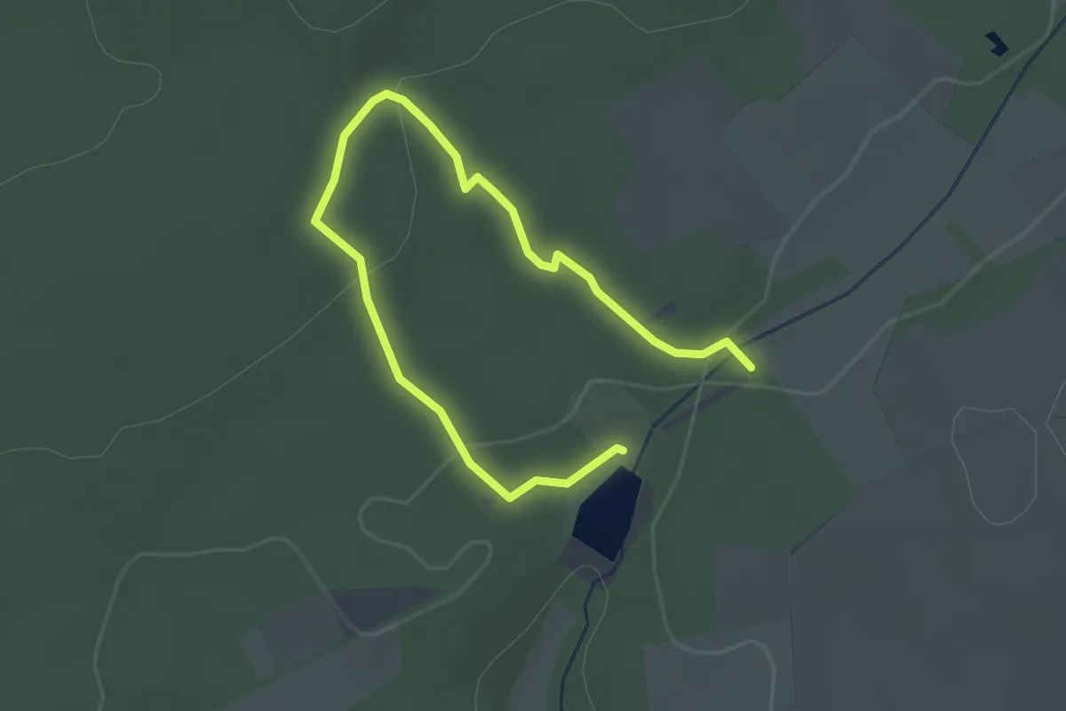
Easy · Trail
Naturlehrpfad
3.2 km · ↑ 74 m · 55 min
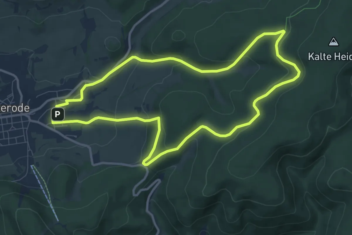
Easy · Summit
Naturlehrpfad
7.8 km · ↑ 247 m · 2 h 29 min
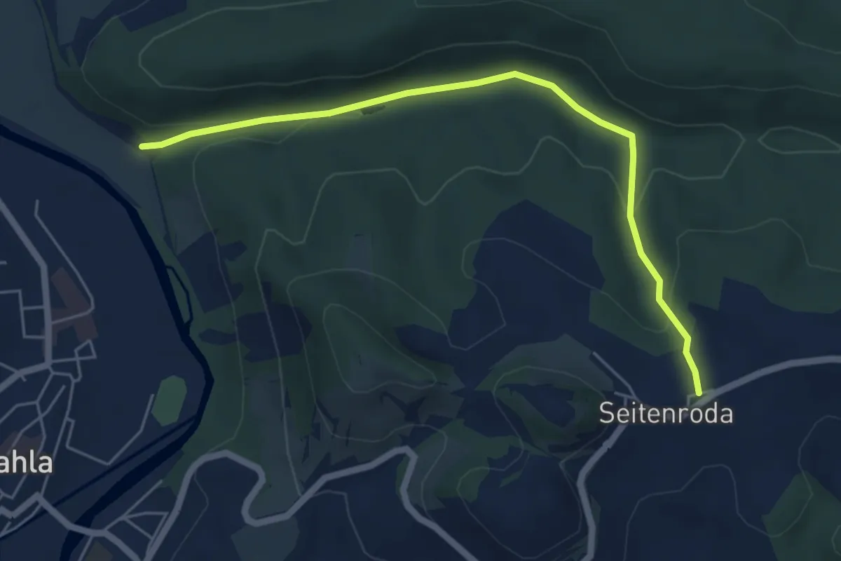
Easy · Trail
Naturlehrpfad
5.1 km · ↑ 145 m · 1 h 31 min
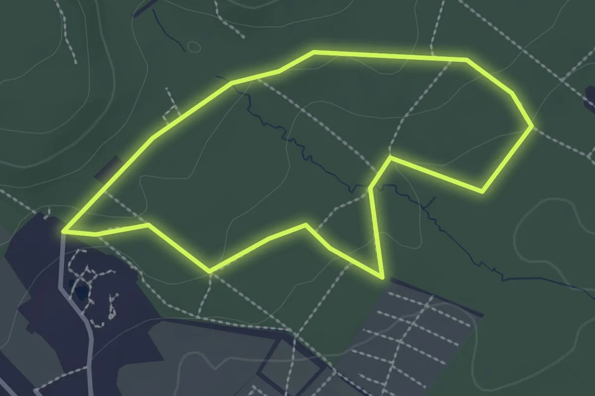
Easy · Trail
Naturlehrpfad
2.3 km · ↑ 32 m · 39 min
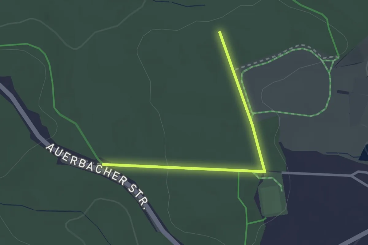
Easy · Trail
Naturlehrpfad
2.2 km · ↑ 19 m · 33 min
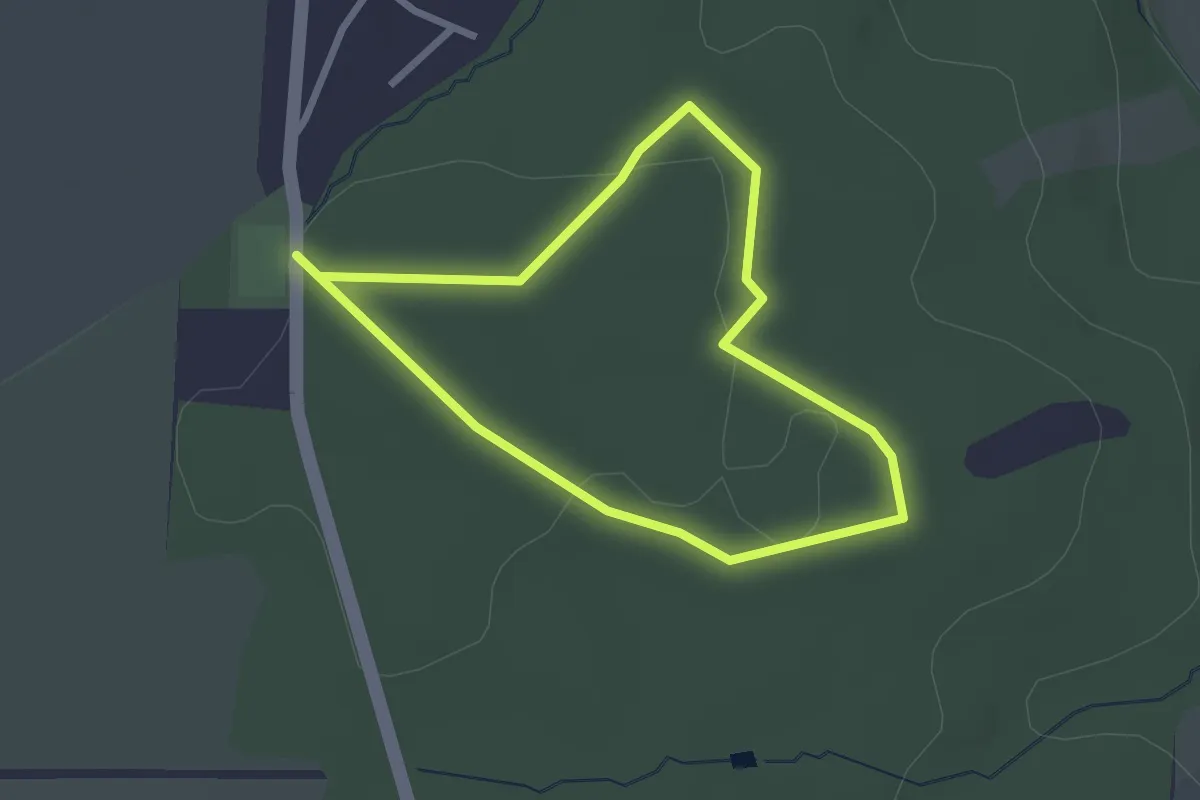
Easy · Trail
Naturlehrpfad
2.1 km · ↑ 18 m · 33 min
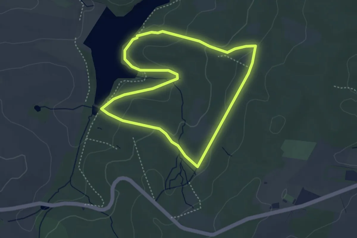
Easy · Trail
Naturlehrpfad
3.6 km · ↑ 112 m · 1 h 9 min
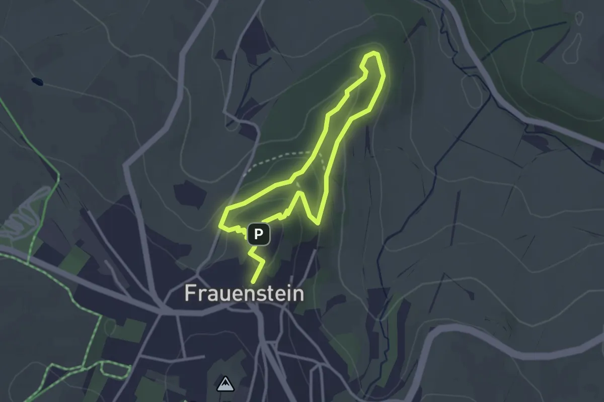
Easy · Summit
Naturlehrpfad
2.3 km · ↑ 82 m · 45 min
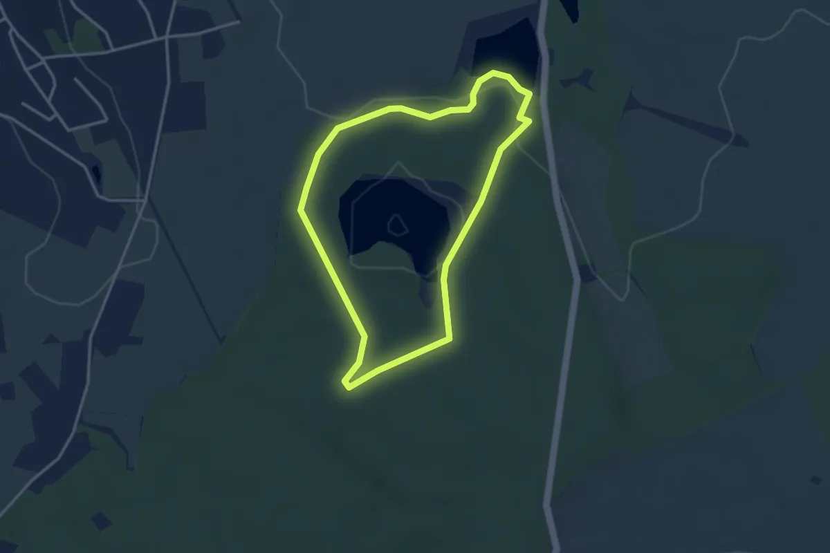
Easy · Trail
Naturlehrpfad
2.7 km · ↑ 32 m · 45 min
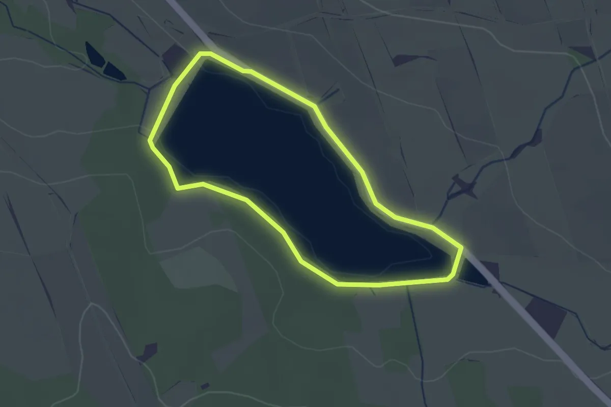
Easy · Trail
Naturlehrpfad
2.2 km · ↑ 13 m · 34 min
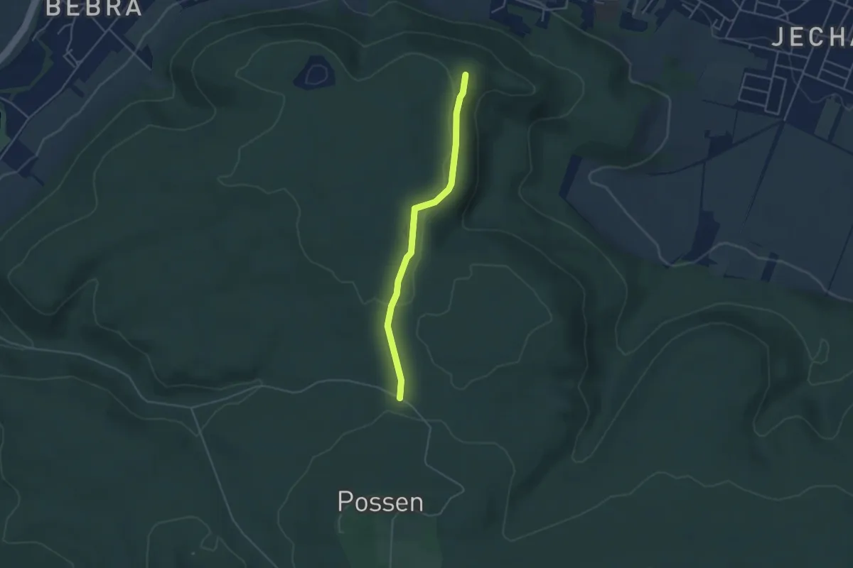
Easy · Trail
Naturlehrpfad
3.6 km · ↑ 31 m · 55 min
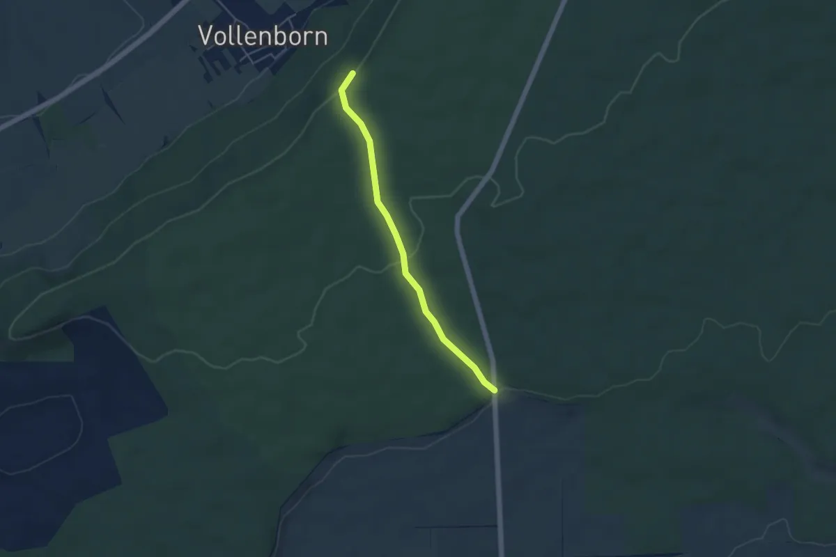
Easy · Summit
Naturlehrpfad
3.7 km · ↑ 87 m · 1 h 3 min
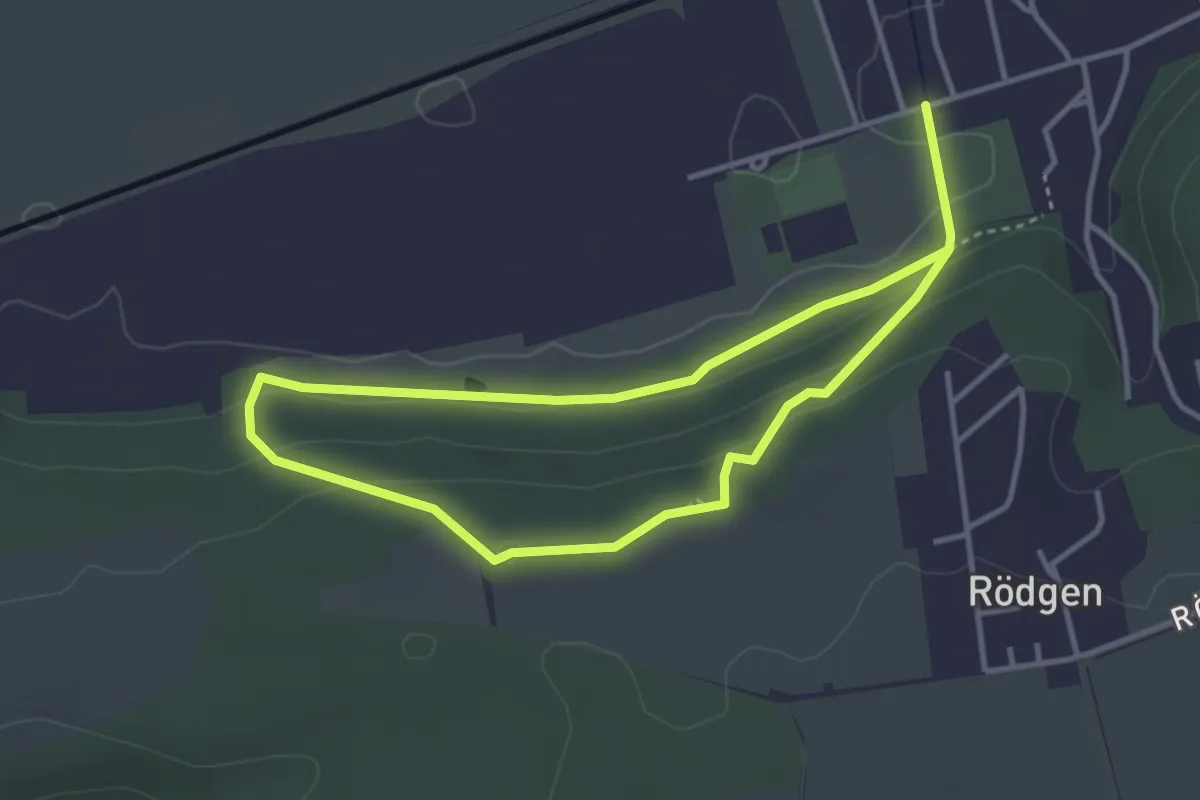
Easy · Trail
Naturlehrpfad
2.9 km · ↑ 77 m · 53 min
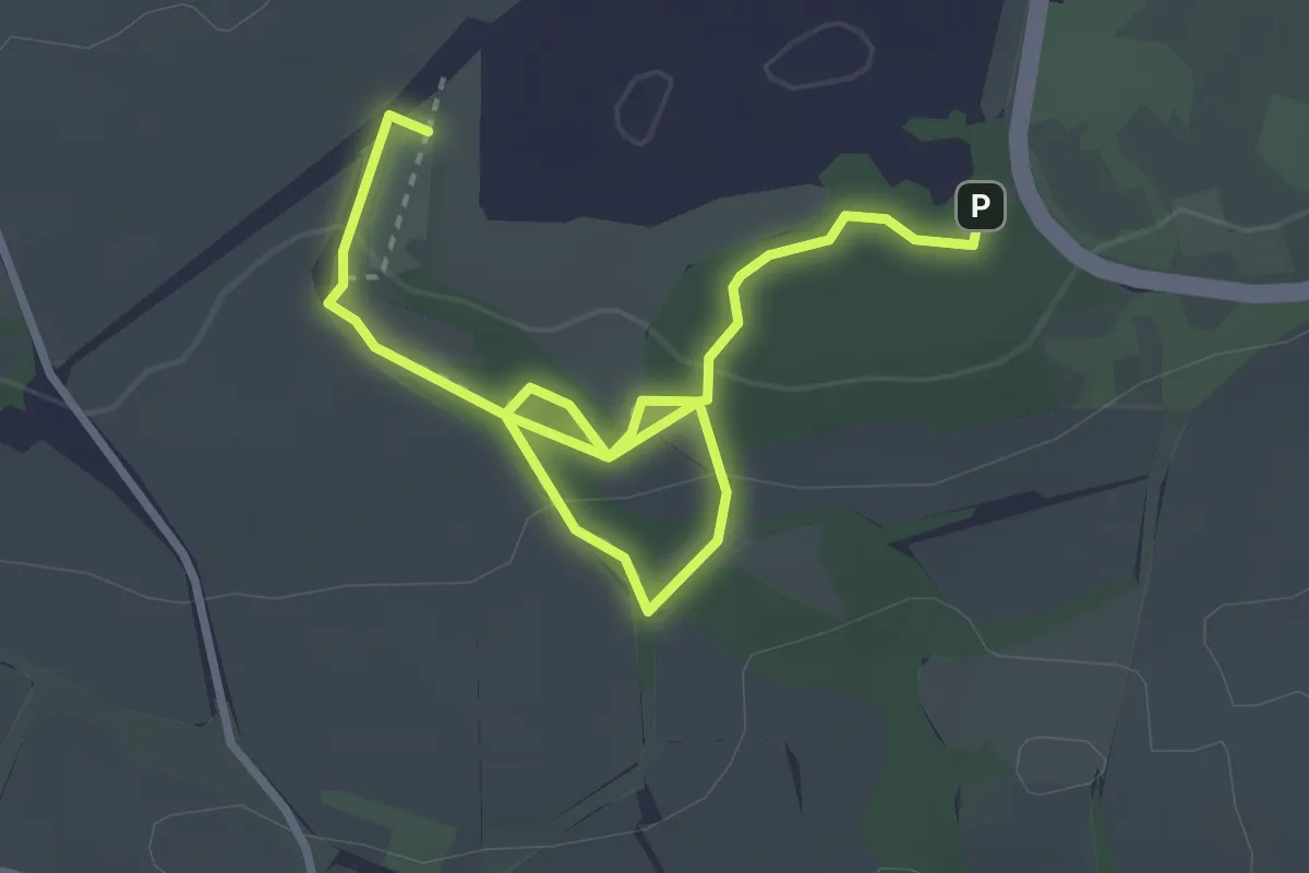
Easy · Trail
Naturlehrpfad
3.8 km · ↑ 82 m · 1 h 5 min
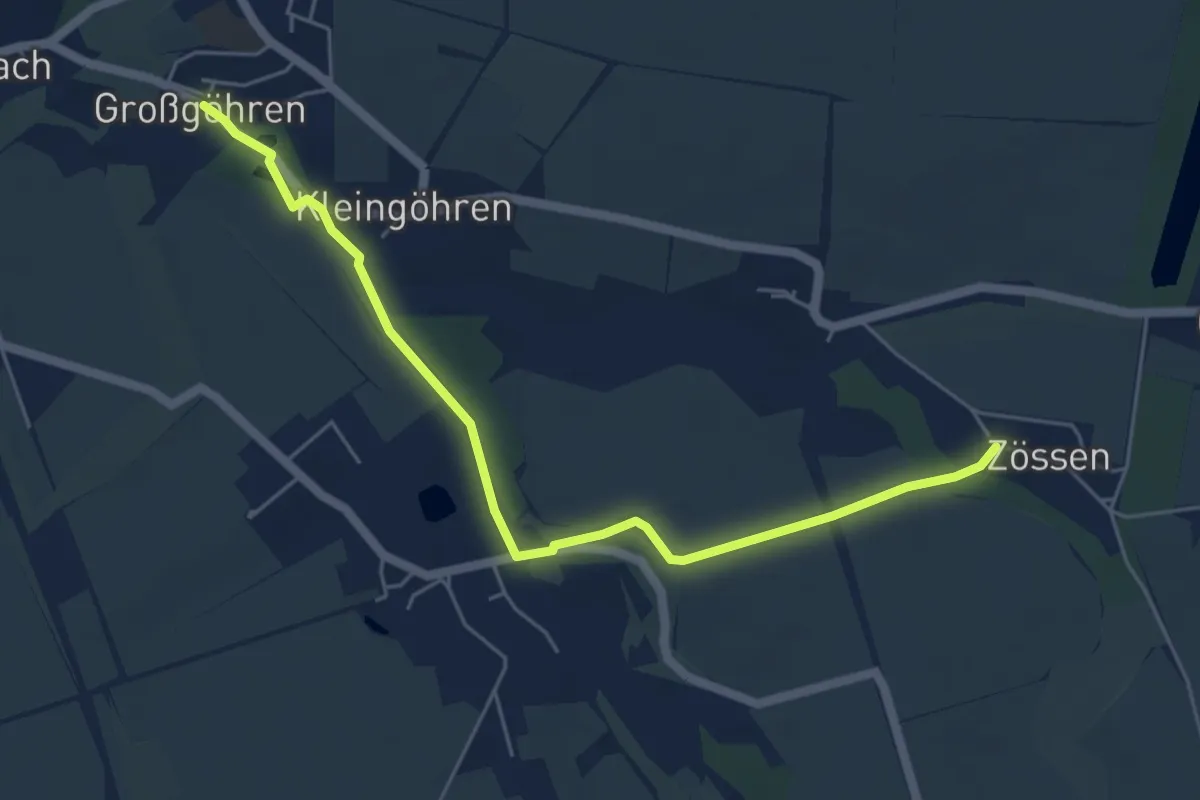
Easy · Trail
Naturlehrpfad
5.2 km · ↑ 50 m · 1 h 20 min
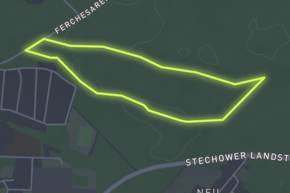
Easy · Trail
Naturlehrpfad
2.8 km · ↑ 8 m · 43 min
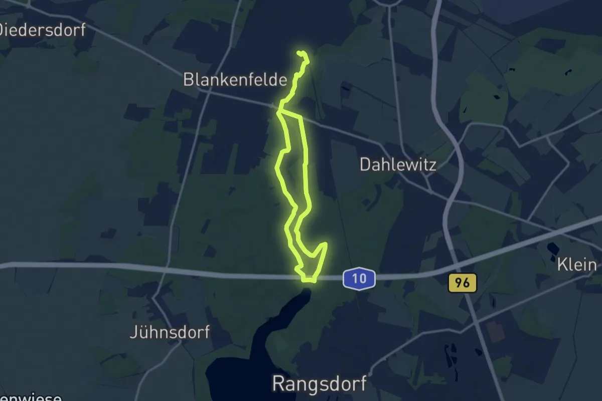
Medium · Trail
Naturlehrpfad
15.7 km · ↑ 36 m · 3 h 46 min
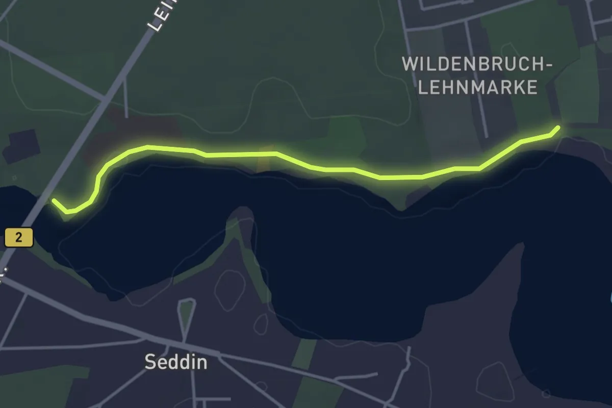
Easy · Trail
Naturlehrpfad
3.4 km · ↑ 17 m · 50 min
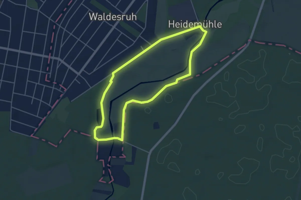
Easy · Trail
Naturlehrpfad
3.7 km · ↑ 4 m · 56 min
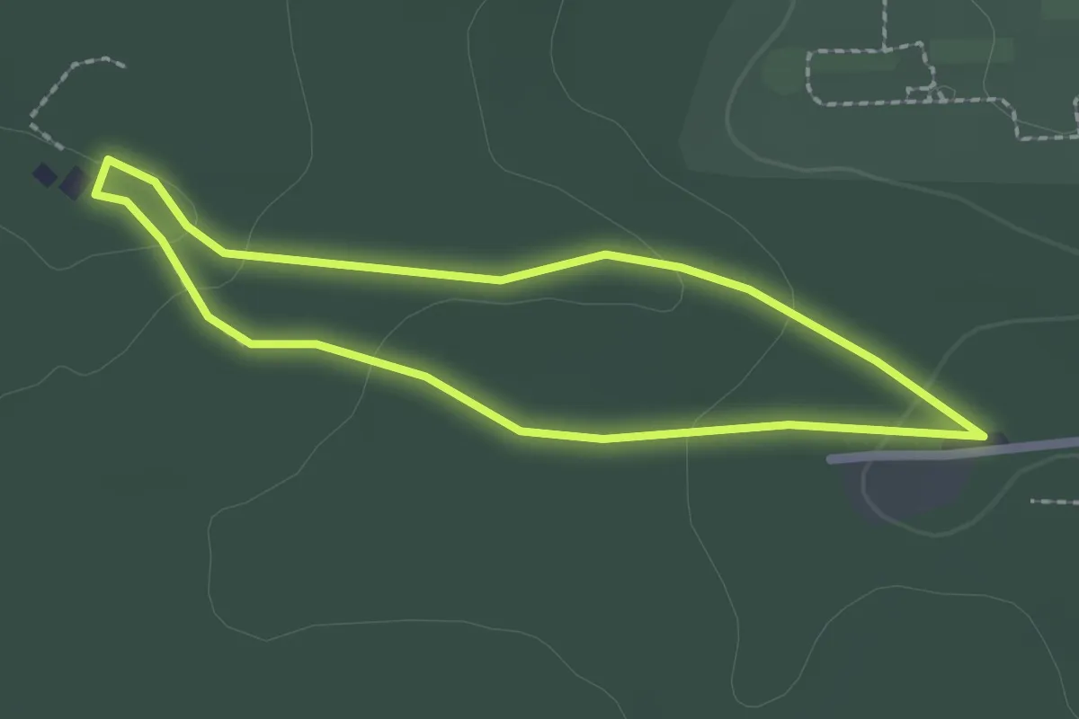
Easy · Trail
Naturlehrpfad
1.7 km · ↑ 28 m · 29 min
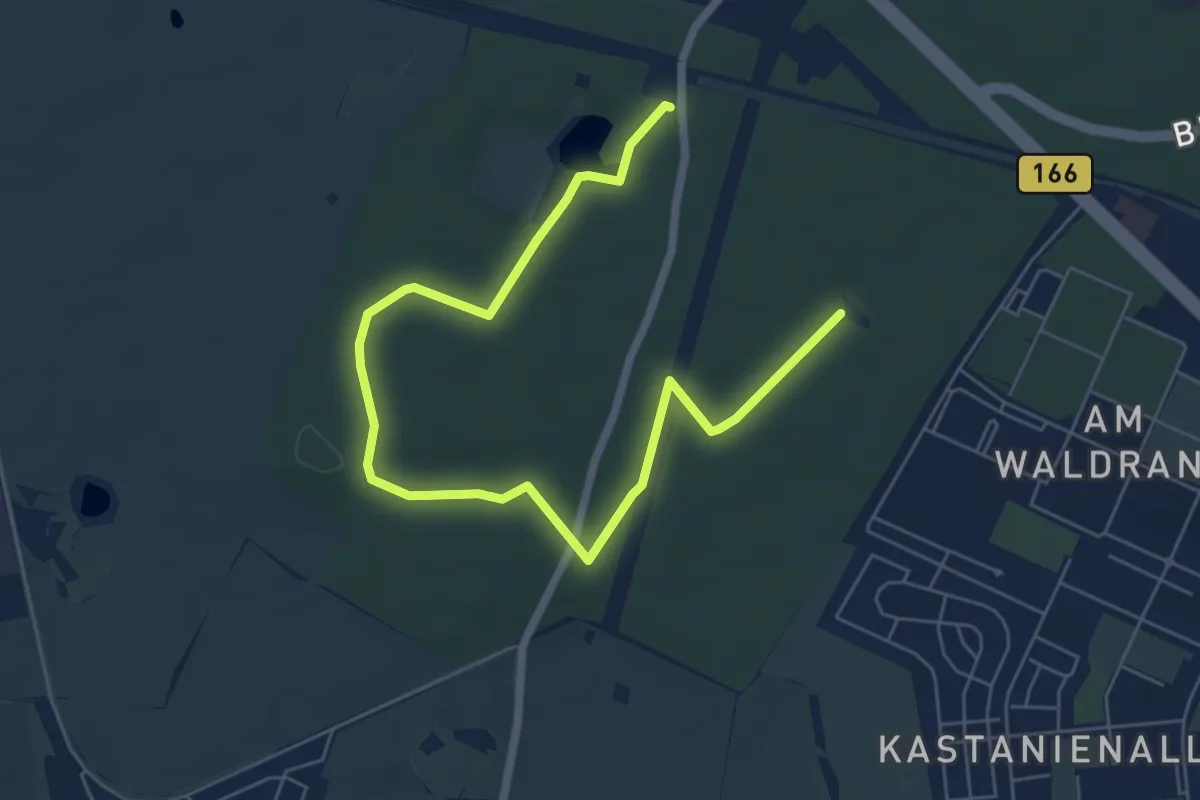
Easy · Trail
Naturlehrpfad
7.0 km · ↑ 63 m · 1 h 48 min
Easy · Summit
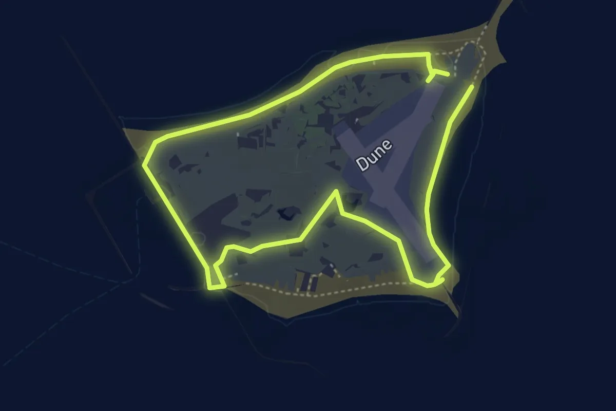
Naturlehrpfad
3.4 km · ↑ 0 m · 50 min
Medium · Summit
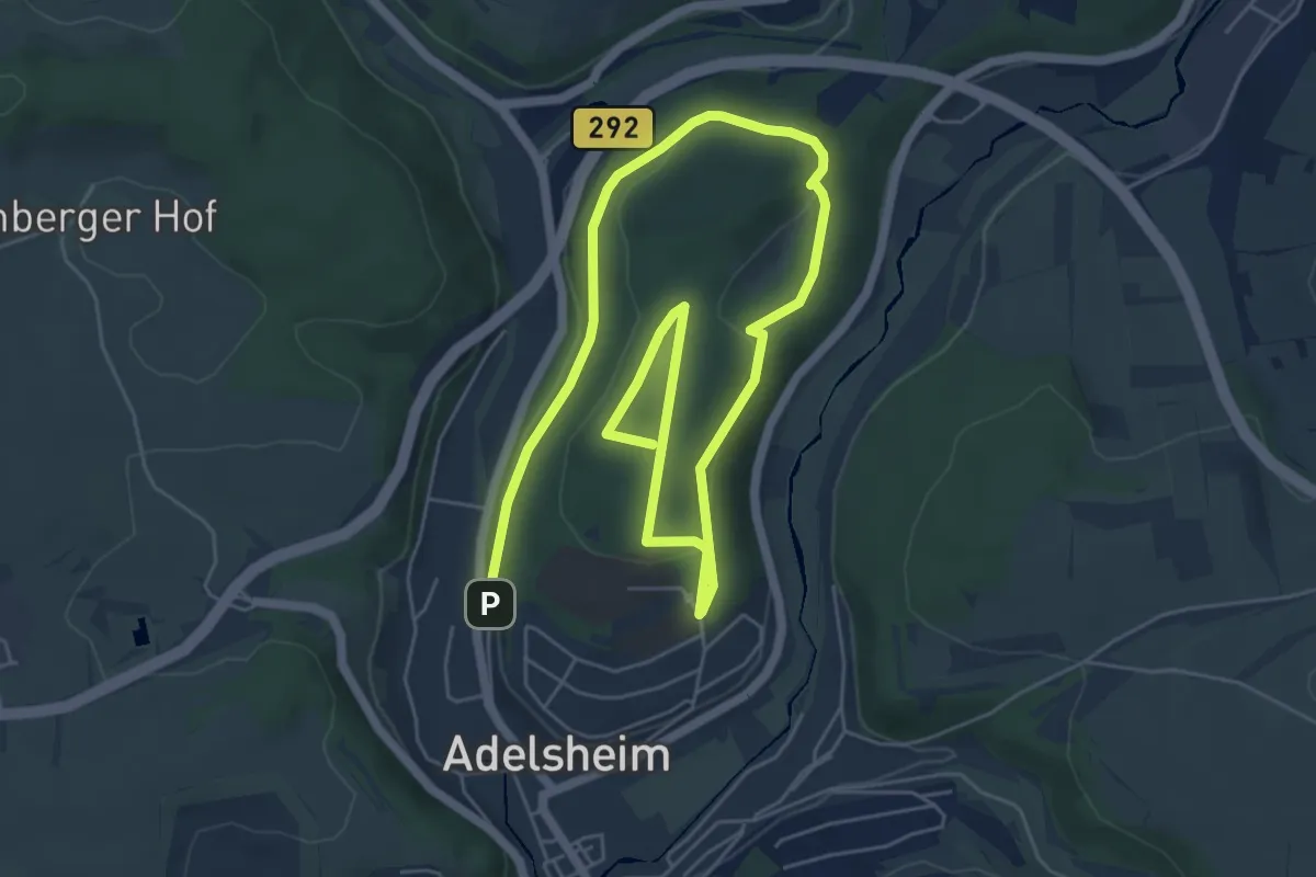
Naturlehrpfad Adelsheim
9.2 km · ↑ 214 m · 2 h 38 min
Easy · Summit
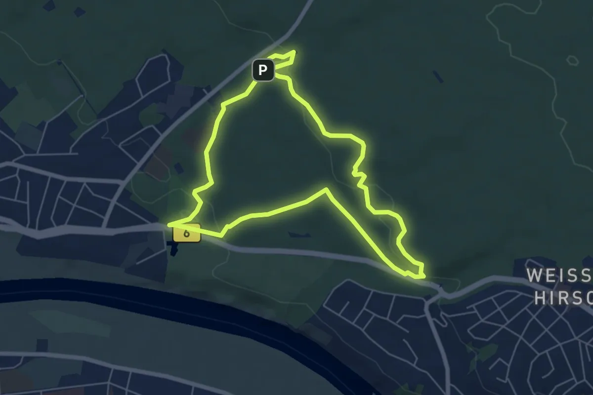
Naturlehrpfad Albertpark
5.1 km · ↑ 94 m · 1 h 28 min
Medium · Trail
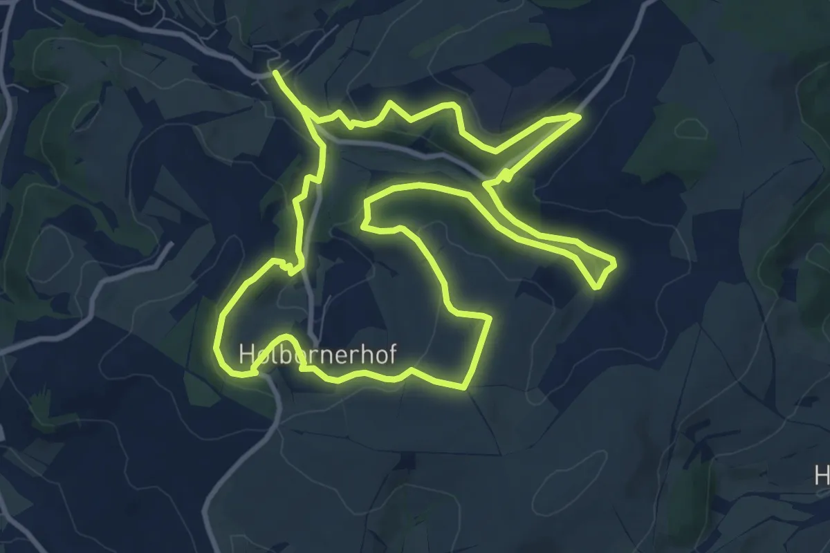
Naturlehrpfad Alte Welt
9.7 km · ↑ 242 m · 2 h 58 min
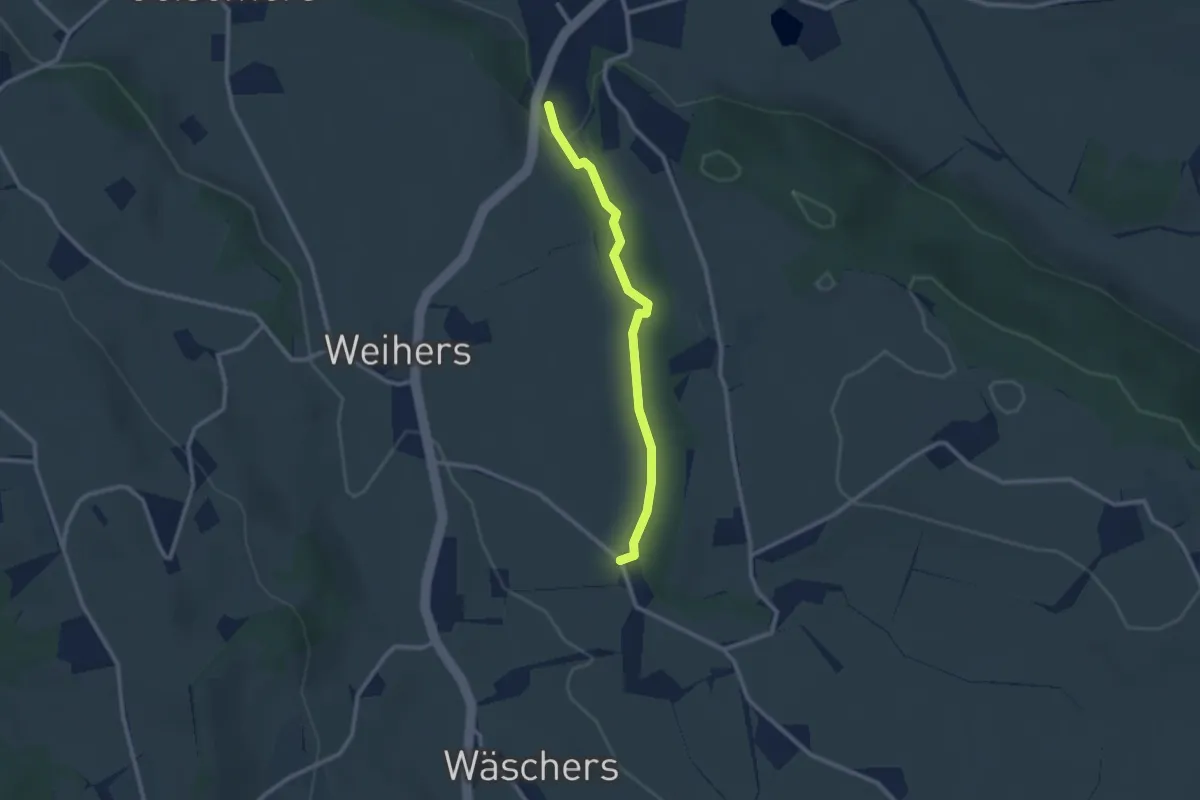
Easy · Trail
Naturlehrpfad Altusried
2.3 km · ↑ 32 m · 37 min
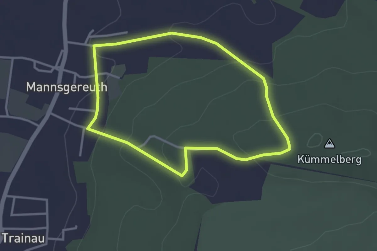
Easy · Trail
Naturlehrpfad am Kümmelberg
2.5 km · ↑ 95 m · 50 min
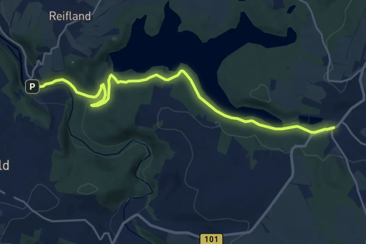
Medium · Trail
Naturlehrpfad An der Saidenbachtalsperre
12.0 km · ↑ 361 m · 3 h 37 min
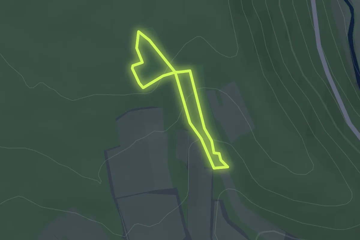
Easy · Trail
Naturlehrpfad Aschach
1.5 km · ↑ 55 m · 29 min
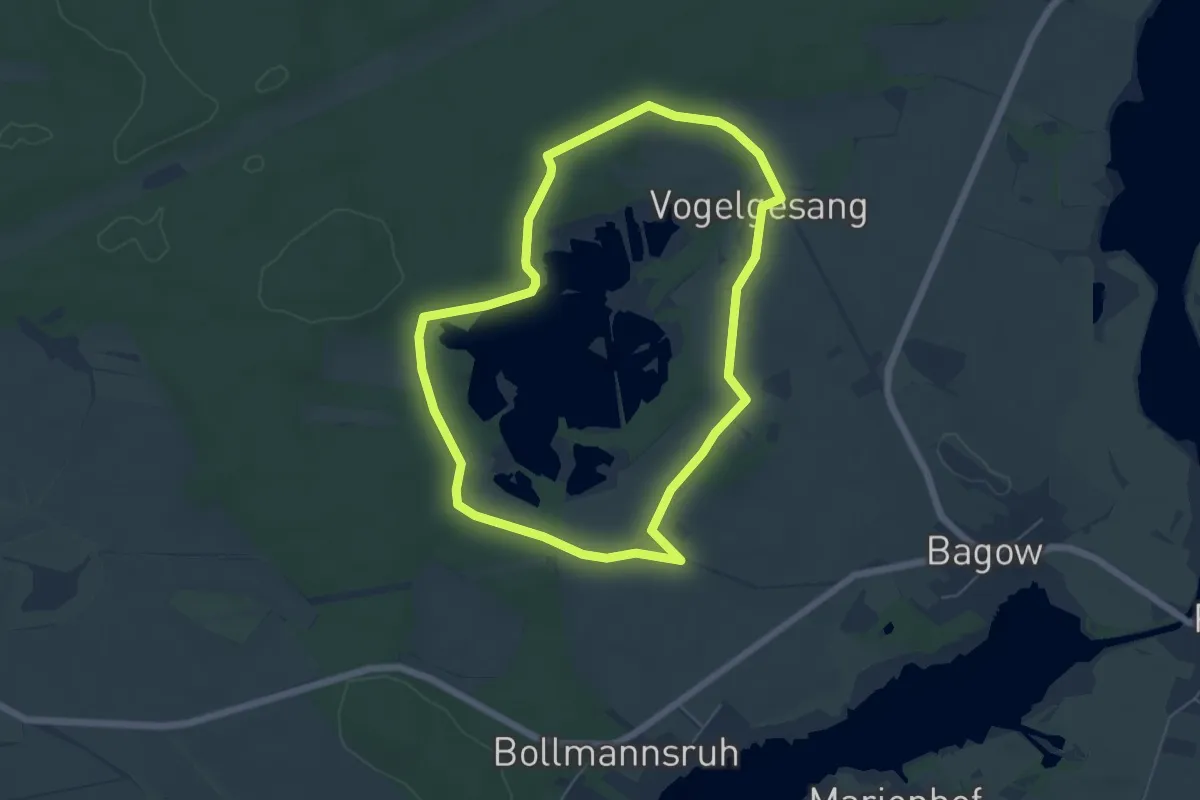
Easy · Trail
Naturlehrpfad Bagower Bruch
4.8 km · ↑ 27 m · 1 h 16 min
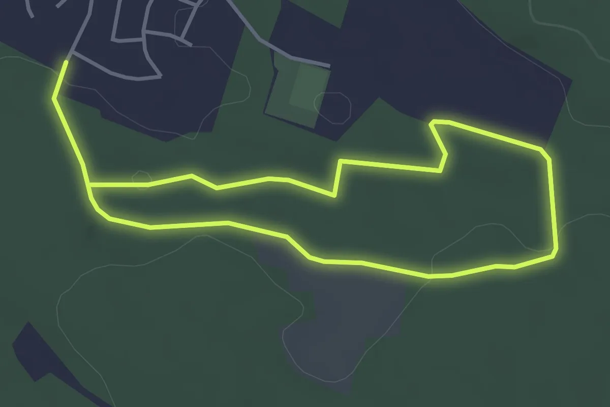
Easy · Trail
Naturlehrpfad Bernloher Wald
3.1 km · ↑ 33 m · 50 min
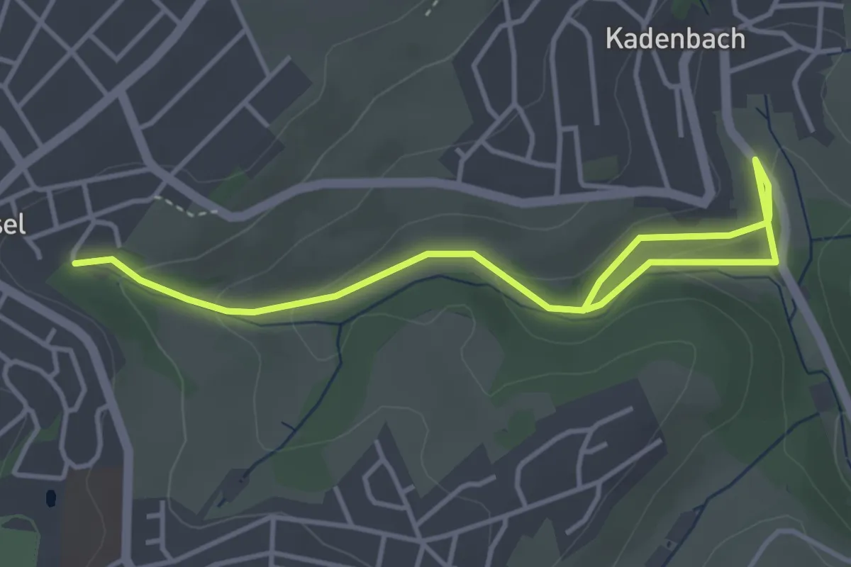
Easy · Trail
Naturlehrpfad Binnbachtal
4.3 km · ↑ 143 m · 1 h 19 min
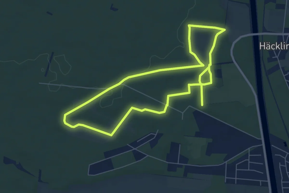
Medium · Trail
Naturlehrpfad Bodenteicher Heide
11.1 km · ↑ 75 m · 2 h 47 min