Trails in Germany
36,852 hiking trails, each with its route, climb, walking time and grade.
All trails, page 362 of 768
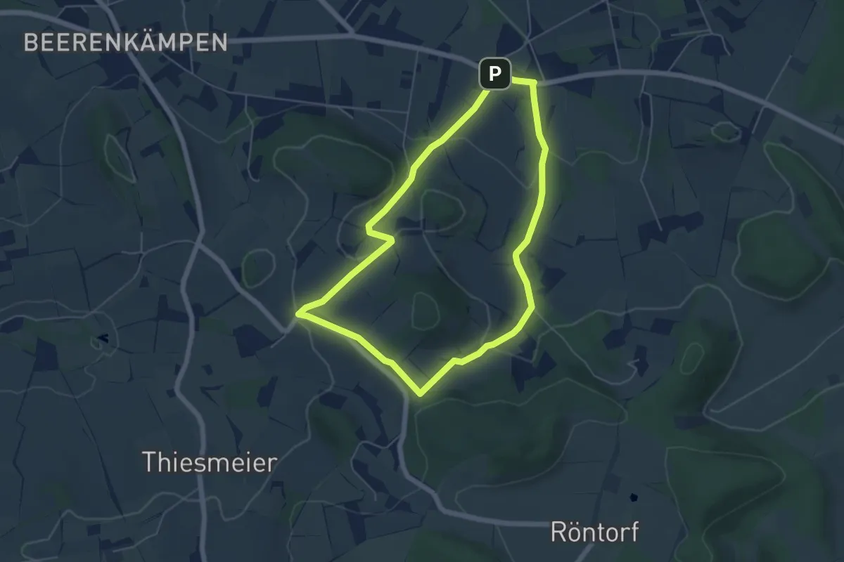
Easy · Trail
Naturlehrpfad Bonstapel (A2)
4.5 km · ↑ 125 m · 1 h 24 min
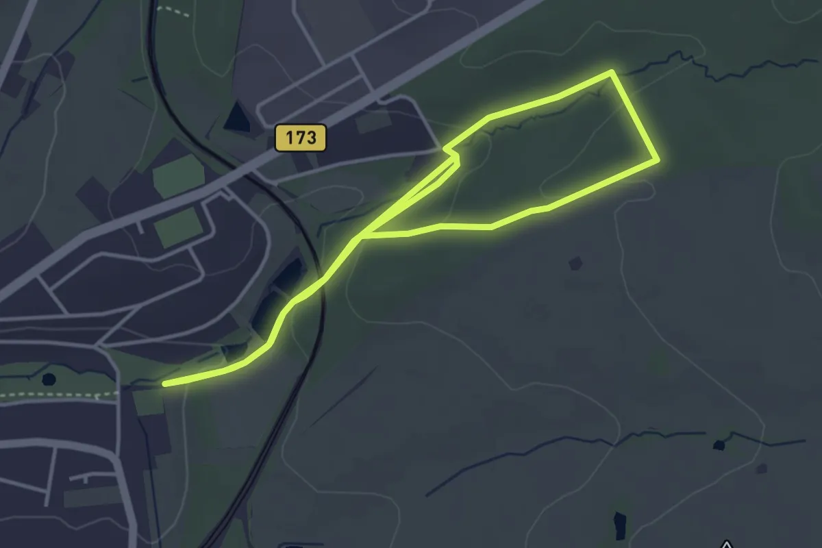
Easy · Trail
Naturlehrpfad Borntalweg
6.8 km · ↑ 139 m · 1 h 55 min
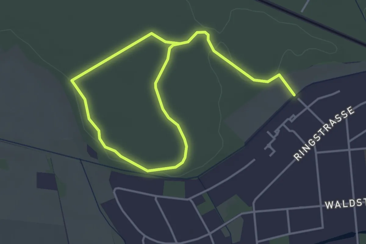
Easy · Trail
Naturlehrpfad Bredower Forst
2.6 km · ↑ 17 m · 41 min
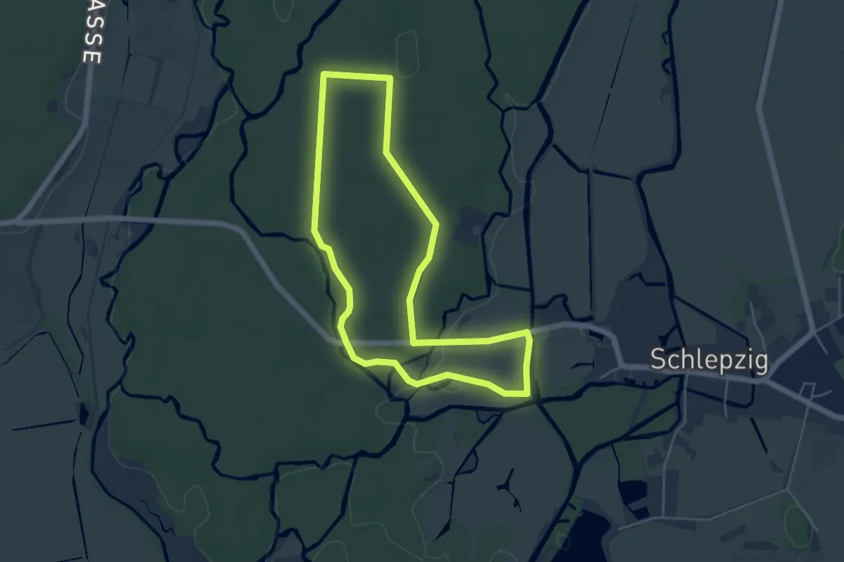
Easy · Trail
Naturlehrpfad Buchenhain
4.2 km · ↑ 9 m · 1 h 4 min
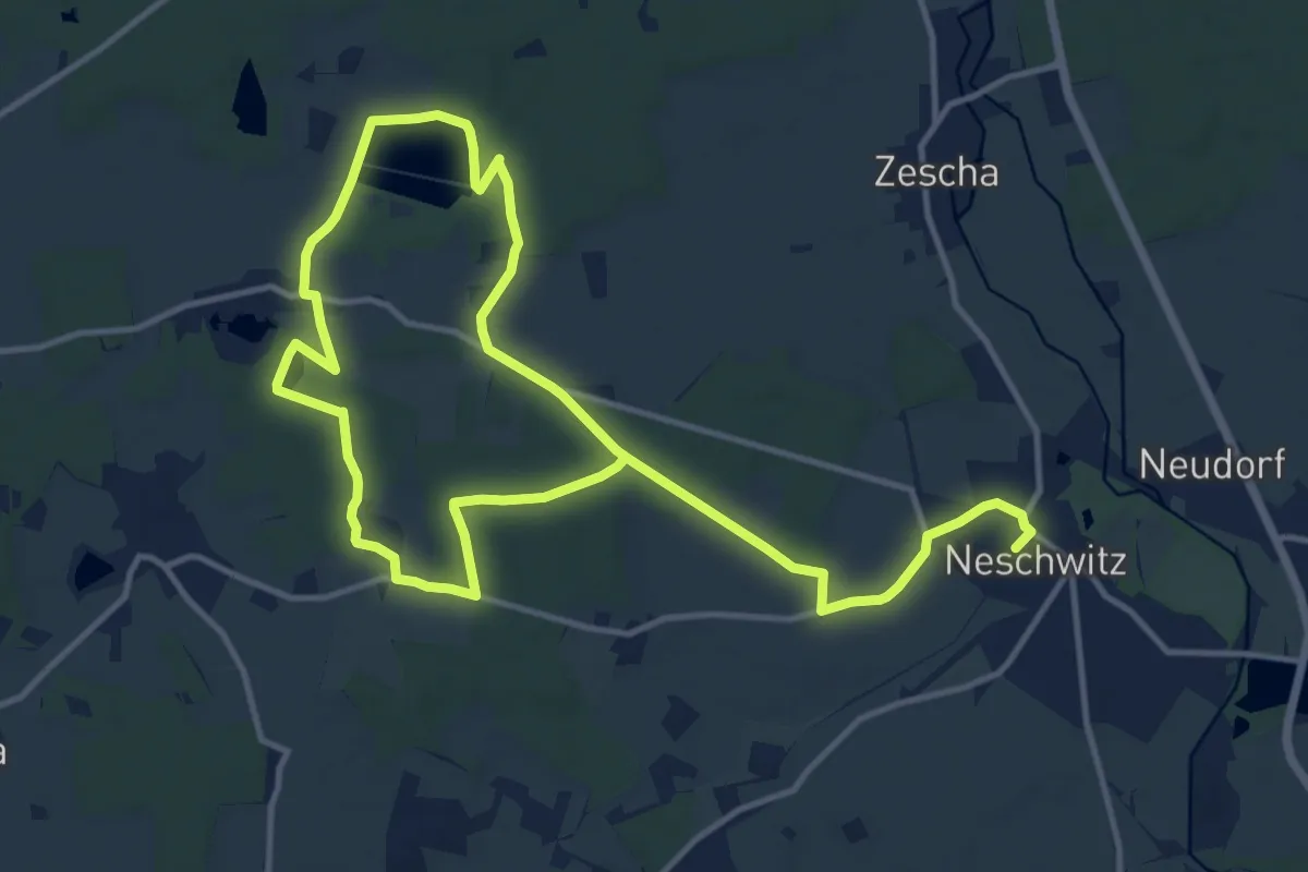
Medium · Trail
Naturlehrpfad Caßlauer Wiesenteiche
10.0 km · ↑ 40 m · 2 h 35 min
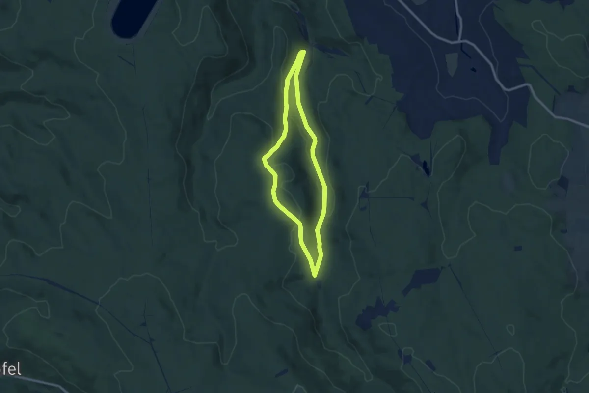
Easy · Trail
Naturlehrpfad Crottendorf
7.2 km · ↑ 196 m · 2 h 13 min
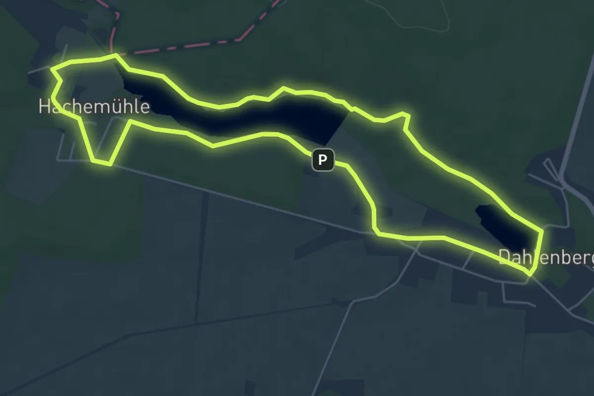
Easy · Trail
Naturlehrpfad Dahlenberg
5.3 km · ↑ 27 m · 1 h 23 min
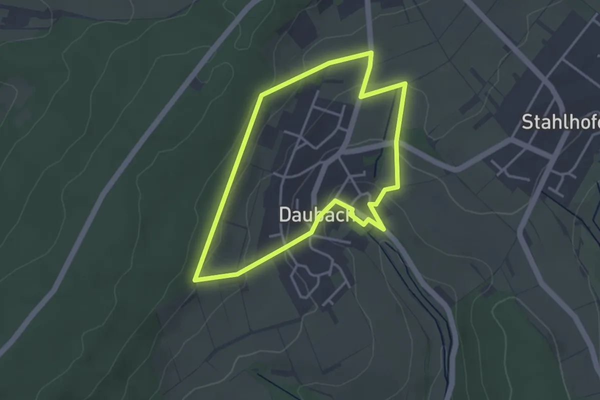
Easy · Summit
Naturlehrpfad Daubach
2.9 km · ↑ 85 m · 55 min
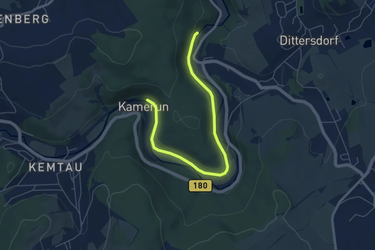
Easy · Trail
Naturlehrpfad Dittersdorf - Kemtau
5.6 km · ↑ 57 m · 1 h 27 min
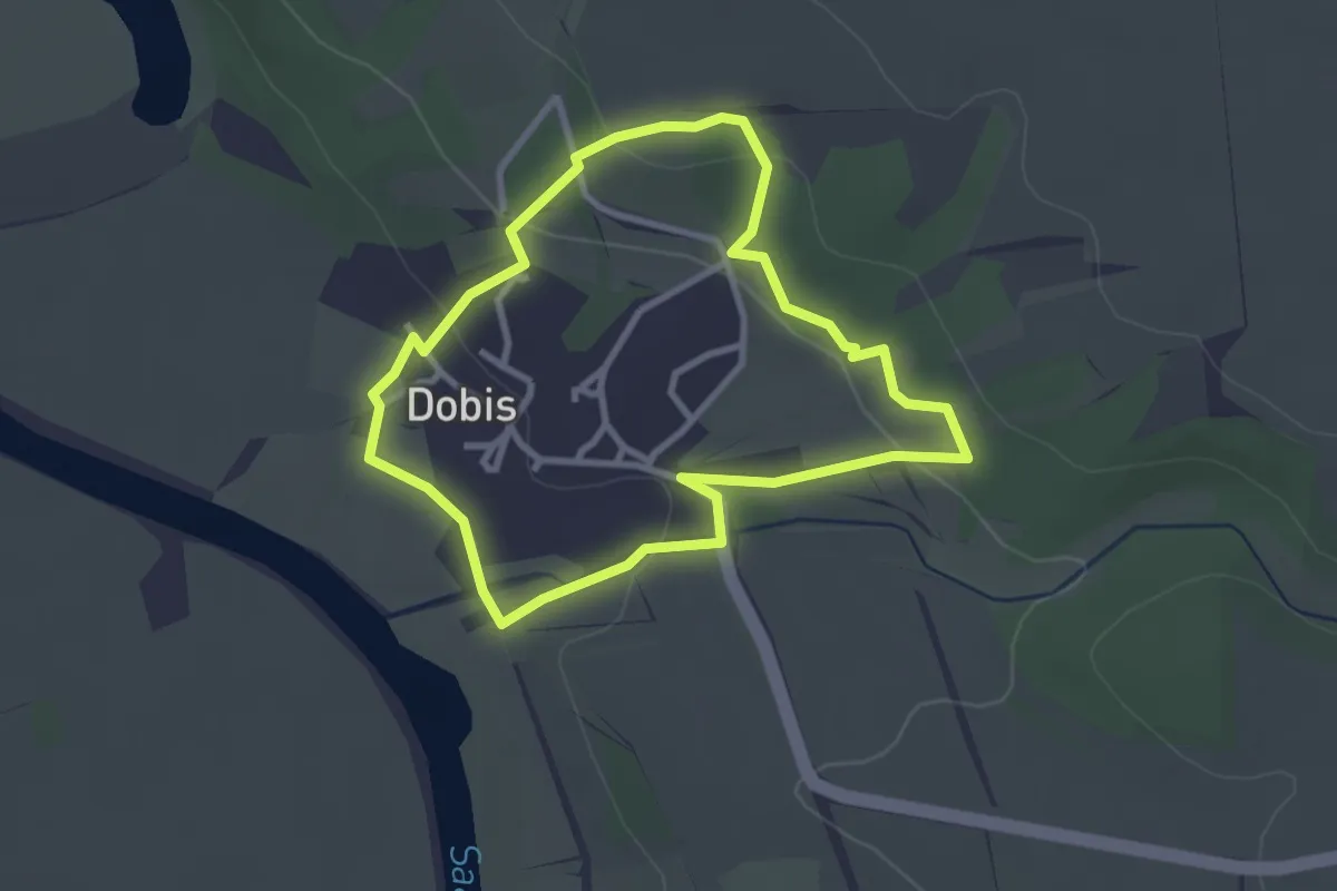
Easy · Trail
Naturlehrpfad Dobis
2.5 km · ↑ 63 m · 46 min
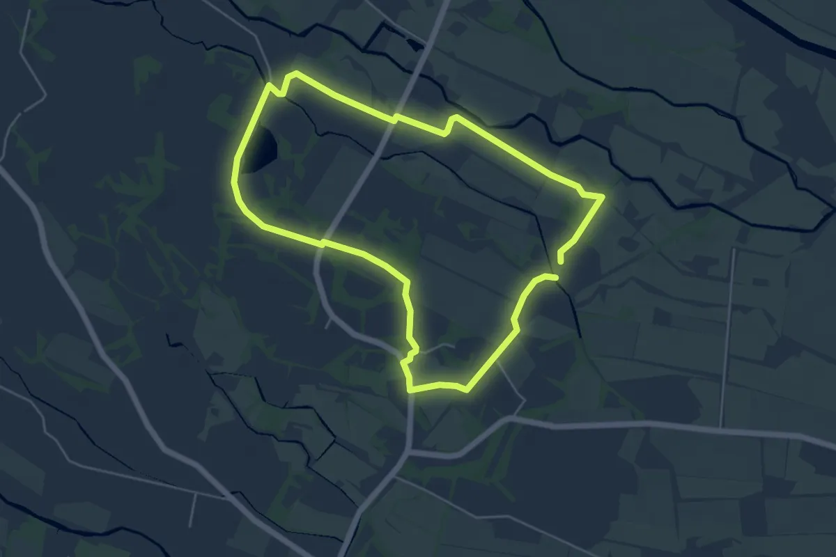
Easy · Summit
Naturlehrpfad durch Burg Kauper
4.4 km · ↑ 4 m · 1 h 7 min
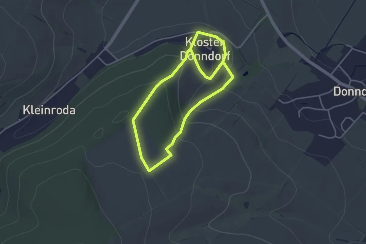
Easy · Trail
Naturlehrpfad durch das Borntal
2.6 km · ↑ 86 m · 50 min
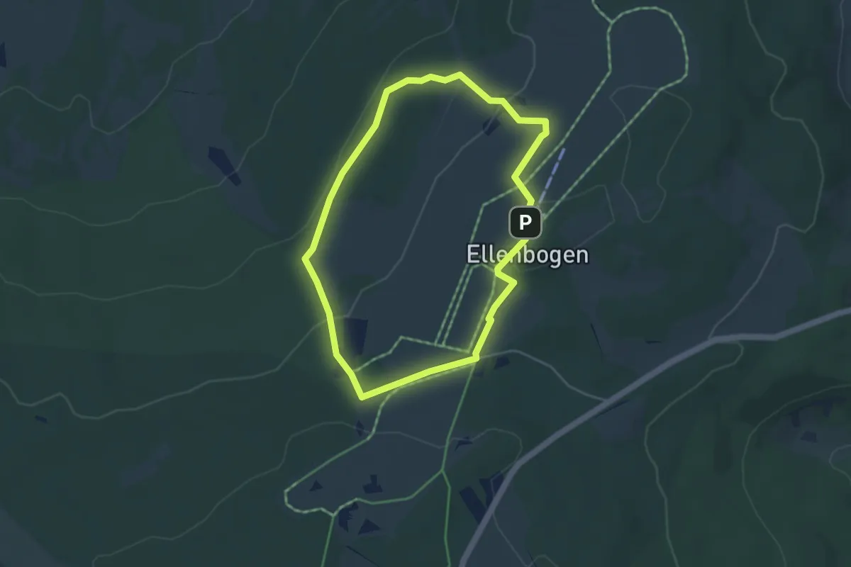
Easy · Summit
Naturlehrpfad Ellenbogen
3.6 km · ↑ 97 m · 1 h 7 min
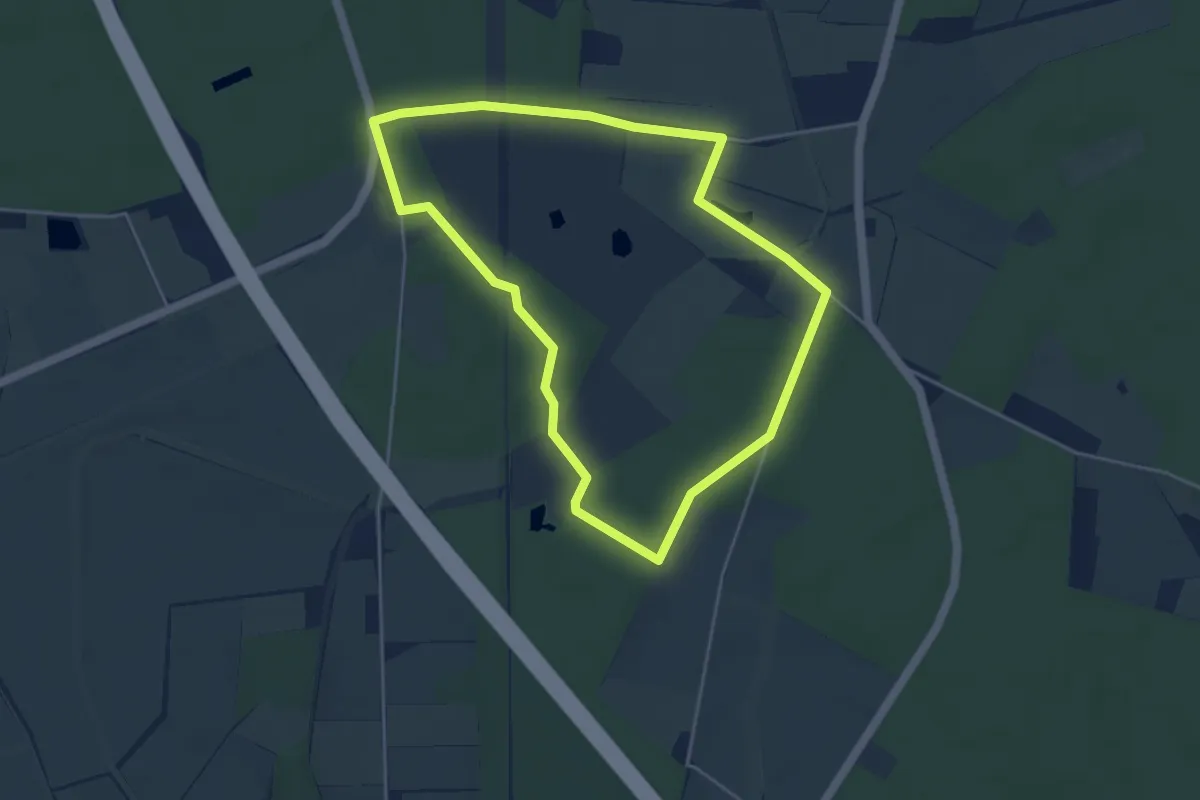
Easy · Trail
Naturlehrpfad Emmerbachaue
3.8 km · ↑ 12 m · 59 min
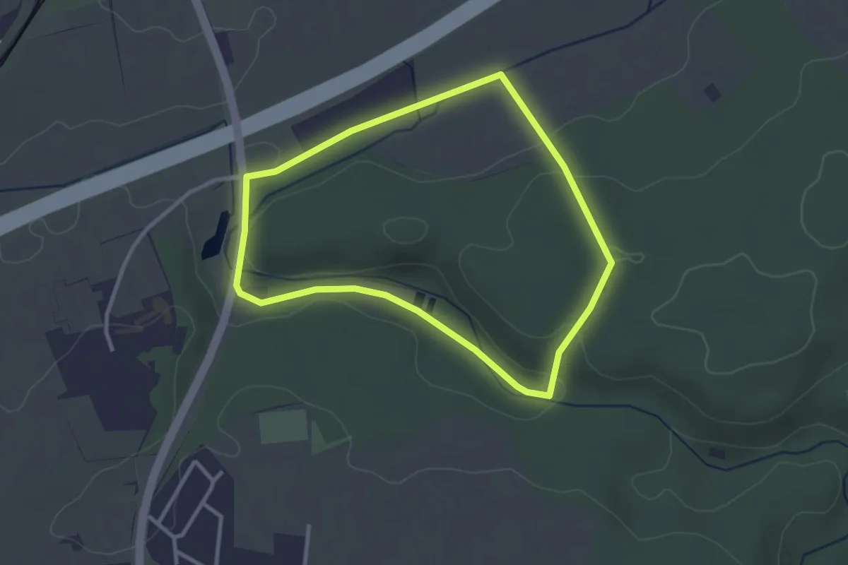
Easy · Trail
Naturlehrpfad Ergenzingen
2.6 km · ↑ 50 m · 46 min
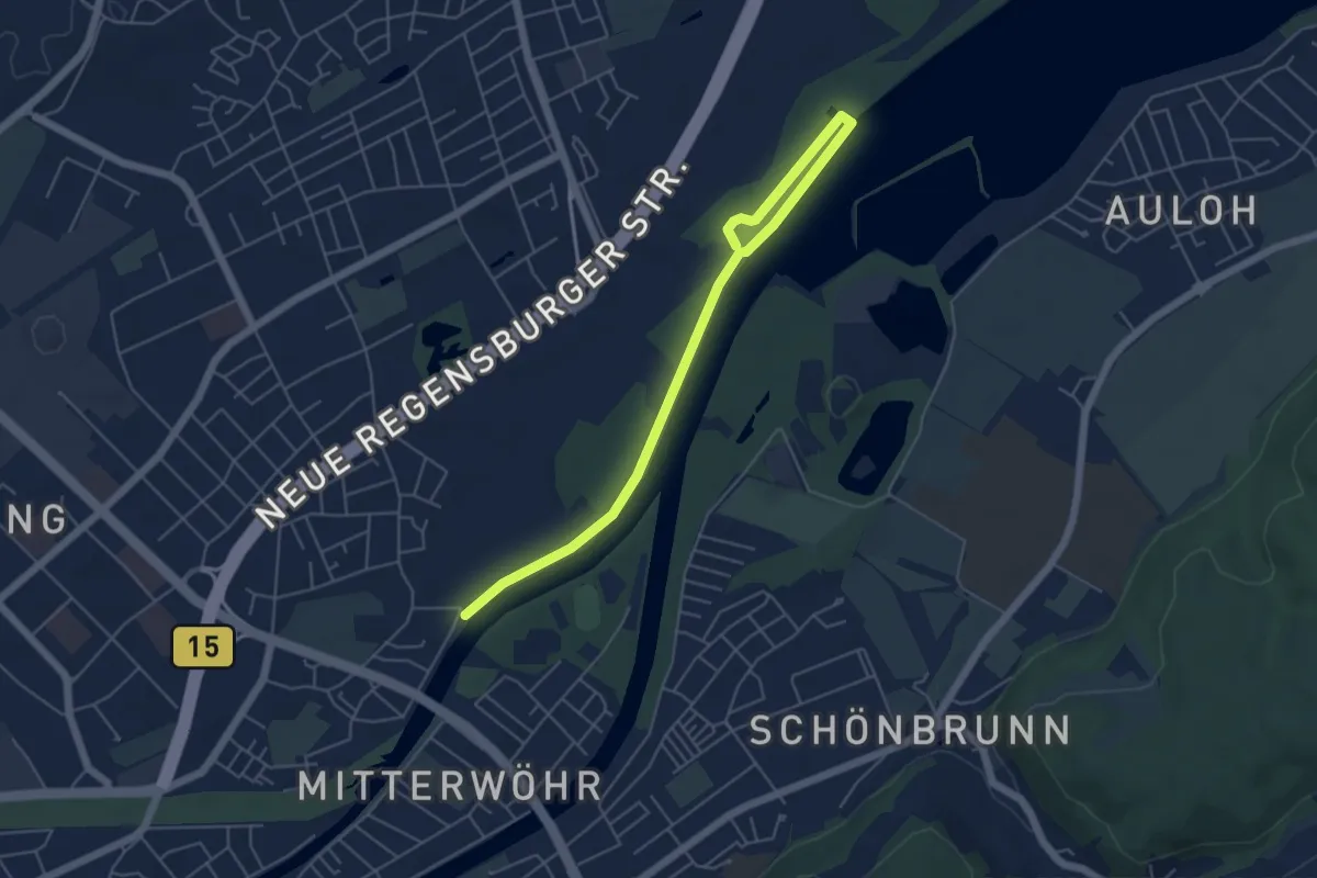
Easy · Trail
Naturlehrpfad Ergoldinger Isarau
5.8 km · ↑ 22 m · 1 h 25 min
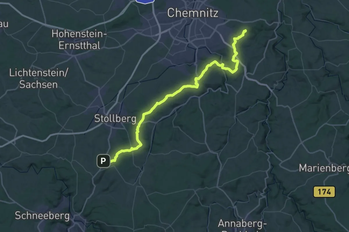
Demanding · Summit
Naturlehrpfad Erzgebirgsnordrandstufe
71.0 km · ↑ 1144 m · 19 h 15 min
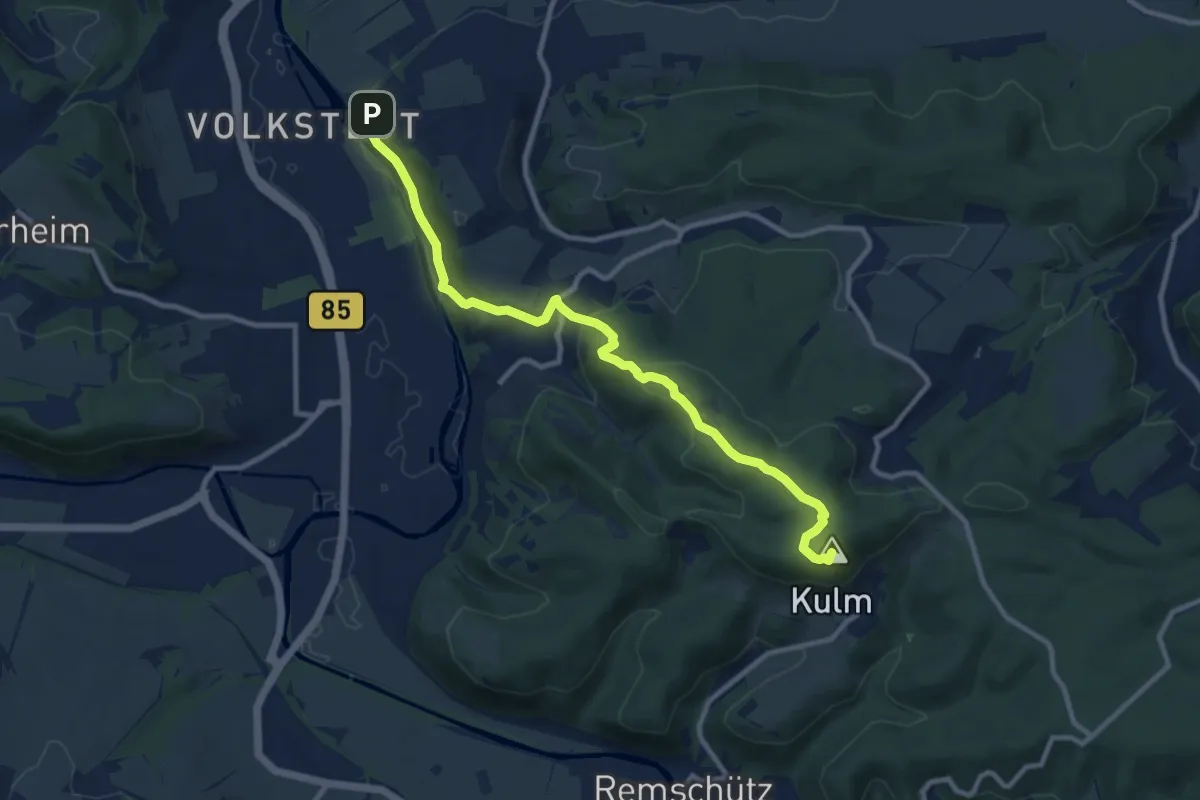
Medium · Summit
Natur-Lehrpfad "Friedrich-Schiller"
9.9 km · ↑ 328 m · 3 h 2 min
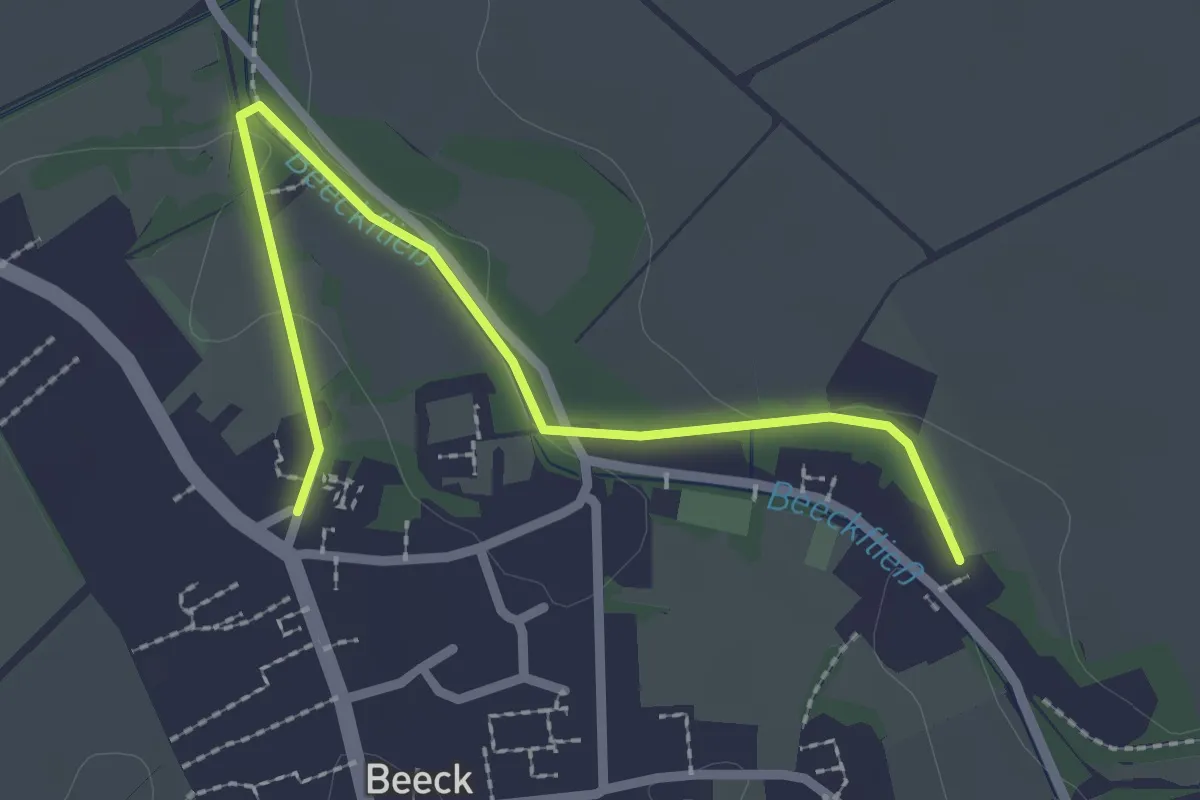
Easy · Trail
Naturlehrpfad Geilenkirchen-Beeck
2.4 km · ↑ 19 m · 36 min
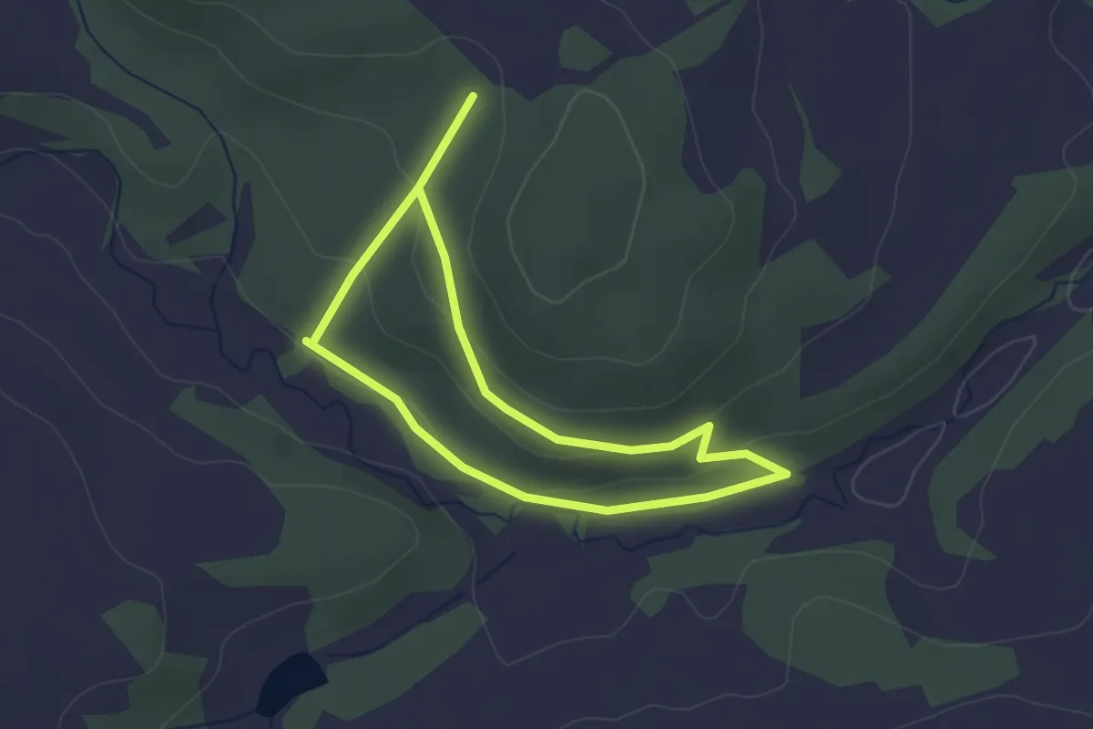
Easy · Trail
Naturlehrpfad Geilsdorf
2.3 km · ↑ 60 m · 43 min
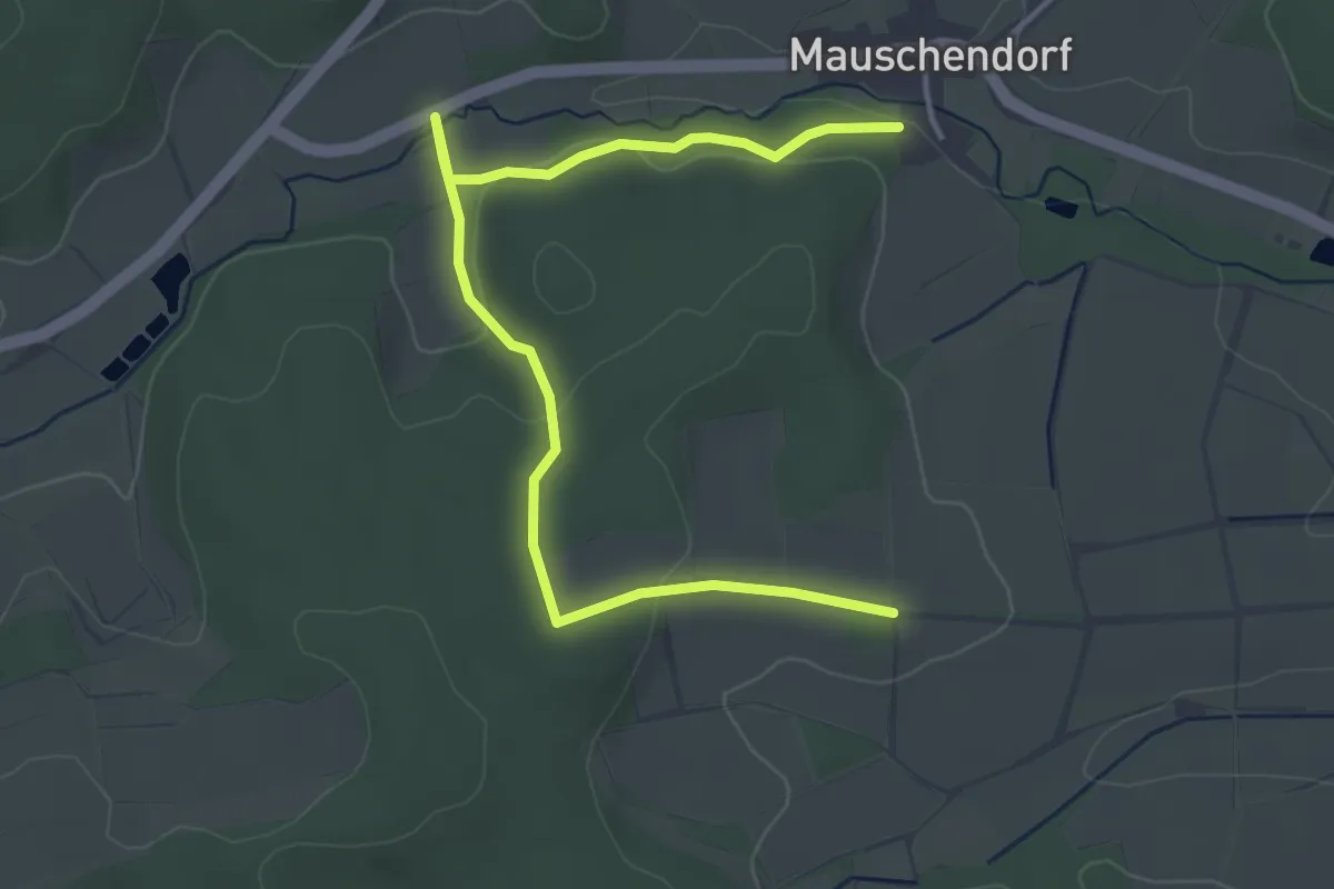
Easy · Trail
NaturLehrPfad Gerach
4.6 km · ↑ 80 m · 1 h 15 min
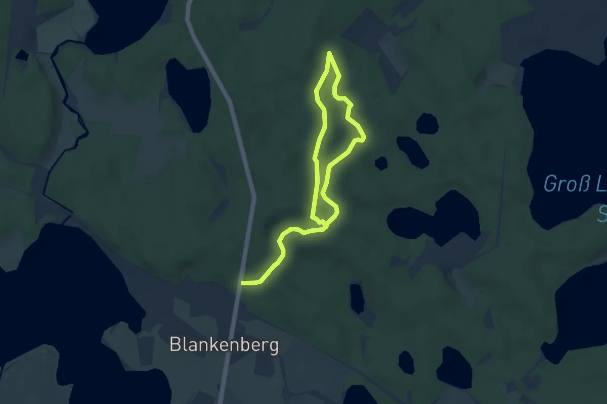
Medium · Trail
Naturlehrpfad "Gerhard-Schulze-Weg"
8.1 km · ↑ 47 m · 2 h 1 min
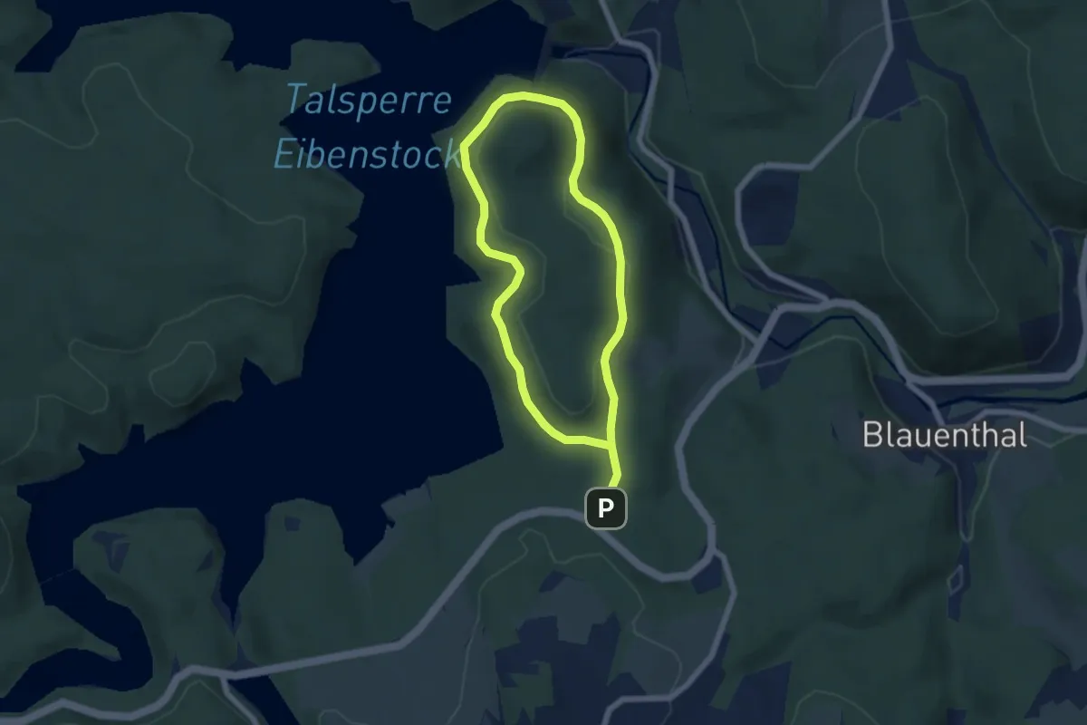
Easy · Trail
Naturlehrpfad Gerstenberg
4.5 km · ↑ 82 m · 1 h 18 min
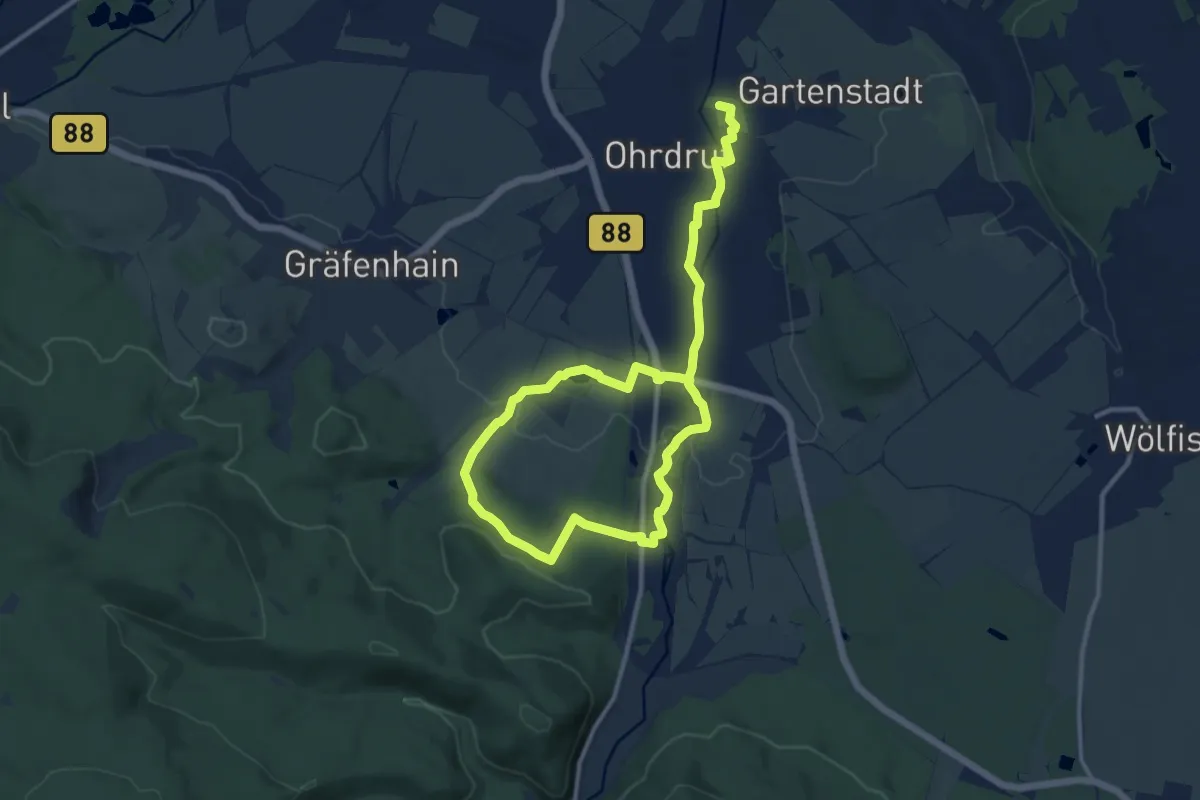
Easy · Trail
Naturlehrpfad Gertrud Zetzmann
7.9 km · ↑ 85 m · 2 h 10 min
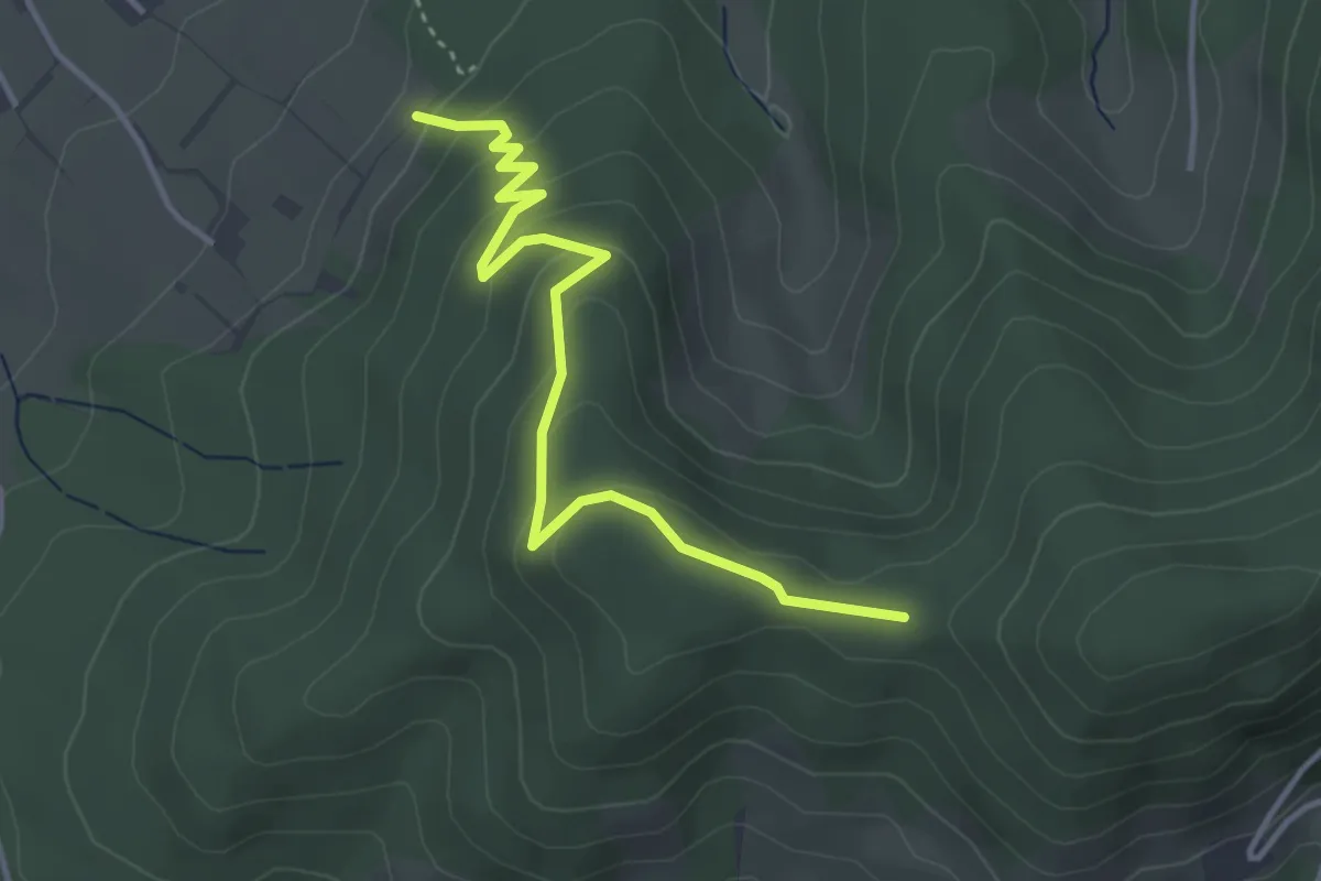
Easy · Trail
Naturlehrpfad - Gieseneck
3.8 km · ↑ 190 m · 1 h 19 min
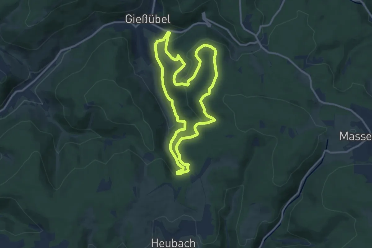
Medium · Summit
Naturlehrpfad "Gießübler Schweiz"
8.0 km · ↑ 299 m · 2 h 39 min
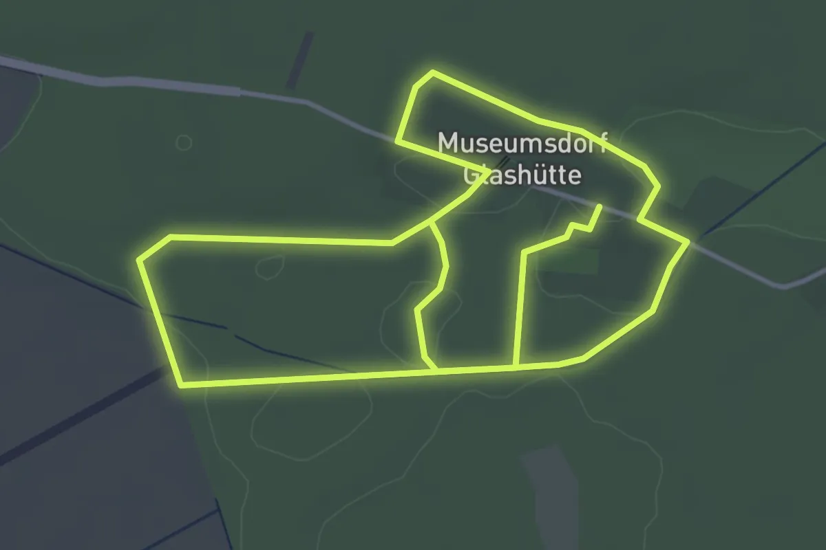
Easy · Trail
Naturlehrpfad Glashütte
7.6 km · ↑ 23 m · 1 h 50 min
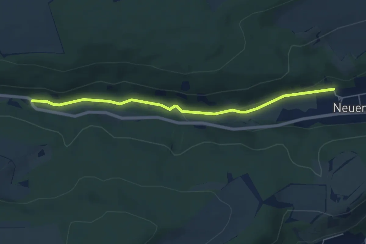
Easy · Trail
Naturlehrpfad Gönnatal
4.3 km · ↑ 56 m · 1 h 9 min
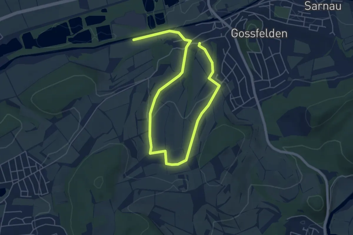
Easy · Trail
Naturlehrpfad Goßfelden
7.1 km · ↑ 152 m · 2 h
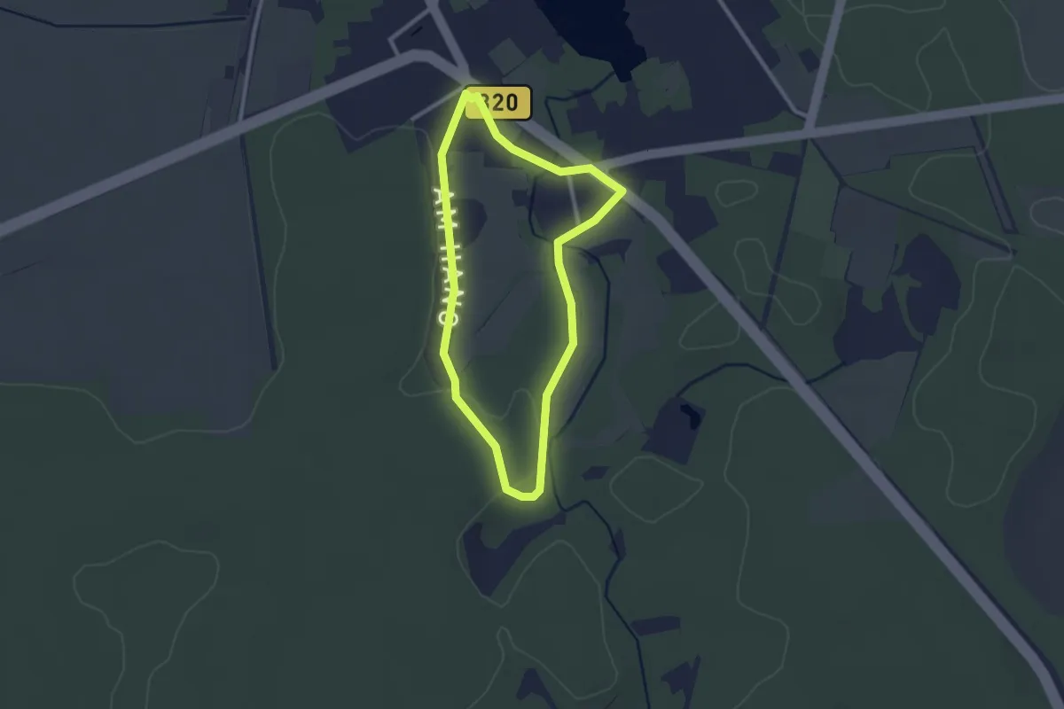
Easy · Trail
Naturlehrpfad Goyatz
2.1 km · ↑ 13 m · 33 min
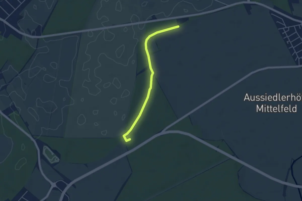
Easy · Trail
Naturlehrpfad Graben-Neudorf
3.7 km · ↑ 21 m · 55 min
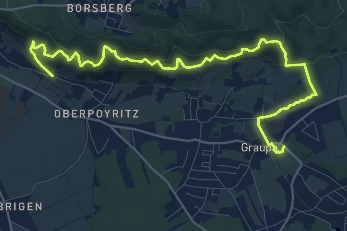
Medium · Trail
Naturlehrpfad Graupa
12.3 km · ↑ 699 m · 4 h 25 min
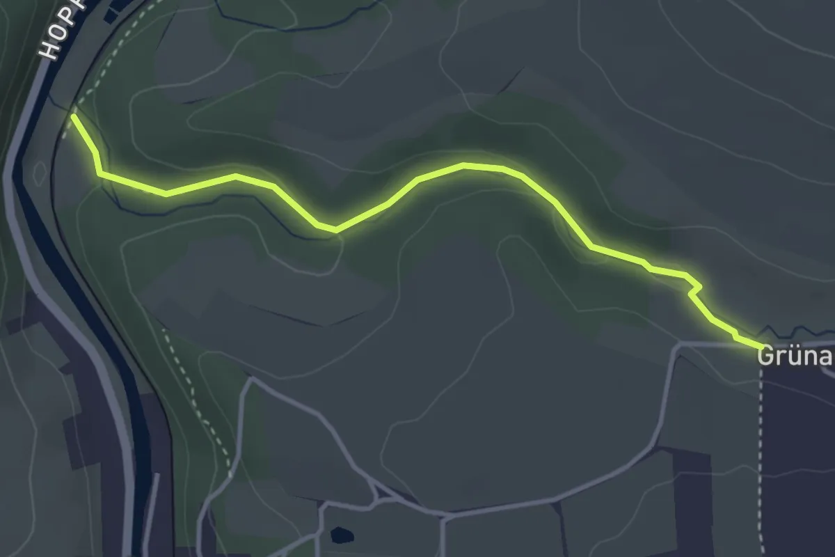
Easy · Trail
Naturlehrpfad Grünauer Tal
3.3 km · ↑ 56 m · 54 min
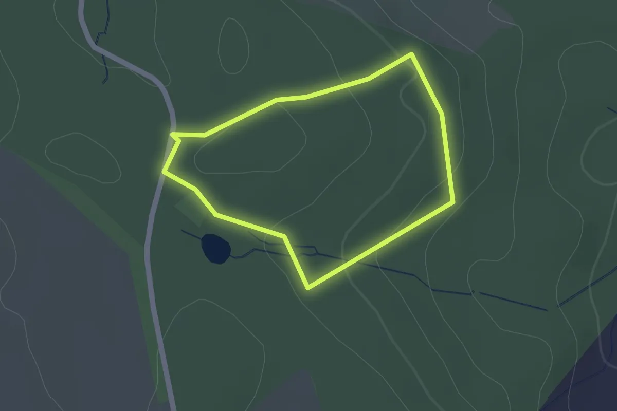
Easy · Trail
Naturlehrpfad Grundau
1.3 km · ↑ 31 m · 23 min
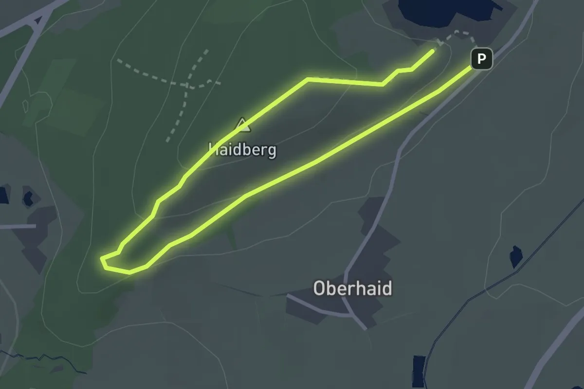
Easy · Summit
Naturlehrpfad Haidberg
2.0 km · ↑ 72 m · 40 min
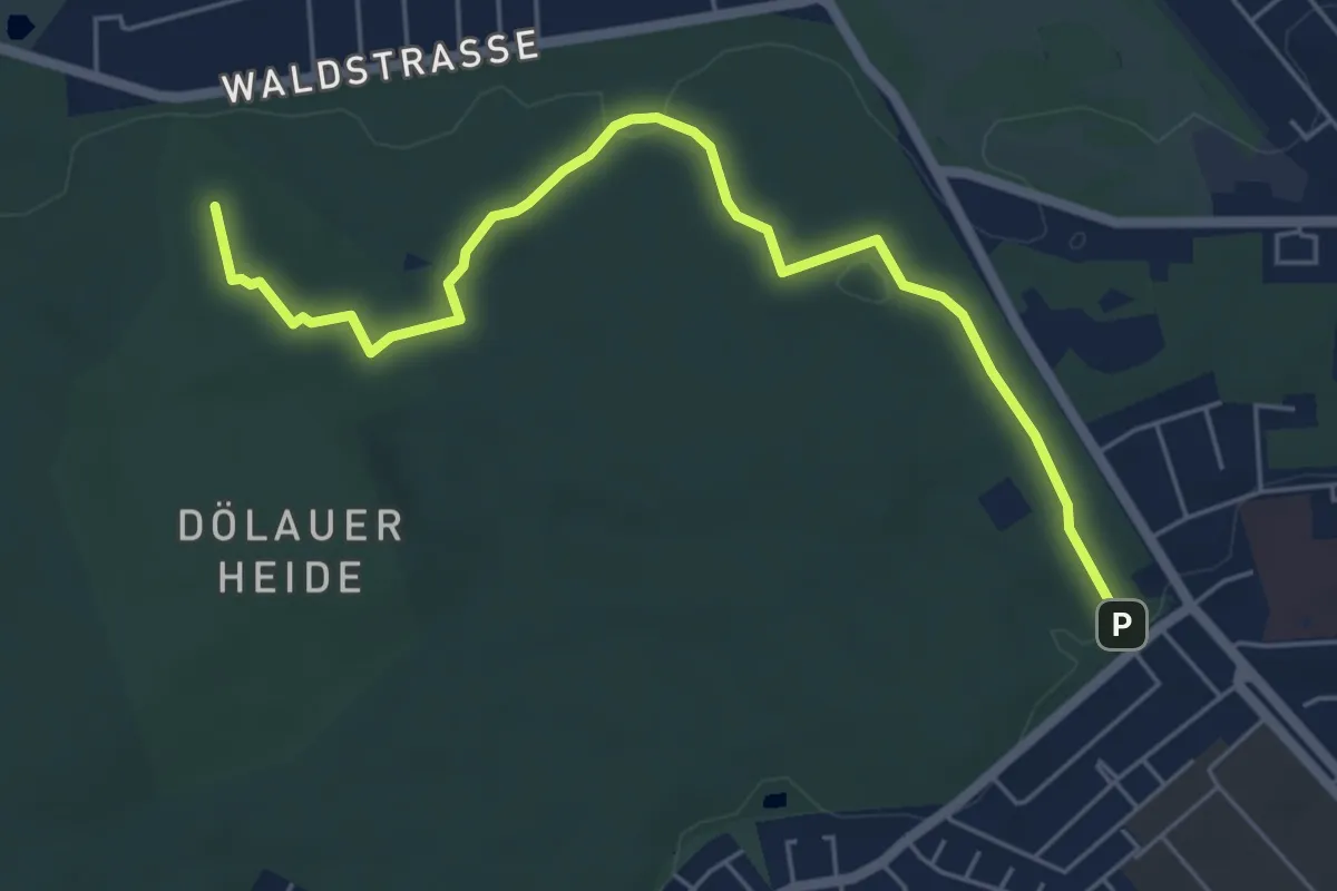
Easy · Summit
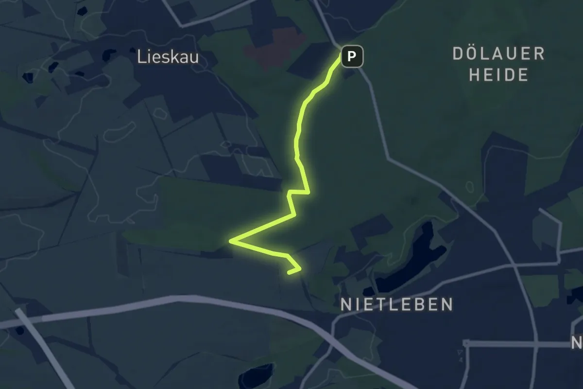
Naturlehrpfad Halle Dölau I
5.6 km · ↑ 50 m · 1 h 26 min
Easy · Summit
Naturlehrpfad Halle Dölau II
6.7 km · ↑ 19 m · 1 h 37 min
Easy · Trail
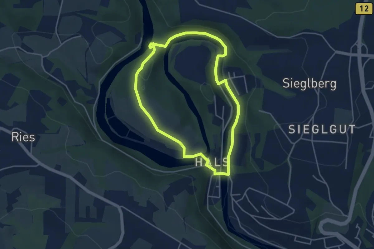
Naturlehrpfad Halser Ilzschleifen - Runde 1
3.2 km · ↑ 98 m · 1 h 1 min
Easy · Trail
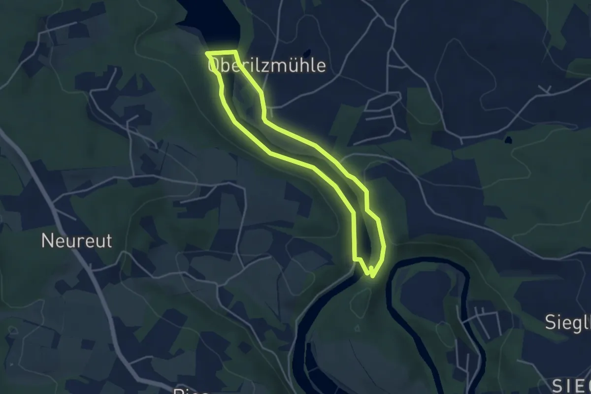
Naturlehrpfad Halser Ilzschleifen - Runde 2
3.3 km · ↑ 81 m · 1 h
Easy · Trail
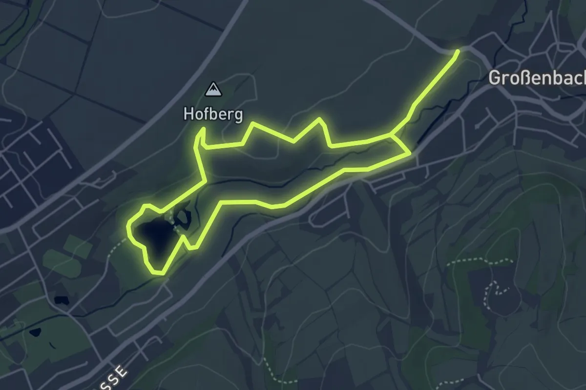
Naturlehrpfad Haselsee-Hofberg-Großenbach
3.8 km · ↑ 40 m · 1 h 2 min
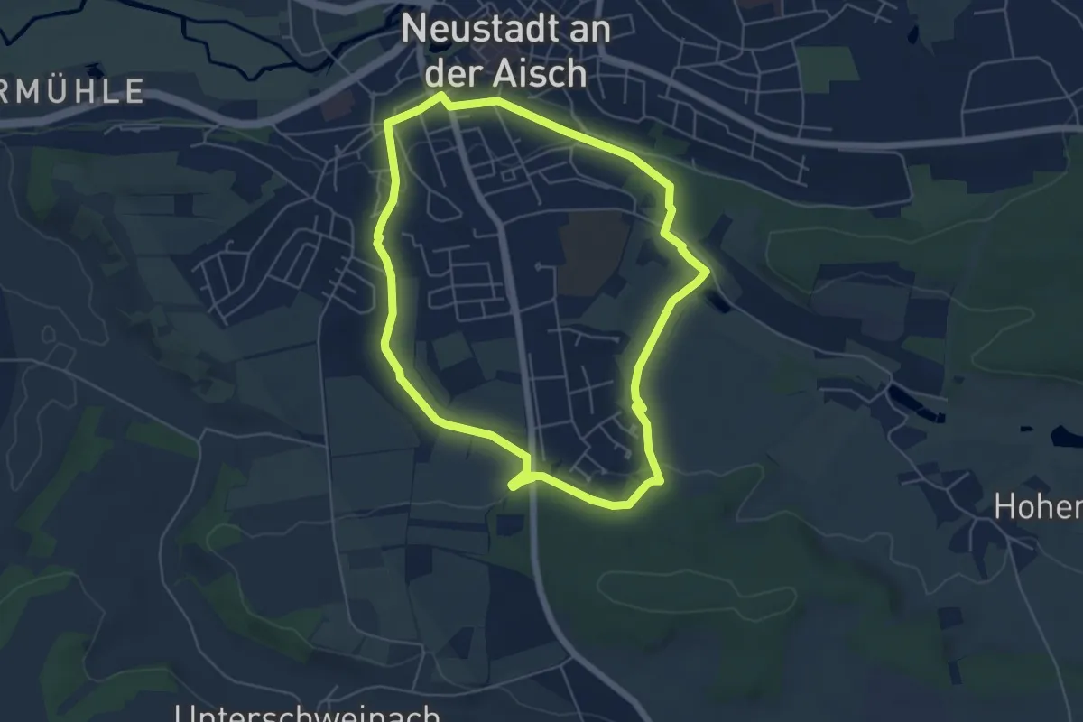
Easy · Trail
Naturlehrpfad Hasengründlein - Multernschlucht
5.1 km · ↑ 69 m · 1 h 26 min
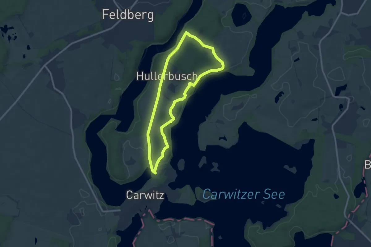
Easy · Summit
Naturlehrpfad Hauptmannsberg-Hullerbusch
6.4 km · ↑ 81 m · 1 h 46 min
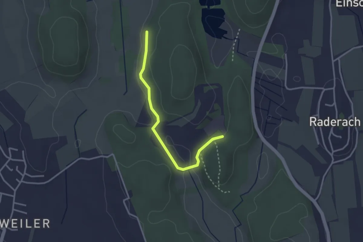
Easy · Trail
Naturlehrpfad Hepacher-L. Ried - Bodenseepfad ("Wandern in Friedrichshafen")
2.7 km · ↑ 49 m · 44 min
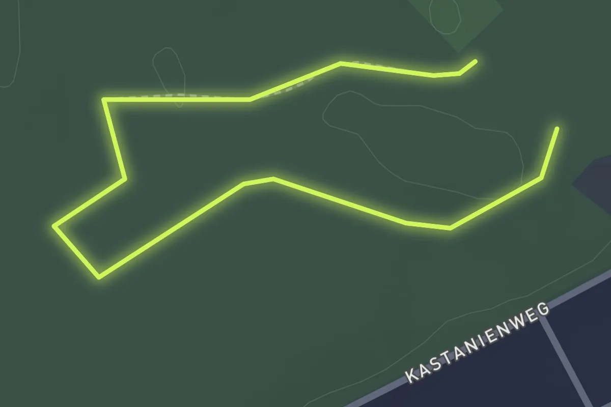
Easy · Trail
Naturlehrpfad HirschErlebnisWelt
1.3 km · ↑ 4 m · 20 min
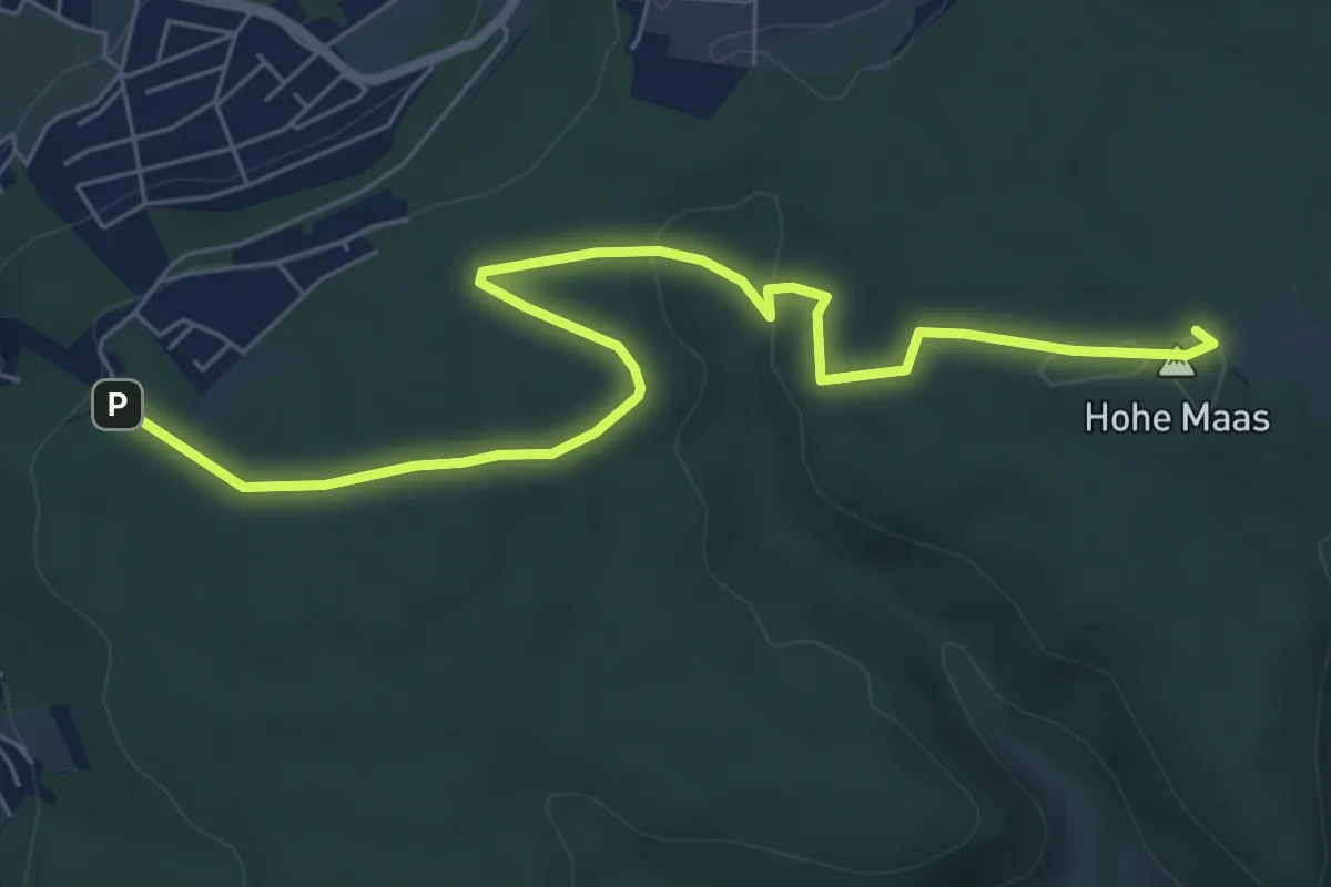
Easy · Summit
Naturlehrpfad Hohe Maas
7.0 km · ↑ 130 m · 1 h 56 min
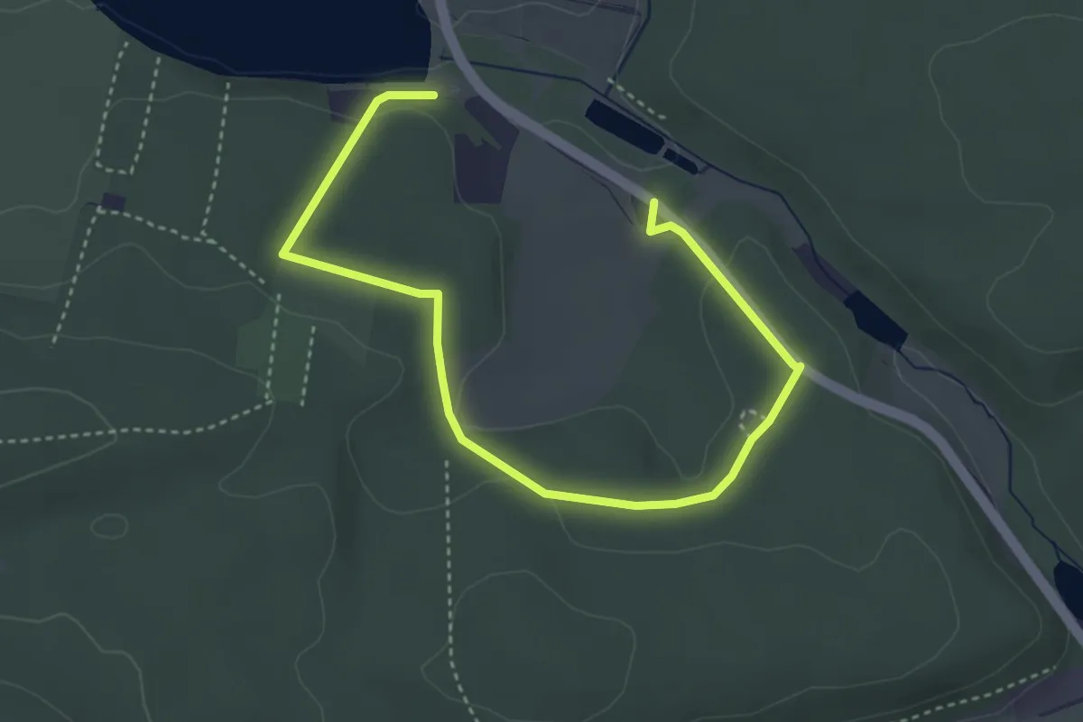
Easy · Trail
Naturlehrpfad Hohenfelden
4.4 km · ↑ 68 m · 1 h 12 min
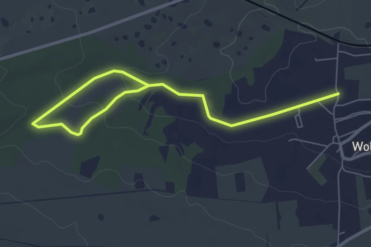
Easy · Trail
Naturlehrpfad "Holzmarken"
5.8 km · ↑ 90 m · 1 h 35 min
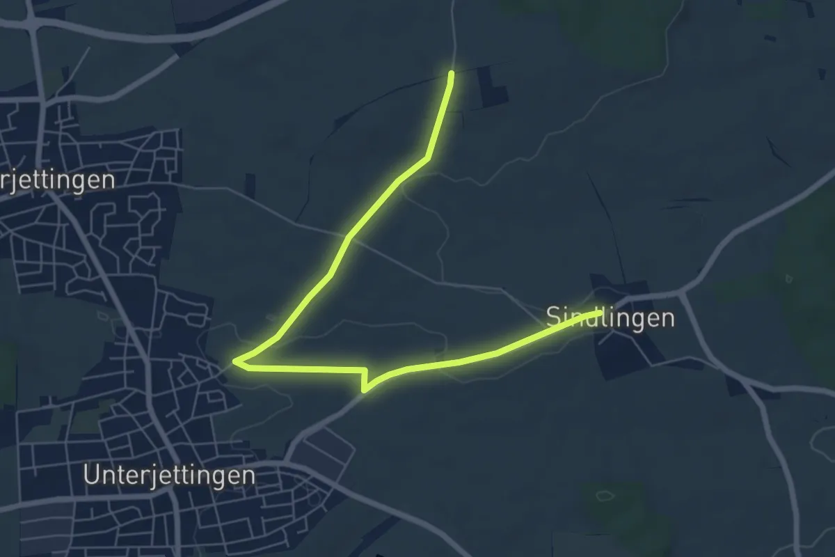
Easy · Trail
Naturlehrpfad Jettingen-Öfele-Sindlingen
7.0 km · ↑ 53 m · 1 h 46 min