Trails in Germany
36,852 hiking trails, each with its route, climb, walking time and grade.
All trails, page 366 of 768
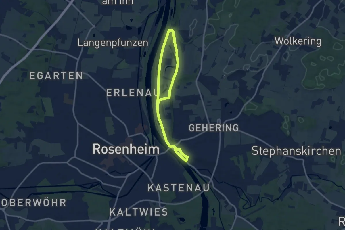
Medium · Trail
Naturraum Hofau-Innleiten
12.6 km · ↑ 122 m · 3 h 14 min
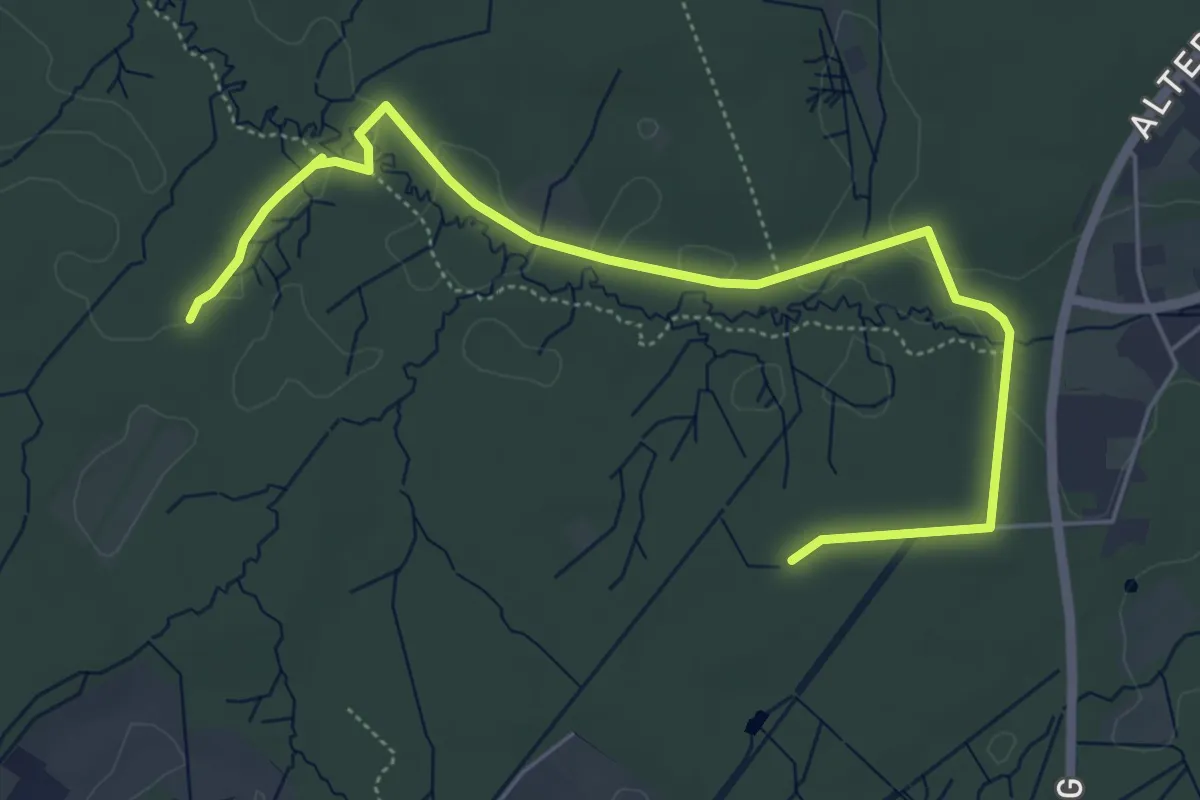
Easy · Trail
Naturrundweg
2.9 km · ↑ 4 m · 44 min
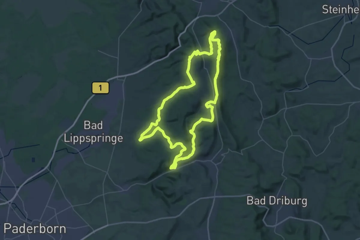
Demanding · Summit
Naturschätze-Steig
35.4 km · ↑ 828 m · 10 h 39 min
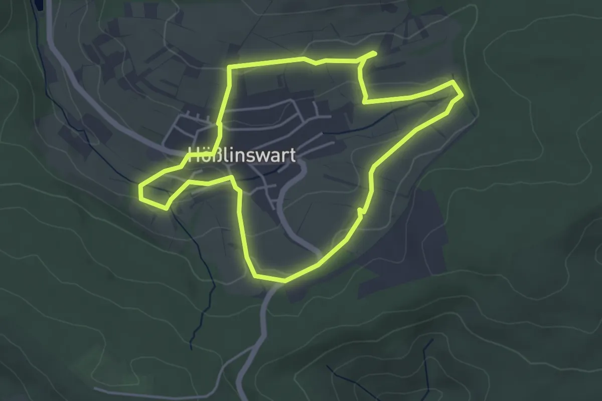
Easy · Trail
Naturschutzrundgang
3.8 km · ↑ 75 m · 1 h 7 min
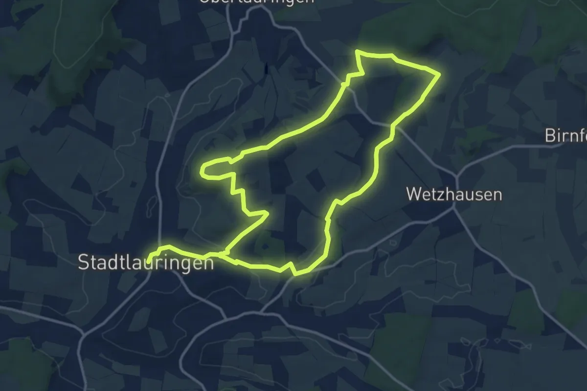
Medium · Trail
Naturschutzweg Stadtlauringen
11.2 km · ↑ 107 m · 3 h 2 min
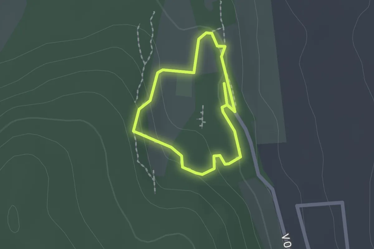
Easy · Trail
NaturSinnesPfad
1.1 km · ↑ 30 m · 20 min
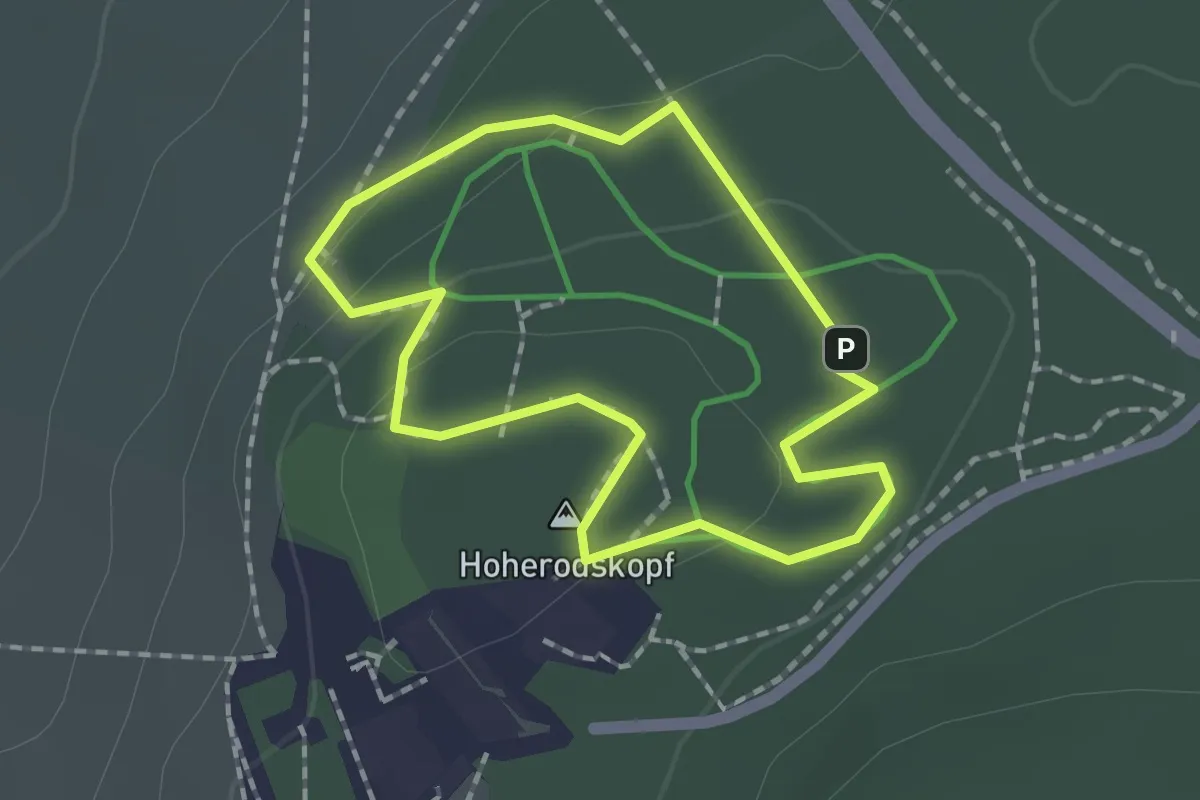
Easy · Summit
Naturspur
1.4 km · ↑ 35 m · 25 min
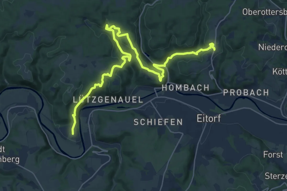
Demanding · Trail
Natursteig Sieg Etappe 04
21.9 km · ↑ 719 m · 6 h 43 min
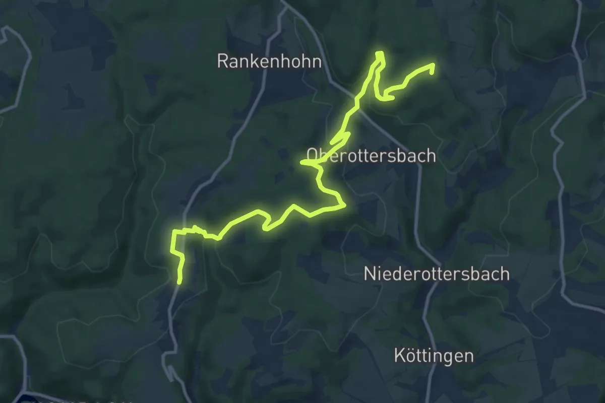
Medium · Summit
Natursteig Sieg Etappe 05
11.7 km · ↑ 366 m · 3 h 33 min
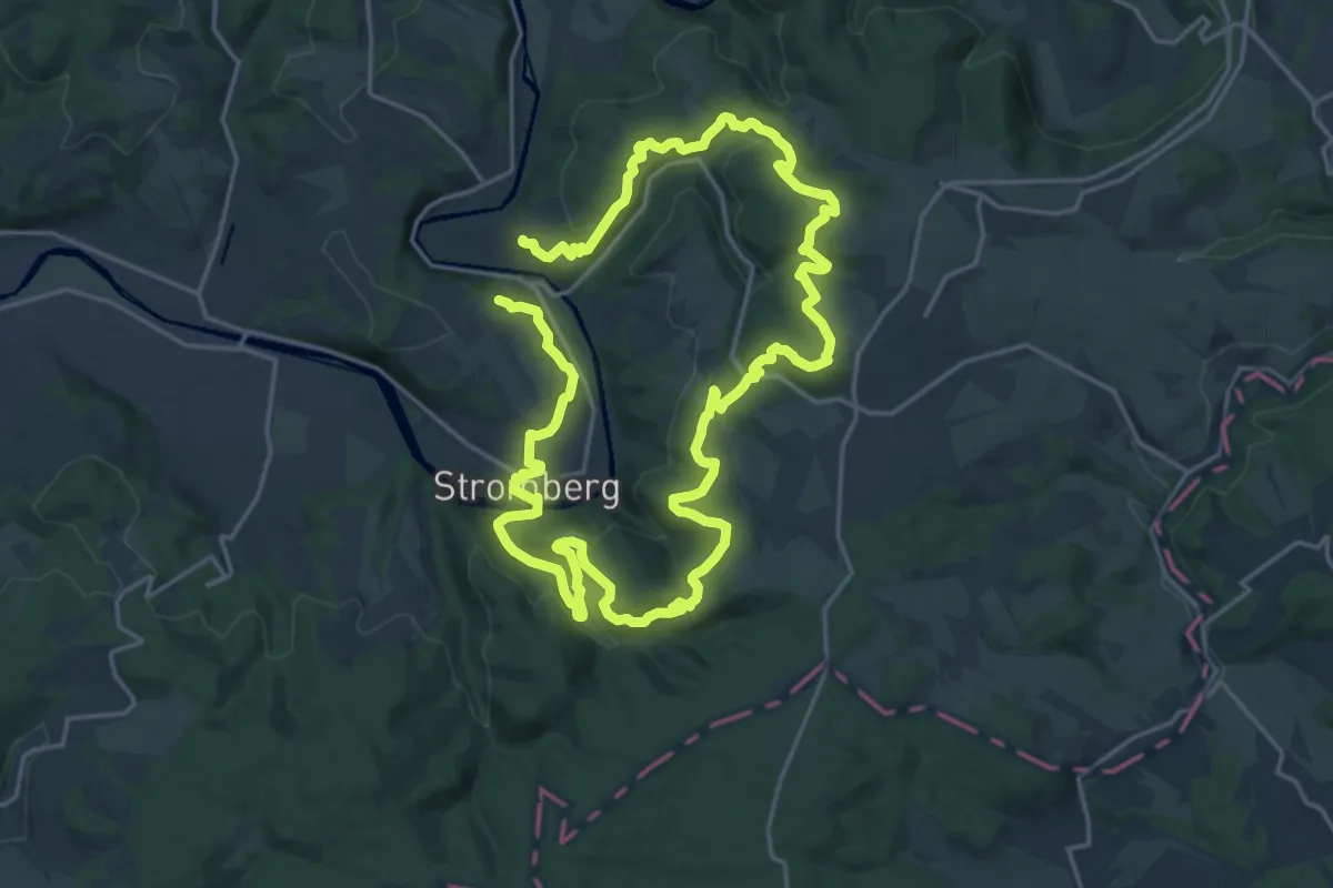
Medium · Trail
Natursteig Sieg Etappe 06
16.7 km · ↑ 517 m · 5 h 17 min
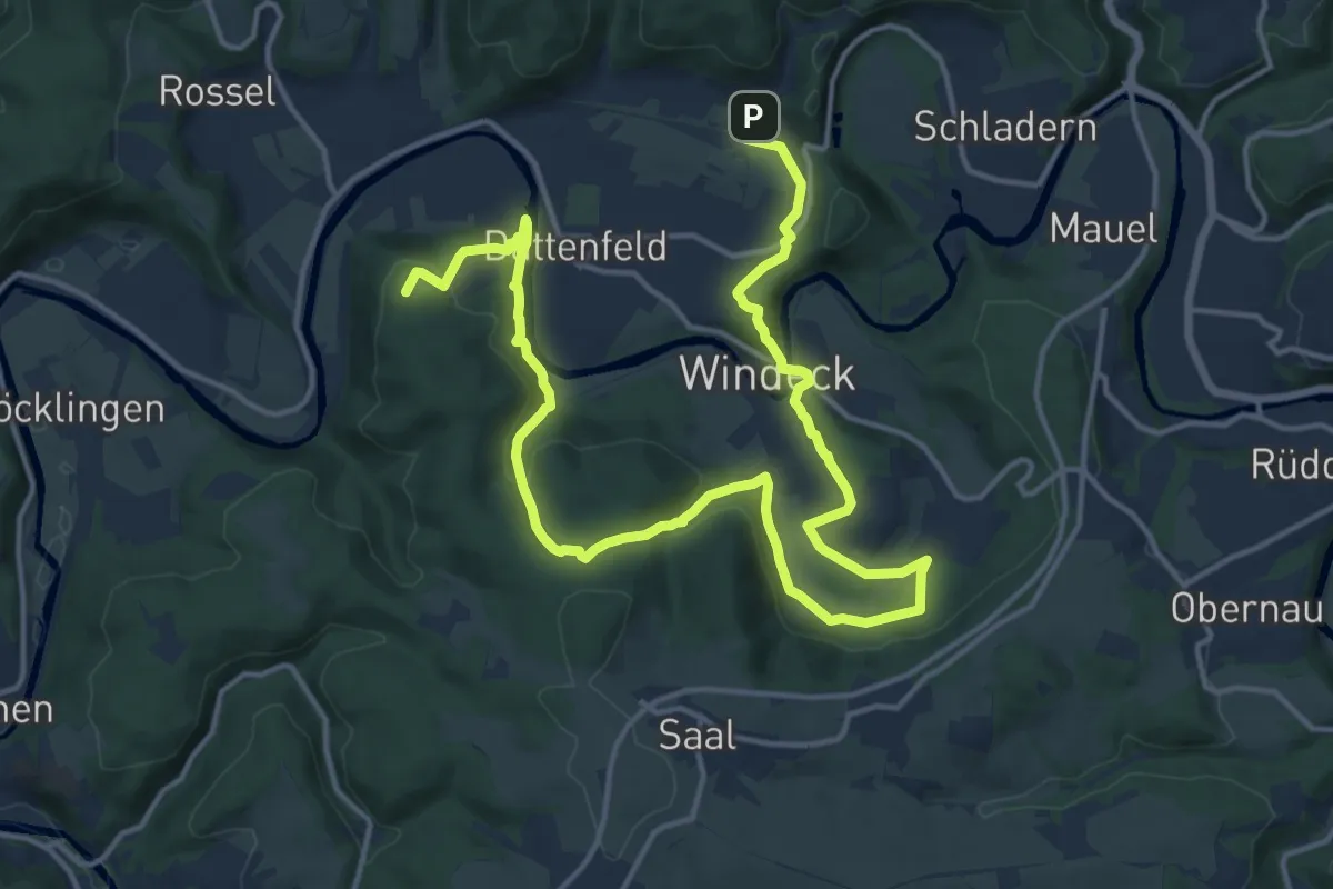
Demanding · Summit
Natursteig Sieg Etappe 07
20.4 km · ↑ 706 m · 6 h 21 min
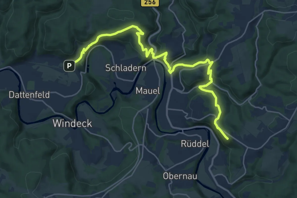
Medium · Summit
Natursteig Sieg Etappe 08
17.8 km · ↑ 767 m · 5 h 51 min
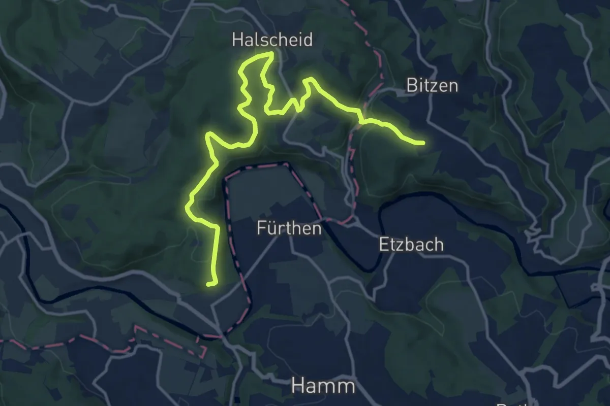
Medium · Trail
Natursteig Sieg Etappe 09
13.9 km · ↑ 497 m · 4 h 21 min
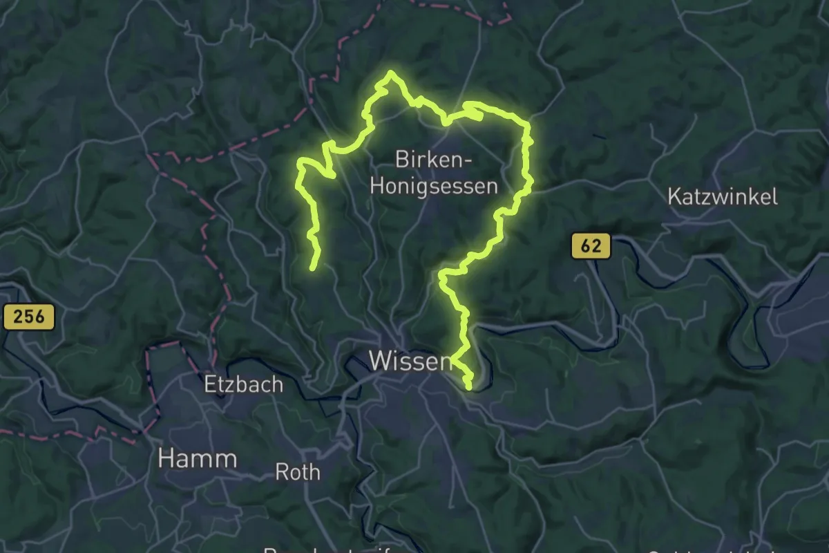
Demanding · Trail
Natursteig Sieg Etappe 10
19.3 km · ↑ 431 m · 5 h 49 min
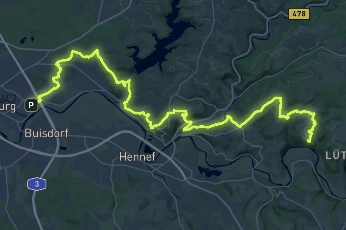
Demanding · Summit
Natursteig Sieg Etappen 01-03
43.4 km · ↑ 1080 m · 12 h 35 min
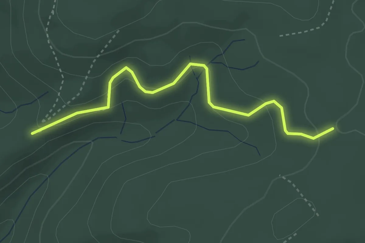
Easy · Trail
Natursteig Sieg Etappen 11-Ende
3.1 km · ↑ 193 m · 1 h 9 min
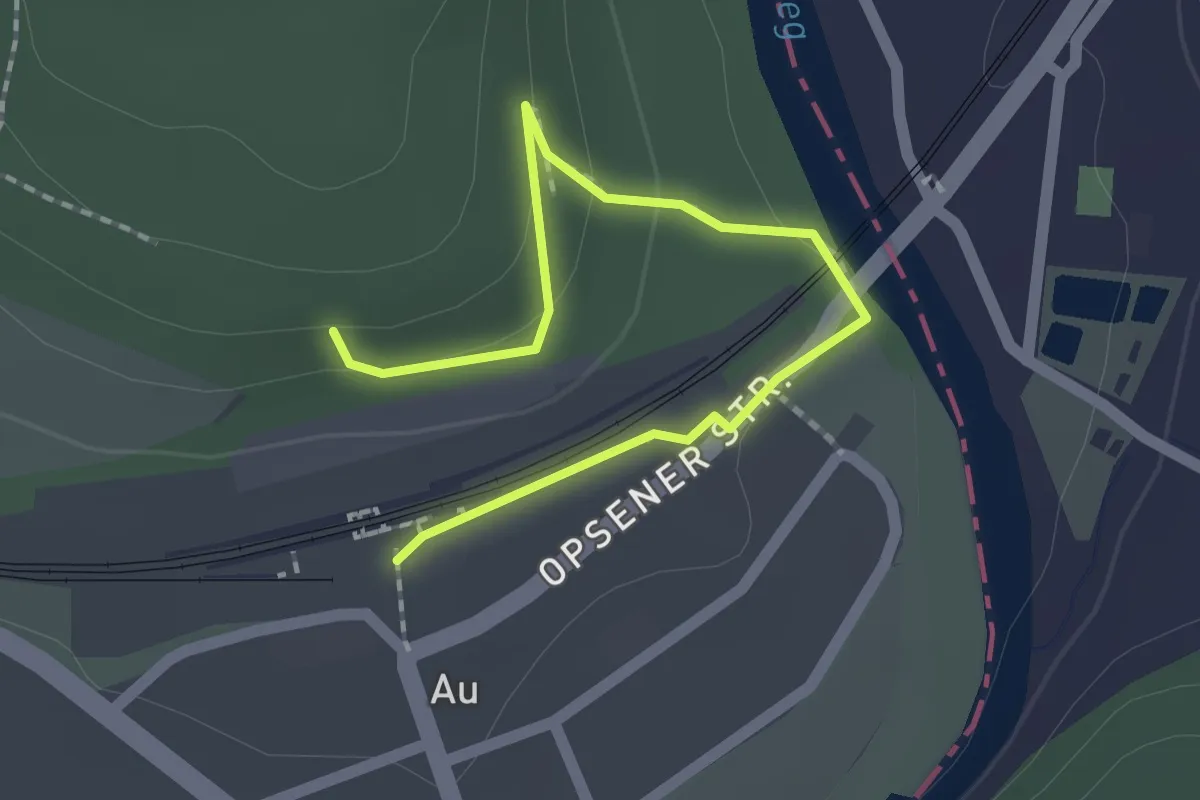
Easy · Trail
Natursteig Sieg Zugang Bf Au (Sieg)
2.0 km · ↑ 70 m · 38 min
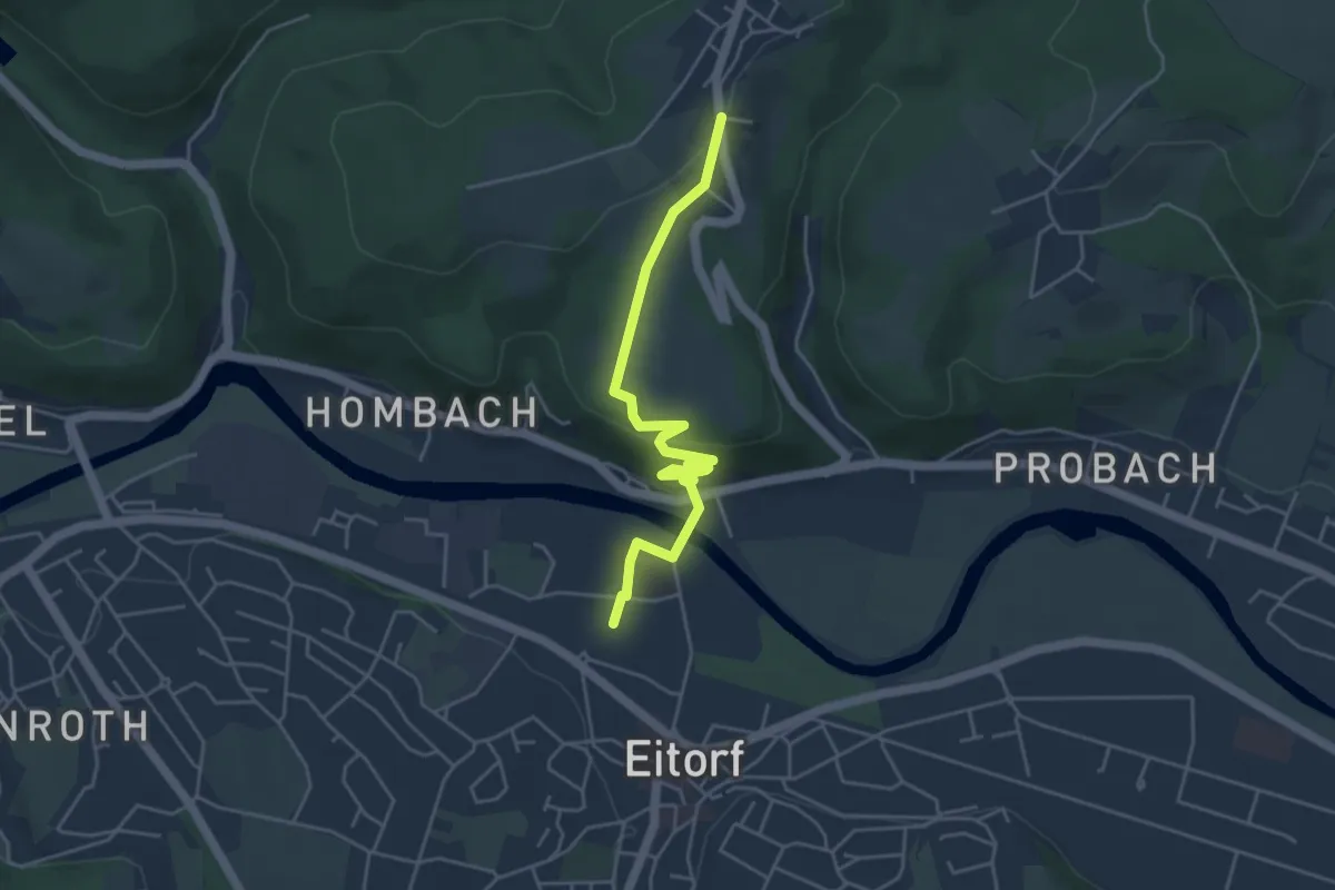
Medium · Trail
Natursteig Sieg Zugang Bf Eitorf - Bohlscheid
4.3 km · ↑ 134 m · 1 h 18 min
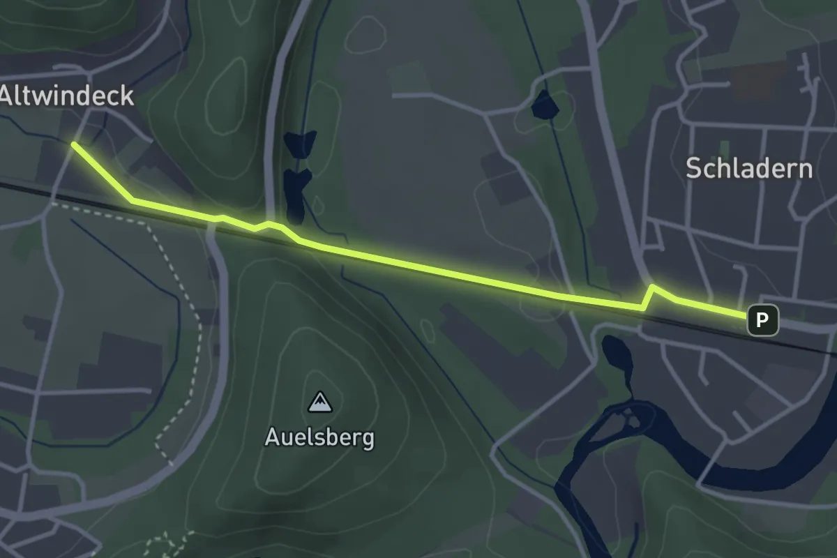
Easy · Trail
Natursteig Sieg Zugang Bf Schladern
3.1 km · ↑ 47 m · 50 min
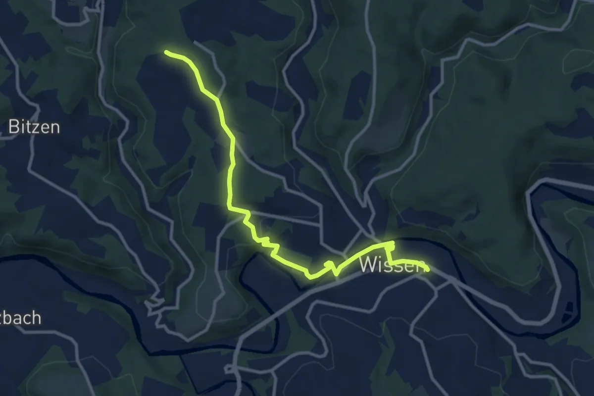
Medium · Trail
Natursteig Sieg Zugang Bf Wissen → Etappe 10
9.3 km · ↑ 181 m · 2 h 35 min
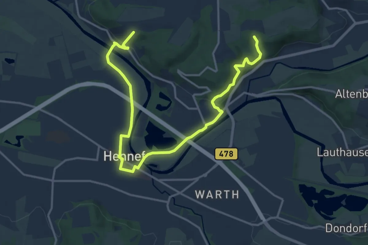
Medium · Trail
Natursteig Sieg Zugang Hennef
11.6 km · ↑ 318 m · 3 h 26 min
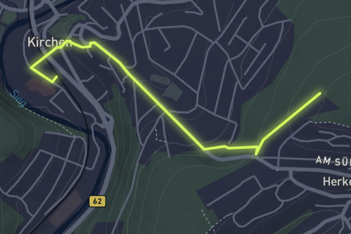
Easy · Trail
Natursteig Sieg Zugang Kirchen
4.1 km · ↑ 166 m · 1 h 19 min
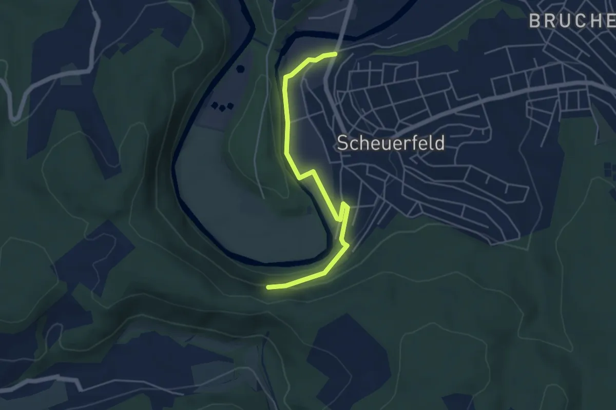
Easy · Trail
Natursteig Sieg Zugang Scheuerfeld
4.2 km · ↑ 76 m · 1 h 10 min
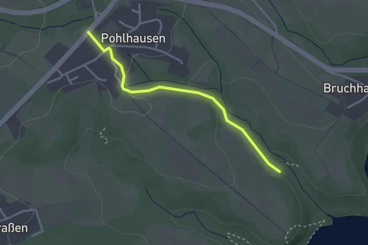
Easy · Trail
Natursteig Sieg Zugang Talsperrenweg
2.3 km · ↑ 46 m · 39 min
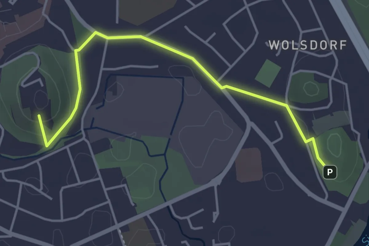
Easy · Summit
Natursteig Sieg Zuweg Siegburg
3.8 km · ↑ 61 m · 1 h 1 min
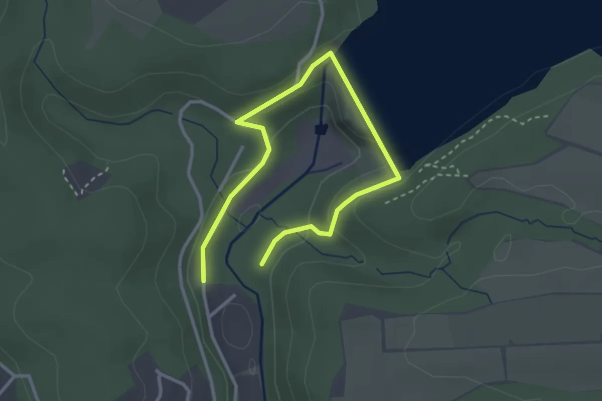
Medium · Trail
Natursteig Sieg Zuweg Wahnbachtalsperre
1.7 km · ↑ 53 m · 33 min
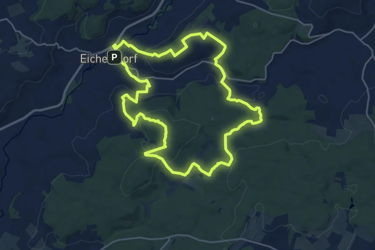
Medium · Summit
NaturTour Nidda
13.6 km · ↑ 304 m · 4 h 4 min
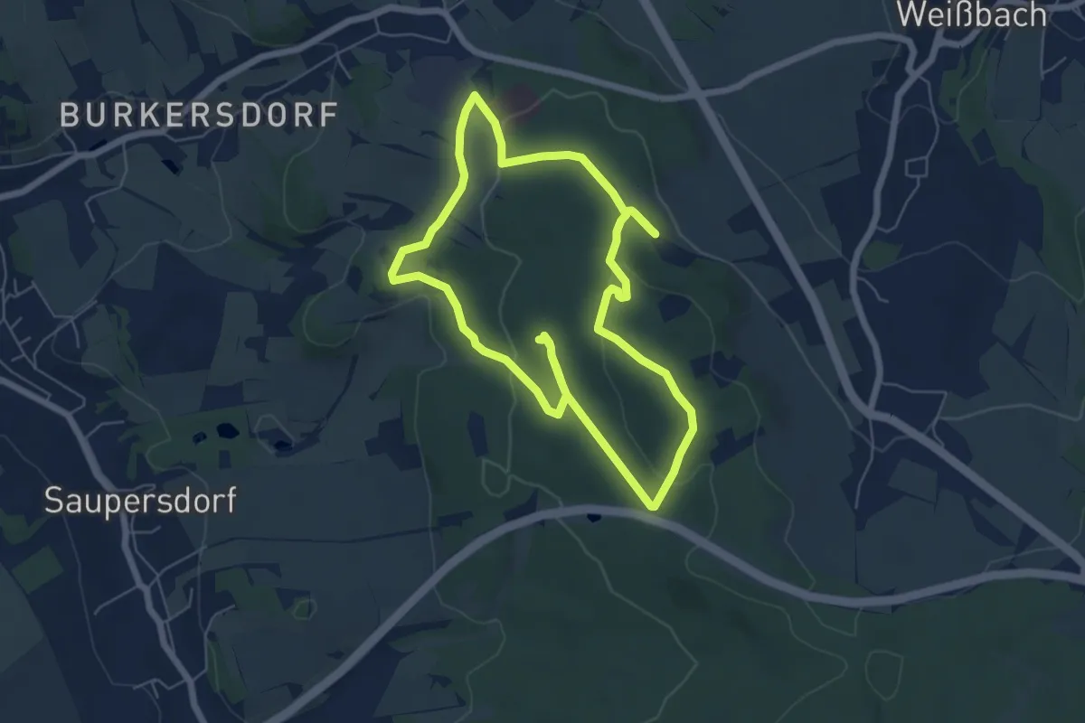
Easy · Summit
Natur- und Bergbaulehrpfad "Zum Hohen Forst"
5.6 km · ↑ 131 m · 1 h 41 min
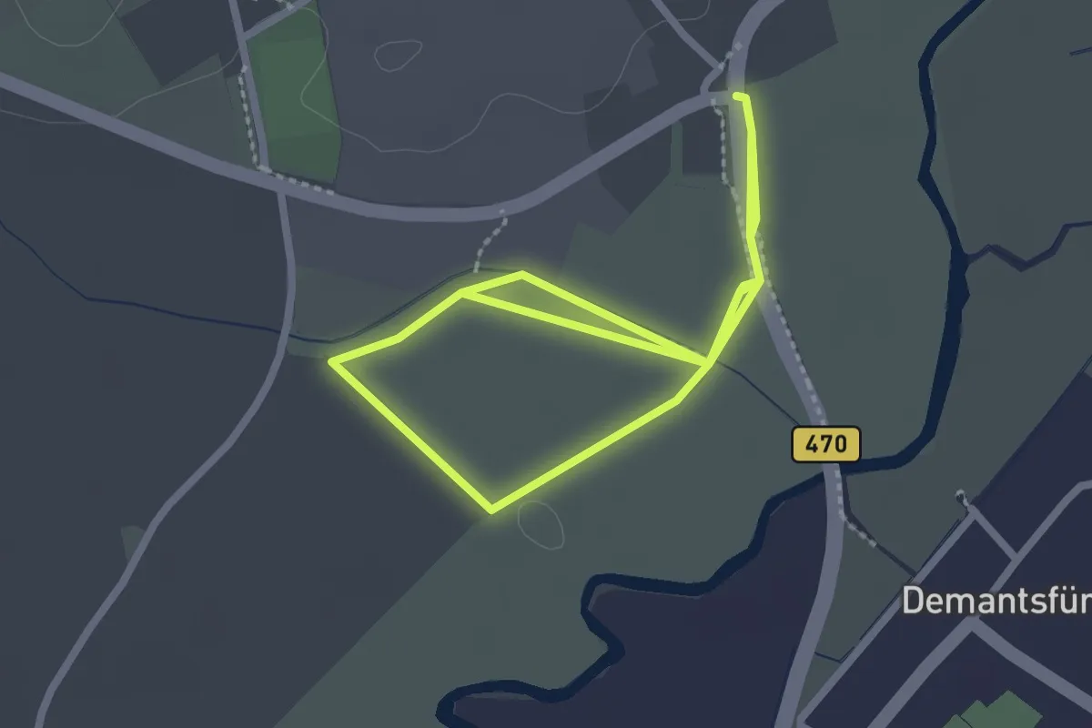
Easy · Trail
Natur- und Erlebnispfad Weisach
2.1 km · ↑ 0 m · 31 min
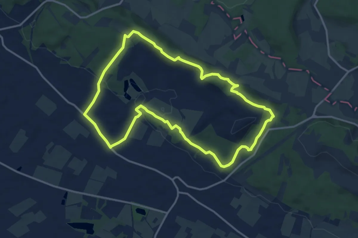
Medium · Trail
Natur- und Geopfad Dyckerhoff
8.5 km · ↑ 165 m · 2 h 29 min
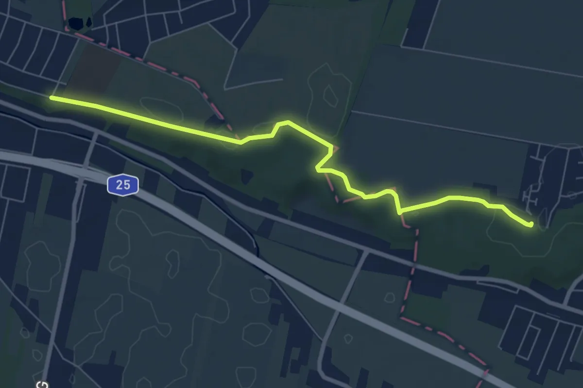
Easy · Trail
Natur- und Geschichtspfad Bergedorf Börnsen
6.1 km · ↑ 32 m · 1 h 30 min
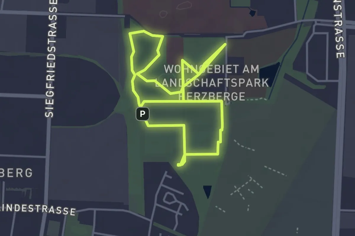
Easy · Trail
Natur- und Gesundheitspfad Landschaftspark Herzberge
3.2 km · ↑ 9 m · 48 min
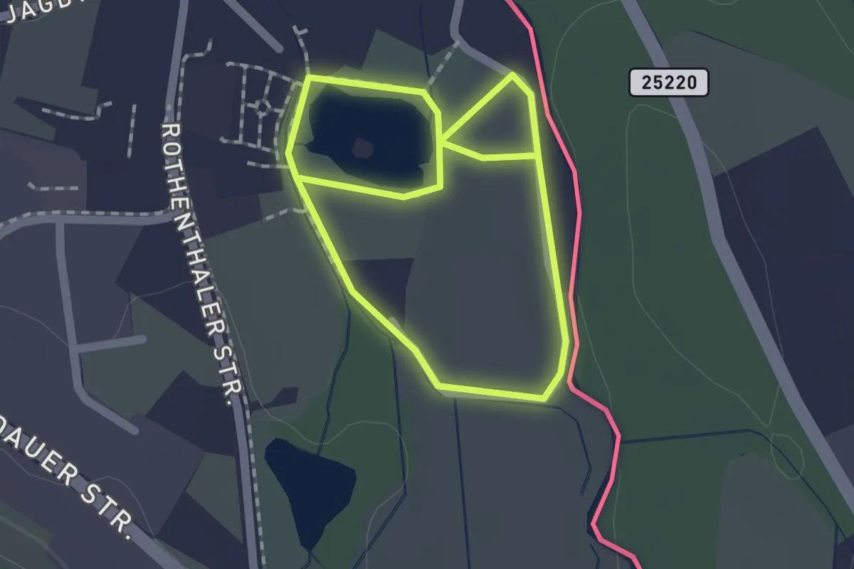
Easy · Trail
Natur- und Heimatlehrpfad "Althammer"
2.6 km · ↑ 0 m · 37 min
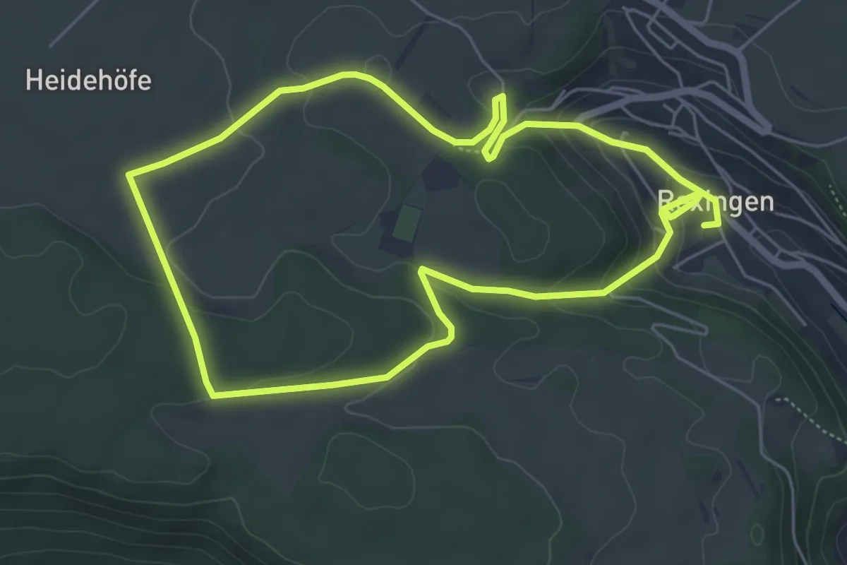
Easy · Trail
Natur und Kultur
5.2 km · ↑ 181 m · 1 h 40 min
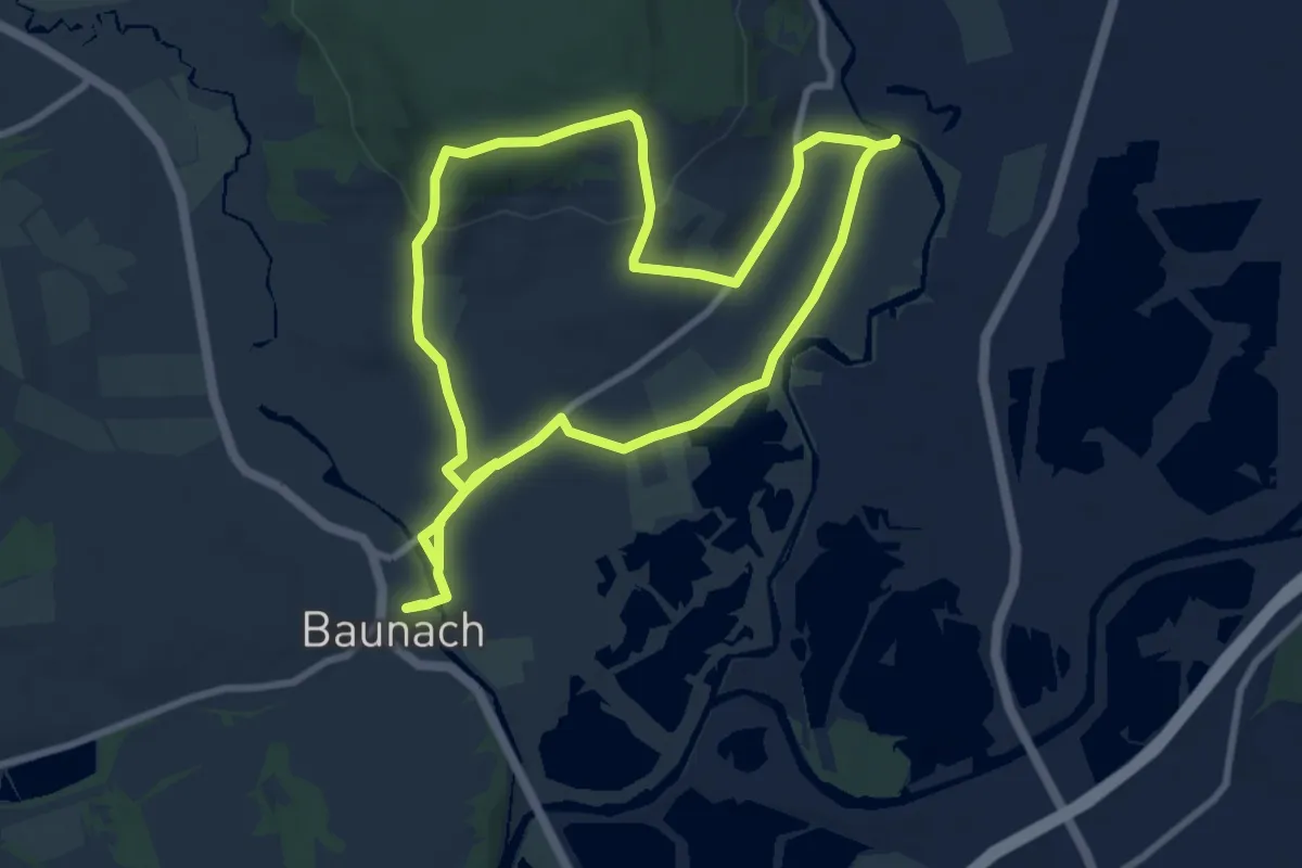
Medium · Trail
Natur- und Kulturhistorische Erlebnistour Baunach
8.4 km · ↑ 114 m · 2 h 20 min
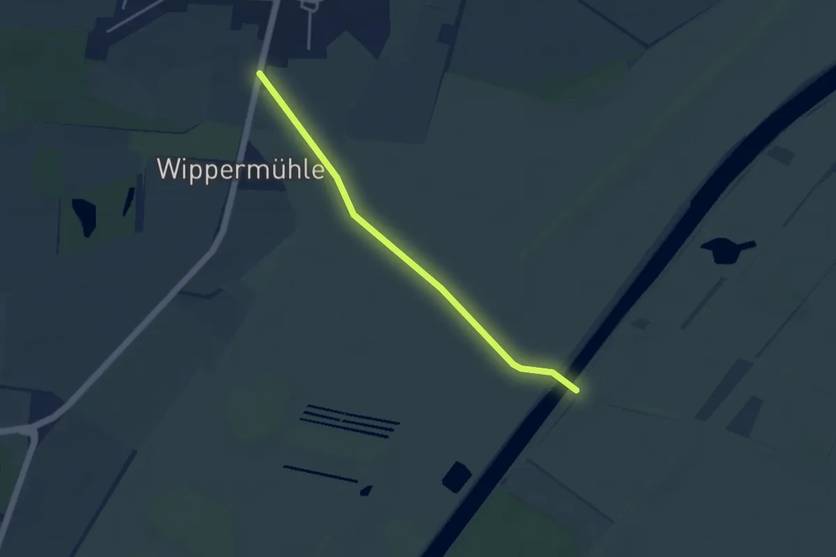
Easy · Trail
Natur- und Kulturlehrpfad Brechtorf
3.2 km · ↑ 0 m · 45 min
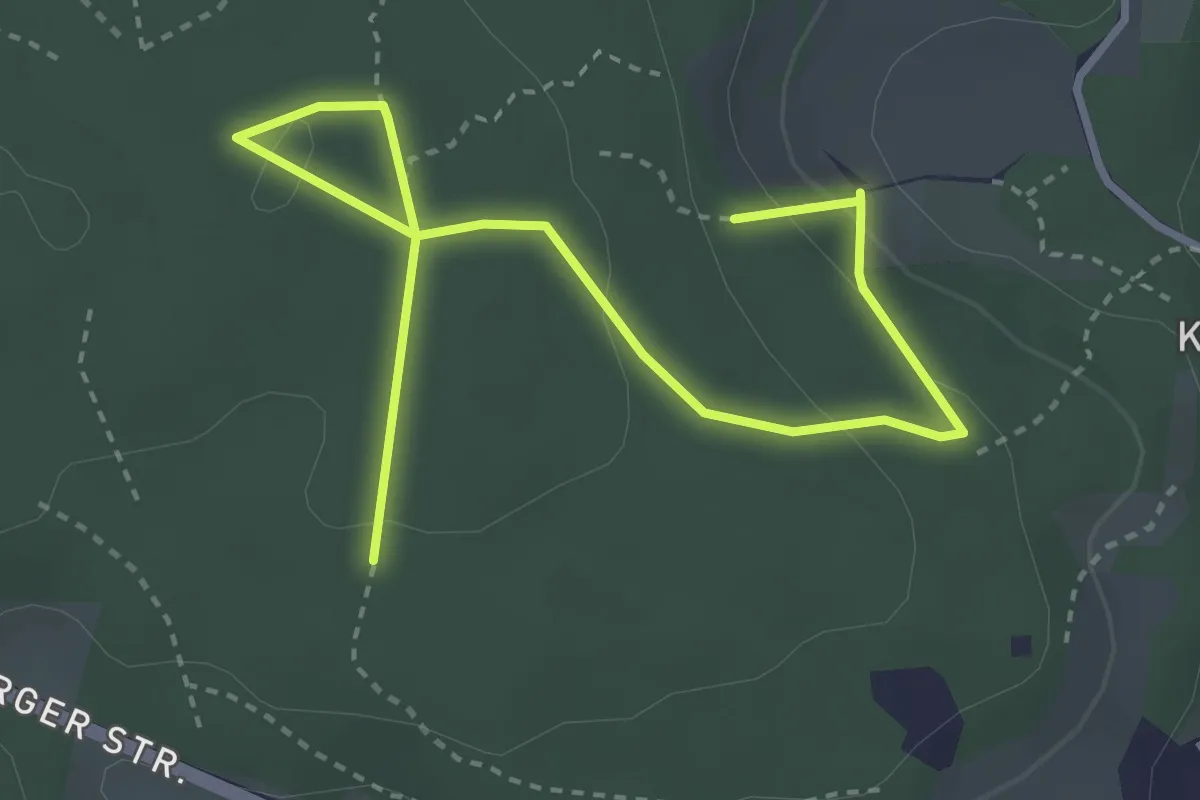
Easy · Trail
Natur- und Kulturlehrpfad im Prüfeninger Holz, Sinzing
4.1 km · ↑ 127 m · 1 h 15 min
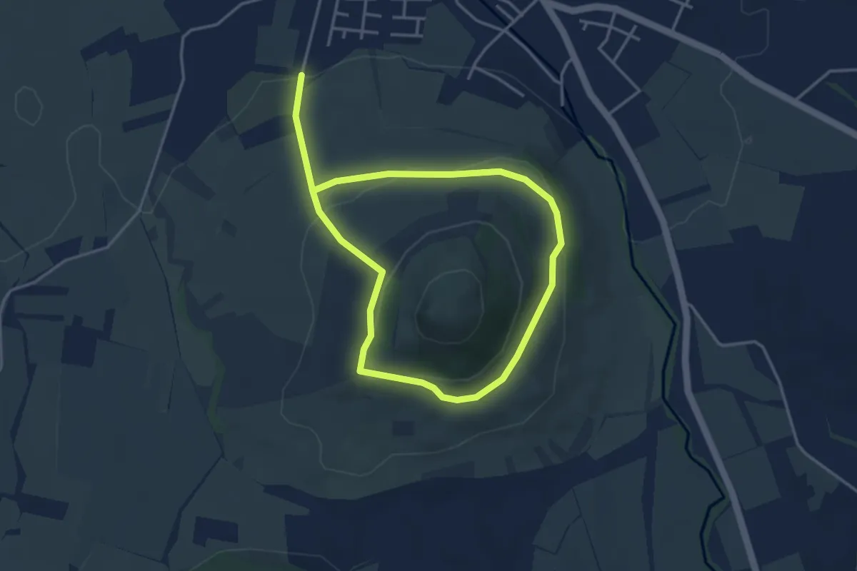
Easy · Trail
Natur- und Kulturlehrpfad Limburg
5.9 km · ↑ 230 m · 1 h 54 min
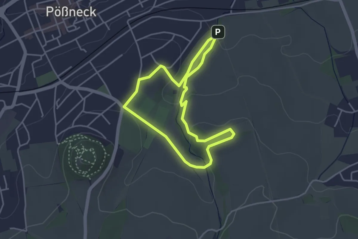
Easy · Trail
Natur und Spaß in der Griebse
3.0 km · ↑ 57 m · 52 min
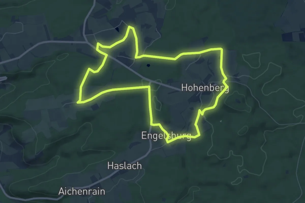
Easy · Trail
Natur- und Traditionsweg
7.5 km · ↑ 107 m · 2 h 7 min
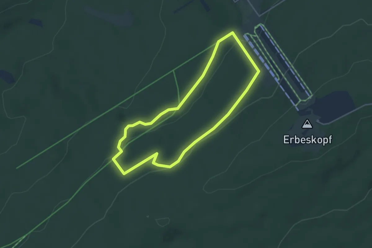
Easy · Trail
Naturvielfaltspfad
3.2 km · ↑ 95 m · 1 h
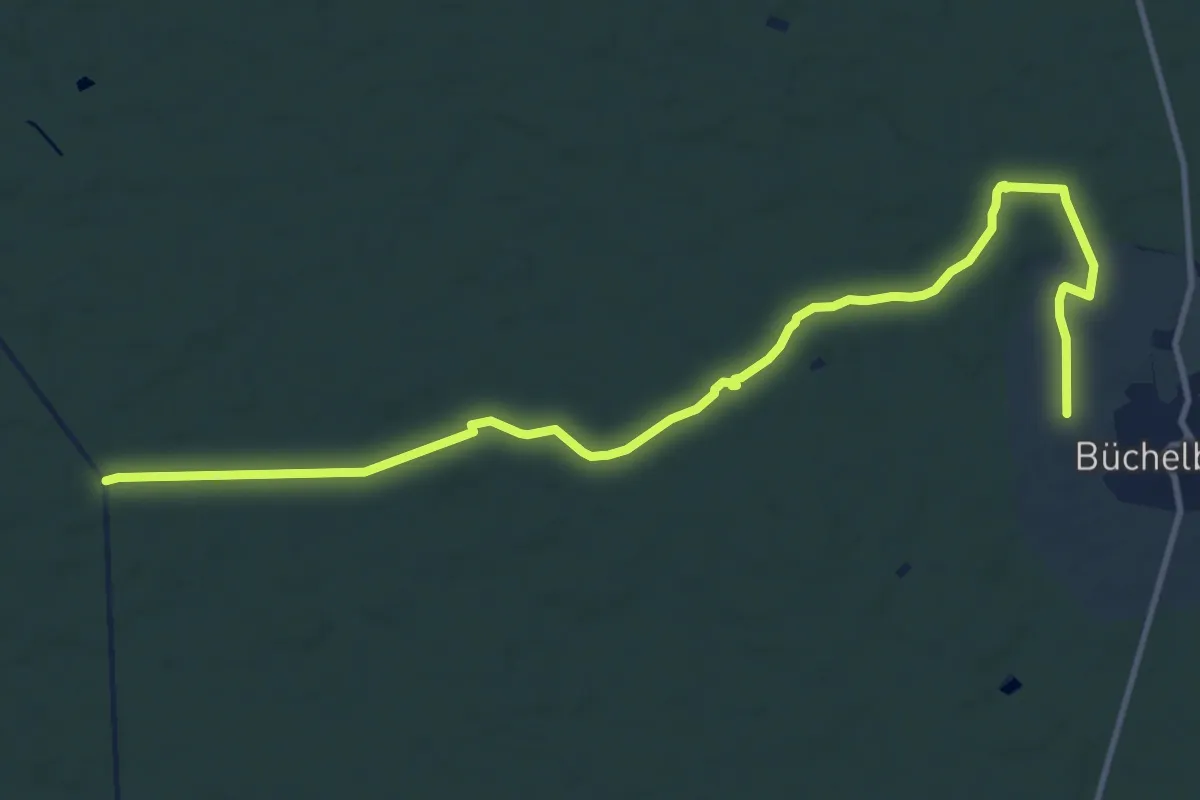
Medium · Trail
Naturwaldpfad
13.1 km · ↑ 36 m · 3 h 11 min
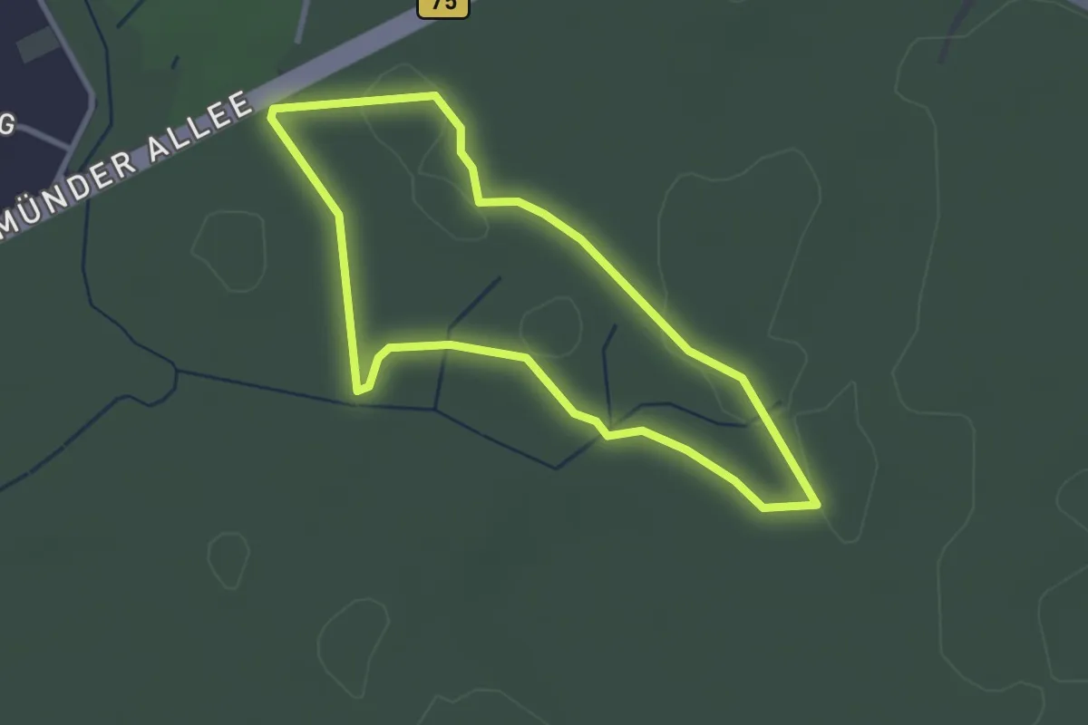
Easy · Trail
Naturwaldpfad
2.3 km · ↑ 4 m · 35 min
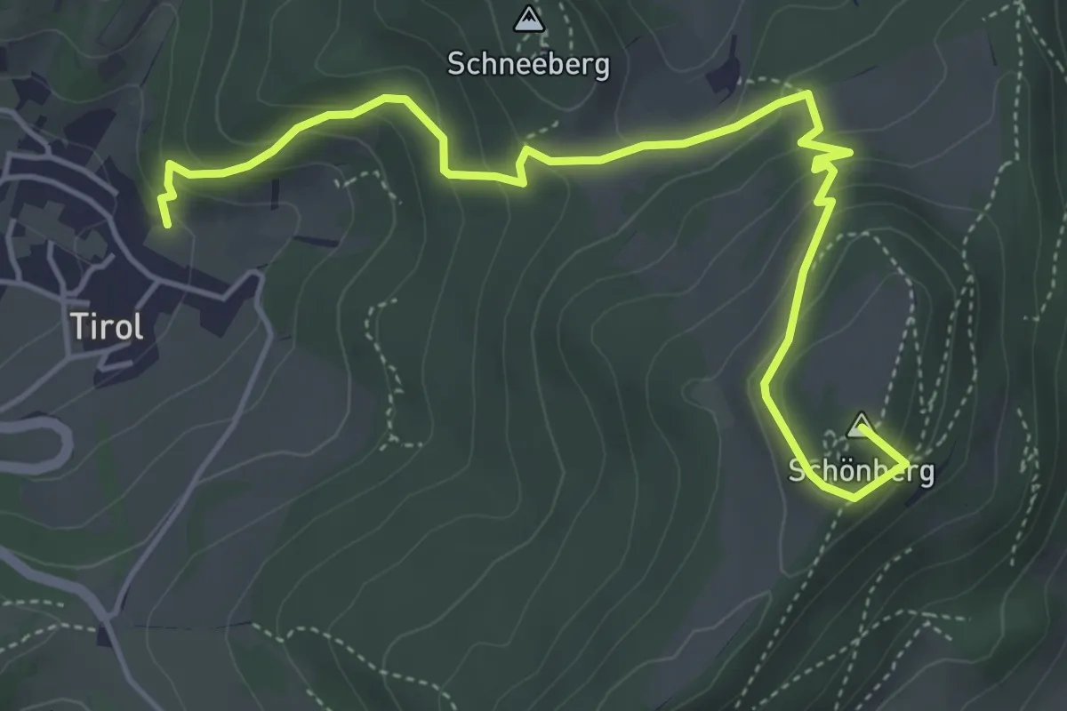
Medium · Summit
NatURWALDpfad Schönberg
5.4 km · ↑ 307 m · 1 h 57 min
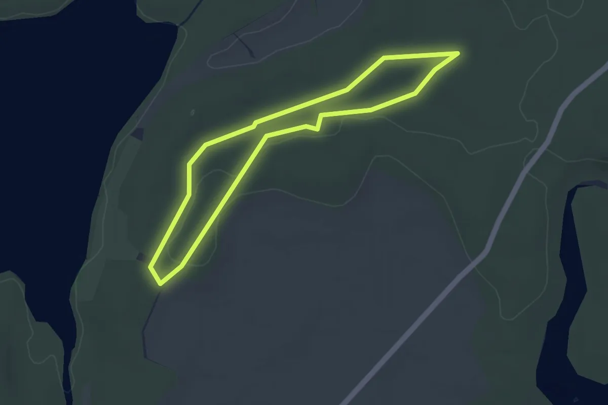
Easy · Trail
Naturwanderweg am Rätzsee
2.9 km · ↑ 13 m · 45 min
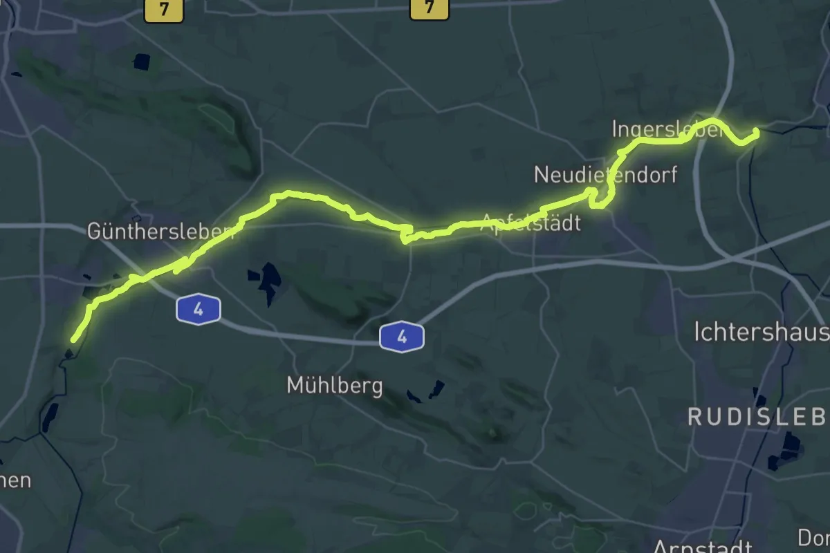
Demanding · Trail
Naturwanderweg Apfelstädt-Mühlen
22.8 km · ↑ 115 m · 5 h 54 min
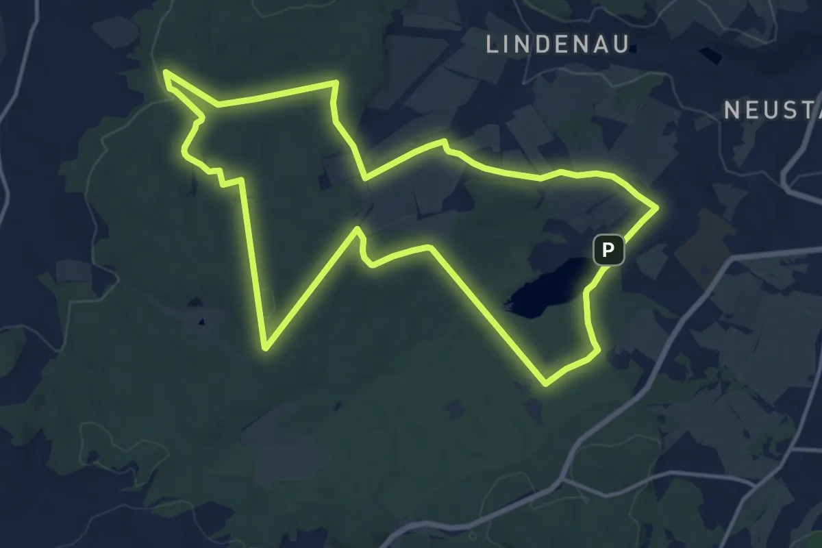
Medium · Trail
Naturwanderweg Filzteich
13.2 km · ↑ 166 m · 3 h 40 min
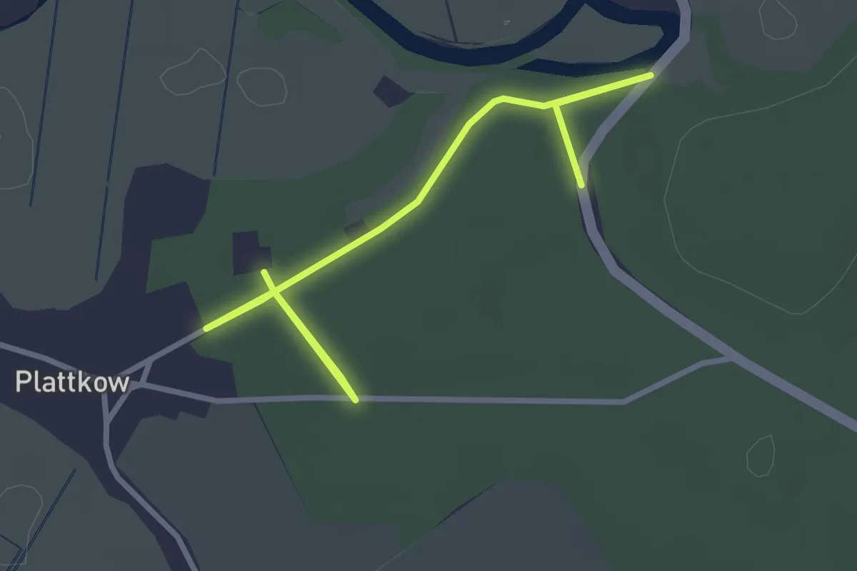
Easy · Trail
Naturwanderweg Plattkow
1.6 km · ↑ 8 m · 25 min