Trails in Germany
36,852 hiking trails, each with its route, climb, walking time and grade.
All trails, page 367 of 768
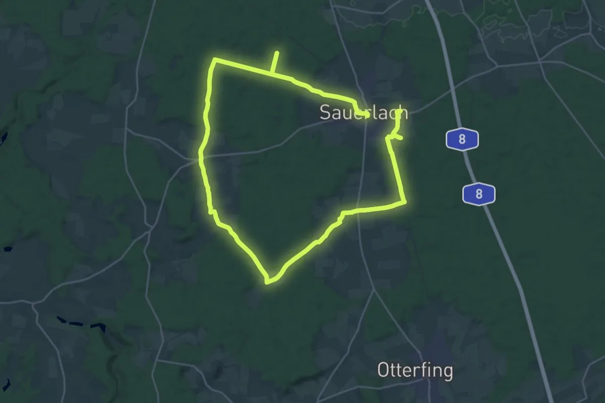
Demanding · Trail
Natur-Wanderweg Sauerlach
20.3 km · ↑ 143 m · 5 h 23 min
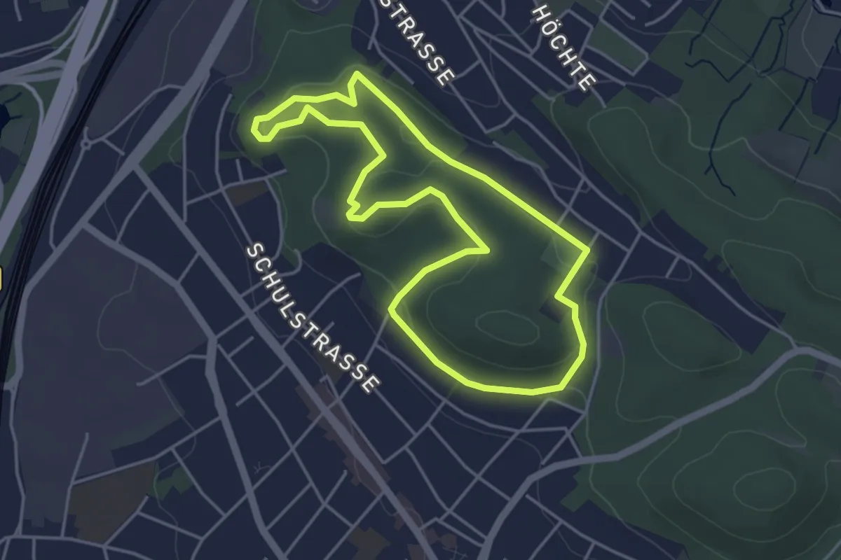
Easy · Summit
NaturZeitReise 1 - Relikte historischer Waldnutzung
3.6 km · ↑ 74 m · 1 h 4 min
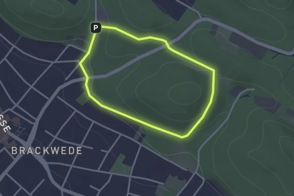
Easy · Summit
NaturZeitReise 2 - Jahreszeiten im Buchenwald
2.0 km · ↑ 58 m · 37 min
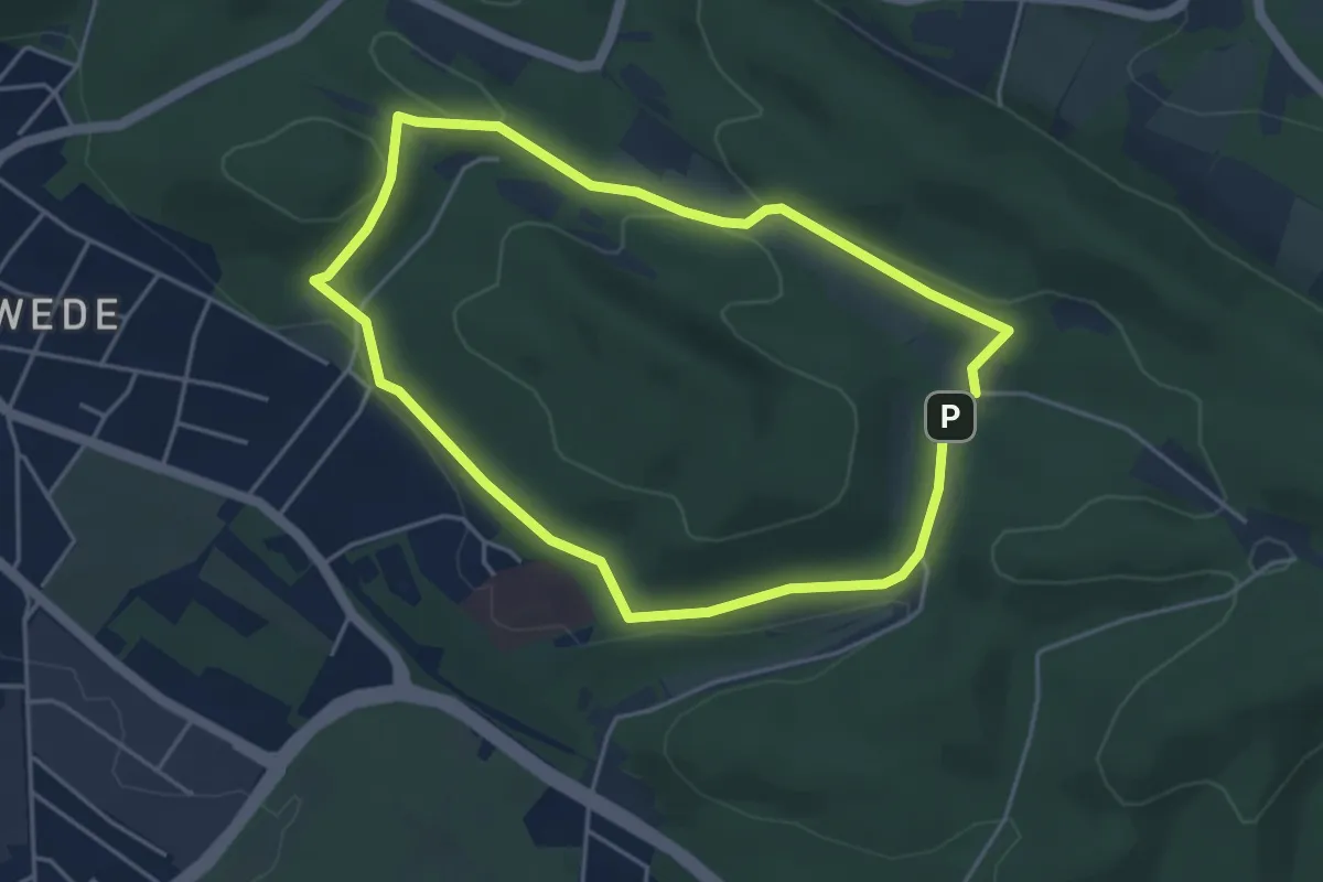
Easy · Summit
NaturZeitReise 3 - Jahreszeiten im Buchenwald
3.7 km · ↑ 59 m · 1 h 3 min
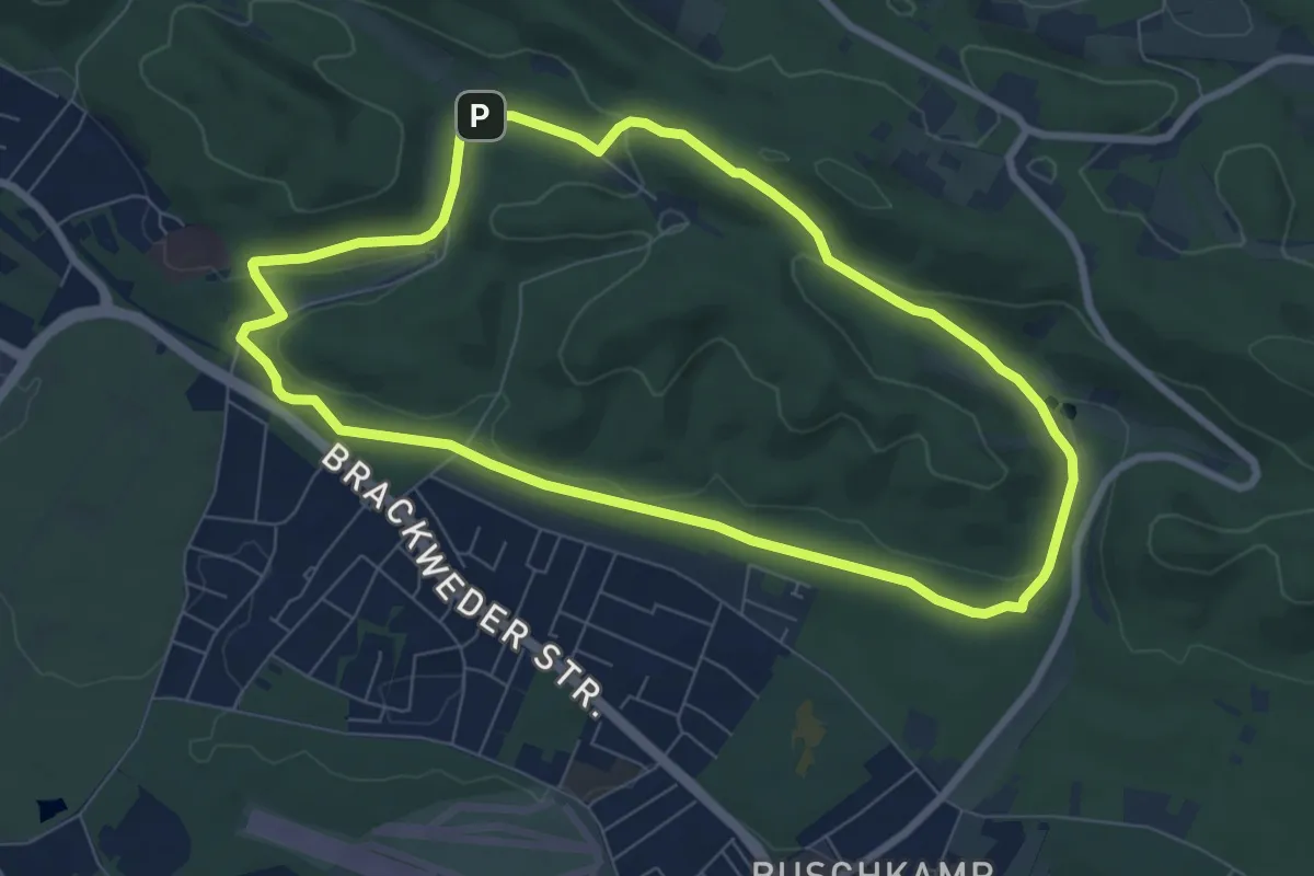
Easy · Summit
NaturZeitReise 4 - Verborgene Zeitzeichen
6.6 km · ↑ 124 m · 1 h 55 min
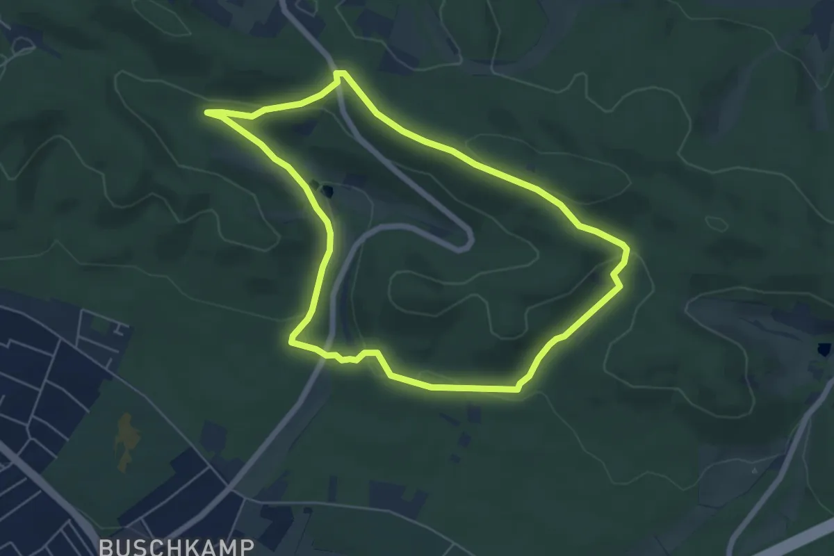
Easy · Summit
NaturZeitReise 5 - Geologie
4.9 km · ↑ 131 m · 1 h 30 min
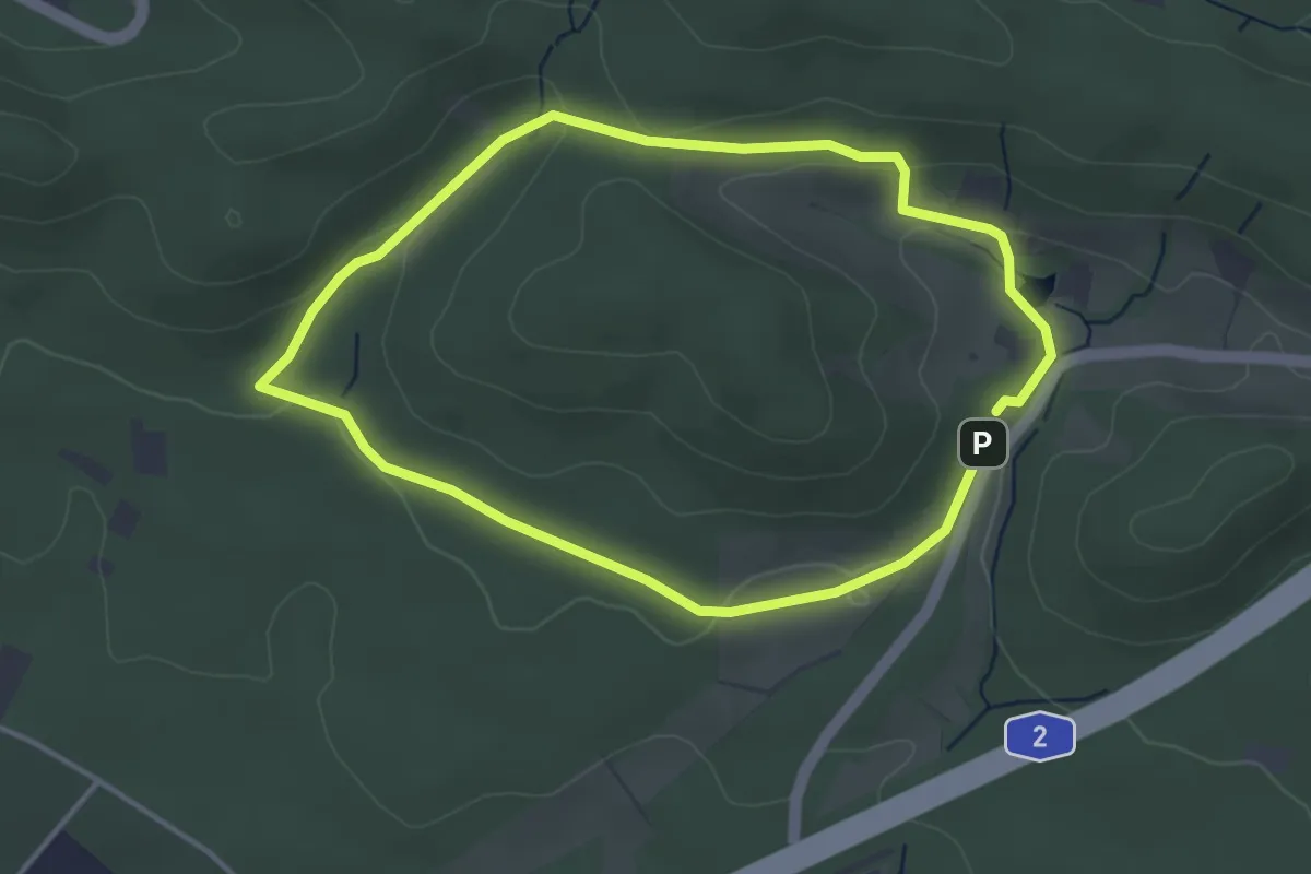
Easy · Trail
NaturZeitReise 6 - Geologie
3.1 km · ↑ 66 m · 55 min
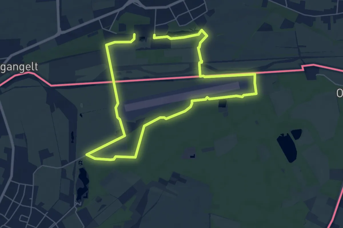
Easy · Trail
Natuurpad Rode Beek
5.2 km · ↑ 13 m · 1 h 19 min
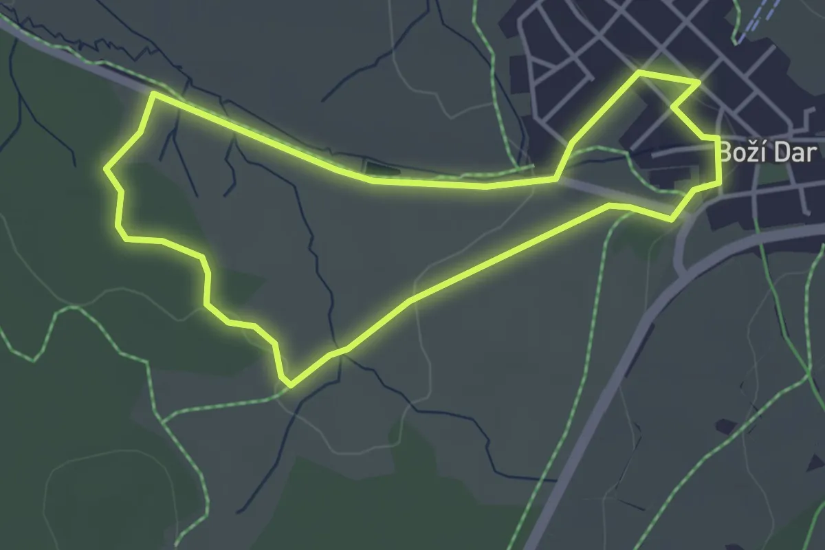
Easy · Trail
naučná stezka Božídarské rašeliniště
3.3 km · ↑ 28 m · 54 min
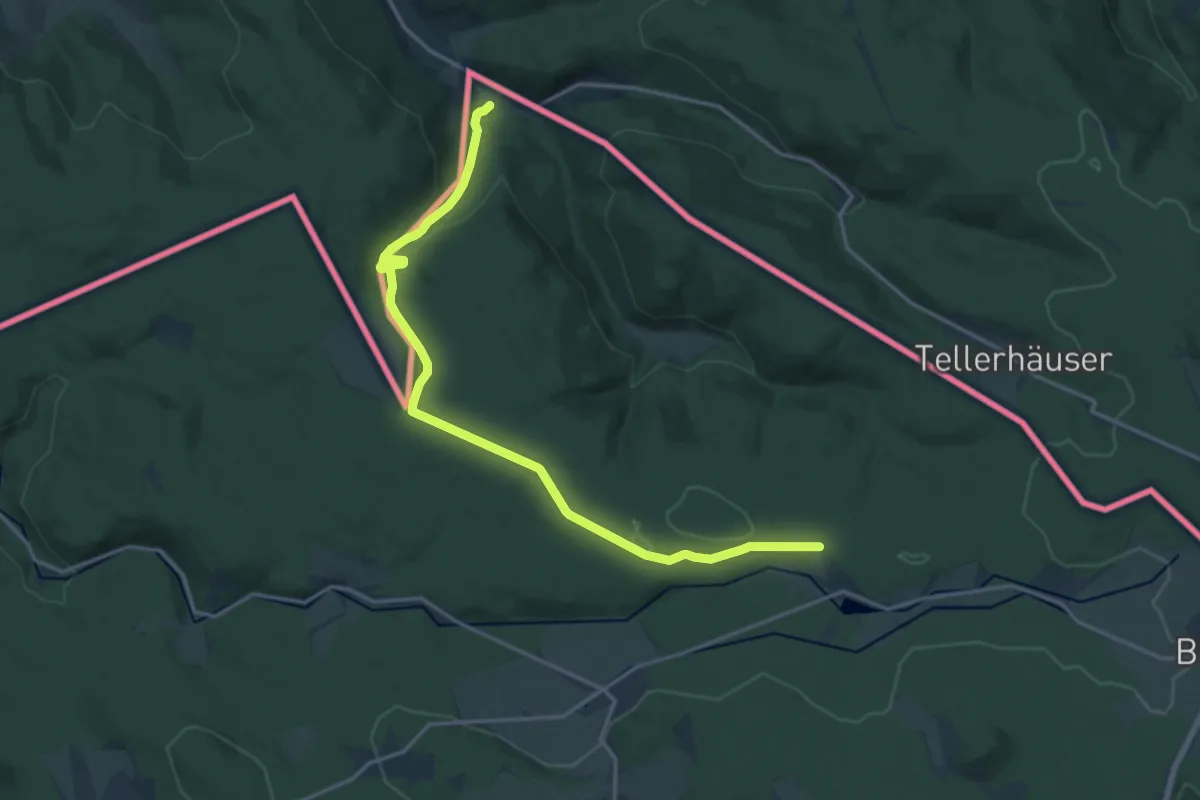
Medium · Trail
Naučná stezka Boží Dar – Zlatý Kopec
16.9 km · ↑ 348 m · 4 h 45 min
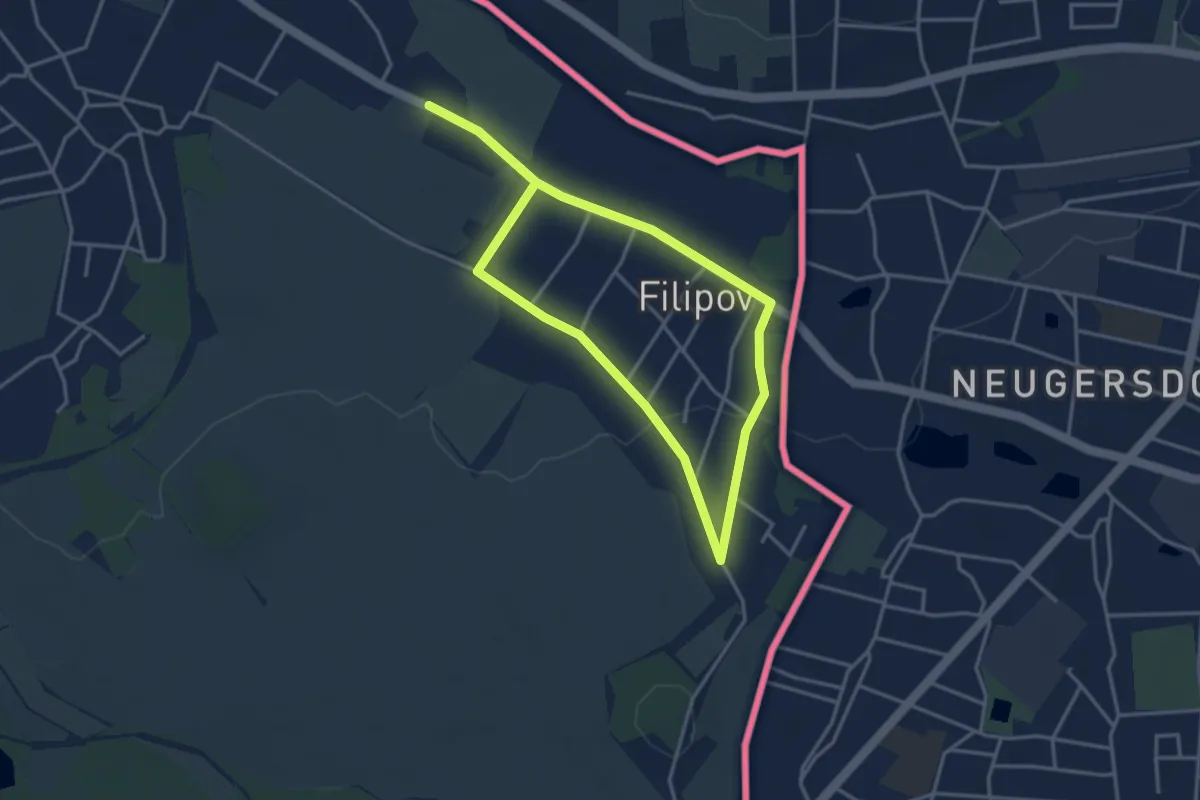
Easy · Trail
Naučná stezka Filipov
5.6 km · ↑ 59 m · 1 h 27 min
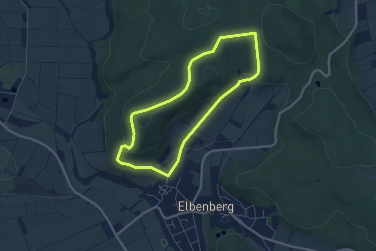
Easy · Trail
Naumburg-Elbenberg - E1
4.6 km · ↑ 135 m · 1 h 26 min
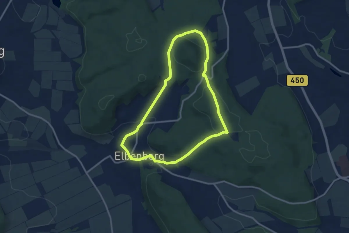
Easy · Trail
Naumburg-Elbenberg, E2
6.6 km · ↑ 172 m · 2 h 2 min
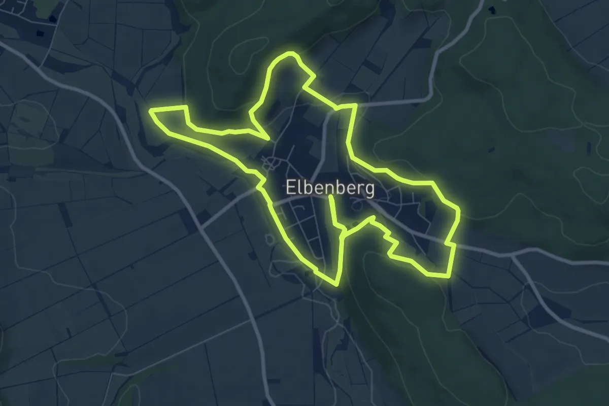
Medium · Trail
Naumburg-Elbenberg - E3
8.2 km · ↑ 216 m · 2 h 32 min
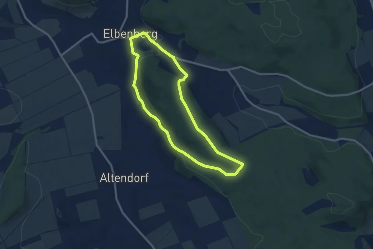
Easy · Trail
Naumburg-Elbenberg - E4
5.3 km · ↑ 118 m · 1 h 34 min
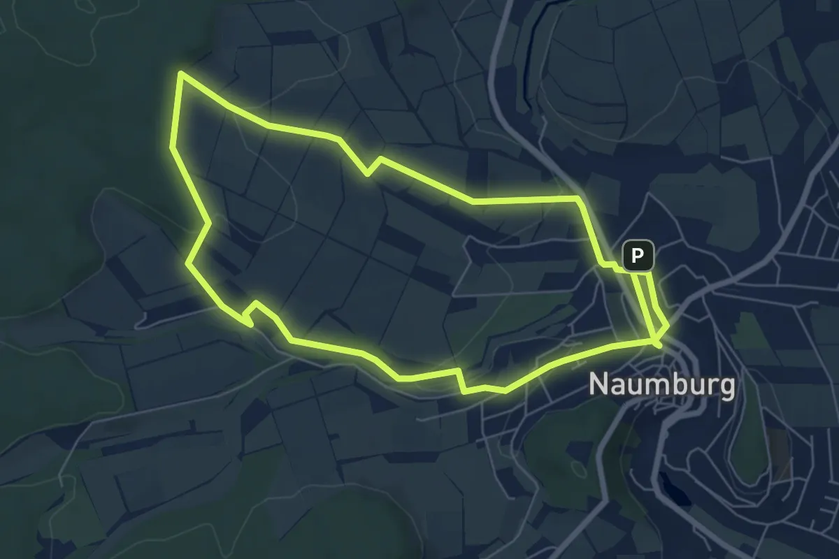
Easy · Trail
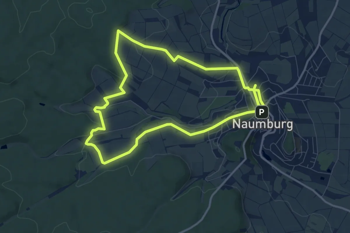
Naumburg - N1
6.0 km · ↑ 100 m · 1 h 43 min
Easy · Trail
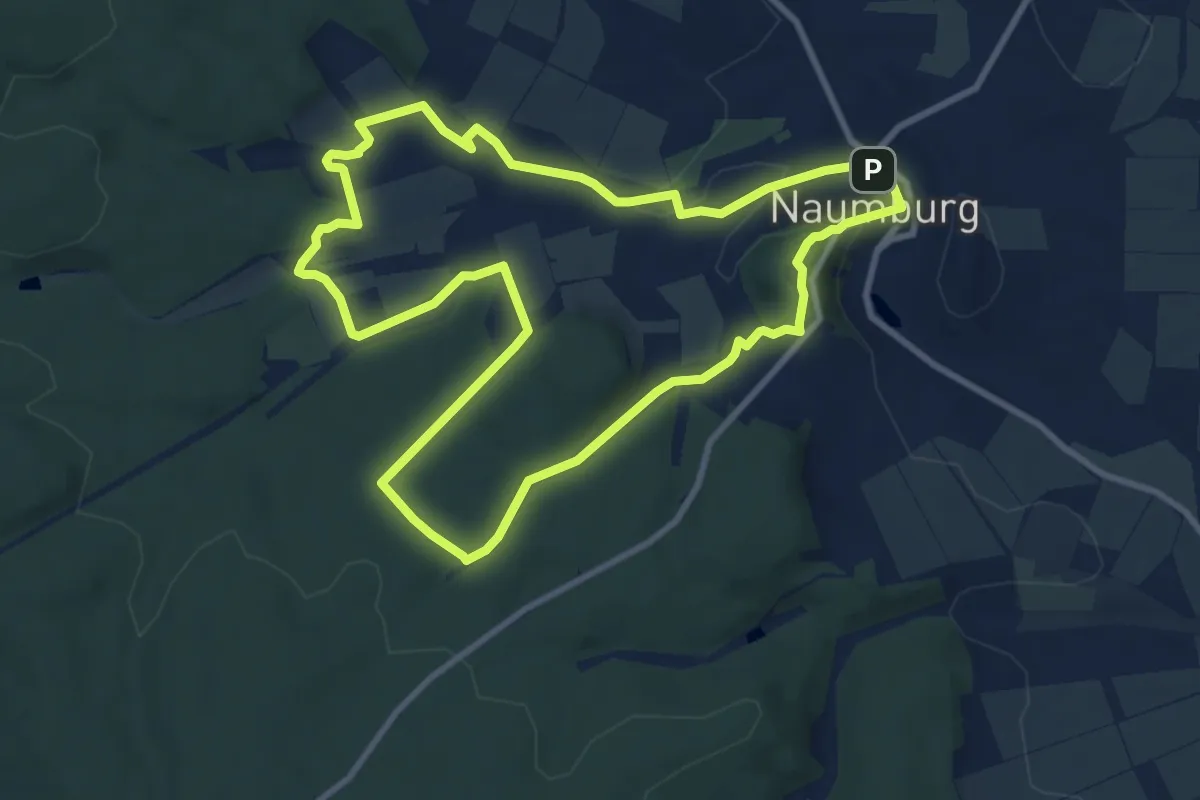
Naumburg - N2
7.8 km · ↑ 119 m · 2 h 13 min
Medium · Trail
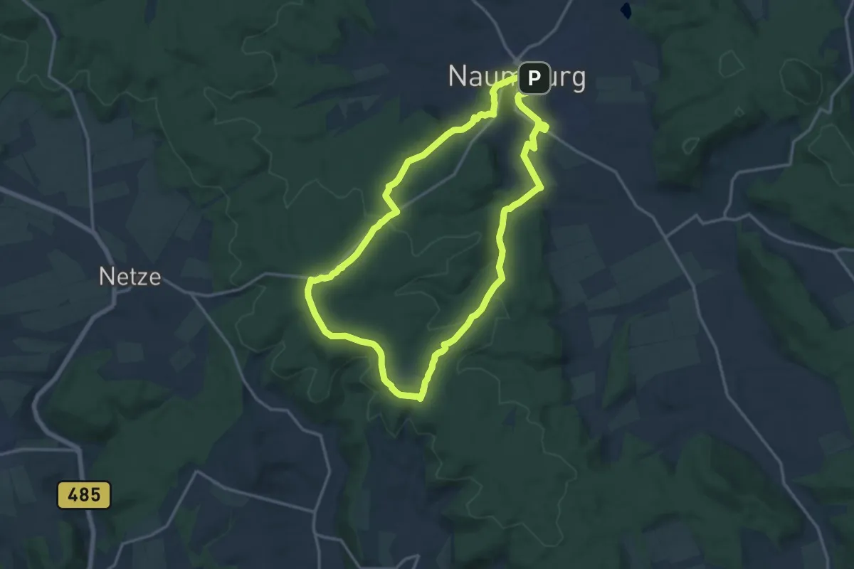
Naumburg - N3
8.8 km · ↑ 146 m · 2 h 31 min
Medium · Trail
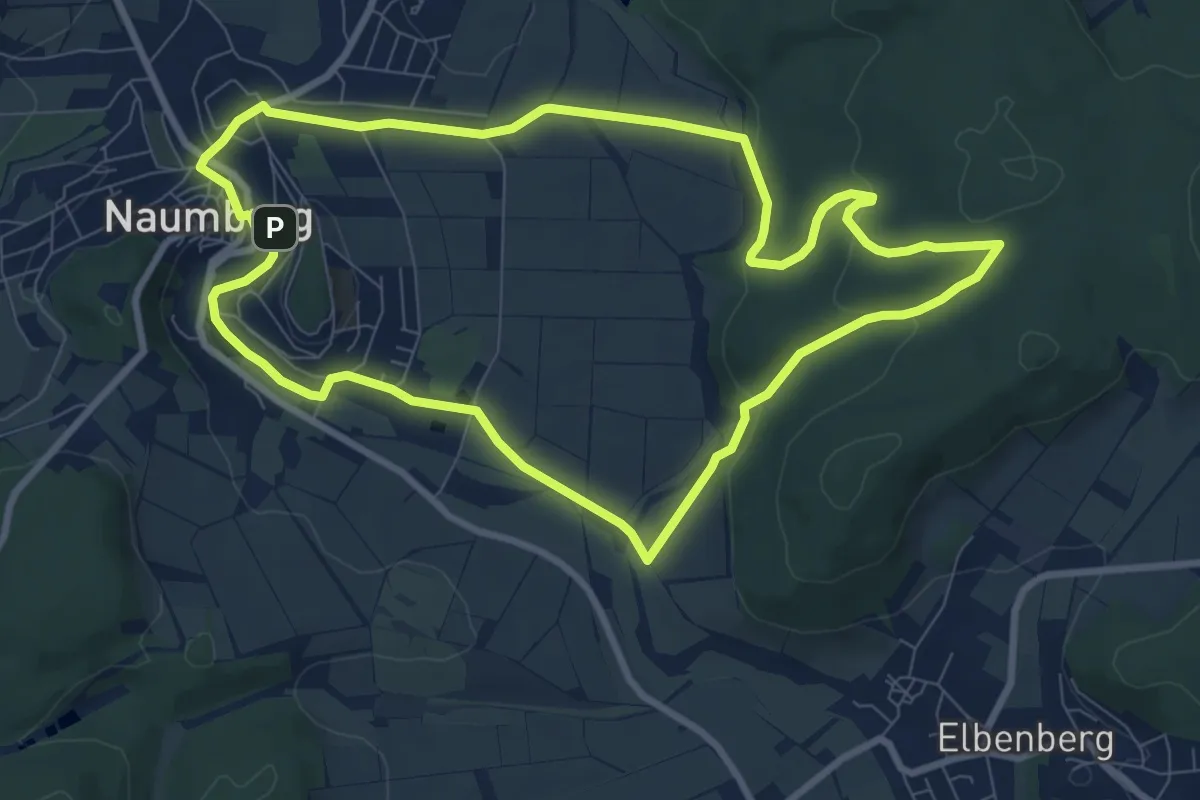
Naumburg - N5
12.5 km · ↑ 245 m · 3 h 39 min
Medium · Trail
Naumburg - N7
8.1 km · ↑ 156 m · 2 h 21 min
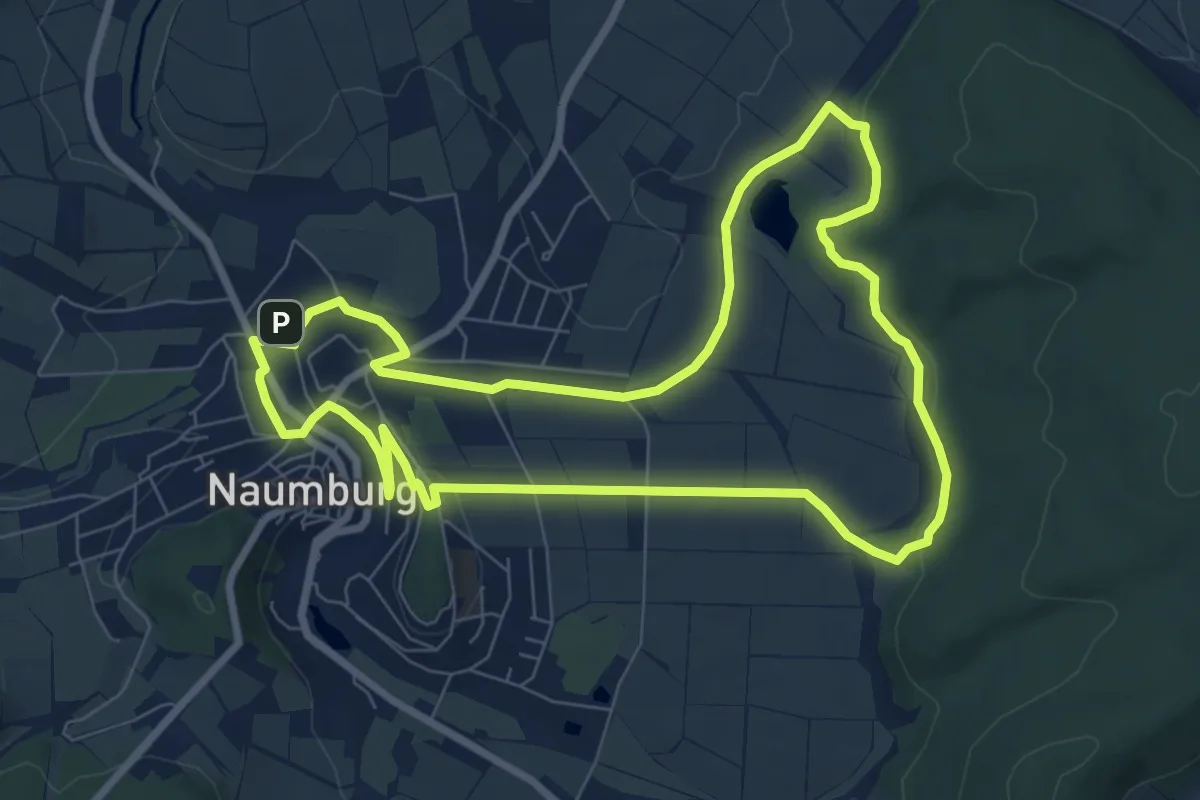
Easy · Trail
Naumburg - N8
7.4 km · ↑ 84 m · 2 h 2 min
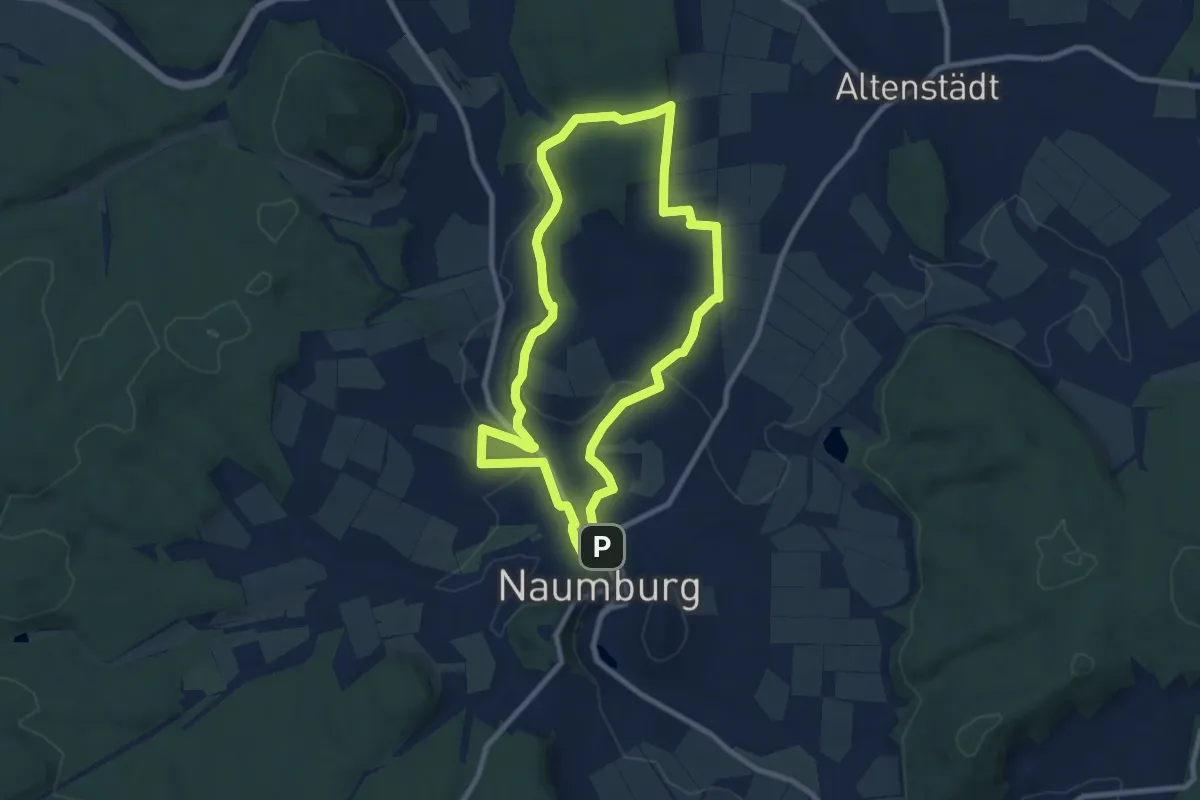
Medium · Trail
Naumburg - N9
8.0 km · ↑ 116 m · 2 h 16 min
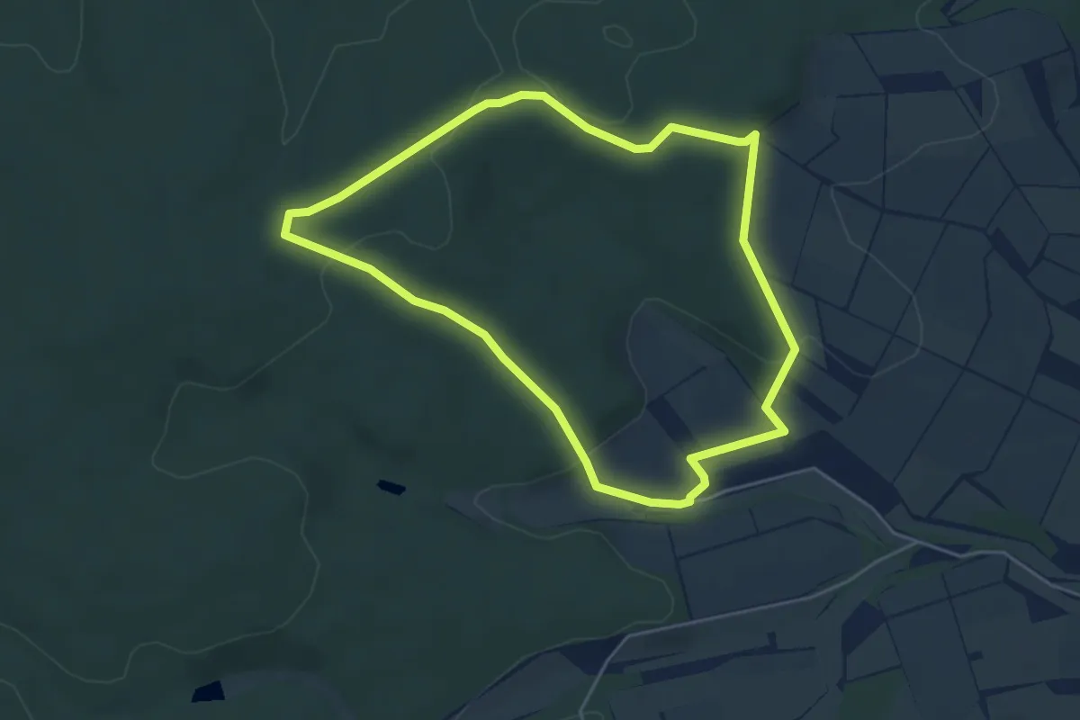
Easy · Trail
Naumburg, Rundweg 1
4.2 km · ↑ 91 m · 1 h 15 min
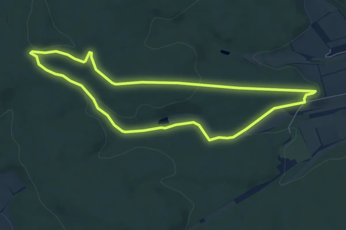
Easy · Summit
Naumburg, Rundweg 2
5.4 km · ↑ 97 m · 1 h 33 min
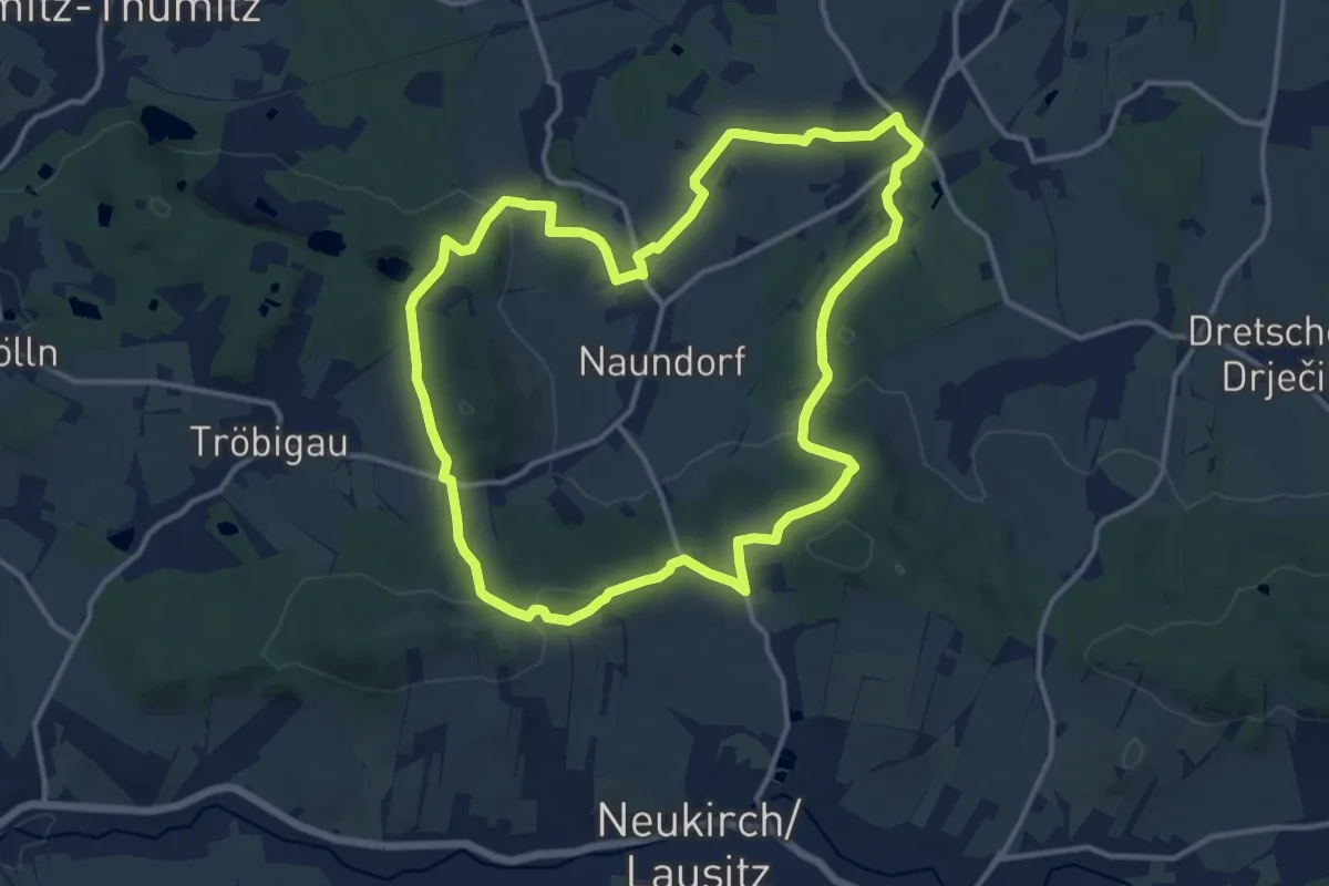
Medium · Summit
Naundorfer Runde
12.1 km · ↑ 185 m · 3 h 25 min
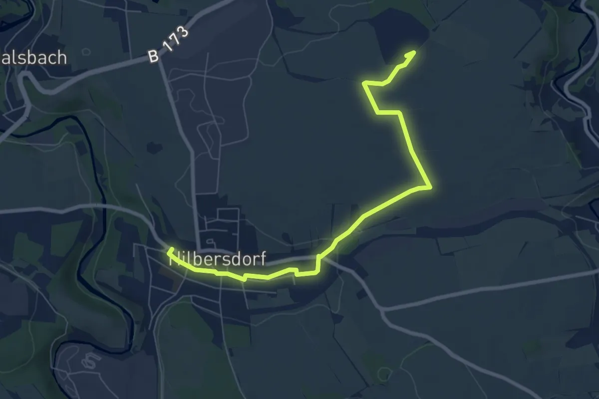
Easy · Summit
Naundorf - Hilbersdorf
7.1 km · ↑ 54 m · 1 h 47 min
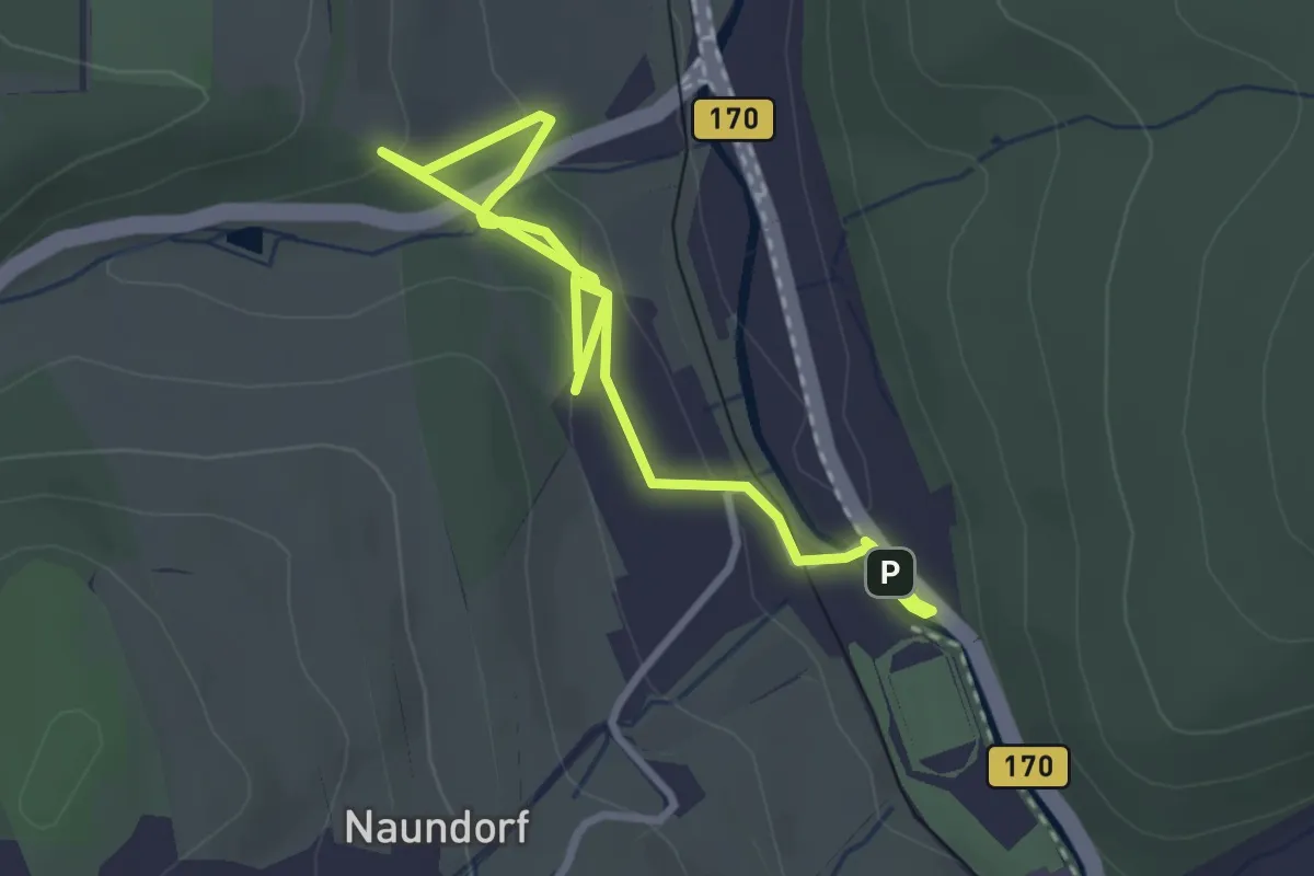
Easy · Trail
Naundorf - Obercarsdorf
4.0 km · ↑ 83 m · 1 h 7 min
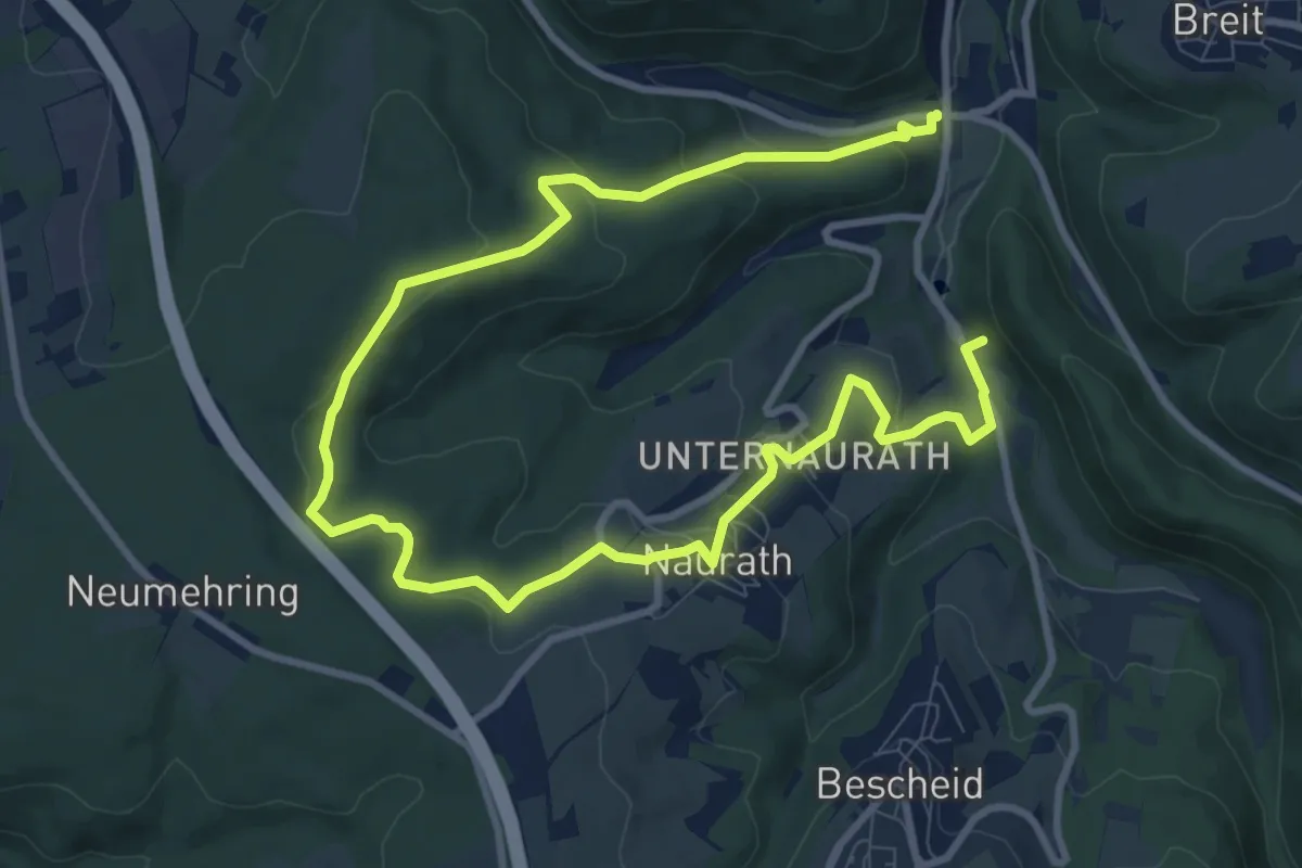
Medium · Trail
Naurath 1
13.9 km · ↑ 494 m · 4 h 21 min
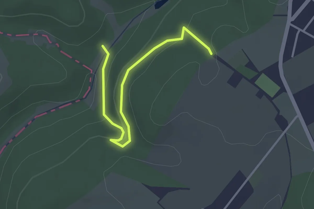
Easy · Trail
Naurother Grubengold
2.7 km · ↑ 84 m · 49 min
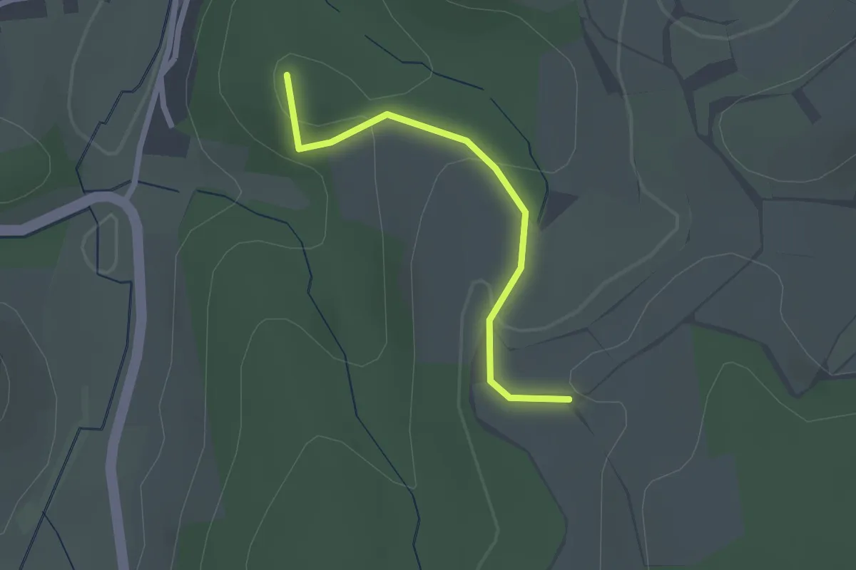
Easy · Summit
N Cobbenrode - Arpe
1.8 km · ↑ 68 m · 35 min
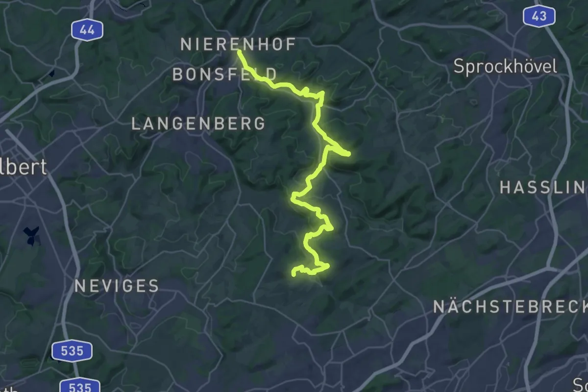
Medium · Trail
neanderland STEIG
13.7 km · ↑ 335 m · 4 h 13 min
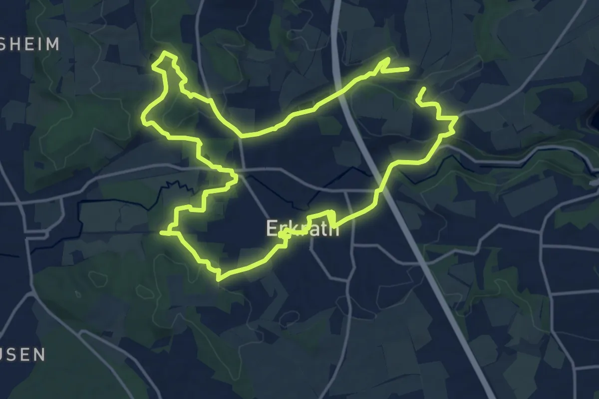
Demanding · Trail
Neanderlandsteig Entdeckerschleife "Denkmalroute Alt-Erkrath"
12.5 km · ↑ 210 m · 3 h 35 min
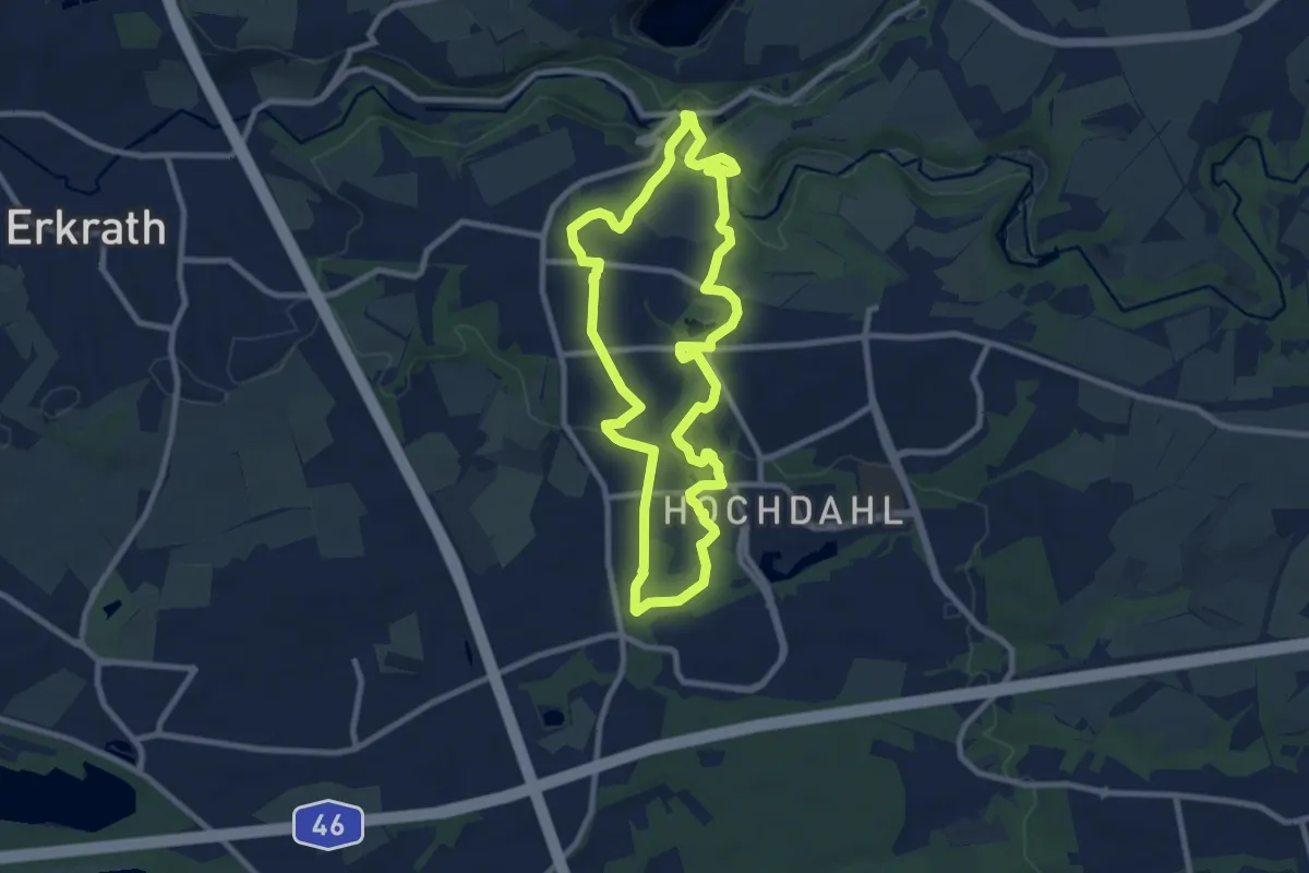
Medium · Trail
Neanderlandsteig Entdeckerschleife "Denkmalroute Hochdahl"
8.0 km · ↑ 123 m · 2 h 16 min
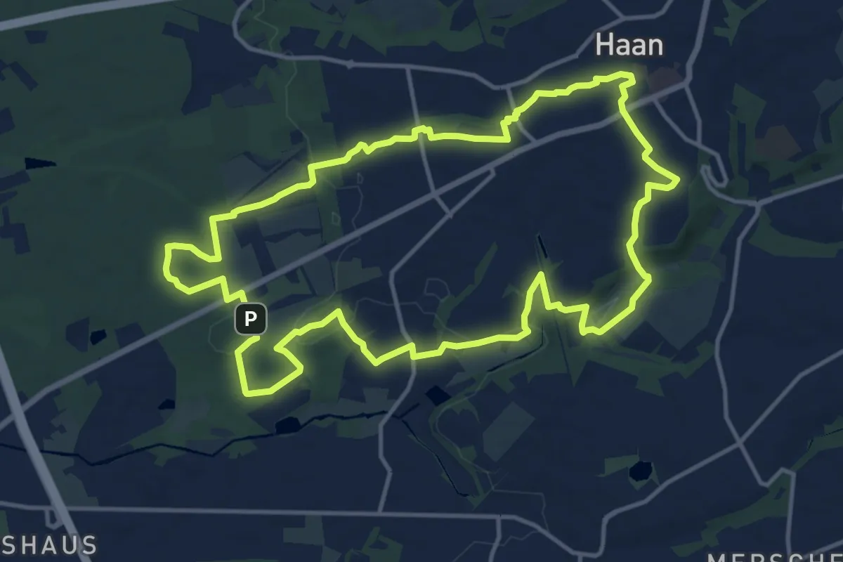
Medium · Summit
Neanderlandsteig Entdeckerschleife Haaner Innenstadtroute
11.9 km · ↑ 123 m · 3 h 15 min
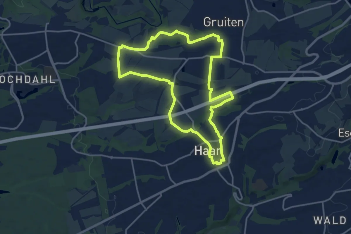
Medium · Trail
Neanderlandsteig Entdeckerschleife Haan Gruiten-Süd
10.0 km · ↑ 88 m · 2 h 42 min
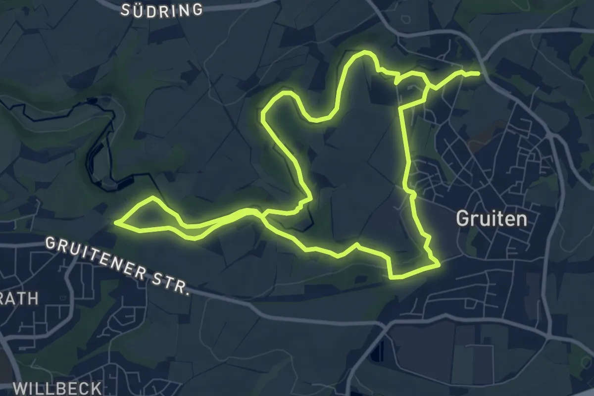
Medium · Trail
Neanderlandsteig Entdeckerschleife Kalkspuren
8.2 km · ↑ 63 m · 2 h 11 min
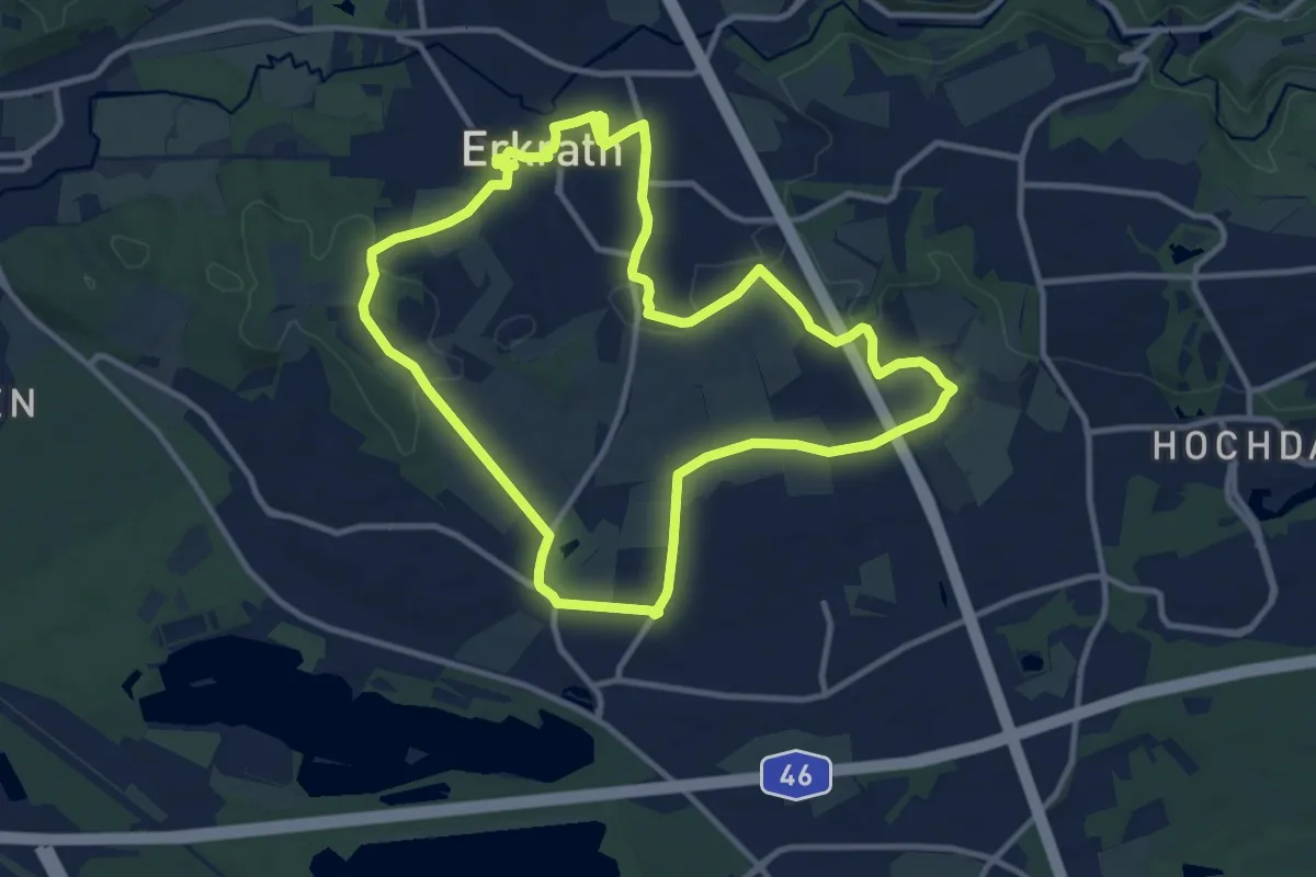
Medium · Trail
Neanderlandsteig Entdeckerschleife "Panoramaweg Haus Unterbach"
10.4 km · ↑ 111 m · 2 h 50 min
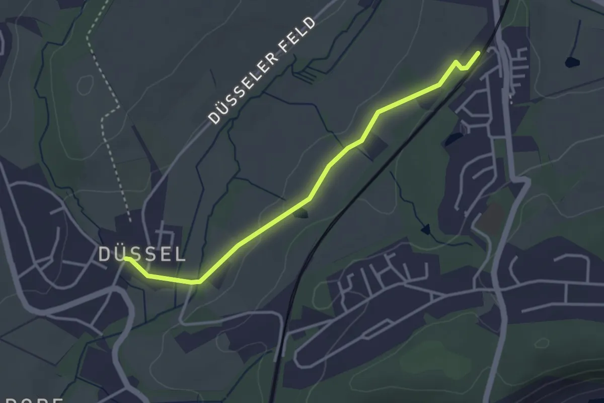
Easy · Trail
Neanderlandsteig Zuweg Aprath
3.0 km · ↑ 34 m · 47 min
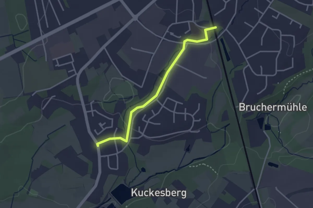
Easy · Trail
Neanderlandsteig Zuweg Bahnhof Haan
2.7 km · ↑ 26 m · 41 min
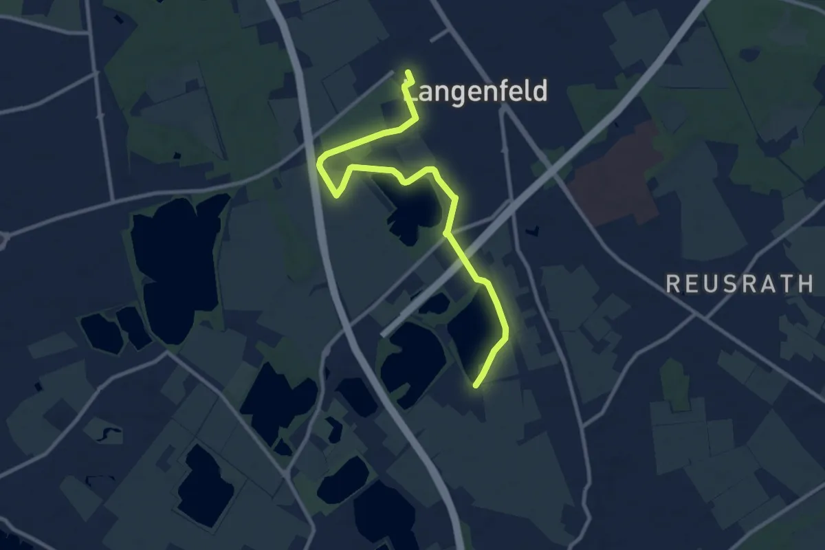
Medium · Trail
Neanderlandsteig Zuweg Bahnhof Langenfeld
9.3 km · ↑ 22 m · 2 h 14 min
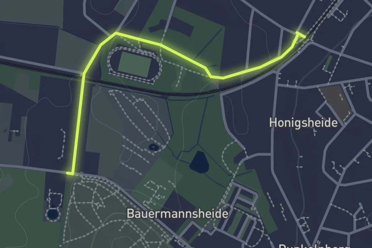
Easy · Trail
Neanderlandsteig Zuweg Bahnhof Vogelpark
2.5 km · ↑ 17 m · 37 min
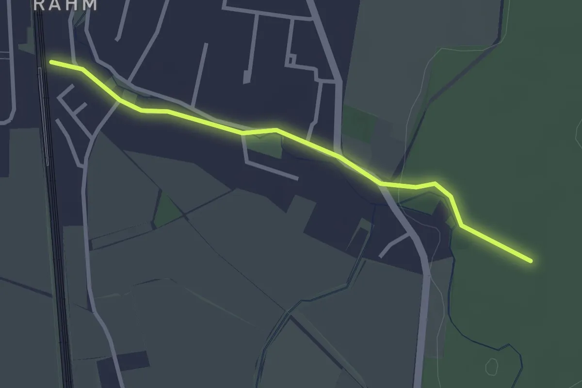
Easy · Trail
Neanderlandsteig Zuweg Duisburg-Rahm
2.3 km · ↑ 9 m · 34 min
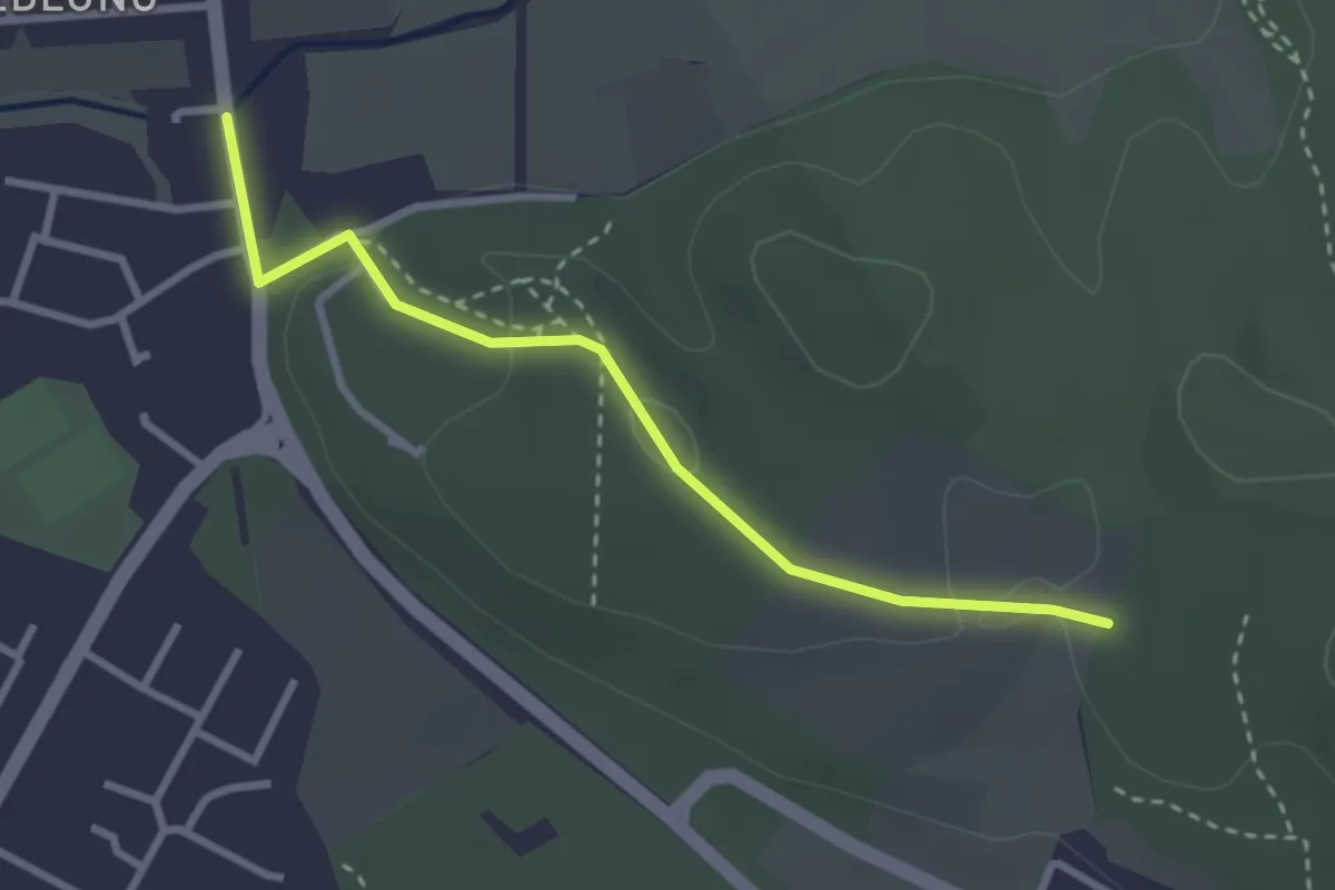
Easy · Trail
Neanderlandsteig Zuweg Gerresheim
2.7 km · ↑ 62 m · 46 min
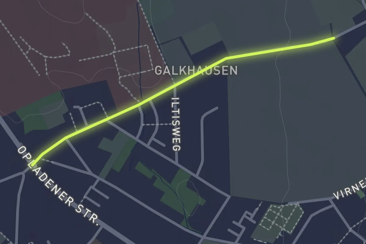
Easy · Trail
Neanderlandsteig Zuweg Reusrath Mitte
2.1 km · ↑ 5 m · 30 min
Easy · Trail
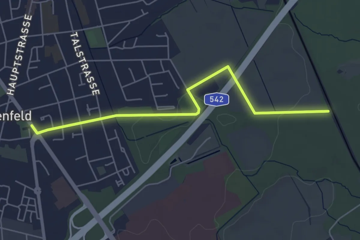
Neanderlandsteig Zuweg Reusrath Nord
4.7 km · ↑ 18 m · 1 h 9 min
Easy · Trail
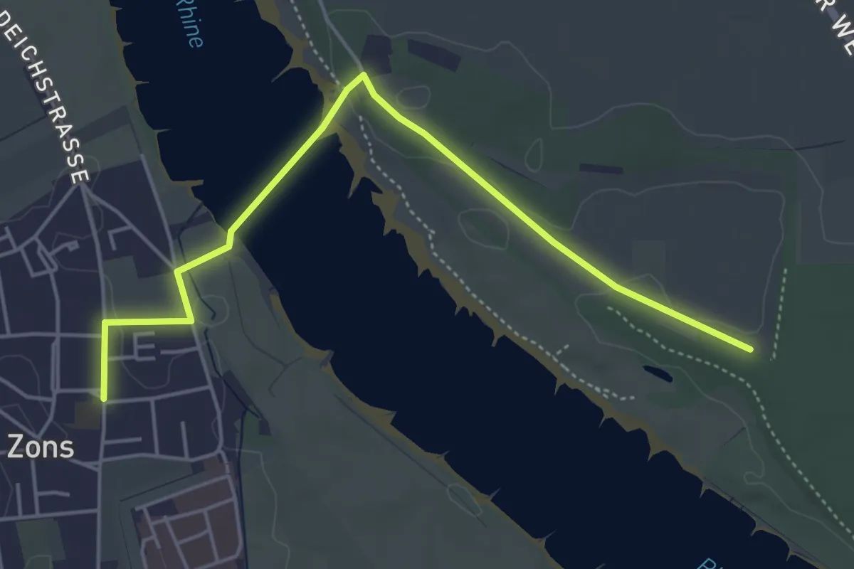
Neanderlandsteig Zuweg Rheinfähre Zons
4.7 km · ↑ 22 m · 1 h 9 min
Easy · Trail
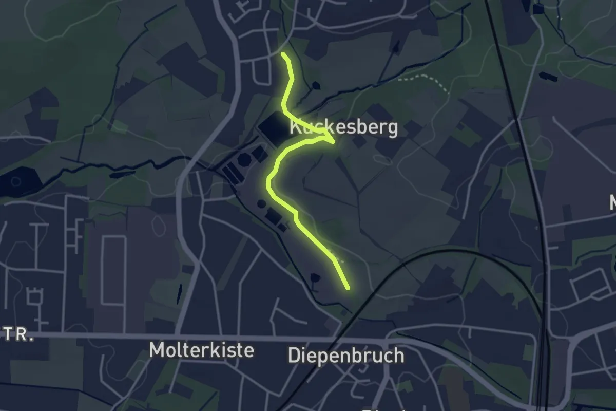
Neanderlandsteig Zuweg Vogelpark
2.6 km · ↑ 14 m · 39 min
Easy · Trail
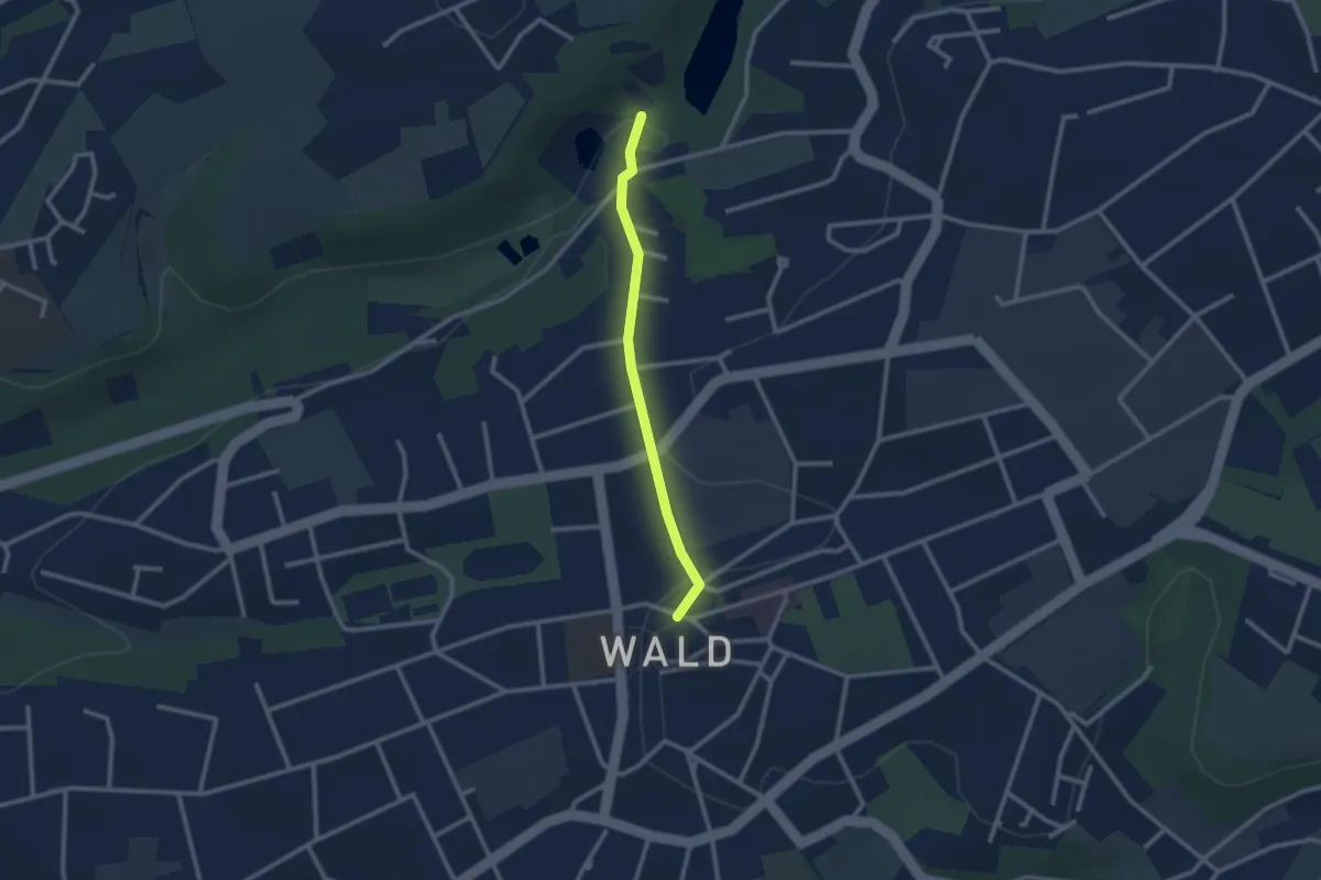
Neanderlandsteig Zuweg Wald
2.1 km · ↑ 44 m · 35 min