Trails in Germany
36,852 hiking trails, each with its route, climb, walking time and grade.
All trails, page 377 of 768
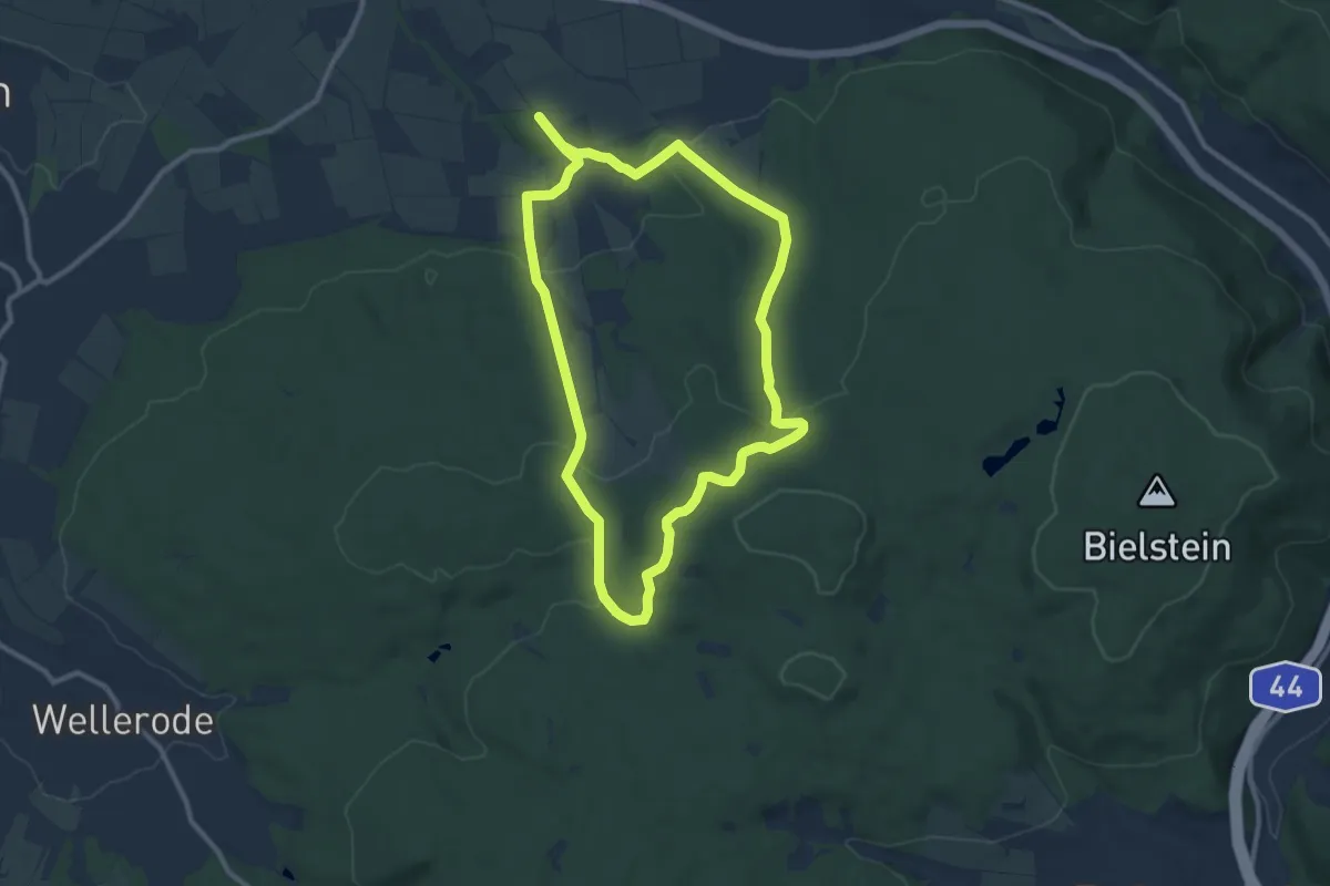
Medium · Trail
Niederkaufungen, Rundweg 25
8.9 km · ↑ 241 m · 2 h 45 min
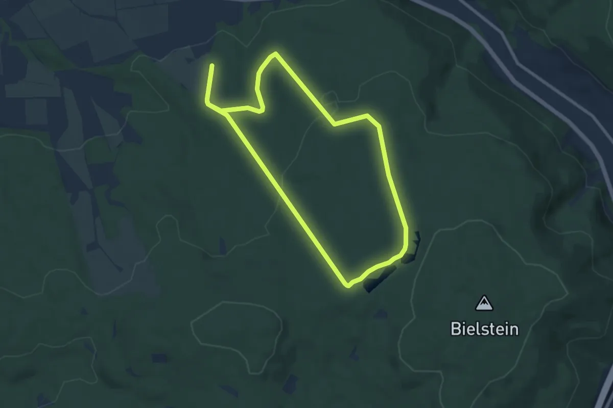
Easy · Summit
Niederkaufungen, Rundweg 28
6.8 km · ↑ 177 m · 2 h 5 min
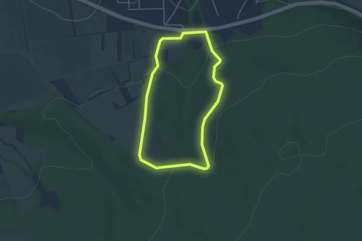
Easy · Trail
Niederkaufungen, Rundweg 29
2.8 km · ↑ 83 m · 54 min
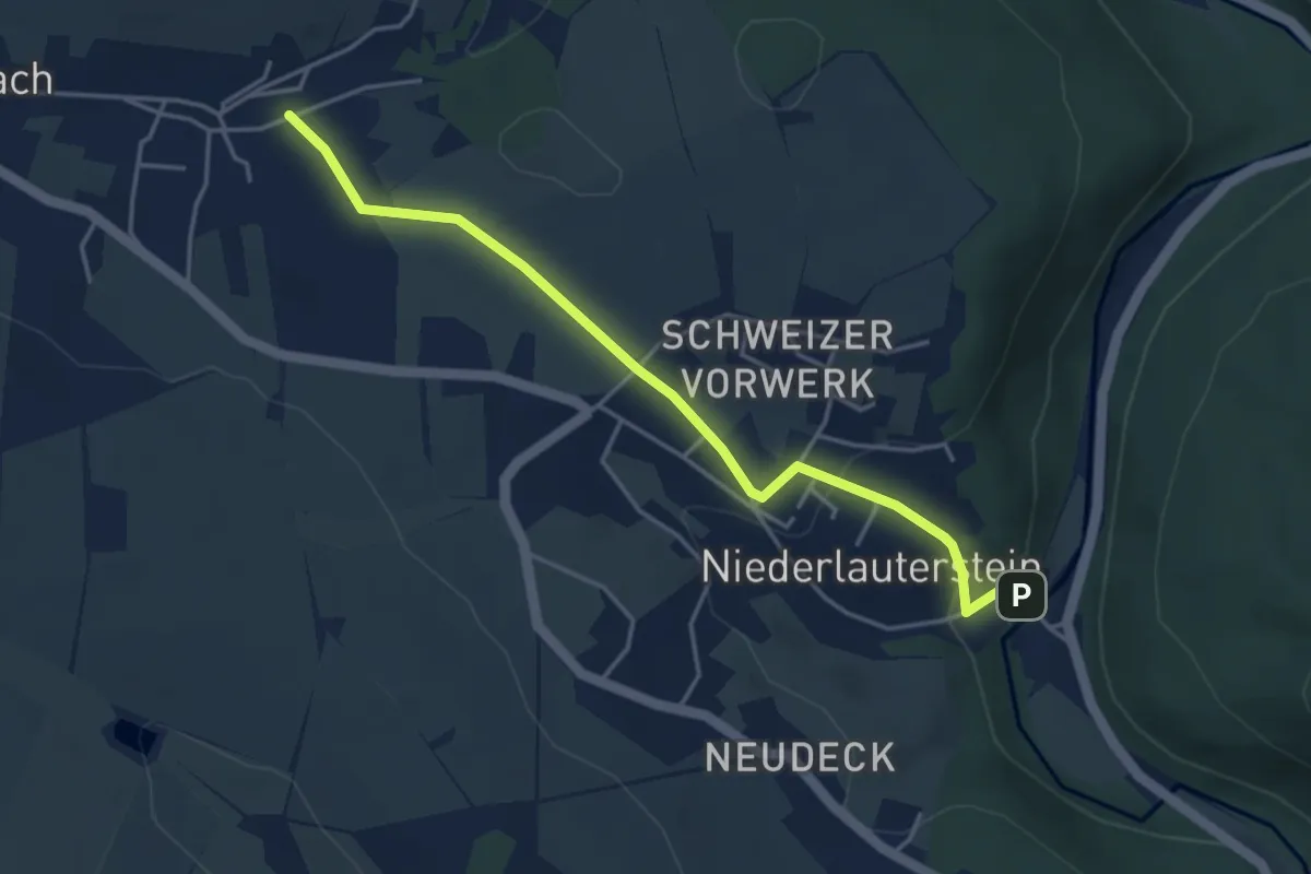
Easy · Trail
Niederlauterstein-Lauterbach
4.0 km · ↑ 115 m · 1 h 11 min
Demanding · Trail
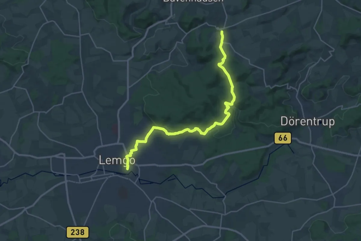
Niedermeinerweg
19.3 km · ↑ 368 m · 5 h 22 min
Easy · Trail
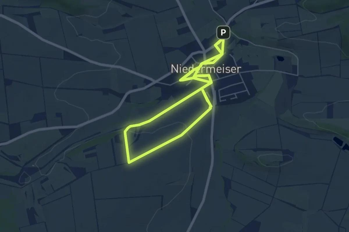
Niedermeiser - N1
5.5 km · ↑ 57 m · 1 h 29 min
Medium · Trail
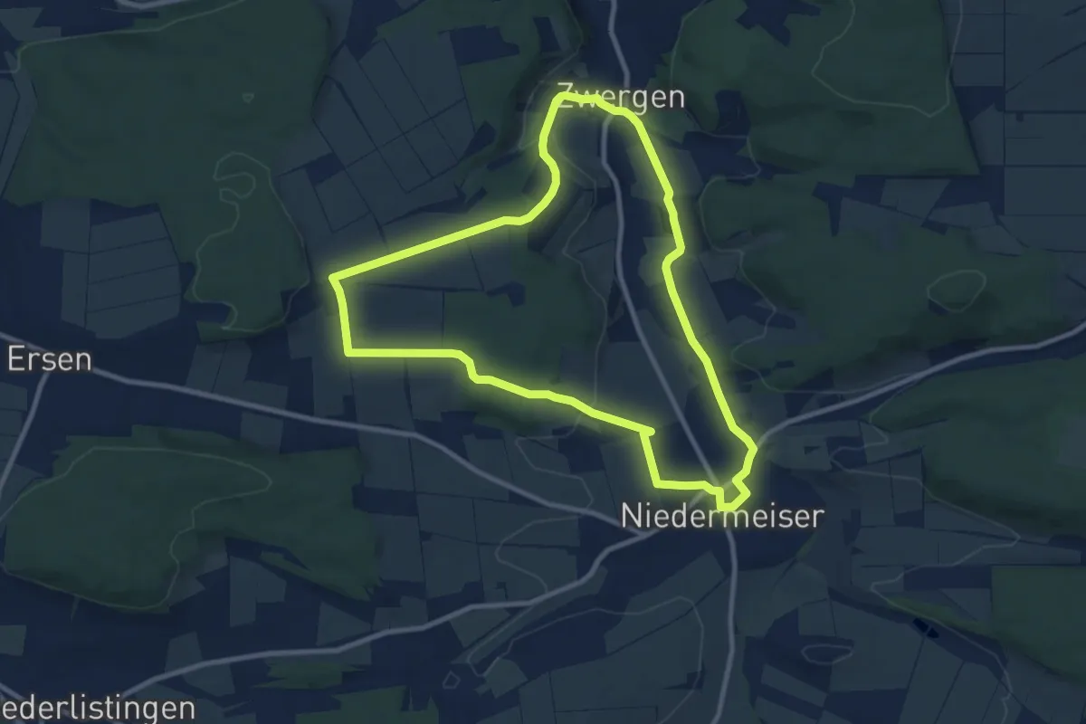
Niedermeiser - N2
8.6 km · ↑ 143 m · 2 h 27 min
Easy · Trail
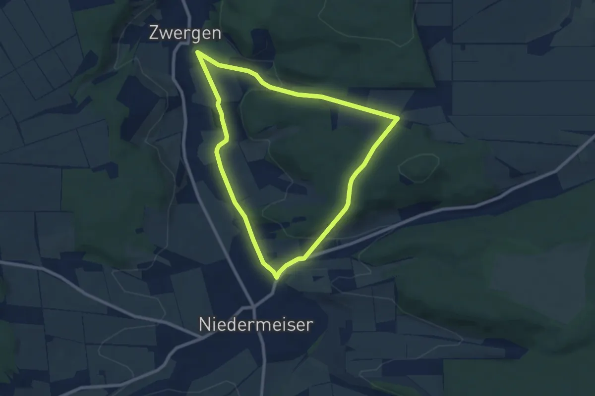
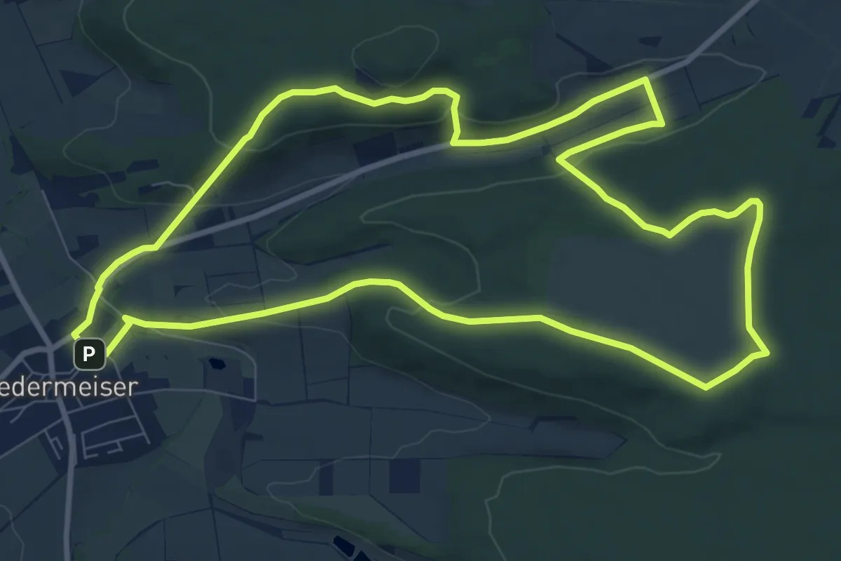
Niedermeiser - N3
5.8 km · ↑ 116 m · 1 h 42 min
Medium · Summit
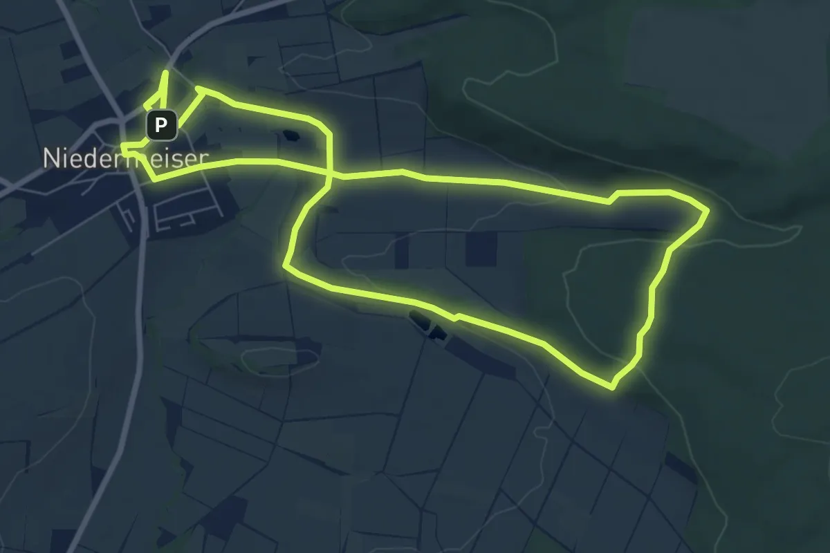
Niedermeiser - N4
8.6 km · ↑ 191 m · 2 h 34 min
Easy · Trail
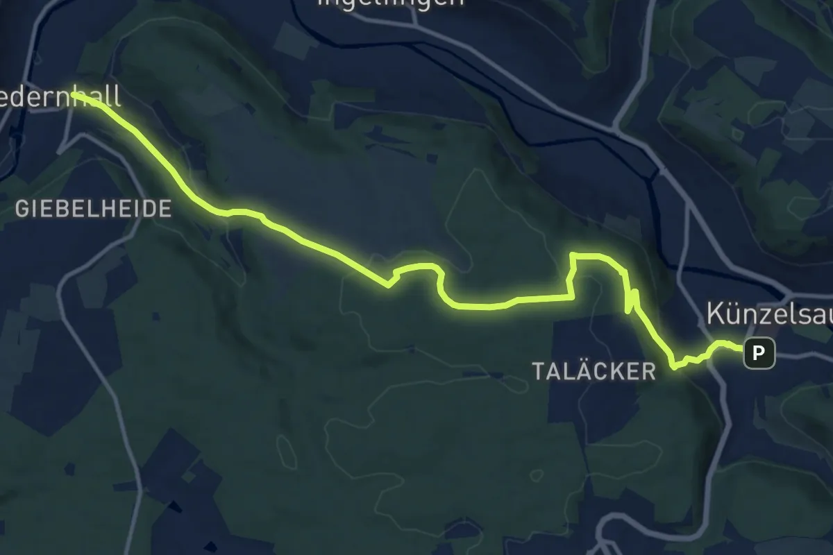
Niedermeiser - N5
7.1 km · ↑ 105 m · 2 h 1 min
Medium · Trail
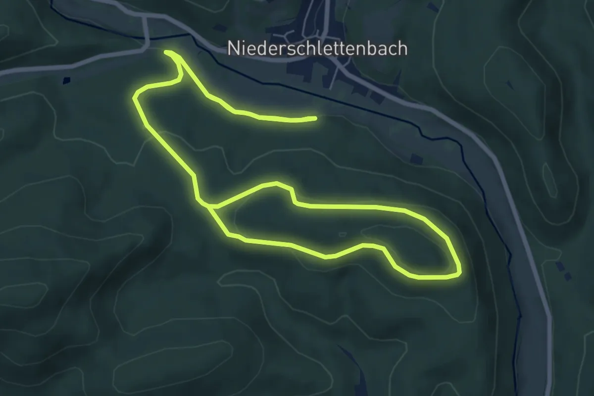
Niedernhall - Künzelsau
14.0 km · ↑ 408 m · 4 h 11 min
Easy · Summit
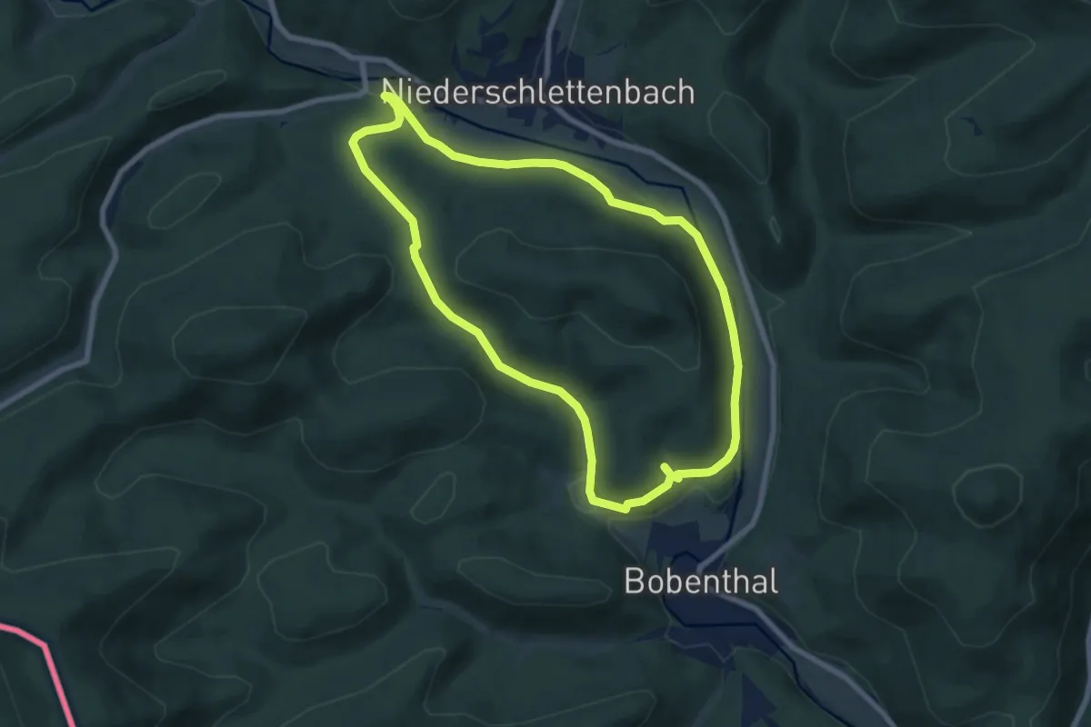
Niederschlettenbach 1 - Zum Teilberg-Kopf
5.6 km · ↑ 167 m · 1 h 43 min
Easy · Trail
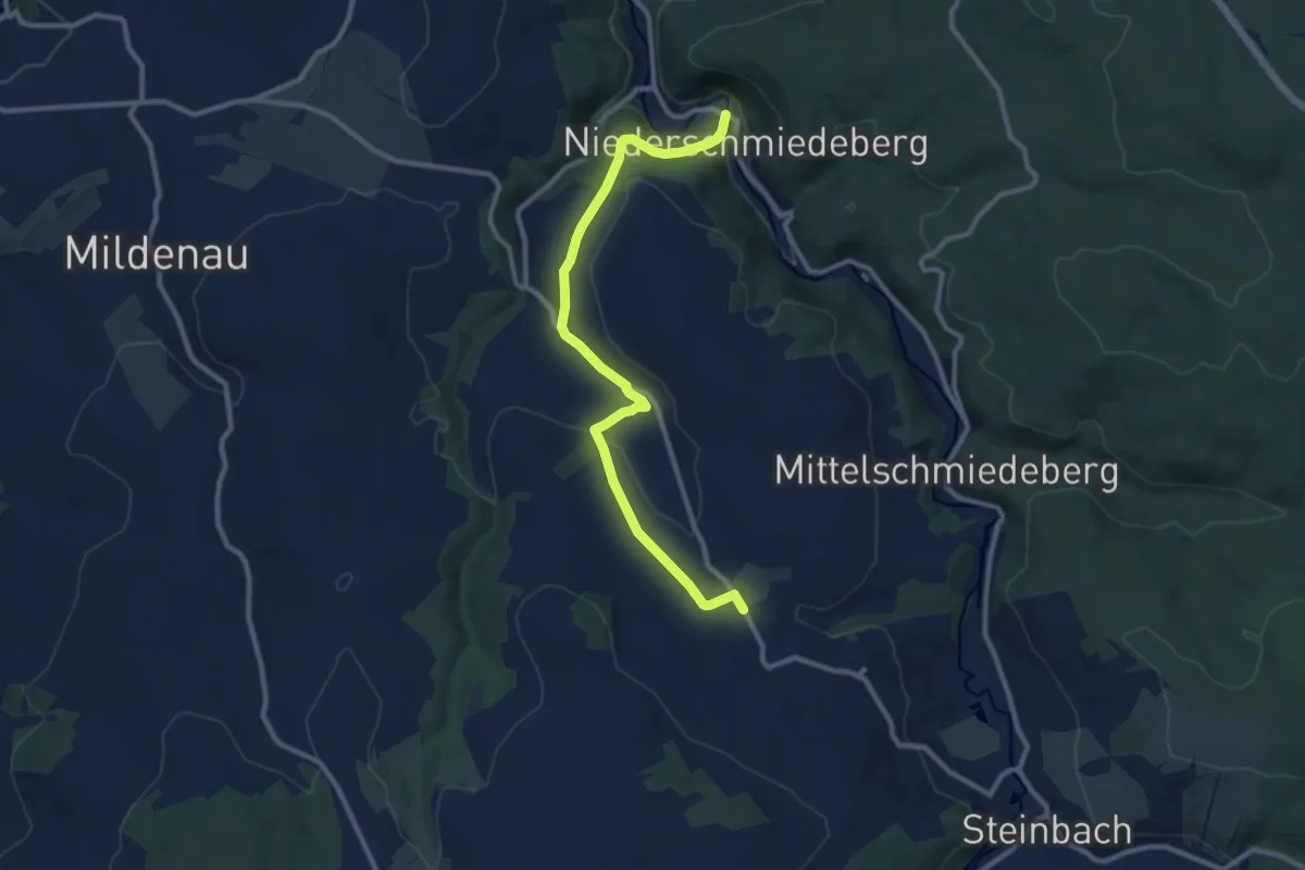
Niederschlettenbach 2 - Lauterweg und Silbergrube
6.6 km · ↑ 180 m · 2 h 3 min
Medium · Trail
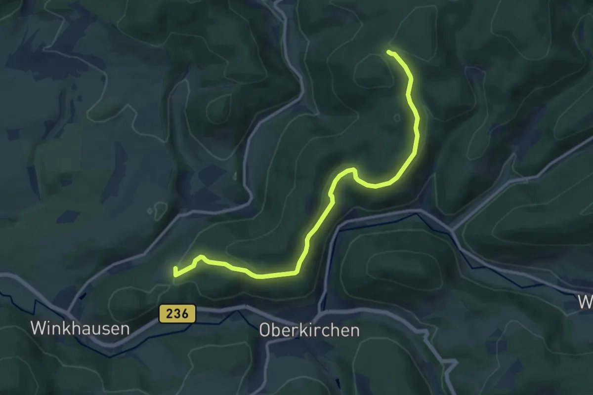
Niederschmiedeberg-Arnsfeld
10.0 km · ↑ 202 m · 2 h 47 min
Medium · Trail
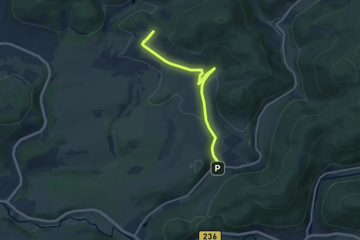
Niedersorpe Rundweg N1
9.3 km · ↑ 332 m · 2 h 54 min
Easy · Trail
Niedersorpe Rundweg N2
7.2 km · ↑ 191 m · 2 h 7 min
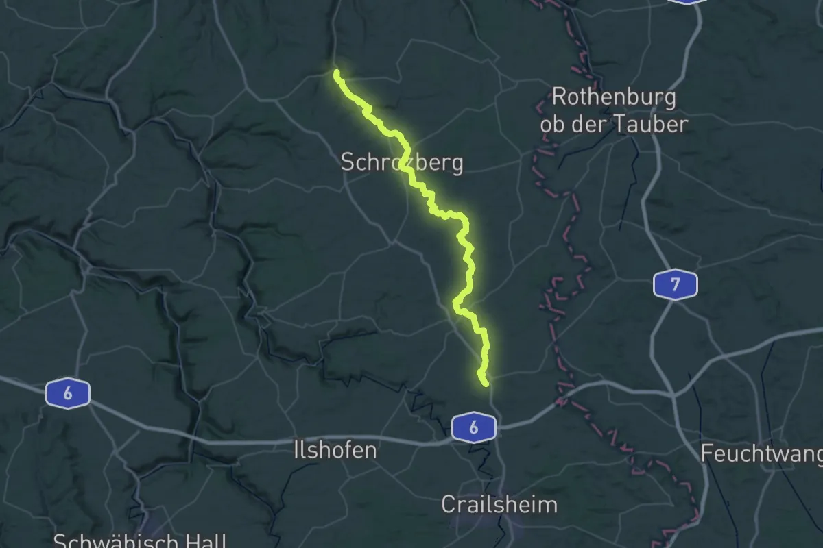
Demanding · Trail
Niederstetten - Wallhausen
33.2 km · ↑ 347 m · 9 h 7 min
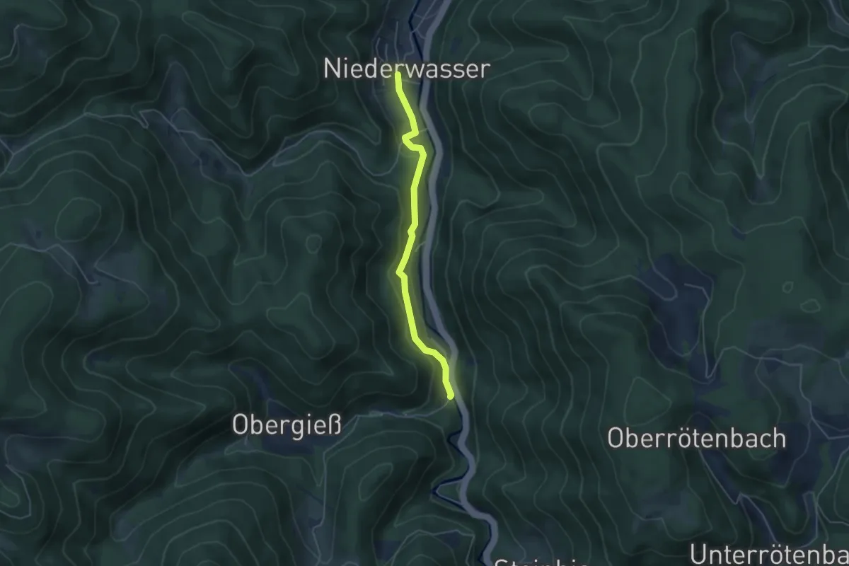
Easy · Trail
Niederwasser Dorf - Am Bach
4.1 km · ↑ 133 m · 1 h 15 min
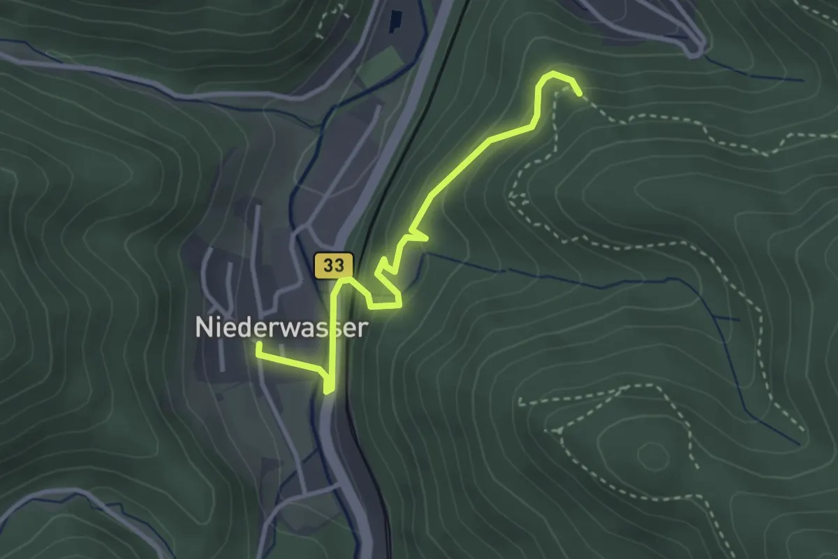
Easy · Trail
Niederwasser Dorf - Kreuzweg Kanzelweg
3.0 km · ↑ 236 m · 1 h 13 min
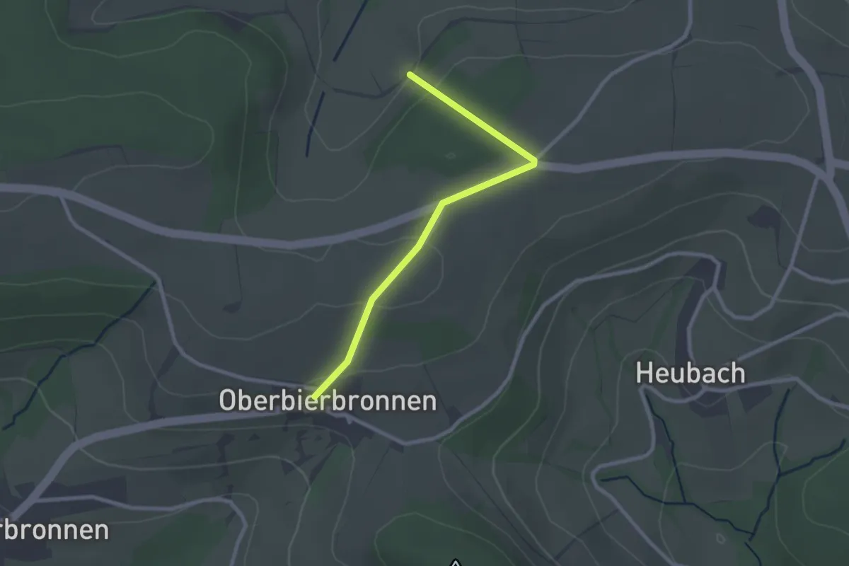
Easy · Trail
Niederwies - Oberbierbronnen
2.4 km · ↑ 61 m · 42 min
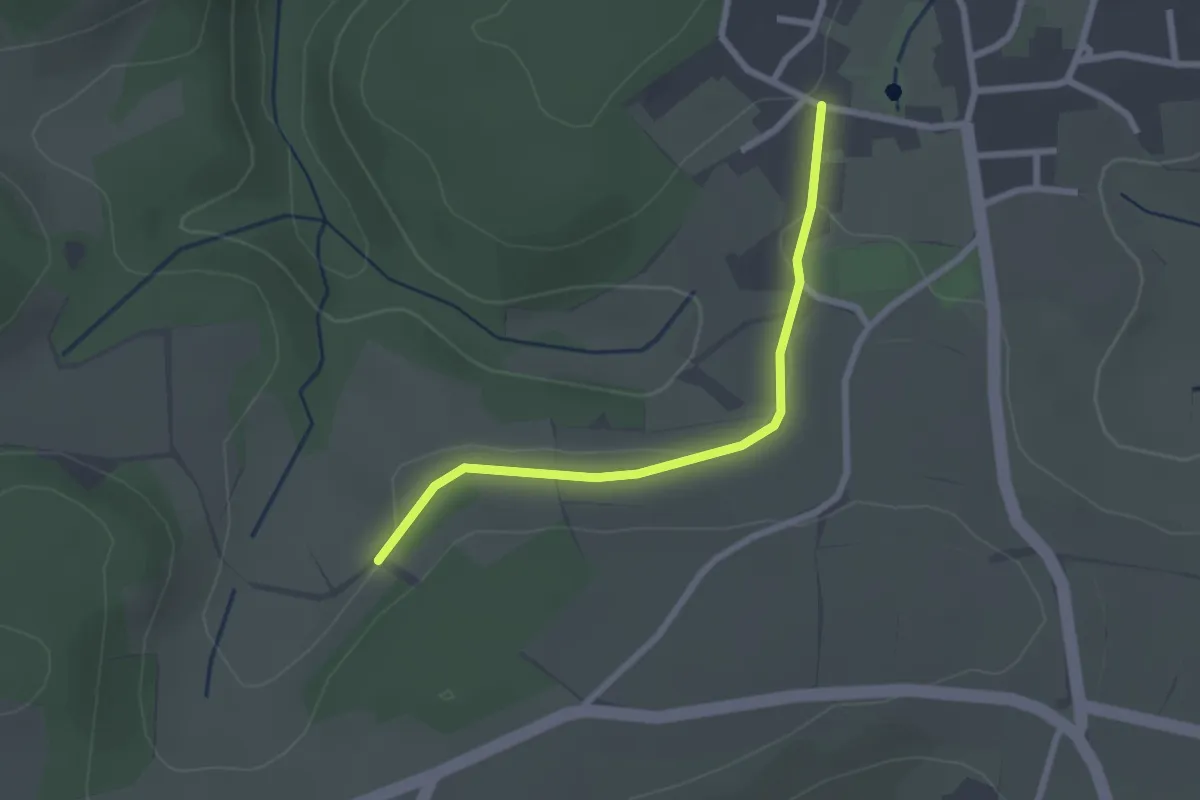
Easy · Trail
Niederwies - Wolfbachweg
2.3 km · ↑ 19 m · 34 min
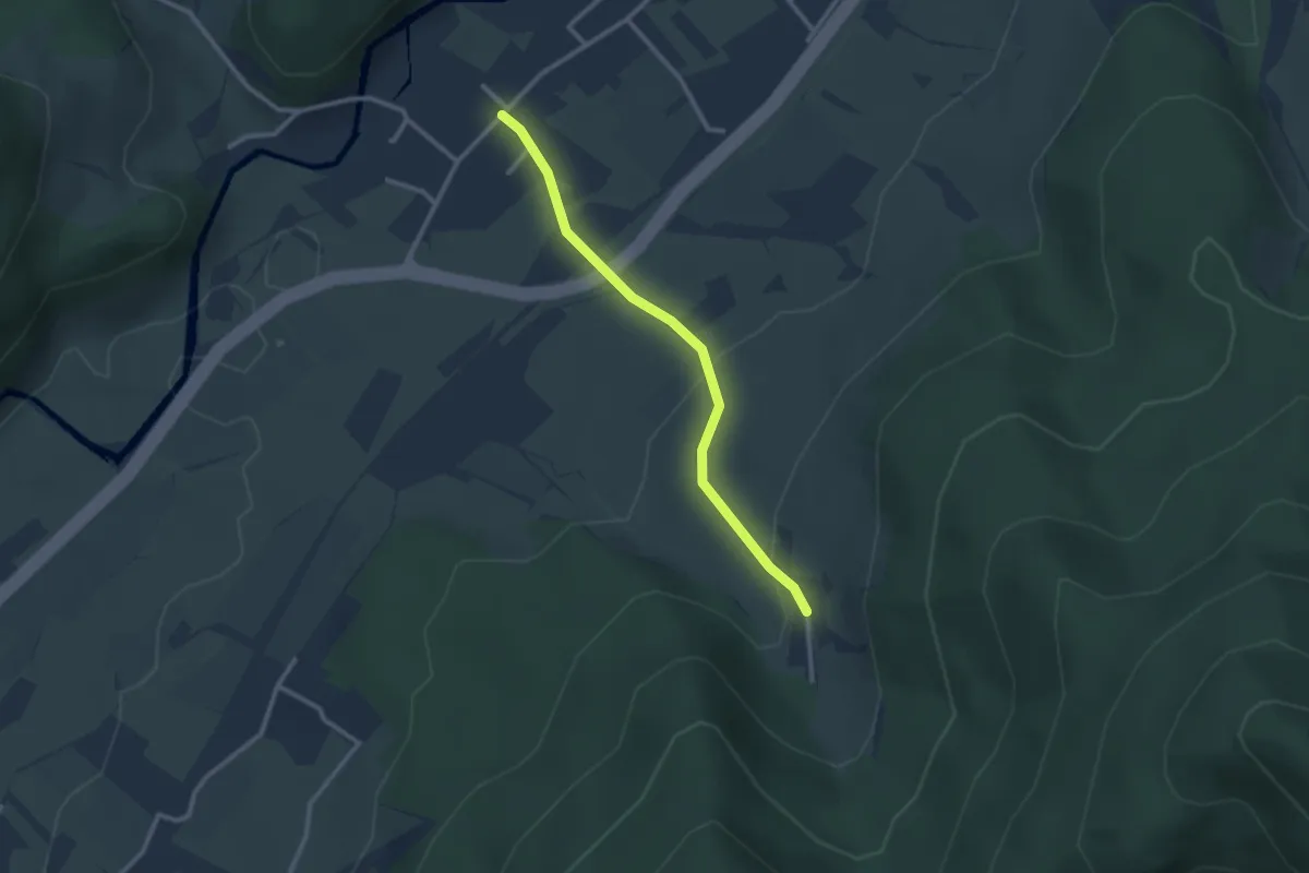
Easy · Trail
Niederwinden Hauptstraße - Dürrenberg
2.4 km · ↑ 97 m · 47 min
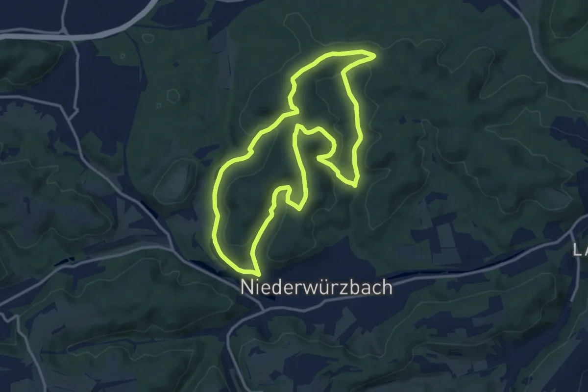
Medium · Summit
Niederwürzbacher-Weiher-Tour
10.3 km · ↑ 299 m · 3 h 13 min
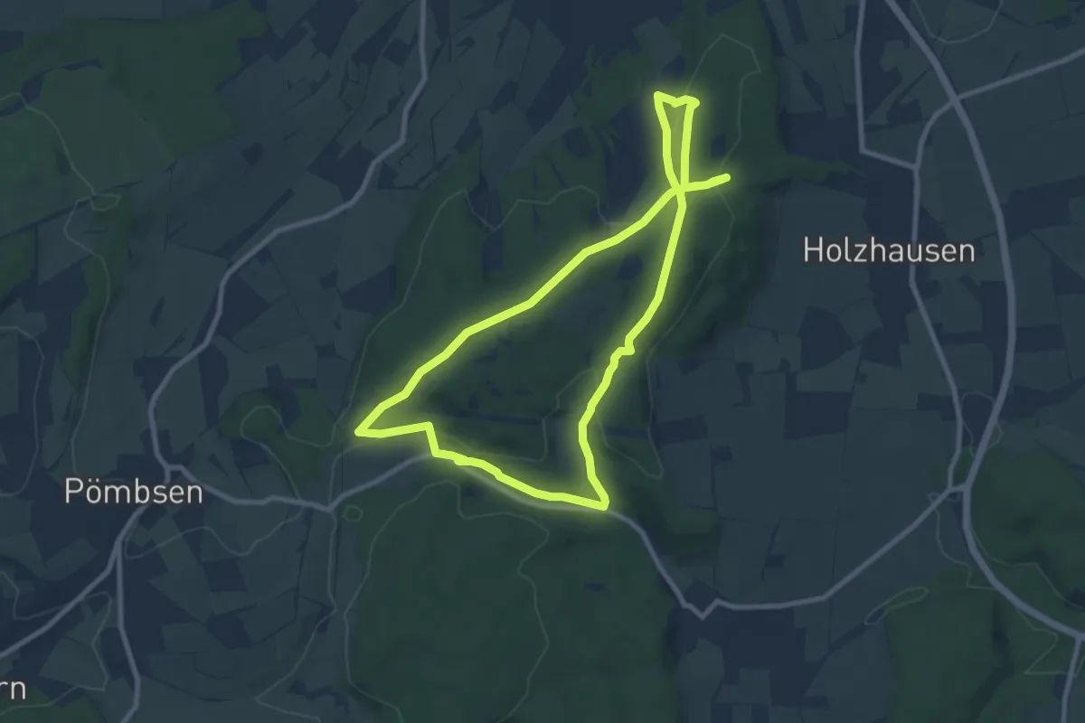
Easy · Summit
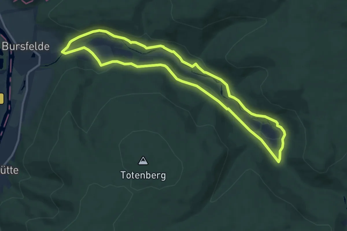
Nieheimer Kunstpfad
7.8 km · ↑ 171 m · 2 h 19 min
Easy · Trail
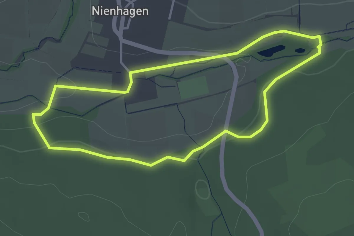
Niemerundweg
8.0 km · ↑ 171 m · 2 h 22 min
Easy · Trail
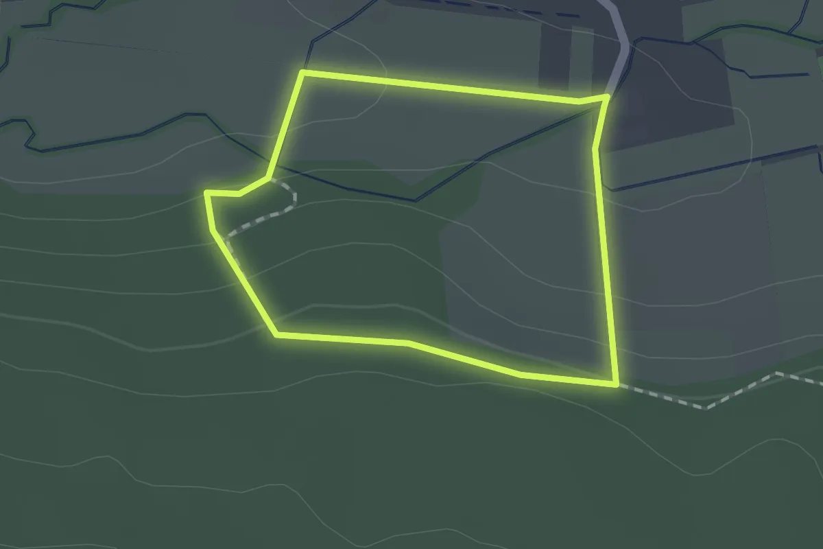
Nienhagen Barfußpfad (Großer Rundweg)
2.8 km · ↑ 45 m · 48 min
Easy · Trail
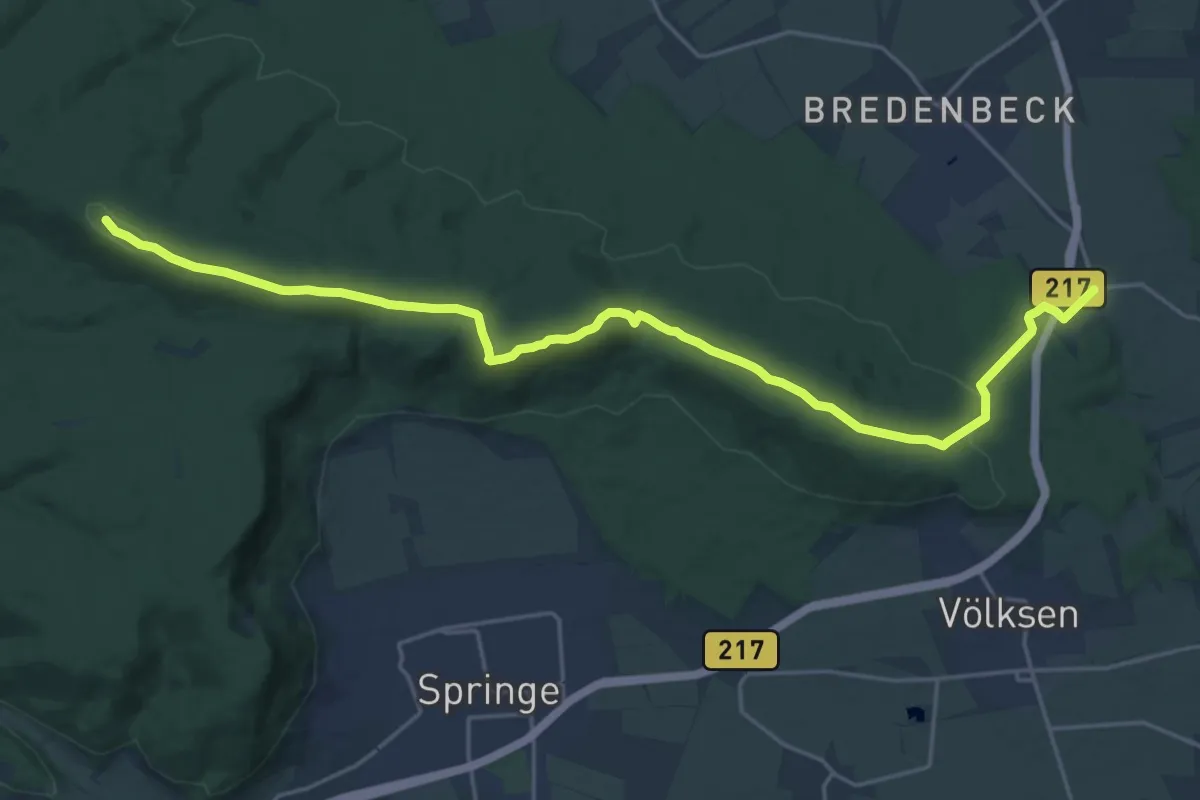
Nienhagen Barfußpfad (Kleiner Rundweg)
1.2 km · ↑ 34 m · 22 min
Demanding · Summit
Nienstedter-Pass zum Steinkrug
21.4 km · ↑ 415 m · 5 h 57 min
Easy · Trail
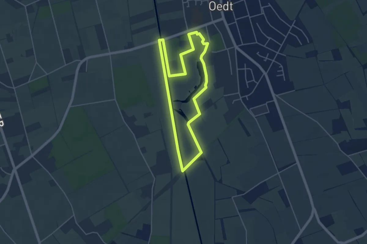
Niersauen Runde
3.8 km · ↑ 4 m · 58 min
Easy · Trail
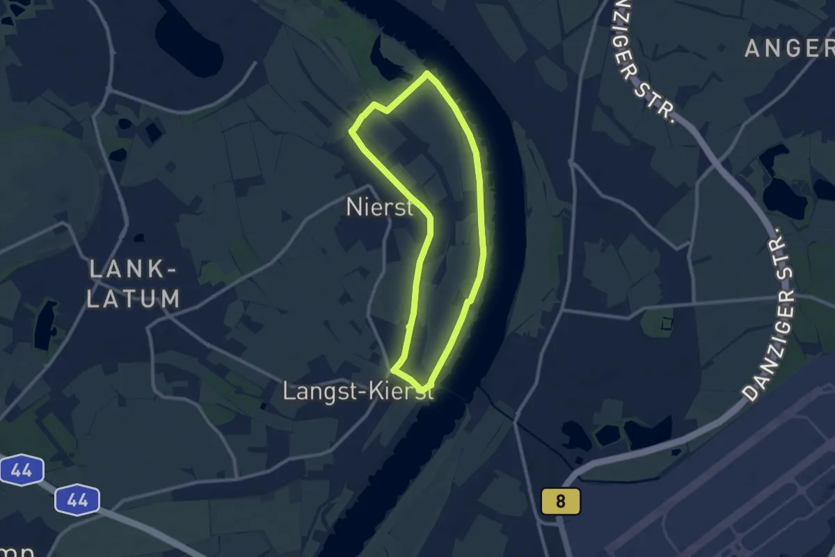
Nierst Rundweg A3
7.7 km · ↑ 4 m · 1 h 56 min
Demanding · Summit
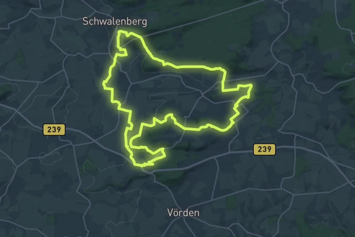
Niesetalweg
22.3 km · ↑ 497 m · 6 h 40 min
Demanding · Summit
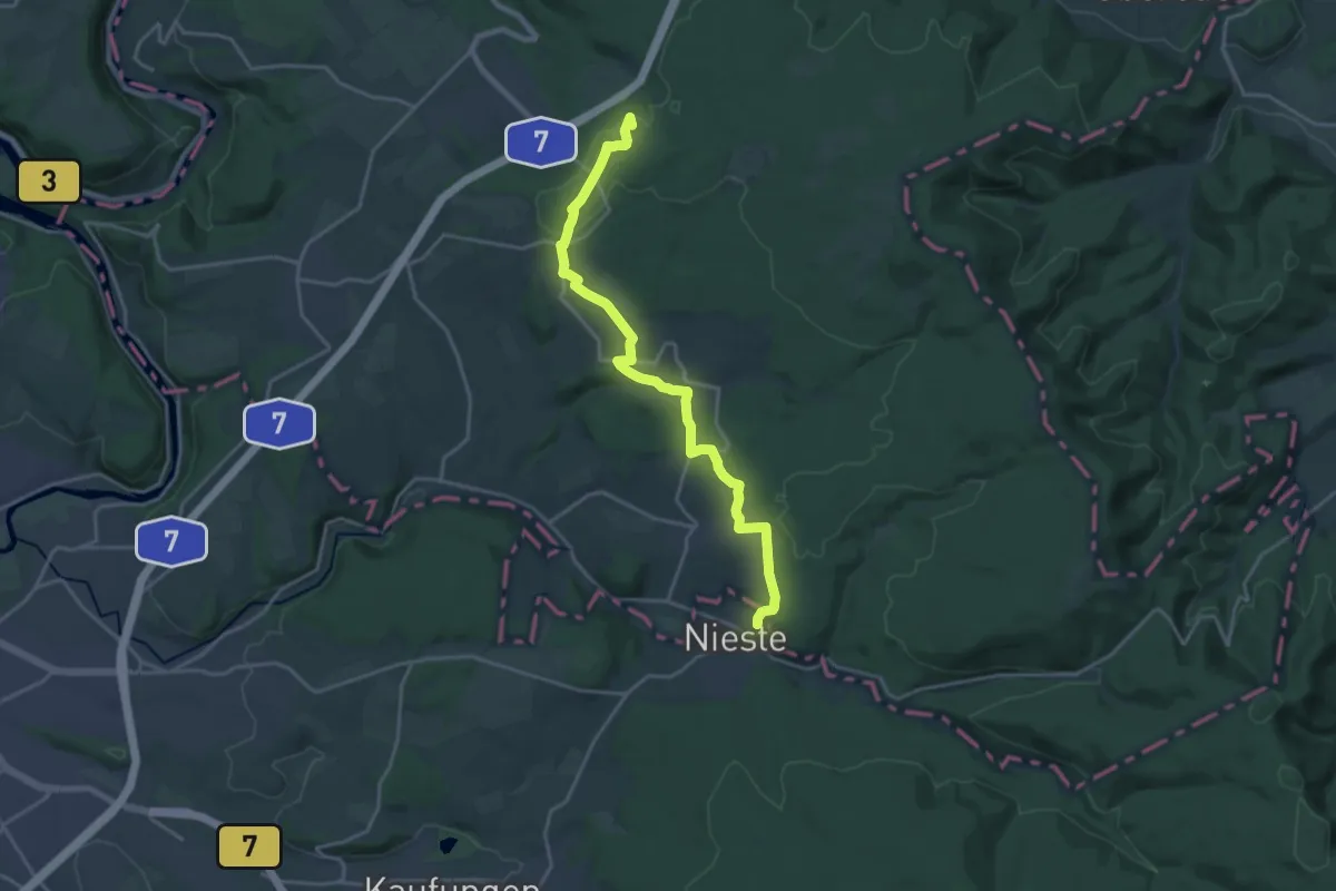
Nieste - Fuhrmannstein
18.3 km · ↑ 403 m · 5 h 12 min
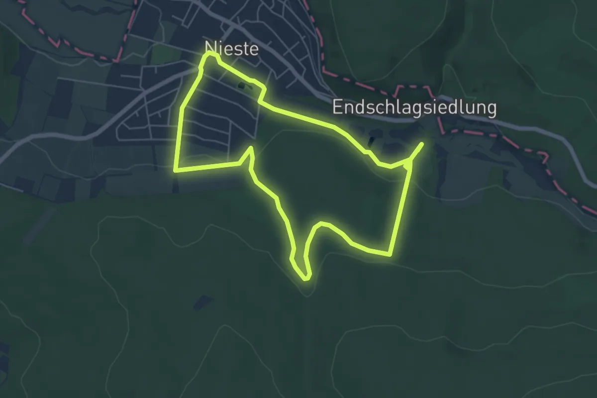
Easy · Trail
Nieste, Rundweg 14a
4.9 km · ↑ 107 m · 1 h 27 min
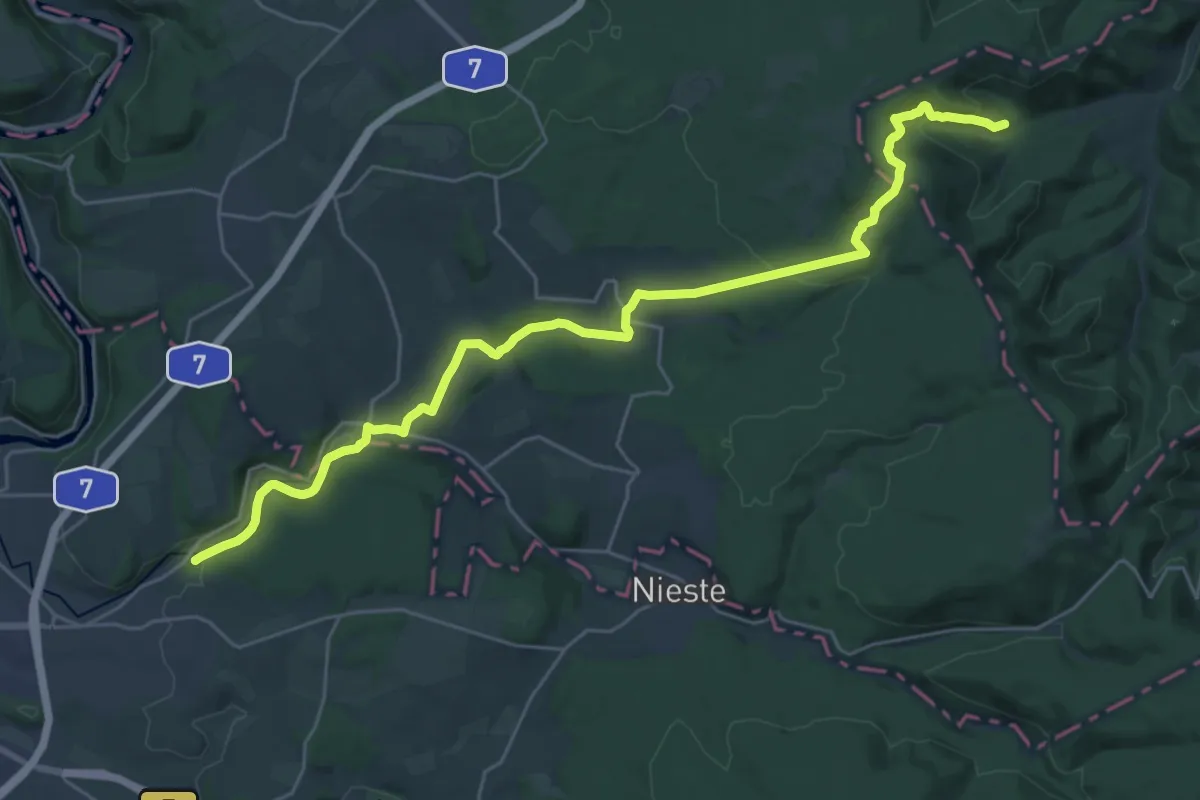
Demanding · Trail
Nieste-Werra-Weg
27.9 km · ↑ 603 m · 7 h 54 min
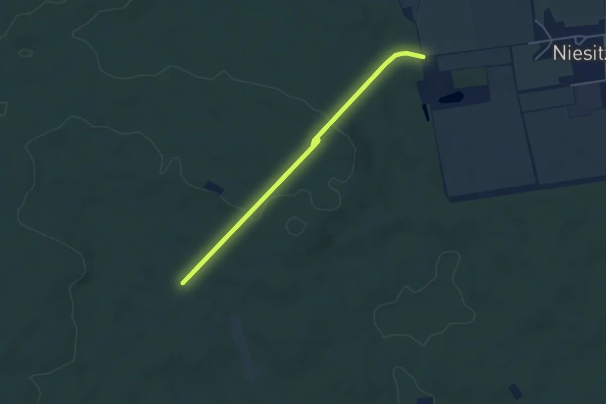
Easy · Trail
Niestitz - Singereiche
3.7 km · ↑ 83 m · 1 h 4 min
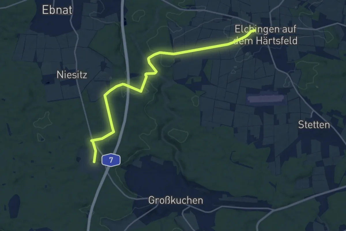
Medium · Trail
Nietheim - Elchingen
15.8 km · ↑ 215 m · 4 h 12 min
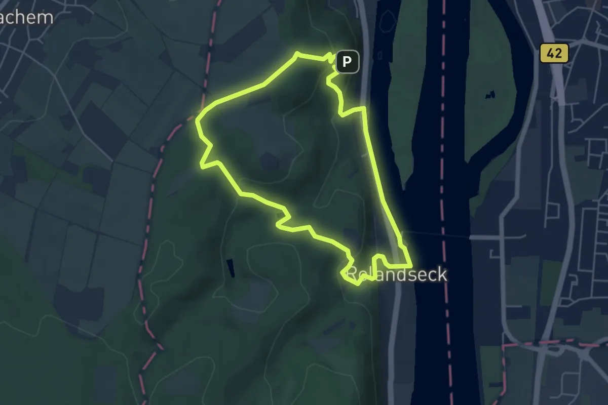
Easy · Trail
Nietzscheweg
4.4 km · ↑ 165 m · 1 h 28 min
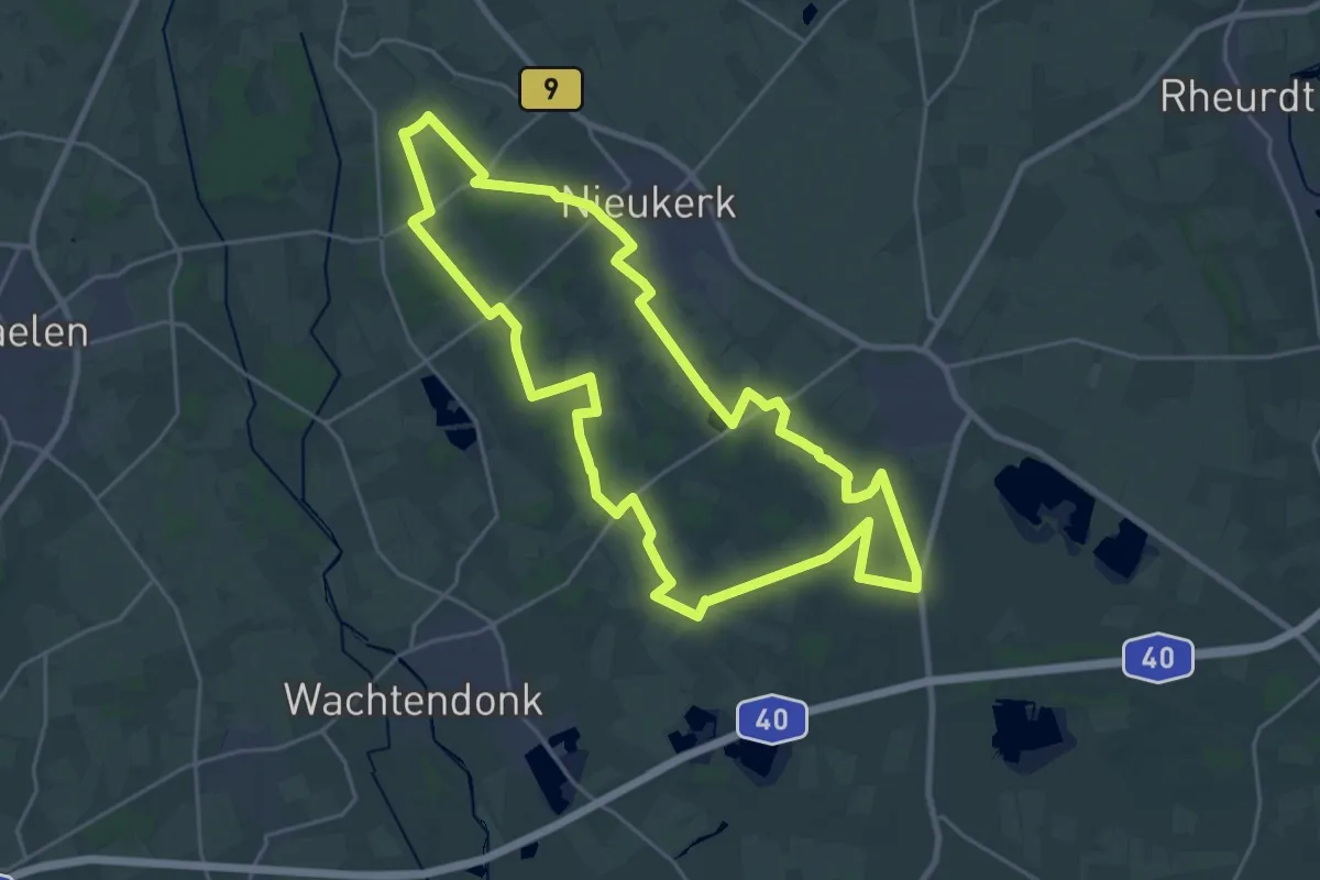
Demanding · Trail
Nieukerk Rundweg
22.4 km · ↑ 38 m · 5 h 41 min
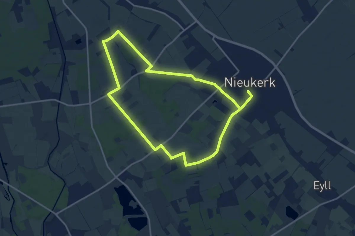
Medium · Trail
Nieukerk Rundweg A4
8.9 km · ↑ 22 m · 2 h 17 min
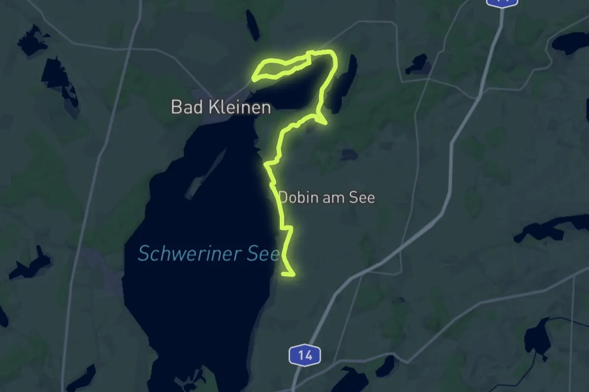
Demanding · Trail
Niklot-Pfad
30.3 km · ↑ 100 m · 7 h 23 min
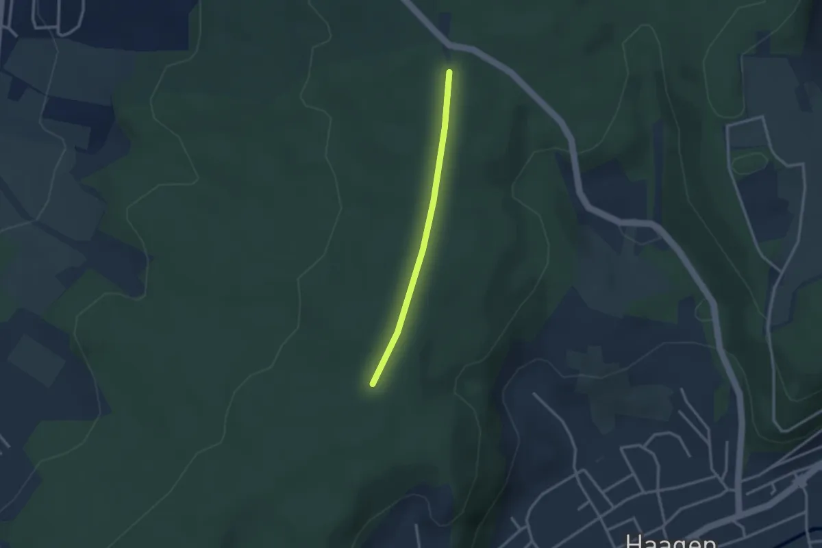
Easy · Trail
Nikolausgraben - Wittlinger Trimm-Dich-Pfad
2.2 km · ↑ 18 m · 34 min
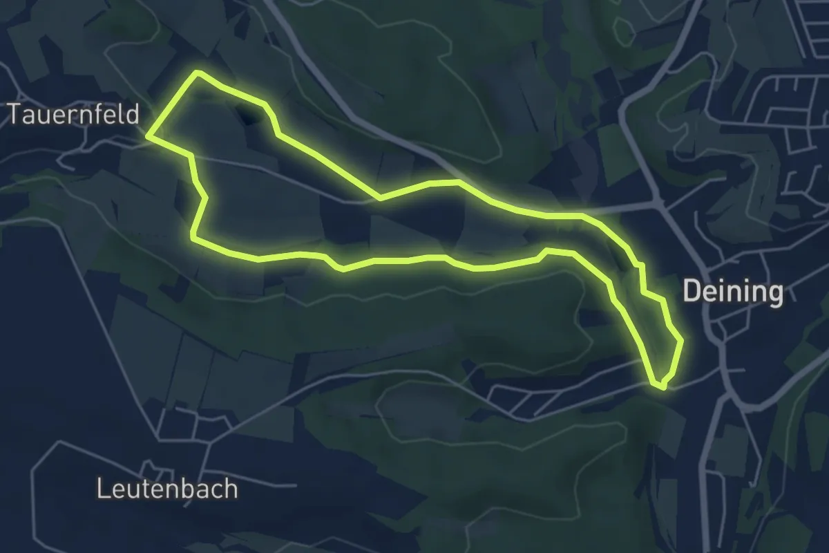
Easy · Trail
Nikolausrunde
4.7 km · ↑ 43 m · 1 h 17 min
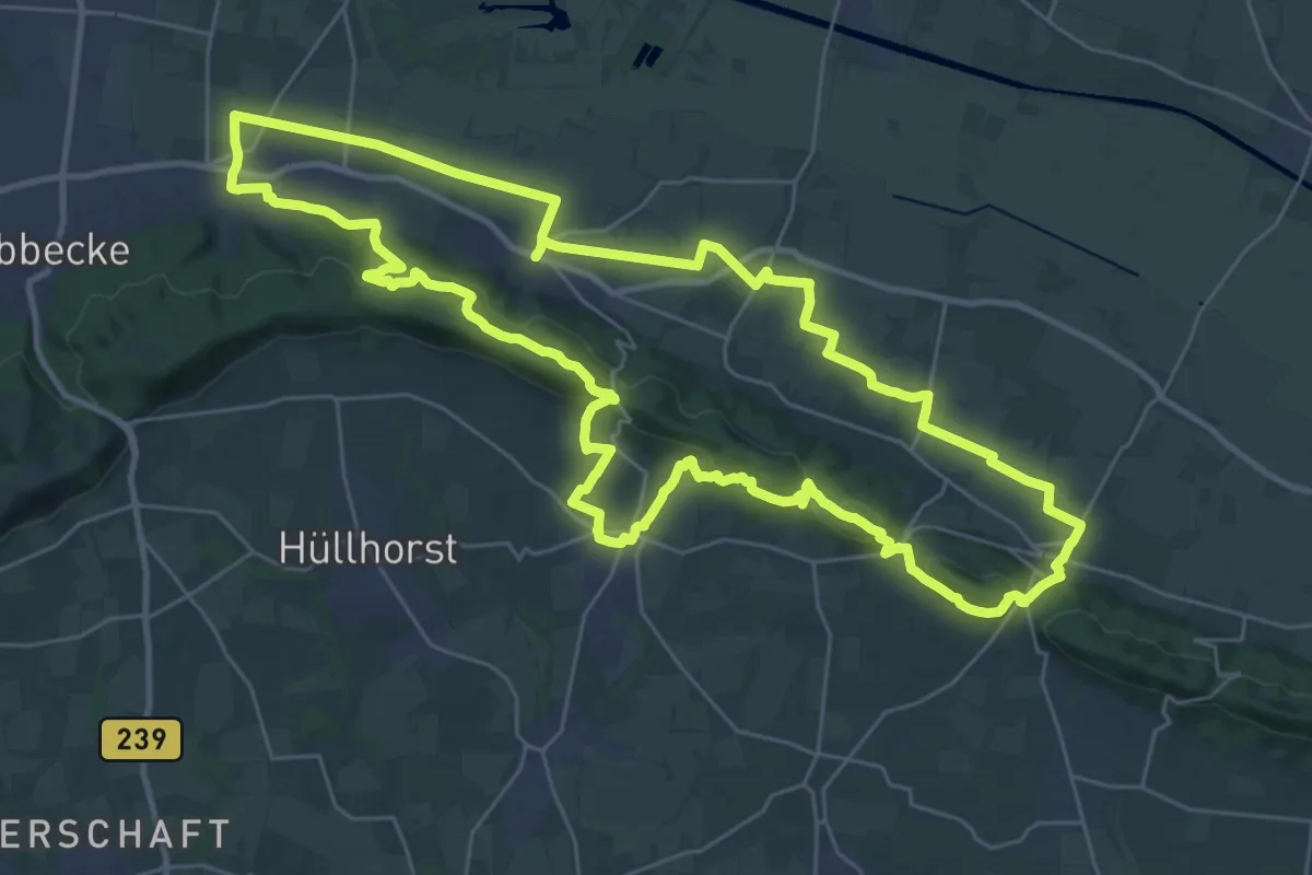
Demanding · Summit
Nikolausweg
29.8 km · ↑ 510 m · 8 h 33 min
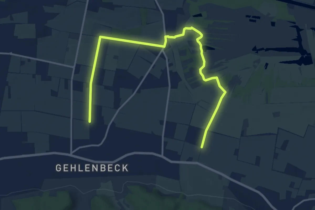
Easy · Pilgrim path
Nikolausweg - Alternativroute "Großes Torfmoor"
5.6 km · ↑ 9 m · 1 h 25 min
Easy · Trail
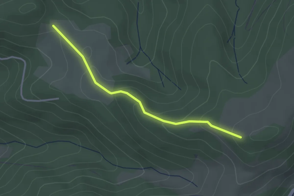
Niller Eck - Kohlplatz
2.7 km · ↑ 115 m · 53 min
Easy · Trail
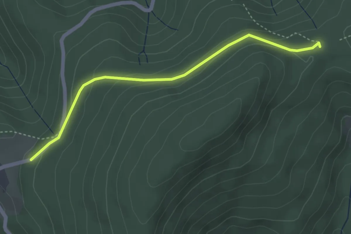
Nillwald - Schwarzenbachsattel
3.6 km · ↑ 106 m · 1 h 4 min
Easy · Trail
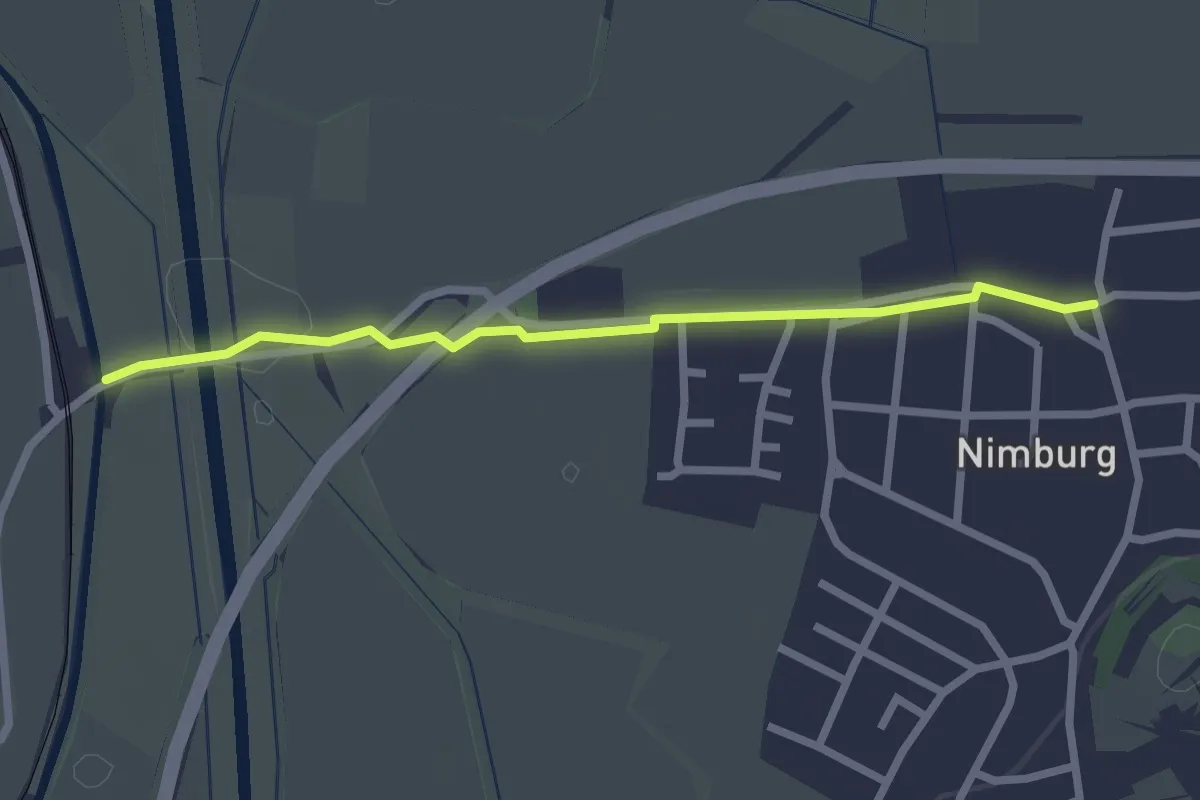
Nimburg Rathaus - Bahnhof Nimburg
2.3 km · ↑ 4 m · 33 min
Medium · Trail
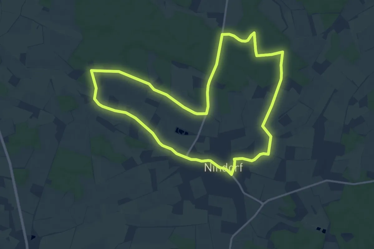
Nindorfs Blaue Route
10.3 km · ↑ 71 m · 2 h 43 min