Trails in Germany
36,852 hiking trails, each with its route, climb, walking time and grade.
All trails, page 378 of 768
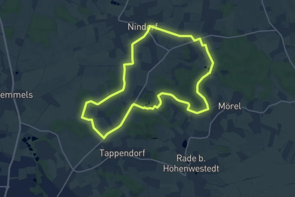
Medium · Trail
Nindorfs Rote Route
11.0 km · ↑ 99 m · 2 h 57 min
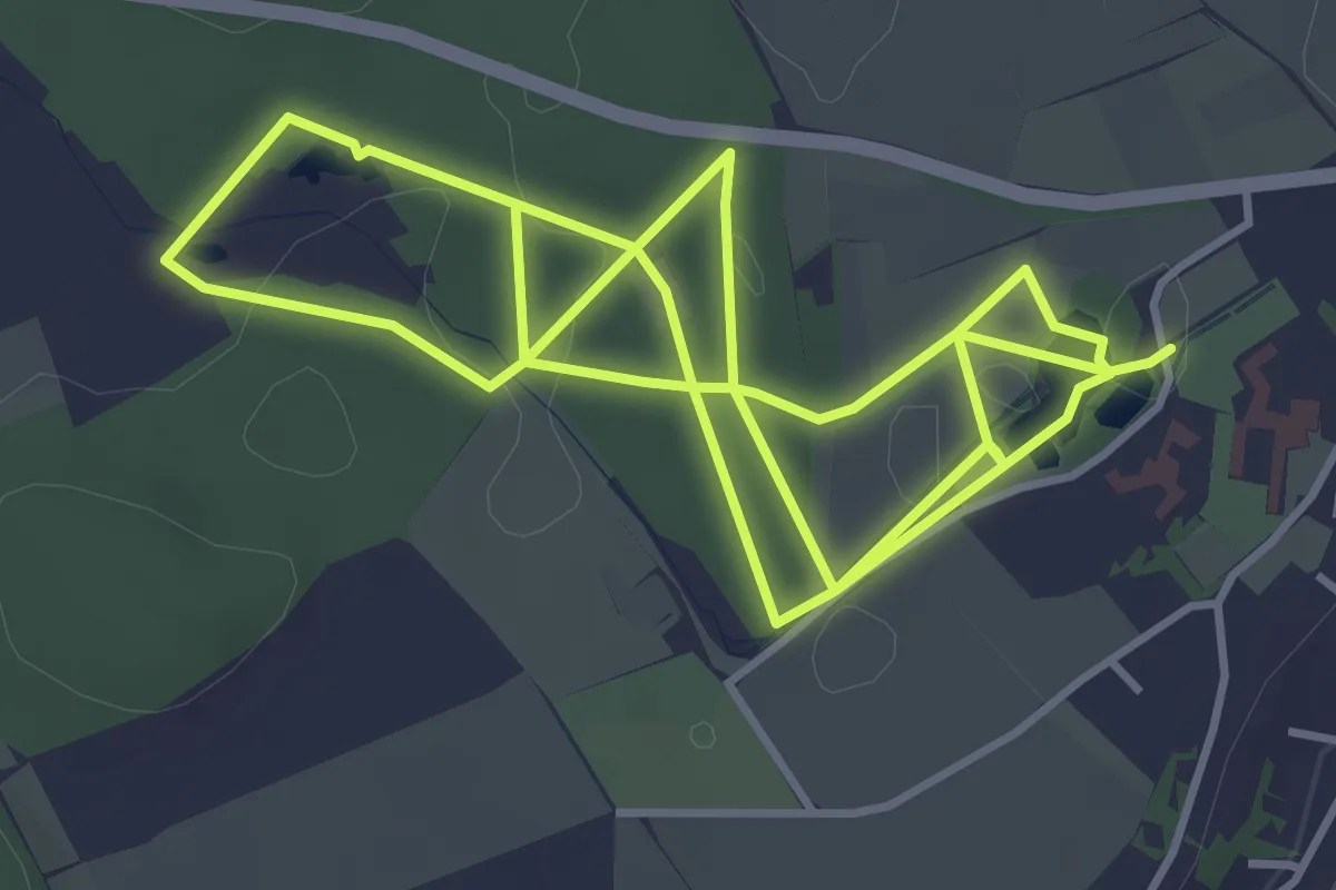
Medium · Trail
Nistkastenlehrpfad
8.8 km · ↑ 83 m · 2 h 16 min
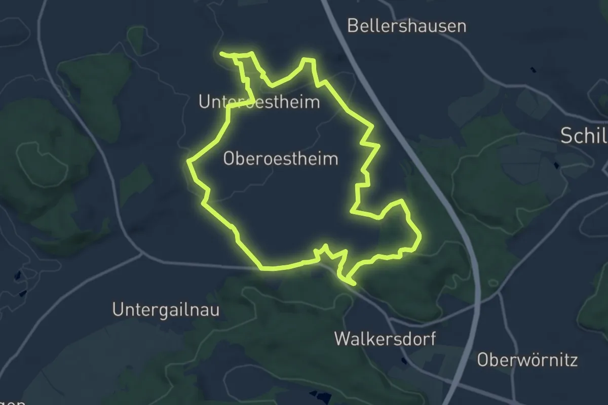
Medium · Trail
Nixe
11.5 km · ↑ 205 m · 3 h 20 min
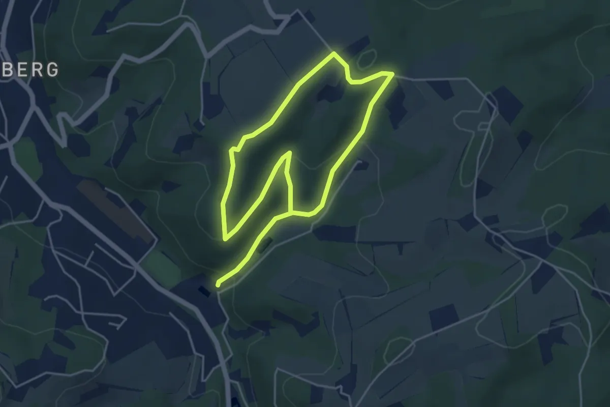
Easy · Trail
Nizzabad Rundweg A4
3.3 km · ↑ 117 m · 1 h 4 min
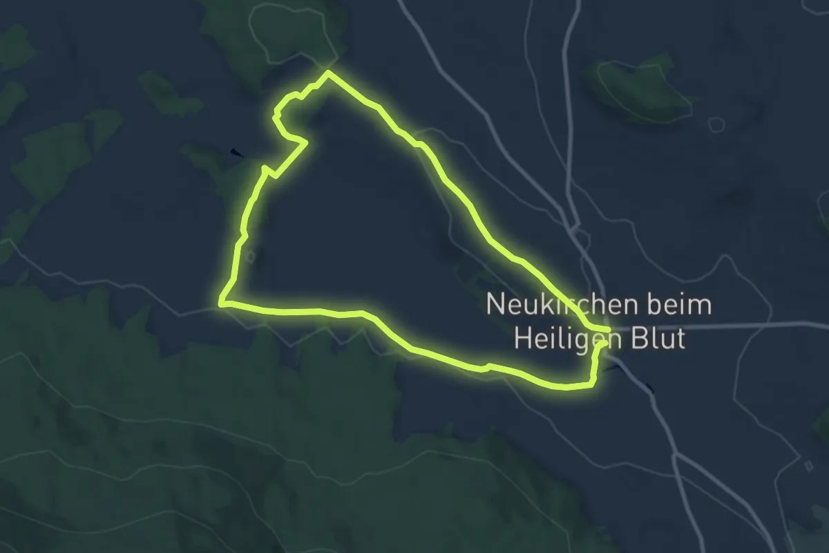
Easy · Summit
Nk02 Freibachweg
8.0 km · ↑ 121 m · 2 h 16 min
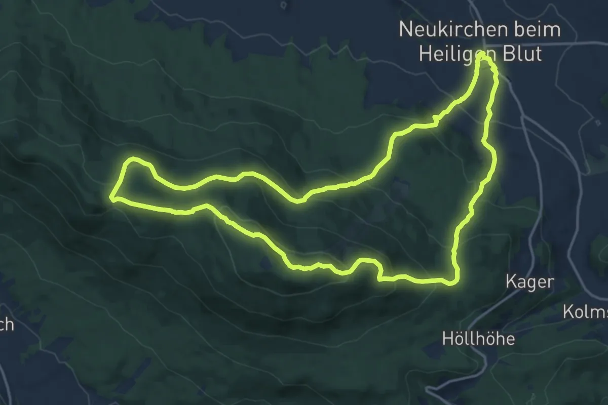
Medium · Summit
Nk03 Hohenbogen-Touristenweg
14.4 km · ↑ 672 m · 5 h 3 min
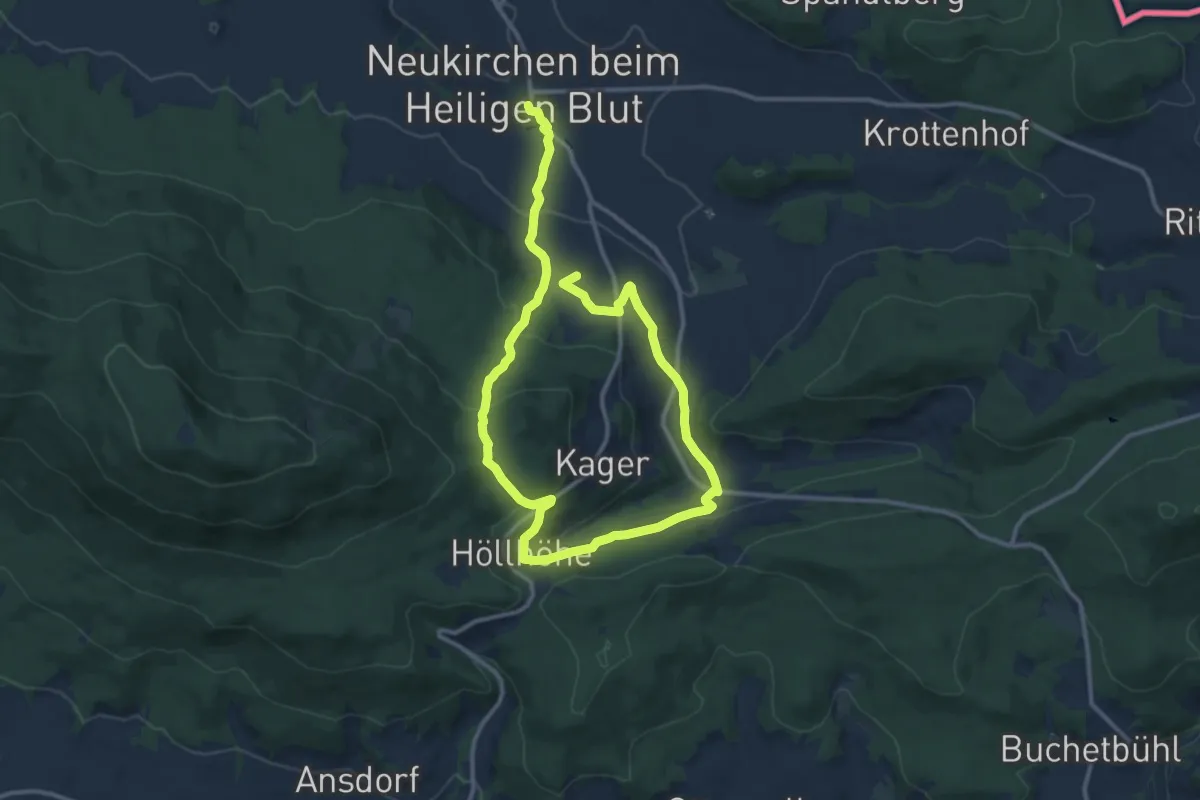
Medium · Summit
Nk05 Höllhoehweg
17.7 km · ↑ 603 m · 5 h 29 min
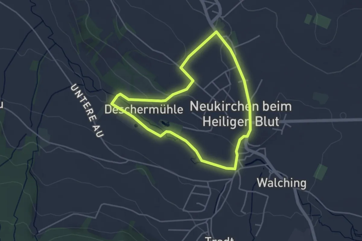
Easy · Trail
Nk08 Kapellenweg
3.1 km · ↑ 51 m · 54 min
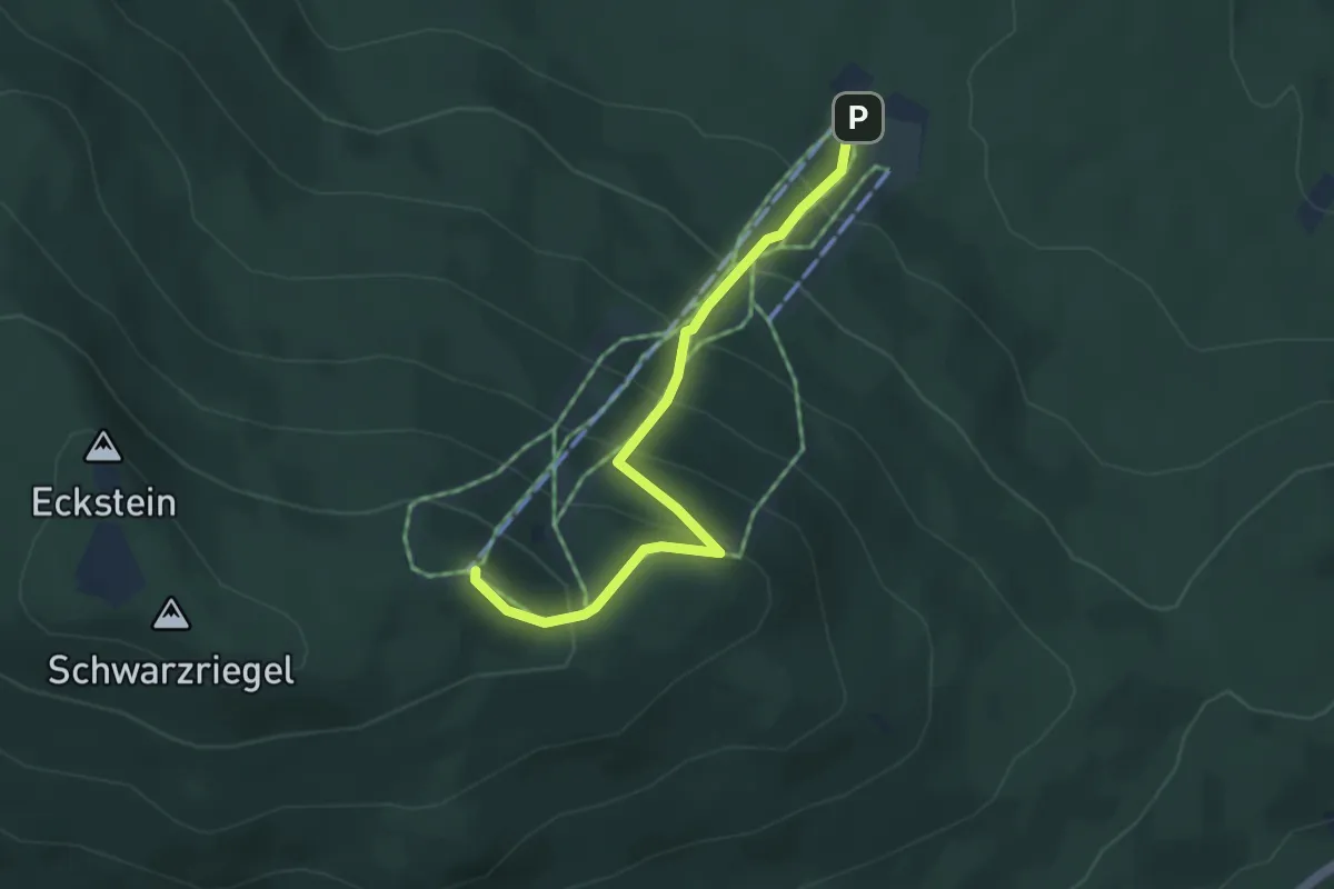
Medium · Summit
Nk10 Hohenbogen-Bergsteig
3.8 km · ↑ 371 m · 1 h 42 min
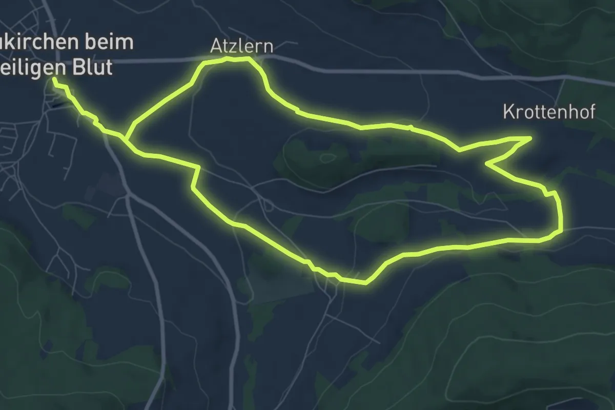
Medium · Trail
Nk12 Schicherbachweg
16.6 km · ↑ 295 m · 4 h 33 min
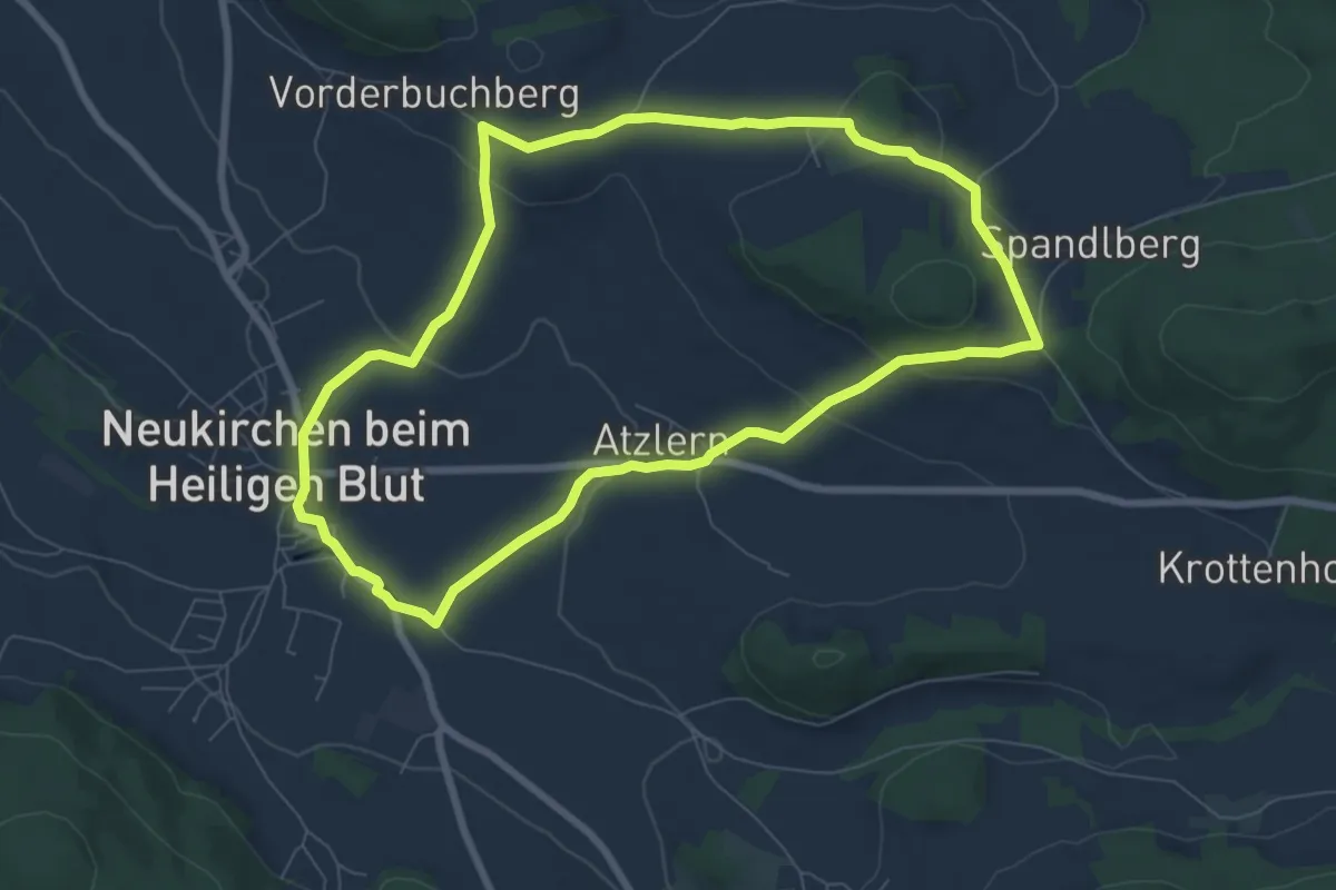
Easy · Summit
Nk7 Hoderngossnweg
7.1 km · ↑ 178 m · 2 h 9 min
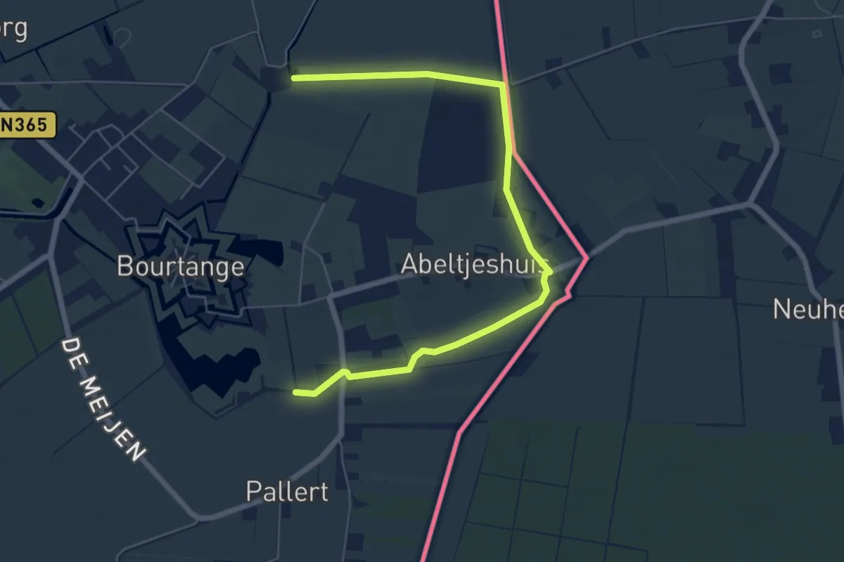
Easy · Trail
Noaberpad - Alternatief - etappe 25
6.0 km · ↑ 8 m · 1 h 26 min
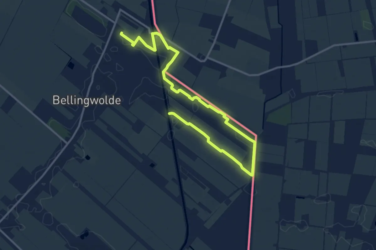
Medium · Trail
Noaberpad etappe 01
11.6 km · ↑ 0 m · 2 h 45 min
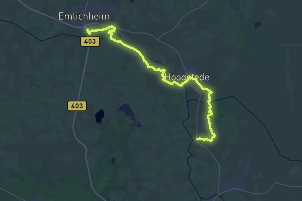
Medium · Trail
Noaberpad etappe 09
17.1 km · ↑ 12 m · 4 h 18 min
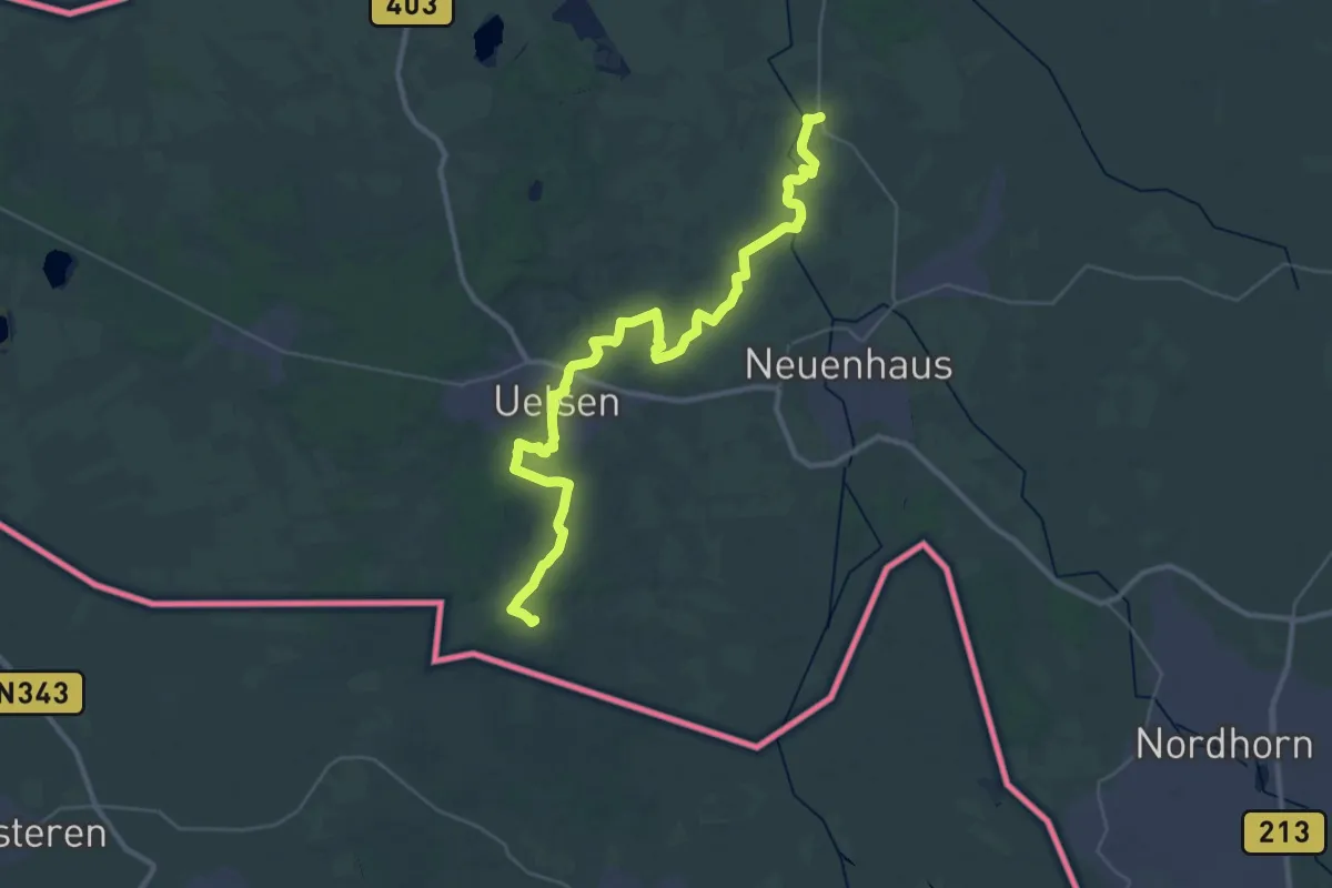
Demanding · Summit
Noaberpad etappe 10
36.3 km · ↑ 184 m · 8 h 58 min
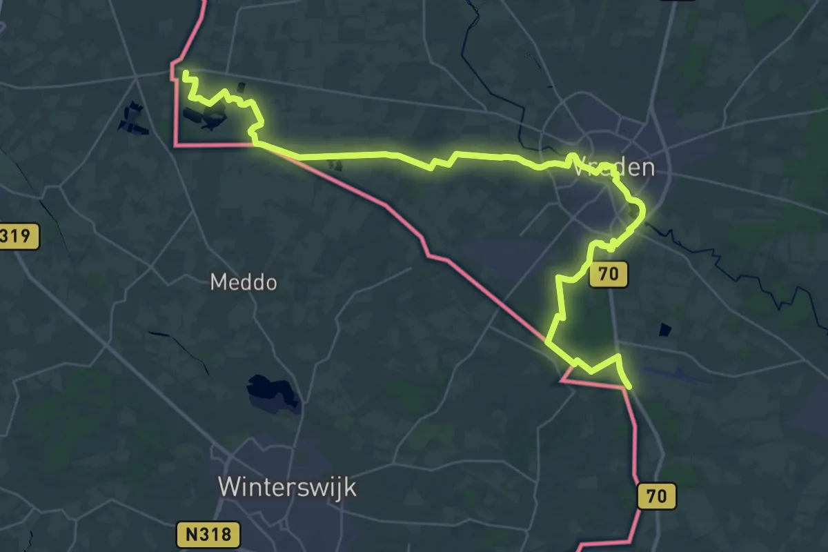
Demanding · Trail
Noaberpad etappe 16
20.4 km · ↑ 38 m · 5 h 11 min
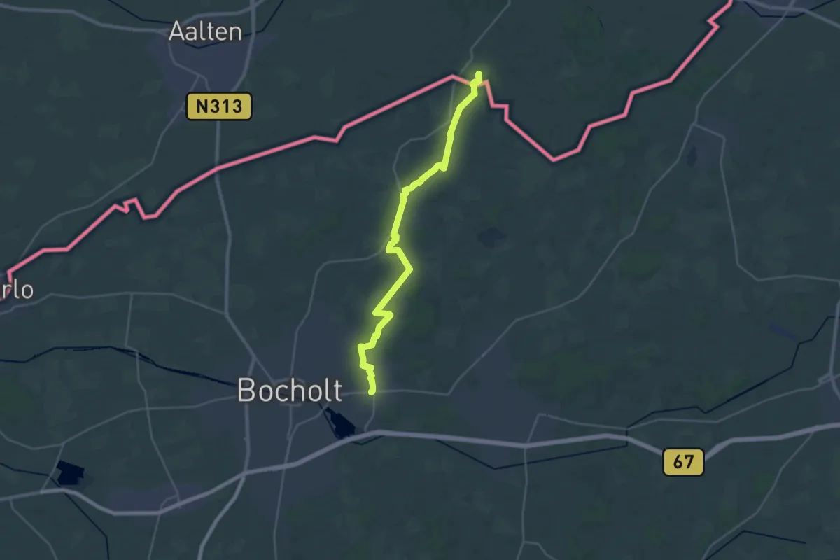
Demanding · Trail
Noaberpad etappe 18
24.3 km · ↑ 55 m · 5 h 51 min
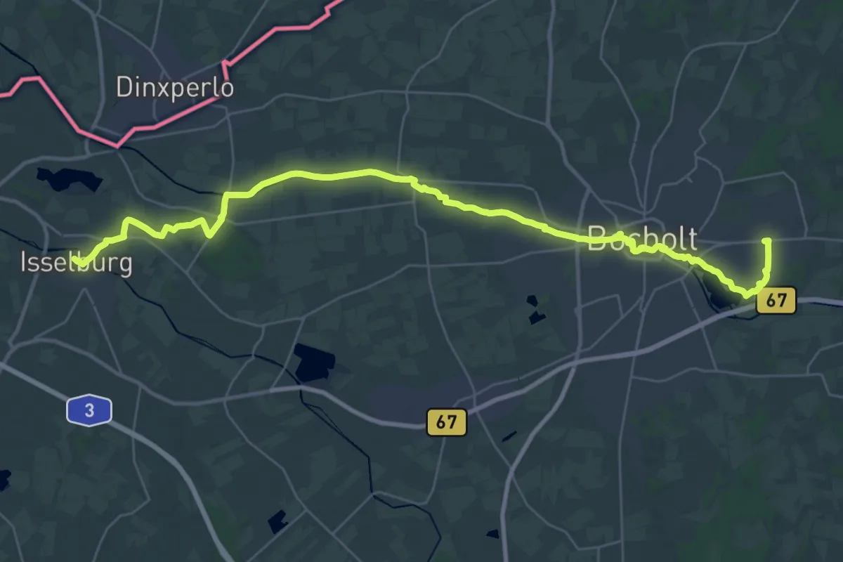
Medium · Trail
Noaberpad etappe 19
17.1 km · ↑ 9 m · 4 h 18 min
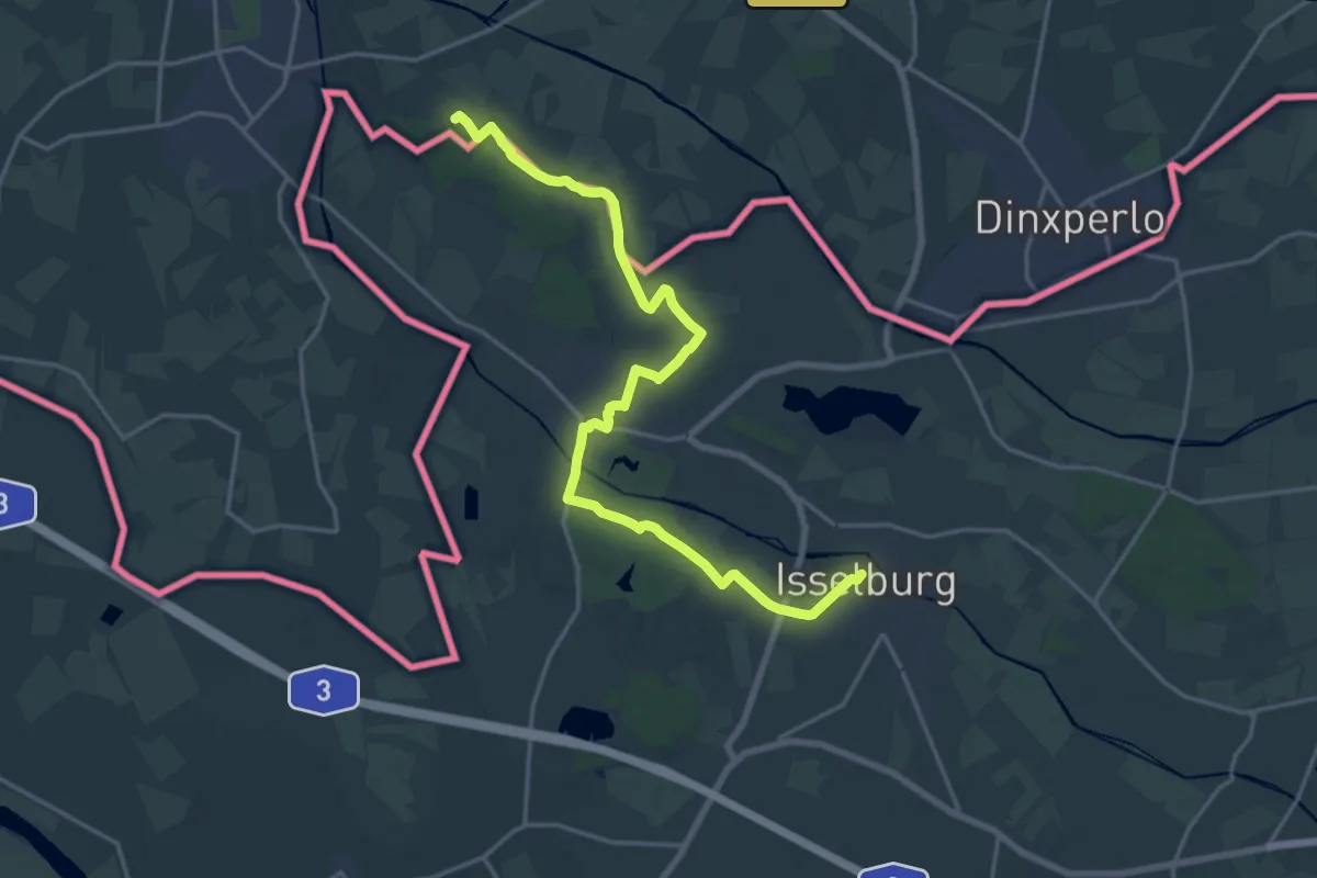
Demanding · Trail
Noaberpad etappe 20
18.6 km · ↑ 35 m · 4 h 28 min
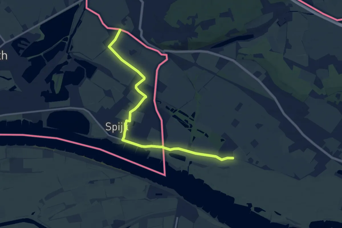
Medium · Trail
Noaberpad etappe 22
10.2 km · ↑ 0 m · 2 h 24 min
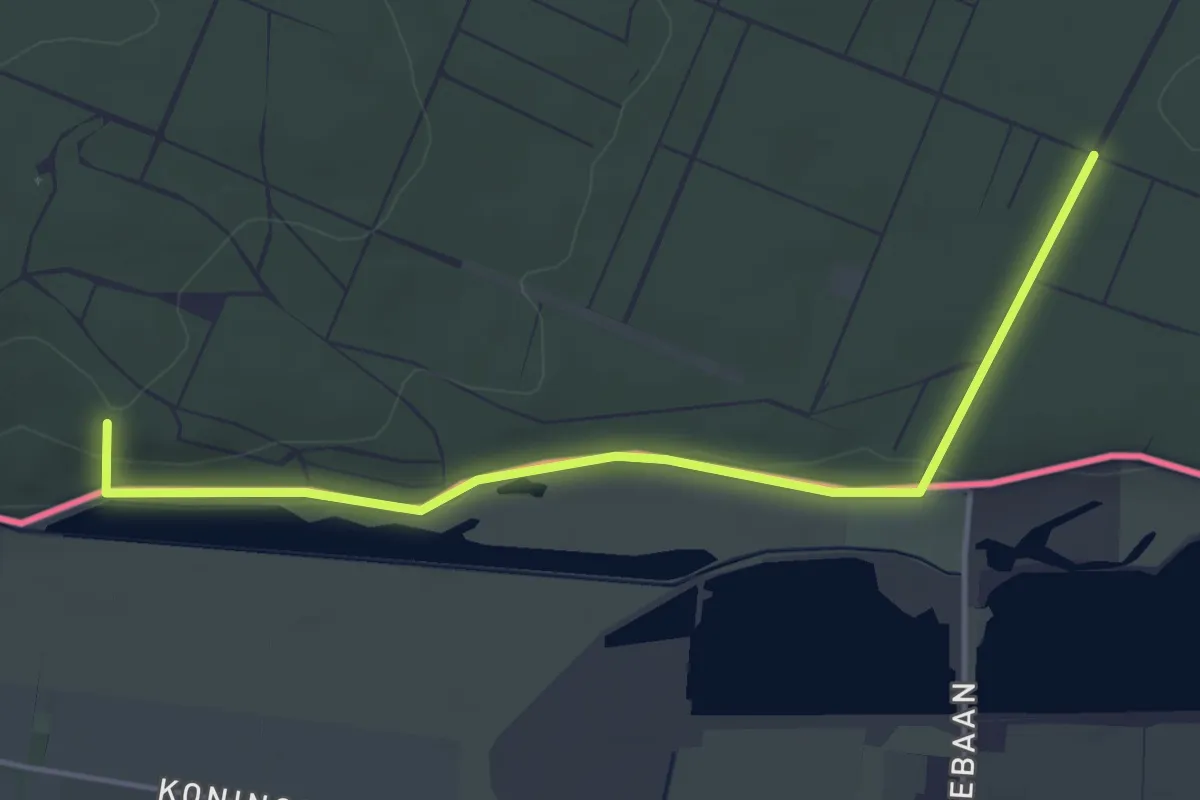
Easy · Summit
Noaberpad etappe 23
4.2 km · ↑ 67 m · 1 h 8 min
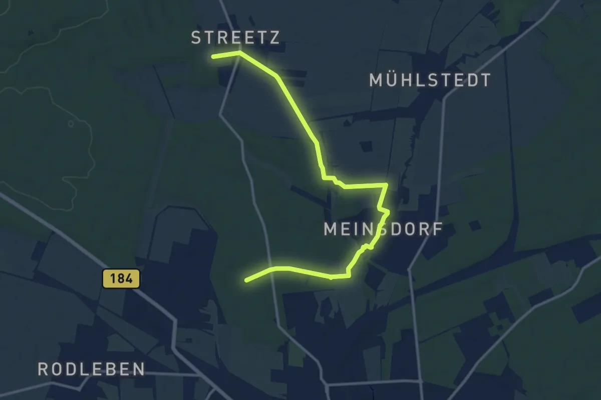
Medium · Trail
Noch nicht festgelegt
11.3 km · ↑ 40 m · 2 h 46 min
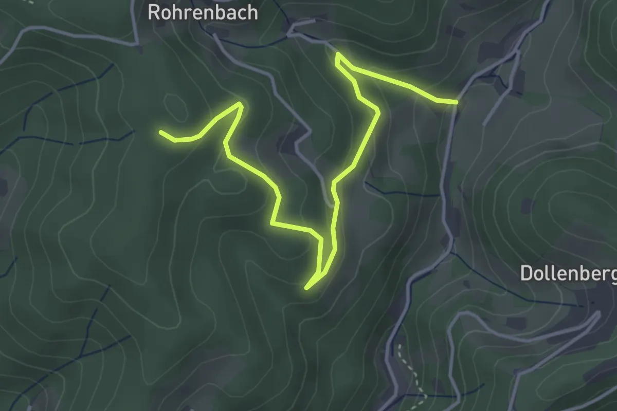
Easy · Trail
Nockenhofweg - Rohrenbach
4.2 km · ↑ 193 m · 1 h 25 min
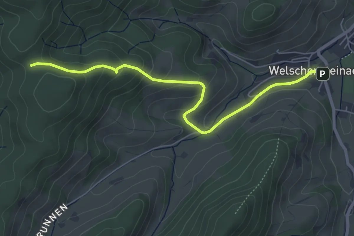
Easy · Trail
Nocken Kreuzplatz - Welschensteinach Rathausplatz
5.2 km · ↑ 217 m · 1 h 41 min
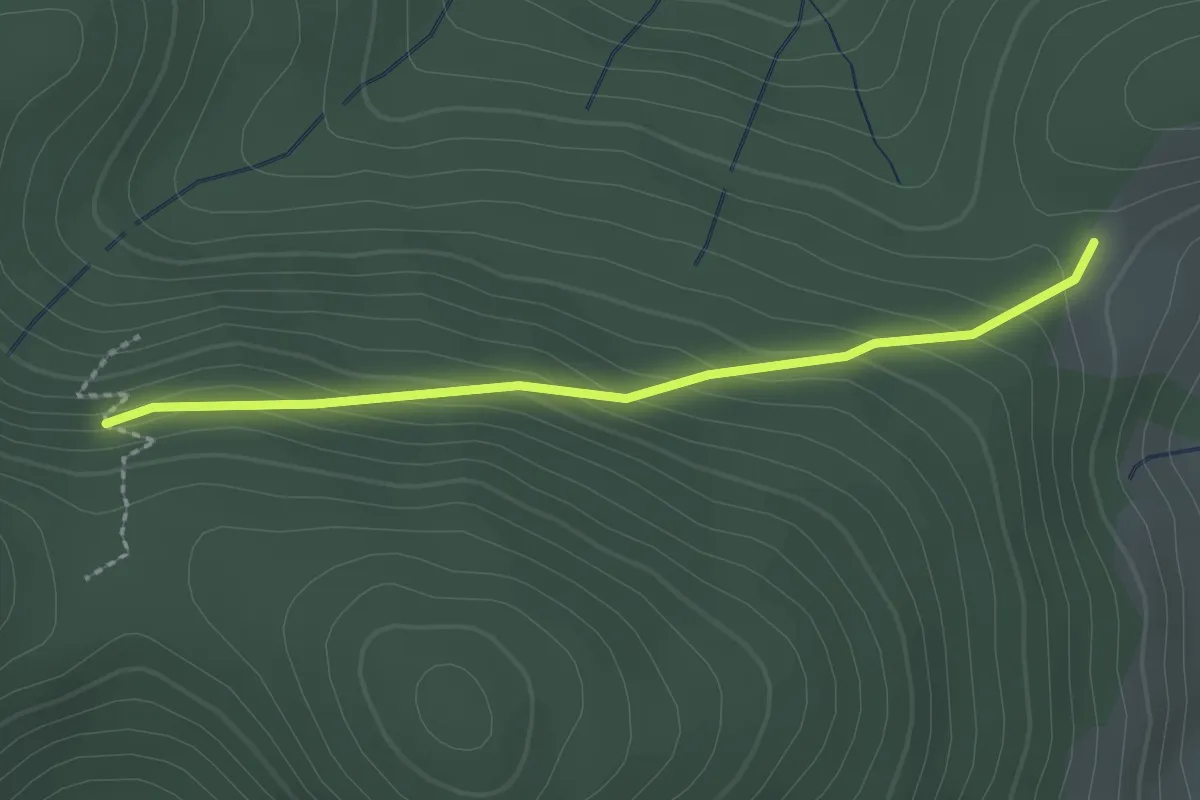
Easy · Trail
Nödemle - Oberes Himmelreich
2.1 km · ↑ 110 m · 44 min
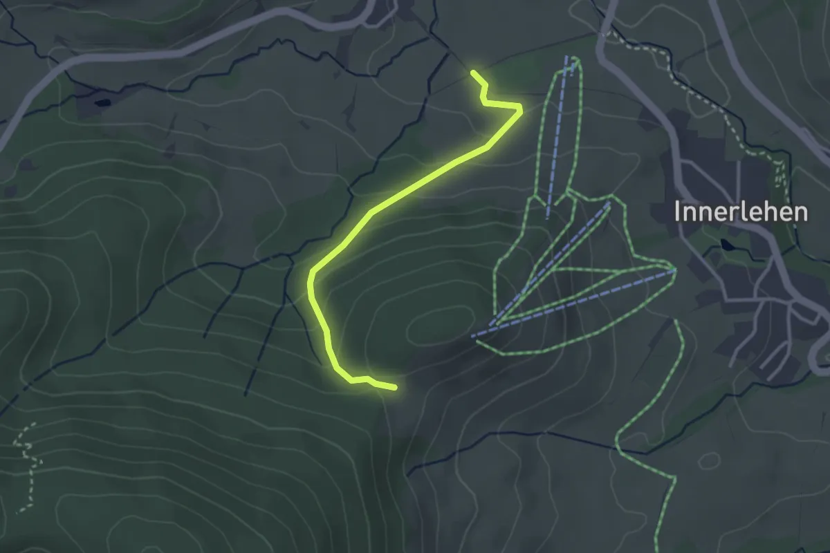
Easy · Trail
Nödemle - Sportzentrum Spitzenberg
2.8 km · ↑ 160 m · 1 h
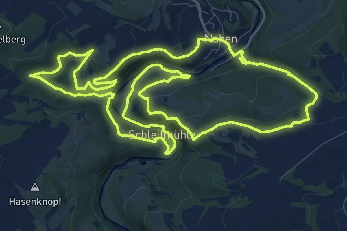
Medium · Trail
Nohener Nahe-Schleife
11.6 km · ↑ 407 m · 3 h 47 min
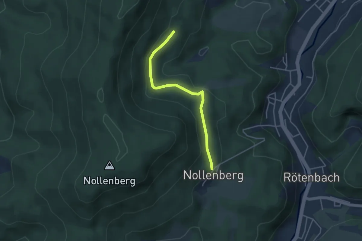
Easy · Trail
Nollenberg - Krähenbadberg
2.9 km · ↑ 123 m · 57 min
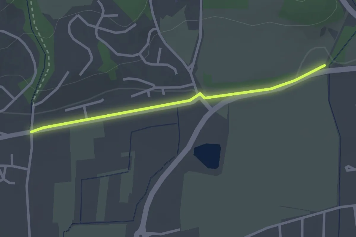
Easy · Trail
Nollingen Grüttgass - Degussabrücke
2.3 km · ↑ 17 m · 35 min
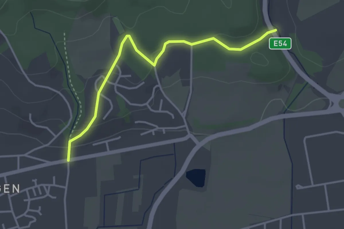
Easy · Trail
Nollingen Grüttgass - Dürrenbach Brücke
3.4 km · ↑ 100 m · 1 h 1 min
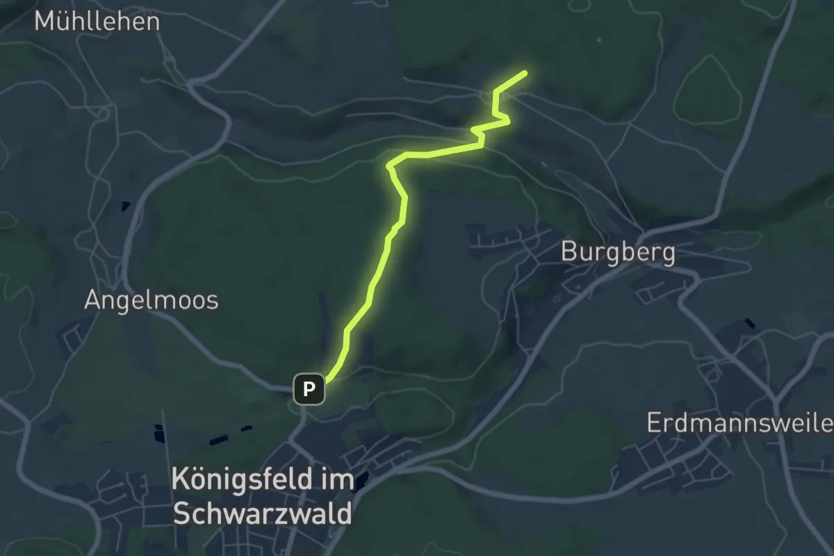
Easy · Trail
Nonnenberg - Kinderweide
4.9 km · ↑ 145 m · 1 h 29 min
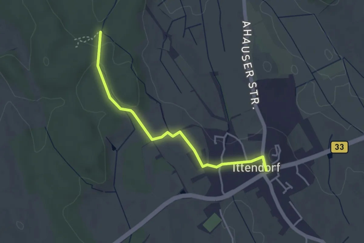
Easy · Trail
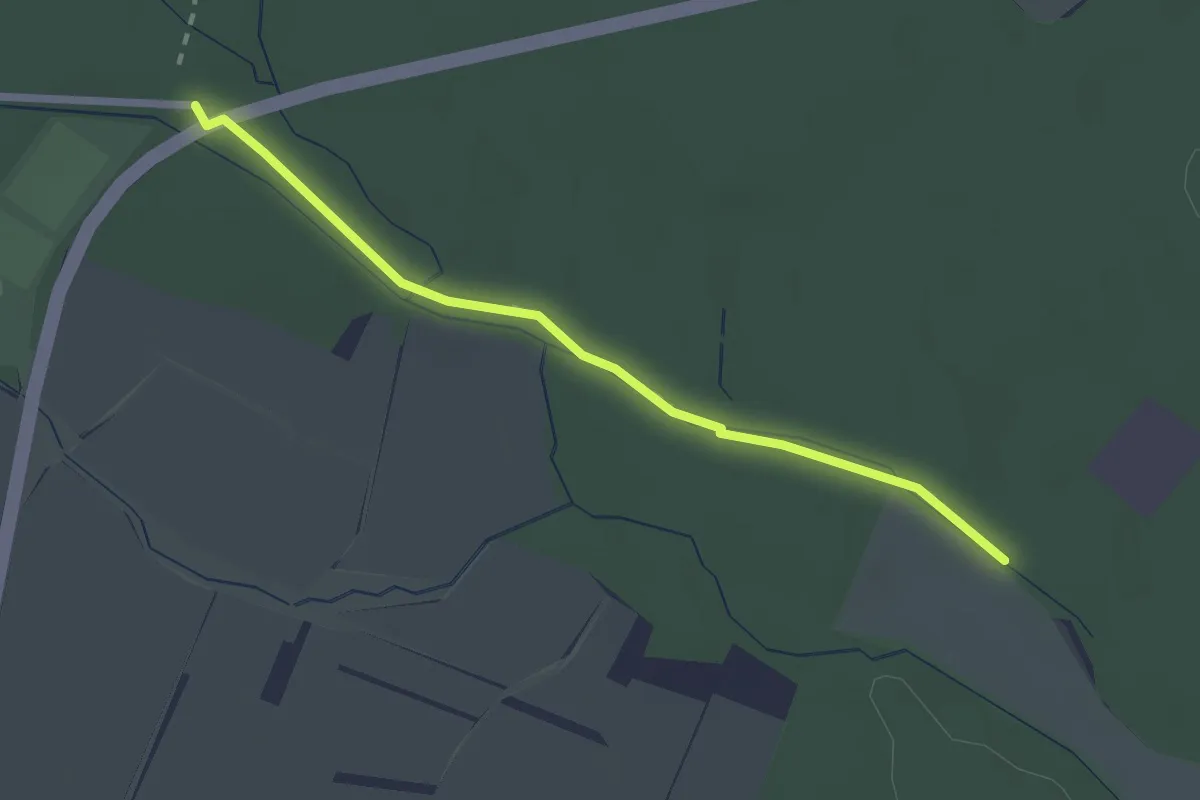
Nonnenholz - Ittendorf
3.2 km · ↑ 29 m · 49 min
Easy · Trail
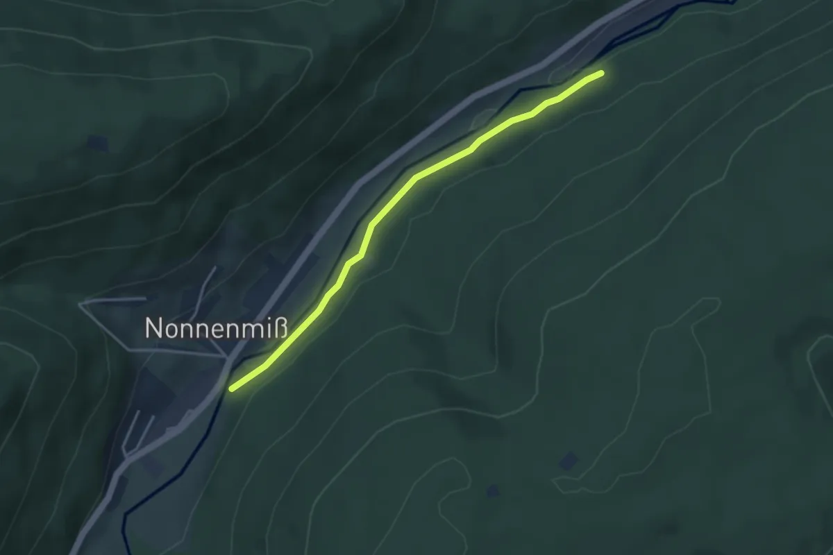
Nonnenhölzle - Sportplatz Reute
2.2 km · ↑ 0 m · 32 min
Easy · Trail
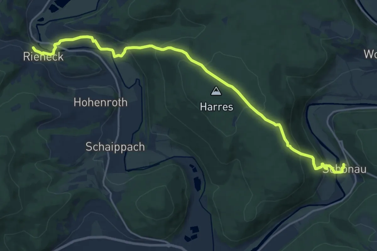
Nonnenmiß Nonnenbrückle - Enztraufweg
3.3 km · ↑ 24 m · 50 min
Medium · Trail
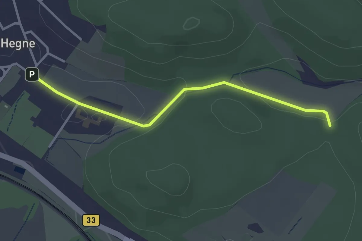
Nonnenpfad
14.3 km · ↑ 571 m · 4 h 37 min
Easy · Trail
Nonnenwiese - Hegne Kloster
2.7 km · ↑ 54 m · 45 min
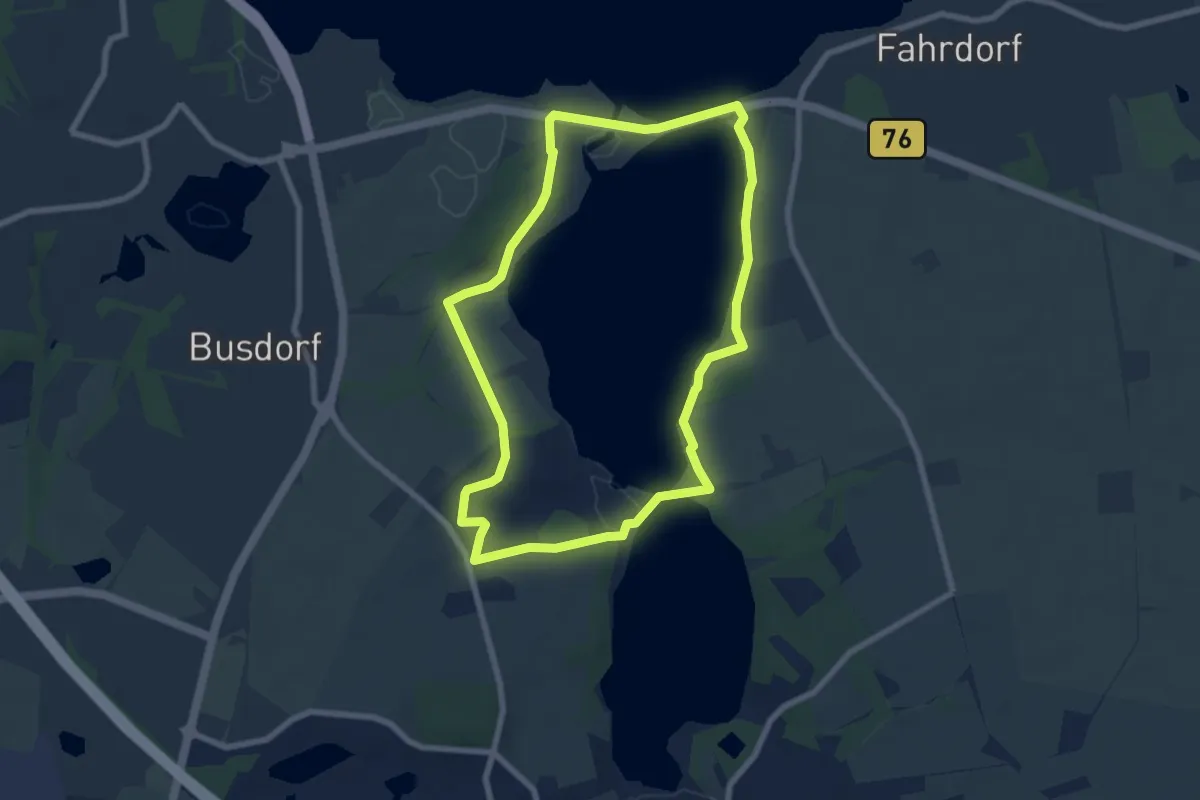
Easy · Trail
Noorroute
6.1 km · ↑ 38 m · 1 h 37 min
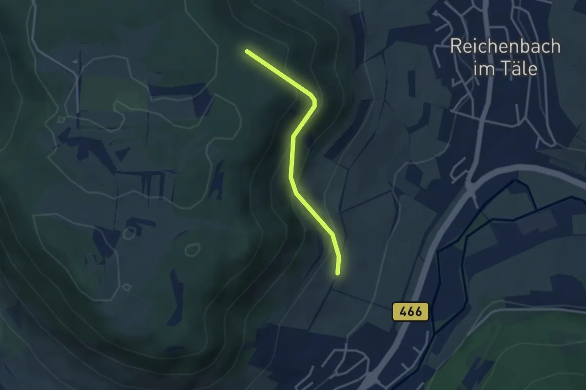
Easy · Trail
Nordalb - Sommerberg Deggingen
2.4 km · ↑ 214 m · 1 h 2 min
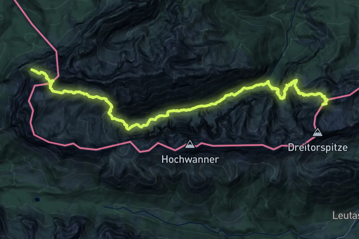
Expert · Summit
Nordalpenweg 01
38.4 km · ↑ 4208 m · 18 h 12 min
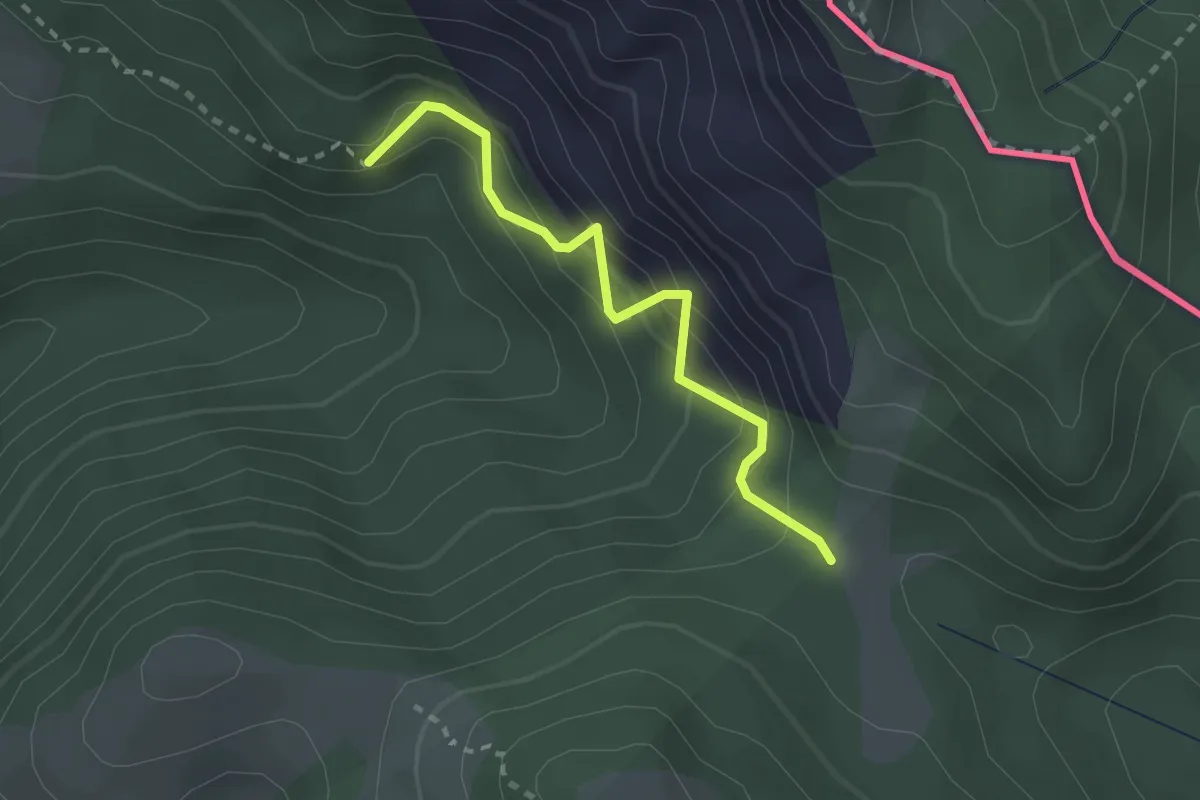
Medium · Trail
Nordalpenweg 01A
2.3 km · ↑ 212 m · 1 h
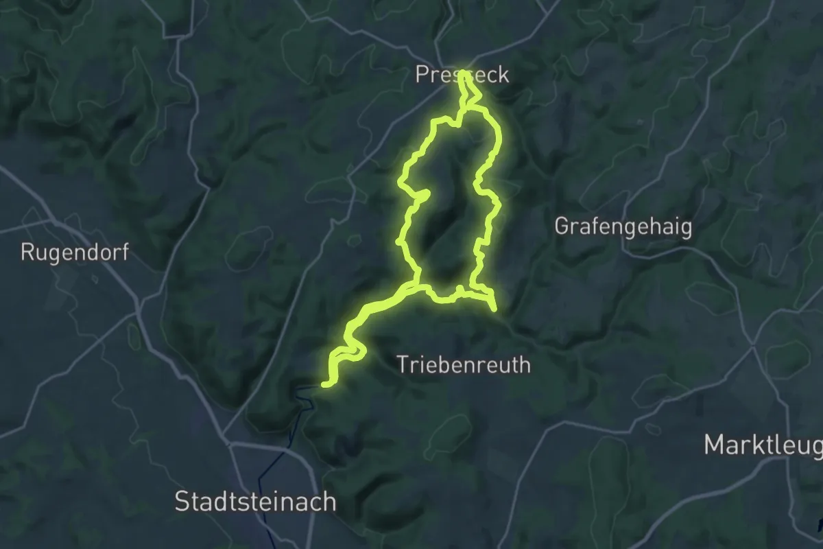
Demanding · Trail
Nordeck-Weg HRW 7
18.7 km · ↑ 472 m · 5 h 41 min
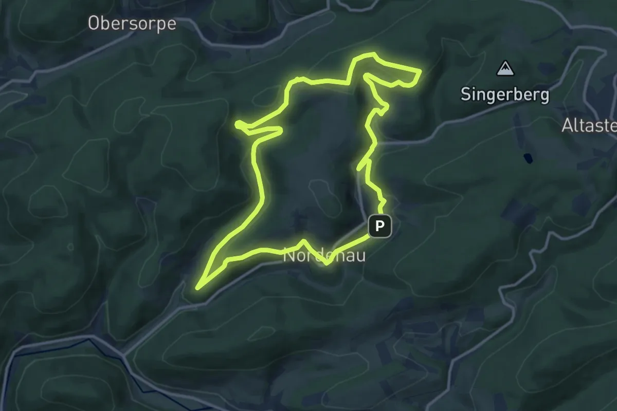
Medium · Trail
Nordenau Rundweg No1
10.2 km · ↑ 296 m · 3 h 11 min
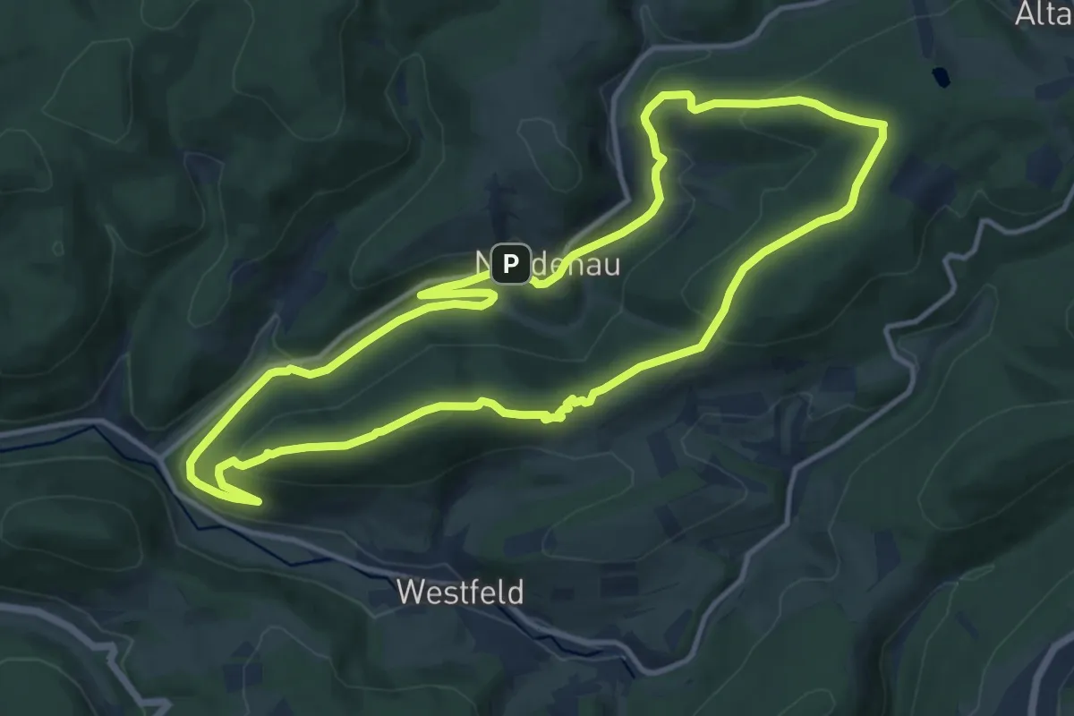
Medium · Summit
Nordenau Rundweg No2
11.2 km · ↑ 358 m · 3 h 34 min
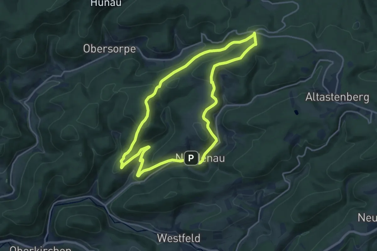
Medium · Summit
Nordenau Rundweg No3
11.6 km · ↑ 379 m · 3 h 43 min
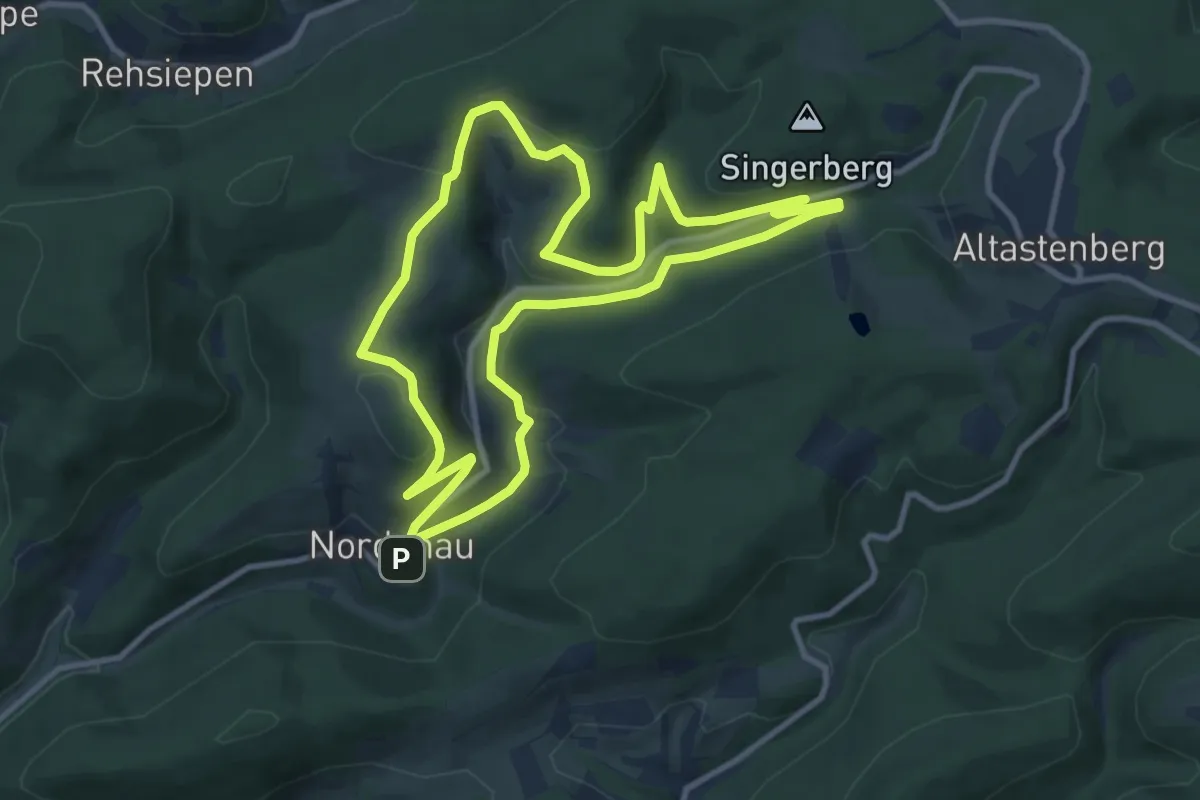
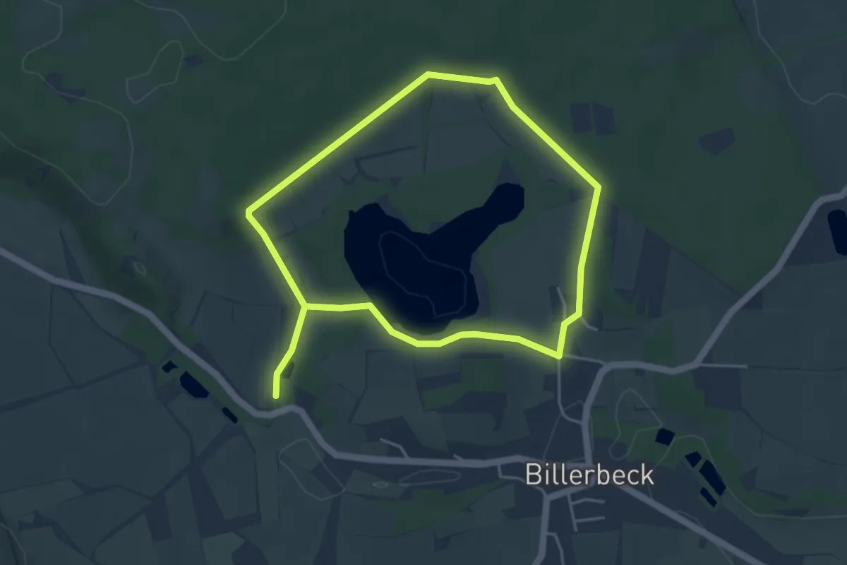
Medium · Summit
Nordenau Rundweg No4
9.5 km · ↑ 221 m · 2 h 52 min
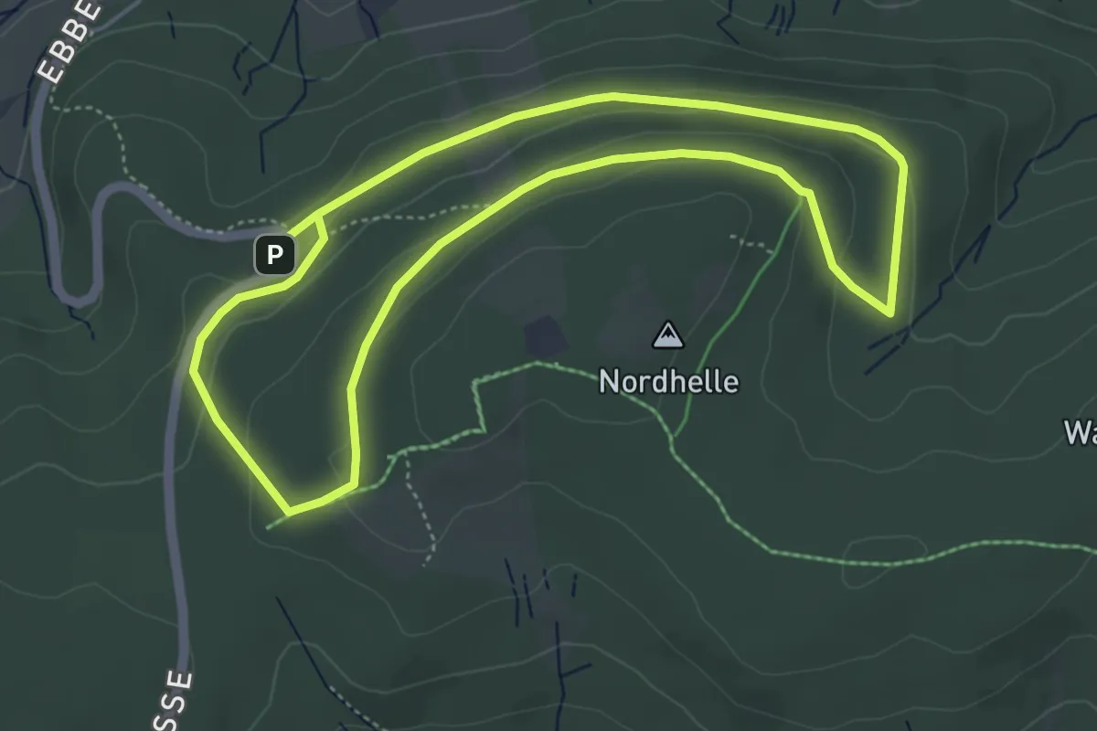
Easy · Summit
Norderteich-Rundwanderweg A3
3.4 km · ↑ 53 m · 58 min
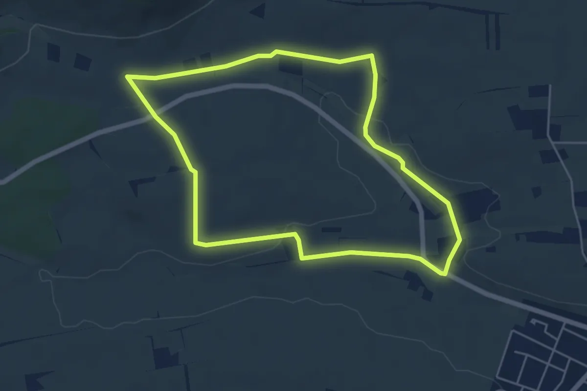
Easy · Trail
Nordhangweg A4
4.2 km · ↑ 111 m · 1 h 18 min
Easy · Trail
Nordheimer Weinweg
4.4 km · ↑ 45 m · 1 h 11 min