Trails in Germany
36,824 hiking trails, each with its route, climb, walking time and grade.
All trails, page 38 of 768
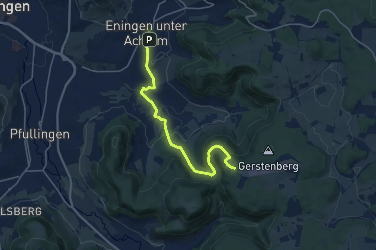
Medium · Trail
Äußerer Zugangsweg Eningen - Übersberg
12.7 km · ↑ 405 m · 3 h 52 min
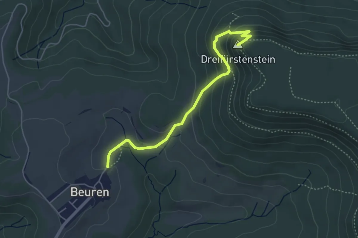
Easy · Summit
Äußerer Zugangsweg - Hechingen - Greutberg - Beuren - Wegkreuzung am Dreifürstenstein
4.0 km · ↑ 223 m · 1 h 25 min
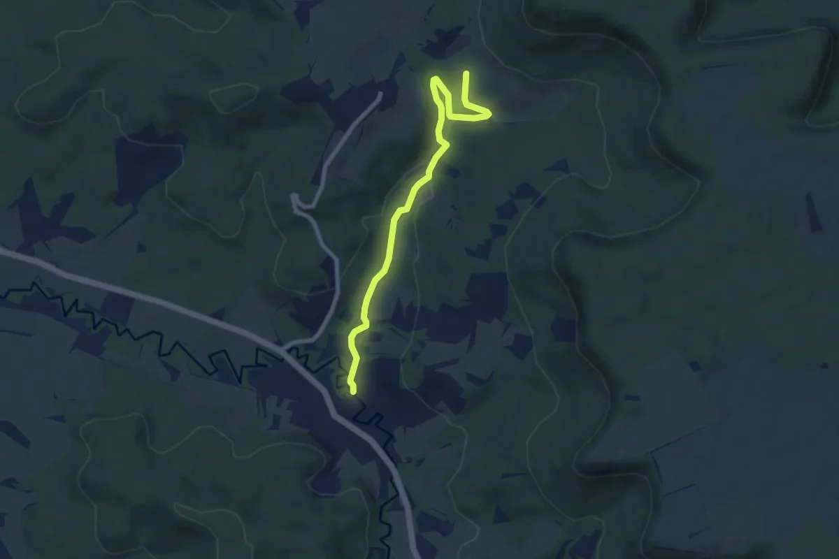
Easy · Trail
Äußerer Zugangsweg - Naturschutzgebiet - Schlatt
7.0 km · ↑ 141 m · 1 h 57 min
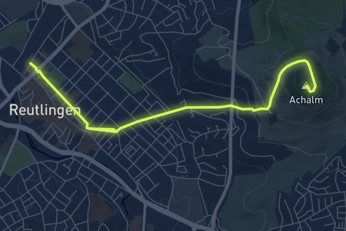
Medium · Summit
Äußerer Zugangsweg Reutlingen - Achalm - Eningen
8.1 km · ↑ 309 m · 2 h 35 min
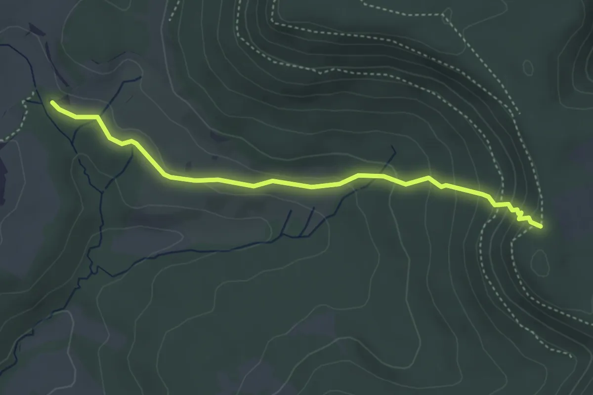
Medium · Trail
Äußerer Zugangsweg - Wanderparkplatz Beuren - Naturschutzgebiet - HW1
4.0 km · ↑ 193 m · 1 h 22 min
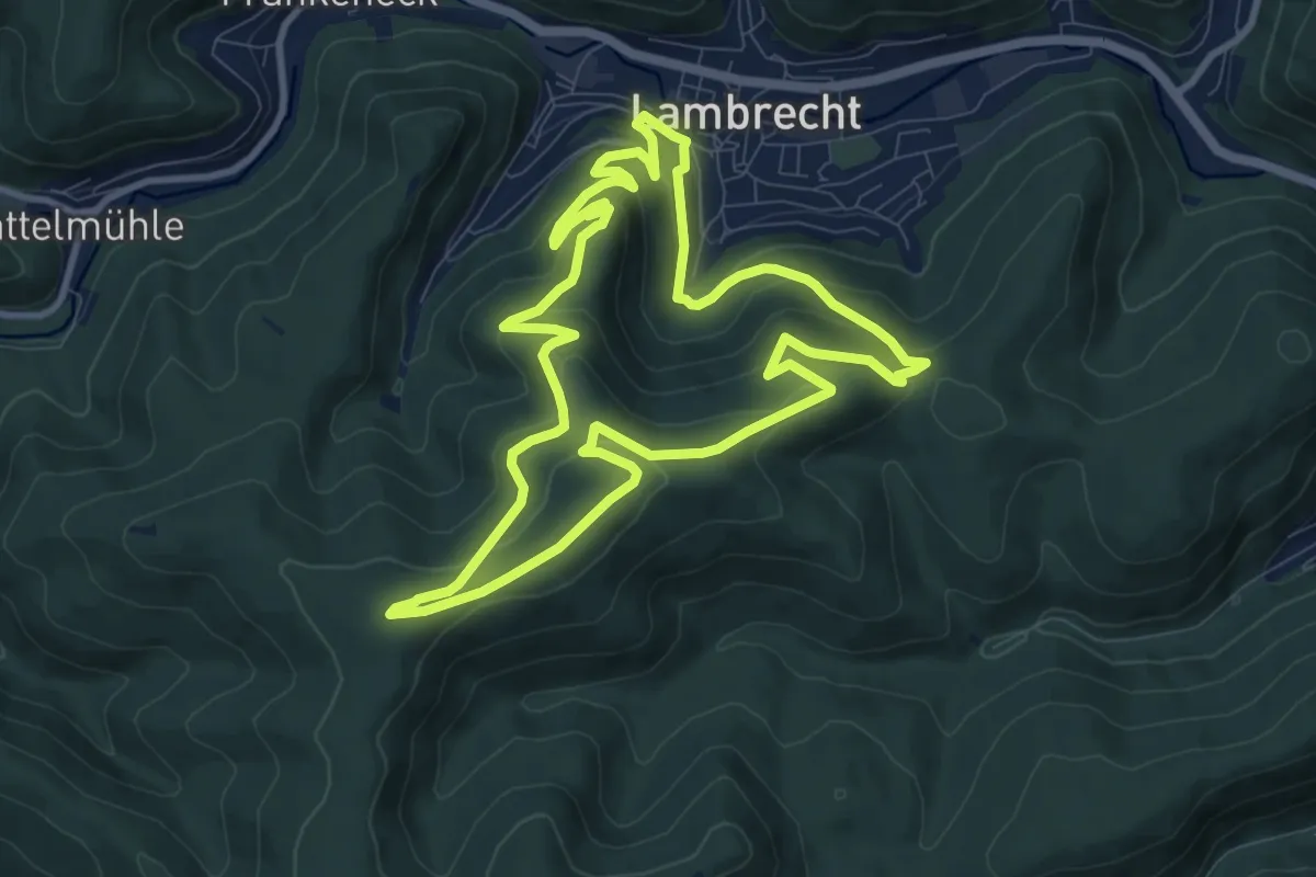
Medium · Trail
Aussichten der Tuchmacher
9.3 km · ↑ 412 m · 3 h 13 min
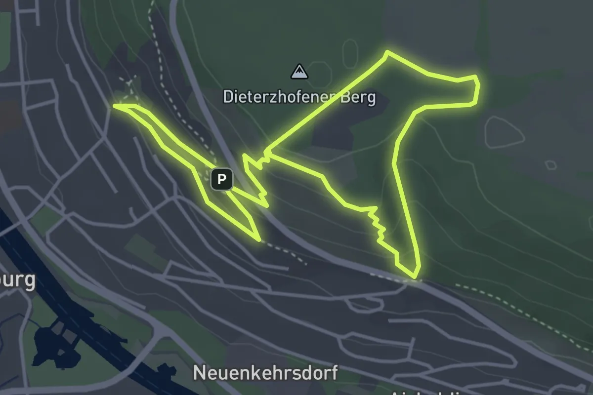
Easy · Trail
Aussichtspunkt Schwammerl
7.3 km · ↑ 315 m · 2 h 25 min
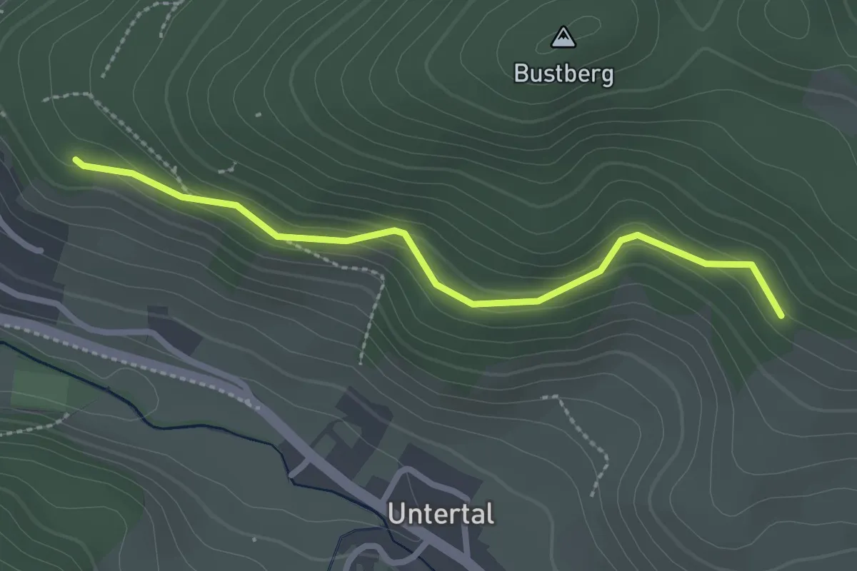
Easy · Trail
Aussichtspunkt Yach - Bei der Viehhütte
2.4 km · ↑ 122 m · 50 min
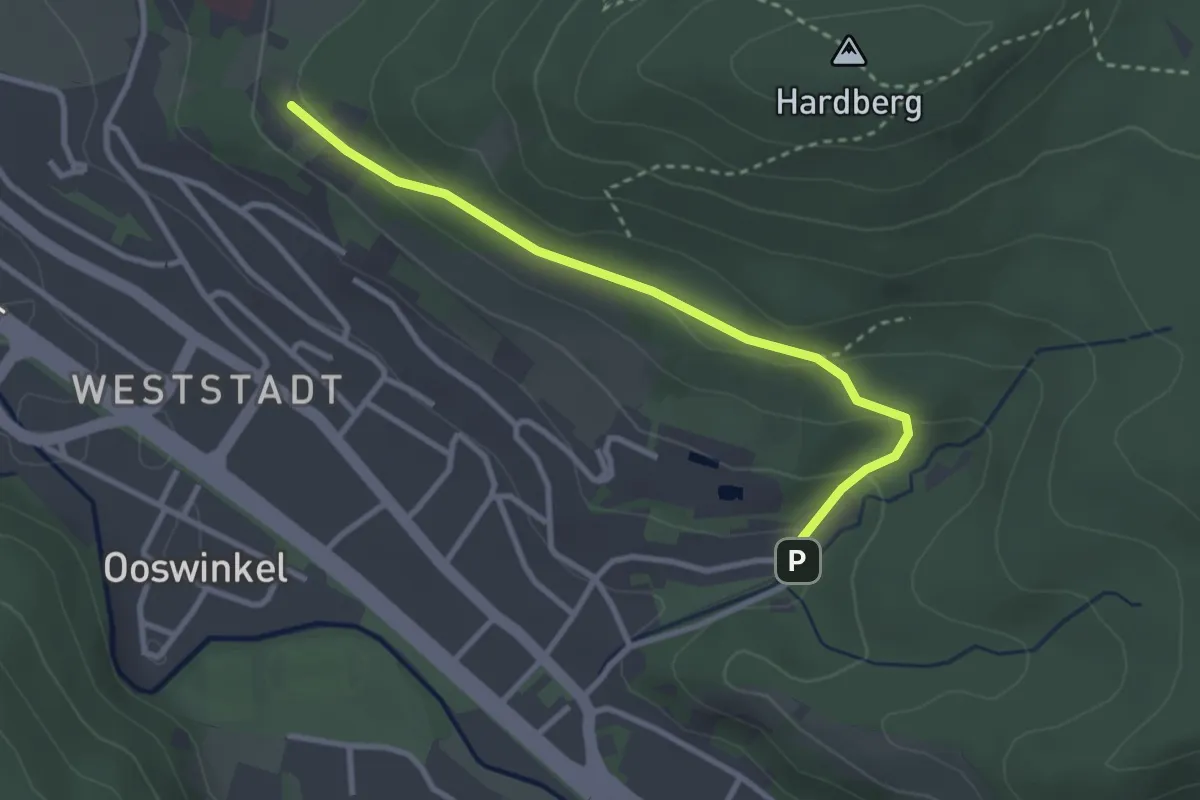
Easy · Trail
Aussichtsweg - Bernhardusbrunnen
2.9 km · ↑ 98 m · 53 min
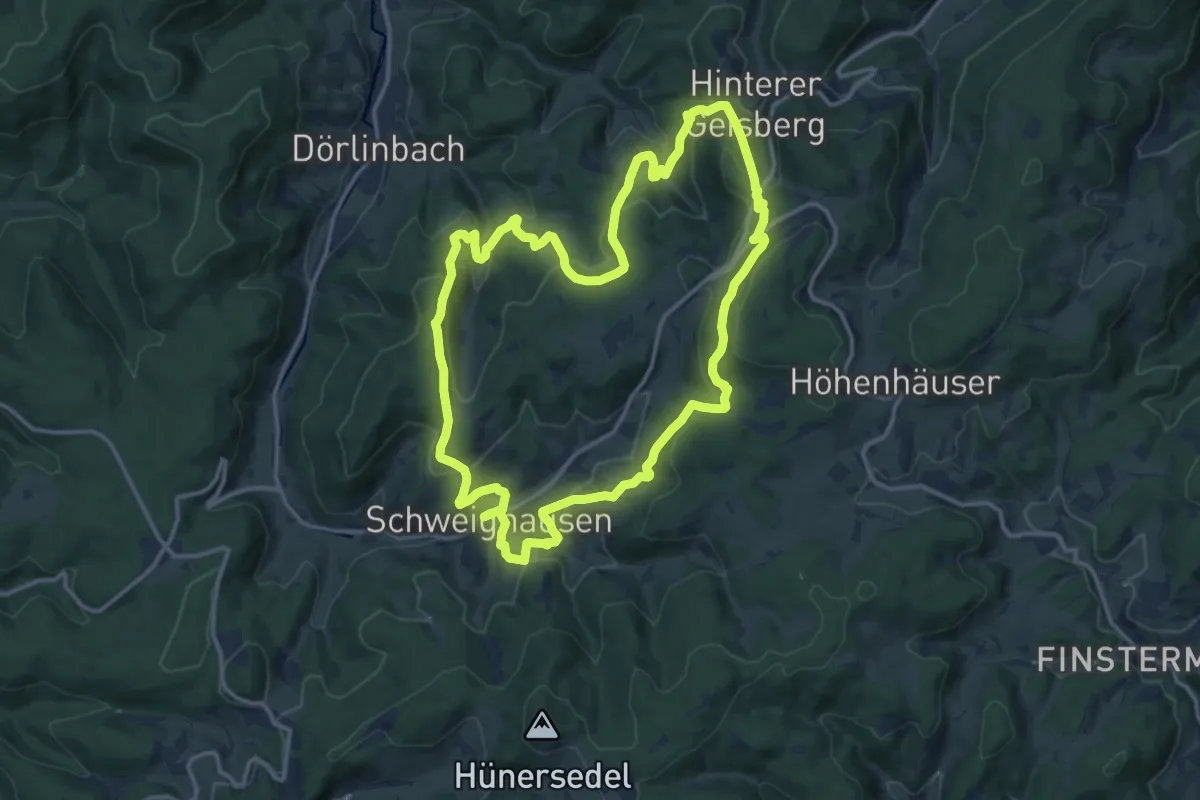
Medium · Trail
Aussichtsweg - Große Runde
13.6 km · ↑ 570 m · 4 h 38 min
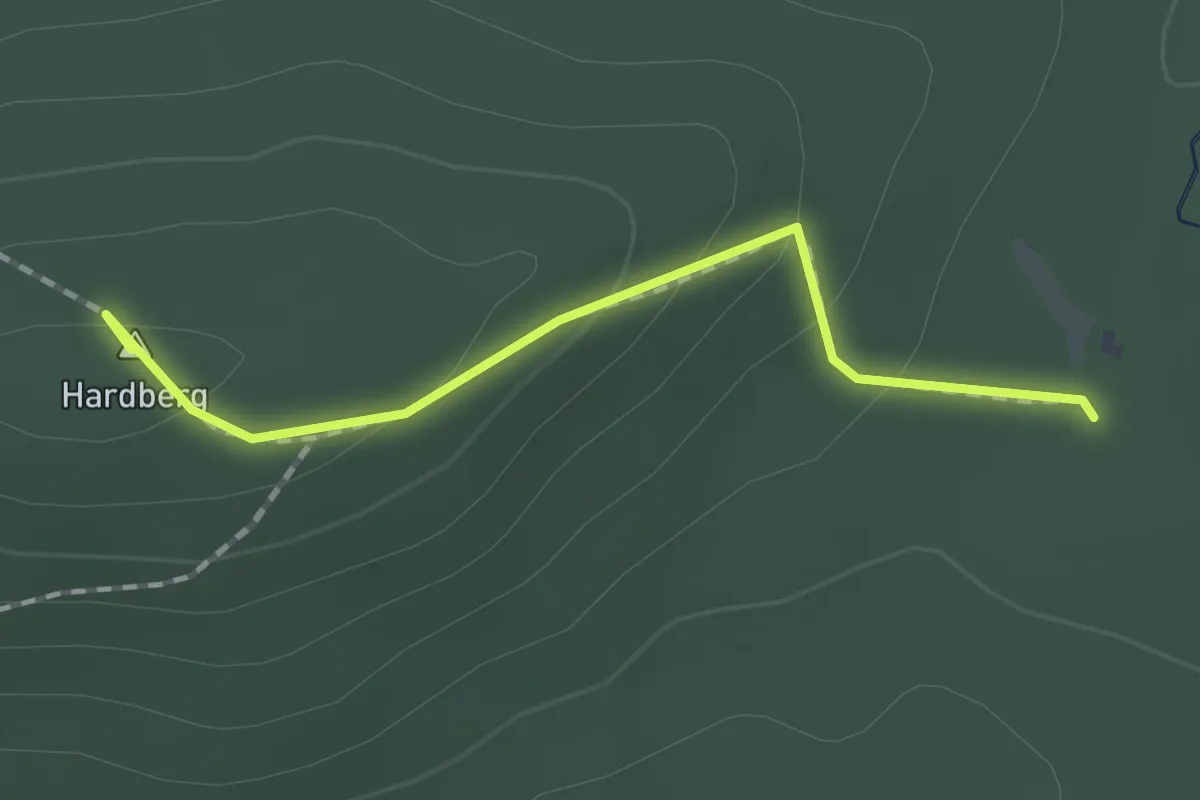
Easy · Summit
Aussichtsweg - Kellersbildhütte
1.4 km · ↑ 71 m · 29 min
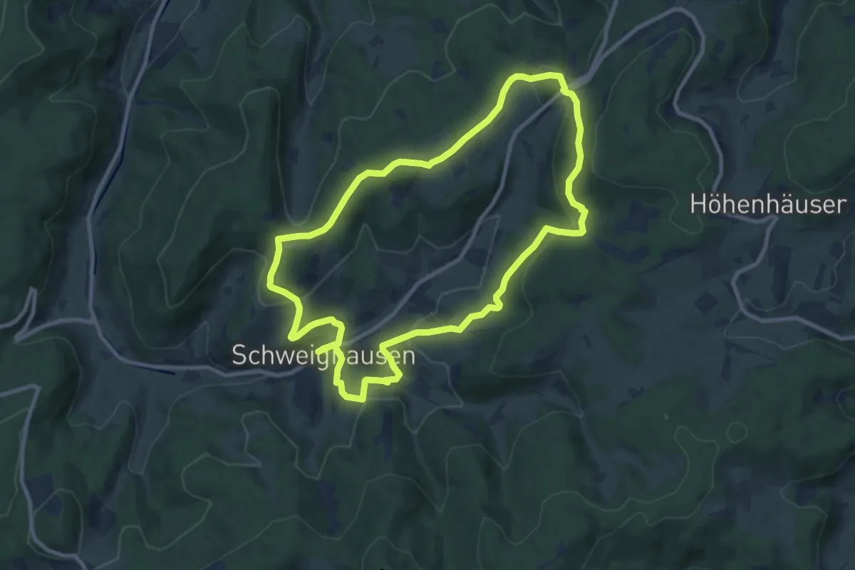
Medium · Trail
Aussichtsweg - Kleine Runde
8.7 km · ↑ 316 m · 2 h 52 min
Medium · Summit
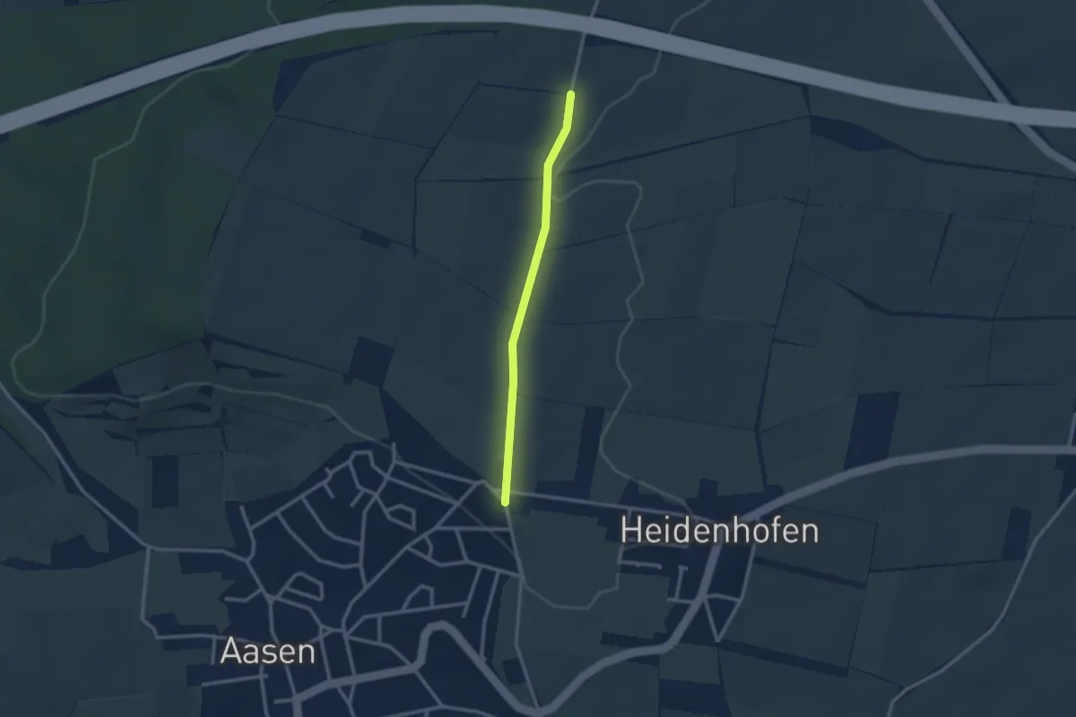
Austberg-Rundweg
8.9 km · ↑ 190 m · 2 h 31 min
Easy · Trail
Autobahnbrücke - Bettelhansenkreuz
2.3 km · ↑ 13 m · 34 min
Easy · Trail
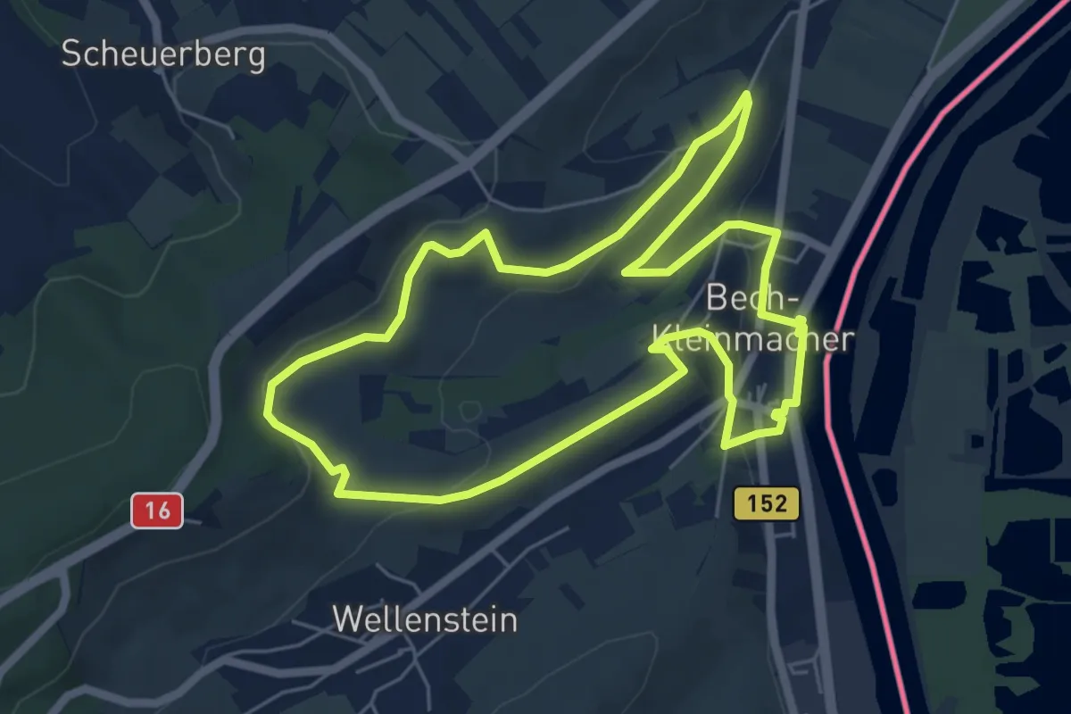
Auto-Pédestre Bech-Kleinmacher
5.5 km · ↑ 150 m · 1 h 42 min
Easy · Trail
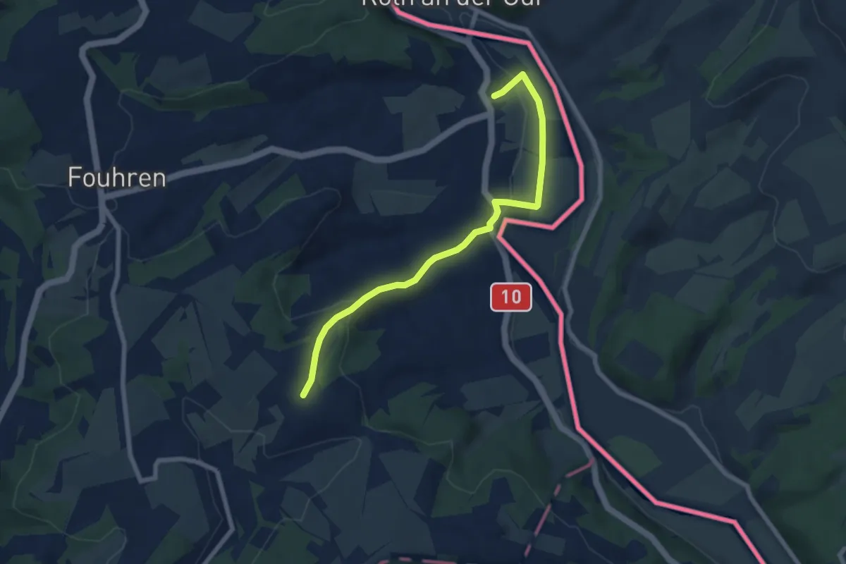
Autopedestre Bettel
3.1 km · ↑ 133 m · 1 h
Medium · Trail
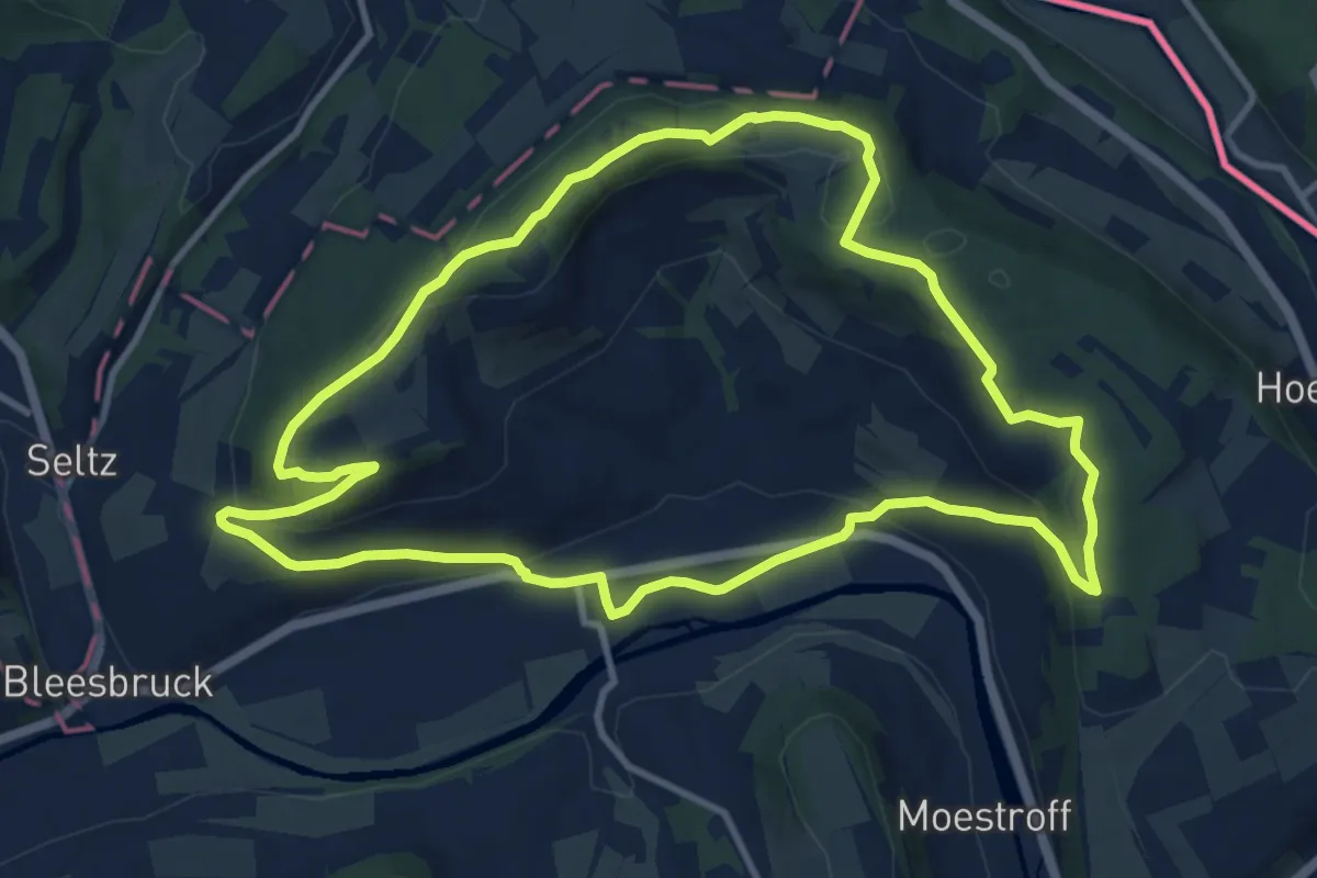
Auto-Pédestre Bettendorf 1
10.3 km · ↑ 273 m · 3 h 9 min
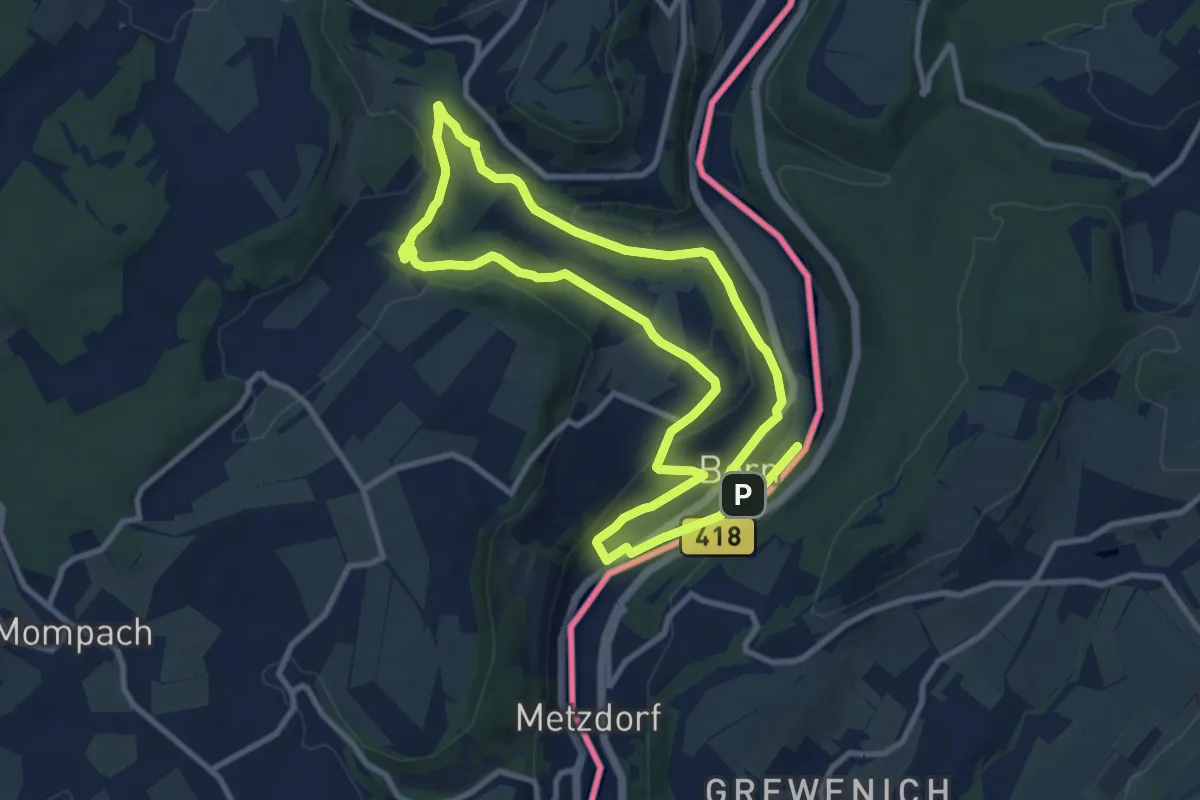
Medium · Trail
Auto-Pédestre Born
9.0 km · ↑ 165 m · 2 h 36 min
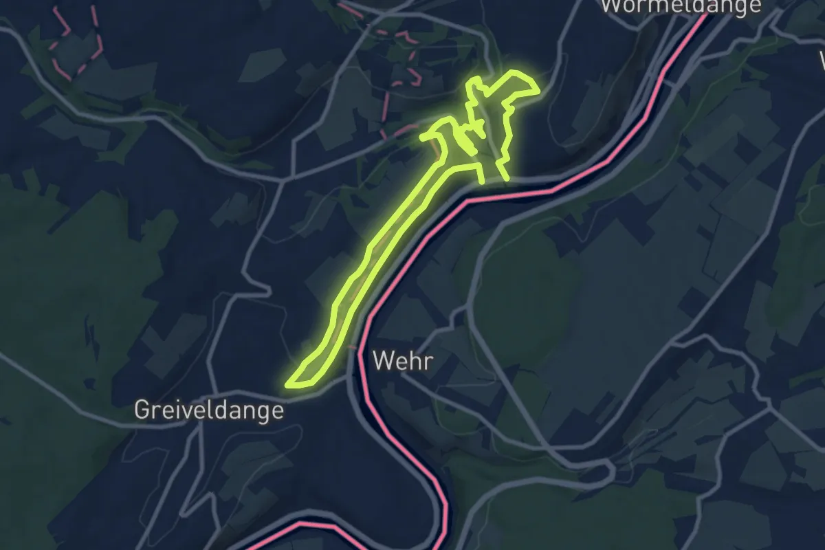
Easy · Trail
Auto-Pédestre Ehnen
7.8 km · ↑ 183 m · 2 h 20 min
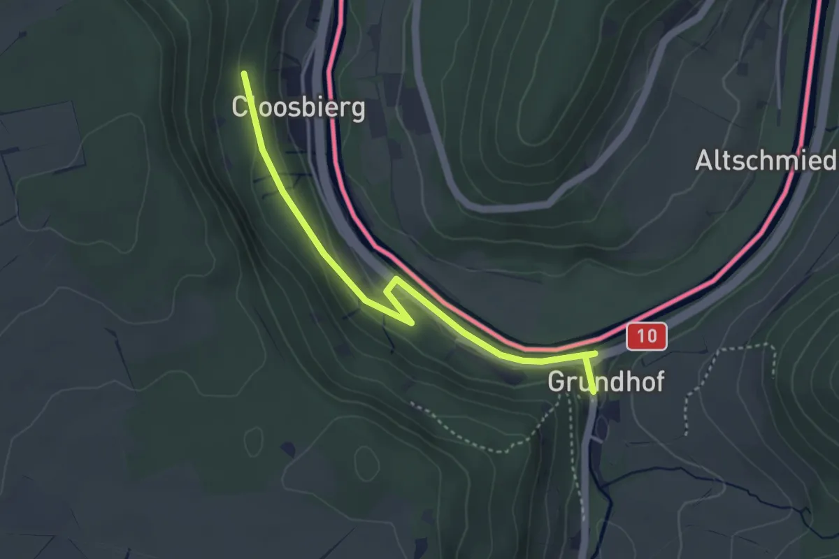
Easy · Trail
Auto-Pédestre Grundhof
3.6 km · ↑ 86 m · 1 h 2 min
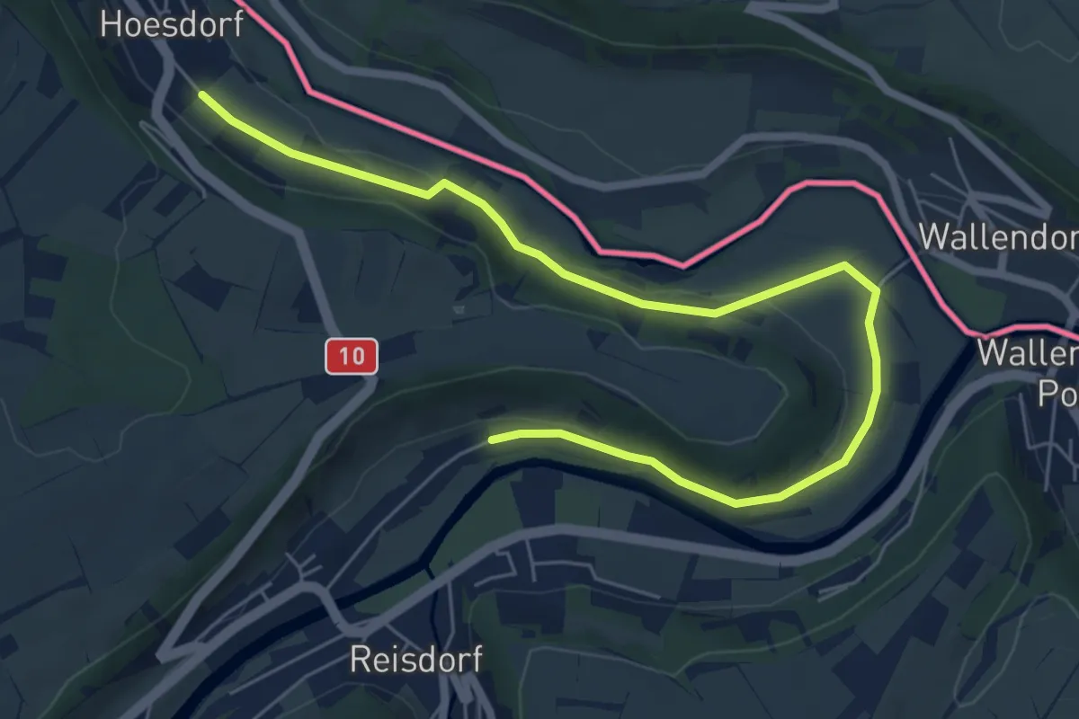
Easy · Trail
Auto-Pédestre Reisdorf
3.5 km · ↑ 38 m · 59 min
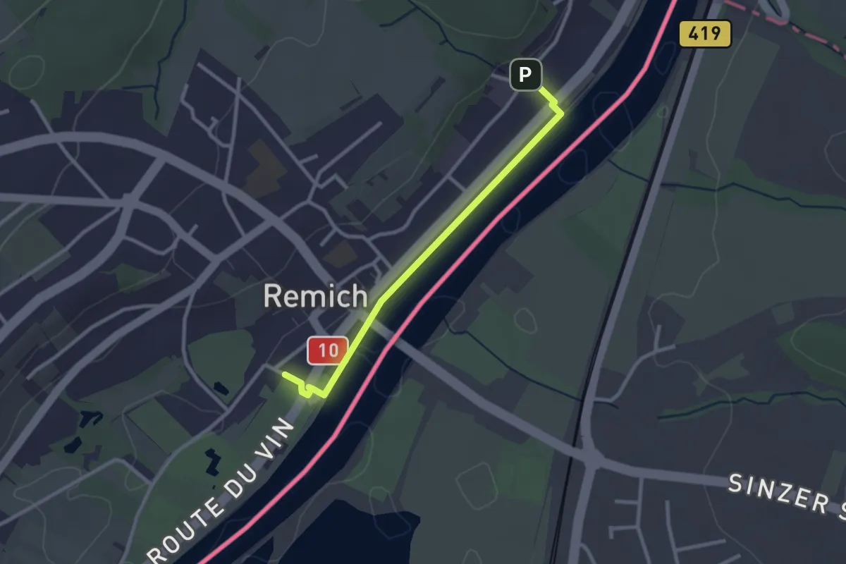
Easy · Trail
Auto-Pédestre Remich
1.2 km · ↑ 0 m · 19 min
Medium · Trail
Auto-Pédestre Roder
1.6 km · ↑ 92 m · 36 min
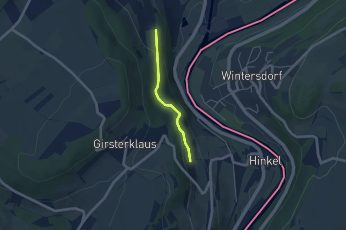
Easy · Trail
Auto-Pédestre Rosport
1.2 km · ↑ 54 m · 25 min
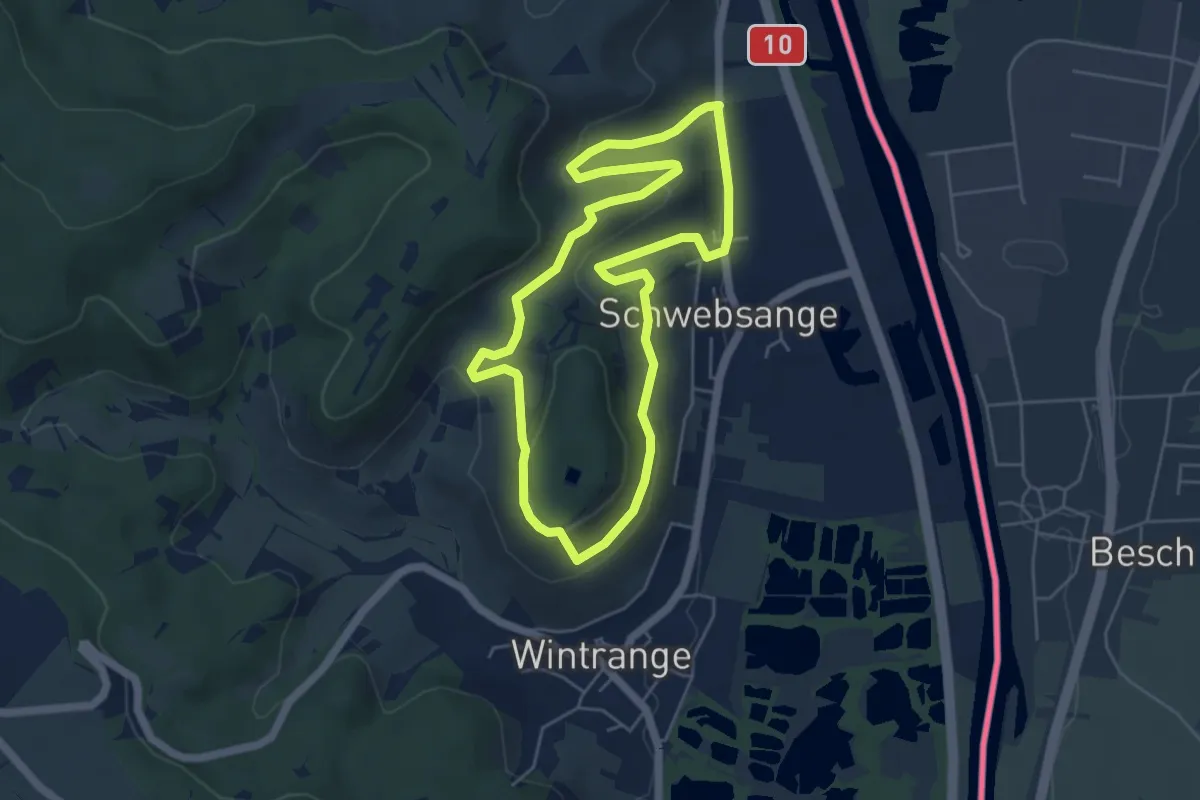
Easy · Trail
Auto-Pédestre Schwebsange
4.7 km · ↑ 170 m · 1 h 33 min
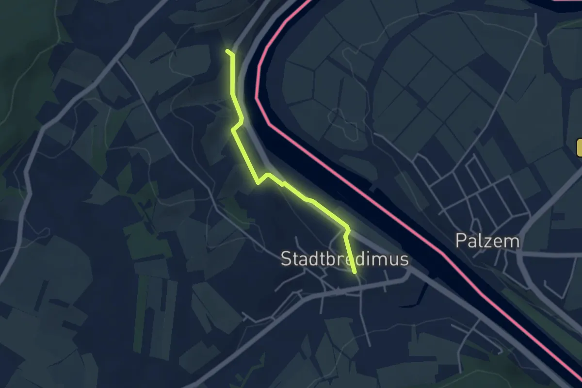
Easy · Trail
Auto-Pédestre Stadtbredimus
1.4 km · ↑ 18 m · 25 min
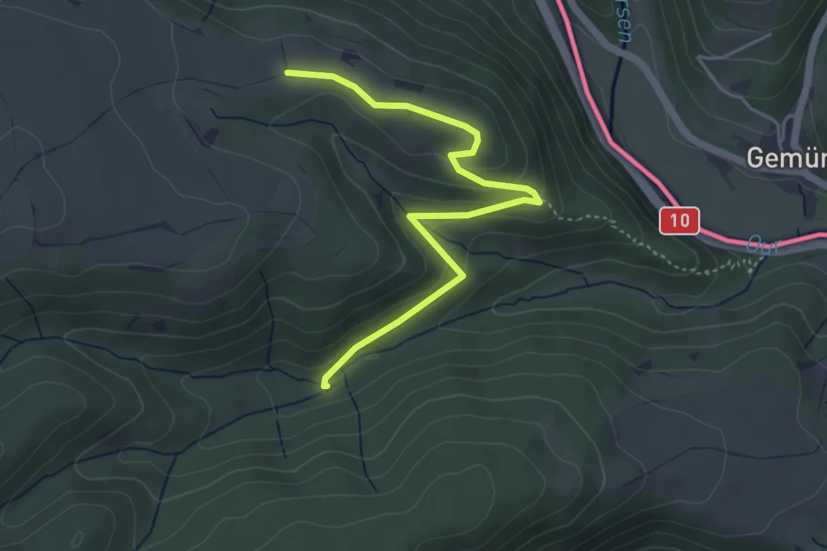
Easy · Summit
Auto-Pédestre Wahlhausen
2.0 km · ↑ 104 m · 41 min
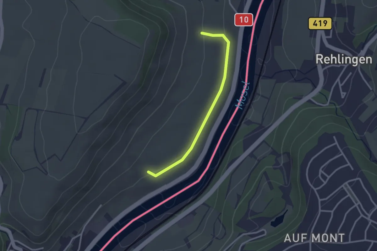
Easy · Trail
Auto-Pédestre Wormeldange
1.1 km · ↑ 14 m · 19 min
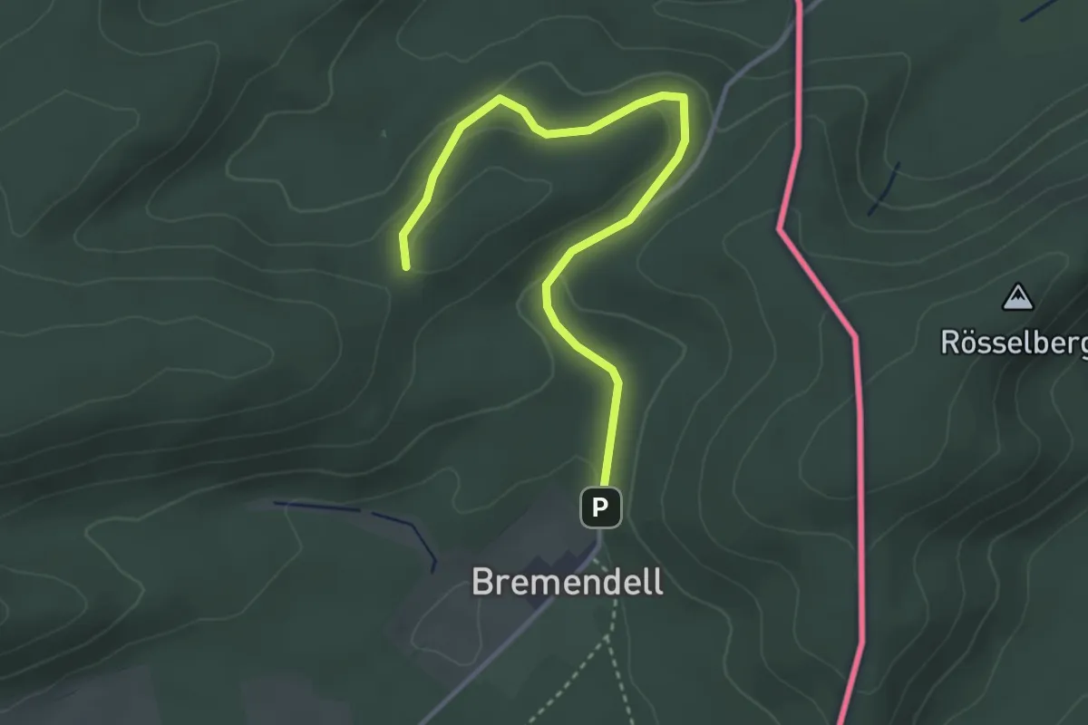
Easy · Trail
Autour des Moines de Sturzelbronn
3.5 km · ↑ 118 m · 1 h 5 min
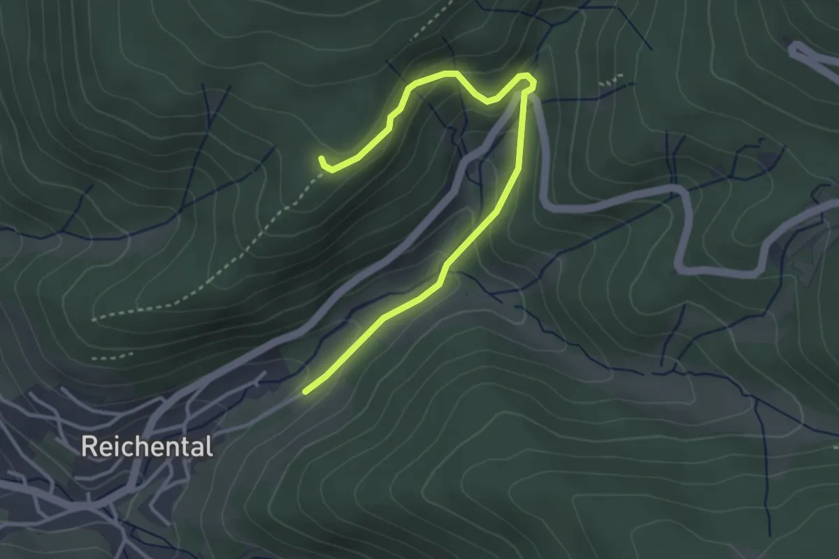
Easy · Trail
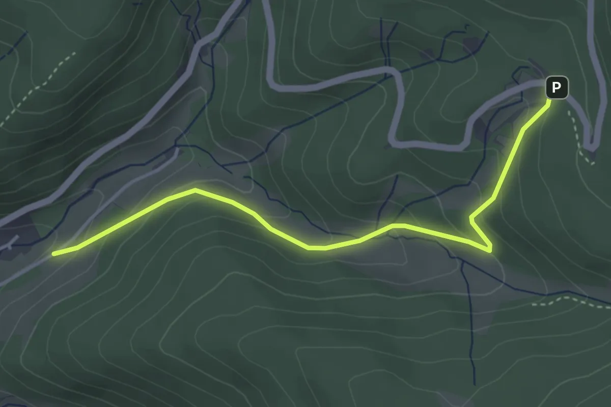
Auwiesen - Alte Eichen
3.5 km · ↑ 208 m · 1 h 16 min
Easy · Trail
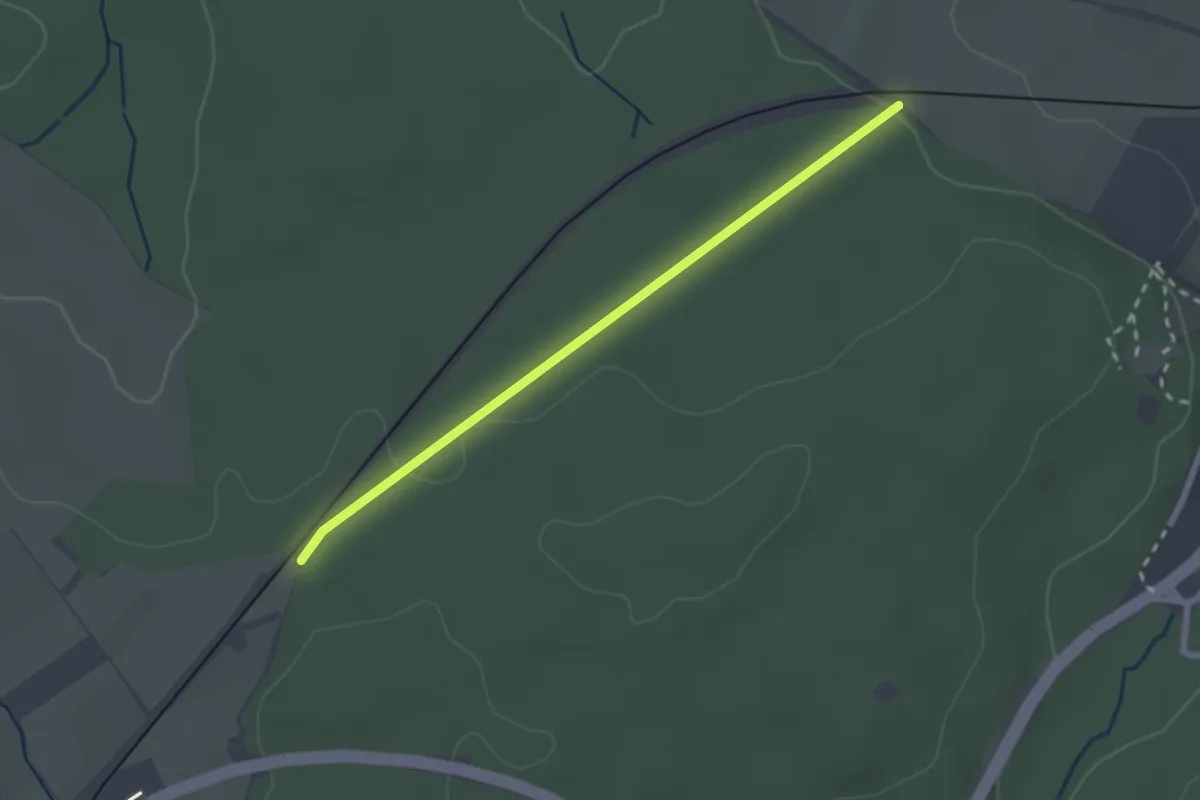
Auwiesen - Haltestelle Orgelfelsenhaus
3.8 km · ↑ 230 m · 1 h 23 min
Easy · Trail
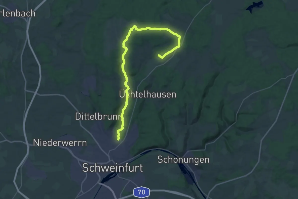
AVG-Brücke - AVG Übergang Hinterwald
2.2 km · ↑ 40 m · 36 min
Medium · Cabin
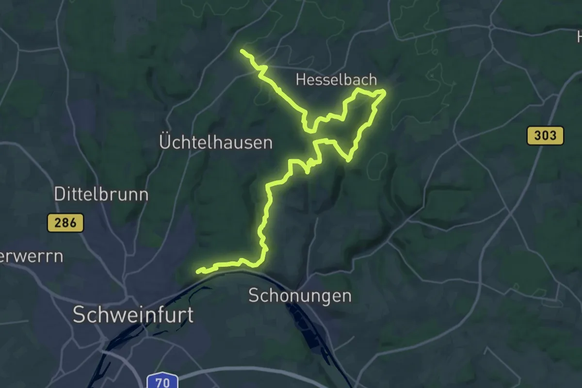
AV Grün Route 1
15.3 km · ↑ 278 m · 4 h 21 min
Demanding · Cabin
AV Grün Route 3
19.3 km · ↑ 507 m · 5 h 52 min
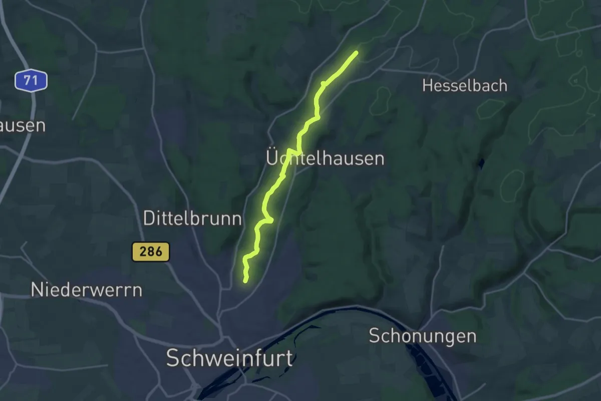
Medium · Cabin
AV Rot Route 2
15.6 km · ↑ 249 m · 4 h 14 min
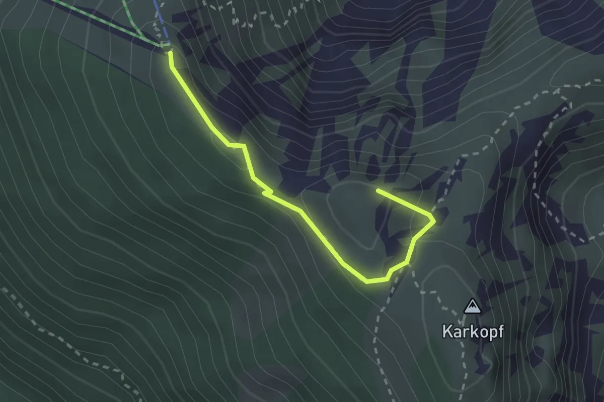
Medium · Summit
AV Weg 404A
2.2 km · ↑ 67 m · 40 min
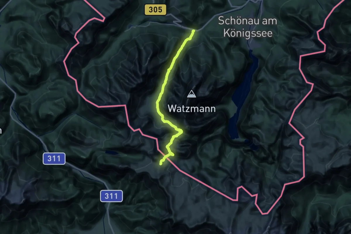
Expert · Trail
AV Weg 411
15.6 km · ↑ 1733 m · 6 h 55 min
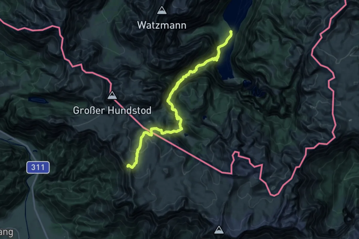
Demanding · Trail
AV Weg 412
15.5 km · ↑ 1992 m · 7 h 22 min
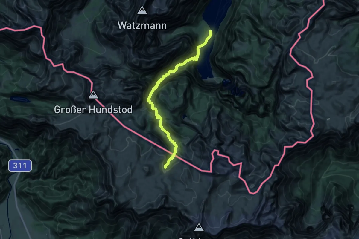
Demanding · Trail
AV Weg 413
13.0 km · ↑ 289 m · 4 h 33 min
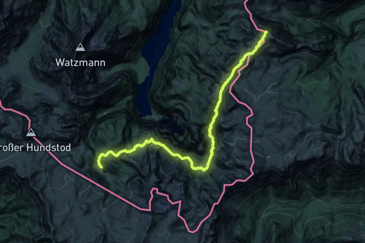
Demanding · Summit
AV Weg 416
37.3 km · ↑ 3373 m · 16 h 7 min
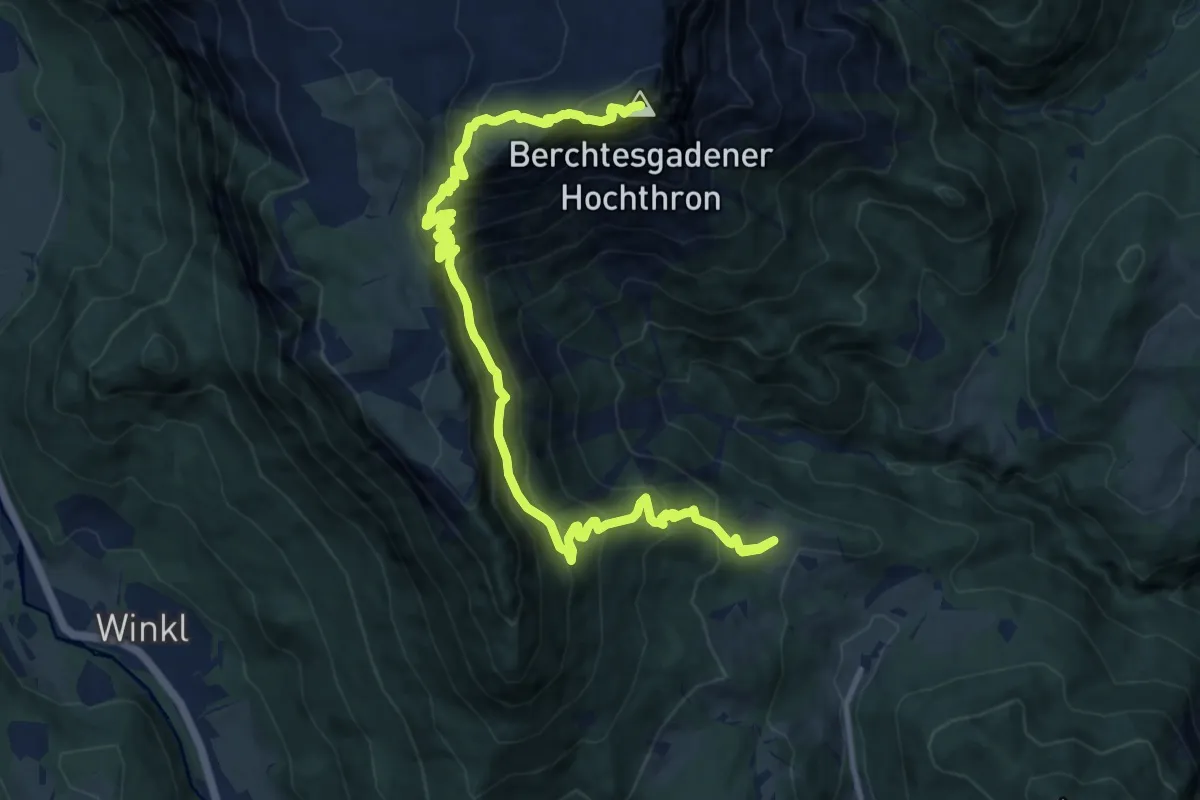
Demanding · Summit
AV Weg 417
14.0 km · ↑ 1435 m · 6 h 25 min
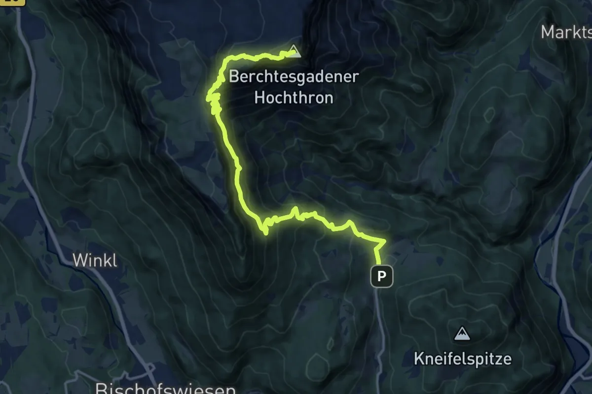
Demanding · Summit
AV Weg 417
16.0 km · ↑ 1515 m · 7 h 4 min
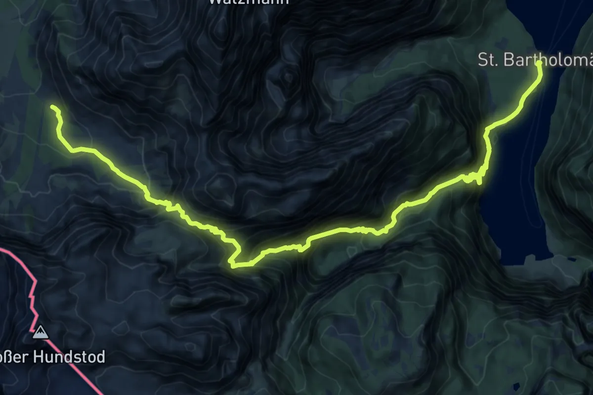
Expert · Cabin
AV Weg 419
10.9 km · ↑ 1388 m · 5 h 22 min
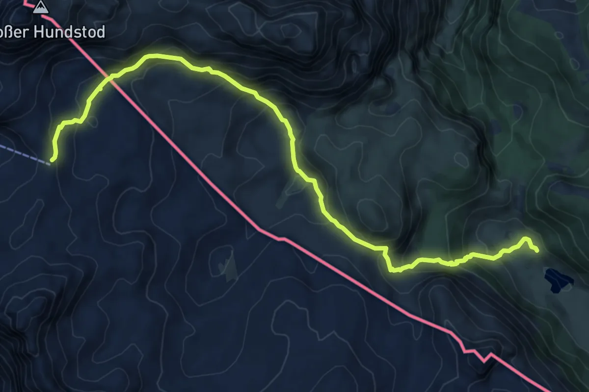
Demanding · Cabin
AV Weg 420
11.0 km · ↑ 735 m · 4 h 11 min
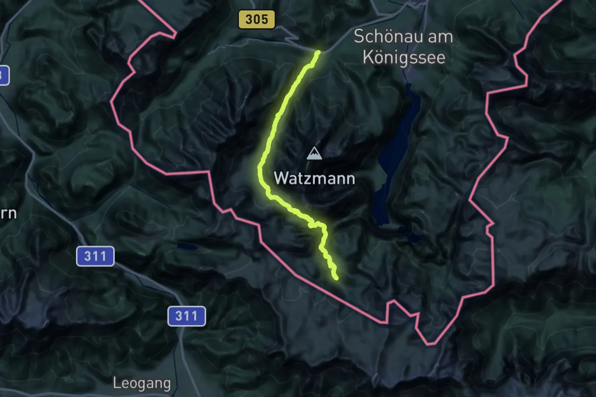
Expert · Cabin
AV Weg 421 (Wimbachtal)
17.0 km · ↑ 1618 m · 7 h 16 min
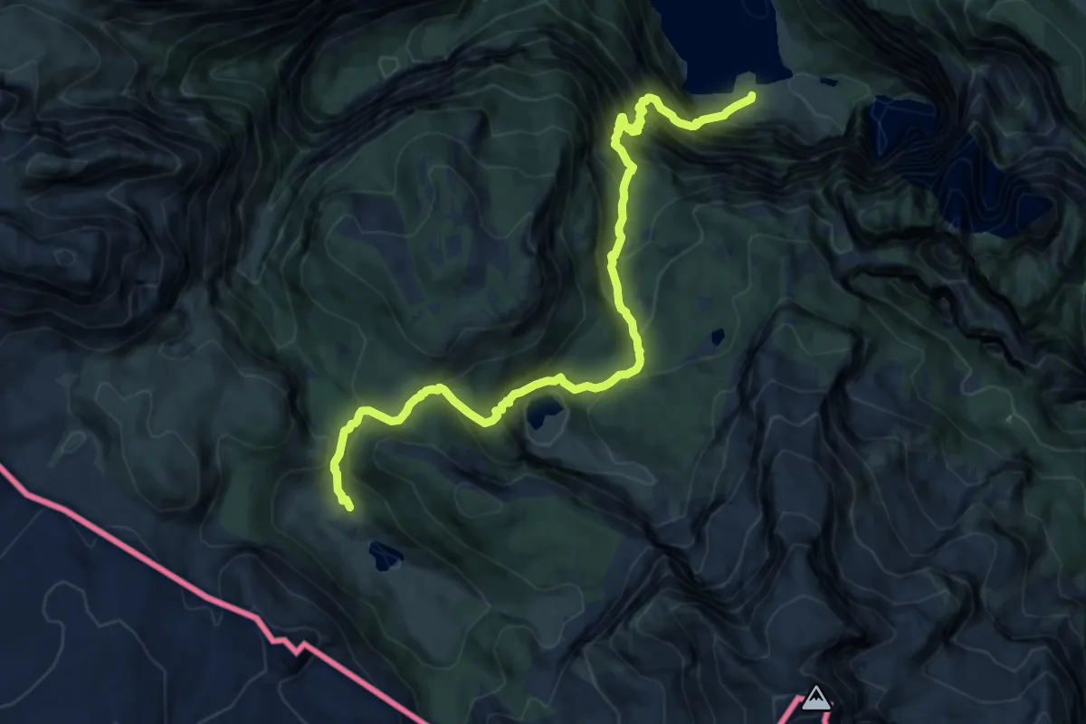
Demanding · Cabin
AV Weg 422 (Sagerecksteig)
12.2 km · ↑ 1439 m · 6 h 1 min
Medium · Summit
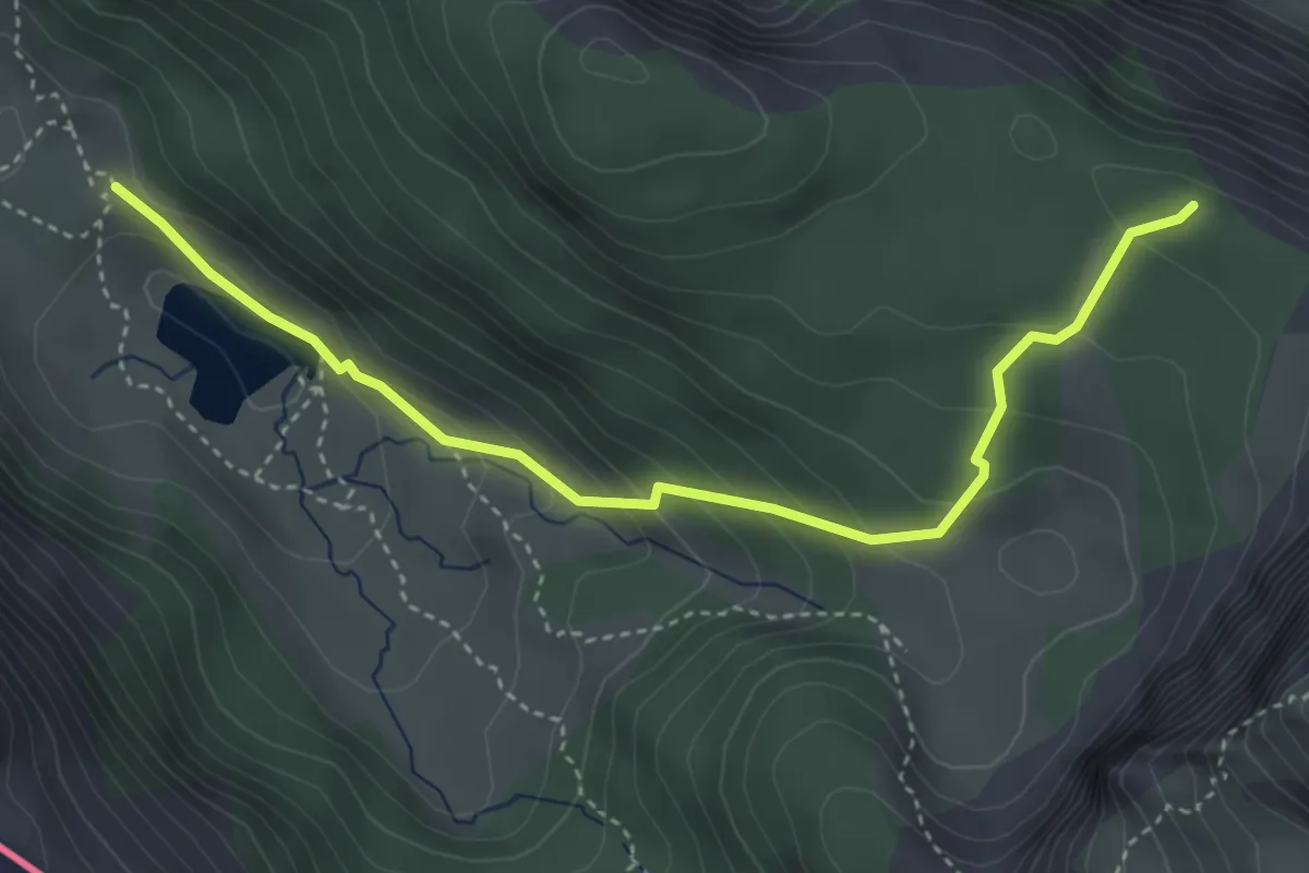
AV Weg 423
4.1 km · ↑ 292 m · 1 h 35 min
Expert · Summit
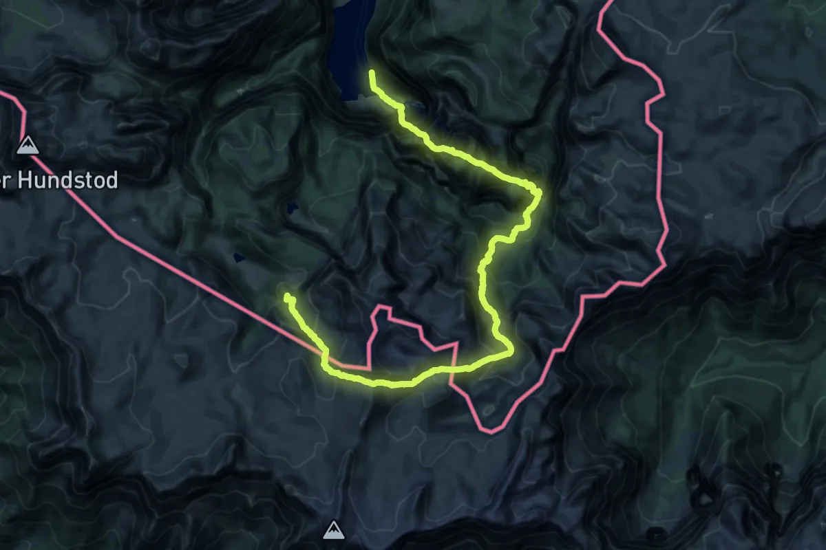
AV Weg 424 (Röthsteig)
29.3 km · ↑ 2609 m · 12 h 34 min