Trails in Germany
36,824 hiking trails, each with its route, climb, walking time and grade.
All trails, page 39 of 768
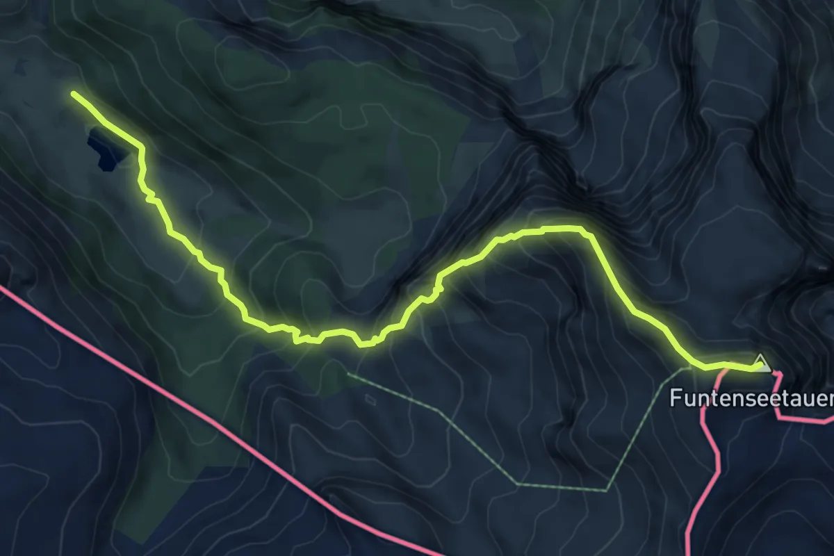
Expert · Summit
AV Weg 429 (Funtenseetauern Normalweg)
8.5 km · ↑ 1029 m · 4 h 14 min
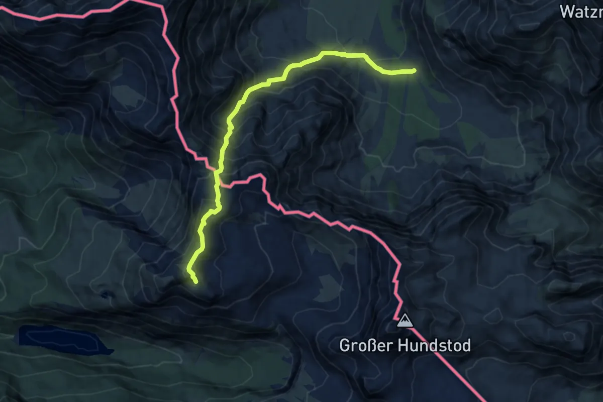
Demanding · Summit
AV Weg 440 (Wimbachgrieshütte - Loferer Seilergraben - Seehorn)
9.9 km · ↑ 1157 m · 4 h 50 min
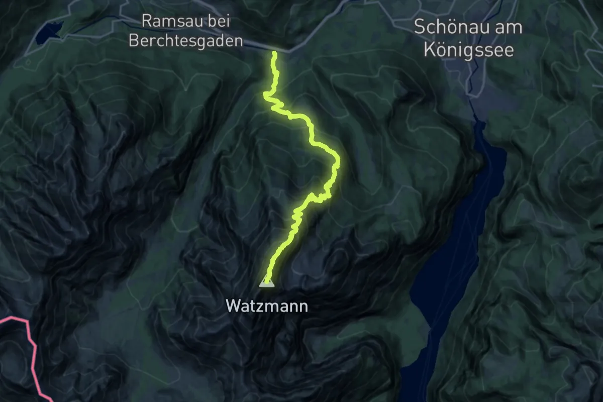
Expert · Summit
AV Weg 441
18.8 km · ↑ 2061 m · 8 h 55 min
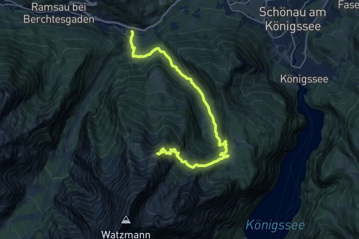
Expert · Summit
AV Weg 442
18.3 km · ↑ 1335 m · 7 h 13 min
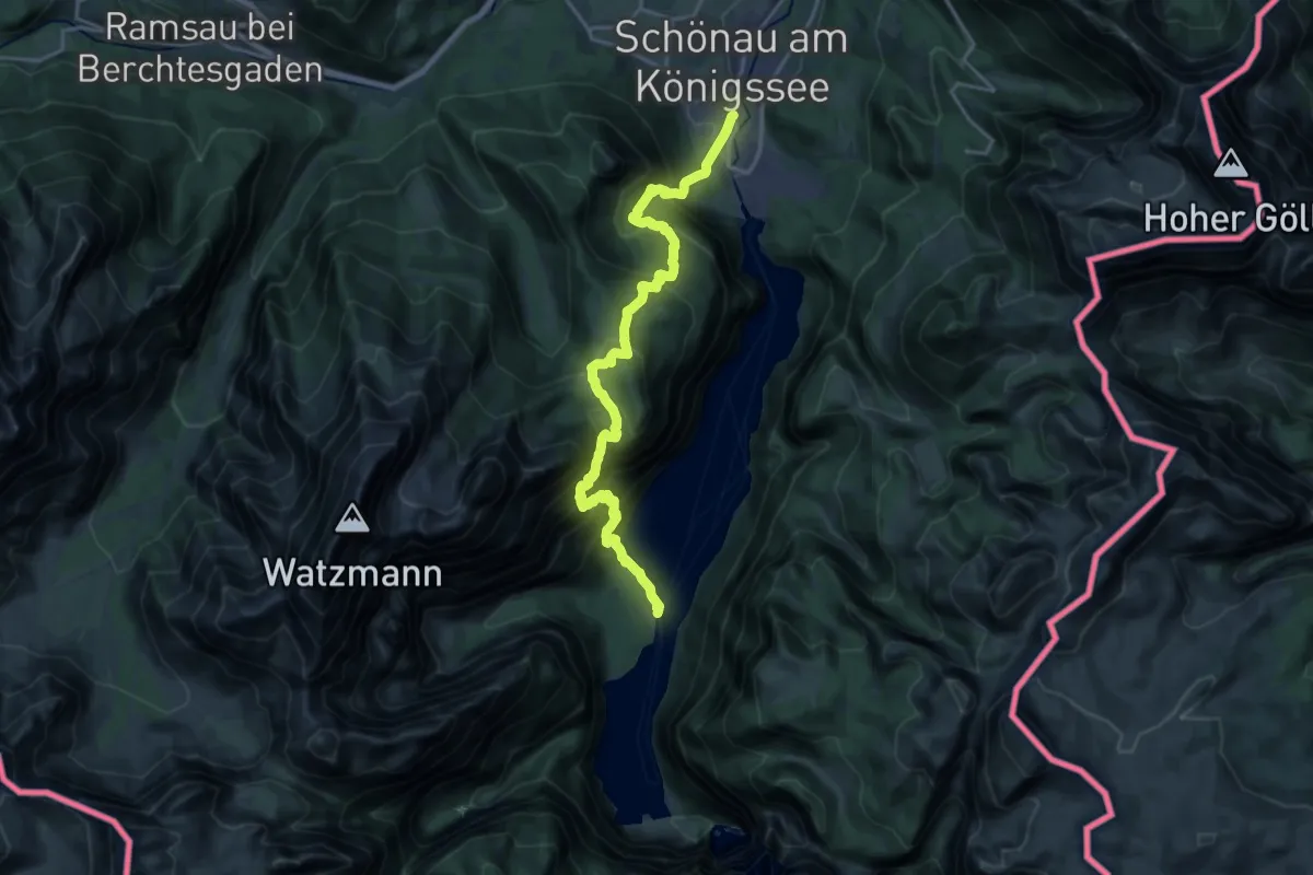
Expert · Trail
AV Weg 443 (Königssee - Kühroint - Rinkendlsteig - St. Bartolomä)
10.4 km · ↑ 989 m · 4 h 45 min
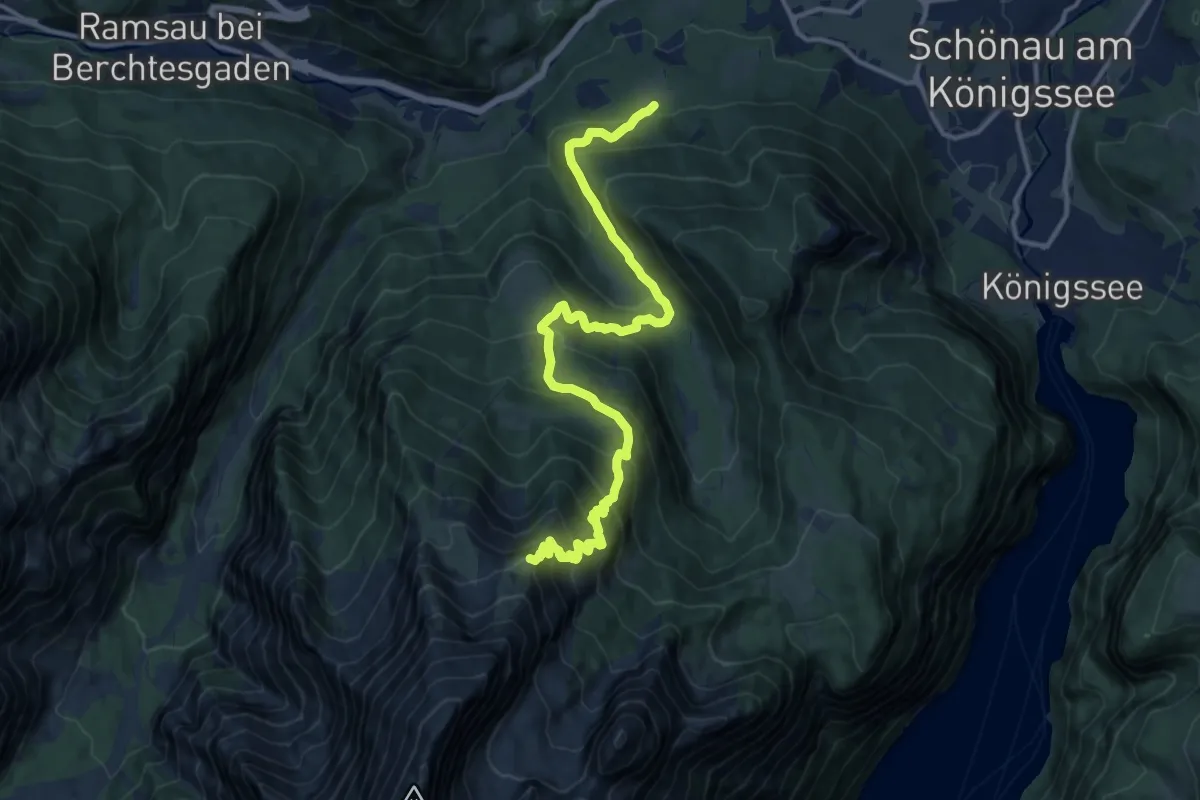
Demanding · Summit
AV Weg 444
14.7 km · ↑ 1192 m · 6 h 3 min
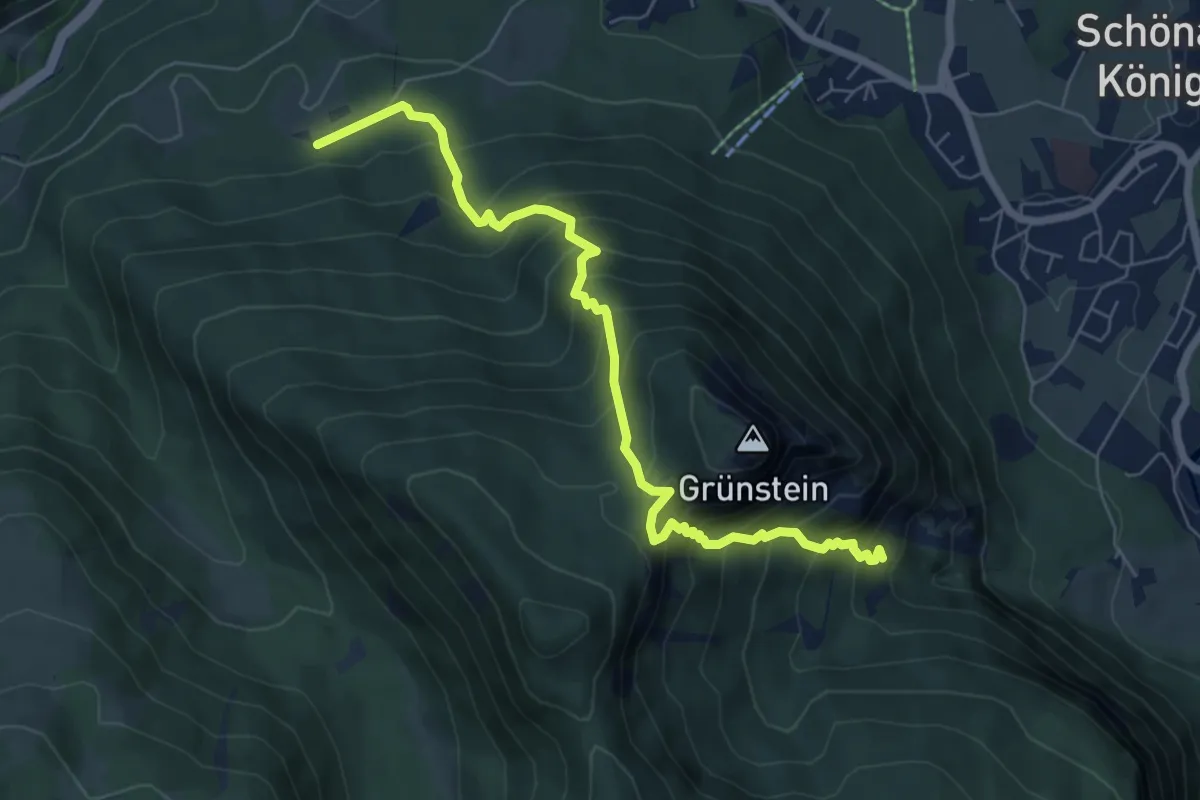
Demanding · Trail
AV Weg 445
6.9 km · ↑ 750 m · 3 h 16 min
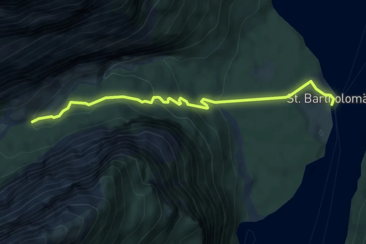
Medium · Trail
AV Weg 446 (Eiskapelle)
5.3 km · ↑ 229 m · 1 h 45 min
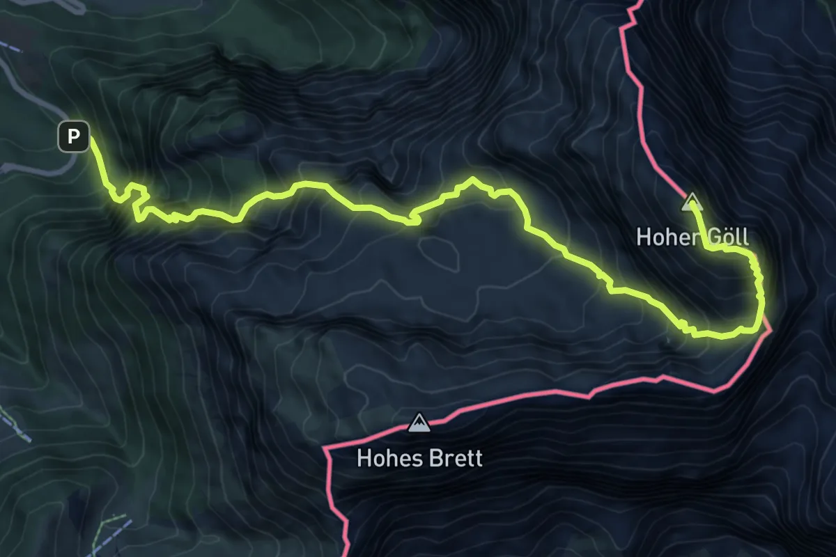
Expert · Summit
AV Weg 457 Alpeltalsteig
11.0 km · ↑ 1692 m · 6 h 16 min
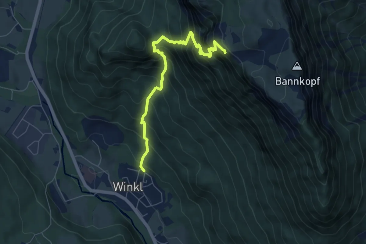
Medium · Summit
AV Weg 464
6.2 km · ↑ 798 m · 3 h 11 min
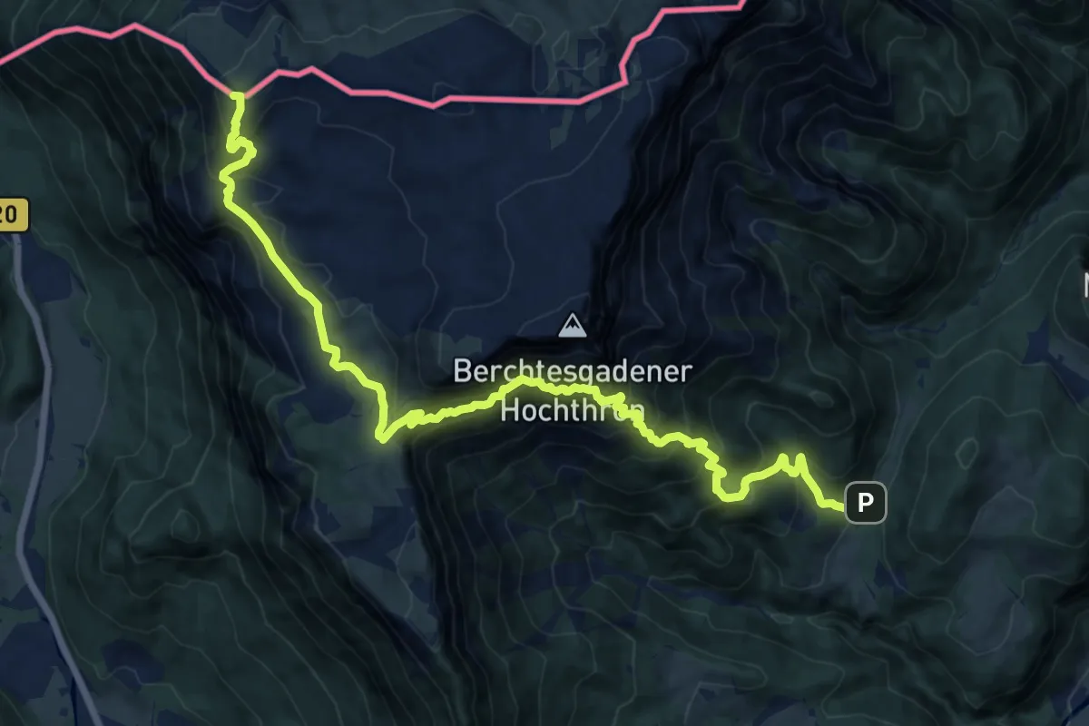
Demanding · Summit
AV Weg 466
17.1 km · ↑ 1505 m · 7 h 18 min
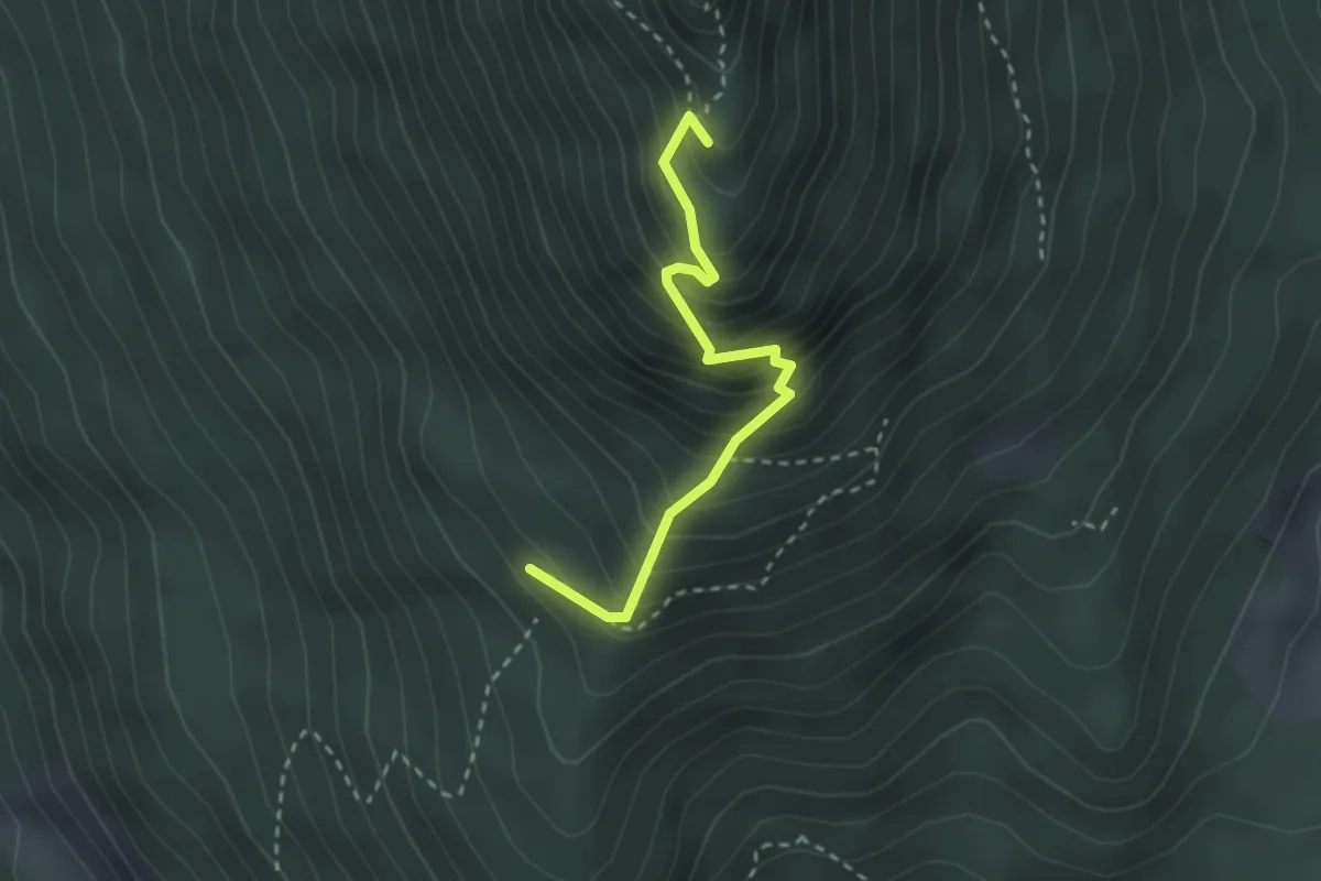
Medium · Summit
AV Weg 467
2.5 km · ↑ 355 m · 1 h 22 min
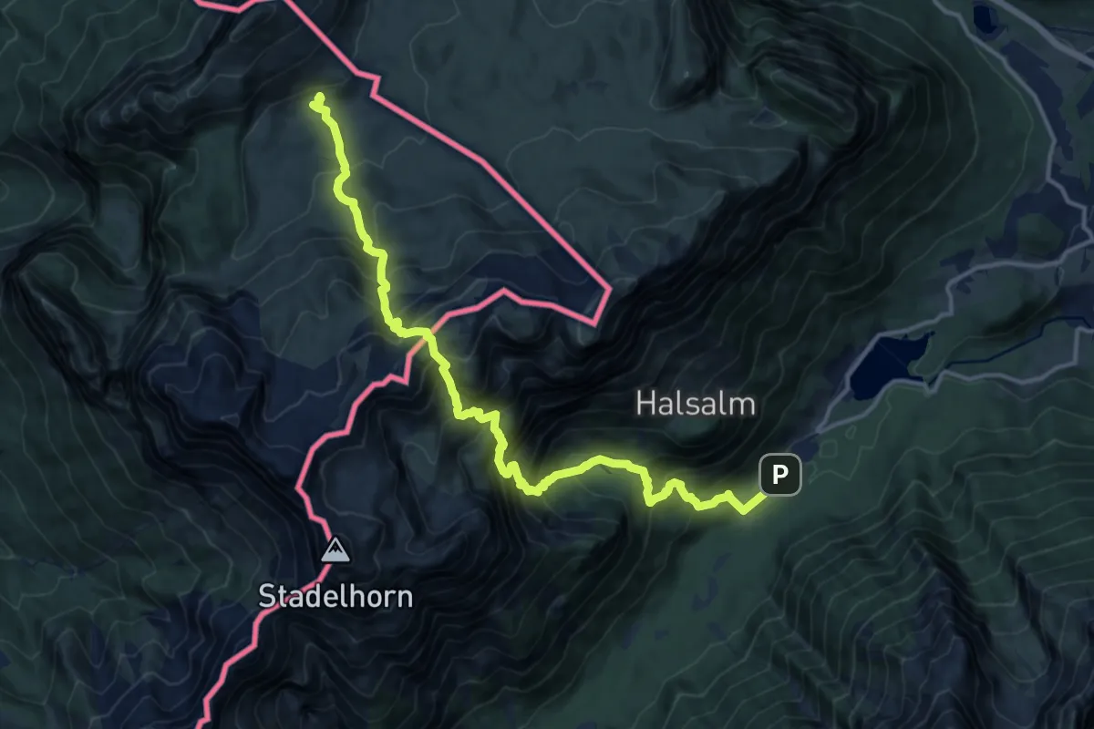
Expert · Cabin
AV Weg 472
15.2 km · ↑ 1810 m · 7 h 31 min
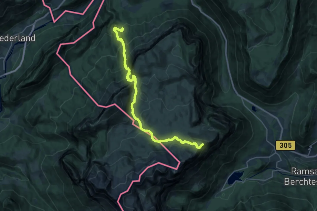
Expert · Summit
AV Weg 474
19.1 km · ↑ 1581 m · 7 h 57 min
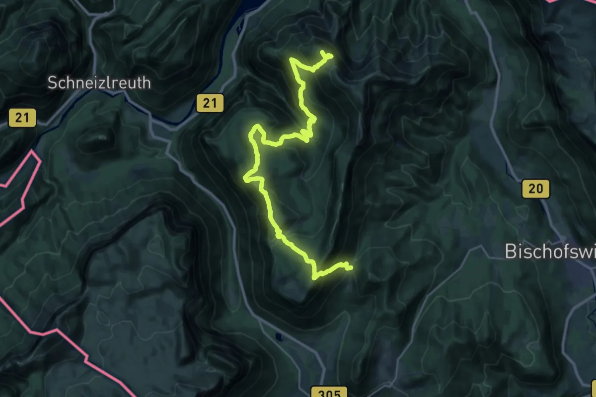
Demanding · Summit
AV Weg 475
25.7 km · ↑ 1662 m · 9 h 40 min
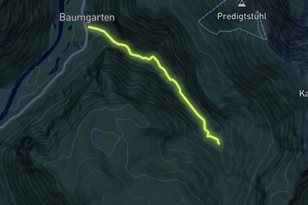
Medium · Trail
AV Weg 475a
5.5 km · ↑ 484 m · 2 h 20 min
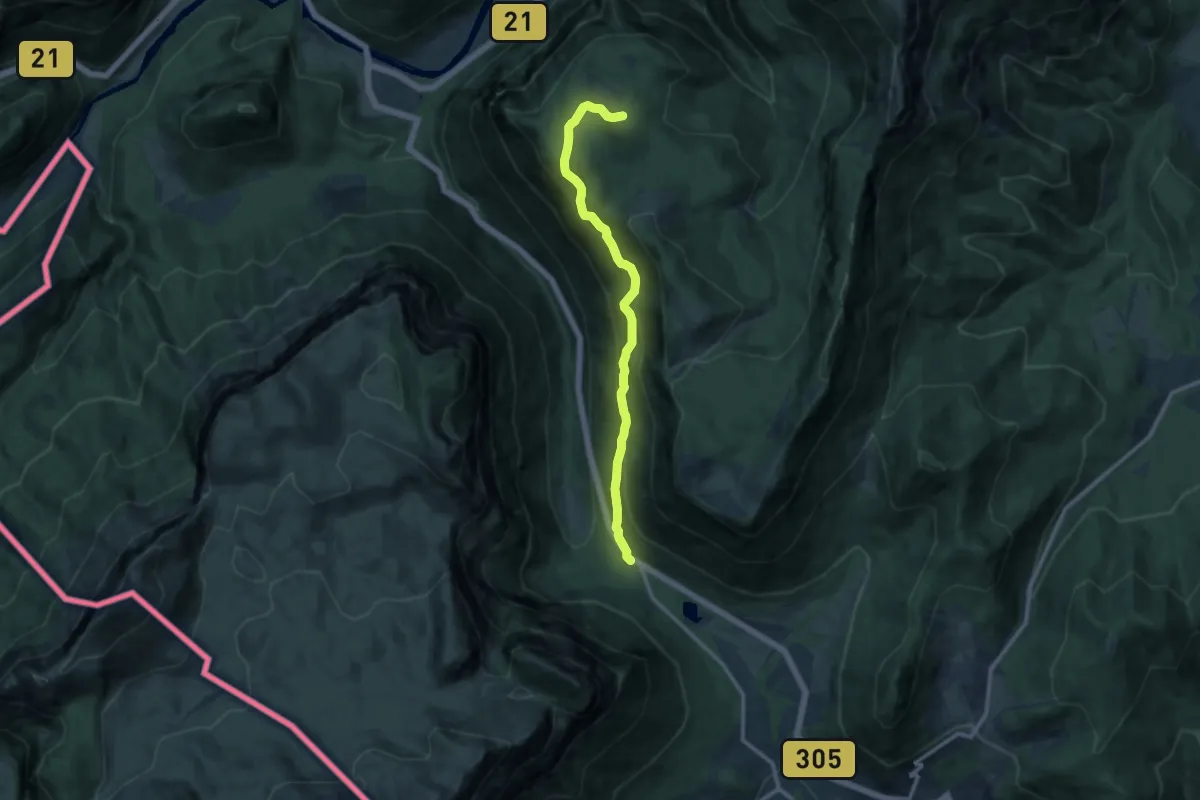
Medium · Trail
AV Weg 476
11.0 km · ↑ 671 m · 4 h 4 min
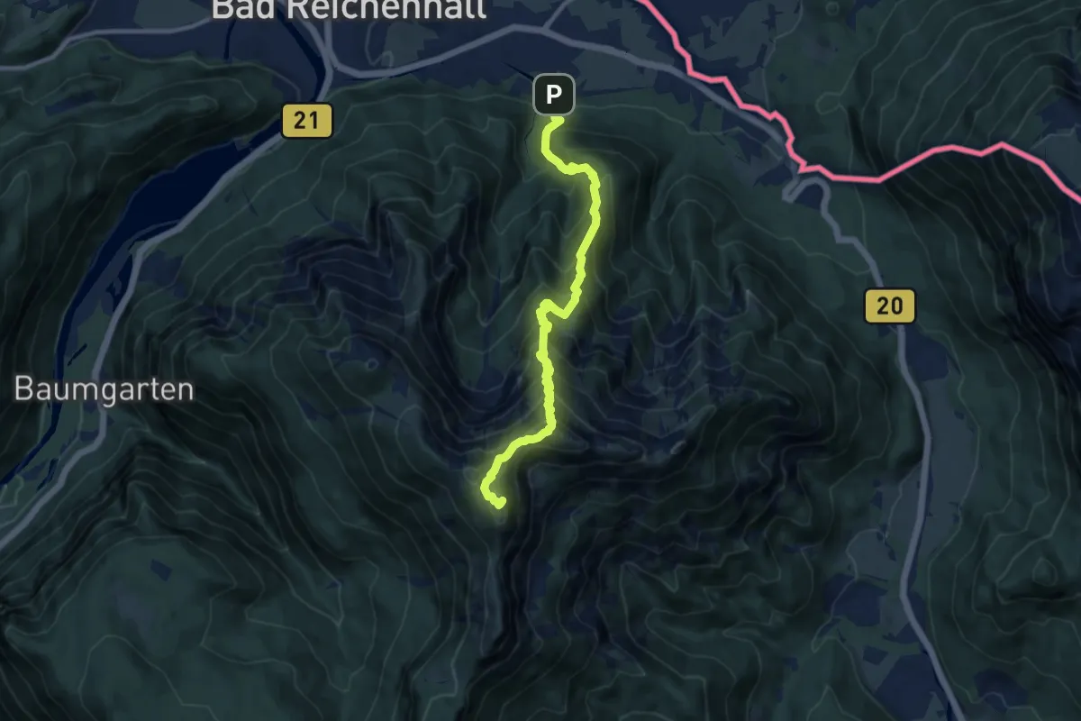
Demanding · Summit
AV Weg 479
10.2 km · ↑ 1177 m · 4 h 57 min
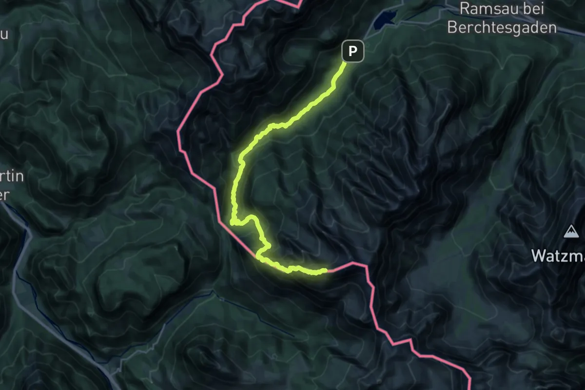
Demanding · Summit
AV Weg 481 (Hochkalter)
22.8 km · ↑ 1734 m · 9 h 8 min
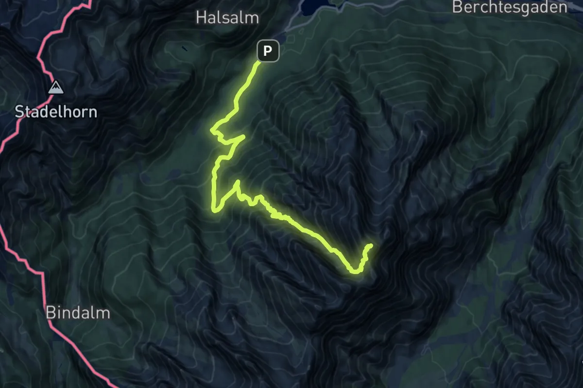
Expert · Summit
AV Weg 482 (Hochkalterüberschreitung)
17.1 km · ↑ 1788 m · 7 h 55 min
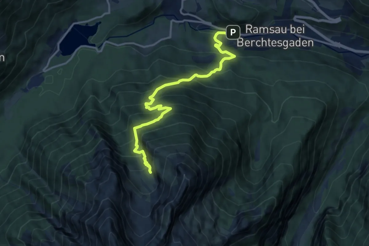
Demanding · Cabin
AV Weg 485
10.5 km · ↑ 1045 m · 4 h 44 min
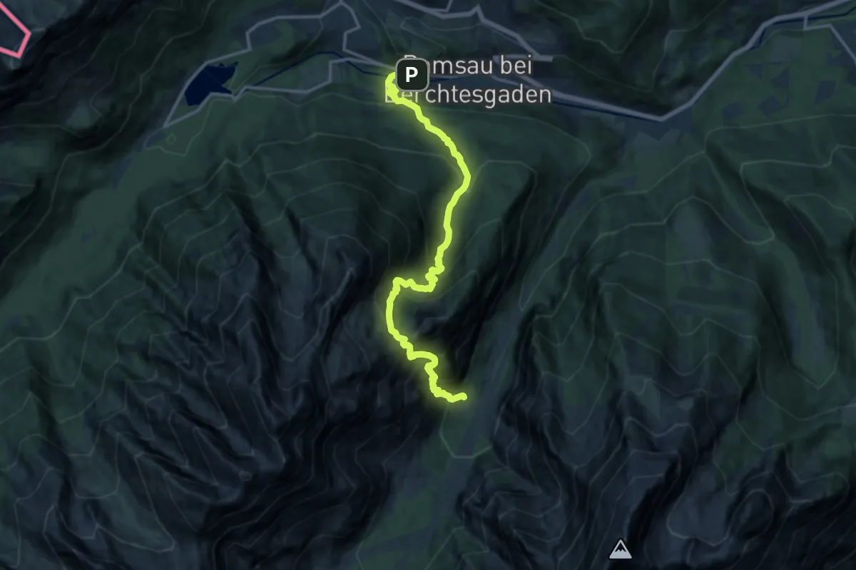
Demanding · Cabin
AV Weg 486 (Hochkalter)
14.1 km · ↑ 1592 m · 6 h 47 min
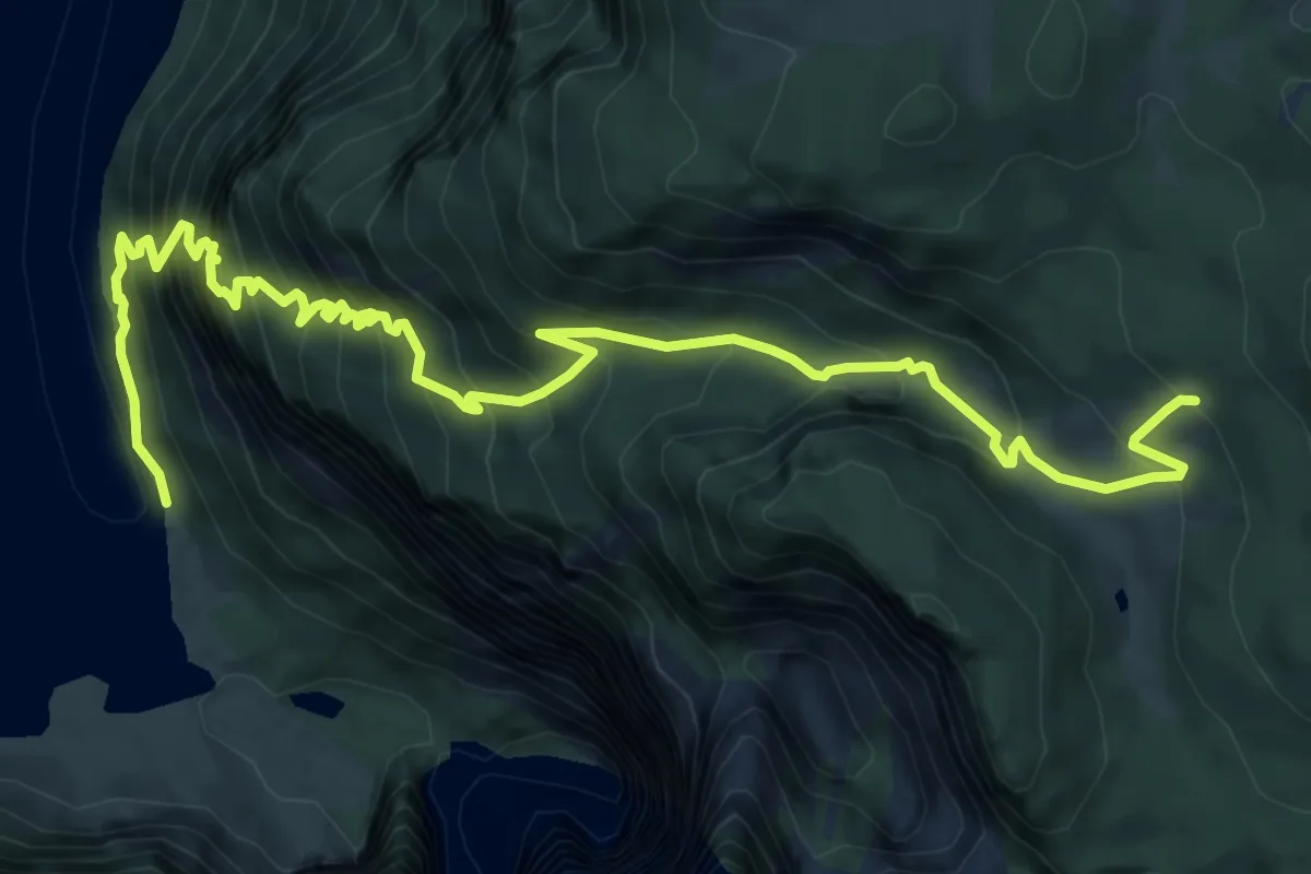
Expert · Trail
AV Weg 492 [Kaunersteig]
9.7 km · ↑ 1200 m · 4 h 54 min
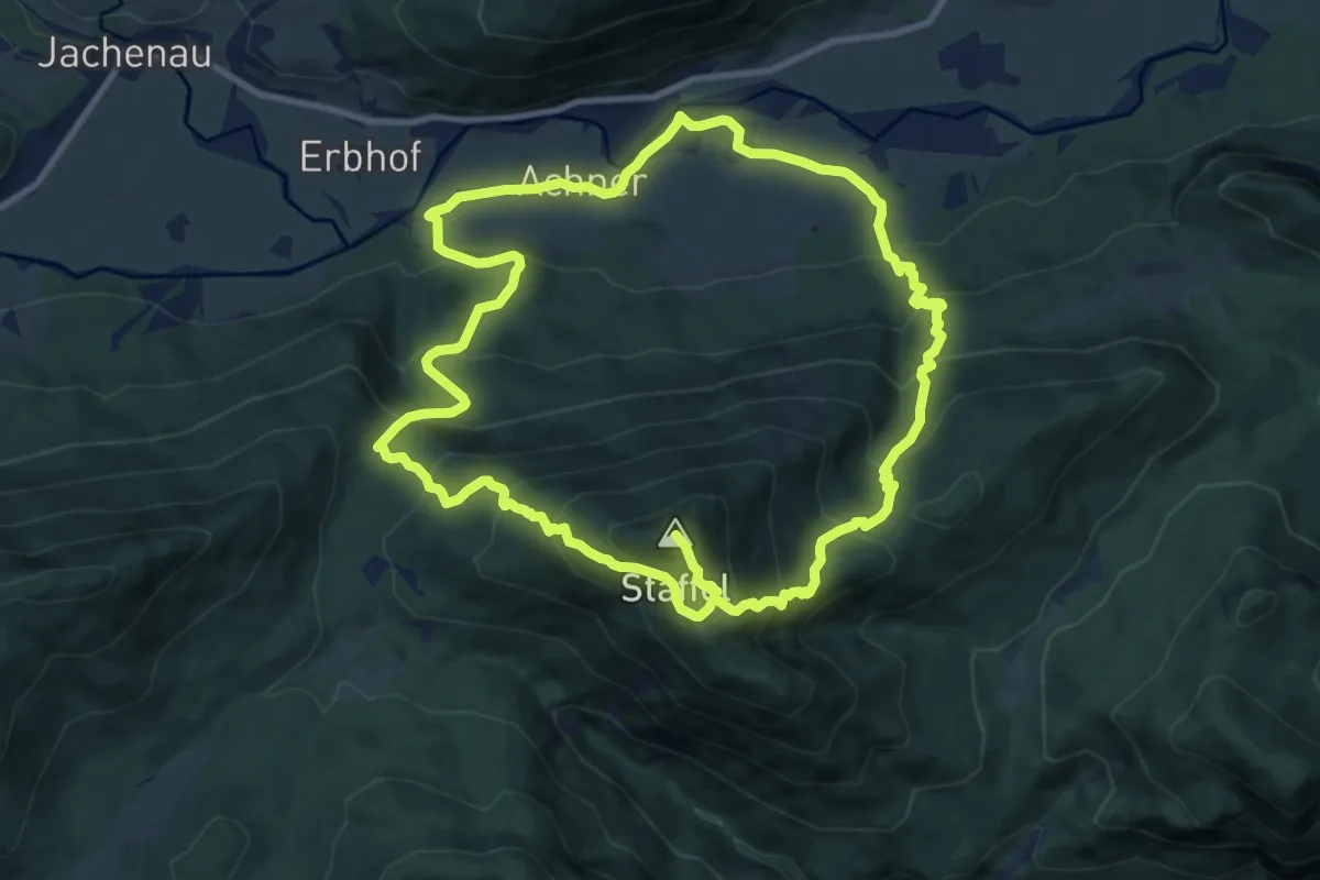
Demanding · Summit
AV Weg 492 (Staffel)
20.4 km · ↑ 1472 m · 8 h
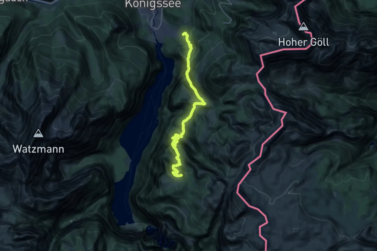
Demanding · Summit
AV Weg 493 (Königssee - Gotzenalm - Landtal)
18.9 km · ↑ 1412 m · 7 h 31 min
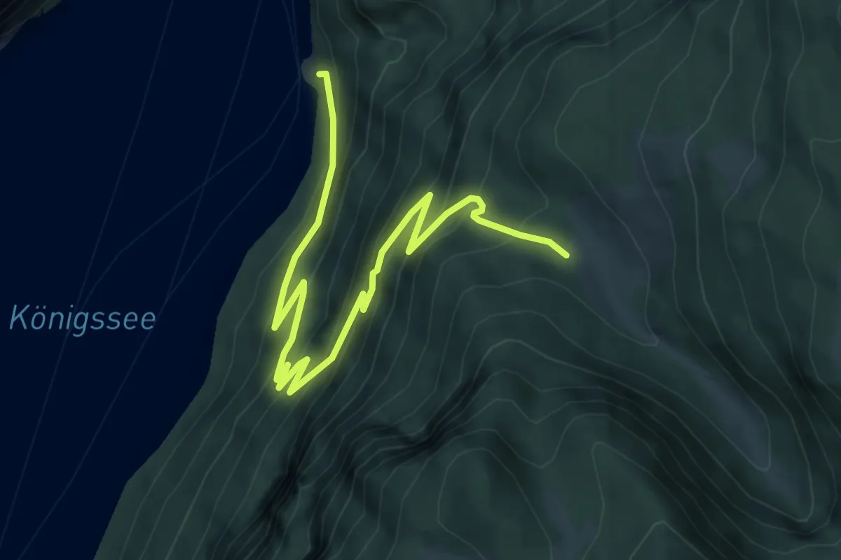
Demanding · Trail
AV Weg 494 (Kessel - Gotzentalalm)
7.0 km · ↑ 509 m · 2 h 45 min
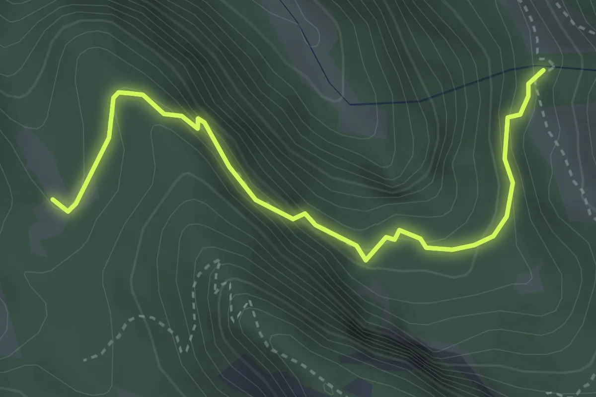
Demanding · Trail
AV Weg 495 (Unterer Hirschenlauf)
3.7 km · ↑ 375 m · 1 h 41 min
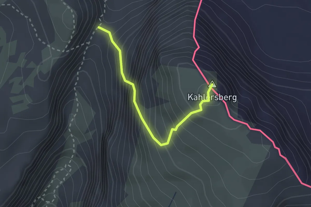
Expert · Summit
AV Weg 496 (Hochgschirr - Kahlersberg über Mauslochsteig)
2.1 km · ↑ 459 m · 1 h 29 min
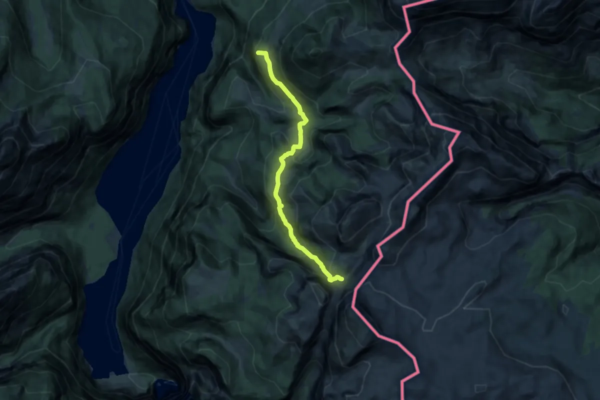
Demanding · Summit
AV Weg 497 (Hinterbrand - Seeleinsee)
11.6 km · ↑ 750 m · 4 h 21 min
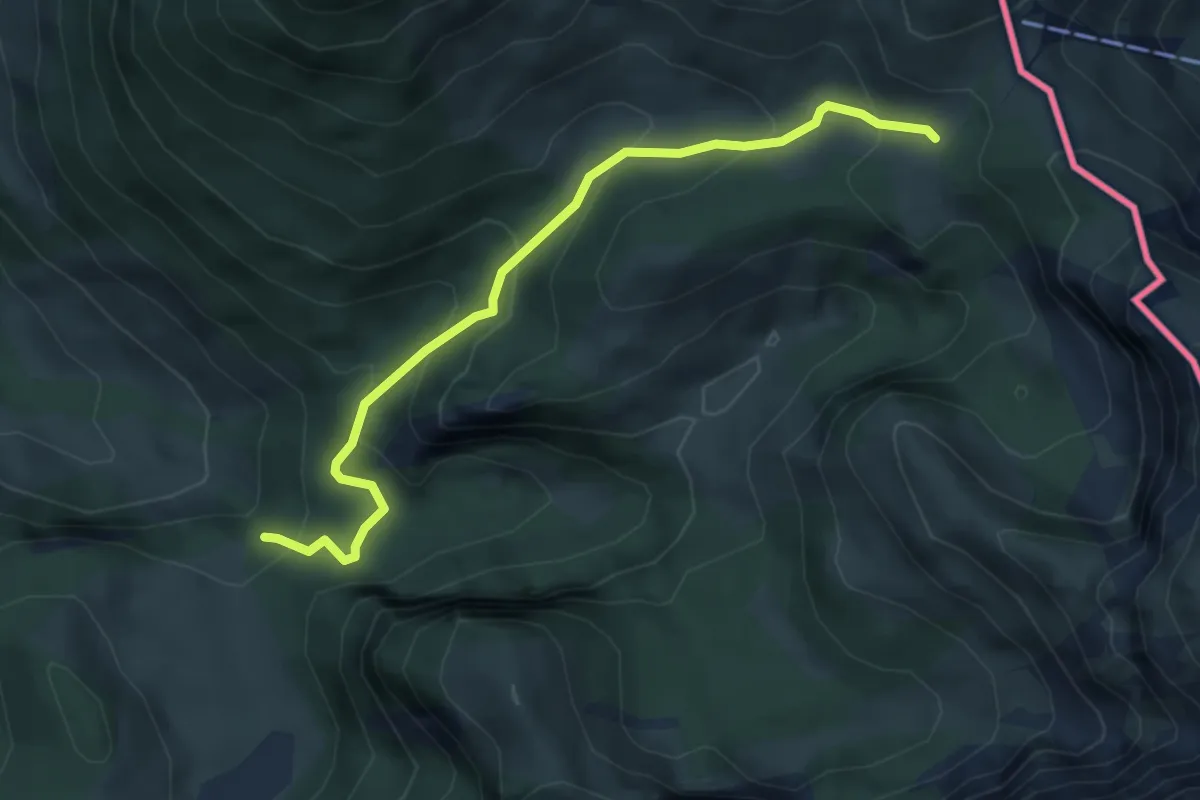
Medium · Cabin
AV Weg 498 (Brennhütte - Schneibsteinhaus)
4.8 km · ↑ 355 m · 1 h 54 min
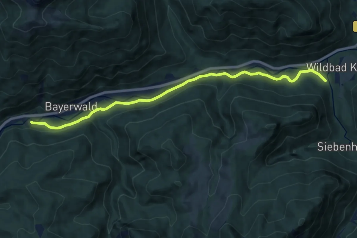
Medium · Trail
AV-Weg 501
10.4 km · ↑ 155 m · 2 h 48 min
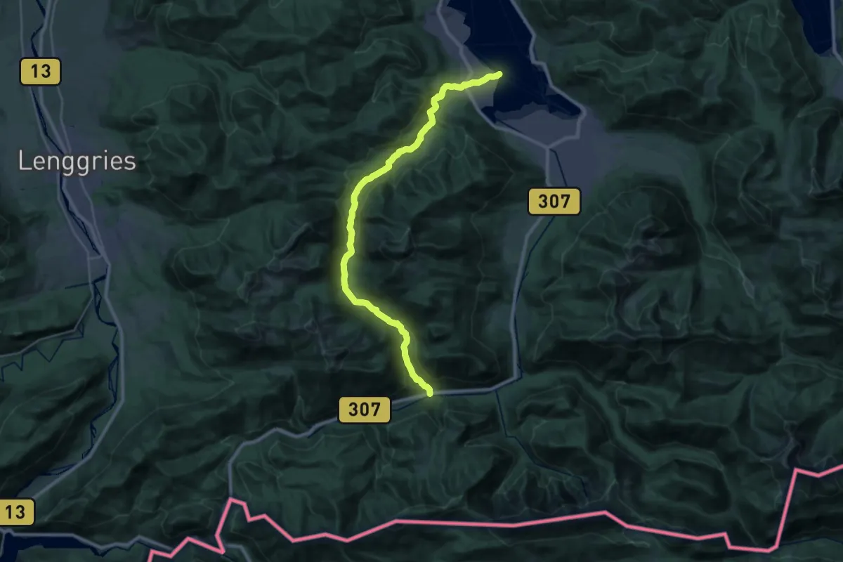
Demanding · Trail
AV-Weg 604
27.3 km · ↑ 684 m · 7 h 56 min
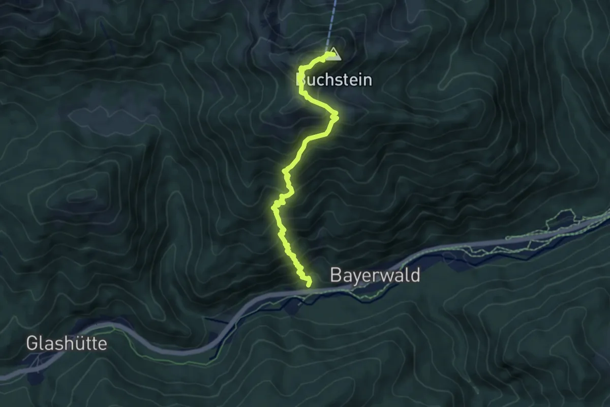
Expert · Summit
AV-Weg 609
6.5 km · ↑ 740 m · 3 h 8 min
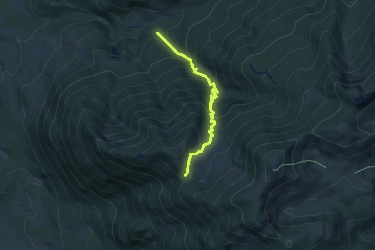
Medium · Cabin
AV-Weg 612
4.8 km · ↑ 458 m · 2 h 7 min
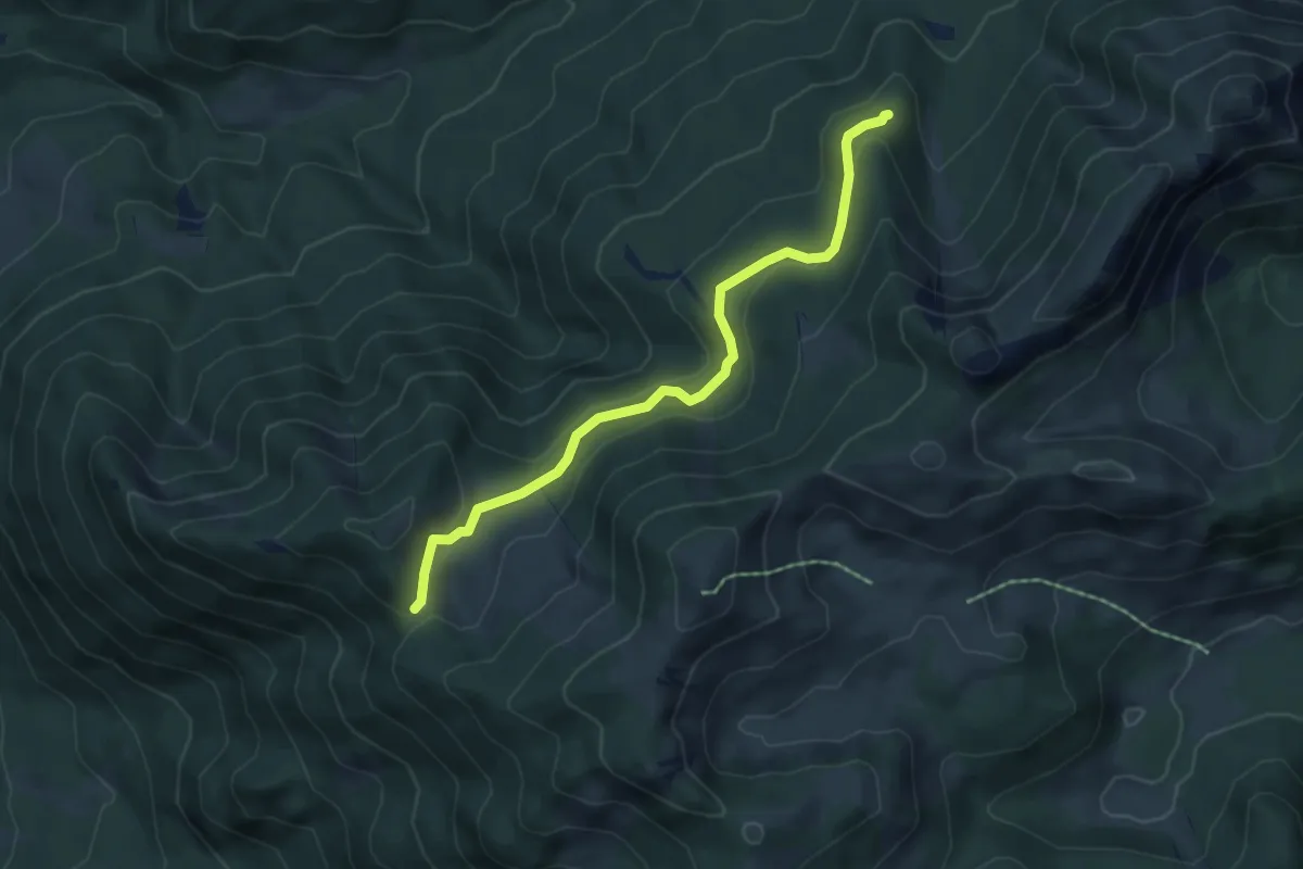
Easy · Cabin
AV-Weg 613
5.2 km · ↑ 188 m · 1 h 38 min
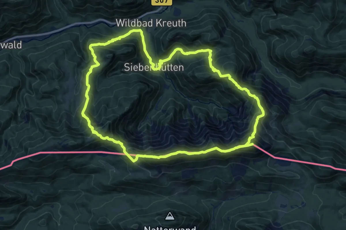
Demanding · Summit
AV-Weg 615
35.6 km · ↑ 2715 m · 14 h 17 min
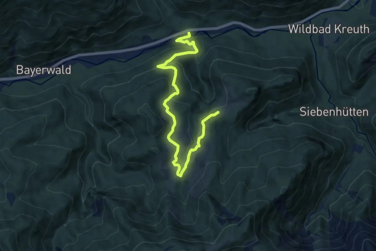
Medium · Trail
AV-Weg 615a
10.1 km · ↑ 475 m · 3 h 24 min
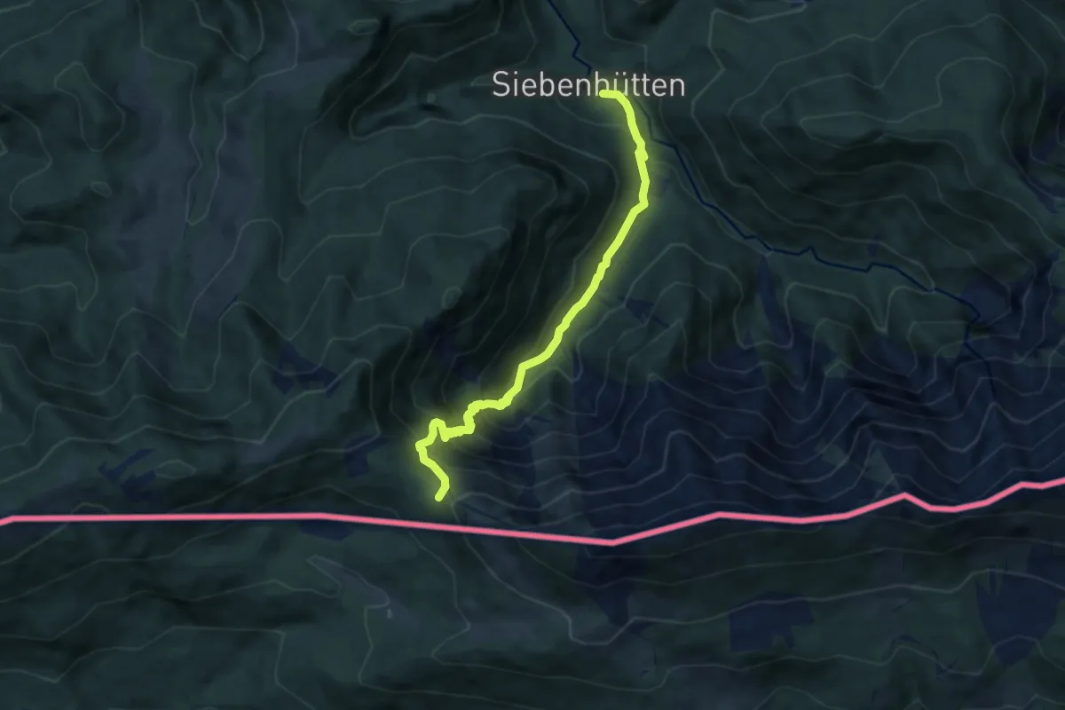
Demanding · Trail
AV-Weg 615b
7.2 km · ↑ 665 m · 3 h 8 min
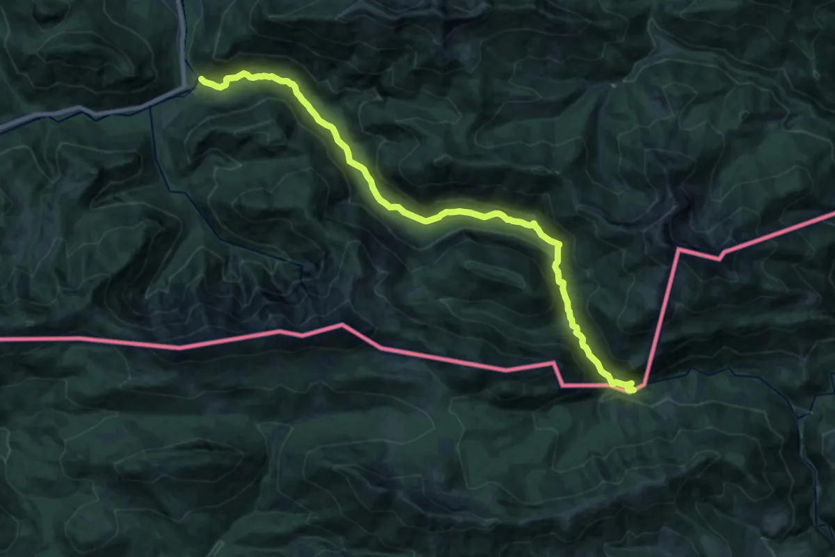
Demanding · Trail
AV-Weg 616
21.8 km · ↑ 684 m · 6 h 37 min
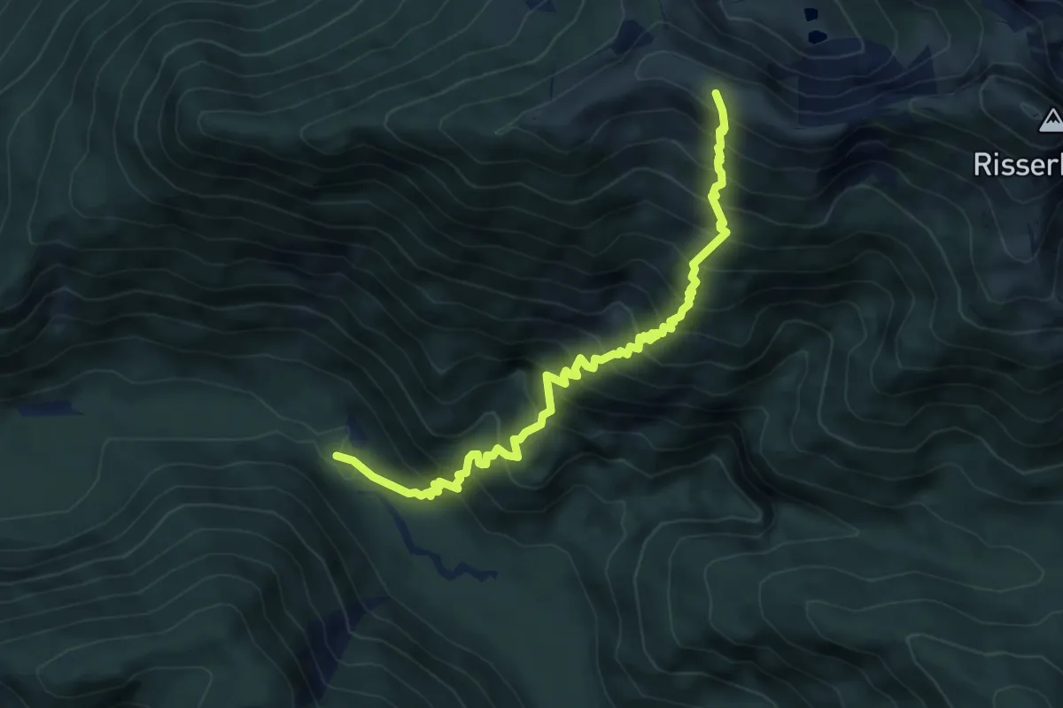
Demanding · Trail
AV-Weg 616a
6.2 km · ↑ 825 m · 3 h 15 min
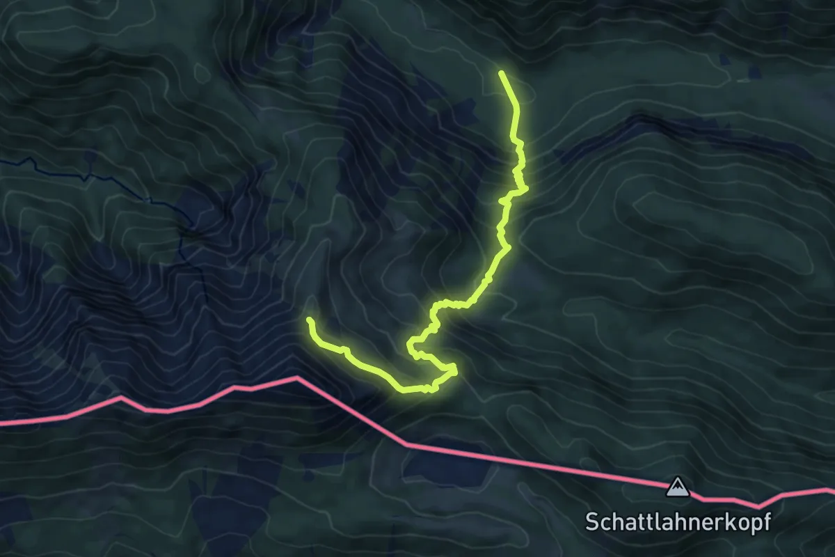
Medium · Trail
AV-Weg 616b
7.8 km · ↑ 766 m · 3 h 31 min
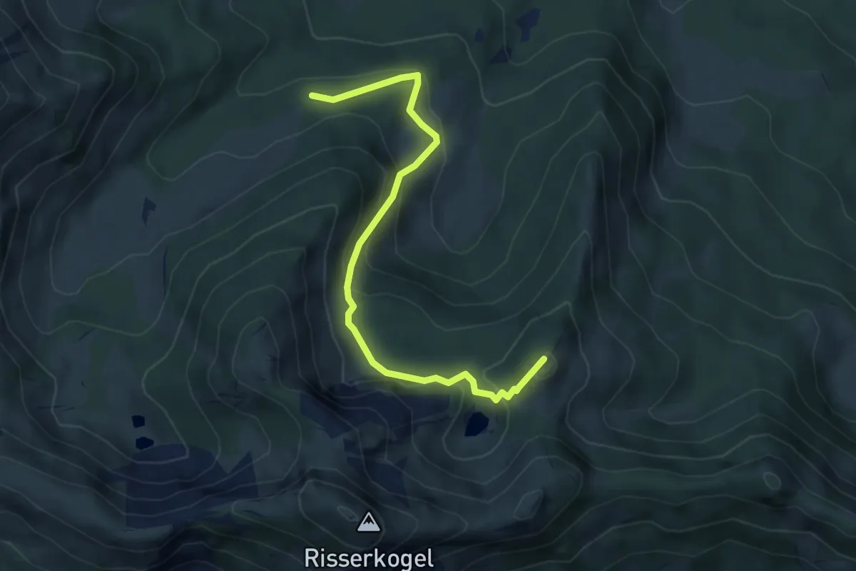
Medium · Summit
AV-Weg 617a
4.8 km · ↑ 343 m · 1 h 53 min
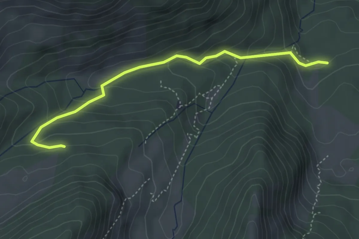
Demanding · Trail
AV-Weg 617b
4.0 km · ↑ 240 m · 1 h 28 min
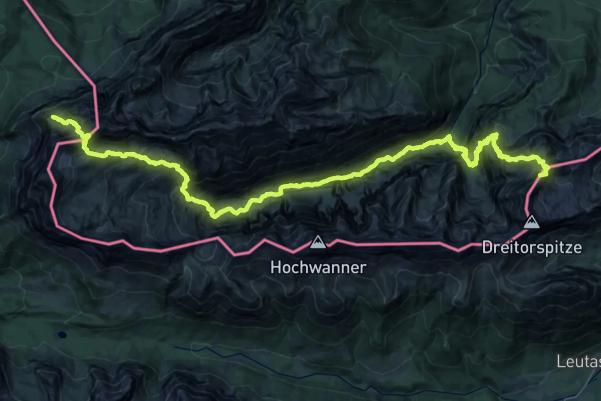
Expert · Summit
AV Weg 801
38.4 km · ↑ 4208 m · 18 h 12 min
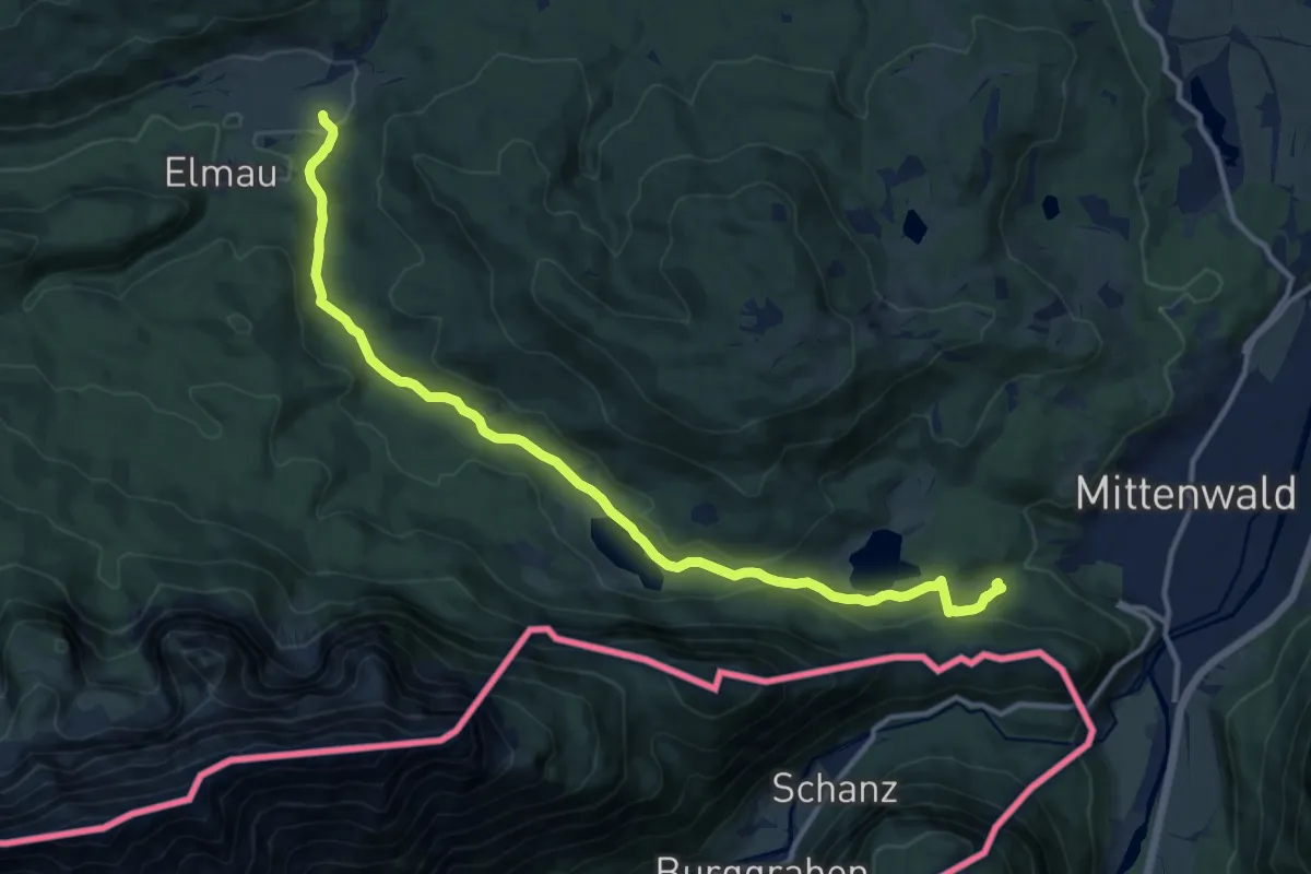
Medium · Trail
AV Weg 820 (grün)
13.6 km · ↑ 319 m · 3 h 54 min
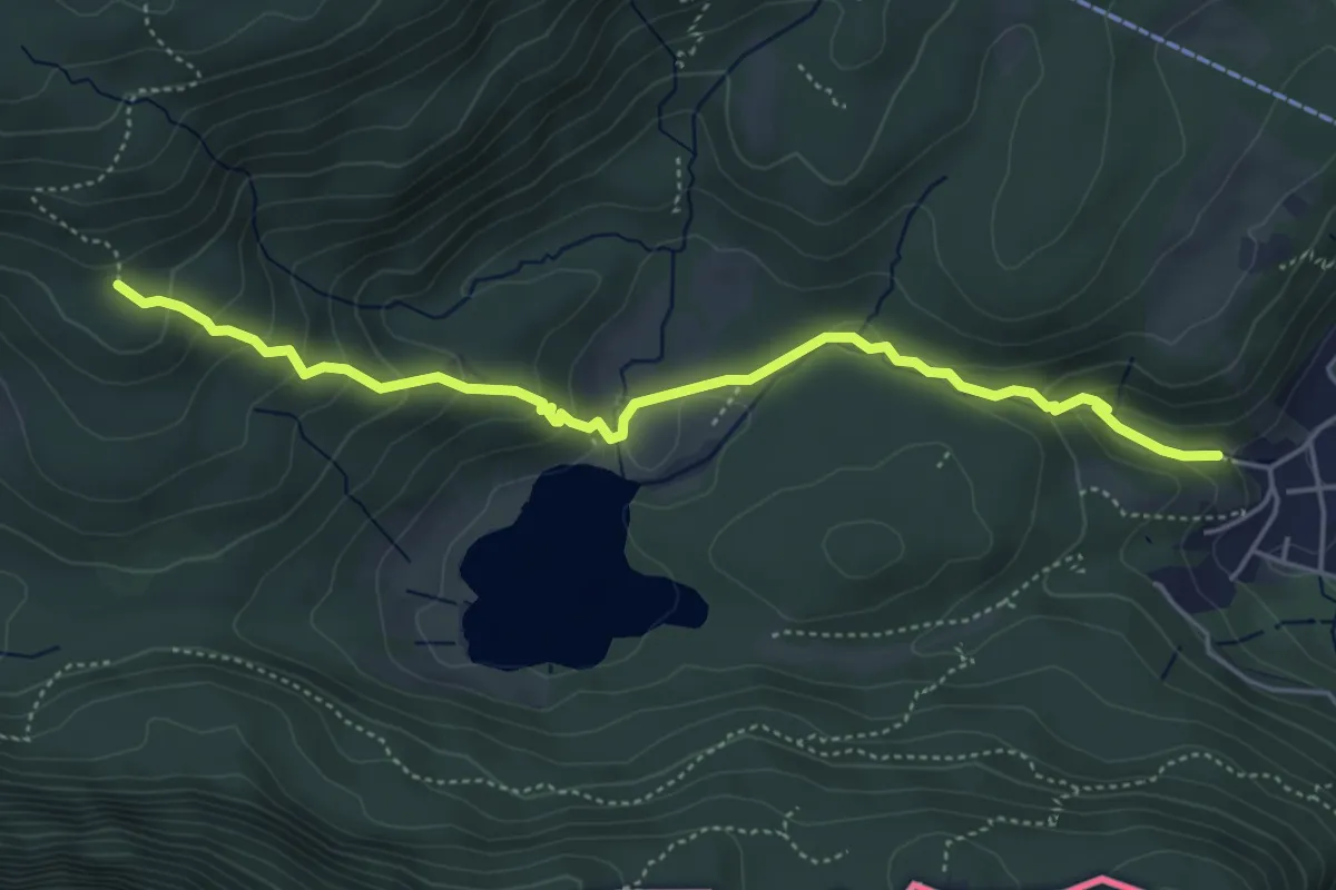
Easy · Trail
AV Weg 826 (blau)
5.0 km · ↑ 265 m · 1 h 45 min
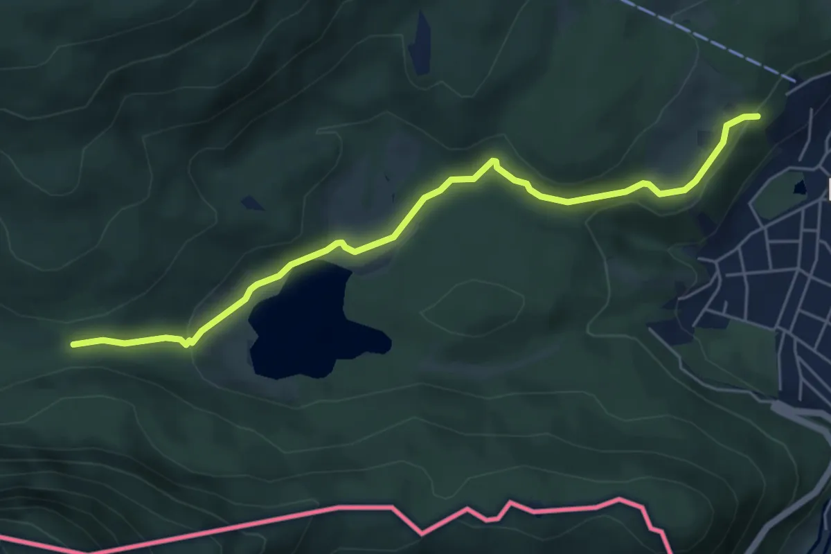
Medium · Trail
AV Weg 828 (grün)
5.5 km · ↑ 138 m · 1 h 35 min
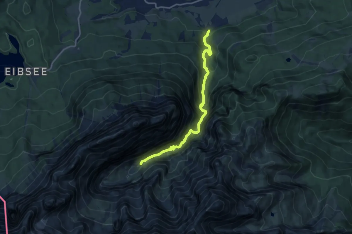
Demanding · Cabin
AV Weg 831A (Höllental)
9.9 km · ↑ 808 m · 4 h 5 min