Trails in Germany
36,824 hiking trails, each with its route, climb, walking time and grade.
All trails, page 40 of 768
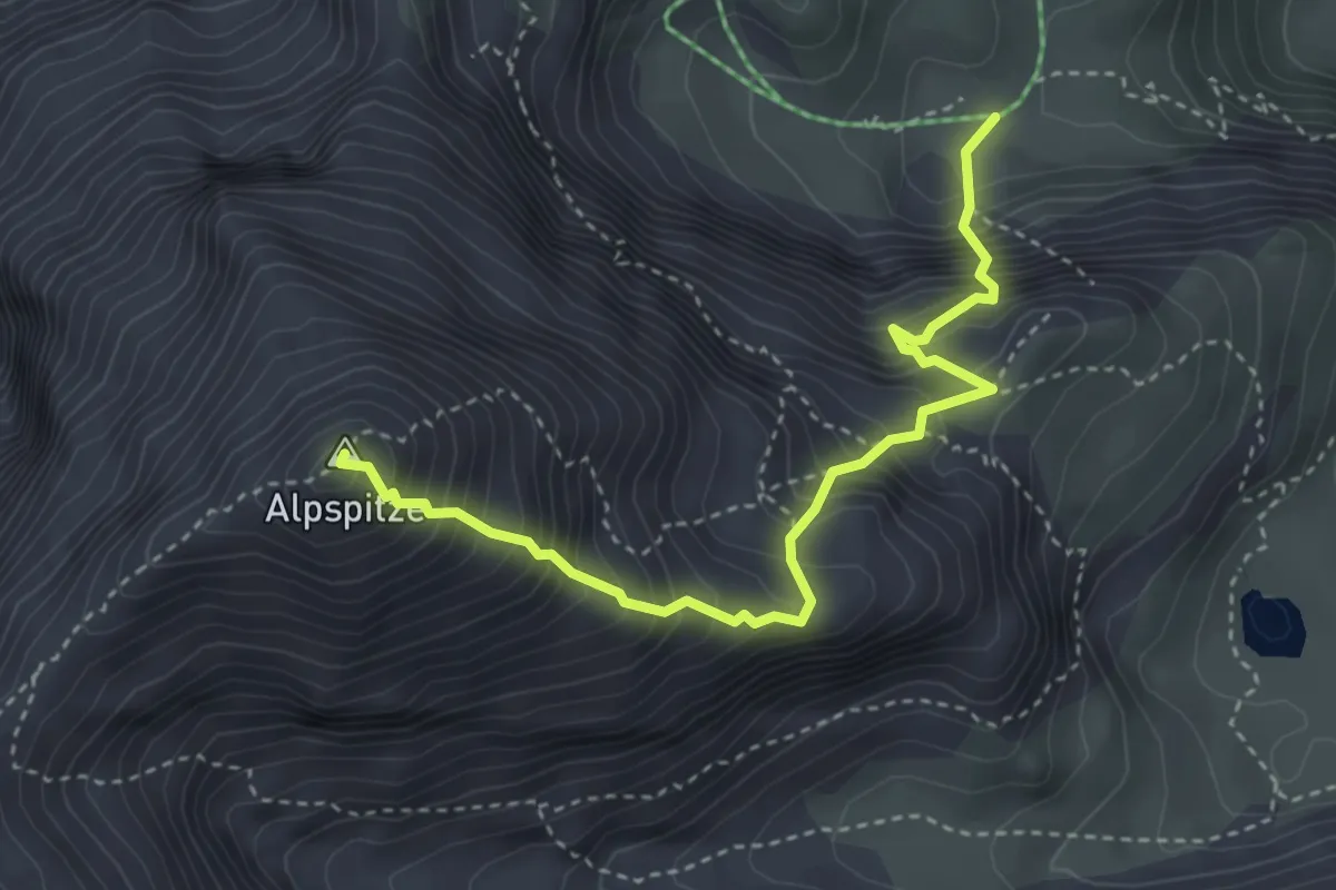
Expert · Summit
AV Weg 834 (Schöngänge)
3.7 km · ↑ 742 m · 2 h 29 min
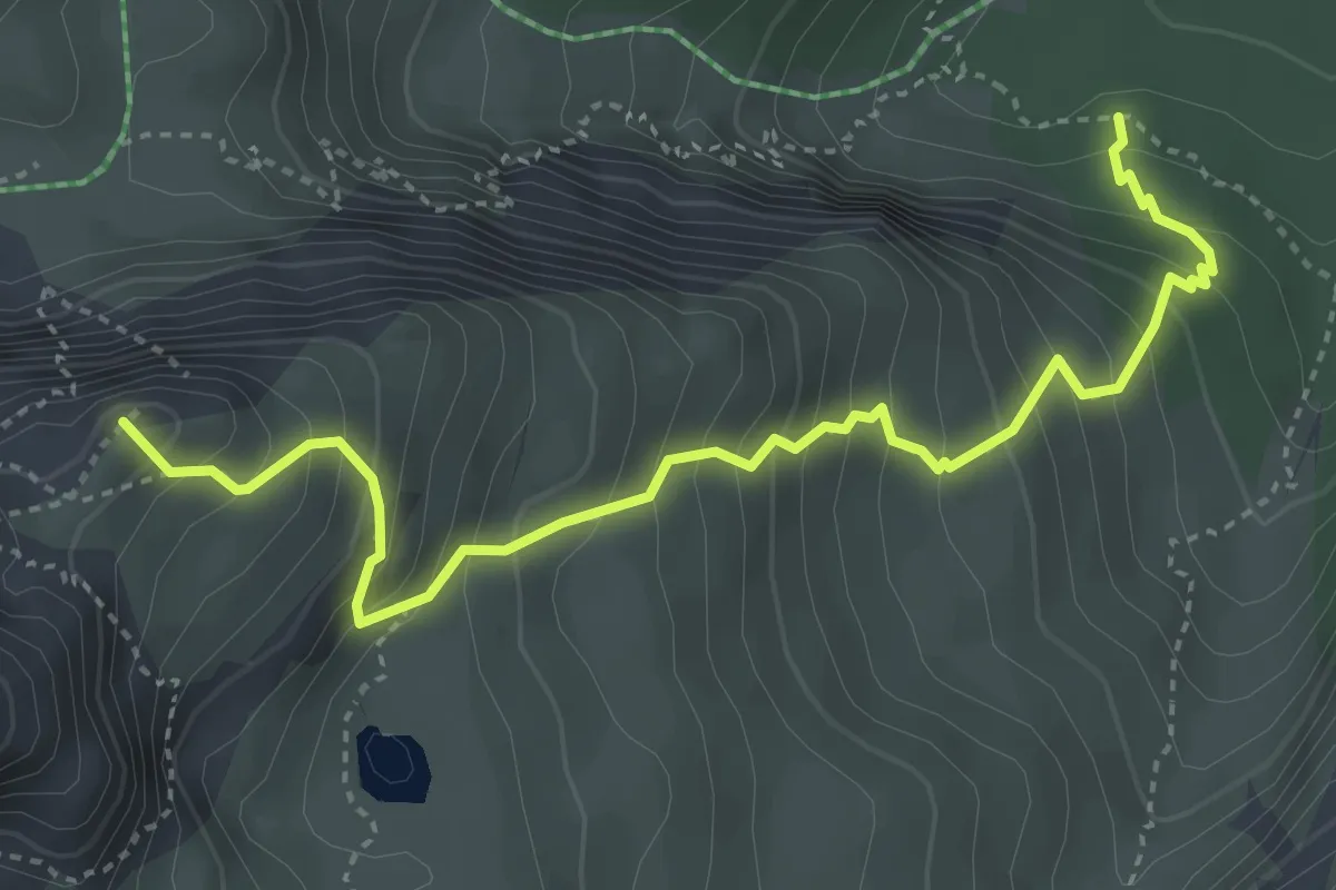
Medium · Summit
AV Weg 835a (Bernadeinsteig - Stuibensee - Schöngänge)
4.4 km · ↑ 571 m · 2 h 17 min
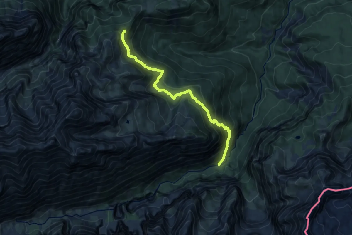
Demanding · Trail
AV Weg 835 (Bernadeinsteig)
11.6 km · ↑ 996 m · 4 h 54 min
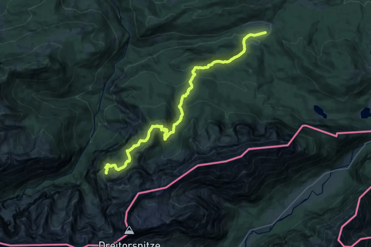
Demanding · Trail
AV Weg 841 (Schachenweg)
22.0 km · ↑ 1046 m · 7 h 28 min
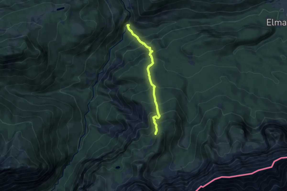
Demanding · Trail
AV Weg 842 (Kaelbersteig)
7.8 km · ↑ 867 m · 3 h 44 min
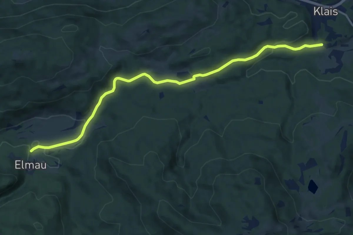
Medium · Trail
AV Weg 843
11.0 km · ↑ 206 m · 3 h 3 min
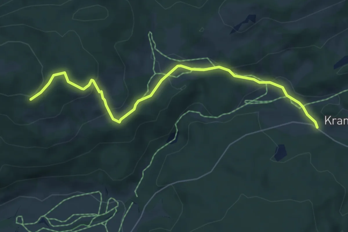
Easy · Trail
AV Weg 860
5.9 km · ↑ 220 m · 1 h 52 min
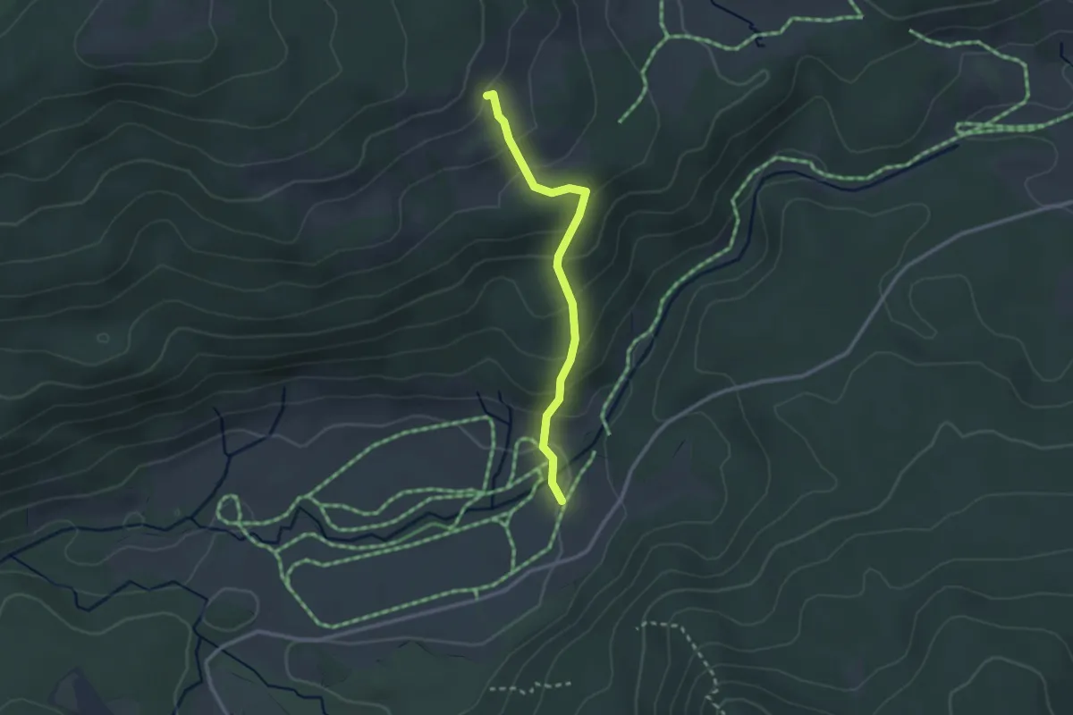
Easy · Trail
AV Weg 862
2.3 km · ↑ 183 m · 57 min
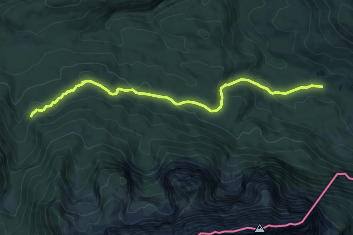
Medium · Trail
AV Weg 870 (Bannholzweg)
9.8 km · ↑ 289 m · 2 h 57 min
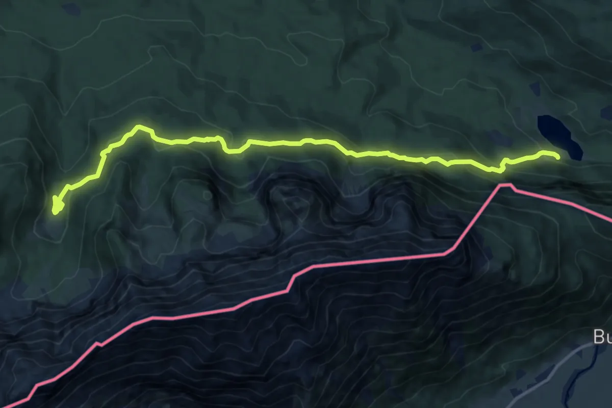
Demanding · Trail
AV Weg 874 (Schützensteig)
13.1 km · ↑ 775 m · 4 h 47 min
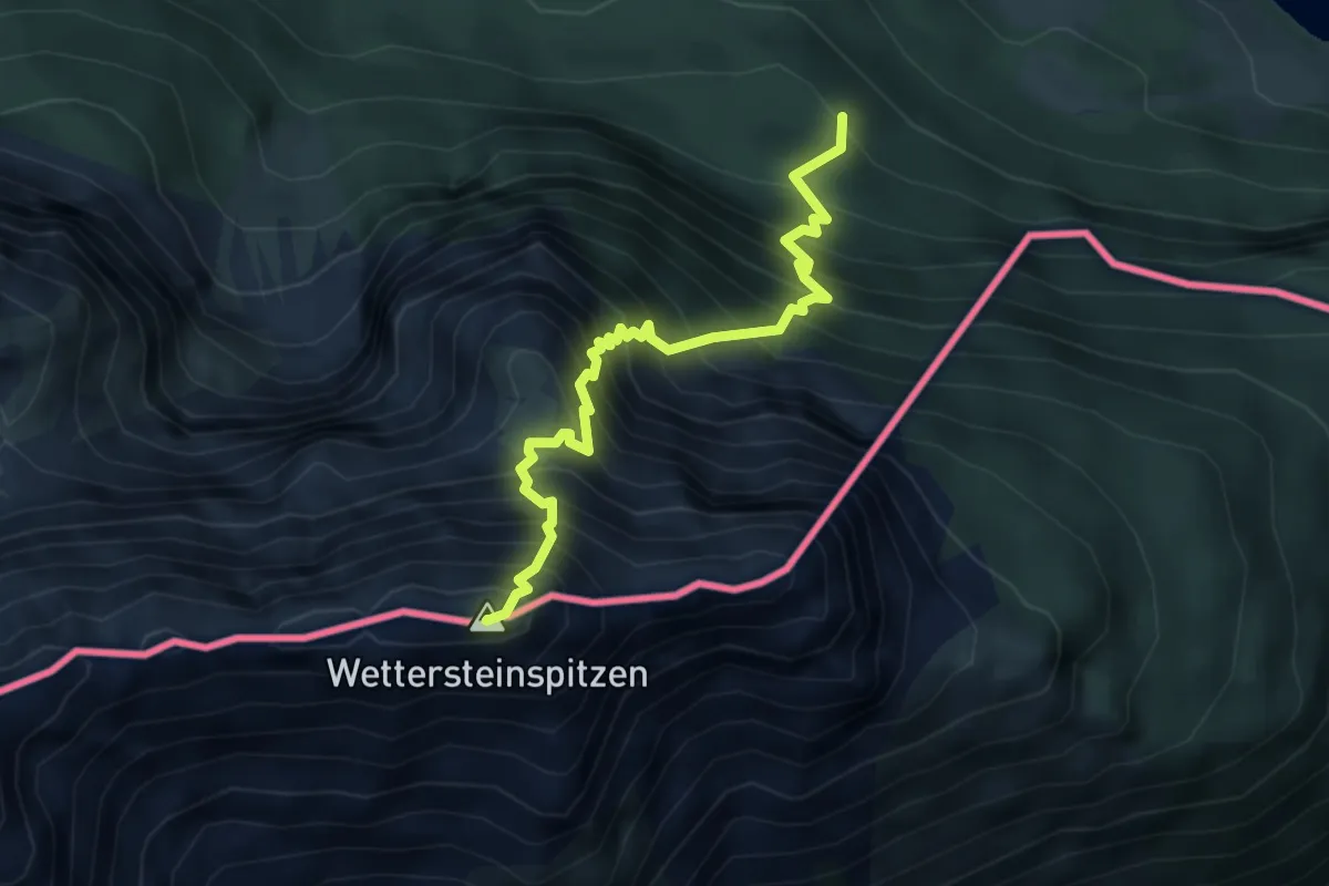
Expert · Summit
AV Weg 875
4.3 km · ↑ 987 m · 3 h 9 min
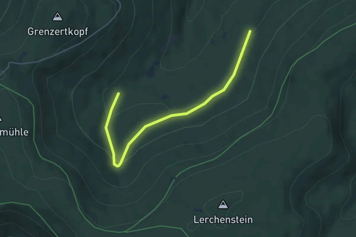
Easy · Trail
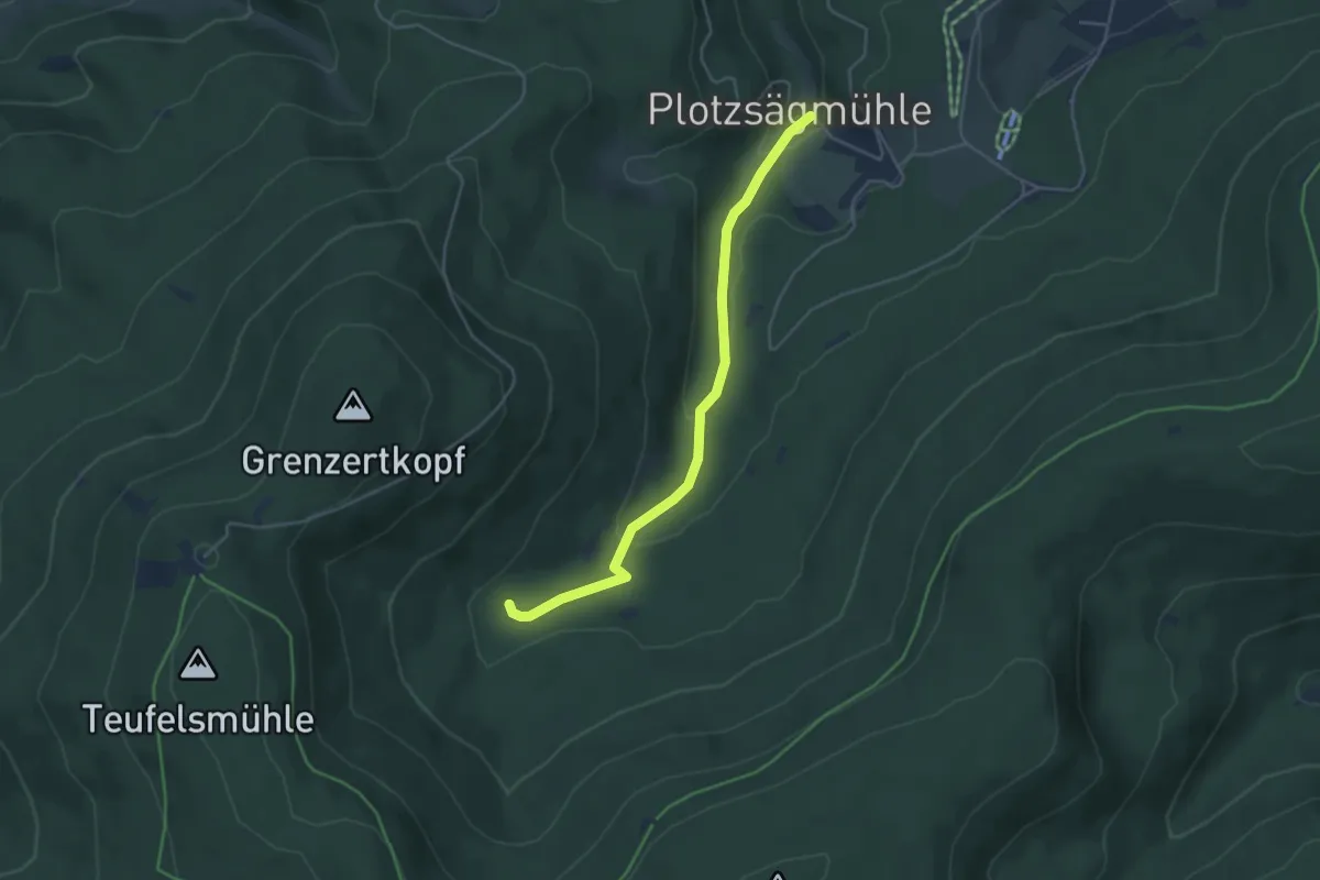
Axtloh - Axtlohbrücke
4.4 km · ↑ 133 m · 1 h 20 min
Easy · Trail
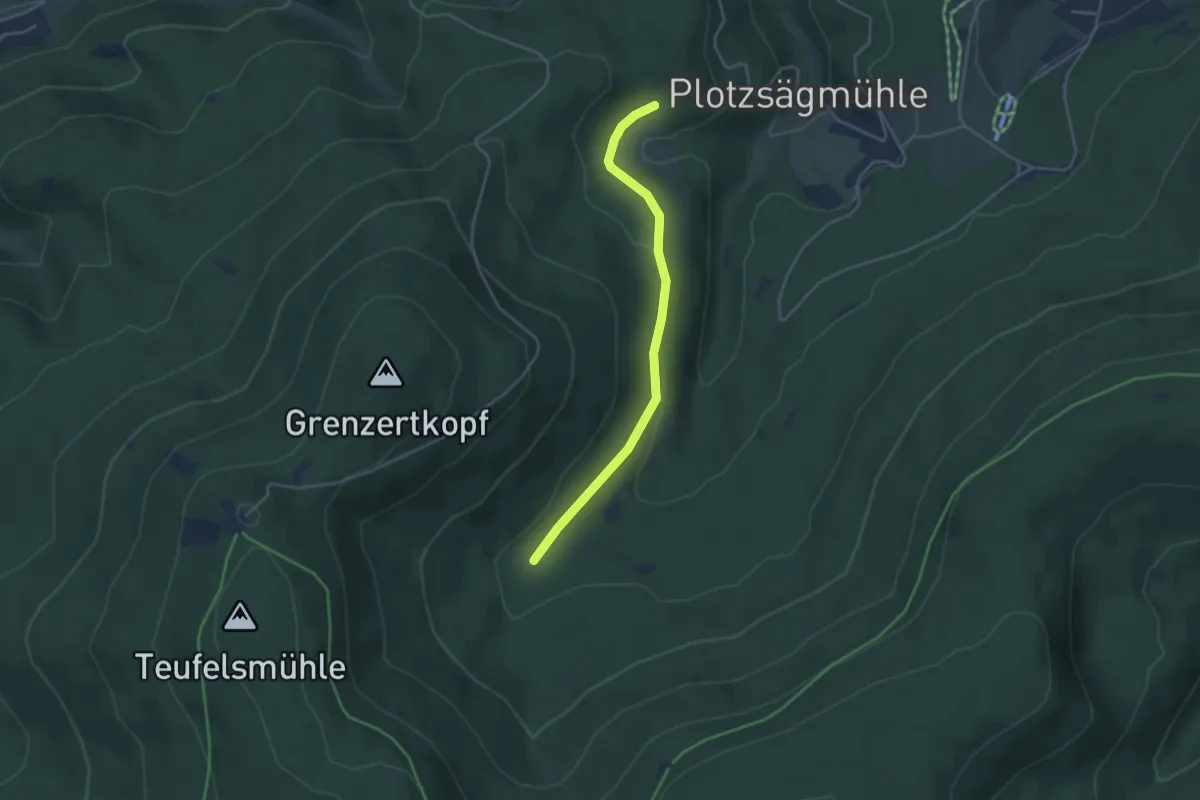
Axtlohbrücke - Plotzsägmühle
4.1 km · ↑ 139 m · 1 h 17 min
Easy · Trail
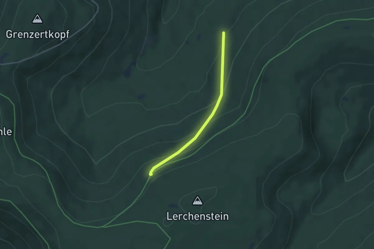
Axtlohbrücke - Vogelswiesen
3.6 km · ↑ 75 m · 1 h
Medium · Trail
Axtloh - Hahnenfalzhütte
2.8 km · ↑ 188 m · 1 h 5 min
Medium · Summit
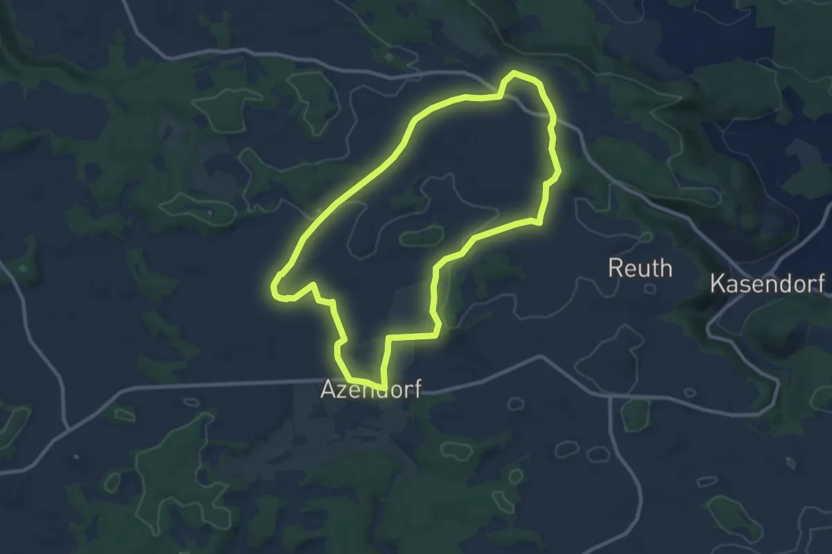
Azendorf Jurarundweg
8.5 km · ↑ 57 m · 2 h 16 min
Easy · Summit
B10 - Großer Mühlenbergweg
7.4 km · ↑ 237 m · 2 h 21 min
Medium · Trail
B11 - Über den Rotsberg
11.2 km · ↑ 291 m · 3 h 26 min
Medium · Trail
B12 - Selsberg - Gut Schirmeke - Osterfeld
8.5 km · ↑ 136 m · 2 h 26 min
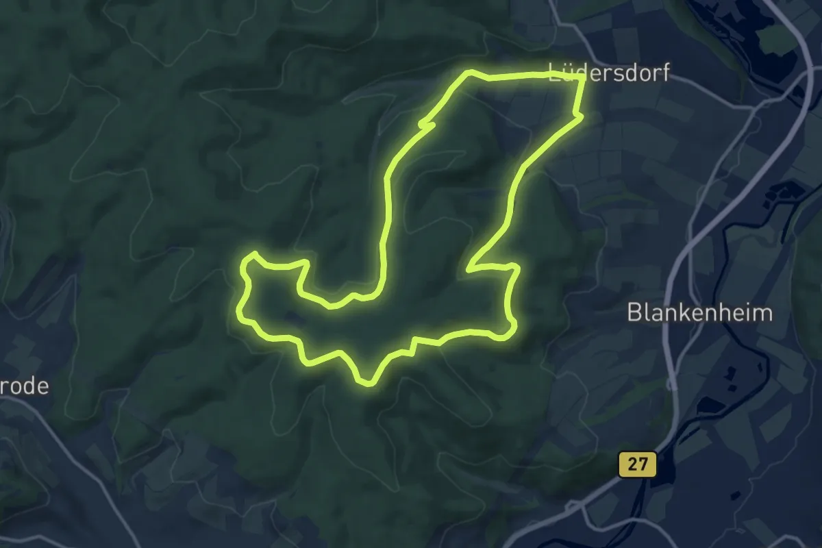
Medium · Trail
B14
12.5 km · ↑ 291 m · 3 h 45 min
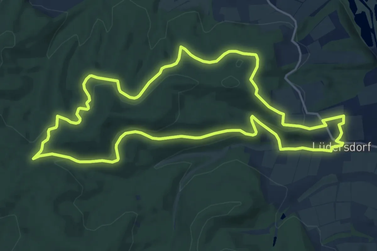
Medium · Summit
B15
12.3 km · ↑ 318 m · 3 h 46 min
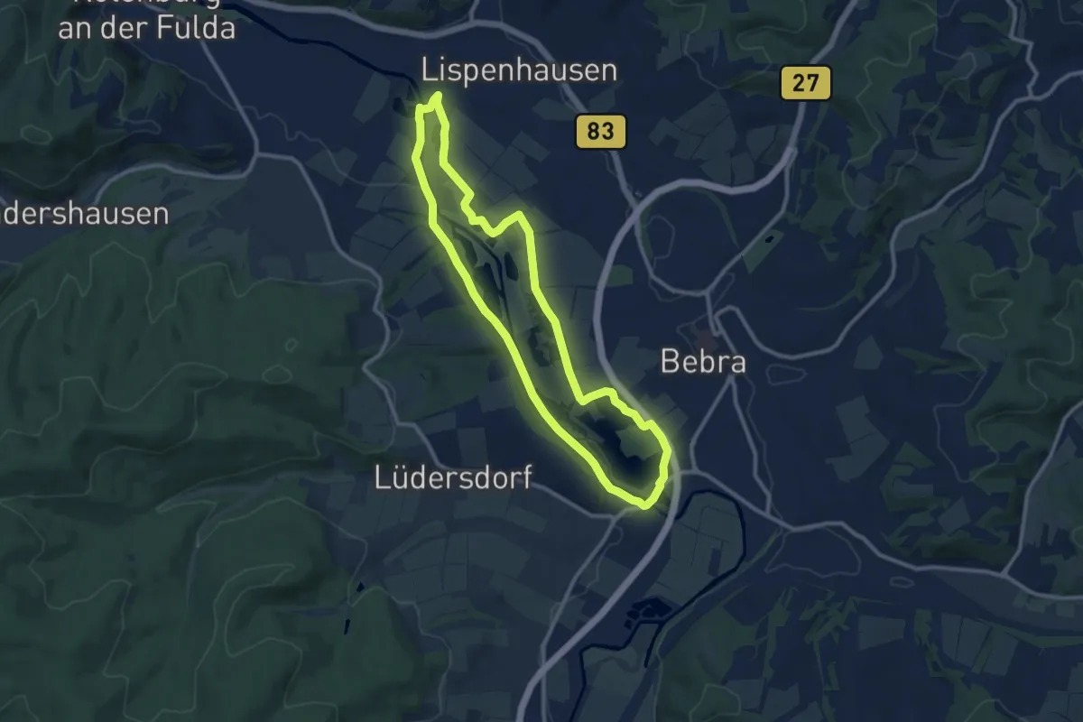
Medium · Trail
B16
9.1 km · ↑ 43 m · 2 h 22 min
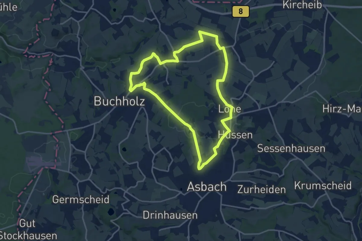
Medium · Trail
[B1] Barger Heck Weg
11.6 km · ↑ 135 m · 3 h 11 min
Medium · Trail
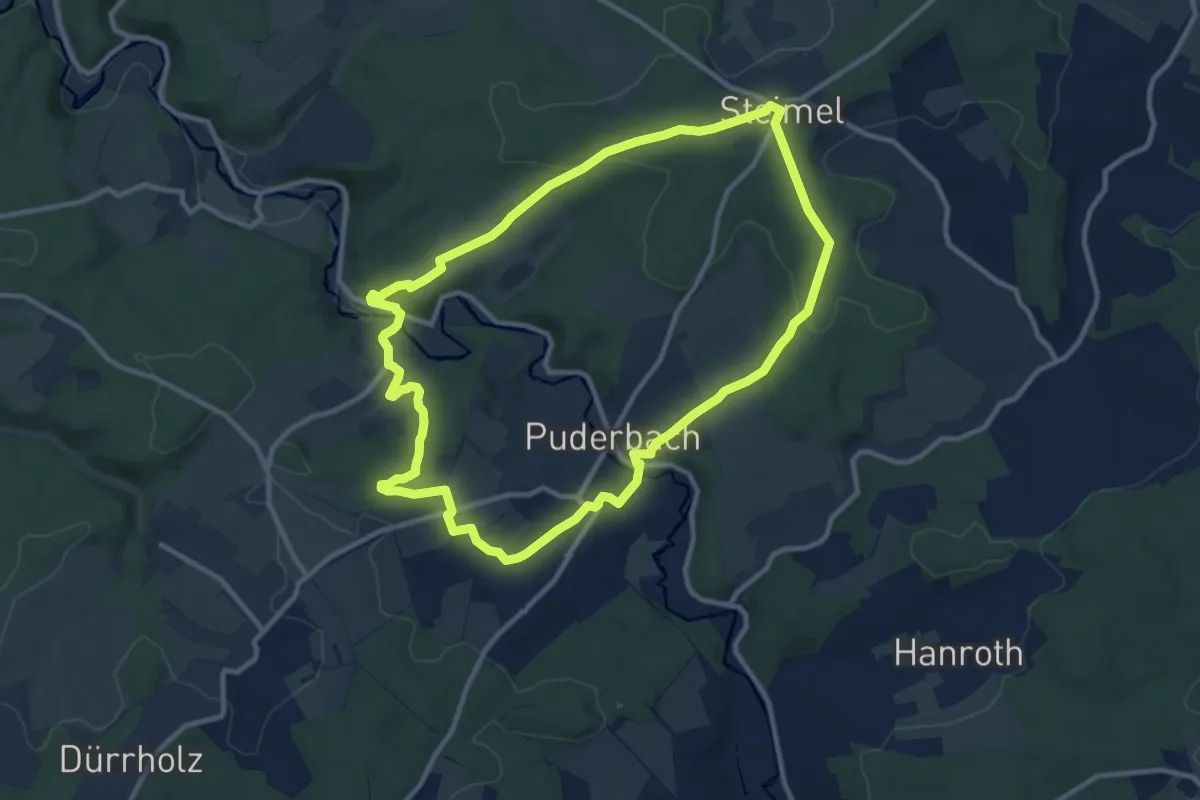
B1 Bleiwäscher Bäche Weg
8.5 km · ↑ 120 m · 2 h 23 min
Medium · Trail
[B1] Burgweg 1
9.7 km · ↑ 207 m · 2 h 53 min
Easy · Trail
B1 - Galgenberg-Eisberg-Weg
6.8 km · ↑ 177 m · 2 h 6 min
Easy · Trail
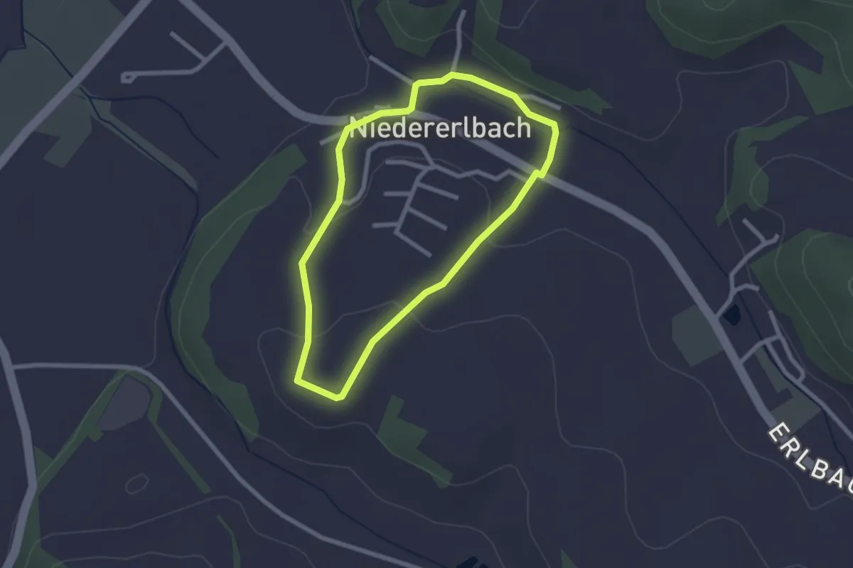
B1 - Niedererlbach
2.0 km · ↑ 45 m · 36 min
Easy · Trail
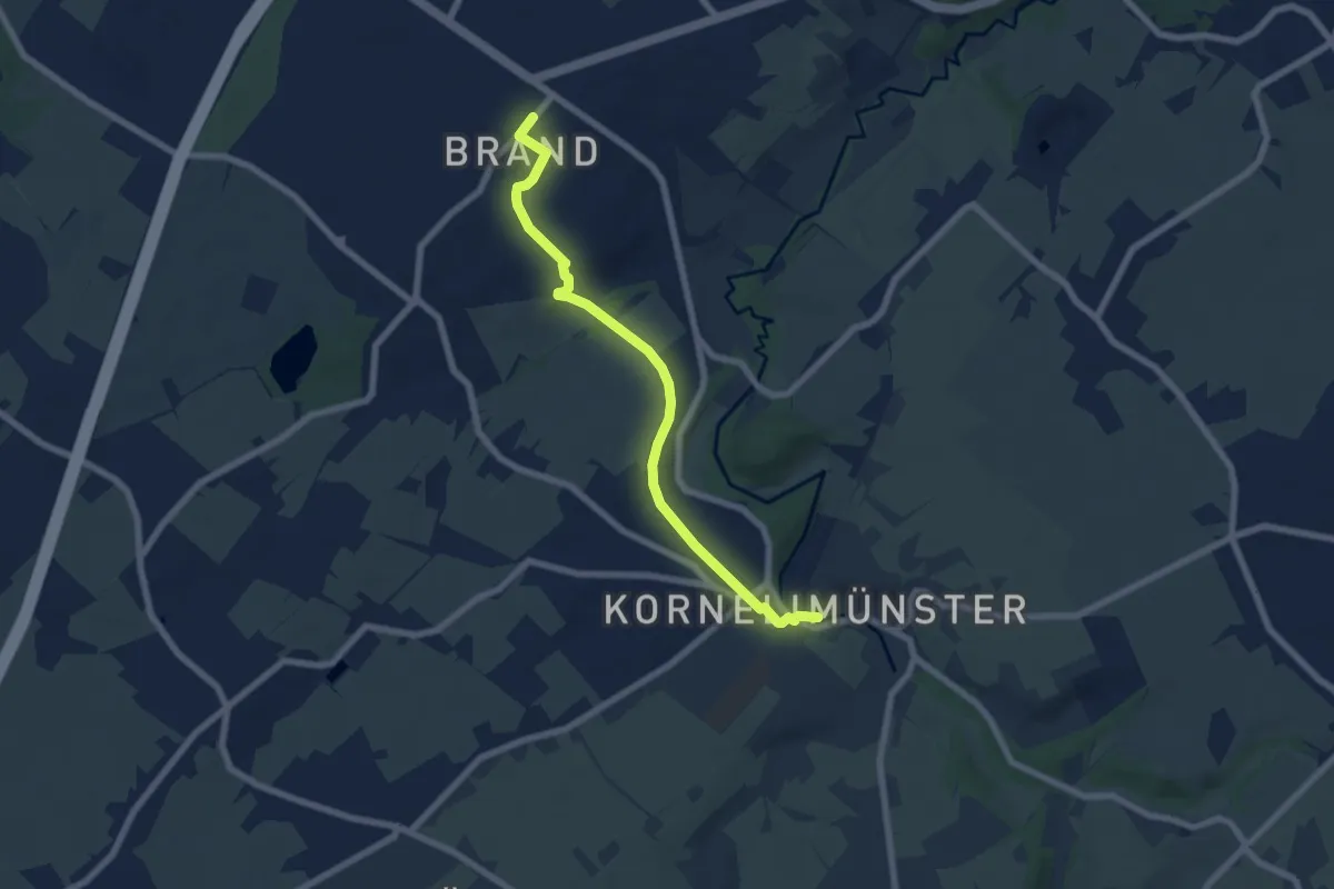
[B1] Rückweg IndeRoute
6.3 km · ↑ 81 m · 1 h 40 min
Medium · Trail
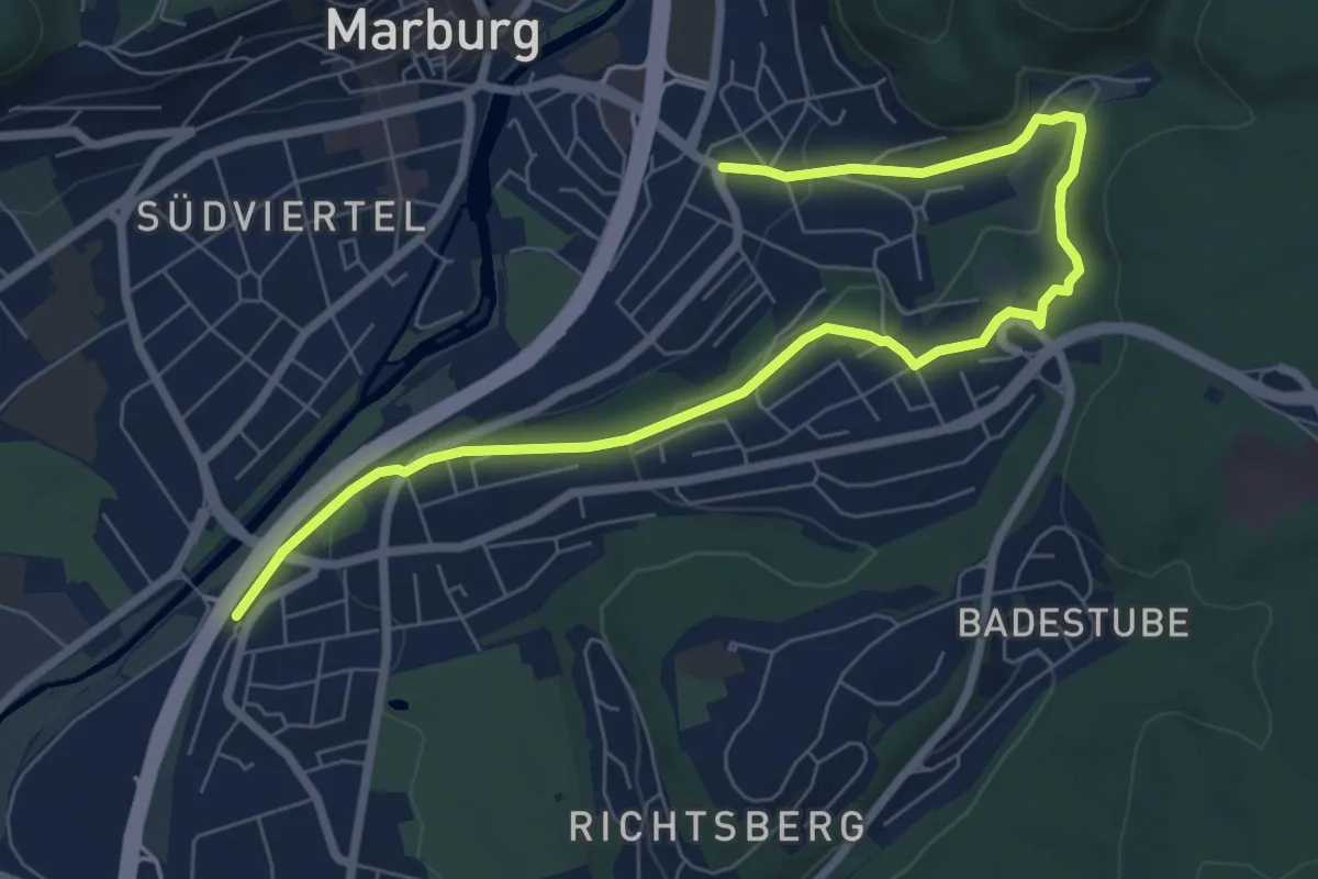
[B1] - Wanderweg des Verkehrs- und Verschönerungsvereins Marburg
8.1 km · ↑ 181 m · 2 h 18 min
Medium · Trail
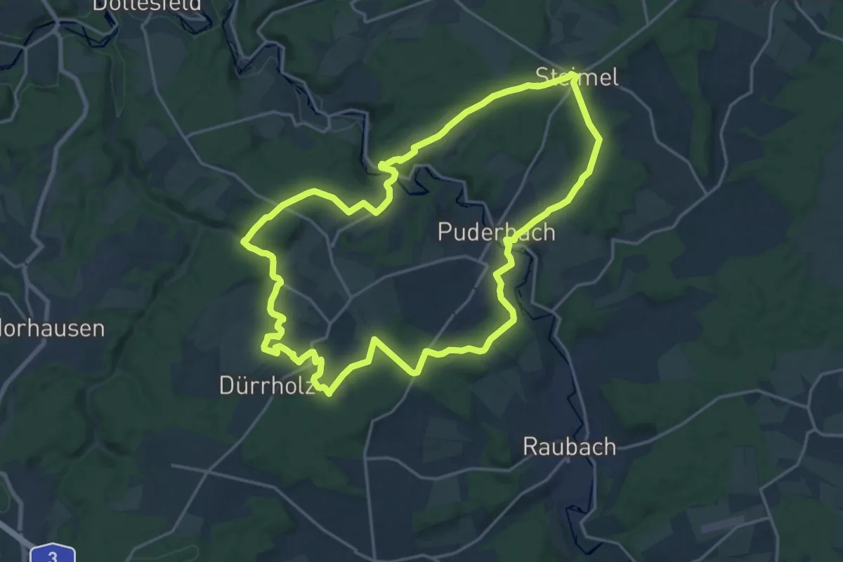
[B2] Burgweg 2
16.8 km · ↑ 373 m · 5 h
Medium · Trail
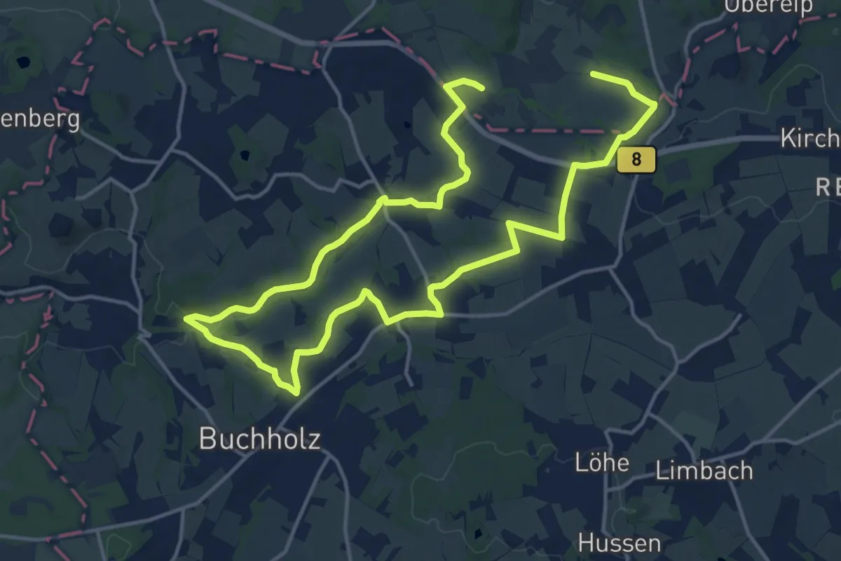
[B2] Dreiherrensteinweg
11.2 km · ↑ 129 m · 3 h 5 min
Medium · Trail
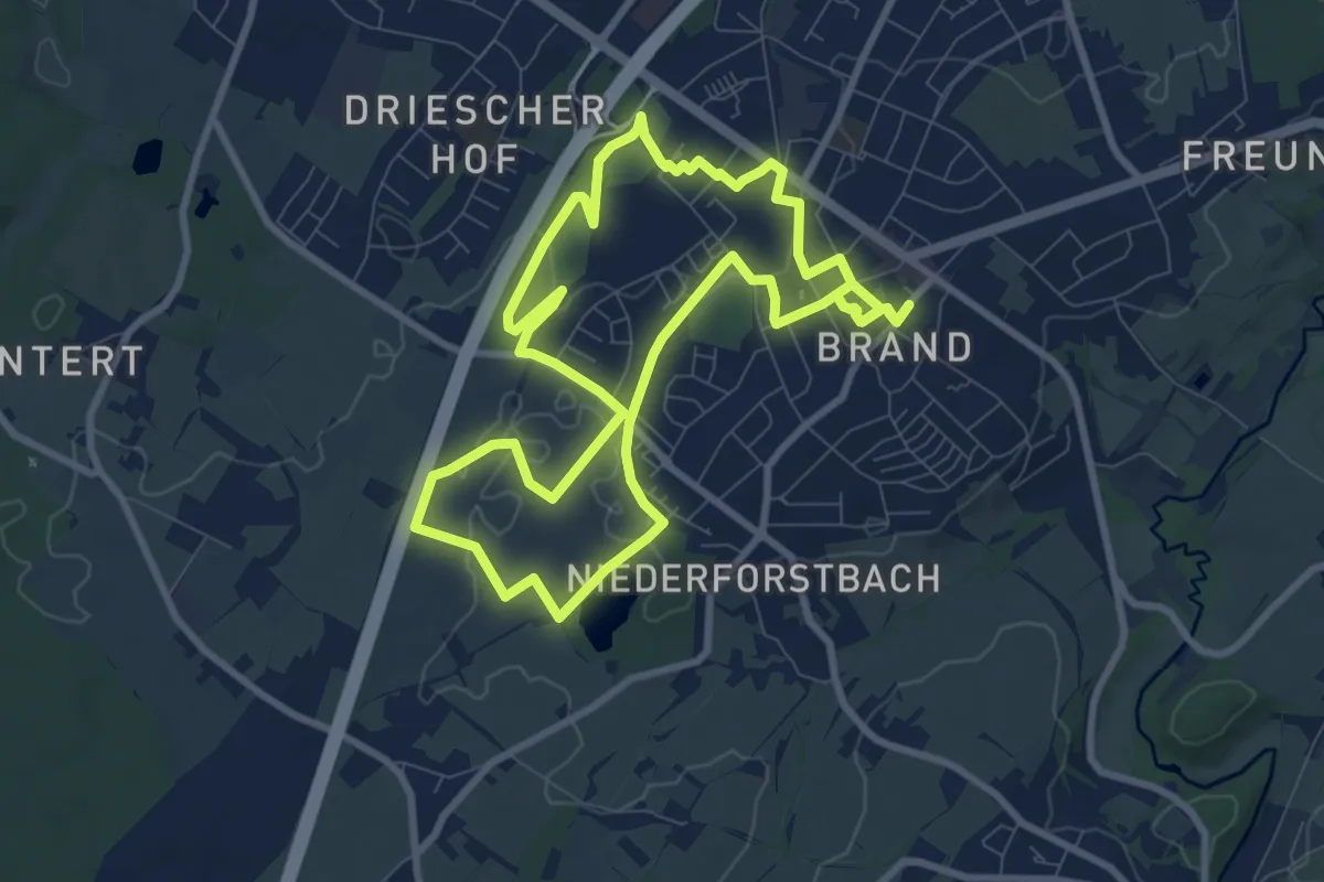
[B2] Rundweg Brander Feld
8.4 km · ↑ 48 m · 2 h 11 min
Medium · Trail
[B2] Rundweg Brenscheider Mühle - Wiblingwerde
12.1 km · ↑ 323 m · 3 h 42 min
Easy · Trail
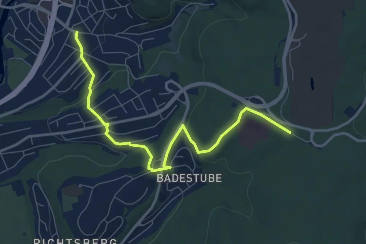
[B2] - Wanderweg des Verkehrs- und Verschönerungsvereins Marburg
6.7 km · ↑ 154 m · 1 h 55 min
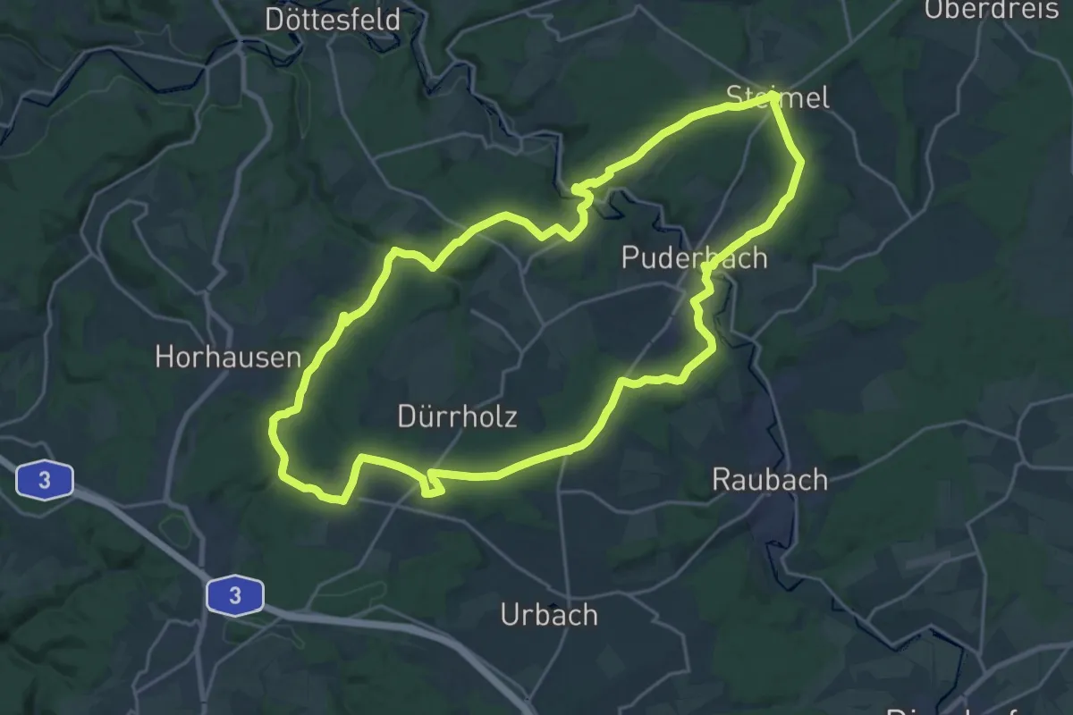
Demanding · Trail
[B3] Burgweg 3
20.9 km · ↑ 450 m · 6 h 12 min
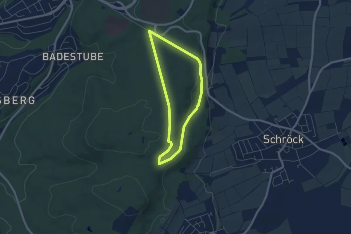
Easy · Trail
B3 - Rund um das Naturschutzgebiet Wandelsberg
7.9 km · ↑ 154 m · 2 h 18 min
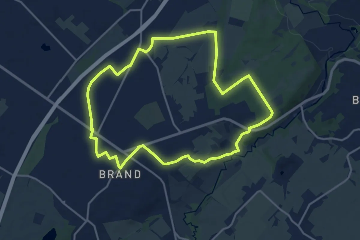
Easy · Trail
[B3] - Rundwanderweg des Verkehrs- und Verschönerungsvereins Marburg
3.9 km · ↑ 67 m · 1 h 7 min
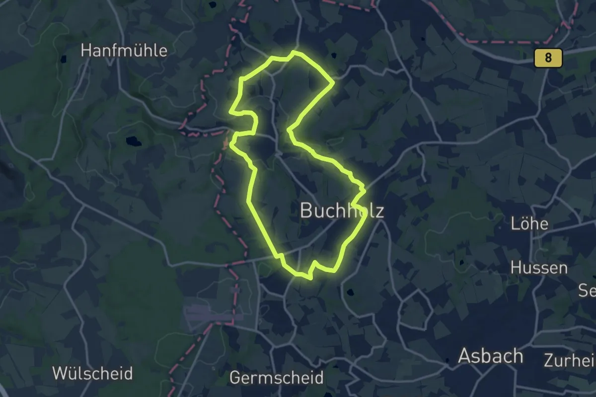
Medium · Trail
[B3] Rundweg Freund/Vennbahn
8.7 km · ↑ 110 m · 2 h 24 min
Medium · Trail
[B3] Silberbergweg
10.7 km · ↑ 194 m · 3 h 6 min
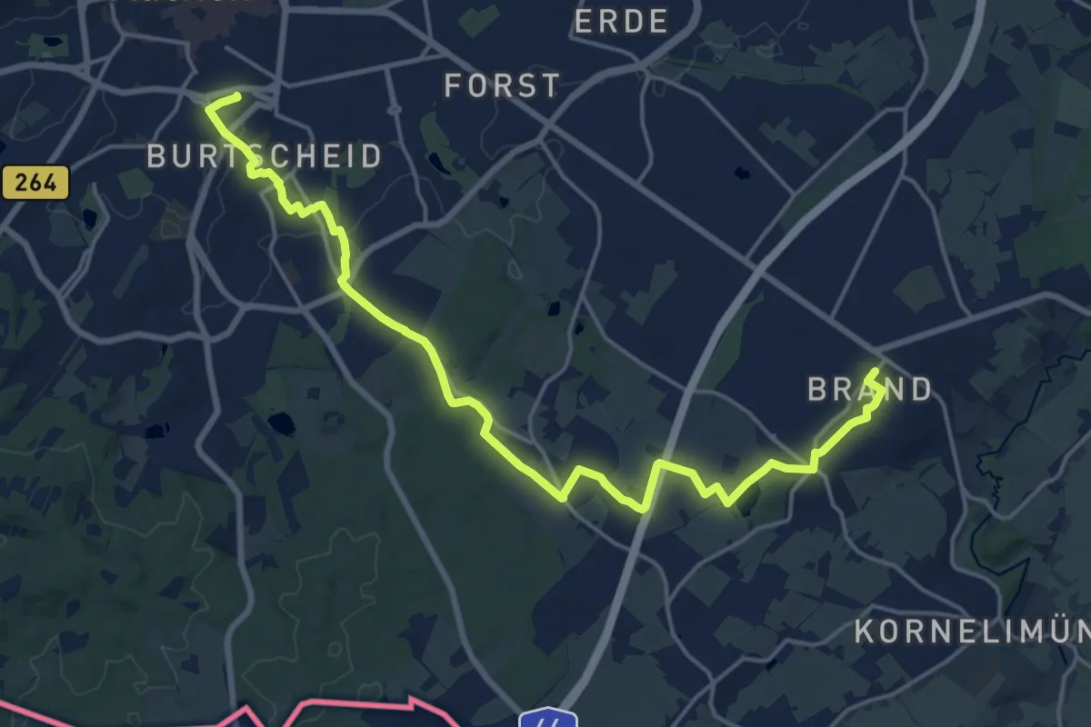
Demanding · Trail
[B4] Aachen Hauptbahnhof nach Brand
18.9 km · ↑ 141 m · 4 h 47 min
Easy · Trail
B4 - Aussichtsweg zum Waldfriedhof
4.0 km · ↑ 74 m · 1 h 9 min
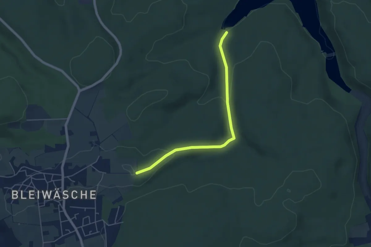
Easy · Trail
B4 (Bad Wünnenberg)
4.3 km · ↑ 97 m · 1 h 13 min
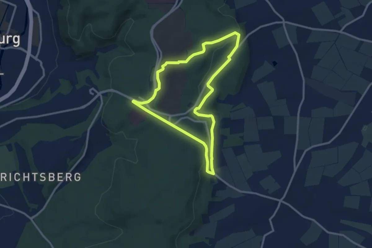
Easy · Trail
[B4] - Rundwanderweg des Verkehrs- und Verschönerungsvereins Marburg
6.6 km · ↑ 108 m · 1 h 54 min
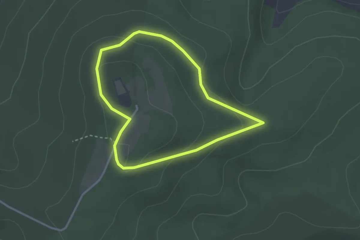
Easy · Trail
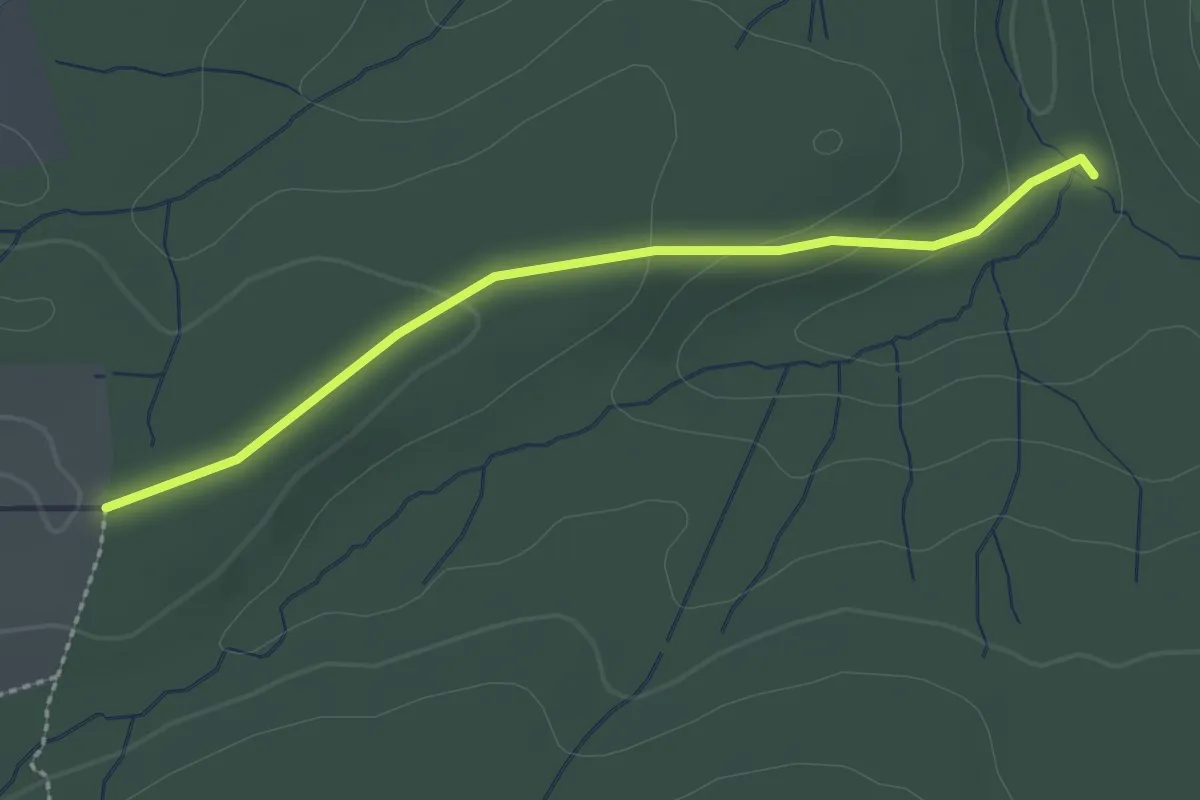
B5
2.2 km · ↑ 59 m · 41 min
Easy · Trail
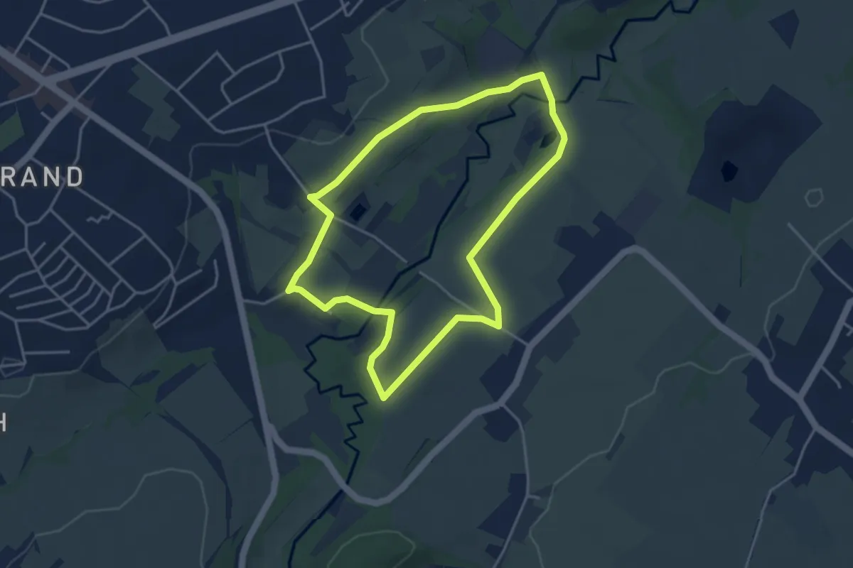
B5 (Bad Wünnenberg)
2.2 km · ↑ 38 m · 35 min
Easy · Trail
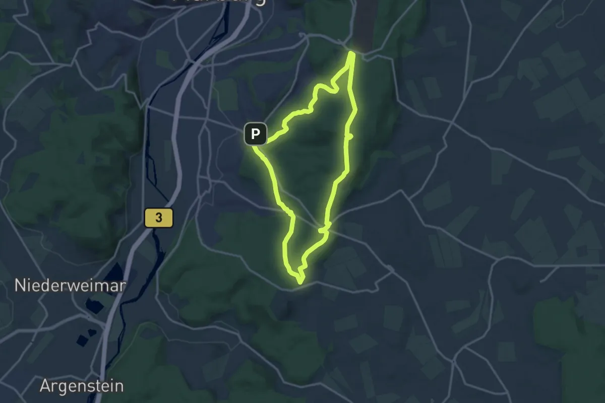
[B5] Indetal-Rundweg
3.4 km · ↑ 57 m · 59 min
Medium · Summit
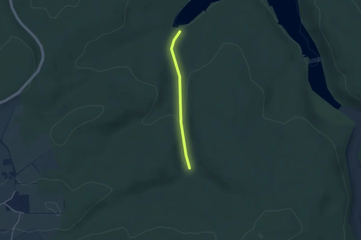
[B5] - Rundwanderweg des Verkehrs- und Verschönerungsvereins Marburg
11.6 km · ↑ 253 m · 3 h 26 min
Easy · Trail
B6 (Bad Wünnenberg)
2.2 km · ↑ 55 m · 38 min