Trails in Germany
36,852 hiking trails, each with its route, climb, walking time and grade.
All trails, page 386 of 768
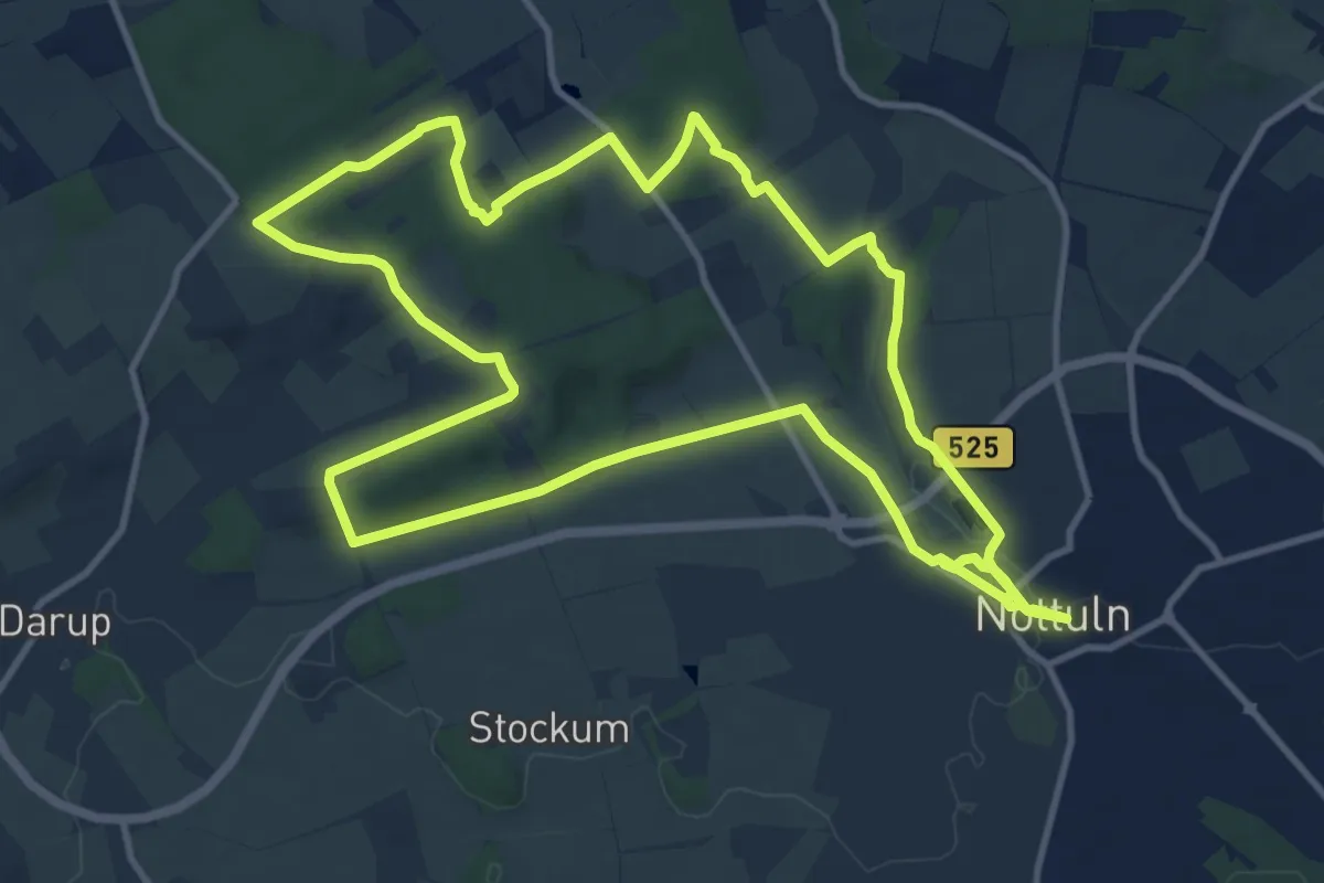
Medium · Trail
Nottuln Rundweg N5
11.7 km · ↑ 127 m · 3 h 12 min
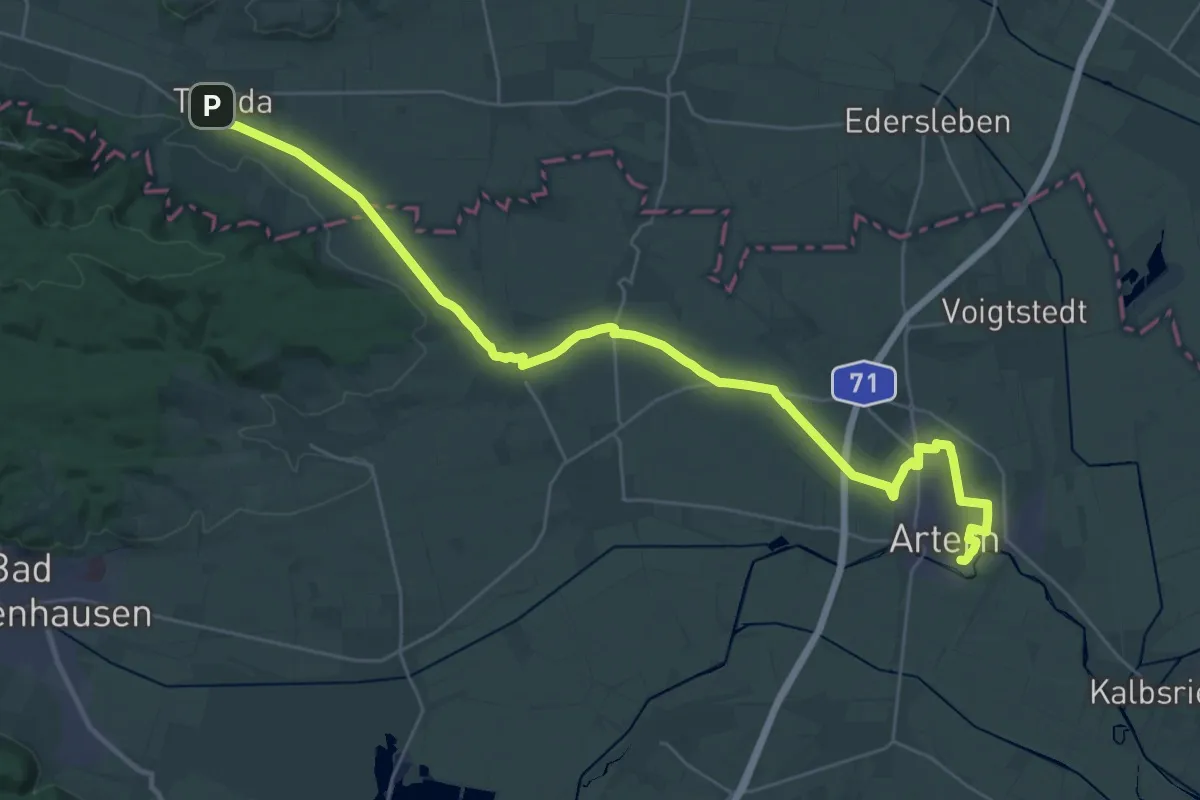
Medium · Trail
Novalis Wanderweg
16.7 km · ↑ 83 m · 4 h 22 min
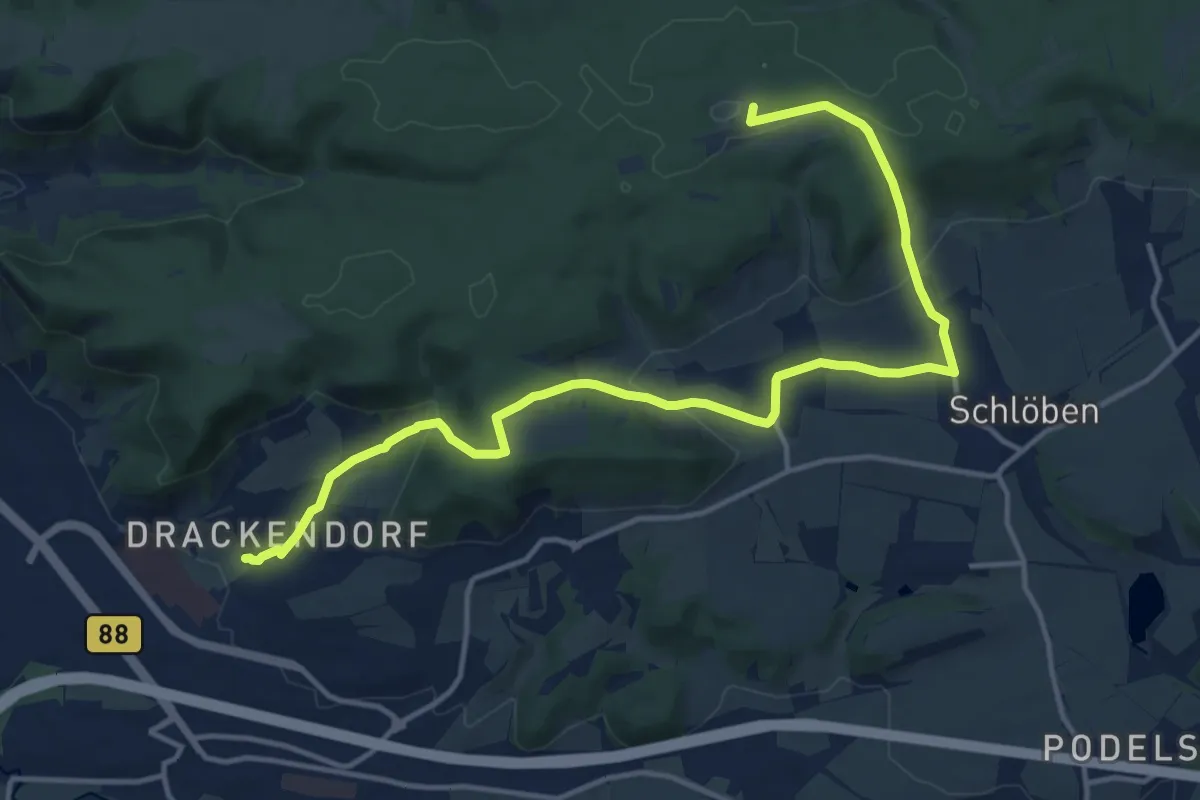
Medium · Summit
Novalisweg
15.0 km · ↑ 437 m · 4 h 29 min
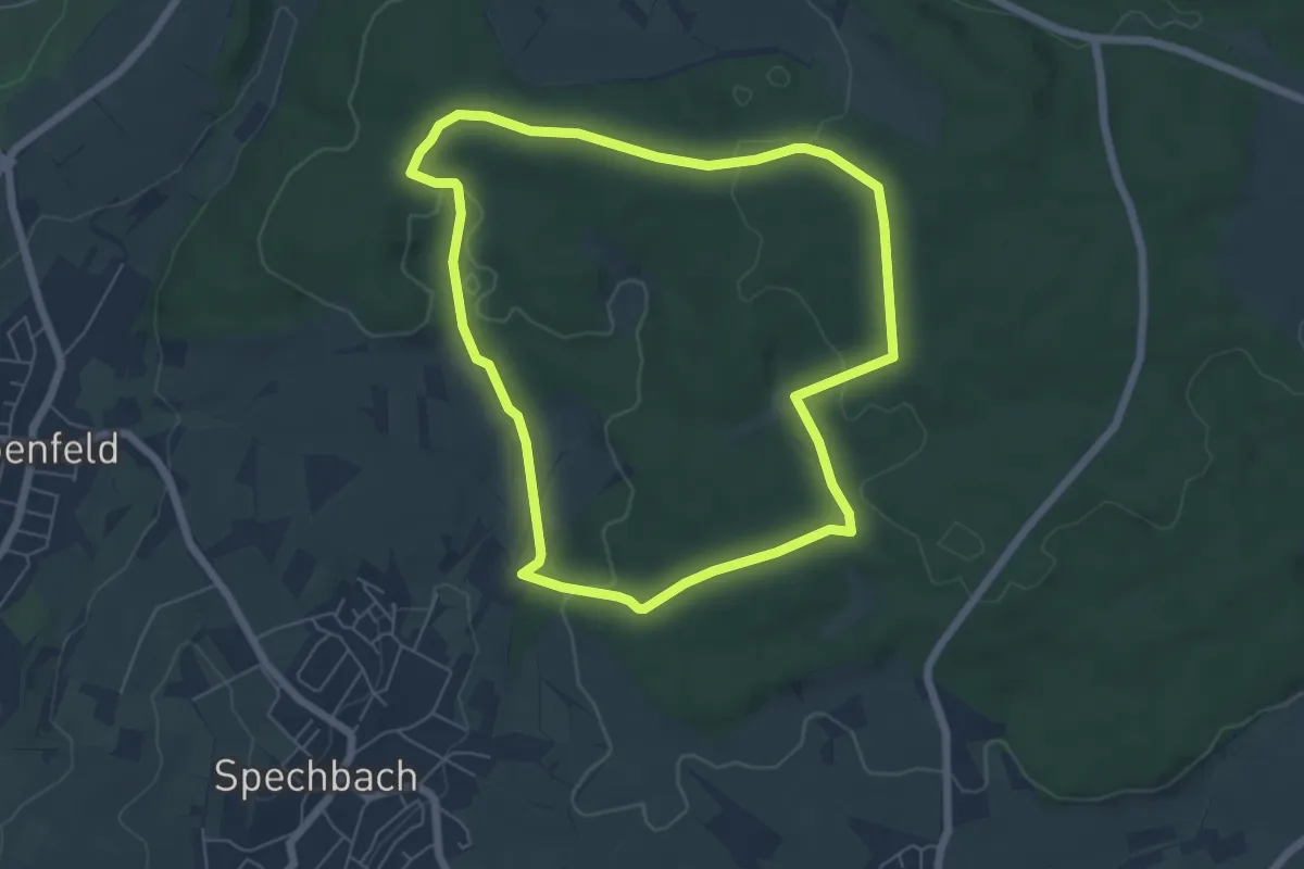
Easy · Trail
NP Am Schützenhaus 2: Brückelschlag-Weg
5.6 km · ↑ 125 m · 1 h 40 min
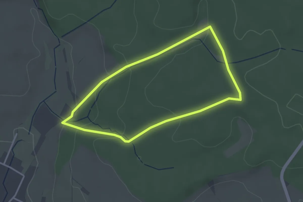
Easy · Trail
NP Am Schützenhaus 3
2.6 km · ↑ 78 m · 50 min
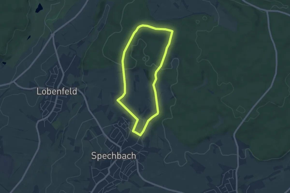
Easy · Trail
NP Am Schützenhaus 4
4.5 km · ↑ 90 m · 1 h 19 min
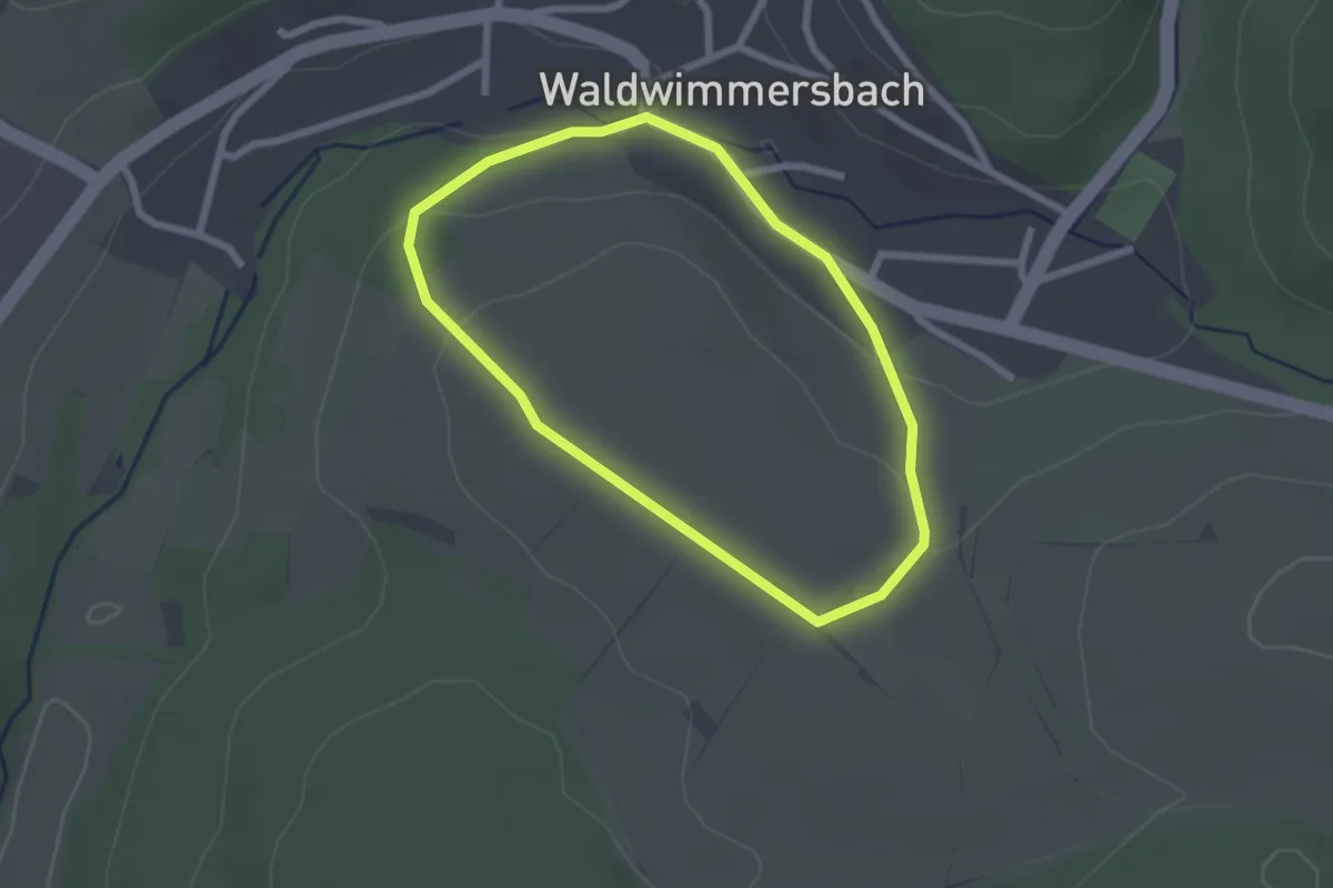
Easy · Trail
NP Sportanlage, Waldwimmersbach 1: Hackenberg-Weg
2.0 km · ↑ 53 m · 36 min
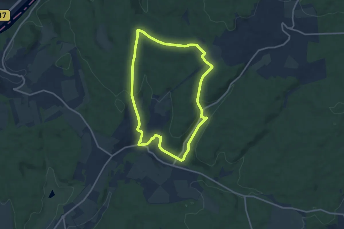
Easy · Trail
NP Sportanlage, Waldwimmersbach 3: Steinerner-Tisch-Weg
7.4 km · ↑ 176 m · 2 h 14 min
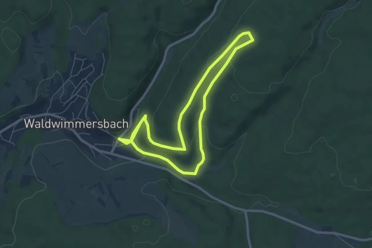
Easy · Trail
NP Sportanlage, Waldwimmersbach 4: Rehhecken-Weg
5.4 km · ↑ 151 m · 1 h 40 min
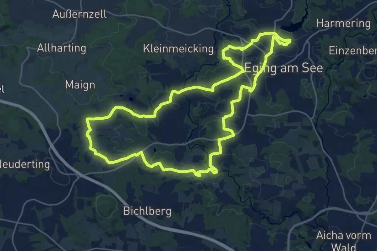
Medium · Trail
Nr. 10: Dreiburgenblickweg
17.9 km · ↑ 346 m · 5 h 14 min
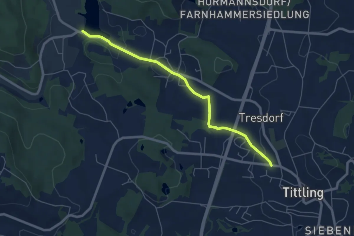
Easy · Trail
Nr. 11: Dreiburgensee-Wanderweg
5.0 km · ↑ 74 m · 1 h 21 min
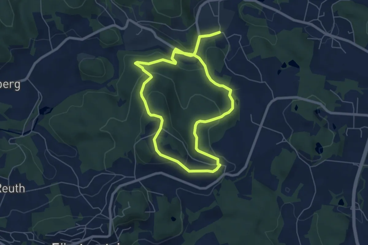
Easy · Trail
Nr. 12: Englburg-Steig
5.3 km · ↑ 197 m · 1 h 46 min
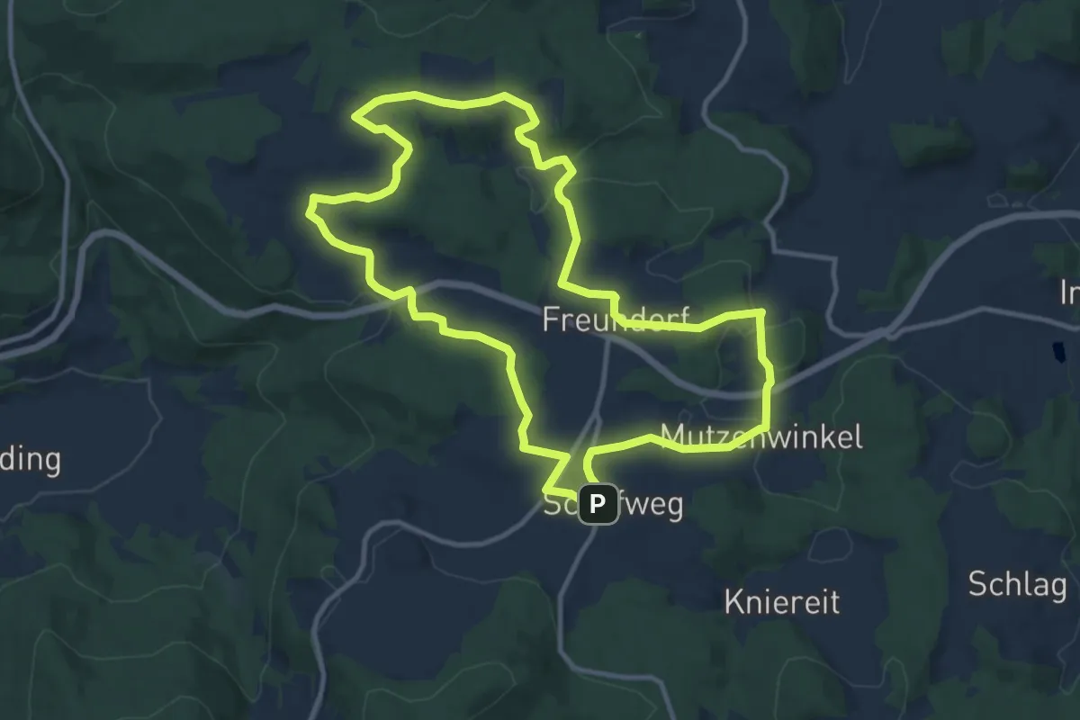
Medium · Trail
Nr. 13: Dörferrunde
11.0 km · ↑ 250 m · 3 h 17 min
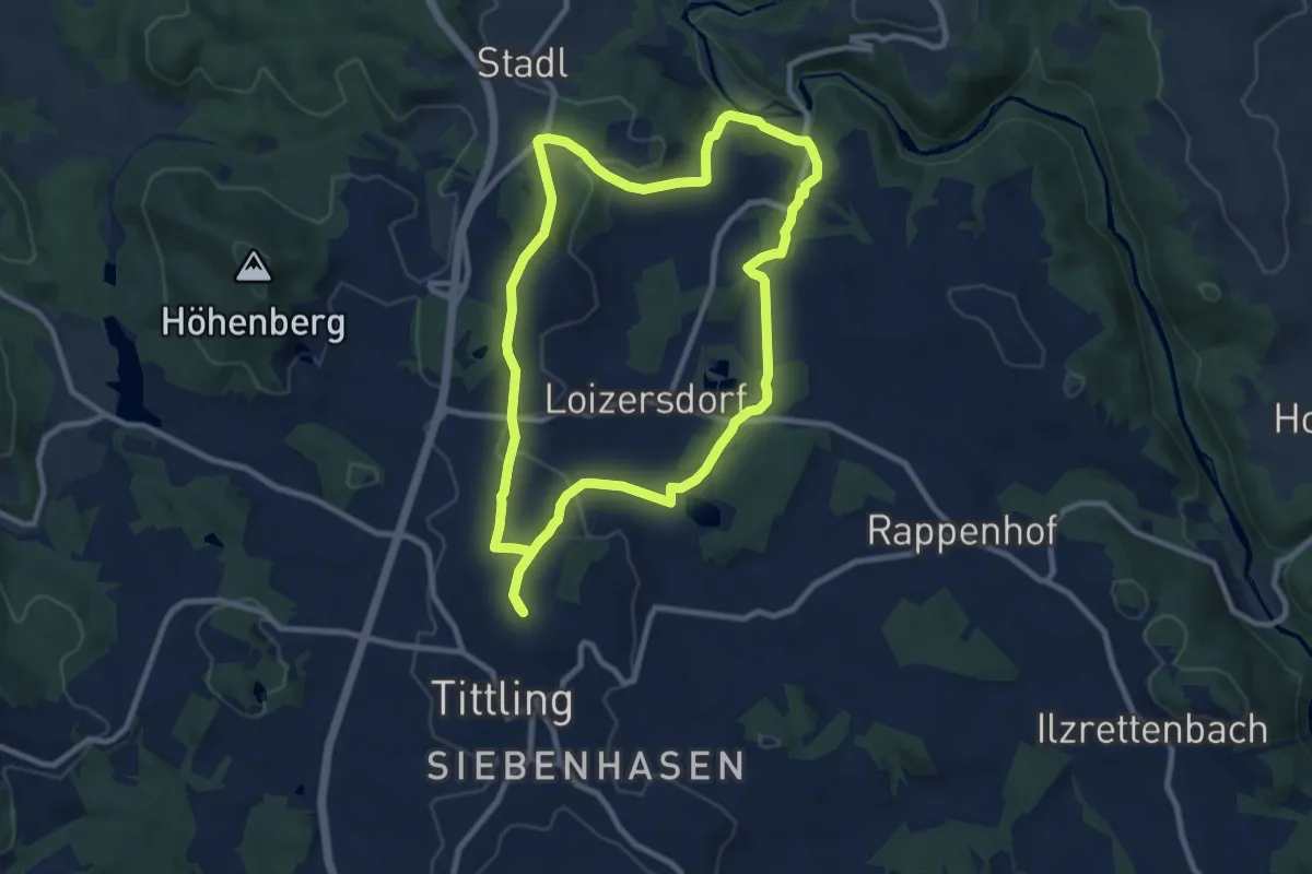
Medium · Trail
Nr. 13: Romantiktour
8.8 km · ↑ 232 m · 2 h 42 min
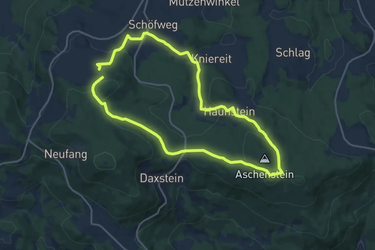
Medium · Trail
Nr. 14: Aschensteinrunde
10.0 km · ↑ 297 m · 3 h 8 min
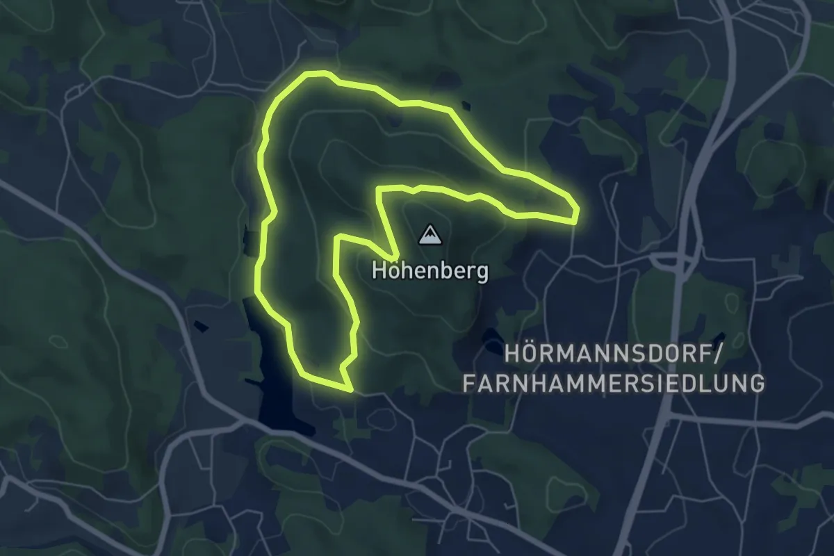
Easy · Trail
Nr. 14: Schwammerlweg
5.4 km · ↑ 145 m · 1 h 40 min
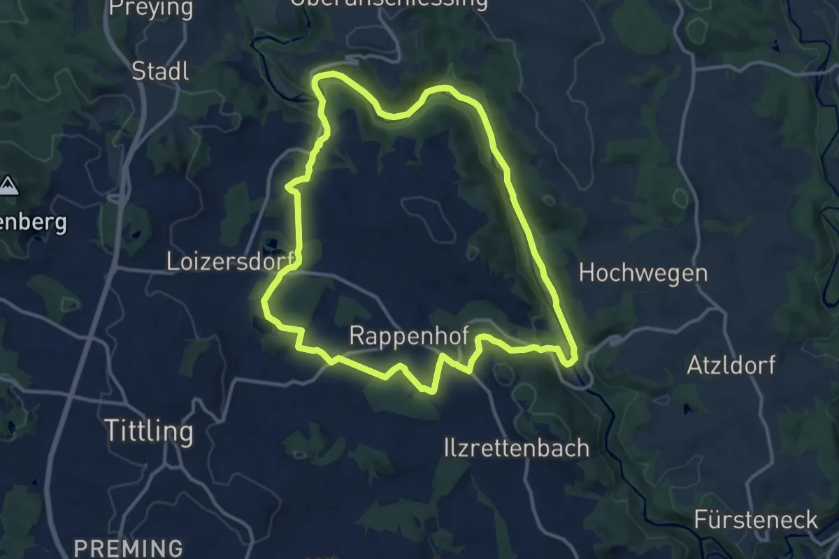
Medium · Trail
Nr. 15: Goldwanderweg
11.7 km · ↑ 246 m · 3 h 27 min
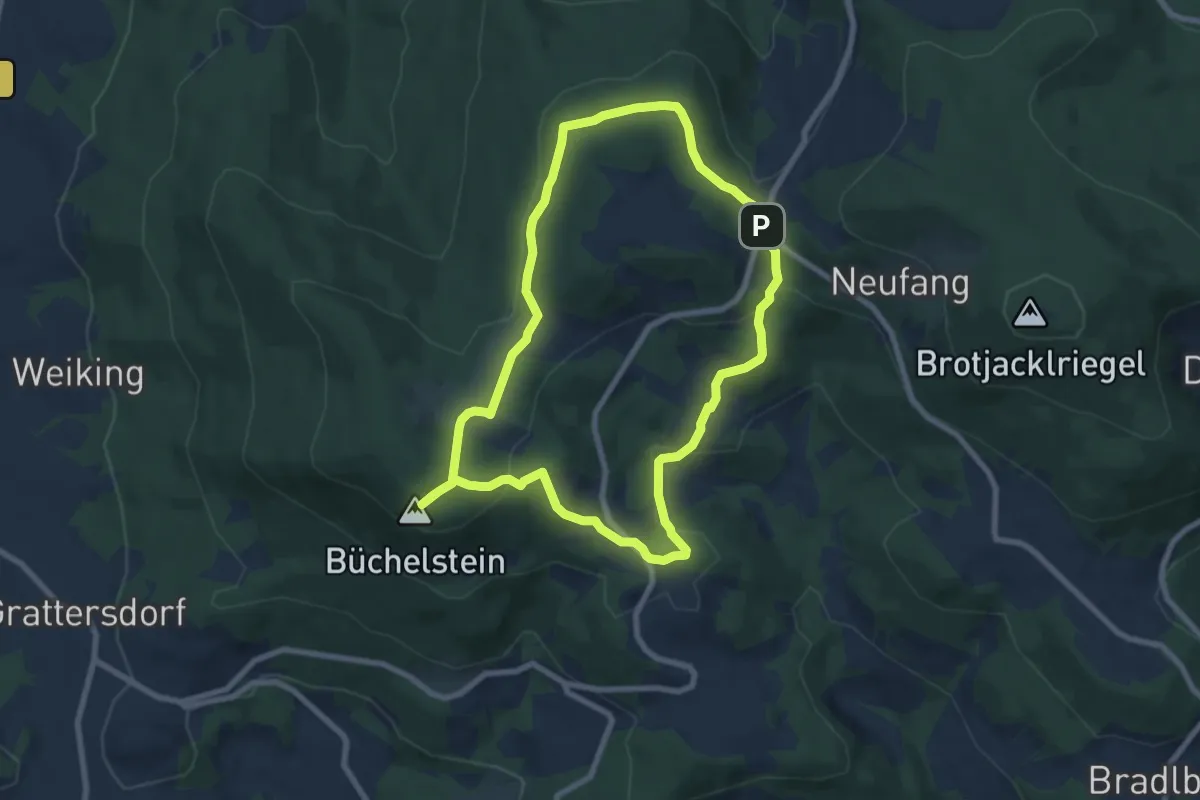
Easy · Summit
Nr. 15: Steinbergrunde
7.1 km · ↑ 233 m · 2 h 17 min
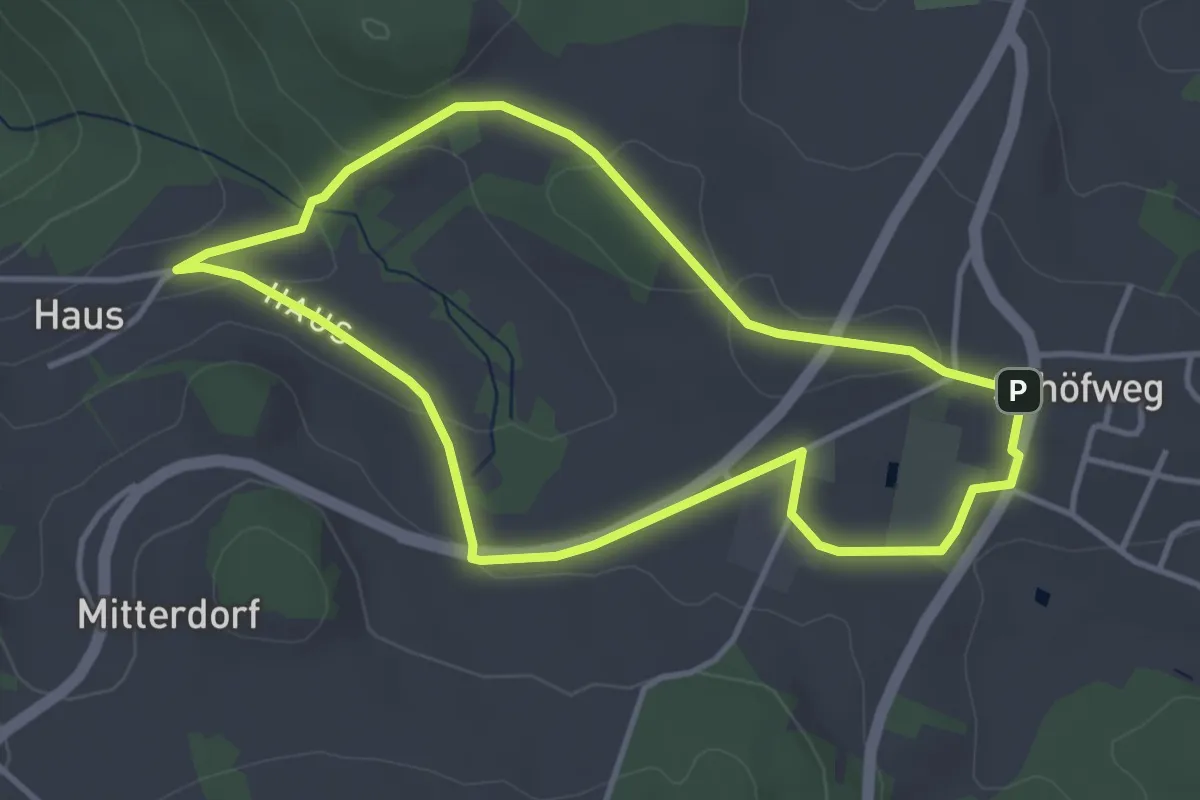
Easy · Trail
Nr. 16: Schiffswegrunde
3.6 km · ↑ 57 m · 1 h 1 min
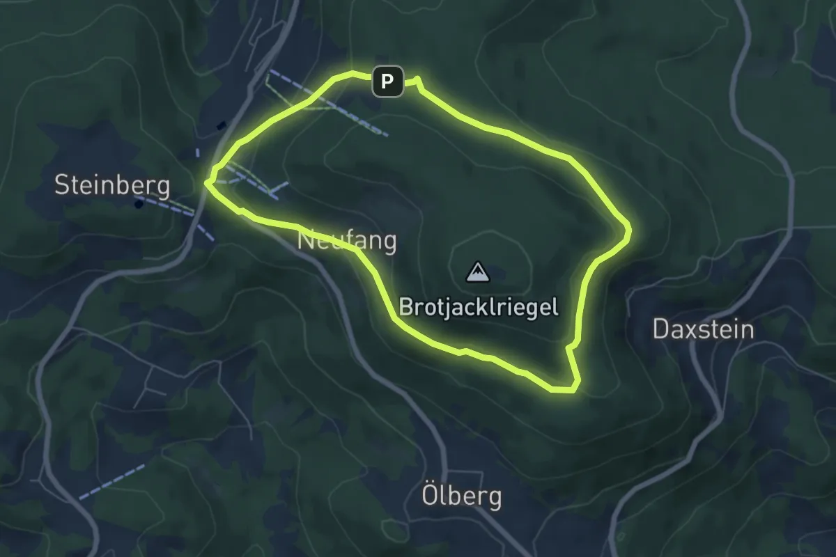
Easy · Trail
Nr. 17: Sonnenwaldrunde
5.6 km · ↑ 163 m · 1 h 46 min
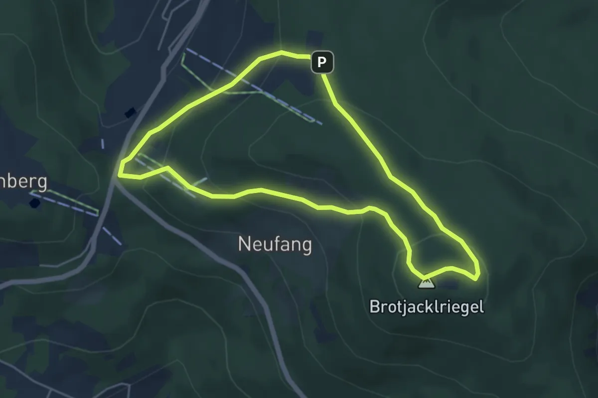
Easy · Summit
Nr. 18: Turmrunde
4.0 km · ↑ 191 m · 1 h 25 min
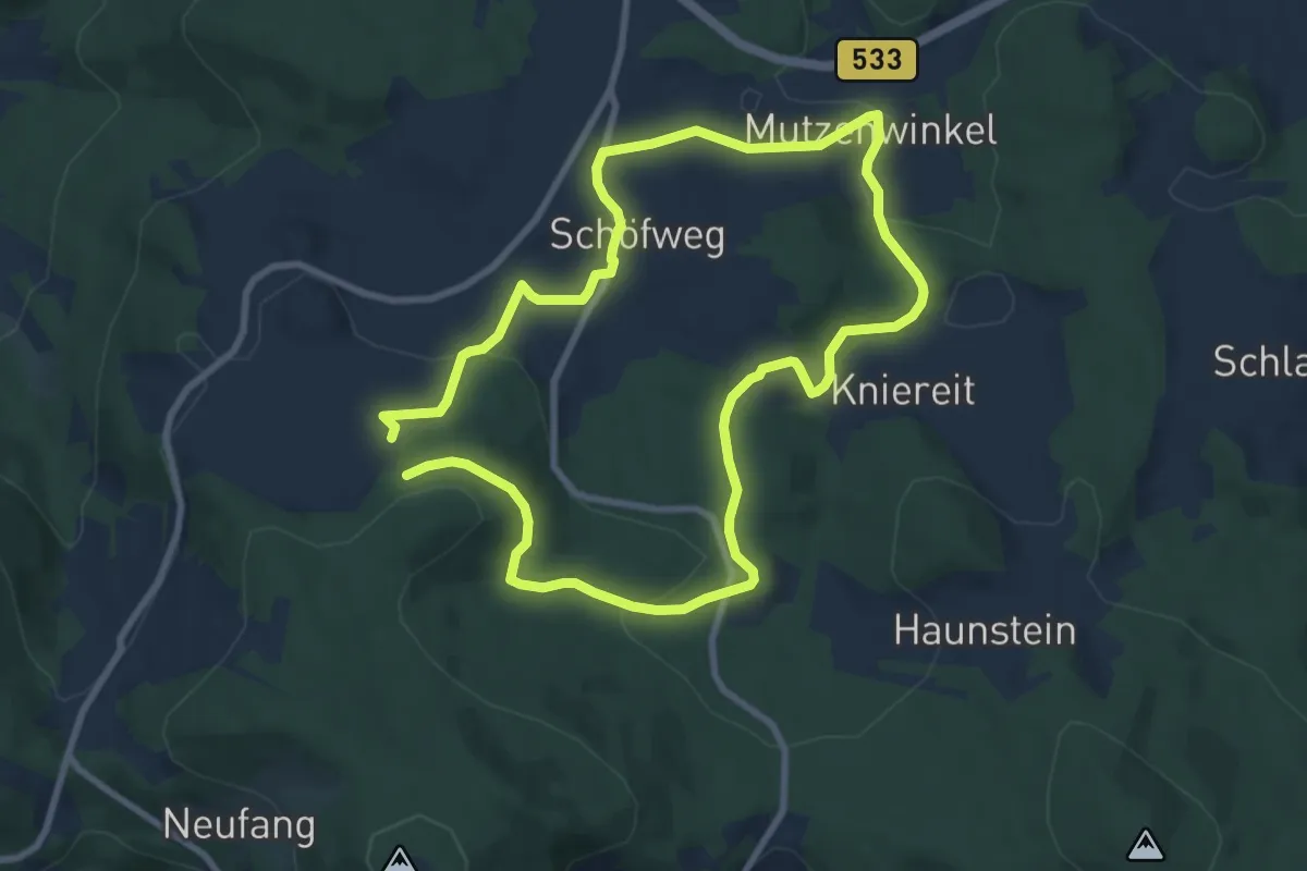
Easy · Summit
Nr. 19: Riegelrunde
7.6 km · ↑ 216 m · 2 h 21 min
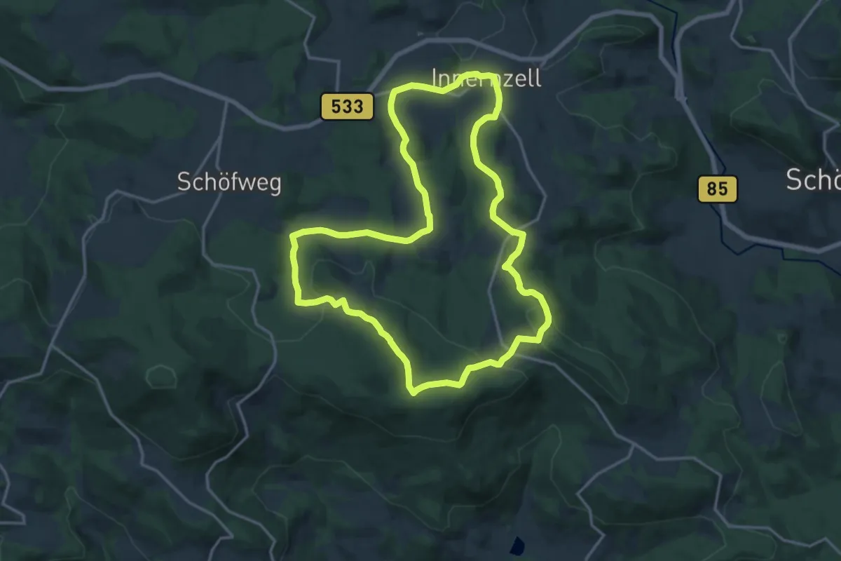
Medium · Trail
Nr. 1: Aschenstein
14.4 km · ↑ 423 m · 4 h 31 min
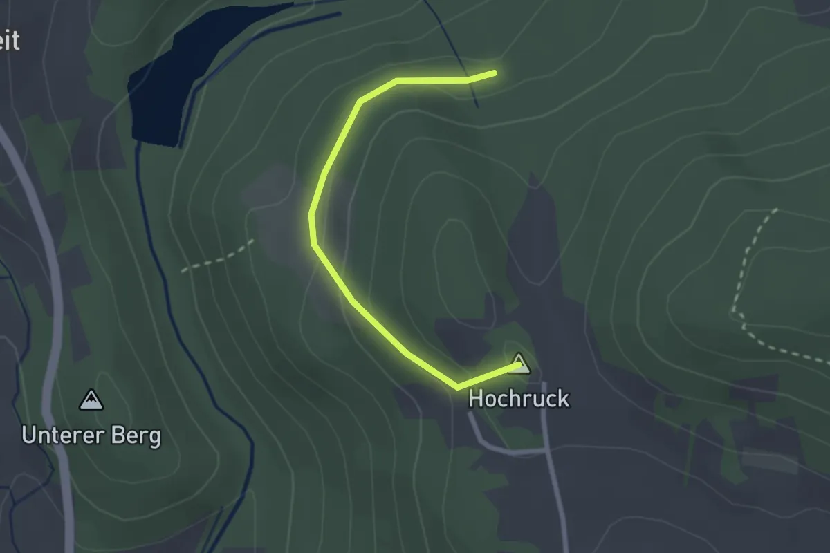
Easy · Summit
Nr.:(1) gelb, Naturpark
2.2 km · ↑ 107 m · 45 min
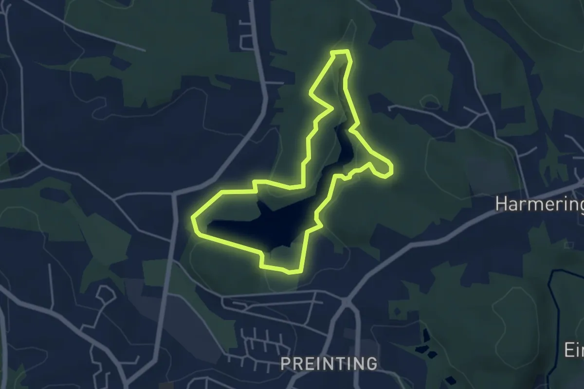
Easy · Trail
Nr. 1: Seerundweg
3.6 km · ↑ 74 m · 1 h 3 min
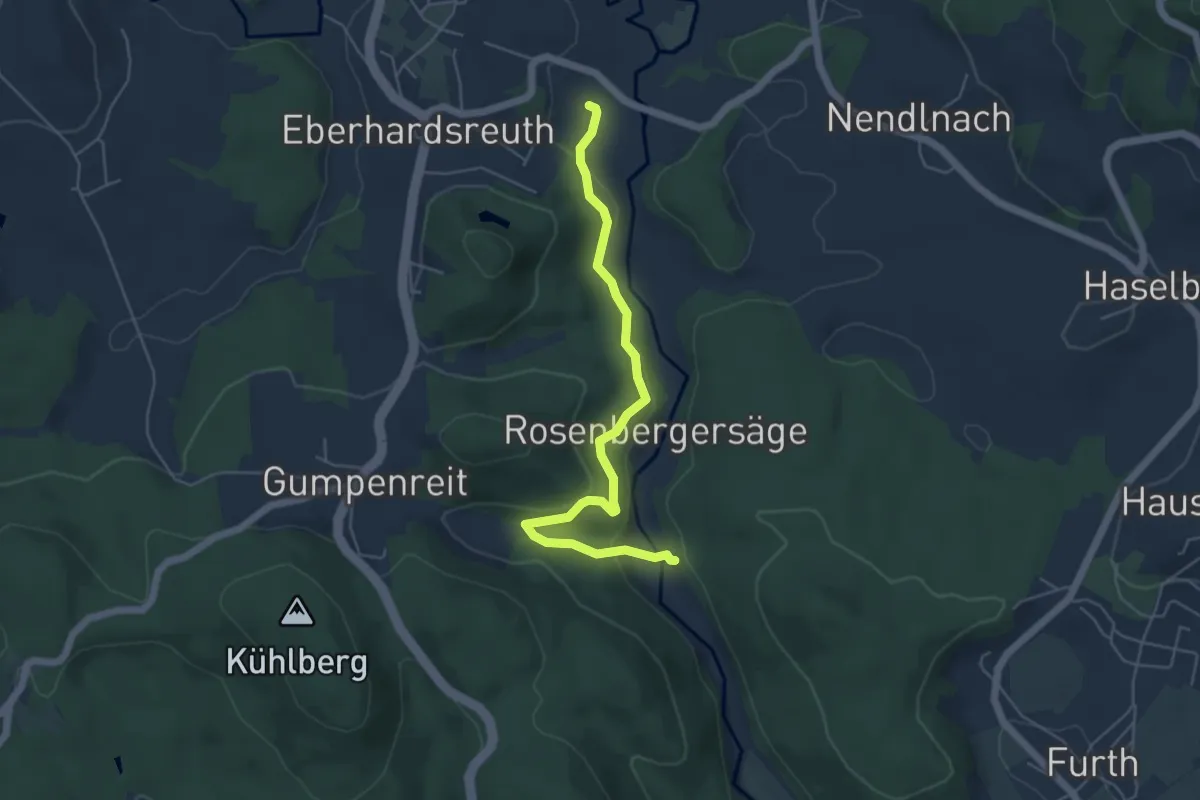
Easy · Trail
Nr.: 2
5.1 km · ↑ 195 m · 1 h 37 min
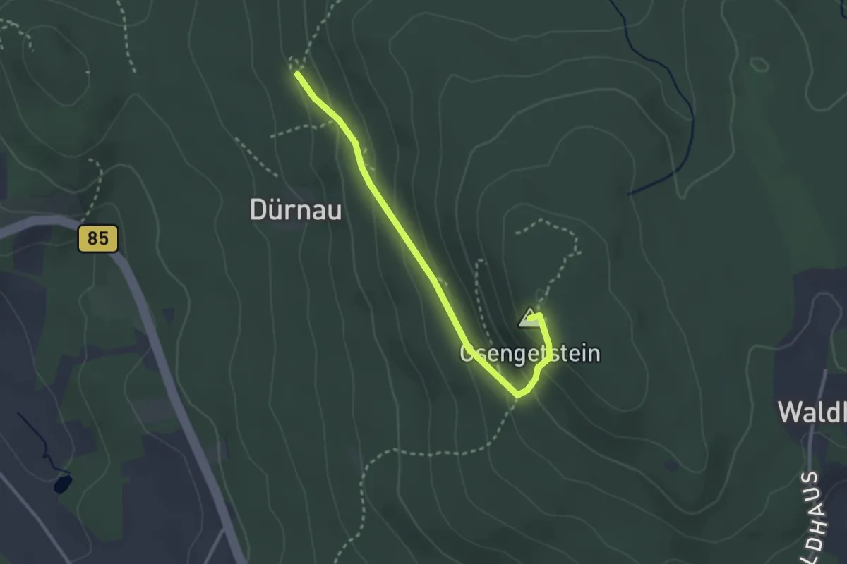
Medium · Summit
Nr.: 23
2.7 km · ↑ 164 m · 1 h
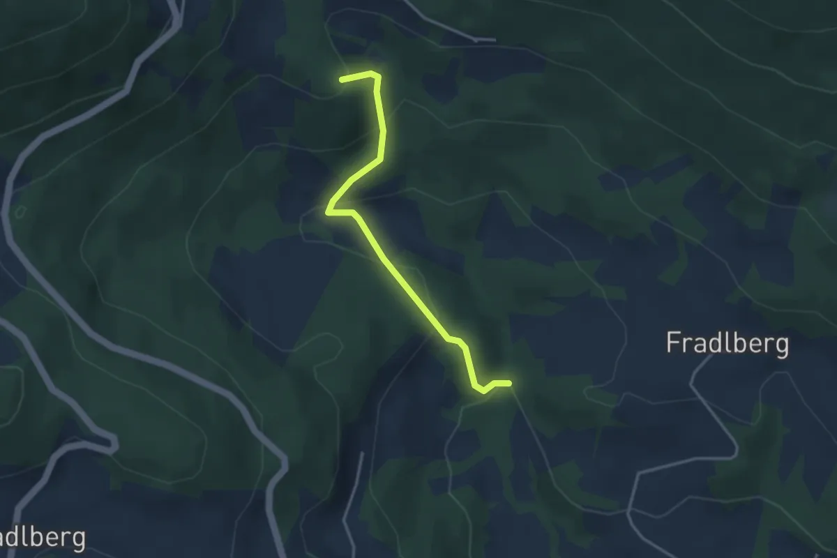
Easy · Trail
Nr. 23: Panoramarunde
1.5 km · ↑ 18 m · 29 min
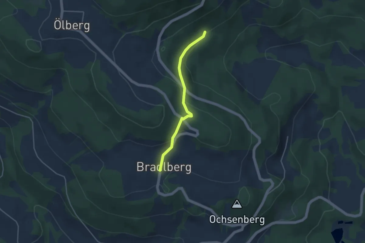
Easy · Trail
Nr. 25a: Bergwaldrunde
1.4 km · ↑ 53 m · 28 min
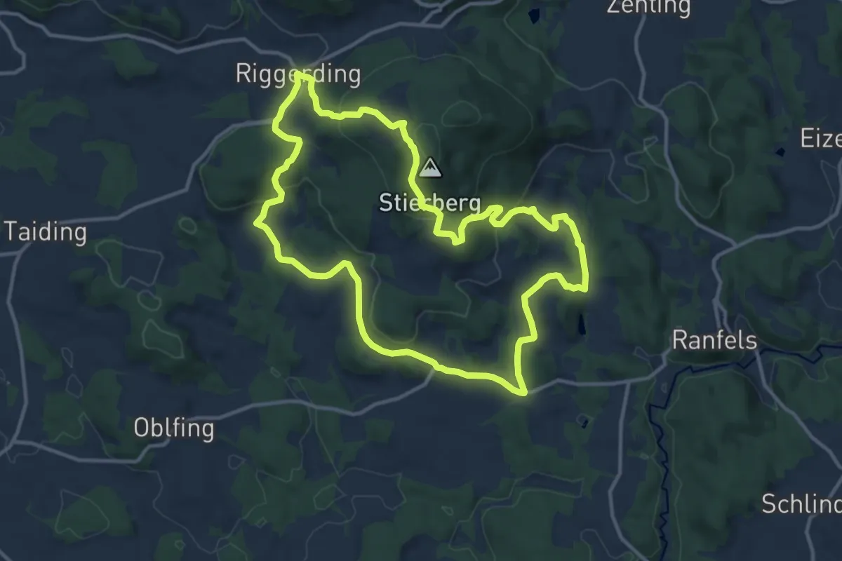
Medium · Summit
Nr. 25: Donaublick
11.3 km · ↑ 412 m · 3 h 43 min
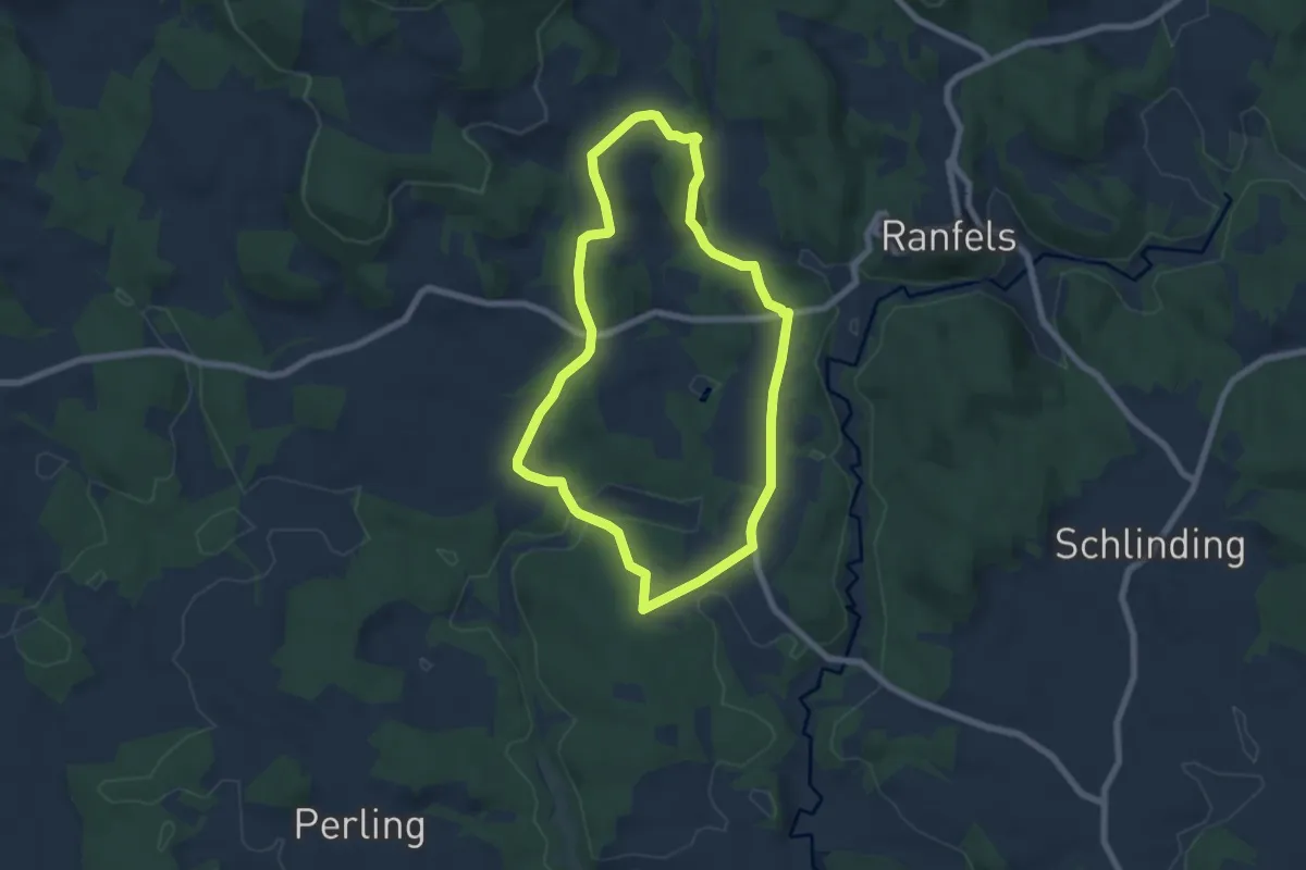
Easy · Trail
Nr. 26: Bachwiesen
6.0 km · ↑ 114 m · 1 h 45 min
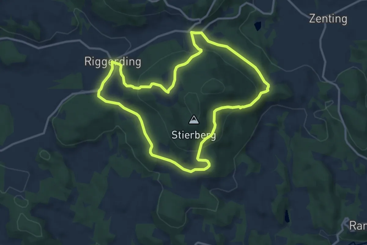
Medium · Trail
Nr. 27: Stierberg
8.1 km · ↑ 276 m · 2 h 38 min
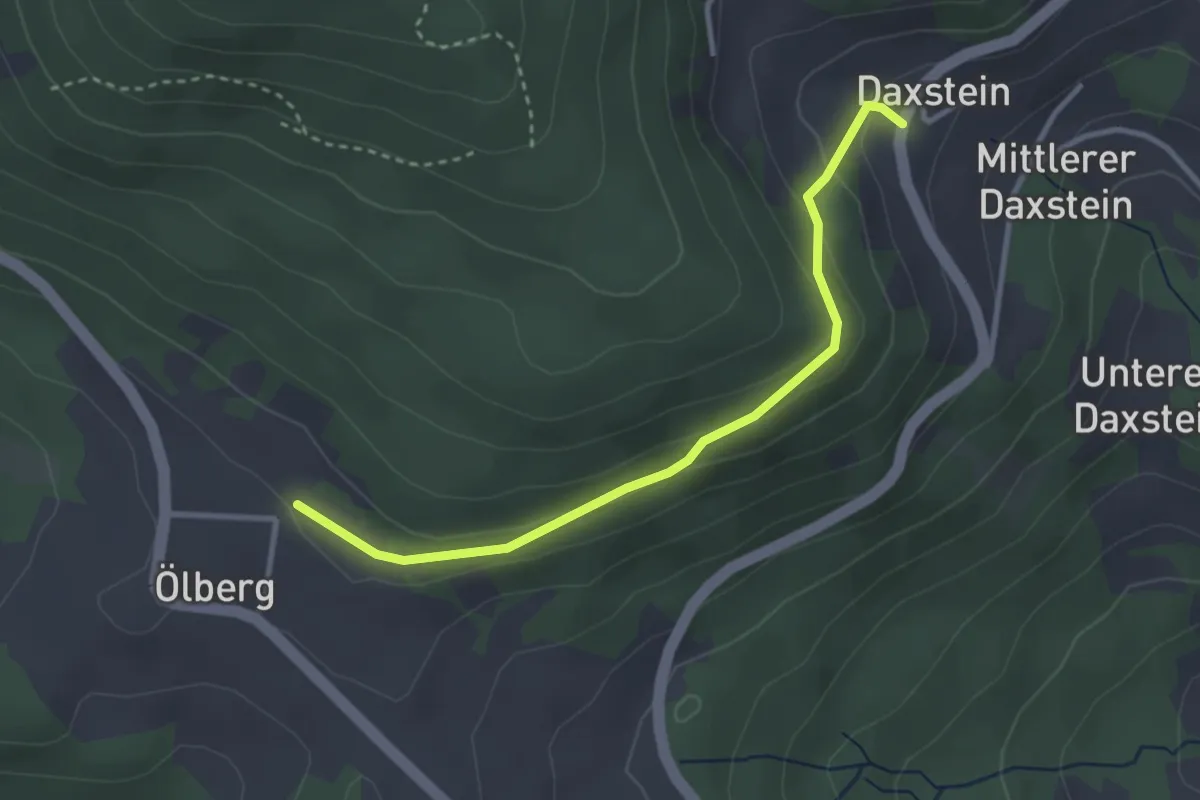
Easy · Trail
Nr. 28: Daxsteiner Turmrunde
1.5 km · ↑ 53 m · 30 min
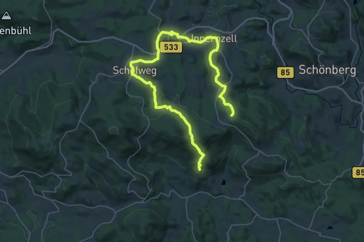
Medium · Summit
Nr. 29: Sonnenwaldrunde
15.9 km · ↑ 419 m · 4 h 58 min
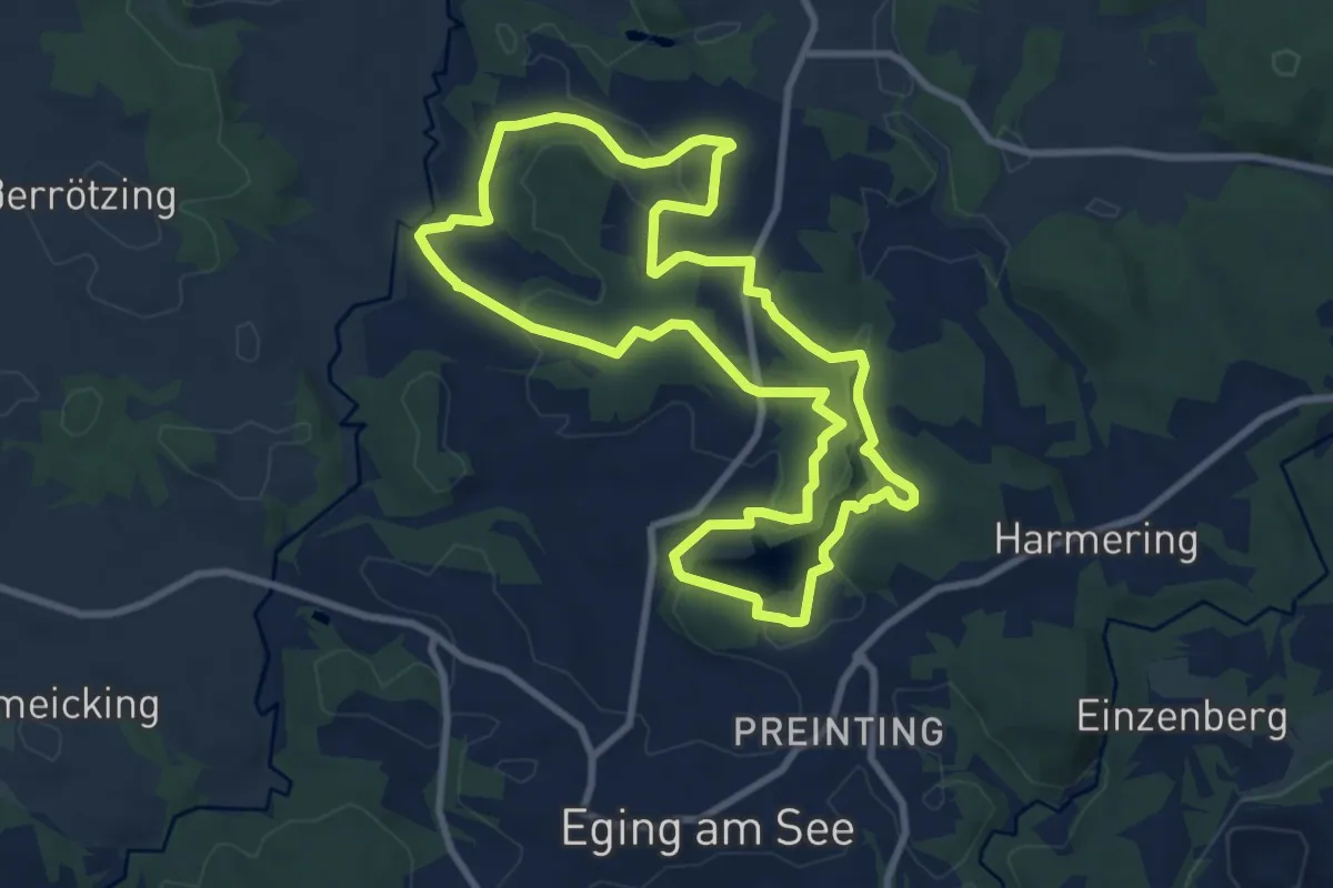
Medium · Trail
Nr. 2: Erweiterter Seerundweg
8.7 km · ↑ 148 m · 2 h 29 min
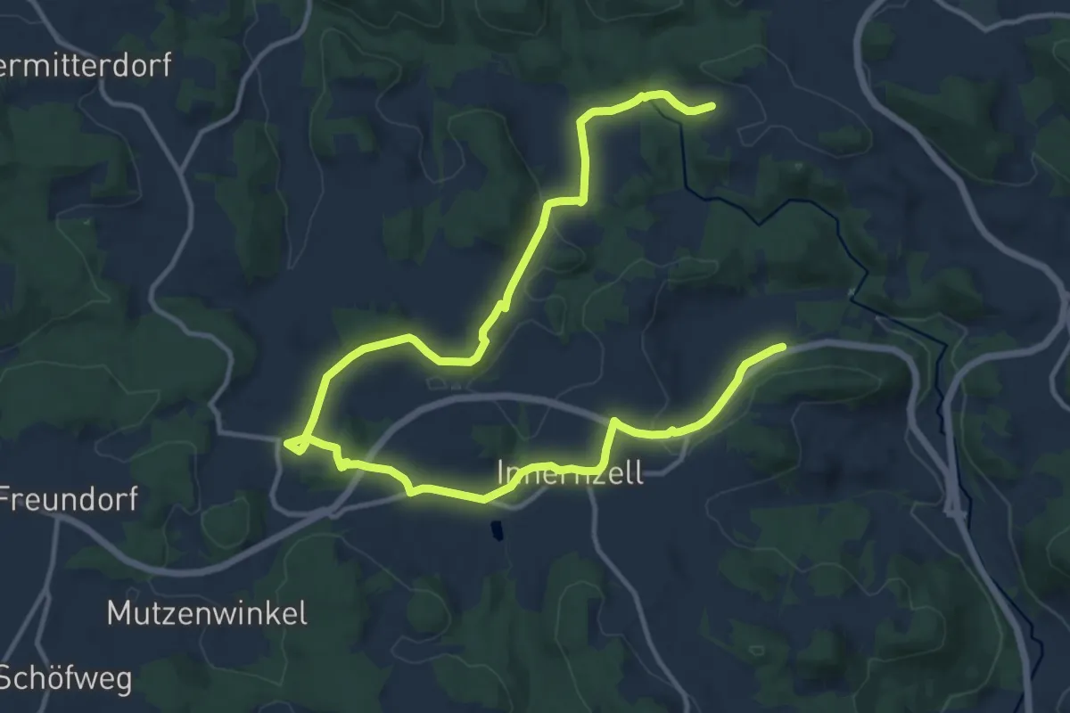
Medium · Trail
Nr. 2: Klausenweg
8.6 km · ↑ 218 m · 2 h 36 min
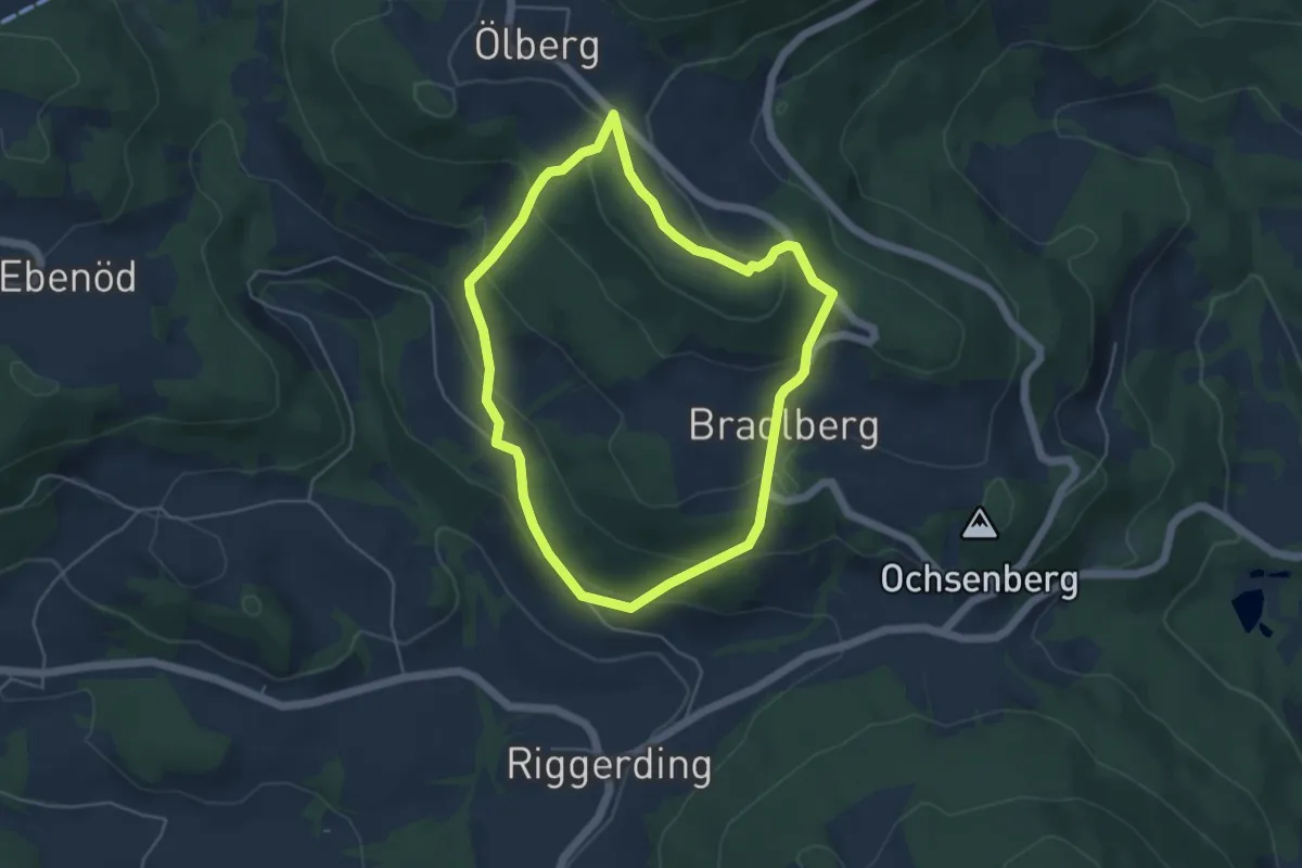
Easy · Trail
Nr. 39: Waldrunde
4.4 km · ↑ 220 m · 1 h 34 min
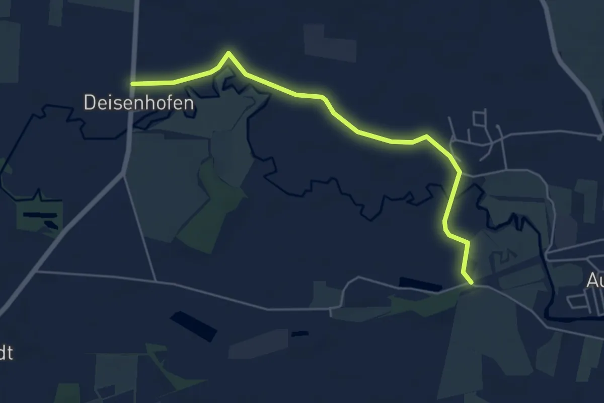
Easy · Trail
Nr. 4
4.7 km · ↑ 4 m · 1 h 6 min
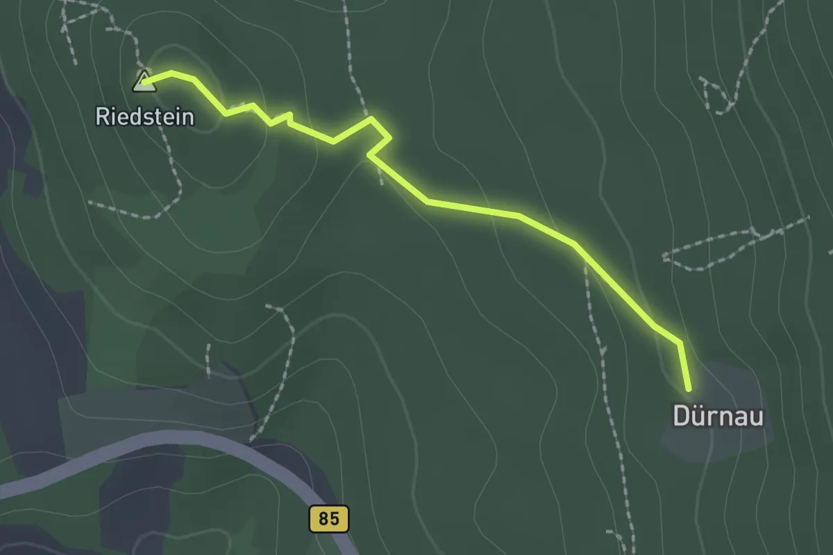
Medium · Summit
Nr.4
1.8 km · ↑ 51 m · 33 min
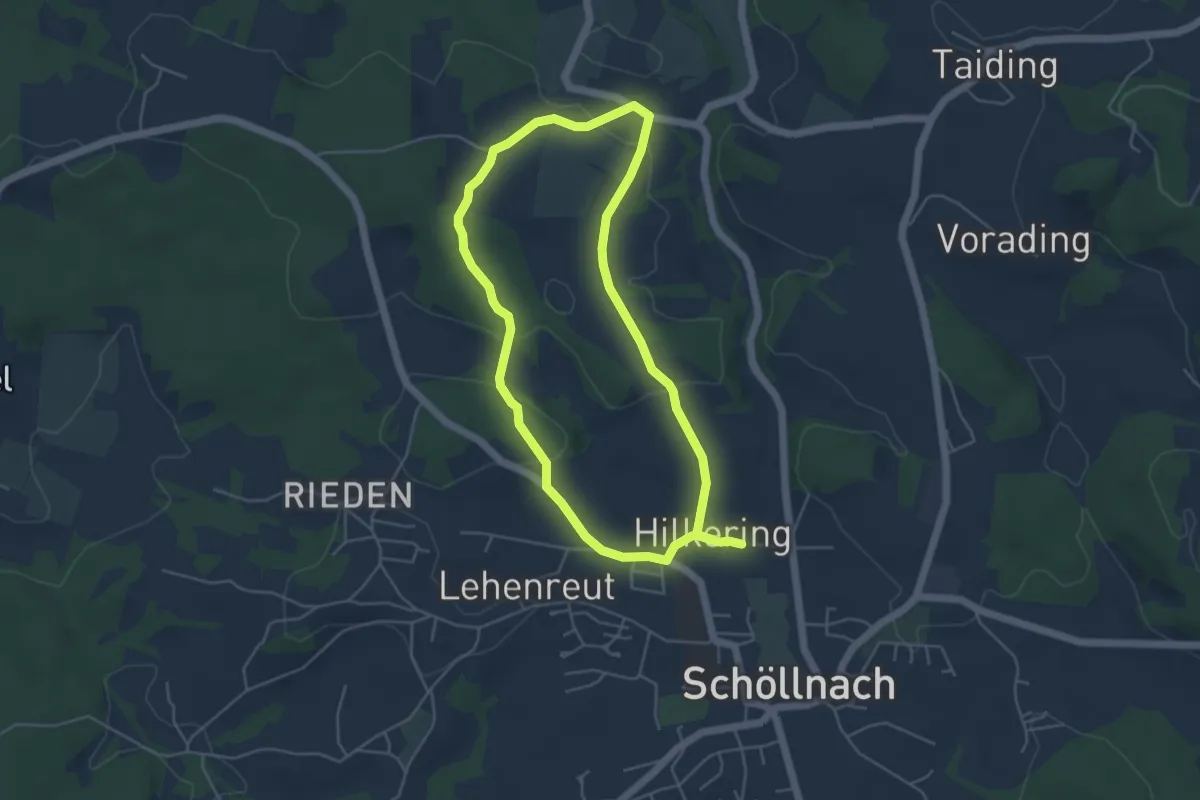
Easy · Trail
Nr. 43: Weißensteinerrunde
4.4 km · ↑ 83 m · 1 h 17 min
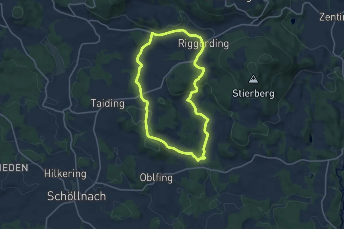
Medium · Trail
Nr. 45: Adlmaningrunde
8.8 km · ↑ 247 m · 2 h 44 min
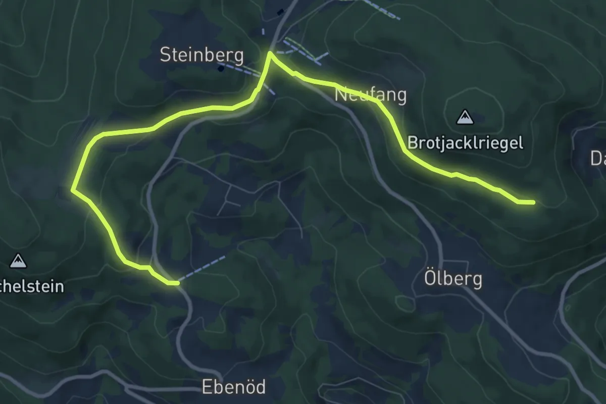
Easy · Trail
Nr. 48: Ohesprungrunde
5.0 km · ↑ 44 m · 1 h 26 min
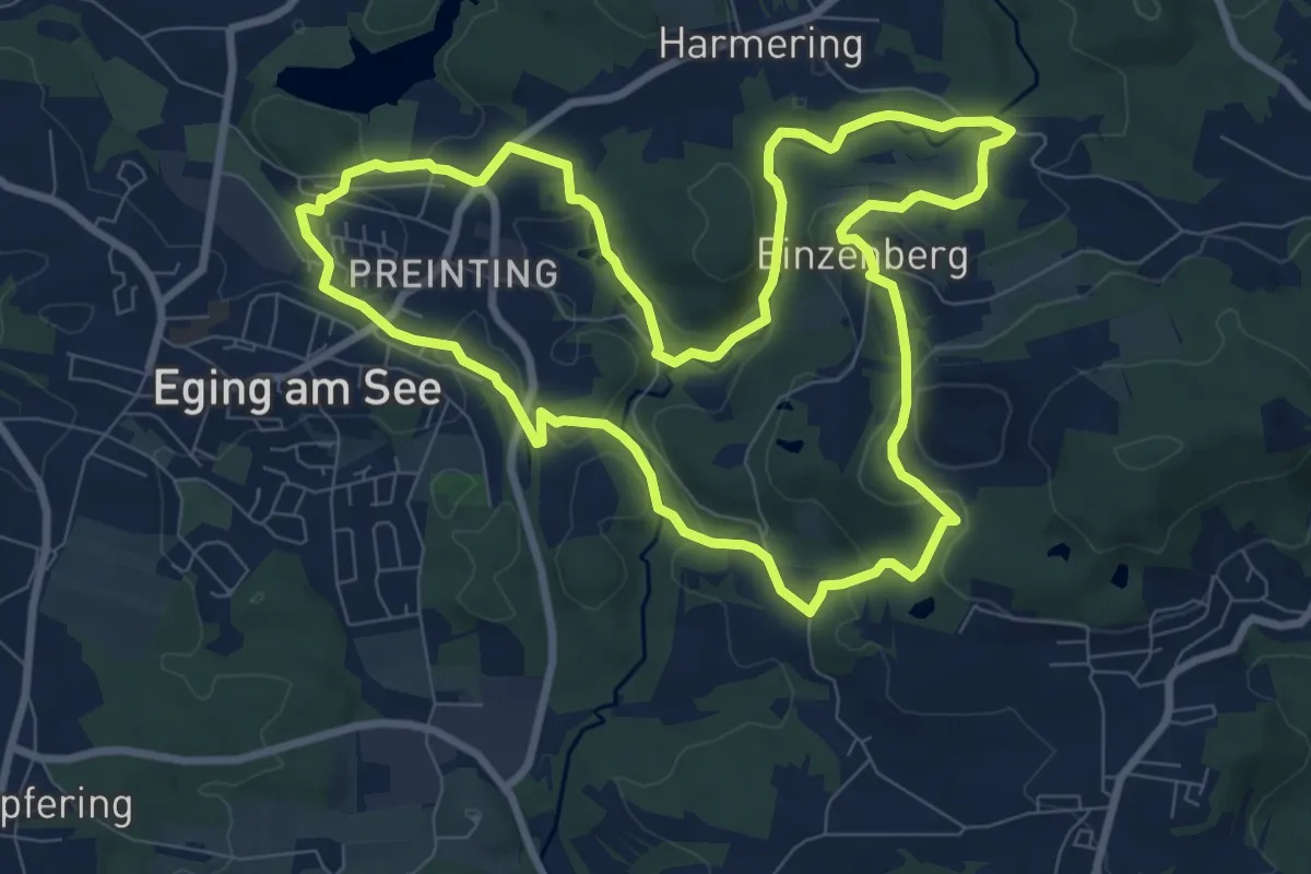
Medium · Trail
Nr. 4: Steinbruchweg
8.6 km · ↑ 199 m · 2 h 35 min
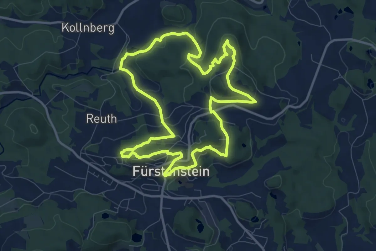
Medium · Trail
Nr. 50: Niedermayer Gedächtsnisweg
8.5 km · ↑ 278 m · 2 h 43 min
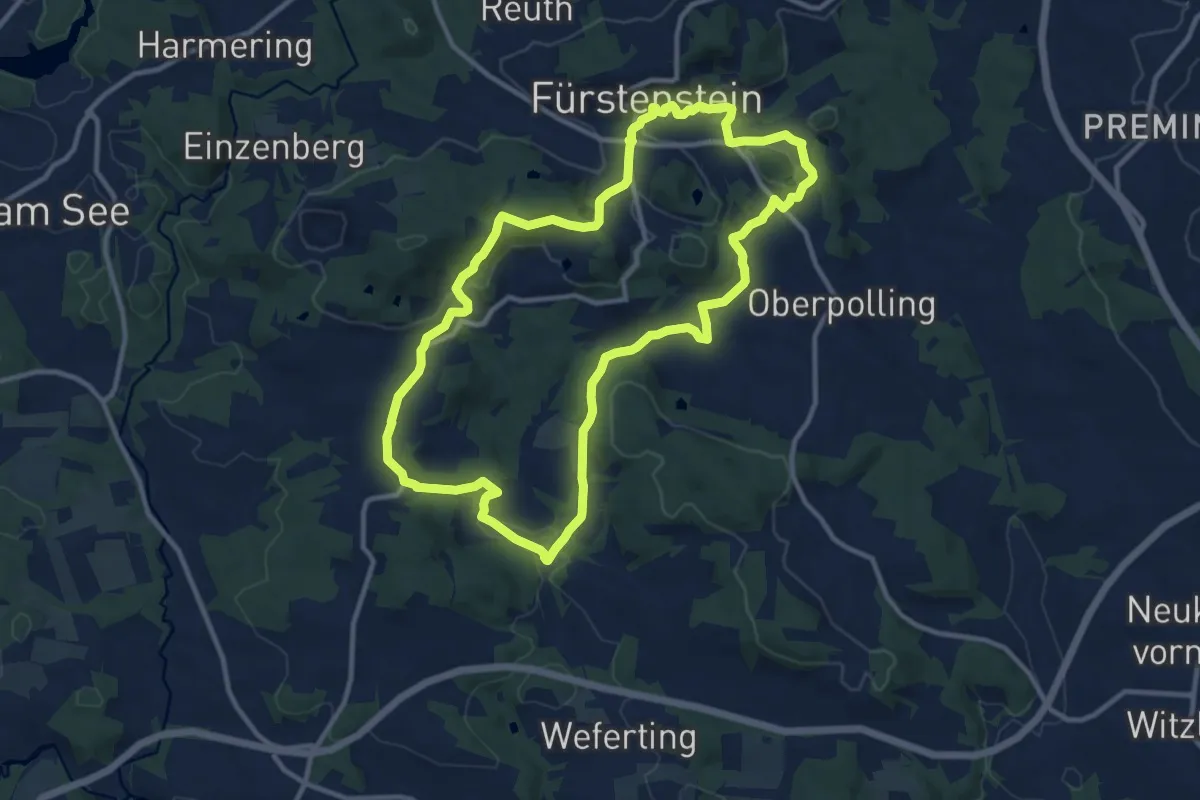
Medium · Trail
Nr. 51: Steinbruchweg
10.9 km · ↑ 239 m · 3 h 14 min
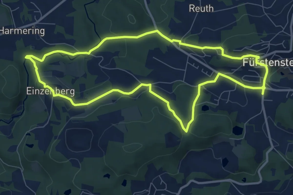
Easy · Trail
Nr. 52: Oheweg
7.5 km · ↑ 219 m · 2 h 21 min
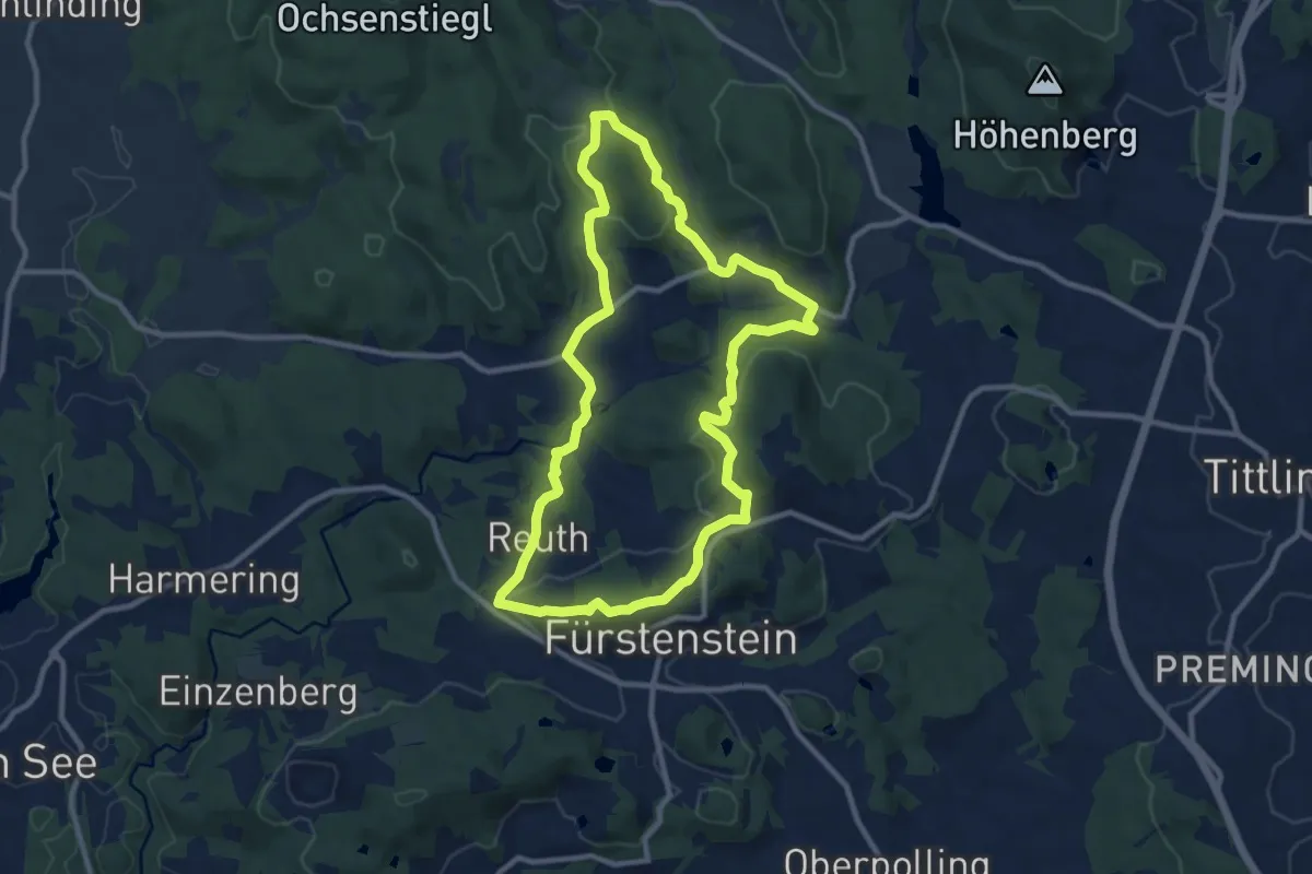
Medium · Trail
Nr. 53: Rabensteinrunde
9.5 km · ↑ 298 m · 3 h 2 min
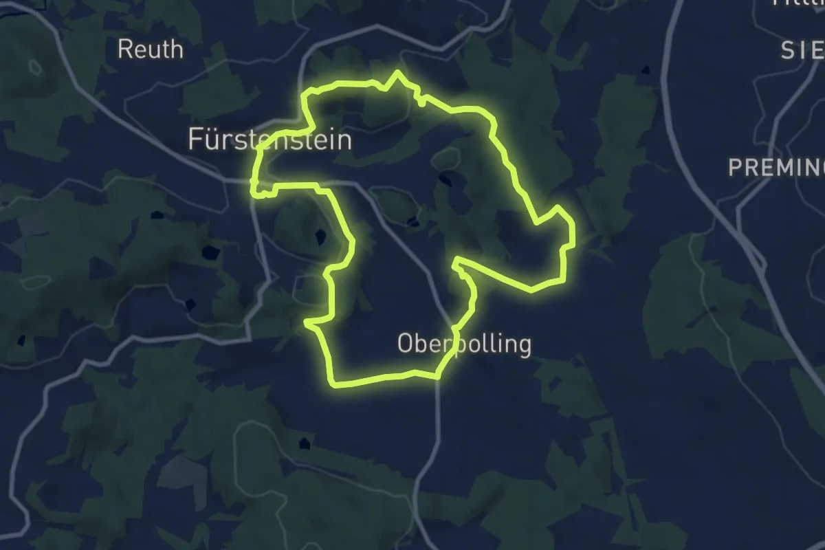
Medium · Trail
Nr. 54: Bildhauerweg
8.8 km · ↑ 243 m · 2 h 43 min