Trails in Germany
36,852 hiking trails, each with its route, climb, walking time and grade.
All trails, page 387 of 768
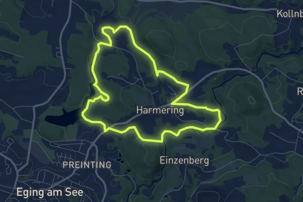
Easy · Trail
Nr. 5: Burgstallweg
7.1 km · ↑ 165 m · 2 h 7 min
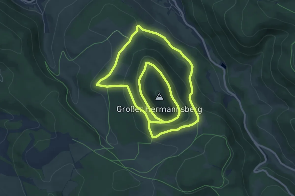
Easy · Summit
Nr. 5 Rundweg Großer Hermannsberg
6.8 km · ↑ 255 m · 2 h 15 min
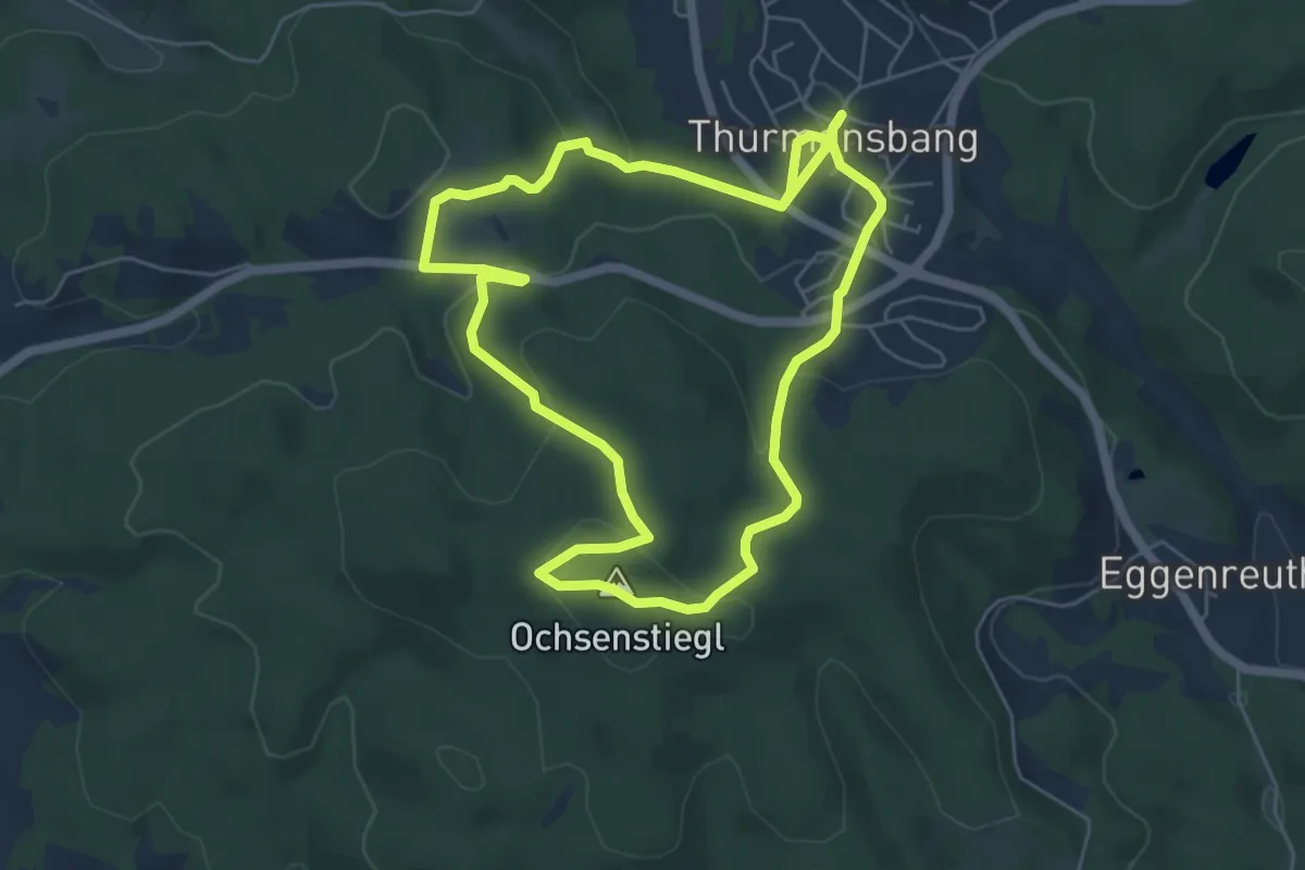
Easy · Summit
Nr. 64: Ochsenstiegl-Runde
5.4 km · ↑ 183 m · 1 h 45 min
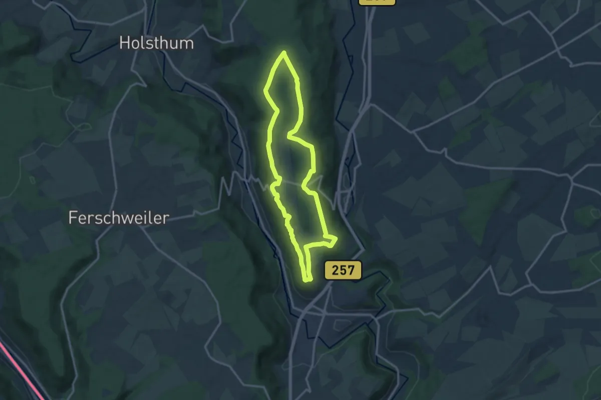
Medium · Trail
Nr. 64 - Prümzurlay
10.3 km · ↑ 137 m · 2 h 52 min
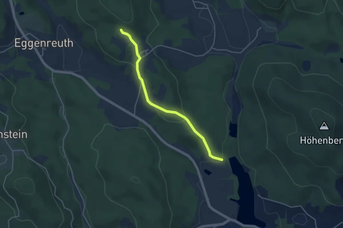
Easy · Trail
Nr. 65
3.2 km · ↑ 113 m · 1 h
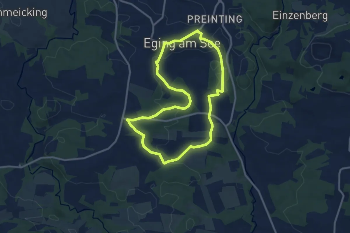
Easy · Trail
Nr. 6: Rohrbergweg
6.8 km · ↑ 115 m · 1 h 57 min
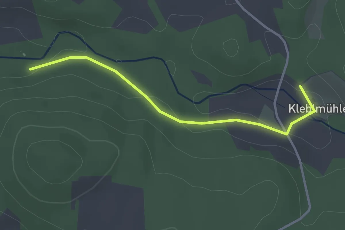
Easy · Trail
Nr.7
2.7 km · ↑ 58 m · 46 min
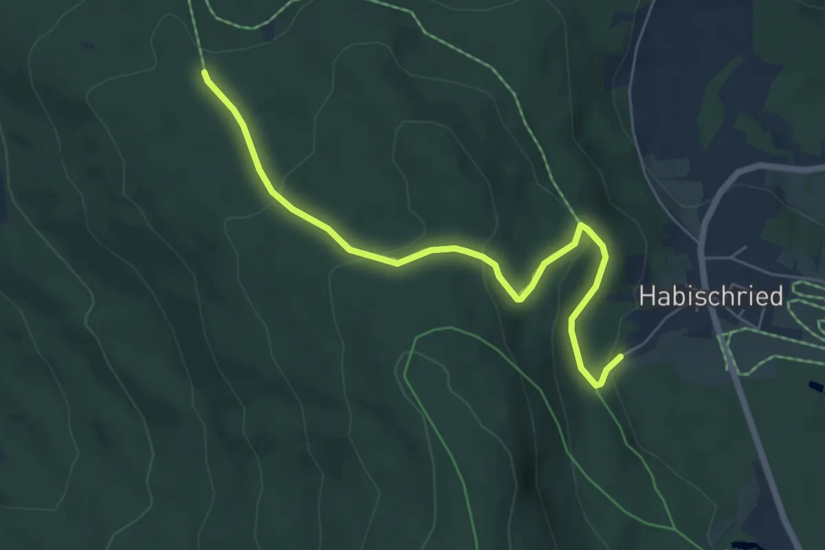
Easy · Trail
Nr.7 Gotteszell /Zachenberg
5.4 km · ↑ 223 m · 1 h 46 min
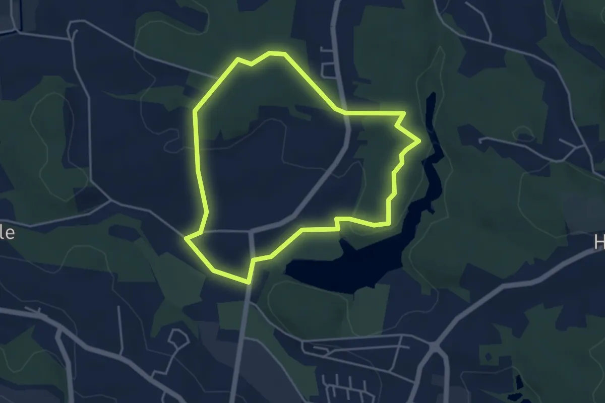
Easy · Trail
Nr. 7: Kapellenweg
3.5 km · ↑ 41 m · 57 min
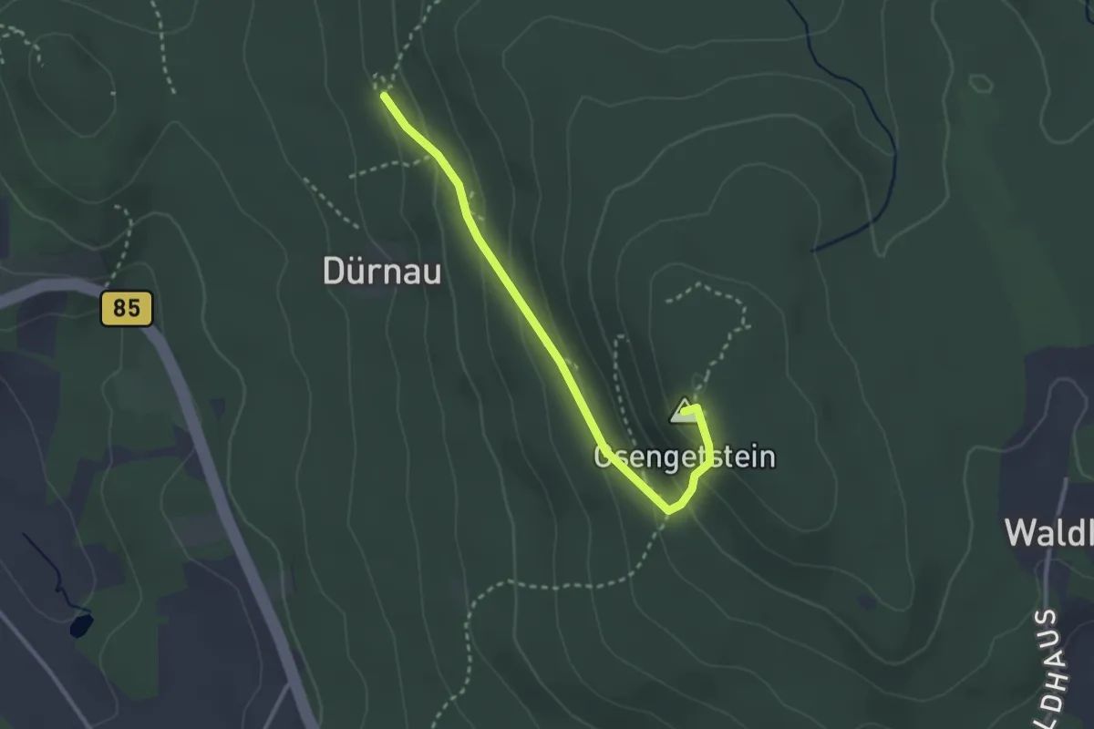
Medium · Summit
Nr.: 8
2.7 km · ↑ 164 m · 1 h
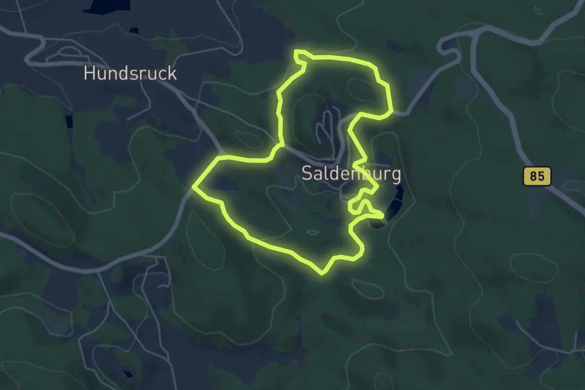
Easy · Trail
Nr. 80: Seeweg
4.6 km · ↑ 130 m · 1 h 27 min
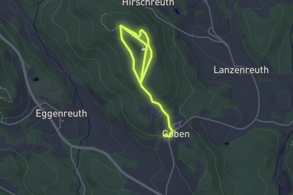
Medium · Summit
Nr. 81: Bründl-Kapellen-Runde
2.2 km · ↑ 104 m · 45 min
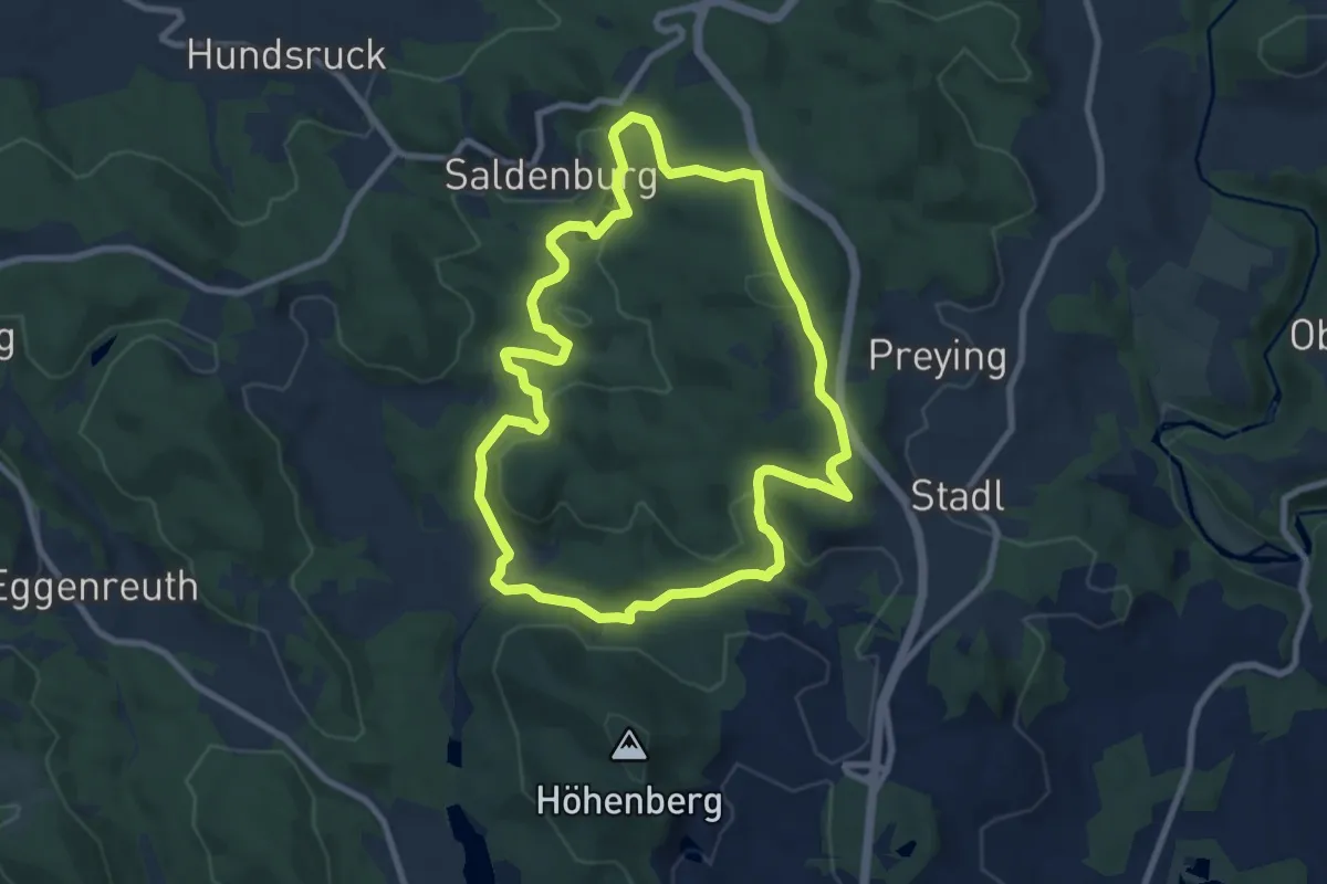
Medium · Trail
Nr. 82: Weiherbuchet
8.0 km · ↑ 192 m · 2 h 26 min
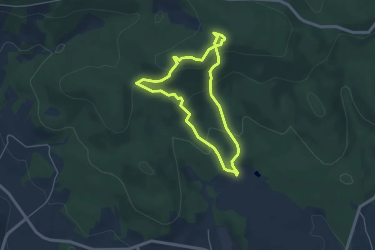
Easy · Trail
Nr. 84: Wackelstein-Steig
3.2 km · ↑ 154 m · 1 h 8 min
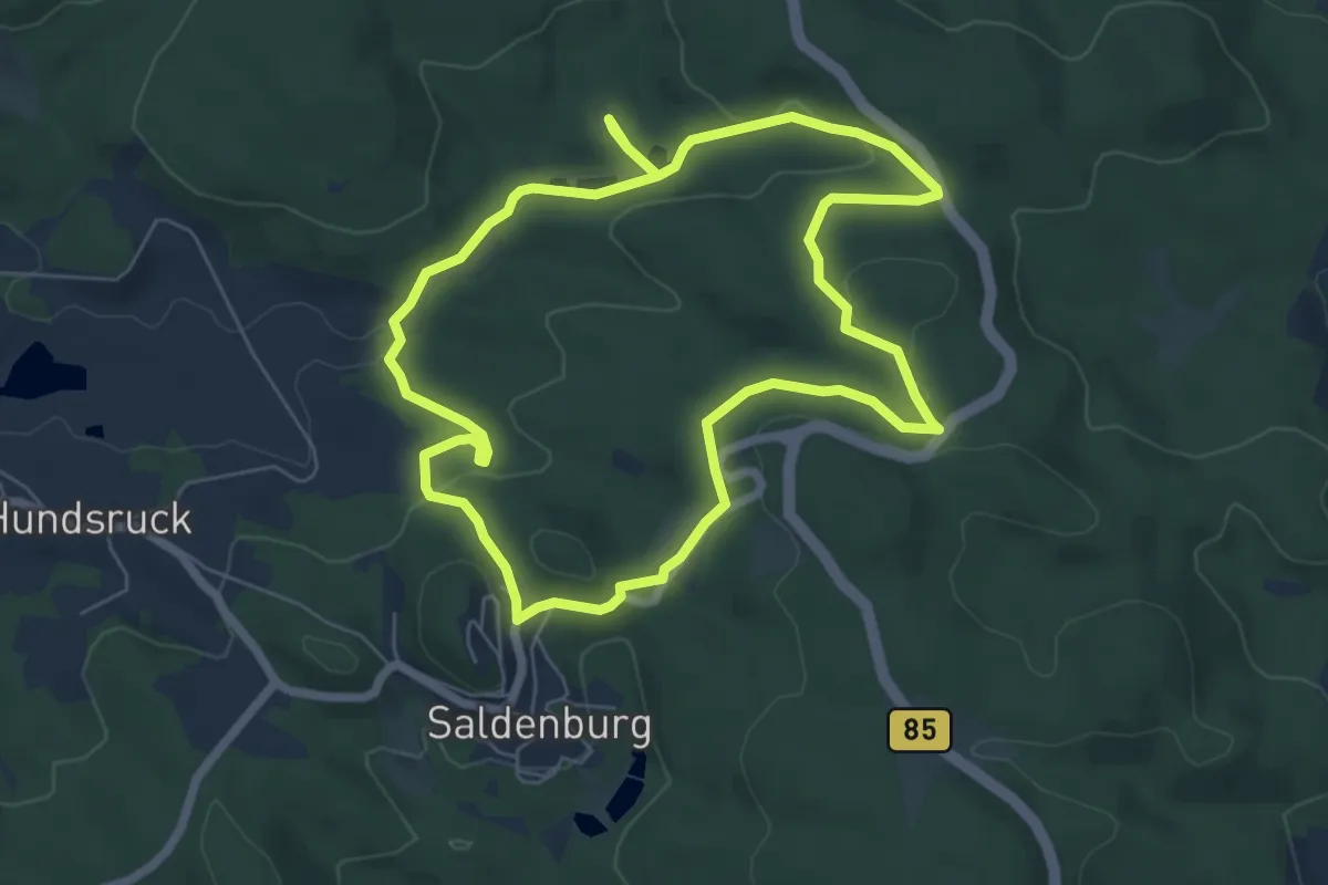
Easy · Summit
Nr. 85: Ödhäuslwanderweg
6.2 km · ↑ 145 m · 1 h 51 min
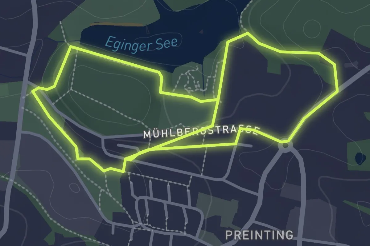
Easy · Trail
Nr. 8: Kurparkweg
3.1 km · ↑ 48 m · 53 min
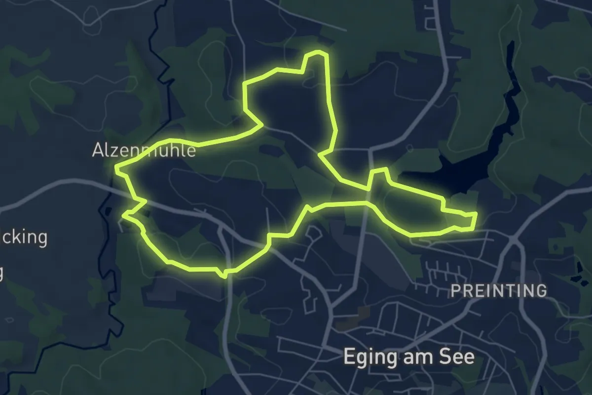
Easy · Trail
Nr. 9: Alzenmühleweg
6.4 km · ↑ 115 m · 1 h 50 min
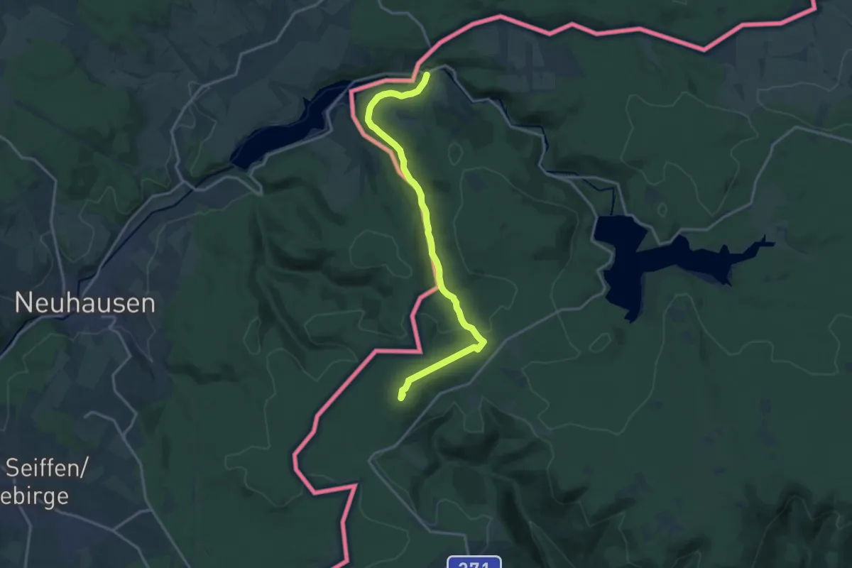
Medium · Summit
NS Flájská hornatina
14.3 km · ↑ 308 m · 4 h 2 min
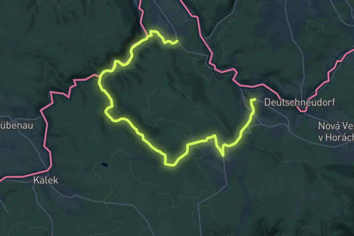
Medium · Trail
NS Gabrielka
16.1 km · ↑ 406 m · 4 h 51 min
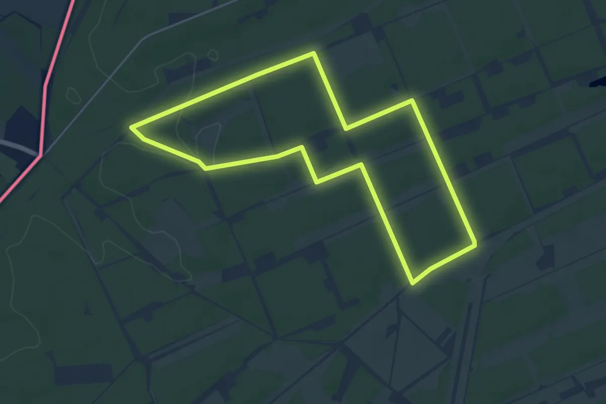
Easy · Trail
NSG Brachter Wald Wanderweg Blau
4.5 km · ↑ 17 m · 1 h 9 min
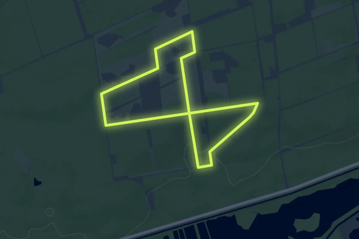
Easy · Trail
NSG Brachter Wald Wanderweg Grün
3.8 km · ↑ 21 m · 59 min
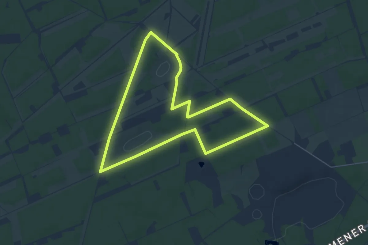
Easy · Trail
NSG Brachter Wald Wanderweg Rot
4.9 km · ↑ 13 m · 1 h 16 min
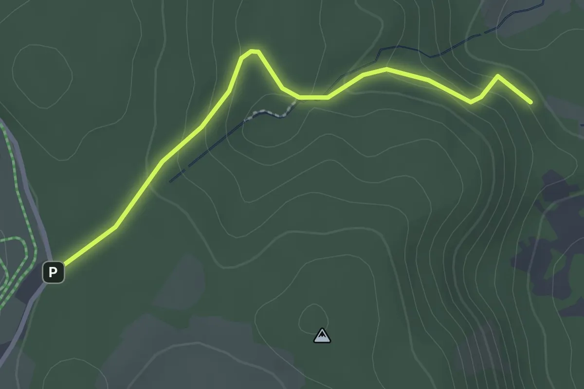
Easy · Trail
NSG Briglirain - Forsthaus Martinskapelle
2.5 km · ↑ 91 m · 47 min
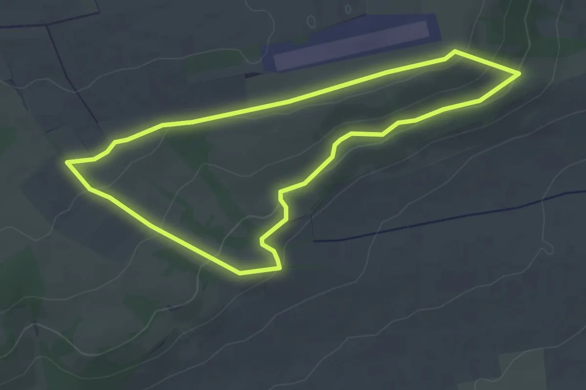
Easy · Trail
NSG Stahl-/Hölleberg Rundweg 1
3.5 km · ↑ 73 m · 1 h 2 min
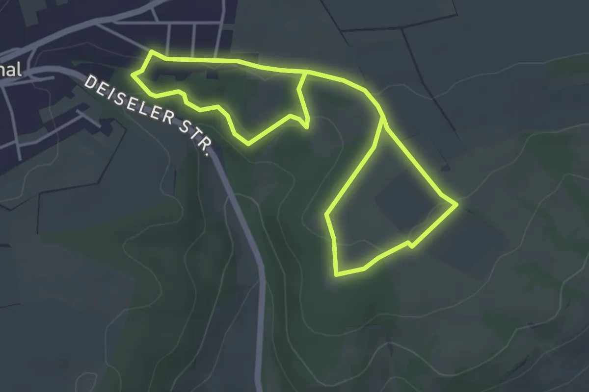
Easy · Trail
NSG Stahl-/Hölleberg Rundweg 2
3.1 km · ↑ 57 m · 54 min
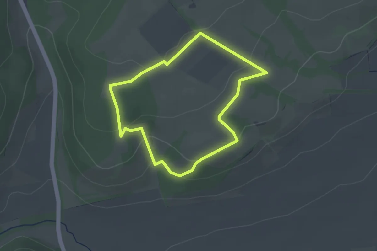
Easy · Trail
NSG Stahl-/Hölleberg Rundweg 3
2.1 km · ↑ 62 m · 39 min
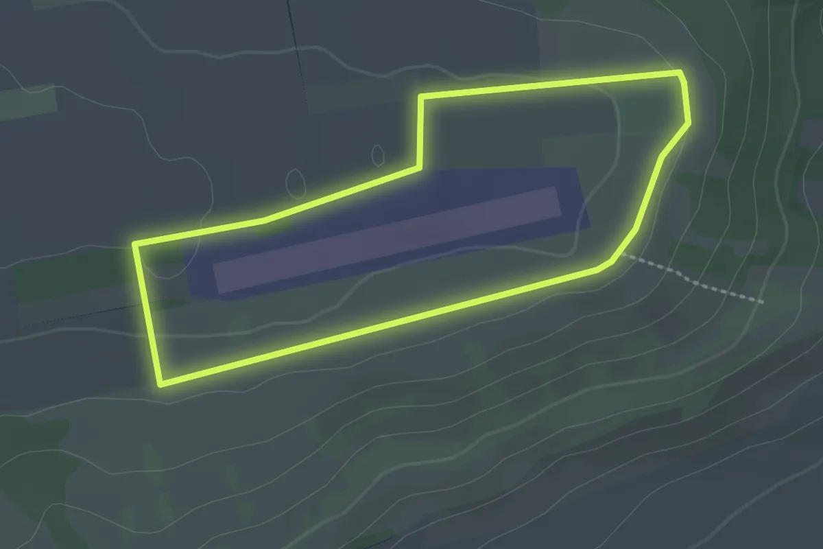
Easy · Trail
NSG Stahl-/Hölleberg Rundweg 4
2.1 km · ↑ 24 m · 34 min
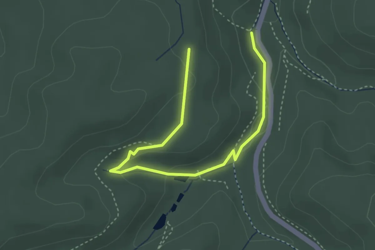
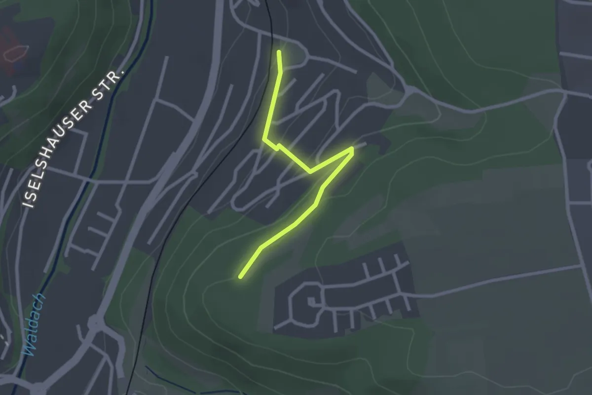
Medium · Trail
NSG Wartburg - Hohe Sonne: Gelber Balken
3.8 km · ↑ 80 m · 1 h 5 min
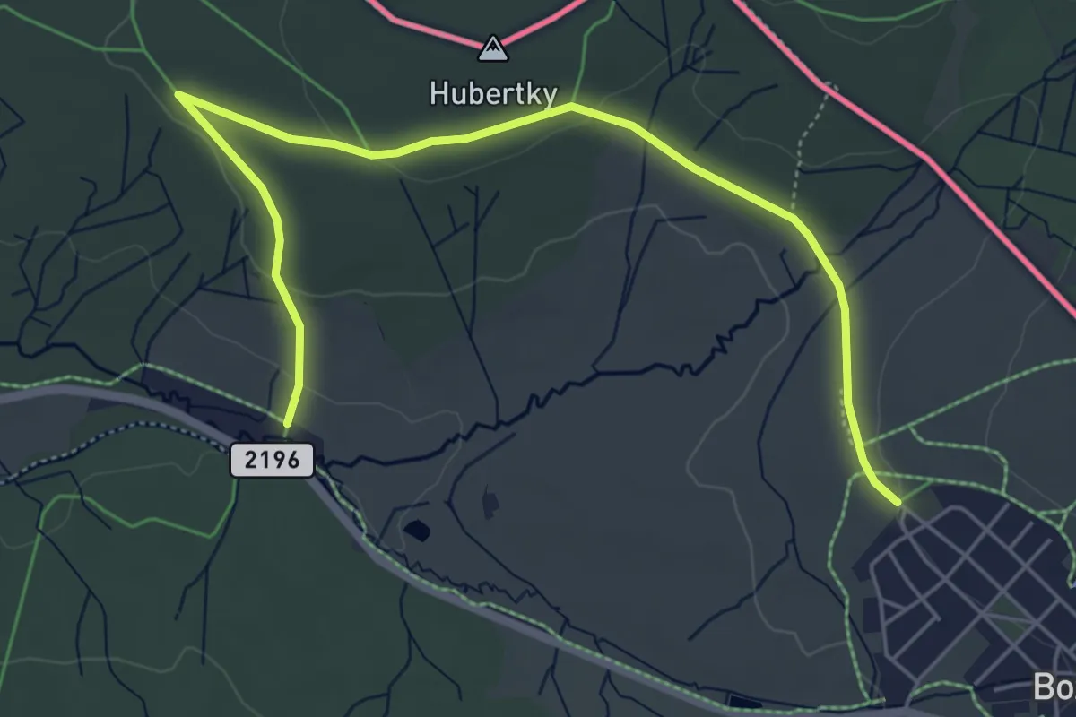
Easy · Trail
NSG Ziegelberg - Haltepunkt Steinberg
2.1 km · ↑ 86 m · 41 min
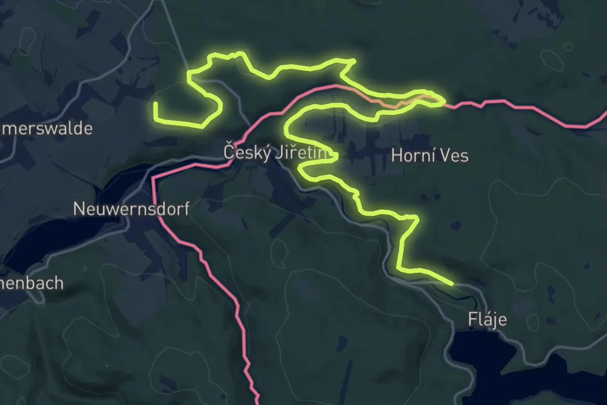
Easy · Trail
NS Ježíškova cesta
5.8 km · ↑ 80 m · 1 h 33 min
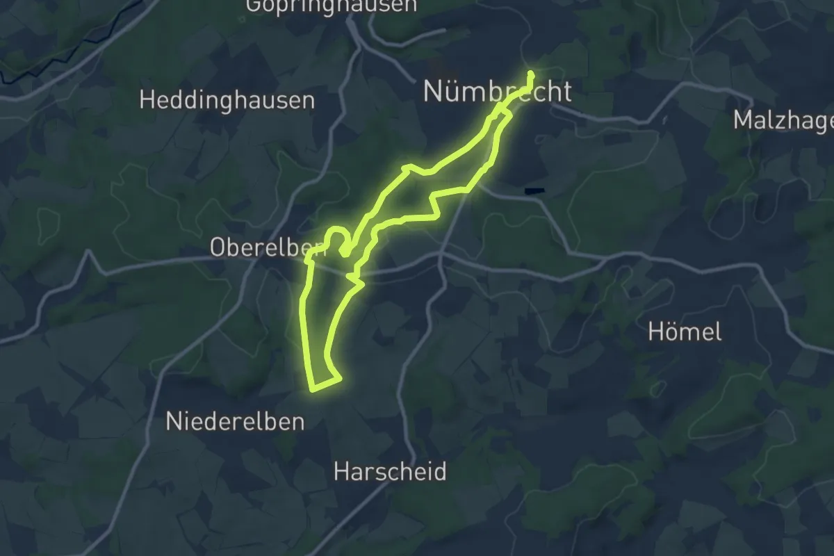
Demanding · Trail
NS Podél Nového plavebního kanálu
25.6 km · ↑ 363 m · 6 h 50 min
Easy · Trail
Nümbrecht Kurpark Rundweg A1
7.9 km · ↑ 123 m · 2 h 15 min
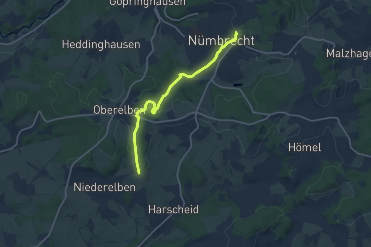
Medium · Trail
Nümbrecht Kurpark Rundweg A2
8.4 km · ↑ 152 m · 2 h 19 min
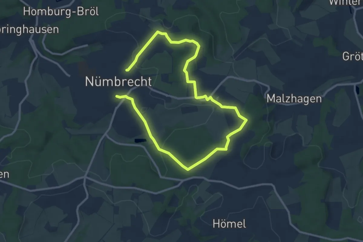
Easy · Trail
Nümbrecht Rundweg A3
5.8 km · ↑ 99 m · 1 h 40 min
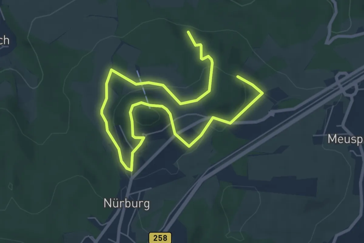
Easy · Trail
Nürburg-Route
8.0 km · ↑ 262 m · 2 h 27 min
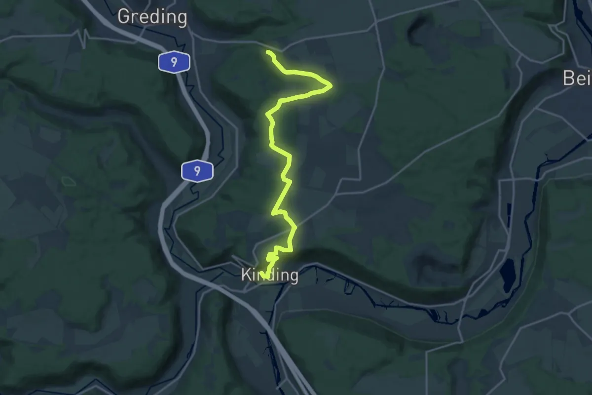
Medium · Trail
Nürnberg - Altmühltal
15.4 km · ↑ 290 m · 4 h 17 min
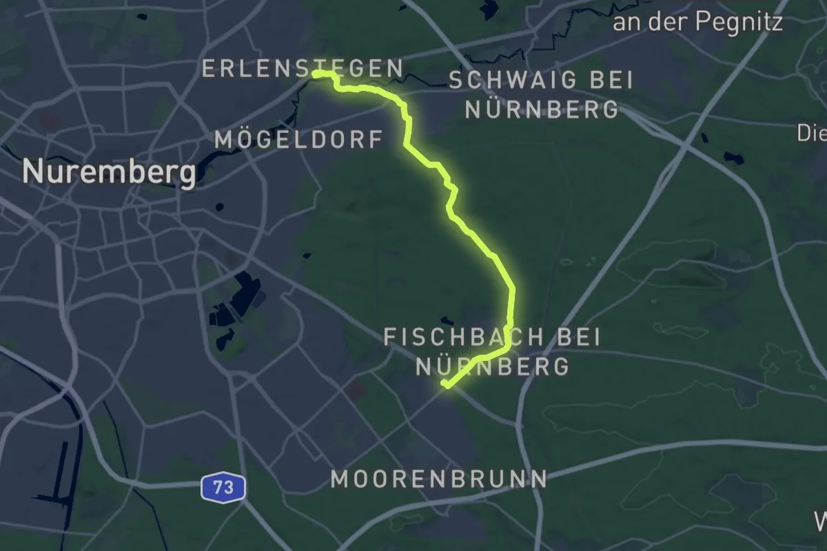
Demanding · Trail
Nürnberg-Erlenstegen – Fischbach bei Nürnberg
20.8 km · ↑ 191 m · 5 h 19 min
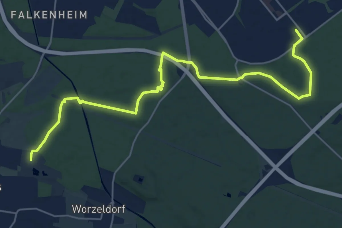
Medium · Trail
Nürnberg-Langwasser – Pillenreuth
16.2 km · ↑ 130 m · 4 h 6 min
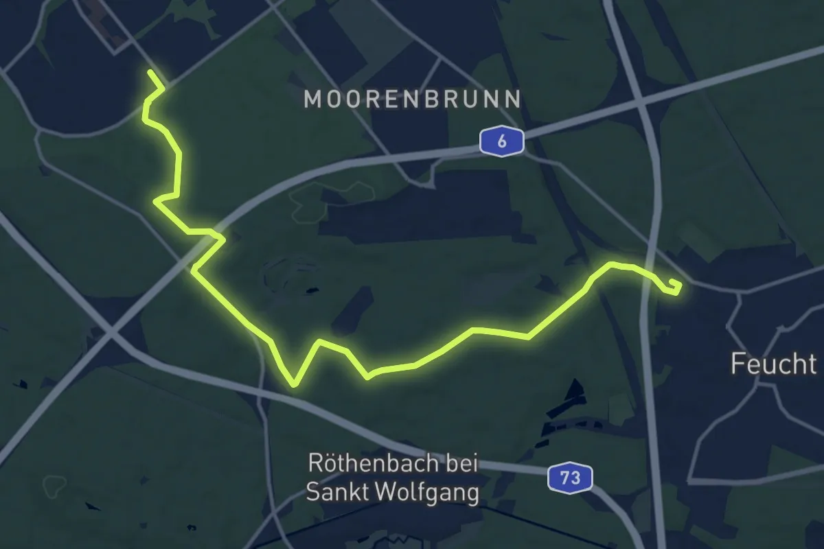
Medium · Trail
Nürnberg Langwasser Süd – Feucht
16.3 km · ↑ 107 m · 4 h 5 min
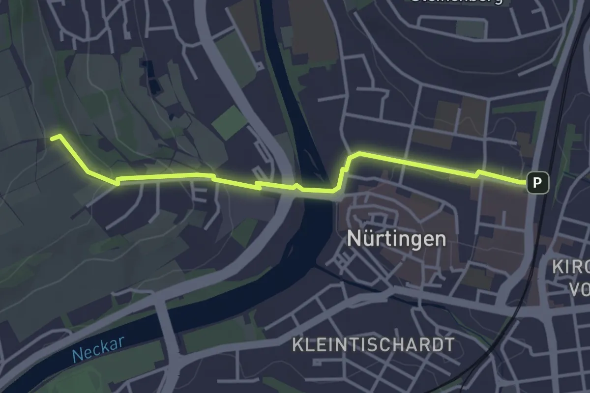
Easy · Trail
Nürtingen - Galgenberg
3.3 km · ↑ 70 m · 56 min
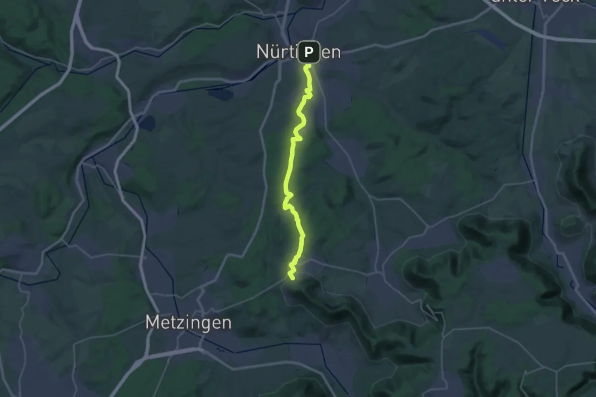
Demanding · Trail
Nürtingen - Kohlberg
20.7 km · ↑ 376 m · 5 h 42 min
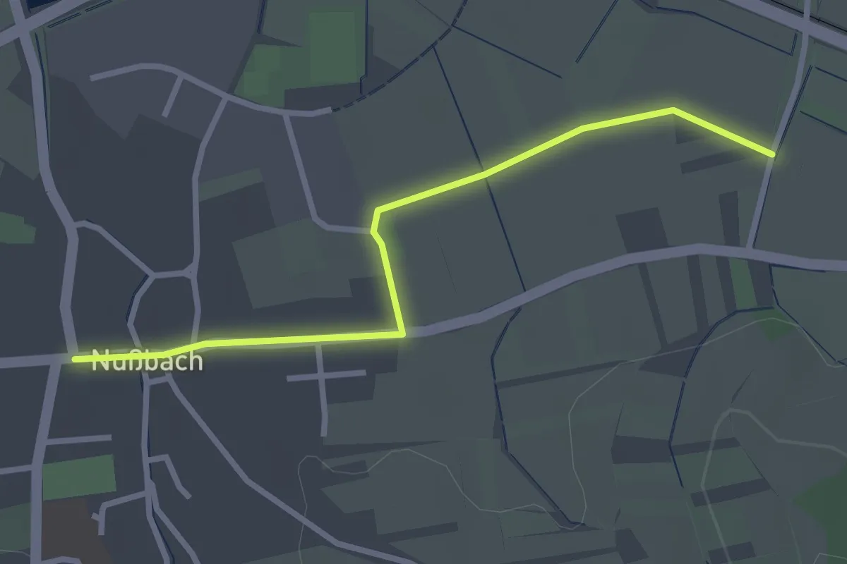
Easy · Trail
Nußbach Kirche - Weierhof
2.7 km · ↑ 9 m · 39 min
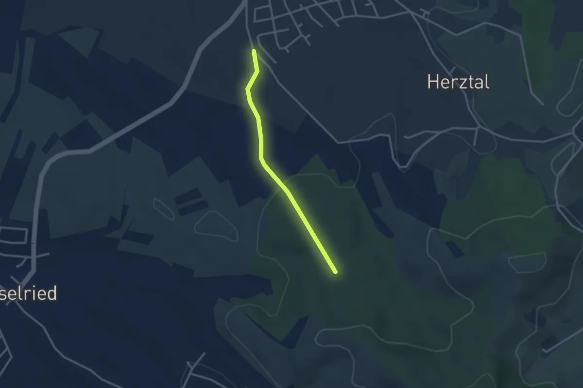
Easy · Trail
Nußbach Spielplatz - Weilerwald
2.3 km · ↑ 48 m · 39 min
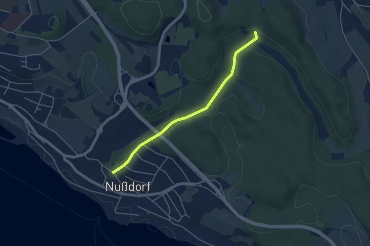
Easy · Trail
Nußbachtal
3.5 km · ↑ 88 m · 1 h 1 min
Easy · Trail
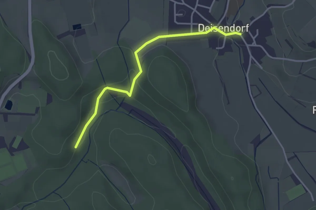
Nußbachtal - Deisendorf
3.1 km · ↑ 63 m · 52 min
Easy · Trail
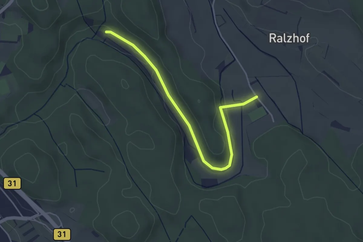
Nußbachtal - Grillhütte
3.9 km · ↑ 80 m · 1 h 5 min
Easy · Trail
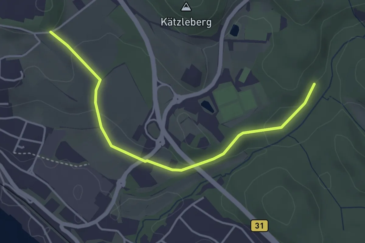
Nußbachtal - St. Leonhard
3.8 km · ↑ 104 m · 1 h 8 min
Demanding · Summit
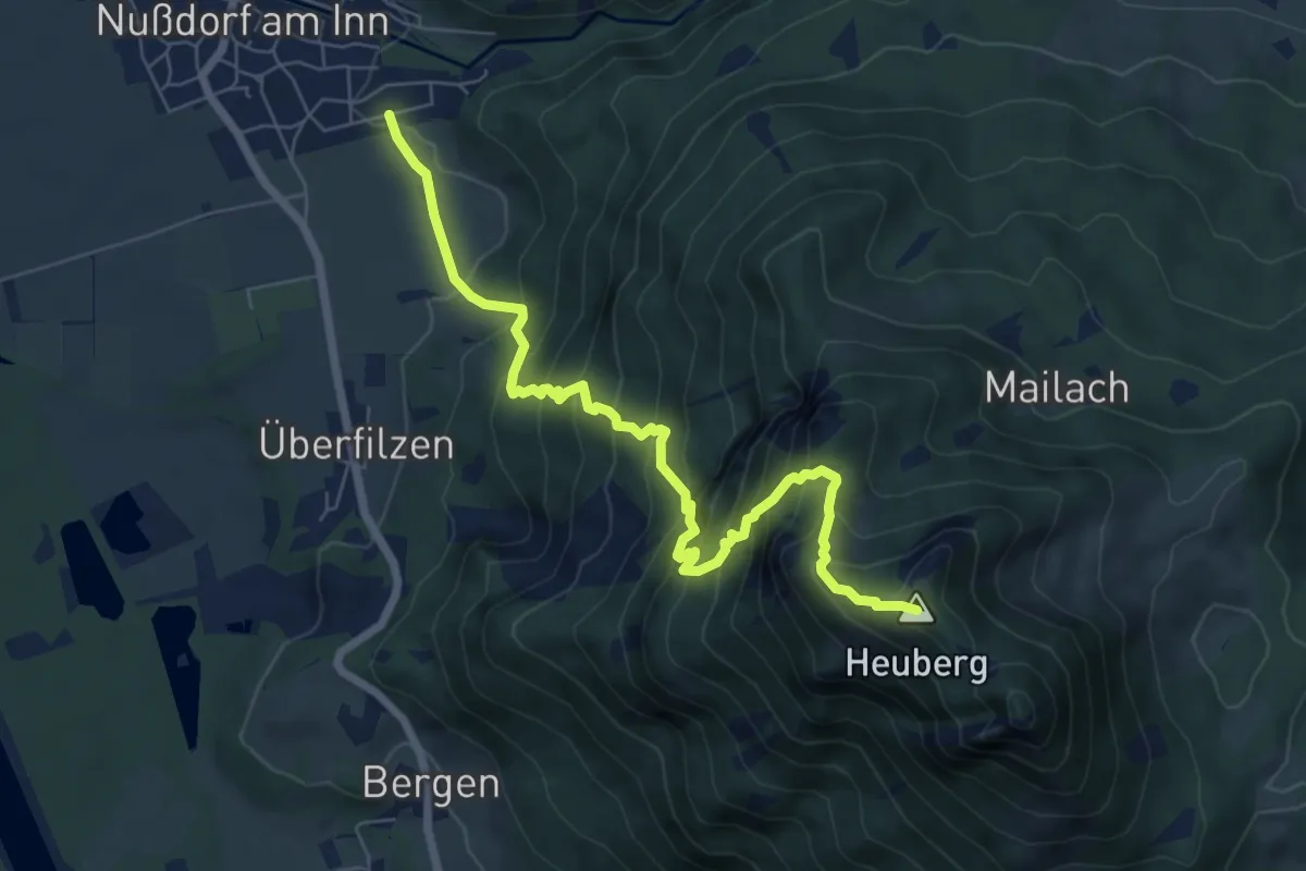
Nußdorf-Bichleralm-Heuberg
7.3 km · ↑ 872 m · 3 h 36 min